Great Rhos: Radnorshire County Top

Significance: Highest peak in Radnorshire (Historic CT)
Member of: Marilyn, Hewitt, Nuttall
Parent Peak: Plynlimon. NHN = Twmpa
Elevation: 660m
Date climbed: New Years Day 2016
Coordinates: 52.2671°N 3.1998°W
Route Start / End: out and back from parking space near church at New Radnor High Street
Route Distance: 6 km (3.7 miles)
Route Elevation Change: +/- 416m
Subsidiary tops on route: none
GPX File: get via Buy Me a Coffee
Other routes touched: none
OS Trig Pillar: TP5567 - Radnor Forest
Map: OS Explorer 200 Llandrindod Wells & Elan Valley & Rhayader
Guidebook: The UK's County Tops (Jonny Muir)
Links: Wikipedia (Radnorshire), Wikipedia (Great Rhos), Peakbagger, Hillbagging
Pretty much no-one that I know has heard of Great Rhos. As a County Top it a bit of an undiscovered gem, sitting on its own in mid-Wales far enough away from both the Brecon Beacons and the Snowdonia peaks.
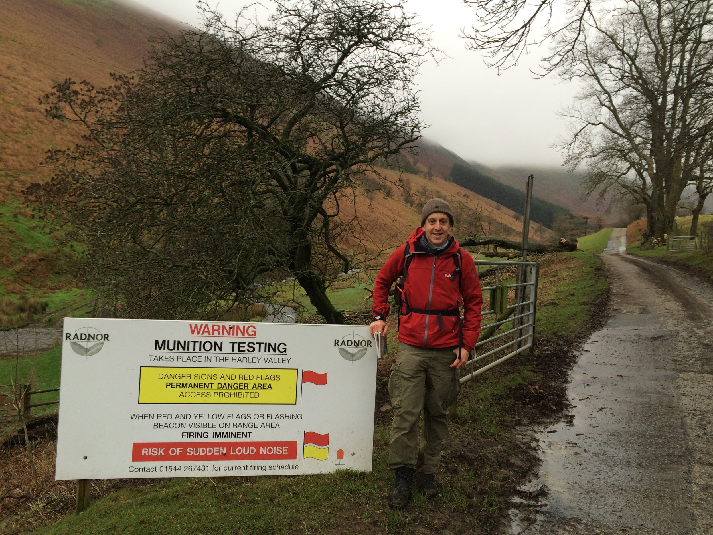
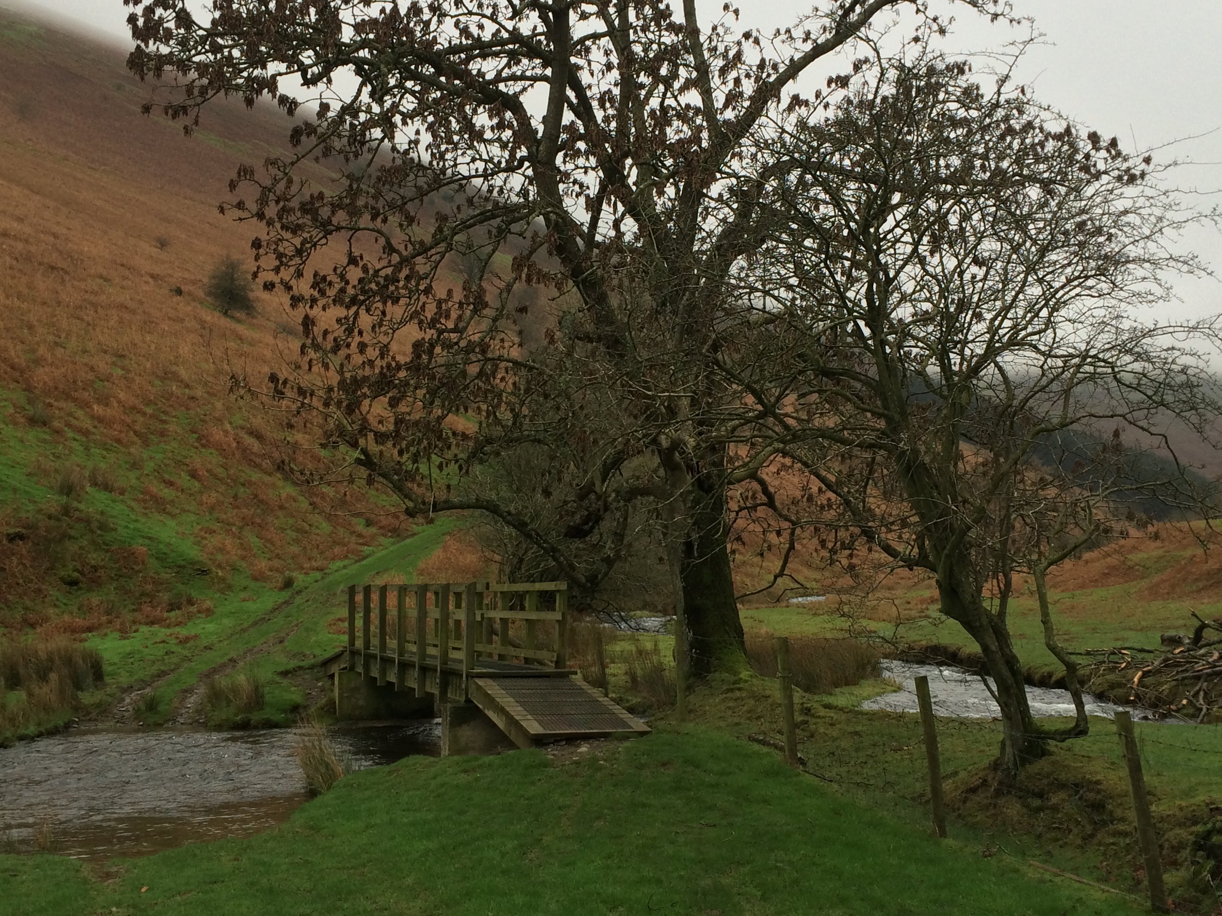
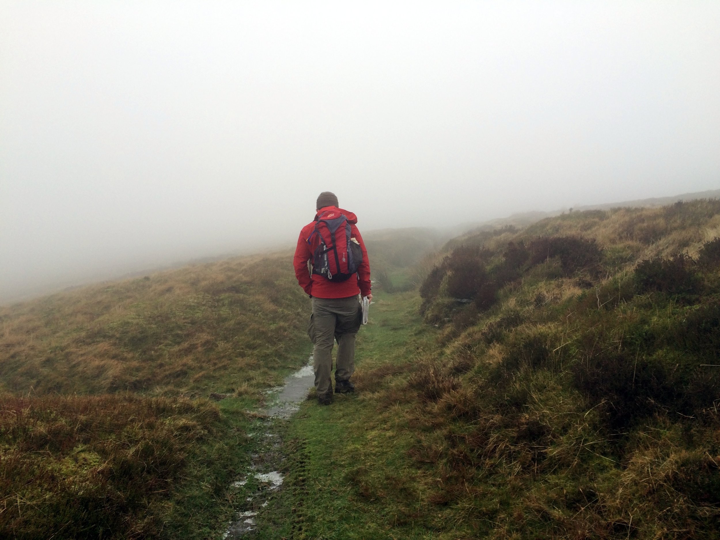
The obvious route starts from New Radnor where there's ample on-street parking. From the village centre, take the footpaths to the gates of the munition testing range. Cross the stream then take the path to the west of the valley. At the top of the valley you pass a warning sign and the valley disappears behind the Three Riggles. Follow the path north towards the summit until you reach a boundary fence and another warning sign. By this point you've pretty much done all of the elevation and the actual top, marked by a Trig Pilar is best found using a GPS device.
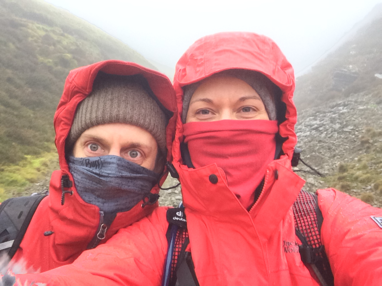
A nice New Year's Day walk for us with chilly but clear weather at the bottom and yet another cloud covered summit.