The Great Trails are 29 long distance walking routes established by Scotland Natural Heritage. The Great Trails website is the best place for further information on each. I’ve experienced a few of them on various adventures although it’s only the Great Glen Way that I’ve (kind of) completed so far. That was by bike and followed a path either on or close to the trail.
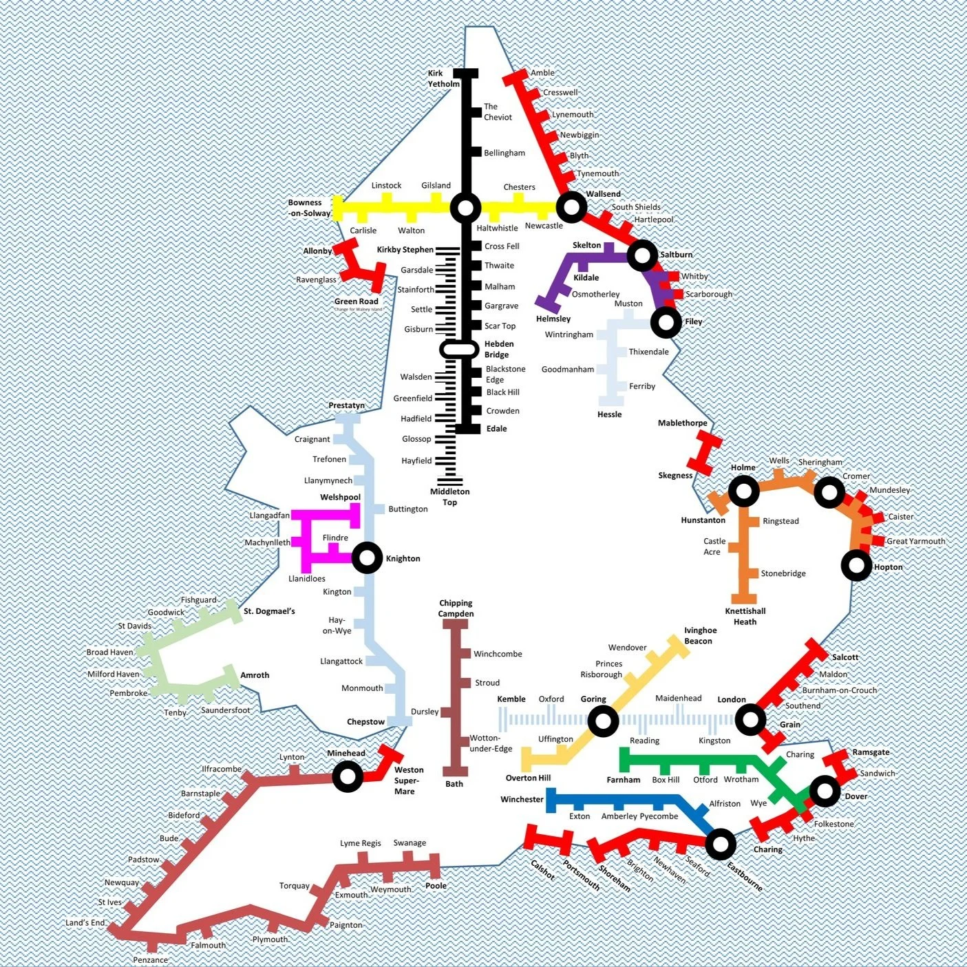
The above map is a collaboration between Michael Jones and myself based on research and an original design by Michael. Let me know via the Contact form if you spot any errors and I’ll donate £1 to one of my causes for any error corrected.

BLOG POSTS FEATURING THE GREAT TRAILS
Arran Coastal Way: Goatfell: Buteshire County Top
Great Glen Way: Cycling from Land’s End to John O’Groats
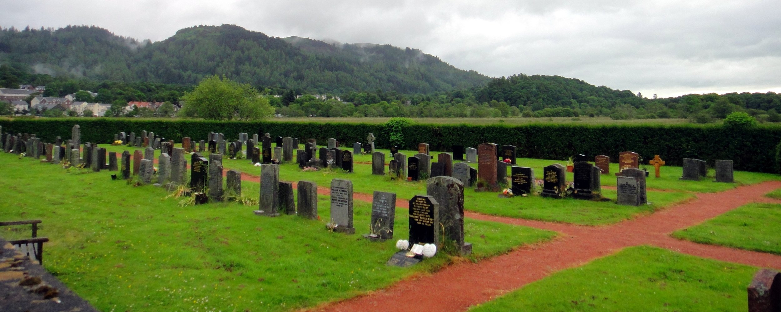
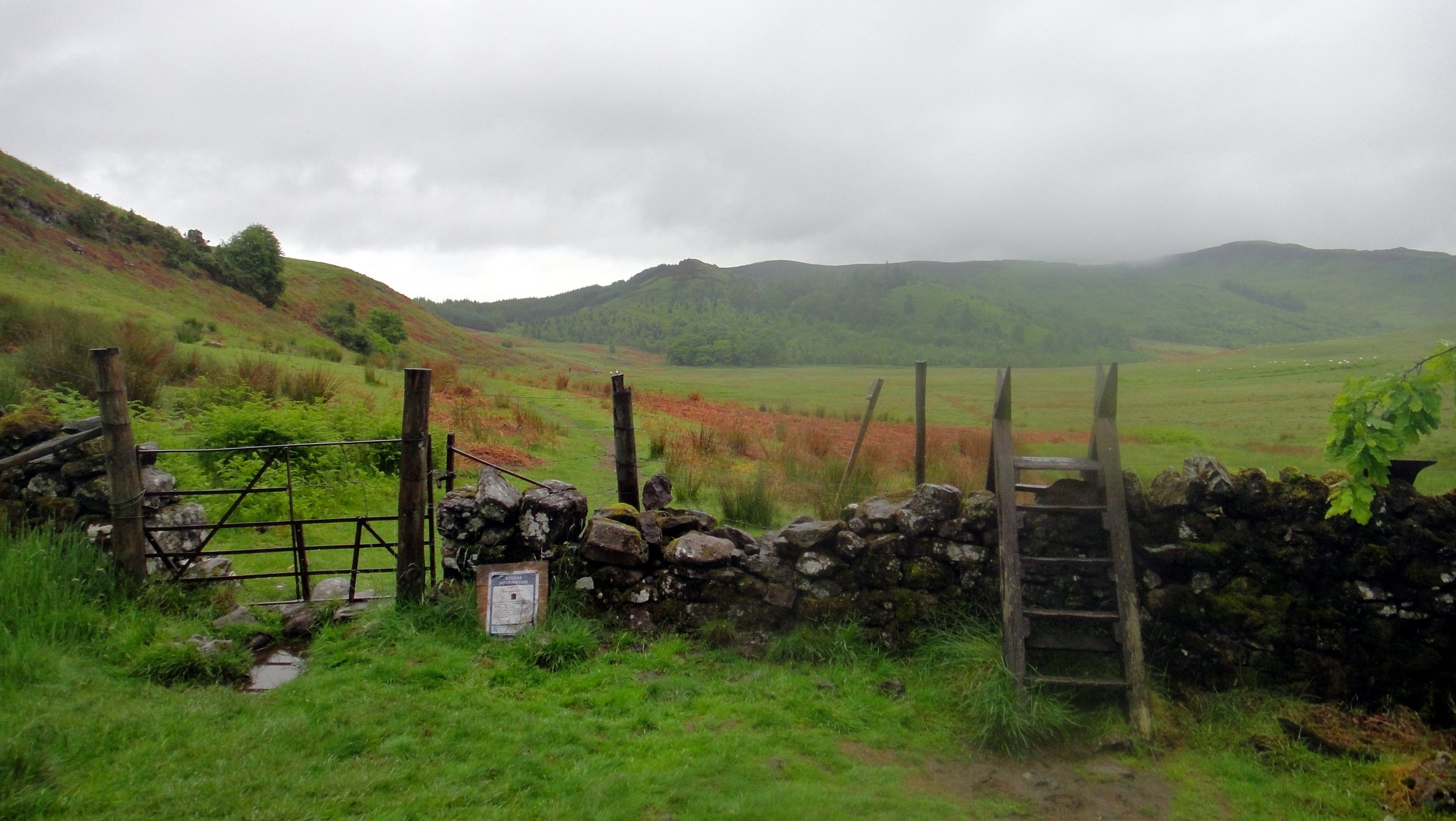
Loch Lomond and Cowal Way: Ben Vorlich: Dunbartonshire County Top
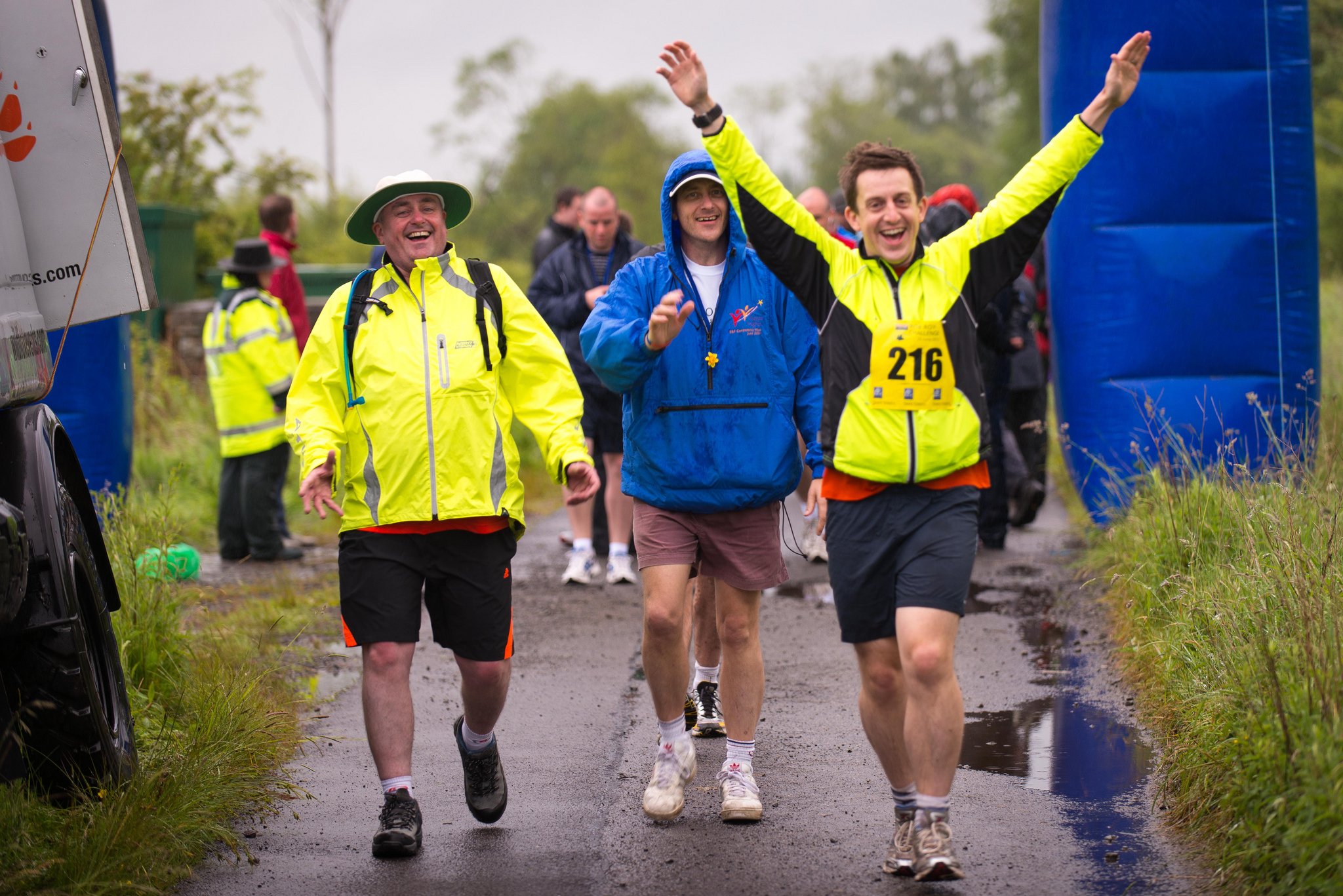
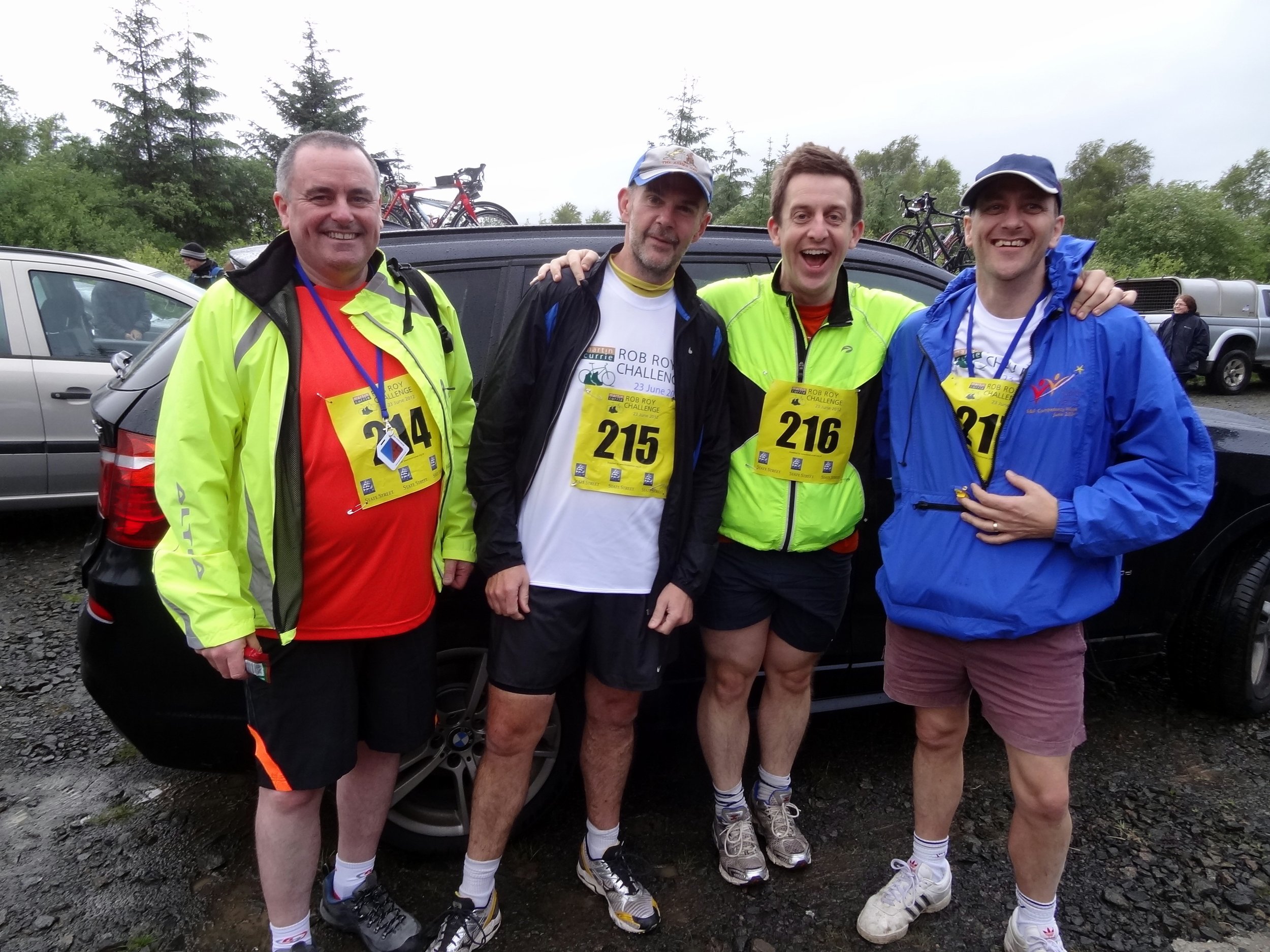
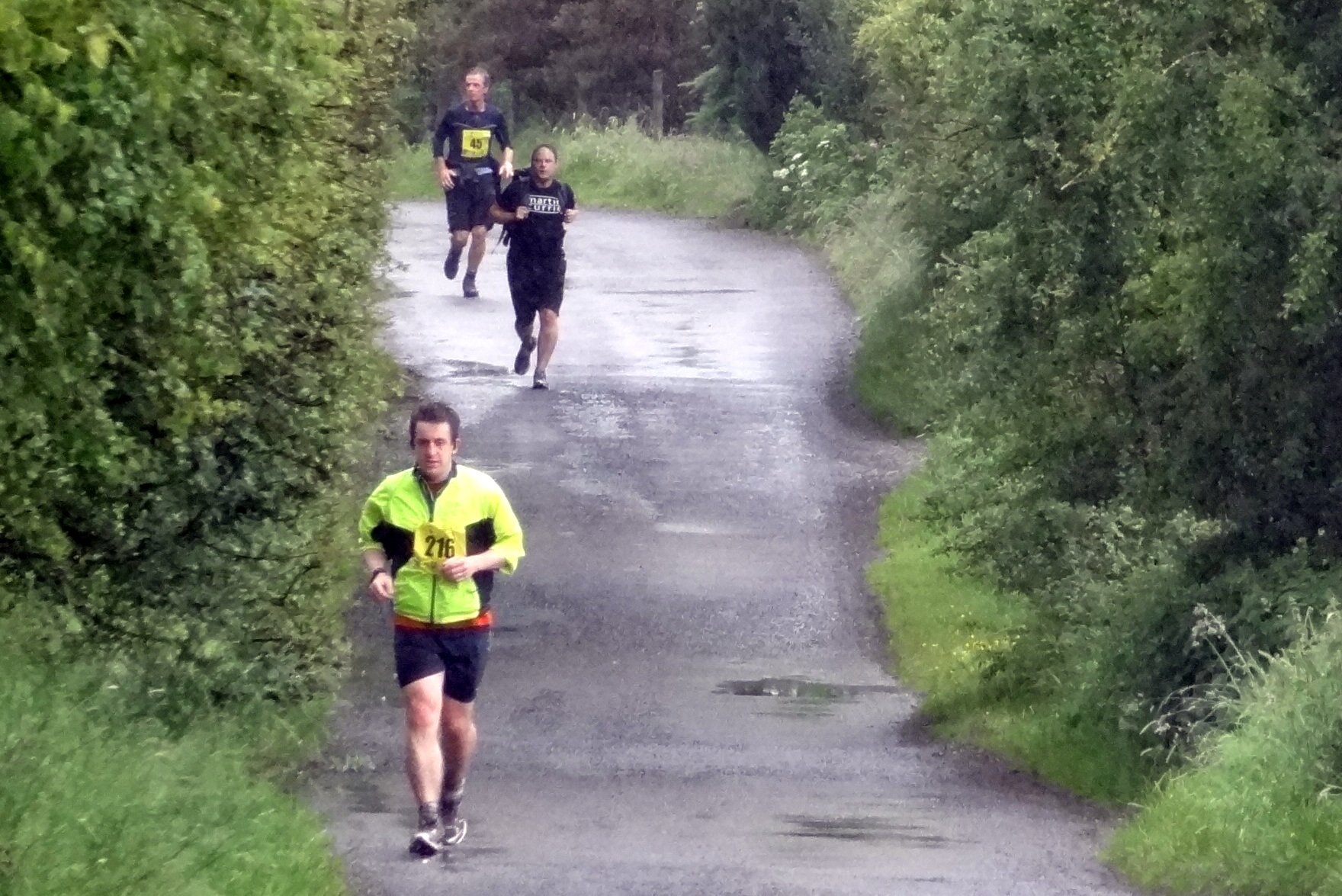
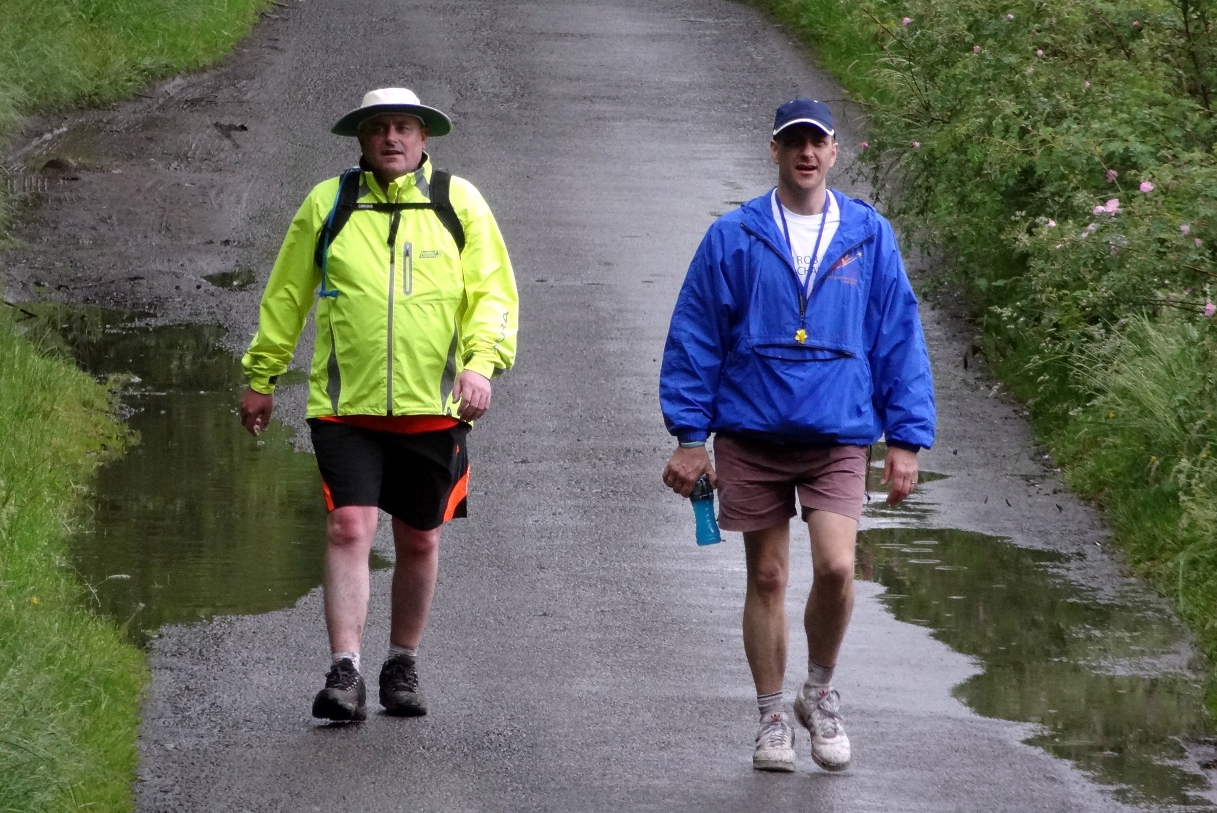
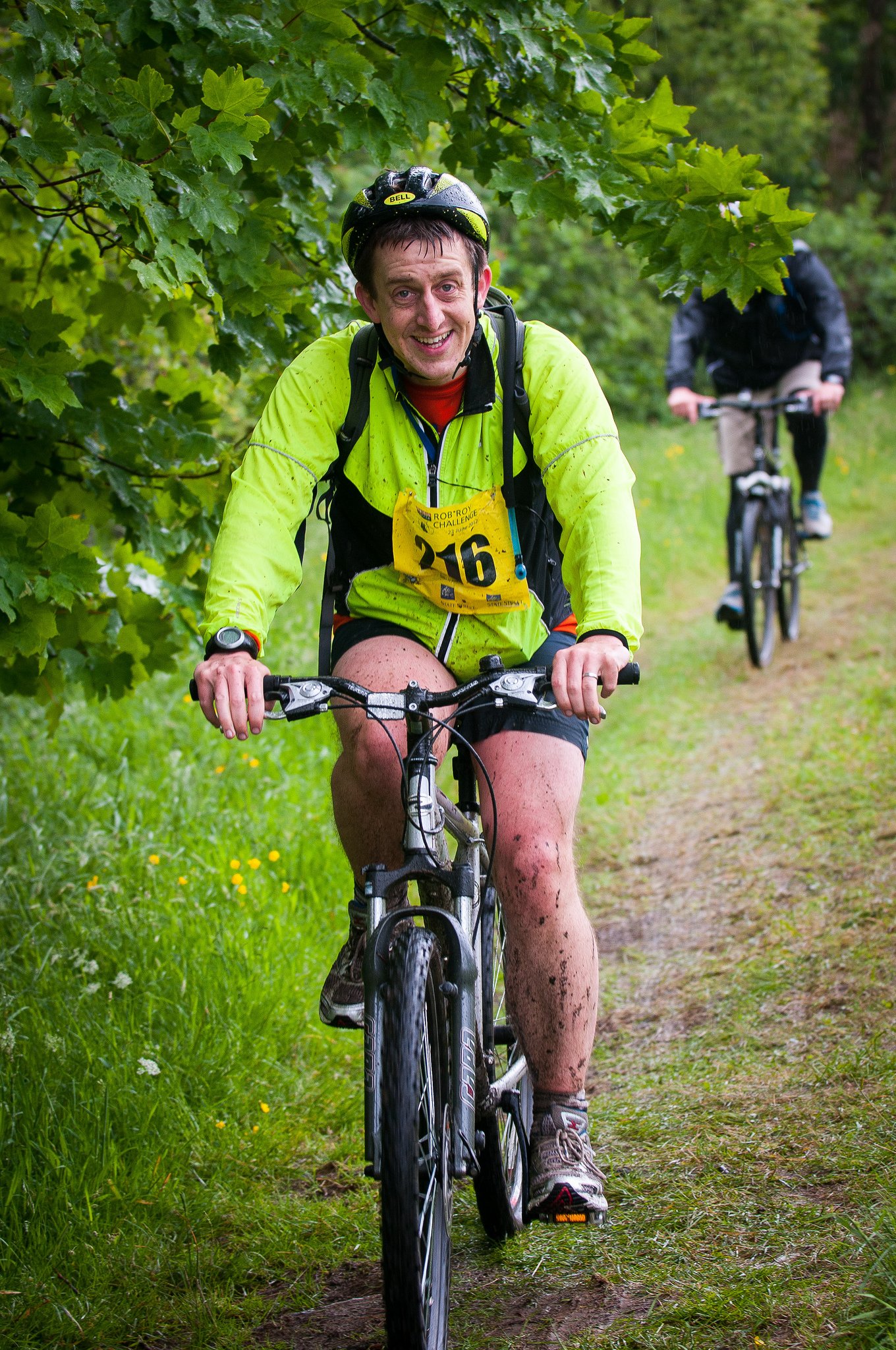
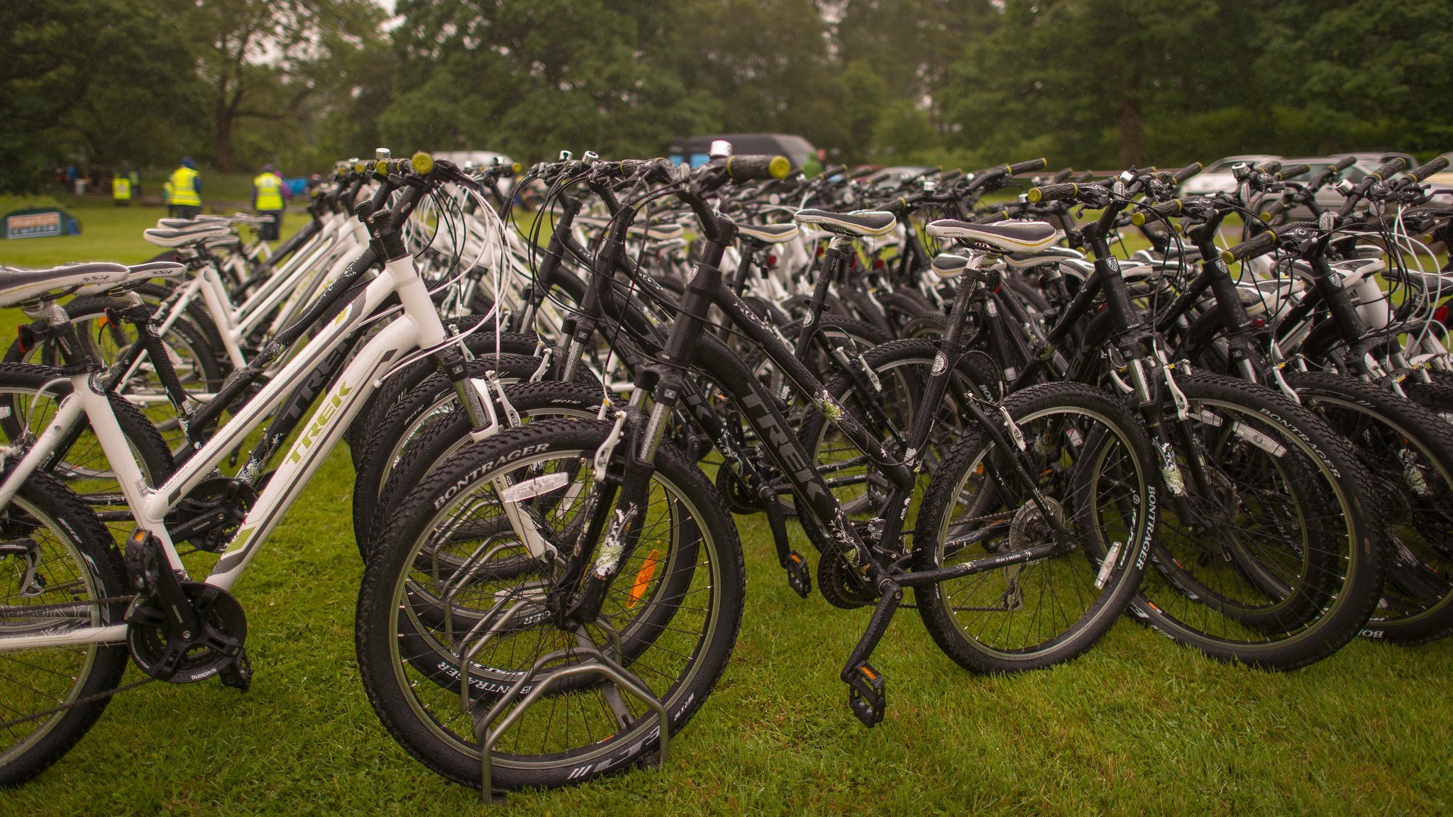
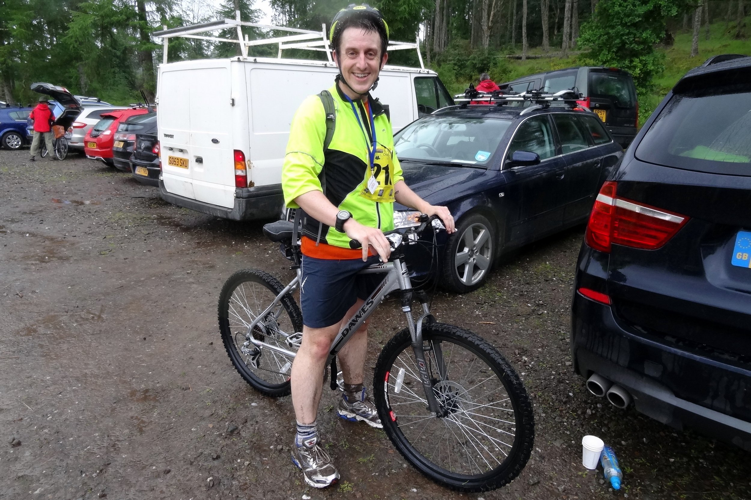
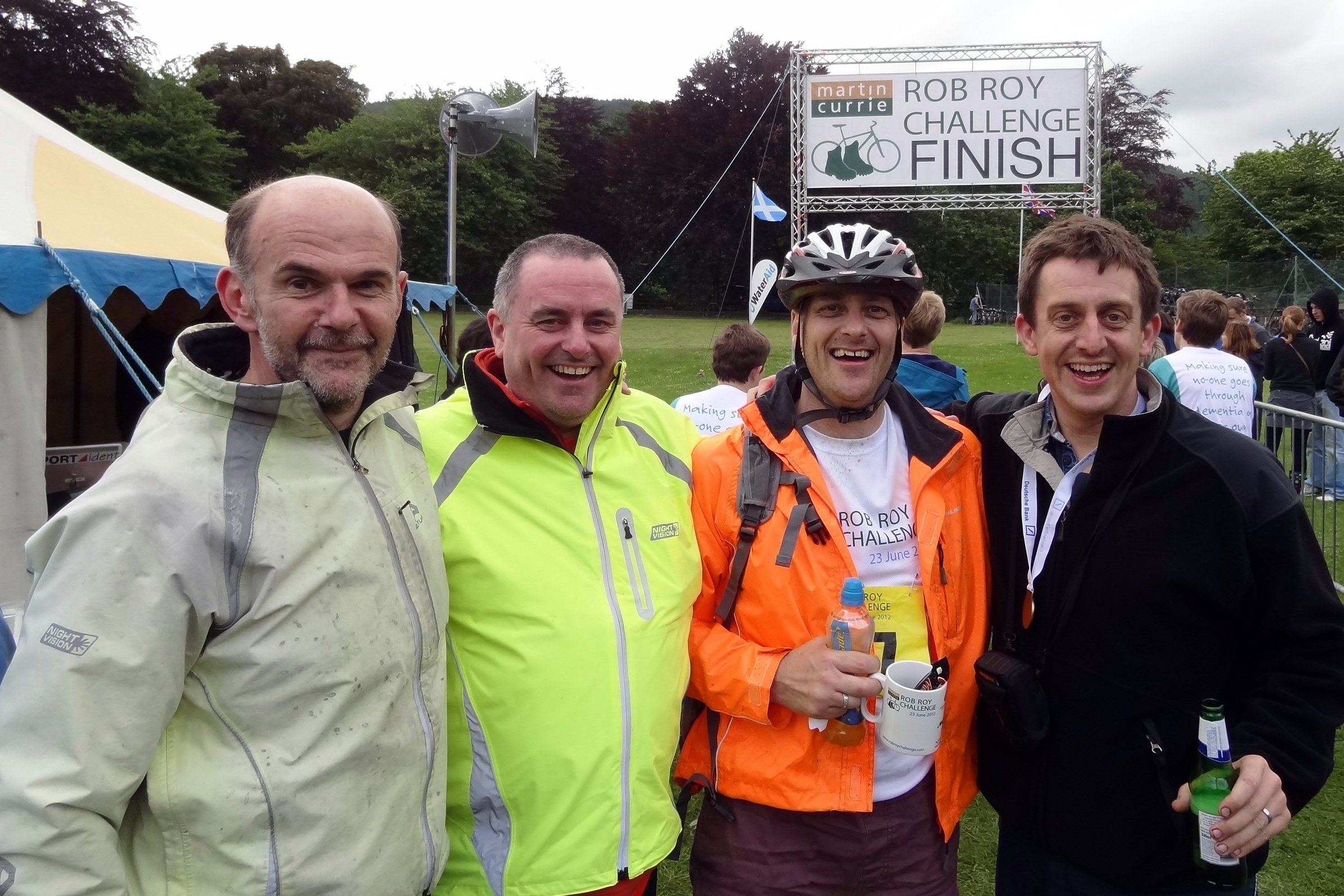
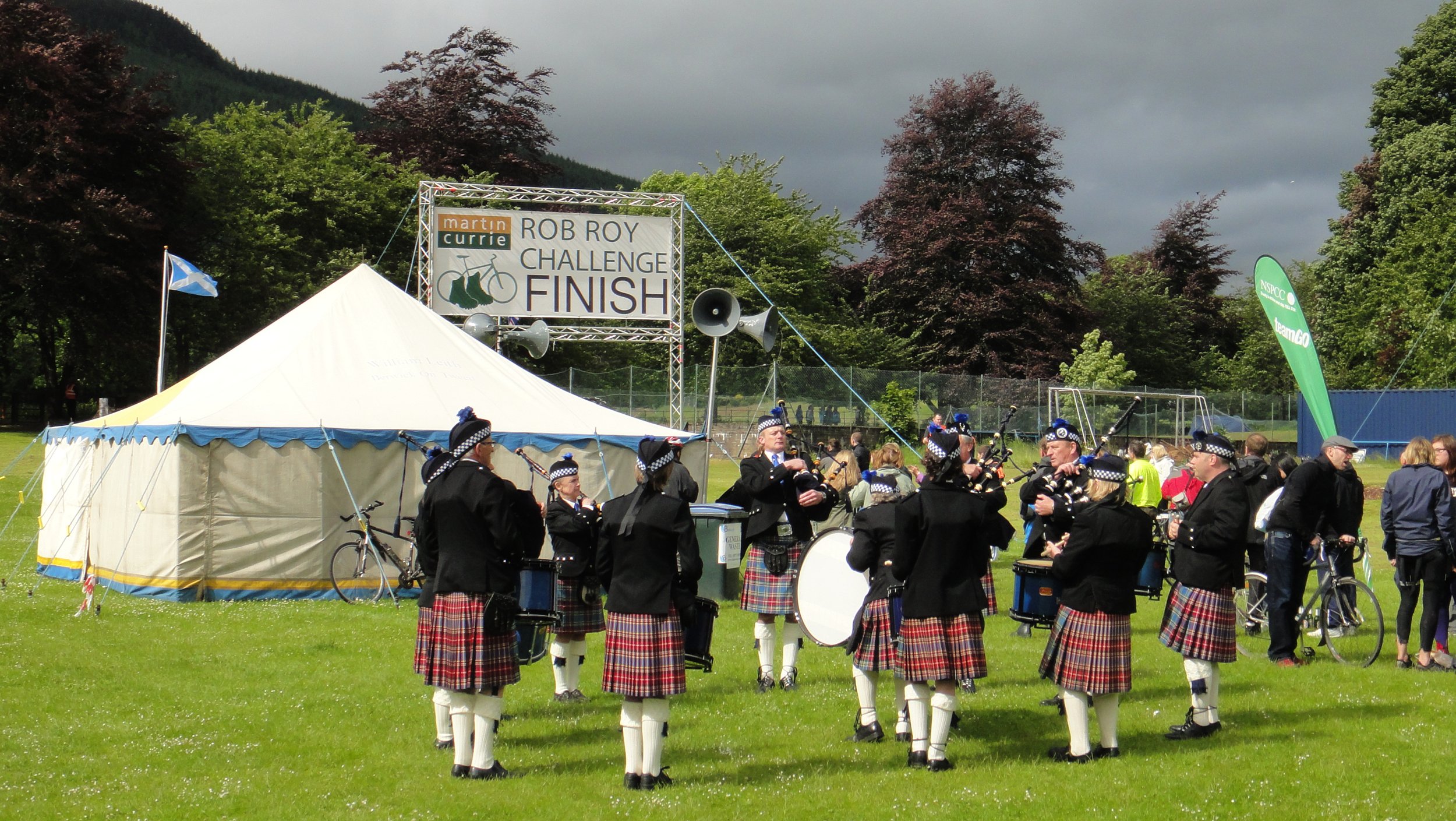
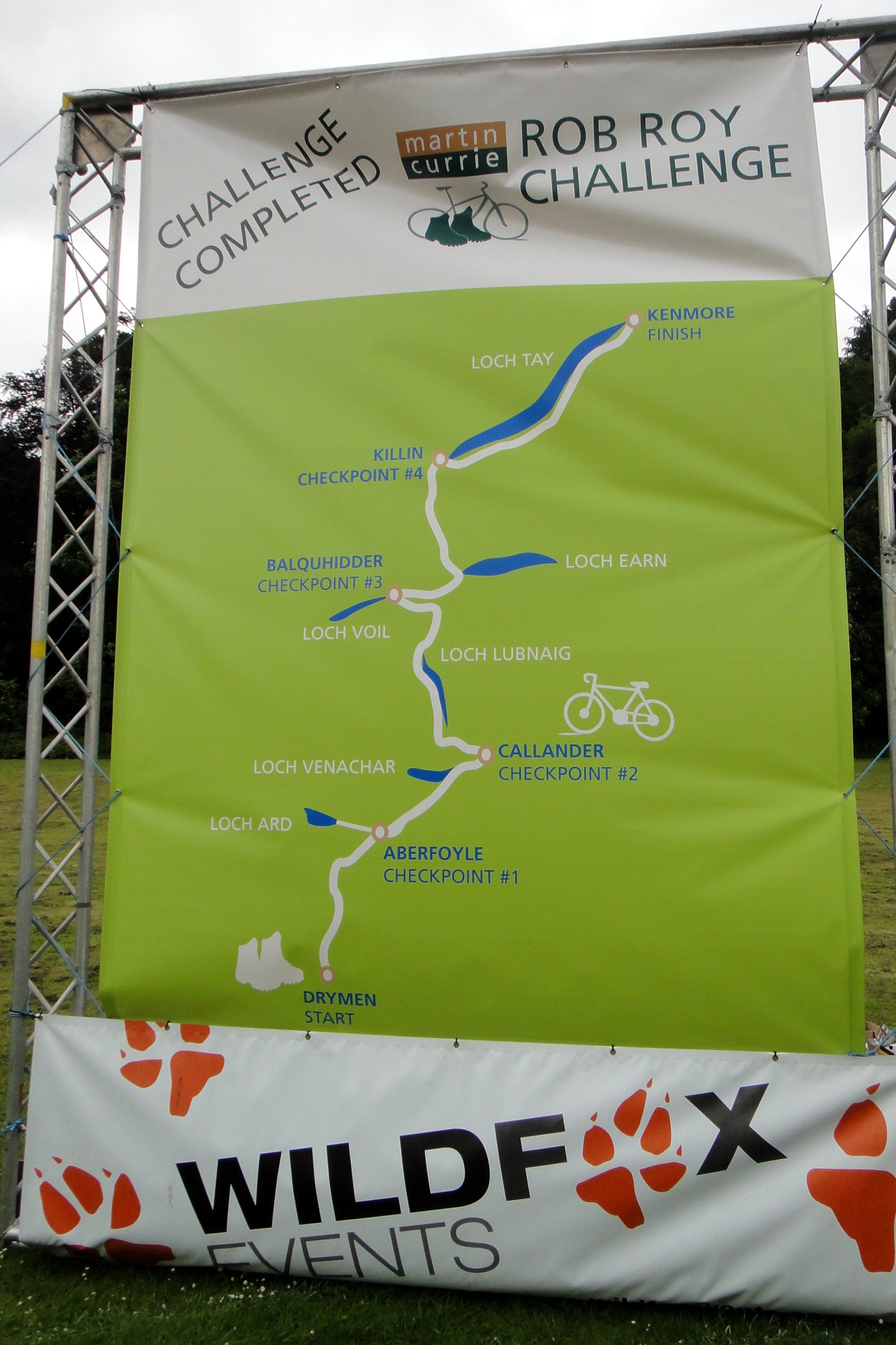
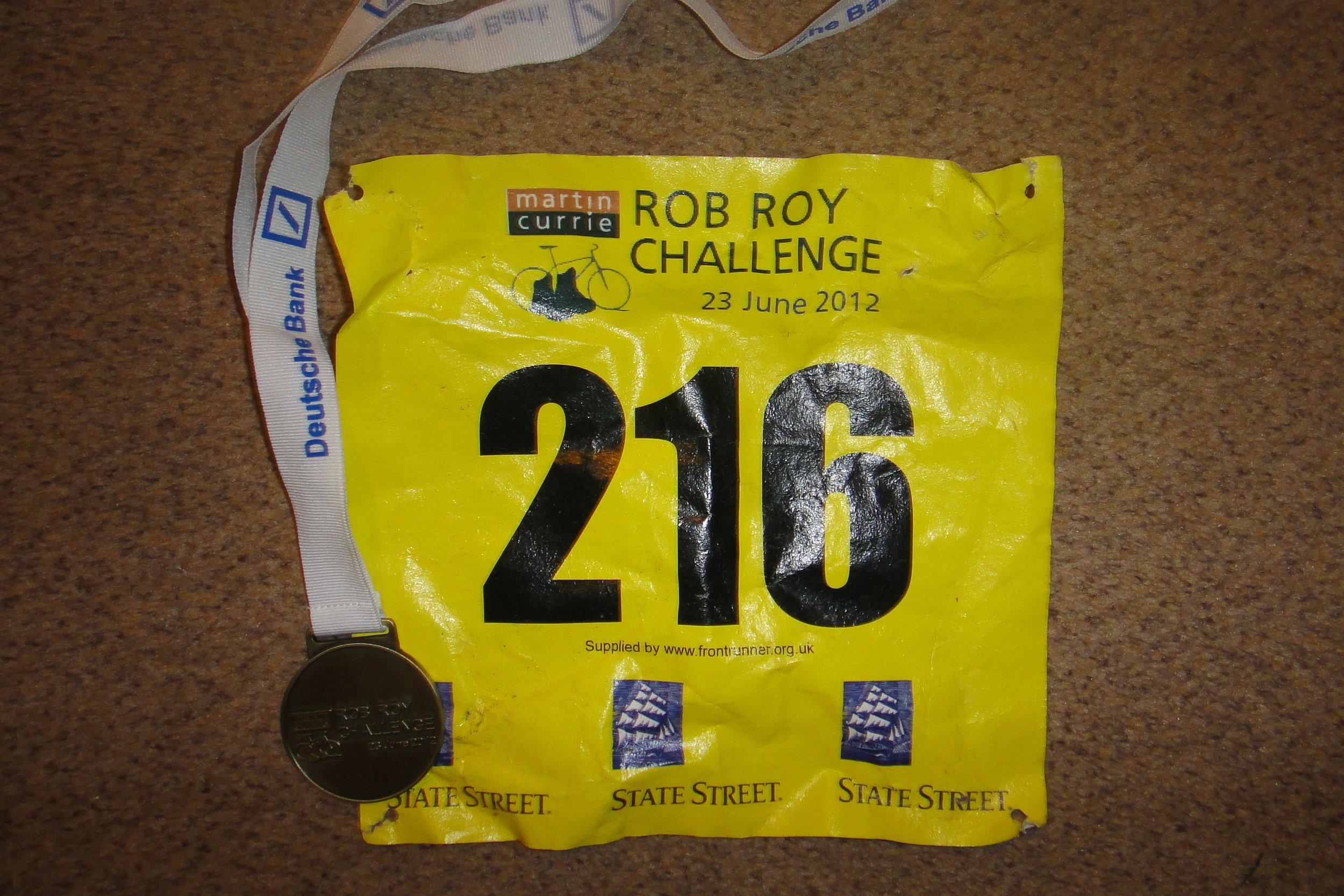
Roy Roy Way: The Rob Roy Challenge
Southern Upland Way: Scottish Borders County Tops
West Highland Way: Ben Lomond: Stirlingshire County Top
MORE INFORMATION ON THE GREAT TRAILS
Annandale Way: Great Trails / LDWA / Wikipedia
Arran Coastal Way: Great Trails / LDWA / Wikipedia
Ayrshire Coastal Path: Great Trails / LDWA / Wikipedia
Berwickshire Coastal Path: Great Trails / LDWA / Wikipedia
Borders Abbeys Way: Great Trails / LDWA / Wikipedia
Cateran Trail: Great Trails / LDWA / Wikipedia
Clyde Walkway: Great Trails / LDWA / Wikipedia
Cross Borders Drove Road: Great Trails / LDWA / Wikipedia
Dava Way: Great Trails / LDWA / Wikipedia
Fife Coastal Path: Great Trails / LDWA / Wikipedia
Formartine and Buchan Way: Great Trails / LDWA / Wikipedia
Forth & Clyde/Union Canal Towpath: Great Trails / LDWA / Wikipedia
Great Glen Canoe Trail: Great Trails / Wikipedia
Great Glen Way: Great Trails / LDWA / Wikipedia
Great Trossachs Path: Great Trails / LDWA / Wikipedia
John Muir Way: Great Trails / LDWA / Wikipedia
Kintyre Way: Great Trails / LDWA / Wikipedia
Loch Lomond & Cowal Way: Great Trails / LDWA / Wikipedia
Moray Coast Trail: Great Trails / LDWA / Wikipedia
Mull of Galloway Trail: Great Trails / LDWA / Wikipedia
River Ayr Way: Great Trails / LDWA / Wikipedia
Rob Roy Way: Great Trails / LDWA / Wikipedia
Romans and Reivers Route: Great Trails / LDWA / Wikipedia
Southern Upland Way: Great Trails / LDWA / Wikipedia
Speyside Way: Great Trails / LDWA / Wikipedia
St Cuthbert’s Way: Great Trails / LDWA / Wikipedia
Three Lochs Way: Great Trails / LDWA / Wikipedia
West Highland Way: Great Trails / LDWA / Wikipedia
West Island Way: Great Trails / LDWA / Wikipedia
Tube-Style Maps