Ben Nevis: Inverness-shire County Top

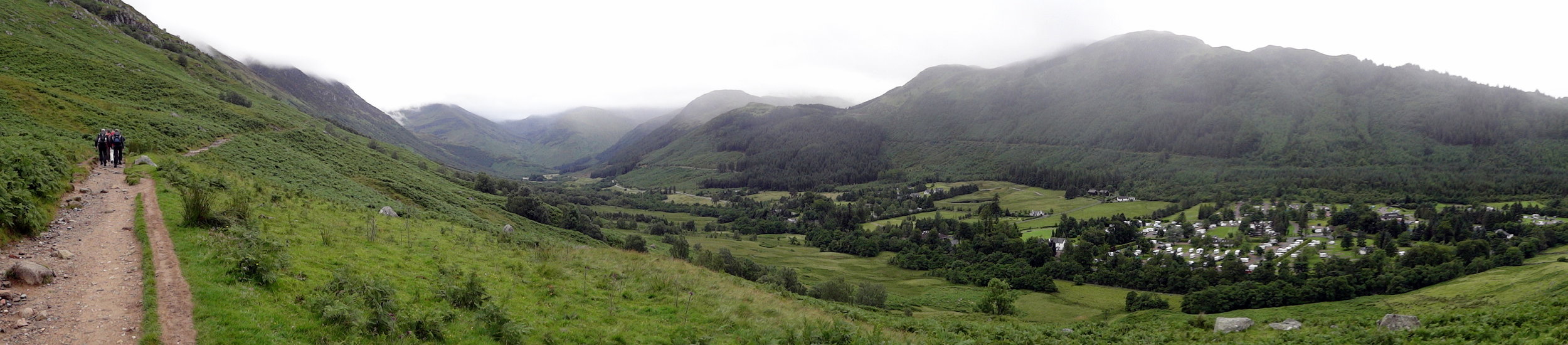
View from the Pony Track
Also known as: Beinn Nibheis
Significance: Highest peak in Inverness-shire (Historic CT), Highland (Council Top), Mainland Great Britain/Scotland/UK Country Top.
Member of: Munro, Marilyn
Parent Peak: N/A. NHN = Melderskin, Norway
Elevation: 1,344m
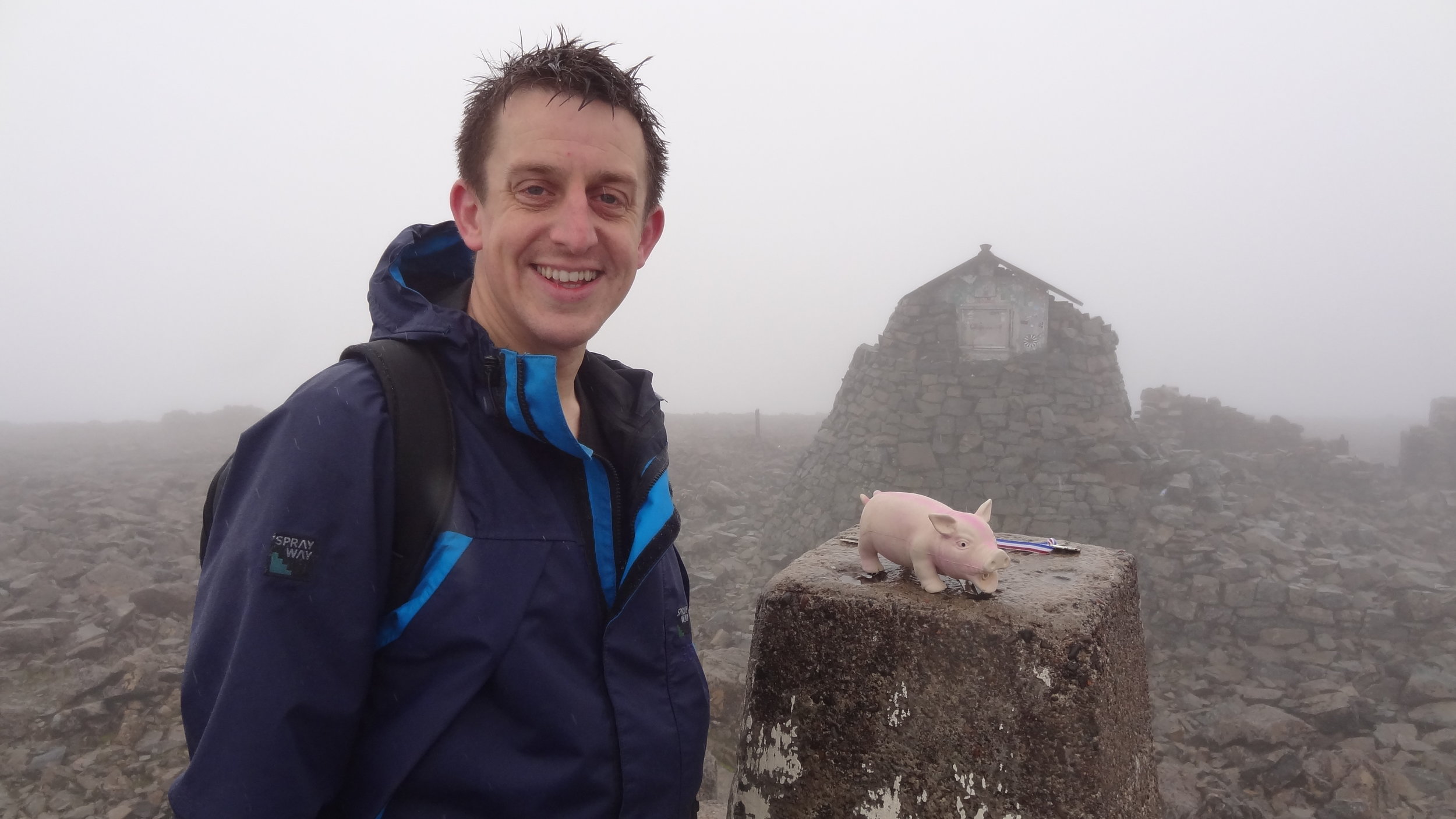
Date climbed: 21st May 2005 and July 28th 2012
Coordinates: 56.7969° N, 5.0036° W
Route Start / End: Ben Nevis Inn, Achintee Rd, Achintee, Fort William, PH33 6TE
Route Distance: 15.5 km (9.6 miles)
Route Elevation Change: +/- 1,306m
Subsidiary tops on route: none
GPX File: get via Buy Me a Coffee
Other routes touched: none
OS Trig Pillar: TP1289 - Ben Nevis
Map: OS Explorer 392: Ben Nevis and Fort William
Guidebook: The UK's County Tops (Jonny Muir), Cicerone Guide: Ben Nevis and Glen Coe
Links: Wikipedia (Inverness-shire), Wikipedia (Ben Nevis), Peakbagger, Hillbagging
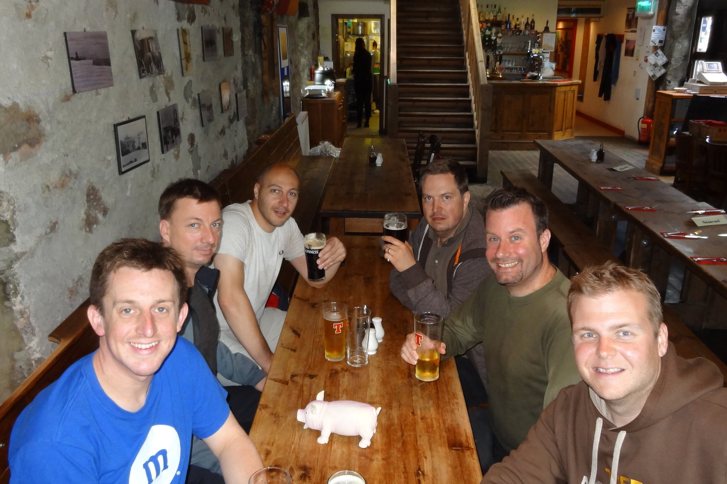
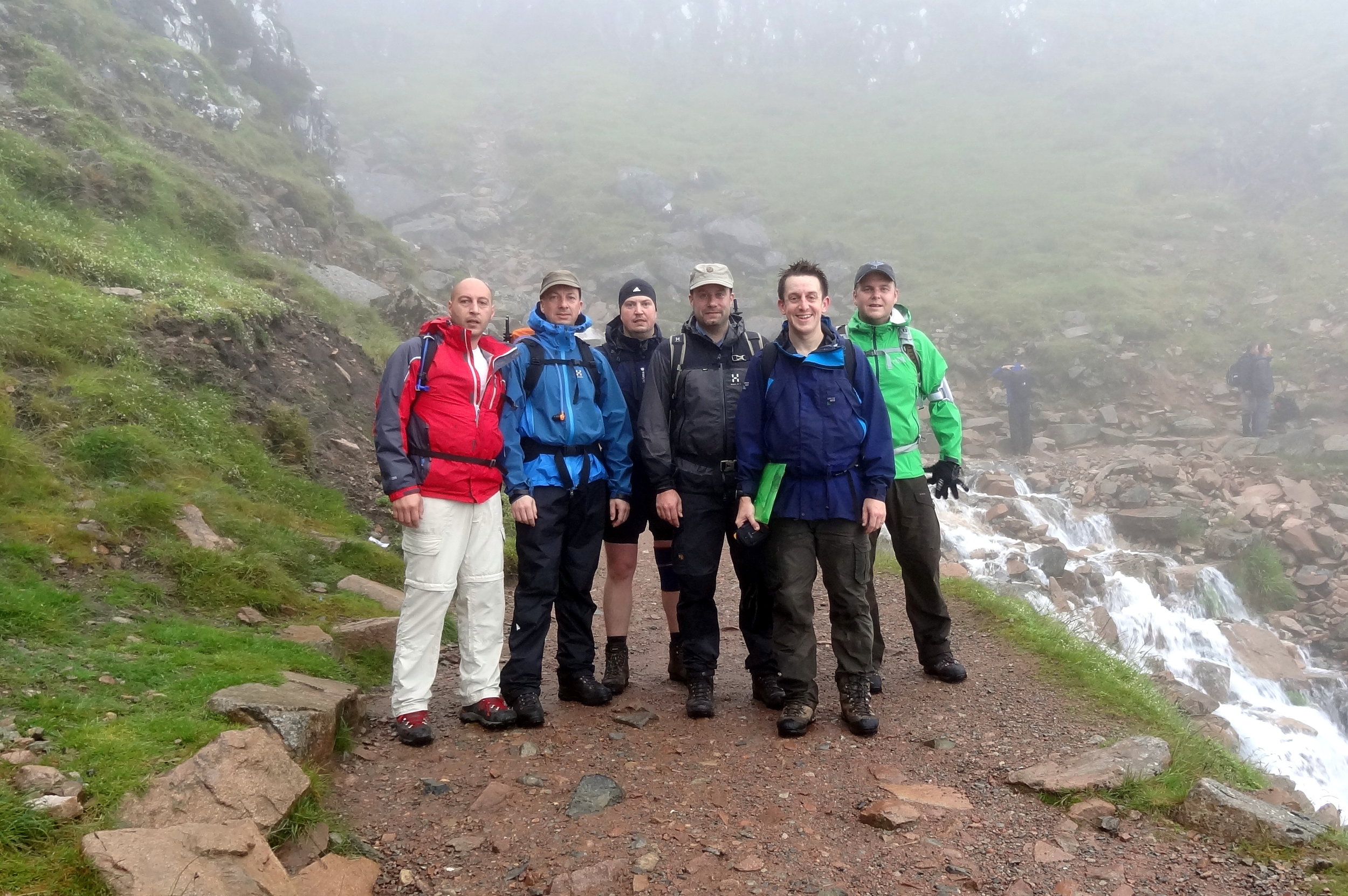
I’ve completed two ascents of the UK’s tallest mountain. Both were on unofficial self-organised Three Peaks Challenges. We weren’t bothered by doing it in the normal 24 hour window, so did it in a more leisurely 36 hours. This allows for an overnight stay and removes the need for a support driver.
On my first attempt we completed the challenge in a whisker under the 36 hours. We stayed in Fort William on the night before, did Ben Nevis in the morning, lunch in the Ben Nevis Inn, and drove to a hotel near Scafell Pike. On the second day we did an early ascent of Scafell Pike, then drove to Snowdonia for the Snowdon ascent.
My second Three Peaks attempt, with a different group, didn’t go quite so well. We ended up doing four peaks, but not the ones that we intended. I’ll save that story for the Scafell Pike post.
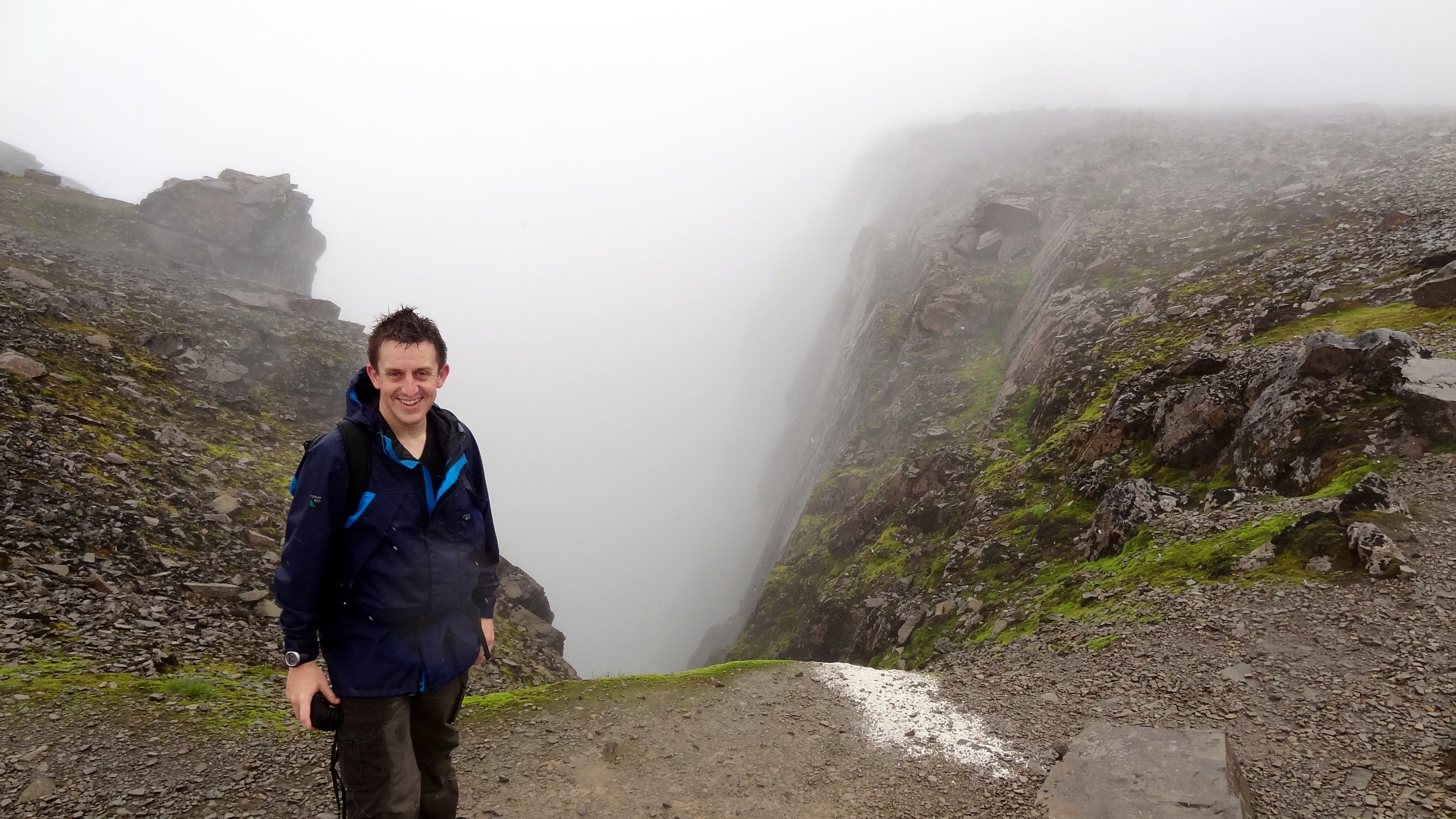
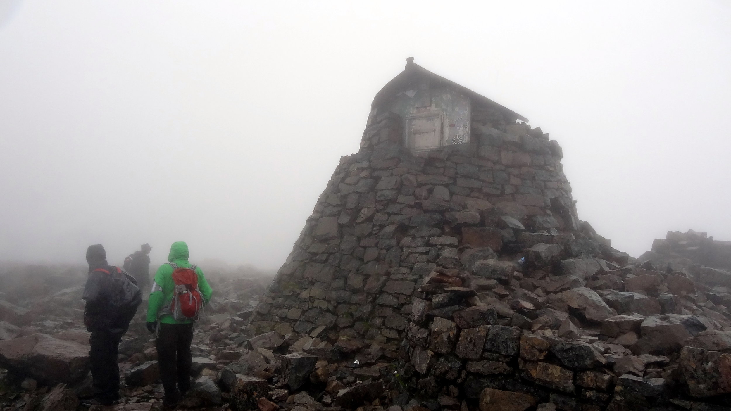
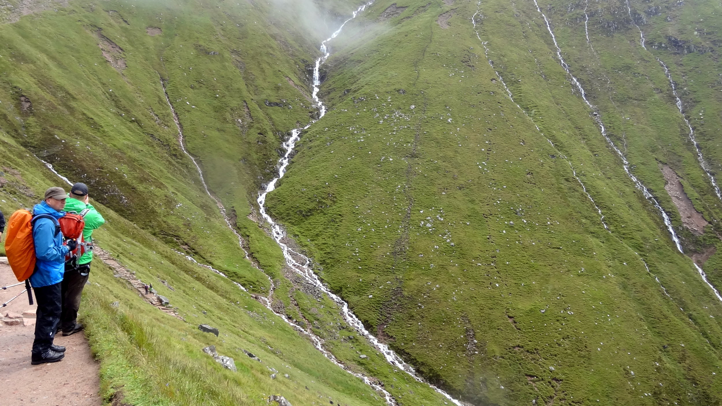
Unless you’re particularly adventurous and very experienced there’s one route up and down a Ben Nevis: The Pony Track. It’s a safe route with little navigation required. On both of my ascents the visibility at the top was extremely poor and the return from the summit to the track wasn’t obvious. Yes, it’s a relatively easy climb but don’t beget caught out and do all the usual mountain prep and precautions.