Scafell Pike: Cumberland County Top

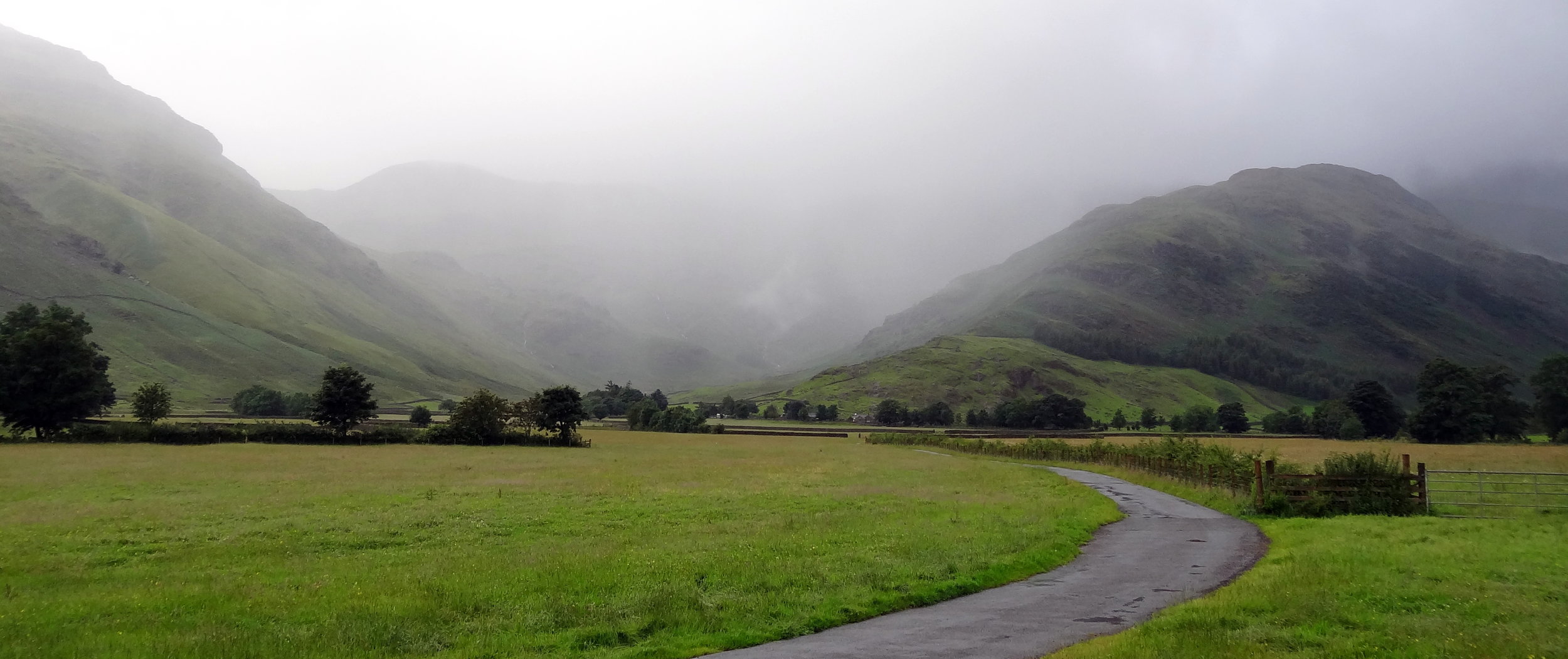
Track to Scafell Pike from New Dungeon Ghyll Hotel
Significance: Highest peak in Cumberland (Historic CT), Cumbria (Ceremonial CT), Lake District National Park High Point, England Country Top
Member of: Marilyn, Hewitt, Hardy, Wainwright, Nuttall
Parent Peak: Snowdon. NHN = Carnedd Llewelyn
Elevation: 978m
Date climbed: 22nd May 2005 and July 29th 2012
Coordinates: 54.4542° N, 3.2116° W
Route Start / End: New Dungeon Ghyll Hotel, Ambleside, LA22 9JX
Route Distance: 22 km (13.7 miles)
Route Elevation Change: +/- 1,062m
Subsidiary tops on route: Esk Pike, Broad Crag
GPX File: get via Buy Me a Coffee
Other routes touched (walk): Cumbria Way
Other routes touched (cycle): N/A
OS Trig Pillar: TP5828 - Sca Fell
Map: OS Explorer OL6: The English Lakes - South Western area and OS Landranger 90: Penrith & Keswick
Guidebook: The UK's County Tops (Jonny Muir), Walking the County High Points of England (David Bathurst)
Links: Wikipedia (Cumberland), Wikipedia (Scafell Pike), Peakbagger
I can’t remember how many times I’ve done Scafell Pike. It was probably 4 times, the first 2 being in Venture Scouts a long time before I started obsessively tracking everything. The most recent two times were part of 36-hour unofficial Three Peaks Challenges. It was the most recent ascent that will be the most memorable and the reason why I’ll never do Scafell Pike again.
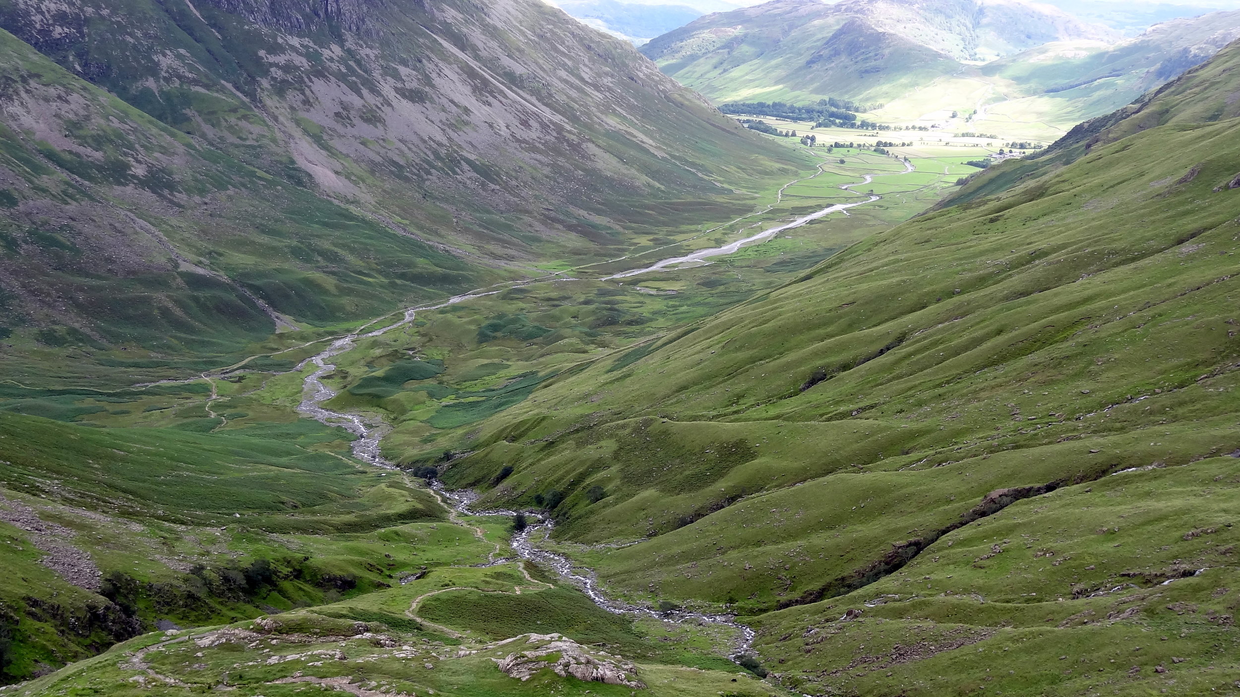
It was my second trip there as a part of a 36 hour 3 Peaks Challenge. Ben Nevis went well and we got to the Scafell Pike start point early. Having done the mountain a few times before I chose the Old Dungeon Ghyl route for a change.
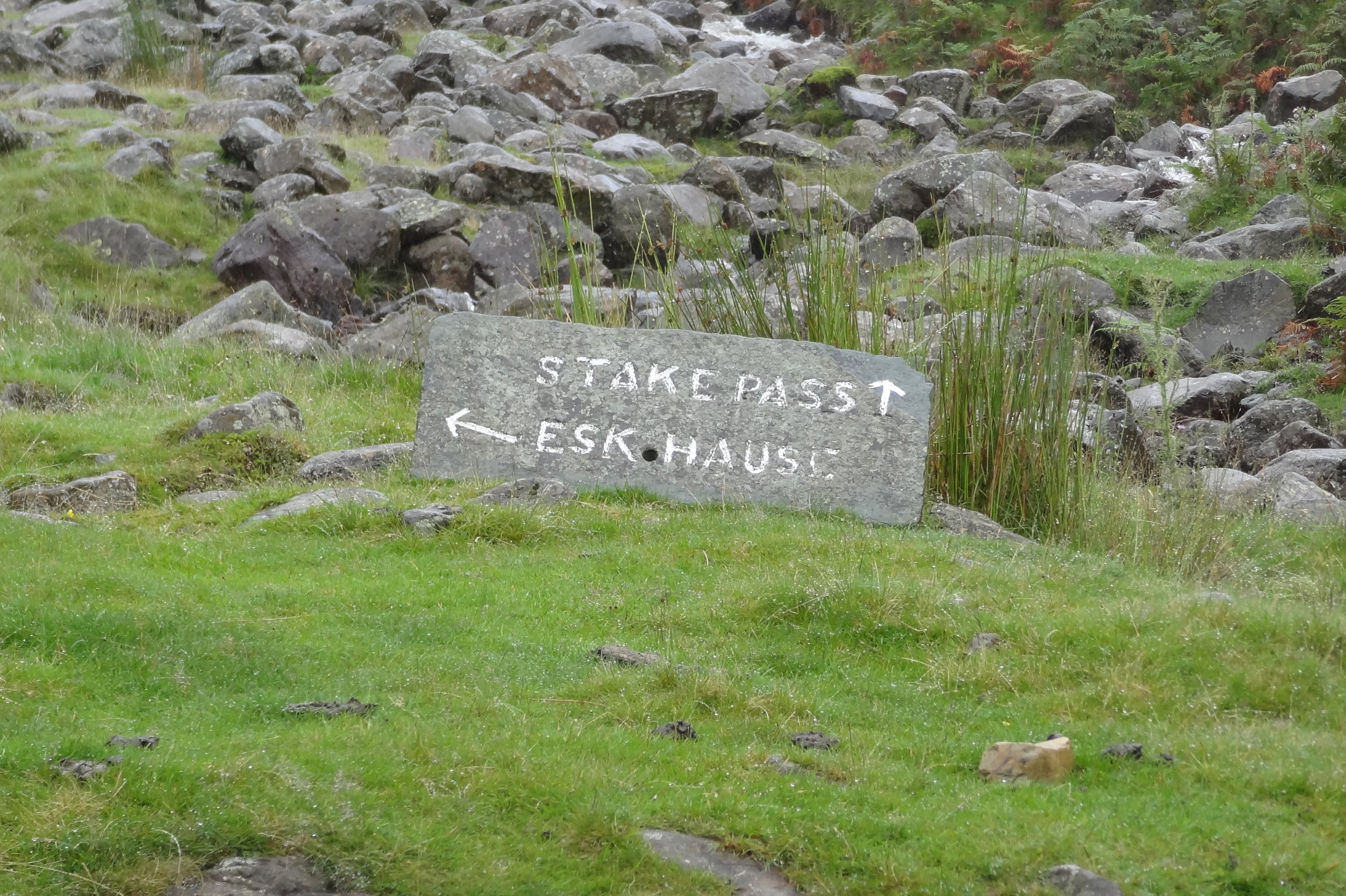
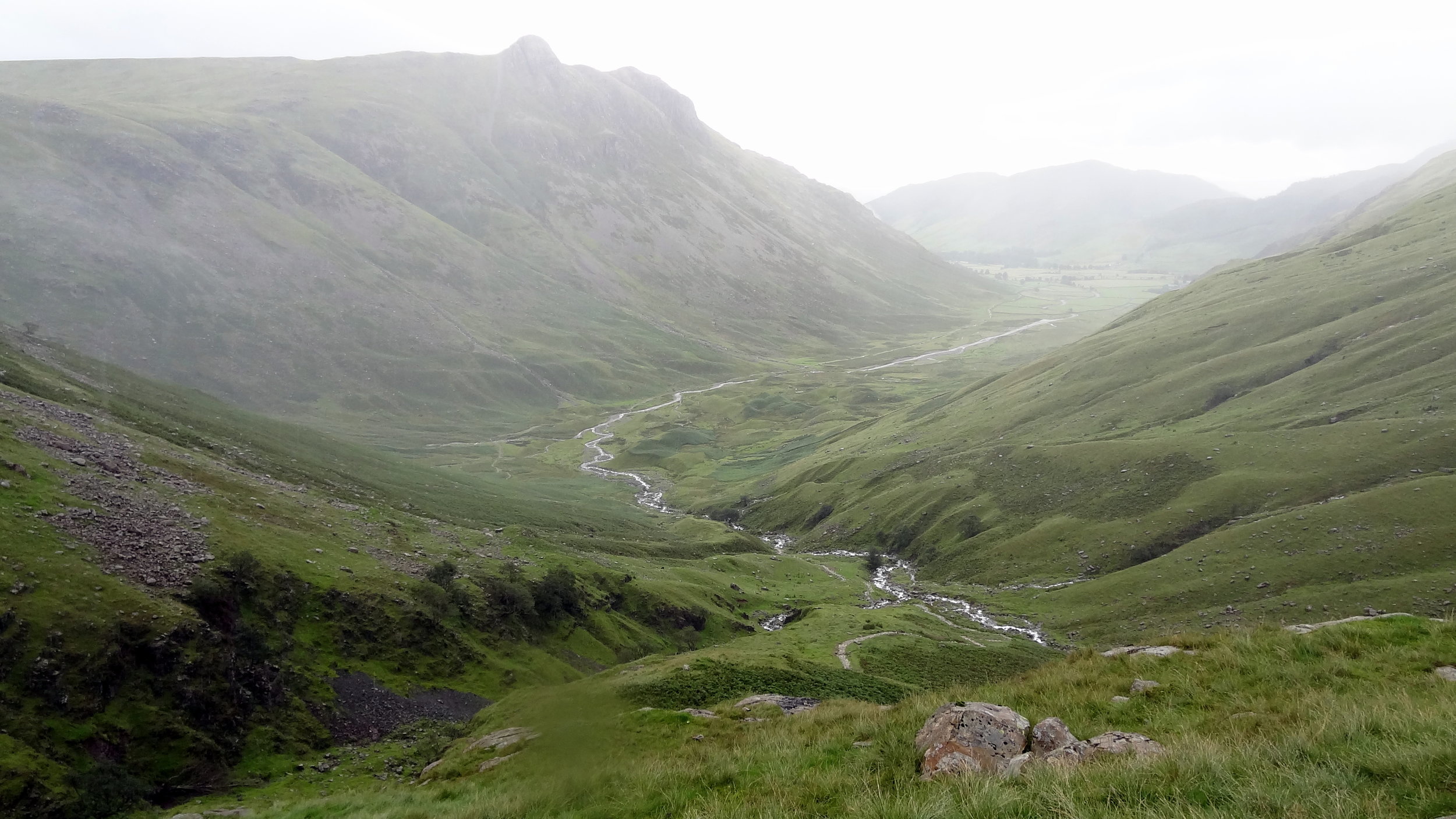
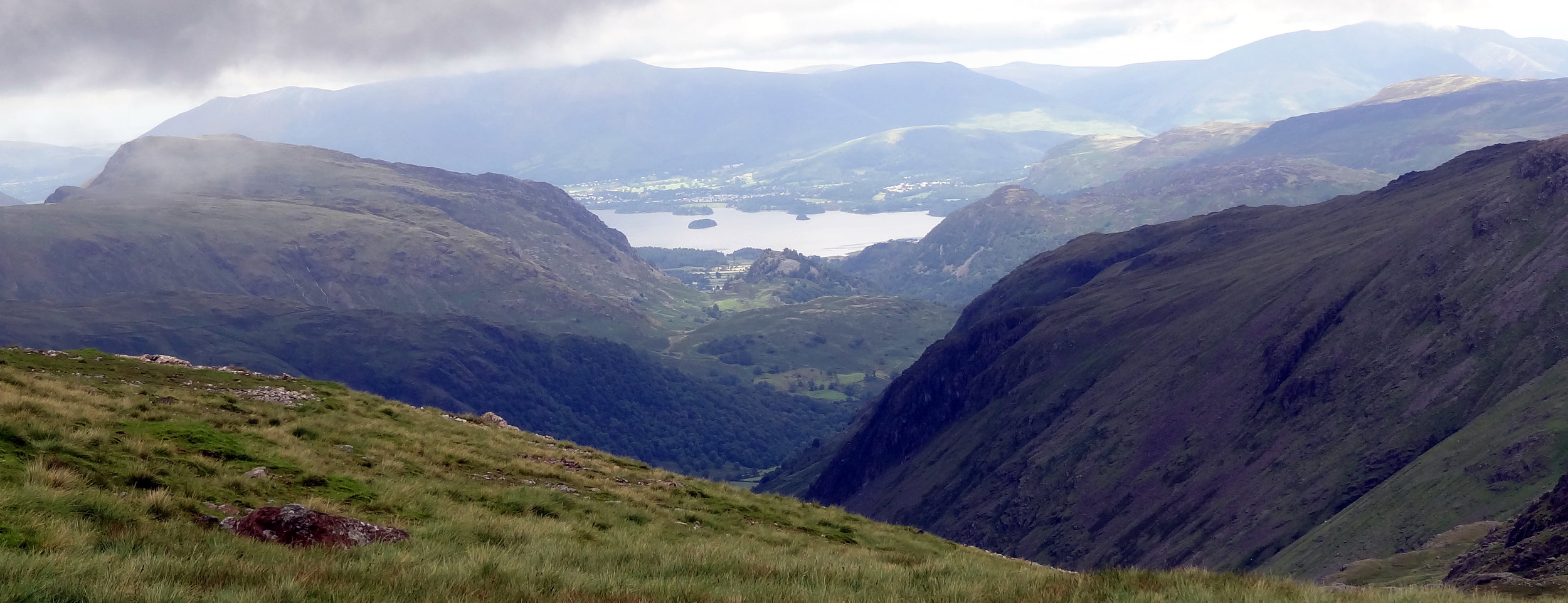
The plan was to follow the Cumbria Way from Old Dungeon Ghyl, then approach the summit from the east via Angle Tarn, Esk Haus and Broad Crag.
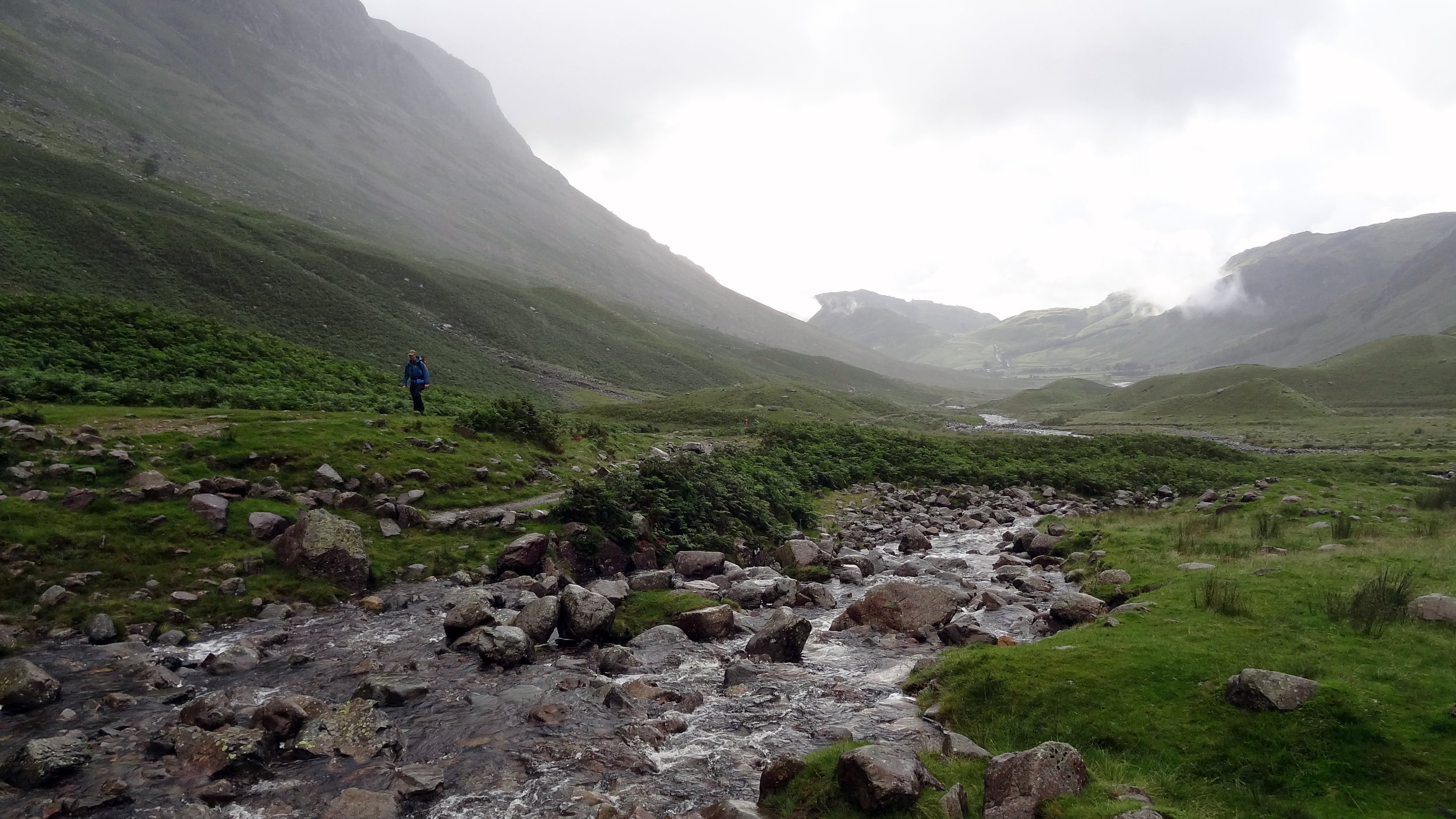
This was in the days before I meticulously planned every route on RideWithGPS and follow it by iPhone. Back then I had the OS Explorer map and a basic Garmin device that jus had the coordinates of the summit. Rather than following the trail heading north-west from Angle Tarn I took a path to the south-west to Esk Pike.
It was at the top of Esk Pike that I figured that we weren’t in the right place. Visibility was very low but I managed to find a clear spot to get a view of the area. Yes, we we’re definitely in the wrong place and had accidentally bagged an extra summit. Normally I would have styled it out and pretended that it was all part of the planned route. My prolonged look of confusion and map studying gave the game away and it was obvious that this wasn’t part of the plan.
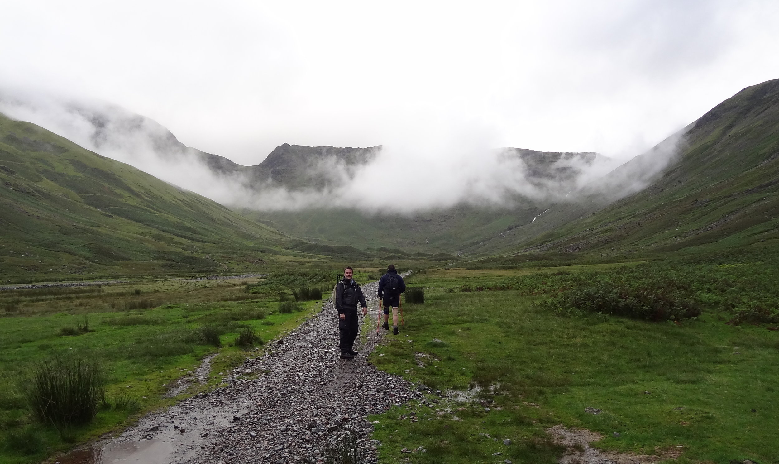
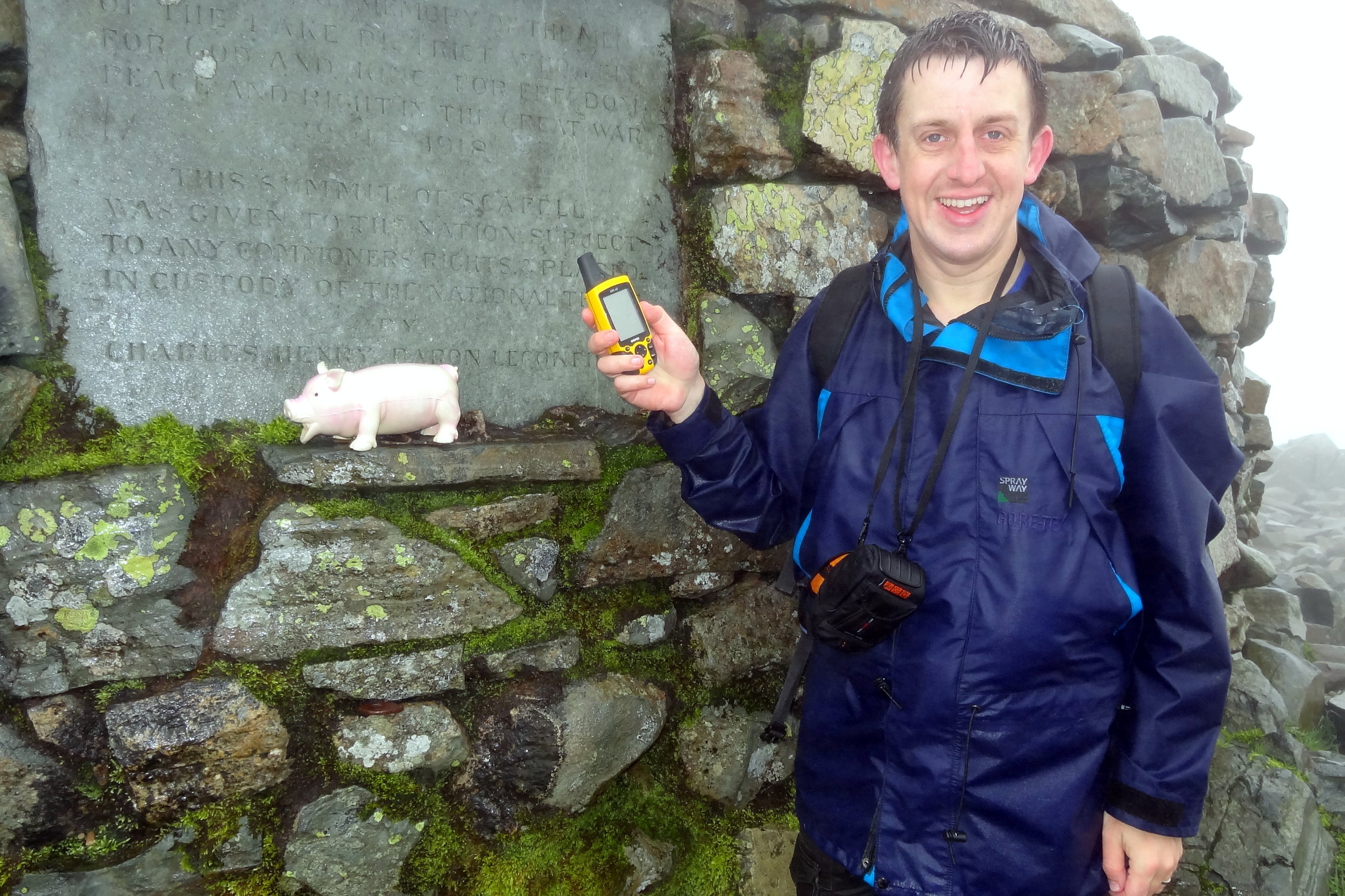
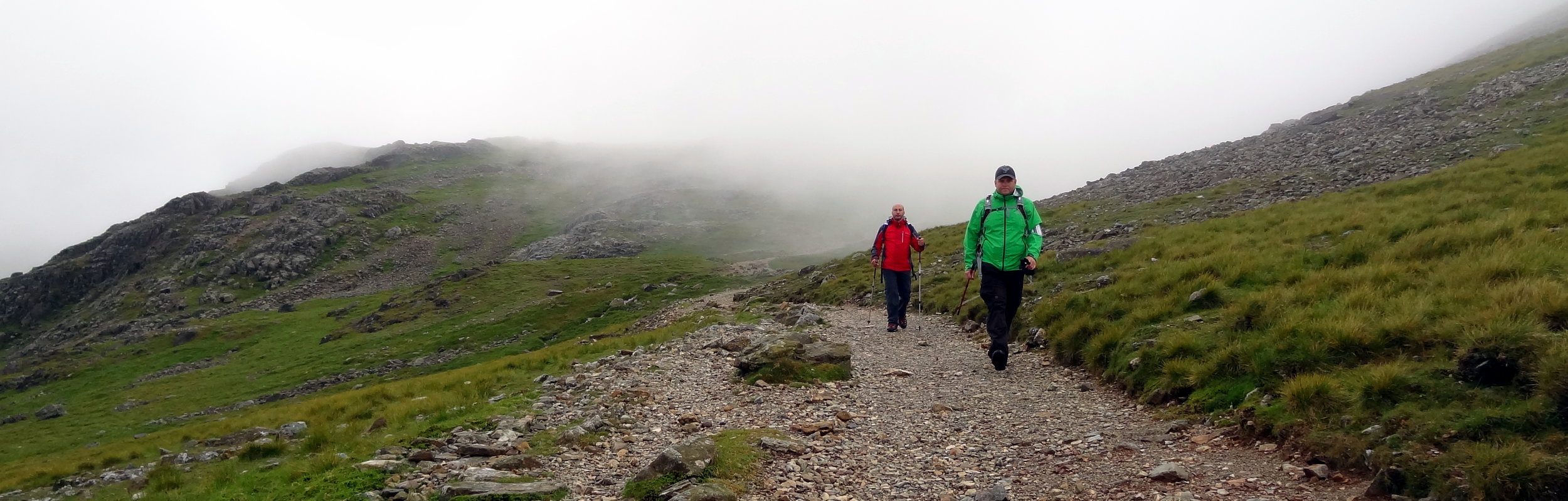
We descended the “Bonus Peak”, got back on track and started the proper ascent to Scafell Pike. Once we were past the cloud line it was properly grim. Visibility stayed low and there was a constant drizzle. Finally we got to the summit, took a few photos and quickly turned around to descend. My first ascent of Scafell Pike had been a pleasant walk on a clear summer’s day. This wasn’t that day.
By the time we returned to the car park at the bottom we’d been out for over 9 hours. We had only planned for 5 hours and we were going to do Snowdon later in the day. After our Scafell adventure nine of us wanted to see another mountain that day. We ditched the idea of going to Snowdon and headed to Chester for a curry, some beers and a lot of post-hike analysis of my navigation skills.