LEJOG was awesome and we needed more. It was the summer of 2016, 1 year on from our 2-week Land's End to John o'Groats cycle adventure. A new WhatsApp group had formed and discussions had started about another long distance ride.
Ireland end-to-end seemed an obvious choice. After a bit of research, Mizen Head to Malin Head seemed doable in about 10 days. This was based on a similar ratio of miles-to-cake-stops. Getting there and back seemed trickier and it would add a day to each end, leaving us with another 2-weeker. Work and holiday schedules only gave us a week, so the MizMal idea was shelved.
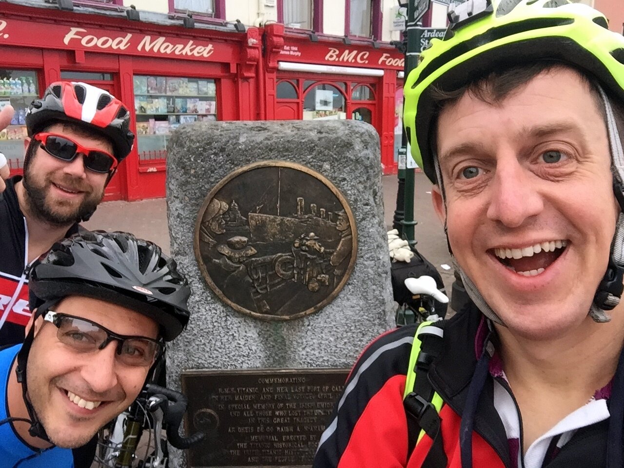
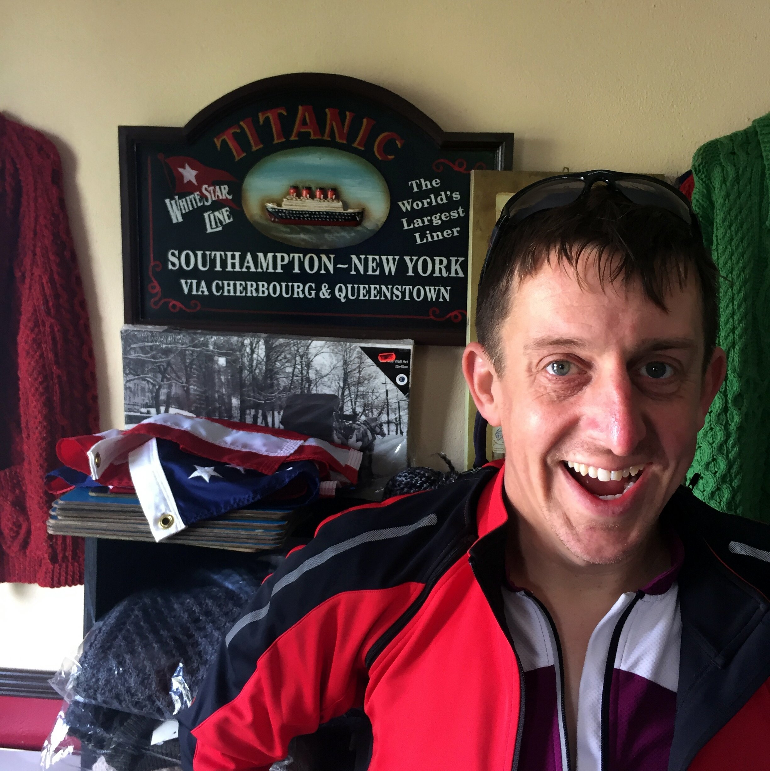
"Titanic Ireland" was the result of a bunch of random criteria made up over the following few weeks. We wanted fewer miles and more beers per day than LEJOG. We needed an airport close to each end, some Wild Atlantic Way, and a tenuous theme to link it all together. And so it was born: starting from Cobh, the last place the Titanic docked, we would take a scenic route to Belfast, where it was built. We'd average 65 miles, 4 beers and 2 cakes per day. Plantastic.
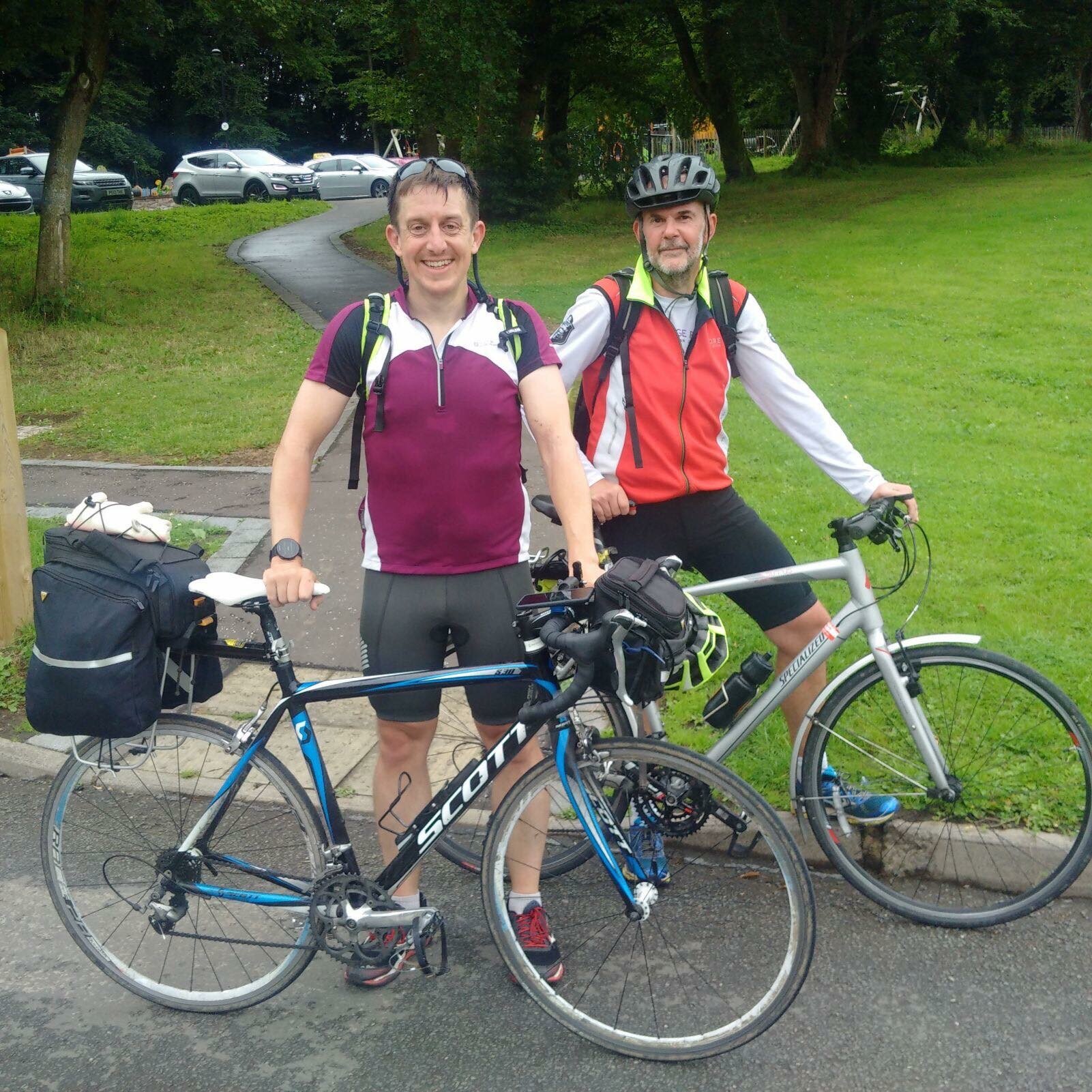
The first dilemma was how to get the bikes to the start. LEJOG was easy as we could transport them ourselves to Land's End by car or train. Although we brought them back by plane we weren’t too worried if they got bashed as we could fix them at leisure later. Flying them to the start was a lot riskier as any damage would have to get fixed immediately or jeopardise the whole trip. Neil chose to package his up and send it to a Cork bike shop a week in advance. Brian and I chose a different option of putting them in a transparent bike bag and checking them into the hold of our flight. I was sceptical but bought into the theory that if the baggage handlers could see it’s a bike, they would be more careful with it.
Once we arrived in Cork we were nervous to see how the bikes fared. After unpacking them and putting everything back in its place all seemed well. We set of on the 15-mile cycle from the airport to our AirBnB in Cobh. The first 3 miles was a gentle downhill and all was fine. Then on the first steep section my bike broke. It came to a sudden stop at a busy junction as the derailleur broke off and tangled itself in my rear spokes. I checked my phone for bike shops and found that the big store that Neil had posted his biked to was only half a mile away. Brian set off to warm up the service guys whilst I carried my bike plus gear on a slow, hot trek to the shop.
The derailleur bracket had completely sheared. Maybe it was knocked on the plane or maybe it was already weak, it was hard to tell. Either way, it wasn’t going to be fixed that day as it was an obscure spare that the shop didn’t carry. Not wanting to abandon the trip, I was about to lay out over a grand for a brand new touring bike before the shop found an ex-rental that they would sell me for 220 Euro. It felt like a risk as the tyres weren’t great, but I didn’t have many options so I went with it. The guys at Edge Cycles were great and set it up with my gear then arranged for my damaged old bike to be sent back home for me.
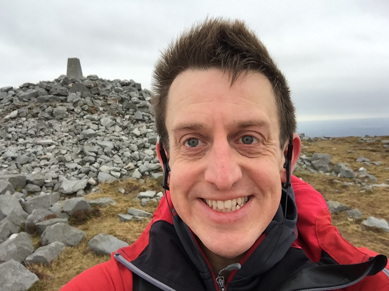
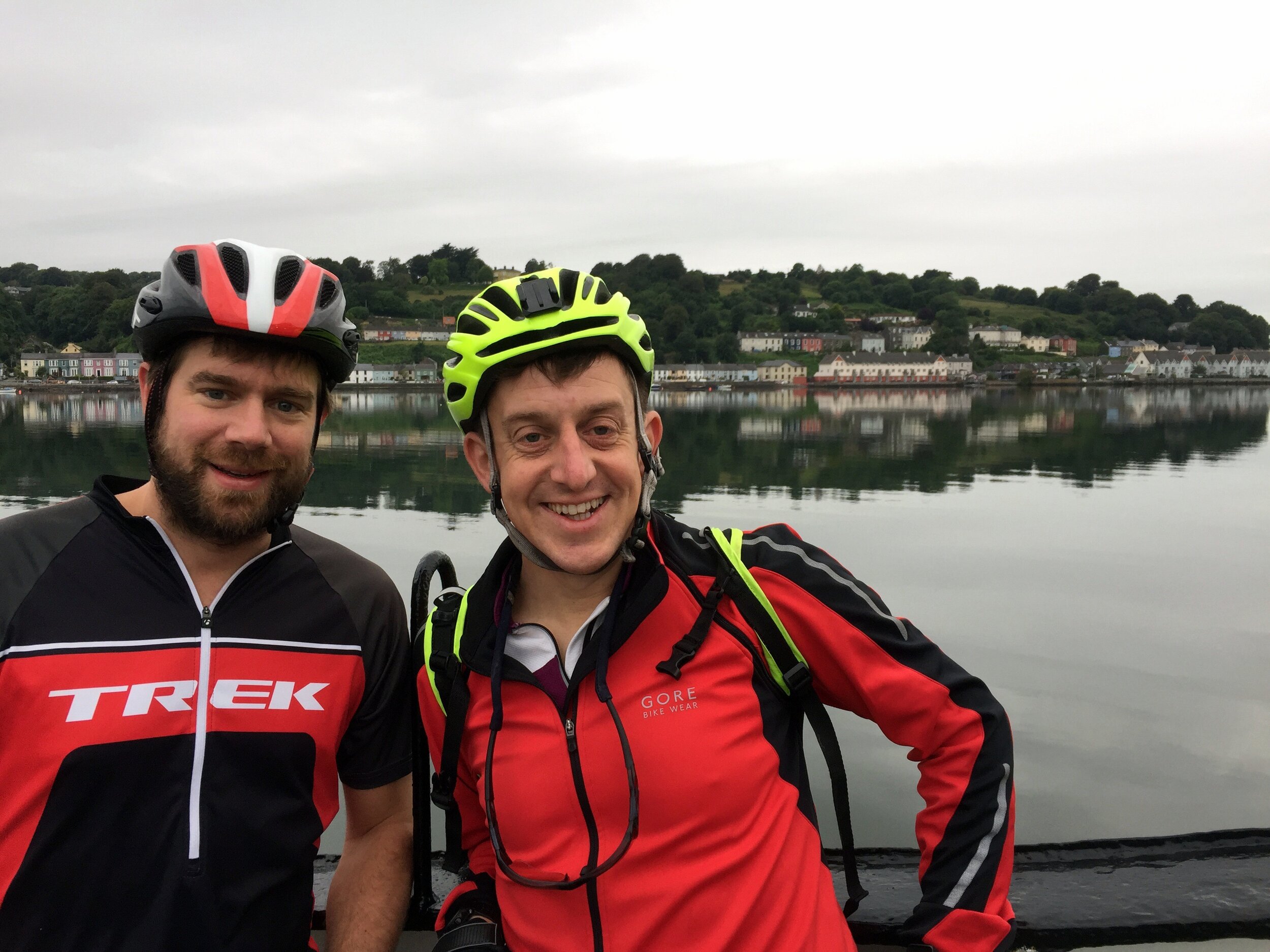
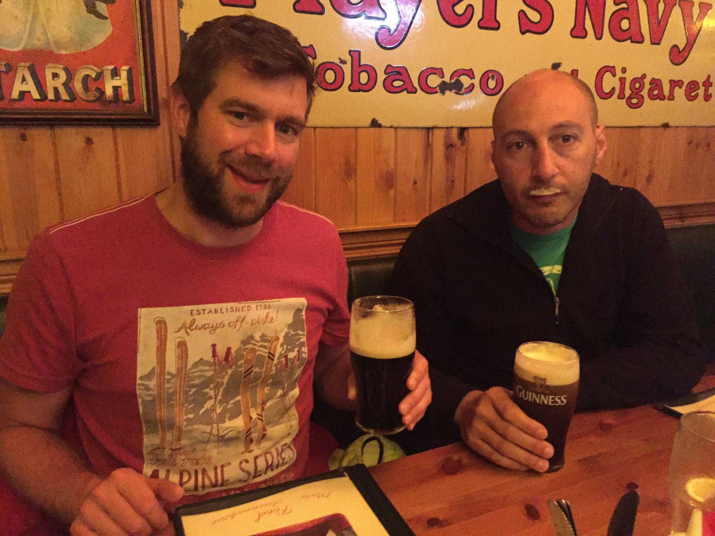
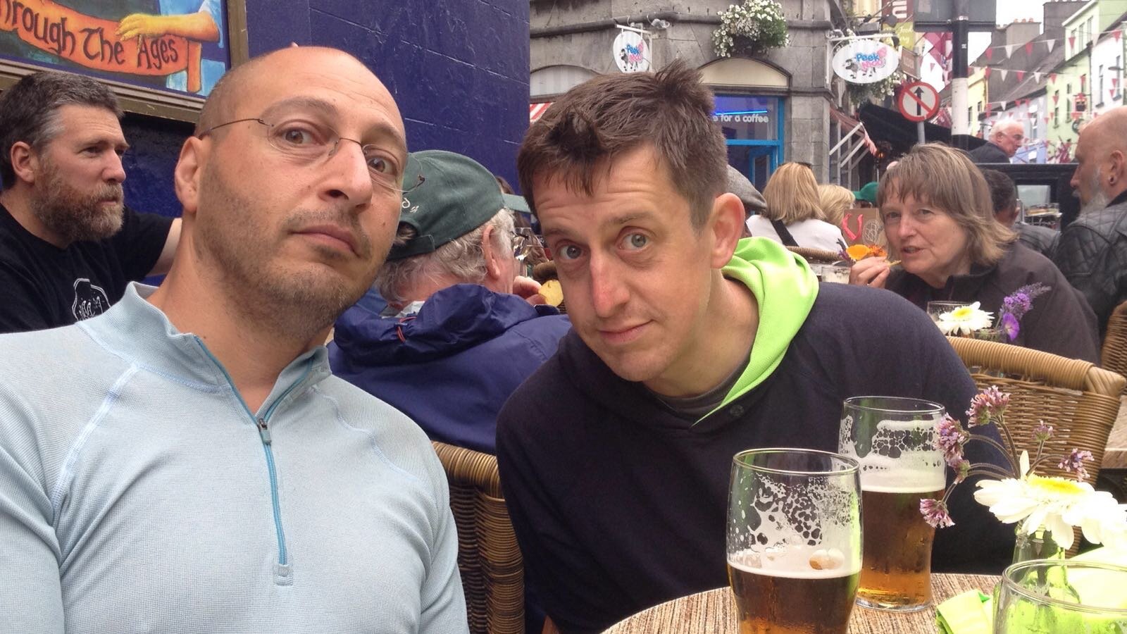
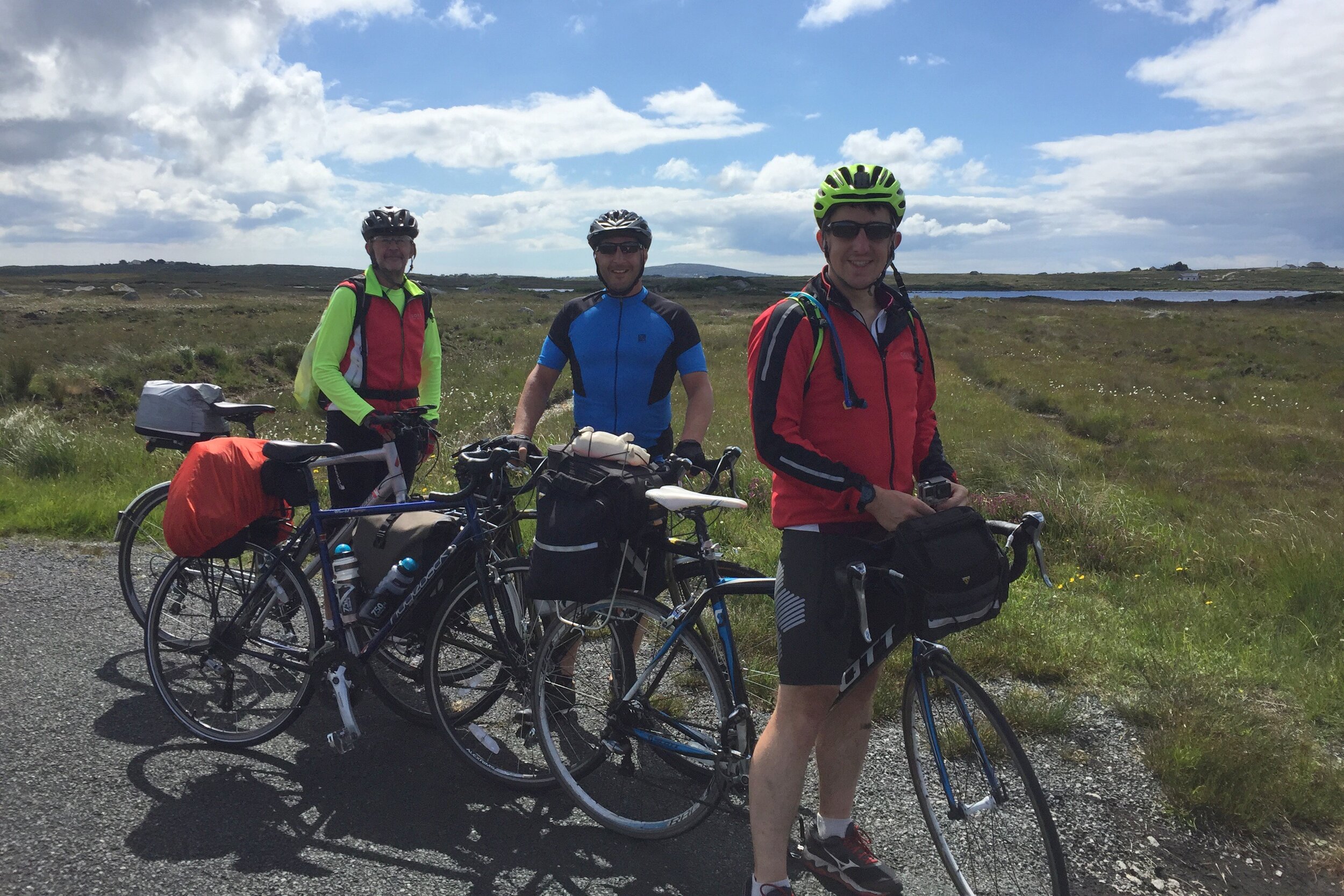
The rest of the first day was relatively smooth expect for our first and only fall as Brian came off his bike coming down the hill into Cobh. Here we met Martyn, number 3 of our 3.5 person team and settled in for a night of steak and ale at the Titanic Grill.
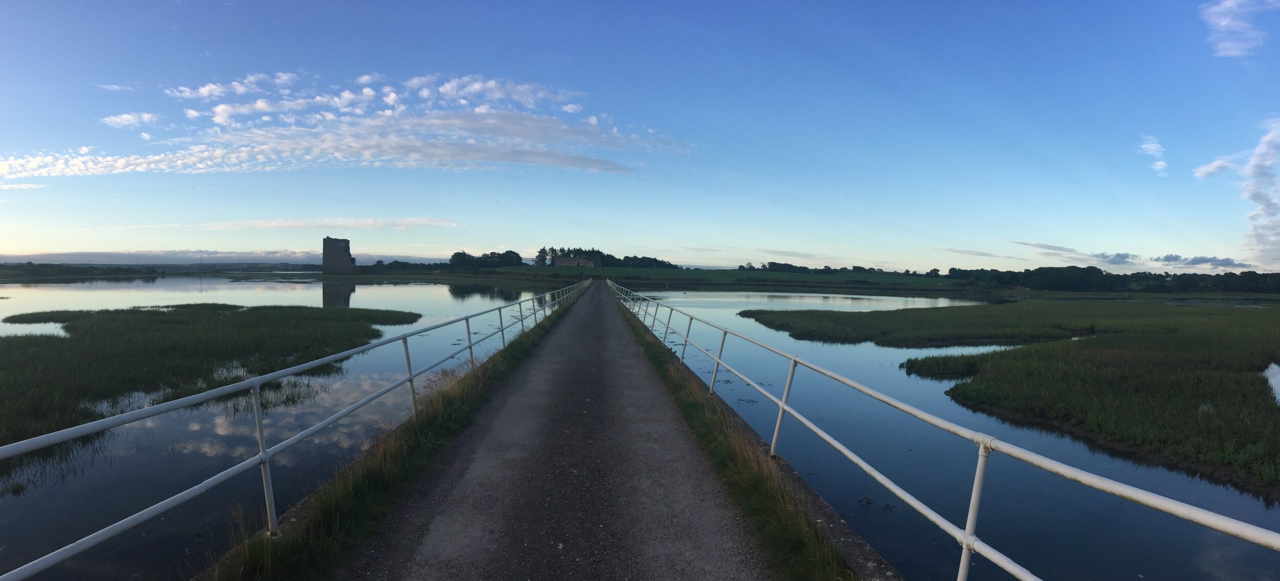
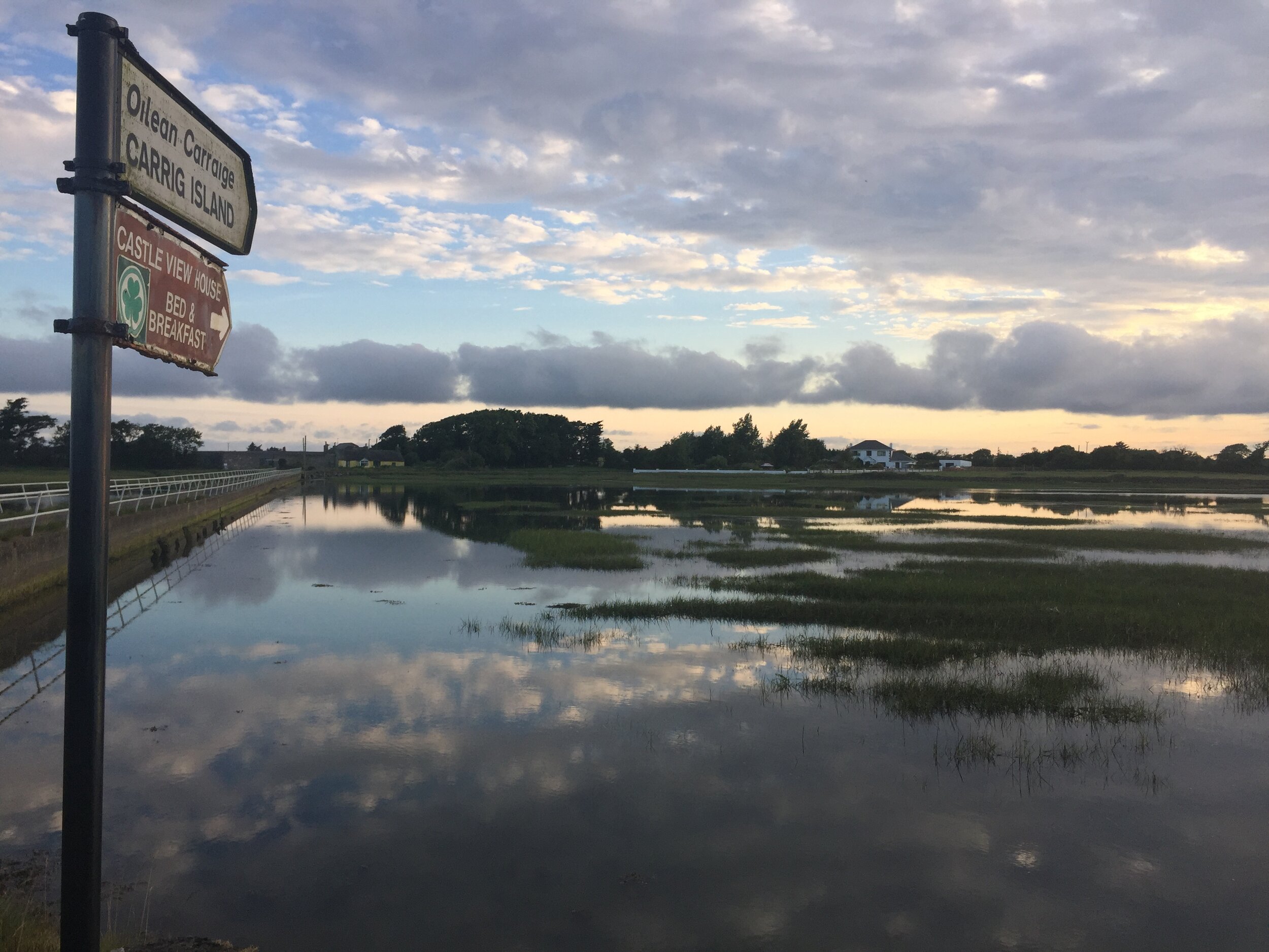
Day 1: Cobh to Carrig Island
Date: July 8th 2017
Start: Titanic Memorial, 1 West Beach, Kilgarvan, Cobh Co. Cork, P24 W593, Ireland
Finish: Castle View House, Carrig Island, Ballylongford, Co. Kerry
Distance: 136 km (84.5 miles)
Elevation change: +1,133m / -1,144 m. Net -11m
GPX File: get via Buy Me a Coffee
Other Routes Touched (Cycle): Wild Atlantic Way, EV1
Other Routes Touched (Walk): Old Crosshaven Railway Path, Backwater (Avondhu) Way, Ballyhoura Way
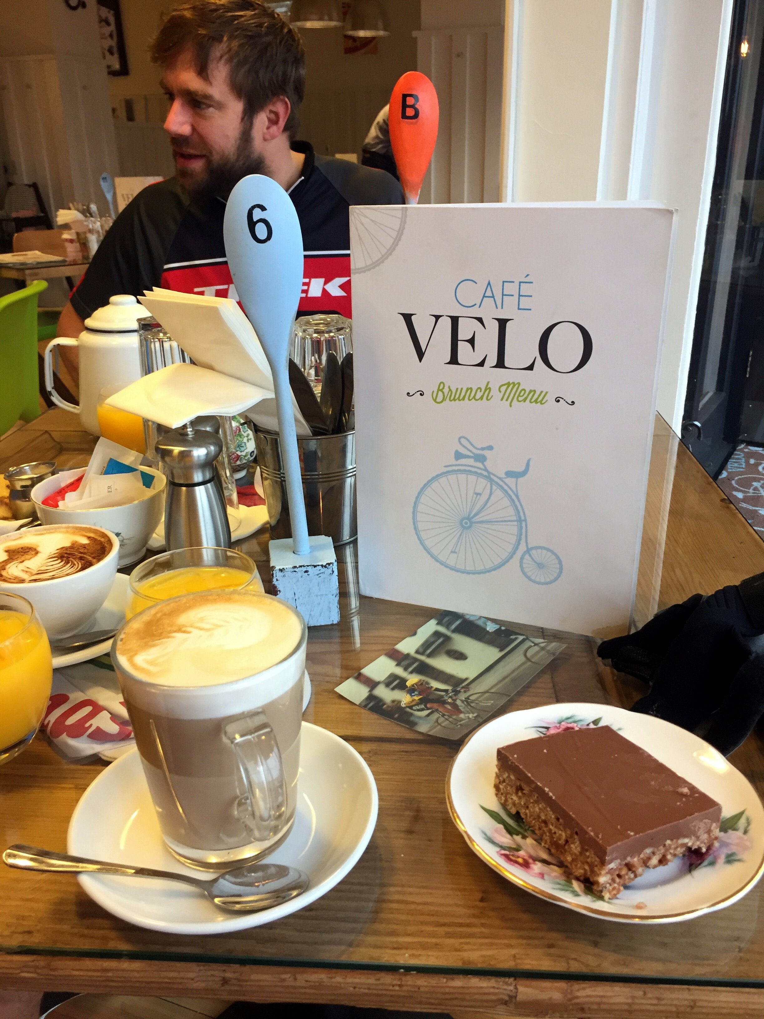
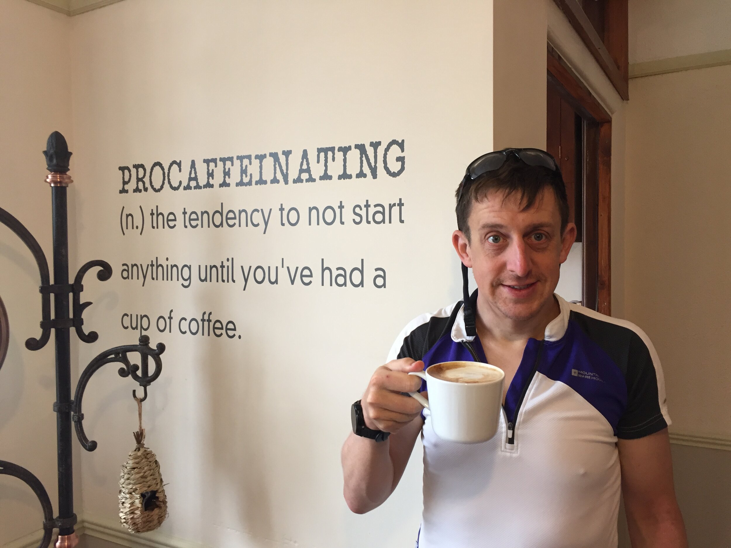
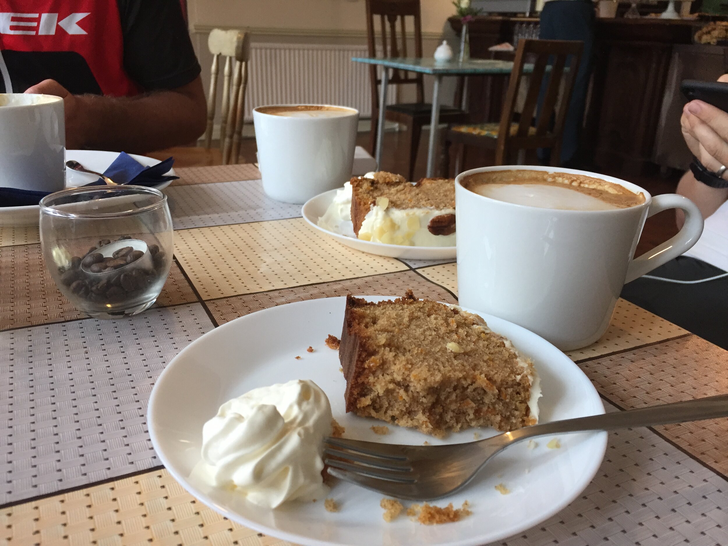
Day 1 was a Saturday and therefore it was parkrun day. Ballincollig, the nearest parkrun to Cork was a 15-mile diversion. The boys knew better than to talk me out of it, but it didn’t mean they were going to come along too. So, at Cork we shared our first breakfast at the Velo cafe and took separate paths. Brian and Martyn continued along the planned route and I would catch them 50 miles later.
By the end of Day 1 we all arrived together in a lovely B&B on Carrig Island. This was our longest cycling day of the trip, but necessary to get us on to the Wild Atlantic Way as soon as possible
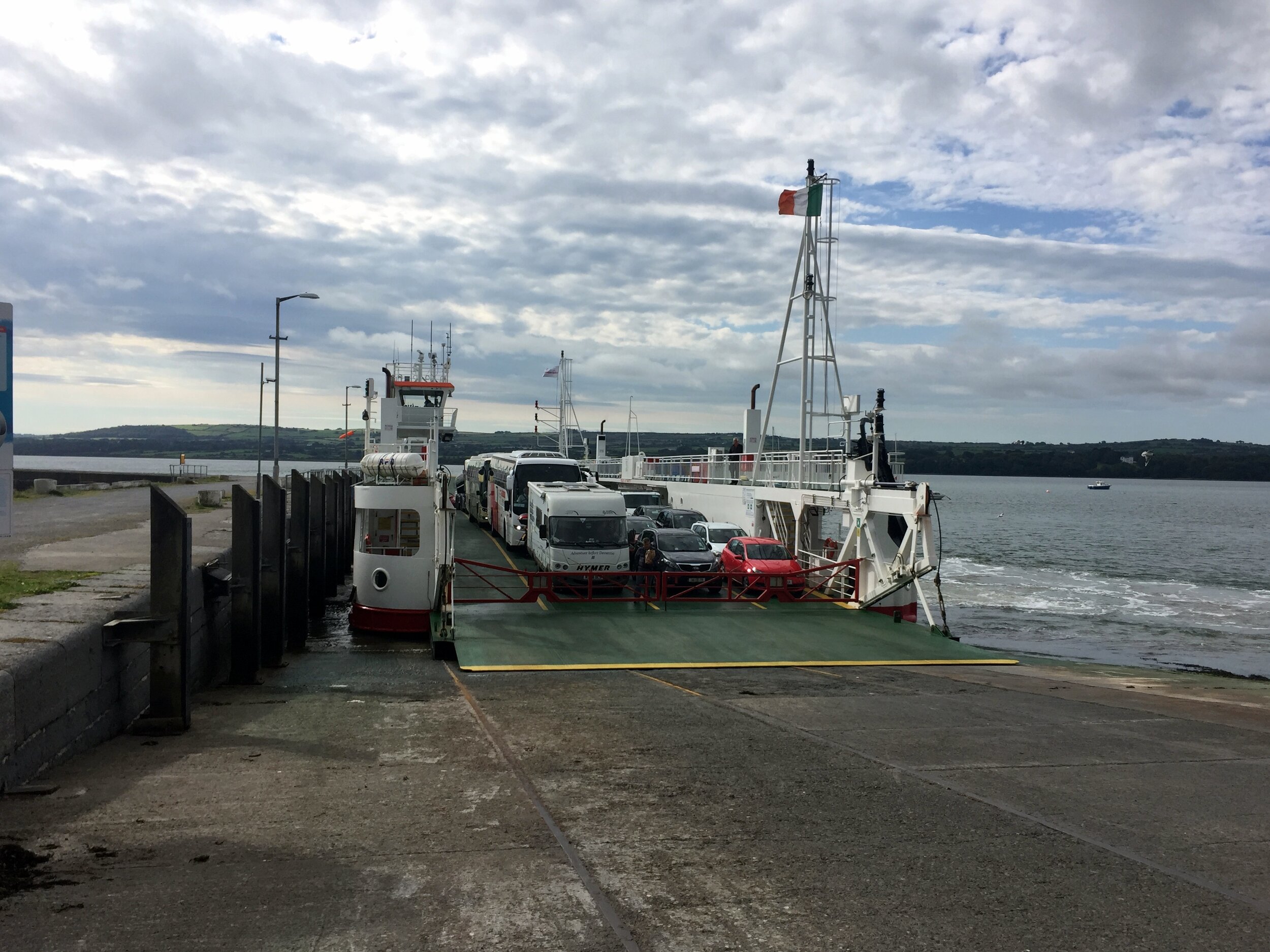
Day 2: Carrig Island to Doolin
Date: July 9th 2017
Start: Castle View House, Carrig Island, Ballylongford, Co. Kerry
Finish: Toomullin, Doolin, Co. Clare
Distance: 103 km (64 miles)
Elevation change: +805m / -777m. Net +28m
GPX Fil get via Buy Me a Coffee
Other Routes Touched (Cycle): Wild Atlantic Way, EV1
Other Routes Touched (Walk): The Burren Way (Sli na Boirne)
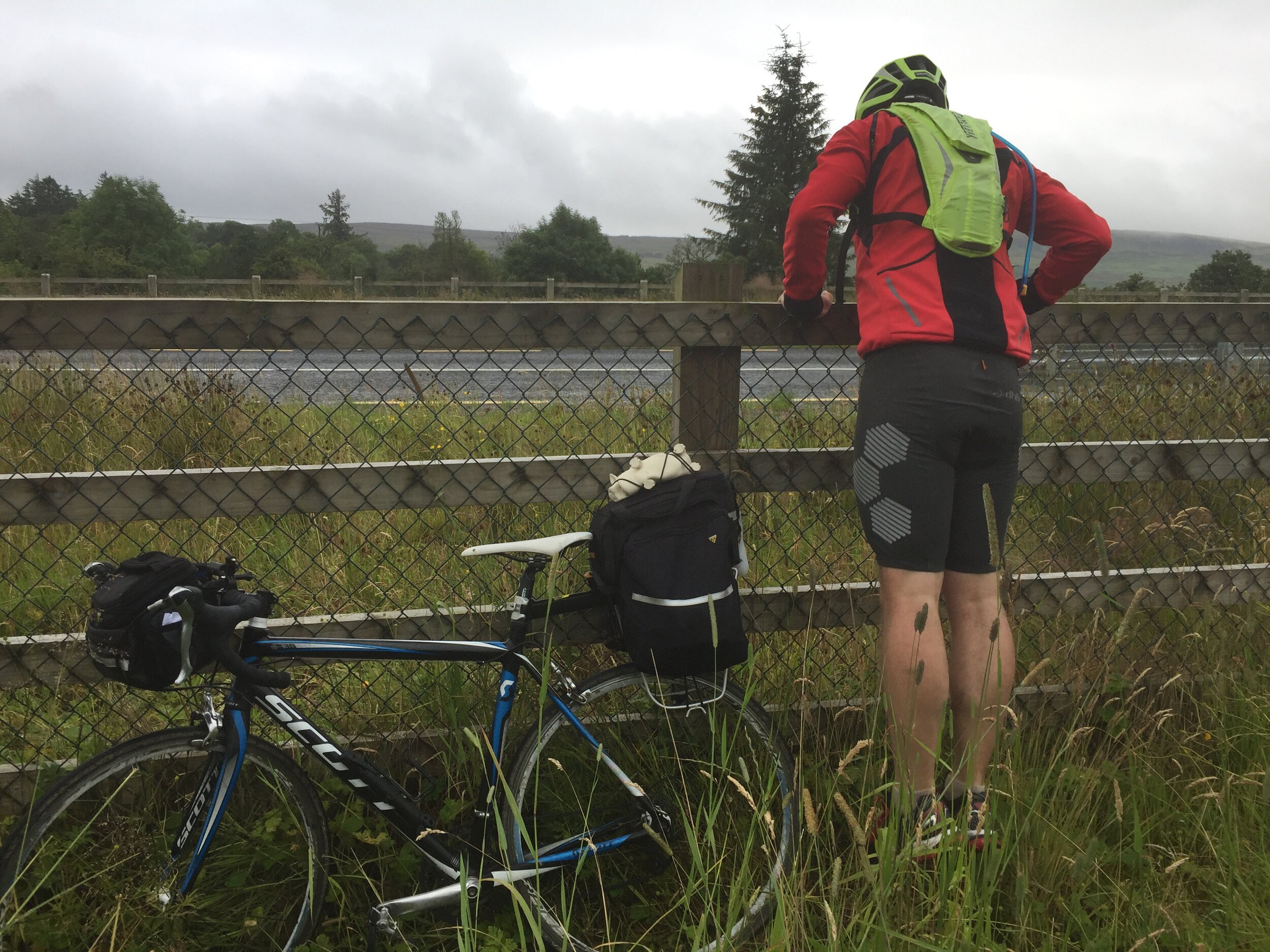
Day 2 started with a 10-mile cycle to the Tarbet ferry. We were keen to get the first ferry at 08:30 so we were on a mission to get breakfast sorted, get geared up and get to the port. After the traditional faffing around we were cutting it fine so we only arrived with 2 minutes to spare.
5 minutes later it seemed odd that no one was around, let alone a ferry to pick us up. I’d checked the timetable online the night before so I was pretty confident I’d got it right. A car came, a man got out and checked the sailing times on the board then went away again. Hmmm ... maybe I’d better check the board too. Yes, definitely 08:30 .... ah ... except Sundays. We had another hour to wait. The boys were not amused.
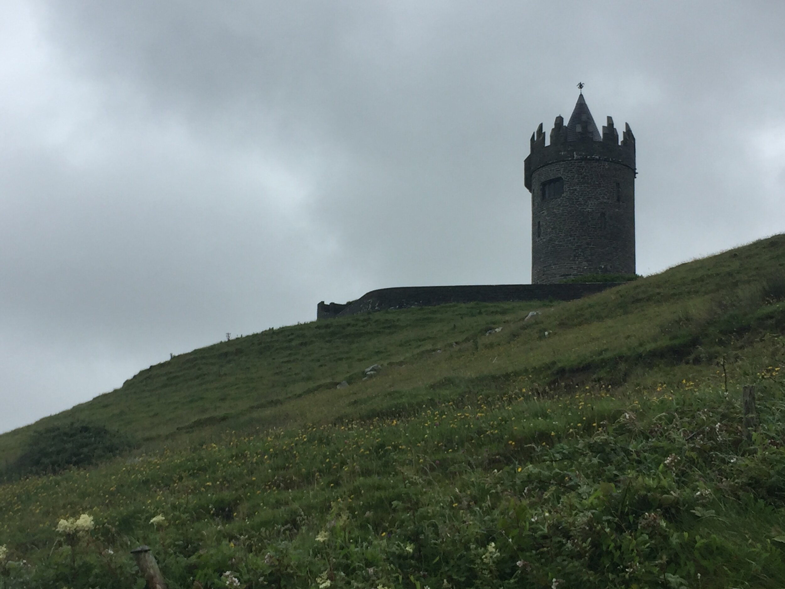
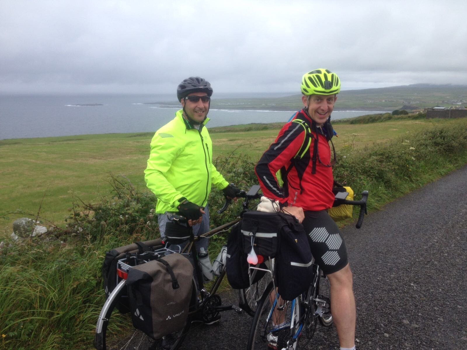
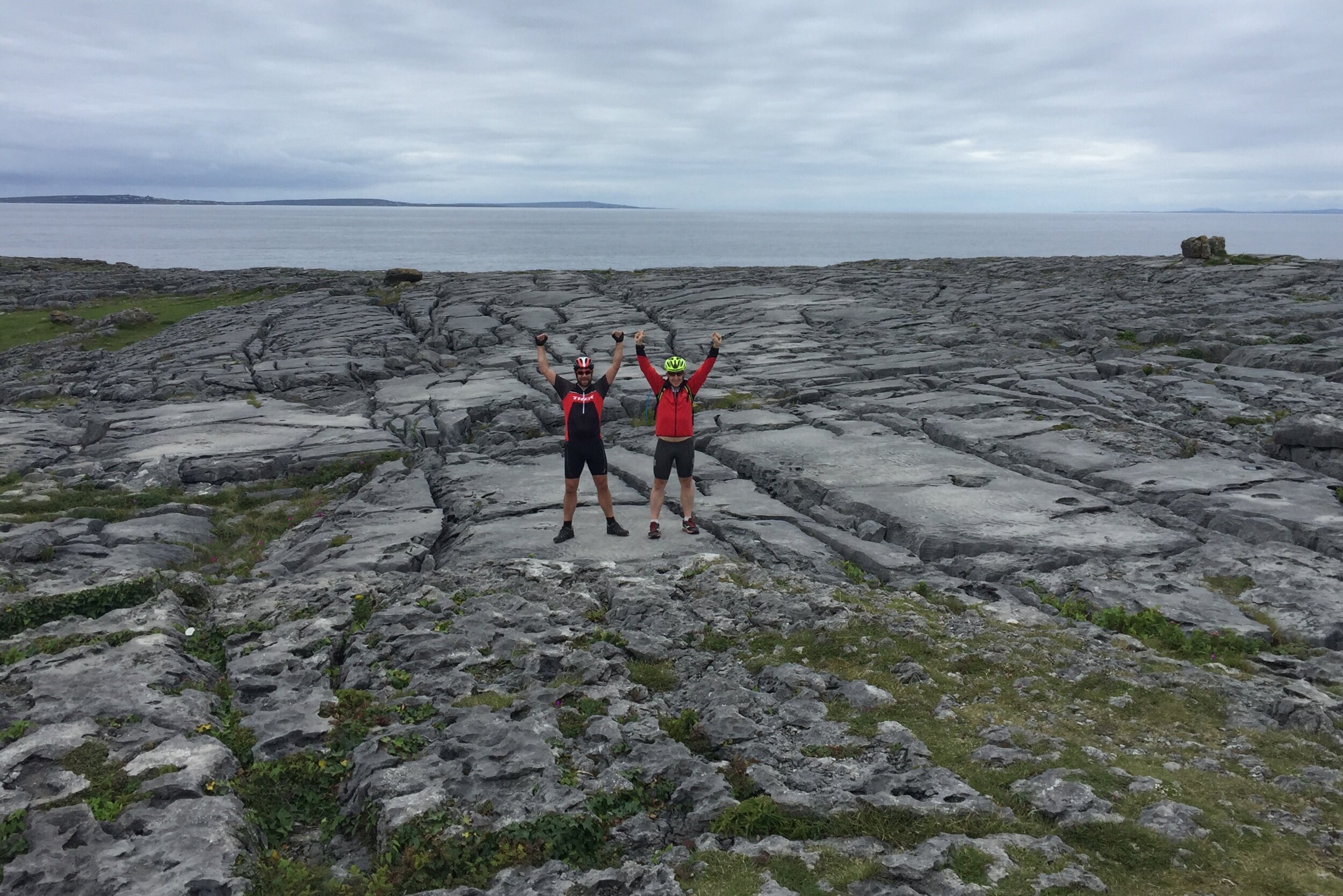
The rest of the day was pleasant an uneventful. The Wild Atlantic Way lived up to its name not only with its dramatic, rugged coastline but also with lashing wind and rain. After hiding in a pub at Spanish Point for an hour we braved the slog up the road past the Cliffs of Moher. It was tempting to stop there as it was an unticked UNESCO site, but the prospect of a warm B&B and an evening in the pub was more enticing.
Day 3: Doolin to Galway
Date: July 10th 2017
Start: Toomullin, Doolin, Co. Clare
Finish: Galway Docks, 22-26 Bóthar Na nDuganna, Galway
Distance: 76 km (47 miles)
Elevation change: +531m / -551m. Net -20m
GPX File: get via Buy Me a Coffee
Other Routes Touched (Cycle): Wild Atlantic Way, EV1
Other Routes Touched (Walk): The Burren Way (Sli na Boirne)
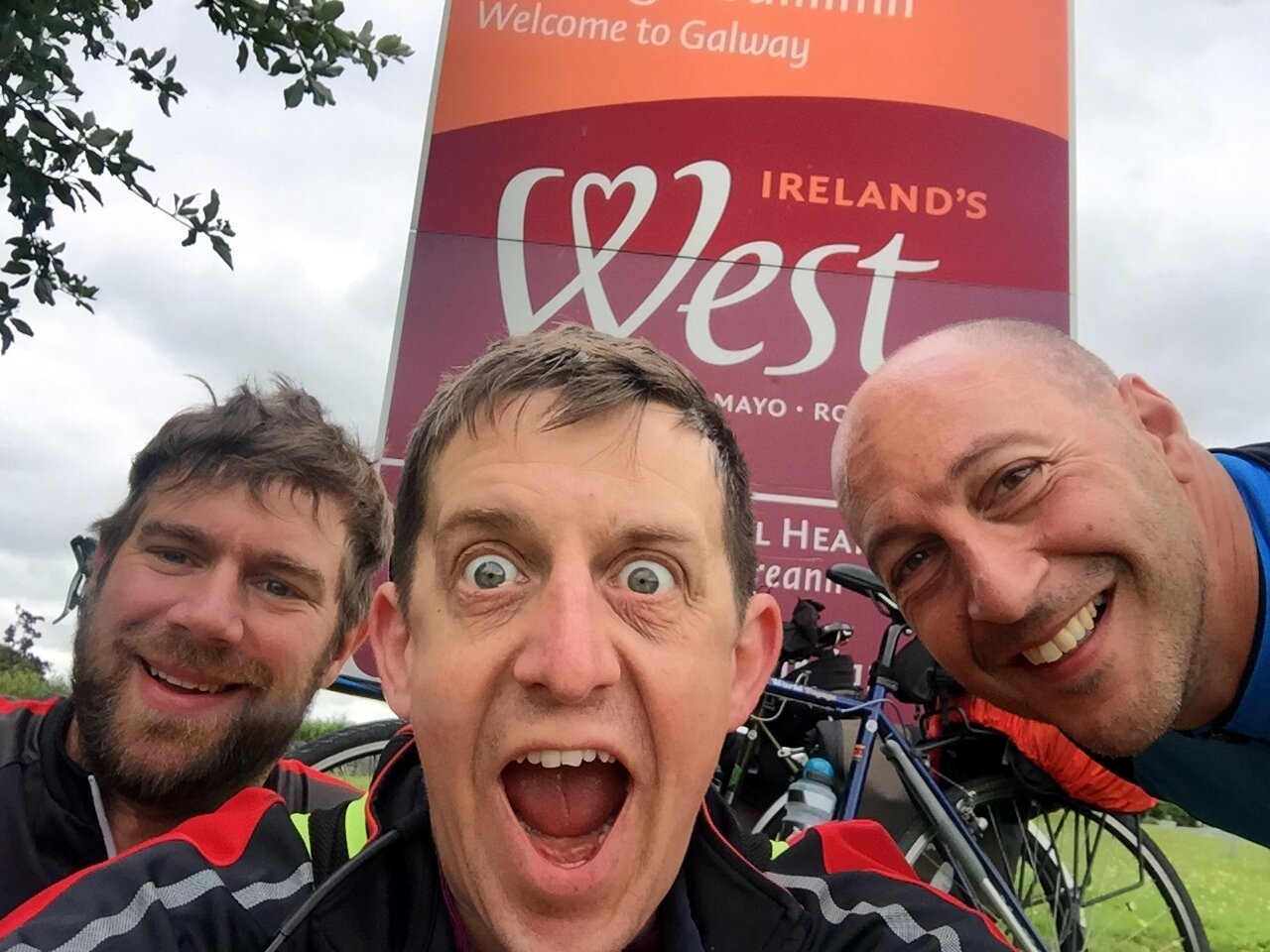
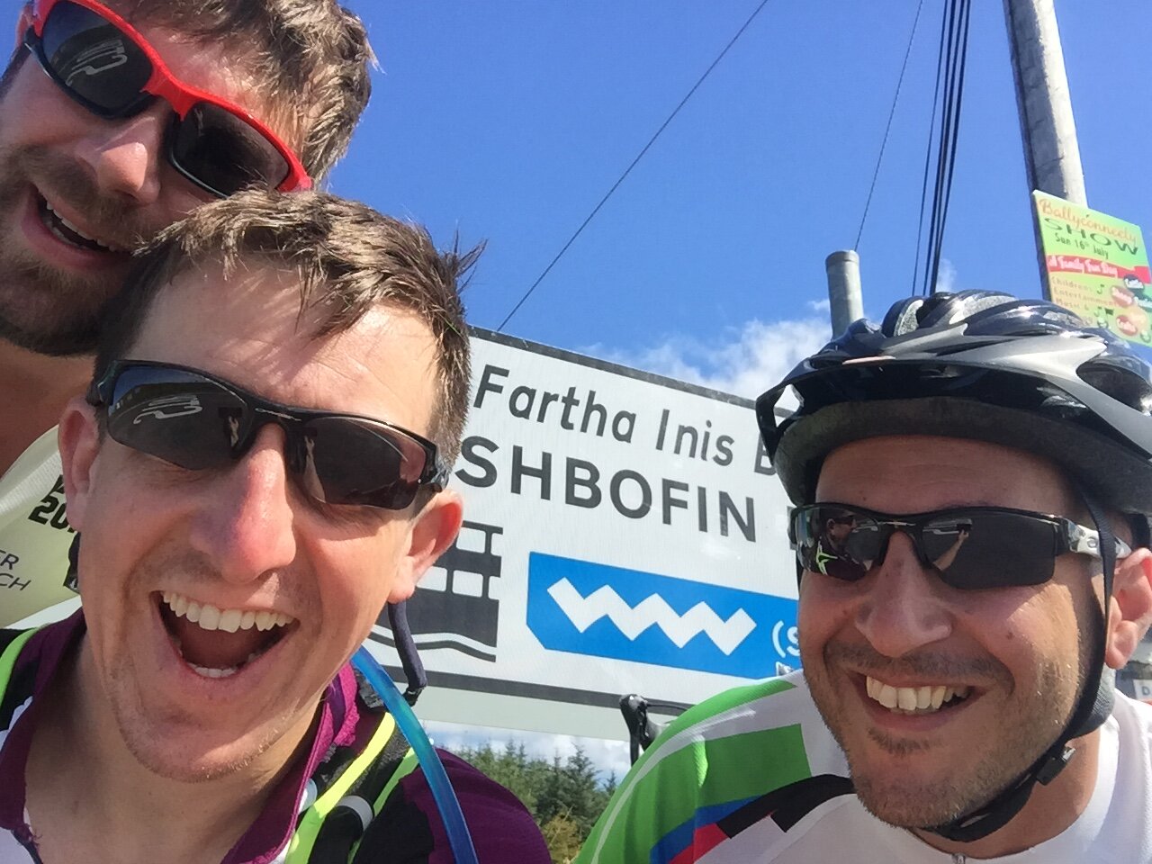
Day 3 continued to follow the Wild Atlantic Way through to Galway. It was here that we met with Neil, the 0.5 of our 3.5 person team. A previously arranged U2 concert in London meant he couldn’t meet us in Cobh. Instead he cycled a 2 day shortcut from Cork to catch us in Galway.
Day 4: Galway to Rosmuck
Date: July 11th 2017
Start: Galway Docks, 22-26 Bóthar Na nDuganna, Galway
Finish: Rosmuck, Co. Galway
Distance: 65 km (40 miles)
Elevation change: +338m / -336m / Net +2m
GPX File: get via Buy Me a Coffee
Other Routes Touched (Cycle): Wild Atlantic Way, EV1
Other Routes Touched (Walk): None
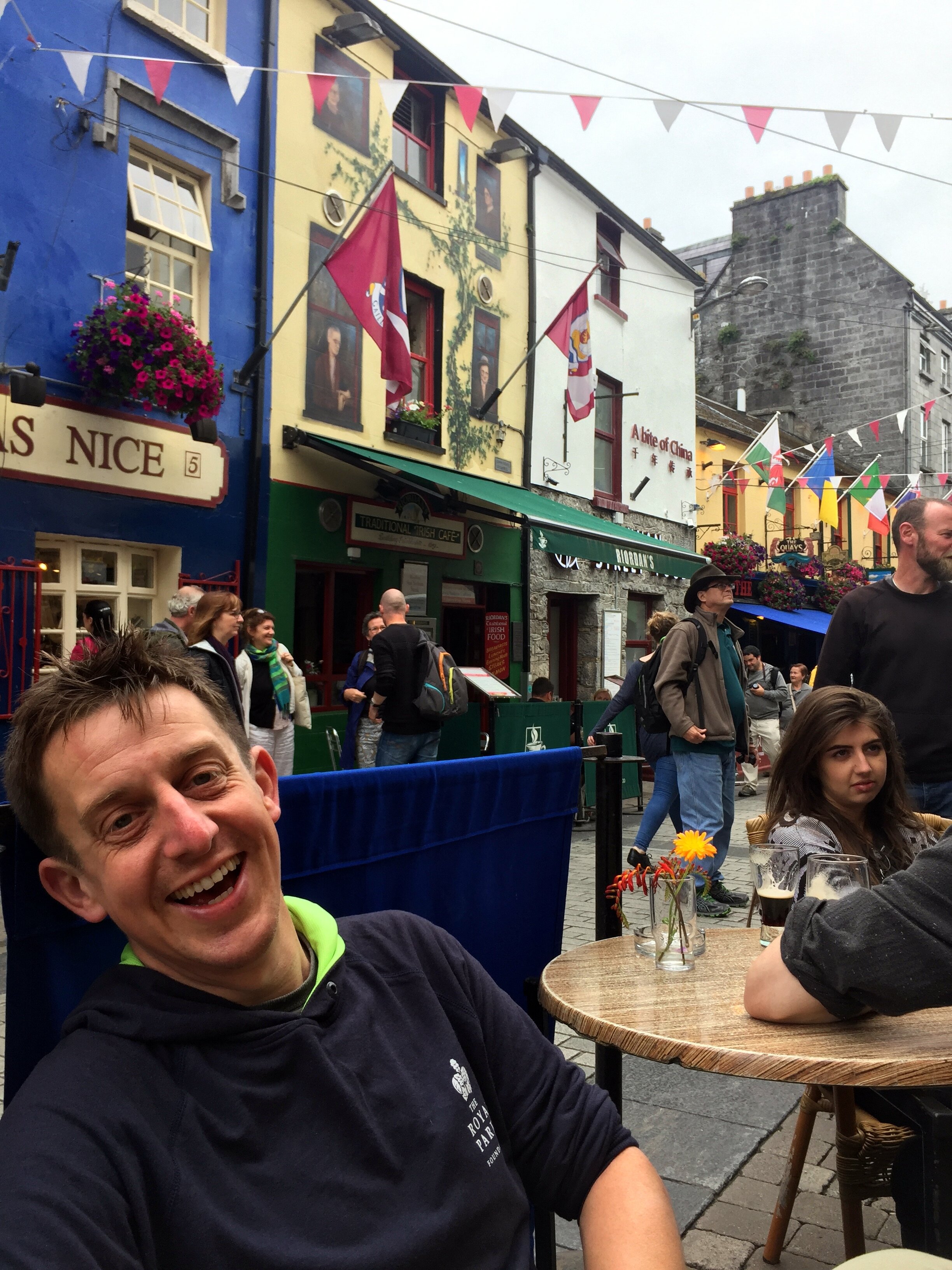
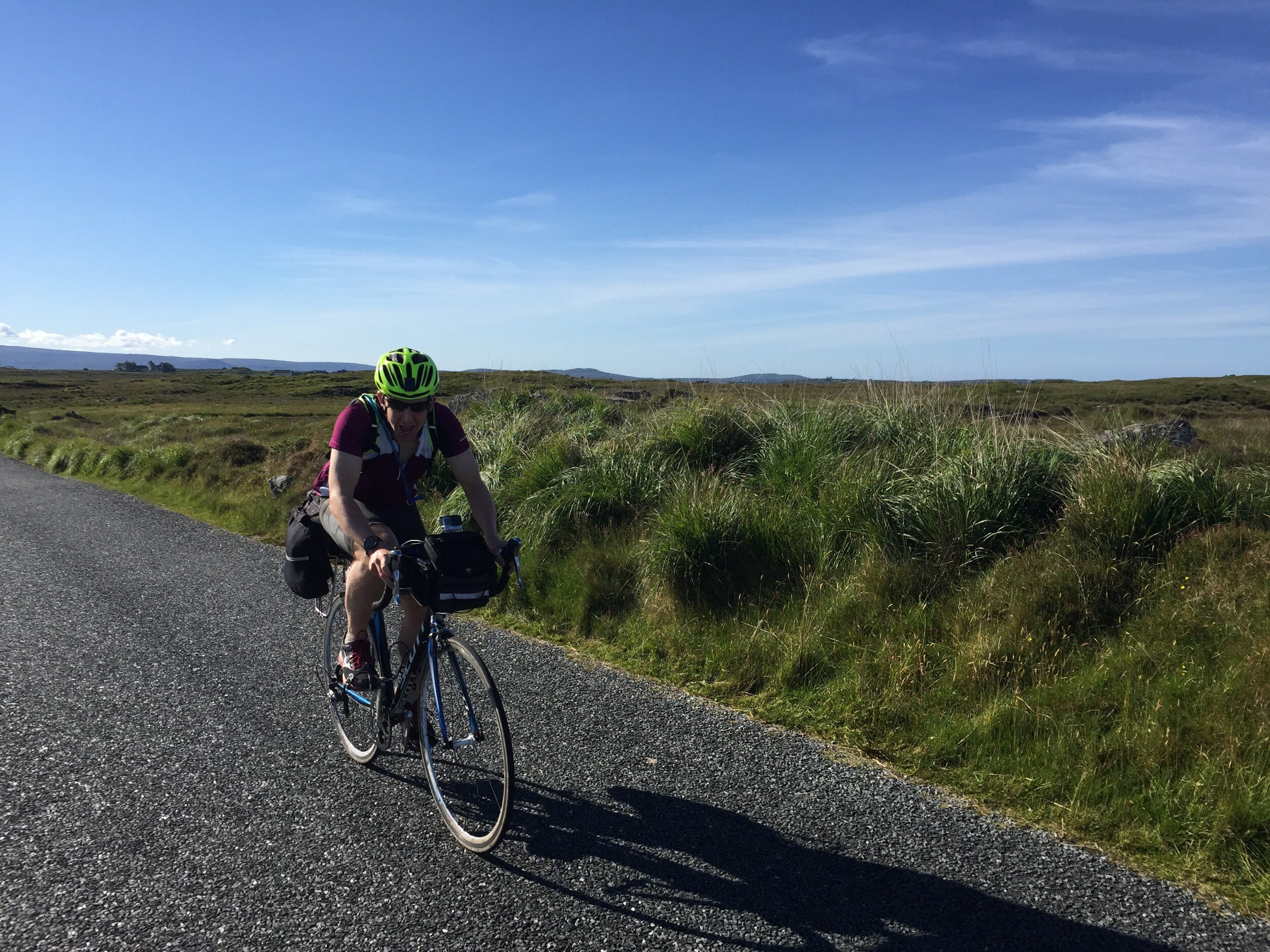
Day 4 was our shortest day, designed to give us a longer morning in Galway. The pubs and music scene couldn’t be missed so some hangover recovery time was an essential part of the plan. Despite only being 40 miles and relatively flat it was a slog. Once we turned north from the Galway Coast civilisation felt a long way behind. It felt culturally different with the pubs and cafes having more of a “you’re not from around here, are you?” vibe. Maybe it was due to the sheer numbers of grim looking Republicanist photos on the walls, or maybe we were still hungover. Either way, we weren’t feeling the Irish charm we’d experienced earlier in the trip.
Day 5: Rosmuck to Westport
Date: July 12th 2017
Start: Rosmuck, Co. Galway
Finish: Bridge St, Cahernamart, Westport, Co. Mayo
Distance: 130 km (81 miles)
Elevation change: +1,102m / -1,103 m / Net -1m
GPX File: get via Buy Me a Coffee
Other Routes Touched (Cycle): Wild Atlantic Way, EV1
Other Routes Touched (Walk): The Western Way - Mayo
On day 5 we set off early to get a head-start on one of the longer days of the trip. We were now back down to the core 3. Neil, who had only just caught us up in Galway, had to travel back to the UK for a funeral. This meant cycling back to Galway, taking a train to Dublin, a flight to London and a train to Darlington. If that wasn’t enough, he would reverse it again a day later to rejoin us at Monaghan for the final push to Belfast. It all seemed over-complicated but we were all happy to have him with us even if only for parts of the trip.
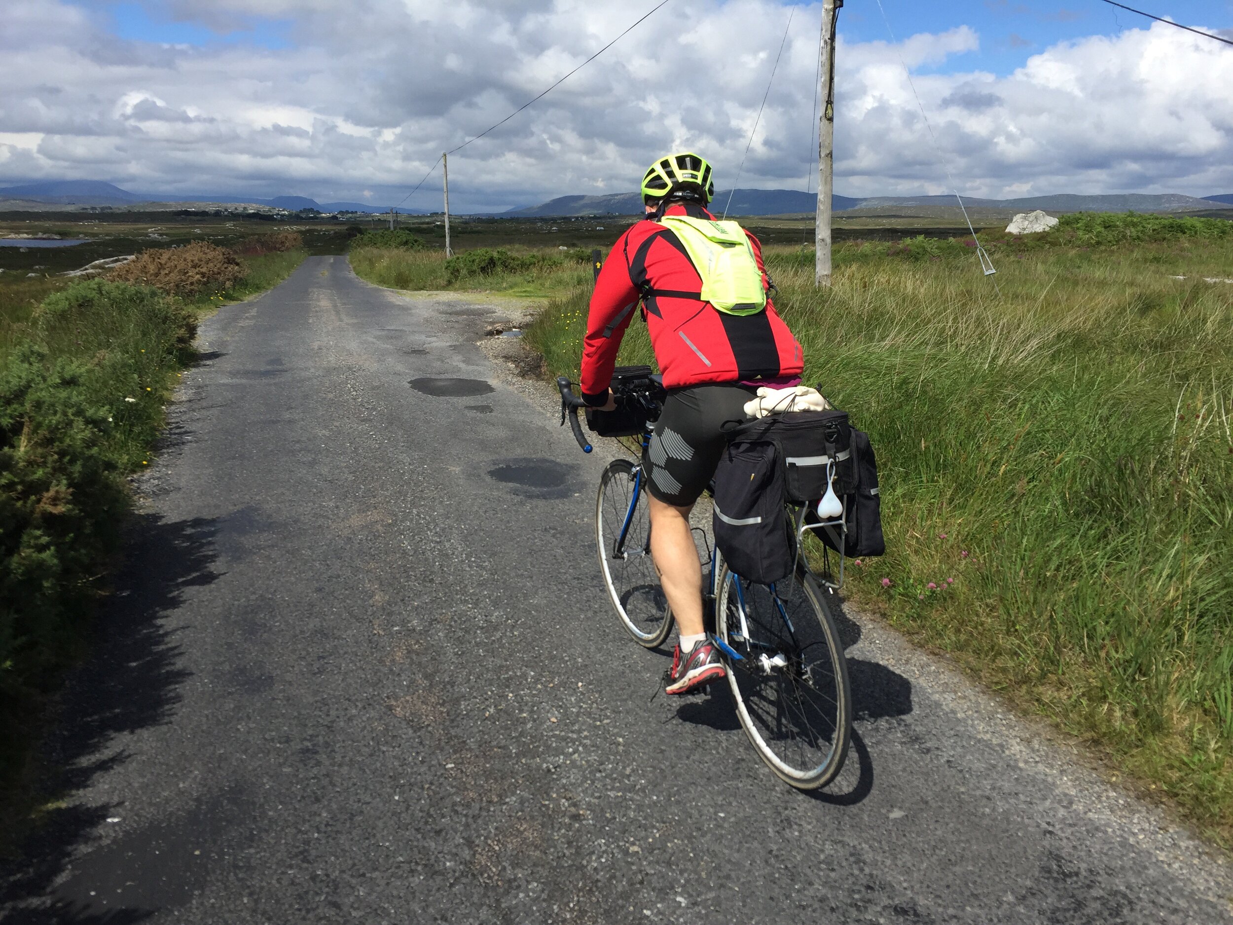
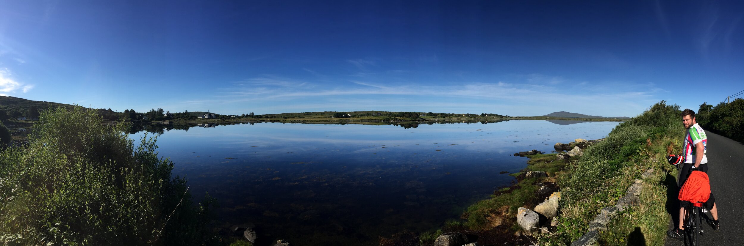
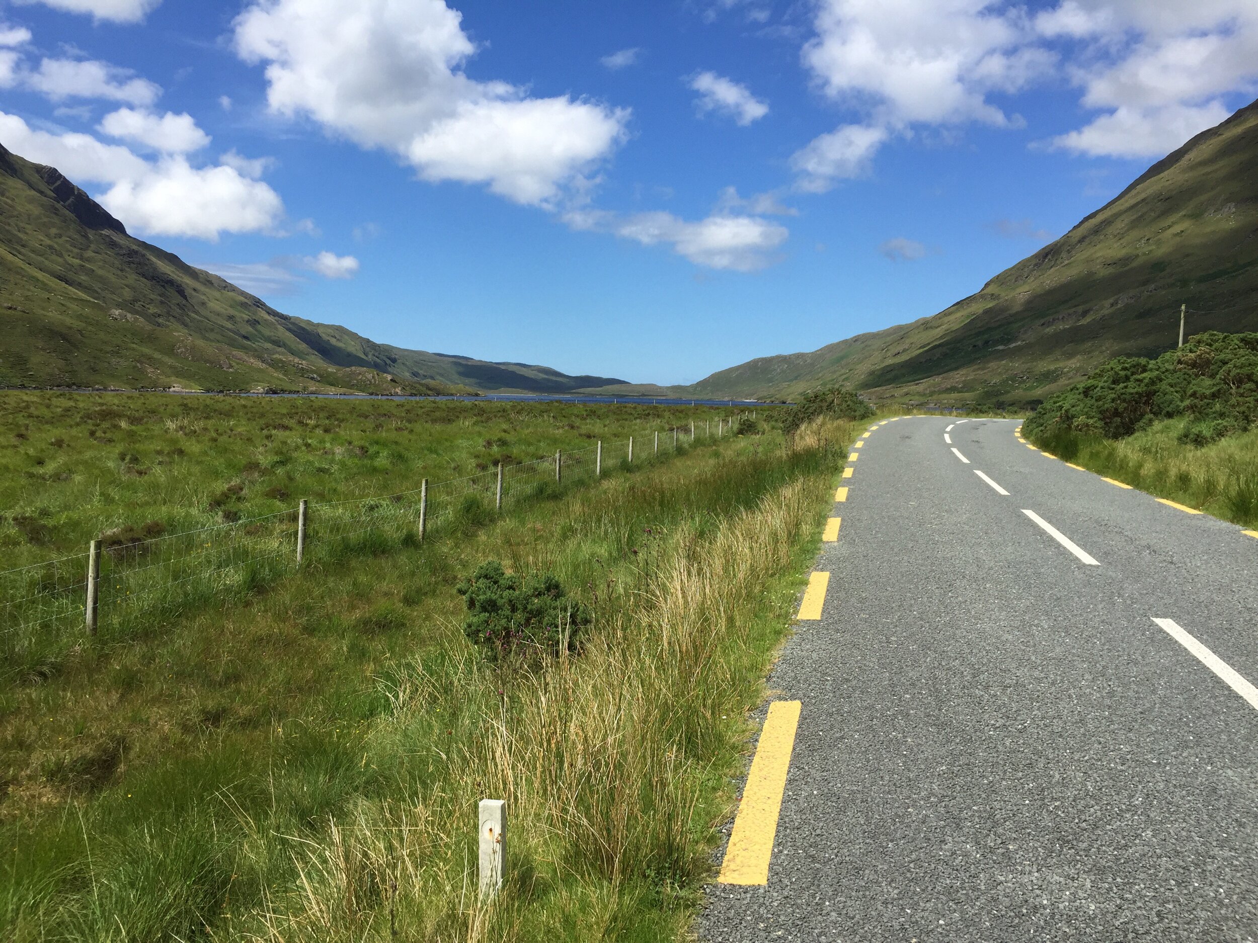
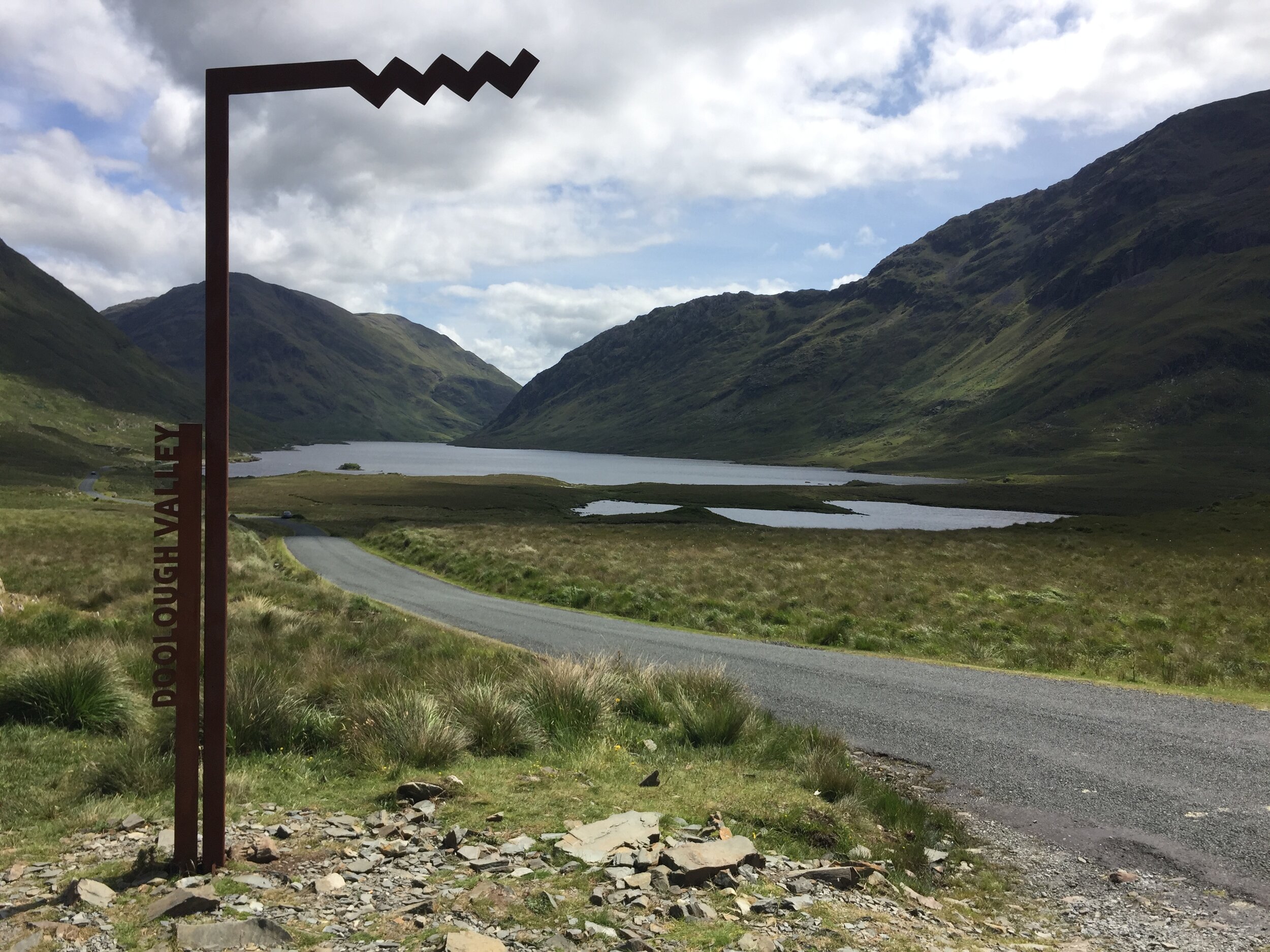
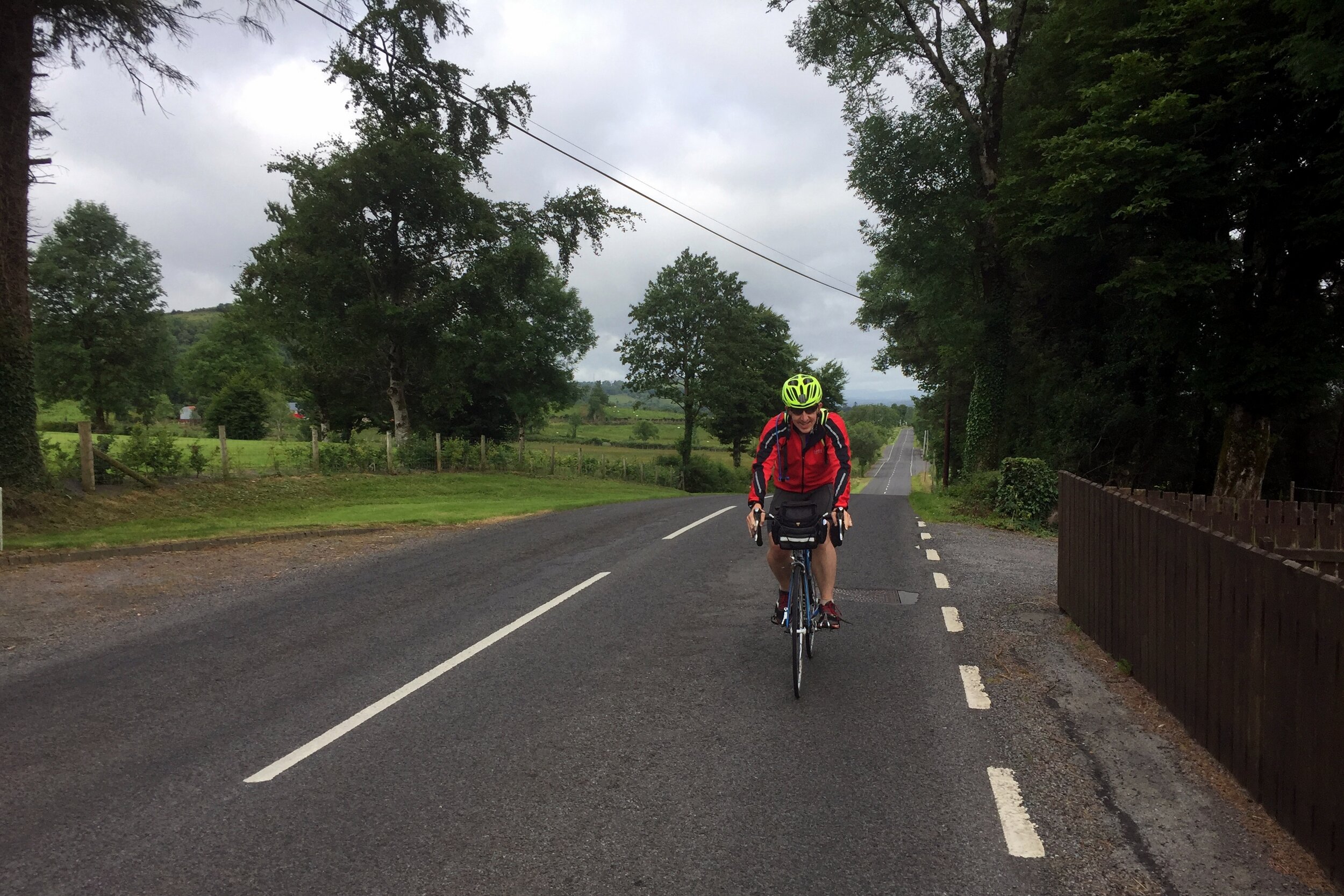
Our route around the coast to Westport was by far the most enjoyable day of the trip. Beautiful panoramas stretched for miles ahead. The nice weather made sure we would appreciate every minute of it. This will stay in my memory as one of the most perfect days of cycling I’ve had.
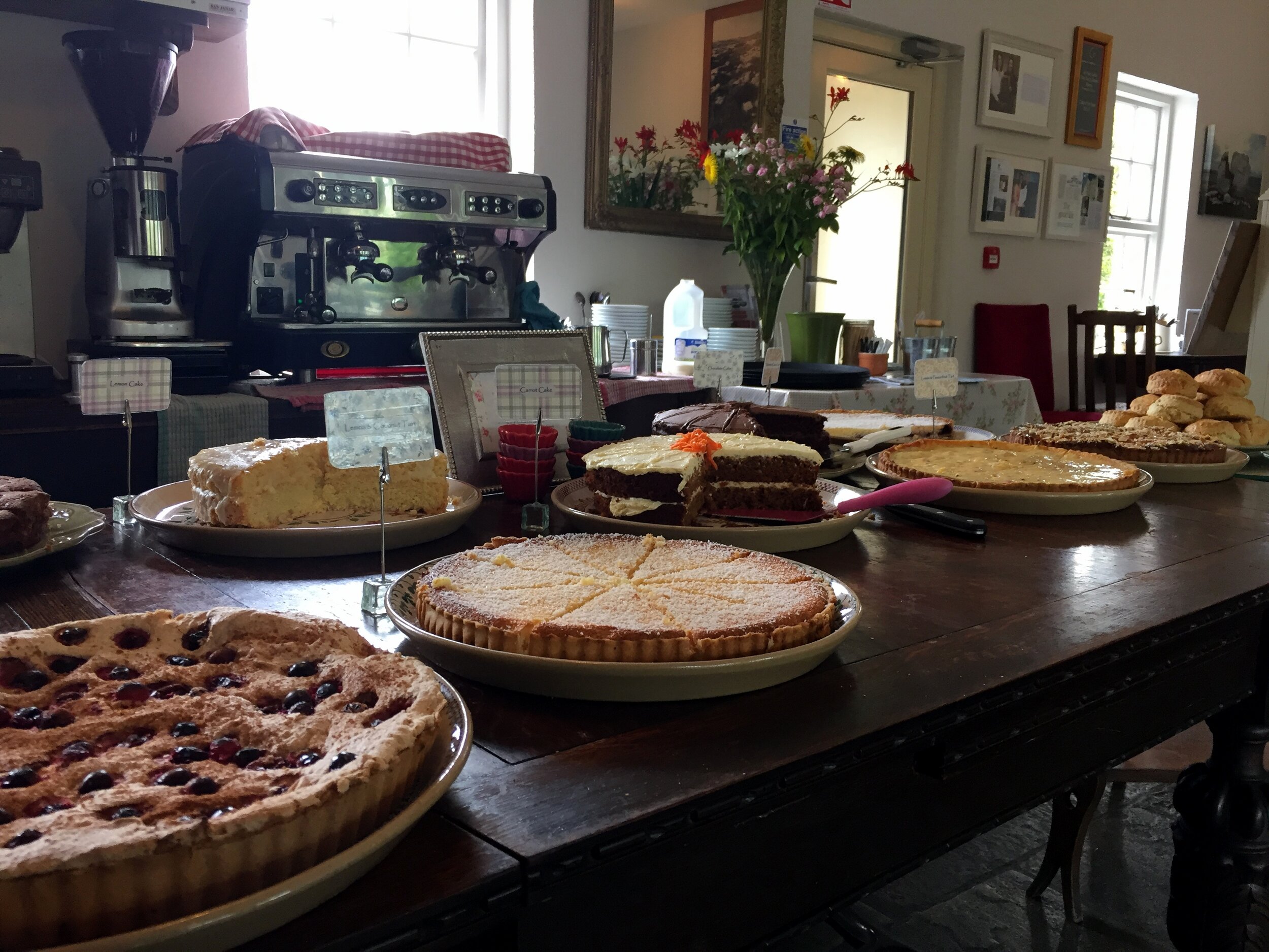
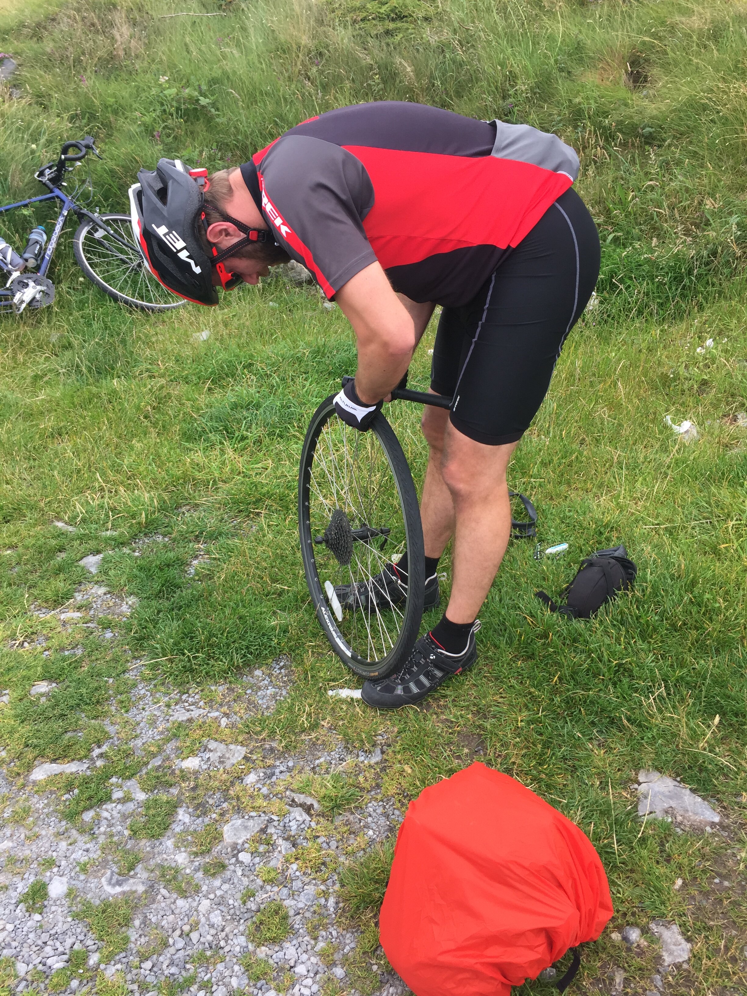
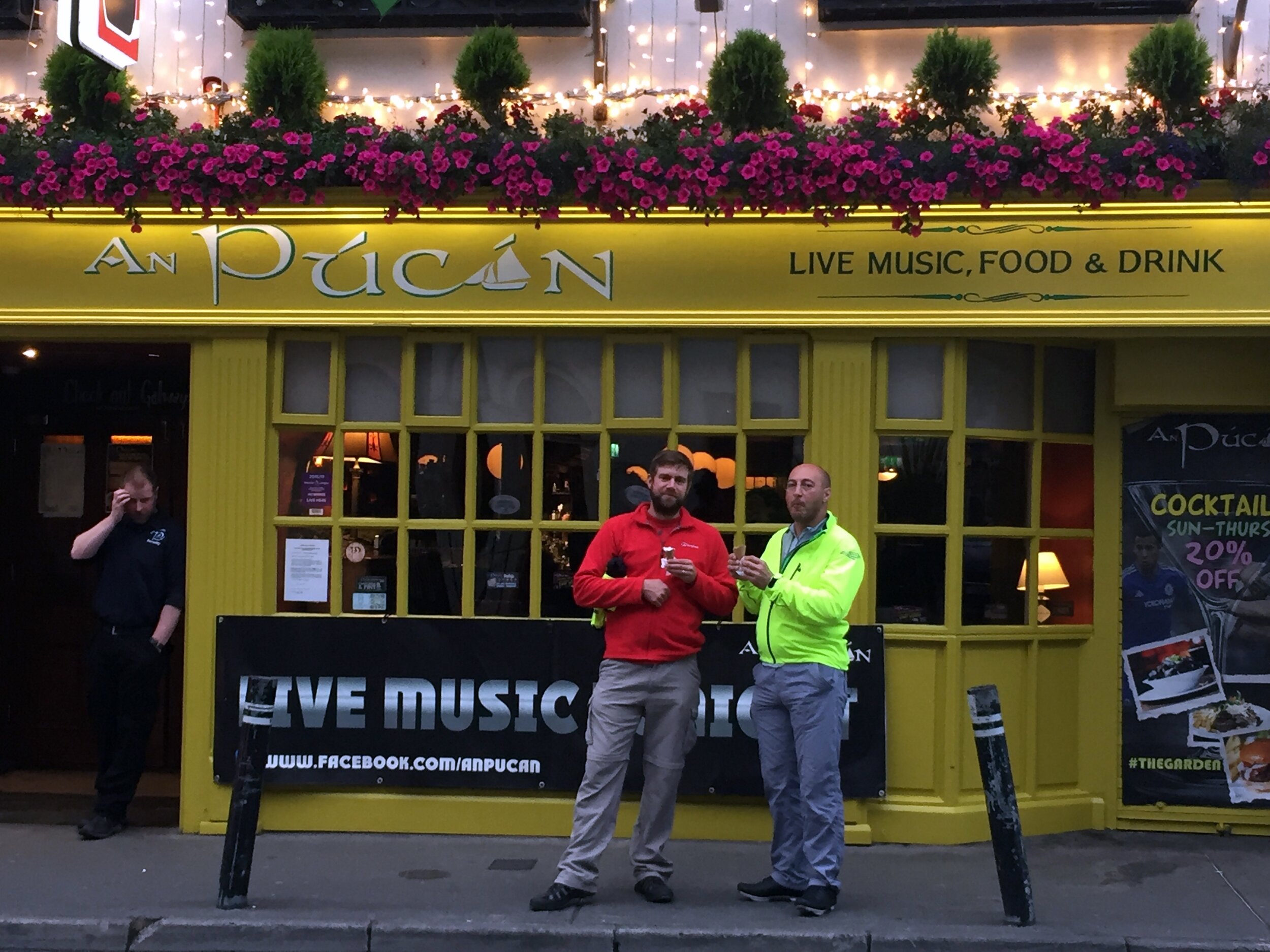
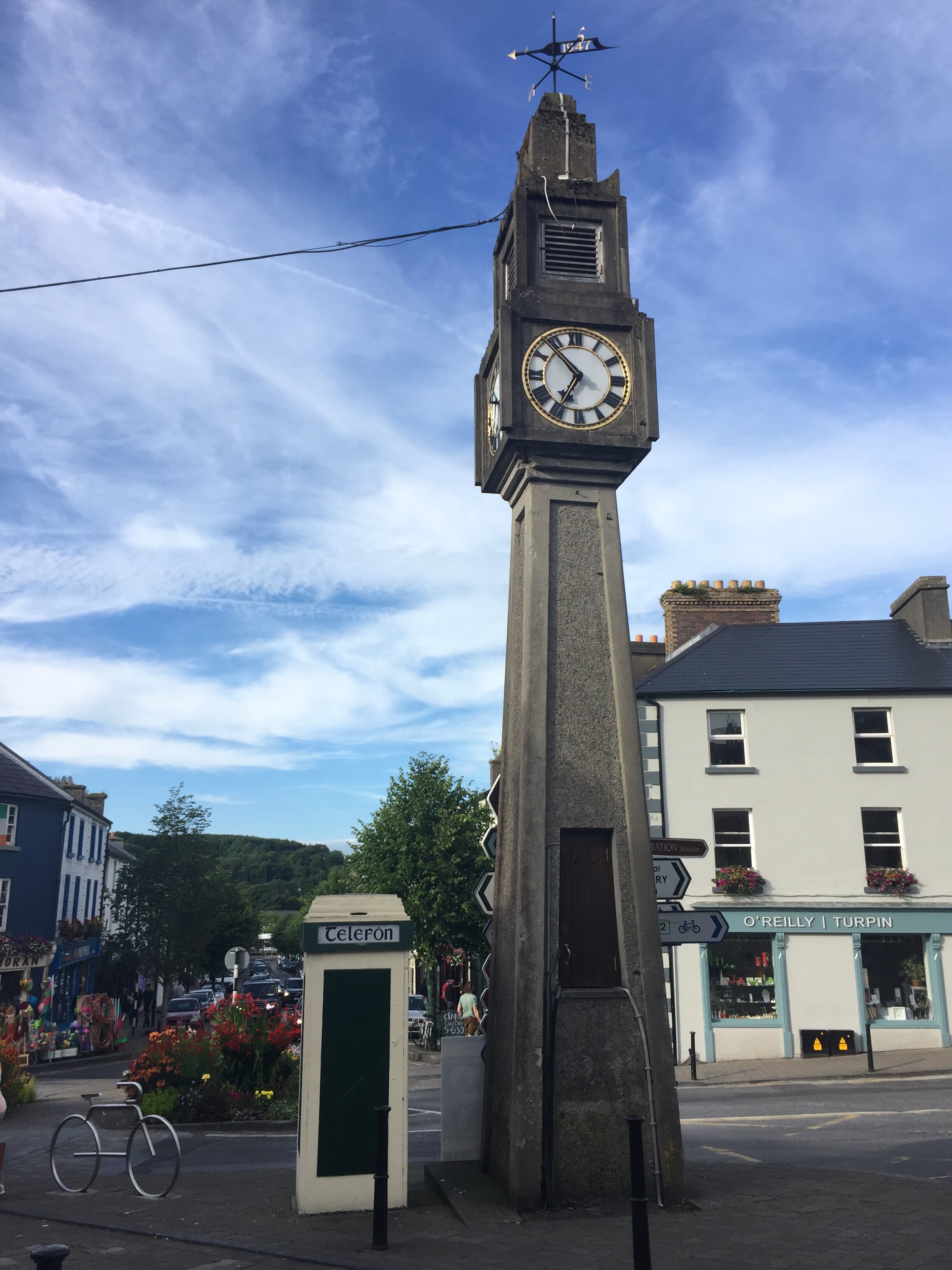
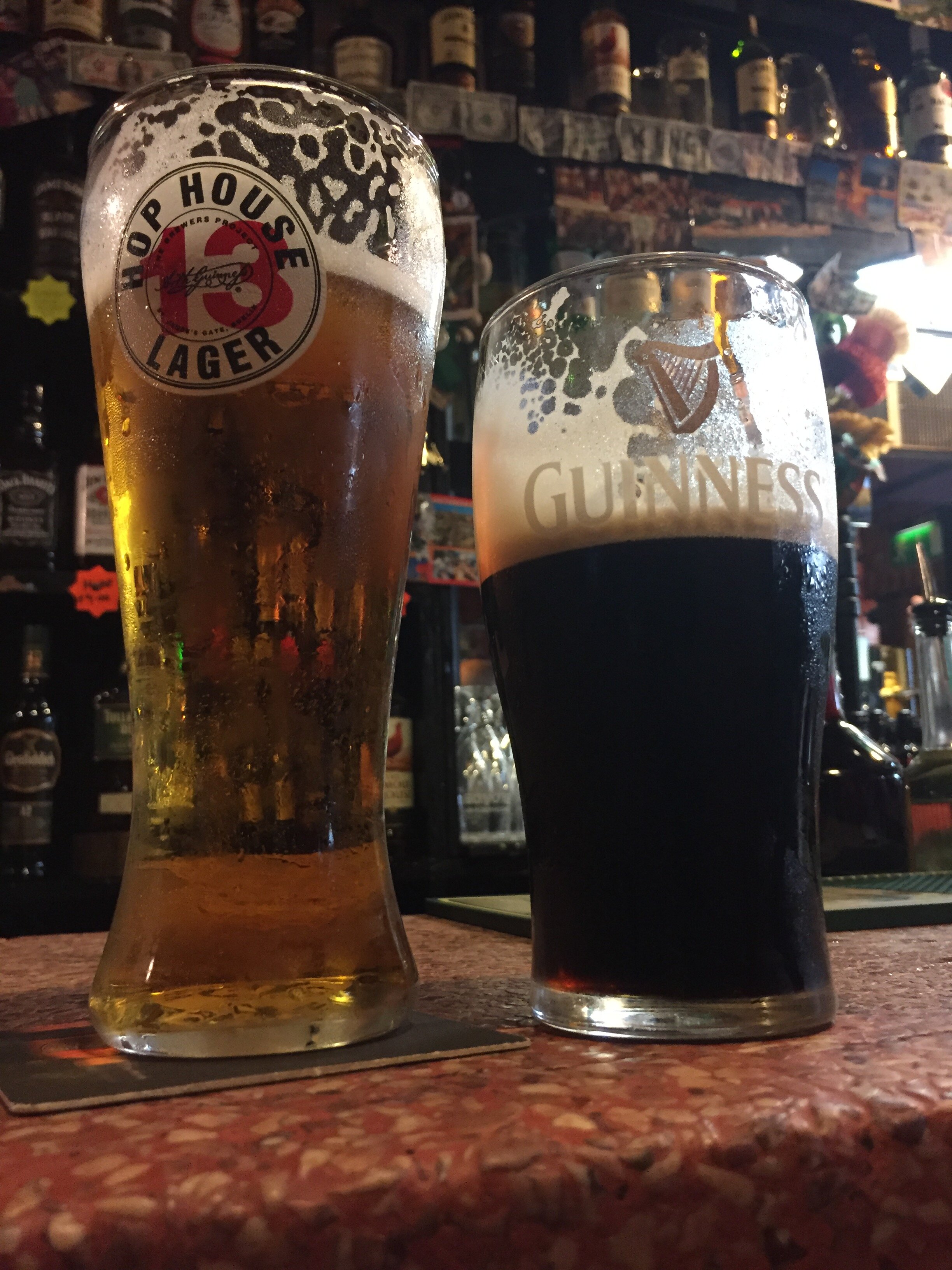
Despite the wonder of the scenery we were happy to reach Westport for a rest and some overdue bike repairs. A breakdown at any point during the day would have been massively inconvenient so we took the opportunity to stock up on spares. We were determined to experience Westport's famous music scene, but our exhaustion limited our big night out to 30 minutes, 1 pint and an early night.
Day 6: Westport to Manorhamilton
Date: July 13th 2017
Start: Bridge St, Cahernamart, Westport, Co. Mayo
Finish: Manorhamilton Co. Leitrim
Distance: 123 km (76 miles)
Elevation change: +870m / -829 m / Net +41m
GPX File: get via Buy Me a Coffee
Other Routes Touched (Cycle): Wild Atlantic Way, EV1, North West Trail
Other Routes Touched (Walk): The Western Way - Mayo, The Sligo Way
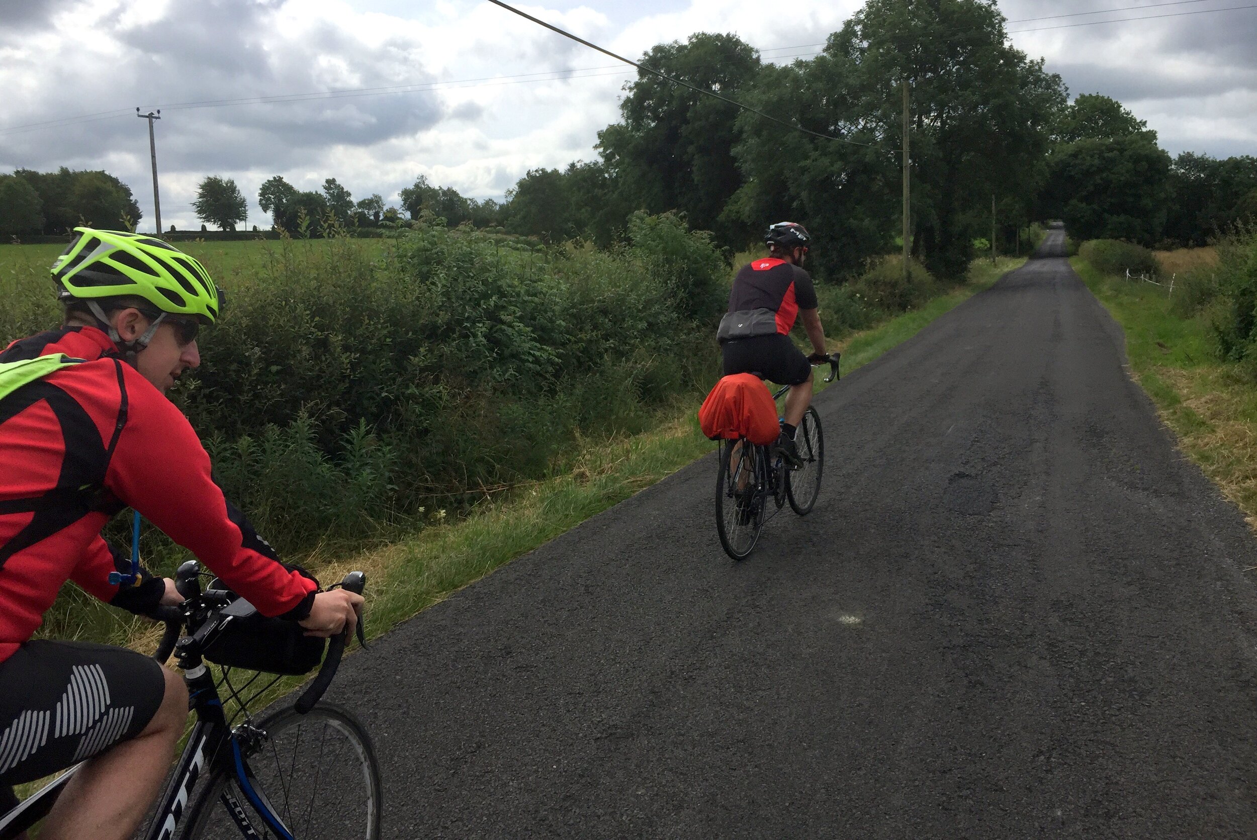
Days 6 and 7 were uneventful and less memorable. Given more time we would have continued north along the Wild Atlantic Way to Donegal. Belfast was calling us though, and we turned our back on the coast and headed east towards the border. Overnight stops on these days were Manorhamilton and Monaghan. Nice, but I’m struggling to remember anything about them several months after the trip.
Day 7: Manorhamilton to Monaghan
Date: July 14th 2017
Start: Manorhamilton Co. Leitrim
Finish: The Diamond, Roosky, Monaghan
Distance: 106 km (66 miles)
Elevation change: +700m / - 699m / Net +1m
GPX File: get via Buy Me a Coffee
Other Routes Touched (Cycle): North West Trail, NCN 91
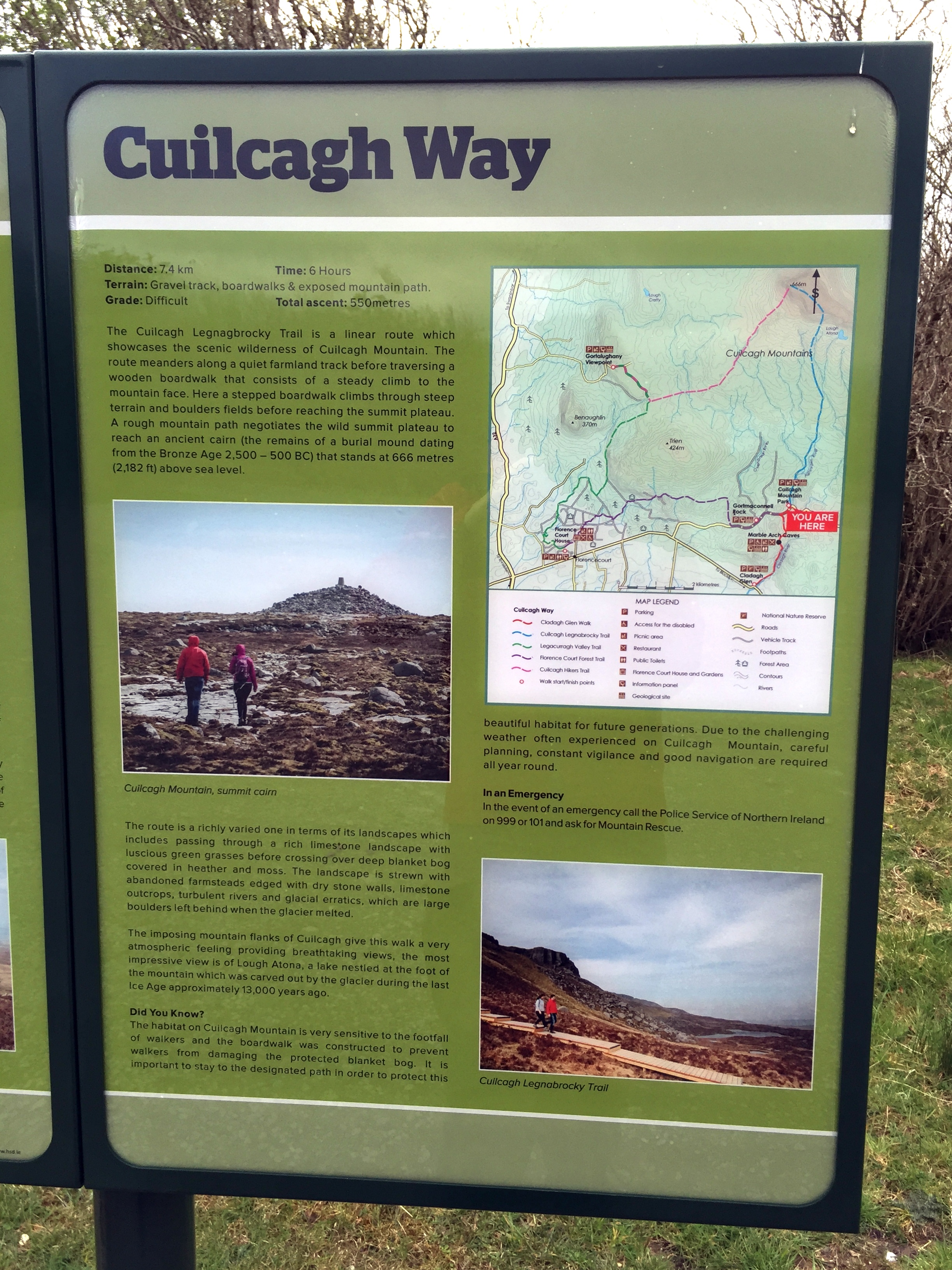
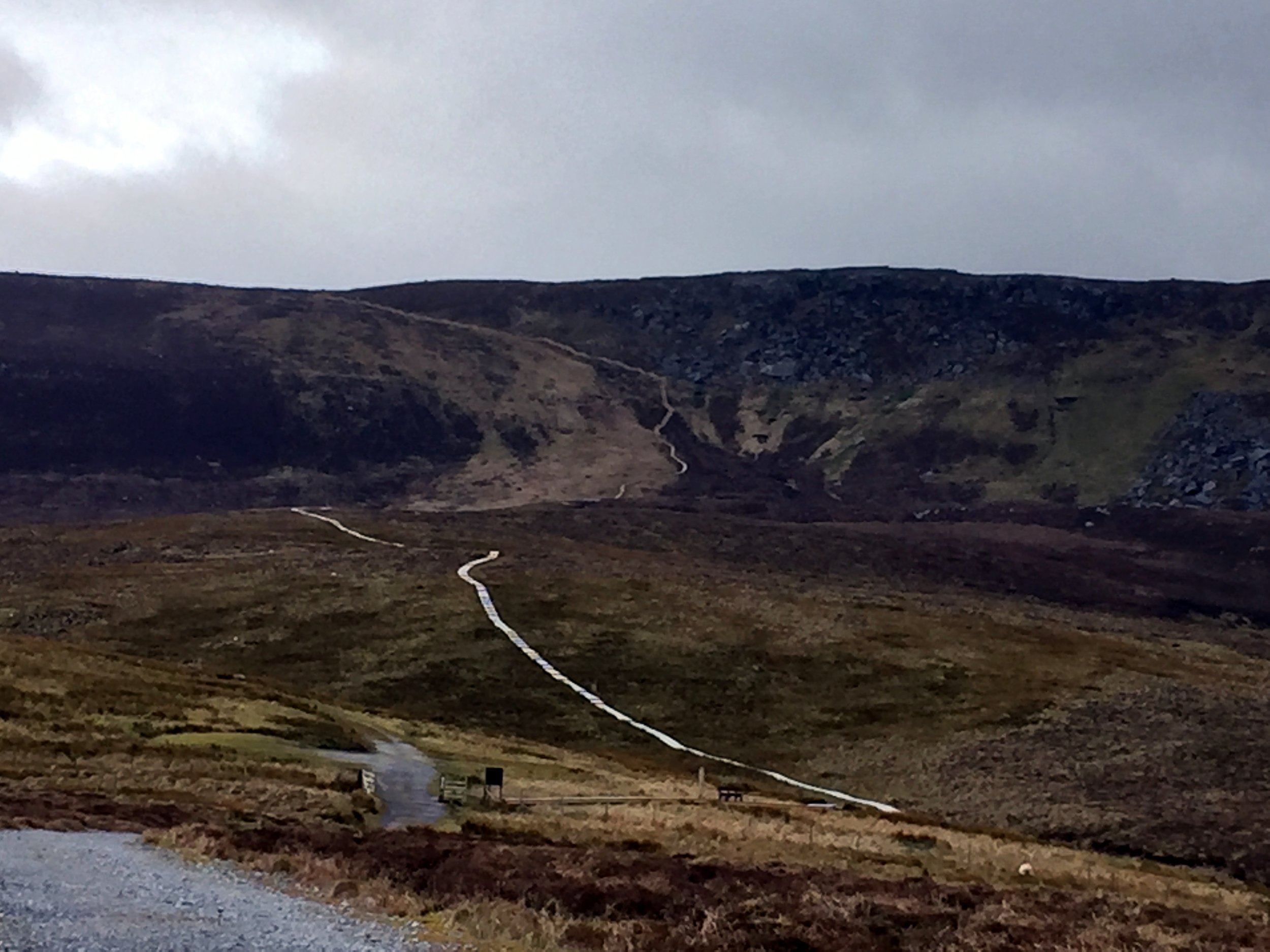
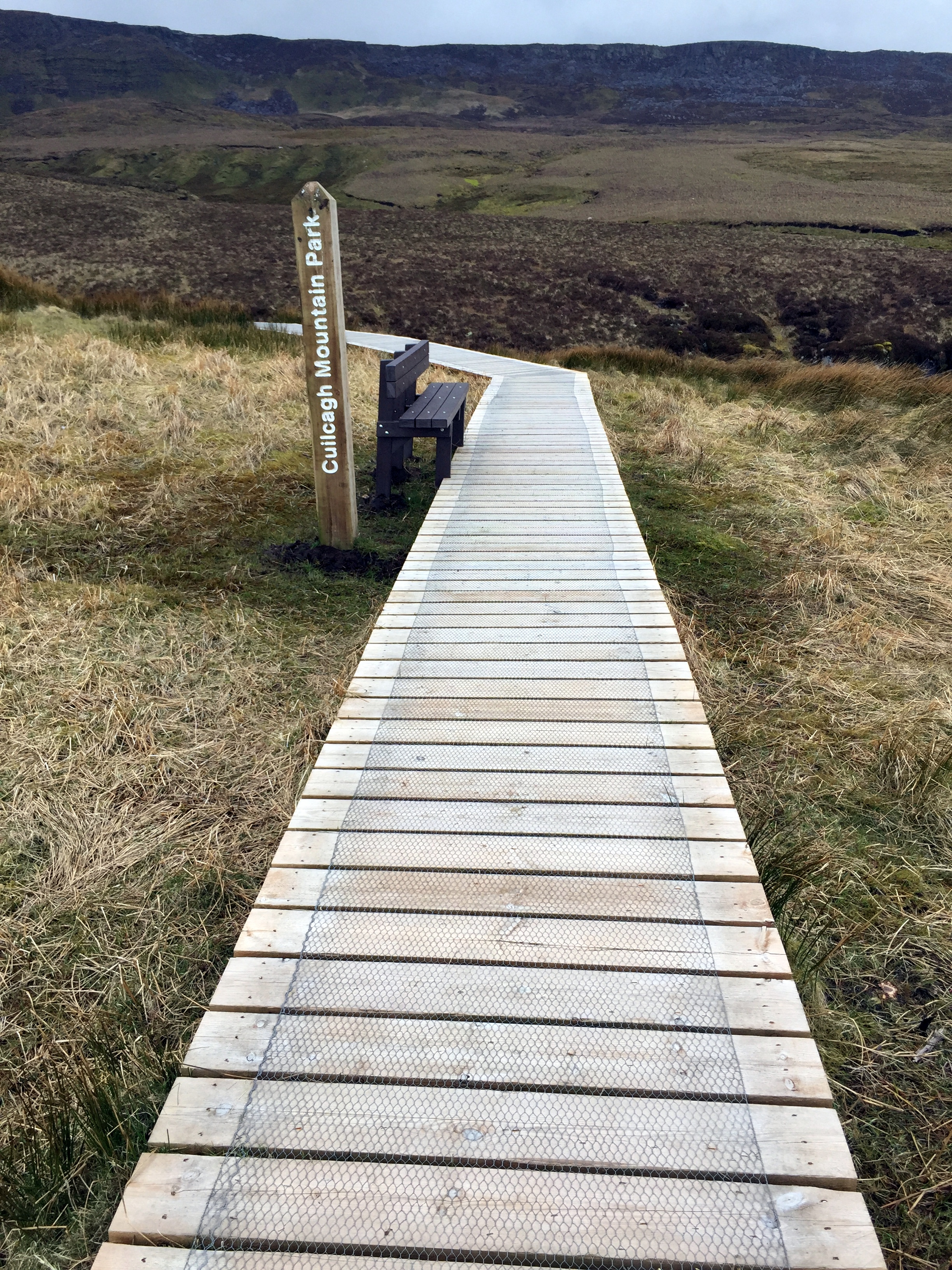
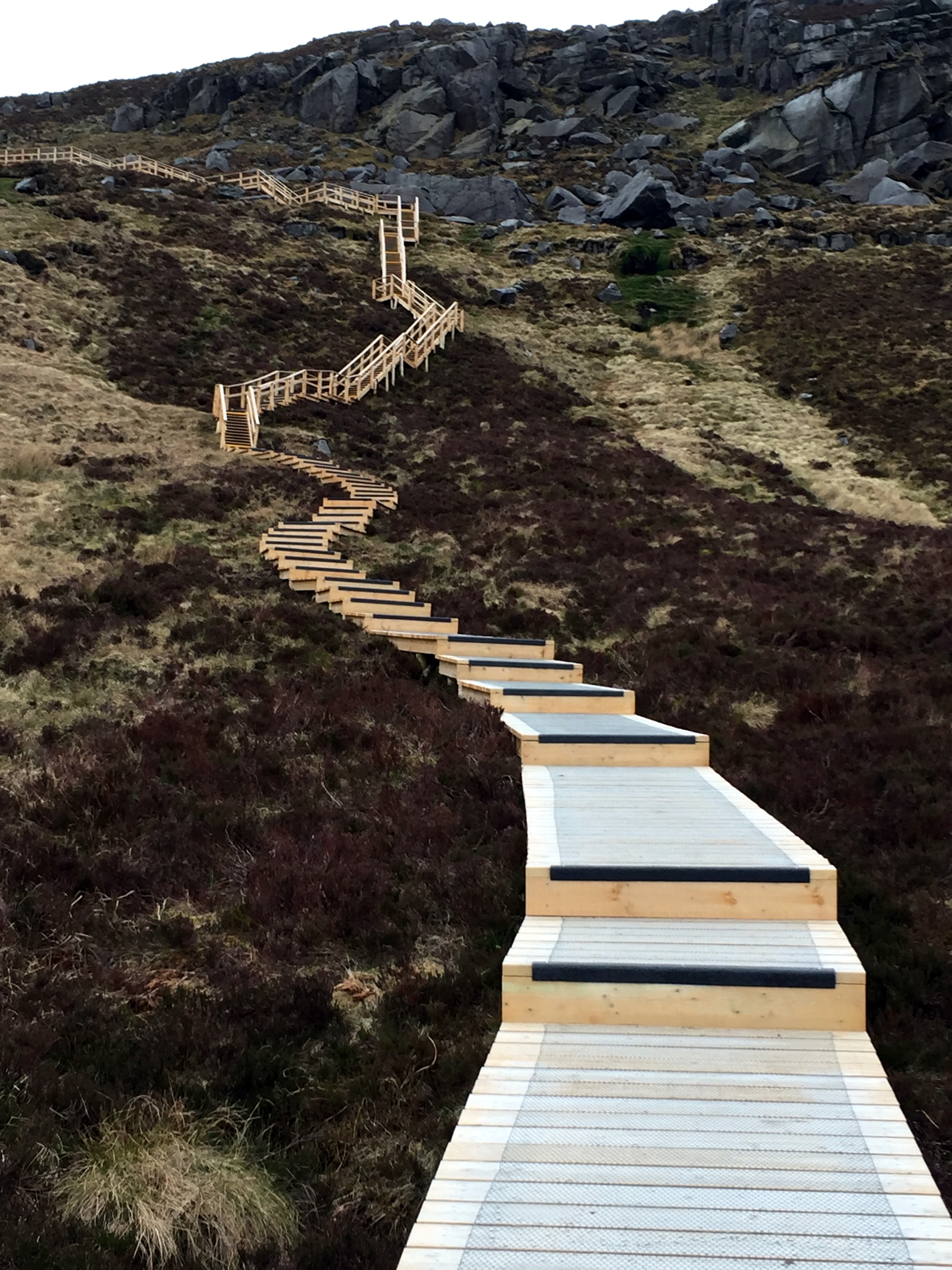
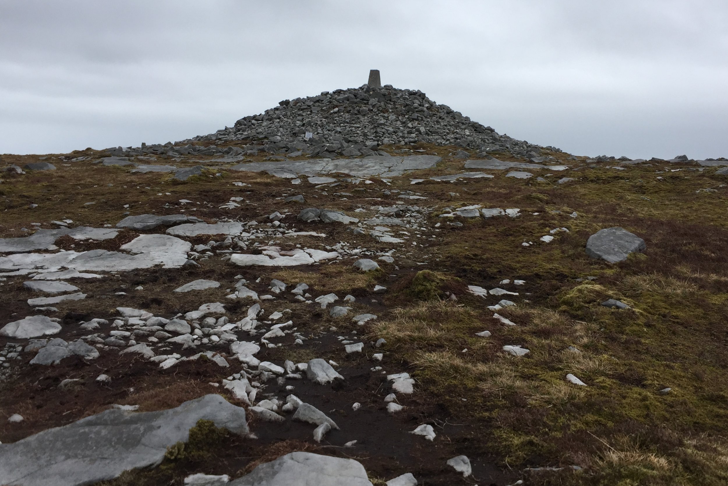
Other Routes Touched (Walk): Leitrim Way, Cavan Way, Ulster Way, Cuilcagh Way
Day 8: Monaghan to Titanic Belfast
Date: July 15th 2017
Start: The Diamond, Roosky, Monaghan
Finish: Titanic Belfast, 1 Olympic Way, Queen's Road, Belfast, BT3 9EP, United Kingdom
Distance: 101 km (63 miles)
Elevation change: +749m / -814m / Net -65m
GPX File: get via Buy Me a Coffee
Other Routes Touched (Cycle): EV1, NCN 9, 91, 93
Other Routes Touched (Walk): Ulster Way, Newry Canal Way
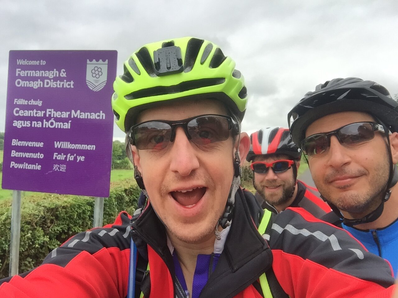
By Monaghan Neil re-joined us and he and I set off early for the final day. It was Saturday and, not completely coincidentally, Armagh parkrun was on the route to Belfast. We were also now in Border Country and I amused myself with how many times we could cross in and out of the UK on the same tiny country road. We became minor celebrities at the parkrun based on the combination of having cycled there from Cork and it being my 200th parkrun event.
The rest of Day 8 had an intriguing mix of country roads and small towns decorated with Unionist murals. When I was growing up the Northern Ireland situation was the main thread of much of the news I watched. Whilst it’s mostly disappeared from the news on the mainland it’s clear that, for many, the wounds are still not healing.
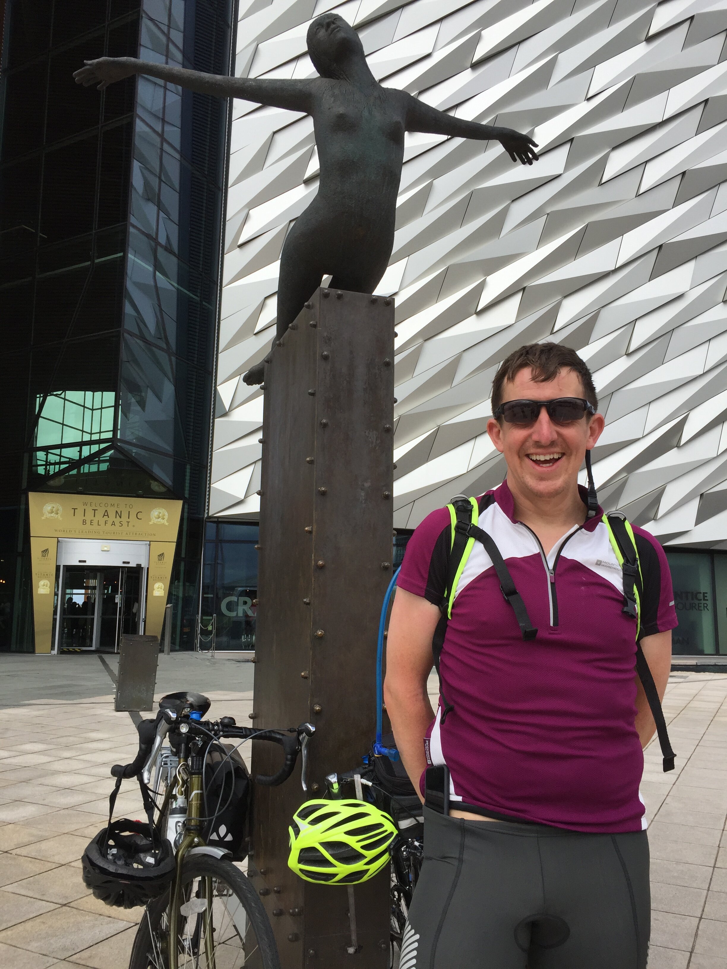
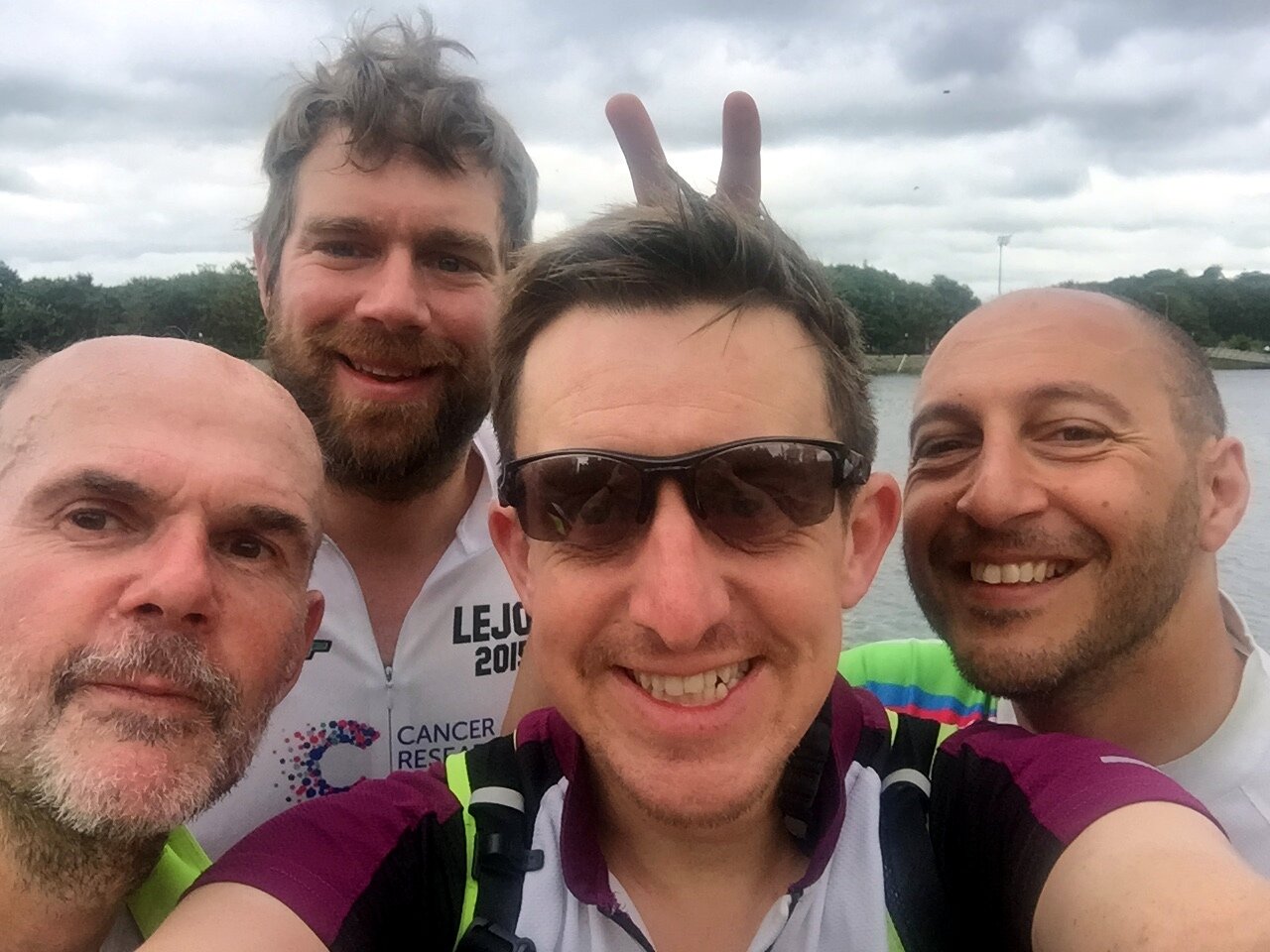
As we reached the outskirts of Belfast the route joined the River Lagan which gave us a meandering and scenic final few miles. Unlike John o’Groats, which I found to be anticlimax to the LEJOG trip, the big iron sign at the Titanic museum was a much more satisfying final destination. We had largely forgotten about our tenuous theme along the way but the Titanic link added an extra dimension to a fun, challenging trip through Ireland.
The Complete Route
Each colour represents an individual day.