Posts tagged Northern Ireland
UK National Parks, AONB and NSA High Points

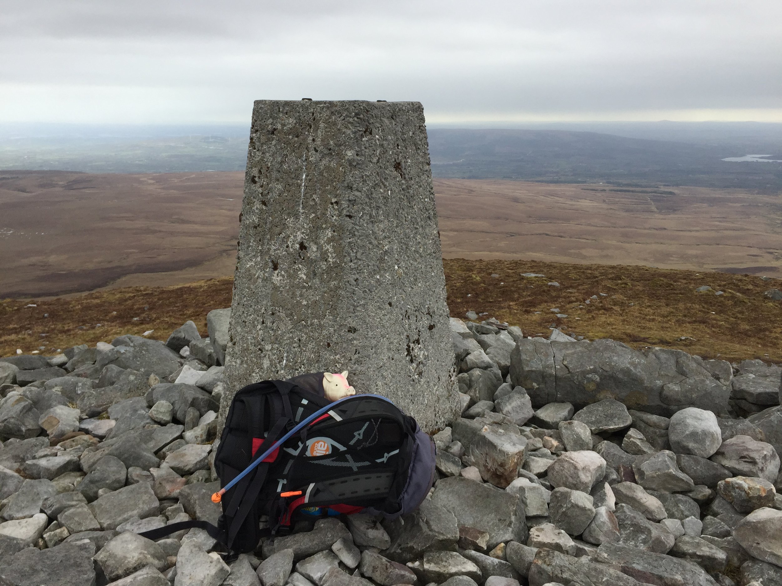
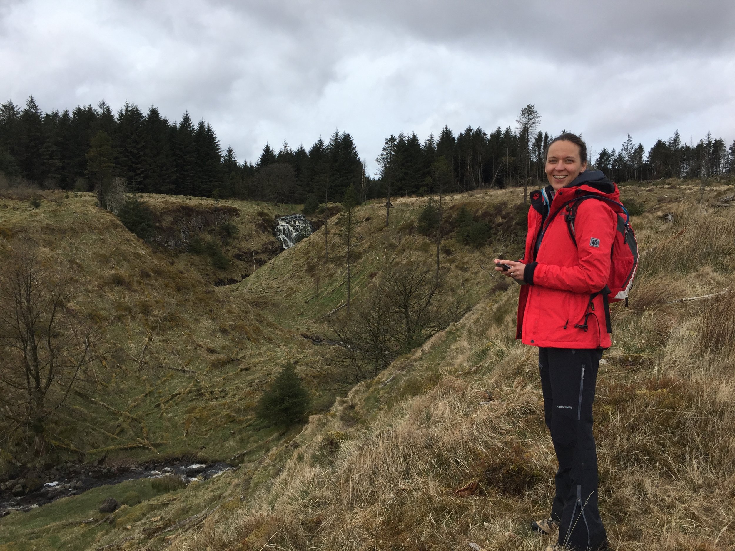
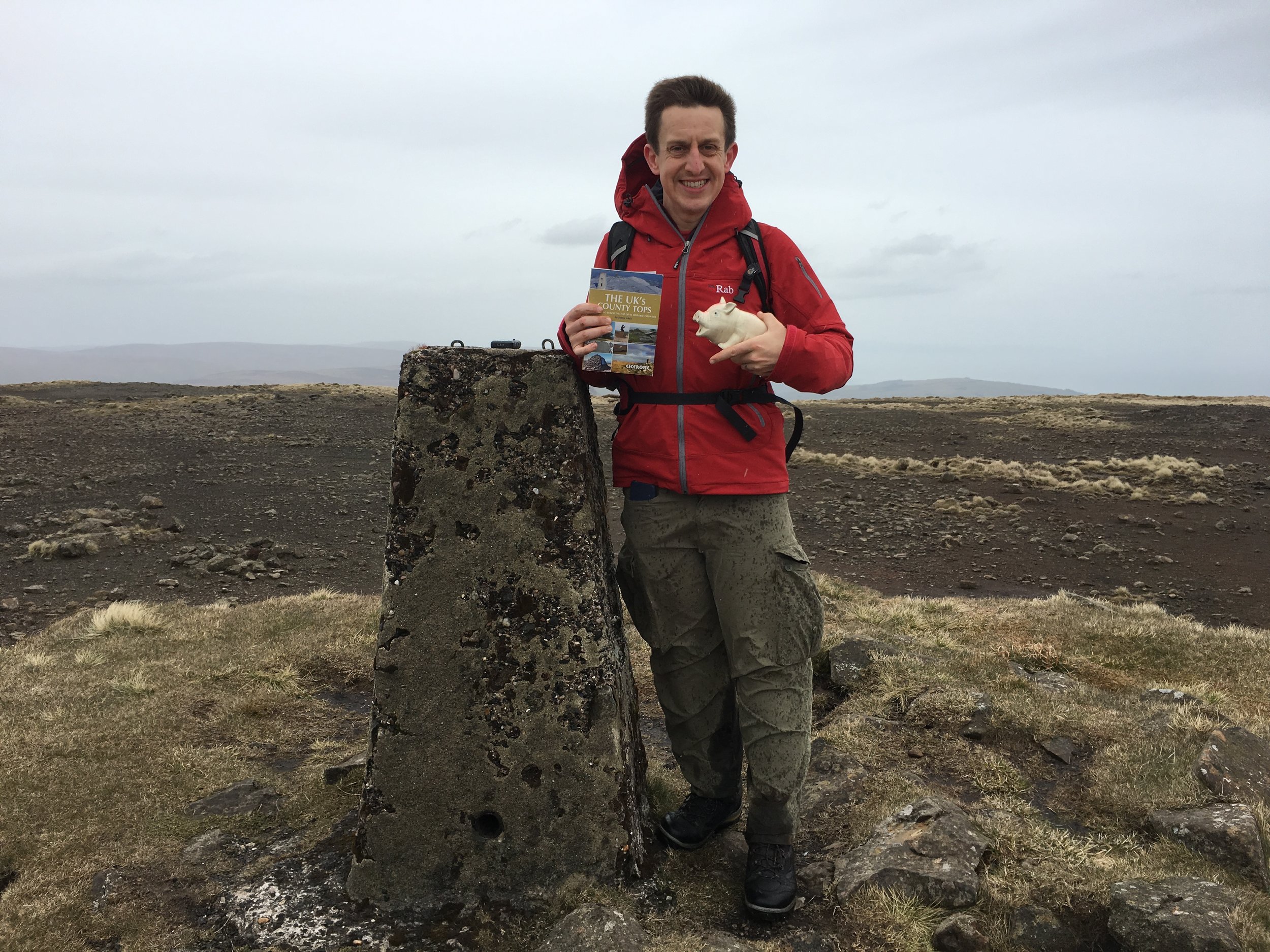
If bagging all of the UK Historic and Present-Day County tops, plus the Unitary Authorities isn’t enough for you, there’s also the high points of the National Parks, AONBs and National Scenic Areas.

Contact me if you spot any mistakes and I’ll donate £1 to one of my supported causes for each correction made.


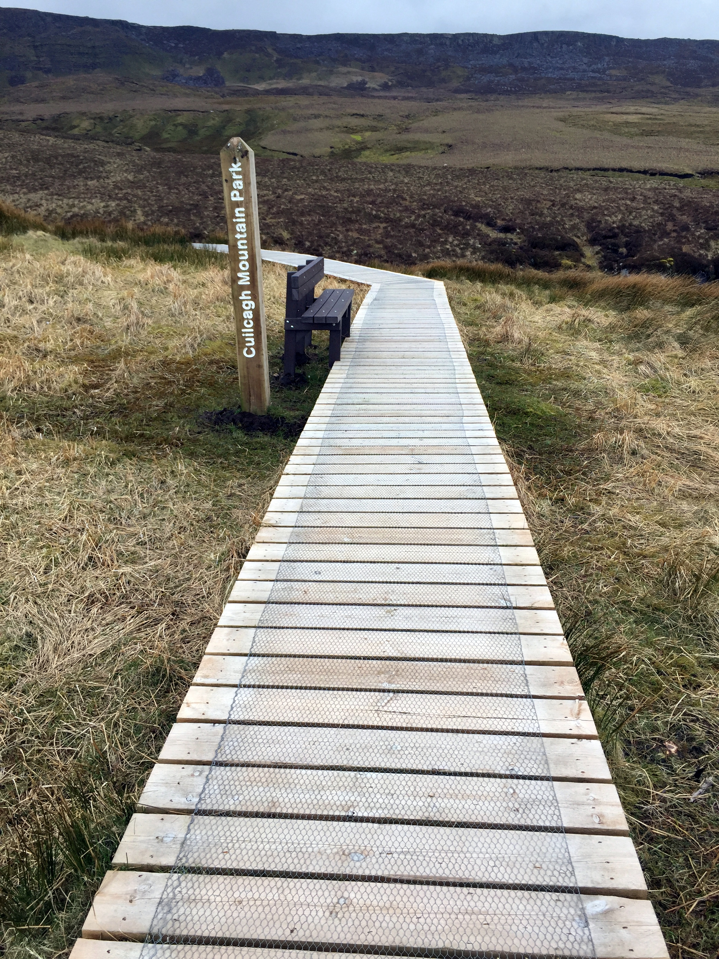
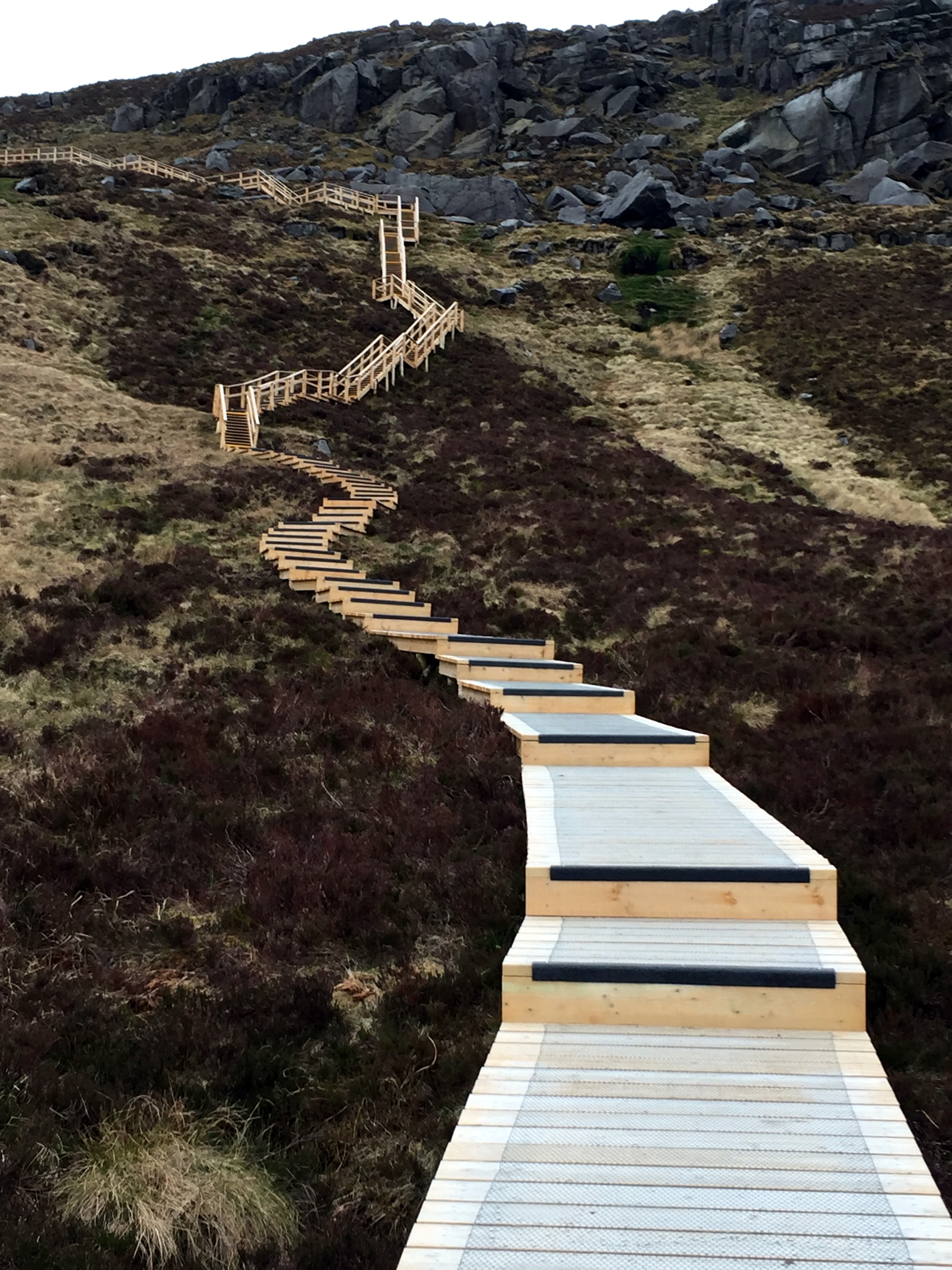
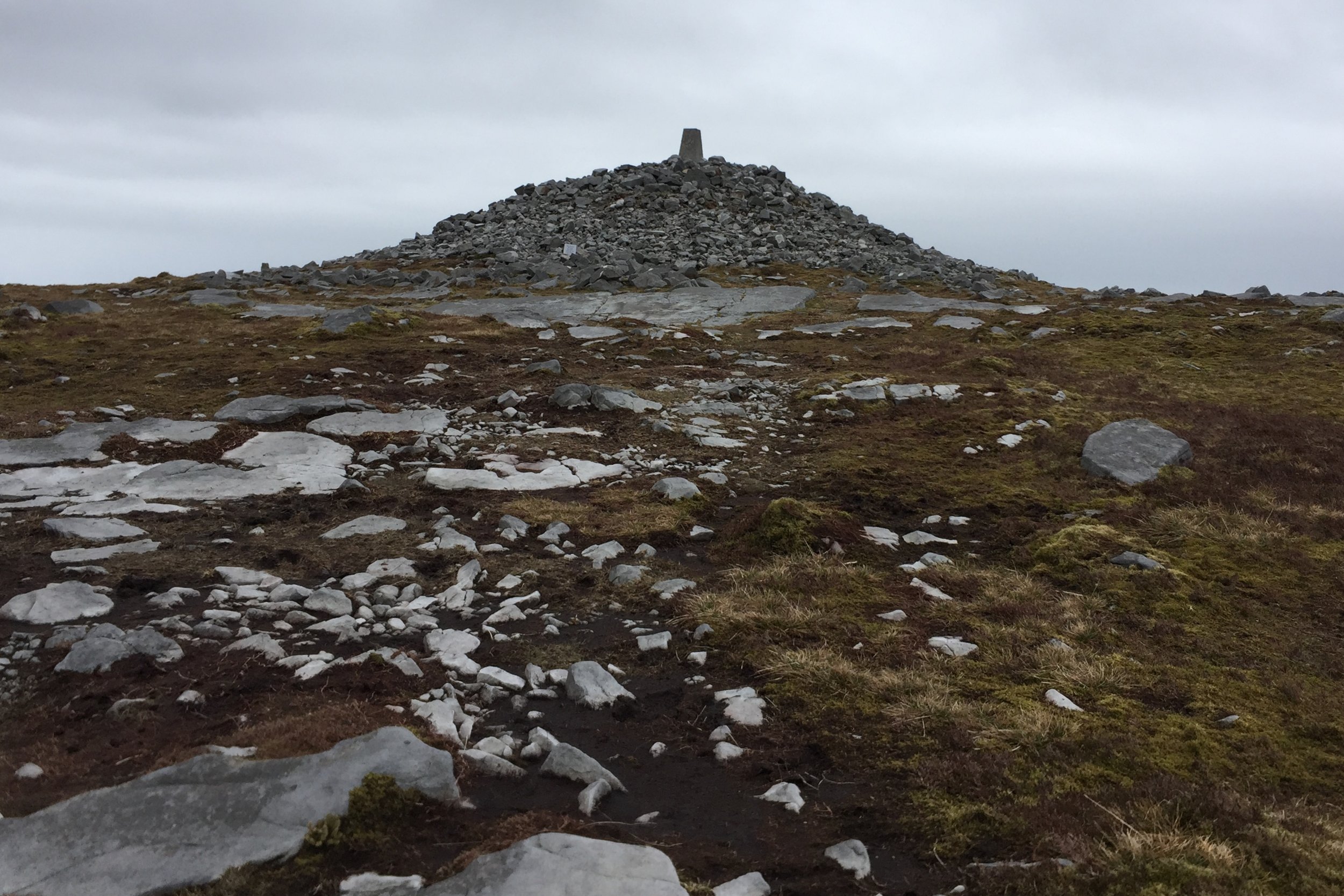
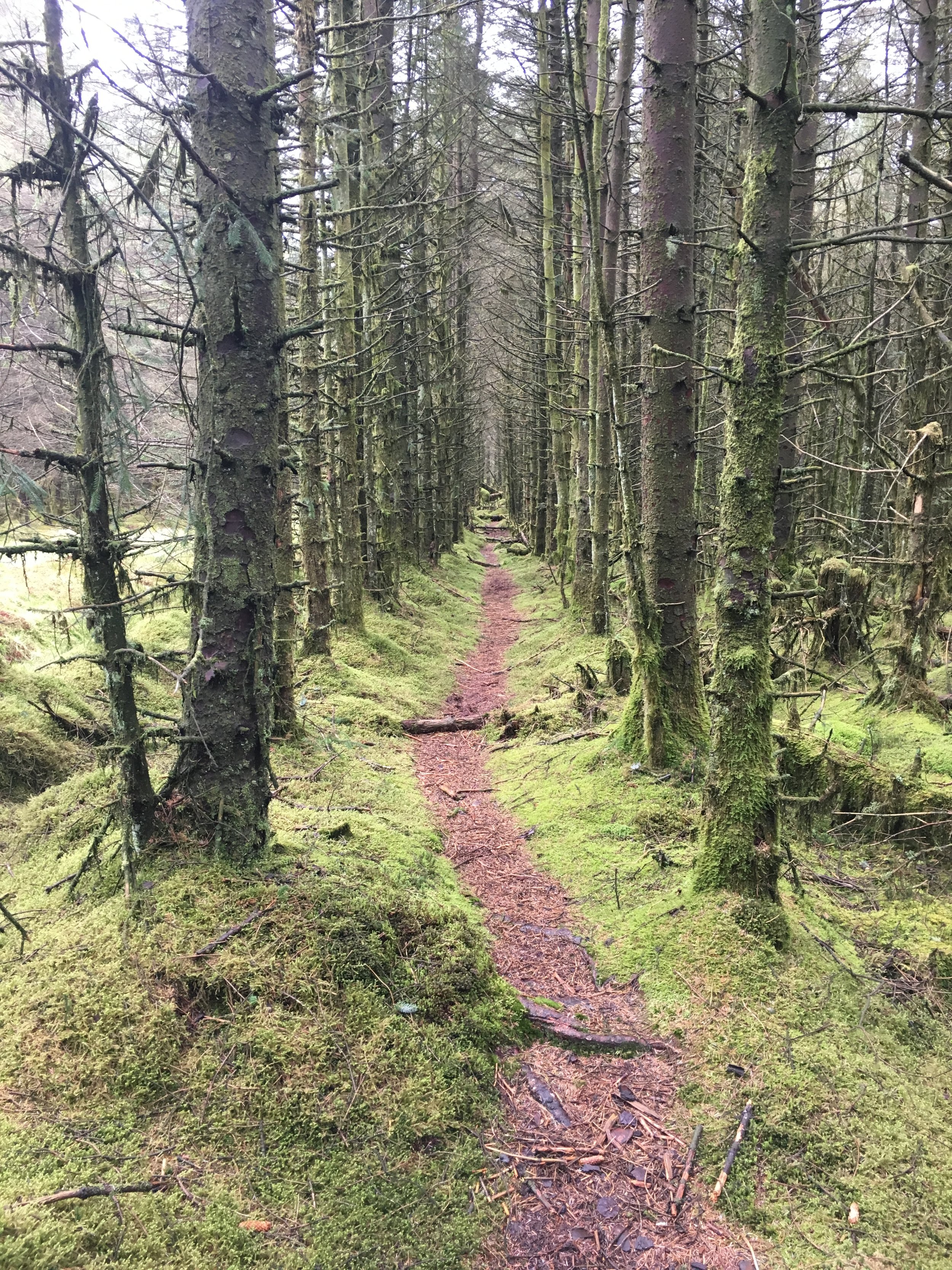
UK National Parks High Points

Of the 15 UK National Parks 10 have a high point that is also an Historic County Top. One other, Whernside is the high point of the Ceremonial County of North Yorkshire and was the high point of the Administrative County of the West Riding of Yorkshire. The highest National Park Peak that’s not also a County Top is Ben More (not to be confused with Ben More Assynt) in the Loch Lomond and the Trossachs National Park.

UK National Parks

  1. Cairngorms National Park (Scotland): Ben Macdui (1,309 metres).

  2. Loch Lomond and the Trossachs National Park (Scotland): Ben More (1,174 metres).

  3. Snowdonia National Park (Wales): Snowdon / Yr Wyddfa (1085 metres).

  4. Lake District National Park (England): Scafell Pike (978 metres).

  5. Brecon Beacons National Park (Wales): Pen y Fan (886 metres).

  6. Northumberland National Park (England): The Cheviot (815 metres).

  7. Yorkshire Dales National Park (England): Whernside (736 metres).

  8. Peak District National Park (England): Kinder Scout (636 metres).

  9. Dartmoor National Park (England): High Willhays (621 metres).

  10. Pembrokeshire Coast National Park (Wales): Foel Cwmcerwyn (536 metres).

  11. Exmoor National Park (England): Dunkery Beacon (519 metres).

  12. North York Moors National Park (England): Urra Moor - Round Hill (454 metres).

  13. South Downs National Park (England): Black Down (280 metres).

  14. New Forest National Park (England): Pipers Wait (129 metres) or Telegraph Hill (127 metres).

  15. The Broads National Park (England): Strumpshaw Hill - South Slope (40 metres).


England, Wales and Northern Ireland AONBs High Points

National Parks and Areas of Outstanding Natural Beauty (AONBs) are both protected areas in the United Kingdom, but they have different designations and management structures. National Parks are designated by the UK government for their outstanding natural beauty, cultural heritage and recreational opportunities. They are managed by National Park Authorities and have specific planning policies to protect their landscapes and wildlife. On the other hand, AONBs are also designated by the government for their outstanding natural beauty but are managed by local authorities and partnerships. They have different planning policies compared to National Parks. National Parks tend to be more remote and wilder, while AONBs are often found close to populated areas and include cultural heritage and agricultural landscapes. Both National Parks and AONBs are intended to be enjoyed and appreciated by the public but the management, planning policies, and protection of the areas can differ.

There are 46 Areas of Outstanding Natural Beauty (AONB) in the UK of which 16 are the county tops of the Historic Counties that they are in. St Boniface Down is the high point of both the Ceremonial County of the Isle of Wight and the Isle of Wight AONB.

There were 2 AONBs that I couldn’t find a high point for when researching this: Suffolk Coast and Heaths AONB and Lagan Valley AONB (Northern Ireland). Let me know if you know what these high points are and I can update the list.

  • North Pennines AONB (England). Cross Fell (893m).

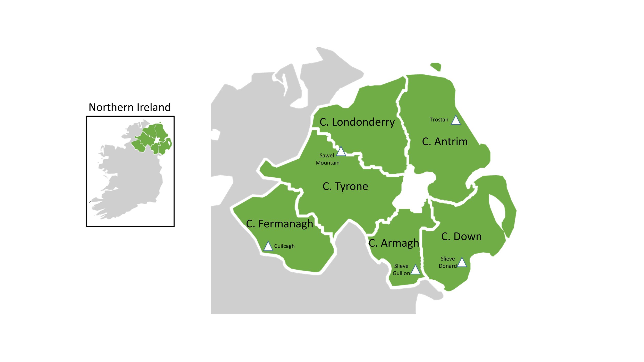
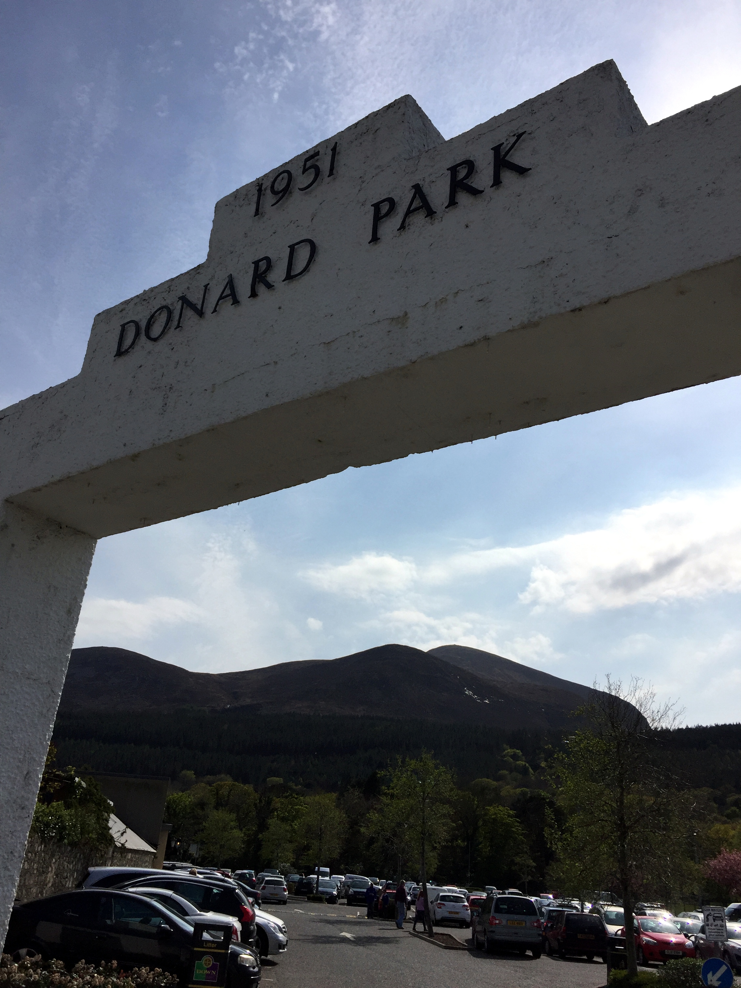
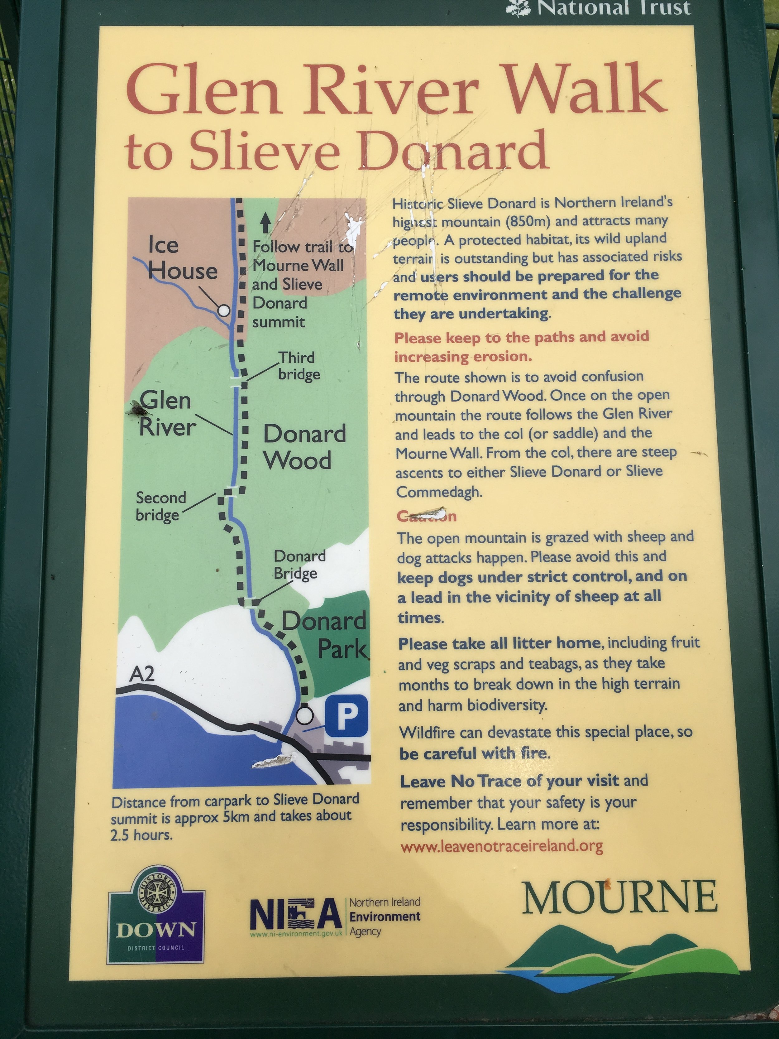
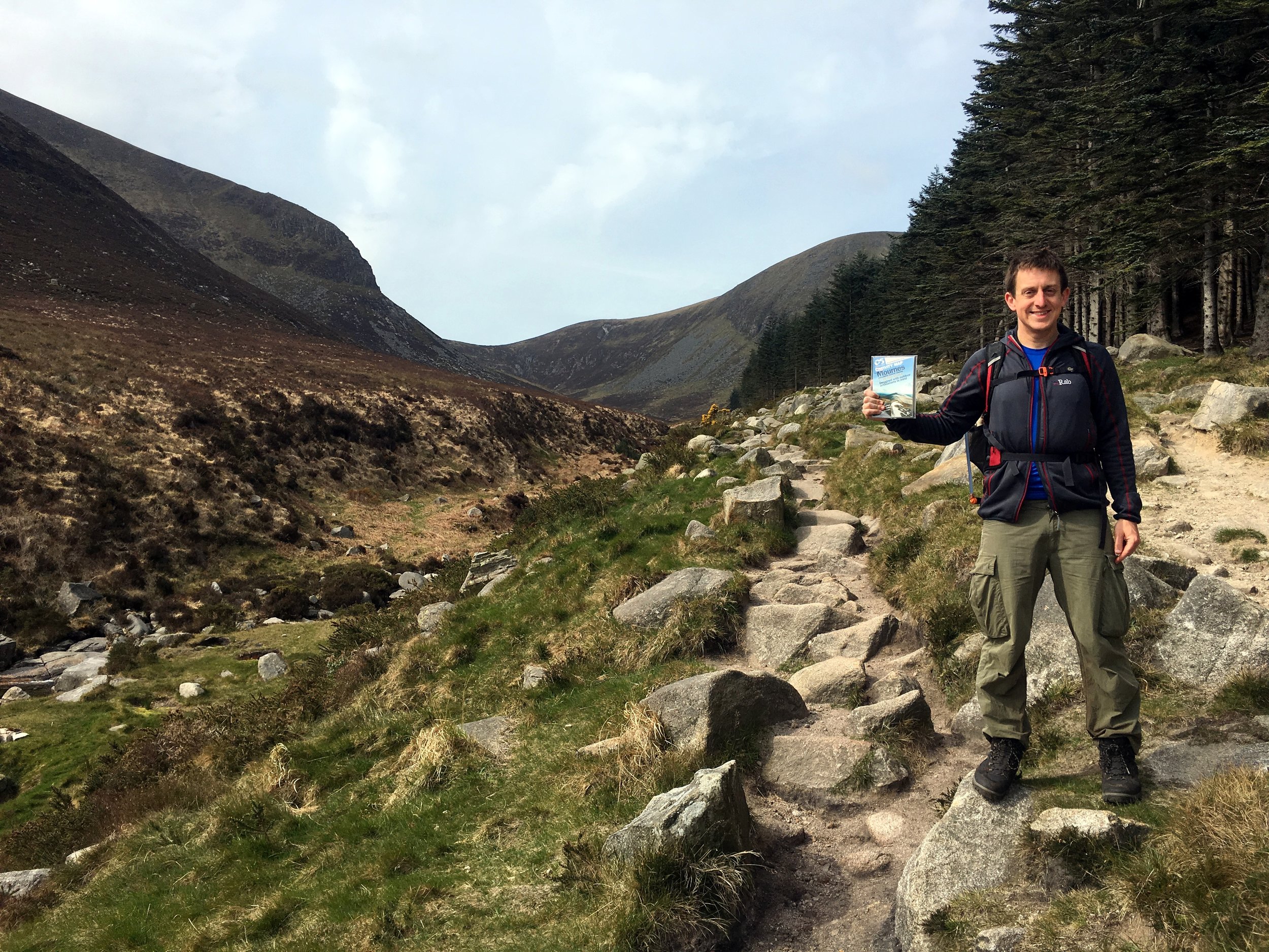
  • Mourne Mountains AONB (Northern Ireland). Slieve Donard (850m).

  • Nidderdale AONB (England). Great Whernside (704m).

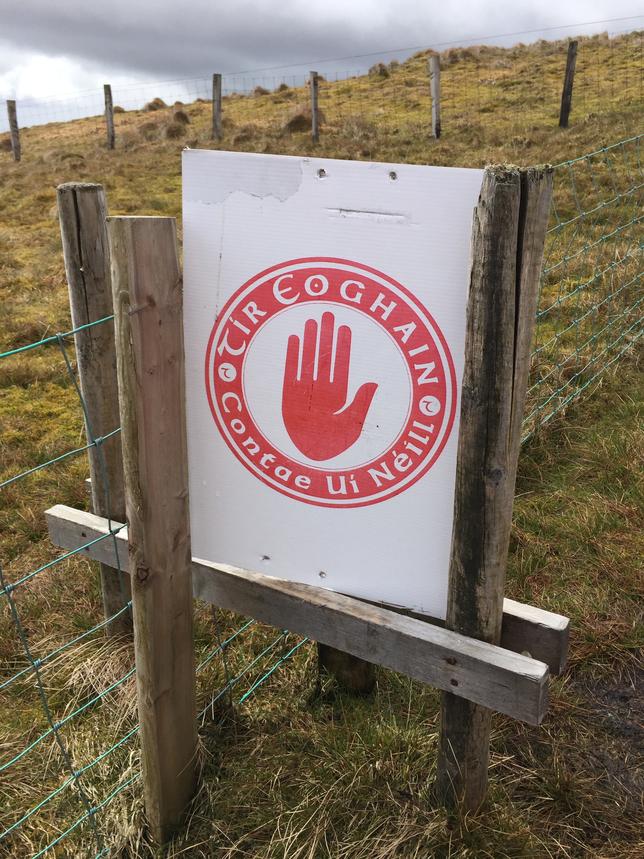
  • Sperrins AONB (Northern Ireland). Sawel Mountain (678m).

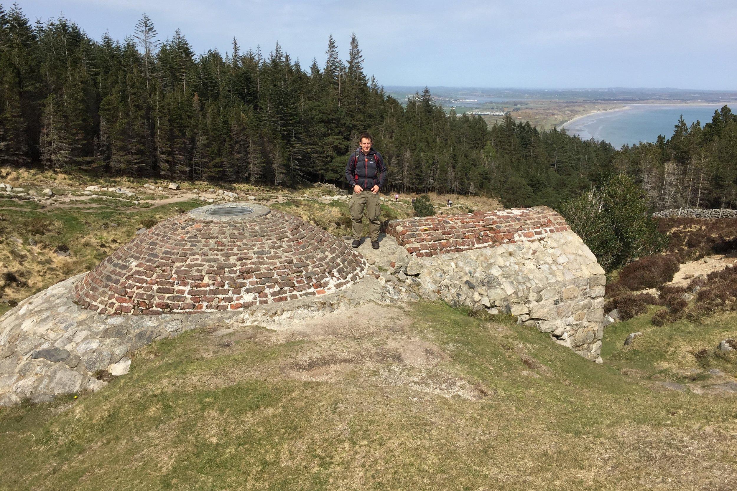
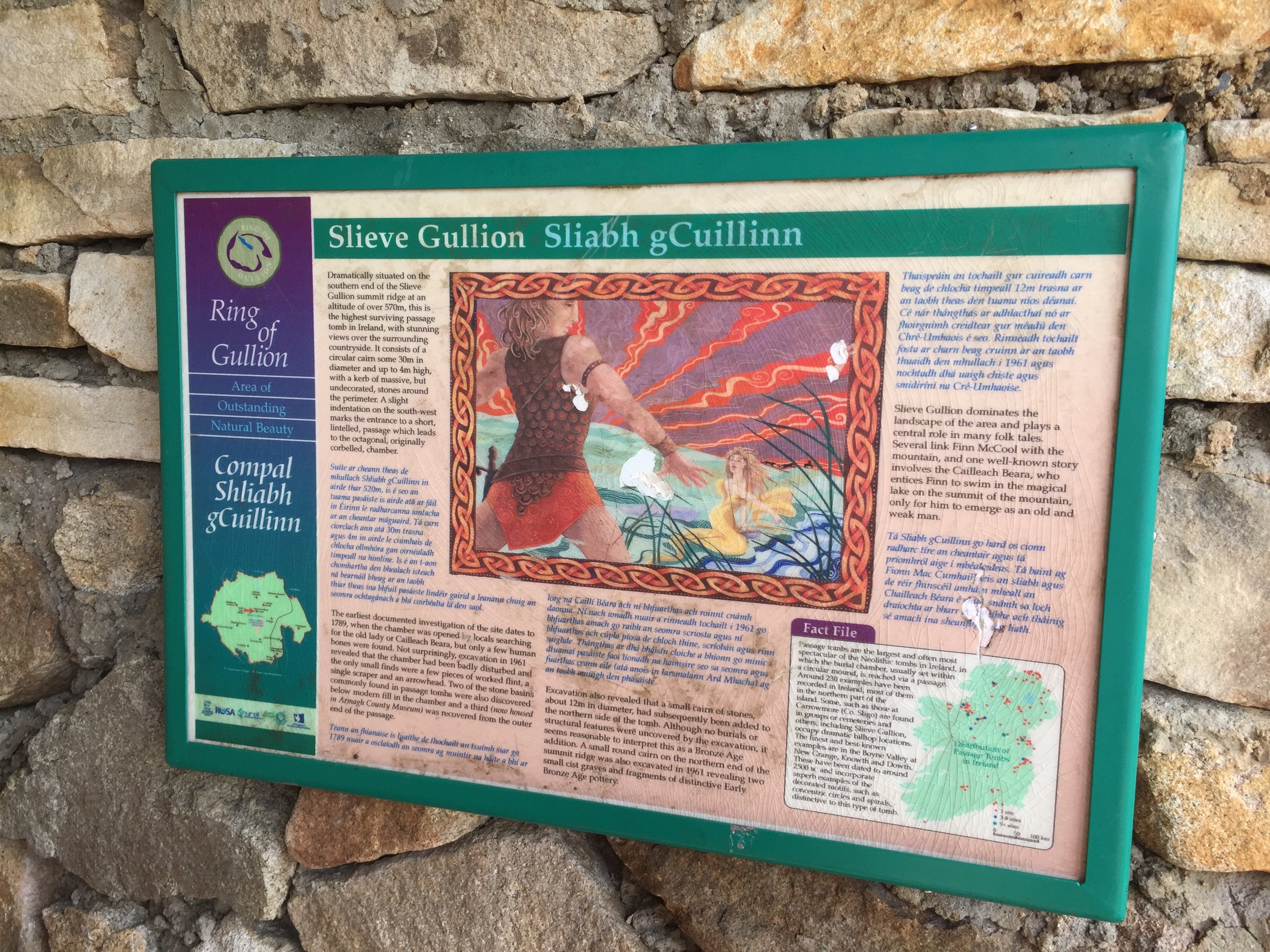
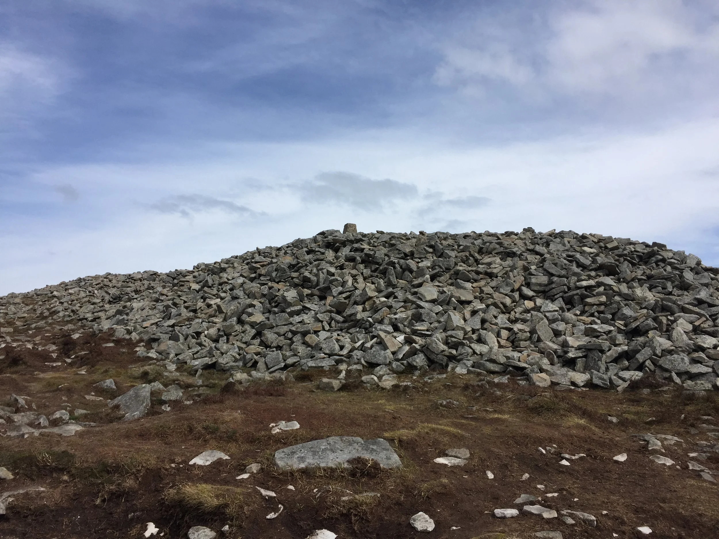
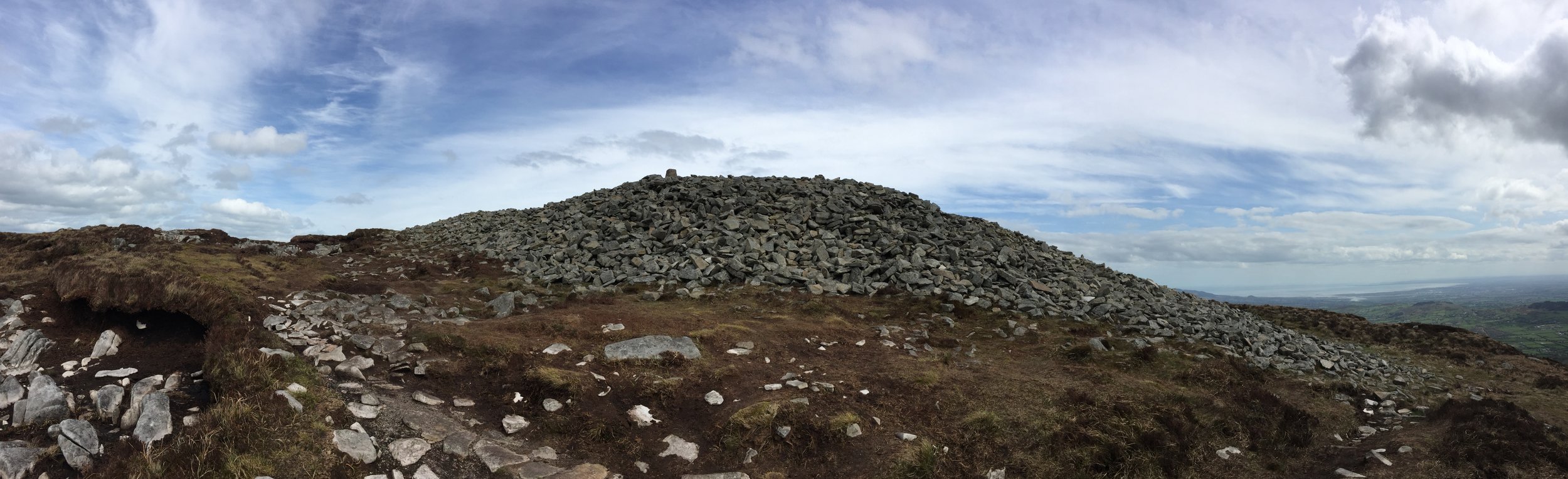
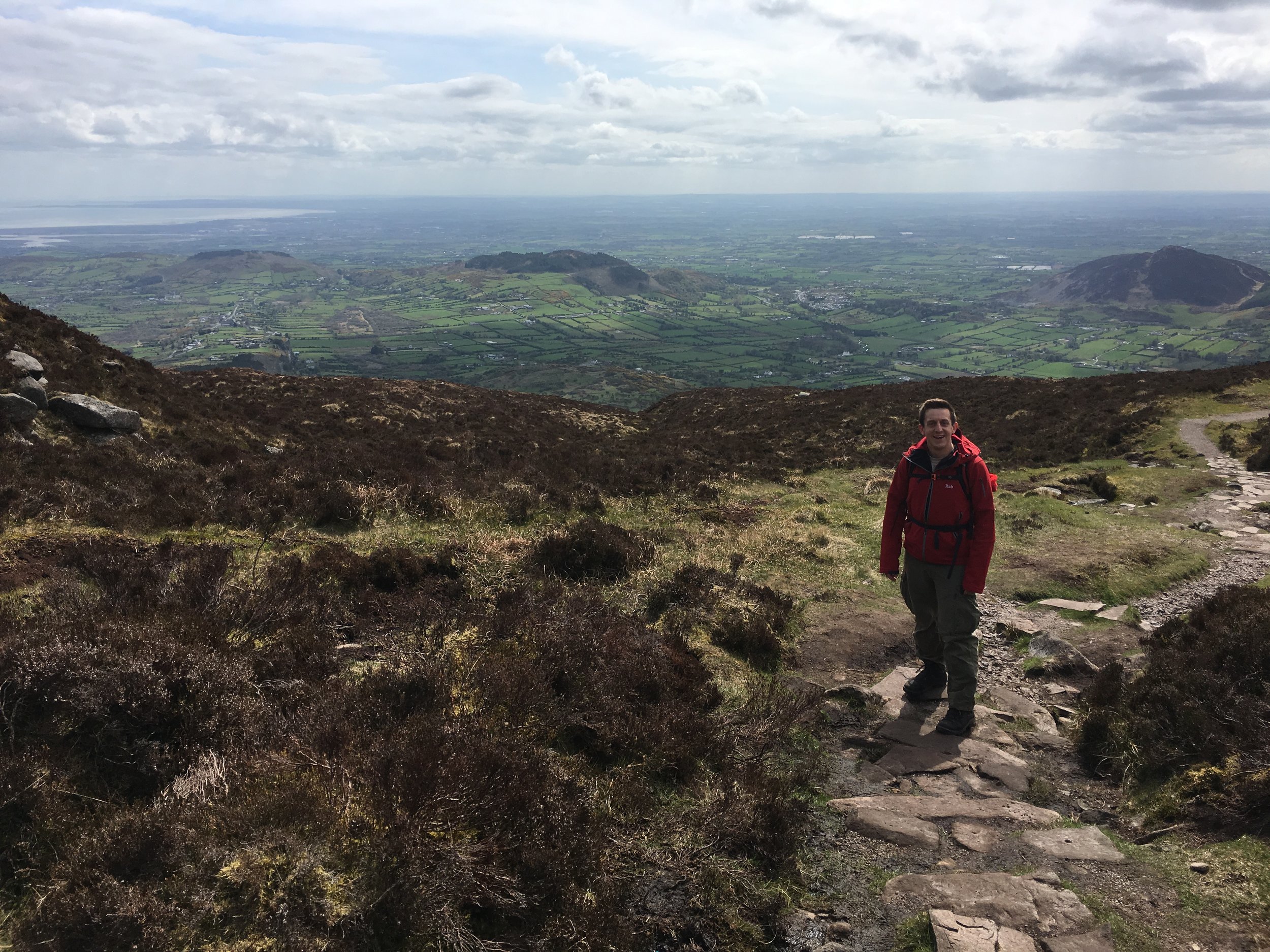
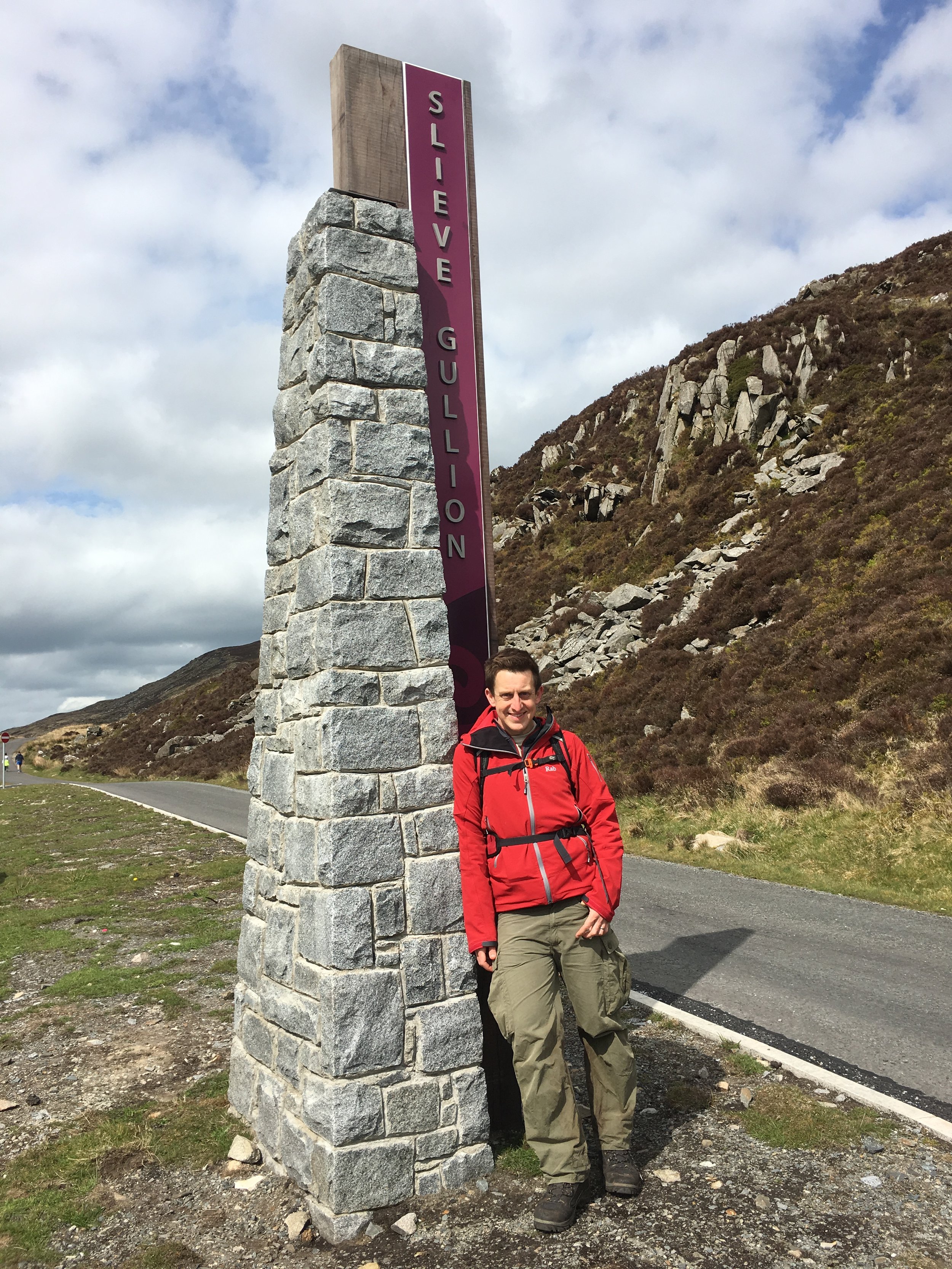
  • Ring of Gullion AONB (Northern Ireland). Slieve Gullion (576m).

  • Forest of Bowland AONB (England). Ward's Stone (561m).

  • Llŷn Peninsula AONB (Wales). Yr Eifl (561m).

  • Clwydian Range and Dee Valley AONB (Wales). Moel Famau (555m).

  • Antrim Coast and Glens AONB (Northern Ireland). Trostan (550m).

  • Shropshire Hills AONB (England). Brown Clee Hill (540m).

  • Malvern Hills AONB (England). Worcestershire Beacon (425m).

  • Cornwall AONB (England). Brown Willy (420m).

  • Binevenagh AONB (Northern Ireland). Binevenagh (385m).

  • Tamar Valley AONB (England). Kit Hill (334m).

  • Cotswolds AONB (England). Cleeve Common (330m).

  • Mendip Hills AONB (England). Beacon Batch (325m).

  • Blackdown Hills AONB (England). Staple Hill (315m).

  • Wye Valley AONB (England / Wales). Trellech Beacon (313m).

  • North Wessex Downs AONB (England). Walbury Hill (297m).

  • Surrey Hills AONB (England). Leith Hill (294m).

  • Dorset AONB (England). Lewesdon Hill (279m).

  • Cranborne Chase and the West Wiltshire Downs AONB (England). Win Green (277m).

  • North Devon Coast AONB (England). Berry Down near Combe Martin (269m).

  • Chiltern Hills AONB (England). Haddington Hill (267m).

  • Somerset - Quantock Hills AONB (England). Wills Neck (263m).

  • East Devon AONB (England). Gittisham Hill (259m).

  • Kent Downs AONB (England). Toy's Hill (257m).

  • Cannock Chase AONB (England). Castle Ring (242m).

  • Isle of Wight AONB (England). St Boniface Down (241m).

  • High Weald AONB (England). Crowborough Beacon (223m).

  • Anglesey AONB (Wales). Holyhead Mountain (220m).

  • South Devon AONB (England). Blackdown Camp (199m).

  • Gower Peninsula AONB (Wales). The Beacon at Rhossili Down (193m).

  • Howardian Hills AONB (England). Yearsley Cross (174m).

  • Lincolnshire Wolds AONB (England). Wolds Top / Normanby Hill (168m).

  • Arnside and Silverdale AONB (England). Warton Crag (163m).

  • Strangford and Lecale AONB (Northern Ireland). Scrabo Hill (161m).

  • Causeway Coast AONB (Northern Ireland). Carnduff Hill (114m).

  • Norfolk Coast AONB (England). Beacon Hill (105m).

  • Northumberland Coast AONB (England). South Hill (75m).

  • Dedham Vale AONB (England). Broom Hill (69m).

  • Solway Coast AONB (England). Pudding Pie Hill (56m).

  • Isles of Scilly AONB (England). Telegraph on St Mary’s (49m).

  • Chichester Harbour AONB (England). c. three locations with 9m spot height (9m).

To be verified … couldn’t find these originally but have been identified by Joel Adcock.

  • Suffolk Coast and Heaths AONB (England): Holbrook Park, (~44m)

  • Lagan Valley AONB (Northern Ireland). In garden of private property on Tullyard Rd, Lisburn BT27 5JN (164m)


Scottish NSA High Points

Area of Outstanding Natural Beauty (AONB) and National Scenic Area (NSA) are both designations used in the United Kingdom to protect and promote areas of exceptional natural beauty. However, there are some key differences between the two. AONBs are designated by the UK government and are considered to be the most important landscapes in the country, with the highest level of protection afforded to them. NSAs, on the other hand, are designated by the Scottish government and, while they also offer protection to areas of exceptional natural beauty, they do not have the same level of legal protection as AONBs. Additionally, AONBs are managed by local authorities, while NSAs are managed by Scottish National Parks. Both AONBs and NSAs are intended to be enjoyed and appreciated by the public, but the management and protection of the areas can differ.

There are 40 National Scenic Areas (NSA) in Scotland, of which 8 are the county tops of the Historic Counties that they are in. There were 12 NSAs that I couldn’t find a high point for when researching this (scroll down to see). These are mostly in coastal areas without notable high points. Let me know if you know what these high points are and I can update the list.

  • Ben Nevis and Glen Coe NSA: Ben Nevis (1344m).

  • Cairngorm Mountains NSA: Ben Macdui (1309m).

  • Loch Rannoch and Glen Lyon NSA: Ben Lawers (1214m).

  • Glen Affric NSA: Càrn Eige (1183m).

  • Deeside and Lochnagar NSA: Lochnagar / Beinn Chìochan (1156m).

  • Glen Strathfarrar NSA: Sgùrr a' Choire Ghlais (1083m).

  • Kintail NSA: Sgurr Fhuaran (1068m).

  • Wester Ross NSA: An Teallach (1062m).

  • Knoydart NSA: Sgurr na Cìche (1040m).

  • Assynt-Coigach NSA: Ben More Assynt (998m).

  • Loch Lomond NSA: Ben Lomond (974m).

  • Cuillin Hills NSA: Sgùrr nan Gillean (964m).

  • North West Sutherland NSA: Foinaven (909m).

  • Loch Shiel NSA: Beinn Odhar Bheag (882m).

  • The Trossachs NSA: Ben Ledi (879m).

  • North Arran NSA: Goat Fell (873.5m).

  • Upper Tweeddale NSA: Broad Law (840m).

  • Small Isles NSA: Askival (812m).

  • South Lewis, Harris and North Uist NSA: Clisham (799m).

  • Jura NSA: Beinn an Òir (785m).

  • Trotternish NSA: The Storr (719m).

  • South Uist Machair NSA: Beinn Mhòr (620m).

  • Knapdale NSA: Stob Odhar (562m).

  • Hoy and West Mainland NSA: Ward Hill (481m).

  • Scarba, Lunga and the Garvellachs NSA: Scarba (449m).

  • St Kilda NSA: Conachair (430m).

  • Eildon and Leaderfoot NSA: Eildon Hill (422m).

  • Lynn of Lorn NSA: Barr Mòr (127m).

To be verified … couldn’t find these originally but have been identified by Joel Adcock.

  • Dornoch Firth NSA: unnamed summit (387m)

  • East Stewartry Coast NSA: Bengairn (391m).

  • Fleet Valley NSA: Ben John (354m)

  • Kyle of Tongue NSA: Ben Hope (927m)

  • Kyles of Bute NSA: Meallan Riabhach (484m).

  • Loch na Keal, Isle of Mull NSA: Ben More (967m)

  • Loch Tummel NSA: Meall Tairneachan (787m)

  • Morar, Moidart and Ardnamurchan NSA: Meall nan Each (490m)

  • Nith Estuary NSA: Criffel (569m).

  • River Earn (Comrie to St. Fillans) NSA: Either slope of Beinn Fuath (~650 metres) or Mor Beinn (640m)

  • River Tay (Dunkeld) NSA: Creag Dhubh (498m)

  • Shetland NSA: The Sneug (418m)


The Irish County Tops

The Irish County Tops are the highest points in each of the 32 counties of the island of Ireland. This includes both the 26 counties of the Republic of Ireland and the 6 counties in Northern Ireland. I completed the Northern Ireland counties back in 2016 as a part of my UK County Top collection. That trip got me my first Republic of Ireland county by default as Cuilcagh is the high point of both County Fermanagh (NI) and County Cavan (ROI).

In the next few years I focused on completing England and Wales and made a good start at Scotland. It was only in 2022 that I joined a few friends to properly start my Republic of Ireland County Top collection.


My Republic of Ireland County Tops completed so far

The Irish County Tops in height order by province/region


More County Tops


parkrun Alphabet Challenge

After 291 parkruns, including 154 different locations, I’ve finally cracked the Alphabet challenge. This is the Holy Grail for parkrun obsessives, especially those in the parkrun Tourist community. I’d heard about it since I started parkrun 6 years ago, but with a lot fewer events at the time it was really hard. By the time I’d done 100 different events, I’d ticked off 21 letters without any targeted Alphabet bagging. All that remained were I, J, Y and Z. As there’s no X anywhere in the world, it doesn’t count (yet).

With 4 left to go I was now on a mission. At the time there were only 2 "I" parkruns in the country: Inverness and Ipswich. I very nearly did Inverness on our LEJOG adventure but decided against a run that day as we had 105 miles to cycle. A parkrun would have added an extra 5 miles and have delayed our cycle for 2 hours. It wasn’t going to happen. By the time I was planning my trip to Ipswich, a new event called Isabel Trail popped up in Stafford and I pounced on that one.

A weekend trip to Jersey bagged me the J and I got the island’s Half Marathon in on the same weekend. If I’d waited a year I could have used the new Jersey Farm event for my J and avoided a flight. I’m glad I did it though. It gave us a great weekend away and also contributed to my Channel Islands Regionnaire. Y was a relatively easy one. I had the choice of York and Yeovil Montacute. I chose the latter as we were visiting friends in Somerset so Yeovil was a short drive from there.

Then there was Z. Scroll down for the end of the story ……

Alphabeteer Bar Chart.JPG

Events by Letter

Note that Yeovil Montacute has been permanently cancelled. It was one of the events that didn’t come out of the other side of the Covid pause. York and Yarborough Leisure Centre are now the UK’s 2 Ys


Zamek w Malborku

This was my second attempt at completing my Alphabet at Malbork. The first try was at the end of August. My parkrun mates and I had been trying to find a mutually convenient date all year. It looked like it wasn’t going to happen but then we found a date that would work as long as we were back by Saturday night before the wives had noticed we were missing.

Shortly before the weekend came I had to make a last minute work trip to New Jersey. I had booked an overnight flight back to London to land at 10:00 on Friday morning. This would give me 3 hours before Neil would need to pick me up for our drive to Luton for the Wizz Air flight to Gdańsk.

After a nightmare trip out to New Jersey I decided that I needed a bit of extra contingency. I paid an extra £300 to get the earlier flight back which would give me another 3 hours. That was plenty of time to make the afternoon flight. What could go wrong?

Lots as it turned out. The combination of a broken plane, a storm and general ineptitude by United meant I was trapped in Newark Airport for 27 hours. I finally landed at Heathrow 23 hours late at 06:30 on Saturday morning. I’d long since missed my opportunity to get to Poland. The faint silver lining was that I didn’t have to miss parkrun altogether. I was still able to get home, get changed and get to Bedford to complete my Bedfordshire County collection.

Seeing how annoyed I was about missing my Malbork trip, Timea (wife) offered to come with me on my second attempt. This was a big deal as she has a general disinterest in running except that it gives her an extra few hours sleep on a Saturday. The following few weeks were a mixture of fighting with United for compensation and planning the return trip.

I’d lost faith in things going to plan after a Summer of flight delays and cancellations. I was checking the parkrun website every day for the 2 weeks leading up to it to make sure it wasn’t cancelled. As it happened all went to plan. The flight was on time, none of the usual nonsense from the rental car company and the hotel was just what we needed.

There were 43 parkrunners there that morning. 11 were locals and 32 were Brits like me who had flown over for the event. Any town with a park that begins with a Z (and definitely those with an X) will do very well from tourist income.

The run itself was great: a simple out and back course along the River Nogat next to the Castle. Once I was finished I popped back to the hotel to walk up the wife, have a quick shower then back to the castle for breakfast. The castle is also a UNESCO World Heritage site so it also gave me a tick on that list too.

There's a few options for a Z in Poland, and several in other countries too. Zamek w Malbork is a really great option for a relatively easy trip from the UK and plenty of other things to do for a weekend away.


More parkrun posts

parkruns are free, weekly, community 5k events all around the world. I started in December 2012 and have been obsessive about it ever since. See my parkrun Collection page for details.

Featured and popular parkrun posts:


Cycling Titanic Ireland: Cork to Belfast
IMG_1685.JPG

IMG_3637.JPG

LEJOG was awesome and we needed more. It was the summer of 2016, 1 year on from our 2-week Land's End to John o'Groats cycle adventure. A new WhatsApp group had formed and discussions had started about another long distance ride.

Ireland end-to-end seemed an obvious choice.  After a bit of research, Mizen Head to Malin Head seemed doable in about 10 days. This was based on a similar ratio of miles-to-cake-stops. Getting there and back seemed trickier and it would add a day to each end, leaving us with another 2-weeker. Work and holiday schedules only gave us a week, so the MizMal idea was shelved.

"Titanic Ireland" was the result of a bunch of random criteria made up over the following few weeks. We wanted fewer miles and more beers per day than LEJOG. We needed an airport close to each end, some Wild Atlantic Way, and a tenuous theme to link it all together. And so it was born: starting from Cobh, the last place the Titanic docked, we would take a scenic route to Belfast, where it was built. We'd average 65 miles, 4 beers and 2 cakes per day. Plantastic.

The first dilemma was how to get the bikes to the start. LEJOG was easy as we could transport them ourselves to Land's End by car or train. Although we brought them back by plane we weren’t too worried if they got bashed as we could fix them at leisure later. Flying them to the start was a lot riskier as any damage would have to get fixed immediately or jeopardise the whole trip. Neil chose to package his up and send it to a Cork bike shop a week in advance. Brian and I chose a different option of putting them in a transparent bike bag and checking them into the hold of our flight. I was sceptical but bought into the theory that if the baggage handlers could see it’s a bike, they would be more careful with it.

Once we arrived in Cork we were nervous to see how the bikes fared. After unpacking them and putting everything back in its place all seemed well. We set of on the 15-mile cycle from the airport to our AirBnB in Cobh. The first 3 miles was a gentle downhill and all was fine. Then on the first steep section my bike broke. It came to a sudden stop at a busy junction as the derailleur broke off and tangled itself in my rear spokes. I checked my phone for bike shops and found that the big store that Neil had posted his biked to was only half a mile away. Brian set off to warm up the service guys whilst I carried my bike plus gear on a slow, hot trek to the shop.

The derailleur bracket had completely sheared. Maybe it was knocked on the plane or maybe it was already weak, it was hard to tell. Either way, it wasn’t going to be fixed that day as it was an obscure spare that the shop didn’t carry. Not wanting to abandon the trip, I was about to lay out over a grand for a brand new touring bike before the shop found an ex-rental that they would sell me for 220 Euro. It felt like a risk as the tyres weren’t great, but I didn’t have many options so I went with it. The guys at Edge Cycles were great and set it up with my gear then arranged for my damaged old bike to be sent back home for me.

The rest of the first day was relatively smooth expect for our first and only fall as Brian came off his bike coming down the hill into Cobh. Here we met Martyn, number 3 of our 3.5 person team and settled in for a night of steak and ale at the Titanic Grill.


Day 1: Cobh to Carrig Island

Date: July 8th 2017
Start:
Titanic Memorial, 1 West Beach, Kilgarvan, Cobh Co. Cork, P24 W593, Ireland
Finish:
Castle View House, Carrig Island, Ballylongford, Co. Kerry
Distance: 136 km (84.5 miles)
Elevation change: +1,133m / -1,144 m. Net -11m
GPX File: get via Buy Me a Coffee
Other Routes Touched (Cycle): Wild Atlantic Way, EV1
Other Routes Touched (Walk): Old Crosshaven Railway Path, Backwater (Avondhu) Way, Ballyhoura Way

Day 1 was a Saturday and therefore it was parkrun day. Ballincollig, the nearest parkrun to Cork was a 15-mile diversion. The boys knew better than to talk me out of it, but it didn’t mean they were going to come along too. So, at Cork we shared our first breakfast at the Velo cafe and took separate paths. Brian and Martyn continued along the planned route and I would catch them 50 miles later.

By the end of Day 1 we all arrived together in a lovely B&B on Carrig Island. This was our longest cycling day of the trip, but necessary to get us on to the Wild Atlantic Way as soon as possible


Day 2: Carrig Island to Doolin

Date: July 9th 2017
Start: Castle View House, Carrig Island, Ballylongford, Co. Kerry
Finish: Toomullin, Doolin, Co. Clare
Distance: 103 km (64 miles)
Elevation change: +805m / -777m. Net +28m
GPX Fil get via Buy Me a Coffee
Other Routes Touched (Cycle): Wild Atlantic Way, EV1
Other Routes Touched (Walk): The Burren Way (Sli na Boirne)

Day 2 started with a 10-mile cycle to the Tarbet ferry. We were keen to get the first ferry at 08:30 so we were on a mission to get breakfast sorted, get geared up and get to the port. After the traditional faffing around we were cutting it fine so we only arrived with 2 minutes to spare.

5 minutes later it seemed odd that no one was around, let alone a ferry to pick us up. I’d checked the timetable online the night before so I was pretty confident I’d got it right. A car came, a man got out and checked the sailing times on the board then went away again. Hmmm ... maybe I’d better check the board too. Yes, definitely 08:30 .... ah ... except Sundays. We had another hour to wait. The boys were not amused.

The rest of the day was pleasant an uneventful. The Wild Atlantic Way lived up to its name not only with its dramatic, rugged coastline but also with lashing wind and rain. After hiding in a pub at Spanish Point for an hour we braved the slog up the road past the Cliffs of Moher. It was tempting to stop there as it was an unticked UNESCO site, but the prospect of a warm B&B and an evening in the pub was more enticing.


Day 3: Doolin to Galway

Date: July 10th 2017
Start:
Toomullin, Doolin, Co. Clare
Finish: Galway Docks, 22-26 Bóthar Na nDuganna, Galway
Distance: 76 km (47 miles)
Elevation change: +531m / -551m. Net -20m
GPX File: get via Buy Me a Coffee
Other Routes Touched (Cycle): Wild Atlantic Way, EV1
Other Routes Touched (Walk): The Burren Way (Sli na Boirne)

Day 3 continued to follow the Wild Atlantic Way through to Galway. It was here that we met with Neil, the 0.5 of our 3.5 person team. A previously arranged U2 concert in London meant he couldn’t meet us in Cobh. Instead he cycled a 2 day shortcut from Cork to catch us in Galway.


Day 4: Galway to Rosmuck

Date: July 11th 2017
Start:
Galway Docks, 22-26 Bóthar Na nDuganna, Galway
Finish: Rosmuck, Co. Galway
Distance: 65 km (40 miles)
Elevation change: +338m / -336m / Net +2m
GPX File: get via Buy Me a Coffee
Other Routes Touched (Cycle): Wild Atlantic Way, EV1
Other Routes Touched (Walk): None

Day 4 was our shortest day, designed to give us a longer morning in Galway. The pubs and music scene couldn’t be missed so some hangover recovery time was an essential part of the plan. Despite only being 40 miles and relatively flat it was a slog. Once we turned north from the Galway Coast civilisation felt a long way behind. It felt culturally different with the pubs and cafes having more of a “you’re not from around here, are you?” vibe. Maybe it was due to the sheer numbers of grim looking Republicanist photos on the walls, or maybe we were still hungover. Either way, we weren’t feeling the Irish charm we’d experienced earlier in the trip.


Day 5: Rosmuck to Westport

Date: July 12th 2017
Start:
Rosmuck, Co. Galway
Finish: Bridge St, Cahernamart, Westport, Co. Mayo
Distance: 130 km (81 miles)
Elevation change: +1,102m / -1,103 m / Net -1m
GPX File: get via Buy Me a Coffee
Other Routes Touched (Cycle): Wild Atlantic Way, EV1
Other Routes Touched (Walk): The Western Way - Mayo

On day 5 we set off early to get a head-start on one of the longer days of the trip. We were now back down to the core 3. Neil, who had only just caught us up in Galway, had to travel back to the UK for a funeral. This meant cycling back to Galway, taking a train to Dublin, a flight to London and a train to Darlington. If that wasn’t enough, he would reverse it again a day later to rejoin us at Monaghan for the final push to Belfast. It all seemed over-complicated but we were all happy to have him with us even if only for parts of the trip.

Our route around the coast to Westport was by far the most enjoyable day of the trip. Beautiful panoramas stretched for miles ahead. The nice weather made sure we would appreciate every minute of it. This will stay in my memory as one of the most perfect days of cycling I’ve had.

Despite the wonder of the scenery we were happy to reach Westport for a rest and some overdue bike repairs. A breakdown at any point during the day would have been massively inconvenient so we took the opportunity to stock up on spares. We were determined to experience Westport's famous music scene, but our exhaustion limited our big night out to 30 minutes, 1 pint and an early night.


Day 6: Westport to Manorhamilton

Date: July 13th 2017
Start:
Bridge St, Cahernamart, Westport, Co. Mayo
Finish:
Manorhamilton Co. Leitrim
Distance: 123 km (76 miles)
Elevation change: +870m / -829 m / Net +41m
GPX File: get via Buy Me a Coffee
Other Routes Touched (Cycle): Wild Atlantic Way, EV1, North West Trail
Other Routes Touched (Walk): The Western Way - Mayo, The Sligo Way

Days 6 and 7 were uneventful and less memorable. Given more time we would have continued north along the Wild Atlantic Way to Donegal. Belfast was calling us though, and we turned our back on the coast and headed east towards the border. Overnight stops on these days were Manorhamilton and Monaghan. Nice, but I’m struggling to remember anything about them several months after the trip.


Day 7: Manorhamilton to Monaghan

Date: July 14th 2017
Start:
Manorhamilton Co. Leitrim
Finish: The Diamond, Roosky, Monaghan
Distance: 106 km (66 miles)
Elevation change: +700m / - 699m / Net +1m
GPX File: get via Buy Me a Coffee
Other Routes Touched (Cycle): North West Trail, NCN 91
Other Routes Touched (Walk): Leitrim Way, Cavan Way, Ulster Way, Cuilcagh Way


Day 8: Monaghan to Titanic Belfast

Date: July 15th 2017
Start:
The Diamond, Roosky, Monaghan
Finish: Titanic Belfast, 1 Olympic Way, Queen's Road, Belfast, BT3 9EP, United Kingdom
Distance: 101 km (63 miles)
Elevation change: +749m / -814m / Net -65m
GPX File: get via Buy Me a Coffee
Other Routes Touched (Cycle): EV1, NCN 9, 91, 93
Other Routes Touched (Walk):
Ulster Way, Newry Canal Way

By Monaghan Neil re-joined us and he and I set off early for the final day. It was Saturday and, not completely coincidentally, Armagh parkrun was on the route to Belfast. We were also now in Border Country and I amused myself with how many times we could cross in and out of the UK on the same tiny country road. We became minor celebrities at the parkrun based on the combination of having cycled there from Cork and it being my 200th parkrun event.

The rest of Day 8 had an intriguing mix of country roads and small towns decorated with Unionist murals. When I was growing up the Northern Ireland situation was the main thread of much of the news I watched. Whilst it’s mostly disappeared from the news on the mainland it’s clear that, for many, the wounds are still not healing.

As we reached the outskirts of Belfast the route joined the River Lagan which gave us a meandering and scenic final few miles. Unlike John o’Groats, which I found to be anticlimax to the LEJOG trip, the big iron sign at the Titanic museum was a much more satisfying final destination. We had largely forgotten about our tenuous theme along the way but the Titanic link added an extra dimension to a fun, challenging trip through Ireland.


The Complete Route

Each colour represents an individual day.


1523.jpg

Northern Ireland County Tops

The Historic County Tops of Northern Ireland


Northern Ireland Historic County Top Road Trip

The idea for our Grand Tour of Northern Ireland came from how to solve the challenge of doing all 6 N.I. County Tops whilst making the trip "wife-friendly". Timi (the wife) loves travel as much as I do, enjoys trekking (to a point) but is not fond of mud and cold. We've learnt that the best combination is to do the adventure thing in the day but stay at nice places at night. A much as I could sleep in a tree, that's never a good option for Timi.

The plan was to start in Belfast, do some sight-seeing then take an anti-clockwise tour of the six counties, ticking off the County Tops. The anti-clockwise option works well as Trostan is a relatively straightforward warm-up and the others build up to the highest peak, Slieve Donard, at the end. In order to get the right balance of adventure and rest, we did no more than 1 walk per day and built in a day off between Trostan and Sawel Mountain to see the Giant's Causeway and Carrick-a-rede.

Driving Distances:

  • Belfast to Trostan: 46 miles

  • Trostan to Sawel Mountain: 50 miles

  • Sawel Mountain to Cuilcagh: 70 miles

  • Cuilcagh to Slieve Gullion: 80 miles

  • Slieve Gullion to Slieve Donard: 36 miles

  • Slieve Donard to Belfast: 40 miles

  • Total Trip: 322 miles

Driving distances above show direct routes between main stops. The map below shows a longer road-trip including a visit to Giant's Causeway and Carrick-a-rede and an overnight stay in Donegal between Cuilcagh and Slieve Gullion.


Present-Day Northern Ireland Super-Councils High Points

In 2015, Northern Ireland underwent a significant restructuring of its local government system, reducing the number of councils from 26 to 11. These newly formed larger councils, often dubbed "super councils," were established with the aim of enhancing efficiency, innovation, and cost-effectiveness in local governance. The reform also transferred additional responsibilities to the councils, including planning, local economic development, off-street car parking, and community investment, which were previously handled by the central government. This decentralization of power was intended to empower local councils to play a more prominent role in shaping their communities and responding to local needs.

Here are the highest points of the Northern Ireland Super Councils. The source of this list is Peakbagger.com. Note that other sources, including Wikipedia, show different high points. Please contact me if you have any information relavant to updating this list and I will donate £1 per correction to one of my Causes.

  • Slieve Donard. Newry City, Mourne and Down District. 850 metres.

  • Sawel Mountain. Derry City and Strabane District. 678 metres.

  • Cuilcagh. Fermanagh and Omagh District. 666 metres.

  • Mullaghaneany. Causeway Coast and Glens District. 627 metres.

  • Oughtmore. Mid-Ulster District. 569 metres.

  • Slievenanee. Mid and East Antrim District. 543 metres.

  • Divis. Belfast City. 478 metres.

  • Divis - West Slope. Antrim and Newtownabbey District. 455 metres.

  • Carrigatuke. Armagh City, Banbridge and Craigavon District. 365 metres.

  • Collin. Lisburn City and Castlereagh District. 328 metres.

  • Cairngaver. North Down and Ards District. 214 metres.

The highest 3 mountains in the super-council list (Slieve Donard, Sawel Mountain and Cuilcagh) are also Historic County Tops. Trostan is the Historic County Top of County Antrim but is now in the Causeway Coast and Glens District of which Mullaghaneany is the highest point. Slieve Gullion is the Historic County Top of County Armagh but is now in the Newry City, Mourne and Down District of which Slieve Donard is the highest point.


More County Tops


Slieve Donard: Down County Top

Slieve Donnard summit


Also known as: Sliabh Donairt
Significance: 
Highest peak in County Slieve Donard (Historic County Top), Highest Peak in Northern Ireland
Member of: Marilyn, Hewitt
Parent Peak: Wicklow Mountains National Park High Point
Elevation: 853m
Date climbed: May 6th 2016
Coordinates: 54.1804° N, 5.9223° W


Route Start / End: Donard Park car park, Newcastle
Route Distance: 9.8 km (6 miles)
Route Elevation Change: +/- 908m
Subsidiary tops on route: None
GPX File: get via Buy Me a Coffee
Other routes touched (walk): Mourne Wall Challenge
Other routes touched (cycle): None
OS Trig Pillar: TP7678 - Slieve Donard (New)
Map: OS Northern Ireland Activity Maps: The Mournes (for Slieve Donard)
Guidebook: The UK's County Tops (Jonny Muir)
Links:
Wikipedia (County Down), Wikipedia (Slieve Donard), Peakbagger, Hillbagging


This trek was part of a tour of the Historic County Tops of Northern Ireland that Timea and I did in May 2016.

Our final day was the tallest mountain and the most enjoyable trek: Slieve Donard. The week up until this was had changeable weather with every season in every day. This day we were in luck as it was warm with great visibility. On a really clear day you can see England, Scotland, Wales and Ireland from the summit. We couldn't see that far, but we were pretty sure that we could see the Isle Of Man in the distance.

From the Donard Park car park in the centre of coastal Newcastle, the trail follows a stream up through a forest. The tree line ends about an hour in and passes the Annesley Ice House. From here the path continues to follow the stream until a bridge which marks the start of a steep climb up to the Saddle. This is the point where the Glen River Walk meets the Mourne Wall, a 35 km granite wall built in the early 1900s to mark the catchment area of the Silent Valley Reservoir which provides water for most of Belfast and County Down. From here, the summit is another steep climb, following the wall to the South-West.

The summit of Donard is a large pile of stones next to a trig point on a stone tower. This is one of three similar towers originally built to provide shelter for the workers that built the wall. From the summit we could see one of the other towers on the way up to the neighboring Slieve Commedagh, the second highest of the Mourne Mountains at 767m


Slieve Gullion: Armagh County Top

Slieve Gullion summit


Also known as: Sliabh gCuillinn
Significance: 
Highest peak in County Armagh (Historic CT)
Member of: Marilyn
Parent Peak: TBC. Nearest Higher Neighbour: Slieve Foye
Elevation: 576m
Date climbed: May 5th 2016
Coordinates: 54.1214° N, 6.4304° W


Route Start / End: Slieve Gullion viewing platform car park, Ring of Gullion AONB
Route Distance: 2.8 km (1.7 miles)
Route Elevation Change: +/- 196m
Subsidiary tops on route: None
GPX File: get via Buy Me a Coffee
Other routes touched: None
OS Trig Pillar: TP7352 - Slieve Gullion
Guidebook: The UK's County Tops (Jonny Muir)
Links:
  Wikipedia (County Armagh), Wikipedia (Slieve Gullion), Peakbagger, Hillbagging


This trek was part of a tour of the Historic County Tops of Northern Ireland that Timea and I did in May 2016.

Slieve Gullion was a short walk after a long drive from Donegal. The trek was unexpectedly enjoyable as It looked fairly boring in the book but we really liked it. The mountain road up to the car park was worth the trip there in itself. From the parking spot, the trail snakes up for just over half a mile to the very obvious summit point. We had a clear day and could see for miles.

This was my birthday and the anniversary of our summit day on Mount Toubkal. Whilst a significantly smaller trek than Toubkal, this was still an amazing adventure day.


Cuilcagh: Fermanagh and Cavan County Tops

Cuilcagh summit


Also known as: Binn Chuilceach
Significance: 
Highest peak in County Fermanagh (Historic County Top)
Member of: Marilyn, Hewitt
Parent Peak: TBC. Nearest Higher Neighbour: Croaghgorm
Elevation: 666m
Date climbed: May 4th 2016
Coordinates: 54.2017° N, 7.8123° W


Route Start / End: Cark park at Cuilcagh Mountain Park
Route Distance: 13.5 km (8.4 miles)
Route Elevation Change: +/- 897m
Subsidiary tops on route: None
GPX File: get via Buy Me a Coffee
Other routes touched (walk): Cuilcagh Way
Other routes touched (cycle): None
OS Trig Pillar: TP7344 - Cuilcagh
Guidebook: The UK's County Tops (Jonny Muir)
Links: Wikipedia (County Fermanagh), Wikipedia (Cuilcagh), Peakbagger, Hillbagging


This trek was part of a tour of the Historic County Tops of Northern Ireland that Timea and I did in May 2016. Cuilcagh would be the first of the 2 more challenging County Tops of the trip. Timi decided to have a spa day at the hotel so I headed out on my own.

The start is near the Visitors' Centre for the Marble Arch Caves, part of the UNESCO Geopark that covers a lot of the surrounding area. The Visitors Centre sells maps which was pretty handy I'd found that OS maps of Northern Ireland pretty hard to find. From the Visitors Centre, turn right out of the car park and you'll see the car park for the Lenocky Trail very shortly on the left hand side.

The walk starts along a well maintained farm track heading South towards the mountain. You only have to walk a few minutes before Cuilcagh and the route to it are fully visible. The first 2.5 miles are a very gentle gradient along this track, making it pretty straightforward for most walkers. The next section is a wooden Boardwalk which looked like it had been recently made. It is raised by about half a metre to protect the ground underneath. This also makes the next half mile section significantly easier. At the step section leading up the cliffs the boardwalk turns into a well constructed staircase with railings to hang onto.

The boardwalk ends at the plateau and from there the summit is about 800m further. Up to now the navigation had been extremely simple, but this next section requires some care, especially in poor visibility. If you are using a GPS device, as I was, I recommend marking a waypoint at the top of the boardwalk. The top is just under the ridge and you can't see it until you get right to the edge and look down.

As the boardwalk ends, the trail heads across rocks and peat and is occasionally marked by the Cuilcagh Way's yellows leaf insignia, painted on some of the larger rocks. About half way on this section you'll reach a fence with a small opening. Through here turn left and follow the fence for about 50 metres then the summit will come into view directly ahead of you.

The summit is a Trig Point built up on a mound of rocks. It's rare that I can see much at all from the tops, but today was clear and I could see for miles across both Northern Ireland and the Republic. Cuilcagh sits right on the international border and is the County Top for both Fermanagh in the UK and Cavan in Ireland. The border is not marked so I had to use a combination of my Garmin and Google Maps to make sure I'd walked across both countries at the summit.

The way back was simple, especially as the visibility was good. This is the point to use the GPS waypoint to find the top of the boardwalk. Just after the boardwalk ended and I'd got back on the farmers track I saw the first signs of other people. Up til now I'd been on my own, and we didn't see anyone at all on the Trostan and Sawel treks. I'd been wondering if trekking is just not as popular in this area as treks like these on the mainland UK would attract many more people.


Sawel Mountain: Londonderry and Tyrone County Tops

View from the ascent


Also known as: Samhail Phite Meabha
Significance: 
Highest peak in County Londonderry and County Tyrone (Historic County Top)
Member of: Marilyn, Hewitt
Parent Peak: TBC. Nearest Higher Neighbour: Errigal
Elevation: 678m
Date climbed:  May 3rd 2016
Coordinates: 54.8189° N, 7.0386° W


Route Start / End: Layby just past cattle-grid on highest point of Park-Sperrin road
Route Distance: 6.4 km (3.4 miles)
Route Elevation Change: +/- 593m
Subsidiary tops on route: None
GPX File: get via Buy Me a Coffee
Other routes touched (walk): Sperrins Challenge Walk
Other routes touched (cycle): None
OS Trig Pillar: TP7350 - Sawel
Map: OS Northern Ireland Activity Maps: The Sperrins (for Sawel Mountain)
Guidebook: The UK's County Tops (Jonny Muir)
Links:  Wikipedia (County Londonderry), Wikipedia (County Tyrone), Wikipedia (Sawel Mountain), Peakbagger, Hillbagging


This trek was part of a tour of the Historic County Tops of Northern Ireland that Timea and I did in May 2016.

After a rest day at the Giants Causeway we drove South for an hour and a half to find Sawel Mountain. This is clearly not a popular route as the path is not signposted and you need to be careful to find the right spot on Sperrins road to start. Its fairly straightforward, however, and there's a good parking spot just before the cattle grid on the high point of the road.

Navigation is fairly simple as you just follow the fence from the cattle grid all the way up to (almost) the summit. Following either side of the fence is OK although we had to cross over a few times and found the south side to be generally dryer that day. 

The ascent was a boggy slog taking about an hour and a half. Near the summit the fence veers off to the south for a few hundred metres before taking a right angle to the west. The summit is an obvious Trig Point about 80 metres up from the fence.

It was hailing and blowing a gale when we got to the Trig Point so we didn't hang around for long. We did hop back over the fence for a few minutes to find the closest bit of high ground to claim the County Tyrone high point.


Trostan: Antrim County Top

Emerald woods on the descent from Trostan


Significance: Highest peak in County Antrim (Historic County Top)
Member of: Marilyn
Parent Peak: TBC. Nearest Higher Neighbour: Oughtmore
Elevation: 550m
Date climbed: May 1st 2016
Coordinates: 55.0458° N, 6.1553° W


Route Start / End: Layby near Essathohan Bridge on Ballyeamon Road
Route Distance: 9.8 km (6 miles)
Route Elevation Change: +/- 724m
Subsidiary tops on route: None
GPX File: get via Buy Me a Coffee
Other routes touched (walk): Moyle Way
Other routes touched (cycle): None
OS Trig Pillar: TP7349 - Trostan
Map: OS Northern Ireland Activity Maps: Glens of Antrim
Guidebook: The UK's County Tops (Jonny Muir)
Links: Wikipedia (County Antrim), Wikipedia (Trostan), Peakbagger, Hillbagging


This trek was part of a tour of the Historic County Tops of Northern Ireland that Timea and I did in May 2016.

Our first walk was Trostan, about an hour North of Belfast in the centre of County Antrim. The weather was fairly good and the rain held off till the last 20 minutes. Even so, the ground was saturated and most of the route was through a peaty swamp. We followed the Moyle Way, initially along the right hand side of a stream to a waterfall and an old stone bridge. We turned left across the bridge, following a track for about 2 hundred metres, then turned right to follow another track up though the forest. This took us a little off course which we needed to correct once we got above the tree line. On the way back we discovered that the better route up would have been to have continued straight up past the stone bridge, following the course of the stream.

Once we were back on track after the forest, we relied on the GPS for navigation and the trek to the summit was mostly a matter of finding the driest and least bumpy route. The actual summit is enclosed by a fence with one dilapidated style that takes some skill to cross without impaling yourself. Once past the fence, we headed towards the 2 cairns and the summit Trig Point was very close-by and easy to see.

The descent was much more enjoyable as we took a more direct route down through the forest, following the stream. The colours of the moss covered trees were amazing, showing why they call this place the Emerald Isle. The path next to the stream was very boggy, but added to a fun walk down with many stops for photos.

From the lay-by where we parked we continued on towards Cushendun and picked up the Tor Point Scenic Drive. This is a off-shoot of the Causeway Scenic Route and takes in some dramatic cliff top lanes overlooking the North East Coast. The route passes through Ballycastle and a collection of National Trust properties, before reaching the Giants Causeway near Bushmills.