The Chiltern Hills National Landscape (formerly AONB) is a picturesque landscape located in the southeast of England. It covers an area of approximately 324 square miles and spans across four counties: Oxfordshire, Buckinghamshire, Bedfordshire, and Hertfordshire. The hills are characterized by rolling chalk hills, ancient woodlands, and charming villages with thatched roofs. It is a popular destination for hikers, cyclists, and nature lovers who come to enjoy the stunning vistas and the rich biodiversity of the area. The area is also rich in history and has many sites of archaeological and historical interest, such as Iron Age forts and medieval churches.
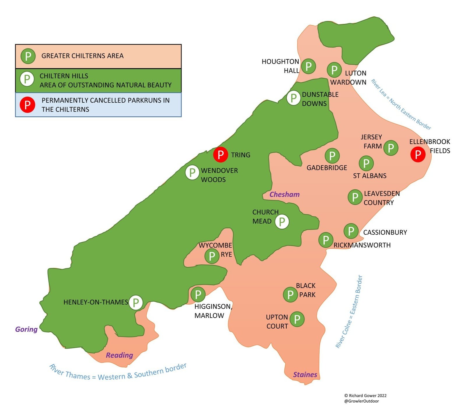
The map and table below shows the National Landscape plus a larger area that I’ve called the “Greater Chilterns”. This extends to the south and east of the AONB to the banks of the rivers Thames, Colne and Lea. Having lived in or near the Chilterns for much of my life it’s been a regular feature of my walks, runs and cycle trips. This page is an index of the circular and point-to-point walks that I’ve done in the Greater Chilterns Area.
Circular Walks In The Chilterns AONB
Click on the map icon for each walk to find a link to more details on each. If you have any comments, corrections or suggestions for improvement please leave a comment on the relevant page or via the Contact page. I’ll donate £1 to one of the outdoor causes that I support for every update made.
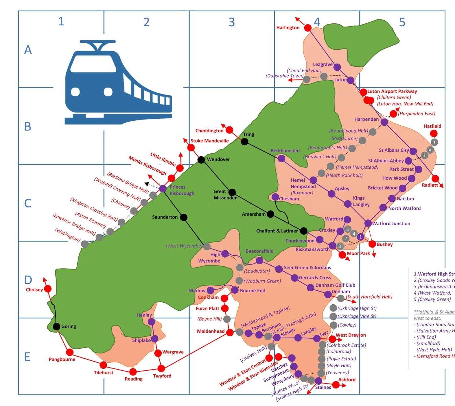
Map pins showing a train or bus icon instead of the walking person icon indicate a point-to-point walk with a return to the start by public transport. All other walks are circular for the full walk.
The table below shows the same walks as in the above map listed in alphabetical order of the name of the walk. Colour-coding is the same: green for walks in the Chiltern Hills National Landscape and orange for those in the “Greater Chilterns” area. Walks indicated with a T or a B in the left hand column indicate that it’s a circular route but part of the route is a return to the start by train (T) or bus (B).
Long Distance Trails in The Chilterns
There are several long distance trails that are either inside or pass through the Chilterns. Unlike the shorter circular walks above, most people tackle them either in stages over multiple days or via a series of circular walks. Click on the links in the sections below the map for further details on each trail.


Beeches Way
The Beeches Way is a 26 km (16 mile) long-distance footpath in Buckinghamshire. It connects the River Thames at Cookham with the Grand Union Canal at West Drayton. Along the way it passes through Burnham Beeches, Black Park, Langley Park and the Colne Valley Regional Park. We completed the route in 3 short point-to-point sections.
Click here for more information on this trail.

The Chess Valley Walk is a 16 km (10 mile) long-distance footpath in Buckinghamshire and Hertfordshire. It connects Chesham and Rickmansworth Underground Stations, offering a great point-to-point walk with a return to the start by Undergrounds. Along the way it passes through Latimer, Chenies, Sarratt and Loudwater. We completed the route in a single point-to-point walk and also as a series of short circular walks.
Click here for more information on this trail.

The Chiltern Heritage Trail is a 84 km (52 mile) circular long-distance footpath in Buckinghamshire. Created as a Millennium project, this trail links the towns and parishes within the district, offering stunning scenery, charming villages, and points of historical interest. Along the way it passes through Chesham, Latimer, Chorleywood, the Chalfonts, Amersham, Penn, the Missendens and Chartridge. We completed the trail in a series of shorter circular walks.

The Chiltern Way is a 215 km (134 mile) circular long distance path around the Chiltern Hills. It was created by the Chiltern Society as a Millennium project, offers stunning views across the rolling hills, charming villages, and diverse landscapes. My friend Brian and I have been doing a section a year on or around the Winter Solstice since 2019. At the current rate we plan to be finished in December 2027.
Click here for more information on this trail.

The Colne Valley Trail is a 23 km (14 mile) long-distance footpath that runs the length of the Colne Valley Regional Park from Rickmansworth in the north to the River Thames at Staines at the southern end. The southern sections are sign-posted as the Colne Valley Way although it’s effectively one continuous trail. There’s also a spur connecting Langley Park to The Grand Union Canal at Cowley Lock.
Click here for more information on this trail.

The Icknield Way is an ancient trackway in southern and eastern England that runs from Ivinghoe Beacon in the Chilterns to Knettishall Heath in Suffolk. Along the way it passes through Whipsnade, Dunstable Downs, Luton, Letchworth, and Royston. We completed the route over several walking sections and one cycle section. The Chilterns section runs from Ivinghoe Beacon to Pirton.
Click here for more information on this trail.
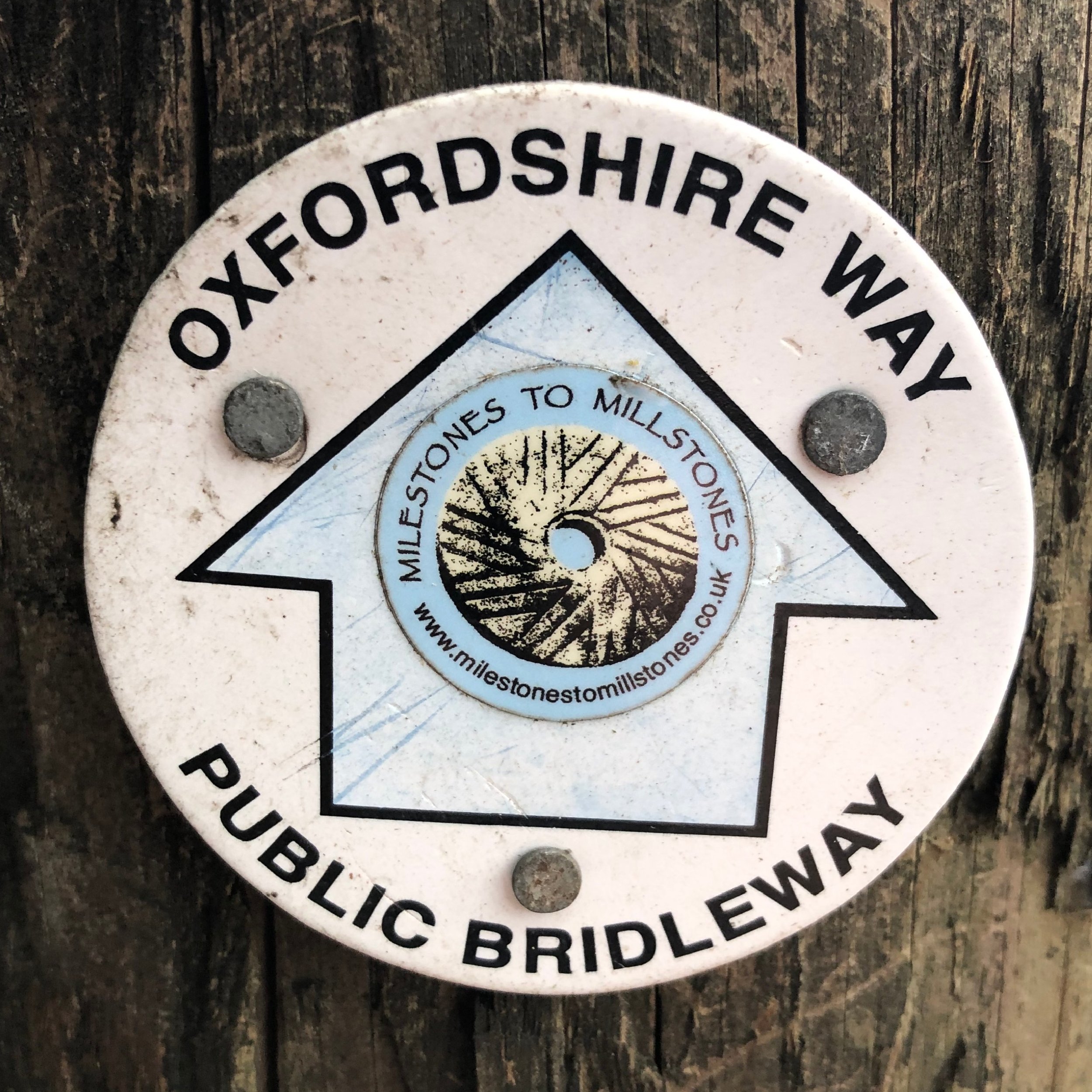
The Oxfordshire Way is a 109 km (68 mile) long-distance footpath in Oxfordshire. It connects the northern edge of the county at Bourton-on-the-Water with the southern edge at Henley-on-Thames. Along the way it passes through Charlbury, near Oxford, Thame, Watlington, Stonor and the Assendons. We completed the trail in a series of shorter circular walks.
Click here for more information on this trail.

The Ridgeway is an historic 140 km (87 mile) National Trail, often called "Britain's oldest road". Dating back thousands of years, the Ridgeway has been used by travelers, traders, and armies throughout history. Today, it's a popular route for walkers, cyclists, and horse riders, providing a unique opportunity to experience ancient landscapes and encounter fascinating archaeological sites like Avebury and the Uffington White Horse. It runs from Overton Hill in Wiltshire to Ivinghoe Beacon in Buckinghamshire. The Chilterns section runs from Goring to Ivinghoe Beacon.
Click here for more information on this trail.

The River Ver Trail is a 27 km (17 mile) long-distance footpath that follows the route of the River Ver from its source at Kensworth to the confluence with the River Colne at Bricket Wood, Hertfordshire. Along the way it passes through Markyate, Flamstead, Redbourn and St Albans. We completed the route as an overnight Summer Solstice hike.
Click here for more information on this trail.

Shakespeare’s Way
The Shakespeare's Way is a 235 km (146 mile) long-distance footpath that connects Stratford-upon-Avon, the birthplace of William Shakespeare, to the Globe Theatre in London. It follows a possible route that the Bard himself may have taken during his journeys between his hometown and the city where he made his name as a playwright and actor. The Chilterns section runs from Britwell Salome on the northern edge to Cookham on the southern edge of the National Landscape area.

The South Bucks Way is a 37 km (23 mile) trail long-distance footpath that connects Coombe Hill at the northern edge of the Chilterns with the River Colne in the southern end. It roughly follows the course of the river Misbourne and passes through the Missendens, Amersham, the Chalfonts and Denham. We completed the trail in a series of shorter circular walks.
Click here for more information on this trail.

Thames Path
The Thames Path is a 295 km (184 mile) National Trail that follows the River Thames from its source in the Cotswolds to the Thames Barrier in London. Along the way it passes through Lechlade, Oxford, Reading, Windsor, Staines, Hampton Court and Central London. The Chilterns section runs from Wallingford to Staines and forms the southern boundary of the “Greater Chilterns Area”.
Click here for more information on this trail.
More Chiltern Blog Posts