Chwarel y Fan: Monmouthshire County Top
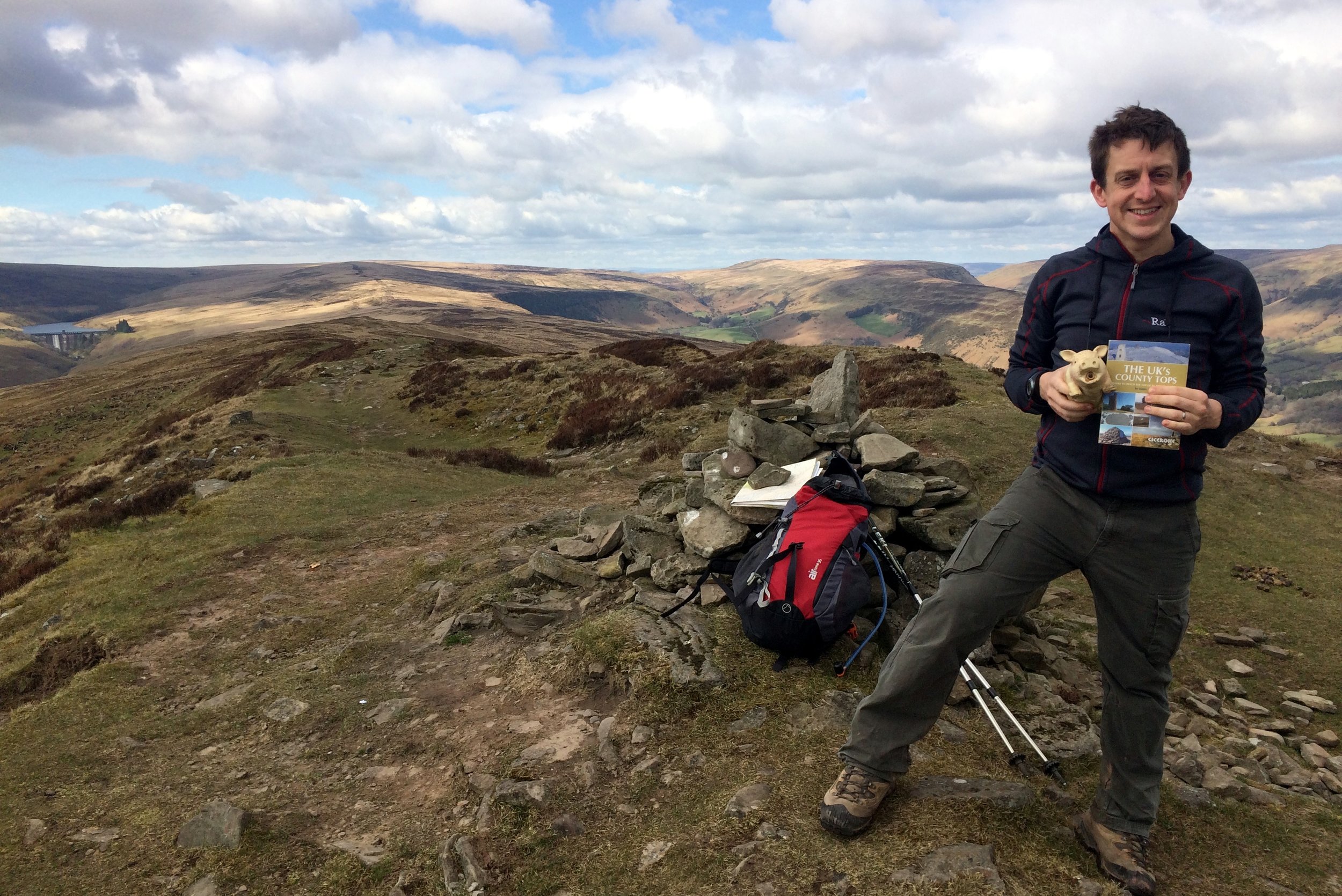
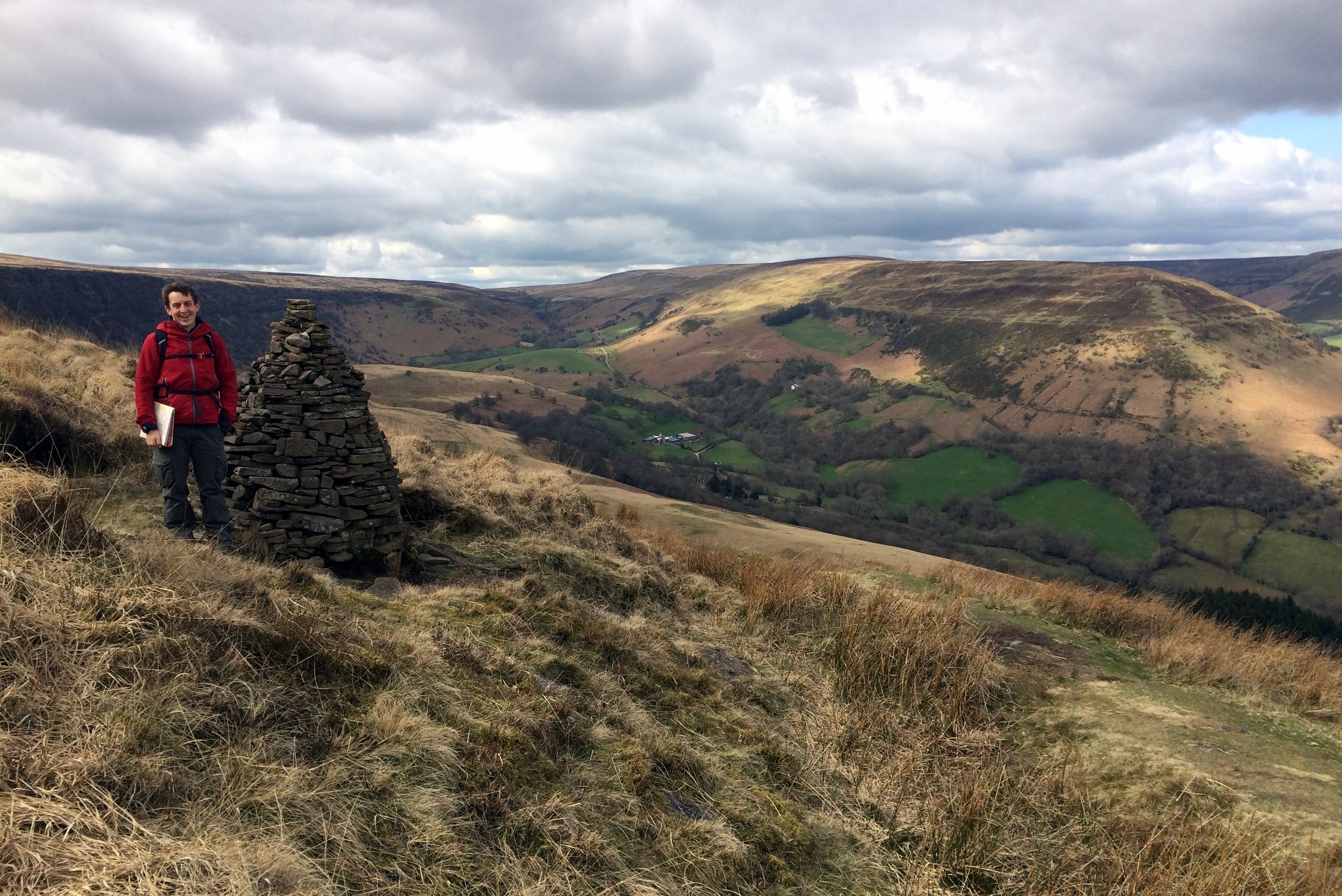
Summit of Chwarel y Fan
Significance: Highest peak in Monmouthshire (Historic CT)
Member of: Hewitt, Nuttall
Parent Peak: Waun Fach. NHN = Pen y Gadair Fawr
Elevation: 679m
Date climbed: 5th April 2015
Coordinates: 51°57′30″N 3°04′51″W
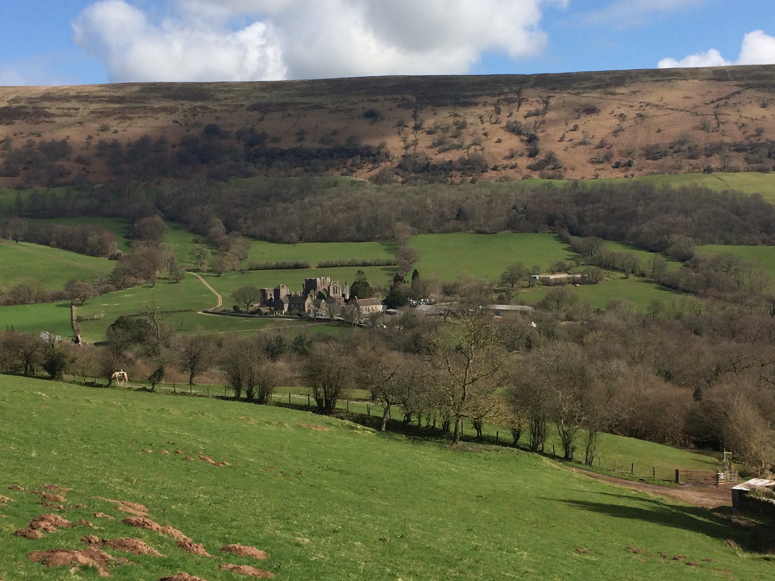
Route Start / End: Llanthony Priory, Llanvihangel Crucorney, Abergavenny, NP7 8DQ
Route Distance: 14.1 km (8.8 miles)
Route Elevation Change: +/- 470m
Subsidiary tops on route: Bal-Mawr (599m)
GPX File: get via Buy Me a Coffee
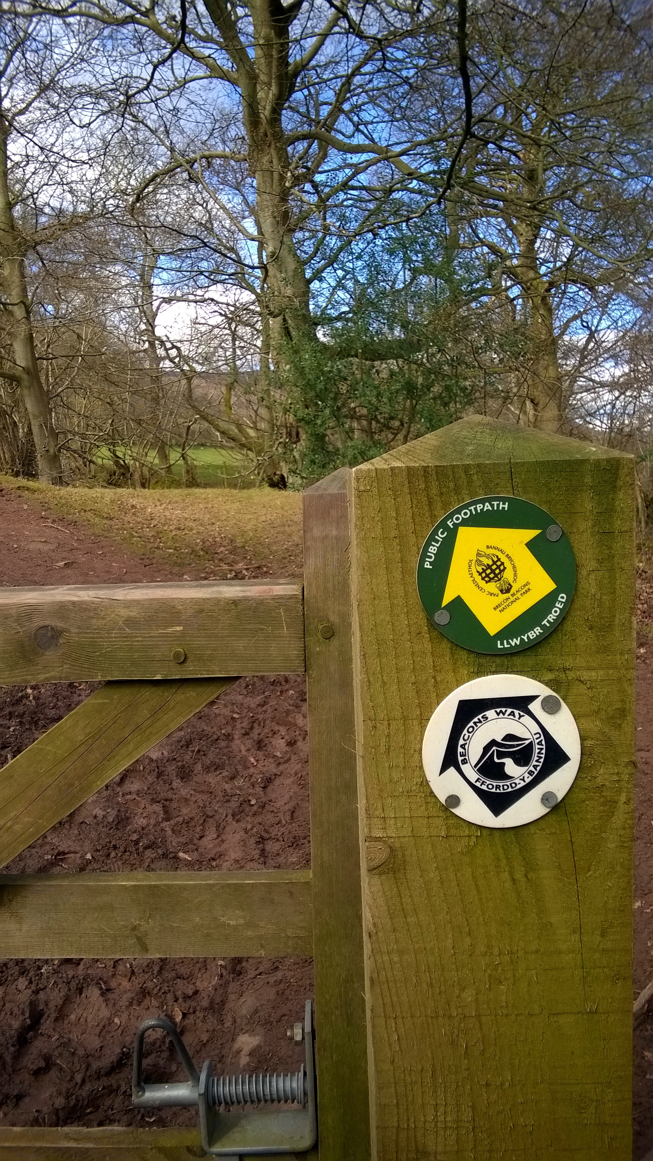
Other routes touched (walk): Beacons Way
Other routes touched (cycle): None
Map: OS Explorer OL13 Brecon Beacons National Park
Guidebook: The UK's County Tops (Jonny Muir)
Links: Wikipedia (Monmouthshire), Wikipedia (Chwarel y Fan), Peakbagger, Hillbagging
OTHER HIGH POINTS IN NORTH WALES
Coity Mountain (578m). Highest point in the Principal Area of Blaenau Gwent: Peakbagger / Hillbagging
Coity Mountain East Slope (574m), Highest point in the Principal Area of Torfaen: Peakbagger / Hillbagging
Wentwood (309m), Highest point in the Principal Area of Newport: Peakbagger / Hillbagging

