Significance: Highest peak in Buteshire (Historic County Top), North Ayrshire (Council Top), North Arran NSA High Point
Member of: Corbett, Marilyn, Hardy
Parent Peak: N/A
Nearest Higher Neighbour: The Cobbler
Elevation: 874m
Date climbed: 11th and 12th August 2017
Coordinates: 55.6258° N, 5.1919° W
Route Start / End: out and back from Cladach car park
Route Distance: 11 km (6.8 miles)
Route Elevation Change: +/- 829m
Subsidiary tops on route: none
GPX File: get via Buy Me a Coffee
Other routes touched (walk): Arran Coastal Way
Other routes touched (cycle): NCN 73
OS Trig Pillar: TP3393 - Goat Fell
Map: OS Explorer 361: Isle of Arran
Guidebook: The UK's County Tops (Jonny Muir), Walking on Arran (Cicerone Walking Guide)
Links: Wikipedia (Buteshire), Wikipedia (Arran), Wikipedia (Goat Fell), Peakbagger, Hillbagging
My first time on Arran was 2 years ago on our Lands End to John O'Groats cycle trip. We took the scenic route across the island and over to Kyntire to avoid Glasgow. The island part was only 15 miles but it made that day one of the most memorable. As we skirted past Goatfell, the huge County Top of Buteshire, I knew I'd be back to walk it.
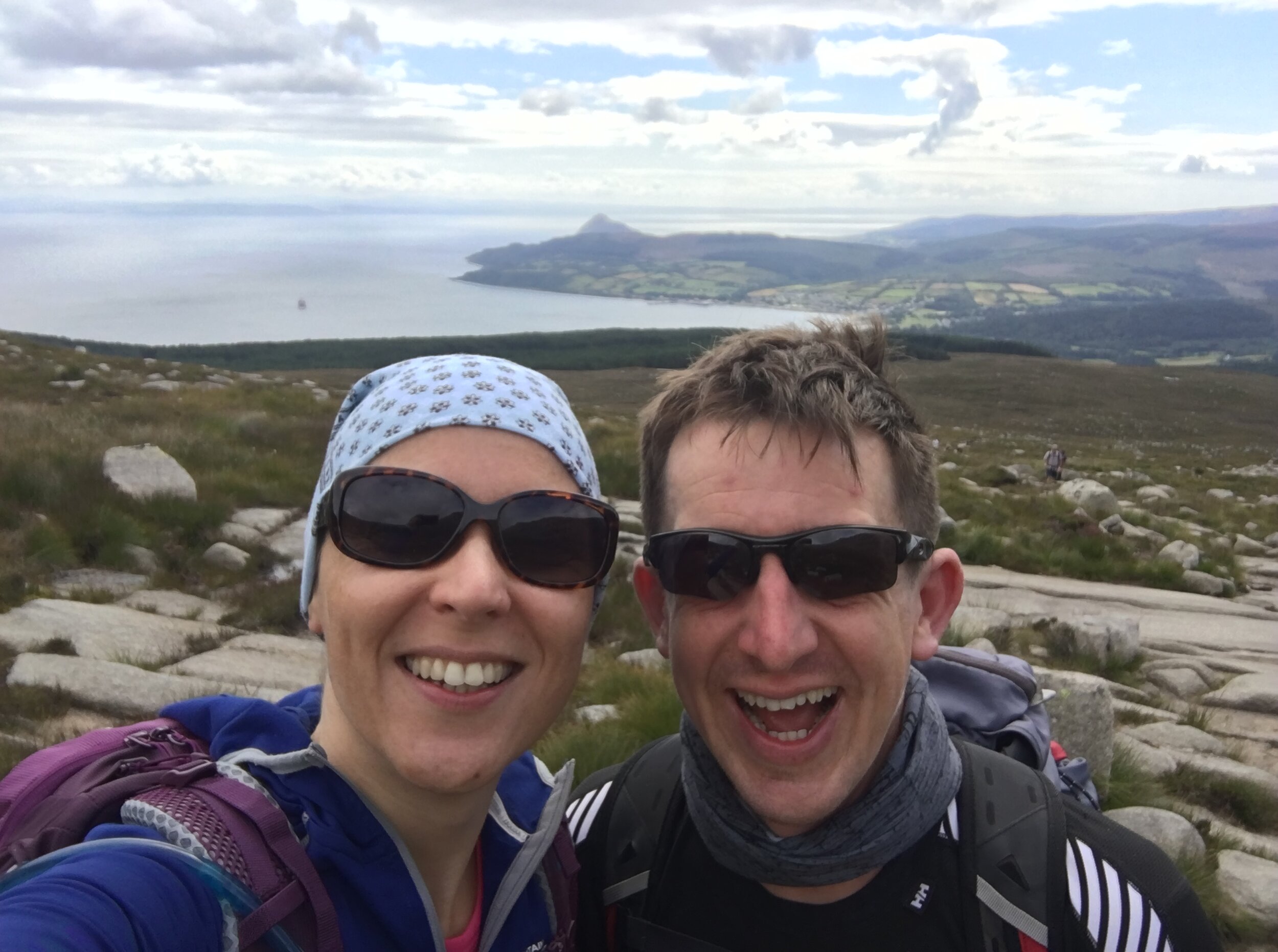
This trip was for our 7th wedding anniversary. With our Inca Trail trip less than a month away, a Goatfell climb was good training. Timi needed to test her both her fitness and her new gear. If she could do Goatfell 2 days running it would be a good sign that we were ready for the Inca's distance and elevation.
The 2 days we picked couldn't have been more different. The first was an overcast, rainy Friday. We didn't see anyone for the first hour and only 10 people the whole trip. Neither could we see the mountain for most of the day. The clouds hung low, revealing the peak once or twice. As we got closer to the summit, most people were coming down not having braved the final steep ascent.
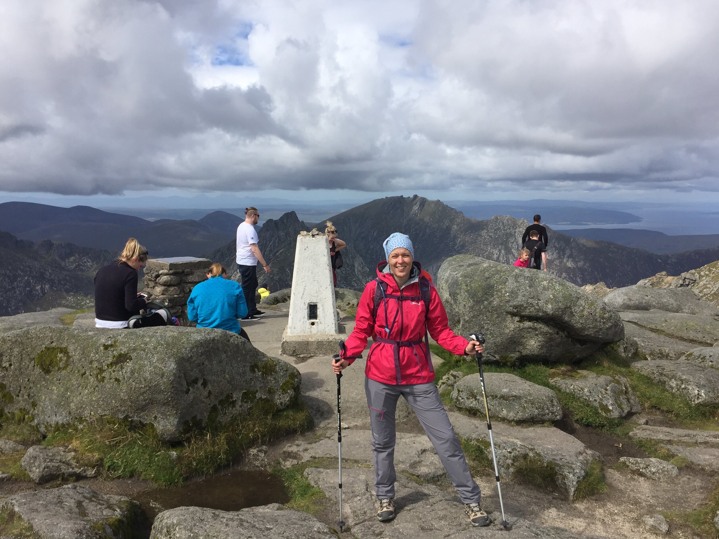
Our plan for day 1 wasn't to reach the top. We wanted to test our waterproofs and get some good descent practice in. Timi has suffered with her knee on steep down-hills in the past. If she was fine now, it would solve our main concern for the Inca Trail. We took it steady and reached the top in under 3 hours. The rain had stopped but the summit was windy so we headed down after a few minutes. Timi's knee held out well and we completed the trip in 5.5 hours.
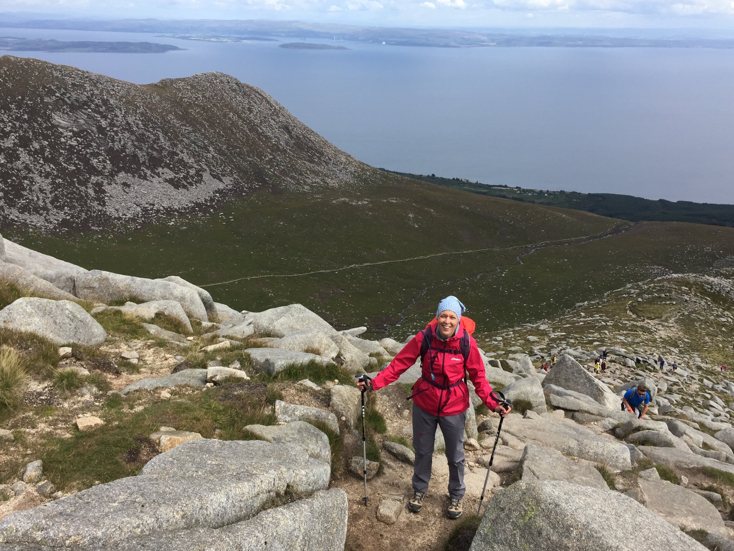
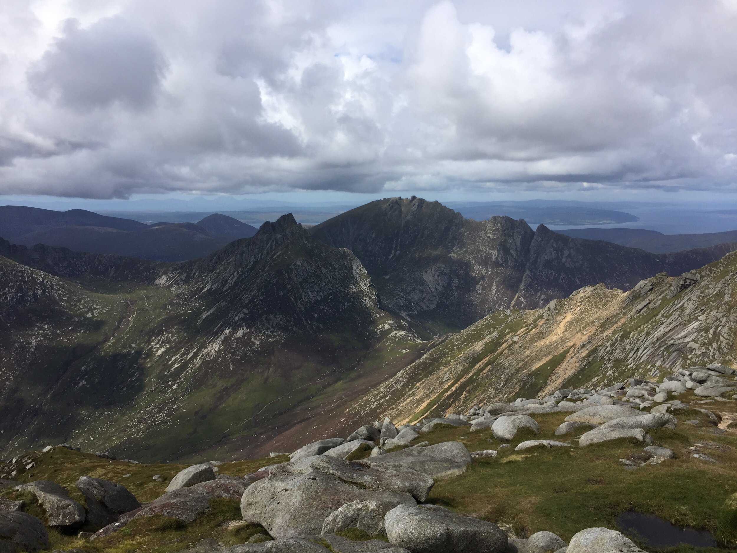
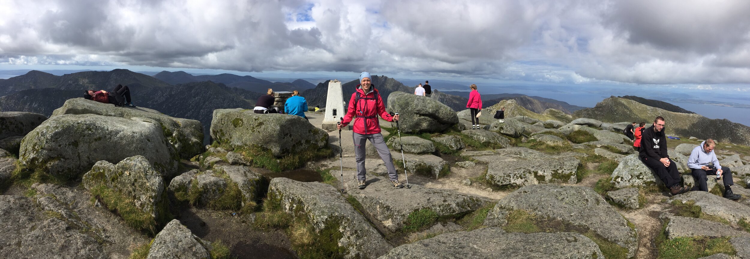
Day 2 showed us a completely different Goatfell. The sun was out and visibility was as good as I've seen on UK hills. People were out too, with at least 10x more on the route than the day before. The view from the summit was one of the most stunning I've seen. We saw the coast on all sides of the mountain, the mainland back to the east and the Mull of Kyntire to the west.
We finished the day with a beer at the Arran Brewery at the start of the trail, then a walk in the beach opposite. As a training mission, it was a big success. Next stop: Peru.
Bonus walk: King’s Cave
Before our ferry trip home we tried the King’s Cave Walk, recommended as one of the top walks on the island. It's a short one at 3 miles / ~2 hours and covers some beautiful views of the west of the island. The cave itself is somewhat underwhelming, but don’t let that put you off as its a great walk even without the cave.

