Venice 10K(ish) Walk
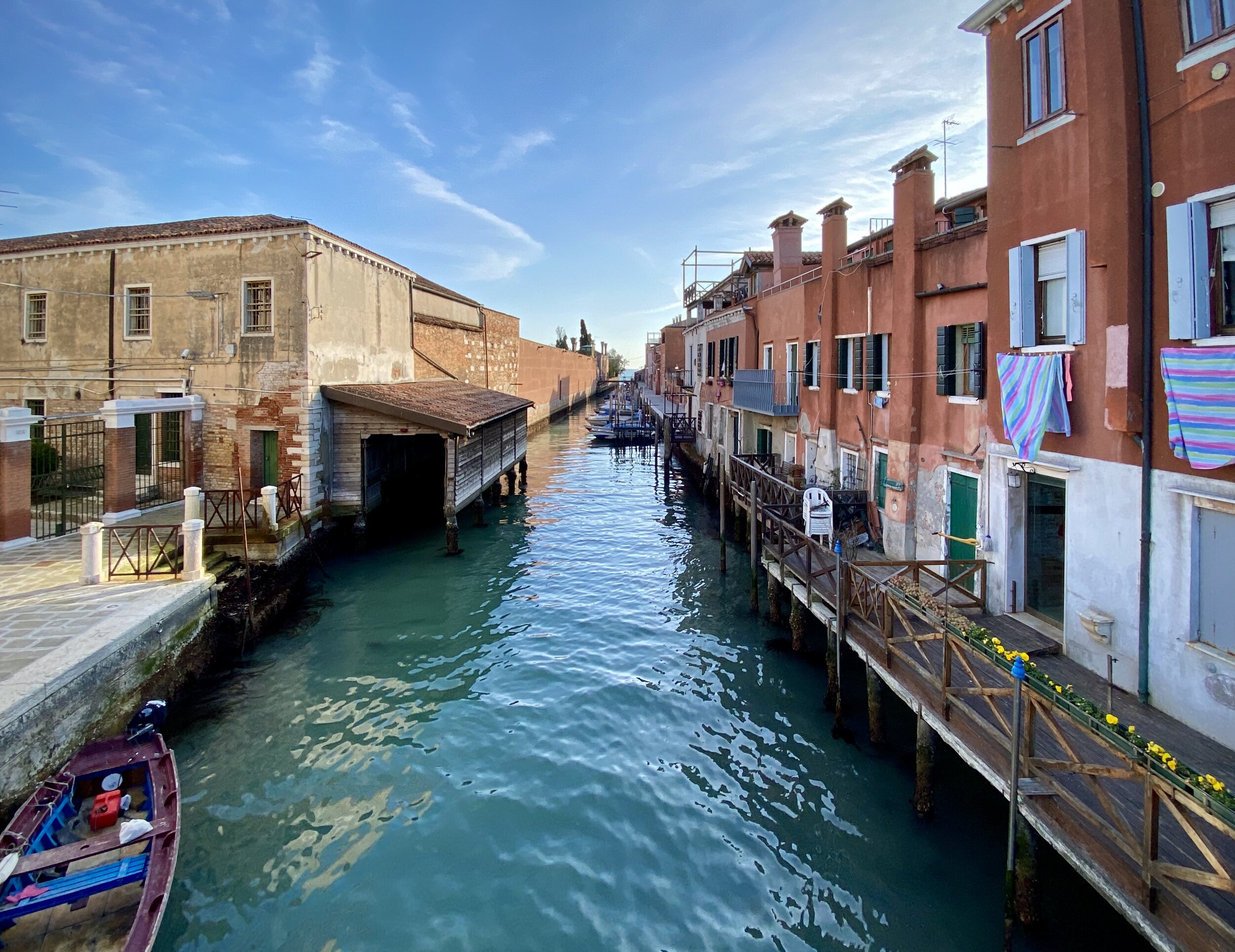
Giudecca, Venice
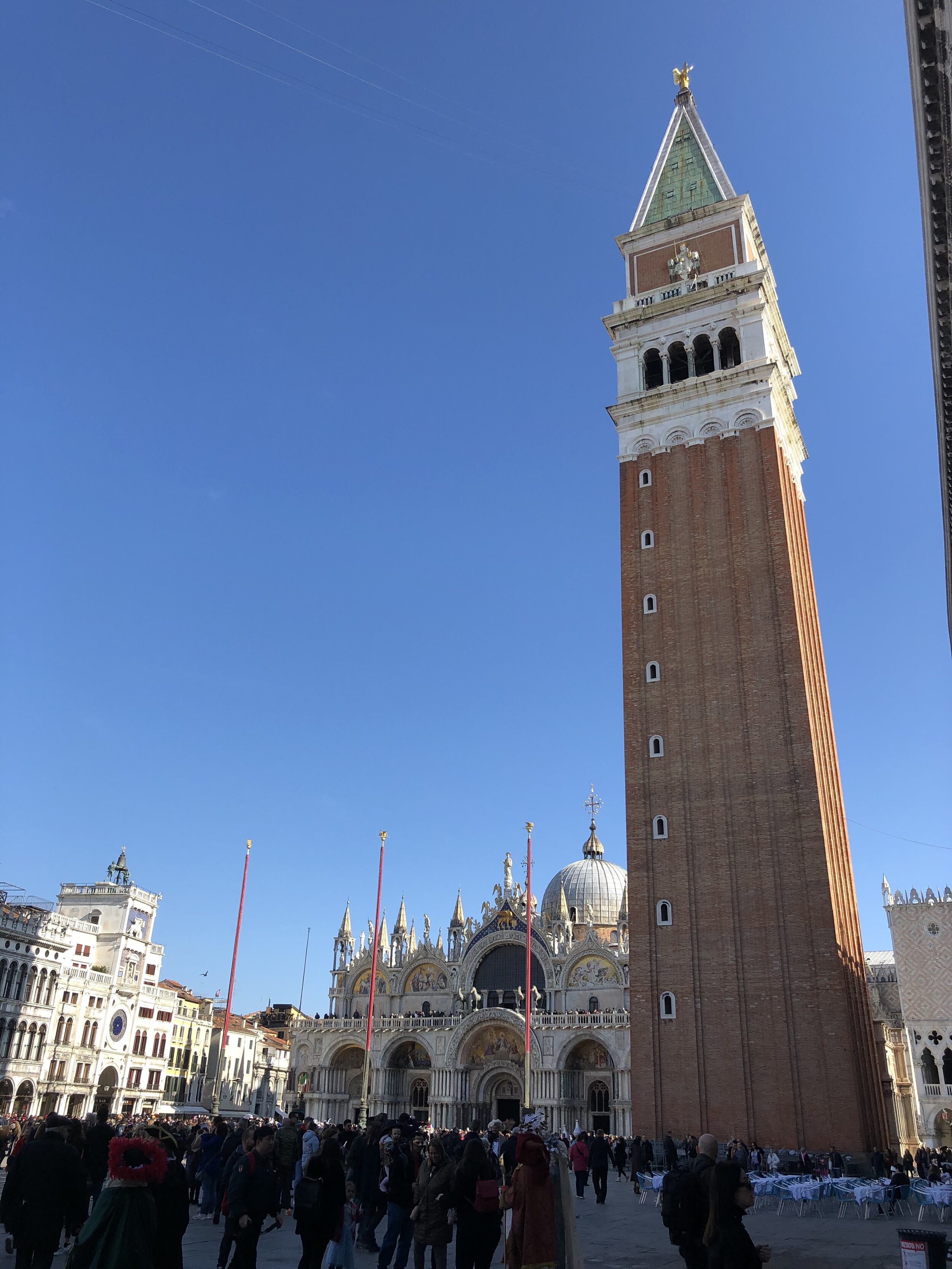
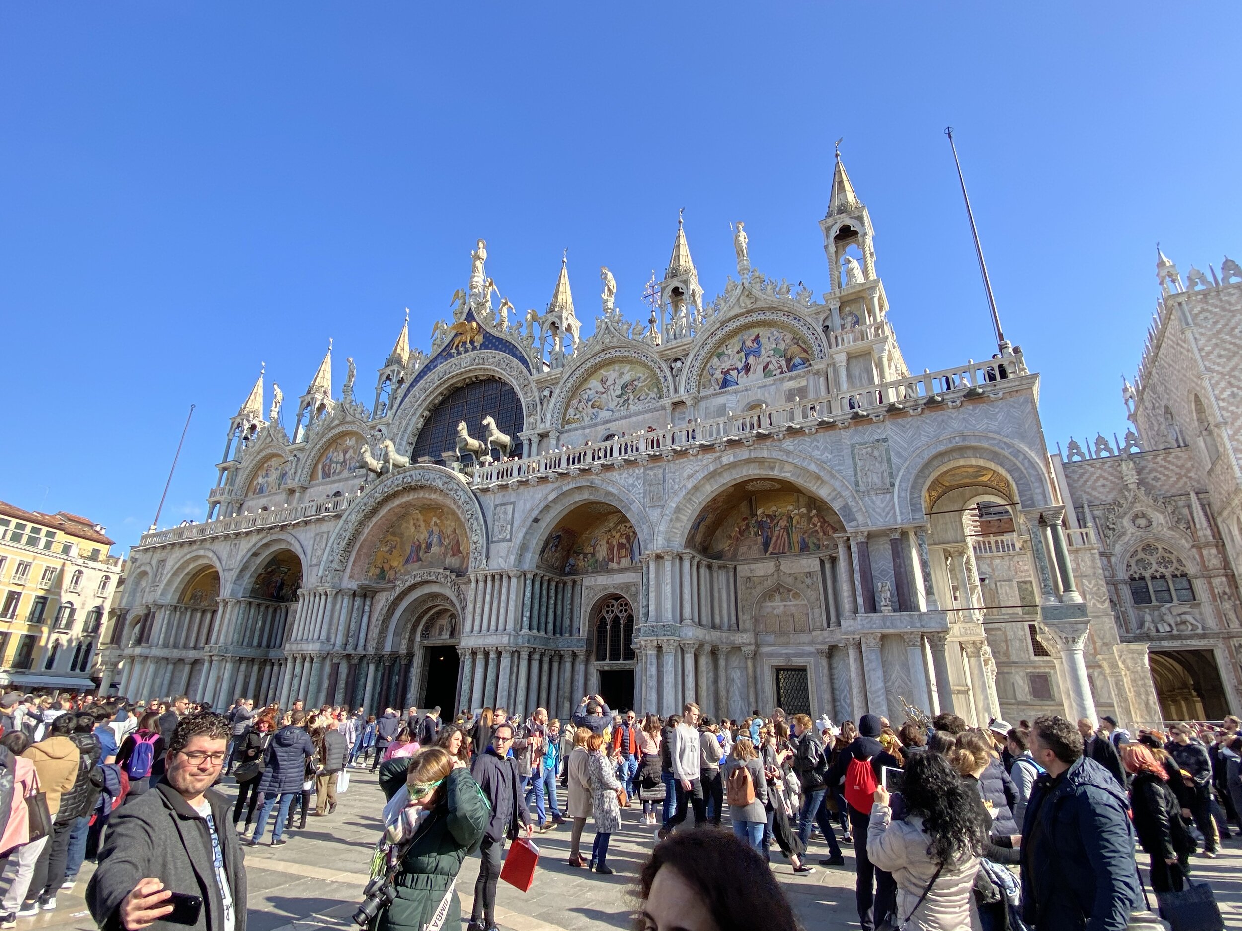
Start / Finish: Piazza San Marco, 30100 Venezia VE, Italy
Distance: ~10 km (6.1 miles)
Elevation Change: +/- 50m
GPX File: get via Buy Me a Coffee
Other Routes Touched (walk): il Cammino di sant’Antonio (The Way of Saint Anthony)
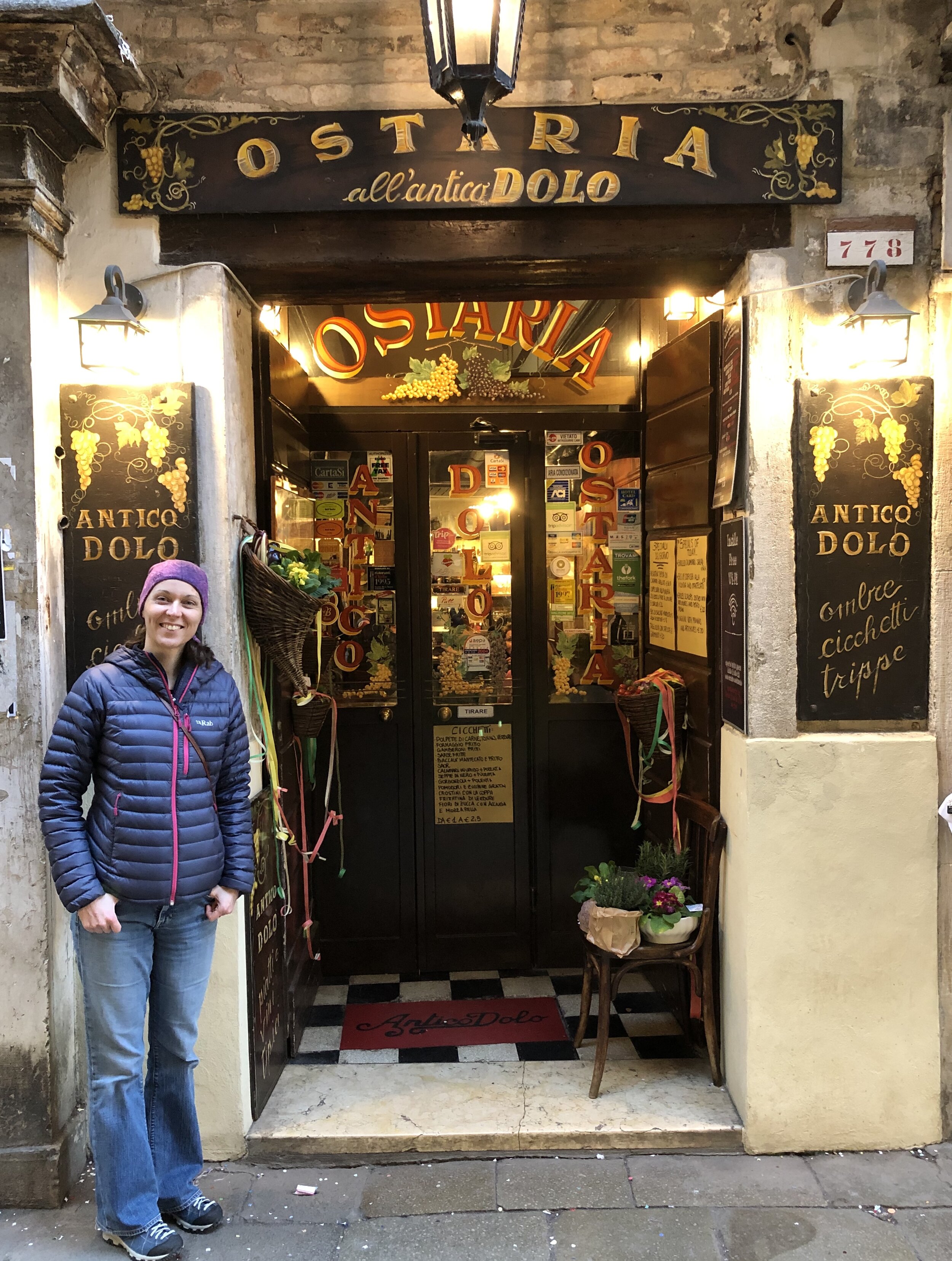
Cafe / restaurants on route: 100s, but we visited: Caffe Florian, Caffe San Giorgio, Ostaria Antico Dolo
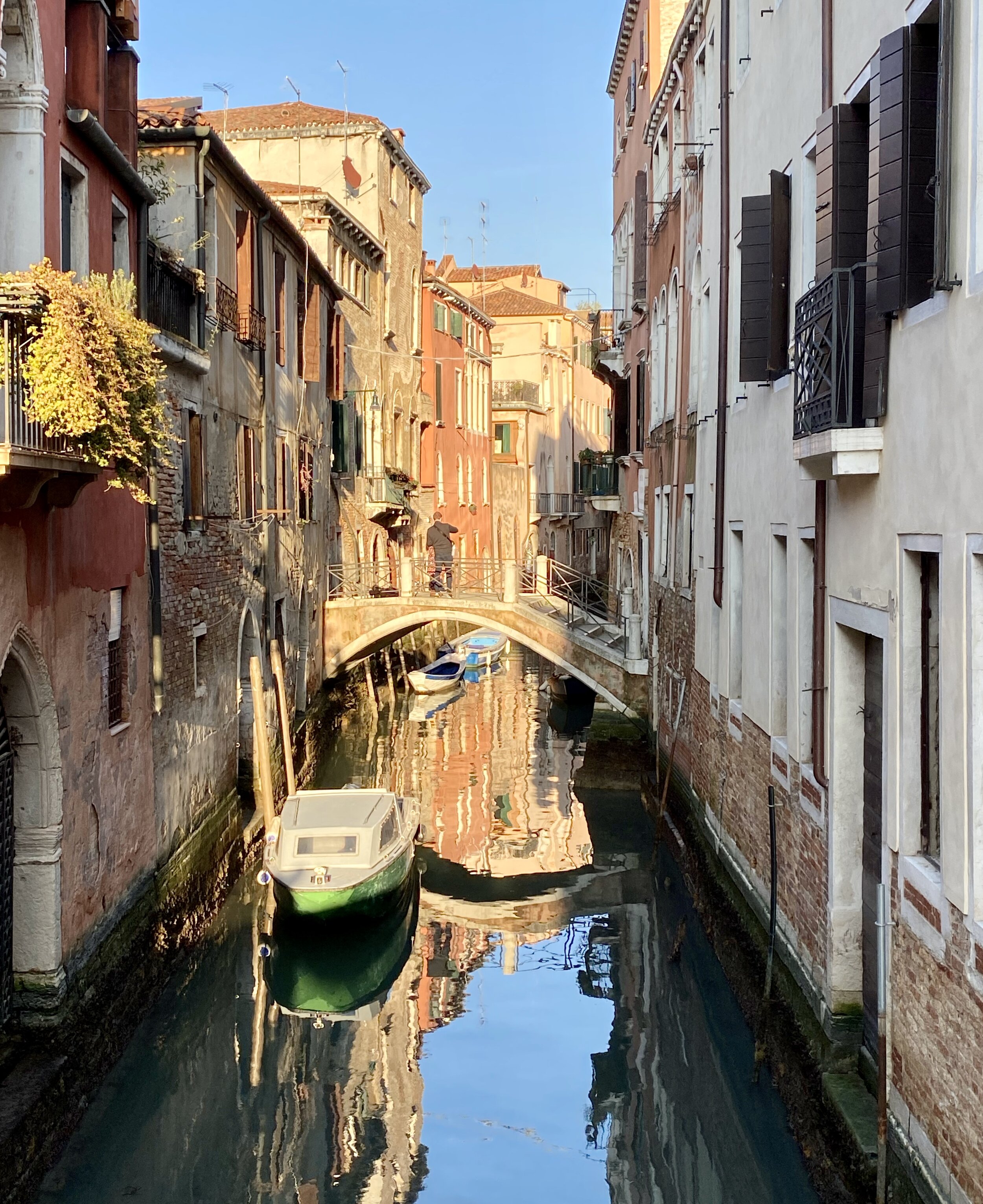
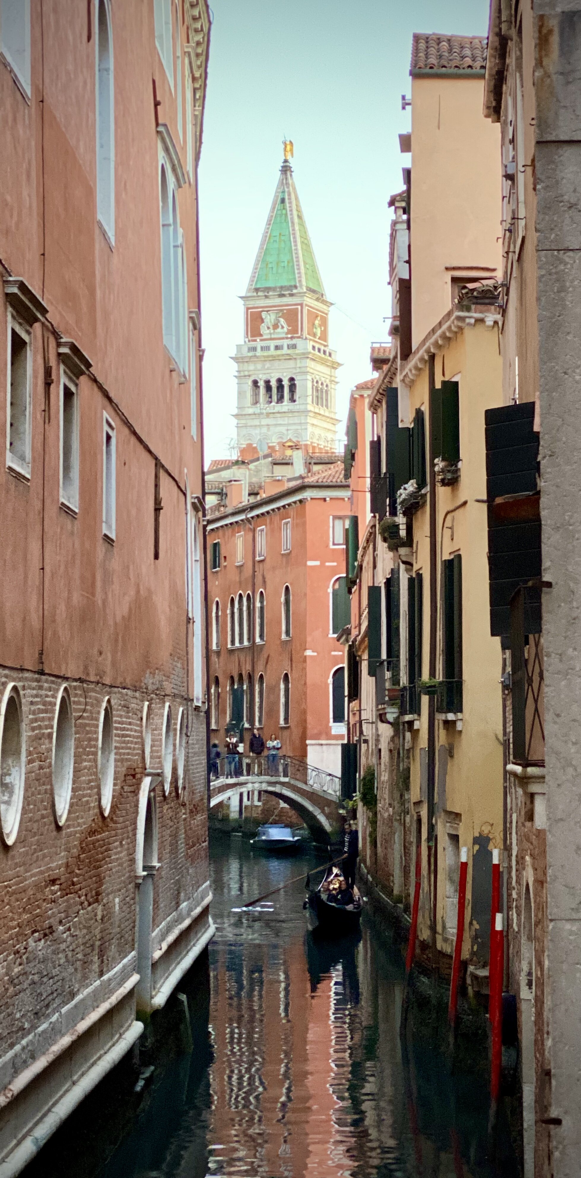
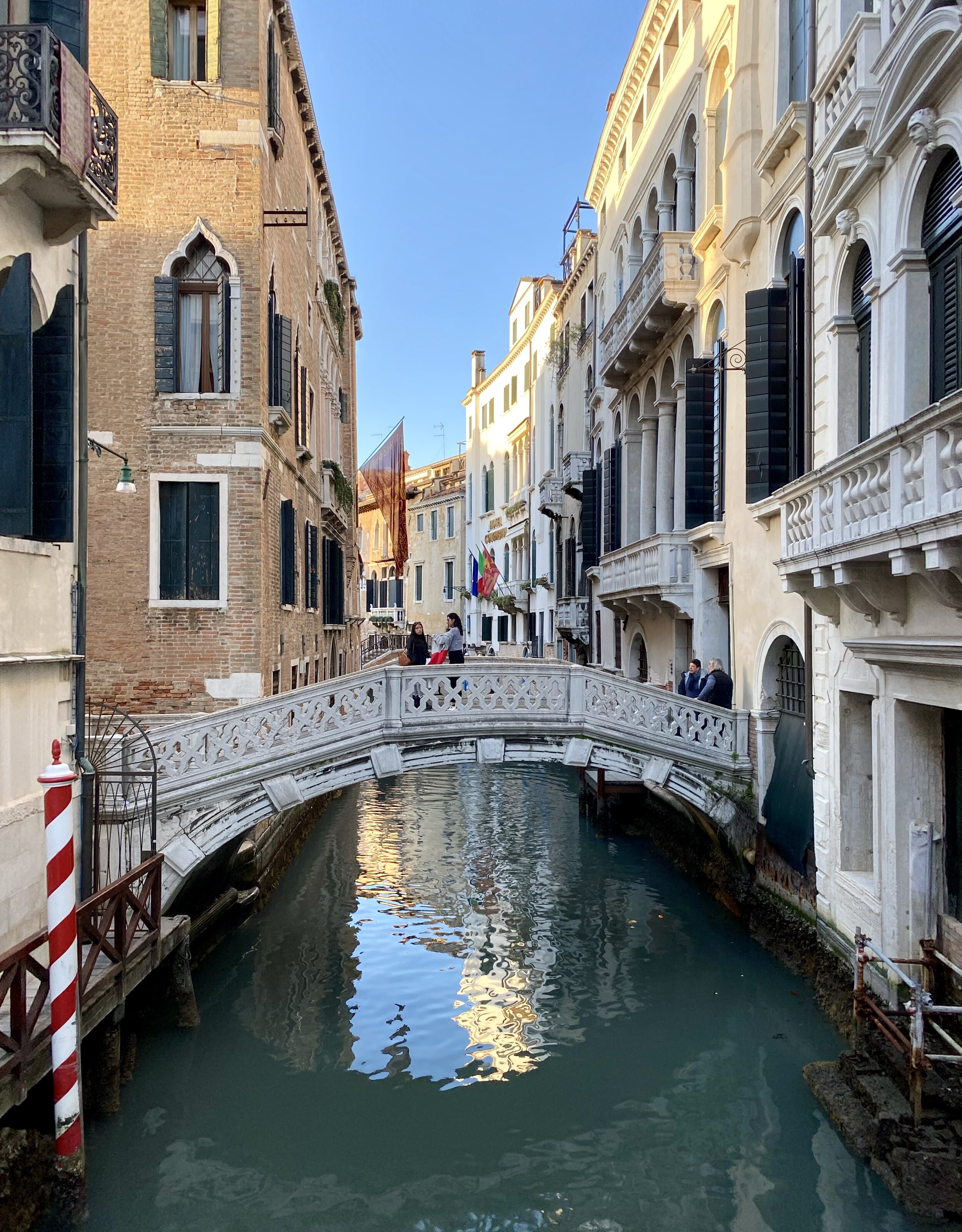
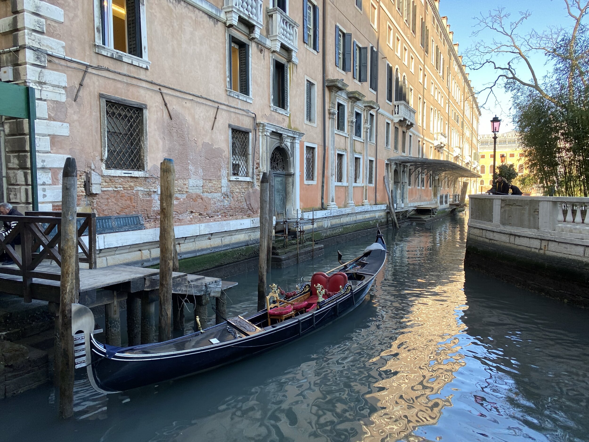
There’s a near infinite combination of walks around Venice. We were in town for the Carnival and wanted a mix of being in the middle of it and getting away from the crowds. We pretty much made this one up as went. In hindsight this trip, or variations on it, make for a great route around central Venice and neighbouring islands.
How to do the island hopping section:
Start at St Mark's Square, walk to the San Marco-San Zaccaria water bus stop water bus stop.
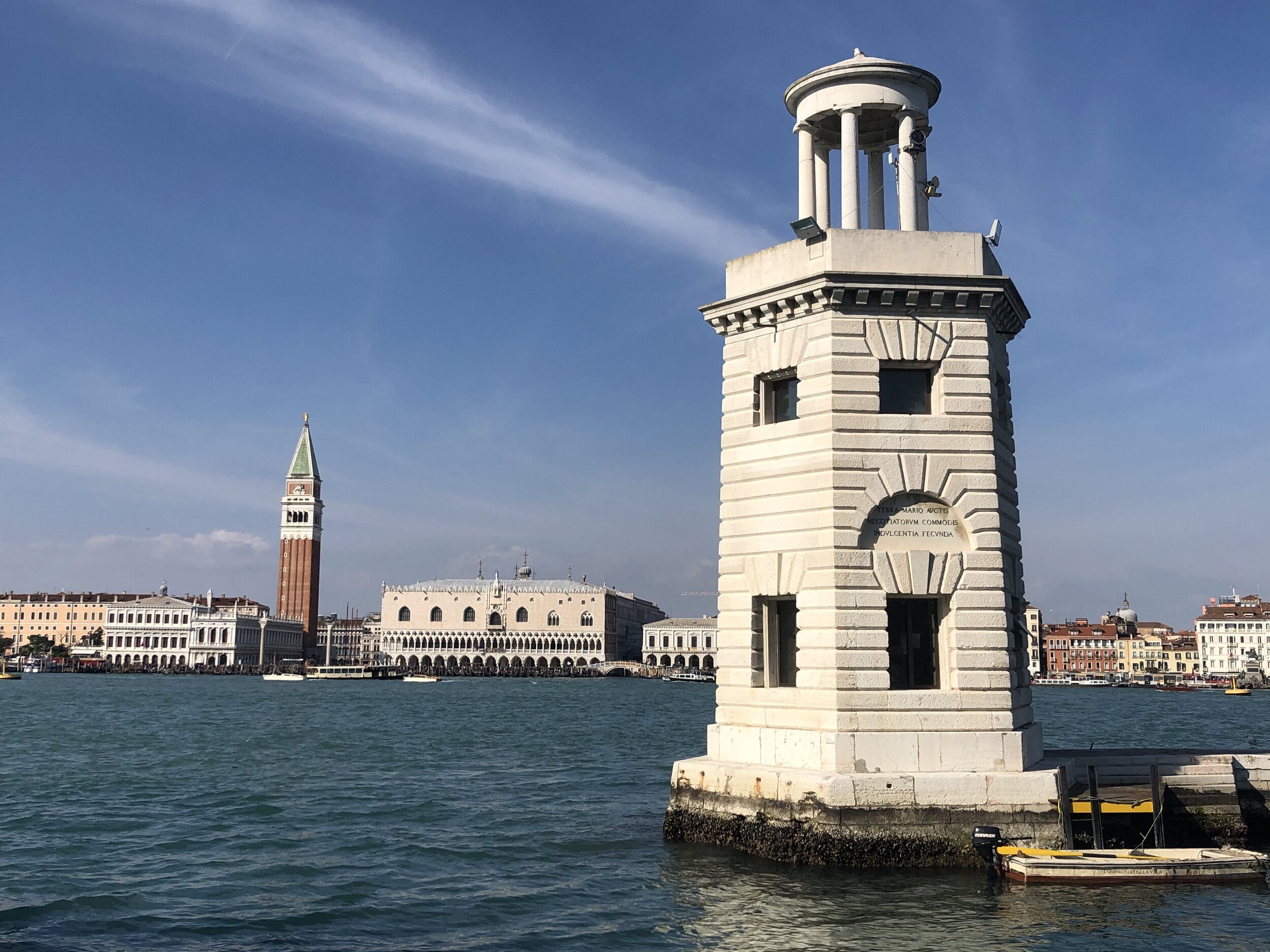
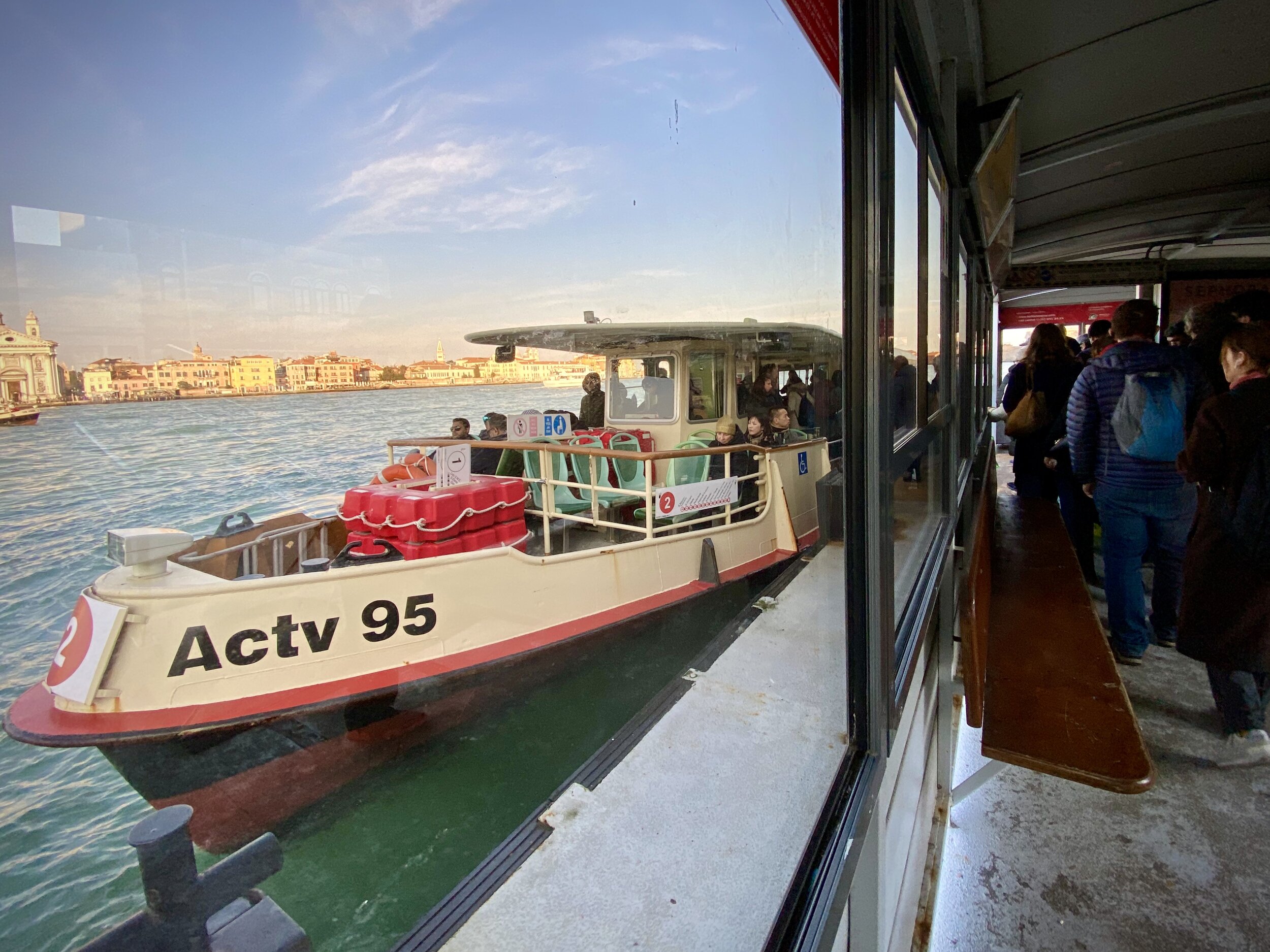
Take water bus #2 from San Marco-San Zaccaria to San Grigorio (1 stop)
Check out San Grigorio Island. Main feature is the Church of San Giorgio Maggiore and Caffe San Giorgio is a good place for a break.
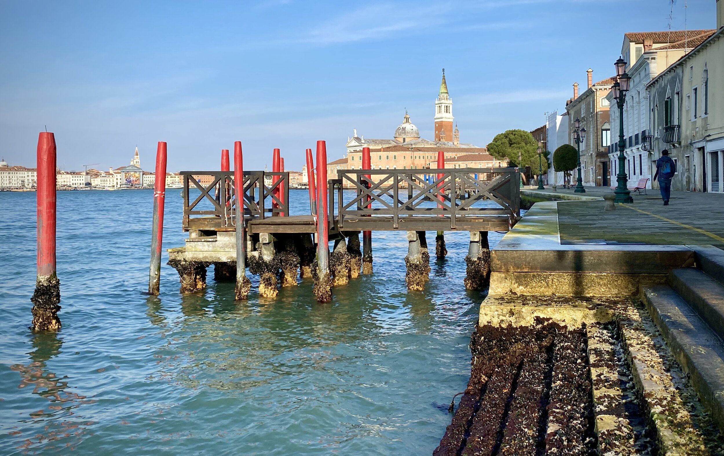
Take water bus #2 from San Grigorio to Zitelle (1 stop). This is the Eastern most stop on Giudecca.
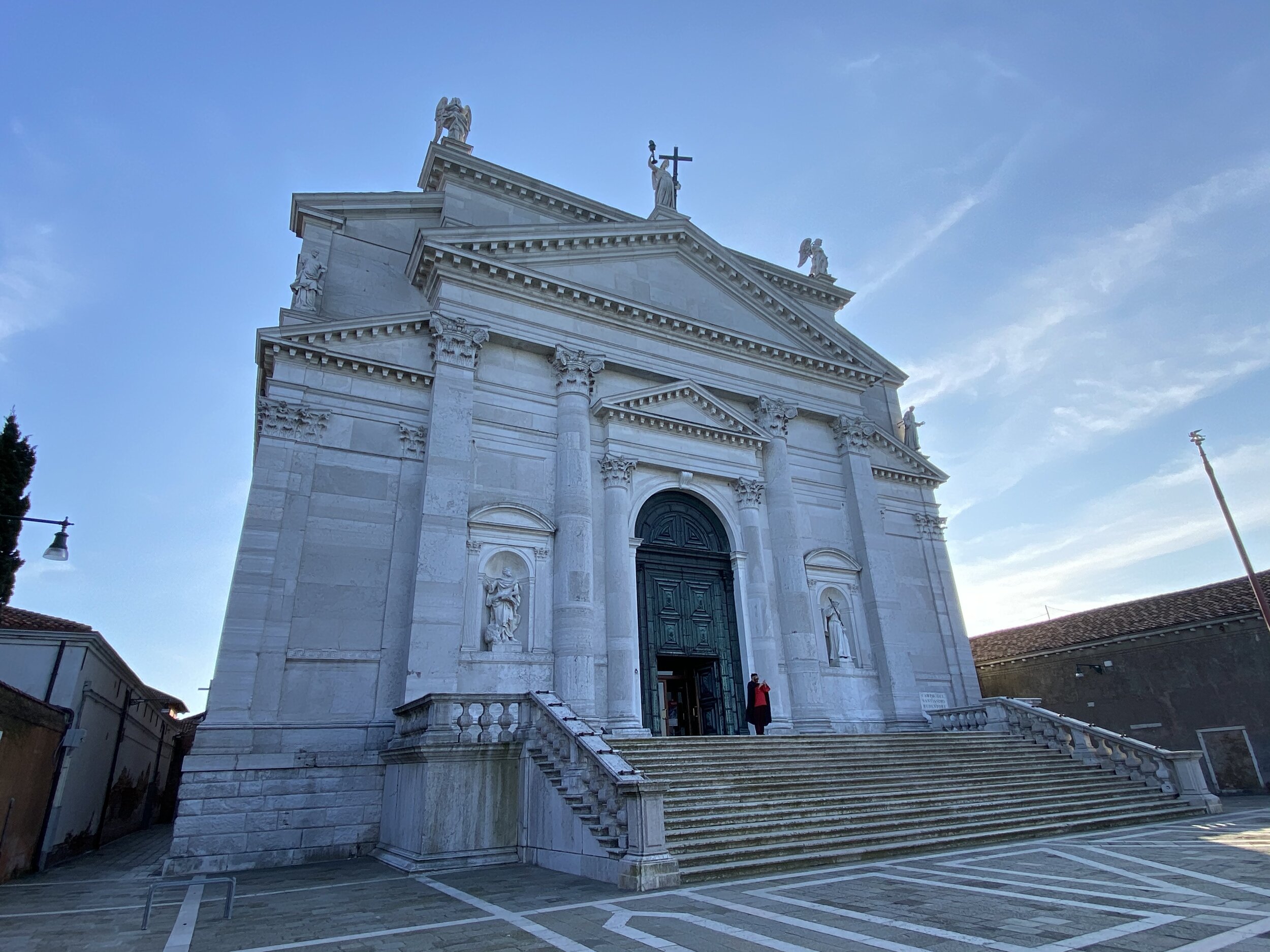
Walk West along Guidecca island, visiting Church of the Santissimo Redentore along the way.
Take water bus #2 from Palanca across to Zattere on the Dorsodouro District.
With more time we would have continued our walk along Giudecca to Sacca Fisola stop and taken the anti clockwise ferry back to Zattere.
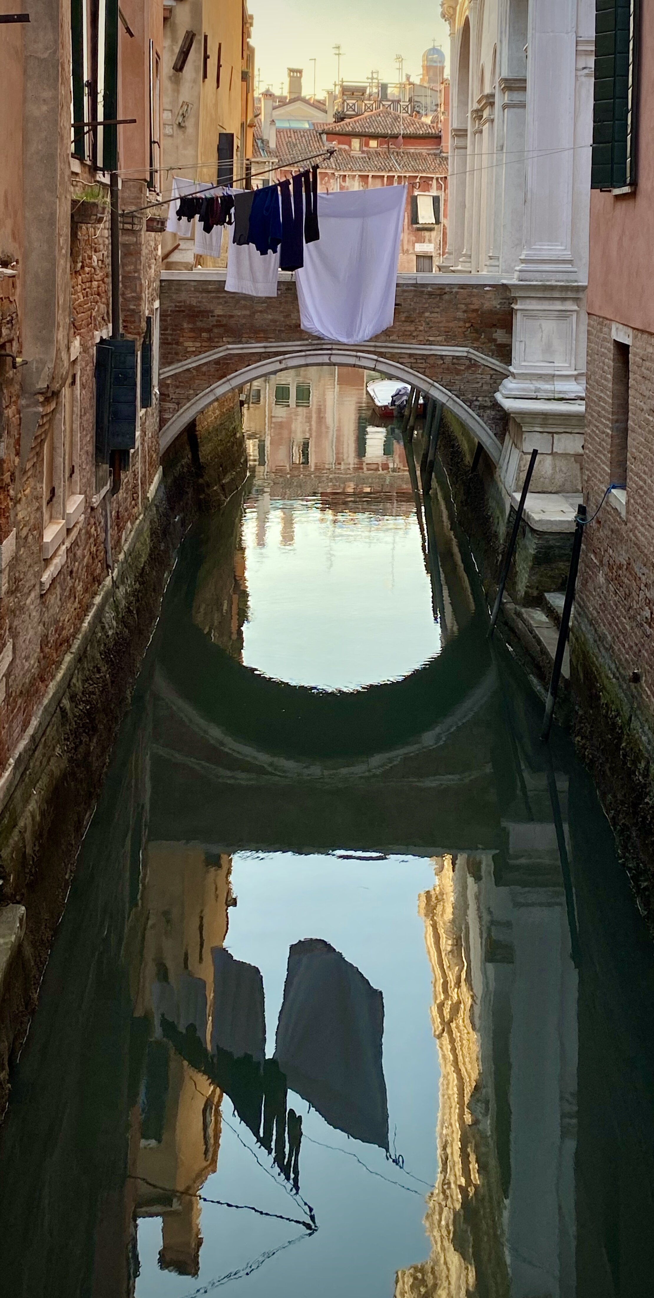
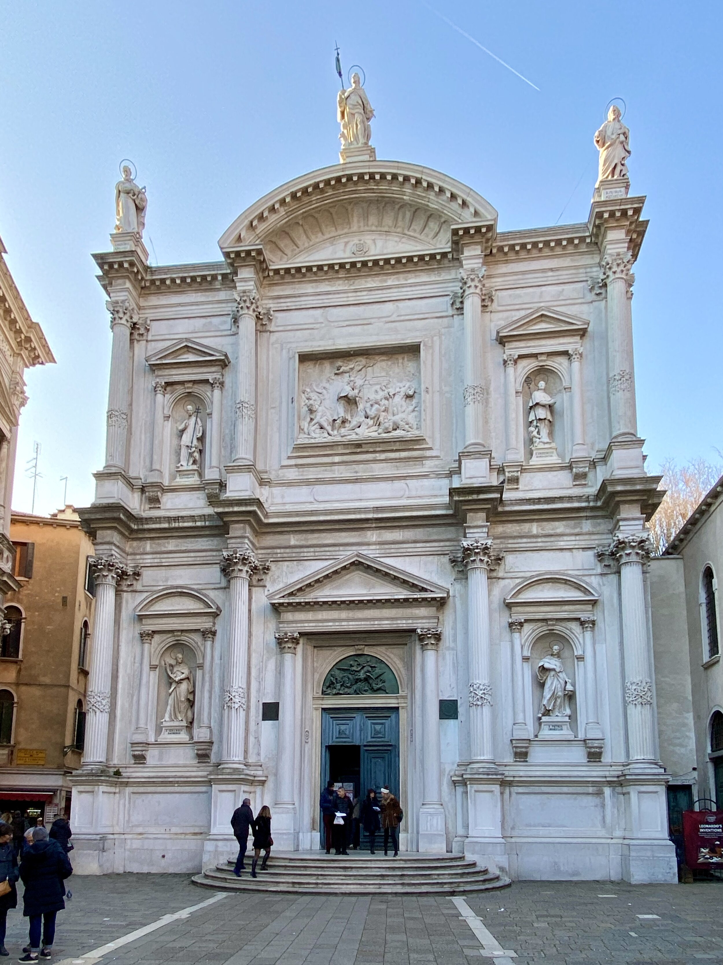
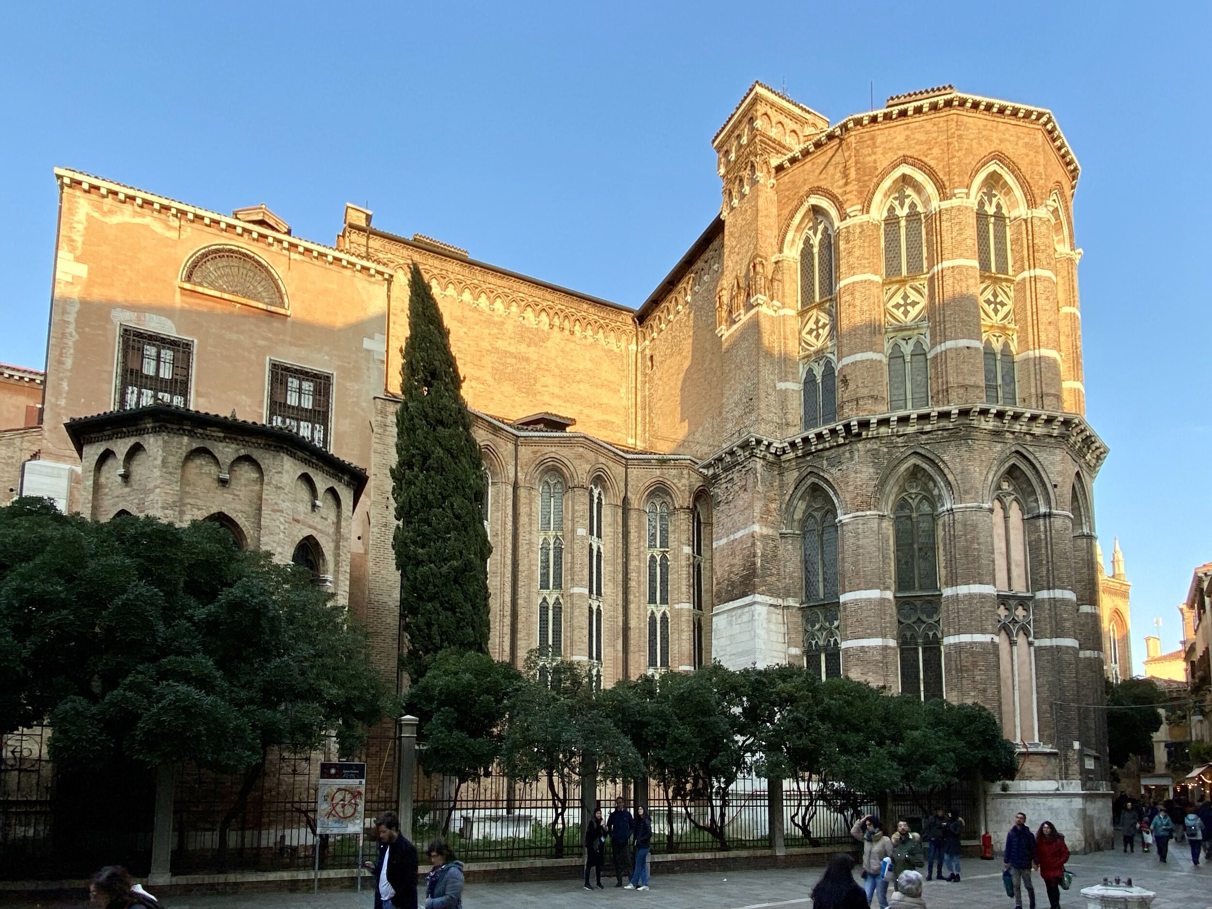
From Zattere we meandered Northwards through Dorsodouro to the Church of San Rocco. The Patron Saint of Pilgrims and Dogs was a feature of our Camino walks so we had to pay him a visit.
From the Church we continued North East through San Polo District to the Rialto Bridge. The Ostaria Antico Dolo restaurant was our dinner stop. After the Rialto Bridge we headed South East eventually arriving back in St Marks Square.
Looking at the route on the map, it's a 7km walk, but we easily added an extra 3km on top of that by making interesting detours along the way.

