Brown Clee Hill: Shropshire County Top
Also known as: Abdon Burf
Significance: Highest peak in Shropshire (Historic County Top), Shropshire Hills National Landscape High Point
Member of: Marilyn
Parent Peak: Plynlimon
Nearest Higher Neighbour: Beacon Hill, Wales
Elevation: 540m
Date climbed: 31st December 2015
Coordinates: 52°28′30″N 2°36′02″W
Route Start / End: Layby on Park Gate Road
Route Distance: 4.9 km (3 miles)
Route Elevation Change: +/- 214m
Subsidiary tops on route: None
GPX File: get via Buy Me a Coffee
Other routes touched (walk): Shropshire Way Main Route (South)
Other routes touched (cycle): None
Map: OS Explorer 217 The Long Mynd & Wenlock Edge
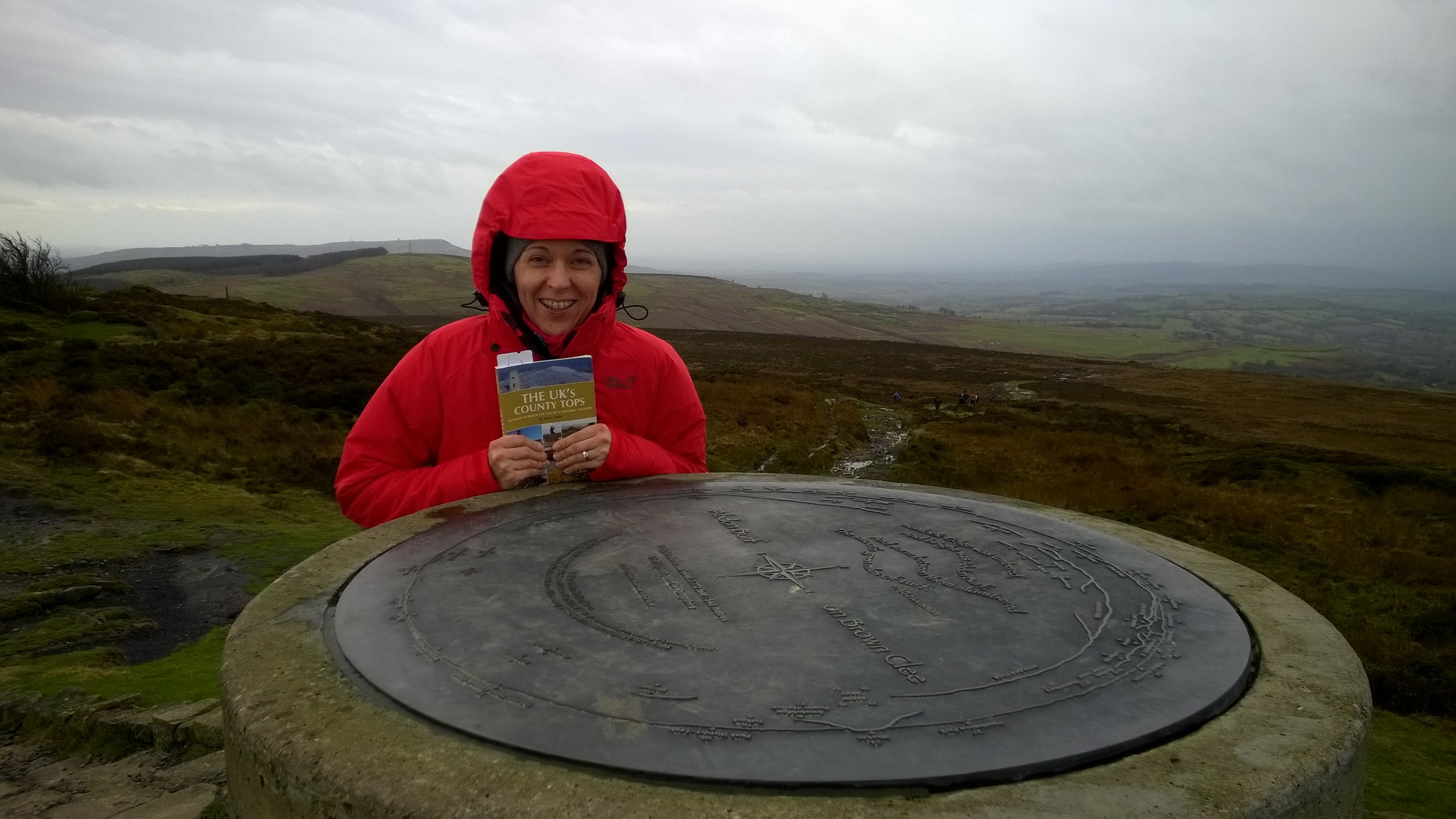
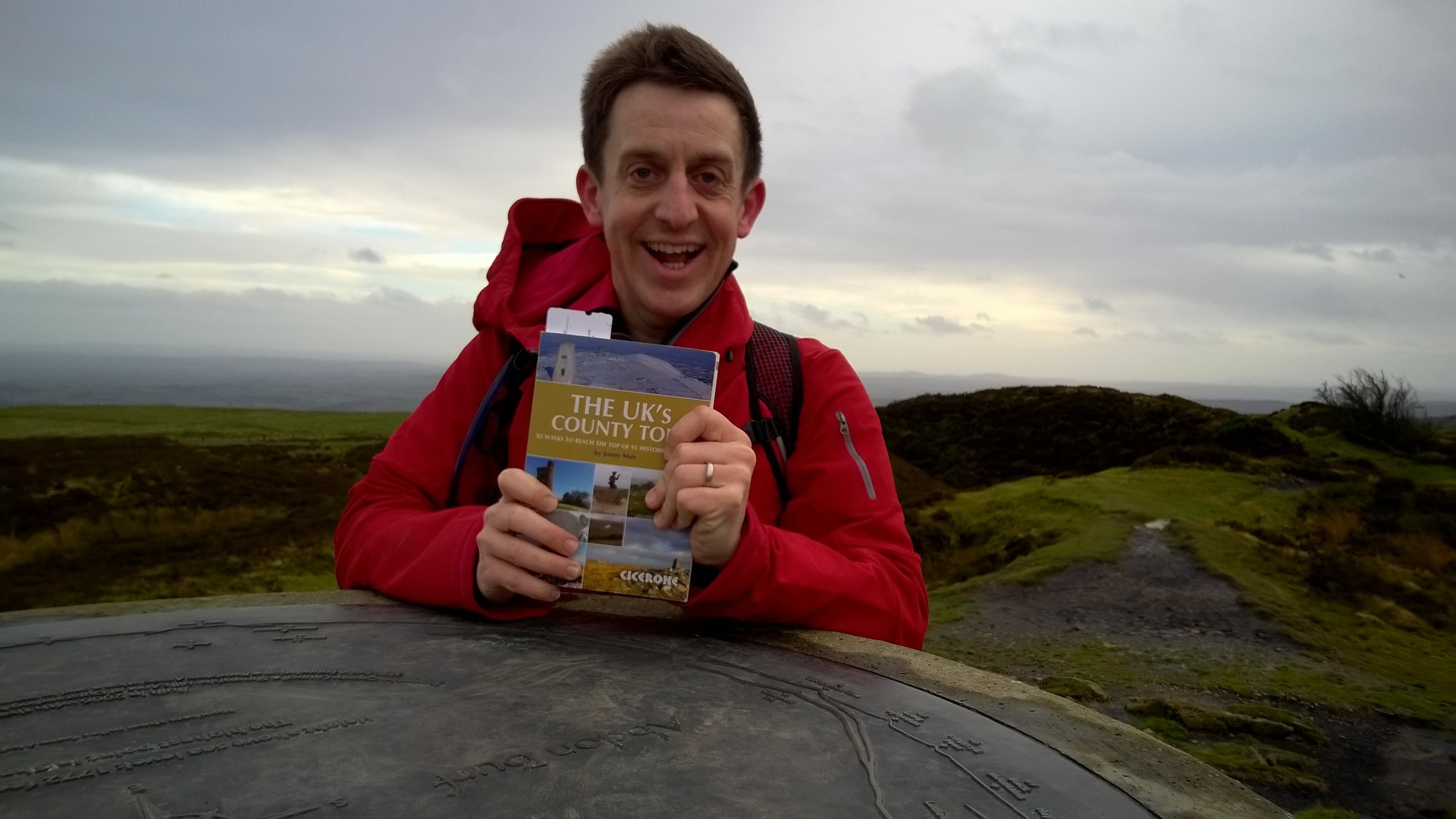
Guidebook: The UK's County Tops (Jonny Muir), Walking the County High Points of England (David Bathurst)
Links: Wikipedia, Peakbagger, Trigpointing
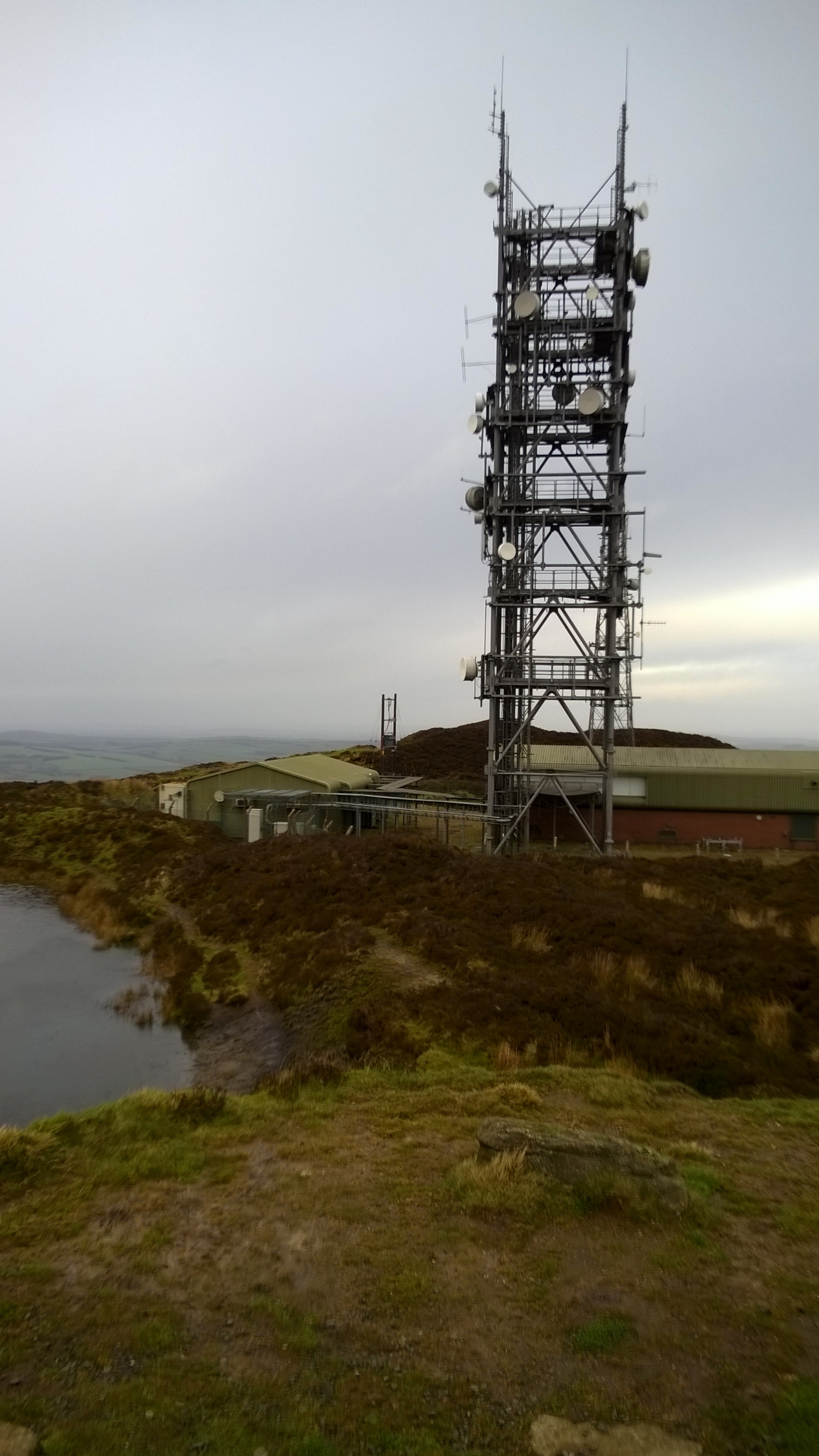
When planning a trip to Brown Clee Hill, don't be fooled that Google Maps shows you can drive all the way up the service Road to the transmitter. This would make it a 5 min walk, but the road is restricted and there's a locked gate where it meets the main road.
When you get to the forest there's a few routes up. We didn't find the one shown in the book, but it's not a problem as long as you're heading uphill. When you get to the open ground beyond the treeline, you'll easily see the transmitter at the summit. Take any safe path and you'll hit the service road, then he top is just to the south of the transmitter. We were there on New Year’s Eve and it was blowing a gale so we didn't hang around for long.
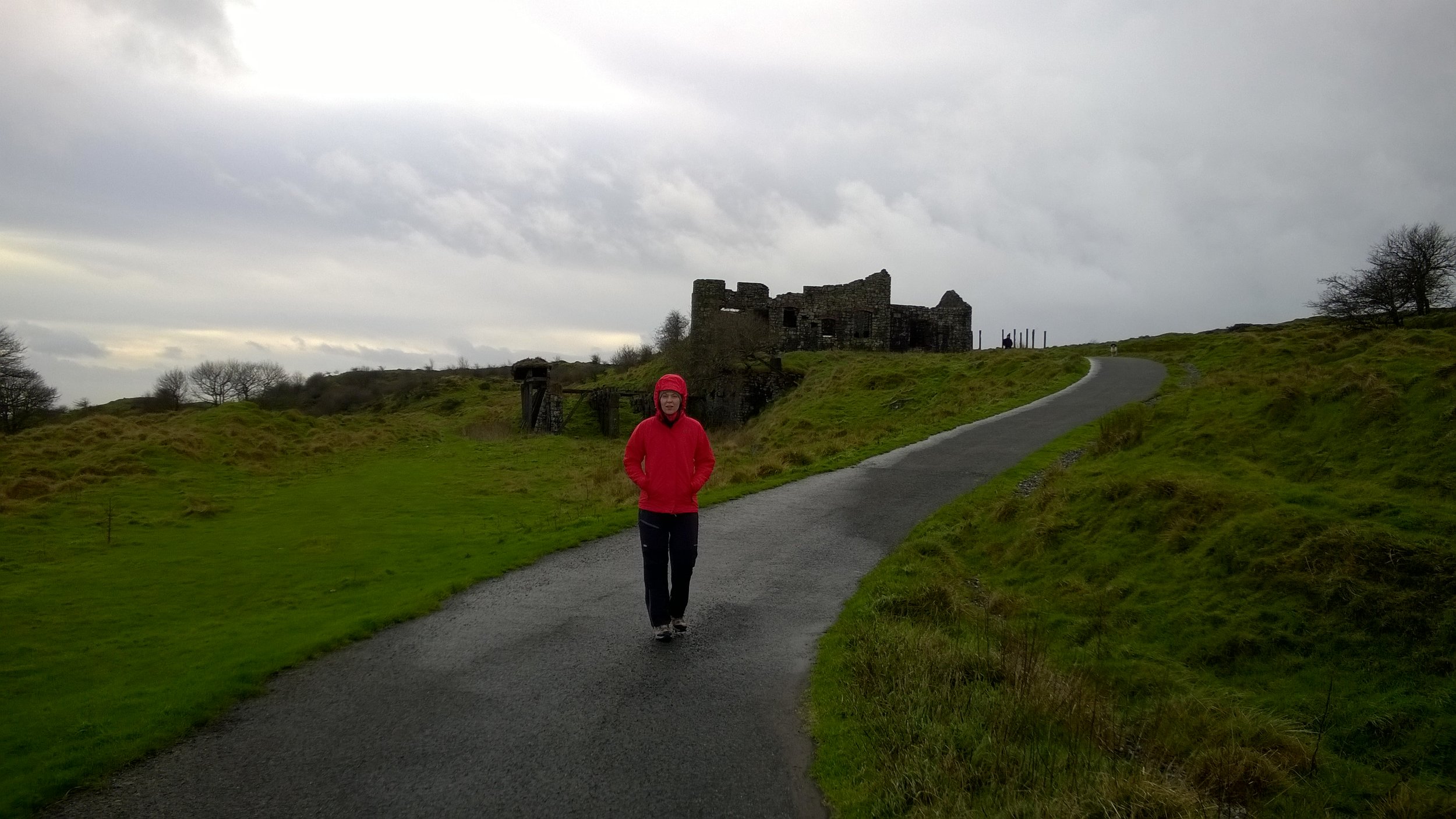
The descent was more easily navigable. We went back downtime service road for a few hundred metres and took the footpath right before the ruined building. At the treeline we turned left and took the bridal path for about 100 meters, re-entering the forest at a wooden gate. From there we followed a mountain bike trail back to the footpath at the bottom of the forest.
A short but pleasant walk, nice to blow off the cobwebs in the winter but best attempted on a sunny day.
OTHER HIGH POINT IN Shropshire
The Wrekin (407m) Telford & Wrekin Unitary Authority High Point: Peakbagger / Hillbagging


