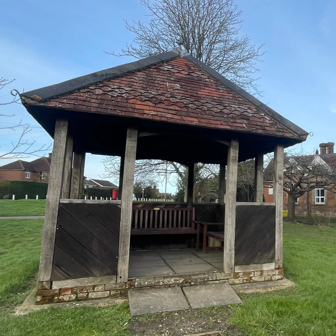
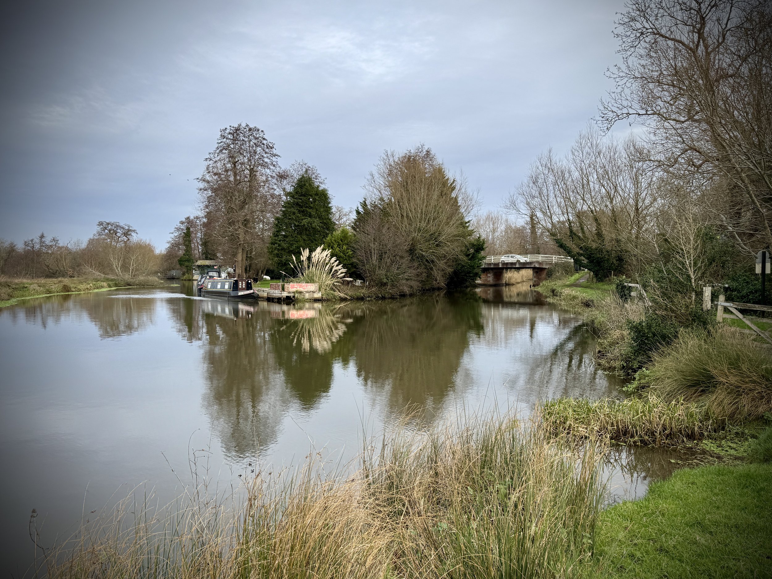
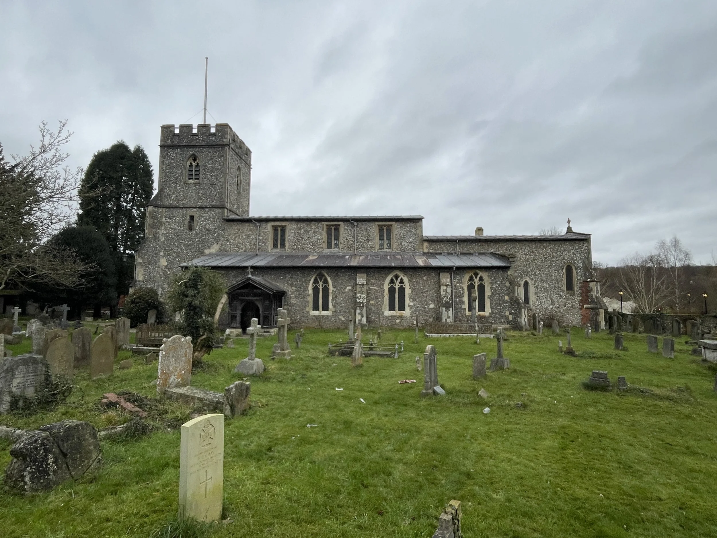
Woodbridge Crossing, Guildford
Start: Worplesdon Station, Woking, GU22 0RN
Finish: Guildford Station, Guildford GU1 4UT
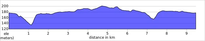
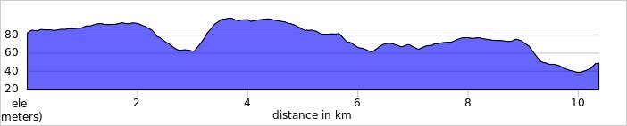
Distance: 11.9 km (7.4 miles)
Elevation Change: +/- 52m
GPX File: get via Buy Me a Coffee
Other Routes Touched (walk): Wey Navigation Footpath, The Fox Way
Other Routes Touched (cycle): Surrey Cycleway
Cafe / pubs on route: The Olive Tree (2.5 km in), The Row Barge (9.1 km in), Cafe at National Trust Dapdune Wharf (just off route at 11 km in), many in Guildford Town Centre at end
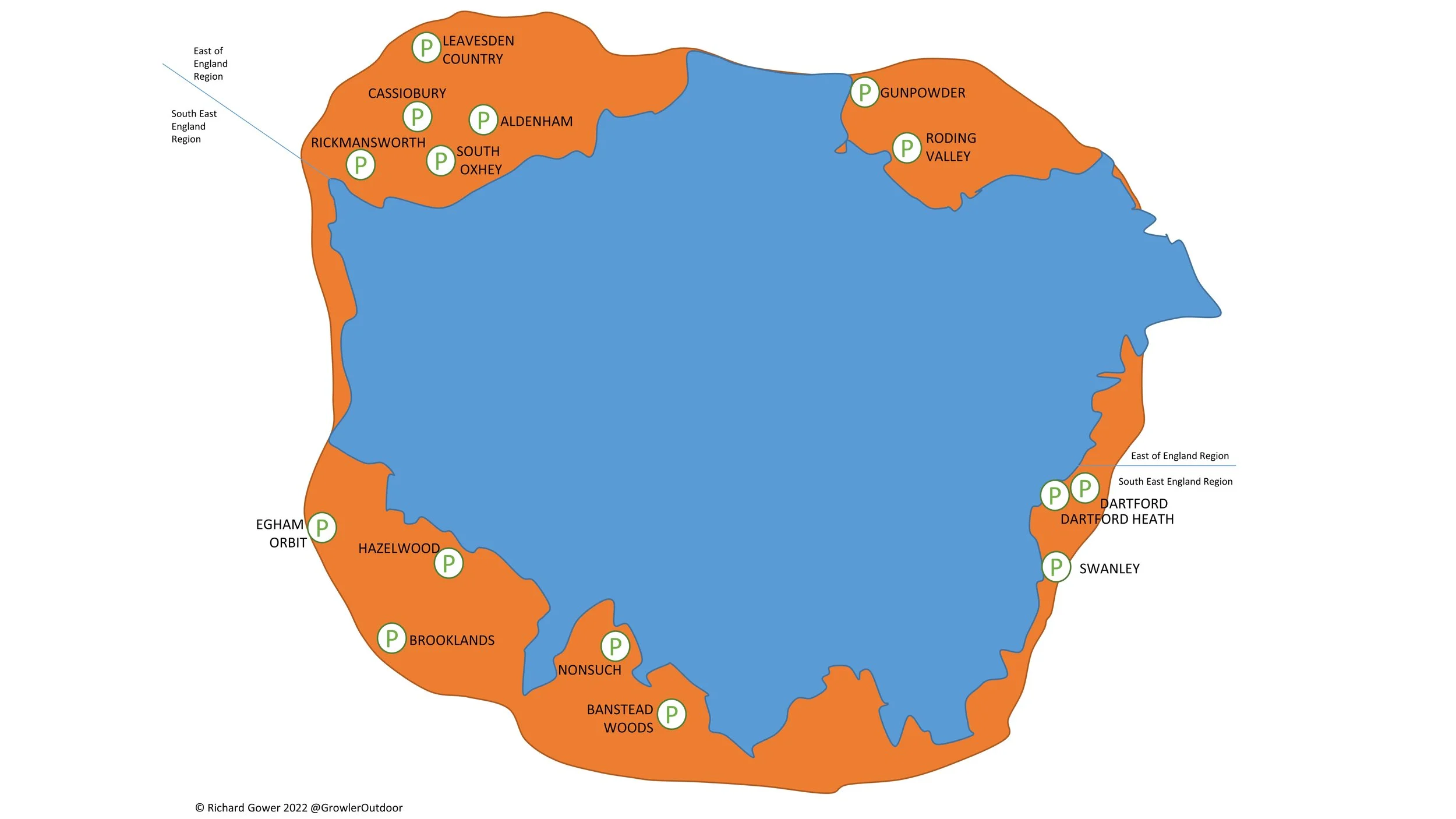
Map: Guildford & Farnham Map | Godalming & Farnborough | Ordnance Survey | OS Explorer Map 145
Links: Wey Navigation, River Wey, River Wey and Godalming Navigations (National Trust), Worpledon, National Trust Dapdune Wharf, Guildford
This is the seventh of a series of short circular walks along the River Wey and the Wey Navigation canal in Surrey. The guidance below will help you navigate but don’t use it as a fully accurate turn-by-turn guide. Always take a map and/or a GPX route and prepare well for the weather and terrain.
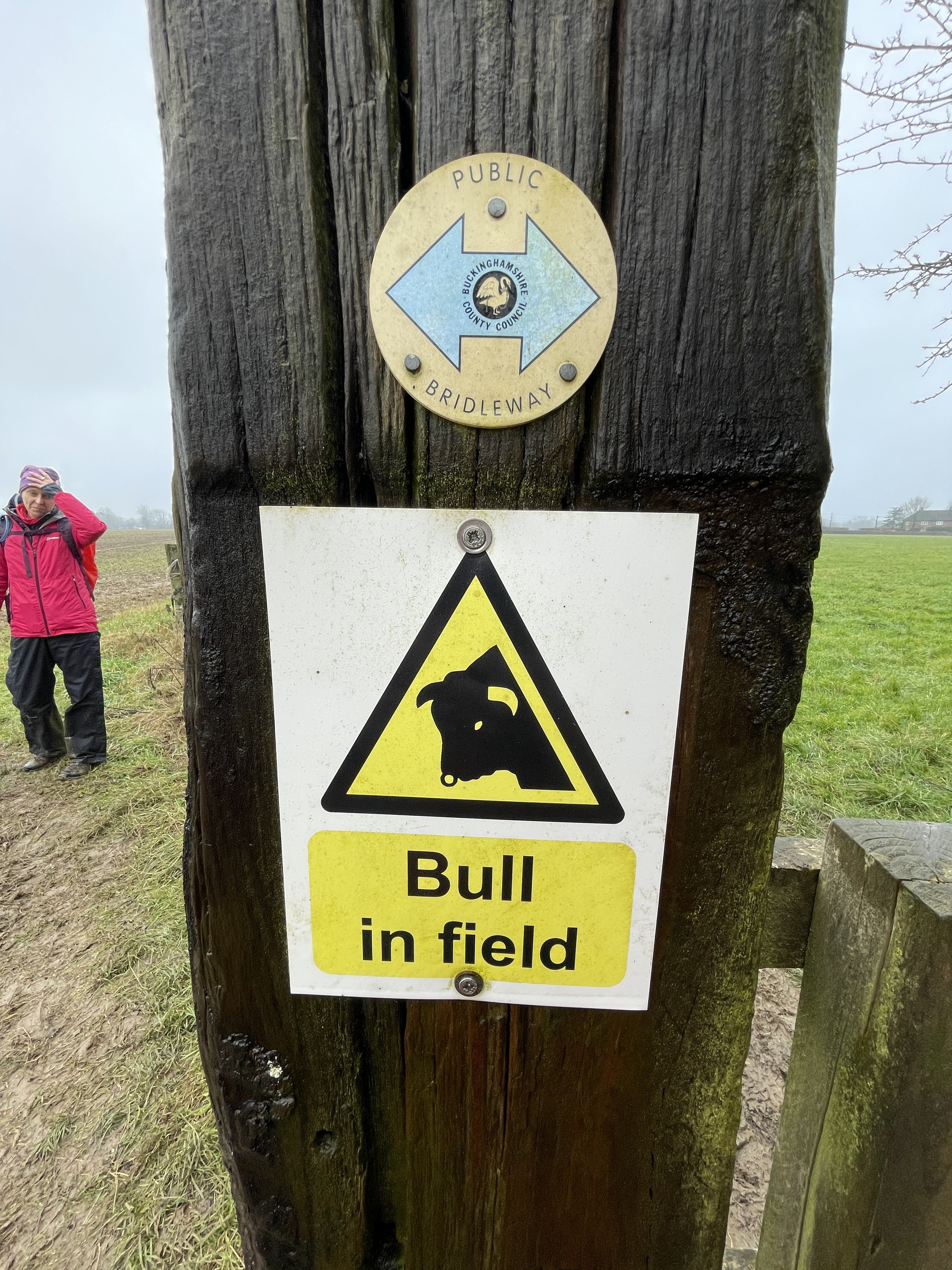
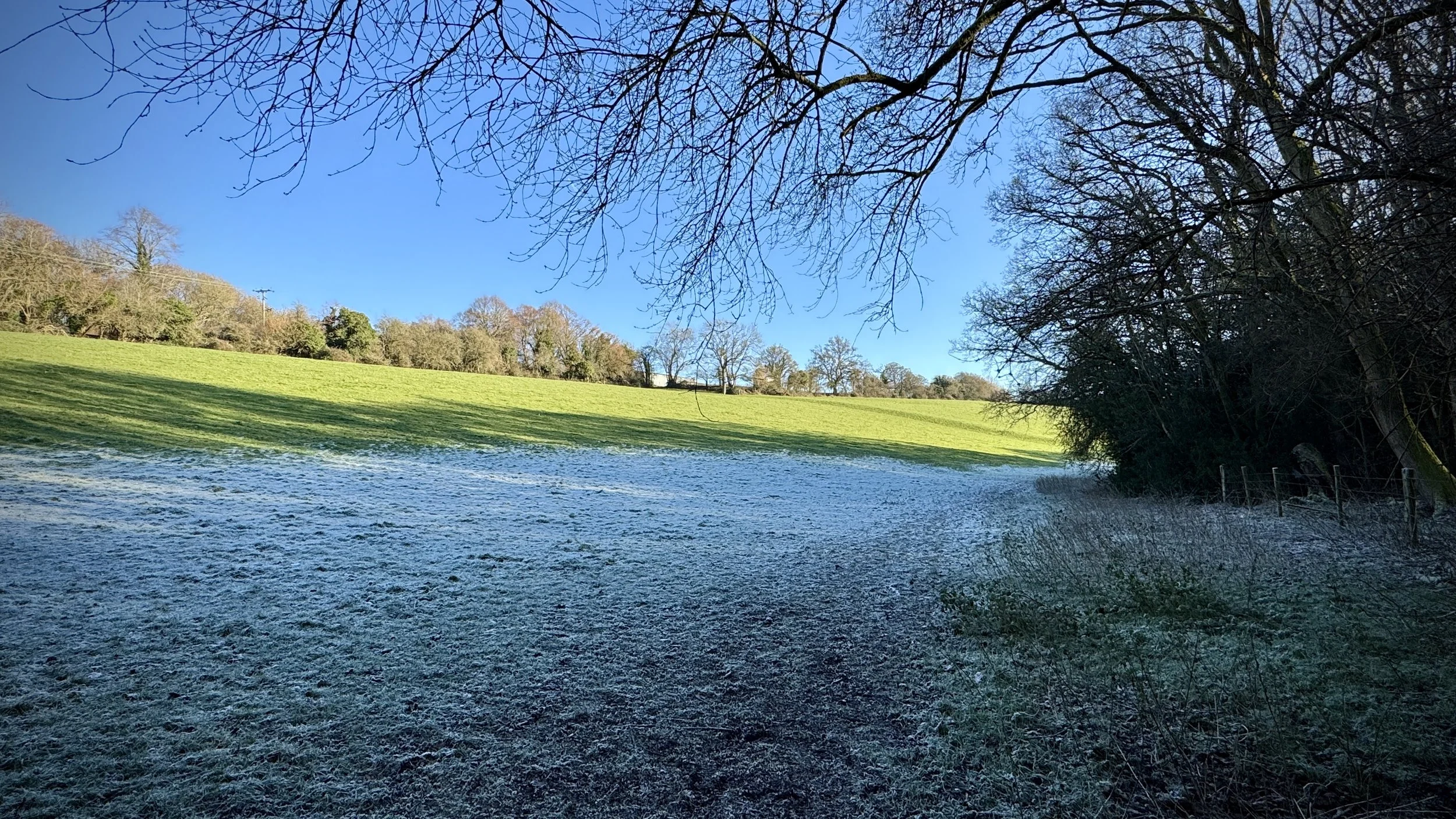
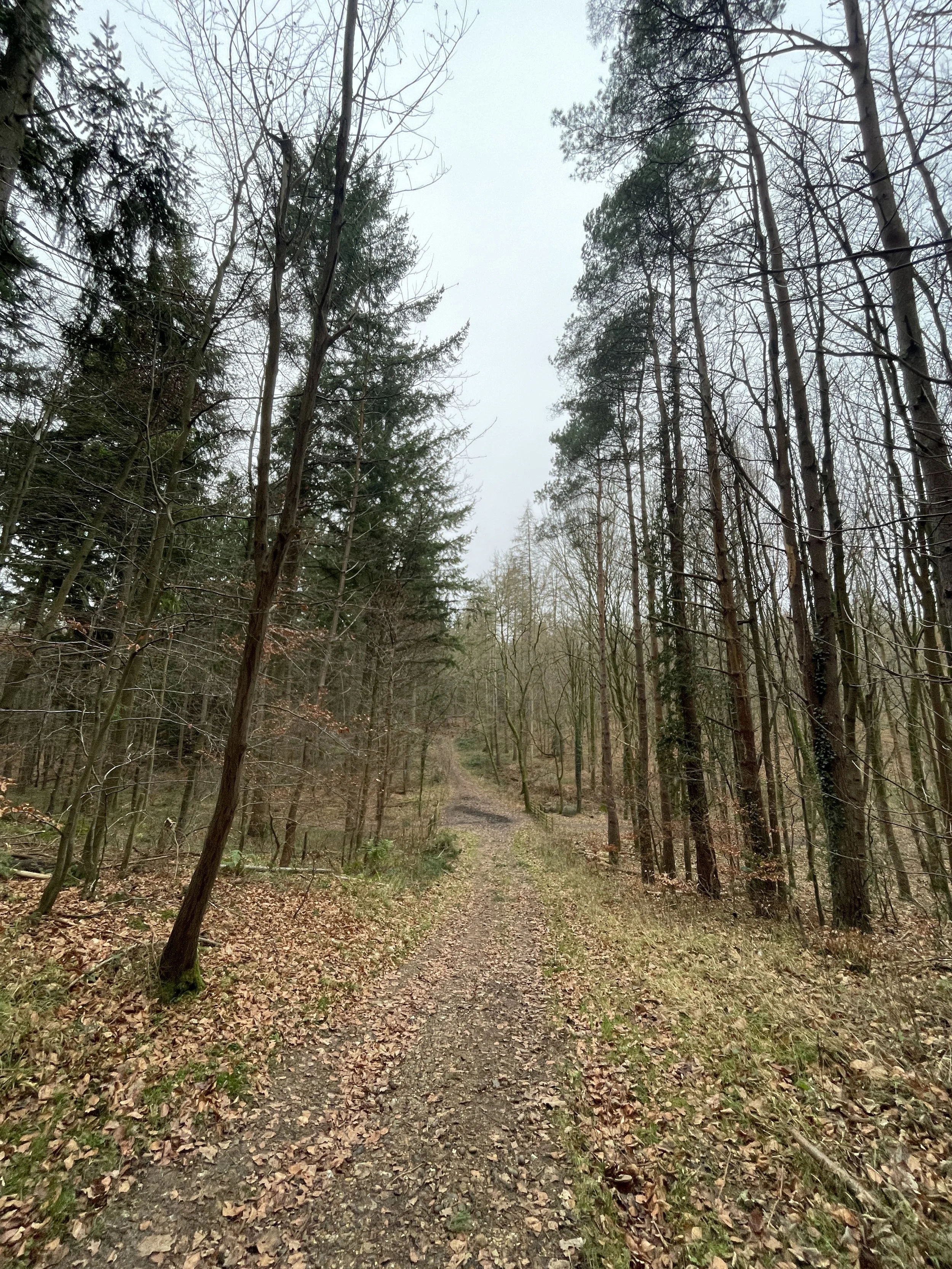
In a change to the circular routes of previous sections, this one is a station-to-station walk with a train connection between them. We parked near Guildford Station and took the train one stop north to start the walk at Worplesdon Station. From Worplesdon Station entrance walk north to meet Prey Heath Road and take a right. You’ll now be on the Fox Way which you’ll follow in an easterly direction until you reach the Wey Navigation between Sutton Green and Fell Hill. Note that the Fox Way isn’t well sign-posted so a map or GPX route is important here.
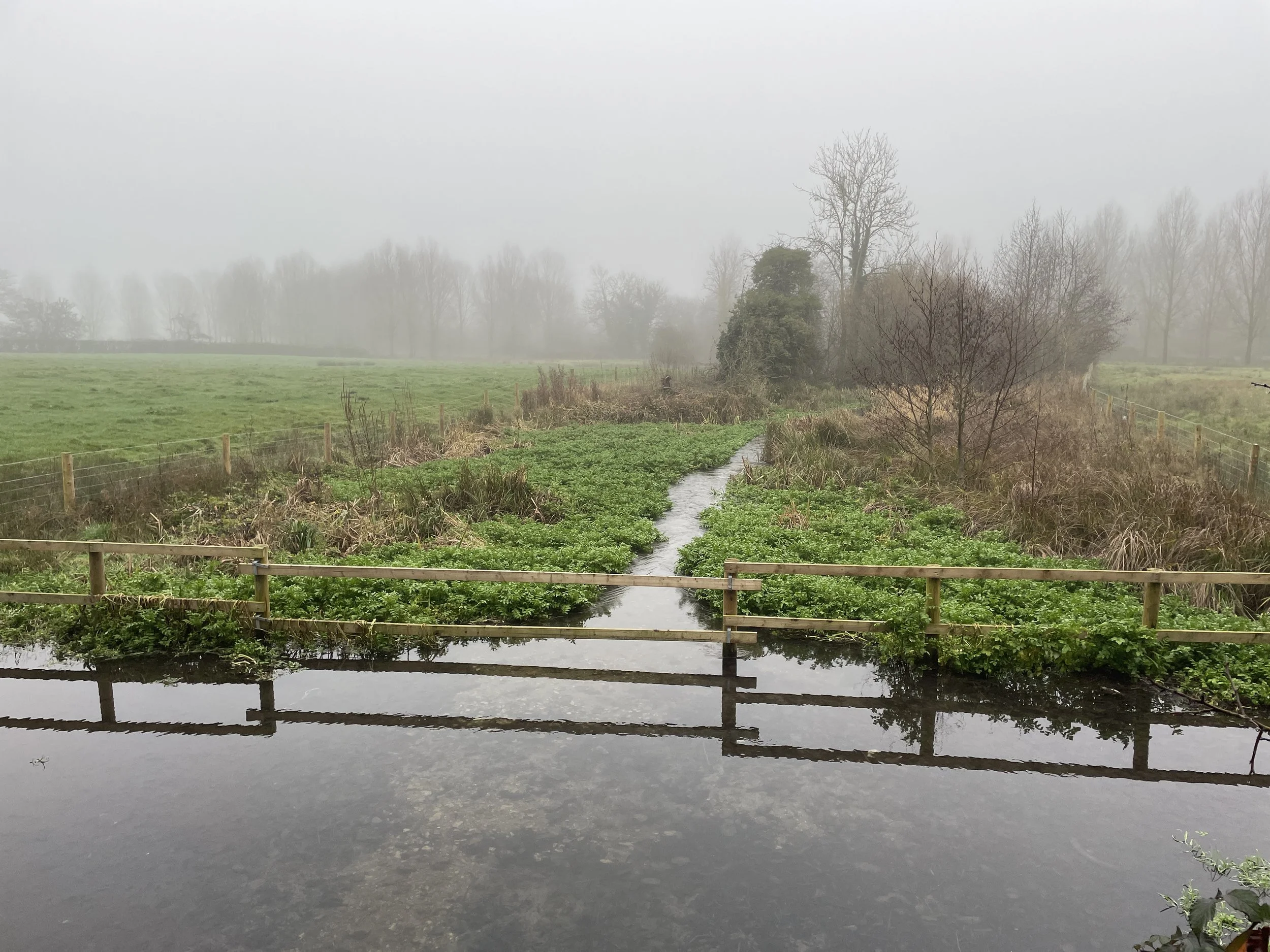
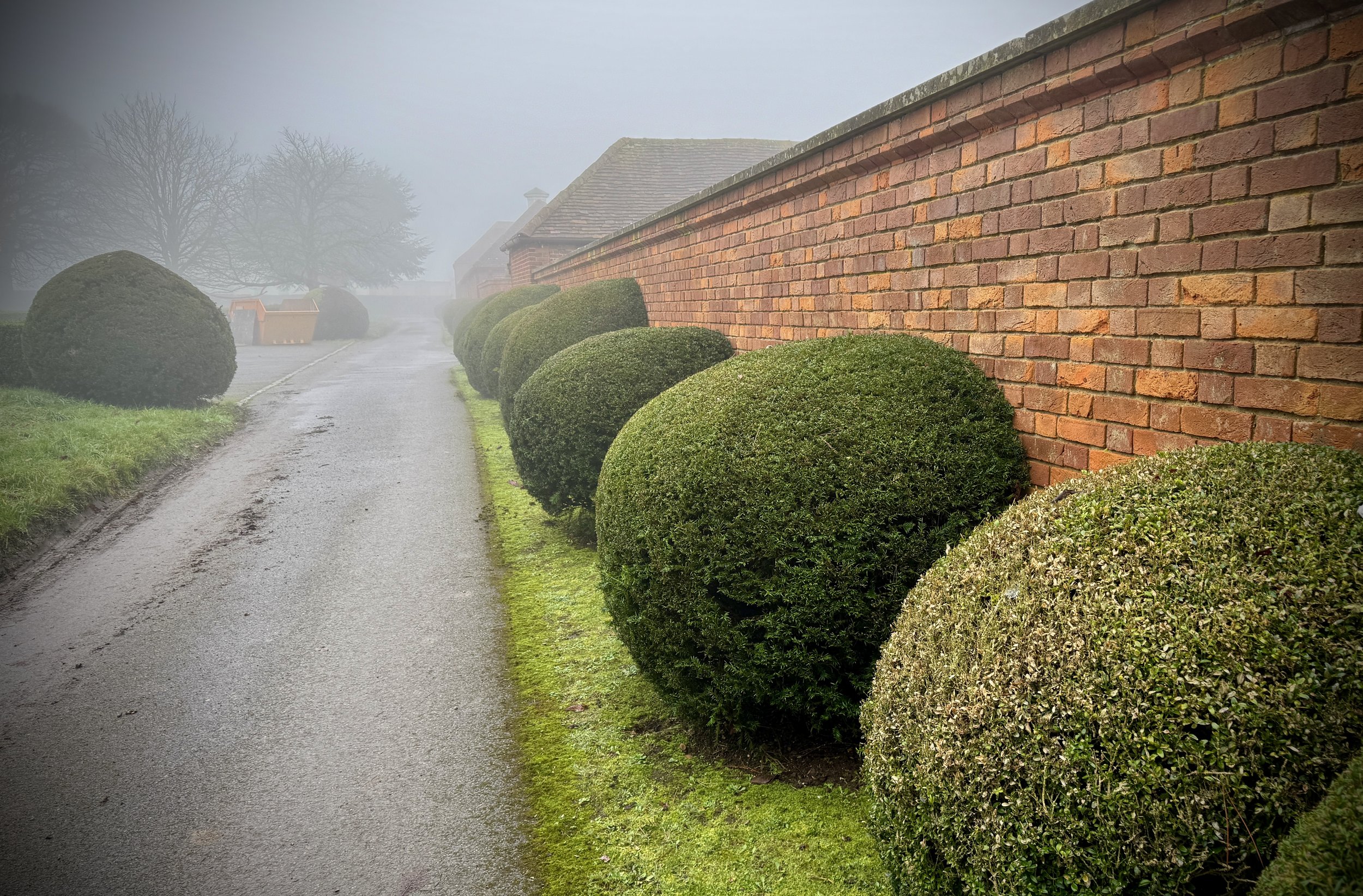
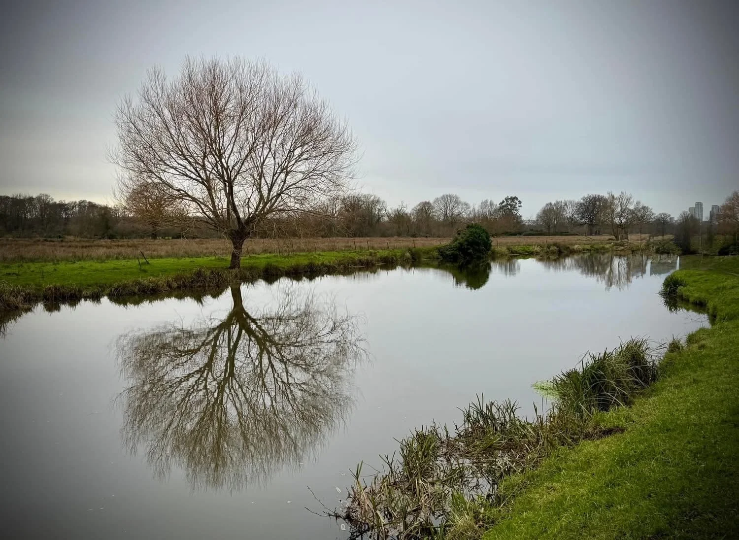
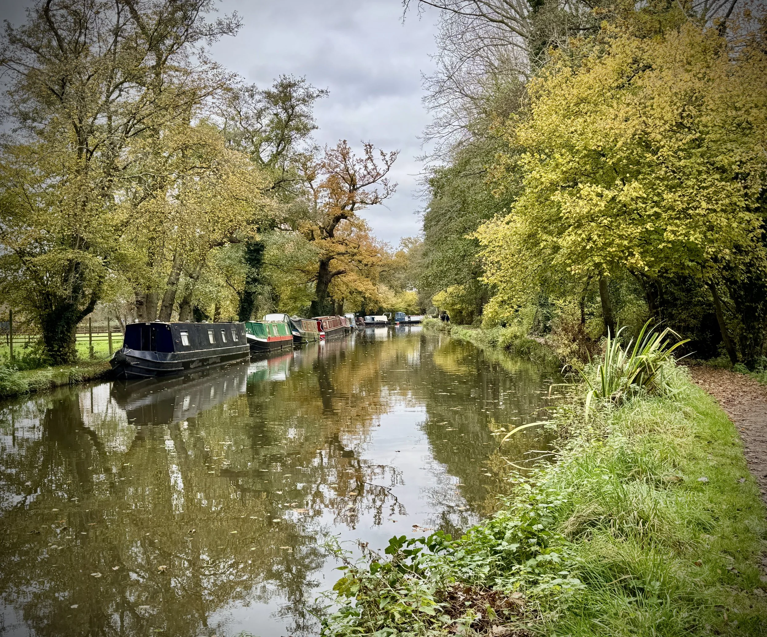
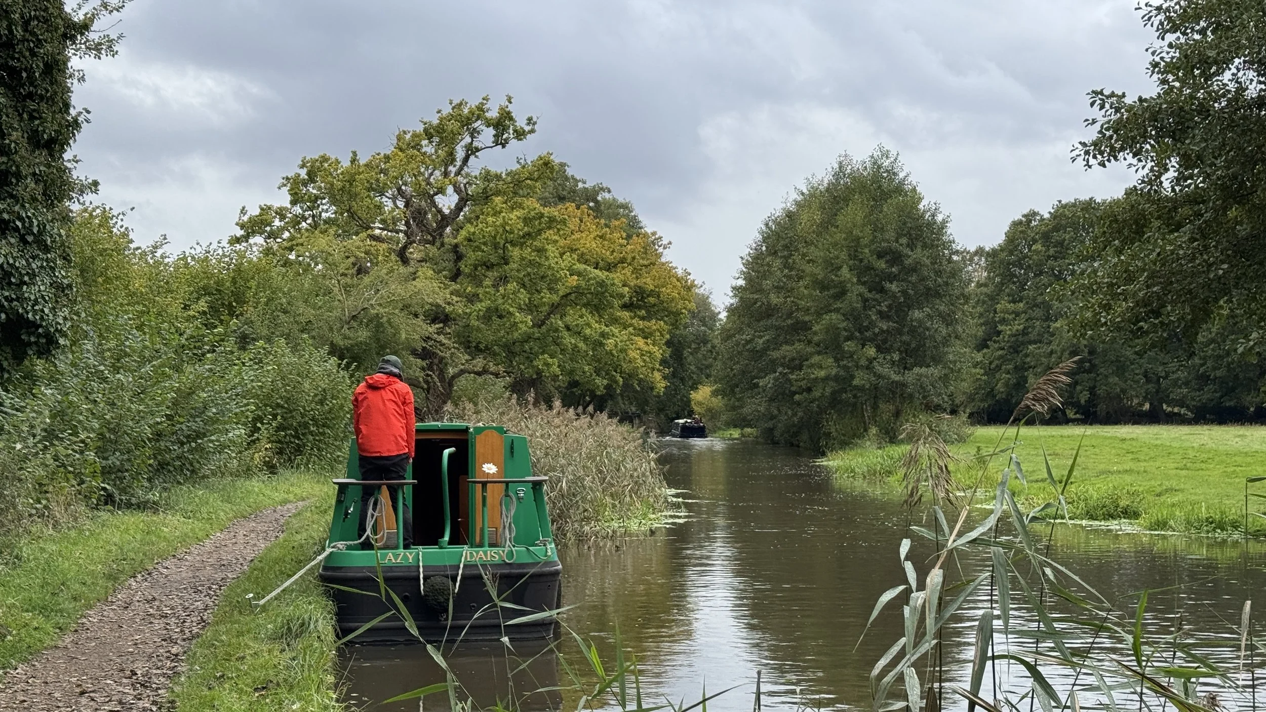
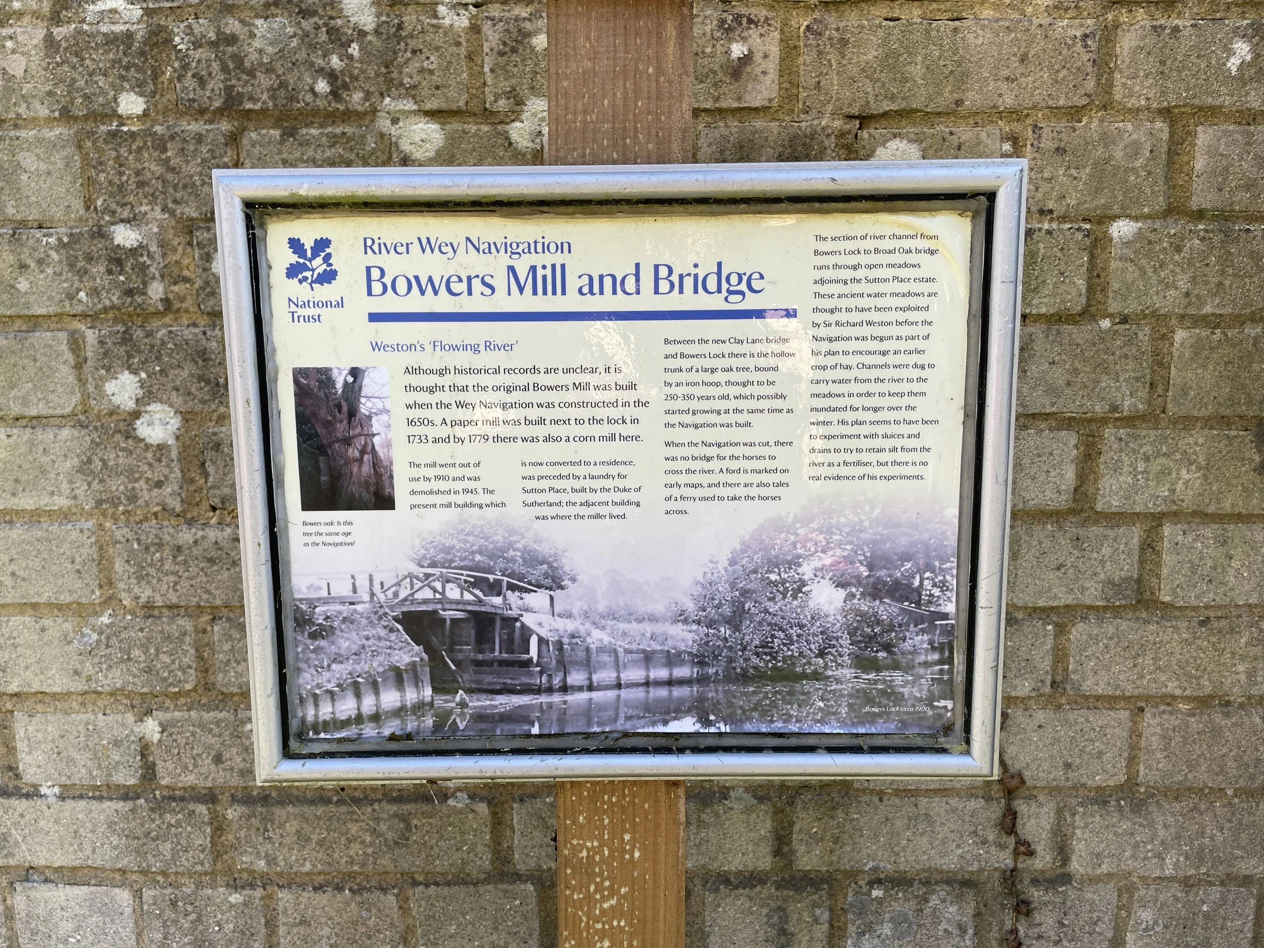
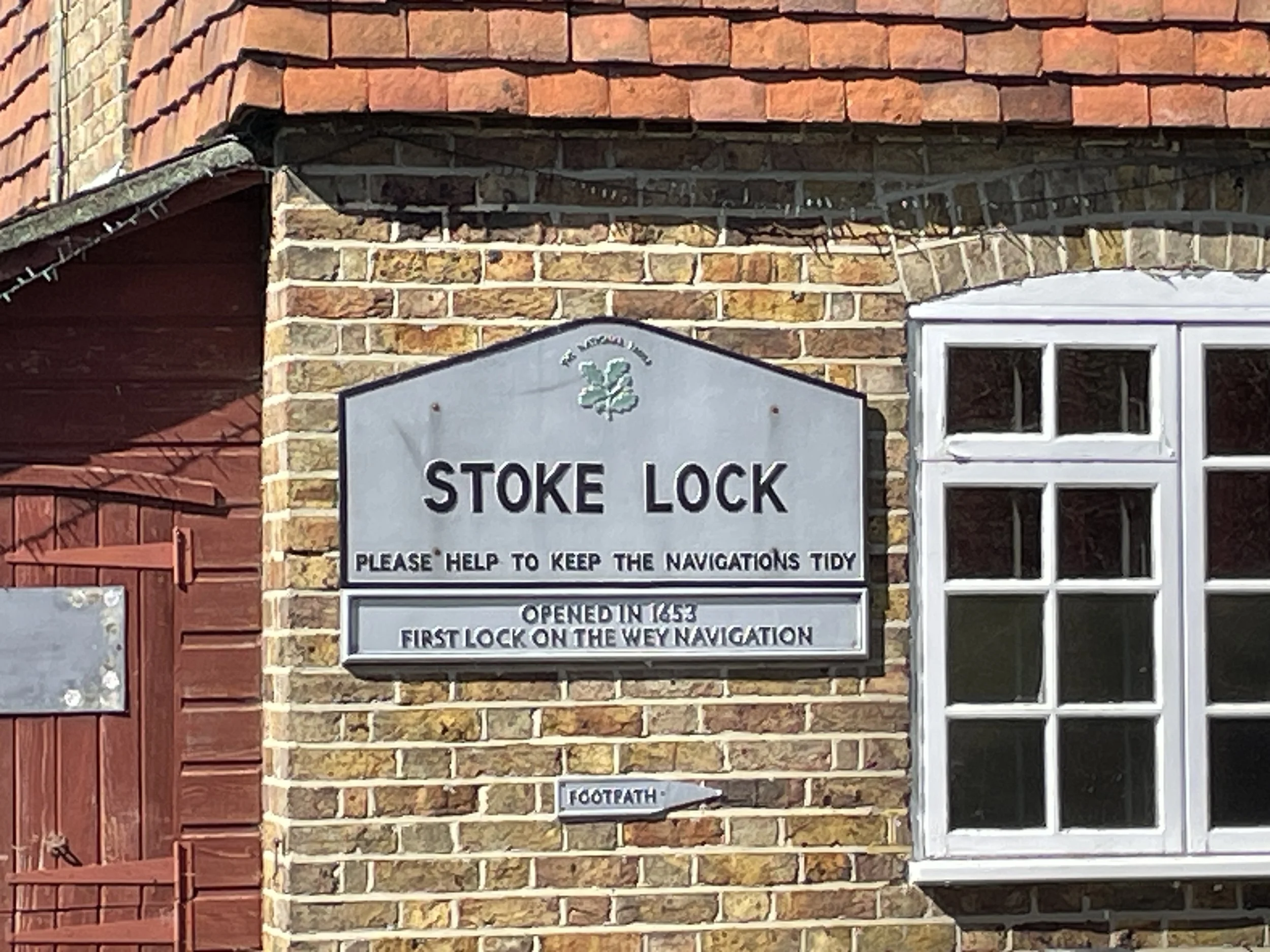
You’ll reach the Wey Navigation at the marshy island where section 6 left the canal. Cross over to the eastern side of the canal and take a right heading south. From here the rest of the route is very simple with 8.5 km of towpath walking all the way back to Guildford Station. When you get to the Woodbridge Crossing (as featured on the banner photo above), around 11 km in, it’s worth taking a short diversion over the footbridge to the National Trust property at Dapdune Wharf. There’s exhibitions about the Wey Navigation, a cafe and and old barge.


Previous section (north): Walking the River Wey Part 6: Newark Lane and Send
Next section (south): Walking the River Wey Part 8: Guildford to Godalming (Blog post coming soon)