Ebrington Hill: Warwickshire County Top
Significance: Highest peak in Warwickshire (Traditional CT)
Member of: N/A
Parent Peak: Cleve Hill. NHN = Bredon Hill
Elevation: 261m
Date climbed: 13th December 2013
Coordinates: 52°04′54″N 1°43′38″W
Route Start / End: layby near radio transmitter at junction of Cotswold Link and country road between Park Lane and Nebsworth Lane
Route Distance: 0.1 km (0.1 miles)
Route Elevation Change: +/- 0m
Subsidiary tops on route: none
GPX File: get via Buy Me a Coffee
Other routes touched (walk): Cotswold Link
Other routes touched (cycle): none
Map: OS Explorer Map (205) Stratford-upon-Avon and Evesham
Guidebook: The UK's County Tops (Jonny Muir), Walking the County High Points of England (David Bathurst)
Links: Wikipedia (Warwickshire), Wikipedia (Ebrington Hill), Peakbagger, Hillbagger
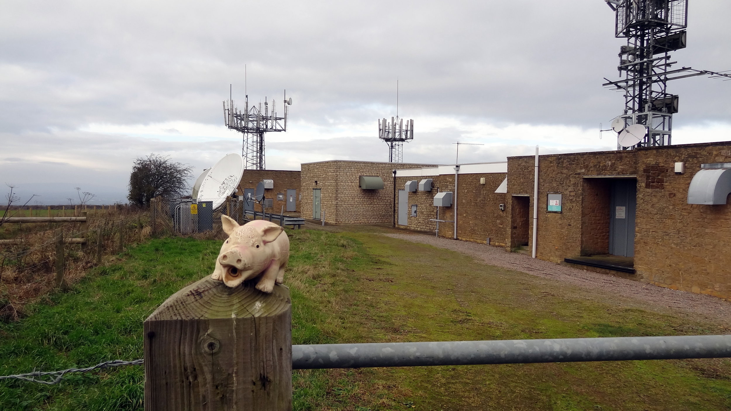
This County Top can be done as a very quick drive-by if, as I was, you’re short on time and on the way to somewhere else. There’s parking space for a couple of cars at the transmitter station. Don’t worry too much about whether you’ll find a parking space. You’ll soon find out when you get there why this isn’t one of England’s Top Ten tourist attractions.
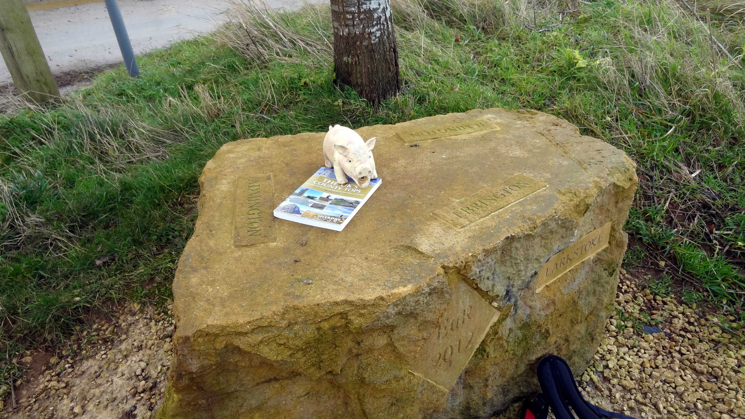
There’s a Queen Elizabeth Diamond Jubilee boundary stone by the transmitter. From here, cross the road following the Cotswold Link and take a bearing using the coordinates above to reach the high point of Warwickshire. Retrace your steps to the car, get in and drive somewhere more interesting.
If you have the time a more interesting way to bag this would be as part of a long distance walk on the Cotswold Link.