Walking The Disused Basingstoke Canal
Brick Kiln Bridge - Blackstocks Lane
Start: Festival Place, Church Street, Basingstoke, RG21 7LJ
Finish: Greywell Tunnel, 134 Hook Road, Greywell, Hook, RG29 1BY
Distance: 9.8 km (6.1 miles)
Elevation change: + 94m / -91m. Net +3m
GPX File: get via Buy Me a Coffee
Other routes touched (walk): Three Castles Path
Other routes touched (cycle): NCN 23
Pubs / Cafes on route: Lots at the start at Festival Place, plus The Hatch (4.1 km in) and The Fox and Goose at the end.
Map: Basingstoke, Alton & Whitchurch Map | Odiham, Overton & Hook | Ordnance Survey | OS Explorer Map 144
Links: Basingstoke Canal, Basingstoke, Old Basing, Up Nately, Greywell, Greywell Tunnel
The Basingstoke Canal is a navigable waterway that runs through Hampshire and Surrey. Originally built in the late 18th century to transport goods between Basingstoke and the Thames, the canal fell into disuse in the mid-20th century. The first 10 km from Basingstoke to the Greywell Tunnel is either completely lost or unnavigable. Most of the eastern side of the canal after is navigable albeit the first couple of km only suitable for canoes and paddleboards.
We completed the full length of the canal in 2 sections. The first section was a walk of the “lost” part from Basingstoke to Greywell and the section section a tow-path cycle ride from Greywell to the Thames.
The start is very easy to get to as the original Basingstoke Basin was under what is now the bus station at the Festival Place Shopping Centre. There’s also a large car park and the train station is also closeby. Start at the Festival Place food court on the eastern side of the shopping centre and take the path under Festival Way into Eastrop Park. You’ll soon be walking next to one of the branches of the River Loddon which the canal used to track for some of its length. Continue through the park, passing under the A339 bridge and into open fields until you meet Redbridge Lane. This is named after the, now buried, Red Bridge which is the first visible sign of the old canal. Take a left onto Redbridge Lane then a right into a small car park where you can continue east on a path parallel to Redbridge Lane, then through Basingstoke Common to Crown Lane.
Take a right onto Crown Lane, then onto Hatch Lane and follow it to the junction with the A30 at the Hatch Pub. This is a good place to stop for a rest and a drink before the final section. After the Hatch cross over the Lyde River and through a small industrial estate to cross over the M3 on a pedestrian bridge. The next 3 km meander through small country lanes and paths to reach Greywell Road near Up Nately. After Greywell Road you’ll be walking next to the canal with water in it for the first time. After ~800m you can take short diversion up the Nately Brickworks Arm. Per Wikipedia: “Bricks from Up Nately were also supplied to local builders in towns along the Canal and accounted for half of the traffic in bricks using the canal. To fire the kiln, about fifty tons of coal per week were supplied by barge from Basingstoke”. The brickworks are long gone and replace by large canal-side houses.
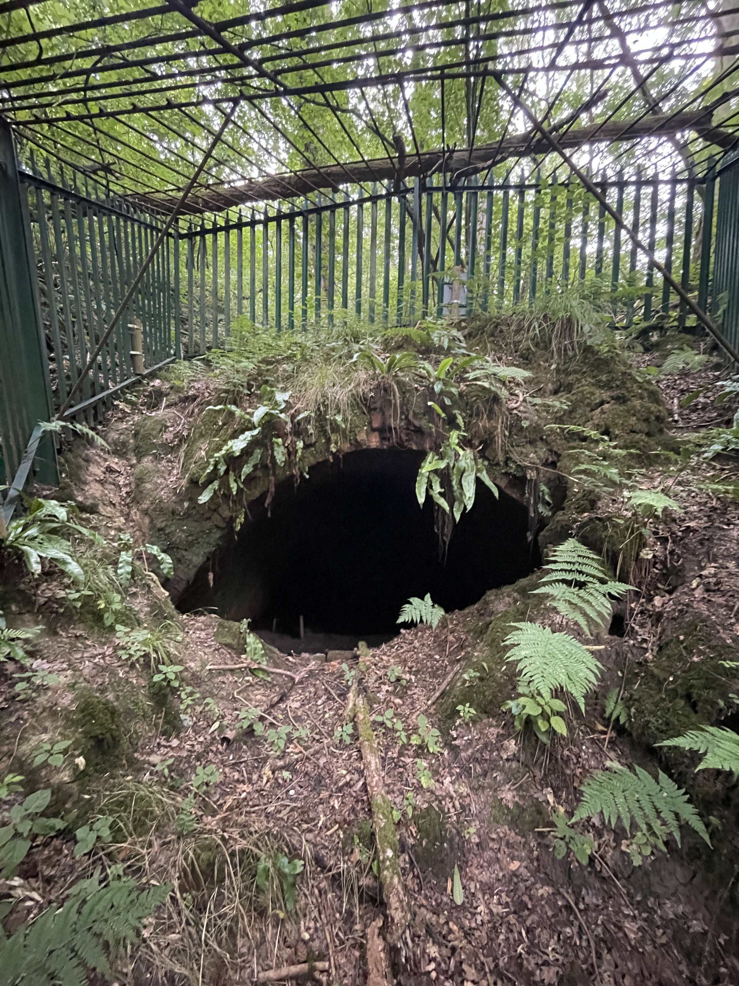
Return to the main course of the canal and continue east for just under 1 km to the entrance of Greywell Tunnel. It’s now gated off to protect the bats who now call it home. Cross over the top of the tunnel entrance to the southern side to pick up a footpath that runs parallel to the route of the tunnel. The path ends at Hook Road in-between the eastern portal of the tunnel and the Fox and Goose pub.


