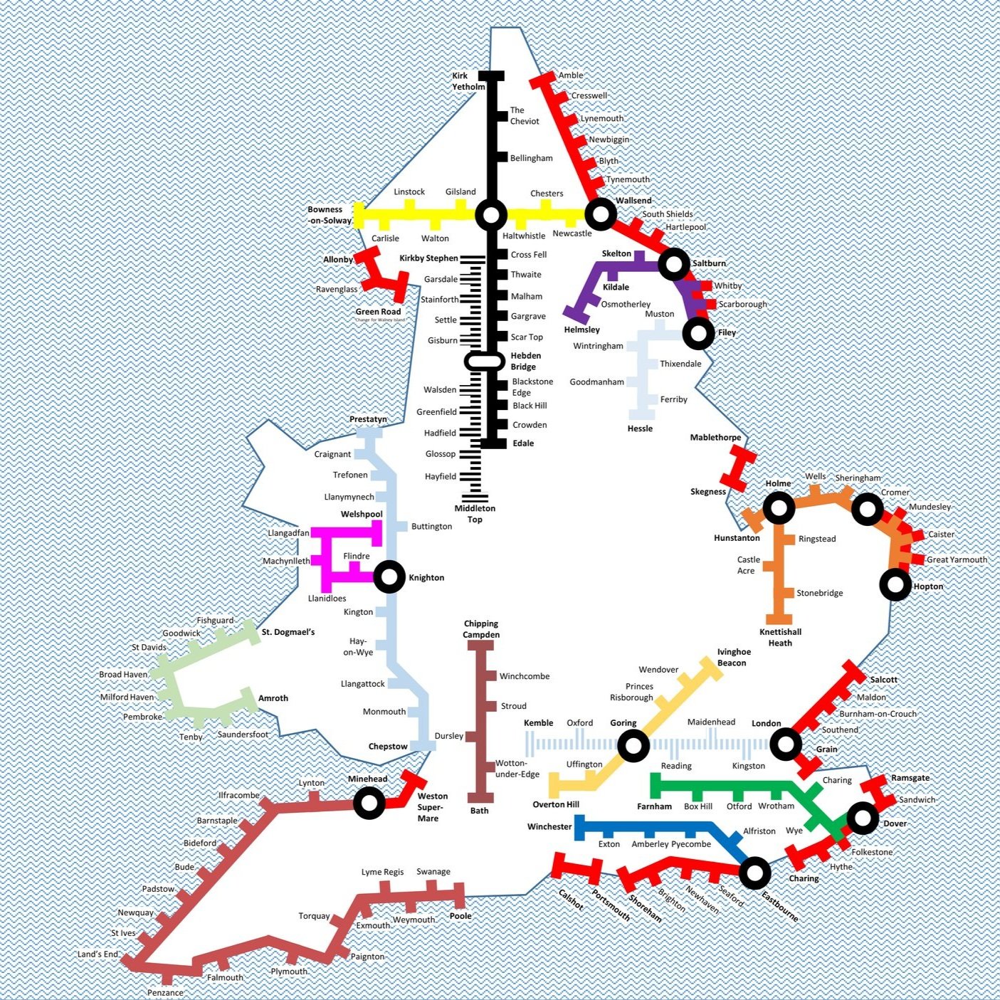
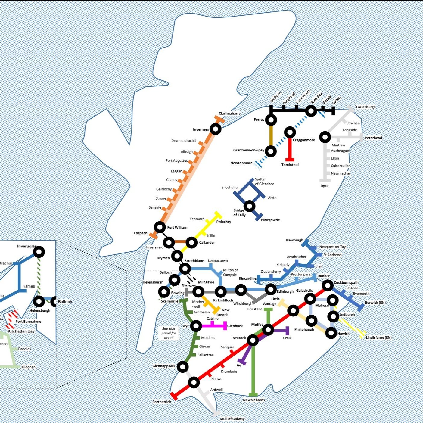
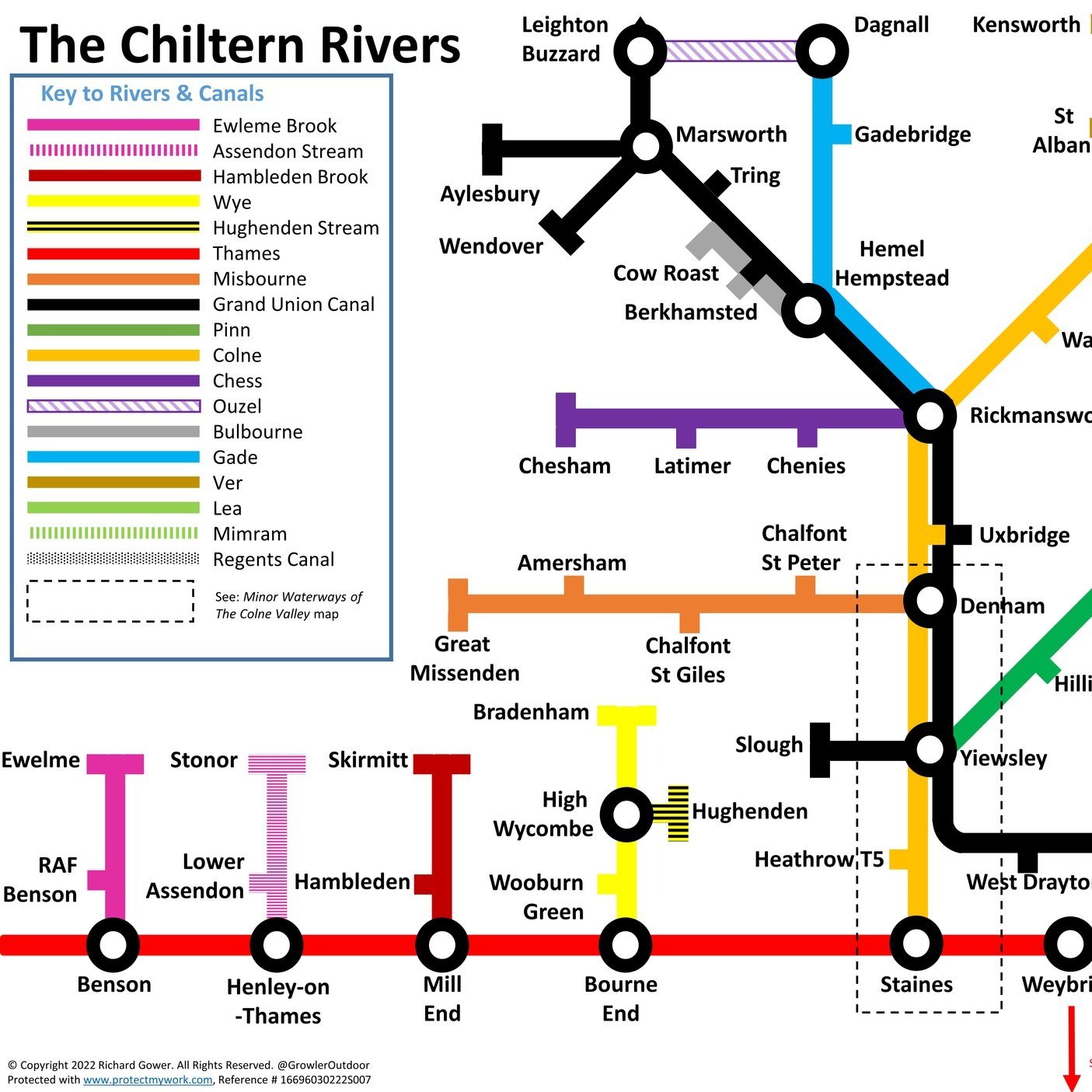
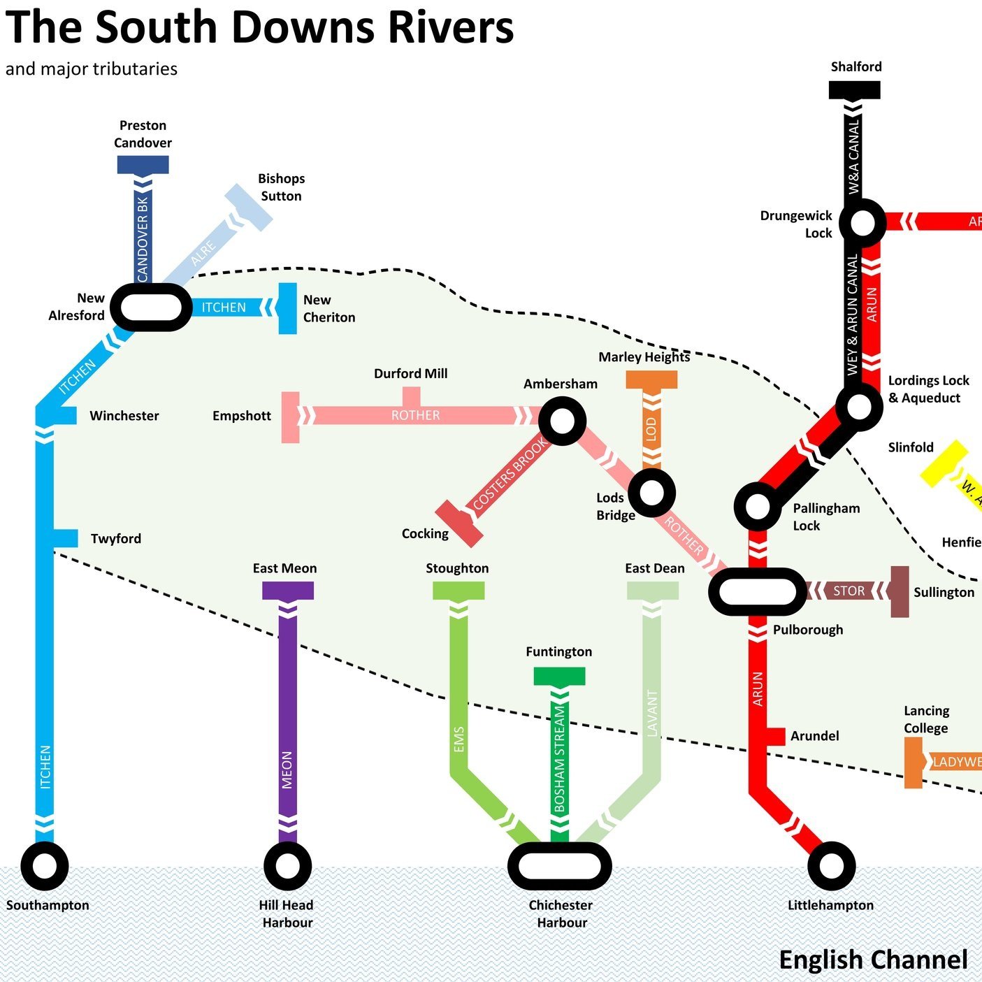
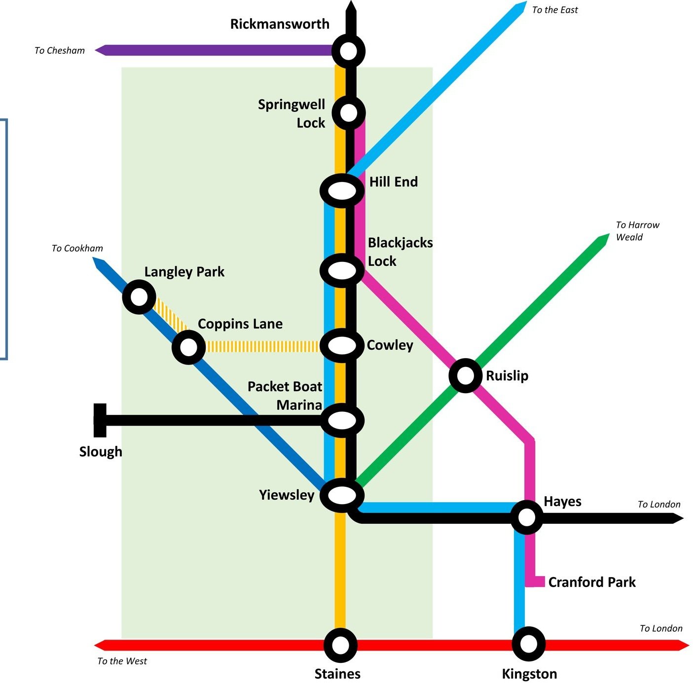
Here’s a Tube-style map of the rivers of the Brecon Beacons (Bannau Brycheiniog in Welsh). Let me know if you spot any mistakes and I’ll donate £1 per correction to one of my causes. If you would like a printable PDF version, please Buy Me a Coffee and send me your e-mail via the Contact page. All copies for personal, not commercial use.
Significance: Highest peak in Carmarthenshire (Historic CT)
Member of: N/A
Parent Peak: Fan Brycheiniog. NHN = Fan Brycheiniog - Twr y Fan Foel
Elevation: 781m
Date climbed: April 4th 2015
Coordinates: 51° 53' 14'' N, 3° 42' 49'' W
Route Start / End: Llyn y Fan Fach Car Park, Llanddeusant SA19 9UN
Route Distance: 9.9 km (6.1 miles)
Route Elevation Change: +/- 540m
Subsidiary tops on route: Bannau Sir Gaer (Picws Du), Waun Lefrith
GPX File: get via Buy Me a Coffee
Other routes touched (walk): Beacons Way, South Wales Traverse
Other routes touched (cycle): None
Map: OS Explorer OL12 Brecon Beacons National Park - Western & Central Areas
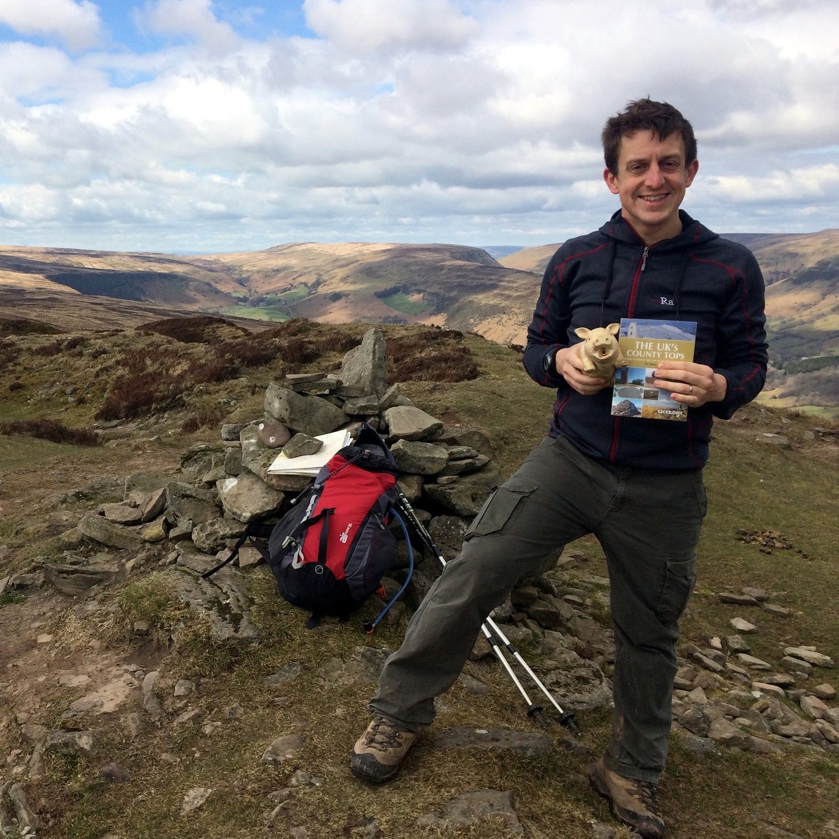
Guidebook: The UK's County Tops (Jonny Muir)
Links: Wikipedia (Carmarthenshire), Wikipedia (Fan Brycheiniog), Peakbagger, Hillbagging
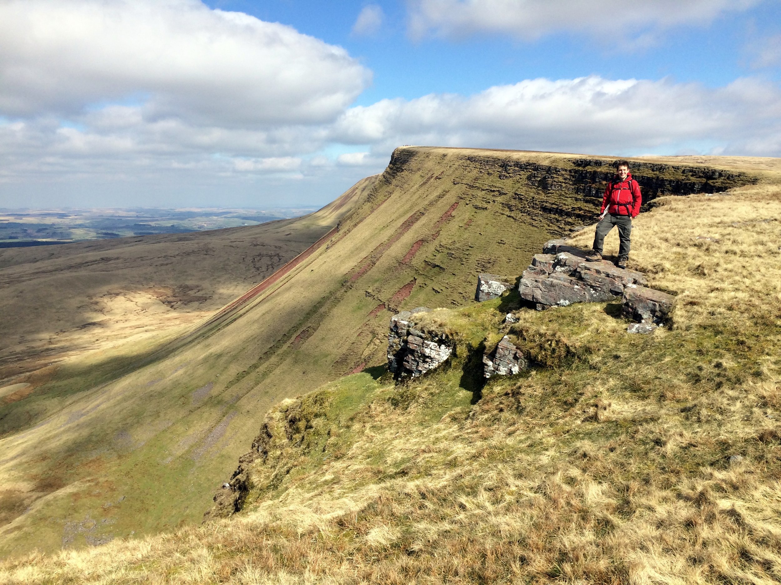
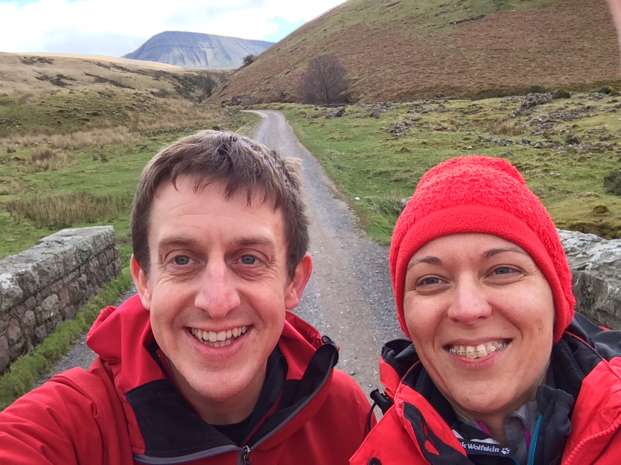
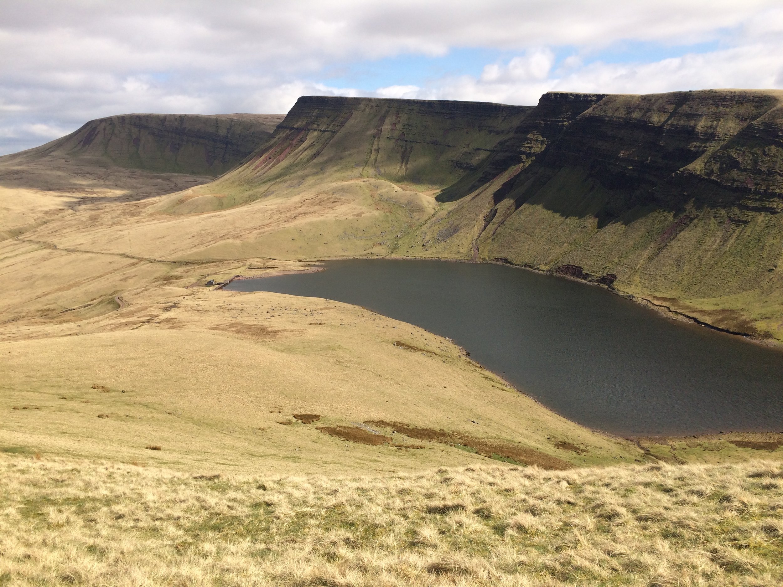
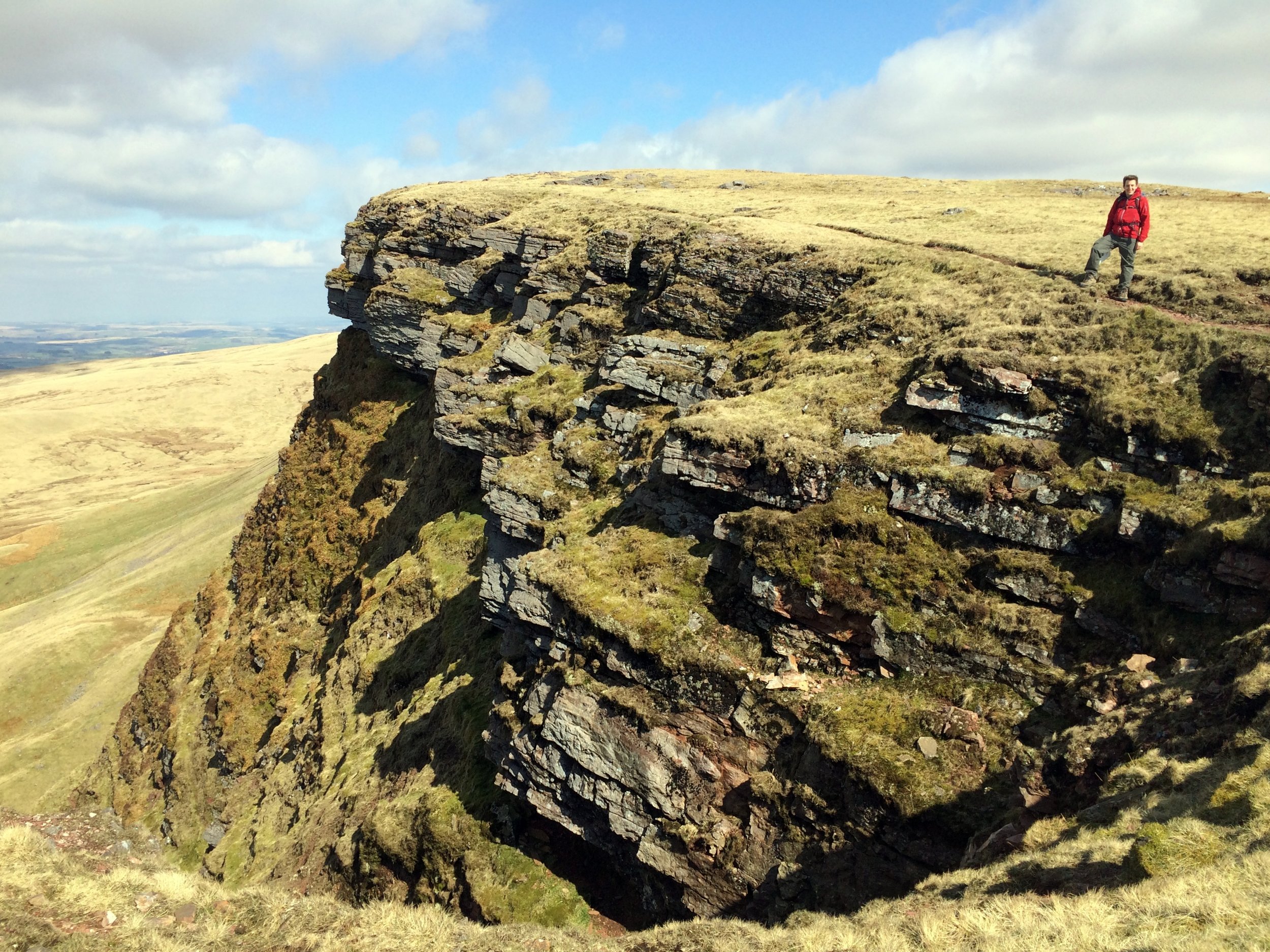
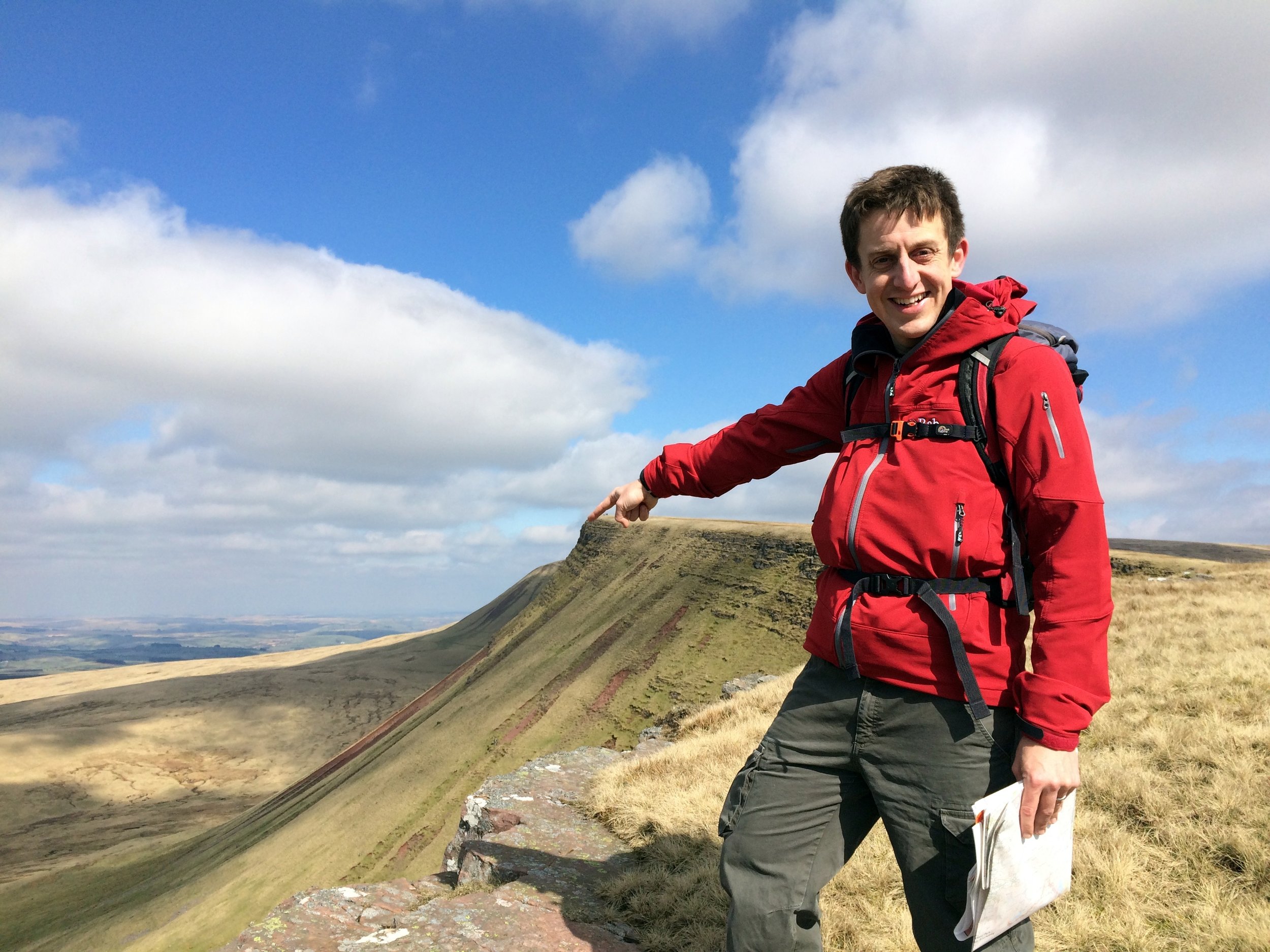
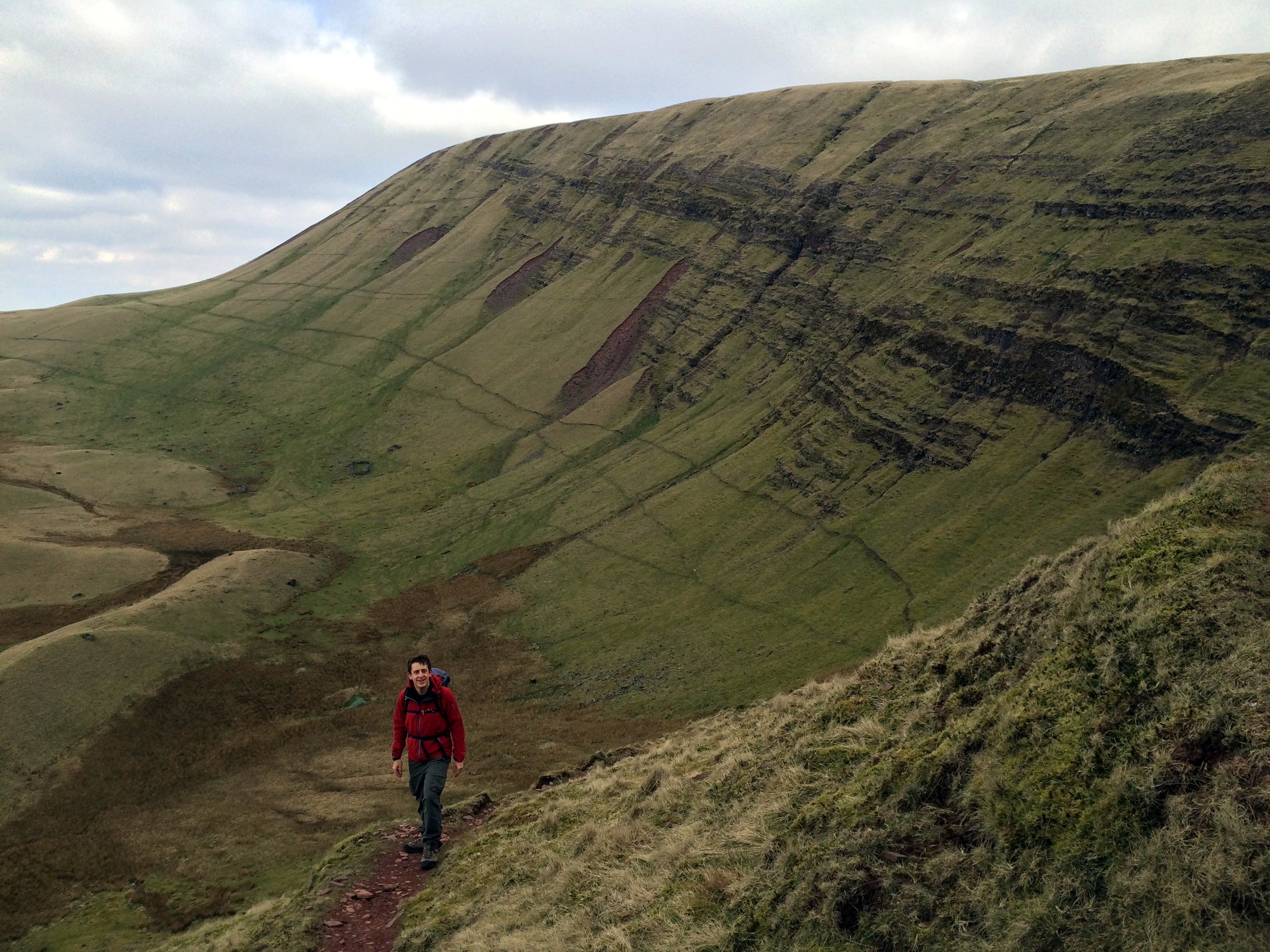
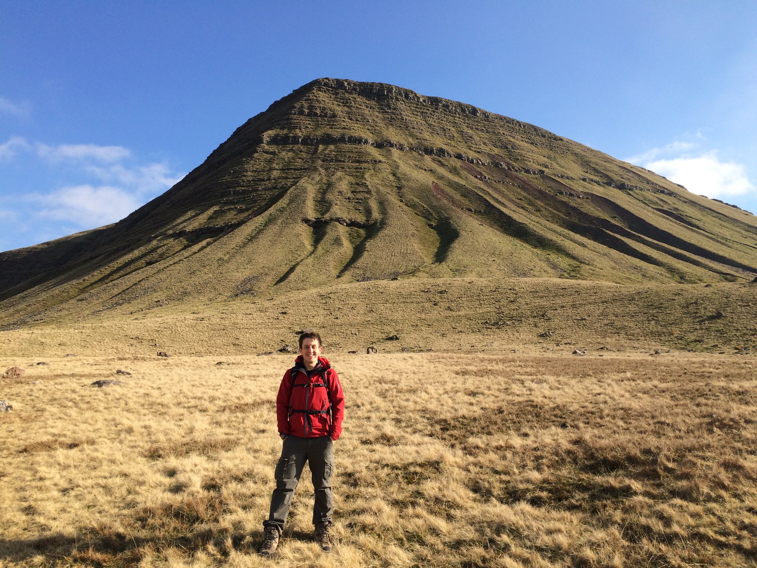
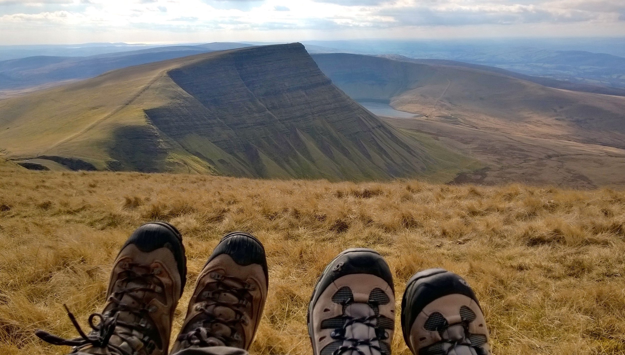
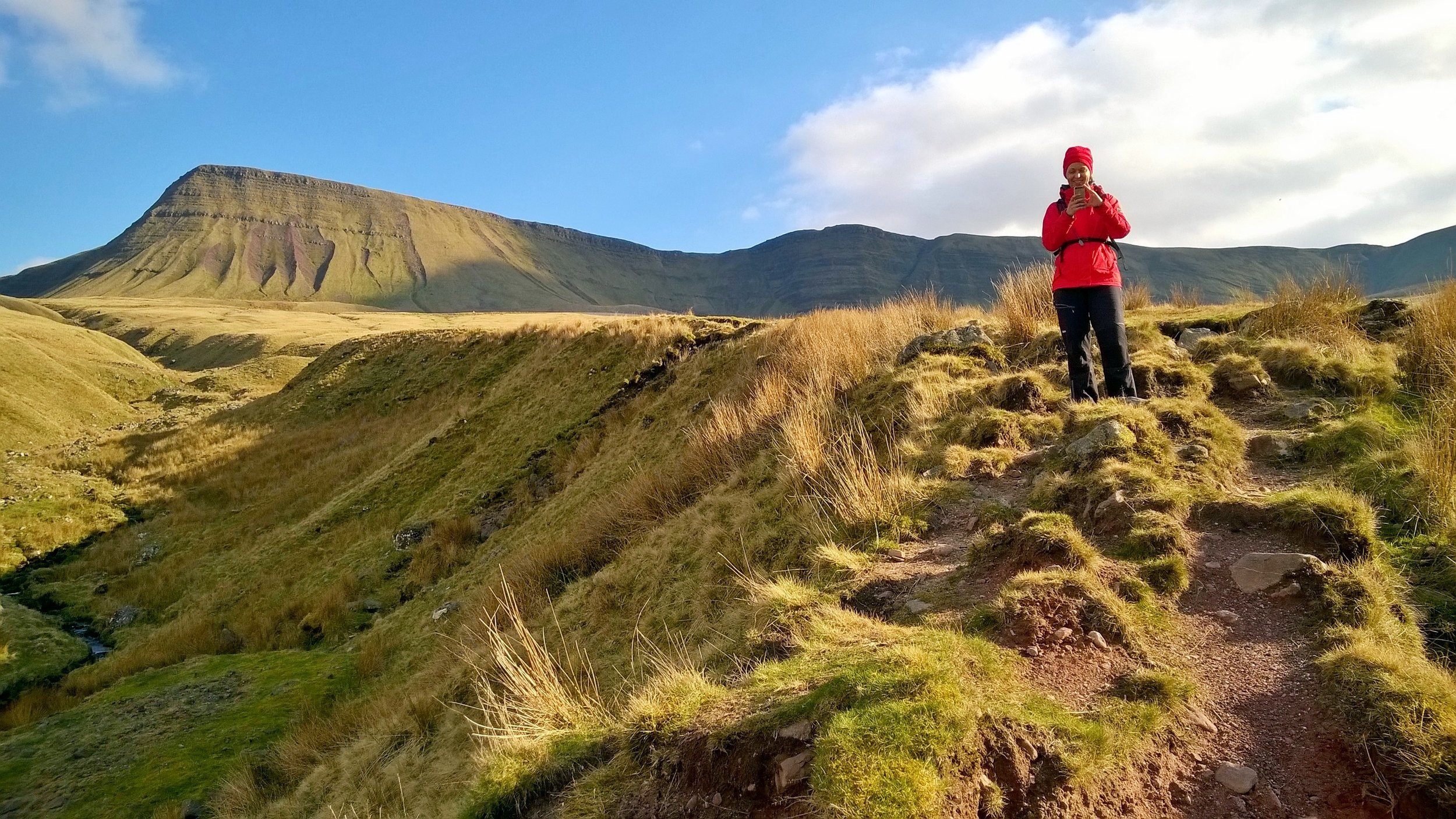
This one is the highest peak in Carmarthenshire but only counts as a sub-peak of Fan Brycheiniog so it doesn’t count as a Marilyn, Nuttall or Hewitt in its own right. Looking back on this one I wish I’d made the extra effort to bag the higher peak too. Even so, this was an amazing walk on a clear spring day with views for miles. It was much less crowded than the Brecon Beacons too.


