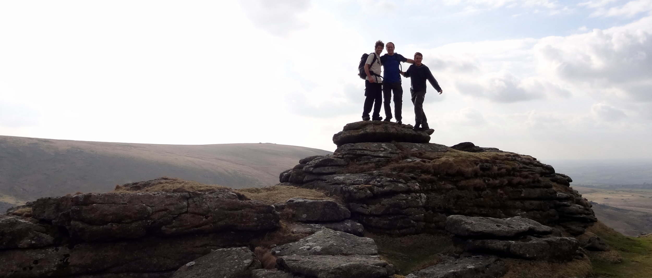
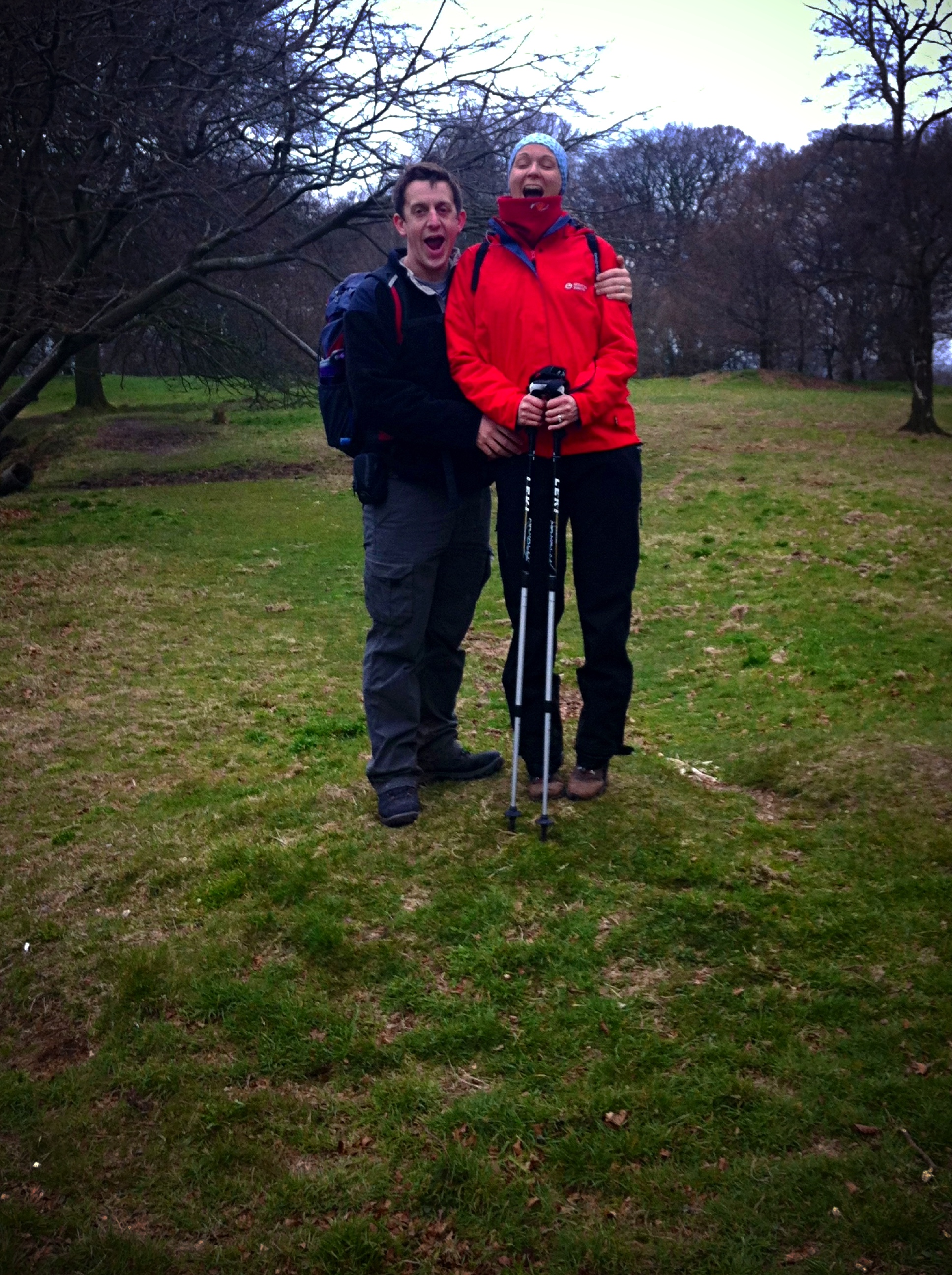
Dunkey Beacon, Somerset County Top
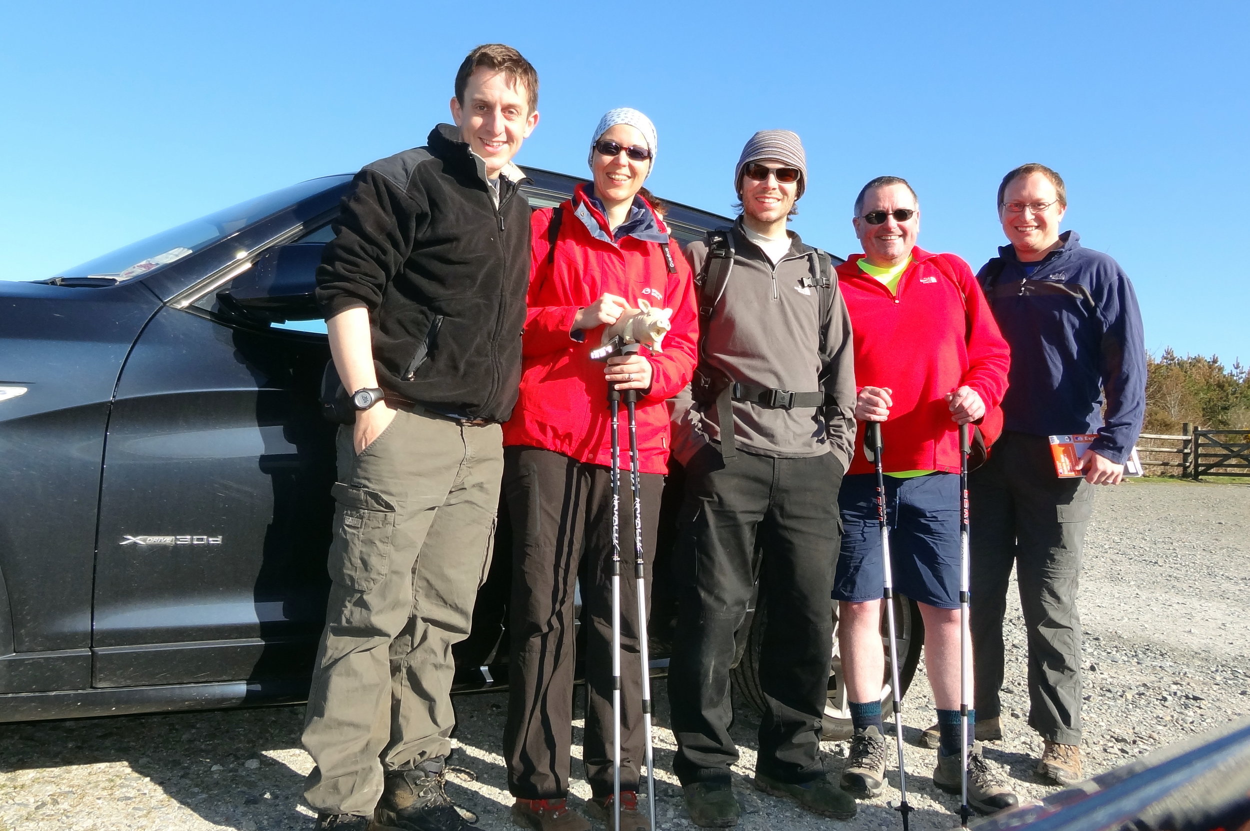
Having 6 County Tops in the bag, I was now ready for a longer multi-day trip to climb a few more remote ones. We went with a group of friends, some in it for the County Tops, others along for the ride. We headed down to Cornwall on a Friday afternoon for the start of the peaks of the South West. We started in Cornwall with the furthest away peak and worked our way back towards home.
Brown Willy
Significance: Highest peak in Cornwall (Historic County Top), Cornwall National Landscape High Point
Member of: Marilyn
Parent Peak: High Willhays.
Nearest Higher Neighbour: Cox Tor
Elevation: 420m
Date climbed: 20th April 2013
Coordinates: 50°35′20″N 4°36′08″W
Route Start / End: Rough Tor Car Park, Roughtor Road, Camelford, PL32 9QJ
Route Distance: 8 km (5 miles)
Route Elevation Change: +/- 400m
Subsidiary tops on route: Showery Tor (385m), Little Rough Tor (373m), Rough Tor (400m)
GPX File: get via Buy Me a Coffee
Other routes touched: N/A
OS Trig Pillar: TP1710 - Brown Willy
Map: OS Explorer 109: Bodmin Moor
Guidebook: The UK's County Tops (Jonny Muir), Walking the County High Points of England (David Bathurst)
Links: Wikipedia (Cornwall), Wikipedia (Brown Willy), Peakbagger, Hillbagging
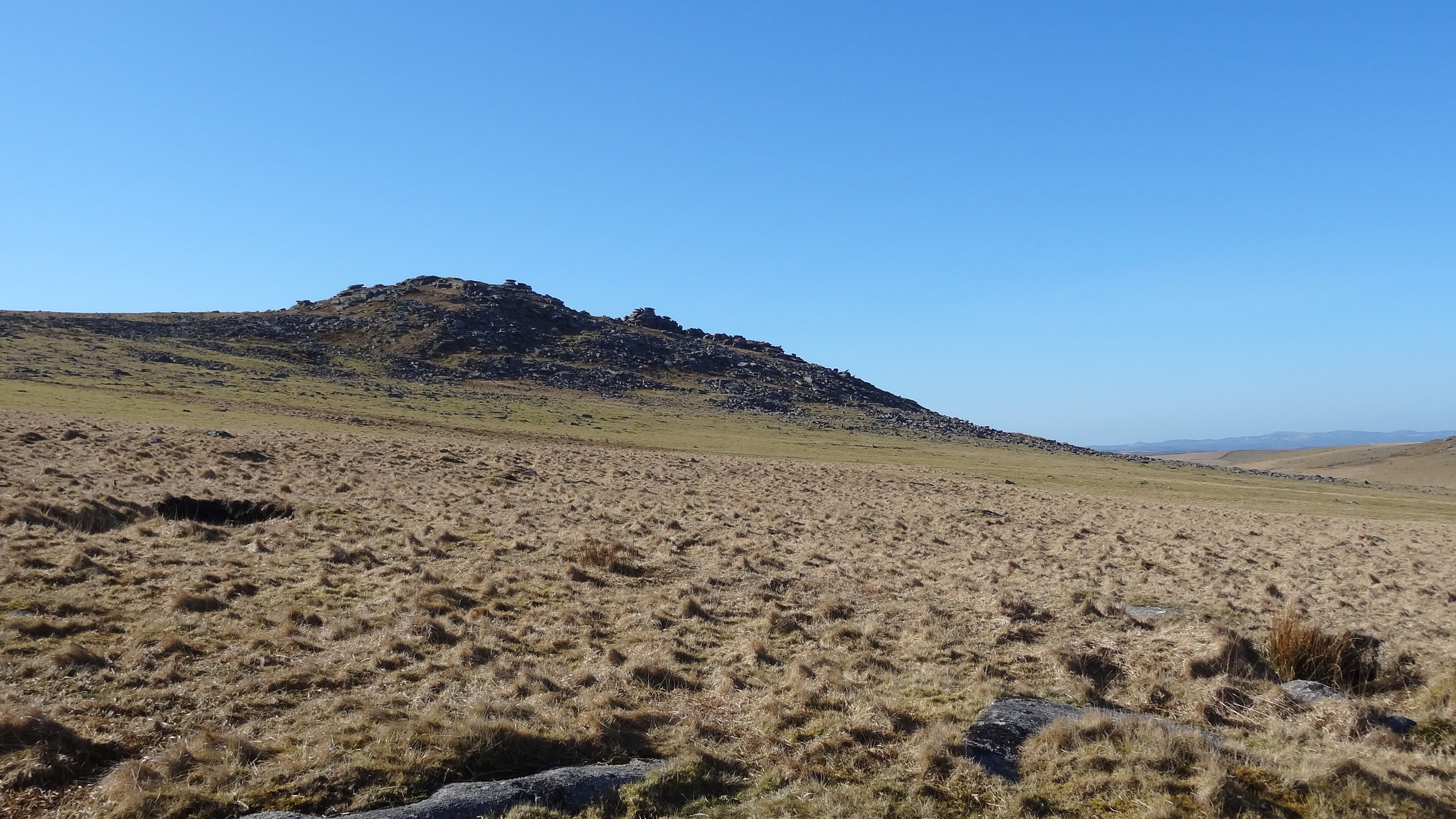
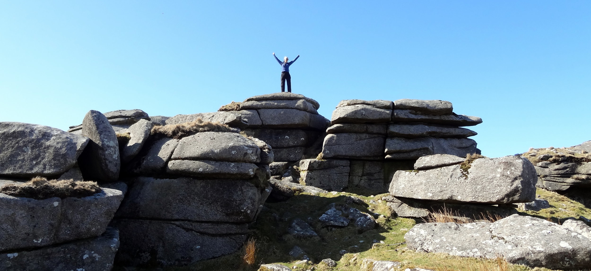
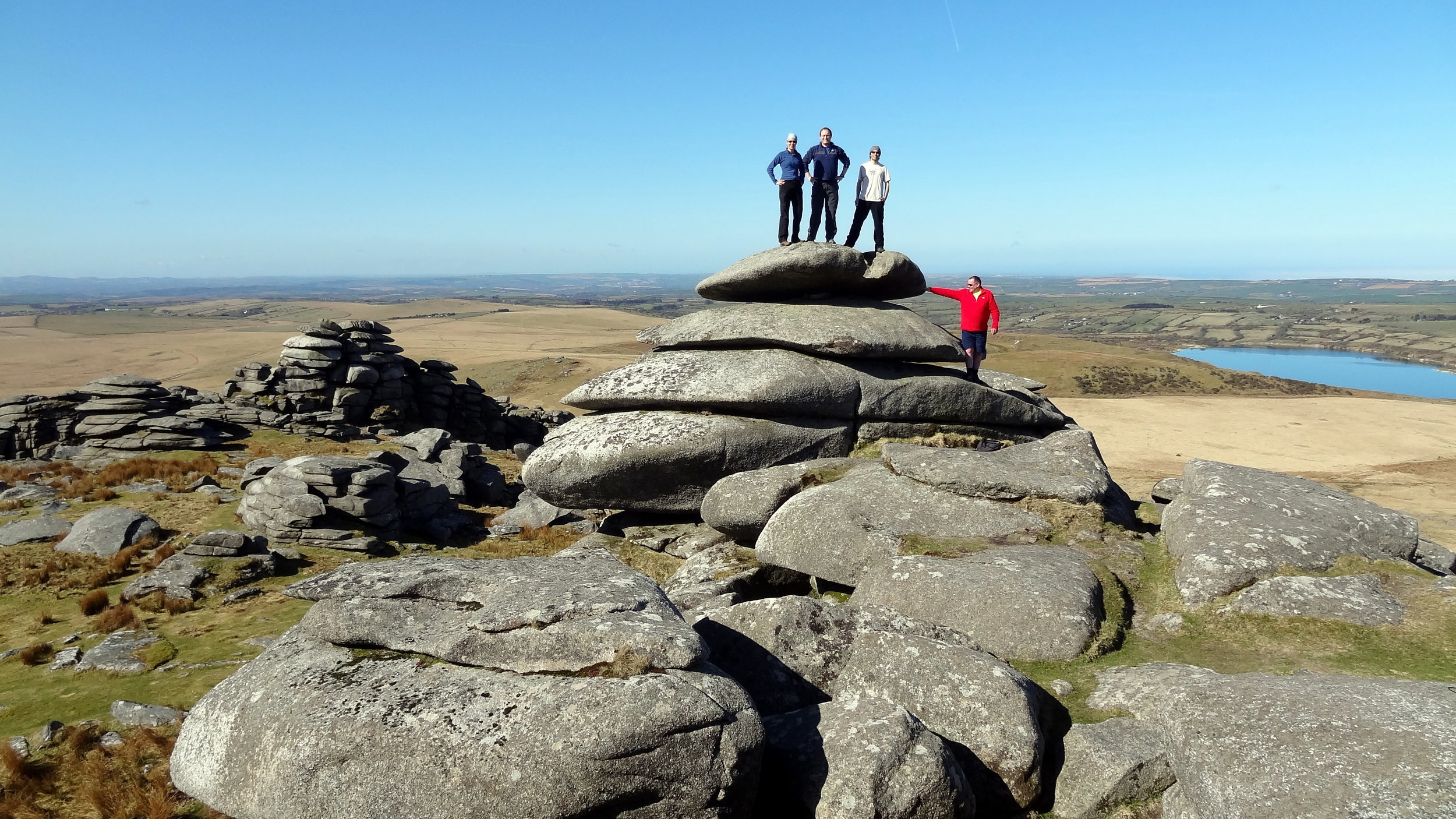
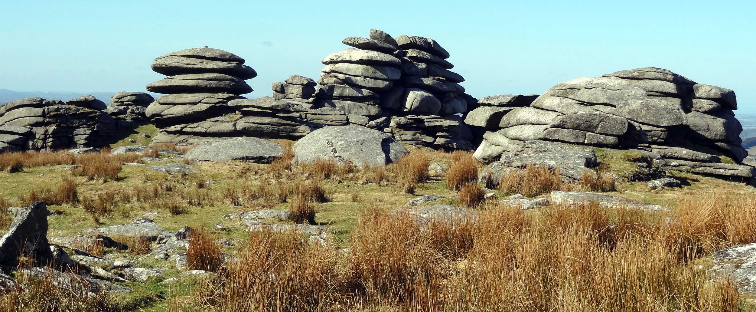
Brown Willy is in a remote patch of Bodmin Moor, roughly in the centre of the county. By the time you’ve reached the car park you’re already at 260m elevation so the walk only adds another 160m. It’s a fairly quick out and back to bag the summit but worth a couple of diversions to Rough Tor, Little Rough Tor and Showery Tor in the way.
High Willhays
Significance: Highest peak in Devon (Historic County Top), Dartmoor National Park High Point
Member of: Marilyn, Hewitt, Nuttall
Parent Peak: Cross Fell.
Nearest Higher Neighbour: Garreg Las
Elevation: 621m
Date climbed: 20th April 2013
Coordinates: 50°41′06″N 4°00′36″W
Route Start / End: Meldon Reservoir Car Park, Okehampton, EX20 4LU
Route Distance: 6.4 km (4 miles)
Route Elevation Change: +/- 395m
Subsidiary tops on route: Yes Tor (619m)
GPX File: get via Buy Me a Coffee
Other routes touched (walk): Mary Michael Pilgrims Way
OS Trig Pillar: TP7101 - Yes Tor
Map: OS Explorer OL28: Dartmoor
Guidebook: The UK's County Tops (Jonny Muir), Walking the County High Points of England (David Bathurst)
Links: Wikipedia (Devon), Wikipedia (High Willhays), Peakbagger, Hillbagging
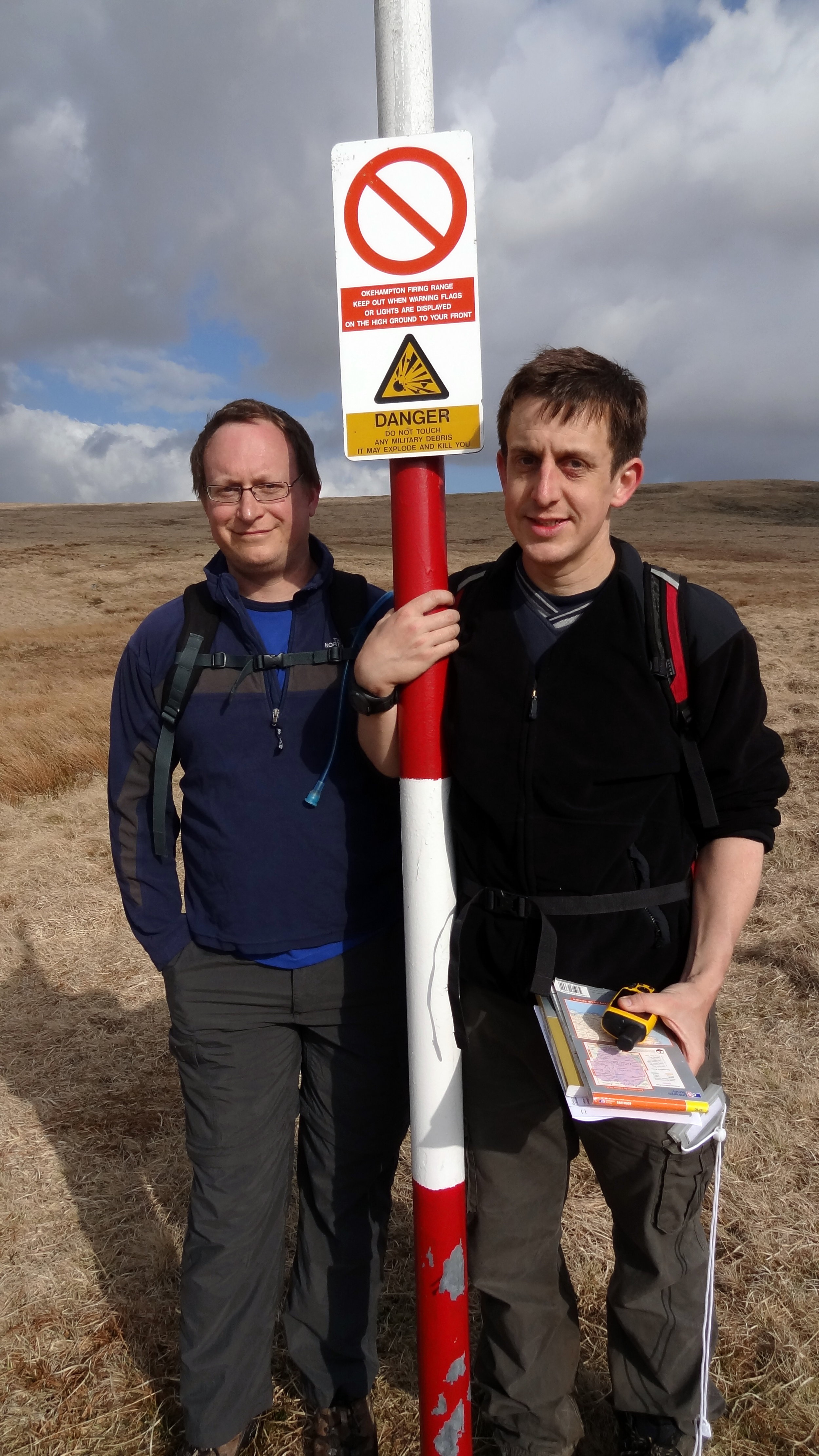
High Willhays is the highlight of this collection of four peaks. It’s the highest and it’s a great circular walk. Note that the summit is on a Military firing range so check firing times before you leave to make sure that access is open.
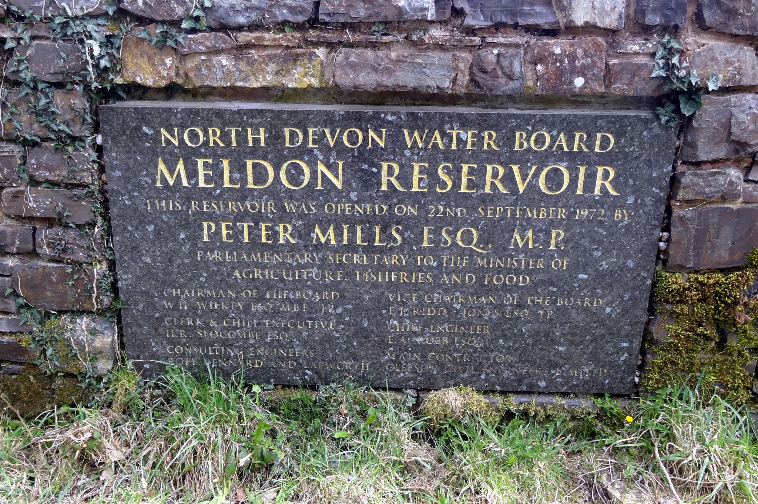
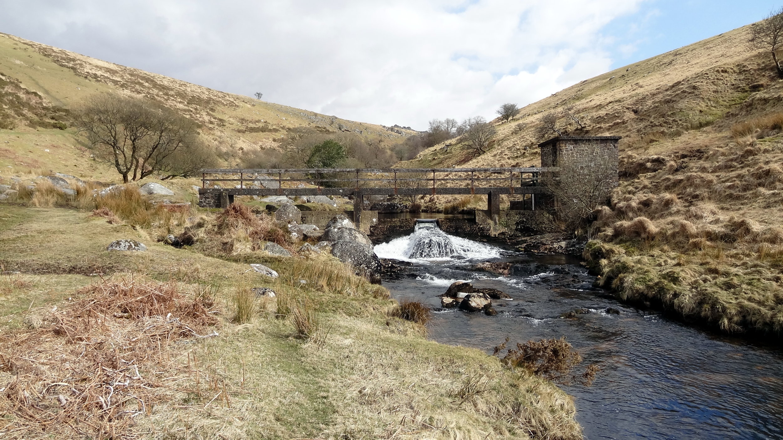
From the Meldon Reservoir car park walk in a south easterly direction across the top of the reservoir dam wall. Take a right and follow the path on the southern edge of the reservoir and continue south on the path following the West Oke River. At ~5km from the car park you can take a path that climbs up the hill in a north-westerly direction to Fordlands Ledge. Here you'll join the Mary Michael Pilgrims Way. Continue up the hill until you reach the summit of High Willhays. From High Willhays continue north to Yes Tor.
From Yes Tor we took a bearing and followed a direct line in a north-westerly direction to meet the track at 50°41'51.3"N 4°01'39.2"W. This track takes you in a northerly direction, curving to the west and returns to the reservoir then back to the start.
Dunkery Beacon
Significance: Highest peak in Somerset (Historic County Top), Exmoor National Park High Point
Member of: Marilyn
Parent Peak: High Willhays.
Nearest Higher Neighbour: Werfa
Elevation: 519m
Date climbed: 21st April 2013
Coordinates: 51.16197°N 3.58736°W
Route Start / End: Dunkery Beacon Parking, Cutcombe, Minehead, TA24 7AT
Route Distance: 2.7 km (1.7 miles)
Route Elevation Change: +/- 120m
Subsidiary tops on route: none
GPX File: get via Buy Me a Coffee
Other routes touched (walk): Macmillan Way West
OS Trig Pillar: TP7321 - Dunkery
Map: OS Explorer OL9: Exmoor
Guidebook: The UK's County Tops (Jonny Muir), Walking the County High Points of England (David Bathurst)
Links: Wikipedia (Somerset), Wikipedia (Dunkery Beacon), Peakbagger, Hillbagging
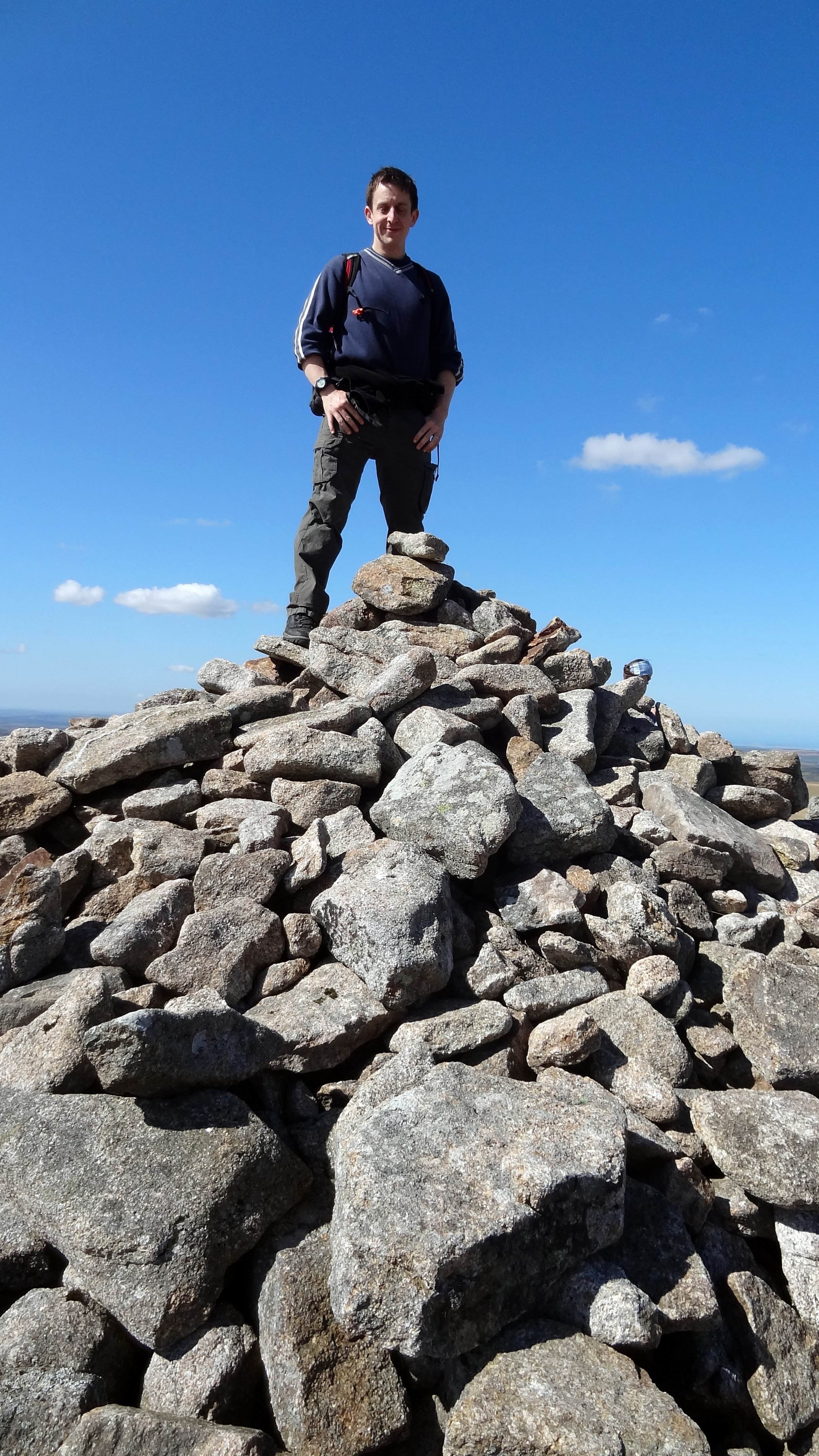
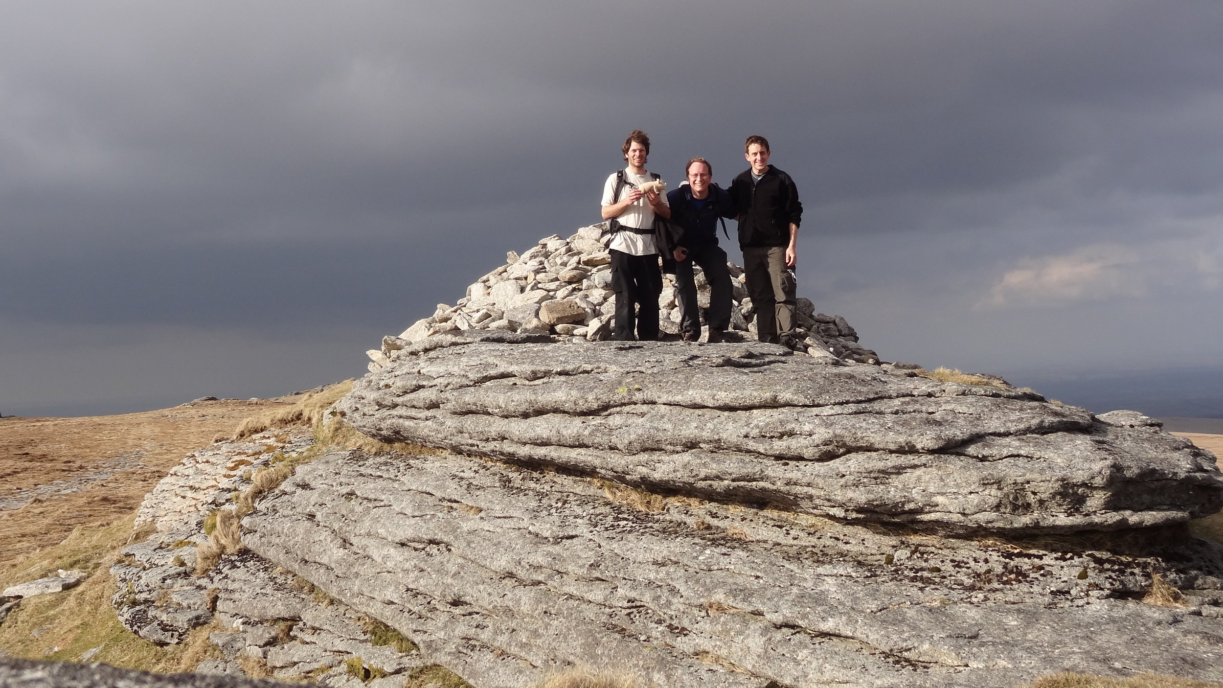
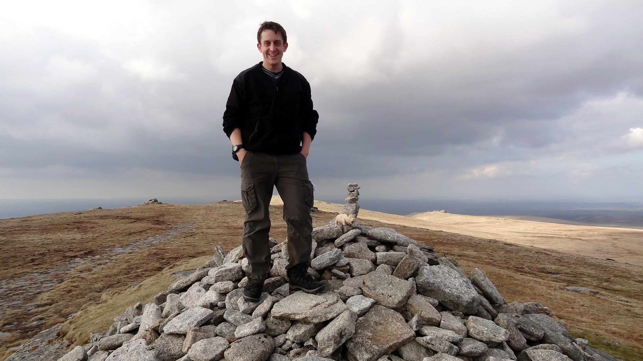
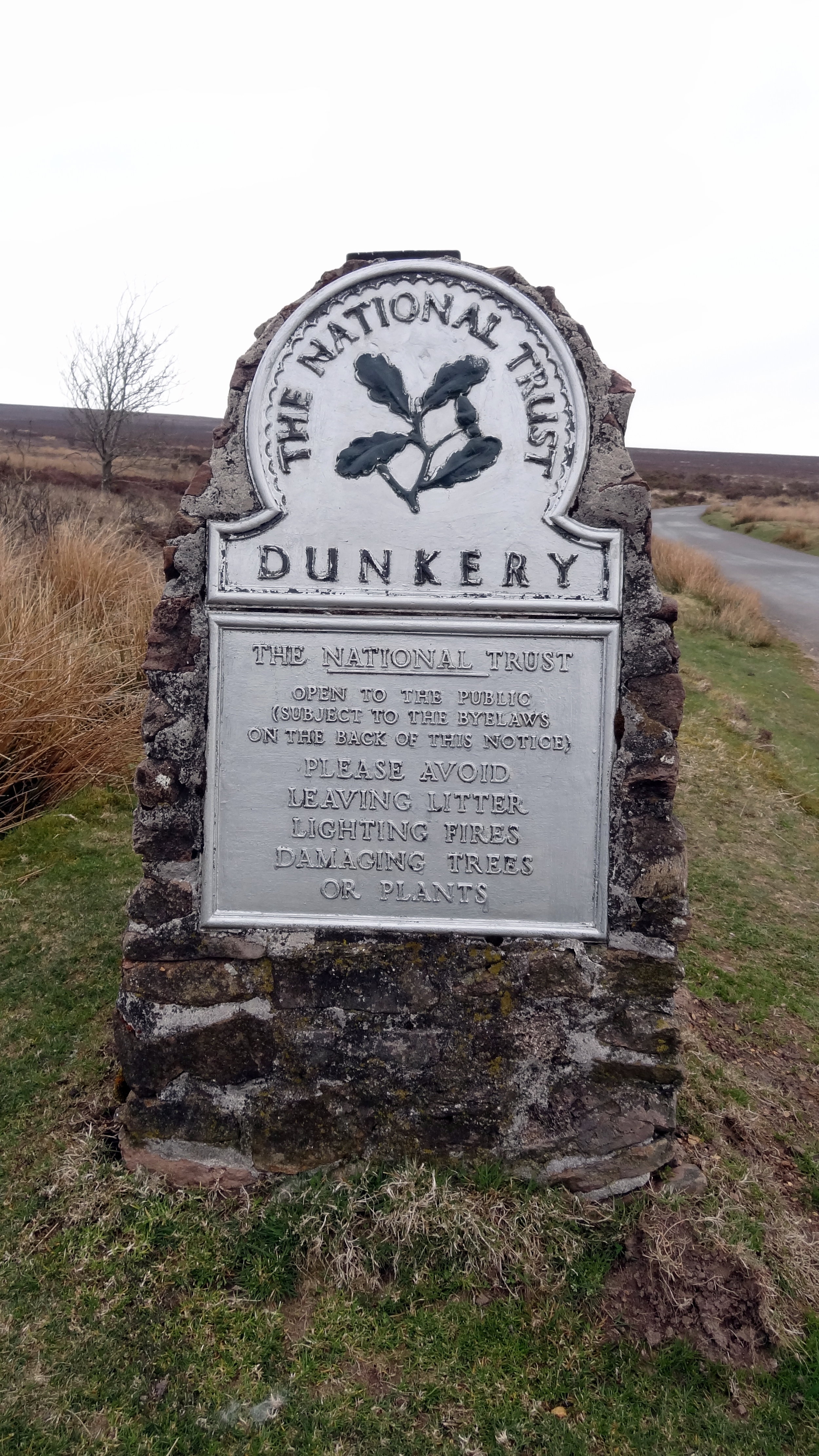
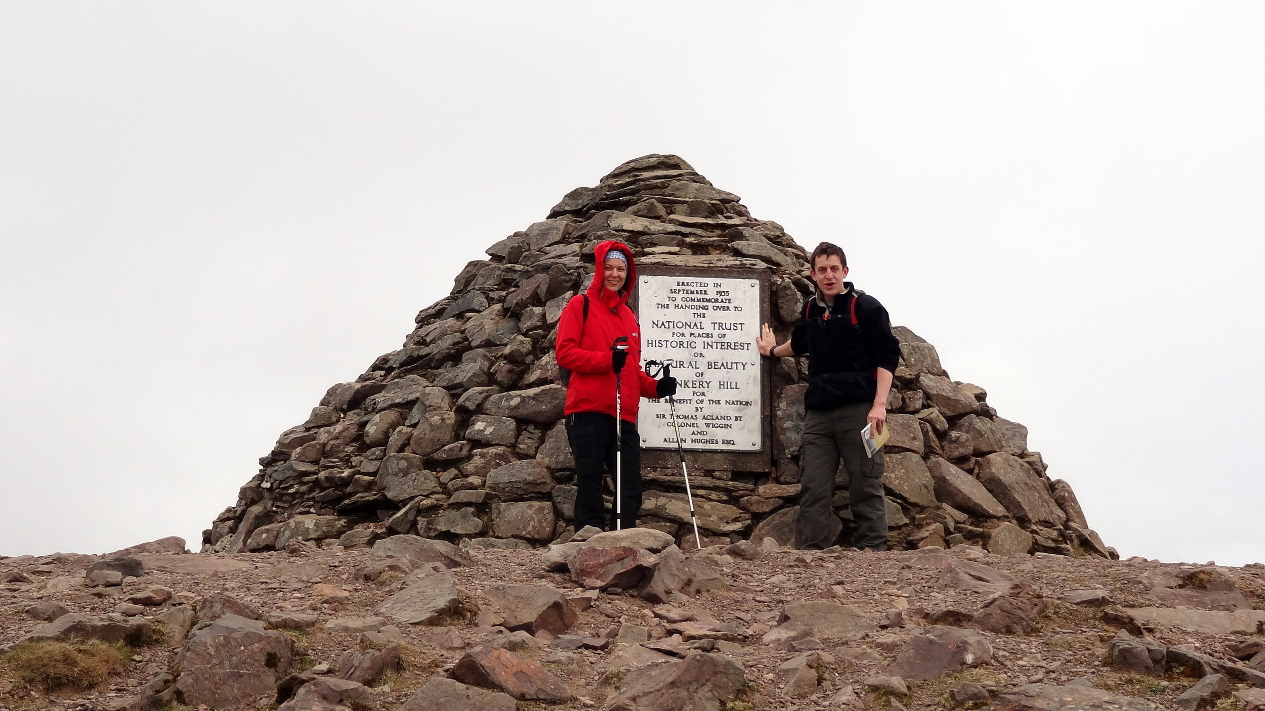
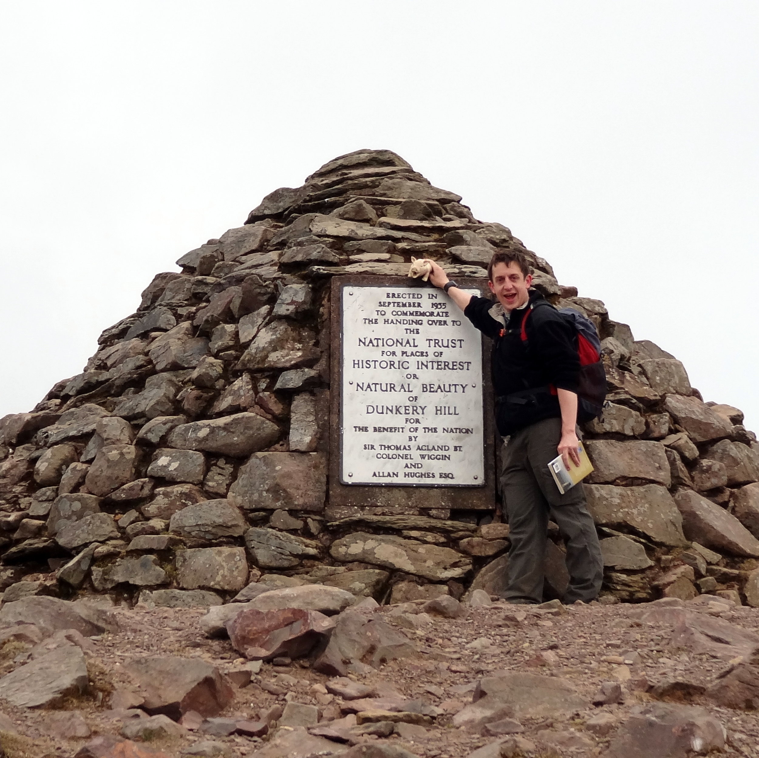
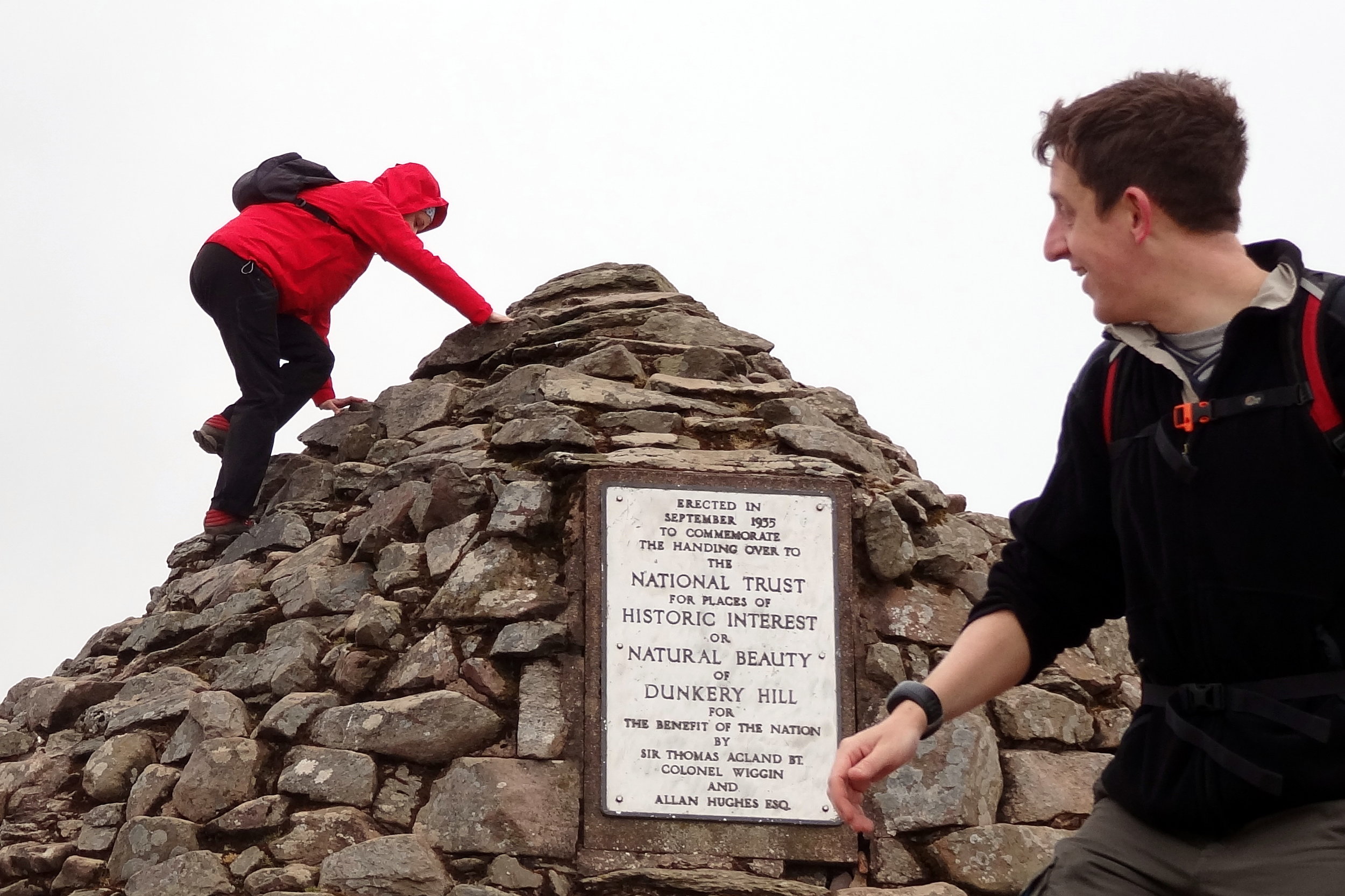
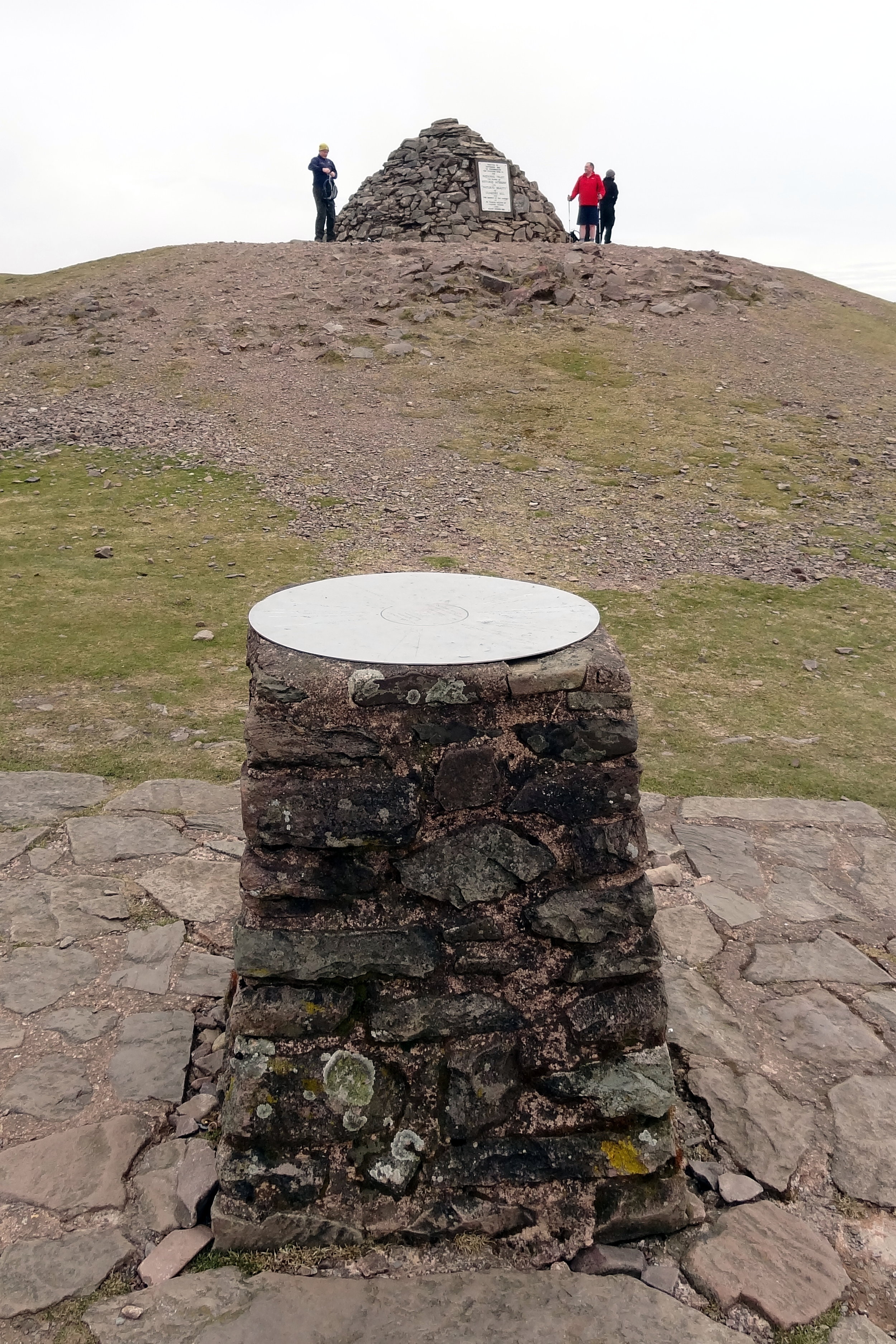
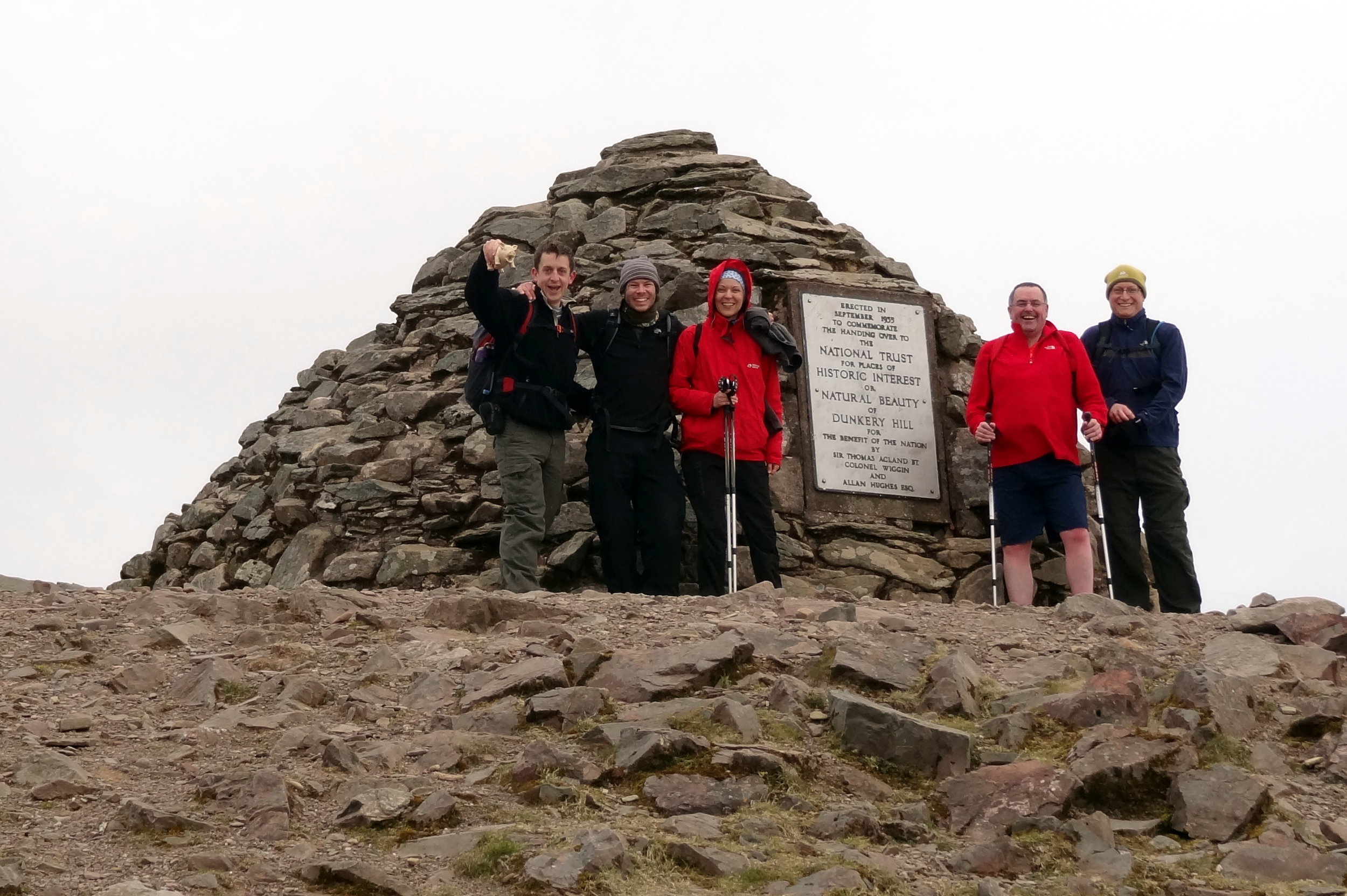
Like Brown Willy, Dunkery Beacon is a quick out and back from a convenient car park. The Trig Pillar at the summit is long gone but it’s been replaced by a massive pile of stones and a plaque commemorating the handover of the hill to the National Trust.
From the car park it's only a 1.5km route to the summit. We made a small circle of it by taking the westerly path up and easterly down. The hill is also on the Macmillan Way so can be bagged on a longer trek
Lewesdon Hill
Significance: Highest peak in Dorset (Historic County Top), Dorset National Landscape High Point
Member of: Marilyn
Parent Peak: Staple Hill (Somerset)
Nearest Higher Neighbour: Staple Hill
Elevation: 185m
Date climbed: 21st April 2013
Coordinates: 50°48′28″N 2°47′59″W
Route Start / End: Parking spot on junction of B3162 and Coombe Lane
Route Distance: 2.2 km (1.4 miles)
Route Elevation Change: +/- 112m
Subsidiary tops on route: none
GPX File: get via Buy Me a Coffee
Other routes touched: none
Map: OS Explorer 116: Lyme Regis and Bridport
Guidebook: The UK's County Tops (Jonny Muir), Walking the County High Points of England (David Bathurst)
Links: Wikipedia (Dorset), Wikipedia (Lewesdon Hill), Peakbagger, Hillbagging, National Trust
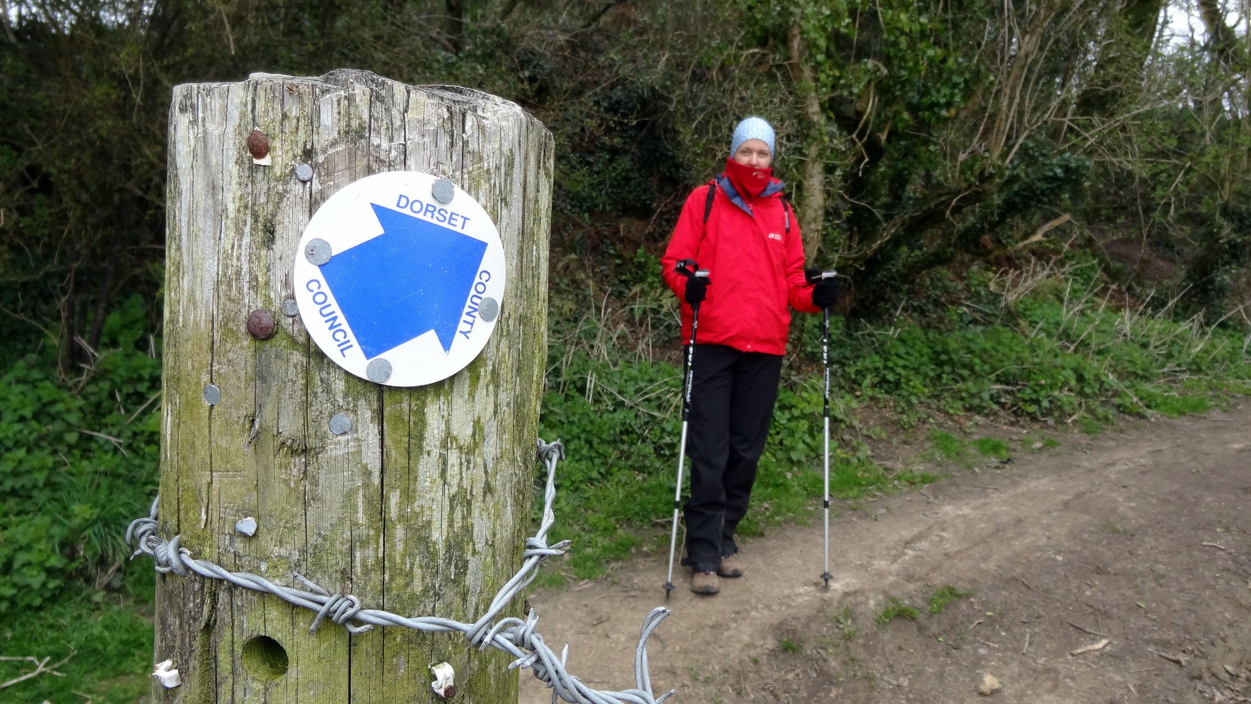
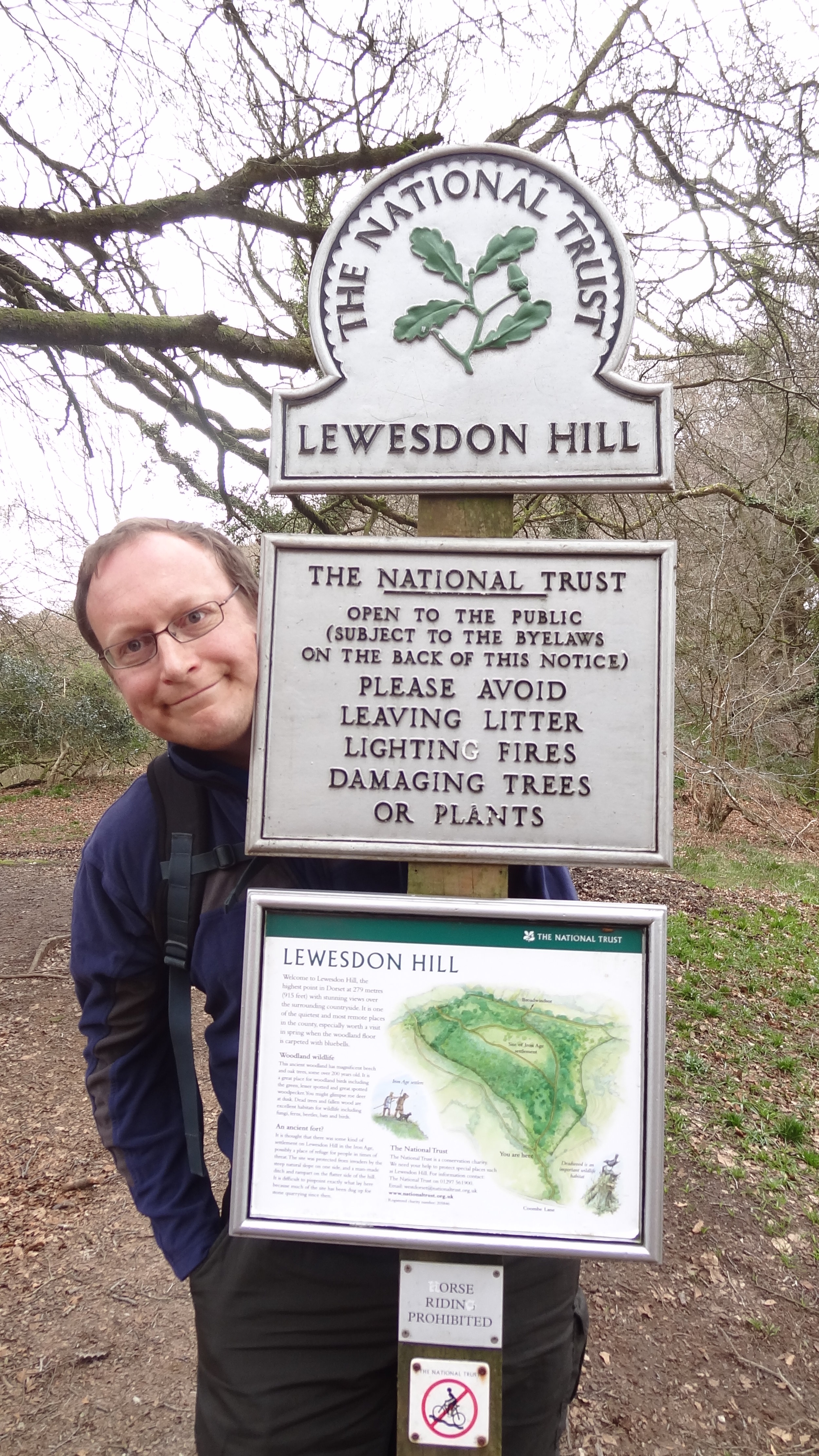
We unintentionally saved the least interesting of the four peaks til last. Lewesdon Hill, the high point of Dorset is most easily done on a short out-and-back walk from parking spaces on the B3162 near Bucks Head Cottage. From here walk ~200m along Coombe Lane then take a footpath on the right. The summit is approximately 1km from where you parked. We didn't find anything of interest to mark the summit.
Slightly further to the north is the Wessex Ridgeway which gives you options to bag this hill as a part of a more interesting longer distance trek.
Other High Points In Cornwall
Telegraph Tower, Higher Newford (51m) Isles of Scilly Administrative County High Point: Peakbagger / Hillbagging
Other High Points In Devon
Beacon Hill (196m) Torbay Unitary Authority High Point: Peakbagger / Hillbagging
Woolwell Road (162m) Plymouth Unitary Authority High Point: Peakbagger / Hillbagging
Other High Points In Dorset
Corfe Hills (78m) Bournemouth, Christchurch, and Poole Unitary Authority High Point: Peakbagger / Hillbagging
Other High Points In Somerset
Niver Hill (264m) Bath and North East Somerset Unitary Authority High Point: Peakbagger / Hillbagging
Blagdon Hill Farm (242m) North Somerset Unitary Authority High Point: Peakbagger / Hillbagging
Dundry Hill East Top (160m) Bristol Unitary Authority High Point: Peakbagger / Hillbagging
