Start & Finish: The Quiraing Car Park, Unnamed Road, Portree, Sartle, Staffin, Portree, IV51 9LB
Distance: 6.5 km (4 miles)
Elevation change: +/- 288m
GPX File: get via Buy Me a Coffee
Other routes touched (walk): None
Other routes touched (cycle): None
Pubs / Cafes on route: None
Map: Skye – Trotternish and the Storr Map | Uig | Ordnance Survey | OS Explorer Map 408
Links: Isle of Skye, Trotternish NSA, The Quaraing
Following our previous day’s out-and-back walk to the Old Man of Storr, we returned to the north of Skye for the Quaraing Loop. Similar to the Old Man, the Quaraing is a popular walking spot with stunning rock features. There’s a large car park nearby that can get very busy in the summer and at weekends.
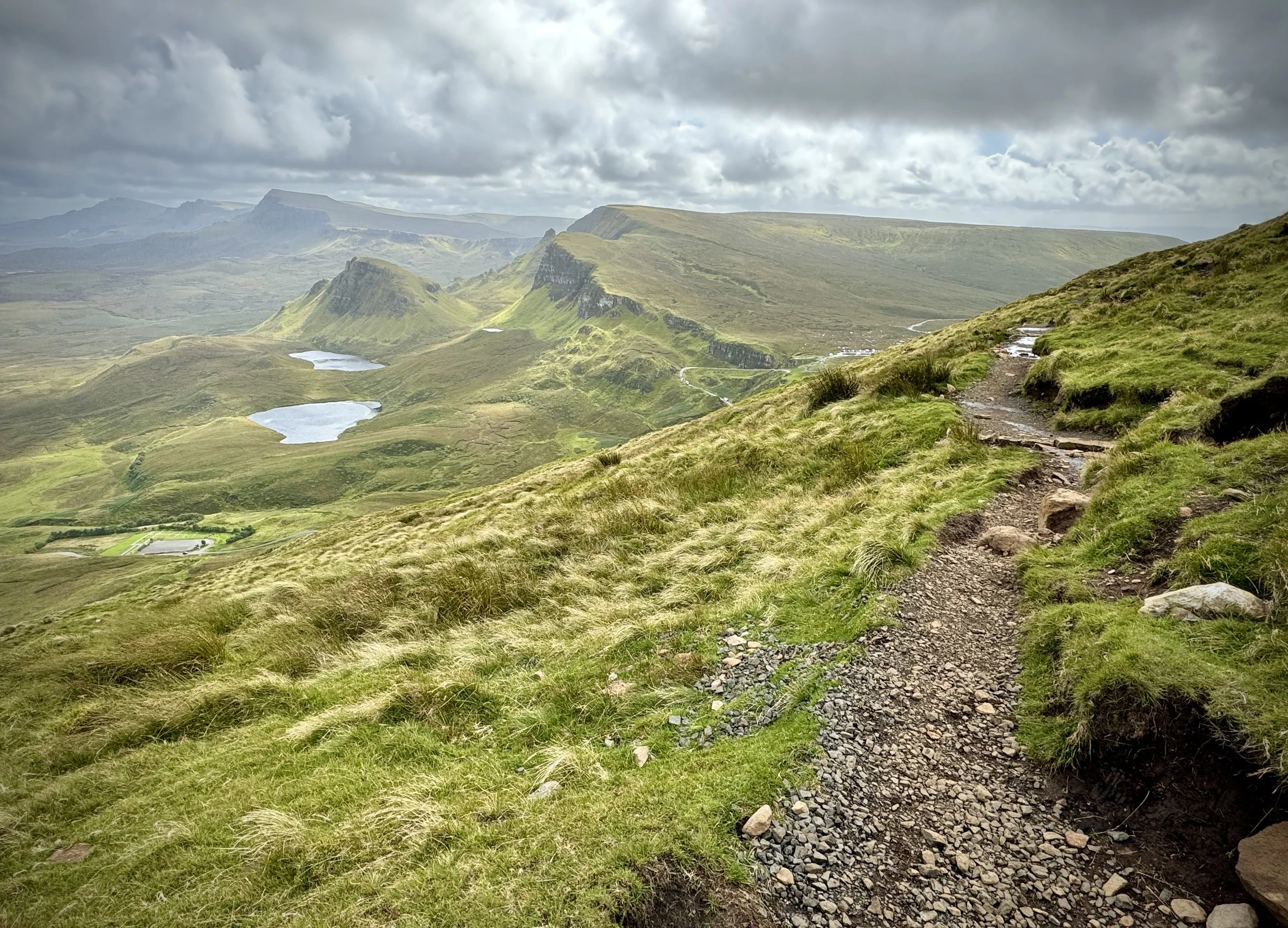
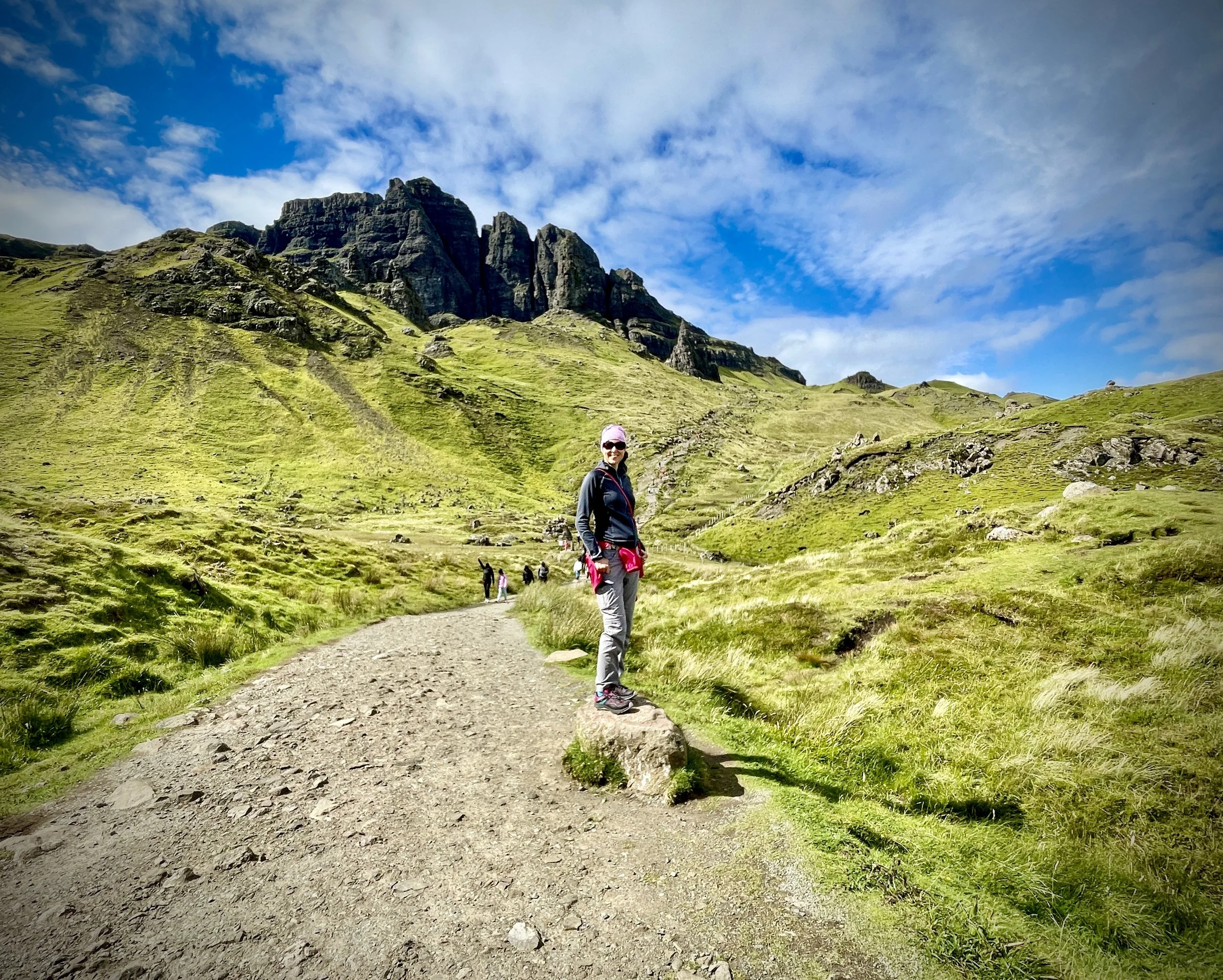
Also like the Old Man, most visitors do an out-and-back to the see the Prison and the Needle. It’s well worth doing the full 6.5km loop though as there’s a lot more to see further on. The start of the trail is already at 250m elevation so the first 2km, heading anti-clockwise, is a gentle ascent. The main trail takes you through the middle of the Prison and the Needle before turning a corner. After the corner there’s a flat(ish) kilometre through a valley heading north-west towards Fir Bhreugach. Although it was tempting to check out views from the mountains to the north, we kept to the Quaraing Loop.
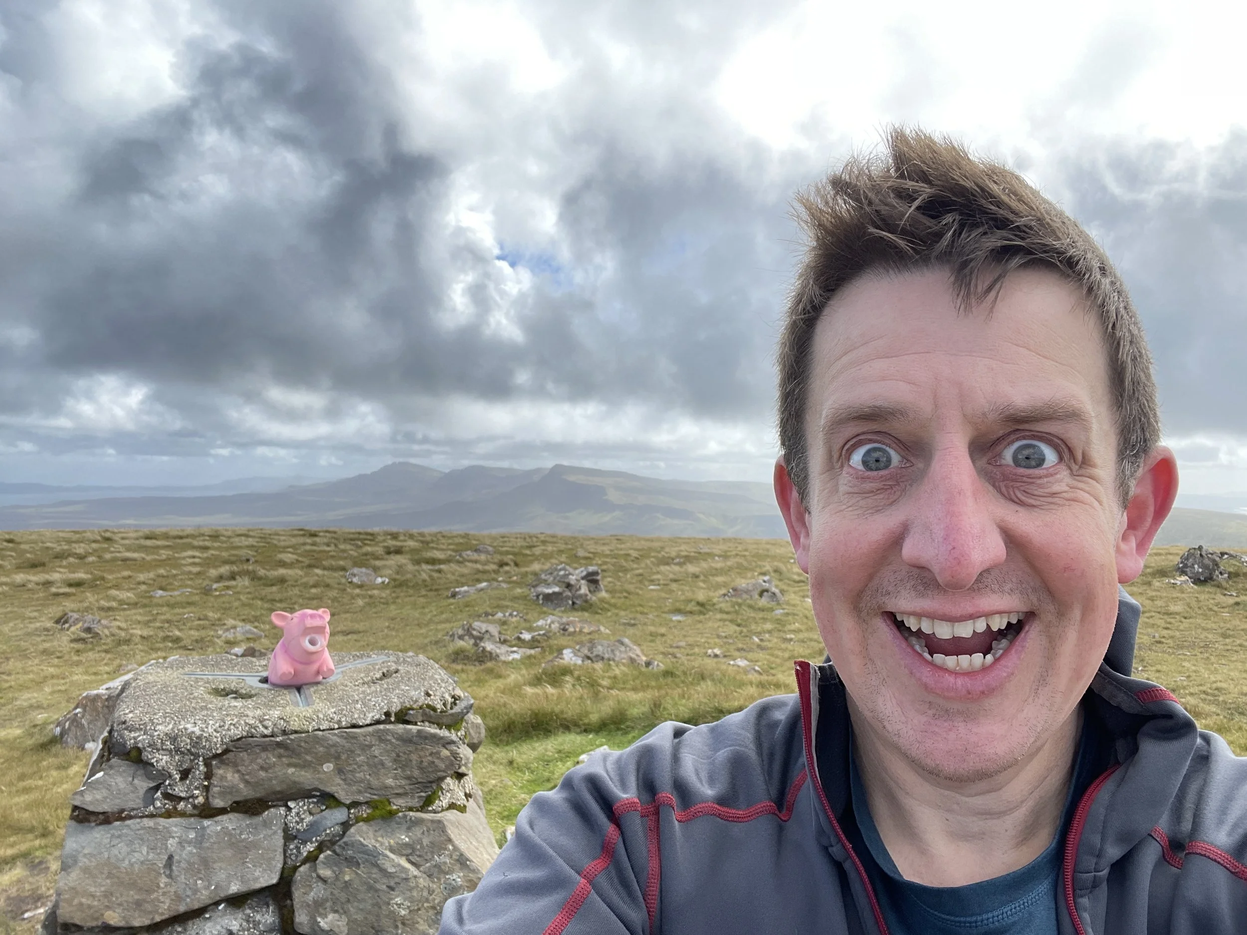
The return half starts with a steep ascent up the side of Meall na Suiramach. We had a very clear day and the views from our frequent rest-and-take-a-breath stops were outstanding. For here you can see the whole northern side of Skye and across the sea to other islands. The highest point of the Loop doesn’t quite get you to the Trig Pillar at the summit of Meall na Suiramach. I needed to bag it I so took a small diversion from the main trail to the Trig, returning a bit further along the trail to rejoin Timea who opted for a 10 minute rest over bagging a Trig Pillar.
Most of the final stage of the walk is a steady descent down toward the car park with a steeper section at the end. When were there in Summer 2024, the path on the final section was closed for repair so we had to find a steep alternative with a lot of hanging onto foliage to keep slipping. The new stone path looked impressive though.
The Old Man of Storr might be the most impressive rock formation but, for me, this was the most enjoyable walk and the best part of our short stay on Skye.