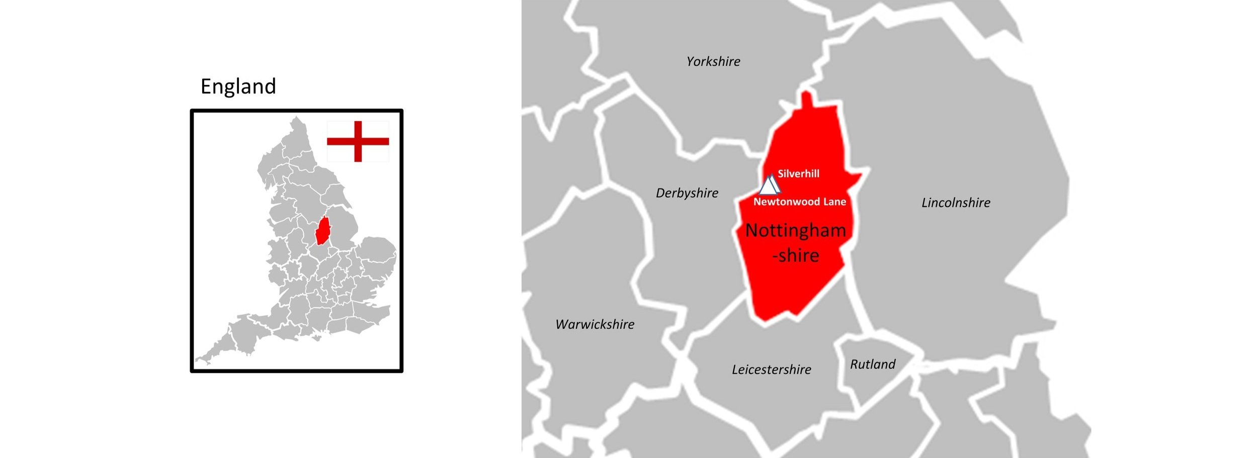
There are currently 13 parkrun events in the county of Nottinghamshire. The first was Colwick which started on June 25th 2011 and the newest is Wollaton Hall which started on February 8th 2020. The name for having completed all parkrun events in the county is “Get Nott’ed”
I have not yet completed any of the Nottinghamshire parkrun events.
The interactive maps below take you to the approximate location for the course, typically the centre of the park. See the course instructions in the parkrun page for each event for specific directions to the start.
Beeston
I have not yet completed this event
Inaugural: April 5th 2014
Links: Event Home Page, Course Page
Bestwood Village
I have not yet completed this event
Inaugural: January 28th 2017
Links: Event Home Page, Course Page
Brierley Forest
I have not yet completed this event
Inaugural: September 10th 2016
Links: Event Home Page, Course Page
Clifton
I have not yet completed this event
Inaugural: January 13th 2018
Links: Event Home Page, Course Page
Clumber Park
I have not yet completed this event
Inaugural: June 29th 2013
Links: Event Home Page, Course Page
Colwick
I have not yet completed this event
Inaugural: June 25th 2011
Links: Event Home Page, Course Page
Forest Rec
I have not yet completed this event
Inaugural: April 6th 2013
Links: Event Home Page, Course Page
Gedling
I have not yet completed this event
Inaugural: June 20th 2015
Links: Event Home Page, Course Page
Mansfield
I have not yet completed this event
Inaugural: September 29th 2012
Links: Event Home Page, Course Page
Newark
I have not yet completed this event
Inaugural: June 1st 2013
Links: Event Home Page, Course Page
Rushcliffe
I have not yet completed this event
Inaugural: October 6th 2012
Links: Event Home Page, Course Page
Sherwood Pines
I have not yet completed this event
Inaugural: October 24th 2015
Links: Event Home Page, Course Page
Wollaton hall
I have not yet completed this event
Inaugural: February 8th 2020
Links: Event Home Page, Course Page
More parkrun posts
parkruns are free, weekly, community 5k events all around the world. I started in December 2012 and have been obsessive about it ever since. See my parkrun Collection page for details.
Featured and popular parkrun posts:


