Posts tagged Worcestershire
West Midlands High Points

The West Midlands, a Ceremonial County in the heart of England, was formed ass result of a series of political and administrative changes that took place over centuries. Before the creation of the West Midlands, the region was divided into Staffordshire, Warwickshire and Worcestershire, The Local Government Act of 1974 marked a significant turning point in the history of the West Midlands. This legislation abolished the existing county boundaries and created a new county, the West Midlands. Today the 7 sub-divisions of the West Midlands are Metropolitan Boroughs.

For county-top hill-baggers, the region is, be honest, not very interesting. There’s a few good views but they’re mostly drive-bys in areas you’re not likely to go to unless you lived there or had an obscure hill-bagging obsession. If you’re in the latter camp, here’s a guide to the high points of the West Midlands. Click on the Blog Post link for each summit shown below for details on each.


Birmingham

Highest Point: Rednall Hill North Top, 250m
Historic County of High Point: Worcestershire (of which Worcestershire Beacon is the County Top)
OS Trig Pillar: N/A, nearest is TP4411 - Lickey Hill
Links: Blog Post, Wikipedia (Birmingham), Peakbagger, Hillbagging
Flag shown is the official flag of Birmingham


Coventry

Highest Point: Corley Moor, 167m
Historic County of High Point: Warwickshire (of which Ebrington Hill is the County Top)
OS Trig Pillar: N/A, nearest is TP2413 - Corley Resr
Links: Blog Post, Wikipedia (Coventry), Peakbagger, Hillbagging
Flag shown is the official flag of Coventry


Dudley

Highest Point: Cawney Hill, 251m
Historic County of High Point: Staffordshire (of which Cheeks Hill is the County Top)
OS Trig Pillar: N/A, nearest is TP1060 - Barrow Hill
Links: Blog Post, Wikipedia (Dudley), Peakbagger, Hillbagging
Flag shown is the work of Andy Underscore


Sandwell

Highest Point: Turner’s Hill, 271m
Historic County of High Point: Staffordshire (of which Cheeks Hill is the County Top)
OS Trig Pillar: N/A, nearest is TP6743 - Warley Resr
Links: Blog Post, Wikipedia (Sandwell, Turner’s Hill), Peakbagger, Hillbagging
Flag shown is the work of Andy Underscore


Solihull

Highest Point: Meigh’s Wood, 185m
Historic County of High Point: Warwickshire (of which Ebrington Hill is the County Top)
OS Trig Pillar: N/A, nearest is TP3975 - Hollyberry End
Links: Blog Post, Wikipedia (Solihull), Peakbagger, Hillbagging
Flag shown is the work of jet_man1990


Walsall

Highest Point: Barr Beacon, 227m
Historic County of High Point: Staffordshire (of which Cheeks Hill is the County Top)
OS Trig Pillar: TP1049 - Barr Beacon Resr
Links: Blog Post, Wikipedia (Walsall, Barr Beacon), Peakbagger, Hillbagging
Flag shown is the work of Andy Underscore


Wolverhampton

Highest Point: Sedgley Beacon, 235m
Historic County of High Point: Staffordshire (of which Cheeks Hill is the County Top)
OS Trig Pillar: N/A, nearest is TP5243 - Orton Hill
Links: Blog Post, Wikipedia (Wolverhampton, Beacon Hill), Peakbagger, Hillbagging
Flag shown is the work of Andy Underscore


The Metropolitan Boroughs of West Midlands, with the highest points grouped by Historical County.
Note that not all of each Metropolitan Borough was fully inside each Historical County shown here.


Walking The Monarch's Way Part 1: Powick Bridge to Worcester

Worcester Bridge


Start & Finish: Worcester Bridge, New Road, Worcester, WR2 4RL
Distance: 7.4 km (4.6 miles)
Elevation change: +/- 32m
GPX File: get via Buy Me a Coffee
Other routes touched (walk): None
Other routes touched (cycle): NCN 46
Pubs / Cafes on route: Some shops on the A449 but better to eat in Worcester City Centre at start and end
Map: Worcester & Droitwich Spa Map | Severn Way | Ordnance Survey | OS Explorer Map 204
Links: Monarch’s Way (Wikipedia / LDWA), Worcester, Powick, Battle of Worcester, River Severn


The Monarch's Way is a 625-mile long-distance path that approximates the escape route taken by King Charles II in 1651 after being defeated in the Battle of Worcester. I had followed and crossed sections of it on several other trips but, due to it’s length, never had it on my list to complete. It’s still not on my list, but as I was staying overnight in Worcester I decided to do an early morning run/walk on the first section.

This circular route starts and ends at Worcester Bridge and takes in (almost) the first 5km of the Monarch’s Way. From the Bridge follow the A44, then the A449 in a south-westerly direction for 2.5 km until you reach Old Road. Follow Old Road to Powick Bridge. Here you’ll find the engraved stone that marks the start of the Monarch’s Way. A information board at the start commemorates the thousands of Scots who lost their lives at the Battle of Worcester. Powick Bridge saw both the first and last battles of the English Civil War.

From the start of the trail on Old Road, take a left to follow a footpath through the end of a field on the northern bank to the River Teme. After 1.8km of the trail you’ll reach a City of Worcester Boundary stone near the confluence of the River Teme and River Severn. Turn north, still following the path to follow the Severn all the way back to Worcester Bridge. The first half of this River Severn section continues on rough ground on the edge of the field. After Diglis Bridge the path becomes paved and crosses through Worcester Riverside Park.


Rednal Hill North Top: Birmingham High Point

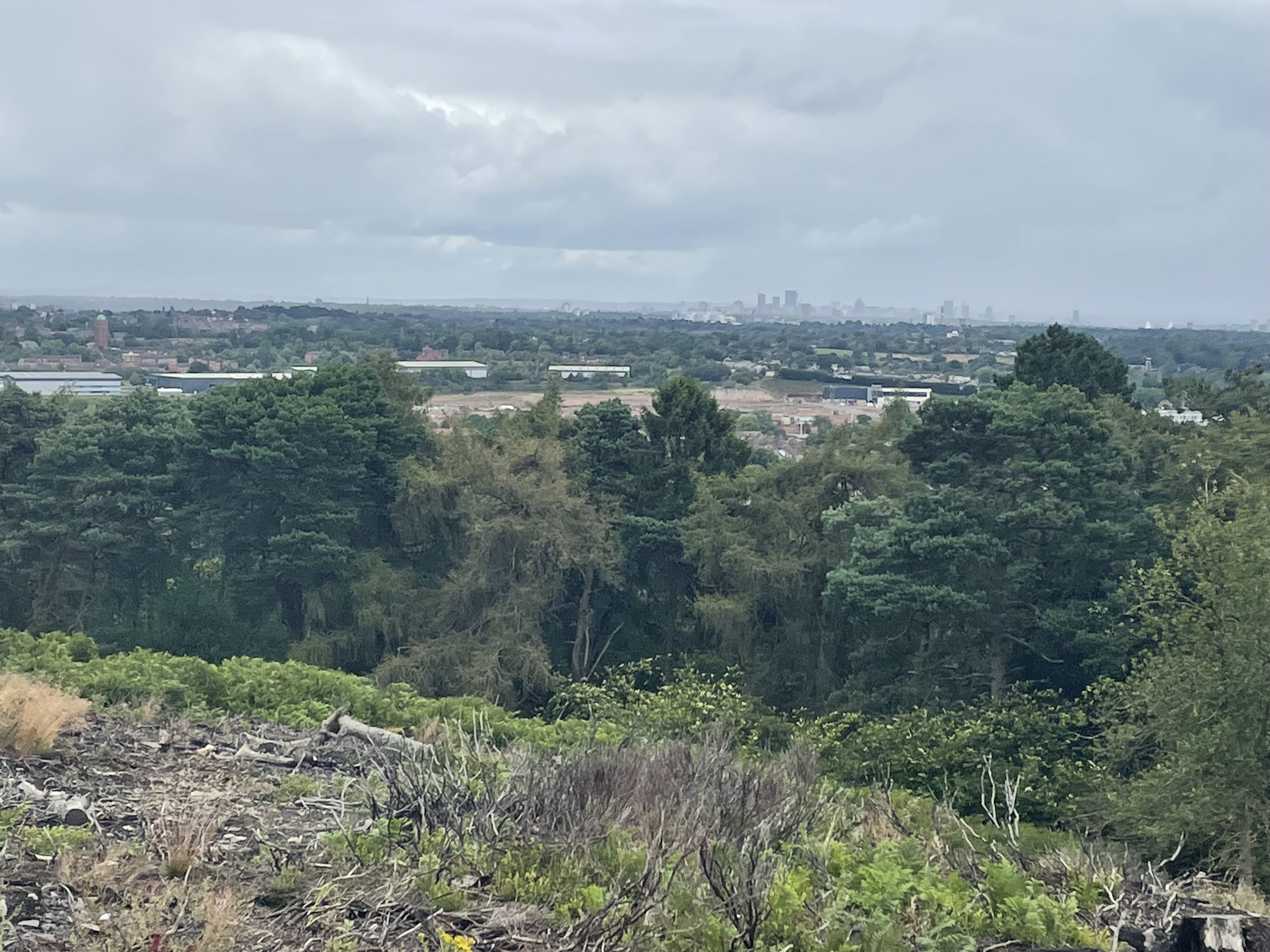
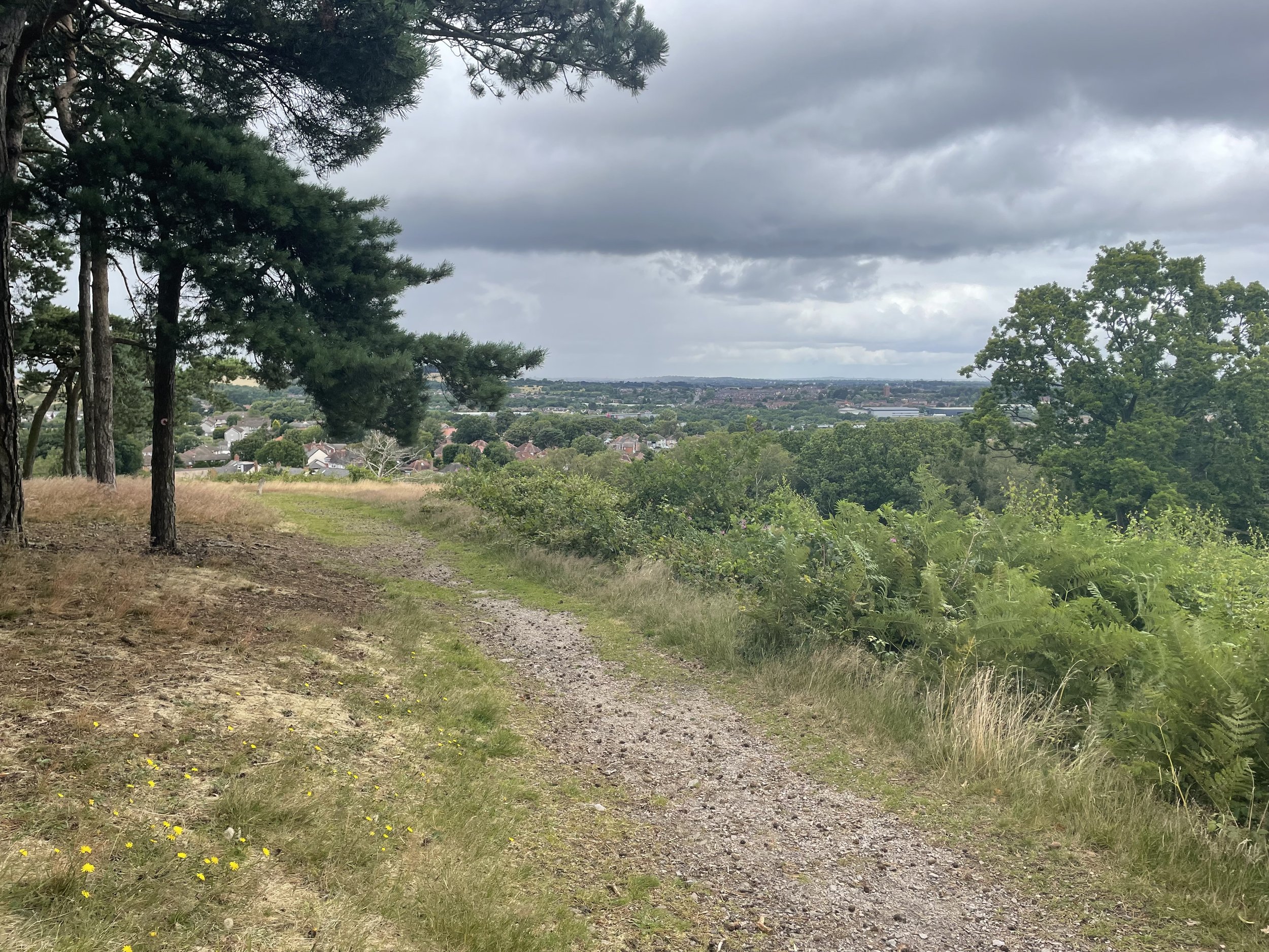
View to Birmingham on a cloudy day from Rednal Hill North Top

Significance: Metropolitan Borough High Point for Birmingham
Member of: N/A
Parent Peak: Walton Hill.
Nearest Higher Neighbour: Rednal Hill
Historic County: Worcestershire (of which Worcestershire Beacon is the County Top)
Elevation: 250m
Date climbed: July 16th 2023
Coordinates: 52° 23' 14'' N, 2° 0' 27'' W


Route Start / End: Car park at Lickey Hill Golf Course, Rose Hill, Rednal, Birmingham, B45 8RR
Route Distance: 3.4 km (2.1 miles)
Route Elevation Change: +/- 116m
Subsidiary tops on route: Beacon Hill
GPX File: get via Buy Me a Coffee
Other routes touched (walk): Drovers Way
OS Trig Pillar: TP4411 - Lickey Hill
Map: Birmingham Map | Walsall, Solihull & Redditch | Ordnance Survey | OS Explorer Map 220
Links: Wikipedia (Birmingham), Lickey Hills Country Park, Peakbagger, Hillbagging


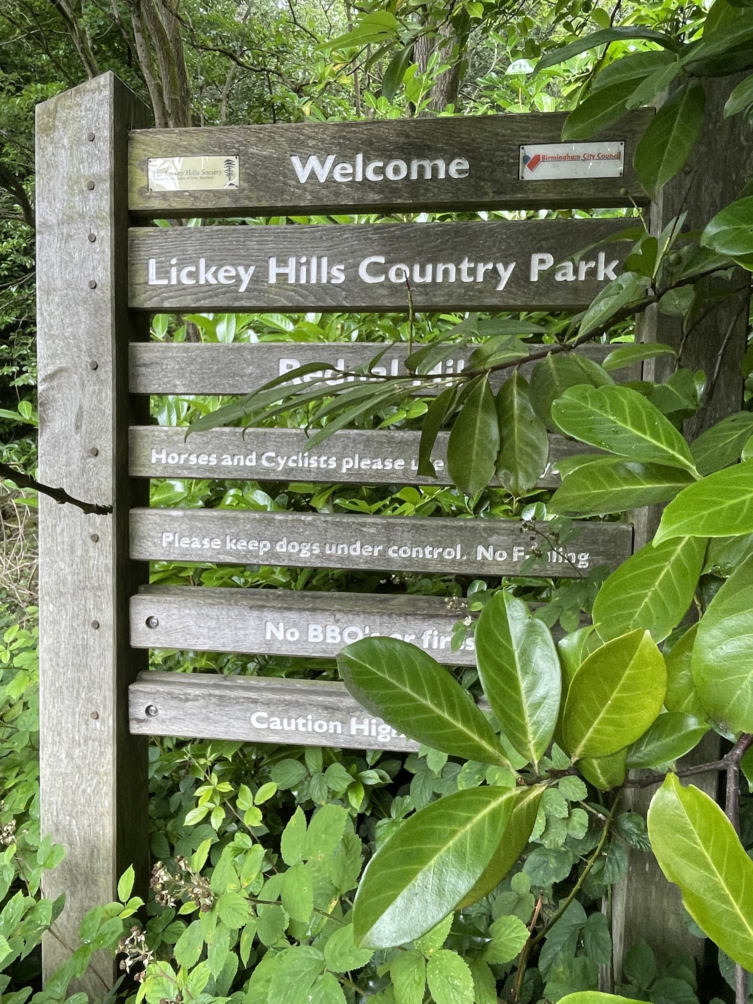
Rednal Hill North Top is the high point of the Metropolitan Borough of Birmingham, within the Historic and Ceremonial Counties of Worcestershire. It’s within the Lickey Hills Country Park, once owned by the Cadbury family. Both the main summit of Rednal Hill and nearby Beacon Hill are higher although the boundary of present-day Worcestershire and the Birmingham Metropolitan Borough cuts off the north end of the Country Park, making the north end of the Rednall Hill Ridge the high point of Birningham.

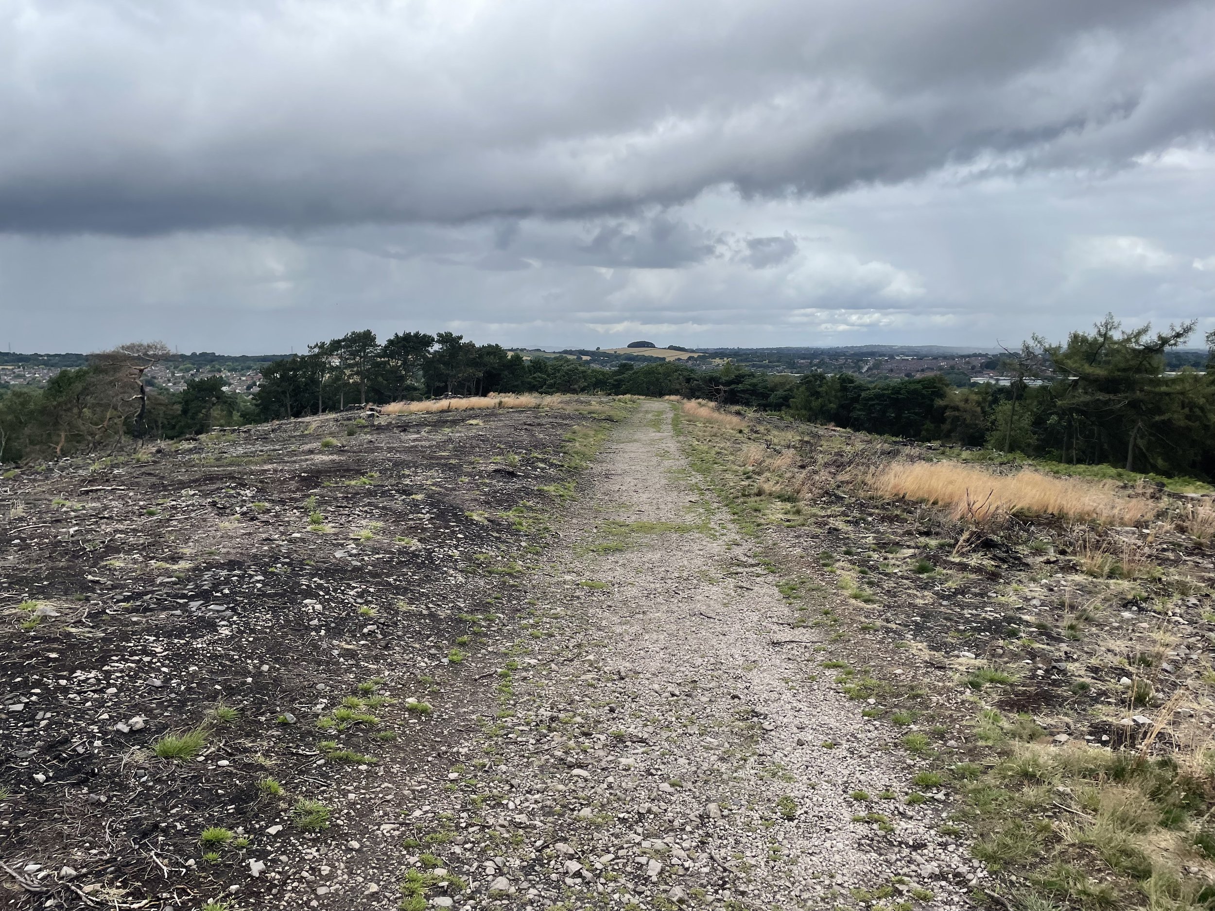
There’s free parking at the entrance to the golf course off Rose Hill (road). I wasn’t sure if the car park is specifically for the golf course or open to anyone but there were no signs and plenty of spaces so I parked there. The circular route that I chose follows Rose Hill road in an easterly direction to the eastern end of the Country Park where you can take a steep footpath up the hill to the summit of Rednall Hill. There was a bunch of teenagers at the summit who aggressively shouted out “you awright, mate?” as I passed so I didn’t hand around. From the summit follow the ridge-top path for ~600m to the north-top summit and a view across to Birmingham City.
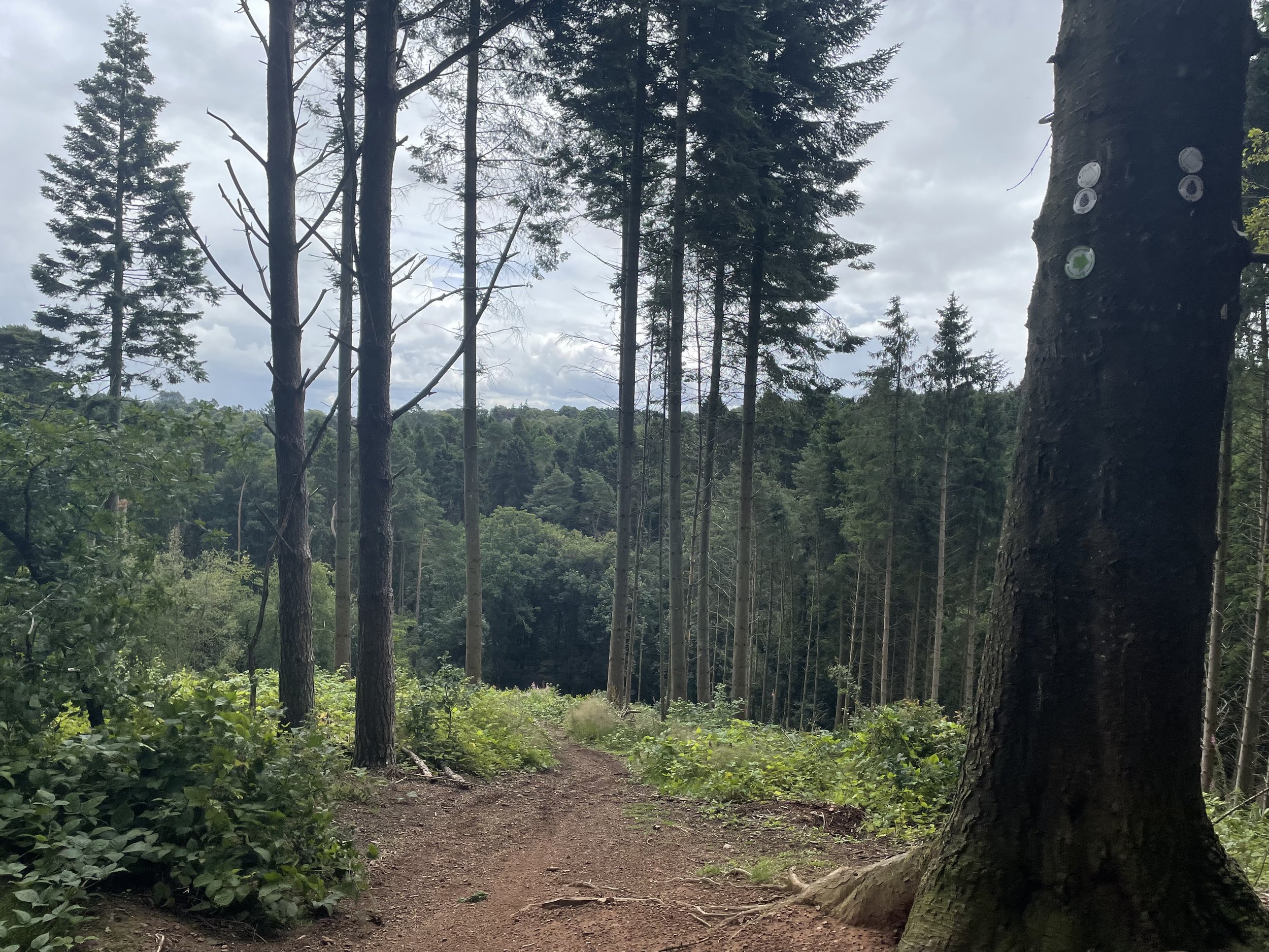
From the north-top summit retrace your steps for 200 metres and take a path to the right heading west across the golf course then up to the Trig Pillar. The Trig pillar isn’t the summit of Beacon Hill so continue for another 20m to the toposcope at the summit. From here follow paths to the south-east back to the car park.


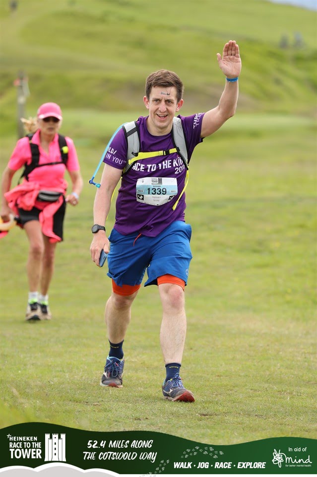
Race To The Tower Ultra Marathon
IMG_1470.JPG

When: June 8th 2019
From: Bird In Hand Farm, Whiteshill, Stroud
To:
Broadway Tower, Middle Hill, Broadway, WR12 7LB
Distance
: 84.5 km (52.5 miles)
Elevation Change: +1,939m / -1,880m. Net +59m
GPX File: get via Buy Me a Coffee
Other routes touched (walk): Bruce Trail Friendship Trail, Wysis Way, Gustaf Holst Way, Gloucestershire Way, Cheltenham Circular Footpath, Wynchcombe Way, Isbourne Way, Warden’s Way, Wychavon Way (old), Windrush Way, Donnington Way, Wyche Way
Other routes touched (cycle): None
Maps: OS Explorer OL45 The Cotswold Map and OS Explorer 179 Gloucester, Cheltenham & Stroud
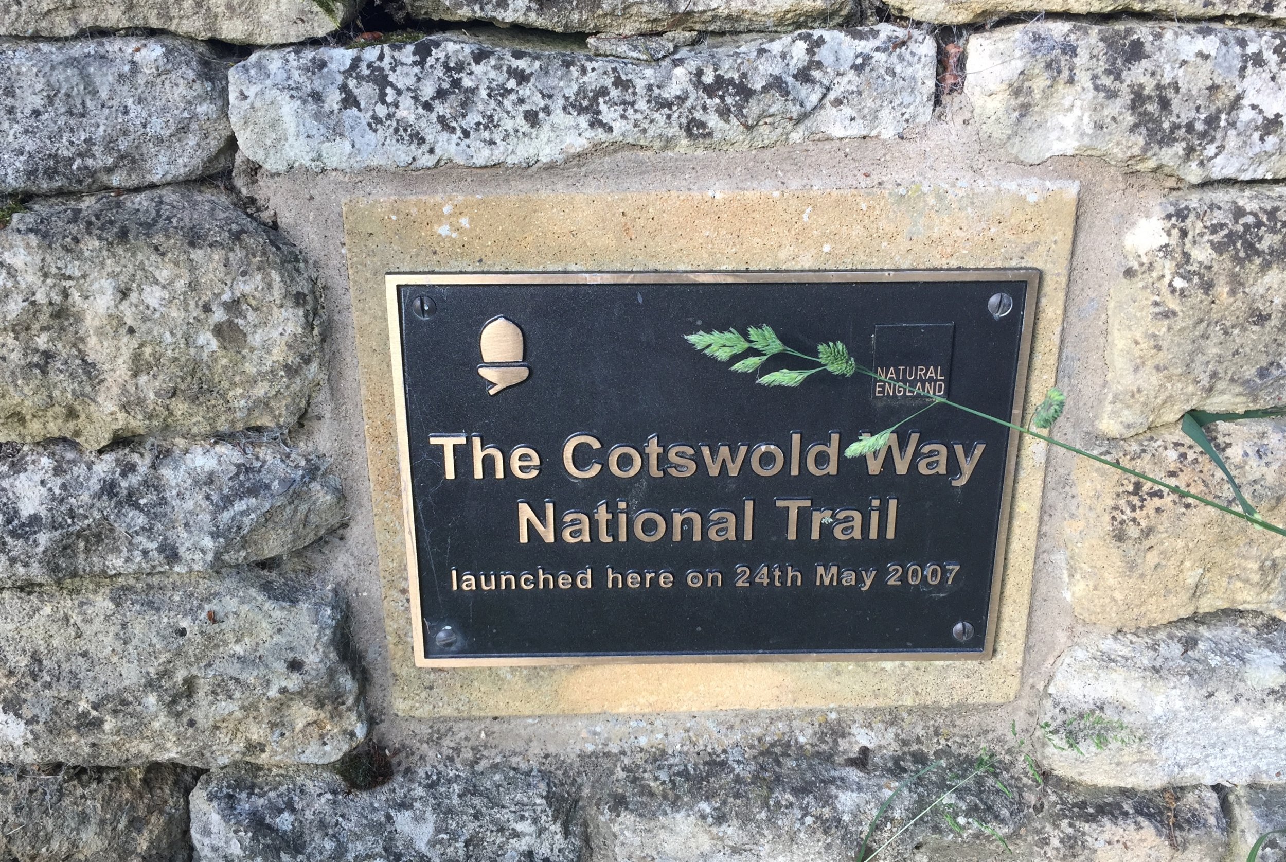
Guidebook: The Cotswold Way National Trail Guidebook & Map Booklet - Cicerone
Trig Pillars: The Ring Trig Pillar on Trigpointing, Haresfield Beacon Trig Pillar on Trigpointing
Finish time: 14 hours 47 minutes
Links: Cotswold Way, Cotswolds AONB, Stroud, Painswick, Great Witcombe, Cleeve Hill Common, Winchcombe, Broadway, Broadway Tower


I wasn’t really up for this one. On previous Ultras I’d been mentally in top form, over excited and raring to go. I’d done my usual zero training, so no change there. What was different this time was that I also didn’t feel that I’d got enough rest or nutrition. Those were both my “keys to success” and I’d done neither. The problem was that Tower is renowned as being the toughest of the Race To The series.
Race To The Tower is 10 miles shorter than the Race to the Stones but it's significantly hillier. I got a reminder of this as my train pulled into Stroud through a steep valley. It was raining too. Booking a hotel right next to the train station was too tempting. I could just get on the first train back in the morning and not worry about it.

The thing is: that’s not me. I love Ultras and I never give up. It was still drizzling in the morning, but I woke up with my normal sense of puppy-like excitement. This would be an awesome day.
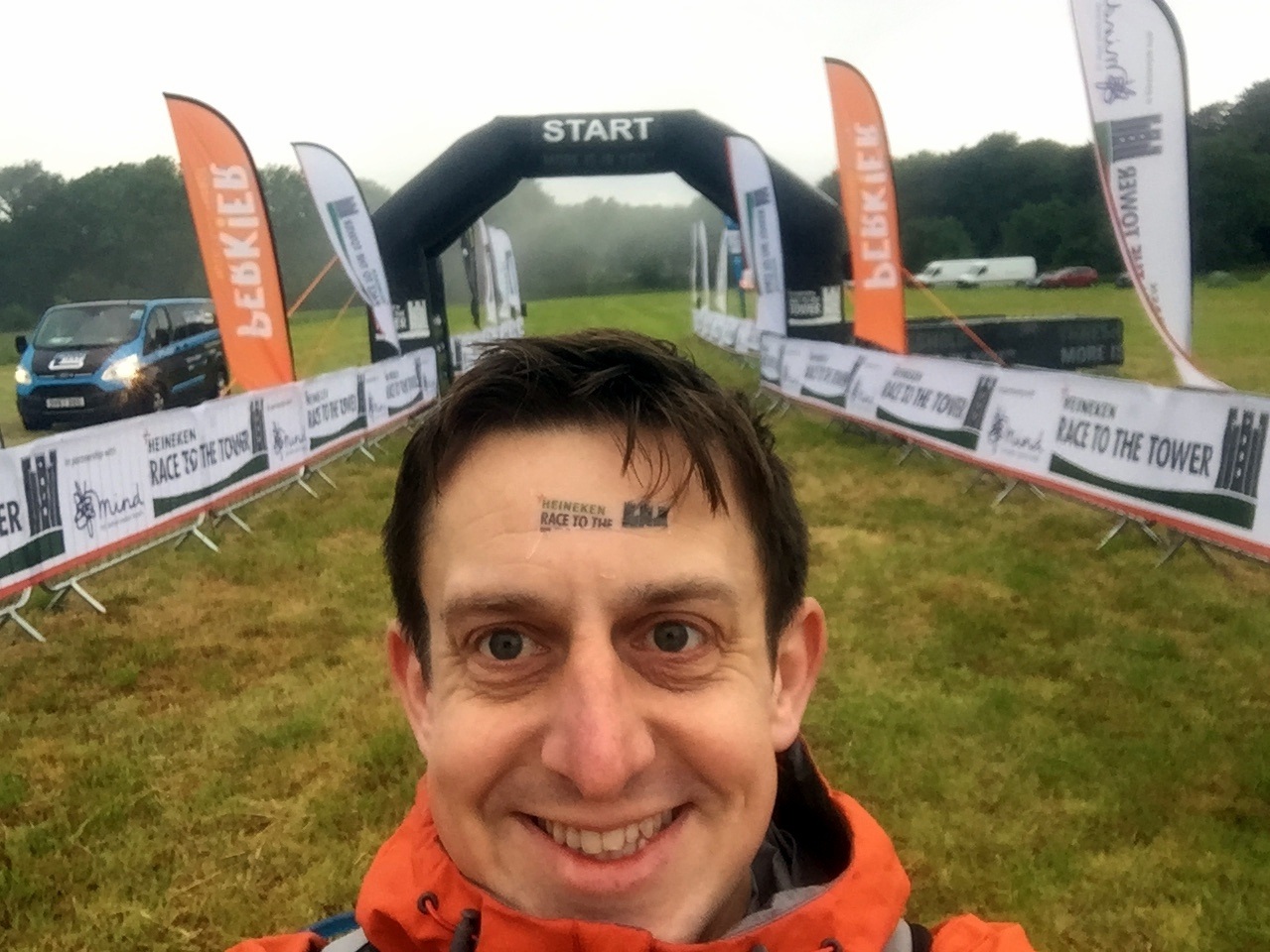
It was.

In the taxi ride to the start line I remembered my first Ultra. Back then I had absolutely no idea whether I could go that distance. It didn’t help that everyone I spoke to was on their 5th or more Ultra. The biggest tip that one of them told me that day was to run your own race. Don't change your plan on the day just because you’ve heard that someone else does it differently. Don’t worry about how fast, slow or gracefully other people are running. Just do your thing. I’ve always remembered that and it always works.

I was feeling good that I was now one of those that had done 5 Ultras. Then I met Gobi Man. Not only was this one of a long chain of Ultras, he’d also done several multi-day runs abroad. He’d done Marathon de Sables, a Peruvian Amazon Rain Forest Run and this race was just a warm up for a seven day Gobi race. I made a note of the company that runs these events (don’t tell my wife).

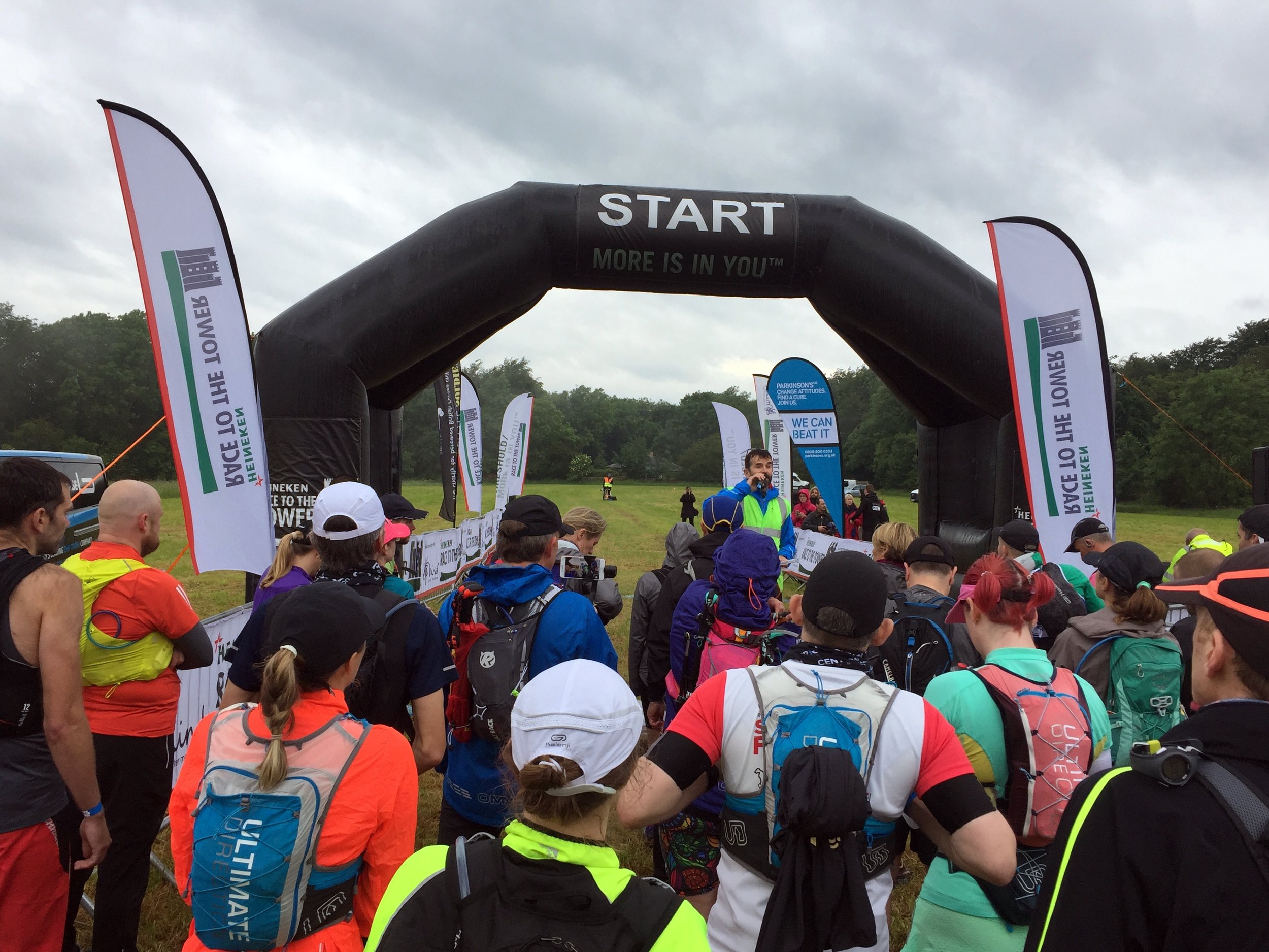
Suddenly it was race time and I snuck into an earlier wave to get off 10 minutes earlier. As usual I’d prepared a spreadsheet with detailed minutes-per-mile and checkpoint locations. After a few years of over-optimistic planning I’d refined my pace and stuck to 12 minute miles for the first half-marathon distance. After that I would drop a minute per mile every 10 miles.

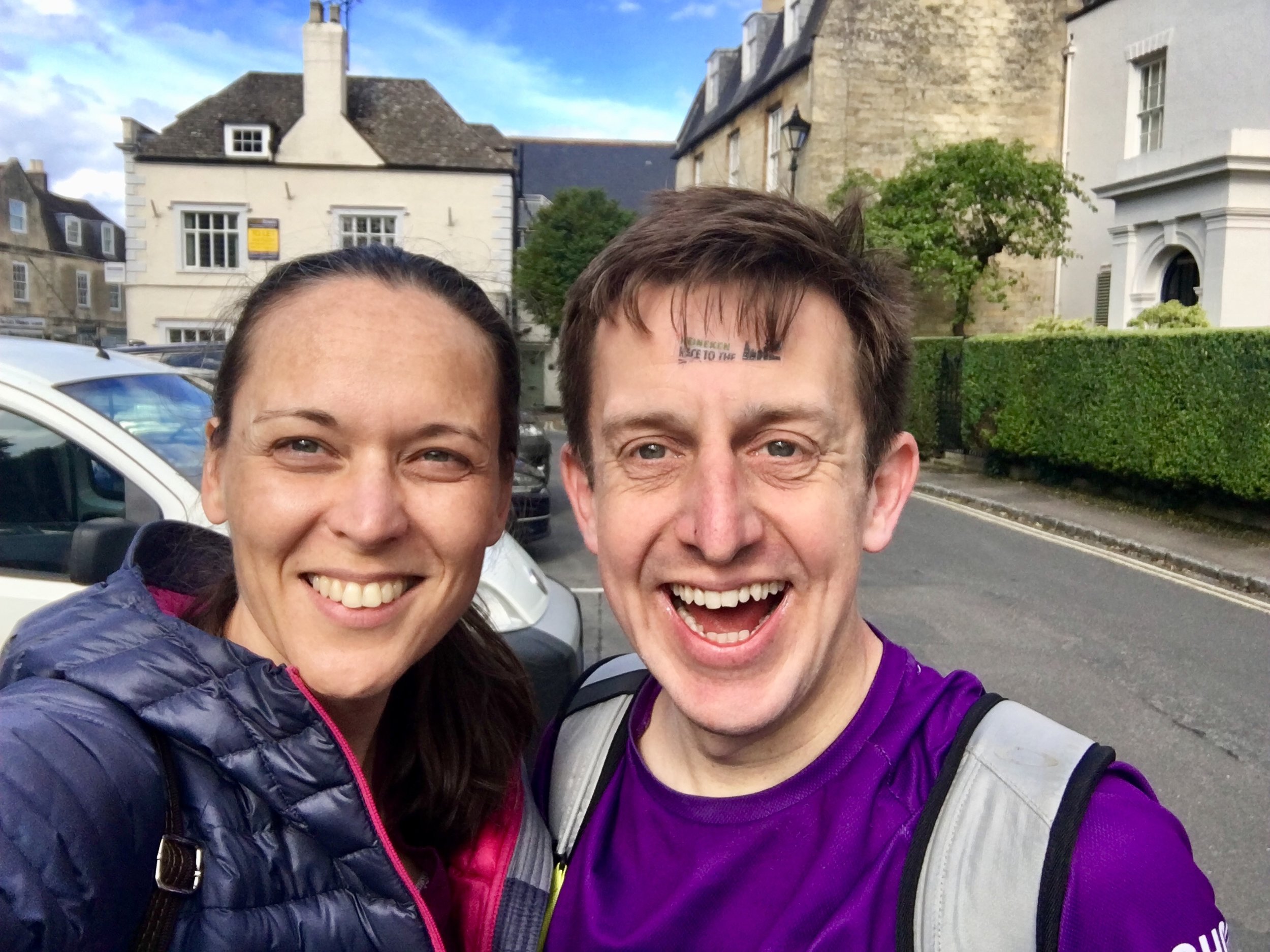
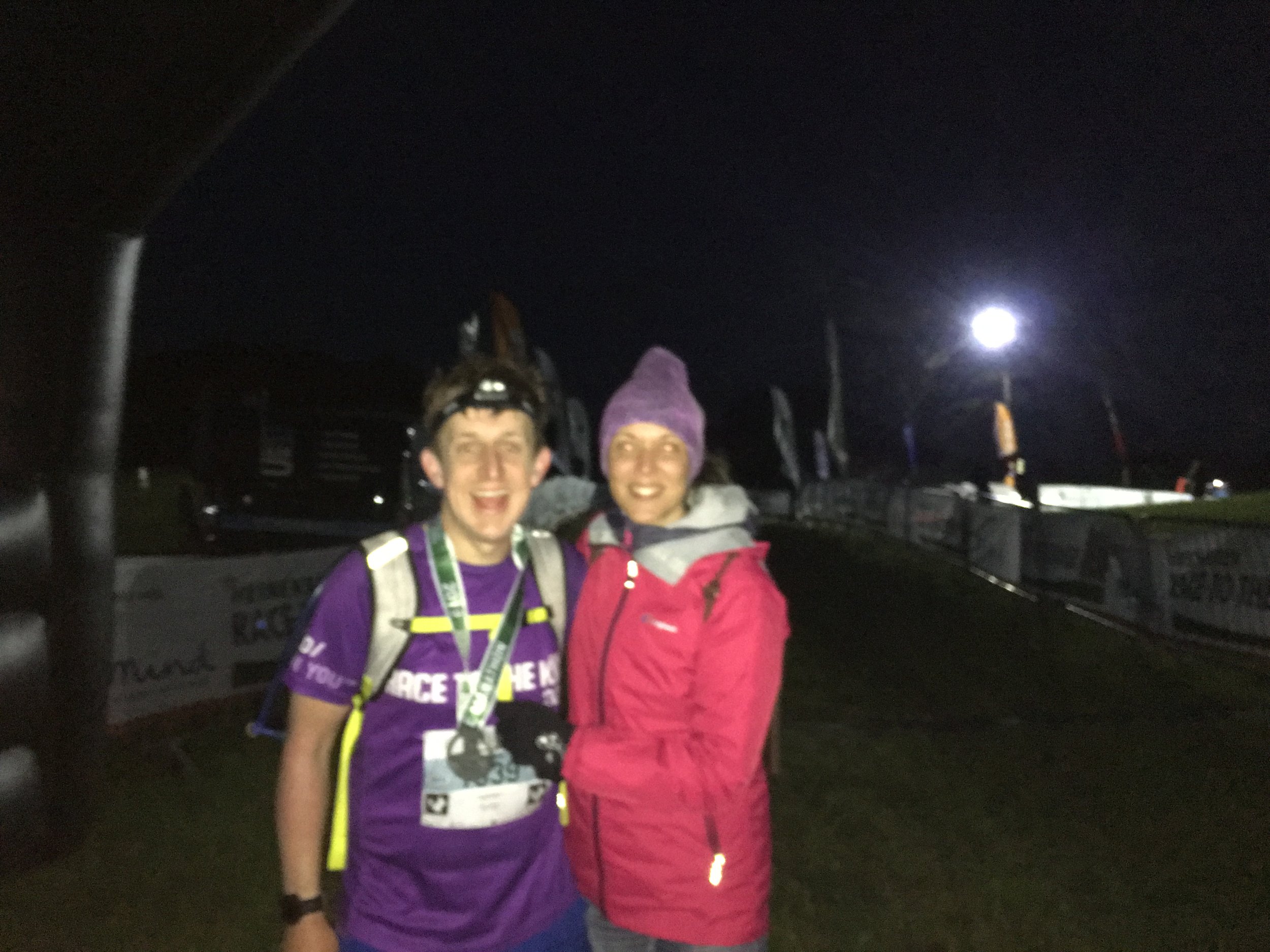
As with previous Ultras, Timi (the wife) and my mum were my Support Crew. They drove to the Cotswolds late morning to meet me half-way. By then I was already an hour ahead of plan so we met further along the route. By then the damp start and a few misjudged puddles had soaked my trainers so my feet needed some attention. As much as Timi complains about the madness of the big runs, she does an outstanding job of patching me up and feeding me. It’s always a massive motivation to see both of them in the tough final stages.

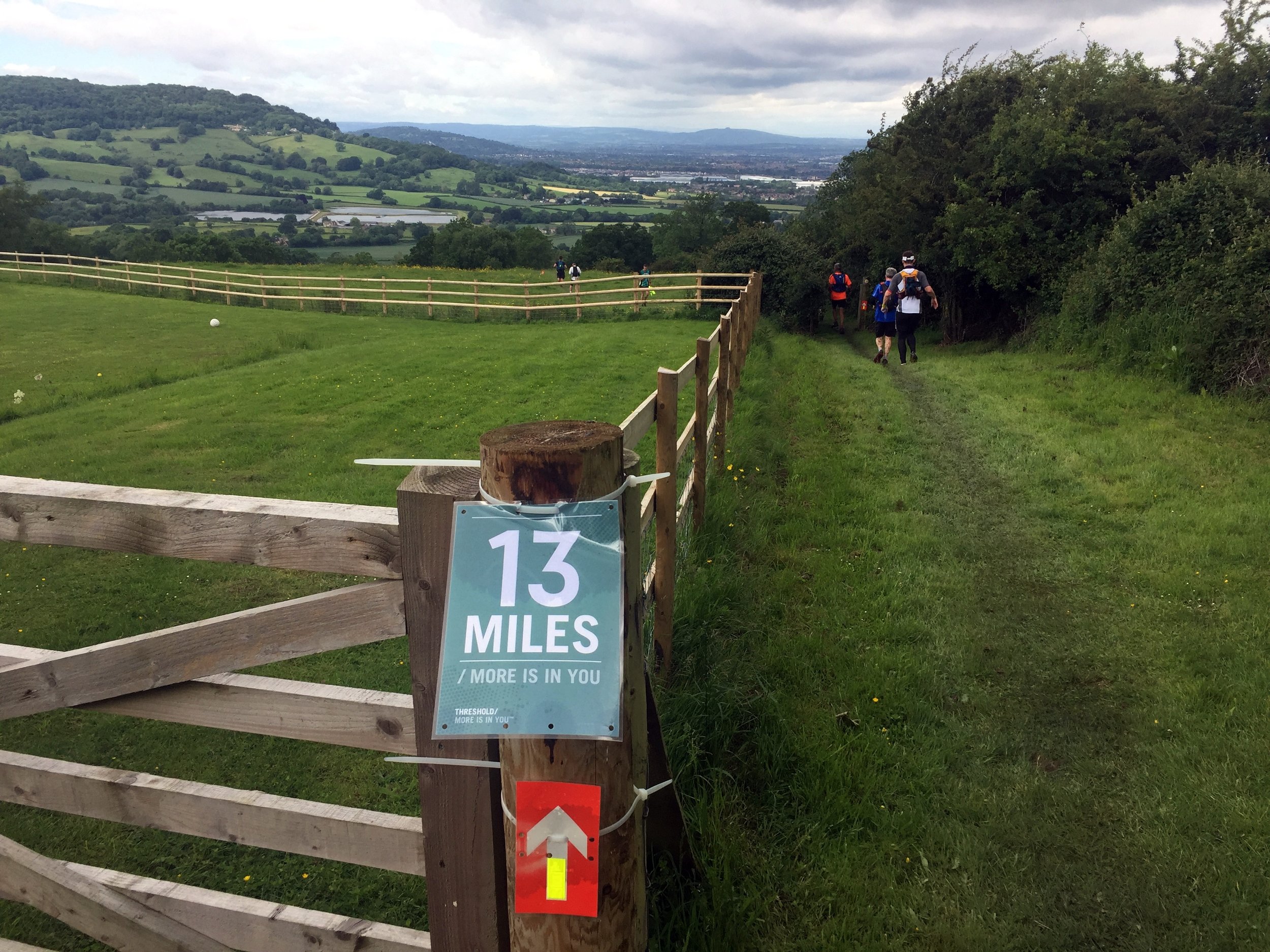
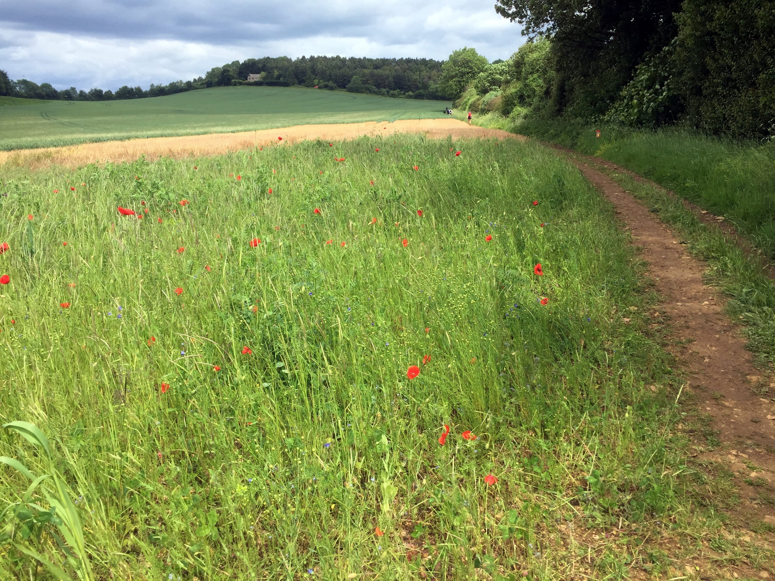
The Cotswolds Way is stunning. Ultras tend to be in interesting areas but this was exceptionally beautiful. I love the UK National Trails and an Ultra is a great way to fully experience them. The varying terrain keeps you focused and helps you to be fully present in the environment in a way that road running often can’t. I did listen to some podcasts along the way, but for the majority of the 15 hours out there I was in "The Zone", fully present in the race.

I was surprised to see Gobi Man when I overtook him at mile 40. He’d started in the Wave before me and I’d assumed that he’d already be a couple of hours ahead. It turned out that he’d taken a wrong junction and gone 2km in the wrong direction. After that he’d lost his mojo and was having a tougher race. I felt bad for him but it secretly made me feel good about my own efforts.

In stark contrast to the evening before I felt on top form throughout the race. Even the long lonely twilight stretches were fine. These are the bits that can wear you down. Runners are now well spaced-out and you can go for a long time without seeing anyone. The long flat section towards Broadway was actually a bit of a slog. I could see Broadway Tower in the far distance from about 8 miles out. It didn’t seem too far but the final part was a curve into the town so it didn’t get closer for a few miles.

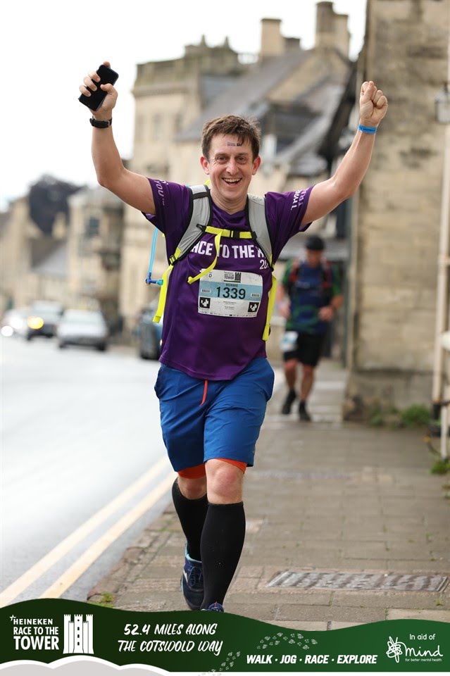
By Broadway it was fully dark and running through the High Street was a highlight. It’s a pretty village in daylight and magical when lit up at night. It was a warm Summer evening and the outside dining areas were packed. The claps and cheers of encouragement were much needed.

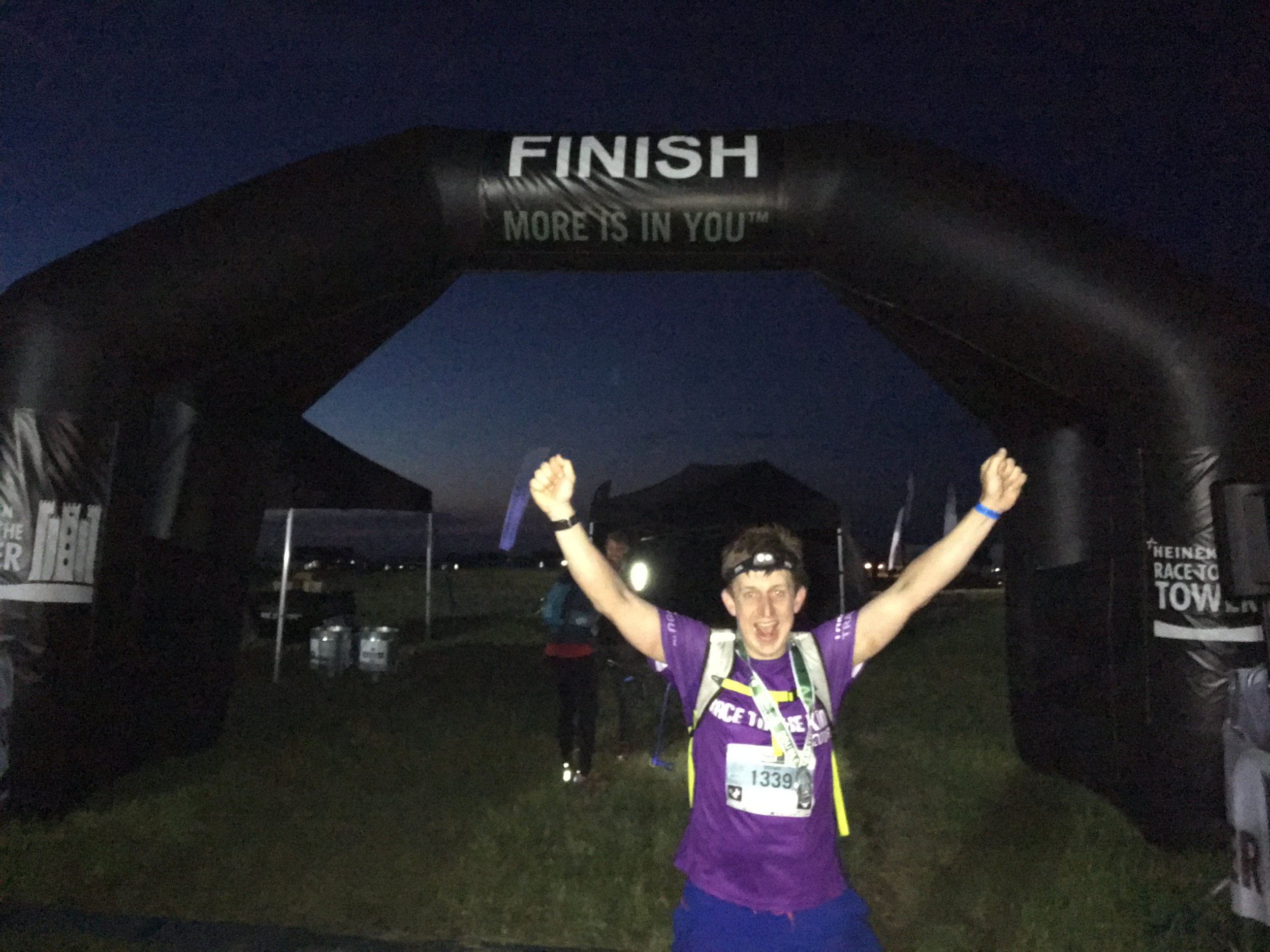
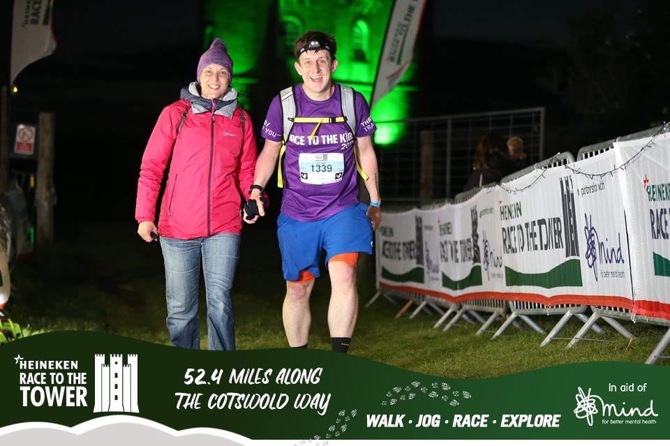
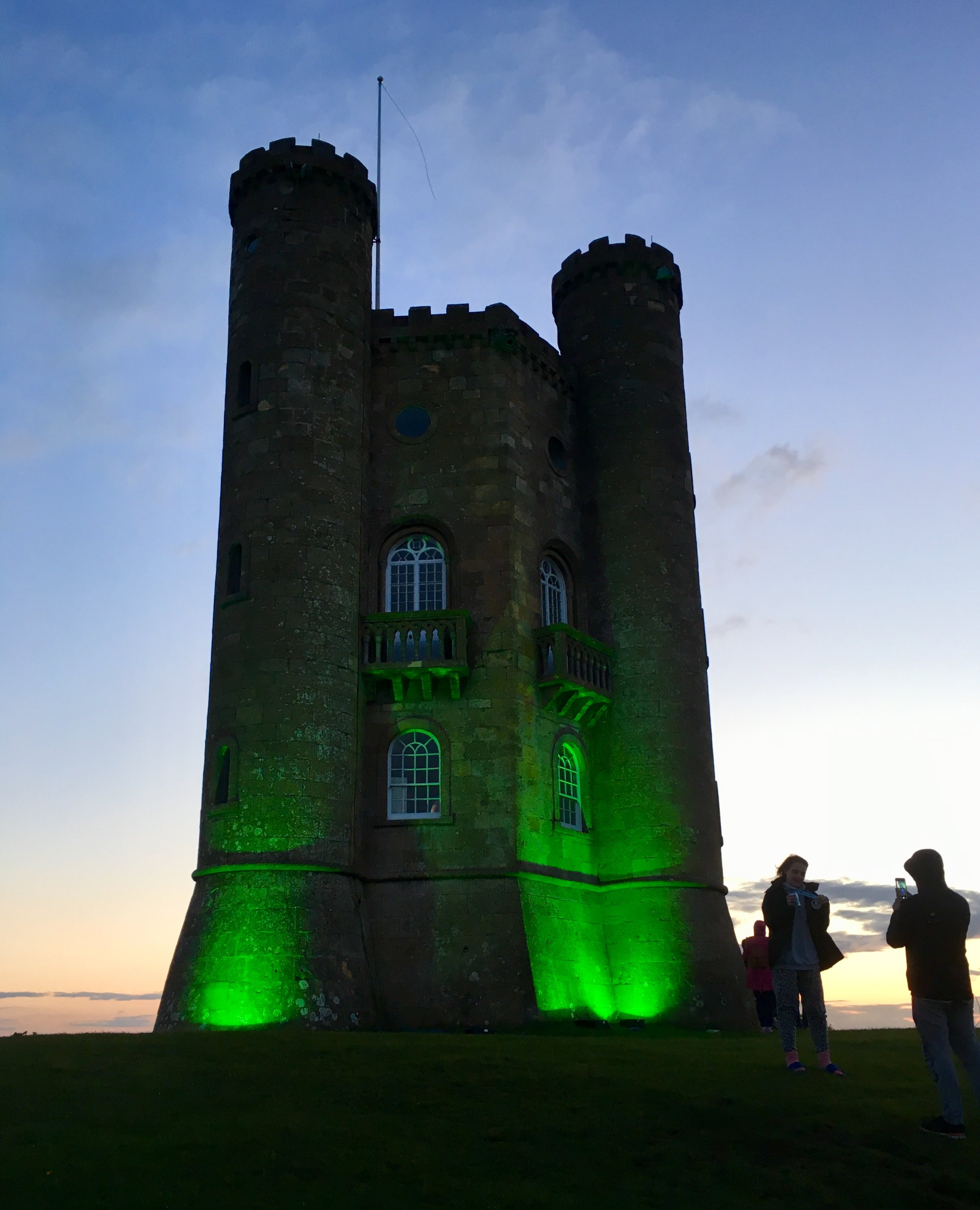
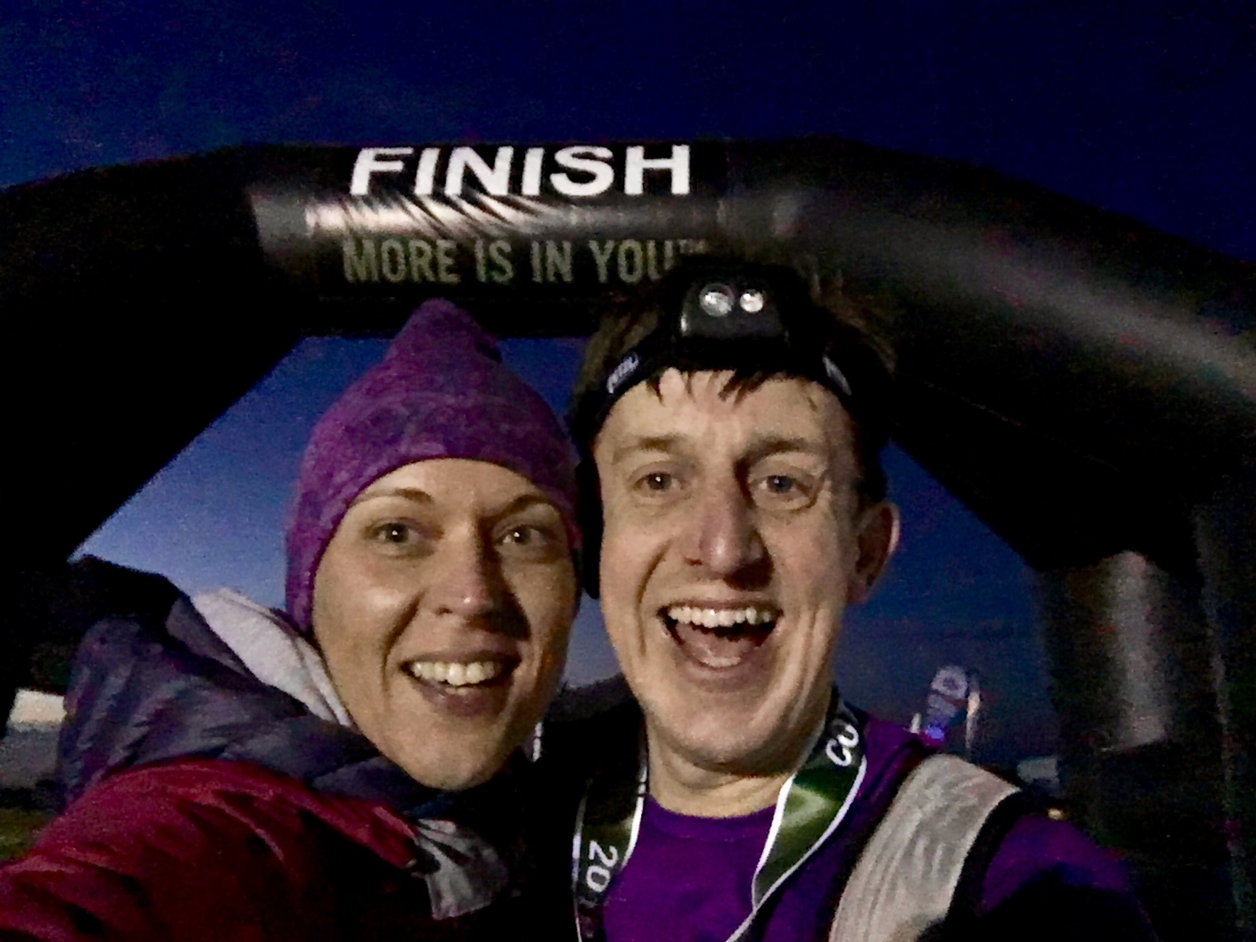
Just past the High Street it got quiet and dark again. The route turned right off the road and into fields again. This was the final mile and it was a bastard. There was no gentle finish, just a seemingly endless climb up to the top of the hill. Timi and mum had been there for half an hour. I was still 45 minutes ahead of time but slowing down. Finally, at the top of the hill and through the trees, the Broadway Tower appeared, lit up in lime green and marking the end of the double marathon. Timi was there at the final 100 metres and joined me to cross the finish line.

It’s a very different feeling crossing finish lines now. I used to get a wave of emotion about finishing something I didn’t think I could do. Now it’s not about proving anything so the feeling is more about satisfaction, enjoyment, excitement and just a bit of being absolutely bloody knackered.

elevation_profile.jpg

Start: Bird In Hand Farm


End: Broadway Tower