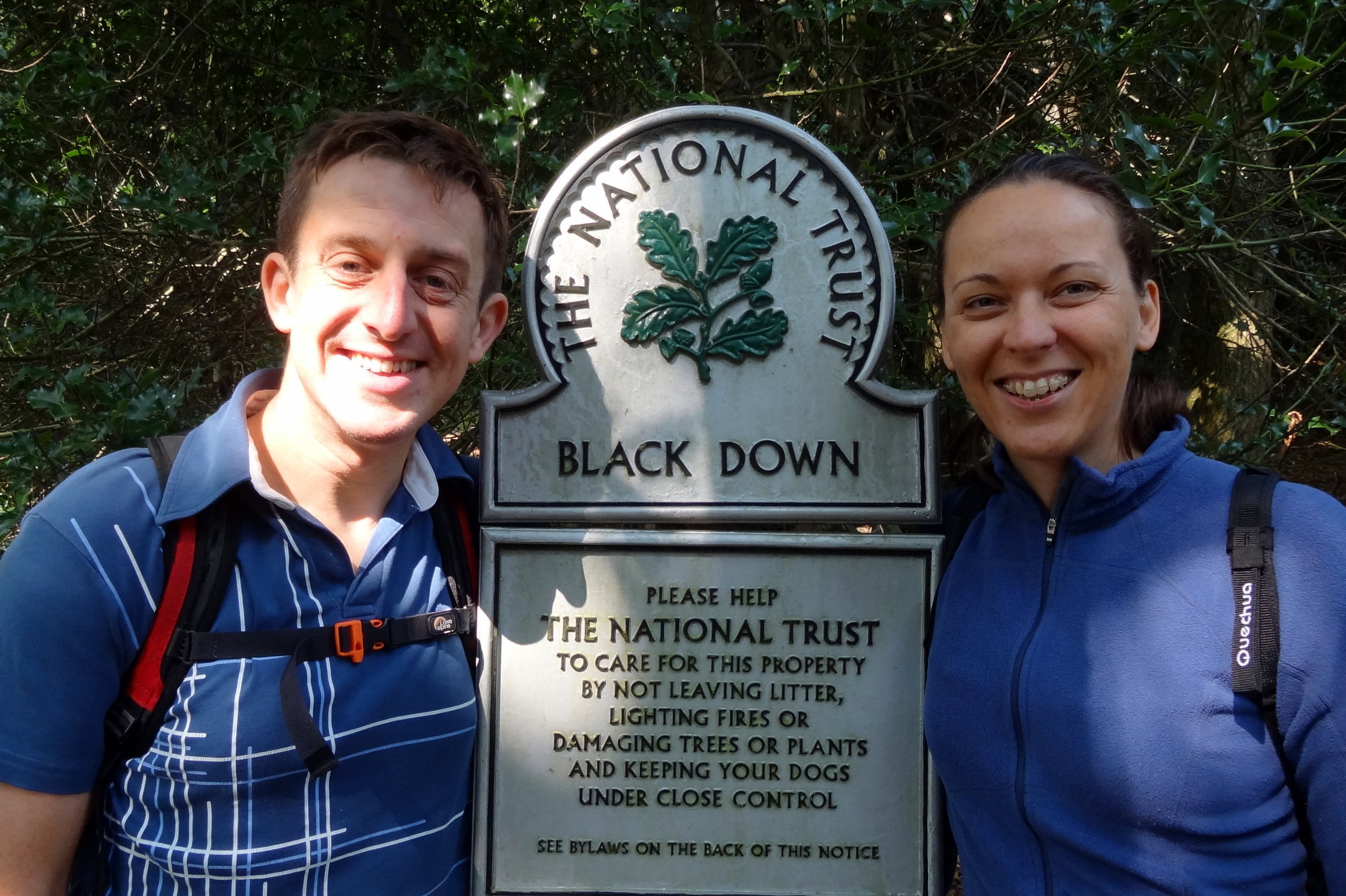
Black Down: Sussex County Top

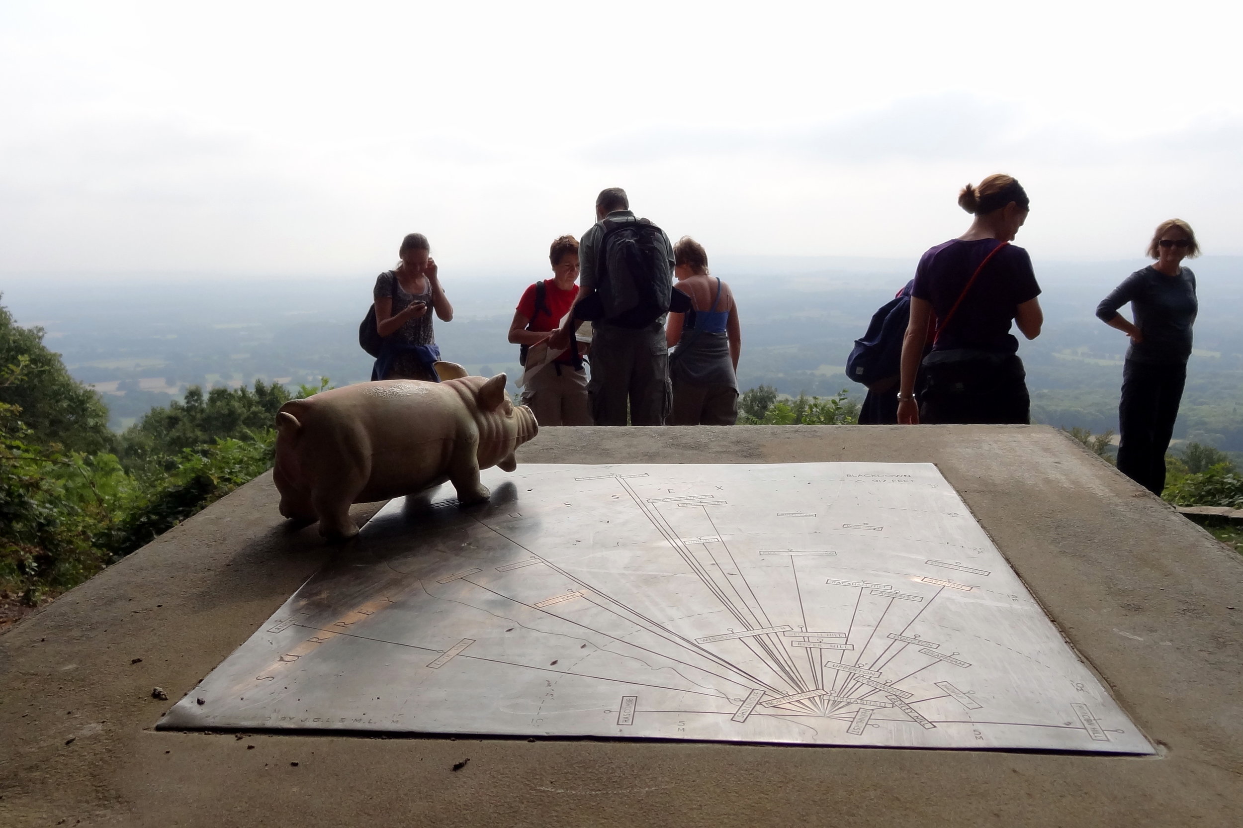
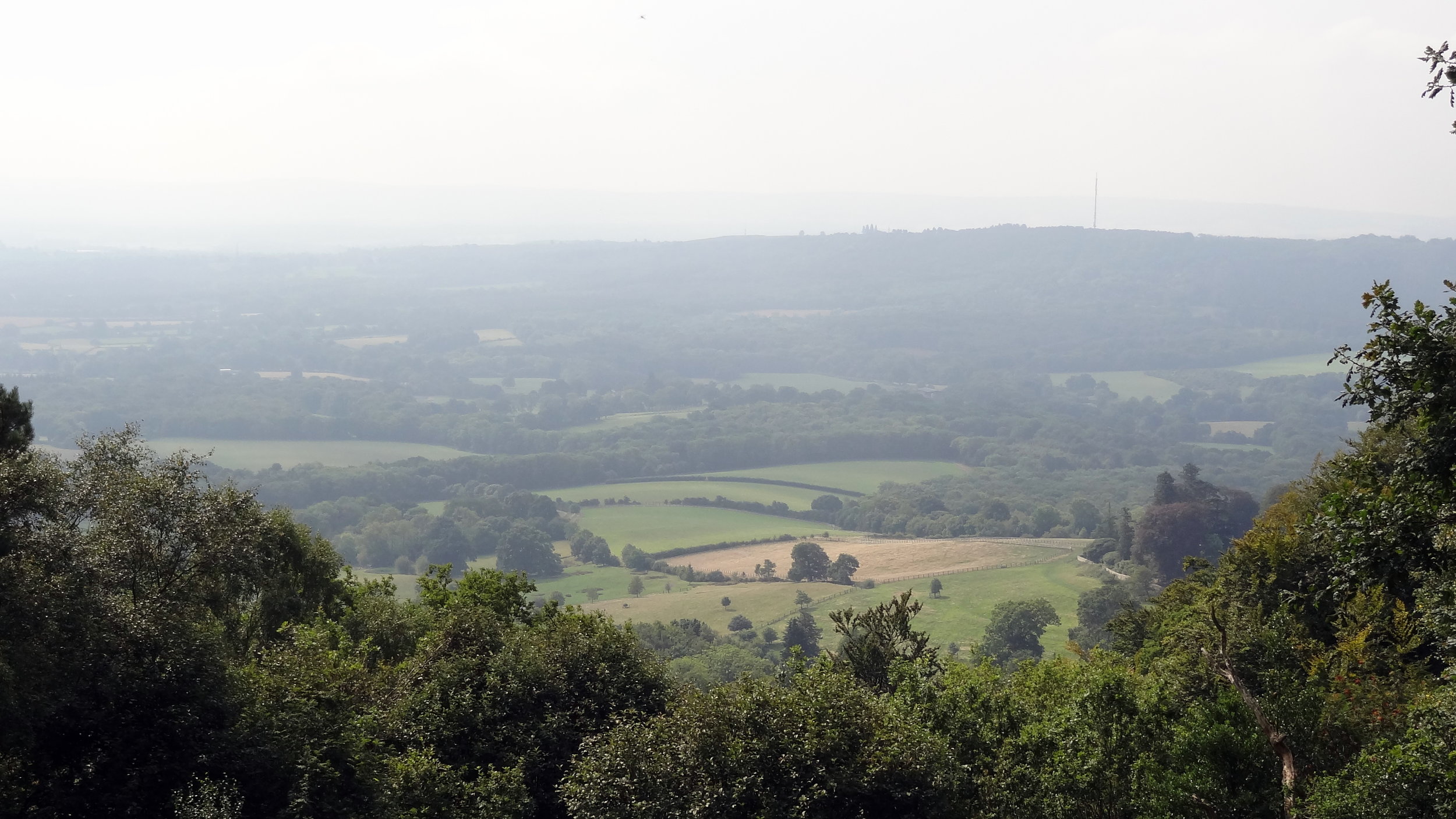
View from Black Down on a misty day
Significance: Highest peak in Sussex (Historic CT), Highest peak in West Sussex (Present Day CT), South Downs National Park High Point, Rape of Chichester High Point
Member of: Marilyn
Parent Peak: Leith Hill.
Nearest Higher Neighbour = Leith Hill
Elevation: 280m
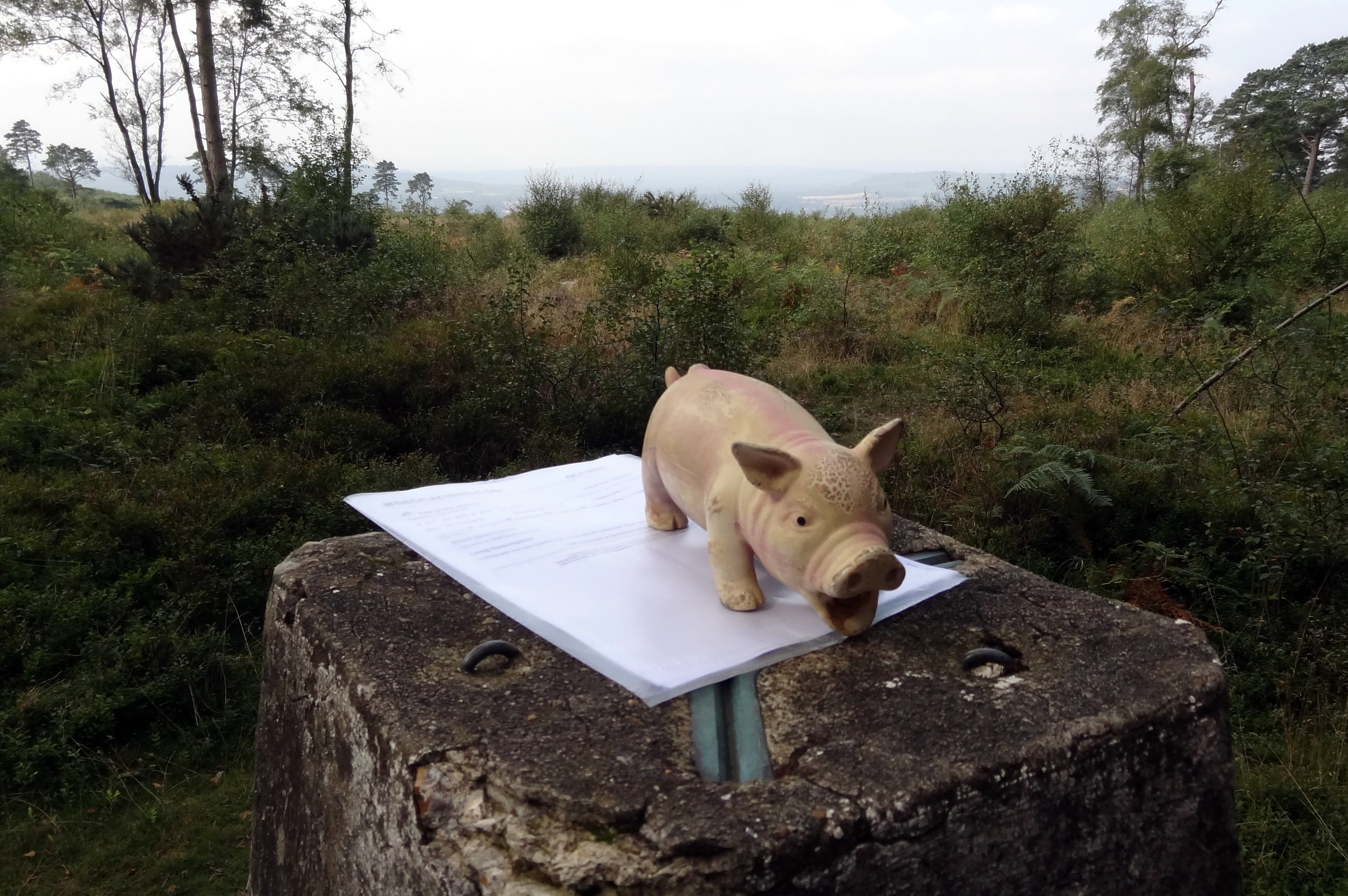
Date climbed: 26th August 2013
Coordinates: 51°03′30″N 0°41′24″W
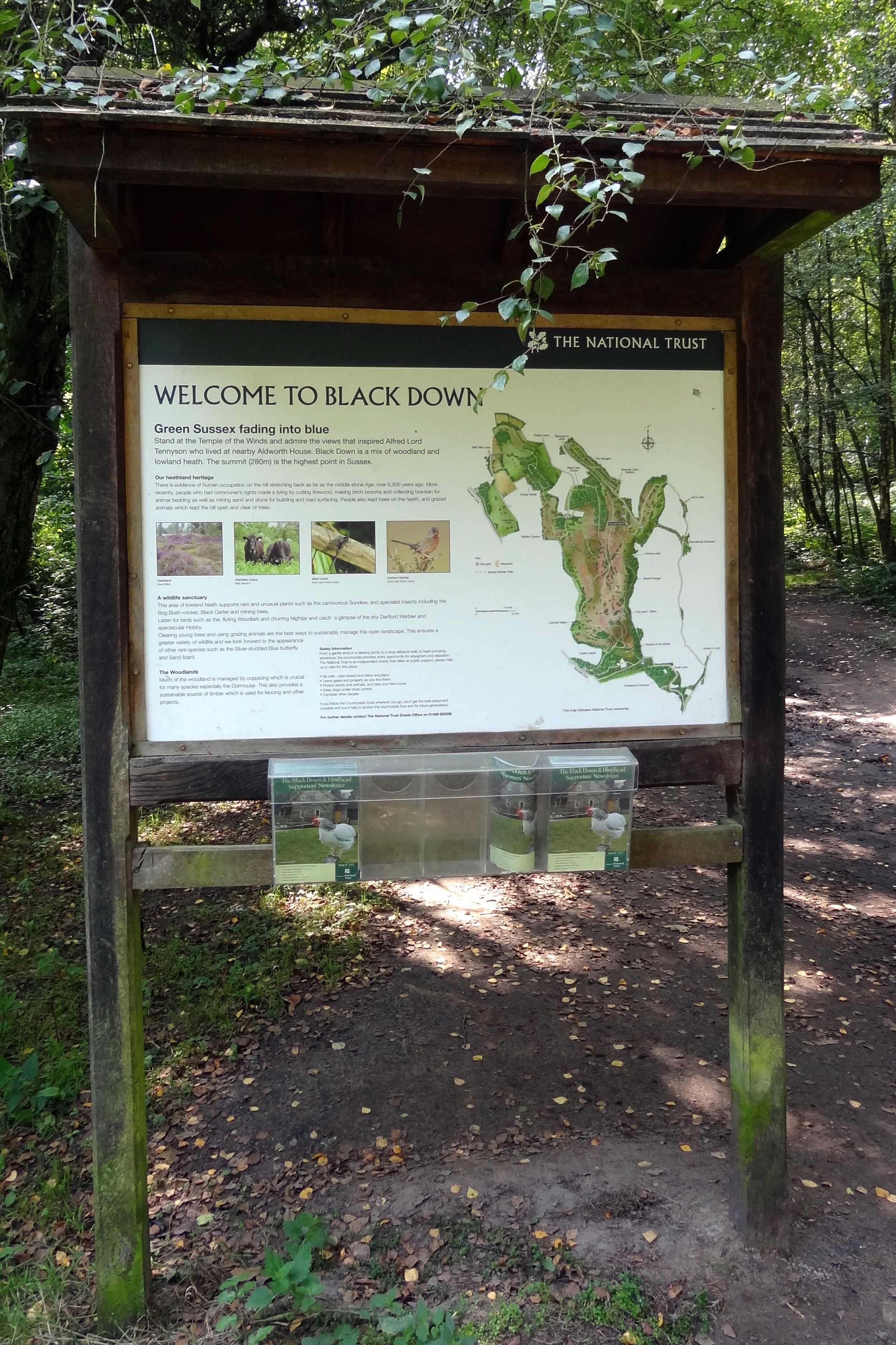
Route Start / End: National Trust - Black Down Car Park, Tennyson's Lane, Haslemere, GU27 3BJ
Route Distance: 4 km (2.5 miles)
Route Elevation Change: +/- 57m
Subsidiary tops on route: None
GPX File: get via Buy Me a Coffee
Other routes touched (walk): Sussex Border Path, The Serpent Trail
Other routes touched (cycle): none
OS Trig Pillar: TP1443 - Blackdown
Map: OS Explorer OL33 Haslemere & Petersfield
Guidebook: The UK's County Tops (Jonny Muir), Walking the County High Points of England (David Bathurst)
Links: Wikipedia (Sussex), Wikipedia (West Sussex), Wikipedia (Black Down), Rape of Chicester, Peakbagger, Hillbagging, National Trust

OTHER HIGH POINTS IN Sussex
Ditchling Beacon (248m) East Sussex Ceremonial County High Point and the Rape of Lewes: Peakbagger / Hillbagging
Bullock Hill (197m) Brighton & Hove Authority High Point: Peakbagger / Hillbagging
Glatting Beacon. (245m). Rape of Arundel High Point: Peakbagger
Crowborough Beacon (242m). Rape of Pevensey High Point: Peakbagger / Hillbagging
Chanctonbury Ring (240m). Rape of Bramber High Point: Peakbagger / Hillbagging
Brightling Down (197m). Rape of Hastings High Point: Peakbagger