Chanctonbury Hill: Rape of Bramber High Point

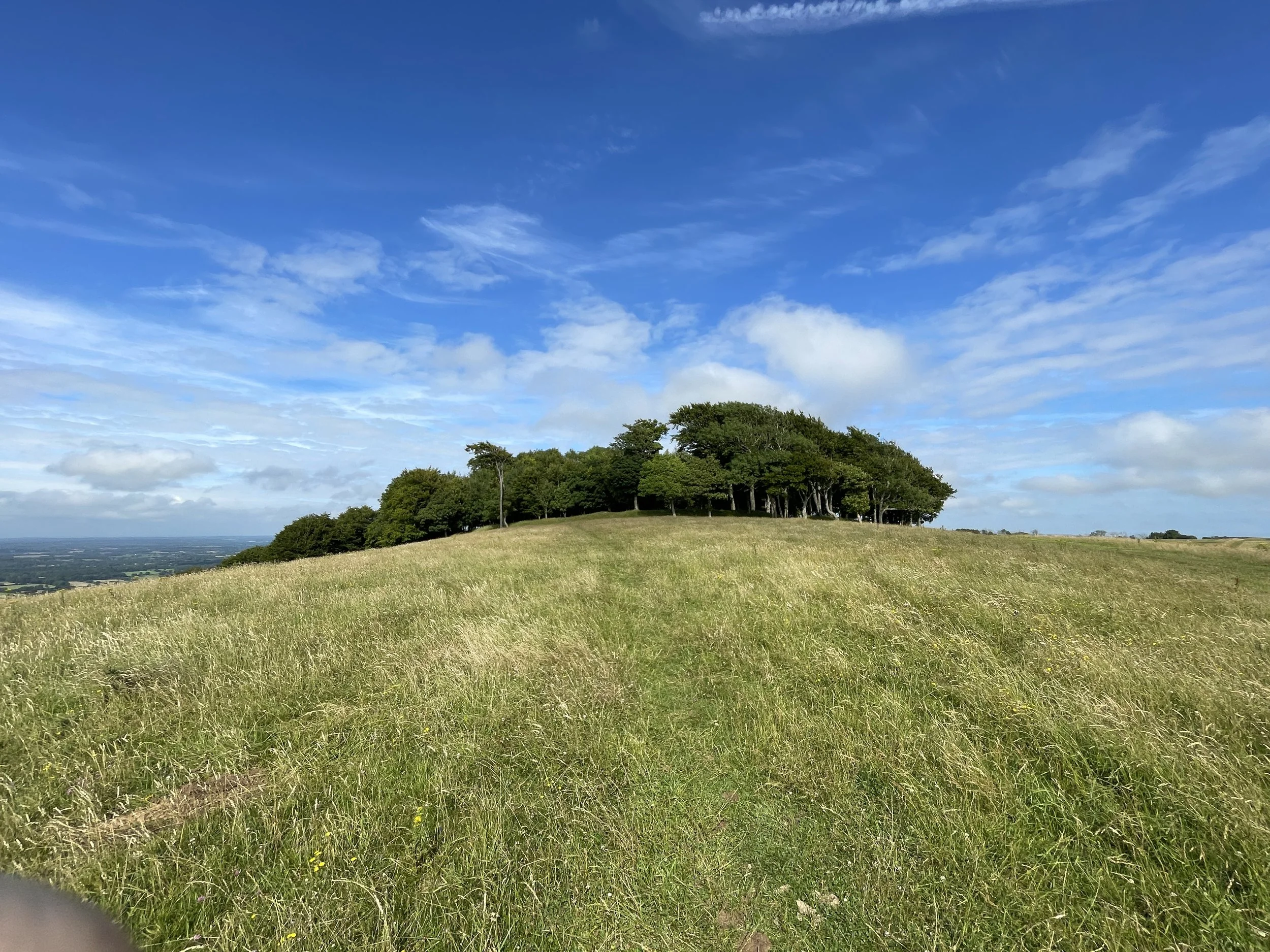
View to Chanctonbury Ring from the Trig Pillar
Also known as: Chanctonbury Ring
Significance: Highest point in the Rape of Bramber
Member of: Marilyns
Parent Peak: Ditchling Beacon
Nearest Higher Neighbour: Ditchling Beacon
Present Day County: West Sussex (of which Black Down is the County Top)
Elevation: 242m
Date climbed: July 20th 2024
Coordinates: 50° 53' 48'' N, 0° 22' 54'' W
Route Start / End: Chanctonbury Ring Car Park, Chanctonbury Ring Road, Steyning, BN44 3DR
Route Distance: 4.3 km (2.7 miles)
Route Elevation Change: +/- 154m
GPX File: get via Buy Me a Coffee
Other routes touched: South Downs Way,
OS Trig Pillar: TP2110 - Chanctonbury Ring
Map: Arundel & Pulborough Map | Worthing & Bognor Regis | Ordnance Survey | OS Explorer Map OL10
Links: Wikipedia (Rape of Bramber, Chanctonbury Hill, Chanctonbury Ring), Peakbagger, Hillbagging
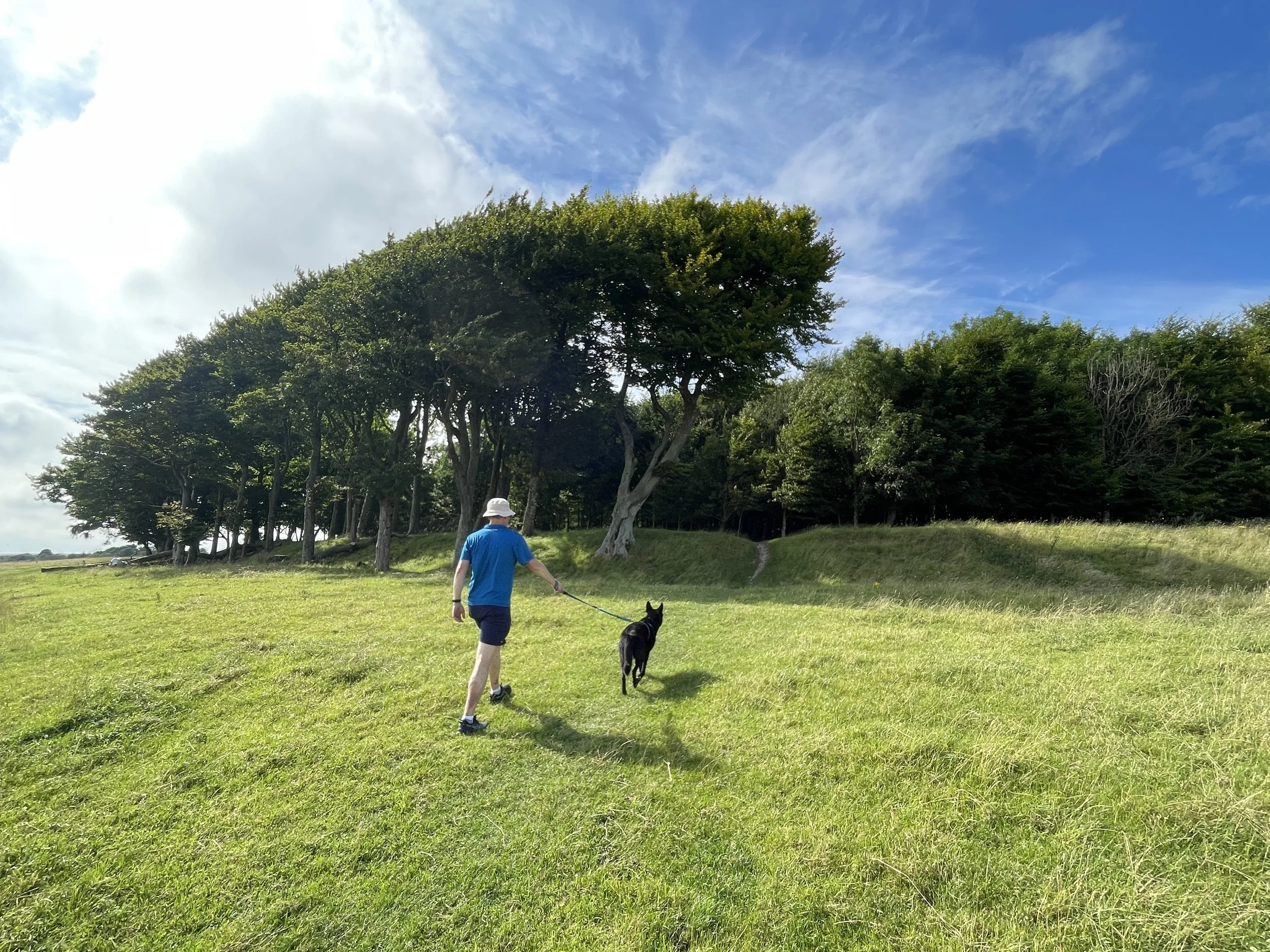
I very nearly bagged Chanctonbury Ring a few years back while cycling the South Downs Way. We stopped to visit the nearby Trig Pillar but I didn’t realise that the Rape of Bramber High Point was so close. So, on a day of bagging my remaining Sussex high points, Mark and I revisited for a short, steep circular walk to visit both the high point and the Trig Pillar.
To follow the same route start at Chanctonbury Ring Car Park and follow Chanctonbury Ring Road in a southerly direction. Continue south as the road becomes a path that leads up to the South Downs Way. We took a short cut up a less-used, steeper path through the woods. It actually didn’t save much time as a guy that we saw taking the longer route arrived at the top at more or less the same time as we did.
Whichever route you take, turn right onto the South Downs Way and head towards the clump of trees that’s the site of the Iron Age hillfort. The South Downs Way goes round the trees on their southern side so you’ll need to leave the trail to follow a smaller path through the trees. The high point isn’t marked but easy to find. From the high point continue west out of the trees to briefly rejoin the South Downs Way before cutting off again to the Trig Pillar.
To return follow the fence to the north of the Trig Pillar back towards Chanctonbury Ring to find a gate and a path that leads back down the hill in a north-westerly direction. At the bottom of the hill take a right on another path that leads back to Chantonbury Ring Road near to the Car Park.