Glatting Beacon: Rape of Arundel High Point

View to Glatting Beacon from the South Downs Way
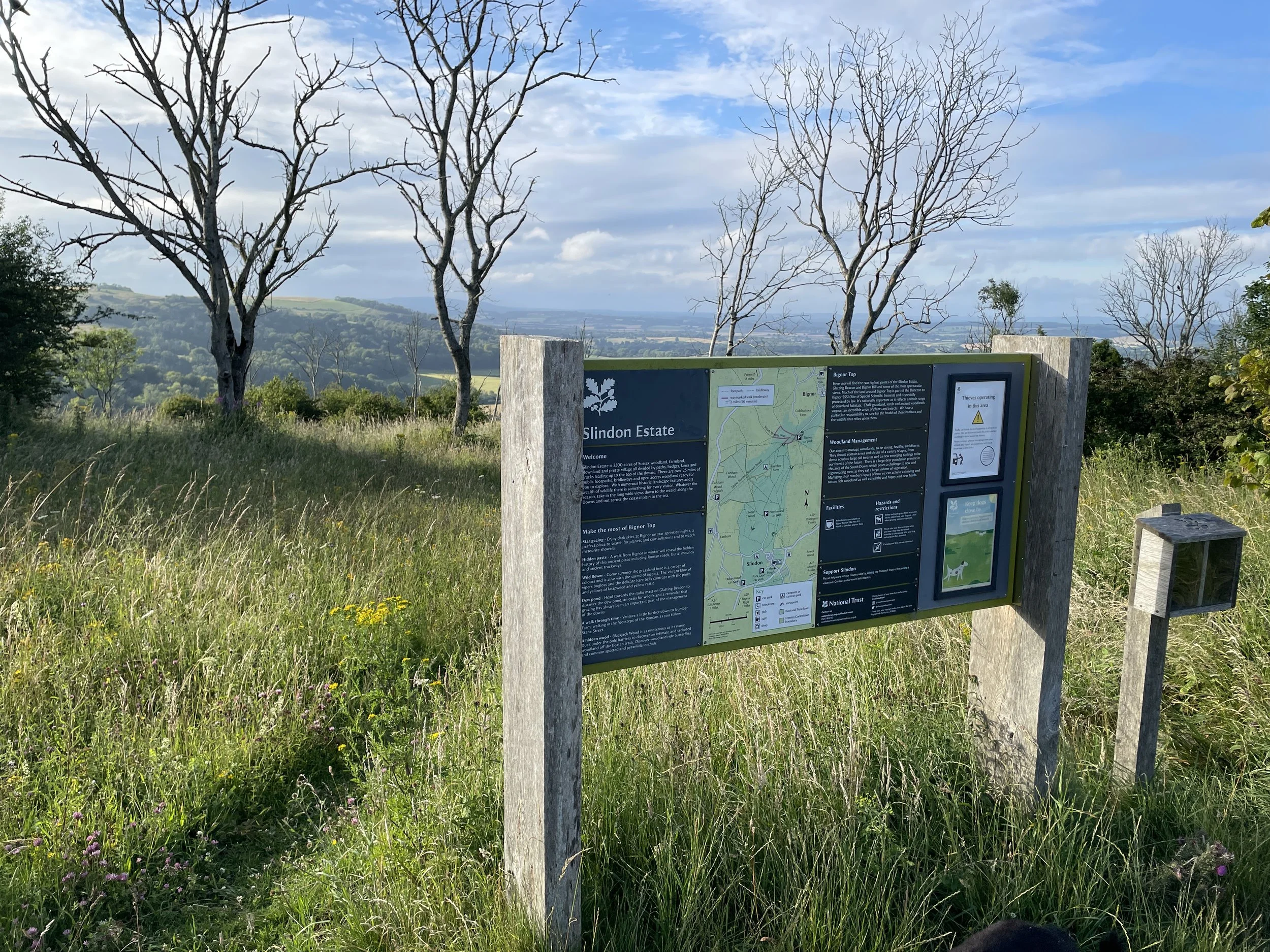
Also known as: Bignor Hill
Significance: Highest point in the Rape of Arundel
Parent Peak: Butser Hill
Nearest Higher Neighbour: Littleton Down
Present Day County: West Sussex (of which Black Down is the County Top)
Elevation: 245m
Date climbed: July 20th 2024
Coordinates: 50° 55' N, 0° 38' W
Route Start / End: South Downs Way Parking, Chichester, RH20 1PH
Route Distance: 2.8 km (1.7 miles)
Route Elevation Change: +/- 37m
GPX File: get via Buy Me a Coffee
Other routes touched (walk): South Downs Way
OS Trig Pillar: TP1358 - Bignor Beacon
Map: Arundel & Pulborough Map | Worthing & Bognor Regis | Ordnance Survey | OS Explorer Map OL10
Links: Wikipedia (Rape of Arundel, Bignor Hill), National Trust Slindon Estate, Peakbagger, Hillbagging
Like Chanctonbury Hill which we visited earlier in the day, I could have bagged this one on an earlier trip along the South Downs Way. It’s easily accessible as a small diversion from the National Trail and hard to miss (look for the big transmitter in the trees).
We bagged it on a short circular walk from the Bignor Hill South Downs Way Car Park. From the parking, follow the South Downs Way in a westerly direction for ~280m then take a right hand path ascending towards the big transmitter. Near the top, take the service track to the transmitter where you’ll find the Trig Pillar lurking in the undergrowth.
Either return the way you came or return to the main path that you were on, take 2 lefts and you’re back on the South Downs Way. Take another left to follow the Trail back to the car park.