Walking The Greensand Way Part 12 - The Nower and Dorking
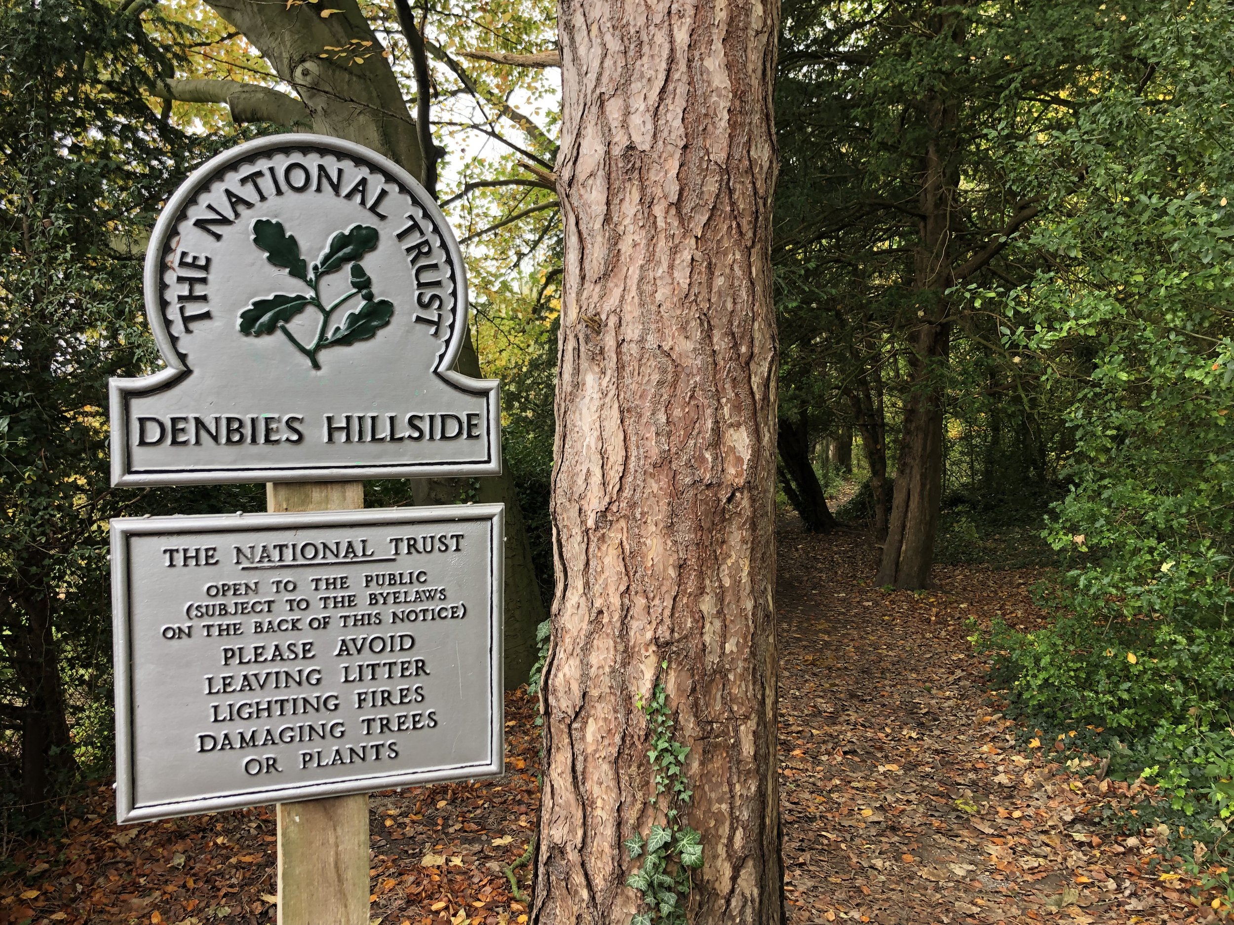
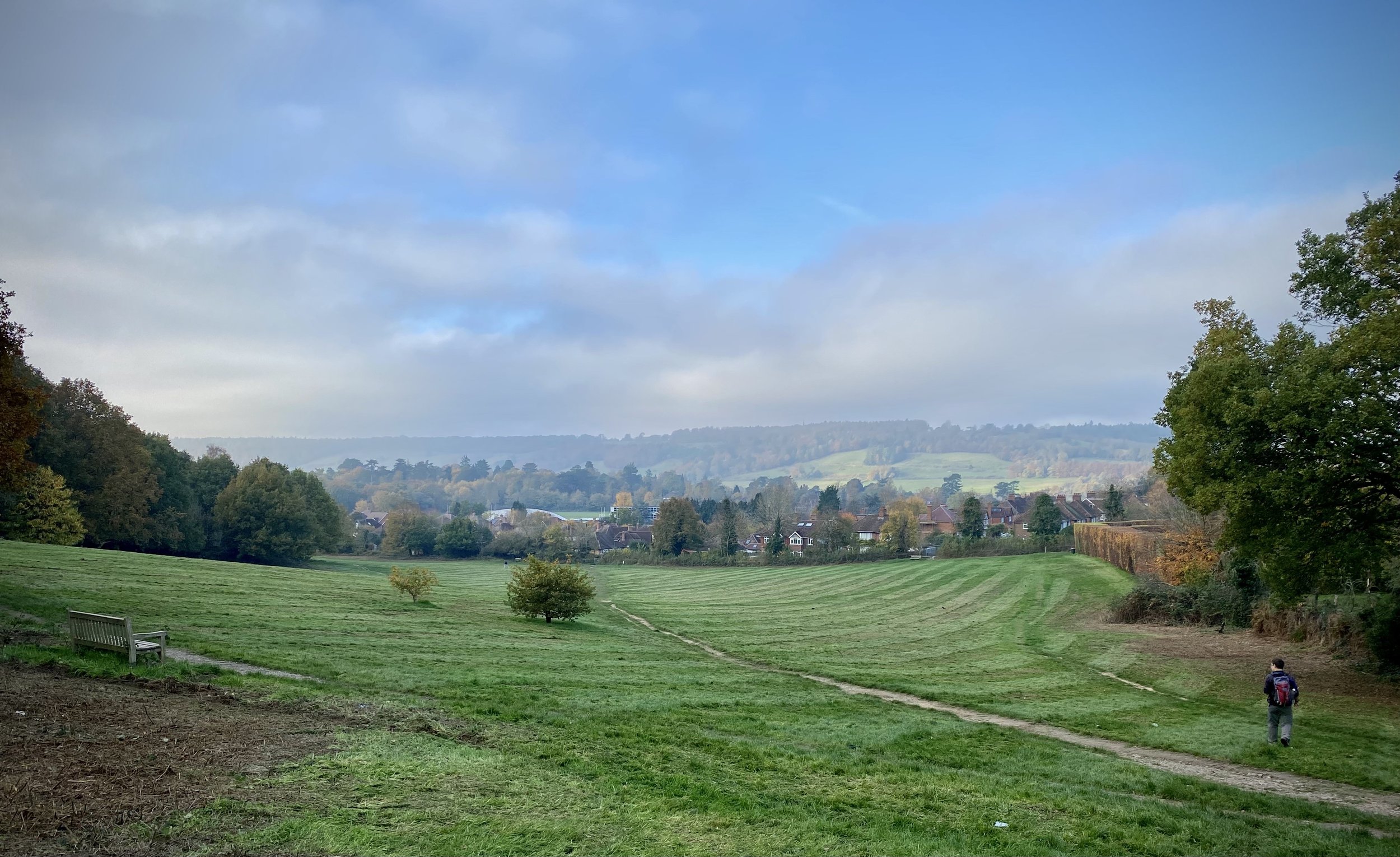
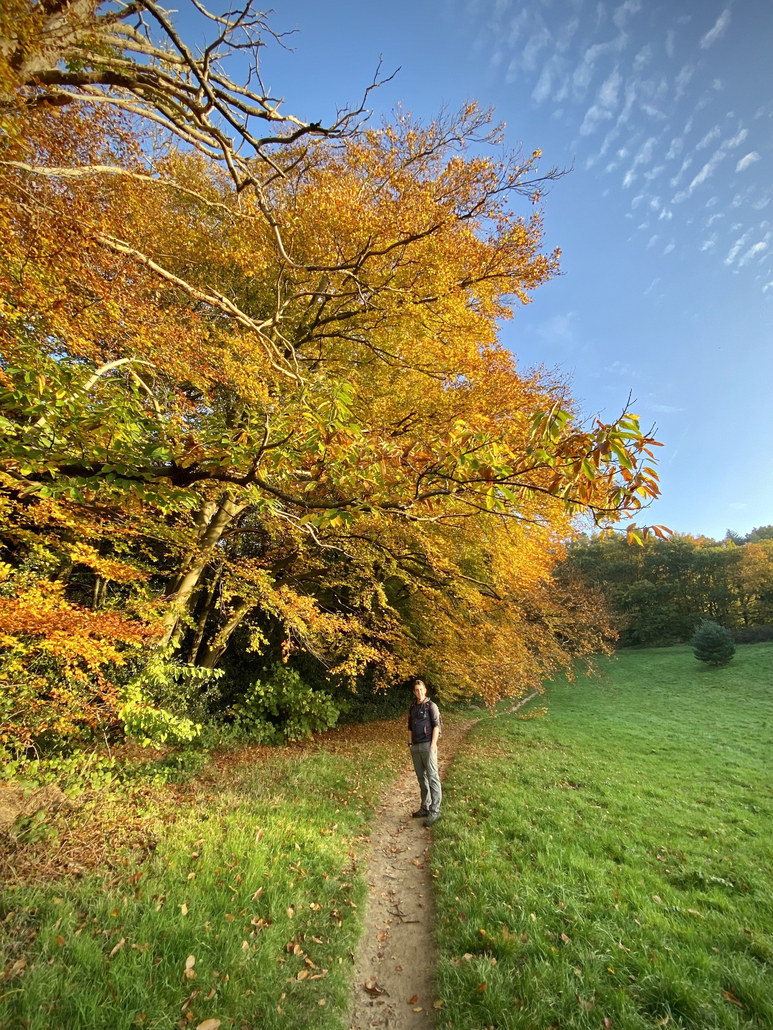
Denbies Hillside. View towards railway and Westcott
Start & Finish: Reigate Road Car Park, 9 Reigate Rd, Dorking RH4 1SN
Distance: 10.8 km (6.7 miles)
Elevation change: +/- 222m
Greensand Way section covered: Bury Hill to Punchbowl Lane: 5 km
GPX File: get via Buy Me a Coffee
Other routes touched (walk): None
Other routes touched (cycle): NCN 22, Surrey Cycleway
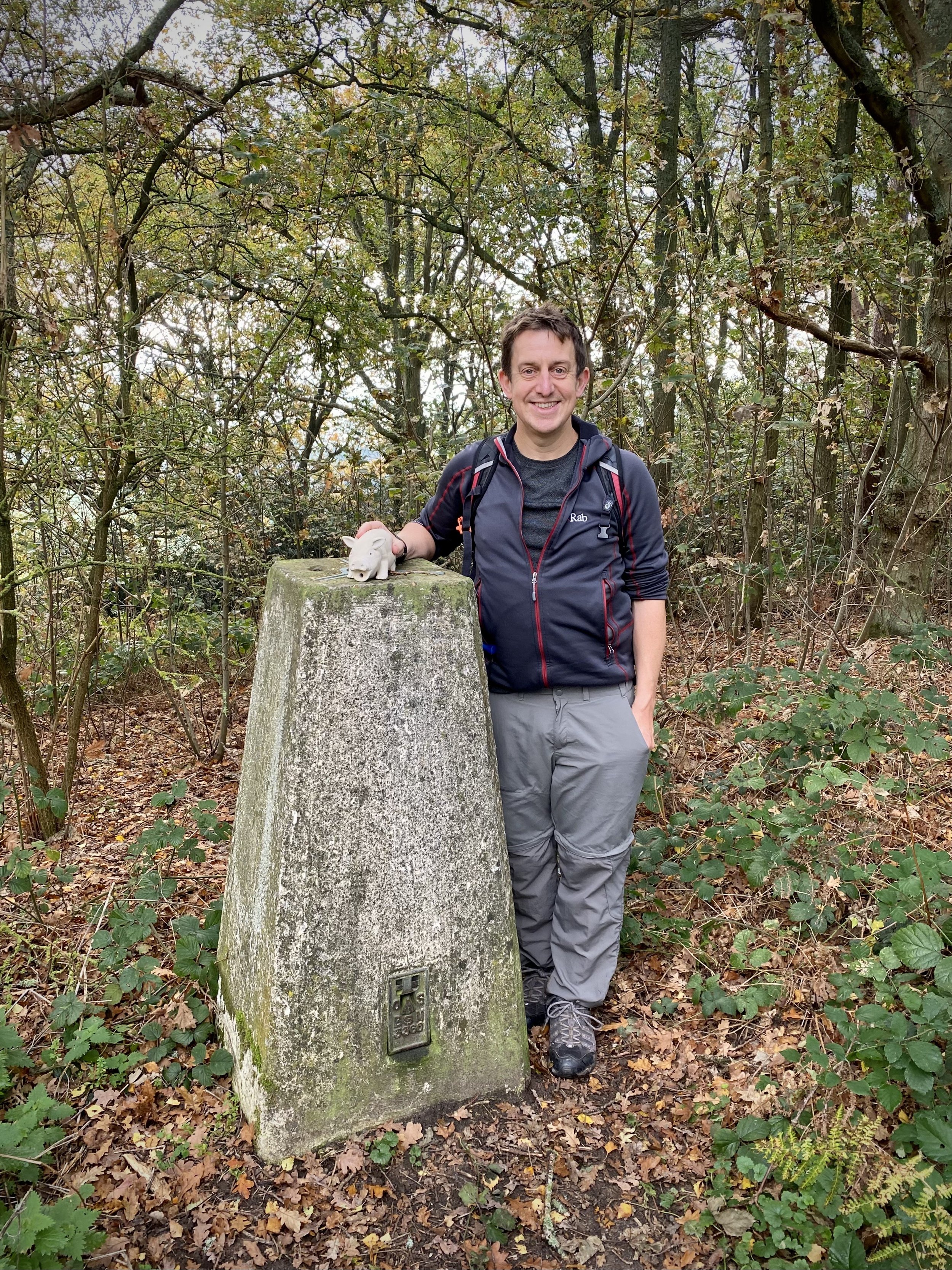
OS Trig Pillar: TP6411 - The Nower
Pubs / Cafes on route: The Queen’s Head (6.5 km in) and several on Station Road at the start/finish
Map: Dorking, Box Hill & Reigate Map | Leatherhead & Caterham | Ordnance Survey | OS Explorer Map 146
Links: Dorking, Milton Heath and The Nower, National Trust Denbies Hillside, Deepdene Estate
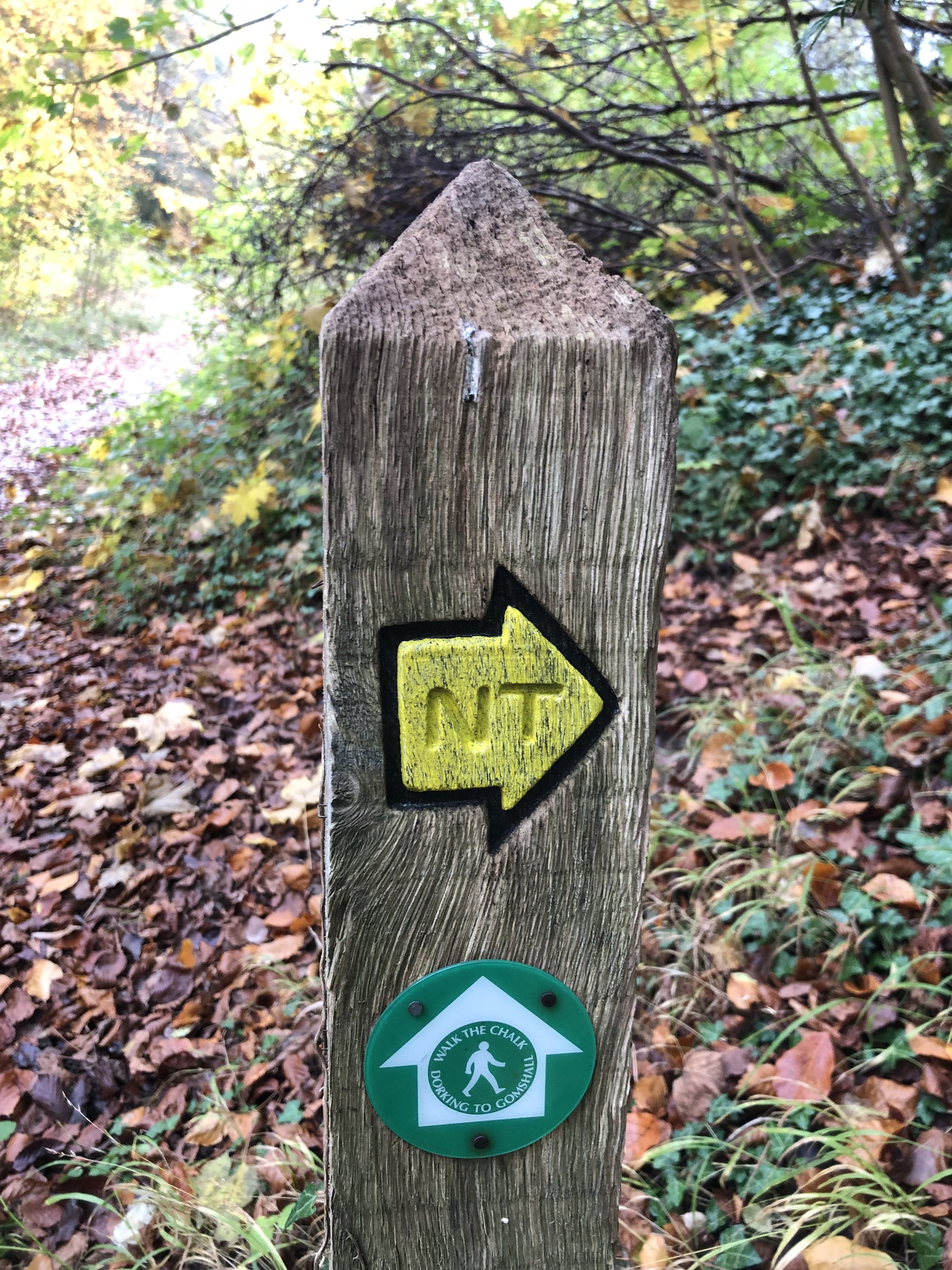
This is the twelfth of a series of short circular walks featuring the Greensand Way. The full trail is a long distance path stretching from Haslemere in Surrey to Ham Street in Kent. Our walks take in short sections of the Greensand Way and loop back to the start on other paths. The Greensand Way is well sign posted however you’ll need a map or GPX route to keep on track for the return sections of the loops. The guidance below will help but don’t use it as a fully accurate turn-by-turn guide.
For this section we parked at Dorking Sports Centre at the northern end of the town. From here cross over Reigate Road and follow London Road until a footpath on the left that takes you onto a bridge over the Pipp Brook. Take a left onto the path that follows the brook. Pass the mill pond on your left, and cross the park to reach a footpath that cuts into a residential area called the Parkway. Continue in an westerly direction to Chalkpit Lane and take a right. Walk up Chalkpit Lane and take a footpath on the left after the railway bridge. Take a right onto Ranmore Road then a left onto a footpath immediately after the school.
You’ll now be in the Denbies Hillside National Trust property. Continue in a westerly direction for ~1.5 km until the path curves down to the south to meet the railway line. Carefully cross the level crossing and continue south for 1.2 km until you meet the A5 Guildford Road at Westcott. Shortly after the railway line you’ll reach a path junction in Clay Copse. Take the right hand path up through the woods to keep on track.
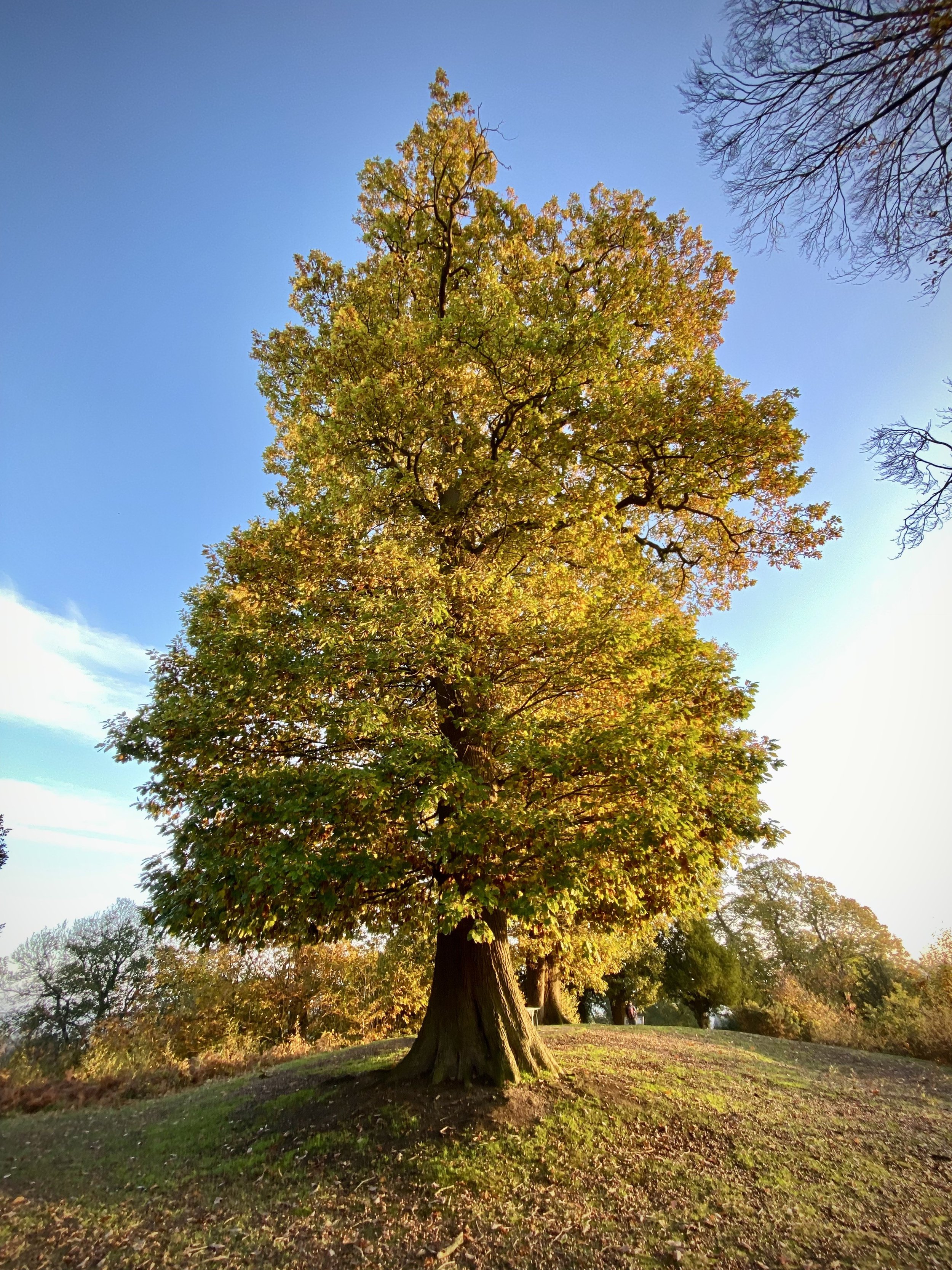
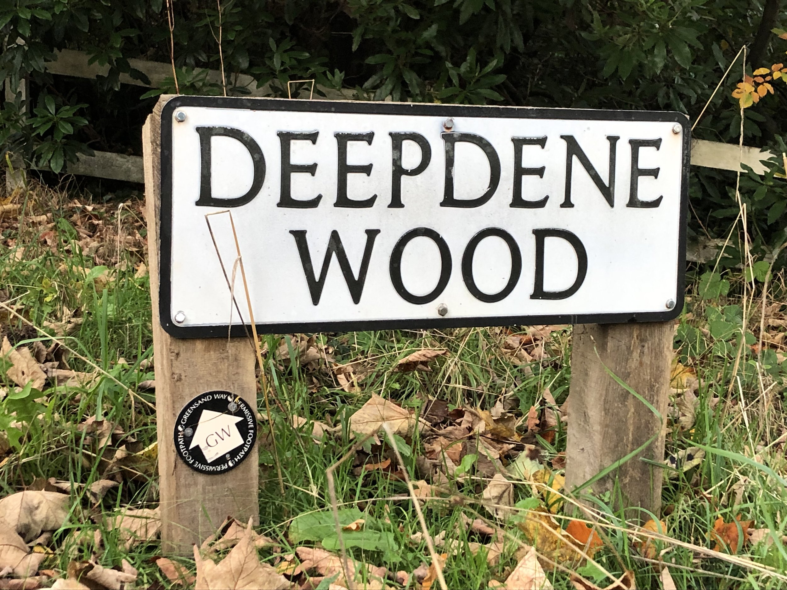
Cross over the A25 Guildford Road and continue south onto Milton Street. After 200m you’ll rejoin the Greensand Way at the point where you left it on section 11. Follow the Greensand Way for 5 km to Punchbowl Lane at Deepdene. Along the way you’ll pass up and over The Nower (with an OS Trig Pillar on top), the southern end of Dorking Town and what’s left of the Deepdene Estate. The Queen’s Head pub at 6.5km is a good place to stop for a rest.
At Punchbowl Lane you’ll leave the Greensand Way which heads in a southerly direction. Instead, take a left, heading north, then a right onto Ladyegate Road. After 200m take a right onto a footpath leading to Deepdene Park Road. Take a left, following Deepdene Park Road to Deepdene Drive. Take a right and continue to the end of the estate at the A24 Deepdene Avenue. Cross over and take the footpath leading to Moores Road. Take a right, a right again and you’ll be back in front of Dorking Sports Centre.
Previous section: Walking The Greensand Way Part 11 - Westcott and Bury Hill
Next section: Walking The Greensand Way Part 13 - Brockham and Betchworth


