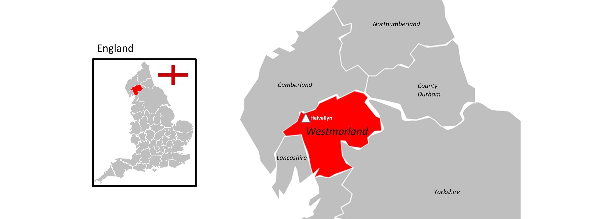
Helvellyn: Westmorland County Top
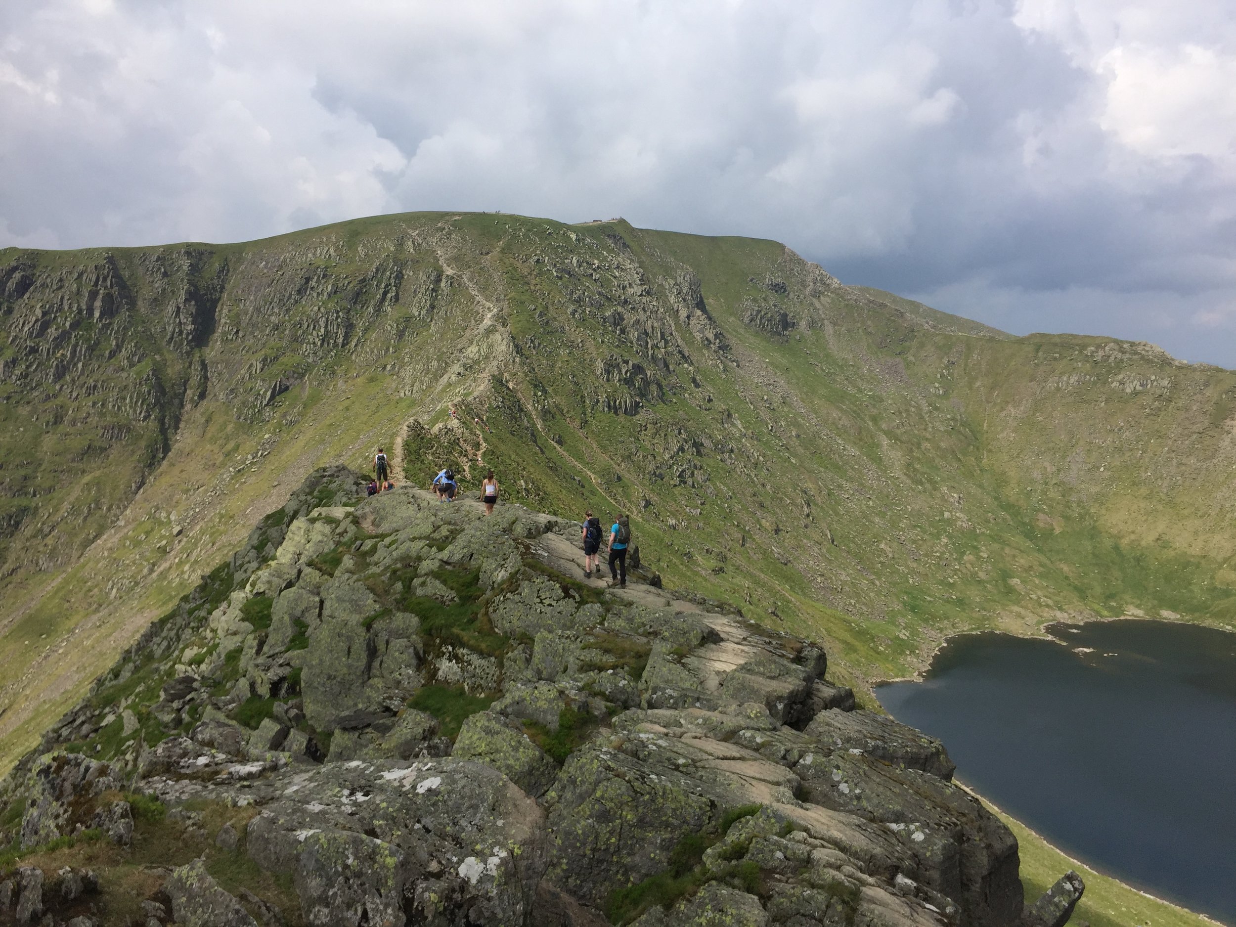
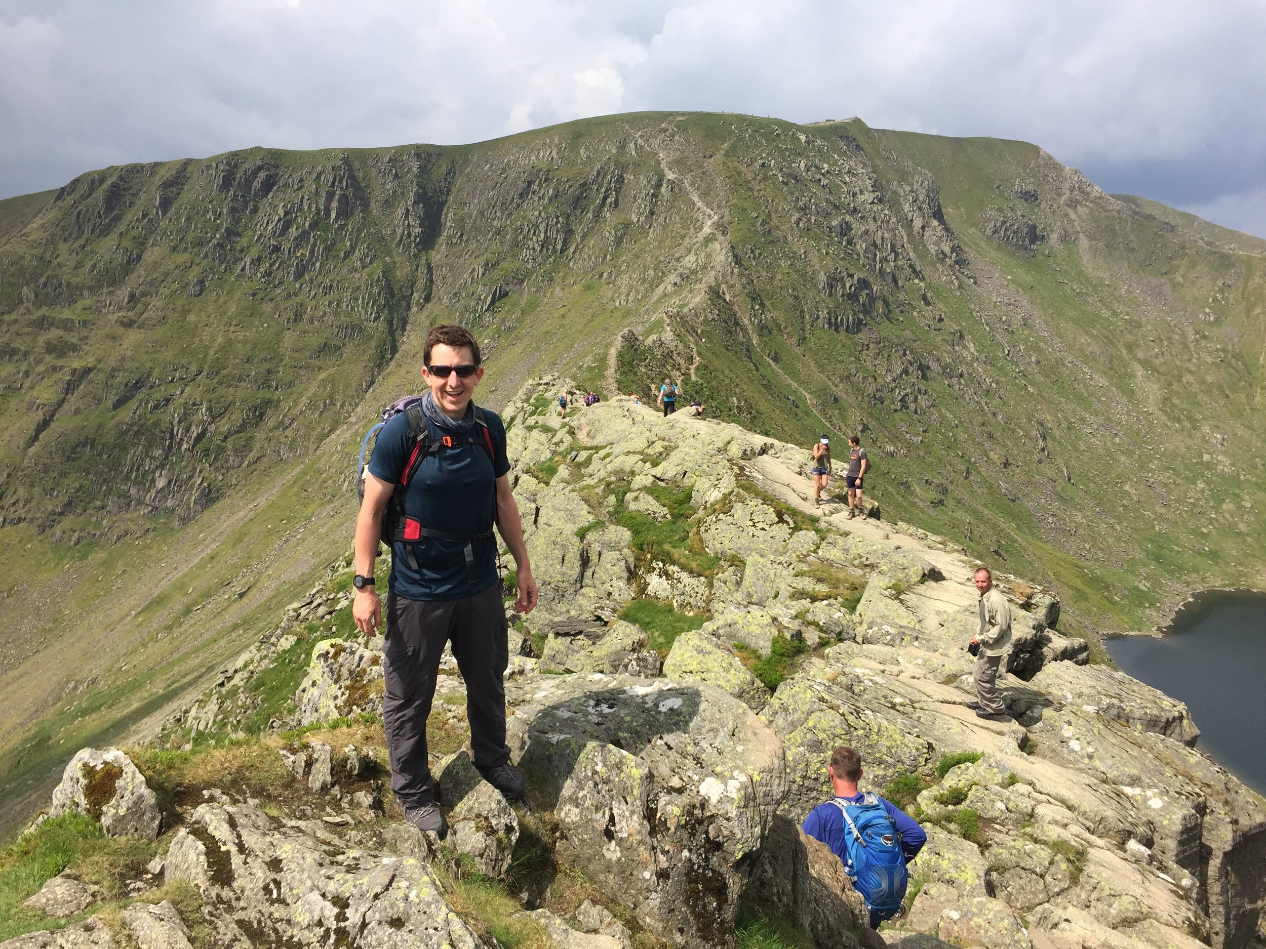
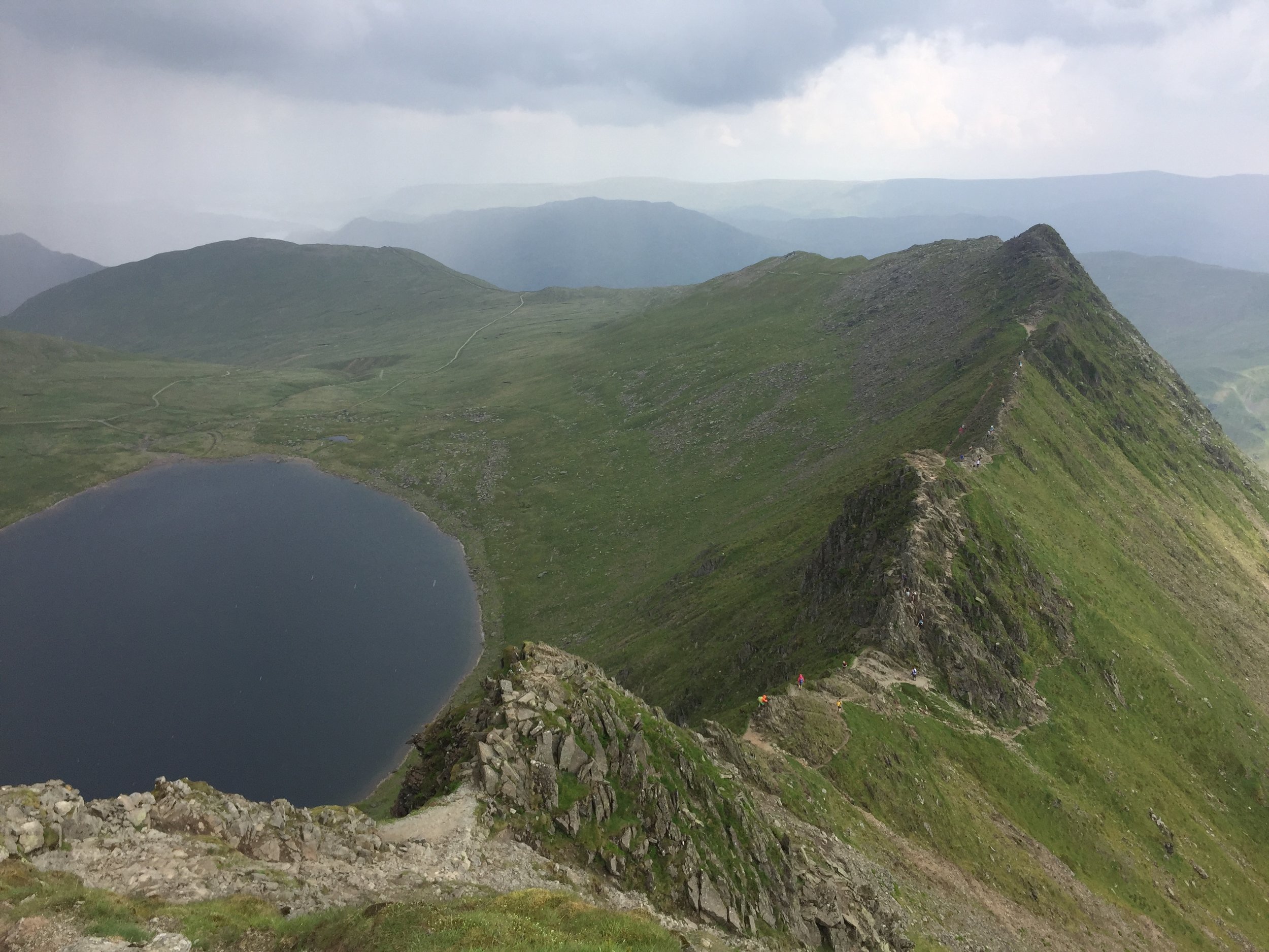
Striding Edge
Significance: Highest peak in Westmorland (Historic CT)
Member of: Furth, Marilyn, Hewitt, Nuttall, Wainwright, Birkett
Parent Peak: Scafell Pike
Elevation: 950m
Date climbed: 10th June 2018
Coordinates: 54.5268° N, 3.0172° W
Route Start / End: Circular from Patterdale Hotel, A592, Penrith, CA11 0NN
Route Distance: 14.7 km (9.1 miles)
Route Elevation Change: +/- 848m
Subsidiary tops on route: High Spying How (Striding Edge: 863m), Catstye Cam (890m)
GPX File: get via Buy Me a Coffee
Other routes touched (walk): Coast to Coast Walk (St Bees to Shap), The Ullswater Way
OS Trig Pillar: TP3724 - Helvellyn
Map: OS Explorer OL5: The English Lakes North Eastern Area
Guidebook: The UK's County Tops (Jonny Muir), Walking the County High Points of England (David Bathurst)
Links: Wikipedia (Westmorland), Wikipedia (Helvellyn), Peakbagger, Hillbagging
We did Helvellyn in the same trip as Old Man of Coniston. This was a long weekend in the Lakes to complete the Historic County Tops in the area. We would have also included Scafell Pike if I hadn’t already done it several times and, after the last one, decided to never go back.
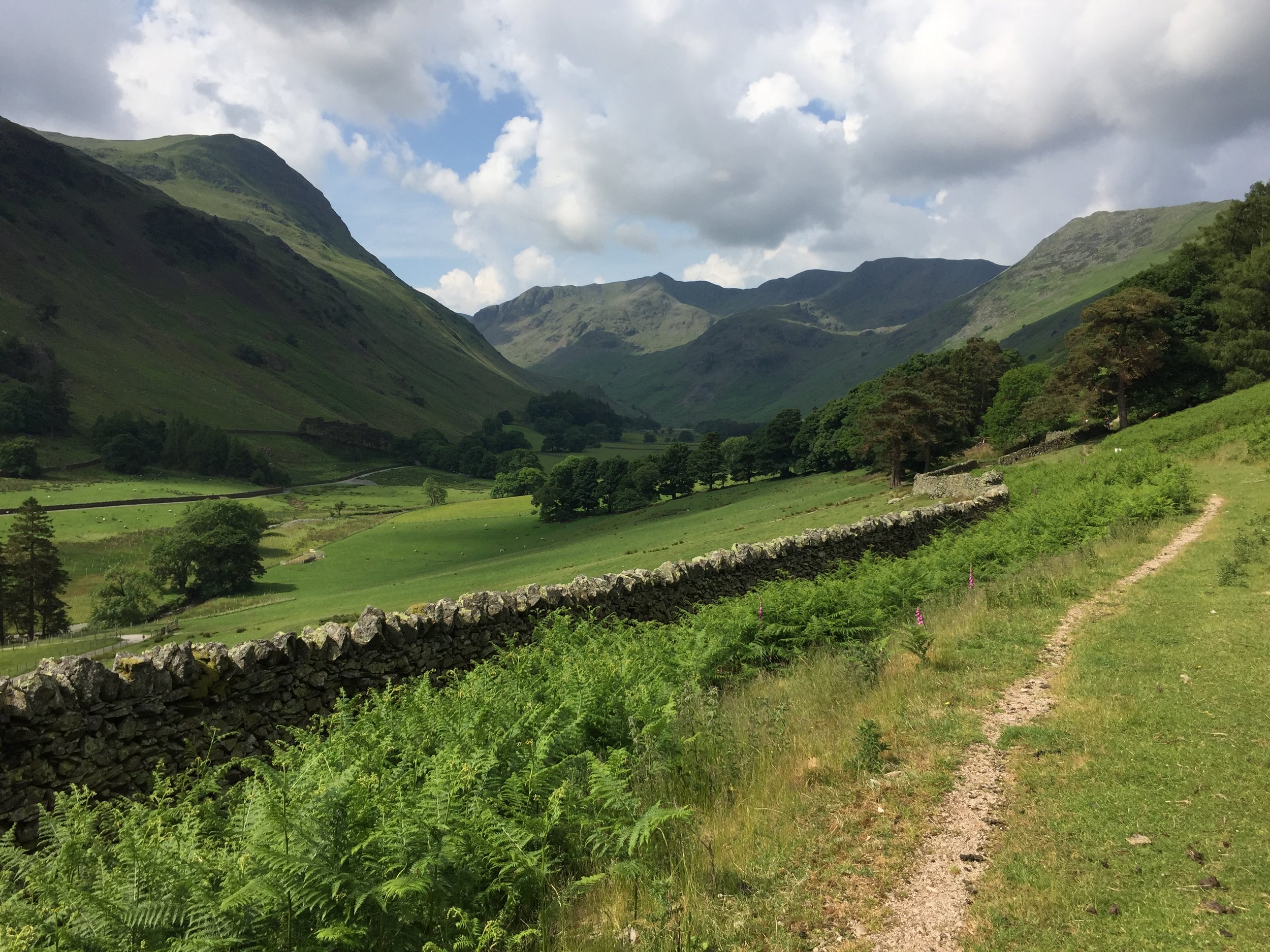
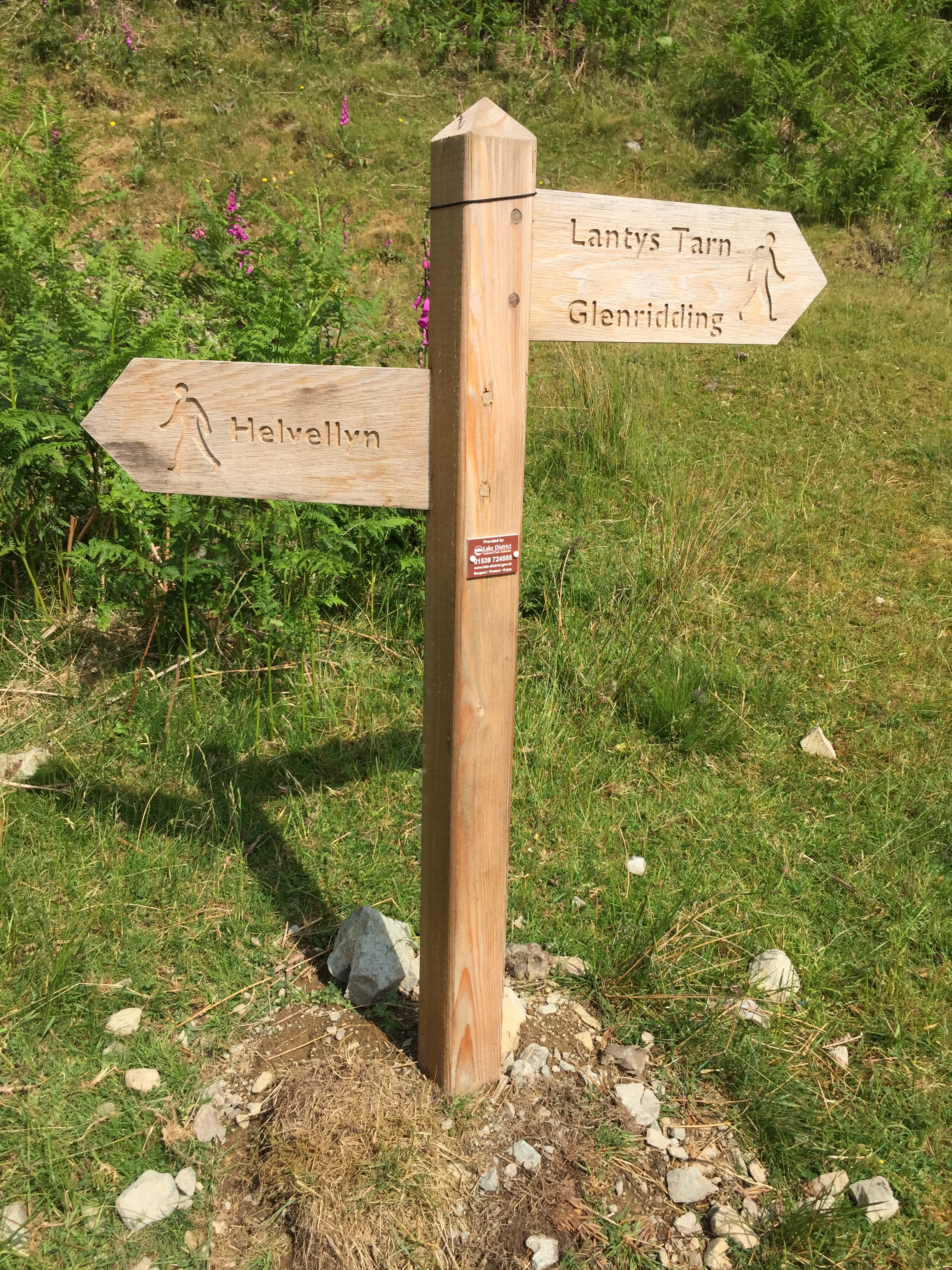
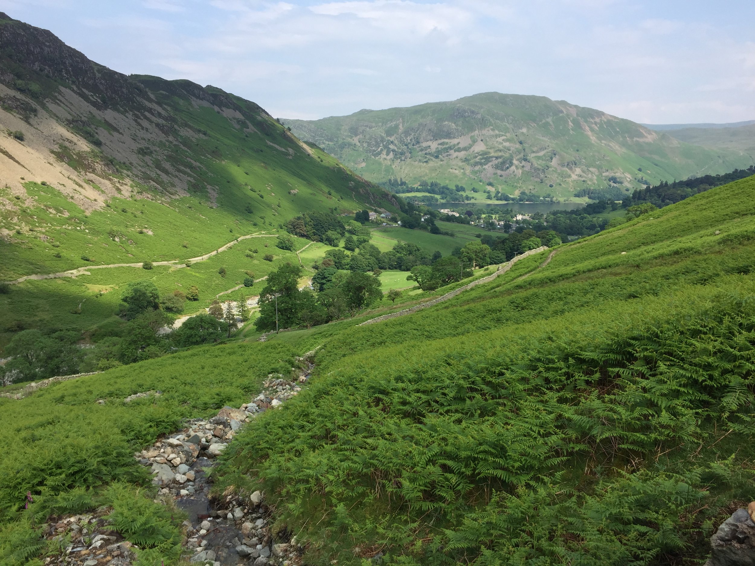
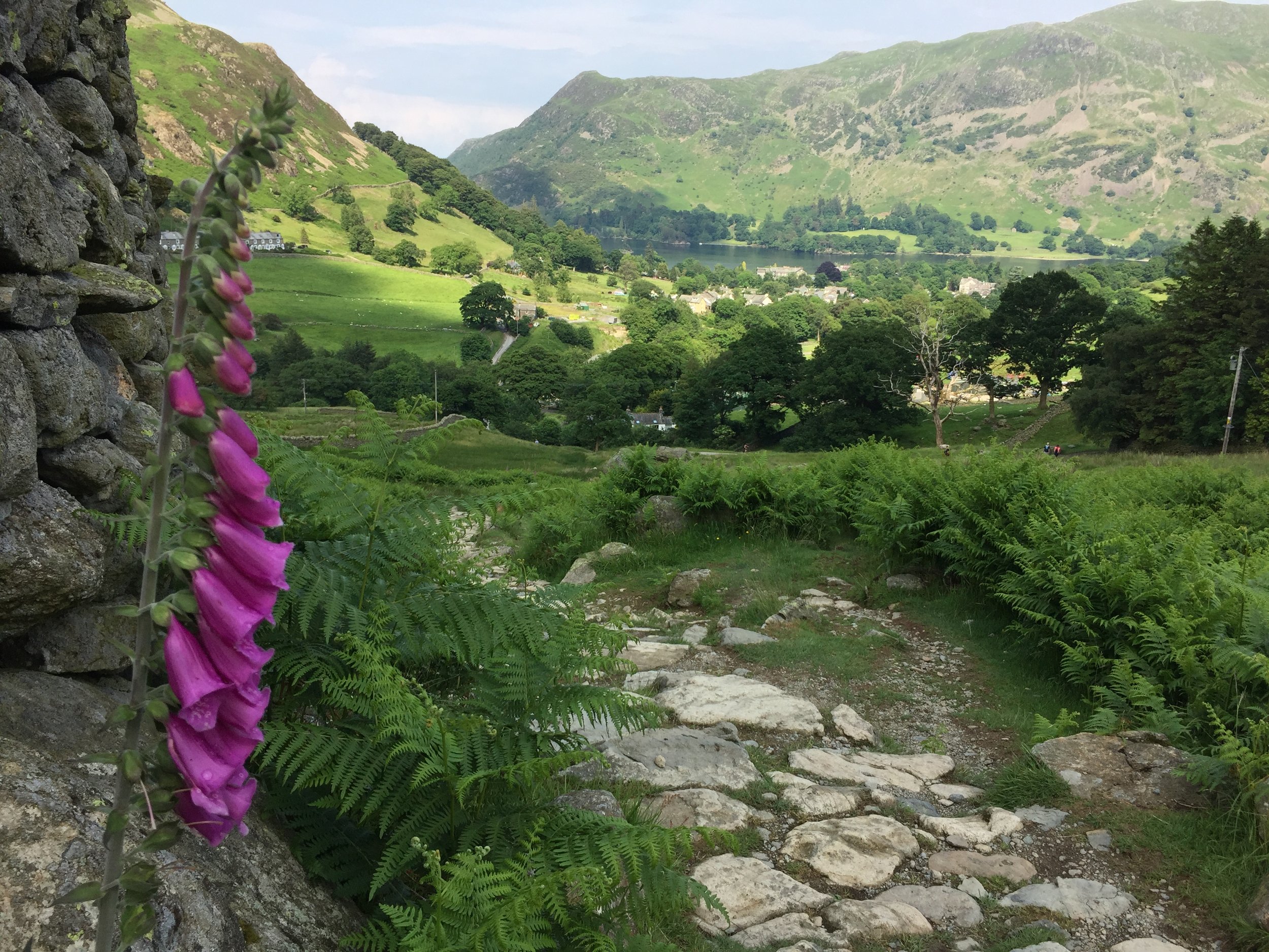
Helvellyn is an icon of the Lake District and often considered to be one of England’s best walks. We had a great time on outperform trek there so I can relate to those reviews. We started at the hotel next to the Patterdale Hotel and followed the track that follows the route of the St Bees to Shap section of the Coast to Coast Walk.
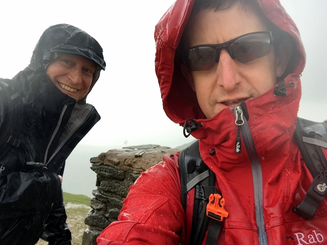
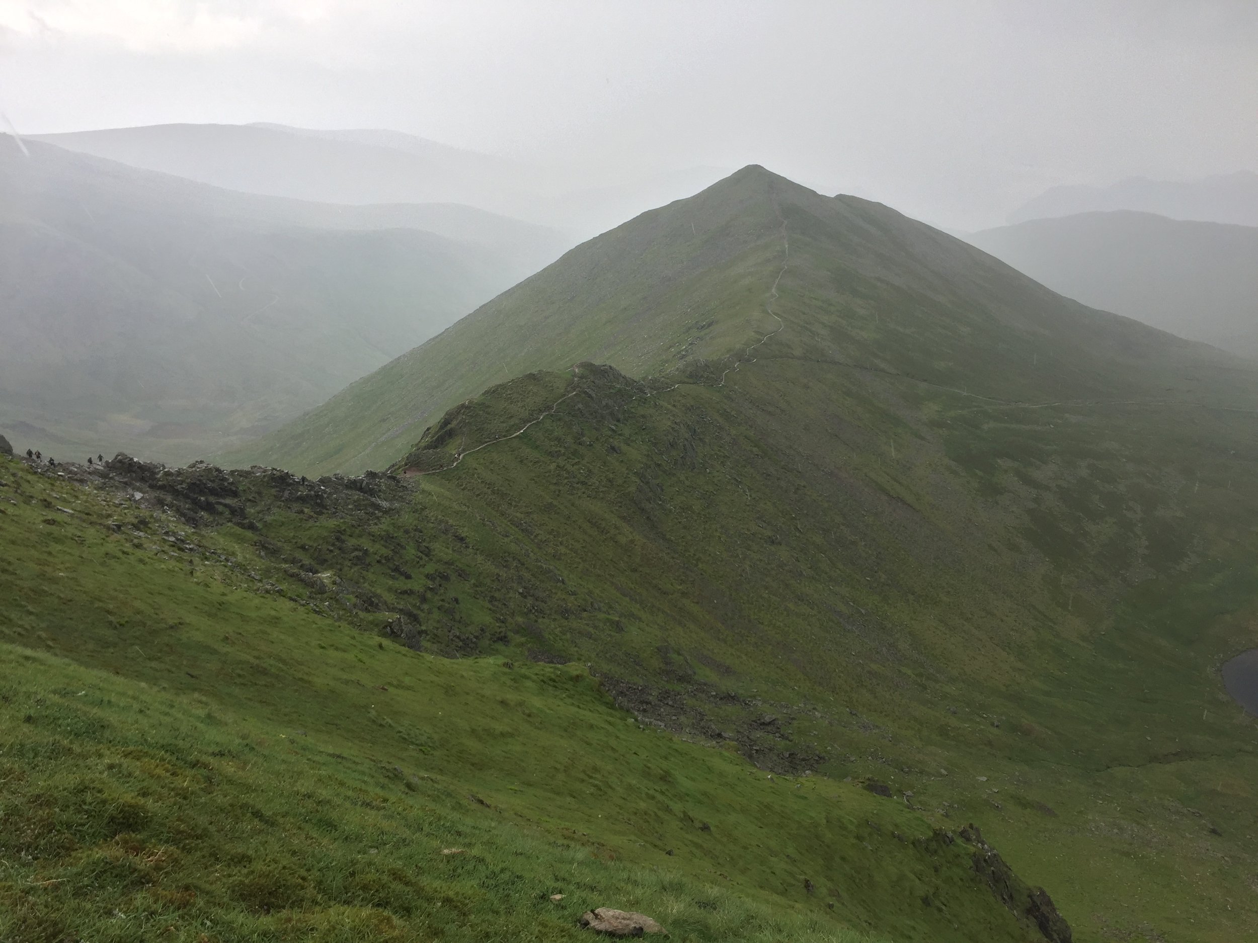
When ascending in this clockwise direction you’ll approach the summit via Striding Edge. I’m not a big fan of ridges like these but this was a lot of fun. We had the advantage of good visibility and dry conditions. However, the weather forecasted rain soon so we didn’t hang around too much. That was just as well as an icy downpour started just as we reached the plateau at the summit. We got a good view of walkers behind us getting drenched.
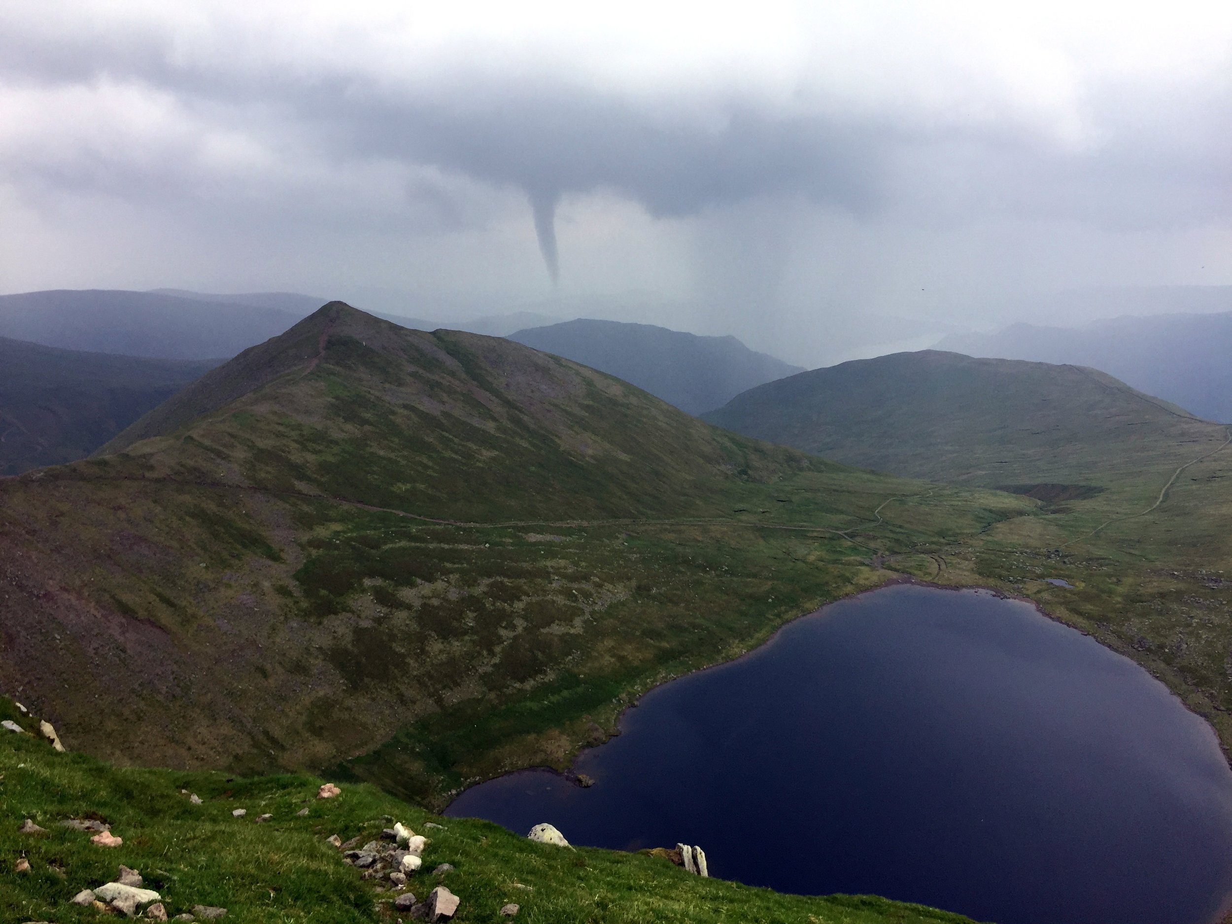
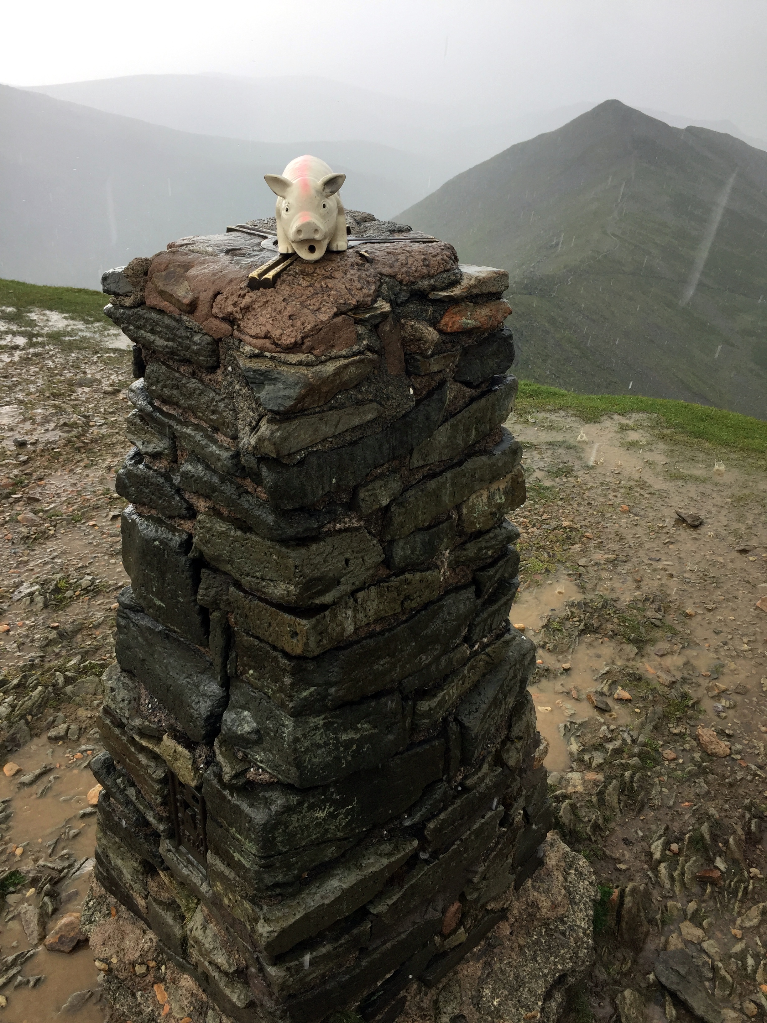
From the Trig Pillar at the summit we saw mini cyclones in the distance and rapidly moving clouds. Fortunately they were moving away from us so we had avoided much of day’s rain. After lunch at the summit we continued our clockwise route, descending via Swirral Edge. It’s another challenging route, but not as tricky as Striding Edge and easier to do as a descent. Even so, the route was now very wet so we took it easy.
Once off Swiral Edge (which I always misremember as Squirrel Edge), we were back in easy terrain, following the path back to the Patterdale Hotel

