Posts tagged Lake District
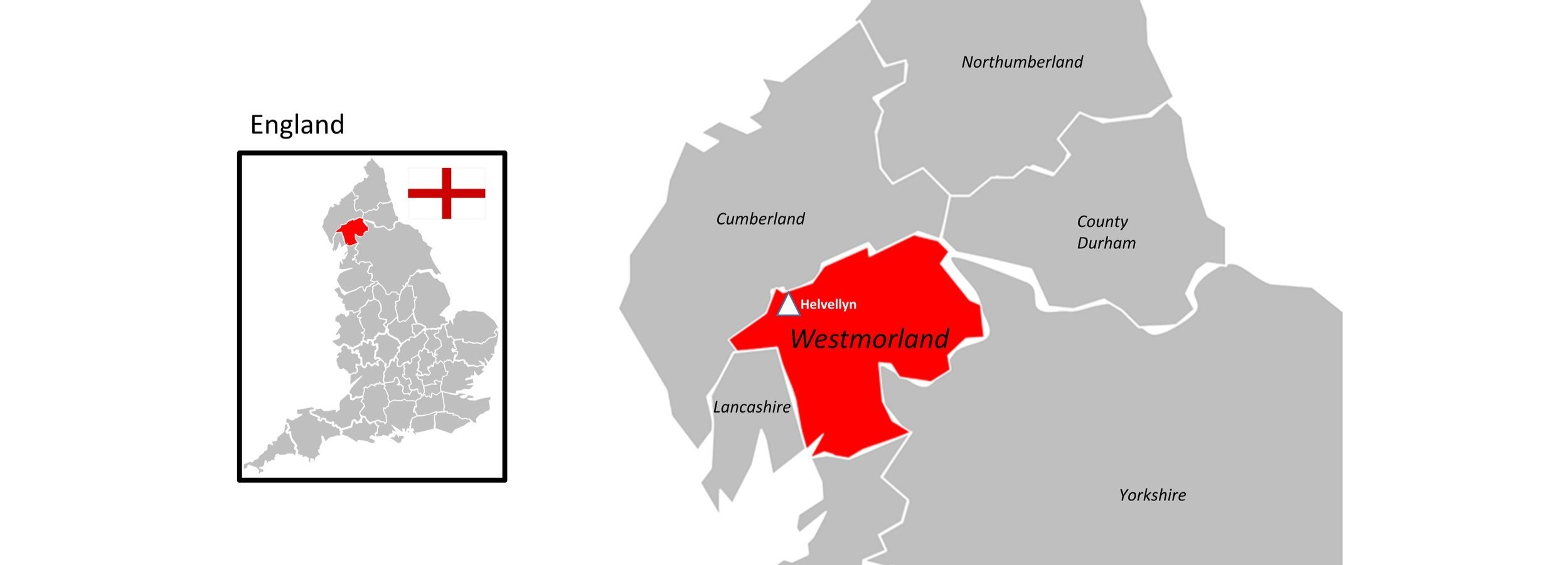
Helvellyn: Westmorland County Top
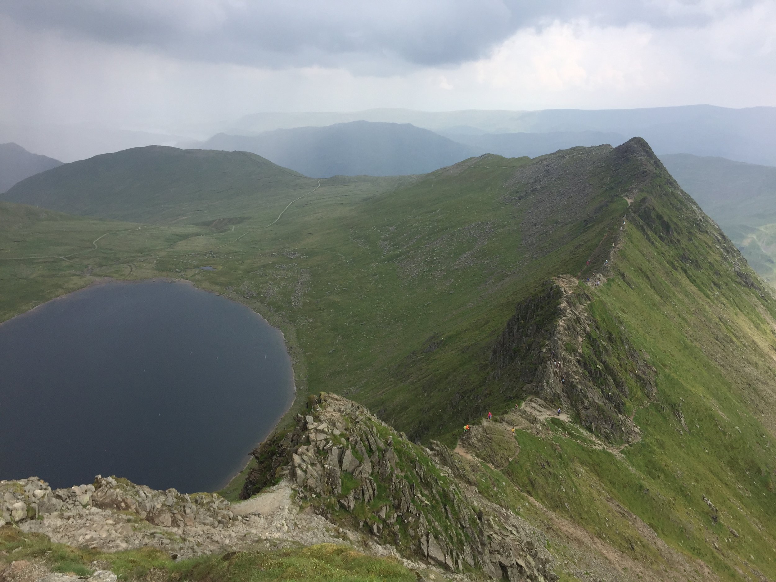
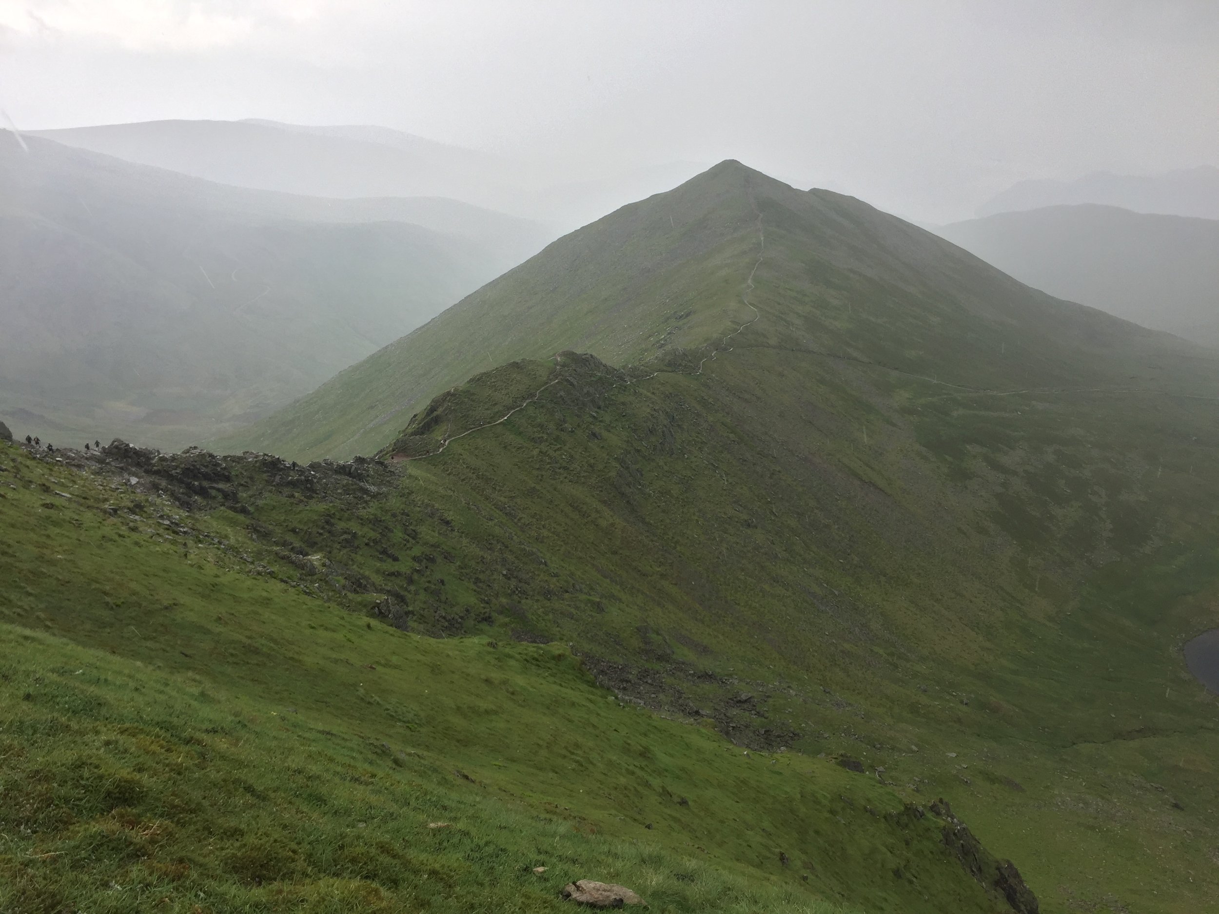
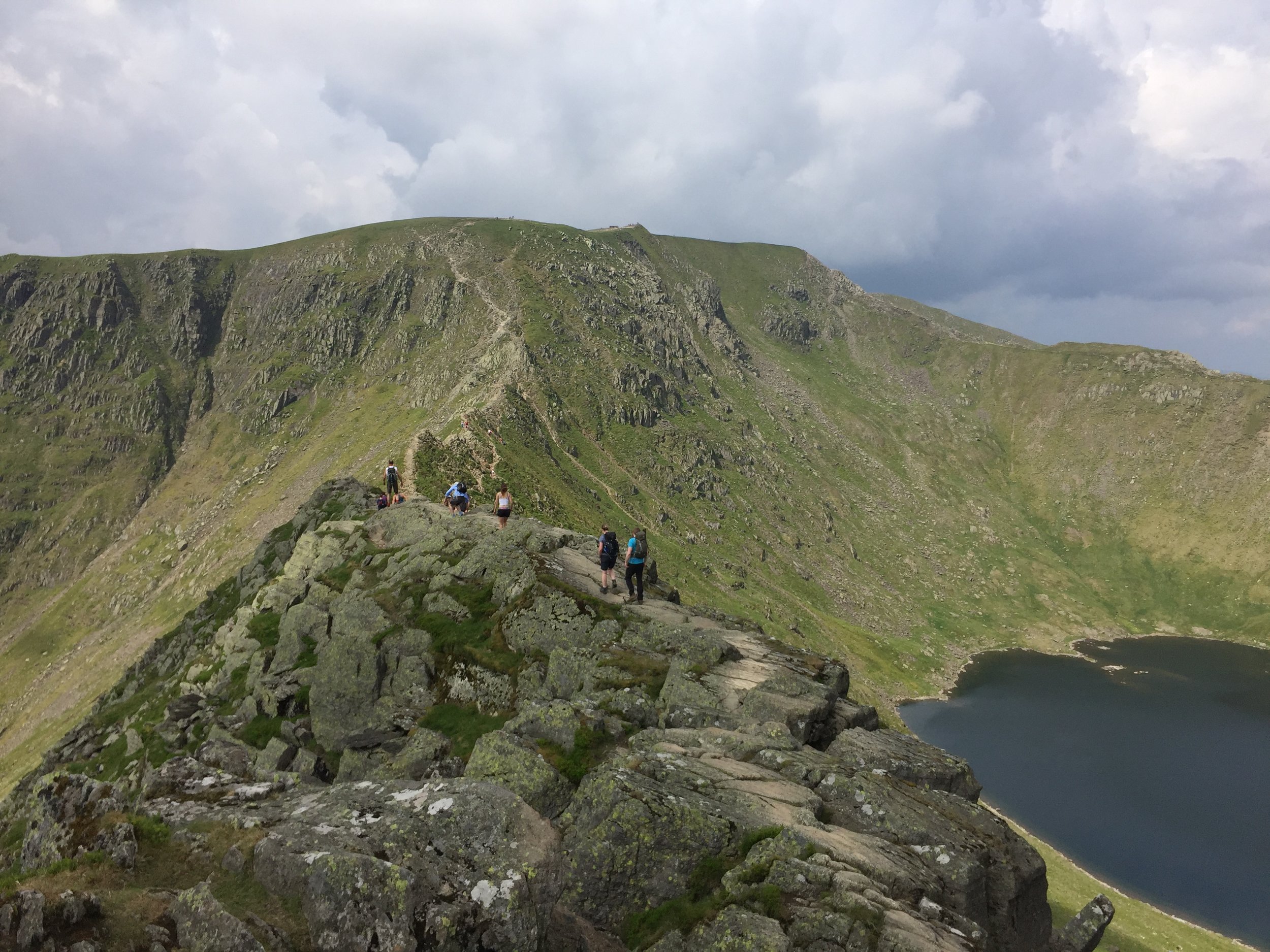
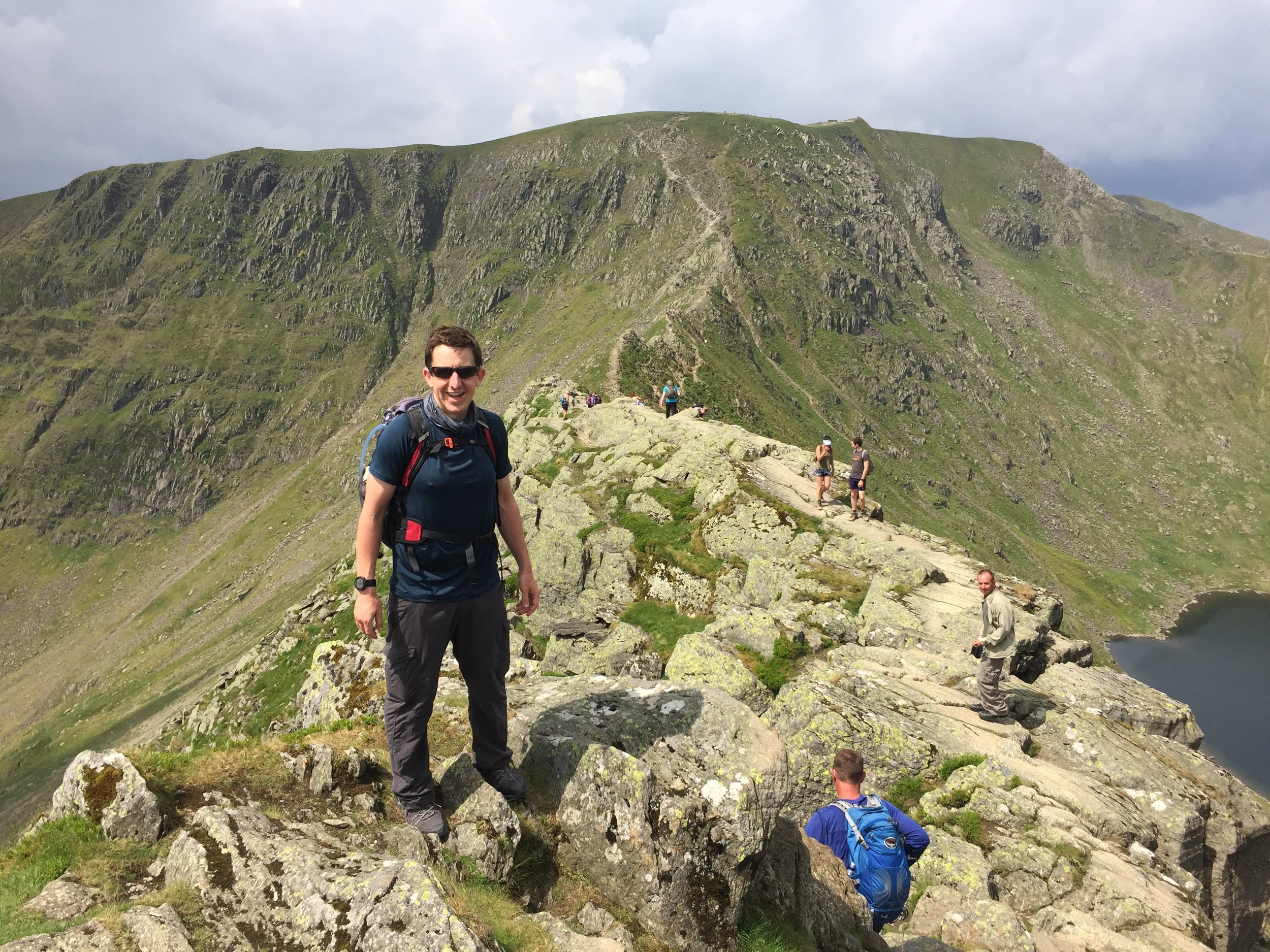
Striding Edge

Striding Edge


Significance: Highest peak in Westmorland (Historic CT)
Member of: Furth, Marilyn, Hewitt, Nuttall, Wainwright, Birkett
Parent Peak: Scafell Pike
Elevation: 950m
Date climbed: 10th June 2018
Coordinates: 54.5268° N, 3.0172° W
Route Start / End: Circular from Patterdale Hotel, A592, Penrith, CA11 0NN
Route Distance: 14.7 km (9.1 miles)
Route Elevation Change: +/- 848m
Subsidiary tops on route: High Spying How (Striding Edge: 863m), Catstye Cam (890m)
GPX File: get via Buy Me a Coffee
Other routes touched (walk): Coast to Coast Walk (St Bees to Shap), The Ullswater Way
OS Trig Pillar: TP3724 - Helvellyn
Map: OS Explorer OL5: The English Lakes North Eastern Area
Guidebook: The UK's County Tops (Jonny Muir), Walking the County High Points of England (David Bathurst)
Links: Wikipedia (Westmorland), Wikipedia (Helvellyn), Peakbagger, Hillbagging


We did Helvellyn in the same trip as Old Man of Coniston. This was a long weekend in the Lakes to complete the Historic County Tops in the area. We would have also included Scafell Pike if I hadn’t already done it several times and, after the last one, decided to never go back.

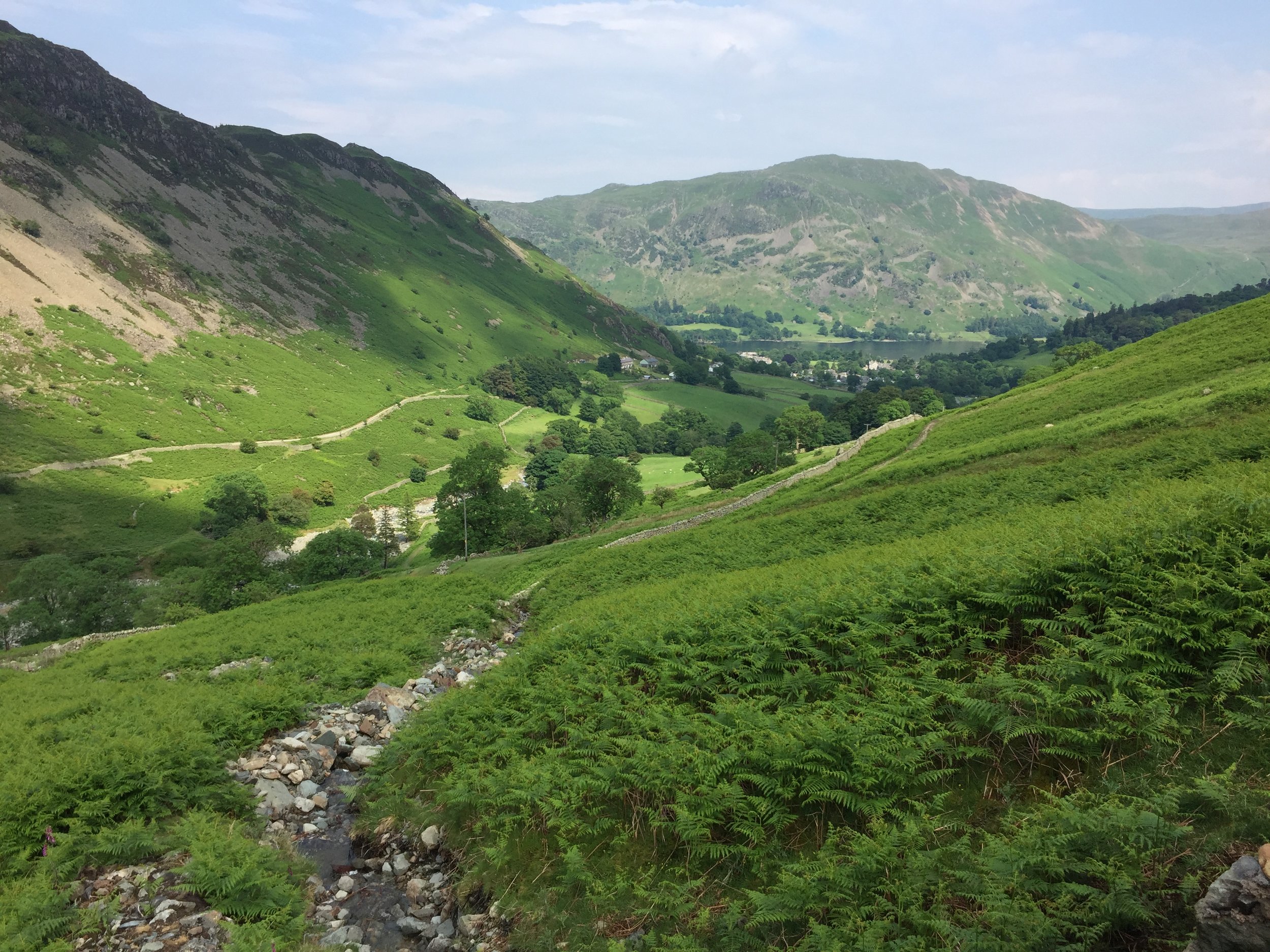
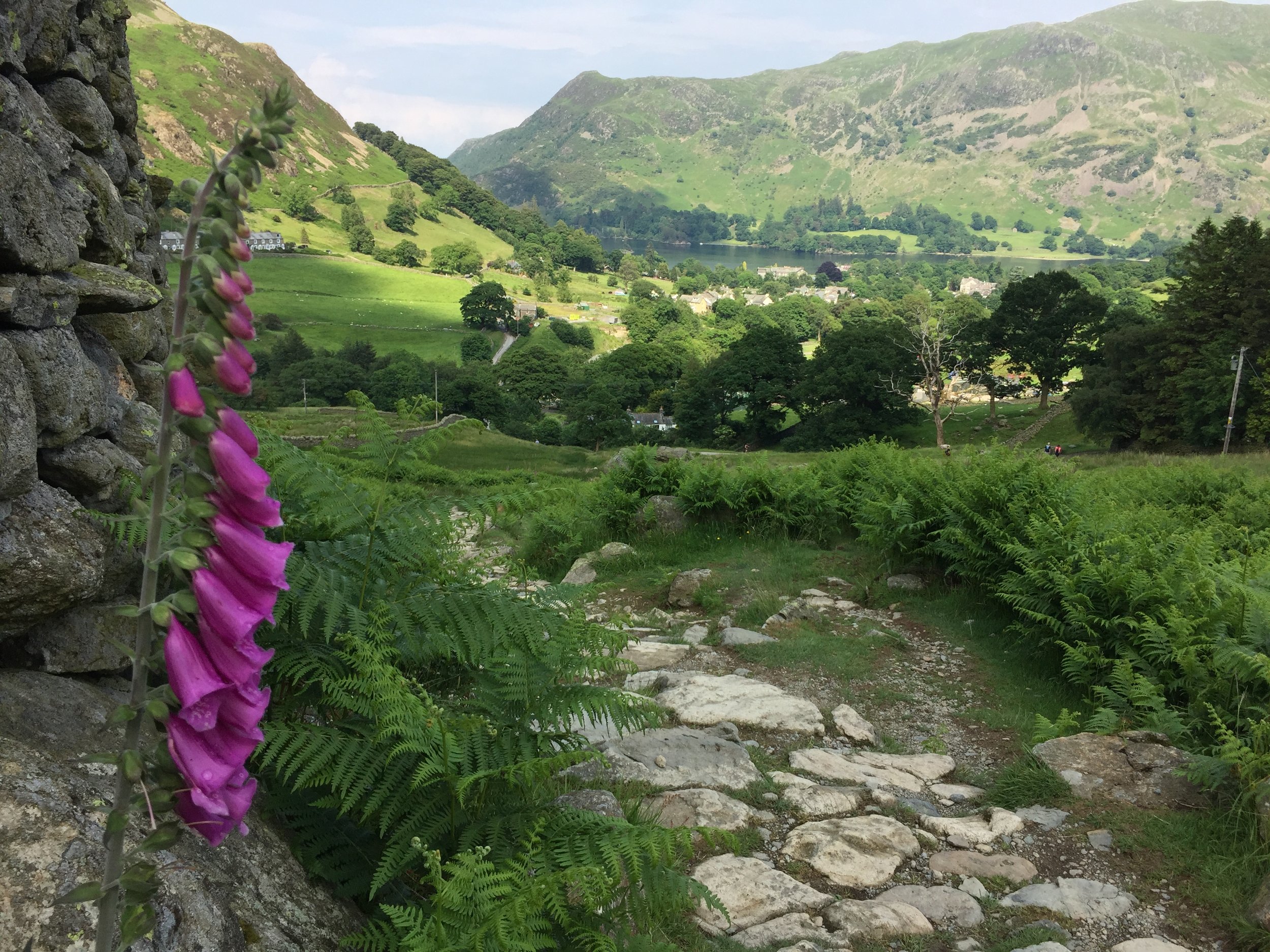
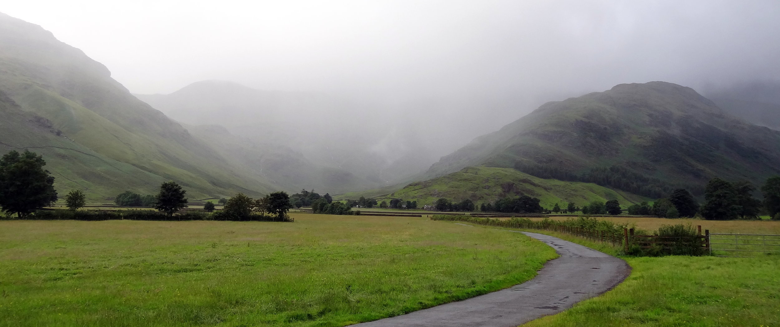
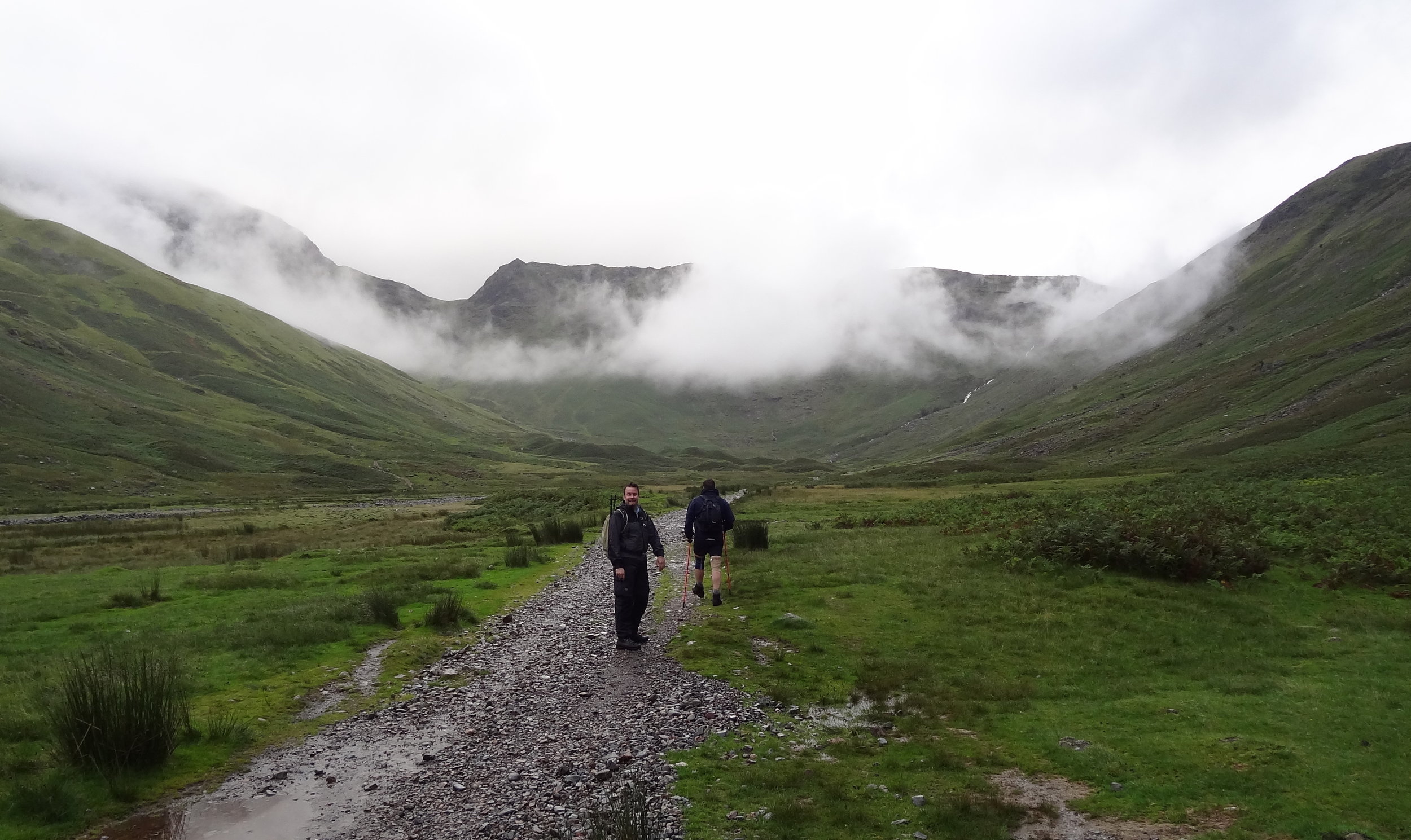
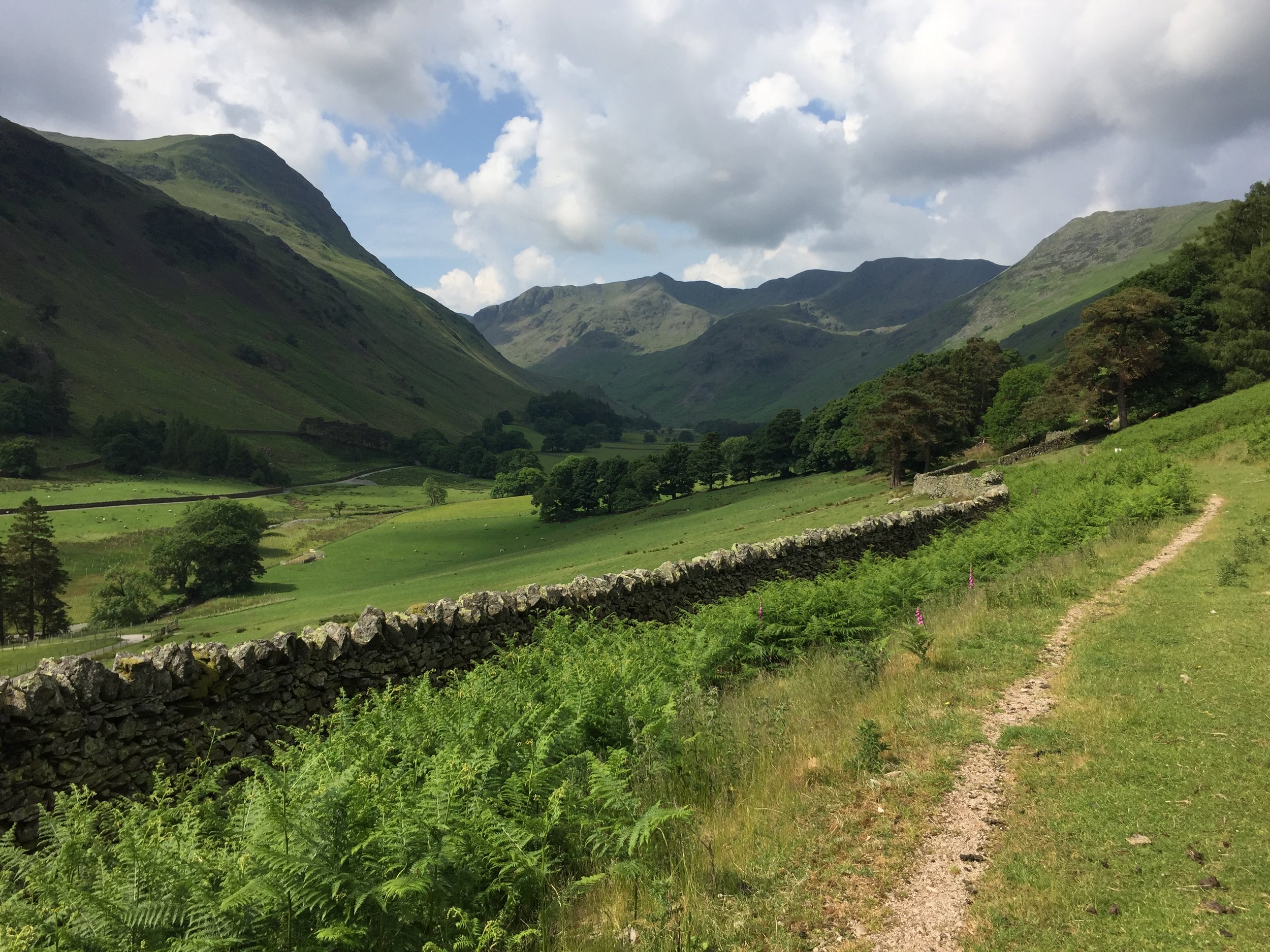
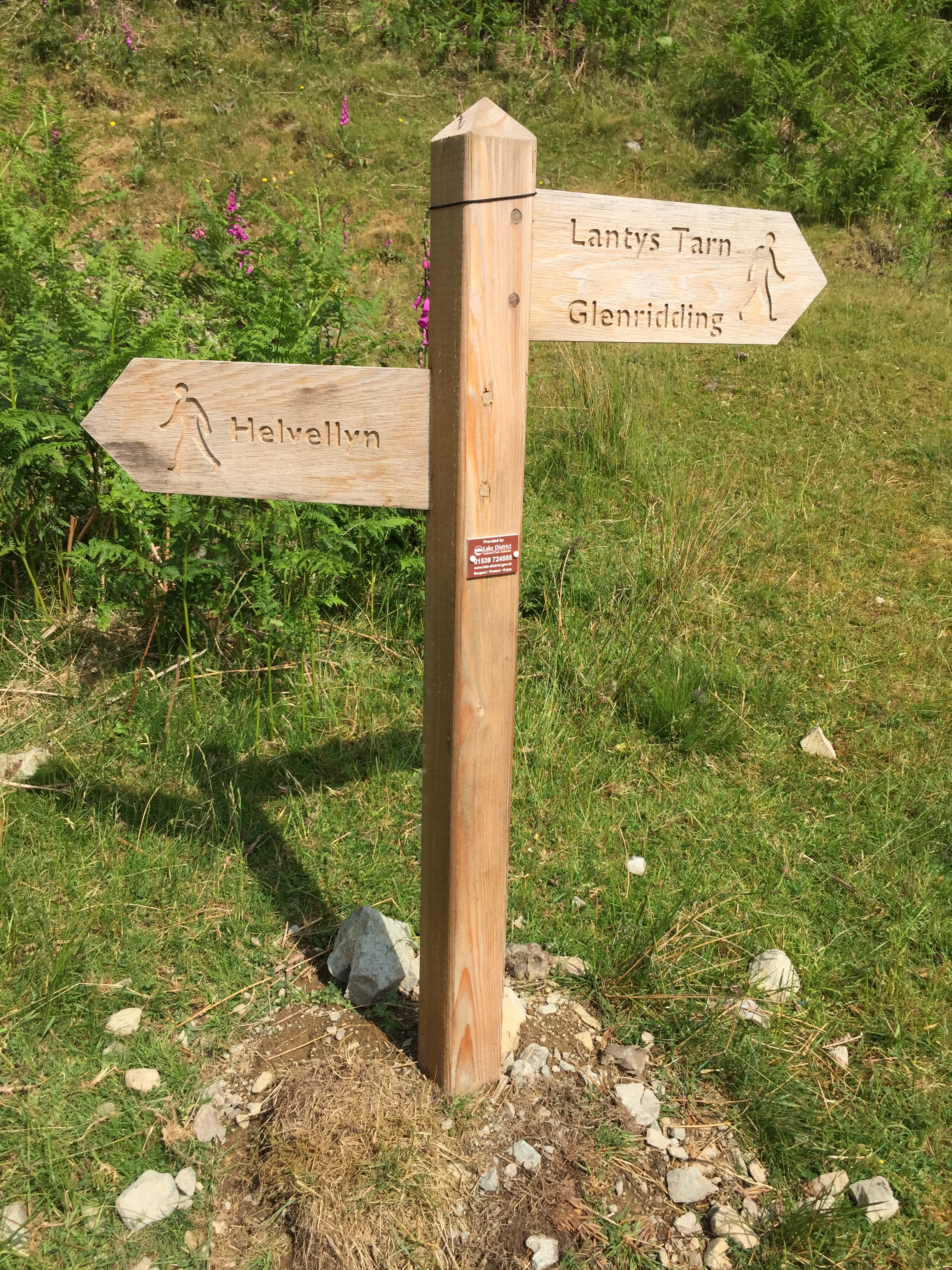
Helvellyn is an icon of the Lake District and often considered to be one of England’s best walks. We had a great time on outperform trek there so I can relate to those reviews. We started at the hotel next to the Patterdale Hotel and followed the track that follows the route of the St Bees to Shap section of the Coast to Coast Walk.

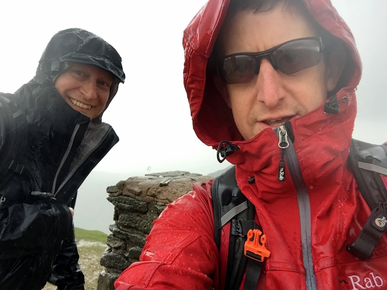
When ascending in this clockwise direction you’ll approach the summit via Striding Edge. I’m not a big fan of ridges like these but this was a lot of fun. We had the advantage of good visibility and dry conditions. However, the weather forecasted rain soon so we didn’t hang around too much. That was just as well as an icy downpour started just as we reached the plateau at the summit. We got a good view of walkers behind us getting drenched.

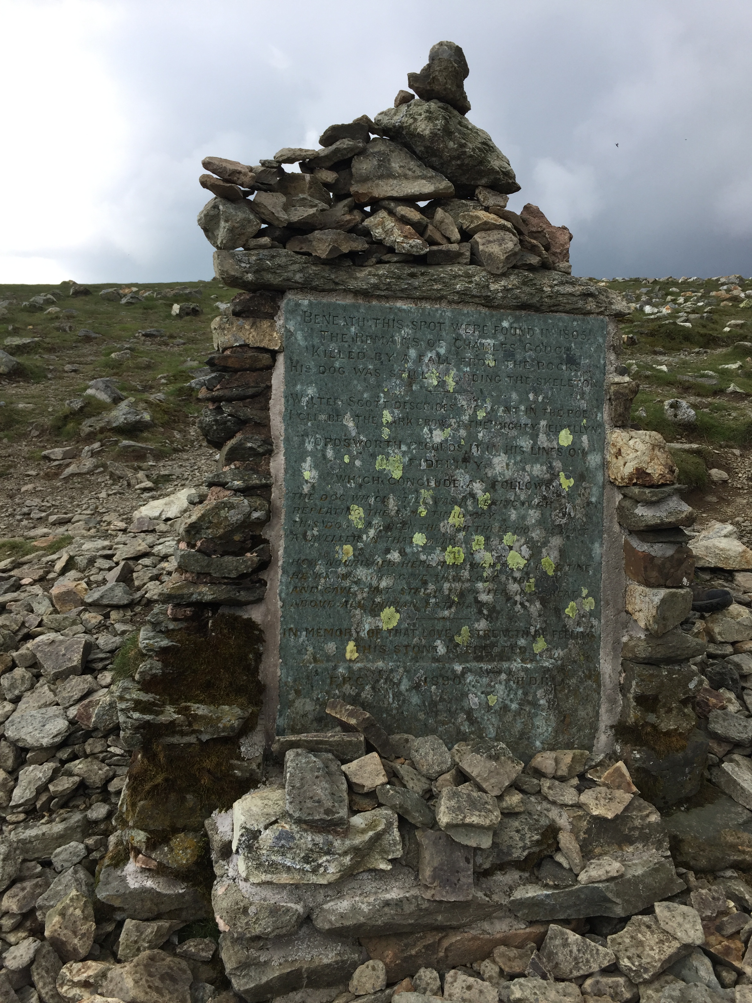
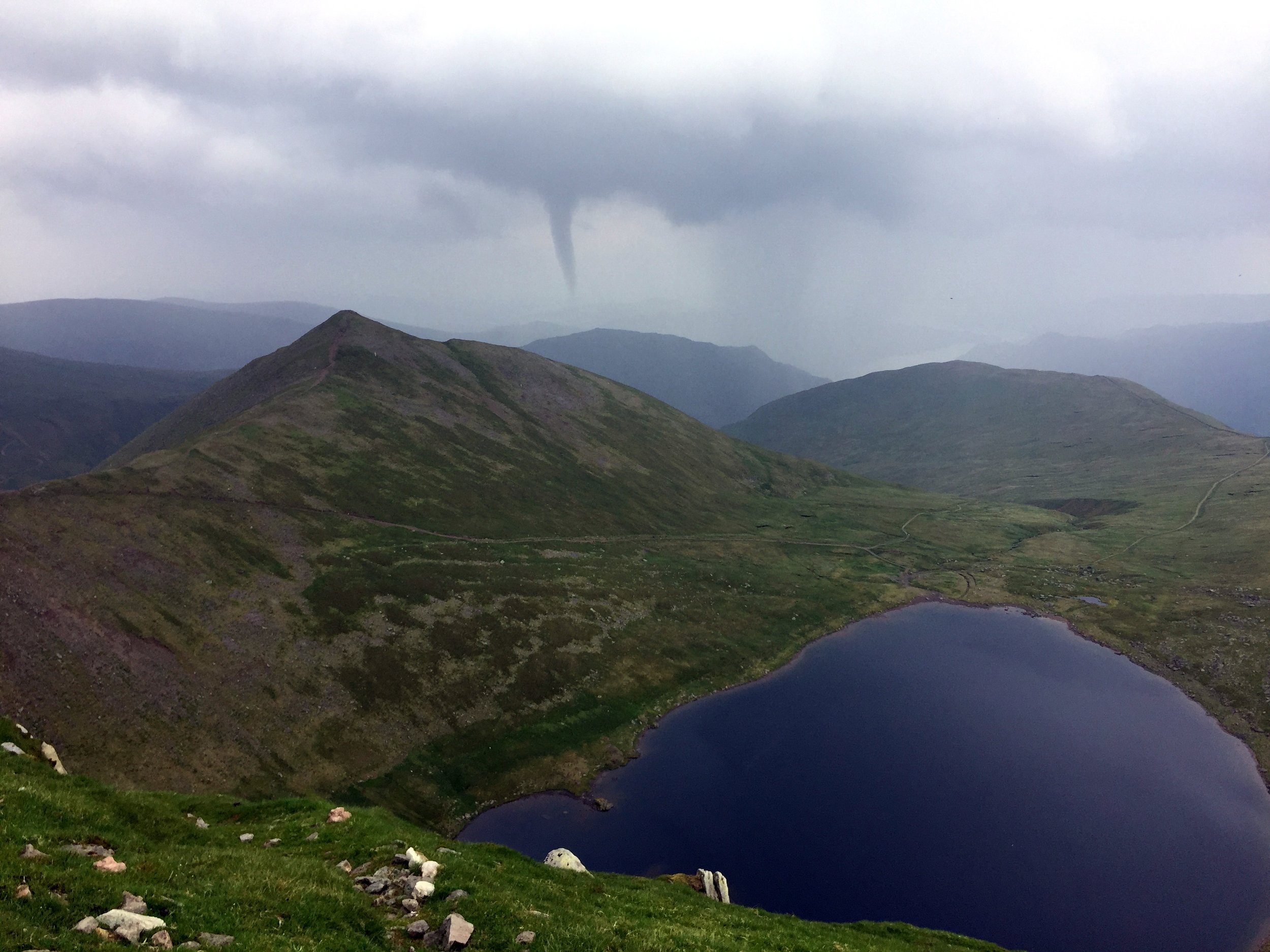
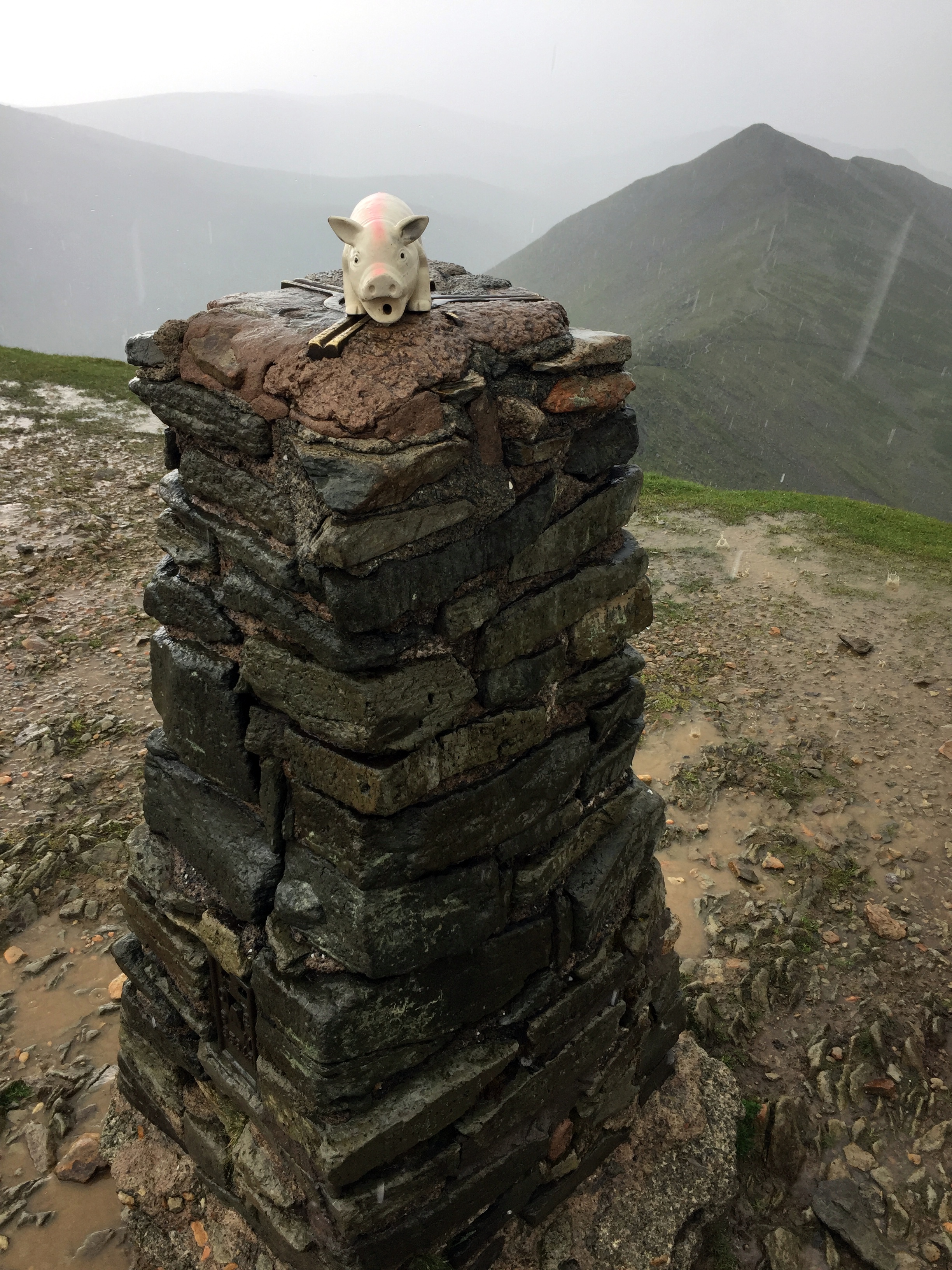
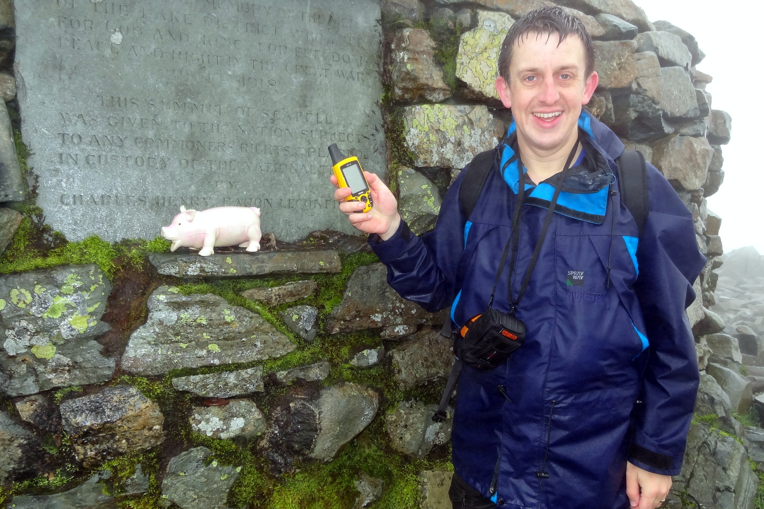
From the Trig Pillar at the summit we saw mini cyclones in the distance and rapidly moving clouds. Fortunately they were moving away from us so we had avoided much of day’s rain. After lunch at the summit we continued our clockwise route, descending via Swirral Edge. It’s another challenging route, but not as tricky as Striding Edge and easier to do as a descent. Even so, the route was now very wet so we took it easy.

Once off Swiral Edge (which I always misremember as Squirrel Edge), we were back in easy terrain, following the path back to the Patterdale Hotel

Old Man of Coniston: Lancashire County Top
IMG_7318.jpg

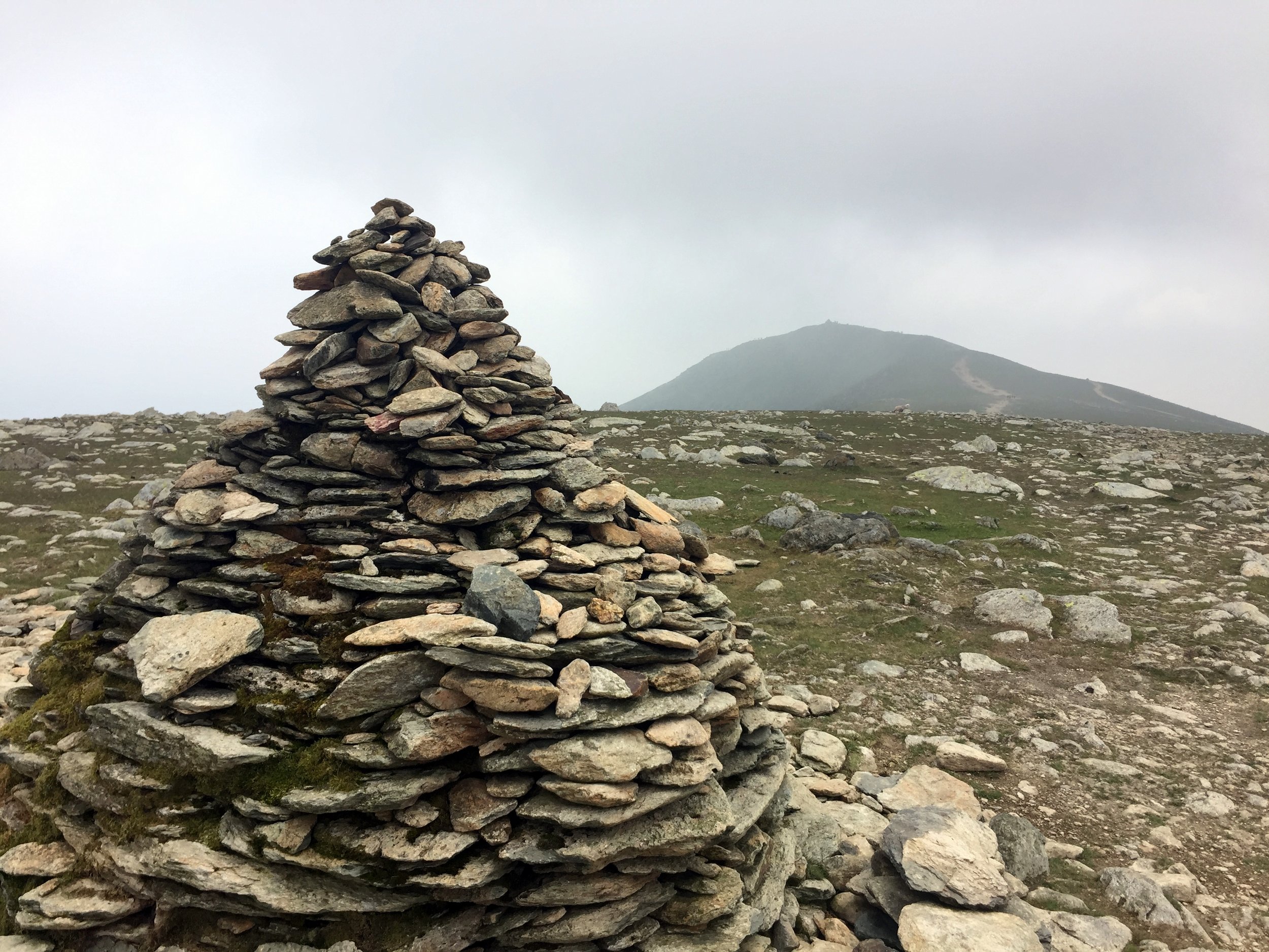
View to Low Water

Also known as: Coniston Old Man
Significance:
Highest Peak in Lancashire (Historic CT)
Member of: Hewitt, Marilyn, Nuttall, Wainwright, Aetherius Society Holy Mountains
Parent Peak: Scafell Pike. NHN = Crinkle Crags-South Top
Elevation: 803m
Date climbed: 09/06/2018
Coordinates: 54.3701° N, 3.1199° W
Route Start / End: Circular from Holly How YHA, Coniston
Route Distance: 11 km (6.8 miles)
Route Elevation Change: +/- 728m
Subsidiary tops on route: Brim Fell (796m)
GPX File: get via Buy Me a Coffee
Other routes touched: None
OS Trig Pillar: TP2382 - Coniston Old Man
OS Map: Outdoor Leisure 6: The English Lakes South Western Area
Guidebook: The UK's County Tops (Jonny Muir), Walking the County High Points of England (David Bathurst)
Links: Wikipedia (Lancashire), Wikipedia (Old Man of Coniston), Peakbagger, Hillbagging


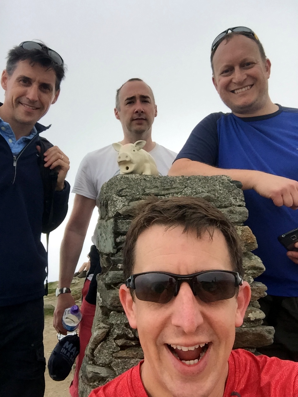
We did the Old Man of Coniston in the same trip as Helvellyn . This was a long weekend in the Lakes to complete the Historic County Tops in the area. We would have also included Scafell Pike if I hadn’t already done it several times and, after the last one, decided to never go back.

We were staying in the YHA Coniston Holly How so had the advantage of doing a circular trek from the door of the hostel. An alternative start point is the Old Station Car Park in the centre of Coniston.

We took the footpath on the north side of the YHA to join another path heading in a south-westerly direction around the edge of Round Haw and Mouldry Bank. This curves to a north-westerly direction roughly following the course of the Red Dell Beck stream. Don't follow this all the way though as you'll need to take the paths that lead you to Levers Water.

Continue around the southern edge of Levers Water ascending to the west until you meet a path that connects Great How Crags with the Old Man of Coniston summit. Take a left onto this path and follow it in a southerly direction to the summit.

After the summit continue on the path to the south-east (not the path that leads directly south). This will curve to the north-east as you descend to the north-east corner of Low Water. From here take the easterly path for ~2km until you meet the Church Beck stream. Continue along this path following the stream as it curves to the south-east and leads you to Coniston town centre.

If you're staying at the YHA it's less than 1km up Yewdale Road from Coniston Town centre.


OTHER HIGH POINTS IN Lancashire


Scafell Pike: Cumberland County Top
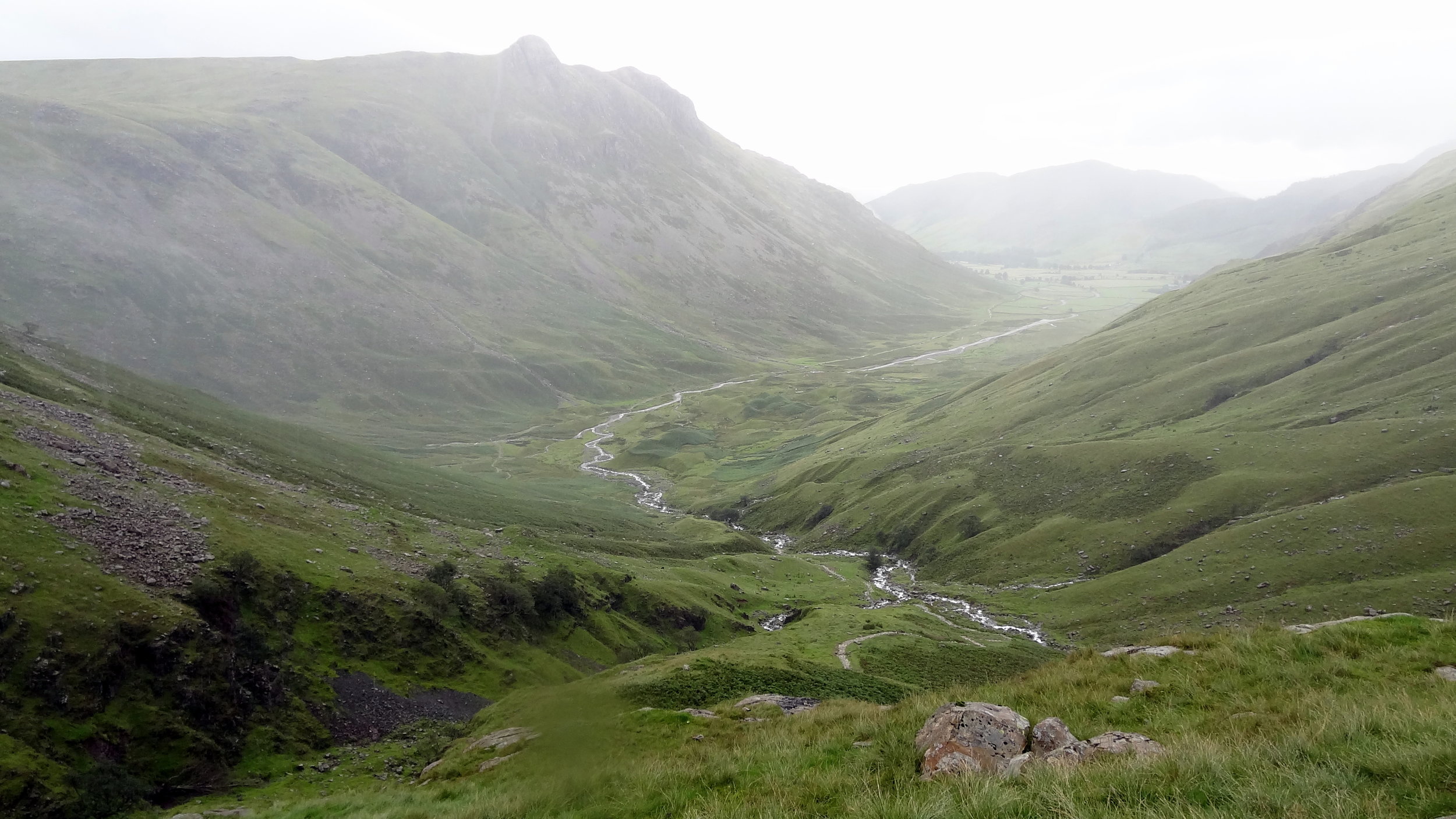
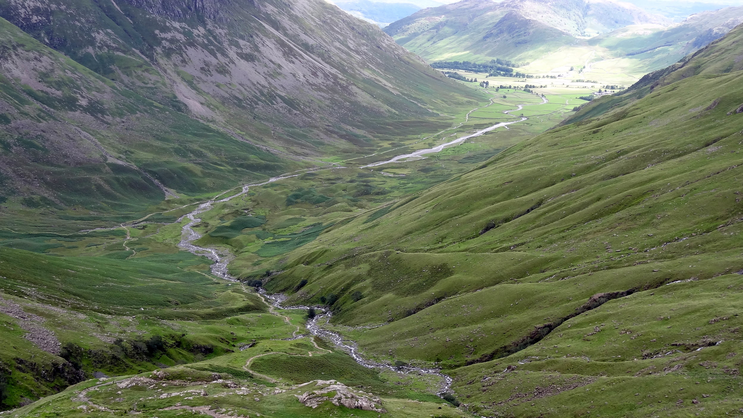
Track to Scafell Pike from New Dungeon Ghyll Hotel

Track to Scafell Pike from New Dungeon Ghyll Hotel


Significance: Highest peak in Cumberland (Historic CT), Cumbria (Ceremonial CT), Lake District National Park High Point, England Country Top
Member of: Marilyn, Hewitt, Hardy, Wainwright, Nuttall
Parent Peak: Snowdon. NHN = Carnedd Llewelyn
Elevation: 978m
Date climbed: 22nd May 2005 and July 29th 2012
Coordinates: 54.4542° N, 3.2116° W
Route Start / End: New Dungeon Ghyll Hotel, Ambleside, LA22 9JX
Route Distance: 22 km (13.7 miles)
Route Elevation Change: +/- 1,062m
Subsidiary tops on route: Esk Pike, Broad Crag
GPX File: get via Buy Me a Coffee
Other routes touched (walk): Cumbria Way
Other routes touched (cycle): N/A
OS Trig Pillar: TP5828 - Sca Fell
Map: OS Explorer OL6: The English Lakes - South Western area and OS Landranger 90: Penrith & Keswick
Guidebook: The UK's County Tops (Jonny Muir), Walking the County High Points of England (David Bathurst)
Links: Wikipedia (Cumberland), Wikipedia (Scafell Pike), Peakbagger, Hillbagging


I can’t remember how many times I’ve done Scafell Pike. It was probably 4 times, the first 2 being in Venture Scouts a long time before I started obsessively tracking everything. The most recent two times were part of 36-hour unofficial Three Peaks Challenges. It was the most recent ascent that will be the most memorable and the reason why I’ll never do Scafell Pike again.

It was my second trip there as a part of a 36 hour 3 Peaks Challenge. Ben Nevis went well and we got to the Scafell Pike start point early. Having done the mountain a few times before I chose the Old Dungeon Ghyl route for a change.

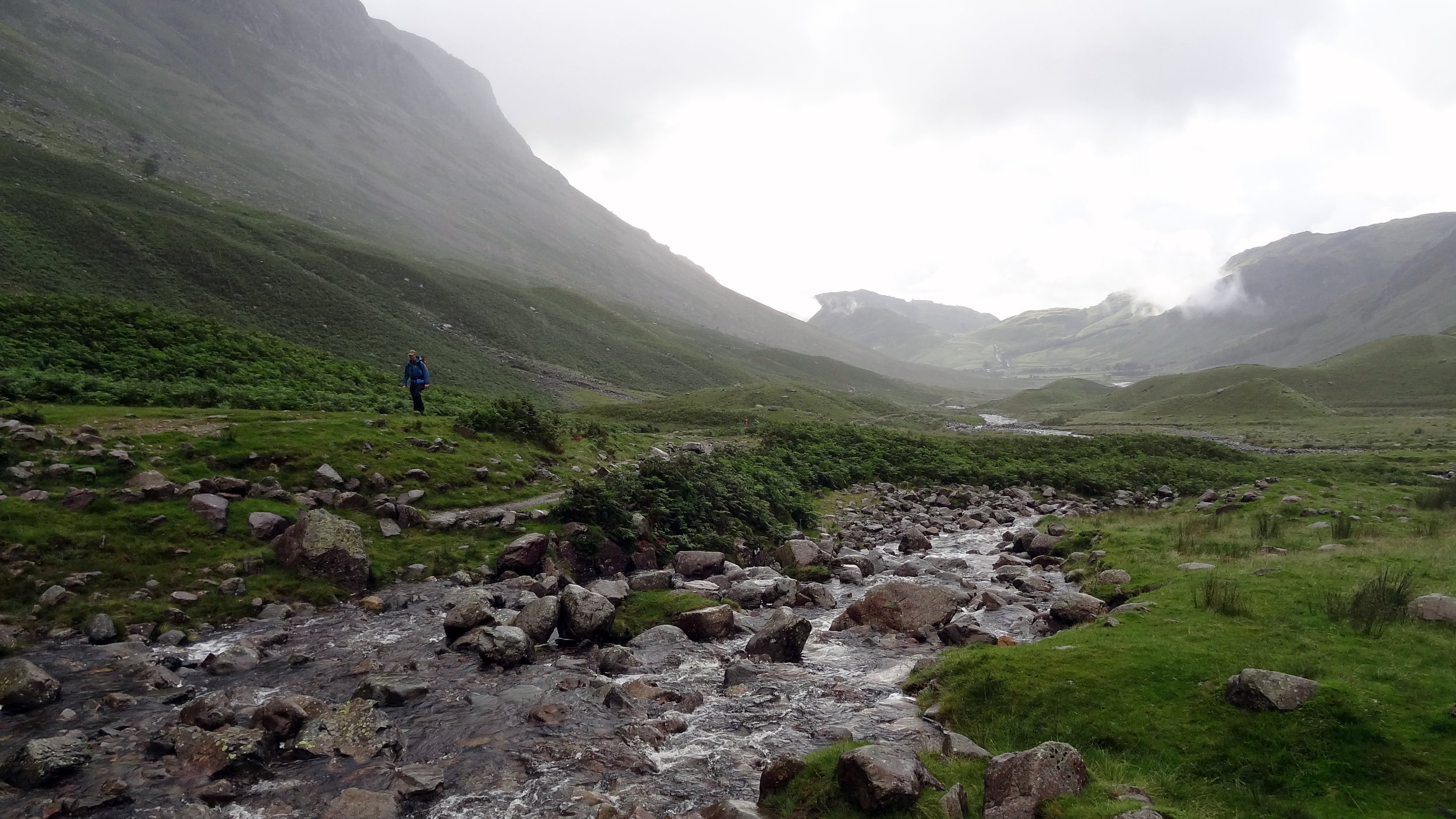
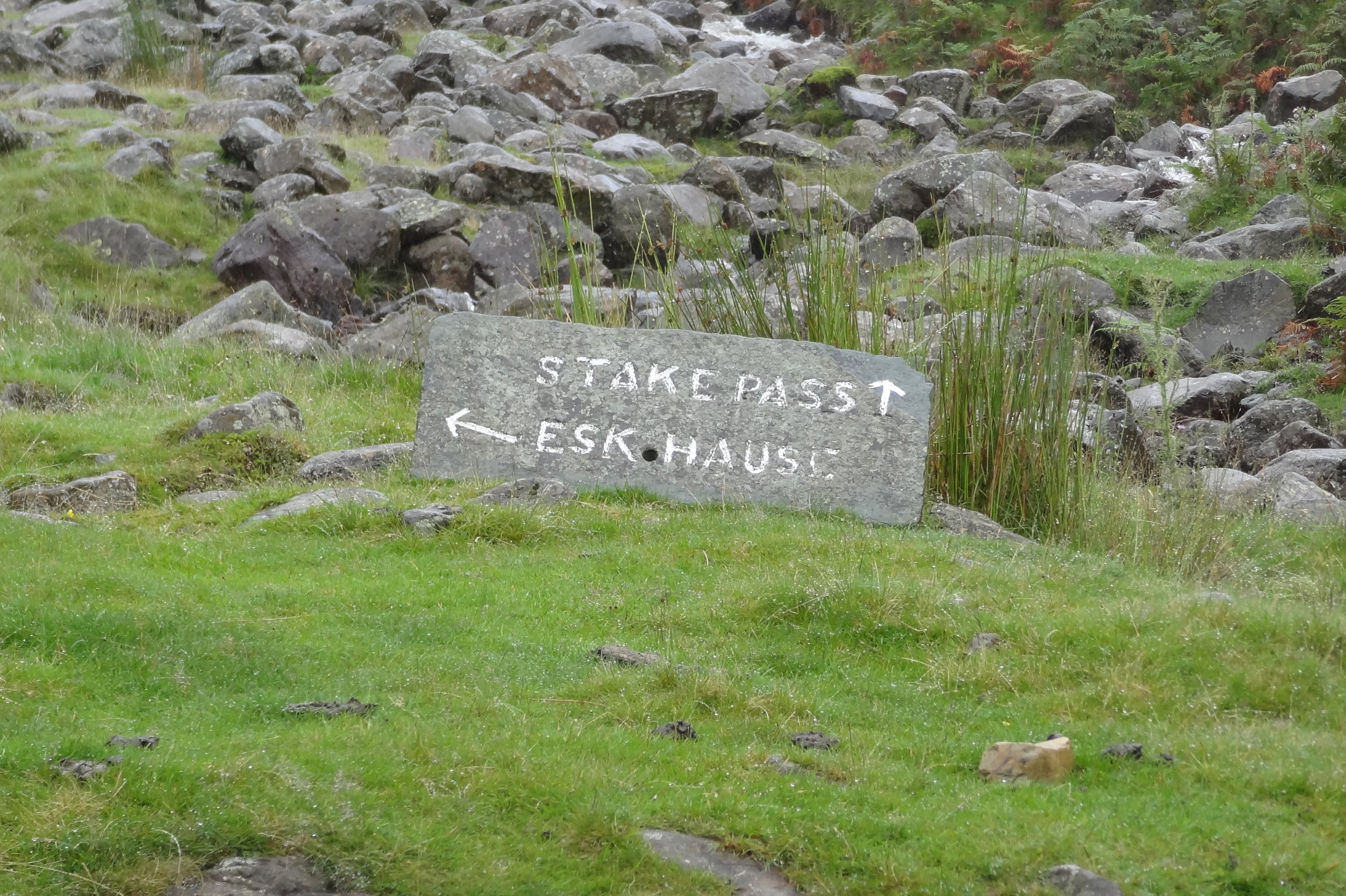
The plan was to follow the Cumbria Way from Old Dungeon Ghyl, then approach the summit from the east via Angle Tarn, Esk Haus and Broad Crag.

This was in the days before I meticulously planned every route on RideWithGPS and follow it by iPhone. Back then I had the OS Explorer map and a basic Garmin device that jus had the coordinates of the summit. Rather than following the trail heading north-west from Angle Tarn I took a path to the south-west to Esk Pike.

It was at the top of Esk Pike that I figured that we weren’t in the right place. Visibility was very low but I managed to find a clear spot to get a view of the area. Yes, we we’re definitely in the wrong place and had accidentally bagged an extra summit. Normally I would have styled it out and pretended that it was all part of the planned route. My prolonged look of confusion and map studying gave the game away and it was obvious that this wasn’t part of the plan.

We descended the “Bonus Peak”, got back on track and started the proper ascent to Scafell Pike. Once we were past the cloud line it was properly grim. Visibility stayed low and there was a constant drizzle. Finally we got to the summit, took a few photos and quickly turned around to descend. My first ascent of Scafell Pike had been a pleasant walk on a clear summer’s day. This wasn’t that day.

By the time we returned to the car park at the bottom we’d been out for over 9 hours. We had only planned for 5 hours and we were going to do Snowdon later in the day. After our Scafell adventure nine of us wanted to see another mountain that day. We ditched the idea of going to Snowdon and headed to Chester for a curry, some beers and a lot of post-hike analysis of my navigation skills.