Holly Hill and Lost Village of Dode Circular Walk
Lost village of Dode
Significance: Unitary Authority High Point for Medway
Member of: N/A
Parent Peak: Botley Hill. NHN = Detling Hill
Historic County: Kent (of which Betsom’s Hill is the County Top)
Elevation: 172m
Date “climbed”: August 12th 2013
Coordinates: 51° 20' 43'' N, 0° 23' 55'' E
Route Start & Finish: Holy Hill Wood Car Park, Holly Hill Lane (North Downs Way), Gravesend, DA13 0UB
Route Distance: 4.5 km (2.8 miles)
Route Elevation change: +/- 78m
GPX File: get via Buy Me a Coffee
Other routes touched (walk): North Downs Way
Other routes touched (cycle): N/A
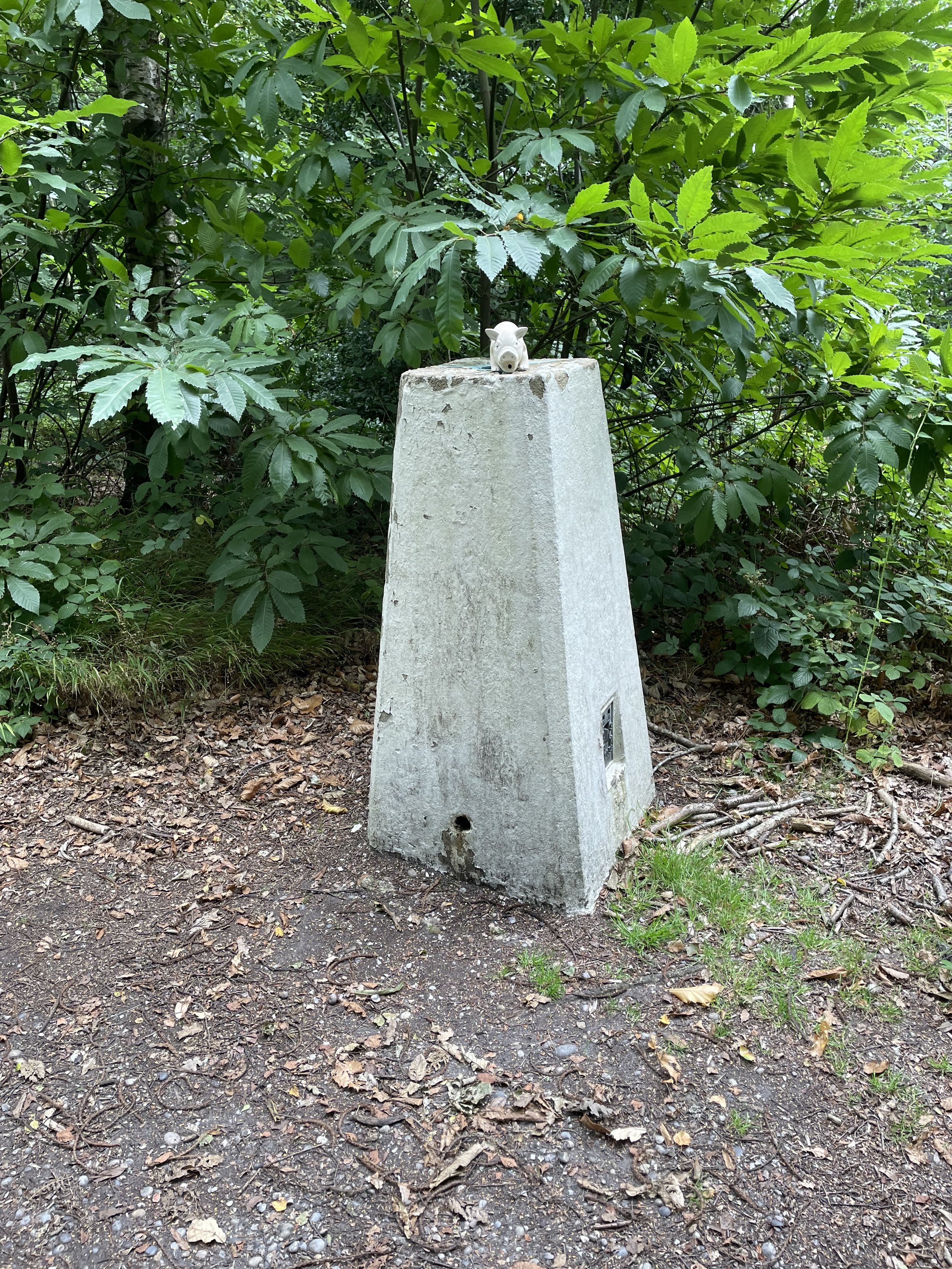
OS Trig Pillar: TP3974 - Holly Hill
Pubs / Cafes on route: N/A
Map: Maidstone & the Medway Towns Map | Kent Downs | Ordnance Survey | OS Explorer Map 148
Guidebook: N/A
Links: Wikipedia (Medway), Peakbagger, Hillbagging, Lost Village of Dode
Holly Hill is the high point of the Unitary Authority of Medway within the Historic and Ceremonial Counties of Kent. We bagged it on a short walk that also takes in the Holly Hill Trig Pillar and the lost village of Dode.
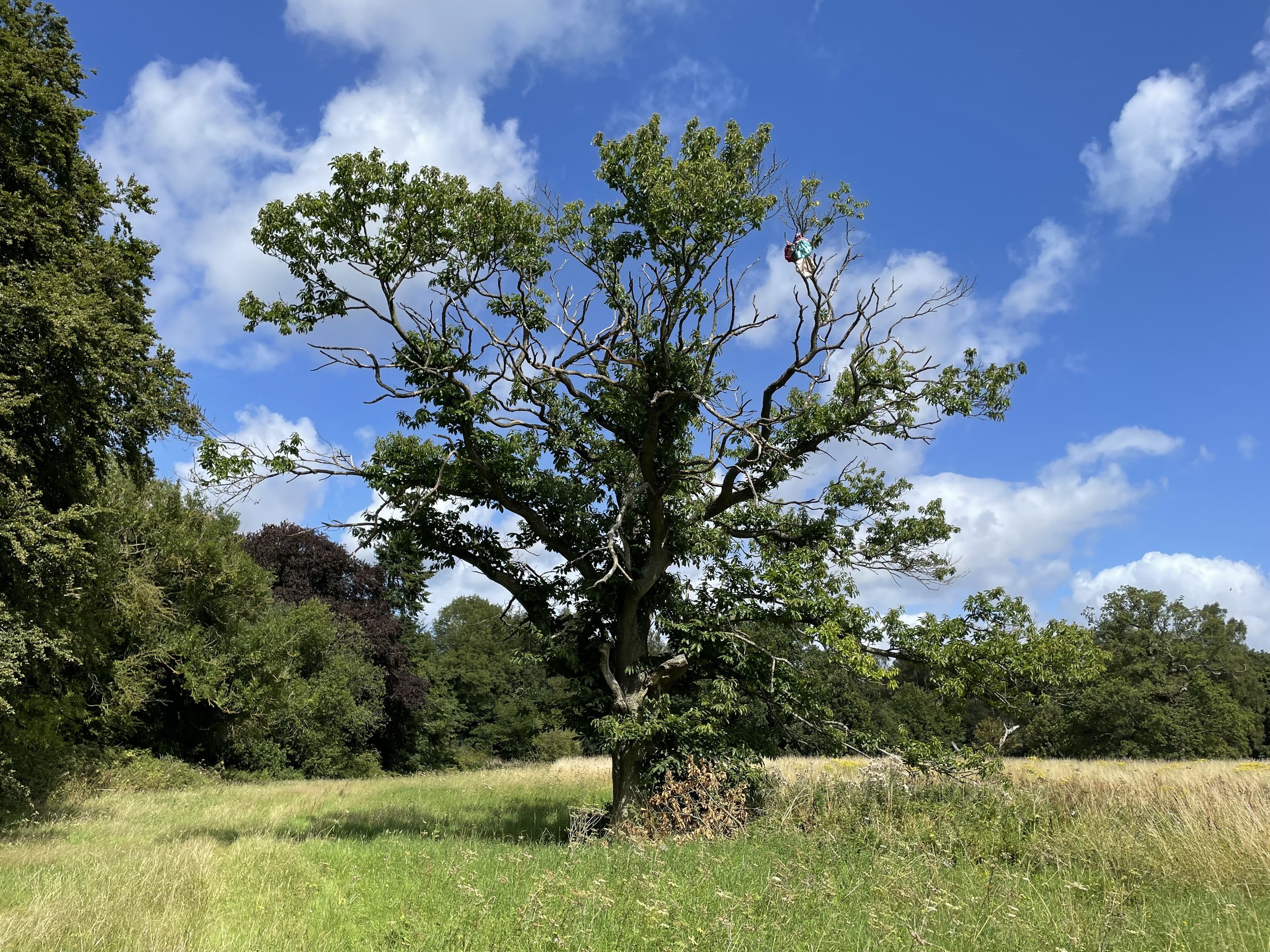
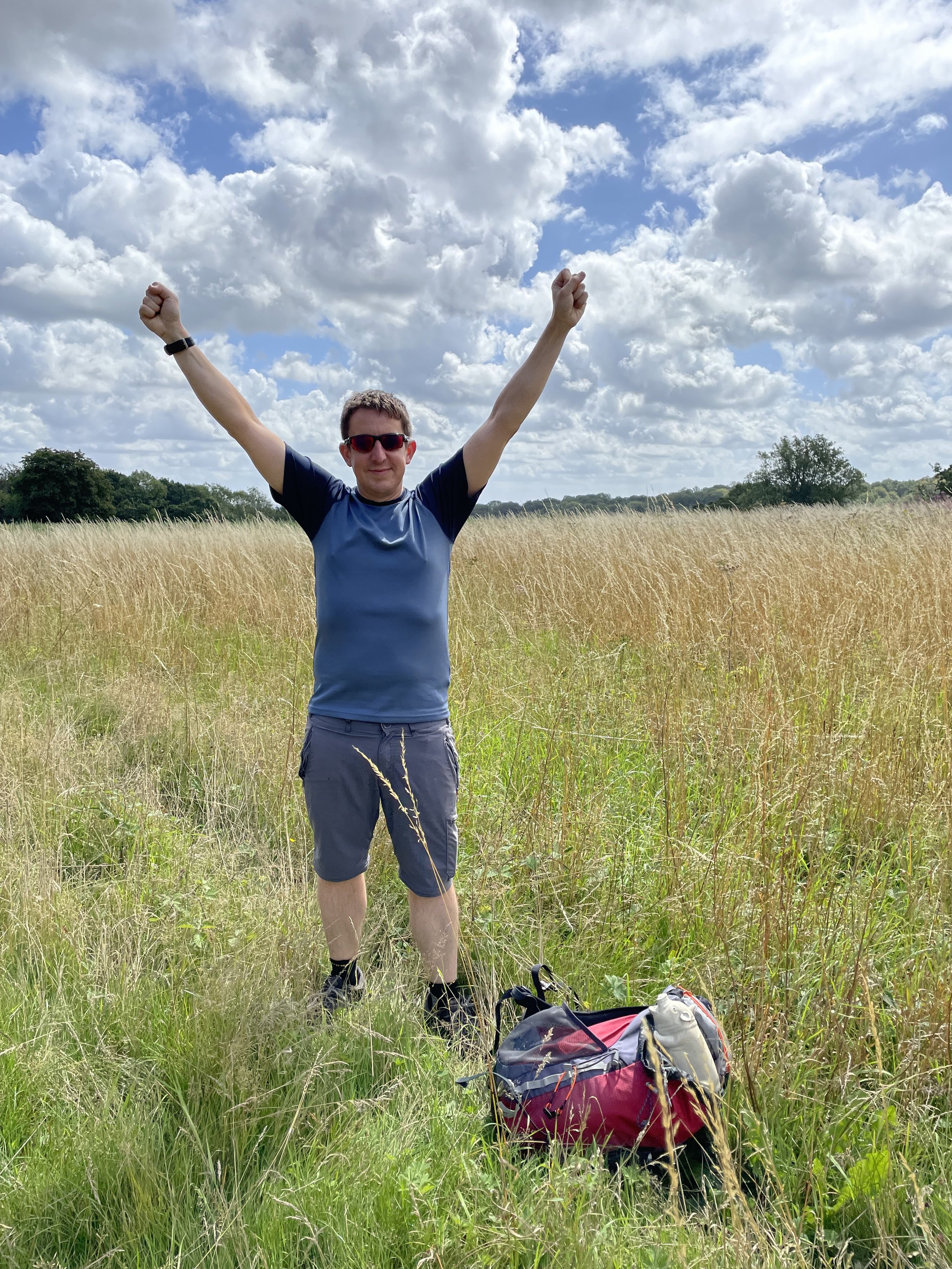
The Holly Hill Car Park is open during the summer and is very close to the Trig Pillar. We chose to keep this to the end of the walk and headed up to the high point first. Not sure why the Trig Pillar and High Point are in different places. Turn left out of the car park onto the North Downs way and follow it for 250 metres then take a footpath to the right heading east. When the path enters into a large field take a left and follow the tree-line on the left hand side of the field to the top of the hill. The high-point is near the large tree in the corner of the field. There were crops growing at the time so we kept to the field edge which may have been a metre or 2 from the actual high point. There’s no obvious peak or anything to mark the summit.
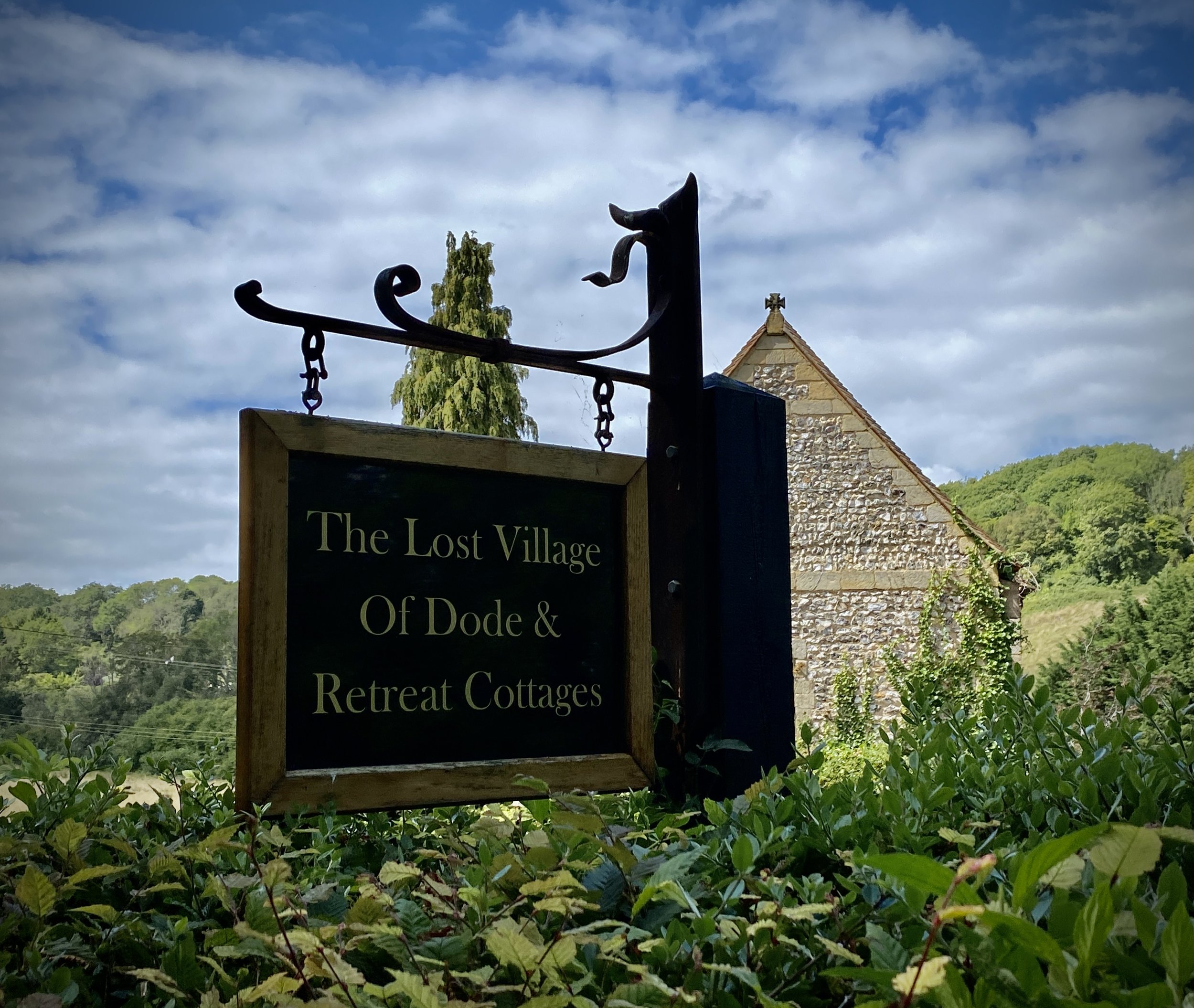
Retrace your steps to the North Downs Way and follow it north but keep to the main track rather than take the right hand turn when the North Downs Way diverts to the east. When you reach Wrangling Lane take a left and follow it in a south-westerly direction. You’ll shortly pass the entrance to the lost village of Dode.
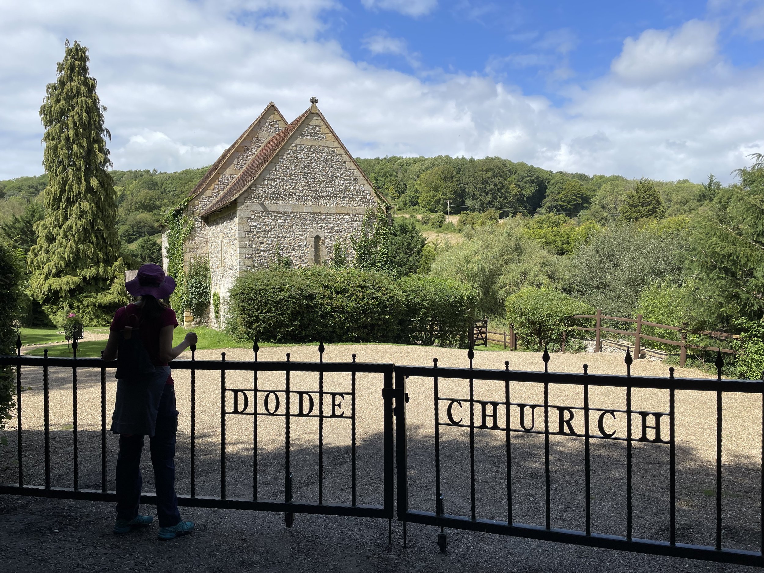
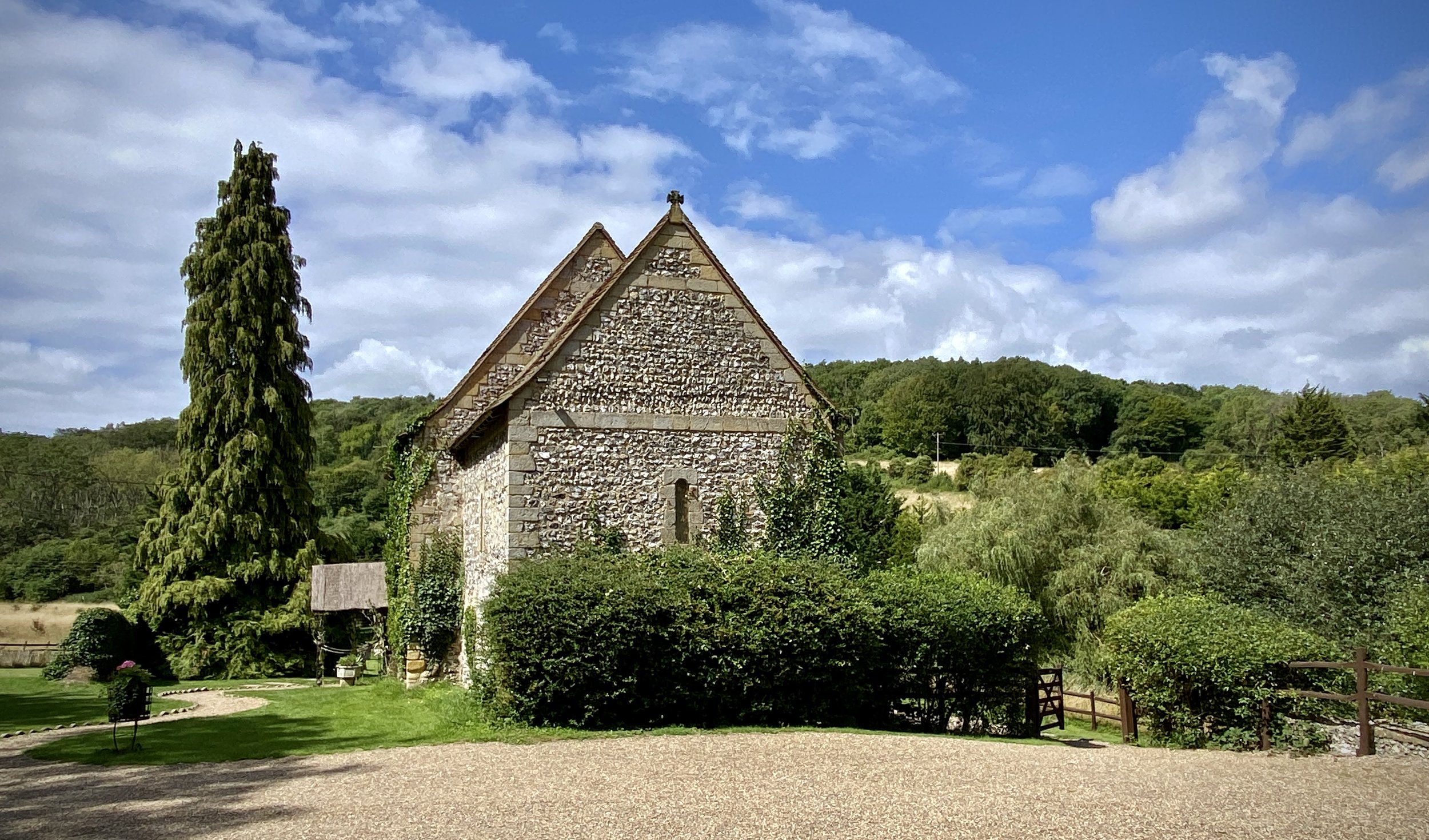
The lost village of Dode is a small hamlet in the North Downs of Kent, England. It is thought to have been abandoned in the 14th century due to the Black Death, a devastating plague that killed an estimated 30-50% of the European population. The only remaining trace of the village is its Norman church, which was built in the 12th century. The church has been restored and is now a popular wedding venue. It’s private property and the gate was locked at the time so we settled for some photos at the gate and continued along Wrangling Lane.
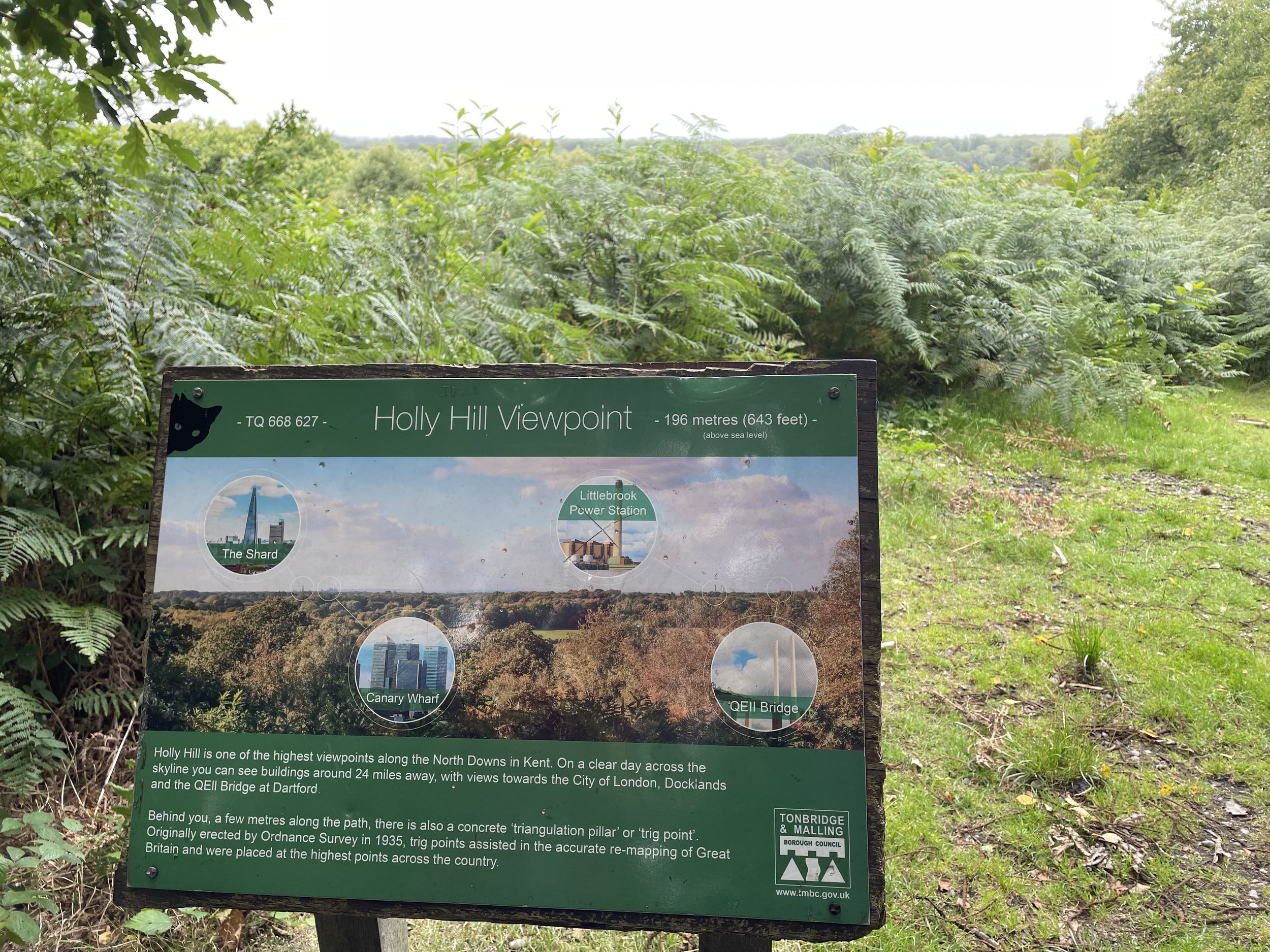
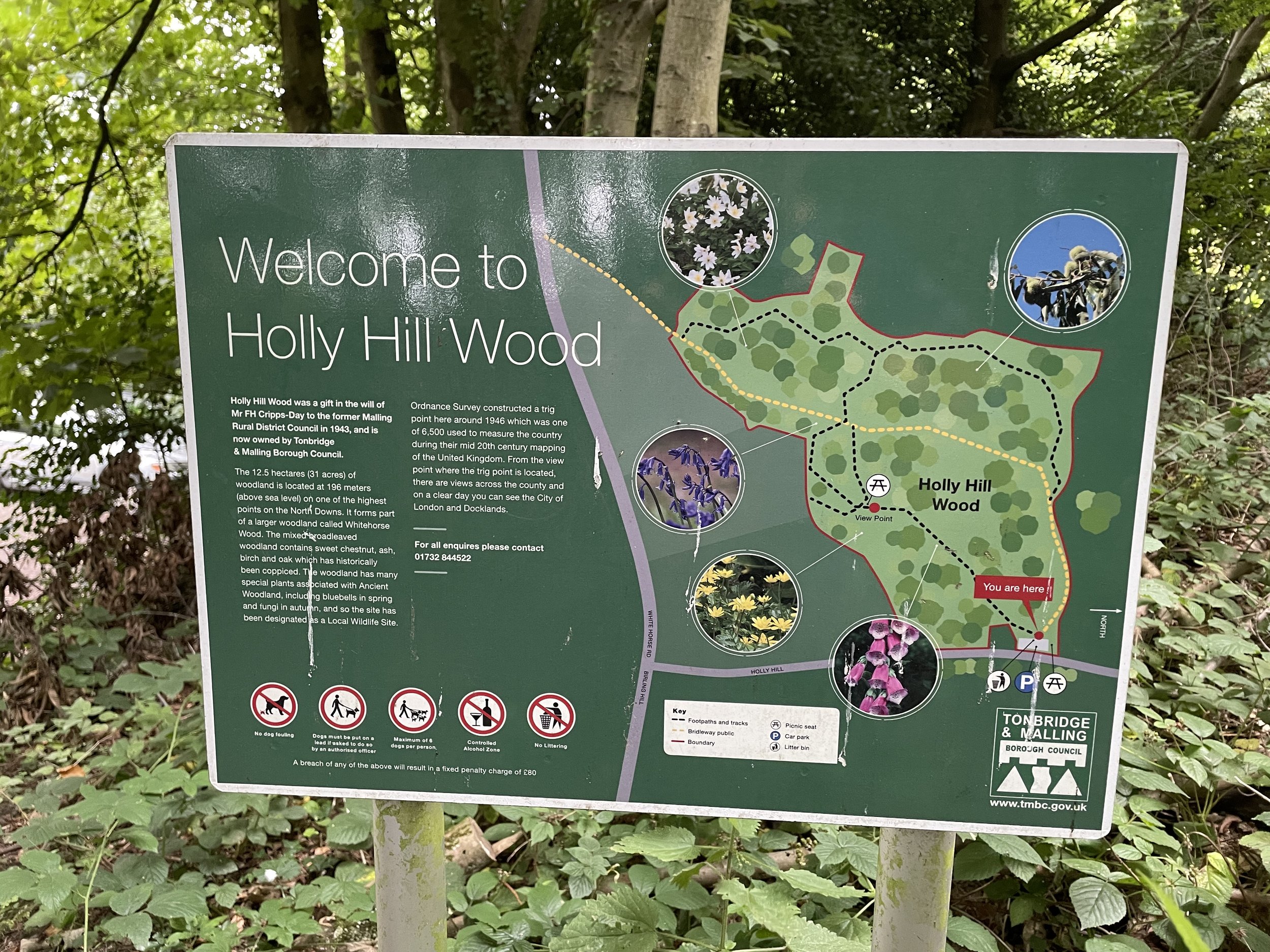
Keep on Wrangling Lane as it curves to the south and gradually ascends up to White Horse Road. Take a left onto White Horse Road then take the first footpath on the left to take you into Holly Hill Woodland. Keep to the paths following the easterly edge of the woodland and you’ll arrive at the OS Trig Pillar, an information board and a great view across to central London. The car park is a further 250 metres from the Trig Pillar.


