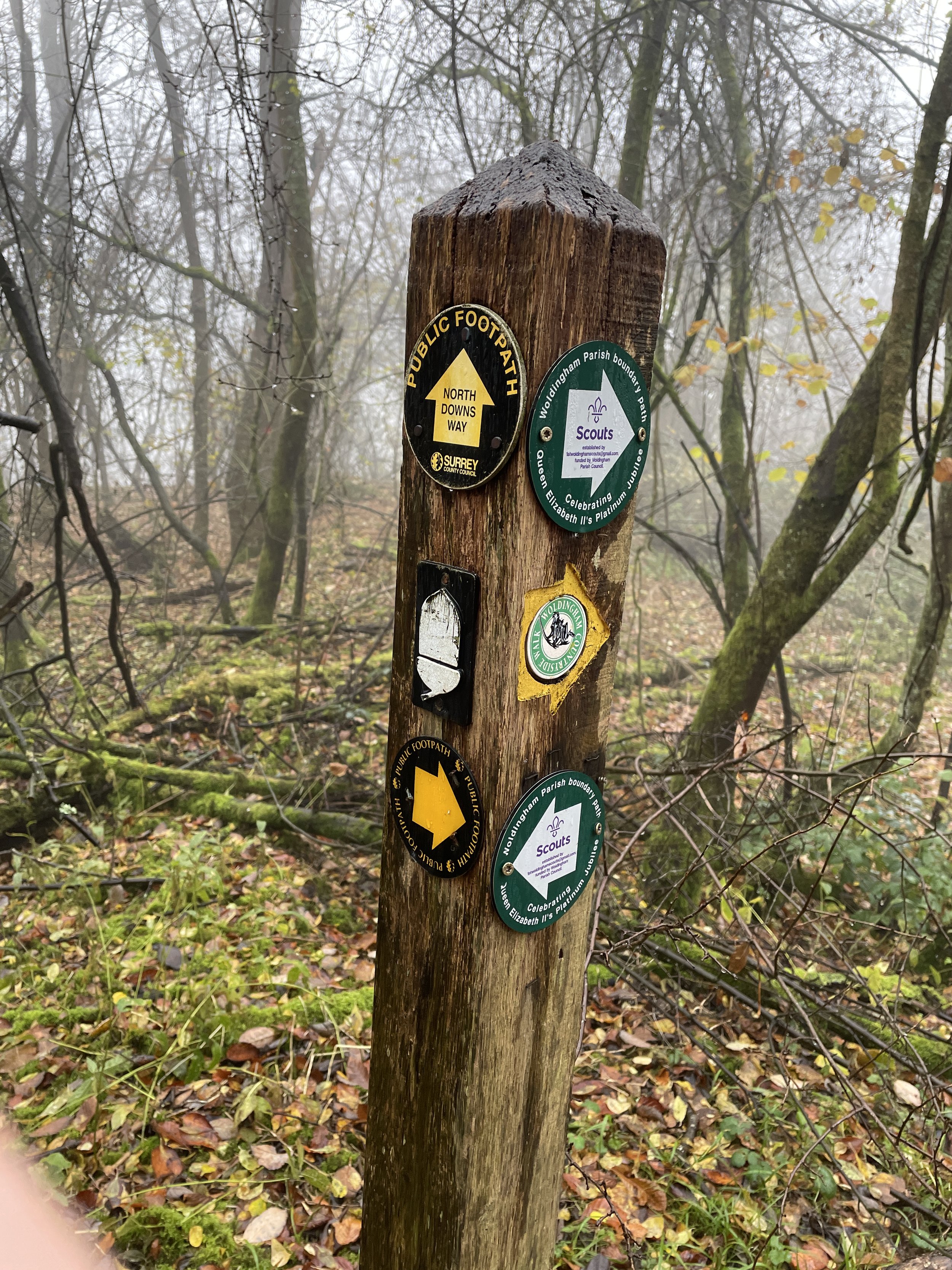
North Downs Way near Chevening
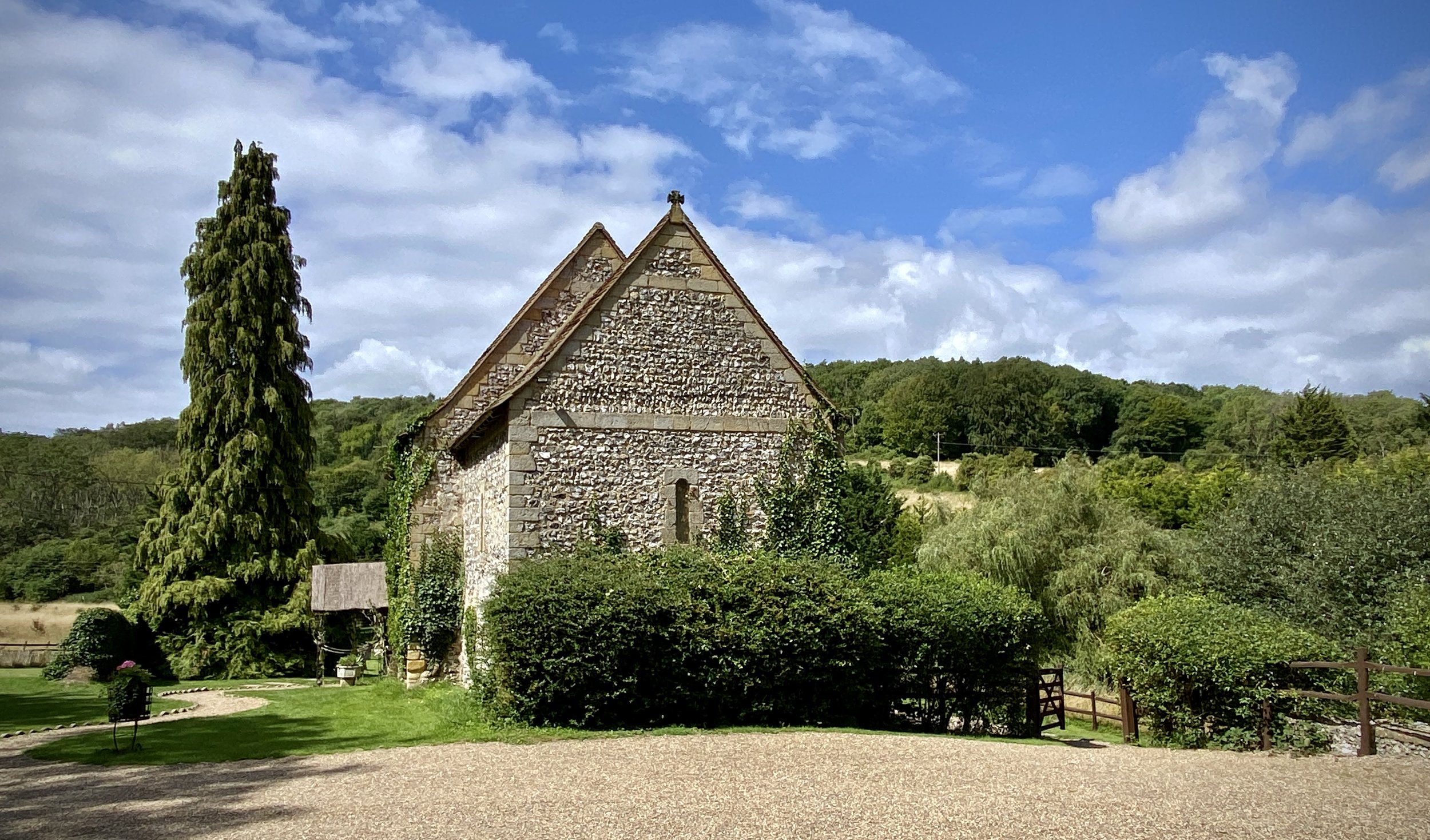
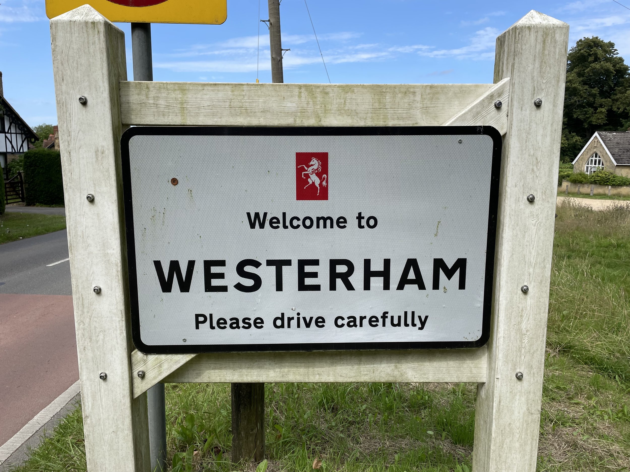
Start: The Velo Barn, Unit 1, Betsoms Farm, Pilgrims Way, Westerham TN16 2DS
Finish: Otford Memorial Hall, 28A High St, Otford, Sevenoaks, TN14 5PQ
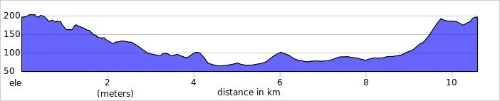
Distance: 12.8 km (7.9 miles)
Elevation change: +128m / -225m. Net -97m
GPX File: get via Buy Me a Coffee
Other routes touched (walk): Berry’s Green Circular Walk, Darent Valley Path
Other routes touched (cycle): None
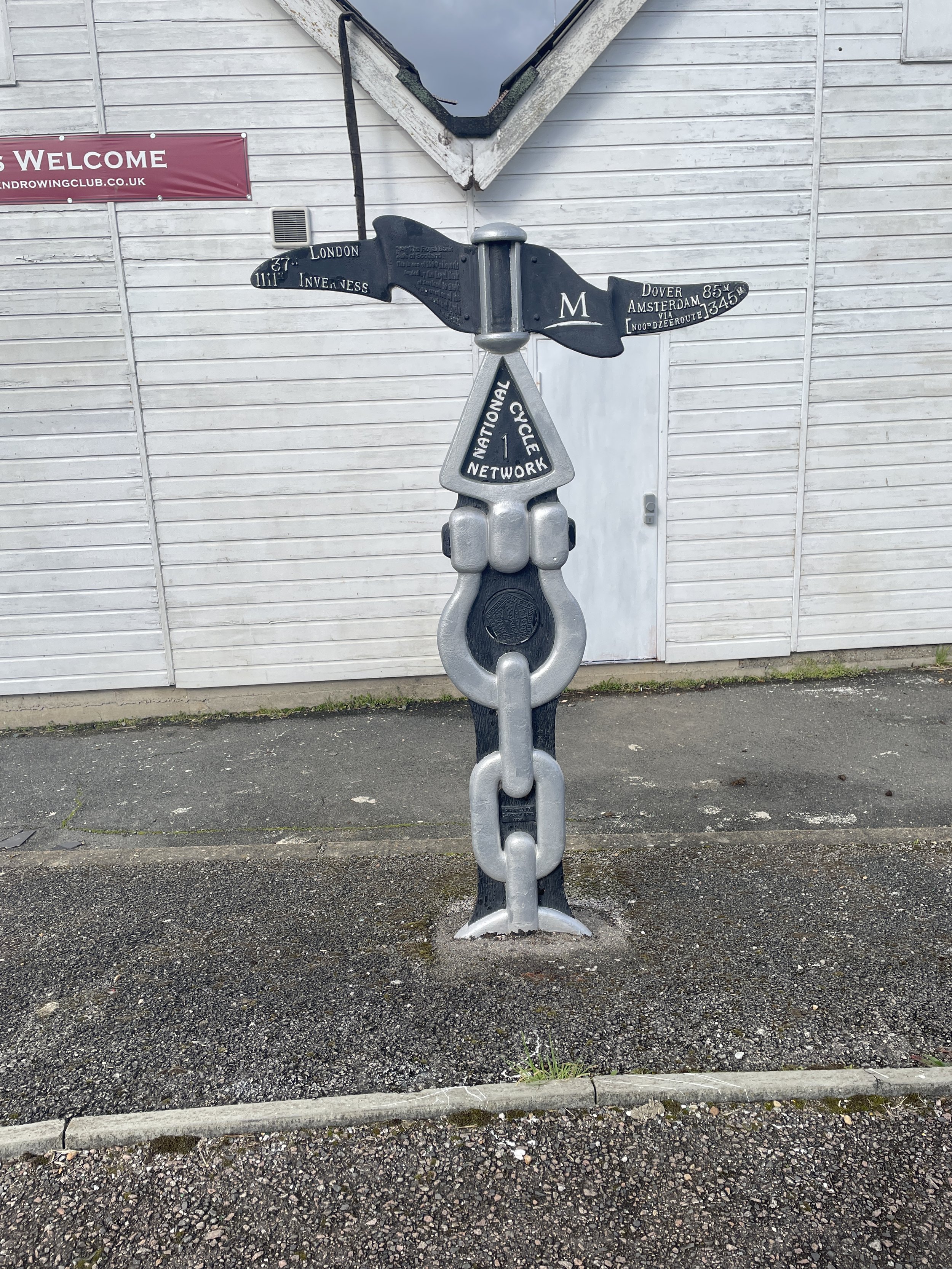
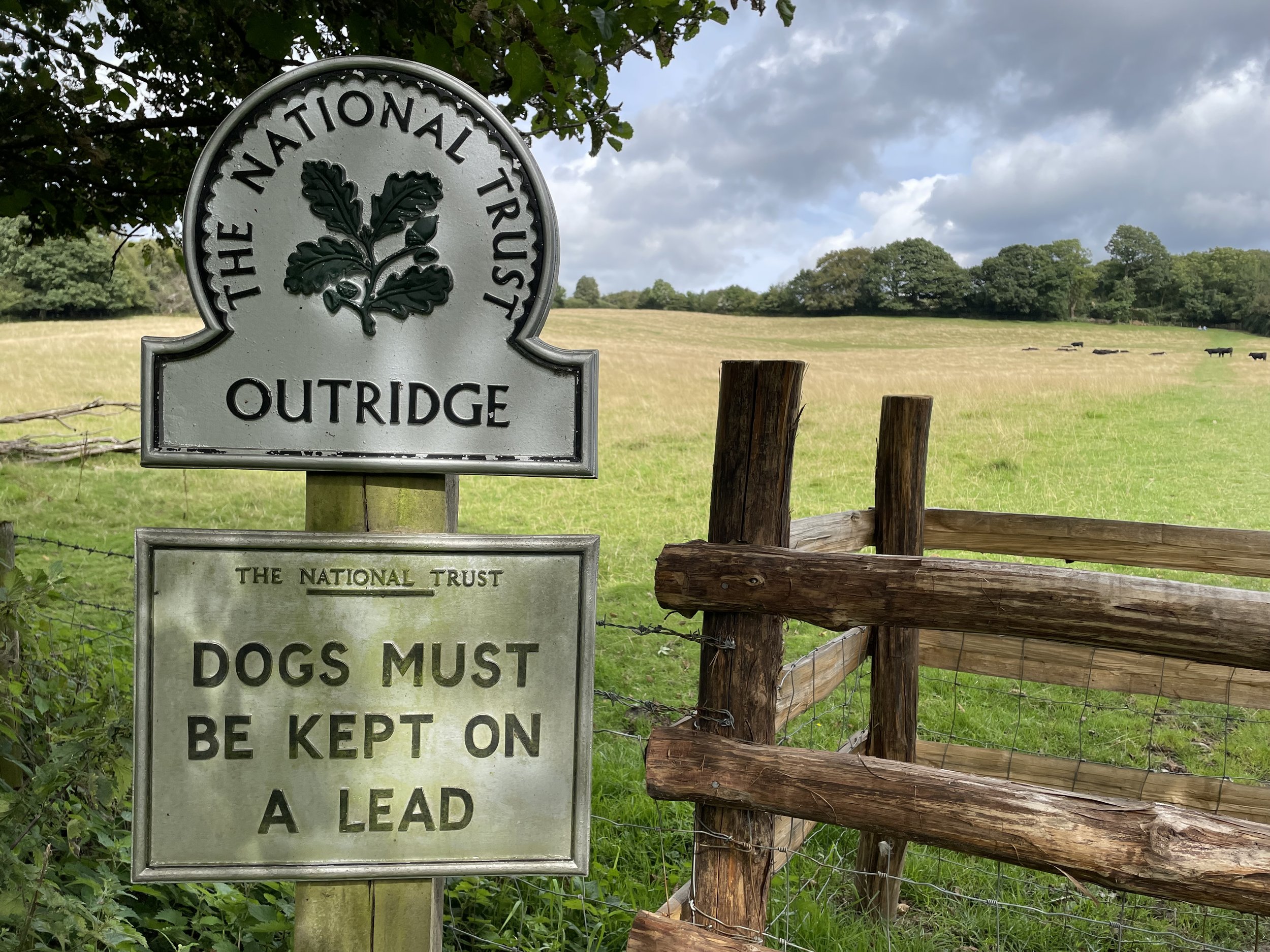
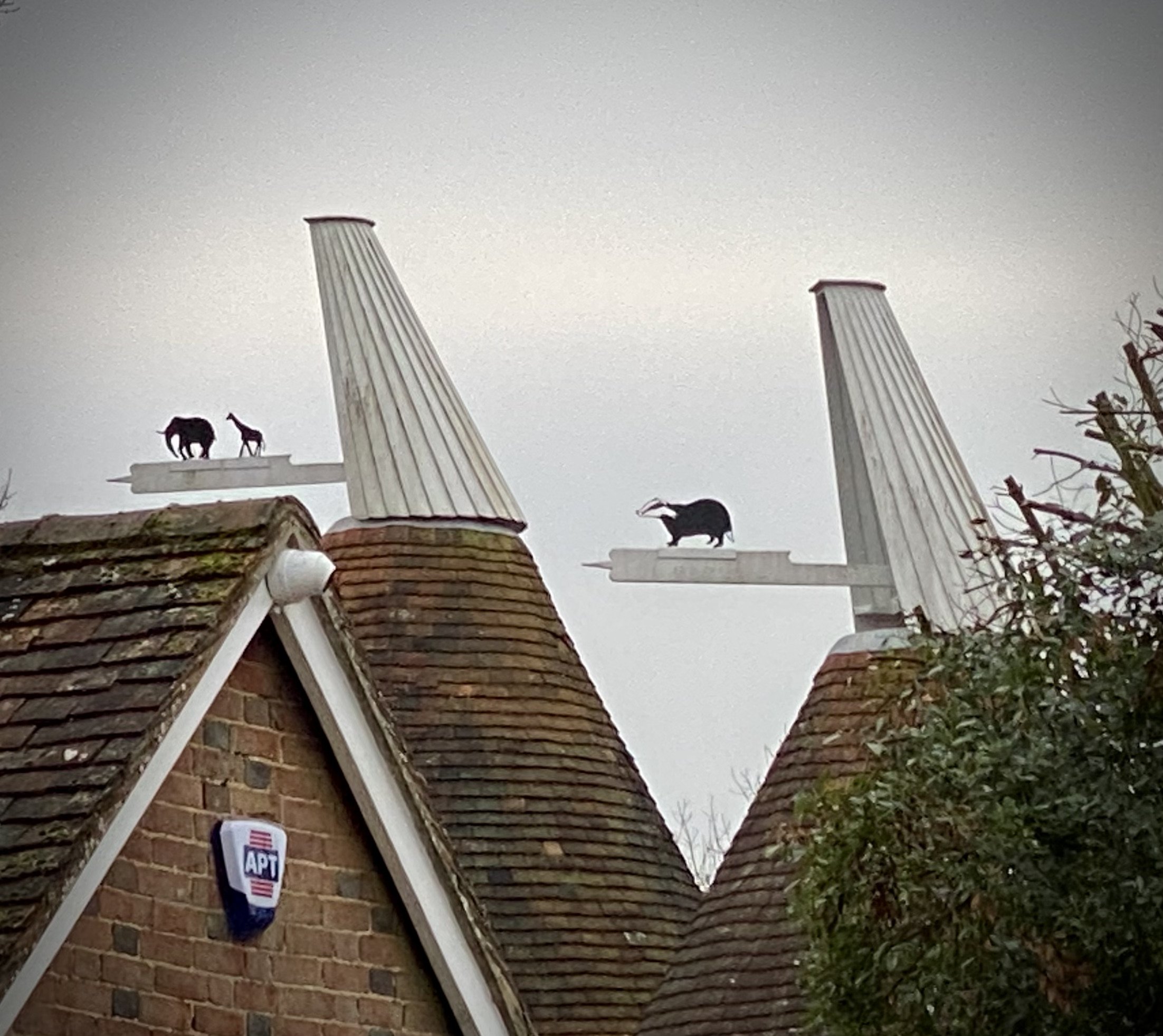
Pubs / Cafes on route: The Velo Barn at the start of the route, Rose & Crown Sevenoaks (10 km in), several in Otford High Street
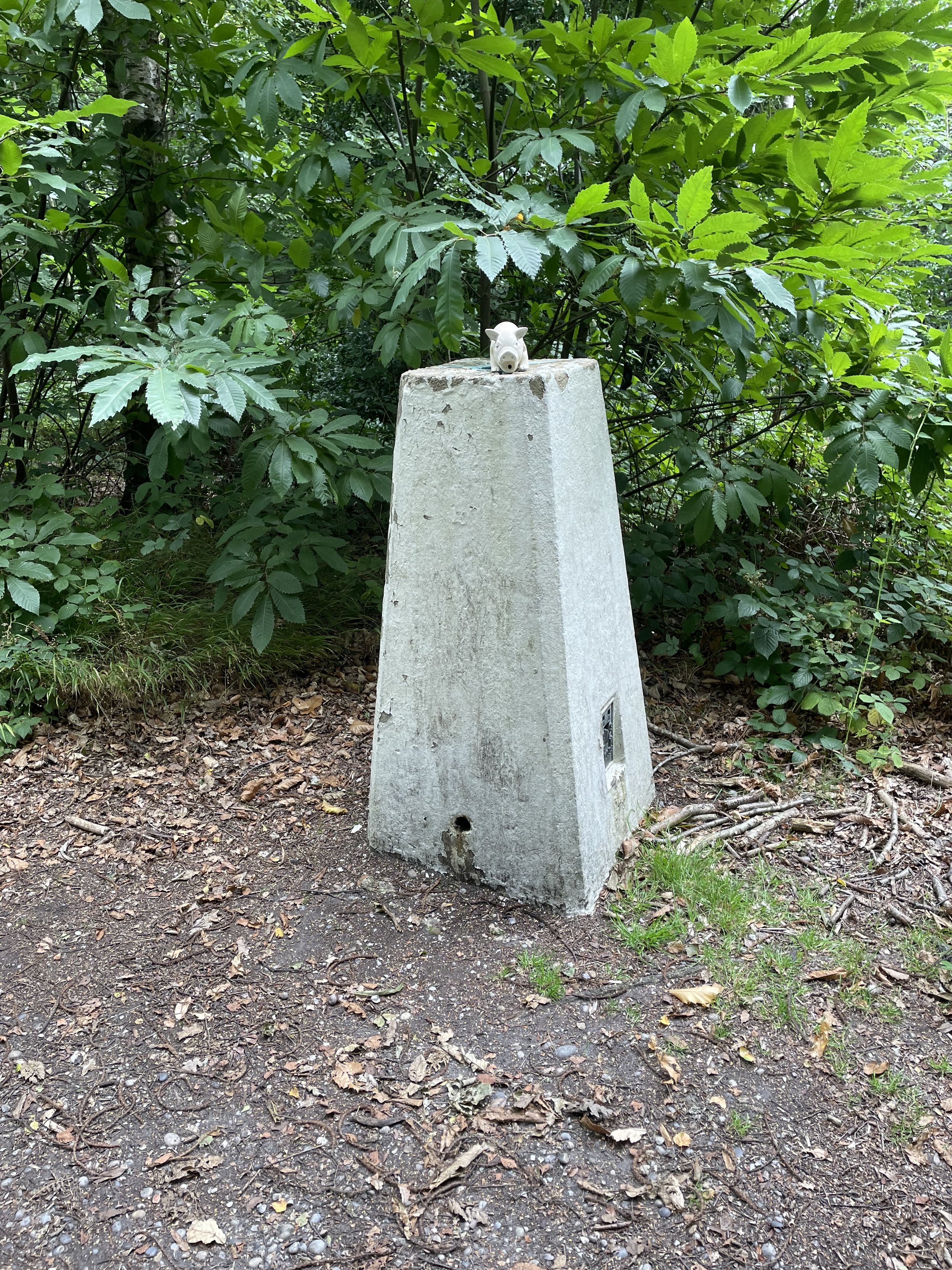
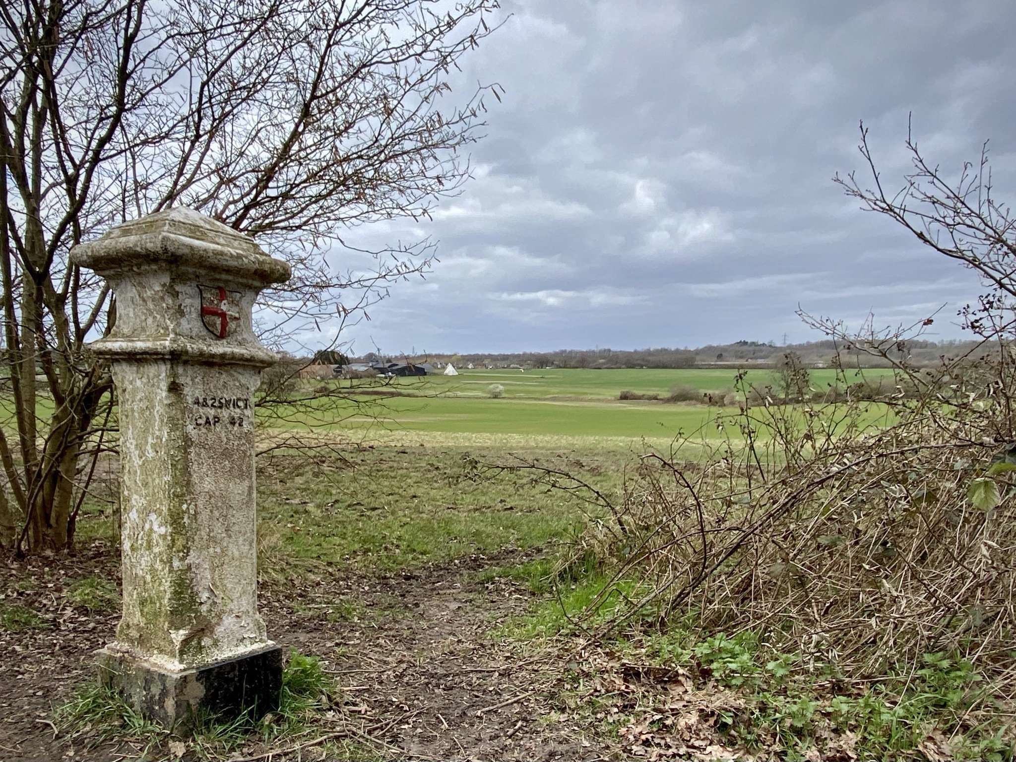
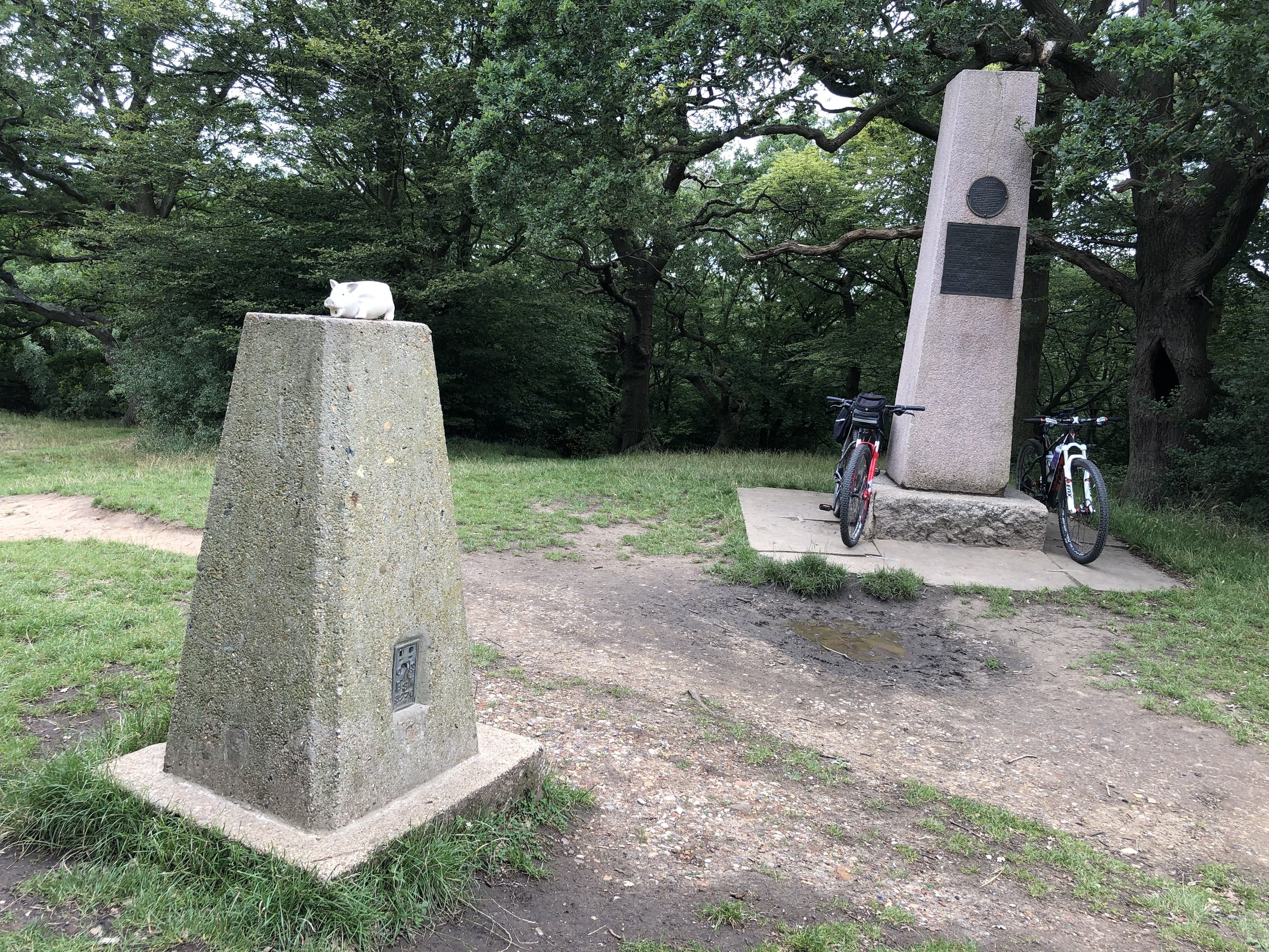
OS Trig Pilllar: TP4287 - Knockholt Beeches
Map: Sevenoaks & Tonbridge Map | Royal Tunbridge Wells & Westerham | Ordnance Survey | OS Explorer Map 147
Guidebook: The North Downs Way National Trail from Farnham to Dover (Cicerone)
Links: Chevening, Otford
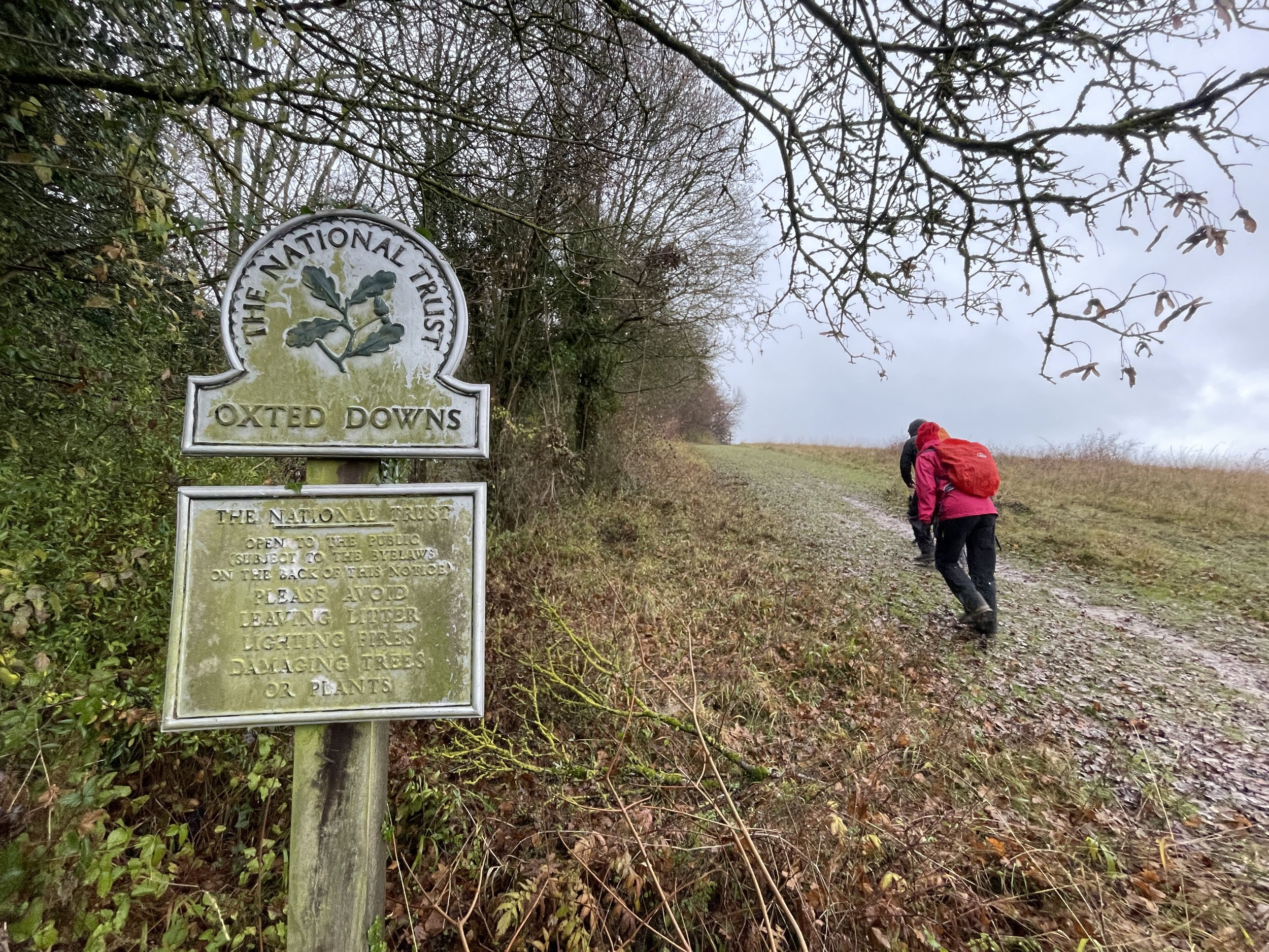
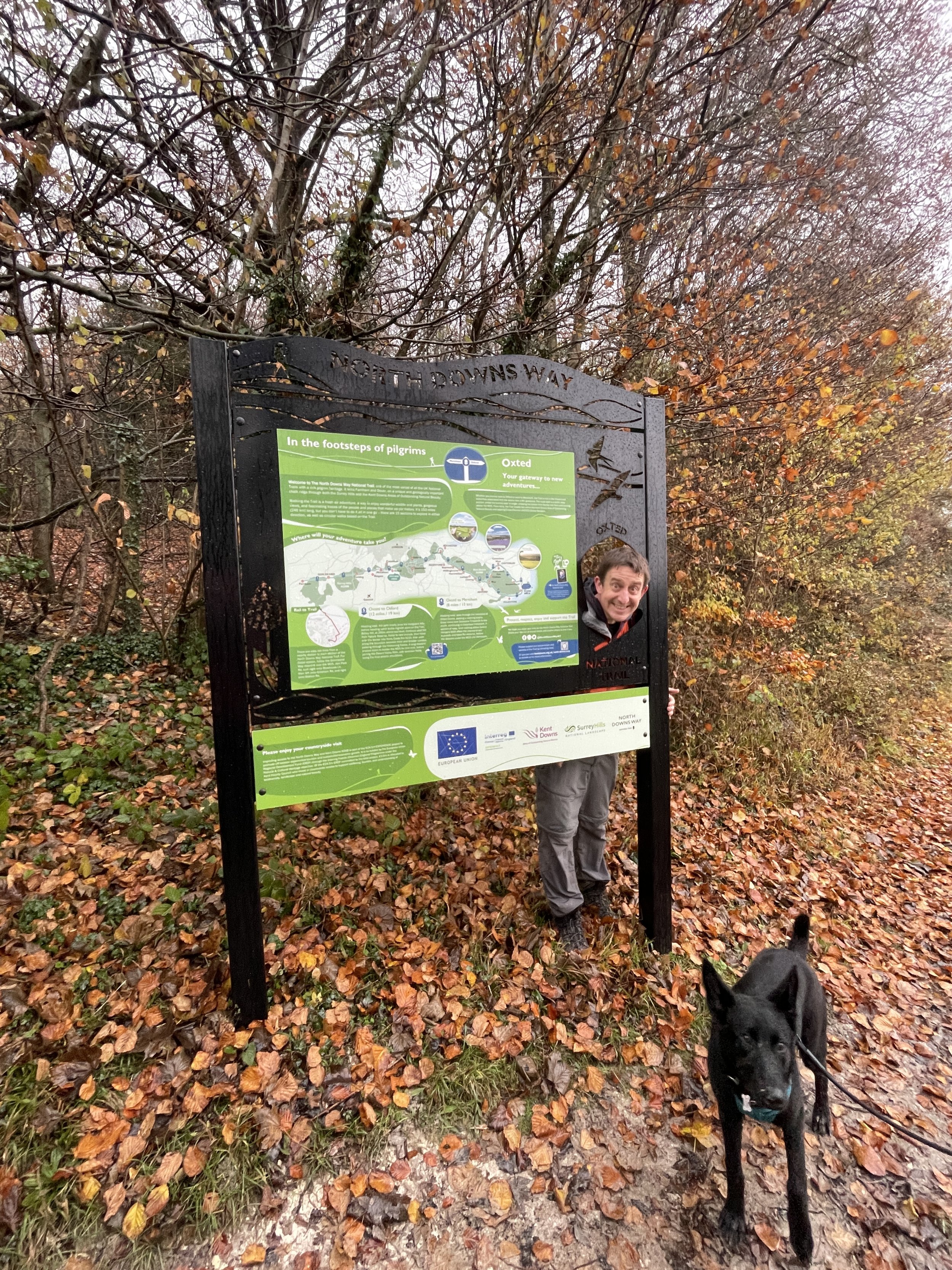
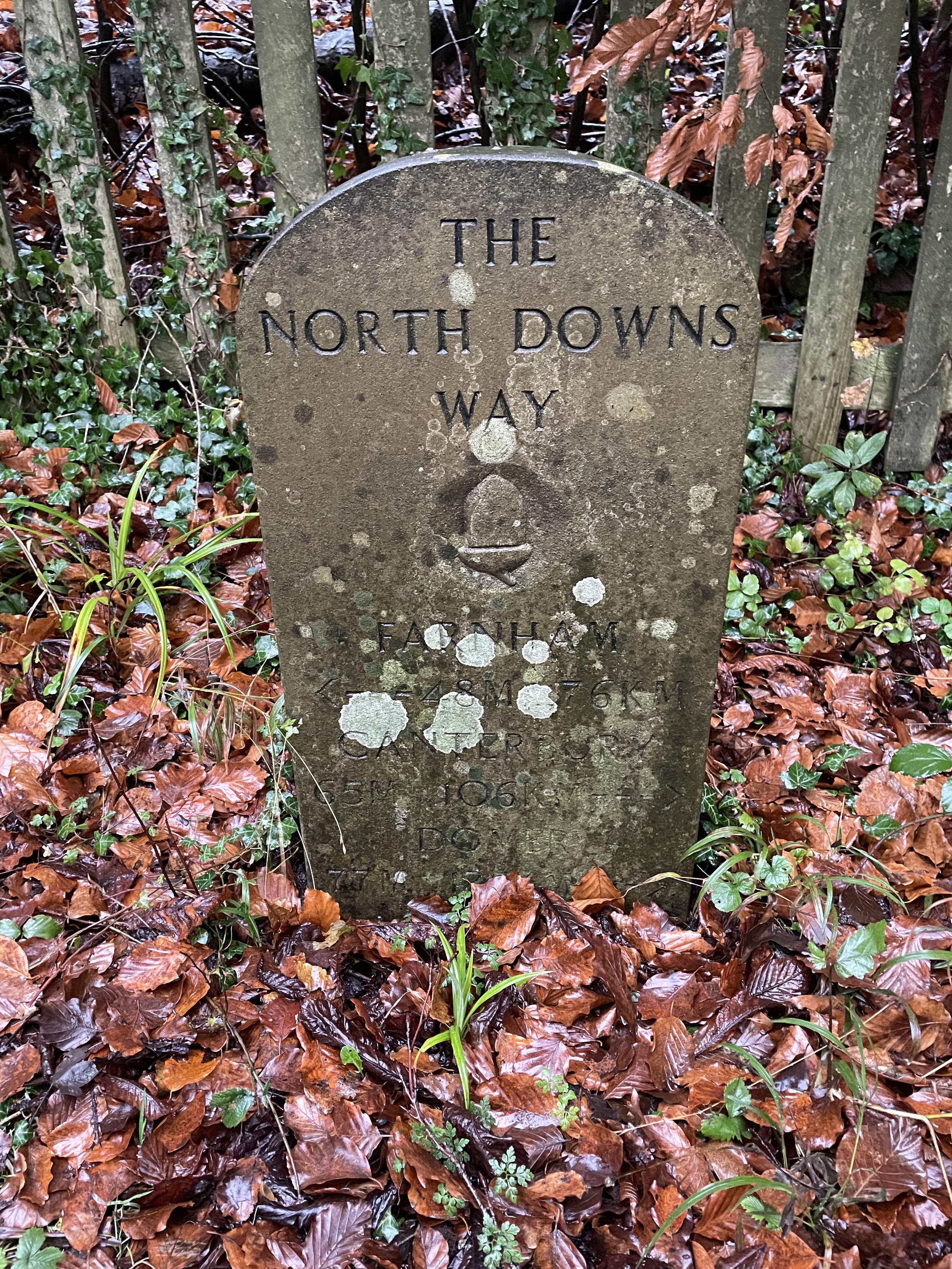
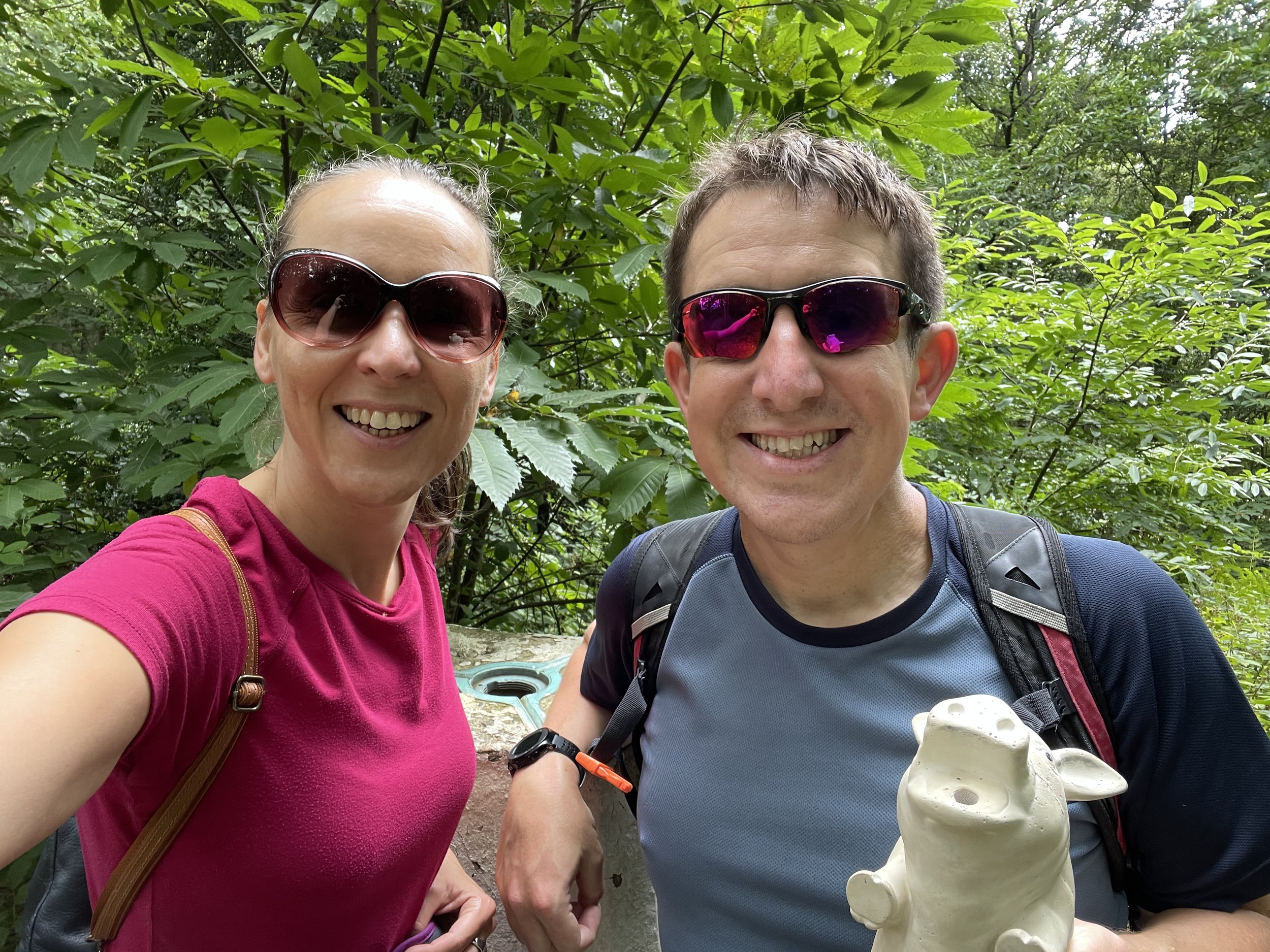
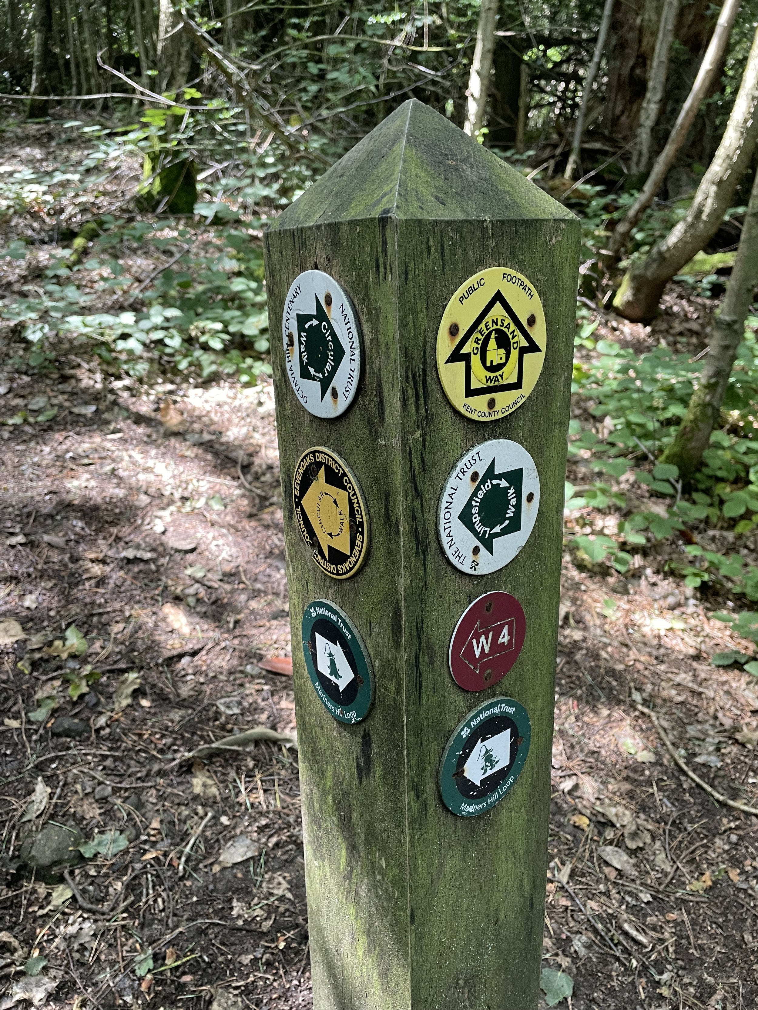
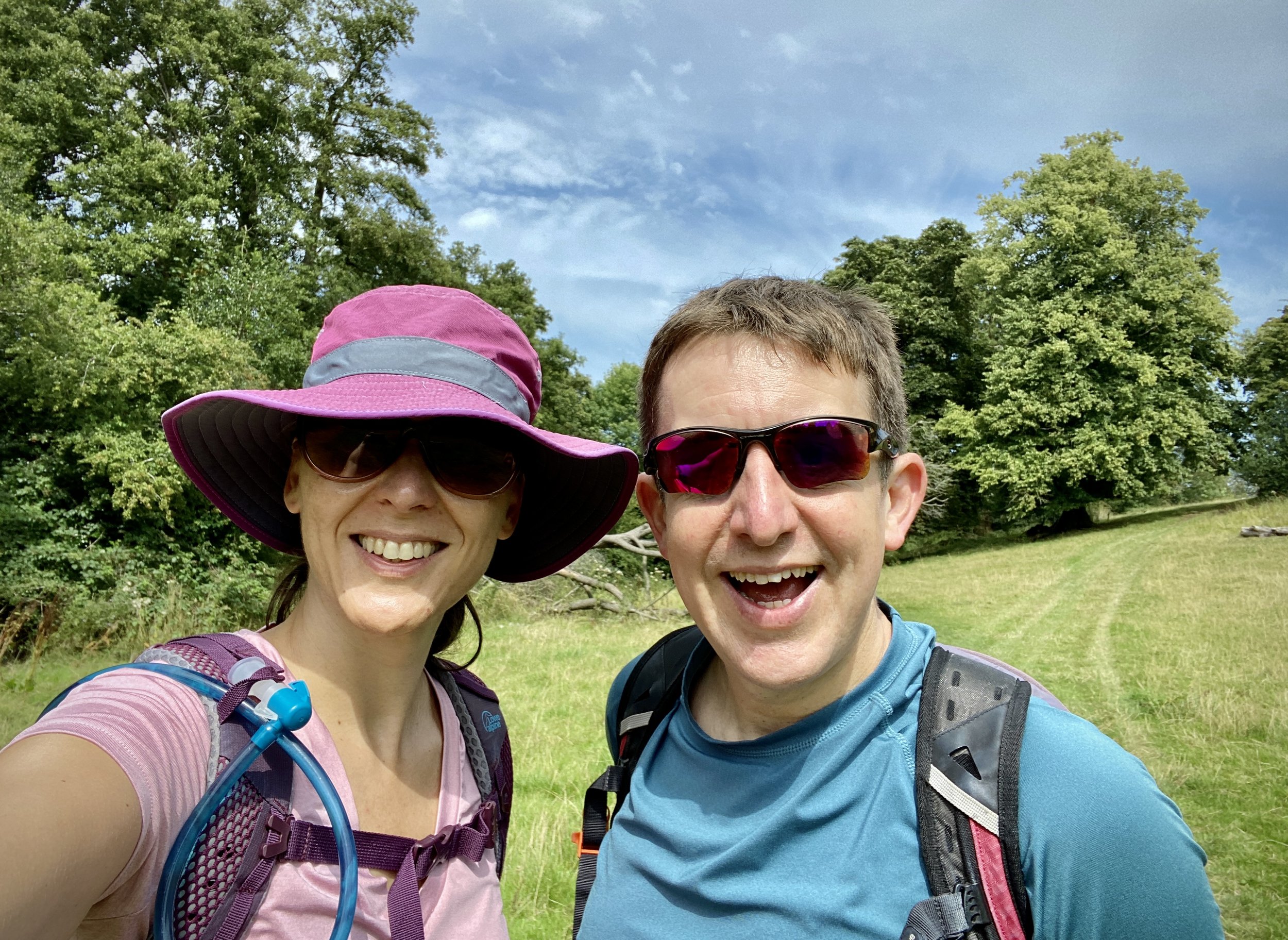
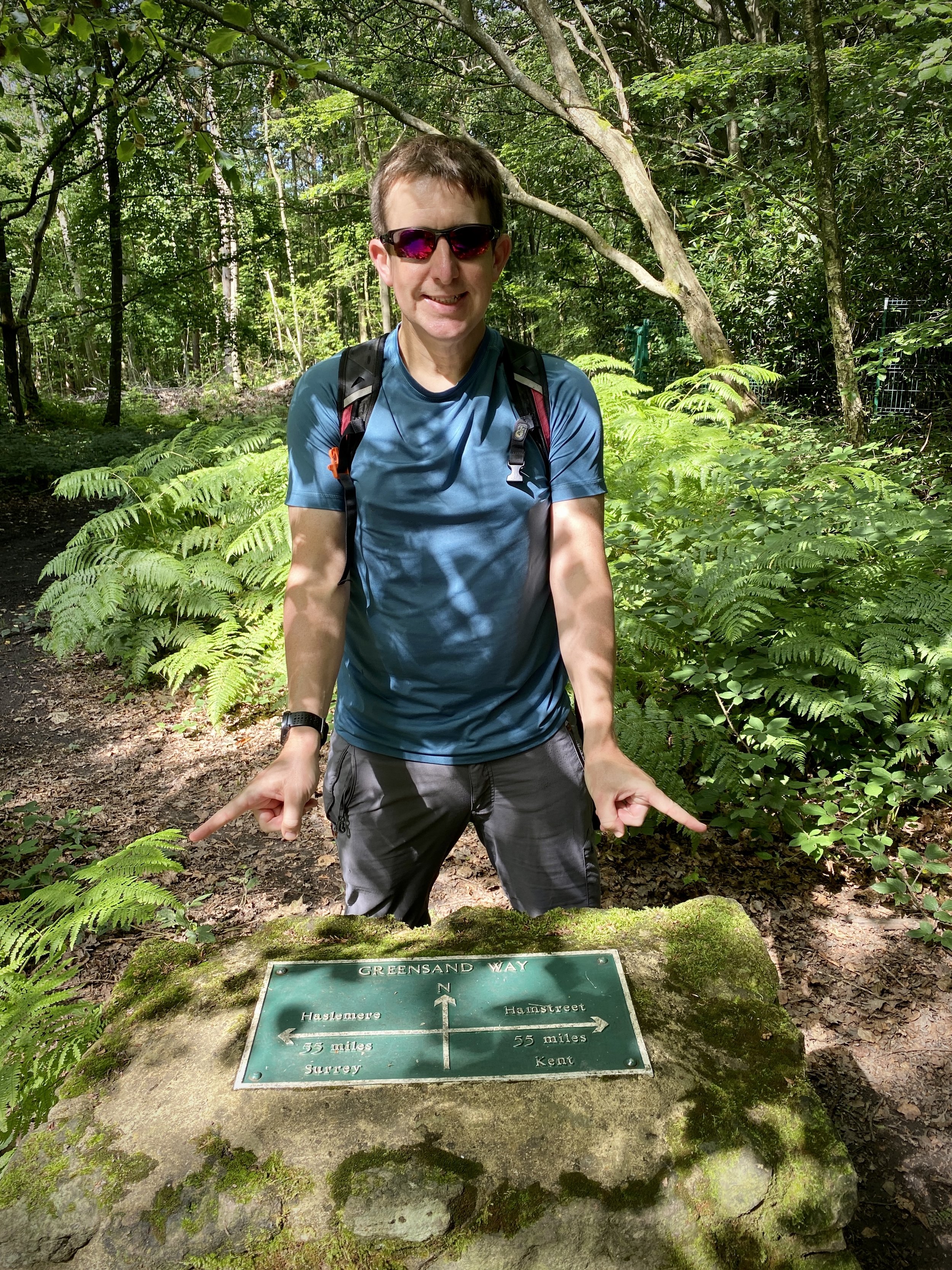
This is the eighth of a series of short point-to-point walks along the North Downs Way. The full trail is a long distance path stretching from Farnham in Surrey to Dover in Kent. Our walks took in short sections of 10 km to 13 km which we did with a friend over the course of a couple of years when our schedules coincided. The North Downs Way is well sign-posted however I highly recommend taking a map or GPX route to keep you on track. The Cicerone book on the trail is a great guide to the points of interest along the way.
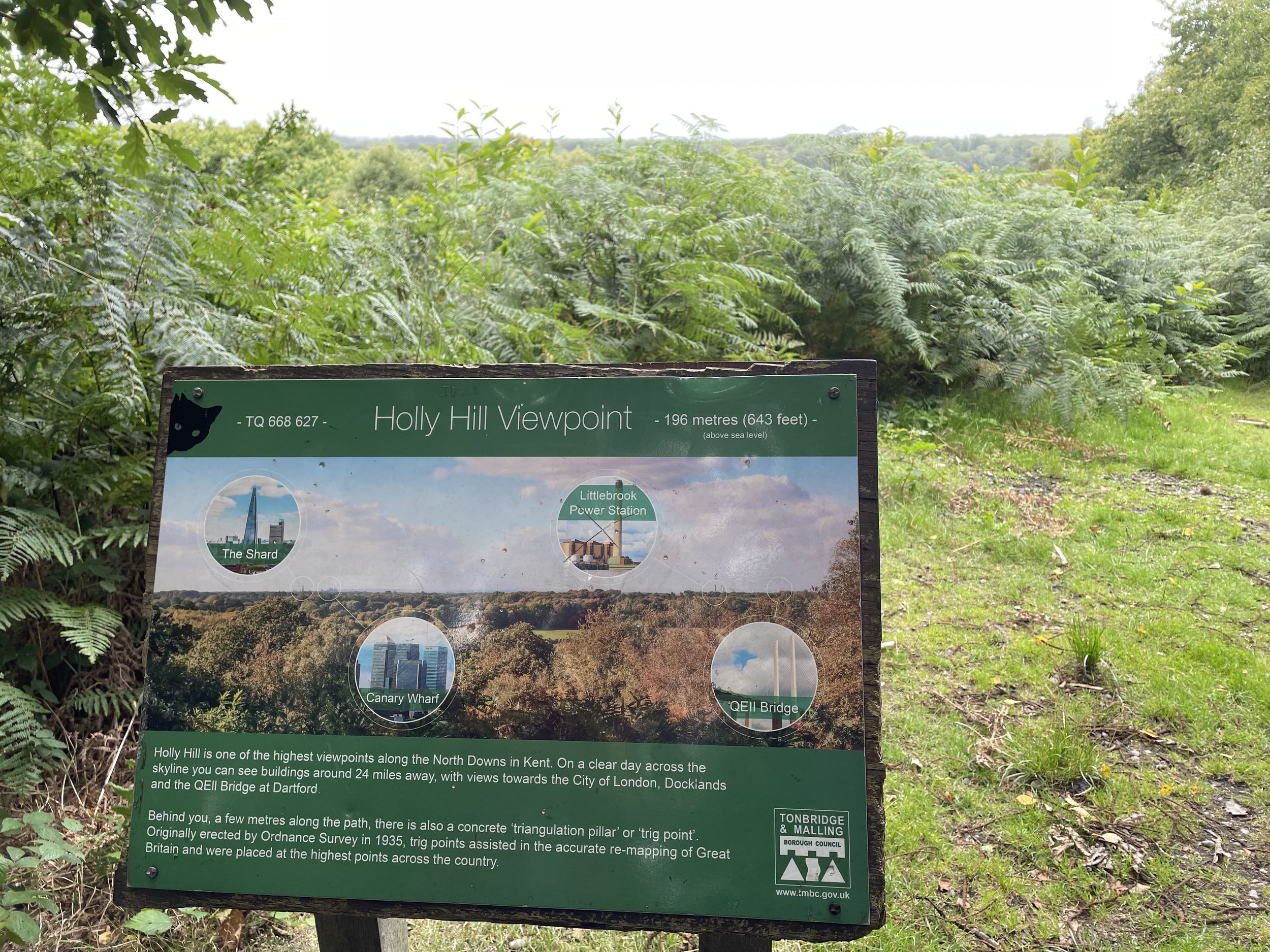
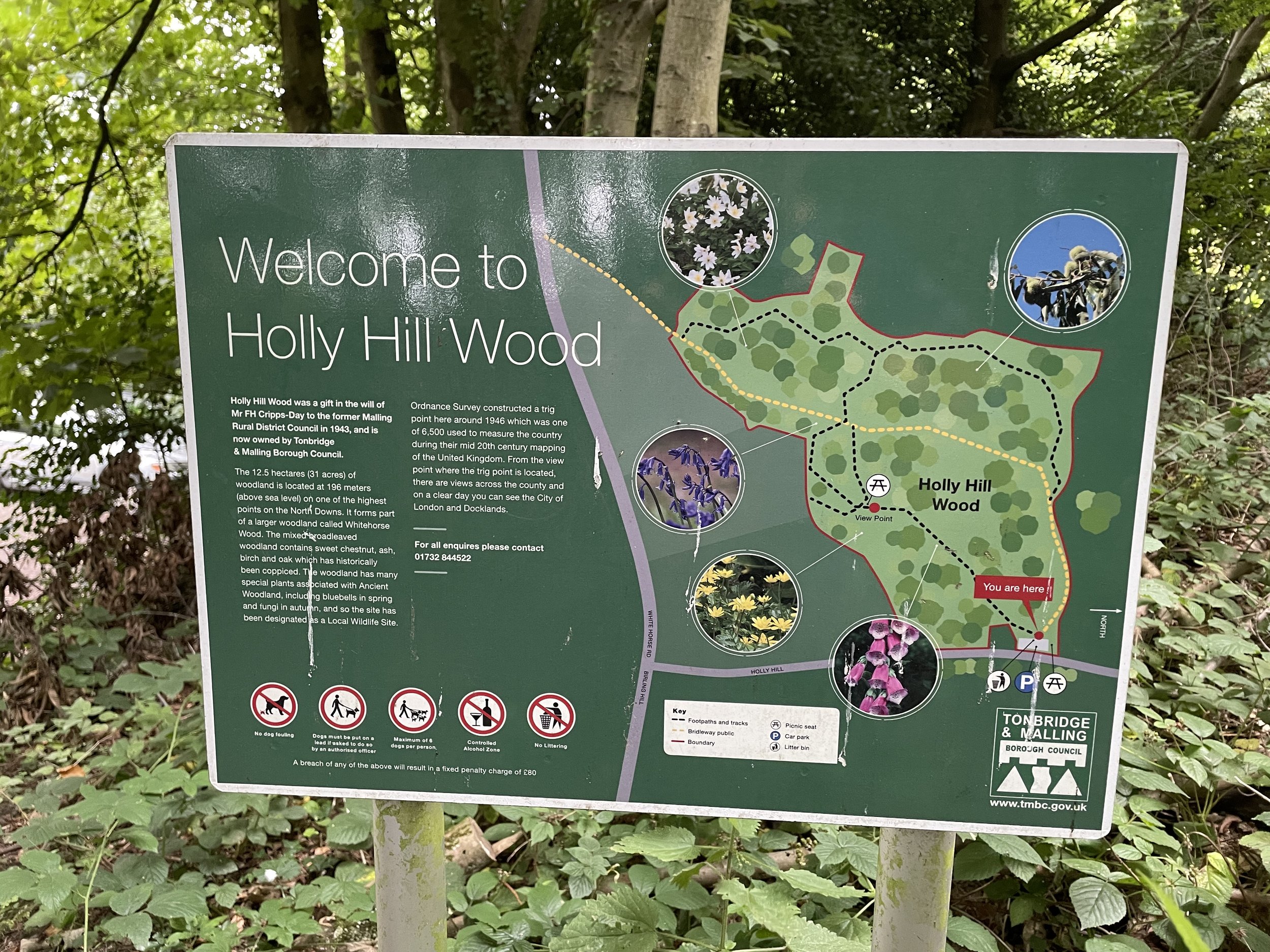
Our original plan was to only walk the first seven sections covering Surrey before the driving from home started getting to long. It was only when I was completing my quest to bag all OS Trig Pillars within the M25 that I realised that I needed to do one final section and get the Knockholt Beeches Trig Pillar to complete the set.
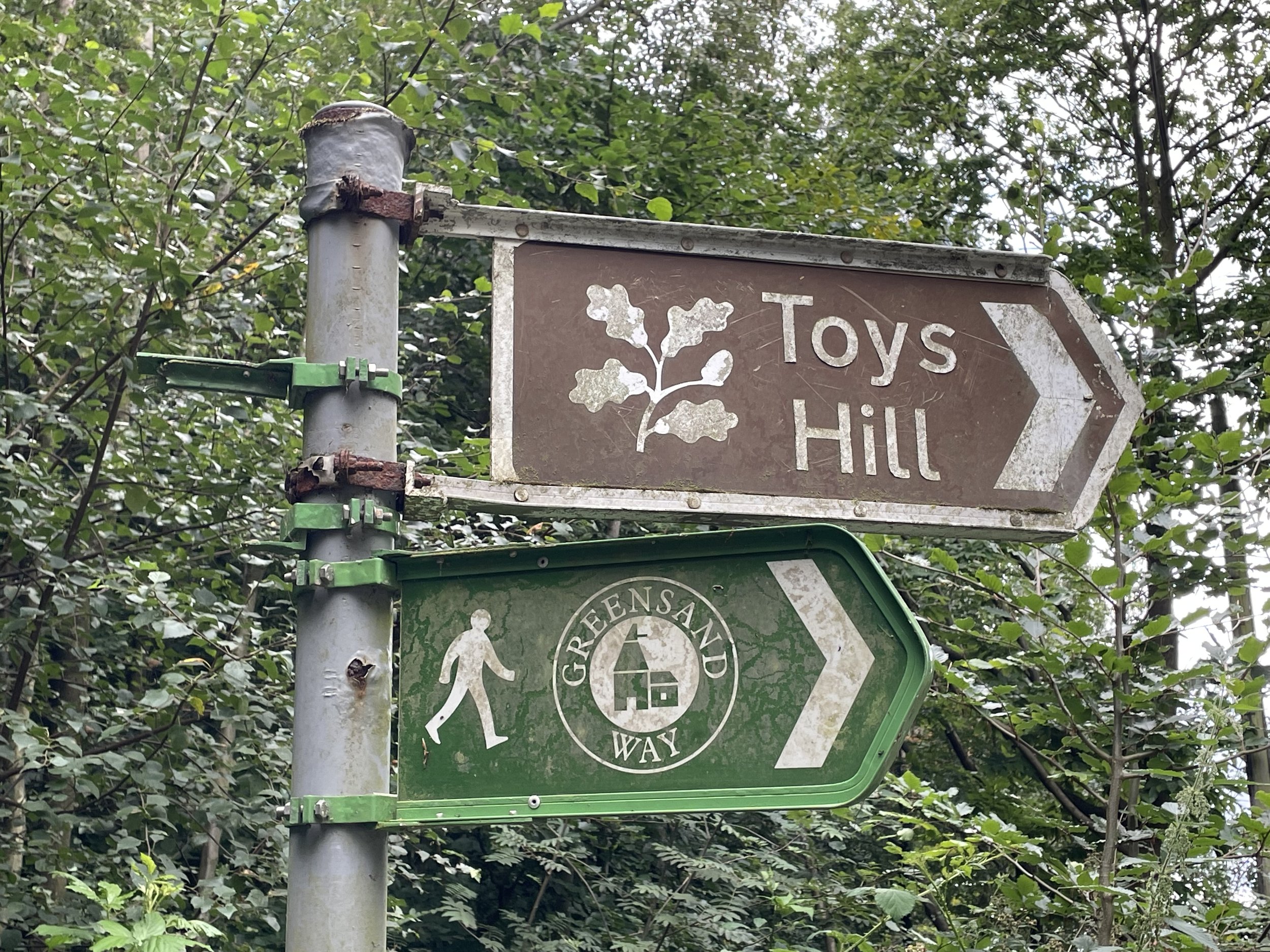
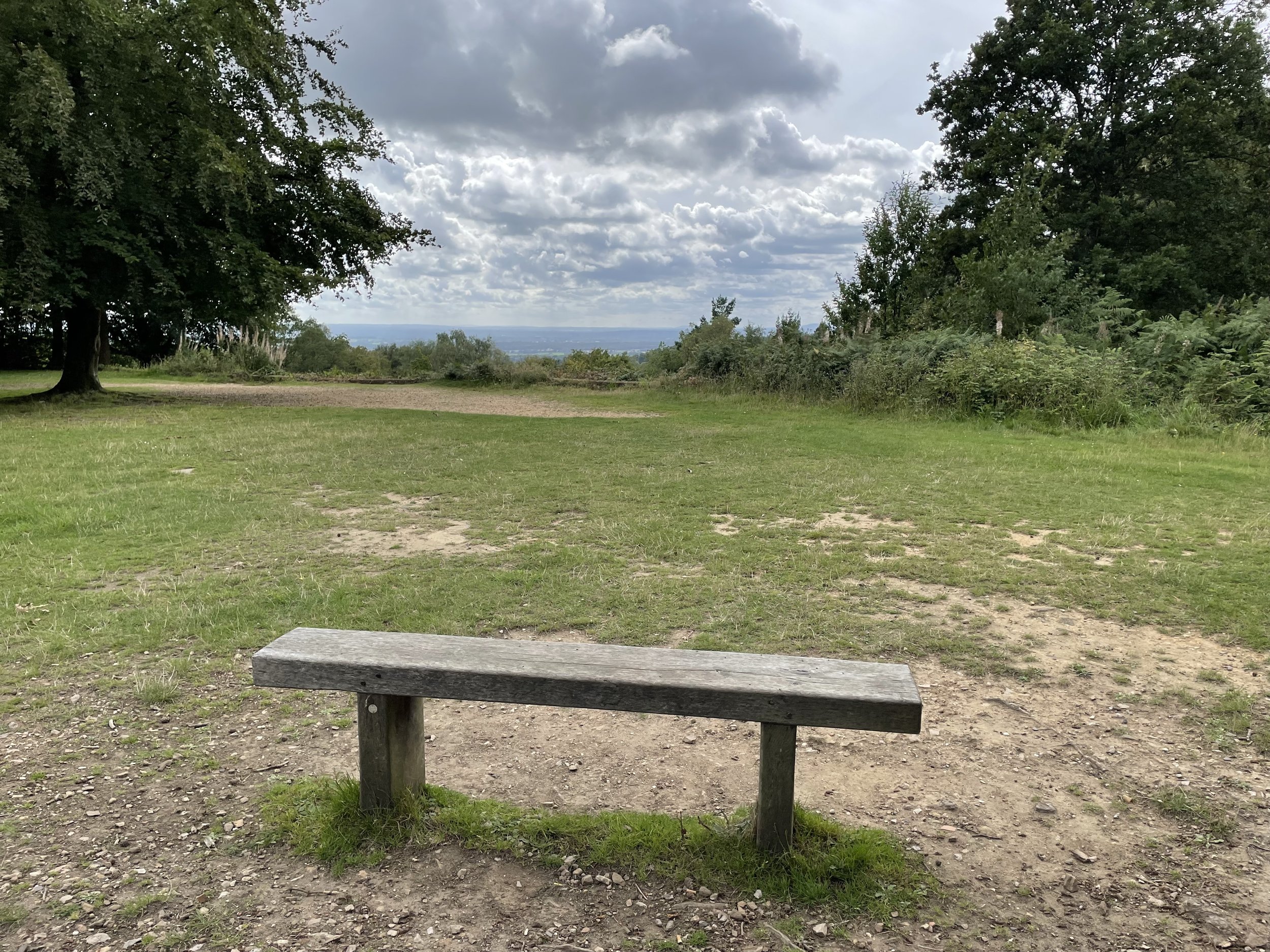
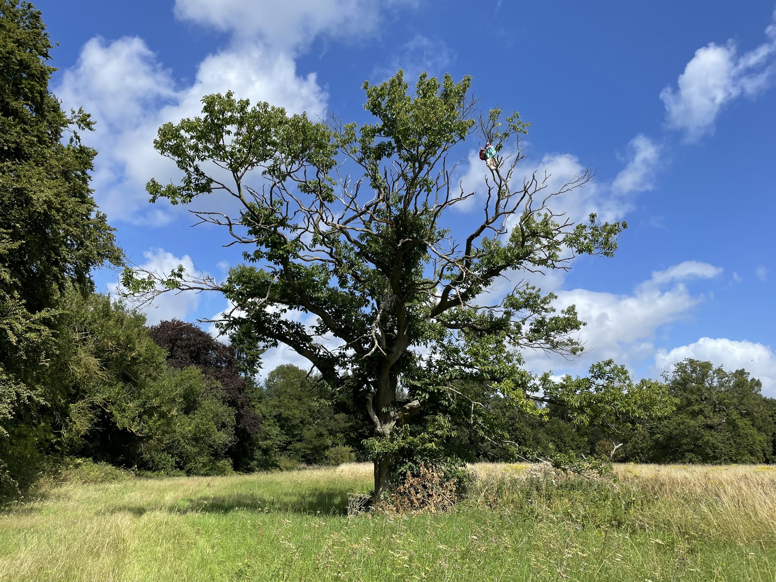
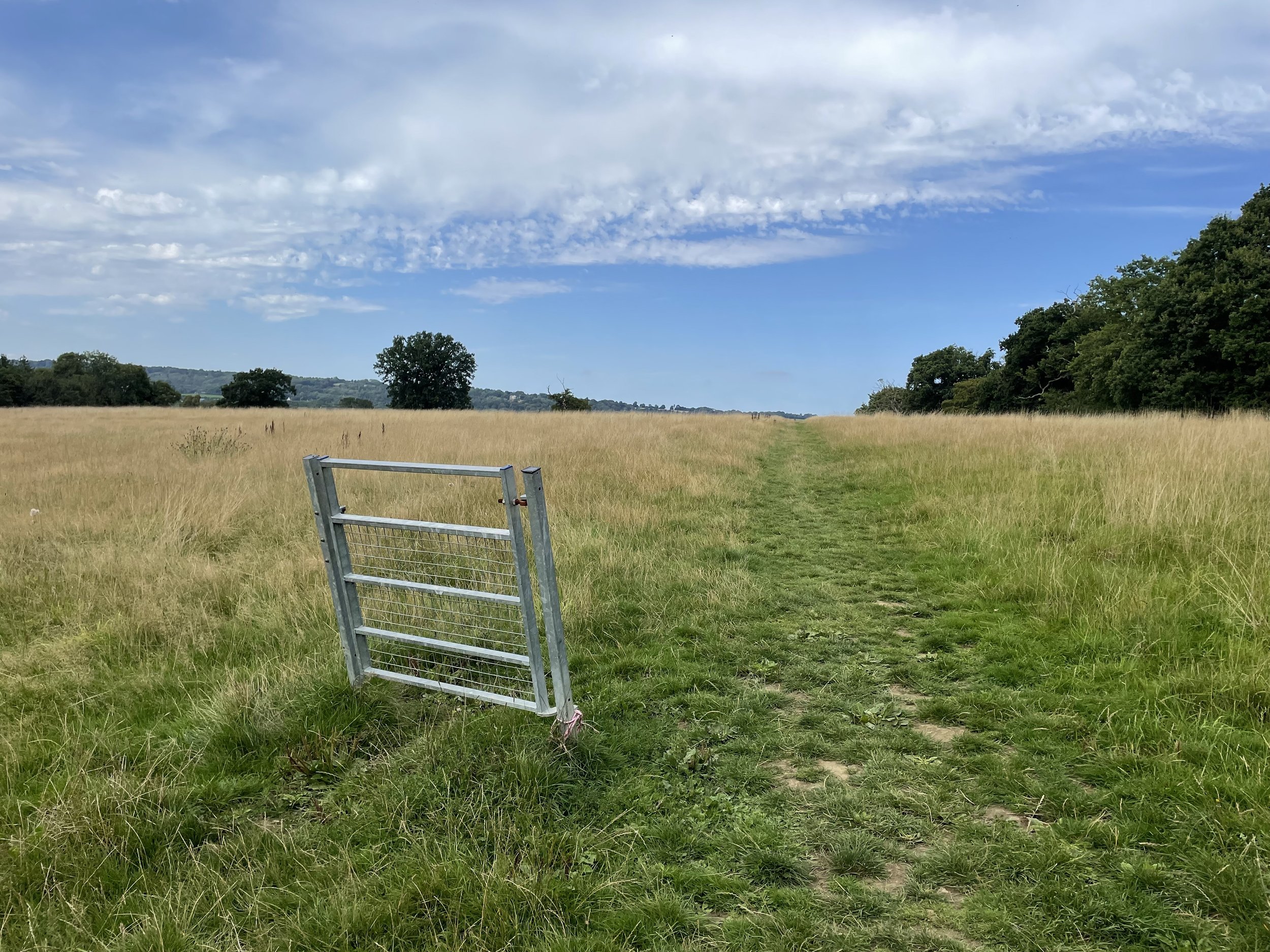
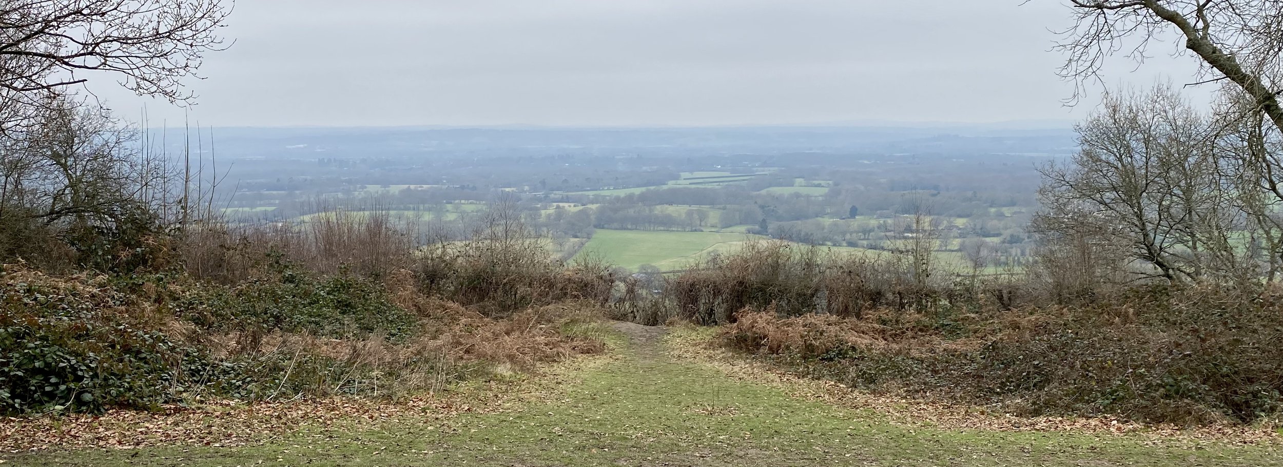
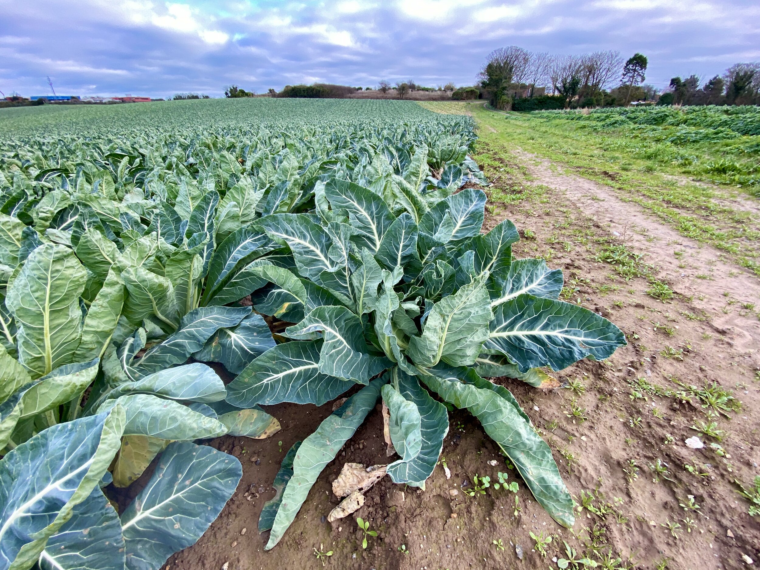
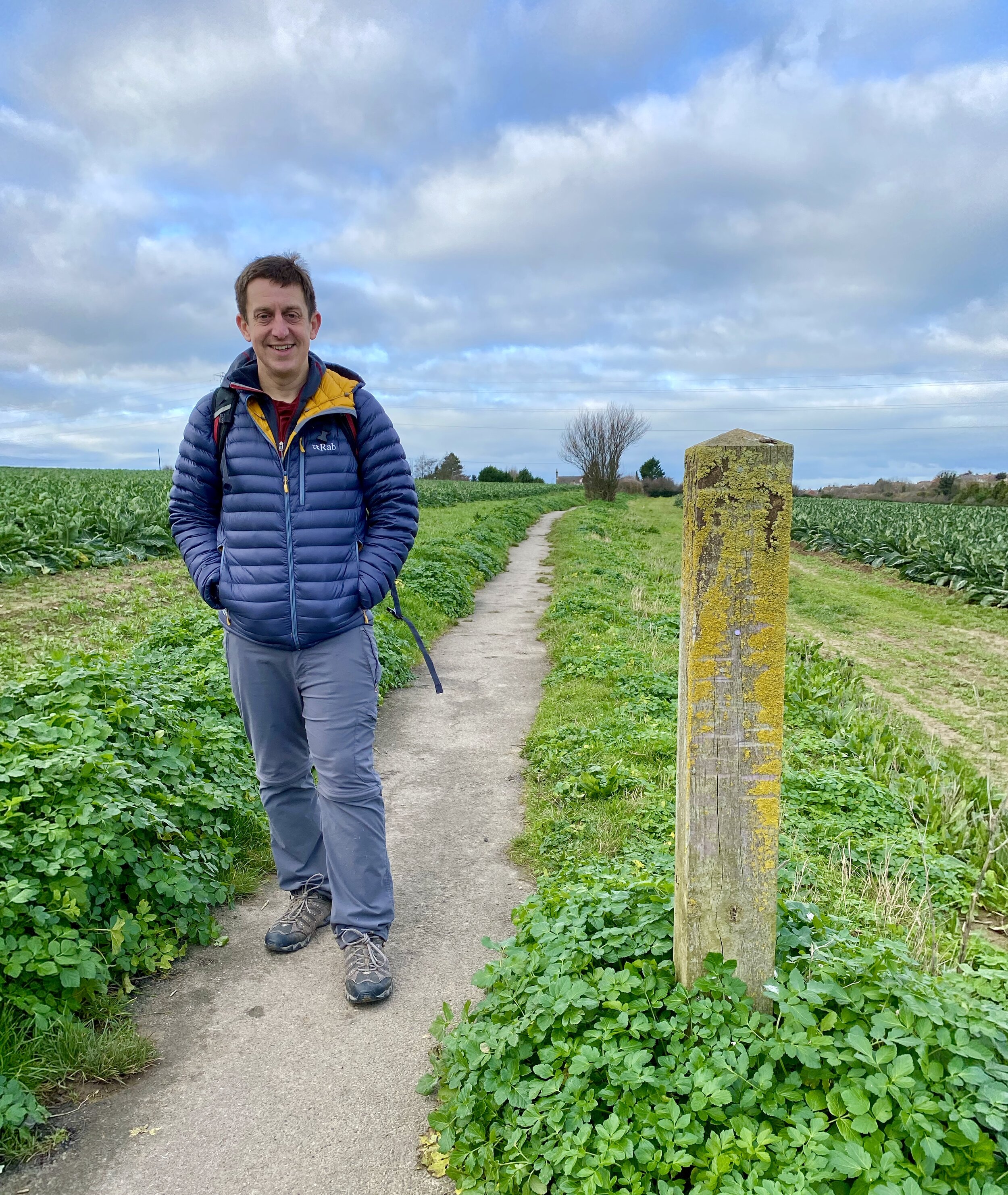
Picking up from the Velobarn at Westerham Heights we continued east along the North Downs Way. This was a bright, sunny day in mid-April and a nice change from the gloominess of the previous section that we did nearly 18 months ago. The first 5 km of this section stays high on the ridge with great views to the south across open fields. At around 4.7 km you can take a very minor diversion to the north of the trail to find the Trig Pillar hiding in a bush along a field fence-line.
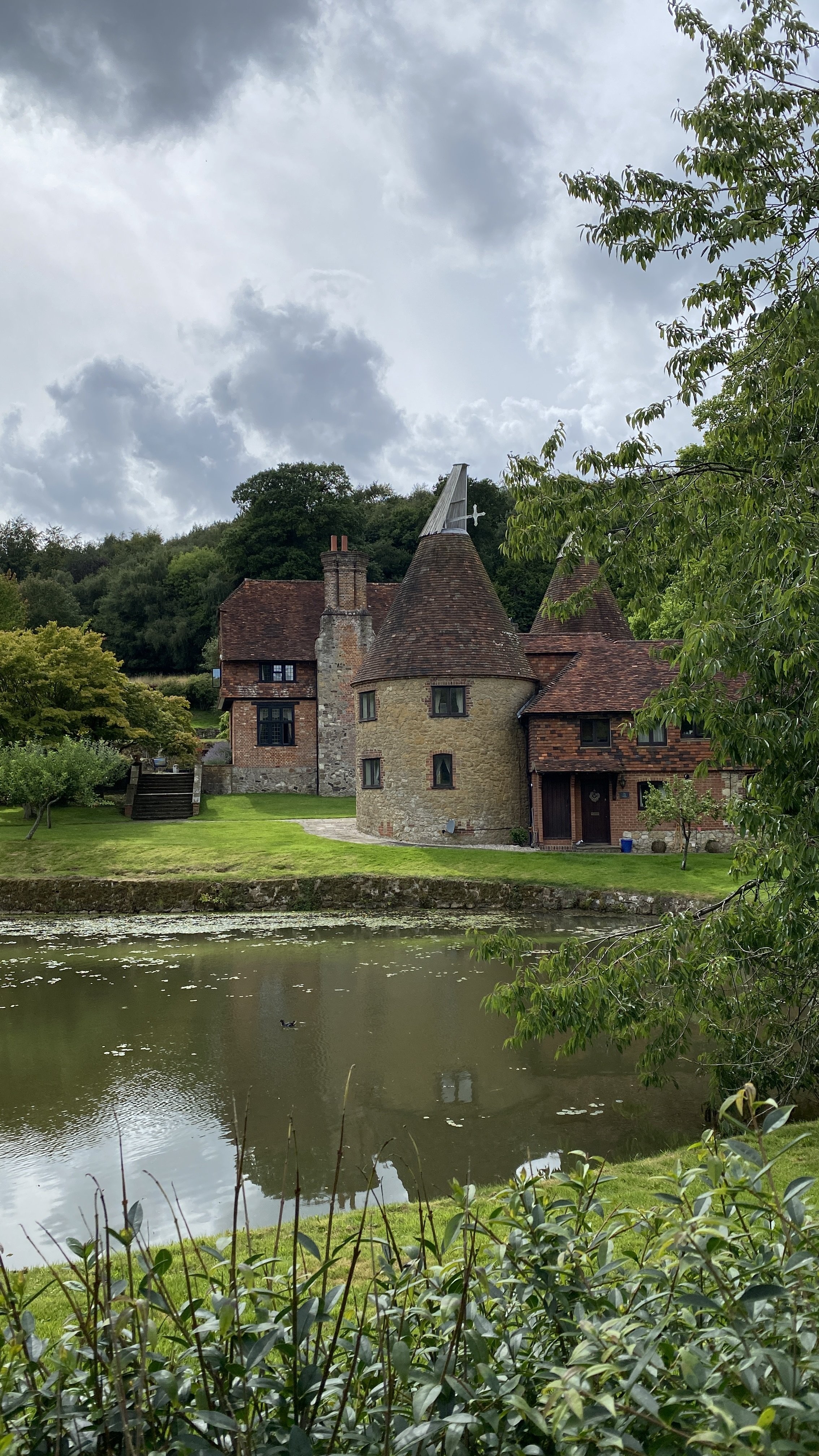
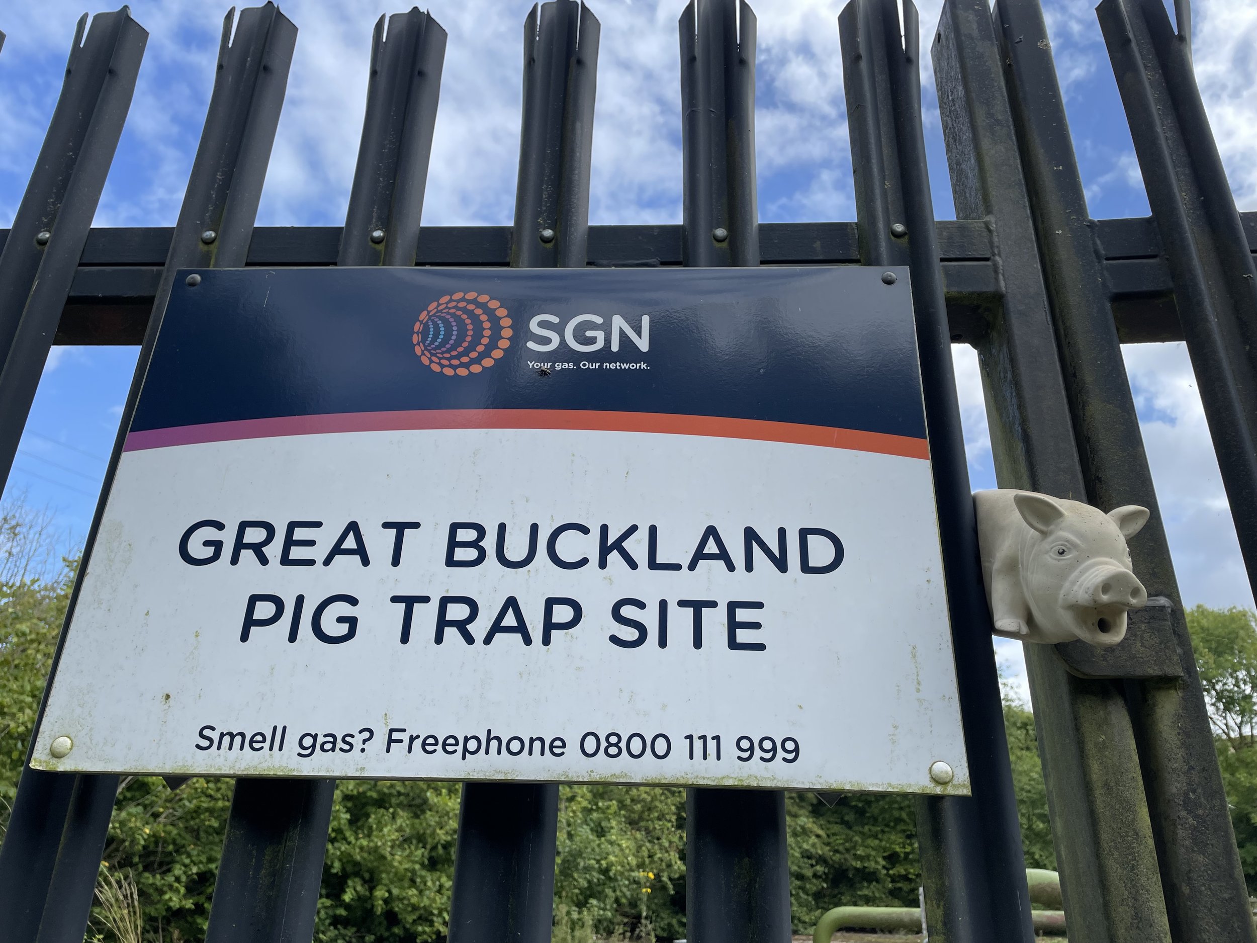
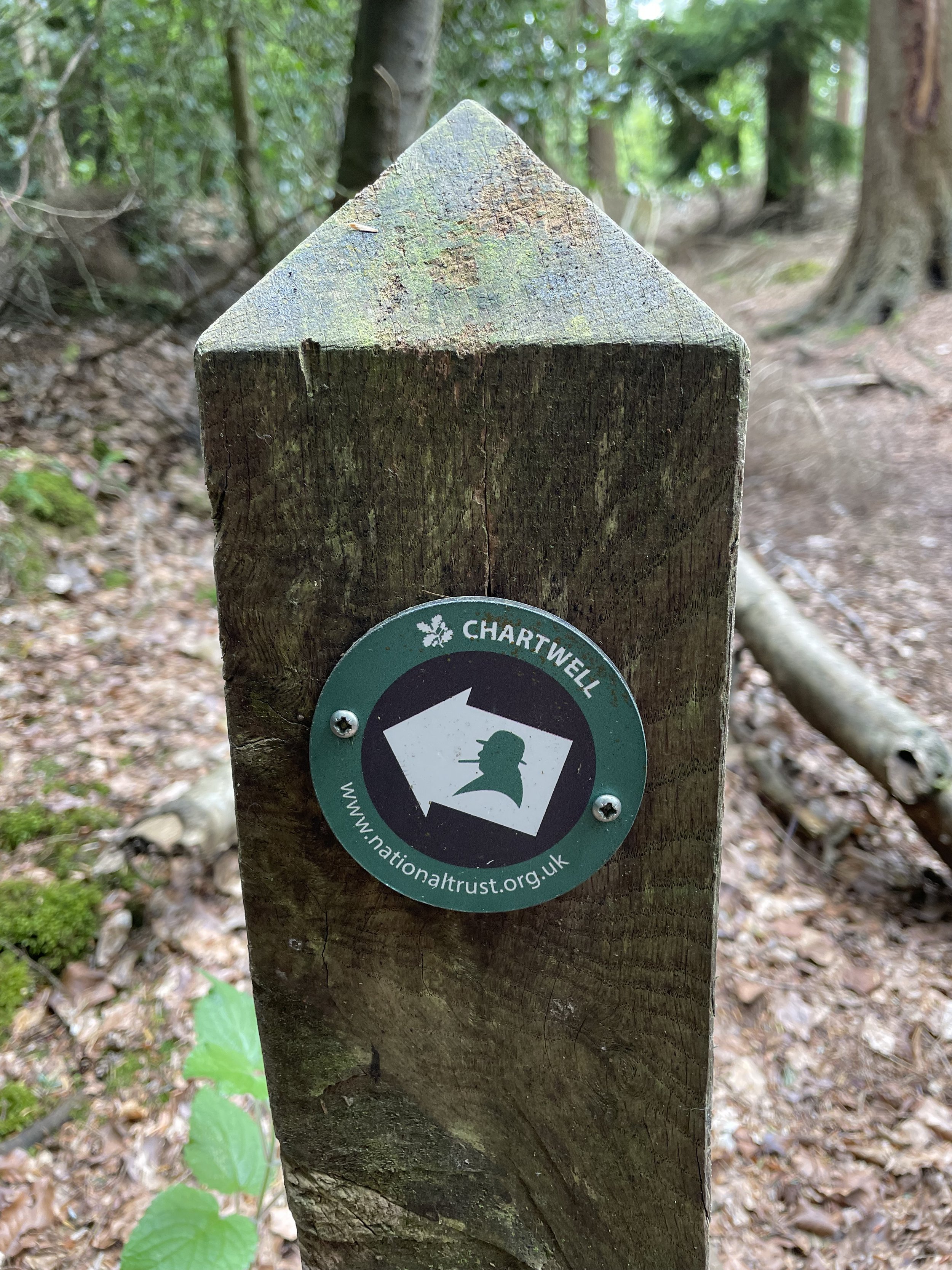
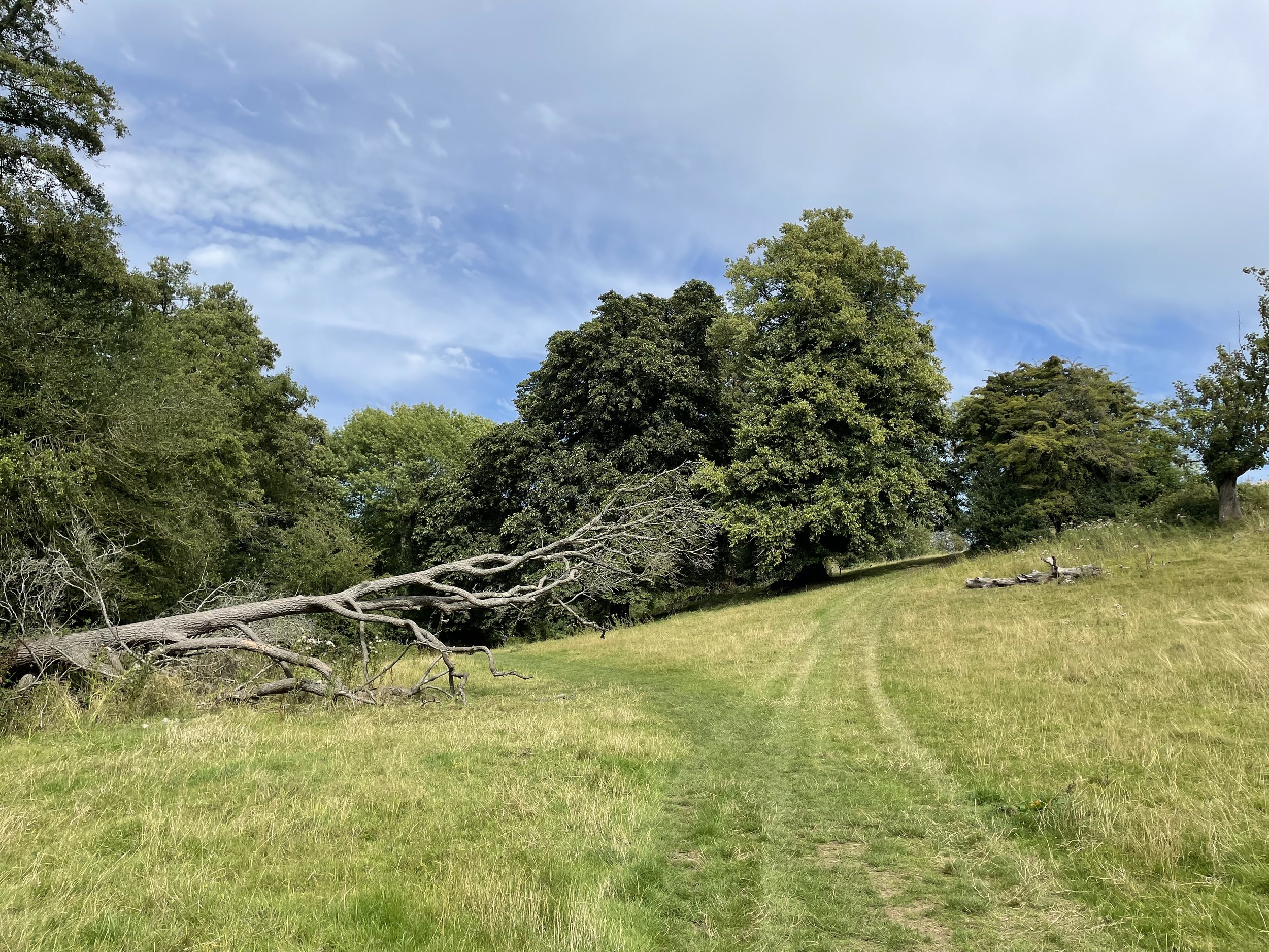
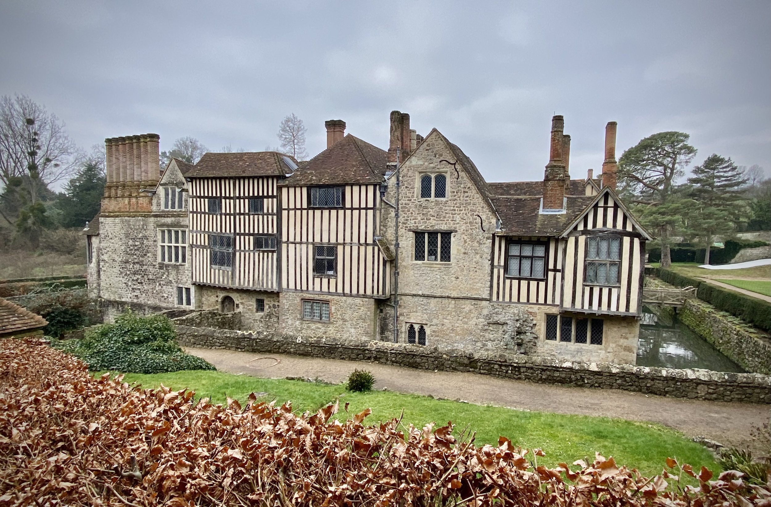
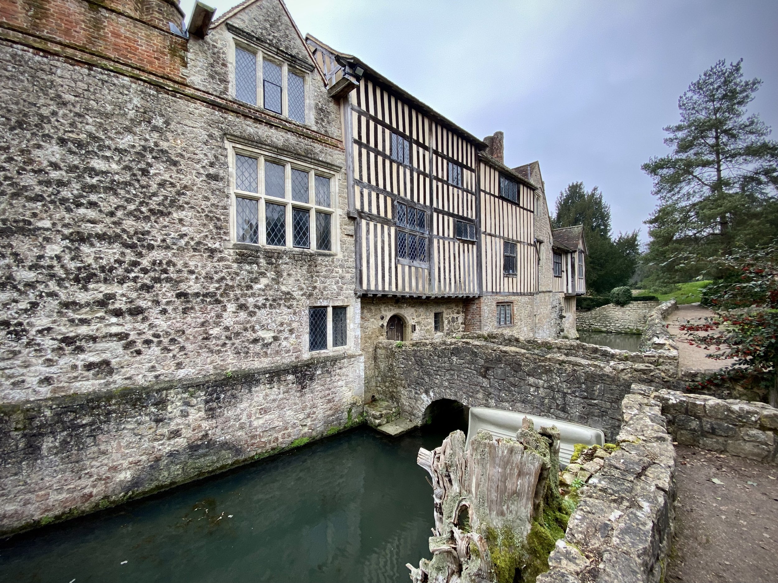
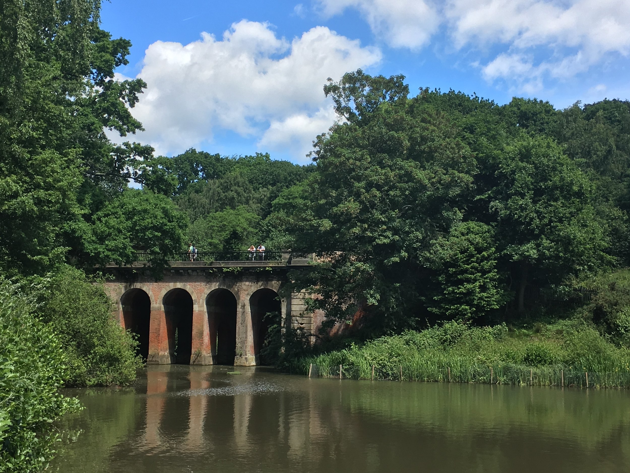
Shortly after the Trig Pillar the trail enters Cooper’s Wood. Watch out for the cutting in the trees where you can see down to Chevening House, the official country residence of the British Foreign Secretary. You can also get a good view of the estate as the trail descends out of the woods, across farmland to Sundridge Road. When we were there in April 2025 a diversion was being put in place to cut off part of the route that follows Sundridge Road. We chose not to take it, prefering to stick to the route that we had on the map. In hindsight I wish we had taken the diversion as there’s no pavement on some of the road and very fast cars wizzing by.
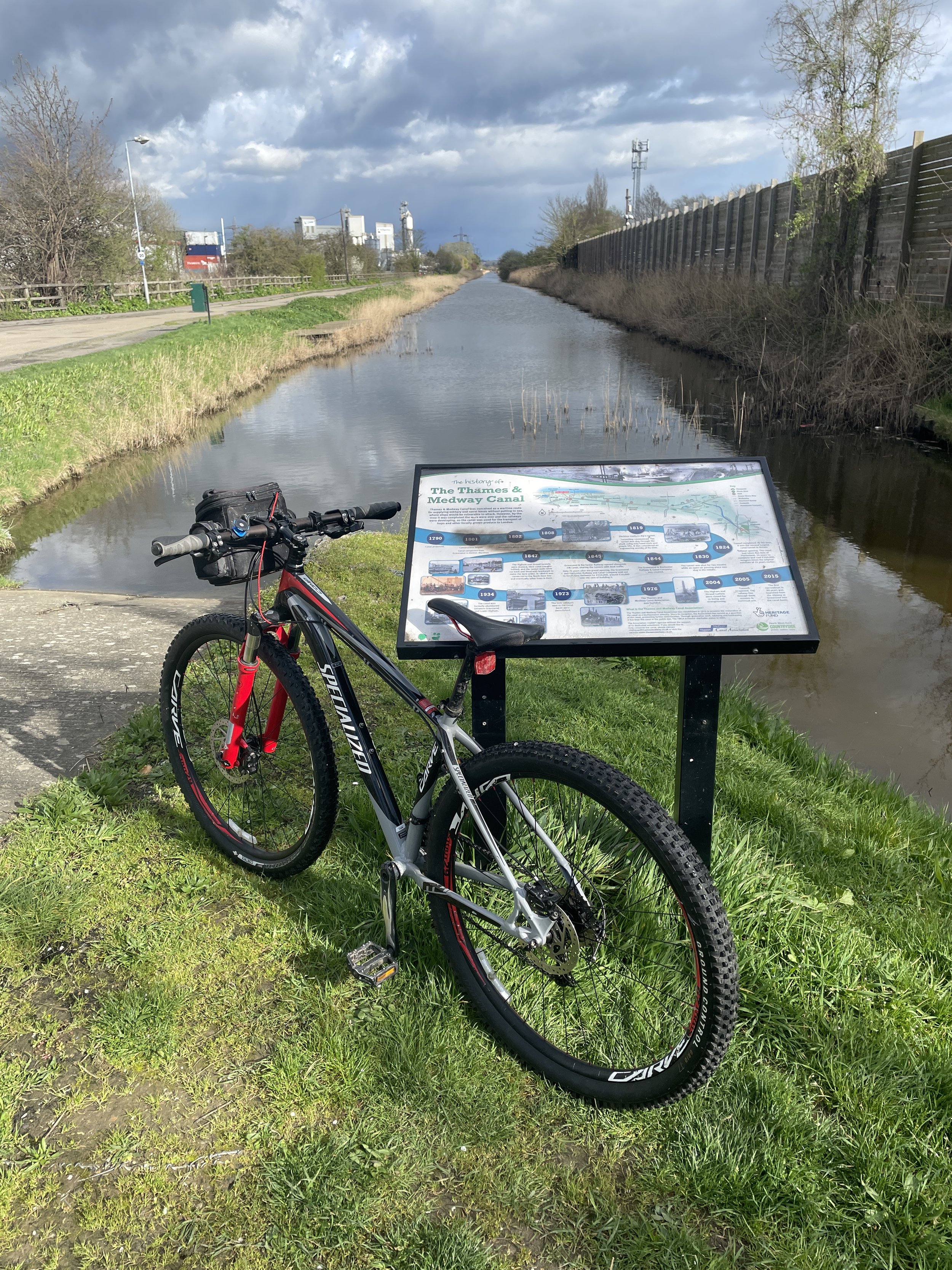
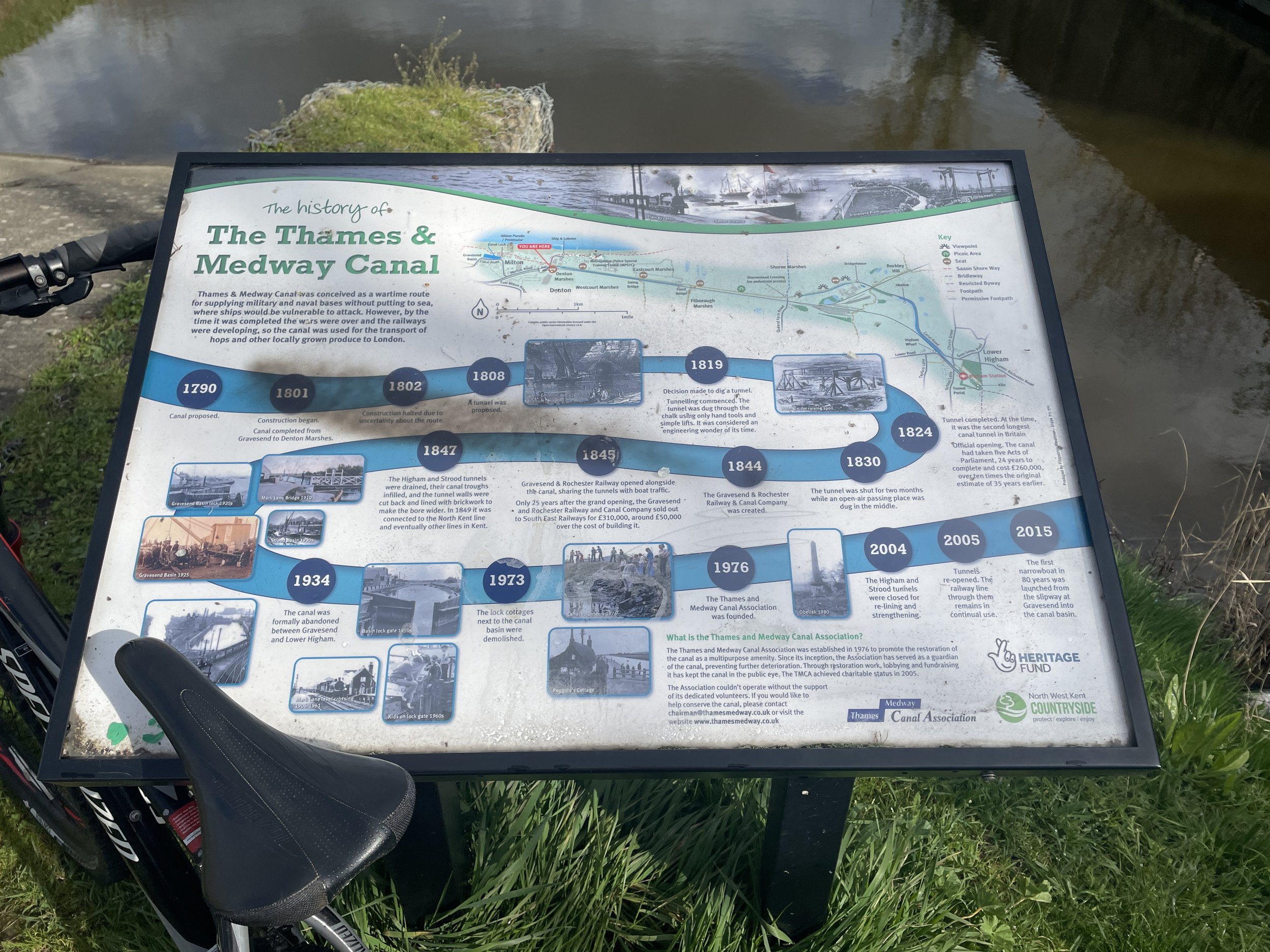
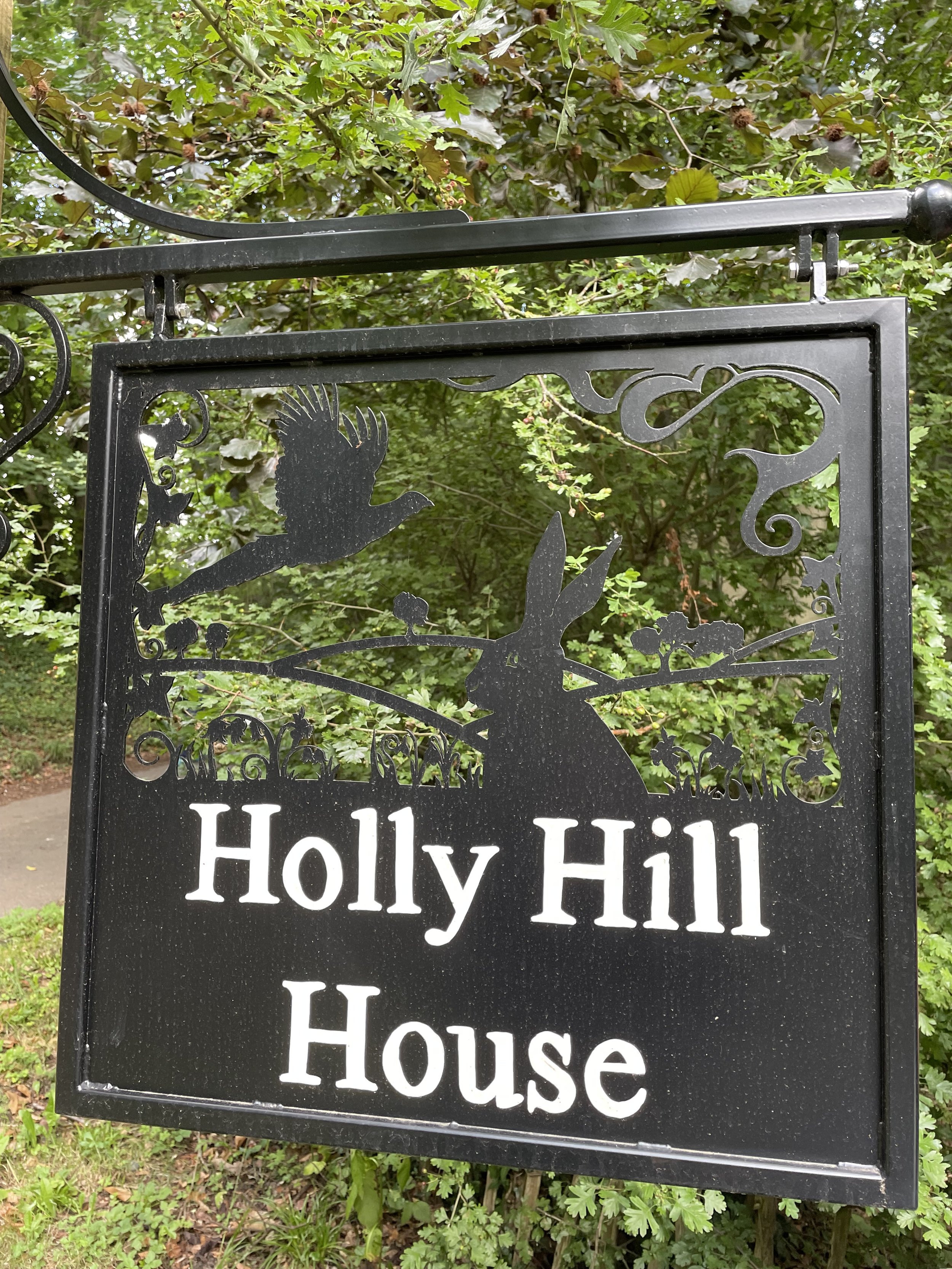
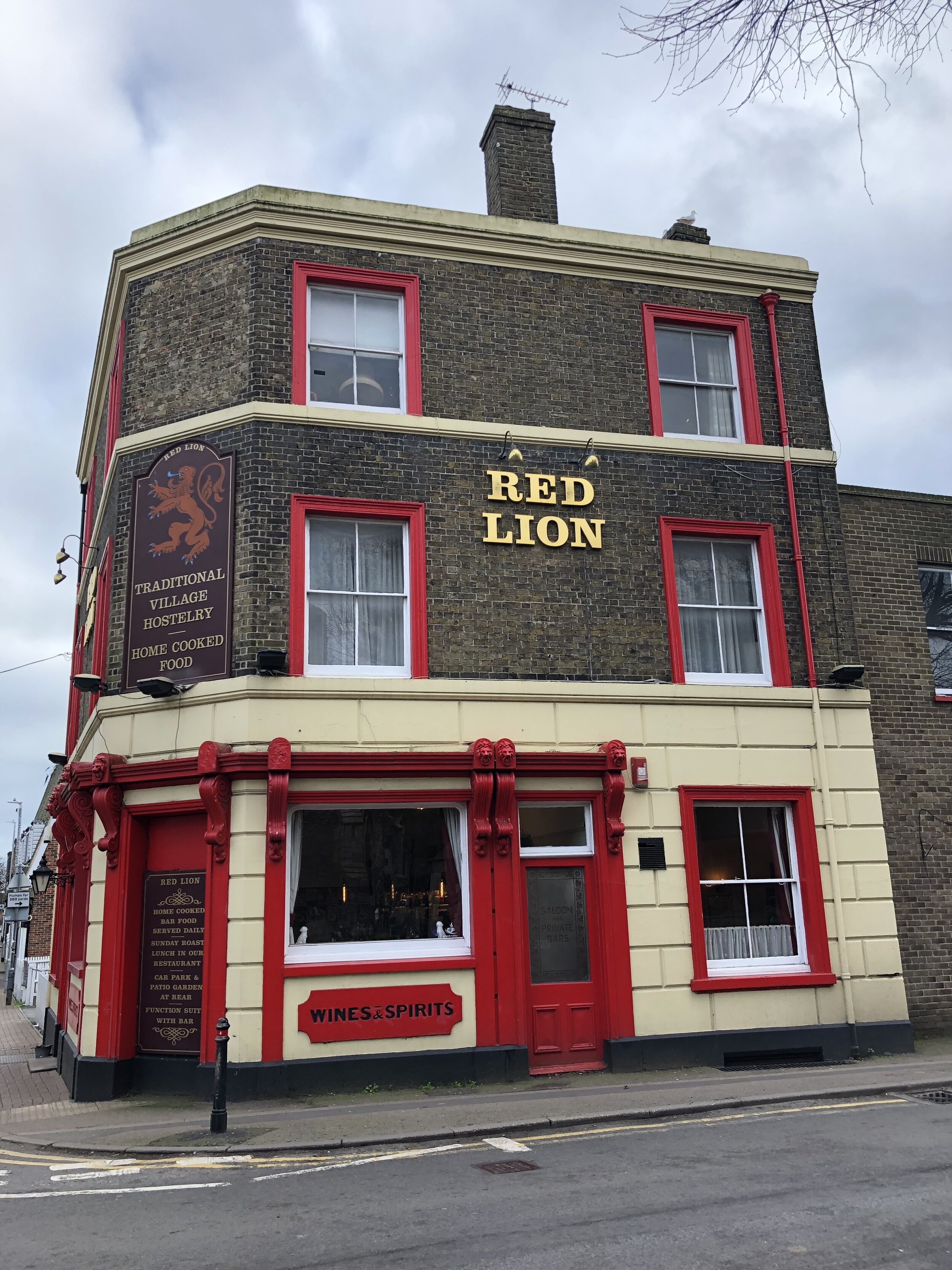
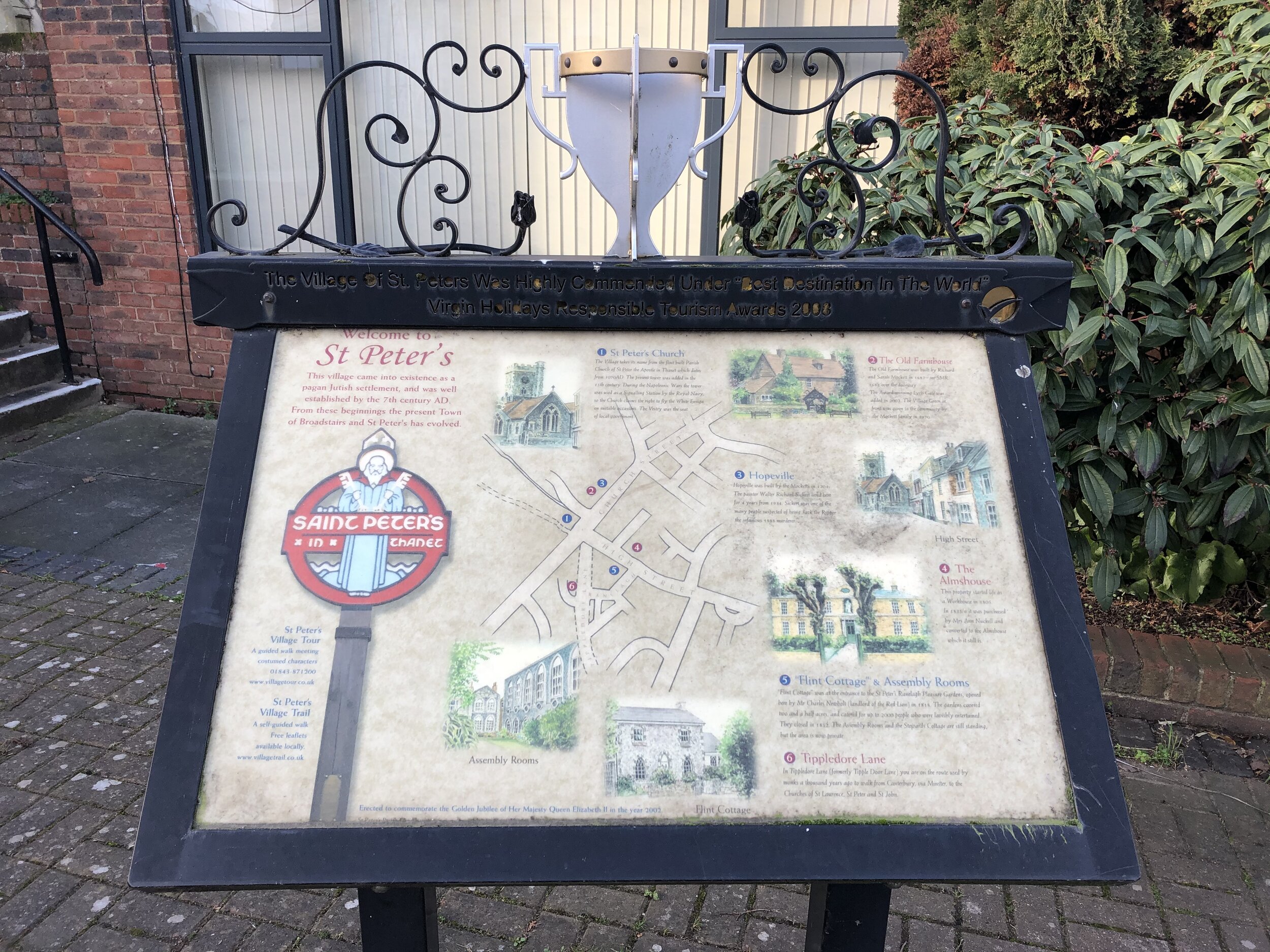
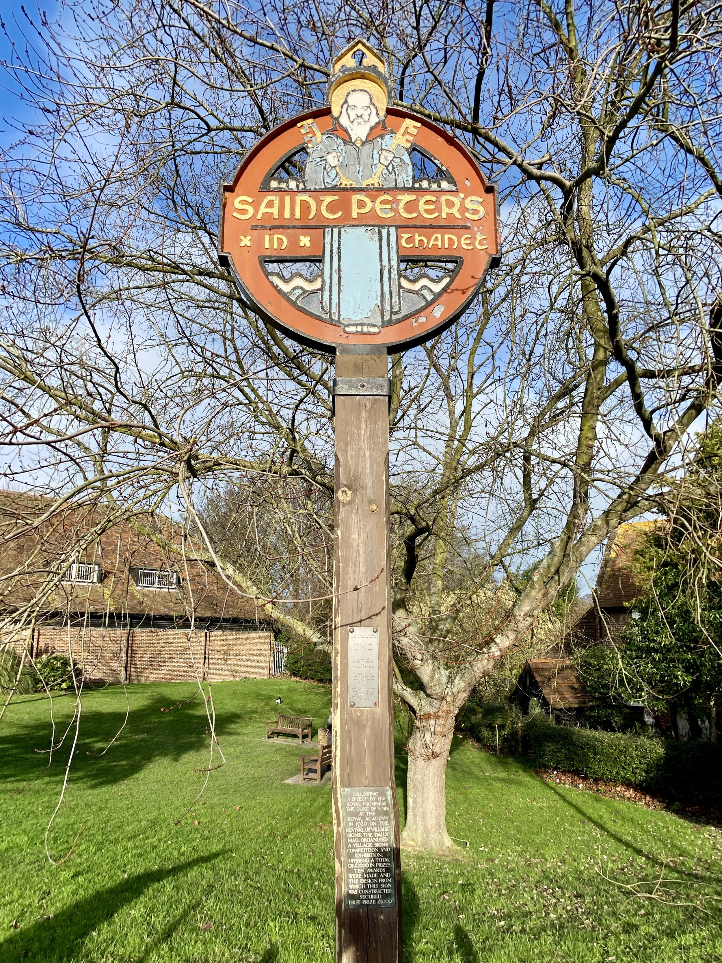
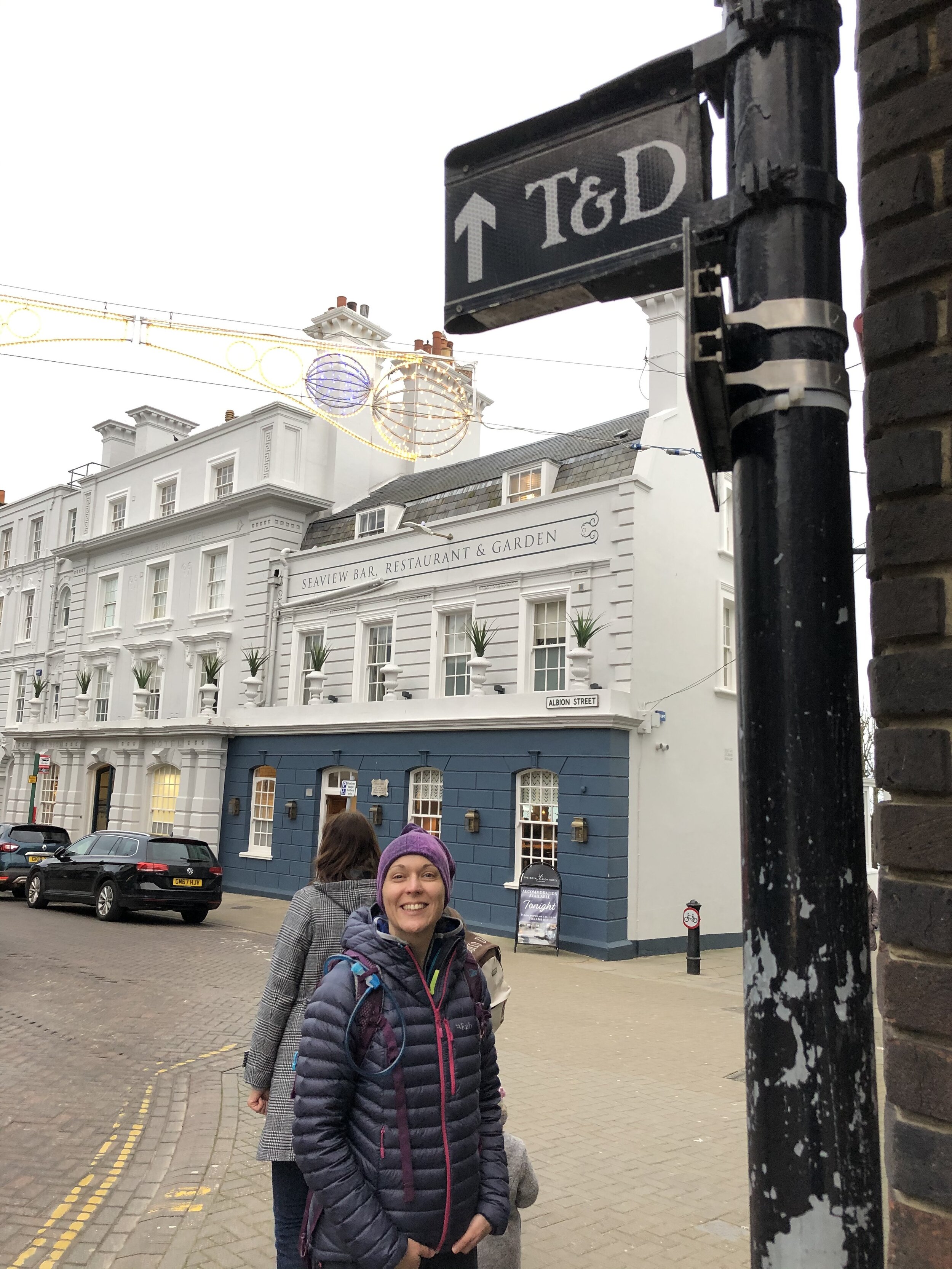
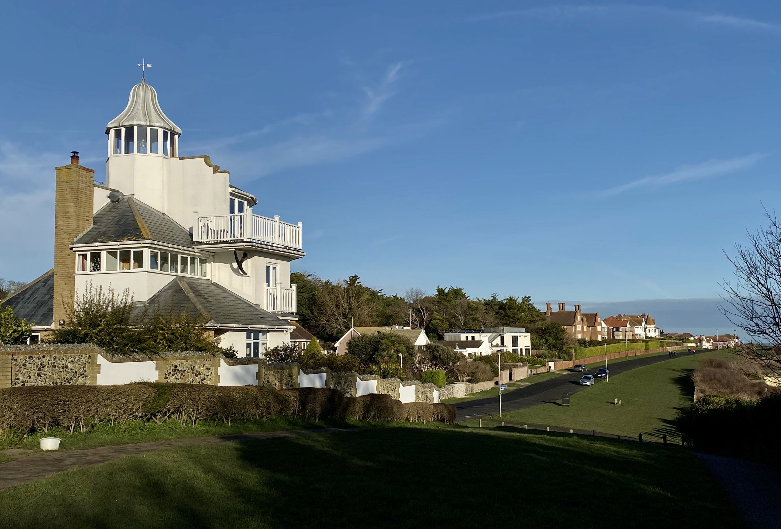
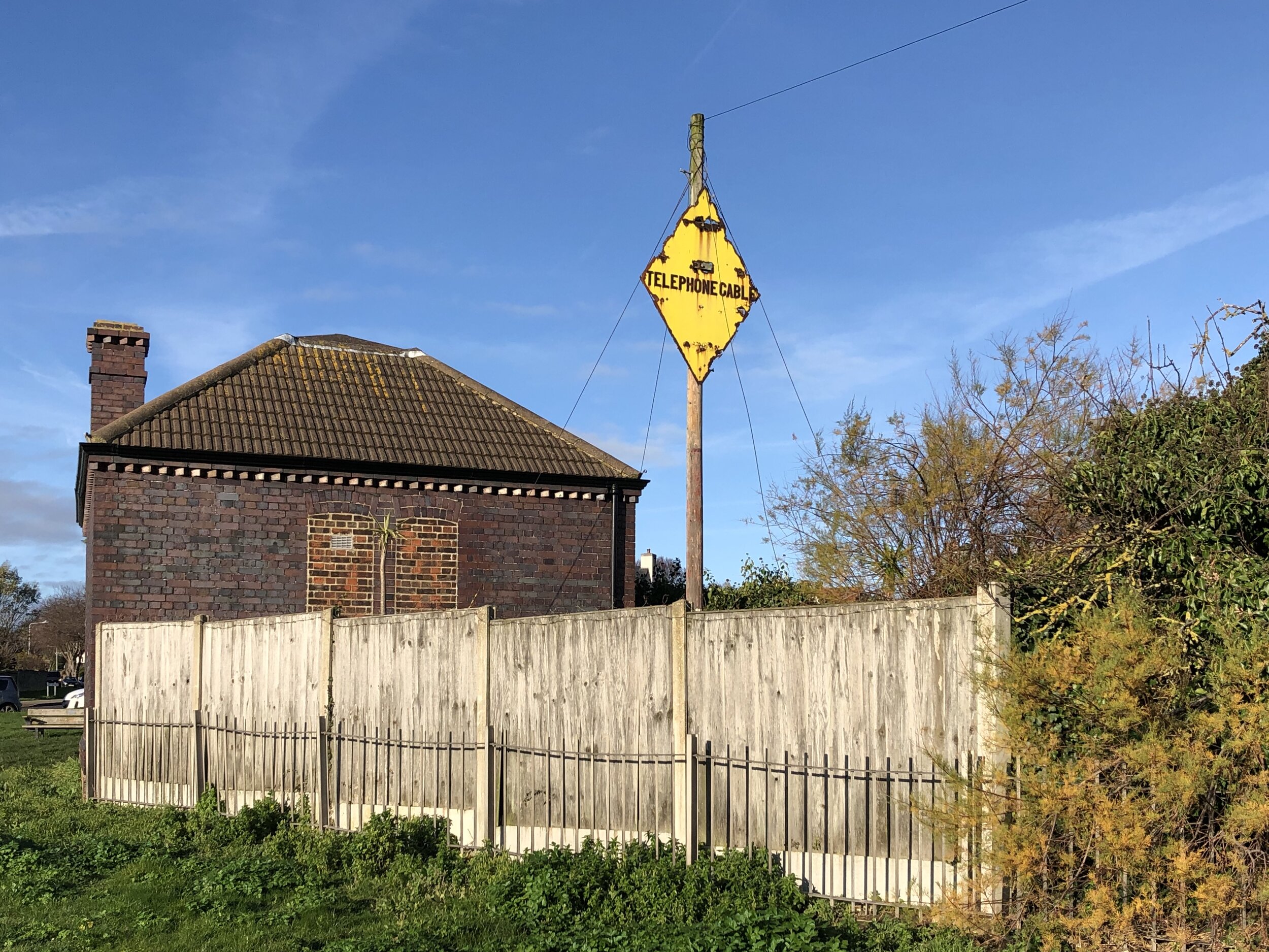
Shortly after crossing over the A21 on Morrants Court Road you’ll reach the Rose and Crown at the 10 km point. It’s the first pub to stop for a rest on this section. The final 3 km after the Rose and Crown also follows the Darent Valley Path into Otford. This is a pretty village with some well kept old buildings and several information boards detailing its history.


Previous Section (west): Walking The North Downs Way Part 7: Gangers Hill to Westerham Hill