Walking The North Downs Way Part 5 - Betchworth to Merstham
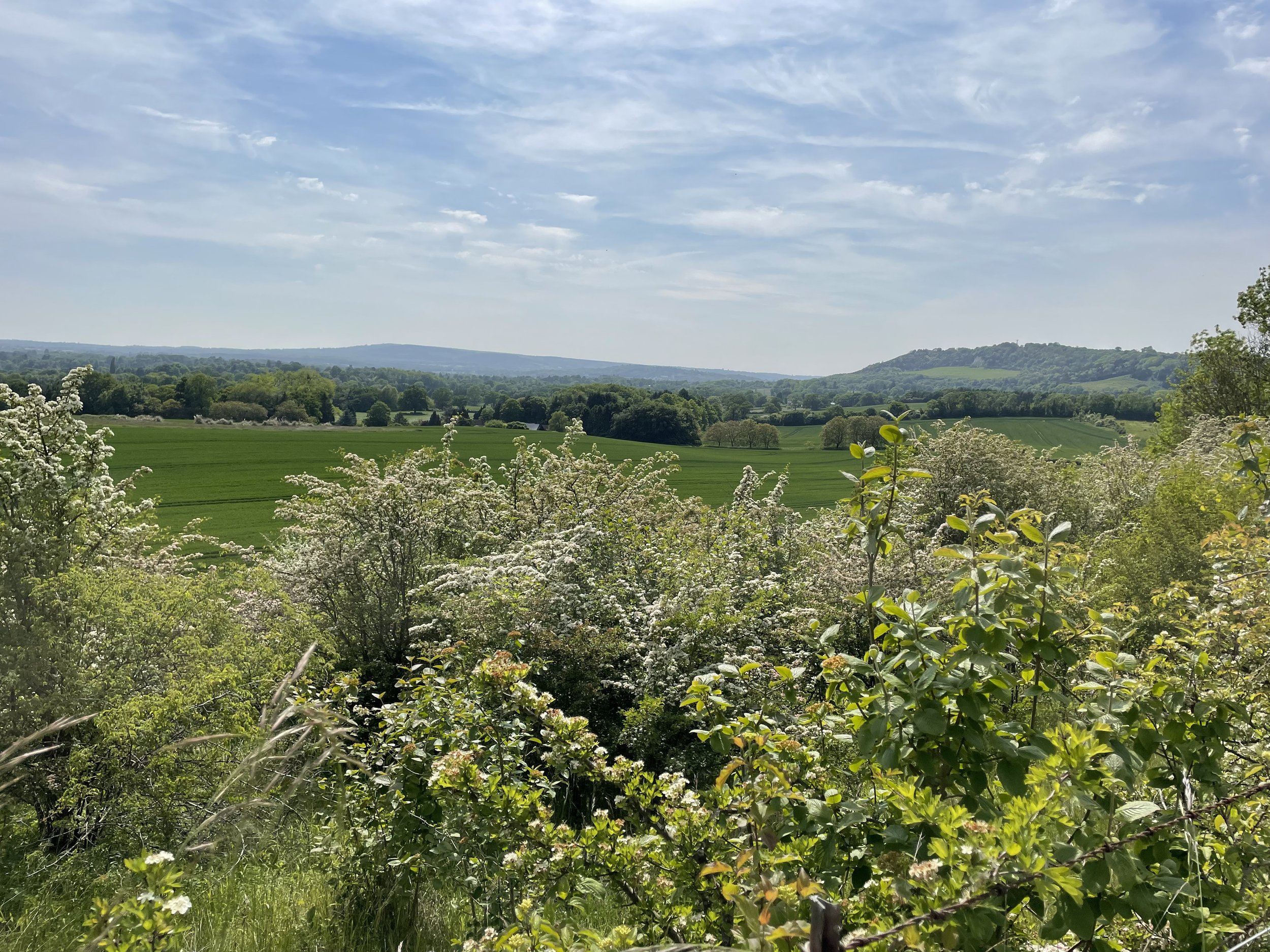
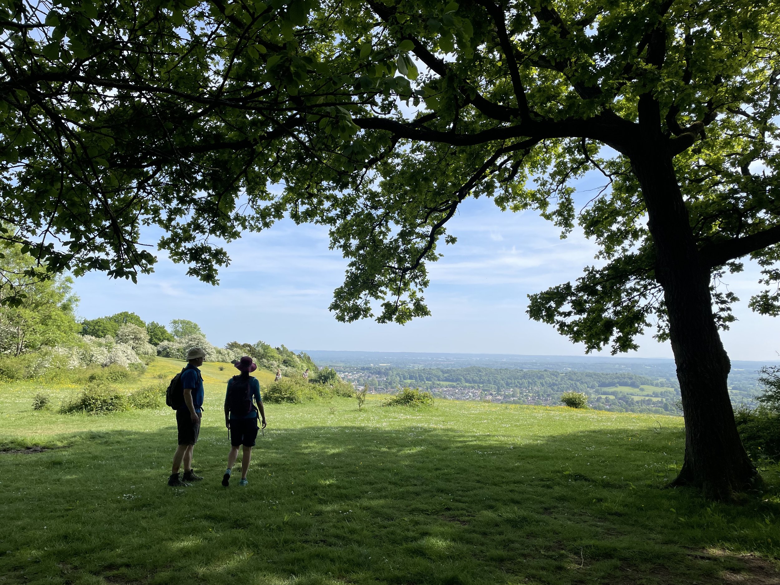
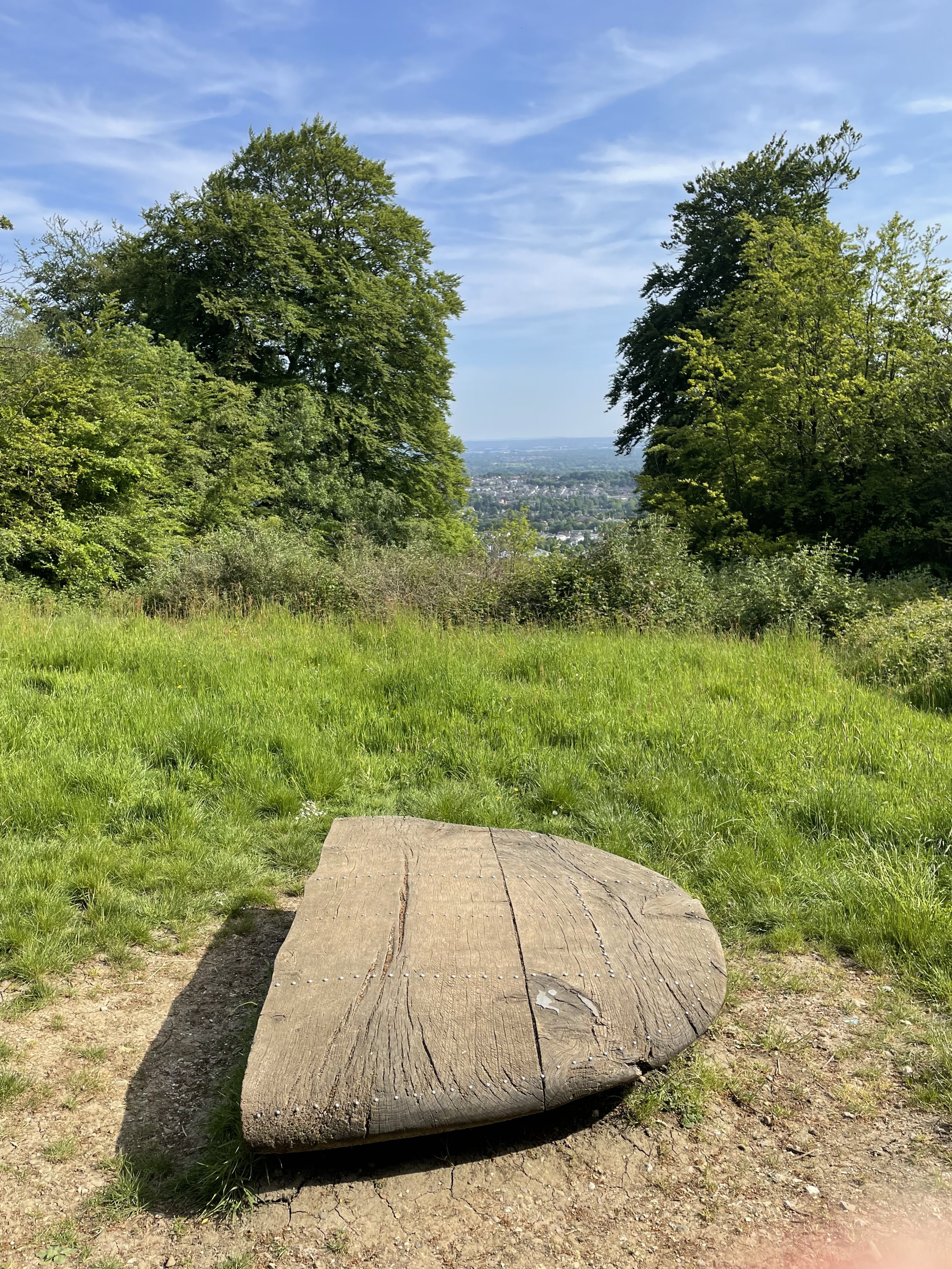
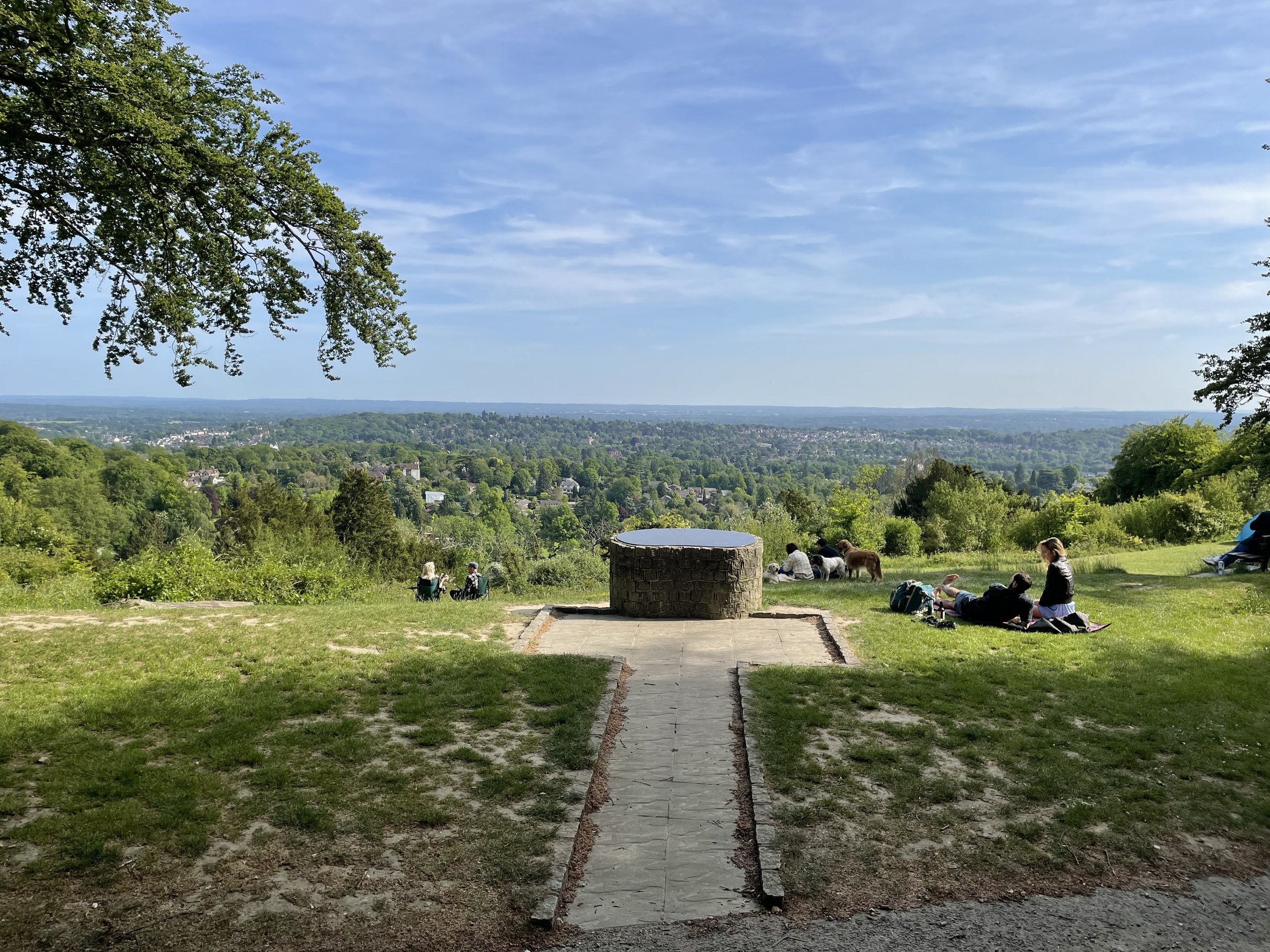
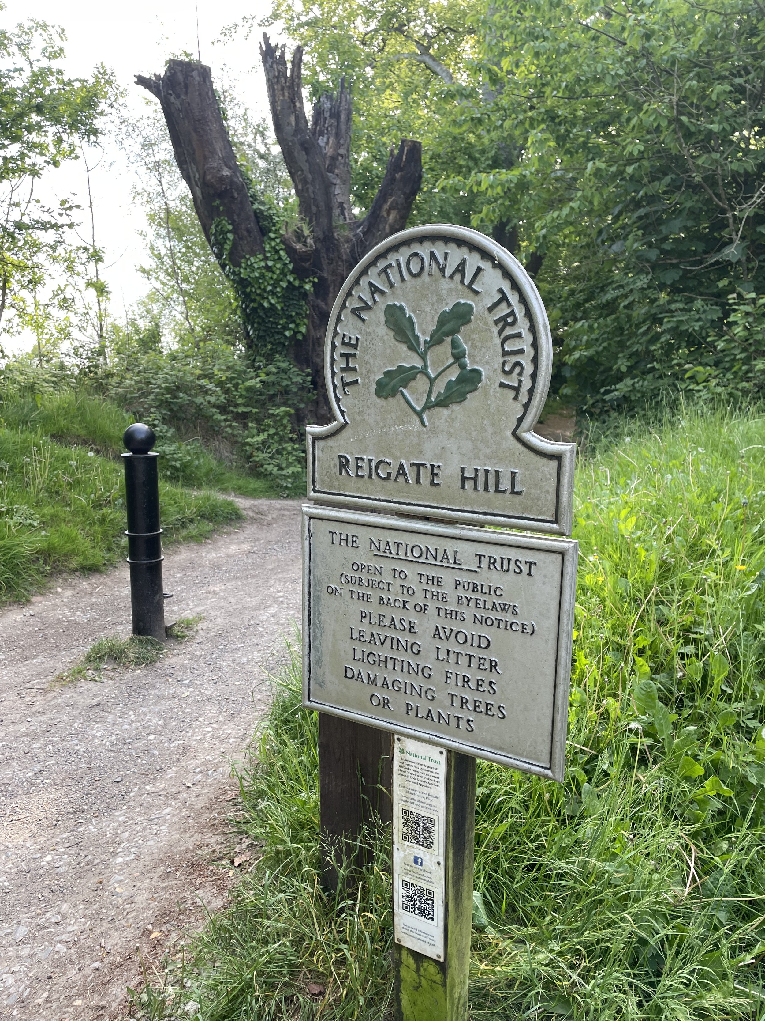
Reigate Hill Viewpoint at National Trust Gatton Park
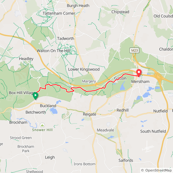
Start: Betchworth Station, Betchworth RH3 7BZ
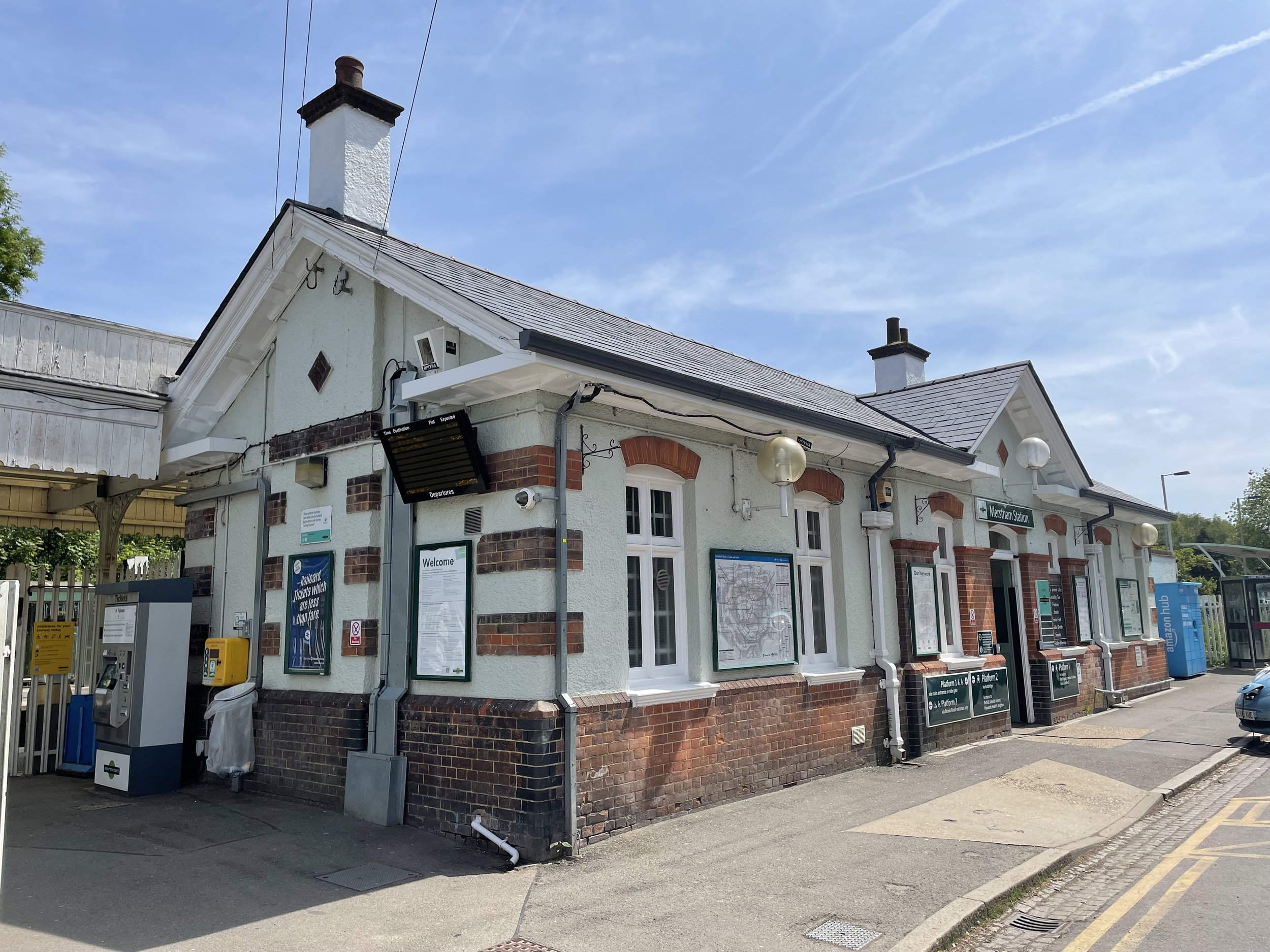
Finish: Merstham Station, Station Rd, Merstham, Redhill, RH1 3ED
Distance: 11.1 km (6.9 miles)
Elevation change: +206m / -197m. Net -9m
GPX File: get via Buy Me a Coffee
Other routes touched (walk): N/A
Other routes touched (cycle): N/A
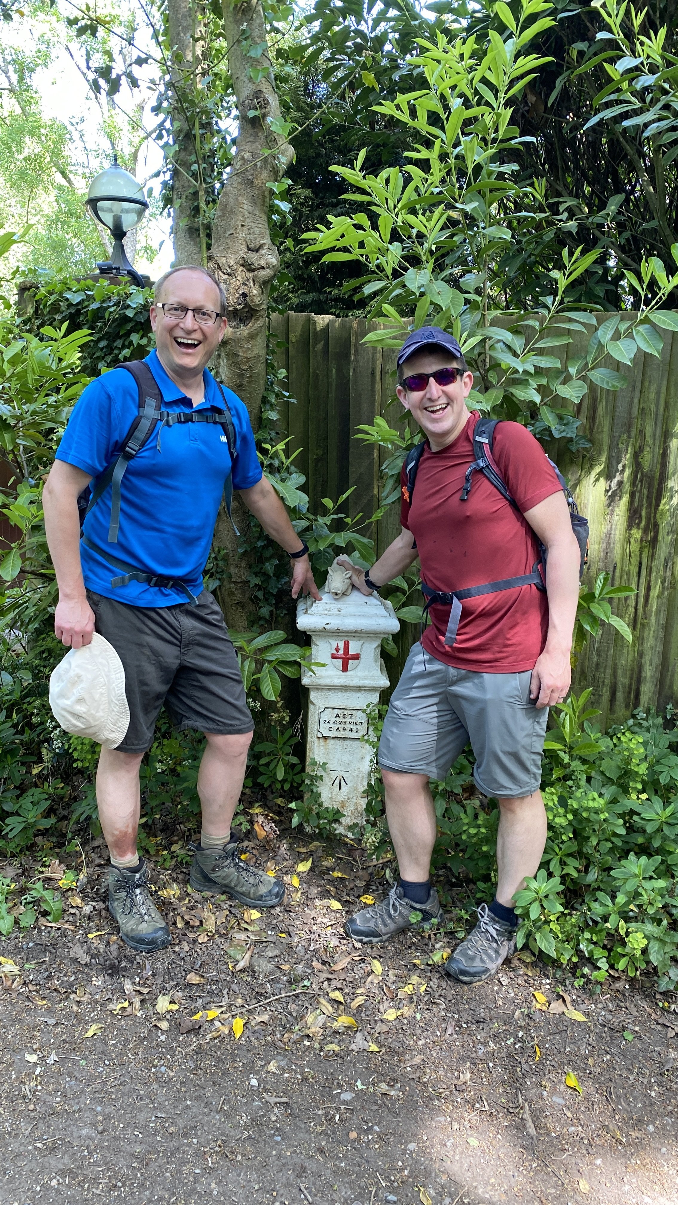
London Coal Duty Posts: 151, 152
Pubs / Cafes on route: Junction 8 Café in the car park for National Trust Gatton Hill (7.4 km in). The Feathers is at the end of the route before you get to Merstham Station
Map: Dorking, Box Hill & Reigate Map | Leatherhead & Caterham | Ordnance Survey | OS Explorer Map 146
Guidebook: The North Downs Way National Trail from Farnham to Dover (Cicerone)
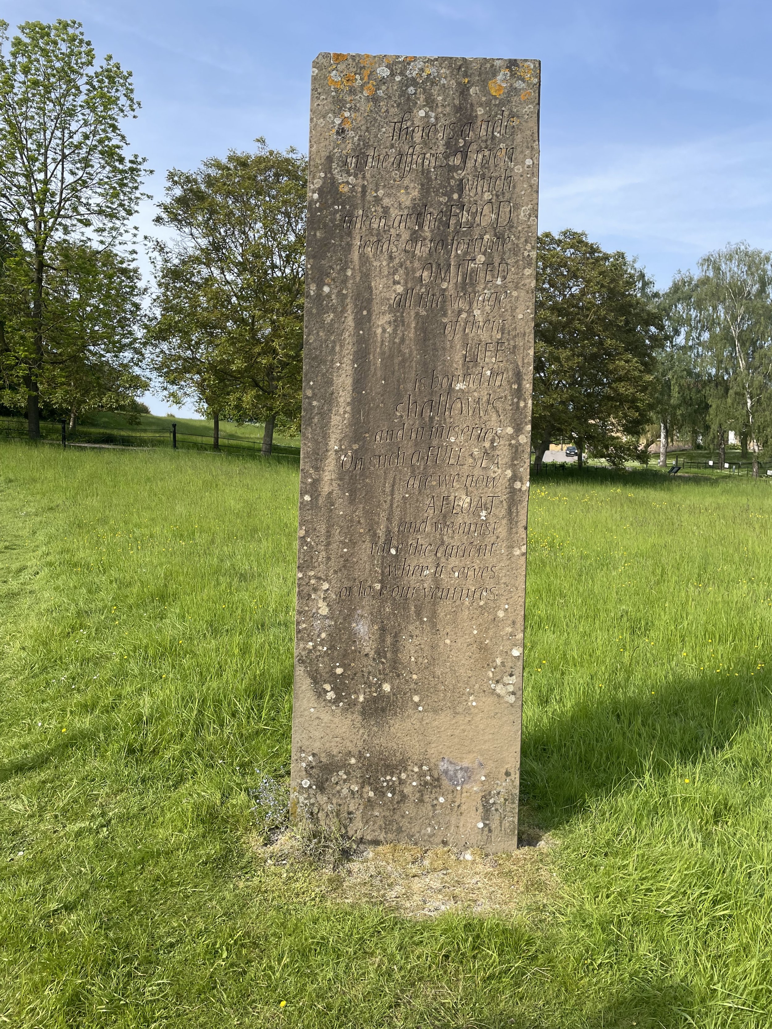
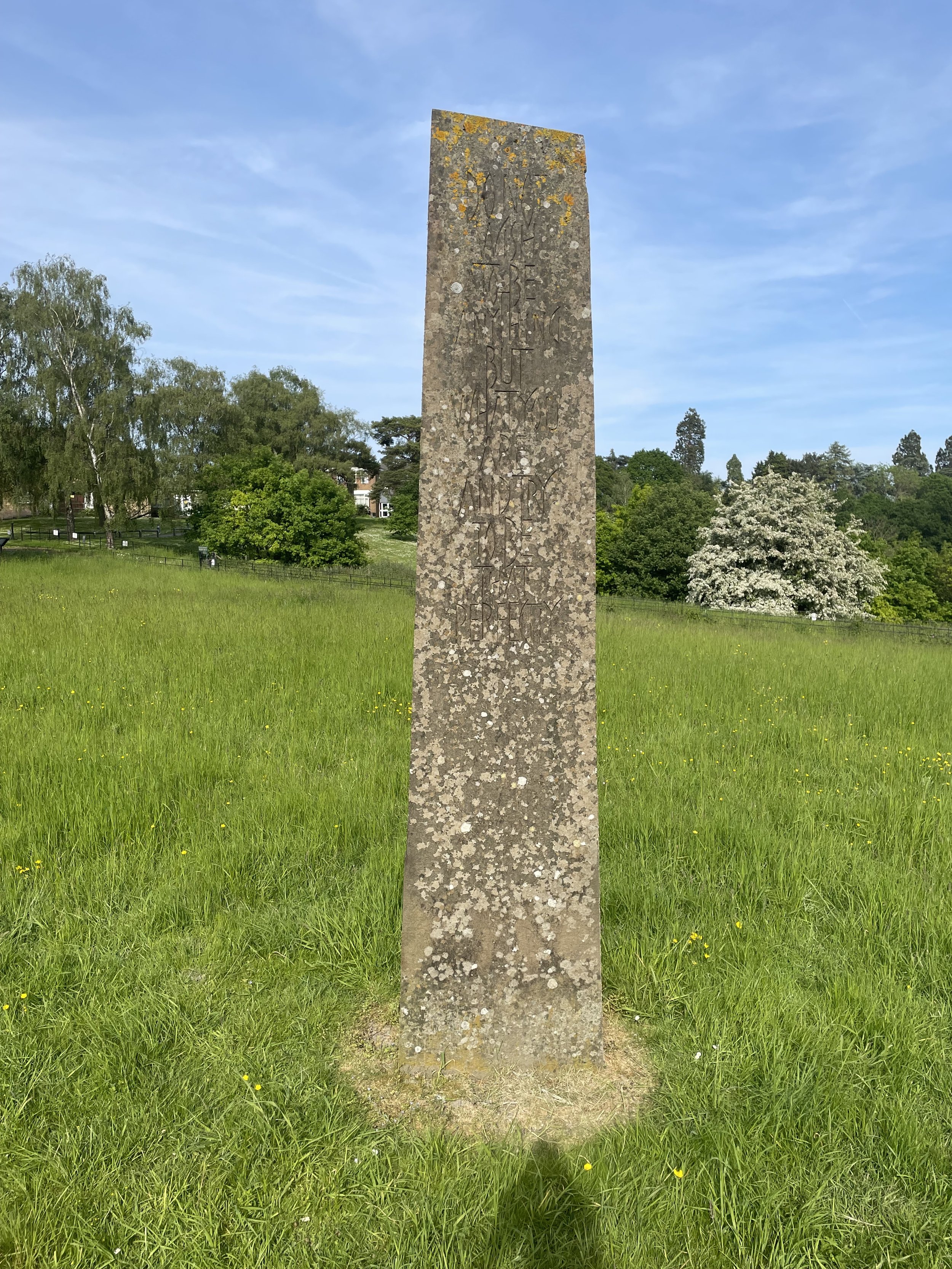
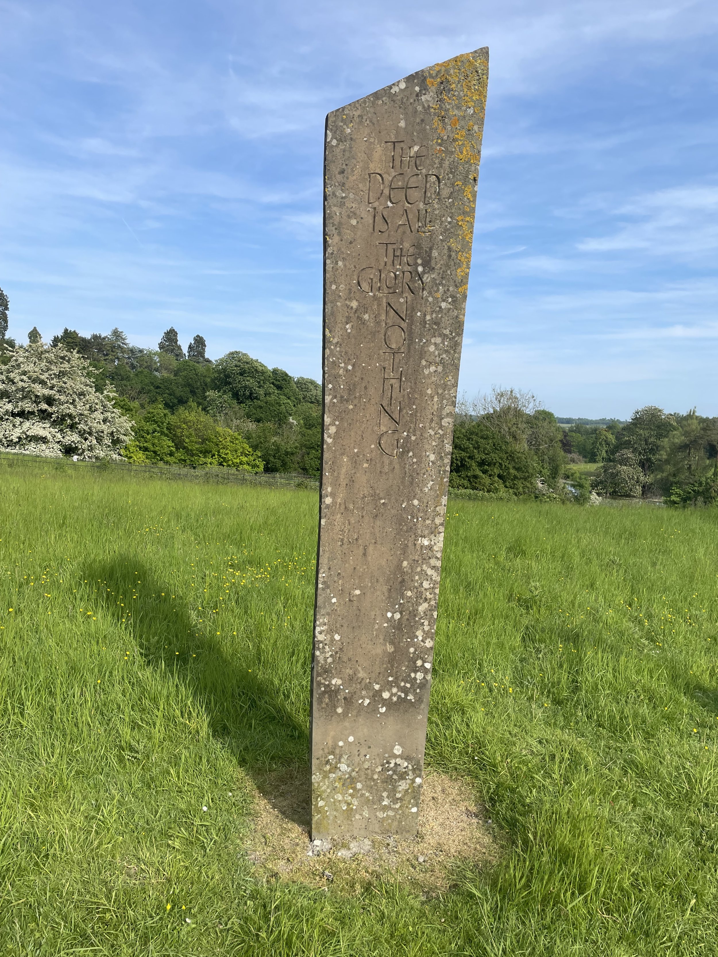
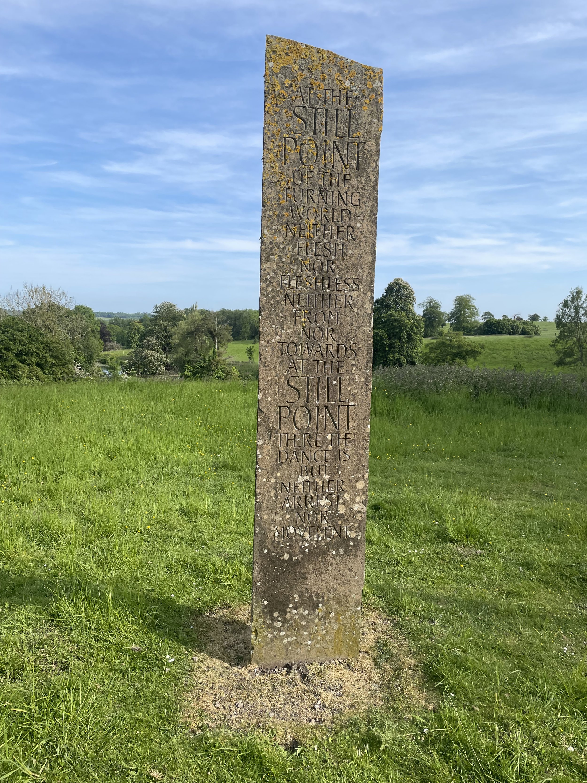
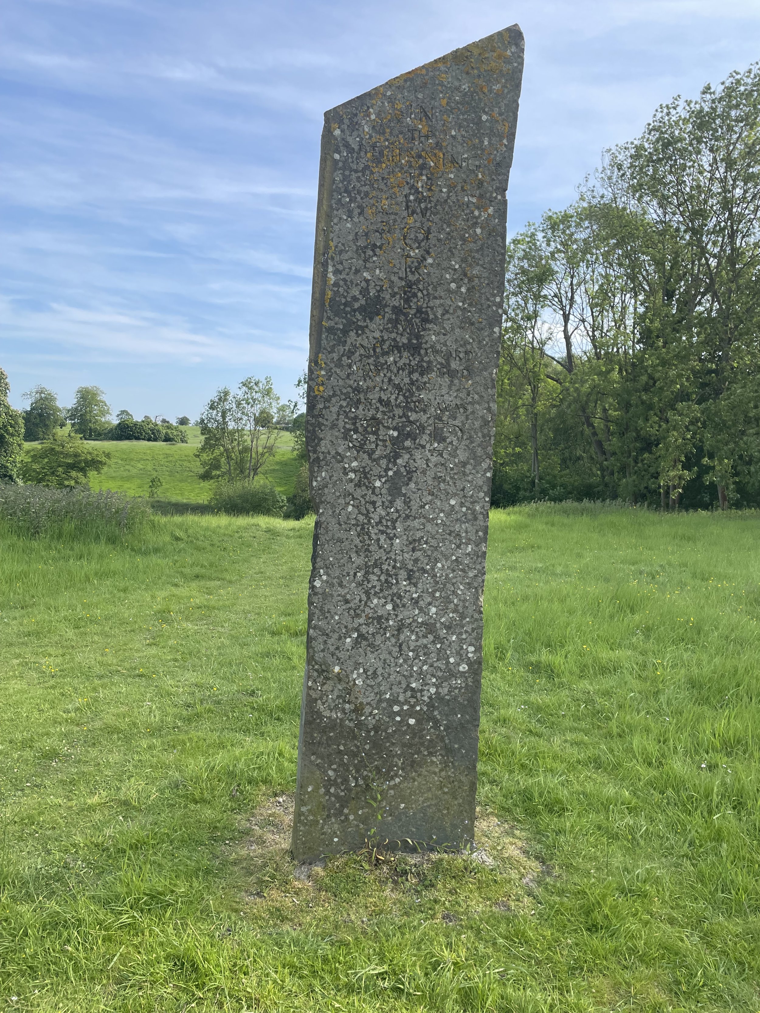
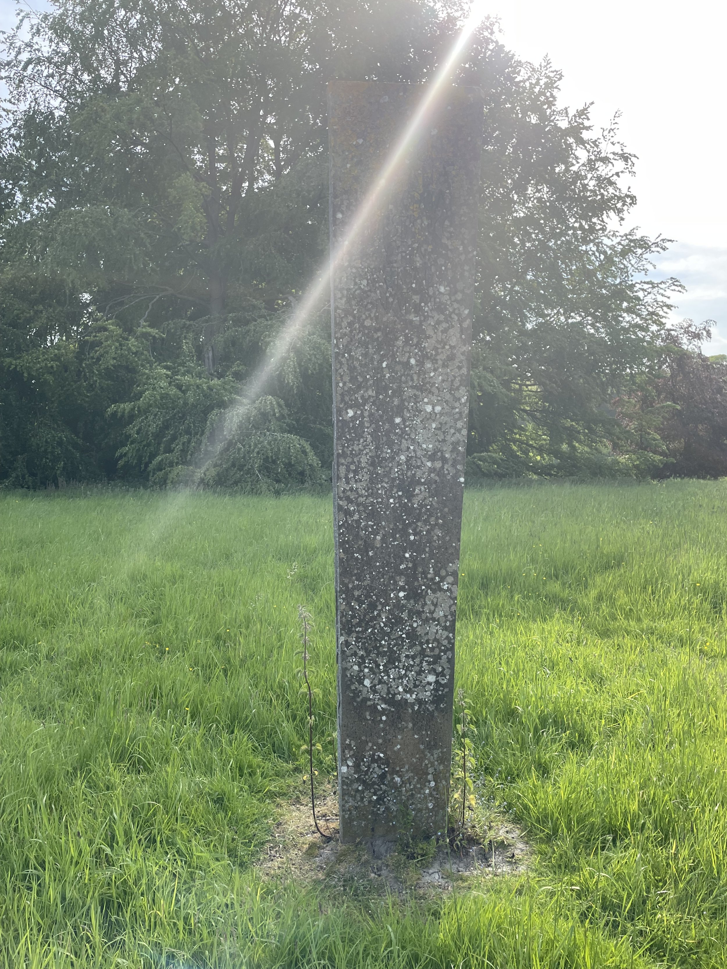
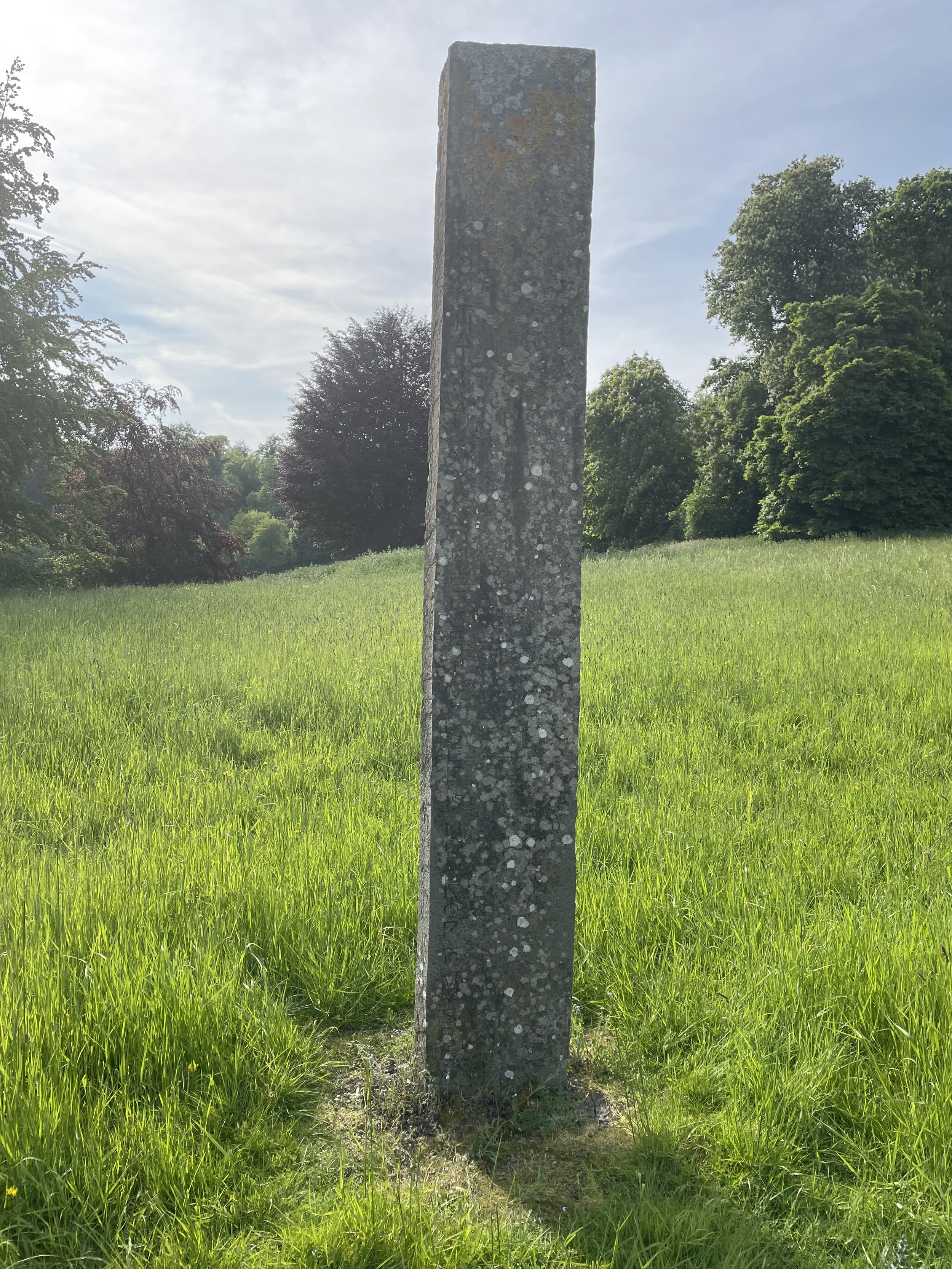
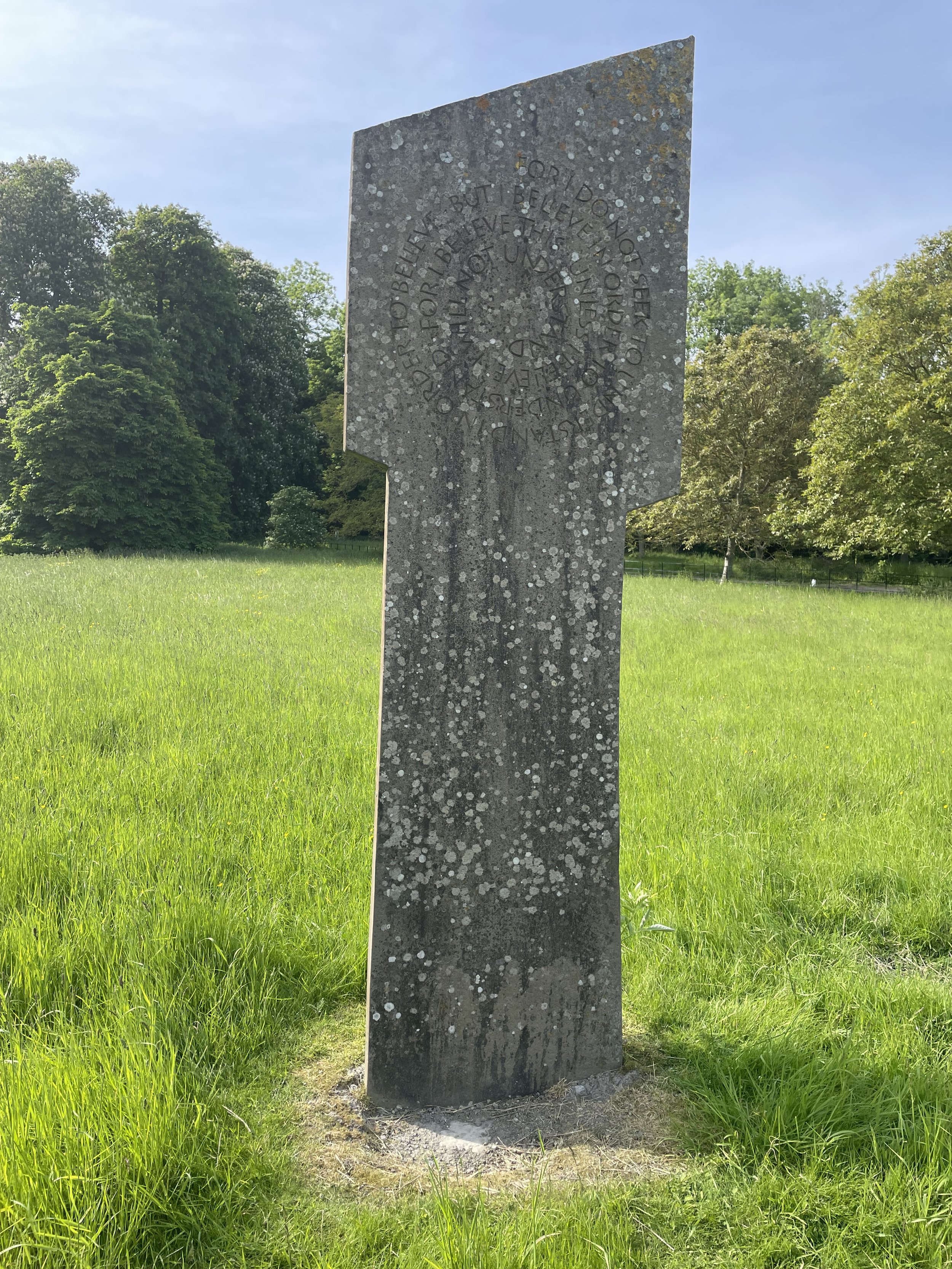
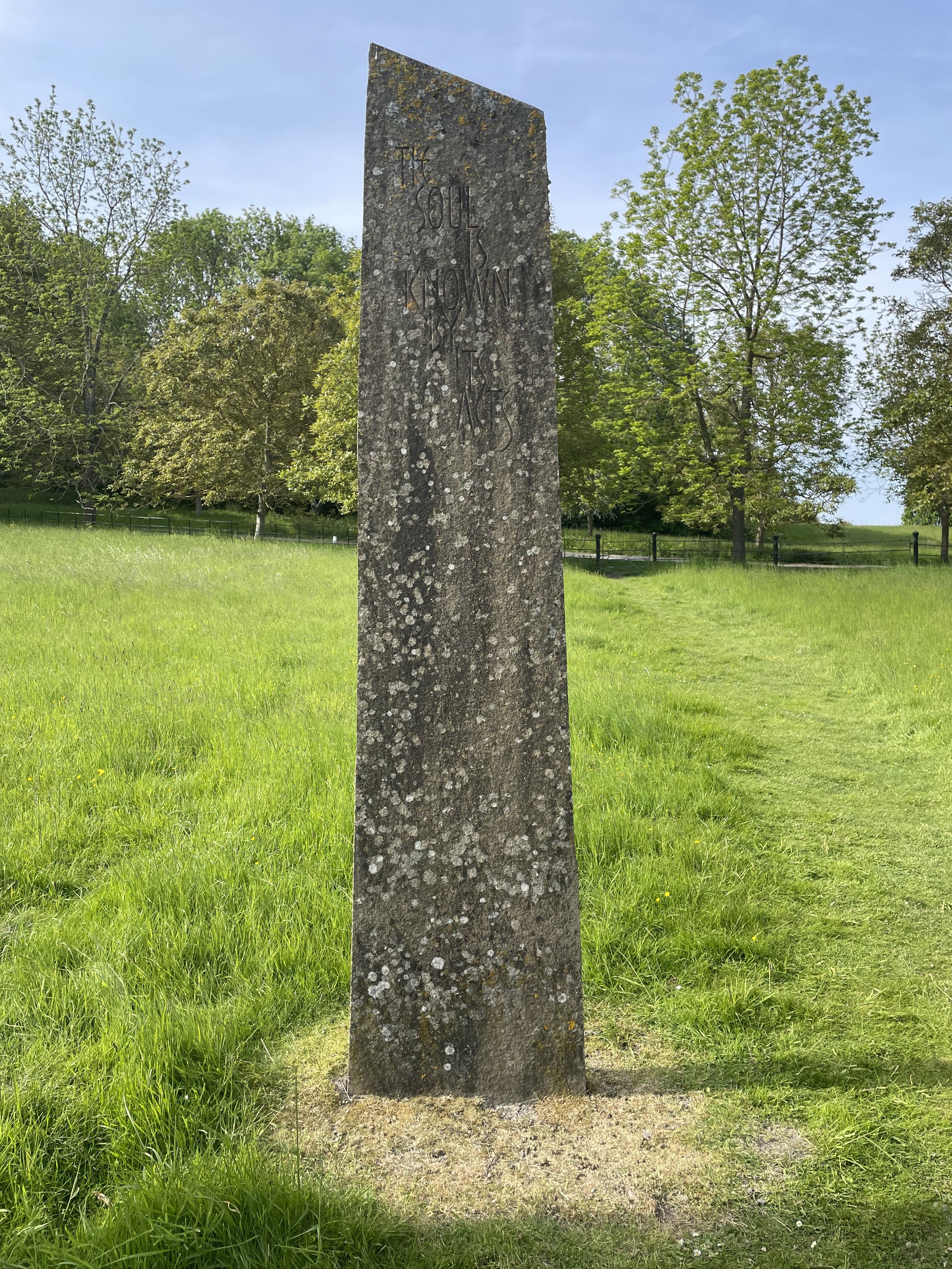
Links: Betchworth, Colley Hill, National Trust Reigate Hill and Gatton Park, B17 Crash Memorial, Reigate Fort, Gatton Park, Millennium Stones at Gatton Park, The Royal Alexandra and Albert School, Merstham
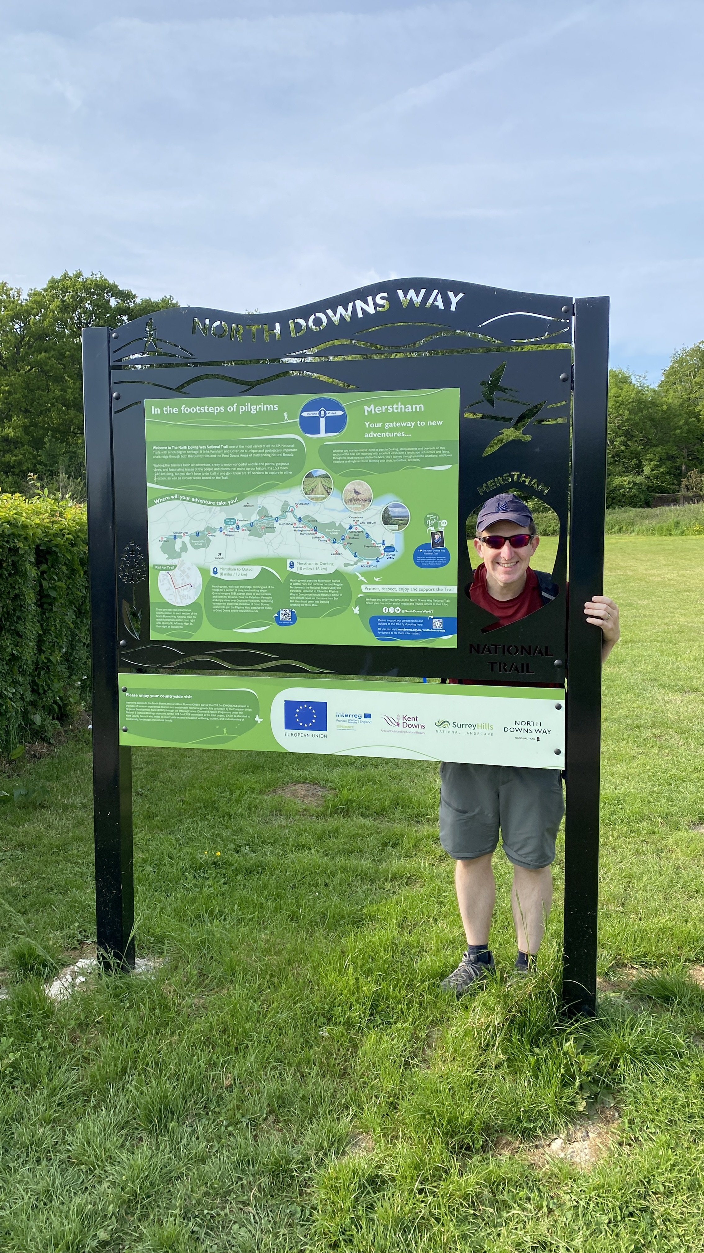
This is the fifth of a series of short point-to-point walks along the North Downs Way. The full trail is a long distance path stretching from Farnham in Surrey to Dover in Kent. Our walks took in short sections of 10 km to 13 km which we did with a friend over the course of a couple of years when our schedules coincided. The North Downs Way is well sign-posted however I highly recommend taking a map or GPX route to keep you on track. The Cicerone book on the trail is a great guide to the points of interest along the way.
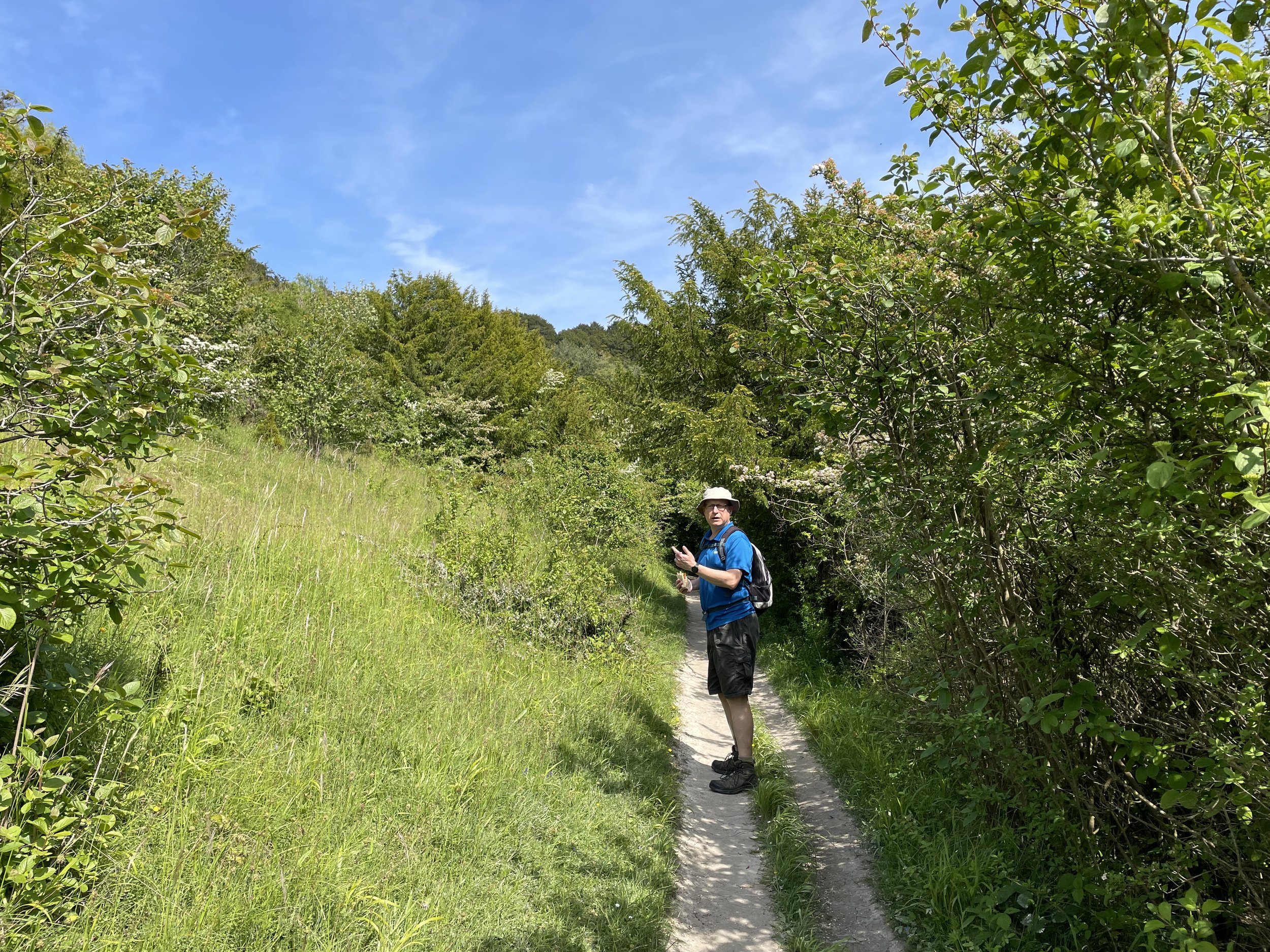
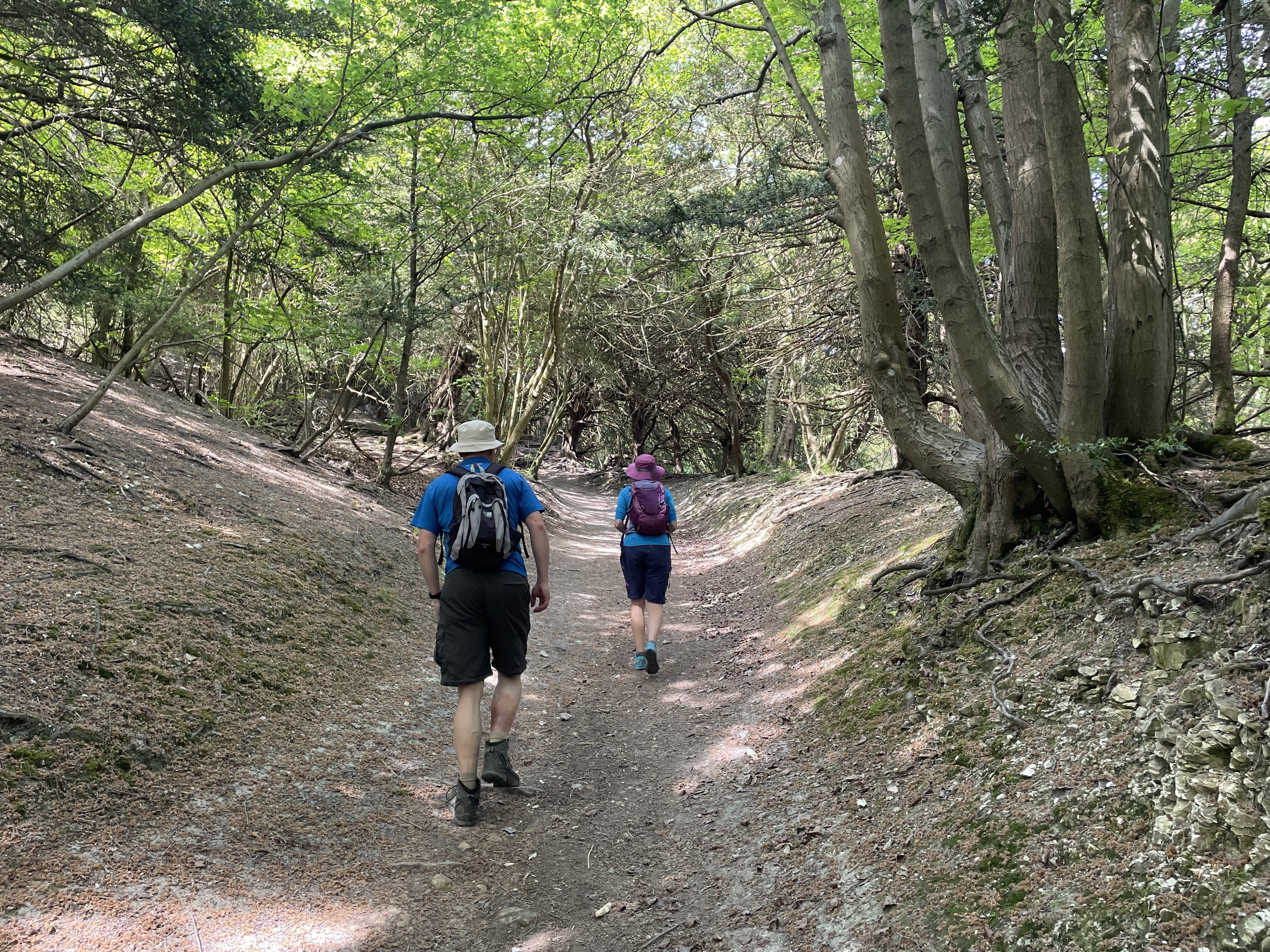
For this section we left one car at the end of the walk at Merstham Station and another at the start near Betchworth Station. From Betchworth it was a short walk north up Station Road to rejoin the North Downs Way from where we left it on Section 4. The first 5km is along a tree-lined path gently ascending to the base of Buckland Hill. This is followed by a steep ascent up Buckland Hill to the southern end of Mogador Road. Here you’ll find the first of 2 London Coal Duty Posts, the most southerly in London. Although these posts marked a boundary of London at the time, the North Downs Way never crosses the current boundary of Greater London.
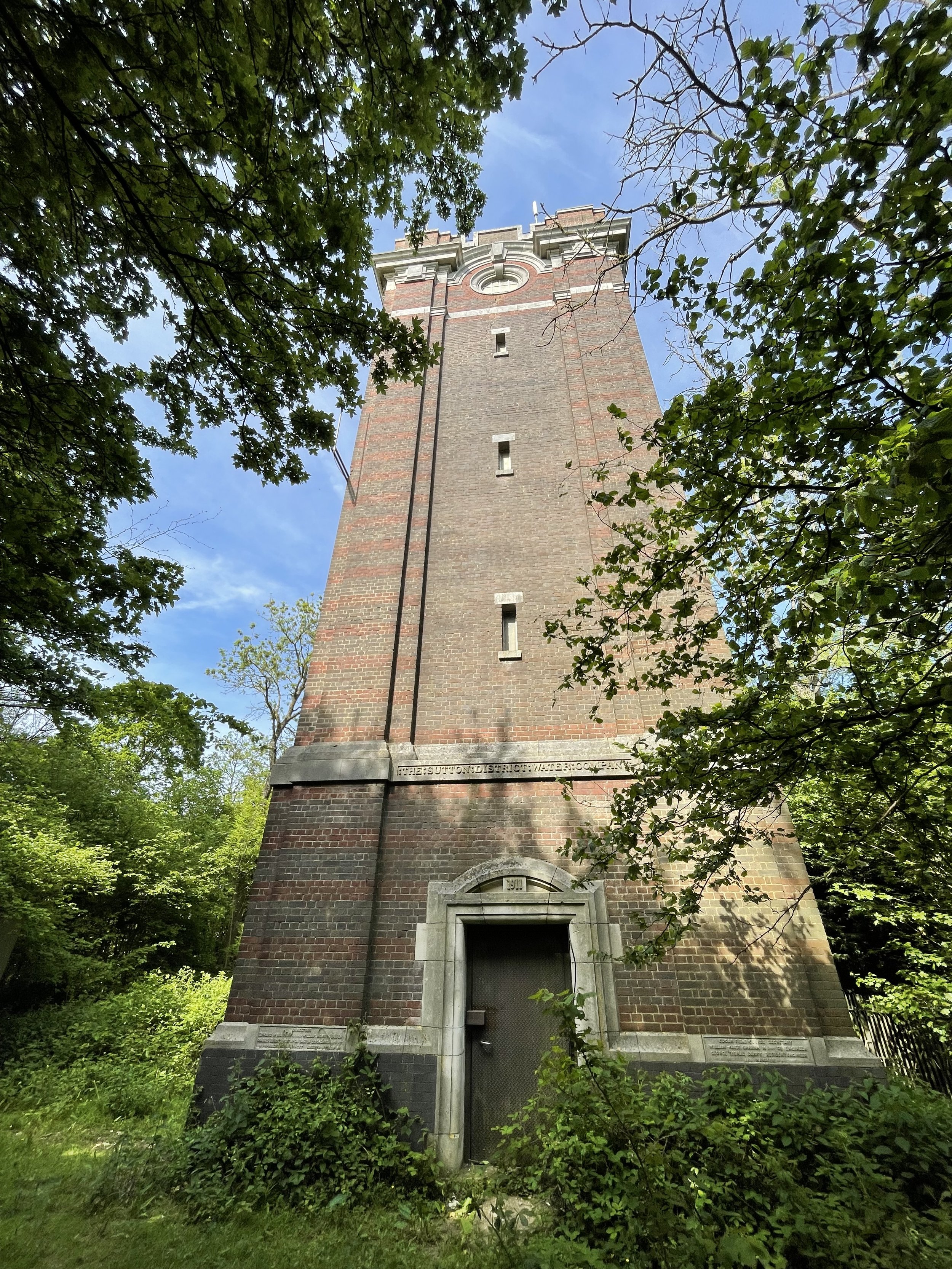
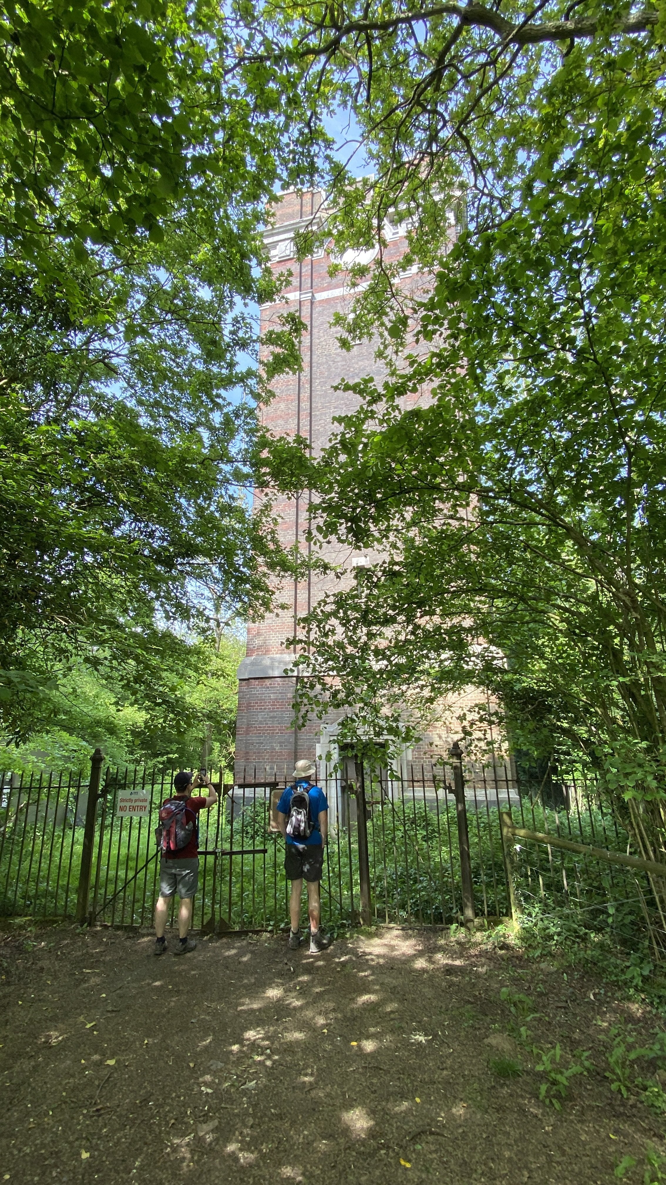
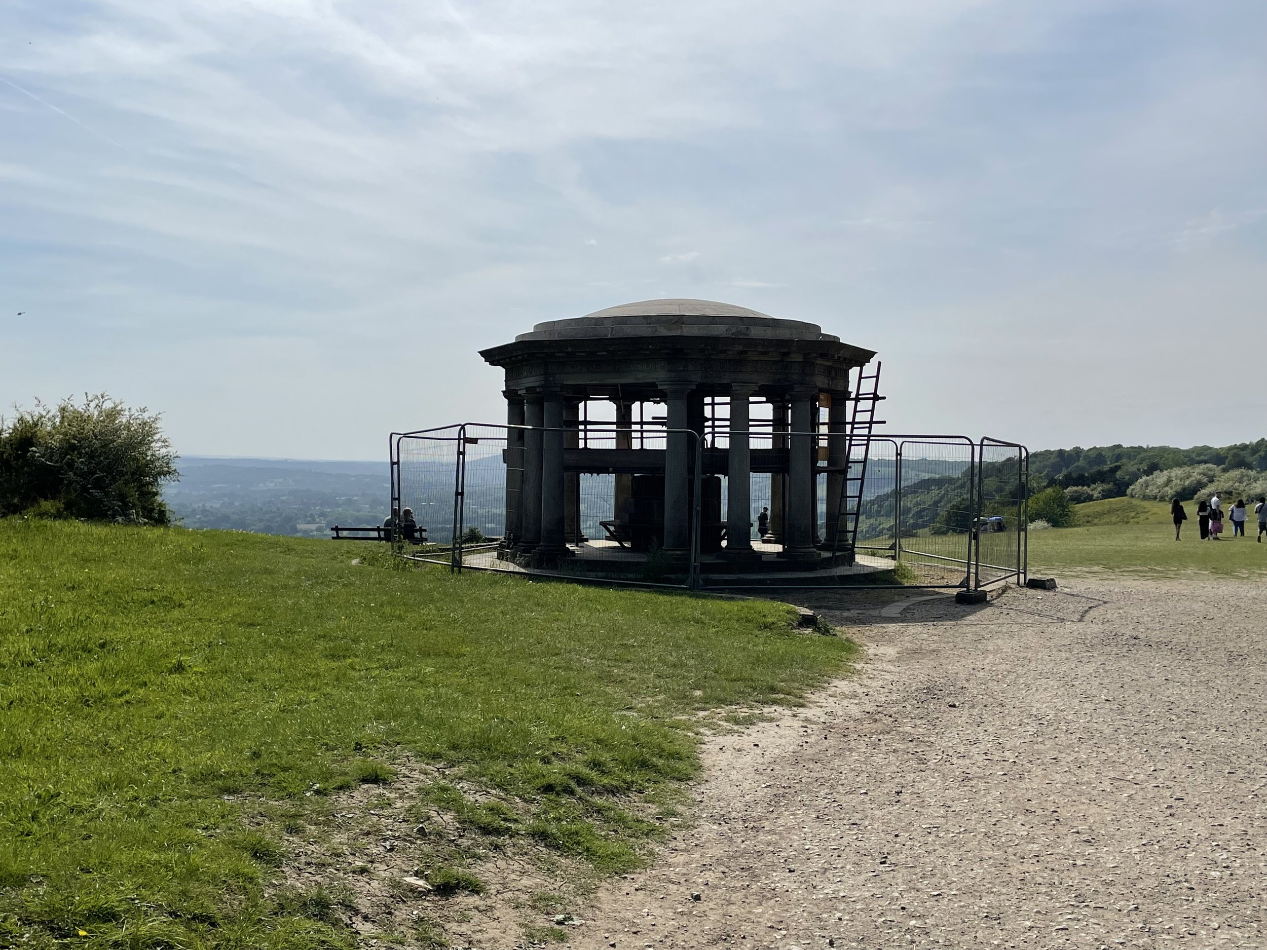
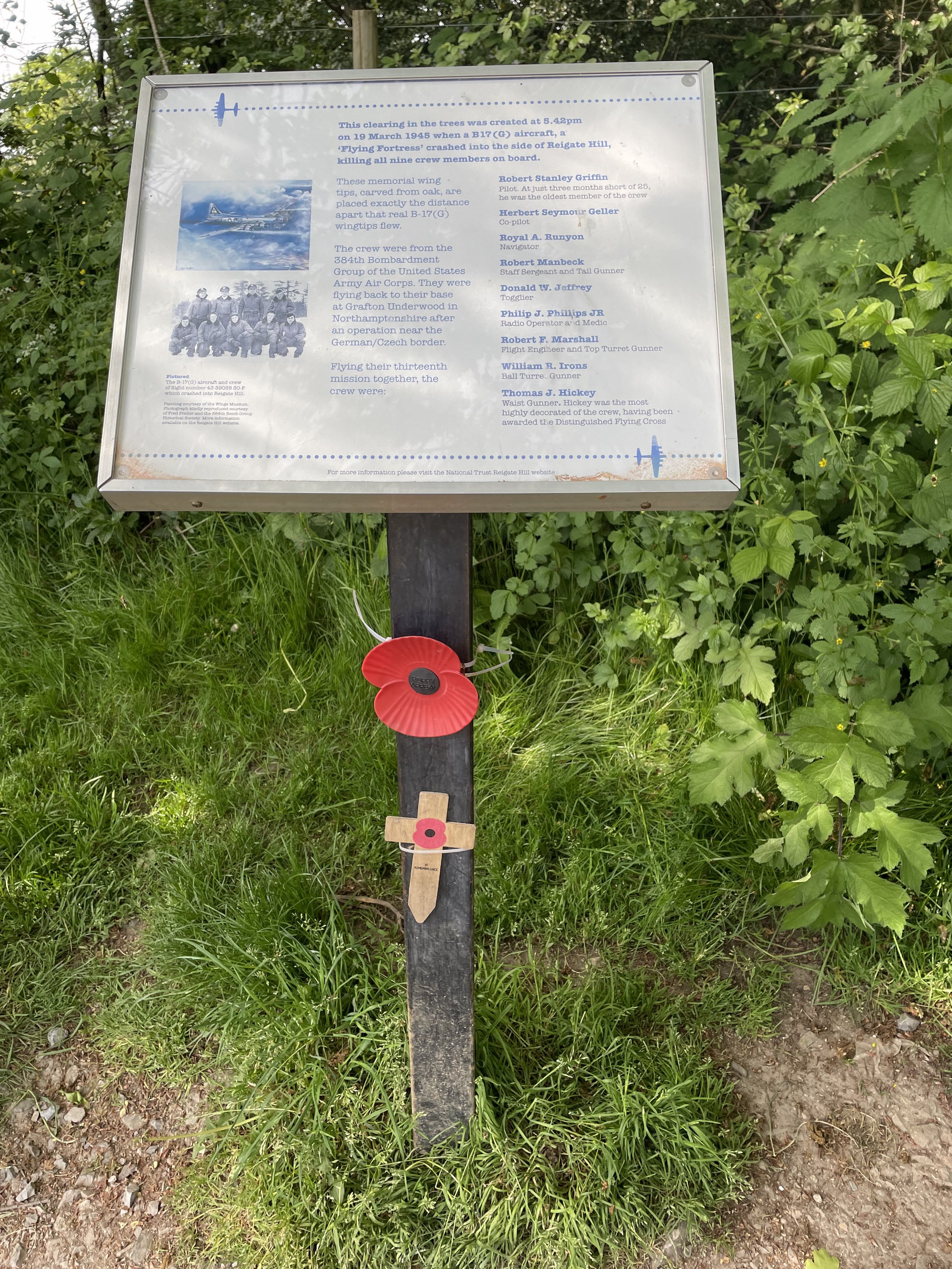
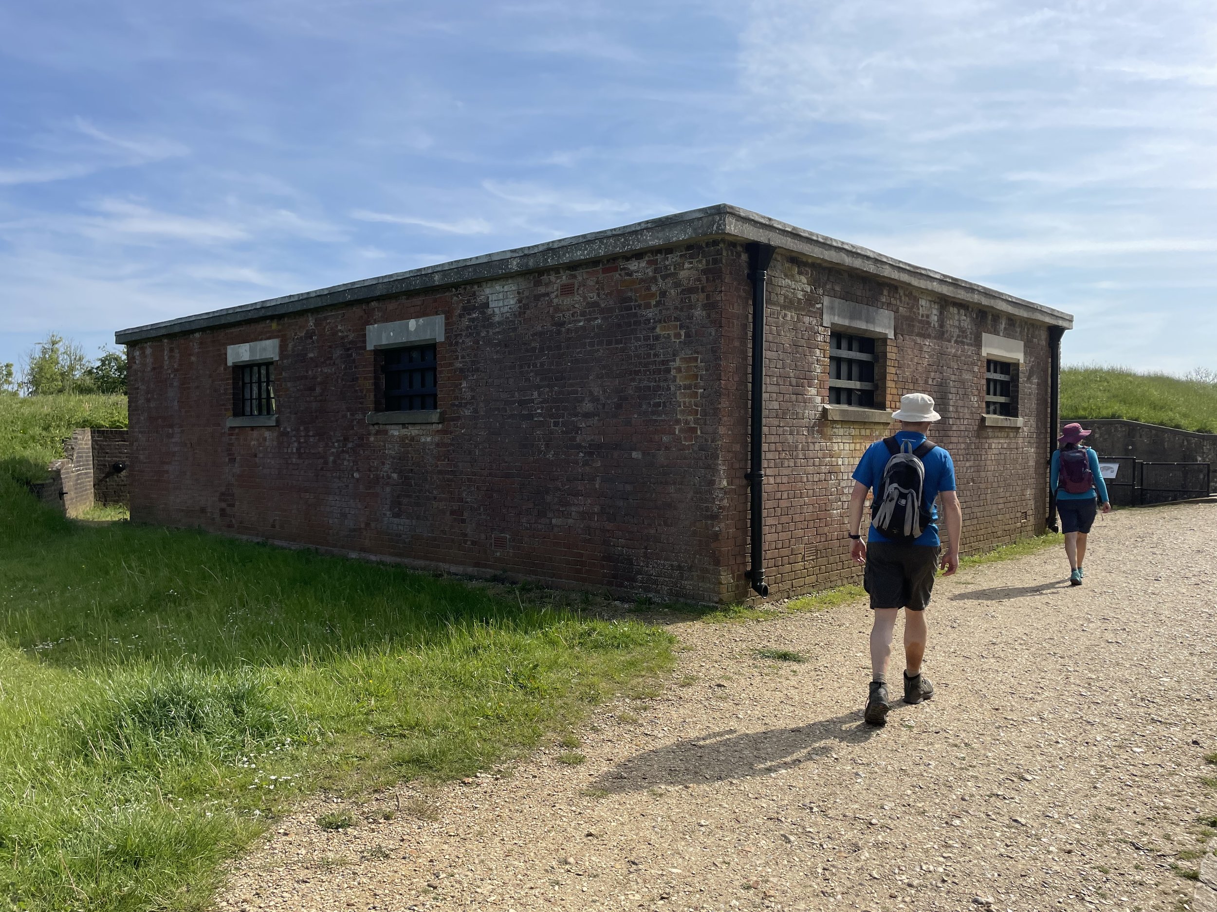
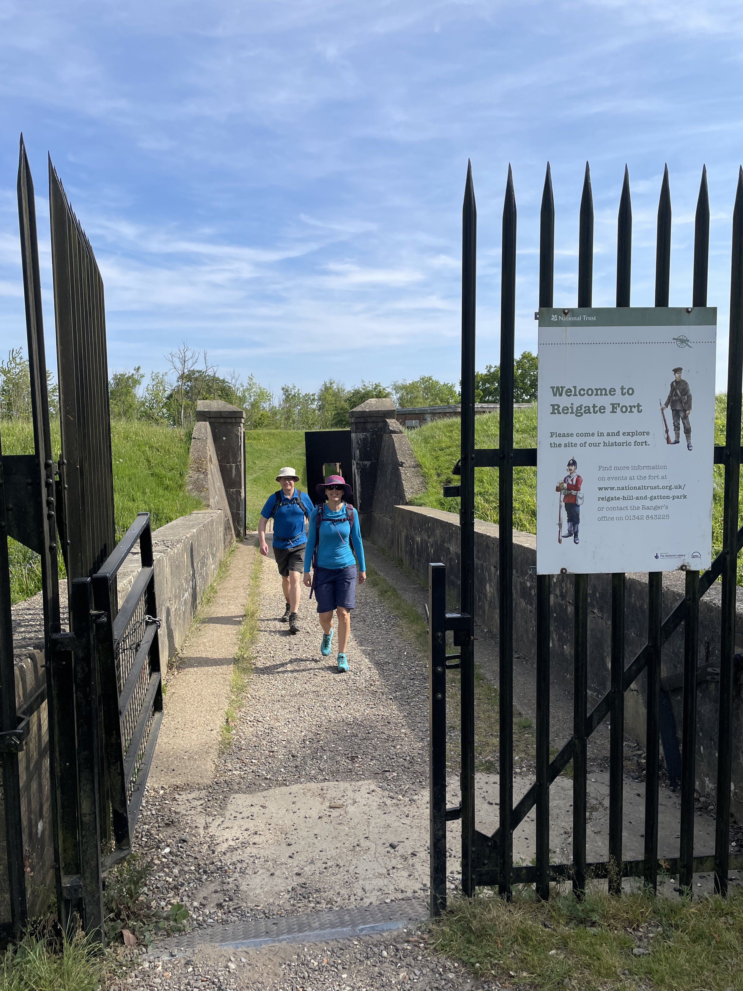
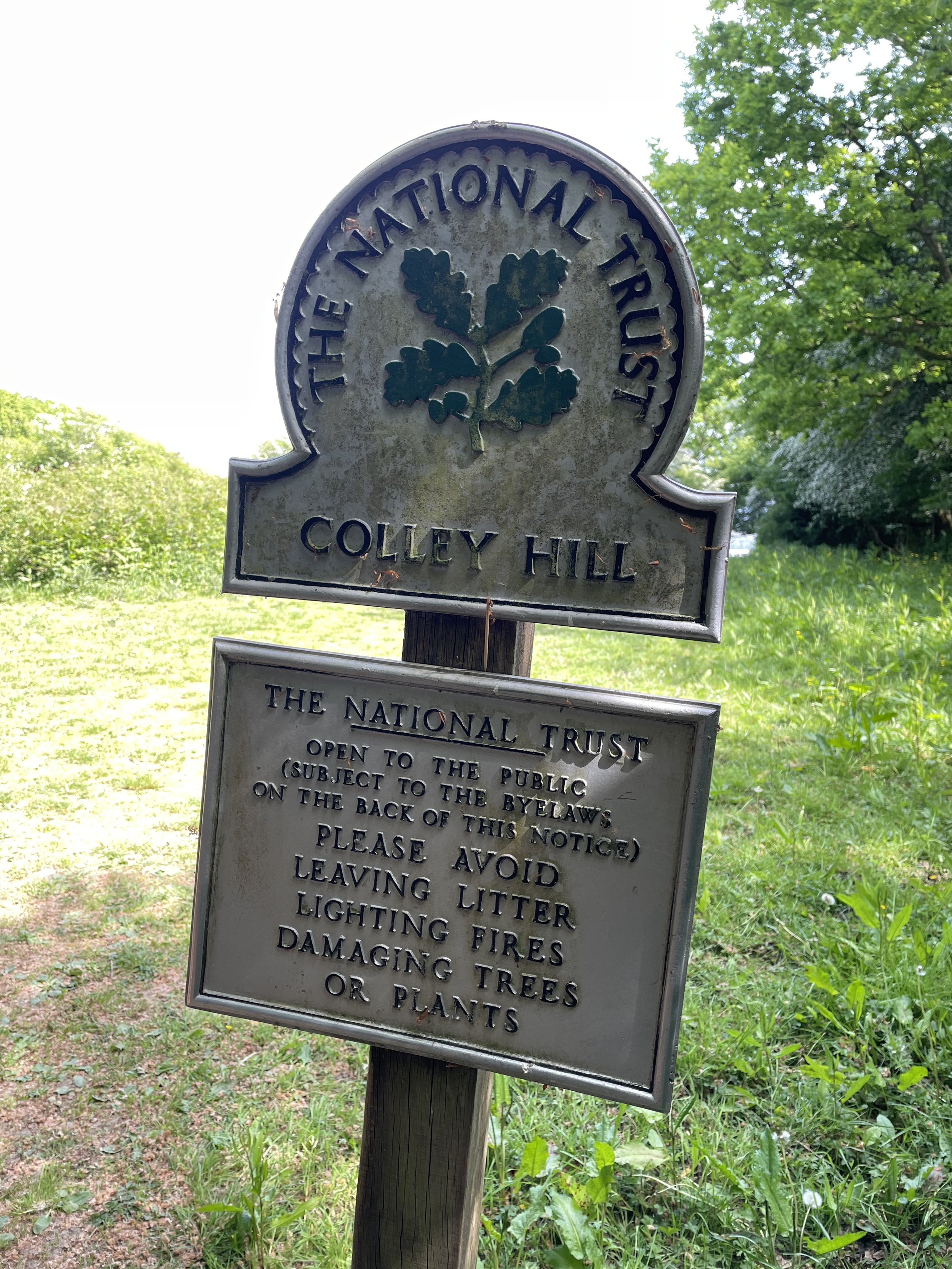
Having ascended back up to the North Downs ridge, the trail stays high for another 2 km. This is an especially interesting part of the trail with several things to see along the way. First up is Colley Hill, a great place to stop for a picnic and look out over the stunning panorama to the south. There’s also the Colley Hill Water Tower, the Inglis Memorial, the Wing Tips Crash Memorial and Reigate Fort.
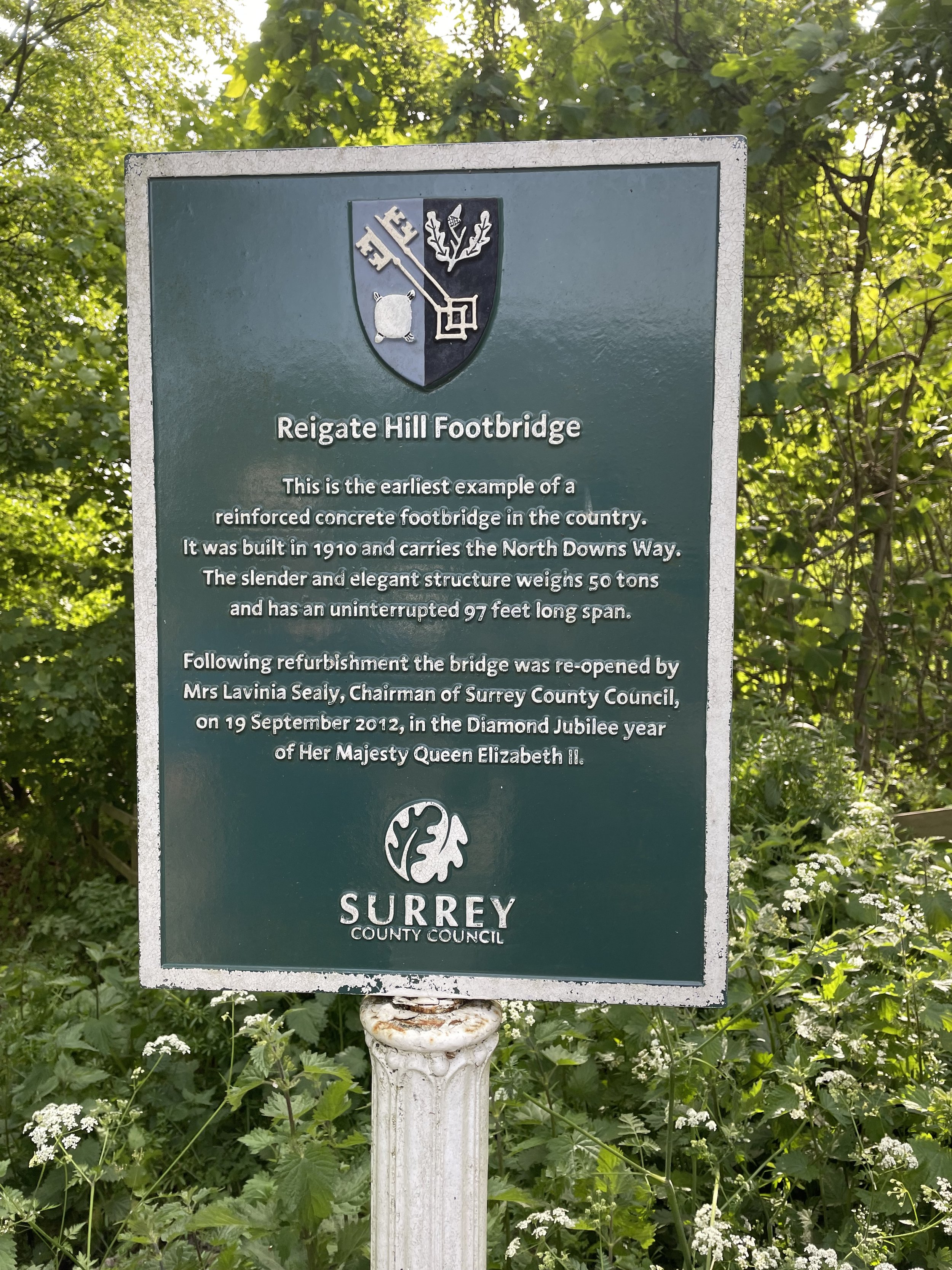
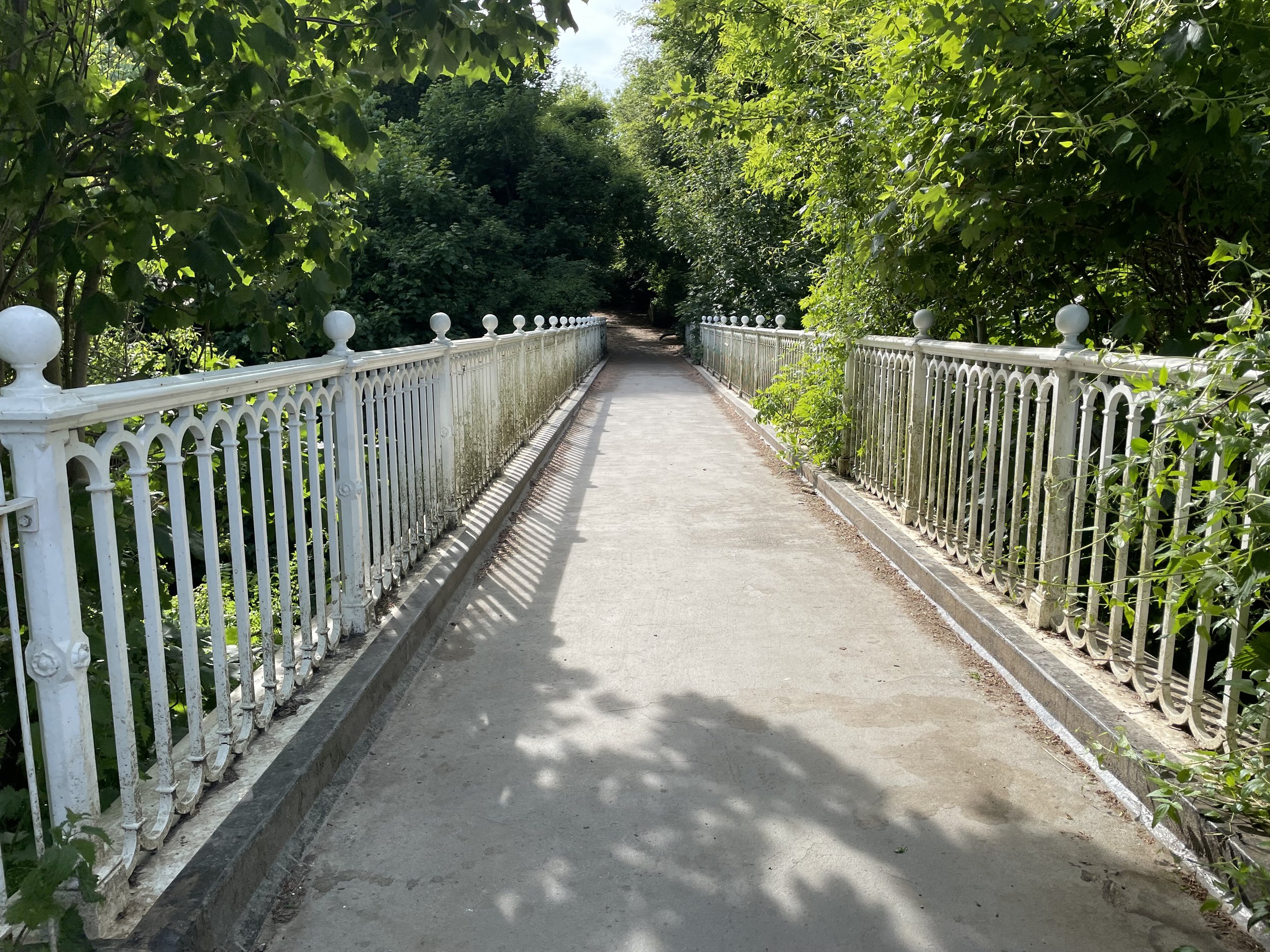
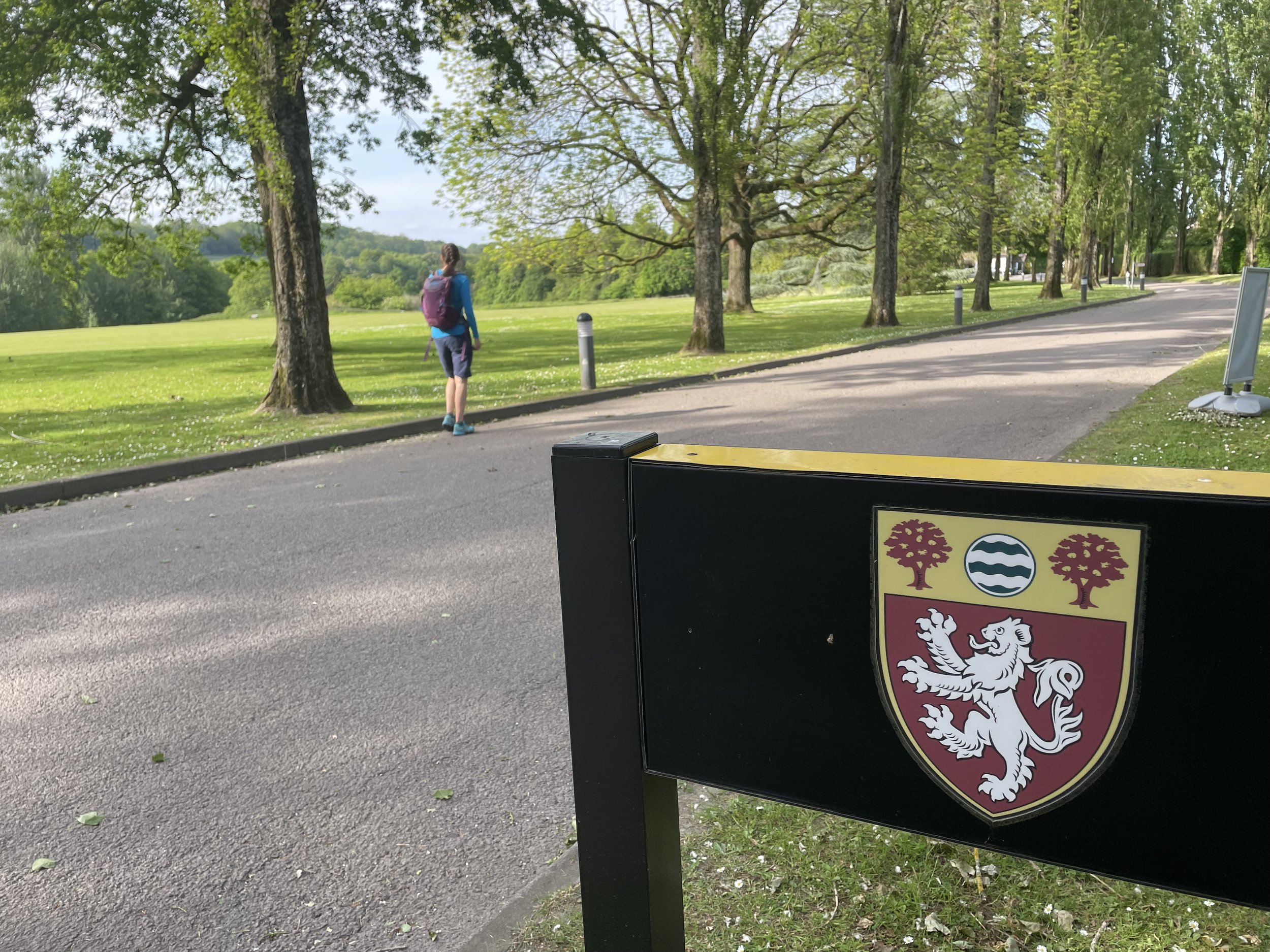
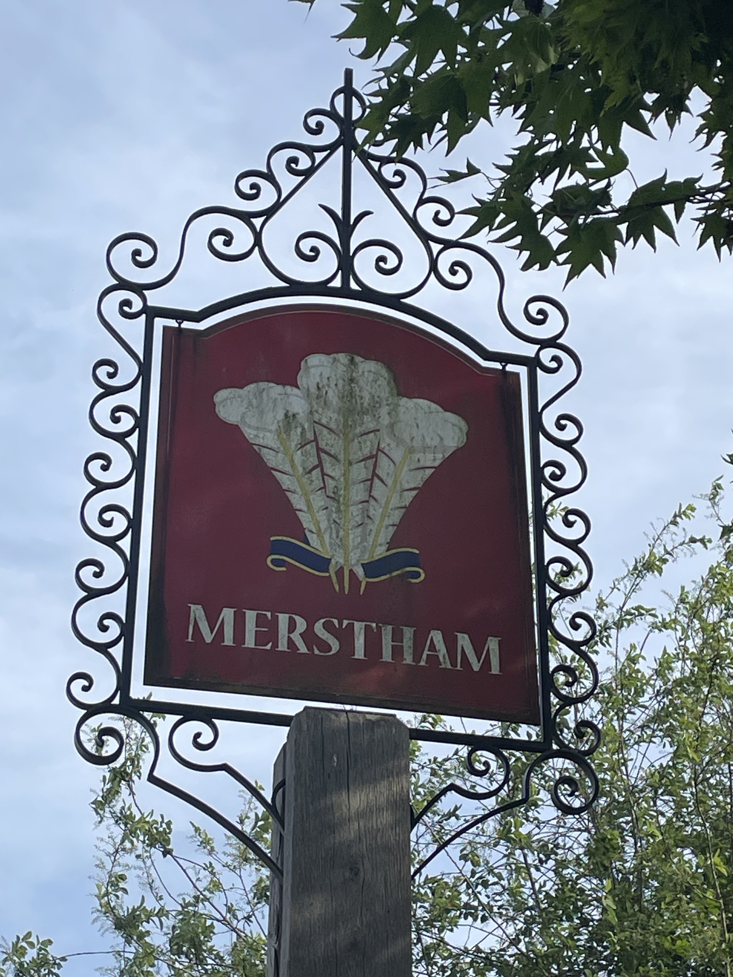
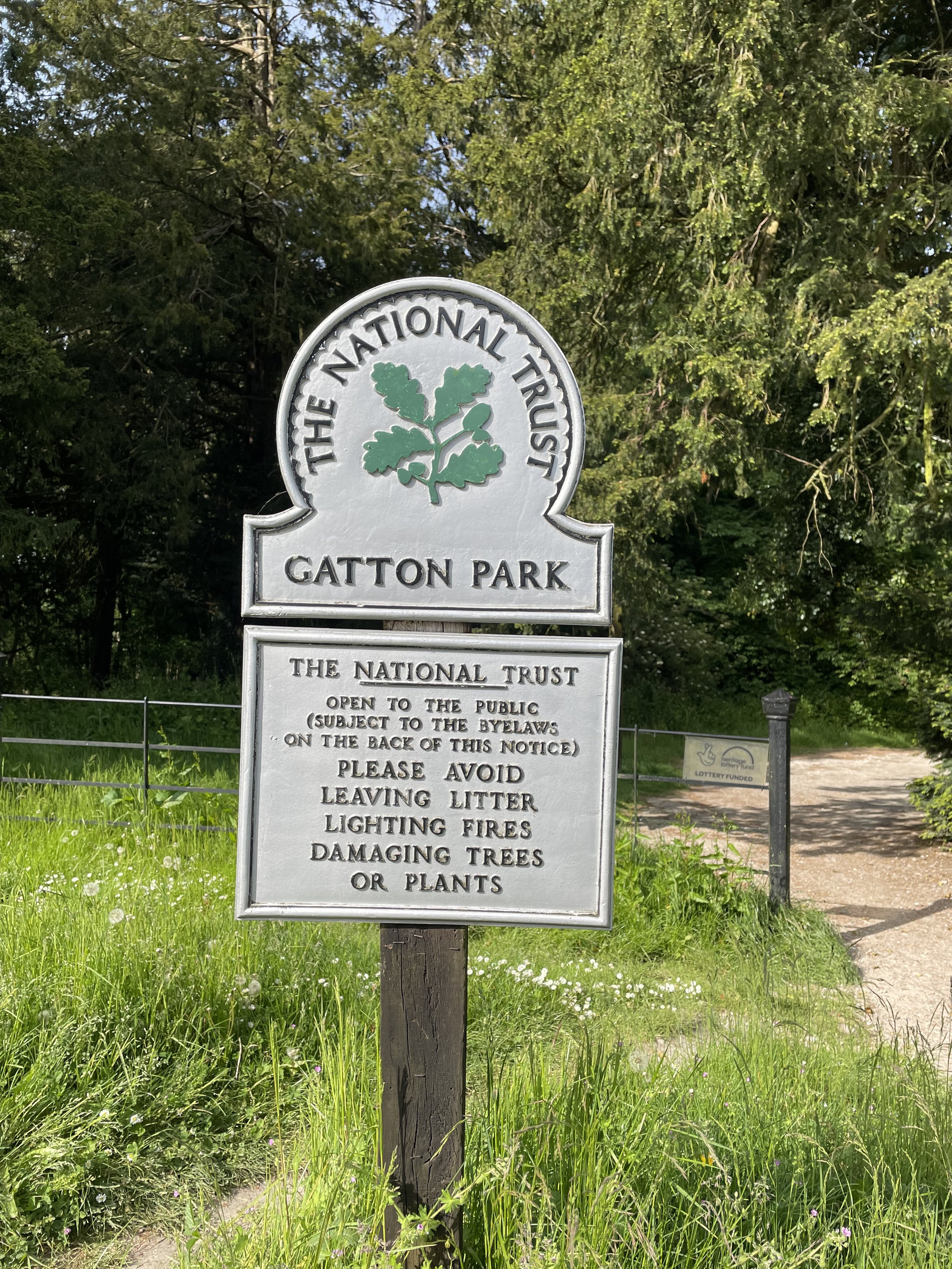
At 7.4 km into the walk you’ll cross over the A217 on the Reigate hill footbridge and into National Trust Gatton Park. There’s a café, toilets and another great viewpoint here. The trail descents for ~2 km through Gatton Park to the Millennium Stones at the south-western edge of the Royal Alexandra and Albert School. Follow the North Downs Way through the school, through Reigate Hill Golf Club, Merstham Cricket Club and into Merstham Town. This is the end of Section 5.
The National Trust Sections
The Millennium Stones at Gatton Park
Previous Section (west): Walking The North Downs Way Part 4: Ranmore to Betchworth
Next Section (east): Walking The North Downs Way Part 6: Merstham to Gangers Hill

