Walking The River Tyburn
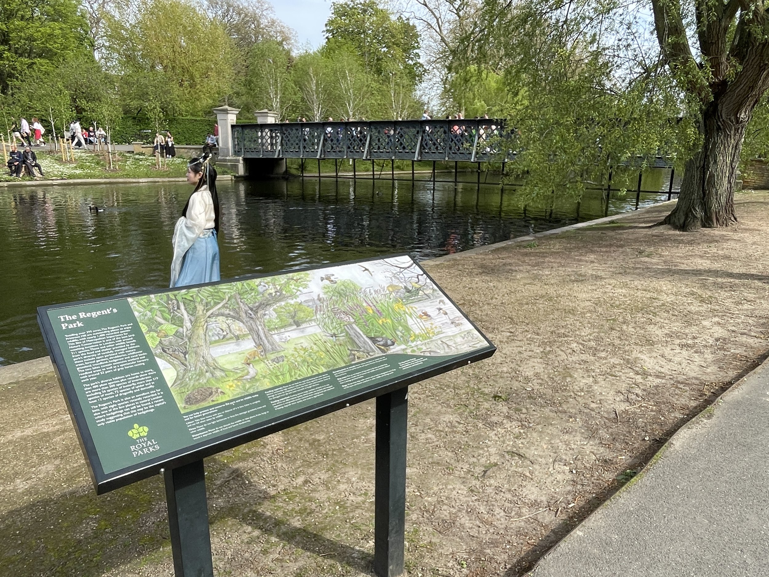
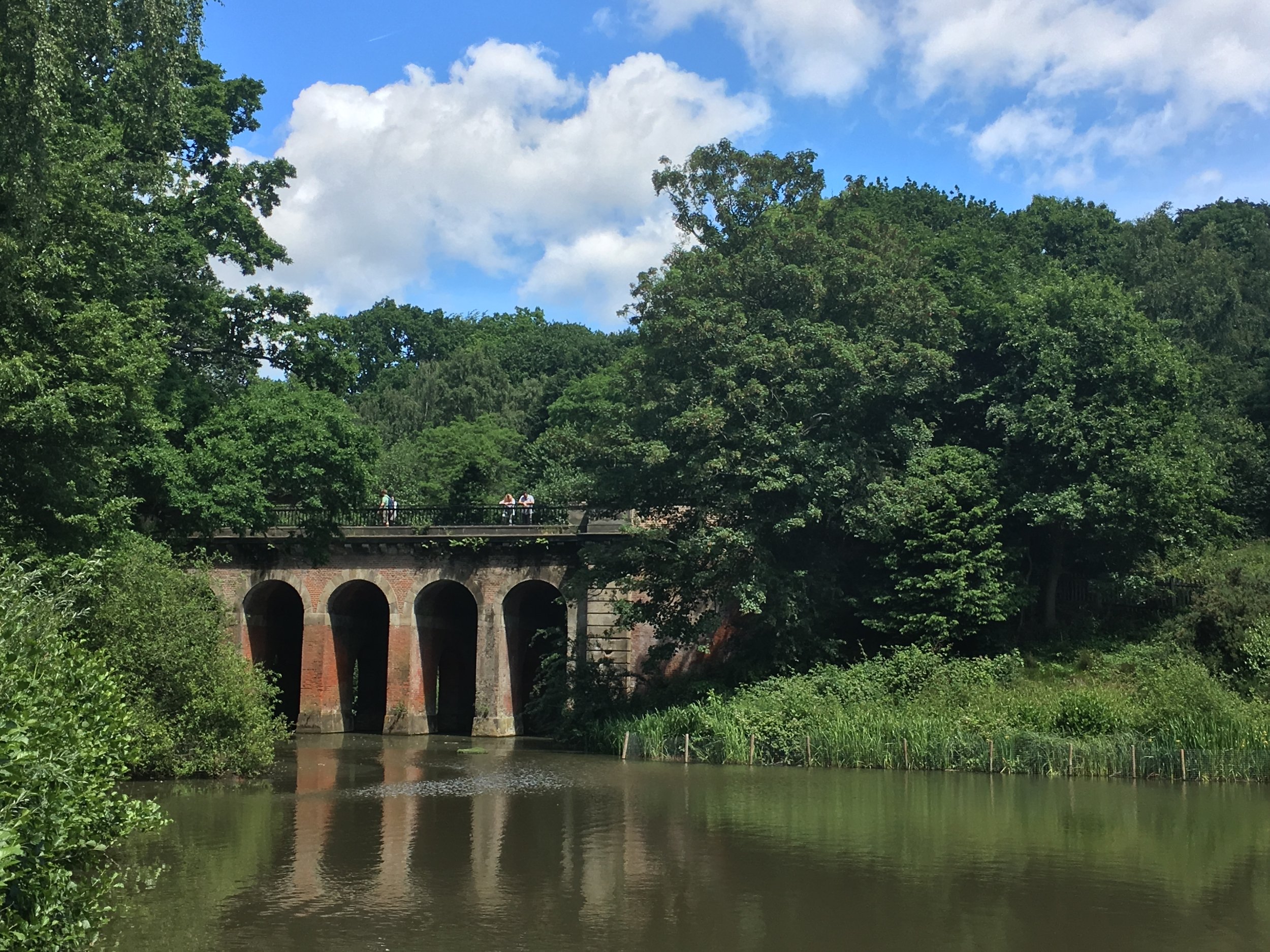
The boating lake at Regents Park, once fed by the River Tyburn
Start: Hampstead Underground Station, Hampstead High Street, London NW3 1QG
Finish: Westminster Pier, London SW1A 2JH, United Kingdom
Distance: 10.1 km (6.3 Miles)
Elevation change: +47m / -150m. Net -103m
GPX File: get via Buy Me a Coffee
Other Routes Touched (walk): Regents Canal Towpath, Jubilee Greenway, Diana Princess of Wales Memorial Walk, Thames Path
Other Routes Touched (cycle): C27, 3, 56
Map: OS Explorer 173 London North
Guidebooks: London's Lost Rivers: A Walker's Guide, London's Lost Rivers, London's Hidden Rivers: A walker's guide to the subterranean waterways of London
Links: River Tyburn, Hampstead, Shepherd’s Well, Swiss Cottage, Regents Park, Baker Street, Mayfair, Green Park, Westminster
For today's London lost river trip we met up with some friends at Hampstead Tube station to walk the route of the old River Tyburn. The Tyburn, once a vital artery of London, now flows silently beneath the bustling city. Originally a meandering stream that provided water and powered mills, its course now follows a network of sewers. Despite its disappearance, the Tyburn's legacy lives on. Its path can be traced through street names and subtle dips in the land, while its past function is remembered in landmarks like Buckingham Palace, which it once flowed beneath. Though hidden from sight, the River Tyburn remains a fascinating reminder of London's ever-changing landscape.
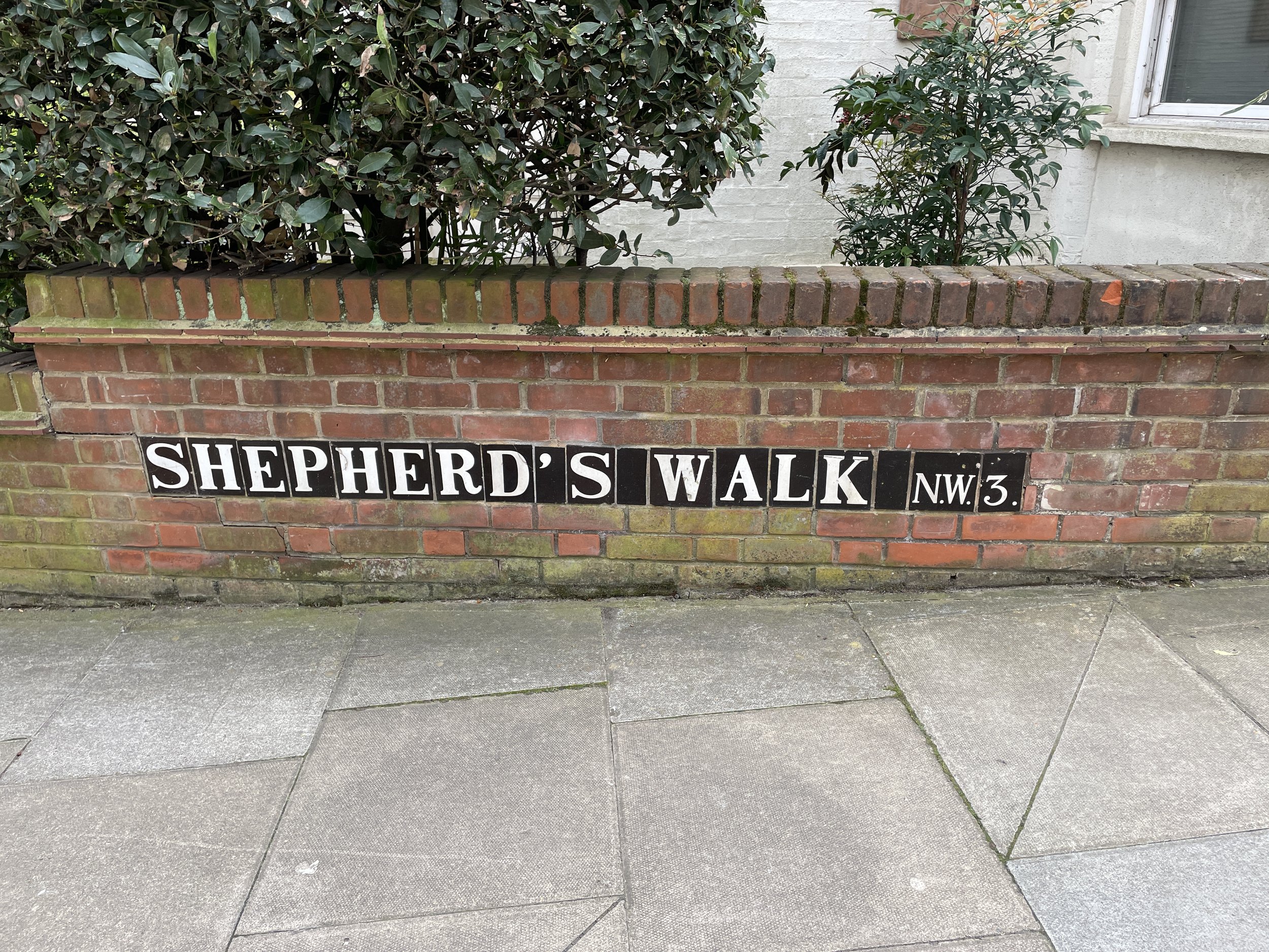
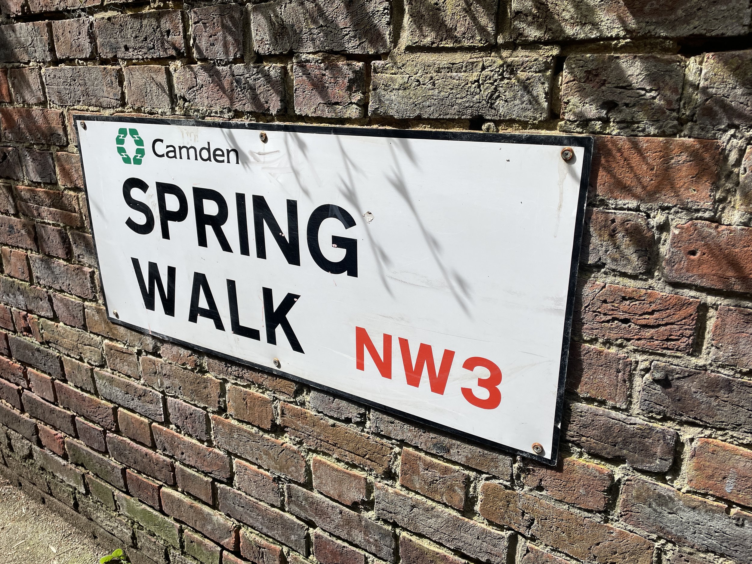
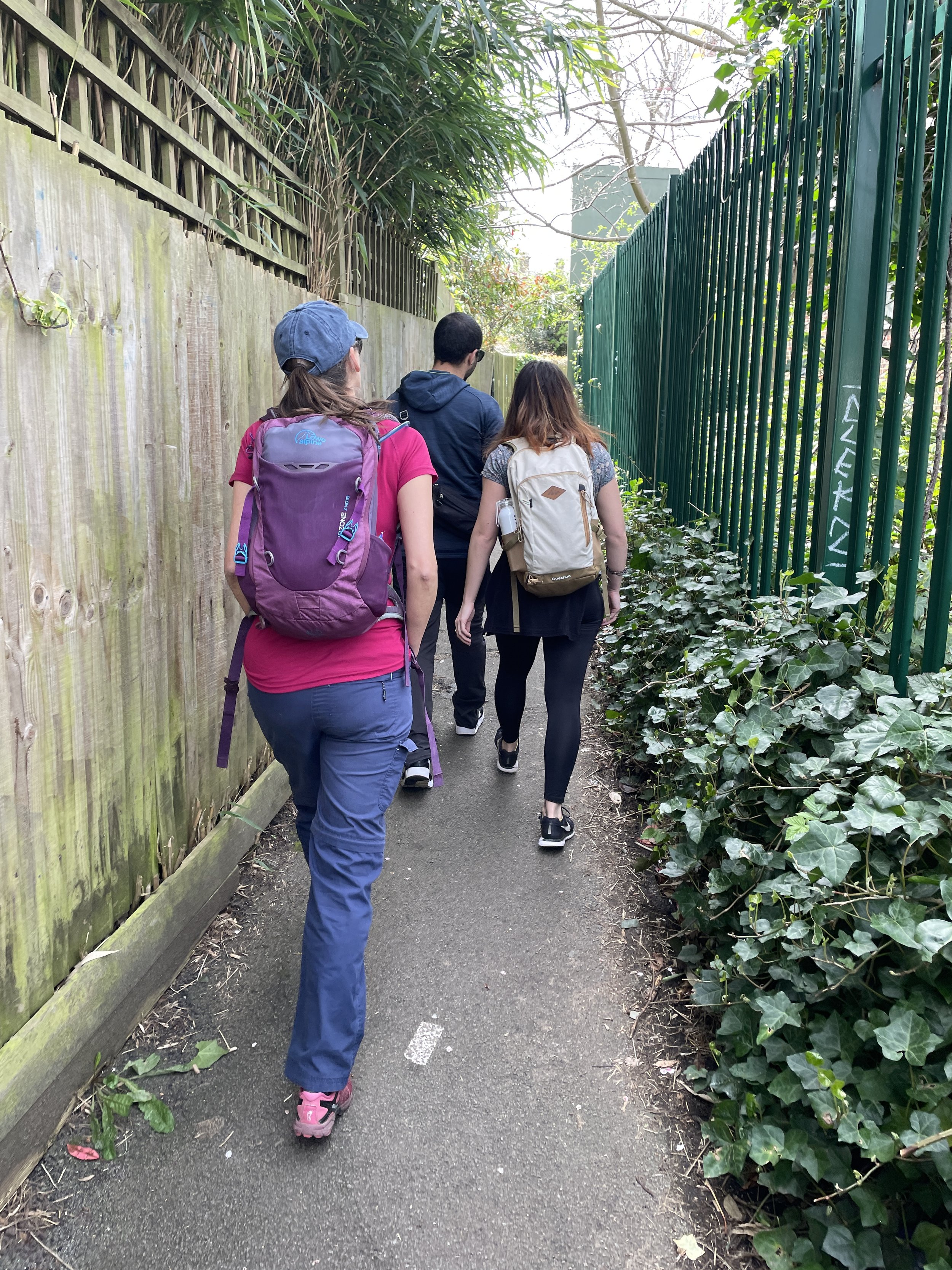
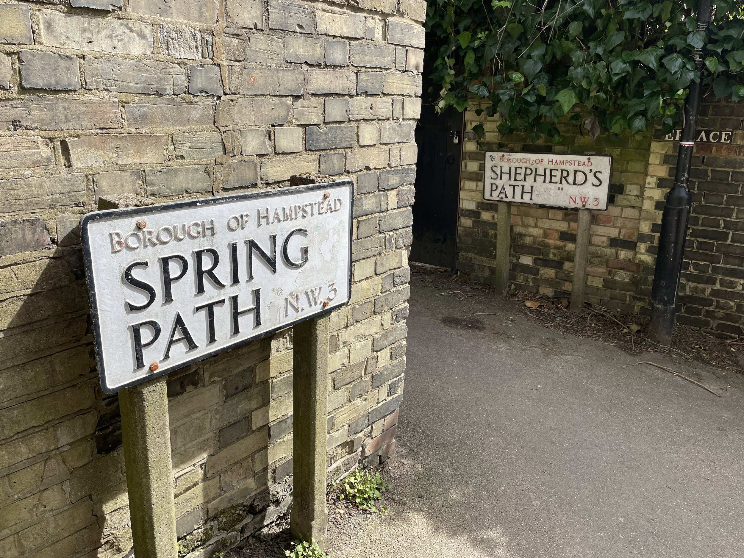
From Hampstead Tube Station follow the A502 Hampstead High Street in a south-easterly direction then take a right onto Shepherds Walk. Continue onto Spring Walk and follow it all the way to Fitzjohn’s Avenue. Take a left onto Spring Path and follow it to the junction with Shepherd’s Path. This junction is the approximate location of the source of the River Tyburn.
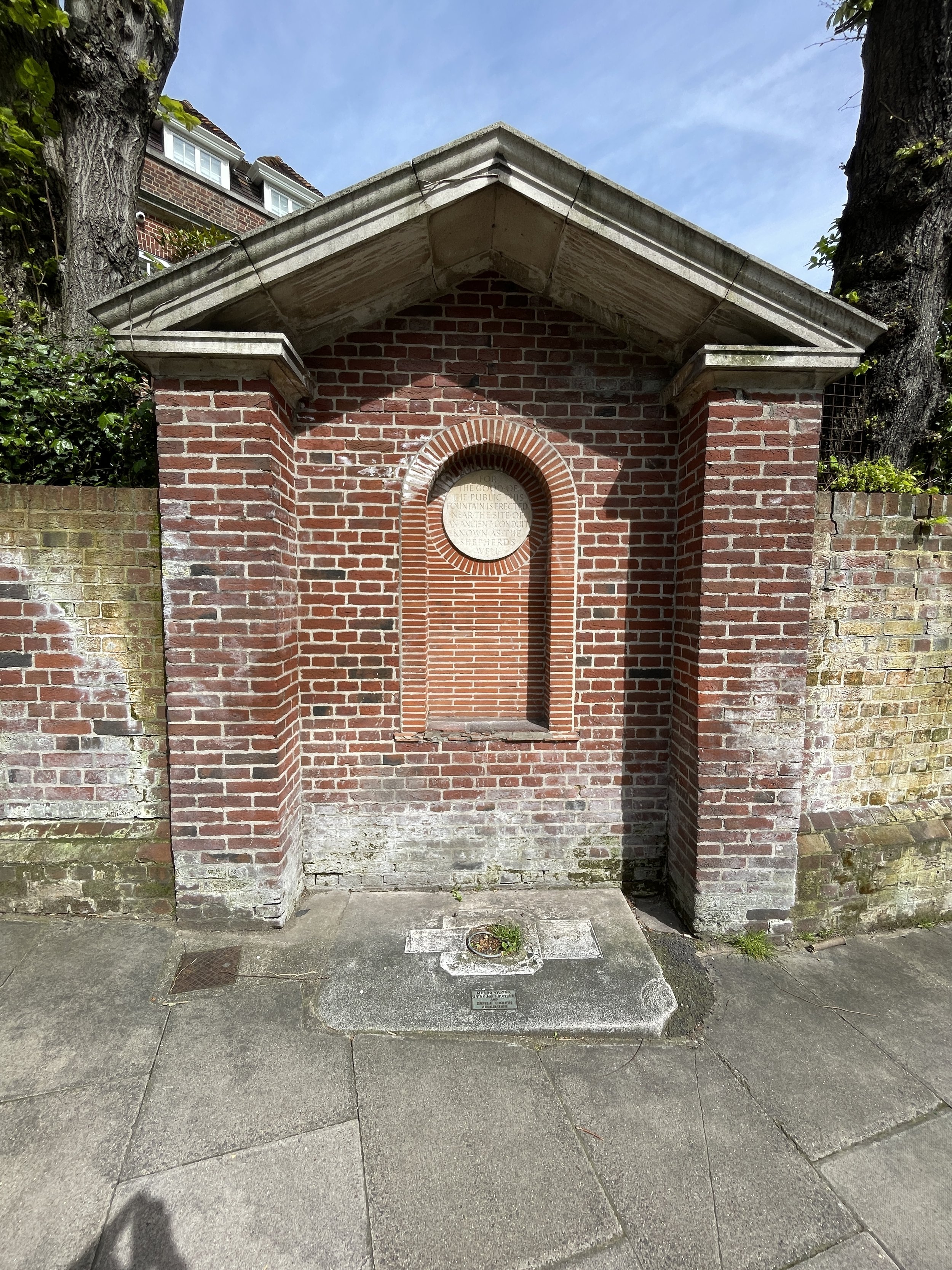
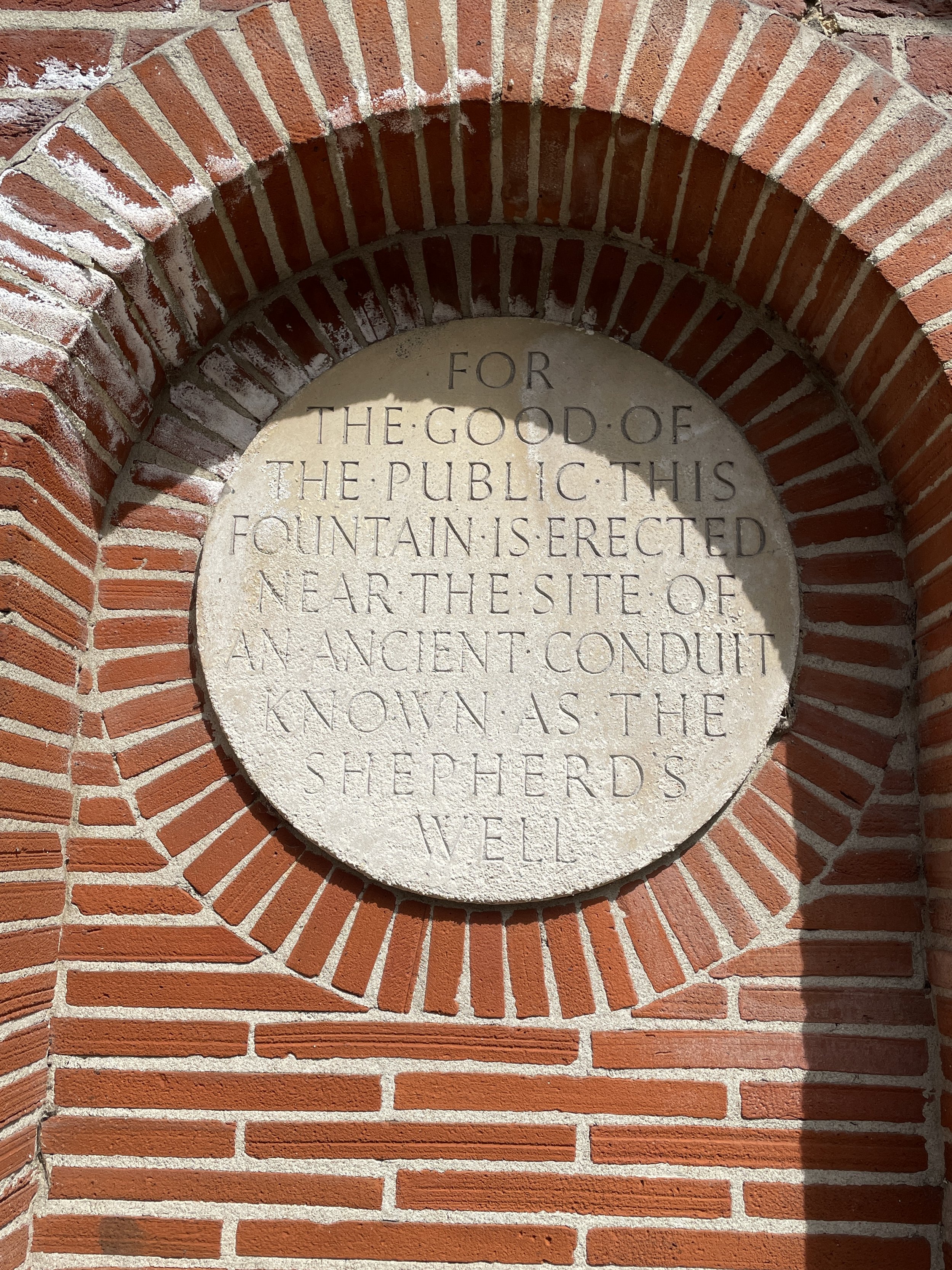
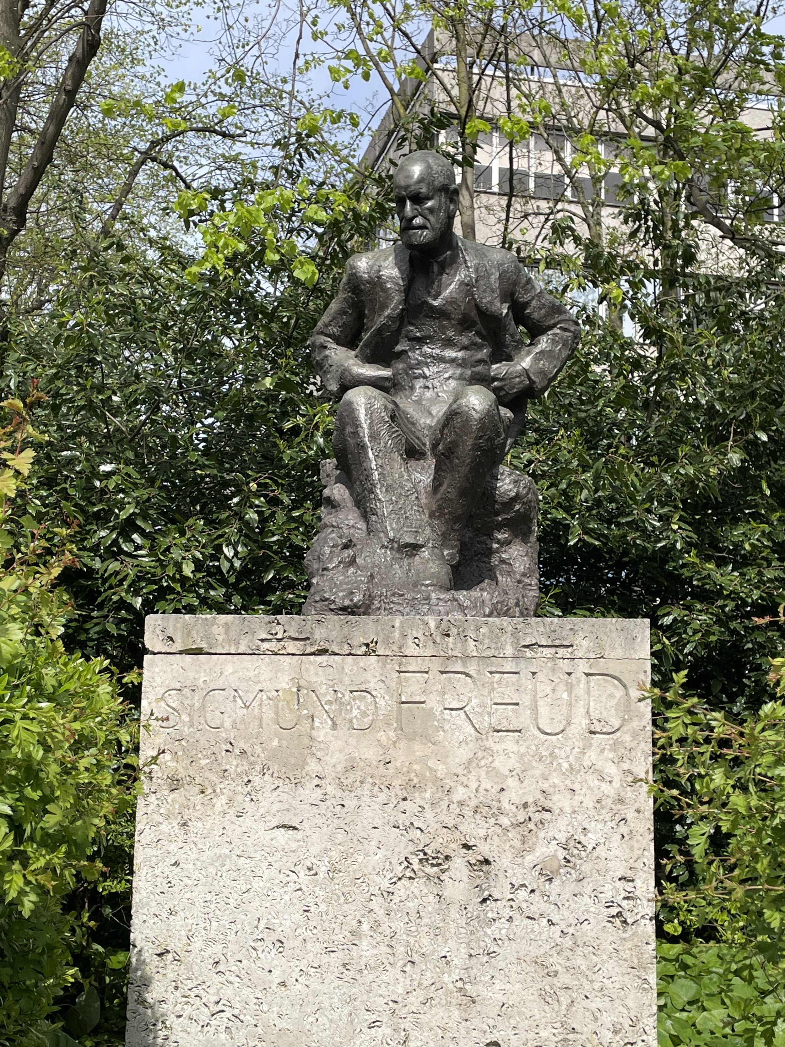
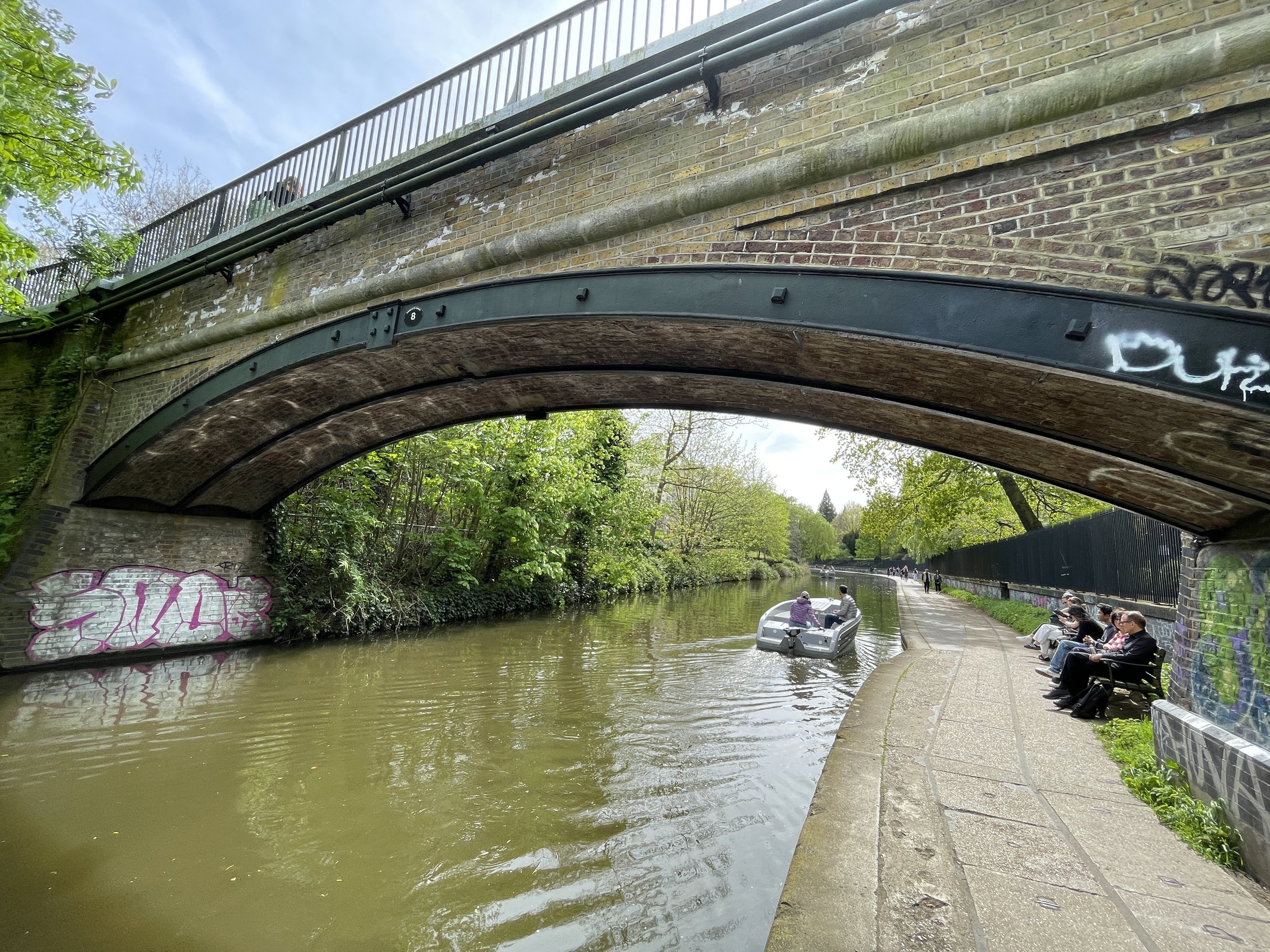
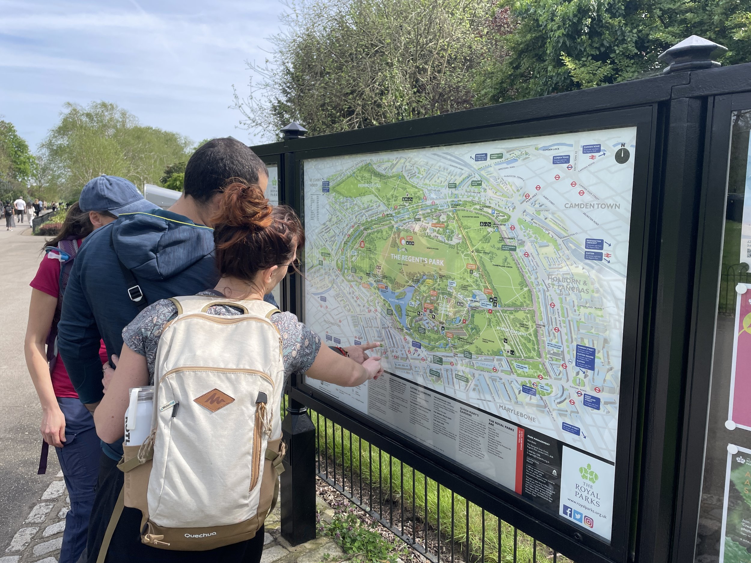
Take a right onto Shepherd’s Path and follow it back to Fitzjohn’s Avenue. Here you’ll find Shepherd’s Well, a former source of drinking water and now an early artifact of the route of the Tyburn. Continue south along Fitzjohn’s Avenue where you’ll pass the statue of Sigmund Freud on the corner with Belsize Lane. At the Swiss Cottage Junction continue in a south-easterly direction onto the B525. You could either follow this straight to Regent’s Park or, to keep closer to the route of the old river, take a right onto Norfolk Road, a left onto Woronzow Road, a right onto St Johns Wood Terrace and a left onto Charlbert Street. Cross over Prince Albert Road and cross over Bridge #8 on the Regent’s Canal to enter Regent’s Park.
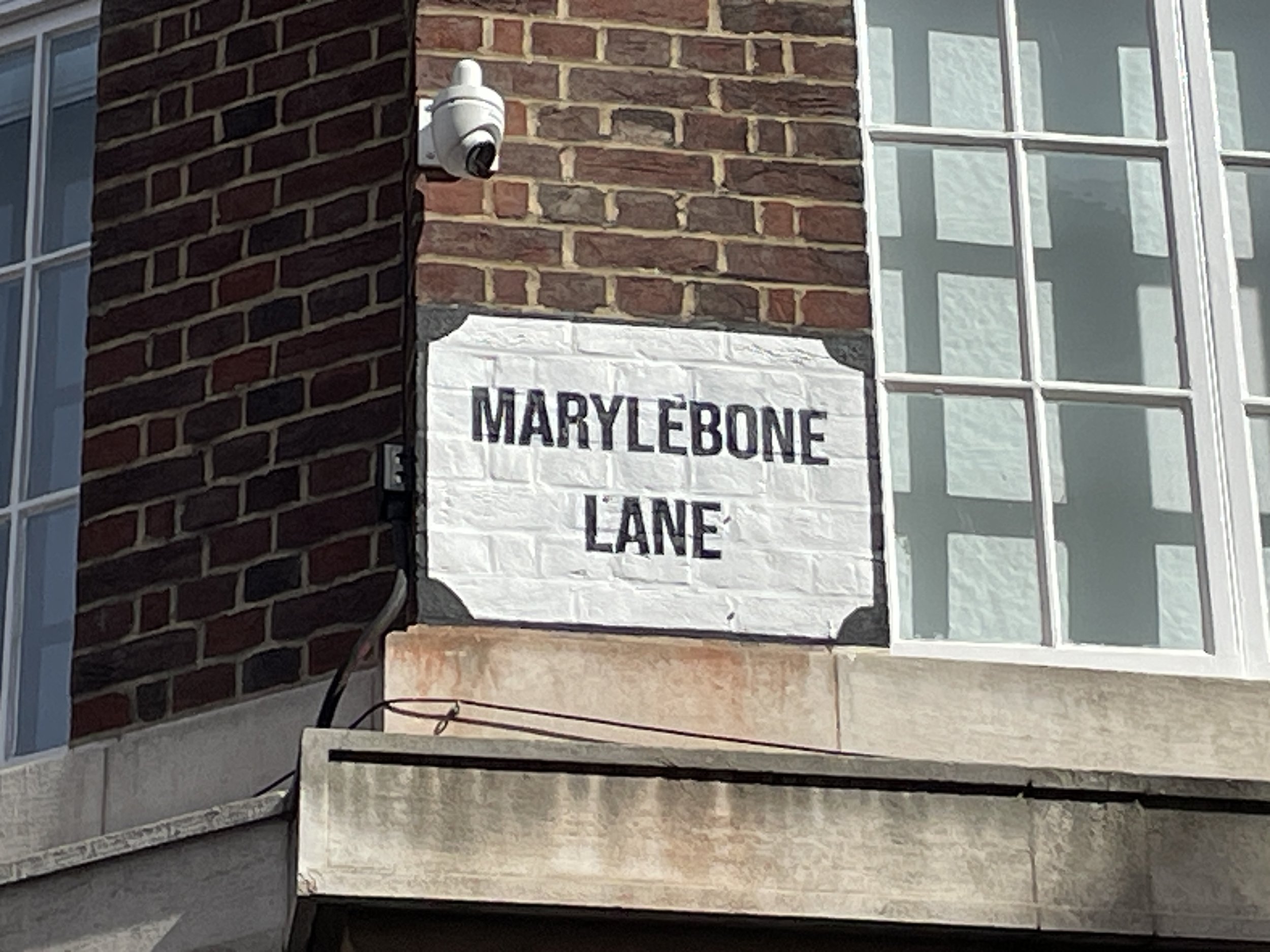
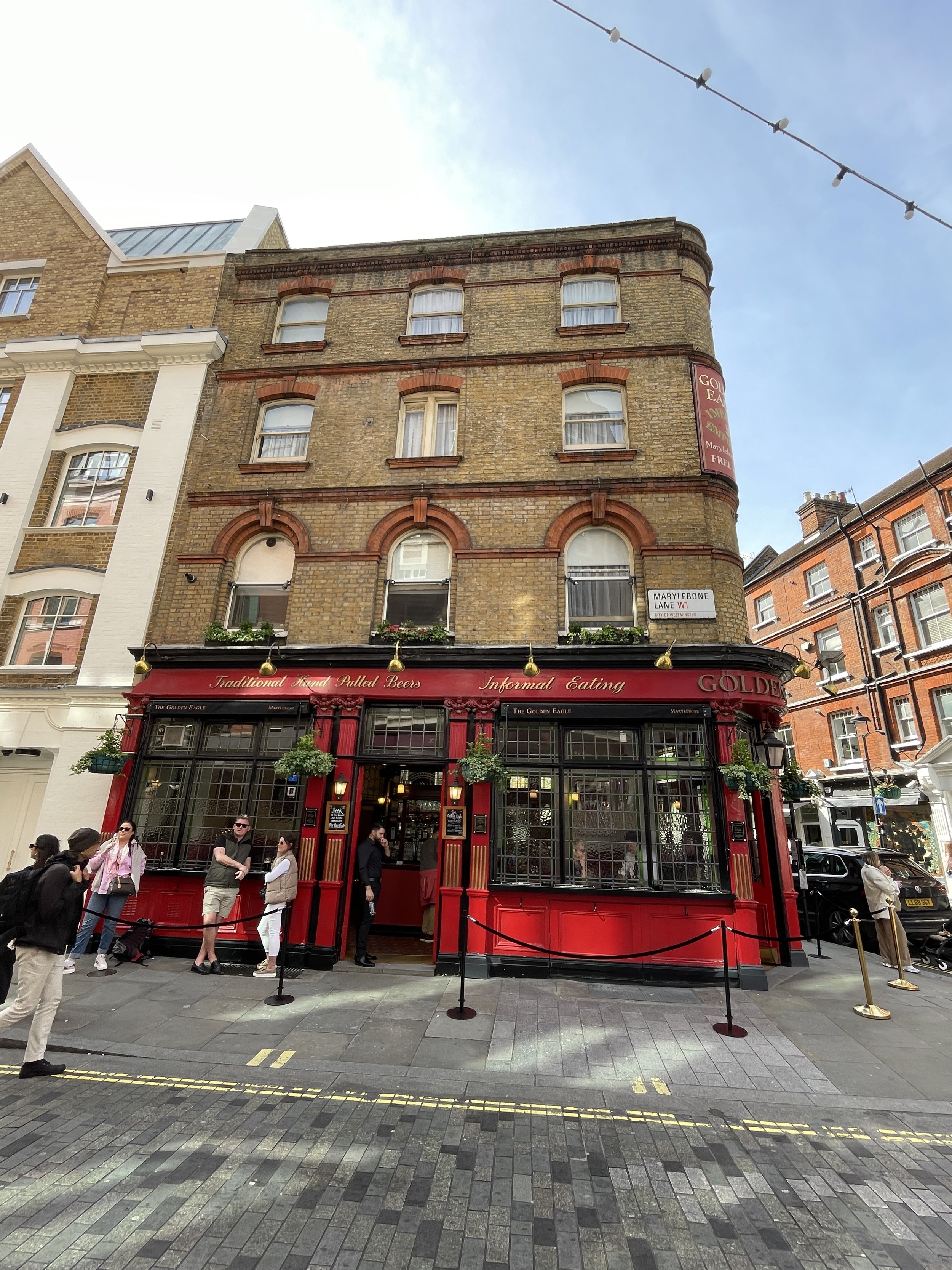
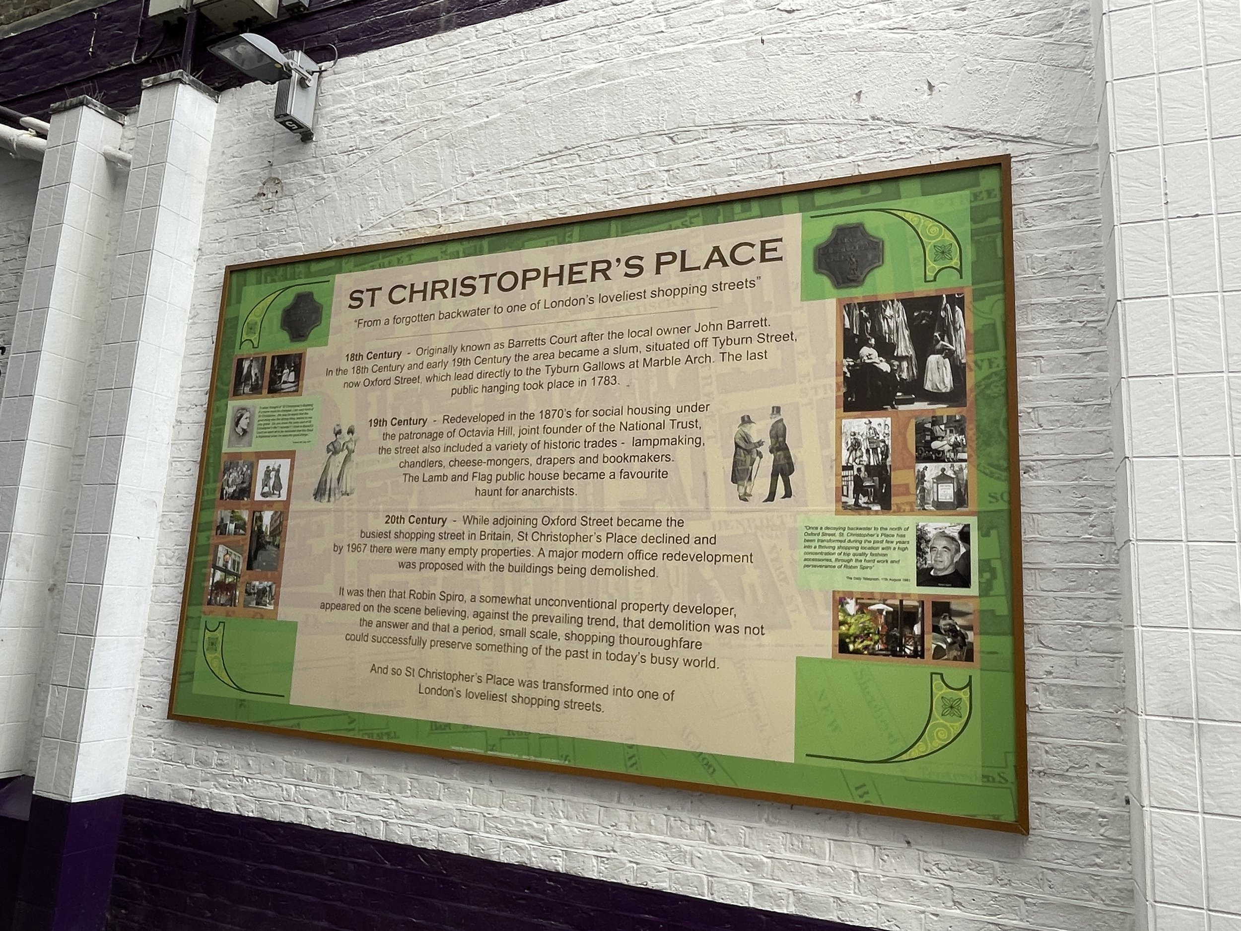
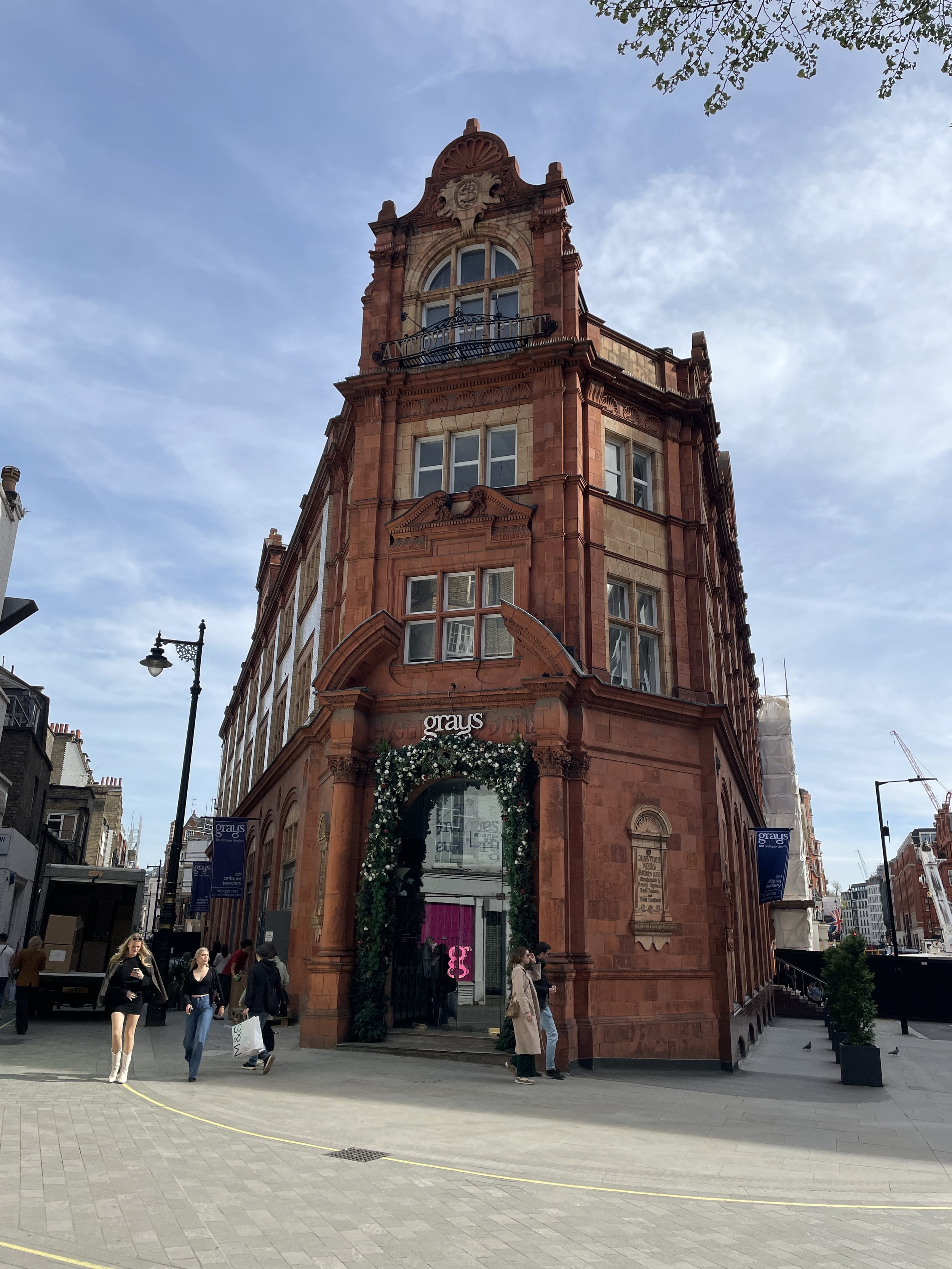
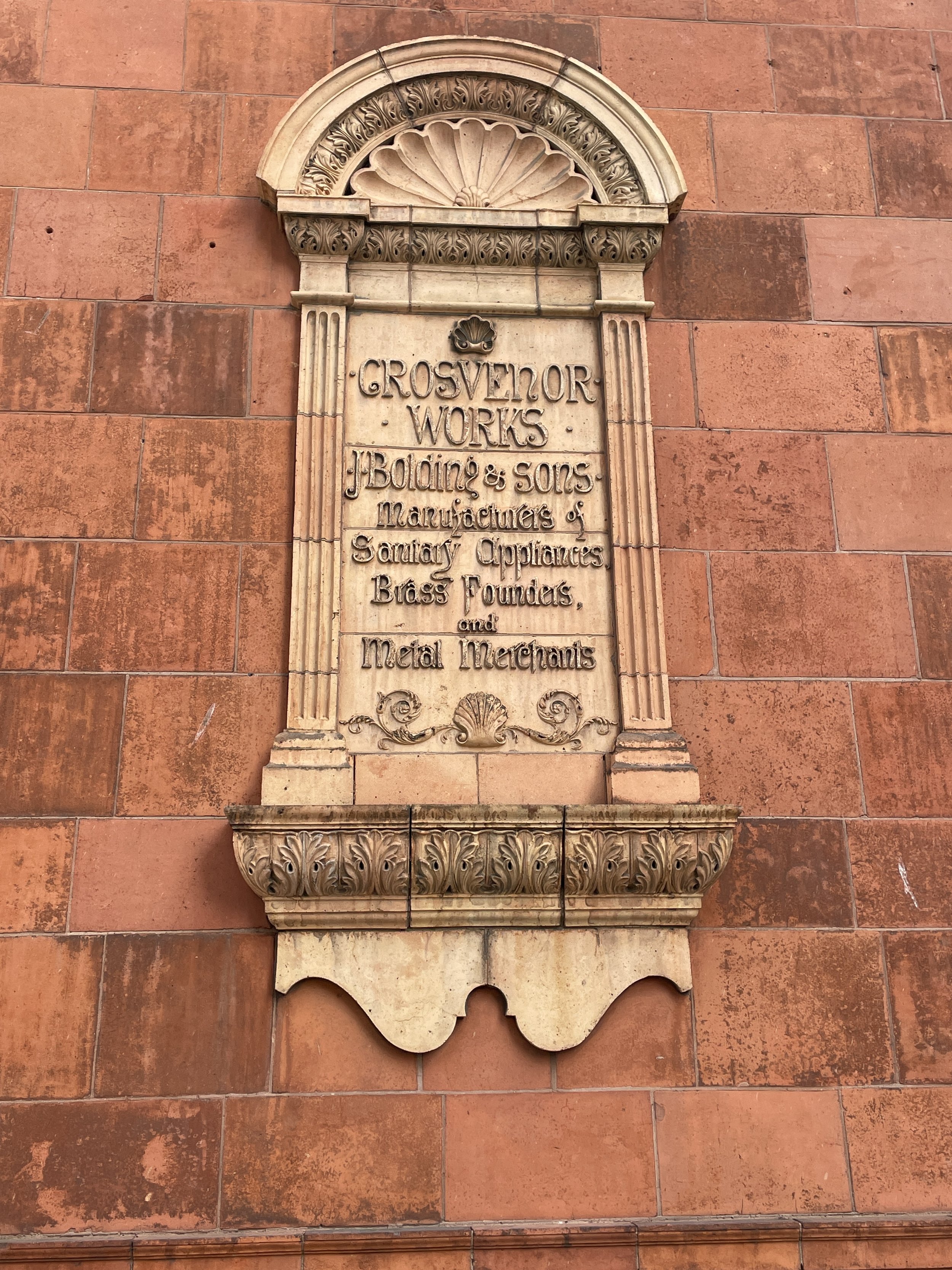
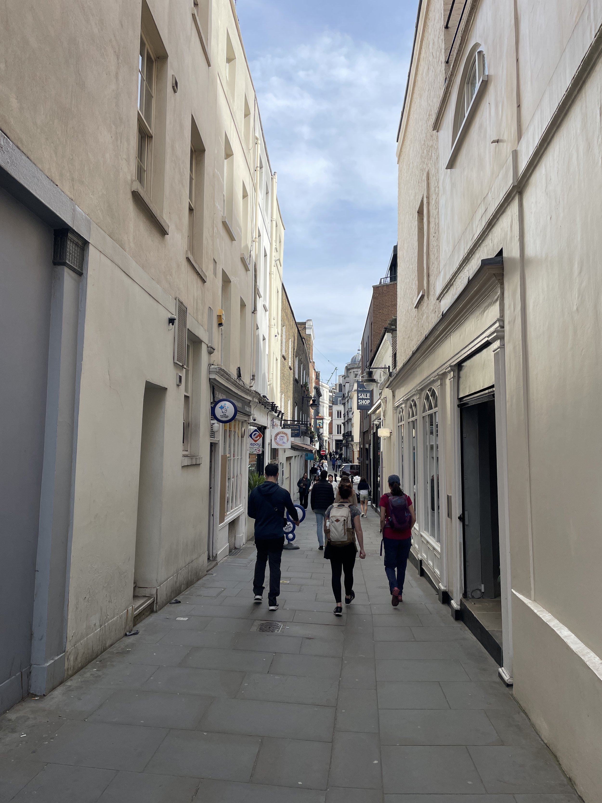
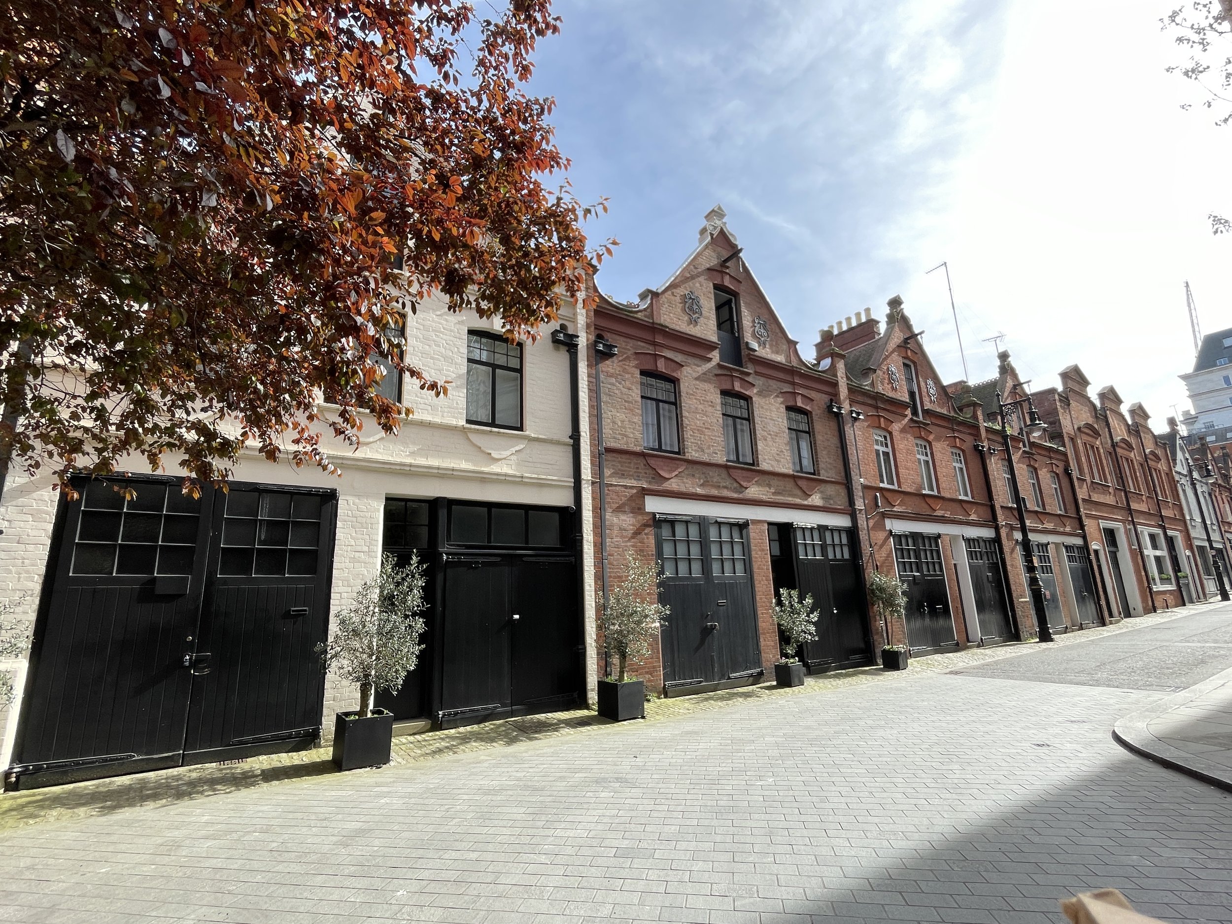
Head south through Regent’s Park and along-side the western side of the boating lake which was once filled by the Tyburn. Exit the park onto Baker Street just before the footbridge that leads to Regent’s University. Head south along Baker Street, then over the A501 into Marylebone. The area takes its name from the River Tyburn and the nearby St Mary’s Church (“St Mary’s on the bourne” = Marylebone). The route of the Tyburn meanders south through Marylebone and across Oxford Street (known as Tyburn Road in the eighteenth century) at Bond Street. Continue south into Mayfair and take a moment to stop at Gray’s Antiques Market where’s it’s claimed that the river still runs through its basement.
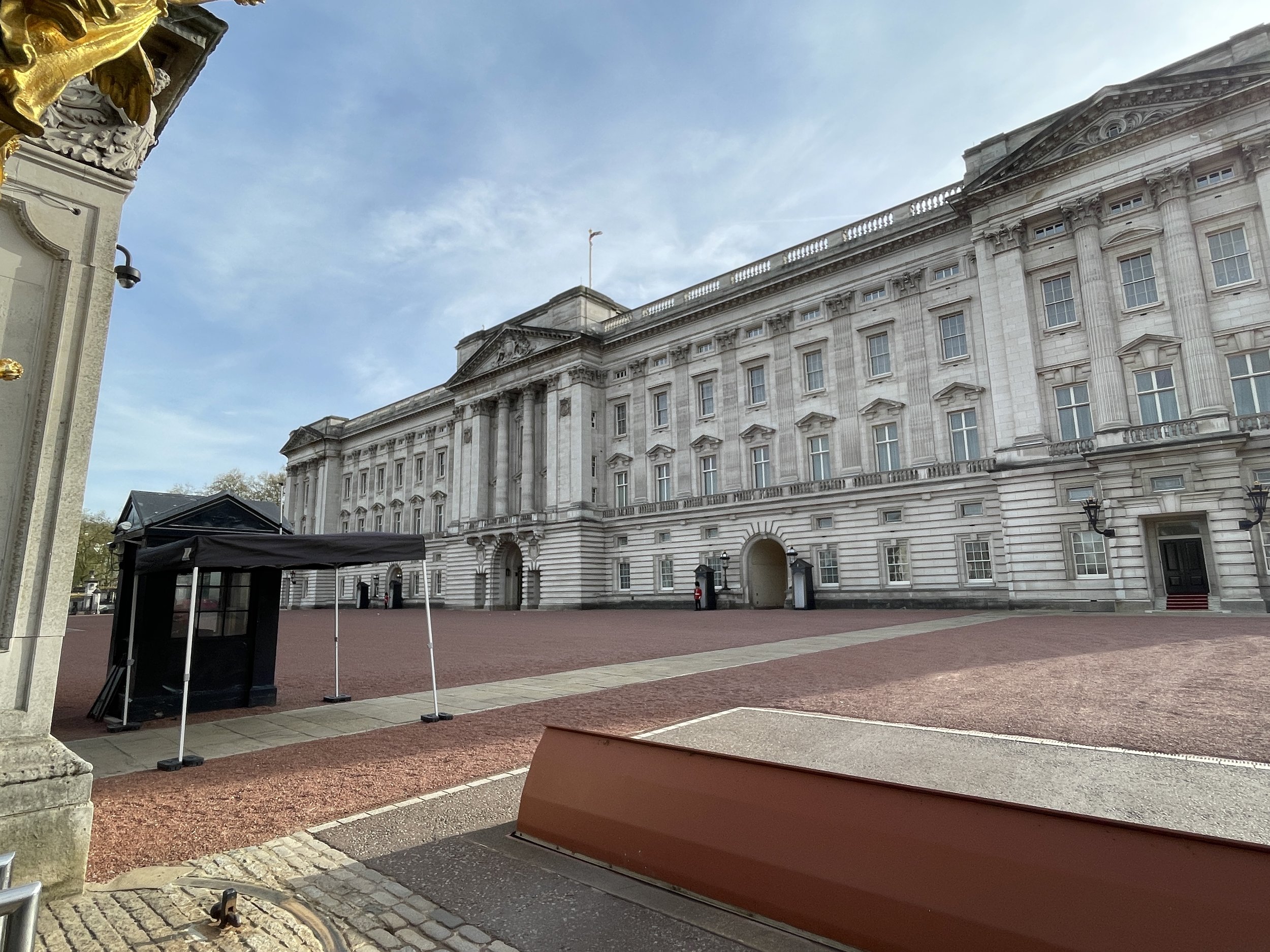
At New Bond Street then route of the Tyburn curves to the south-west taking you along Curzon Street and White Horse Street to Piccadilly. Cross over into Green Park and cross the park in a south-easterly direction to Buckingham Palace. The Tyburn flows under the Palace, emerging on the south side near Ambassador’s Court. Here the Tyburn splits into two with one section flowing south to Pimlico and another branch west to Westminster.
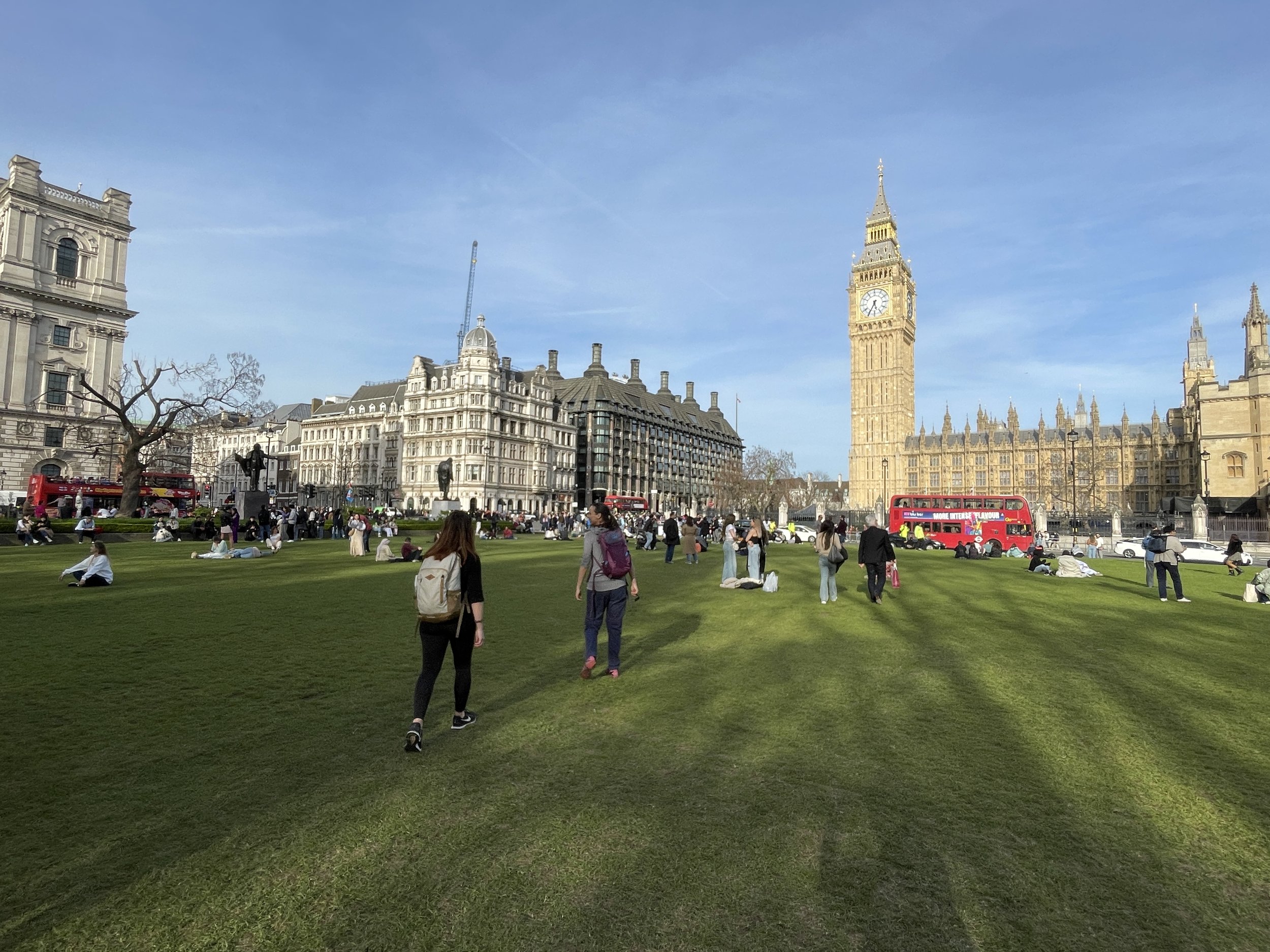
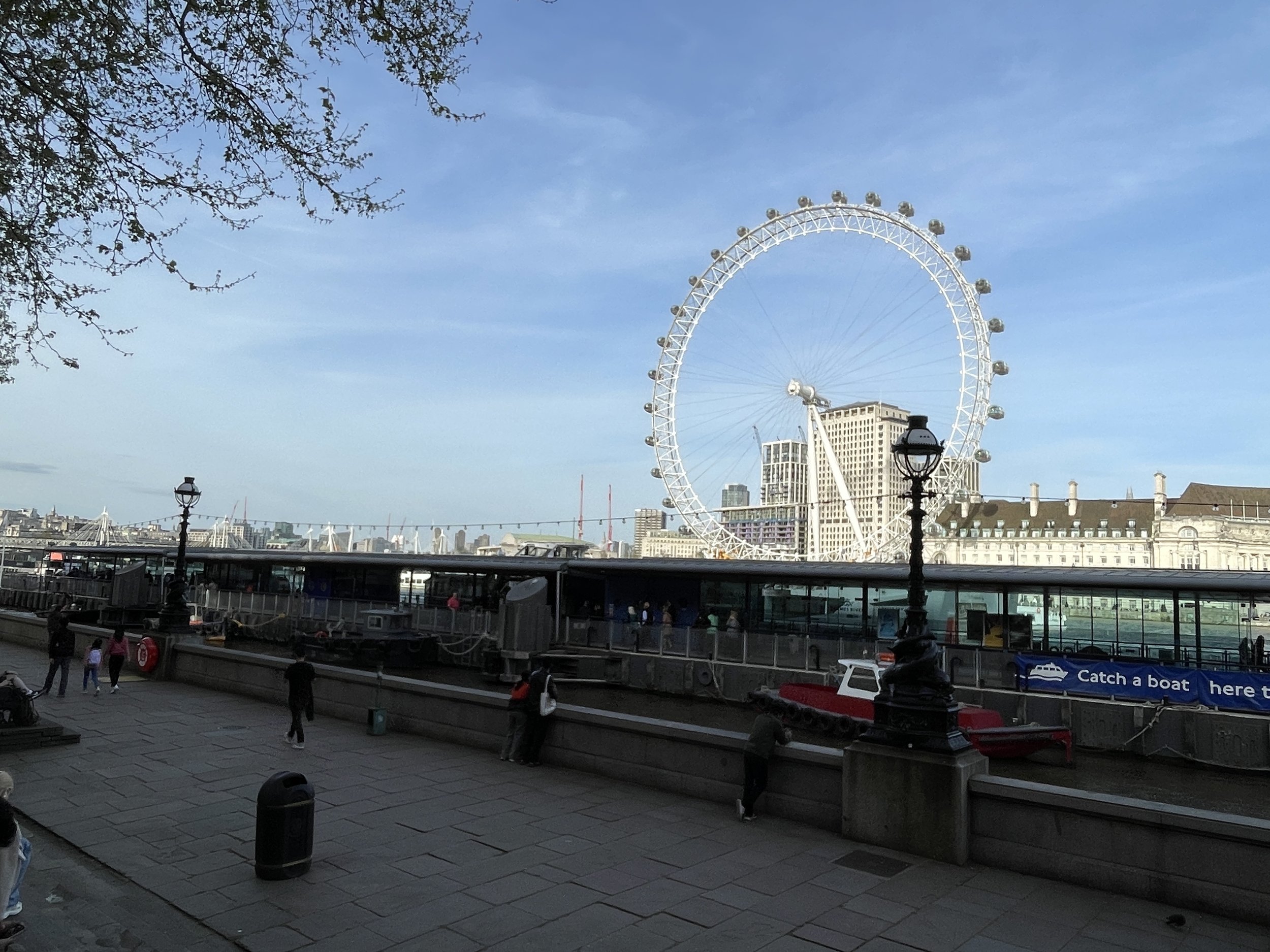
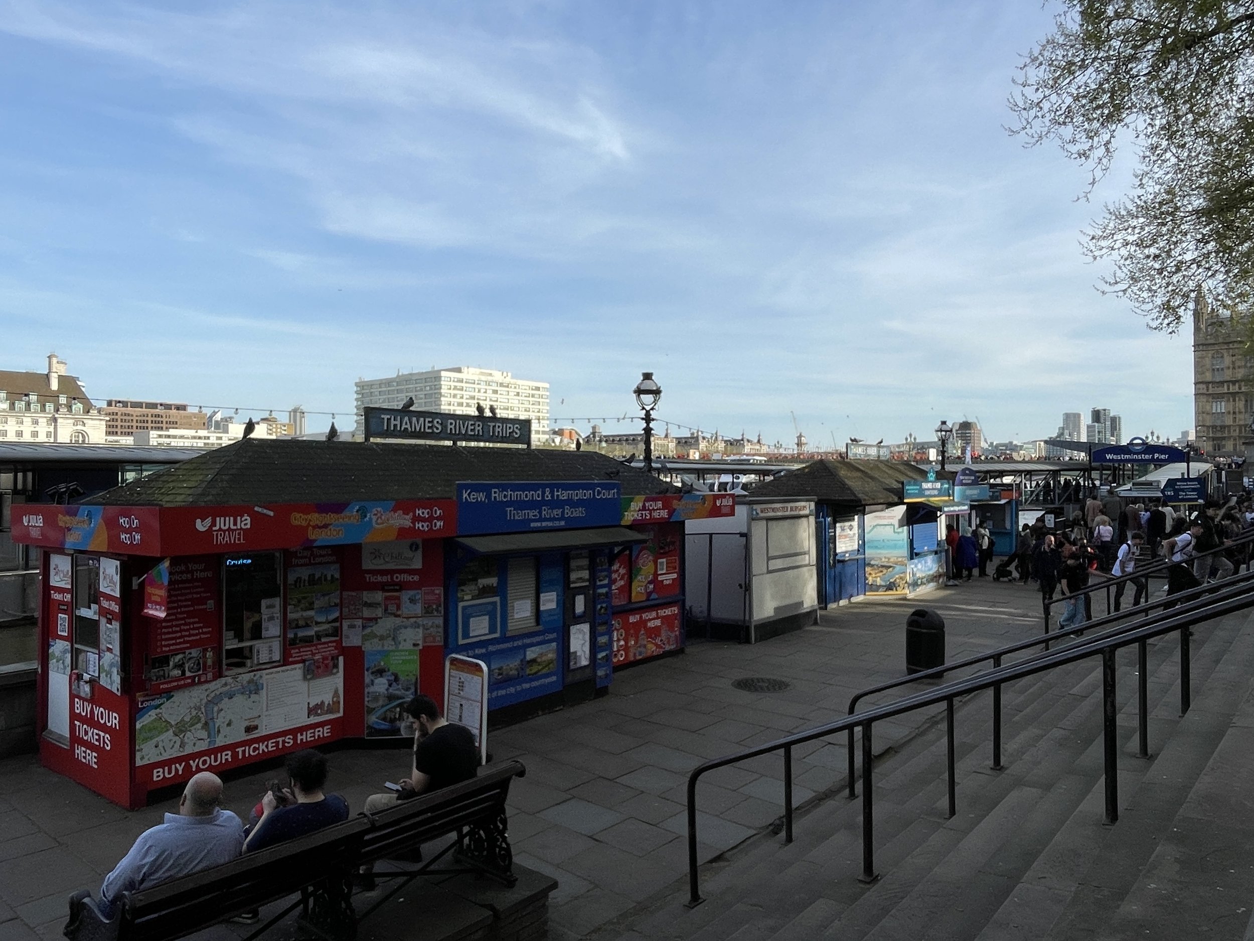
We chose to follow the Westminster branch, following the route along Buckingham Gate, Caxton Street, Dacre Street, Victoria Street and onto Parliament Square. Cross the grass centre of Parliament Square towards Westminster Bridge, then walk north on the Embankment to Westminster Pier. The unmarked confluence of the Tyburn and Thames is approximately at the spot of the Protected View to St Paul’s Cathedral.
The Eastern Source: Belsize Park to Charlbert Street
Start: Belsize Park Underground, Haverstock Hill, London, NW3 2AL
Finish: Drunch Pub Regent's Park, 38 St John's Wood Terrace, London, NW8 6LS
Distance: 3.3 km (2 Miles)
Elevation change: +6m / -35m. Net -29m
GPX File: get via Buy Me a Coffee
Other Routes Touched: None
Links: Belsize Park
Having walked the Hampstead to Westminster branch of the Tyburn I wanted to visit the alternative sources at Belsize Park and the eastern confluence at Pimlico. I used OpenStreetMap as a guide as some layers show the route of the Tyburn. There’s actually 2 eastern sources shown at Belsize Park, one near the Everyman Cinema on Haverstock Hill and the other in the ground of Hillfield Court off Belsize Avenue. Both are within a few minutes of Belsize Park Underground Station.
To follow the course of the Tyburn from the eastern sources, find the junction of Glenloch Road and Glenmore Road. Follow Glenmore Road in a south-westerly direction, take a left onto Glenilla Road, then a left onto Belsize Park Gardens. Here the course of the river cuts under the terraced houses so you need to take a longer route round to pick up Lancaster Drive on the southern side. Follow Lancaster Drive south, right onto Lancaster Grove, left onto Strathray Gardens, right onto Eton Avenue and left onto King’s College Road. Here the course goes through a private estate. From the map it looked like you could walk through the estate, but I choose a slightly longer route around via Winchester Road and Harley Road to pick up the course again at Wadham Gardens. Take a right onto Elsworthy Lane, a left on to Avenue Road, right onto Acacia Road, left onto Woronznow Road, and a right onto St Johns Wood Terrace.
According to OpenStreetMap, this branch of the Tyburn merges with the Hampstead branch at the junction of St Johns Wood Terrace and Charlbert Street. The junction is flanked by the Drunch Pub and a hairdressers.
The Pimlico Branch: Buckingham Palace to Grosvenor Road
Start: Gates to Ambassadors’ Court, Buckingham Palace, London, SW1A 1AA
Finish: Thames Path by Tyburn House, 140c Grosvenor Rd, Pimlico, London, SW1V 3JY
Distance: 2.1 km (1.3 Miles)
Elevation change: +12m / -18m. Net -6m
GPX File: get via Buy Me a Coffee
Other Routes Touched (walk): Thames Path
Other Routes Touched (cycle): NCN 4, C8
Links: Buckingham Palace, Pimlico
To pick up the Pimlico Branch, return to Ambassadors’ Court on the south side of Buckingham Palace. The main walk detailed about heads west from here to Westminster. Instead we’ll continue south through Westminster, Victoria, Pimlico and to the confluence with the Thames.
From Ambassadors’ Court, cross over the A3124 Buckingham Gate and walk south down a small alleyway, also called Buckingham Gate, then take a right onto Stafford Place. Continue south, crossing Palace Street, along Cathedral Walk and onto the A302. Follow Carlisle Place briefly then divert onto King Scholar’s Passage to stay closer to the course of the Tyburn. Cross over Vauxhall Bridge Road and onto Upper Tachbrook Street then Tachbrook Street. At Pimlico Underground Station, cross over Lupus Street and follow Aylesford Street to Grosvenor Road that runs parallel to the Thames. Take a left onto Grosvenor Road and follow it for ~100 metres to find Tyburn House on the south side of the road. Take the alleyway to the Thames Path to meet the confluence of the Tyburn with the Thames. You’ll find it marked by a slate plaque by artist Paul Mason listing key points along the course of the Tyburn.
The Tyburn Tree and Tyburn Convent
The Tyburn Tree and Tyburn Convent are fascinating places to visit after the walk.
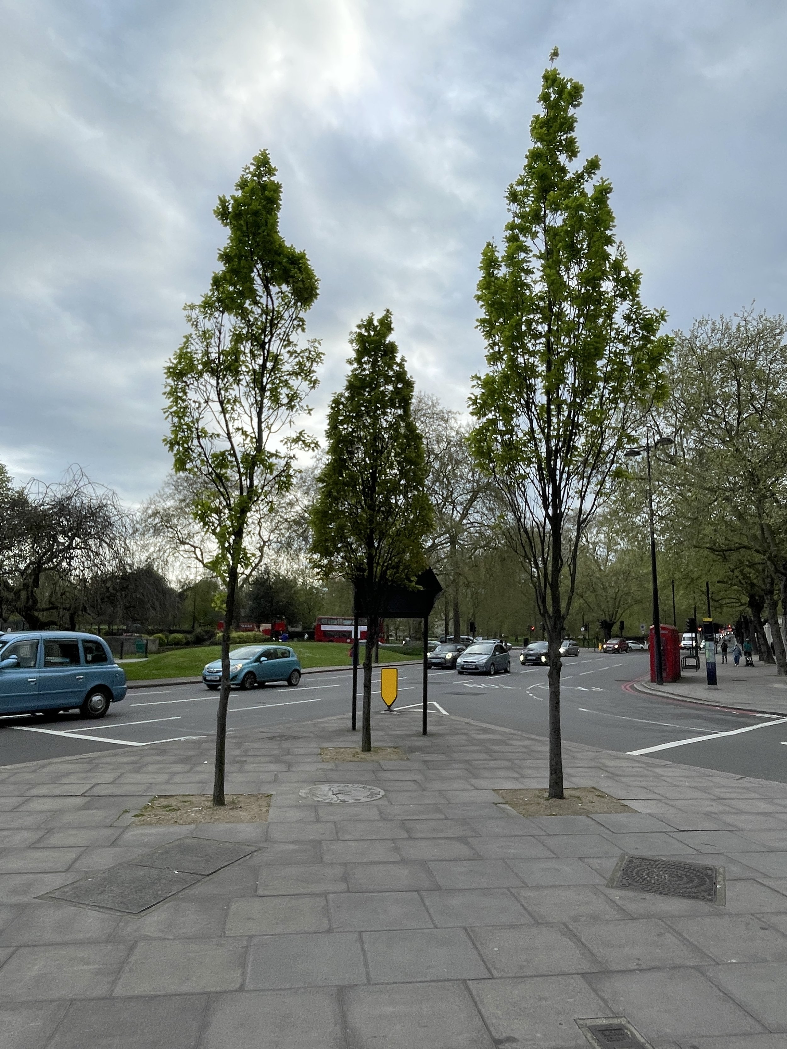
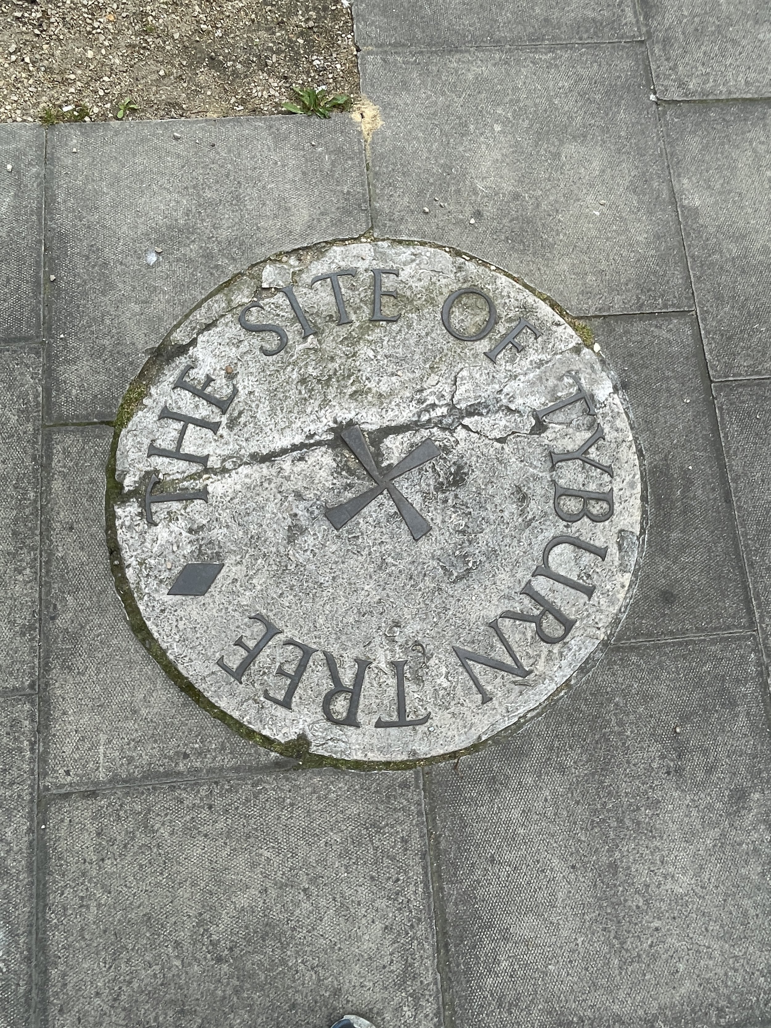
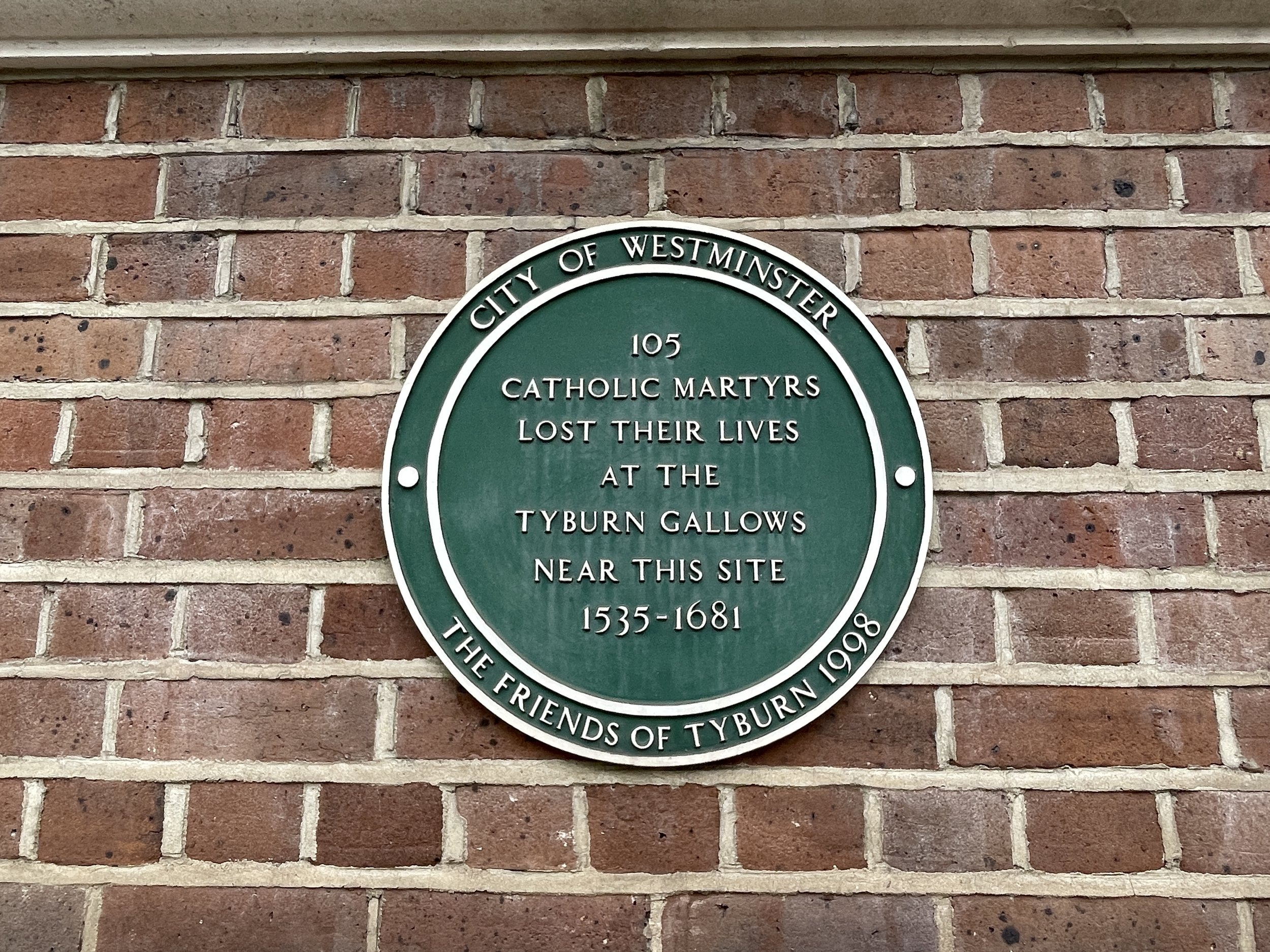
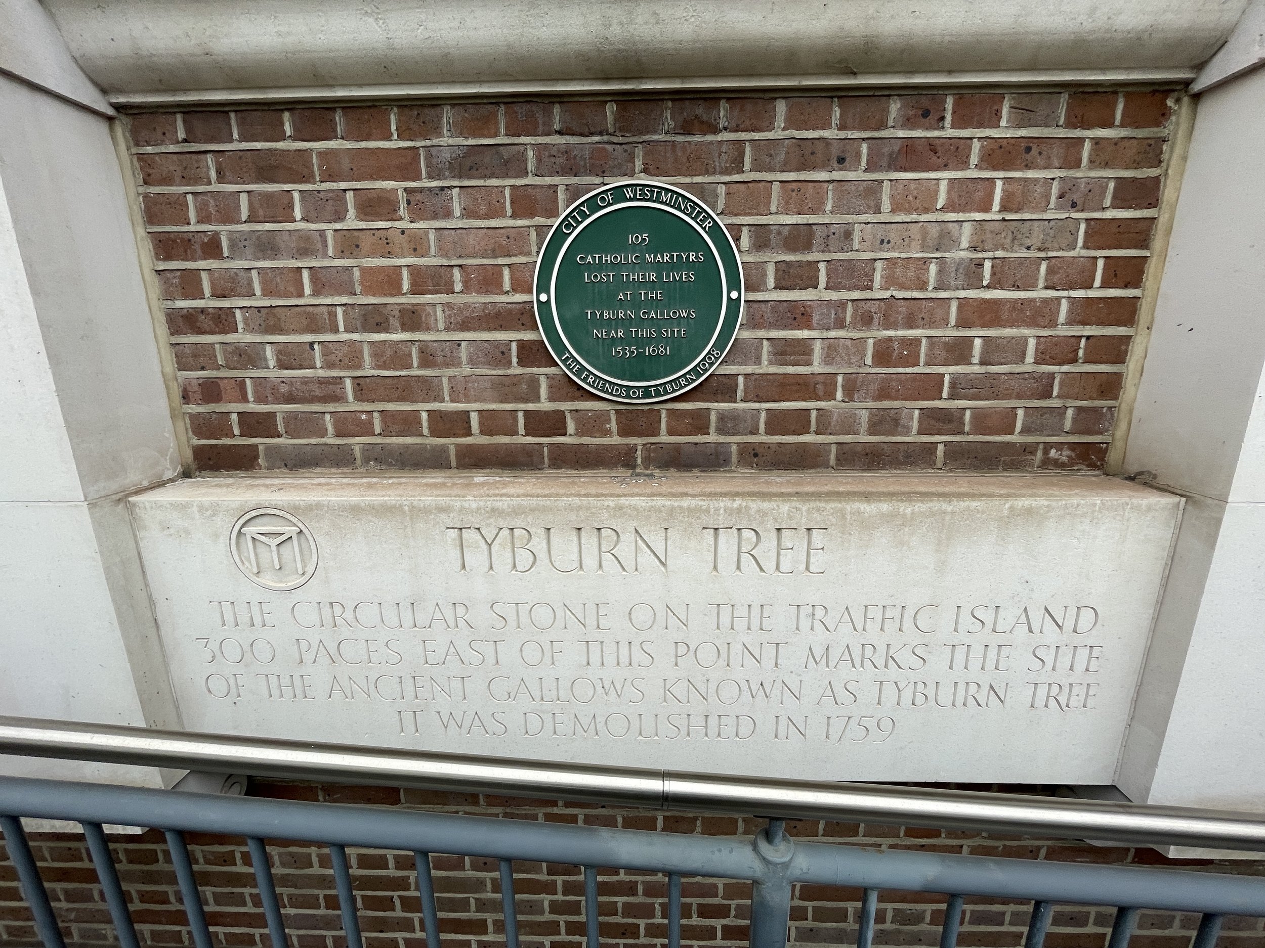
For over 600 years, the Tyburn Gallows loomed over London as a grim symbol of punishment. Nicknamed "The Deadly Never Green Tree," this wasn't an actual tree but a permanent, three-pronged wooden scaffold where public executions took place. From the 16th to the 18th centuries, thousands met their demise here for crimes ranging from petty theft to treason. The process could be gruesome, with condemned souls hanged, then sometimes even drawn and quartered as a chilling deterrent to onlookers. Though a morbid landmark, the Tyburn Gallows offer a glimpse into London's harsh past and the evolution of justice. Today, a solitary plaque marks the spot where countless fates were decided.
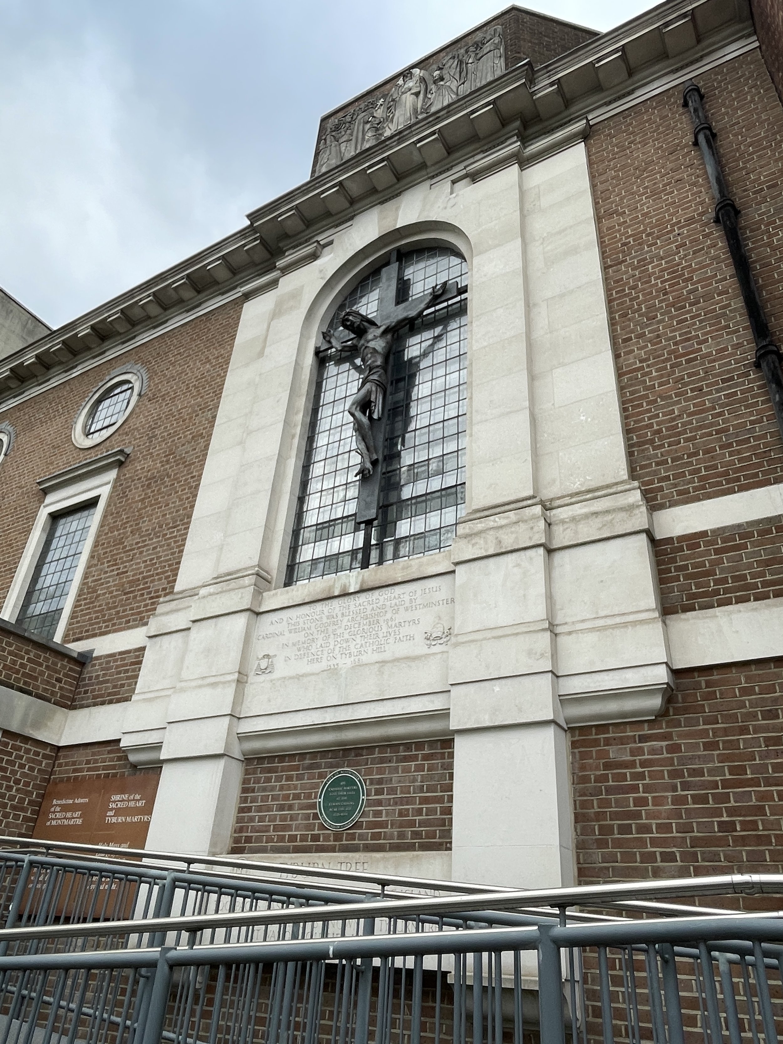
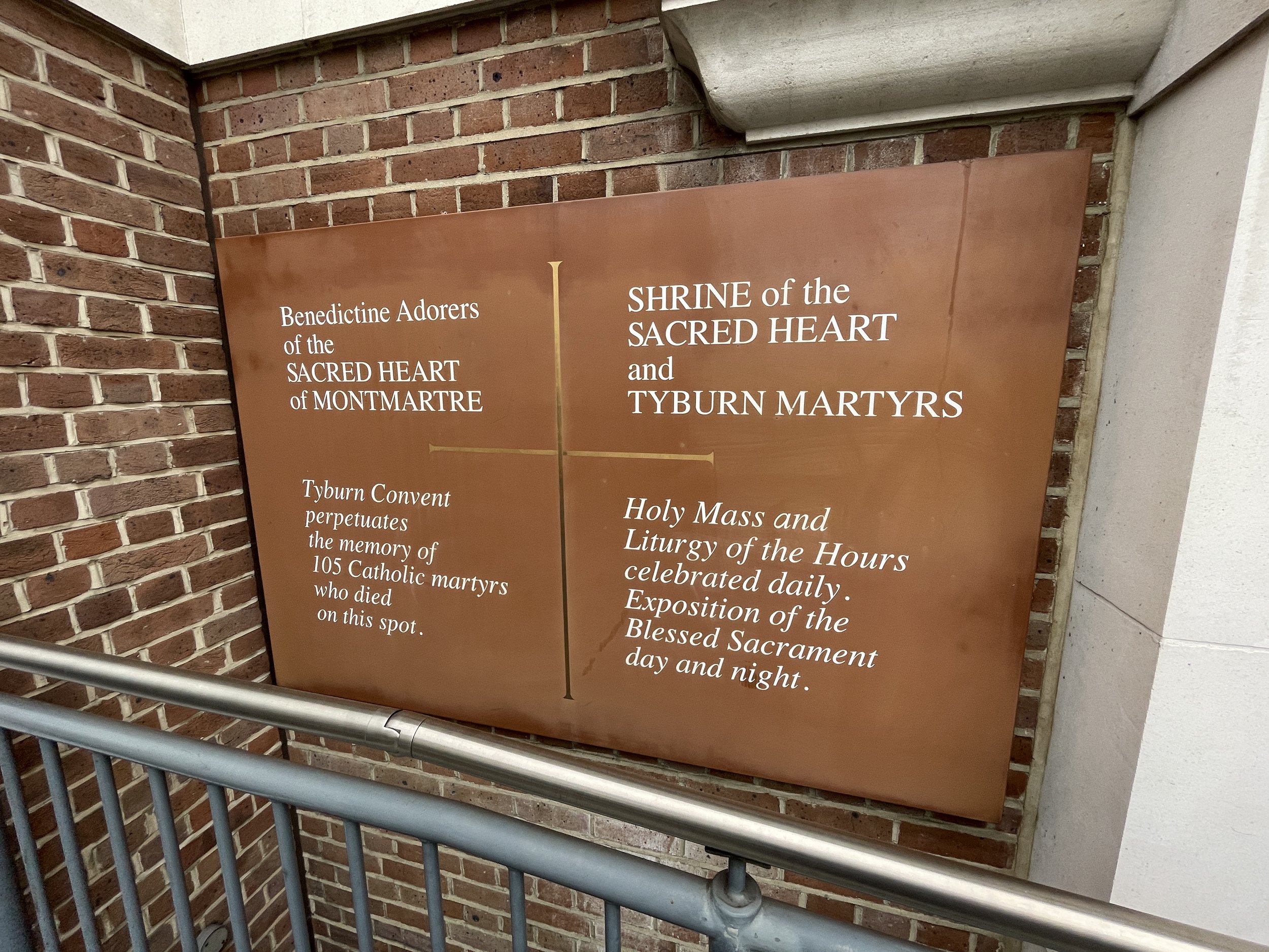
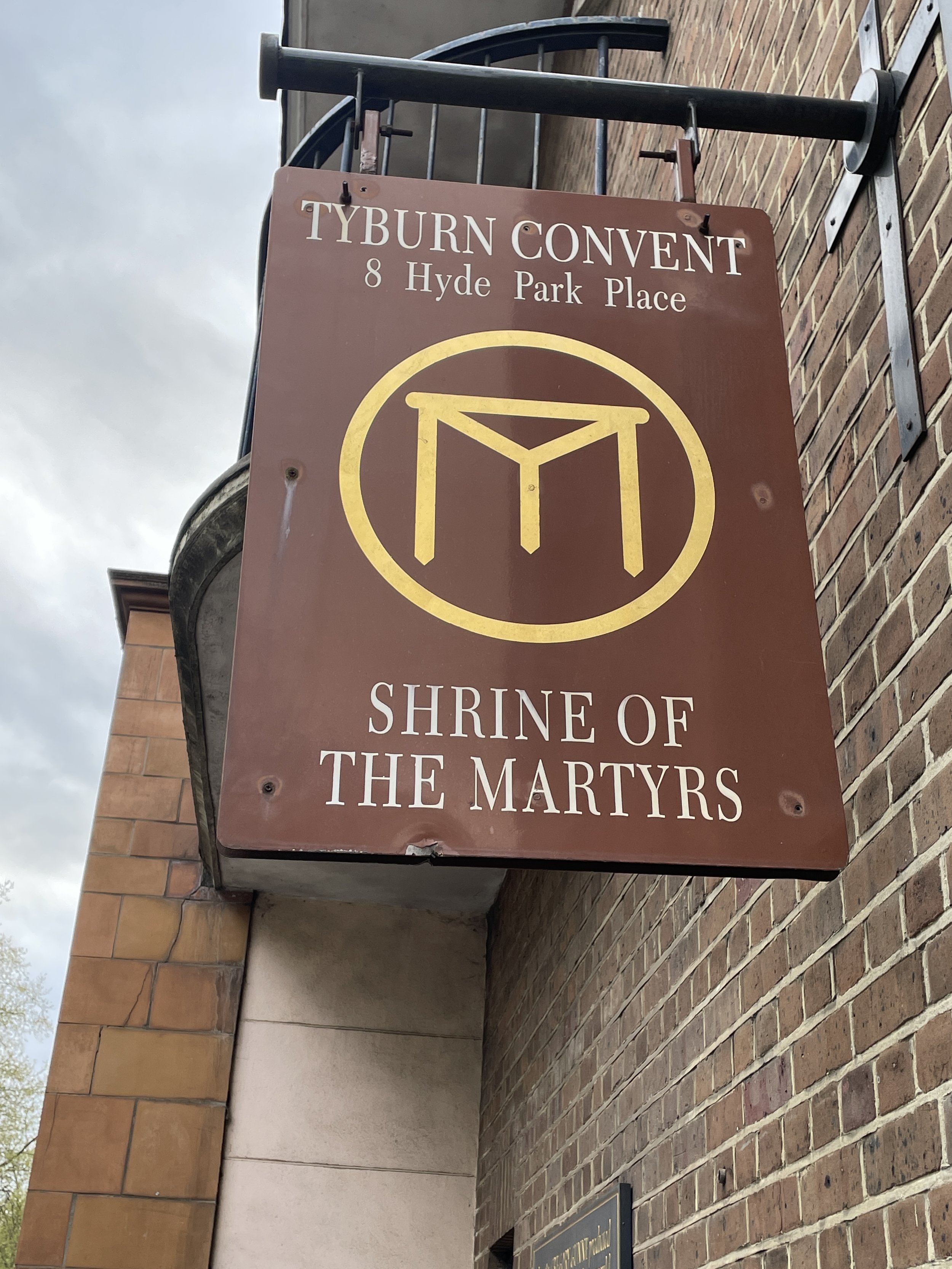
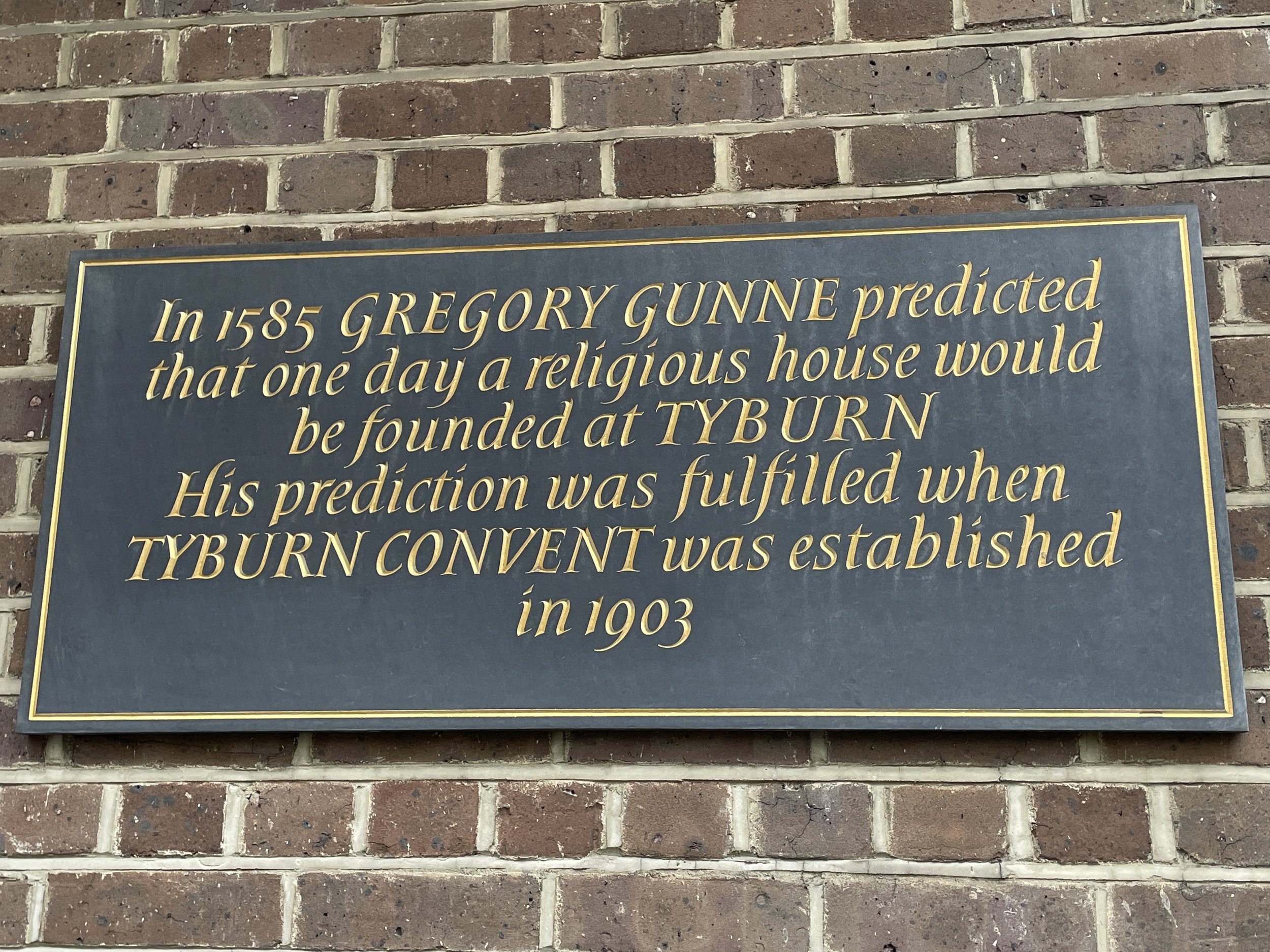
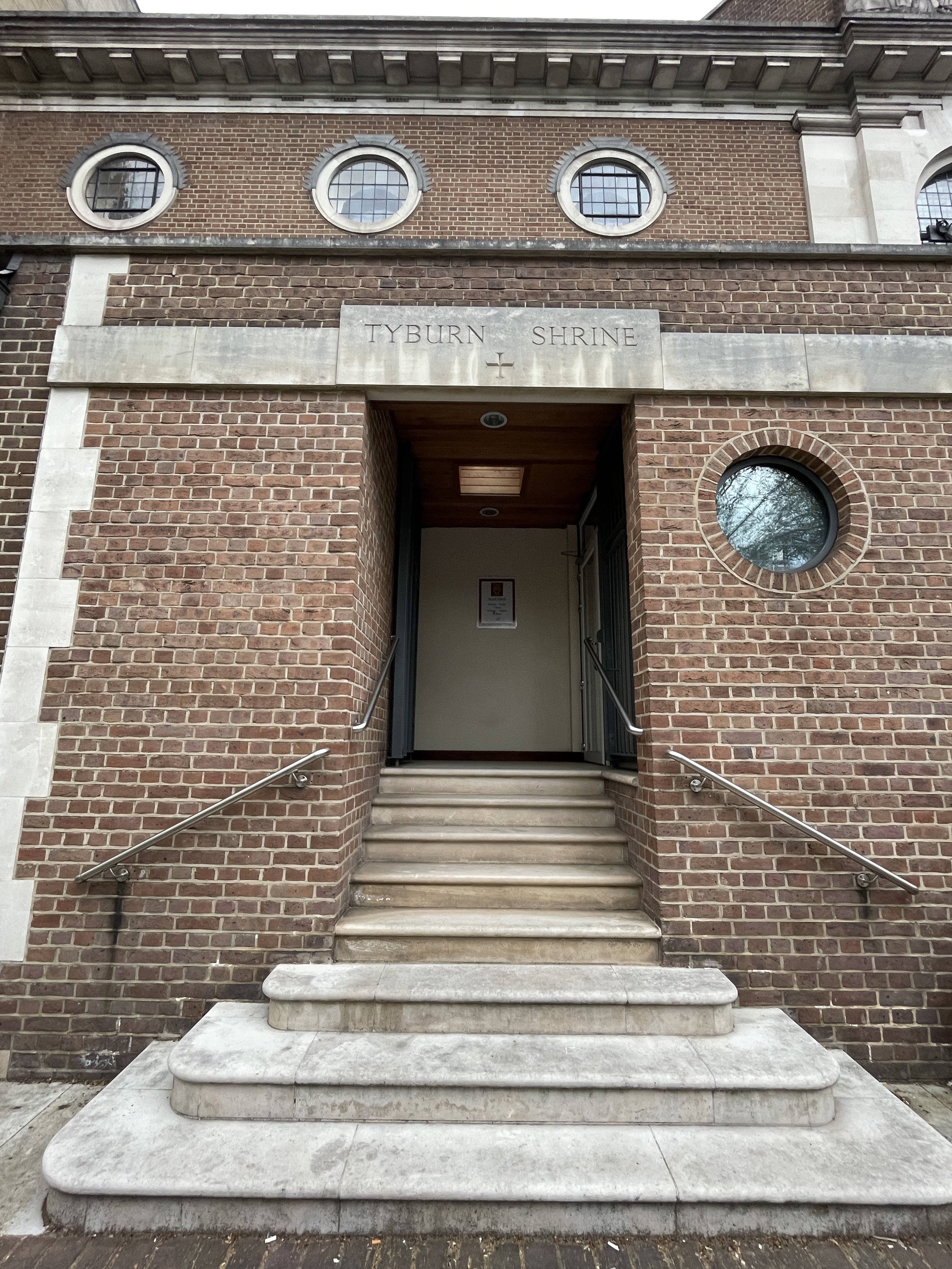
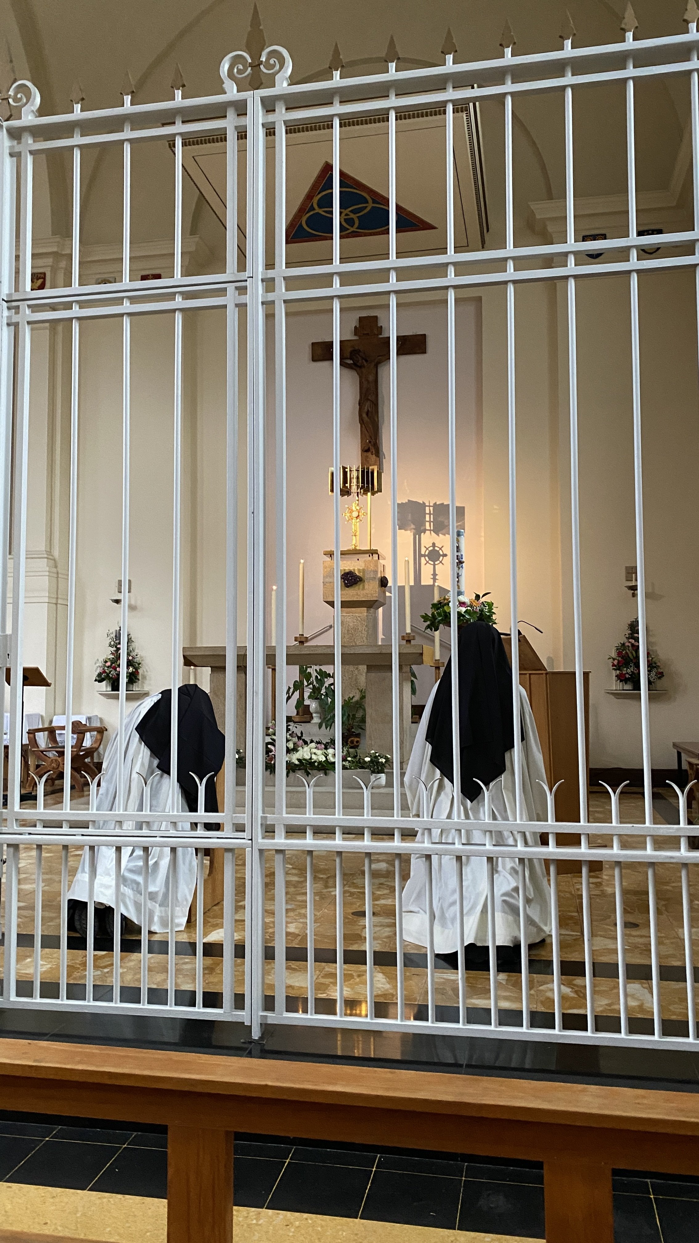
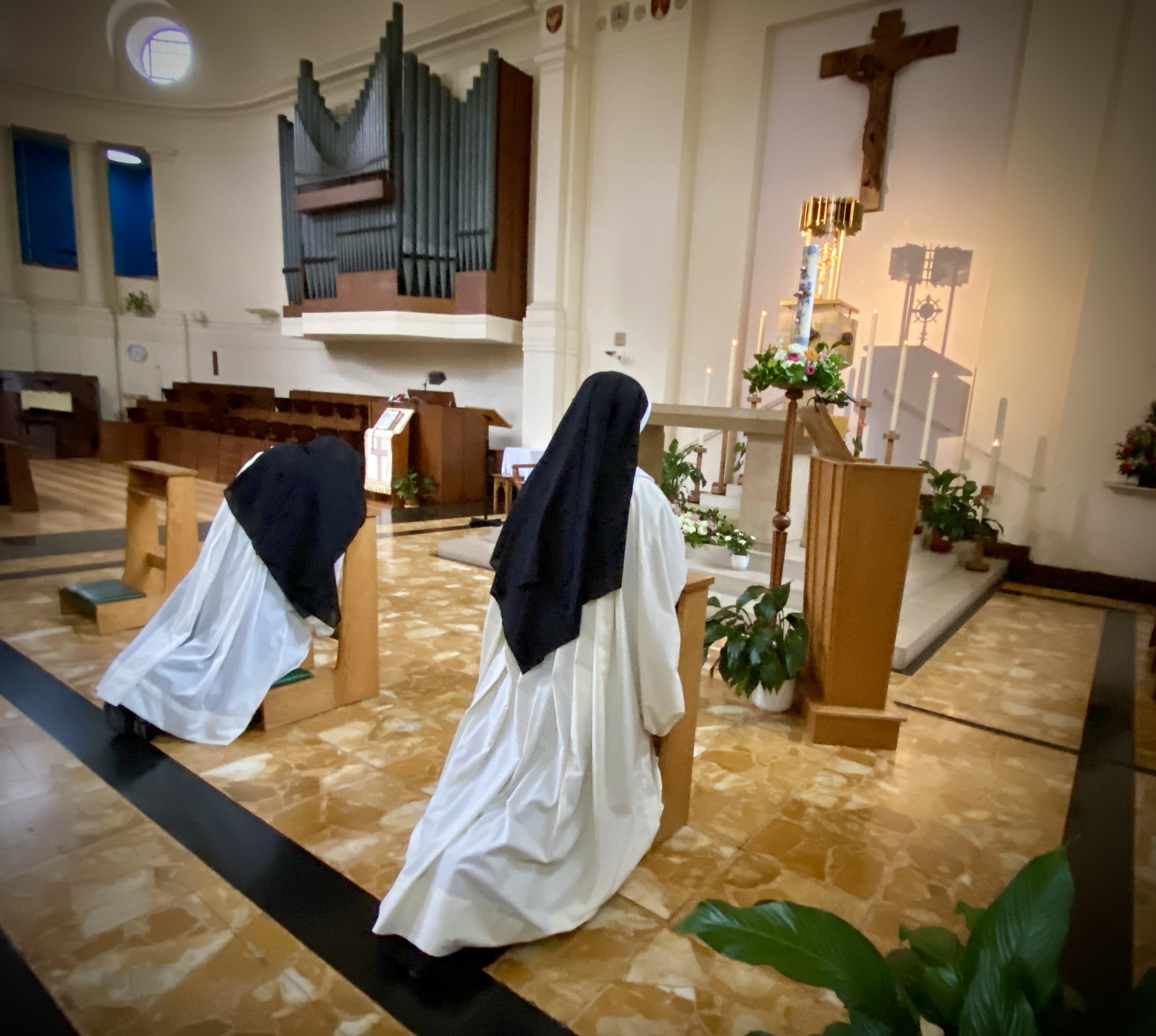
Around 300m west of the Tyburn Gallows is the Tyburn Convent. Built in the early 1900s, it serves as a shrine to the Catholic martyrs executed there during the Reformation. The convent houses a community of nuns, the Tyburn Nuns, devoted to perpetual adoration and the legacy of these martyrs. Visitors can explore the poignant Crypt of the Martyrs, learn about the gruesome history of the site, and experience a place of solace and reflection.
The Tyburn Tree and Convent are not directly on the route of the old River Tyburn. They can be visited either as a diversion when crossing over Oxford Street or via a short Tube ride at the end from Westminster to Marble Arch with a change at Bond Street.
Links: Tyburn Tree, Tyburn Convent

