The idea of navigating above-ground trips along the London Underground lines is not exactly new. Mark Mason's brilliant 2011 book, Walk the Lines, is perhaps the best example, and many other running geeks have also attempted them. Needing to escape the house and clear my head on a cold mid-December morning in 2016, I set off to conquer the Circle Line.
The Circle Line is a great starting point for above-ground Tube adventures. All the other lines have distant start and end points that stretch deep into the suburbs and require quite a bit more logistical planning. At just over a half marathon, tracing the Circle is an easy, self-contained half day adventure.
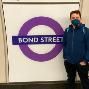
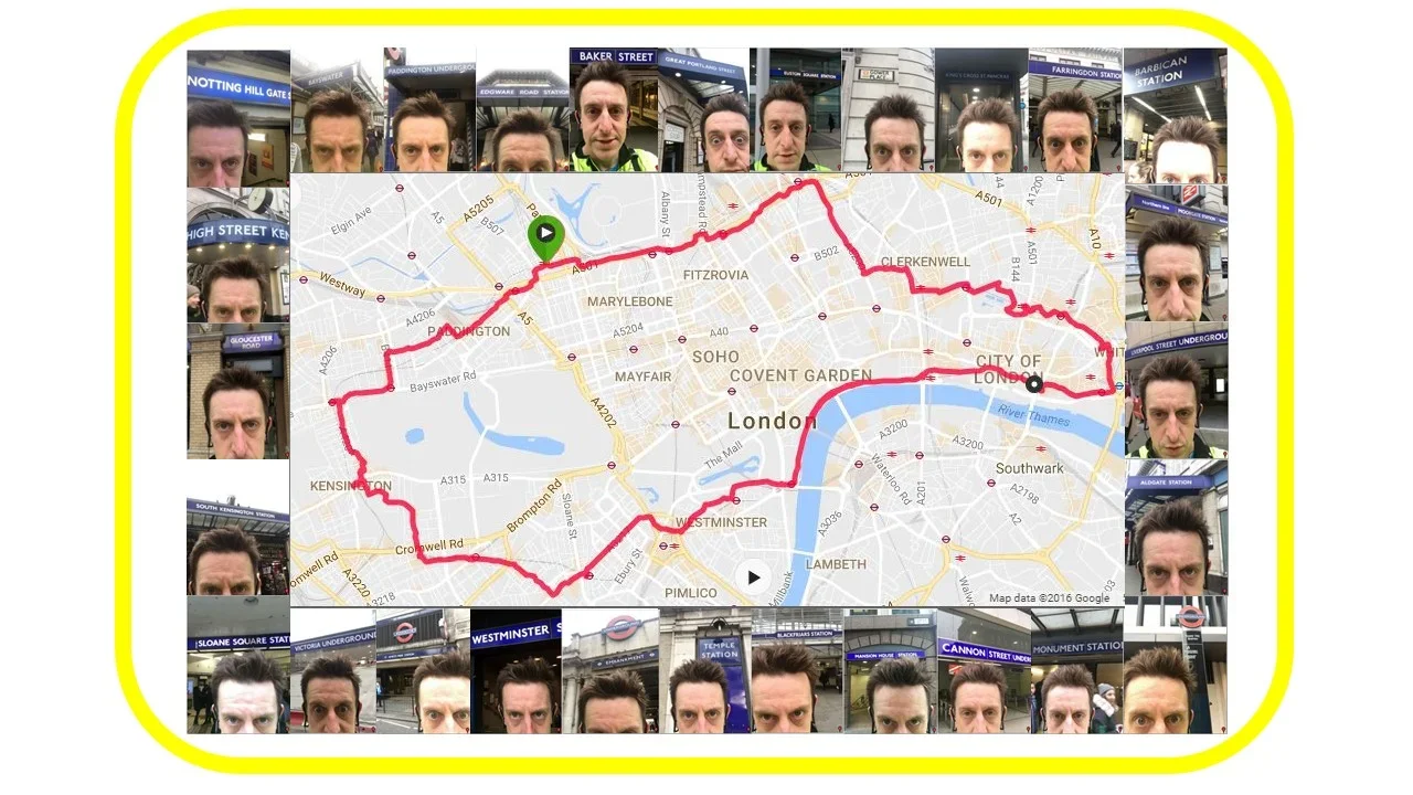
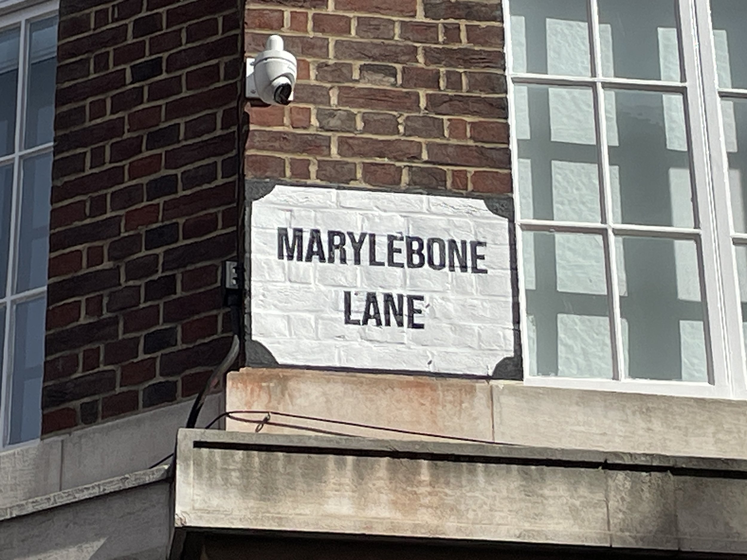
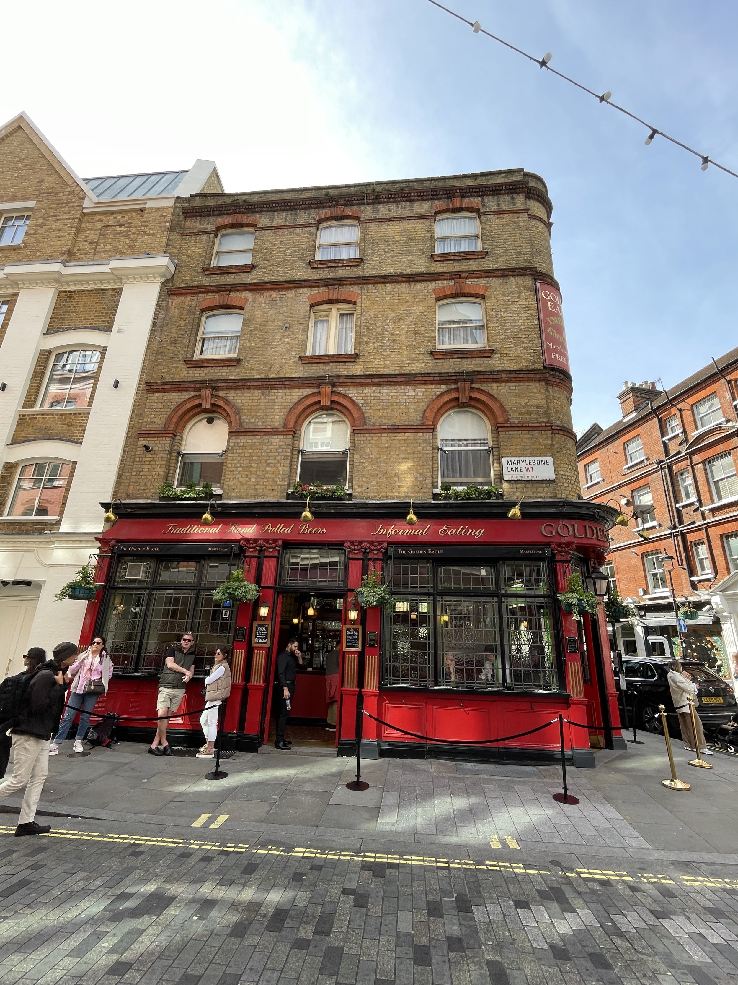
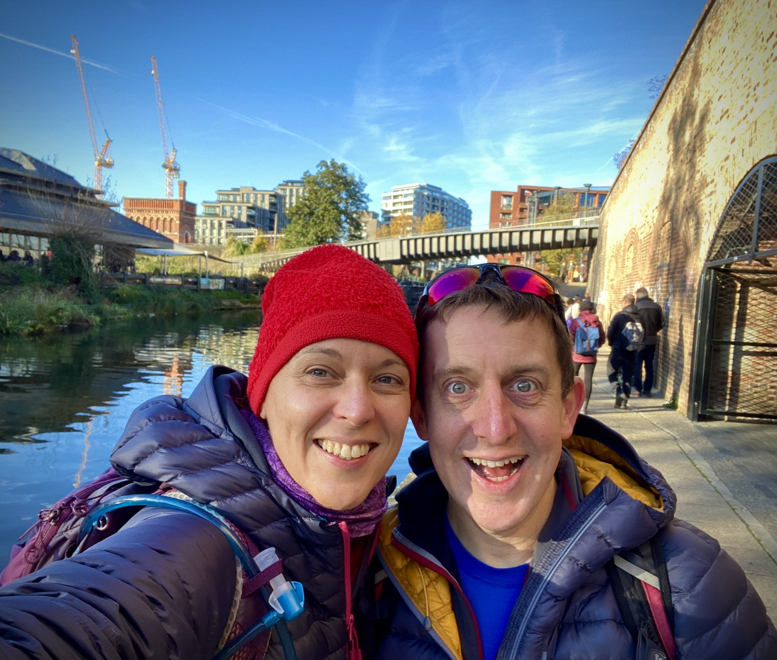
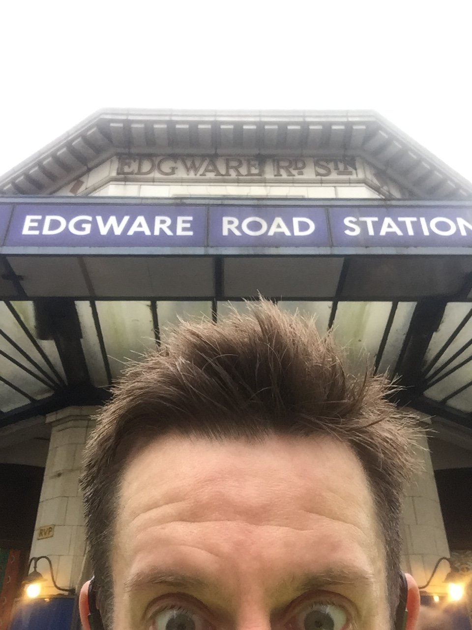
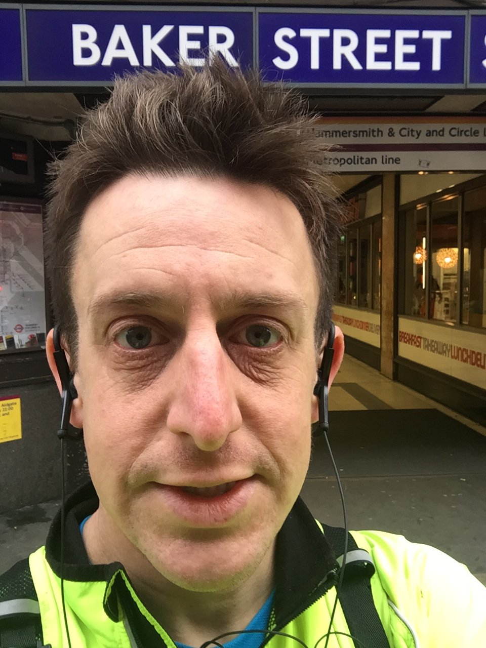
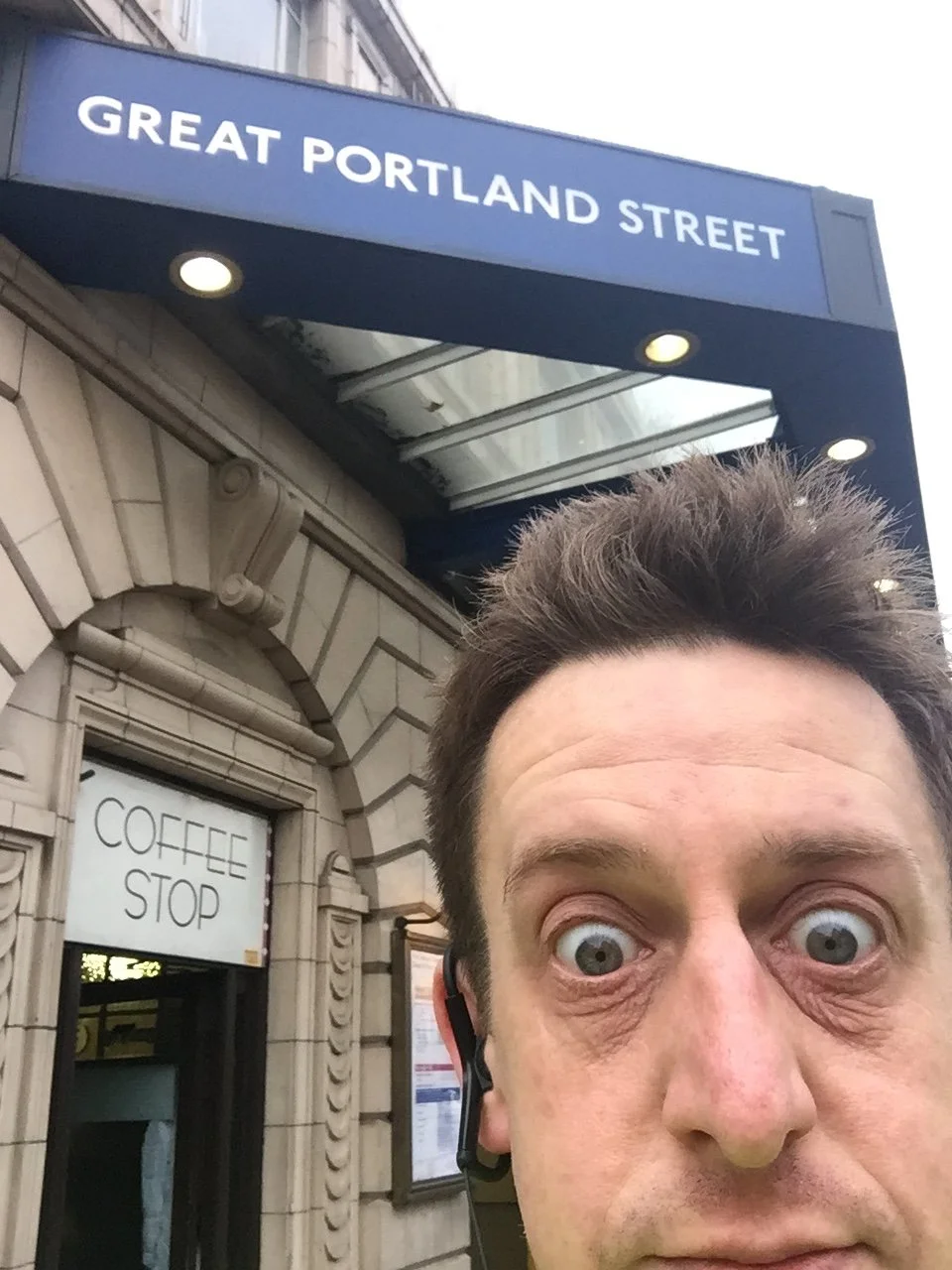
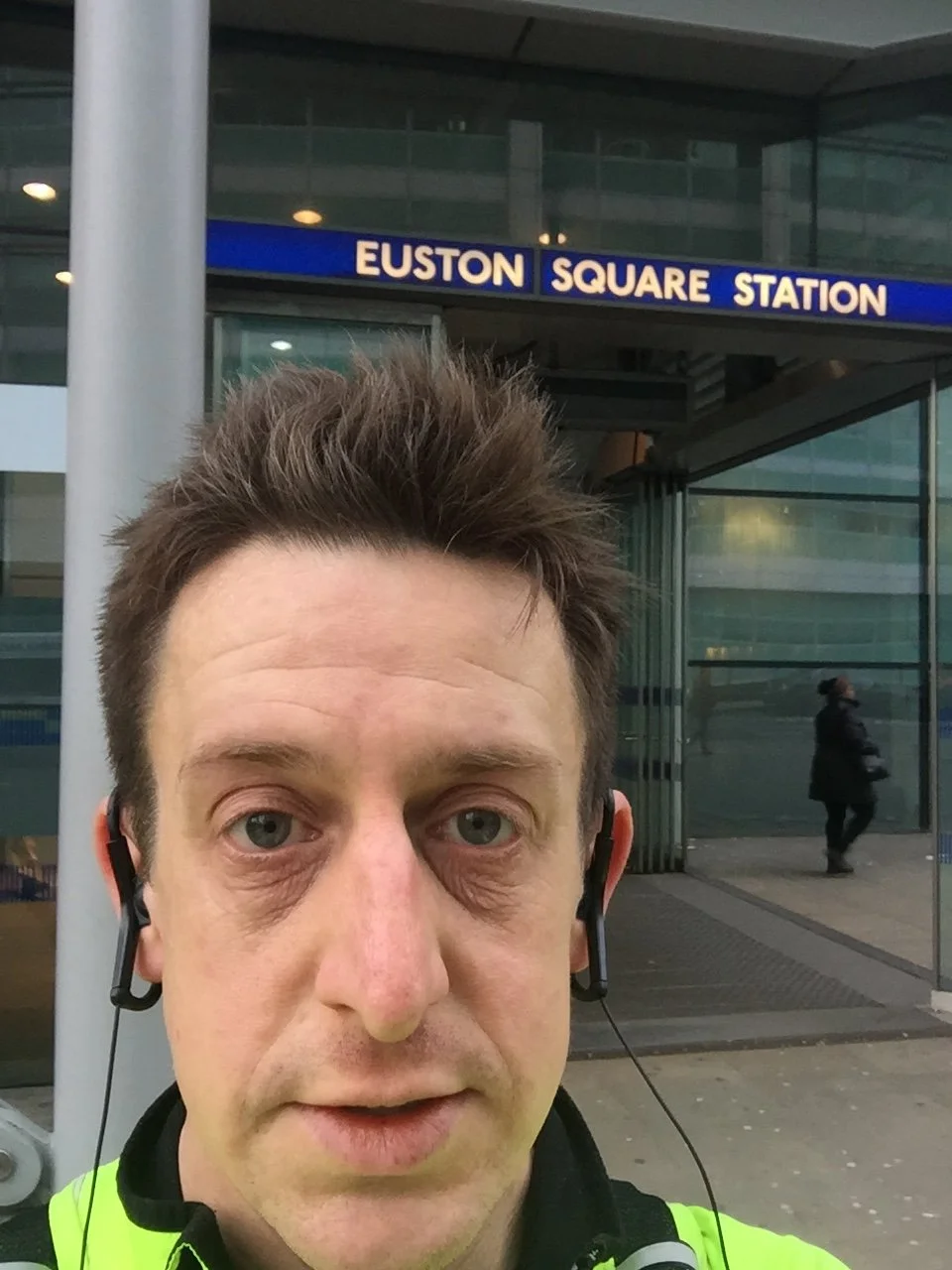
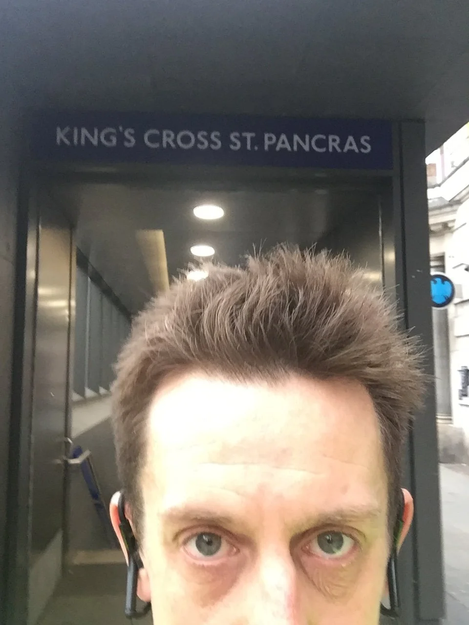
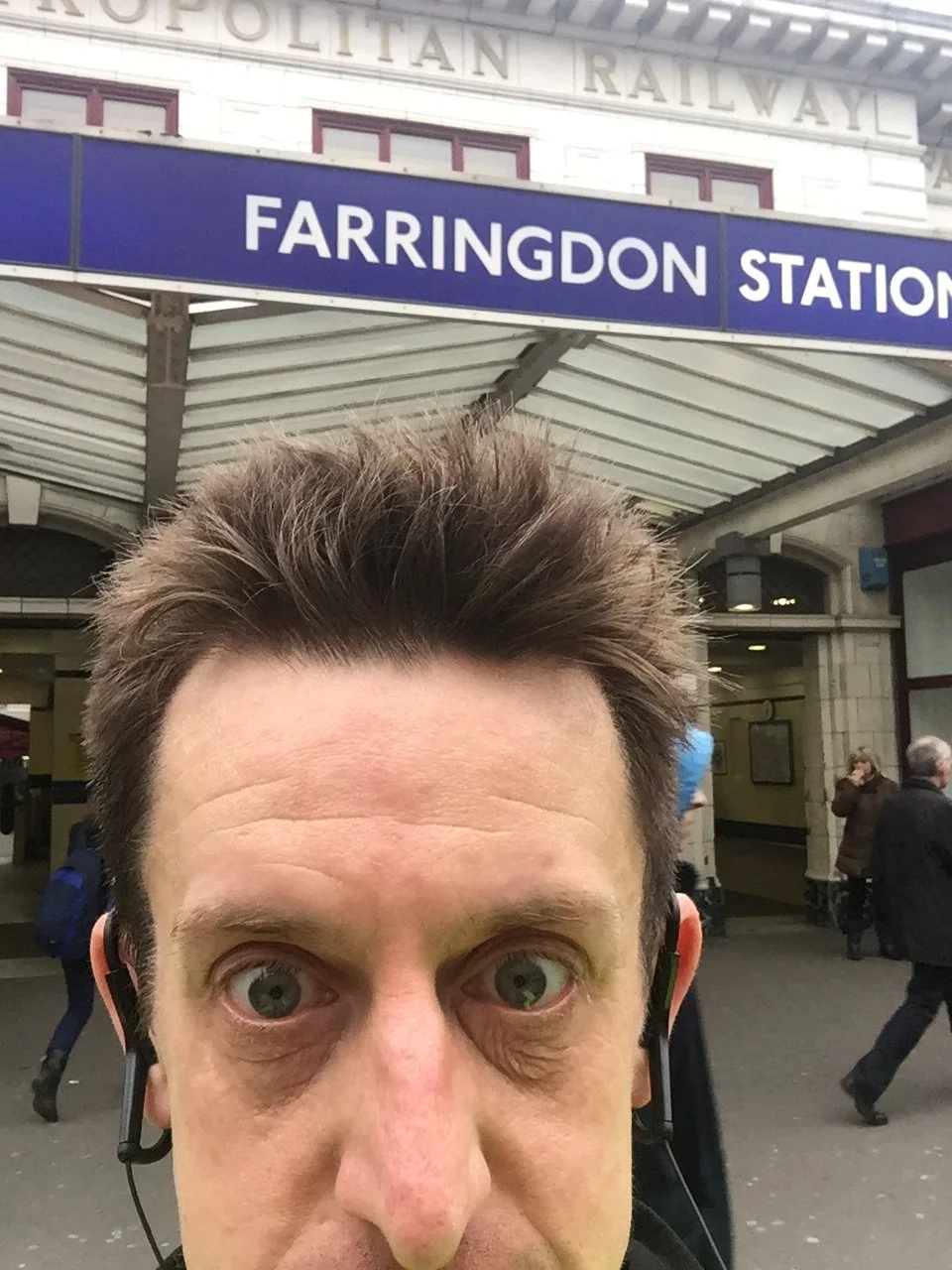
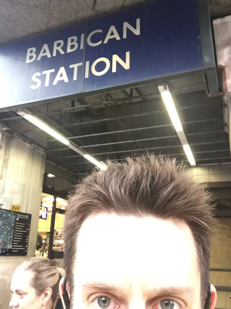
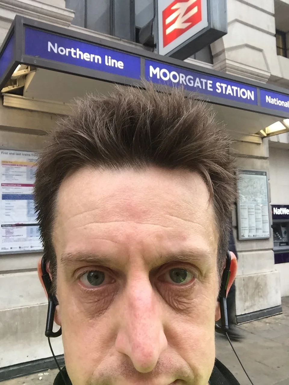
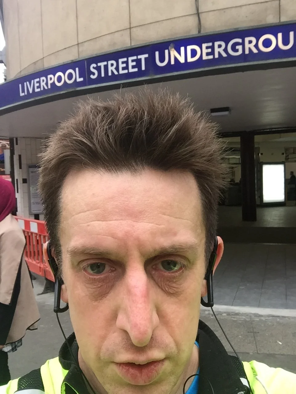
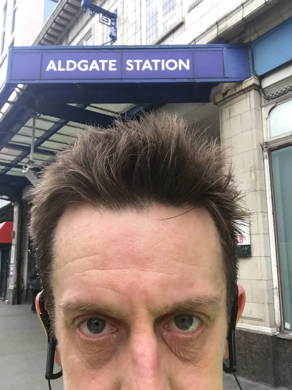
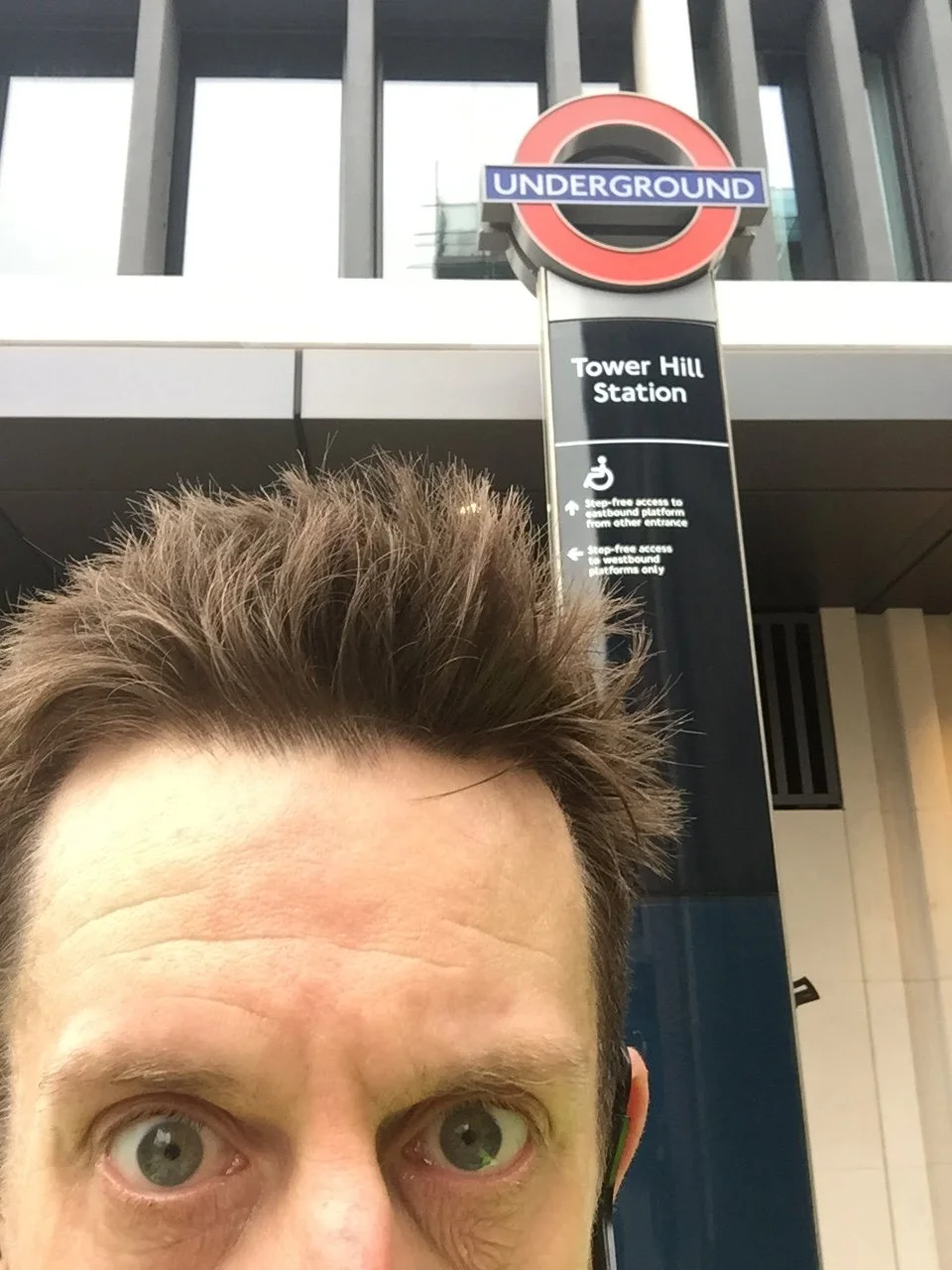
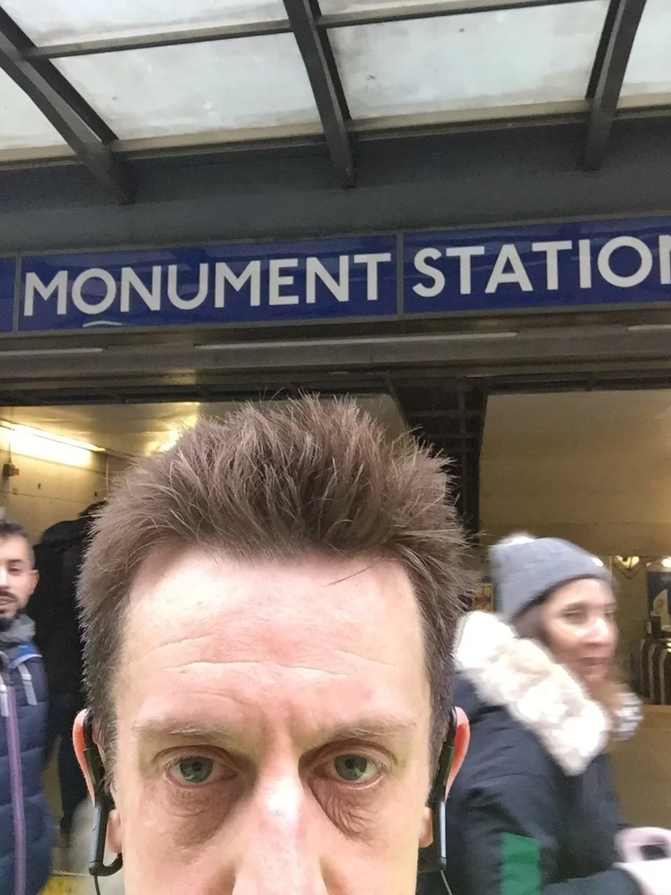
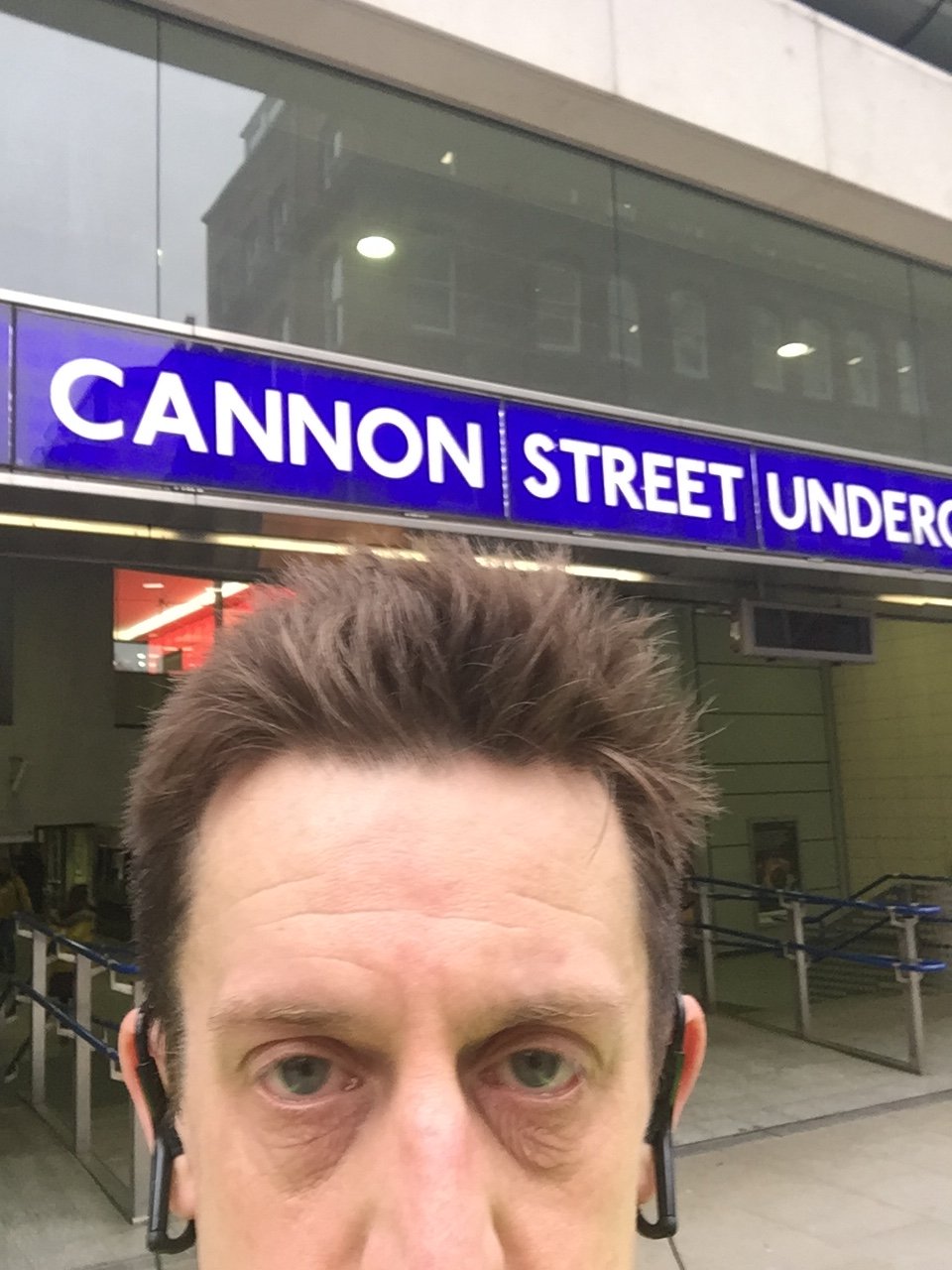
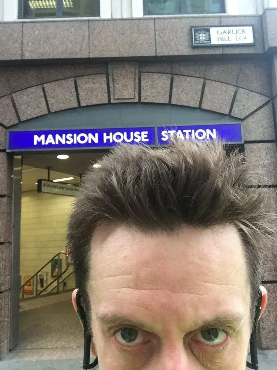
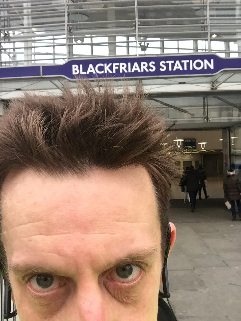
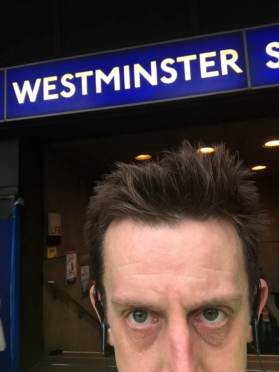
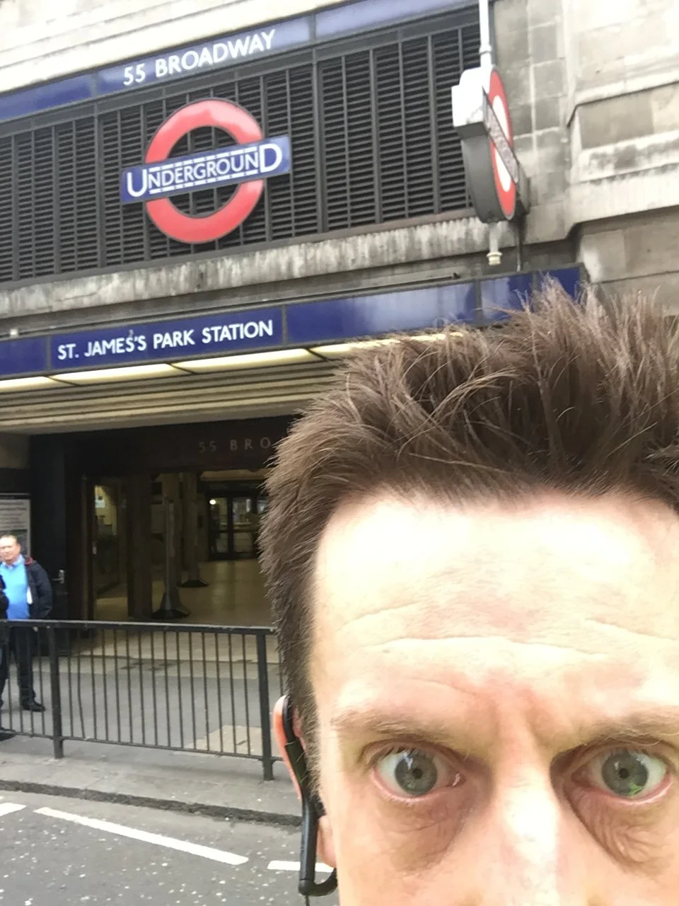
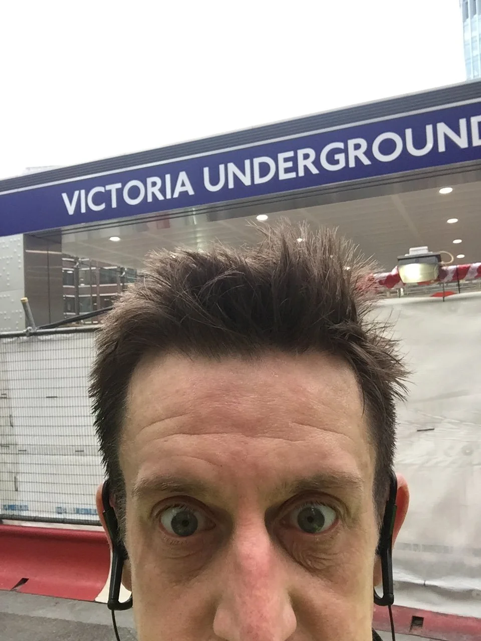
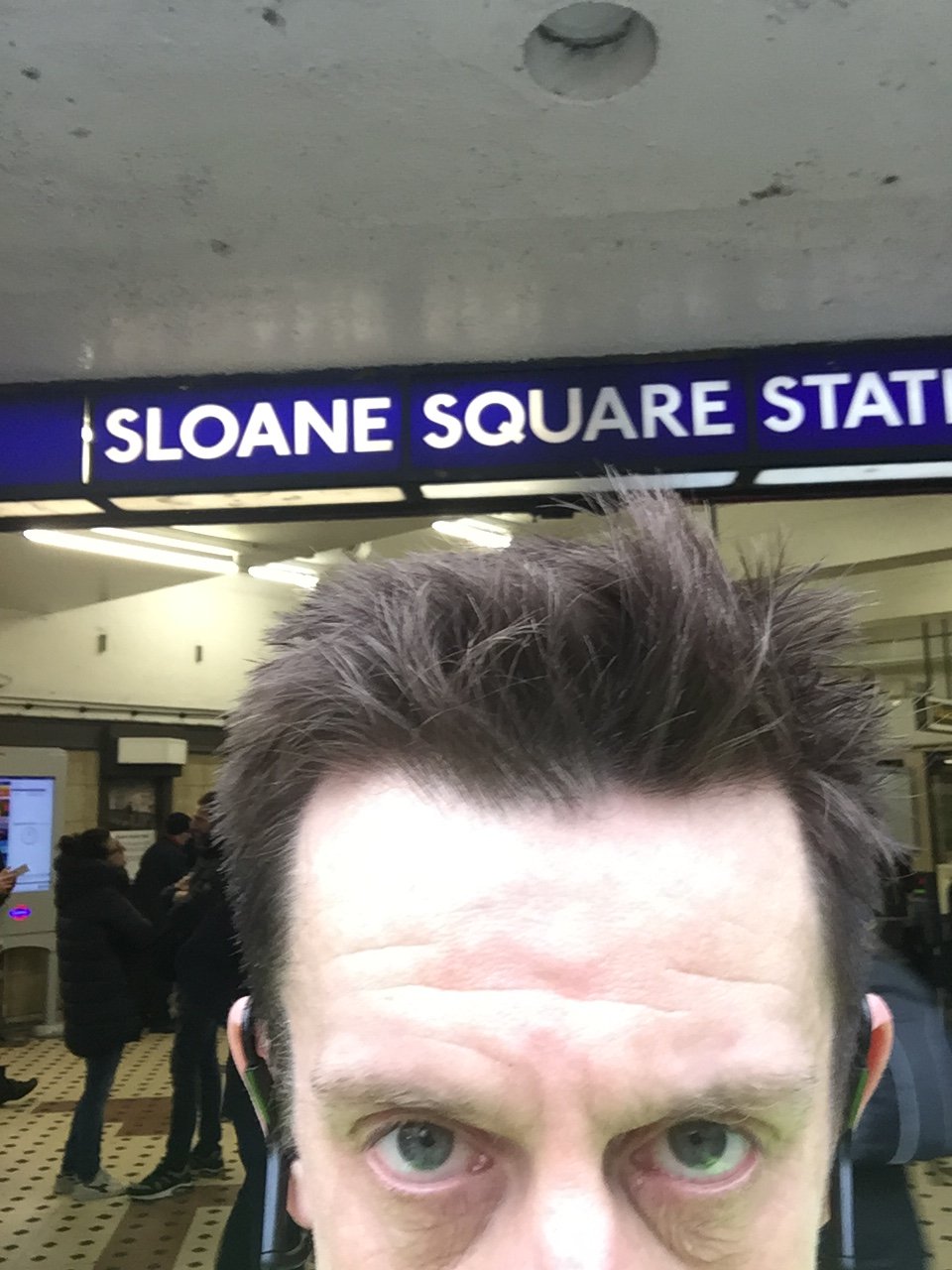
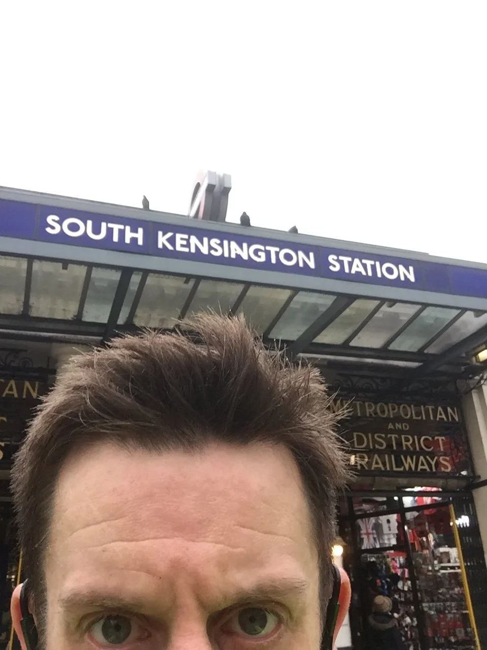
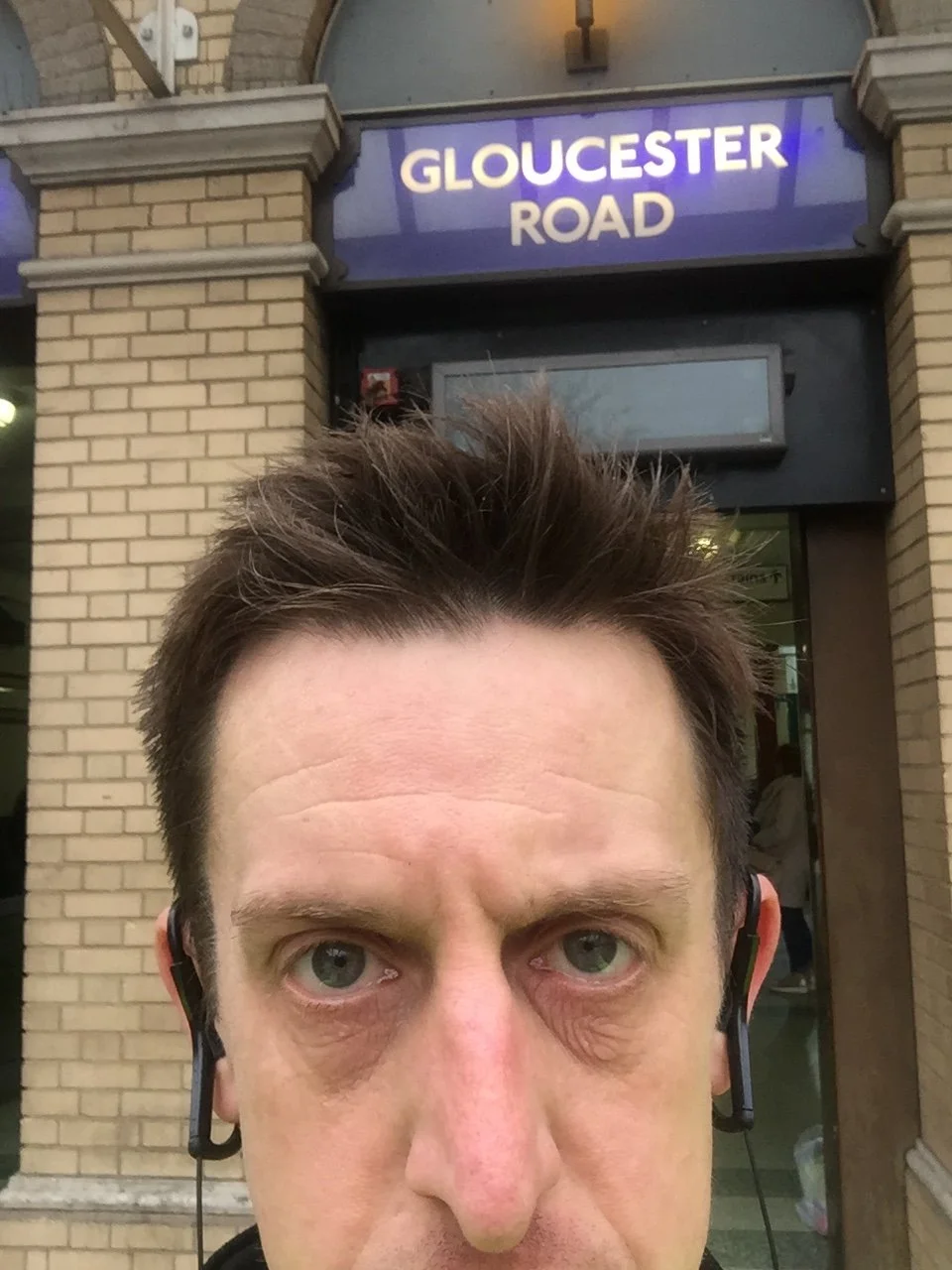
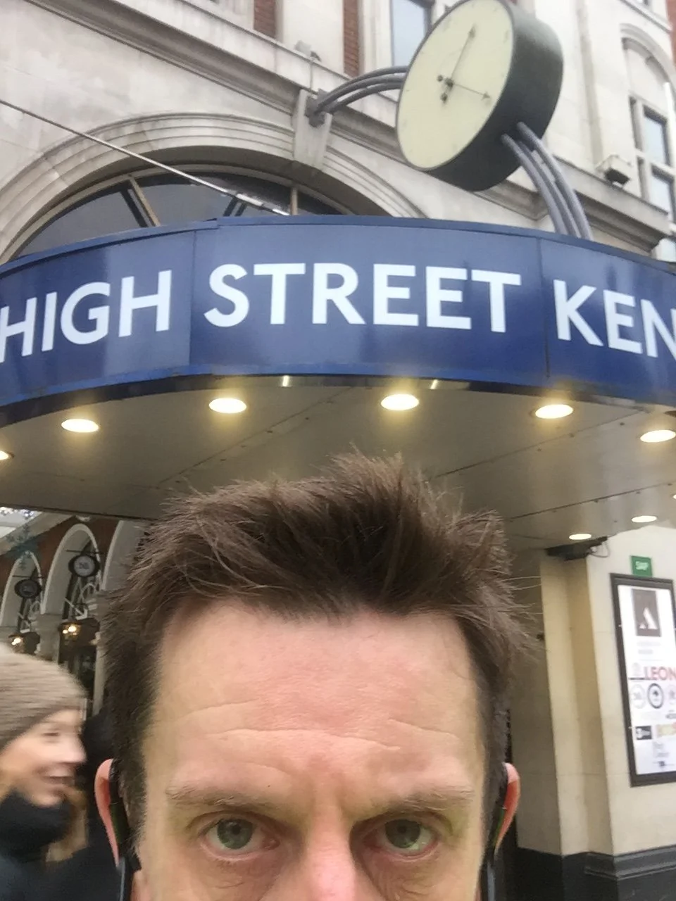
My start point was Marylebone Station. Although it is not actually on the Circle Line itself, it sits perfectly on the walking route between Edgware Road and Baker Street, which were my true start and end points. I set off clockwise with the strict aim of marking each station with a selfie. A quirky bit of history: when the classic loop first opened in 1884, it was operated by two fiercely rival companies, the Metropolitan and the District railways, who ran their steam trains in opposite directions!
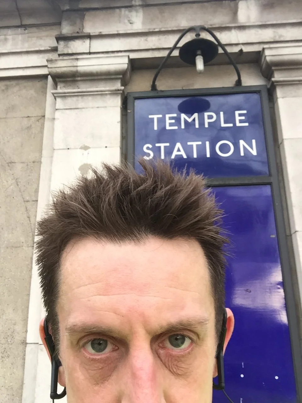
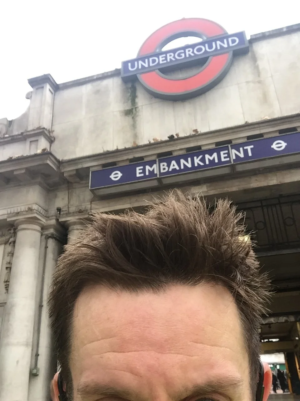
The official distance of the tracks underground for the classic loop is 15 miles: worth noting for the transport geeks that I stuck to the historic loop rather than the modern "teacup" extension out to Hammersmith. However, the trains have the distinct advantage of cutting straight under buildings. Negotiating the streets, traffic lights, and pavements above ground adds at least another mile to the journey. Missing Temple station and having to run all the way back to it from Embankment added yet another mile on top of that. Don't do that.
Once I arrived back at Marylebone, I had covered just over 16 miles. At around three hours, it was certainly no Personal Best, but speed is not really something to be aimed for while dodging pedestrians on a working day in central London. It was a fun trip, though, and a highly satisfying way to link up some very familiar places across the capital.
10 years later …
Although back in 2016 I thought I had completed running the Circle Line, it was always in the back of my head that I hadn't really run the whole thing. I had missed the Hammersmith spur: the section that starts from Hammersmith and runs on elevated sections all the way through to Edgware Road and Paddington.
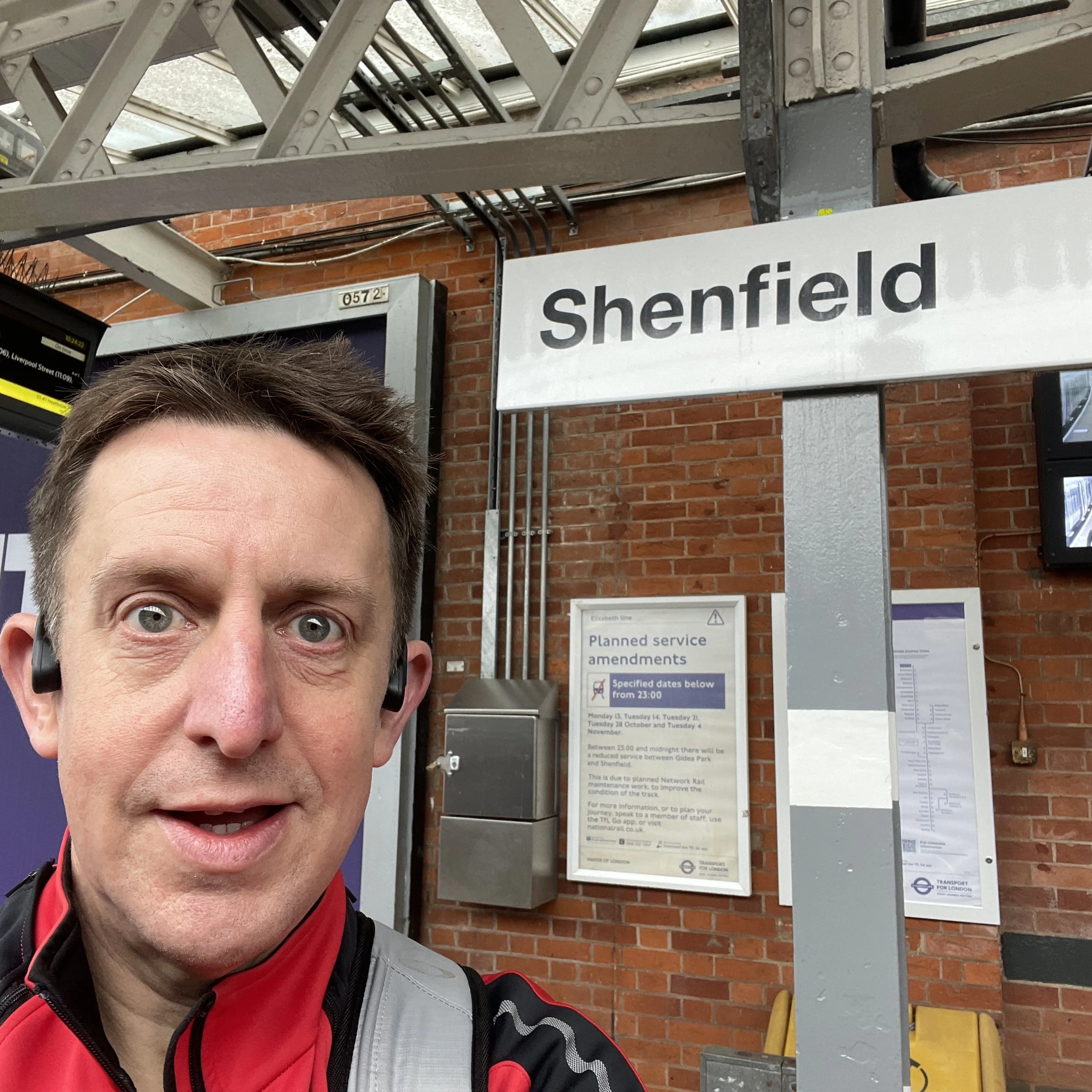
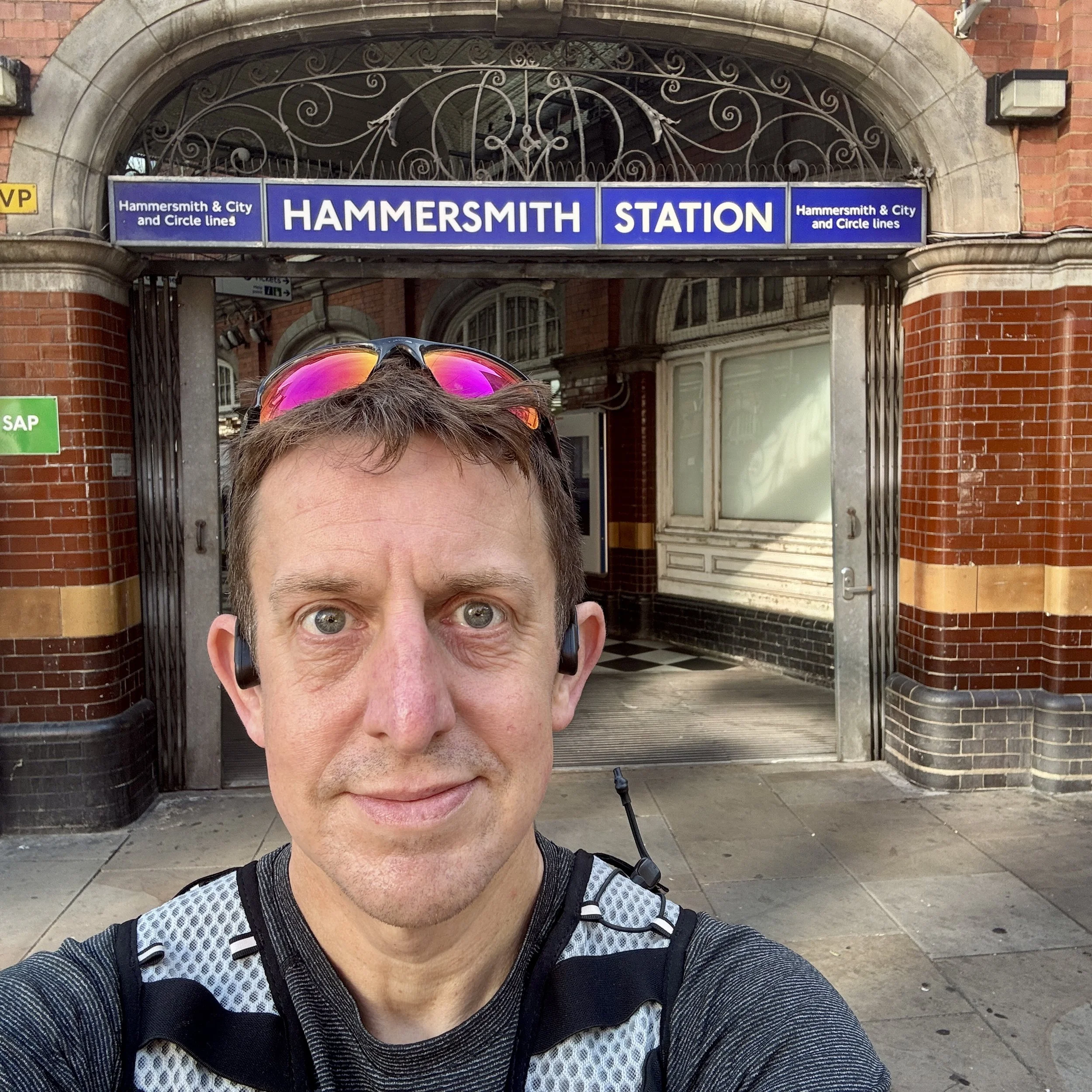
Back then, I kind of wrote that bit off because it's not really a circle: it's the added bit on the western side. But it was bugging me. So, on a very nice and warm Sunday morning, I decided to finally tie up that loose end. I caught the Tube over to Hammersmith station to start the run.
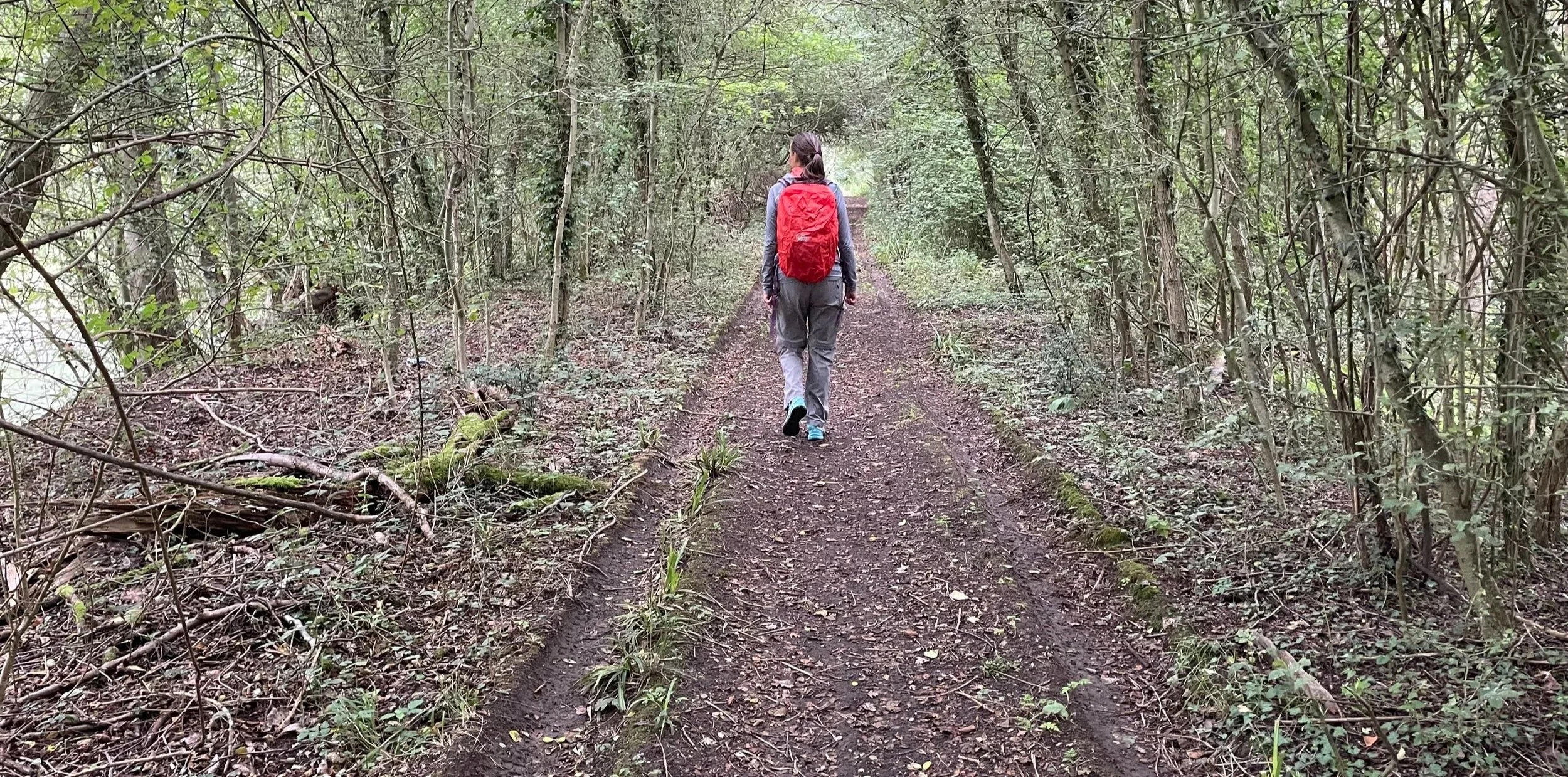
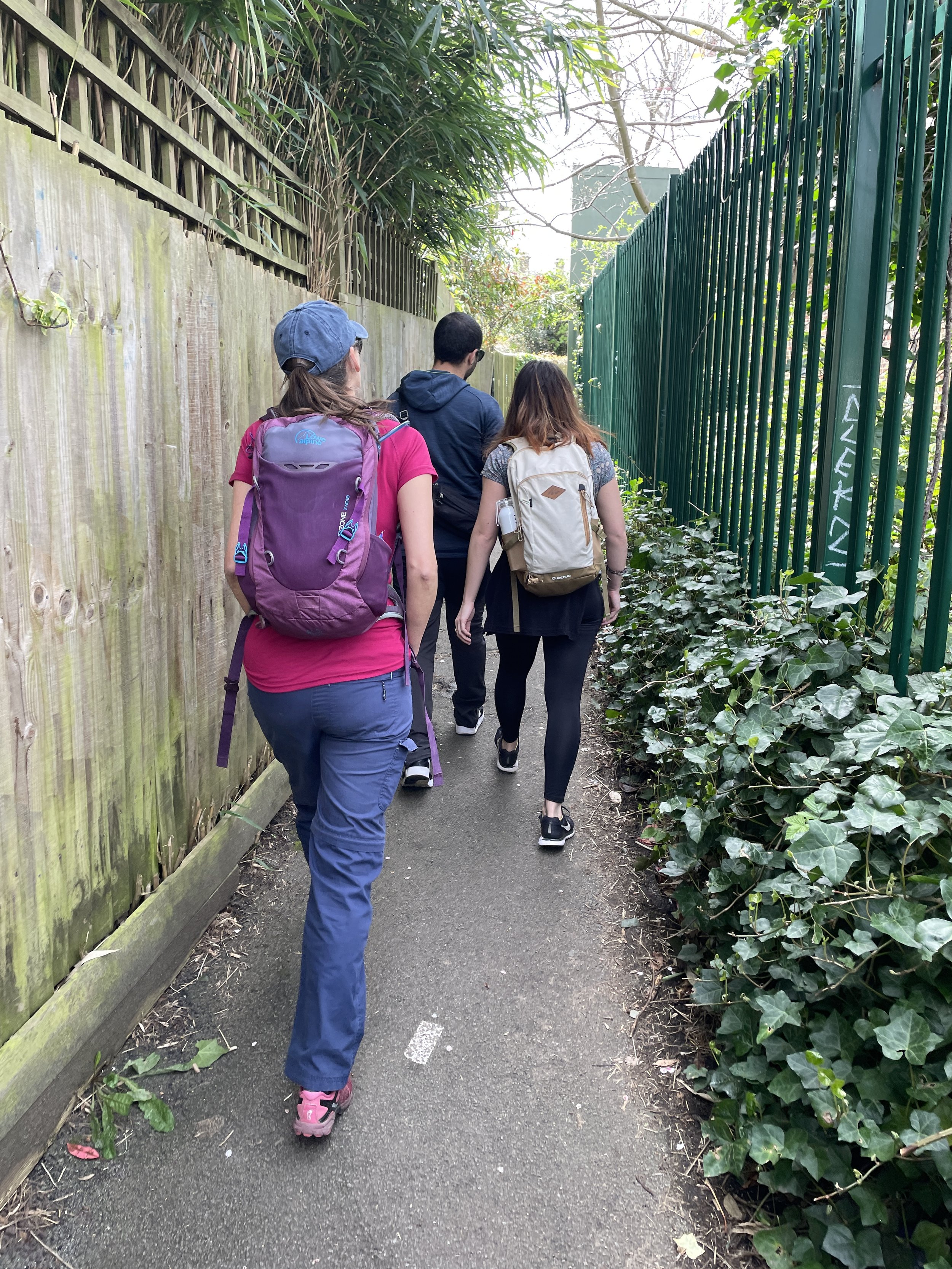
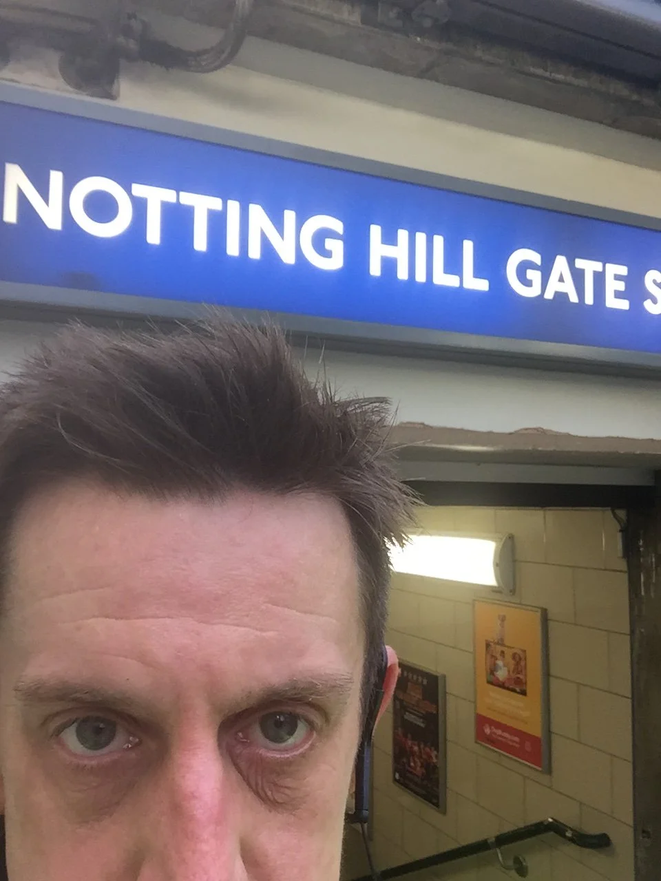
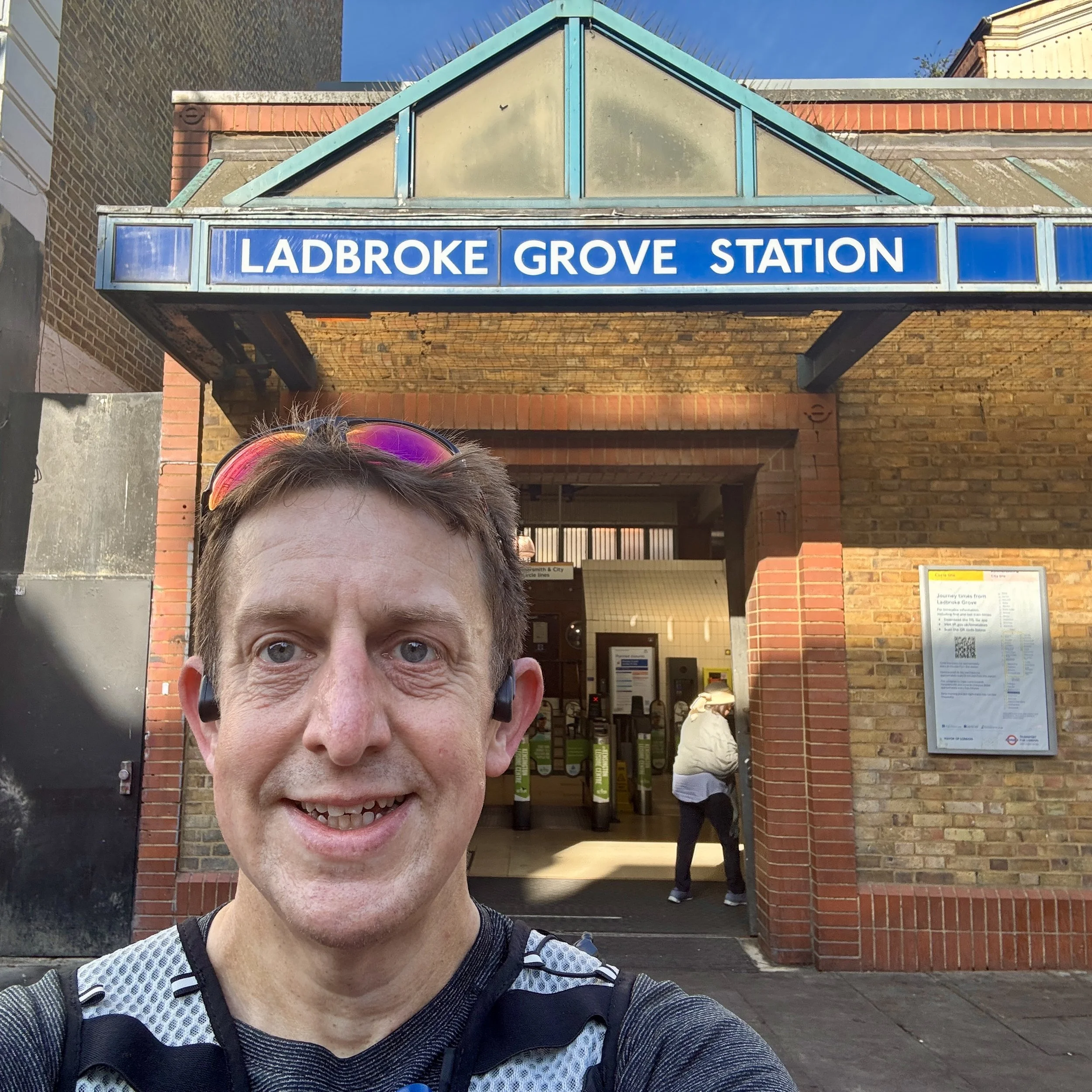
Leaving Hammersmith, I tried to stick as close as possible to the route of the above-ground track, which is shared by the District and Hammersmith & City lines. I did a mix of running and walking, and there were some incredibly pleasant parts, particularly around the Notting Hill and Ladbroke Grove areas.
If you are planning to attempt this western spur at a weekend, there are a few navigational tips to keep in mind:
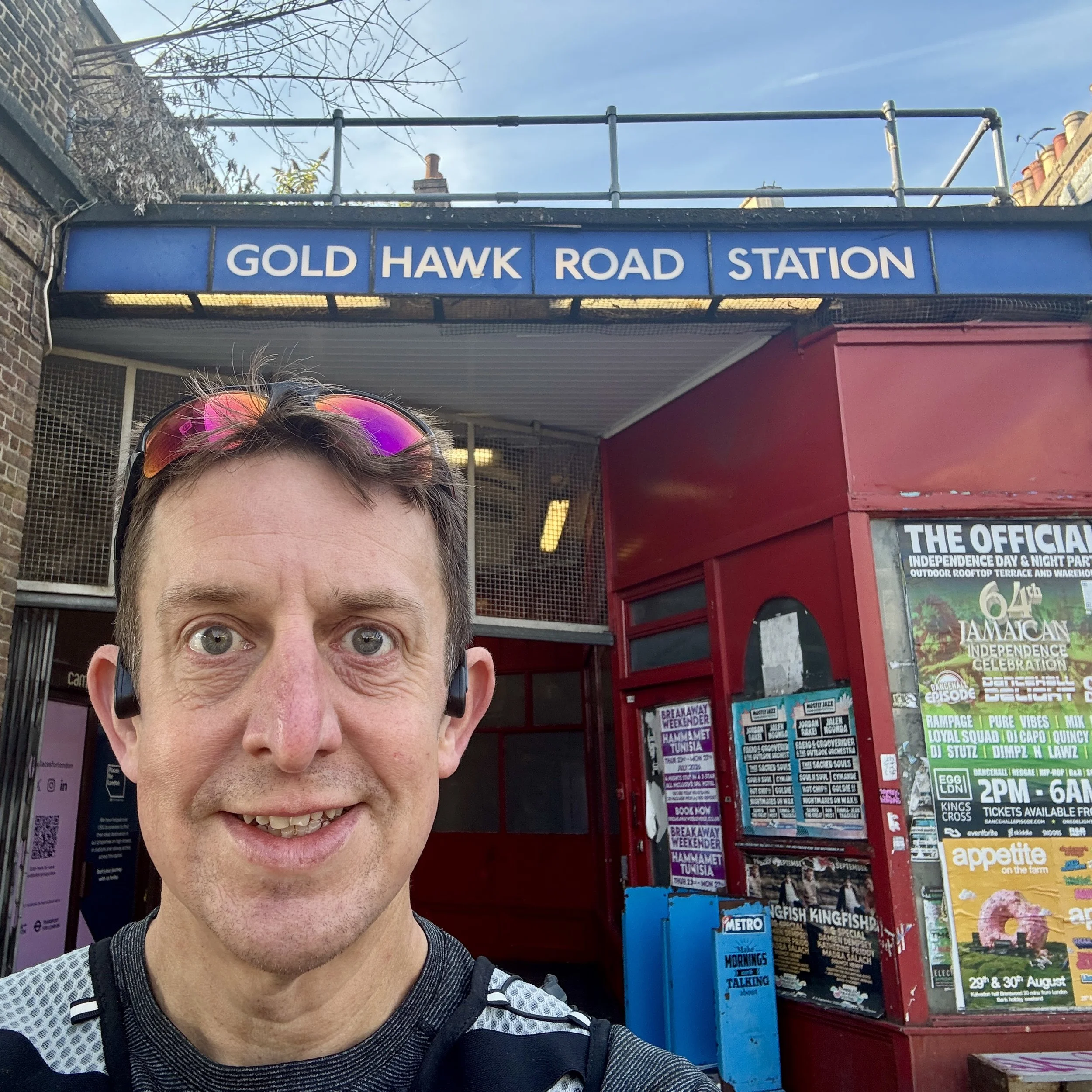
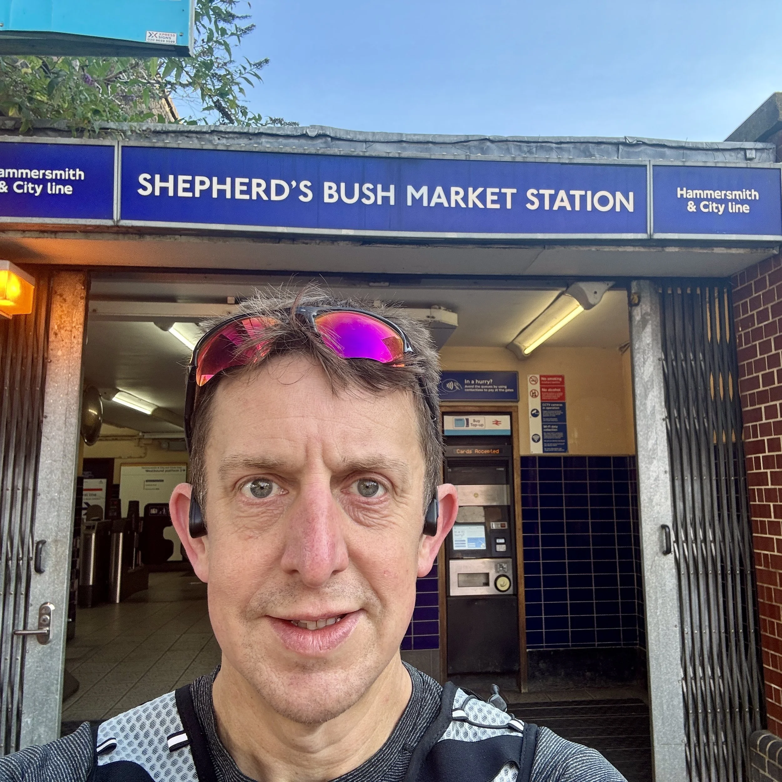
Goldhawk Road to Shepherd's Bush: Just after Goldhawk Road, you might be tempted to go down Shepherd's Bush Market street. However, it is gated off at the weekends. Instead, you need to take Pennard Road: this runs parallel and is just a couple of hundred metres away from the main route.
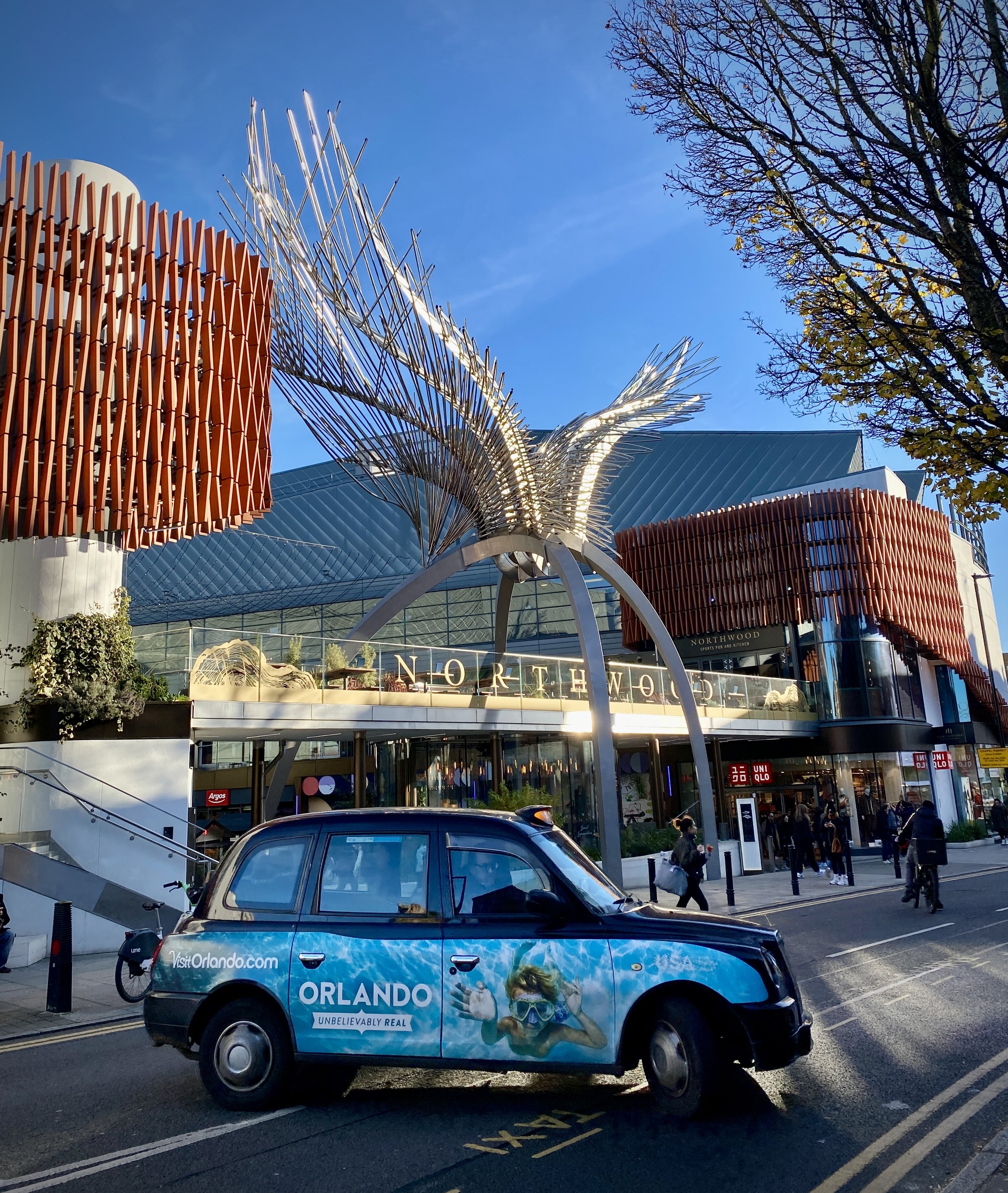
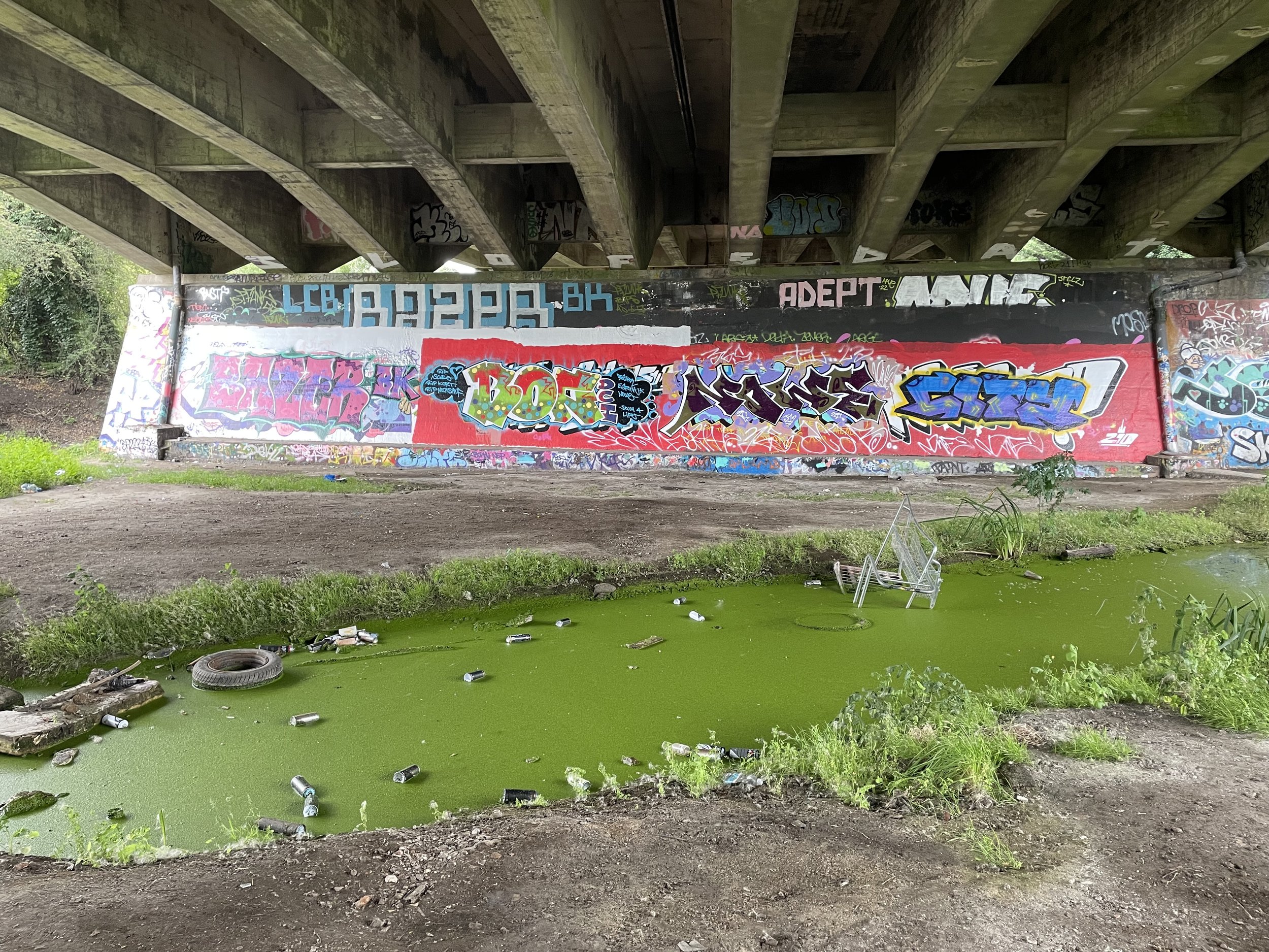
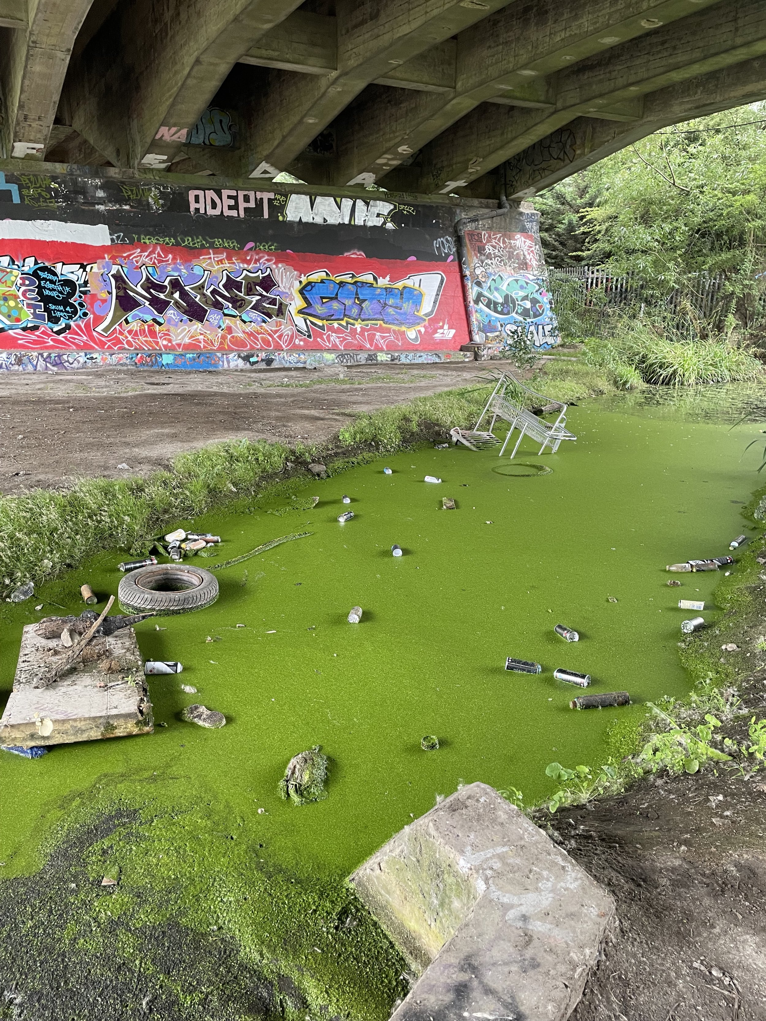
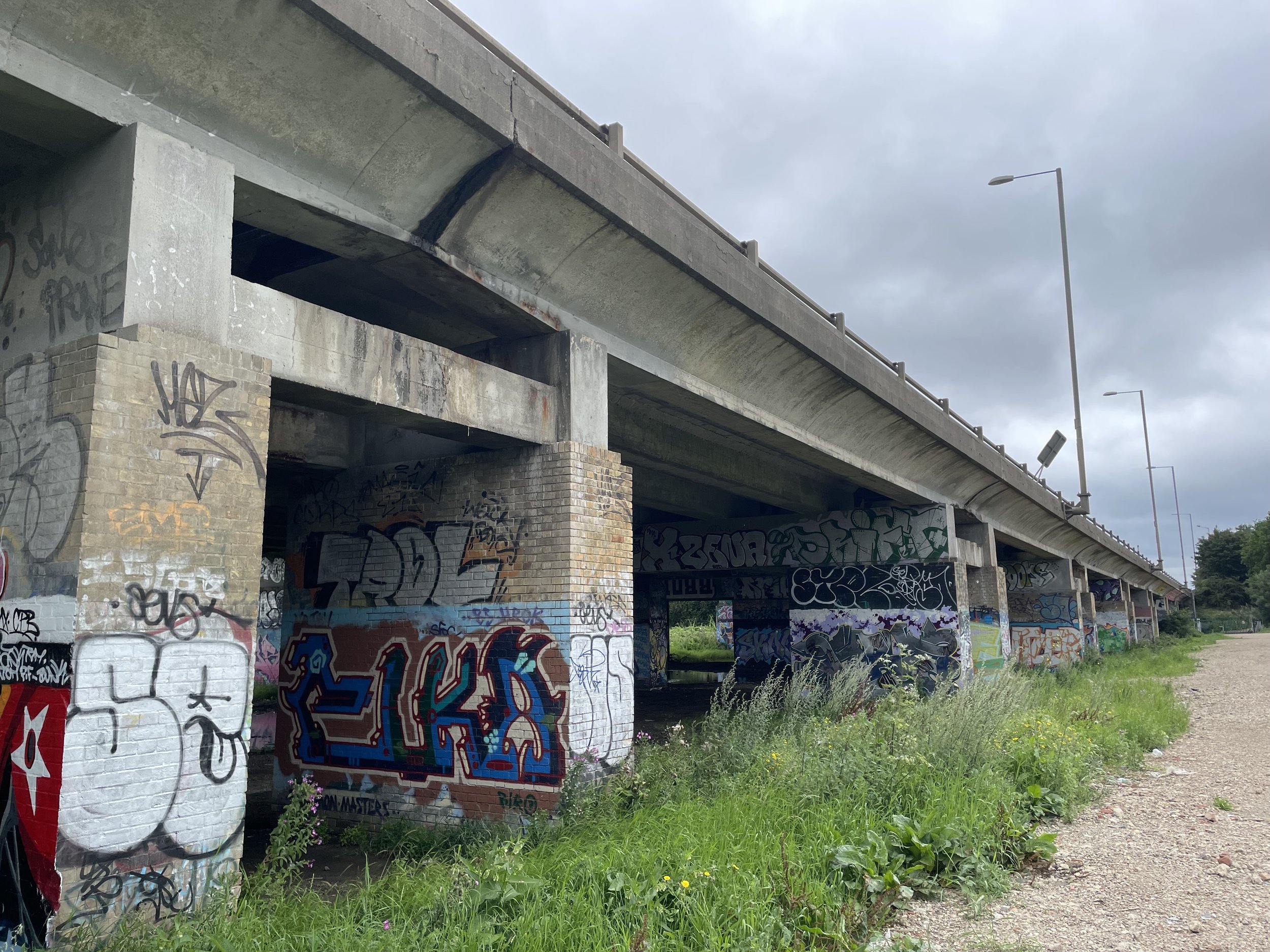
Wood Lane and Westfield: After Wood Lane, you will find the Westfield Shopping Centre standing between you and Latimer Road. If you are there when it is open, you can actually cut right through the shopping centre to get onto Ariel Way and then cross over the West Cross Route, which is a very busy dual carriageway. Because I was there so early on a Sunday morning, the centre was closed, so I had to walk around it.
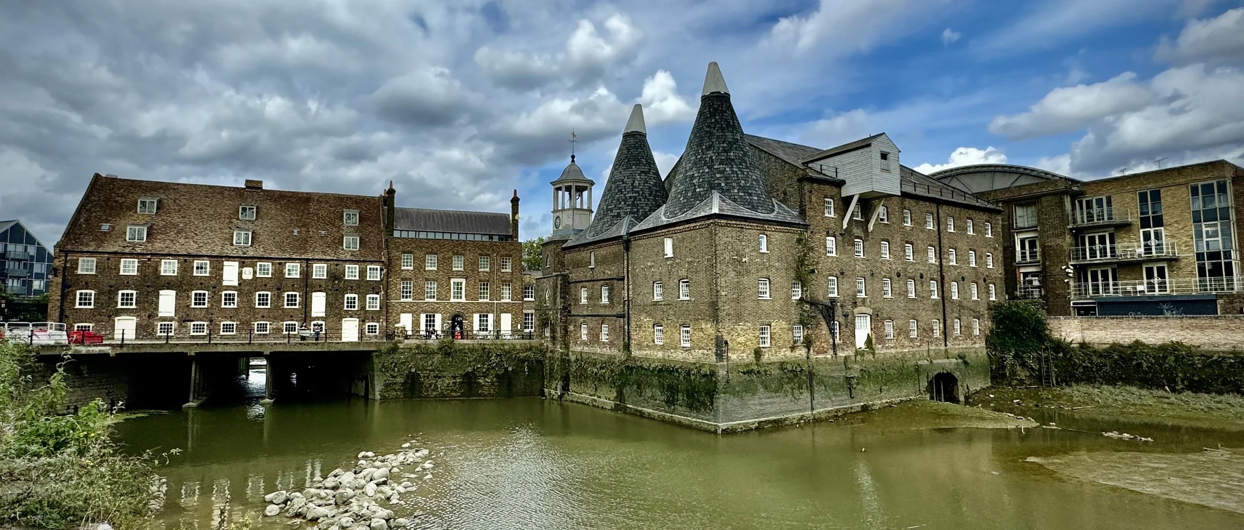
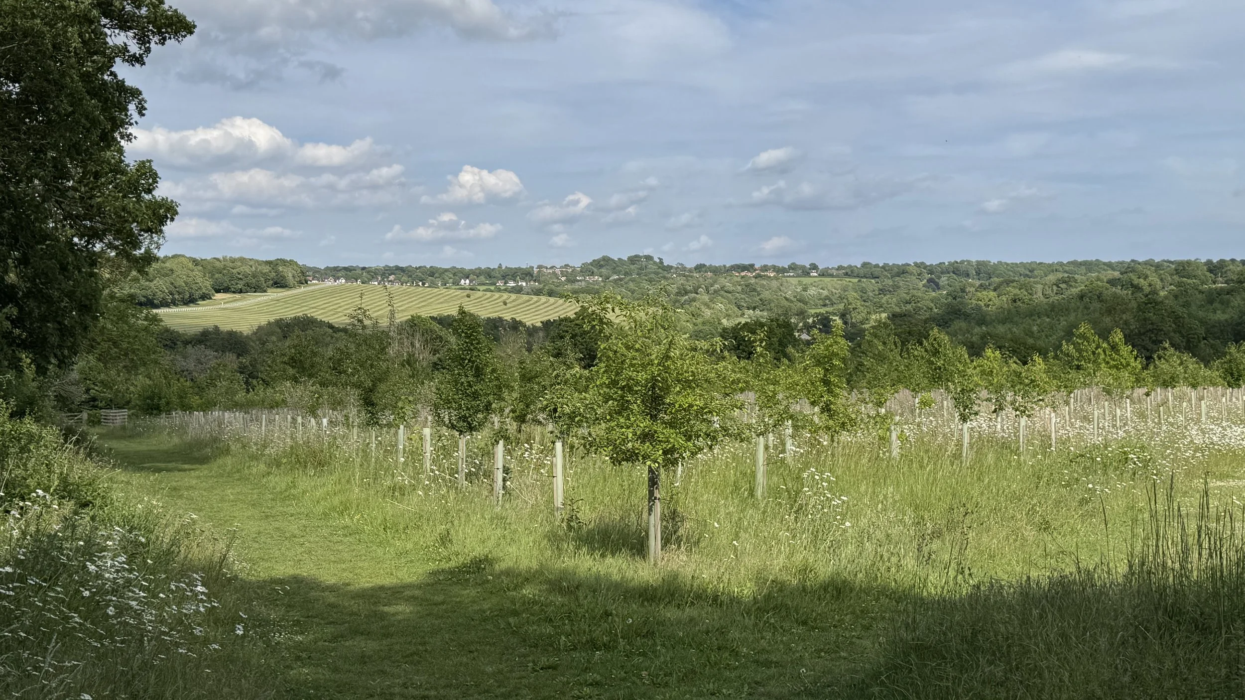
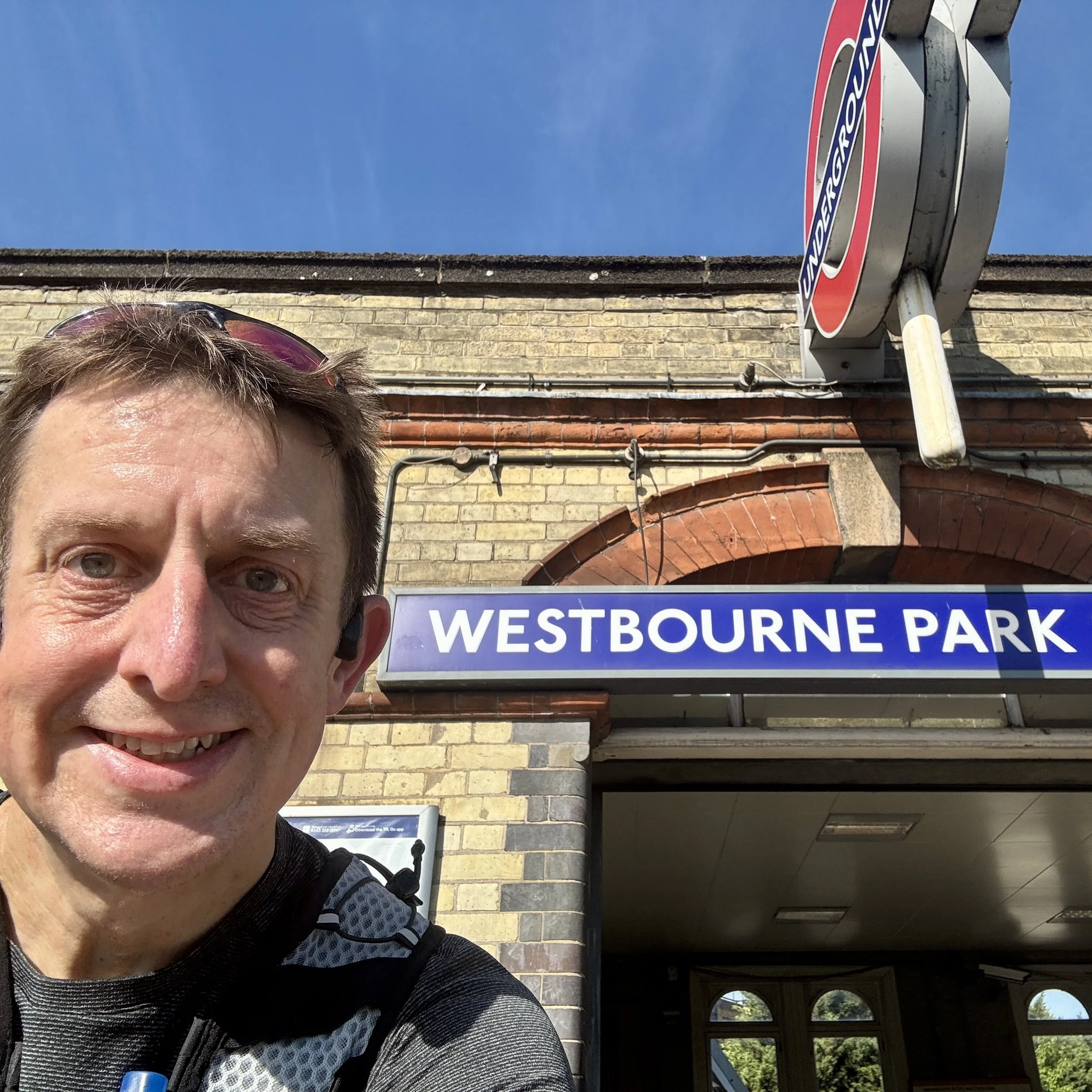
Once you are over the busy dual carriageway that leads out to the Westway, you are rewarded with some very pleasant running. The streets run near the railway at the north of Notting Hill and the south of North Kensington.
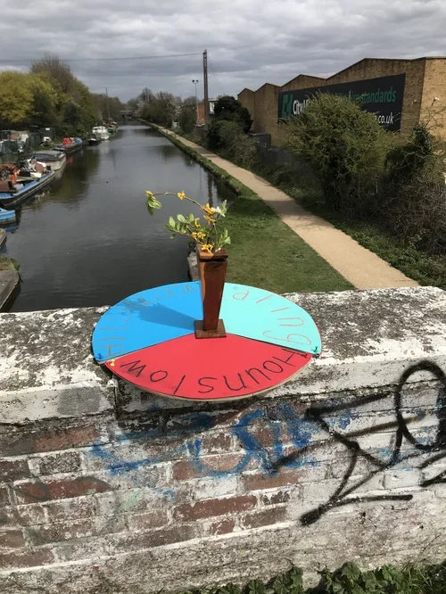
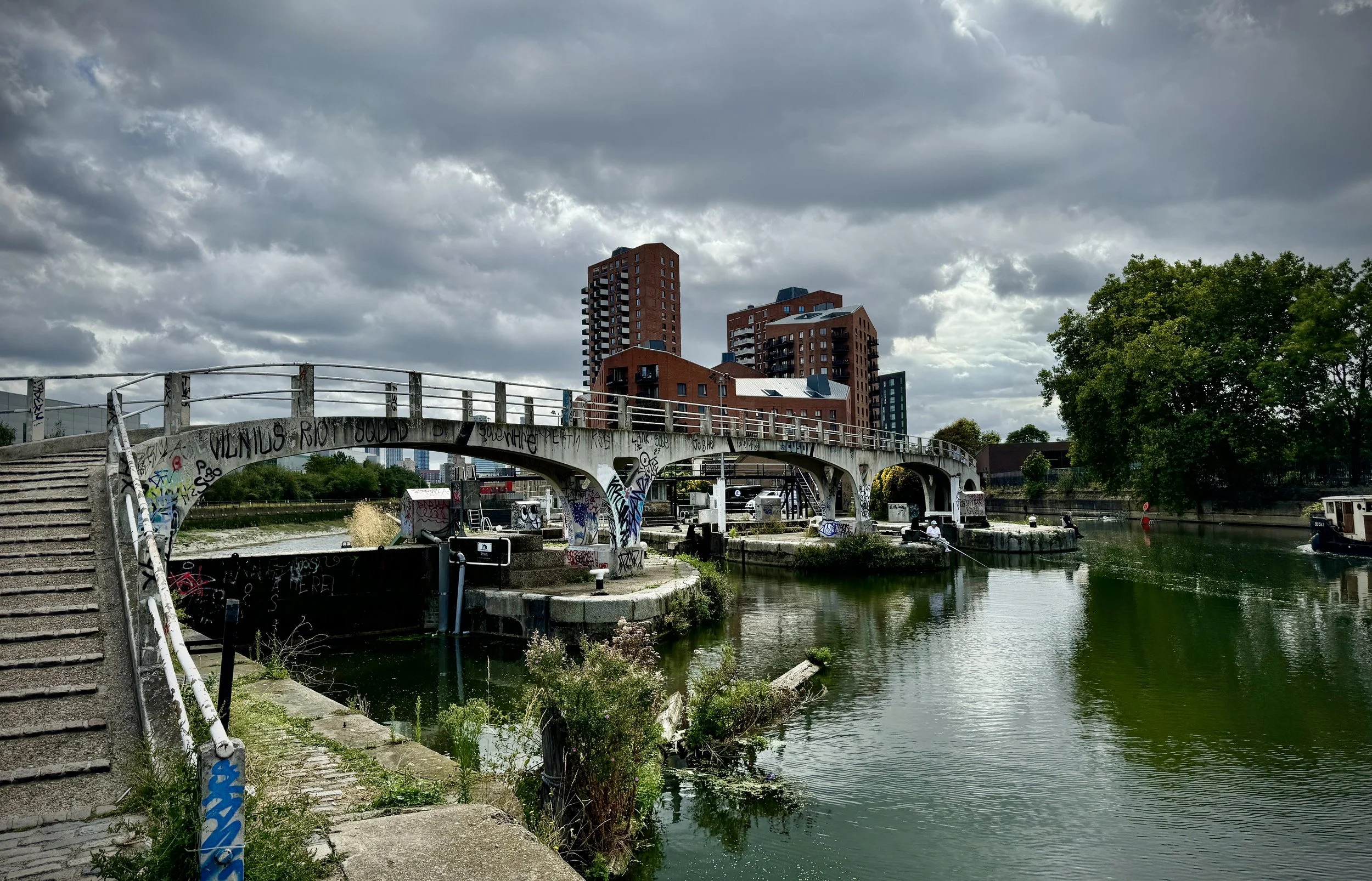
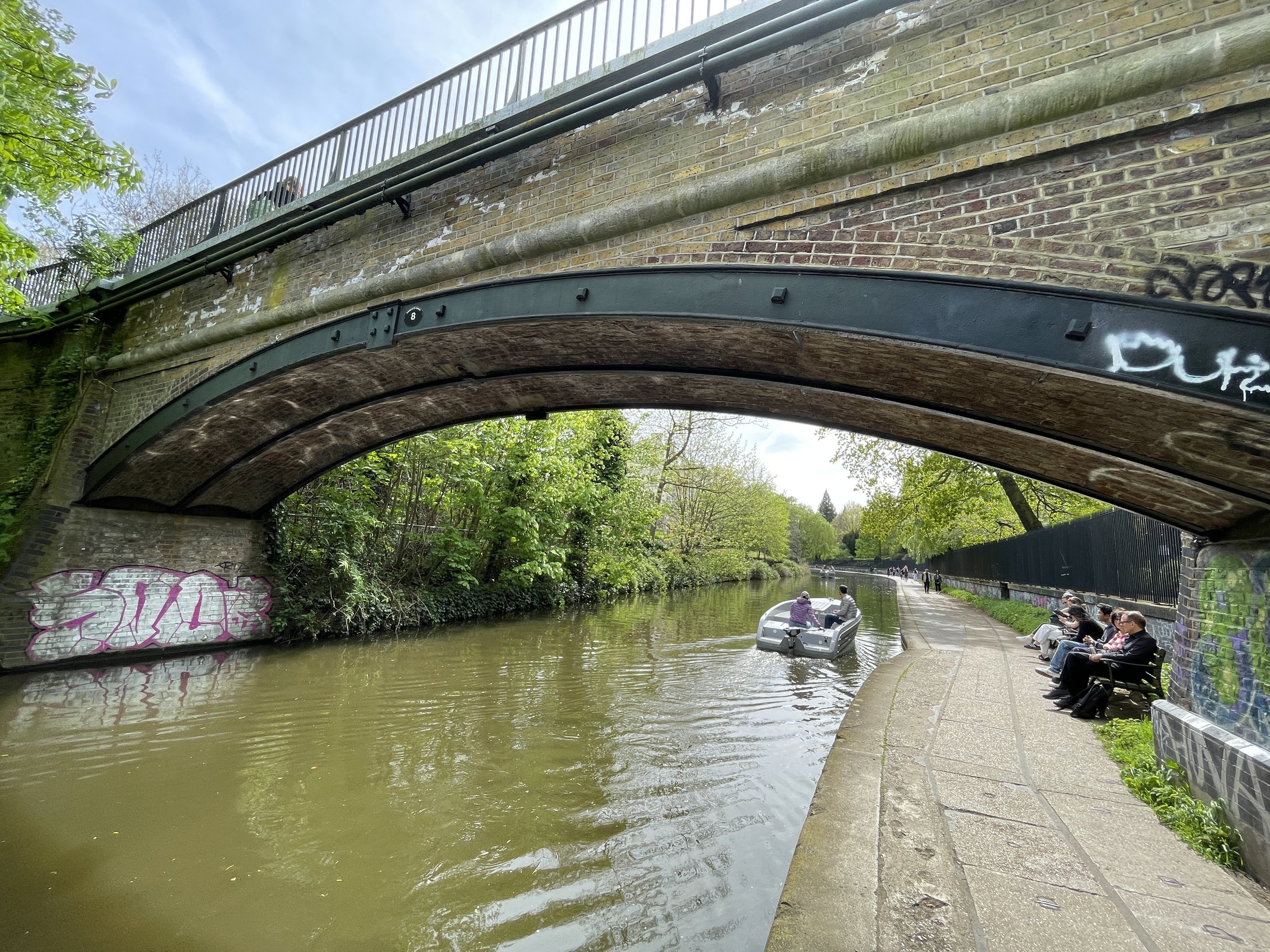
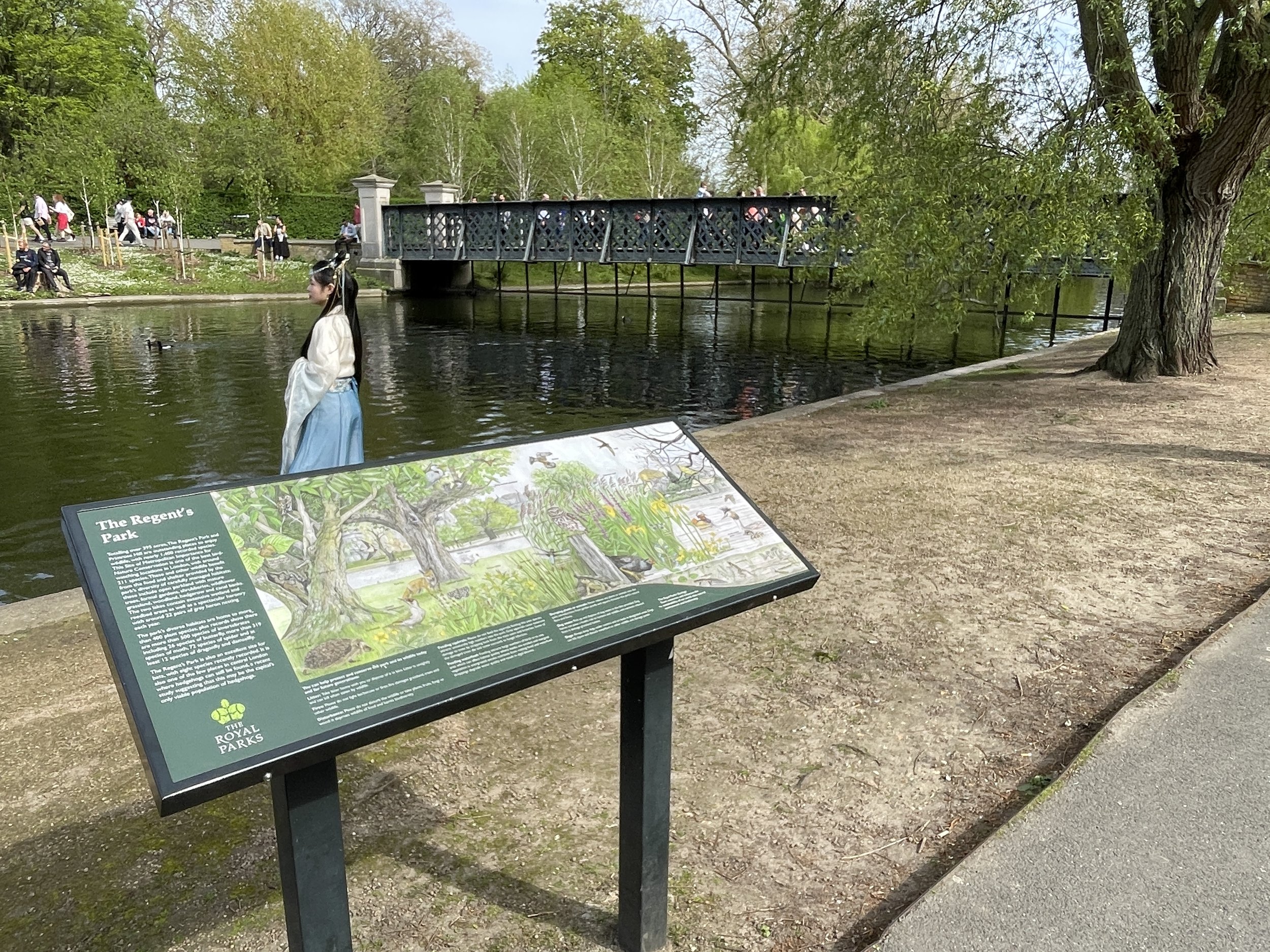
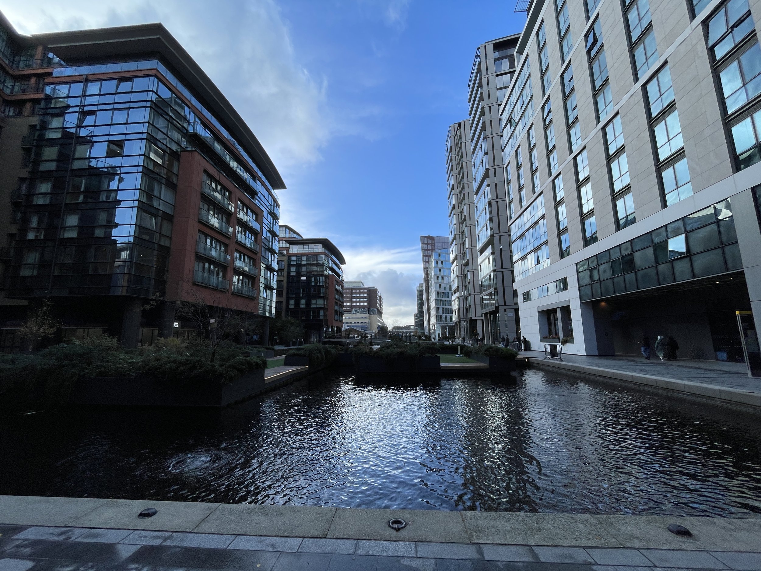
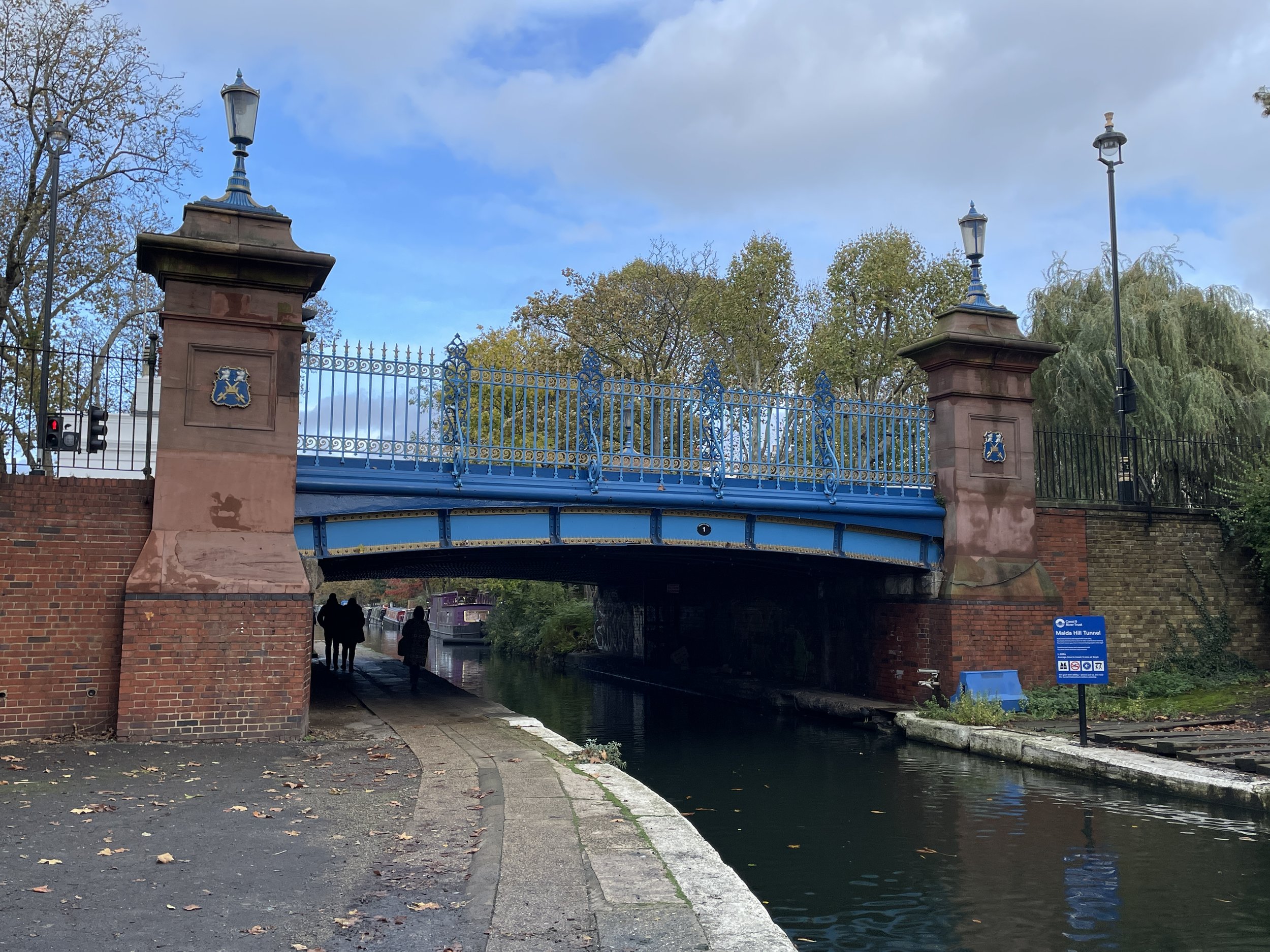
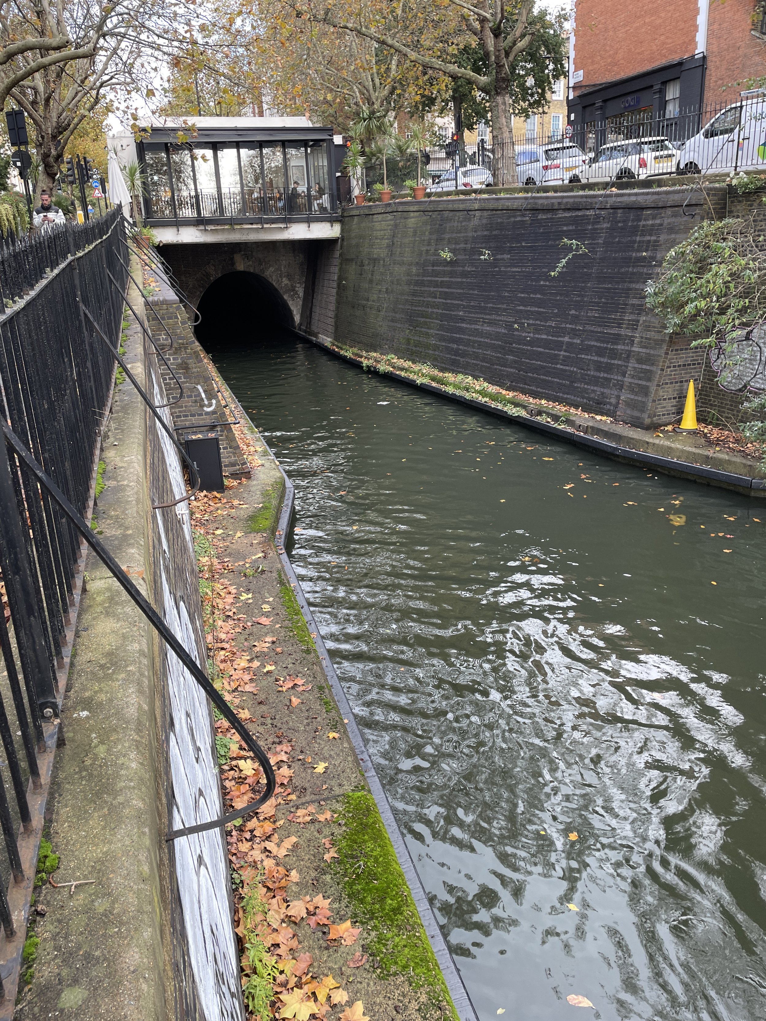
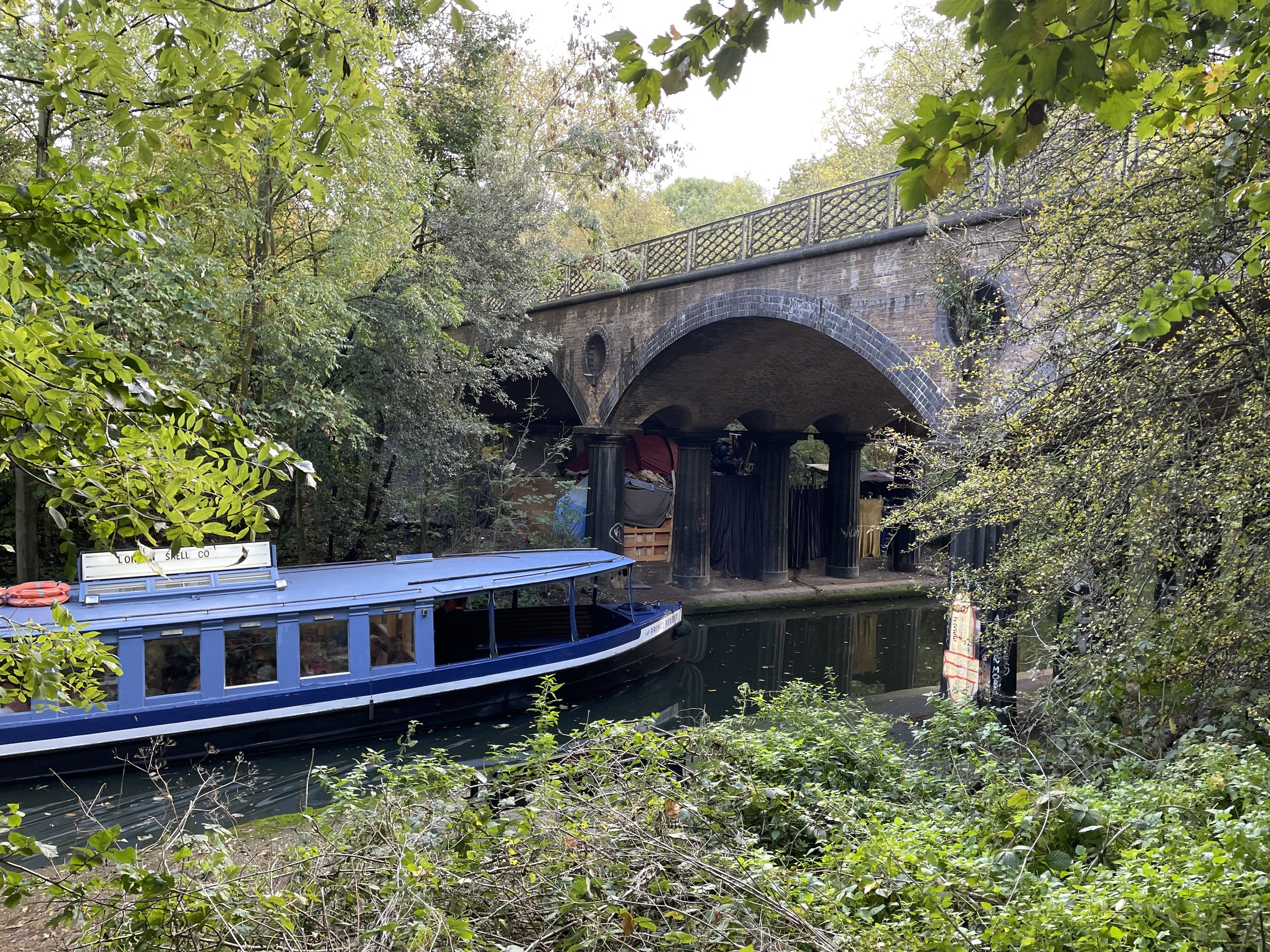
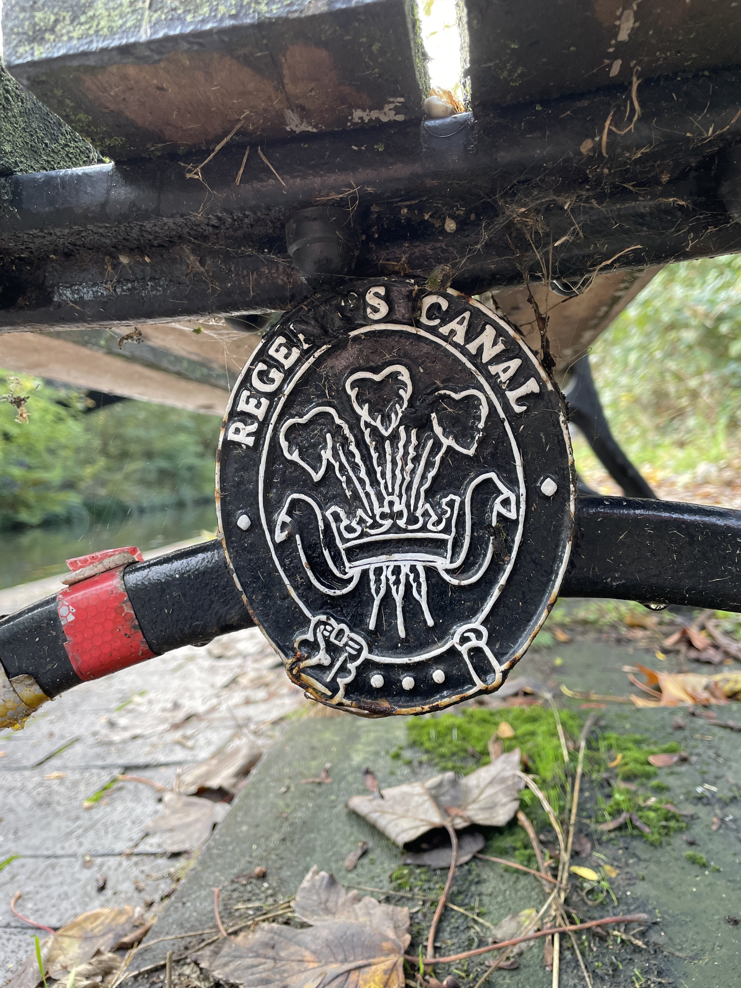
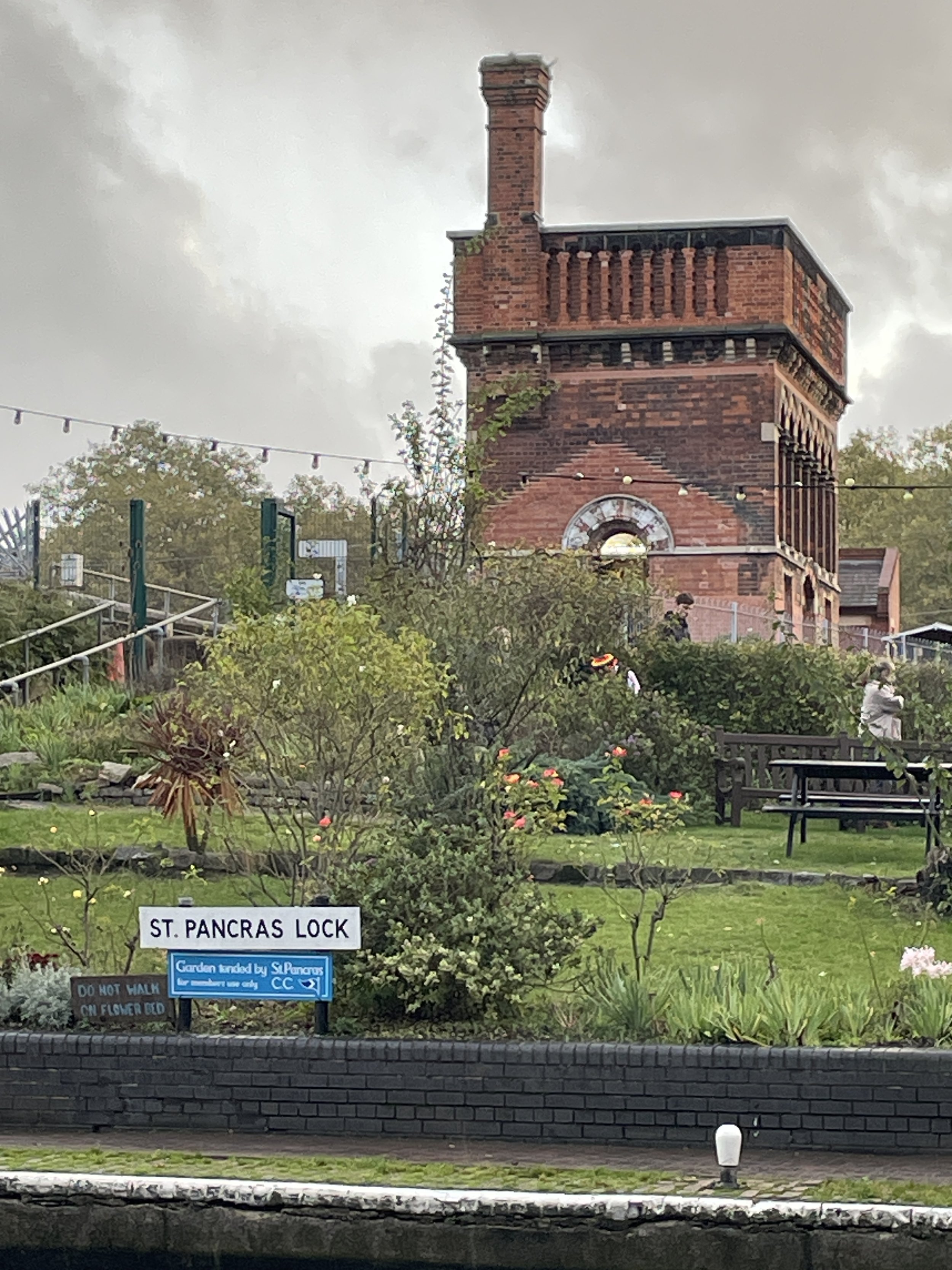
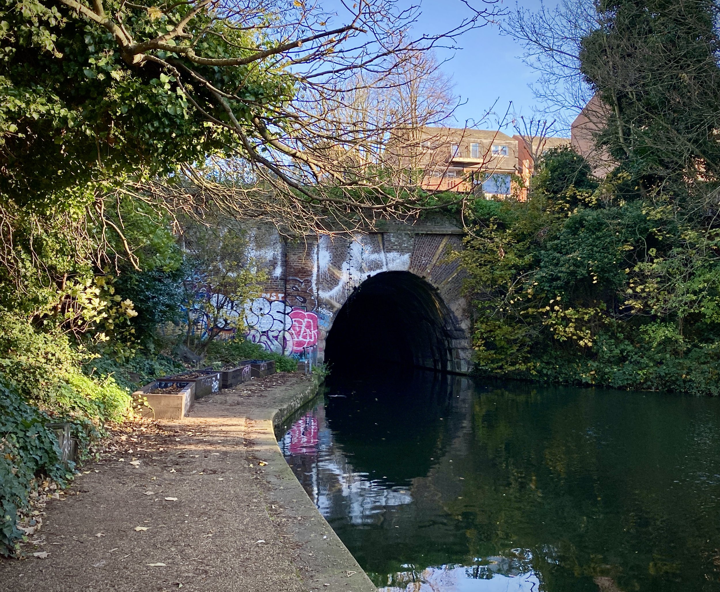
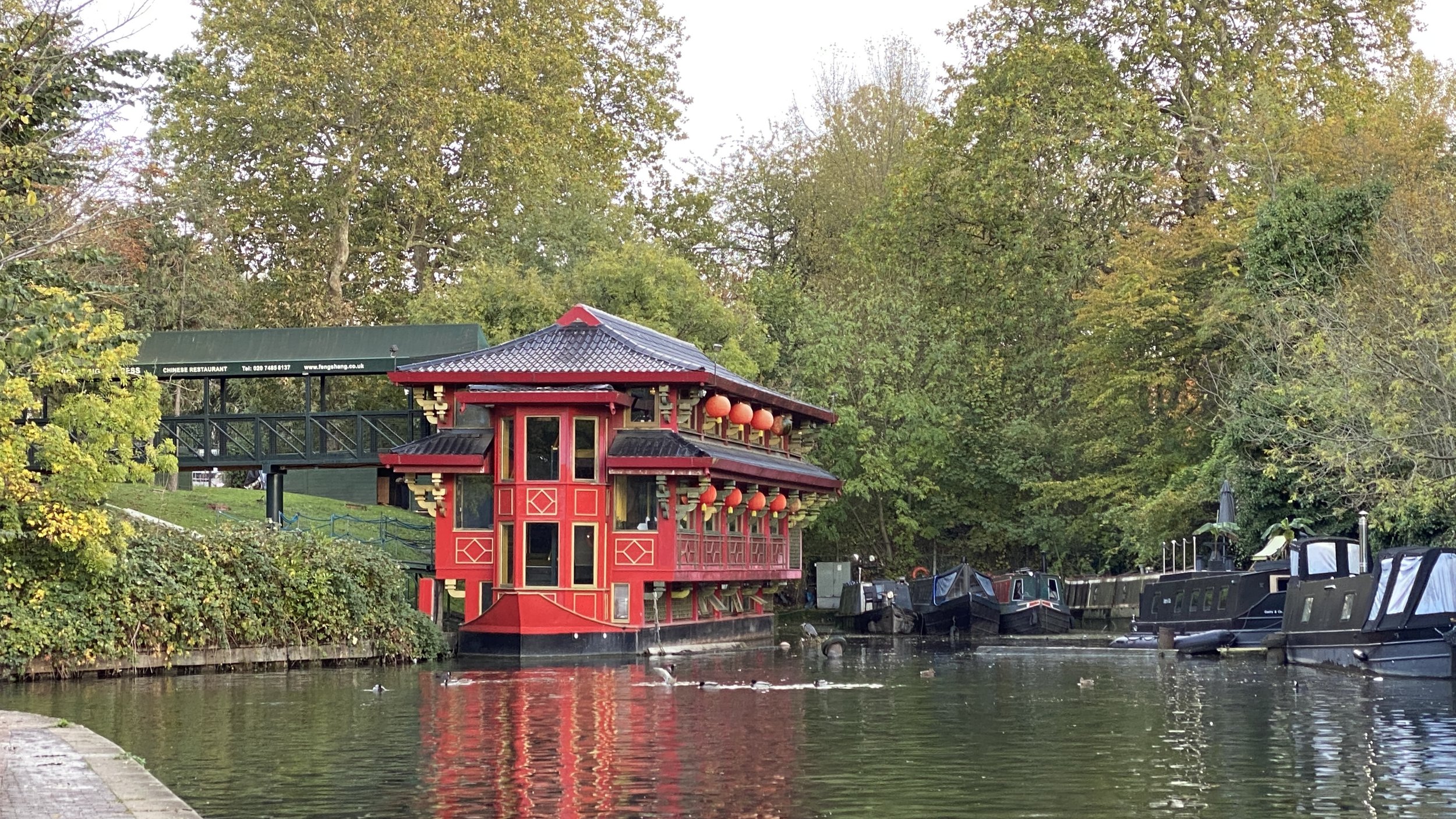
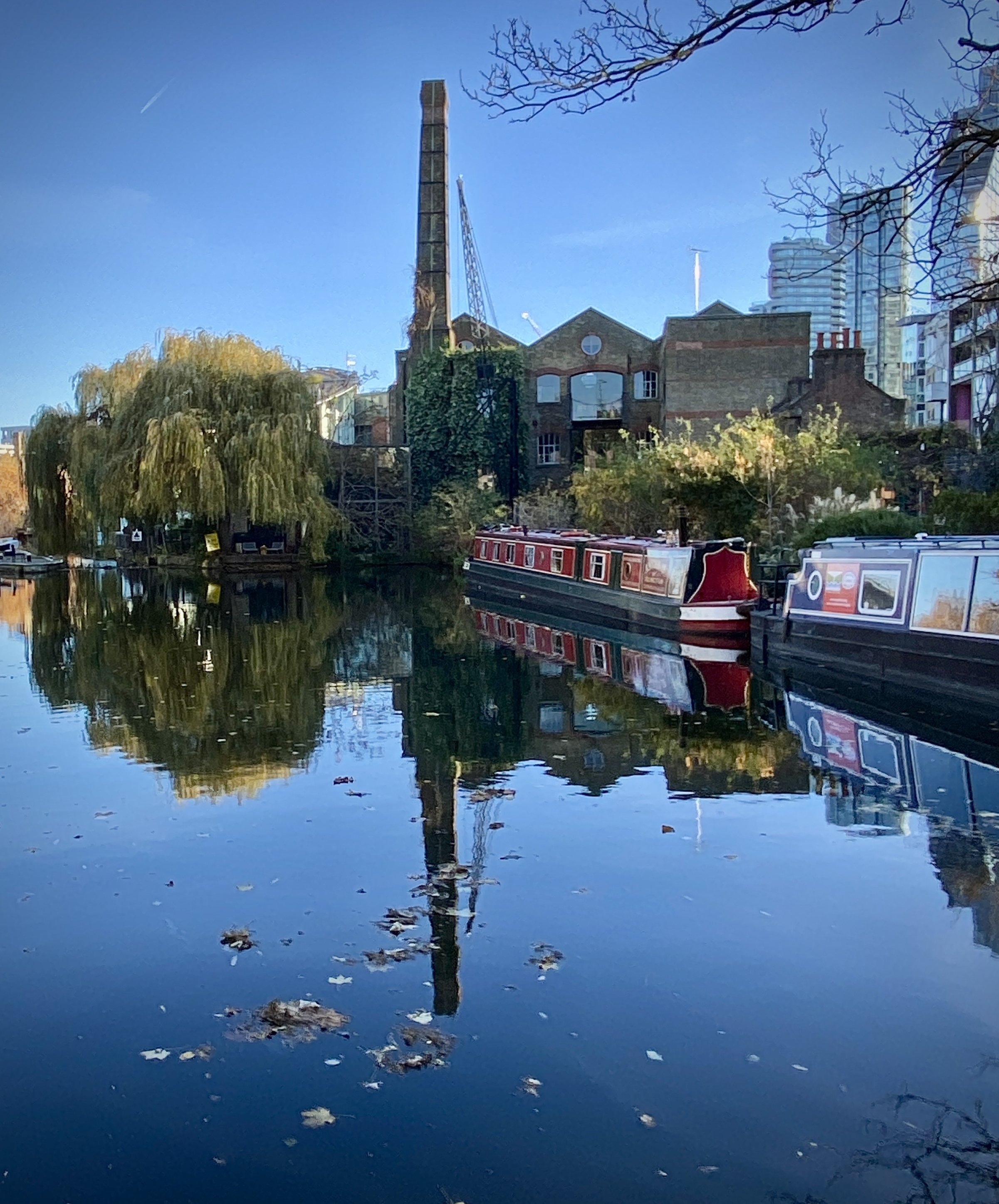
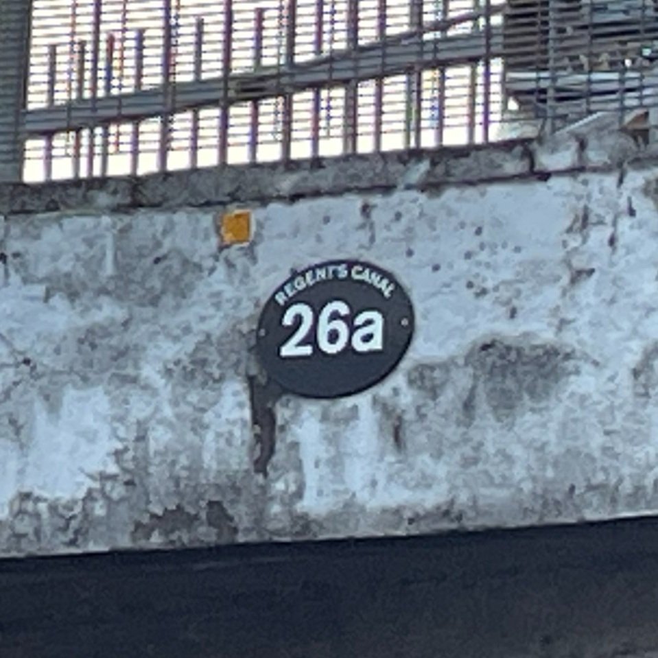
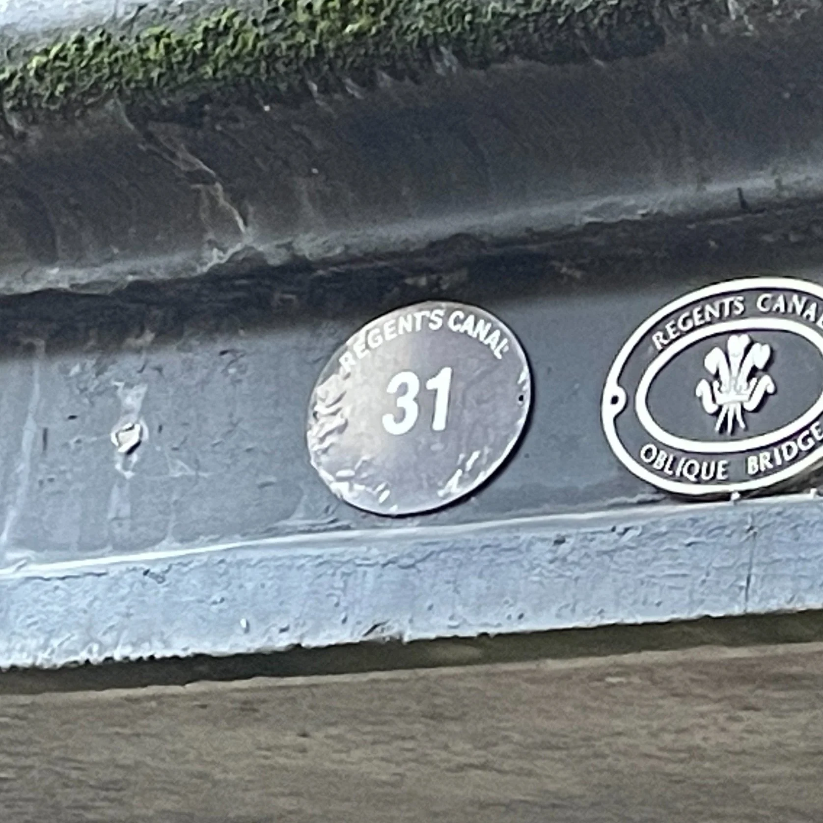
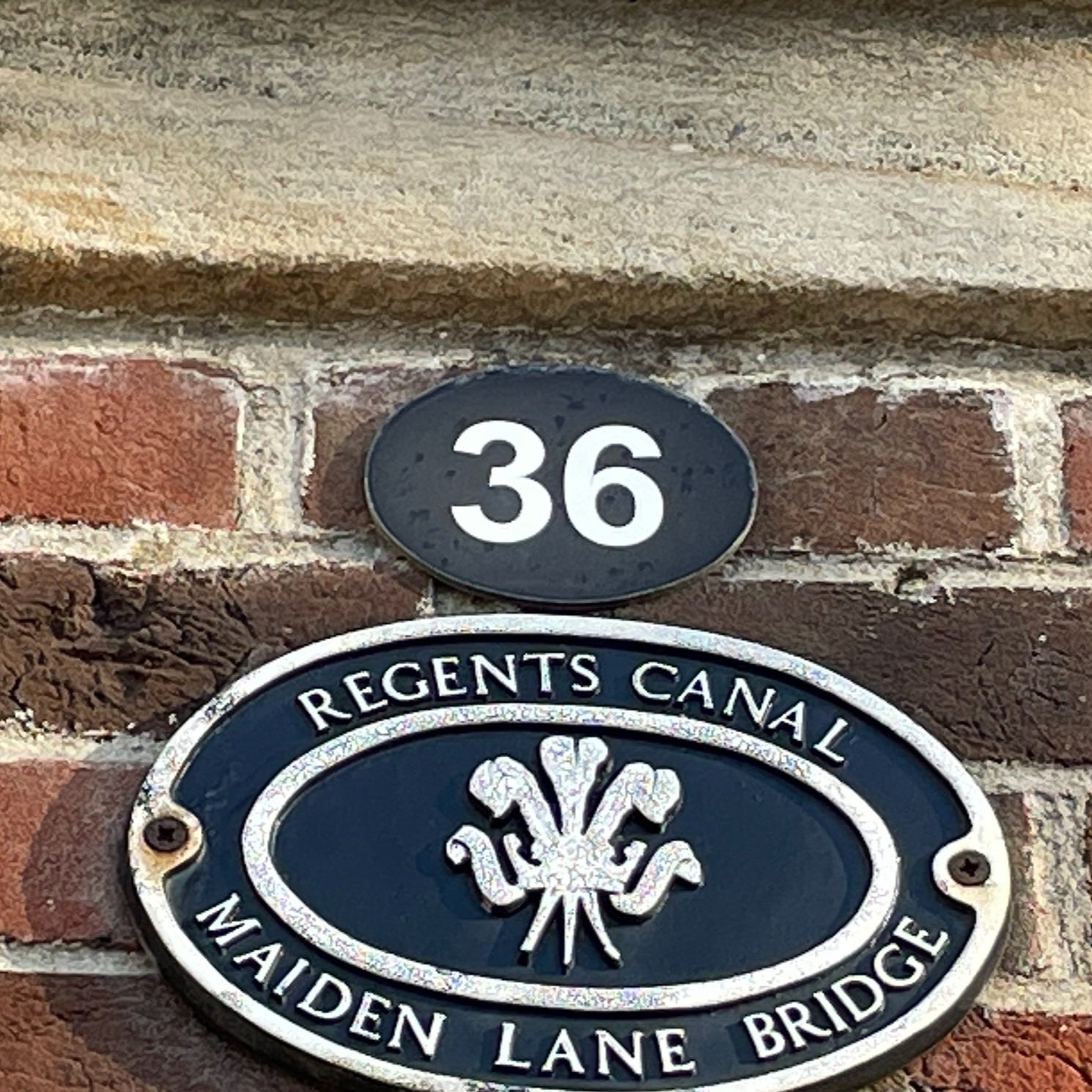
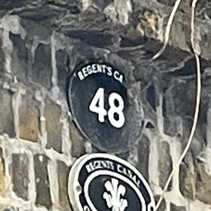
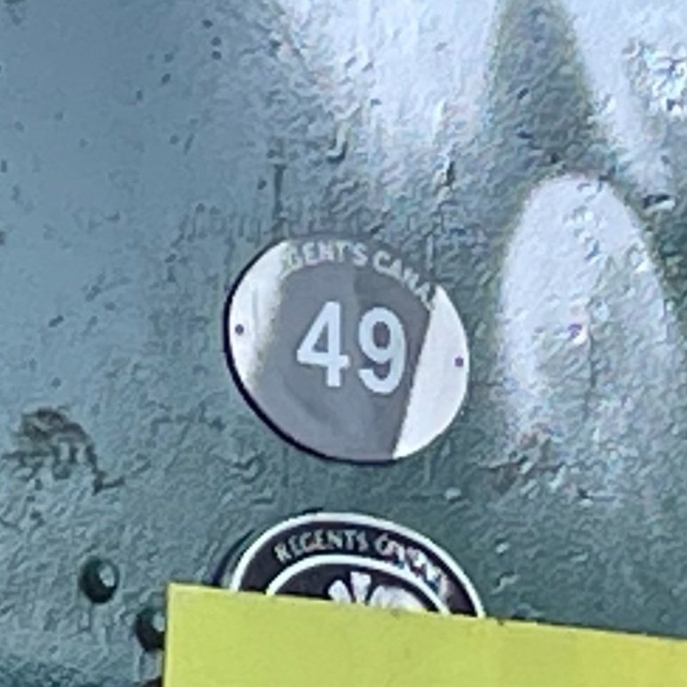
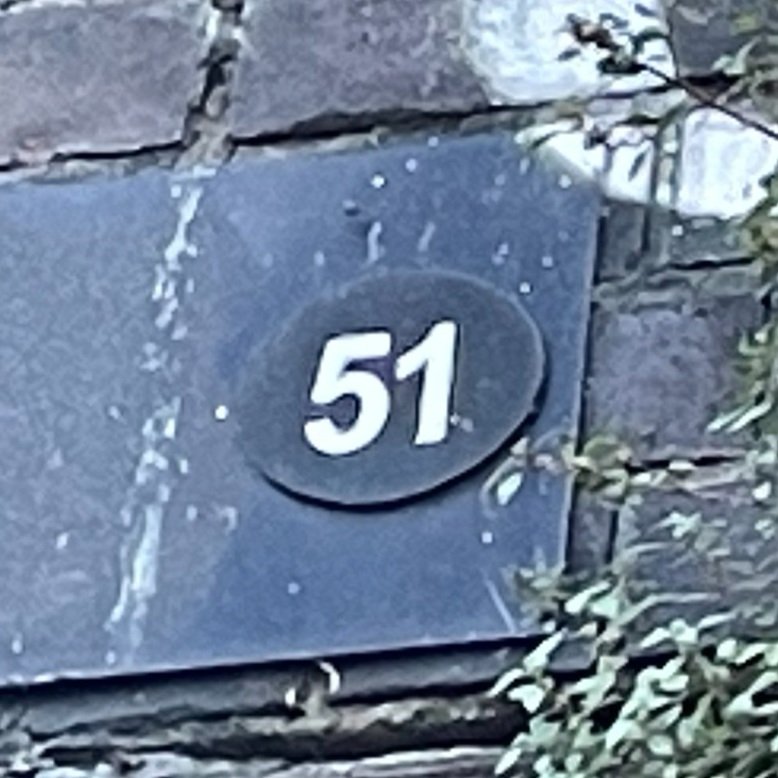
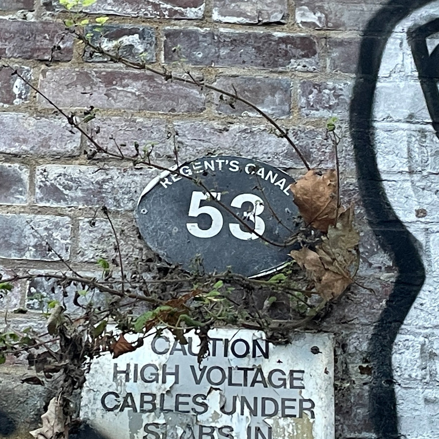
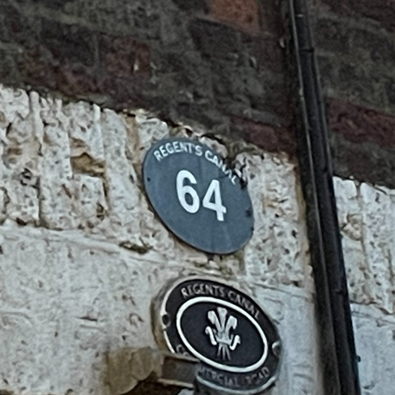
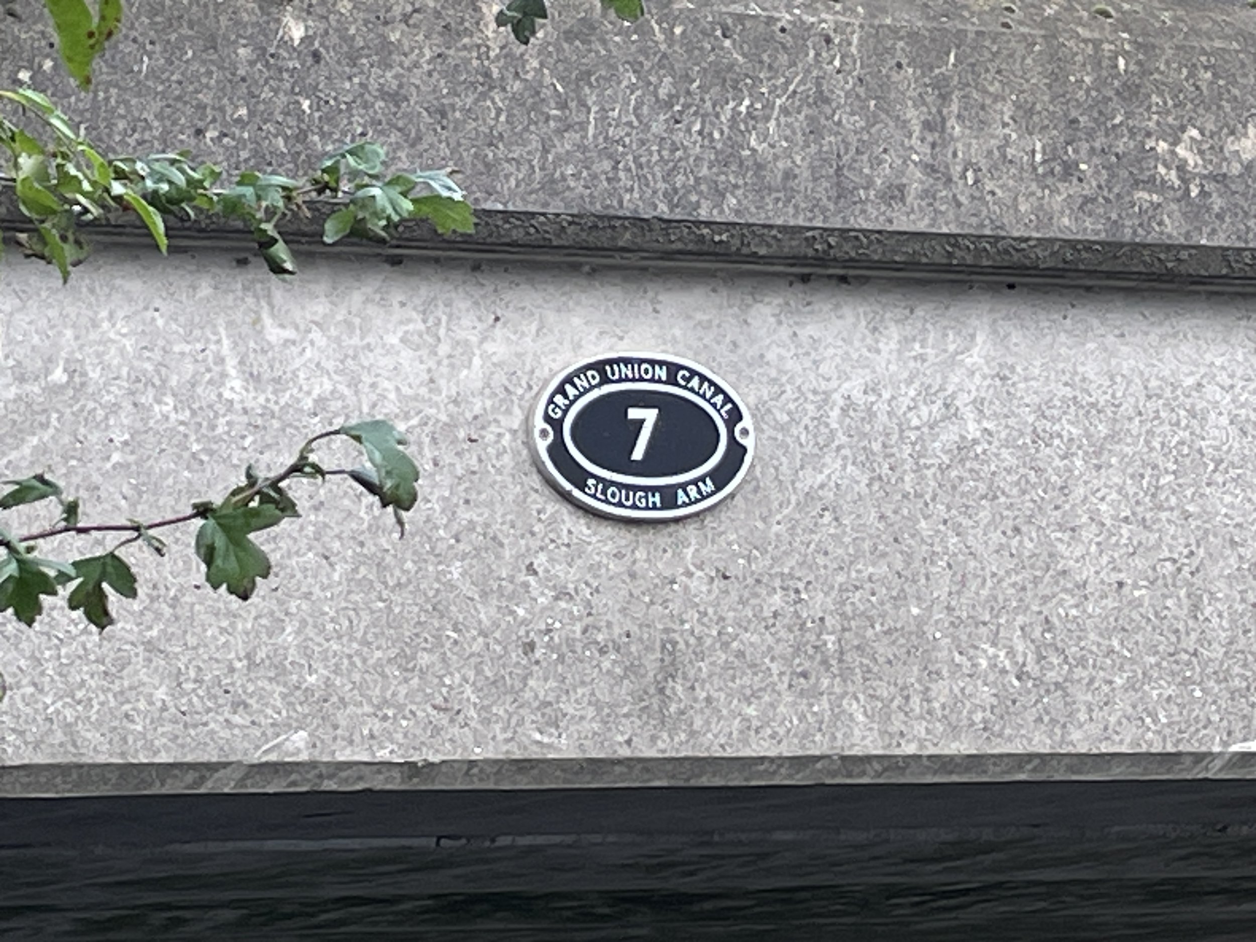
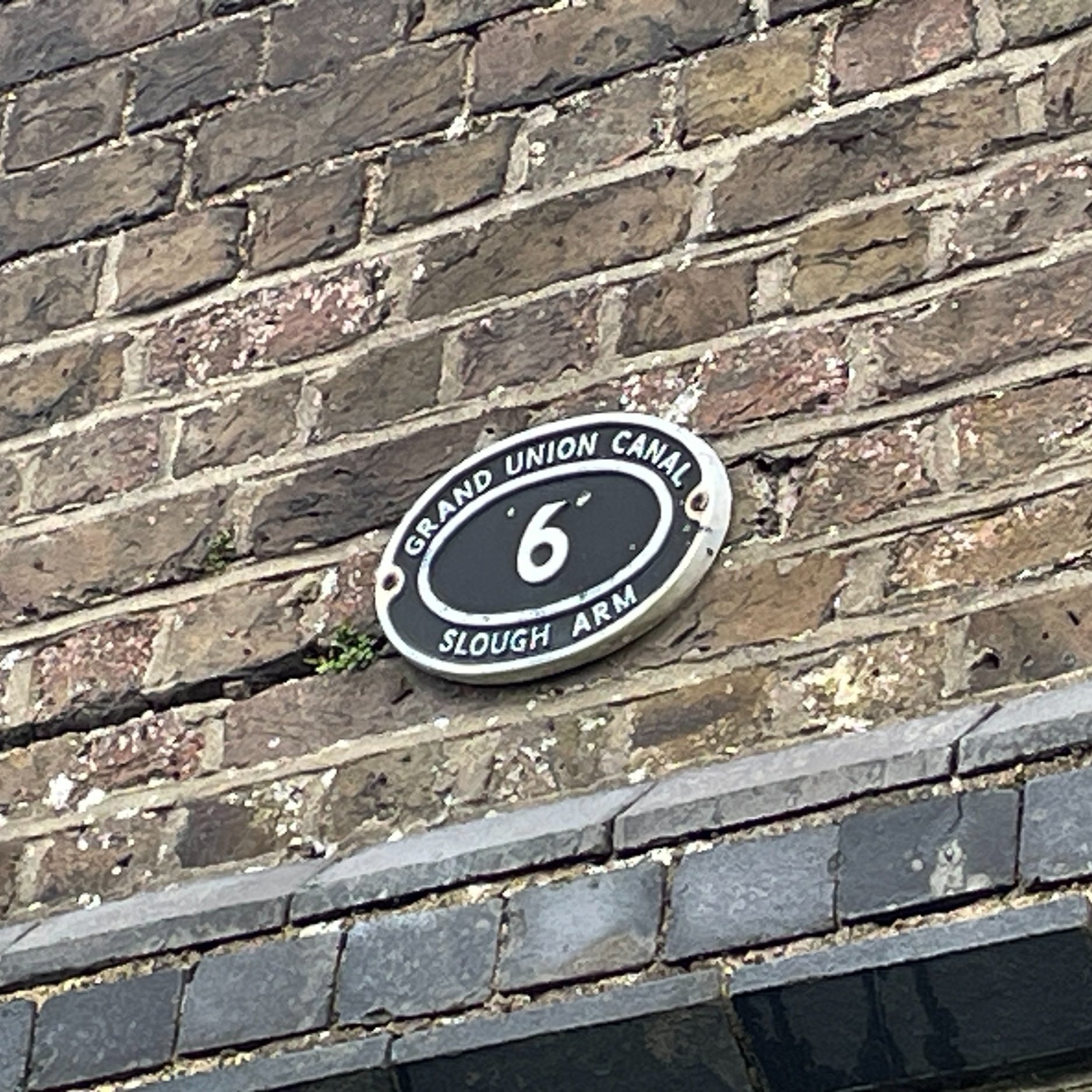
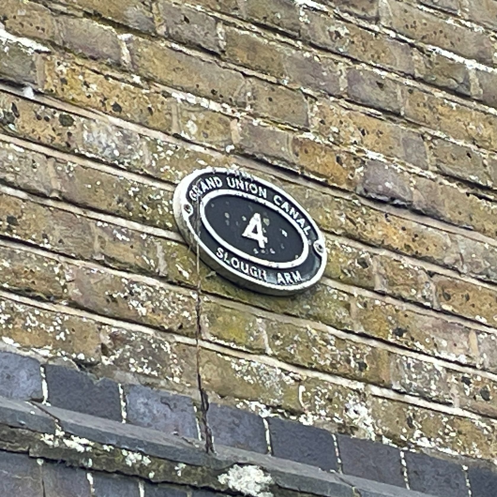
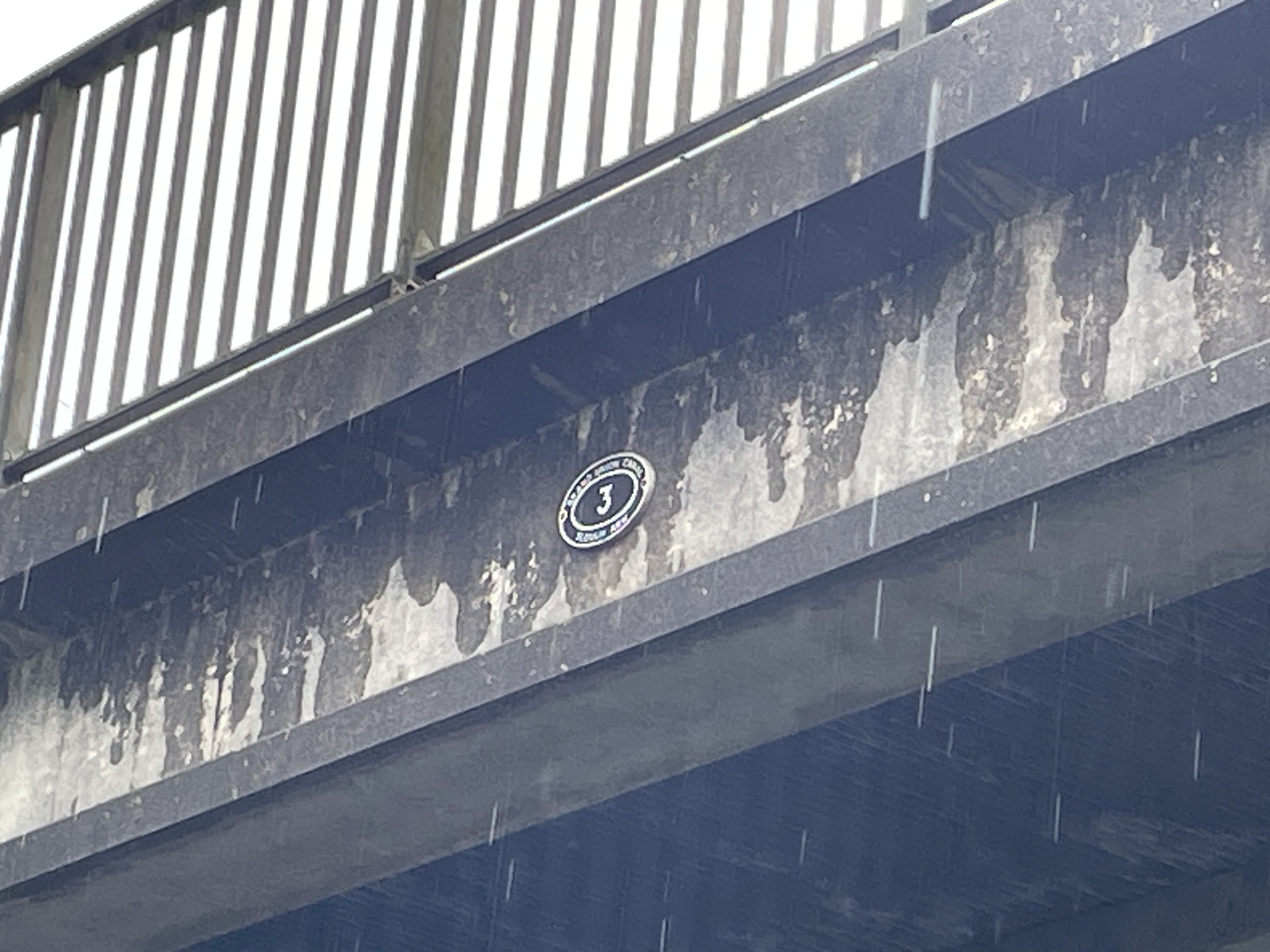
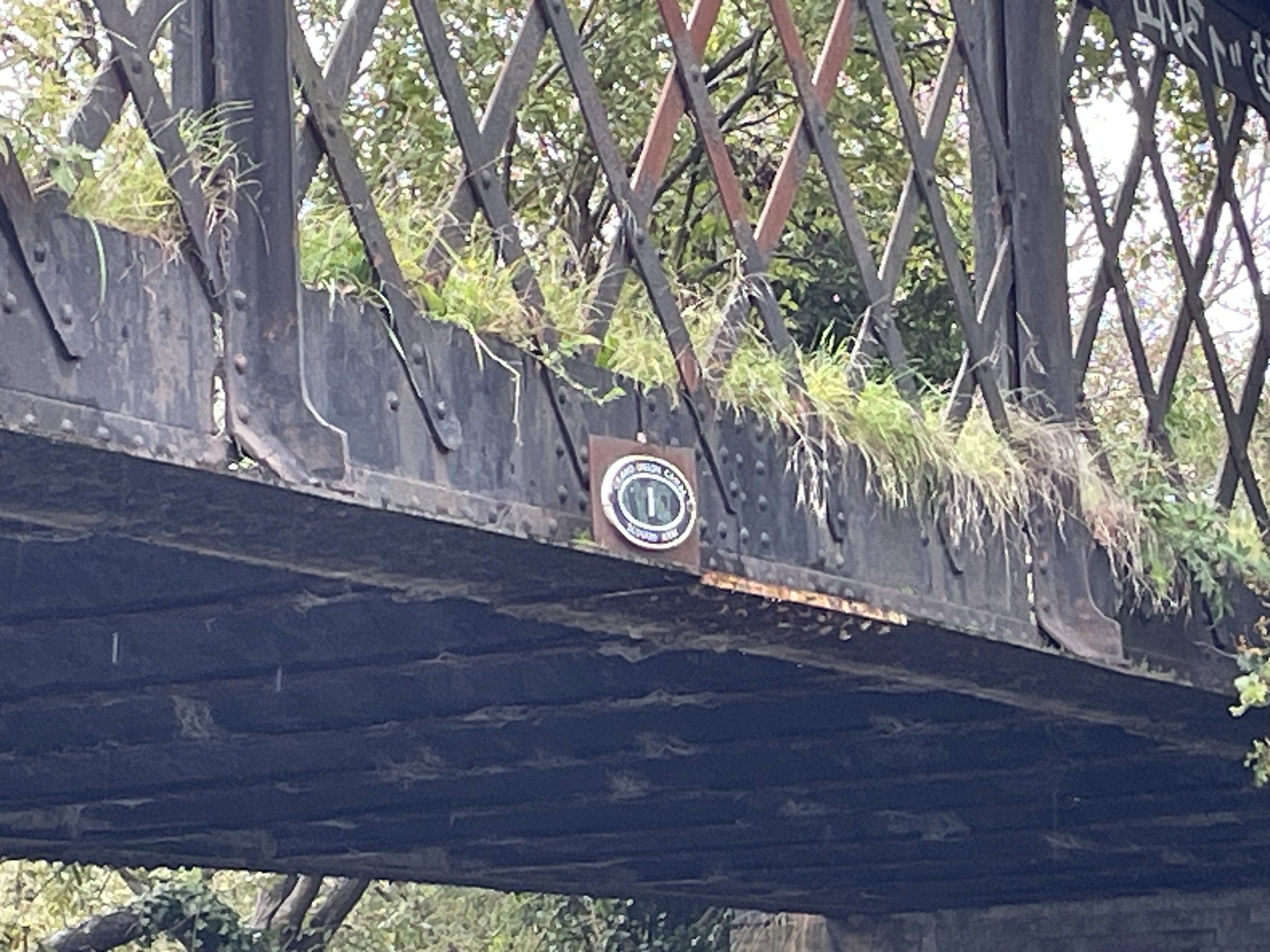
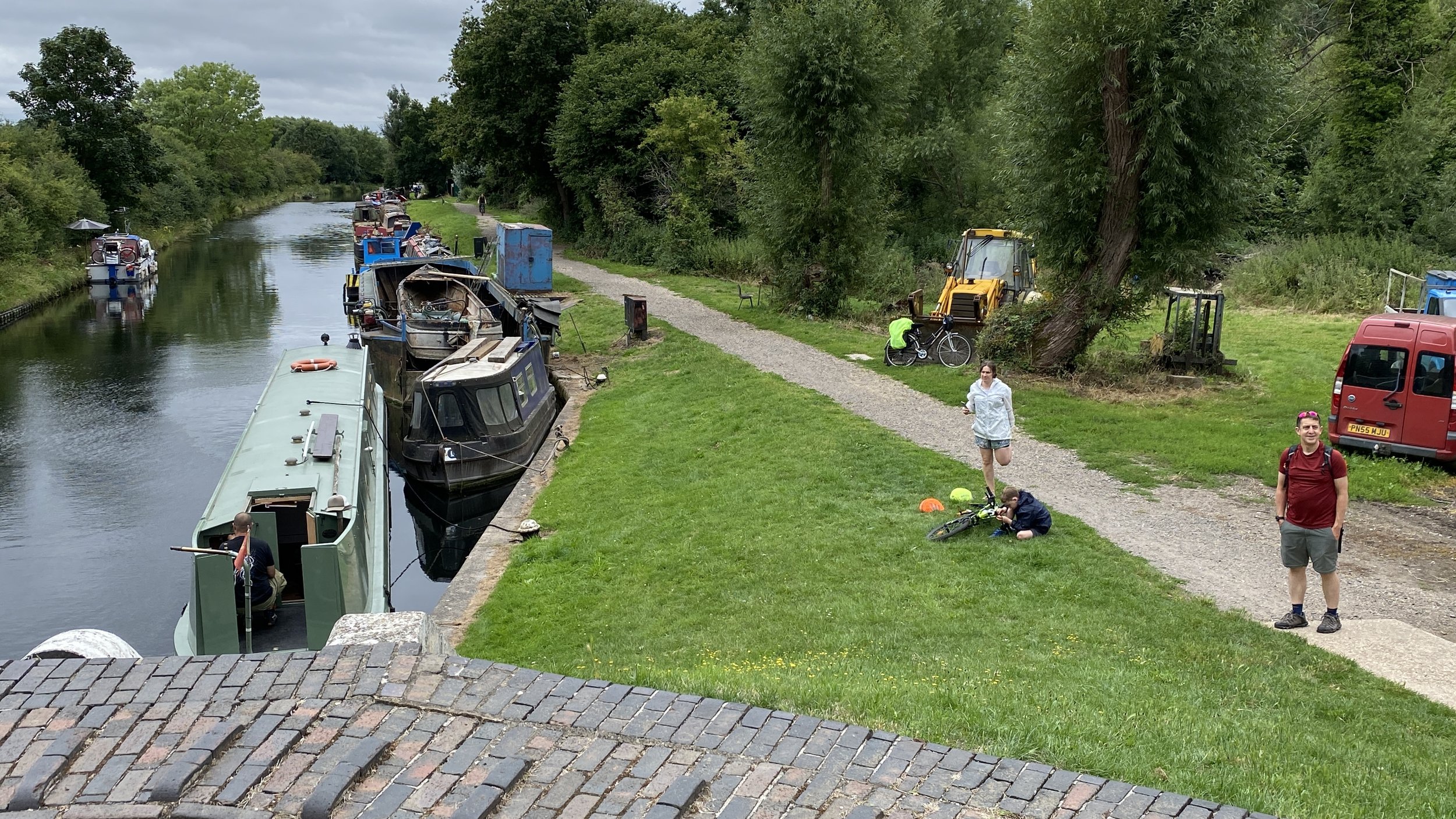
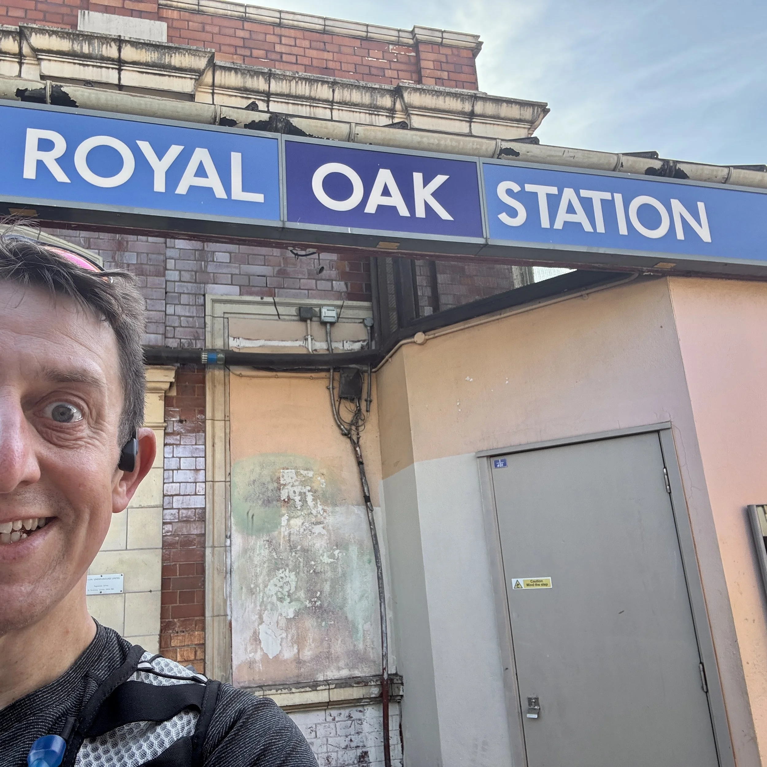
At Royal Oak, you cross over the railway and then head across the Westbourne Green open space. This brings you to the Grand Union Canal at Browning's Pool, where the water splits for the Paddington Arm of the Grand Union Canal and forks off to the Regent's Canal.
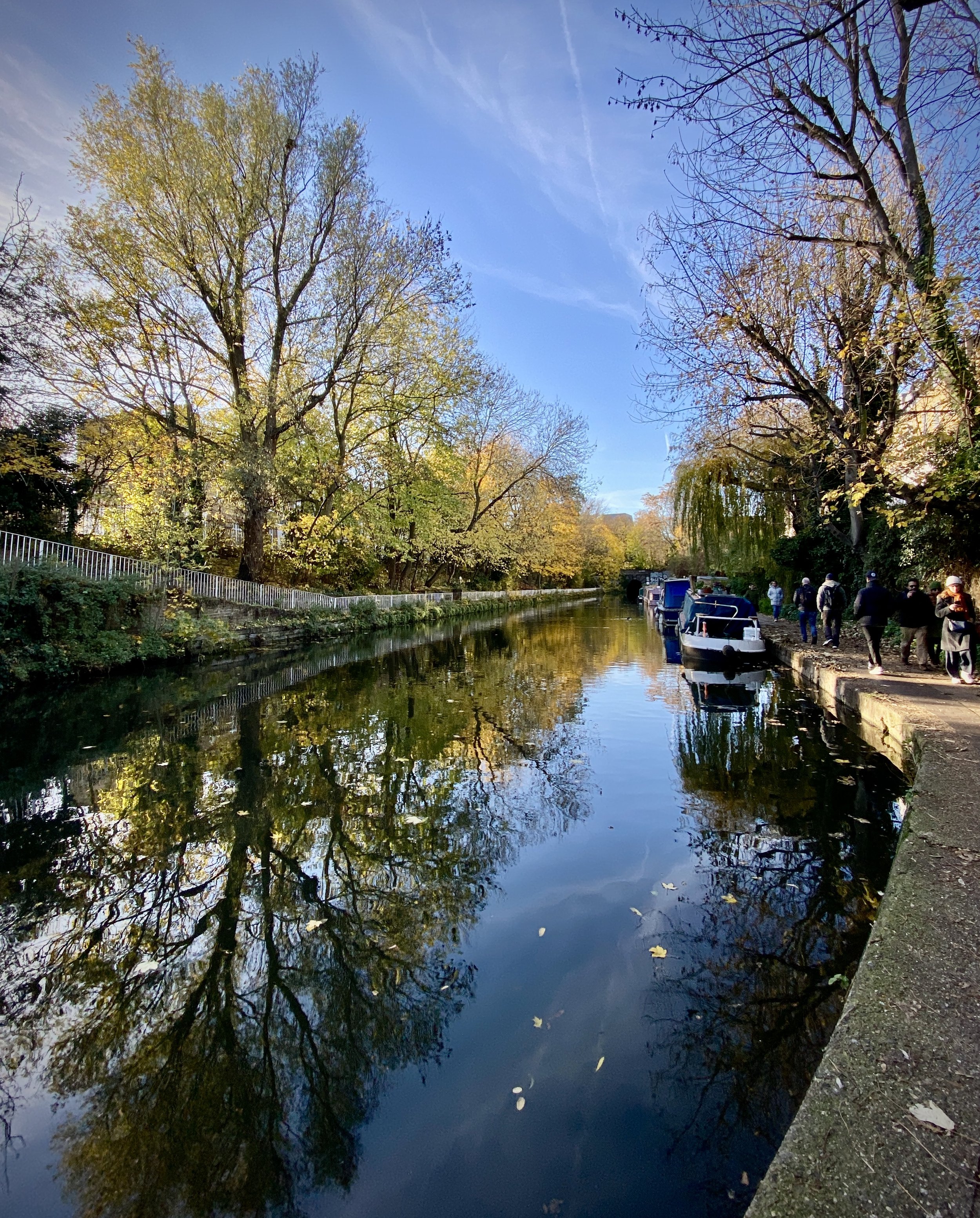
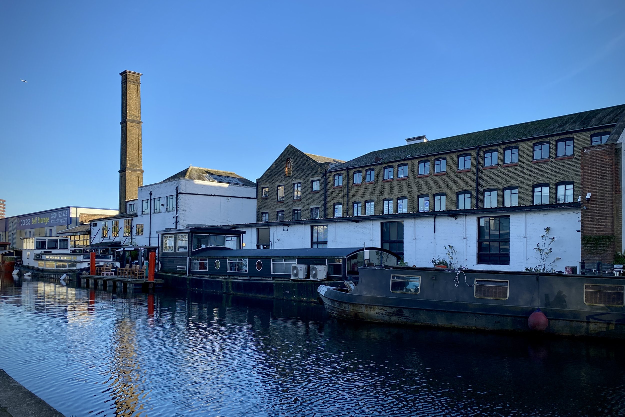
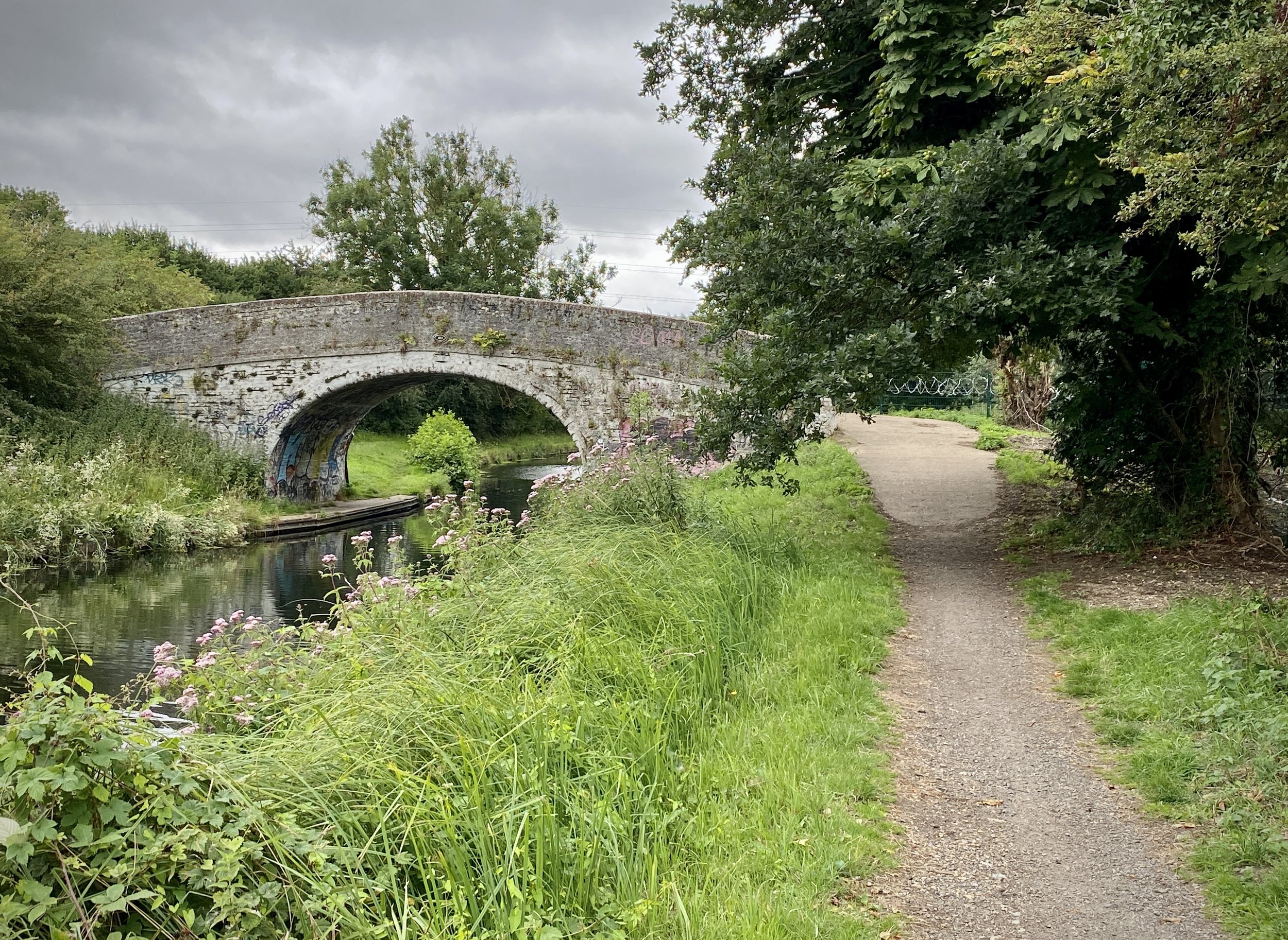
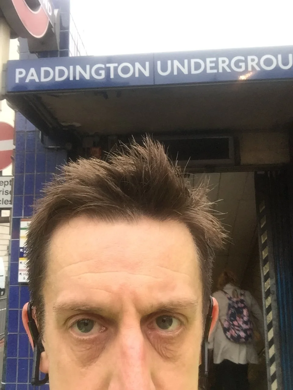
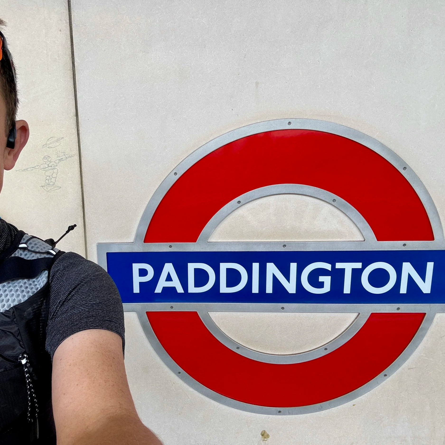
If you carry on along the Paddington Arm canal towards Paddington Basin, you will eventually end up right at the entrance to Paddington station, perfectly positioned by the Circle and Hammersmith & City line station. It was a brilliant way to conclude this part of the journey and finally put that unfinished business to rest.
The Main Loop
Start & Finish: Marylebone Station, Melcombe Place, Marylebone, London, NW1 6JJ
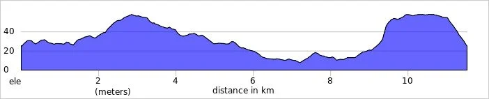
Distance: 24.7 km (15.3 miles)
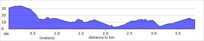
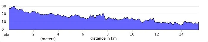
Elevation change: +/- 190m
GPX File: get via Buy Me a Coffee
Other routes touched (Walk): Thames Path, Jubilee Walkway, River Fleet Walk, River Westbourne Walk, Jubilee Greenway
Other routes touched (Cycle): CS3, CS6
Maps:
- OS Explorer Map (161) London South, Westminster, Greenwich, Croydon, Esher & Twickenham
- OS Explorer Map (173) London North, The City, West End, Enfield, Ealing, Harrow & Watford

The Hammersmith Spur
Start & Finish: Hammersmith Station, Underground Ltd, Beadon Rd, London W6 7AA
Distance: 7.5 km (4.6 miles)
Elevation change: +48m / - 30m. Net +18m
GPX File: get via Buy Me a Coffee
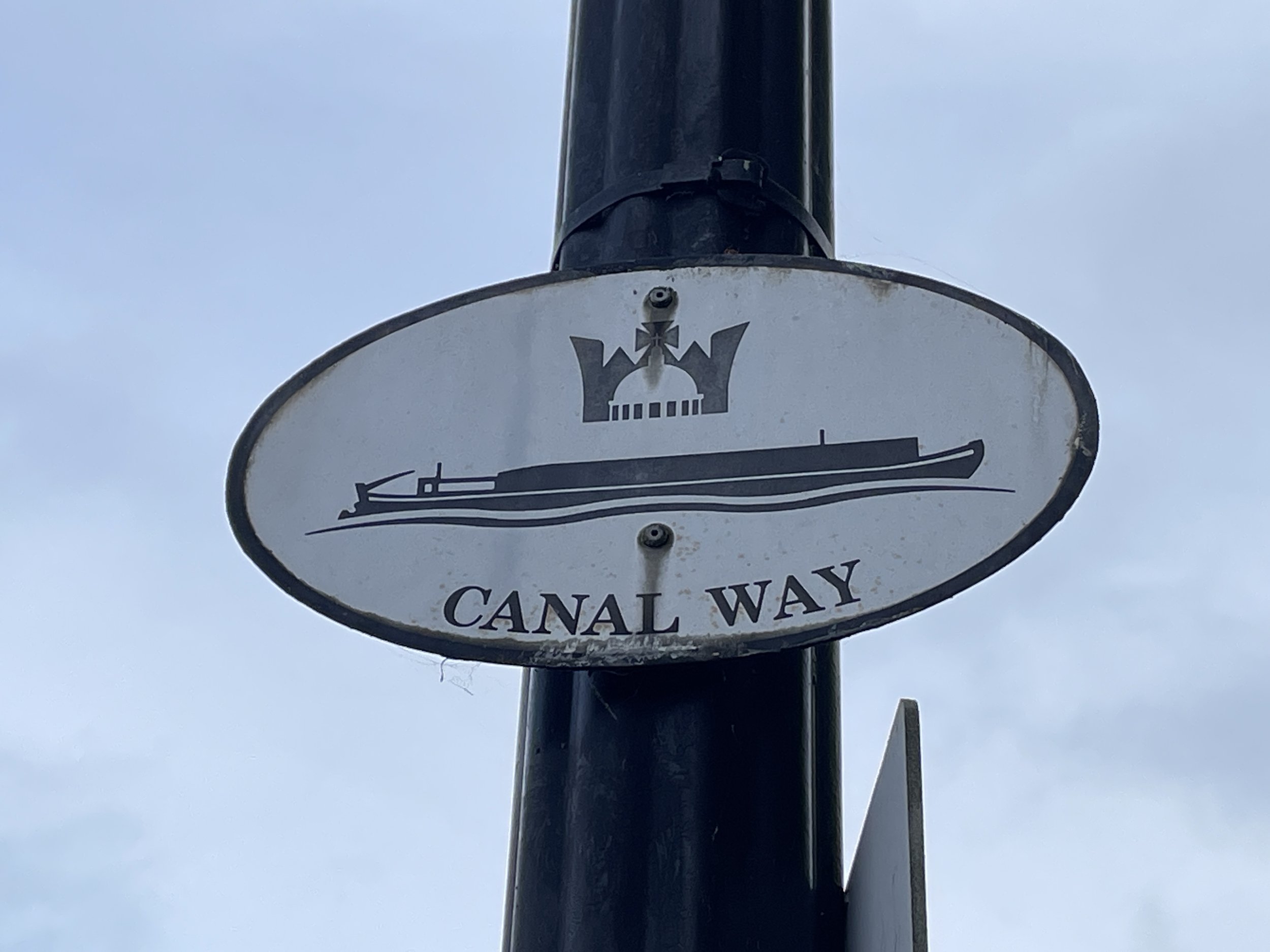
Other routes touched (Walk): Jubilee Greenway, Grand Union Canal / Regents Canal Towpath
Other routes touched (Cycle): C27, C44
Map: OS Explorer Map (173) London North, The City, West End, Enfield, Ealing, Harrow & Watford


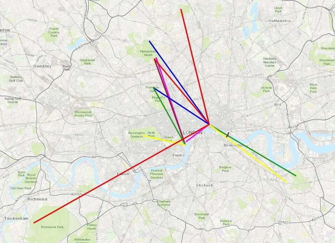
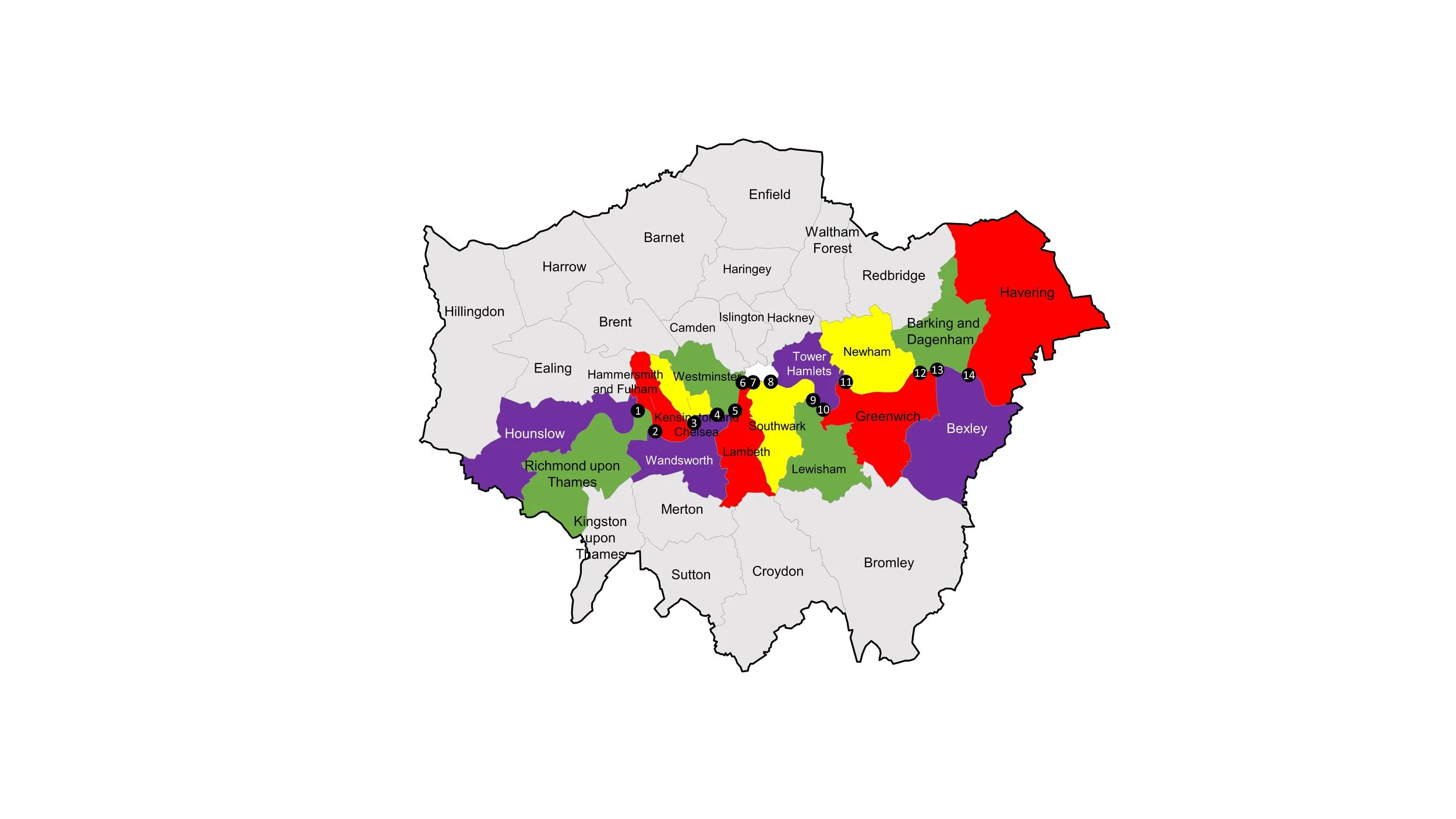
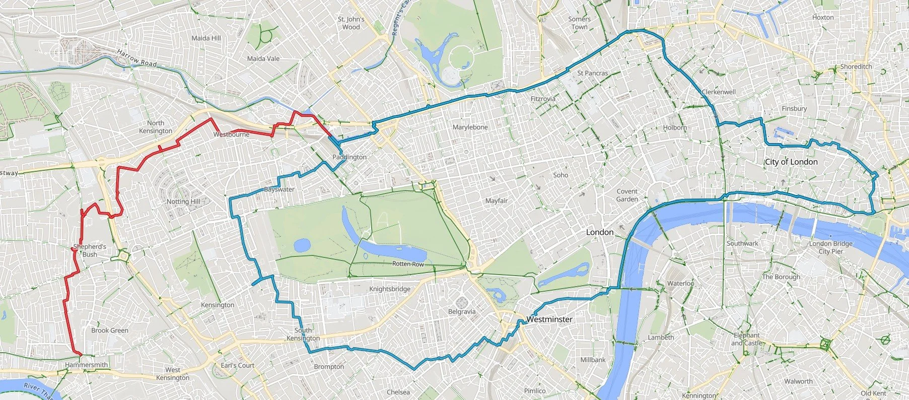
The Complete Circle Line Running Route

More London Posts
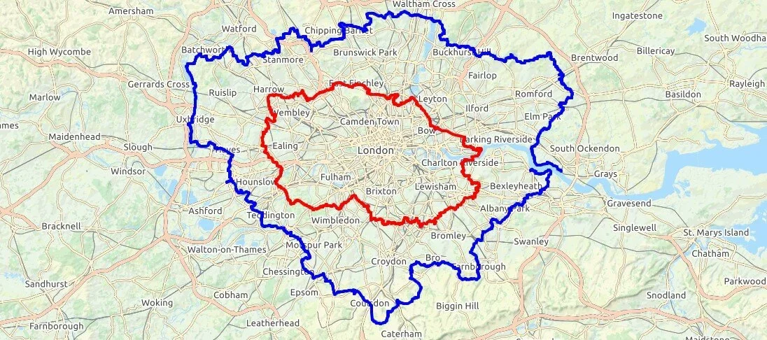
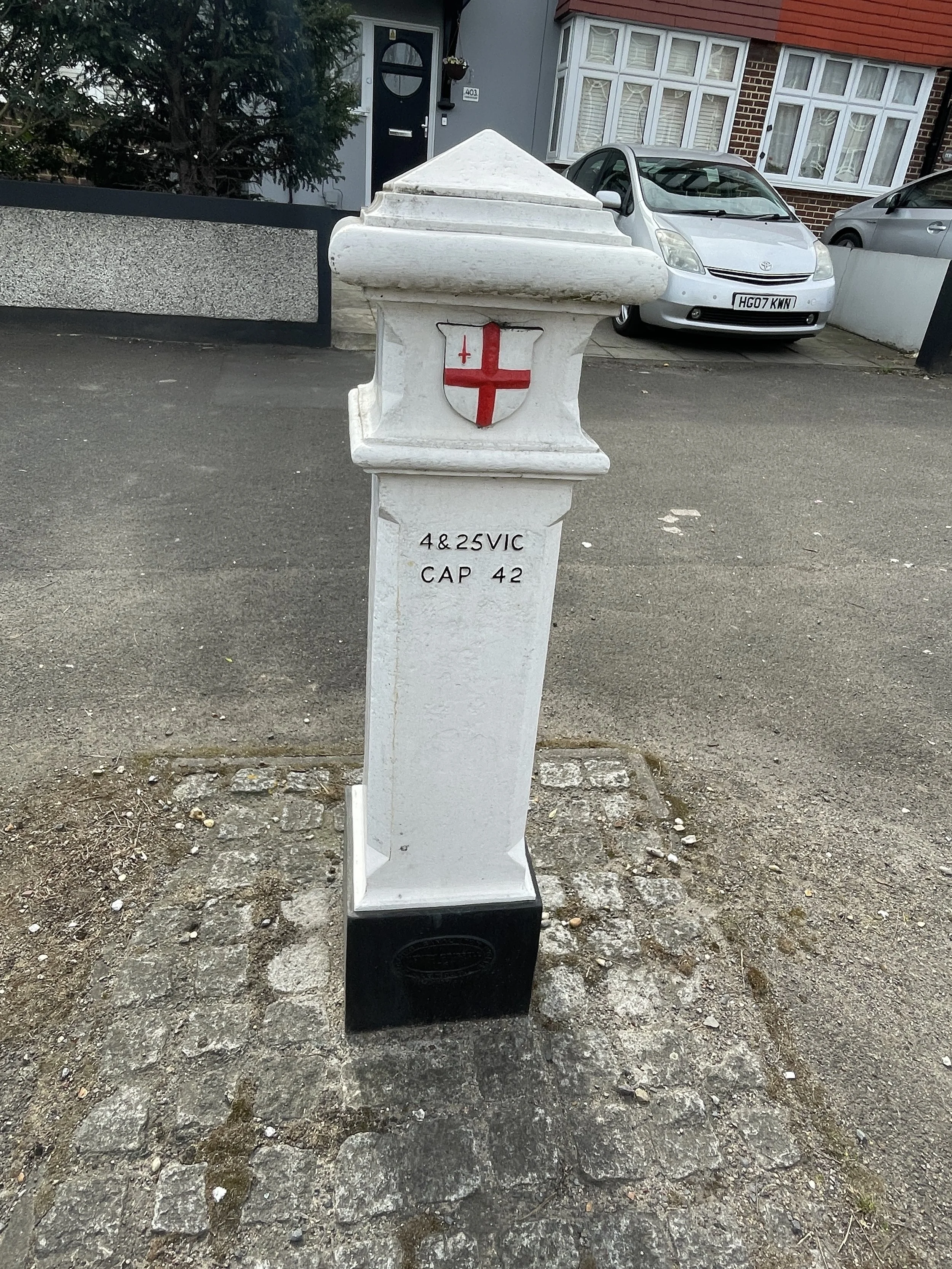
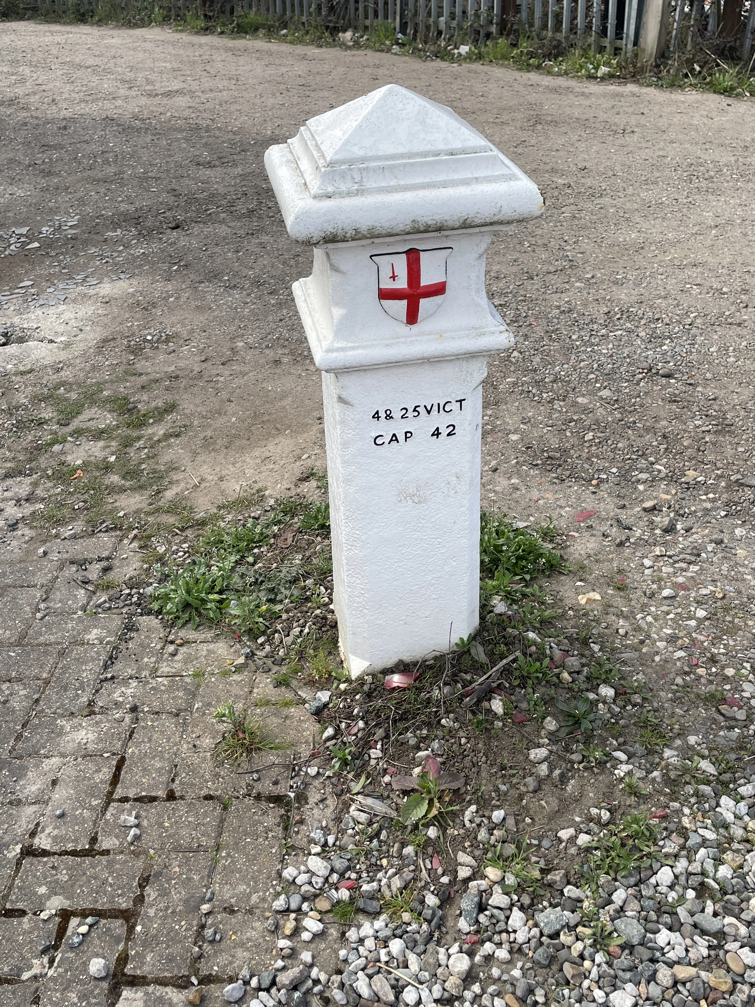
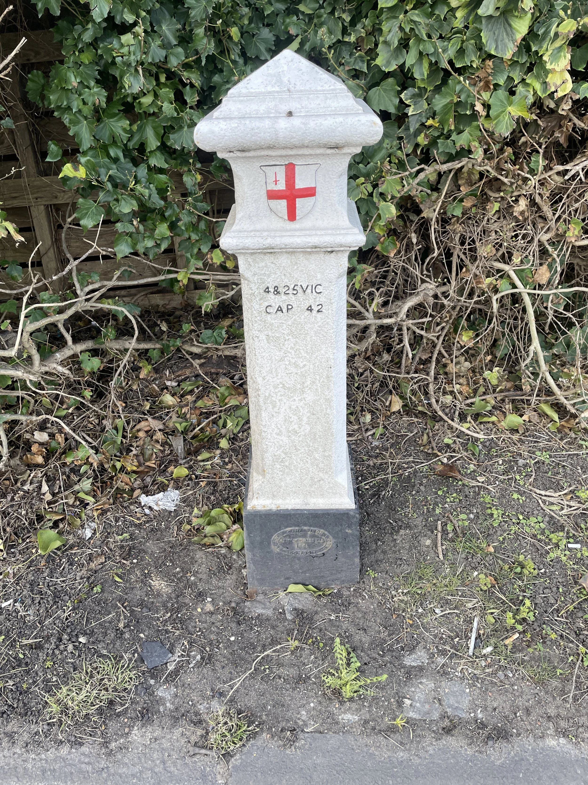
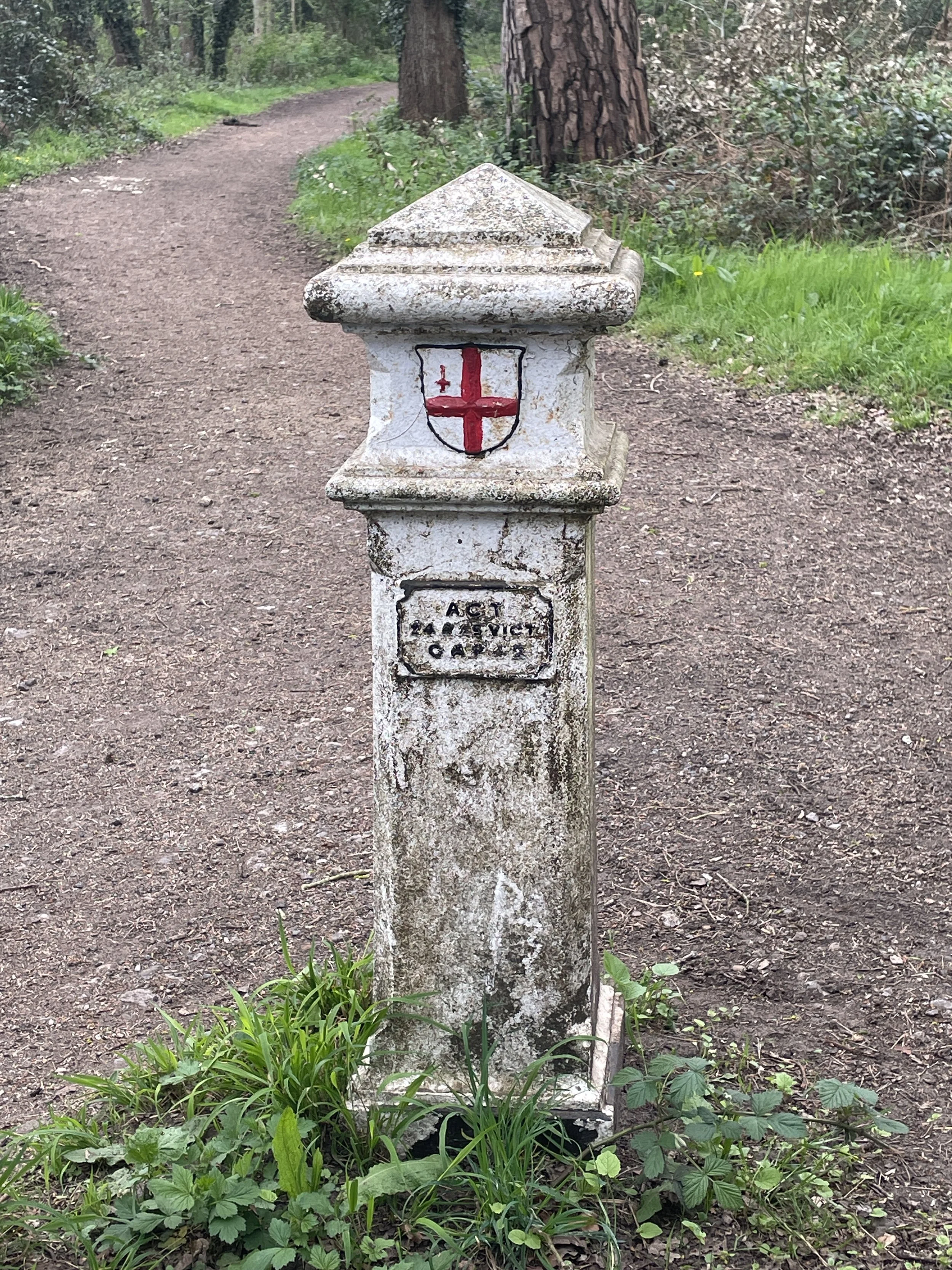
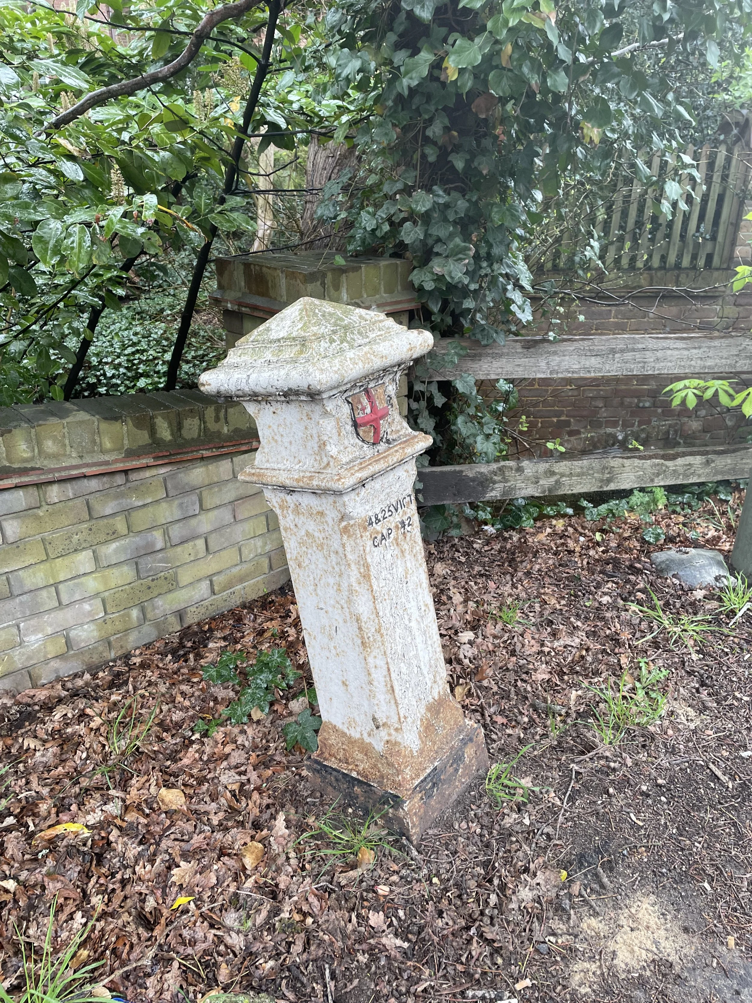
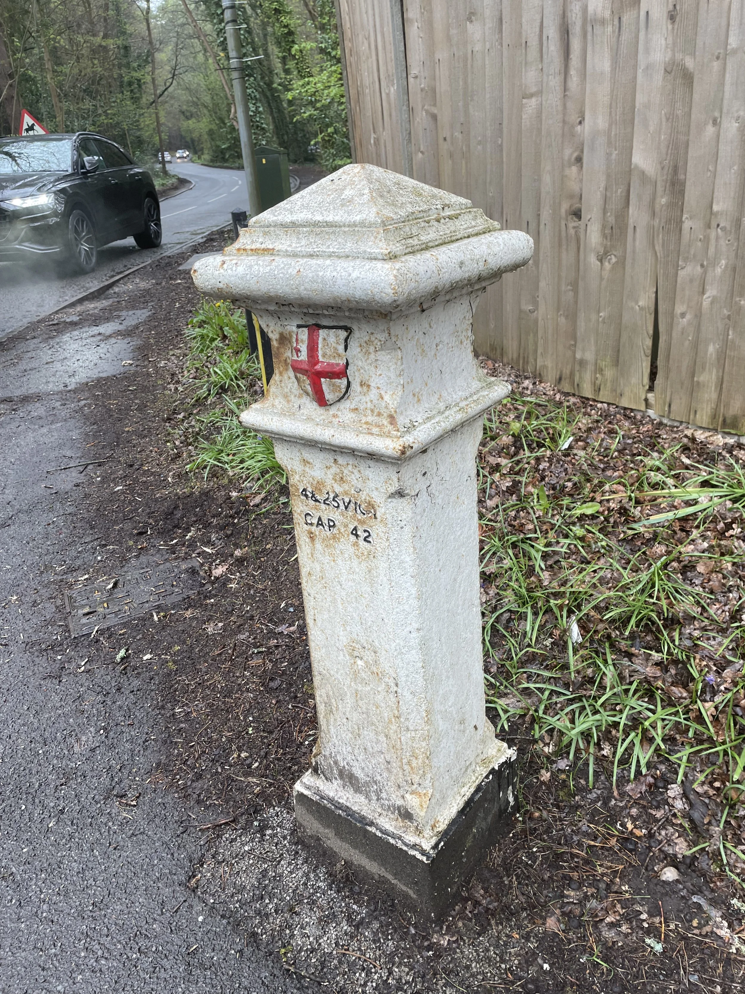
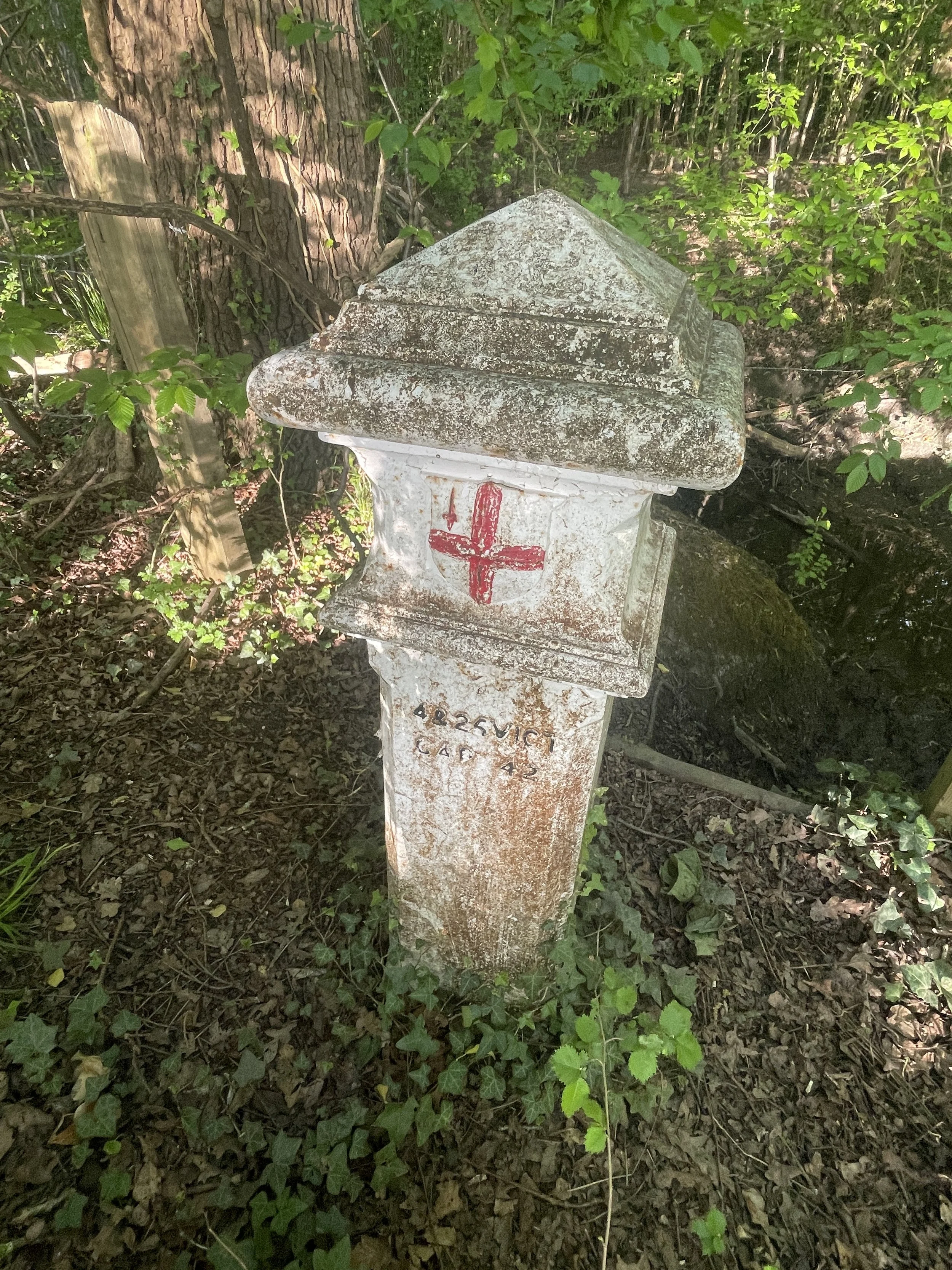
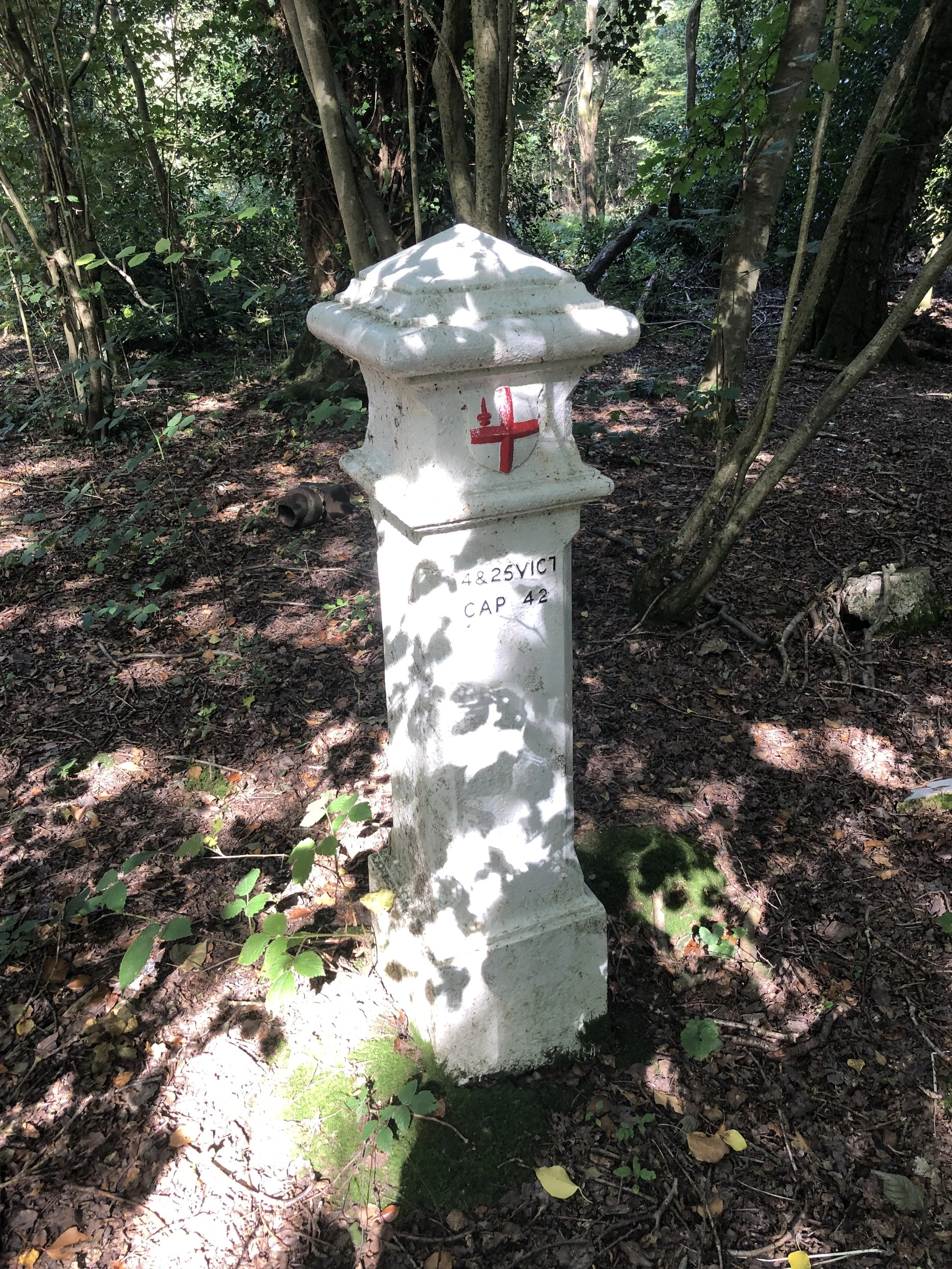
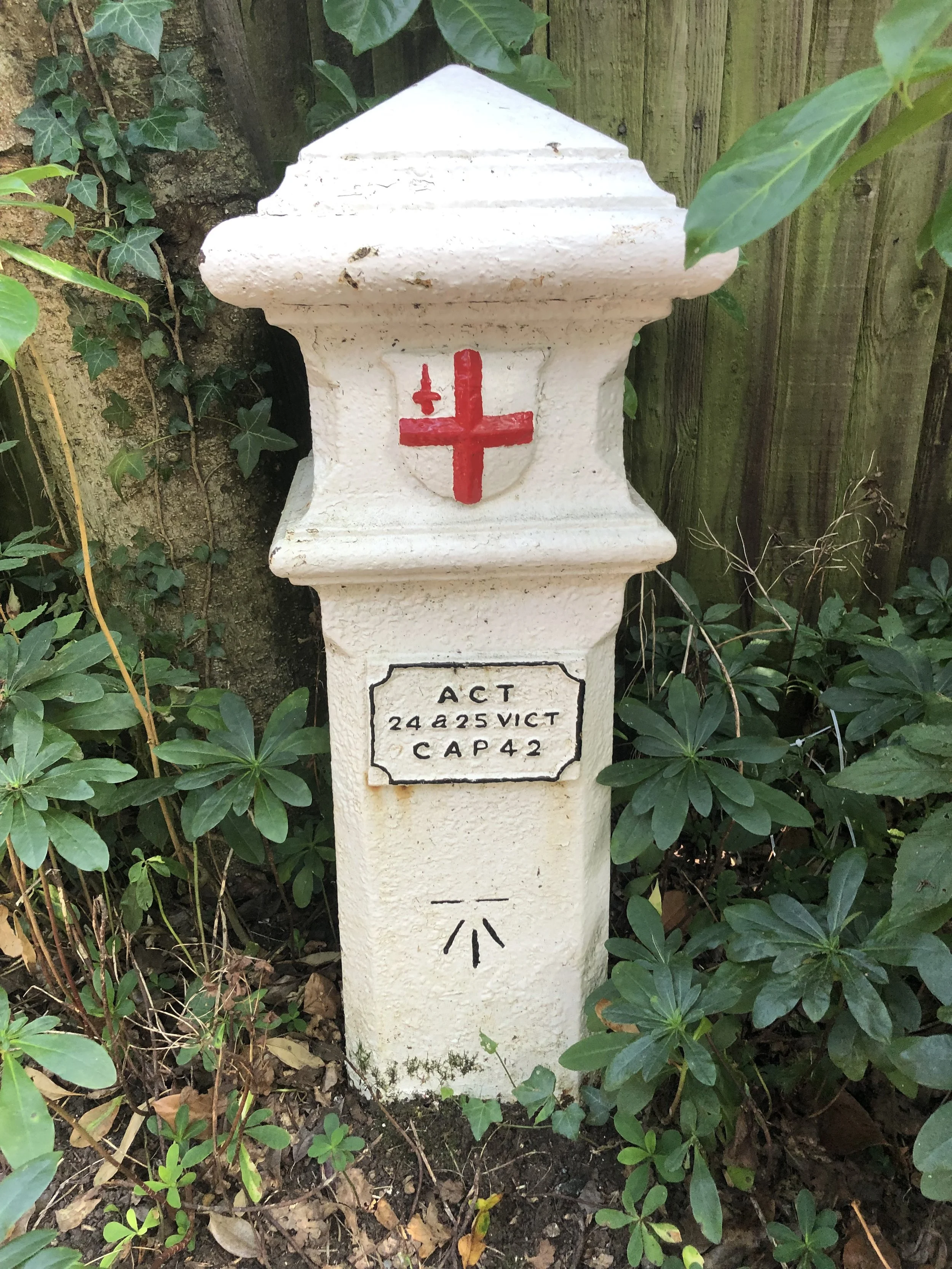
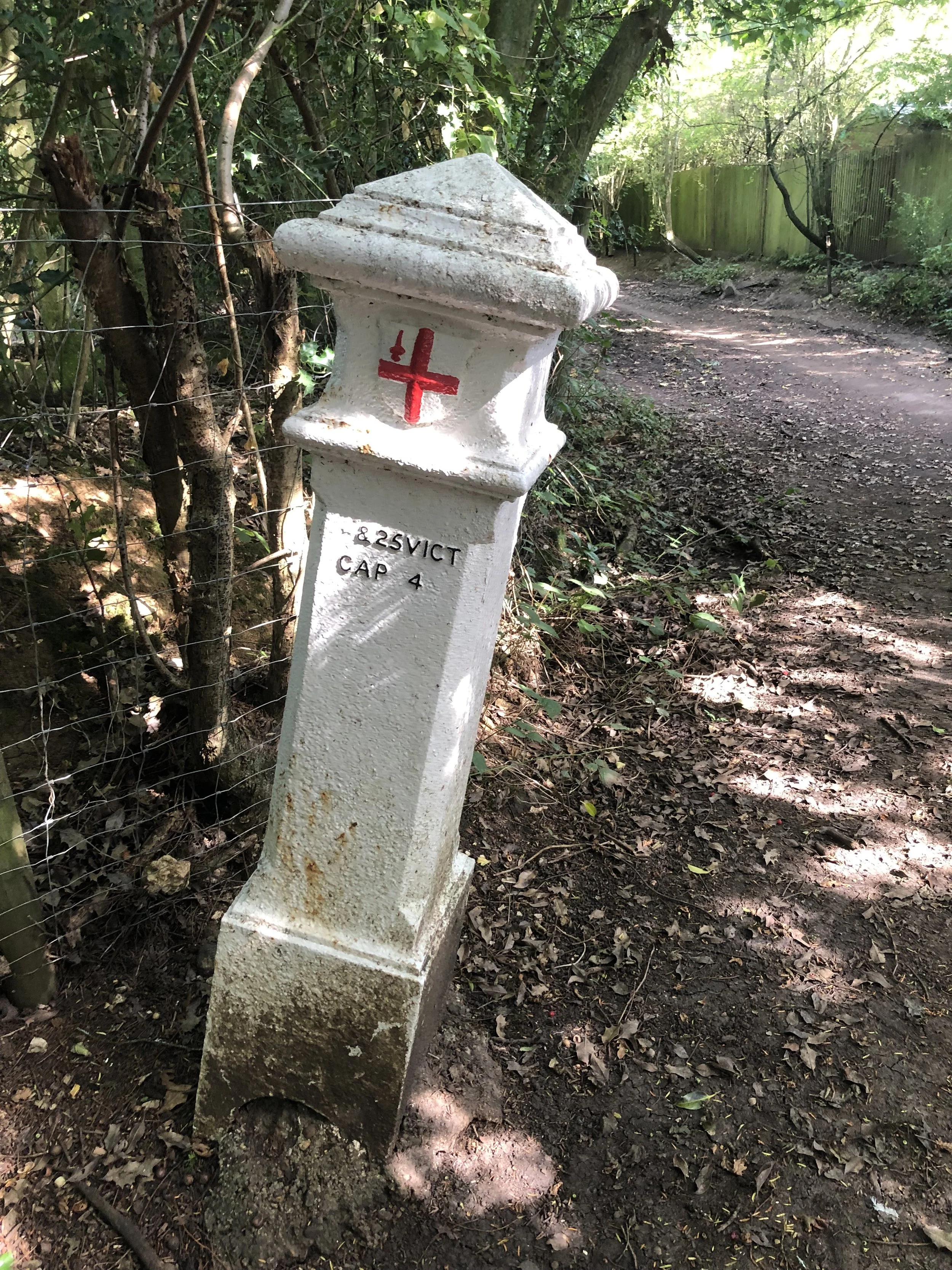
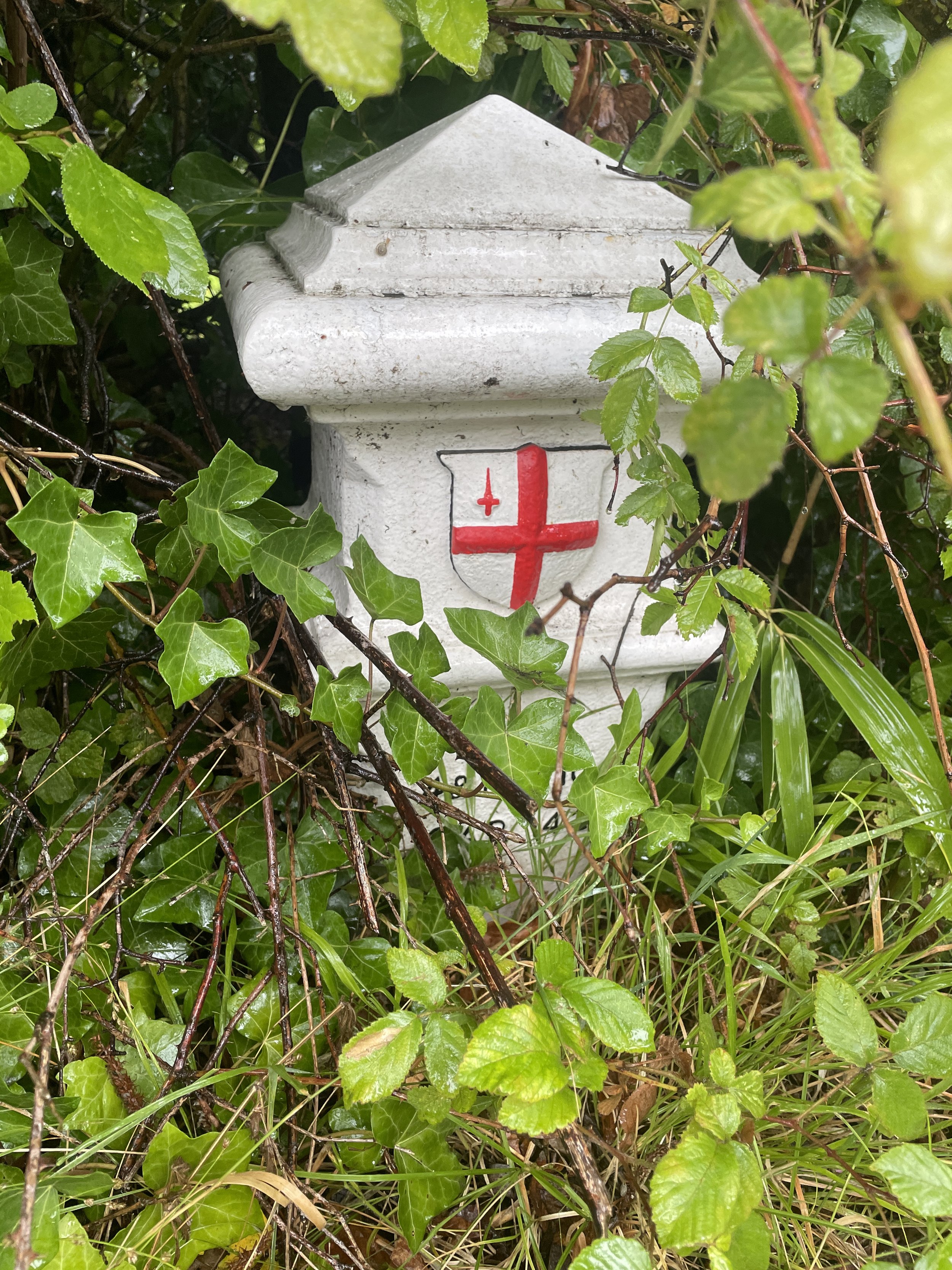
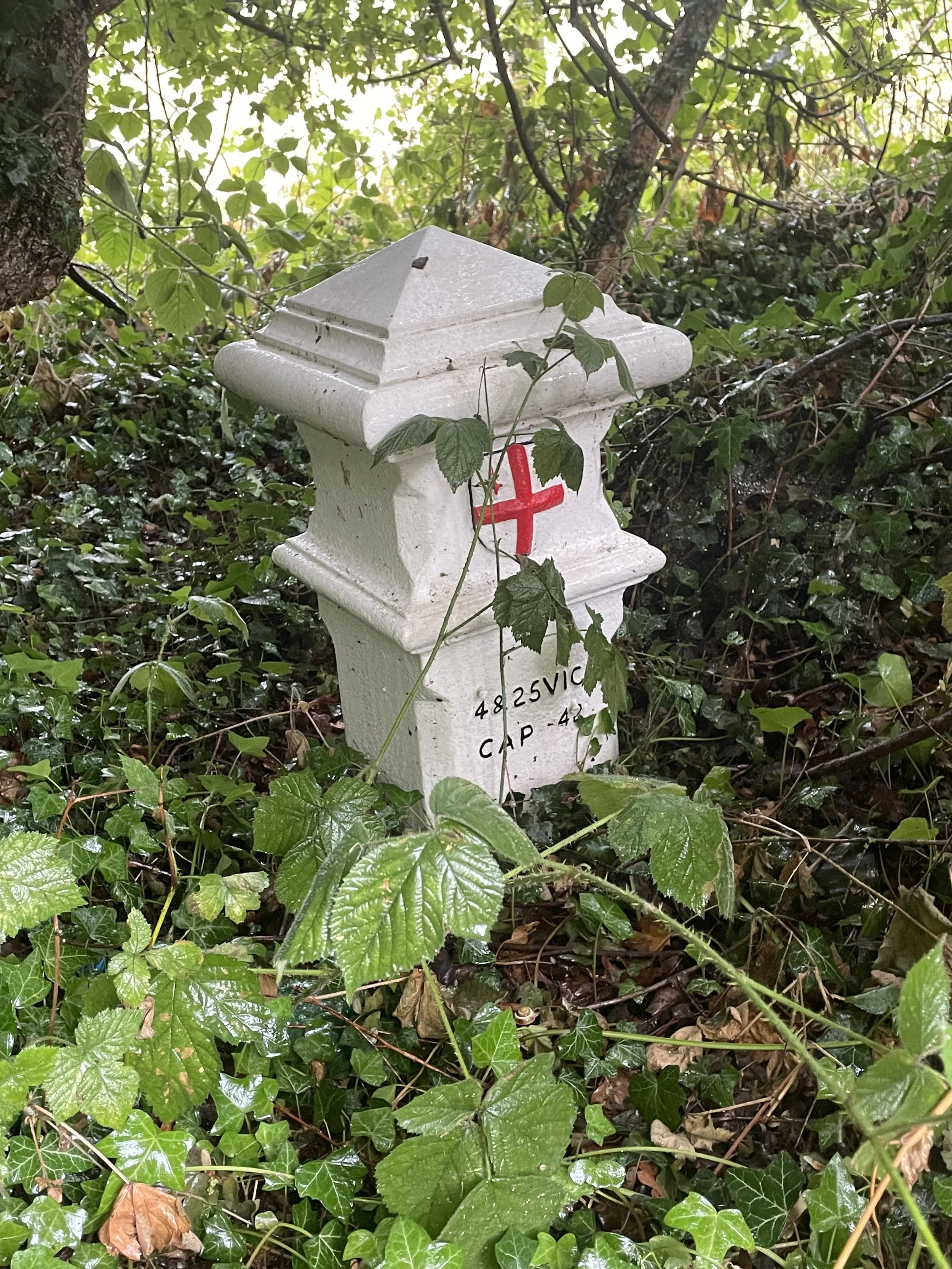
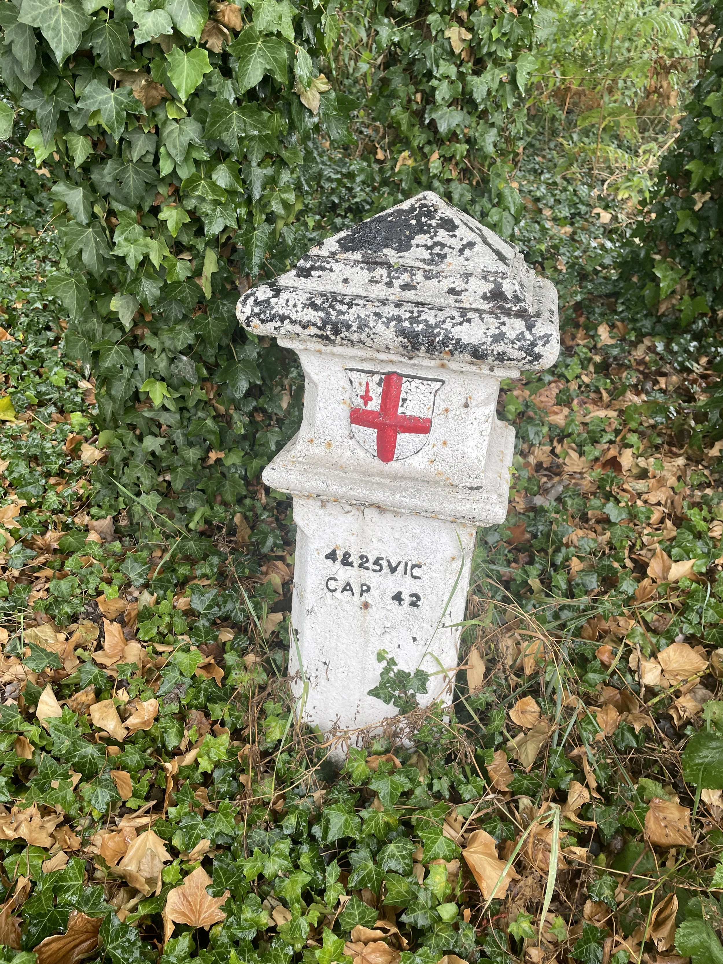
If you enjoyed reading this post, there is plenty more to explore across the capital. I have put together a dedicated London Outdoors page where I keep track of all my other adventures around the city. It is a handy index where I group my posts by the different types of places I have visited: including historic boundary lines, canal towpaths, and some surprising urban high points.
The collection covers a bit of everything: from long-distance cycling routes to tracing the underground network on foot, and ticking off another Saturday morning parkrun. If you are looking for some inspiration for your own weekend outings, head back over to the London Outdoors page to see what else I have been up to.