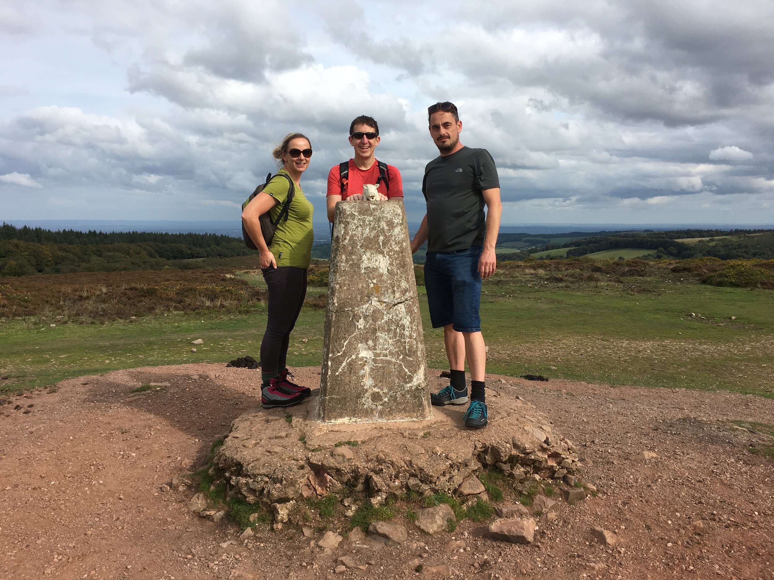
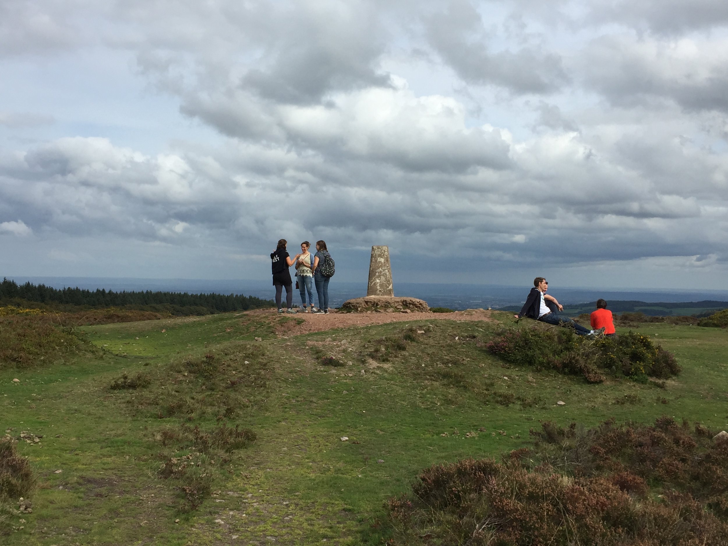
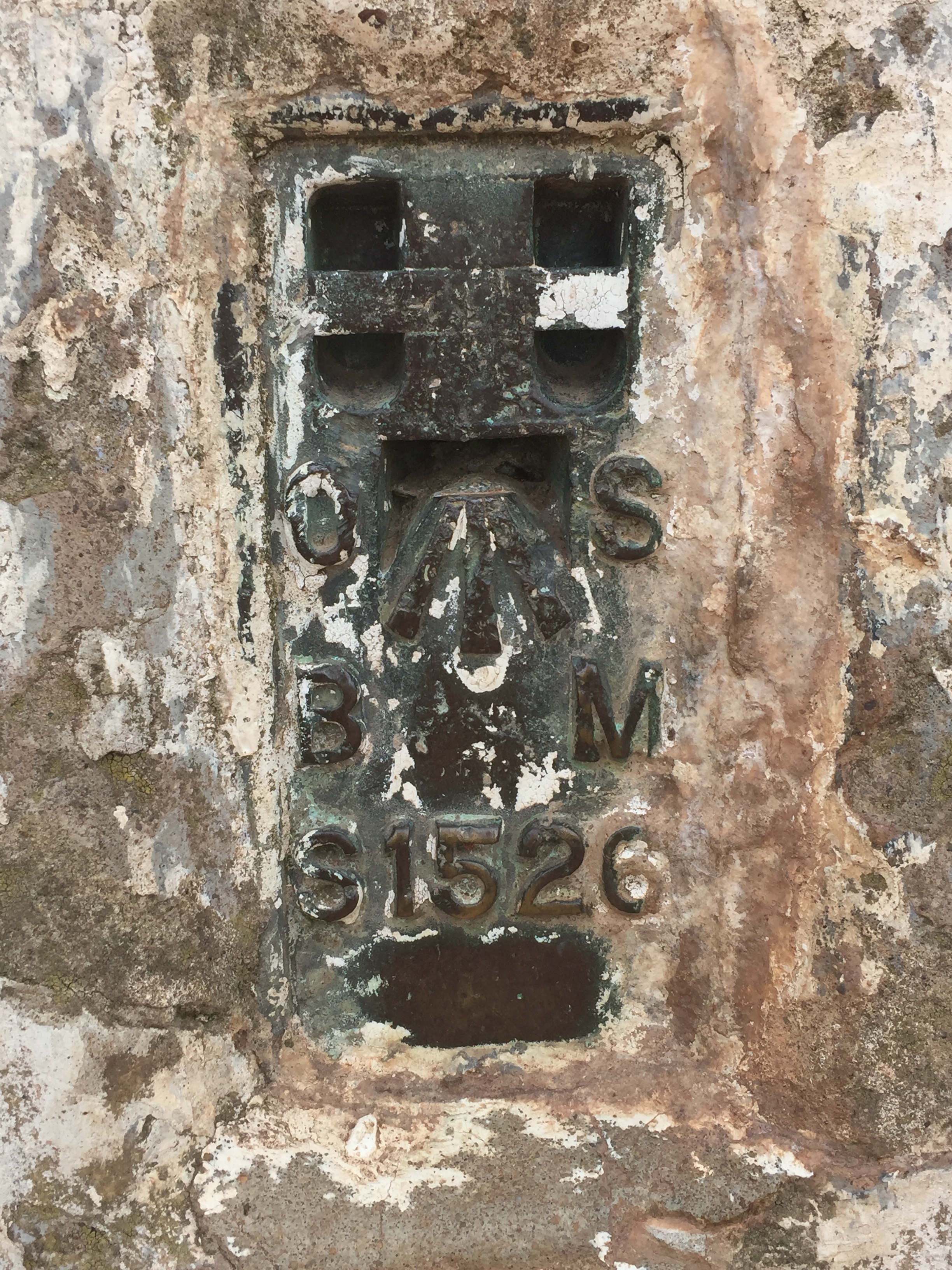
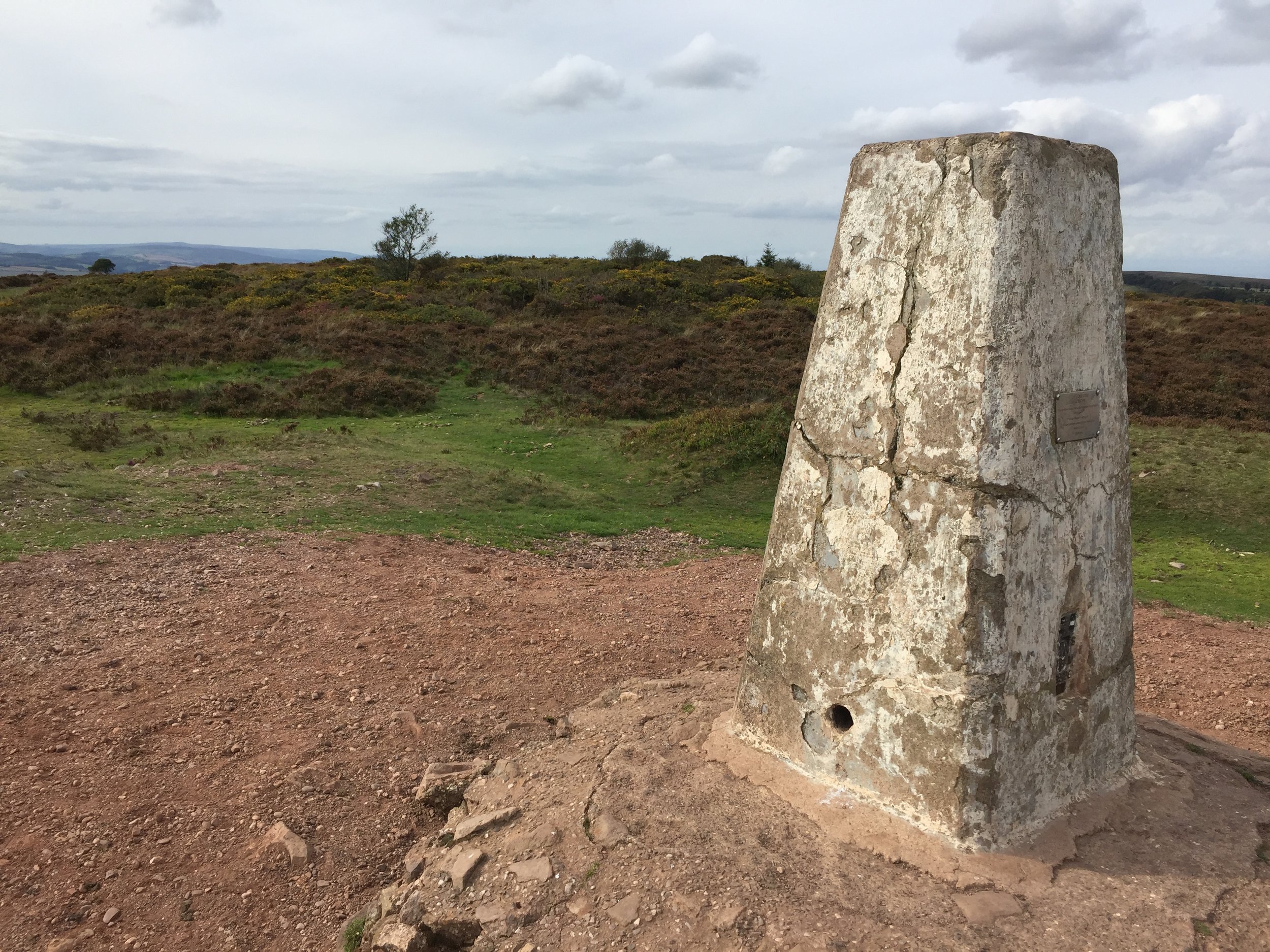
Wills Neck Trig Pillar
Significance: Quantock Hills National Landscape High Point
Member of: Marilyn, Hardy
Parent Peak: Dunkery Beacon
Nearest Higher Neighbour:
Elevation: 263m
Date climbed: September 15th 2018
Coordinates: 51.1096° N, 3.1937° W
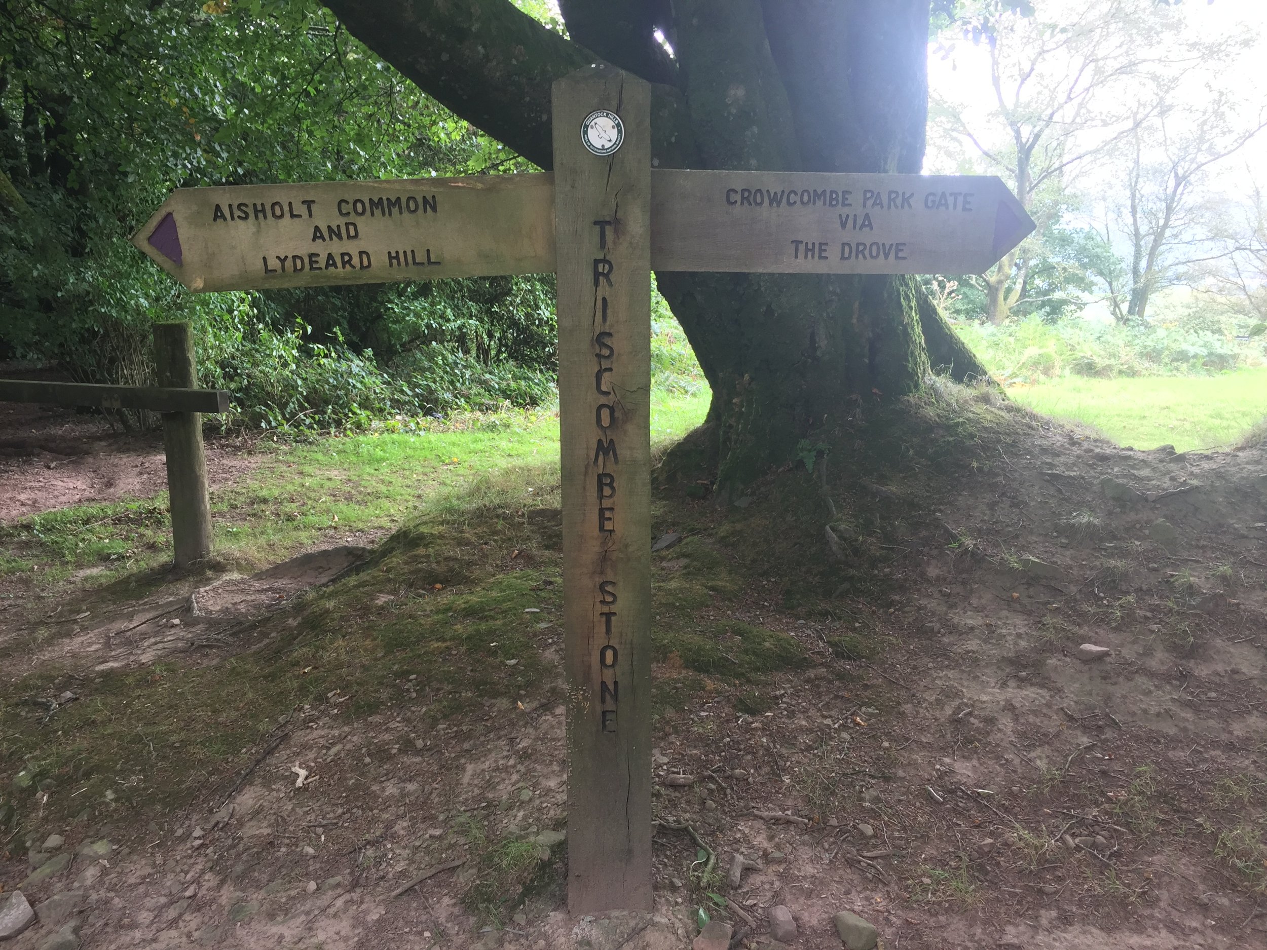
Route Start / End: Out and back from the car-park next to the Forest Office on Cockercombe Road. Follow the track up to the T-junction, then its a ~4k circular walk taking in the high-point.
Route Distance: 8.5 km (5.3 miles)
Route Elevation Change: +/- 217m
Subsidiary tops on route: none
GPX File: get via Buy Me a Coffee
Other routes touched: None
Map: OS Explorer Map (140) Quantock Hills and Bridgwater
Links: Will's Neck (Wikipedia), Bagborough Trig Pillar, Quantocks AONB, National Trust Quantock Hills

