Chiltern Walks: Varneys Wood and River Gade
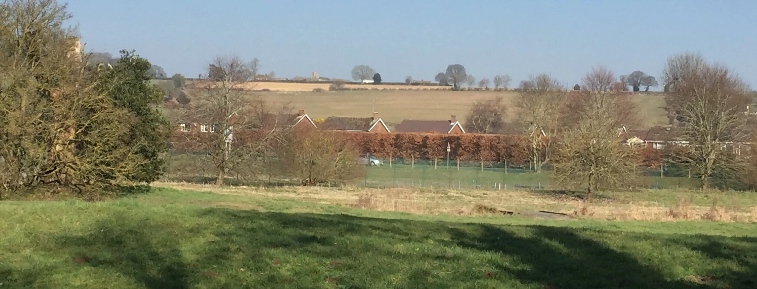
River Gade in forefront with Varney’s Wood on the hill
Start / Finish: Red Lion Pub, Water End, HP1 3BD
Distance: 5 km (3.1 miles)
Elevation change: +/- 64m
Other Routes Touched: None
OS Trig Pillar: TP6679 - Varneys Wood
Pubs / Cafes on route: Red Lion Pub at the start and finish
Map: OS Explorer Map (182) St. Albans and Hatfield
Links: River Gade, Varneys Wood Trig Pillar, Piccotts End
This is a pleasant short walk centred around bagging the Varneys Wood Trig Pillar. The guidance below will help you navigate but don’t use it as a fully accurate turn-by-turn guide. Always take a map and/or a GPX route and prepare well for the weather and terrain.
From the Red Lion Pub Car Park cross the Leighton Buzzard Road and take the footpath on the right hand side of the first bend on Red Lion Road. Follow the footpath to the top of the hill where there is a path junction at 1 km into the walk. Turn right (South-East) along the top of the hill, following the edge of Varneys Wood until you reach Wood Farm. There’s a bench with a very nice view of the Gade Valley at the mid-point of this section.
The Trig Pillar is buried inside the hedge on the right hand side of the lane as you walk south-west away from the farm. You can see it and (just about) touch it from the road although you can’t see the Flush Bracket. It’s slightly more accessible from the other side of the hedge, although be careful as that’s in the farmer’s field.
Once exiting Wood Farm continue down the hill to Piccotts End and cross Leighton Buzzard Road again. After the Waterworks, take the right hand footpath and follow this for approx 1.5km north-west following the course of the River Gade. You’ll get a good view of the Wood Farm buildings from the start of this path.
When you reach Potten End Hill road take a right then another right on Leighton Buzzard Road to return to the Red Lion.


map below: The Red Lion Pub at Water End