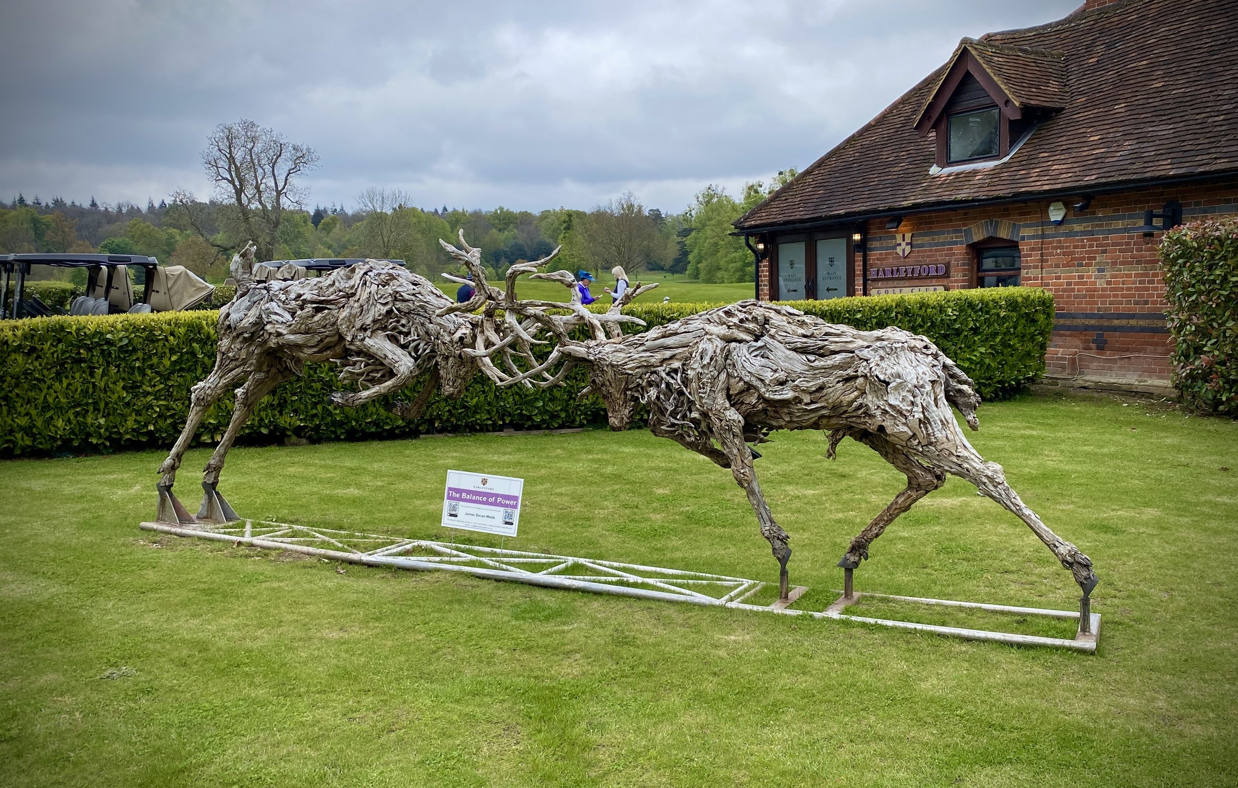
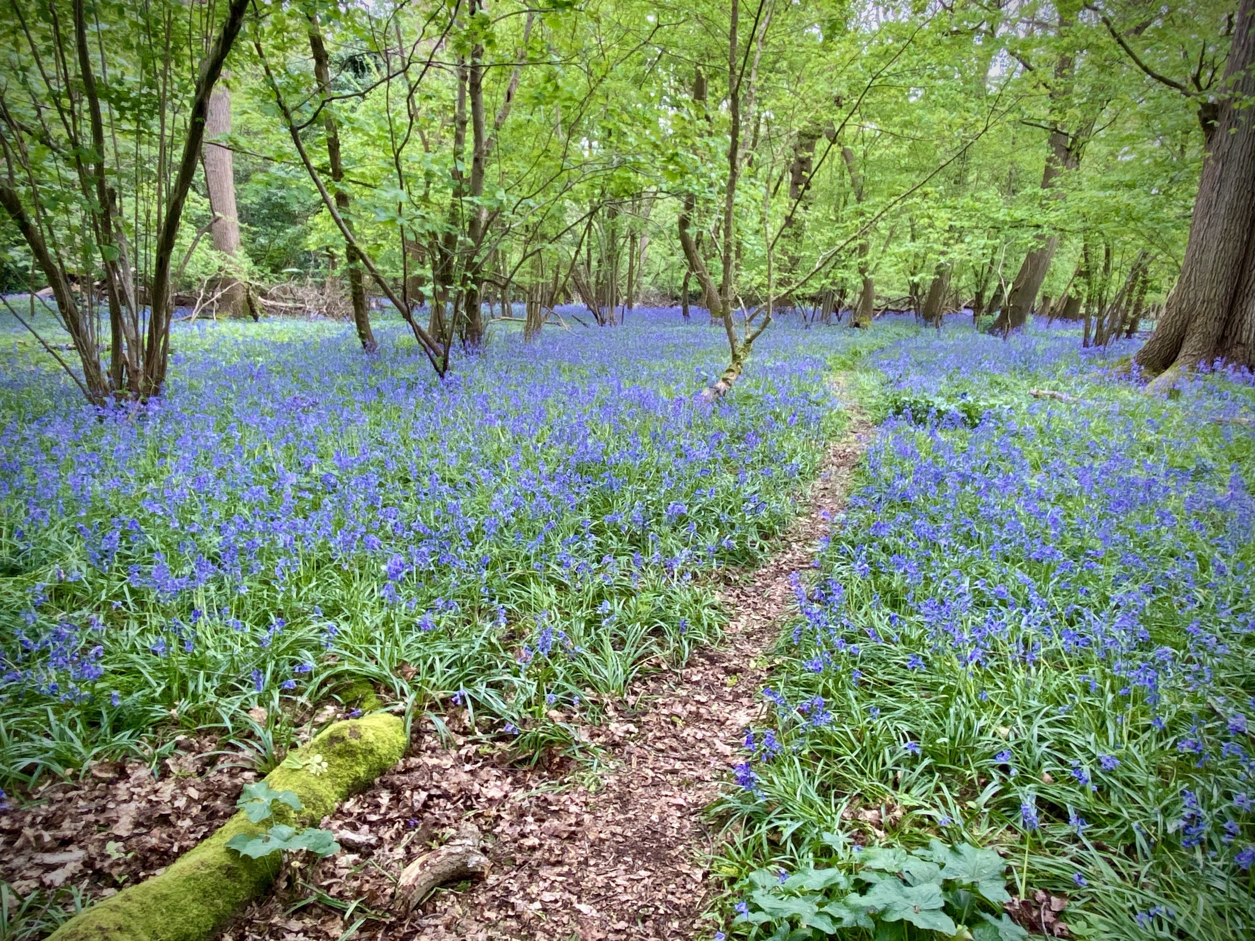
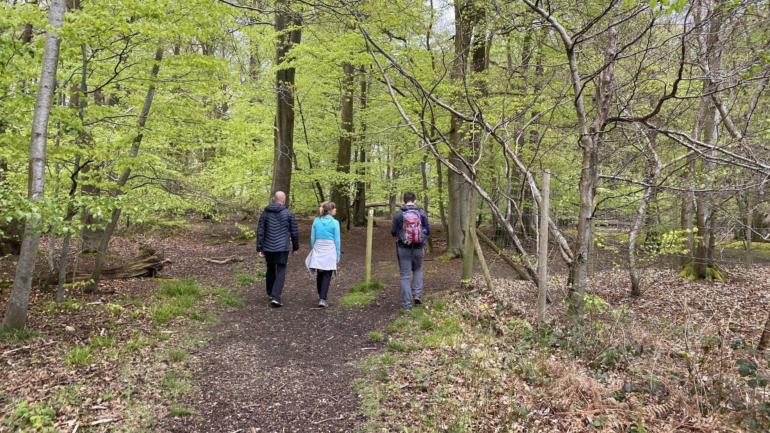
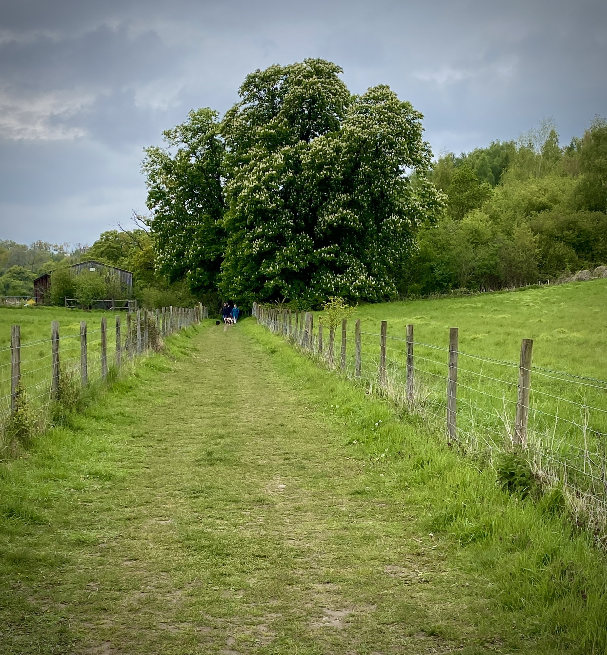
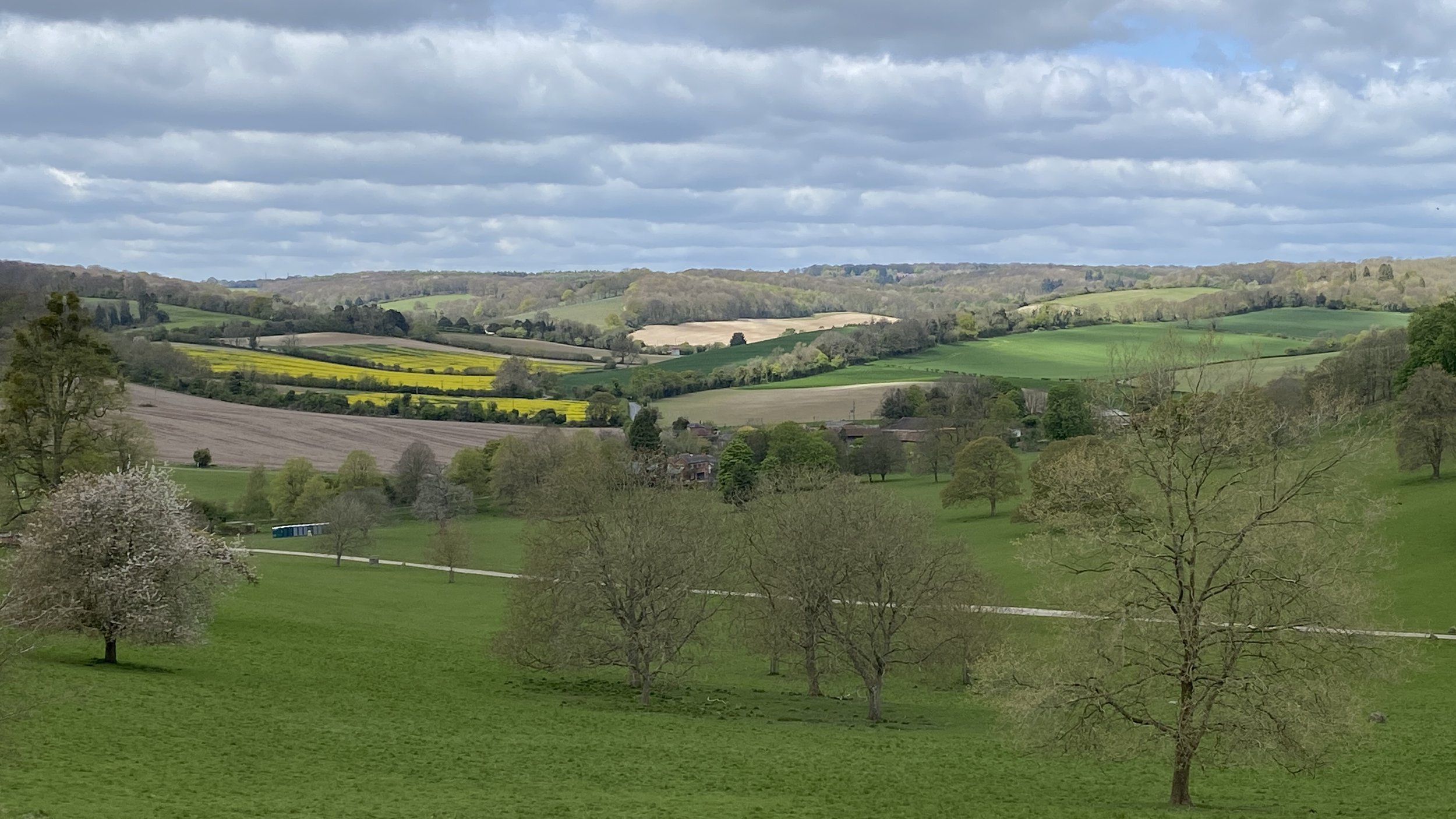
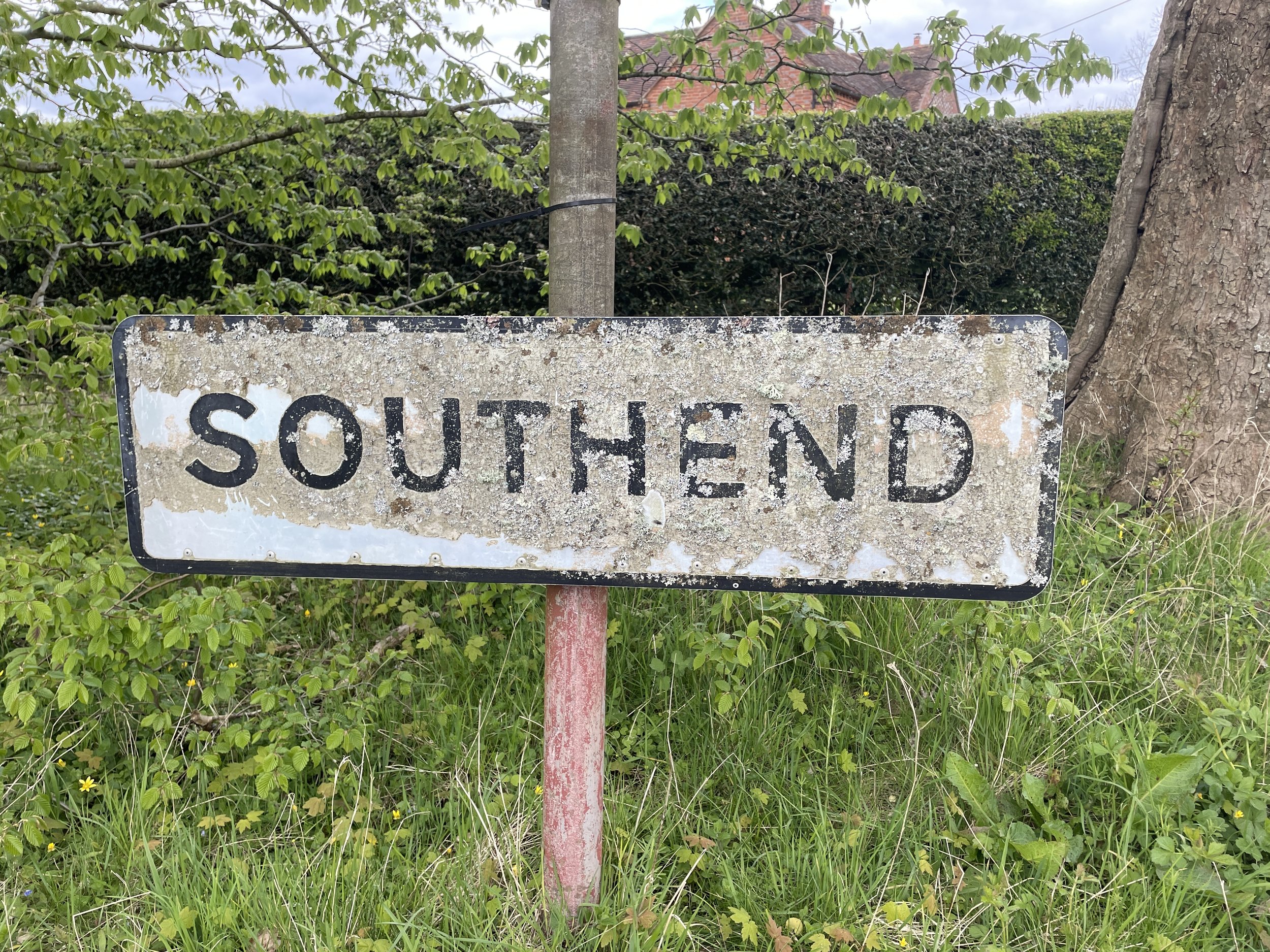
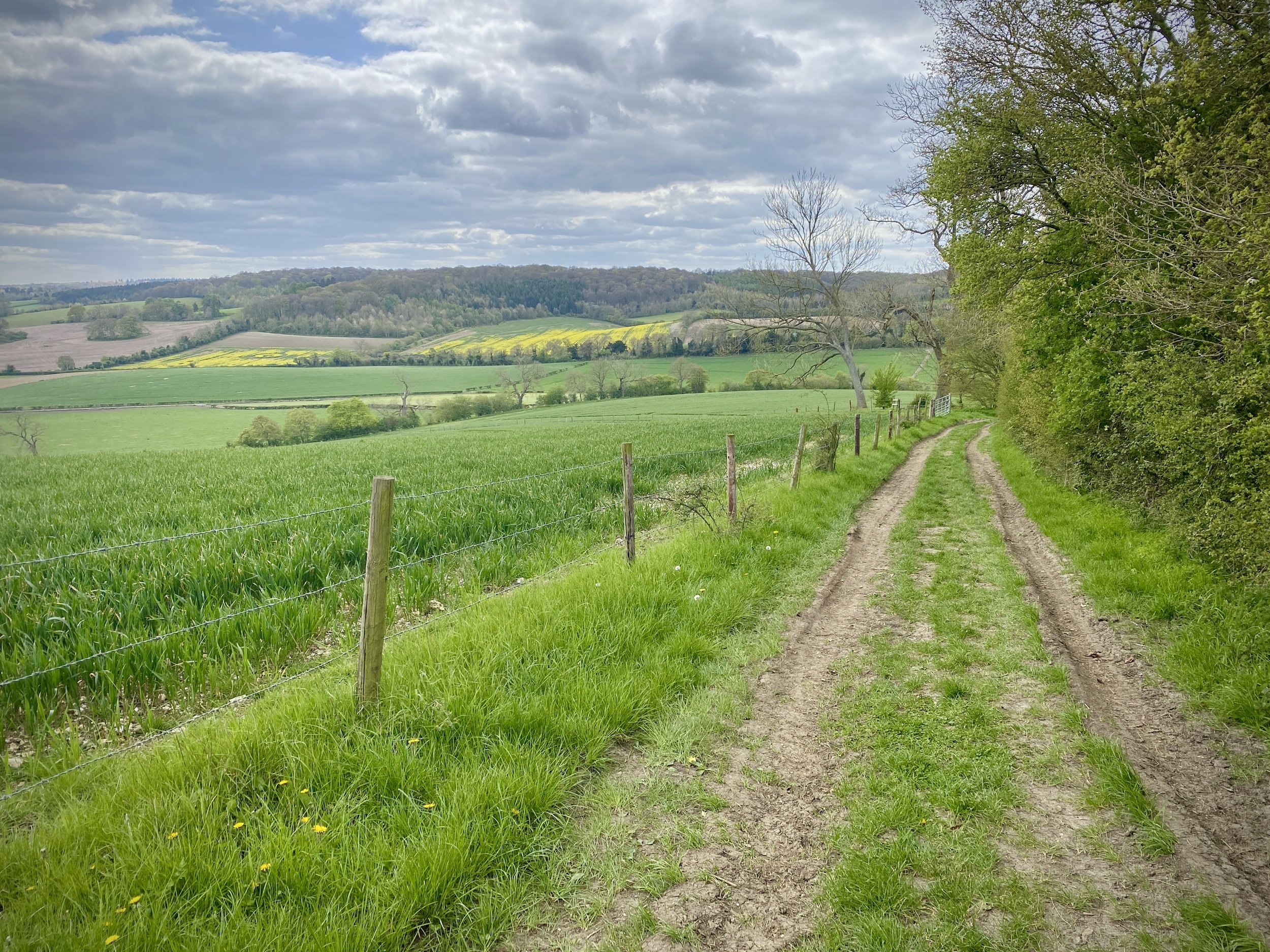
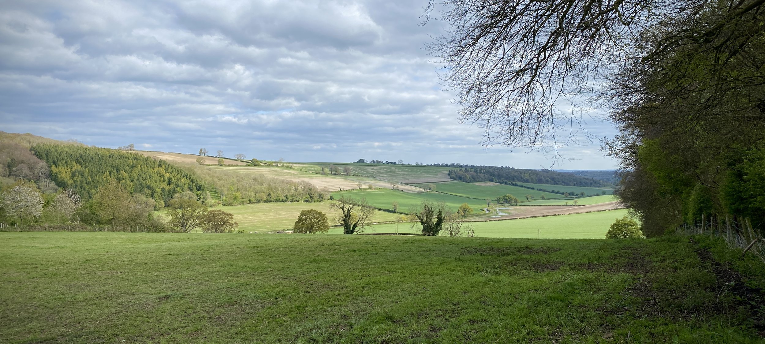
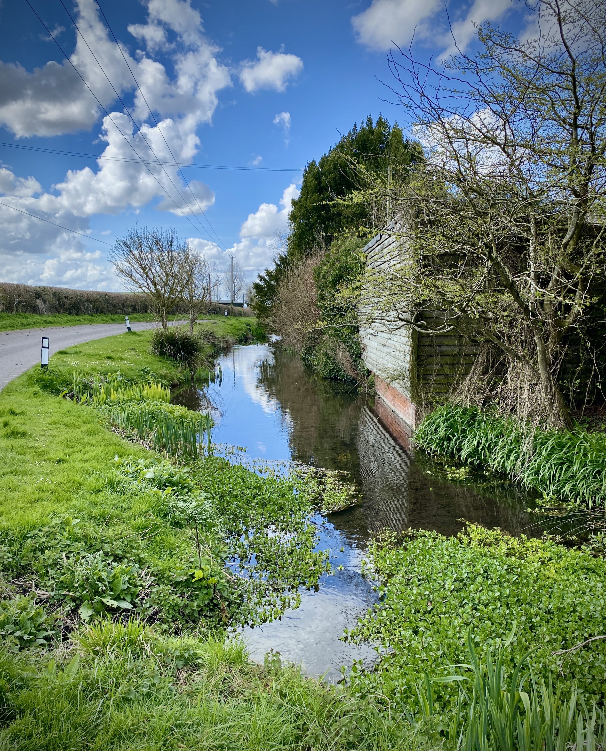
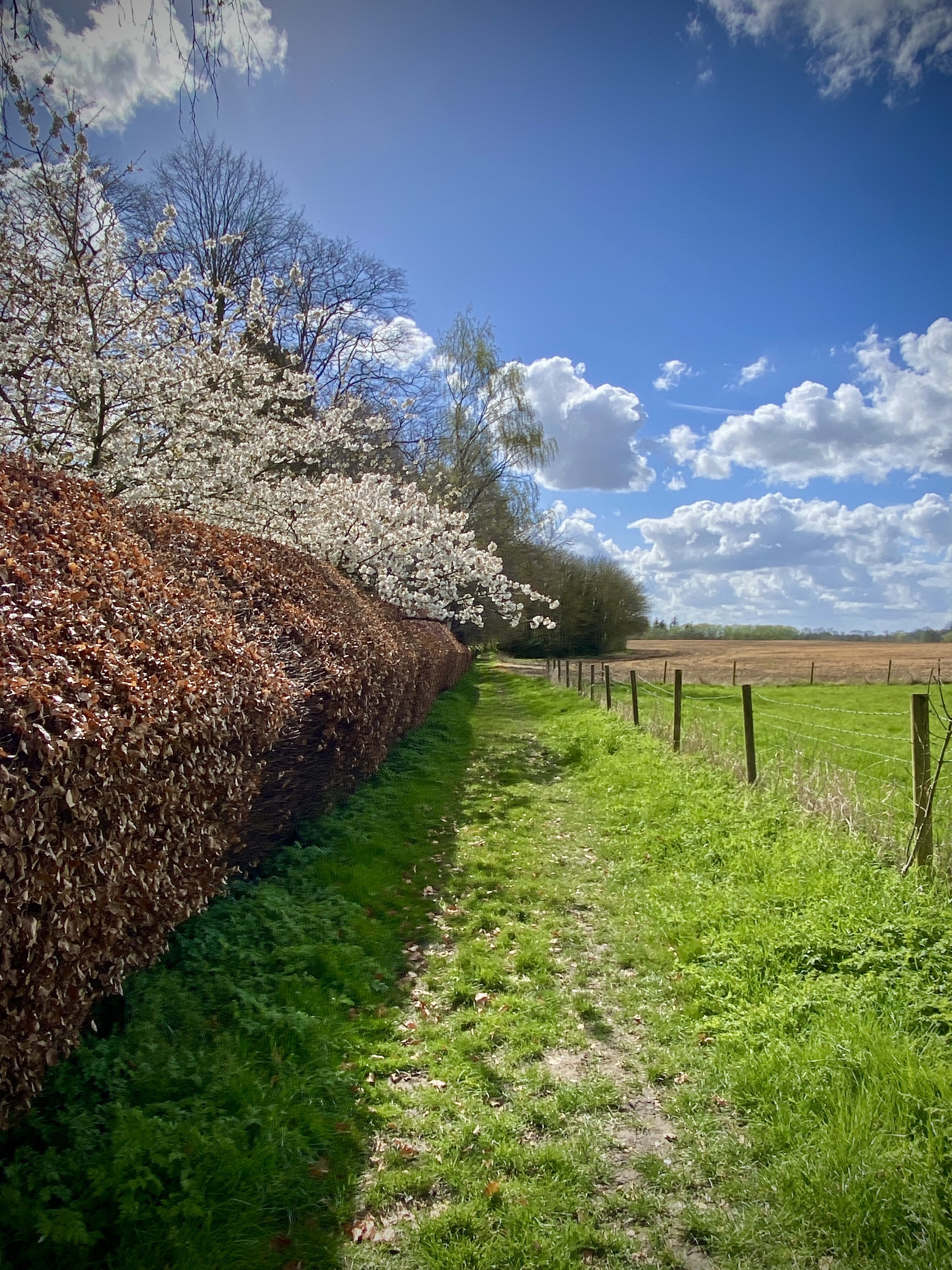
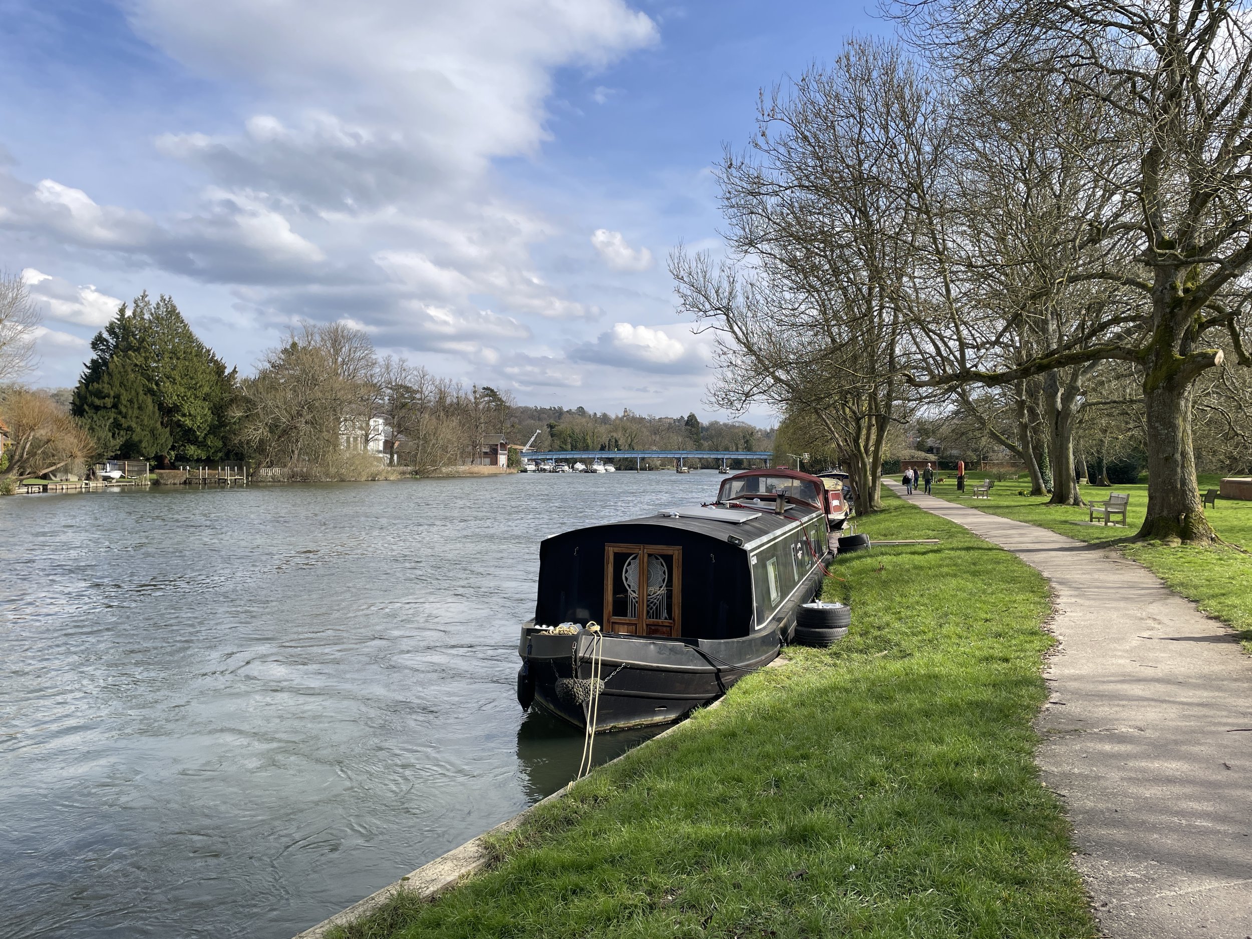
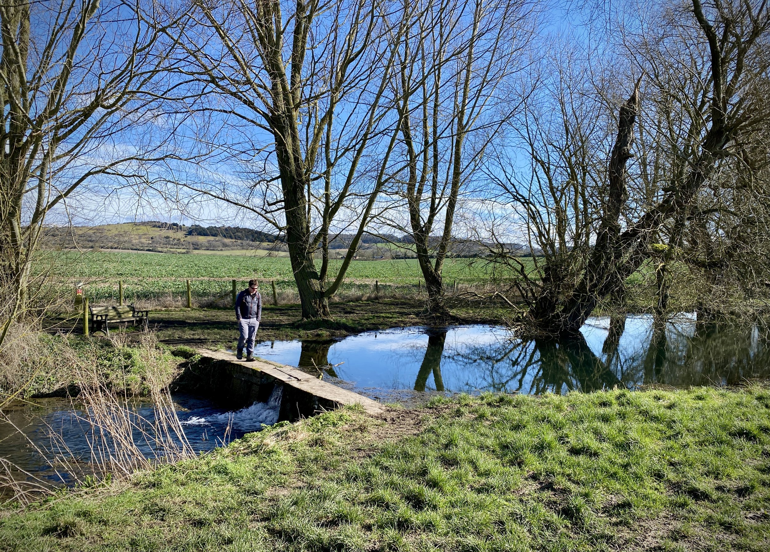
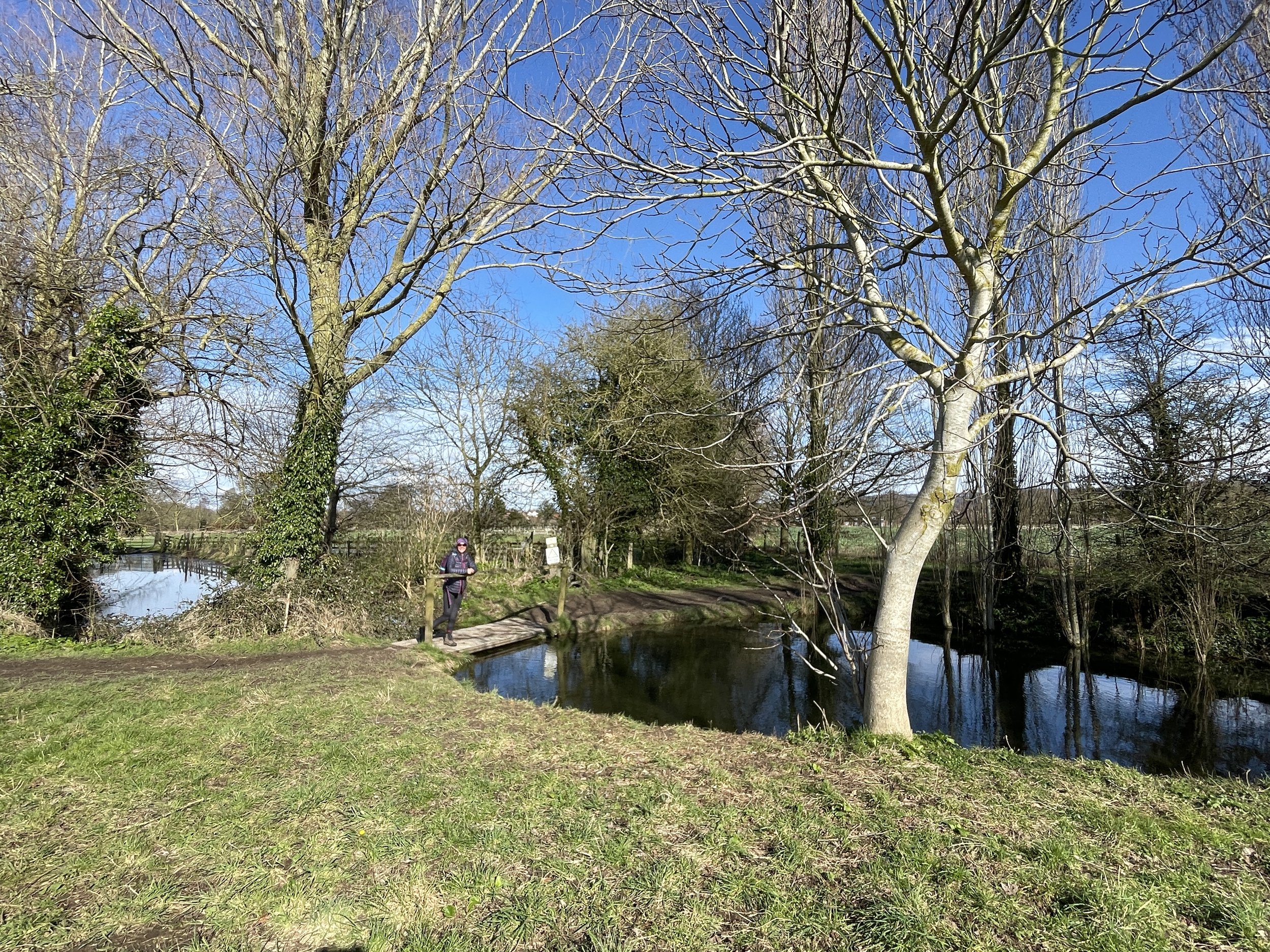
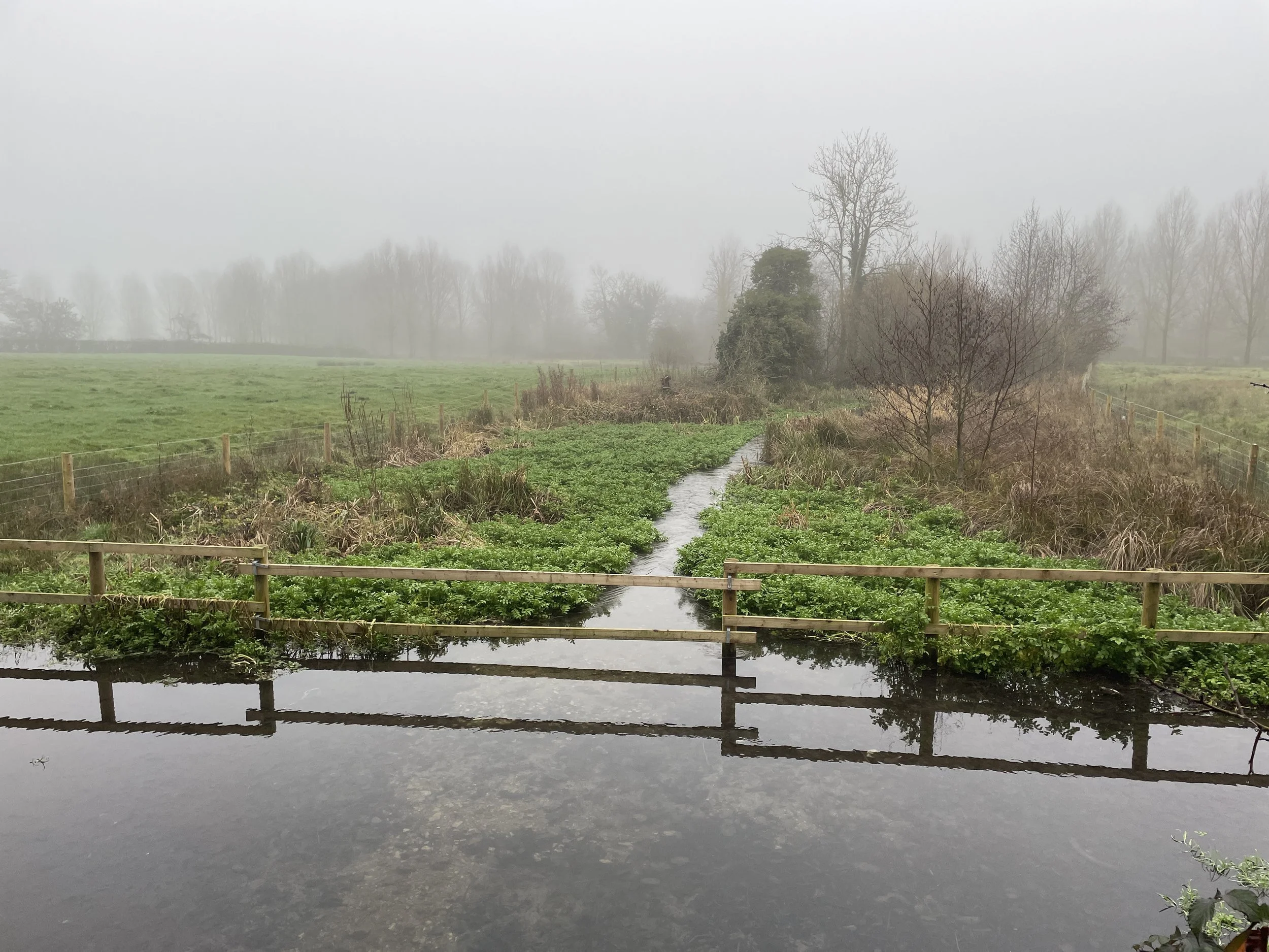
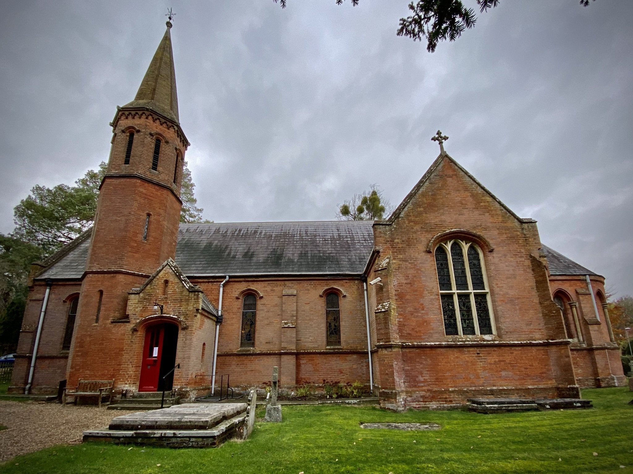
View to the Chess from the Latimer Estate
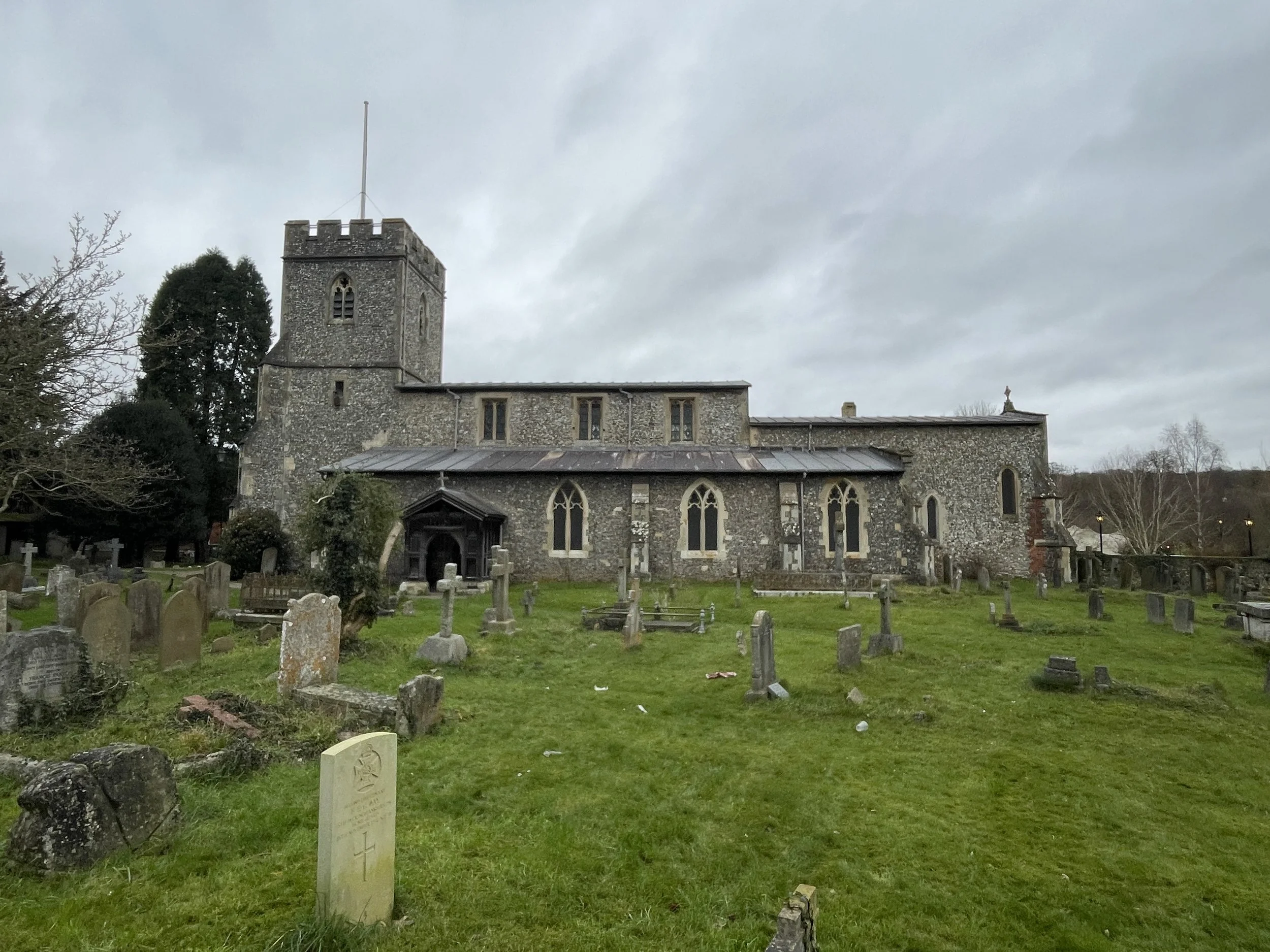
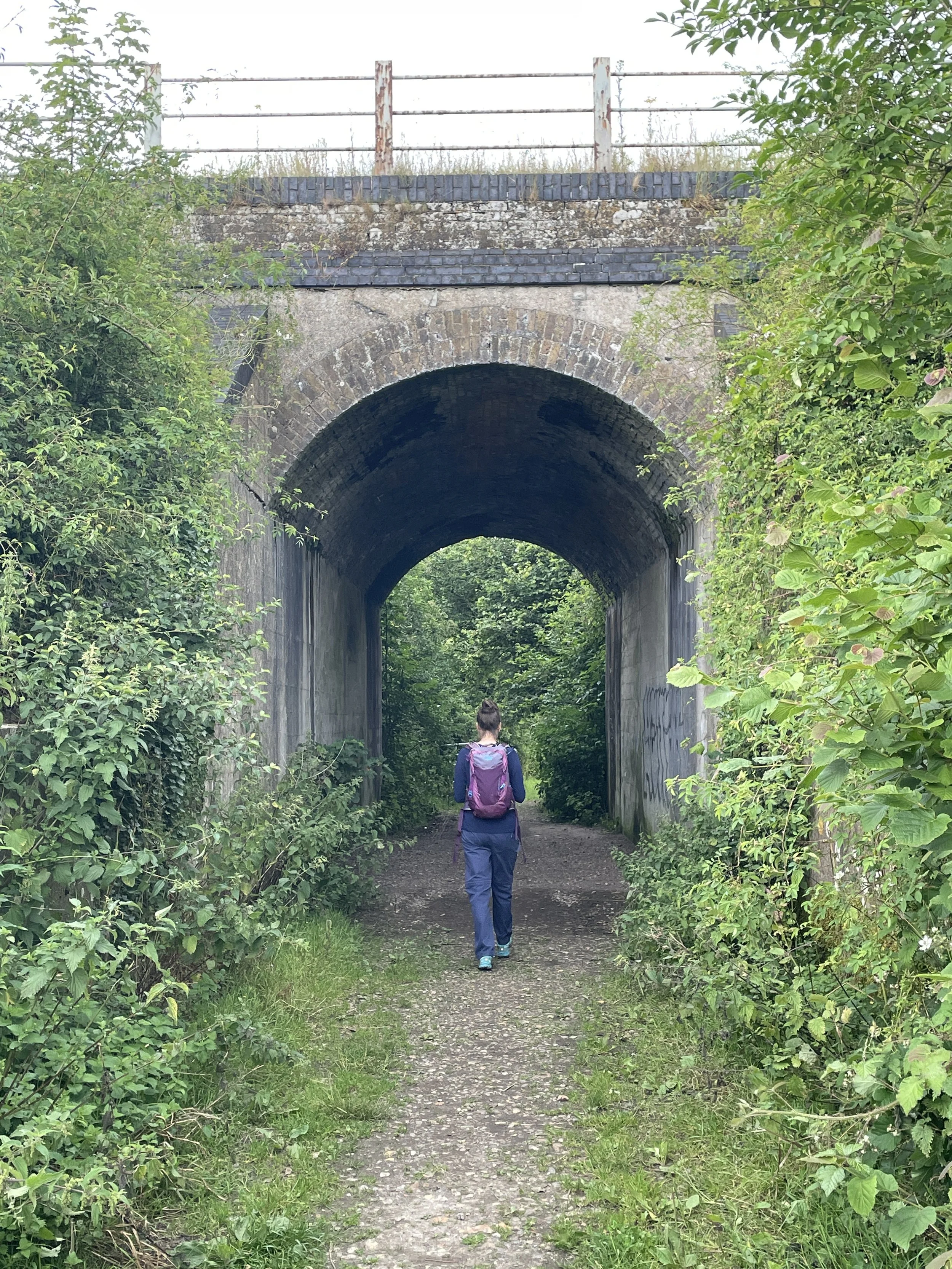
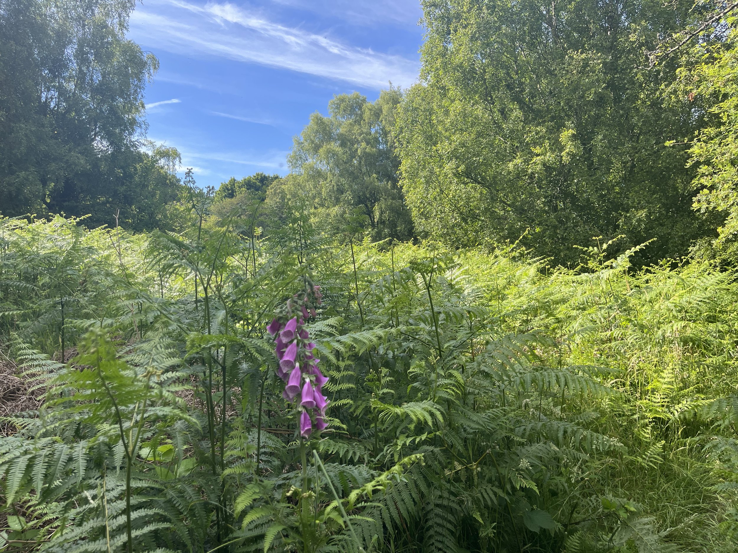
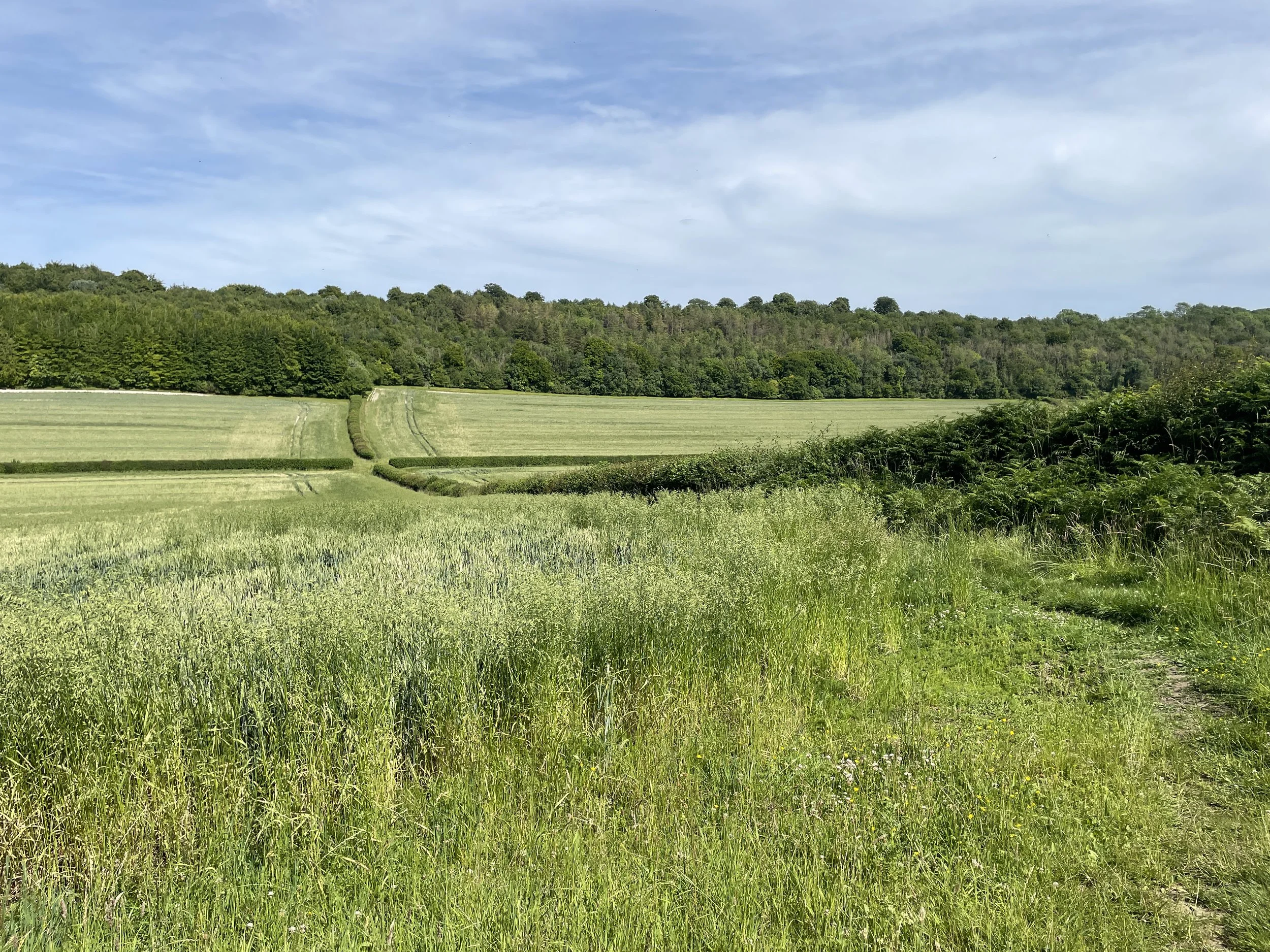
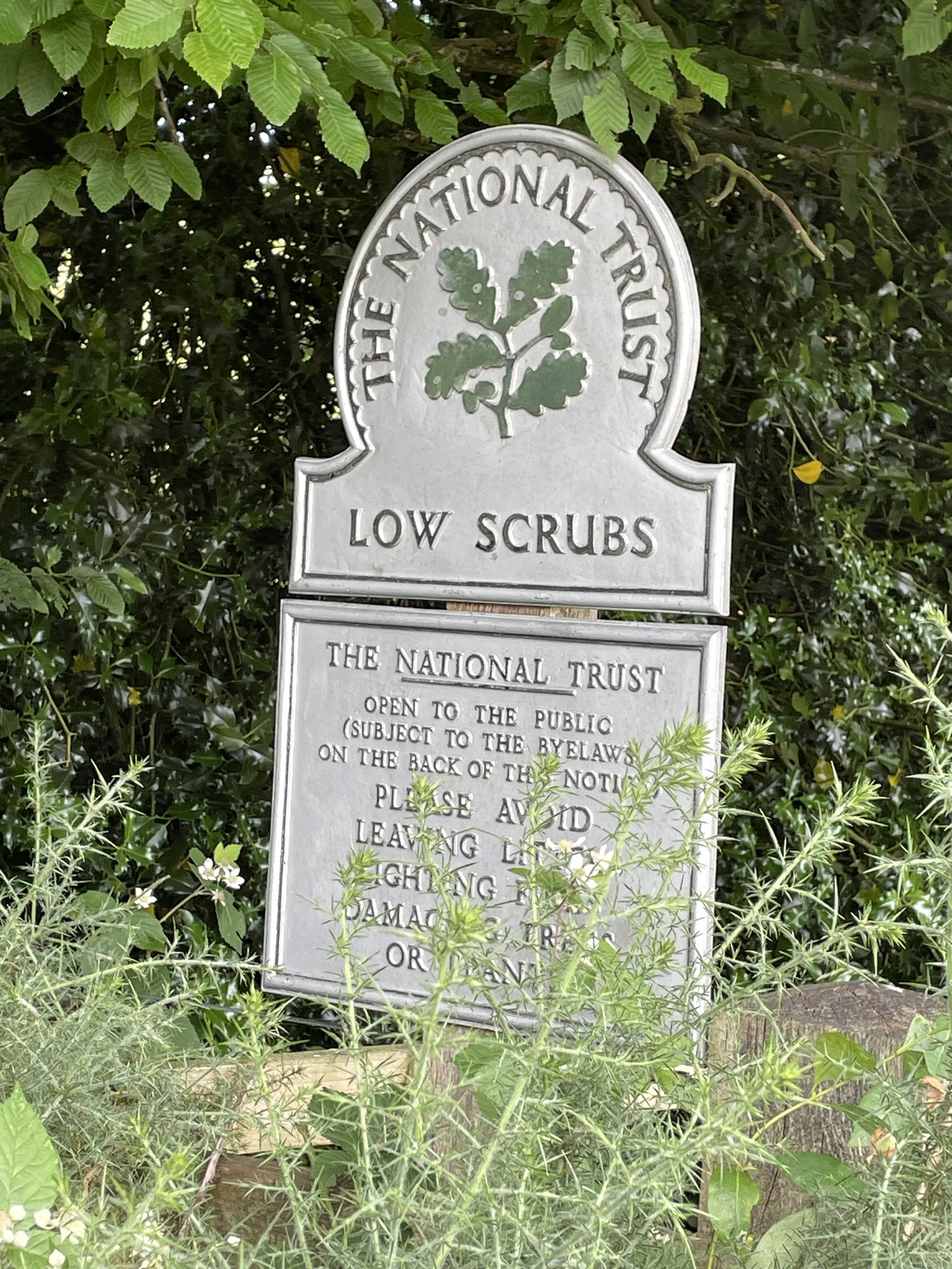
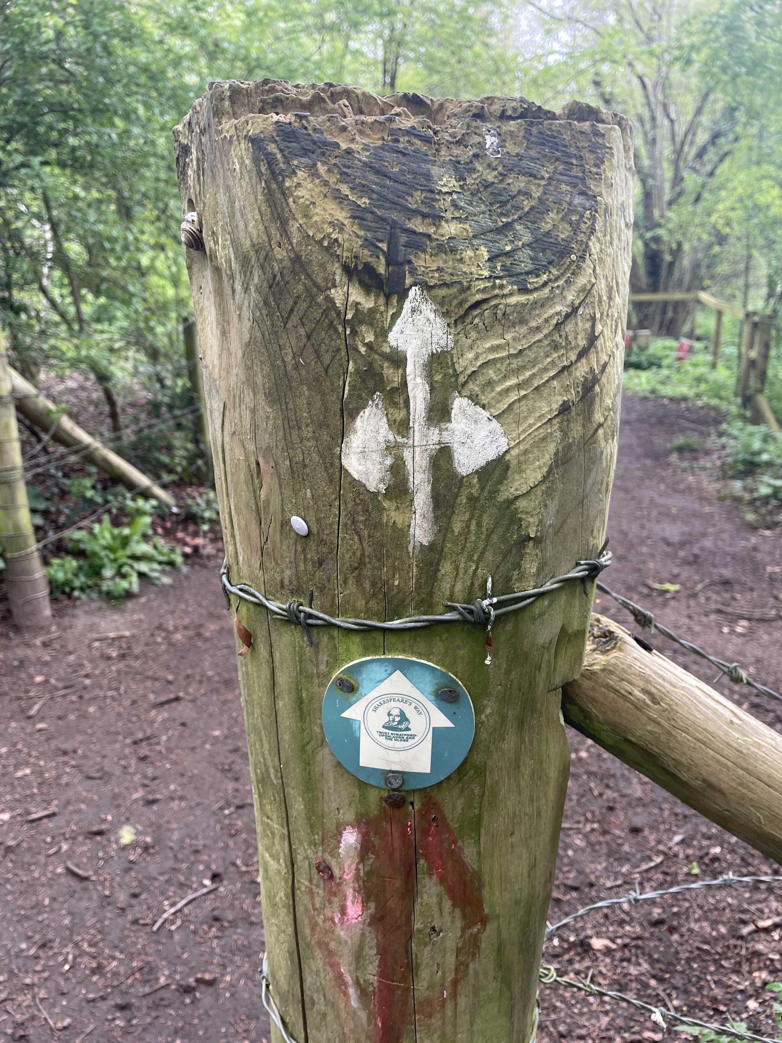
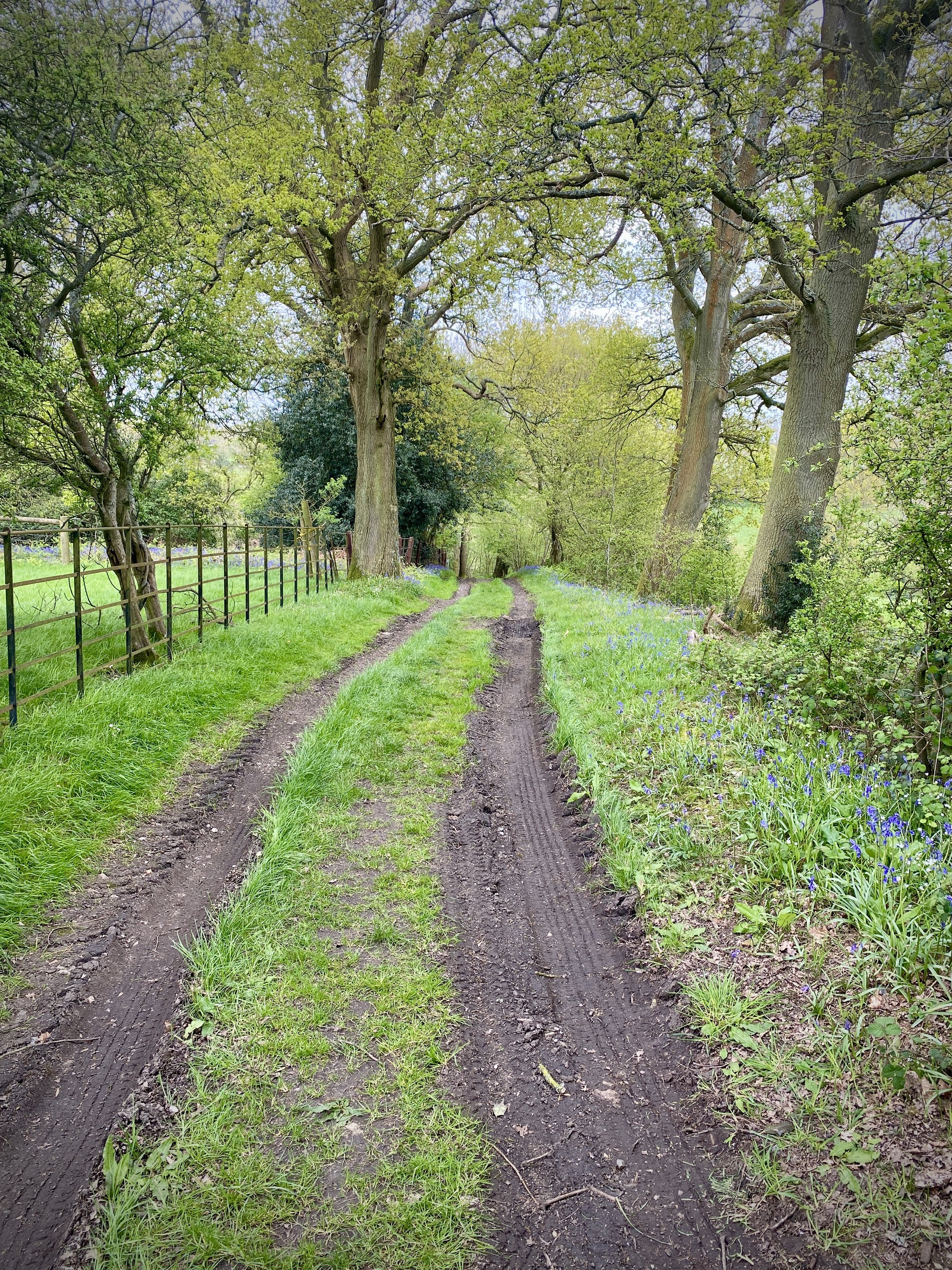
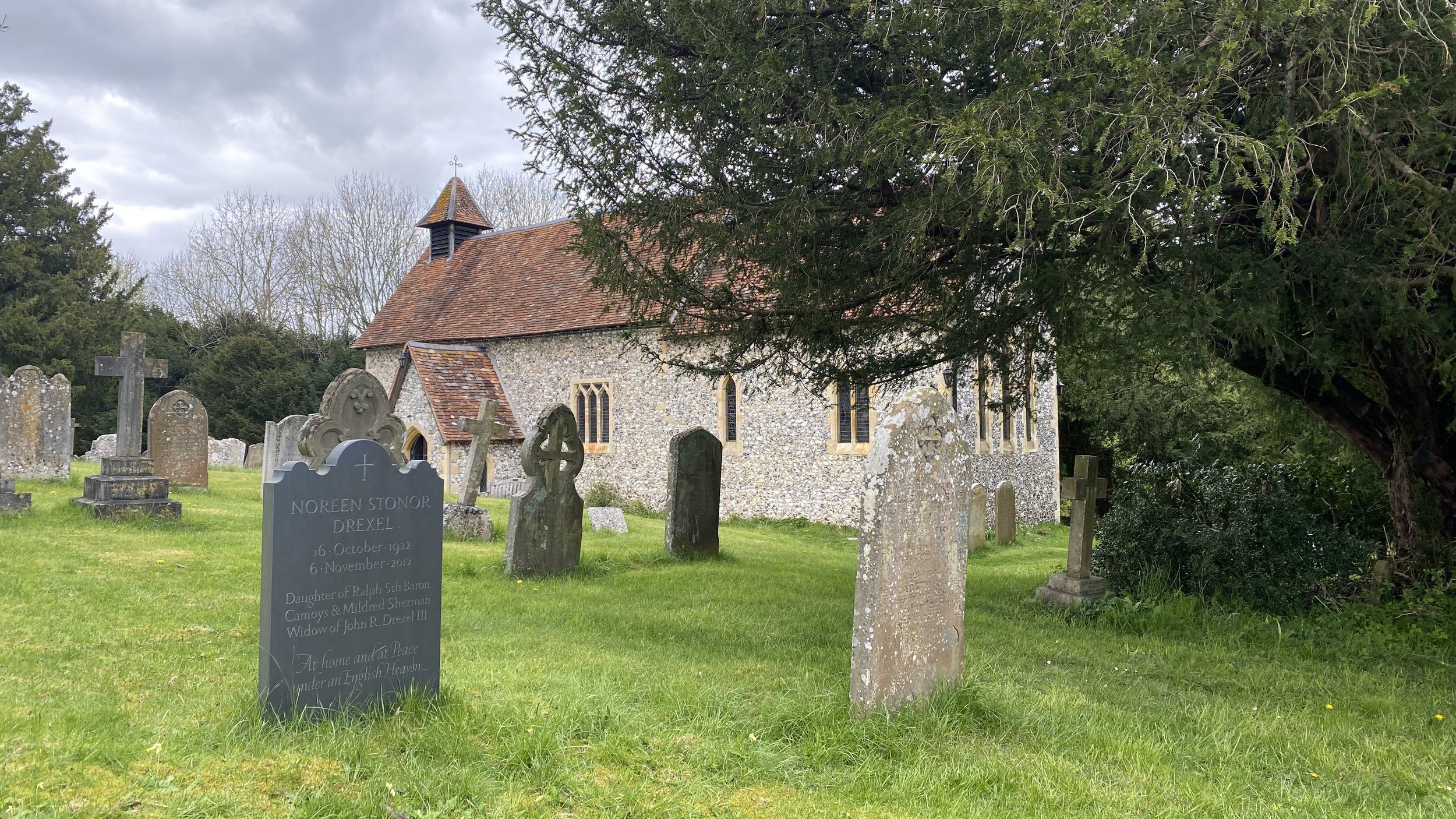
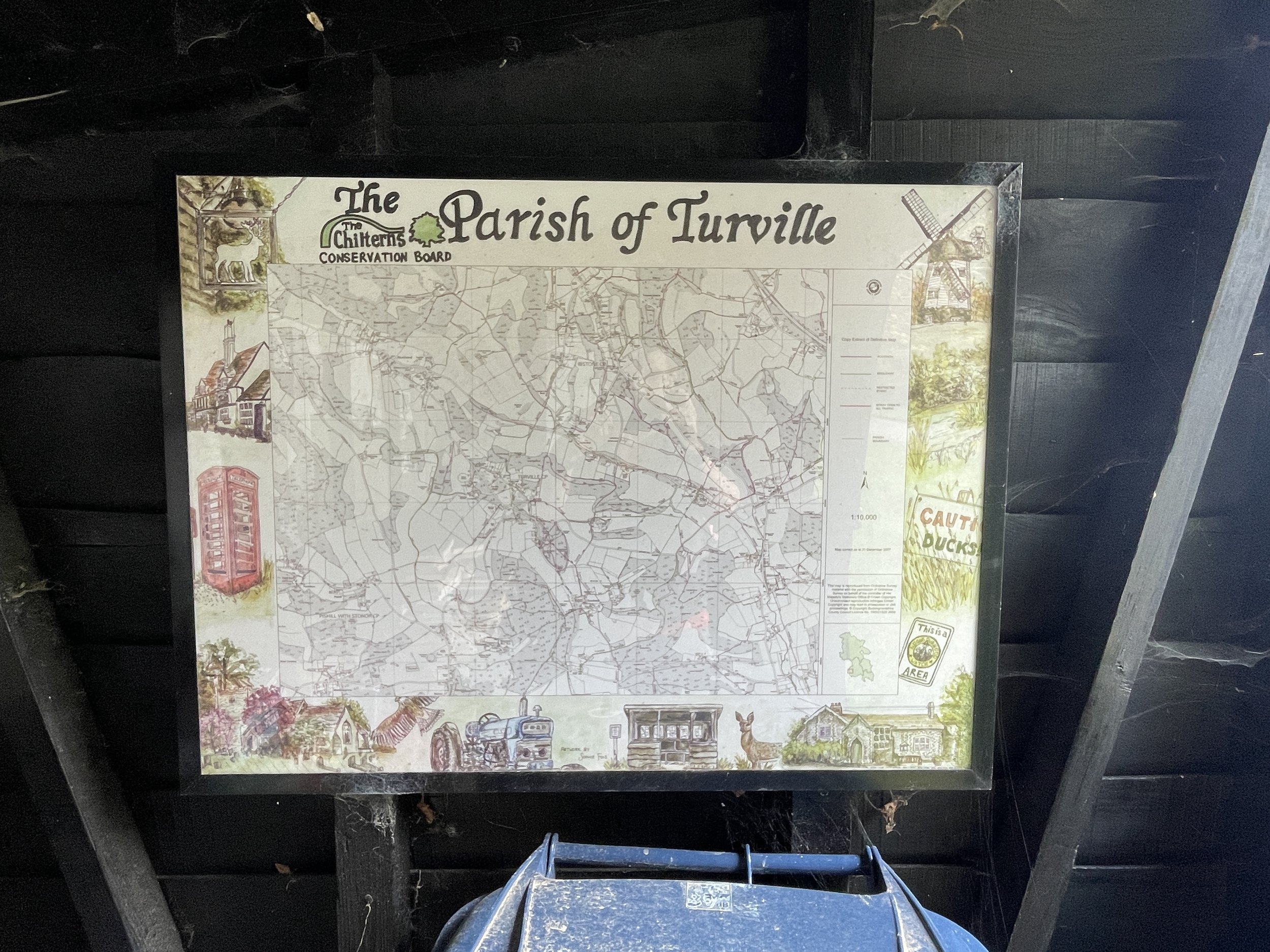
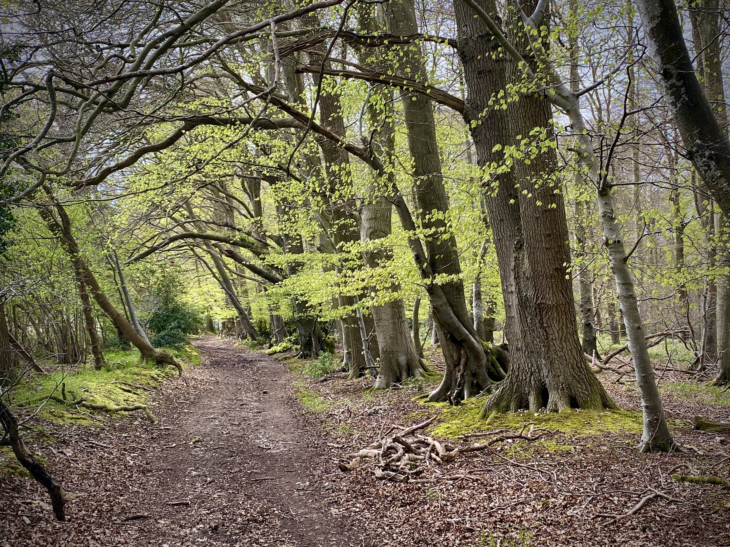
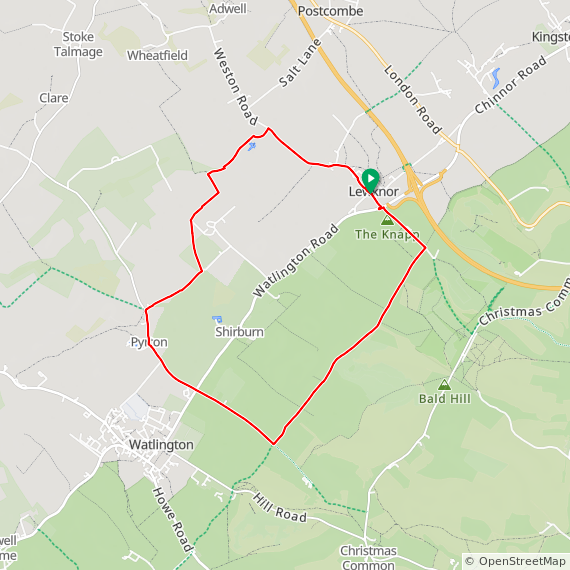
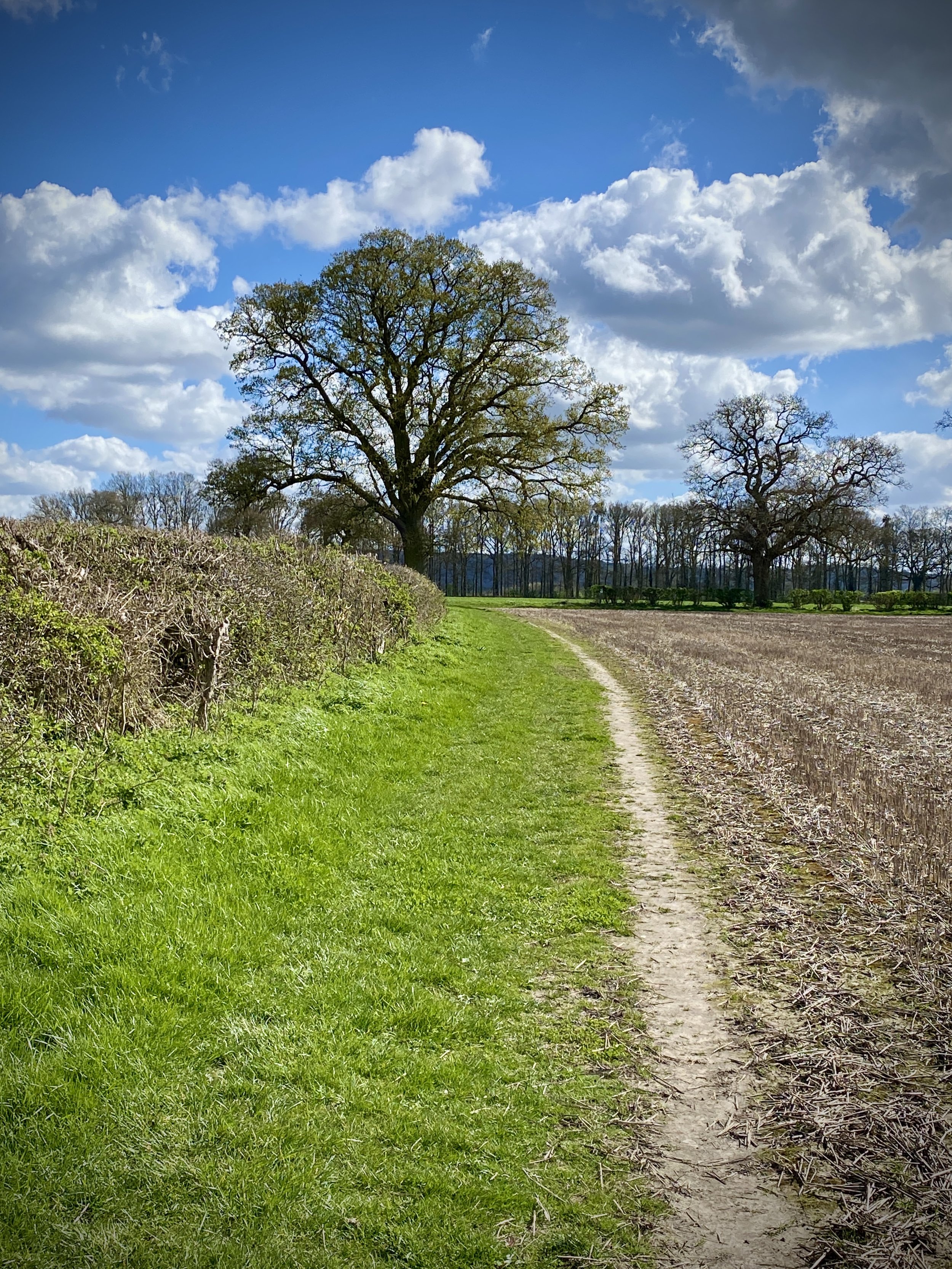
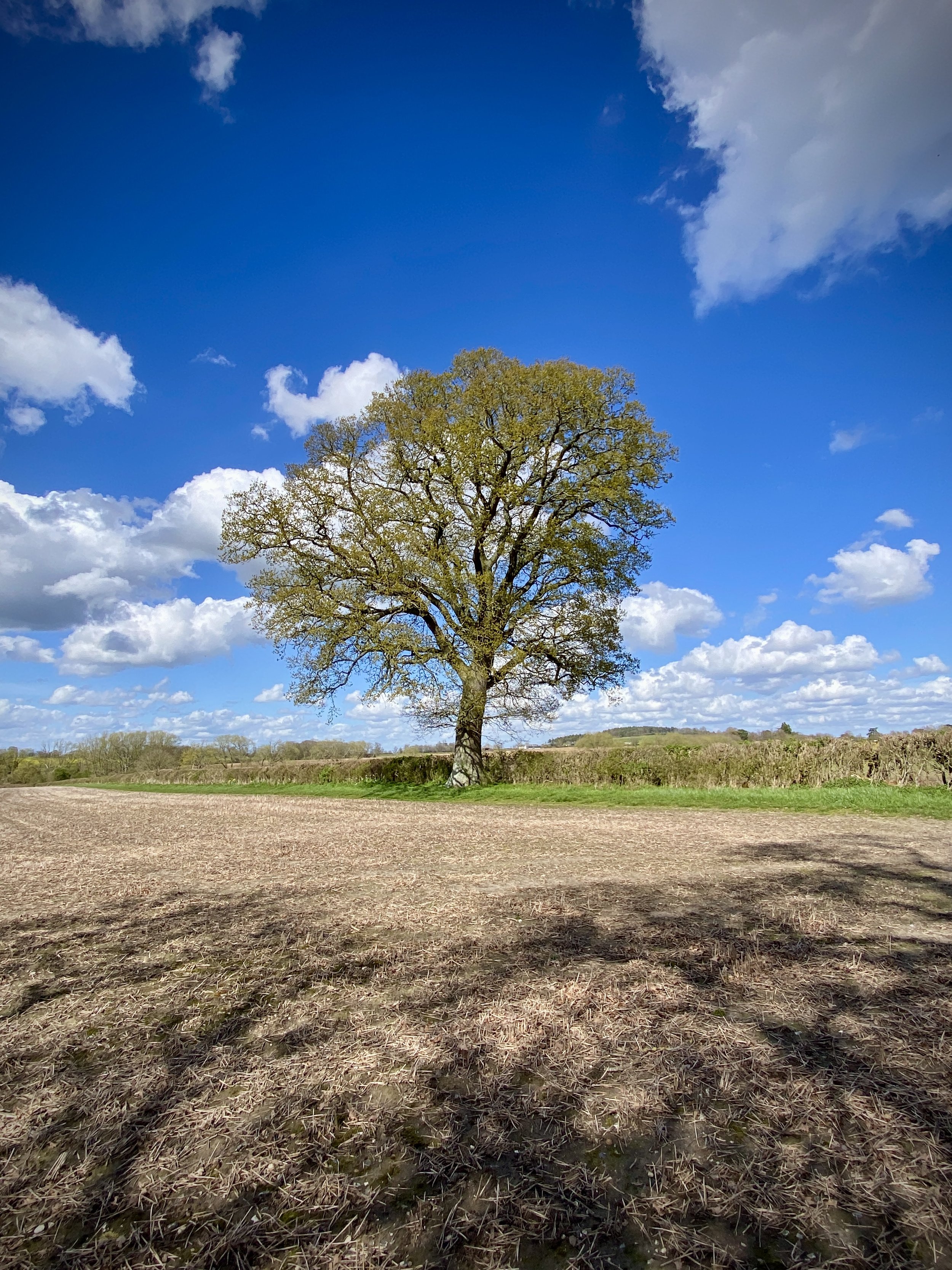
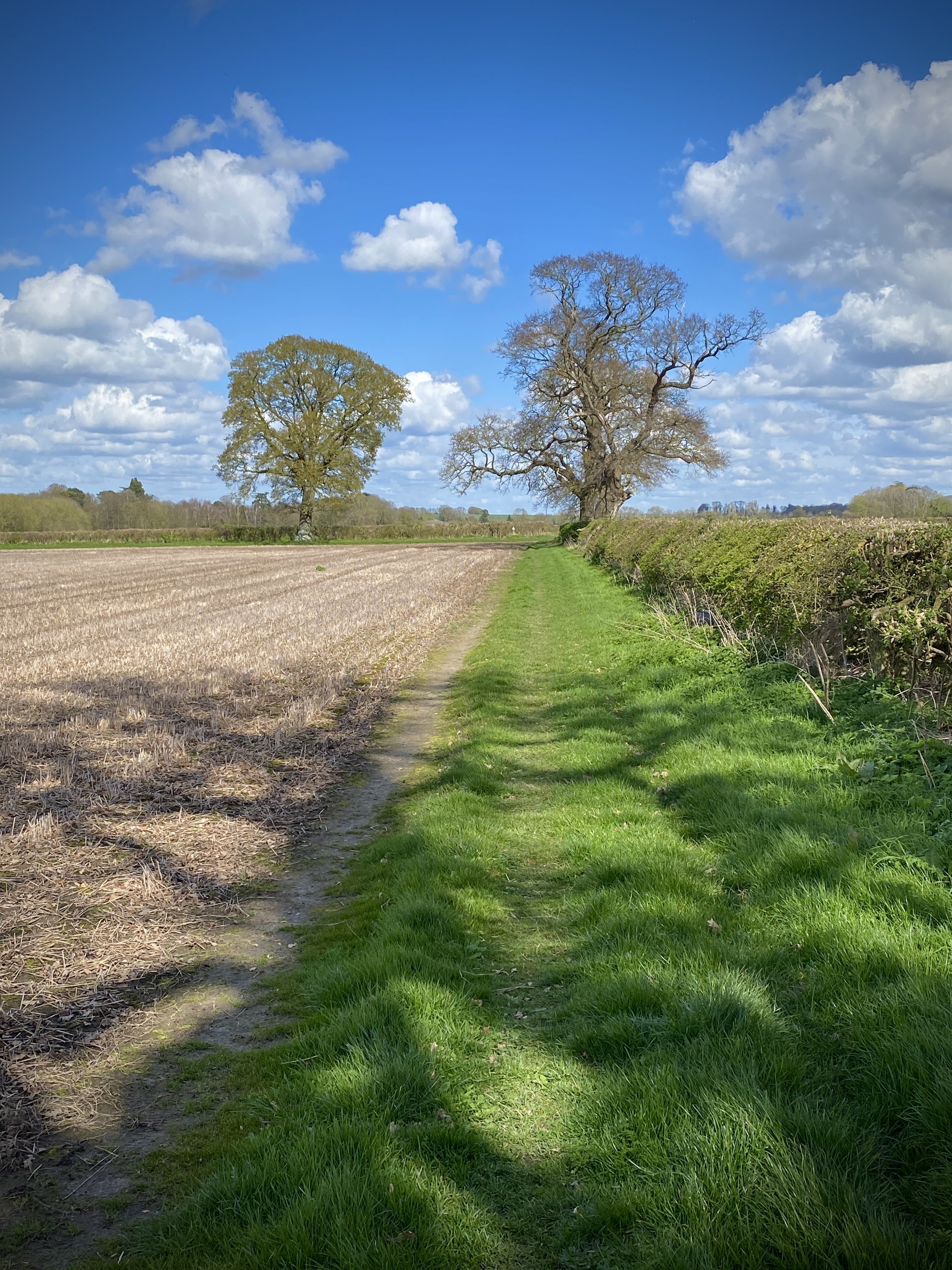
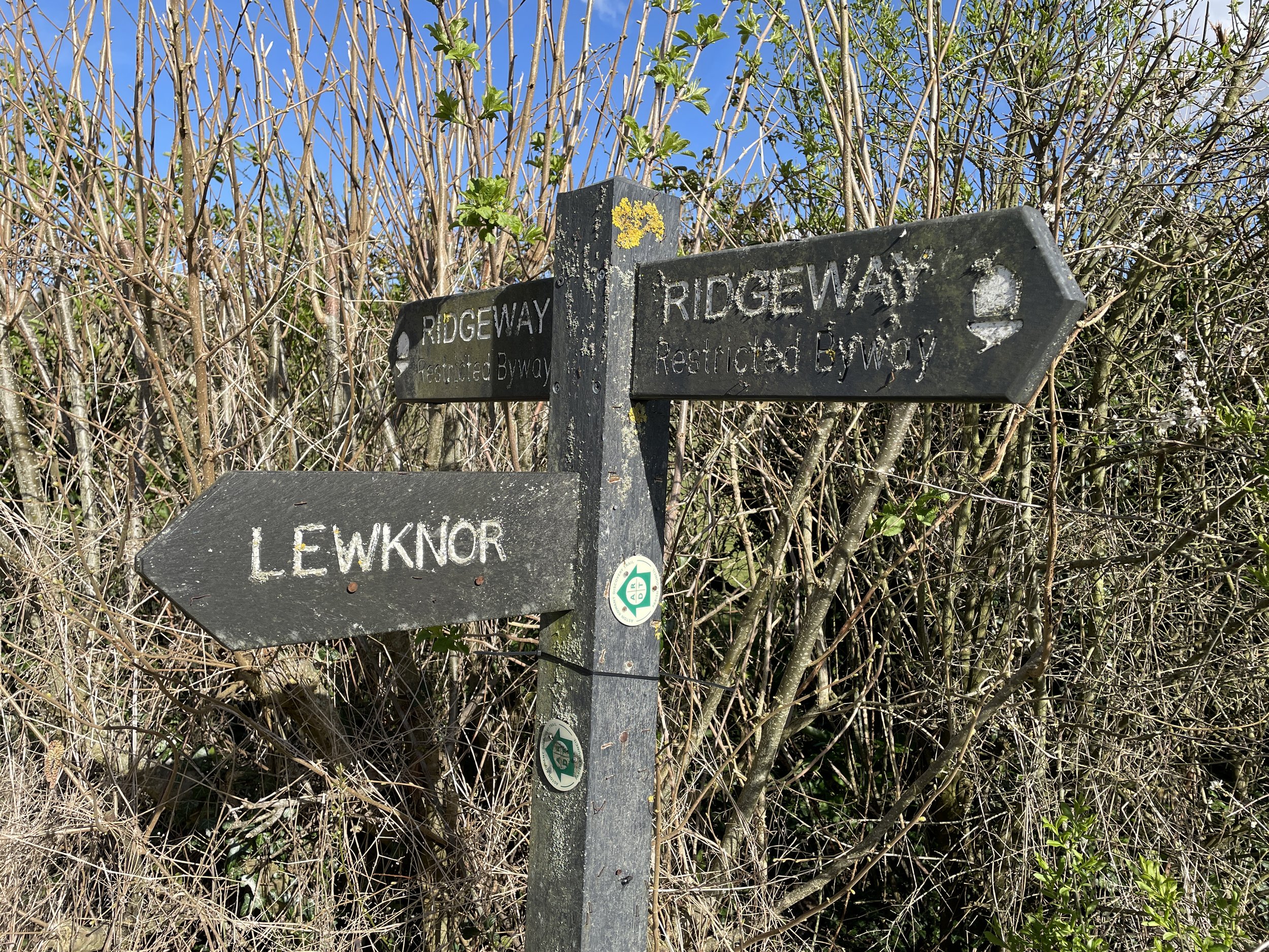
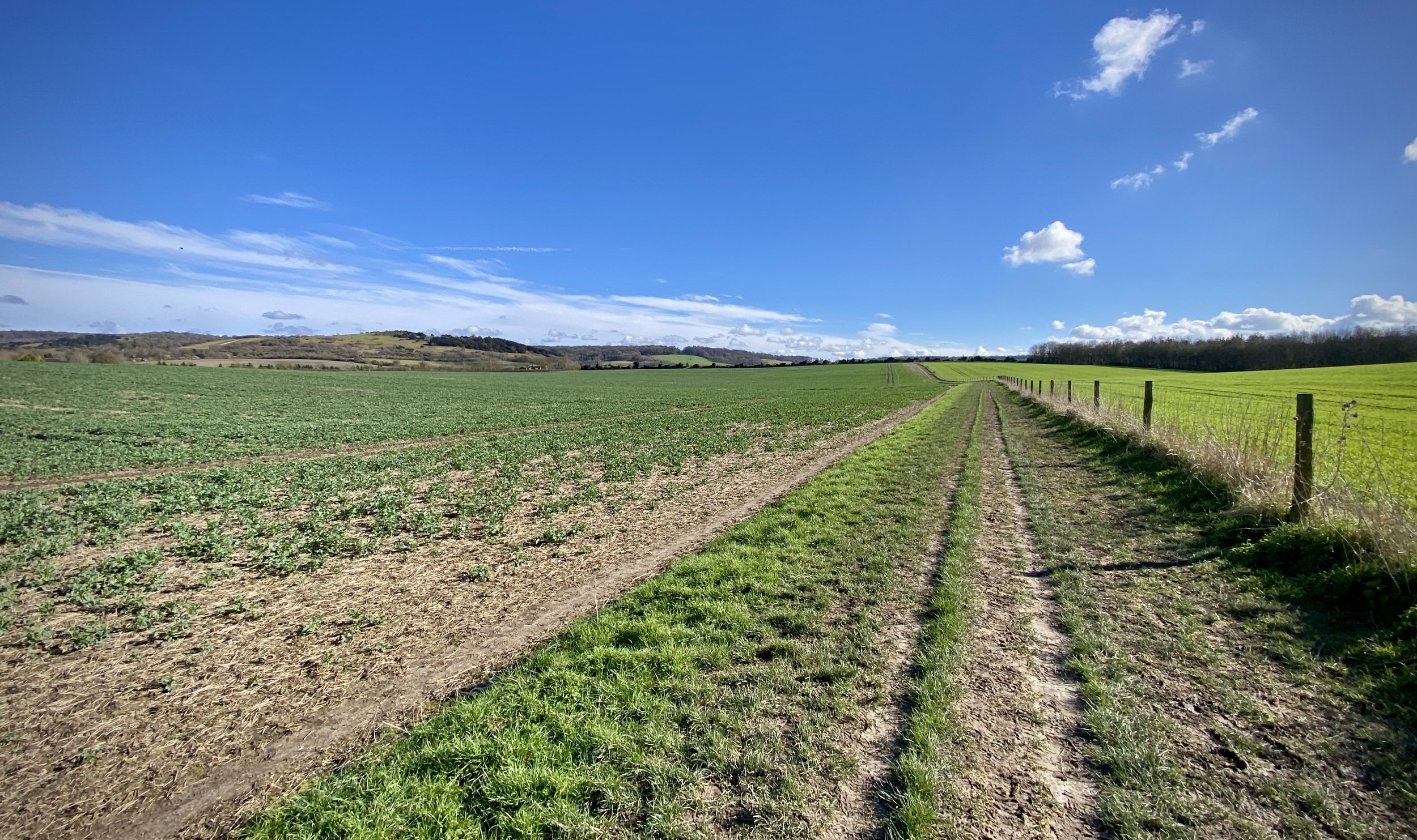
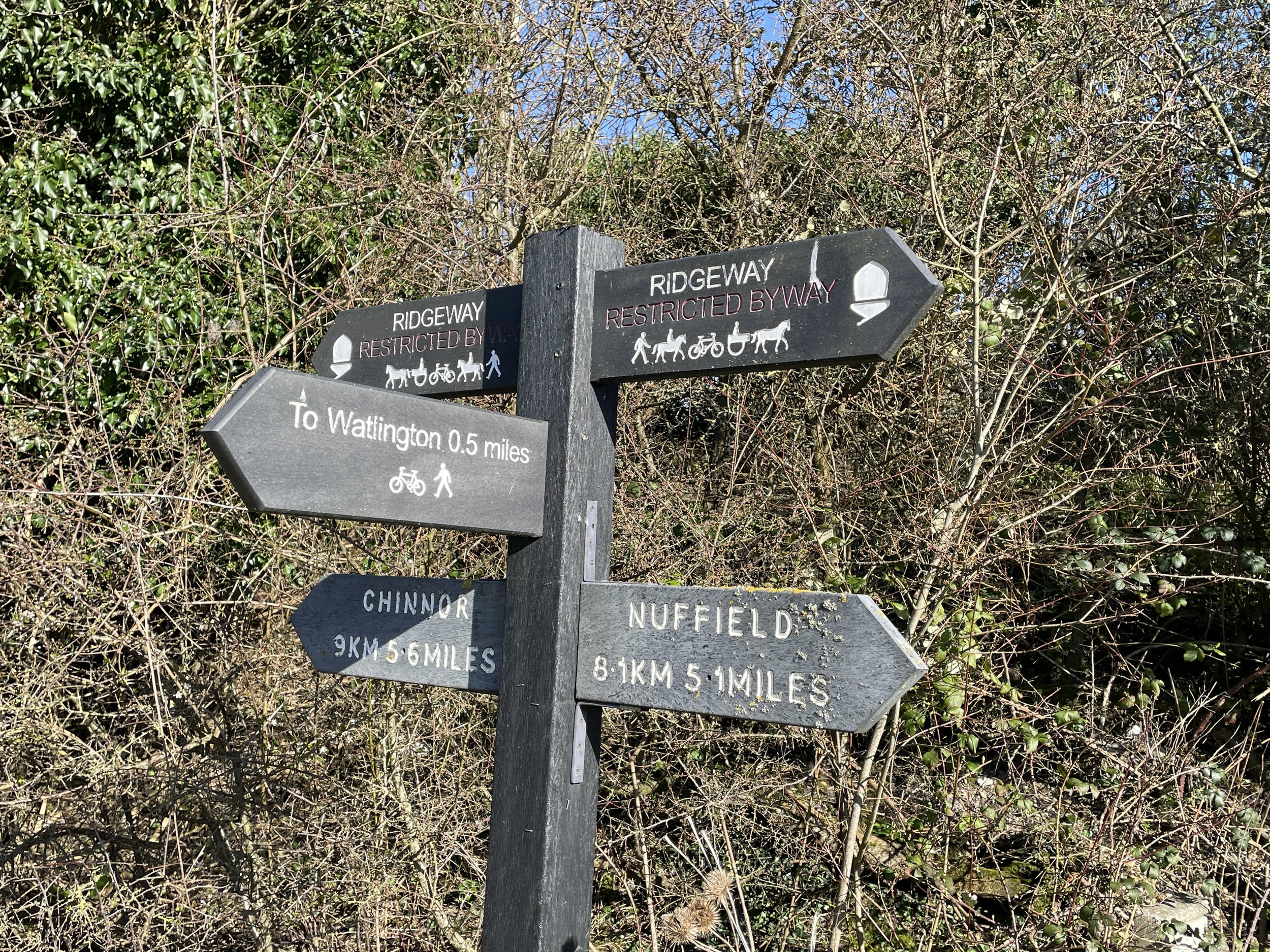
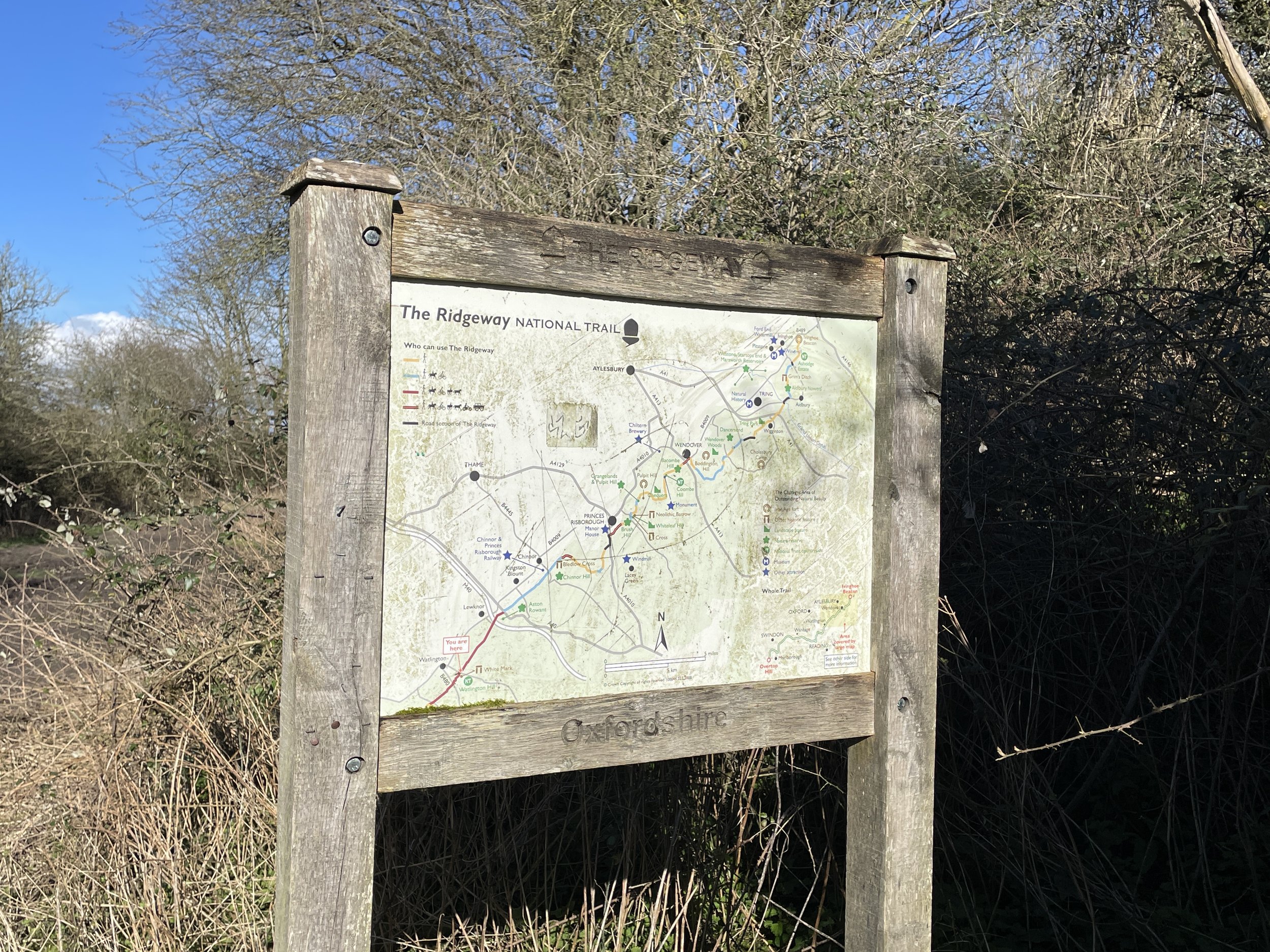
The Chiltern Heritage Trail is a 83 km (52 mile) circular long-distance footpath in Buckinghamshire. Created as a Millennium project, this trail links the towns and parishes within the district, offering stunning scenery, charming villages, and points of historical interest. Along the way it passes through Chesham, Latimer, Chorleywood, the Chalfonts, Amersham, Penn, the Missendens and Chartridge. We completed the trail in a series of shorter circular walks.
Point to Point: The full Chiltern Heritage Trail
Recommended start points:
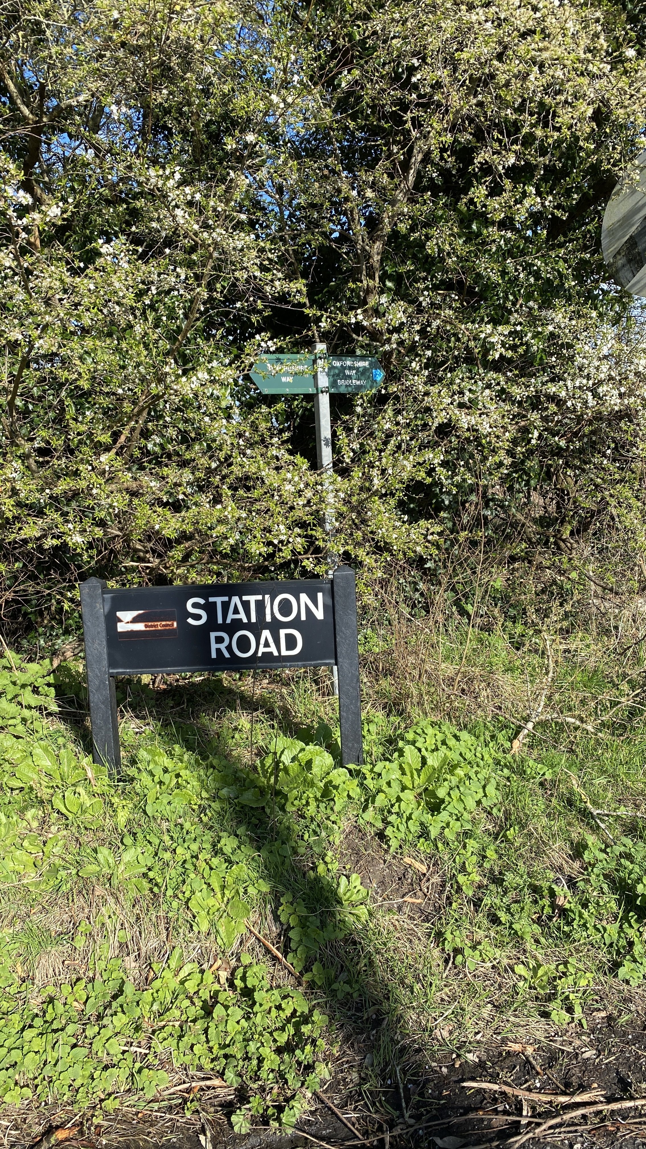
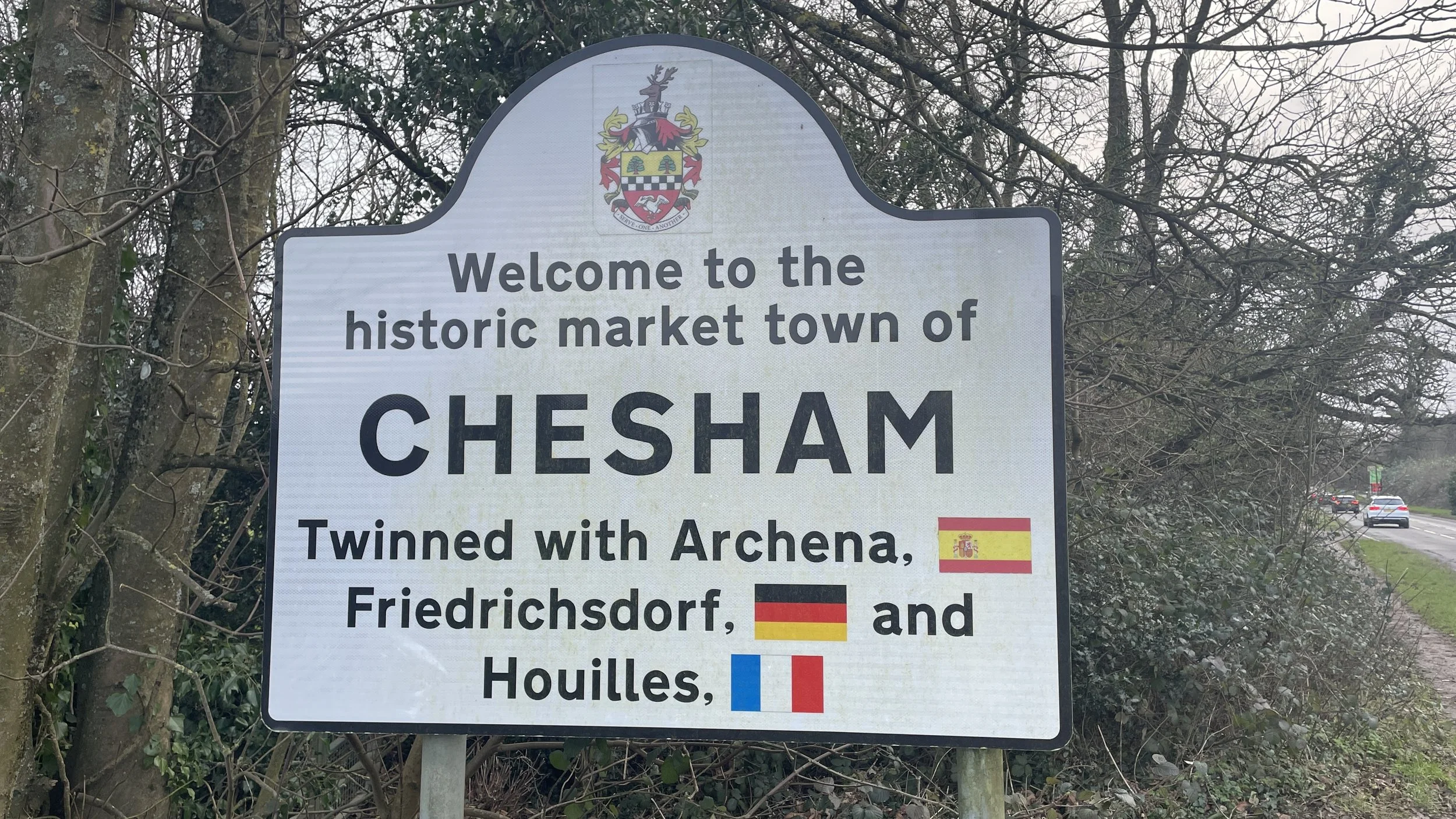
- Chesham Underground Station (51°42'19"N 0°36'40"W)
- Chalfont St Giles High Street (51°37'56"N 0°34'13"W)
- Chalfont St Peter High Street (51°36'26"N 0°33'24"W)
- Seer Green Railway Station (51°36'35"N 0°36'28"W)
- Old Amersham High Street (51°39'59"N 0°36'60"W)
- Great Missenden Railway Station (51°42'13"N 0°42'33"W)
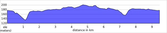
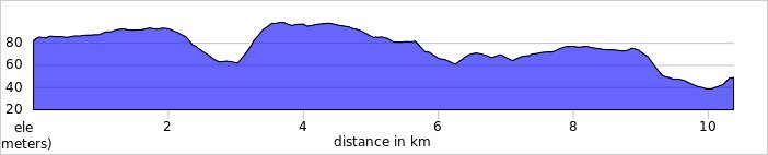
Distance: 82.9 km (51.9 miles)
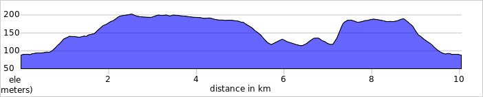
Elevation change: +/-933m
GPX File: get via Buy Me a Coffee
Maps:
- Chiltern Hills North Map | Aylesbury, Berkhamsted & Chesham | Ordnance Survey | OS Explorer Map 181
- Chiltern Hills East Map | High Wycombe, Maidenshead & Rickmansworth | Ordnance Survey | OS Explorer Map 172
Links: Chiltern Heritage Trail (LDWA), See individual section posts linked below for other links.


Walking The Chiltern Heritage Trail in 17 Circular Routes
If you’re not up for an 83 km walk in one go, you can take in the Chiltern Heritage Trail in 17 circular walks of between 7.5 and 13 km each. We chose this option, completing all 17 sections over a few years from 2020 to 2025. The advantage of this option is exploring more of the villages and side paths close to the route

Each number refers to a circular walk below. Base map: Esri Topo via RideWithGPS
Route 1: Ashley Green and Whelpley Hill
Distance: 10.5 km (6.5 miles)
Elevation change: +/- 113m
Chiltern Heritage Trail Section Covered: Chesham Vale to Orchard Leigh: 6.5 km

Route 2: Orchard Leigh and Botley
Distance: 6.9 km (4.3 miles)
Elevation change: +/- 58m
Chiltern Heritage Trail Section Covered: Orchard Leigh to Tyler’s Hill: 3.4 km

Route 3: Chesham & Tylers Hill
Distance: 9.3 km (5.8 miles)
Elevation change: +/- 84m
Chiltern Heritage Trail Section Covered: Tylers Hill to Lower Bois: 4.49 km

Route 4: Chesham & Bois and Wychfield Spring
Distance: 7.8 km (4.8 miles)
Elevation change: +/- 166m
Chiltern Heritage Trail Section Covered: River Chess at Lower Bois to Blackwell Hall Lane: 4.4 km

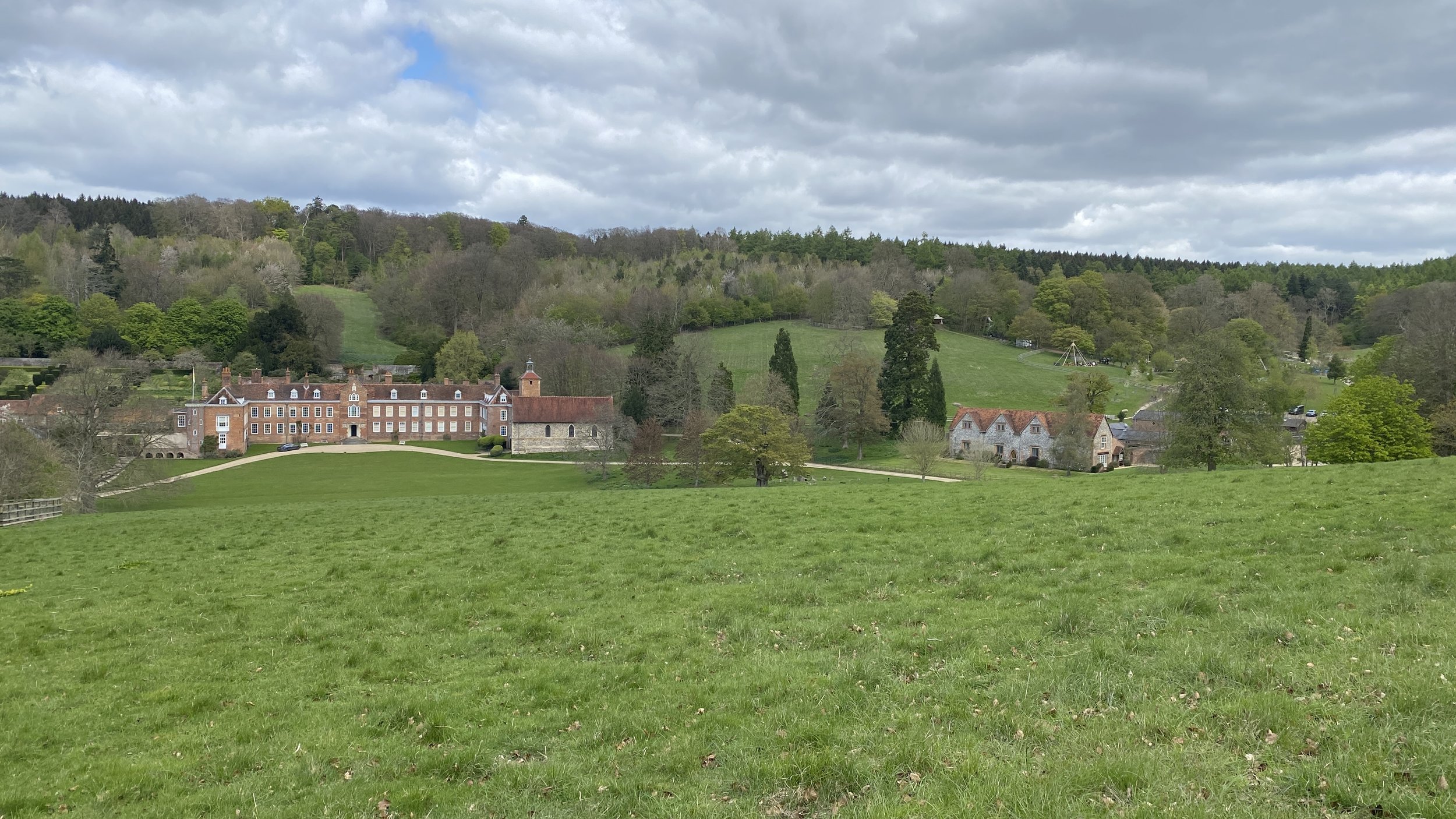
Route 5: Latimer and Codmore Wood
Distance: 7.7 km (4.8 miles)
Elevation change: +/- 120m
Chiltern Heritage Trail Section Covered: Blackwell Hall Lane to Stoney Lane: 3.2 km

Route 6: Little Chalfont and Latimer
Distance: 7.5 km (4.7 miles)
Elevation change: +/- 91m
Chiltern Heritage Trail Section Covered: Latimer to Carpenters Wood: 3.3 km

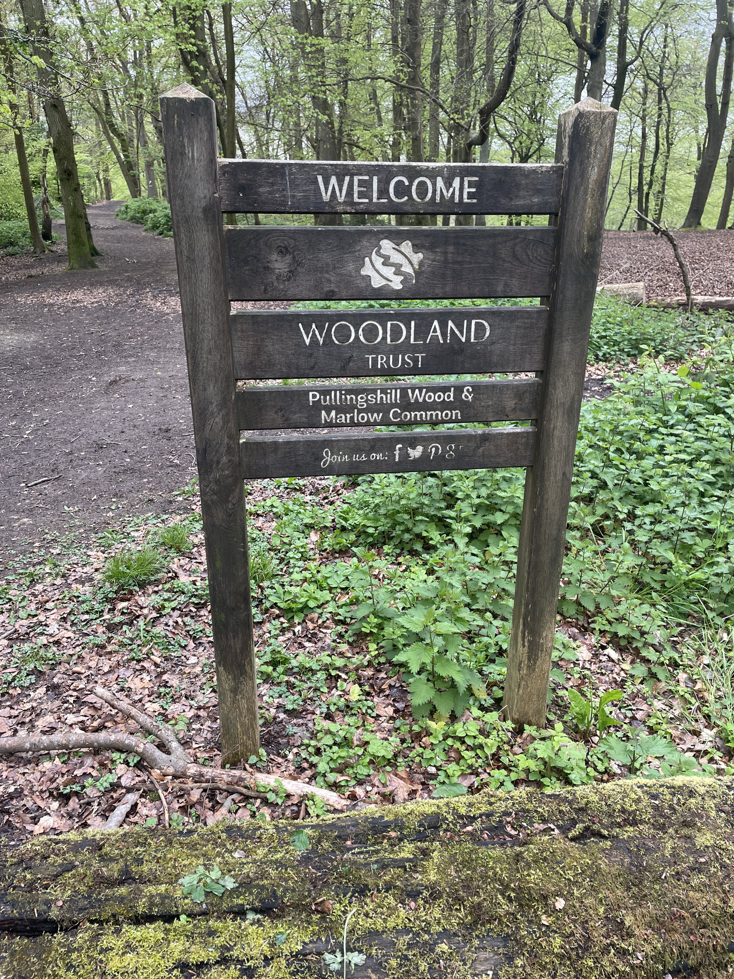
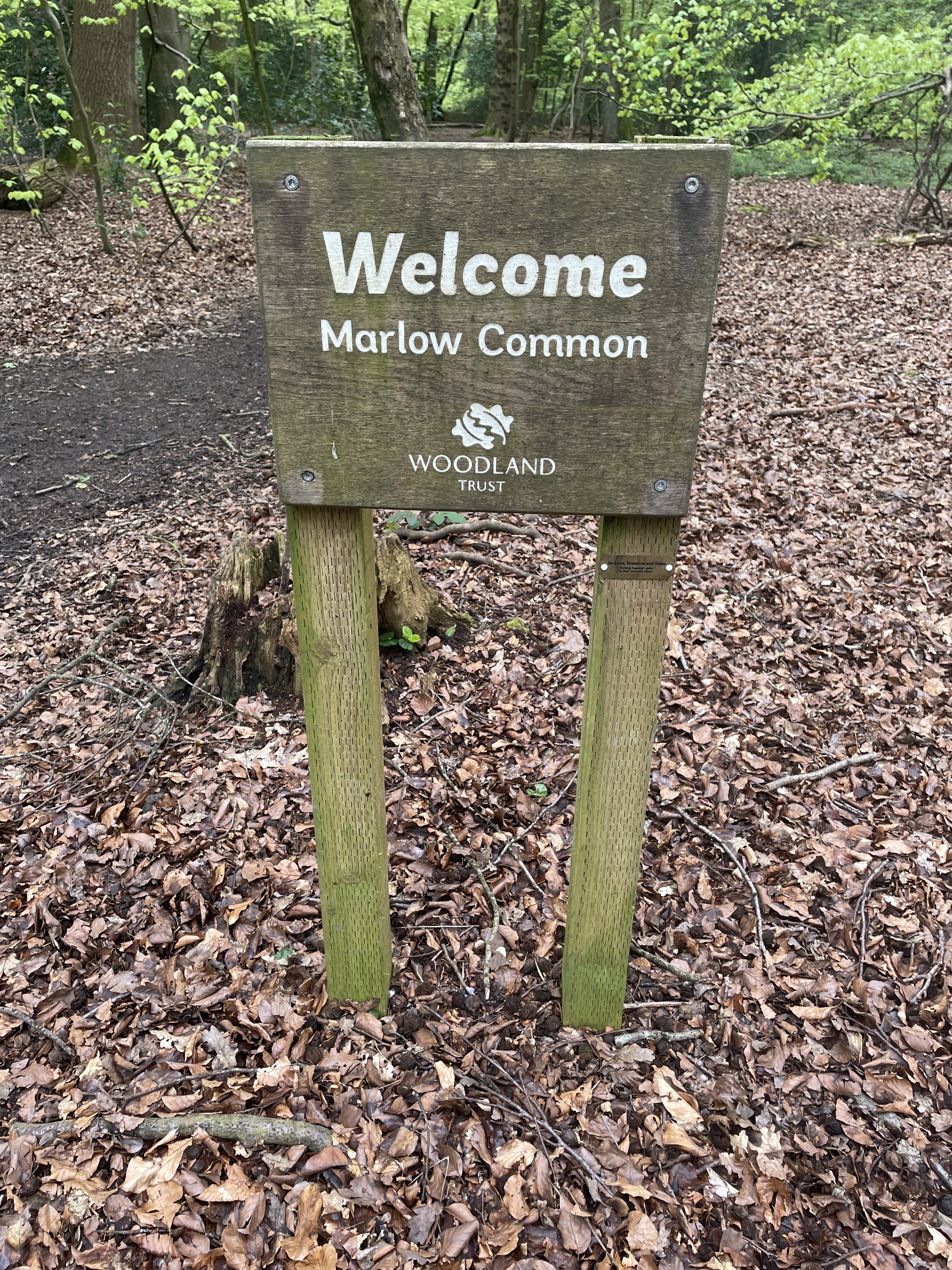
Route 7: Phillipshill Wood and Hanging Wood
Distance: 9.1 km (5.7 miles)
Elevation change: +/- 101m
Chilterns Heritage Trail Section Covered: Carpenters Wood to Newland Gorse: 3.5 km

Route 8: Chalfont St Giles and Newlands Park
Distance: 8.6 km (5.3 miles)
Elevation change: +/- 75m
Chiltern Heritage Trail Section Covered: Newland Gorse to Chalfont Common: 4.6 km

Route 9: Chalfont St Peter, Seer Green and Chalfont St Giles
Distance: 13.1 km (8.1 miles)
Elevation change: + / - 124 m
Chiltern Heritage Trail Section Covered: Chalfont St Giles to Hodgemoor Wood: 10.3 km

Route 10: Amersham and Coleshill
Distance: 11.5 km (7.1 miles)
Elevation change: +/- 118m
Chiltern Heritage Trail Section Covered: Bottrells Lane to Amersham: 5.2 km

Route 11: Amersham, Winchmore Hill and Penn
Distance: 12.5 km (7.8 miles)
Elevation change: +/- 119m
Chiltern Heritage Trail Section Covered: Coleshill to Toby’s Lane: 8.1 km

Route 12: Little Kingshill and Little Missenden
Distance: 9.9 km (6.1 miles)
Elevation change: + / - 104m
Chiltern Heritage Trail Section Covered: Beamond End Lane to Little Kingshill Recreation Park: 6.2 km

Route 13: Great Missenden and Little Kingshill
Distance: 9.2 km (5.7 miles)
Elevation change: +/- 114m
Chiltern Heritage Trail Section Covered: Little Kingshill Recreation Ground to Buryfield Car Park: 4.4 km

Route 14: Great Missenden and Ballinger
Distance: 9.8 km (6 miles)
Elevation Change: +/- 113m
Chiltern Heritage Trail Section Covered: Buryfield Car Park to Ballinger Common: 3 km

Route 15: Lee Common and Ballinger
Distance: 7.5 km (4.6 miles)
Elevation change: +/- 65m
Chiltern Heritage Trail Section Covered: Ballinger Common to Chartridge: 5.2 km

Route 16: Chartridge, Asheridge and Buckland Common
Distance: 9.5 km (5.9 miles)
Elevation change: +/- 97m
Chiltern Heritage Trail Section Covered: Hightree Wood to Buckland Common: 5.1 km

Route 17: Cholesbury and Asheridge
Distance: 11 km (6.8 miles)
Elevation change: +/- 103m
Chiltern Heritage Trail Section Covered: Blue Ball Braziers Lane to Ramscote Lane: 7.8 km

Cycling The Chilterns Heritage Trails
If you have completed the Chiltern Heritage Trail walking routes there’s also 3 cycling routes in the area. Each route is a circuit so can be started at any point, however Amersham New Town is an obvious base. Amersham has a direct rail and Underground connection to London and good parking options.
The 3 routes are:
Milton Route, named after John Milton who was an English Poet and Civil Servant.
Distance: 42km / 26 miles. Elevation Change: +/- 391m
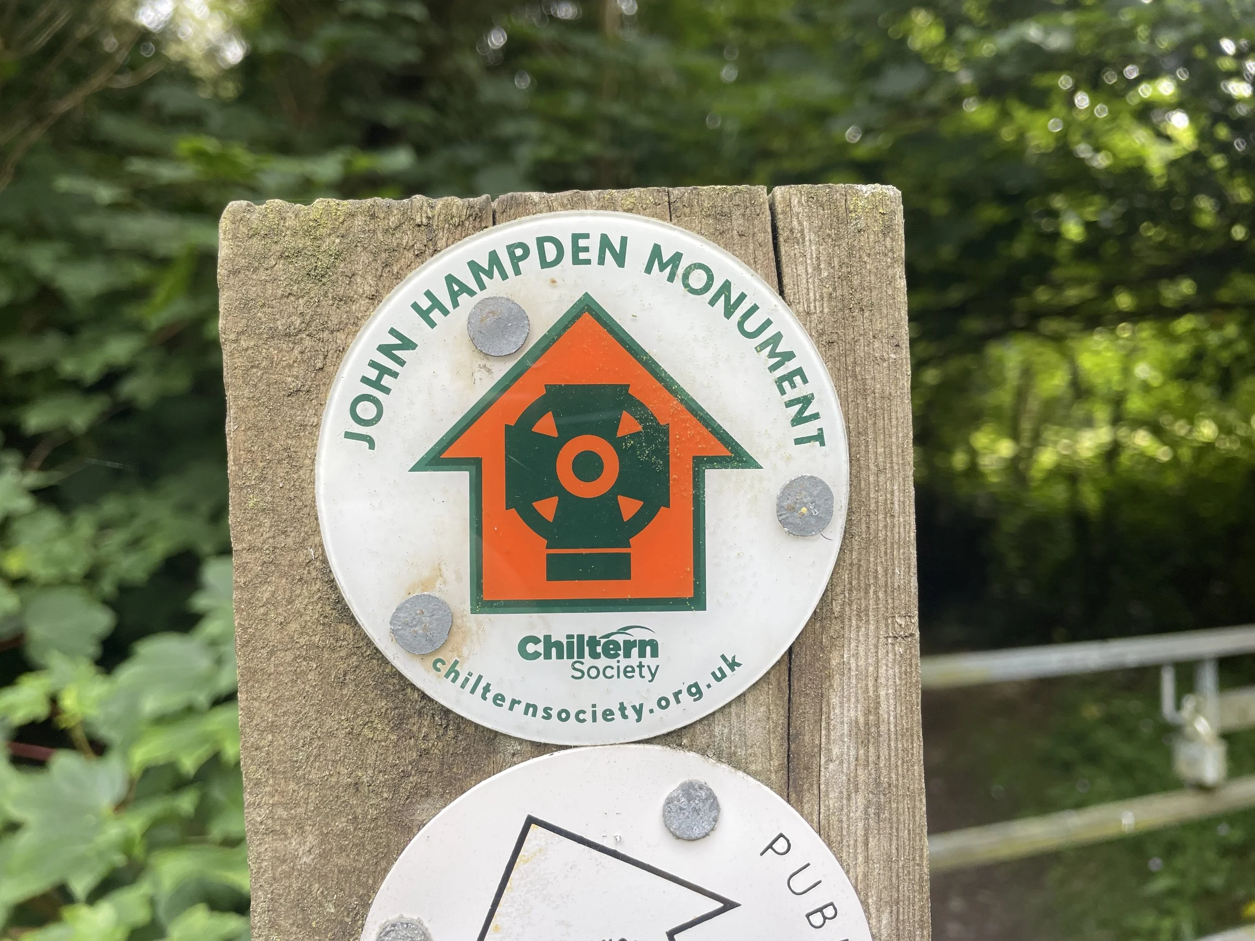
Hampden Route, named after John Hampden, who was an early parliamentarian.
Distance: 41km / 25.5 miles. Elevation Change: +/- 352m
Harding Route, named after Thomas Harding who was burnt at the stake in 1532 for possessing a Bible when this was still forbidden.
Distance: 40 km / 24.8 miles. Elevation Change: +/- 385m
Click here for more information on the Chiltern Heritage Trail cycle routes.