Walking The Chiltern Way Part 6 - Shrub Hill Common to Chalfont St. Giles

Between Felden and Bovingdon shortly after sunrise
Start: Chaulden Adventure Playground, 106 Long Chaulden, Hemel Hempstead, HP1 2HX
Finish: The Village Green, Chalfont Saint Giles, HP8 4QF
Distance: 22.7 km (14.1 Miles)
Elevation change: +250m / -303m. Net -53m
GPX File: get via Buy Me a Coffee
Other Routes Touched (walk): Chiltern Way, Red Walk, Hertfordshire Way, Chiltern Heritage Trail, South Bucks Way
Other Routes Touched (cycle): Grand Union Canal Towpath, Chiltern Heritage Trail Milton Route,
Pubs / Cafes on route: Bell Inn Bovingdon (5.9 km in), Green Dragon or Bricklayer’s Flaunden (8.9 km in), Cock In Sarratt (13 km in). Red Lion Chenies (15.1 km in), Cafe at Van Hage Garden Centre (15.5 km in), Merlins Cave (at the finish)
Maps:
- St Albans & Hatfield Map | Hemel Hempstead & Welwyn Garden City | Ordnance Survey | OS Explorer Map 182
Links: Chiltern Way (Chiltern Society), Hemel Hempstead, Boxmoor, Bovingdon, Flaunden, Sarratt, Chenies, Chorleywood, Chalfont St Giles
This is the sixth of a series of point to point walks on the Chiltern Way. The full trail is a 134 mile (215 km) long distance path around the Chiltern Hills Area of Outstanding Natural Beauty (AONB). My friend Brian and I have been doing a section a year on or around the Winter Solstice since 2019. At the current rate we plan to be finished in December 2027. The Chiltern Way is well sign-posted however you should take a map or GPX route to keep on track and be prepared for all weathers. This post isn’t intended as a fully accurate turn-by-turn guide.
Brian and I tend to see a lot of each other over the summer months then there’s a gap of a few months when I get distracted by longer holidays and peak busyness at work. The Winter Solstice hike is always a good opportunity to catch up on what we’ve missed in each others’ lives. This year’s Solstice hike was at the midway point between our 50th birthdays. As well as our normal check-in we spent the drive to the start to compare notes on which parts of our bodies were slowing down or wearing out. Fortunately there was nothing too dramatic this year apart from a few aches and twinges.
Picking up from Part 5 at Shrub Hill we headed south through the outskirts of Hemel Hempstead. Our first stop was the obligatory sunrise selfie, albeit not in the most scenic part of this year’s walk.
After 1.6 km we crossed over the Grand Union Canal, last seen at Cow Roast at the start of section 2. After the canal the route ascends up to Boxmoor, also following a section of the Hertfordshire Way until Flaunden. I had marked pub stops on the map at both Flaunden and Sarratt in the optimistic hope that one of them might be open for morning coffee. As per all other Soltrice Walks we were way too early. The first rest and food stop came right at lunchtime at the cafe in the Van Hage Garden Centre off the A404.
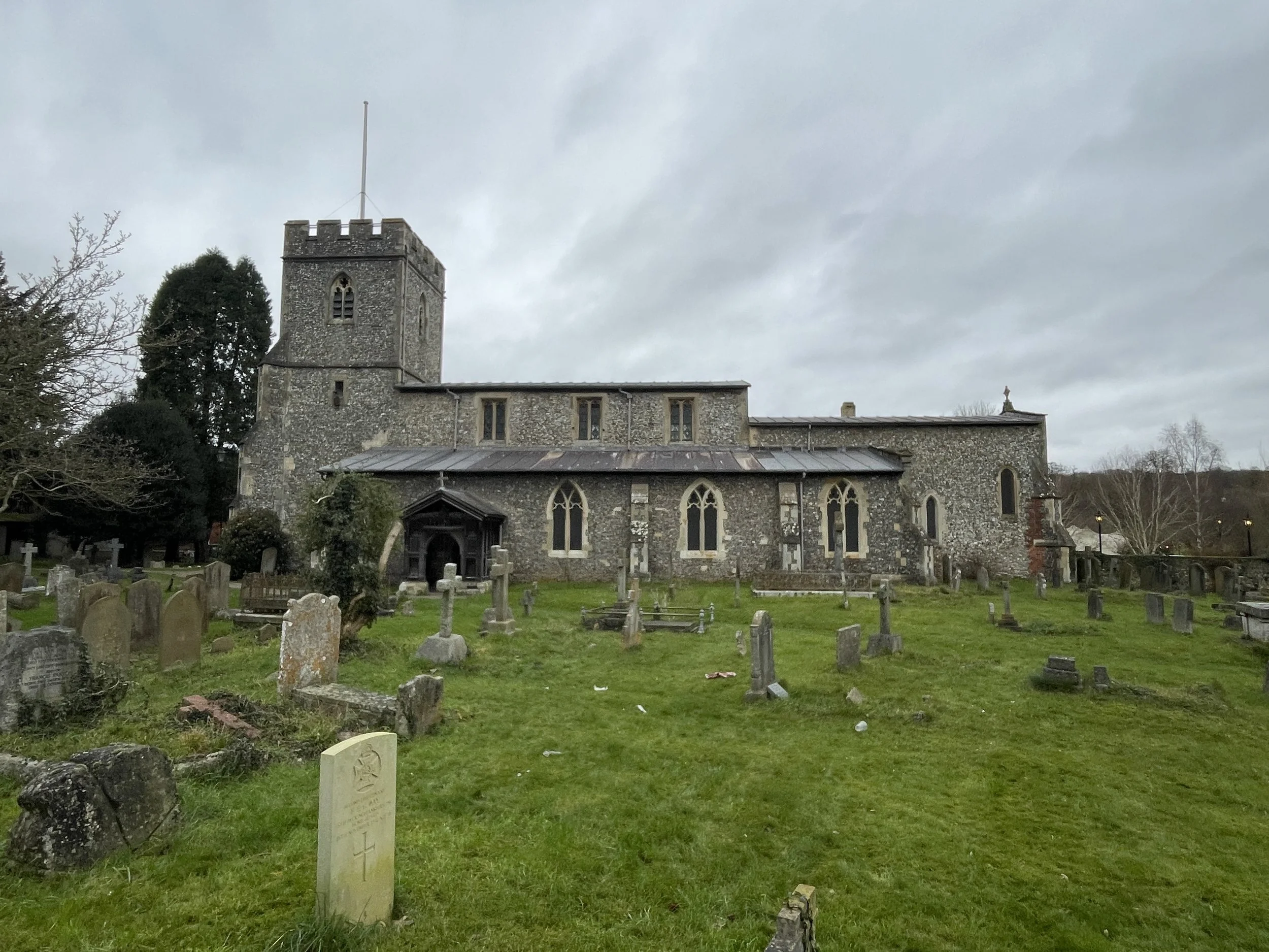
For the afternoon section we were in very familiar territory, close to our homes and on very familiar paths. After the A404 the route joins the Chiltern Heritage Trail, heading sound through Chorleywood, along Old Shire Lane and before curving round towards the west to Chalfont St Giles. The Merlin’s Cave pub, with an excellent fish and chips, was our end point for this section.


Previous section: Walking The Chiltern Way Part 5: Peter’s Green to Shrub Hill Common
Next section: Walking The Chiltern Way Part 7: Chalfont St. Giles to Marlow Bottom. Blog post coming in December 2025