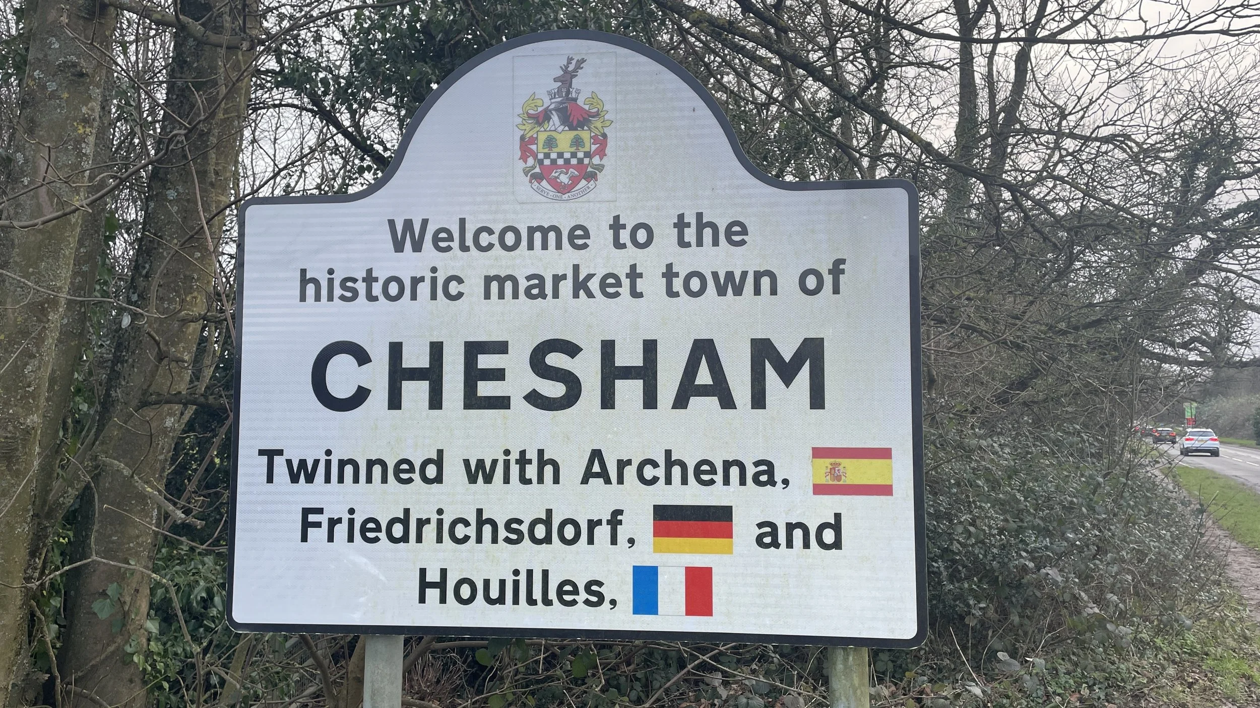
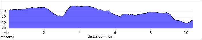
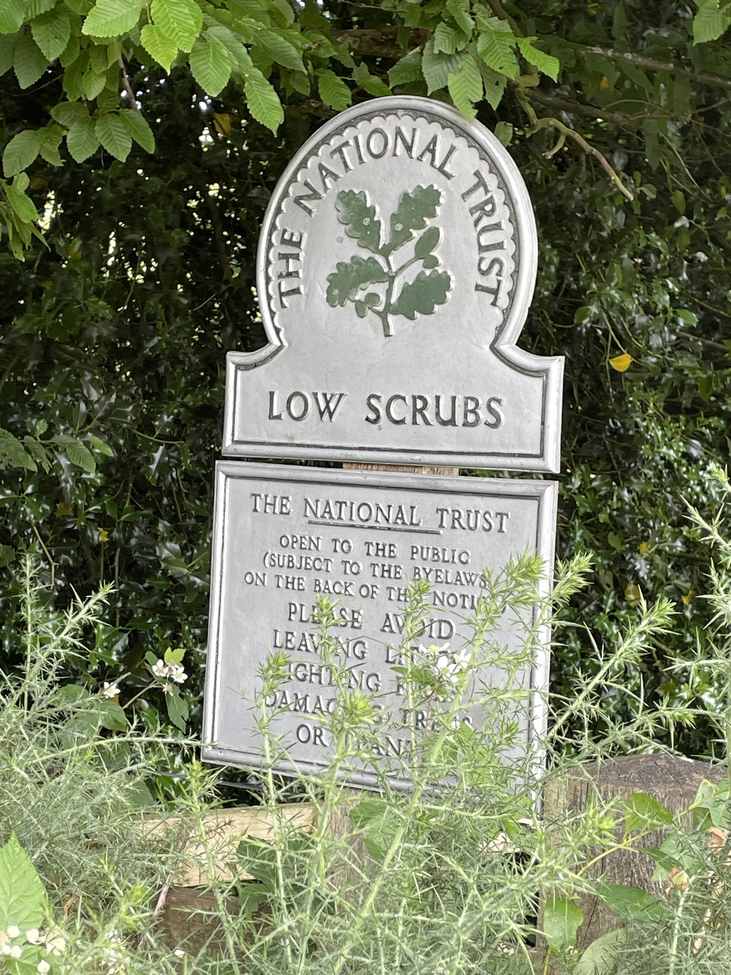
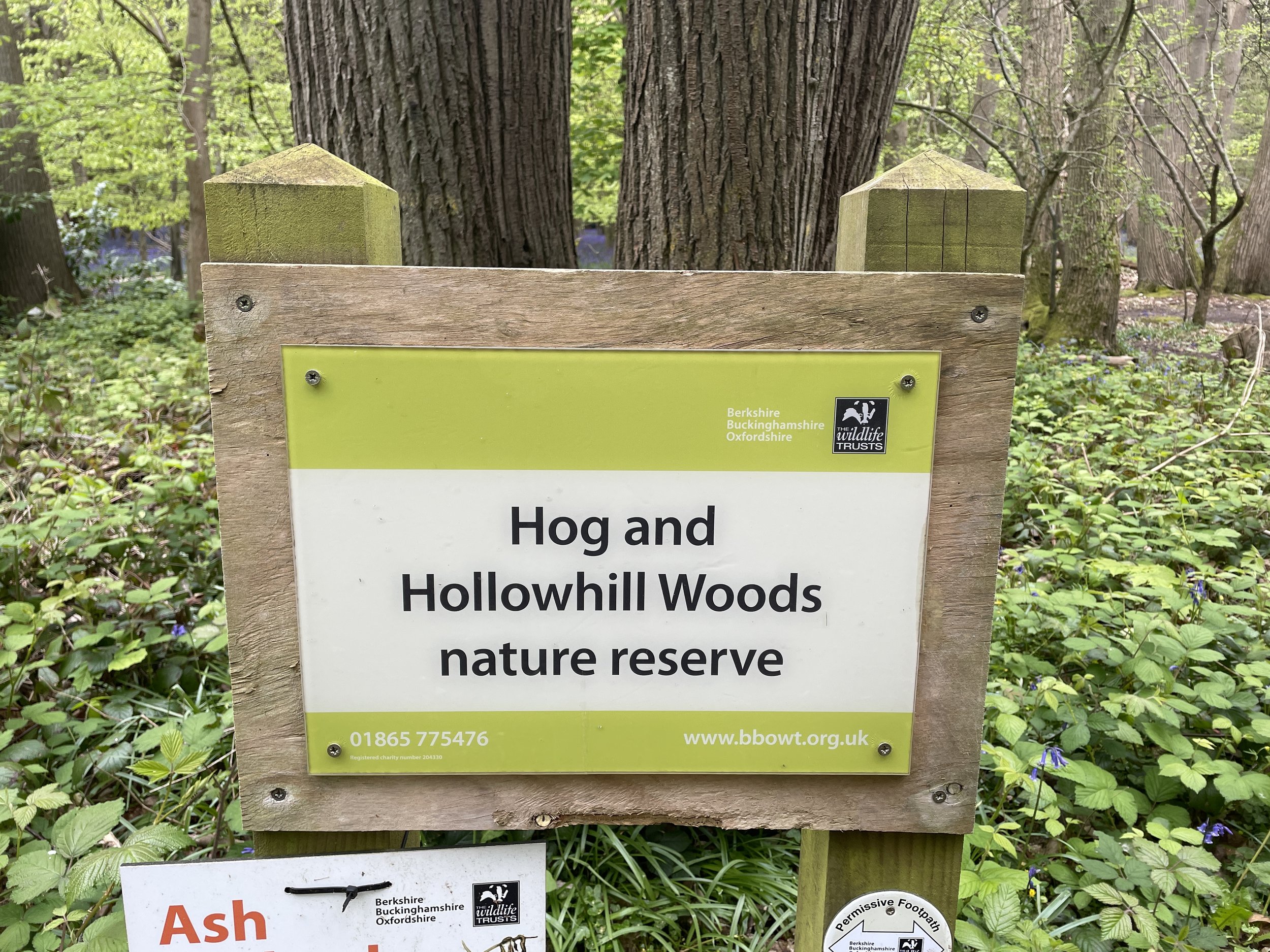
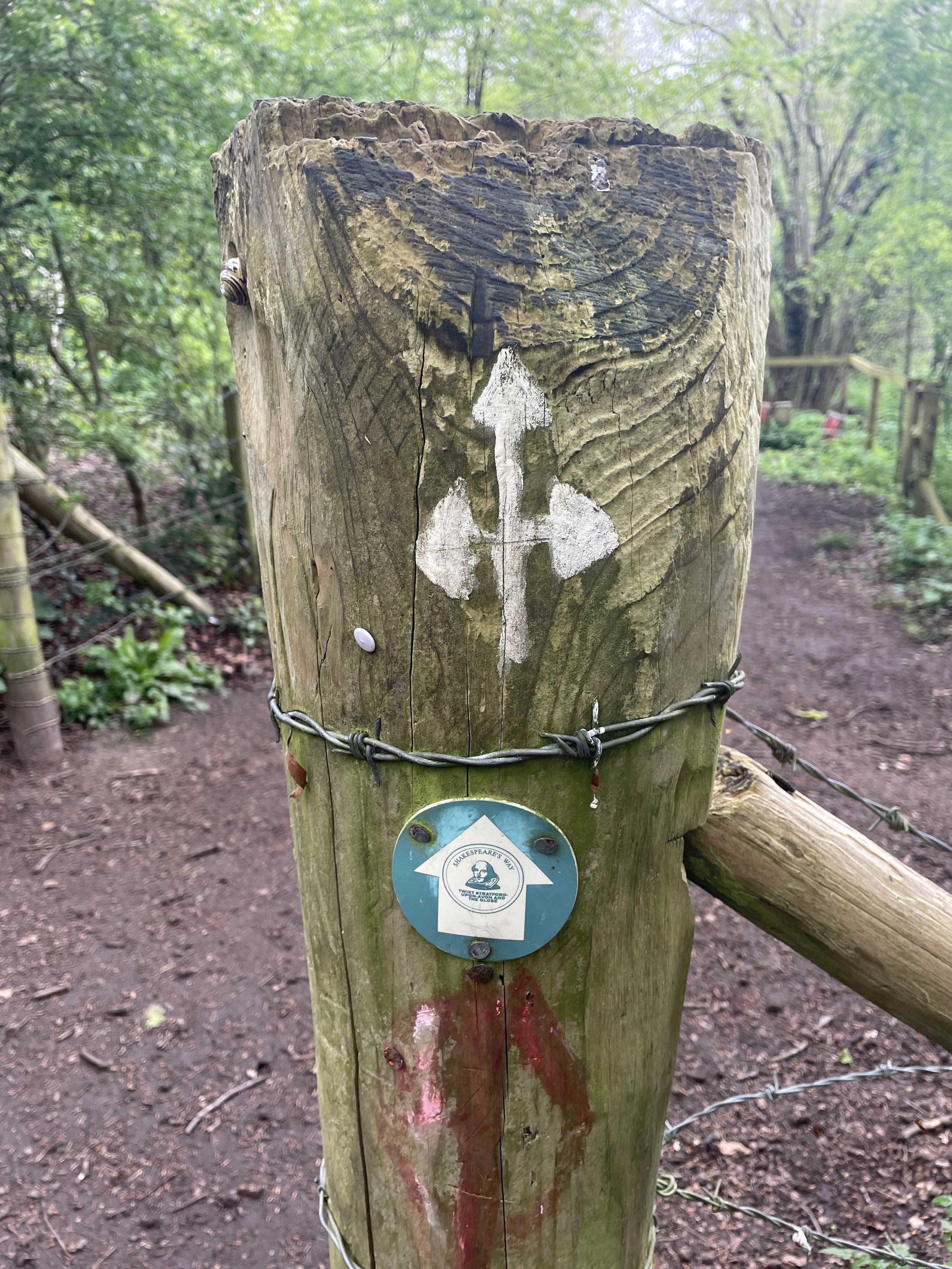
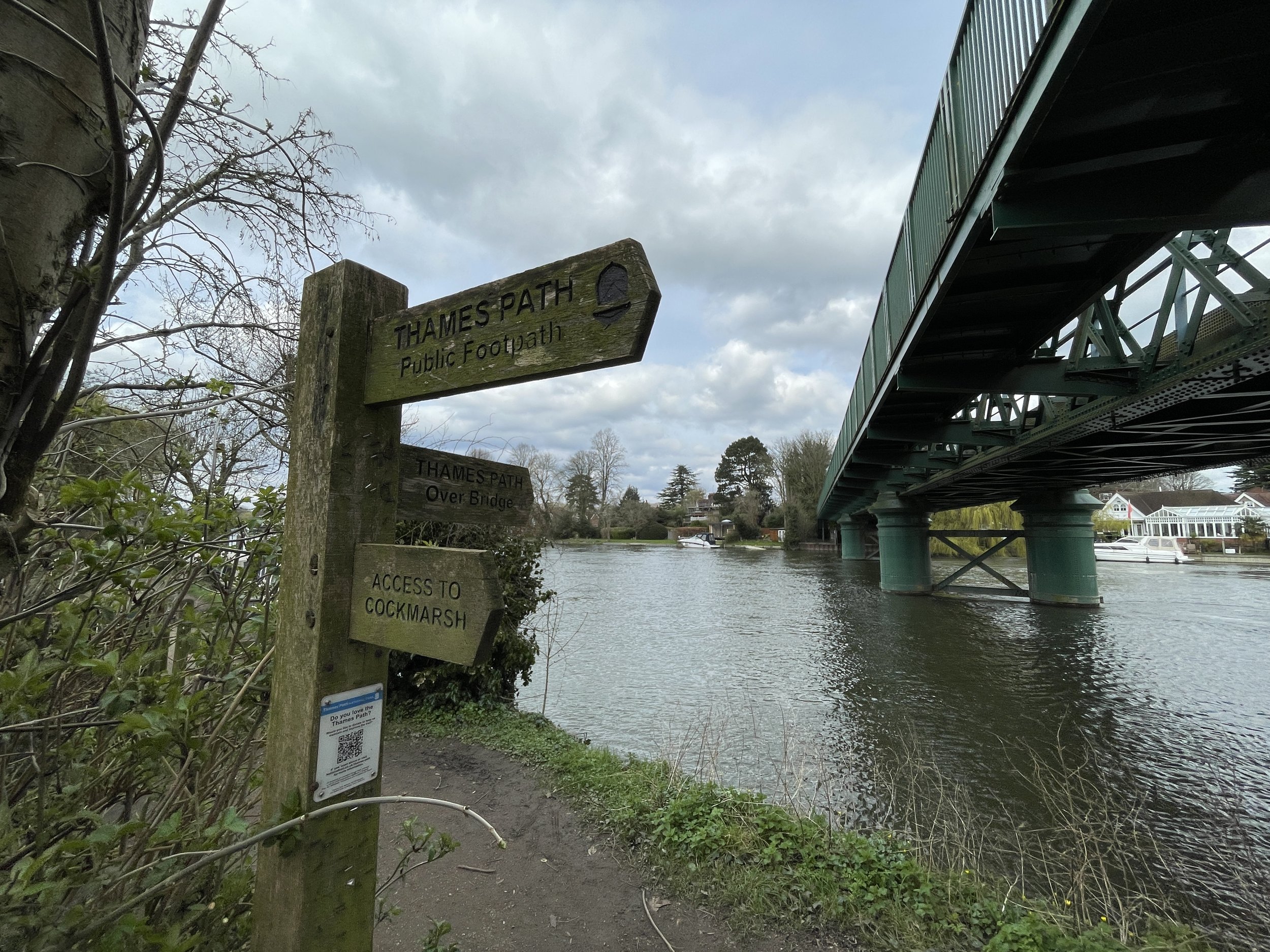
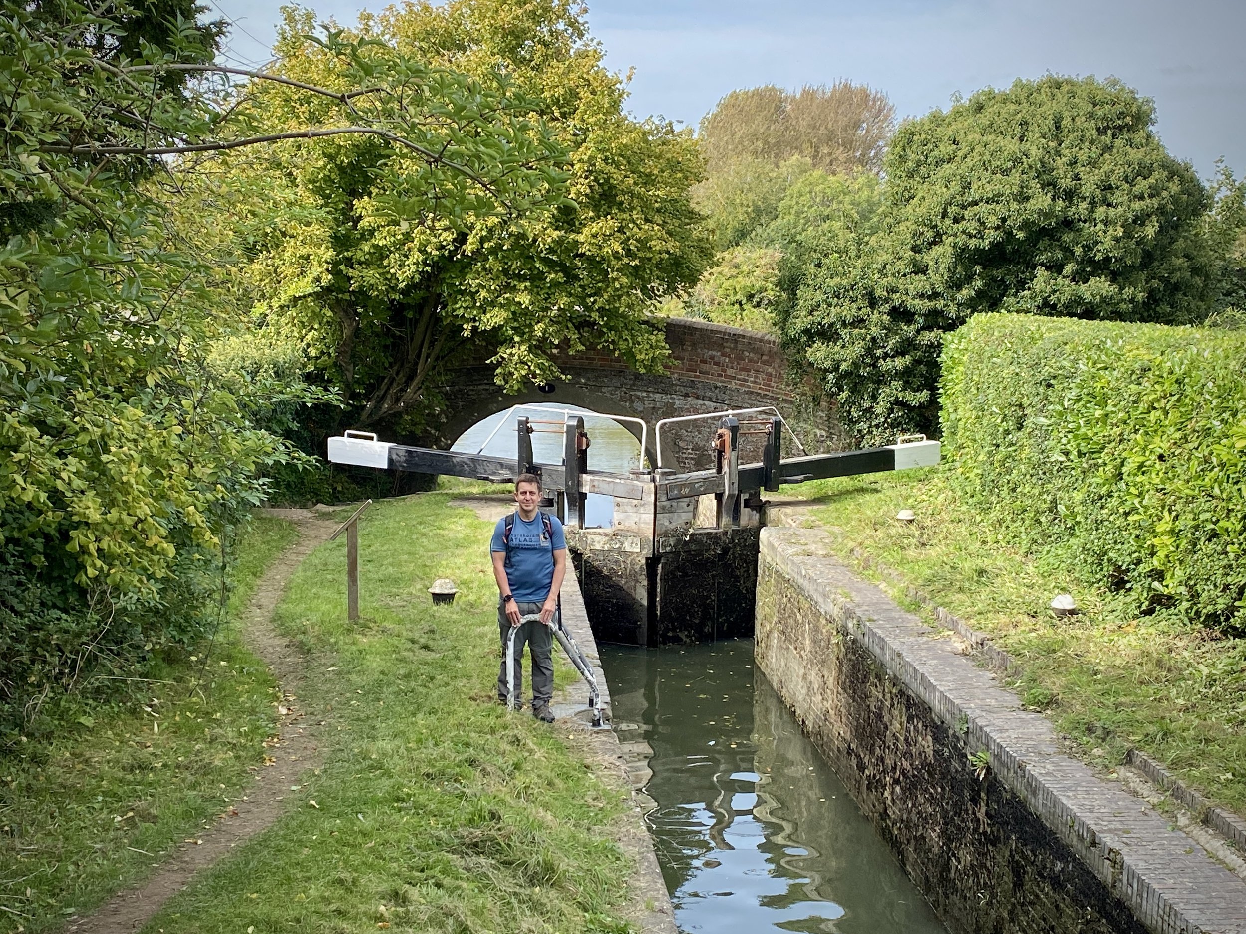
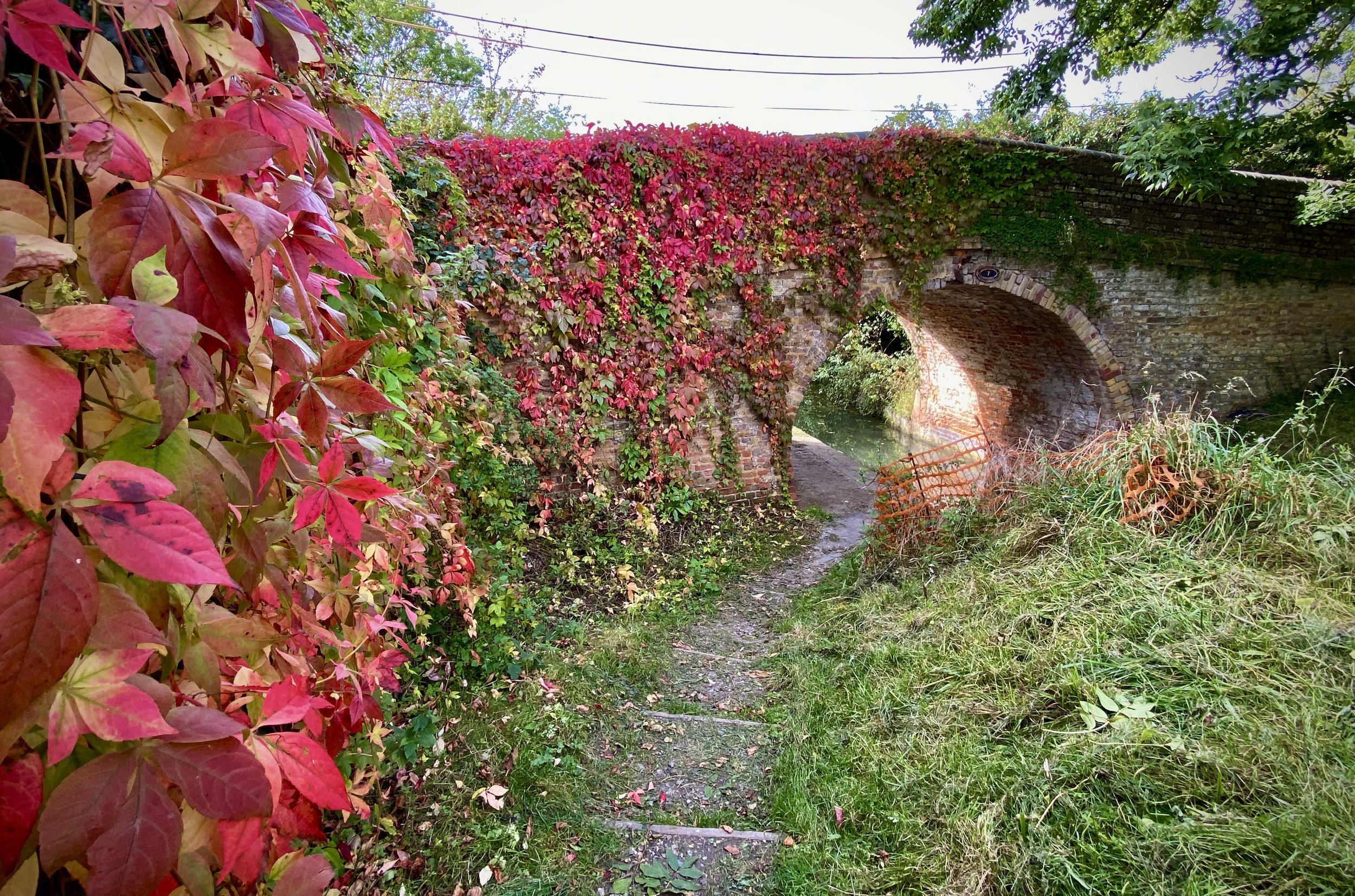
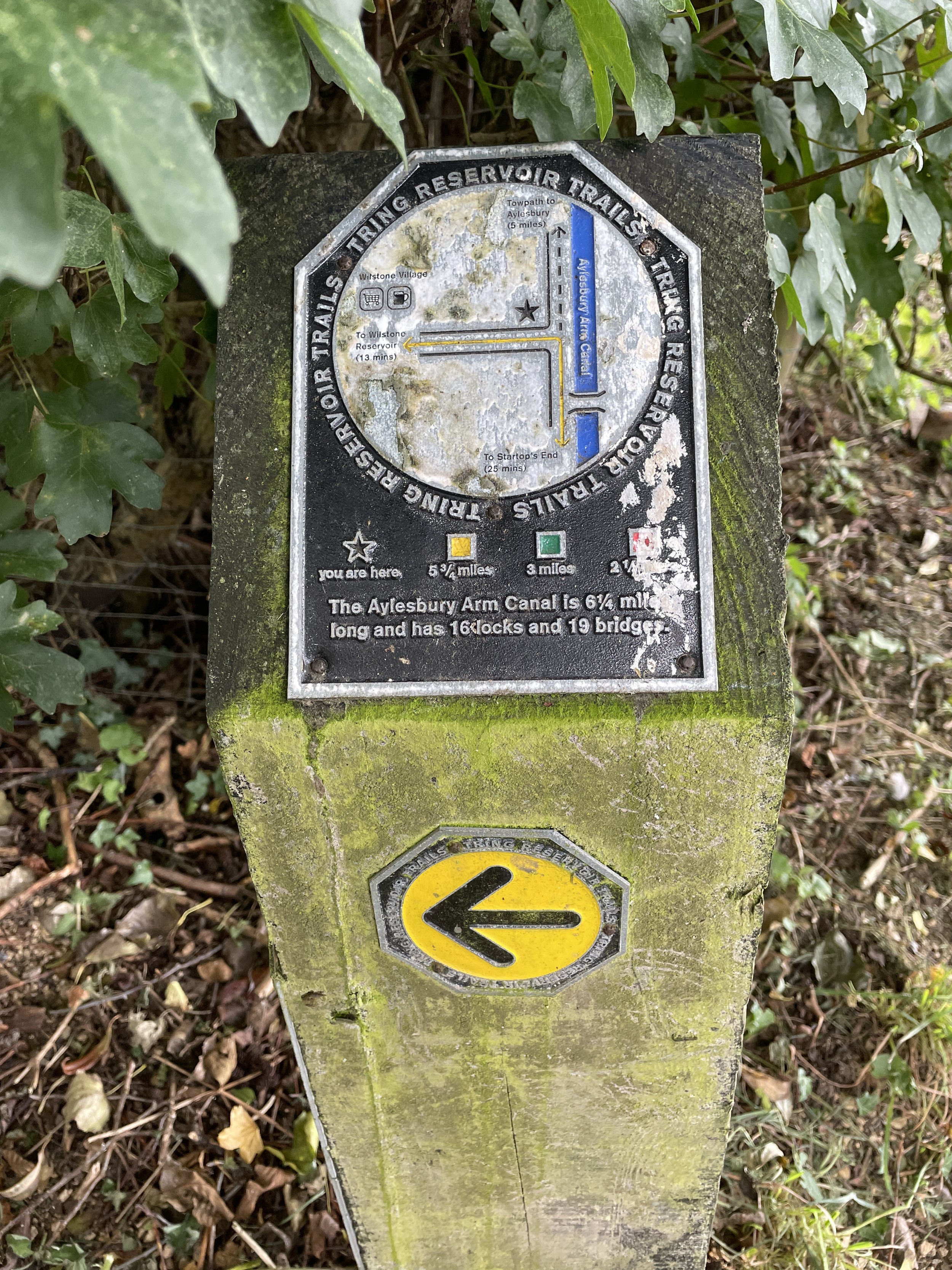
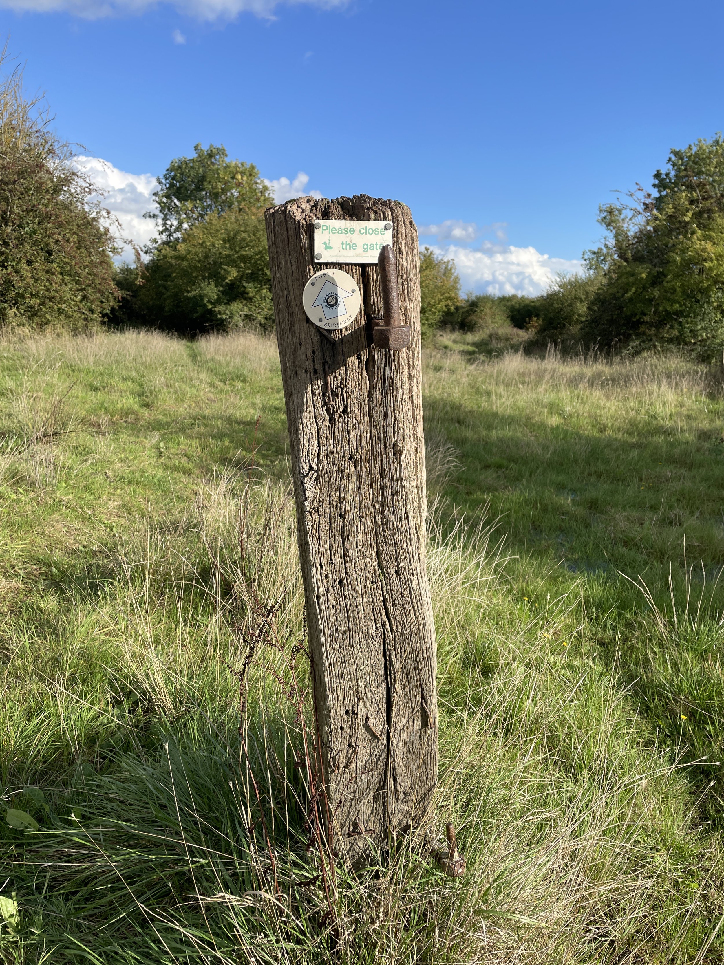
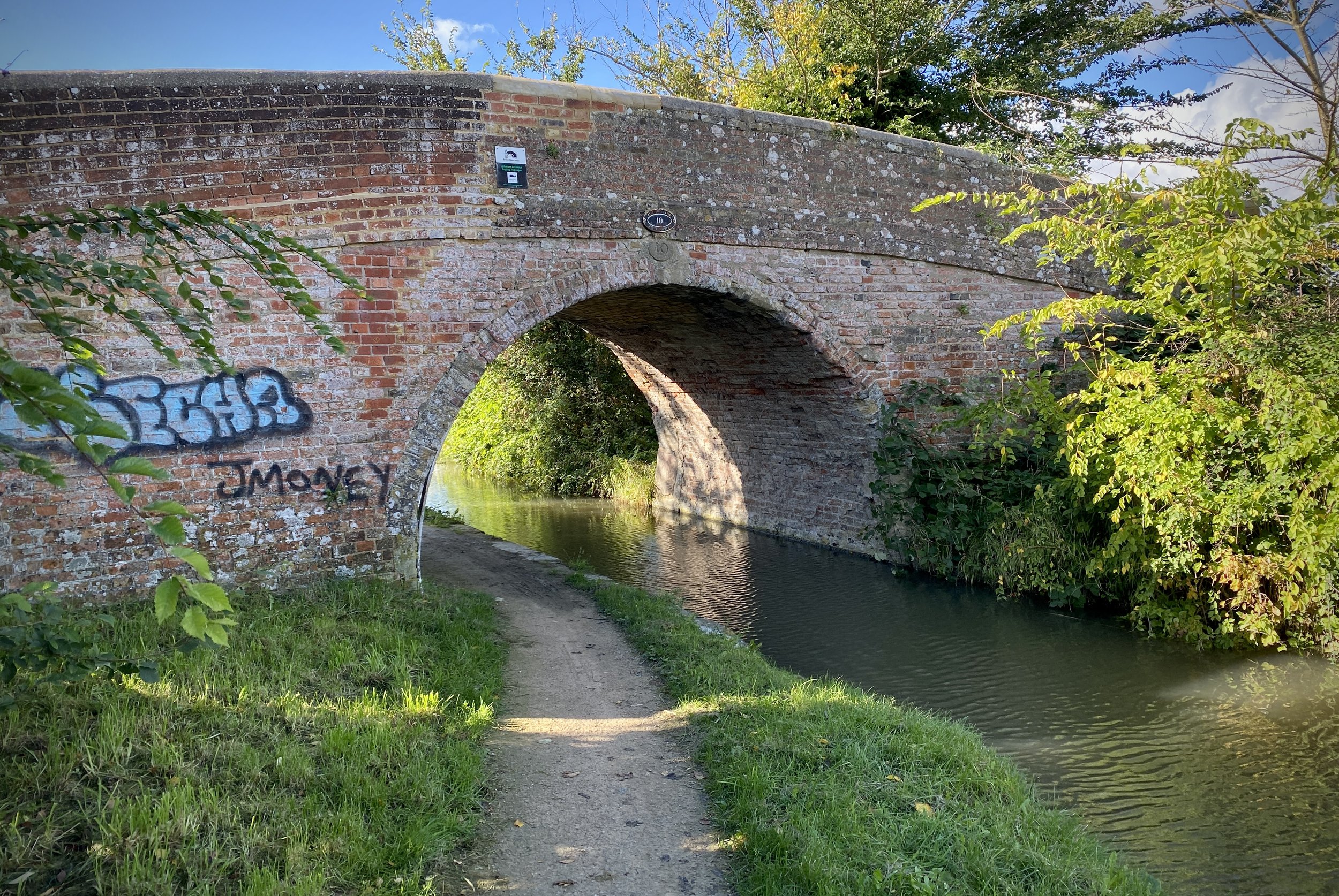
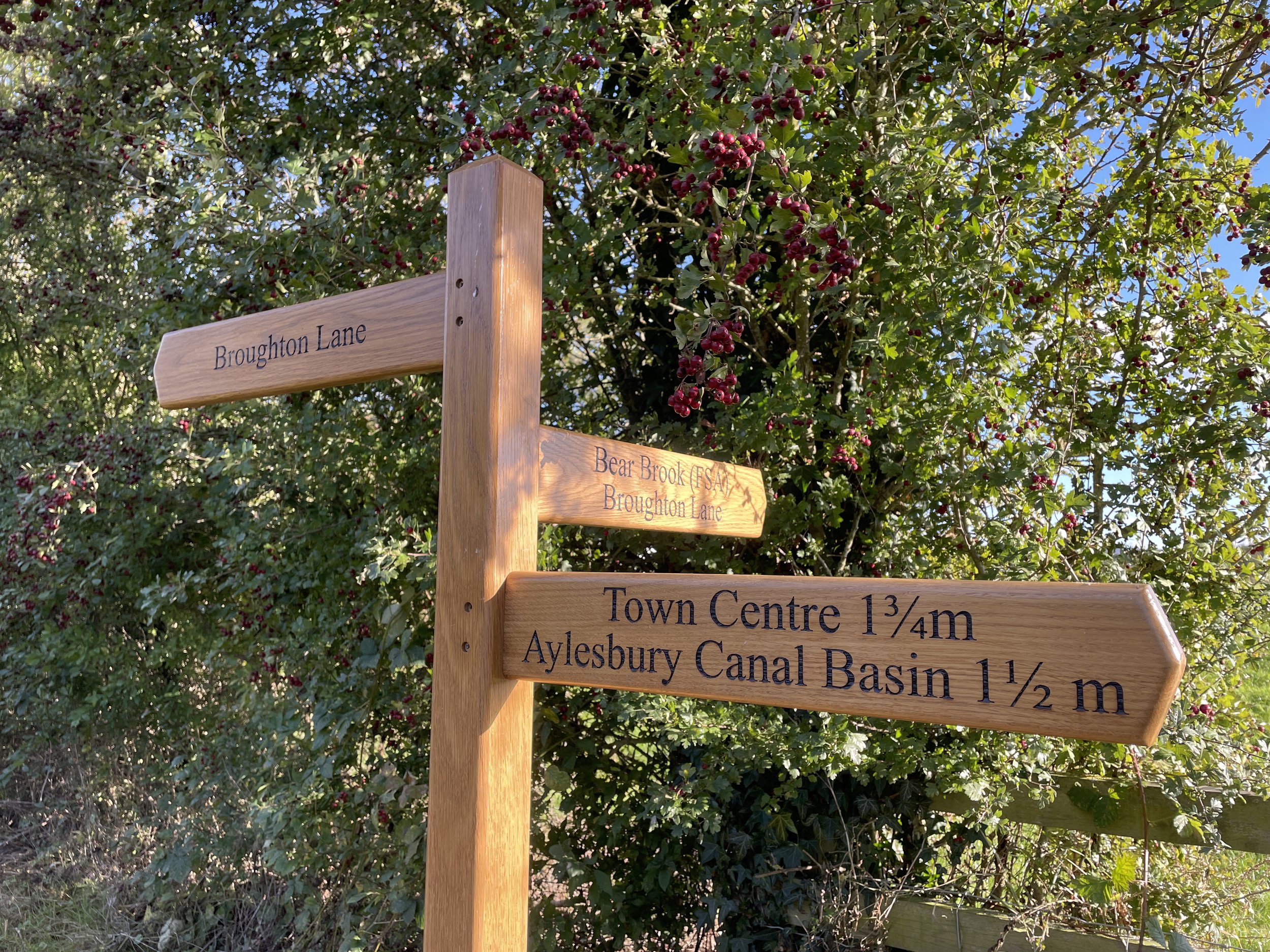
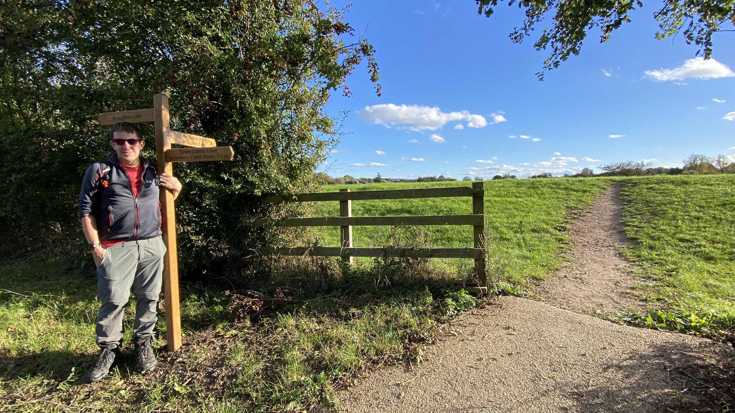
The South Bucks Way is a 37 km (23-mile) trail that promises a delightful escape for walkers and hikers. This scenic route, often overshadowed by its more famous counterparts, offers a tranquil journey through charming villages, lush countryside, and the gentle murmur of the River Misbourne. This post is part of a series of circular walks featuring the South Bucks Way. The full trail stretches from Coombe Hill near Wendover to the Grand Union Canal at Denham. Our walks take in short sections of the South Bucks Way and loop back to the start on other paths. The South Bucks Way is well sign-posted however you’ll need a map or GPX route to keep on track for the return sections of the loops. The guidance below will help but don’t use it as a fully accurate turn-by-turn guide.
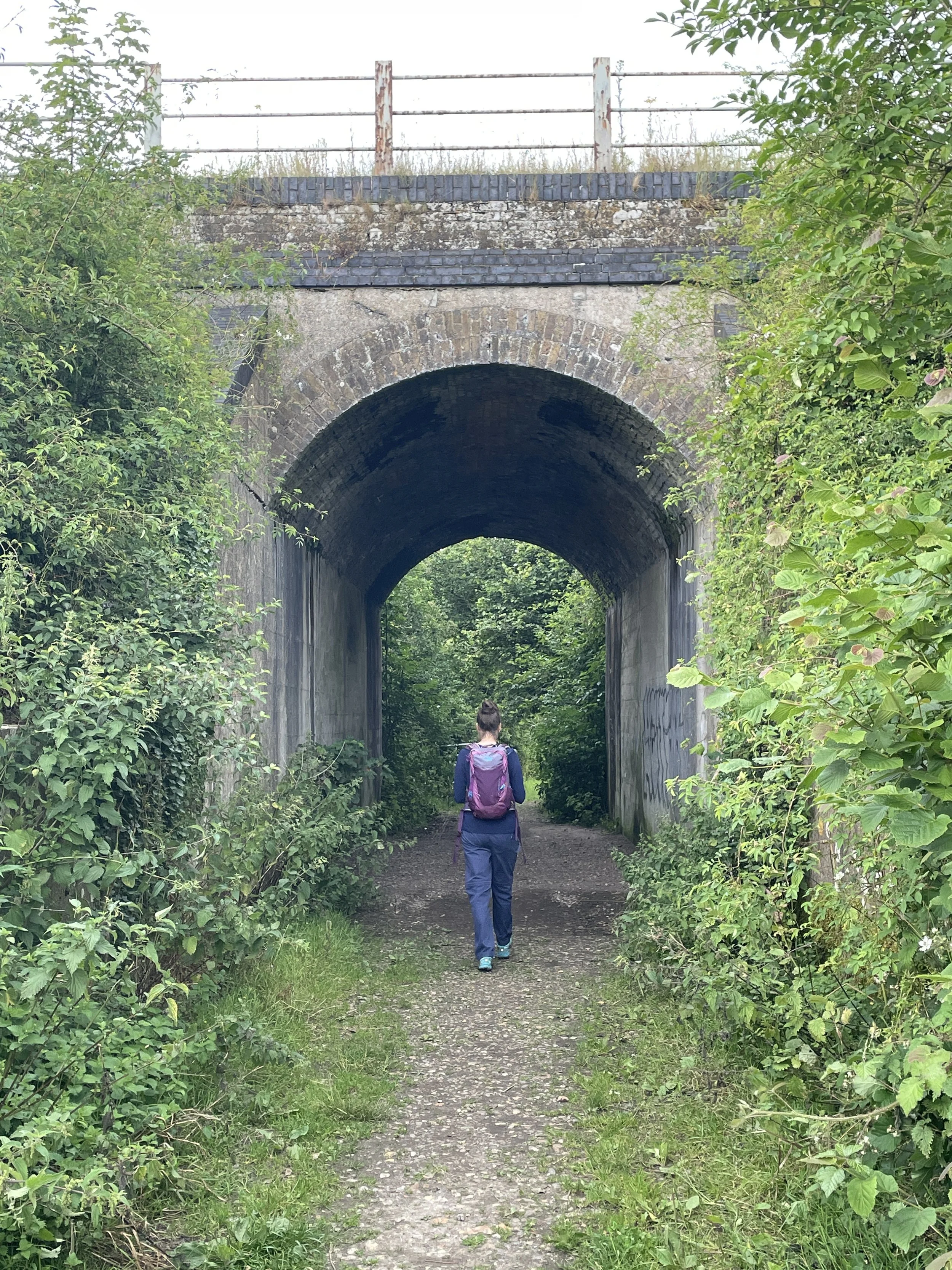
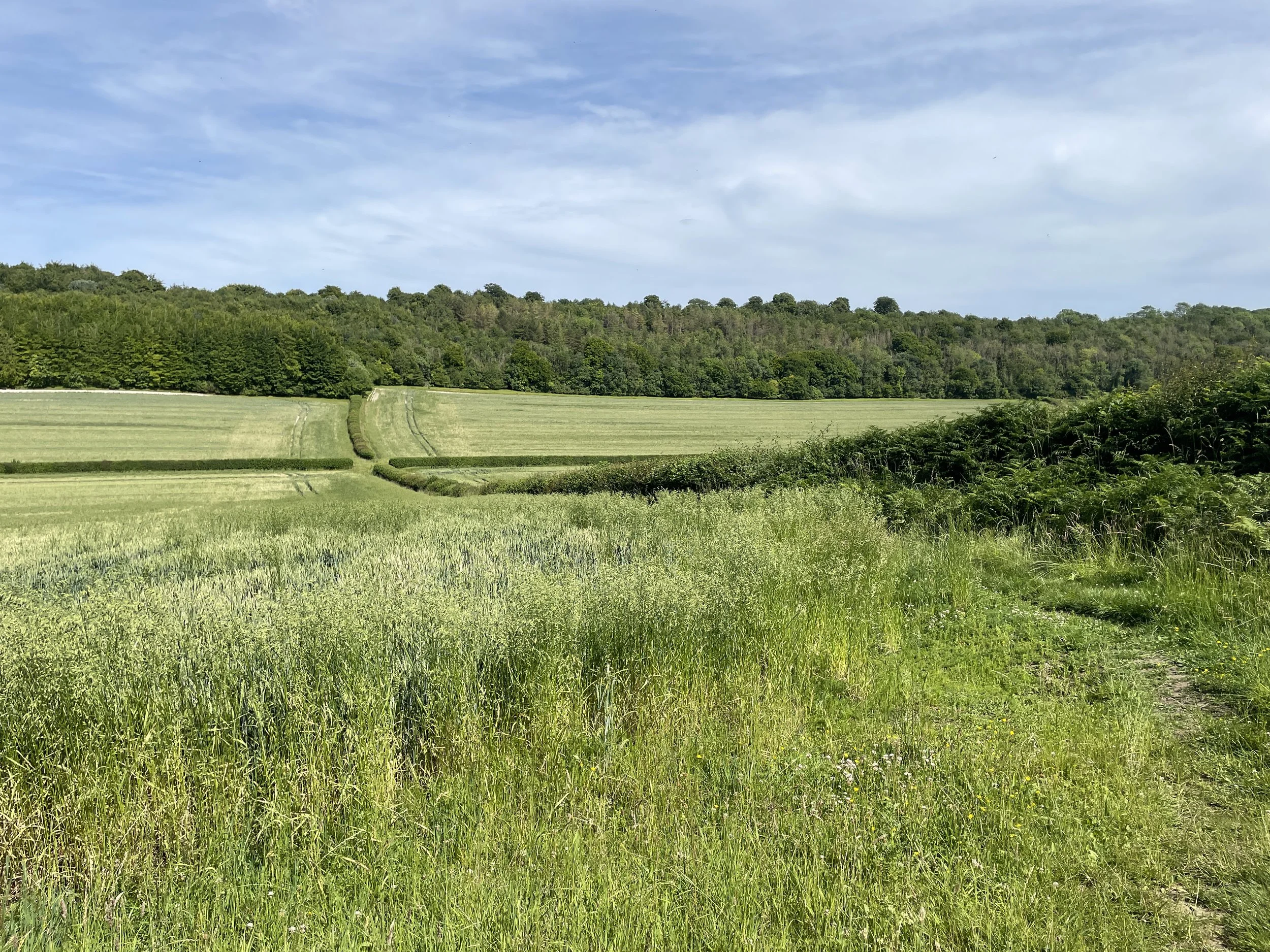
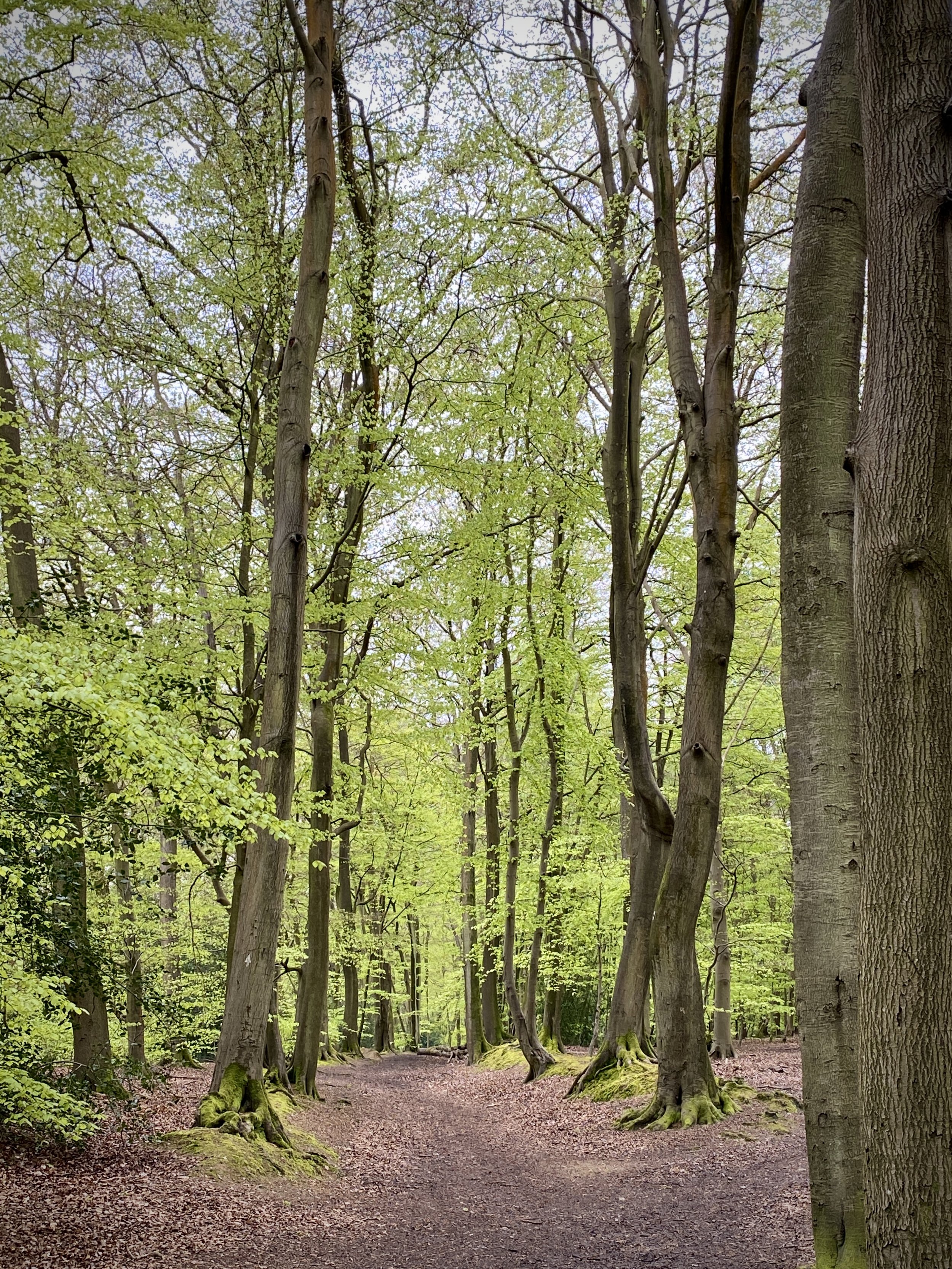
Start at the Great Missenden village centre where you’ll find several means to access the start including the railway station, bus stops and car parks. From the station head west over the A4128 Martinsend Lane, crossing over the railway bridge, then take a left into Trafford Road. This first section follows the Chiltern Heritage Trail. Take the footpath on the right to follow the Chiltern Heritage Trail in a westerly direction, through fields and woods to Prestwood.
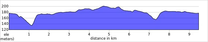
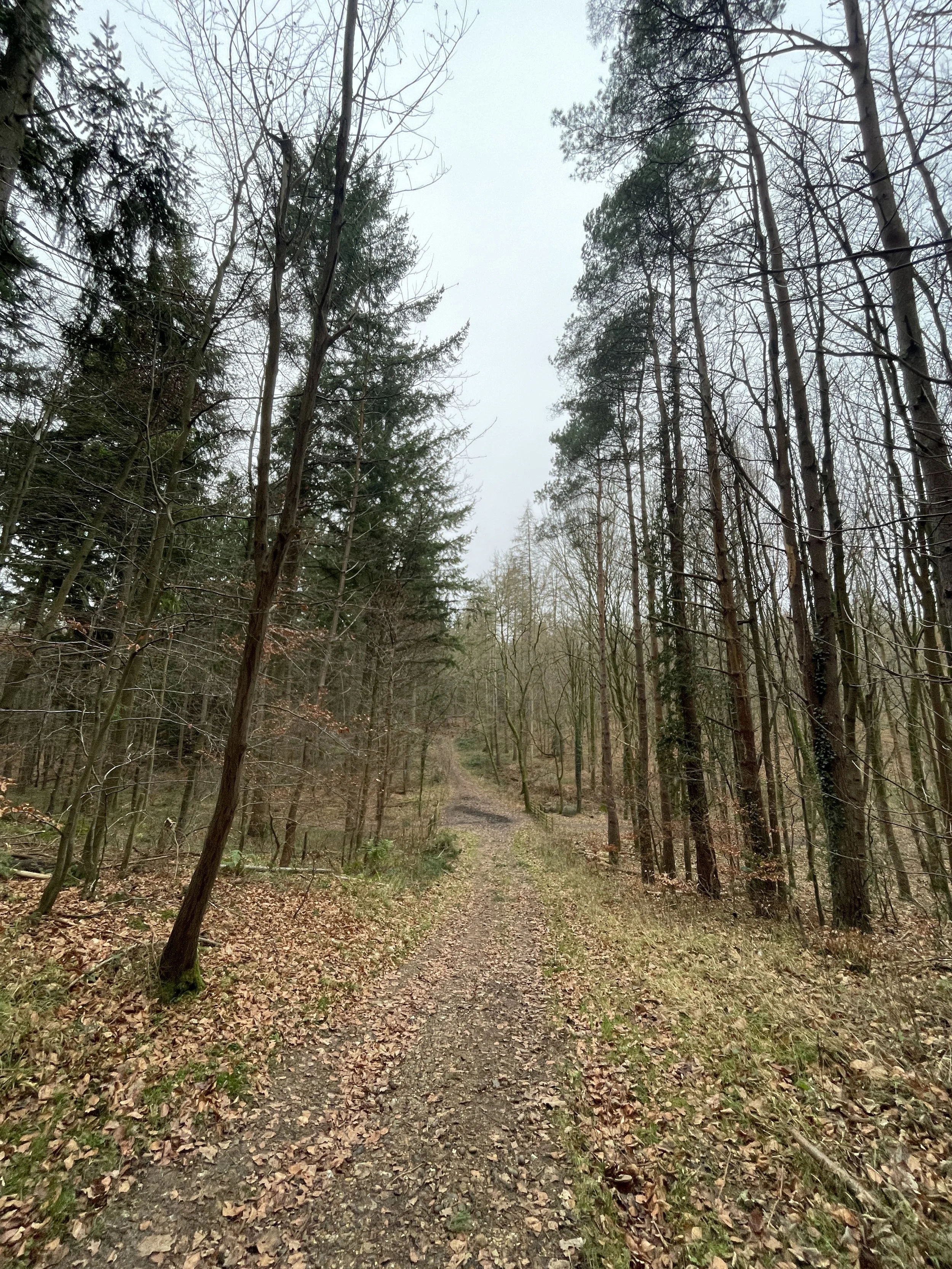
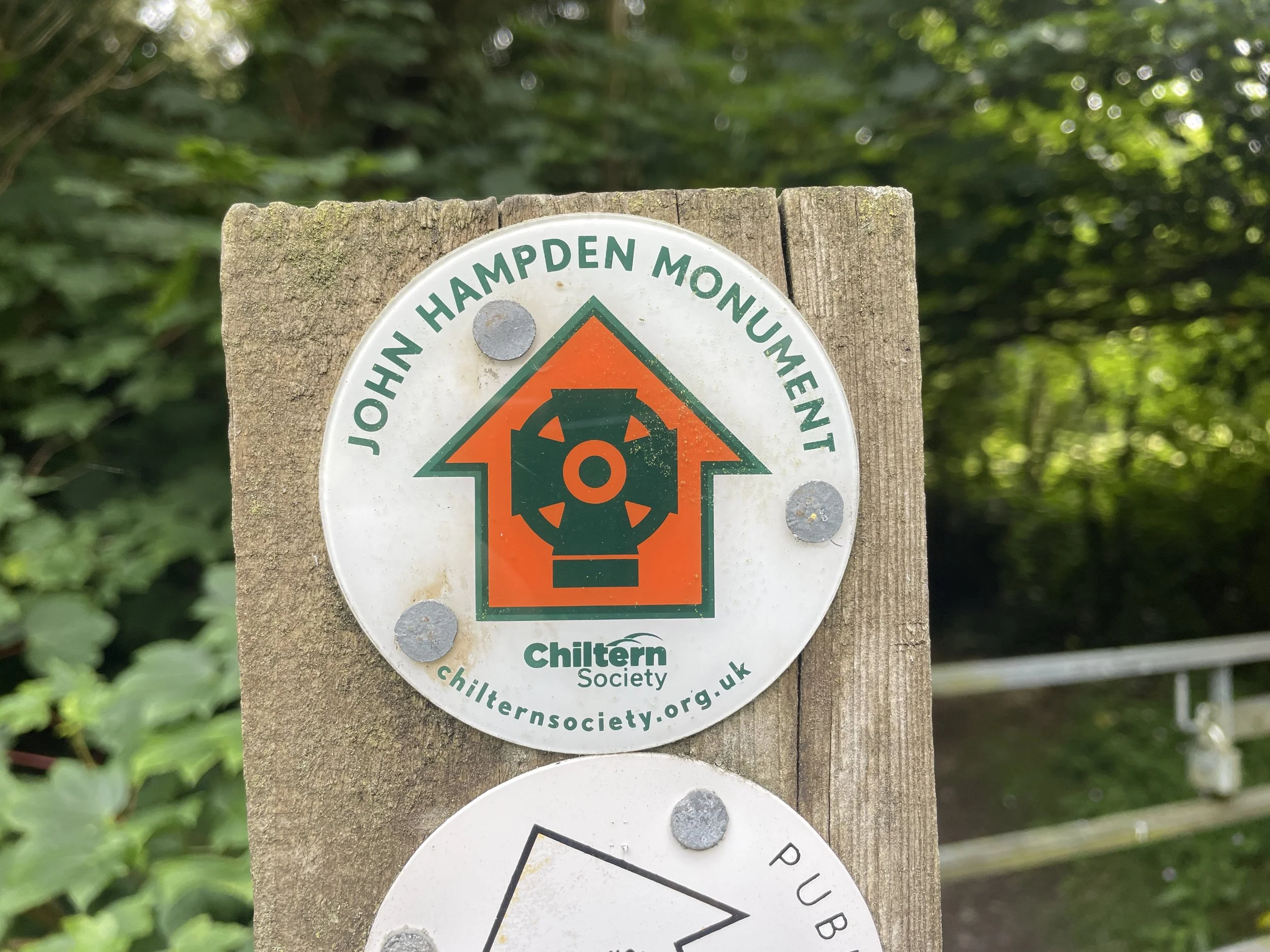
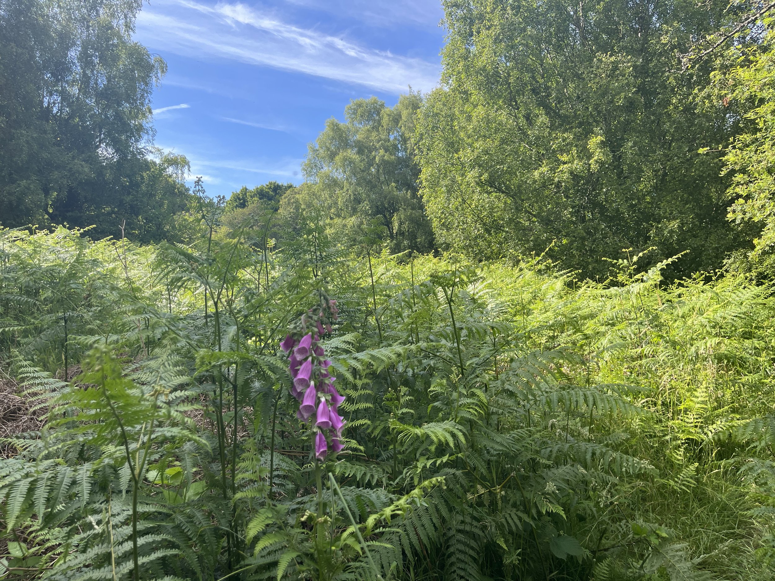
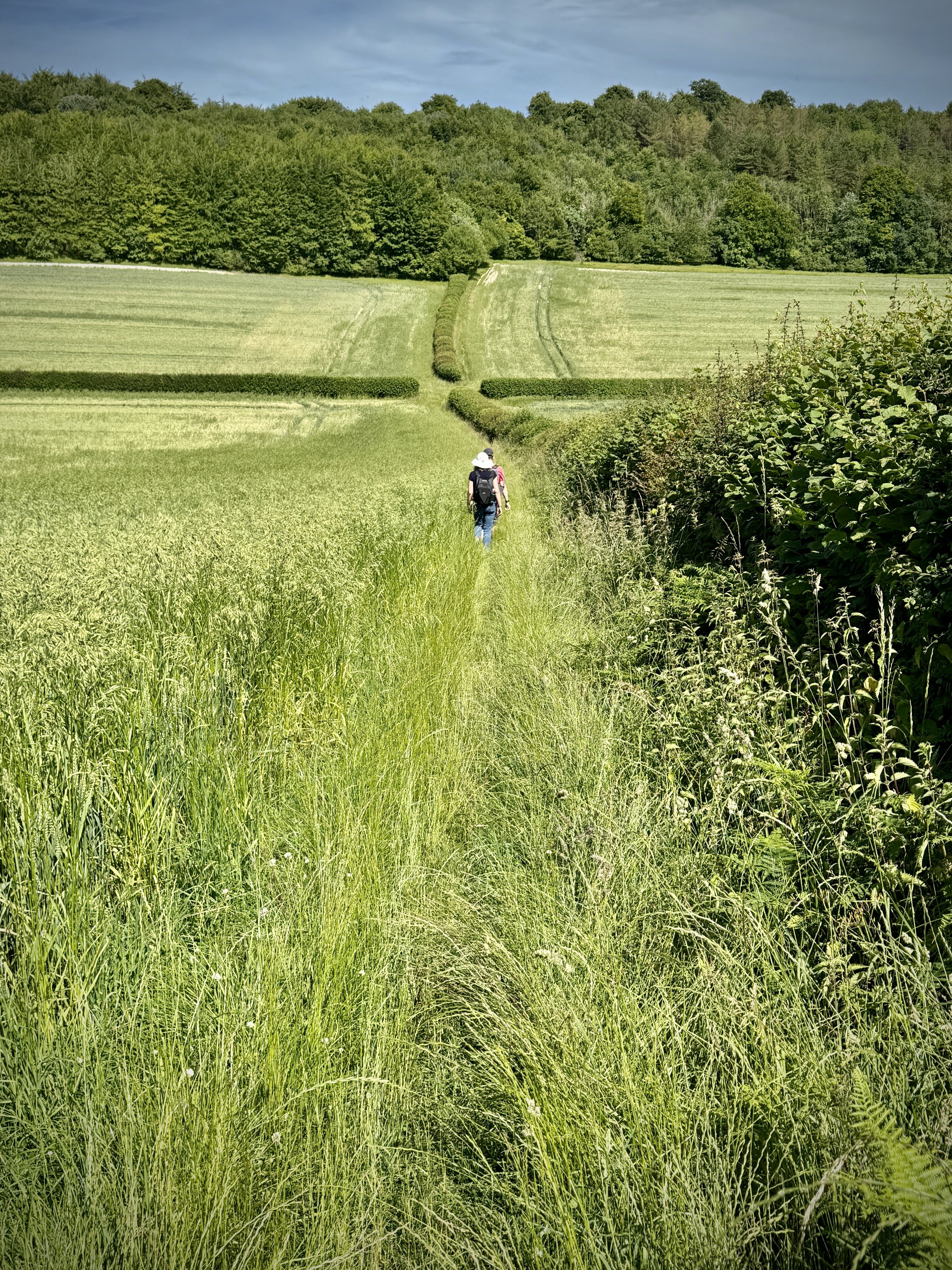
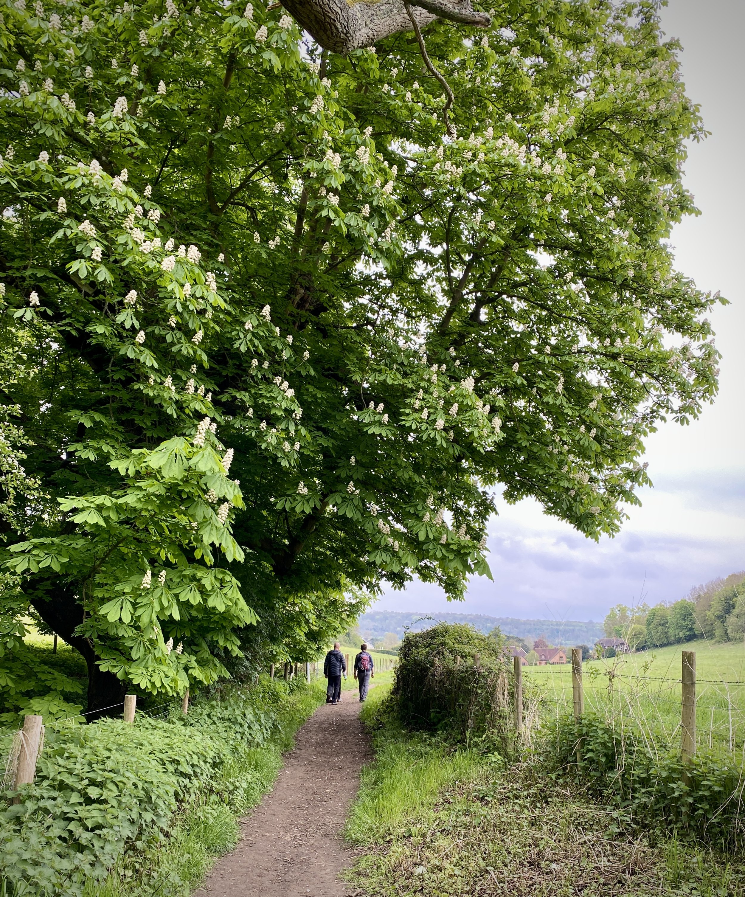
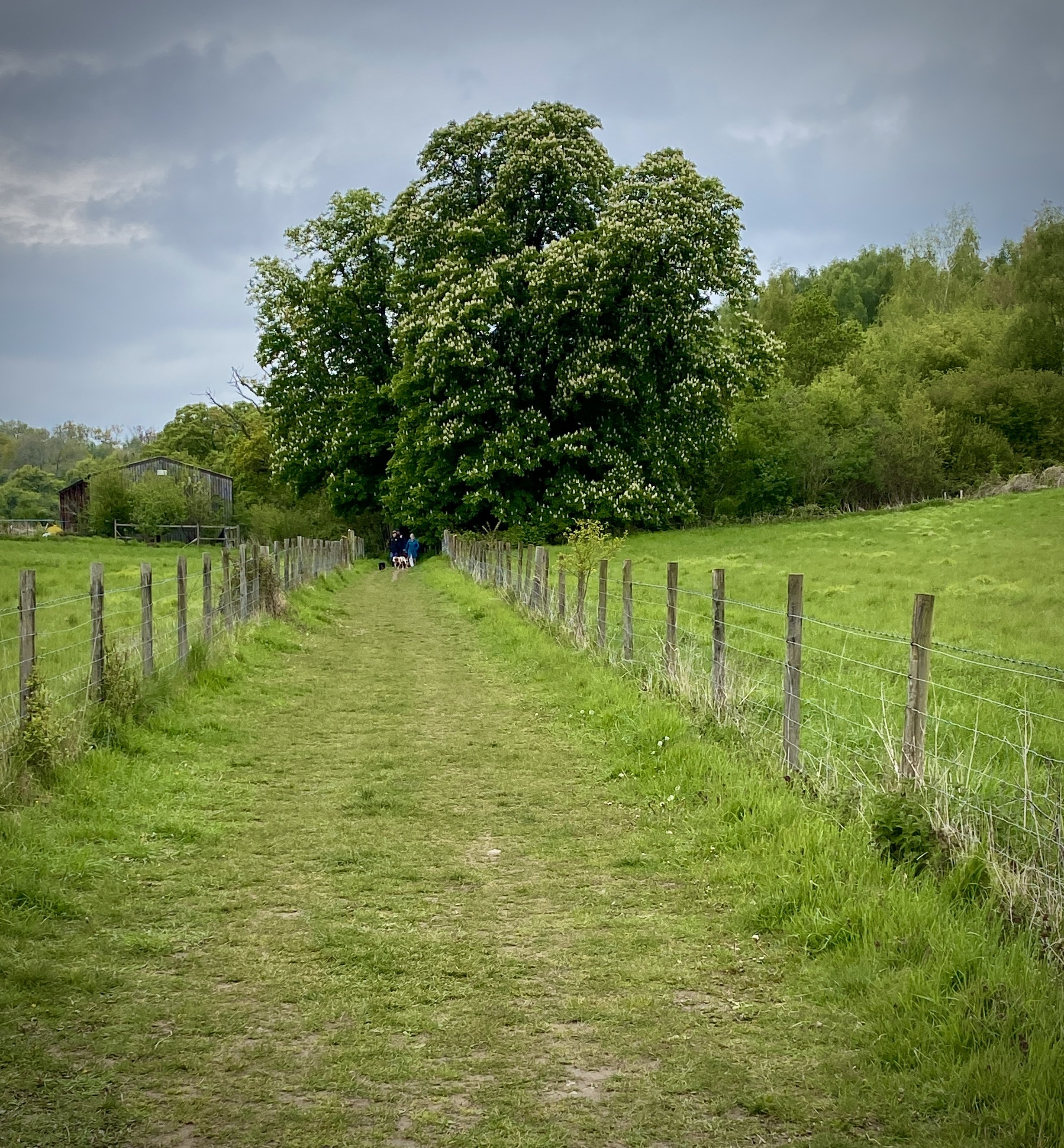
Leave the Chiltern Heritage Trail when you cross Green Lane, instead continuing in a westerly direction to Prestwood high Street (A4128). Take a right onto Moat Lane and follow it in a north-westerly direction the Horley Bottom and into Pepperboxes Woods. When you reach Rignall Road, take a left onto it and follow it for 200m before taking a footpath on the right into farmland. Follow the path uphill for 1.3 km until you reach Little Hampden Village. Take a right to the village centre where you’ll connect with the southern end of the first section of the South Bucks Way.
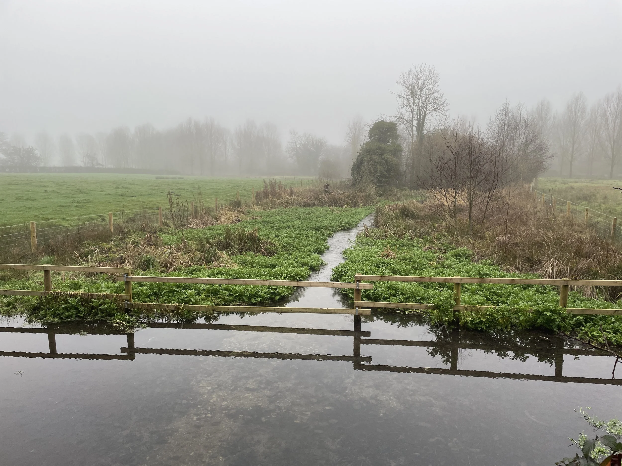
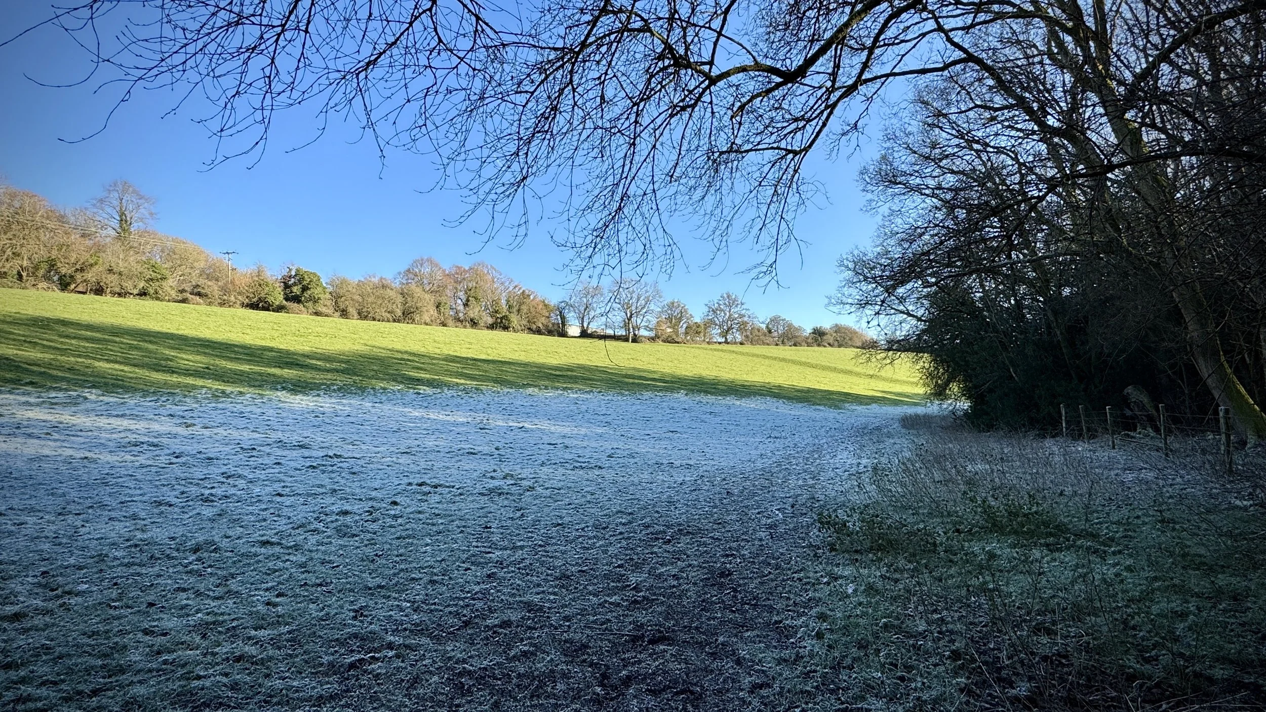
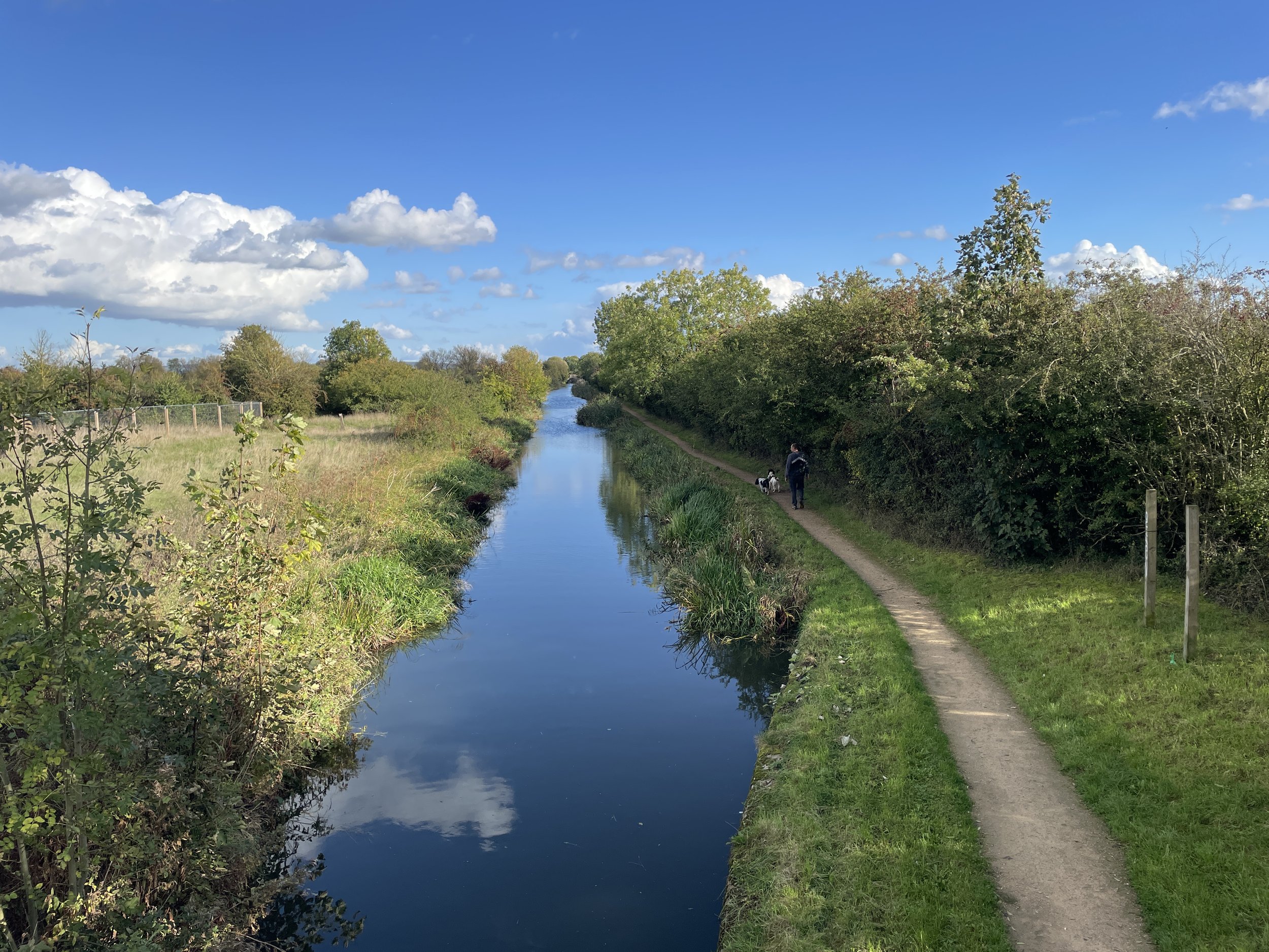
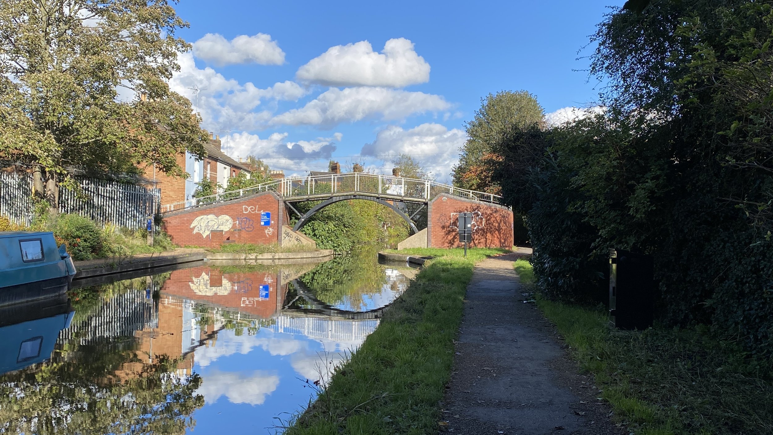
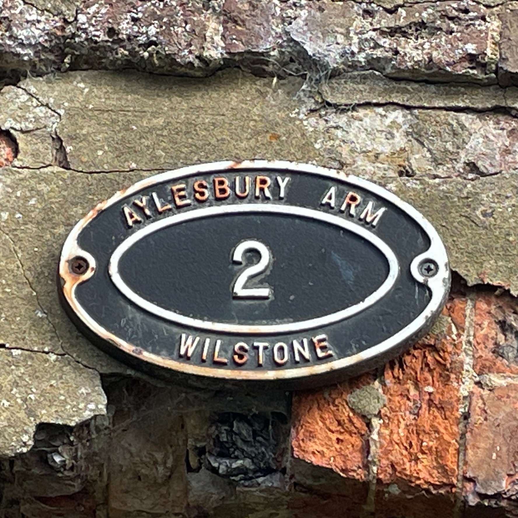
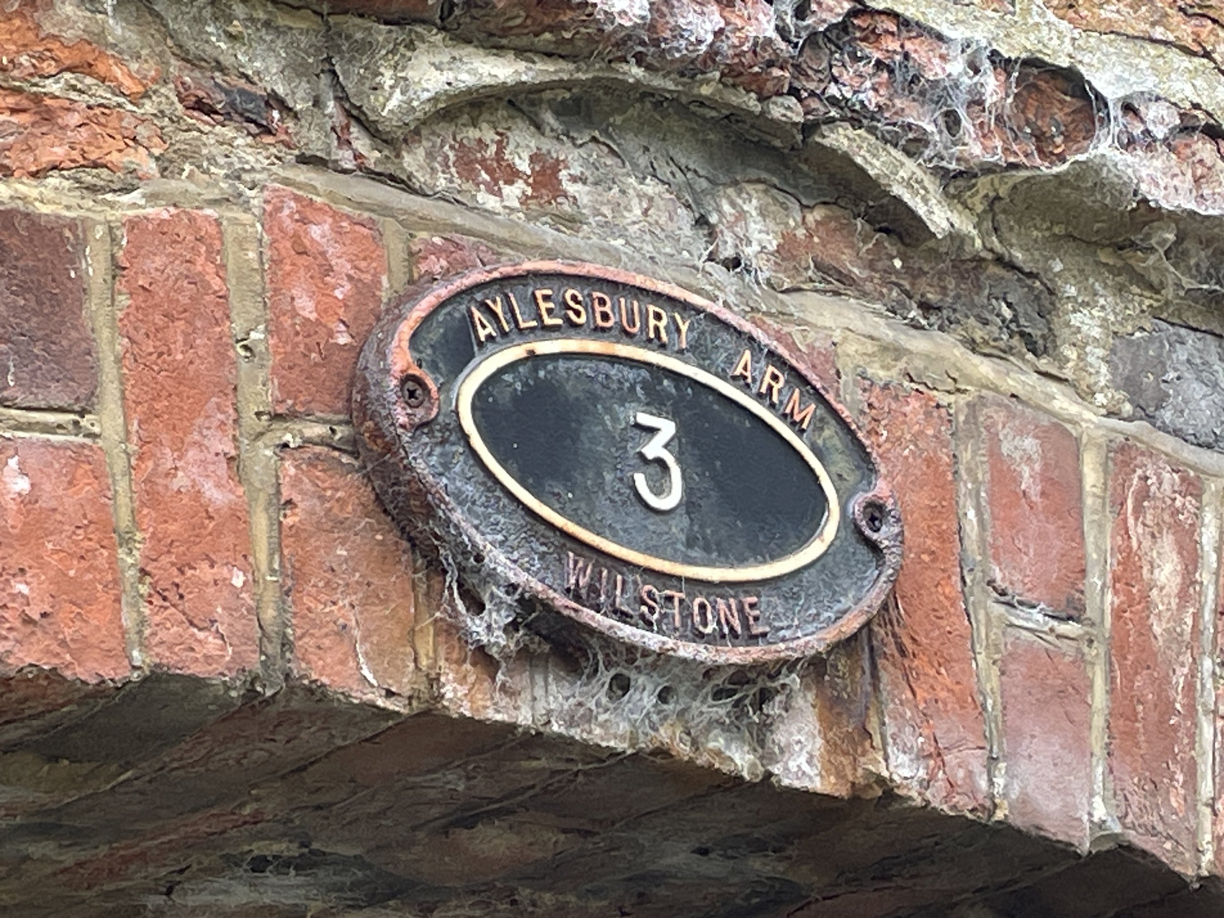
Conitnue in an easterly direction, following the same section of the South Bucks Way and Chiltern Way as in Part 1. Instead of turning north through Hampdenleaf Wood, as in part one, continue heading east following the South Bucks Way. Continue along the South Bucks Way in a a south-easterly direction descending to the north end of Great Missenden at the Black Horse pub on Aylesbury Road. Before you cross the road take a moment to stop by the pond between the railway tracks and the road. This is the start of the River Misbourne which you’ll be following for the rest of the South Bucks Way.
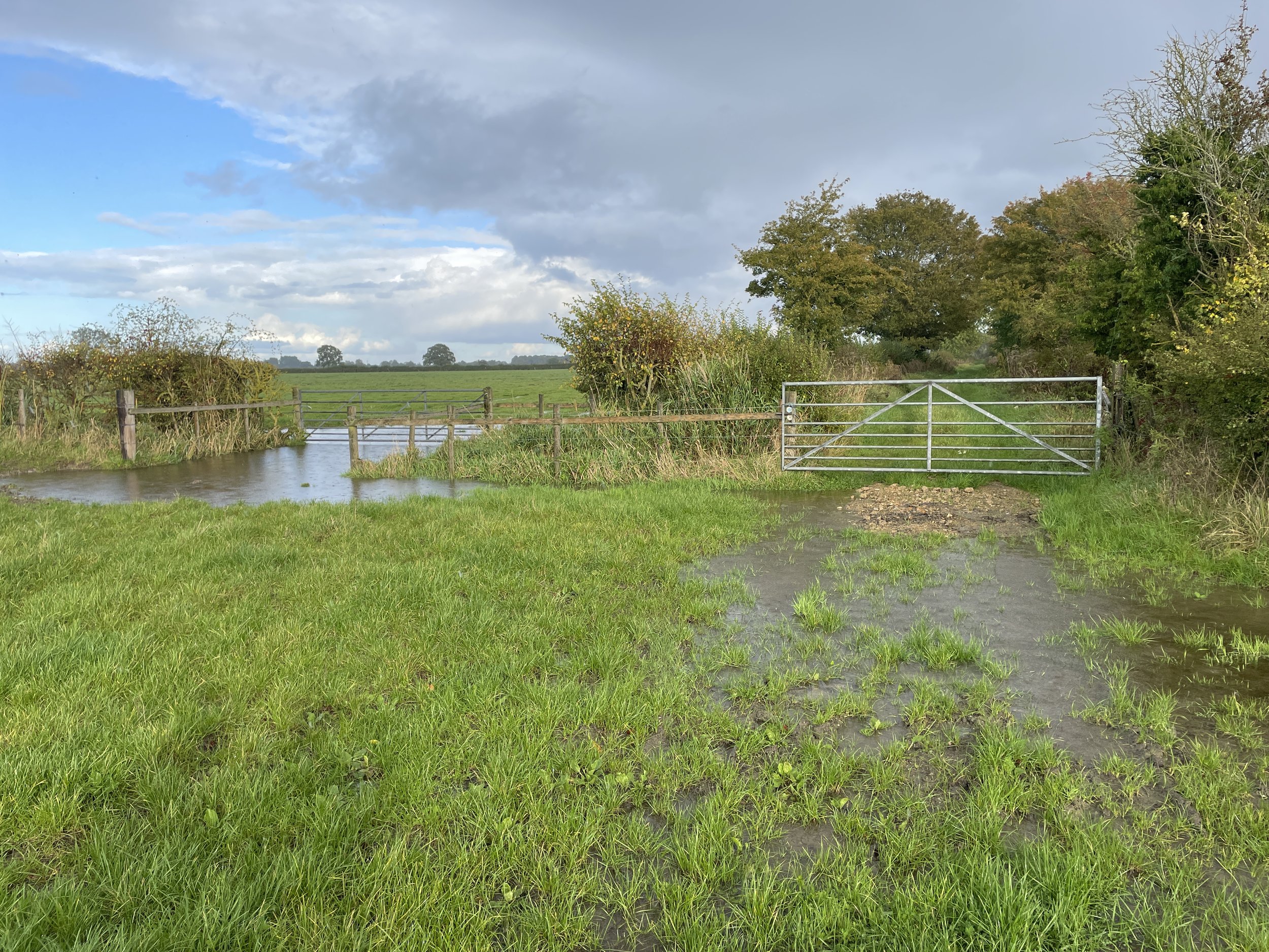
Take the footpath on the southern side of the Black Horse pub to follow the South Bucks Way through fields running between the A413 and Aylesbury Road. Be careful in the winter or in wet conditions as this part can get flooded and muddy. The path ends at Link Road which you can follow back to the village centre.