Cycling The River Crane & The Hounslow Baseline
A geek cycling microadventure along the River Crane and Hounslow Baseline on sections of the London Loop, Capital Ring and Thames Path.
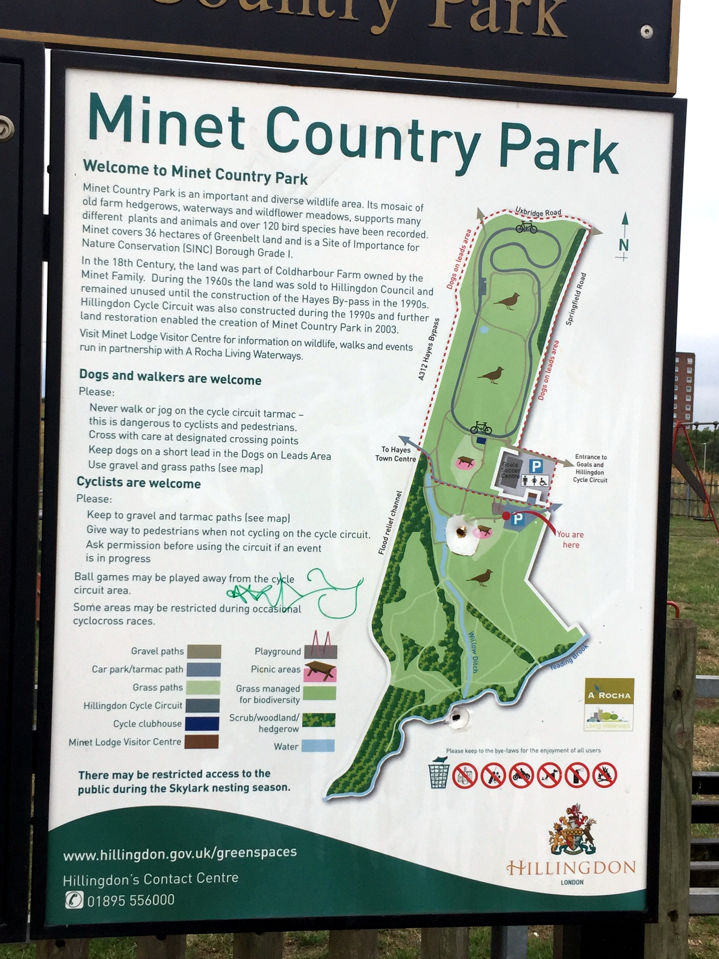
Start / Finish: Minet Country Park, Springfield Rd, Hayes, UB4 0LL
Distance: 46.7 km (29 miles)
Elevation Change: +/- 153m
GPX File: get via Buy Me a Coffee
Other Routes Touched (walk): Hillingdon Trail, Grand Union Canal Towpath, Shakespeare’s Way, London Loop, Thames Path, Capital Ring
Other Routes Touched (cycle): None
Map: OS Explorer 173 London North and OS Explorer 172 Chiltern Hills East
Links: River Crane, Minet Country Park, Cranford Park, Crane Park, Hounslow Baseline
- Drawing The Line at Hounslow (article, St Margarets, 2010)
- Heathrow Airport honours the work of Major General William Roy (article, Ordnance Survey 2013)
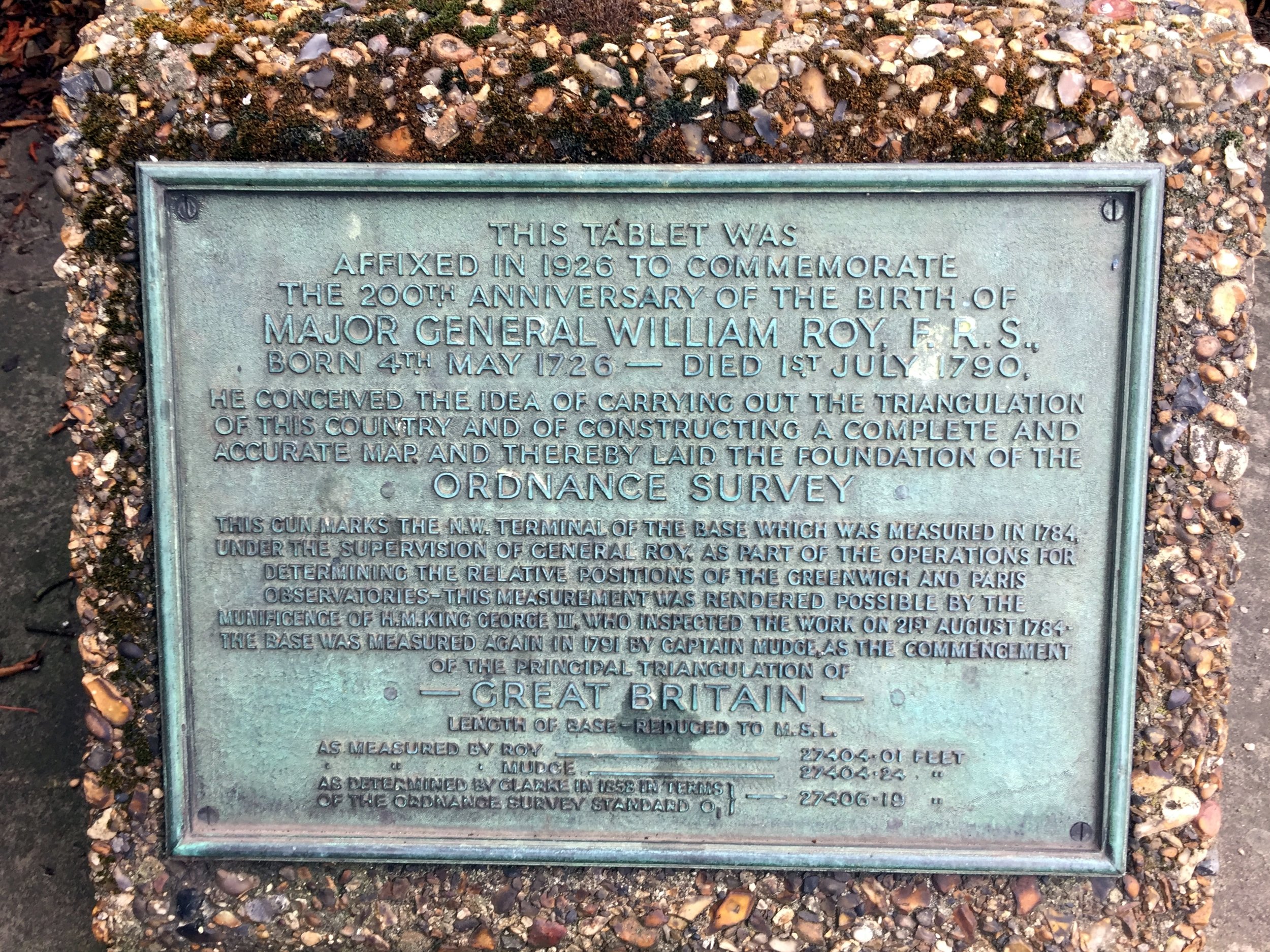
The idea for this trip came whilst reading Mike Parker's book, Map Addict. In his fascinating and funny account of all things map-related Chapter 2 covers the beginnings of the Ordnance Survey. Prior to the establishment of the Ordnance Survey General William Roy pioneered the techniques that would later be used to map all of the UK. The Hounslow Baseline was the first point to point measurement and was chosen “because of its vicinity to the capital and the Royal Observatory at Greenwich, its great extent, and the extraordinary levelness of its surface, without local obstruction whatever to render measurements difficult.”
I won't go into the rest of the story as its well documented elsewhere and Mike Parker's book is a great place to start. Instead, this blog post describes a ~50k circular cycle adventure that explores the Hounslow Baseline and the nearby River Crane.
The River Crane
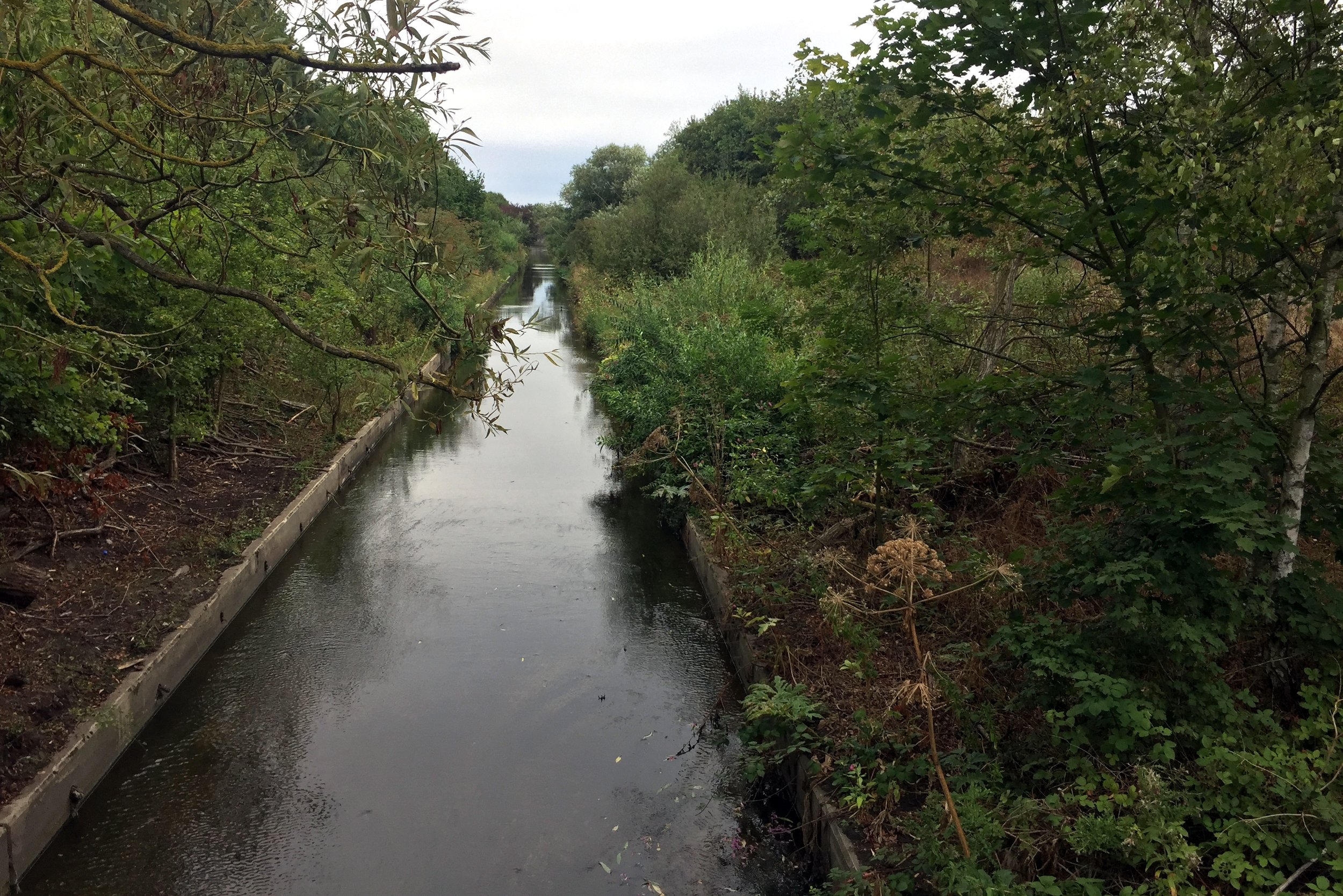
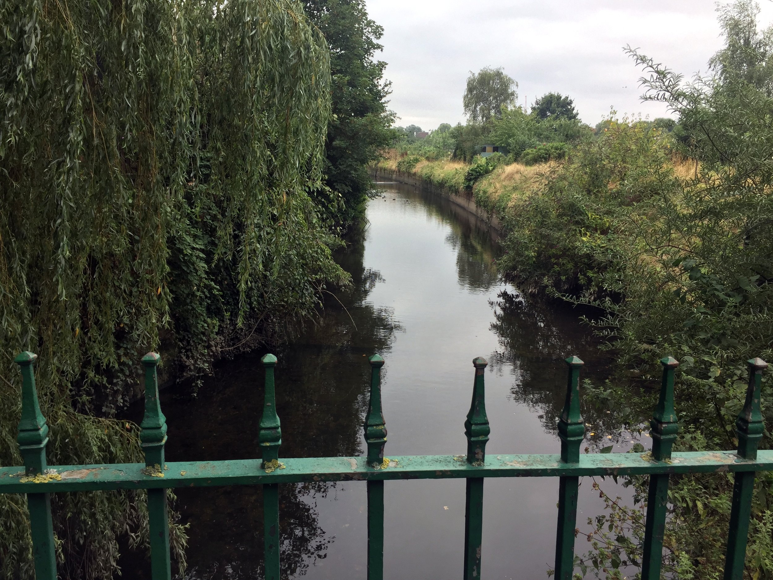
The best place to start is the car-park at Minet Country Park in Hayes. A few hundred metres West you'll cross a bridge giving the first sight of the Crane. The source is further North in the park but you can't see it so its not worth venturing further.
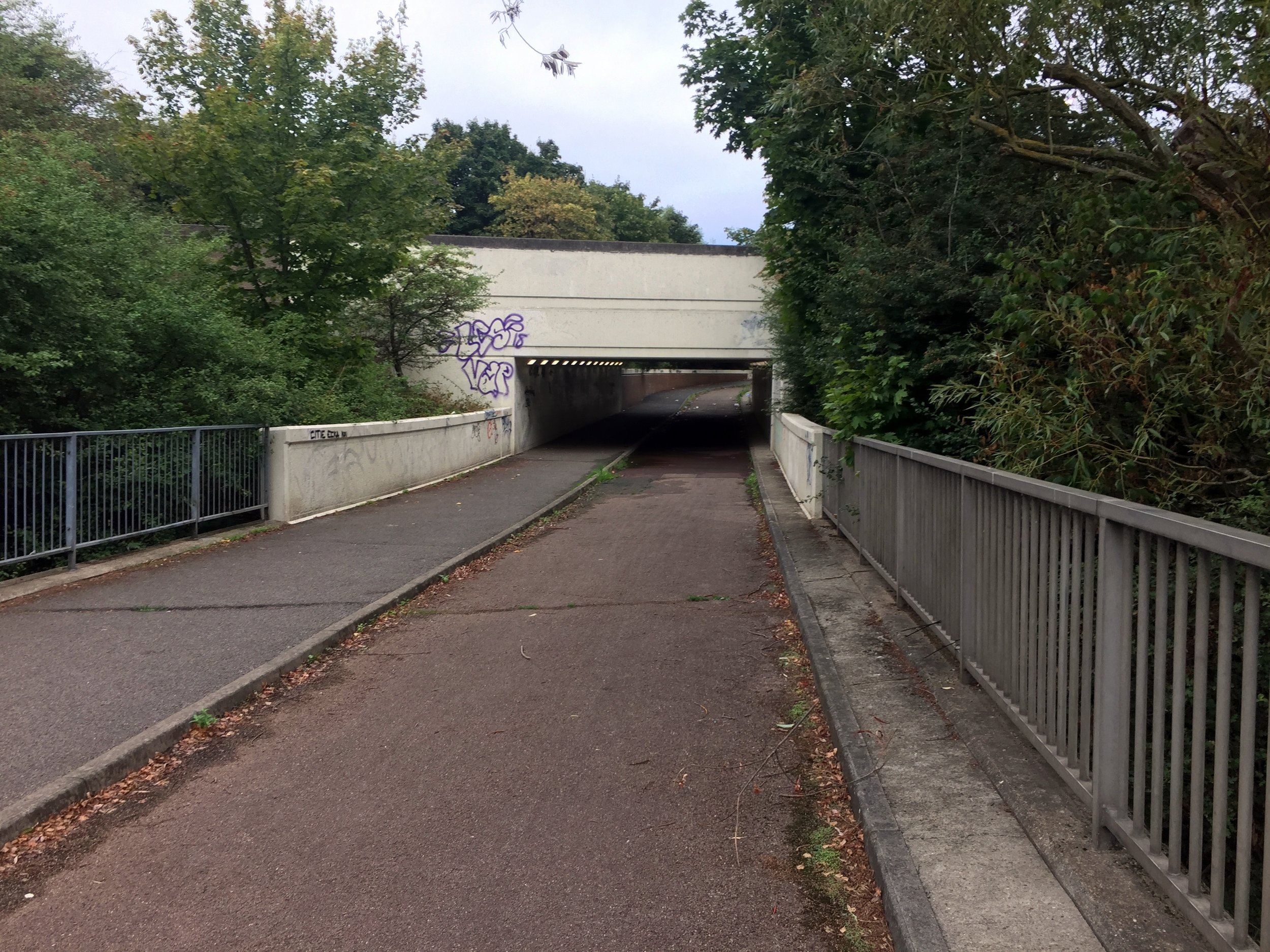
From the bridge continue North-West through the Parkway underpass, then take a left and follow the cycle path that runs parallel to the Parkway.
The Parkway will cross over the Grand Union Canal and mainline railway. Don't forget to marvel at the industrial wasteland along the way. Once you have crossed the Grand Union Canal you'll also be on the well-signed London Loop which you can follow for much of the route of the Crane.
Take a right at the roundabout, then first left at the Crane Pub onto Watersplash Lane.
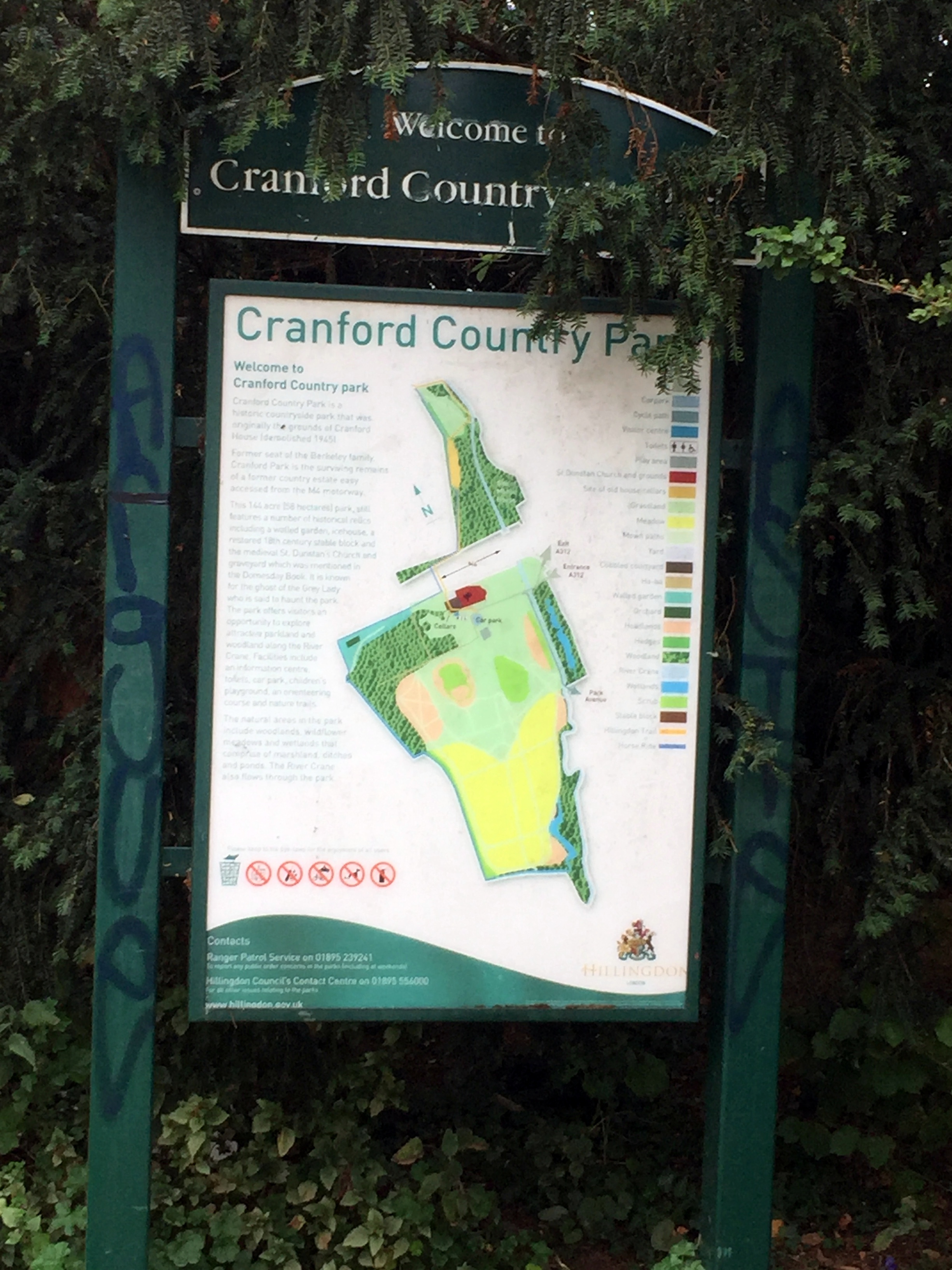
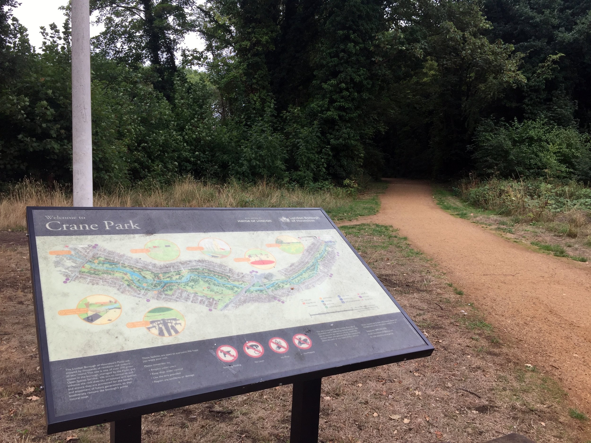
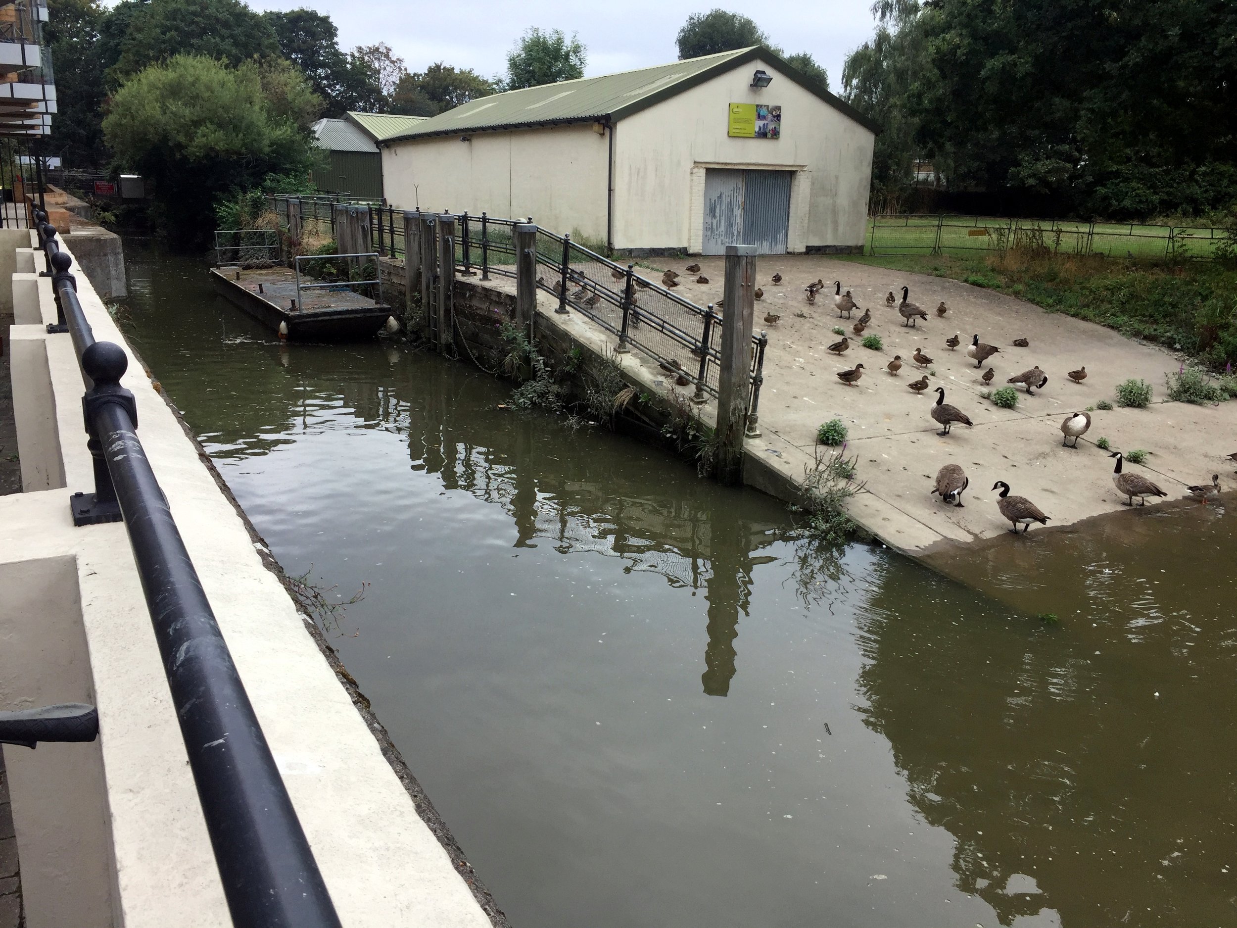
From Watersplash Lane you'll enter Cranford Park, the first of a chain of parks and green spaces that follow the Crane for most of its course.
At around KM 5 you'll cross over the A4 Bath Road then through a small housing estate in Cranford before re-entering the park.
At KM 7 you'll reach the A30, a busy dual carriageway with a solid central reservation. Unless you want to risk cutting across you'll need to cycle West for ~1km to the nearest crossing then back on the other side.
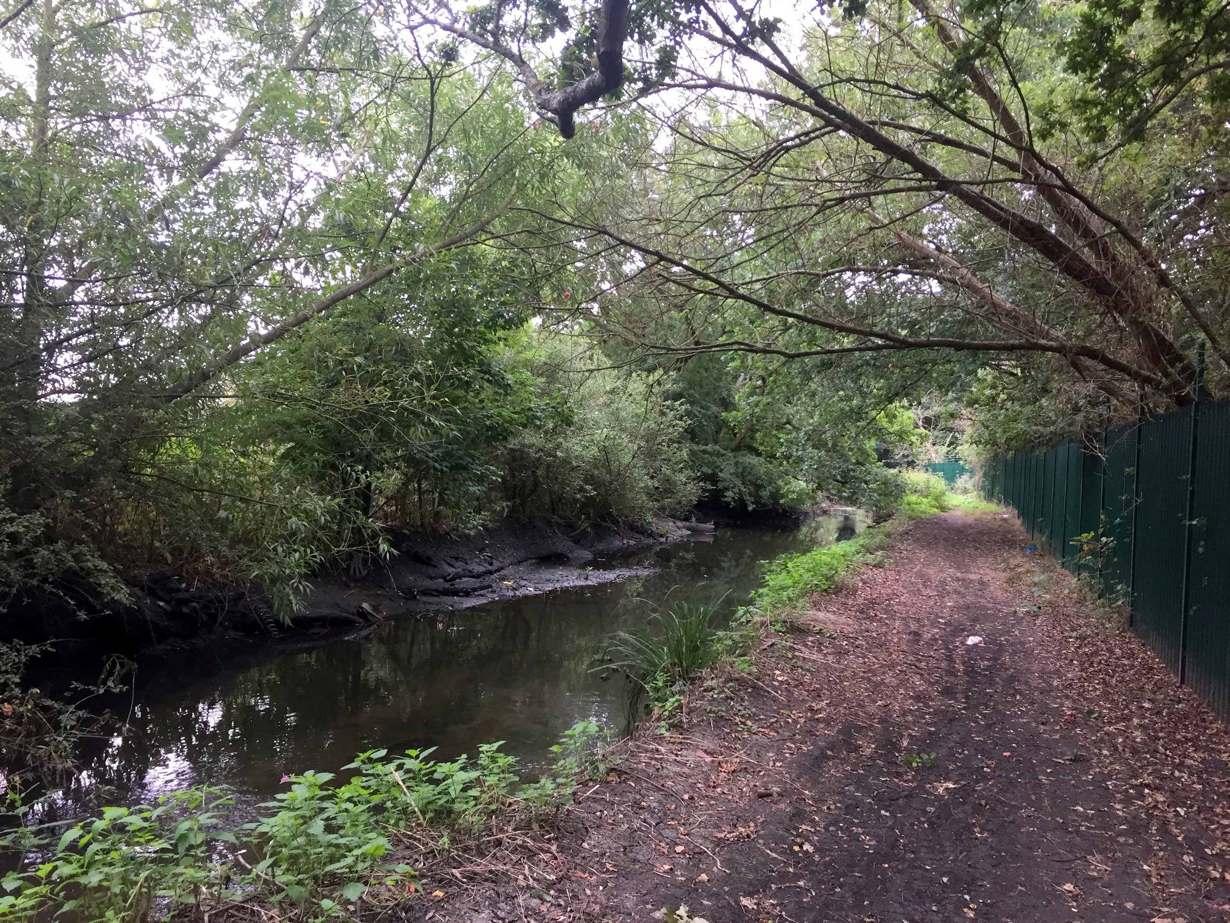
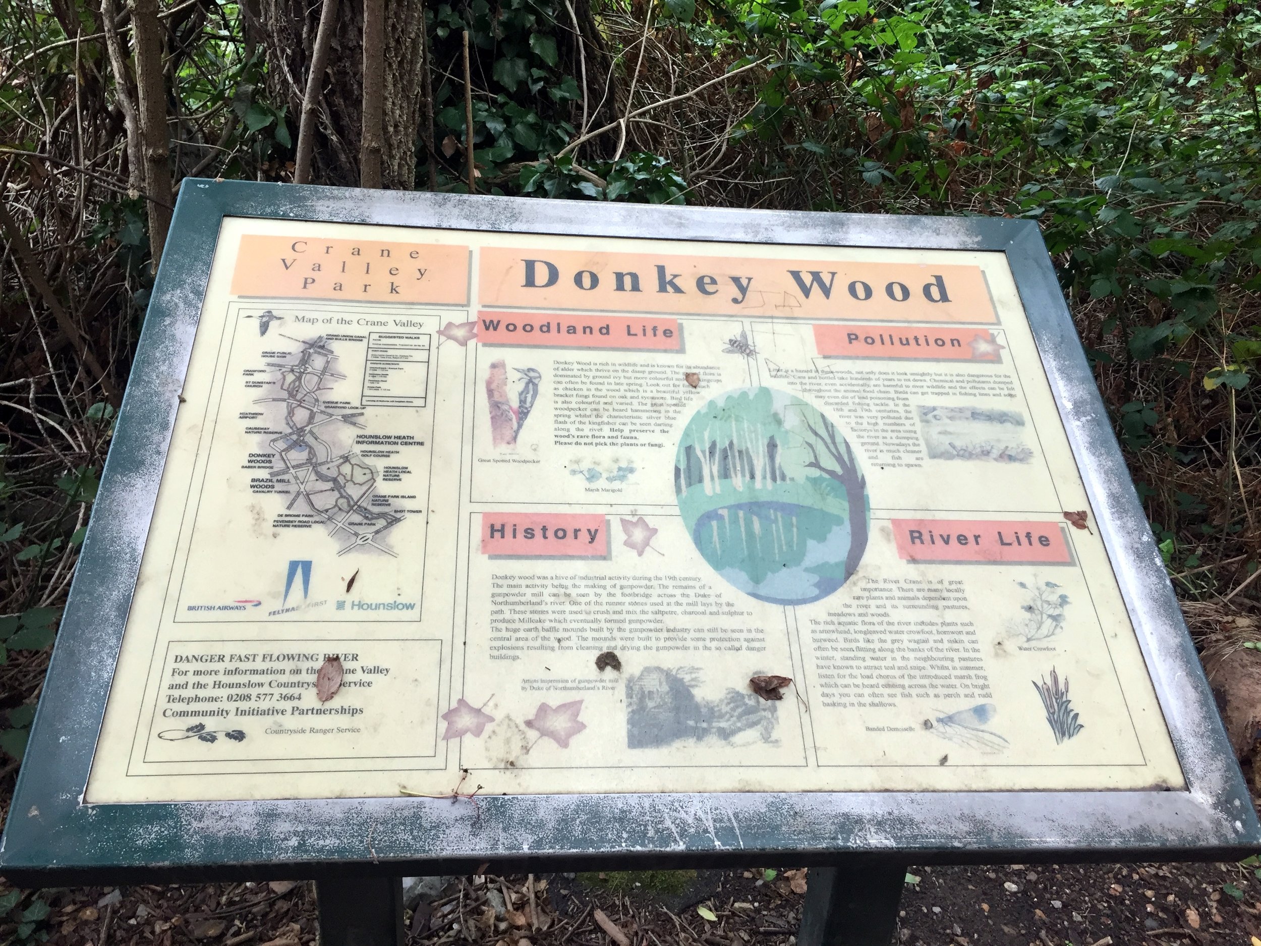
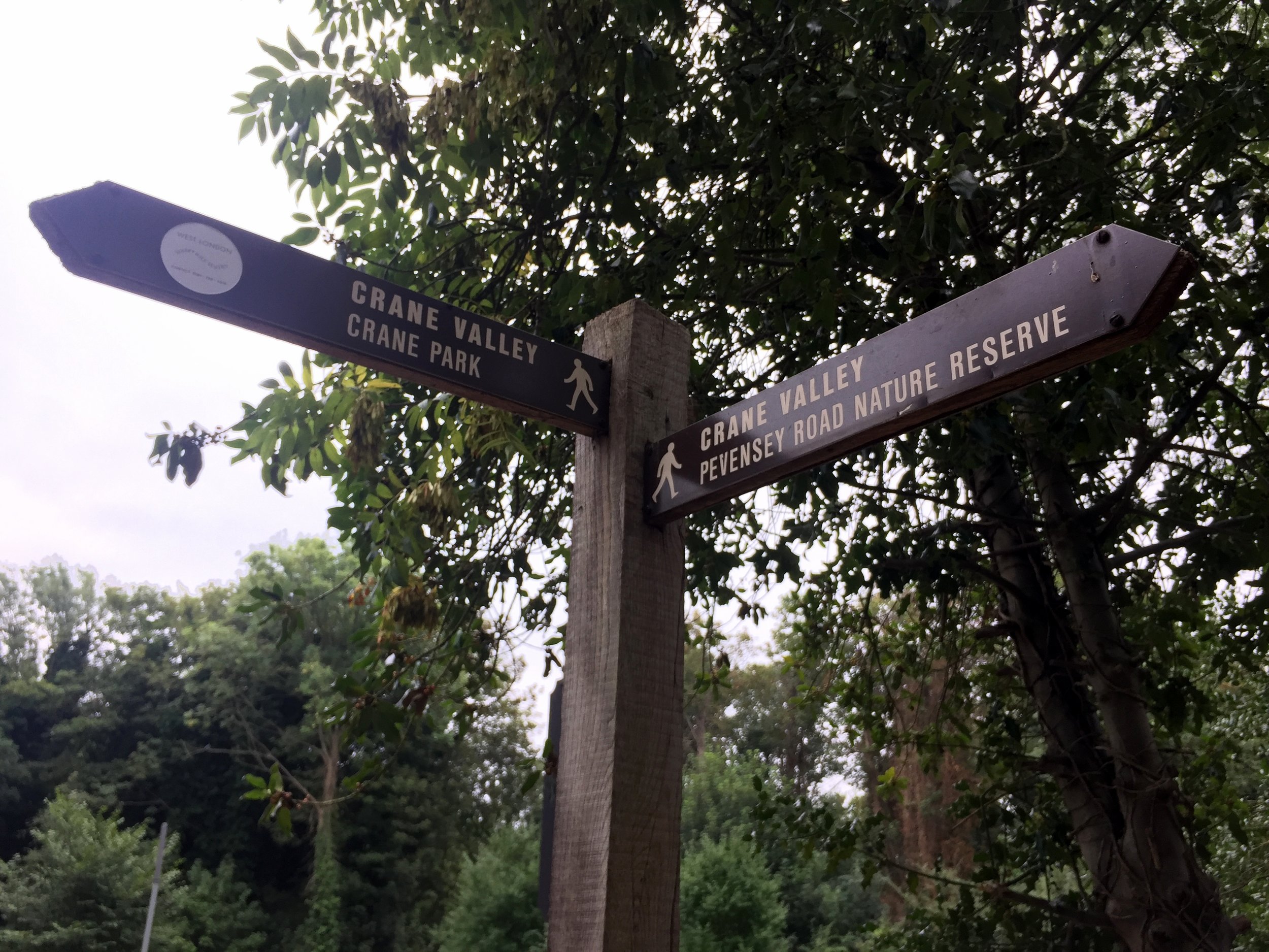
Once over the A30 continue along the green spaces including The Causeway, Donkey Wood, Brazil Mill Meadows, and Pevensey Road Nature Reserve then into Crane Park, home of Crane parkrun.
The Crane passes under the A316 and B358 as they cut across Crane Park. After the B358 continue alongside the River Crane but don't follow the London Loop signs as they leave the Crane at this point.
Continue through Crane Park and Kneller Gardens into Twickenham. From here is harder to stay next to the river so you'll need to navigate through several residential streets. This is where a map and a GPX file is essential.
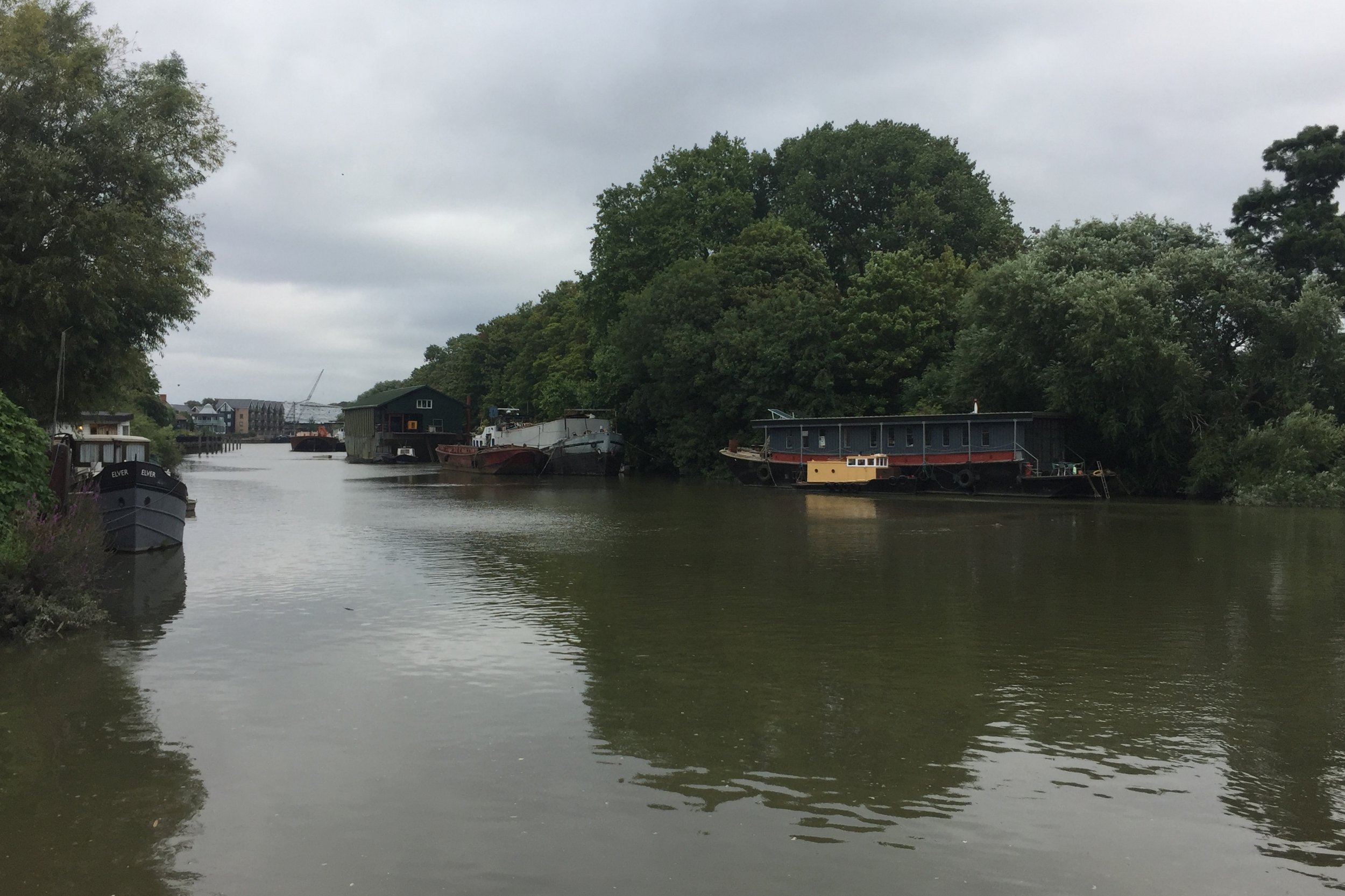
The Crane eventually meets the Thames next to an apartment block off Railshead Road. Take the footpath next to the Capital Ring sign to see the confluence of the 2 rivers.
The Thames Path & Capital Ring at St Margarets
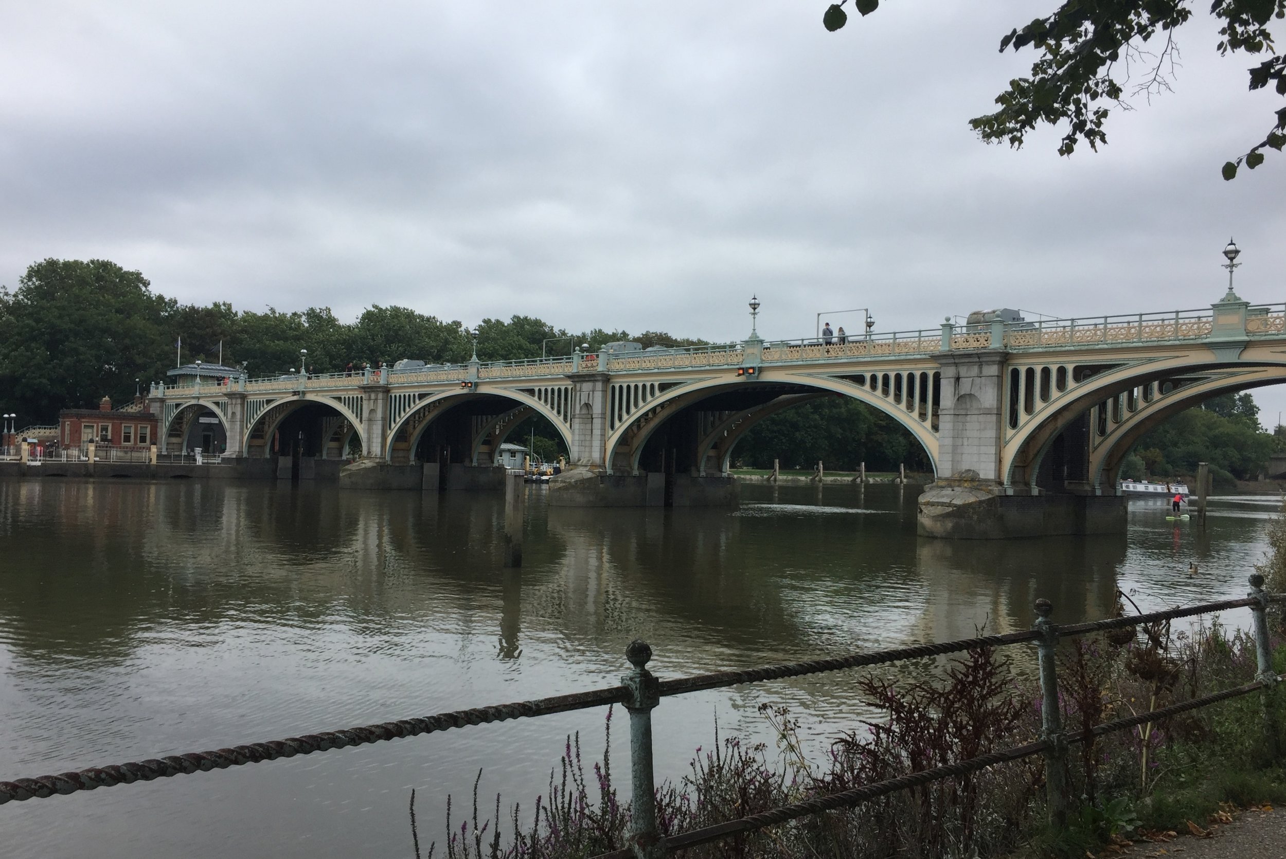
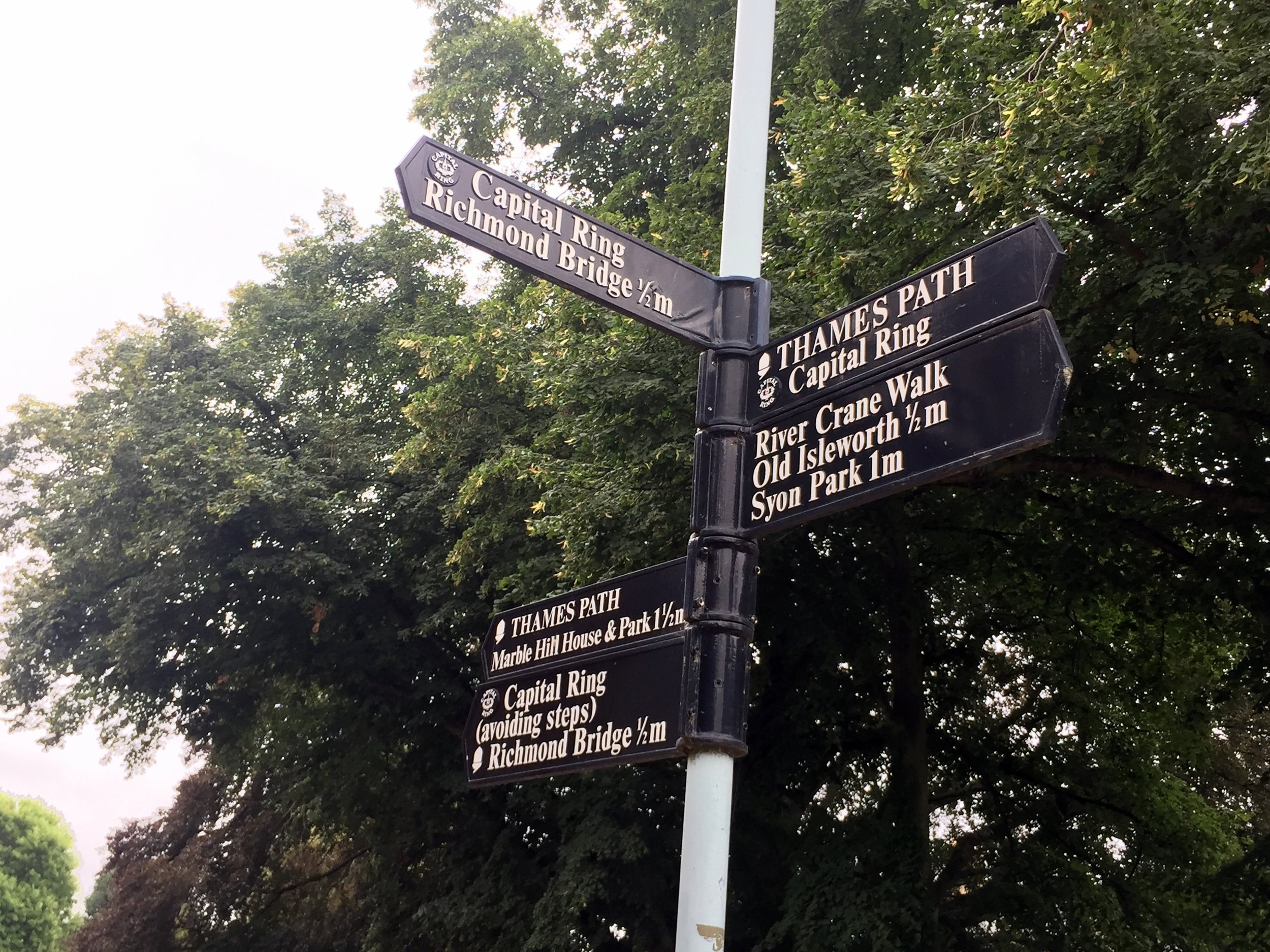
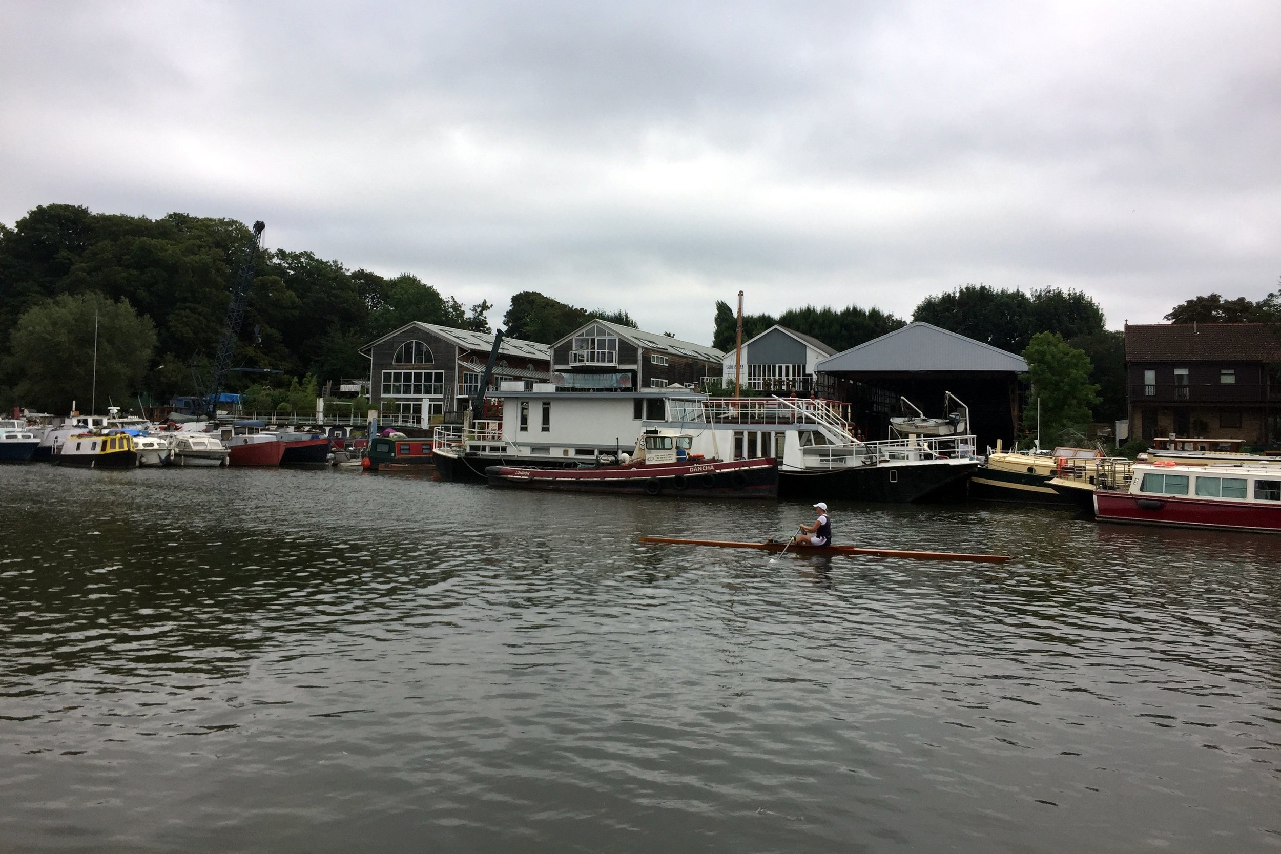
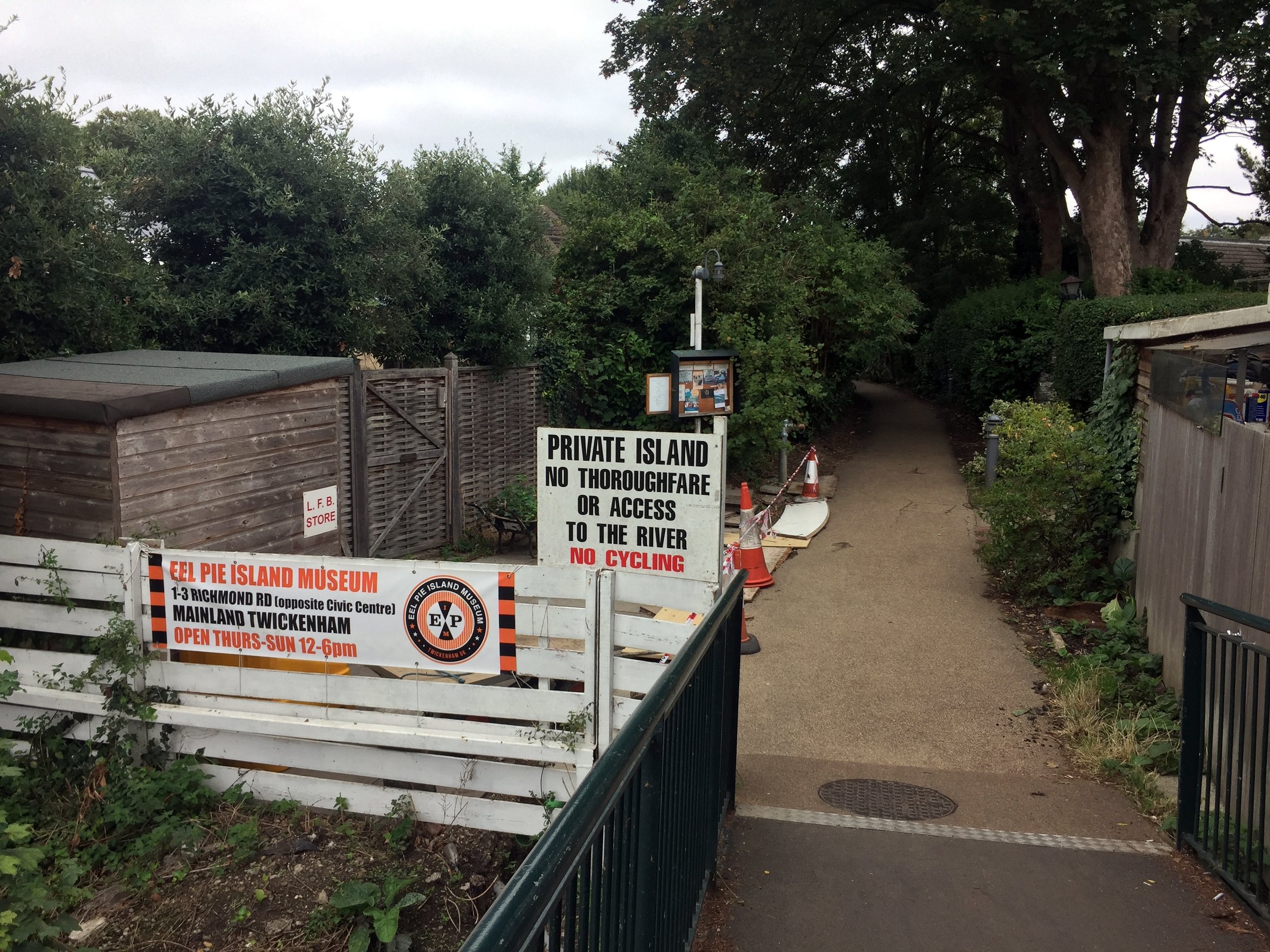
From the end of the Crane there's 2 options to get you to the Hounslow Baseline: a direct but busy road route through St Margarets, Twickenham and Strawberry Hill or a marginally longer but more scenic Thames Path route. Taking the latter (as I did) also takes you along 500m of the Capital Ring before it crosses Richmond Lock Footbridge. A stop at the Barmy Arms and a visit to Eel Pie Island make a great half-way rest stop for the trip.
From The Thames Path opposite Eel Pie Island:
Turn right onto Wharf Lane, then left onto Heath Road and left onto Hampton Road.
Continue along Hampton Road for approx 2 KM, taking a right onto Burtons Road.
Continue along Burtons Road, taking a left onto St. James' Road an continue all the way to the junction of Windmill Road and The A312.
Turn left onto the A312 (Uxbridge Road) and look out for a small footpath on the right near a zebra crossing.
Follow the footpath into a small cul-de-sac called Roy Grove where you'll find the South-Eastern end of the Hounslow Baseline.
The Hounslow Baseline
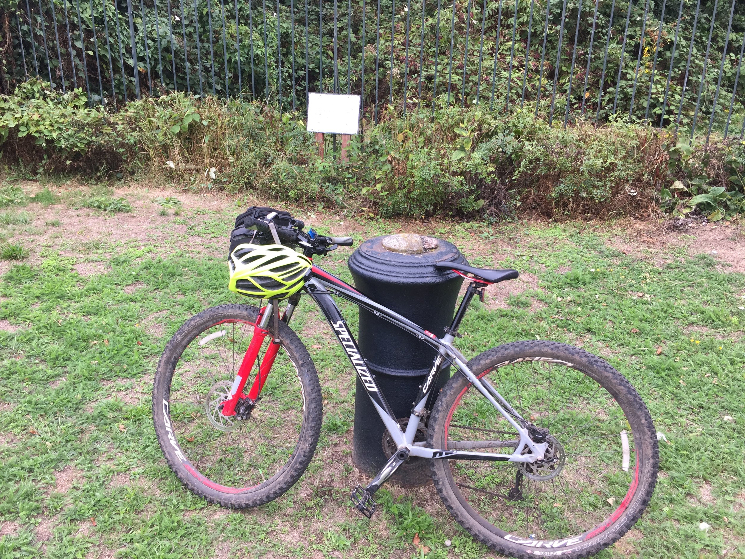
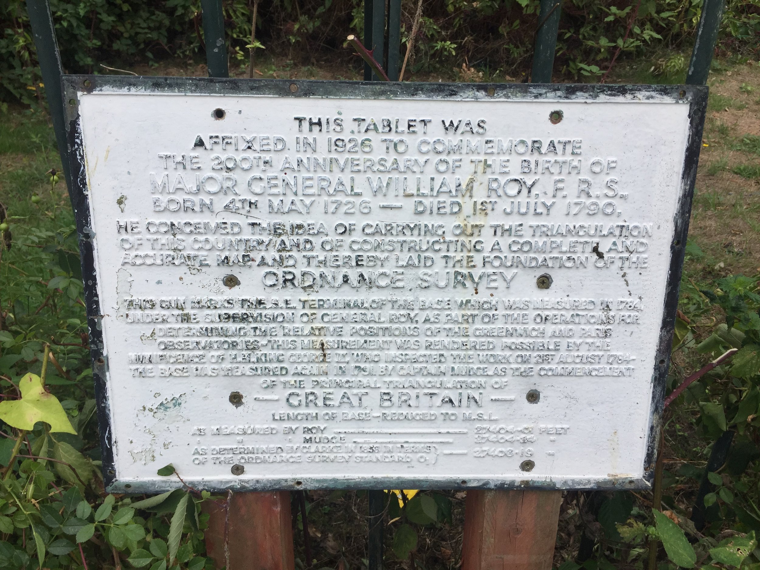
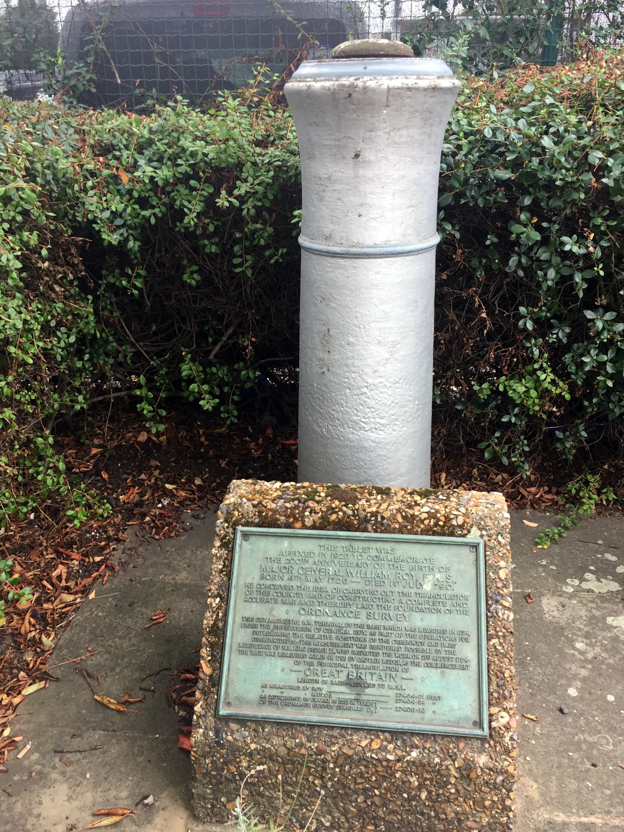
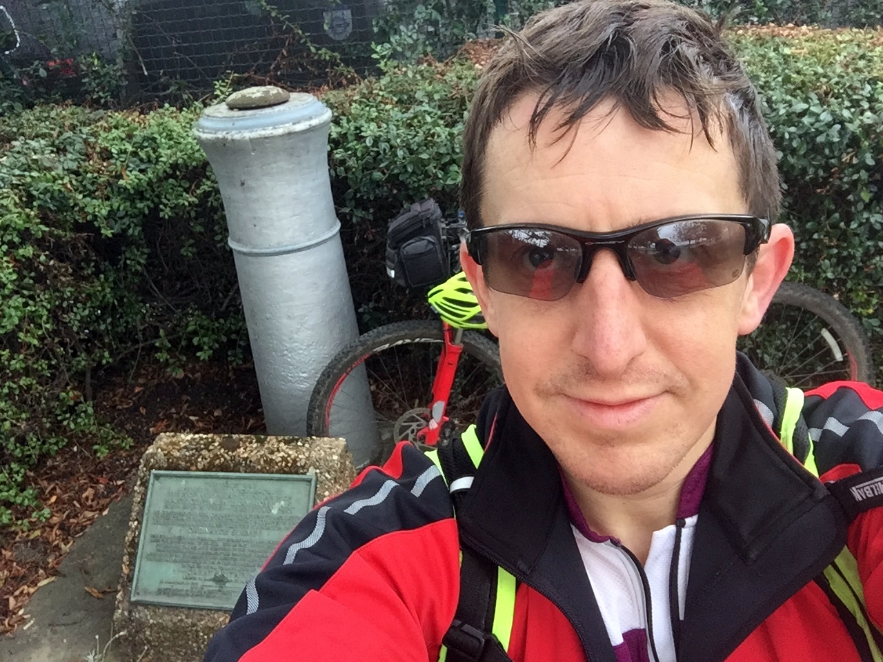
The street name, Roy Grove, is the first clue that you've found the right place. The actual monument is on the opposite side of the turning circle in an unloved patch of grass between 2 houses. The monument is a barrel of a cannon sticking the ground, next to a plaque describing the life and work of Major General William Roy. To cycle the Baseline:
Return back down the footpath and take a left onto the A312 Uxbridge Road.
Follow the A312 for ~7 KM until it crosses the A30 and reaches the Hatton Cross Roundabout at Heathrow. The road name will change several times along the route from Uxbridge Road, to Hampton Road West, Harlington Road East and Faggs Road. There's very little navigation to do as its a pretty straight route, presumably following the original Baseline.
At the Hatton Cross Roundabout take the 4th exit onto Envoy Avenue, then left onto the Eastern Perimetre road. This is a bit of a diversion from the original route of the Baseline but unfortunately necessary as the airport is not keen on people cycling across the runways.
The Eastern Perimeter Road will become the Northern Perimeter Road. Follow this until the junction of Nene Road.
The end of the Baseline is on a grassy triangle of the North East side of this junction.
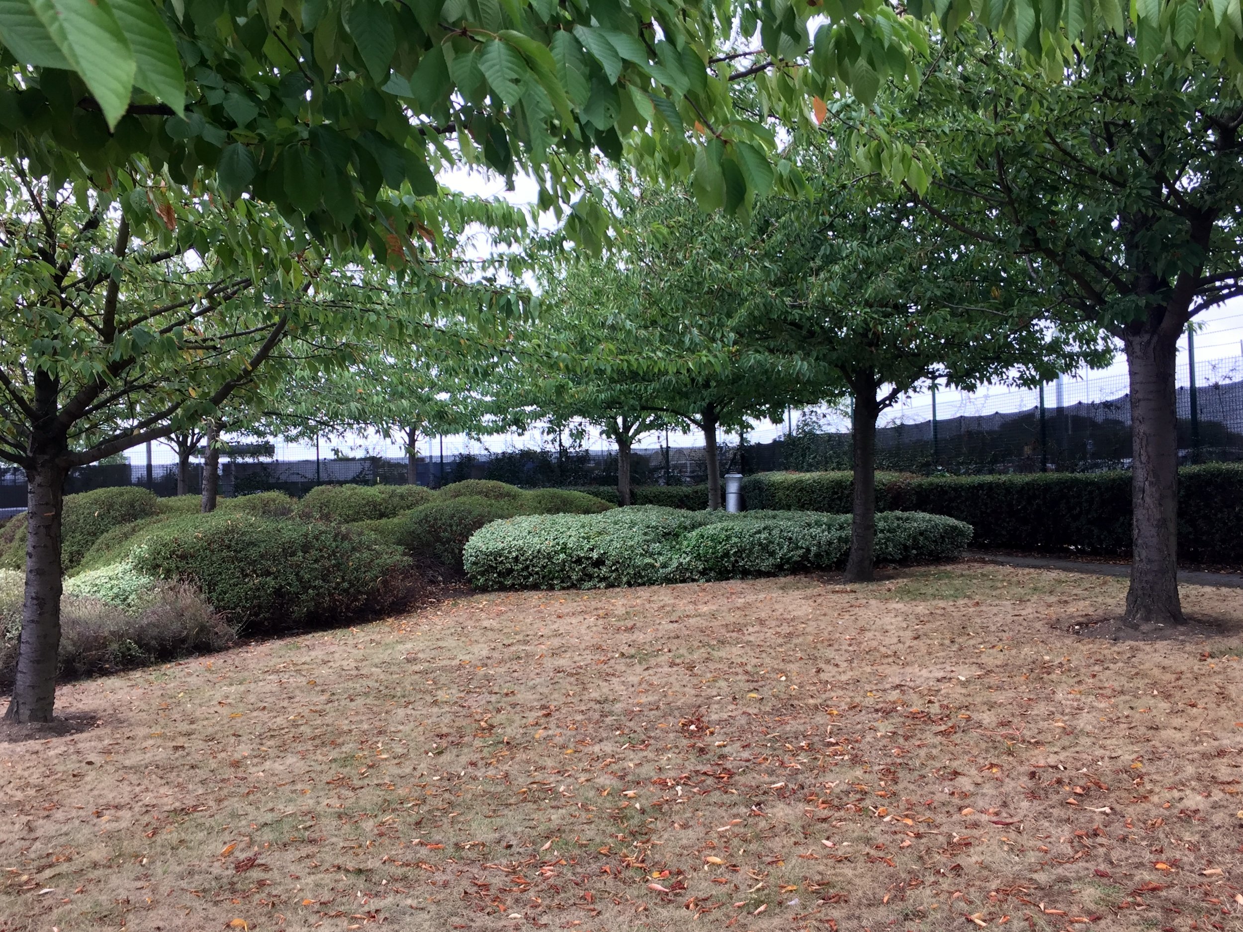
The monument, a twin of the South West one at Roy Grove, is in the far corner of the grassy triangle. You can barely see it from the road so you'd have to be looking for it to notice it. The rest of the site is now a Heathrow Business parking car park. The area could have been used for another 25 parking spaces with hundreds of thousands of pounds of revenue. Its nice that a little-visited monument has been preserved there instead.
I've read a few opinions that the Ordnance Survey should do more to preserve and promote the 2 monuments that are so important to their history. I don't agree. It seems fitting that they are hard to find and you'd need a map and some navigation skills to find them.
Doomed Village
From the monument it's just over 7 KM back to Minet Park. The easiest way is to continue North over Nene Road, crossing the A4 and taking the A408 through Sipson. This is one of the "Doomed Villages" that will be lost to the future expansion of the airport. As you pass by Sipson Close, look left as this will be the end of the proposed 3rd runway. I've been through here a few times in the past and normally see "Stop Heathrow Expansion" banners on most roads, presumably preaching to the converted. Maybe the lack of them this time is due to the increasingly lost cause of trying to stop the inevitable?
From the A408, turn right onto Sipson Lane, then left at the roundbout onto the High Street.
Turn right at the A437 North Hyde Road and continue until the Parkway roundabout from the start of the trip.
Retrace the route along the cycle path next to the Parkway, crossing back under into Minet Park
Red = course of the River Crane, Yellow = cycle route, Blue = Hounslow Baseline. Green = (approx) future site of proposed Heathrow 3rd runway
Elevation plan of the cycle route (marked as yellow in the map)

