Cycling The Icknield Way - Pirton to Knettishall Heath
Start: The Motte & Bailey, 1 Great Green, Pirton, Hitchin, SG5 3QD
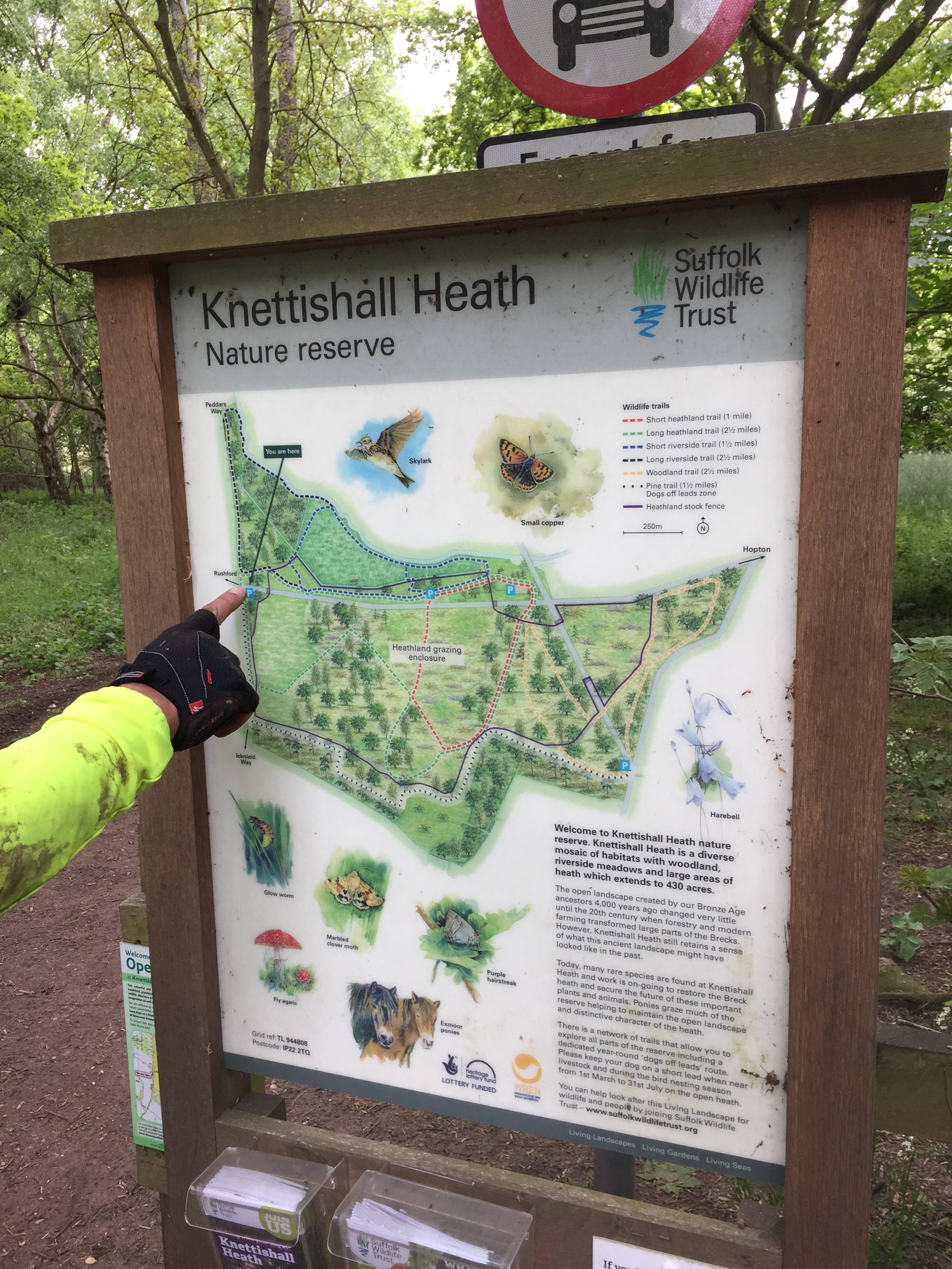
Finish: Knettishall Heath Nature Reserve, Knettishall, Thetford IP22 2TQ
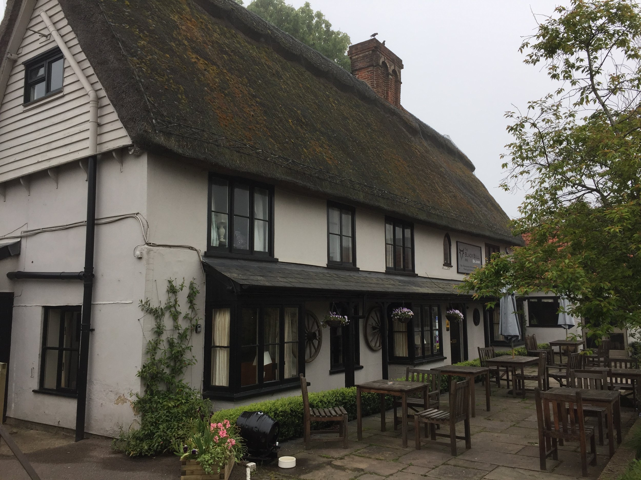
Overnight stop: The Black Bull, 27 High St, Balsham, Cambridge, CB21 4DJ
Distance: 141 km (87 miles)
Elevation Change: + 1768 / - 1823m. Net -55m
GPX File: get via Buy Me a Coffee
Other Routes Touched (walk): Icknield Way Walking Path, Greenwich Meridian Trail, Harcamlow Way, Lark Valley Path, The Great Barrow Walk, Angles Way
Other Routes Touched (cycle): NCN 11, 12, 50, 51
Maps:
- OS Explorer Map (193) Luton and Stevenage
- OS Explorer Map (209) Cambridge, Royston, Duxford & Linton
- OS Explorer Map (210) Newmarket and Haverhill, Barrow, Clare and Kedington
- OS Explorer Map (229) Thetford Forest in the Brecks
Guidebook: The Icknield Way Path: A Walkers' Guide
Links: Icknield Way Wikipedia entry, National Trails page on the Icknield Way Trail (Rider's Route and Walker's Route)
www.icknieldwaytrail.org.uk, www.icknieldwaypath.co.uk, Euston Park on Trigpointing
Post-Camino withdrawal symptoms were kicking in and the wife was away for the weekend. A new adventure was needed. My "Adventure Ideas" folder is constantly overflowing so there was no danger of lack of inspiration. This time my completer-finisher urge took over: I needed to finish the Icknield Way.
I had already walked the first 30 miles from Ivinghoe Beacon to the Northern edge of the Chilterns at Pirton. There was still another 87 miles to go and the rest of it was relatively flat. This would be a cycle trip rather than another walk. Pirton is a really good place to start the cycle trip as the Icknield Way walking path and riding trail intersect here. The Chilterns Cycleway also passes through it.
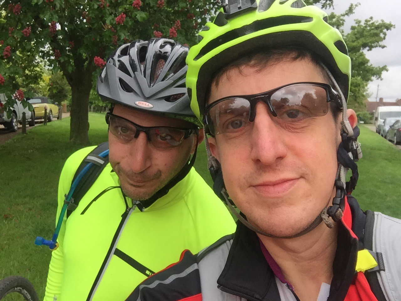
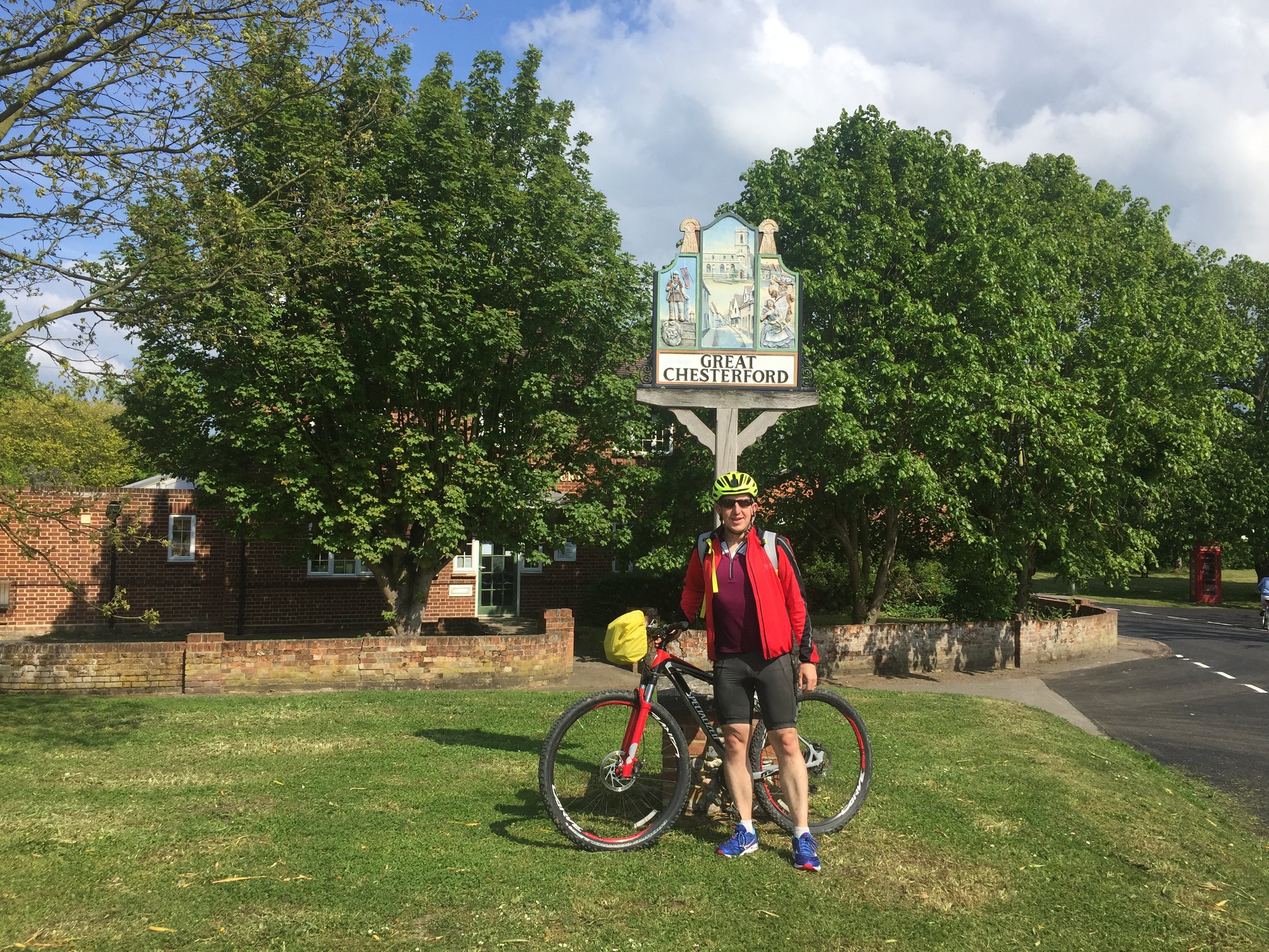
Having snuck in the Dunstable Downs parkrun (also on the Icknield), I met my friend Brian at 10:30. Brian joined me on the previous 20 miles at Christmas and also featured in my Peddars Way adventure a few years back. It seemed only right that he join me on the route that connects the two.
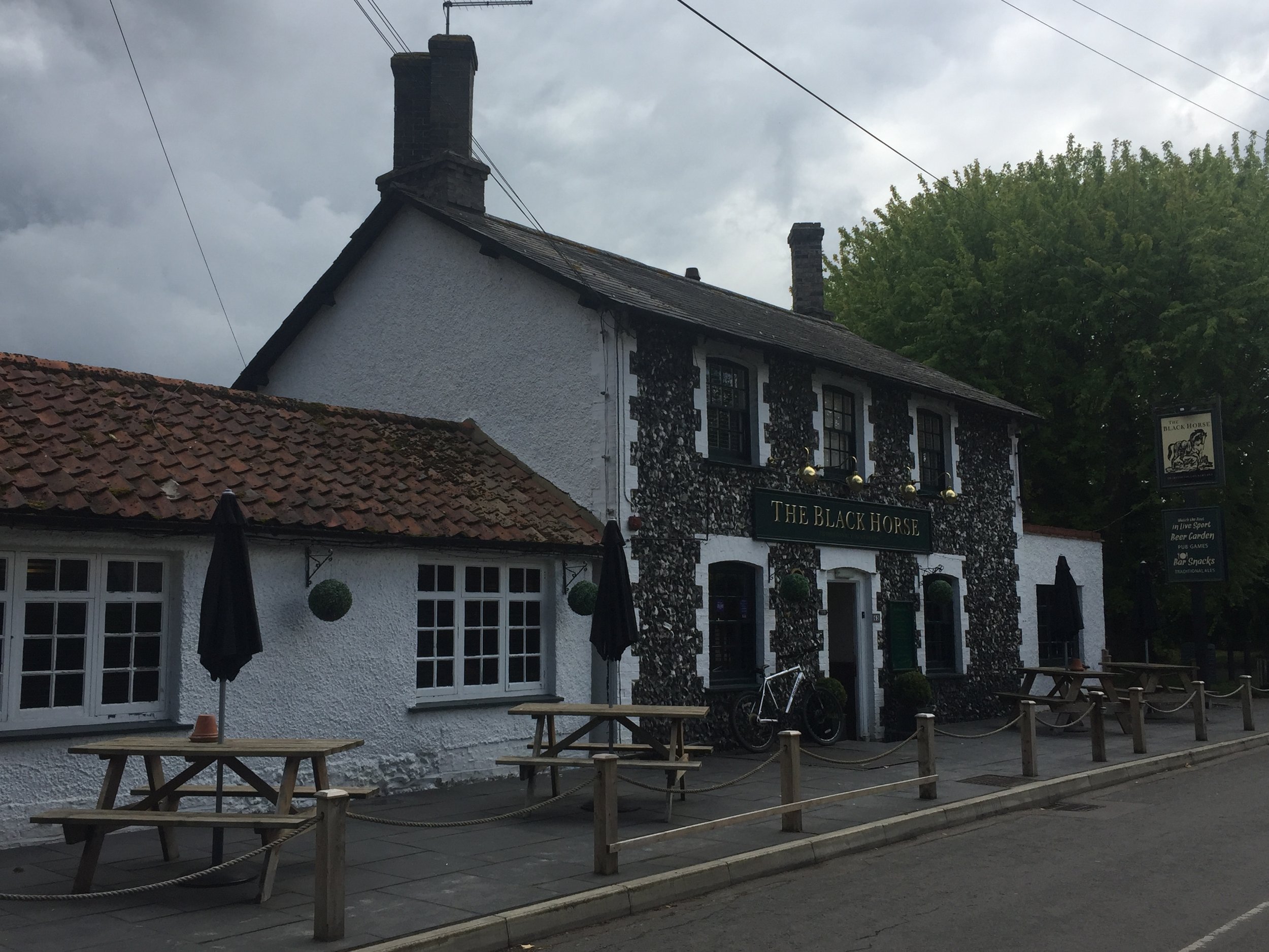
Day 1 was straight-forward, passing through small Hertfordshire towns and villages. Pubs on the route were few and far between, although I'm sure we could have found more with some minor diversions. The first pub we found was in Melbourn, 20 miles in. We were glad we stopped for lunch as we wouldn't pass another one for another couple of hours.
We were following the GPS route linked from the Icknield Way Trail site. It was accurate except for one short stretch when you hit the A505 South of Melbourn. The path through a field must have been blocked since the GPX file was created so we needed a diversion. The simple workaround is to take a left on the A505, then first right at Flint Cross and you're back on track.
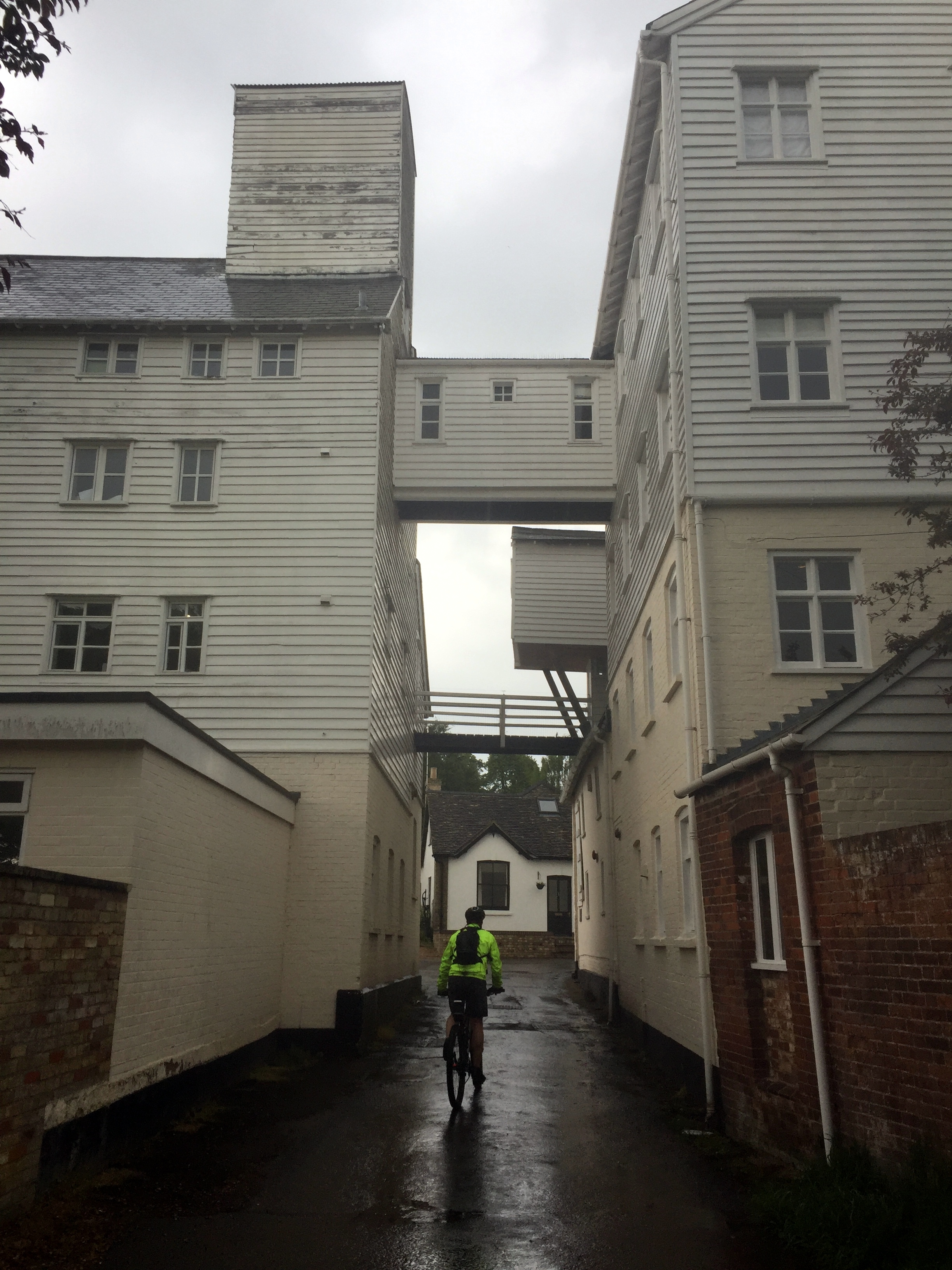
The weather was perfect for cycling except for a 30 minute downpour about an hour from our overnight stop. We hid in a pub until it stopped and cancelled our plans to go into Cambridge for the evening. All we wanted to do now was get to our hotel and find ways to dry us and our clothes. The Black Bull at Balsham is a great overnight option. It's more or less half-way and there's few alternatives. As it happens it's a really nice place. We got dry very quickly by sitting in front of the open fire with a few drinks while we waited for dinner.
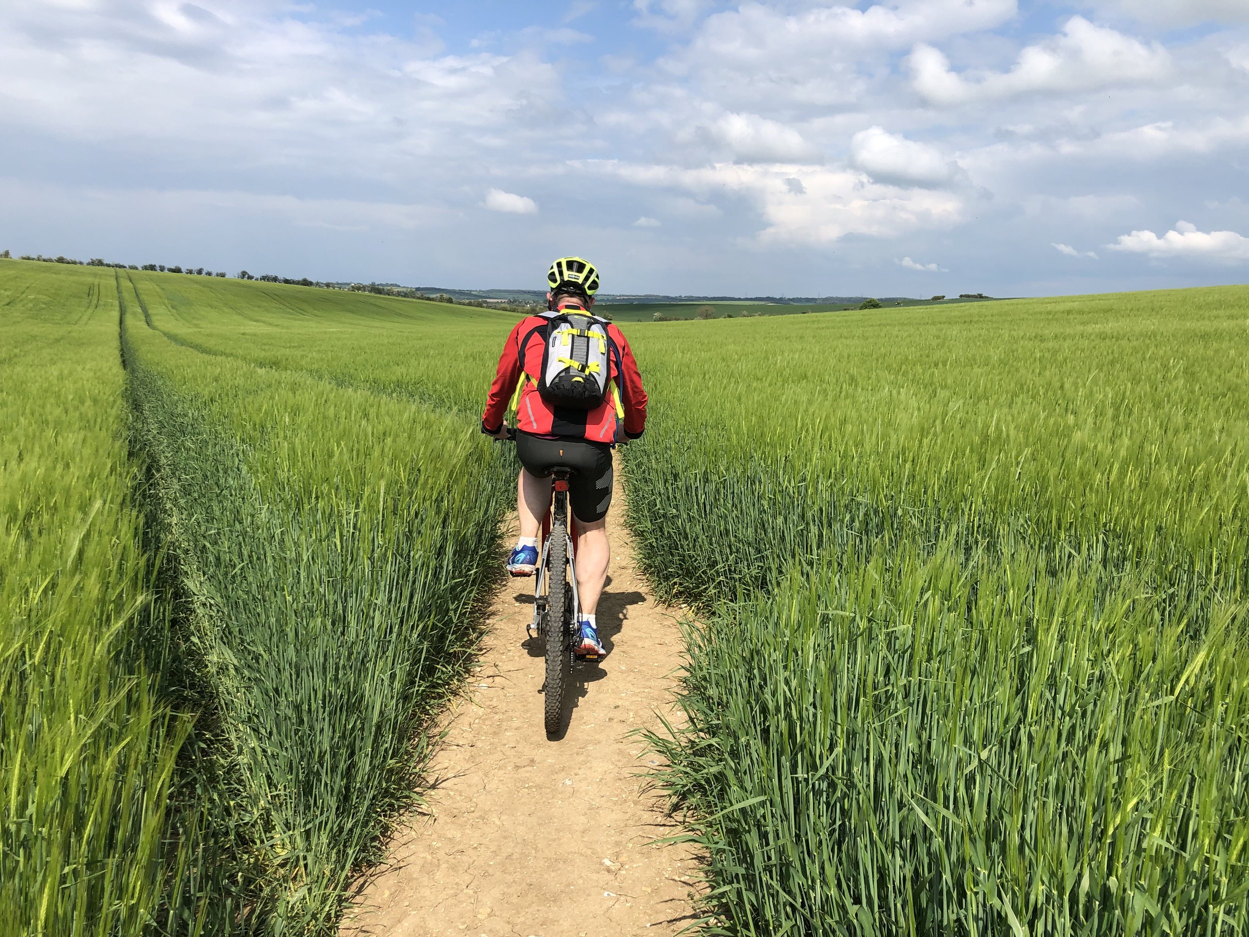
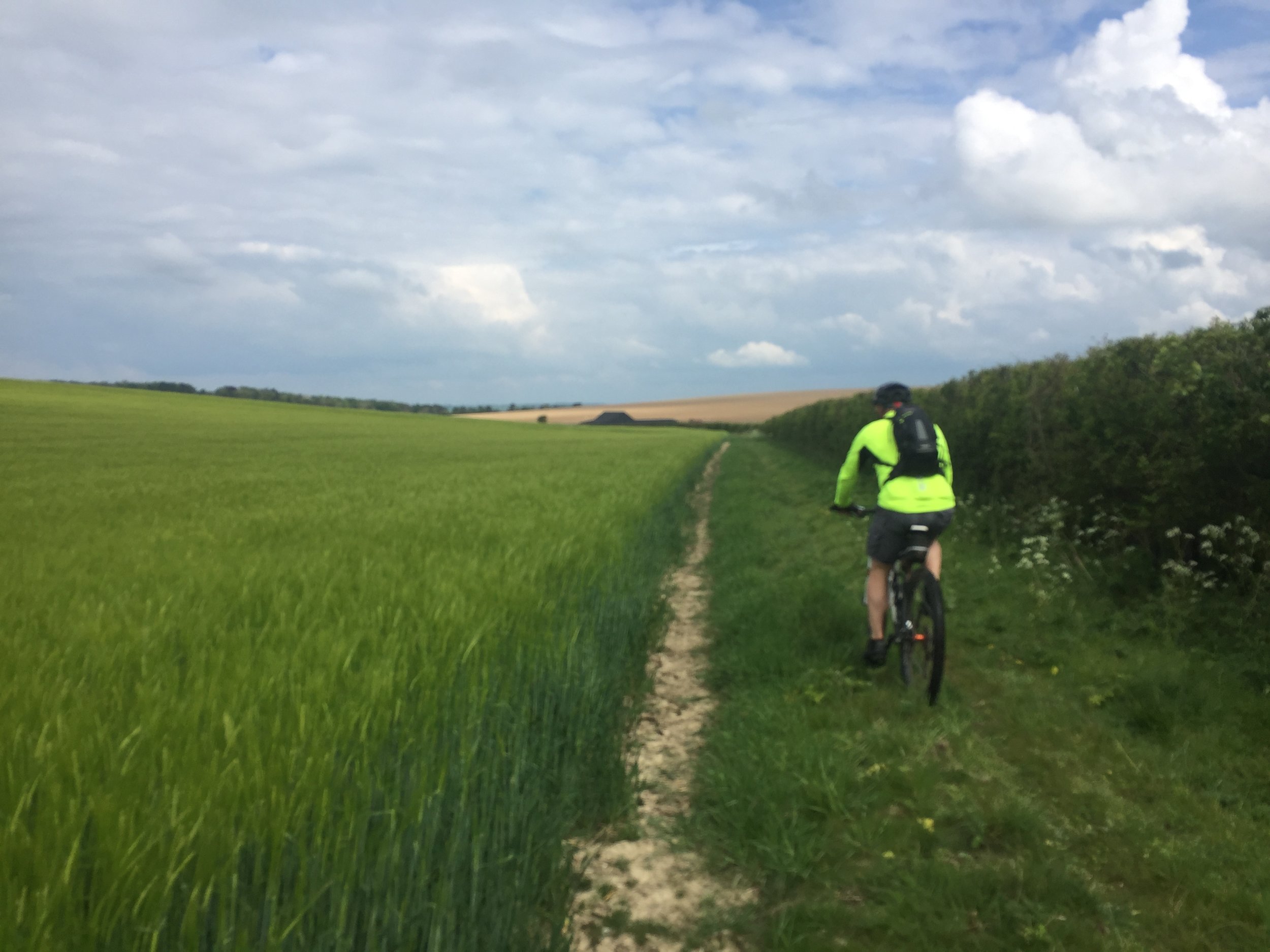
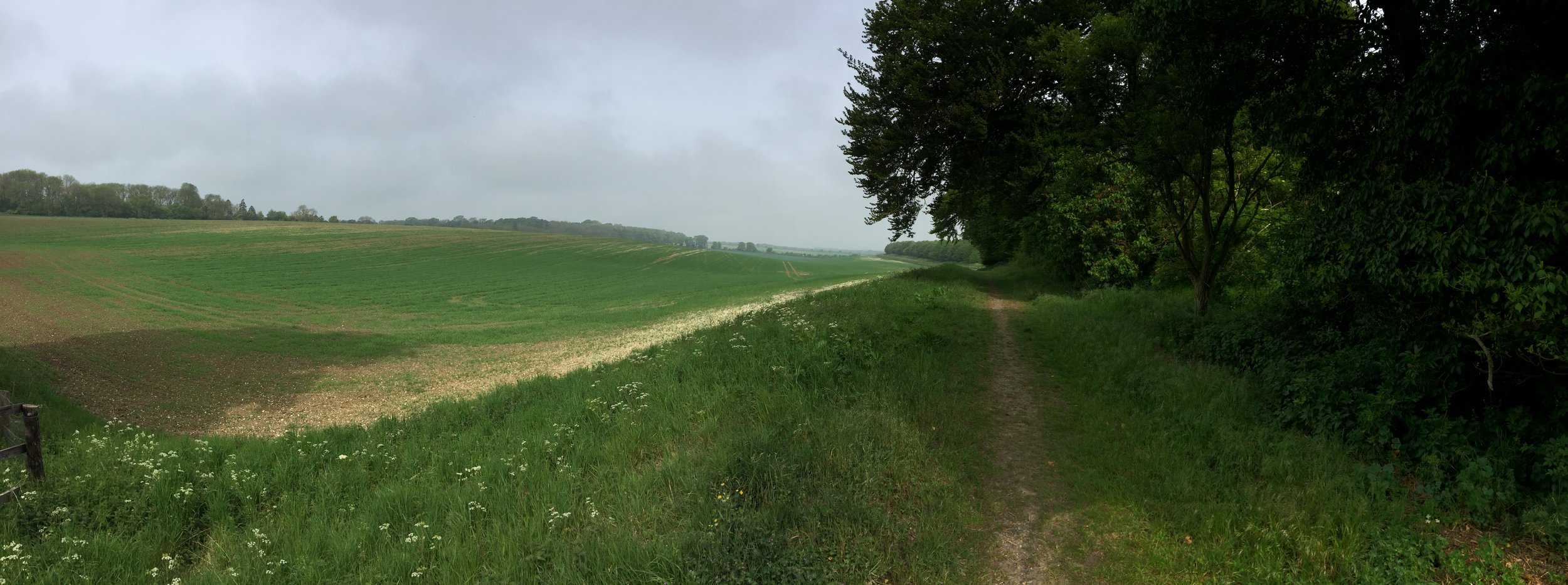
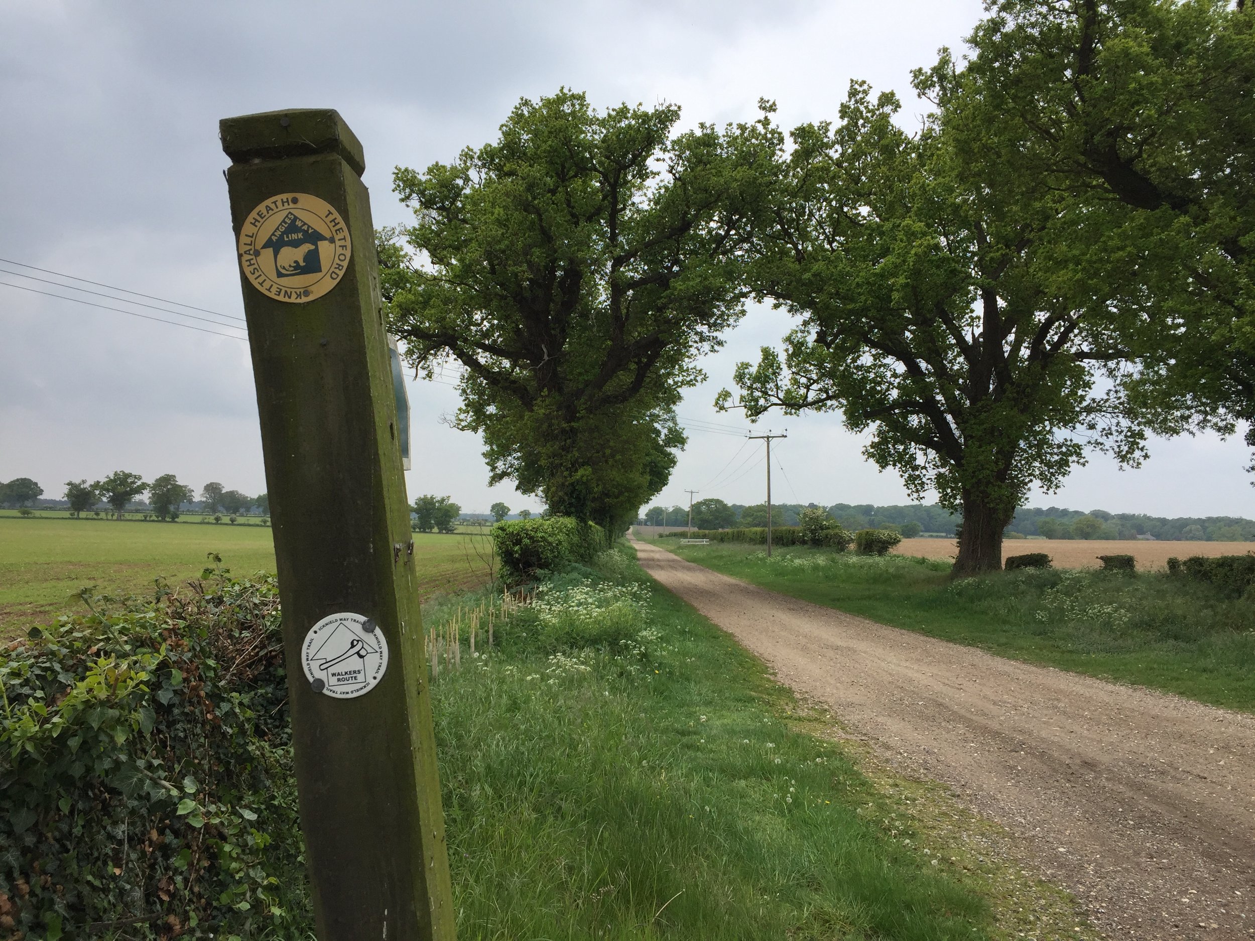
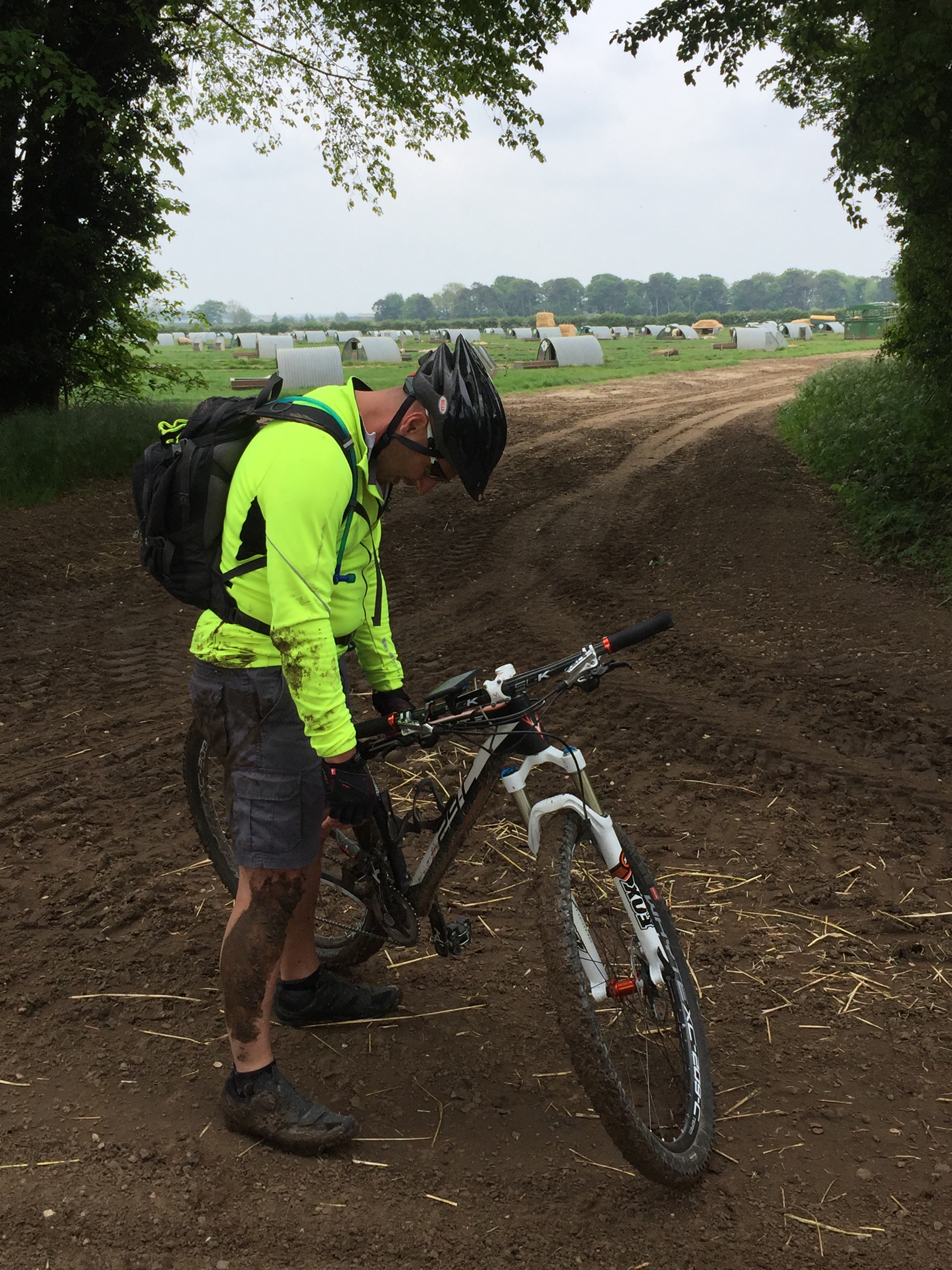
The morning of day 2 was lovely. The misty morning soon became sunny with clear skies. This was Cambridgeshire with long straight, flat stretches of road that helped us get a few miles under our belt. The final 20 miles were really tough. We were now in very rural Suffolk and spent most of the time on sand and gravel farm tracks. We made very slow progress all the way to the end point at Knettishall Heath.
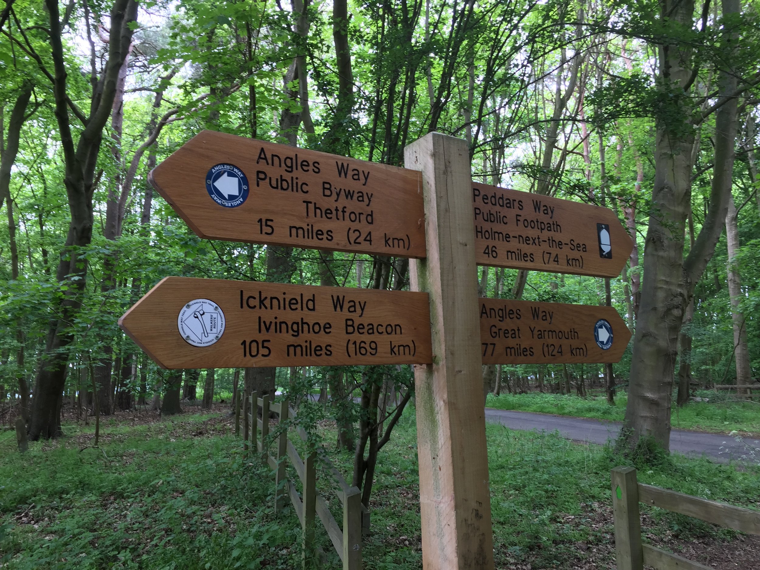
The end of the Icknield Way is a bit of an anti-climax. There's a car-park with a sign but nothing else. From here you can continue North up the Peddars Way to the Norfolk Coast or take the Angles Way East to Great Yarmouth. For us, we'd had enough adventure for one weekend and took the road West to Thetford. From there its an easy trip back to Pirton, taking the train to Hitchen and a 20 minute cycle back to the cars.
Having revived myself with a pasty at the train station I felt a genuine sense of completion. I'd now conquered the Ridgeway, Icknield Way and Peddars Way. These 3 form a single ancient trail from Avebury to Hunstanton. The obvious follow-on adventure is the Wessex Ridgeway, starting back at Avebury and heading South West to Lyme Regis. Brian didn't seem too impressed with the idea when I mentioned it on the train. I think I'll leave it a couple of months before I bring it up again ...

