Chiltern Walks: Lewknor and Pyrton
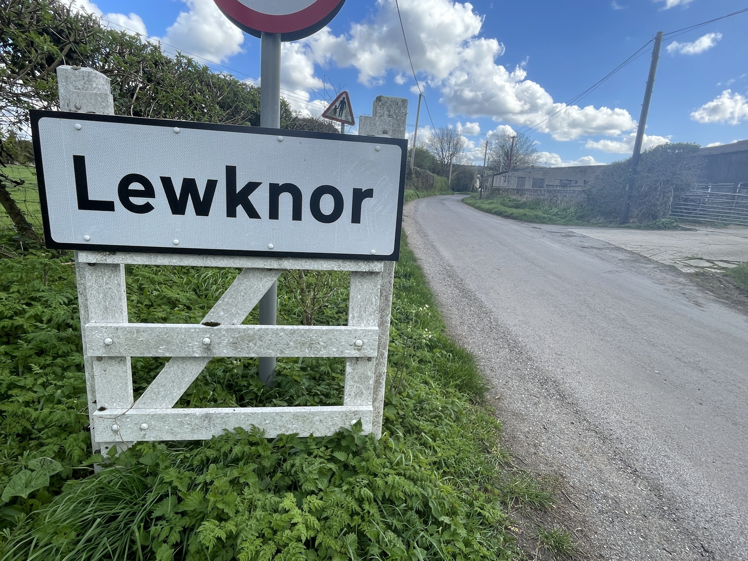
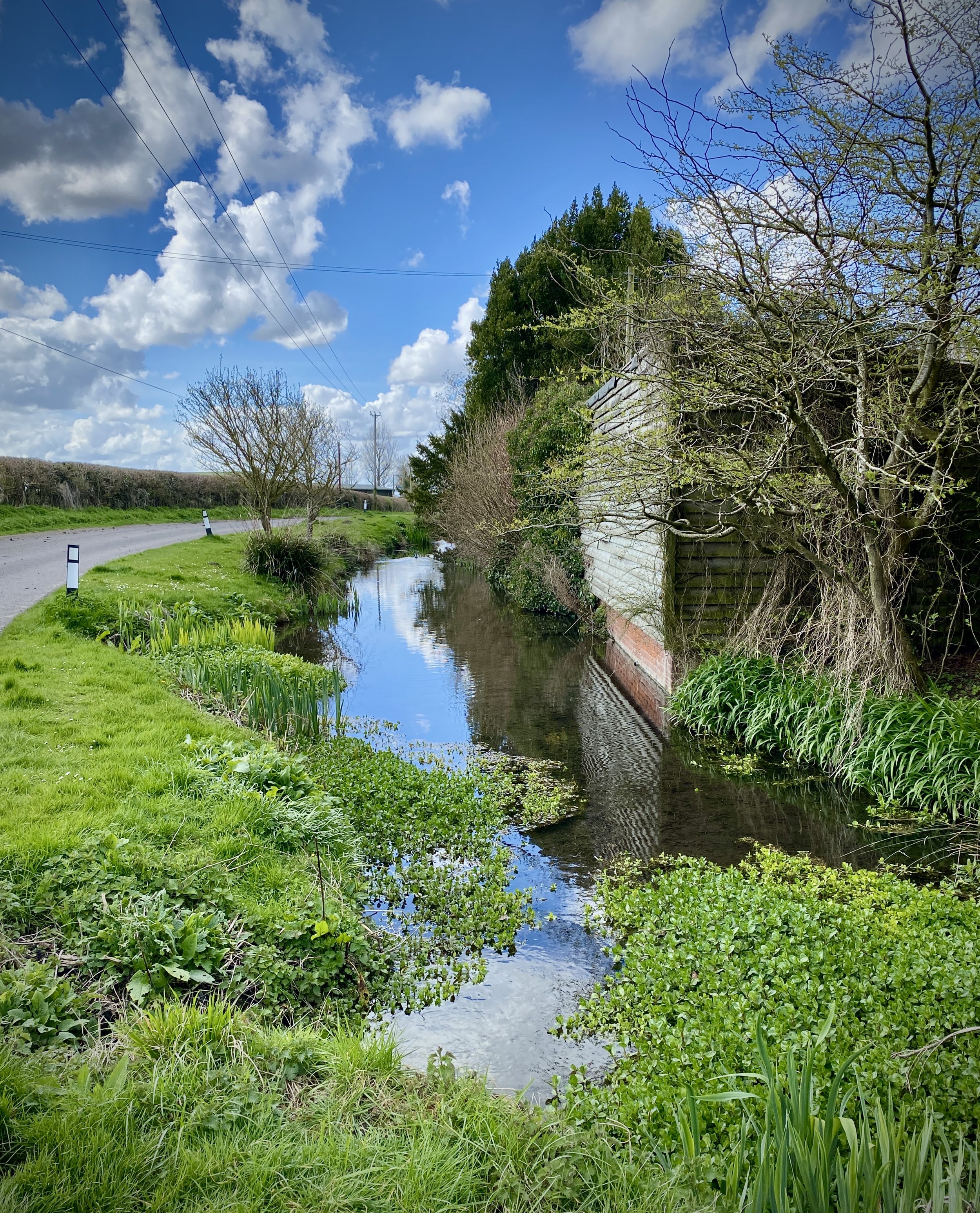
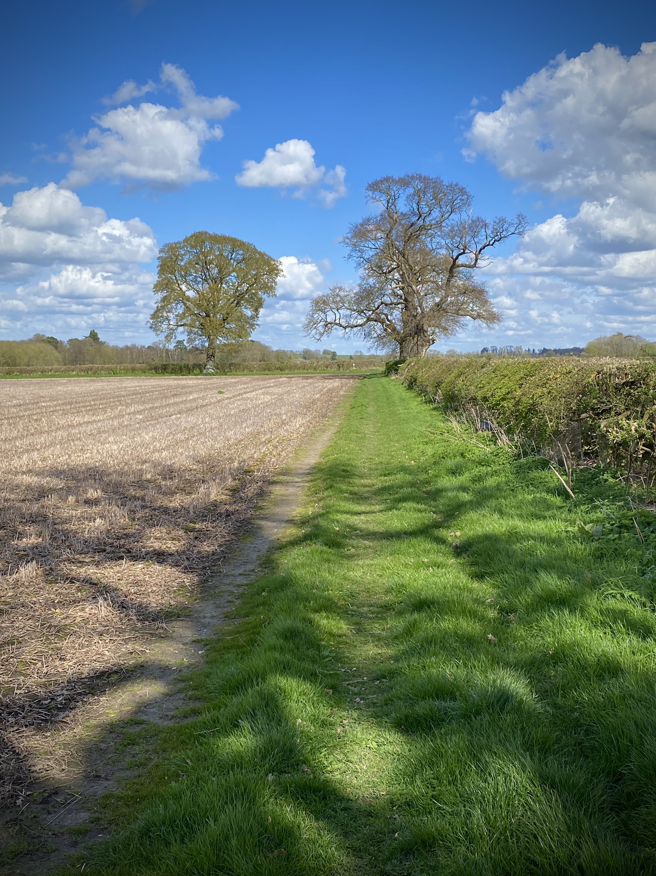
Weston Road between Lewknor and South Weston
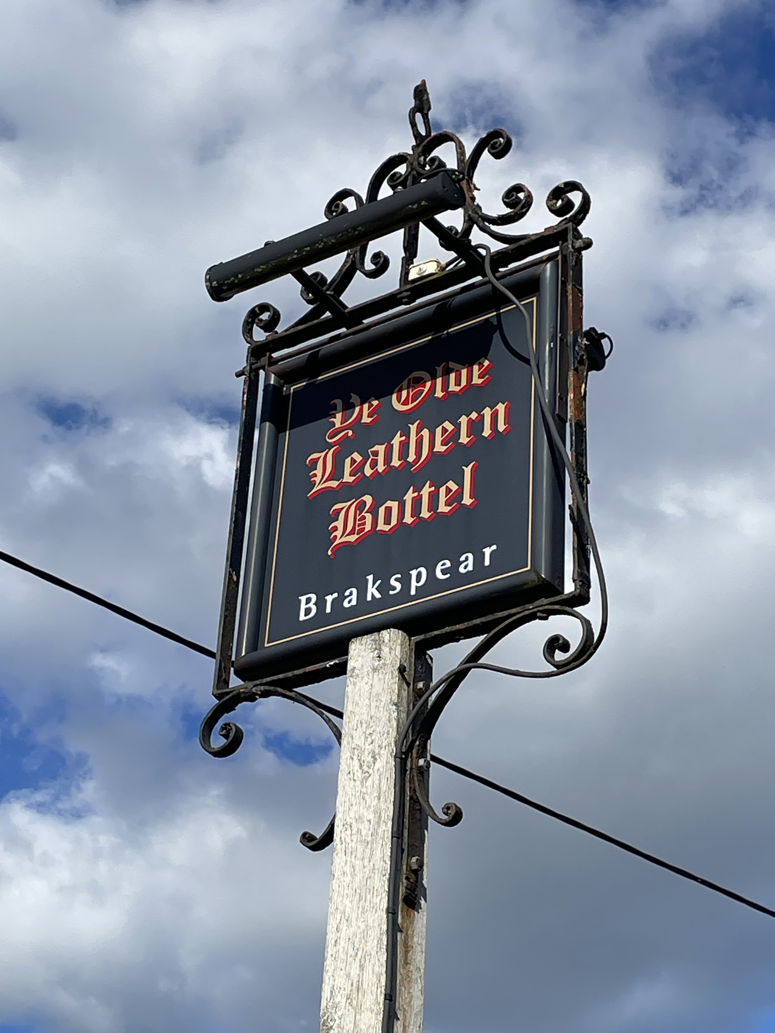
Start & Finish: The Leathern Bottle, 1 High Street, Lewknor, Watlington, OX49 5TW
Distance: 11 km (6.8 miles)
Elevation change: +/- 79m
GPX File: get via Buy Me a Coffee
Other routes touched (walk): Oxfordshire Way, The Ridgeway, Aston Rowant Discovery Trail
Other routes touched (cycle): None
Pubs / Cafes on route: The Leathern Bottle at start and end
Map: OS Explorer Map (171) Chiltern Hills West, Henley-on-Thames and Wallingford
Links: Lewknor, Pyrton
This is part of a series of short circular walks in the Chilterns. The guidance below will help you navigate but don’t use it as a fully accurate turn-by-turn guide. Always take a map and/or a GPX route and prepare well for the weather and terrain.
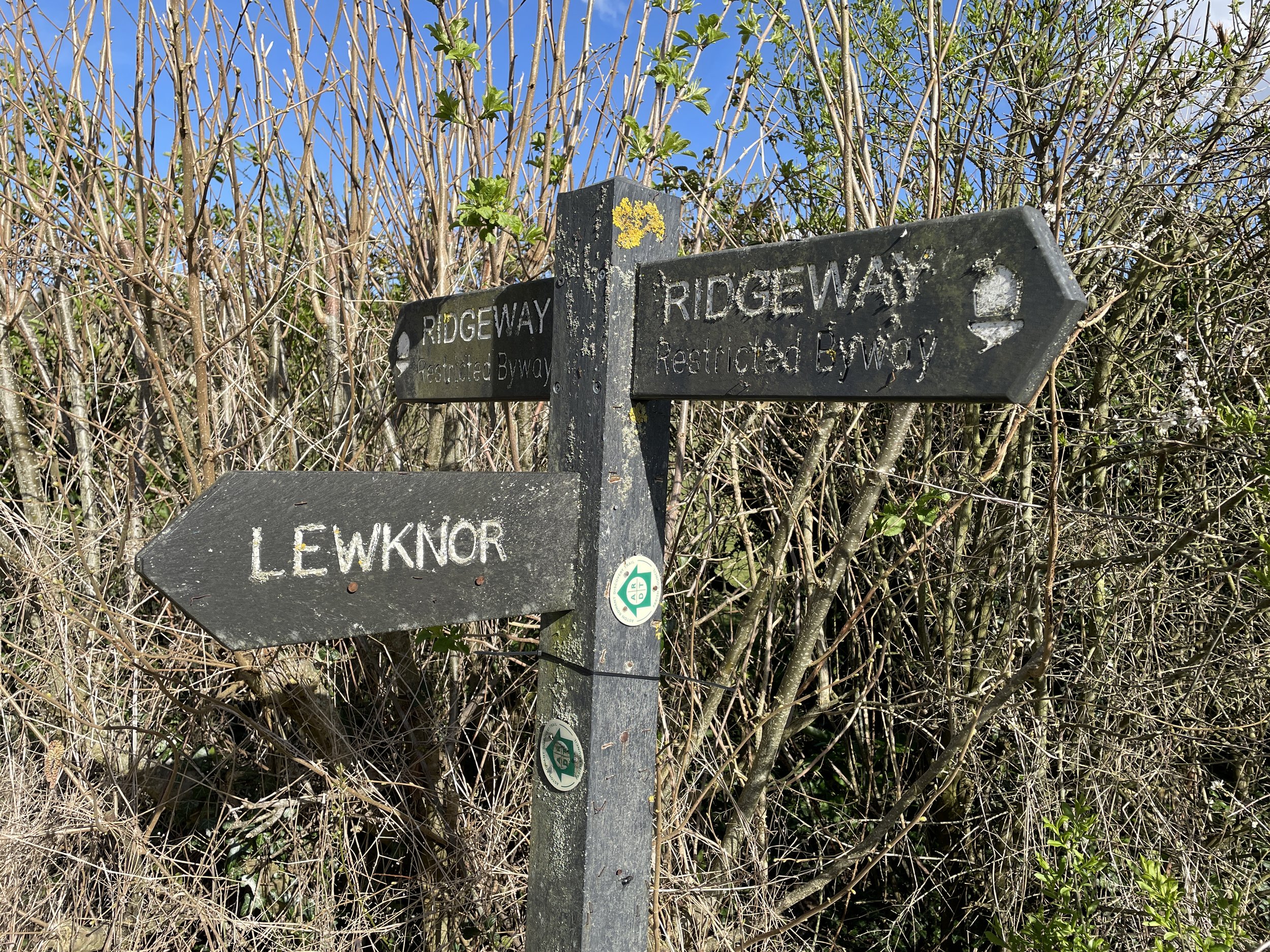
This route is part of the Chilterns sections of both the Oxfordshire Way and The Ridgeway. Take a clockwise route if you’re following the Oxfordshire Way south to north or, as described below, an anti-clockwise route if you’re following The Ridgeway east to west.
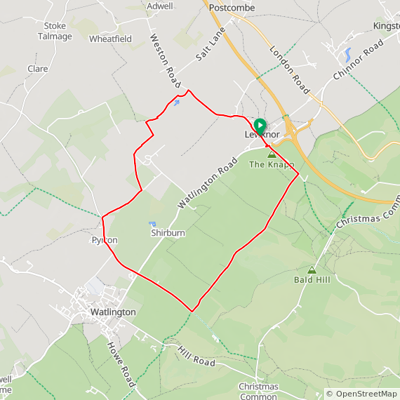
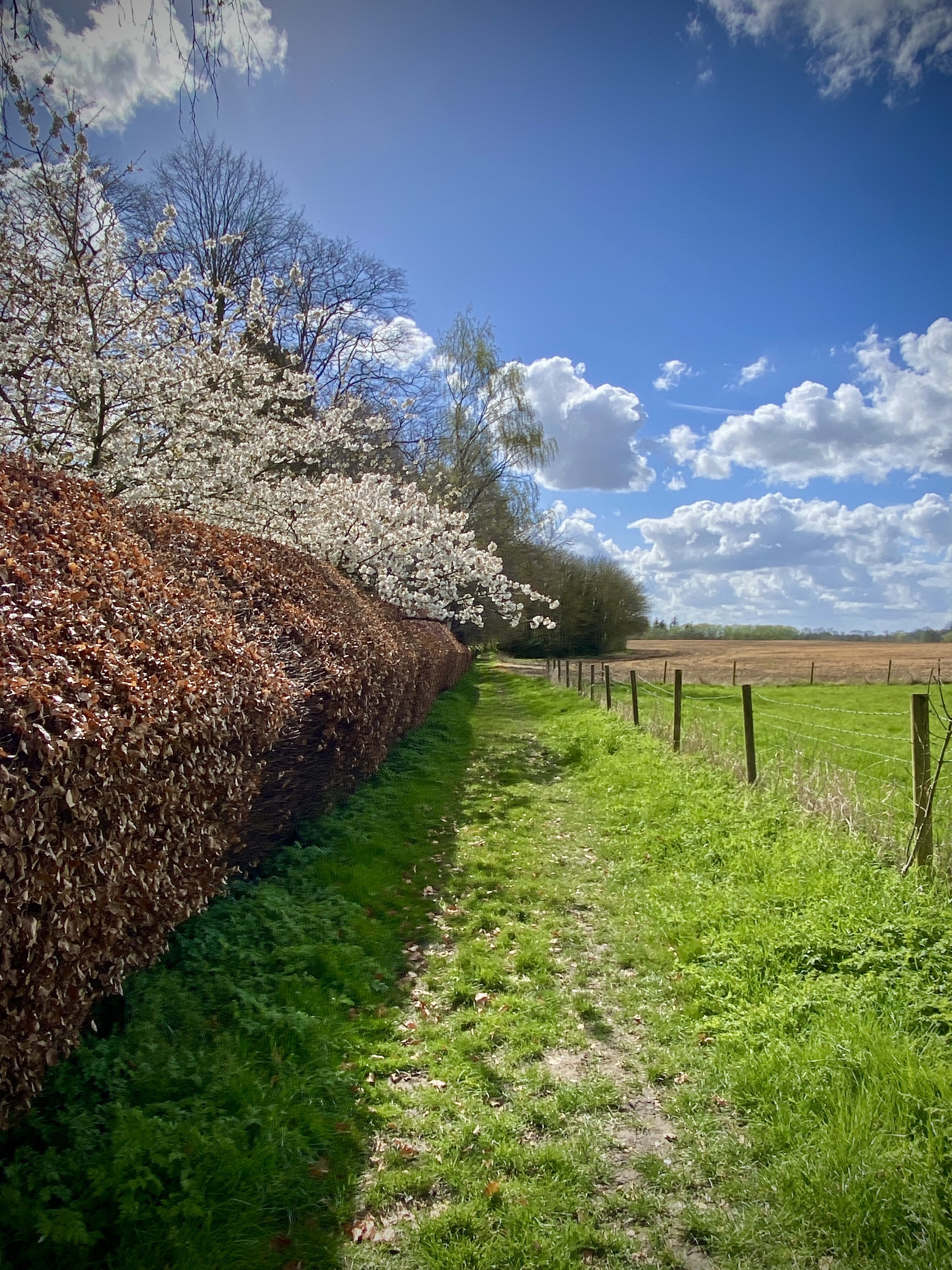
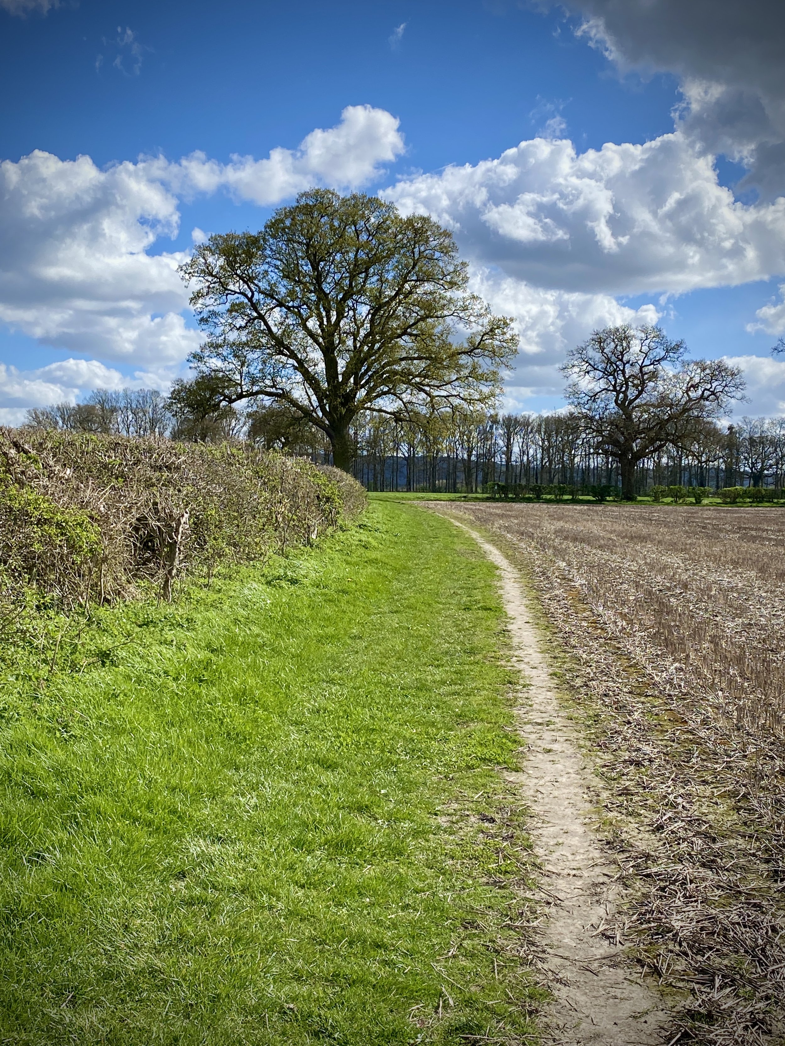
For this walk we parked near the Leathern Bottle in Lewknor village centre and followed Weston Road in a north-westerly direction. After 1.5km take a left onto Rectory Lane following it in a south-westerly direction. When the lane ends continue onto the footpath to meet the Oxfordshire Way at 2.5km into the walk. Take a left at the footpath junction to follow the Oxfordshire Way to Knightsbridge Lane in Pyrton. Take a left onto Knightsbridge Lane, still following the Oxfordshire Way and cross over the B4009 Watlington Road. Continue along Station Road until you meet the junction with The Ridgeway.
Take a left onto the Ridgeway and follow it in a north-easterly direction for 3km. Take a left onto Hill Road and follow it for 700m then carefully cross over the B4009. Continue along the footpath onto Hill Road to return to the start point near the Leathern Bottle. We were keen to try out the pub as we had heard good reviews but it was closing as we got there. Check opening times before you go as it closes for a few hours each afternoon.
Oxfordshire Way Next Section (south): Christmas Common, Watlington Hill and Greenfield

