Cycling The Peddars Way, Norfolk
The idea for the Norfolk Inn Way came from reading an article about the Peddars Way in Outdoor Fitness Magazine. I was also looking for an excuse to visit Norfolk to bag the underwhelming County Top at Beacon Hill and the combination resulted in a new weekend adventure.
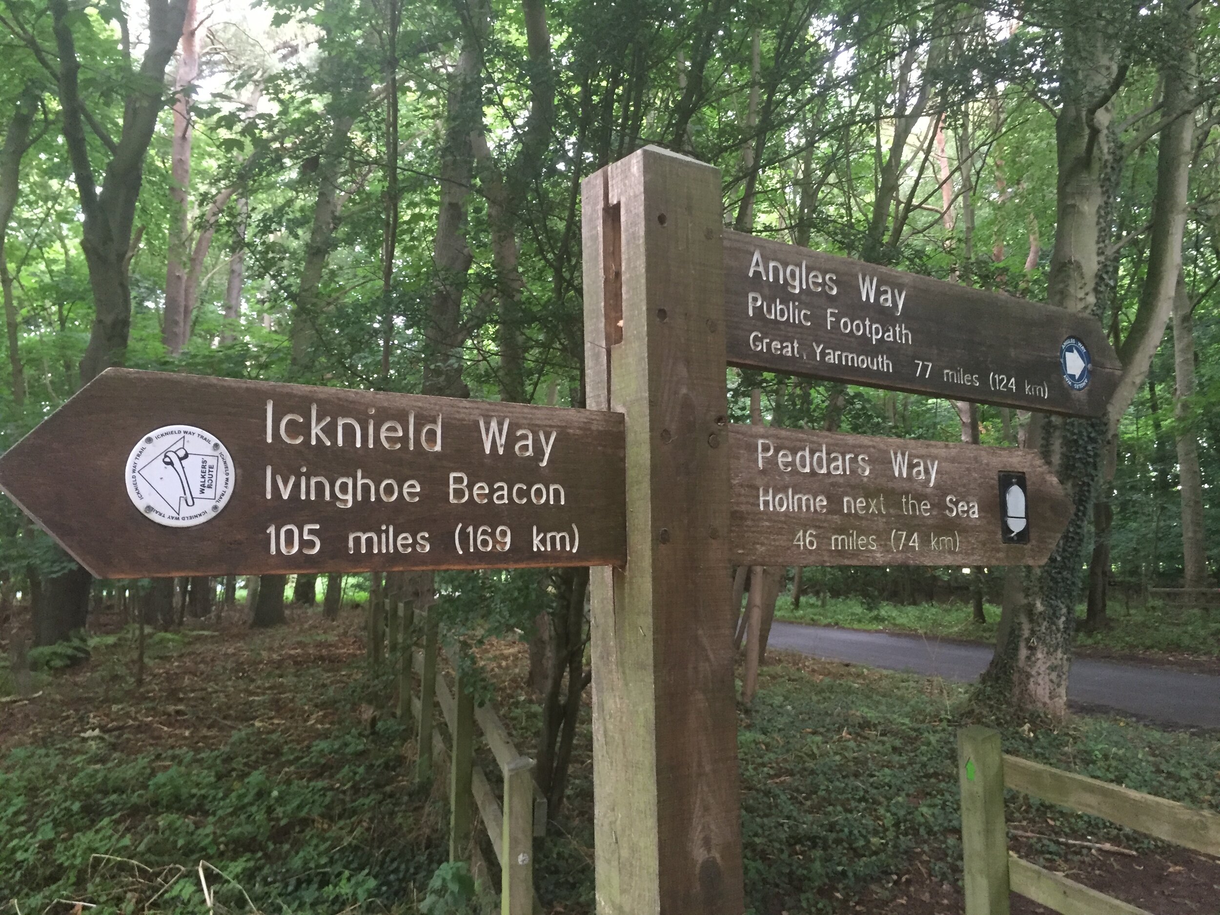
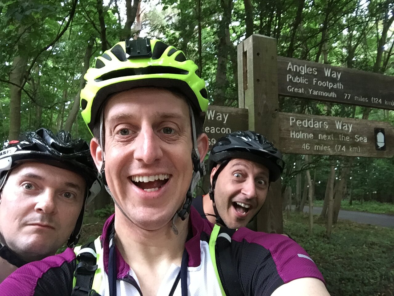
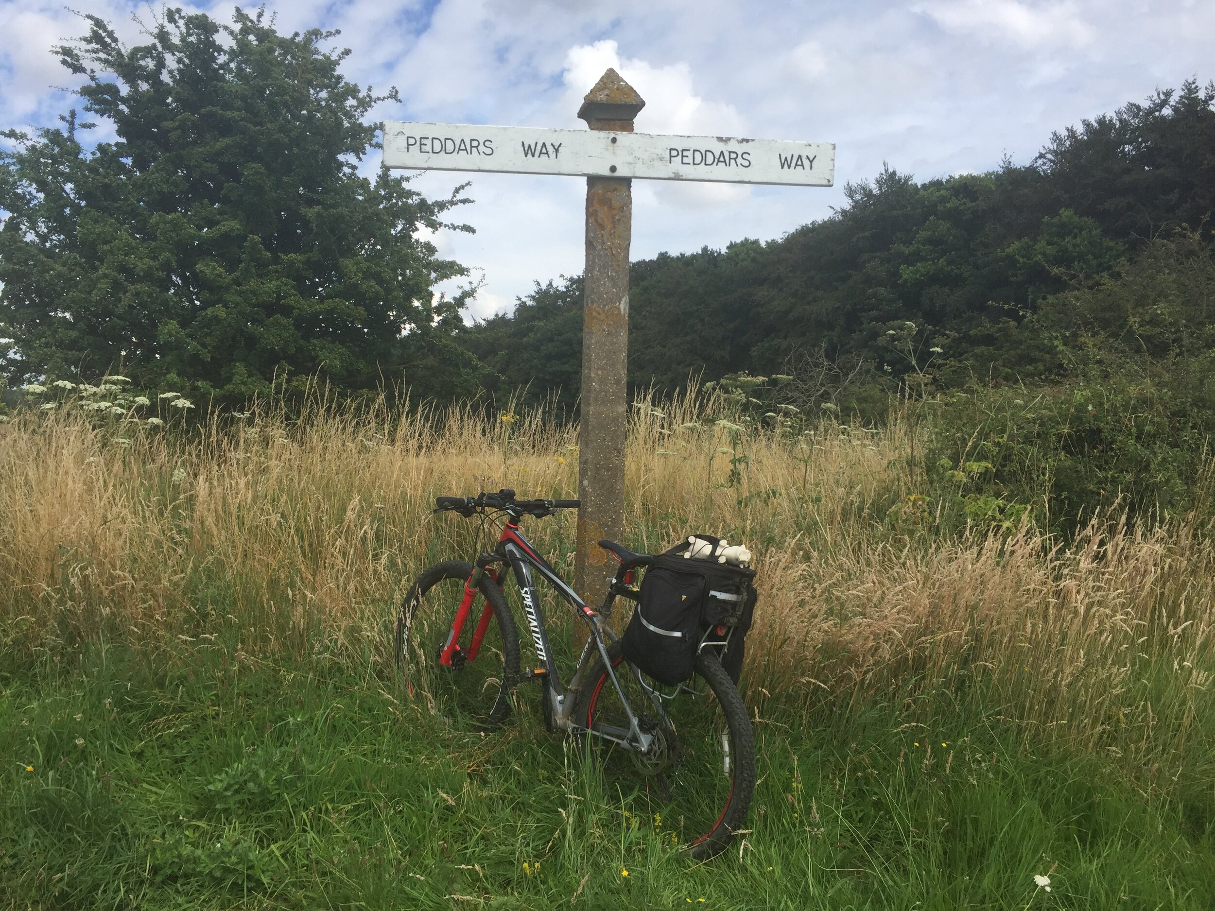
The Peddar’s Way is an ancient road starting near Thetford and continuing roughly straight to the North Norfolk Coast at Old Hunstanton. Arriving at the start point, an obscure car park on a country road, I noticed a link to another recent adventure. This car park is also the end point of the Icknield Way, a 105 mile route that stretches from Ivinghoe Beacon in Buckinghamshire, also the end point of the Ridgeway. I’d done 100 km of the Ridgeway 2 weeks before for the Race To The Stones Ultra-marathon. I could immediately see 2 more adventures that i needed to do: the Race From The Stones (completing the Ridgeway from Lewknor to Ivinghoe) and then cycling the Ickneild Way to link the Ridgeway and Peddars Way. I added them both to my mental list for 2017.
It had been a year since I had read the article about the Peddars Way. From memory, it was described as a challenging route, yet do-able in a day. 46 miles felt short compared with rides in recent years so the plan was to do Peddars plus 20 miles to Wells on the first of the 2 day trip. I was joined by Brian and Ray, 2 of the survivors of our LEJOG adventure a year ago.
Day 1: Knettishall Heath to Wells Next The Sea
Start: Car Park at Knettishall Heath, Unnamed Road, 2SG, Thetford
Finish: YHA Wells Next the Sea, Church Plain, Wells-next-the-Sea, NR23 1EQ
Distance: 100 km (62 miles)
Elevation Change: +845 m / -870 m. Net -25m
GPX File: get via Buy Me a Coffee
Other Routes Touched (Walk): Icknield Way, Angles Way, Via Beata, Hereward Way, Great Eastern Pingo Trail, Nar Valley Way, Norfolk Coast Path
Other Routes Touched (Cycle): NCN 1, 13,
Guidebook: Peddars Way and Norfolk Coast Path: National Trail Guide (National Trail Guides)
Maps:
- OS Explorer Map (229) Thetford Forest in the Brecks
- OS Explorer Map (236) King's Lynn, Downham Market and Swaffham
- OS Explorer Map (250) Norfolk Coast West
- OS Explorer Map (251) Norfolk Coast Central
The first 3 miles definitely ticked the “challenging” box. After a couple hundred metres, the path narrowed, got muddy and was tightly closed in by bracken and nettles. The Peddars Way would make sure that we remembered it as we were itching the stings for a week after. After 5 miles we’d been going for an hour and were starting to wonder whether this was going to be do-able in a day. We were also wondering what time of year the article was written in. It can’t have been summer with the same level of nettle growth otherwise that would have been a major feature of the article.
Shortly after the path widened out and became a more pleasant mix of country road a farm track. Our nettle problem turned into a “where do we get lunch” problem. The guide book we were using told us that the Peddars Way had fewer food and drink options than the North Norfolk Coast. We soon realised that this meant “next to no” options as we saw nothing until a petrol station/McDonalds site about 25 miles in. There were probably more options years ago, judging from how many villages had pub-looking houses with signs like “Formerly the Red Lion” on them.
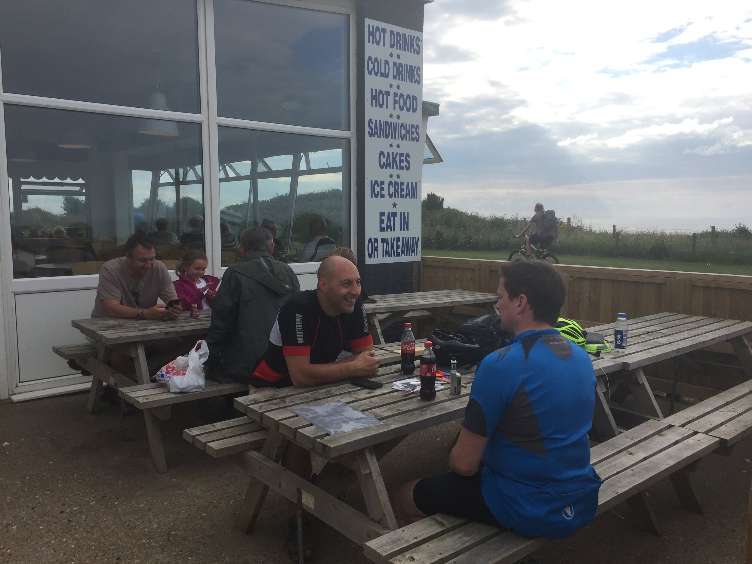
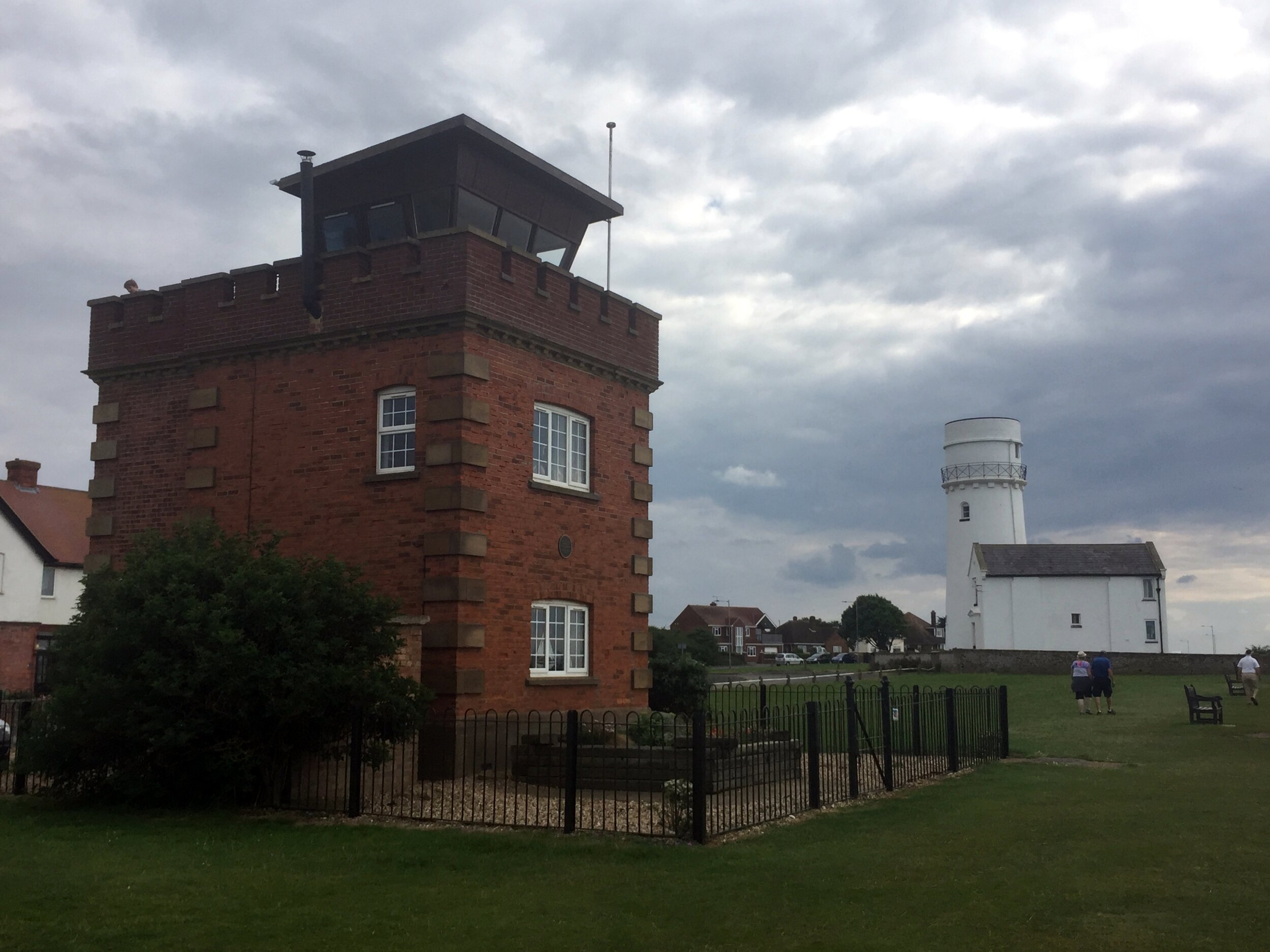
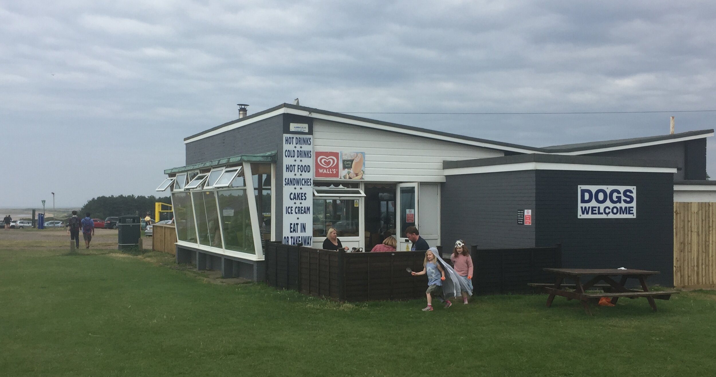
The combination of the challenging route, hot day and some lack of fitness in the group meant that we were ready to call it a day by the end at Old Hunstaton. Some energy had been restored after fish and chips at the Lighthouse Cafe on the beach, but Brian was on a mission to find a hotel. I was sceptical that we would find 2 rooms for 3 smelly cyclists at the height of the summer season, but it was worth a try. The best we could find was a single room just down the coast. Rather than taking the North Norfolk coast to our overnight stop at Wells Next The Sea, we stuck to the A149 coastal road for the remaining 20 miles.
The YHA Hostel, our home for the night at Wells, was clean and friendly with a pub 5 minutes down the road. Compared with our lively post-cycle pub evenings of the LEJOG trip, this was much quieter. We stared at our pints for about 15 minutes, mostly in silence, before heading back to the hostel for a long sleep. A big part of the cause of our tiredness was being kept awake for most of the previous night in the hotel at Bury St Edmunds by a couple having very noisy sex for hours. We figured that at least a small coastal town like Wells would be quiet. It probably would have been if not for us arriving during the summer music festival that rocked the town with loud cheesy Americana until midnight.
Day 2: Wells Next The Sea to Knettishall Heath
Start: YHA Wells Next the Sea, Church Plain, Wells-next-the-Sea, NR23 1EQ
Finish: Car Park at Knettishall Heath, Unnamed Road, 2SG, Thetford
Distance: 127 km (79 miles)
Elevation Change: +1,105 m / -990 m. Net +25m
GPX File: get via Buy Me a Coffee
Other Routes Touched (Walk): Norfolk Coast Path, Weavers Way, Marriotts Way, Wensum Way, Hereward Way, Via Beata, Angles Way, Icknield Way
Other Routes Touched (Cycle): NCN 1, 13
Guidebook: Peddars Way and Norfolk Coast Path: National Trail Guide (National Trail Guides)
Maps:
- OS Explorer Map (251) Norfolk Coast Central
- OS Explorer Map 252 Norfolk Coast East
- OS Explorer Map (238) East Dereham and Aylsham
- OS Explorer Map (237) Norwich
- OS Explorer Map (229) Thetford Forest in the Brecks
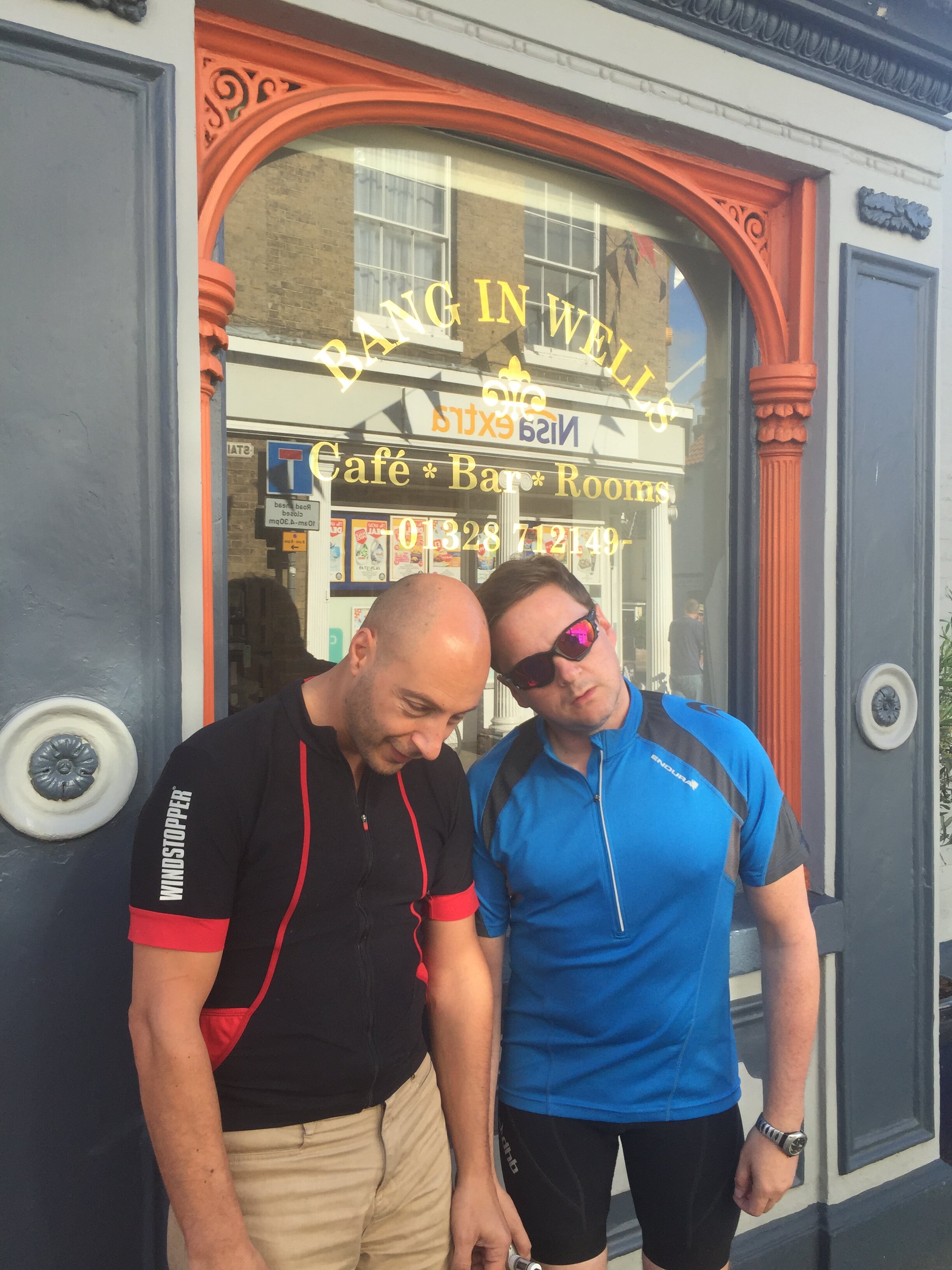
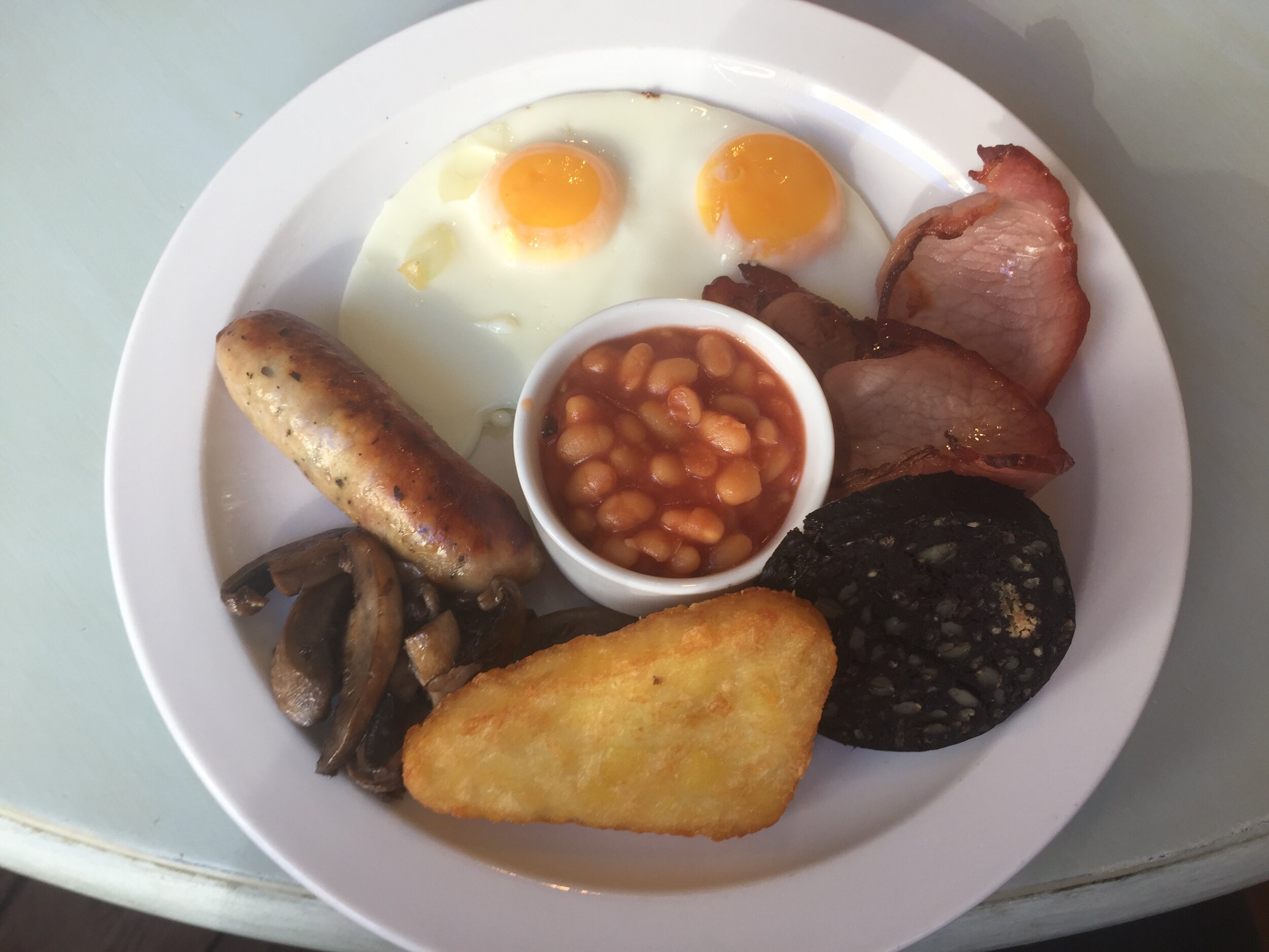
At our breakfast route briefing in the Bang Cafe in Wells we discussed a few options for the day. Given the condition of the boys the previous evening and second night of poor sleep, I suggested a contingency plan of taking a direct road route back to the start. The original plan for cycling the North Norfolk Coastal Path felt too optimistic and, besides, we’d already skipped 20 miles of it getting to Wells. I’d also worked out that the Path was really only for walking and that cycling it wasn’t going to be an option. The plan that we decided on was to pick up the North Norfolk Coast Cycleway which follows NCN Route 38 a few miles inland from the Coast. We found this fairly easily after cycling about 15 minutes to the South East from Wells and followed it all the way to Cromer.
A few miles before Cromer is Beacon Hill, the summit of a famously flat county and another on my list of Tops to be done as part of another adventure. The Top is easily found as its marked with a huge flagpole on a clearing next to the National Trust Car park at Beeston Regis Heath. The bench near the summit was a nice place for us to rest, look out to sea and contemplate the final stage of the trip.
After Beacon Hill we completed the final couple of miles into Cromer and had lunch near the sea. The final leg of the trip back to the car park would be a pleasant but uneventful trip down small country lanes and small villages. By 19:00 we’d reached the cars again, fully nackered but also refreshed after 2 days in the countryside on a new mini-adventure.
The Complete Route
Red - Day 1, including the Peddars Way, Blue = Day 2


