Chiltern Walks: North-East Hambleden Circular
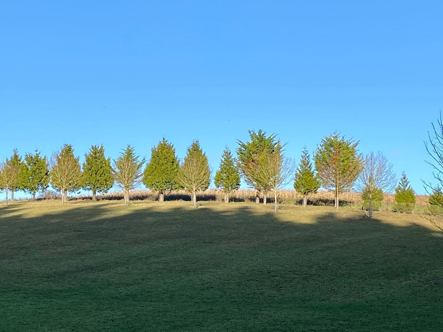
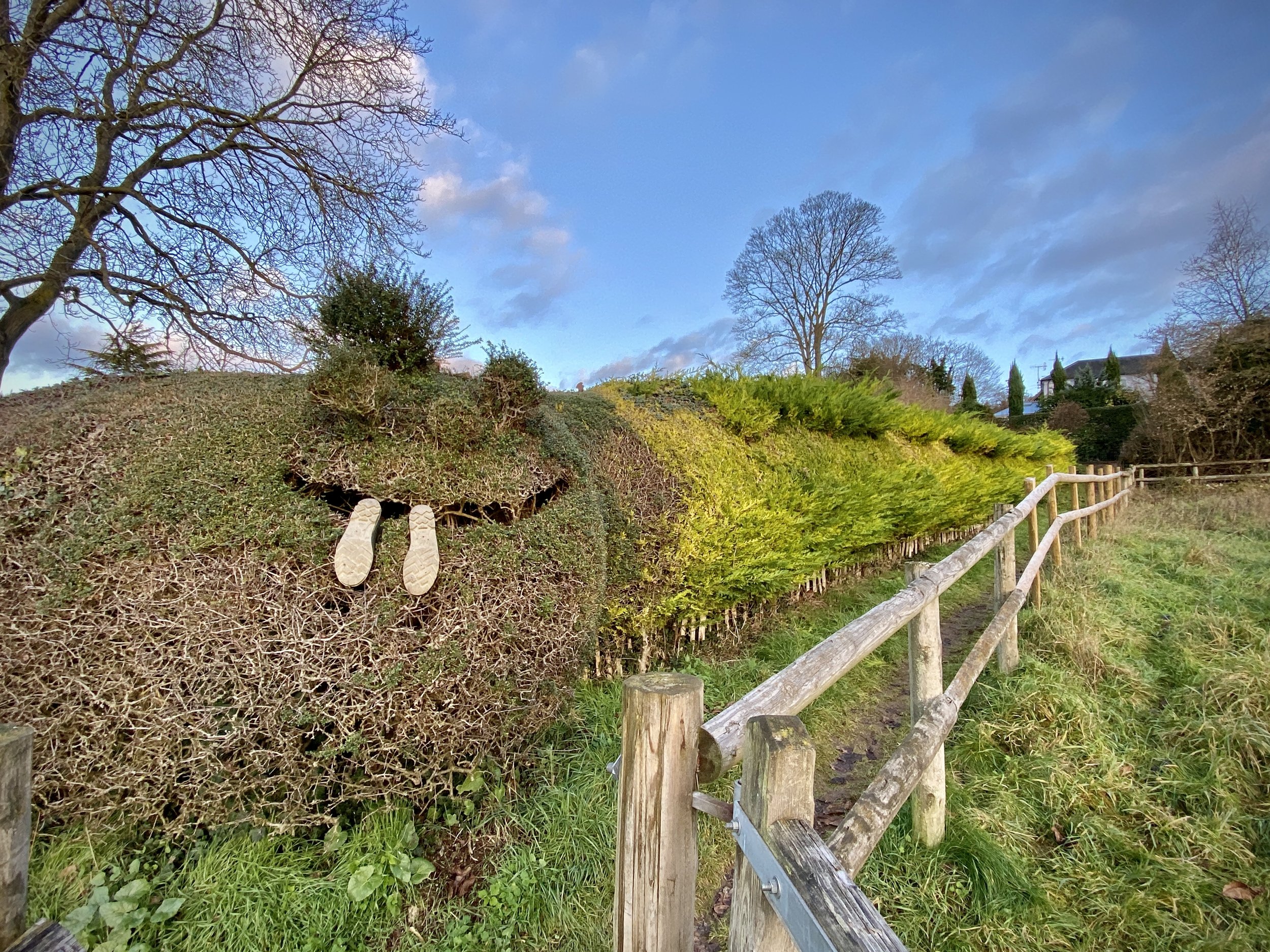
Near Rotten Row
Start & Finish: Car park next to the Stag and Huntsman, Hambleden, Henley-on-Thames RG9 6RP
Distance: 9.7 km (6 miles)
Elevation change: +/- 145m
Shakespeare’s Way section covered: Hamble Brook to Rogues Plantation: 2.9 km
GPX File: get via Buy Me a Coffee
Other routes touched (walk): Shakespeare’s Way
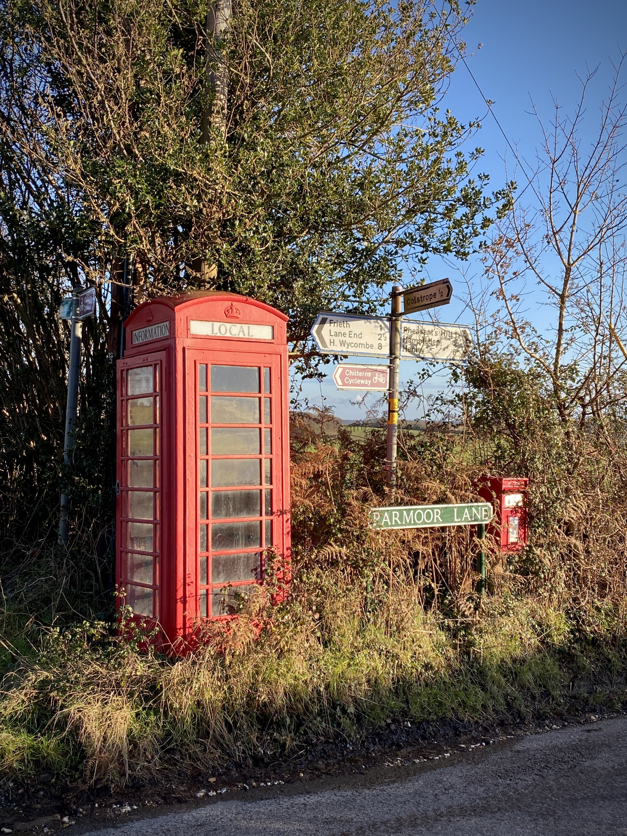
Other routes touched (cycle): Chilterns’ Cycleway
Pubs / Cafes on route: The Stag and Huntsman at the start and finish
Map: OS Explorer 171: Chiltern Hills West, Henley-on-Thames and Wallingford
Links: Hambleden
The Shakespeare’s Way is a 235 km / 146 mile mile long-distance path connecting Shakespeare's birthplace in Stratford-upon-Avon with the Shakespeare's Globe (Theatre), Southwark, London. A 34km section of the path cuts through the Chiltern Hills National Landscape in a south-easterly direction. Our walks take in short sections of the Shakespeare’s Way and loop back to the start on other paths. The Shakespeare’s Way is reasonably well marked however you’ll need a map or GPX route to keep on track for the return sections of the loops. The guidance below will help but don’t use it as a fully accurate turn-by-turn guide.
For this walk we parked in the private car park behind the Stag and Huntsman. Although there’s free on-street parking in the village, it gets very busy and takes away from the old-fashioned feel of the village. The car-park, at time of writing, can be paid only by phone via an app or text.
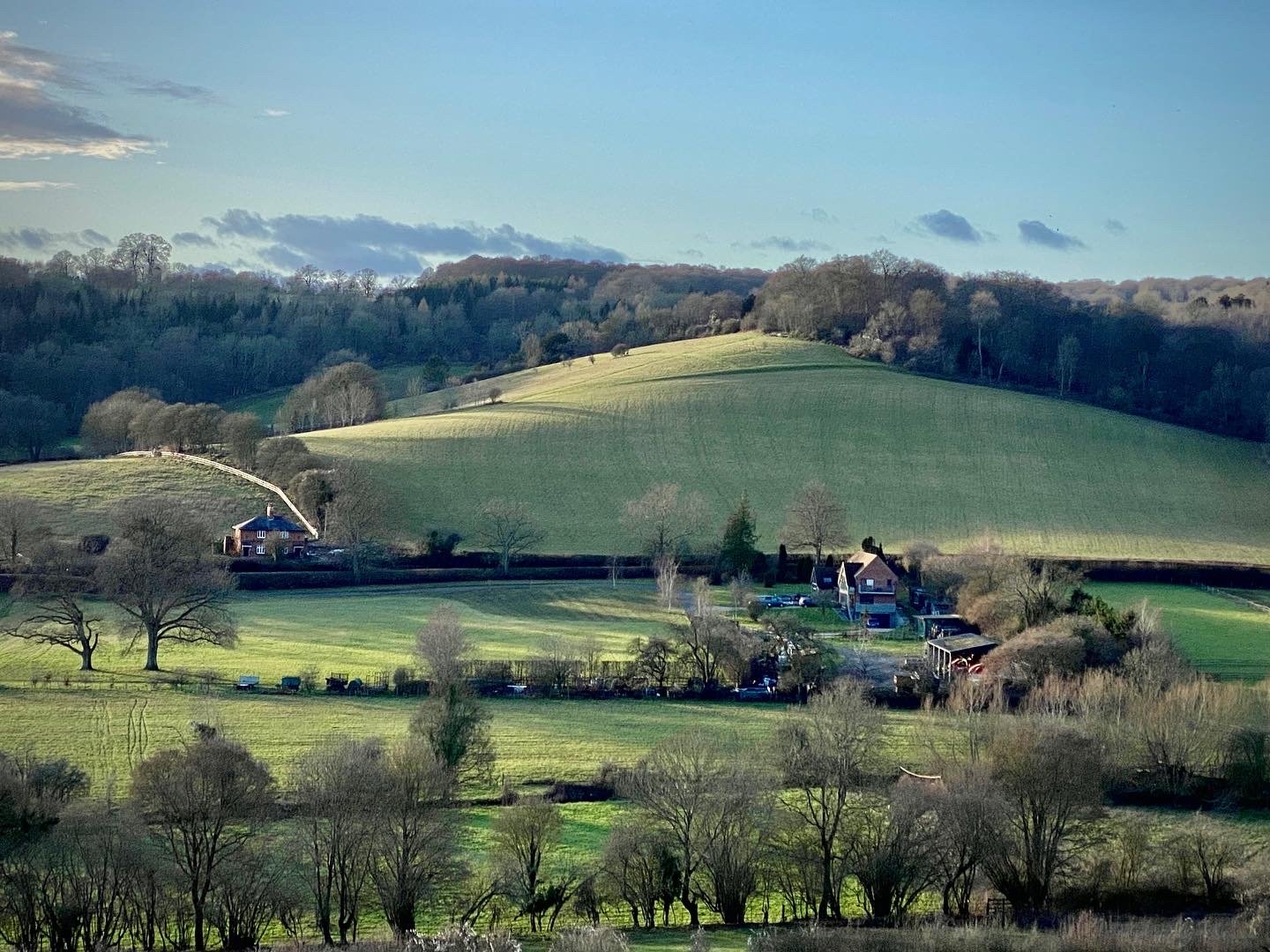
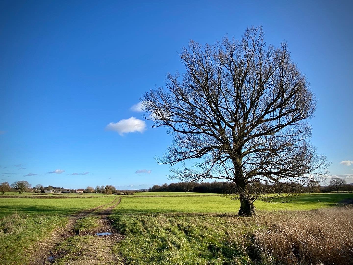
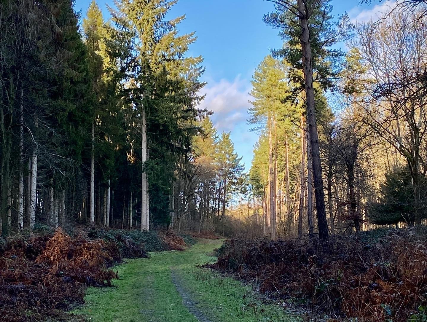
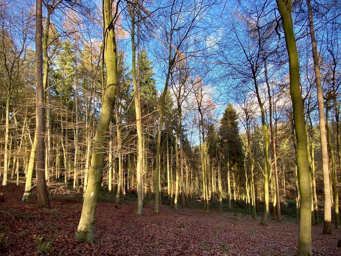
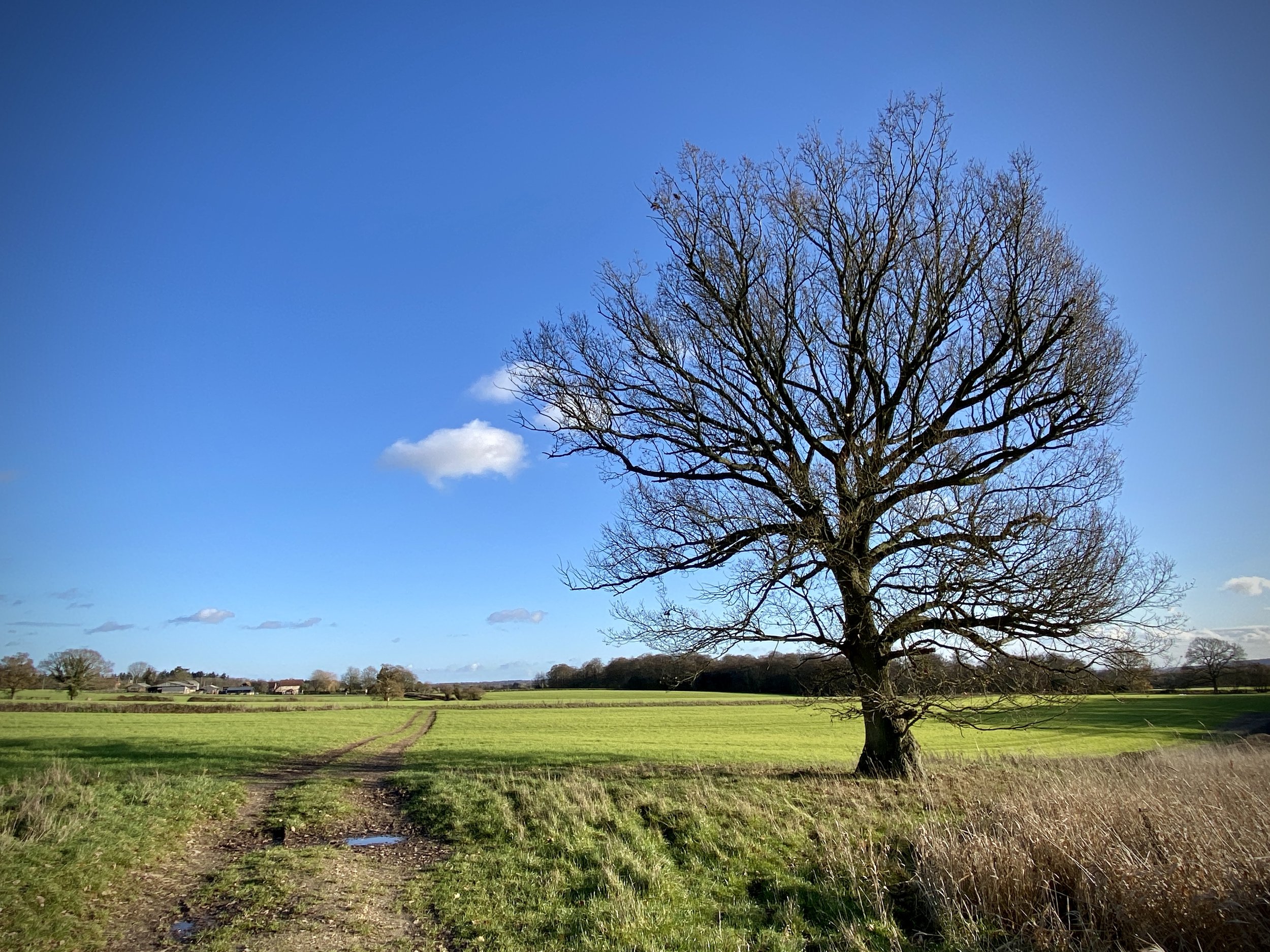
From the car-park follow the Chiltern Way as it heads out of the village in an easterly direction. You’ll soon ascend into North Cot Wood, then level off as you cross fields to Rotten Row. After 2km you’ll reach the Marlow Common to Rotten Row road. Take a right onto it then, after ~150m take a left into the woods. Continue down the hill to the clearing, taking a left and leaving the Chiltern Way as it tracks east.
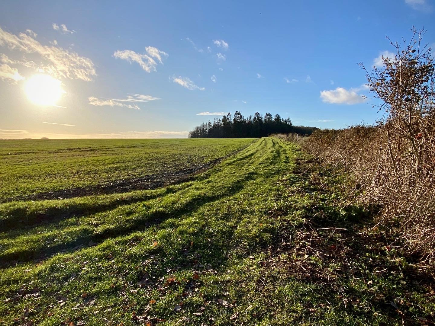
Follow the path in a northerly direction for just over 1km to take a right onto Chisbridge Lane. Soon there will be a split where a farm track leaves the lane. Follow this track to the left. Before this track reaches a cross-roads take a left onto a footpath that takes a westerly route through Bushes Wood to Colstre Lane. Follow Colstre Lane, still heading west for 250m, taking a right onto a footpath that follows a metal fence down the hill. Follow this path for 1.25km until you return to the Chiltern Way. Take a left onto the Chiltern Way and follow it back to Hambleden.
The Hambleden and Rotten Row walk is a shorter version of this circular that includes the Hutton’s Farm Trig Pillar.
Shakespeare’s Way previous section (north): Southend and Skirmitt (blog post coming soon)
Shakespeare’s Way next section (south): Bovingdon Green and Shillingridge Wood


