Chiltern Walks: Watlington Hill
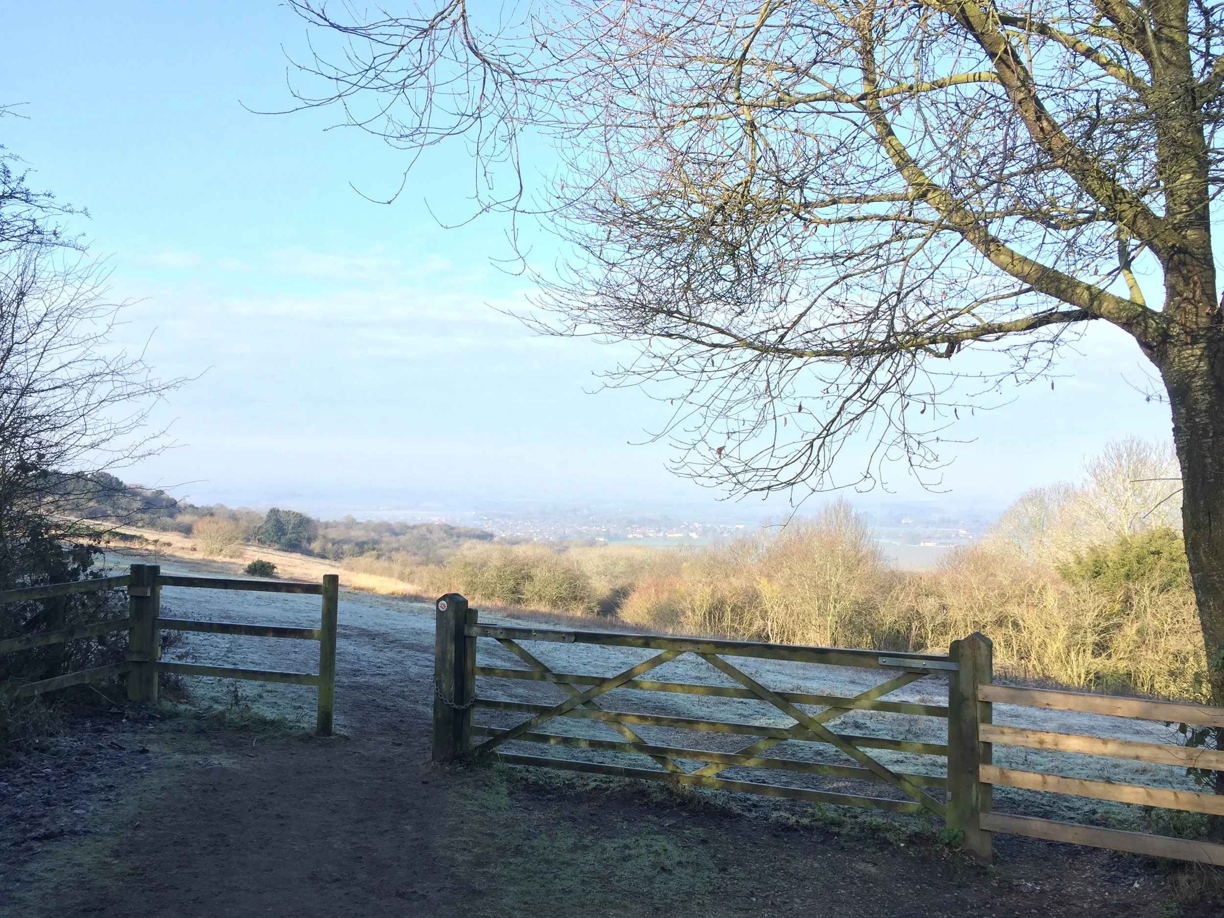
View to Watlington
Start / Finish: Watlington Hill NT Car Park, Watlington, OX49 5HS
Distance: 3.6km (2.2 miles)
Elevation change: +/- 104m
GPX File: get via Buy Me a Coffee
Other Routes Touched (walk): The Ridgeway
Other Routes Touched (cycle): None
Pubs / Cafes on route: None
Map: OS Explorer Map Active (171) Chiltern Hills West, Henley-on-Thames and Wallingford
Links: National Trust Watlington Hill, Watlington
Maybe it was the clear, sunny winter’s day, but I think I’ve found my new favourite short walk in the Chilterns. Judging from how packed was the car-park when we arrived, this is clearly a popular place. When we left at lunchtime it was overflowing with cars lined up along the road. The guidance below will help you navigate but don’t use it as a fully accurate turn-by-turn guide. Always take a map and/or a GPX route and prepare well for the weather and terrain.
From the car-park take a clockwise / Westerly direction and you’ll soon get great views to the North. After half a mile the trail descends steeply to Hill Road where you’ll turn left onto the Ridgeway. Follow the Ridgeway for about a quarter-mile then left a left through a gate and follow the path through the fields at the foot of the hill. The route hits a T-junction in the path at the end of the field. Take another left here and follow the path gradually ascending all the way back to the car-park.
If you’re heading back via the M40 there’s also the Shirburn Hill Trigpoint and Bald Hill, the Oxfordshire Historic County Top within 5 minutes drive of Watlington Hill or the pub


