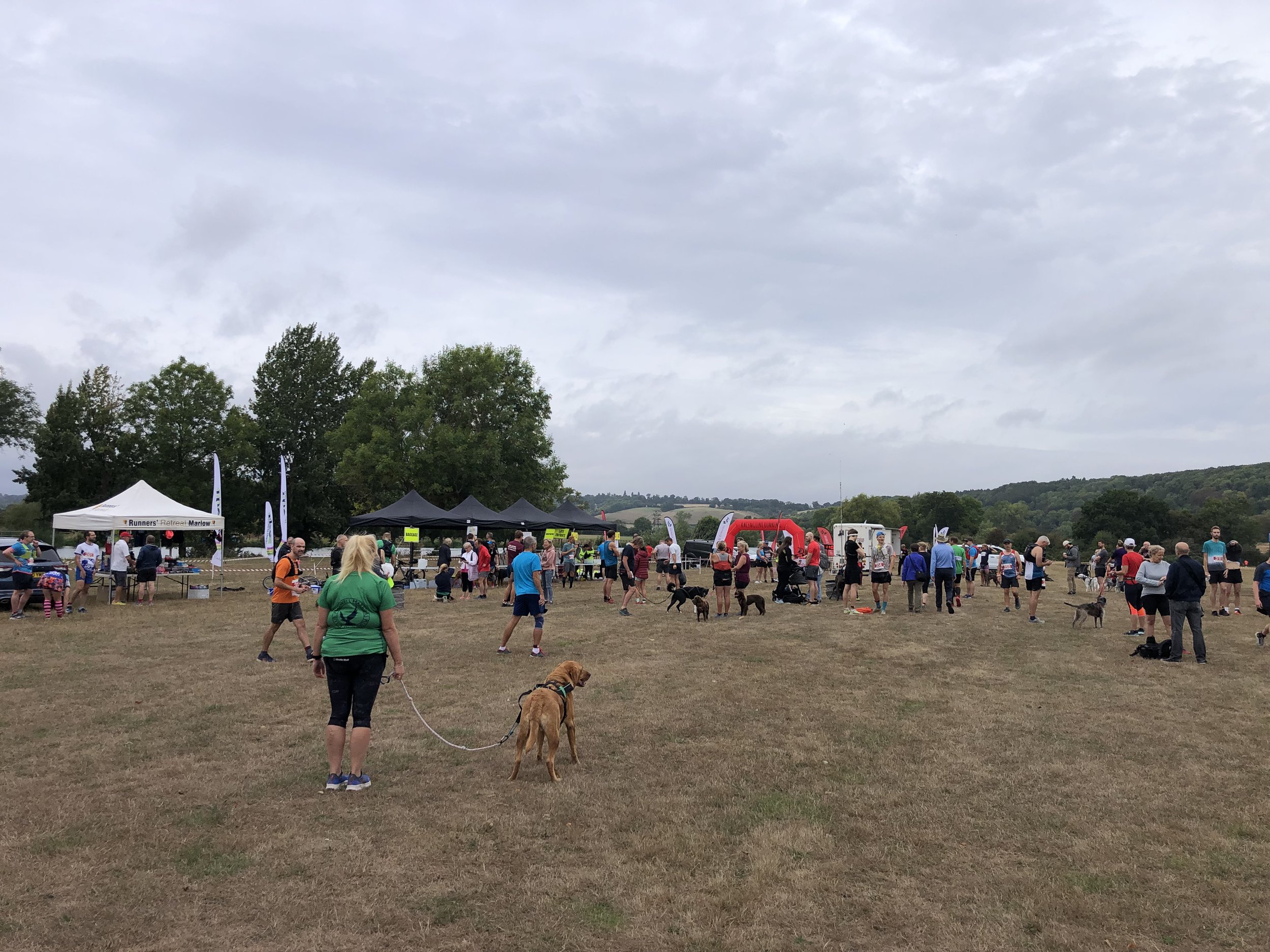
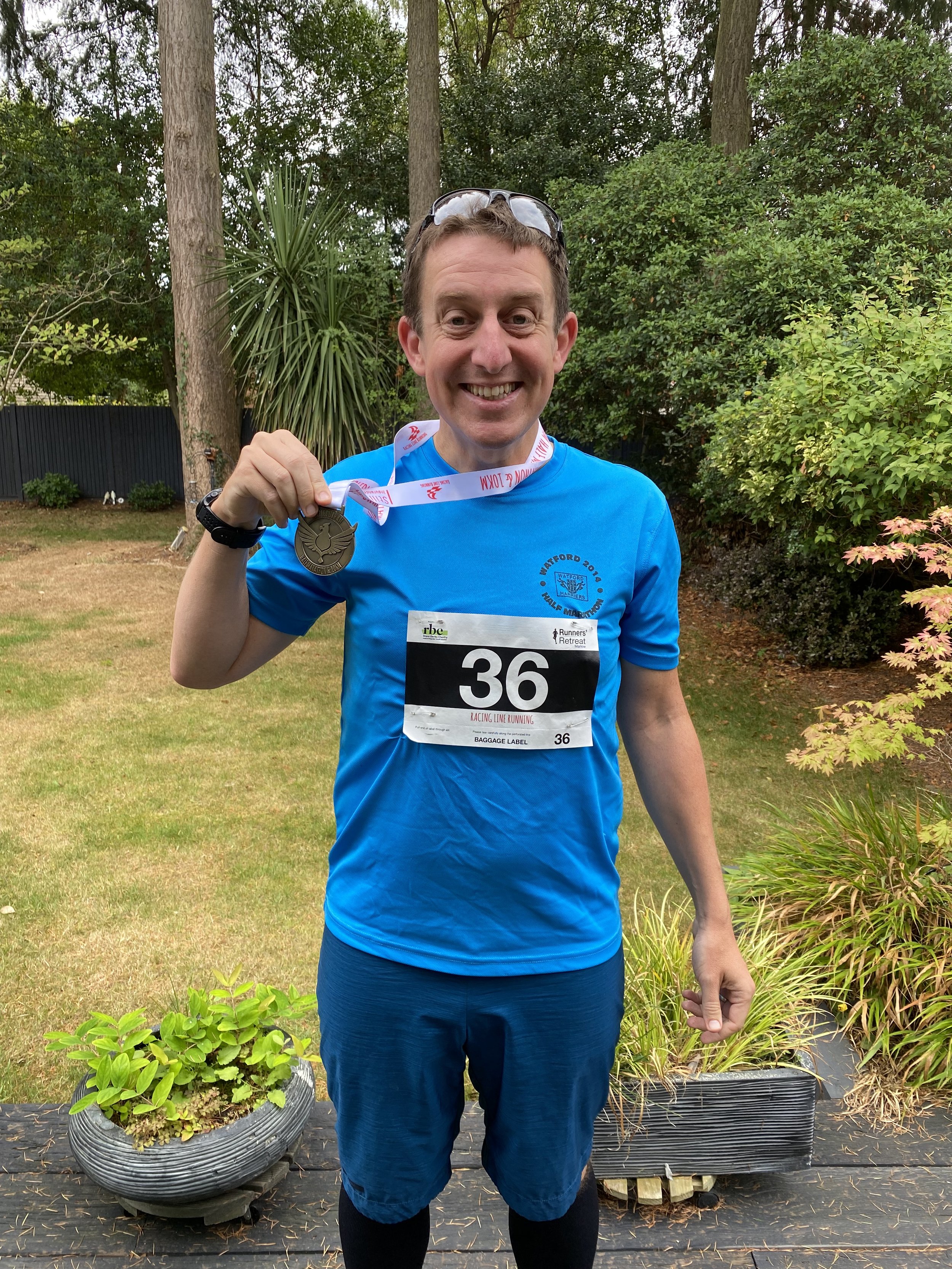
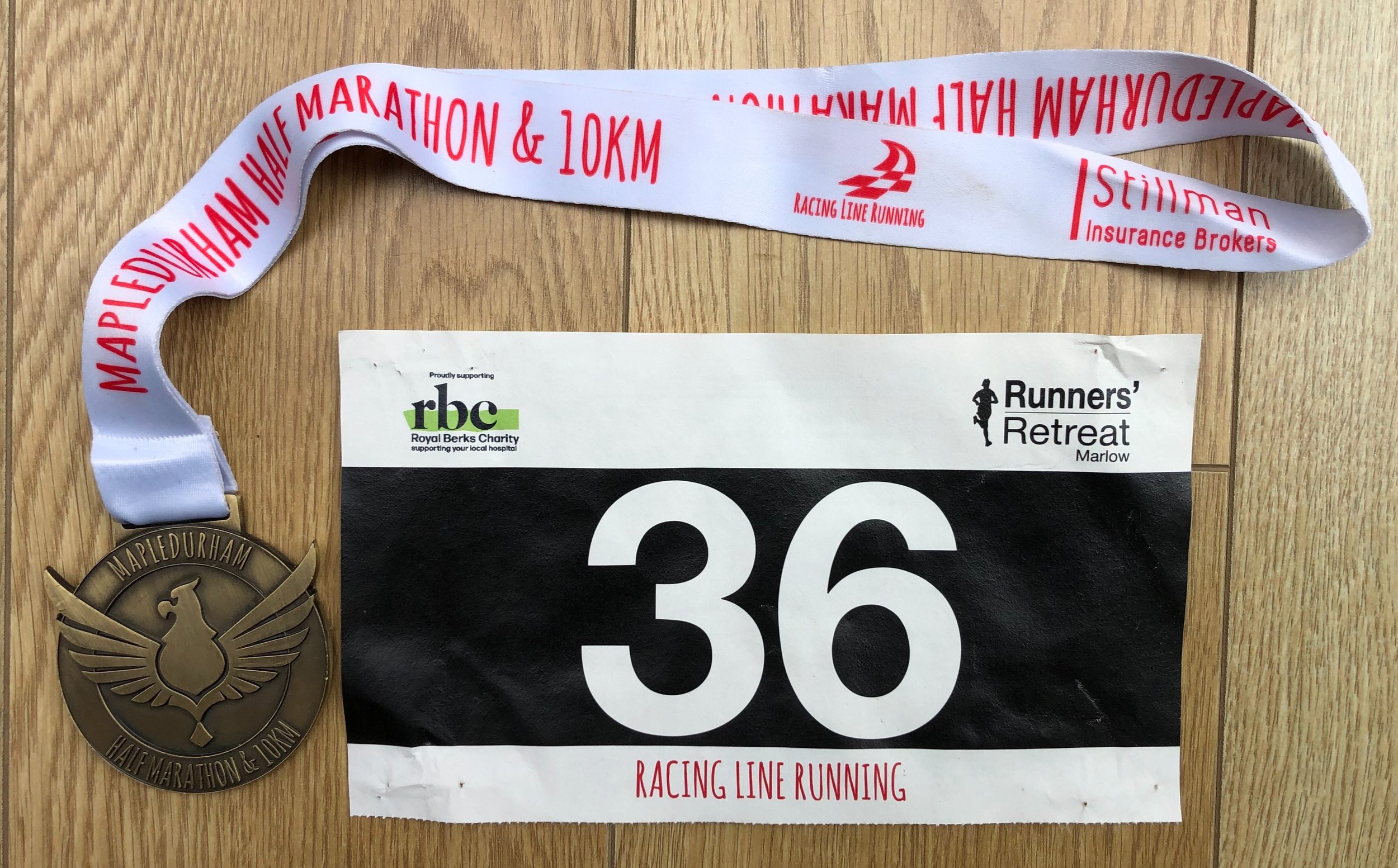
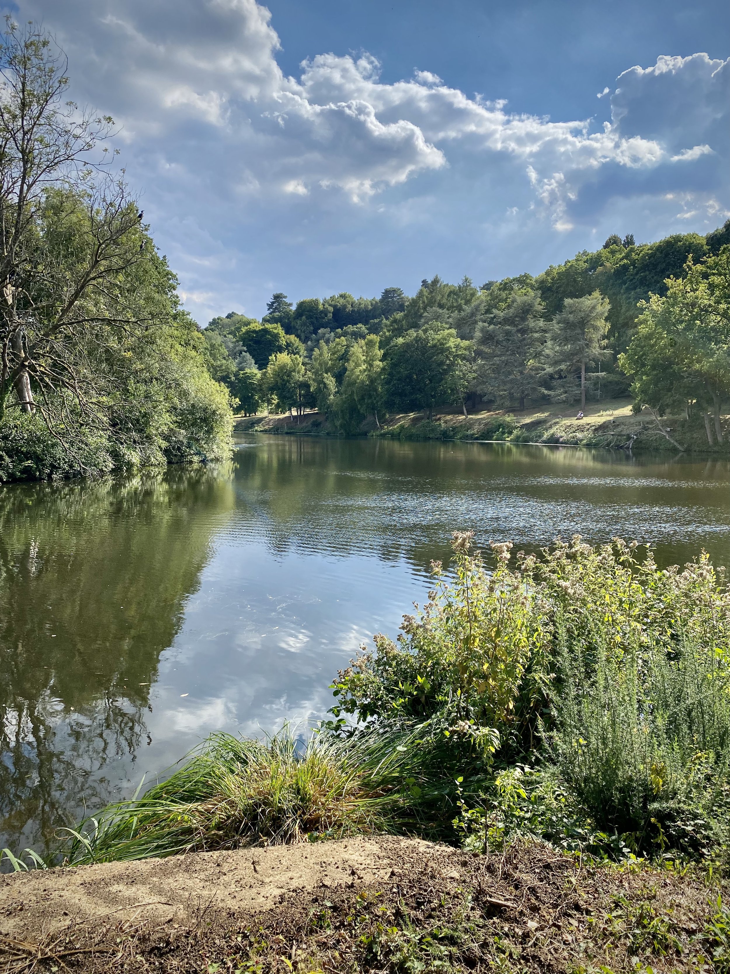
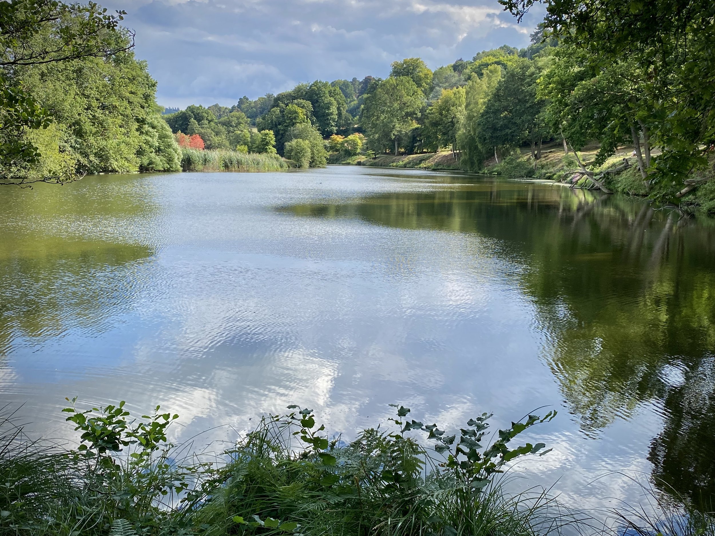
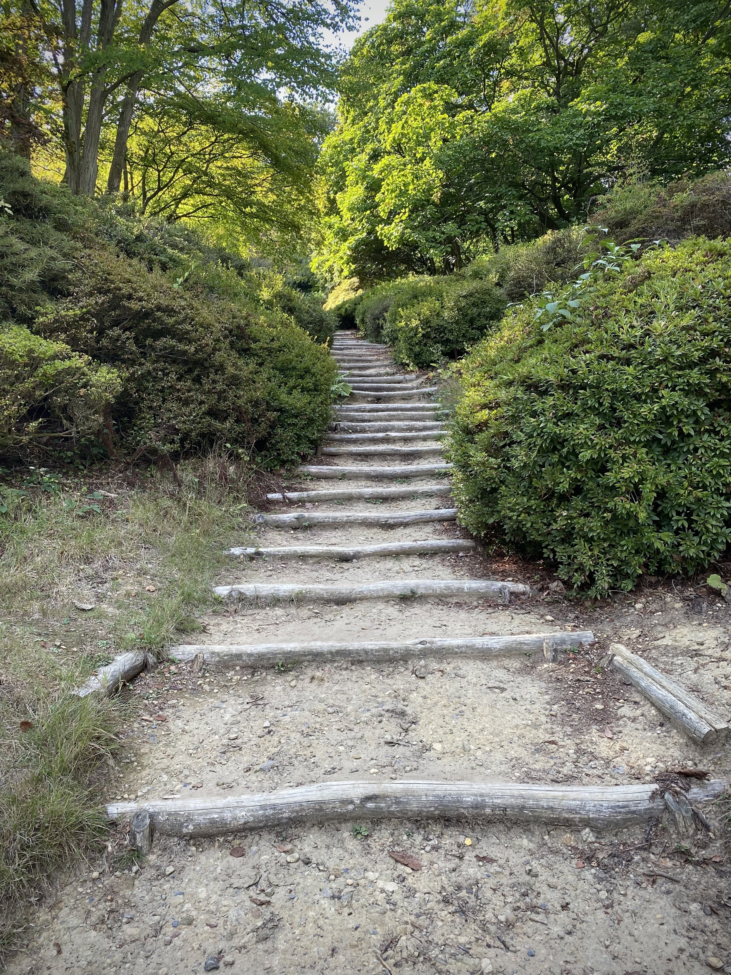
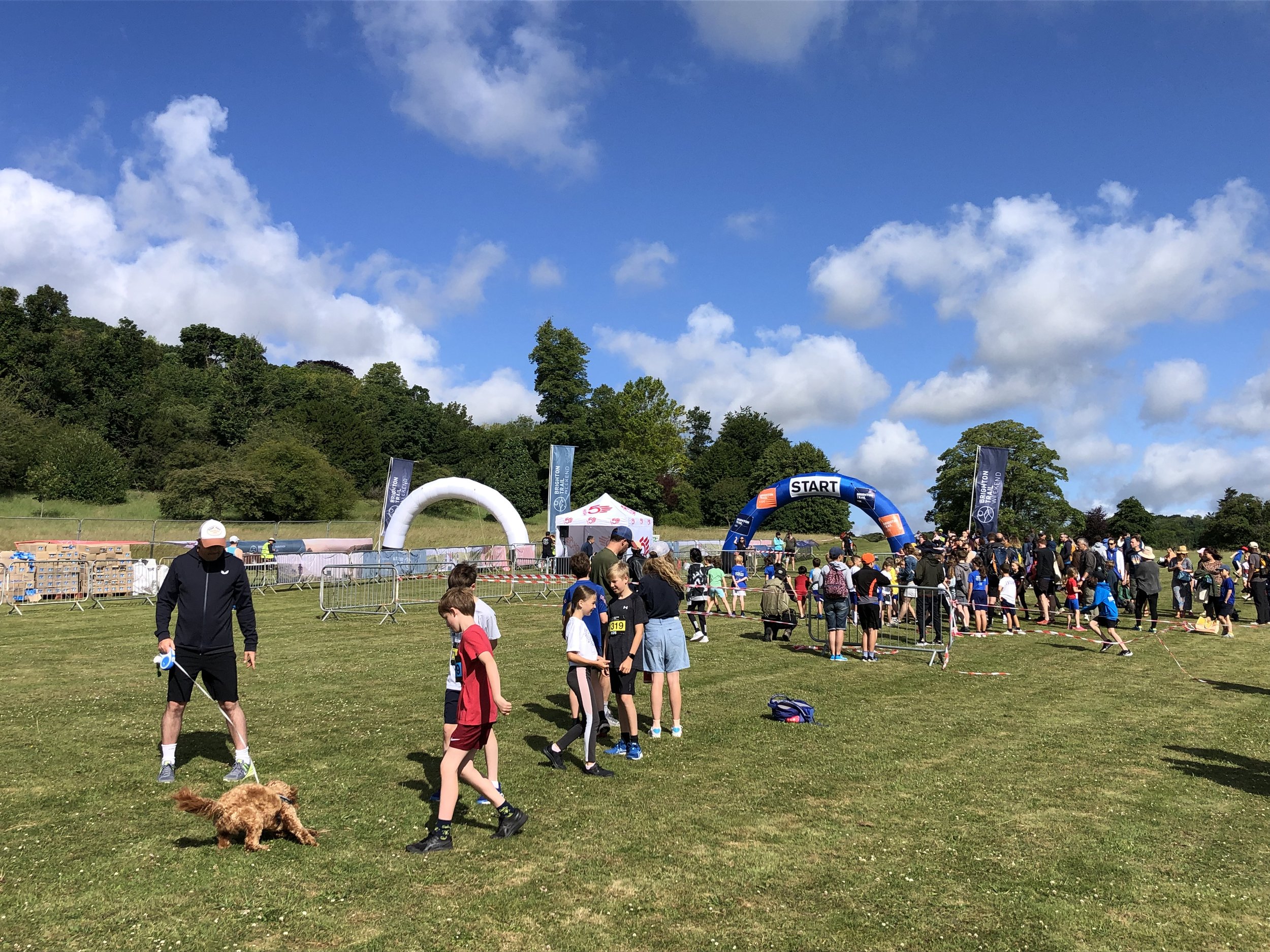
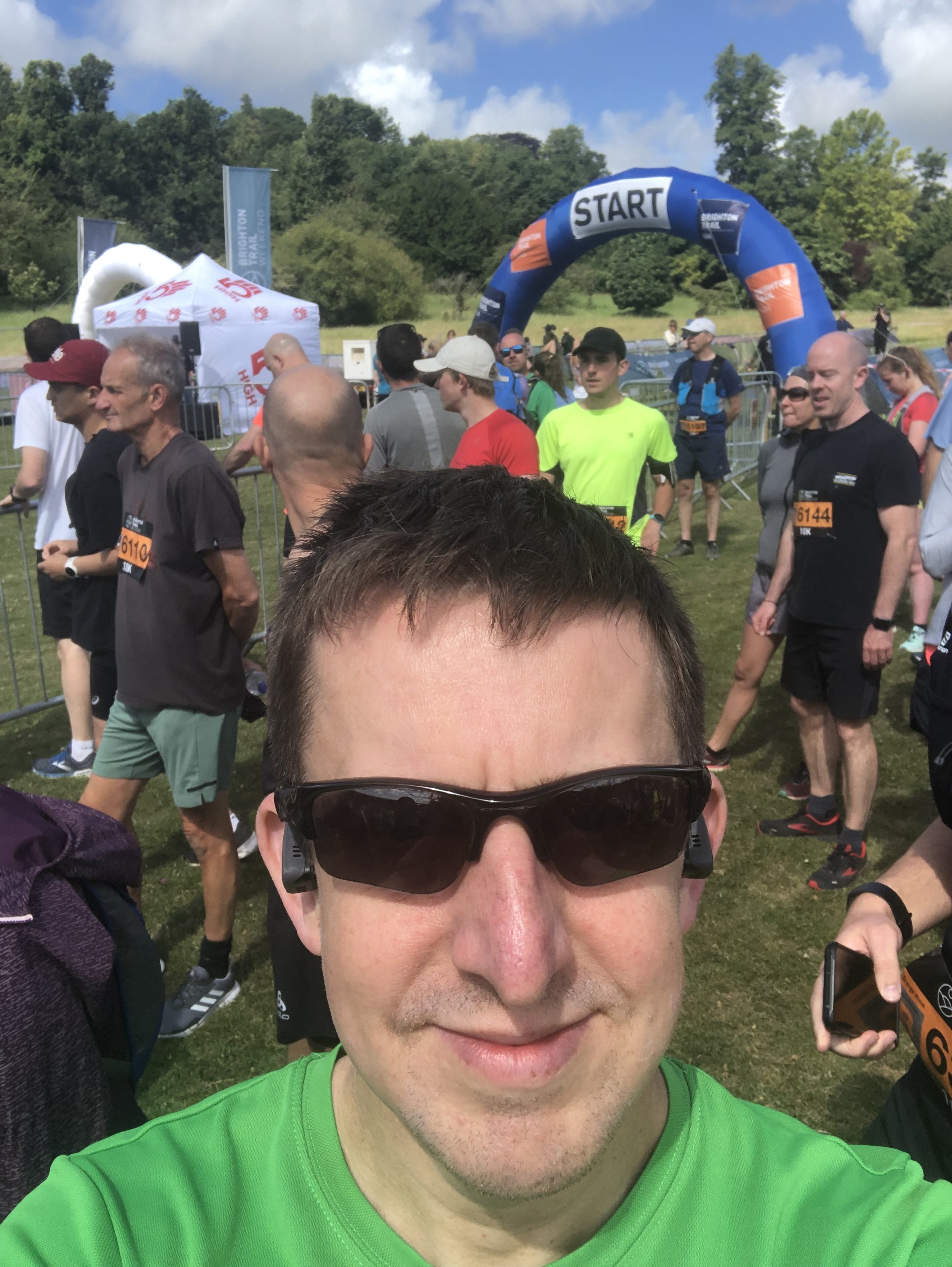
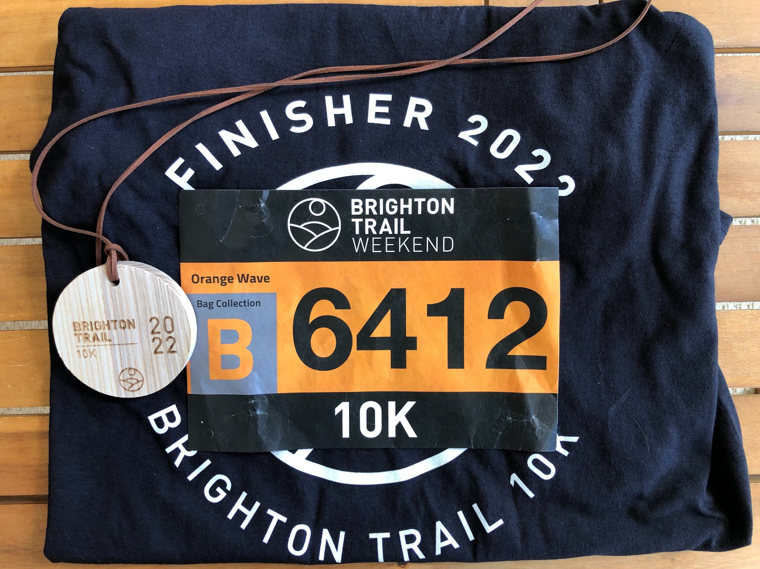
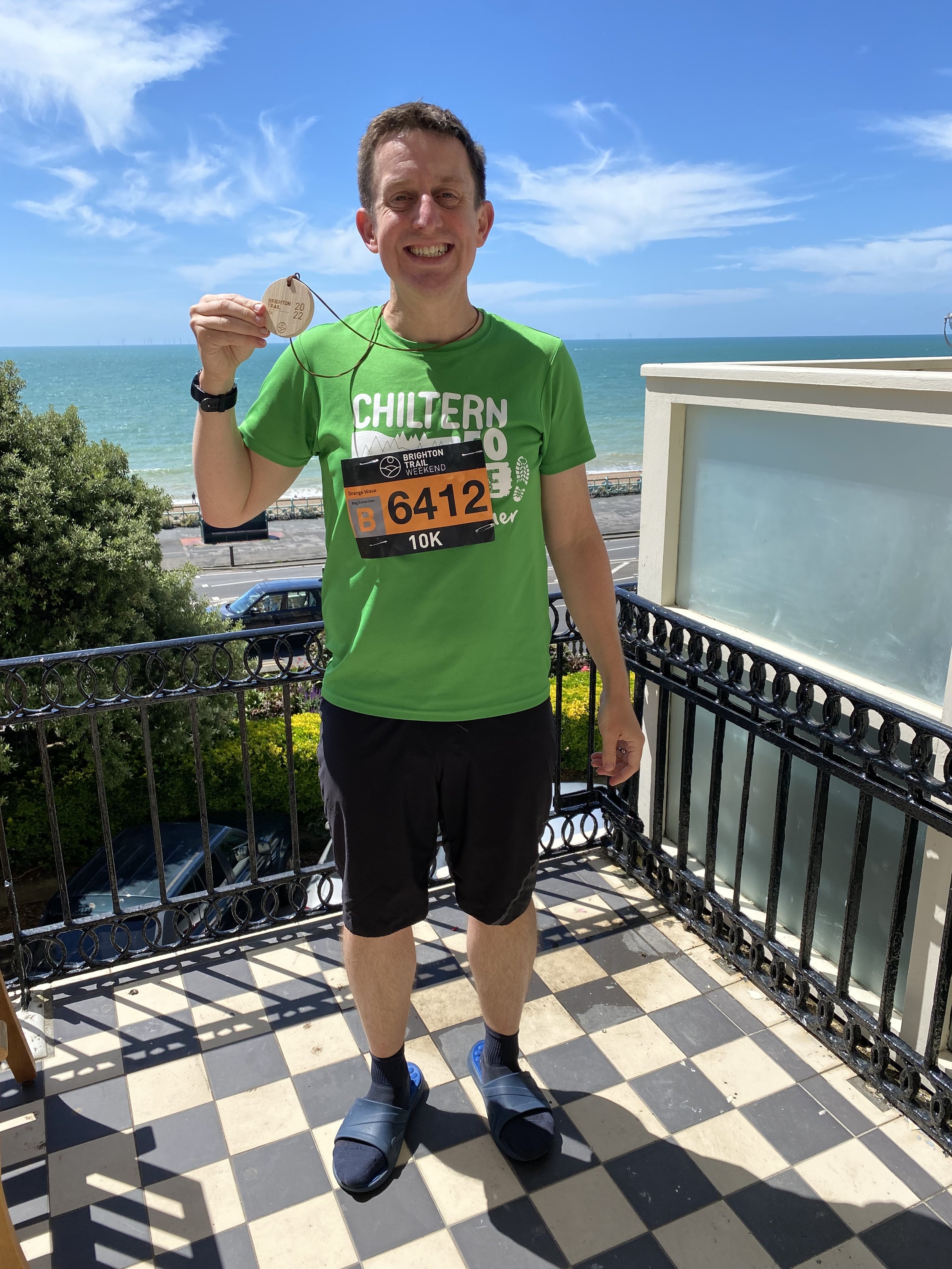
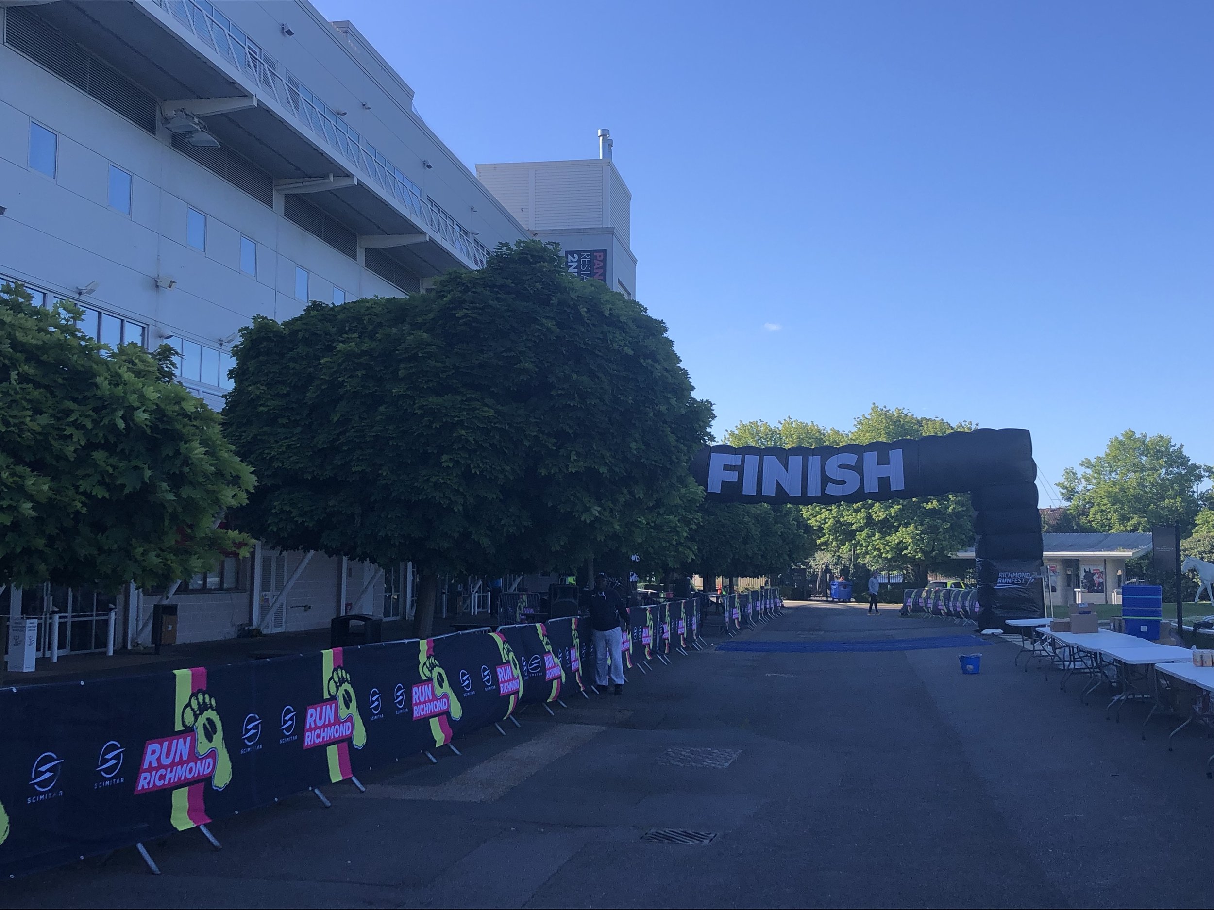
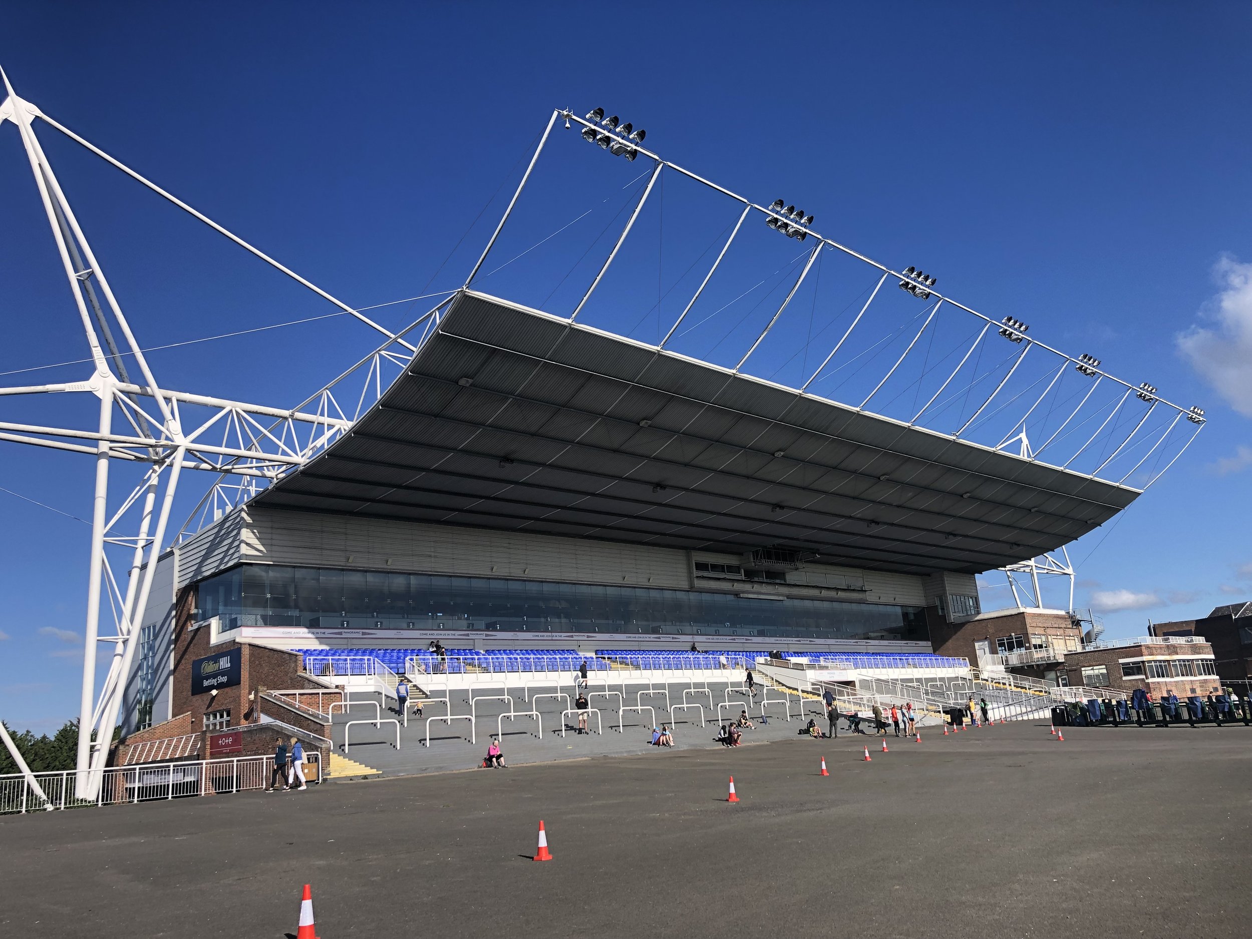
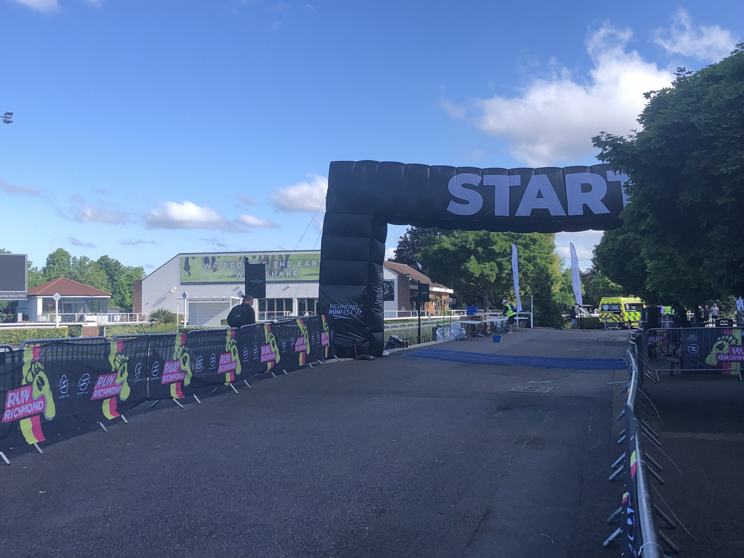
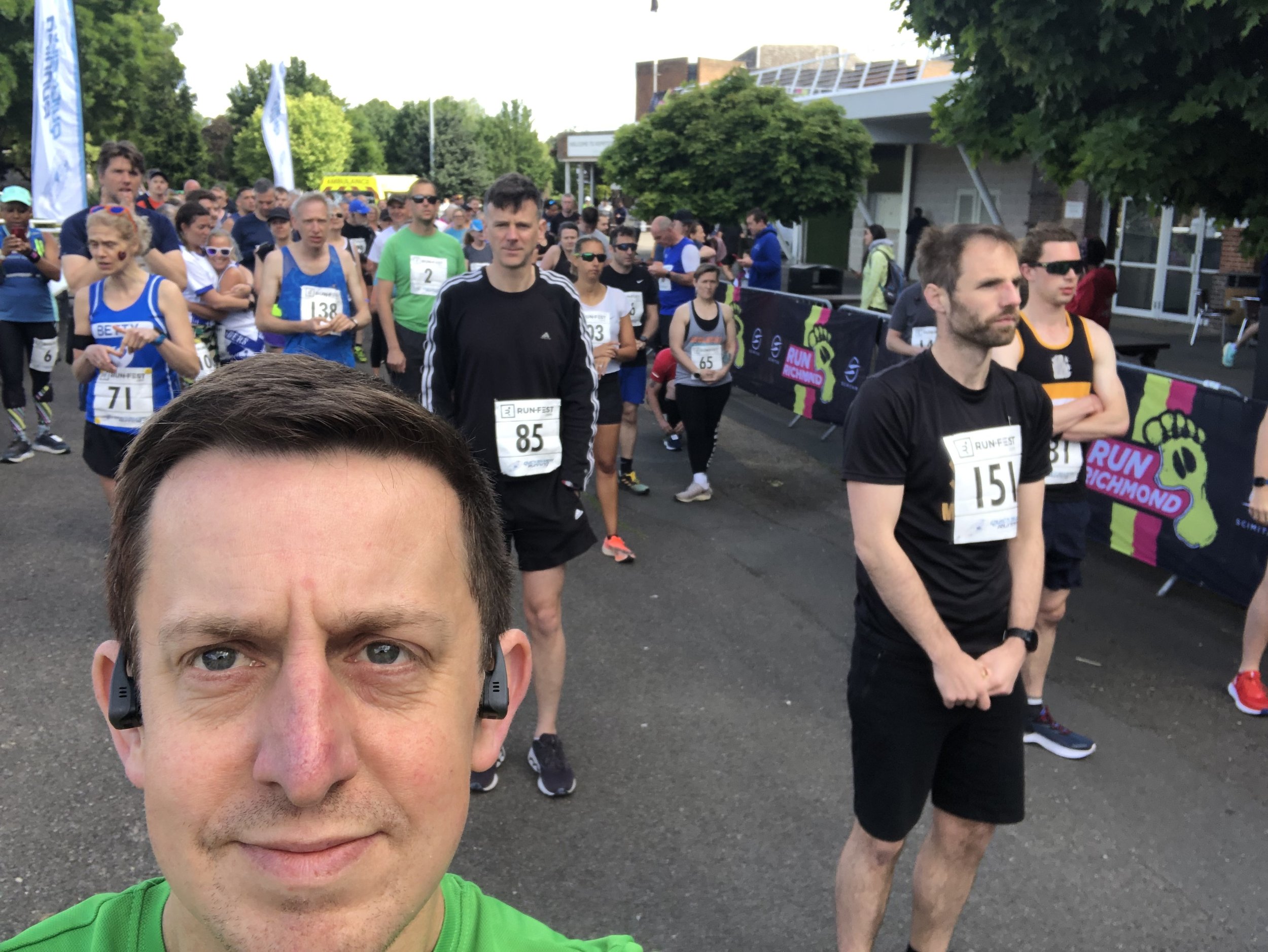
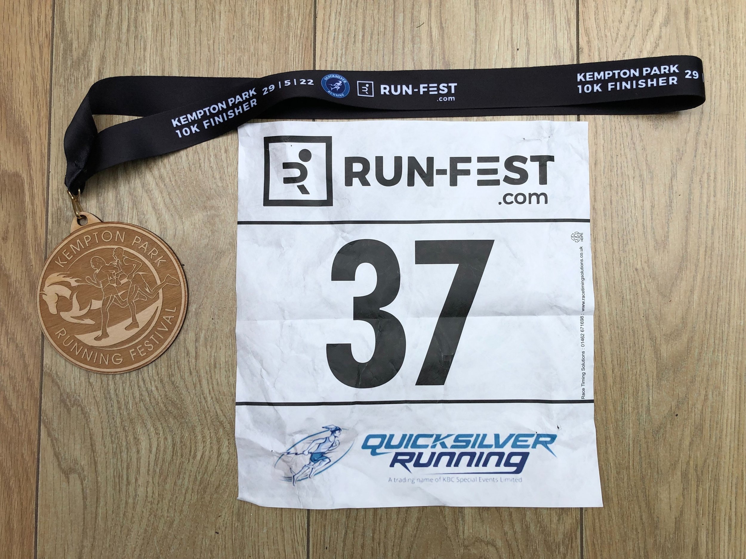
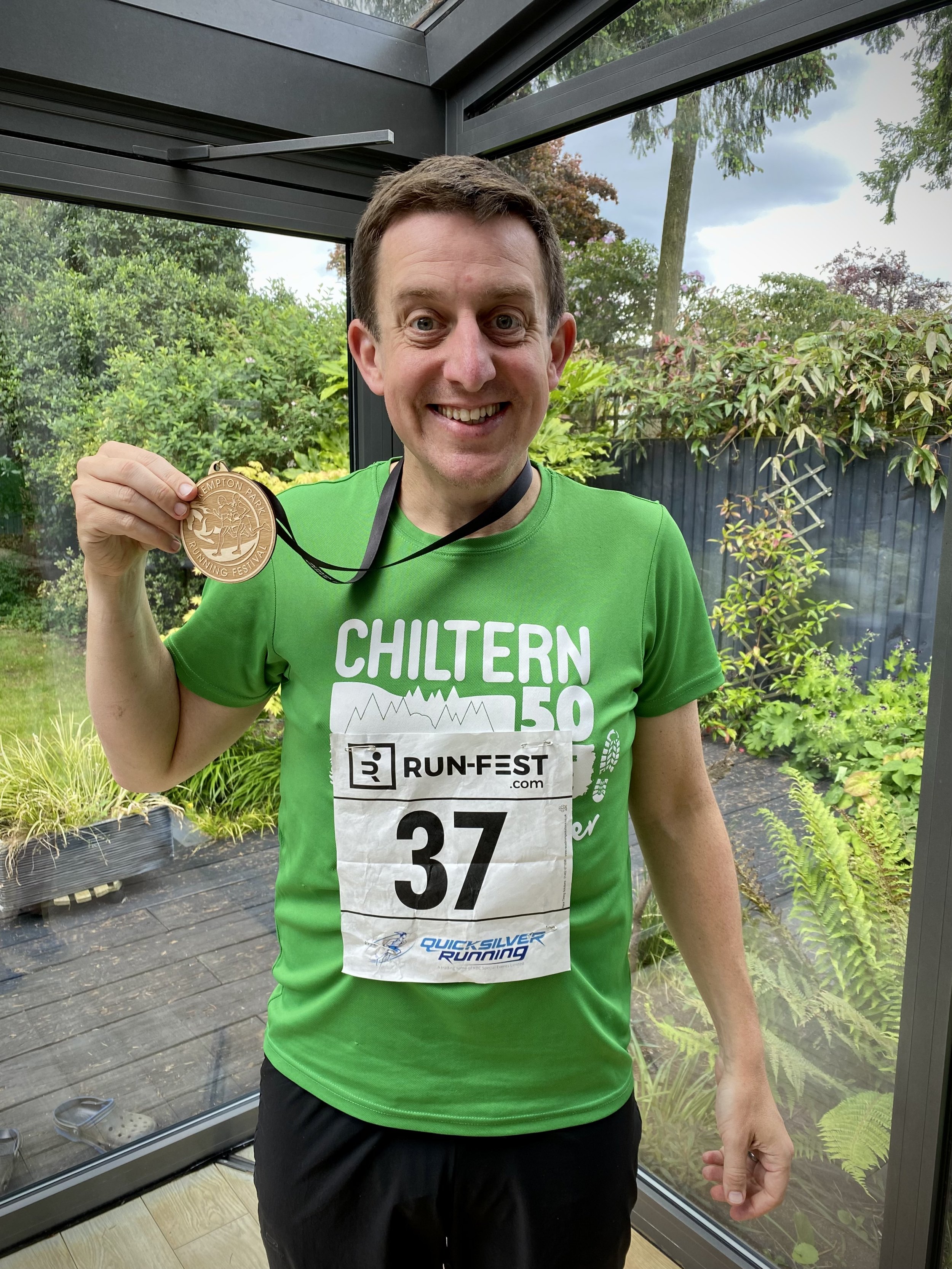
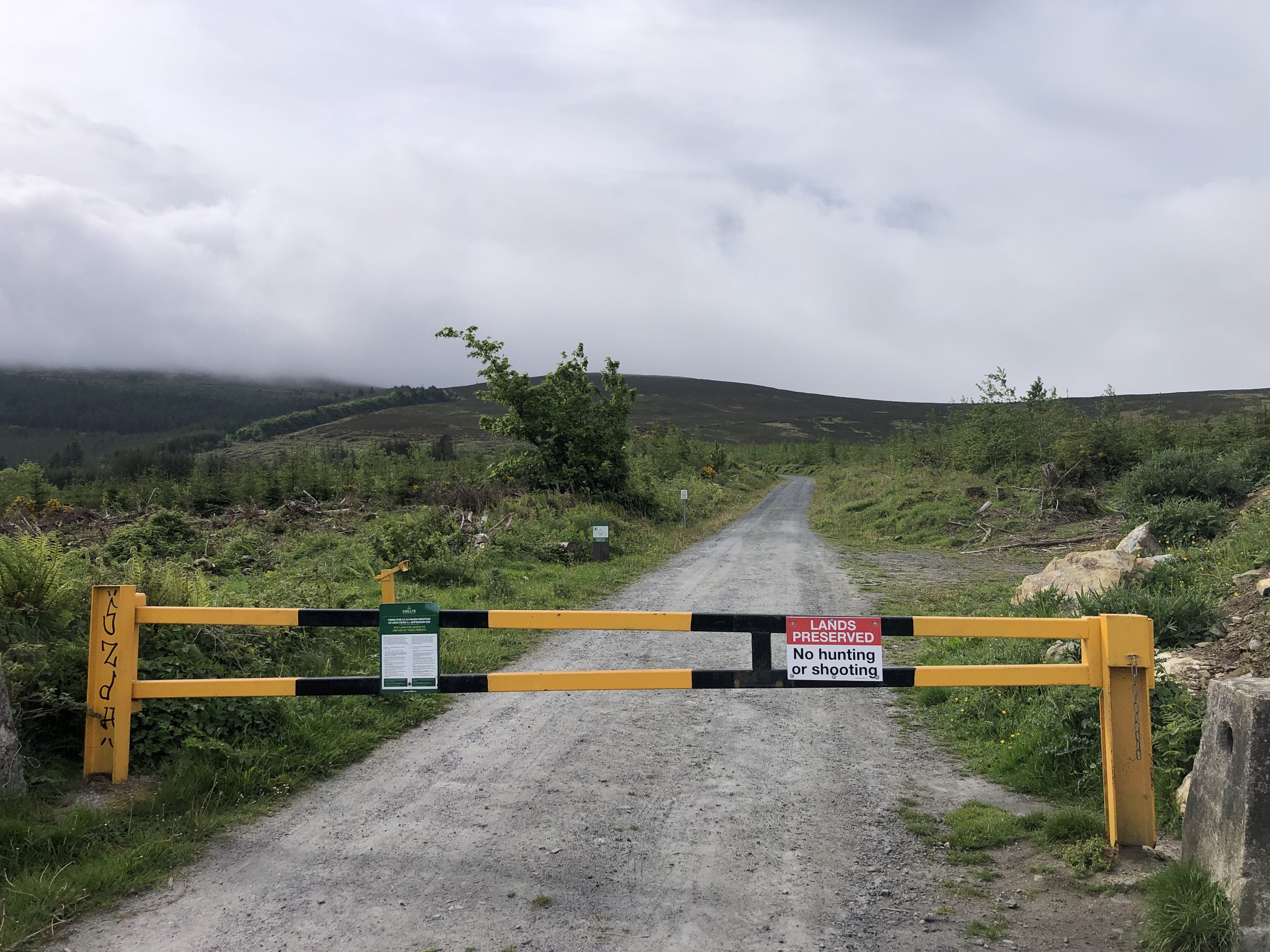
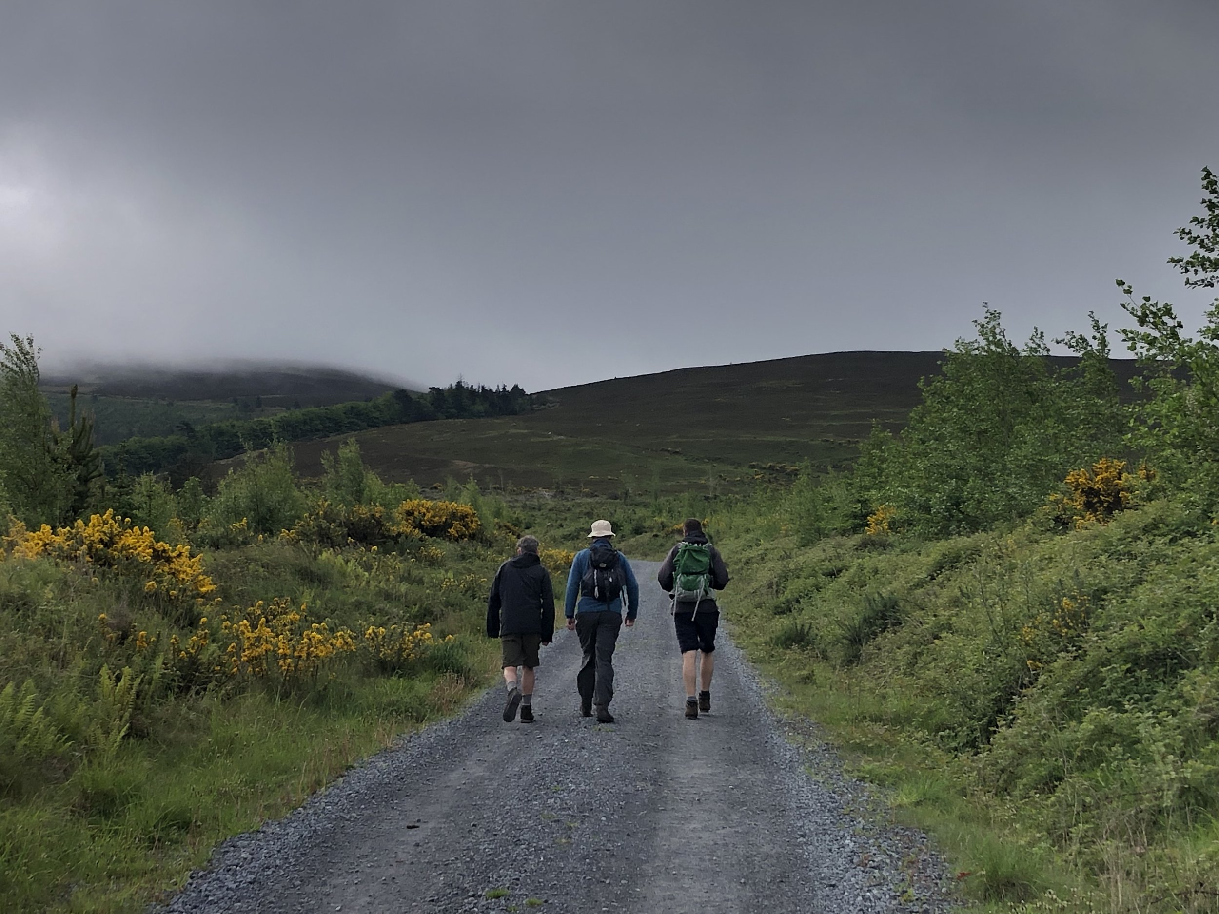
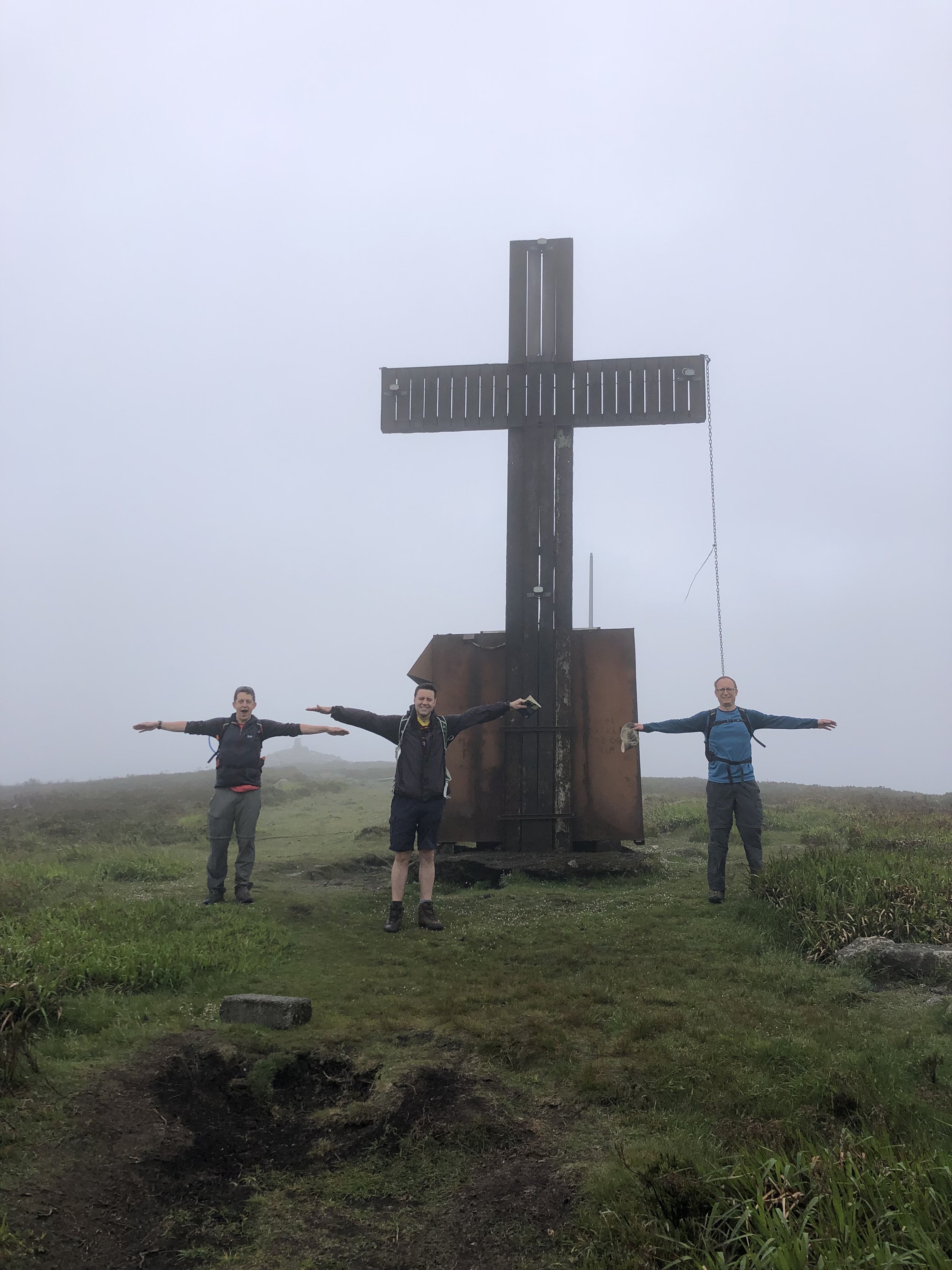
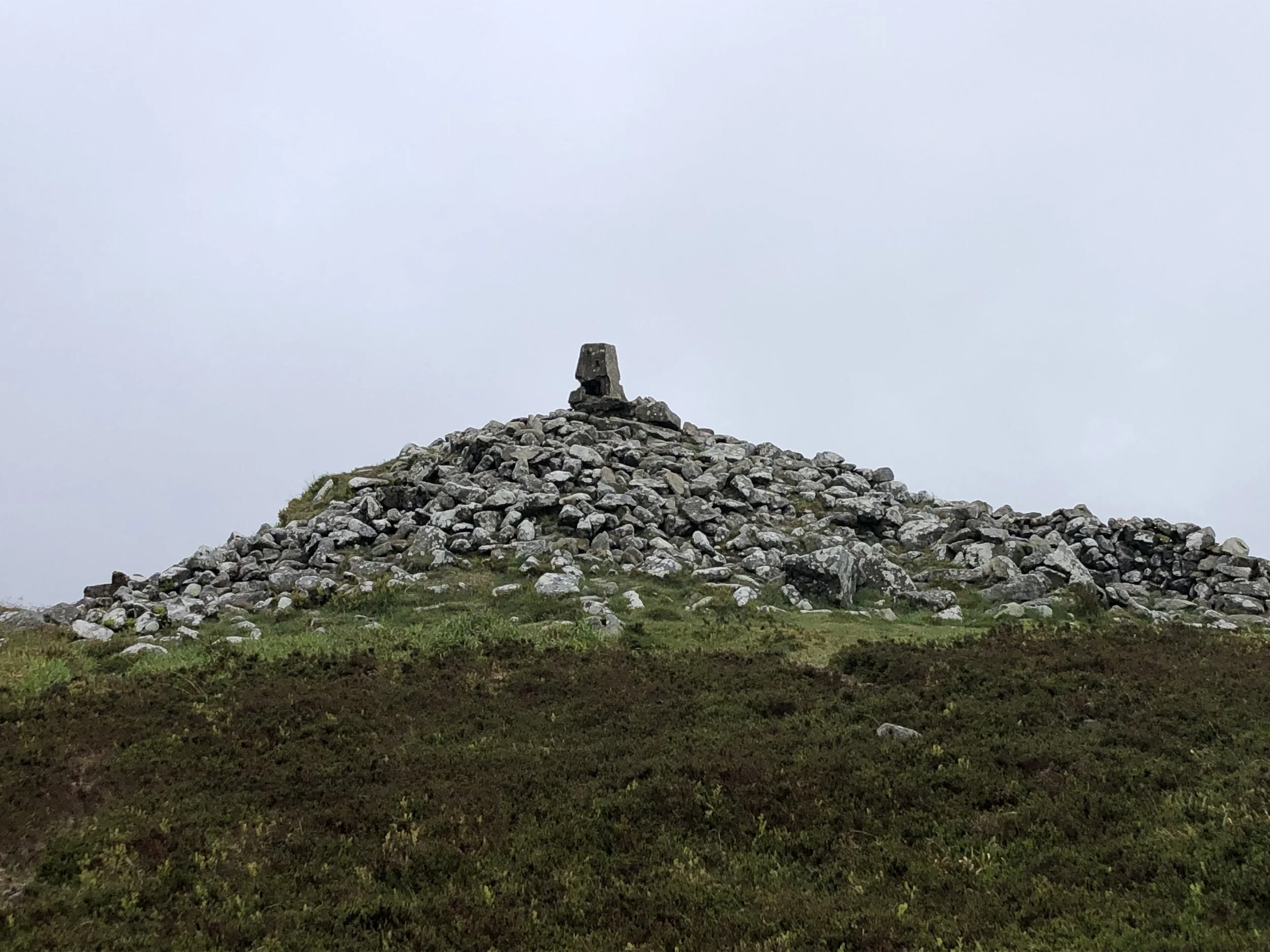
When: September 4th 2022
Where: Mapledurham Country Park, RG4 7TR
Course: Single loop hilly course in the woods and fields around Mapledurham Country Park.
Other routes touched (walk): Chiltern Way Southern Extension
Finish time: 57:48
Pewley Down, Guildford
Start & Finish: Millbrook Car Park, A281, Guildford, GU1 3XJ
Distance: 8.1 km (5 miles)
Elevation change: +/- 147m
GPX File: get via Buy Me a Coffee
Other routes touched (walk): Wey-South Path, North Downs Way
Other routes touched (cycle): NCN 22
Pubs / Cafes on route: The Weyside (at start), Seahorse Guildford (at 2..3km), The March Hare (at 7.6 km)
Map: Guildford & Farnham Map | Godalming & Farnborough | Ordnance Survey | OS Explorer Map 145
Links: Guildford, River Wey, Shalford Mill National Trust, Chantry Wood, Pewley Down, Semaphore House, Guildford Castle
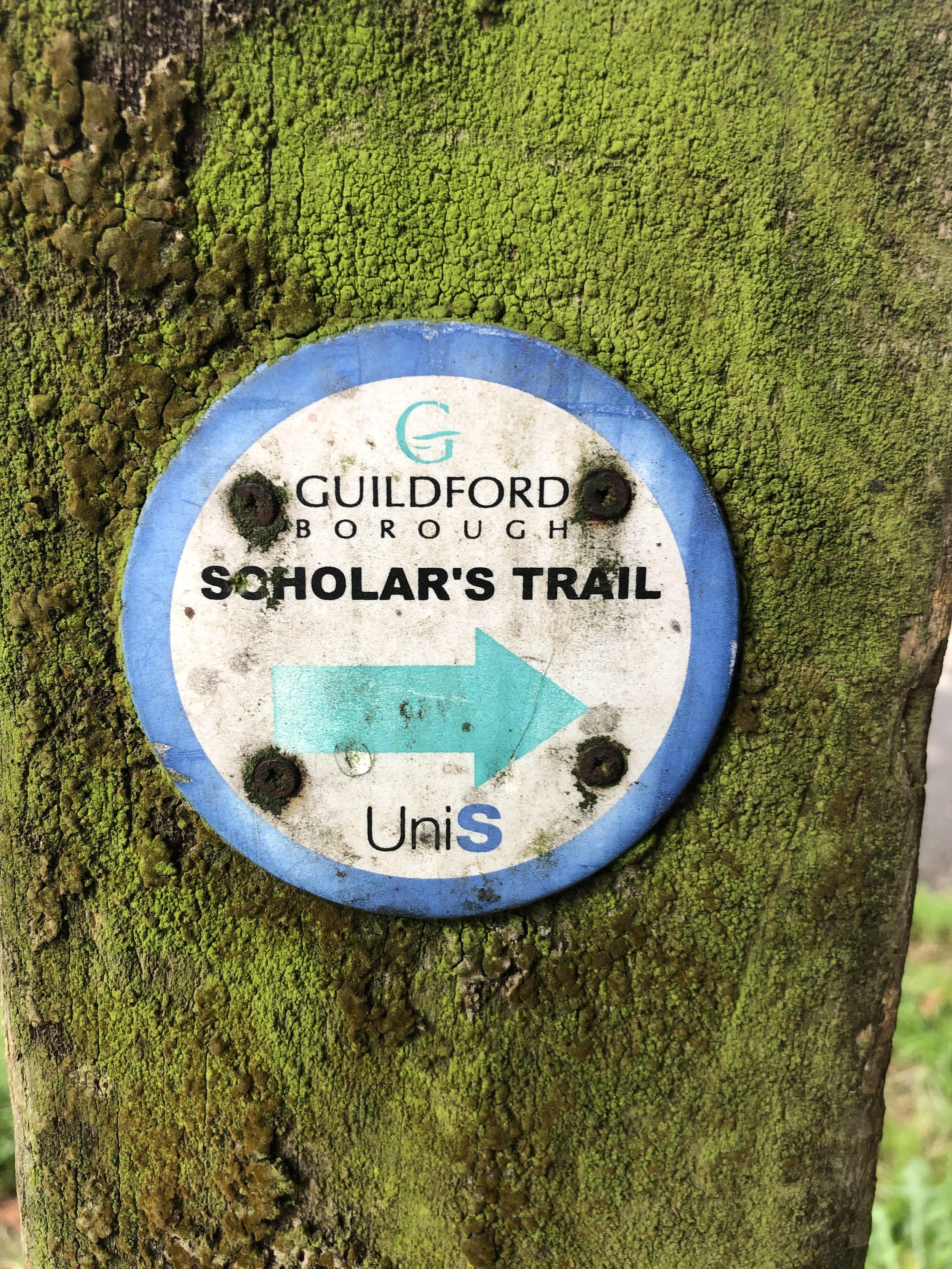
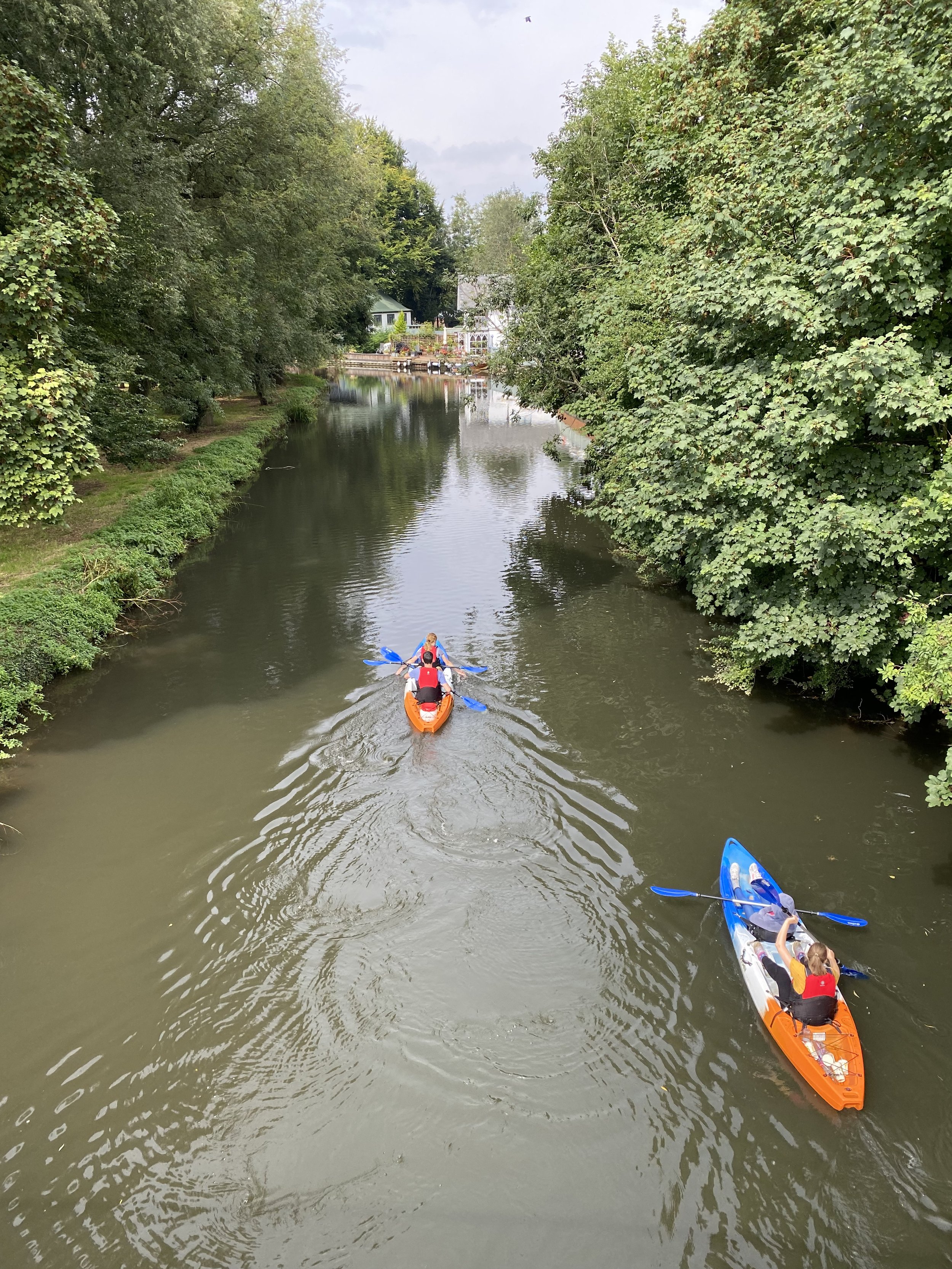
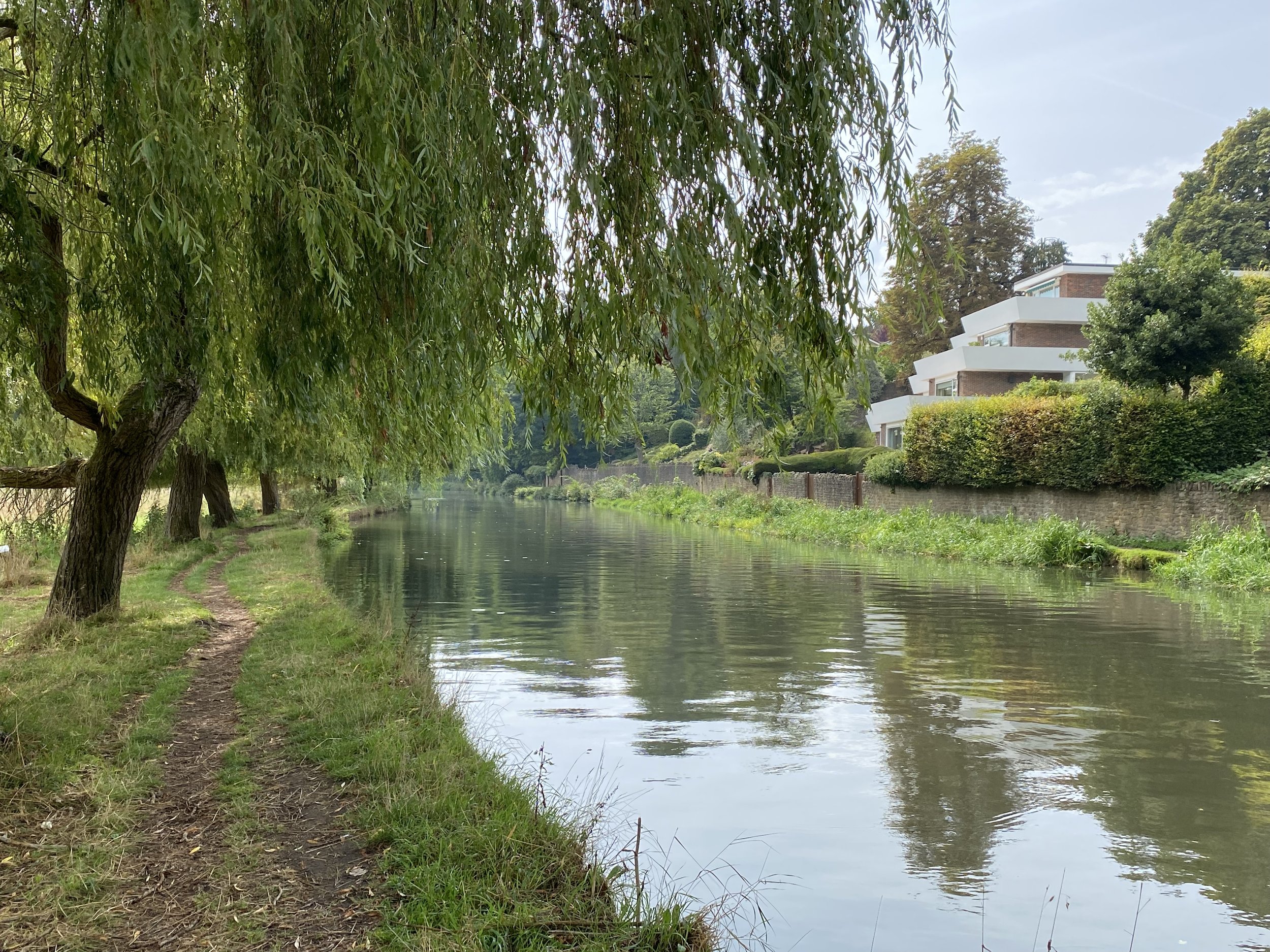
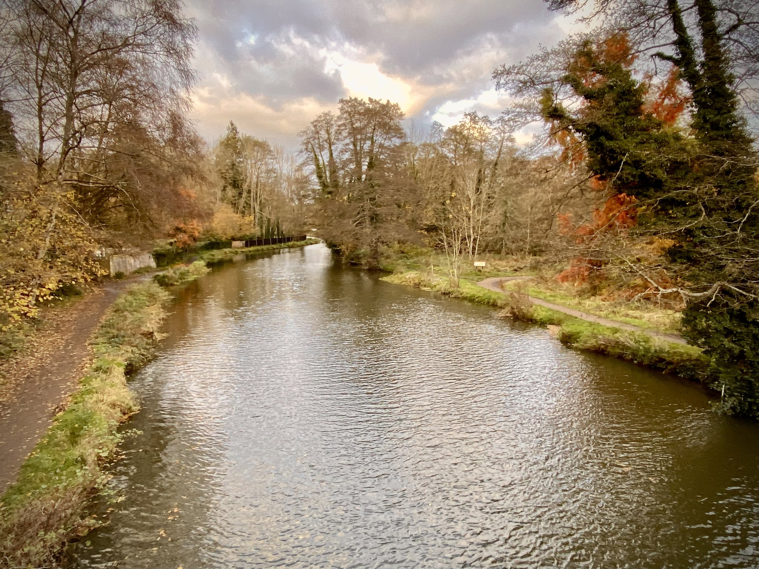
This is a short circular walk starting and ending in the centre of Guildford, Surrey. I’d seen it a few times on maps and crossed it a couple of times but otherwise hadn’t heard much about it. I also couldn’t find anything about it on the internet. Please contact me or comment below if you know anything about the background to the trail. Despite not knowing much about its background we found this to be a very pleasant short walk with several points of interest along the way.
We parked at Millbrook Car Park in the centre of Guildford and headed south along the east hand-side of the River Wey. Shortly after the Weyside pub you can cross over the Wey to join the Wey-South Path continuing south on the west side of the river. The towpath was blocked off for repairs when we were there but you can also follow the river on the east side of the path and reconnect ~1km later at the next bridge.
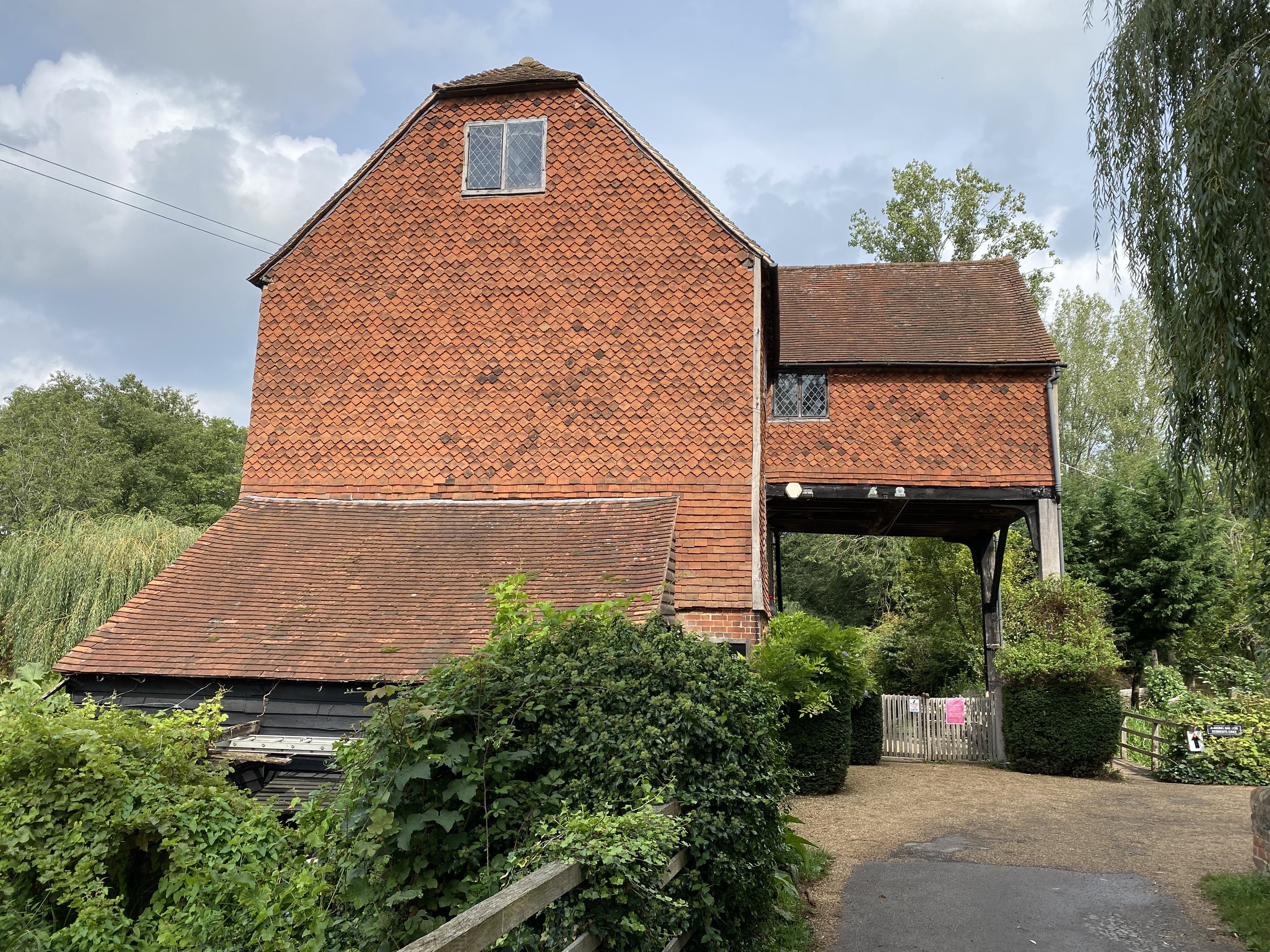
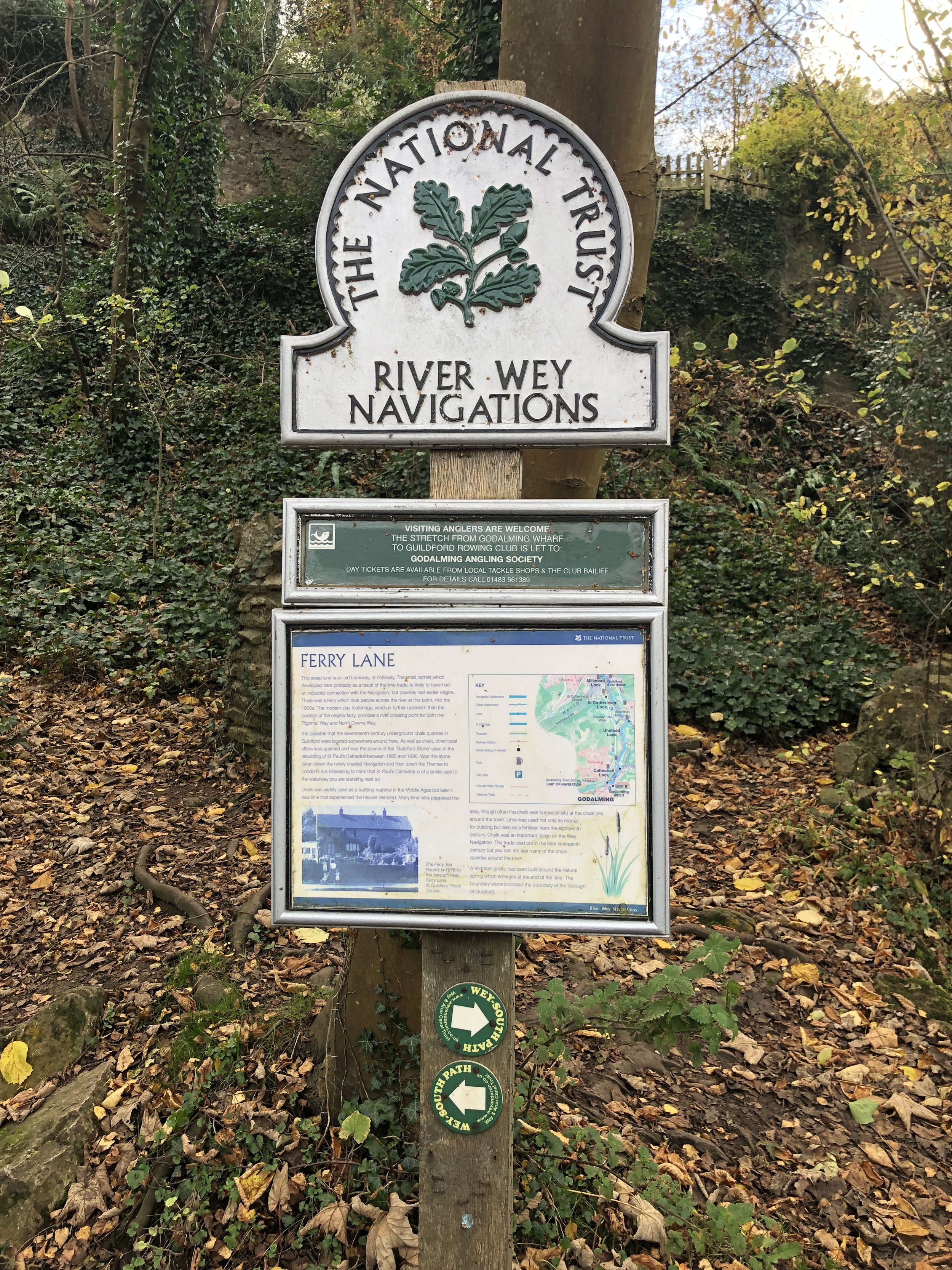
If you’re on the west side, you’ll reach a wooden bridge near Ferry Lane. Cross this bridge and return to the east side of the river. You’ll now be on the North Downs Way heading east. When you reach Shalford Park leave the North Downs Way and follow the path on the western edge of the park, continuing south over the Tillingbourne. At a path junction follow the Scholar’s Trail signs to take a left turn to meet the A281 near the Seahorse pub. Take a right onto the A281 then, cross over and take a left onto the lane to Shalford Mill. The Mill is a small National Trust property that’s worth a visit, especially if you’re a member.
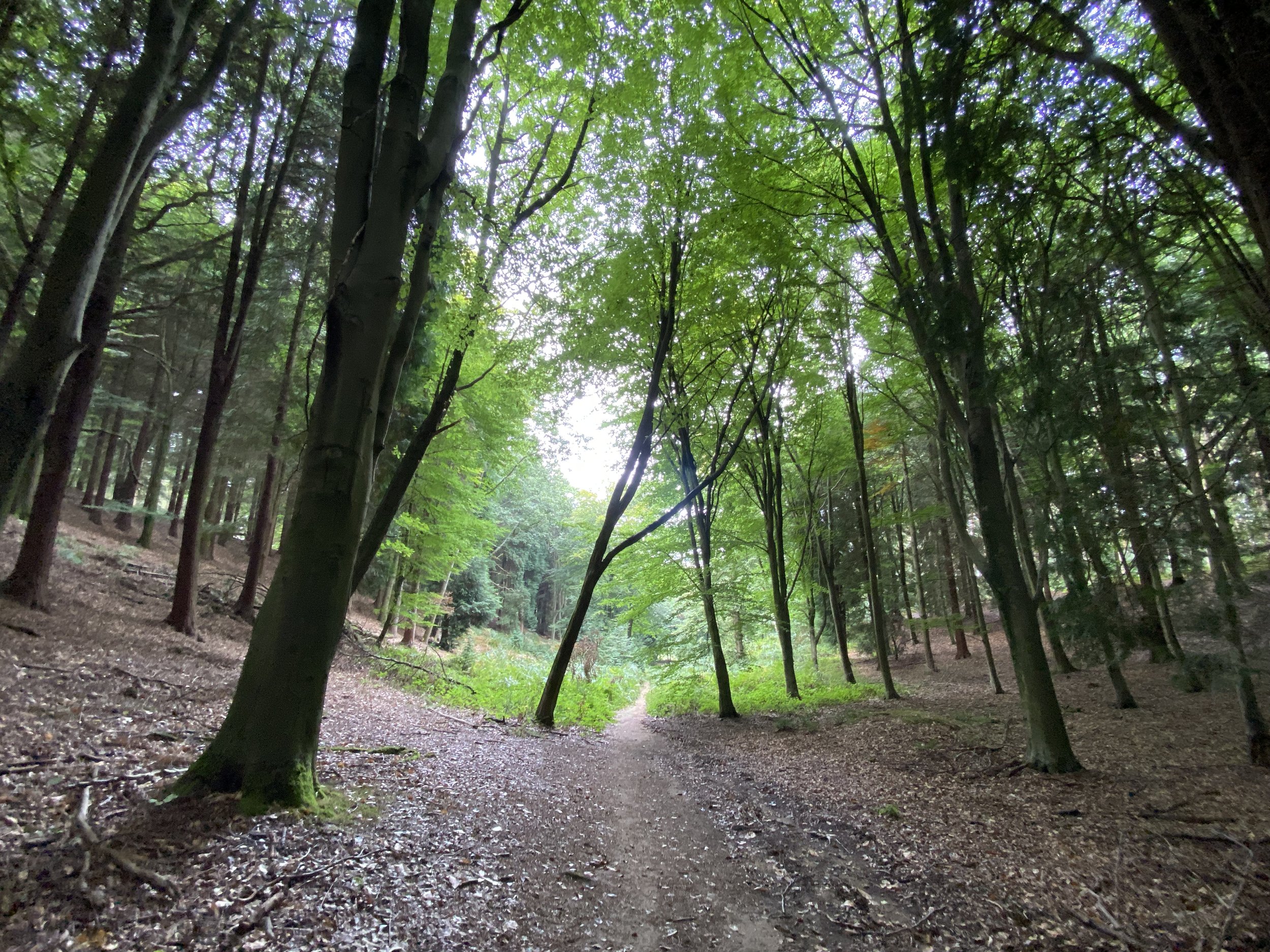
From Shalford Mill continue along the path in a north-easterly direction. Join Shepherds Way in a northerly direction for ~300m then take a right onto a narrow path when the road curves to the left. When you reach the next road take a right into Chantry Wood. The Trail snakes through Chantry Wood for 2.5km. We didn’t see a lot of Scholar’s Trail signs here, especially on some important junctions, so a map or GPX route is essential here.
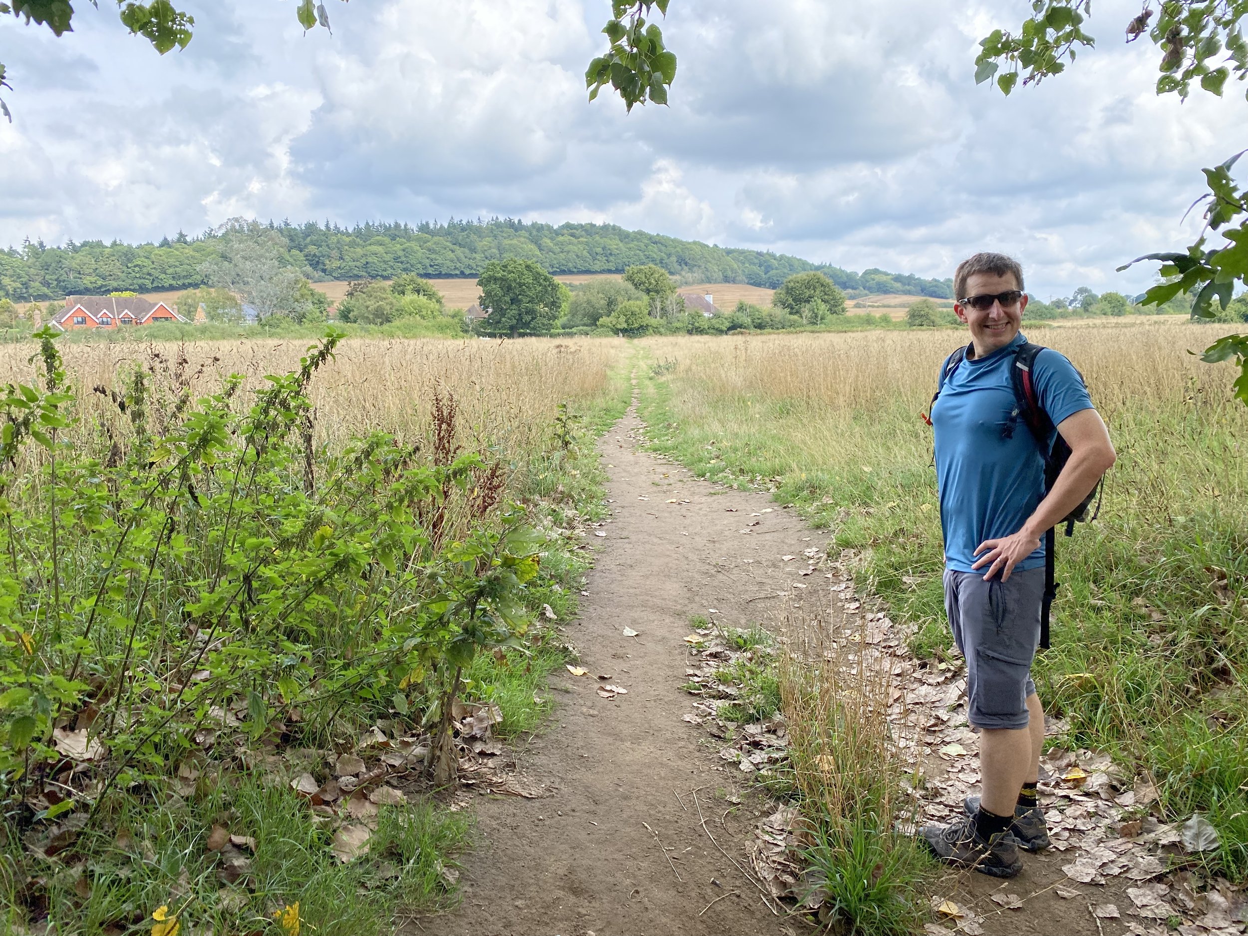
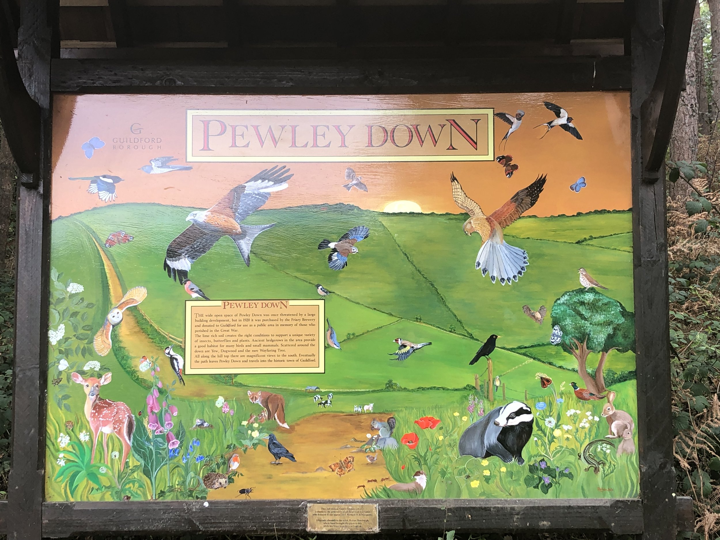
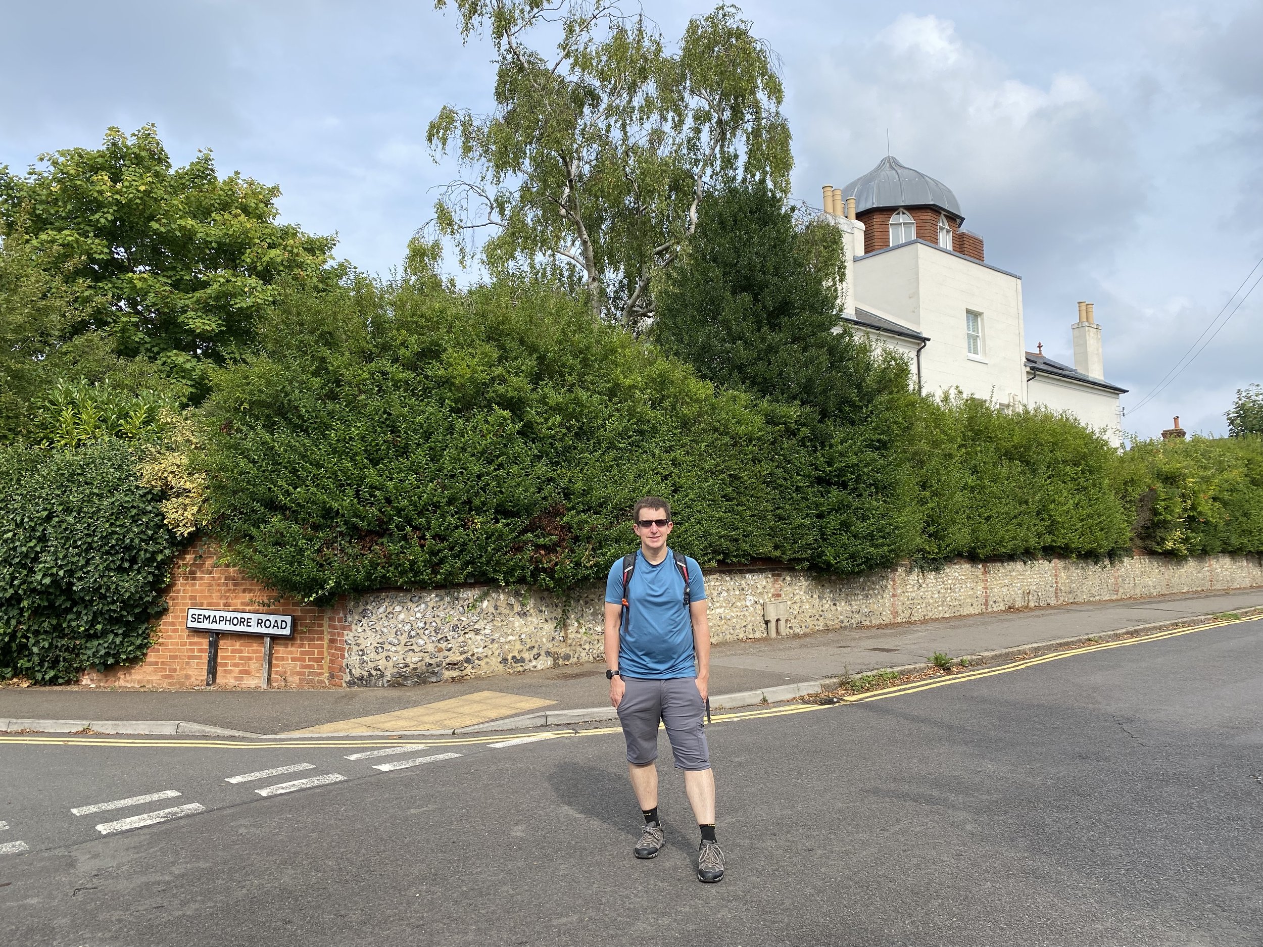
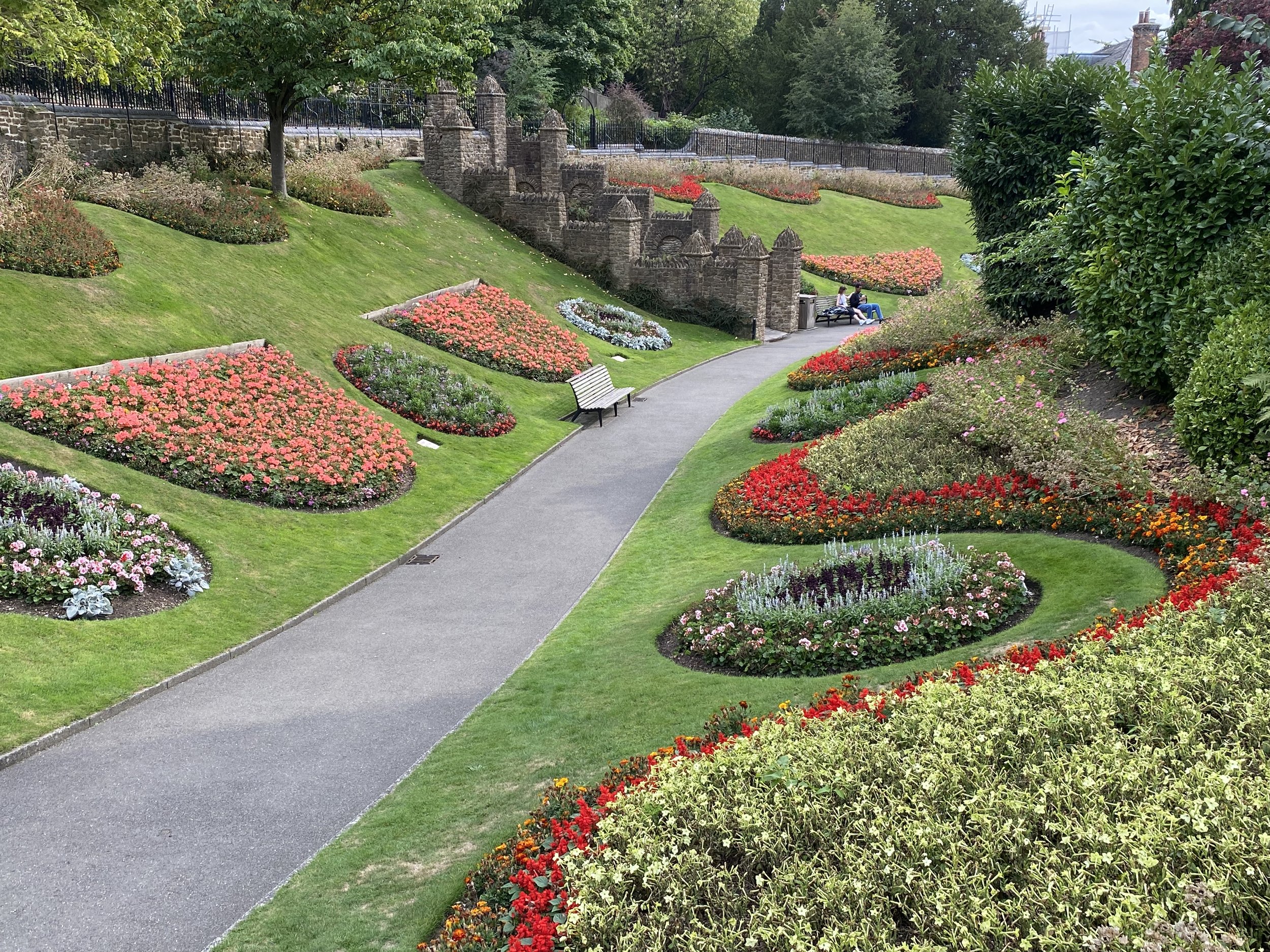
At 5.5 km into the walk the Trail takes a sharp left turn out of the wood and though fields in a north-westerly direction. This is a long, straight section that takes you across Pewley Down back into Guildford. Stop on the way for some great views to the south from the top of Pewley Down. Head to the north-west corner of Pewley Down to Pewley Hill (road). Follow this for 750m descending down to the March Hare pub. Along Pewley Hill you’ll pass Semaphore House, an example of a series of semaphore towers that linked The Admiralty in London with Portsmouth Dockyard. This one, now a private residence, is the next along the line from the Chatley Heath Tower seen on the Discover Downside walk.
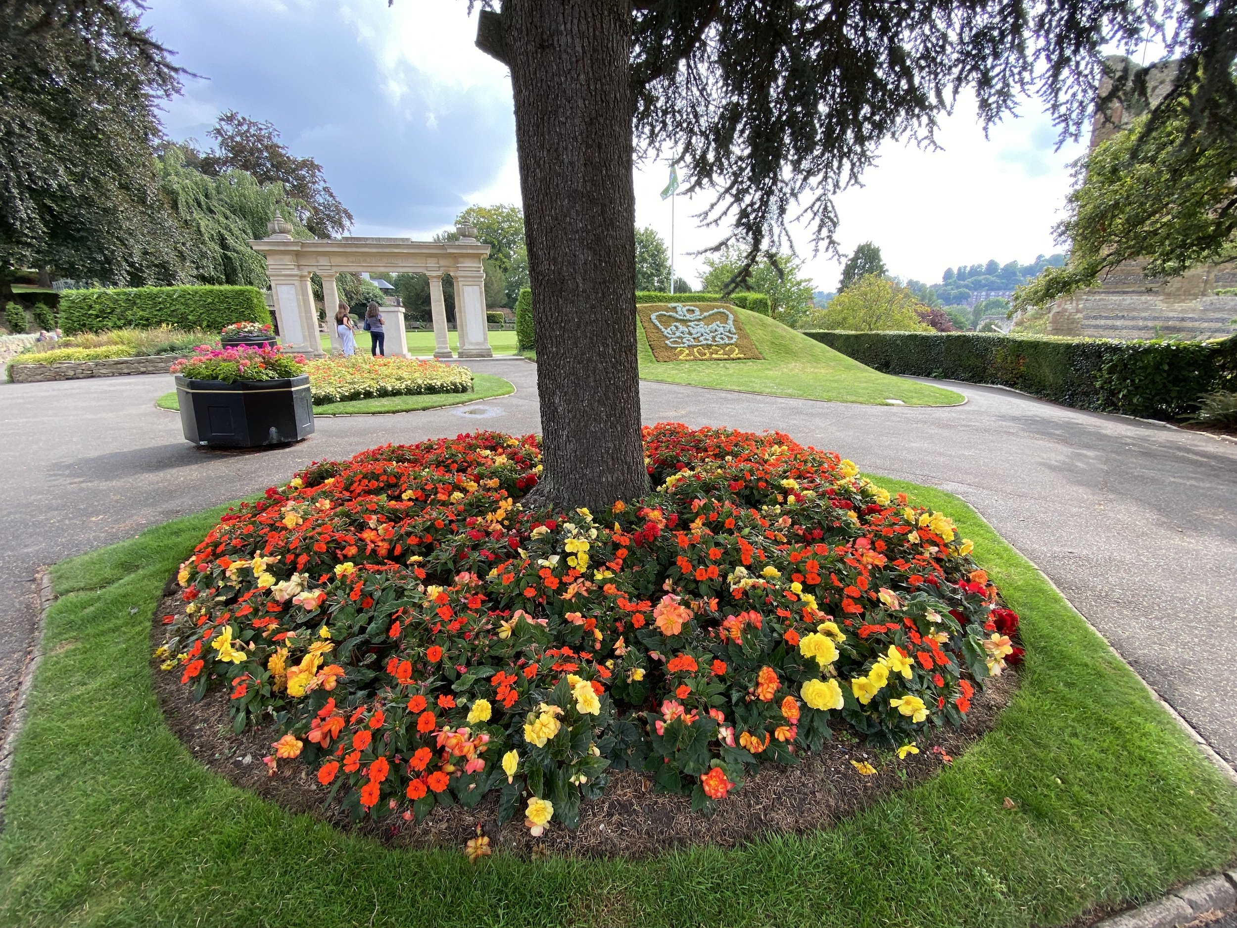
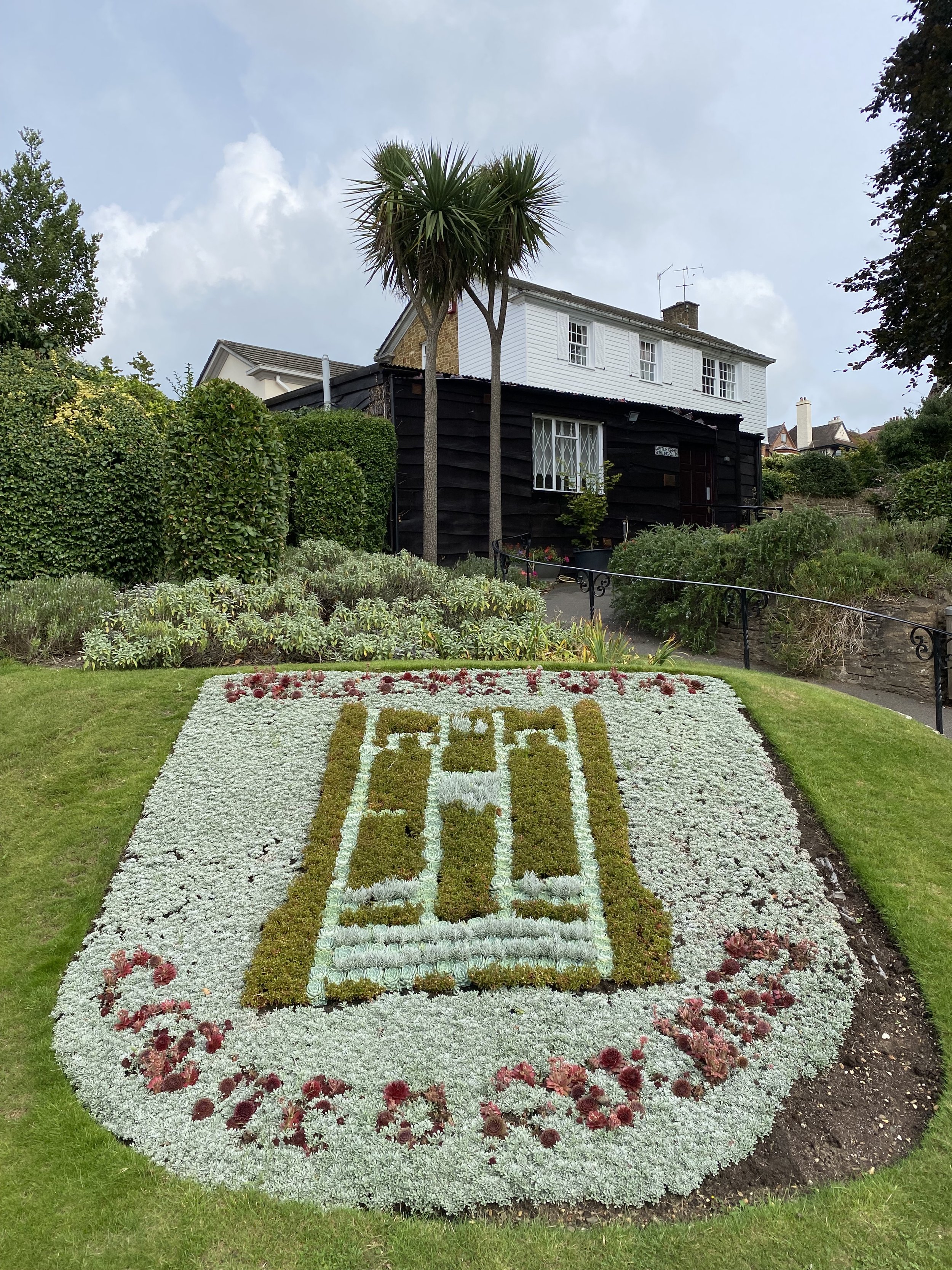
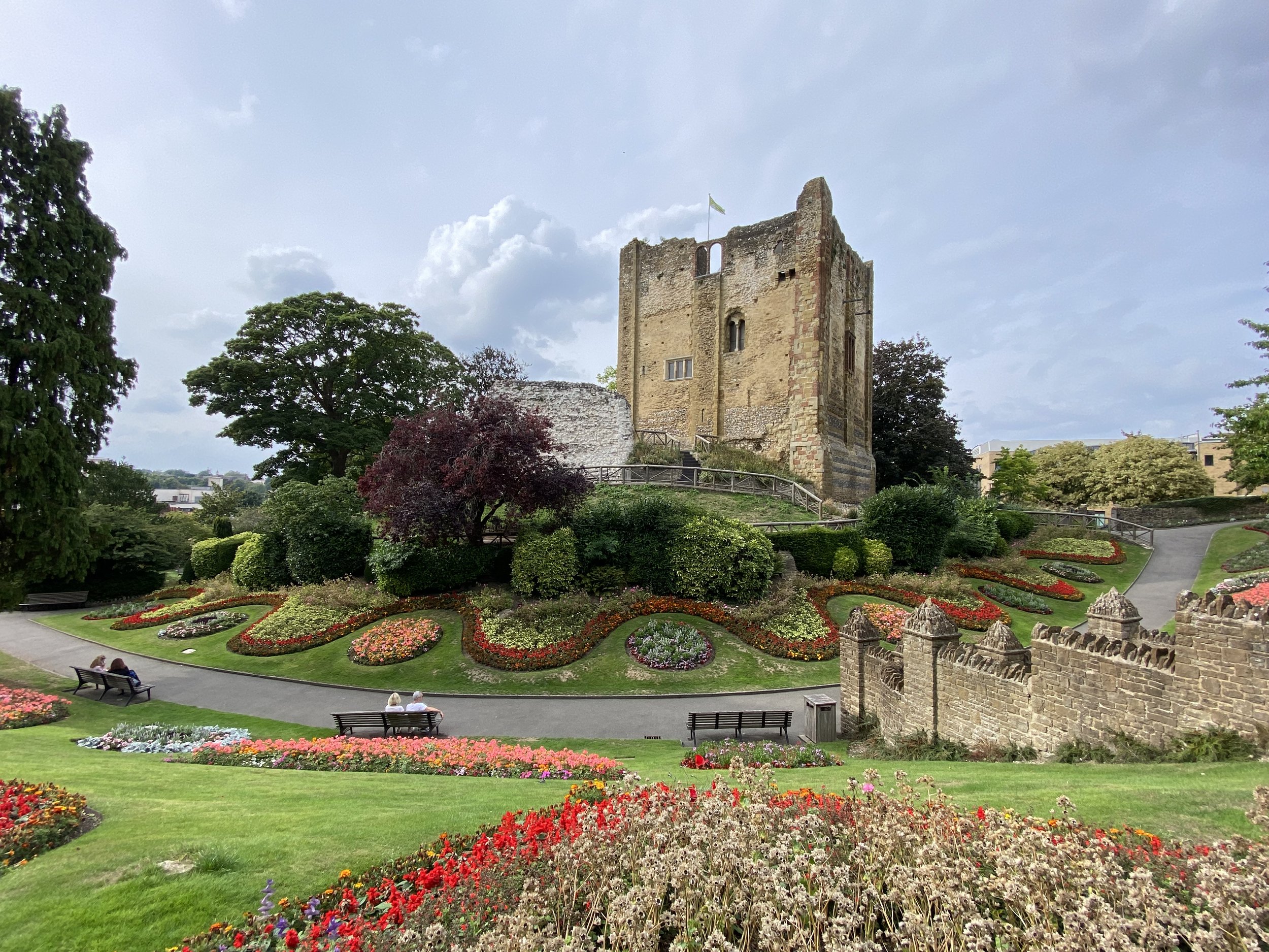
At the March Hare pub take a left onto South Hill and continue south-east for 220m, taking a path on the right into woodland. Follow the path down the hill to Quarry Street and the Millbrook Car Park. An alternative finish that we took is to take a left after the March Hare and walk around the grounds of Guildford Castle. This is well worth a visit if you’ve not been there before. The Castle Grounds exists onto Castle Hill, then Quarry Street and then the car park.
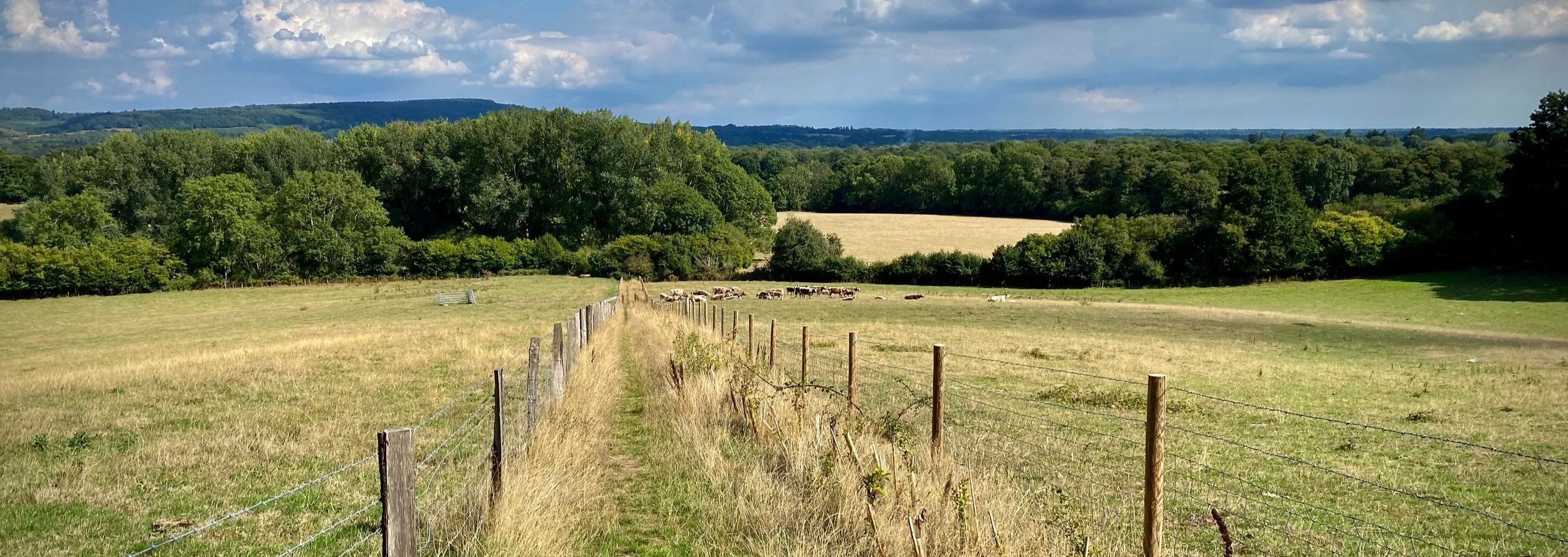
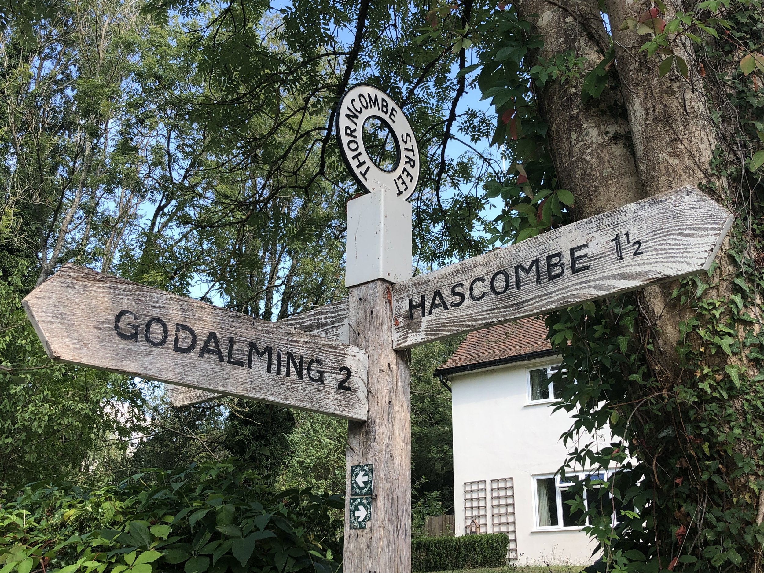
View to the east near Thorncombe Street
Start & Finish: Free parking opposite the White Horse Pub, The Street, Hascombe, Godalming GU8 4JA
Distance: 10 km (6.2 miles)
Elevation change: +/- 179m
Greensand Way section covered: Hascombe to Gate Street Farm: 3.86km
GPX File: get via Buy Me a Coffee
Other routes touched (walk): None
Other routes touched (cycle): None
Pubs / Cafes on route: White Horse Pub Hascombe, Tea Room at Winkworth Arboretum
Map: Guildford & Farnham Map | Godalming & Farnborough | Ordnance Survey | OS Explorer Map 145
Links: Hascombe, Wintershall Partnership, Gate Street Farm, National Trust Winkworth Arboretum
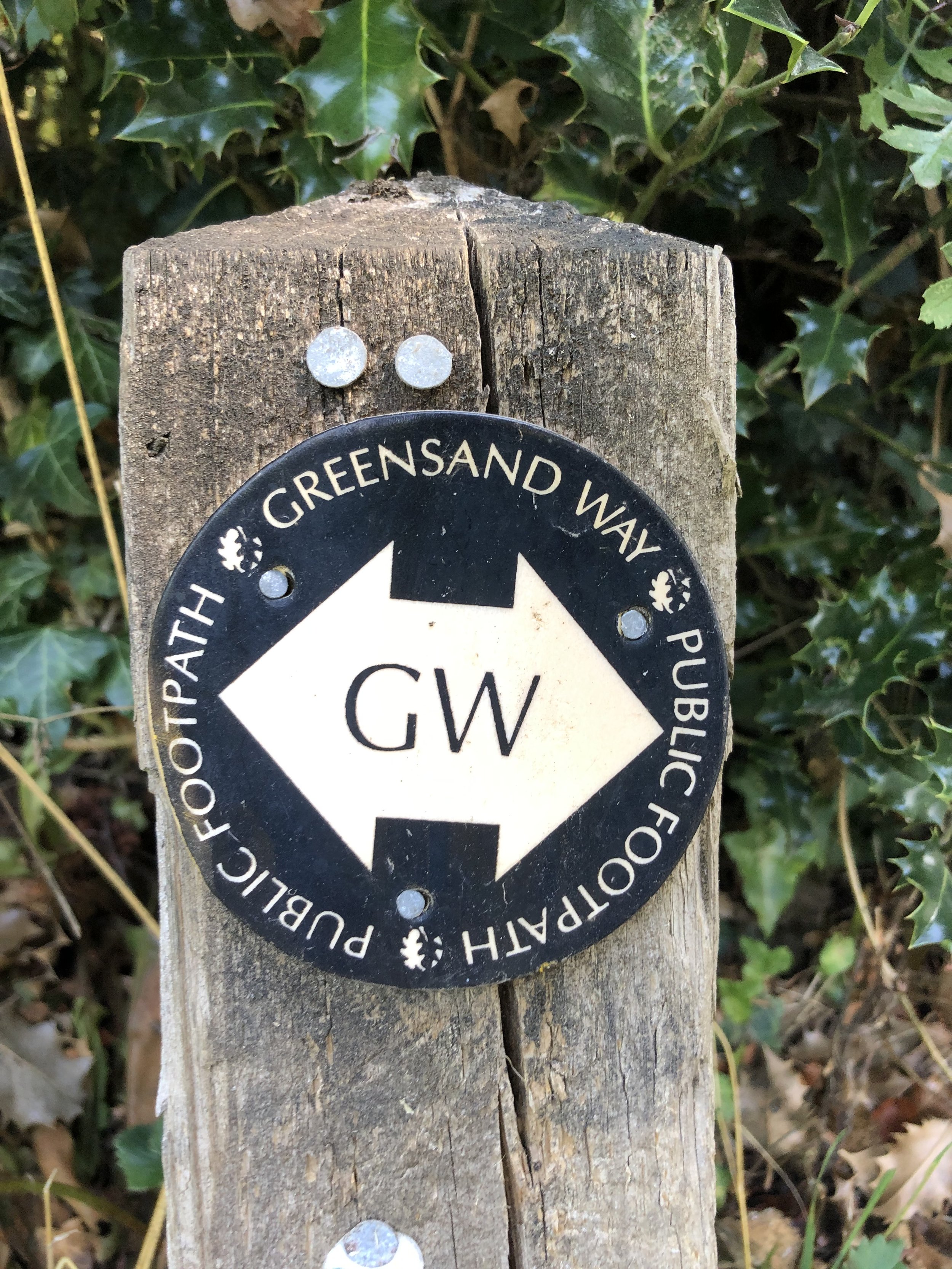
This is the sixth of a series of short circular walks featuring the Greensand Way. The full trail is a long distance path stretching from Haslemere in Surrey to Ham Street in Kent. Our walks take in short sections of the Greensand Way and loop back to the start on other paths. The Greensand Way is well sign posted however you’ll need a map or GPX route to keep on track for the return sections of the loops. The guidance below will help but don’t use it as a fully accurate turn-by-turn guide.
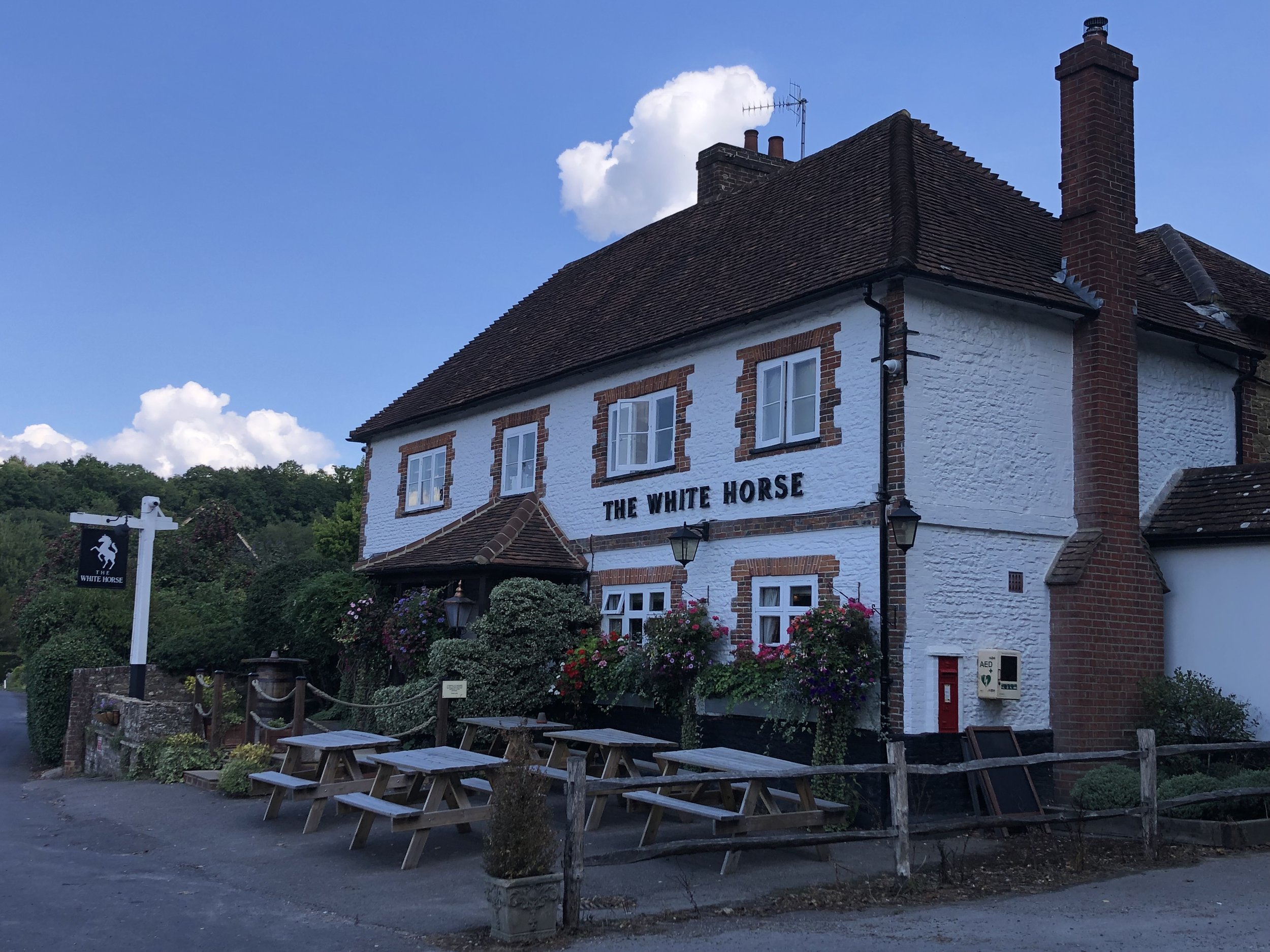
For this section we parked at a free car park opposite the White Horse pub in Hascombe. This is less than 200m from where section 5 left the Greensand Way and starts you off right on the trail. From the parking spot cross the road and take a left in front of the pub onto Church Road. Follow the Greensand Way for just under 4km until a path junction in the woods north of Gate Street Farm.
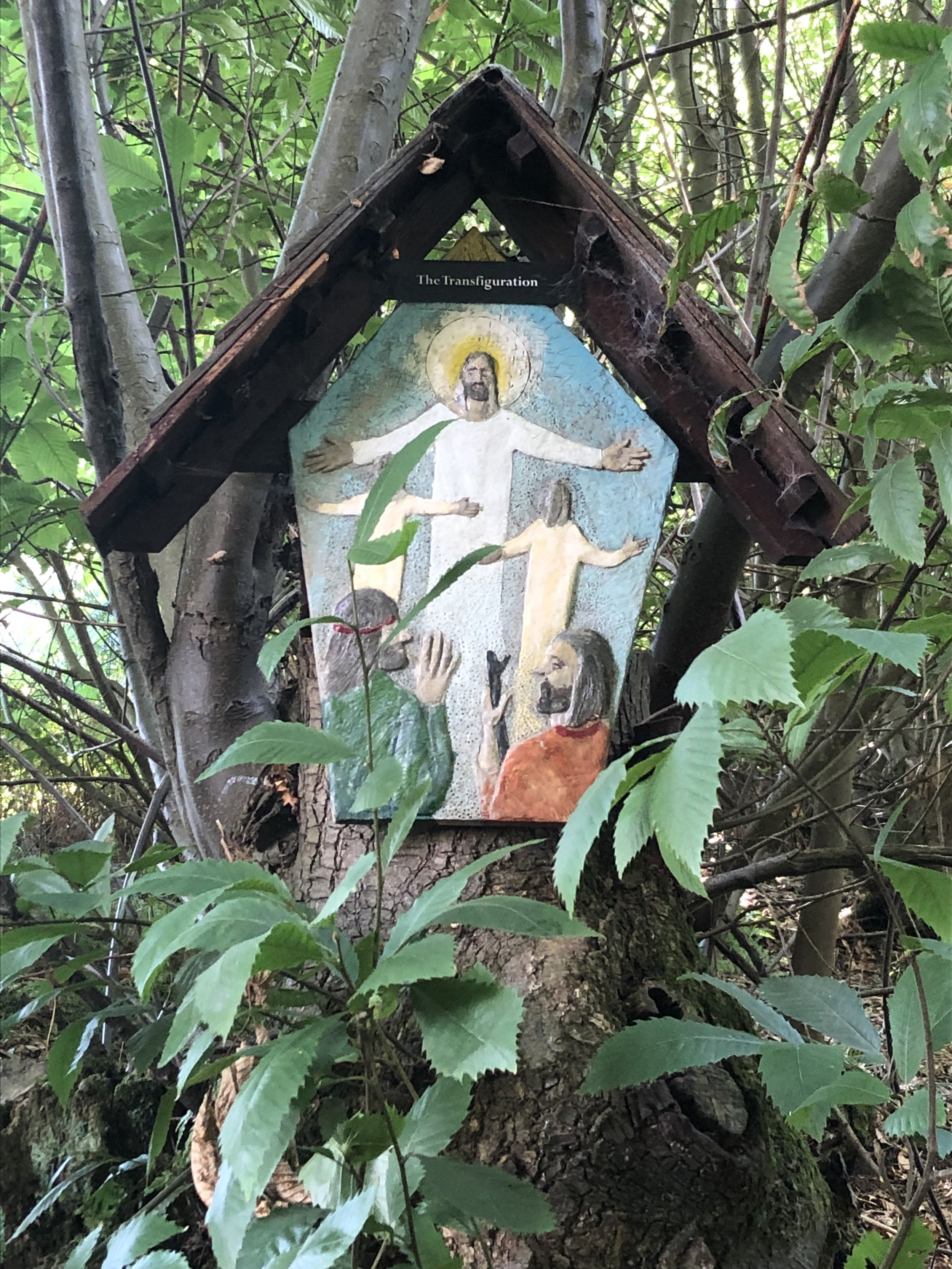
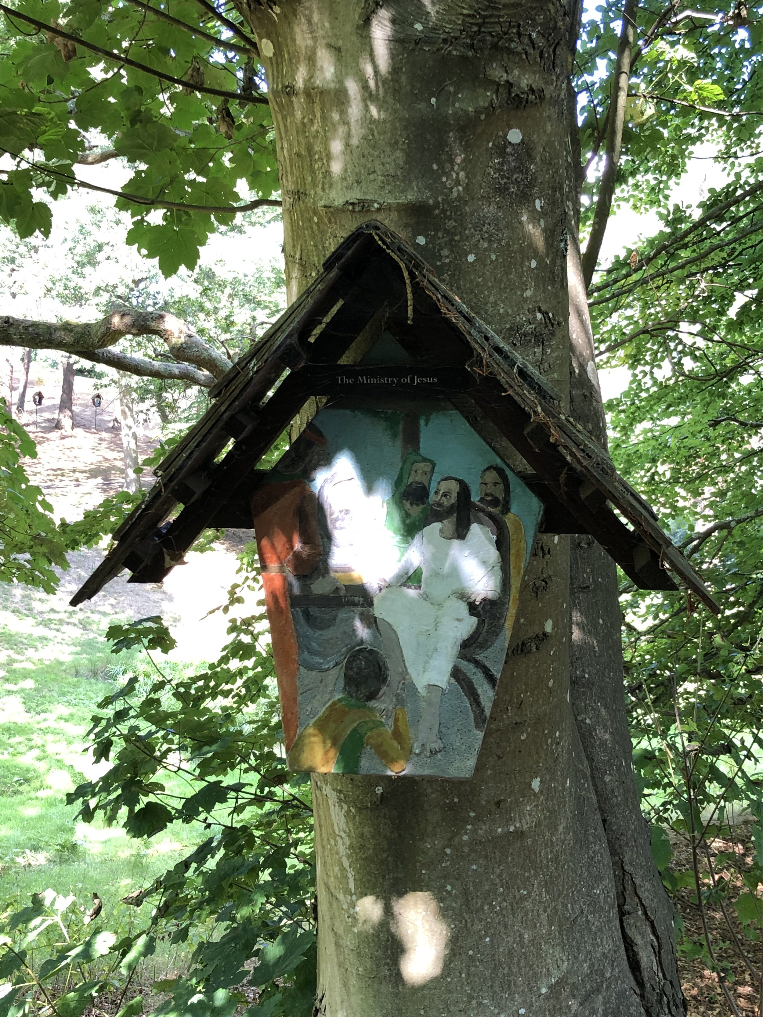
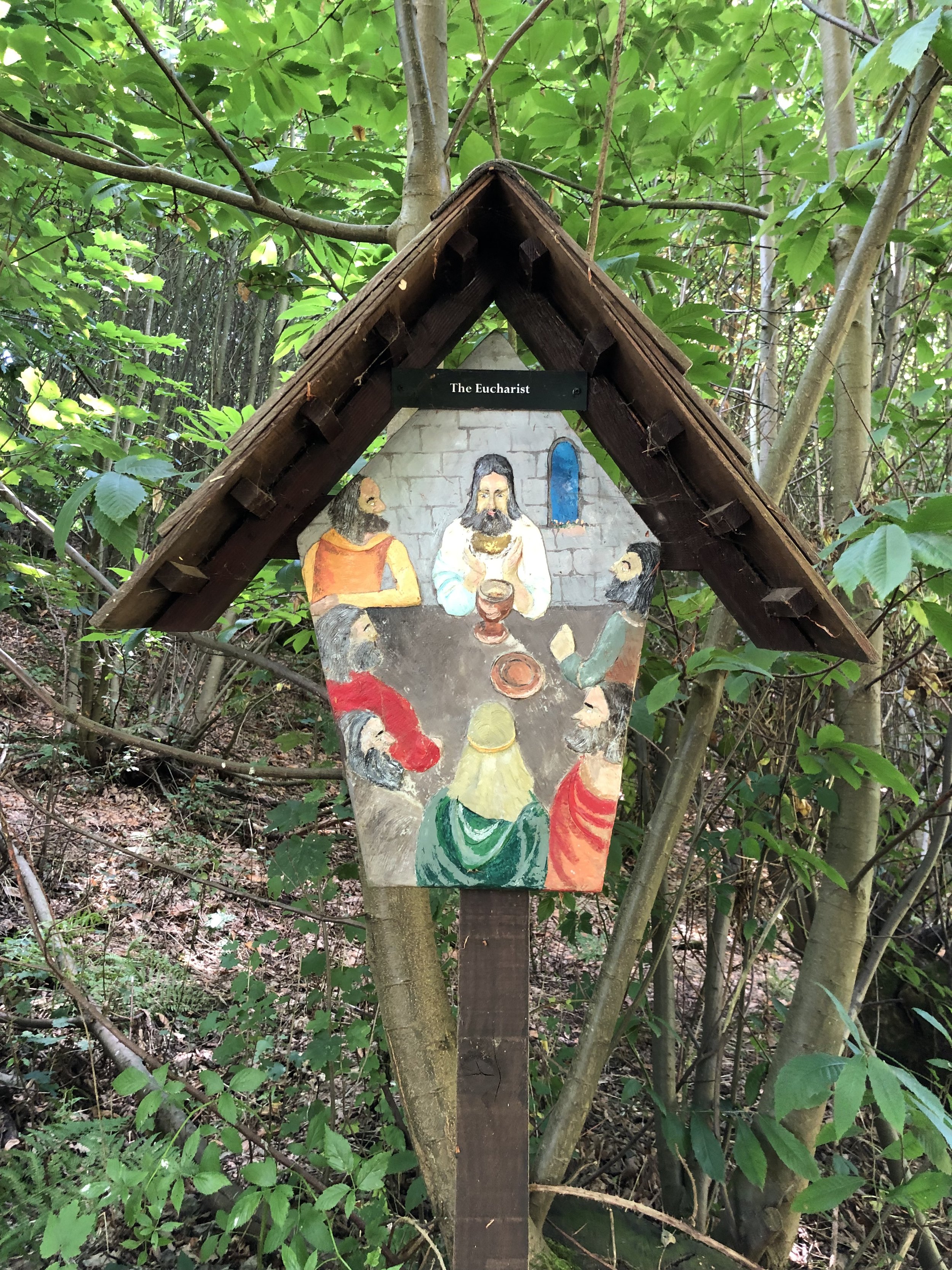
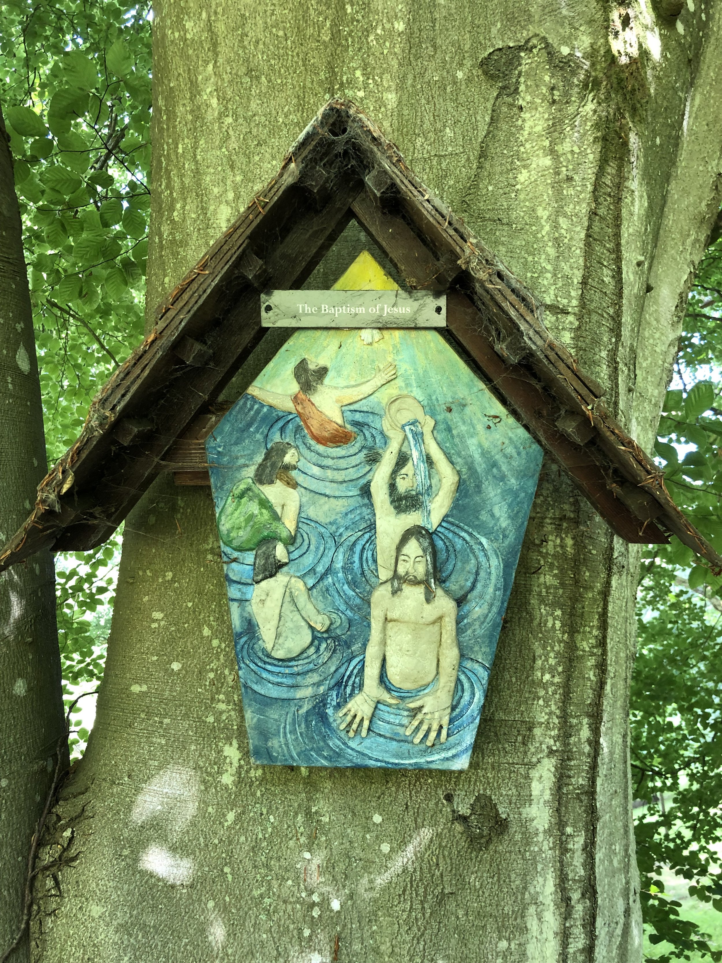
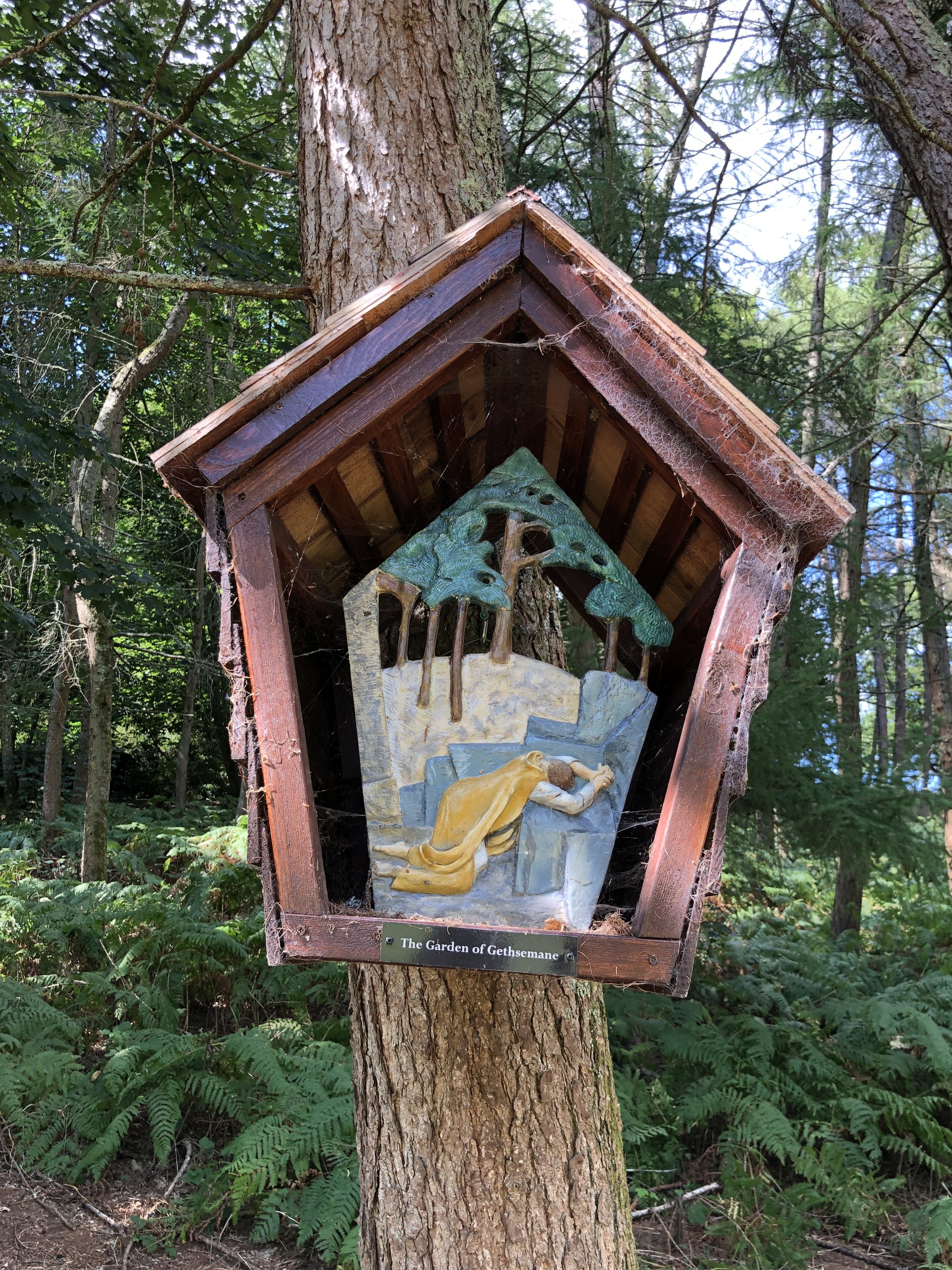
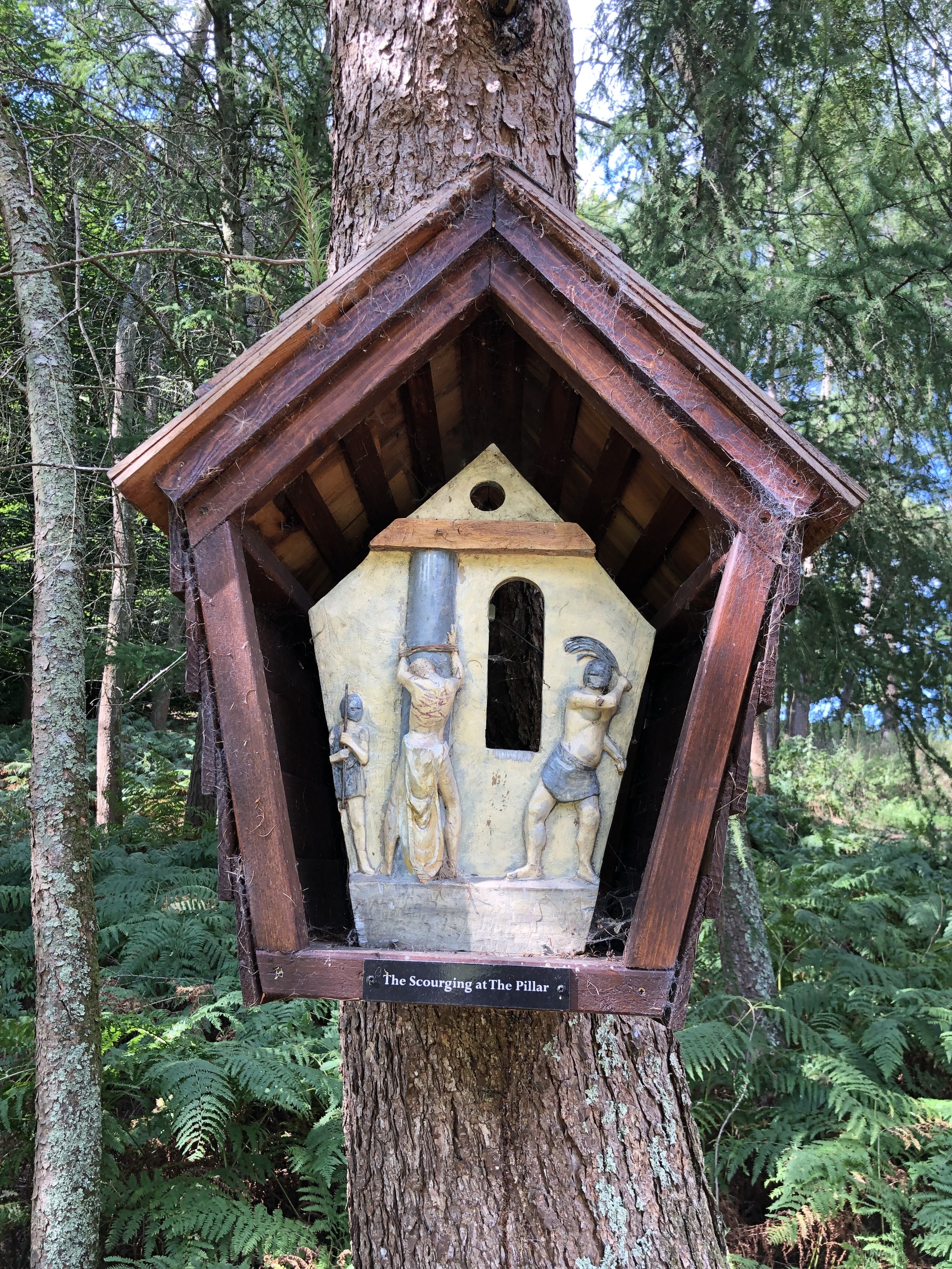
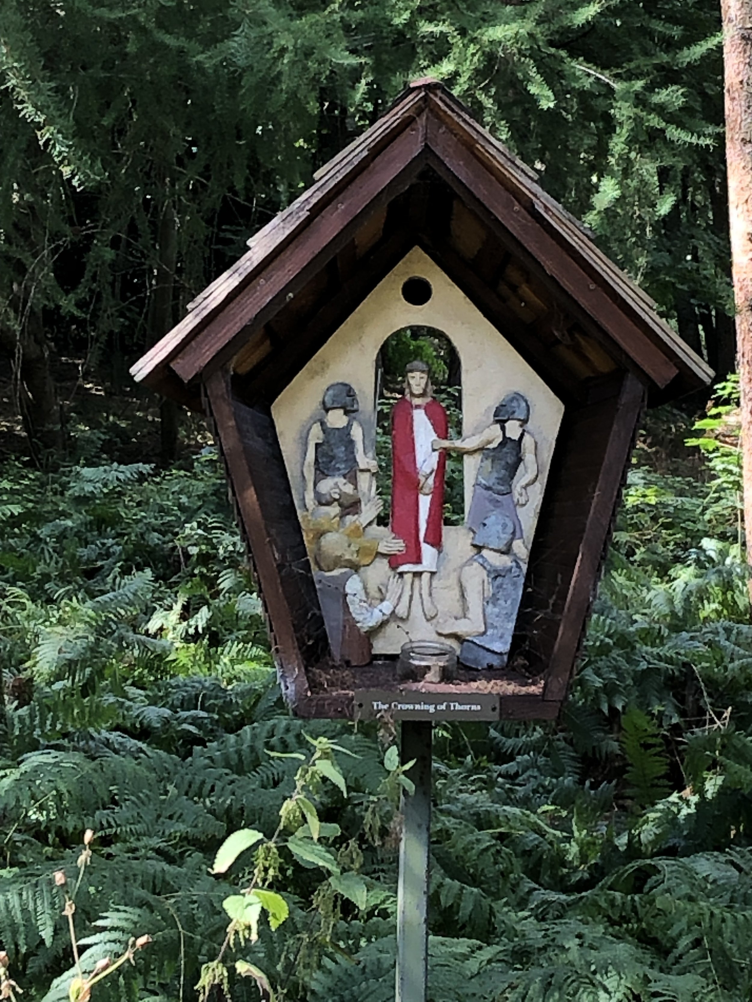
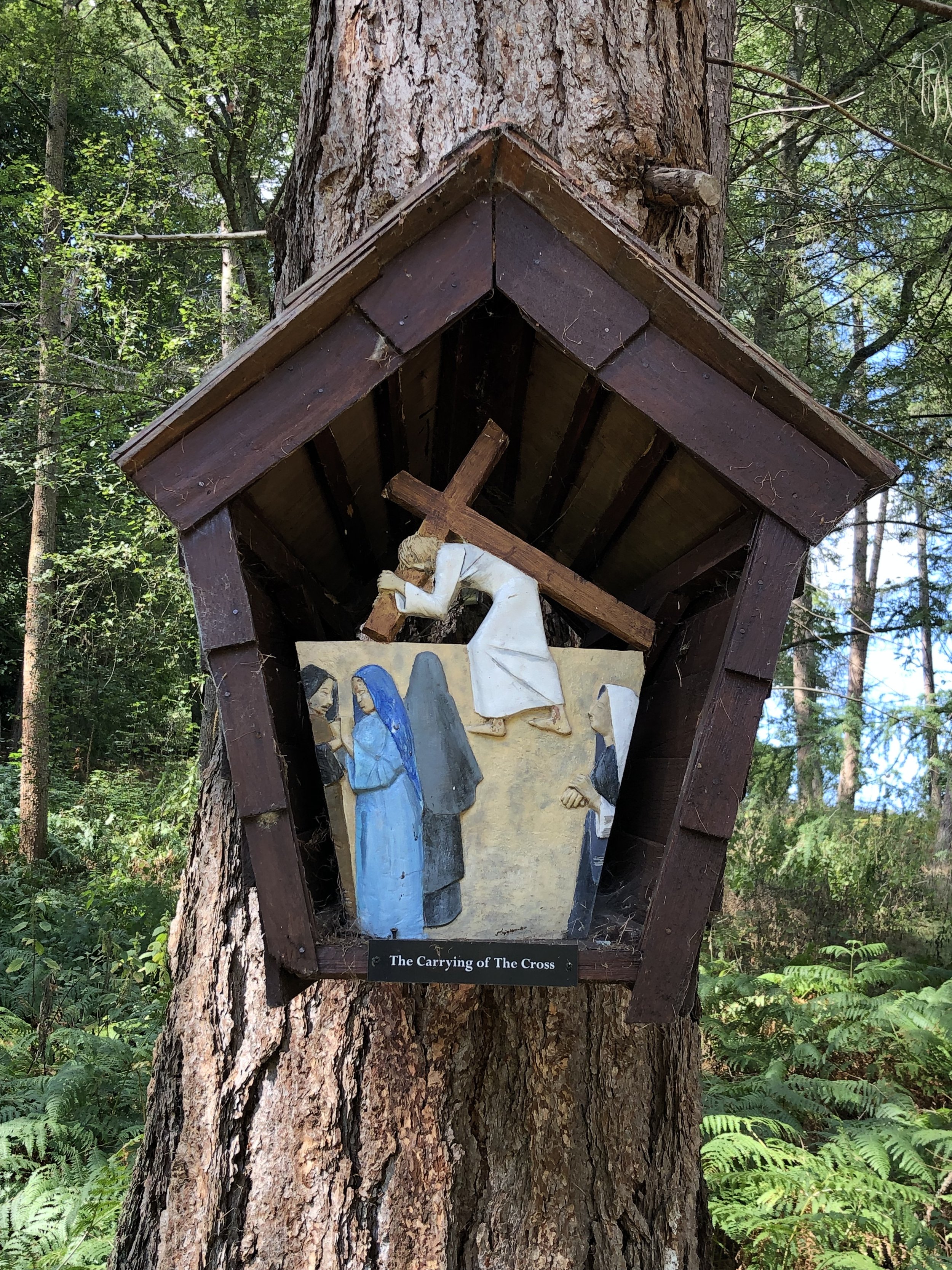
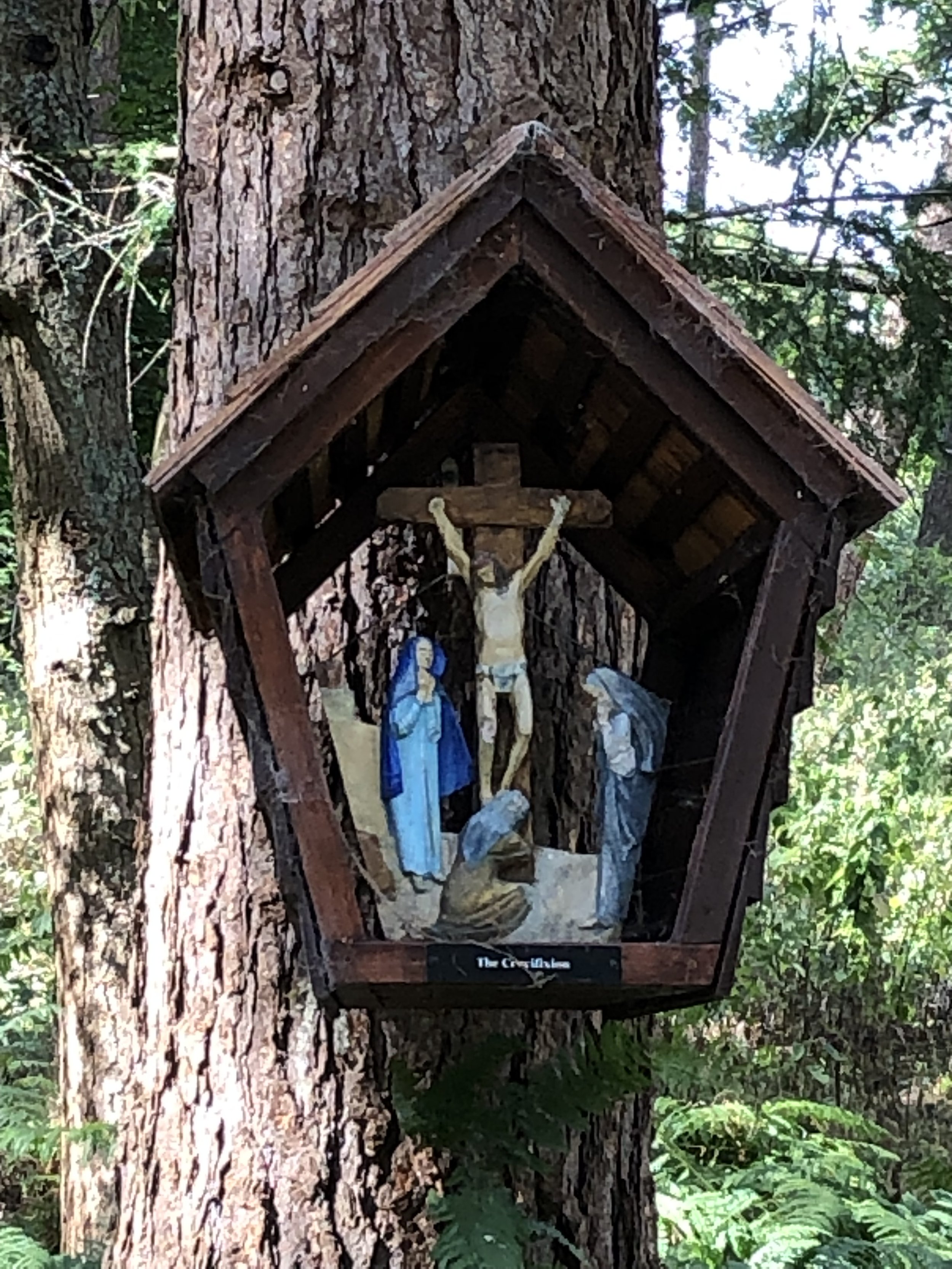
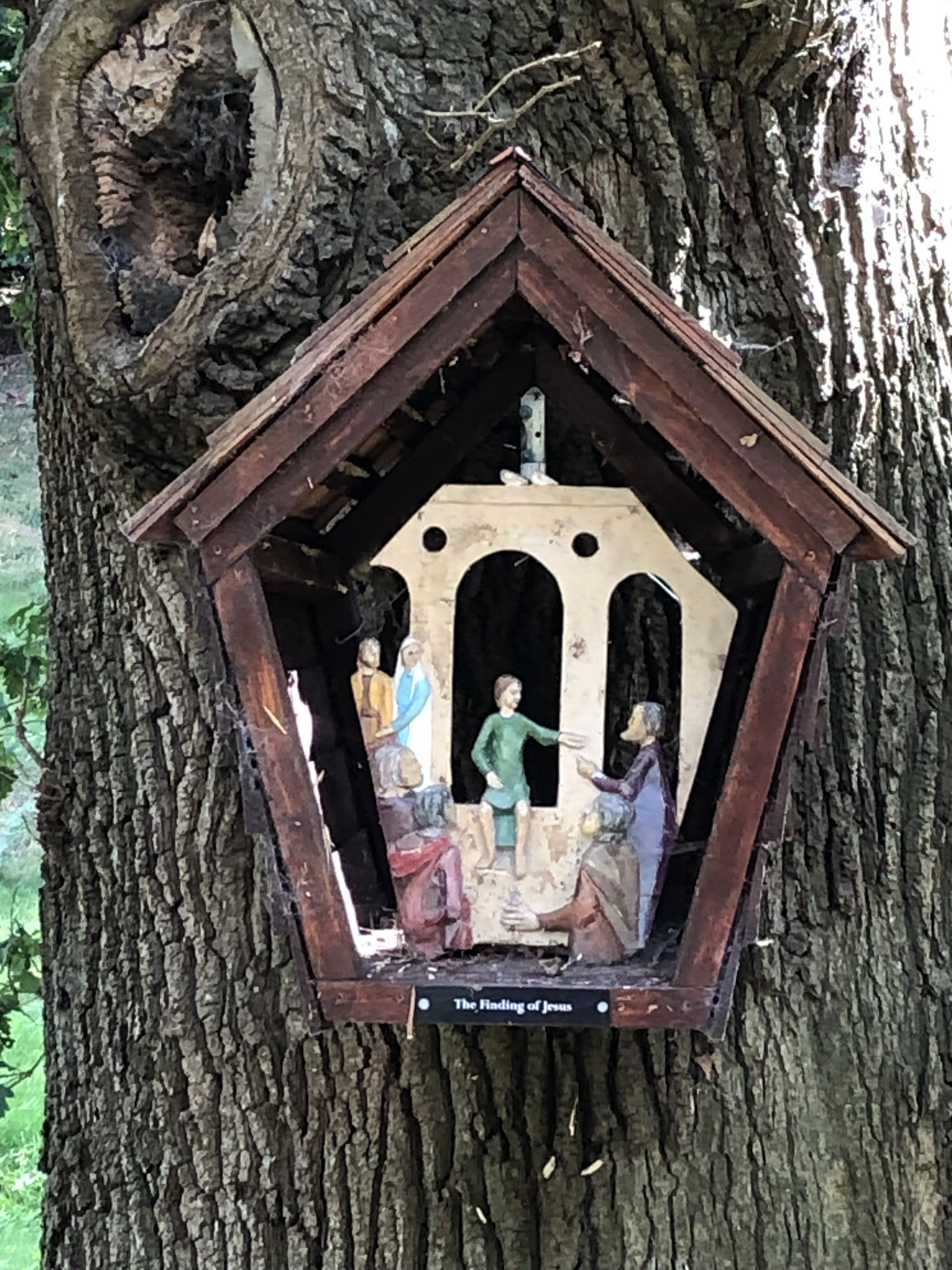
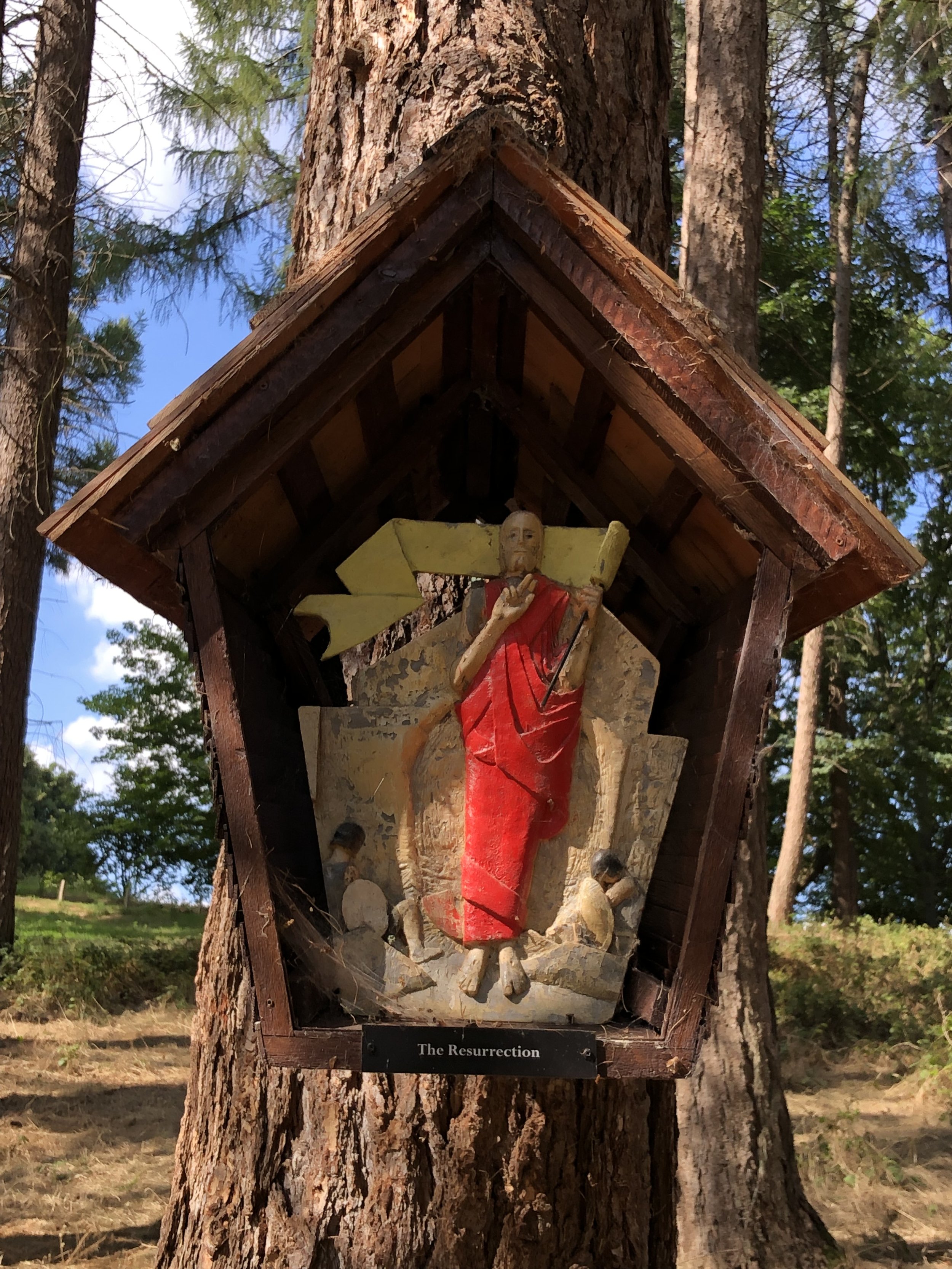
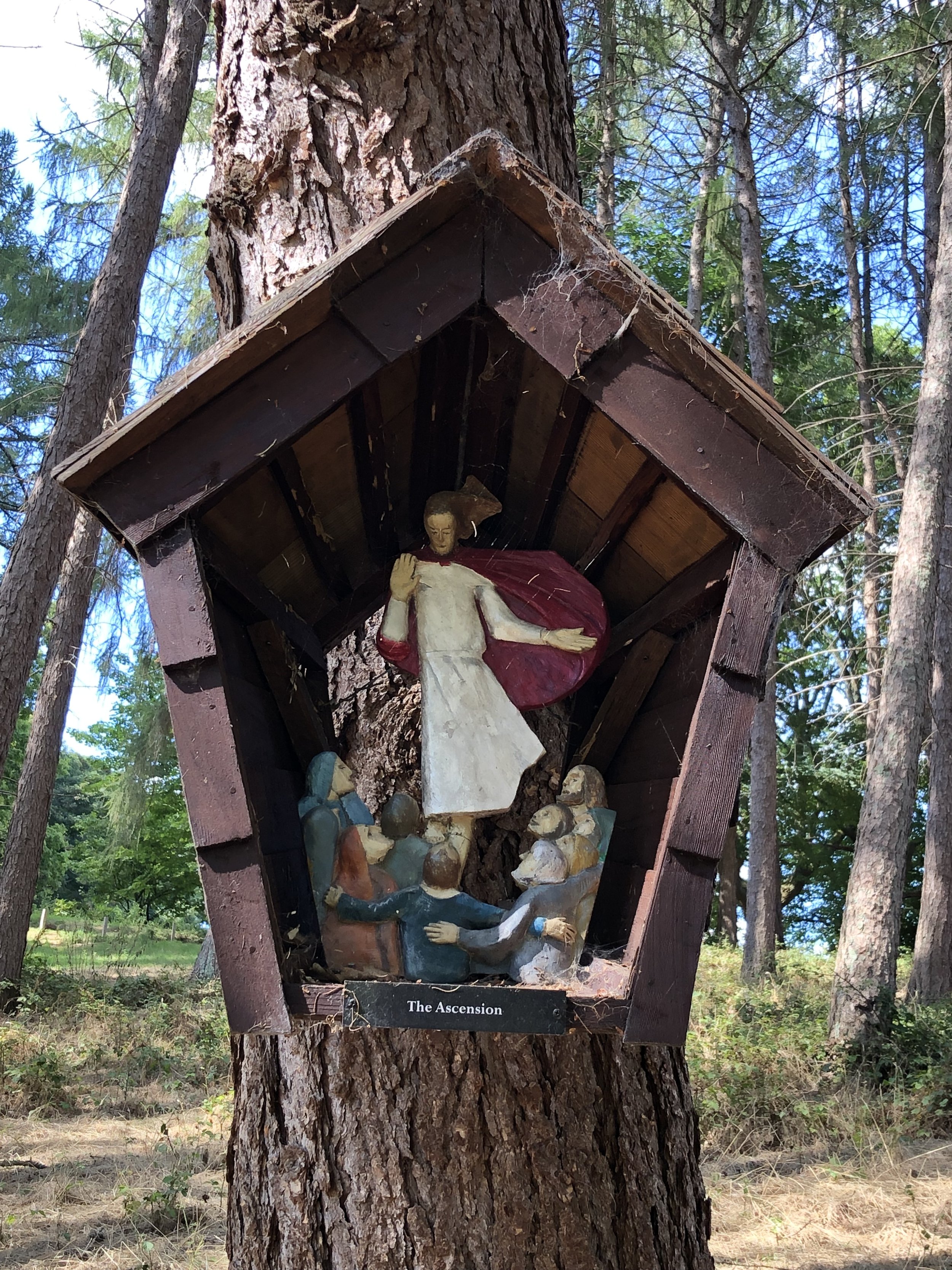
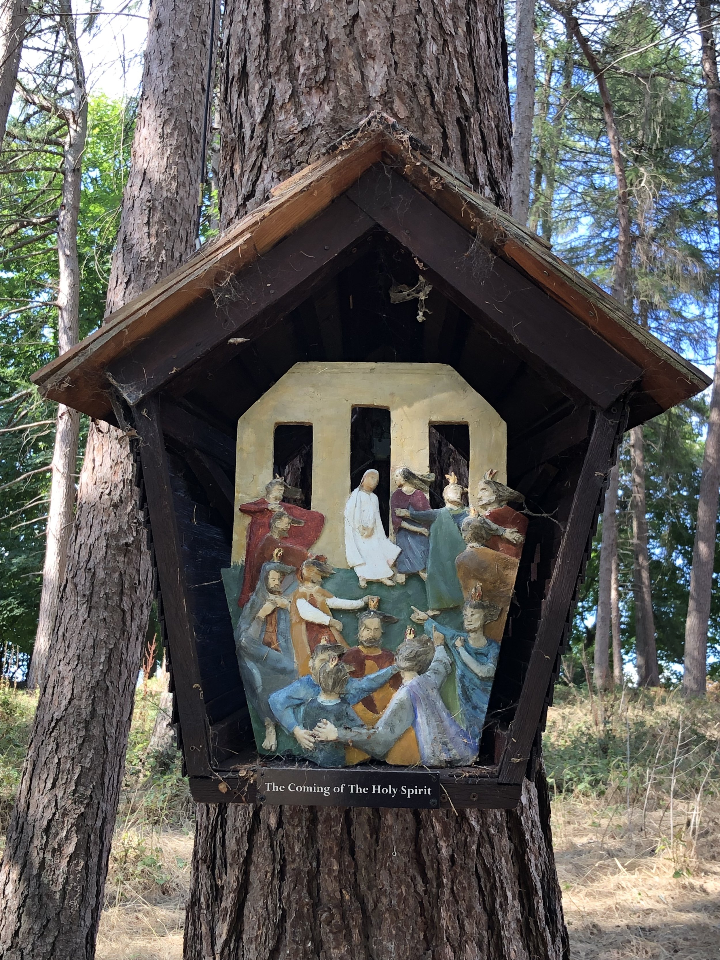
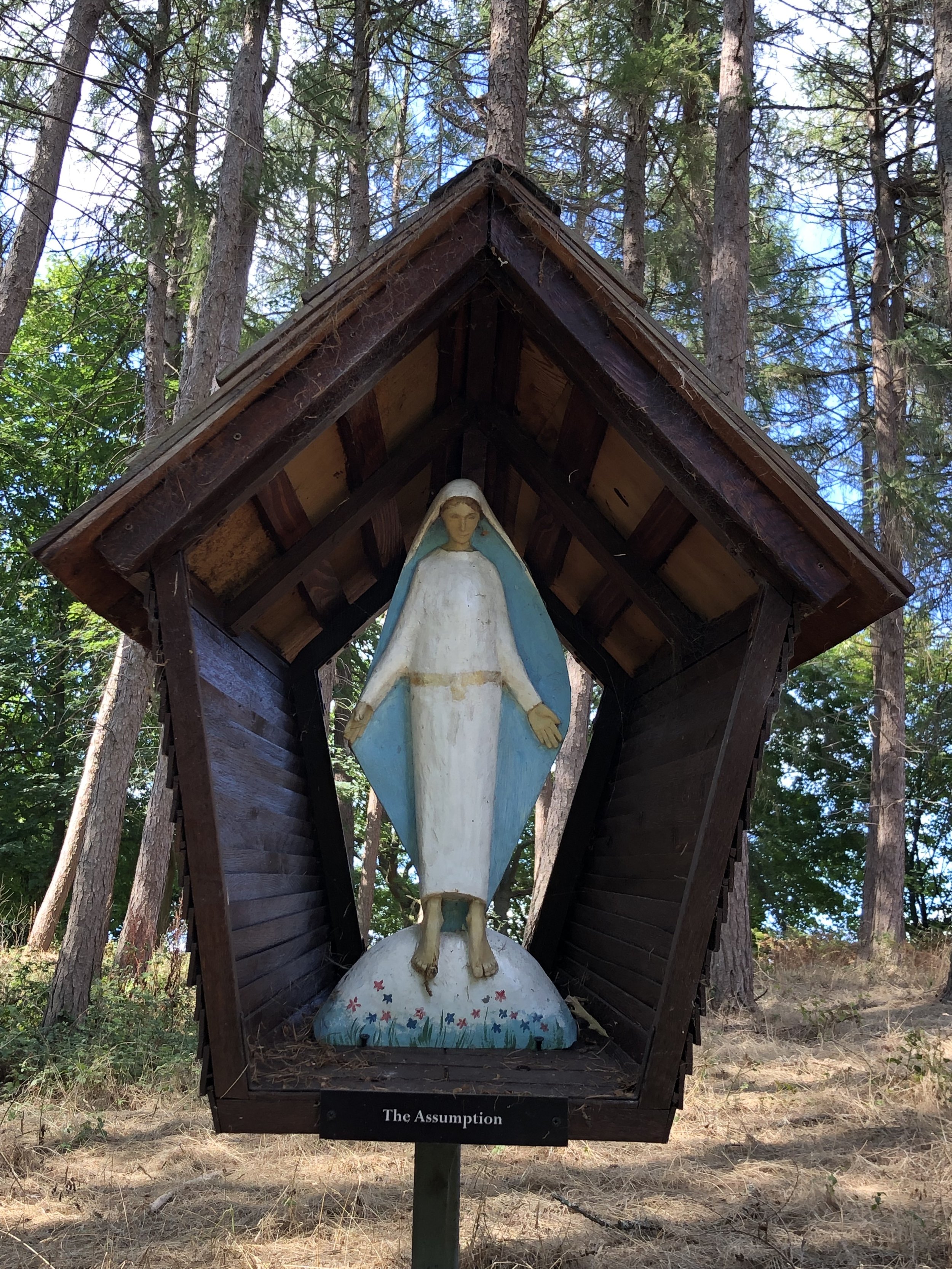
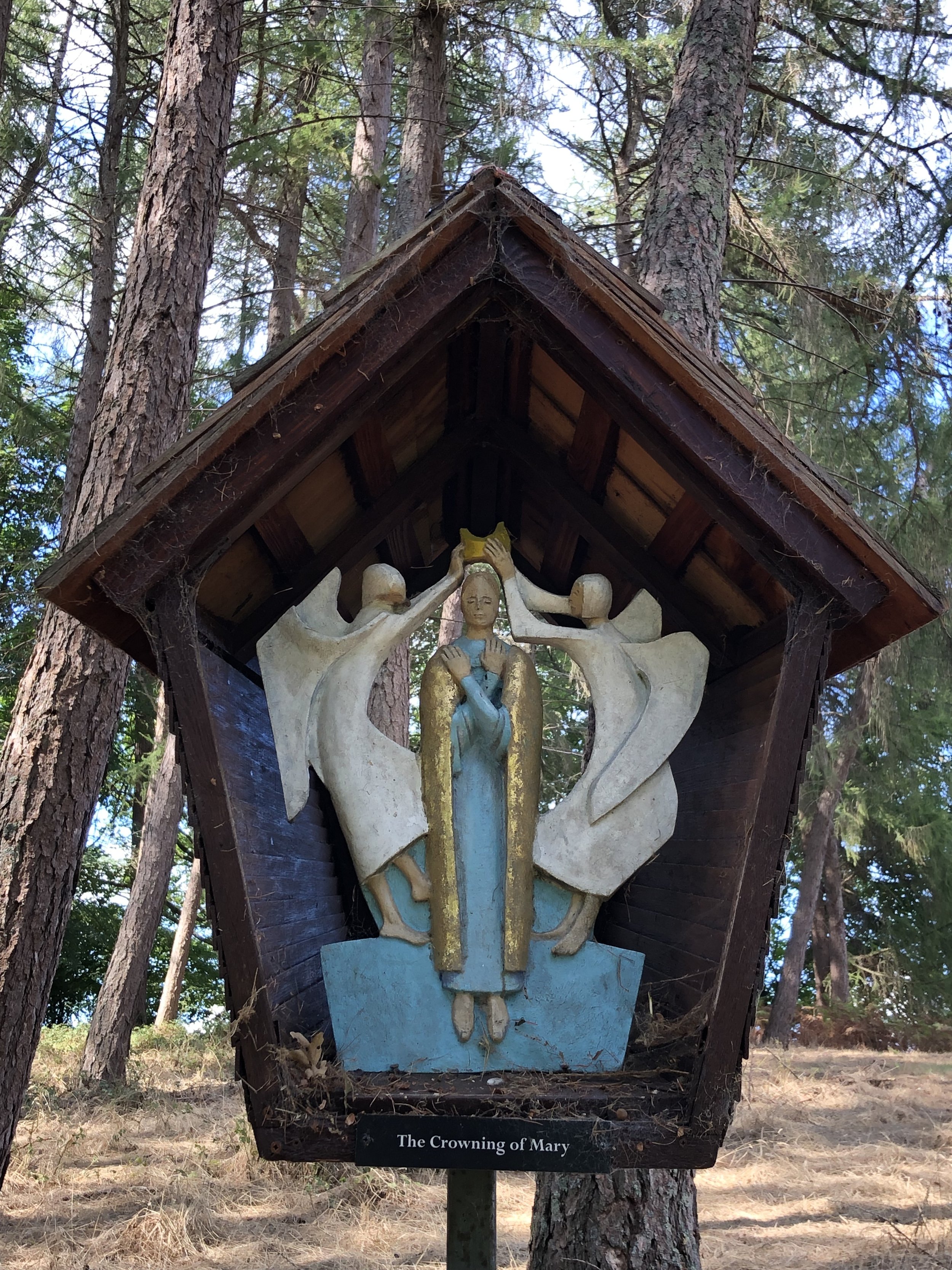
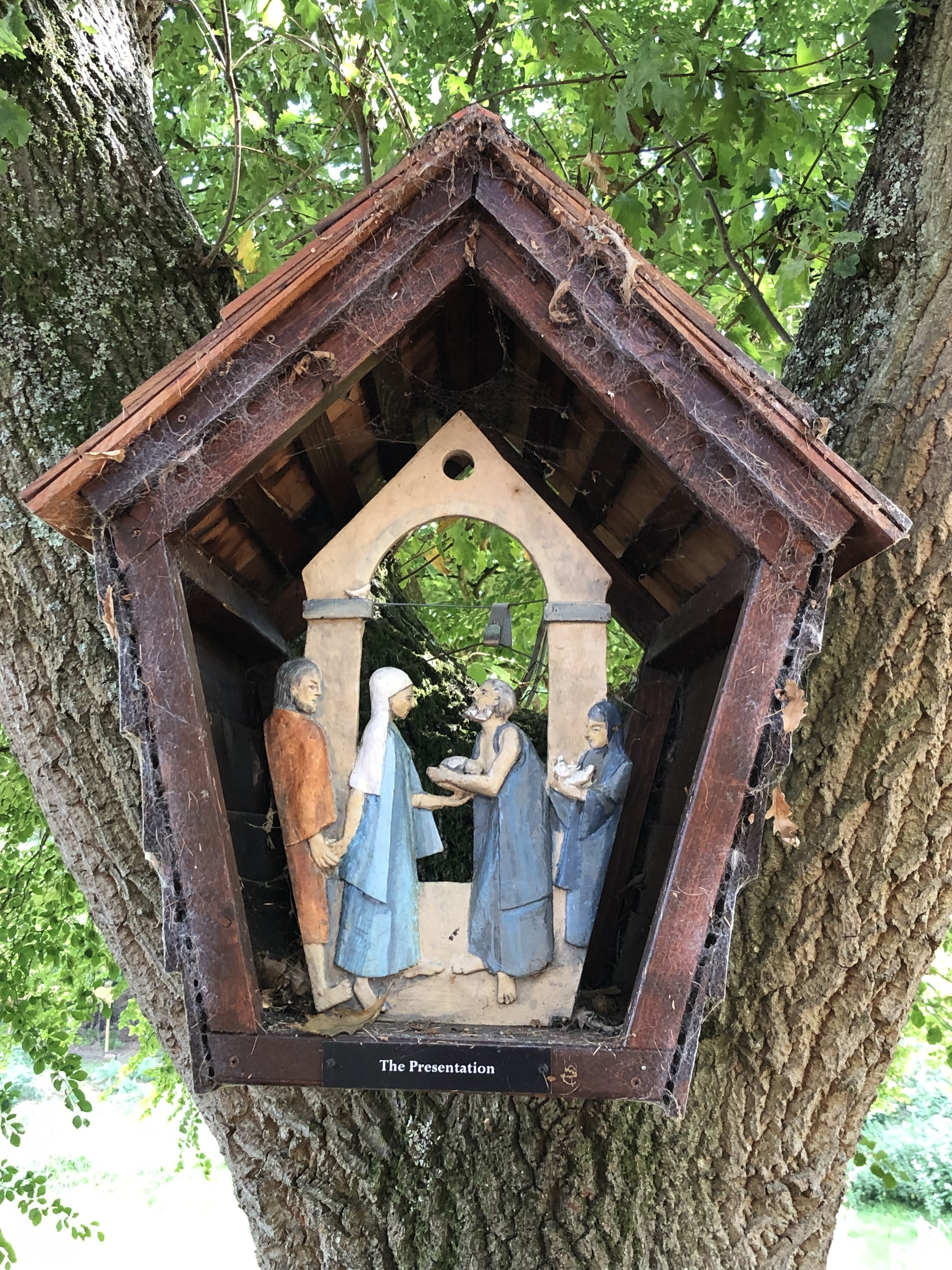
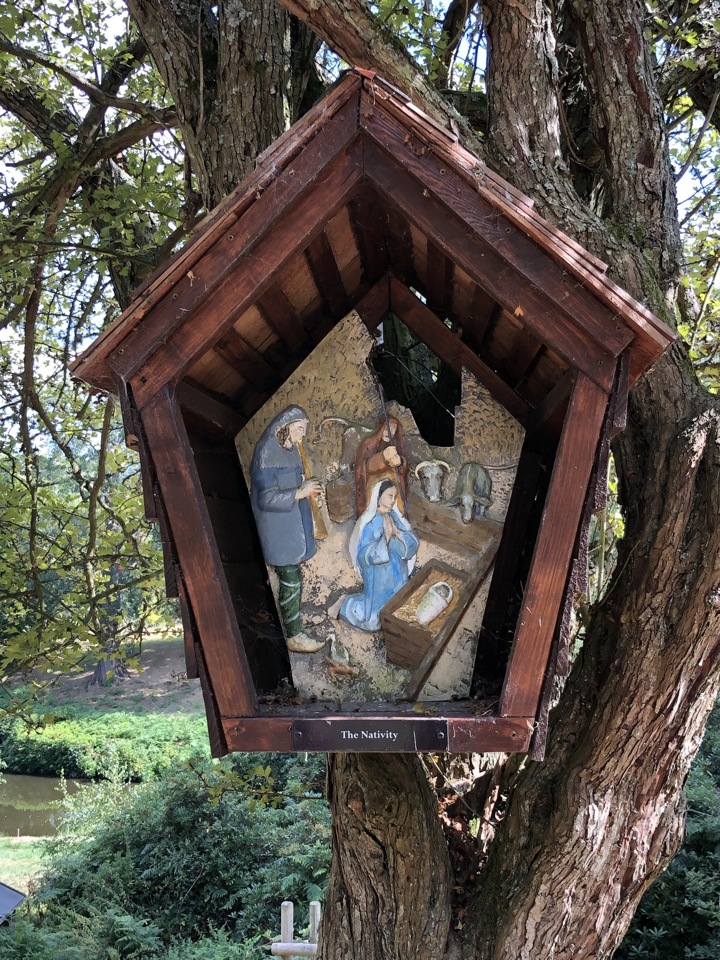
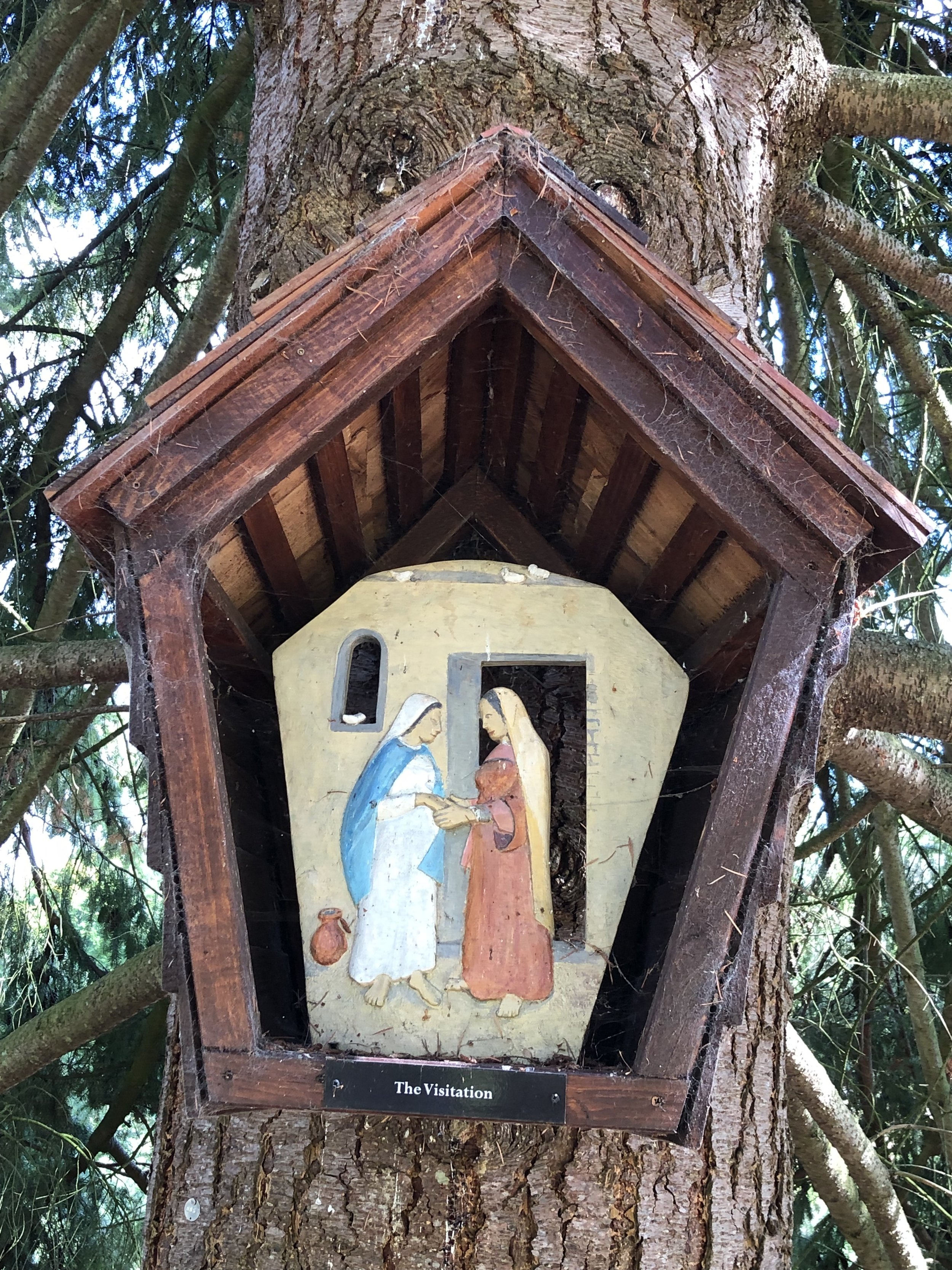
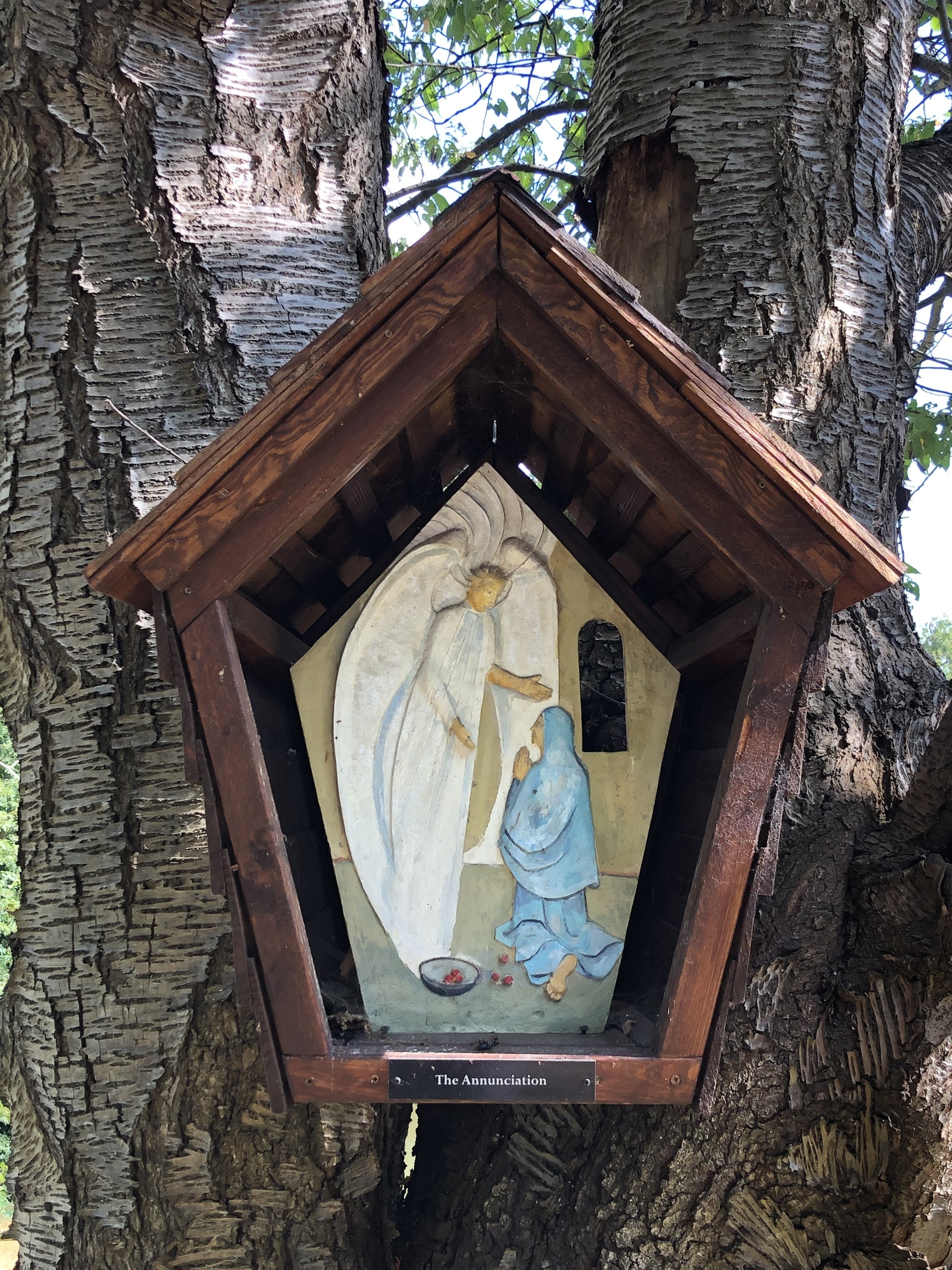
At 2.6km into the walk you’ll enter the grounds of the Wintershall Estate and the Rosary Way. This is a short walk lined with carvings depicting the life of Jesus. Walking in this west-east direction, you’ll encounter the end of the story first with the carving of the Transfiguration. To see the full story tracing back to the first carving of the Annunciation you’ll need to take a small diversion from the Greensand Way towards the main building on the estate. Scroll down to see our photos of the carvings.
From the path junction in the woods north of Gate Street Farm take a sharp left onto a westerly path ascending through a field. Continue for just over 1km to Thorncombe Street. Take a left, then first right onto Alldens Hill then the first footpath on the left. Follow this path in a southerly direction until you reach Thorncombe Street again. Continue along Thorncombe Street for ~50m until you reach a path on the right to enter Winkworth Arboretum. This is shortly after the Disabled Car Park entrance.
Entrance to Winkworth Arboretum is free for National Trust Members and charged for non-members. There’s no gate or ticket office on the Thorncombe Street entrance so you’ll need to pay or show your membership pass at the main entrance. From the Thorncombe Street entrance, follow the path at the north end of the lake and up the hill to the main entrance and Tea Room.
When leaving the Arboretum take a left on to a footpath leading to the south parallel to the B2130 Brighton Road. The path will end at the B2130 where you’ll take a right, following the road for 20m to take a left onto an unnamed lane. Be very careful on Brighton Road as there’s no pavement and cars can come quite fast. Make sure you’re seen and cross over to the left hand side before the road curves to the right.
Once on the unnamed road you’ll be on familiar ground as you’ll have covered this section in the opposite direction in section 5. Continue south then east until you meet the Greensand Way again and follow it east until you reach the car park opposite the White Horse pub.
The Rosary Way, Wintershall Estate
Previous section: Walking The Greensand Way Part 5 - Hydons Ball and Holloways Heath
Next section: Walking The Greensand Way Part 7 - Shamley Green and Grafham
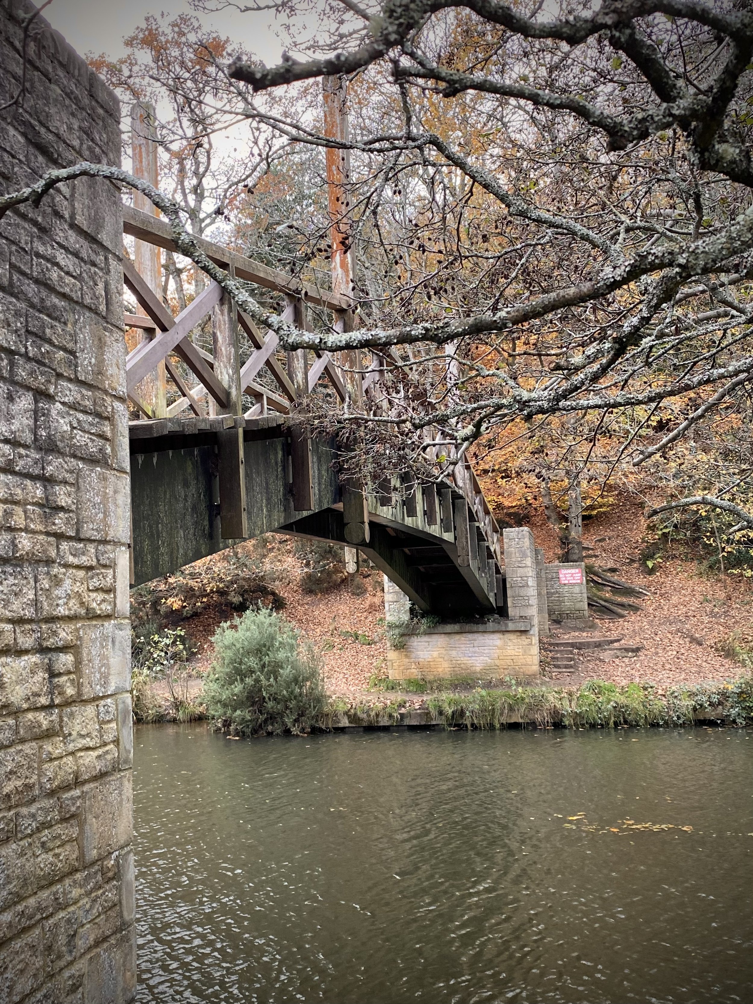
Footbridge over the River Wey near Guildford
Start: The Good Intent Pub, 60-62 The Street, Puttenham, Guildford, GU3 1AR
Finish: Newlands Corner Car Park, A25 Shere Road, Newland's Corner, Albury, GU4 8S
Distance: 12.8 km (7.9 miles)
Elevation change: +256m / -181m. Net +75m
GPX File: get via Buy Me a Coffee
Other routes touched (walk): Puttenham Walk (SCC), The Fox Way, Wey South Path, Scholar’s Trail
Other routes touched (cycle): NCN 22, Downs Link
Pubs / Cafes on route: Ye Olde Ship Inn (GU2 4EB) and Newlands Corner Cafe at the end.
Map: OS Explorer Map (145) Guildford and Farnham
Guidebook: The North Downs Way National Trail from Farnham to Dover (Cicerone)
Links: Puttenham, Guildford, St Martha’s Hill, Newlands Corner
This is the second of a series of short point-to-point walks along the North Downs Way. The full trail is a long distance path stretching from Farnham in Surrey to Dover in Kent. Our walks took in short sections of 10 km to 13 km which we did with a friend over the course of a couple of years when our schedules coincided. The North Downs Way is well sign posted however I highly recommend taking a map or GPX route to keep you on track. The Cicerone book on the trail is a great guide to the points of interest along the way.
For this section we left one car outside the Good Intent Pub and the other at the large car park at Newlands Corner. Heading east, the first few kms of his section heads through Puttenham Golf course and quiet fields and woods. After 6km the trail descend to its lowest point of this section to cross the River Wey. Here you’re directly south of Guildford, the first major town near the trail since Farnham. The trail crosses the river on a wooden bridge shown in the banner photo above.
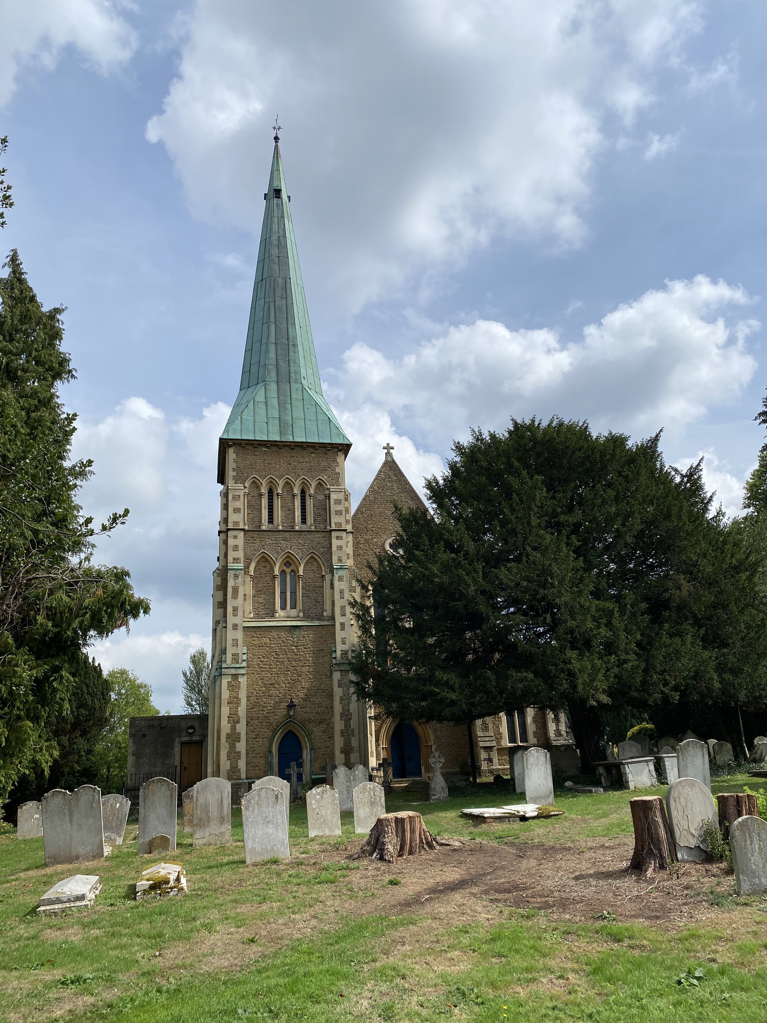
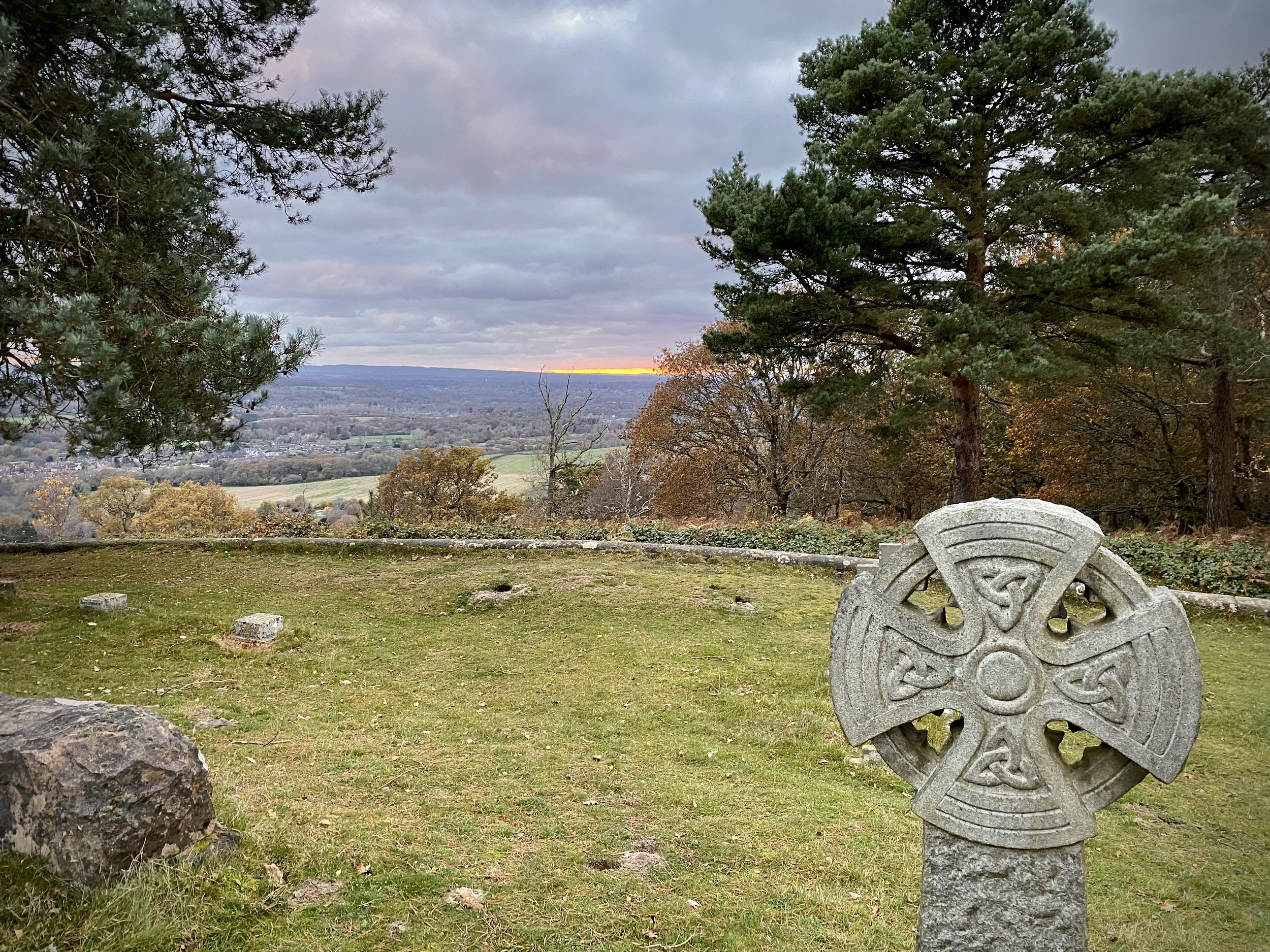
1 km after the river the trail passes through Chantry Wood and ascends to the sections high point at Martha’s Hill. The view from here to the south is spectacular on a clear day and the church is worth having a look inside. Descending from the summit of Martha’s Hill you’ll pass the start of the Downs Link which connects the North Downs Way to the South Downs Way, mostly along disused railways. Next the trail curves round to the north and follows the southern edge of woodland to Newlands Corner.
Previous Section (west): Walking The North Downs Way Part 1: Farnham to Puttenham
Next Section (east): Walking The North Downs Way Part 3: Newlands Corner to Ranmore Common
Farmland between Broadmoor and Wotton
Start & Finish: Holy Trinity Westcott, Logmore Lane, Westcott, Dorking RH4 3NN
Distance: 9 km (5.6 miles)
Elevation change: +/- 163m
Greensand Way section covered: Broadmoor Village to Bury Hill: 5.2km
GPX File: get via Buy Me a Coffee
Other routes touched (walk): None
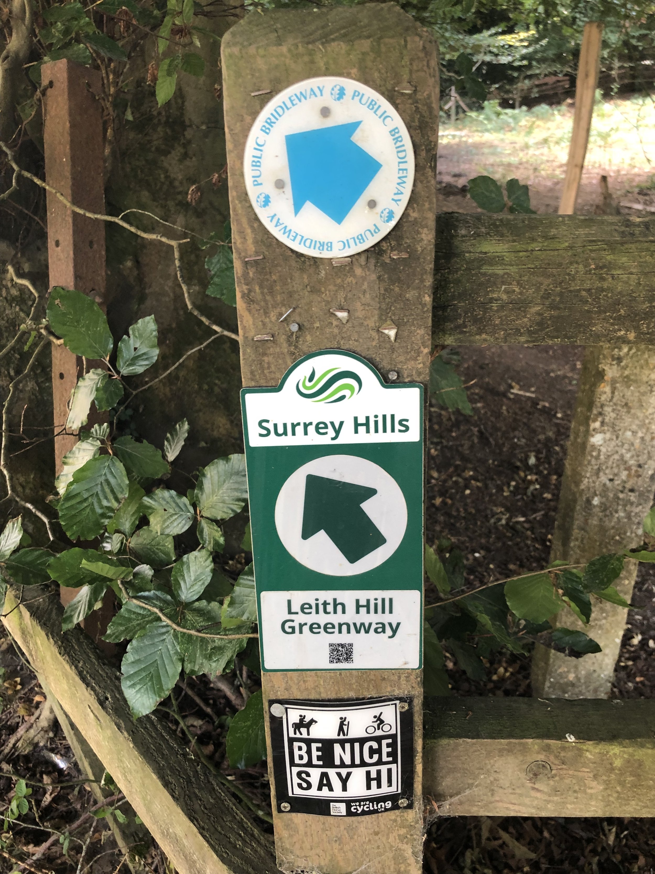
Other routes touched (cycle): Leith Hill Greenway
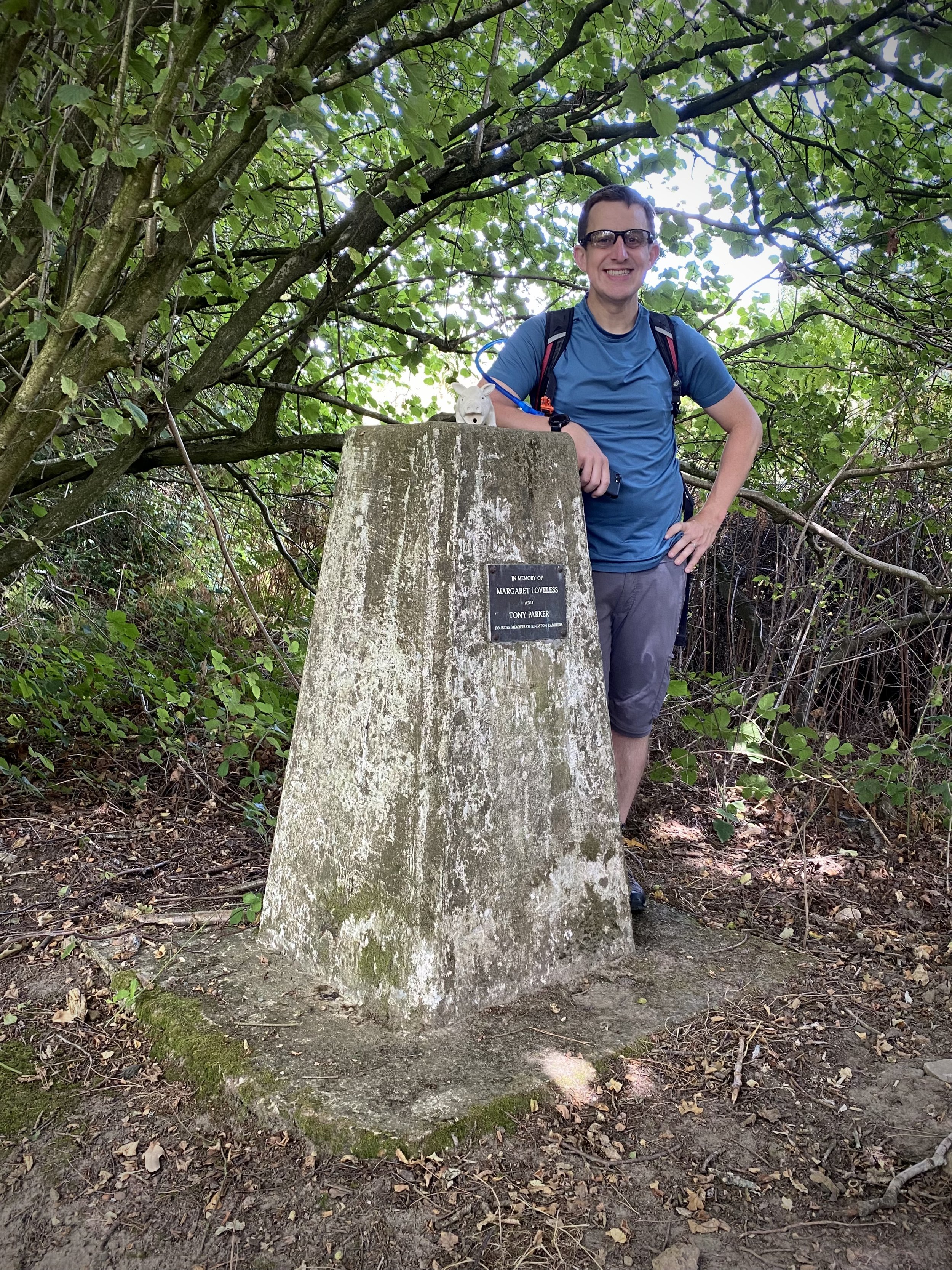
OS Trig Pillar: TP4514 - Logmore Farm
Pubs / Cafes on route: None
Map: Dorking, Box Hill & Reigate Map | Leatherhead & Caterham | Ordnance Survey | OS Explorer Map 146
Links: Wescott
This is the eleventh of a series of short circular walks featuring the Greensand Way. The full trail is a long distance path stretching from Haslemere in Surrey to Ham Street in Kent. Our walks take in short sections of the Greensand Way and loop back to the start on other paths. The Greensand Way is well sign posted however you’ll need a map or GPX route to keep on track for the return sections of the loops. The guidance below will help but don’t use it as a fully accurate turn-by-turn guide.
For this section we parked at Holy Trinity Church just off the A25 at Westcott. From here you can access the Greensand Way by walking south for ~100m up Westcott Heath lane. Take a left at the junction and follow the Greensand Way for 1 km until you reach Milton Street. Take a left onto Milton Street then the first path on the right, following the Greensand Way to the house at the top of the hill. Here you’ll leave the Greensand Way to take a path on the right back down the hill to Milton Street. Follow Milton Street south until it becomes a footpath then reaches a small footbridge over the Milton Brook.
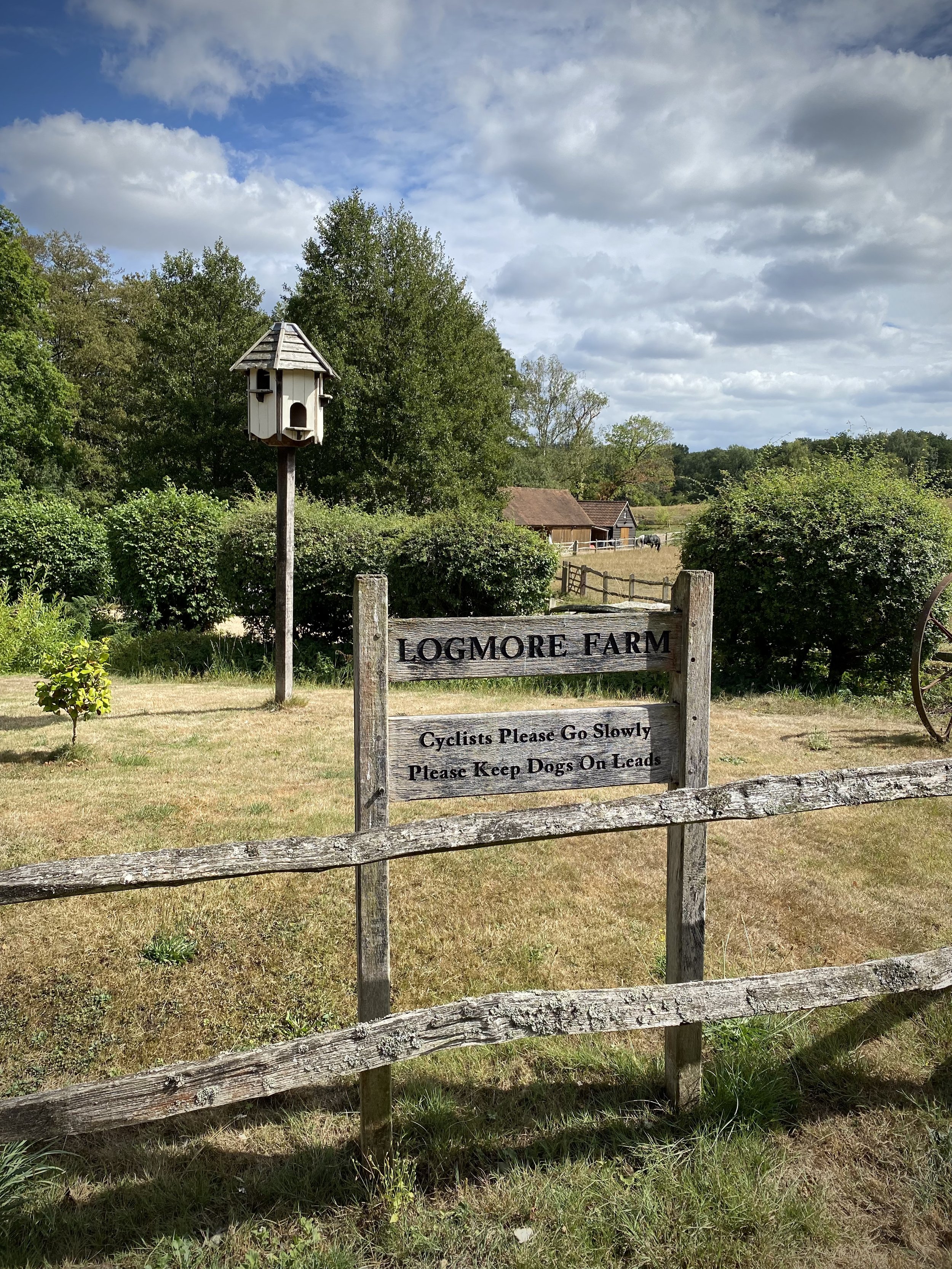
Cross the footbridge over the Milton Brook and through a kissing gate into a field. Follow this footpath for 1.2 km in a south-westerly direction until you meet Logmore Lane. Turn left then immediately right to follow an unnamed lane to Logmore Farm. The lane ends at the farm but you can continue heading south-west up the hill through woods until you meet the Leith Hill Greenway. Take a left onto the Greenway and follow it to the Logmore Farm Trig Pillar on the left of the path.
From the Trig Pillar continue south for 300m then take a right hand path, leaving the Greenway. Descend through the woods, crossing over the Tilling Bourne until you reach the Greensand Way. Take a right and follow the Greensand Way. You’ll shortly pass Broadmoor Village where you left the Greensand Way on Section 10. Continue following the Greensand Way for 4 km until you reach Westcott Heath lane to return to Holy Trinity church.
In this final section near Westcott you’ll pas close to OS Trig Pillar TP3280 - Furzefield. However, this is on private property with no public right of way leading to it so you’ll need permission to visit.
Previous section: Walking The Greensand Way Part 10 - Leith Hill and Broadmoor
Next section: Walking The Greensand Way Part 12 - The Nower and Dorking
View north from the Greensand Way to Hydon’s Ball
Start & Finish: National Trust - Hydon's Ball and Heath car park, Salt Lane, Godalming, GU8 4BB
Distance: 9.3 km (5.8 miles)
Elevation change: +/- 172m
Greensand Way section covered: Hambledon Church to Hascombe: 3.7km
GPX File: get via Buy Me a Coffee
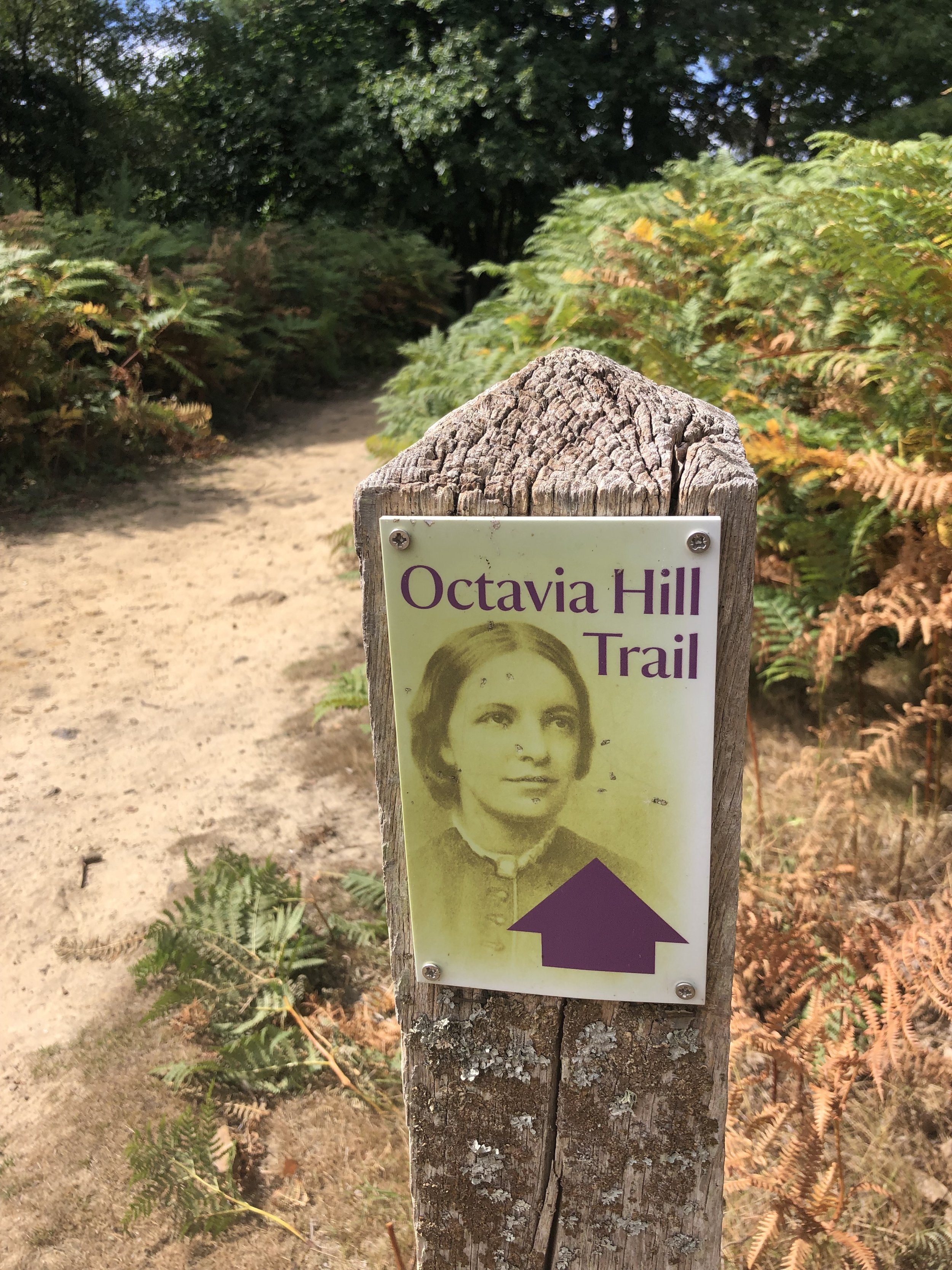
Other routes touched (walk): Octavia Hill Trail
Other routes touched (cycle): None
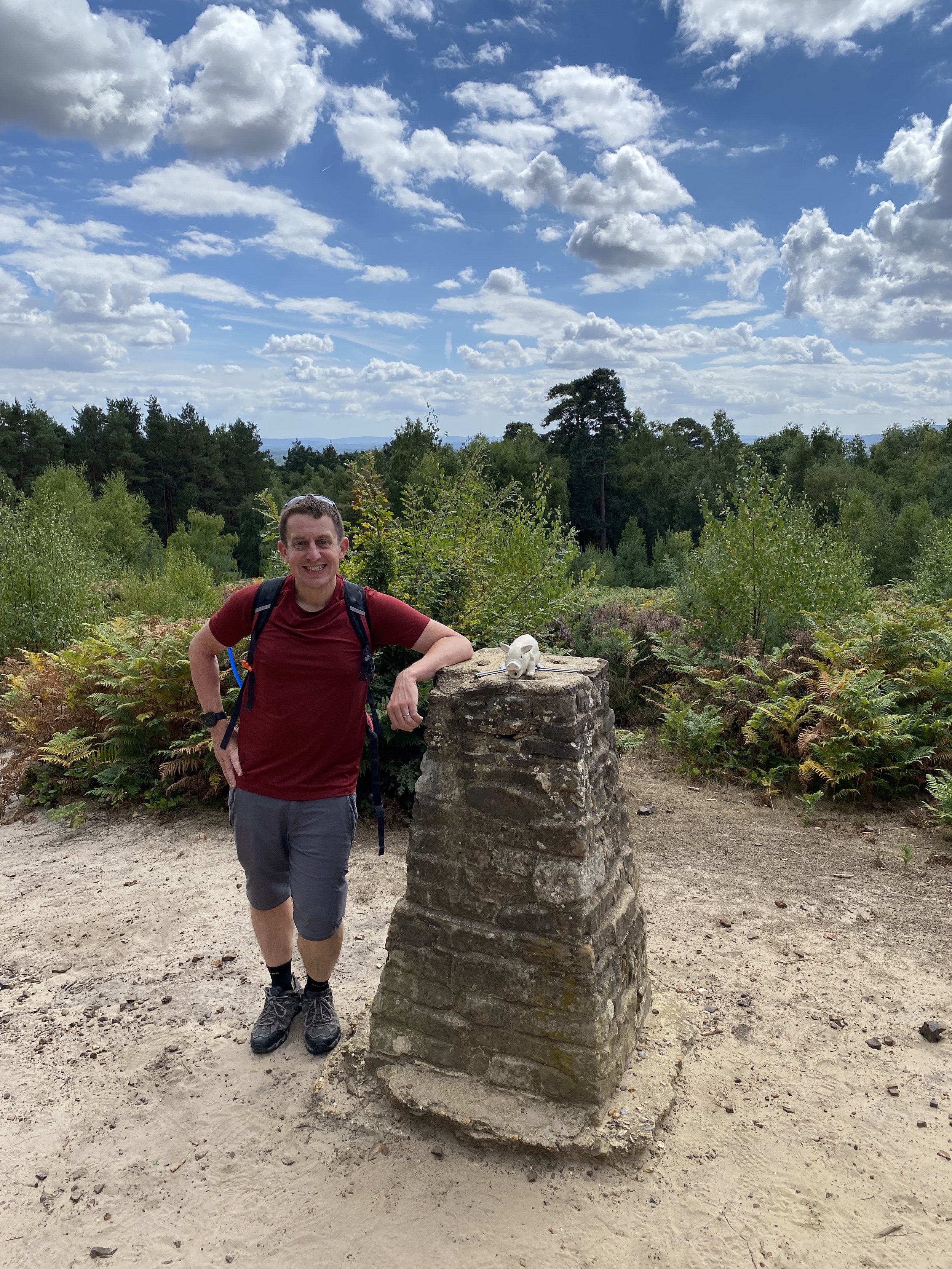
OS Trig Pillar: TP4093 - Hydons Ball
Pubs / Cafes on route: None
Map: Guildford & Farnham Map | Godalming & Farnborough | Ordnance Survey | OS Explorer Map 145
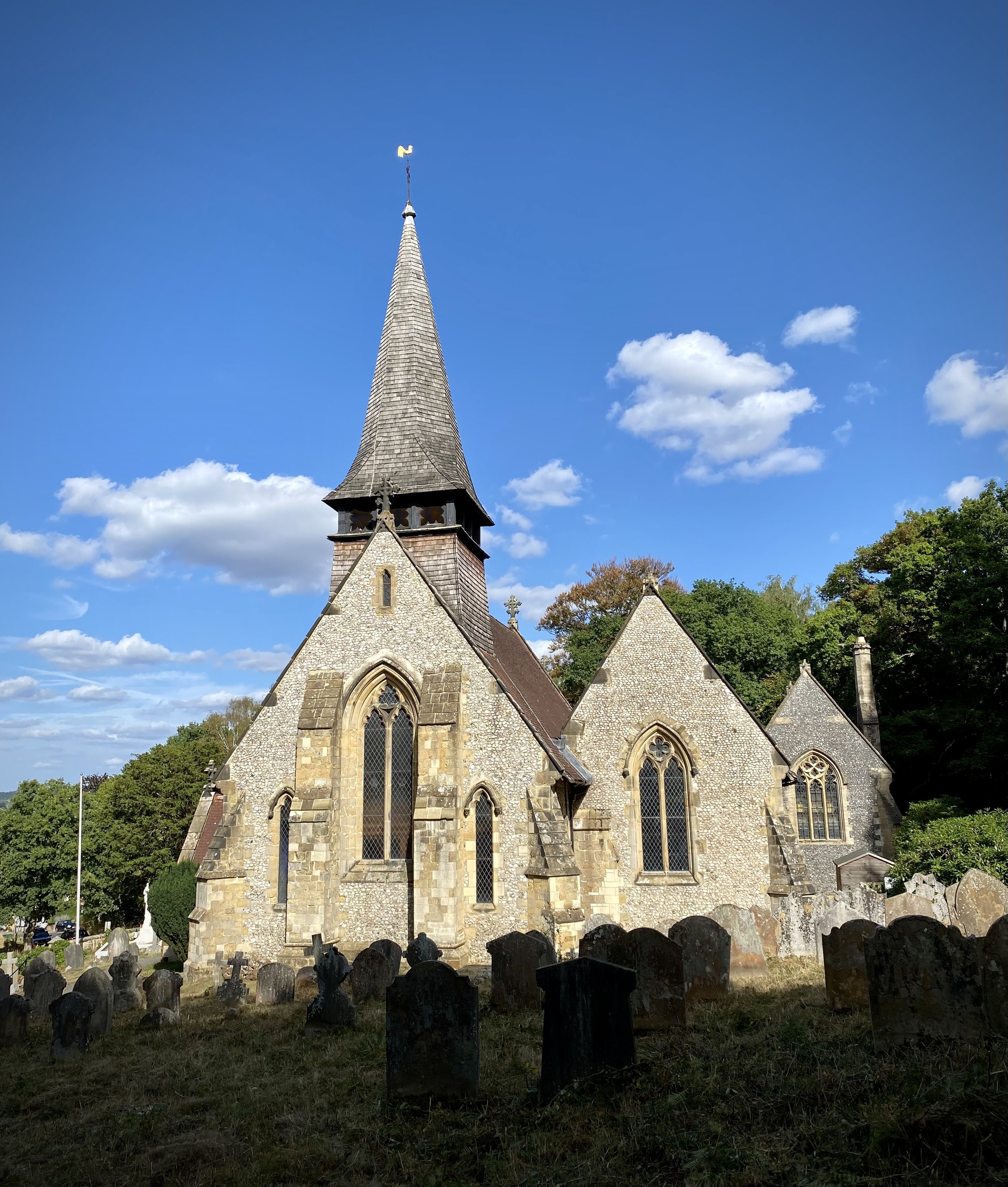
Links: National Trust - Hydon's Ball and Heath, Octavia Hill, Hambledon Church
This is the fifth of a series of short circular walks featuring the Greensand Way. The full trail is a long distance path stretching from Haslemere in Surrey to Ham Street in Kent. Our walks take in short sections of the Greensand Way and loop back to the start on other paths. The Greensand Way is well sign posted however you’ll need a map or GPX route to keep on track for the return sections of the loops. The guidance below will help but don’t use it as a fully accurate turn-by-turn guide.
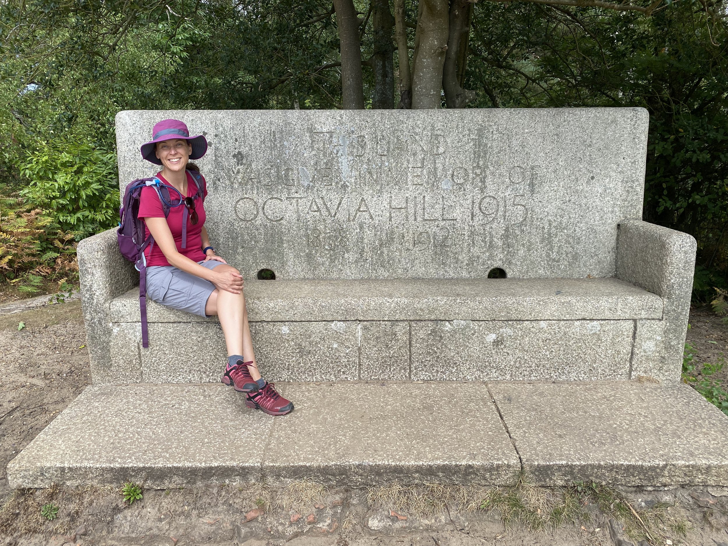
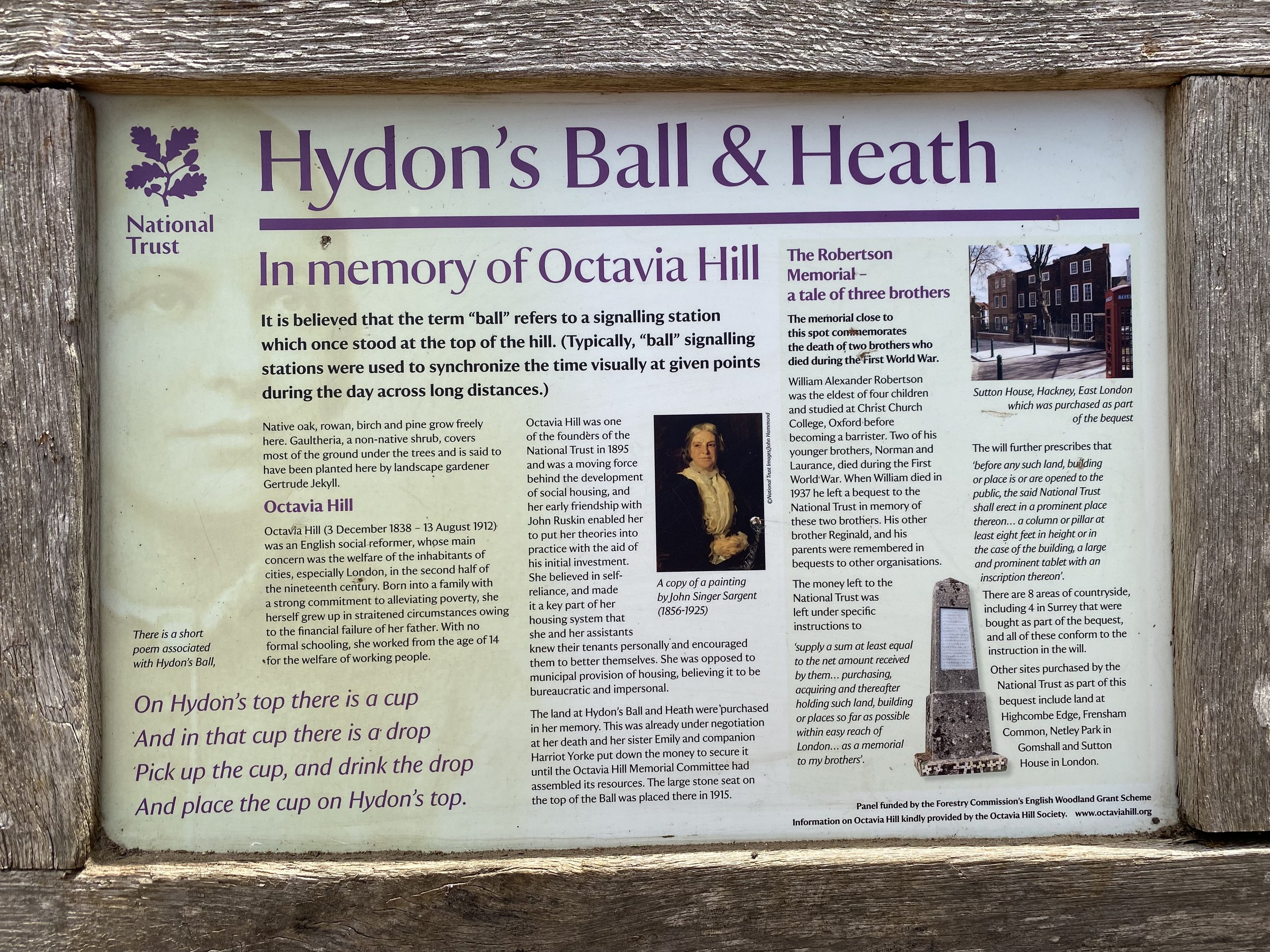
For this section we parked at the free National Trust Car Park at Hydon's Ball and Heath. Follow the paths through the heath in a southly then south-westerly direction to the top of the hill with the OS Trig Pillar and stone memorial bench to Octavia Hill. Stop for a while to take in the view to the south and the Greensand Way at the bottom of the hill.
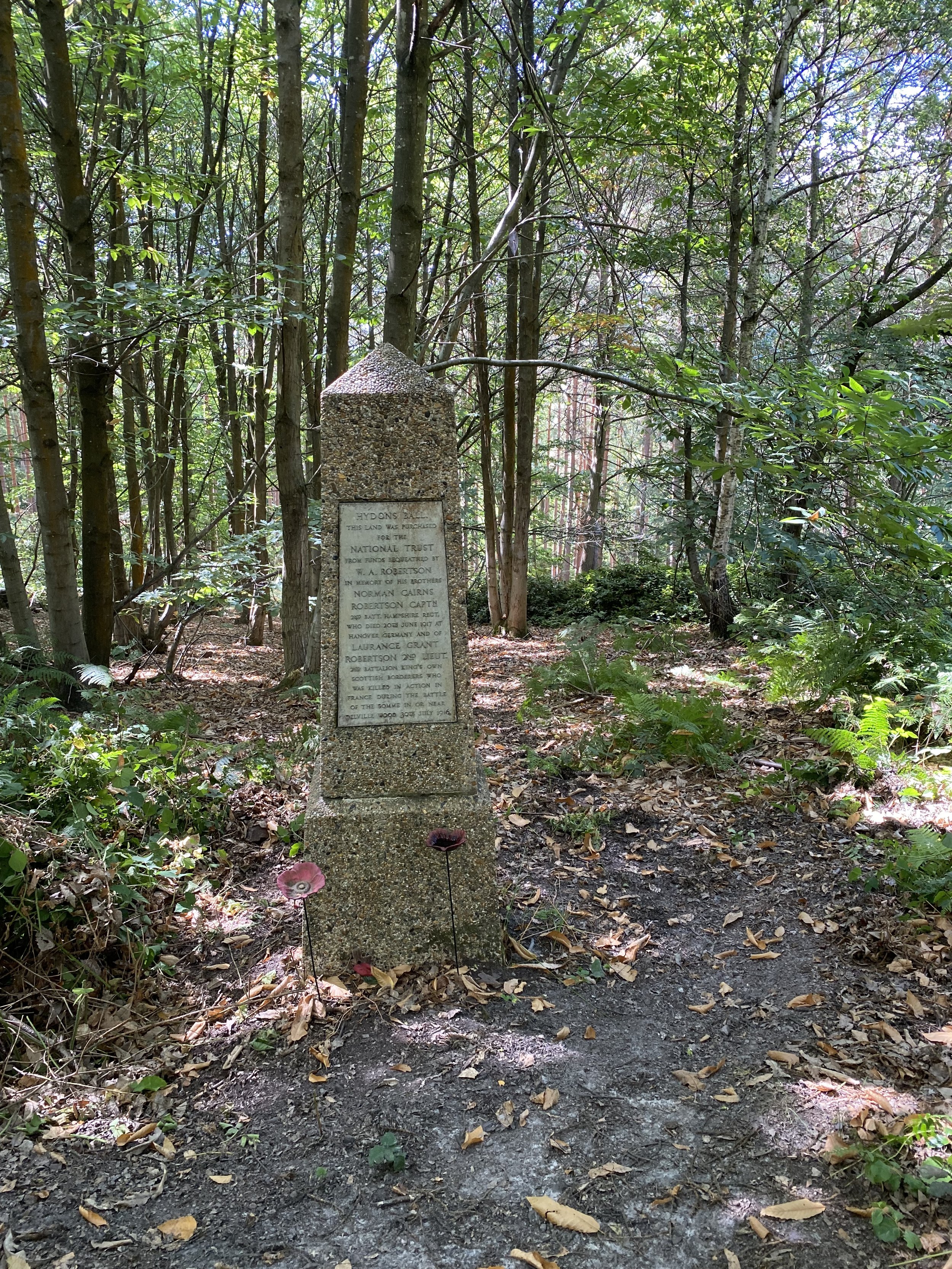
From the Trig Pillar follow the Octavia Hill Trail west for ~120 metres, then take a left hand path to follow it down to the memorial pillar. After the memorial continue along paths in a south-westerly direction for approx 1km until you reach Hambledon Church. You’ll now have reached the start and finish of section 4. Take the left hand track onto the Greensand Way and follow it in an easterly direction for 3.7 km.
This section of the Greensand Way is very quiet, along pretty holloways with occasional long vistas to the south. When you get to the edge of the woods just before The White Horse Pub at Hascombe you’ll leave the Greensand Way on a north-heading path. Continue onto this path onto Hoe Lane, then take a left-hand path that climbs steeply up a hill, initially on wooden steps and back into Holloways Heath. Cross over Mare Lane and follow a private road with some very expensive houses on it for just over 1km until you reach the junction with Hascombe Road. Take a sharp left onto a path before Hascombe Road and follow this in a south-westerly direction back to the Hydon’s Ball car park.
Previous section: Walking The Greensand Way Part 4 - Witley and Hambledon
Next section: Walking The Greensand Way Part 6 - Winkworth and Hascombe
Start & Finish: Hambledon Church, 1 Church Lane, Hambledon, Godalming, GU8 4DS
Distance: 9 km (5.6 miles)
Elevation change: +/- 124m
Greensand Way section covered: Edge of Heath Hills Wood to Hambledon Church: 4.5km
GPX File: get via Buy Me a Coffee
Other routes touched (walk): None
Other routes touched (cycle): Surrey Cycleway
Pubs / Cafes on route: The Merry Harriers (near start/finish)
Map: Haslemere & Petersfield Map | Midhurst & Selborne | Ordnance Survey | OS Explorer Map OL33
Links: Witley, Hambledon, Hambledon Church
This is the fourth of a series of short circular walks featuring the Greensand Way. The full trail is a long distance path stretching from Haslemere in Surrey to Ham Street in Kent. Our walks take in short sections of the Greensand Way and loop back to the start on other paths. The Greensand Way is well sign posted however you’ll need a map or GPX route to keep on track for the return sections of the loops. The guidance below will help but don’t use it as a fully accurate turn-by-turn guide.
For this section we parked at the end of the Greensand Way part and walked back to where we left the trail on section 3. Hambledon Church has a handful of parking spaces and had several available when we arrived early afternoon on a Saturday. You’ll probably be fine getting a space there as long as it’s outside of church service times. Alternative parking is at the Merry Harriers pub 300m into the trip. Ask permission to park there first.
From Hambledon Church the route back to Heath Hills Wood runs in a westerly direction on mostly wide paths. It was muddy in parts even after a relatively dry spell so come prepared with waterproof shoes or boots. This section back to the Greensand Way is slightly over 4km and flat(ish) until the 2.5km point where it climbs back up to the trail.
Once you meet the Greensand Way again you’ll be heading in an easterly direction. You’ll cross the railway on a bridge behind Witley Station, missing the town, and through the pretty village of Hambleden. There’s a great viewpoint just before the descent to Hambledon village where you can see back to the hills around the Devil’s Punchbowl and almost to the south coast.
The walk concludes with a gentle climb out of Hambledon village to the church where you started.
Previous section: Walking The Greensand Way Part 3 - Thursley and Witley Park
Next section: Walking The Greensand Way Part 5 - Hydons Ball and Holloways Heath
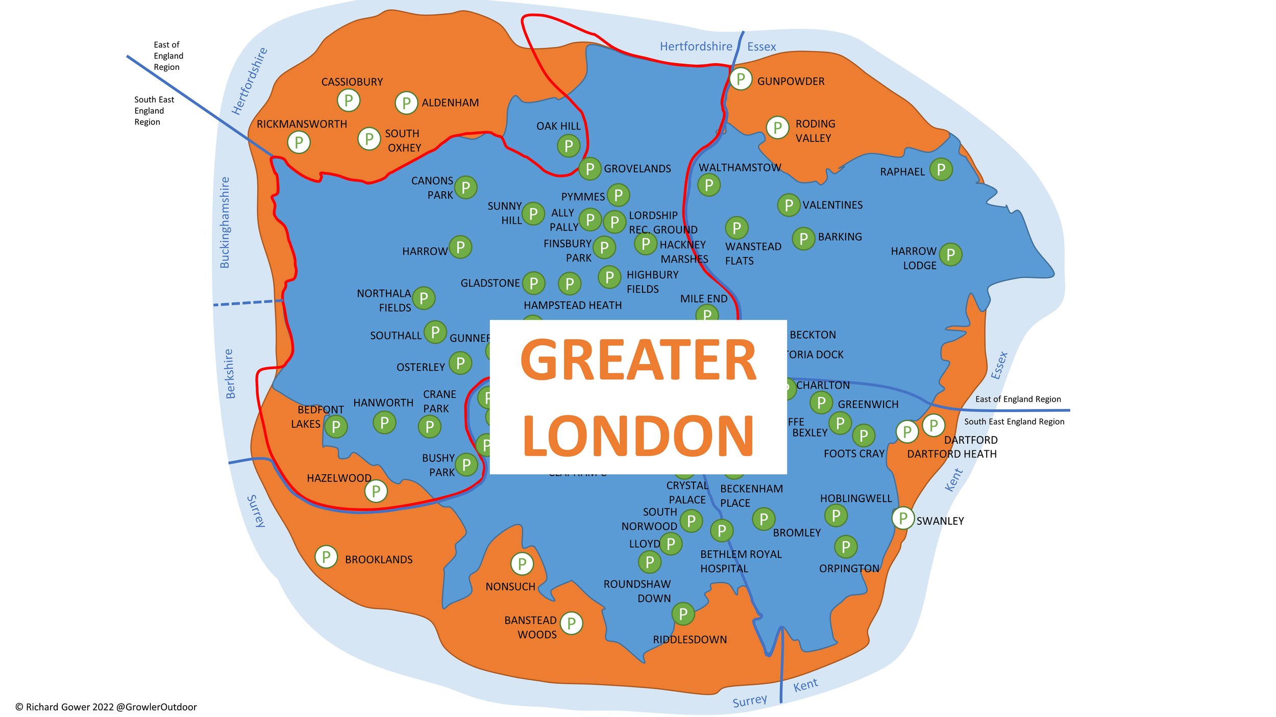
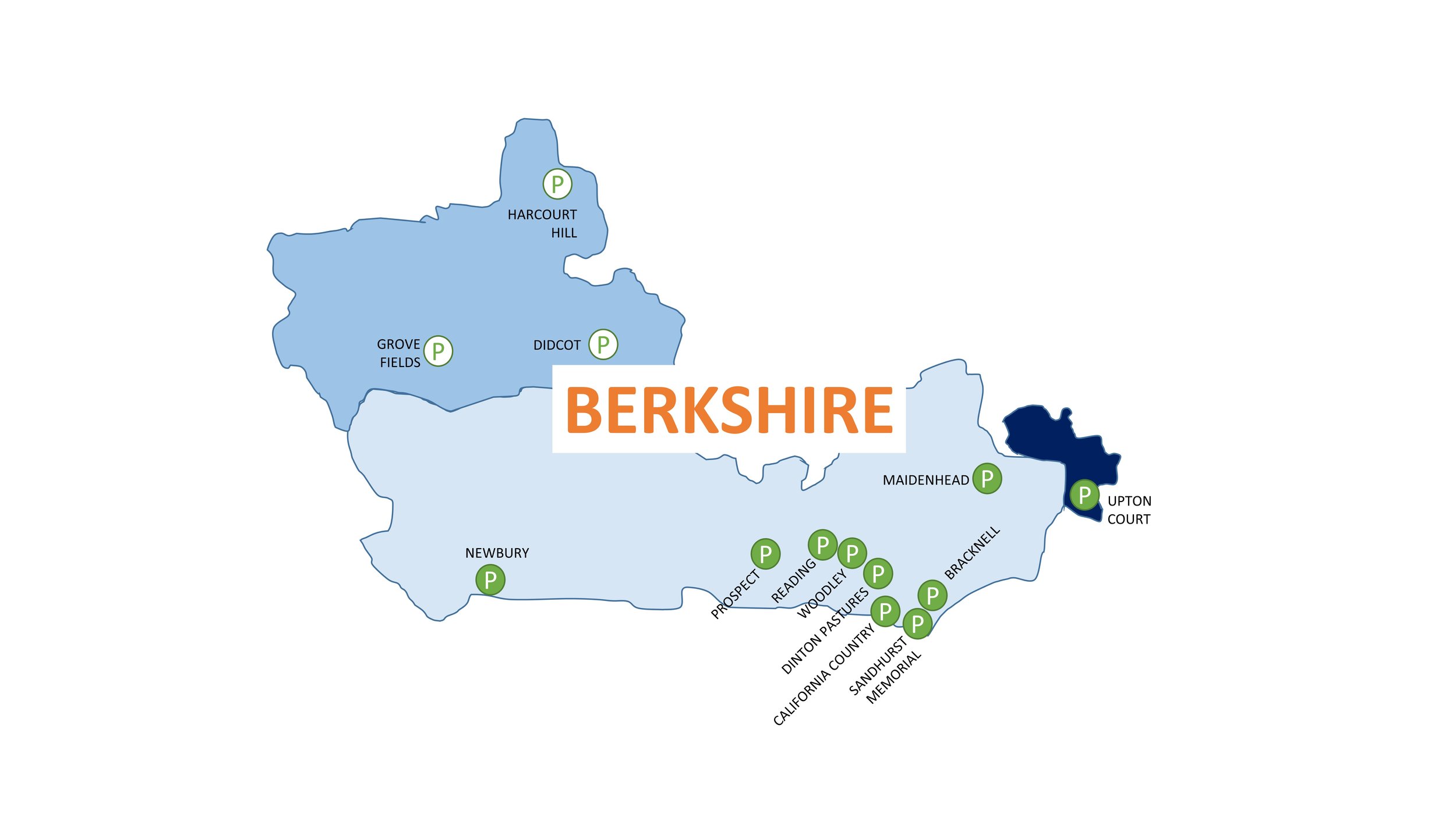
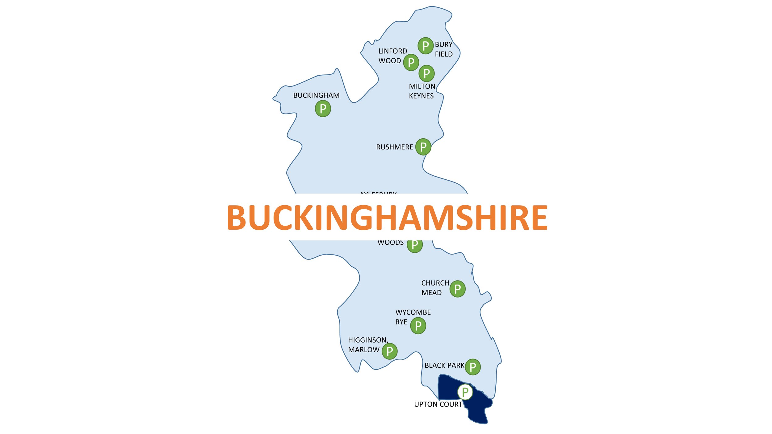
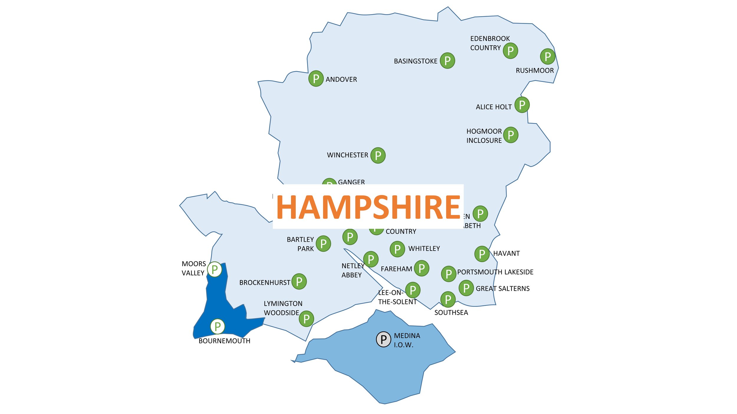
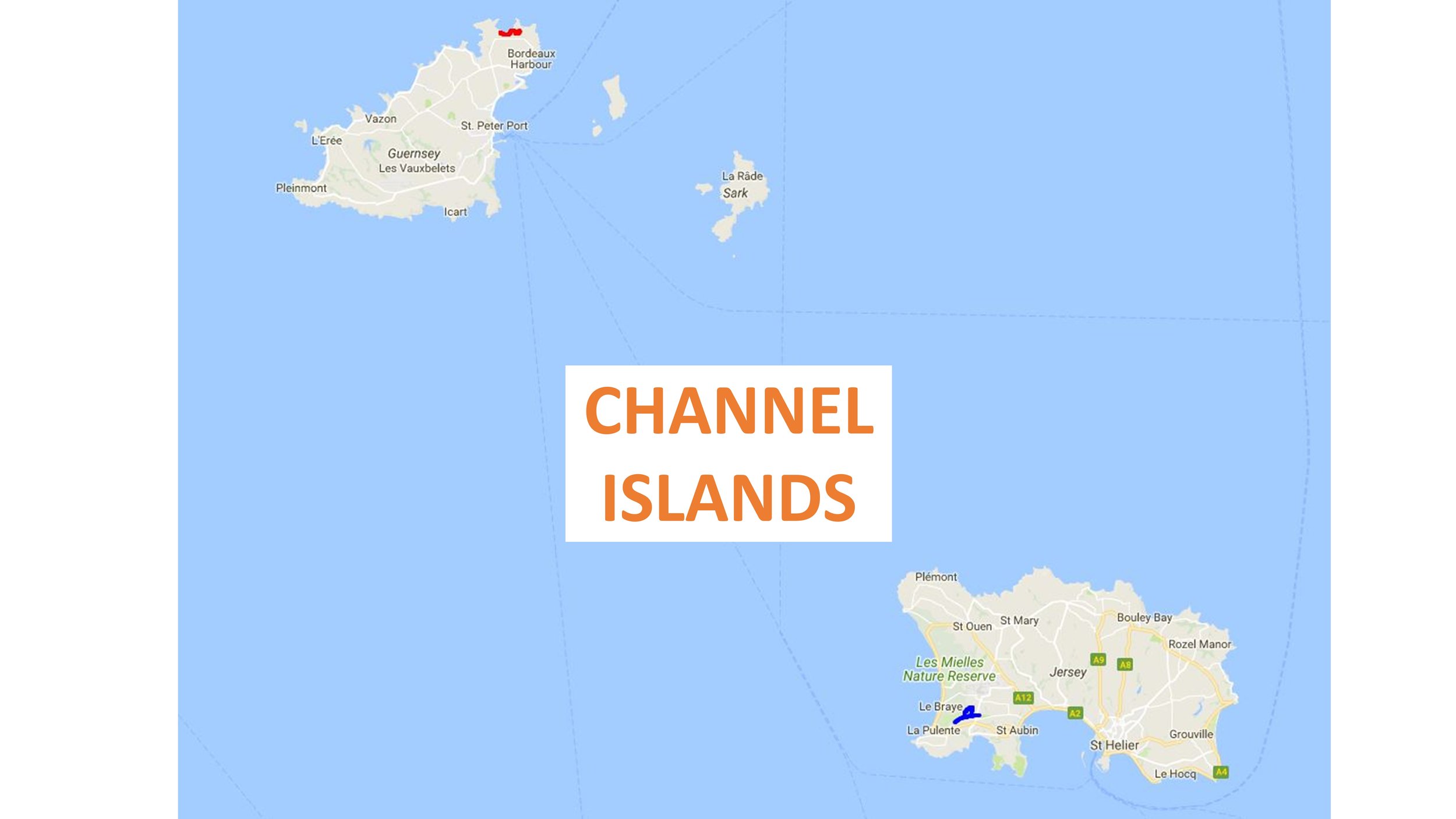
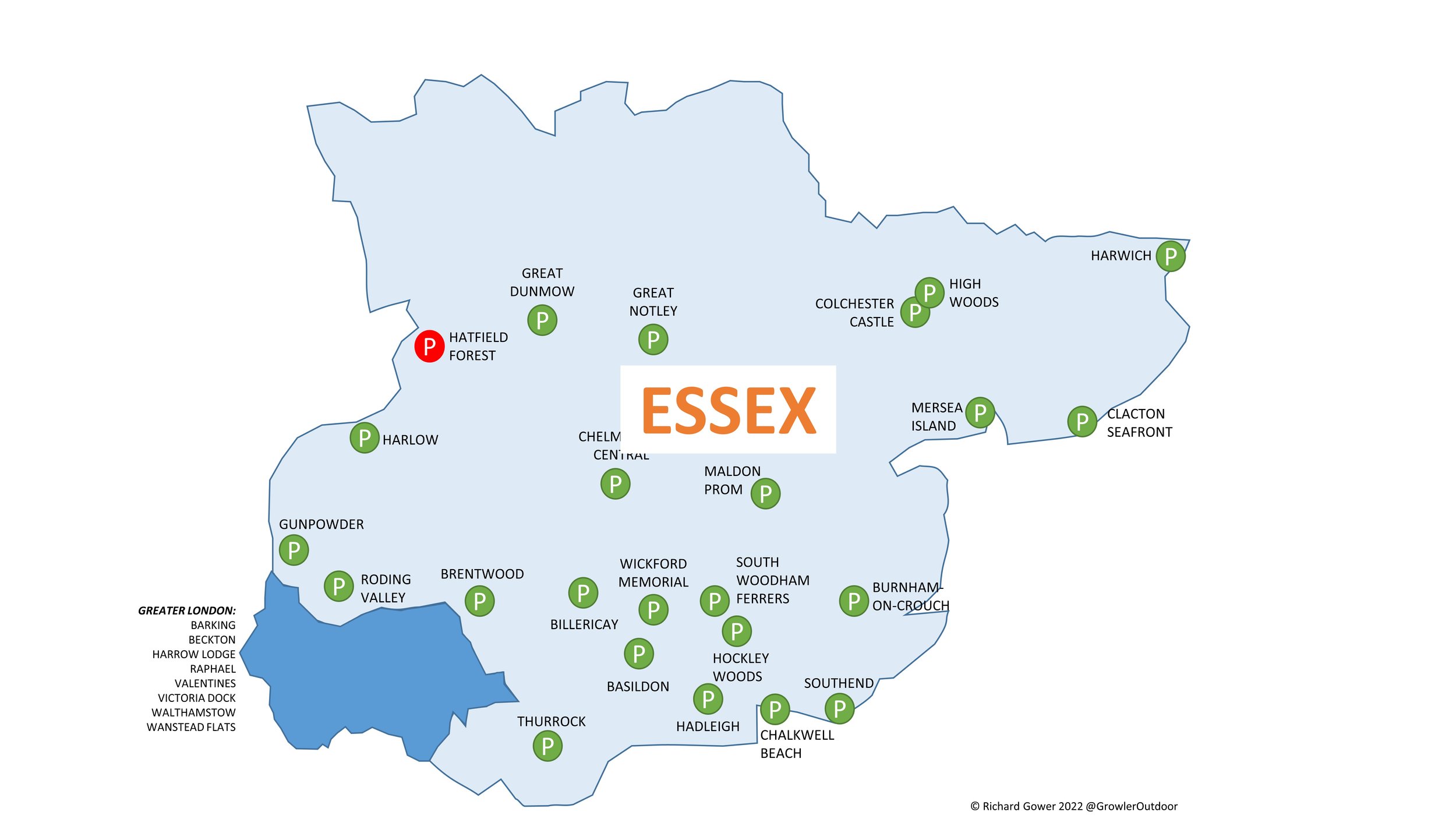
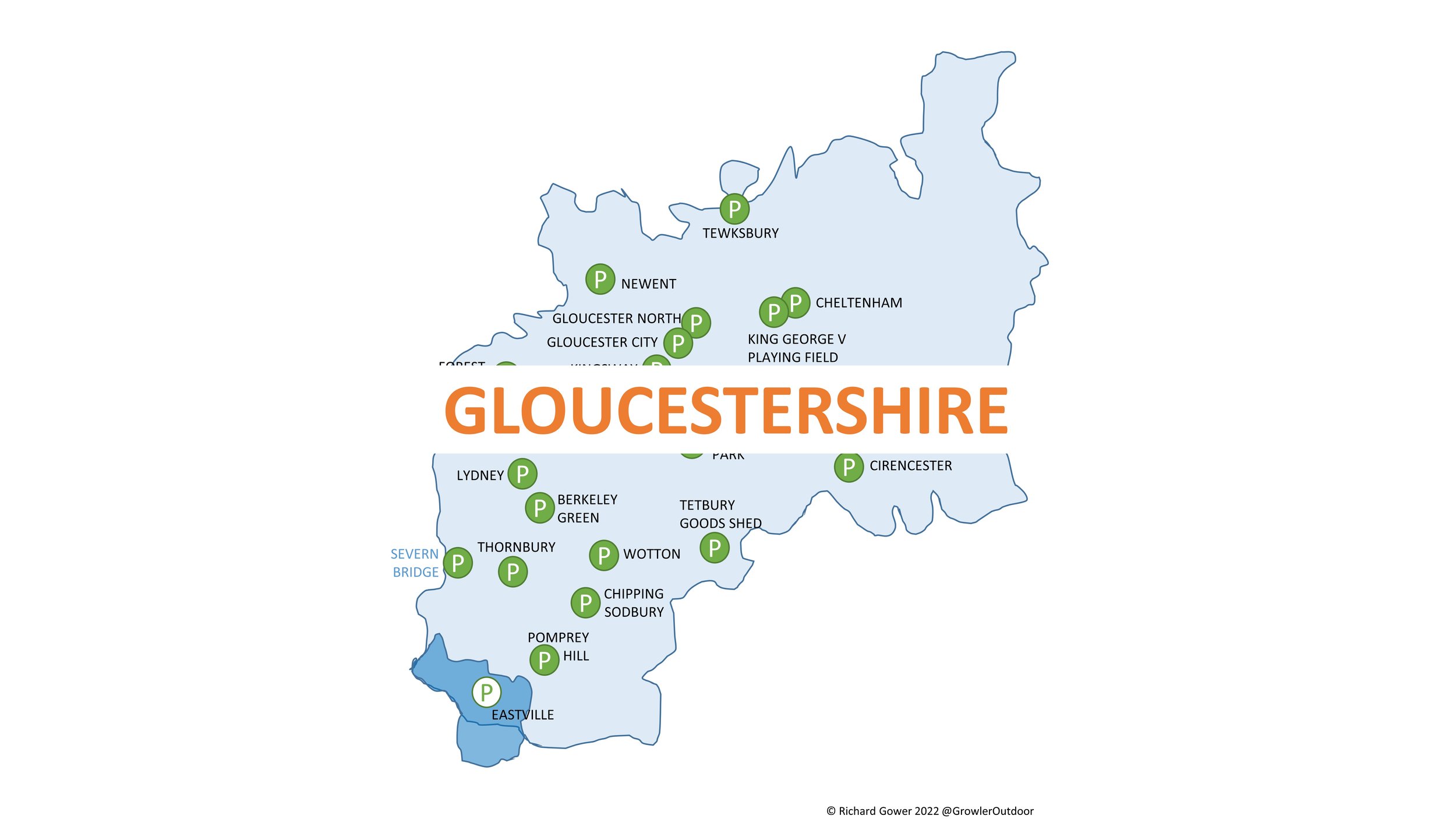
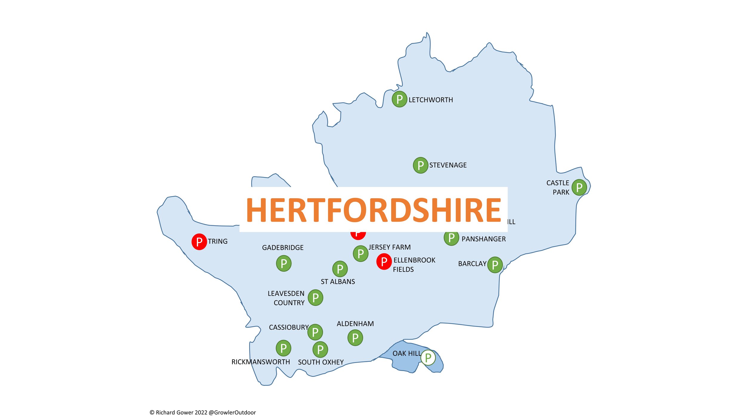
If something is outdoors, has variety, can be tracked and has challenges, it’s a fair bet that I’ll get obsessed with it. parkun ticks all of those boxes and it’s been an obsession of mine since 2012. A friend who had got the parkrun bug a few years before took me to a Boxing Day Freedom Run in December 2012. I was hooked straight away and returned to Black Park to do my first official one the following week. I started touring early, heading over to Wycombe Rye only a few weeks later. As it happened the event was called off due to ice but we did a Freedom Run anyway and returned the following week to do it properly.
Since then I’ve been touring as much as possible, collecting challenges and counties along the way. Here’s a selection of my blog posts on parkrun. Comment below or contact me if you spot any errors and I’ll donate £1 to the parkrun Forever fund for each correction made.
parkrun Challenges & general geekery
parkrun Regions and Counties: London & The South East
Other parkrun Regions and Counties
I add in a new county collection page once I’ve completed at least 3 events in the county. If you would like to speed up the process, Buy Me A Coffee and I’ll create a new one for your chosen county.
parkrun Timeline
My completion year for the various parkrun clubs, challenges, countries and counties. There’s a few other smaller challenges that I’ve not shown here.
Green achievement badges sourced from the Running Challenges extension
Peterzens Boathouse
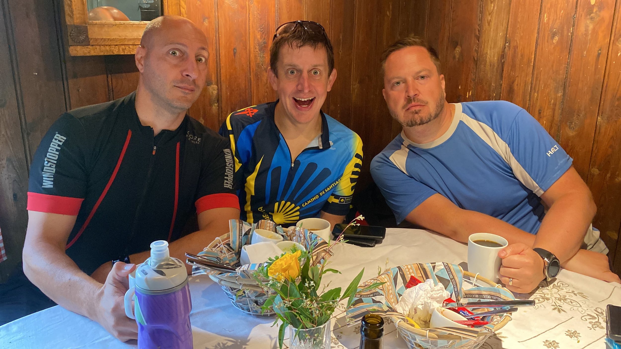
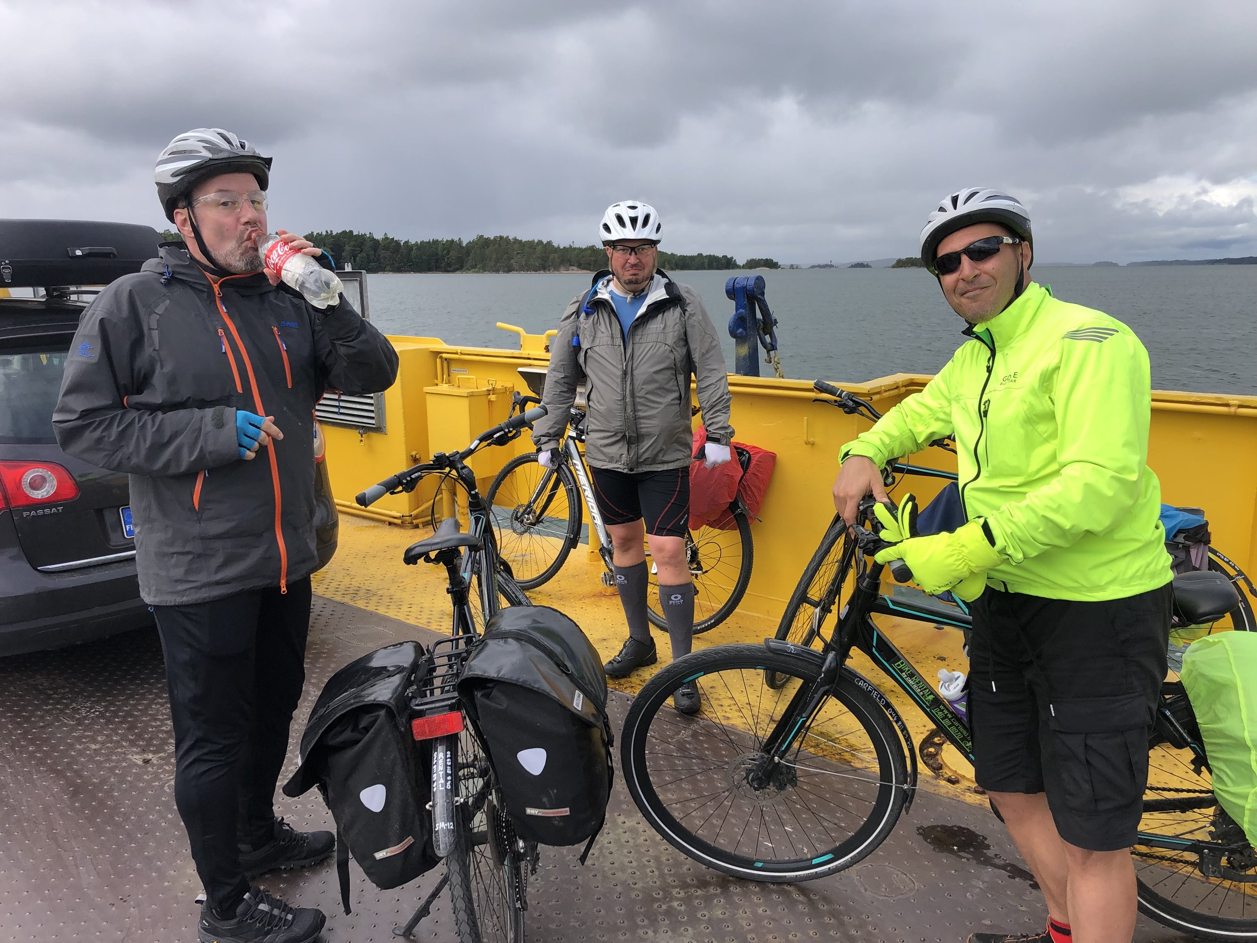
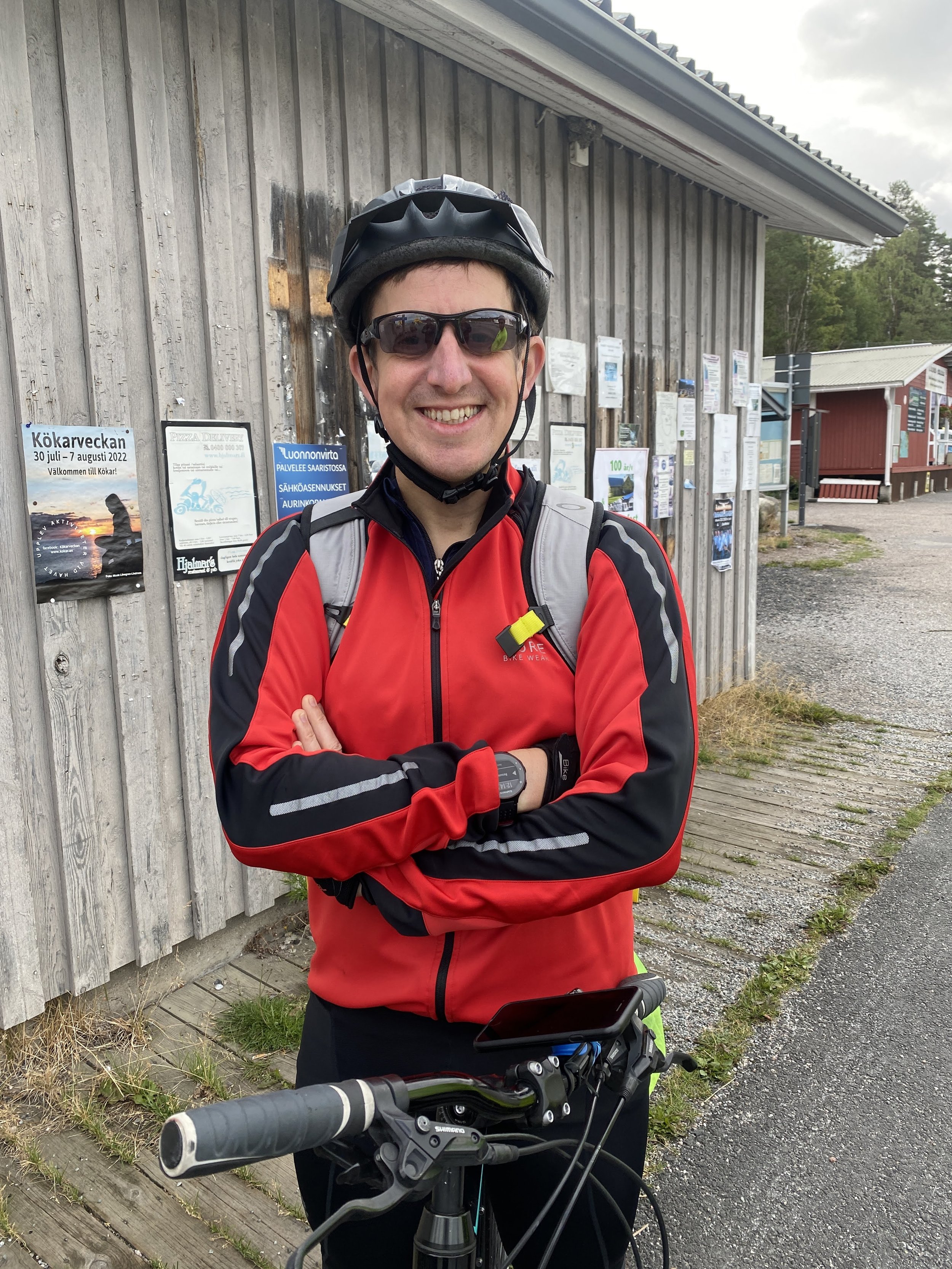
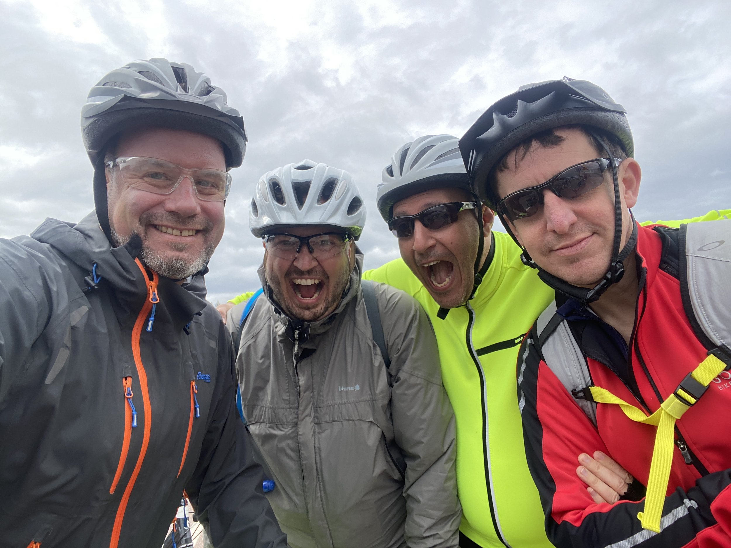
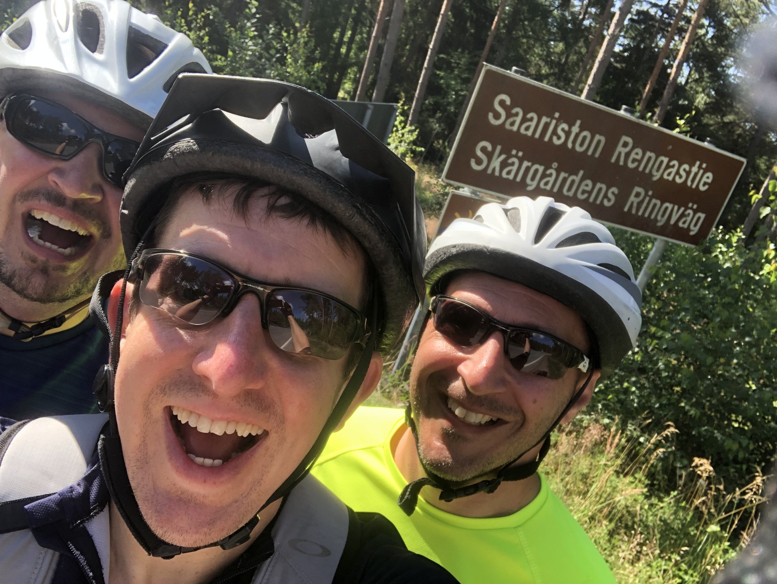
A boys’ trip to Finland has been an annual summer event for us since 2003. We’re a group of 40-somethings made up of two Finns, two Germans and two Brits. We met when we all worked in IT in the same company and kept meeting up once a year ever since. Most years we end up in Finland, hosted by Juho and Juha. Sometimes we go somewhere else and sometimes not all the group can make it. Due to Covid and a 2019 trip to Berlin it had been 4 years since our previous Finland trip so we were keen to be back. For this trip we opted for a cycling adventure rather than our usual sauna and beer weekend.
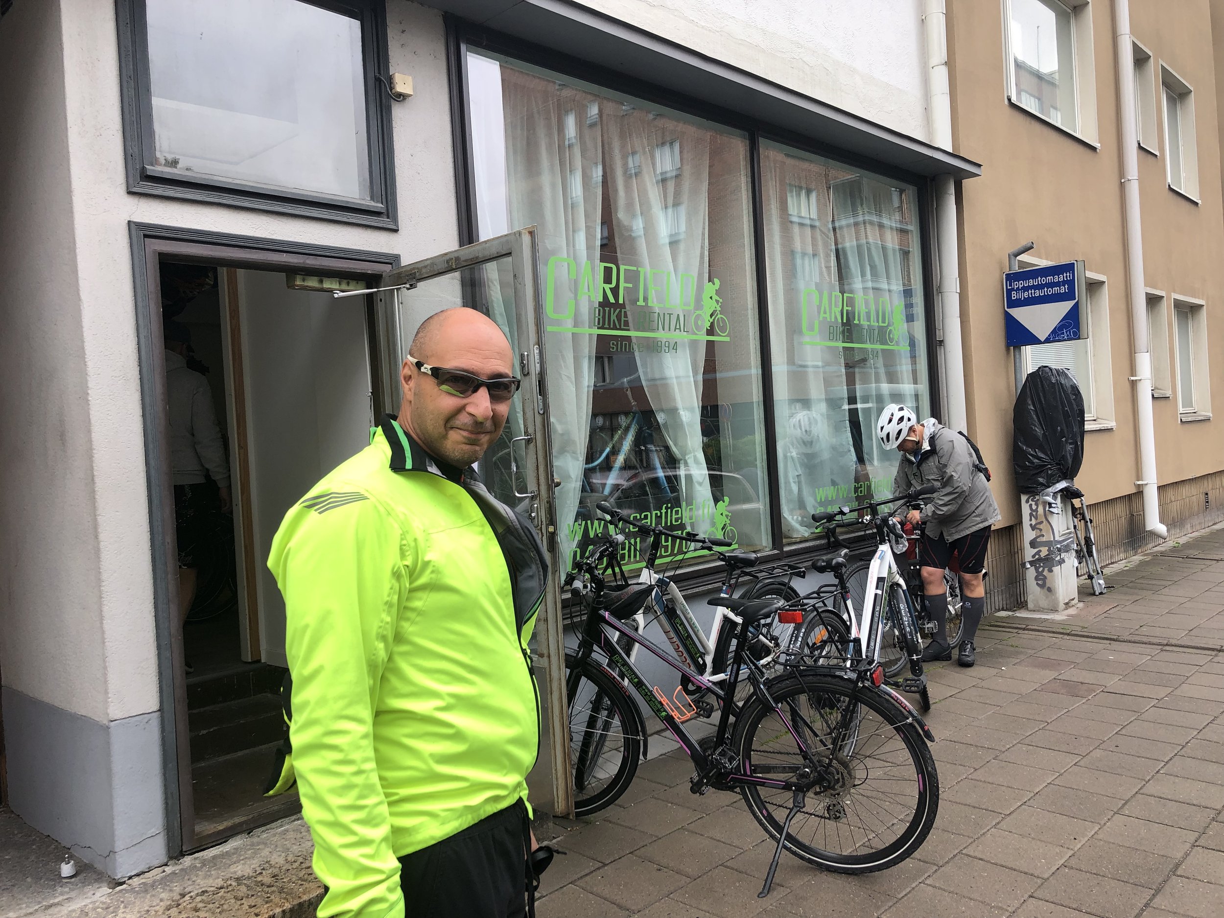
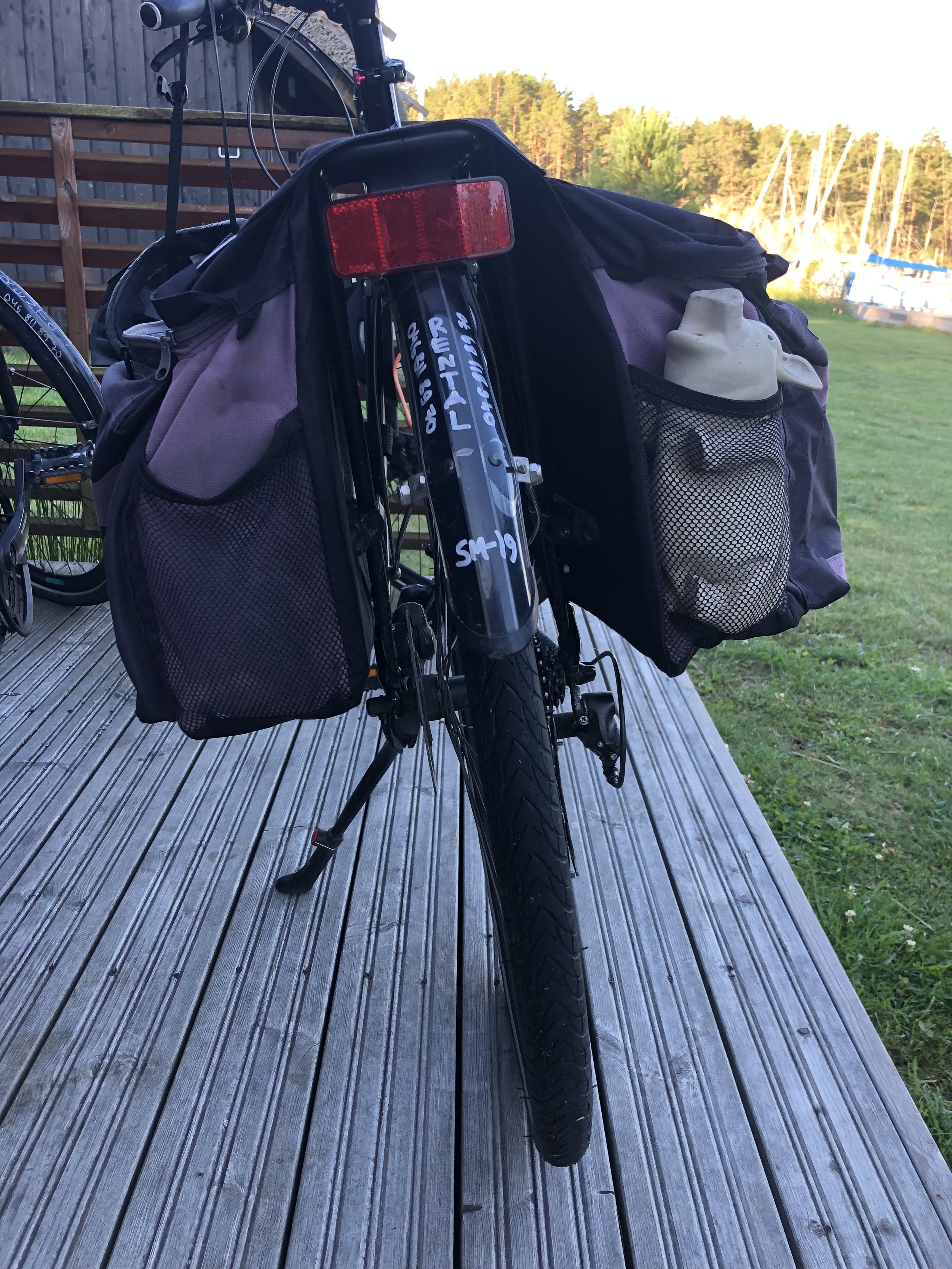
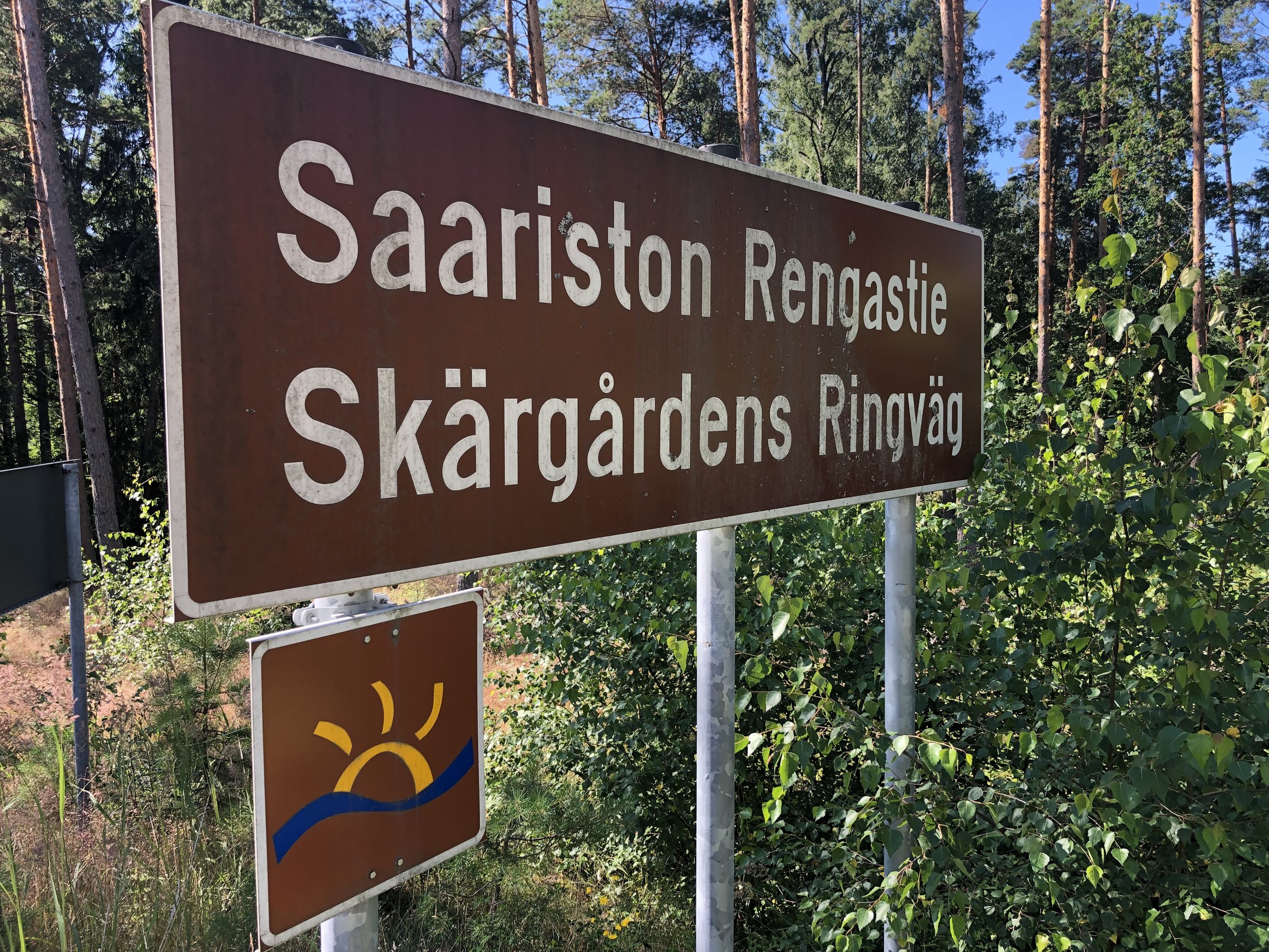
We chose the Archipelago Trail, a ~220 km circular route from Turku, a city in the south-west of the country. We took the train from Helsinki to Turku and a bus back, both of which were just over 2 hours. There’s a few options for bike hire in Turku but we chose Carfield, a 5 minute walk from the train station. Staff are friendly but inefficient so allow 30 minutes to get your bikes sorted out even if you have booked in advance.
Day 1 - Turku to Korppoo
Start: Carfield Bike Rental - Polkupyörävuokraus, Läntinen Pitkäkatu 20, 20100 Turku
Finish: Hjalmars´ Restaurant and Pub, Kauppamiehentie 1, 21710 Korpo
Distance: 80.6 km (50 miles)
- On roads: 78.2 km (48.5 miles)
- via ferry: 2.4 km (1.5 miles)
Elevation change: + 943m / -964m (Net -21m)
GPX File: get via Buy Me a Coffee
Other routes touched (walk): Sattmarkin Luontopolku, St. Olav’s Way
Other routes touched (cycle): EV10
Pubs / Cafes on route: Sattmark Kaffe & Safka (33 km in), Köpmans Café & Restaurant, Nagu (57 km in),
Links: Archipelago Trail, St. Olav’s Way, Turku, Kaarina, Nagu, Korppoo, Fin Ferries
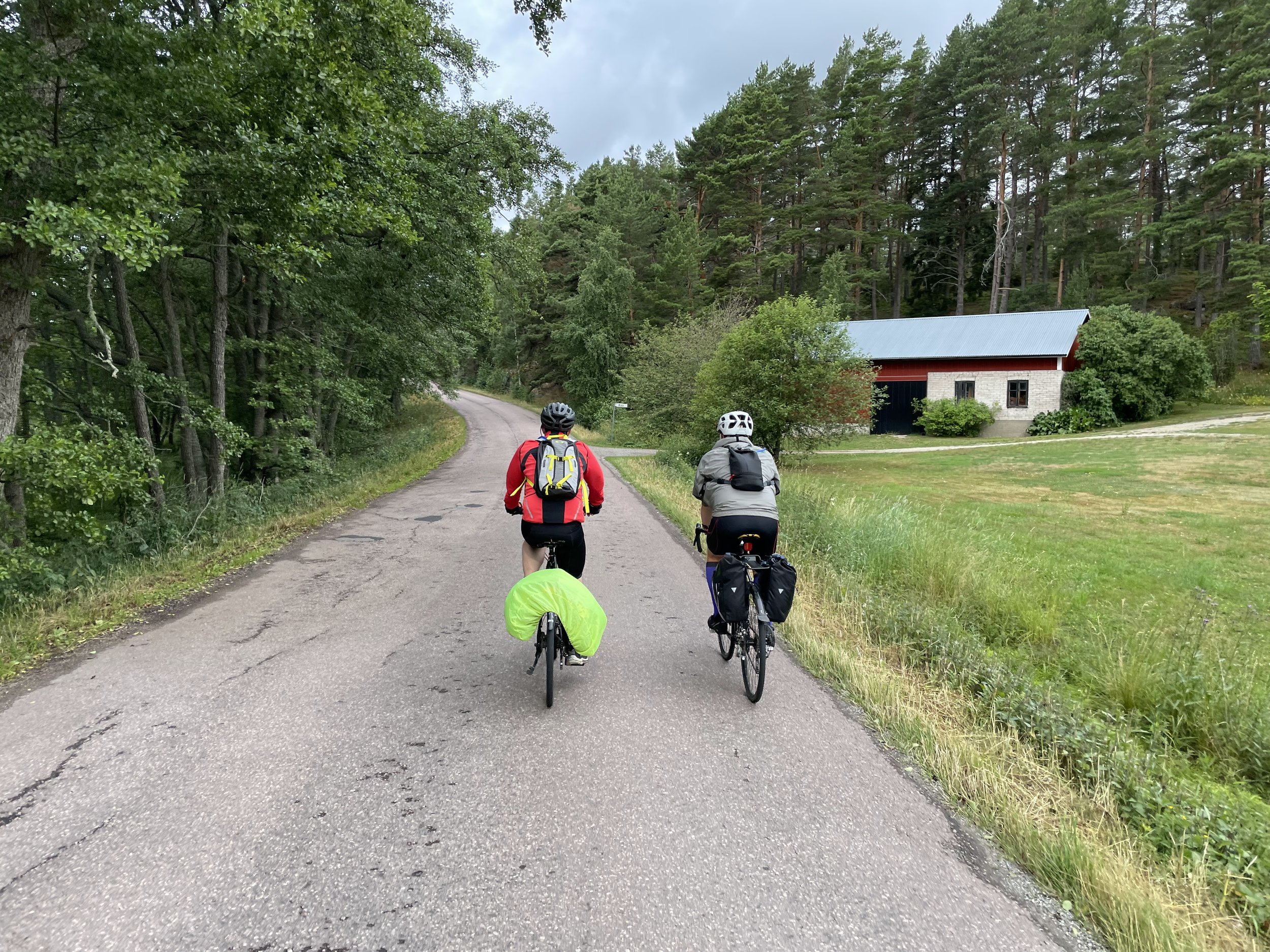
We took a clockwise direction following the EV10 out of Turku to Kaarina, then south on the 180. At 11km we were off the mainland and over the bridge to the first island of the archipelago. Although there’s some busy roads on this first section the cycle path is separate from the road, safe and well maintained. Once on the islands the cycle path undulates more than the roads as they navigate up and around rockier sections.
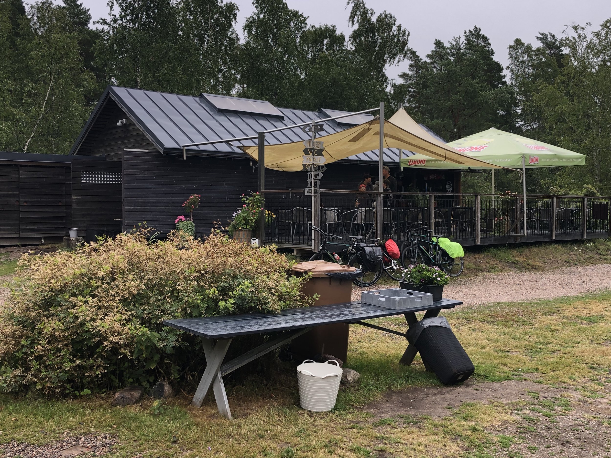
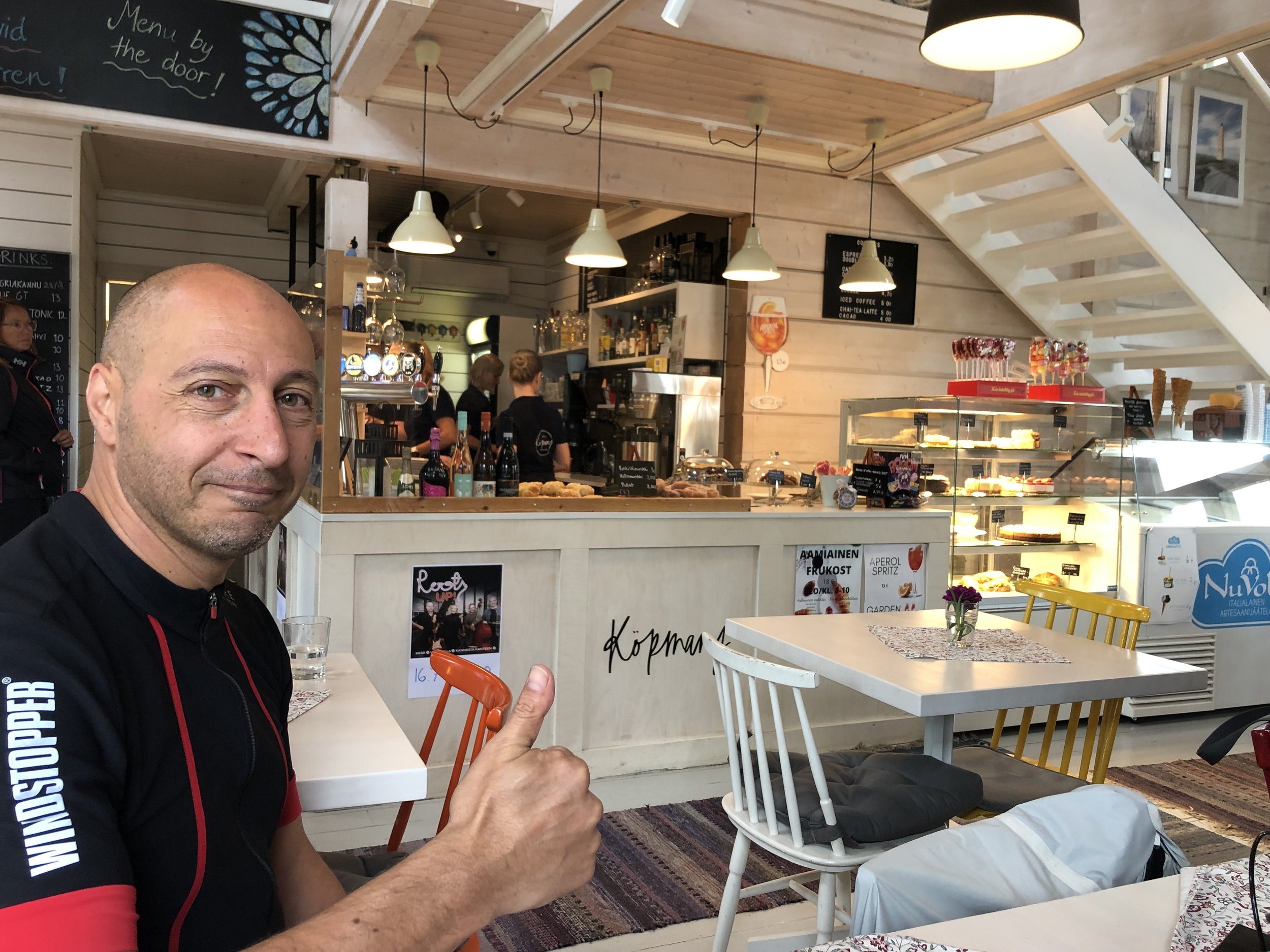
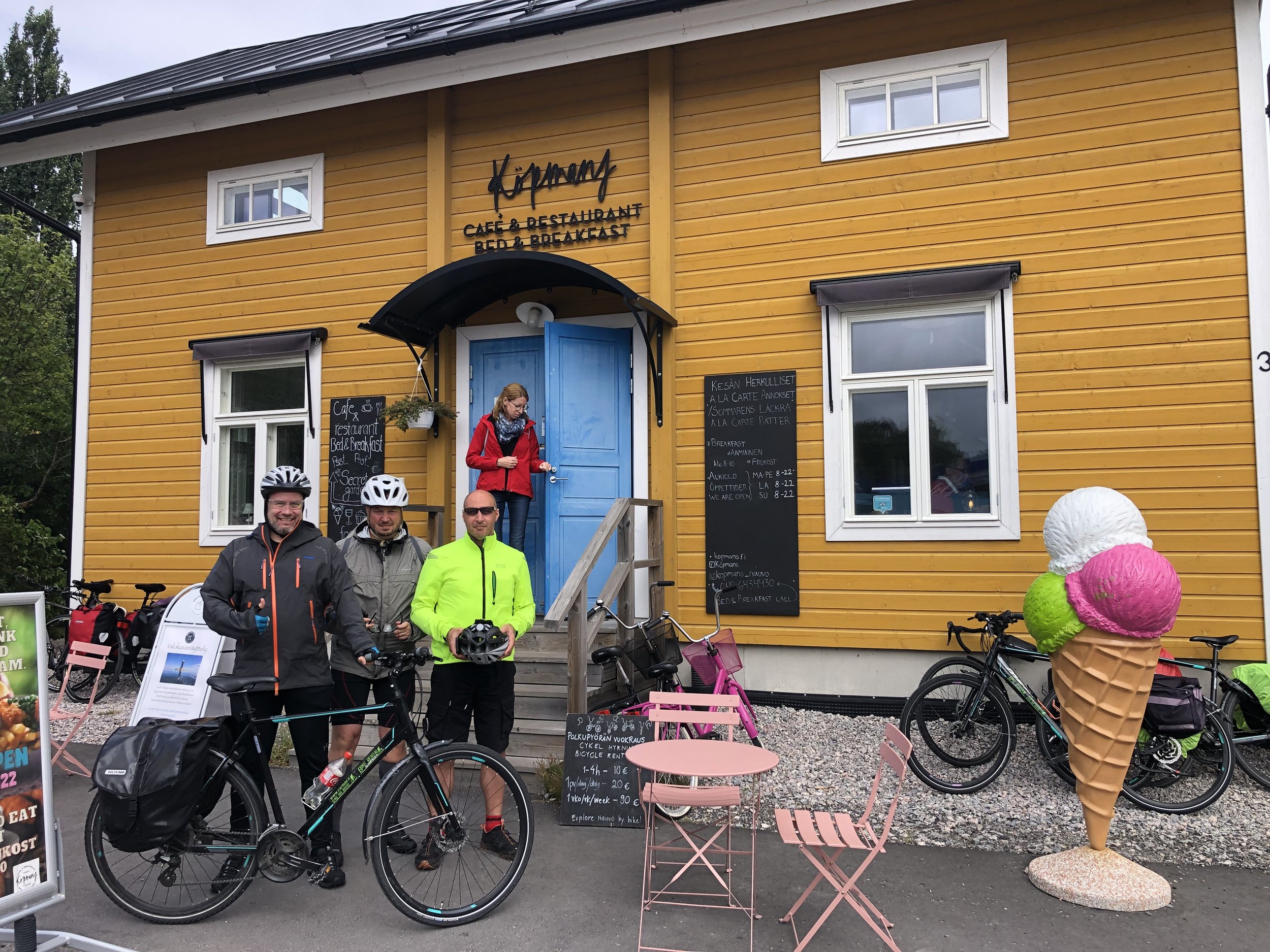
The weather wasn’t kind to us and it rained for most of the first day. We were very happy to stop for lunch at Sattmark Cafe, 33 km into the trip. I can highly recommend the fish and chips which looked small when they arrived at the table but seemed to go on forever. The cake selection looked amazing but the fish had filled me up so dessert would have to come later. For us this was 24 km later in the larger town of Nagu where Köpmans Café & Restaurant is a good and popular choice.
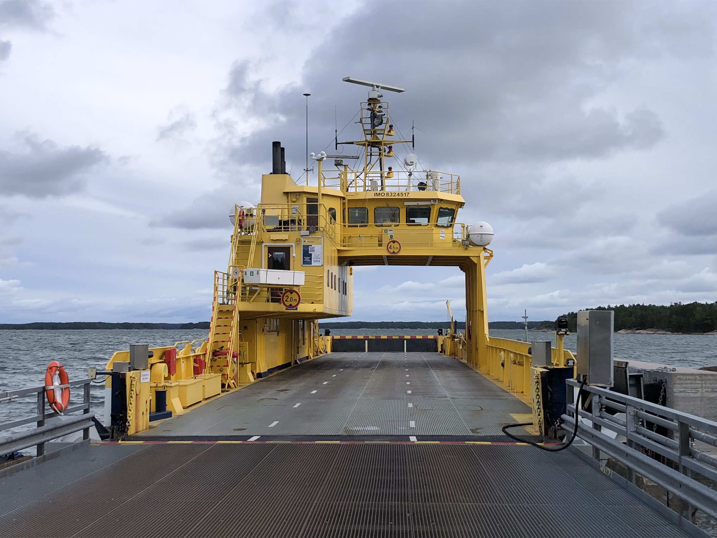
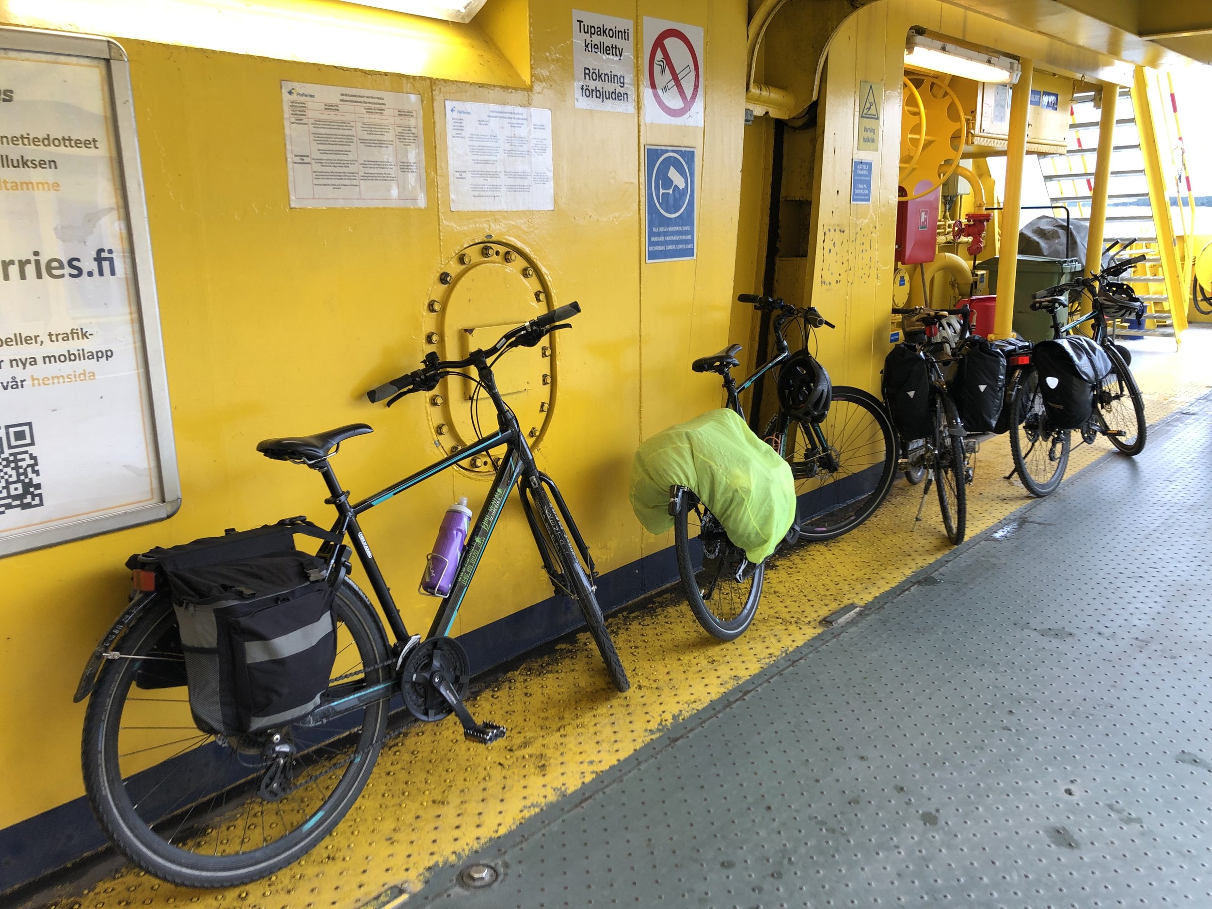
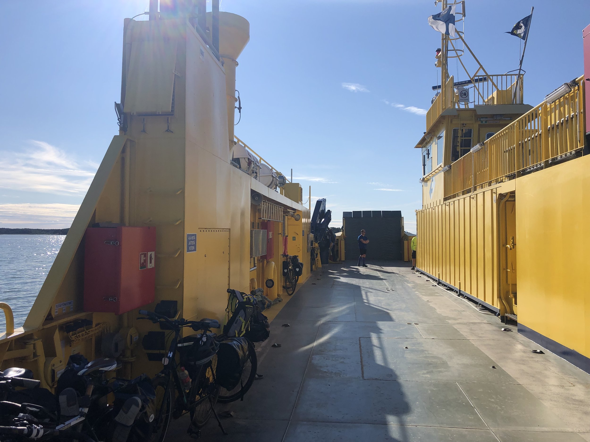
The first car ferry of the trip is shortly before Nagu at the 42 km point. There’s 9 ferries in total for this route, all free of charge except for 1. Shorter crossings have small chain ferries that come and go as needed. Longer crossings have larger ferries with indoor areas for passengers. Check the timetables for the larger ferries as missing one can give you a very long wait. We nearly missed one on day 2 which would have meant a 2 hour wait for the next one.
The separate cycle path ends at the first ferry and you’ll now be joining the cars on the main road. Roads on the islands are quiet though. The larger ferries also have the effect of bunching up the traffic. Bikes always leave the ferries behind the cars, so you’ll have a long stretch of cycling before the cars from the next ferry catch you up.
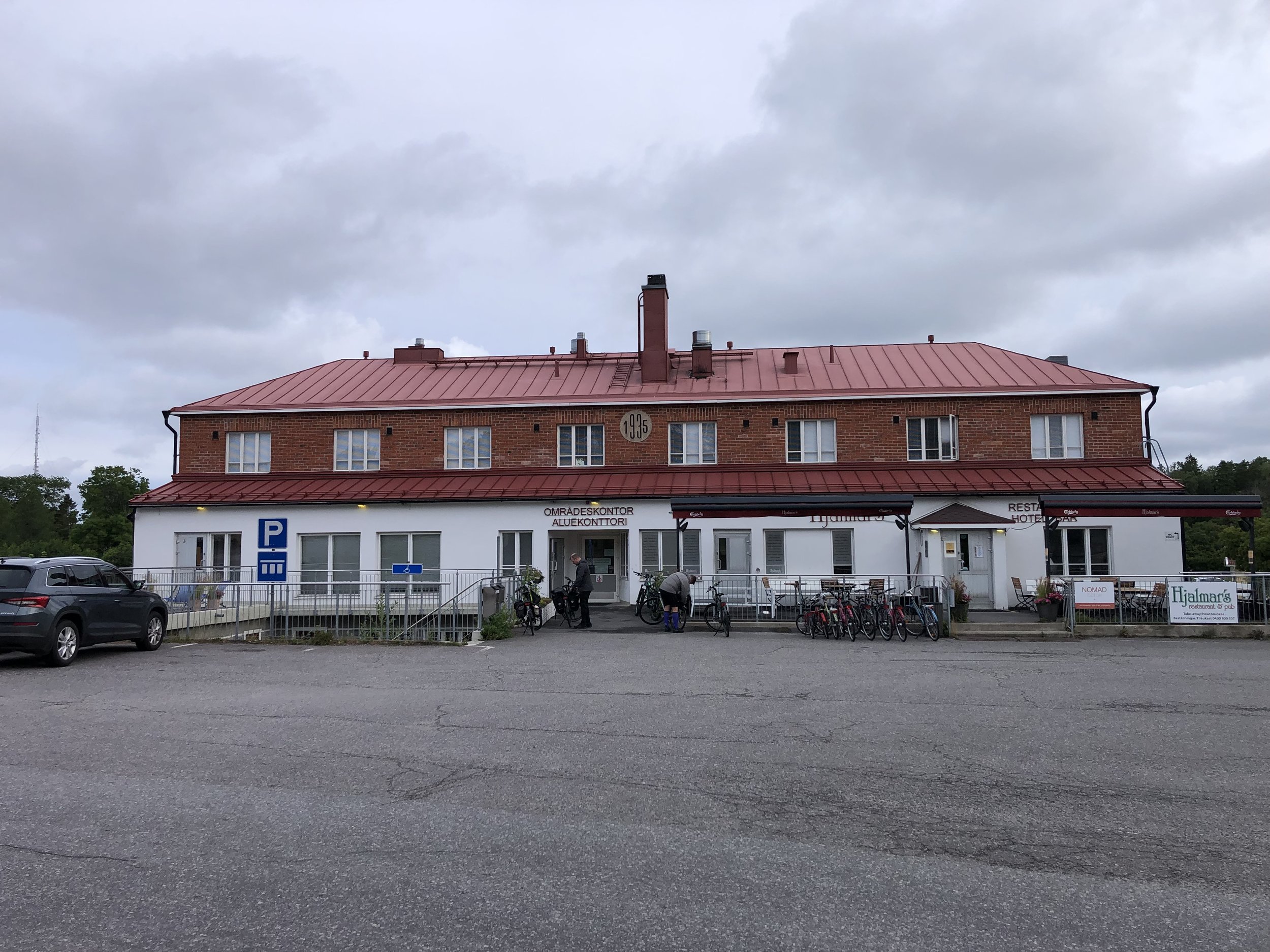
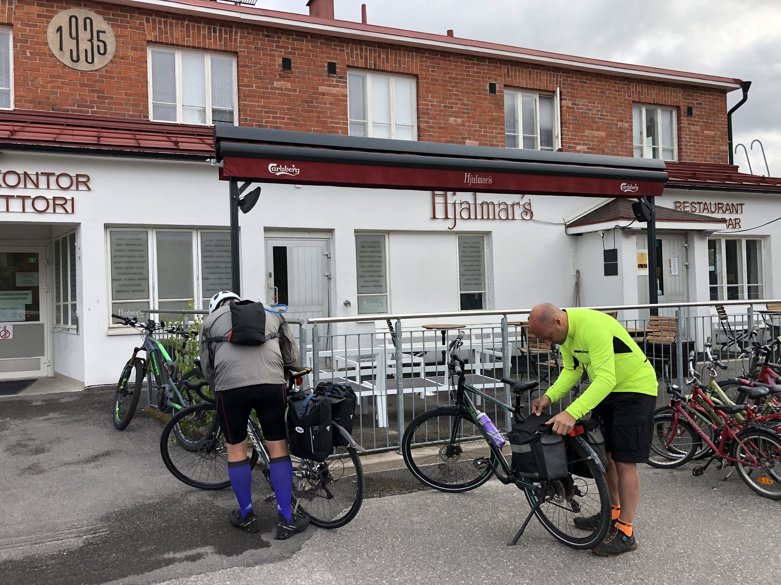
Our accommodation for Day 1 was in Hjalmars´ Restaurant and Pub in Korppoo. We had a large en-suite room with 4 single beds which was perfect for our group. They also had a secure room in the basement to lock the bikes up overnight. Food was great too and you should try their special strawberry dessert. It’s perfect if you don’t like to have too many strawberries in your strawberry dessert.
Day 2 - Korppoo to Kustavi
Start: Hjalmars´ Restaurant and Pub, Kauppamiehentie 1, 21710 Korpo
Finish: Peterzens Boathouse, Parattulan rantatie 16, 23360 Kustavi
Distance: 65.2 km (40.5 miles)
- On roads: 37.3km (23.2 miles)
- via ferry: 27.9 km (17.3 miles)
Elevation change: + 260 / -264m (Net -4m)
GPX File: get via Buy Me a Coffee
Other routes touched (walk): St. Olav’s Way
Other routes touched (cycle): National Cycling Route 32
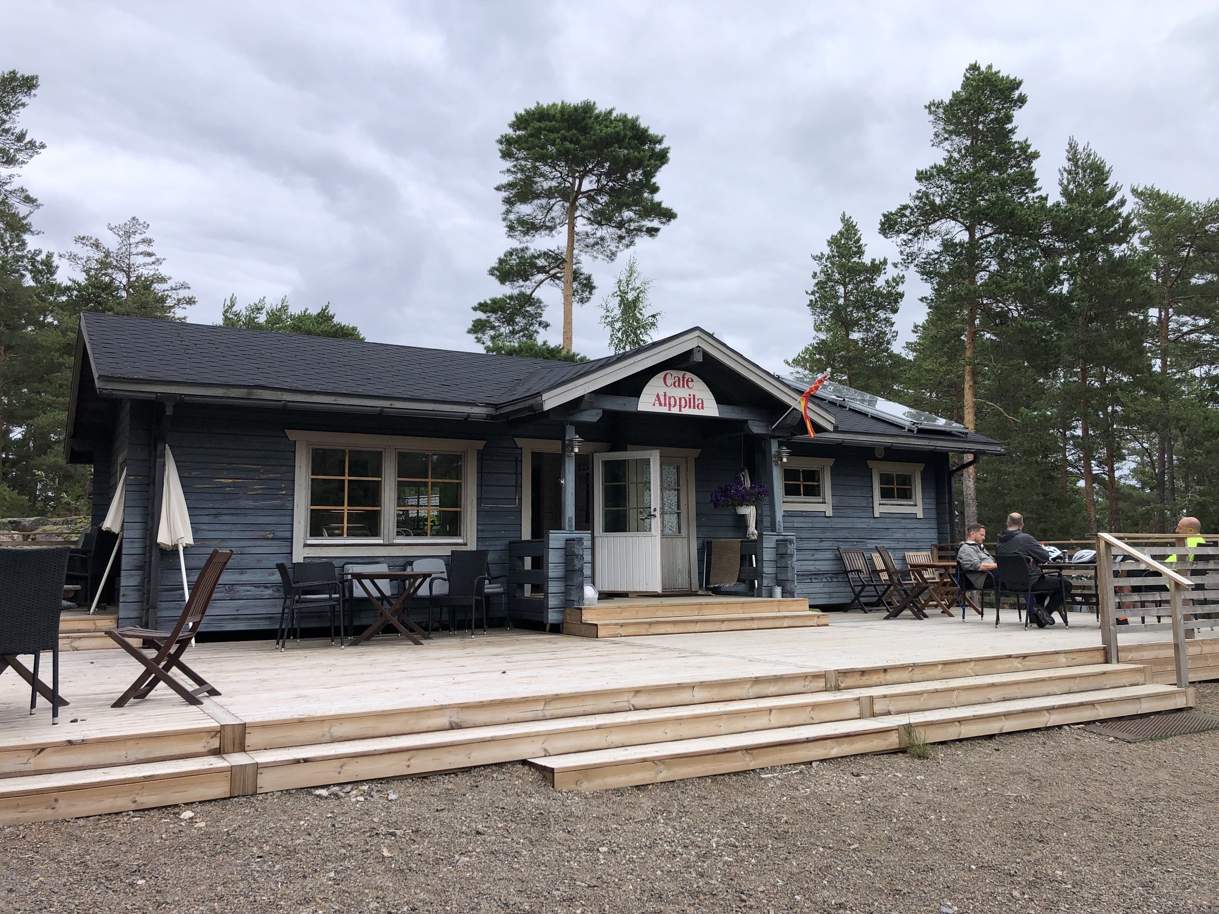
Pubs / Cafes on route: Cafe on the Mossala-Houtskari ferry (35 km in), Cafe Alppila, Iniö (57 km in)
Links: Archipelago Trail, St. Olav’s Way, Korppoo, Kustavi, Fin Ferries
Day 2 was a shorter day, both in total distance and in cycling time. This is the heart of the archipelago with more islands, more ferries and longer distances between them. Around 40% of the total distance for this day is via ferry. We set off from the hotel to retrace the last 3km from the previous day to the Korppoo ferry. Thankfully the rain had stopped but it was still chilly so we made good use of the covered areas of the ferries.
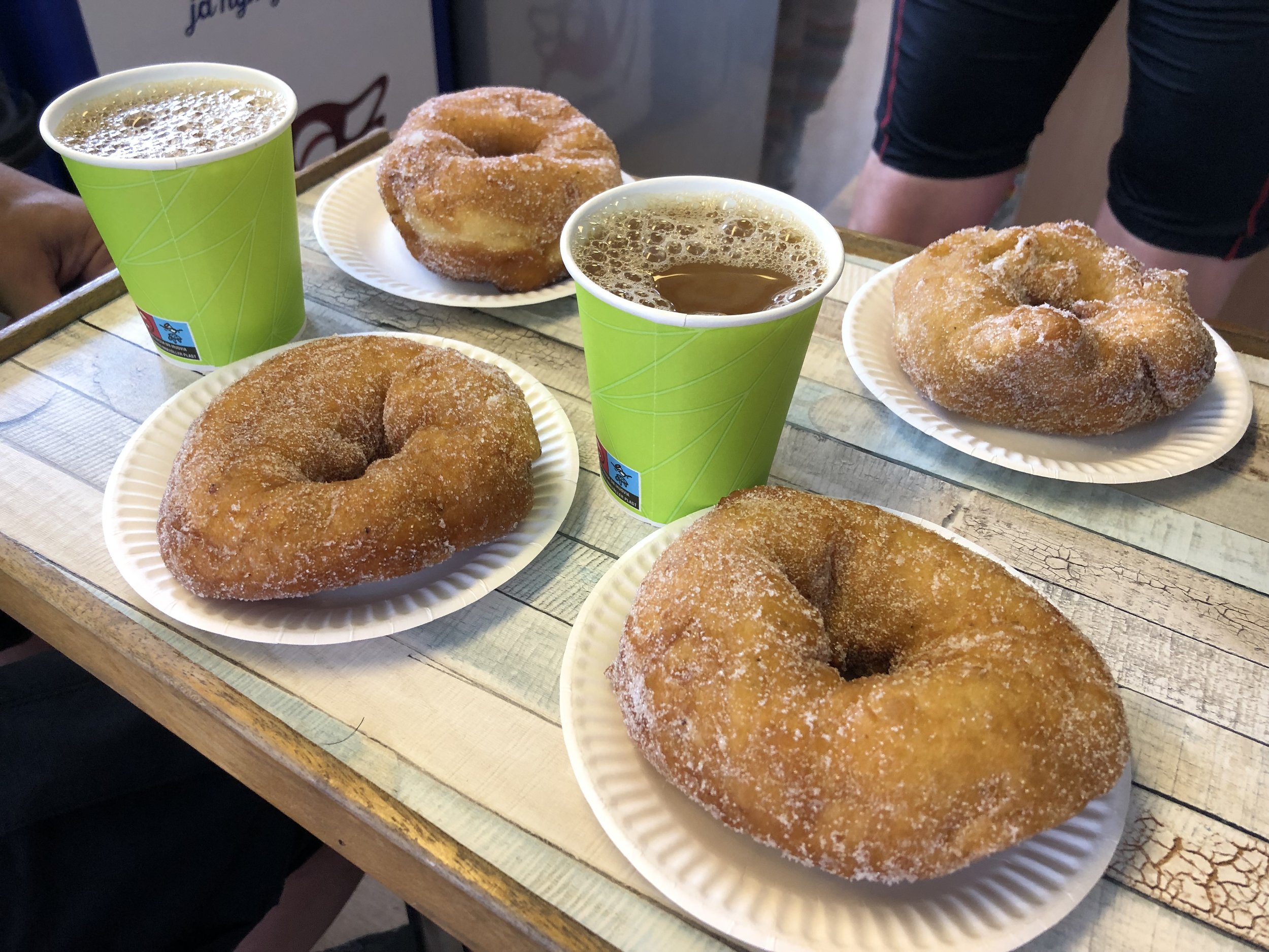
Much of this day was what we imagined the trip to be: remote, rural with quiet roads. Cafes were fewer and farther between so we took the opportunities as they came up. The Munkkis (Finnish donuts) on the Mossala-Houtskari ferry were amazing and almost worth the flight to Finland just to find them.
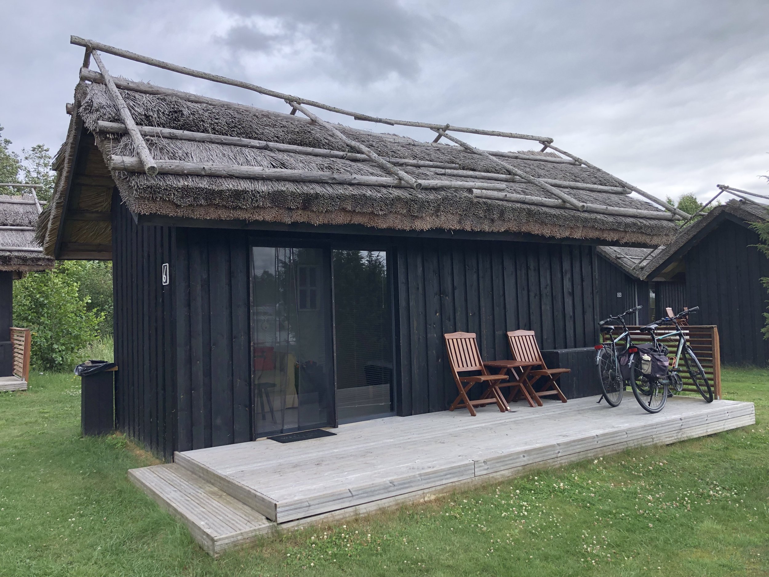
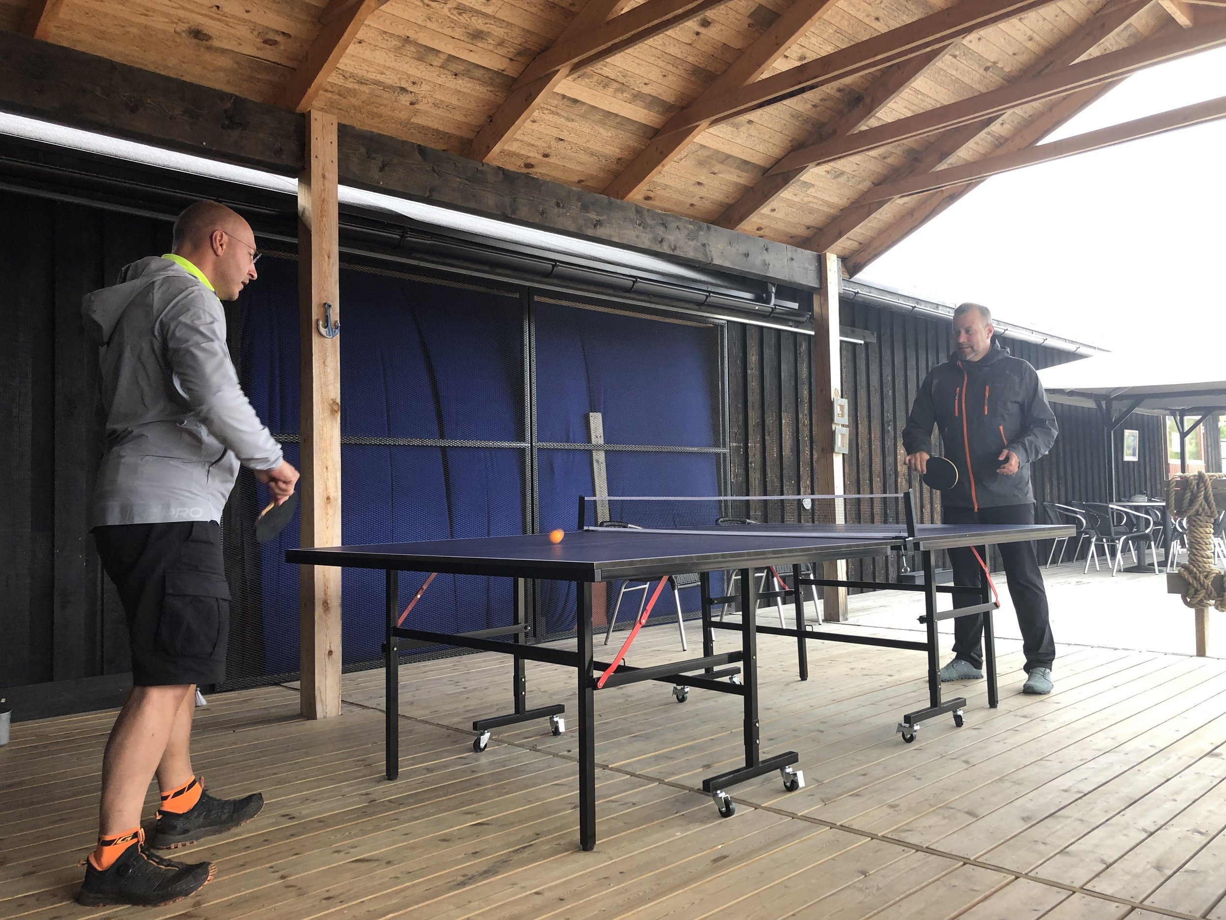
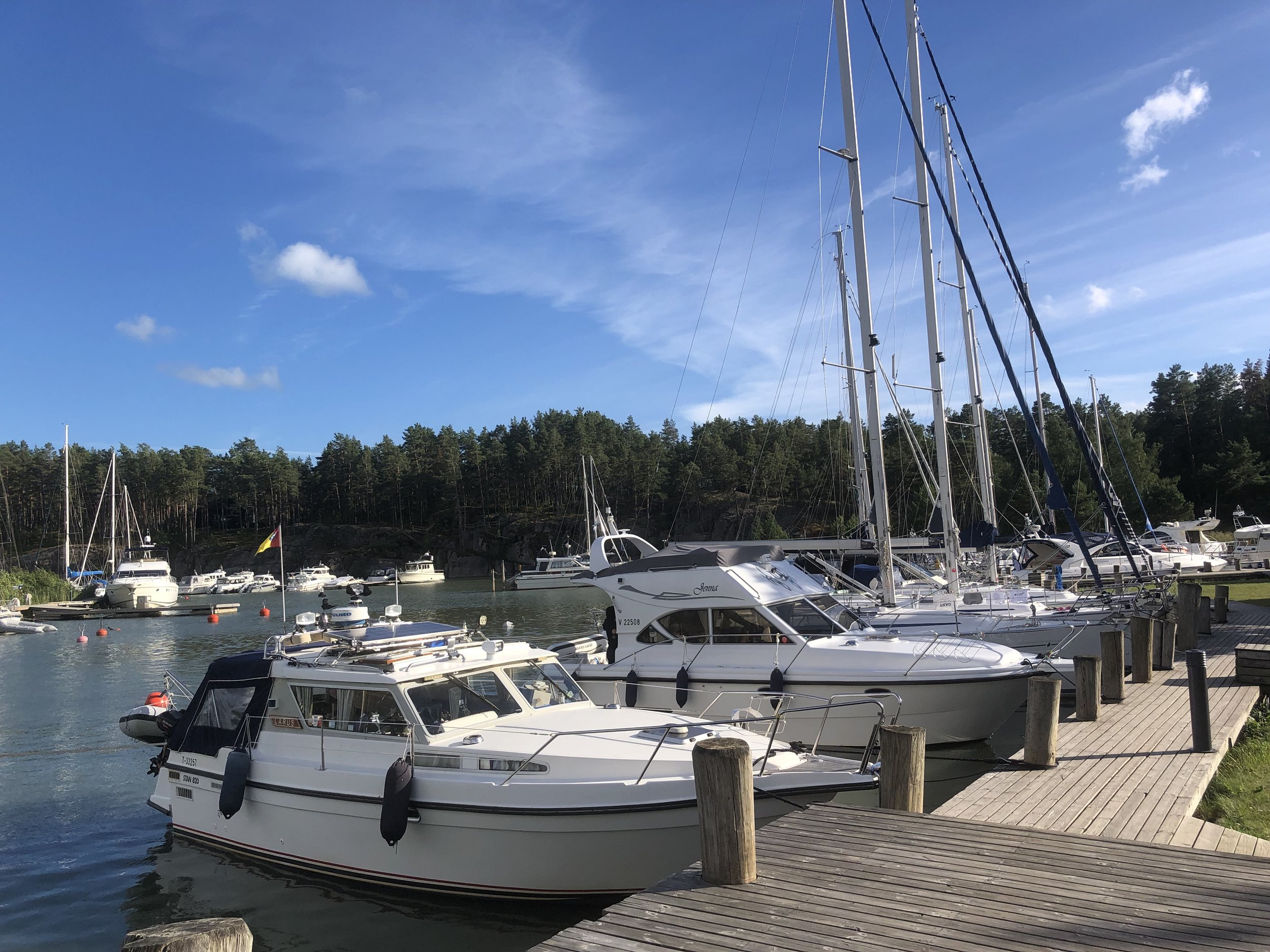
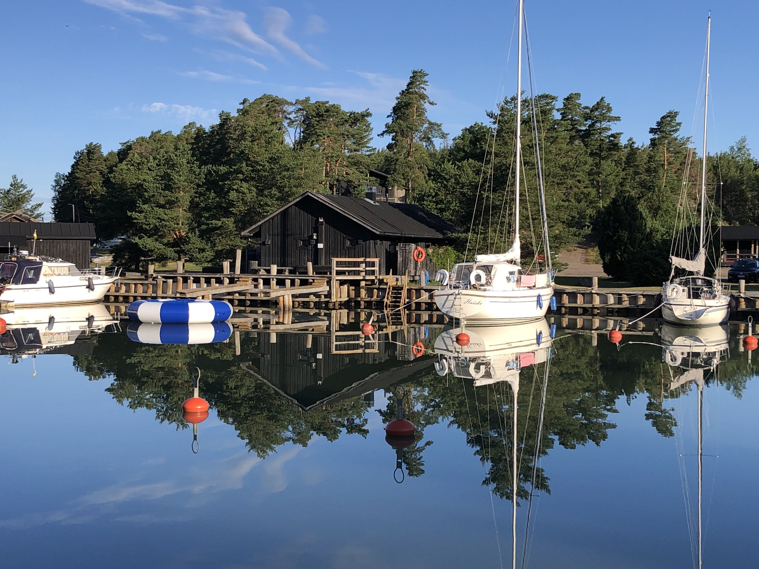
Evening accommodation for this day was at Peterzen’s Boathouse, a marina on the southern end of Kustavi’s main Island. We made the most of arriving early in the afternoon to try the fish buffet, mini-golf and table-tennis. The boathouse has a selection of wooden cabins next to the marina which are perfect for cyclists. They’re on the cozy side so I’m glad we went for 2 cabins for the 4 of us.
Day 3 - Kustavi to Turku
Start: Peterzens Boathouse, Parattulan rantatie 16, 23360 Kustavi
Finish: Carfield Bike Rental - Polkupyörävuokraus, Läntinen Pitkäkatu 20, 20100 Turku
Distance: 75.7 km (47 miles)
- On roads: 69.5km (43 miles)
- via ferry: 6.2 km (3.8 miles)
Elevation change: + 496m / -471m (Net +25m)
GPX File: get via Buy Me a Coffee
Other routes touched (walk): Kuhankuonon Retkeilyreitistö
Other routes touched (cycle): EV10, National Cycling Route 29, 32
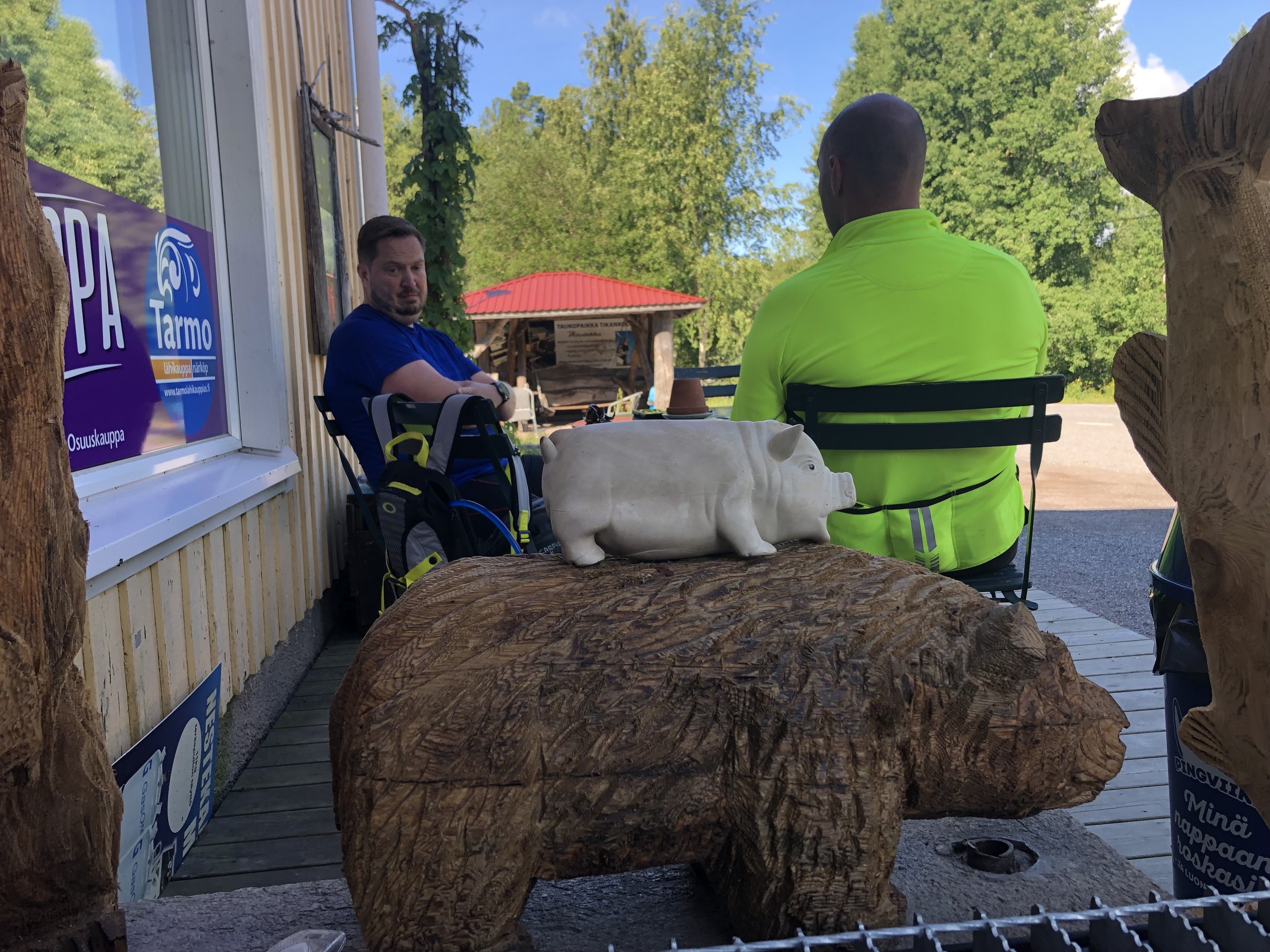
Pubs / Cafes on route: Livonsaaren Osuuskauppa (36km in), Restaurant Snickari, Naantali (58 km in)
Links: Archipelago Trail, St. Olav’s Way, Kustavi, Peterzens Boathouse, Taivassalo, Merimasku, Naantali, Turku, Fin Ferries
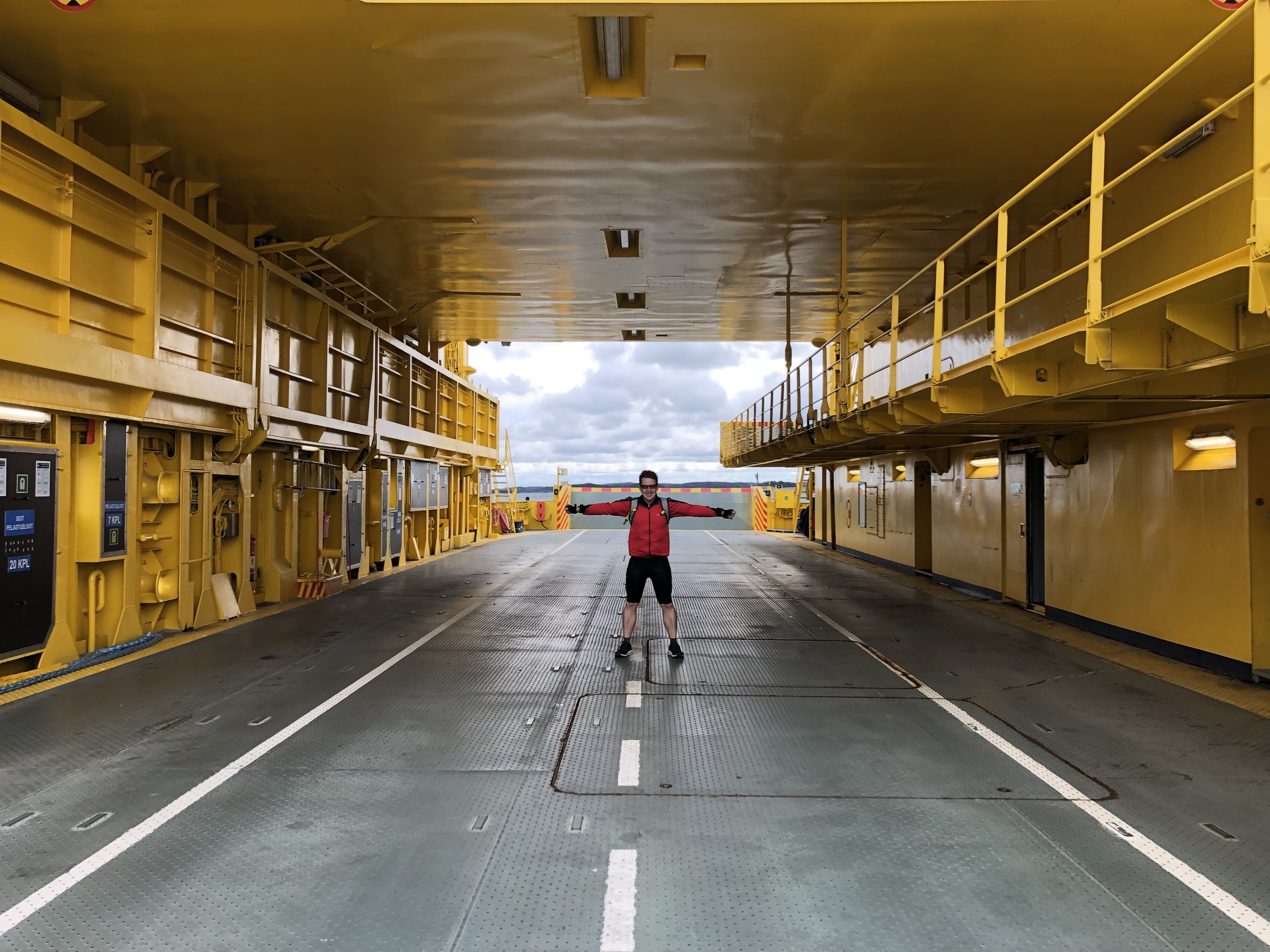
The weather had significantly improved for day 3 with no rain, no wind, a clear sky and a nice cycling temperature. After an early breakfast on the cabin terrace we set off on for the 1 hour / 20km ride to the next ferry. This was an important one to catch as the next one wouldn’t have been until late in the afternoon. Between us and 2 other cyclists we had a large car ferry to ourselves for the 45 minute crossing.
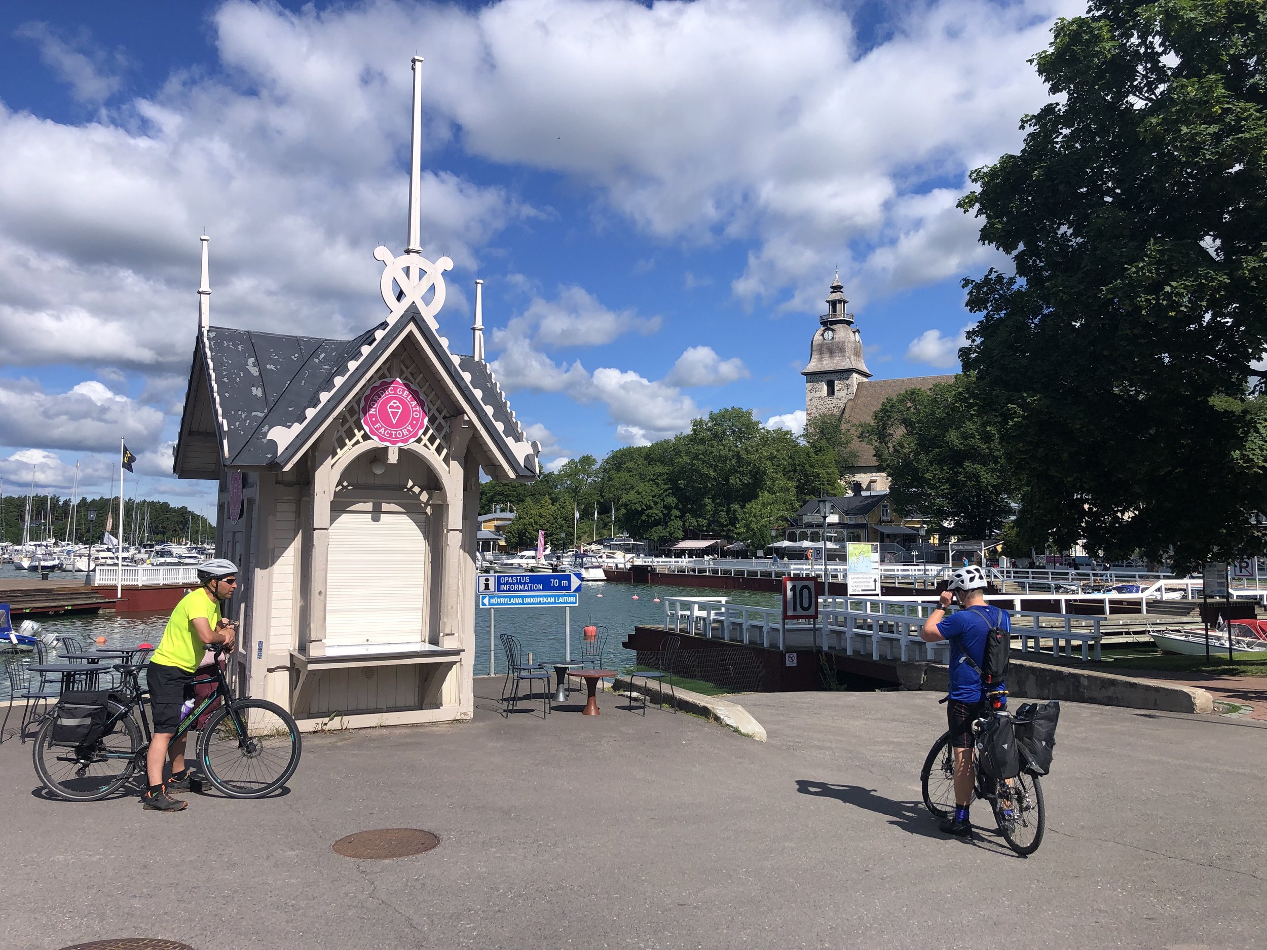
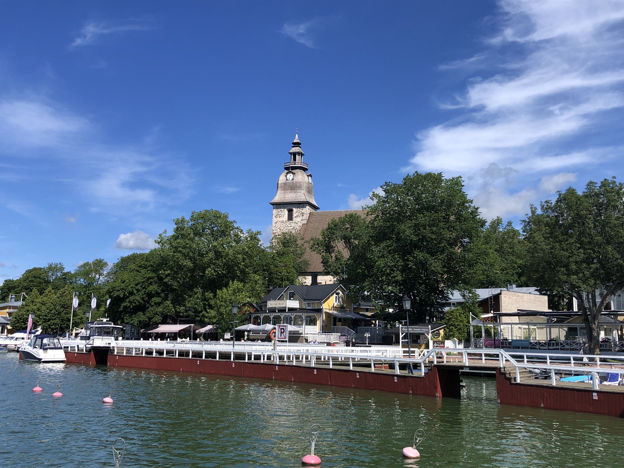
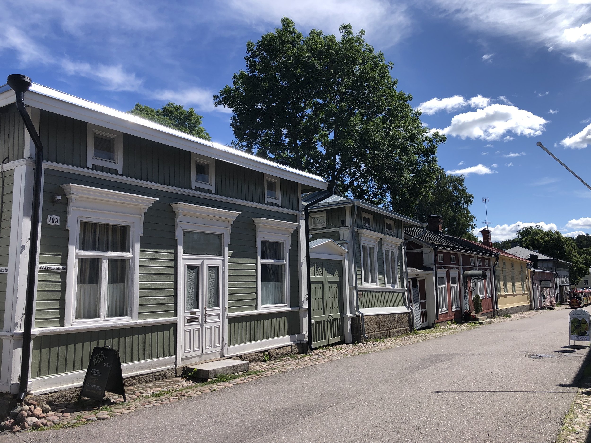
Although there was a restaurant near the ferry port on the next island we arrived too early so we continued for another 6km for a coffee stop. From here it was another 2 hours to cycle to Naantali for our lunch stop. This was the largest town of the trip so far and worth spending a bit more time in. Naantali is one of the oldest towns in Finland and the old wooden buildings on Mannerheiminkatu street are worth exploring. The town is also home to Moonminworld on an island just off the marina. We were concerned that we would get mistaken for the bald round creatures so decided not to go in.
The final stretch from Naantali back to Turku is 1 hour / ~17km. The cycle route returns to a separate protected path away from the increasingly busy roads to Turku.
The route can be completed between 2 to 5 days but I was glad that we went for the 3 day option. 2 days would have been a bit of a mission and too fast to enjoy the slow pace of the Archipelago. Even on the 3 day option we got to our overnight stops by mid-afternoon and I’m not sure what we would have done with the extra time. For fewer or more days it would be better to take either the Small Archipelago Trail (120km connecting Nagu and Naantali) or a longer trip via some of the outer islands to the west.
A huge thanks to Juho for being chief planner and local fixer for the trip. We’d have ended up somewhere in a field in Sweden without him.
Some other notes on the trip:
Good websites for trip planning are:
- https://en.visitturku.fi/
- https://visitparainen.fi/en/Turku train station has large luggage lockers if you have more stuff than you want to carry on your bike. At time of writing it was 3 Euro per day for up to 4 days.
The cafes and accommodation listed below are the ones that we went to. There’s other options but these were all good and well spaced apart. Book in advance for accommodation as there’s not too many choices.
Crossing the River Rother 2.5km to the finishing line at Petersfield
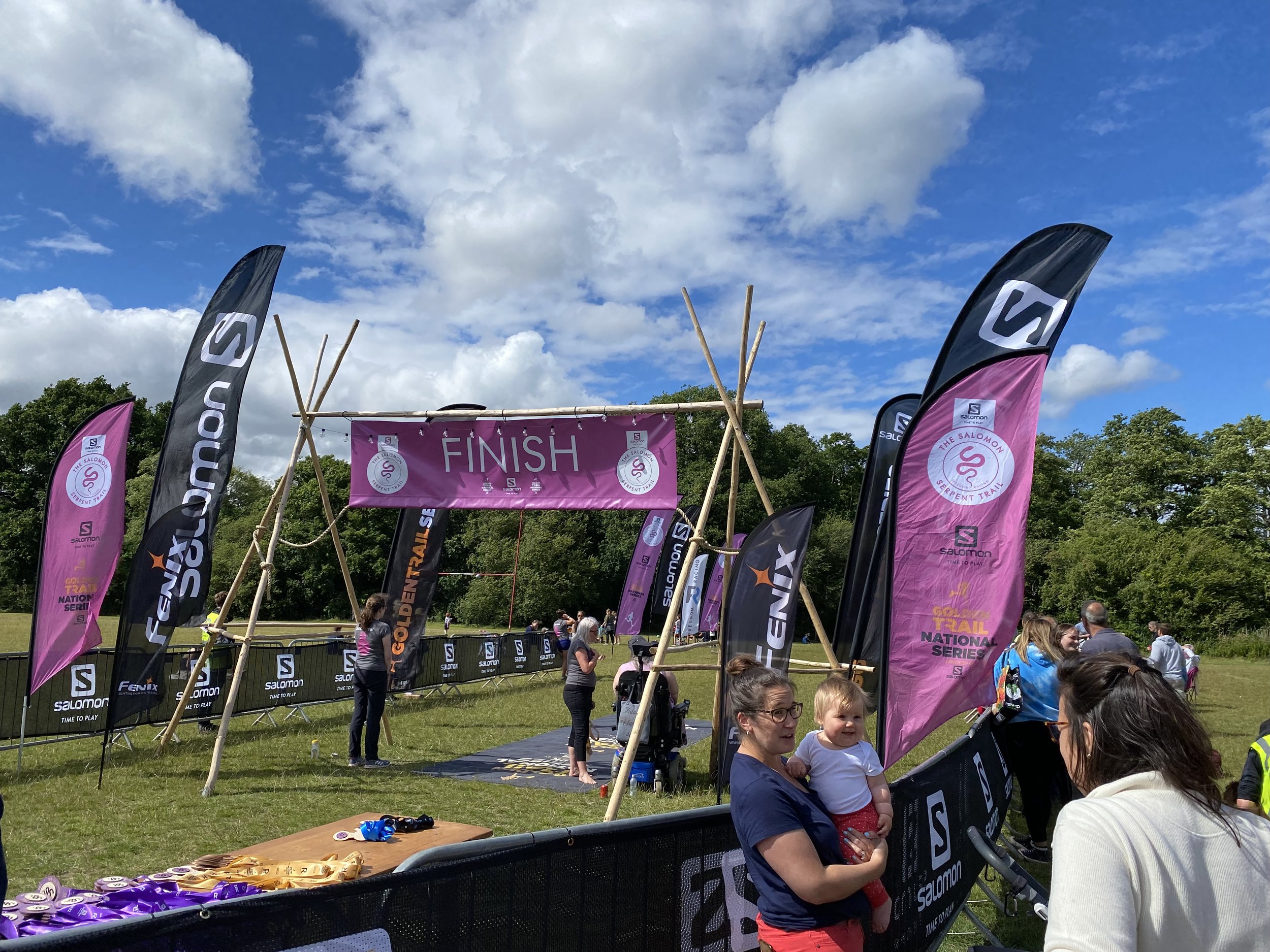
When: July 2nd 2022
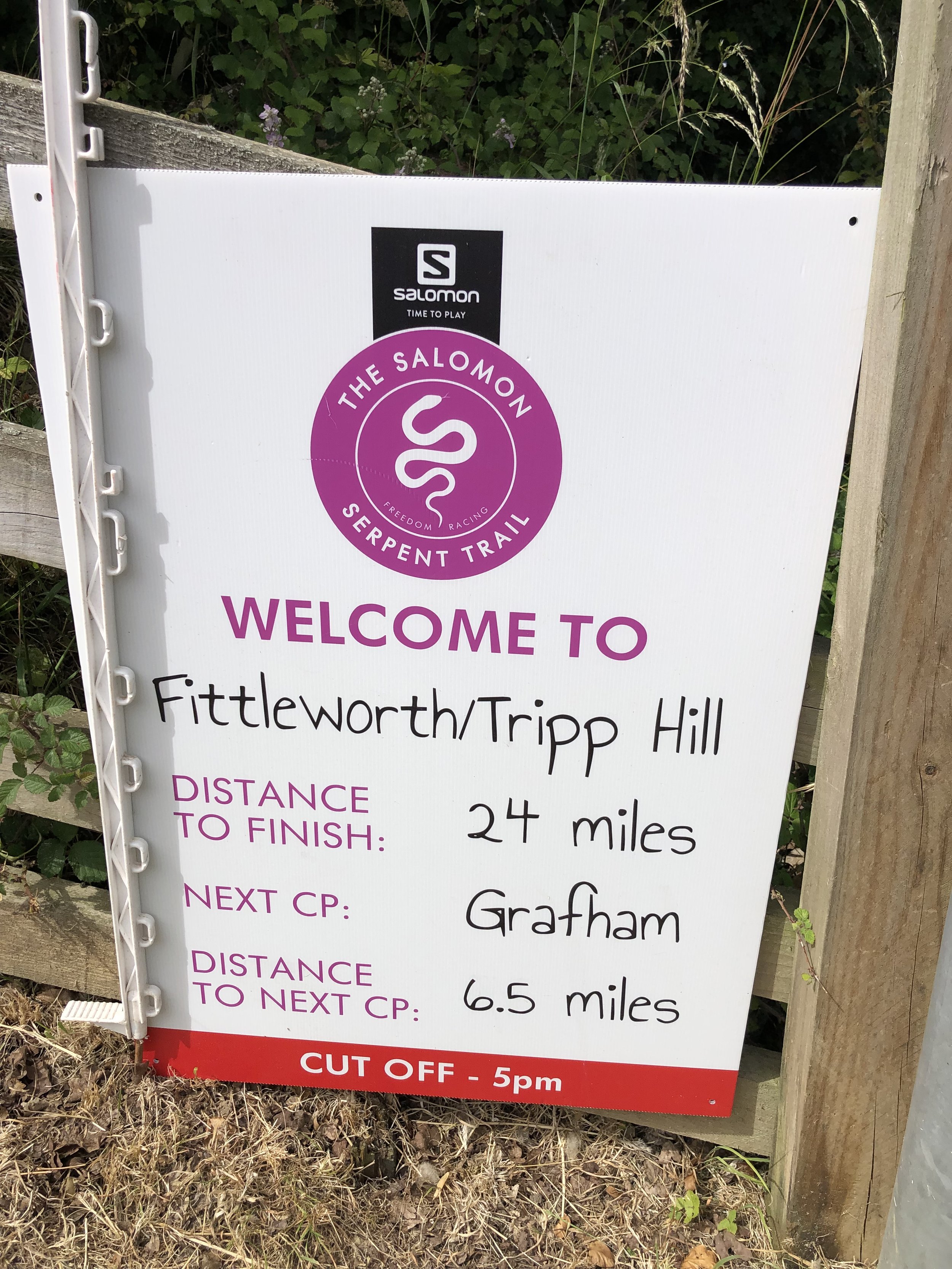
Start: A field in Riverhill Farm, Petworth
Finish: Petersfield Rugby Football Club, Penns Place, Petersfield, GU31 4EP
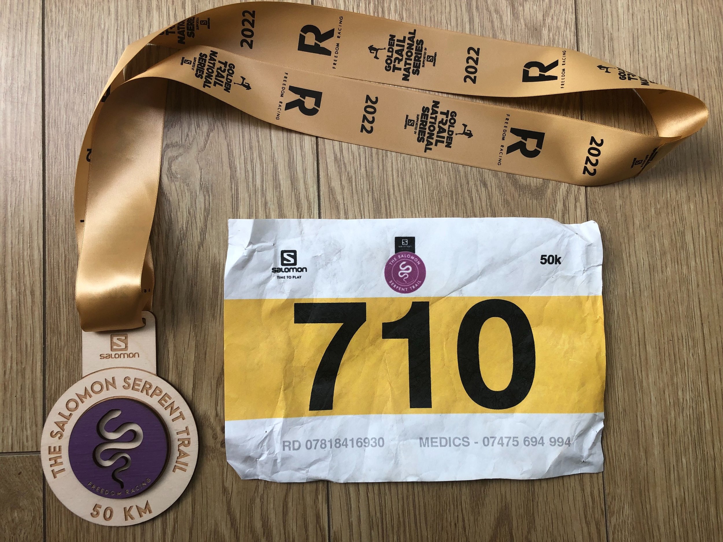
Distance: 50 km (31 miles)
Elevation change: +611m / -685m (Net -74m)
GPX File: get via Buy Me a Coffee
Other routes touched (walk): Sussex Diamond Way, New Lipchis Way, Sussex Border Path
Other routes touched (cycle): None
OS Trig Pillar: TP3749 - Hesworth (at 9.2km from the start)
Maps:
- Arundel & Pulborough Map | Worthing & Bognor Regis | Ordnance Survey | OS Explorer Map OL10
- Haslemere & Petersfield Map | Midhurst & Selborne | Ordnance Survey | OS Explorer Map OL33
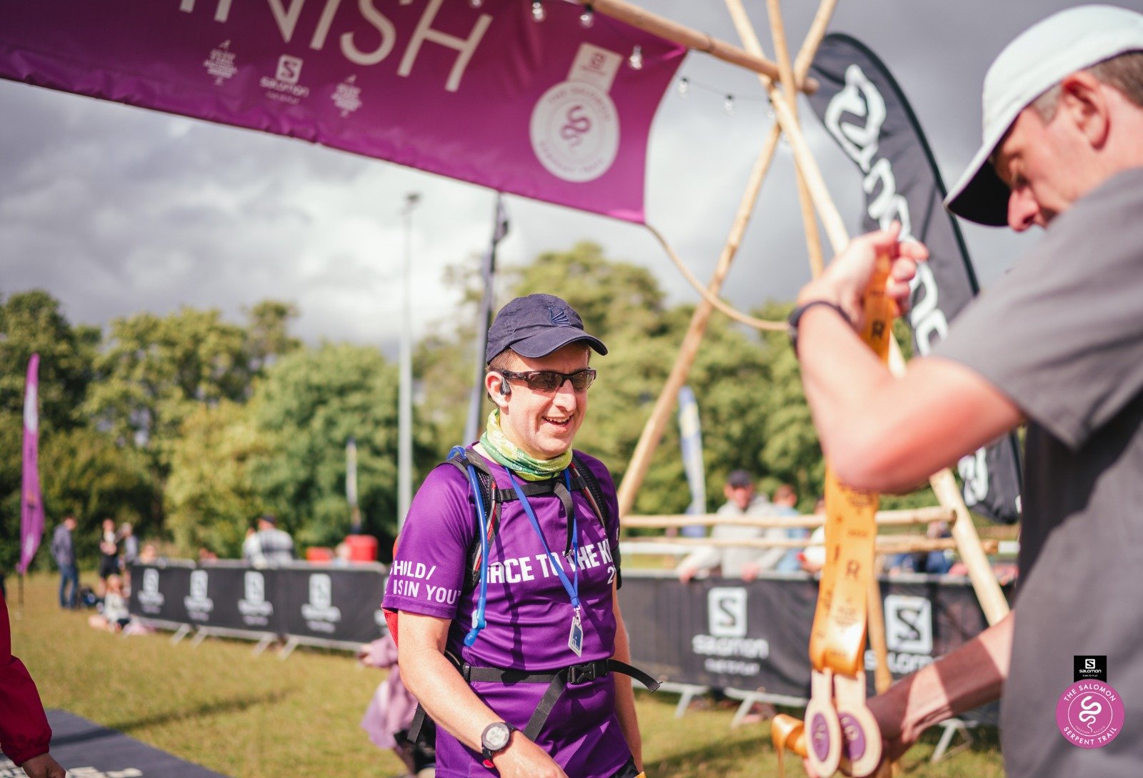
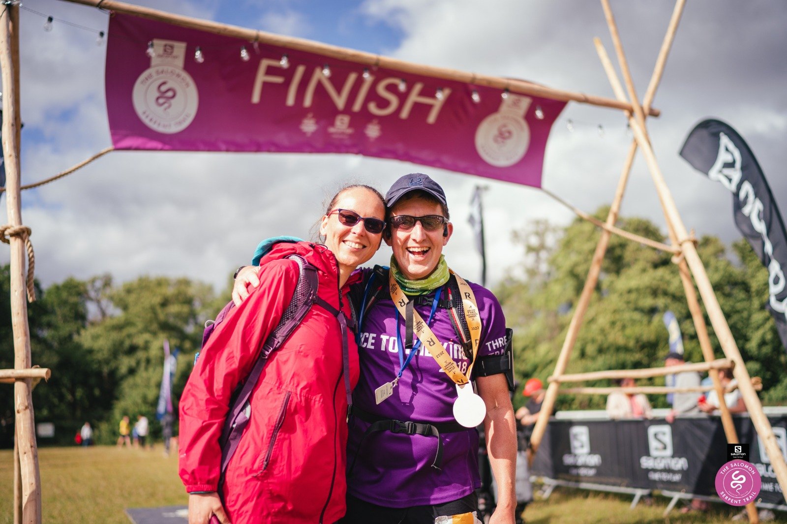
Finish time: 7 hours 03 minutes
Links: Serpent Trail Guide, Serpent Trail Race, Fittleworth, Lavington Common National Trust, Midhurst, Petersfield
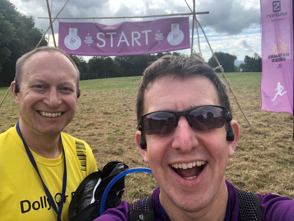
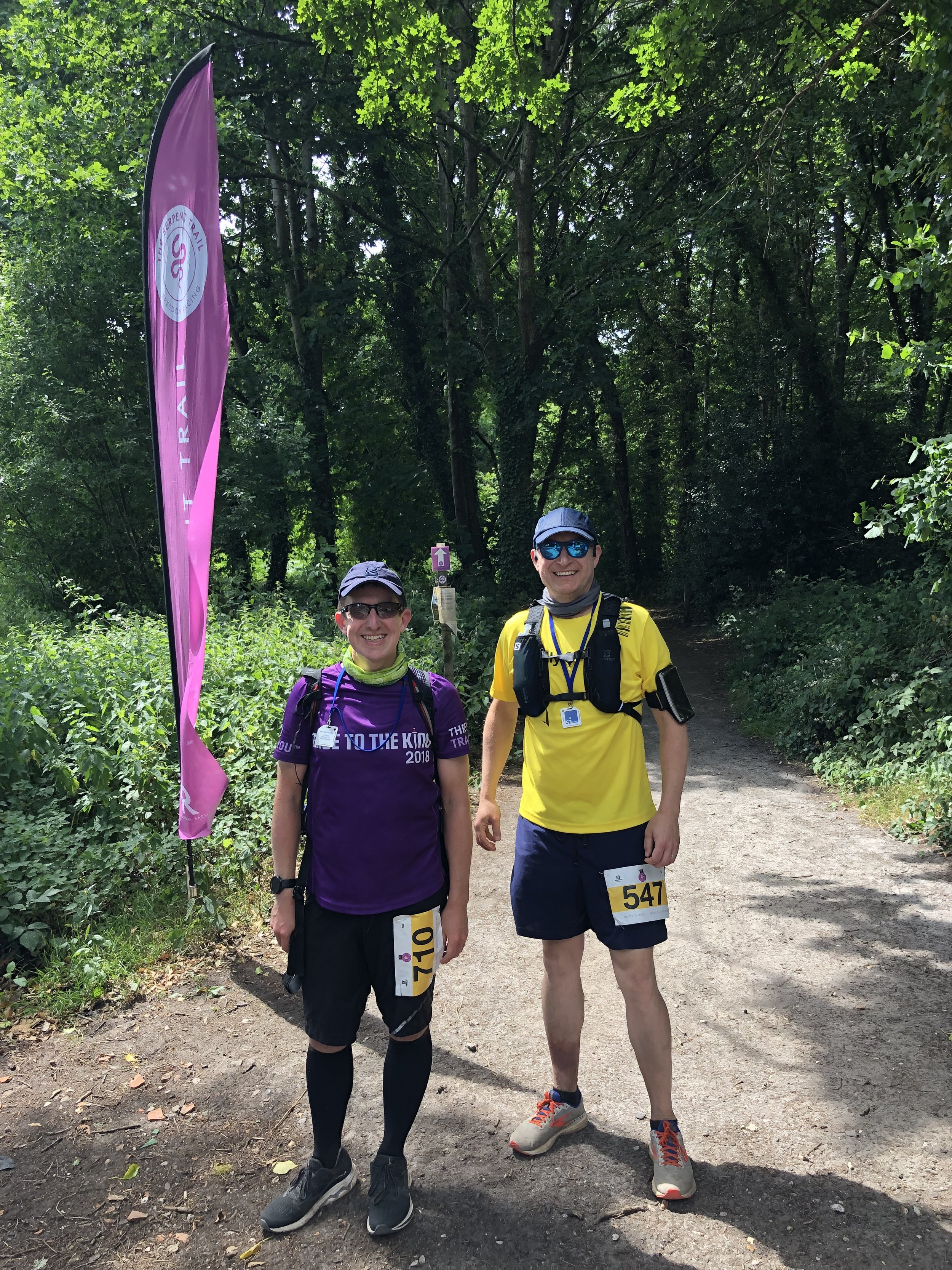
Following last summer’s brutal 100k on the Race To The Castle I was up for a shorter Ultra this year. It was also a good one to do with my friend Mark as his second Ultra after our Downs Link race in October.
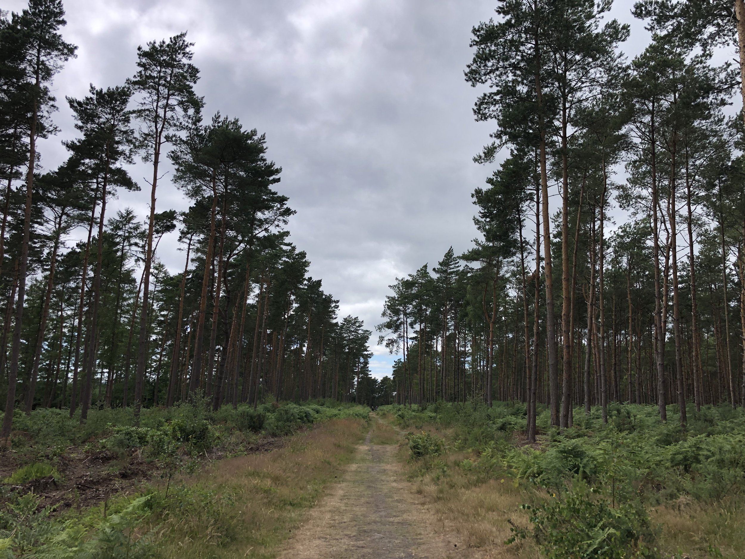
The Serpent Trail is a 106k long distance path snaking through the greensand hills and heathland in the South Downs National Park. It’s north of the South Downs Way and connects Petersfield to Haslemere. The end point at Haslemere is also the start of the Greensand Way, a 174 km path across the North Downs to Kent. There was a 100k race option to cover the whole length of the Trail but 50k was definitely enough.
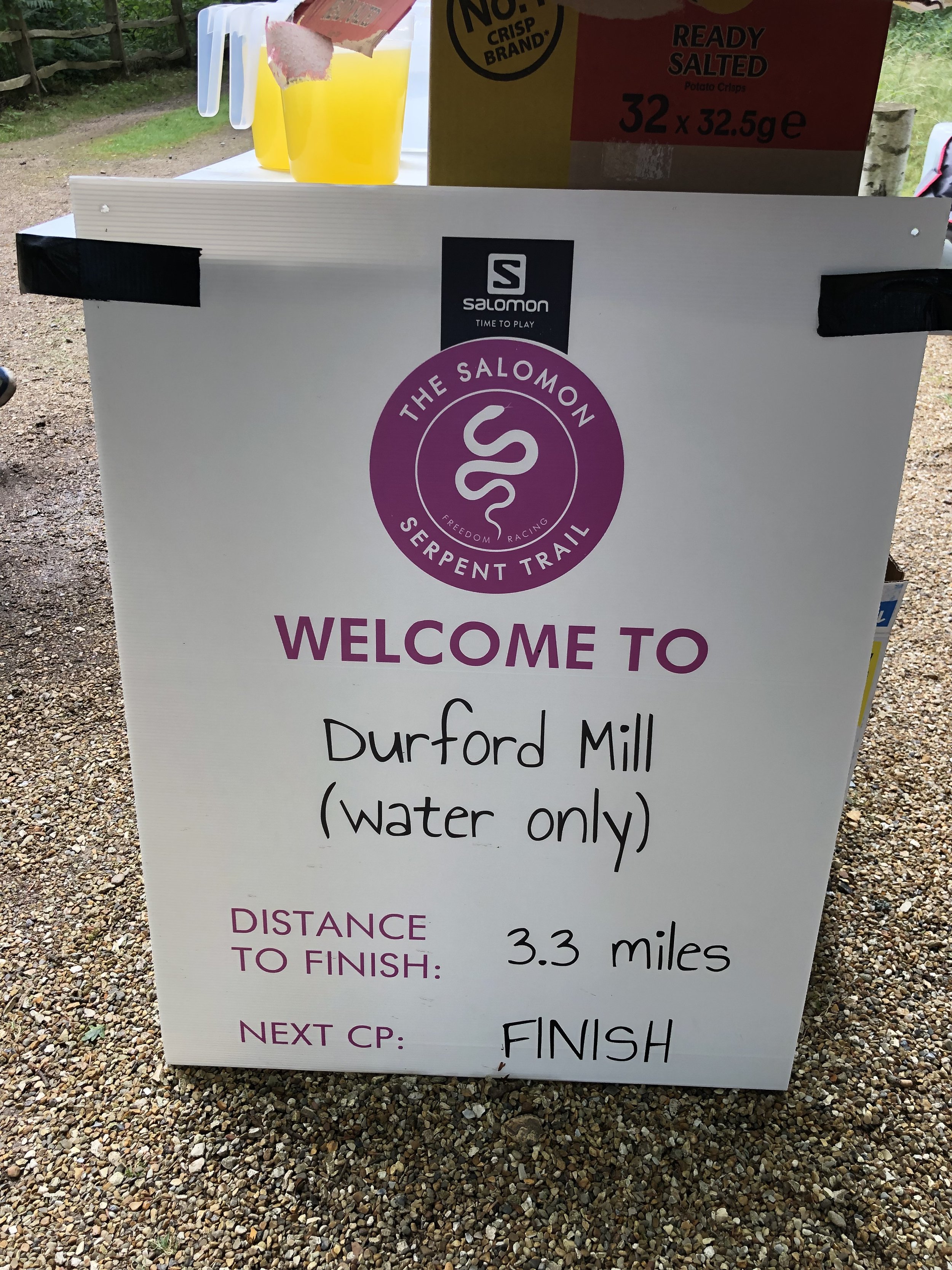
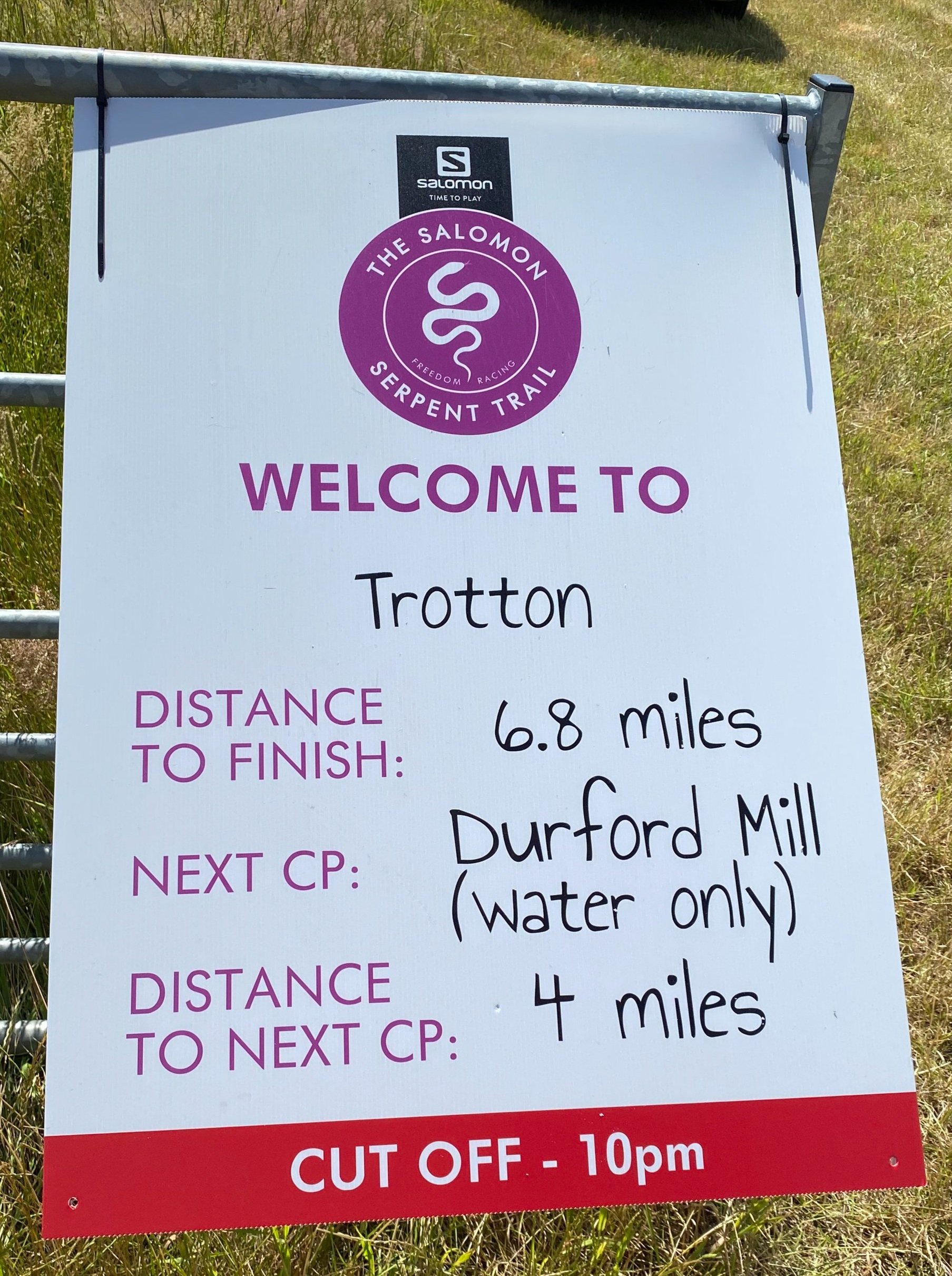
The 50k option started in a field near Petworth and joined the Serpent Trail after 2.5km. It was a dry day and there had been very little rain in the weeks leading up to it, so I managed to avoid the blisters and trench-foot of several of my previous Ultras. It was also hot too and I was feeling the effects of it from 12:00 to 14:00. I much prefer to run in the cold and by 14:00 the heat had taken my energy to go faster than a quick walk.
I thought that I was struggling due to the heat but ended up crossing the finish line at 7 hours and 3 minutes. That was 4 minutes slower than my previous 50k on the Chiltern Challenge in 2020. I decided to call it a tie though having wasted around 4 minutes getting off course on Ambersham Common having missed a very obvious signpost. Meanwhile Mark stormed it, finishing 14 minutes head of me with a time of 6 hours 49 minutes.
It was a great route with a bonus highlight of bagging a Trig Pillar that was right on the route at Hesworth Common. I still have the first half of the Trail to find a way to complete so I’m sure I’ll be back in the area soon.
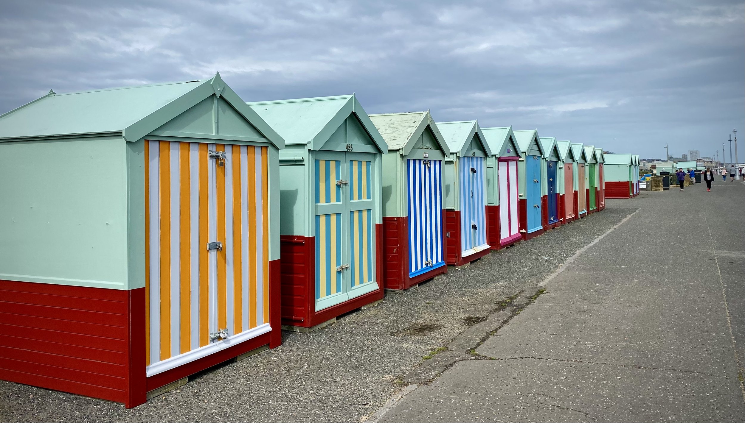
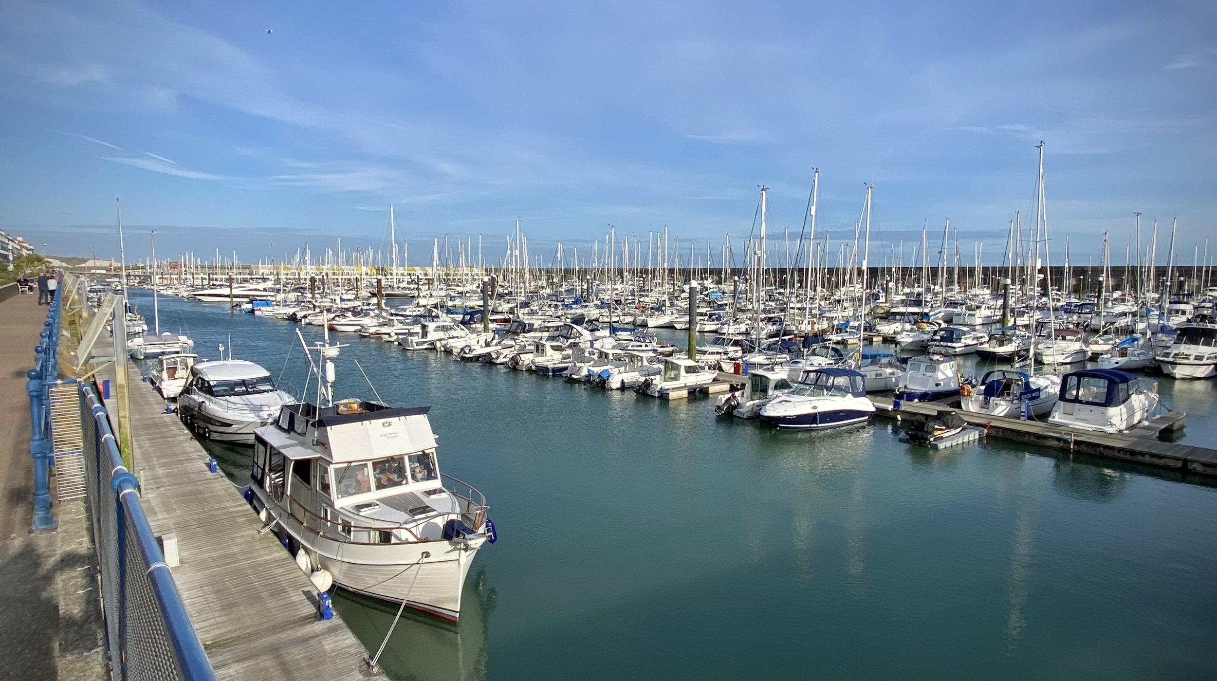
View from Brighton Marina to the undercliff path with Rottingdean Windmill in the distance.
Start: Shoreham-by-Sea Railway Station, BN43 5WX, Sussex
Finish: The Windmill Bus Stop, Marine Drive, Rottingdean, BN2 7GZ
Distance: 19.3 km (12 miles)
Elevation change: +132m /-117m. Net -15m
GPX File: get via Buy Me a Coffee
Other routes touched (walk): England Coast Path, Monarch’s Way, Mid Sussex Link, Undercliff Walk, Newhaven Brighton Clifftop Path
Other routes touched (cycle): Downs Link, NCN 2, 223
Pubs / Cafes on route: Many along the route. Notable ones that we used are Port Kitchen at Shoreham Port (4.2k in), White Cloud Coffee Company (13k in), The White Horse Hotel Rottingdean (18k in)
Map: Brighton & Hove Map | Lewes & Burgess Hill | Ordnance Survey | OS Explorer Map OL11
Links: Shoreham-by-Sea, Hove, Brighton, Brighton Marina, Rottingdean, Rottingdean Windmill
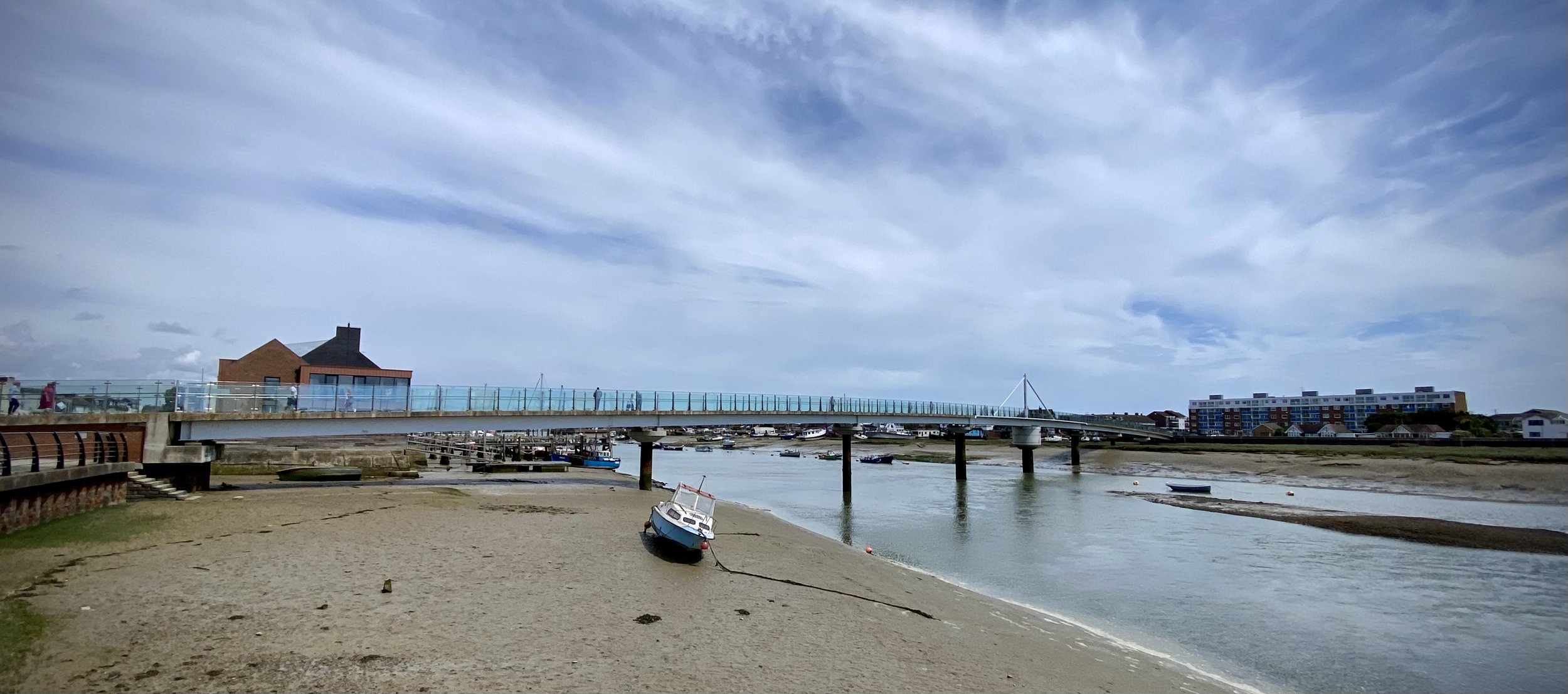
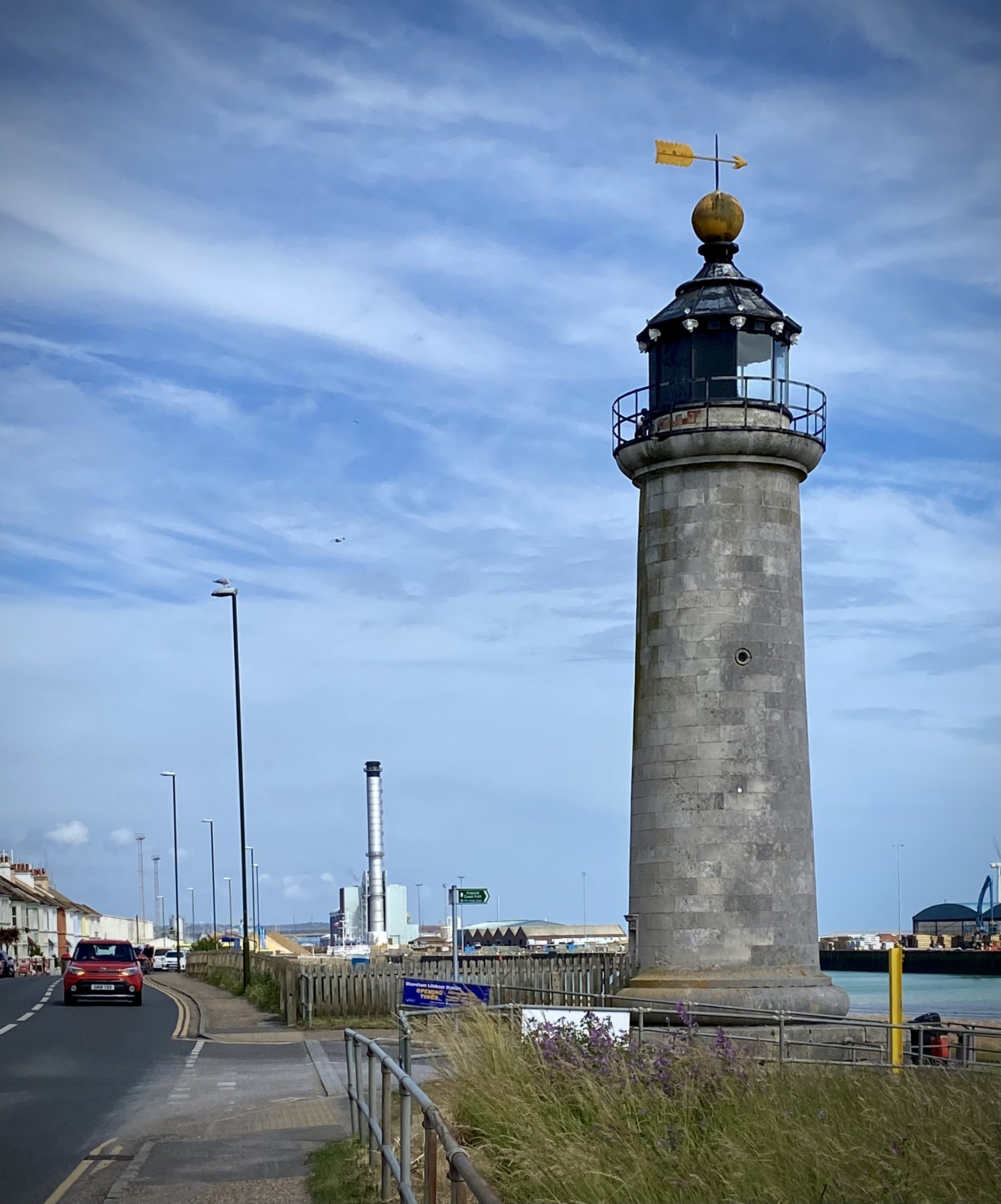
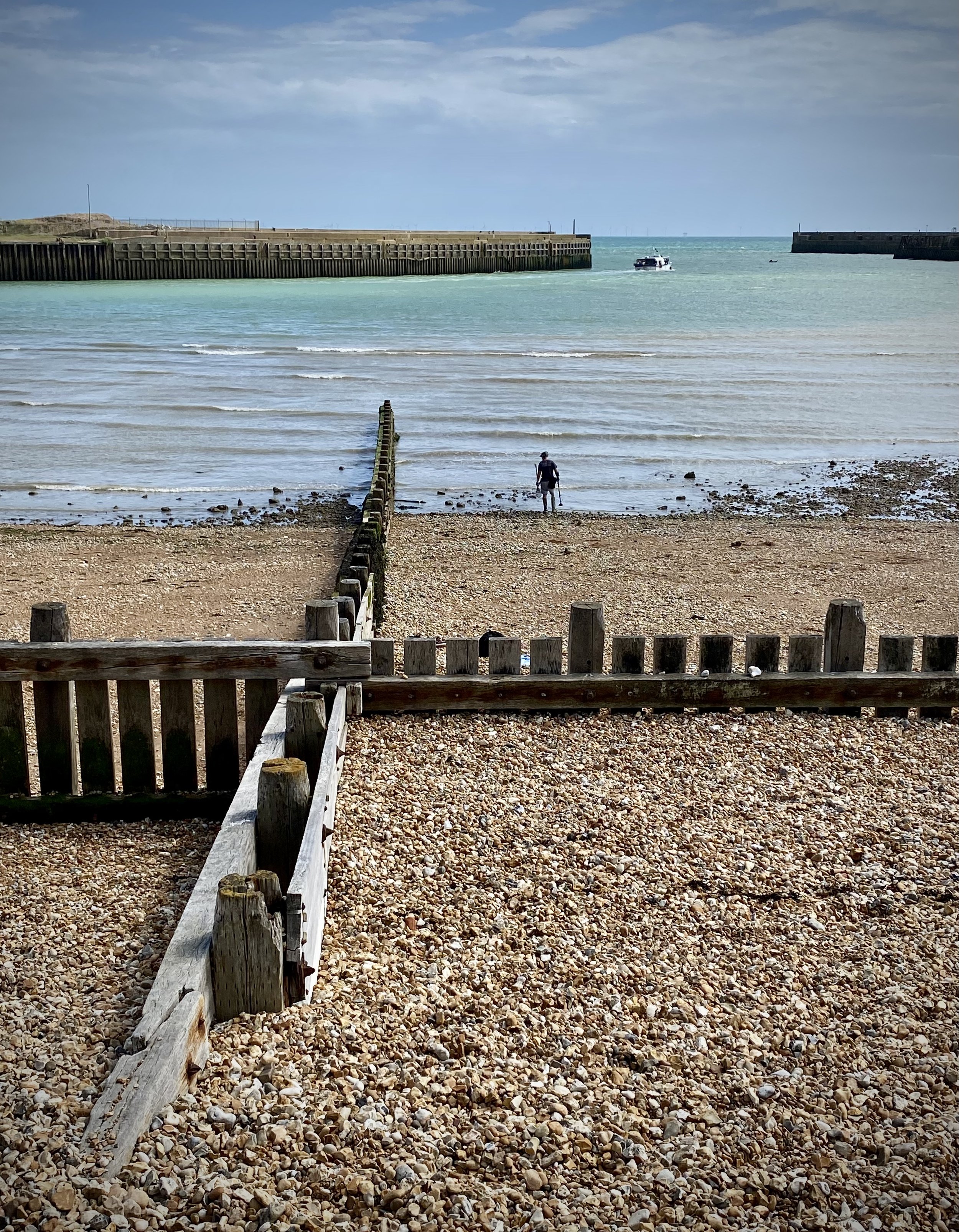
In our latest short section of the England Coast Path we chose the 19km stretch between Shoreham-by-Sea and Rottingdean. My main interest was to connect 2 previous trips: the end of the Downs Link that I had previously completed by bike and as an Ultra, and the Rottingdean to Peacehaven section that I had done ahead of the Prime Meridian cycle trip.
We were staying in Brighton for the week and actually split this into 2 days. The Coaster bus service runs parallel to the whole route so it’s easy to divide into smaller combinations. You can also take the train from Brighton to Shoreham. I planned the start of this trip from Shoreham train station so it’s a little shorter if you start from either the Downs Link end-point next to the River Adur or the bus stop on Shoreham High Street.
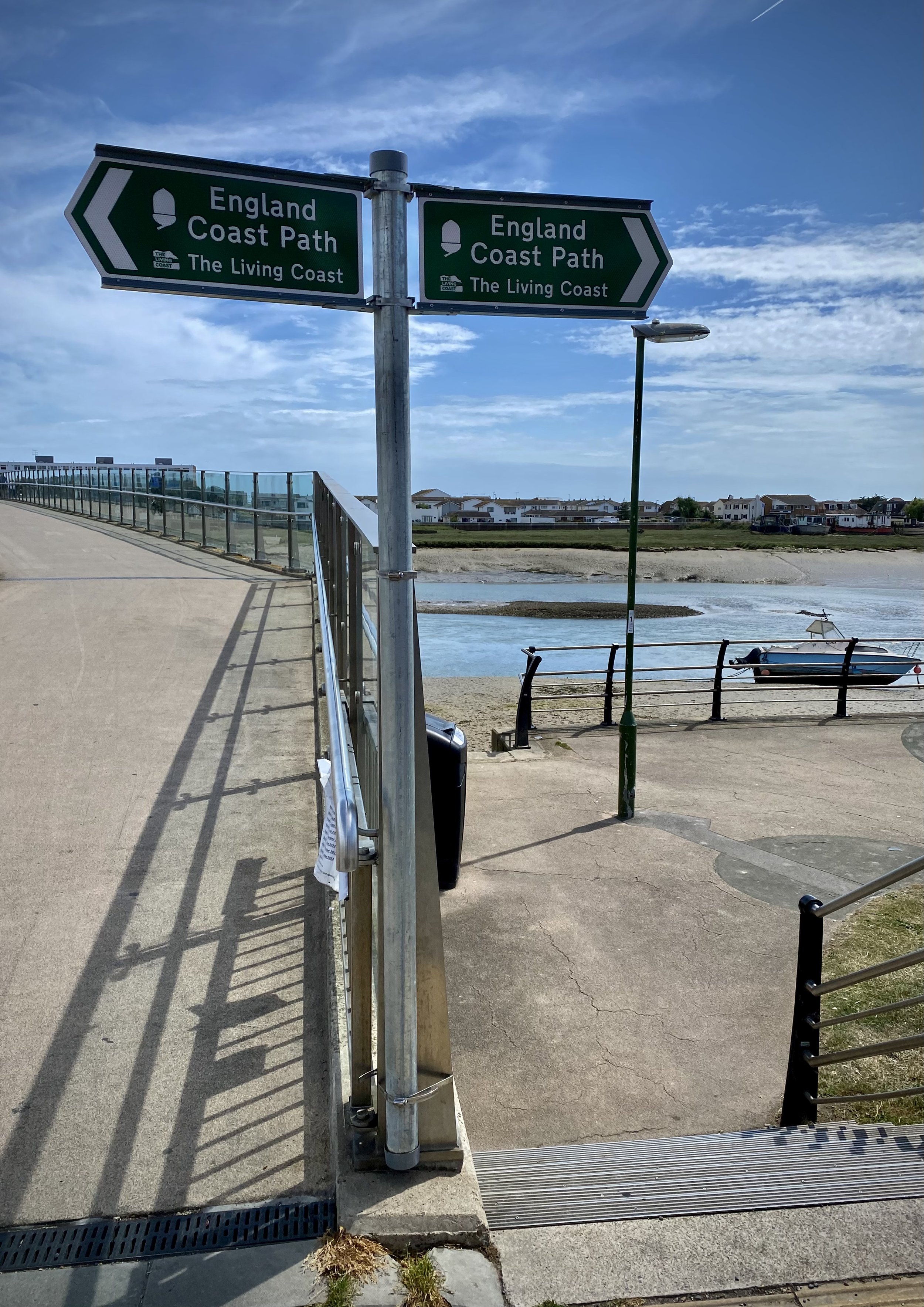
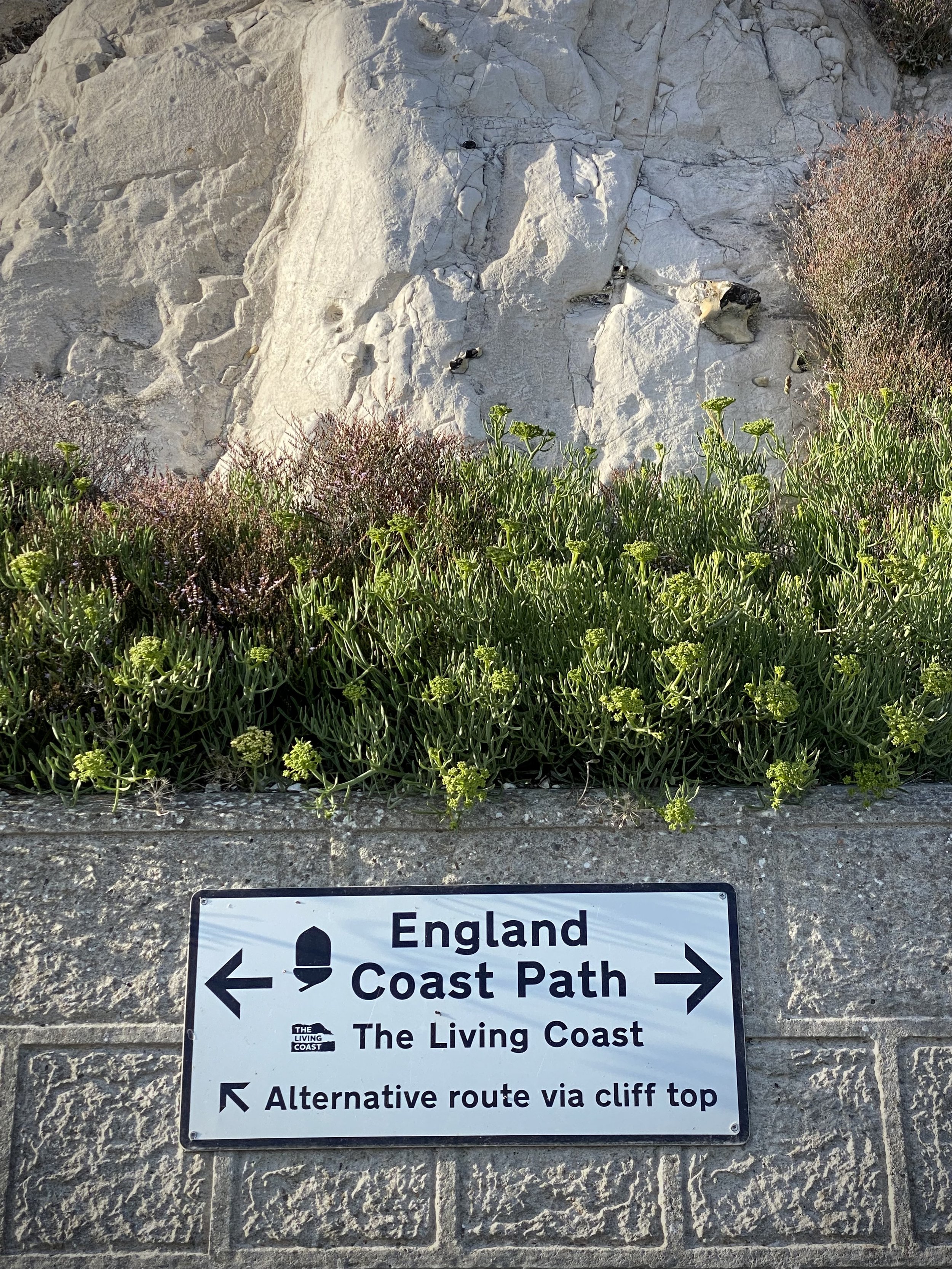
Navigation is very easy as you’ll be following the closest path to the sea. Much of it is signposted with either England Coast Path or (to Brighton) Monarch’s Way signs. After Brighton Pier the cliffs start to rise which gives you the option of either following the cliff-top path or the undercliff path. We always chose the undercliff path or whatever path was closest to the sea to give us a quieter, more interesting walk.
The scenery gets more pleasant the further east you travel. After Shoreham High Street you follow the busy A259 past industrial units and out-of-town stores for 2km until Shoreham Port. At the port, the path leaves the road, crosses the Adur and joins the Basin Road South. This is a good place to stop for a coffee and cake at either the Port Kitchen or Carats Café Bar to celebrate passing the grim part. Although Basin Road is still industrial, you’re now off the busy main road and next to the sea.
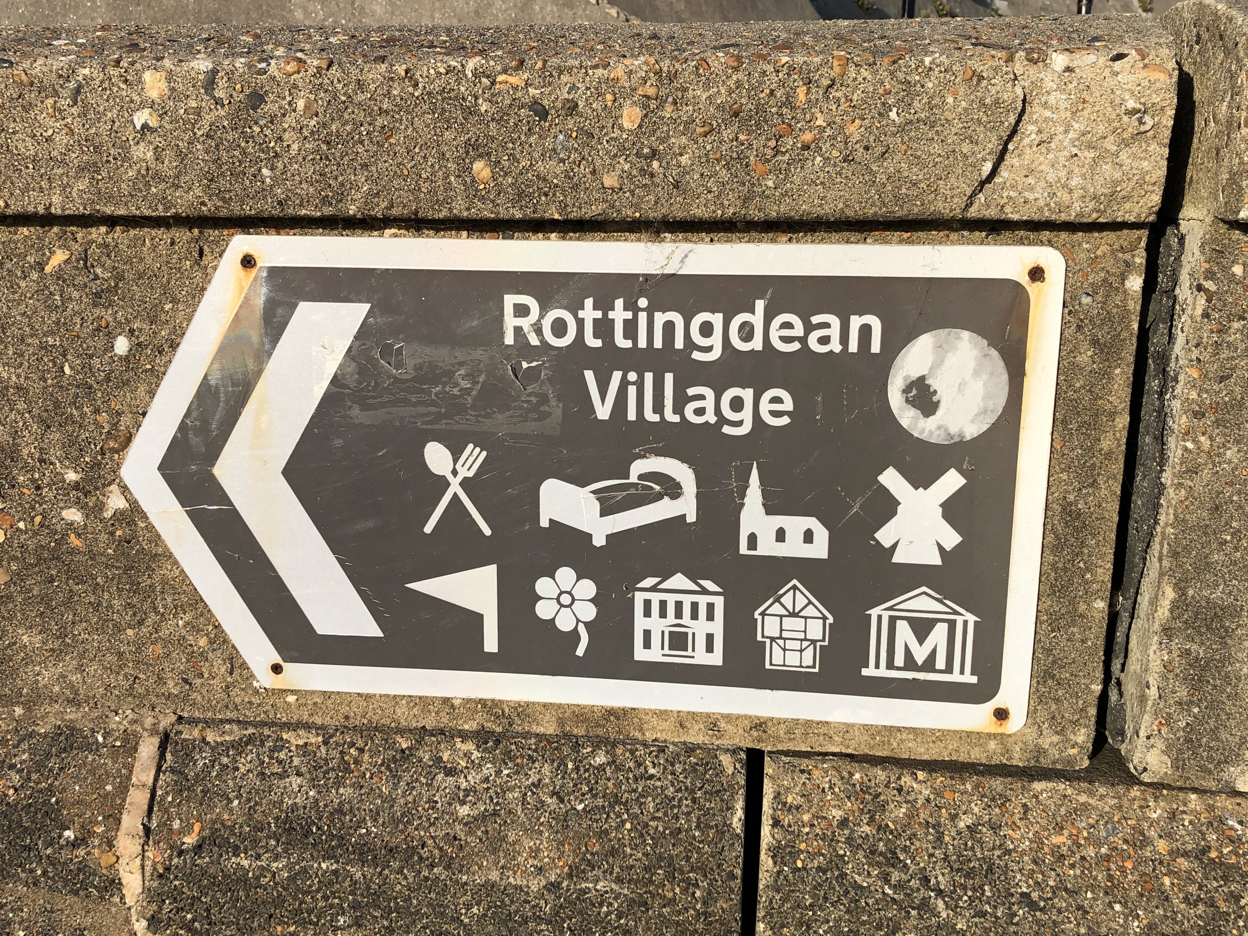
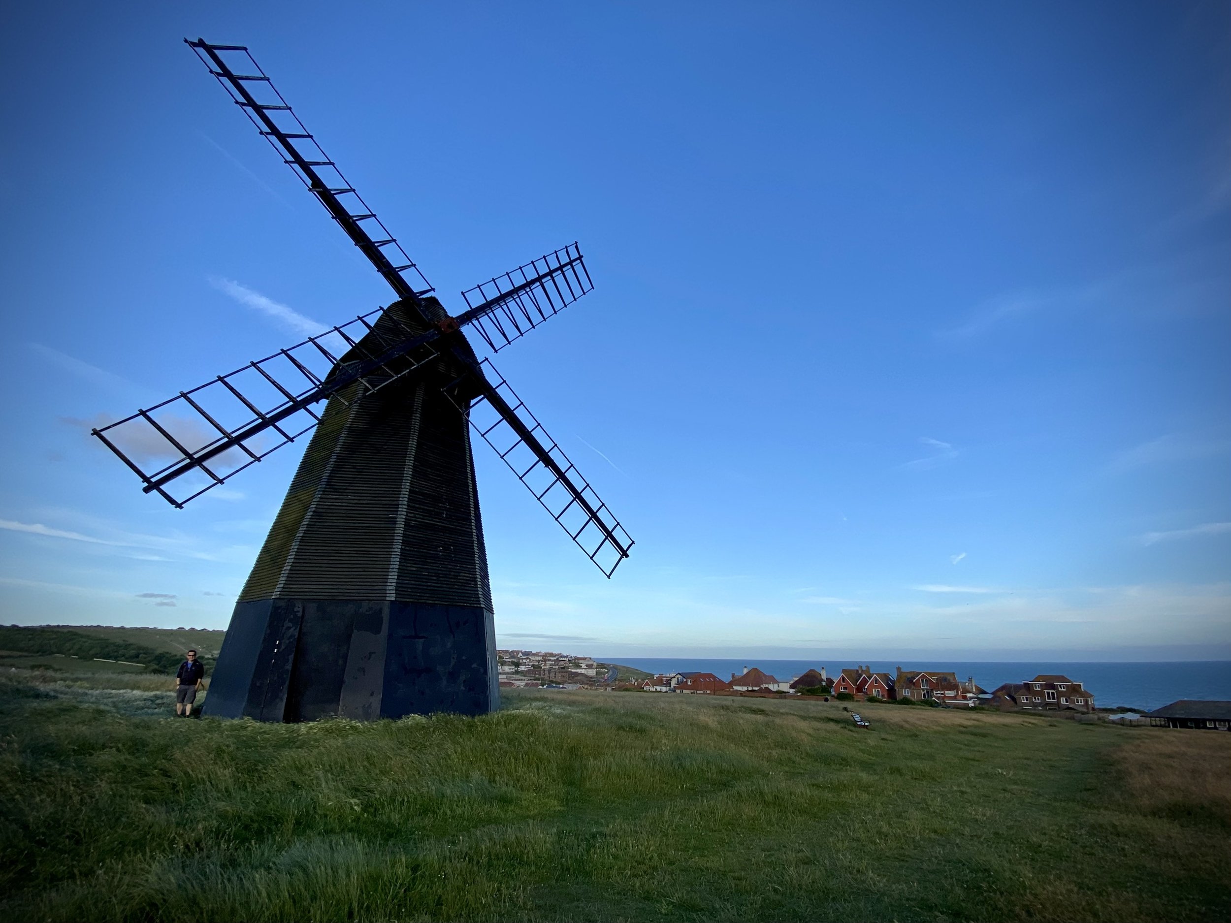
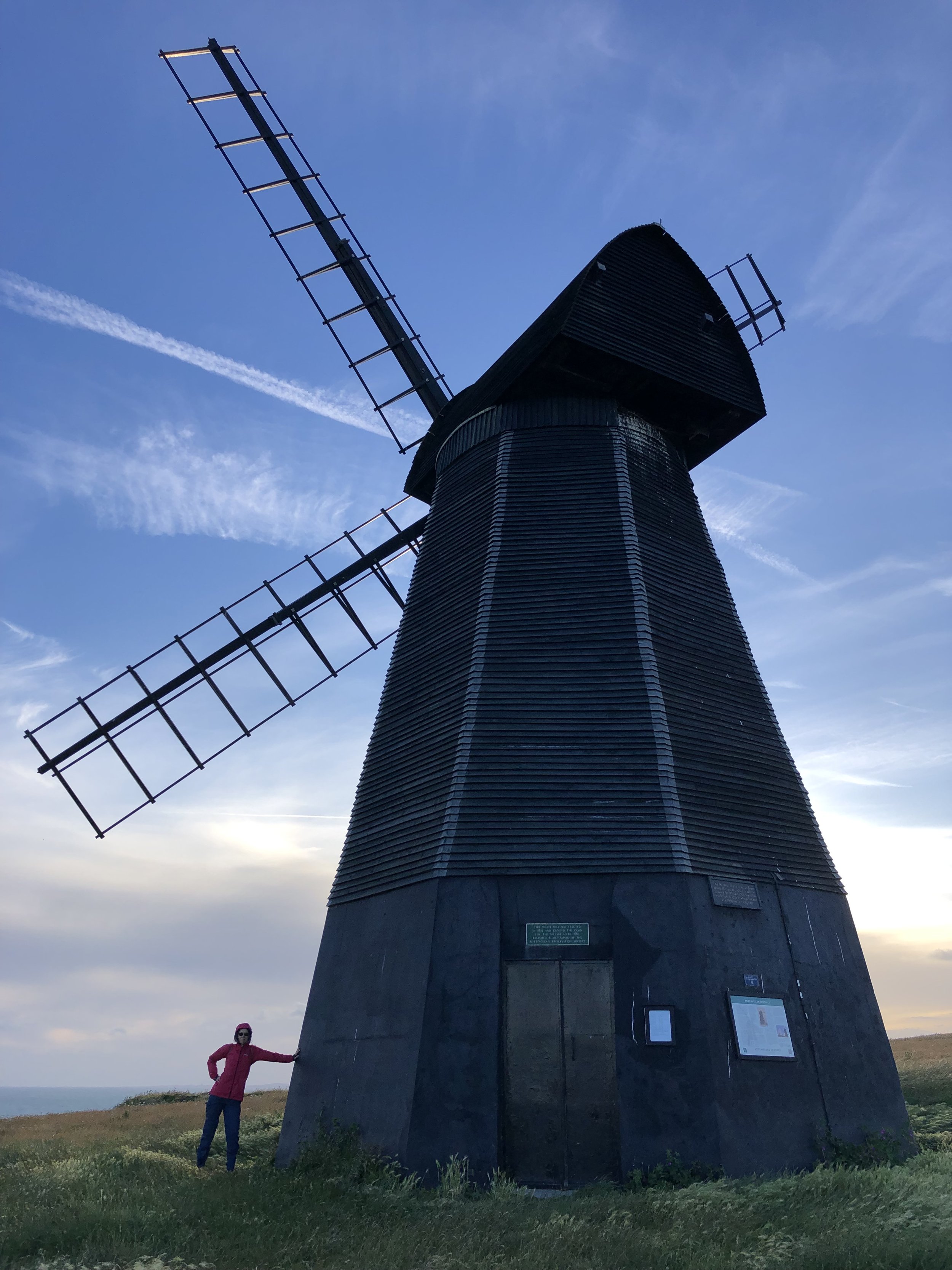
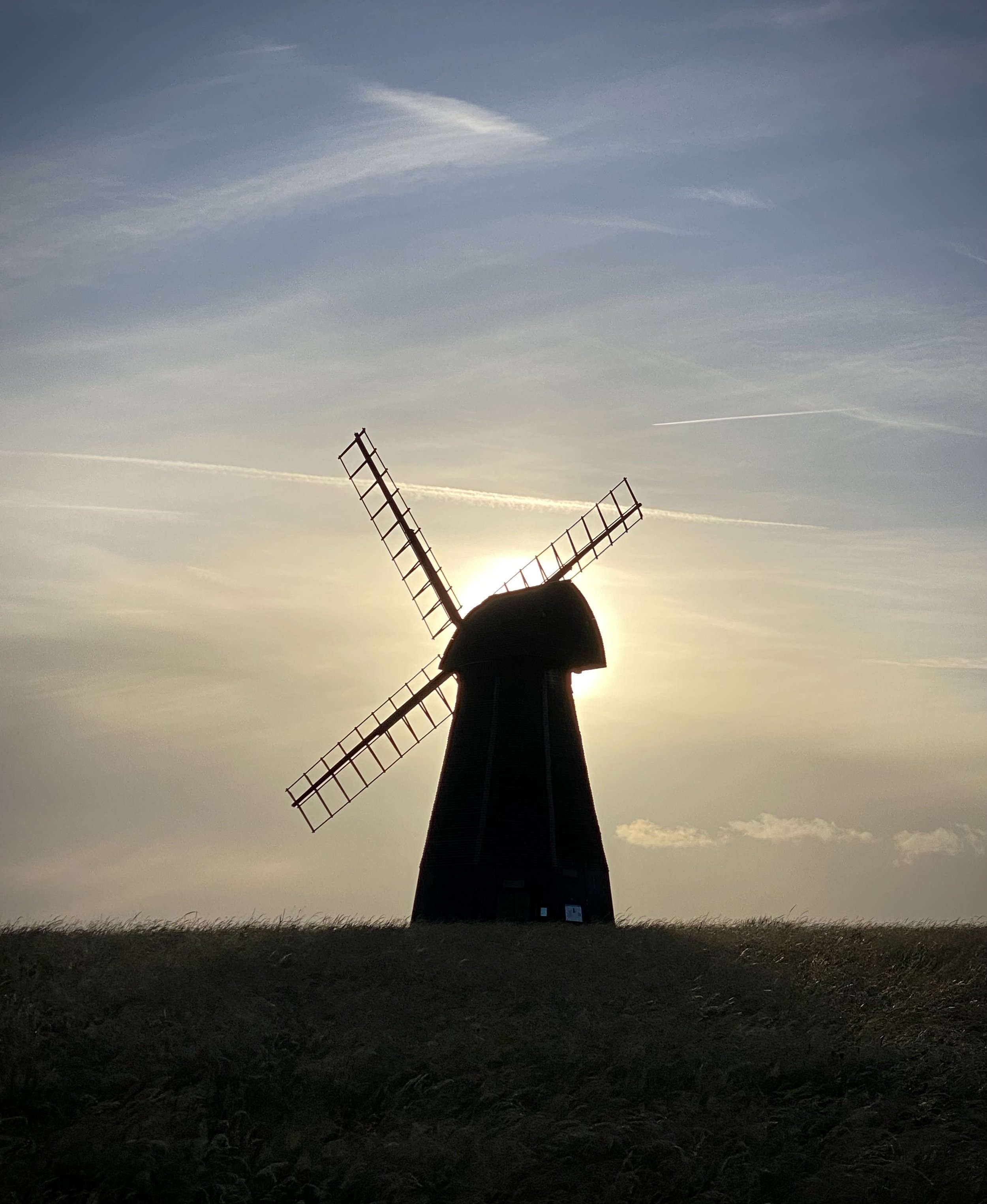
At the far eastern end of Basin Road you’ll arrive at Hove joining the promenade and a proper sea-side feel. Here you’ll have a lot of options for food and drink or to divert into Brighton town. After Brighton Pier keep to Madeira Drive, the lower / undercliff road and cut through Brighton Marina. After the Marina you’ll get to the undercliff path, a very quiet 2.5km stretch to Rottingdean. This is a good place to stop for a rest at the White Horse Hotel and get the bus back. Alternatively, as we did you could walk up to the Windmill on top of Beacon Hill for a great view. The view is especially good in the evening with the sun setting behind the windmill. From here, walk back down the hill to the A259 to the bus stop.
When: June 26th 2022
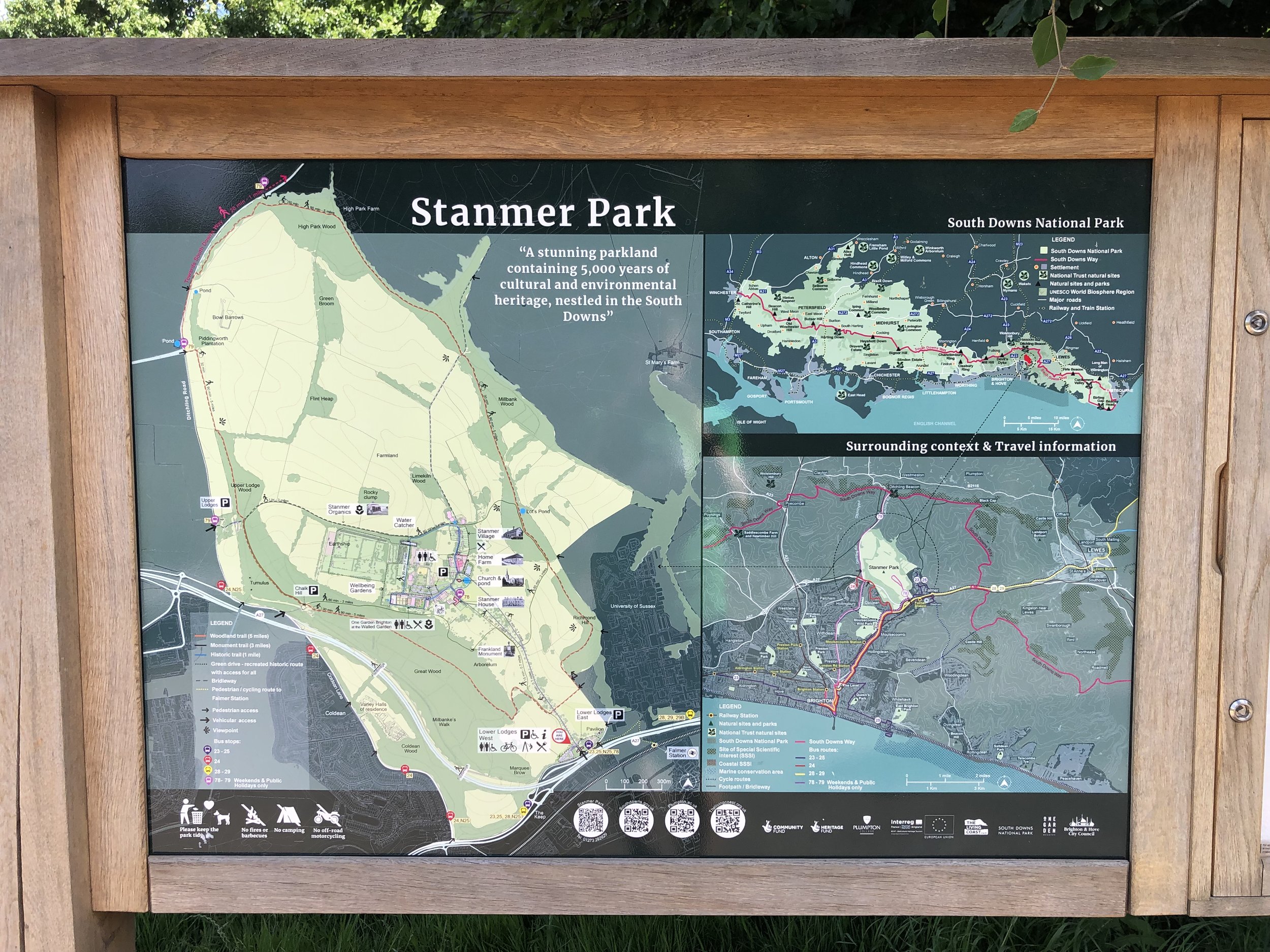
Where: Stanmer Park Nature Reserve, Falmer, Brighton, BN1 9RE
Course: Single loop hilly course in the woods and upper fields of Stanmer Park. Marathon distance also held.
Other routes touched (walk): none
Finish time: 58:56
Significance: Highest peak in the Unitary Authority of Brighton and Hove
Member of: N/A
Parent Peak: Ditchling Beacon, NHN = Newmarket Hill
Historic County: Sussex (of which Black Down is the County Top)
Elevation: 197m
Date “climbed”: 25th June 2022
Coordinates: 50° 50' 23'' N, 0° 3' 37'' W
OS Trig Pillar: TP1764 - Bullocks Hill
Map: Brighton & Hove Map | Lewes & Burgess Hill | Ordnance Survey | OS Explorer Map OL11
Links: Wikipedia (Brighton & Hove), Peakbagger, Hillbagging
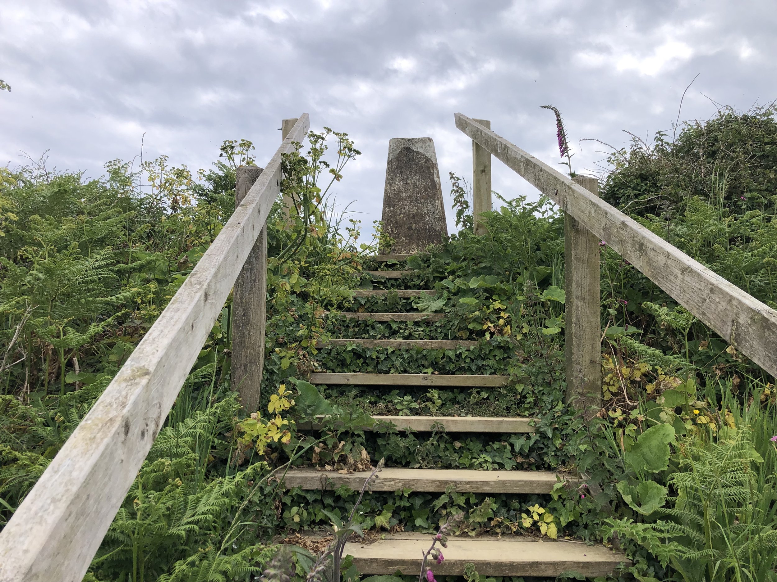
Most Unitary Authority High Points that I’ve visited so far have been dull parts of large towns with little to write home about. Bullock’s Hill is a nice exception here with an OS Trig Pillar and great views across to Brighton and the Coast. Be careful not to damage crops in the summer though as there’s no public right of way directly to the summit.
Sunrise at the confluence of the rivers Ver and Colne near Bricket Wood
Start: St Mary the Virgin, Church End, Kensworth, Dunstable, LU6 3RA
Finish: Confluence with the River Colne, Bricket Wood, St Albans AL2 3FZ
Distance: 28.2 km (17.5 miles)
Elevation change: +103m /-226m. Net -123m
GPX File: get via Buy Me a Coffee
Other routes touched (walk): Ver Valley Walks, Hertfordshire Way, Chiltern Way, Abbey Line Trail
Other routes touched (cycle): Chilterns Cycleway, Nickey Line, Alban Way, NCN 57, 6, 61, Cycling the Rivers Gade and Ver
Pubs / Cafes on route: Several in Markyate (4km), Redbourn (12km), St Albans (21km), Park Street (25km)
Map: St Albans & Hatfield Map | Hemel Hempstead & Welwyn Garden City | Ordnance Survey | OS Explorer Map 182
Links: River Ver Trail PDF, Kensworth, Markyate, Redbourn, St Albans, Park Street, Bricket Wood
For Brian and I this was our second Summer Solstice overnight walk. The idea of these are to walk from sunset to sunrise on the shortest night of the year. We’ve done several Winter Solstice day-time walks before but have only done a summer overnighter once before. Last year we did it on the Thames Down Link: a great walk but we got to the end at 03:00, a full 1 hour and 44 minutes before sunrise. For this second attempt we wanted to get the timings right to arrive at sunrise.
Our 2 learnings from last year was that we needed a slightly longer route and to start the walk a bit later. We were already about 30 minutes in at sunset last time. Our route this time was 3km longer but we also started from a pub 1.2 km from the start and left the pub exactly at sunset.
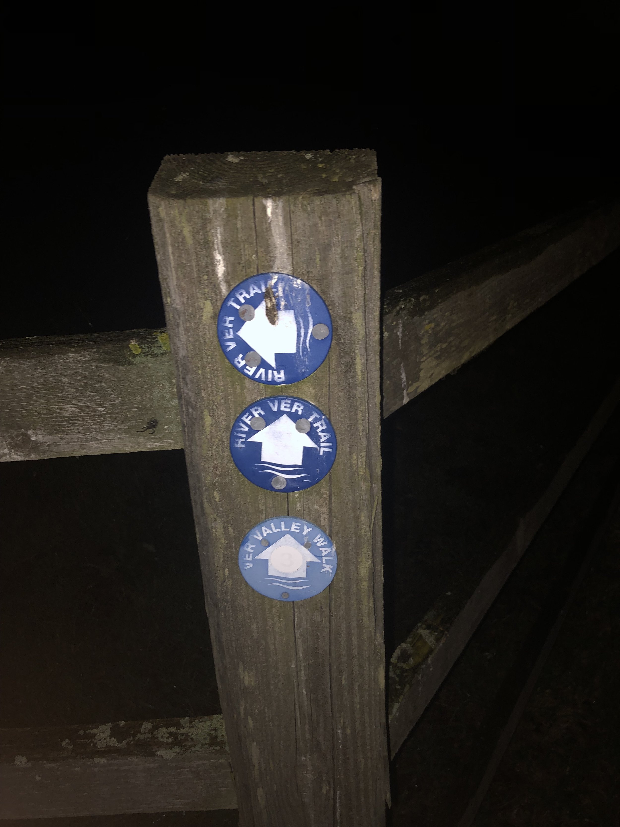
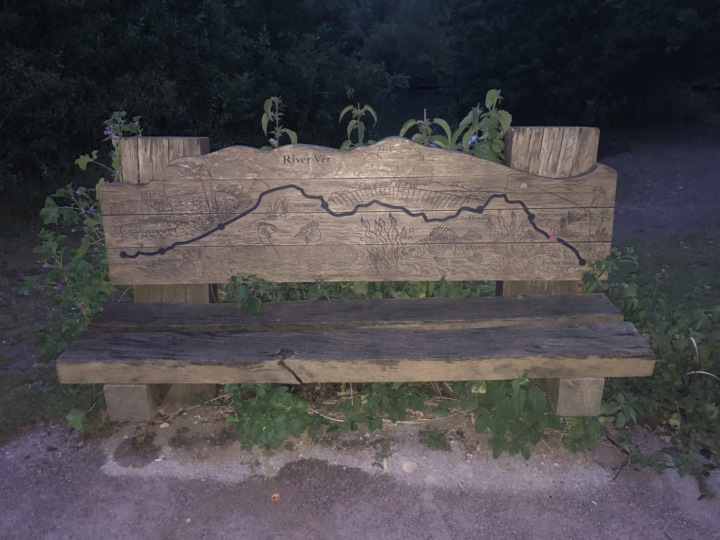
Our route was the River Ver Walk, a point-to-point in the eastern Chilterns following the river from source to its confluence with the River Colne. The route has also been on my list for a while, previously intending to do it in 3 sections. I’d put it on hold since Timea and I went down from 2 cars to 1 and point-to-points got a bit trickier to organize. Having Brian’s car for this trip and doing it in 1 go made it feasible again.
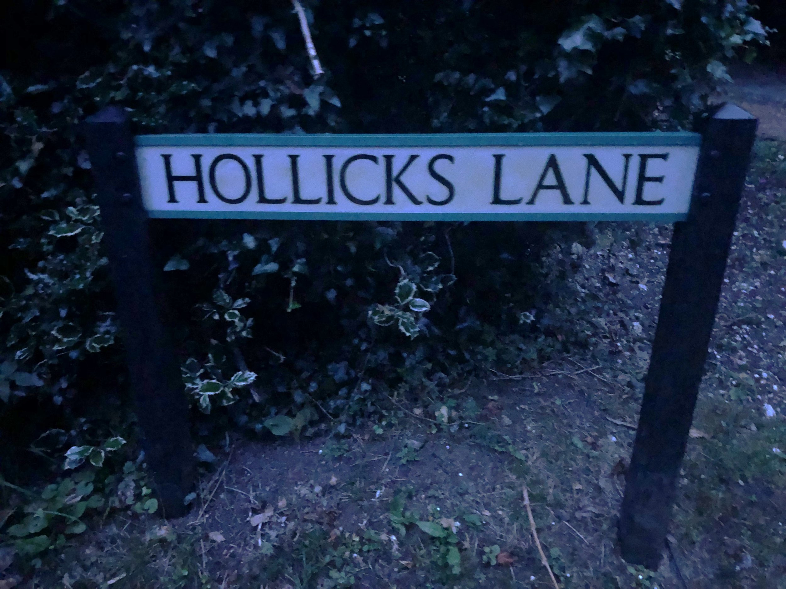
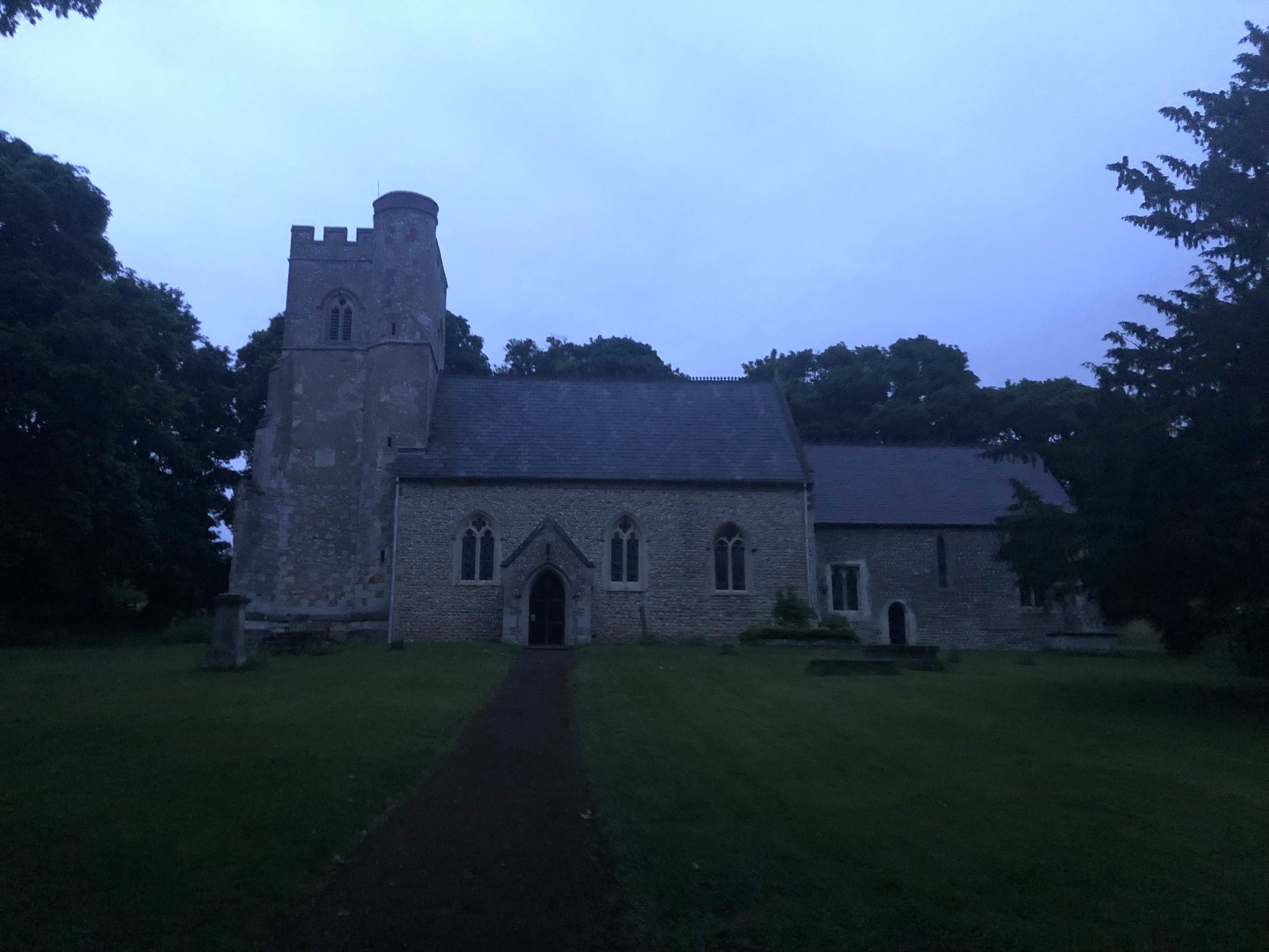
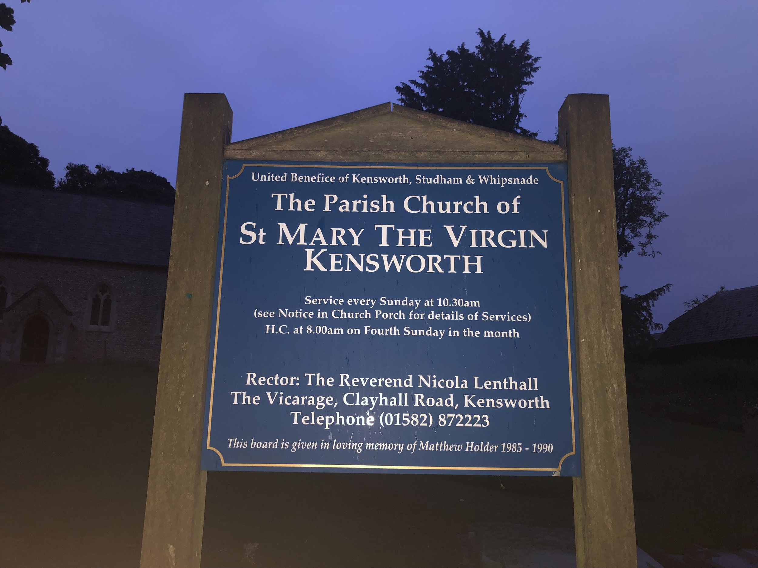
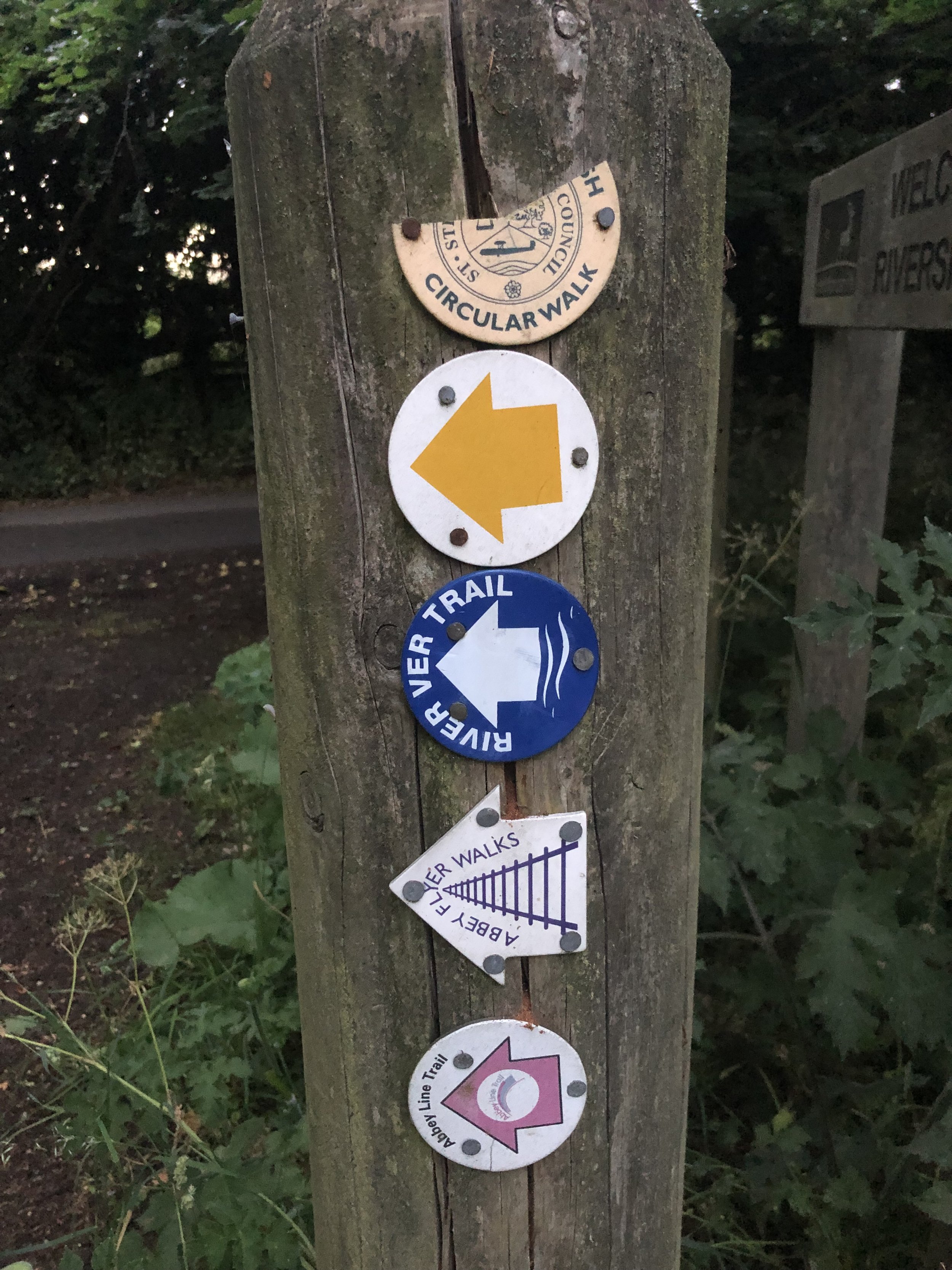
We set off at 21:24 from the Farmer’s Boy pub in Kensworth who kindly let us leave a car there overnight. From the pub it’s a short climb up the hill on Hollick's Lane to the church of St Mary. The River Ver Trail starts here and continues along footpaths and quiet roads to Bricket Wood. Although it’s well sign-posted, it would have been very hard to rely on these in the dark so we followed my pre-planned GPX track on my phone.
For the first 13km of the walk we weren’t aware of river with it either being too small, too far from the route or that that route went through towns or busy roads. It was only after leaving the Nickey Line after Redbourn that the trail goes through quieter countryside and the river is more apparent.
One thing to watch out for if you’re walking this one at night is the section through the Gorhambury Estate near St Albans. This section of the route is a Permissive Path leading to a big gate on the A4147. The gate is locked after 18:00 and there’s no simple or safe way to get around it. There’s a sign on the gate with numbers to call if you’re locked in after 18:00 but neither of these worked. I also don’t think they intended to answer calls from walkers at 02:00 in the morning. We found a cunning way to escape the estate but I don’t recommend it. If you’re attempting this route at night, there’s an alternative route around the estate described in their website.
The adventure of escaping the estate woke us up a bit as were starting to lose energy. The gradual increase in light also helped but, as with last year, the final couple of hours were tough. With 1 km to go we both noticed a significant increase in brightness and checked our watches to see that it was exactly sunrise at 04:44. This was also the point where we decided that we’d properly ticked the box of doing a full Summer Solstice overnighter and didn’t need to make it an annual event.
By around 05:00 we reached the end of the trail at the confluence with the River Colne. It was a quiet peaceful place mark the end of the route. It wasn’t the end of the walk though. Although we had wanted to leave one car at the end, there’s no good parking options. We leave a car near The Gate pub on Smug Oak Lane but it added another 2 km to the walk. Another slightly closer, option would have been The Riverside Car-park on Drop Lane which is on the trail at 1.4km from the end.
With the extra bits at the start and end of the trail to get from and to our cars, our whole walk was 32km in 7.5 hours. Having 2 cars made the logistics easier. Public transport is an option with some careful planning if you’re doing the trail in the daytime. Using St Albans as a hub there’s a bus that takes you up the A5183 past Markyate to Lynch Hill, although you would still need to walk up to St Mary’s Church before retracing your steps along the trail. For the end point, Bricket Hill train station, with direct services to St Albans is a 15 minute walk from the end of the trail.
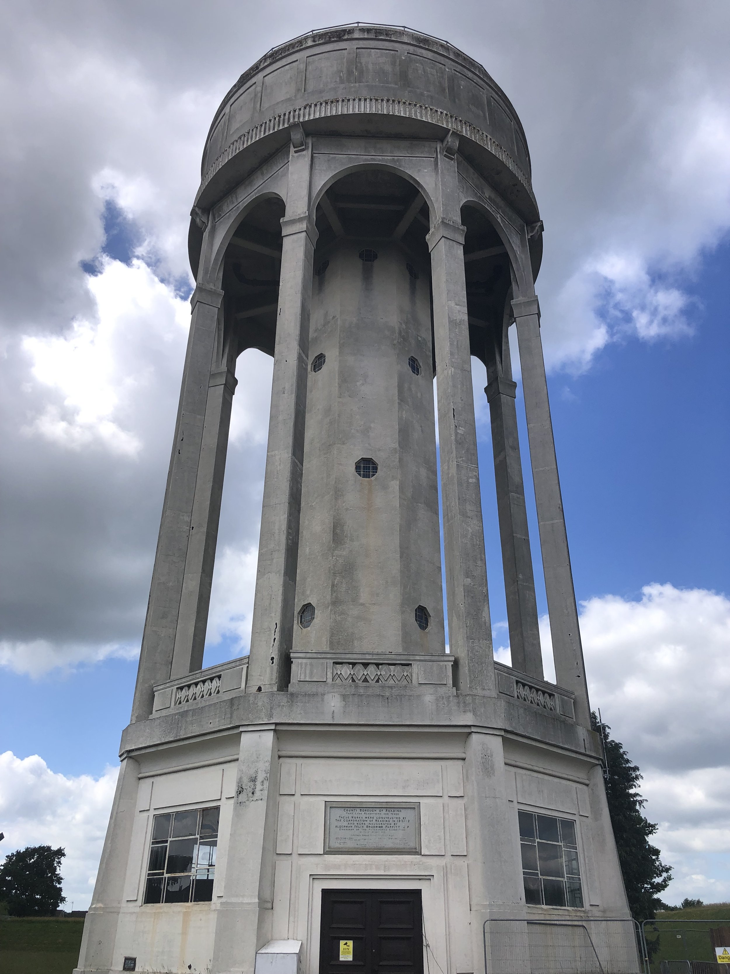
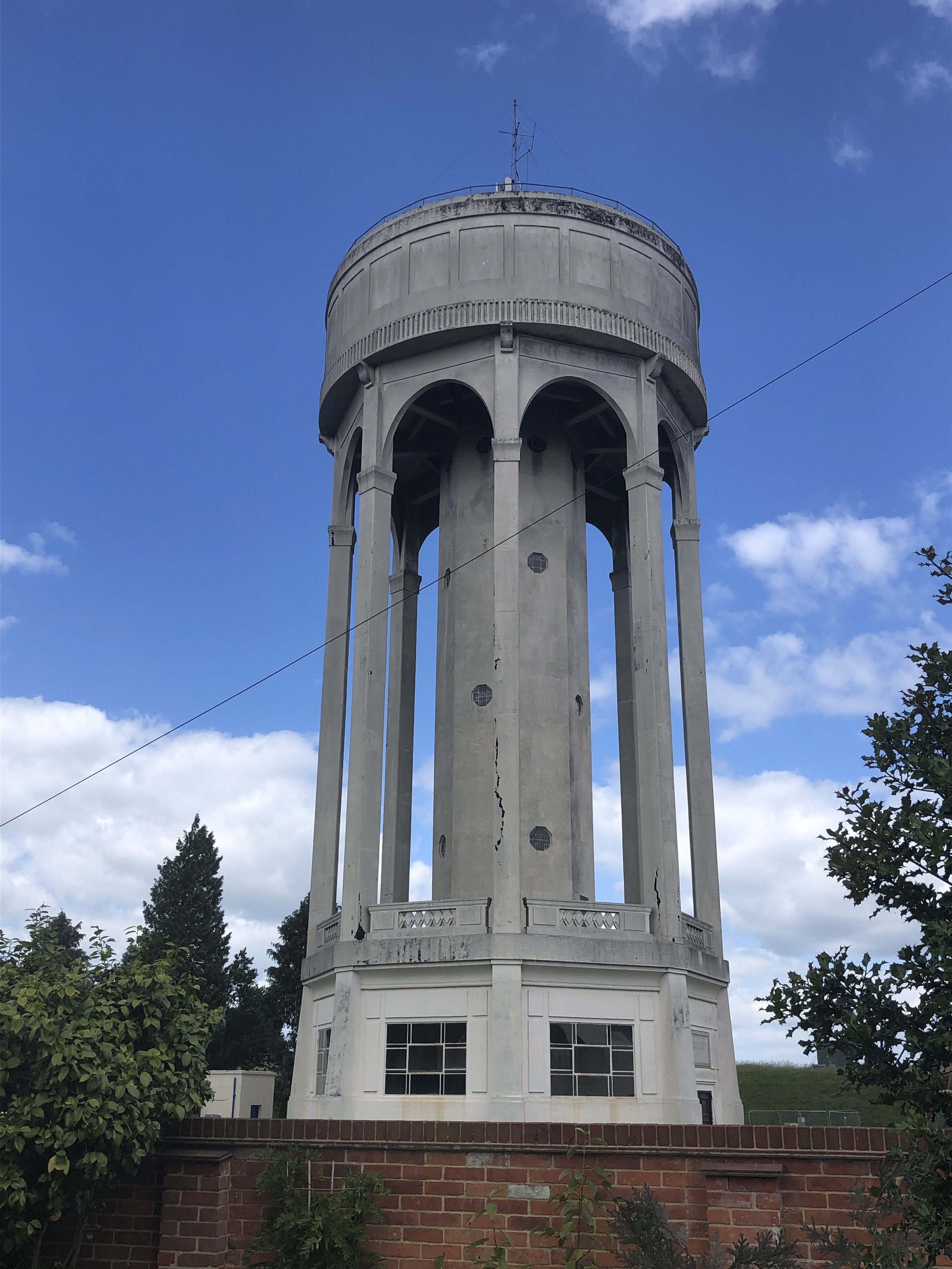
Significance: Highest peak in the Unitary Authority of Reading
Member of: N/A
Parent Peak: Walbury Hill, NHN = Bowsey Hill
Historic County: Berkshire (of which Walbury Hill is the County Top)
Elevation: 103m
Date “climbed”: 12th June 2022
Coordinates: 51° 27' 5'' N, 1° 2' 48'' W
Map: Reading, Wokingham & Pangbourne Map | Thames Path | Ordnance Survey | OS Explorer Map 159
Links: Wikipedia (Reading), Peakbagger, Hillbagging
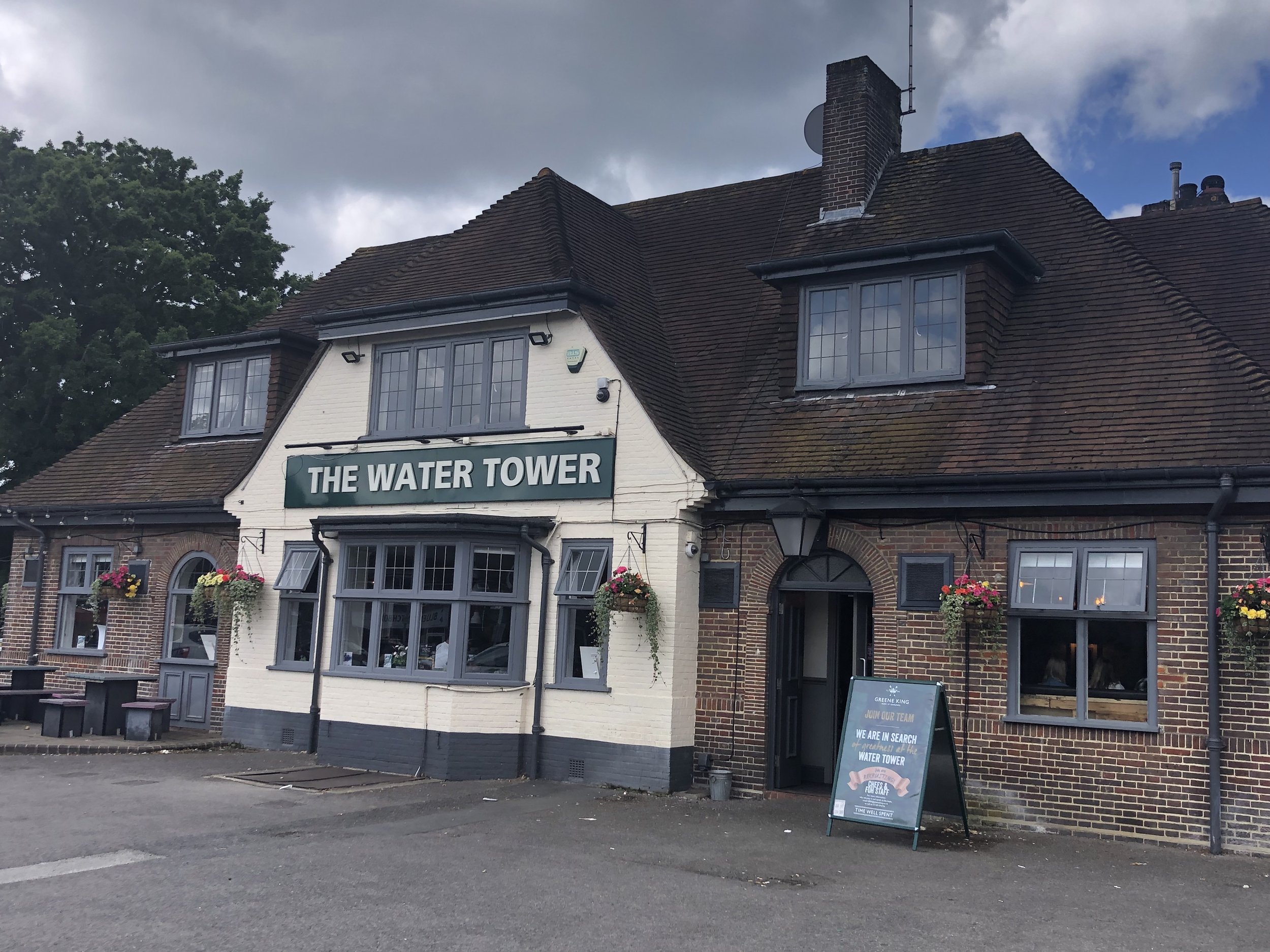
You can’t miss this one due to the massive water tower at the top. You can’t get in though, as gates are locked so the closest you’ll get are the gates on Park Lane. There’s nothing very interesting around here so I left it until I was in the area. The Wife wanted to go to the nearby IKEA so I made a quick escape from the furnishings to bag this one. There’s parking at the nearby Water Tower pub making this a very quick drive-by.
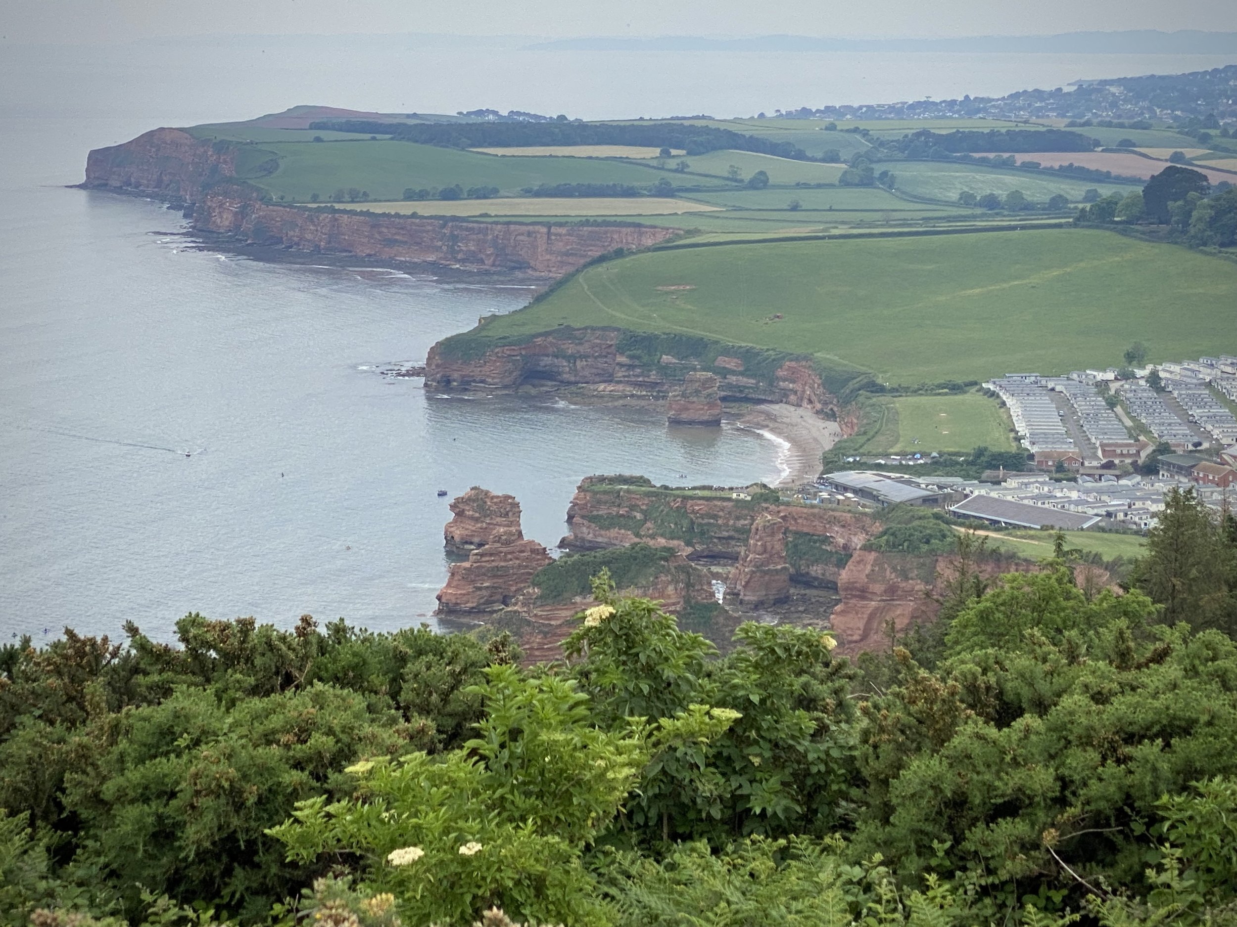
View south / west from High Peak across the East Devon AONB. Ladram Bay on the left.
Start & Finish: Fore Street, Otterton, Budleigh Salterton, EX9 7JF
Distance: 12.1 km (7.5 miles)
Elevation change: +/- 186m
GPX File: get via Buy Me a Coffee
Other routes touched (walk): English Coastal Path, Otter Valley Walk
Other routes touched (cycle): NCN 2
Pubs / Cafes on route: Cafe at Ladram Bay Holiday Park, Otterton Mill
OS Trig Pillar: TP3799 - High Peak
Map: Exmouth & Sidmouth Map | Honiton | Ordnance Survey | OS Explorer Map 115
Links: Otterton, High Peak, Ladram Bay, Ladram Bay Holiday Park, East Devon AONB, Dorset and East Devon Coast UNESCO
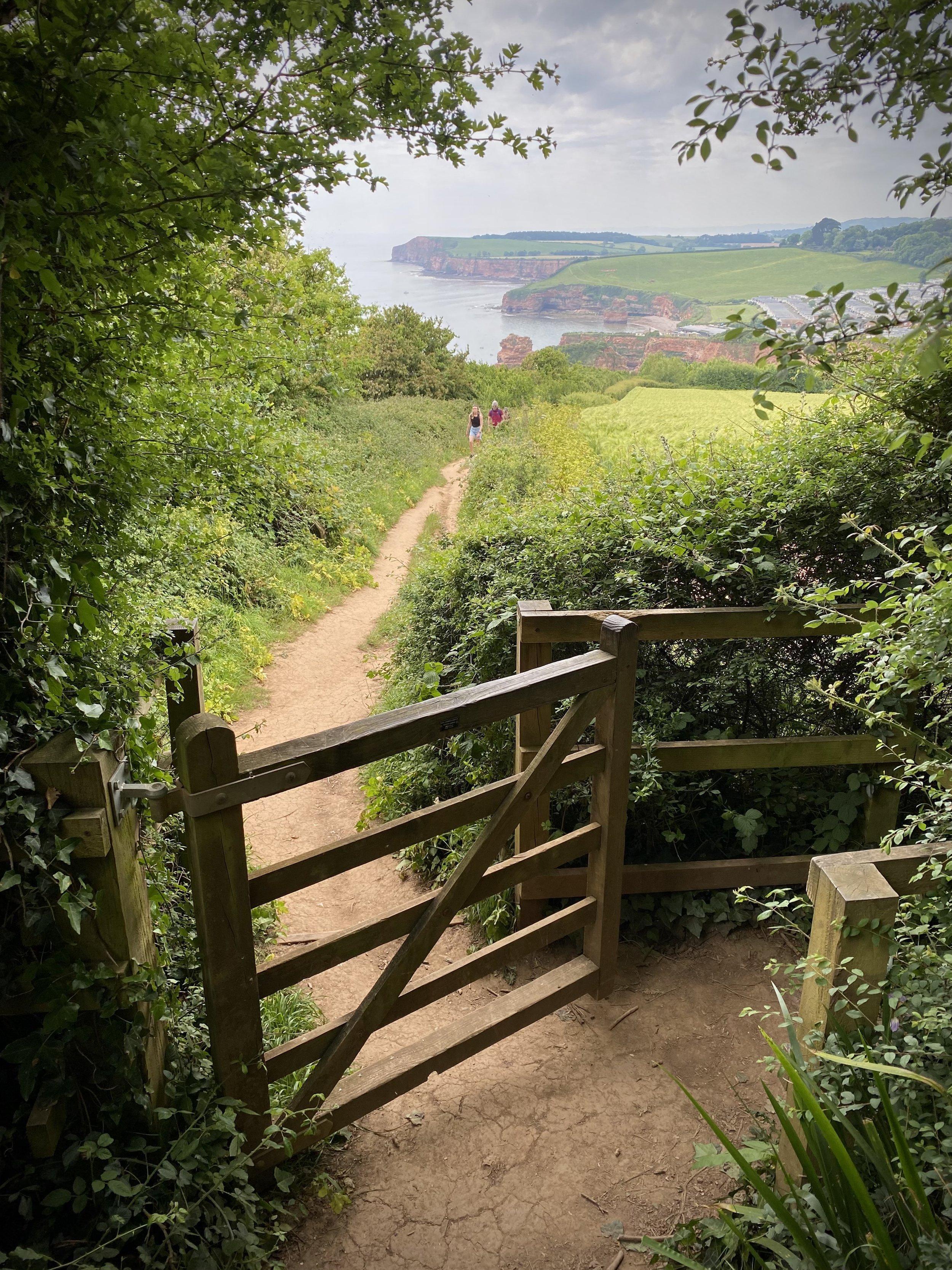
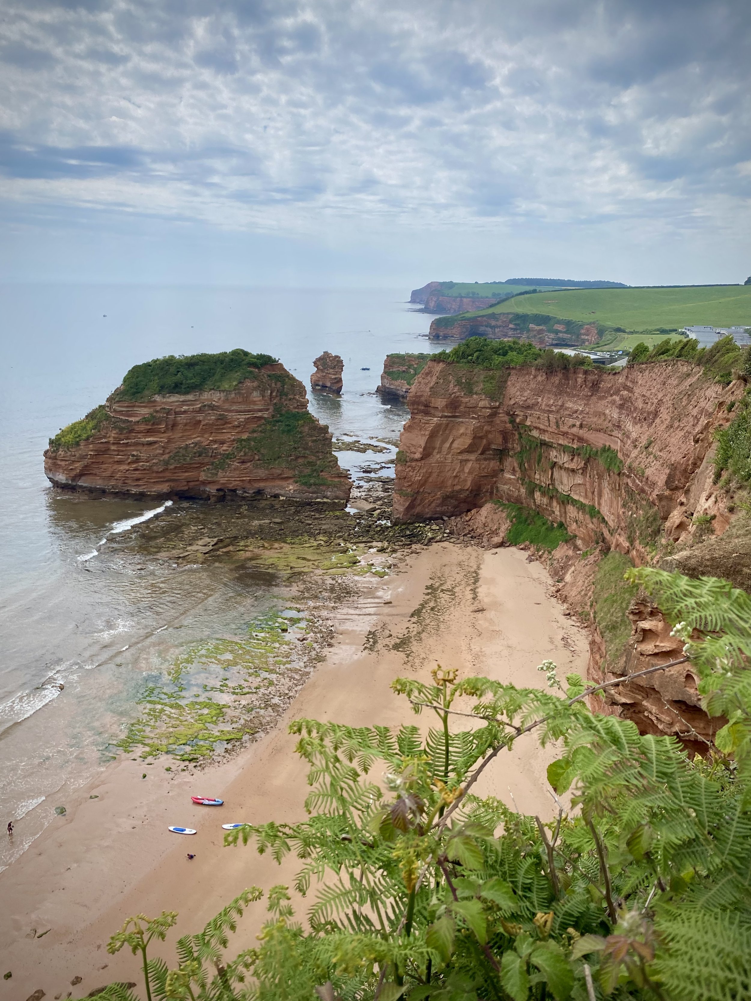
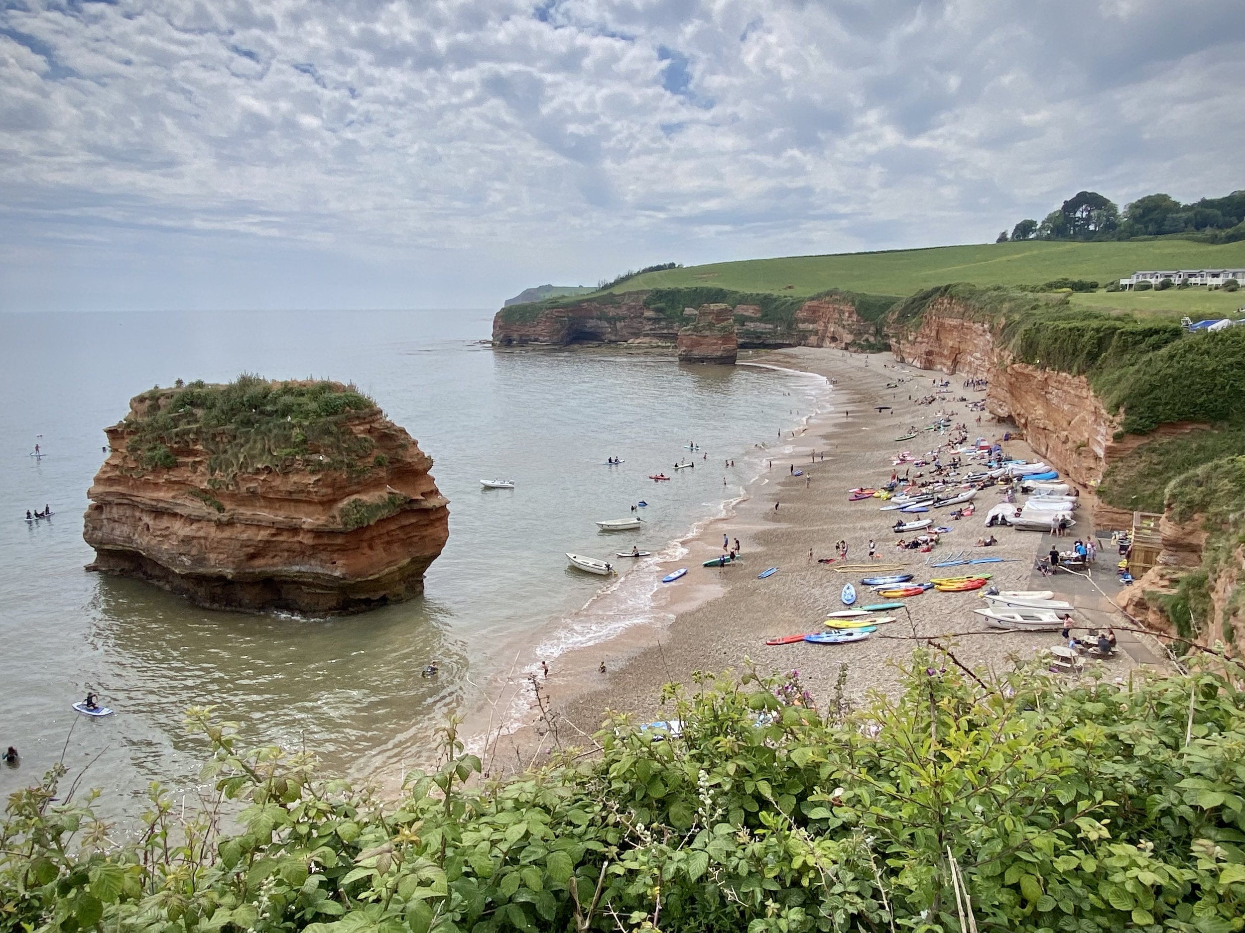
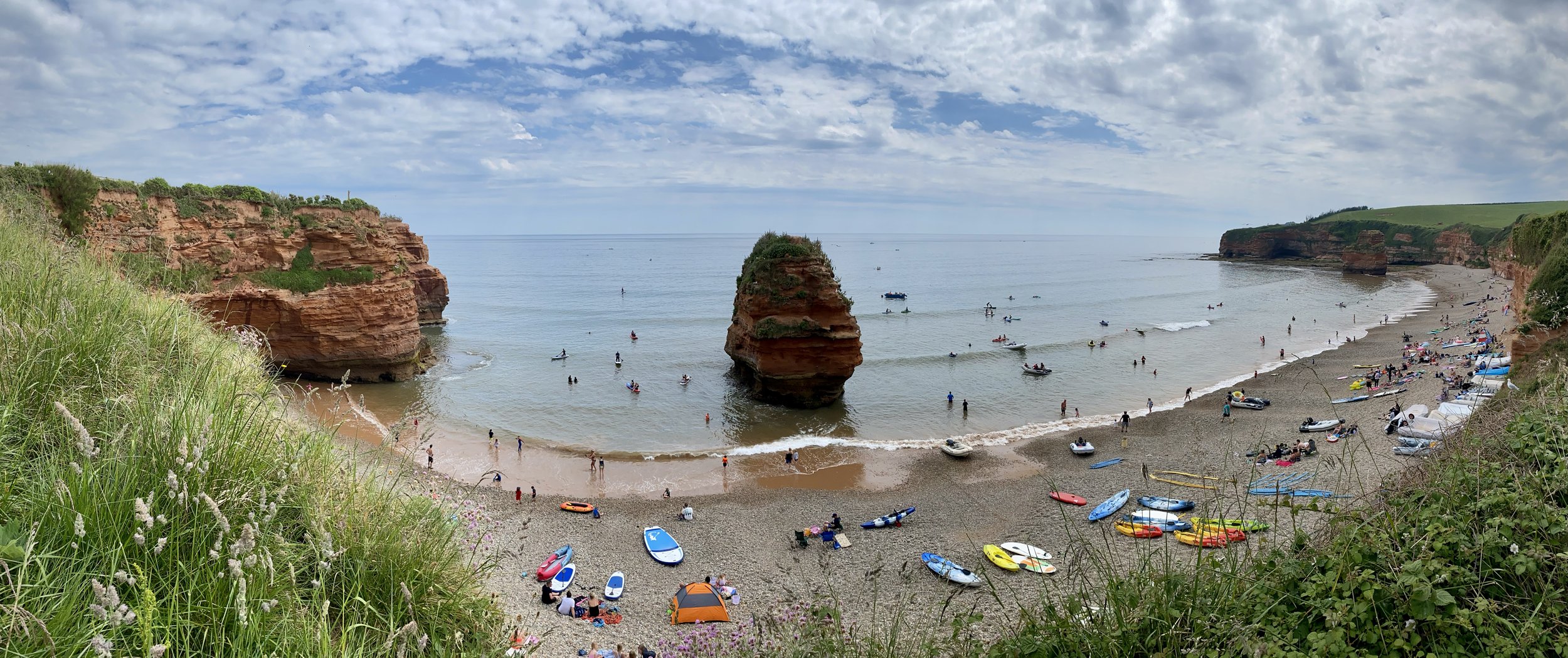
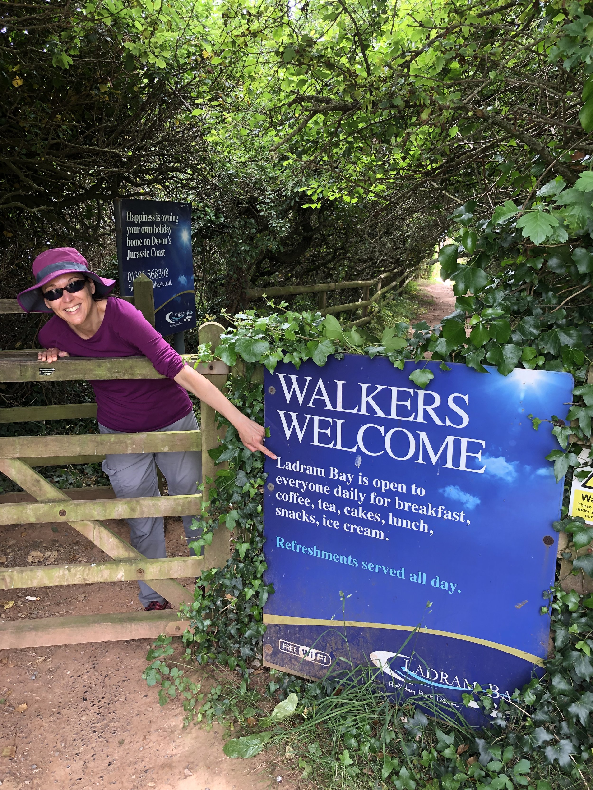
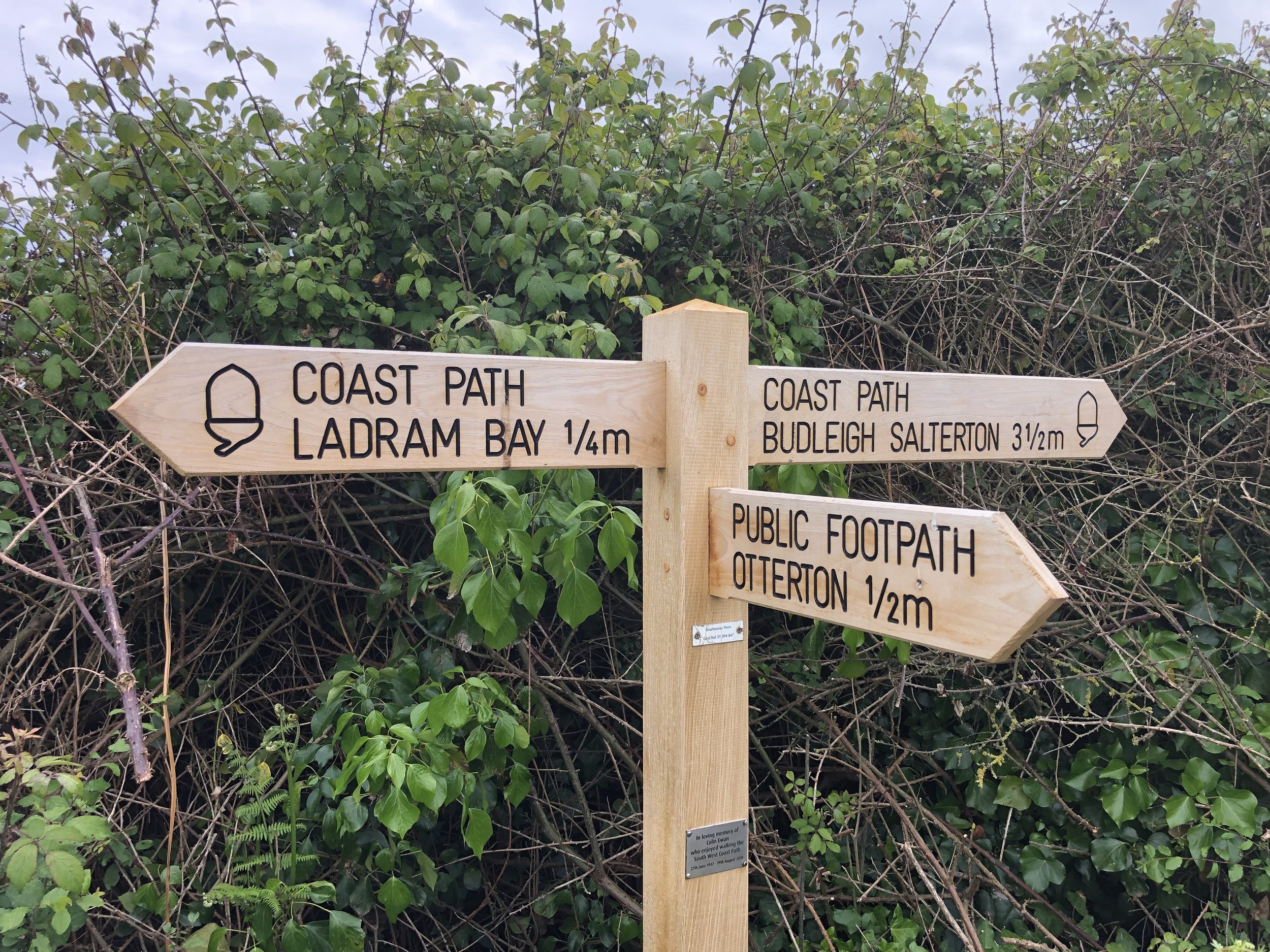
Following our short but stunning Budleigh Salterton walk the day before we took on a longer walk on the next section of the coast to the east. This one starts inland in the small village of Otterton where you’ll find plenty of free on-street parking. From Fore Street (the main street through the village), walk in an easterly direction and take a right onto Bell Street. Continue up the hill as it becomes Ladram Road then Barr’s Lane. Just over 1 km from the village you’ll pass the main entrance to Ladram Bay Holiday Park where the road ends and the route becomes a narrower path. Continue up the path until Just over 2.5km from Otterton where you’ll find a footpath fingerpost sign pointing to Sidmouth (1.5m) and to the coastal path and Ladram Bay (0.75m). Follow the path towards Ladram Bay.
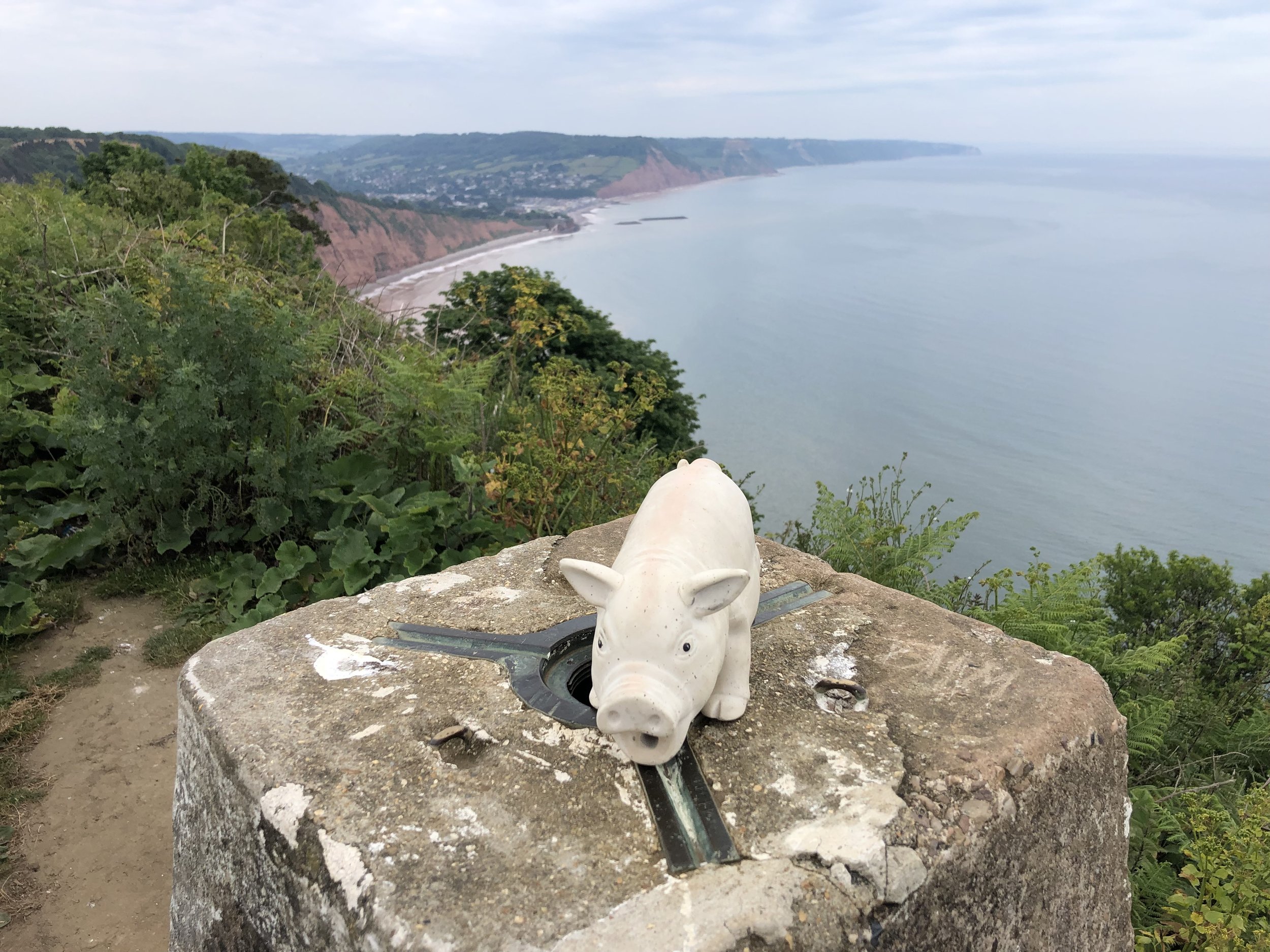
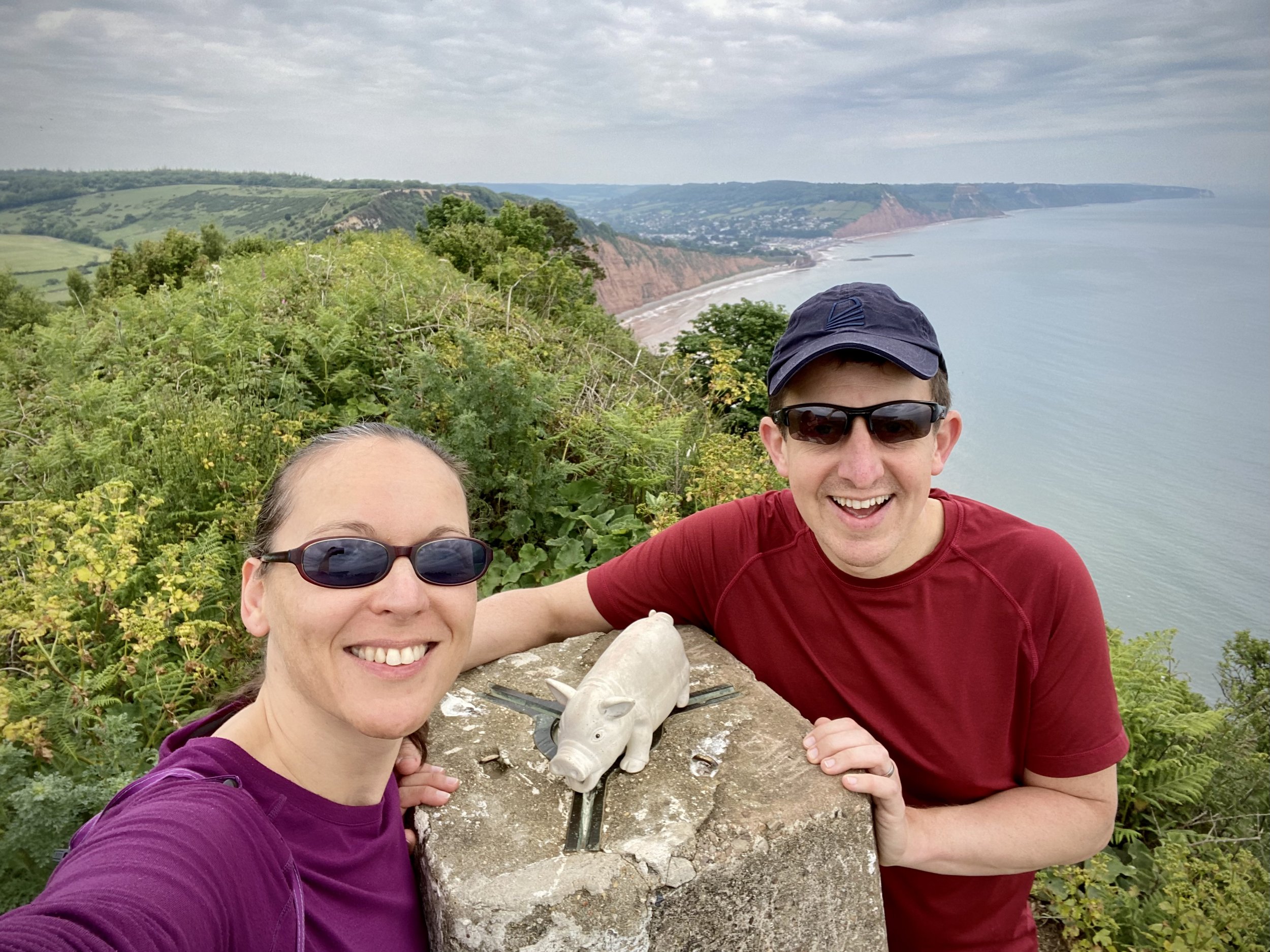
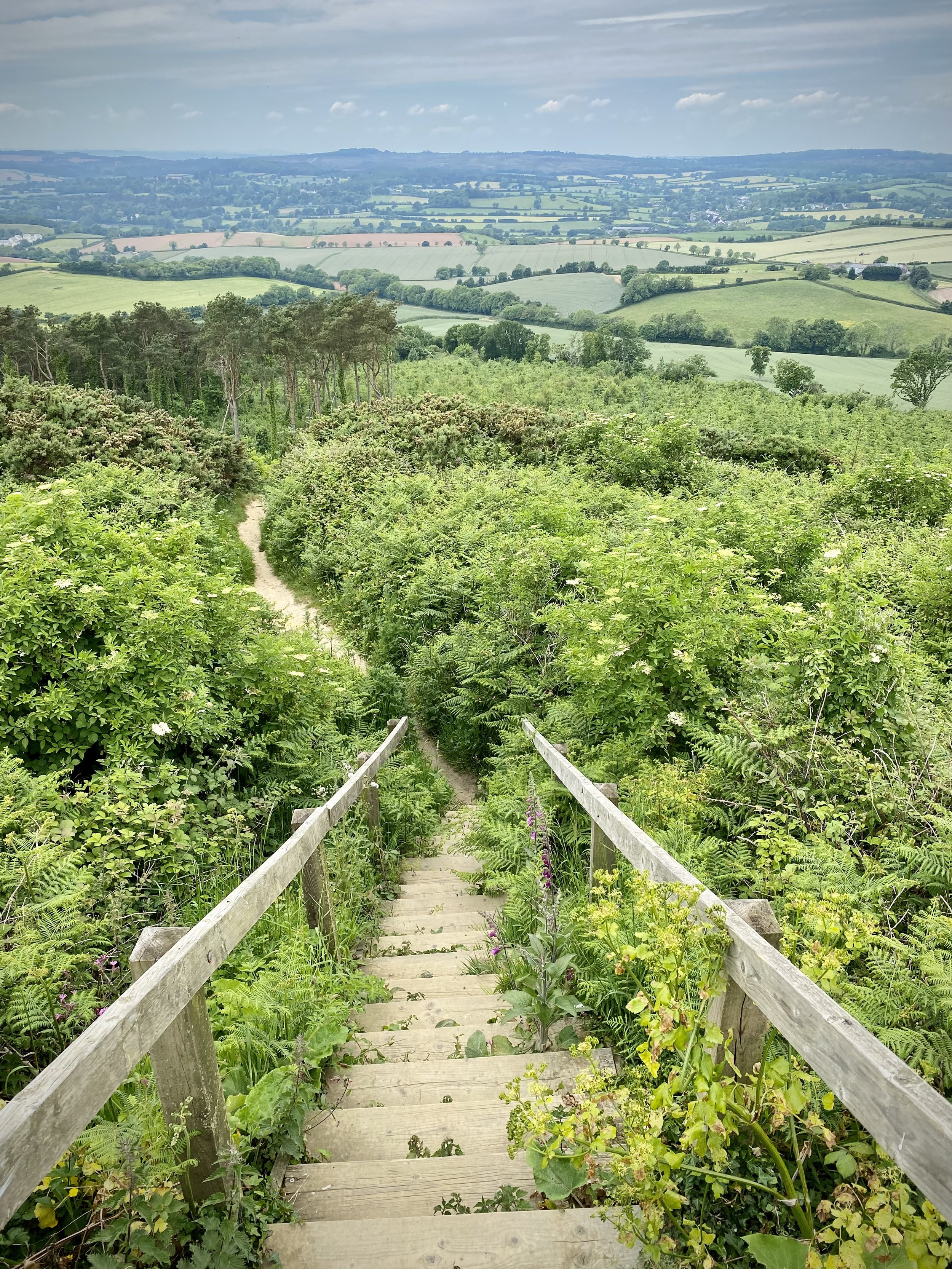
After 300m you can take a left hand path to climb the steep hill to the OS Trig Pillar at the top of High Peak. Here you get great views in all directions: Sidmouth to the north, Budleigh Salterton to the south and the East Devon AONB as you look inland. Carefully descend back to the Coastal Path from the Trig Pillar. Take a left oto the Coastal Path and follow it in a southerly direction down to Ladram Bay Holiday Park. The cliff top café is a good place to stop for a rest as it’s the only place to get food and drink before you return to Otterton.
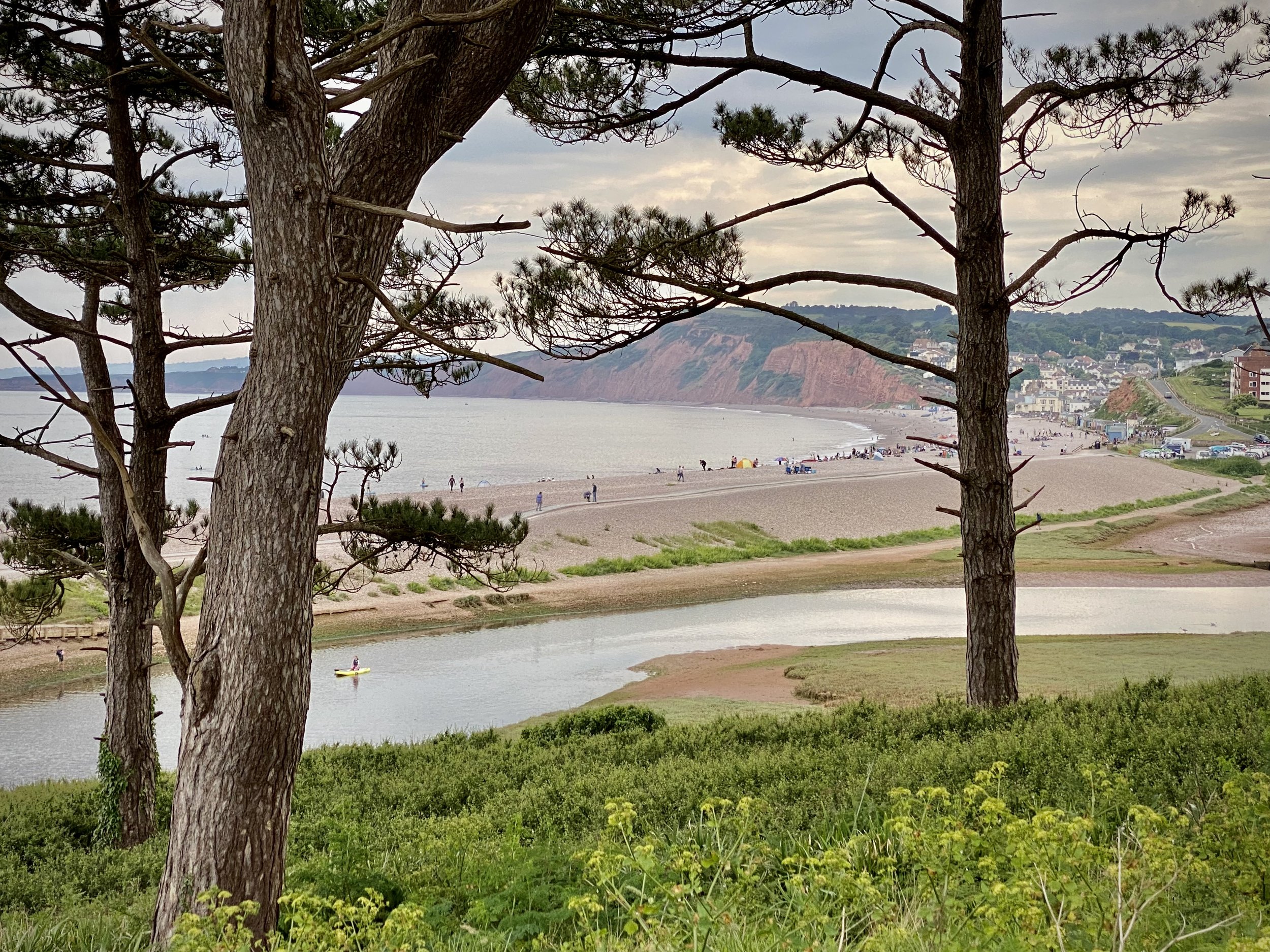
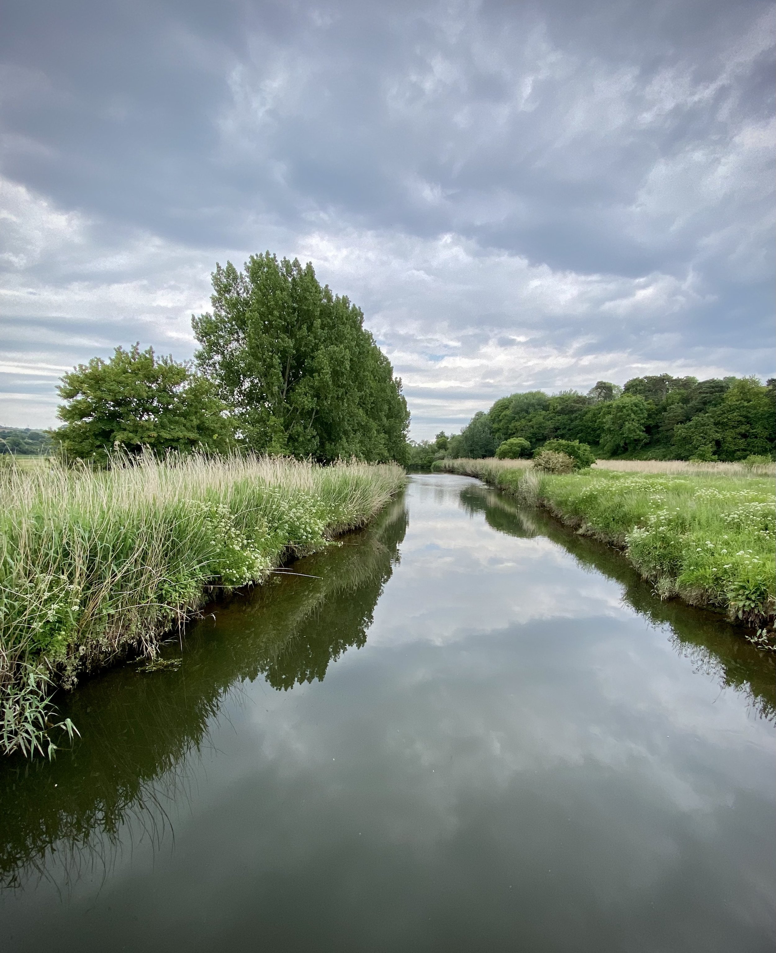
From Ladram Bay continue along the Coastal Path until you reach the River Otter just before Budleigh Salterton. Take a right and follow the path on the eastern side of the river until you reach the bridge on South Farm Road. Cross the bridge and take a right to follow the Otter Valley Walk path on the western side of the river. Continue until you reach Fore Street and the road bridge taking you back into Otterton. Before you reach Fore Street take look across the fields to the west where you’ll see a house on it’s own across the field next to a large tree. This was the old East Budleigh railway station, now converted into a private home. You can still see the platform edge and canopy.
Otterton Mill, just over the bridge on Fore Street is a good place to stop for something to eat before you finish the walk. Go inside to see the old workings of the mill near the shop.
View to High Peak, Ladram Bay and Budleigh Salterton from West Down Beacon
Start & Finish: Lime Kiln Car Park, 1 Granary Lane, Budleigh Salterton, EX9 6JD
Distance: 6.4 km (4 miles)
Elevation change: +/- 117m
GPX File: get via Buy Me a Coffee
Other routes touched (walk): English Coastal Path, Otter Valley Walk,
Other routes touched (cycle): None
Pubs / Cafes on route: Lots in Budleigh Salterton town centre
OS Trig Pillar: TP6804 - West Down Beacon
Map: Exmouth & Sidmouth Map | Honiton | Ordnance Survey | OS Explorer Map 115
Links: Budleigh Salterton, East Devon AONB, Dorset and East Devon Coast UNESCO
This is a stunning short walk along the coastal path past Budleigh Salterton up to the West Down Beacon Trig Pillar. Start from the town’s main car park next to the beach on Granary Lane and follow the coastal path in a westerly direction. After 1km the path will climb steeply up to the top of the cliffs. Continue until approximately 3km from the car park where you’ll meet a footpath finger sign pointing to Knowle (1m). You’re now at the top of the hill where you’ll find the OS Trig Pillar in a small clearing just in from the sign. Here you get great views along the cost in both directions. To the west is Exmouth and the river Exe that leads inland to Exeter.
Leave the coastal path and follow the footpath through the golf course to Knowle for ~1km until you reach Littleham Church Path. Take a right onto this path and follow it down to Exmouth Road. Take a right onto Exmouth Road and follow it in an easterly direction as it becomes West Hill and Budleigh Salterton High Street. Here you’ll find a lot of cafes and restaurants for a rest before completing the walk back at Lime Kiln Car Park.
When: May 29th 2022
Where: Kempton Park Racecourse, Staines Road E, Sunbury-on-Thames TW16 5AQ
Course: Start and finish behind the main grandstand. Single lap snaking around the grounds of the racecourse. Half Marathon and Marathon options also running.
Other routes touched (walk): none
Finish time: 54:16
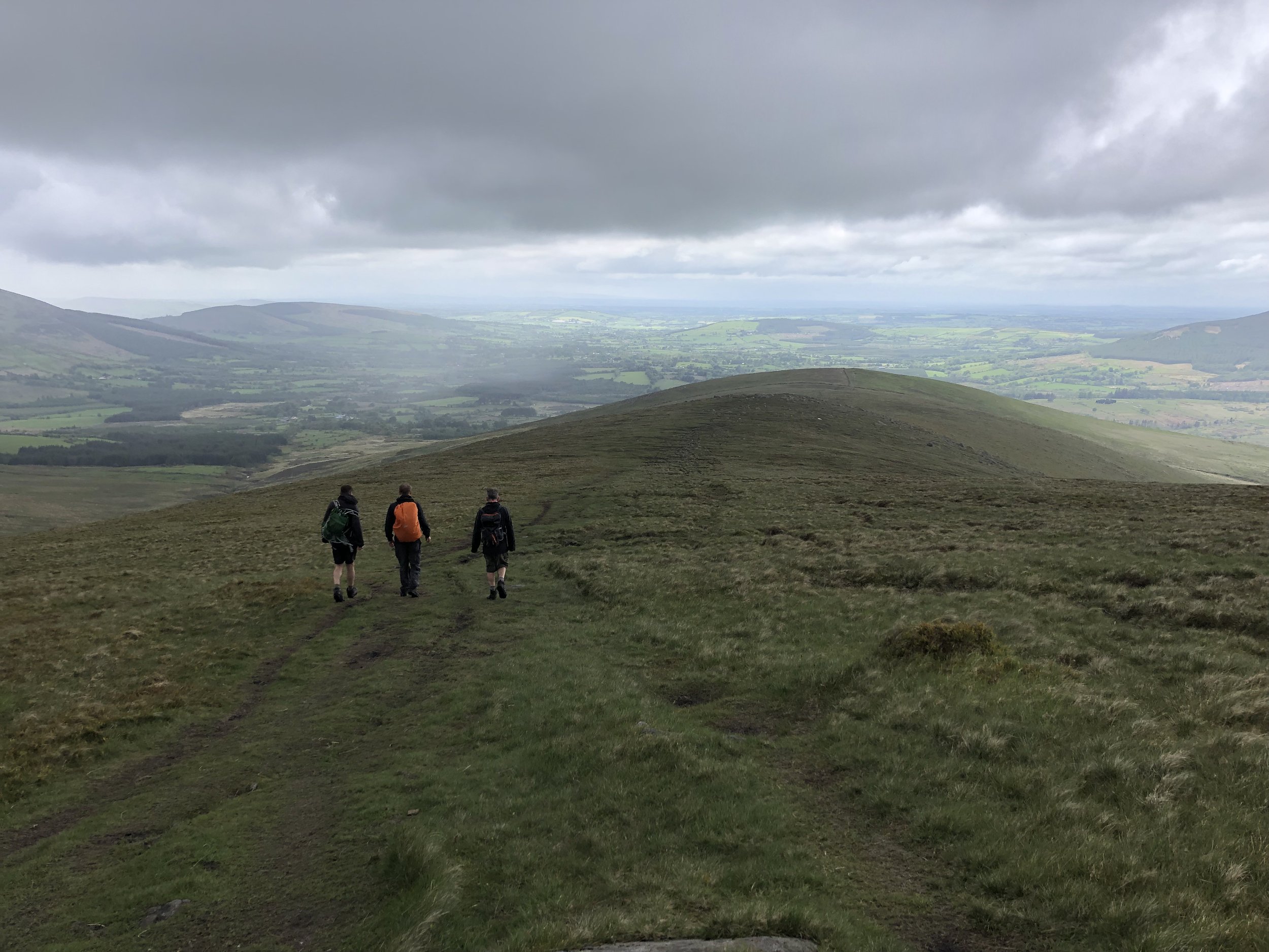
Descent of Lugnaquillia Mountain
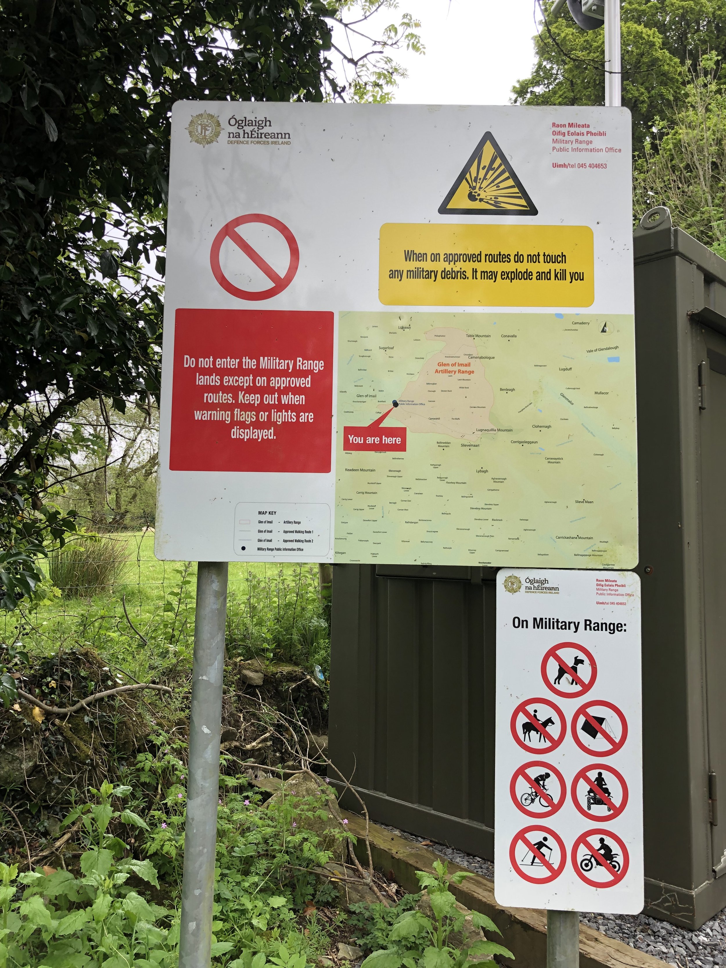
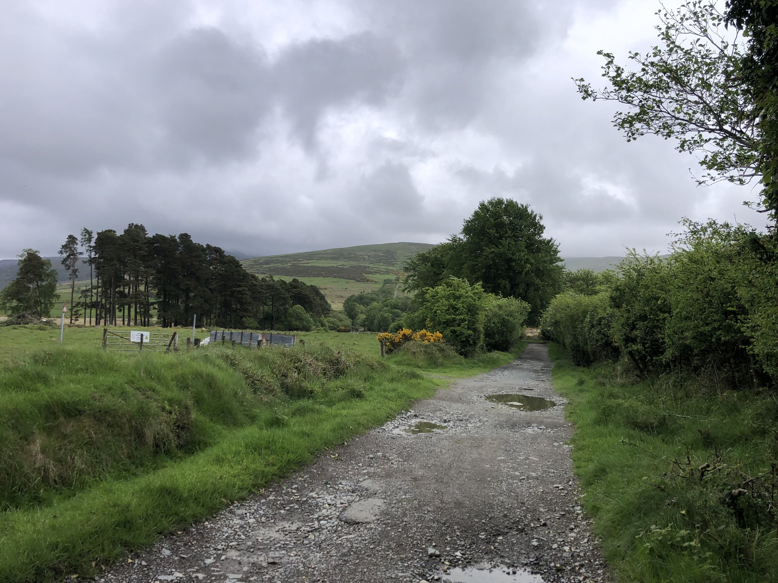
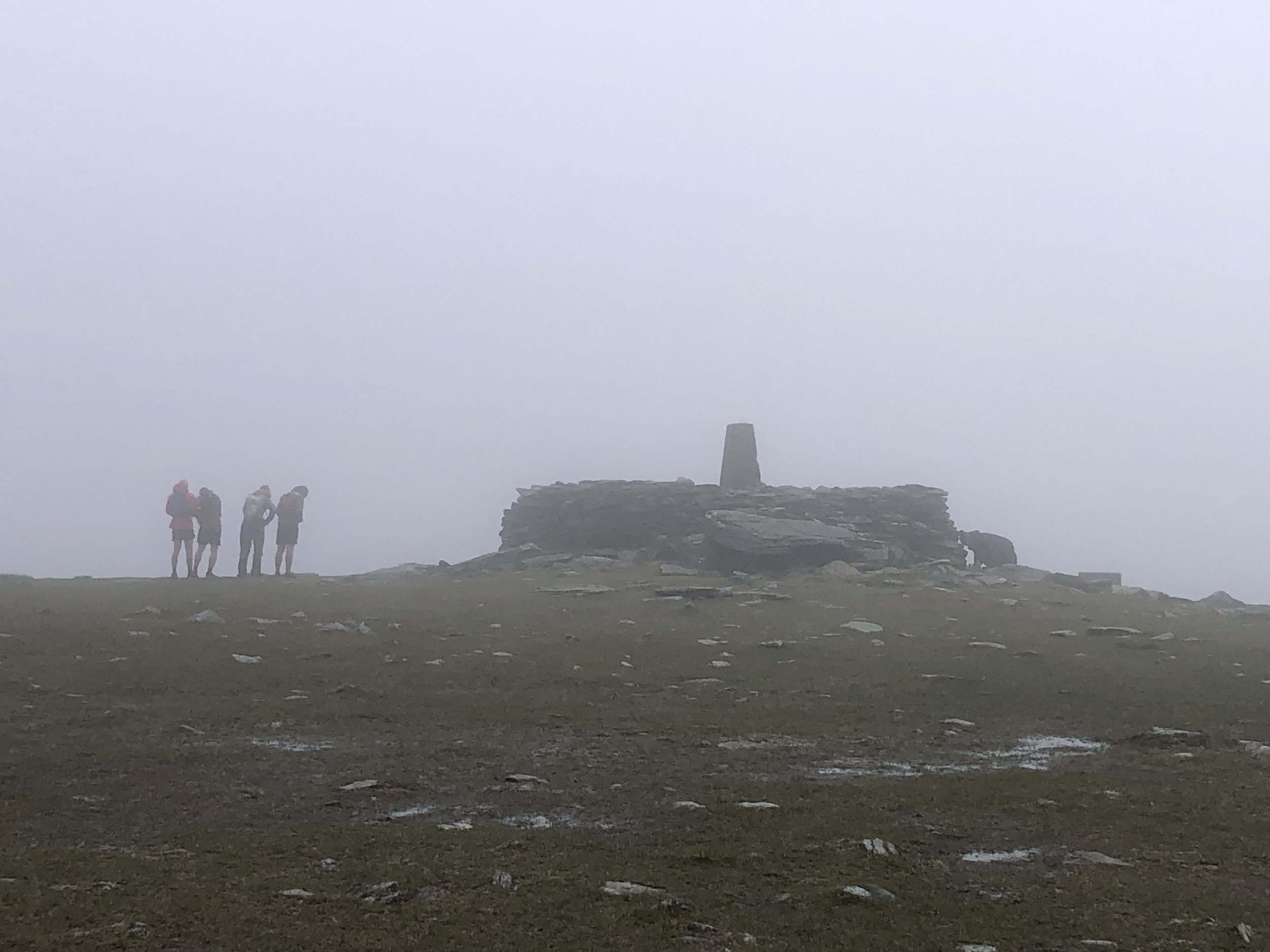
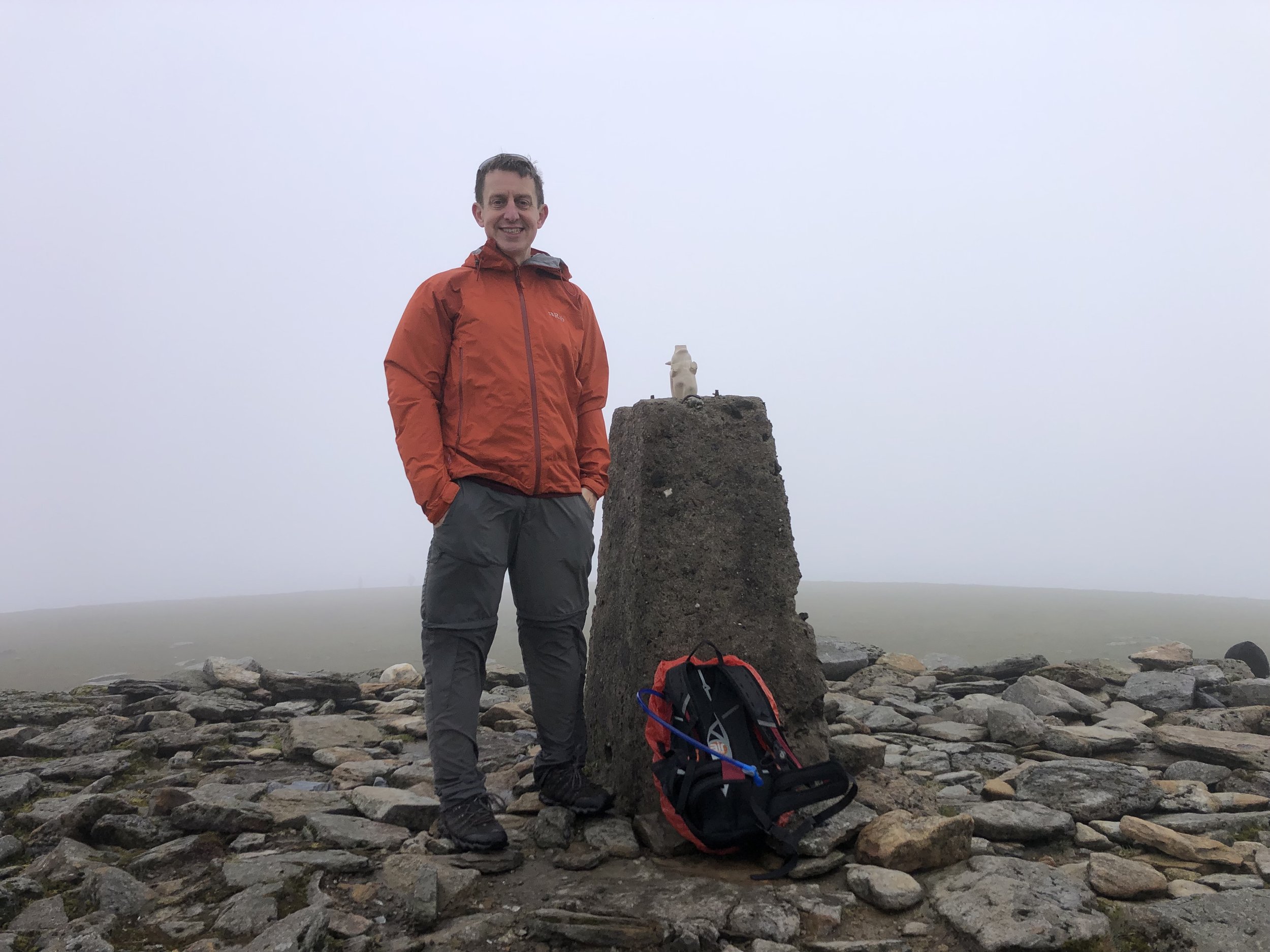
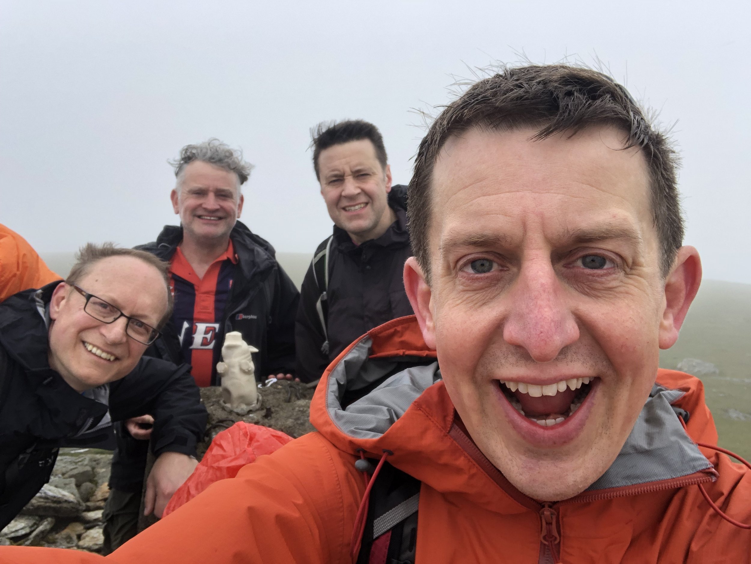
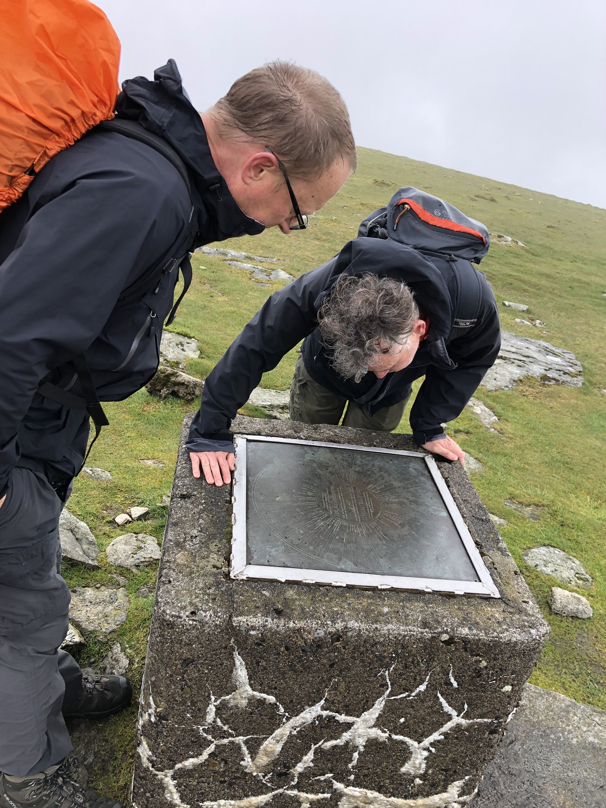
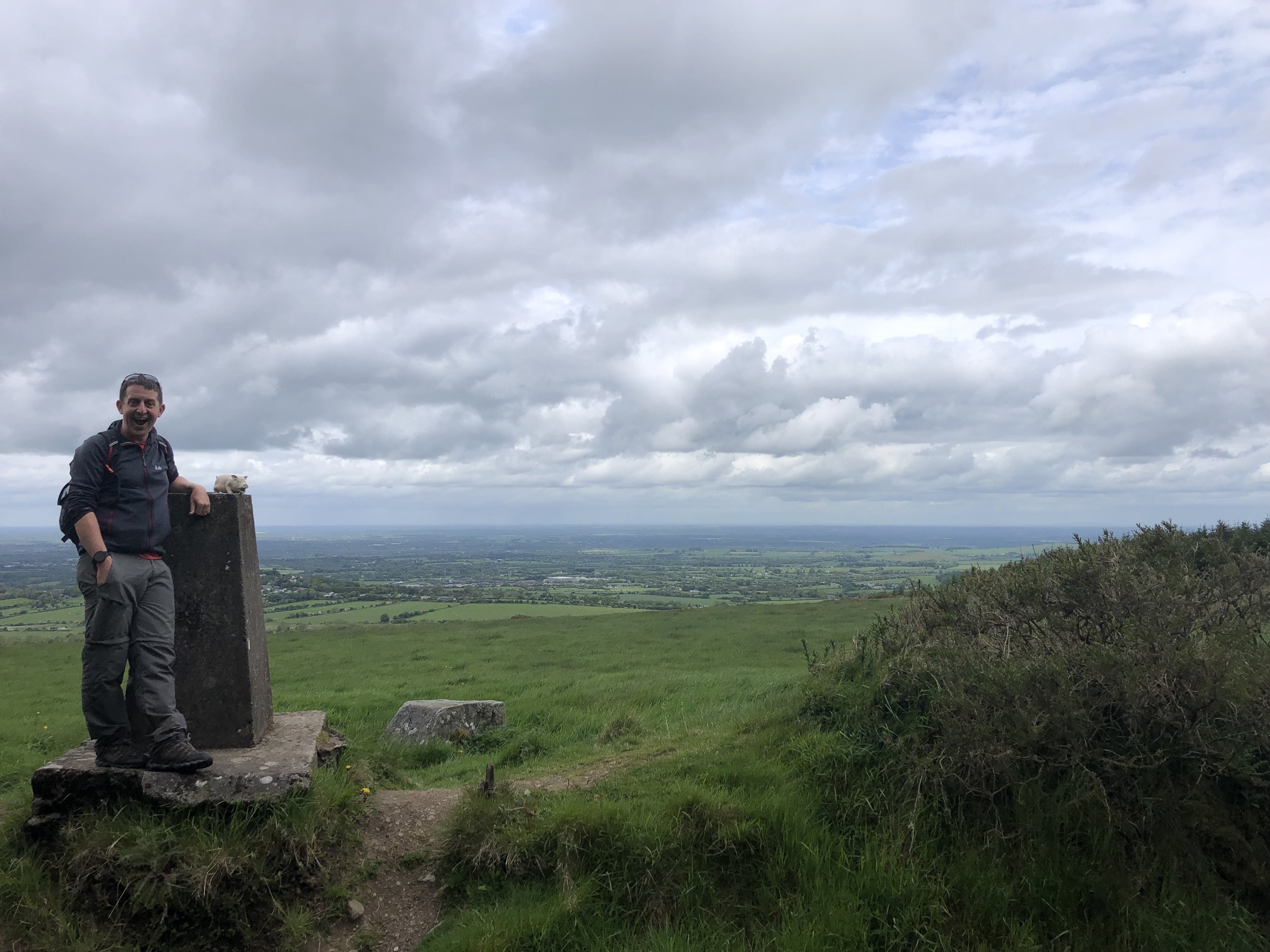
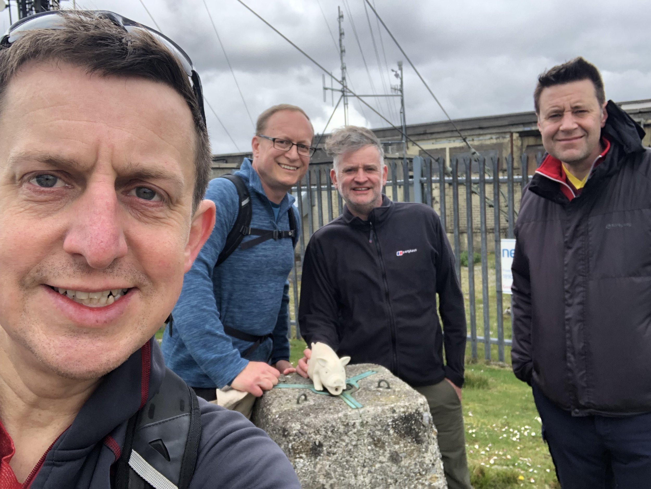
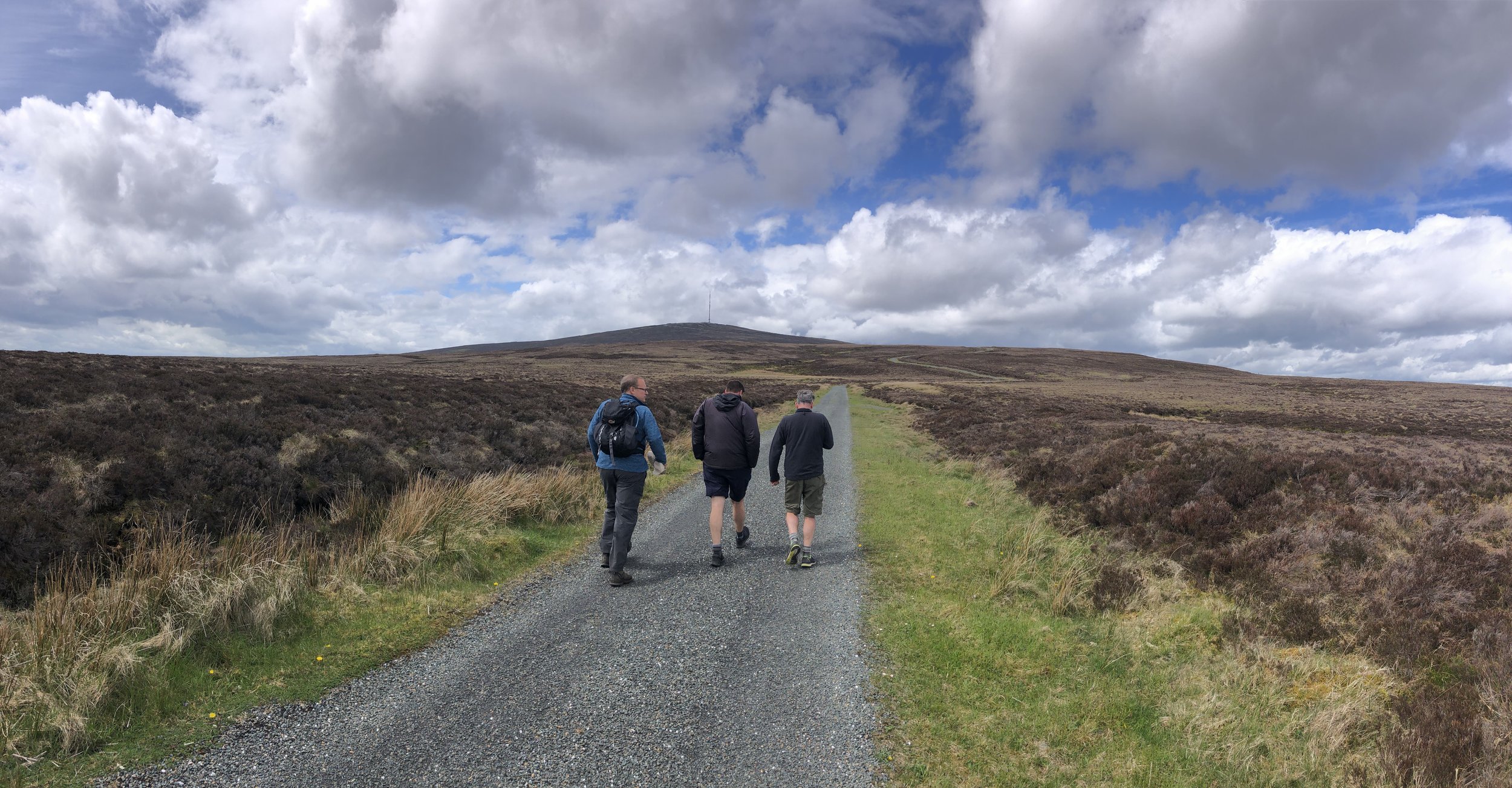
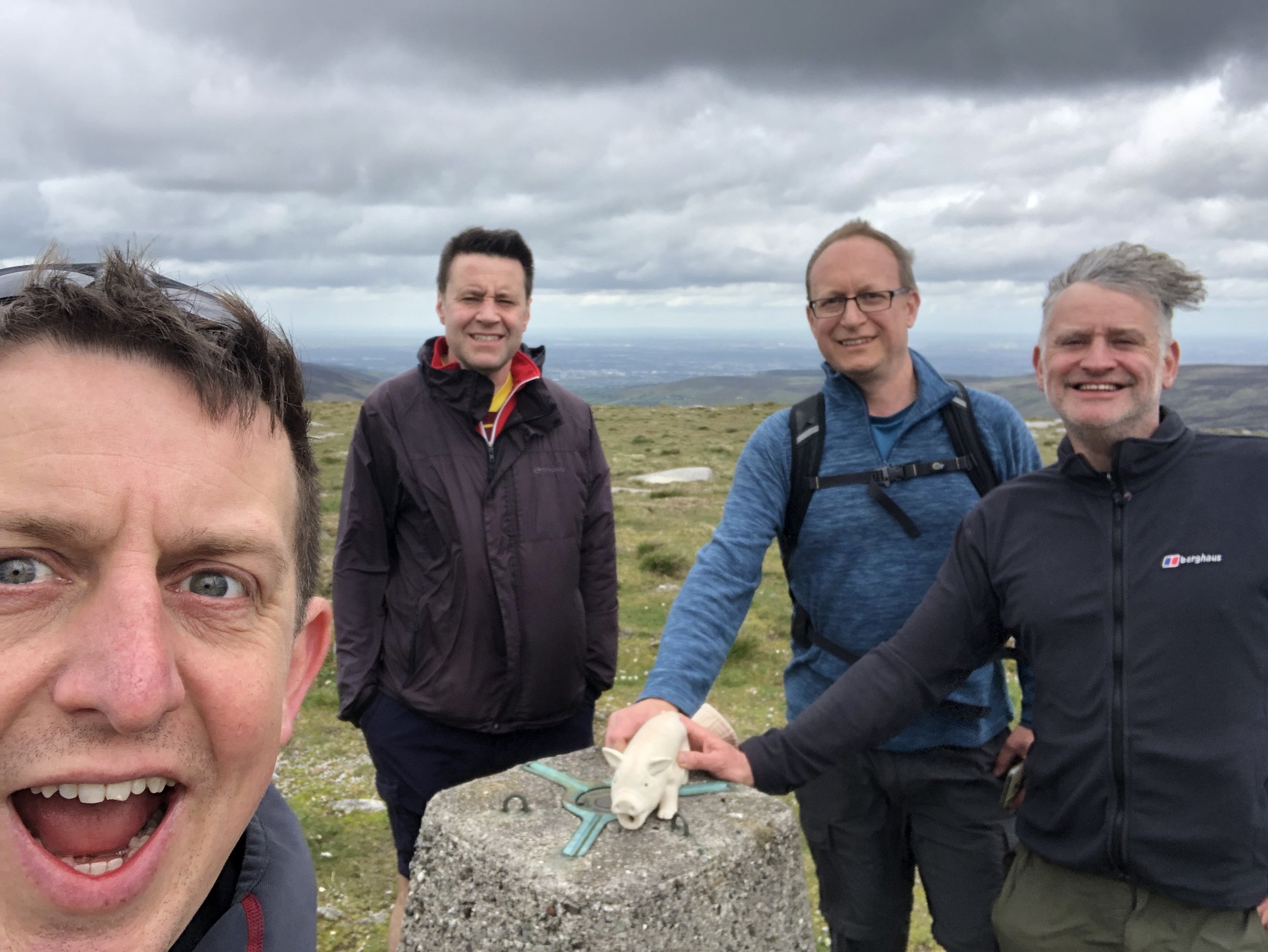
Having completed all historic county tops in England, Wales and Northern Ireland and having made a good start on Scotland, adding in the Irish collection made a lot of sense. My friends Mark, Joel and Matt had already made good progress on the Republic of Ireland and I was very happy to be invited into their newest County Top bagging trip.
This was a extremely well planned (by Joel) weekend covering 5 peaks in 6 counties plus a parkrun to kick off the Saturday. We used the excellent book by Kieron Gribbon as a route planning guide. I won’t repeat any of the route details here as the book covers them extremely well. Walking distances and elevation gains listed here are from my own Garmin and may differ slightly from those in the book.
Lugnaquillia Mountain
Also known as: Log na Coille
Significance: Highest peak in County Wicklow (Historic CT)
Member of: P600, Marilyn, Furth, 100 Highest Irish Mountains, Hewitt, Arderin, Simm, Vandeleur-Lynam
Parent Peak: Peak 931. NHN = Peak 931
Elevation: 925m
Date climbed: May 21st 2022
Coordinates: 52° 58' 2'' N, 6° 27' 53'' W
Route Start / End: Parking area next to Fenton's Imaal Bar & Lounge Glen of Imaal Bar, Colliga, Co. Wicklow
Route Distance: 13.2 km (8.2 miles)
Route Elevation Change: +/- 722m
Subsidiary tops on route: Camerahill (477m)
GPX File: get via Buy Me a Coffee
Other routes touched: none
OS Trig Pillar: TP7335 - Lugnaquillia
Map: Discovery Series 56 - Wicklow, Dublin and Kildare: Wicklow. Kildare
Guidebook: Ireland's County High Points (A Walking Guide) by Kieron Gribbon
Links: Wikipedia (County Wicklow), Wikipedia (Ludnaquilla), Peakbagger, Hillbagging
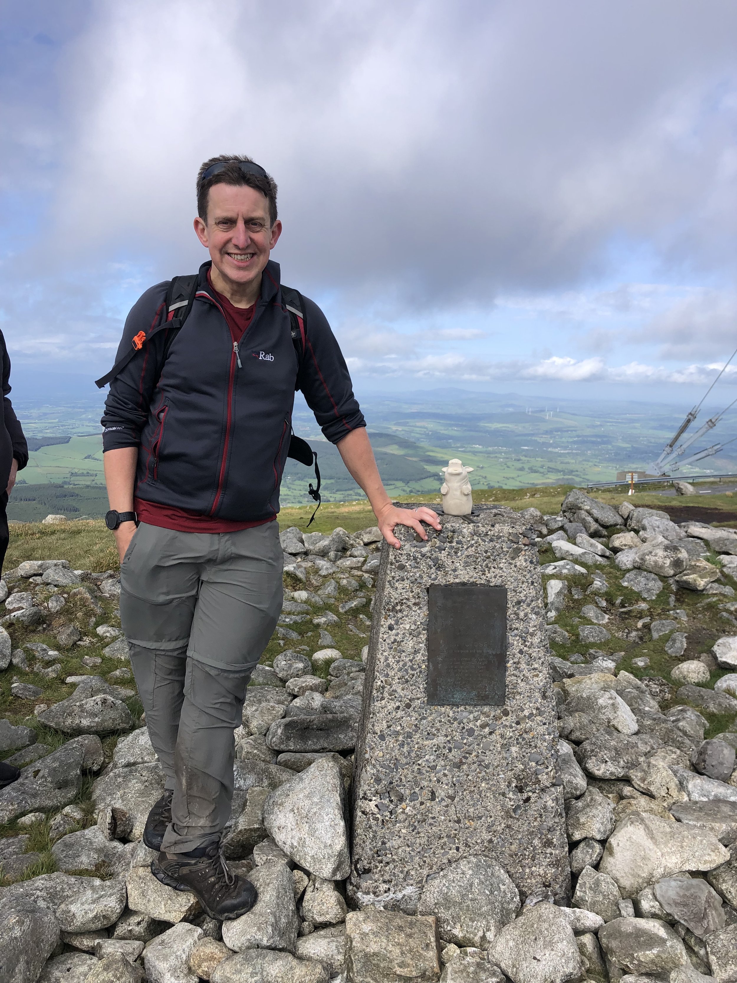
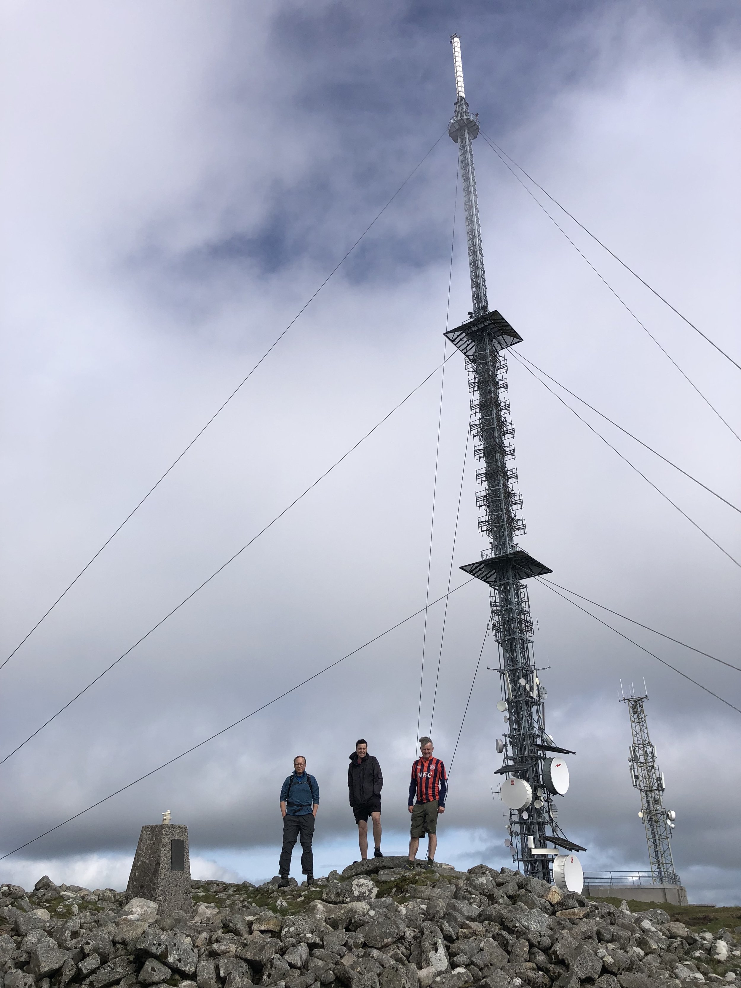
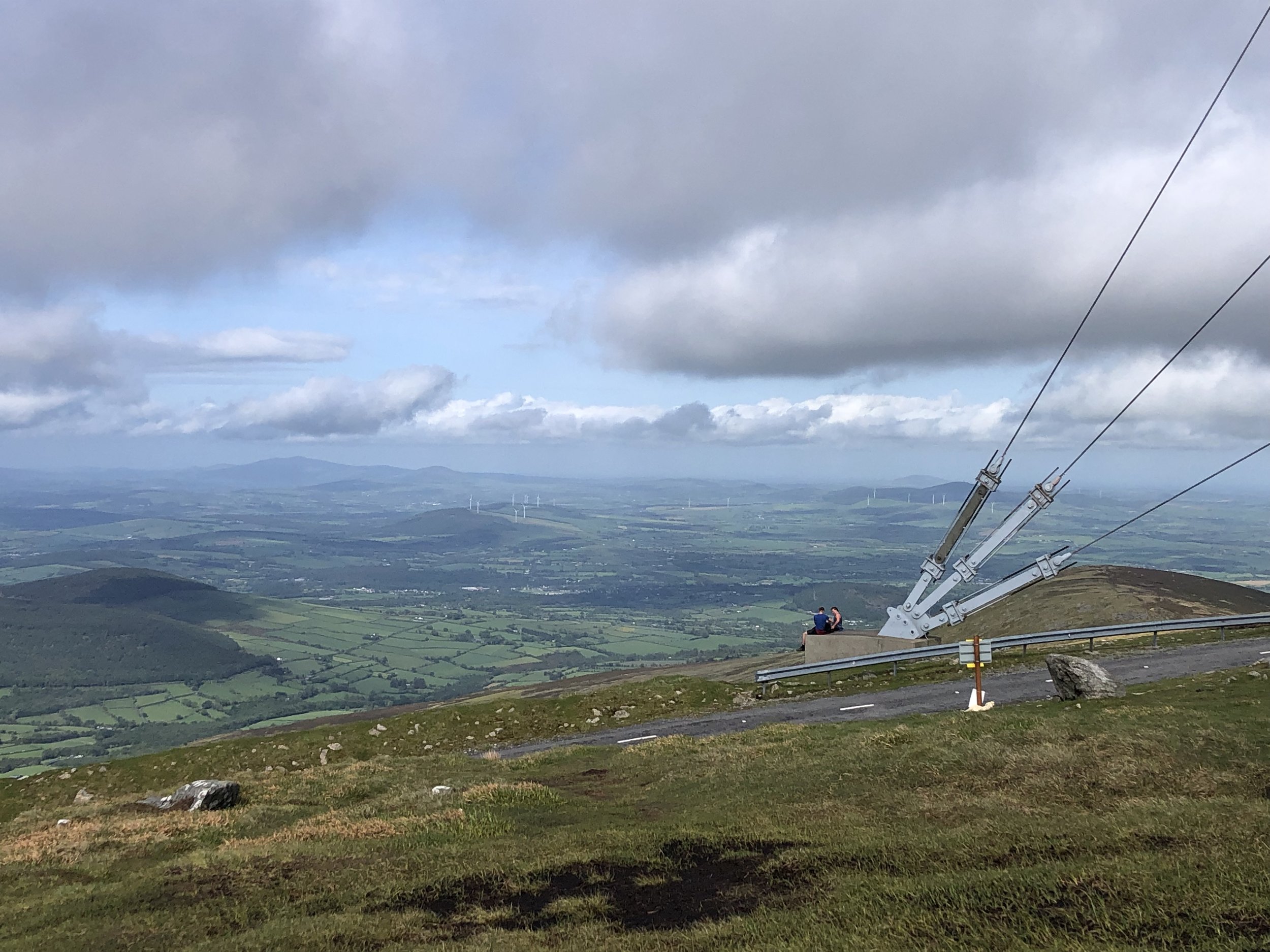
Mount Leinster
Also known as: Stua Laighean
Significance: Highest peak in County Wexford and County Carlow (Historic CT)
Member of: P600, Marilyn, Hewitt
Parent Peak: Lugnaquillia Mountain. NHN = Lugnaquillia Mountain
Elevation: 795m
Date climbed: May 21st 2022
Coordinates: 52° 37' 5'' N, 6° 46' 48'' W
Route Start / End: Mount Leinster/Nine Stones Car Park, Unnamed Rd, Co. Carlow
Route Distance: 5.4 km (3.4 miles)
Route Elevation Change: +/- 343m
Subsidiary tops on route: none
GPX File: get via Buy Me a Coffee
Other routes touched: South Leinster Way runs past the car park at the start
OS Trig Pillar: Mount Leinster (not in Trigpointing database)
Map: Carlow, Kilkenny, Wexford (Irish Discovery Series): Sheet 68
Guidebook: Ireland's County High Points (A Walking Guide) by Kieron Gribbon
Links: Wikipedia (County Wexford / County Carlow), Wikipedia (Mount Leinster), Peakbagger, Hillbagging
Brandon Hill
Also known as: Cnoc Bhreanail
Significance: Highest peak in County Kilkenny (Historic CT)
Member of: Marilyn, Arderin
Parent Peak: Blackstairs Mountain. NHN = Blackstairs Mountain
Elevation: 515m
Date climbed: May 21st 2022
Coordinates: 52° 30' 35'' N, 6° 58' 27'' W
Route Start / End: Raheendonore Car Park, Rossard, Co. Kilkenny
Route Distance: 4.8 km (3.0 miles)
Route Elevation Change: +/- 279m
Subsidiary tops on route: none
GPX File: get via Buy Me a Coffee
Other routes touched: South Leinster Way, Brandon Hill Loop
OS Trig Pillar: Brandon Hill (not in Trigpointing database)
Map: Carlow, Kilkenny, Wexford (Irish Discovery Series): Sheet 68
Guidebook: Ireland's County High Points (A Walking Guide) by Kieron Gribbon
Links: Wikipedia (County Kilkenny), Wikipedia (Brandon Hill), Peakbagger, Hillbagging
Cupidstown Hill
Also known as: Cnoc Bhaile Cupid
Significance: Highest peak in County Kildare (Historic CT)
Member of: N/A
Parent Peak: Saggart Hill. NHN = Saggart Hill
Elevation: 379m
Date climbed: May 21st 2022
Coordinates: 53° 13' 36'' N, 6° 29' 40'' W
Route Start / End: Small parking space at entrance to forest track on unnamed road between the L2018 and NB1
Route Distance: 1.1 km (0.7 miles)
Route Elevation Change: +/- 19m
Subsidiary tops on route: none
GPX File: get via Buy Me a Coffee
Other routes touched: none
OS Trig Pillar: TP7336 - Cupidstown Hill
Map: Dublin, Kildare, Meath, Wicklow (Irish Discovery Series): Sheet 50
Guidebook: Ireland's County High Points (A Walking Guide) by Kieron Gribbon
Links: Wikipedia (County Kildare), Wikipedia (Cupidsdown Hill), Peakbagger, Hillbagging
Kippure
Also known as: Cipiur
Significance: Highest peak in County Dublin (Historic CT)
Member of: 100 Highest Irish Mountains, Marilyn, Hewitt, Arderin, Simm, Vandeleur-Lynam
Parent Peak: Mullaghcleevaun. NHN = Mullaghcleevaun-East Top
Elevation: 757m
Date climbed: May 21st 2022
Coordinates: 53° 10' 41'' N, 6° 19' 55'' W
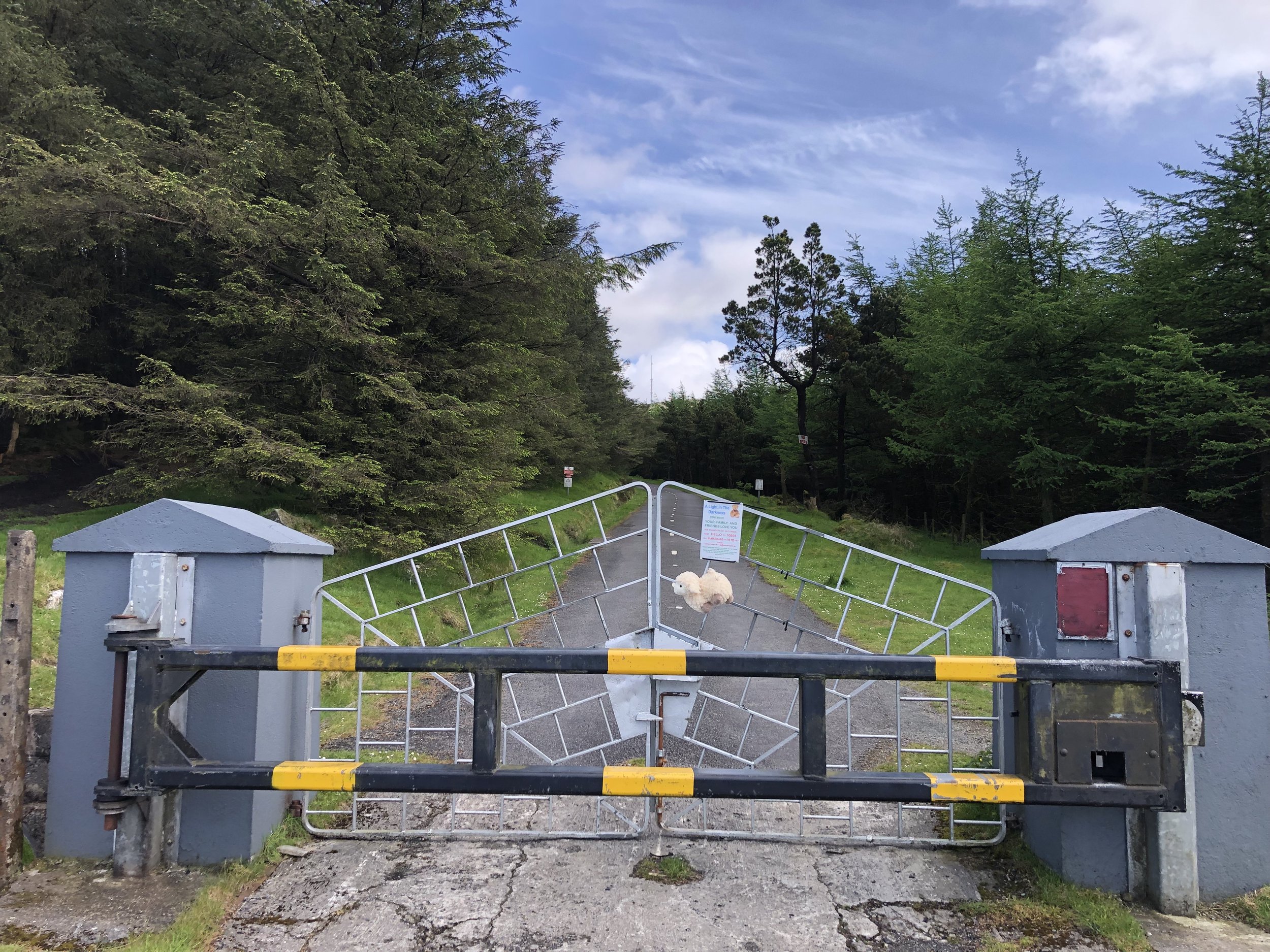
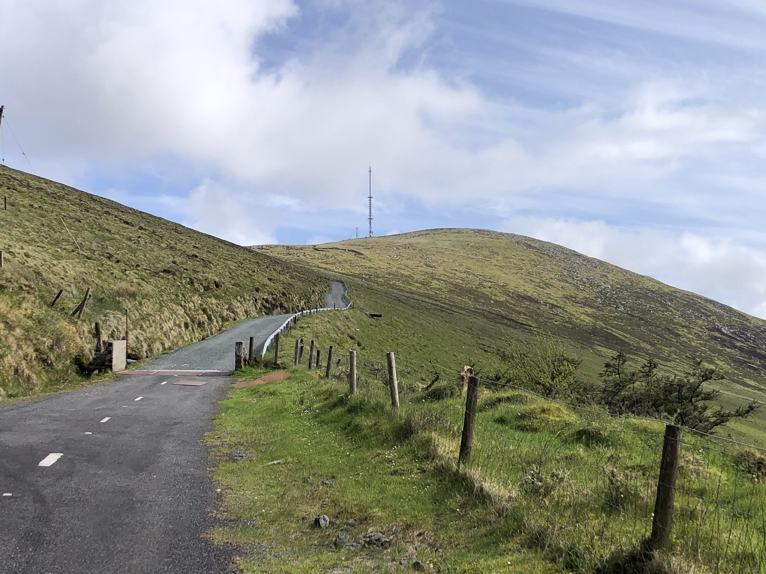
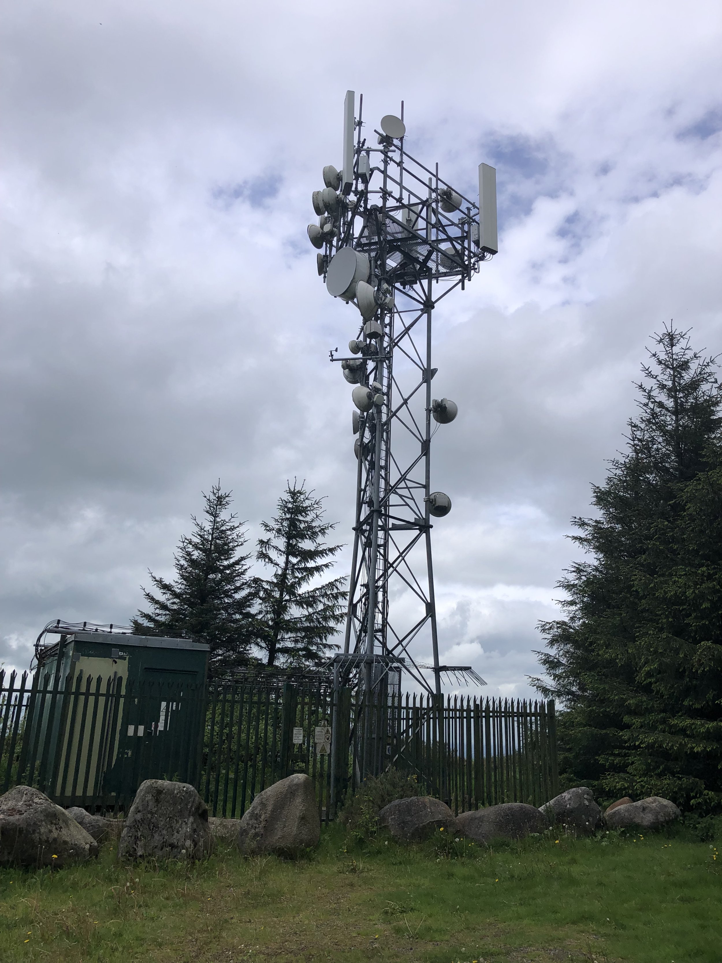
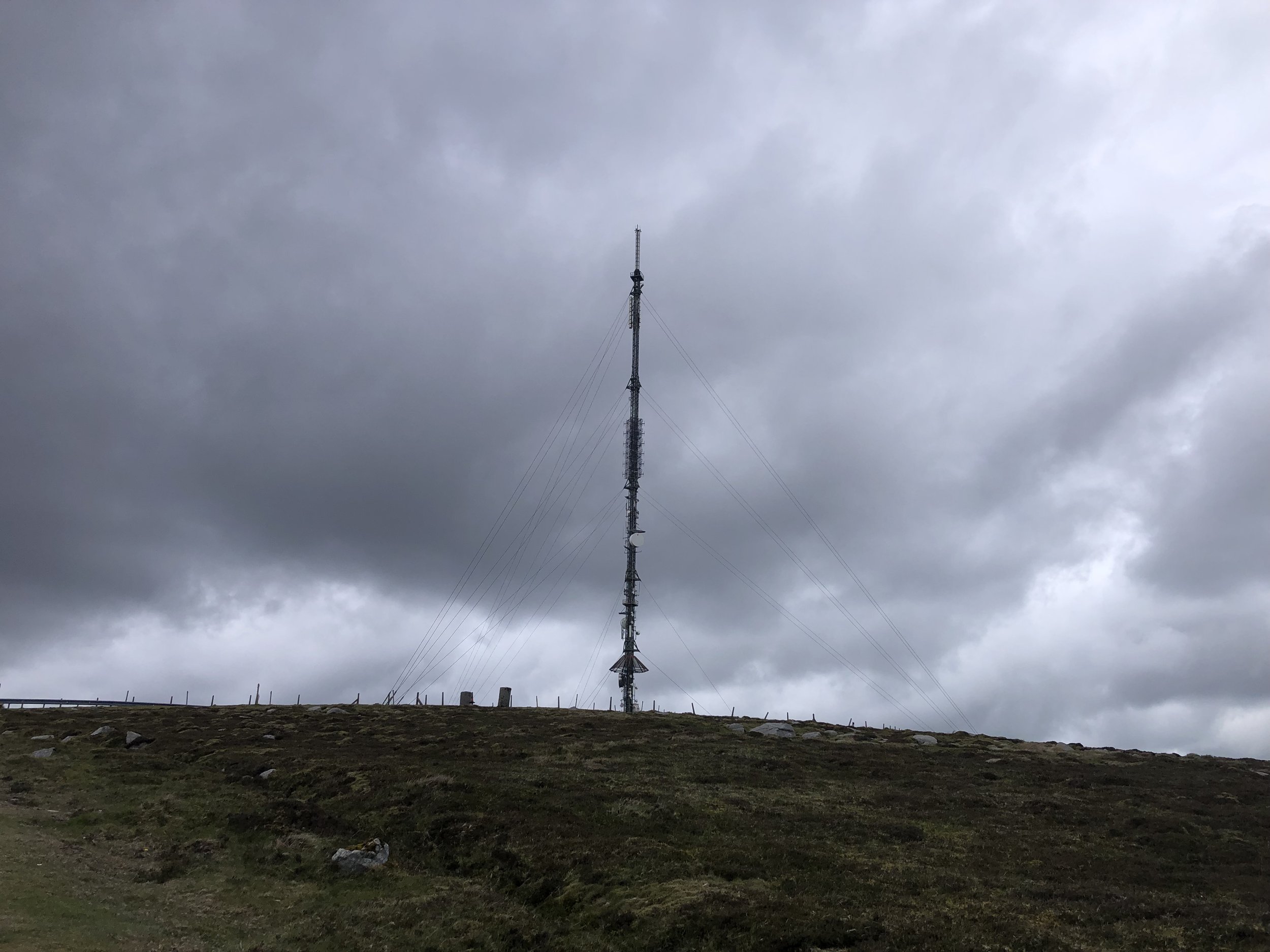
Route Start / End: Parking spots at Kippure TV Mast Entrance, Old Military Road, Powerscourt Mountain, Co. Wicklow
Route Distance: 7.2 km (4.5 miles)
Route Elevation Change: +/- 226m
Subsidiary tops on route: none
GPX File: get via Buy Me a Coffee
Other routes touched: none
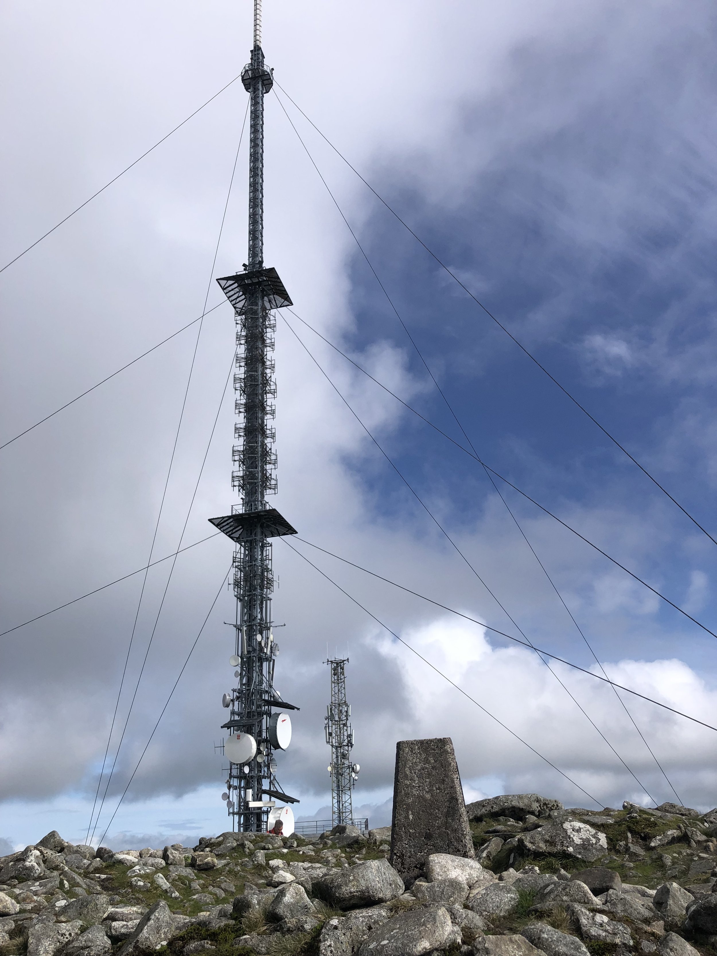
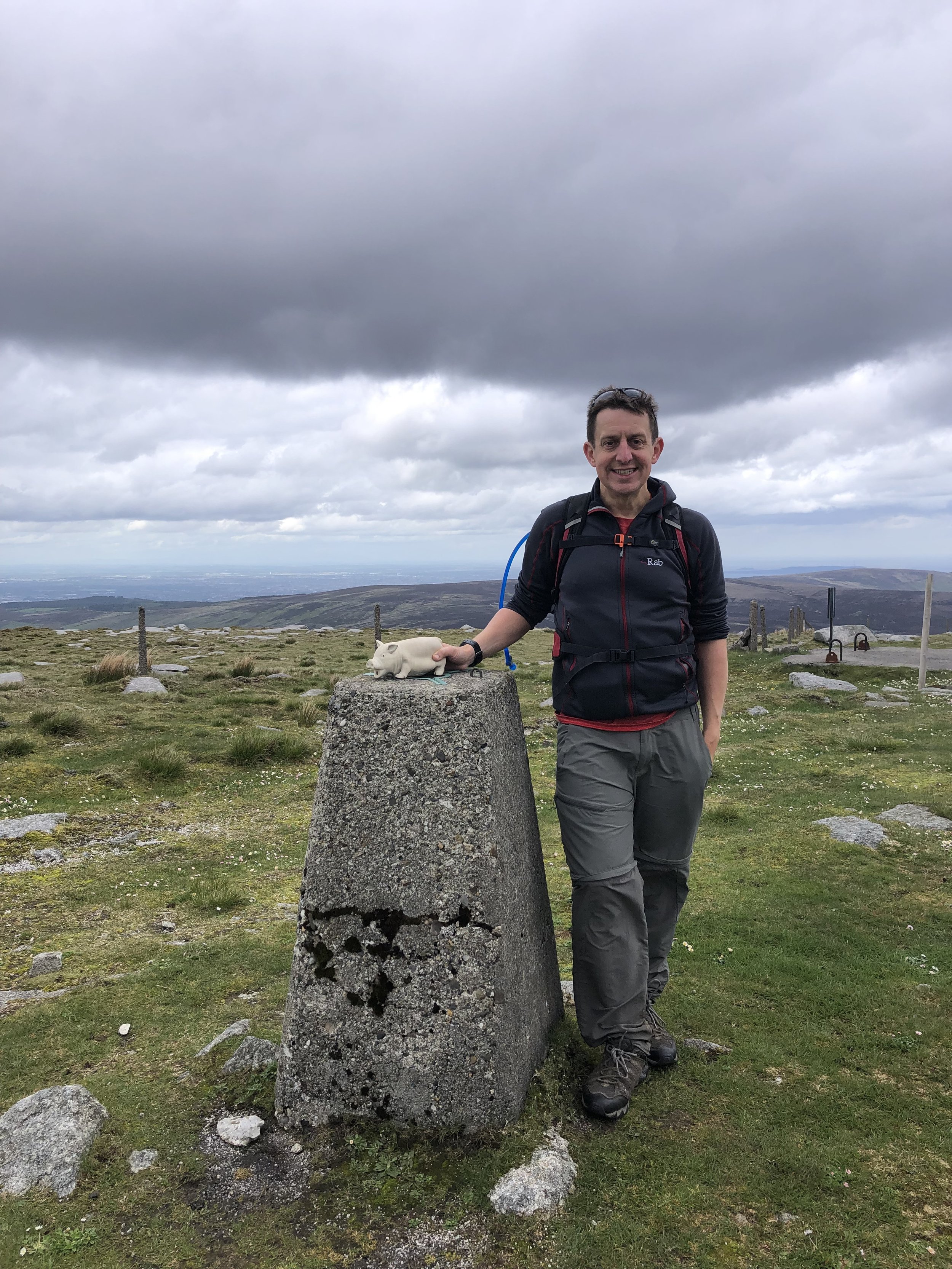
OS Trig Pillar: TP7359 - Kippure New
Map: Dublin, Kildare, Meath, Wicklow (Irish Discovery Series): Sheet 50
Guidebook: Ireland's County High Points (A Walking Guide) by Kieron Gribbon
Links: Wikipedia (County Dublin), Wikipedia (Kippure), Peakbagger, Hillbagging
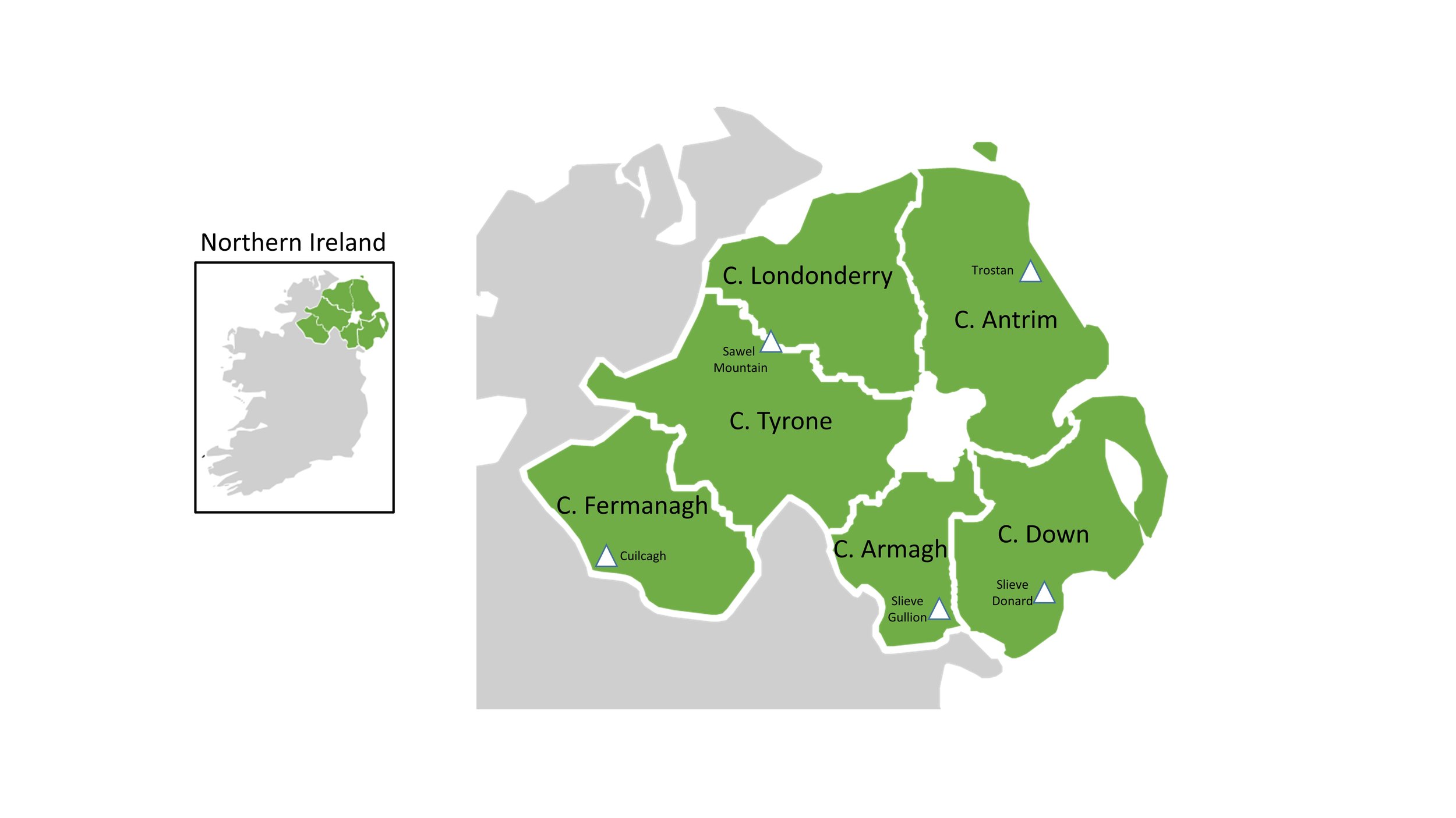
The Irish County Tops are the highest points in each of the 32 counties of the island of Ireland. This includes both the 26 counties of the Republic of Ireland and the 6 counties in Northern Ireland. I completed the Northern Ireland counties back in 2016 as a part of my UK County Top collection. That trip got me my first Republic of Ireland county by default as Cuilcagh is the high point of both County Fermanagh (NI) and County Cavan (ROI).
In the next few years I focused on completing England and Wales and made a good start at Scotland. It was only in 2022 that I joined a few friends to properly start my Republic of Ireland County Top collection.
My Republic of Ireland County Tops completed so far
The Irish County Tops in height order by province/region
Carrauntoohil. Co Kerry. 1,039m. (ROI)
Galtymore. Co Limerick & Co Tipperary. 919m. (ROI)
Mweelrea. Co Mayo. 814m. (ROI)
Mount Leinster. Co Carlow & Co Wexford. 796m. (ROI) Completed
Knockmealdown. Co Waterford. 794m. (ROI)
Mount Errigal. Co Donegal. 751m. (ROI)
Benbaun. Co Galway. 729m. (ROI)
Knockboy. Co Cork. 706m. (ROI)
Sawel Mountain. Co Londonderry and Co Tyrone. 678 metres. (NI) Completed
Cuilcagh. Co Cavan and Co Fermanagh. 665m. (ROI/NI) Completed
Truskmore. Co Sligo. 647m. (ROI)
Truskmore Cairn. Co Leitrim. 631m. (ROI)
Slieve Foy. Co Louth. 589m. (ROI)
Moylussa. Co Clare. 532m. (ROI)
Arderin. Co Laois & Co Offaly. 527m. (ROI)
Seltannasaggart. Co Roscommon. 428m. (ROI)
Slieve Beagh. Co Monaghan. 373m. (ROI)
Corn Hill. Co Longford. 278m. (ROI)
Carnbane East. Co Meath. 276m. (ROI)
Mullaghmeen. Co Westmeath. 258m. (ROI)

