Cycling The Maidenhead Boundary
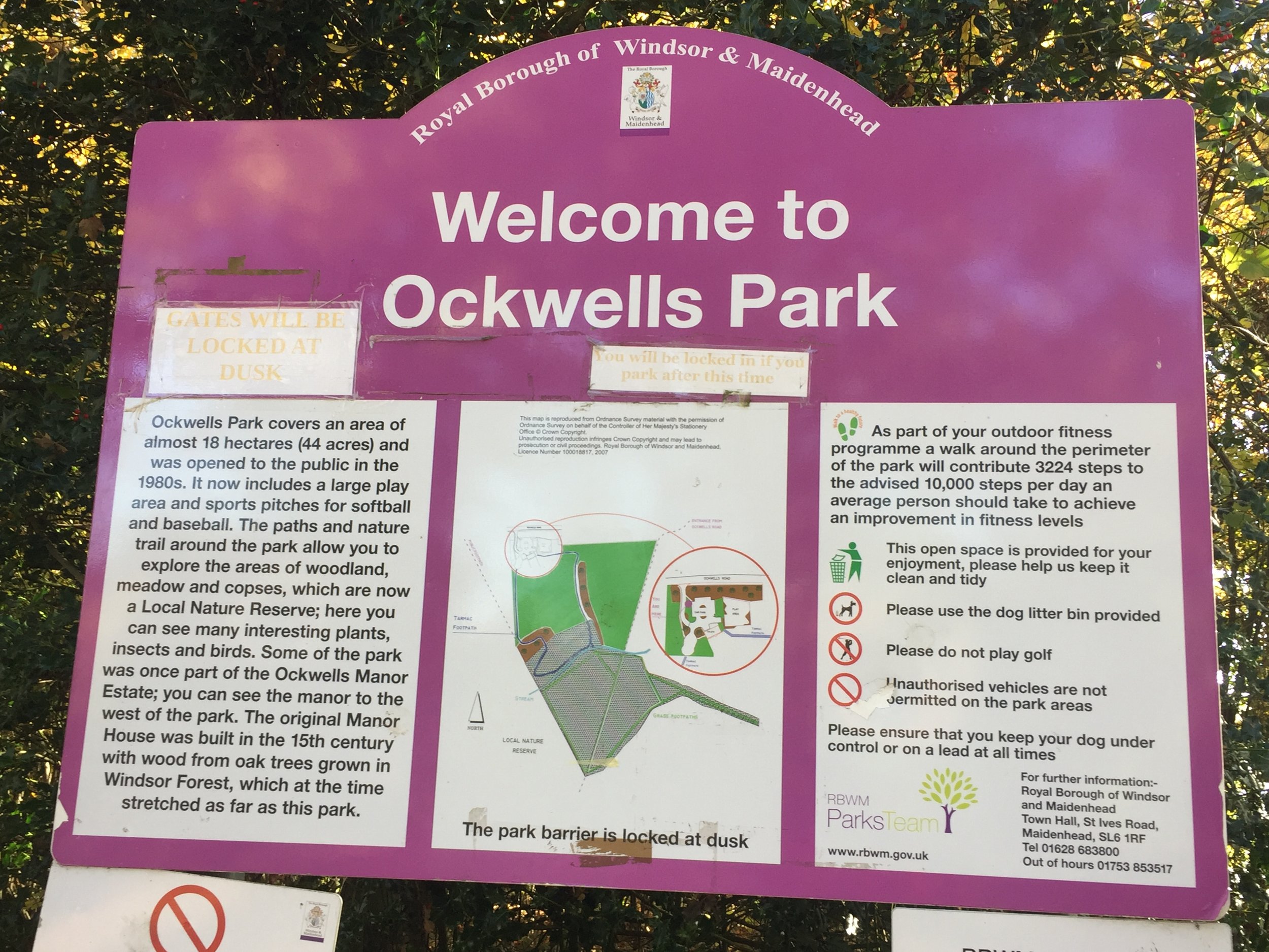
Start/Finish: Ockwells Park, Maidenhead SL6 3YX
Distance: 23.3 km (14.5 miles)
Elevation Change: +/- 209m
GPX File: get via Buy Me a Coffee
Other Routes Touched (Cycle): NCN 4, 50
Other Routes Touched (Walk): Thames Path, Chiltern Way Berkshire Loop, Green Way West,
Map: OS Explorer Map (172) Chiltern Hills East and OS Explorer Map (160) Windsor, Weybridge & Bracknell
Links: http://boundarywalk.org.uk/, Boundary Walk Route PDF with detailed instructions
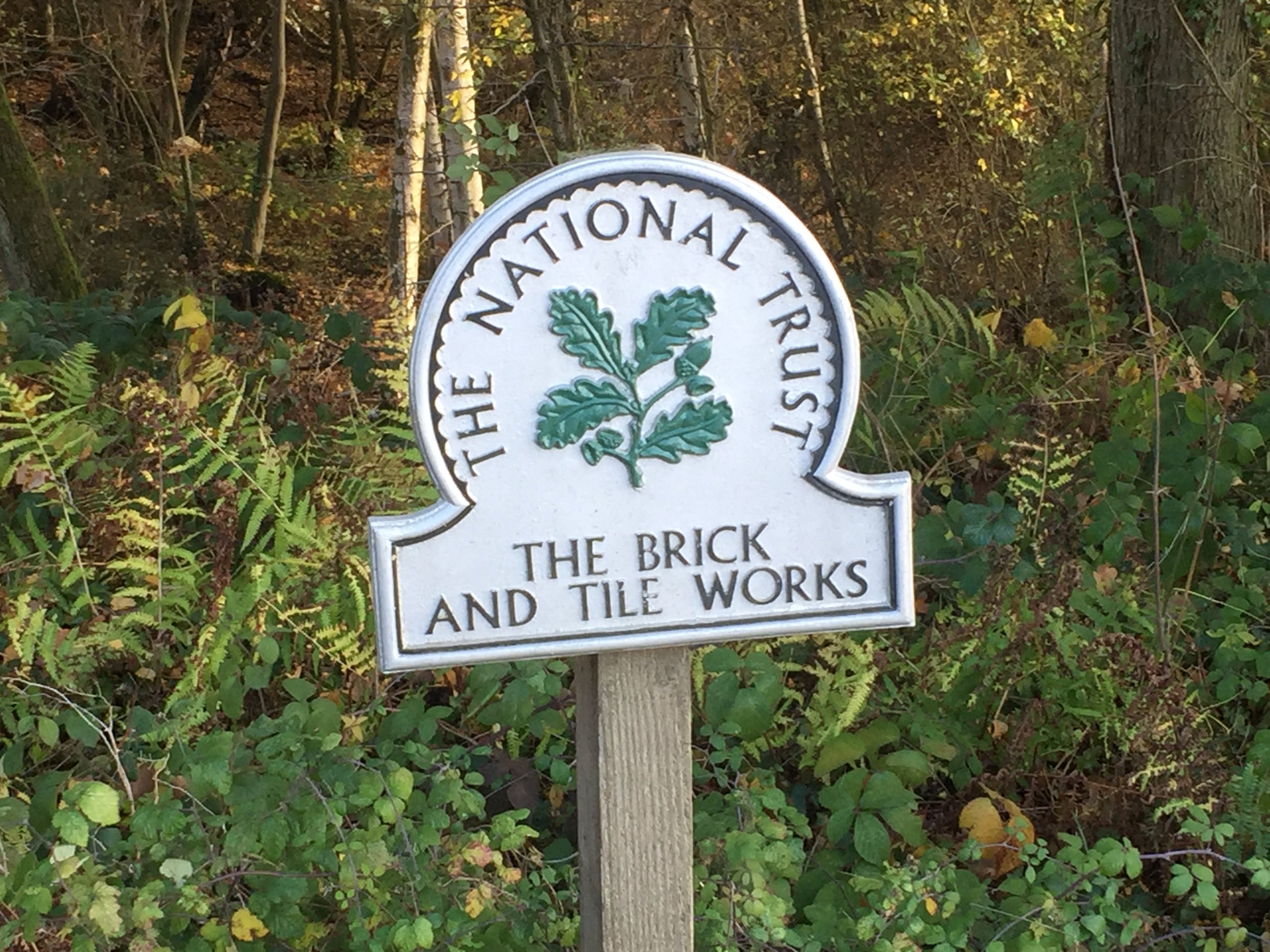
- National Trust Maidenhead & Cookham Commons, National Trust Brick and Tile Works
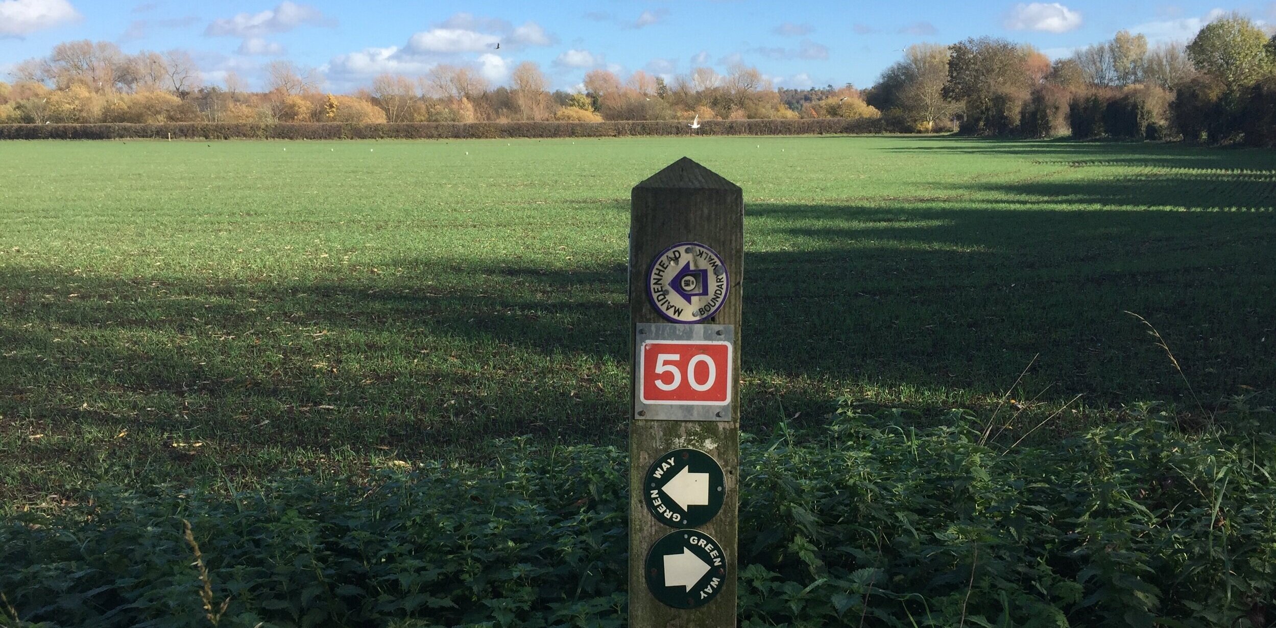
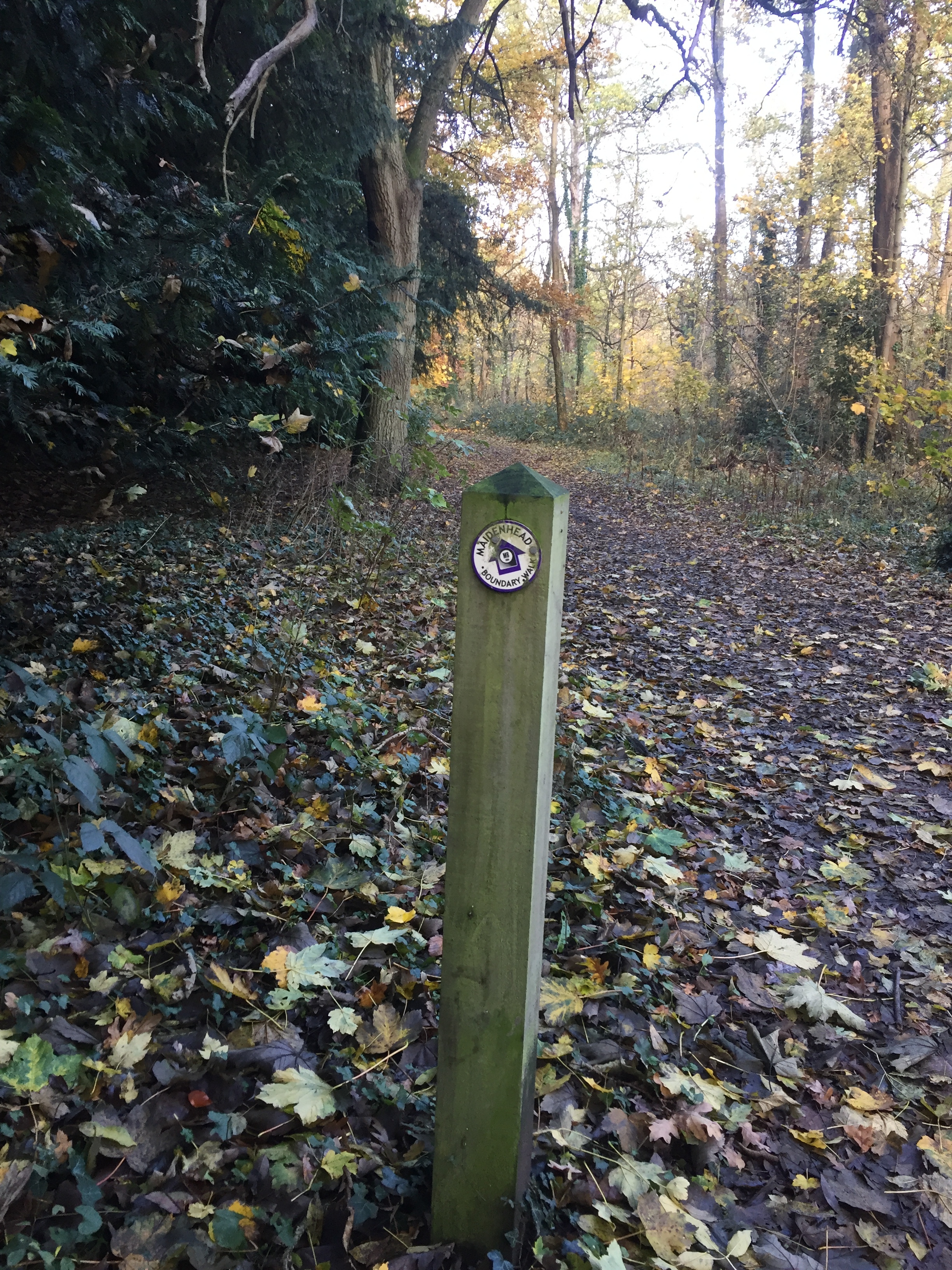
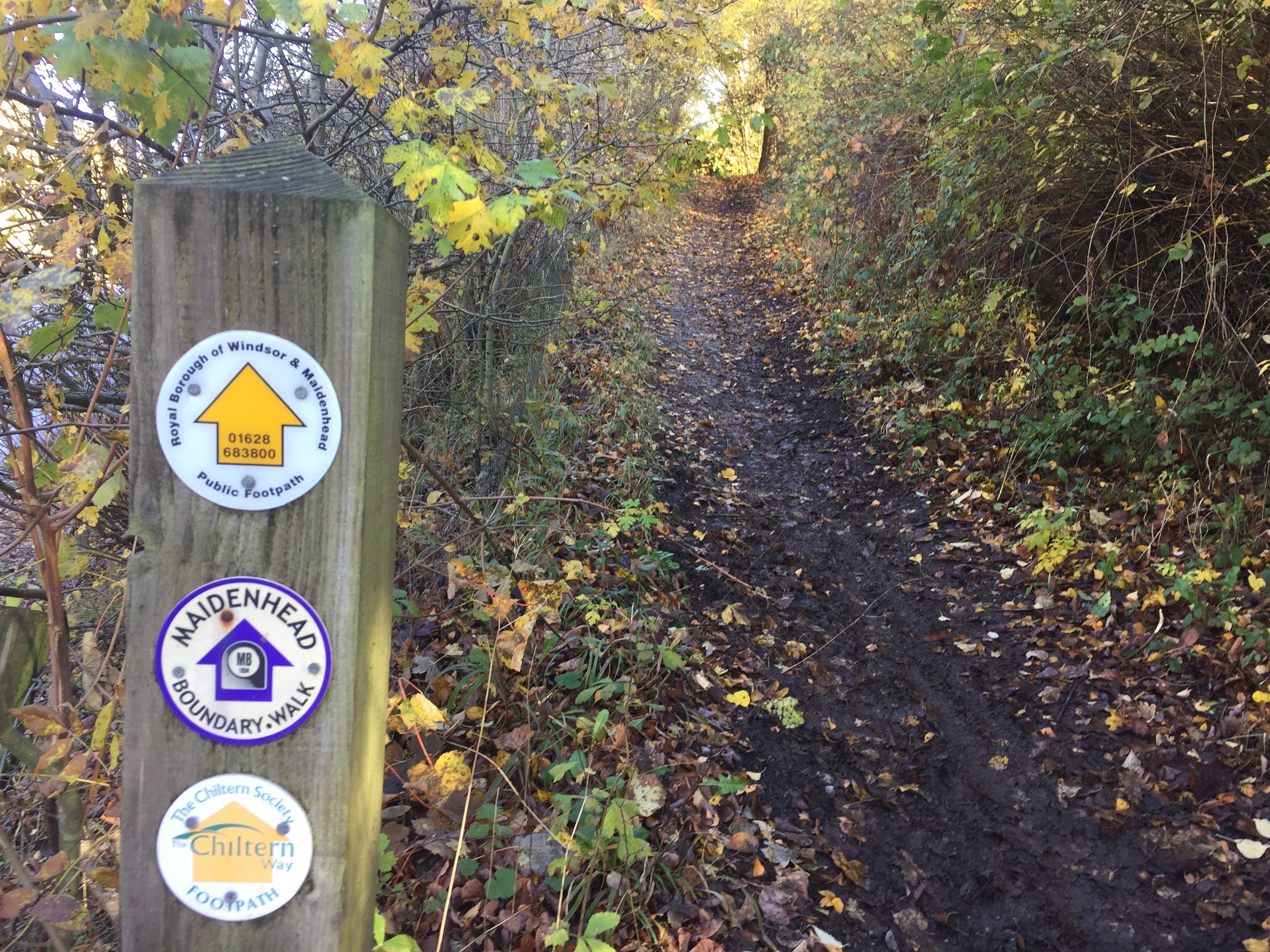
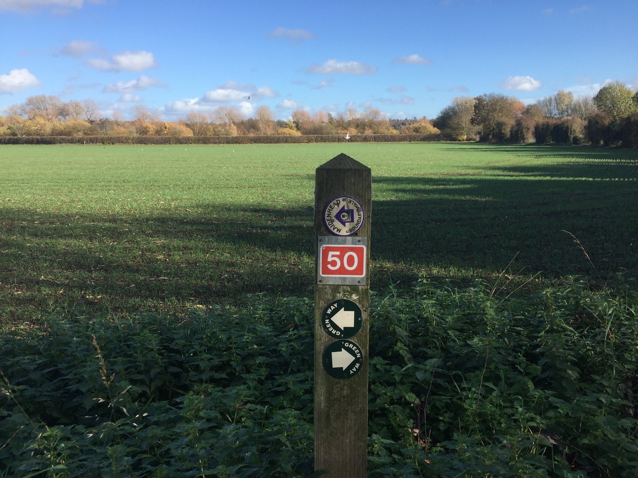
The Maidenhead Boundary Walk is a well signposted route around my hometown. In my not-so-adventurous days growing up there I remember the annual charity walk passing near my home and thinking “why would anyone want to walk all that way?”. Nowadays 15 miles is well within “Short micro-adventure” territory and I was keen to cycle it as soon as I saw the route mapped on RideWithGPS.
Although its obviously designed as a walk, its very cycle-friendly with only 1 section on the Thames Path that’s not for cycling (see below). The rest is mostly quiet roads and bridleways with a few kissing gates thrown in, but large enough to get your bike through. The off-road parts can get muddy so take a Mountain Bike.
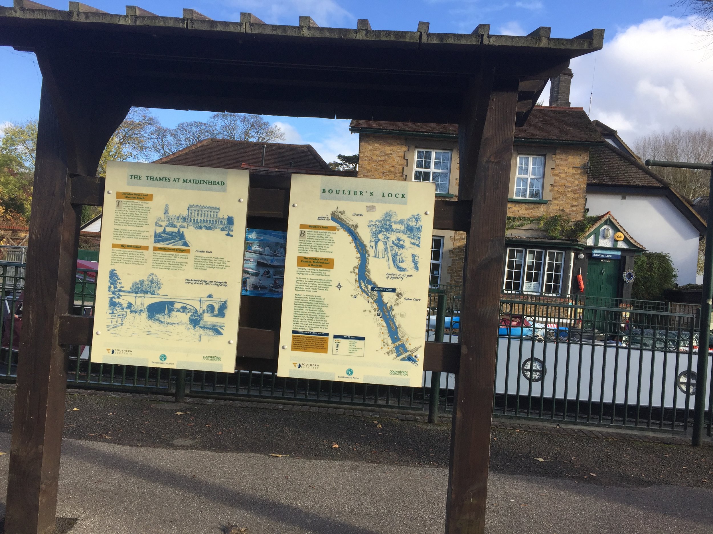
The charity walk starts at Boulters Lock, however I chose Ockwells Park as a better start and end point. This has easy access from the M4, free parking and a cafe with toilets. Its also the mid-point of the Southern section of the route. From here head West following small roads and a path to the Shire Horse pub at the A4.
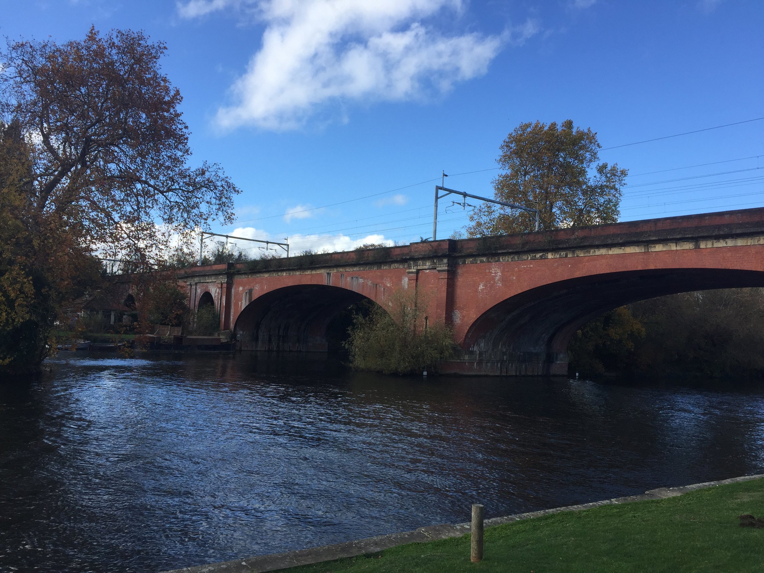
The western section heads North through National Trust land, passing through Maidenhead Thicket, Pinkneys Green and the old Brick and Tile Works. This is the highest point on the route at 85m. From here the route descends toward the Thames with views of Cliveden to the East and Windsor Castle to the South-East. The whole of the Eastern section follows the Thames Path, crossing over from the West Bank to the East Bank at the A4 Maidenhead Road Crossing. You’ll cross back over the Thames on the noisy M4 crossing at Dorney Reach.
Back on the Southern section, the route passes through Bray, Braywick and Maidenhead Golf Course before crossing over the A404M footbridge and returning to Ockwells Park.
This was a really pleasant couple of hours cycling for an Autumn Sunday afternoon
Below: location of the recommended start point at Ockwells Park
Cycle Diversion
The only section that doesn’t allow cycling was at KM 14 where Islet Road becomes a footpath to the Thames. I got off and pushed, however if you want to stay on your bike, just keep on the A4094 Lower Cookham Road and don’t take the left turn onto Islet Road. I recommend sticking to the route and taking the short walk along the Thames for some nice views.
Take lower Cookham Road to avoid cycle ban on Thames Path
