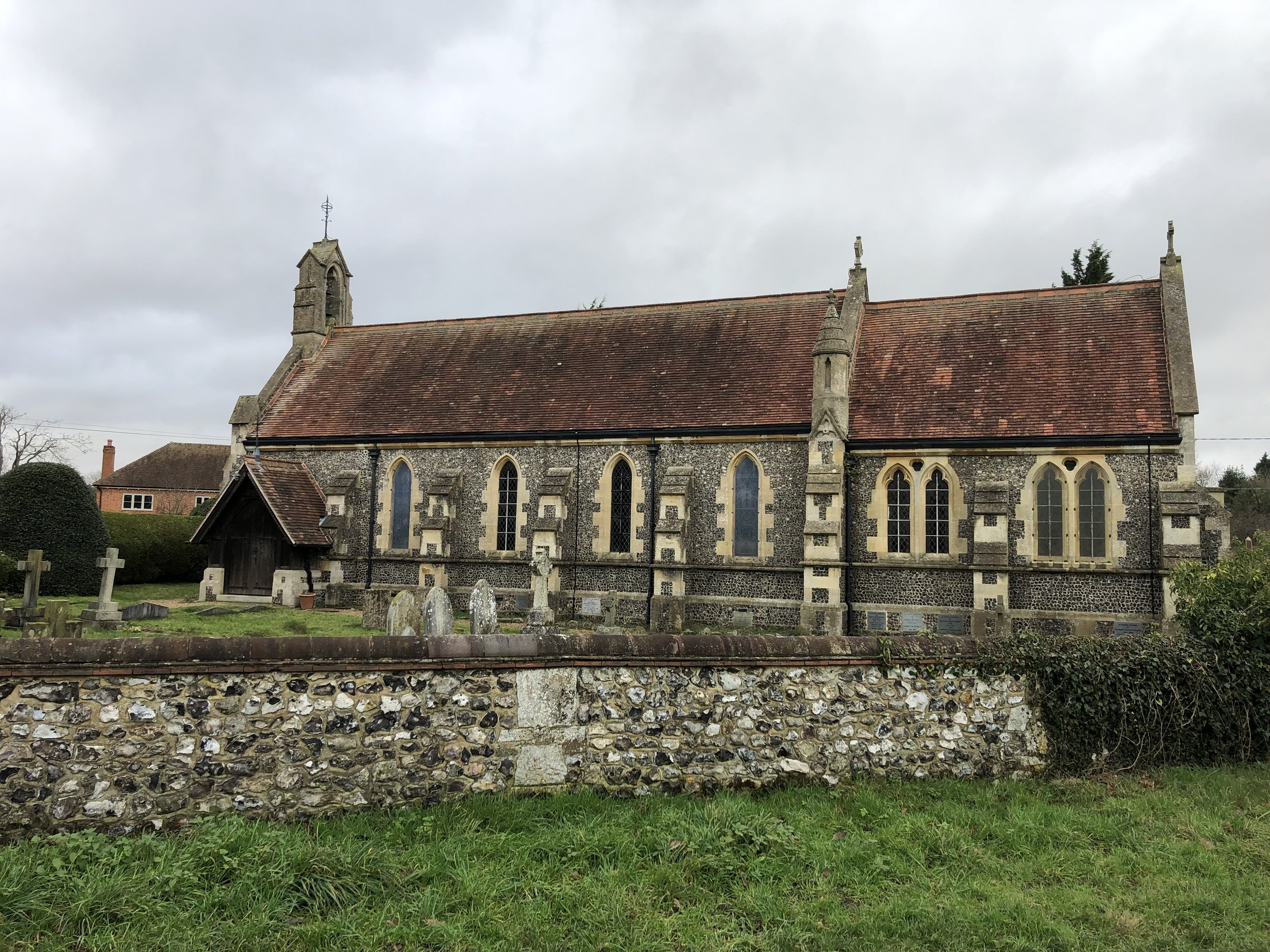
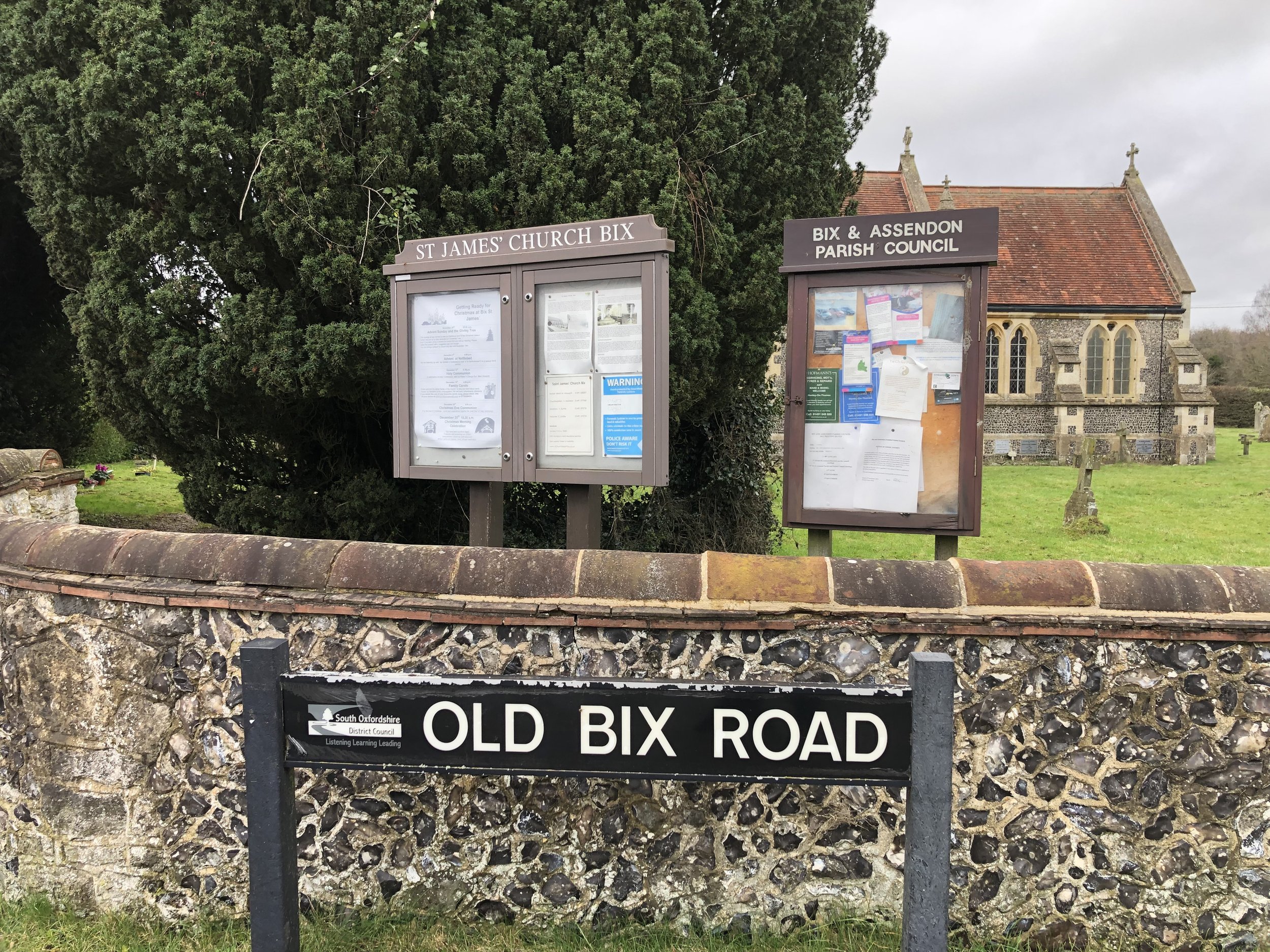
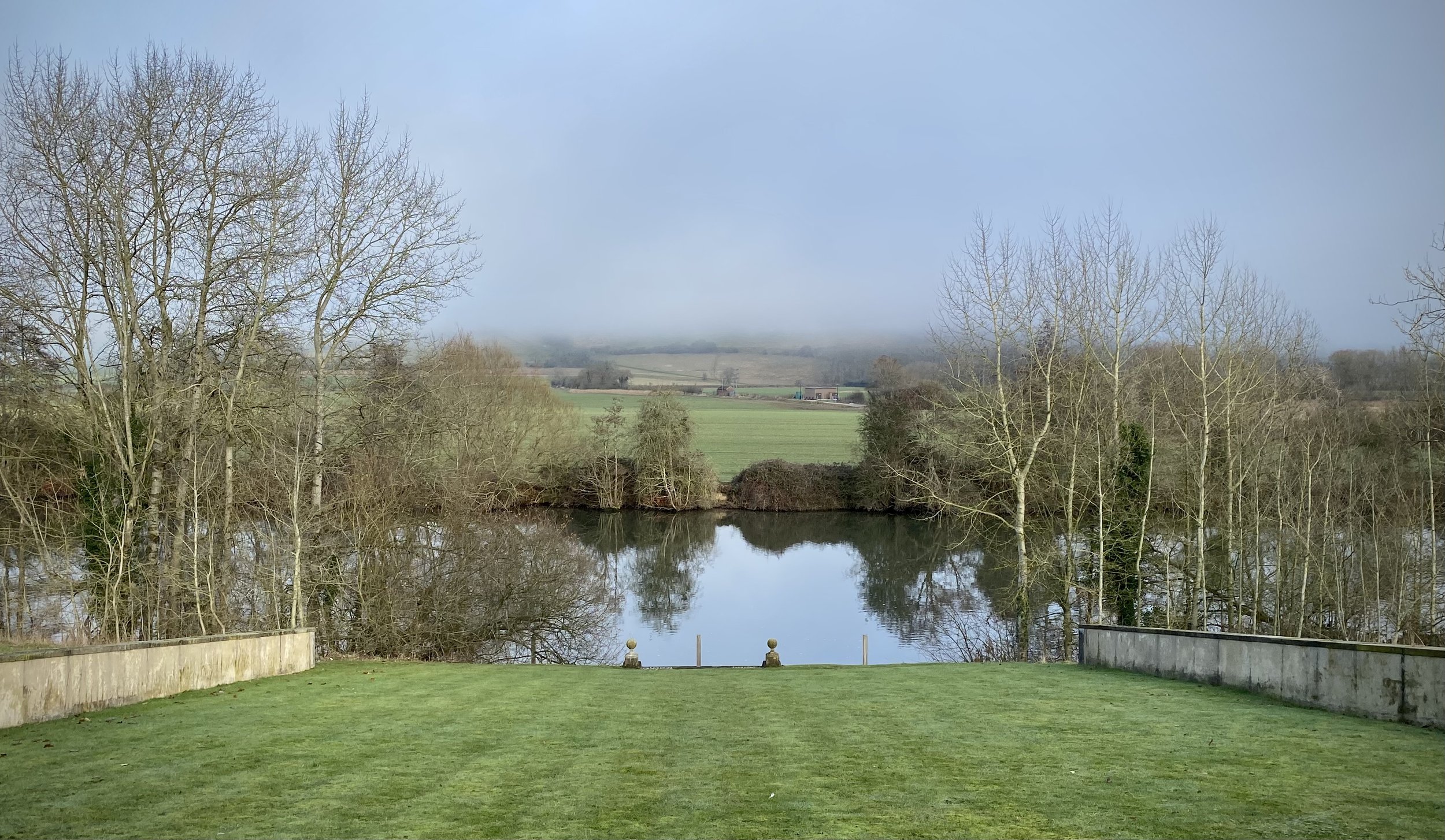
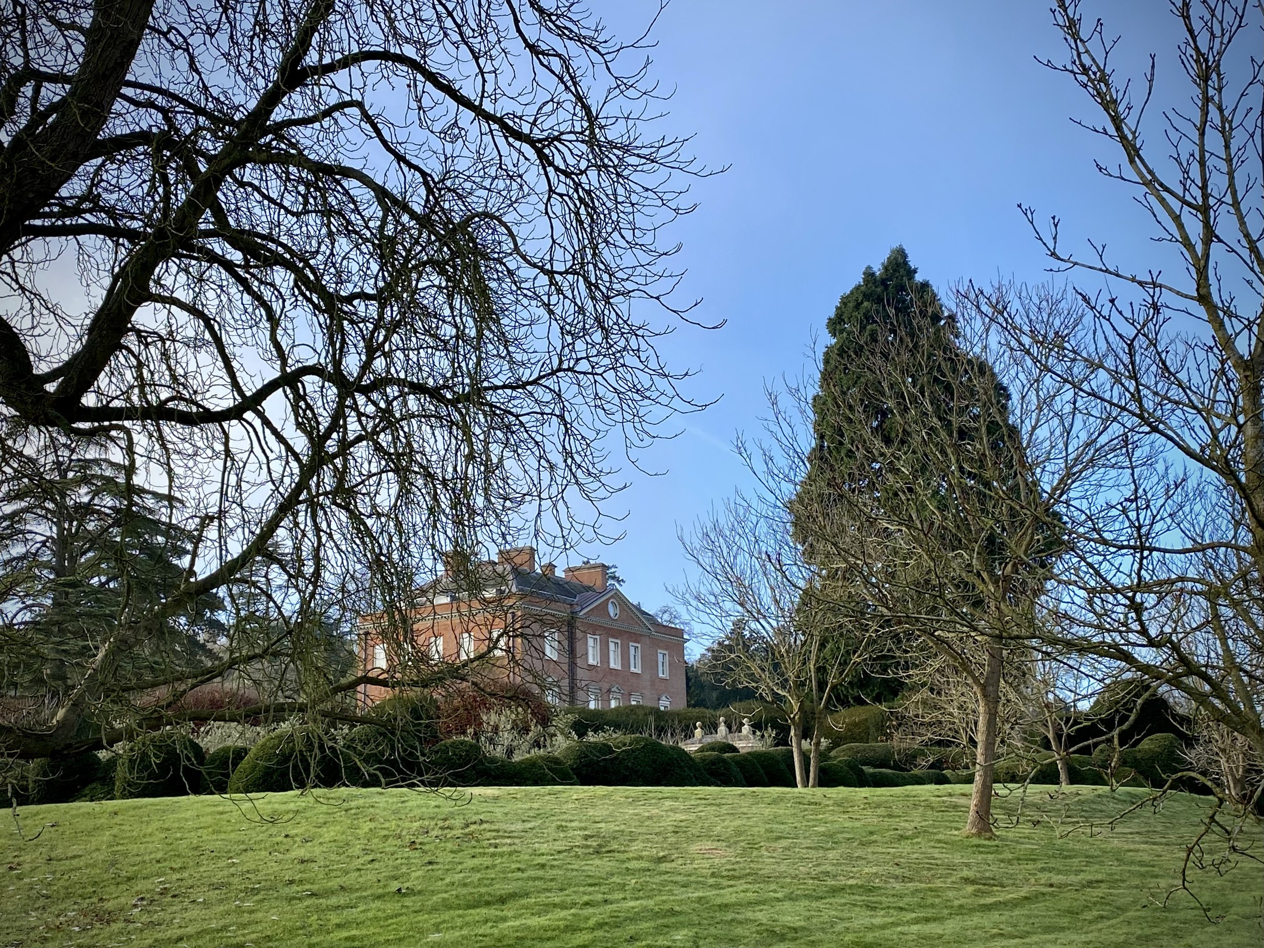
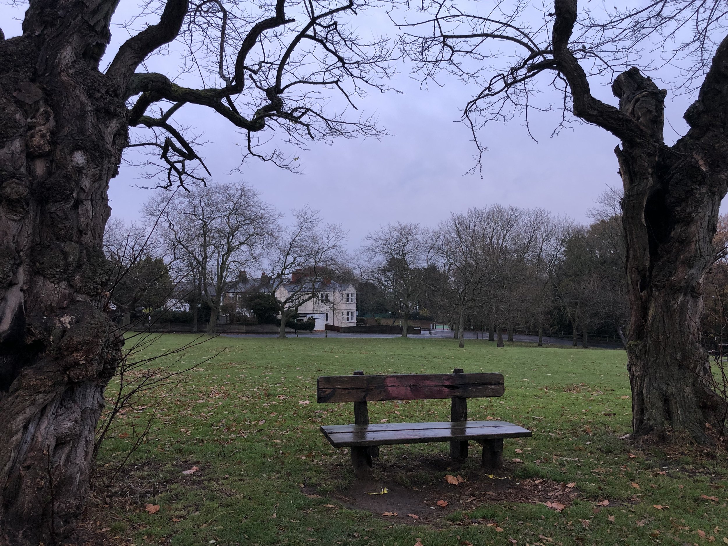
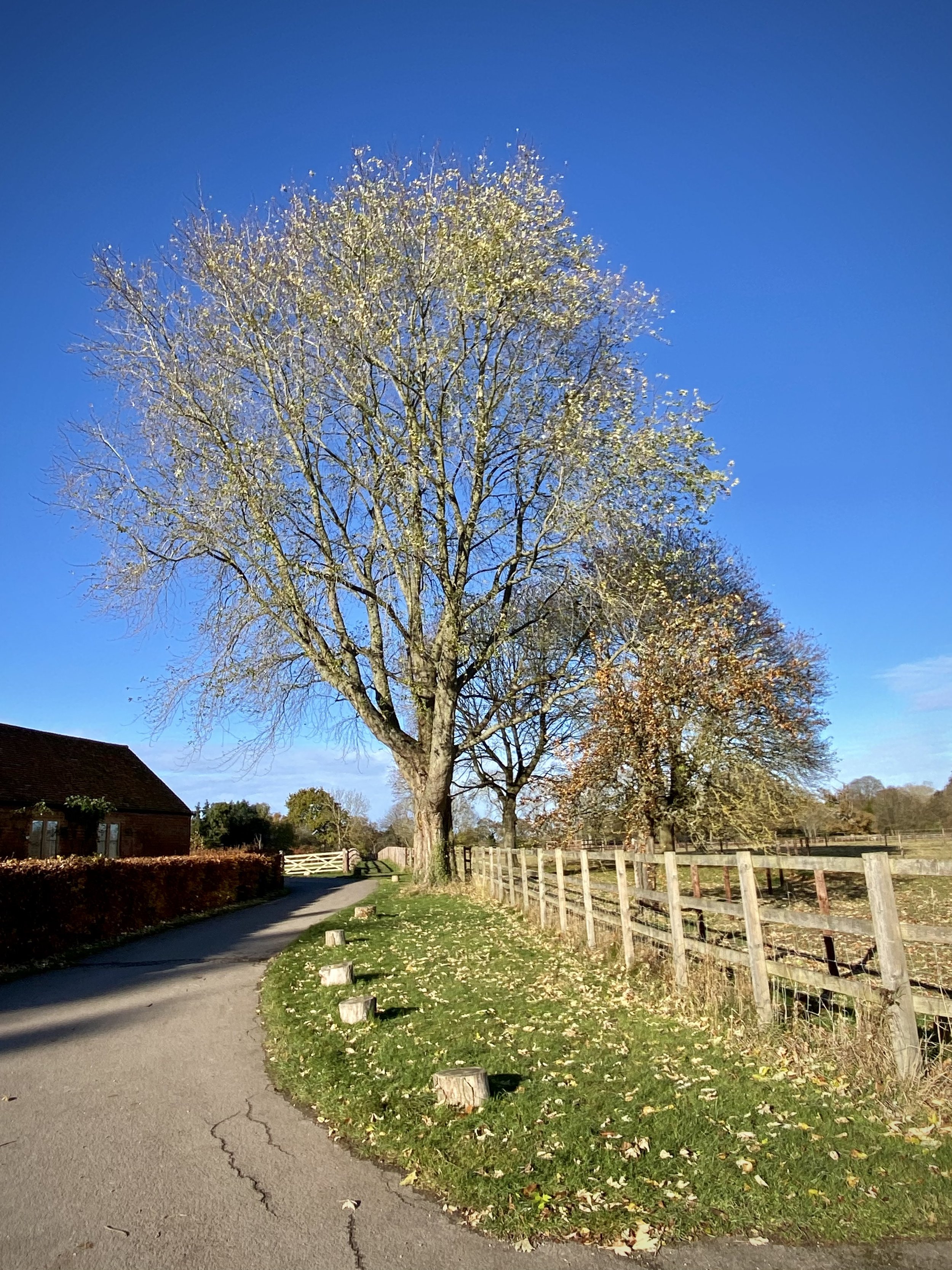
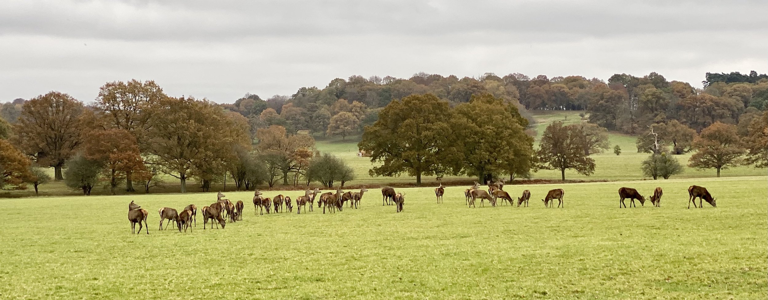
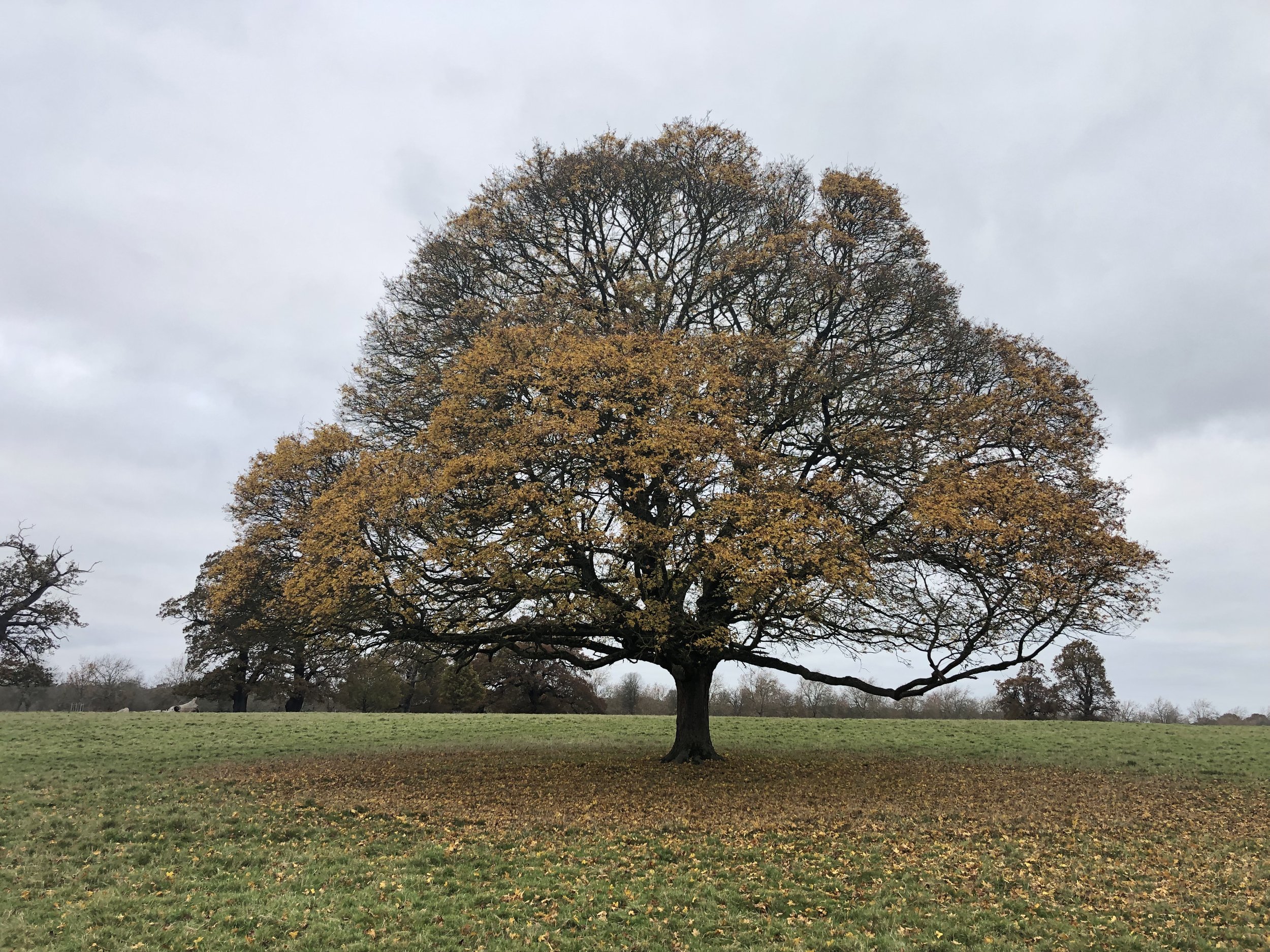
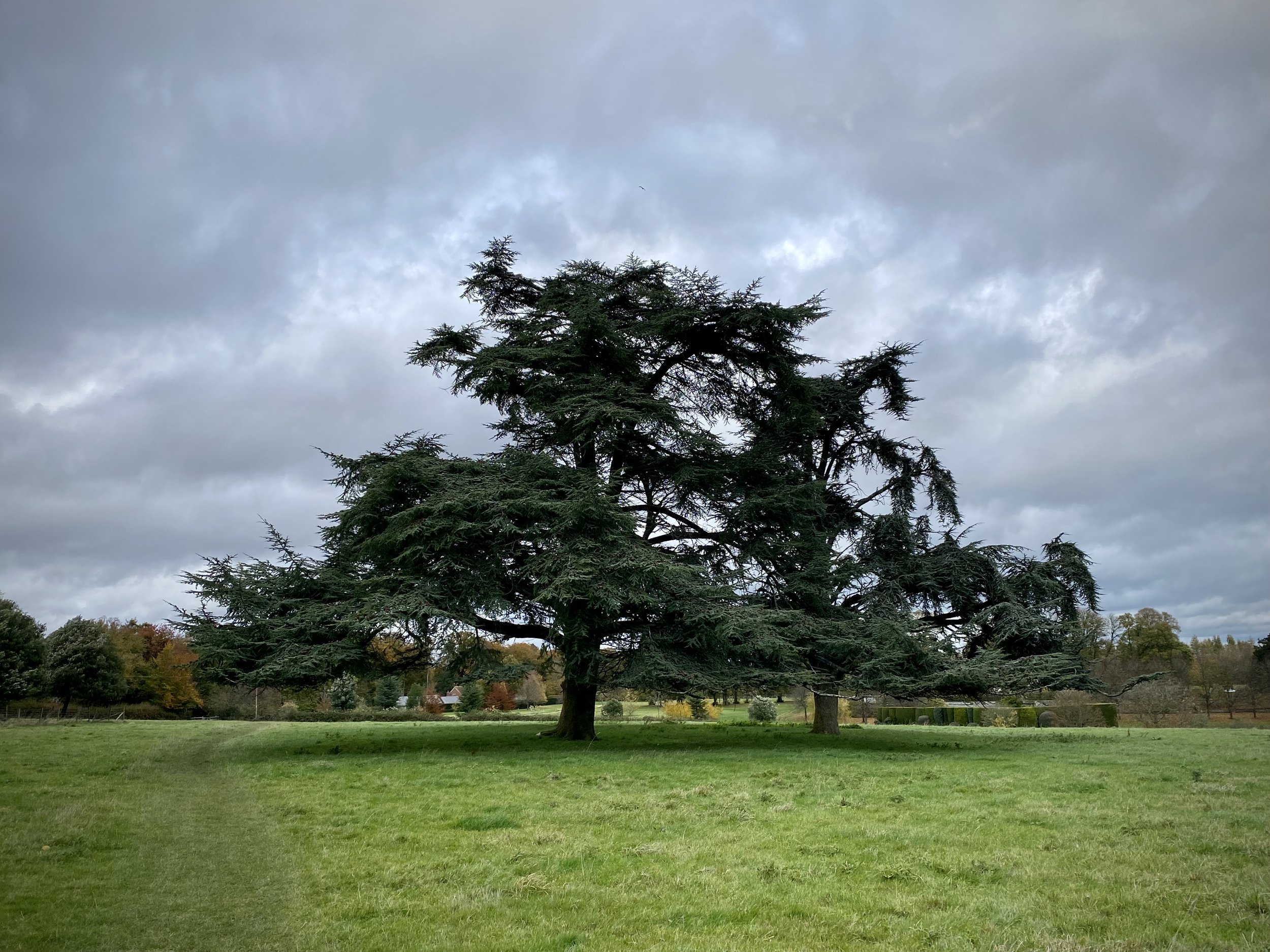
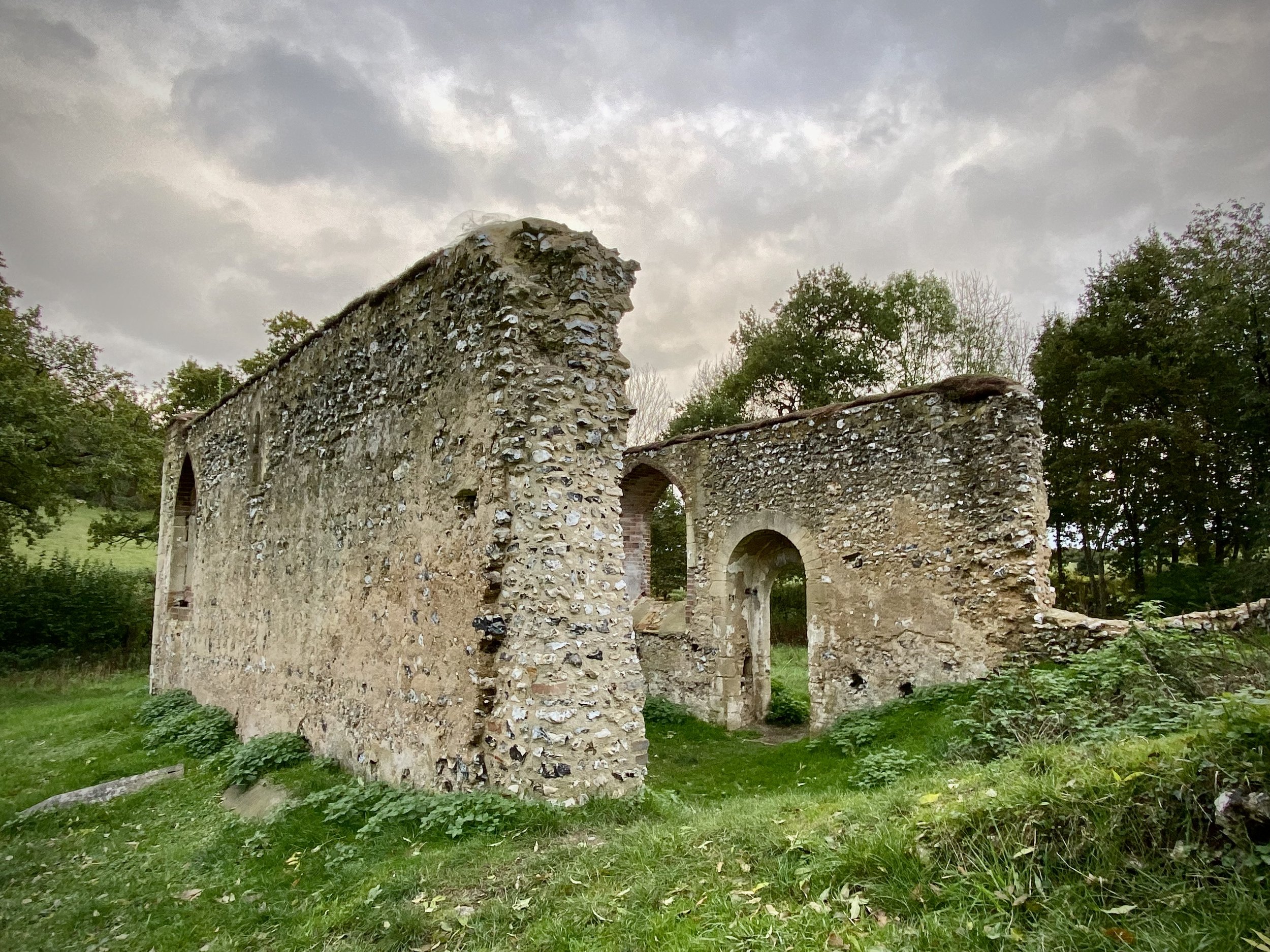
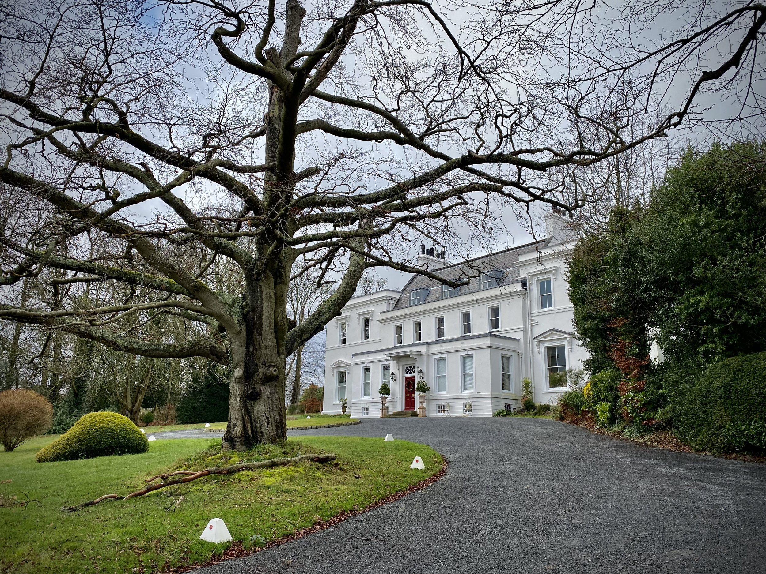
Walking The South Bucks Way Part 6: Amersham, Winchmore Hill and Penn

Shardeloes Estate


Start & Finish: Old Amersham Market Hall, 19 Market Square, Amersham, HP7 0DG
Distance: 12.5 km (7.8 miles)
Elevation change: +/- 119m
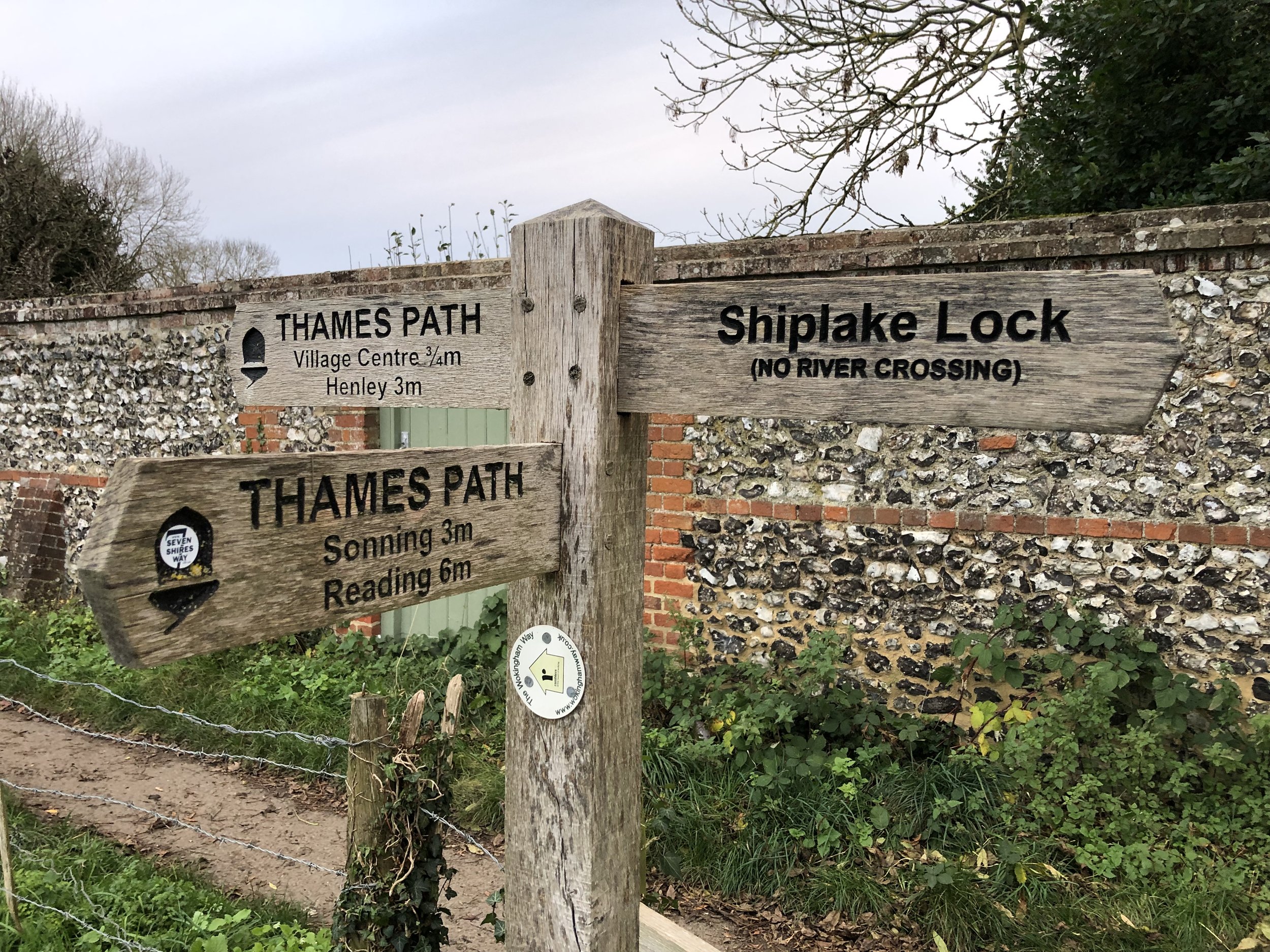
South Bucks Way section covered: Shardeloes to Amersham Market Square: 1.2 km
GPX File: get via Buy Me a Coffee
Other routes touched (walk): South Bucks Way, Chiltern Heritage Trail, Chiltern Way
Other routes touched (cycle): Chiltern Heritage Trail Milton Route
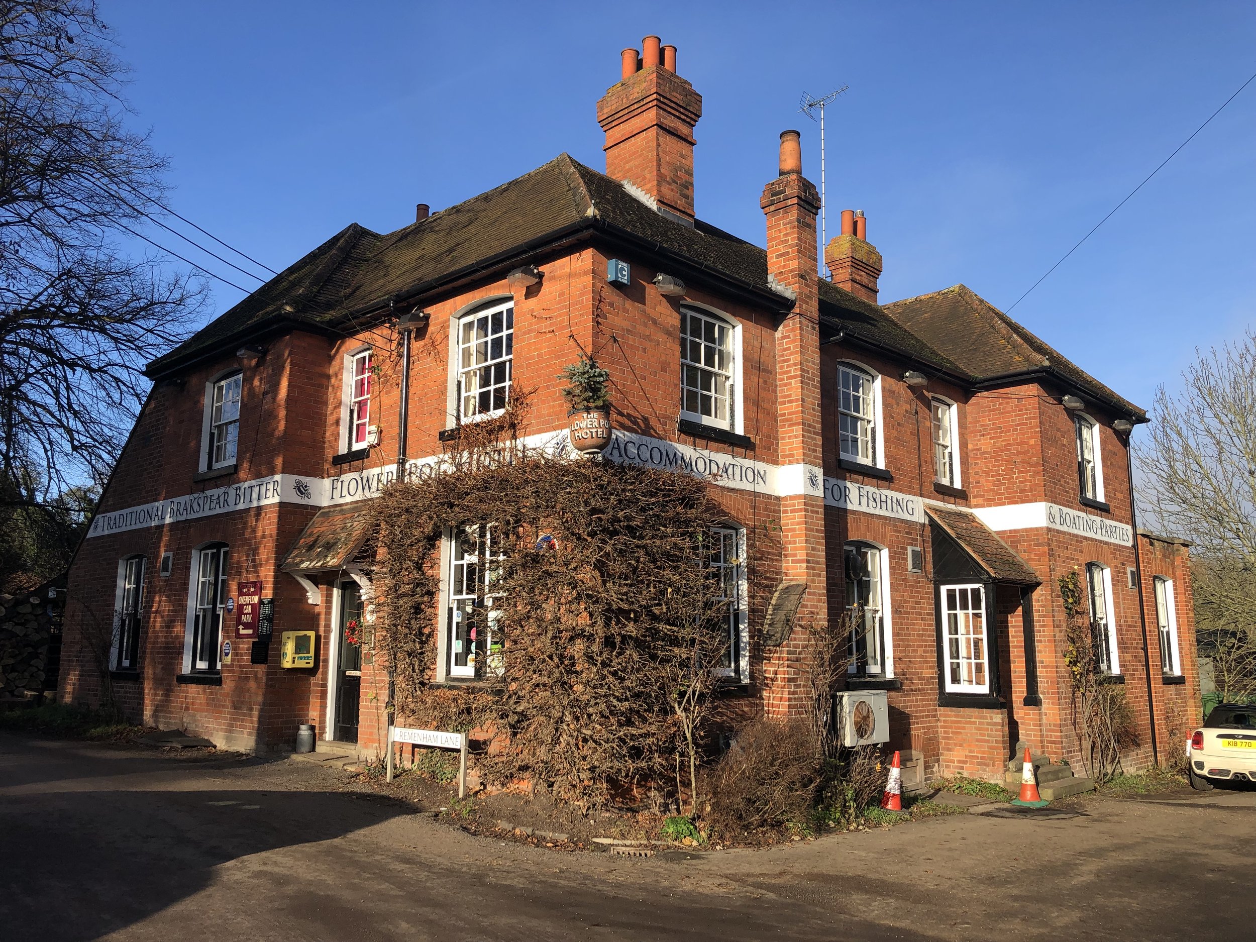
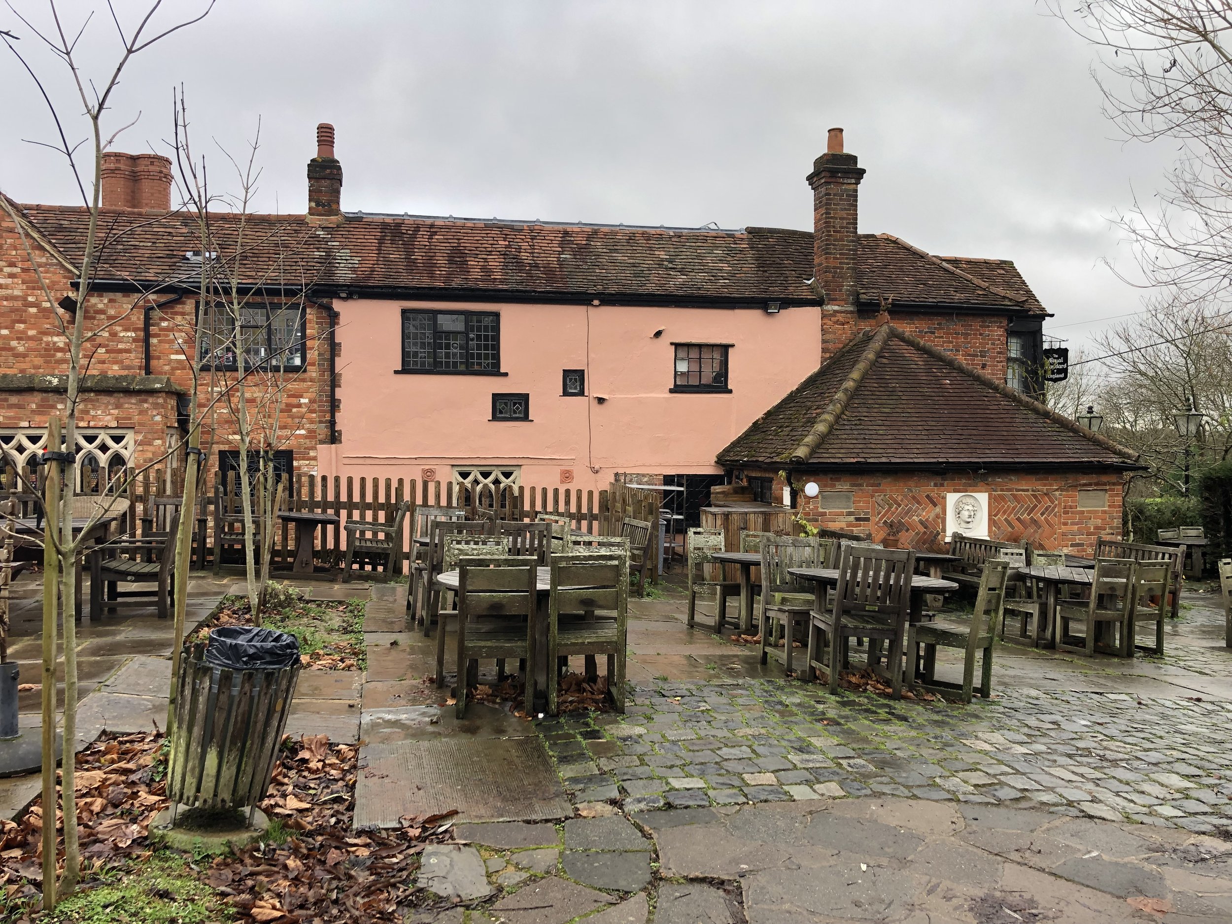
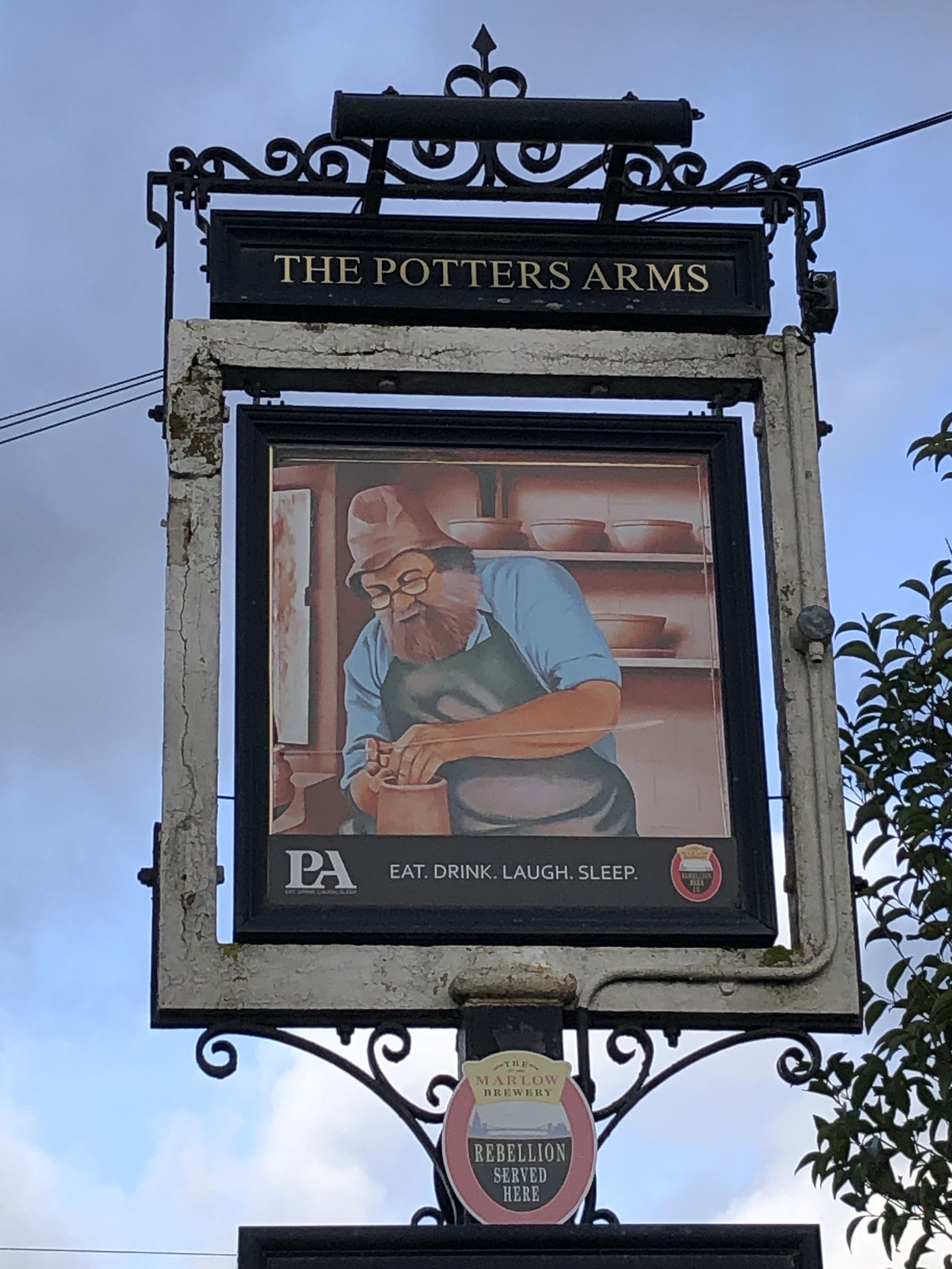
Pubs / Cafes on route: Lots in Old Amersham High Street (we like Seasons). Also: The Red Lion, Coleshill; The Plough and The Potter’s Arms, Winchmore Hill; The Squirrel, Penn
Map: OS Explorer Map (172) Chiltern Hills East
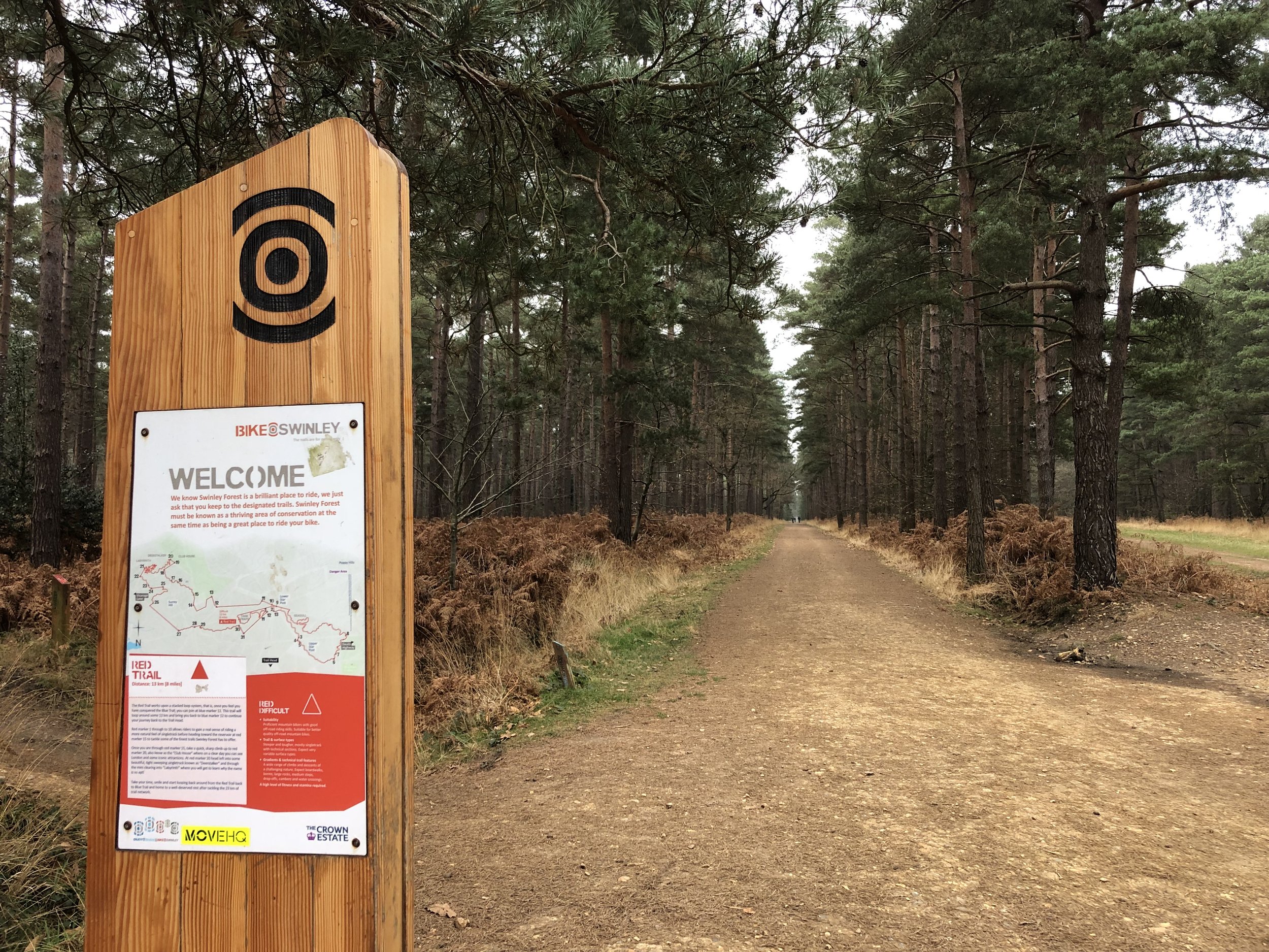
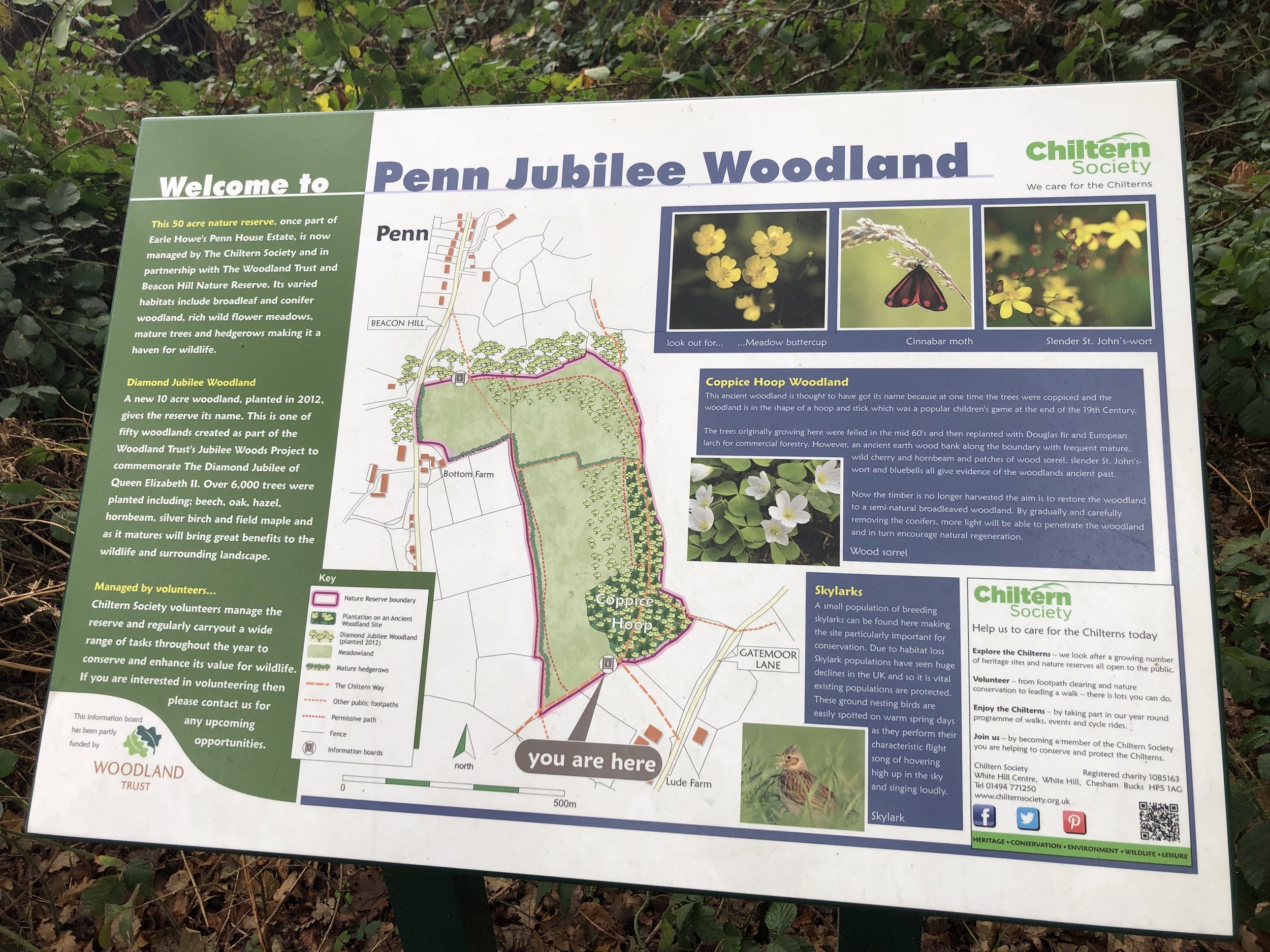
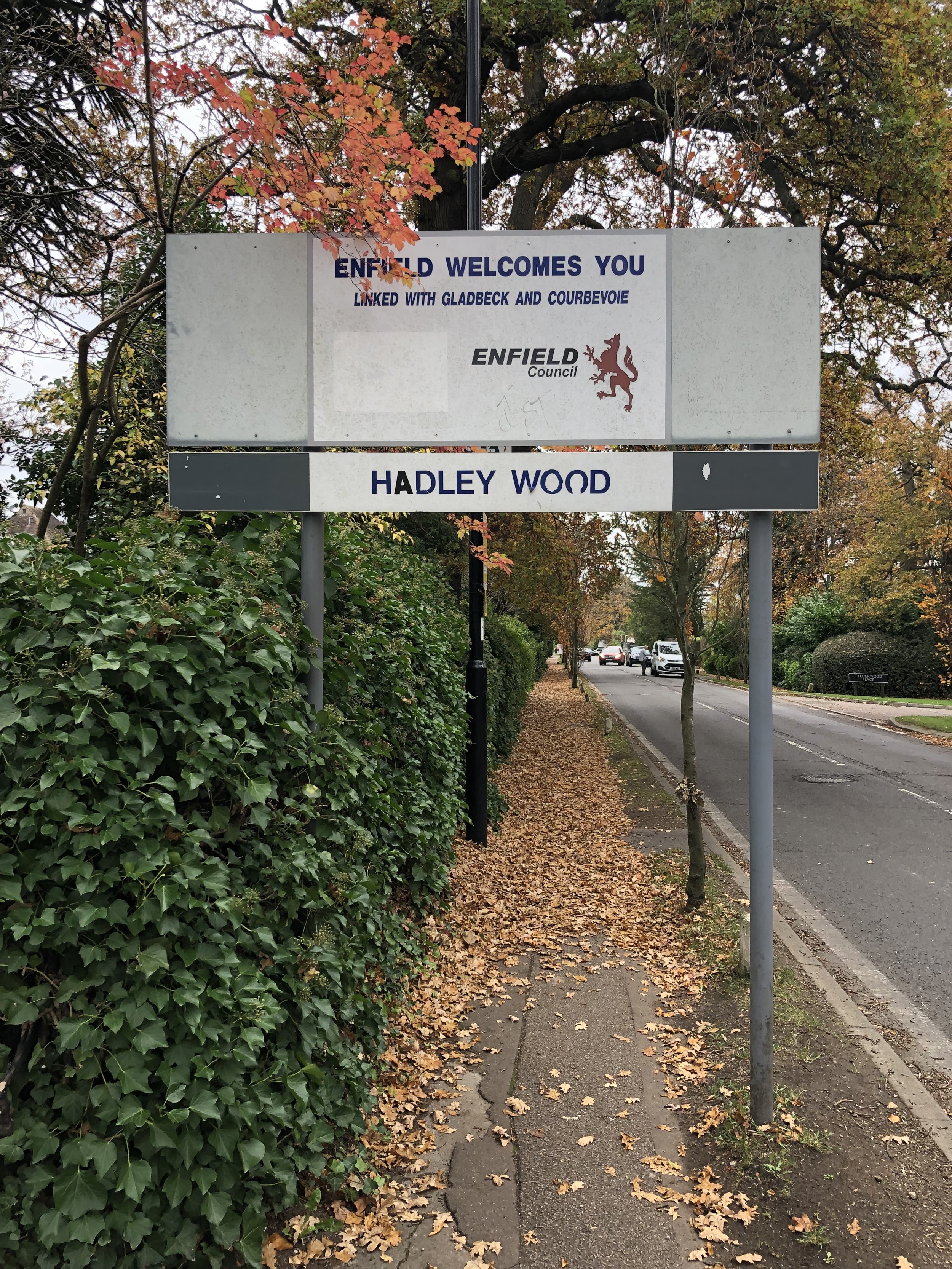
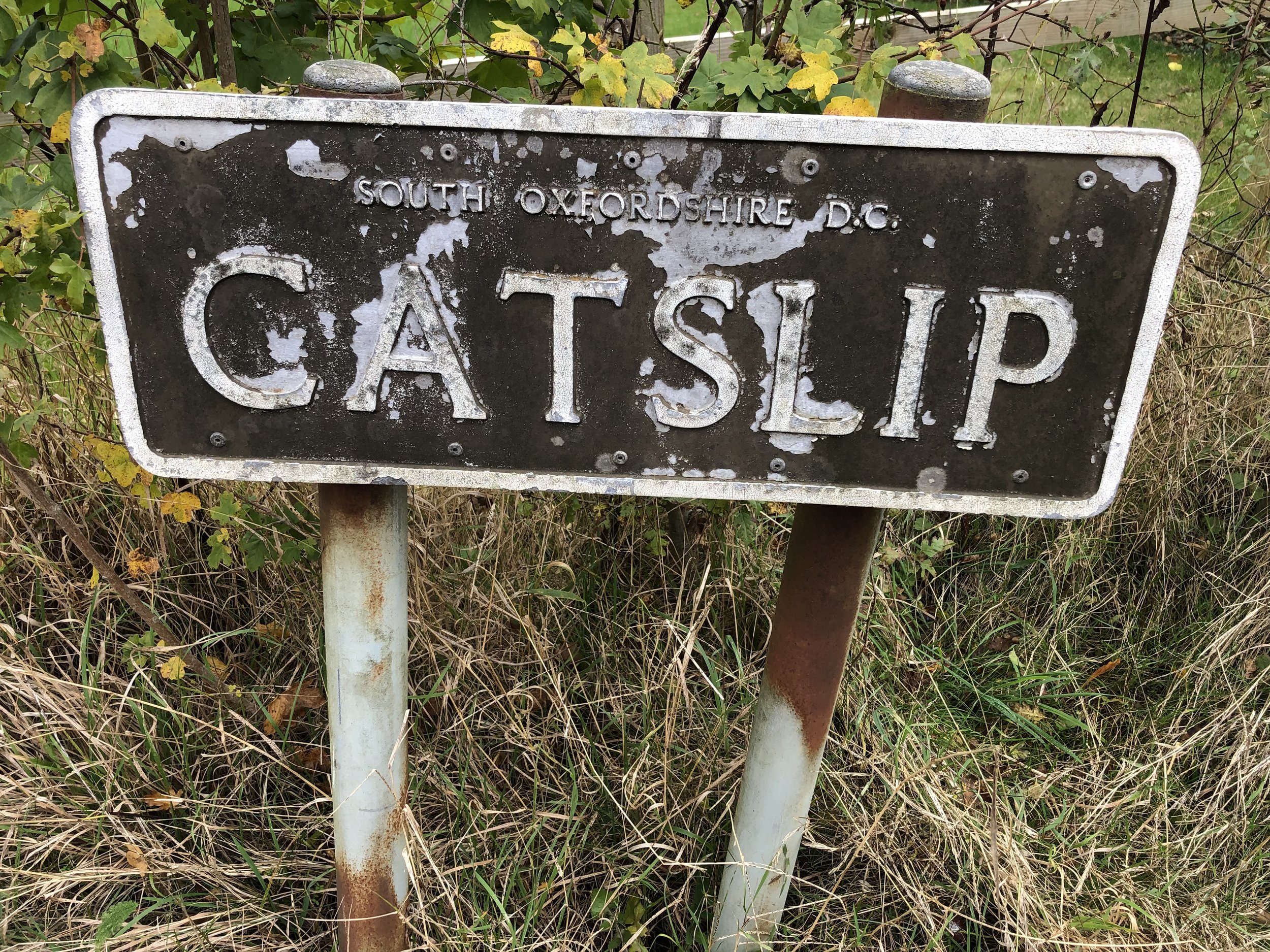
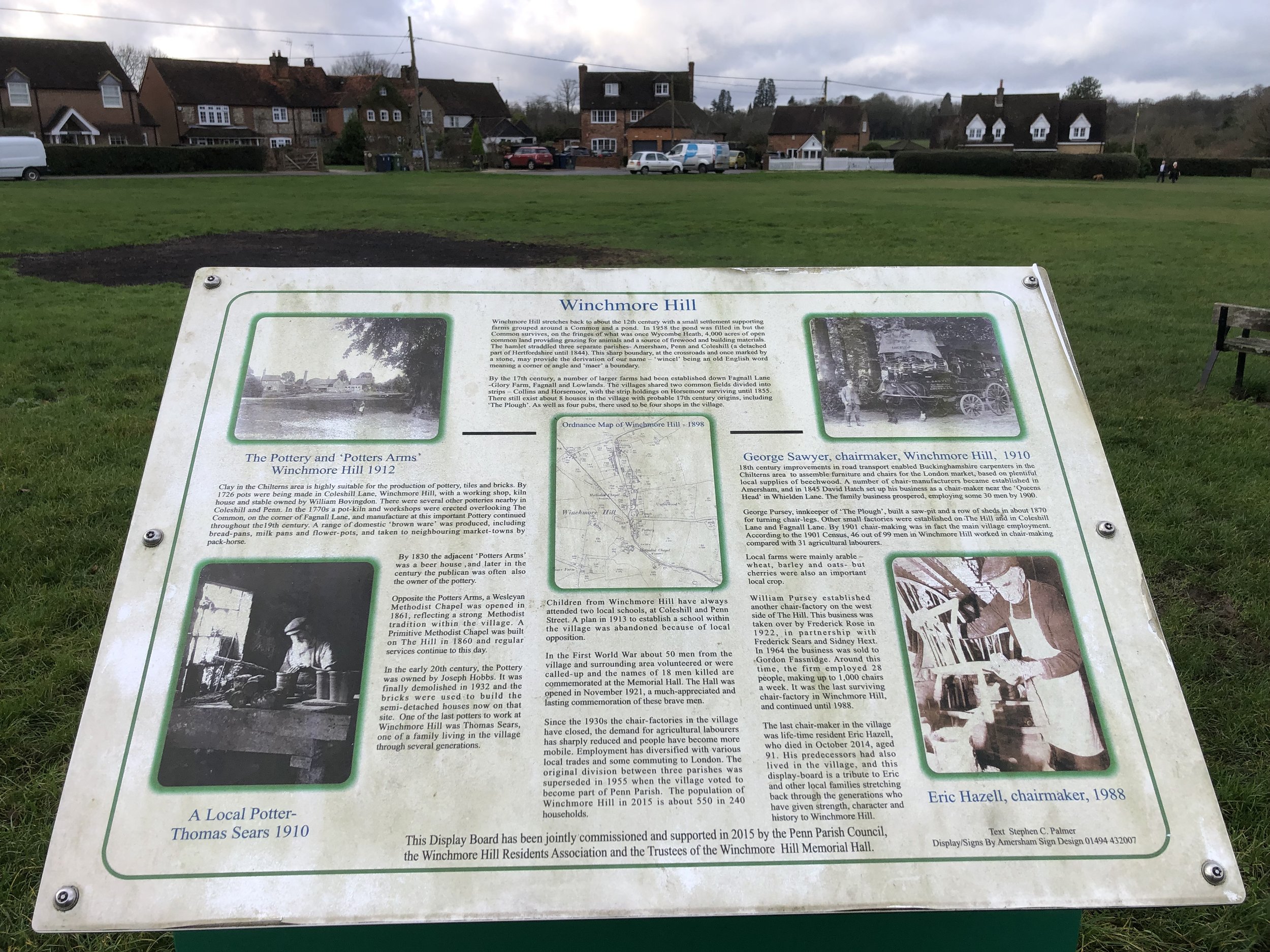
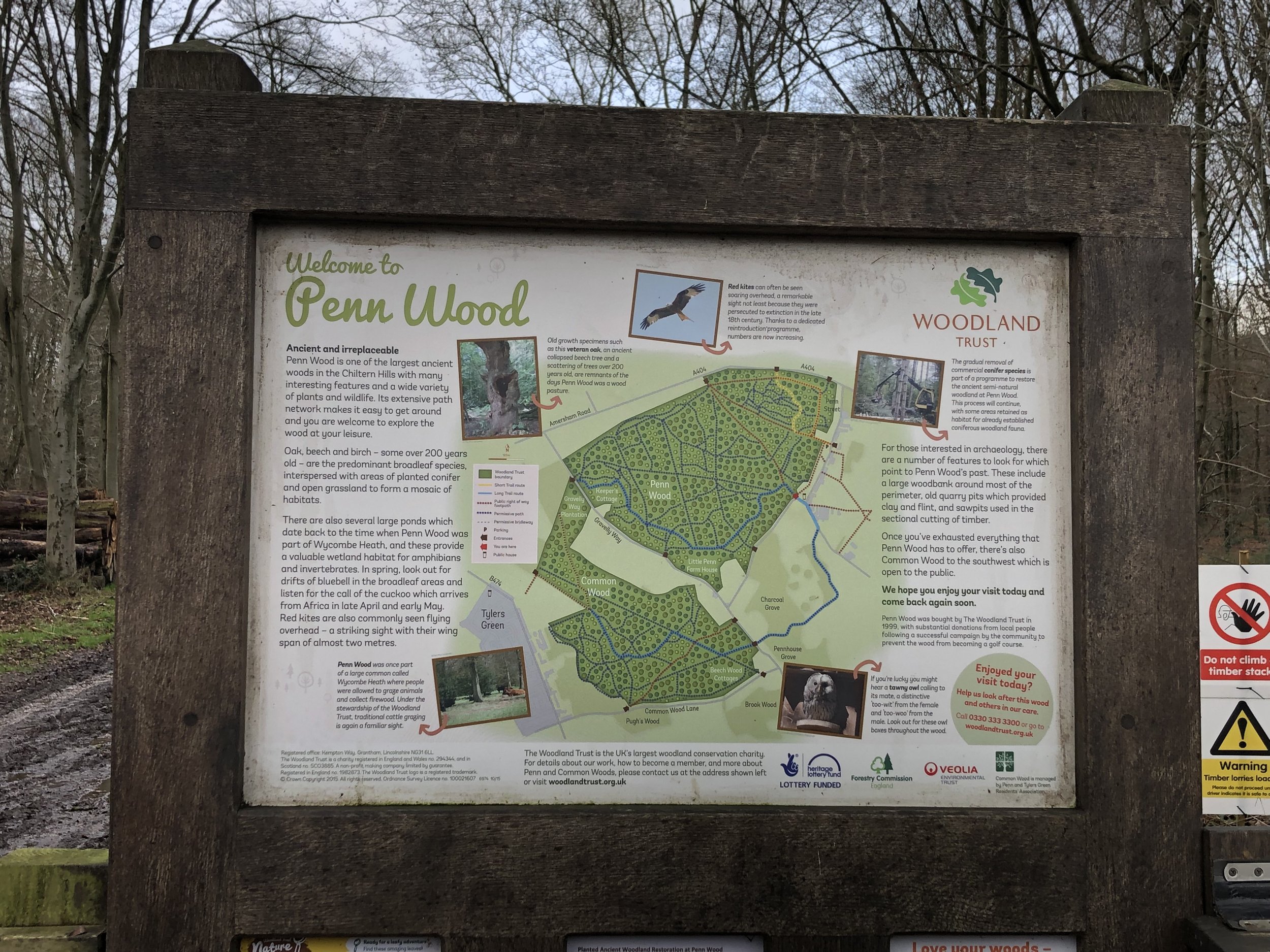
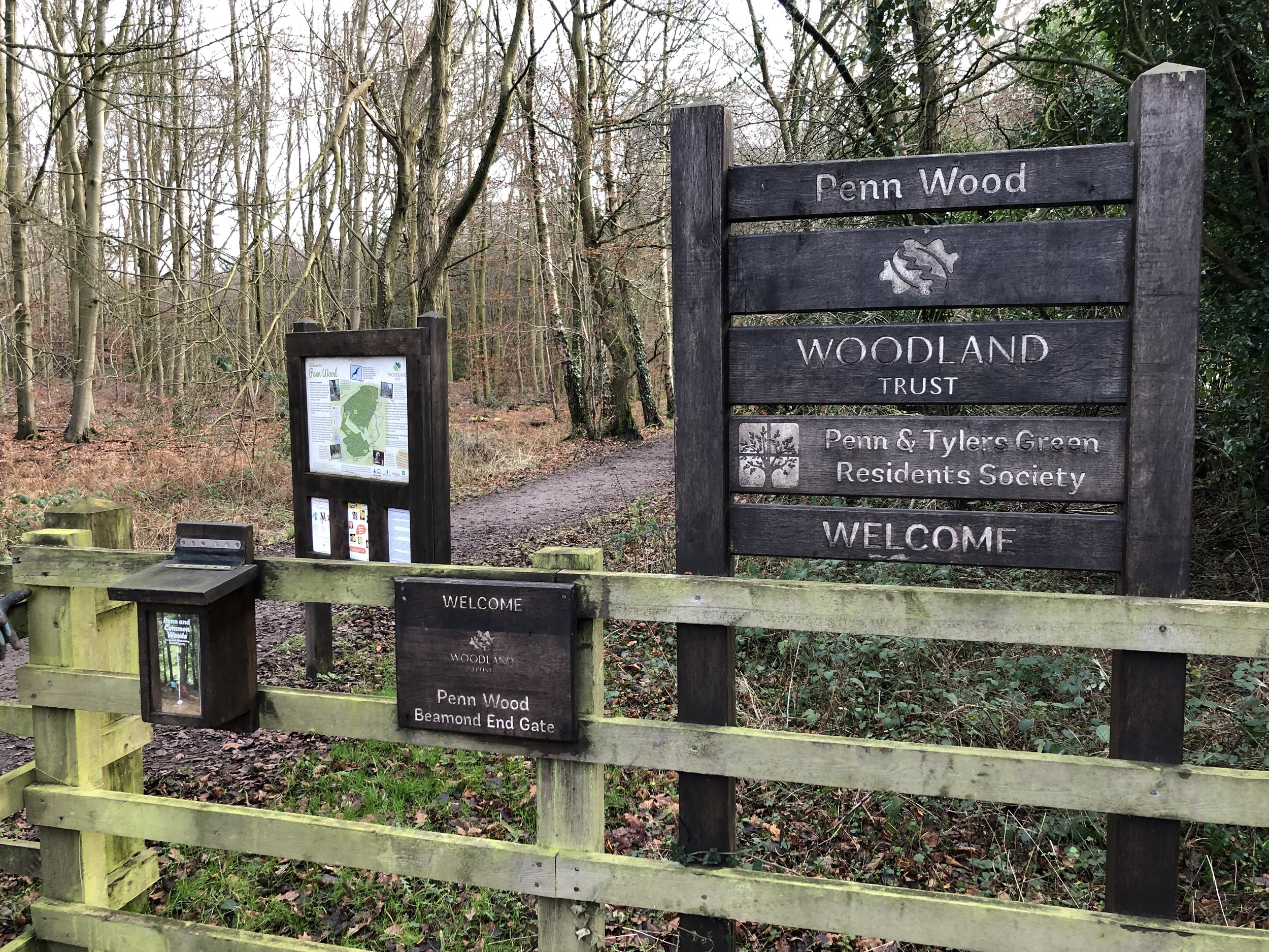
Links: Amersham, Coleshill, Winchmore Hill, Penn, Penn Wood


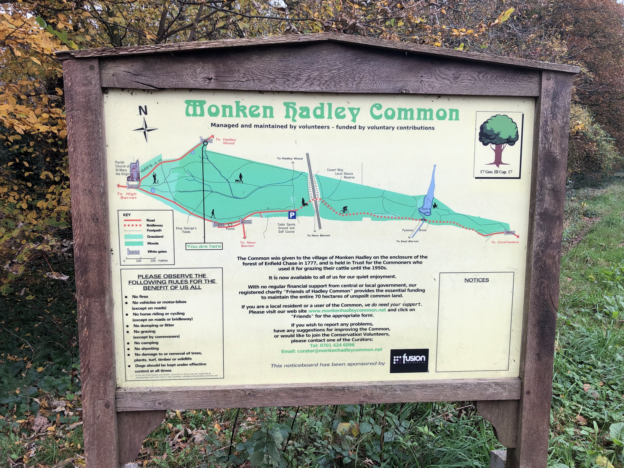
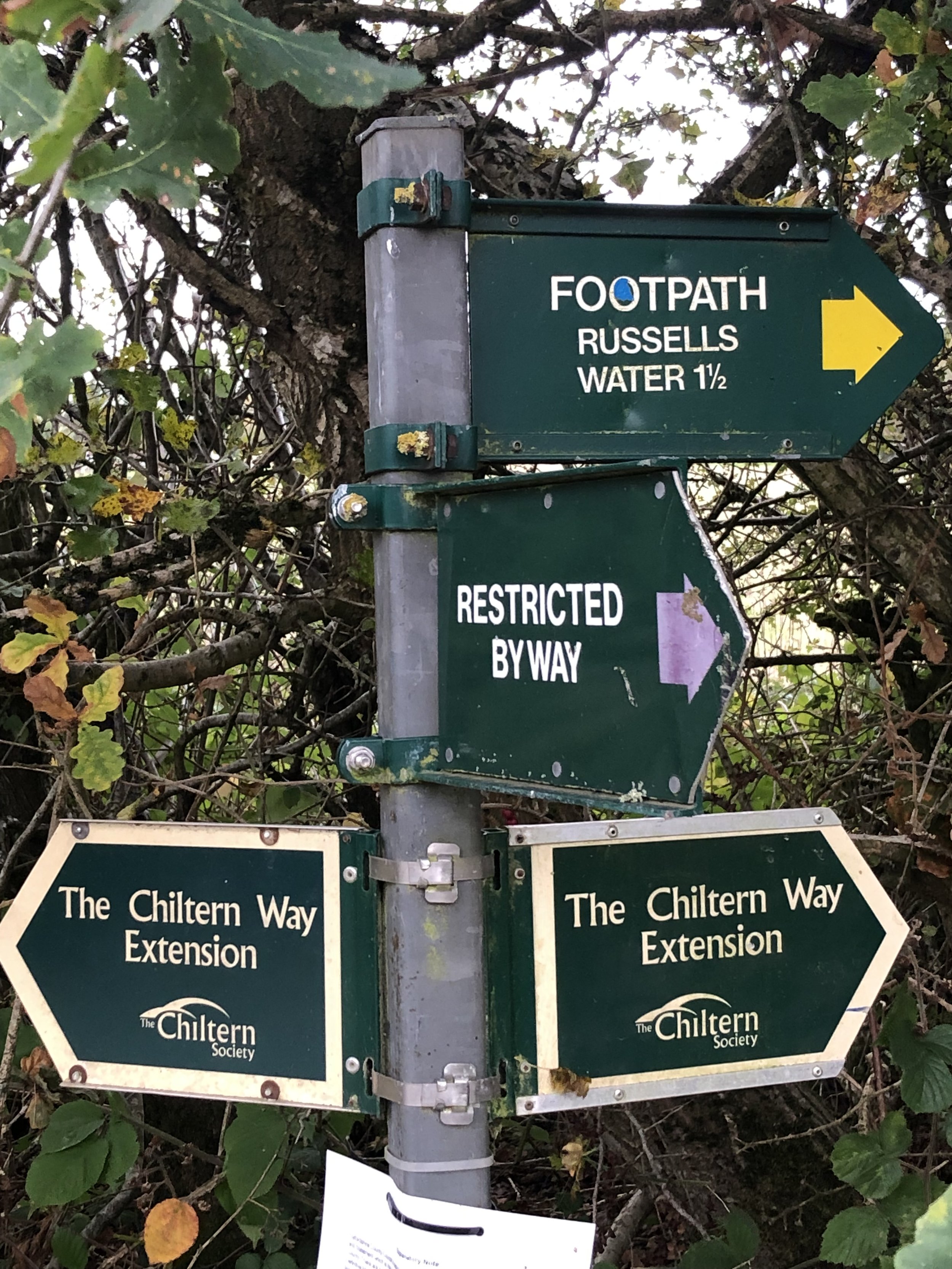
The South Bucks Way is a 37 km (23-mile) trail that promises a delightful escape for walkers and hikers. This scenic route, often overshadowed by its more famous counterparts, offers a tranquil journey through charming villages, lush countryside, and the gentle murmur of the River Misbourne. This post is part of a series of circular walks featuring the South Bucks Way. The full trail stretches from Coombe Hill near Wendover to the Grand Union Canal at Denham. Our walks take in short sections of the South Bucks Way and loop back to the start on other paths. The South Bucks Way is well sign-posted however you’ll need a map or GPX route to keep on track for the return sections of the loops. The guidance below will help but don’t use it as a fully accurate turn-by-turn guide.

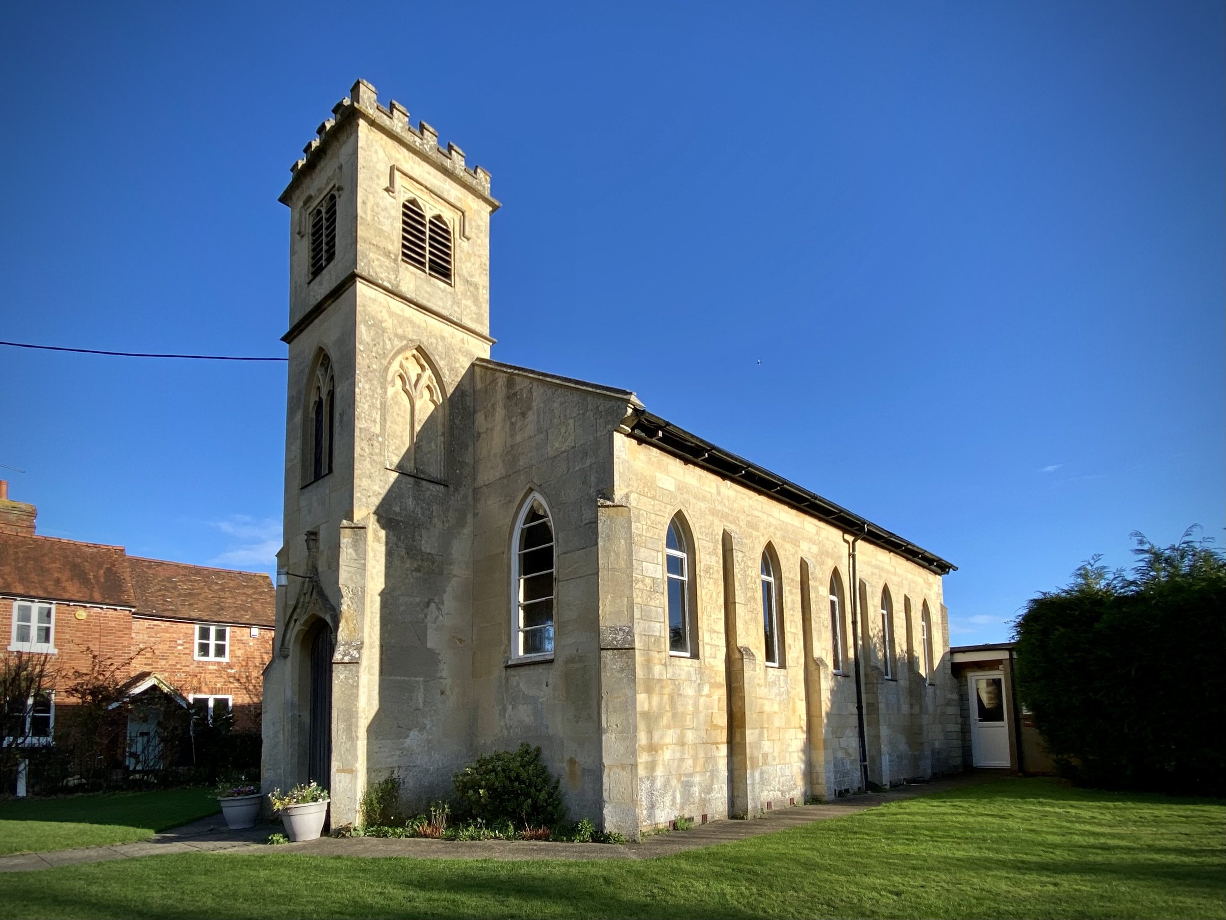
From the Market Square head south down Whielden Street, following the Chiltern Heritage Trail. Take a left onto Whielden Green and keep to the Trail as it crosses a rough field, over the A413 footbridge and into farmland. Follow the Heritage Trail in a south-westerly direction as it climbs up to Coleshill. When you reach Coleshill All Saints Church opposite the Red Lion pub, take a right onto the footpath passing down the south side of the church. You’re now following both the Chiltern Heritage Trail and The Chiltern Way. Follow these in a westerly direction to The Hill (road) in Winchmore Hill.

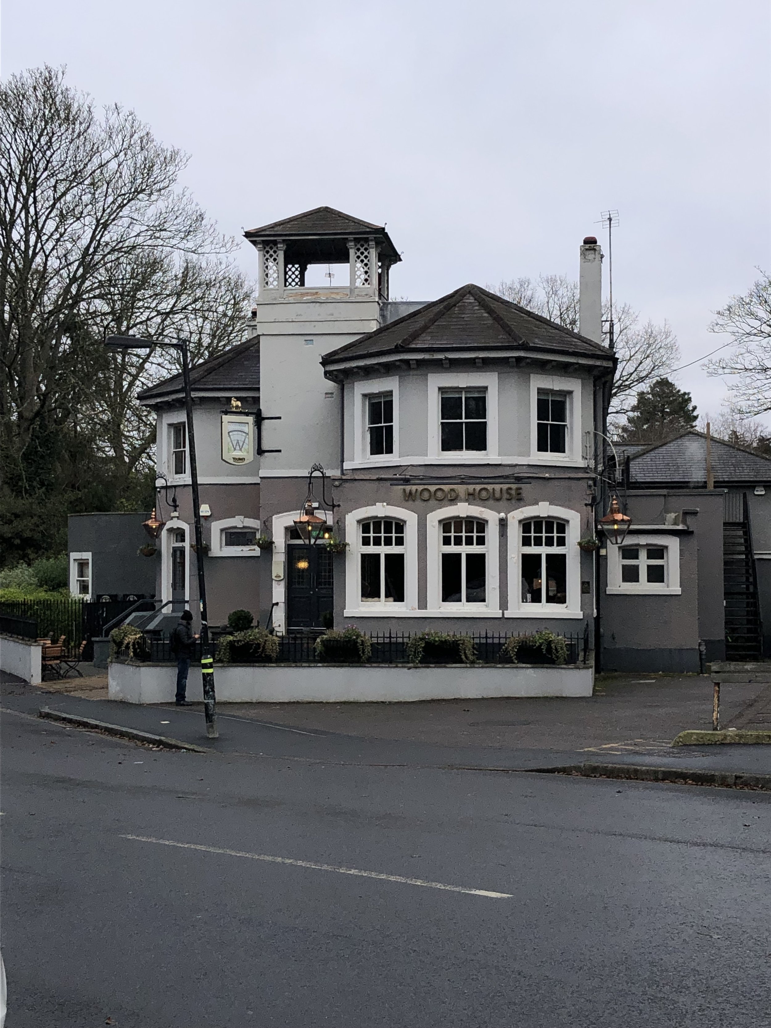
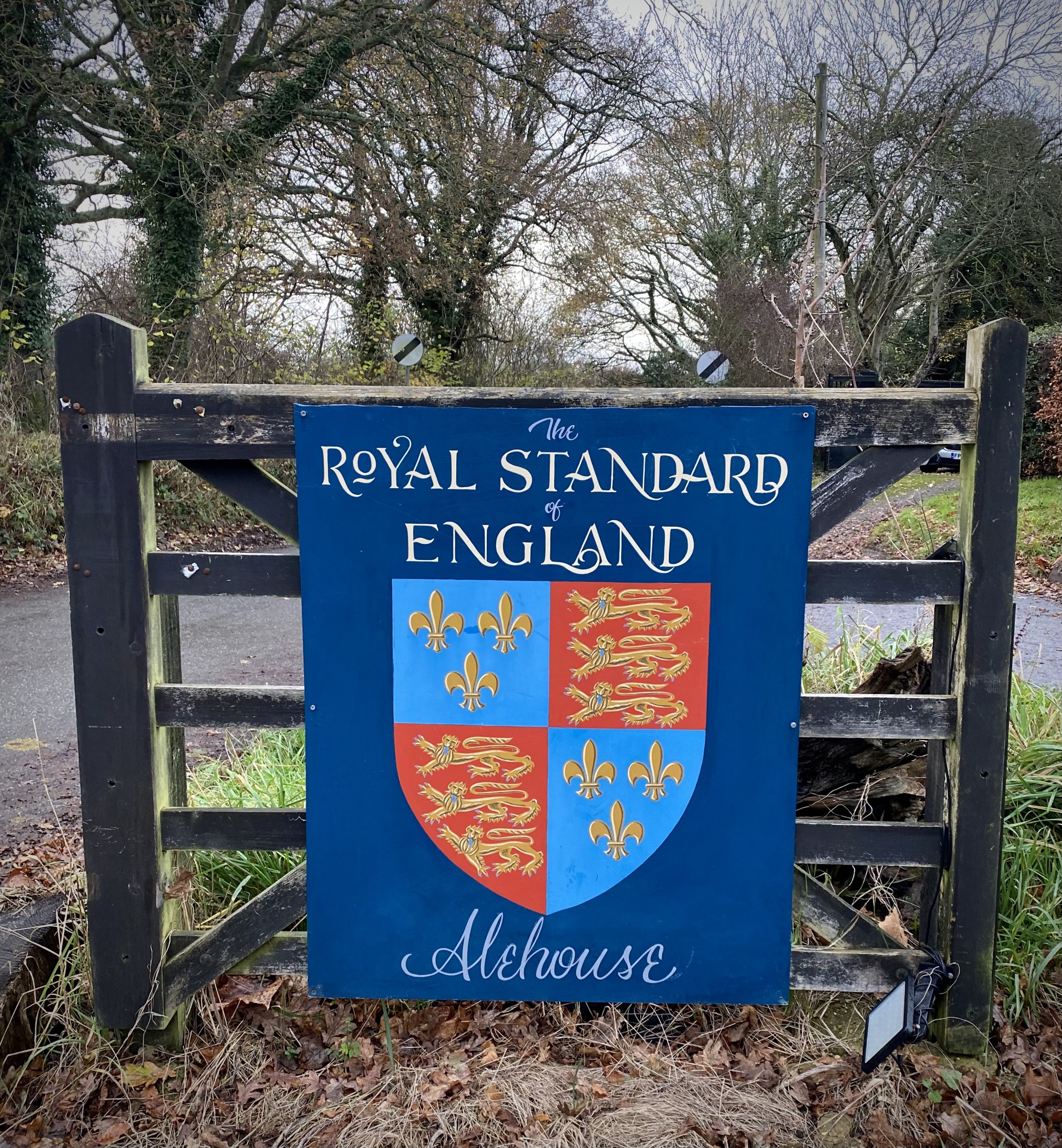
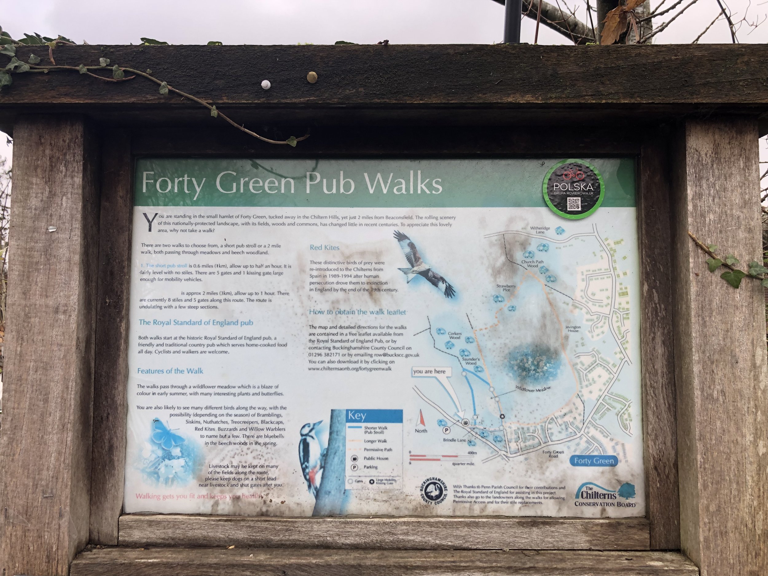
When you arrive at Winchmore Hill you have the choice of either The Plough or The Potter’s Arms for a rest. Alternatively you can continue to Penn for The Squirrel or, just round the corner, The Hit or Miss. This is one of the Chiltern Walks with the most pubs on the route.

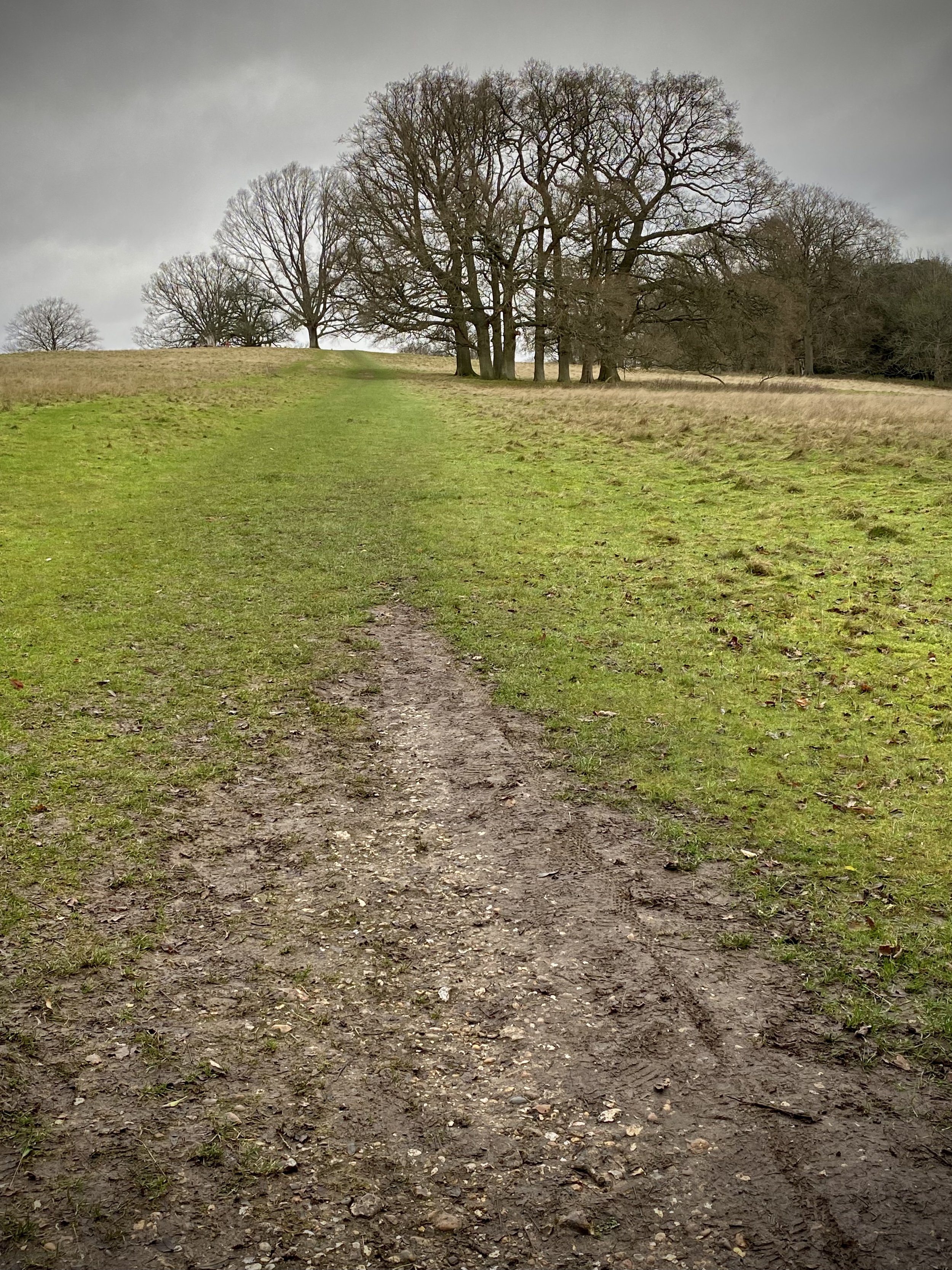
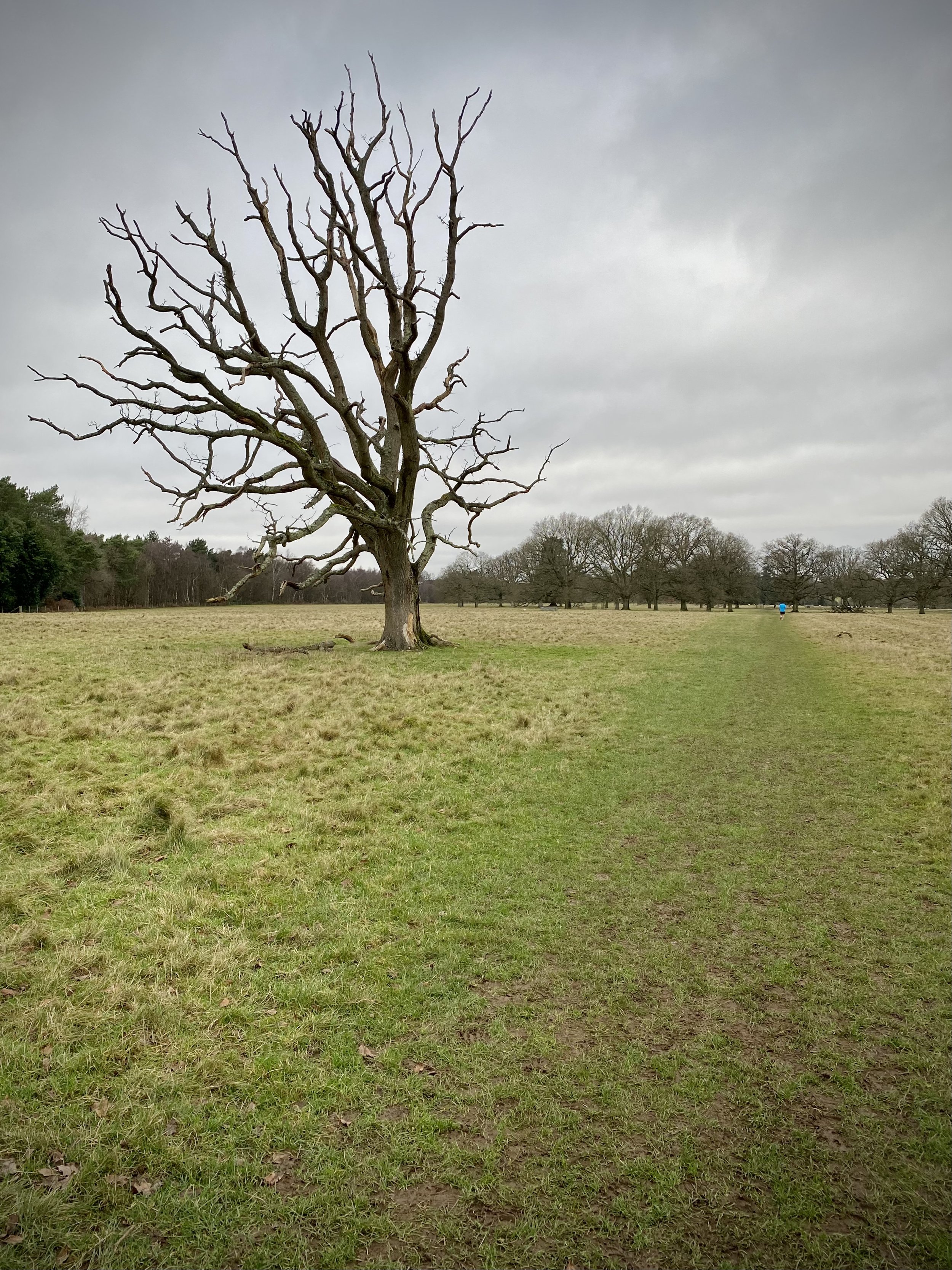
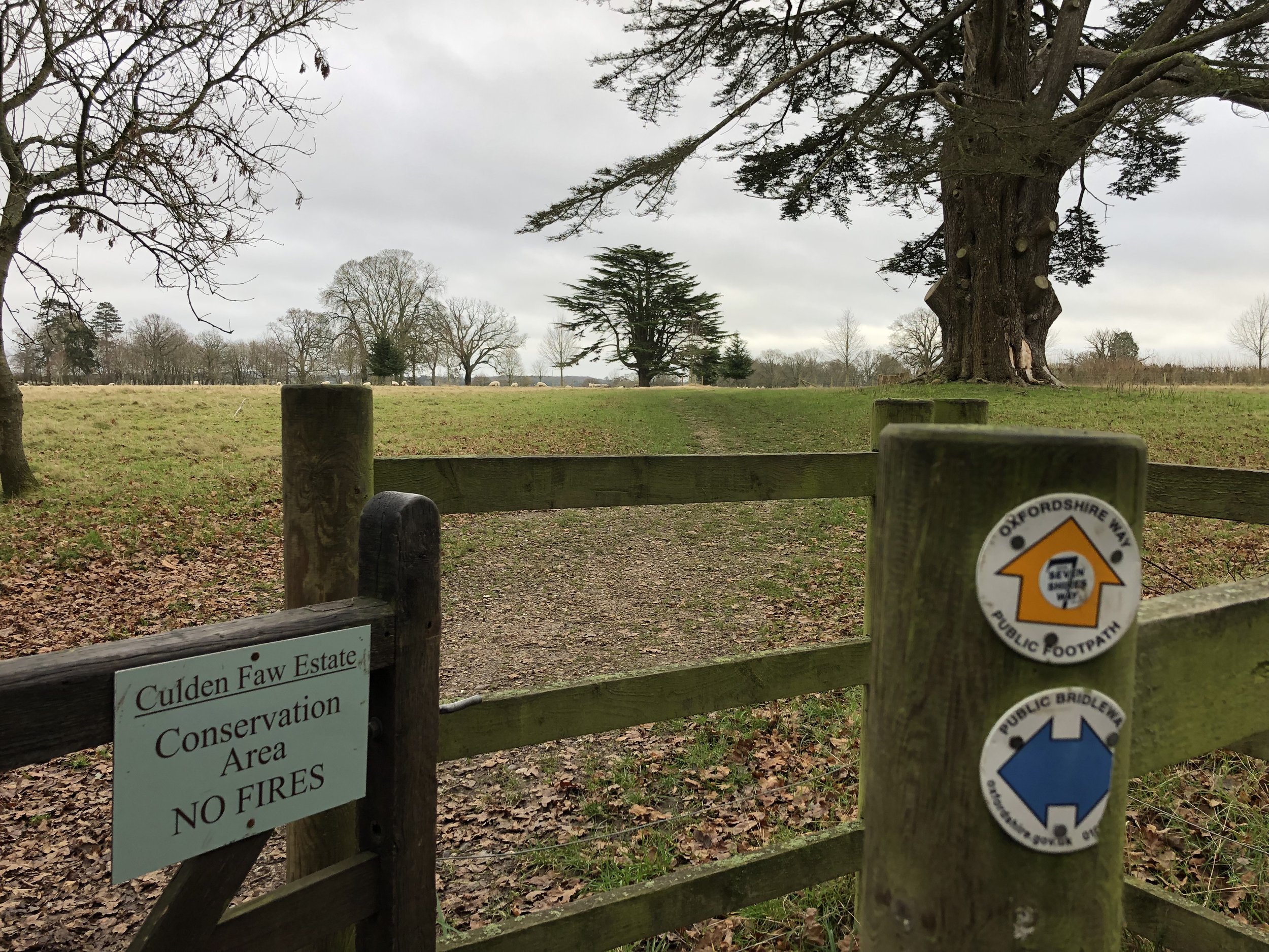
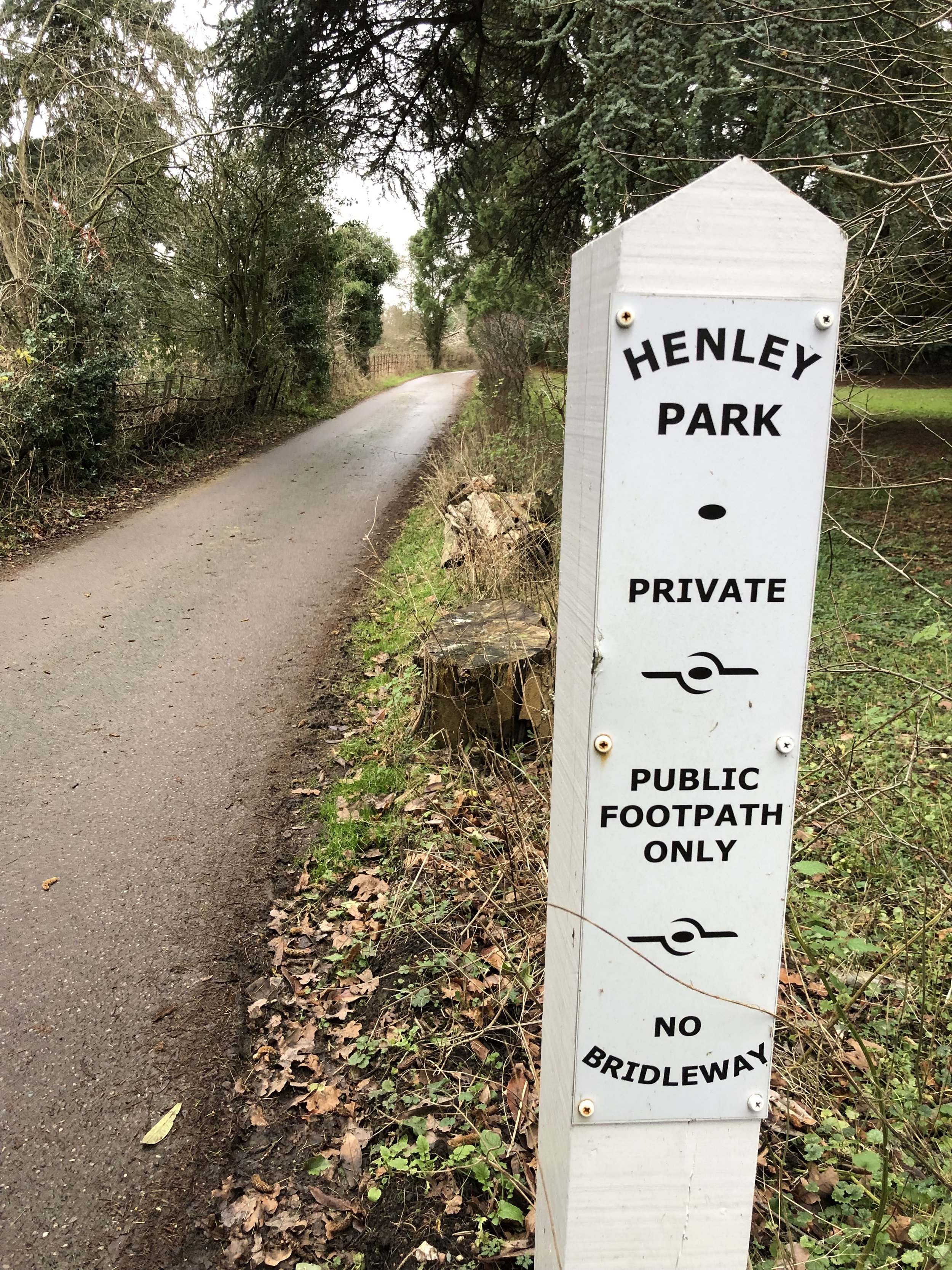
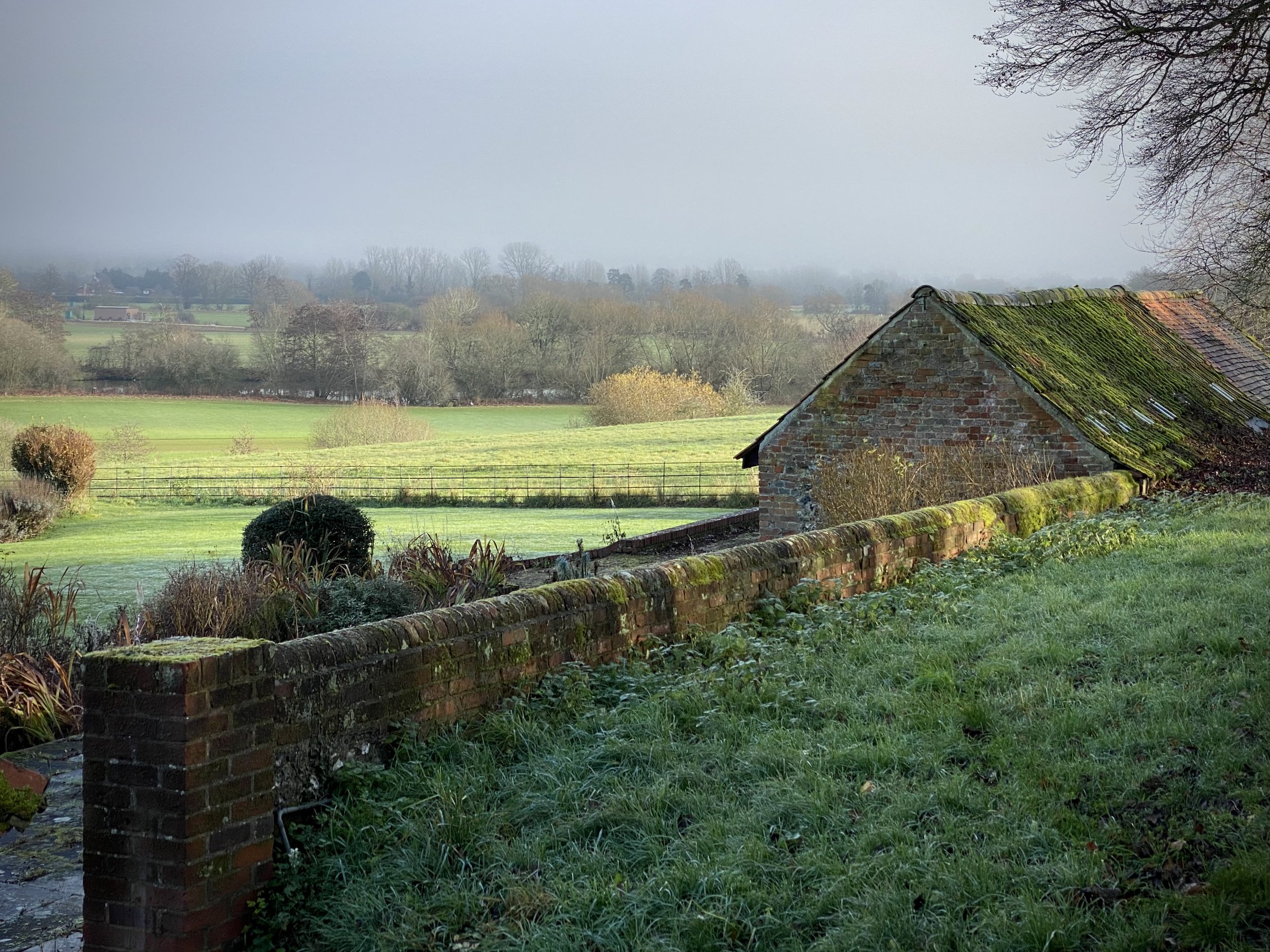
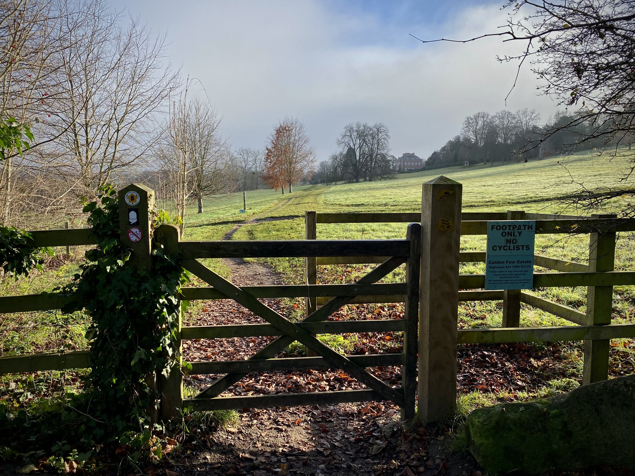
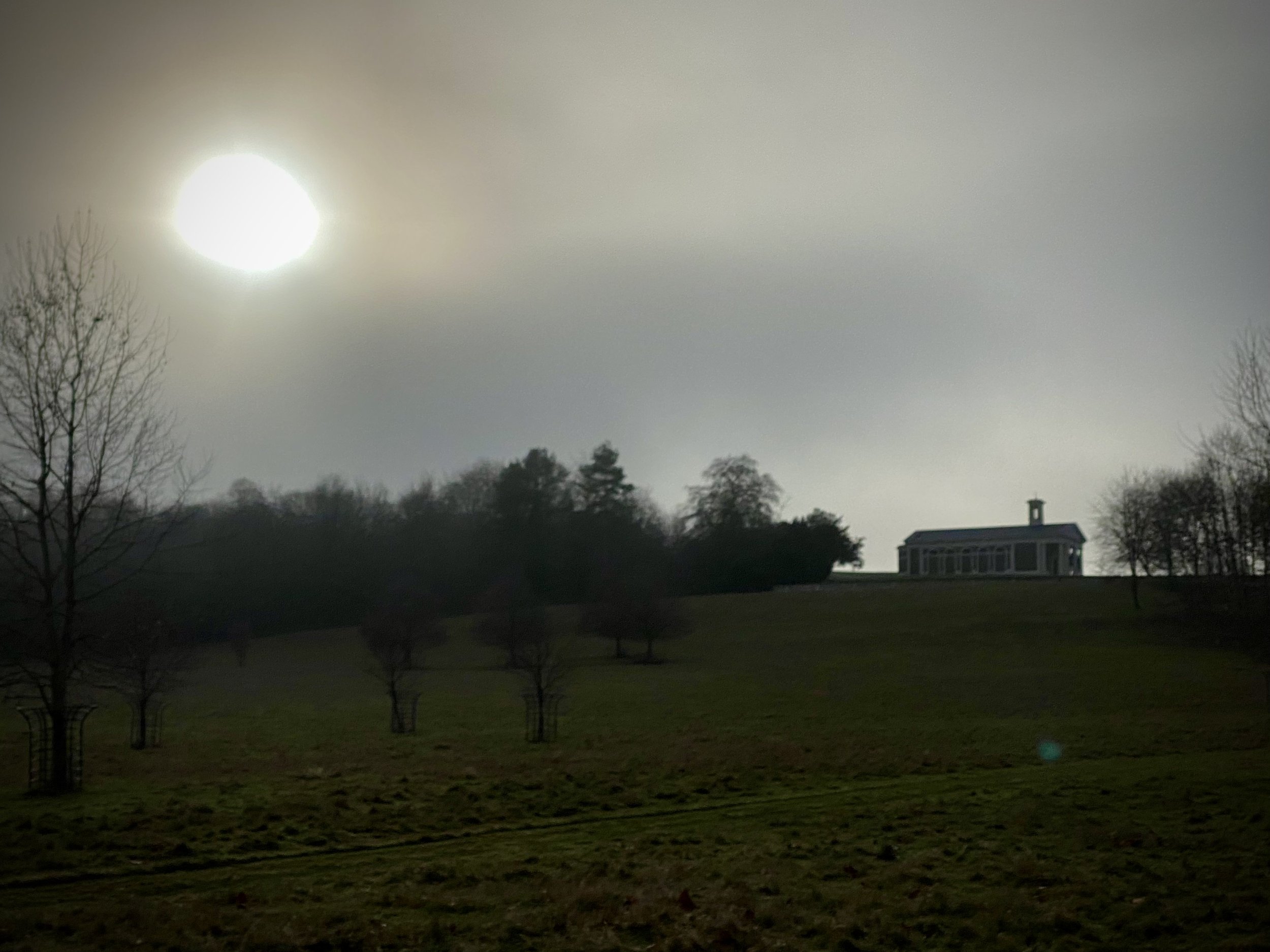
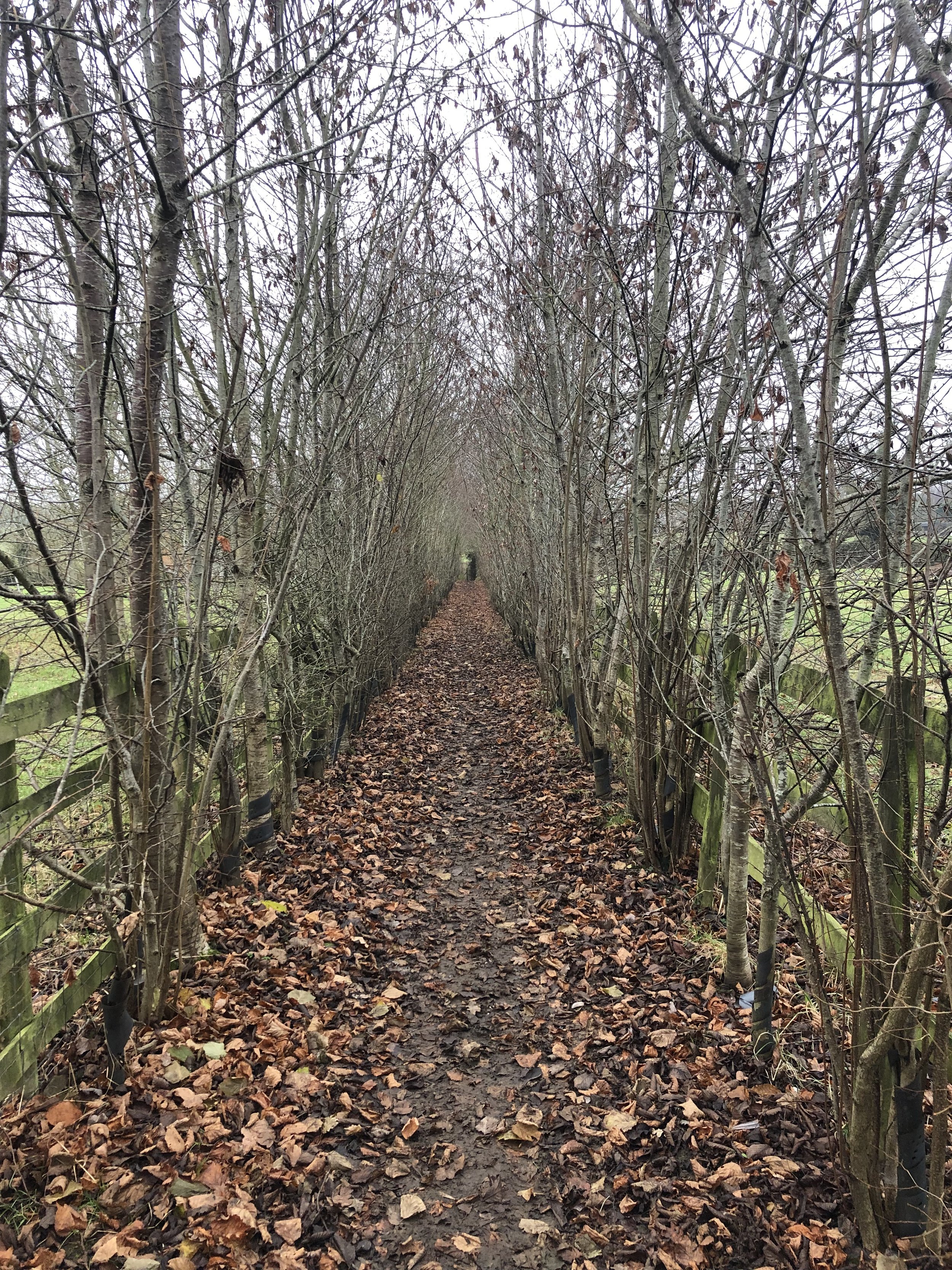
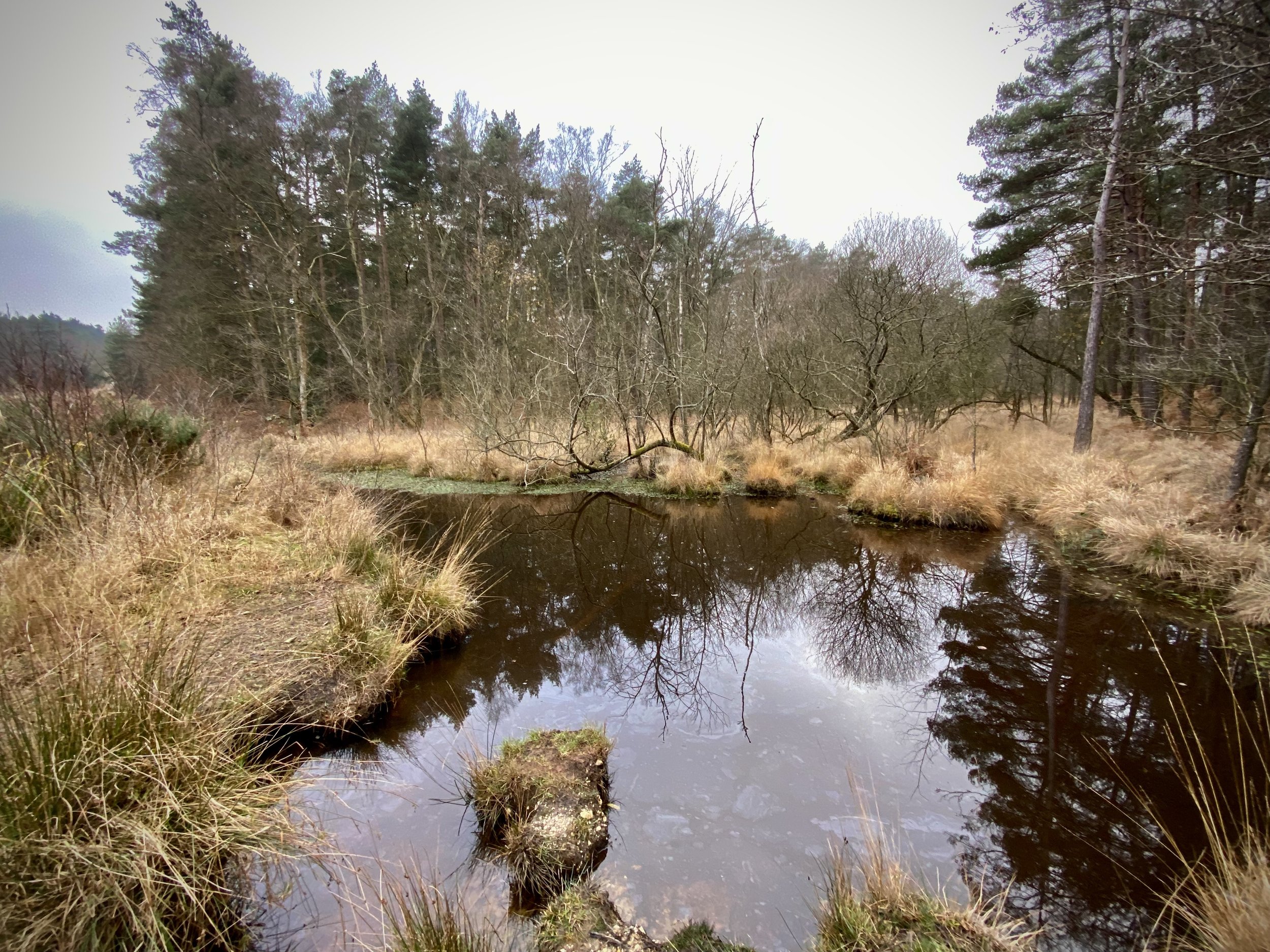
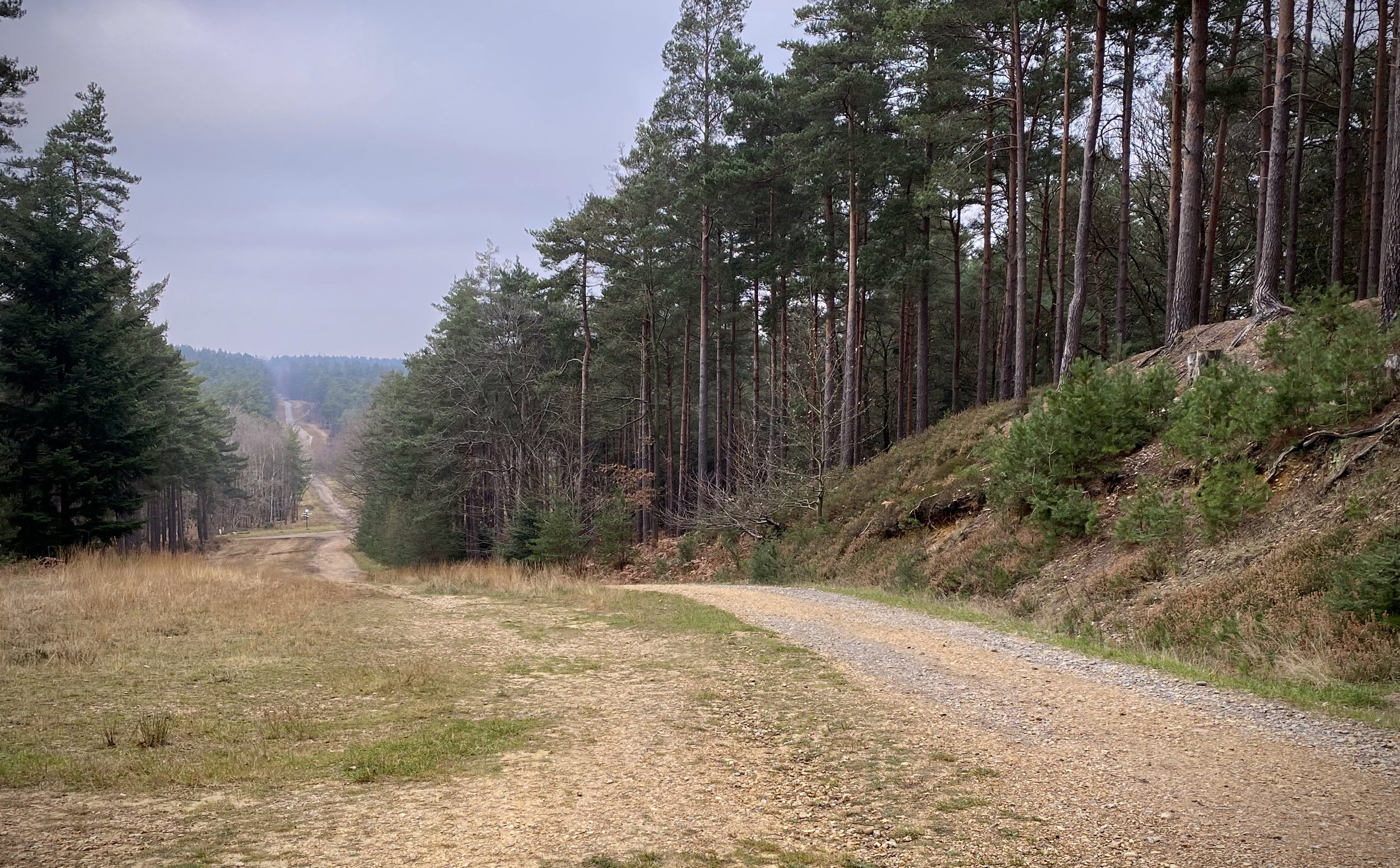
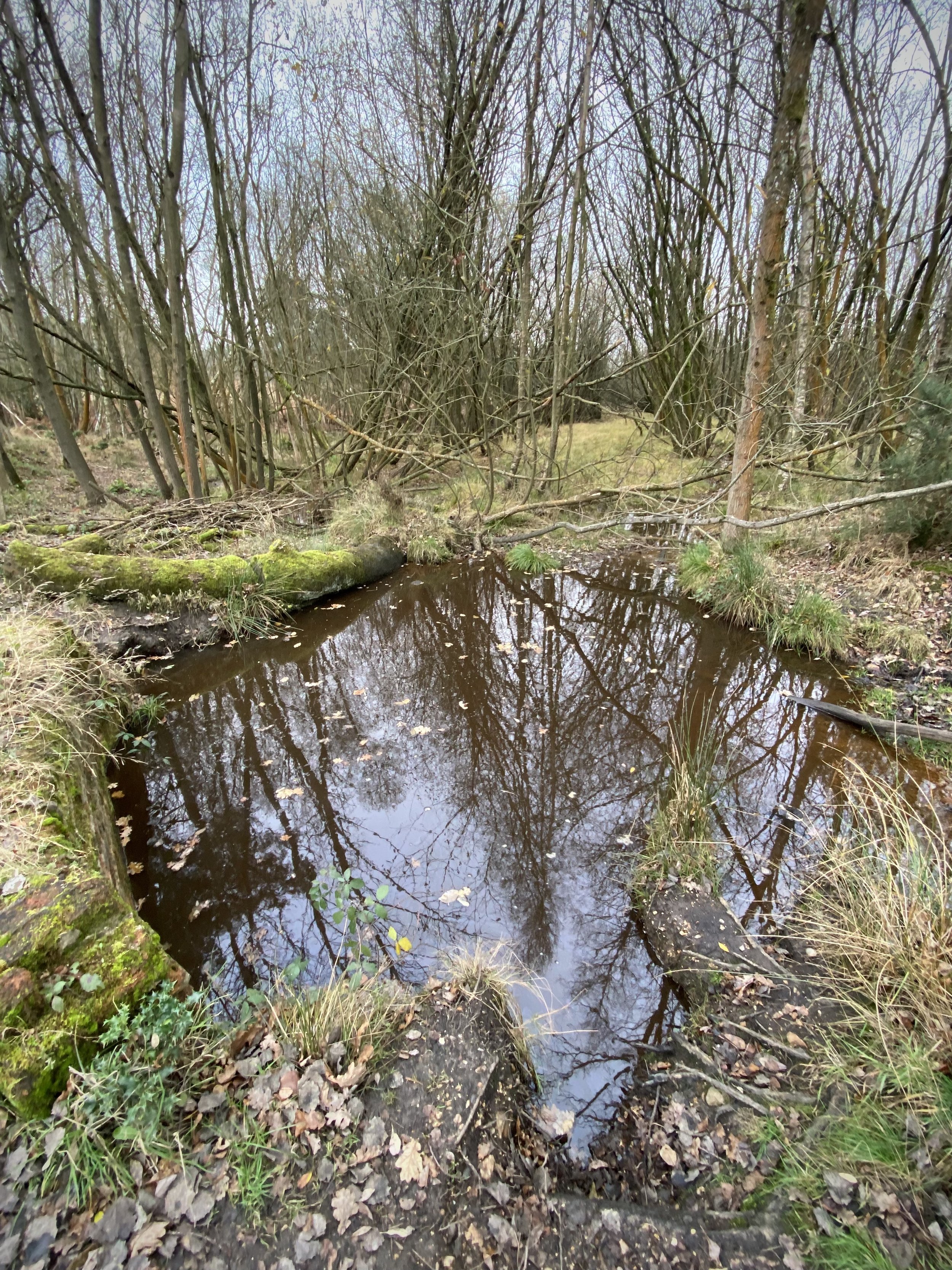
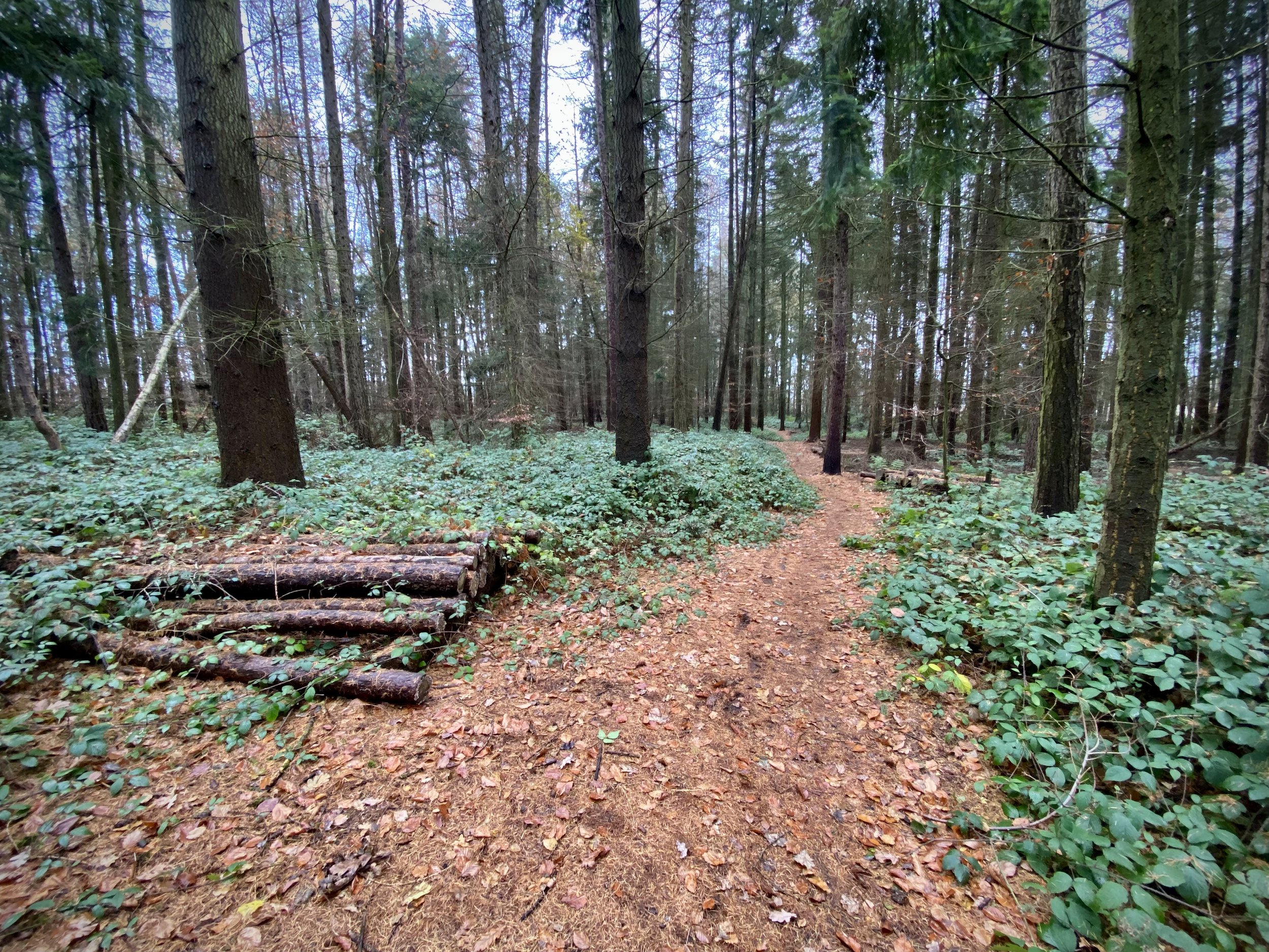
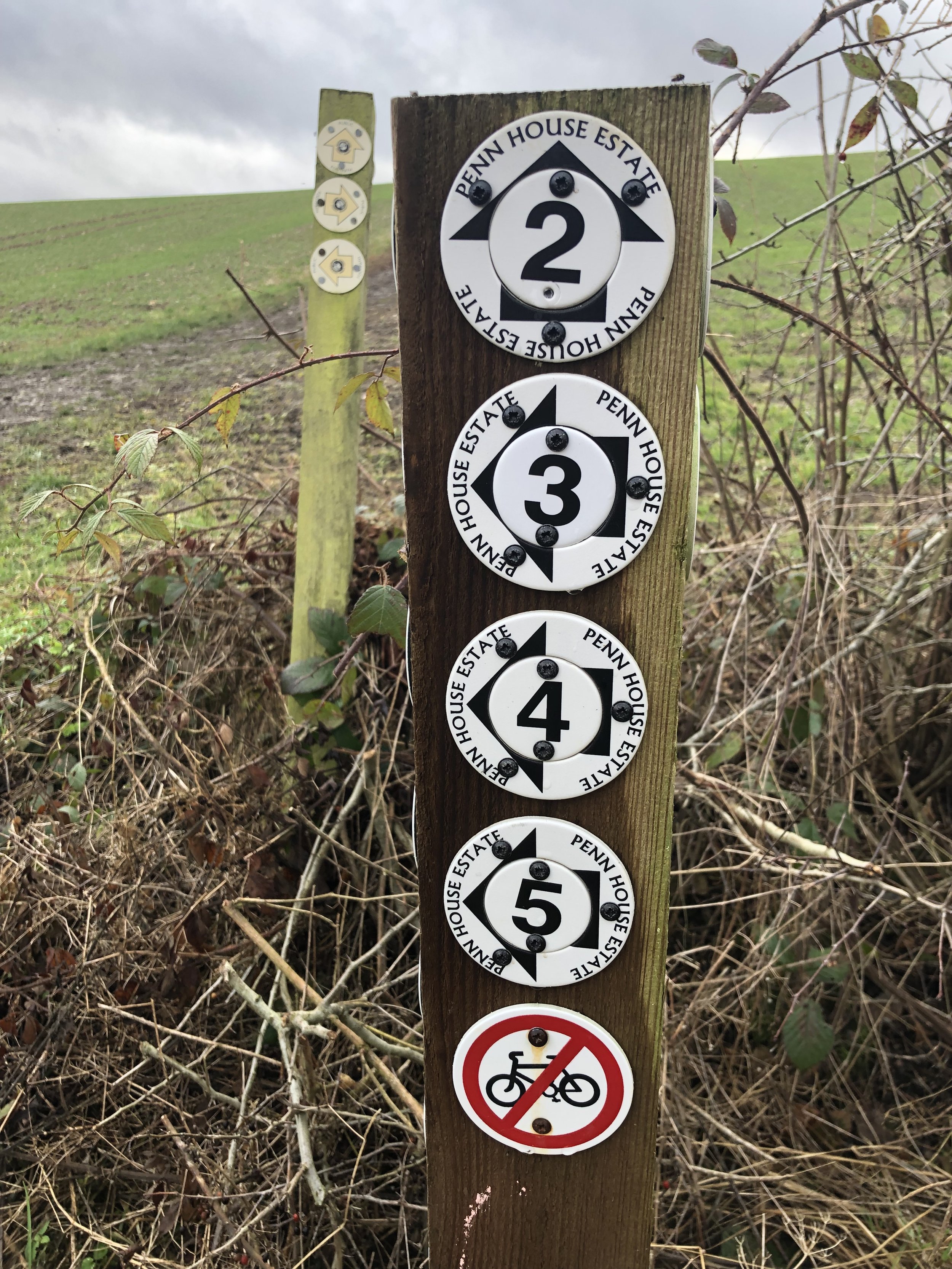
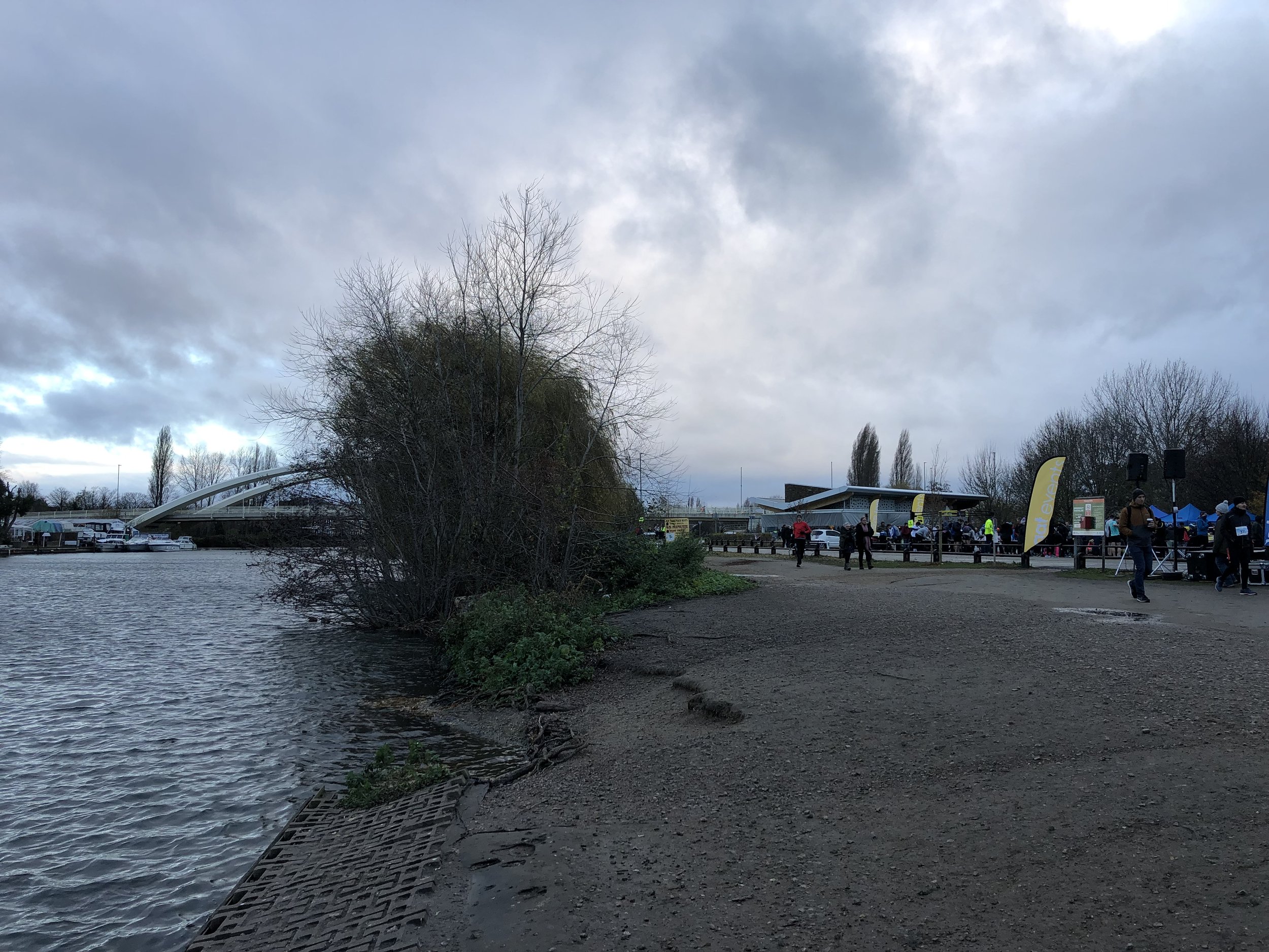
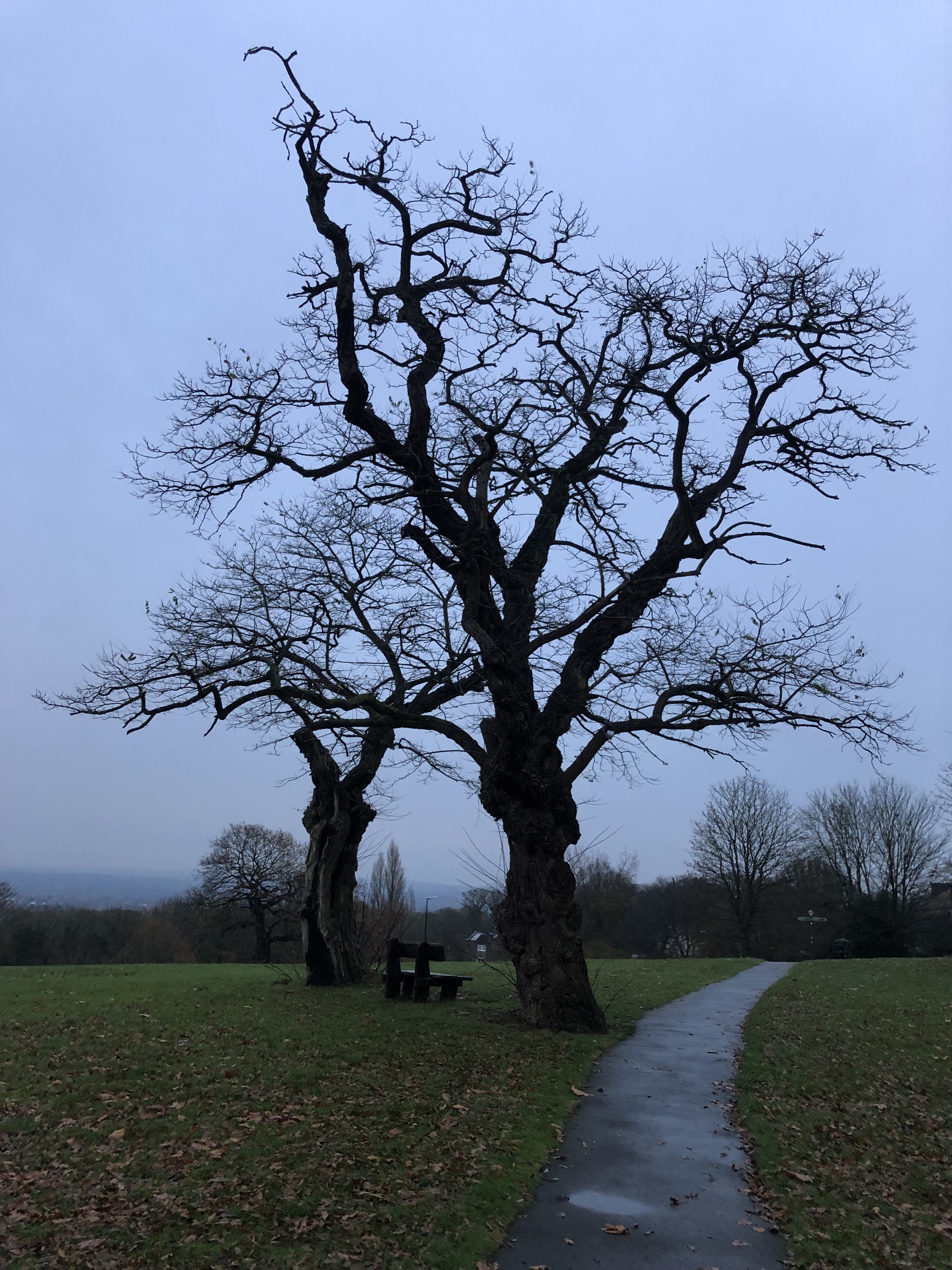
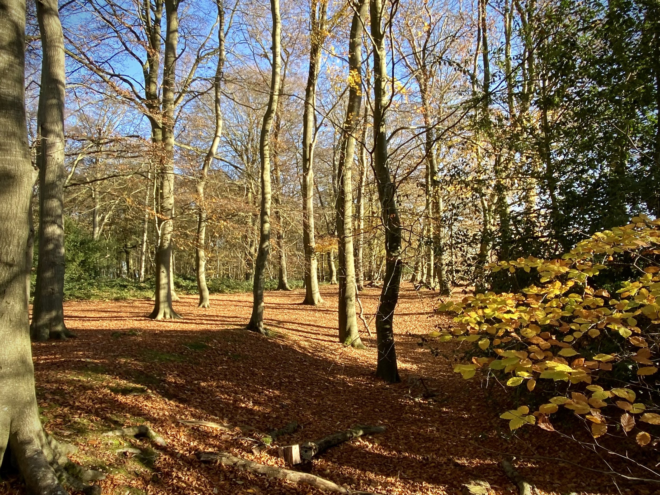
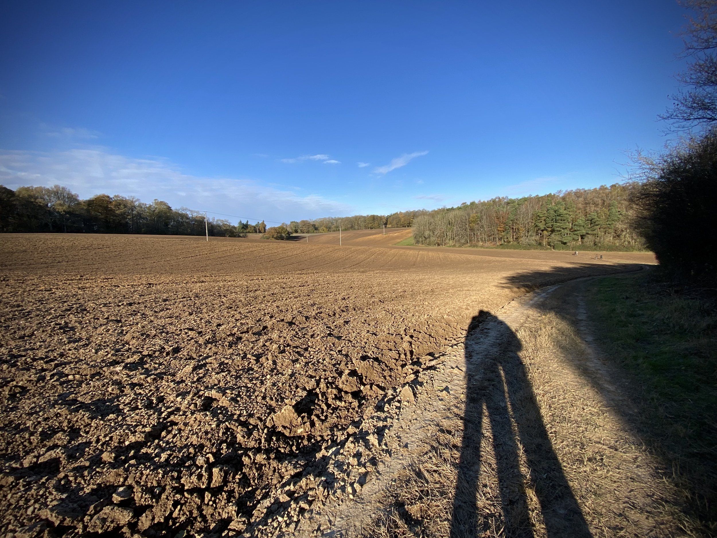
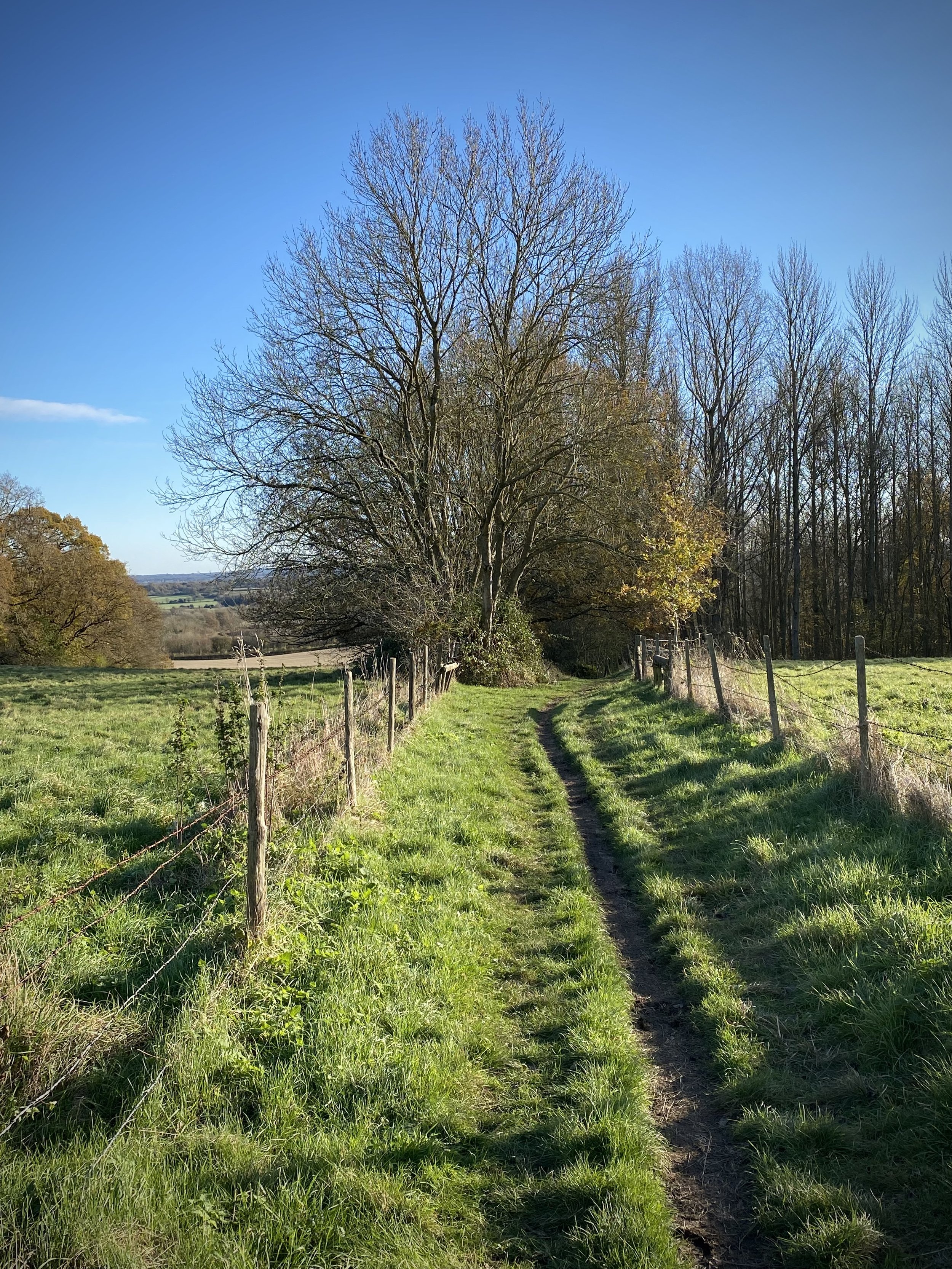
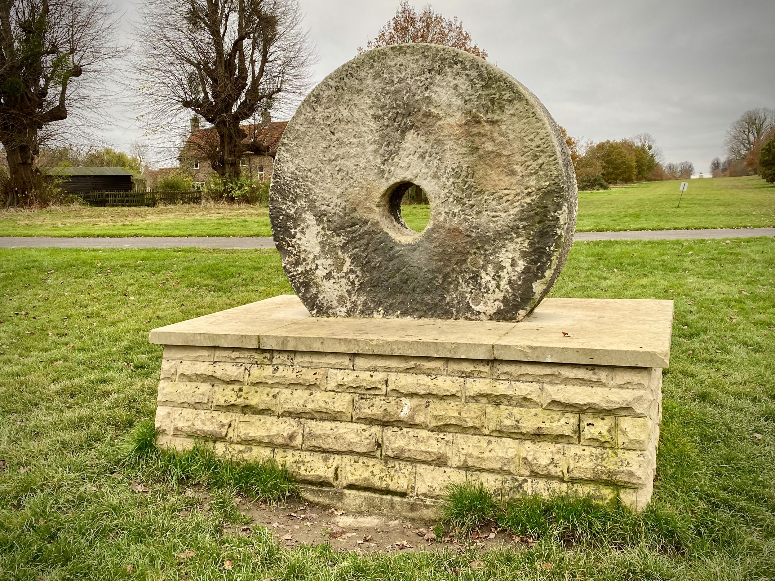
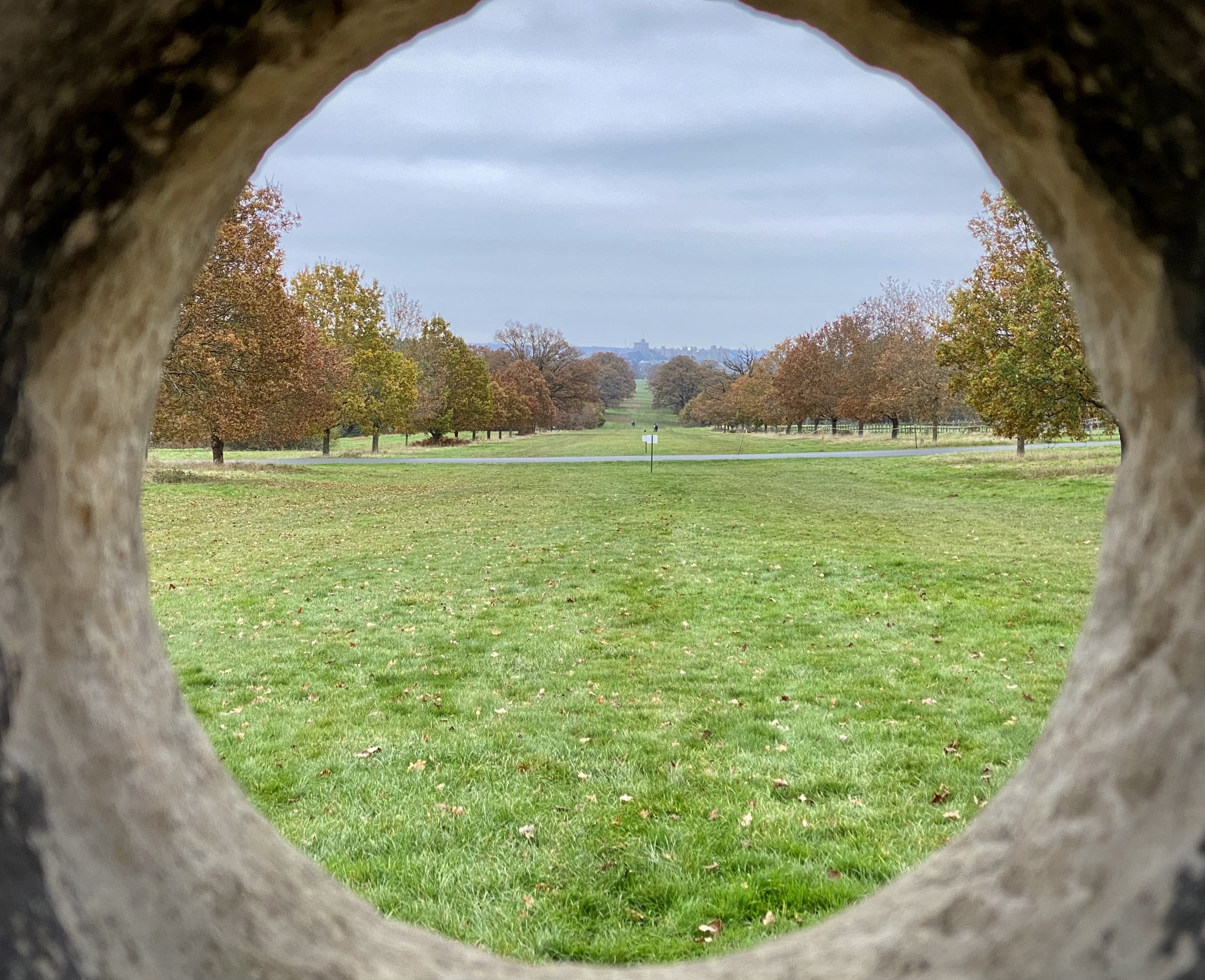
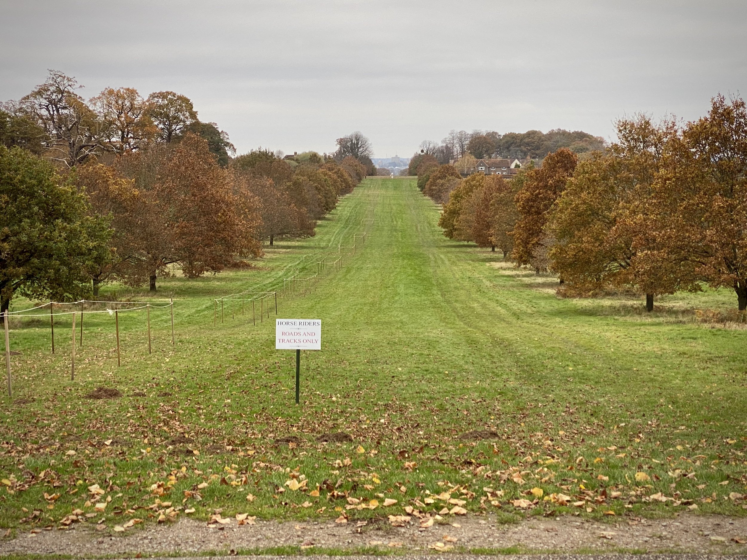
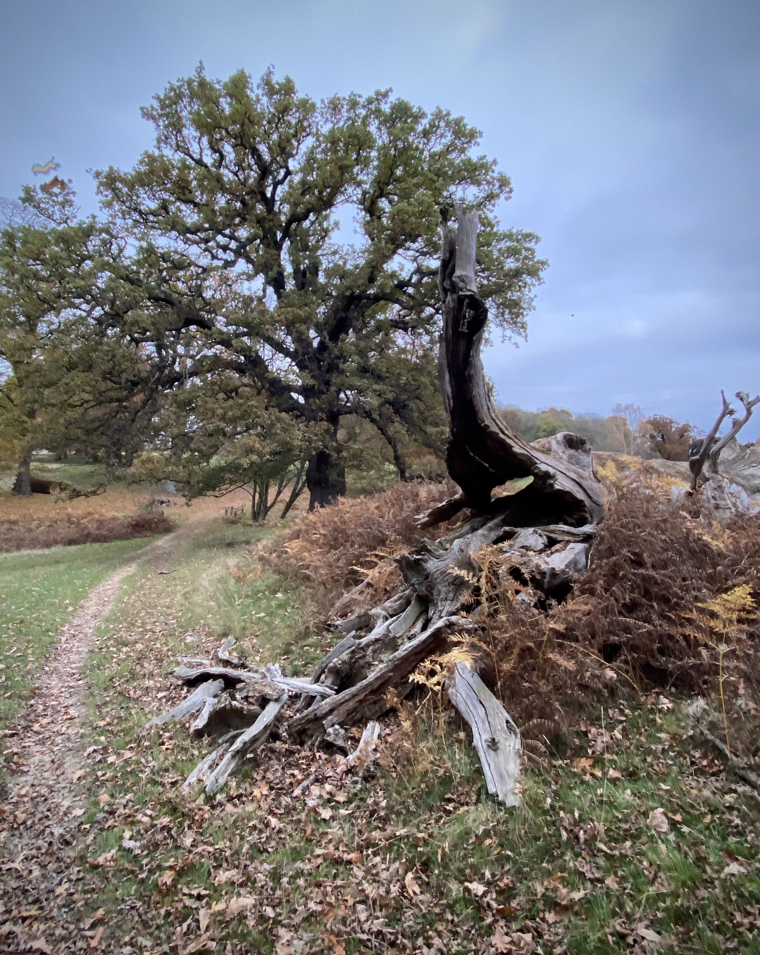
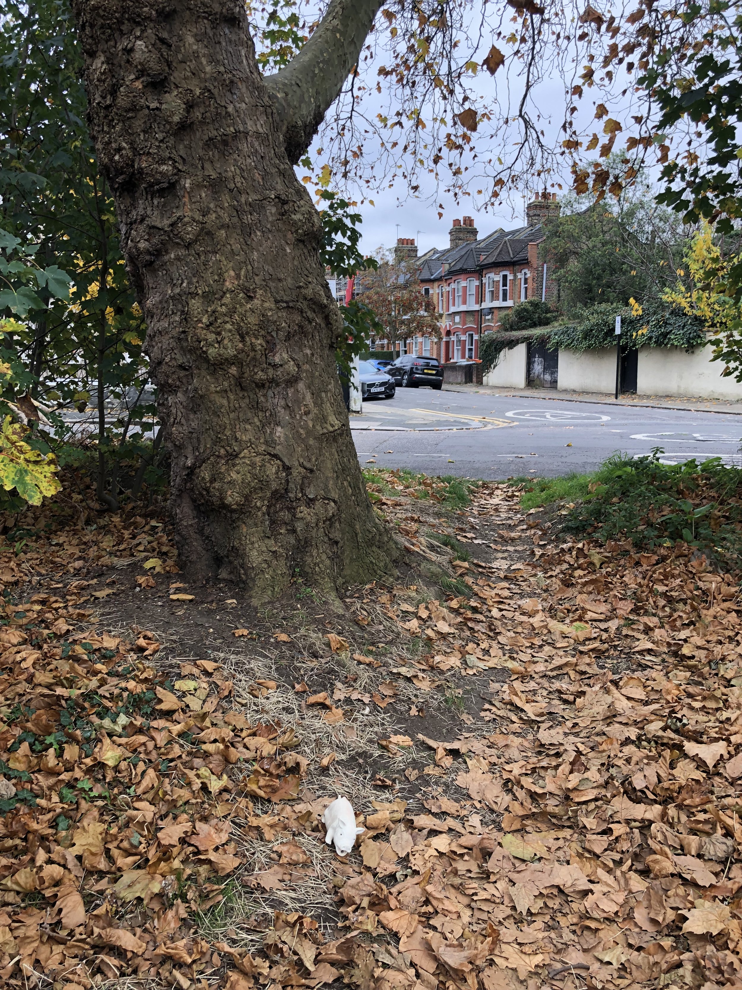
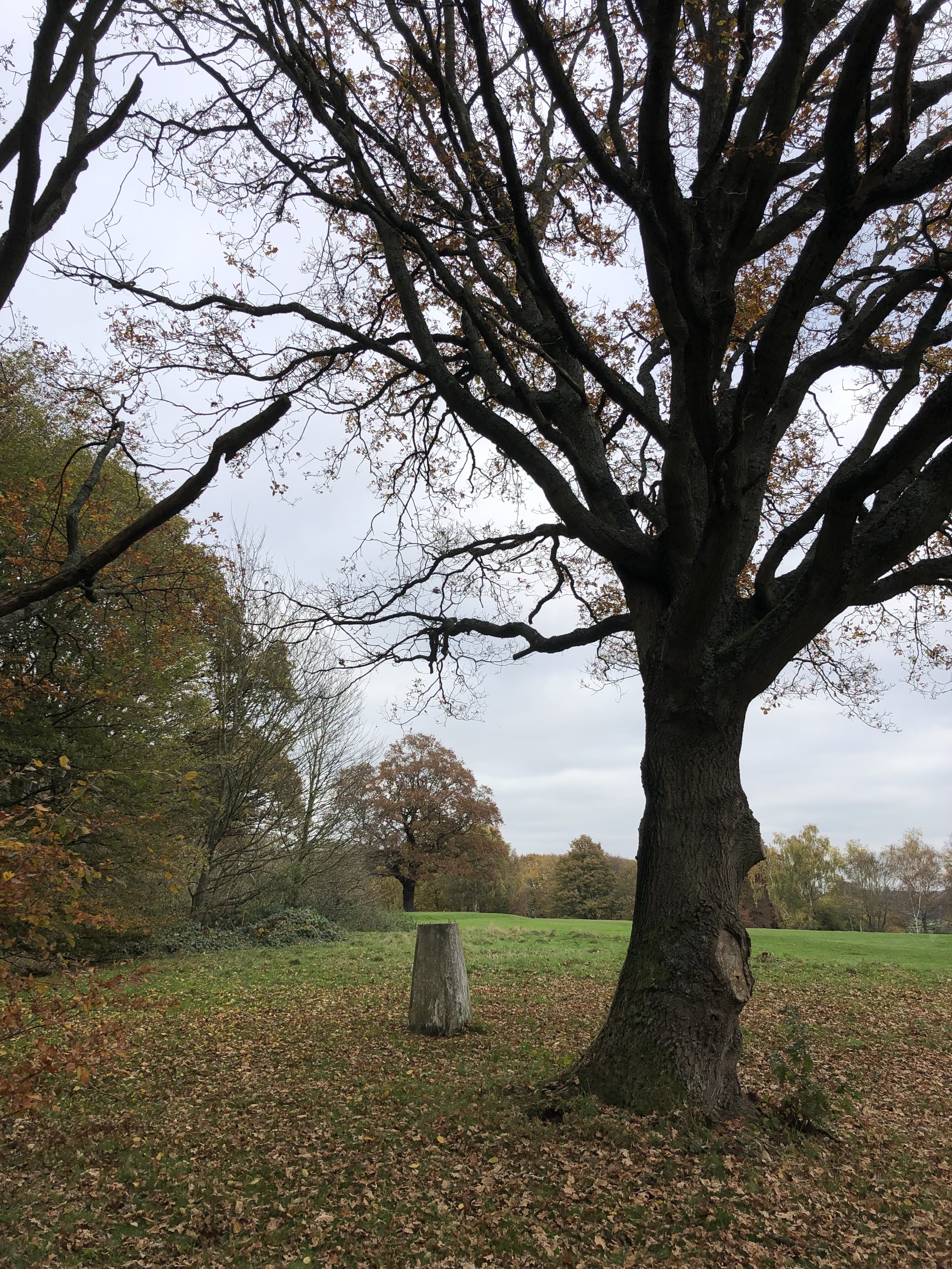
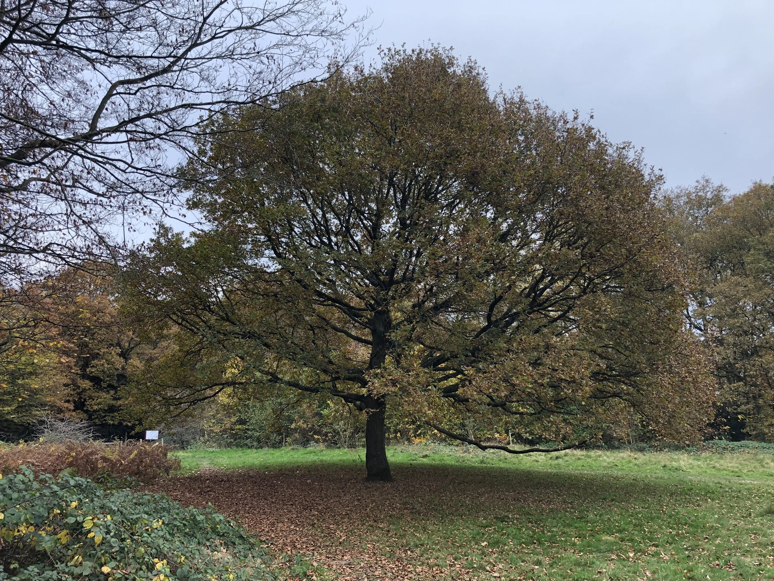
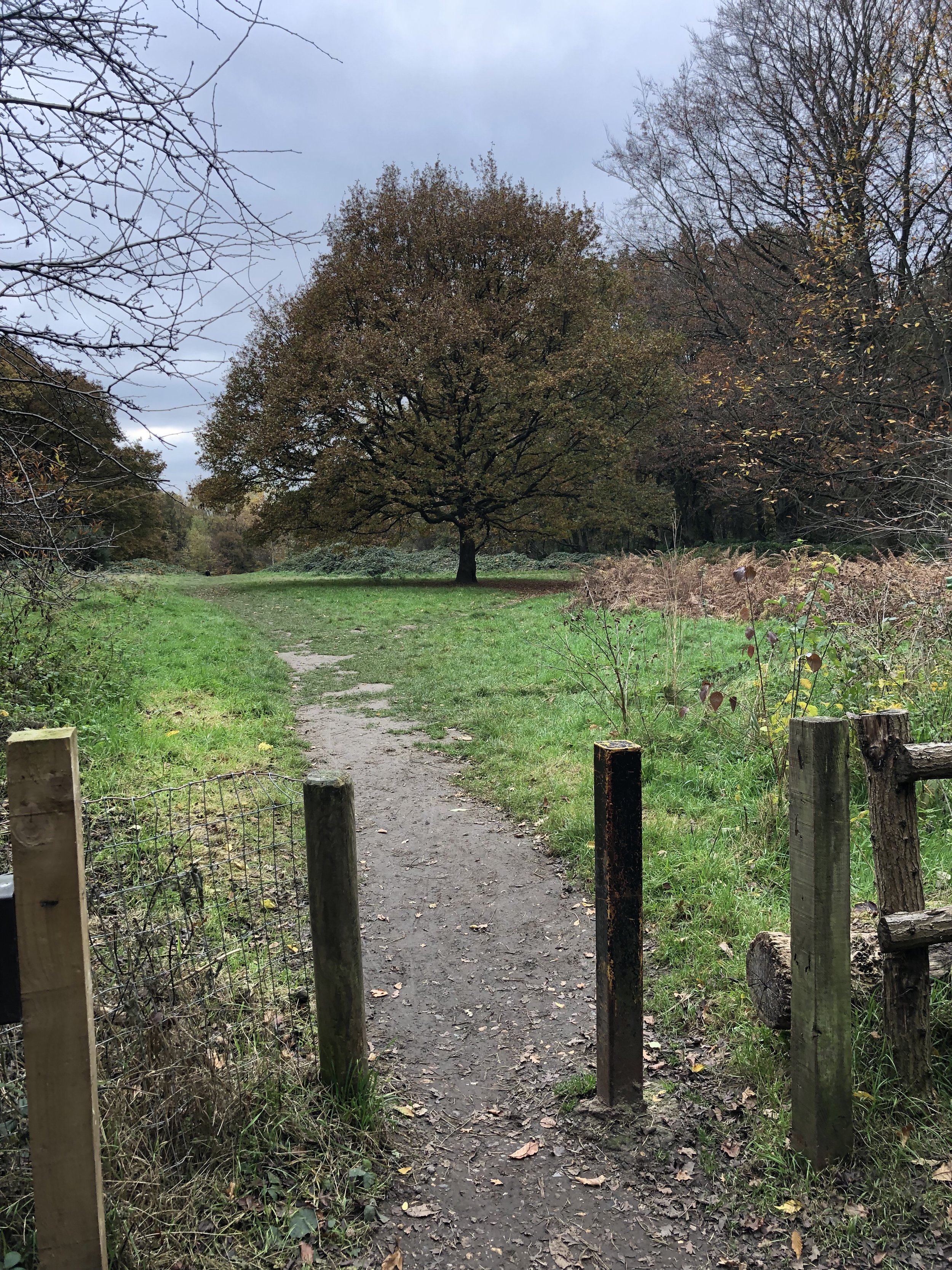
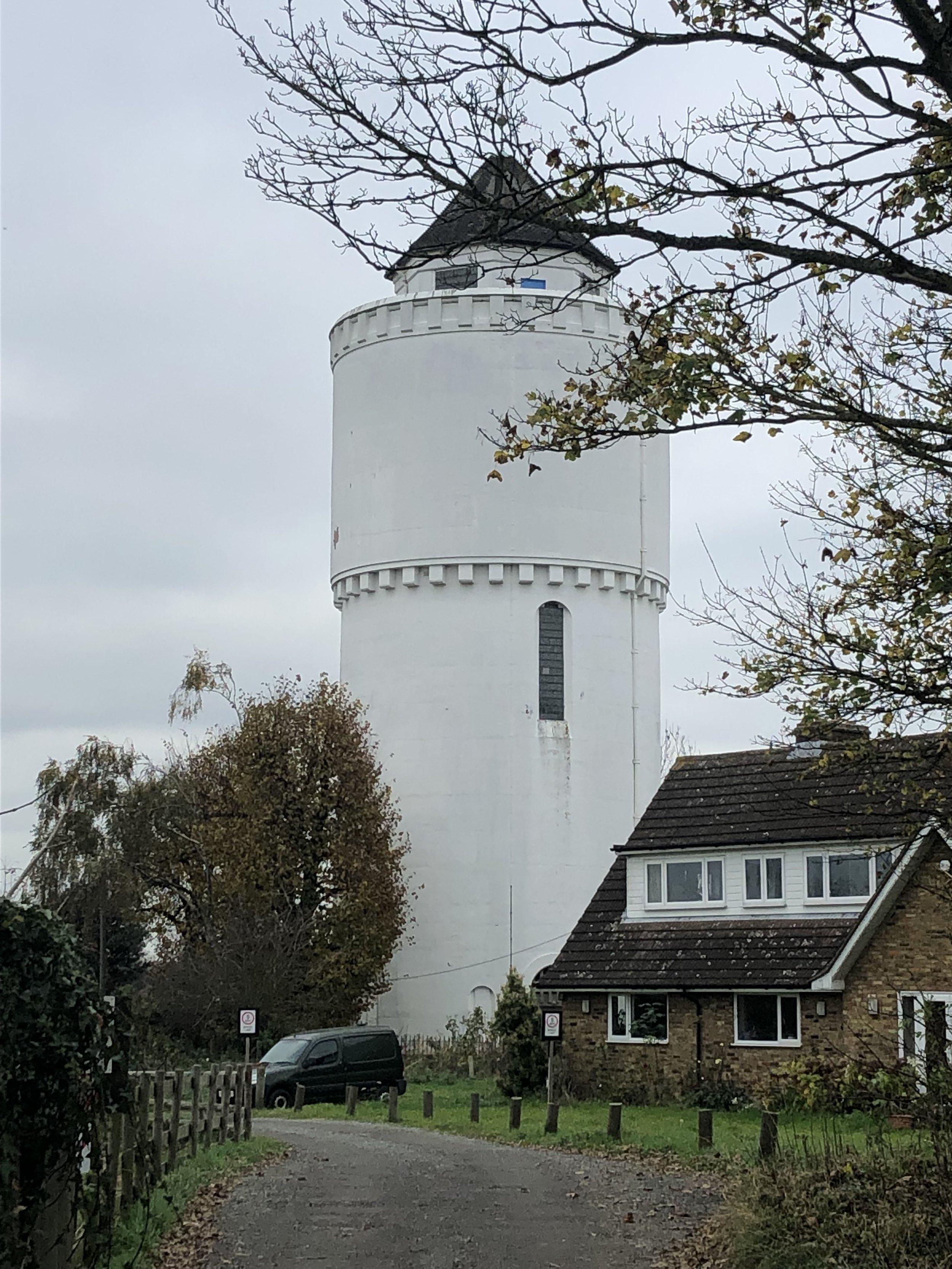
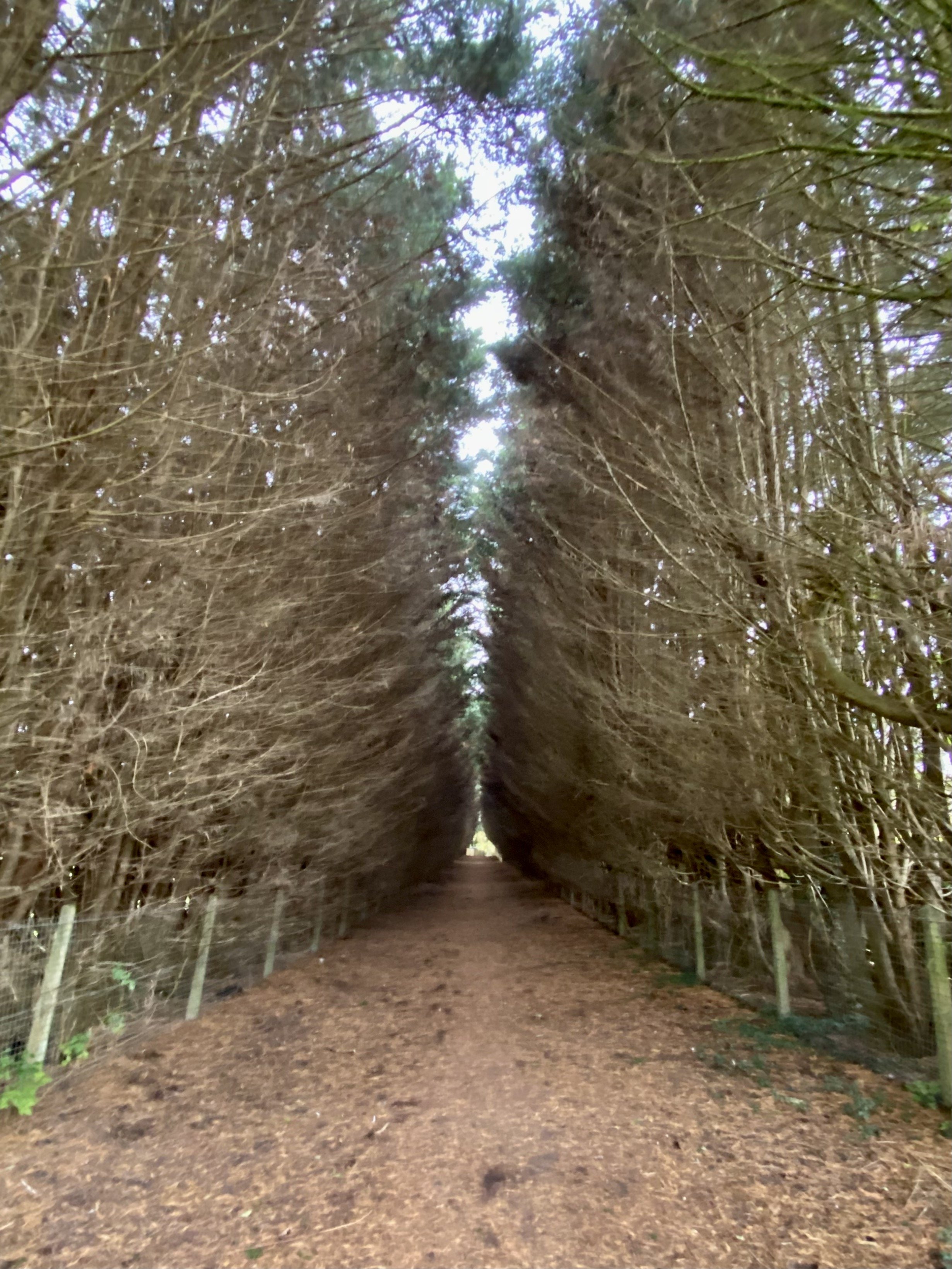
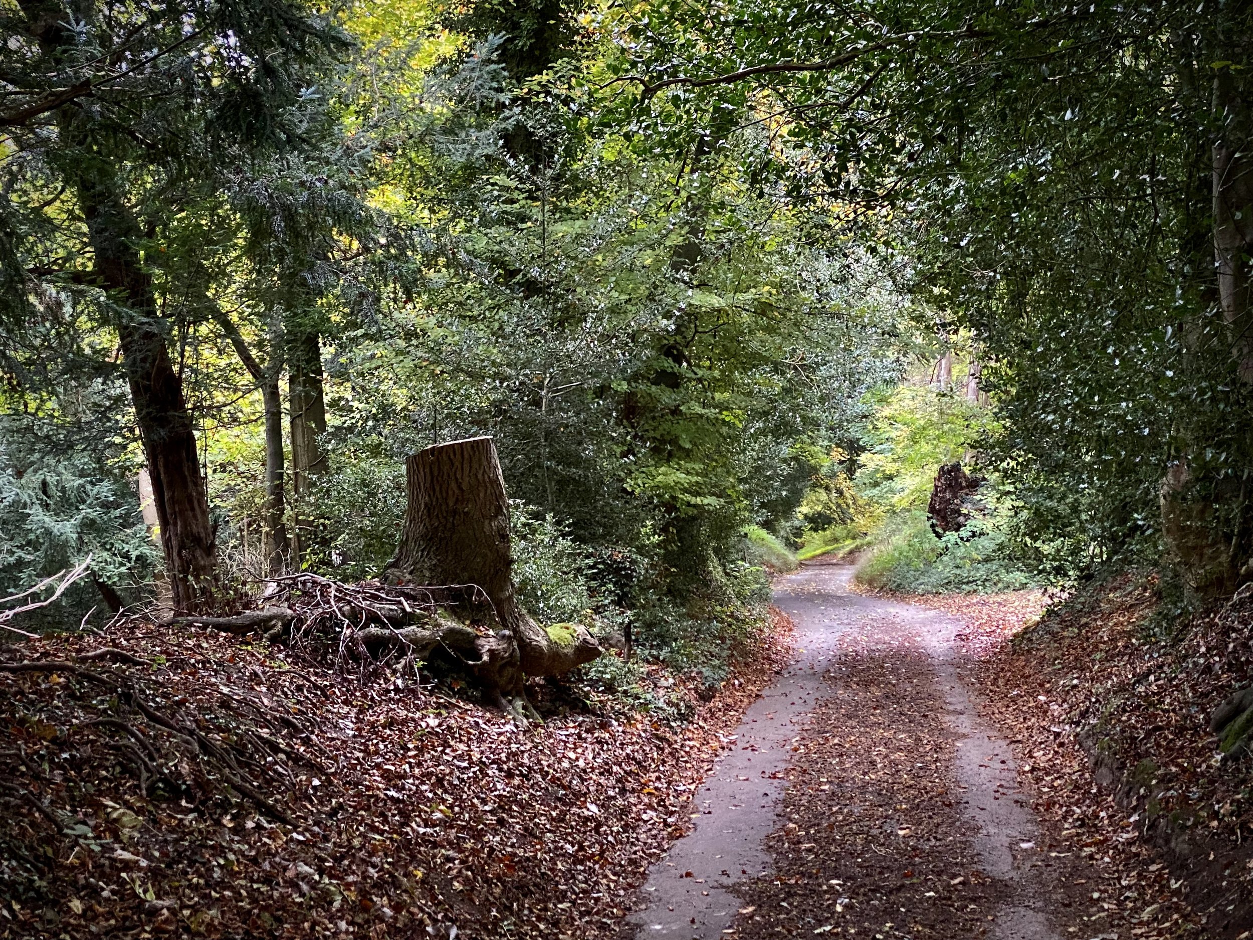
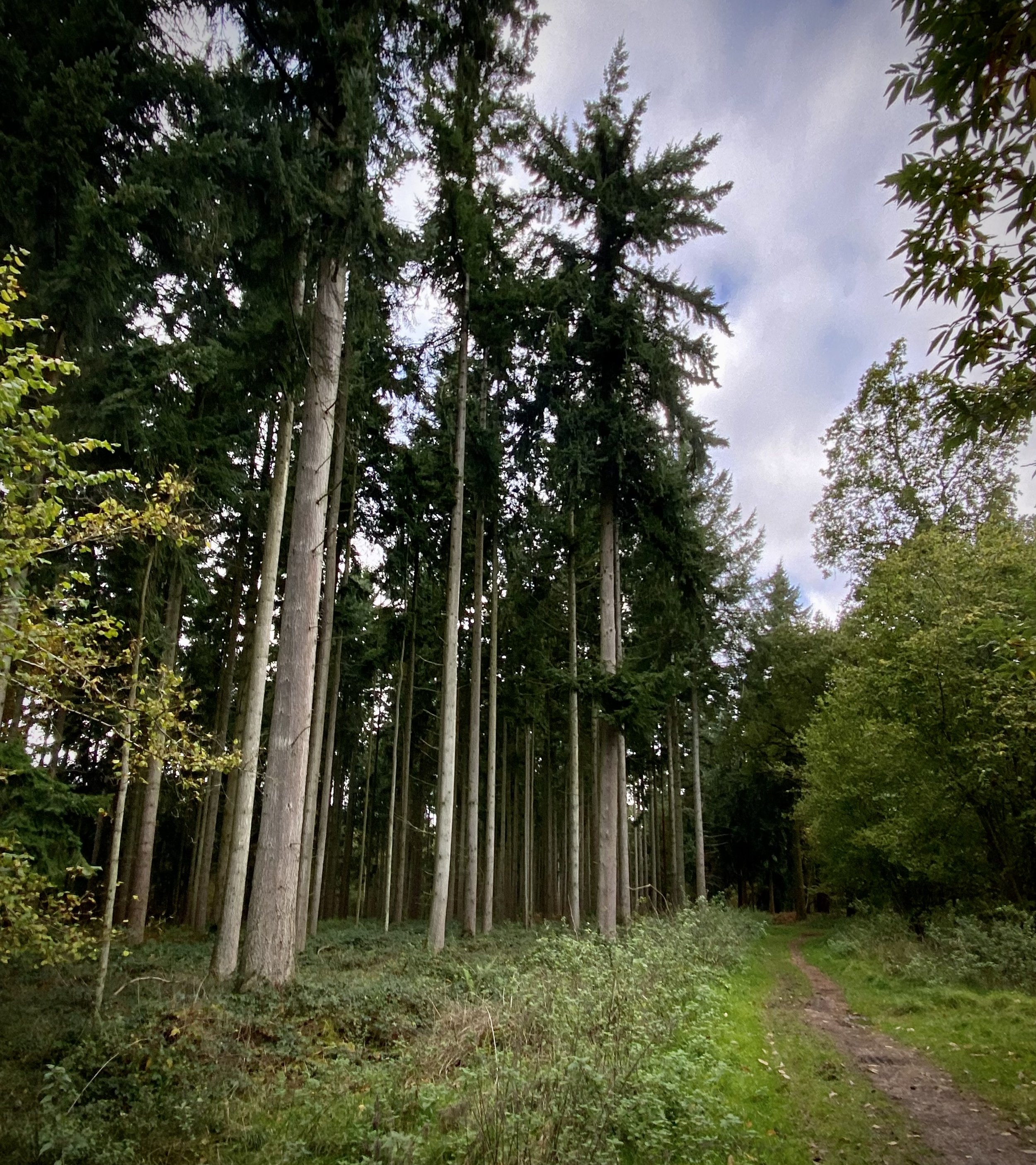
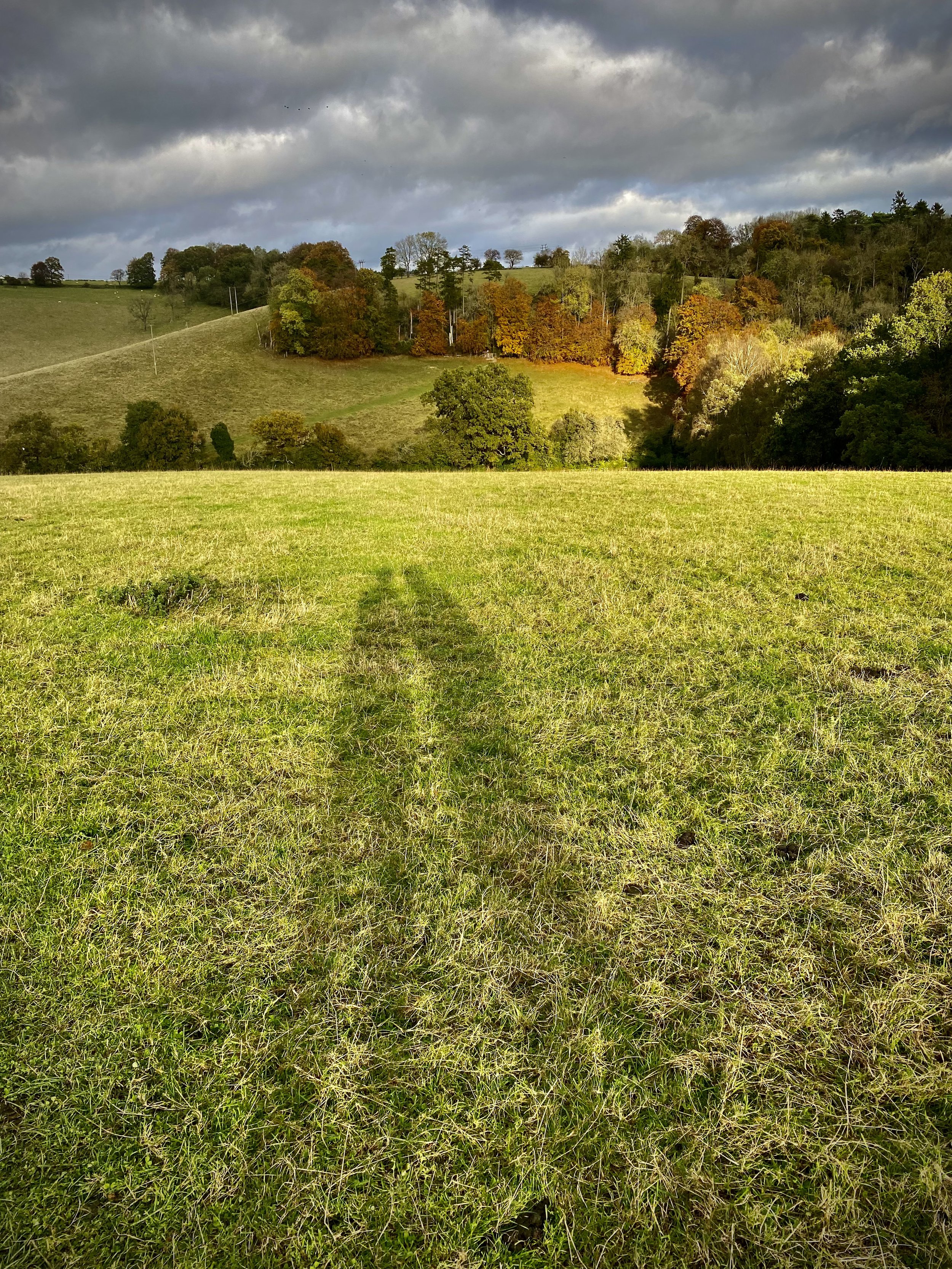
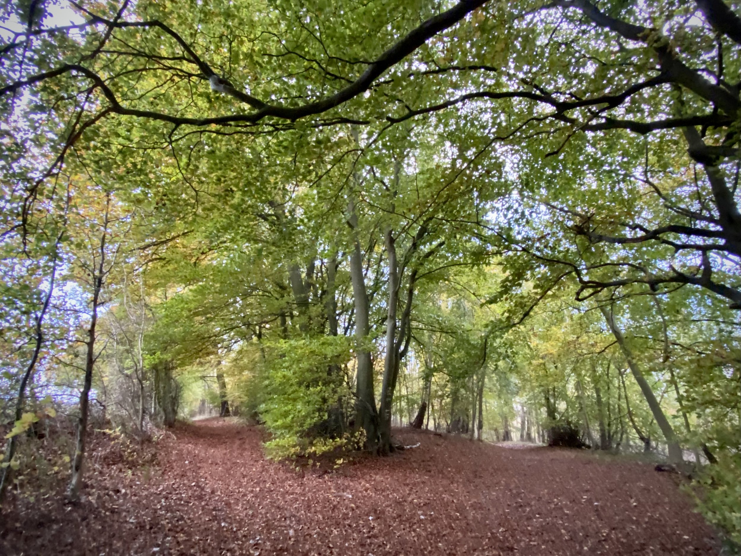
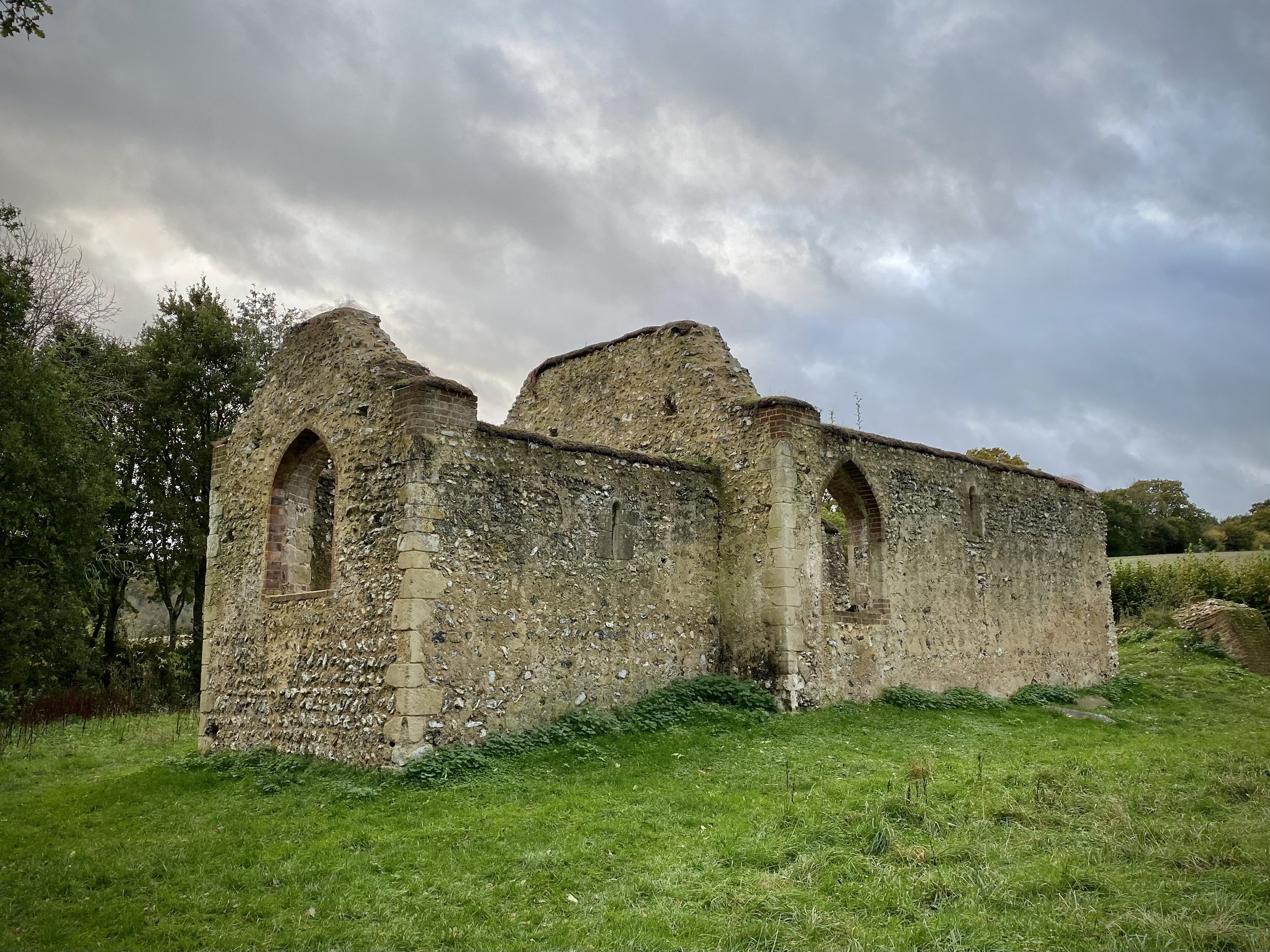
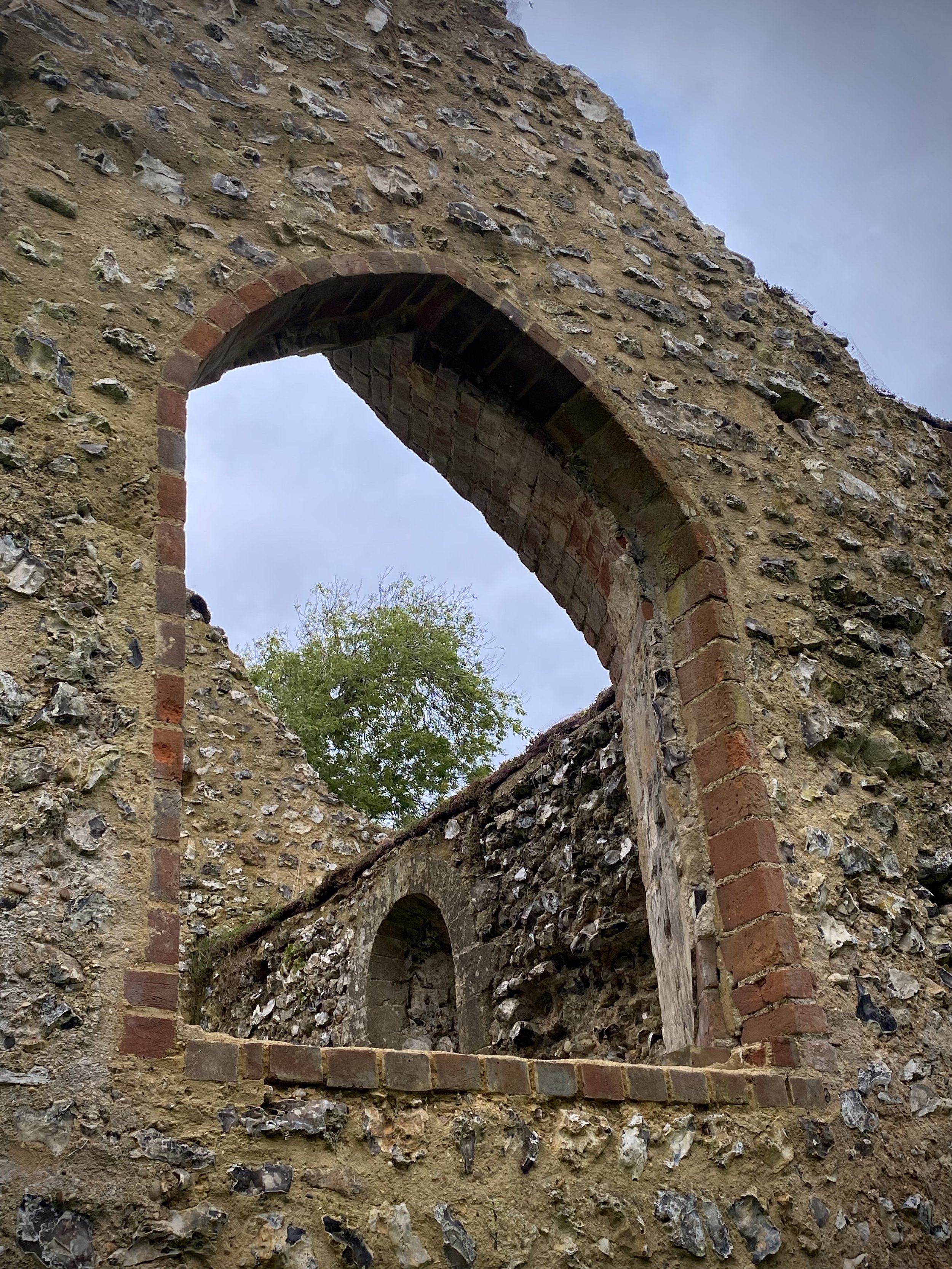
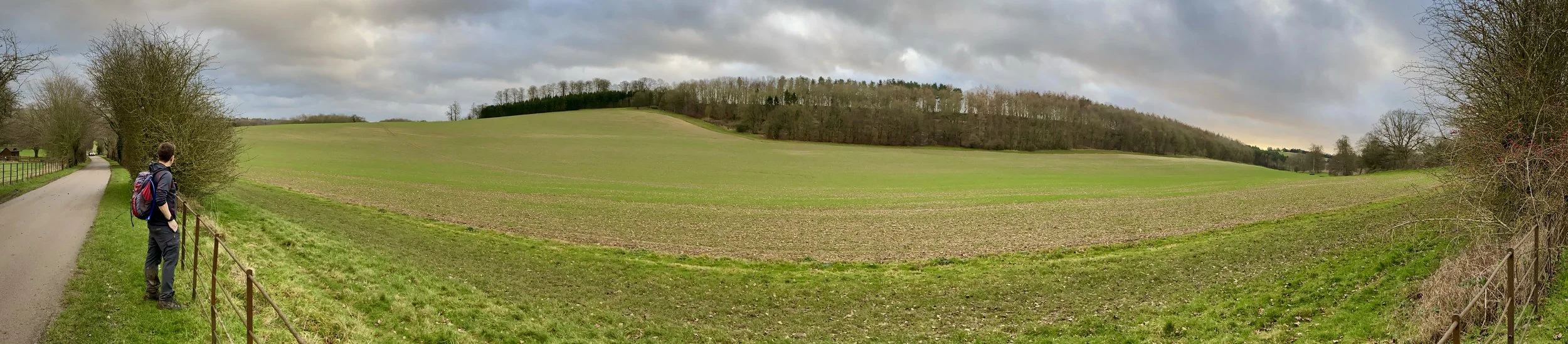
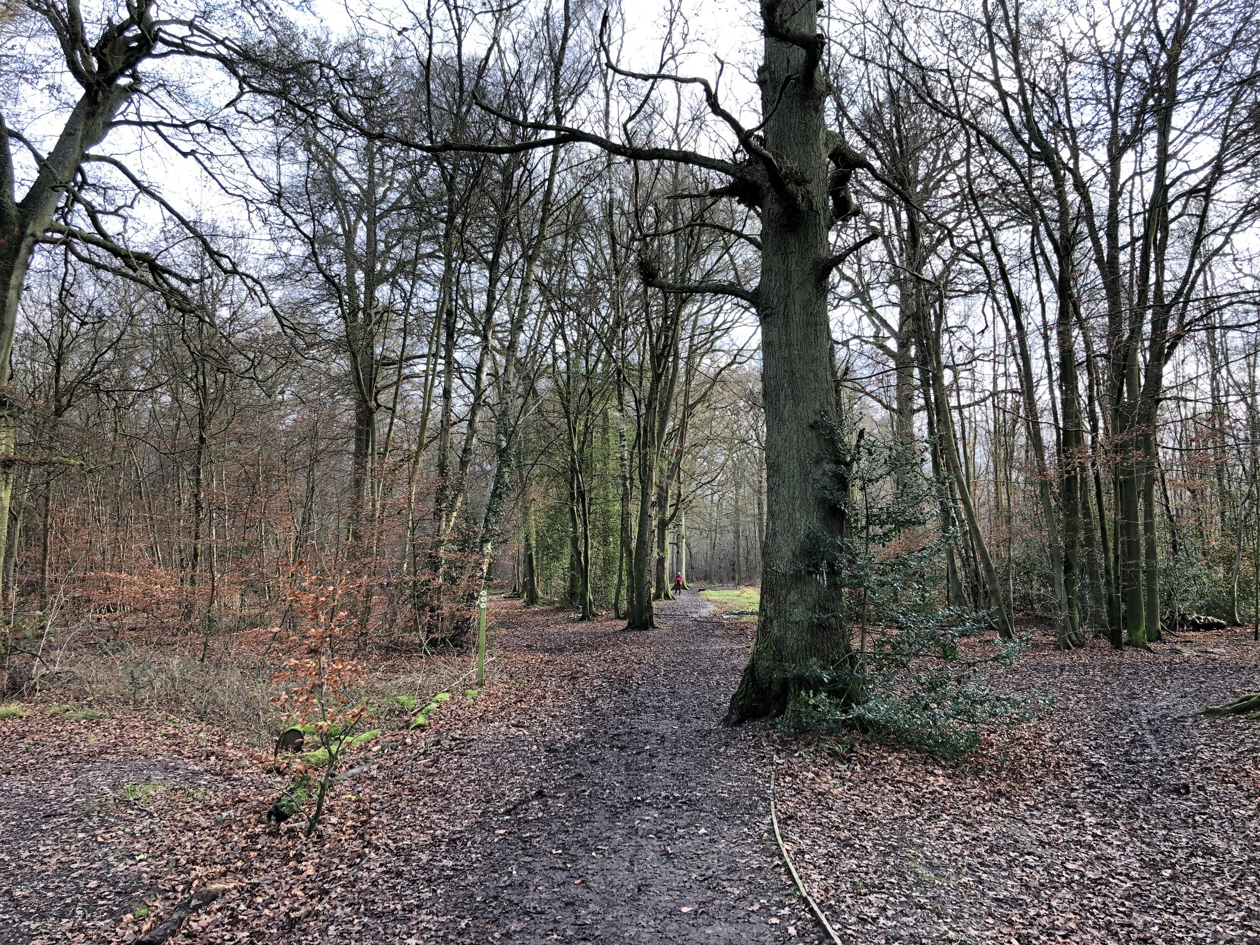
From The Plough you’ll keep to the right of the Common, following the Heritage Trail (not the Chiltern Way) in a north westerly direction until you reach Penn Street. Turn left onto Penn Street then find the entrance to Penn Wood opposite the Squirrel. Follow the Heritage Trail through Penn Wood to reach Amersham Road. Cross Over Amersham Road, briefly onto Sheepcote Dell Road then take a right onto Beamond End Lane. Take the first road on the right, follow it to the end and continue along the footpath. Halfway across the next field you’ll cross Toby’s Lane, a tree enclosed footpath. At this point the Chiltern Heritage Trail takes a left onto Toby’s Lane. Don’t take this left, instead leave the Heritage Trail and continue across the fields in a north-easterly direction. Cross over Mop End Lane and keep to the footpath to the north edge of The Rough Park woods. Continue for 2km through the Shardeloes estate and A413.

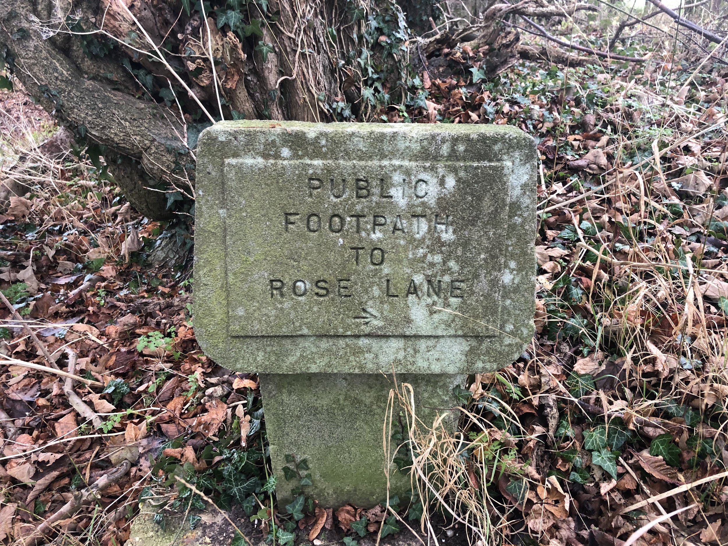
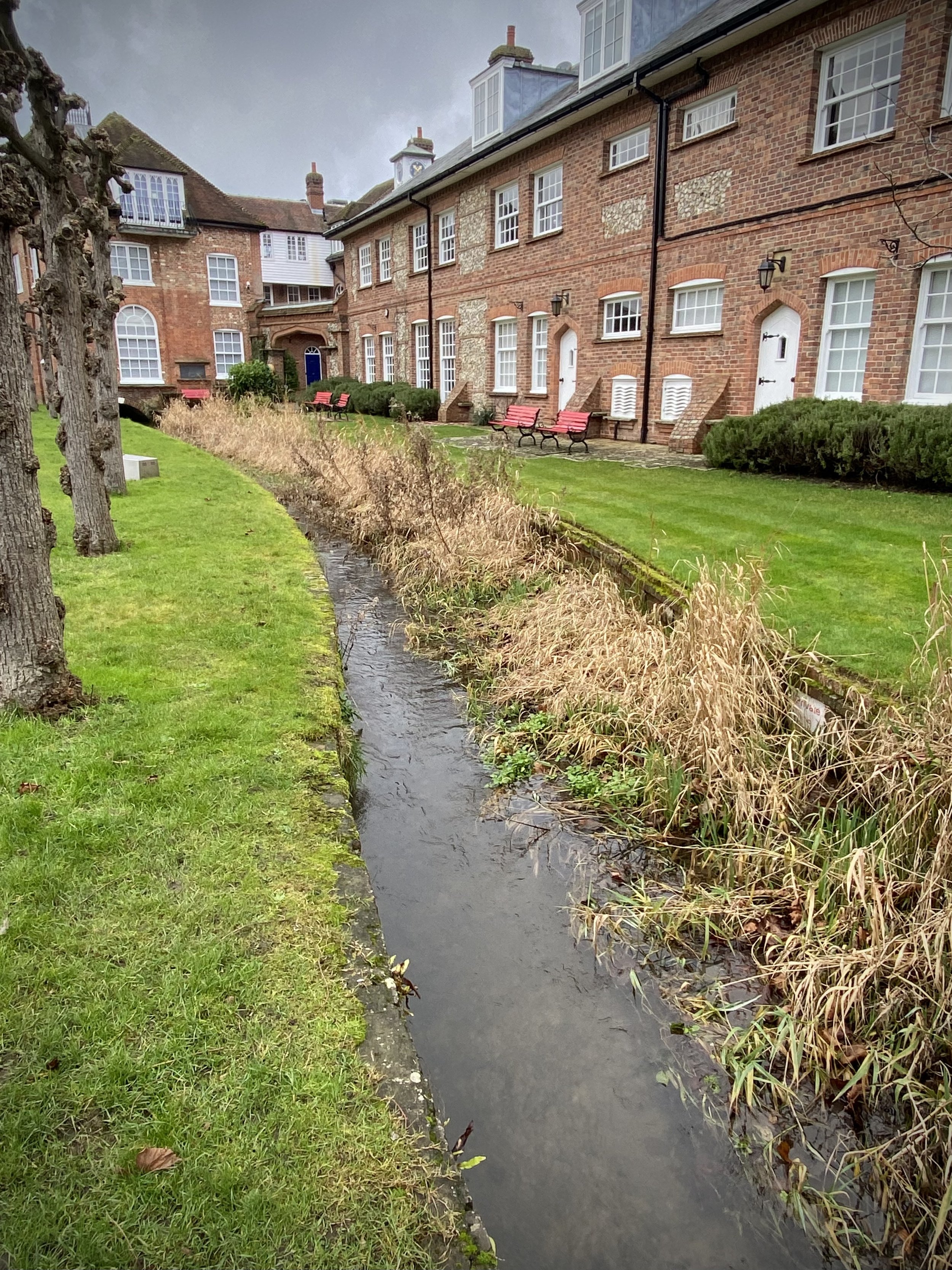
When you reach the A413 you’ll meet the River Misbourne and can cross under the main road next to the river. Follow the footpath onto Amersham High Street and back to the start at Market Square.


Walking the Oxfordshire Way Part 1: Henley, Middle Assendon and Lambridge Wood

Gate to the Culden Faw Estate on the Oxfordshire Way


Start & Finish: Henley Bridge, White Hill, Henley-on-Thames, RG9 3HG
Distance: 10.9 km (6.8 miles)
Elevation change: +/- 185m
GPX File: get via Buy Me a Coffee
Other routes touched (walk): Oxfordshire Way, Thames Path
Other routes touched (cycle): Chilterns Cycleway
Pubs / Cafes on route: Lots in Henley Town centre, plus The Rainbow Inn (4.7km in)
Map: Chiltern Hills West Map | Henley-on-Thames & Wallingford | Ordnance Survey | OS Explorer Map 171
Links: Henley-on-Thames, Middle Assendon, Bix, Nettlebed, Lambridge Wood


For our latest Chiltern Walk we returned to Henley to start the Oxfordshire Way. This is a 66 mile long-distance path connecting Bourton-on-the-Water in the Cotswolds with Henley-on-Thames. Our plan is to start with the Chilterns section, taking it on in short circular walks of around 10km. The guidance below will help you navigate but don’t use it as a fully accurate turn-by-turn guide. Always take a map and/or a GPX route and prepare well for the weather and terrain.

This first section starts at Henley Bridge, where the Oxfordshire Way meets the Thames Path. From here, walk up Hart Street in a westerly direction and turn right onto Bell Street. Continue along Bell Street until the mini-roundabout, crossing this onto Northfield End. After 300m, and 1km into the route, take the footpath on the right, following it diagonally up the hill to a wooded area.

Follow the Oxfordshire Way for 3.5km through the Culden Faw Estate and other farmland until you reach the B480 at Middle Assendon. Take a right onto the B480 and find the footpath to the left hand side of the Rainbow Inn pub. Here you’ll leave the Oxfordshire Way for this section. See the Middle Assendon, Bix and Crocker End Circular walk for the next section.

Follow the path from the Rainbow Inn in a westerly direction as it takes you onto White Lane and Rectory Lane along the edge of Bix Common Field. Cut across the Common to the Church of St James, Bix and take Rectory Lane south, carefully crossing over the busy A4130 to continue following the road past Bix Manor. Approximately 800m from the A4130 you’ll leave the road when it curves to the right and take the footpath into Lambridge Woods. Continue in a south-easterly direction through the woods and across Badgemore Park Golf Club to Lambridge Road. It’s easy to get lost in the maze of paths through Lambridge Woods so a GPX route is useful here.

When Lambridge Road takes a sharp turn to the right, take the left hand footpath leading to Crisp Road. From here there’s a few options to navigate through the houses to return to Hart Street and back to Henley Bridge. We took Crisp Road / Hop Gardens / Mount View then through the Waitrose Car Park.


Oxfordshire Way Next Section (north): Middle Assendon, Bix and Crocker End

Heston The Vale: Hounslow Borough High Point

Significance: Highest peak in London Borough of Hounslow
Member of: N/A
Parent Peak: Botley Hill. NHN = Richmond Park
Historic County: Middlesex (of which Bushey Heath is the County Top)
Elevation: 35m
Date “climbed”: 20th December 2021
Coordinates: 51° 29' 11'' N, 0° 23' 3'' W
Nearest Station: Hounslow West (Piccadilly Line): 1.7 miles
On route of:
N/A. The London Loop is 2.7 km to the south-west
Map: London South Map | Westminster, Greenwich, Croydon, Esher & Twickenham | Ordnance Survey | OS Explorer Map 161
Links: Wikipedia (Hounslow), Peakbagger, Hillbagging

For my Greater London High Point adventure I saved the closest, if not the best, for last. As the nearest to where I live I held this one back for a quick trip on a rainy day. That never really happened so I bagged it on the way back from Westerham Heights.

Not much to see here: it’s a quiet residential road parallel to the M4 and close to the service road to Heston Services. The high point appears to be near the junction with Meadow Way. It’s so flat though, it could be anywhere.


Westerham Heights: Bromley Borough High Point

Significance: Highest peak in London Borough of Bromley, Highest peak in Greater London (all 32 Boroughs)
Member of: N/A
Parent Peak: Botley Hill. NHN = Betsom’s Hill
Historic County: Kent (of which Betsom’s Hill is the County Top)
Elevation: 245m
Date “climbed”: 20th December 2021
Coordinates: 51° 17' 22'' N, 0° 3' 30'' E
Nearest Station: Oxted (Southern, Thameslink): 7.7 km
On route of:
None. North Downs Way is 0.8 km to the south-east
Map: Sevenoaks & Tonbridge Map | Royal Tunbridge Wells & Westerham | Ordnance Survey | OS Explorer Map 147
Links: Wikipedia (Bromley), Peakbagger, Hillbagging

Westerham Heights has been the highest natural point of Greater London since April 1st 1994. Prior to that the high point was on the northeastern slope of Botley Hill. A boundary change moved this point to Surrey where Leith Hill is higher.

Although I had already done Westerham Heights back in 2012, I had no memory of it at all. I had bagged it with a few friends while doing nearby Betsom’s Hill. My friend Mark’s log on Hillbagging even said I’d been there. I still couldn’t be sure though so I made a return trip on the way back to the M25 from Sydenham Hill.

The high point is on the main road opposite Westerham House. You can park in the lane next to the house but be careful crossing the road as it’s very busy. I overshot the turning and packed in the next lane. This is also where the 246 bus stops. For London’s highest point, it’s another disappointingly dull one and there’s no view.

My favourite (and only so far) fact about Westerham Heights is that the top of The Shard is now the highest point in Greater London (thanks to Kevin Hyam for sharing this with me). The Observation Deck at the Shard is at 244m, just 1m lower than Westerham Heights. The total height of The Shard, is 309.6m.


Sydenham Hill: Lewisham and Southwark Boroughs High Point

Significance: Highest peak in the London Boroughs of Lewisham and Southwark
Member of: N/A
Parent Peak: Botley Hill. NHN = Sanderstead Plantation
Historic County: Border of Surrey and Kent
Elevation: 112m
Date “climbed”: 20th December 2021
Coordinates: 51° 25' 57'' N, 0° 4' 20'' W
Nearest Station: Sydenham Hill (Southeastern): 0.8 km
On route of:
Green Chain Walk
Map: London South Map | Westminster, Greenwich, Croydon, Esher & Twickenham | Ordnance Survey | OS Explorer Map 161
Links: Wikipedia (Lewisham), Wikipedia (Southwark), Peakbagger, Hillbagging


After Westow Hill, the Lambeth high point, it’s just 1.5 km up the Lewisham/Southwark border to get to the high point of both boroughs. Several Hillbagging logs count the Green Chain Walk sign at the junction of Sydenham Hill and Crescent Road as the high point. We also found a white engraved stone on the opposite side of Sydenham Hill (road) that may also be a clue. Most of the writing had eroded away but we could make out the word “point” near the base.

There's some argument over the name of this hill. One origin story has Sydenham taking its name from the Anglo-Saxon word Cippas, to mean 'drunkard's settlement' — somewhat aptly given the number of excellent pubs round the corner in Crystal Palace. Alternatively, if less evocatively, it may derive from the medieval term 'syp', meaning sheep. Others think it simply comes from a personal name, such as Cippa. Source: How London’s Hills Got Their Names).


Walk from Sydenham Hill Station to Sydenham Hill Summit

If you’re arriving by train to Sydenham Hill station, the best way to walk to the high point is via Sydenham Hill Wood and the old railway trackbed. This is the old route of the Crystal Palace and South London Junction Railway. When you reach Crescent Wood tunnel take the right hand path to Crescent Road. Take a right on the road and follow it south to the high point at the junction with Sydenham Hill.

Start: Sydenham Hill Station, London SE21 7ND
Finish
: Sydenham Hill High Point, 51° 25' 57'' N, 0° 4' 20'' W
Distance: 575m (0.4 miles)
Elevation change: +44m
GPX File: get via Buy Me a Coffee
Other routes touched (walk): Green Chain Walk
Other routes touched (cycle): None
Links: Sydenham Hill Wood, Crystal Palace and South London Junction Railway


Westow Hill: Lambeth Borough High Point

Significance: Highest peak in London Borough of Lambeth
Member of: N/A
Parent Peak: Botley Hill. NHN = Sydenham Hill
Historic County: Surrey and Kent
Elevation: 110m
Date “climbed”: 20th December 2021
Coordinates: 51° 25' 12'' N, 0° 4' 43'' W
Nearest Station: Crystal Palace (Southern, Overground): 0.5 km
On route of:
N/A. Green Chain Walk is 0.4 km to the east
Map: London South Map | Westminster, Greenwich, Croydon, Esher & Twickenham | Ordnance Survey | OS Explorer Map 161
Links: Wikipedia (Lambeth), Peakbagger, Hillbagging

The Westow Hill roundabout sits at the tri-point of the London Boroughs of Lambeth, Croydon and Bromley. It’s also on the border of the Historic Counties of Surrey and Kent. The Hillbagging logs claim different spots on the roundabout as the high point so I did a full circuit to make sure.

Just round the corner at the junction of Crystal Palace Road and Farquhar Road you’ll find another tri-point. This one is the intersection of Southwark, Lewisham and Lambeth.

It’s a 1.5 km walk north up Crystal Palace Parade then Sydenham Hill (road) to get to the next high point, Sydenham Hill. This follows the Southwark/Lewisham border to the high point of both.


Sanderstead Plantation: Croydon Borough High Point

Significance: Highest peak in London Borough of Croydon
Member of: N/A
Parent Peak: Botley Hill. NHN = Botley Hill
Historic County: Surrey (of which Leith Hill is the County Top)
Elevation: 175m
Date “climbed”: 20th December 2021
Coordinates: 51° 20' 23'' N, 0° 4' 24'' W
Nearest Station: Sanderstead (Southern, Thameslink): 2.3 km
On route of:
N/A. London Loop is 1 mile to the north-east
Map: London South Map | Westminster, Greenwich, Croydon, Esher & Twickenham | Ordnance Survey | OS Explorer Map 161
Links: Wikipedia (Croydon), Peakbagger, Hillbagging

Although Sanderstead Plantation is only the second highest peak in London, it beats Westerham Heights for enjoyment. This is a proper hill with a walk through the woods to get there. It also has a handy sign at the top to tell you that you’ve made it. There’s a short footpath to the top from Church Way where there’s also free on-street parking.

The Selsdon Park Trig Pillar (TP5873 - Selsdon Park) is only 500m away to the east. It’s on private ground though and recent logs suggest it’s inaccessible and hard to see from the path. I gave it a miss and decided to drive to Pollard’s Hill. The Trig Pillar (TP5488 - Pollards Hill) there is in a public park with views over the beautiful Croydon skyline.


Aston and Crazies Hill Circular Walk

Thames Path at Culden Faw


Start & Finish: The Flower Pot Hotel, Aston, Henley-on-Thames, RG9 3DG
Distance: 12.4 km (7.7 miles)
Elevation change: +/- 116m
GPX File: get via Buy Me a Coffee
Other routes touched (walk): Thames Path, Wokingham Way, The Chiltern Way Berkshire Loop
Other routes touched (cycle): Round Berkshire Cycle Route, NCN 4
Other Pubs / Cafes on route: None
Map: OS Explorer Map (171) Chiltern Hills West, Henley-on-Thames and Wallingford
Links: Aston, Culden Faw, Crazies Hill


For our final Thames Path walk of the year we returned to the Flower Pot Hotel in Aston. From the pub follow the Thames Path south for 100m along Aston Lane, then take the path on the left to cross the Culden Faw Estate. This is a big landowner in the Henley area and you’ll be on the Thames Path through the estate for 3 km. When you reach Frogmill, take a right, leaving the Thames Path and follow Black Boy Lane south to the Black Boy Pub on the A4130.

Carefully cross the A4130 and take the footpath, still on the Wokingham Way up the hill for 1.5 km. When you see an old stone sign saying “public footpath to Rose Lane”, take a right following the direction of the sign. Continue along this path, past the farm to Rose Lane. Take a left onto Rose Lane, cross over Warren Row Road at the junction and over Hatch Gate Lane at the next junction. Approximately 200 metres along Highfield Lane take the first path on the right along the edge of a horse field. You’re now on the Chiltern Way Berkshire Loop which you’ll follow through Crazies Hill, Cockpole Green, Culham, over the A4130 and back into the Culham Faw Estate. When the Chiltern Way Berkshire loop meets the Thames Path again, take a left and retrace your original steps back to the Flower Pot.


Swinley Forest Pudding Hill and Surrey Hill Circular Walk

Path junction in Swinley Forest


Start & Finish: The Look Out Discovery Centre, Nine Mile Ride, Bracknell, RG12 7QW
Distance: 8.2 km (5.1 miles)
Elevation change: +/- 107m
GPX File: get via Buy Me a Coffee
Other routes touched (walk): Rambler’s Route, Three Castles Path
Other routes touched (cycle): Swinley Forest Mountain Bike Routes
Pubs / Cafes on route: Cafe at the Look Out Discovery Centre
OS Trig Pillar: TP5536 - Pudding Hill
Map: OS Explorer Map (160) Windsor, Weybridge & Bracknell
Links: Swinley Forest, The Lookout Discovery Centre


I had visited Swinley Forest many time but, until recently, had completed missed that it contains a present-day county top. Surrey Hill, the high point of the Unitary Authority of Bracknell Forest, can be found at the far south side of the forest.

From the Look Out car park take the Rambler’s Route for 1.2 km south from the Discovery Centre. You’ll pass by the Pudding Hill Trig Pillar after 600m. When the Rambler’s Route take a sharp bend to the right, continue straight now heading south-east. There’s a lot of tracks and few sign-posts so having the GPX route is your best bet to keep you on the right route. Approx 400 metres after leaving the Rambler’s Route take the right hand path heading south-east rather than the larger track. This will take you past New England Hill and will meet up with Bracknell Road (track) after 670 metres. Take a right onto Bracknell Road and follow it south. You’ll reach a sign for Surrey Hill at a larger path junction before ascending to the high point.

After Surrey Hill keep heading south toward the large transmitter before turning right ~750m from Surrey Hill summit. You’ll now be heading south/south-west across some open land, eventually meeting a fence. This is the boundary of Swinley Forest and neighboring MOD land. Cross through the gate and follow the paths past Deer Rock Hill to meet a long straight path heading north-west. This section is especially tricky to navigate without a GPS.

Once on the long north-westerly path, follow it until a large junction of 8 paths. Take the large north-easterly path called Windsor Ride, then the mountain bike path that splits off from it after 40m. Follow this path north until it meets the Three Castles Path and follow that back to the start.


Surrey Hill

Significance: Highest Point in the Unitary Authority of Bracknell Forest
Member of: N/A
Parent Peak: Butser Hill. NHN = Bowsey Hill
Historic County: Berkshire (of which Walbury Hill is the County Top)
Elevation: 130m
Date “climbed”: December 18th 2021
Coordinates: 51° 22' 9'' N, 0° 43' 30'' W
Map: OS Explorer Map (160) Windsor, Weybridge & Bracknell
Links: Wikipedia (Bracknell Forest), Peakbagger, Hillbagging


Chiltern Walks: Forty Green and Vicarage Wood

At the entrance to the Royal Standard of England Pub


Start & Finish: The Royal Standard of England pub, Forty Green, Beaconsfield, HP9 1XT
Distance: 8.3 km (5.2 miles)
Elevation change: +/- 140m
GPX File: get via Buy Me a Coffee
Other routes touched (walk): The Chiltern Way, The Chiltern Way Berkshire Loop
Other routes touched (cycle): None
Pubs / Cafes on route: The Royal Standard of England at the start and end.
Map: Chiltern Hills East Map | High Wycombe, Maidenhead & Rickmansworth | Ordnance Survey | OS Explorer Map 172
Links: Forty Green, Penn, Knotty Green


This is a short walk from the Royal Standard of England pub in Forty Green. The pub is said to be England’s oldest and has a rich history that you can read on its website. It caters well for walkers as it has a large free car park with an information sign for local walks. The guidance below will help you navigate but don’t use it as a fully accurate turn-by-turn guide. Always take a map and/or a GPX route and prepare well for the weather and terrain.

Our route took us on a clockwise half-circuit on the Chiltern Way Berkshire Loop and Chiltern Way then back through paths to the west of Knotty Green. From the pub car park take a right onto Bayleys Bottom Lane then the first footpath on the right onto the Chiltern Way Berkshire Loop. Follow this for ~1.5 km until you meet the junction with The Chiltern Way at Coppice Hoop woods. Take a right onto The Chiltern Way and follow it as it curves north/north-east through Beacon Hill until Noakes Lane. Here you’ll leave The Chiltern Way, following Noakes Lane south until it reaches the B474 Witheridge Lane. Take a left onto Witherage Lane.

Be careful on Witheridge Lane as cars can pass down it quite fast and there’s no pavement. You can keep off the road on the grass verges though. After 40 metres, take the first footpath on the right, between some large houses. Follow this path south for ~1.5 km until you meet Forty Green Road, taking a right to briefly follow it. Take the footpath on the left before the Forty Green sign where the road descends steeply. Follow this path south-west until the path junction at Hogback Wood. Take a right onto another path and follow this until you reach Forty Green Road again. Take a left onto the Forty Green Road and follow it back to the Royal Standard of England


Shooter’s Hill: Greenwich Borough High Point

Significance: Highest peak in London Borough of Greenwich
Member of: N/A
Parent Peak: Botley Hill. NHN = Sanderstead Plantation
Historic County: Kent (of which Betsom’s Hill is the County Top)
Elevation: 132m
Date “climbed”: 4th December 2021
Coordinates: 51° 28' 13'' N, 0° 4' 10'' E
Nearest Station: Welling or Falconwood (southeastern rail): 2.7 km
On route of: Green Chain Walk
Map: Greenwich & Gravesend Map | East End, Docklands, Bromley, Sidcup & Thurrock | Ordnance Survey | OS Explorer Map 162
Links: Wikipedia (Greenwich), Peakbagger, Hillbagging

Like Langdon Shaw, this was another London High Point on the far side of London from where I live. I could easily have bagged it on the same trip but I decided to wait for Charlton, another south-east London parkrun, to visit it on the way.

This is a more pleasing visit than many of the other London High Points as it at least feels like a summit. The high point is by the bench between the two trees in the centre of the Eaglesfield Park. Although there’s no view to the centre of London, you get a great sight of the skyline from the top of nearby Occupation Lane. For the best view return at sunset.

The hill’s name probably harks back to medieval times, when its rich woodlands were a favoured site for archery practice. The hill has maintained its shooty links over the centuries. The former dockyards and munitions factories of Woolwich abut the area. Its most famous landmark, Severndroog Castle, is named after a military engagement off the coast of India. The main road was long the haunt of armed highwaymen. Anti-aircraft guns on its summit protected south east London during the second world war, and it would have served as a last line of defence for the capital if the Germans had attempted a land invasion. More recently, a bank of rapier missiles were stationed on the hill during the 2012 Olympics. Shooters Hill might just be the most appropriately named hill in London. Source: How London’s Hills Got Their Names).


Primrose Hill

Significance: Greater London Protected Sightline to St. Paul’s Cathedral and The Palace of Westminster
Member of: N/A
Parent Peak: Haddington Hill (Wendover Woods). NHN = Hampstead Heath
Elevation: 65m
Date “climbed”: December 3rd 2021
Coordinates: 51° 32' 19'' N, 0° 9' 40'' W
Nearest Station: Chalk Farm (Northern Line): 0.8 km
On route of: N/A. The Regents Canal / Jubilee Greenway is 0.5 km to the south
Map: OS Explorer Map (173) London North, The City, West End, Enfield, Ealing, Harrow & Watford
Links: Wikipedia, Peakbagger

I visited Primrose Hill on my day of bagging the Central London Borough High Points. All of those were dull spots on uninspiring roads so although it’s not high Primrose Hill is at least a proper hill view a view. It’s also has protected sighlines to both St Paul’s Cathedral and The Palace of Westminster.

The hill’s name comes from the botanical specimens found on its slopes. We've often seen it written in trivia books that the mound was once known as Greenberry Hill and that, by a stunning coincidence, a high-profile murder was committed on the hill by three men known as Green, Berry and Hill. We suspect it was the other way around, and the hill was briefly dubbed Greenberry Hill as a dark jest after the murder. Source: How London’s Hills Got Their Names).


Central London Five Summits

London skyline from Primrose Hill, near the high point of the City of Westminster.


Two weeks after completing the North London Seven Summits, I was back in the capital to tick off the central London peaks. As with the previous collection this was a pretty arbitrary grouping. It could have also included High Holborn, the high point of the City of London, but I had already bagged that one on an earlier trip.

The advantage of this group is that they can all be easily accessed by London Underground, or central London Overground stations. The disadvantage is that they’re all exceedingly dull summits. Even boroughs like Kensington and Chelsea that sound like they should be pleasant manage to have their high points in their most under-whelming corners.


Harrow Road

Significance: Highest peak in London Borough of Kensington and Chelsea
Member of: N/A
Parent Peak: Haddington Hill (Wendover Woods). NHN = Saint Johns Wood Park
Historic County: Middlesex (of which Bushey Heath is the County Top)
Elevation: 45m
Date “climbed”: 3rd December 2021
Coordinates: 51° 31' 49'' N, 0° 13' 43'' W
Nearest Station: Kensal Green (Overground and Bakerloo Line): 0.3 km
On route of: N/A. Grand Union Canal Towpath is 1.8 km to the south
Map: OS Explorer Map (173) London North, The City, West End, Enfield, Ealing, Harrow & Watford
Links: Wikipedia (Kensington and Chelsea), Peakbagger, Hillbagging

Harrow Road and College Park come as a pair as they are only a few minutes walk apart on Harrow Road. The high point of Kensington and Chelsea, called “Harrow Road”, can be easily identified by the engraved 1865 boundary markings on 691a and 691c.


College Park

Significance: Highest peak in London Borough of Hammersmith and Fulham
Member of: N/A
Parent Peak: Haddington Hill (Wendover Woods). NHN = Saint Johns Wood Park
Historic County: Middlesex (of which Bushey Heath is the County Top)
Elevation: 45m
Date “climbed”: 3rd December 2021
Coordinates: 51° 31' 51'' N, 0° 13' 51'' W
Nearest Station: Kensal Green (Overground and Bakerloo Line): 0.5 km
On route of: N/A. Grand Union Canal Towpath is 1.6 km to the south
Map: OS Explorer Map (173) London North, The City, West End, Enfield, Ealing, Harrow & Watford
Links: Wikipedia (Hammersmith and Fulham), Peakbagger, Hillbagging

From the Harrow Road Kensington and Chelsea high point continue north-west along Harrow Road until you reach Travis Perkins opposite the bus stop at the end of Victor Road. Congratulations, you’re at the high point of Hammersmith and Fulham. After a well deserved celebration, return to Kensal Green Station to visit the next boring summit.


Saint John's Wood Park

Significance: Highest peak in London Borough of City of Westminster
Member of: N/A
Parent Peak: Haddington Hill (Wendover Woods). NHN = Primrose Hill
Historic County: Middlesex (of which Bushey Heath is the County Top)
Elevation: 52m
Date “climbed”: 3rd December 2021
Coordinates: 51° 32' 22'' N, 0° 10' 26'' W
Nearest Station: South Hampstead (Overground): 0.5 km
On route of: N/A. The Regents Canal / Jubilee Greenway is 1.1 km to the south
Map: OS Explorer Map (173) London North, The City, West End, Enfield, Ealing, Harrow & Watford
Links: Wikipedia (City of Westminster), Peakbagger, Hillbagging

The high point of the City of Westminster is no more interesting than the previous two. The upside is that if you can continue the walk to Primrose Hill (a proper summit) and pass some very nice houses along the way. The City of Westminster High point is at the south corner of Boundary Road and St Johns Wood Road.


Seven Sisters Road

Significance: Highest peak in London Borough of Hackney
Member of: N/A
Parent Peak: Haddington Hill (Wendover Woods). NHN = Highgate Hill
Historic County: Middlesex (of which Bushey Heath is the County Top)
Elevation: 39m
Date “climbed”: 3rd December 2021
Coordinates: 51° 34' 8'' N, 0° 5' 54'' W
Nearest Station: Manor House (Piccadilly Line): 0.2 km
On route of: N/A. The Capital Ring is 0.4 km to the north-west
Map: OS Explorer Map (173) London North, The City, West End, Enfield, Ealing, Harrow & Watford
Links: Wikipedia (Hackney), Peakbagger, Hillbagging

Although Manor House is the closest Tube to this high point I got off at Finsbury Park to fully take in the vibrant splendor that is the Seven Sisters Road. Had I been bagging these high points earlier I could have done this one a few years ago as it’s just off the Finsbury parkrun course.

Hillbagging comments that there’s an alternative top 300m NE on Woodberry Grove, near Manor House Station. I didn’t visit that one. The excitement of the Seven Sisters Road was enough for me.


Swanfield Street

Significance: Highest peak in London Borough of Tower Hamlets
Member of: N/A
Parent Peak: Haddington Hill (Wendover Woods). NHN = High Holborn
Historic County: Middlesex (of which Bushey Heath is the County Top)
Elevation: 18m
Date “climbed”: 3rd December 2021
Coordinates: 51° 31' 31'' N, 0° 4' 23'' W
Nearest Station: Old Street (Great Northern Rail, Northern Line): 1.1 km
On route of: N/A. The Regents Canal / Jubilee Greenway is 1.6 km to the north
Map: OS Explorer Map (173) London North, The City, West End, Enfield, Ealing, Harrow & Watford
Links: Wikipedia (Tower Hamlets), Peakbagger, Hillbagging

For the grand finale of the Central London high point trip I visited gentrified Shoreditch for the summit of Tower Hamlets. The bandstand on the route from Old Street Station is worth a visit. It’s higher than Swanfield Street but doesn’t count as it’s man-made. Look out for the mural on Rhoda Street next to the grassy mount that is the high point.

The Friends of Arnold Circus website tells of the fascinating history of Swanfield Street and the surrounding area. The street was at the heart of the weaving area. In the 18th century the area became a slum as cheaper imports impacted the industry and the slums were eventually replaced by the Victorian Boundary Estate. Thanks to Andy Sutcliffe for sharing this.


Chiltern Walks: Shiplake, Binfield Heath and Sonning Eye

Sonning Eye


Start & Finish: Shiplake Station, Lower Shiplake, Henley-on-Thames RG9 3LF
Distance: 13.1 km (8.1 miles)
Elevation change: +/- 105m
GPX File: get via Buy Me a Coffee
Other routes touched (walk): The Chiltern Way Berkshire Loop, Thames Path, The Wokingham Way
Other routes touched (cycle): Chilterns Cycleway
Pubs / Cafes on route: The Baskerville (Shiplake), The Flowing Spring (at 6.2km), Waterwheel Bar at The Mill, Sonning Eye
Map: OS Explorer Map (171) Chiltern Hills West, Henley-on-Thames and Wallingford
Links: Shiplake, Shiplake Station, Binfield Heath, Sonning Eye


For our latest Thames Path walk in the Chilterns we picked up the route at Shiplake Station. From here we retraced our steps from the Henley to Shiplake Circular, returning up Northfield Avenue, across the A4155 Reading Road and onto the Chiltern Way Berkshire Loop.

Follow the Berkshire Loop for 1.8km to High Wood where you’ll leave the Loop and take the south path at a split. Follow this to Binfield Health Village Centre, then take Dunsden Way south for 800m. Be careful here, it’s a quiet road but there’s no pavement so watch out for cars. After Binfield Heath Church take a left off the road and onto a footpath, following it downhill for 1km until the Flowing Spring pub on the A4155. Cross the main road carefully and continue south along Spring Lane. Cross over the B478 Playhatch Road when you reach it and follow the road through the village, returning back to the B478 at the river.

This is a good place to stop for a rest with a few pubs and restaurants around the bridges. We chose the Waterwheel Bar in The Mill as it looked a bit more walker-friendly than the other posher places. From The Mill, cross over the B478 and over the wooden footbridge to the other side of the river. You’ll now be on the Thames Path which you can follow for 5.4km back to Shiplake Station.


  • Previous Thames Path Section (west): Reading and Sonning


Richard gowerComment
Windsor Great Park: Queen Anne's Ride, Gravel Hill and Spring Hill

Cumberland Lodge


Start & Finish: Long Walk Gate Car Park, Crown Cottages, Kings Road, Windsor, SL4 2BQ
Distance: 10.3 km (6.4 miles)
Elevation change: +/- 89m
GPX File: get via Buy Me a Coffee
Other routes touched (walk): Three Castles Path
Other routes touched (cycle): NCN 4, Round Berkshire Cycle Route
Pubs / Cafes on route: None
Map: OS Explorer Map (160) Windsor, Weybridge & Bracknell
Links: Windsor, Windsor Great Park, Office of The High Sheriff, Cumberland Lodge


For the latest in our series of short walks around Windsor Great Park we returned the the Long Walk Gate Cark Park. This walk covers the full length of Queen Anne’s Ride, the buildings around Gravel Hill and back via the Deer Park.

From the car park, follow Queen Anne’s Ride in a south-westerly direction all the way to the Queen Elizabeth statue. Along the way you’ll pass a donut shaped sculpture commemorating the 1000 years of the Office of The High Sheriff and the replanting of the trees along the ride in 1992/1993. The equestrian statue at the top of Queen Anne’s Ride was sculpted by Philip Jackson to mark the Golden Jubilee in 2002.

At the top of the Ride take the path to the left now heading west to Gravel Hill. Continue past The Royal School and Cumberland Lodge to the Cow Pond. Turn left onto Rhododendron Drive and follow it north to Bishop’s Gate. Take a left following the path along the Deer Park fence to the north of Bishopsgate Road and find the pedestrian entrance to the Deer Park.

Here you can either take the road to the Copper Horse Statue, and return via the Long Walk or, as we did, cut through the Deer Park. Having been to the Copper Horse Statue many times, the Deer Park walk was more interesting. Keep to the left side of the wooded Gore Plantation and cut through Withy Bed. Eventually you’ll re-join the Long Walk where you’ll follow it north toward the castle. After the Double Gate leave the Long Walk and take the path on the left to return to the car park.


Langdon Shaw: Bexley Borough High Point

Significance: Highest peak in London Borough of Bexley
Member of: N/A
Parent Peak: Botley Hill. NHN = Shooters Hill
Historic County: Kent (of which Betsom’s Hill is the County Top)
Elevation: 83 to 93m (10-meter closed contour)
Date “climbed”: 20th November 2021
Coordinates: 51° 25' 18'' N, 0° 5' 44'' E
Nearest Station: Sidcup (southeastern rail): 1.7 km
On route of: N/A. The London Loop is 1 km to the east
Map: Greenwich & Gravesend Map | East End, Docklands, Bromley, Sidcup & Thurrock | Ordnance Survey | OS Explorer Map 162
Links: Wikipedia (Bexley), Peakbagger, Hillbagging

This was another dull drive-by and a long way from home so I needed another reason get out that way. Luckily there was a new parkrun at Sutcliffe that started in September 2021. I bagged Bexley as a very short diversion on the way.

The high point is in the grounds of the house in the corner of Langdon Shaw called Shalamar, on the corner of a small road called The Vista. This can also be visited on a small diversion from The London Loop between Foots Cray and Scadbury Park or a 2km walk from Sidcup Station.


North London Seven Summits

City skyline from Hainhault Country Park on ascent to Cabin Hill


The North London Seven Summits sounds like it should be a recognized challenge. It’s not. It’s just a collection of the Greater London Borough High Points that I decided to visit by car on a grey November afternoon. Although none are particularly inspiring, there’s a few interesting places along the way.

There’s some obvious missing boroughs when you look at the map. Hillingdon, Harrow, Harringey and Waltham Forest are not in this collection as I had already completed them before. They’re also on more interesting routes like the London Loop, Capital Ring and Greenwich Meridian Trail. Click on the links on the borough names above for details on those.


Wakemans Hill Avenue

Significance: Highest peak in London Borough of Brent (alternative)
Member of: N/A
Parent Peak: Haddington Hill (Wendover Woods). NHN = Highwood Hill
Historic County: Middlesex (of which Bushey Heath is the County Top)
Elevation: 92m
Date “climbed”: 19th November 2021
Coordinates: 51° 35' 10'' N, 0° 15' 31'' W
Nearest Station: Kingsbury (Jubilee Line): 1.6 km
On route of: N/A. Capital Ring is 1.5 km to the south-west
Map: OS Explorer Map (173) London North, The City, West End, Enfield, Ealing, Harrow & Watford
Links: Wikipedia (Brent), Peakbagger, Hillbagging

Having already visited Subury Hill, the other high point in Brent, I was keen bag the other. The coordinates took me to the corner of Wakemans Hill Avenue and Mount View. The Wikipedia article on the Kingsbury district of Brent says that the hill “peaks at an elevation of 302 feet (92 m) near the crossing of Buck Lane and Wakemans Hill Avenue”, but the road definitely seems to peak at Mount View Road. Other road signs like Summit Avenue, Sunny View and Hill View Gardens confirm that you’re on a high point. Not much to see here so I took a quick photo and moved on to Barnet.


Highwood Hill

Significance: Highest peak in London Borough of Barnet
Member of: N/A
Parent Peak: Haddington Hill (Wendover Woods). NHN = Bushey Heath Boundary
Historic County: Middlesex (of which Bushey Heath is the County Top)
Elevation: 146m
Date “climbed”: 19th November 2021
Coordinates: 51° 37' 58'' N, 0° 14' 26'' W
Nearest Station: Edgware (Northern Line): 4.2 km
On route of: Dollis Valley Greenwalk. London Loop is 0.2 km to the north
Map: OS Explorer Map (173) London North, The City, West End, Enfield, Ealing, Harrow & Watford
Links: Wikipedia (Barnet), Peakbagger, Hillbagging

The high point of Barnet is in private property in Mote End Farm Livery Stables. Having read the reports of people being denied access to the summit, I decided to get as far as I could via public access. The closest accessible spot is the stile by the main gates to the farm at the end of the lane off Nan Clark’s Lane.

Although it’s possible to park on Nan Clark’s Lane, it’s narrow with few spots that won’t annoy the neighbours. I parked round the corner at Crown Close and walked the 600m to the gate following the Dollis Valley Greenwalk Link.

Look out for the blue plaque on the corner of Highwood Hill Road and Nan Clark’s Lane marking the “site of Hendon Park residence of William Wilberforce from 1826 to 1831”. See the blog by Adam Yamey for more on this.


Bournwell Hill-West Slope

Significance: Highest peak in London Borough of Enfield
Member of: N/A
Parent Peak: Haddington Hill (Wendover Woods) NHN = Bournwell Hill - West Slope
Historic County: Middlesex (of which Bushey Heath is the County Top)
Elevation: 119m
Date “climbed”: 19th November 2021
Coordinates: 51° 39' 50'' N, 0° 11' 7'' W
Nearest Station: Hadley Wood (Great Northern, Thameslink): 1 km
On route of: N/A. London Loop and Pymmes Brook Trail are 0.7 km to the south-west
Map: OS Explorer Map (173) London North, The City, West End, Enfield, Ealing, Harrow & Watford
Links: Wikipedia (Enfield), Wikipedia (Monken Hadley Common), Peakbagger, Hillbagging

The high point of Enfield can be found at the white gates marking the entrance to Monken Hadley Common on Camlet Way. Look out for the “Enfield welcomes you” sign on the north side of Camlet Way. You can’t park on the roads around the Common so I stopped a the side of the road once the double yellow lines had run out further up Camlet Way. Hillbagging logs say that there’s a lamp-post with a “congratulatory and explanatory notice taped to lamp post by www.londons-peaks.com” although I didn’t see it on the day I was there. Looks like the website has gone too as I got an “account has expired” error when I tried to check it.


Wanstead Flats

Significance: Highest peak in London Borough of Newham
Member of: N/A
Parent Peak: Haddington Hill (Wendover Woods). NHN = Beckton Alps
Historic County: Essex (of which Chrishall Common is the County Top)
Elevation: 15m
Date “climbed”: 19th November 2021
Coordinates: 51° 33' 22'' N, 0° 1' 20'' E
Nearest Station: Wanstead Park (Overground): 0.6 km
On route of: N/A. Greenwich Meridian Trail is 0.3 km to the north-west
Map: Epping Forest & Lee Valley Map | Hertford & Harlow | Ordnance Survey | OS Explorer Map 174
Links: Wikipedia (Newham), Peakbagger, Hillbagging

I would have already bagged this one a few years ago if I had known that this high point is close to the start of Wanstead Flats parkrun. Not close enough to count though so I had to do a return trip.

Closest parking is at the Centre Road Car Park although you may find some on-street parking closer. The lowest high point of all Greater London Boroughs is by a group of trees at the edge of the common next to Sydney Road.

Note that Beckton Alp is often recognised as the high point of Newham. However, that’s an artificial hill rather than the natural high point on Wanstead Flats. Based on the description I think I’ll give it a miss unless I happen to be passing by it.


Cabin Hill

Significance: Highest peak in London Borough of Redbridge
Member of: N/A
Parent Peak: Haddington Hill (Wendover Woods). NHN = Havering Atte Bower Church
Historic County: Essex (of which Chrishall Common is the County Top)
Elevation: 90m
Date “climbed”: 19th November 2021
Coordinates: 51° 37' 25'' N, 0° 8' 10'' E
Nearest Station: Grange Hill (Central Line): 4.2 km
On route of: Three Forests Way. The London Loop is 0.1 km to the south-east

Walk Start & Finish: Hainault Forest Country Park Car Park, Fox Burrow Road, Chigwell, IG7 4QL
Walk Distance: 3.3 km (2.0 miles)
Walk Elevation change: +/- 64m
GPX File: get via Buy Me a Coffee
OS Trig Pillar: TP2802 - Dog Kennel Hill
Map: Epping Forest & Lee Valley Map | Hertford & Harlow | Ordnance Survey | OS Explorer Map 174
Links: Wikipedia (Redbridge), Peakbagger, Hillbagging

Cabin Hill is the outlier of this group as it includes a short but pleasant walk, not just a quick drive-by. From the Hainault Forest Country Park car park take the footpath that heads up the hill to the south-east behind the cafe. After 200m from the cafe take a left onto a footpath up through the woods, emerging at the golf course. Here you’ll meet the Dog Kennel Hill Trig Pillar. From the pillar return to the edge of the woods and follow the boundary path north until you meet the London Loop at the northern edge of the country park. The actual summit wasn’t obvious, so I visited several contenders: the clearing where the coordinates take you, the big tree, the gate to the park and a post in the woods. There’s not too much to see here but you’ll get some great views of the London skyline as you descent back to the car park.


Marks Gate

Significance: Highest peak in London Borough of Barking and Dagenham
Member of: N/A
Parent Peak: Haddington Hill (Wendover Woods). NHN = Cabin Hill
Historic County: Essex (of which Chrishall Common is the County Top)
Elevation: 43m
Date “climbed”: 19th November 2021
Coordinates: 51° 35' 16'' N, 0° 8' 29'' E
Nearest Station: Chadwell Health (TFL Rail, Greater Anglia): 4.3 km
On route of: N/A. The London Loop is 3.8 km to the north
Map: Epping Forest & Lee Valley Map | Hertford & Harlow | Ordnance Survey | OS Explorer Map 174
Links: Wikipedia (Barking and Dagenham), Peakbagger, Hillbagging

This wins the prize for the most uninspiring of the day’s uninspiring summits. The high point of Barking and Dagenham is on a sad mound between the A1112 and Kingston Hill Avenue. Nothing to see here, so park on Kingston Hill Avenue, bag the summit and move on quickly.


Atte Bower Farm

Significance: Highest peak in London Borough of Havering
Member of: N/A
Parent Peak: Haddington Hill (Wendover Woods). NHN = Langdon Hill- Southwest Slope
Historic County: Essex (of which Chrishall Common is the County Top)
Elevation: 105m
Date “climbed”: 19th November 2021
Coordinates: 51° 36' 59'' N, 0° 11' 18'' E
Nearest Station: Harold Wood (TFL Rail, Greater Anglia): 5 km
On route of: N/A. The London Loop is 0.4 km to the north
Map: Epping Forest & Lee Valley Map | Hertford & Harlow | Ordnance Survey | OS Explorer Map 174
Links: Wikipedia (Havering), Peakbagger, Hillbagging

Alternative = Havering Atte Bower Church

Parent Peak: Haddington Hill (Wendover Woods). NHN = Shooters Hill
Coordinates: 51° 36' 57'' N, 0° 10' 58'' E
Links: Peakbagger, Hillbagging

After the underwhelm of Marks Gate, the high point of Havering was at least in a more pleasant location. The official high point is in the grounds of Atte Bower Farm. I got as far as the entrance to the farm to take a photo of the water tower but didn’t enter the property. A better alternative is to visit the Church of St. John The Evangelist in Havering-Atte-Bower village. This was previously the twin high-point but, according to to Hillbagging, was de-twinned in October 2020.

Look out for the plaque at the eastern entrance to the church that refers to Havering Palace: “A royal palace once stood near here for about six hundred years from the time of Edward the Confessor until the end of the civil war.


Walking the Oxfordshire Way Part 2: Middle Assendon, Bix and Crocker End

Start & Finish: The Rainbow Inn, Middle Assendon, Henley-on-Thames, RG9 6AU
Distance: 10.9 km (6.8 miles)
Elevation change: +/- 190m
GPX File: get via Buy Me a Coffee
Other routes touched (walk): Chiltern Way Southern Extension, Chiltern Way, Oxfordshire Way
Other routes touched (cycle): None
Other Pubs / Cafes on route: The Rainbow Inn at start and finish.
Map: Chiltern Hills West Map | Henley-on-Thames & Wallingford | Ordnance Survey | OS Explorer Map 171
Links: Middle Assendon, Bix, Maidensgrove, Warburg Nature Reserve, Bix Brand Old Church


For our latest Chiltern Walk we returned to the Oxfordshire Way. This is a 66 mile long-distance path connecting Bourton-on-the-Water in the Cotswolds with Henley-on-Thames. Our plan is to start with the Chilterns section, taking it on in short circular walks of around 10km. The guidance below will help you navigate but don’t use it as a fully accurate turn-by-turn guide. Always take a map and/or a GPX route and prepare well for the weather and terrain.

Start at the Rainbow Inn where there’s a small car park and also free on-street parking. Walk south down the B480 for 50m then take the footpath on your right, leading up the hill. Follow this path in a westerly direction as it takes you onto White Lane and Rectory Lane along the edge of Bix Common Field. At the end of Rectory Lane continue onto a path through a field, following it through the woods until you reach the small village of Catslip.

At Catslip take a right and follow the lane north to Crocker End. Here you’ll meet the Chiltern Way Southern Extension. Follow this north out of Crocker End for 1.7km. When you reach the bottom of the field in the banner photo above take a right onto the Chiltern Way following it in an easterly direction. At Park Lane, keep on the Chiltern Way, now following it in a south-easterly direction. When you reach the end of the driver at the converted farmhouses, continue south, now on the Oxfordshire Way and leaving the Chiltern Way. Follow the Oxfordshire way in a south-easterly direction, descending past Bix Bottom until you reach the B480 again. Take a right on the B480 and you’ll be back at the Rainbow Inn.

At Bix Bottom take a moment to have a look around the grounds of the abandoned Church of St. James. The information sign at the gate describes how the walls became unstable and it was closed in 1874. The outer walls are still there but nothing else. The 1971 horror film The Blood on Satan’s Claw was filmed in the grounds of the church.


Oxfordshire Way Previous Section (south): Henley, Middle Assendon and Lambridge Wood
Oxfordshire Way Next Section (north): Russell's Water, Pishill and Maidensgrove

The English County Tops

The counties of England have evolved with the most significant changes occurring over the last 100 years. The main groupings are:

  • Historic Counties. Also referred to as Traditional Counties or Former Counties. These have been in existence since the Middle Ages.

  • Administrative Counties. Established by the Local Government Act 1888. These closely matched the Historic Counties but with some sub-divisions such as Yorkshire being split into the North, East and West Ridings.

  • Ceremonial Counties. Areas of England to which lord-lieutenants are appointed and defined by the Lieutenancies Act 1997

  • Metropolitan and Non-Metropolitan counties. Established by the Local Government Act 1972 and subsequent changes, the 1888 Administrative Counties were replaced by 82 metropolitan and non-metropolitan counties plus Isles of Scilly and Greater London.

  • Unitary Authorities. Established by the Local Government Act 1992, they are responsible for the provision of all local government services within a district.

This post shows the highest point in each of England’s counties based on the above groupings. As the Venn diagram shows there is a lot of overlap between the different types of county.

Contact me if you spot a mistake on this page or you have new information and I will make a donation to one of my causes.


Key to abbreviations in the lists below

  • HC = Historic County.

  • AC = Administrative County.

  • CC = Ceremonial County.

  • UA = Unitary Authority or Metropolitan and Non-Metropolitan County.


England’s Historic County Tops

Also referred to as Traditional Counties or Former Counties. These have been in existence since the Middle Ages. More details on Historic Counties.

  1. Scafell Pike. 978 metres. HC, AC, UA = Cumberland. CC = Cumbria.

  2. Helvellyn. 950 metres. HC, AC = Westmorland, UA = Westmorland and Furness.

  3. The Cheviot. 815 metres. HC, AC, CC, UA = Northumberland.

  4. The Old Man of Coniston. 803 metres. HC, AC = Lancashire.

  5. Mickle Fell. 790 metres. HC = Yorkshire. AC = North Riding of Yorkshire. CC, UA = County Durham.

  6. Burnhope Seat. 747 metres. HC, AC = County Durham.

  7. Black Mountain. 703 metres. HC, AC, CC, UA = Herefordshire. Also of defunct county of Hereford and Worcester.

  8. Kinder Scout. 636 metres. HC, AC, CC = Derbyshire.

  9. High Willhays. 621 metres. HC, AC, CC = Devon.

  10. Black Hill. 582 metres. HC, AC = Cheshire. CC = West Yorkshire. UA = Kirklees

  11. Brown Clee Hill. 540 metres. HC, AC, CC = Shropshire.

  12. Cheeks Hill. 520 metres. HC, AC, CC = Staffordshire.

  13. Dunkery Beacon. 519 metres. HC, AC, CC, UA = Somerset.

  14. Worcestershire Beacon. 425 metres. HC, AC, CC = Worcestershire.

  15. Brown Willy. 420 metres. HC, AC, CC, UA = Cornwall.

  16. Cleeve Hill. 330 metres. HC, AC, CC = Gloucestershire.

  17. Walbury Hill. 297 metres. HC, AC, CC = Berkshire. UA = West Berkshire.

  18. Leith Hill. 295 metres. HC, AC, CC = Surrey.

  19. Milk Hill. 294 metres. HC, AC, CC, UA = Wiltshire.

  20. Pilot Hill. 286 metres. HC, AC, CC = Hampshire.

  21. Black Down. 280 metres. HC = Sussex. AC, CC = West Sussex.

  22. Lewesdon Hill. 279 metres. HC, AC, CC, UA = Dorset.

  23. Bardon Hill. 278 metres. HC, AC, CC = Leicestershire.

  24. Haddington Hill. 267 metres. HC, AC, CC, UA = Buckinghamshire. Also known as “Wendover Woods”

  25. Ebrington Hill. 261 metres. HC, AC, CC = Warwickshire.

  26. Bald Hill. 257 metres. HC = Oxfordshire.

  27. Betsoms Hill. 251 metres. HC, AC, CC = Kent.

  28. Pavis Wood. 244 metres. HC, AC, CC = Hertfordshire.

  29. Dunstable Downs. 243 metres. HC, AC, CC = Bedfordshire. UA = Central Bedfordshire.

  30. Arbury Hill. 225 metres. HC, AC, CC = Northamptonshire. UA = West Northamptonshire. Alternative = Big Hill - Staverton Clump

  31. Silverhill or Newtonwood Lane. 205 metres. HC, AC, CC = Nottinghamshire.

  32. Cold Overton Park. 197 metres. HC, AC, CC, UA = Rutland.

  33. Normanby Top. 168 metres. HC, CC = Lincolnshire. AC = Parts of Lindsey.

  34. Bushey Heath. 153 metres. HC, AC = Middlesex.

  35. Chrishall Common. 147 metres. HC, AC, CC = Essex.

  36. Great Chishill. 146 metres. HC, AC, CC = Cambridgeshire.

  37. Great Wood. 128 metres. HC, CC = Suffolk. AC = West Suffolk.

  38. Beacon Hill. 105 metres. HC, AC, CC, UA = Norfolk.

  39. Boring Field. 80 metres. HC, AC = Huntingdonshire.


England’s Administrative County Tops

The Local Government Act 1888 split some Historic Counties into new Administrative Counties. The list below shows only the counties that were split with their highest points. All of the Historic Counties in the list above have the same Administrative County name and same highest point. More details on Administrative Counties.

Cambridgeshire Historic County, split into:

Cornwall Historic County, split into:

  • Cornwall Administrative County. High Point = Brown Willy. 420 metres.

  • Isles of Scilly Administrative County. High Point = Higher Newford. 51 metres.

Hampshire Historic County, split into:

Lincolnshire Historic County, split into:

  • Parts of Lindsey Administrative County. High Point = Normanby Top. 168 metres.

  • Parts of Kesteven Administrative County. High Point = Viking Way. 151 metres.

  • Parts of Holland Administrative County. High Point = Pinchbeck Marsh. 8 metres.

London, previous parts of Middlesex, Essex and Surrey

Northamptonshire Historic County, split into:

Suffolk Historic County, split into:

  • West Suffolk Administrative County. High Point = Great Wood. 128 metres.

  • East Suffolk Administrative County. High Point = Wattisham Airfield. 90 metres.

Sussex Historic County, split into:

Yorkshire Historic County, split into:

  • North Riding Administrative County. High Point = Mickle Fell. 790 metres. Also the CC High Point of Durham

  • West Riding Administrative County. High Point = Whernside. 736 metres. Also the CC, UA High Point of North Yorkshire

  • East Riding Administrative County. High Point = Bishop Wilton Wold (Garrowby Hill). 248 metres. Also UA High Point of East Riding of Yorkshire

  • The City of York which remained independent from the three Ridings. UA = Stock Hill, 44 metres.


England’s Ceremonial County Tops

Ceremonial Counties area areas of England to which lord-lieutenants are appointed and defined by the Lieutenancies Act 1997. They are more commonly referred to as the Present Day counties. Many of the counties share the same name and geography as the Historic and Administrative Counties. Some of the “new” Administrative Counties such as East and West Suffolk remained while others Isle of Ely and Soke of Peterborough no longer exist as counties. Yorkshire was redivided again into 4 Ceremonial Counties vs the 3 Ridings of the Administrative Counties. More details on Ceremonial Counties.

Counties with the same name as an Historic or Administrative and have the same high point are not shown but are noted in the relevant sections above.

  • Gragareth. 628 metres or Green Hill. 628 metres. CC = Lancashire. HC = Lancashire (of which Old Man of Coniston is higher).

  • Shining Tor. 559 metres. CC = Cheshire. HC = Cheshire (of which Black Hill is higher). UA = Cheshire East.

  • High Stones. 550 metres. CC = South Yorkshire. AC = West Riding of Yorkshire (of which Whernside is higher). UA = Sheffield.

  • Black Chew Head. 542 metres. CC = Greater Manchester. AC = West Riding of Yorkshire (of which Whernside is higher). UA = Oldham.

  • Turners Hill. 271 metres. CC = West Midlands. HC = Staffordshire (of which Cheeks Hill is higher). UA = Sandwell.

  • Whitehorse Hill. 261 metres. CC = Oxfordshire. HC = Berkshire (of which Walbury Hill is higher).

  • Currock Hill. 259 metres. CC =Tyne and Wear. HC = County Durham (of which Burnhope Seat is higher). UA = Gateshead.

  • Westerham Heights. 245 metres. CC = Greater London. HC = Kent (of which Betsom’s Hill is higher).

  • Billinge Hill. 179 metres. CC = Merseyside. HC = Lancashire (of which Old Man of Coniston is higher). UA = St. Helens.

  • Dundry Hill East. 160 metres. CC = Bristol. HC = Somerset (of which Dunkery Beacon is higher). UA = Bristol. Also known as “Maes Knoll”

  • High Holborn. 22 metres. CC = City of London. HC = Middlesex (of which Bushey Heath is higher).


England’s Metropolitan Borough Tops

A Metropolitan Borough, created by the Local Government Act 1972, is a subdivision of a metropolitan Ceremonial County. These exclude the 32 Boroughs of Greater London (see here for details). Each borough is effectively a Unitary Authority. More details on Metropolitan Boroughs.

Merseyside Metropolitan and Ceremonial County, split into 5 Metropolitan Boroughs:

  • Billinge Hill. 179 metres. St Helens.

  • Poll Hill. 108 metres. Wirral.

  • Knowsley Park. 97 metres. Knowsley.

  • Woolton Hill. 89 metres. Liverpool.

  • Melling Mount. 36 metres. Sefton.

Greater Manchester Metropolitan and Ceremonial County, split into 10 Metropolitan Boroughs:

  • Black Chew Head. 542 metres. Oldham.

  • Hoarstone Edge. 497 metres. Tameside.

  • Blackstone Edge. 474 metres. Rochdale. Alternative is Hail Storm Hill-Southeast Slope

  • Winter Hill Boundary. 445 metres. Bolton.

  • Scholes Height and Bull Hill. 415 metres. Bury.

  • Mellor Moor. 327 metres. Stockport. Alternative is Robin Hood's Picking Rods

  • Billinge Hill North Top. 169 metres. Wigan.

  • Newcombe Drive, Greenheys. 116 metres. Salford.

  • Heaton Park. 108 metres. Manchester.

  • Green Walk (Bowdon). 67 metres. Trafford. Alternative is Devisdale.

South Yorkshire Metropolitan and Ceremonial County, split into 4 Metropolitan Boroughs:

  • Howden Edge / High Stones. 550 metres. Sheffield.

  • Howden Edge / Hoar Stones. 514 metres. Barnsley.

  • Fir Hill / Harthill Field. 157 metres. Rotherham.

  • Foredoles Hill. 144 metres. Doncaster.

Tyne and Wear Metropolitan and Ceremonial County, split into 5 Metropolitan Boroughs:

  • Currock Hill. 259 metres. Gateshead.

  • Warden Law. 182 metres. Sunderland.

  • Westerhope. 131 metres. Newcastle upon Tyne.

  • Silverlink Park. 94 metres. North Tyneside.

  • Boldon Hills. 90 metres. South Tyneside.

West Midlands Metropolitan and Ceremonial County, split into 7 Metropolitan Boroughs:

West Yorkshire Metropolitan and Ceremonial County, split into 5 Metropolitan Boroughs:

  • Black Hill. 582 metres. Kirklees.

  • Waystone Edge. 480 metres. Calderdale.

  • Withins Height. 455 metres. Bradford.

  • Burley Moor. 340 metres. Leeds.

  • Woolley Edge. 176 metres. Wakefield.


England’s Non-Metropolitan County & Unitary Authority Tops

The list below shows the highest points of the Non-Metropolitan counties that were established following the Local Government Act 1972 and Unitary Authorities established following the Local Government Act 1992. More details on Non-Metropolitan Counties and Unitary Authorities.

Counties with the same name as an Historic, Administrative or Ceremonial County and have the same high point are not shown but are noted in the relevant sections above.

  • Winter Hill. 456 metres. Blackburn with Darwen: formerly part of the Historic County of Lancashire.

  • The Wrekin. 407 metres. Telford and Wrekin: formerly part of the Historic County of Shropshire.

  • Gisborough Hill. 328 metres. Redcar and Cleveland: formerly part of the Historic County of Yorkshire (AC = North Riding of).

  • Liddington Hill. 277 metres. Swindon: formerly part of the Historic County of Wiltshire.

  • Niver Hill. 264 metres. Bath and North East Somerset: formerly part of the Historic County of Somerset and the former Ceremonial County of Avon.

  • Meir Heath. 250 metres. Stoke-on-Trent: formerly part of the Historic County of Staffordshire.

  • Blagdon Hill Farm. 240 metres. North Somerset: formerly part of the Historic County of Somerset and the former Ceremonial County of Avon.

  • Hanging Hill. 237 metres. South Gloucestershire: formerly part of the Historic County of Gloucestershire and the former Ceremonial County of Avon.

  • Raw Head. 227 metres. Cheshire West and Chester: formerly part of the Historic County of Cheshire.

  • Dere Street. 218 metres. Darlington: formerly part of the Historic County of County Durham.

  • Beacon Hill. 196 metres. Torbay: formerly part of the Historic County of Devon.

  • Bullock Hill. 195 metres. Brighton and Hove: formerly part of the Historic County of Sussex. (AC = East Sussex).

  • Whitehill - Butterfield Green: 178 metres. Luton: formerly part of the Historic County of Bedfordshire.

  • Bow Brickhill. 171 metres. Milton Keynes: formerly part of the Historic County of Buckinghamshire.

  • Holly Hill. 170 metres. Medway (Towns): formerly part of the Historic County of Kent.

  • Woolwell Road. 162 metres. Plymouth: formerly part of the Historic County of Devon.

  • Mill Hill. 161 metres. North Northamptonshire: formerly part of the Historic County of Northamptonshire.

  • Ashley Hill. 144 metres. Windsor & Maidenhead: formerly part of the Historic County of Berkshire.

  • Whelly Hill. 142 metres. Hartlepool: formerly part of the Historic County of County Durham and the former Ceremonial County of Cleveland.

  • Bowsey Hill. 140 metres. Wokingham: formerly part of the Historic County of Berkshire.

  • Allestree Park. 135 metres. Derby (City): formerly part of the Historic County of Derbyshire.

  • Nottingham M1 Motorway. 130 metres. Nottingham: formerly part of the Historic County of Nottinghamshire.

  • Surrey Hill. 128 metres. Bracknell Forest: formerly part of the Historic County of Berkshire.

  • Fort Southwick. 122 metres. Portsmouth: formerly part of the Historic County of Hampshire. “Also known as Ports Down”.

  • Wold Newton. 117 metres. North East Lincolnshire: formerly part of the Historic County of Lincolnshire.

  • Langdon Hill-Southwest Slope. 115 metres. Thurrock: formerly part of the Historic County of Essex.

  • Nether Hall. 110 metres. Leicester (City): formerly part of the Historic County of Leicestershire.

  • The Slipe. 107 metres. Bedford (Borough): formerly part of the Historic County of Bedfordshire.

  • Appleton Park. 105 metres Warrington: formerly part of the Historic County of Cheshire.

  • Park Lane, Tilehurst. 103 metres. Reading: formerly part of the Historic County of Berkshire.

  • Saxby Wold. 102 metres. North Lincolnshire: formerly part of the Historic County of Lincolnshire.

  • Halton Castle. 100 metres. Halton: formerly part of the Historic County of Cheshire.

  • Quarry Hill. 100 metres. Middlesbrough: formerly part of the Historic County of Yorkshire (AC = North Riding of) and the former Ceremonial County of Cleveland.

  • Boy Hill. 82 metres. Stockton-on-Tees (alt): formerly part of the Historic County of County Durham and the former Ceremonial County of Cleveland.

  • Thorpe Larches. 82 metres. Stockton-on-Tees (alt): formerly part of the Historic County of County Durham and the former Ceremonial County of Cleveland.

  • Basset Avenue. 82 metres. Southampton: formerly part of the Historic County of Hampshire.

  • Corfe Hills. 78 metres. Bournemouth, Christchurch and Poole: formerly part of the Historic County of Dorset.

  • Heath Mount. 60 metres. Southend-on-Sea (alt): formerly part of the Historic County of Essex.

  • London Road. 60 metres. Southend-on-Sea (alt): formerly part of the Historic County of Essex.

  • East Burnham Park. 51 metres. Slough: formerly part of the Historic County of Berkshire.

  • Stock Hill. 44 metres. York: formerly part of the Historic County of Yorkshire (AC = North Riding of).

  • Warbreck Reservoir. 30 metres. Blackpool: formerly part of the Historic County of Lancashire.

  • South Field. 12 metres. Kingston upon Hull: formerly part of the Historic County of Yorkshire (AC = East Riding of).


Defunct Counties

  • Herford and Worcester. Formerly parts of the Historic & Administrative Counties of Herefordshire and Worcestershire. High Point = Black Mountain. 703 metres.

  • Avon. Formerly parts of the Historic Counties of Gloucestershire and Somerset. High Point = Niver Hill. 264 metres.

  • Humberside. Formerly parts of the Administrative Counties of East Riding of Yorkshire, West Riding of Yorkshire, and Parts of Lindsey, (Lincolnshire). High Point = (to be verified) Bishop Wilton Wold (Garrowby Hill). 248 metres.

  • Cleveland. Formerly part of the Historic Counties of County Durham and Yorkshire (AC = North Riding of). High Point = Whelly Hill. 142 metres.

  • Huntingdon and Peterborough. Formerly the Administrative Counties of Huntingdonshire and Soke of Peterborough. High Point = Racecourse Road. 81 metres.


The Rapes of Sussex

The Rapes of Sussex were major land divisions of the county, thought to pre-date the Norman Conquest. More details here


More High Points