Peterzens Boathouse
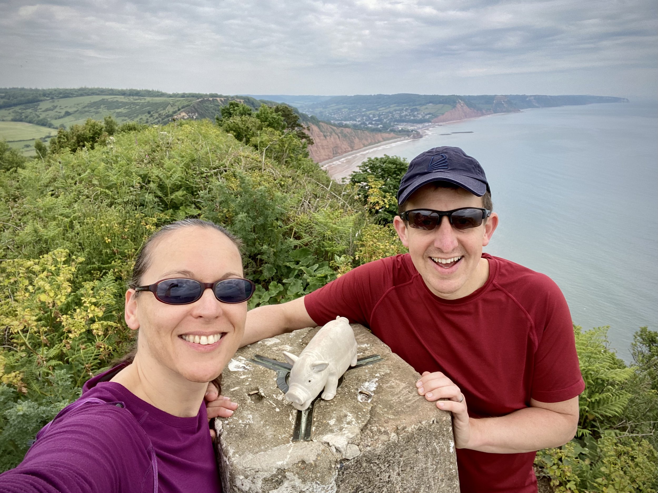
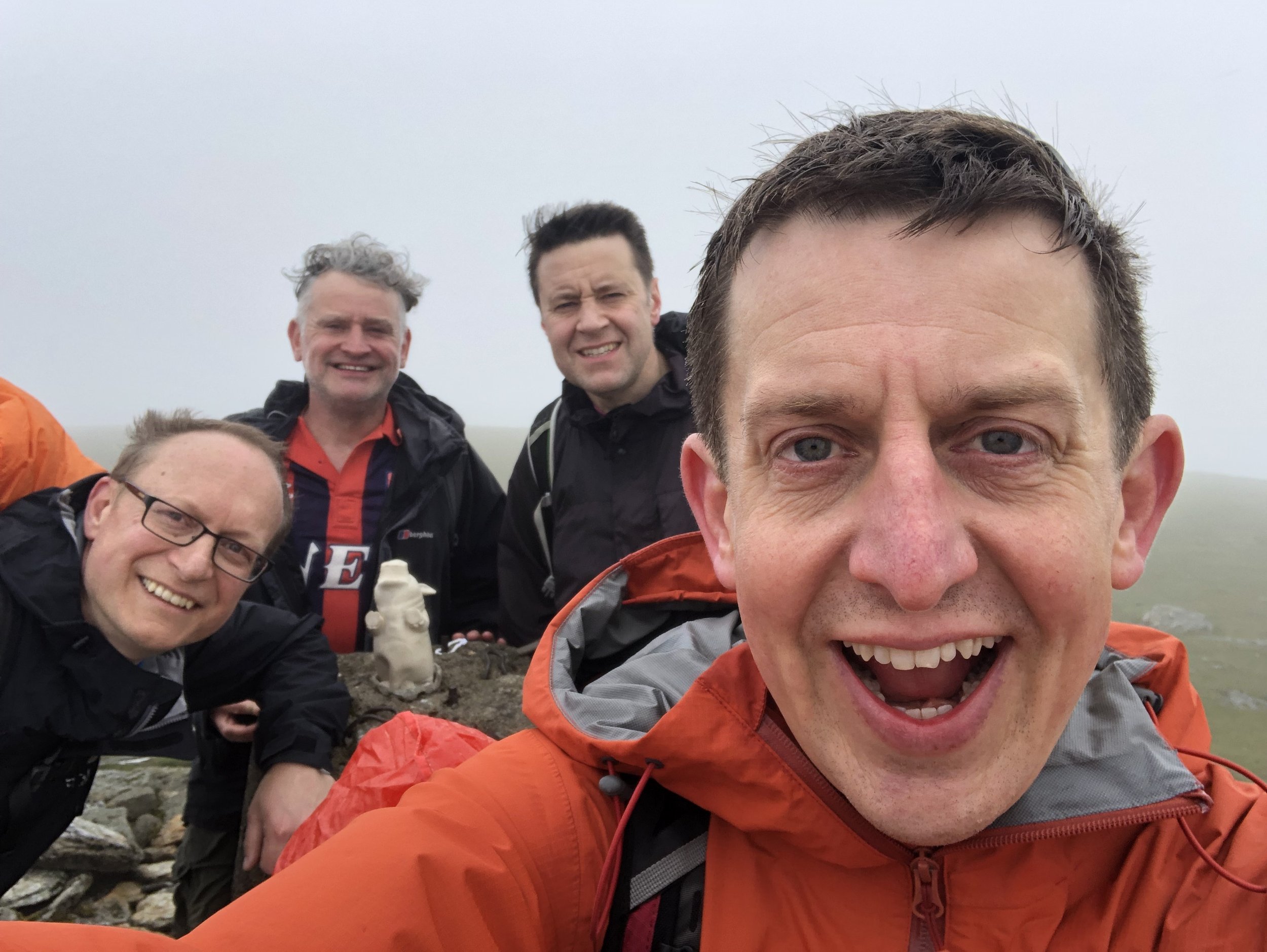
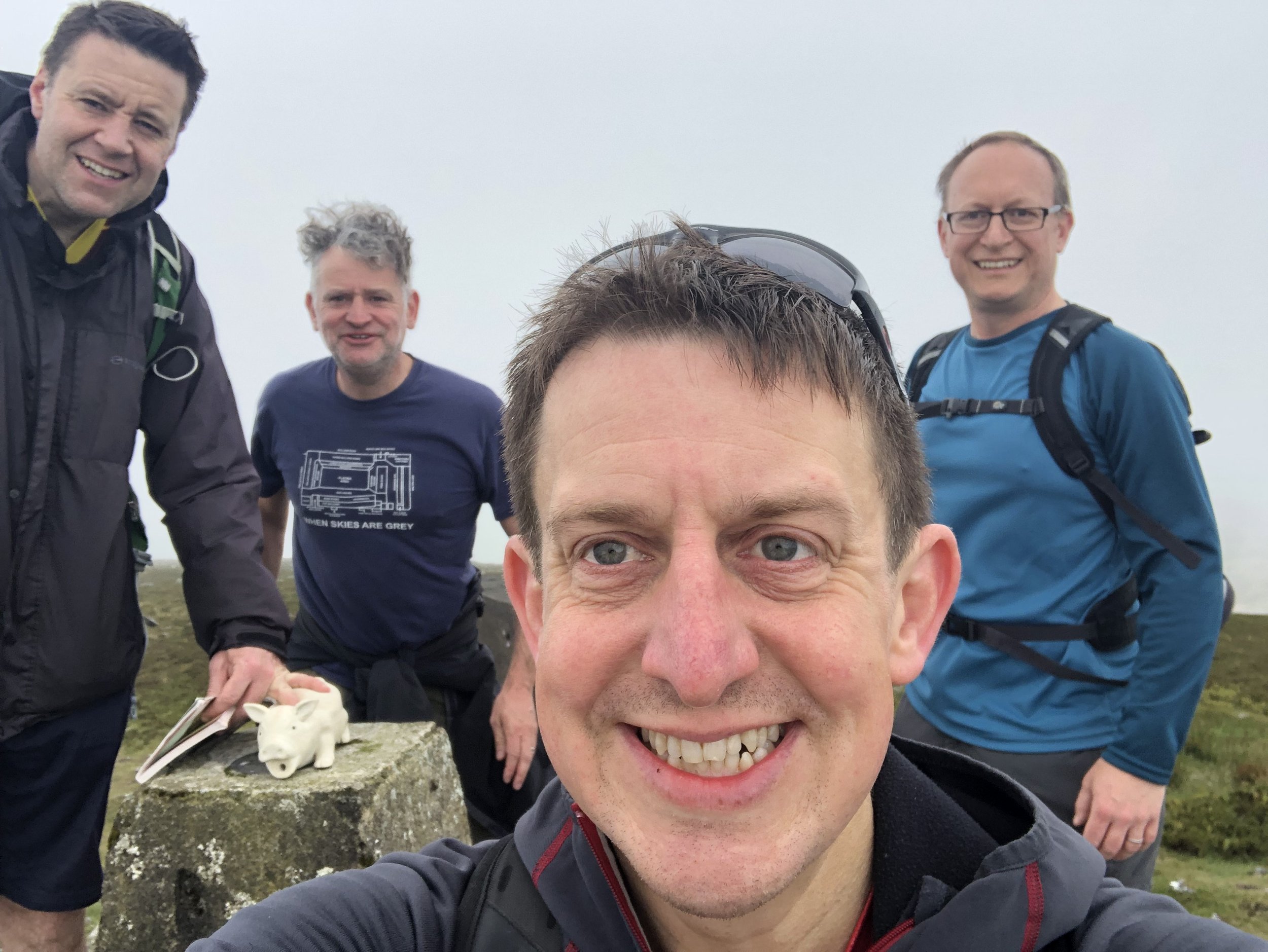
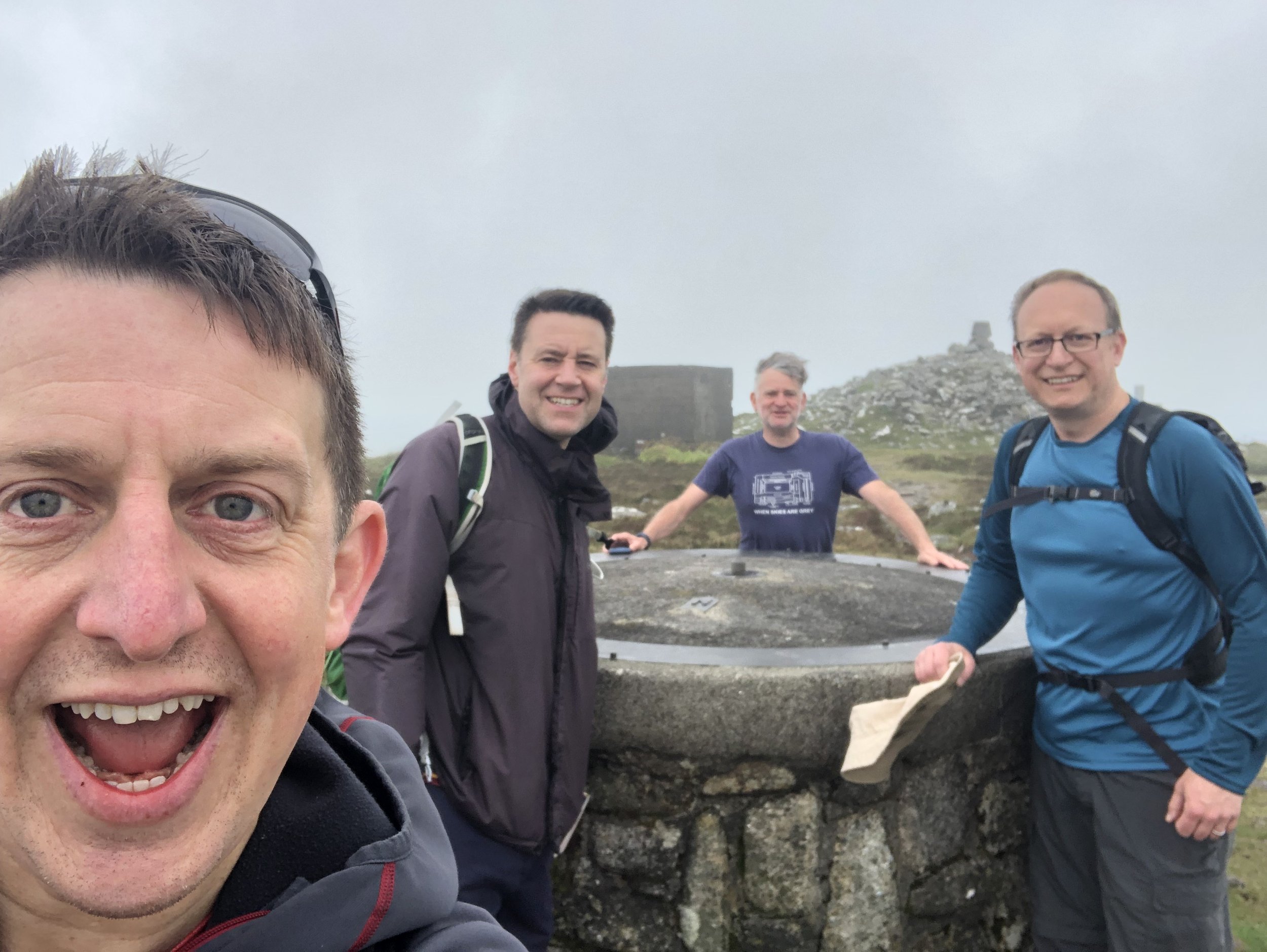
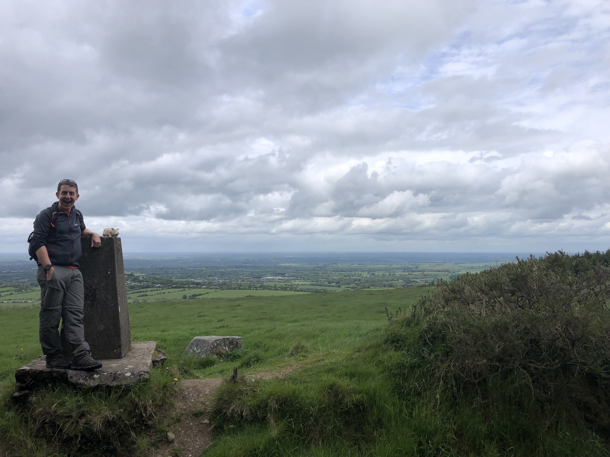
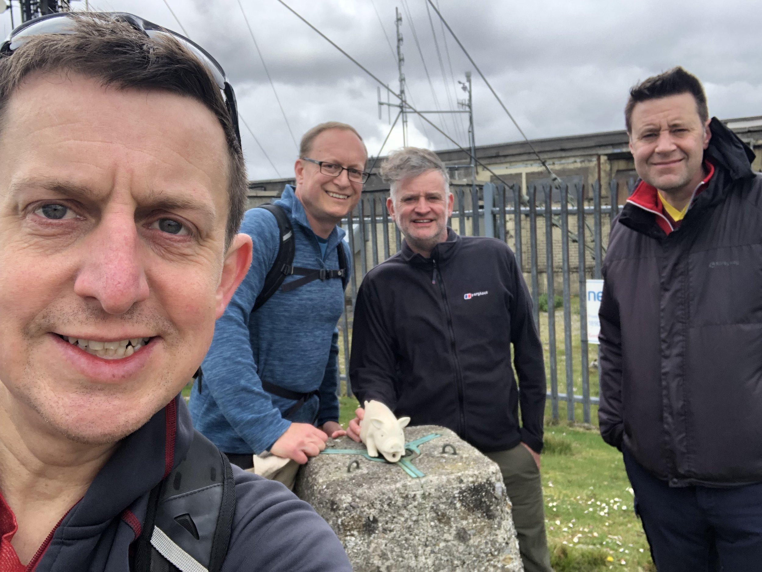
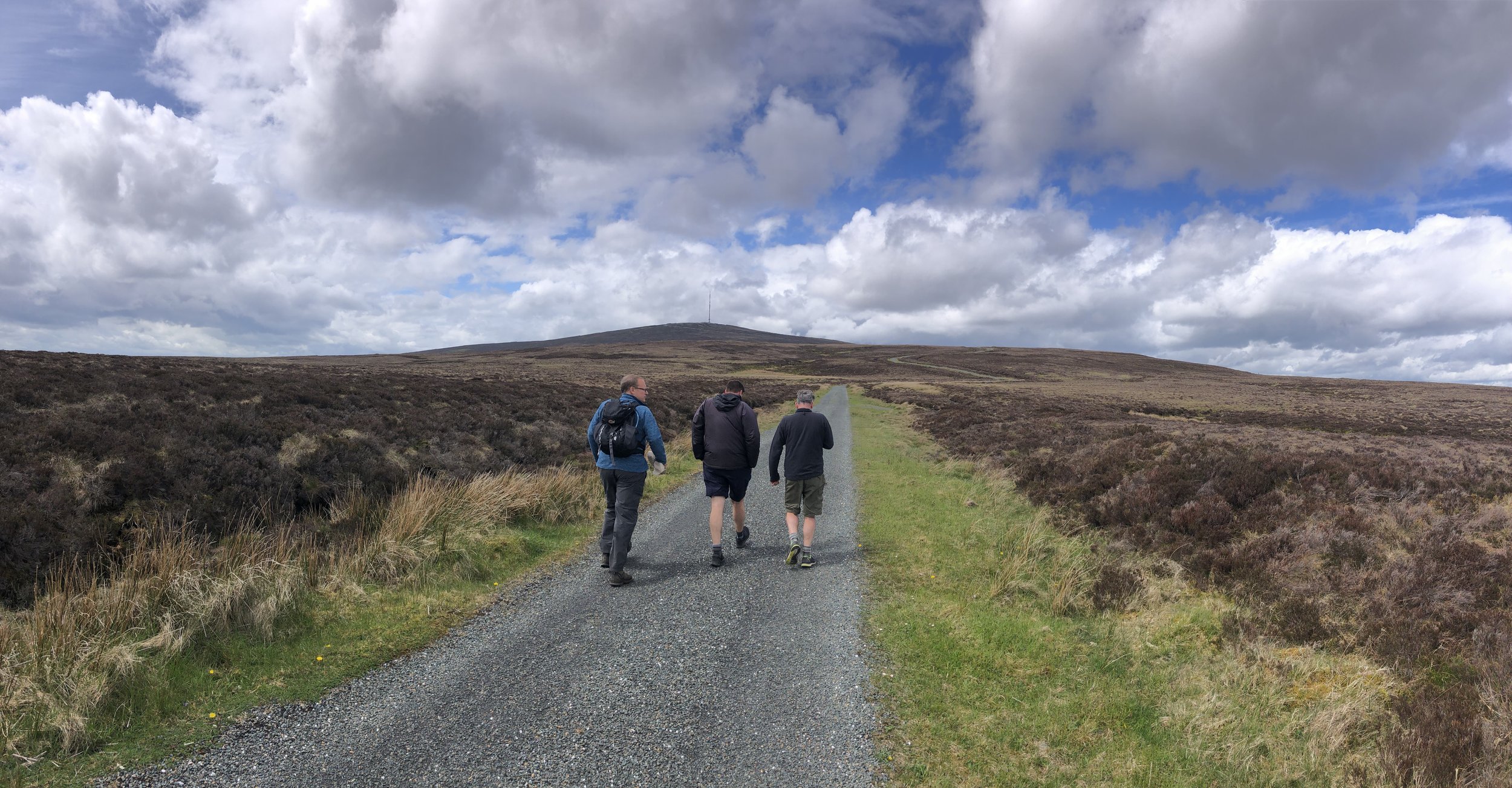
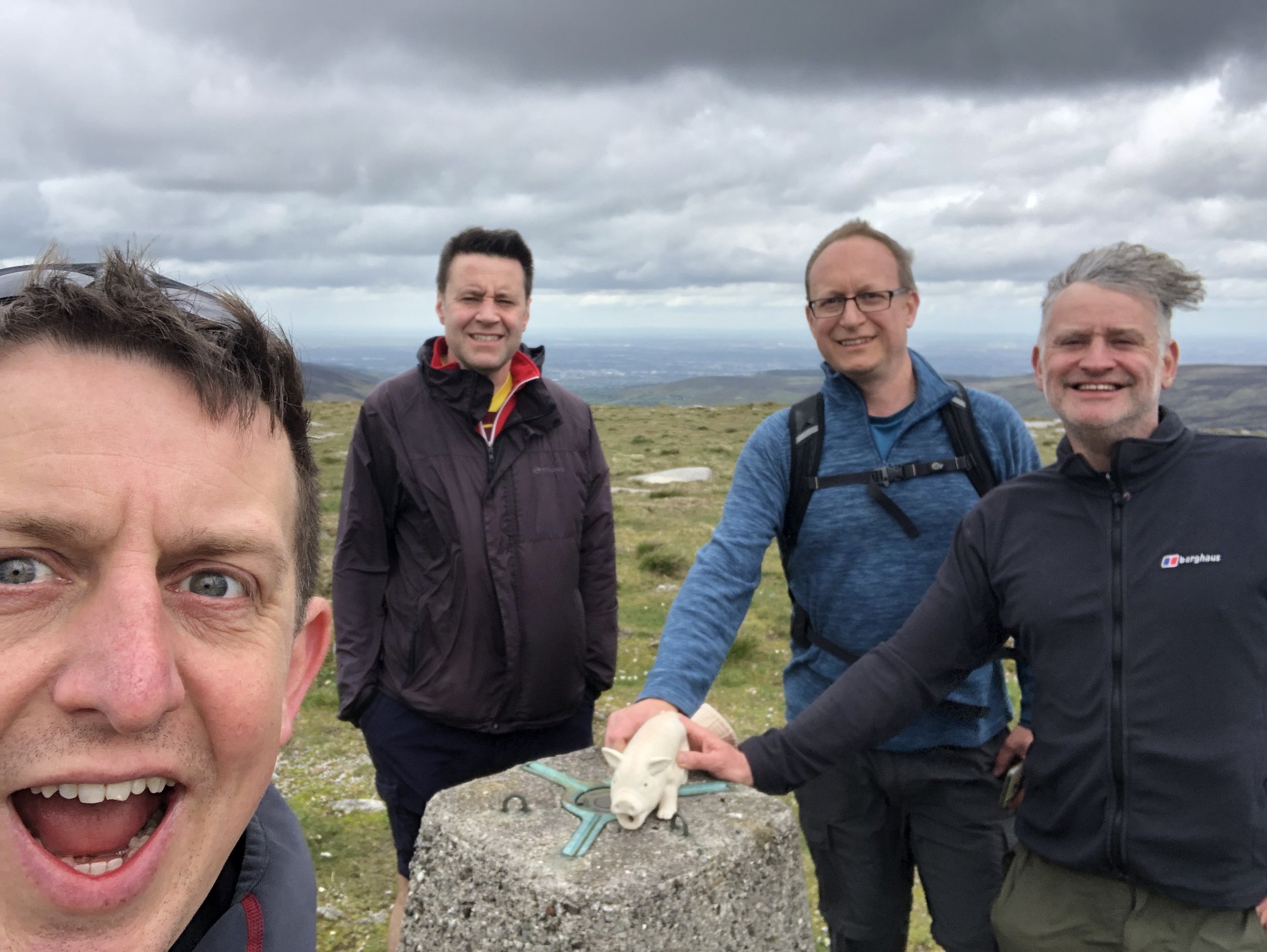
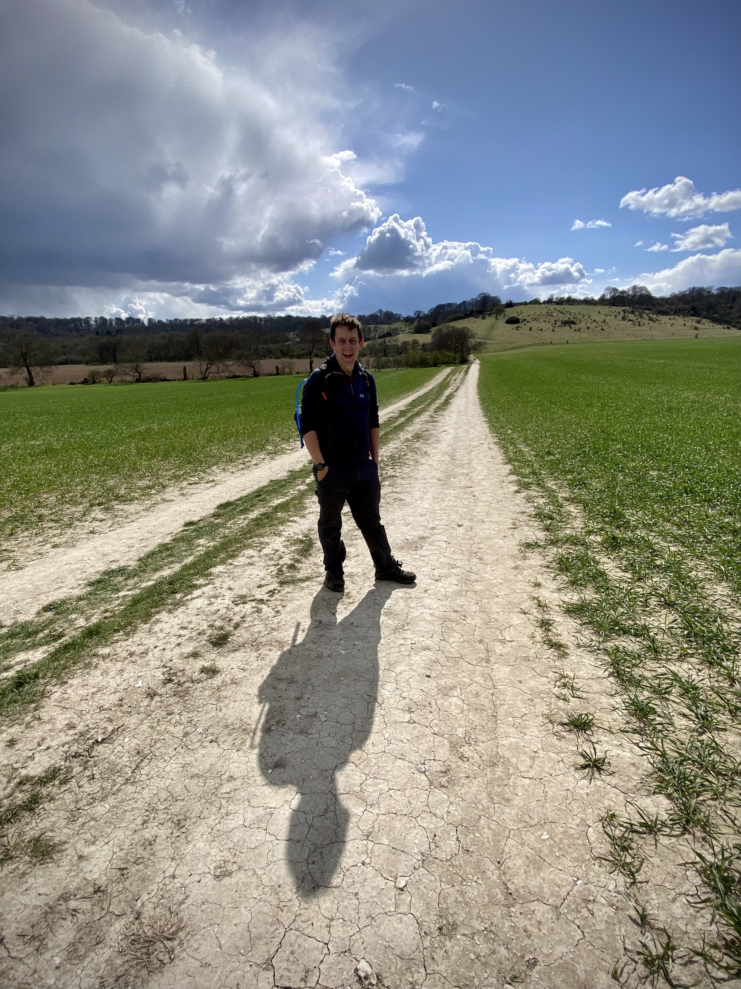
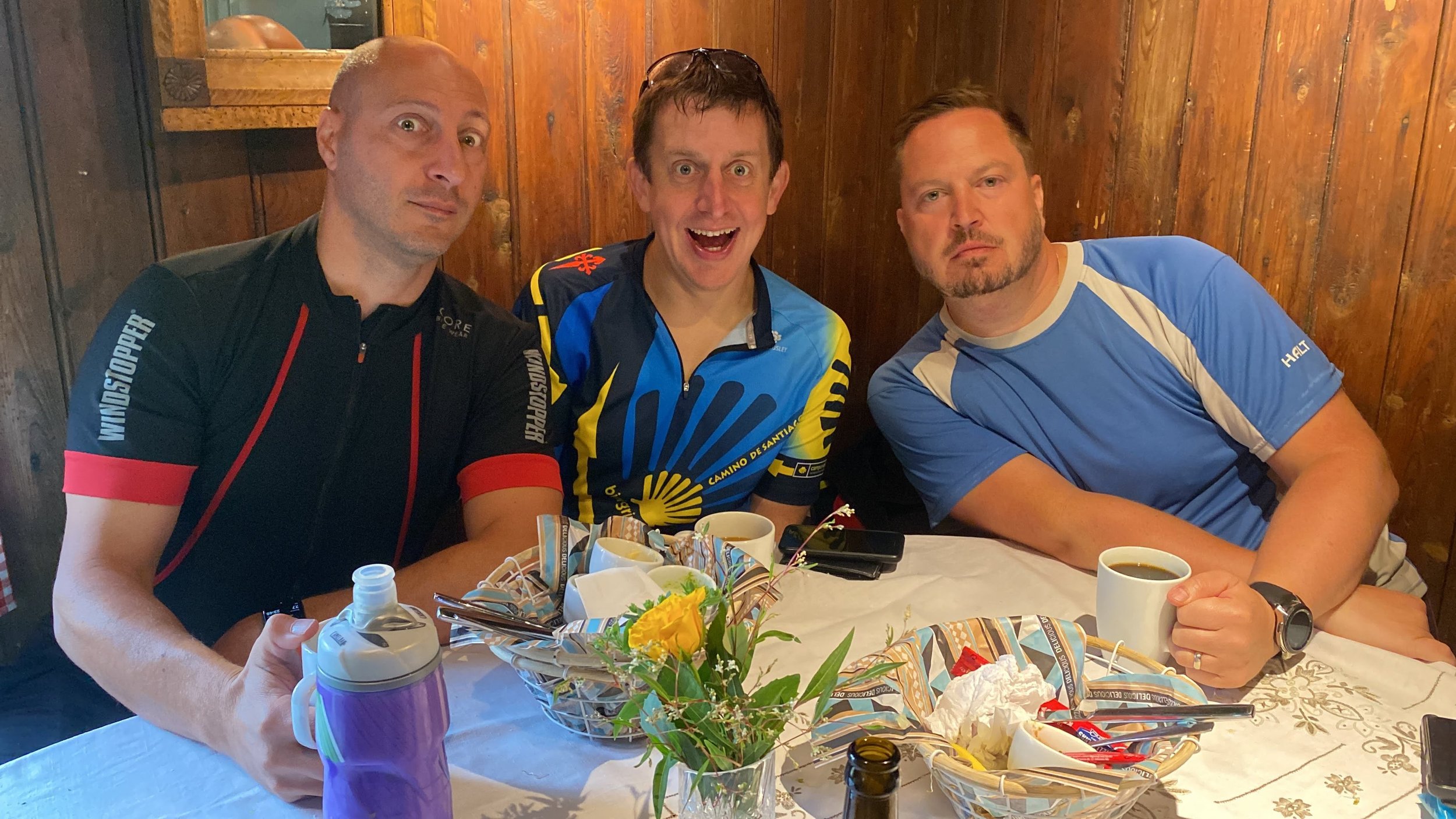
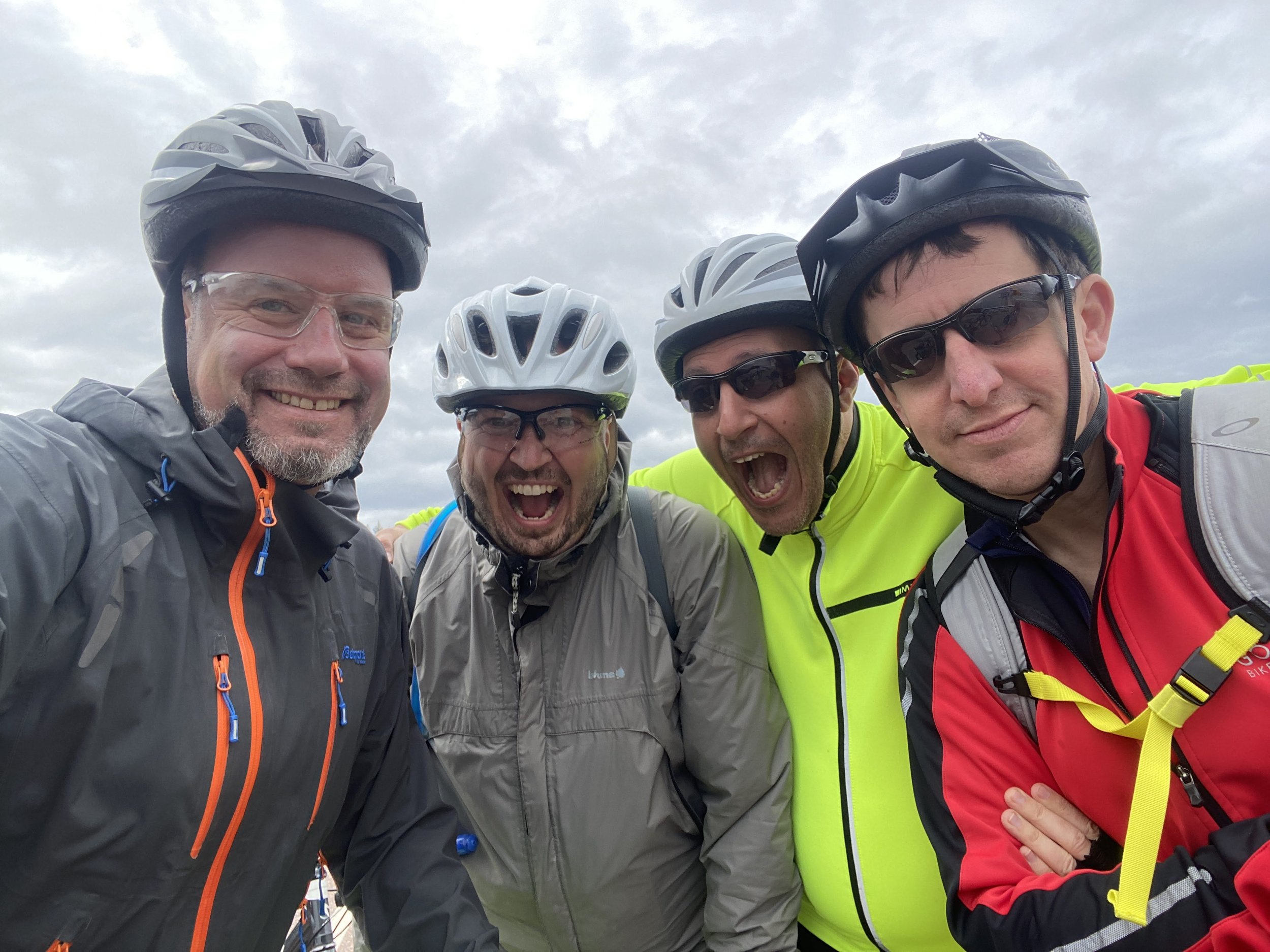
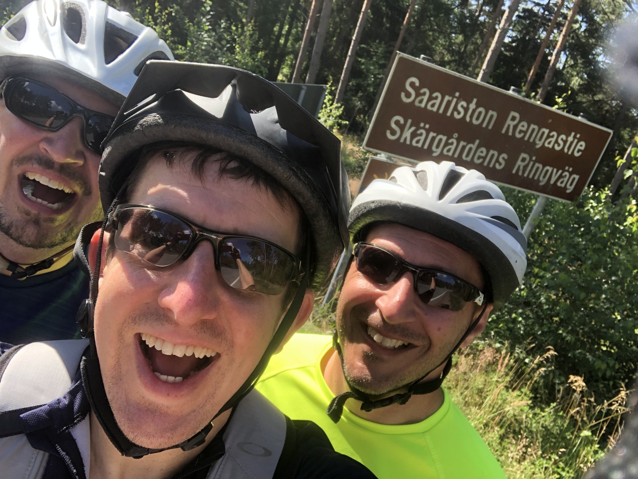
A boys’ trip to Finland has been an annual summer event for us since 2003. We’re a group of 40-somethings made up of two Finns, two Germans and two Brits. We met when we all worked in IT in the same company and kept meeting up once a year ever since. Most years we end up in Finland, hosted by Juho and Juha. Sometimes we go somewhere else and sometimes not all the group can make it. Due to Covid and a 2019 trip to Berlin it had been 4 years since our previous Finland trip so we were keen to be back. For this trip we opted for a cycling adventure rather than our usual sauna and beer weekend.
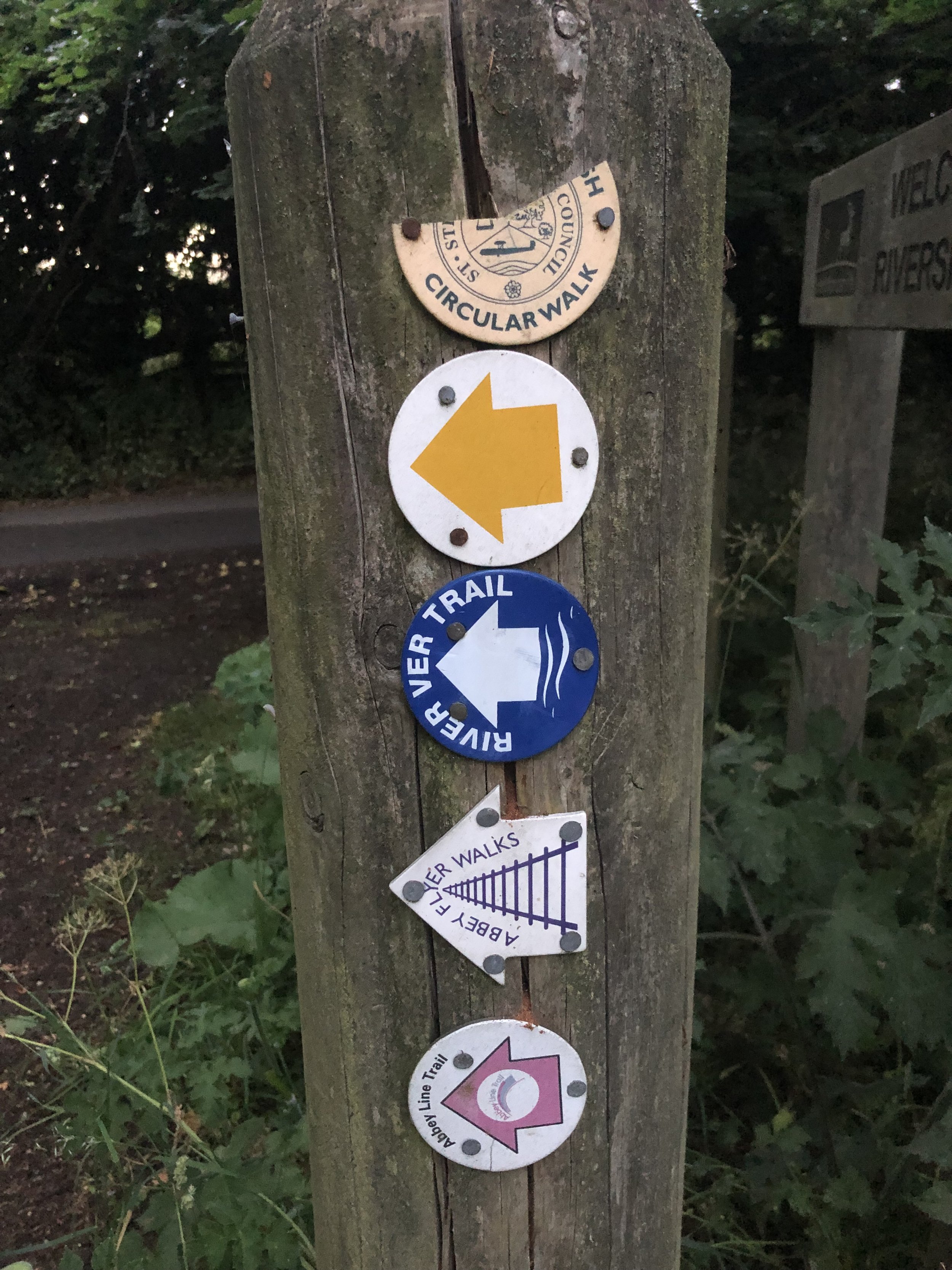
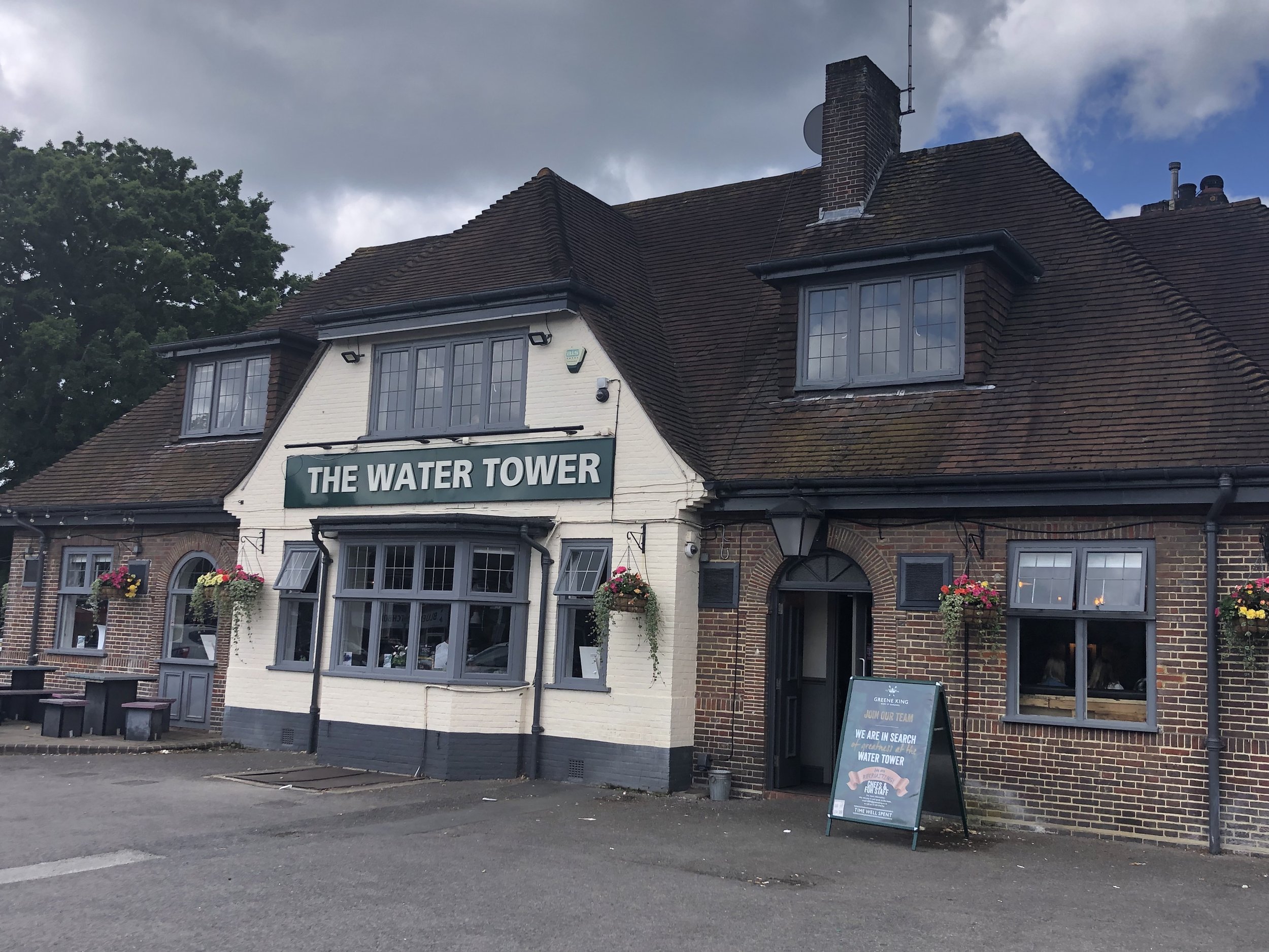
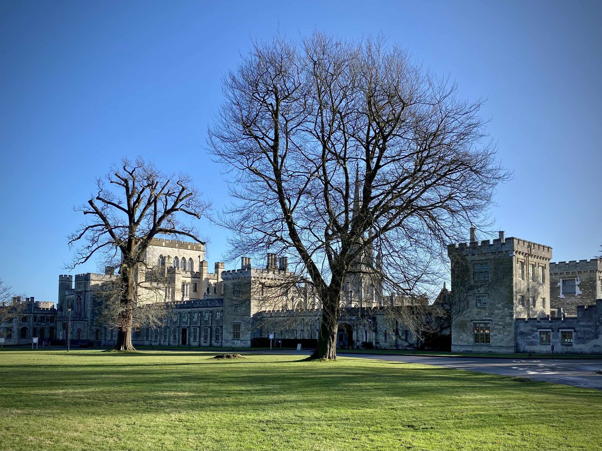
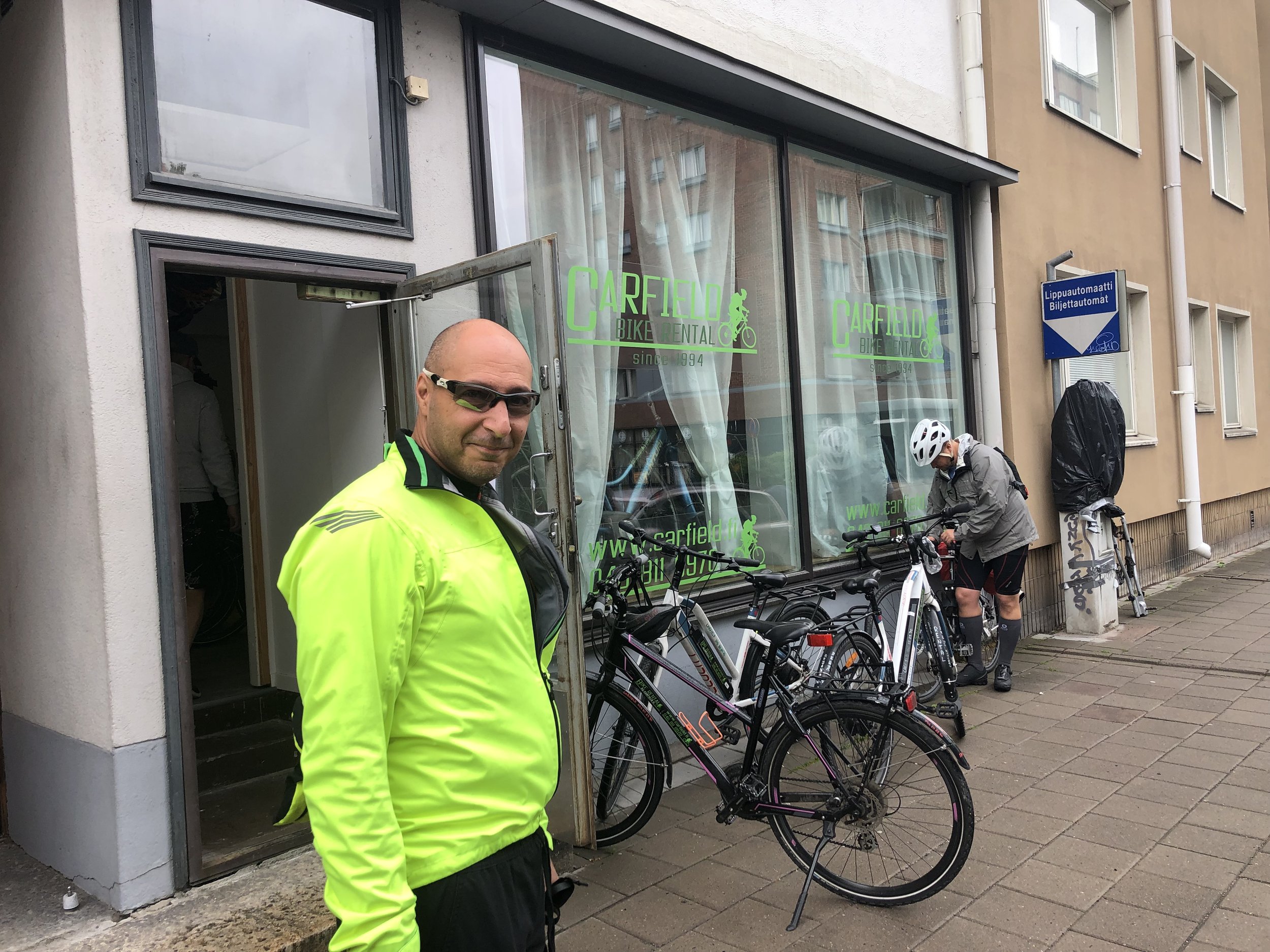
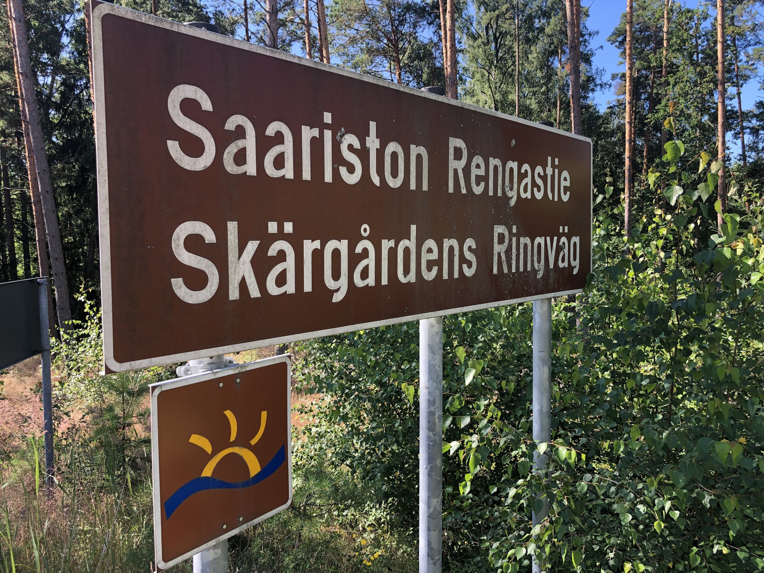
We chose the Archipelago Trail, a ~220 km circular route from Turku, a city in the south-west of the country. We took the train from Helsinki to Turku and a bus back, both of which were just over 2 hours. There’s a few options for bike hire in Turku but we chose Carfield, a 5 minute walk from the train station. Staff are friendly but inefficient so allow 30 minutes to get your bikes sorted out even if you have booked in advance.
Day 1 - Turku to Korppoo
Start: Carfield Bike Rental - Polkupyörävuokraus, Läntinen Pitkäkatu 20, 20100 Turku
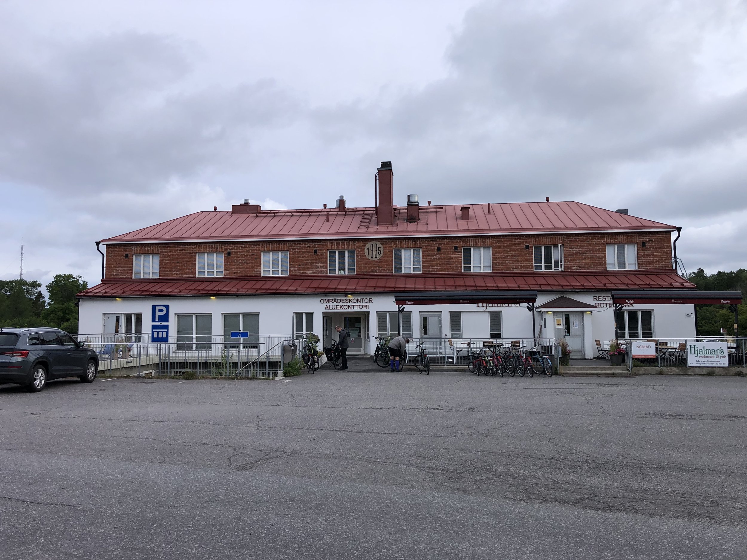
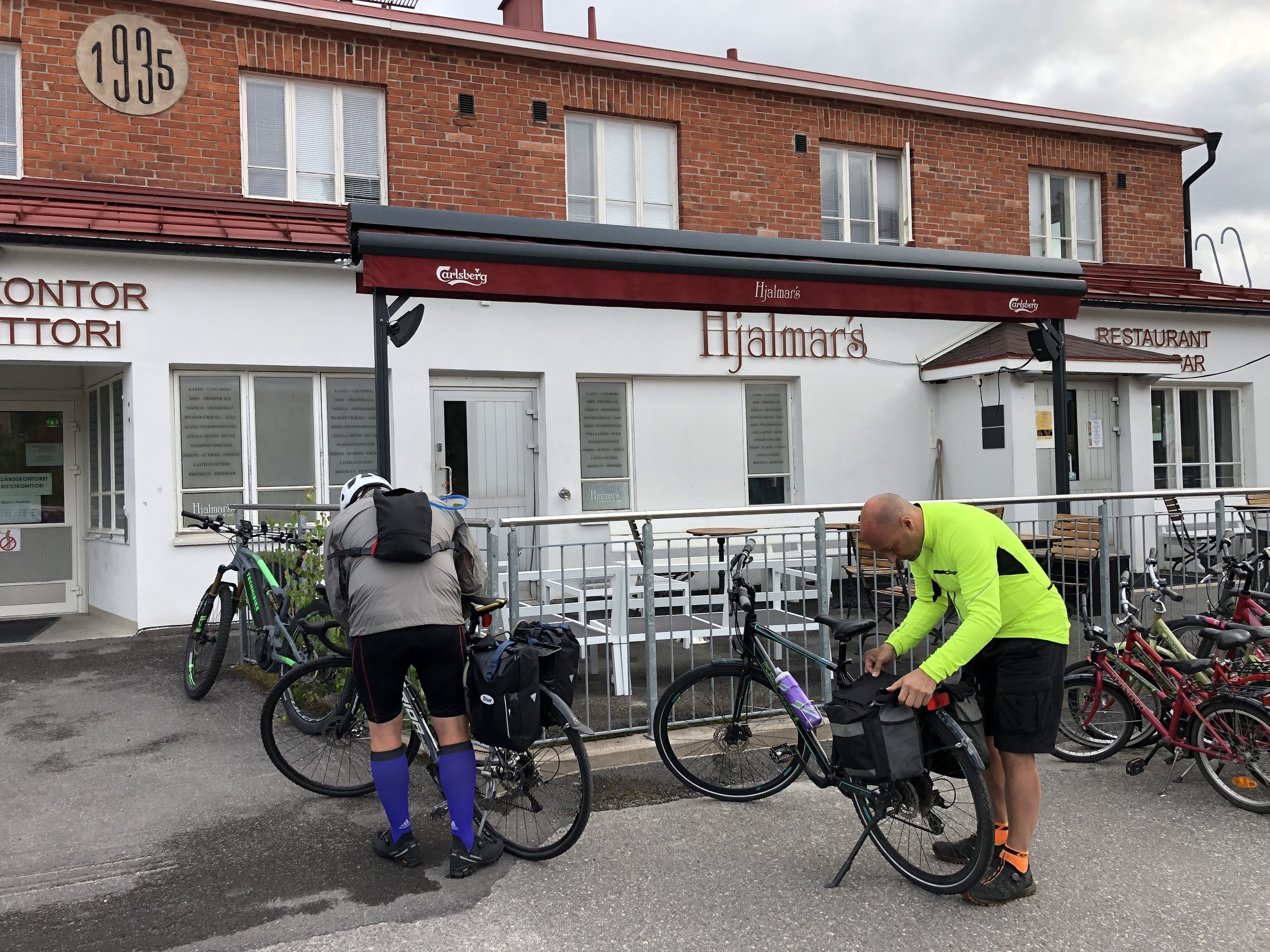
Finish: Hjalmars´ Restaurant and Pub, Kauppamiehentie 1, 21710 Korpo
Distance: 80.6 km (50 miles)
- On roads: 78.2 km (48.5 miles)
- via ferry: 2.4 km (1.5 miles)
Elevation change: + 943m / -964m (Net -21m)
GPX File: get via Buy Me a Coffee
Other routes touched (walk): Sattmarkin Luontopolku, St. Olav’s Way
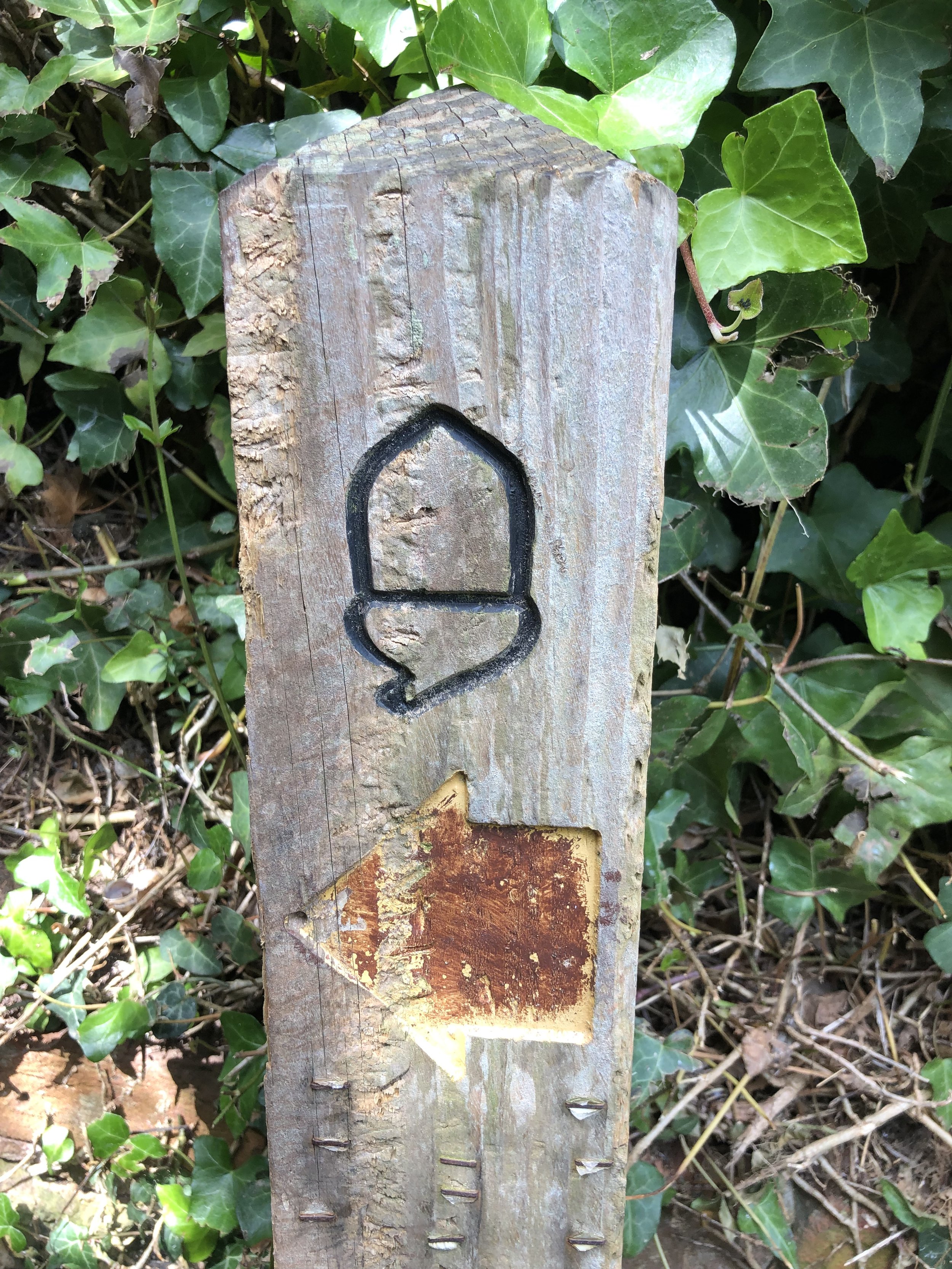
Other routes touched (cycle): EV10
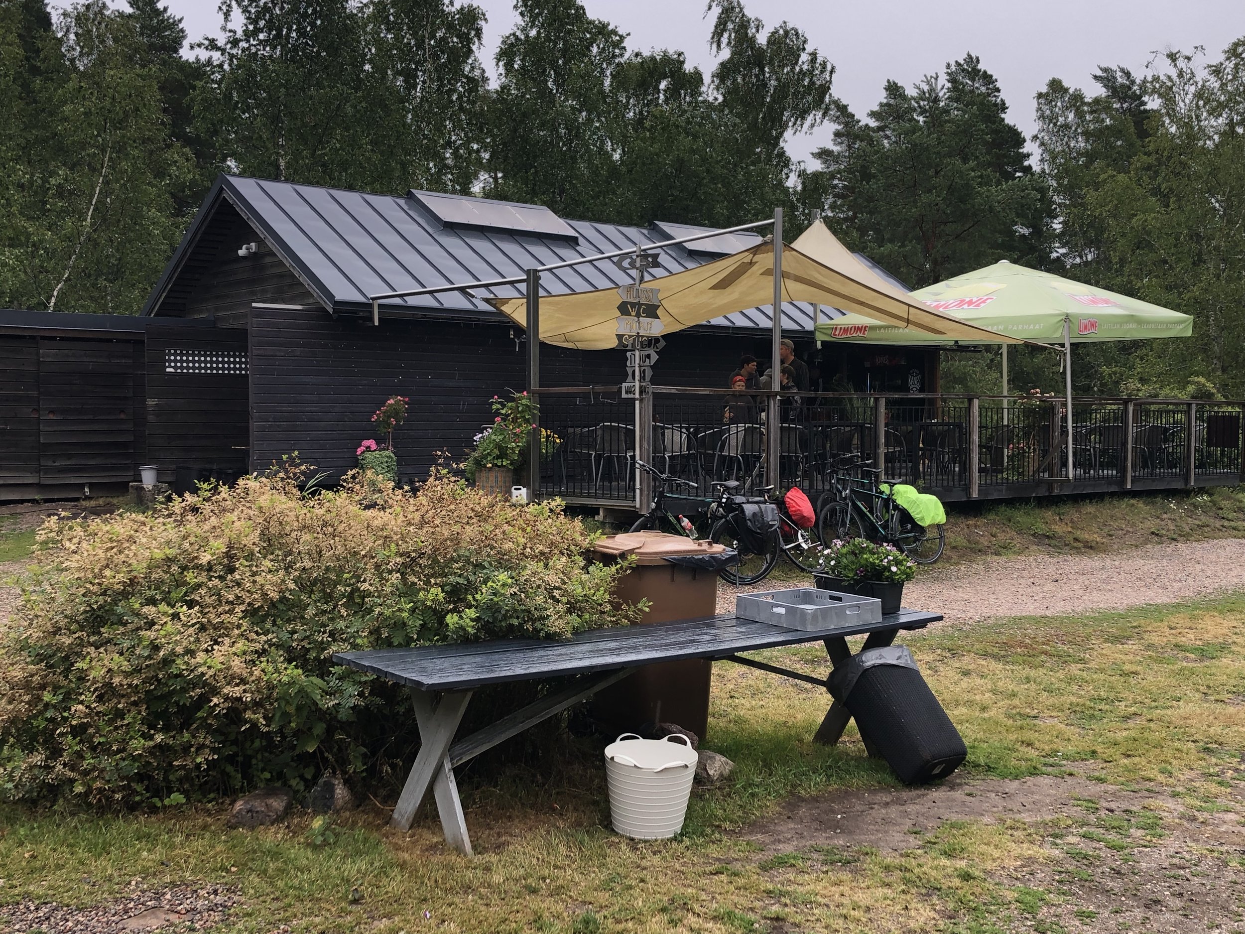
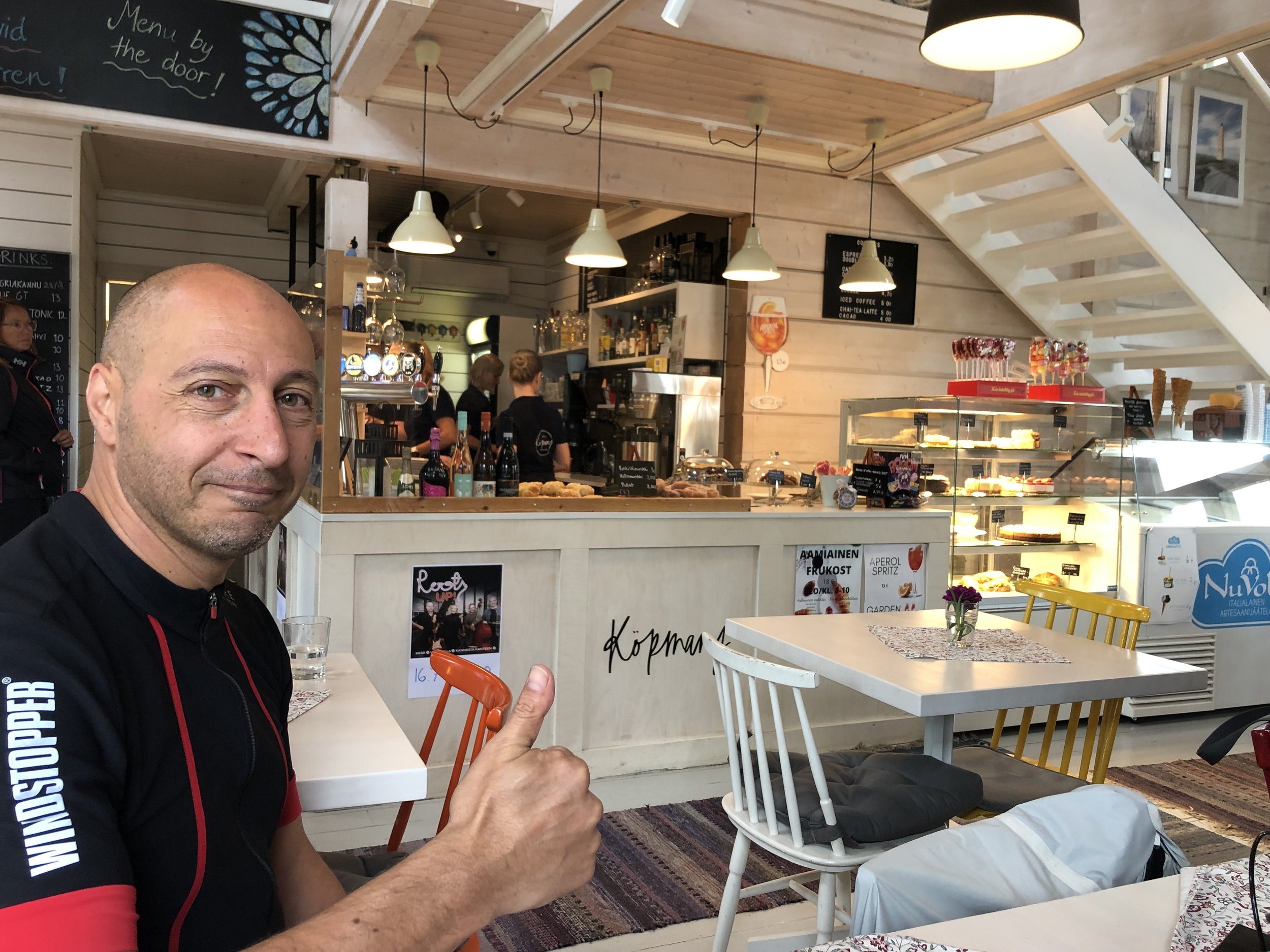
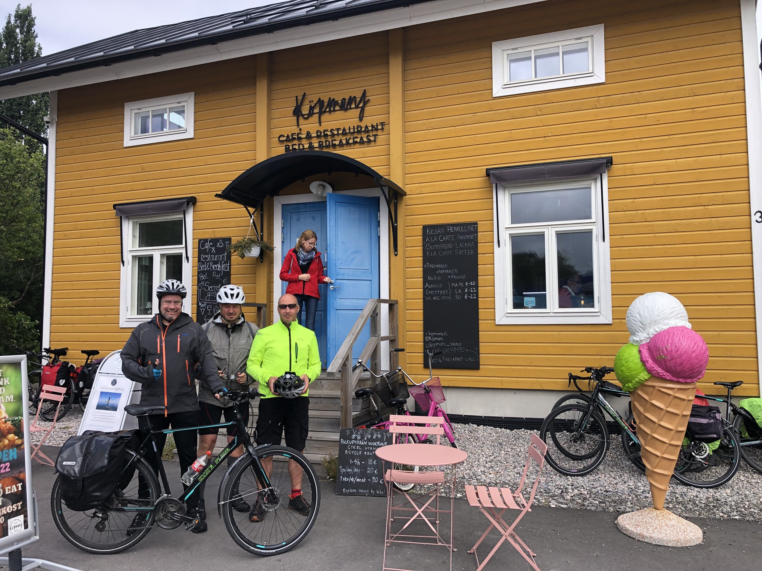
Pubs / Cafes on route: Sattmark Kaffe & Safka (33 km in), Köpmans Café & Restaurant, Nagu (57 km in),
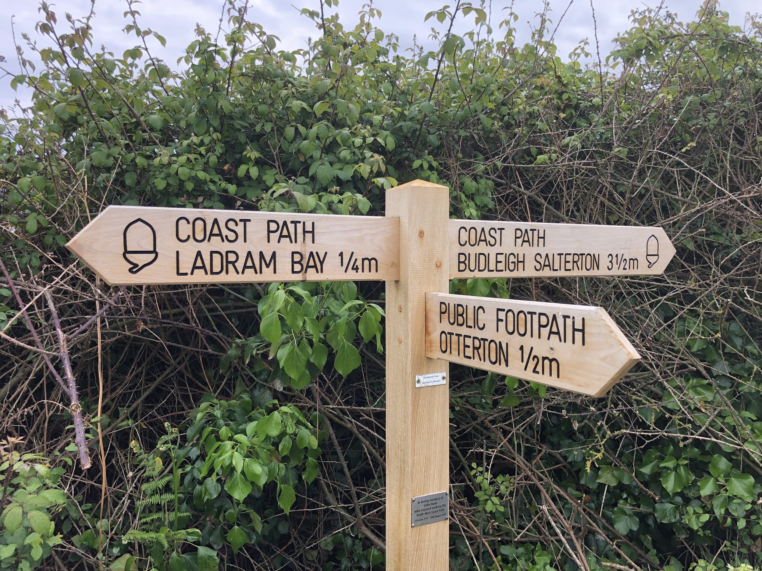
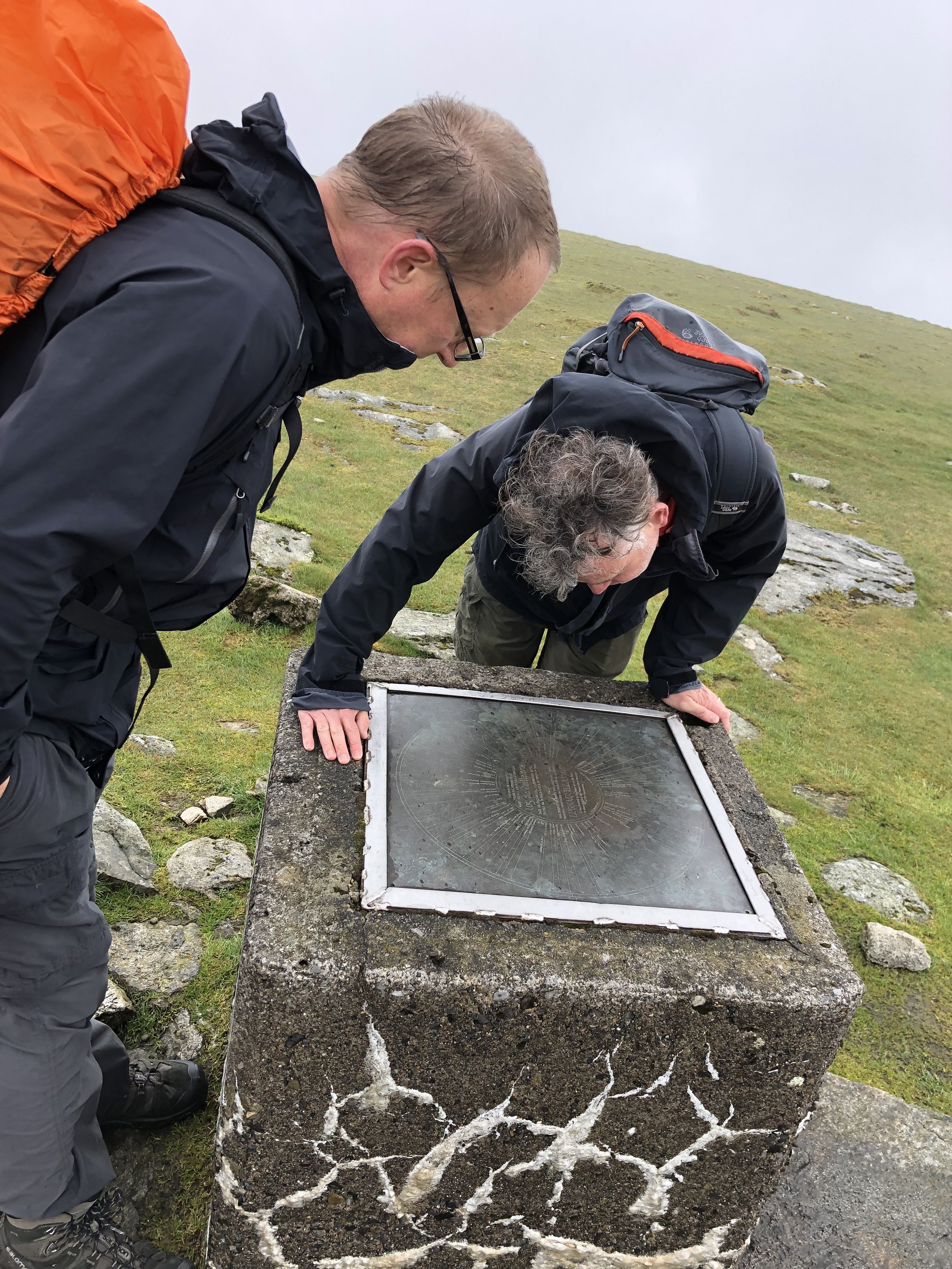
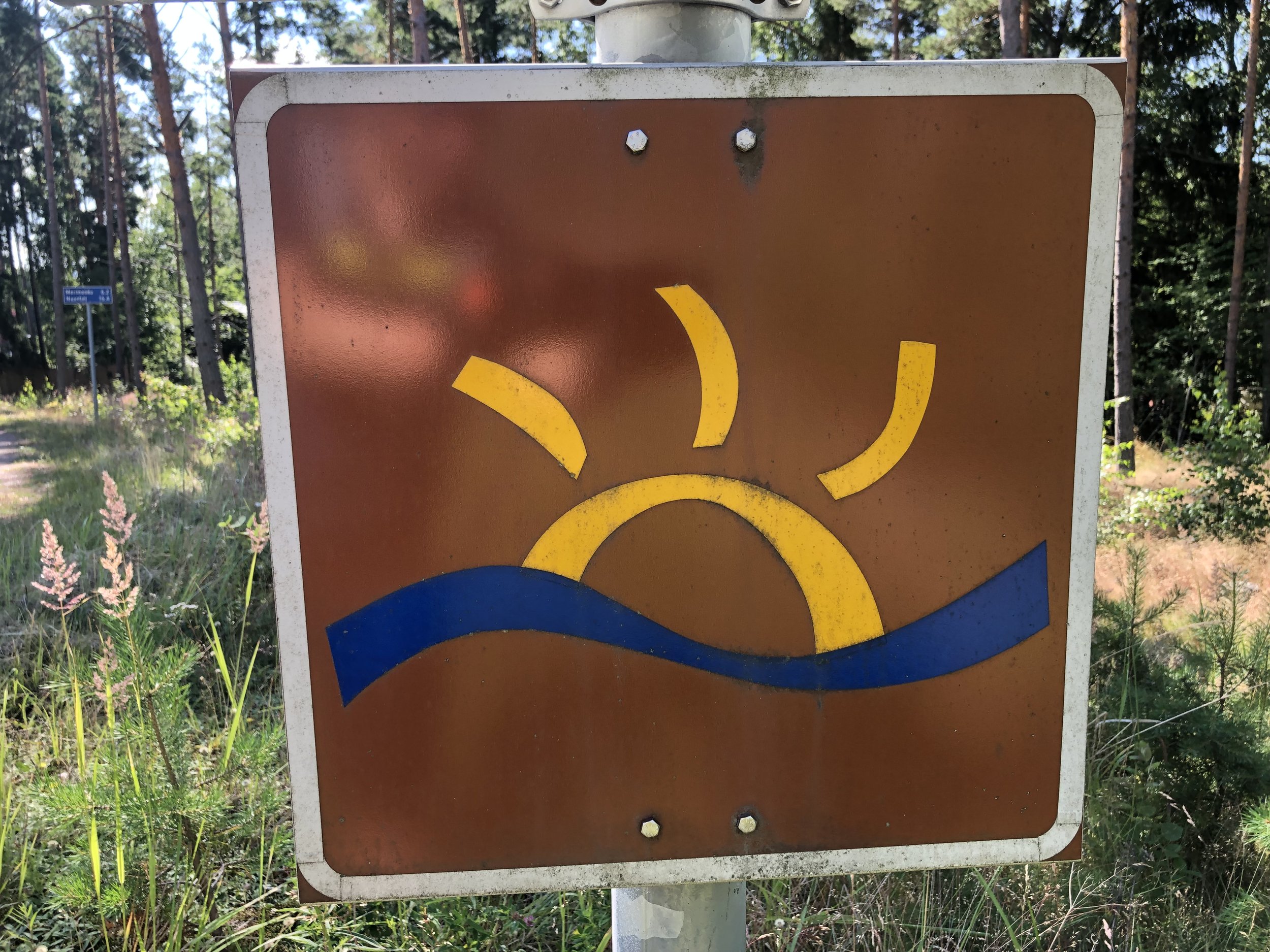
Links: Archipelago Trail, St. Olav’s Way, Turku, Kaarina, Nagu, Korppoo, Fin Ferries
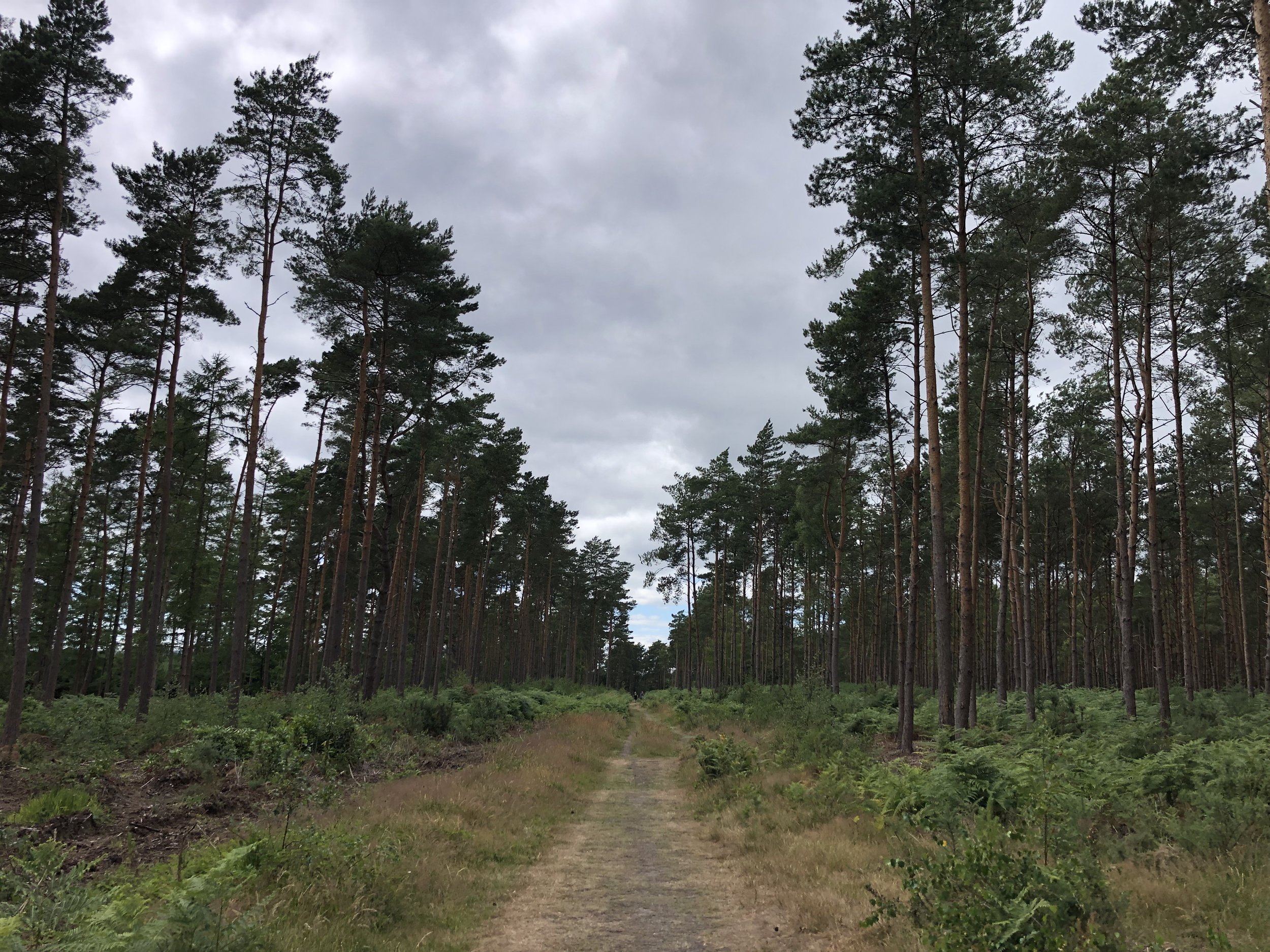
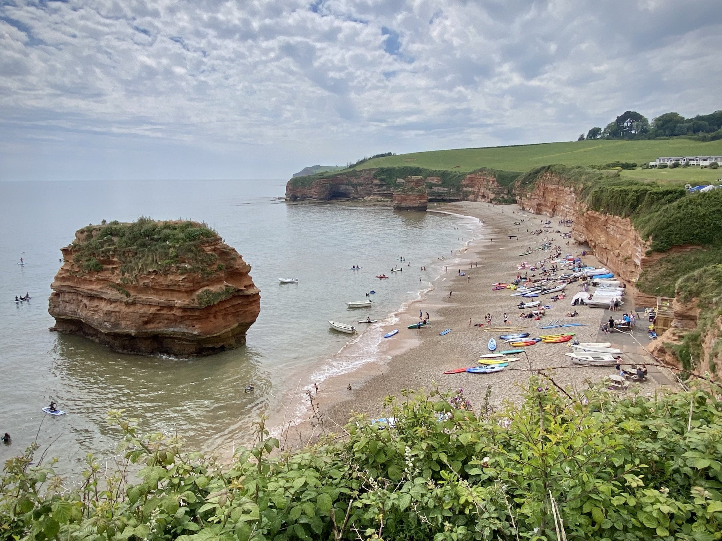
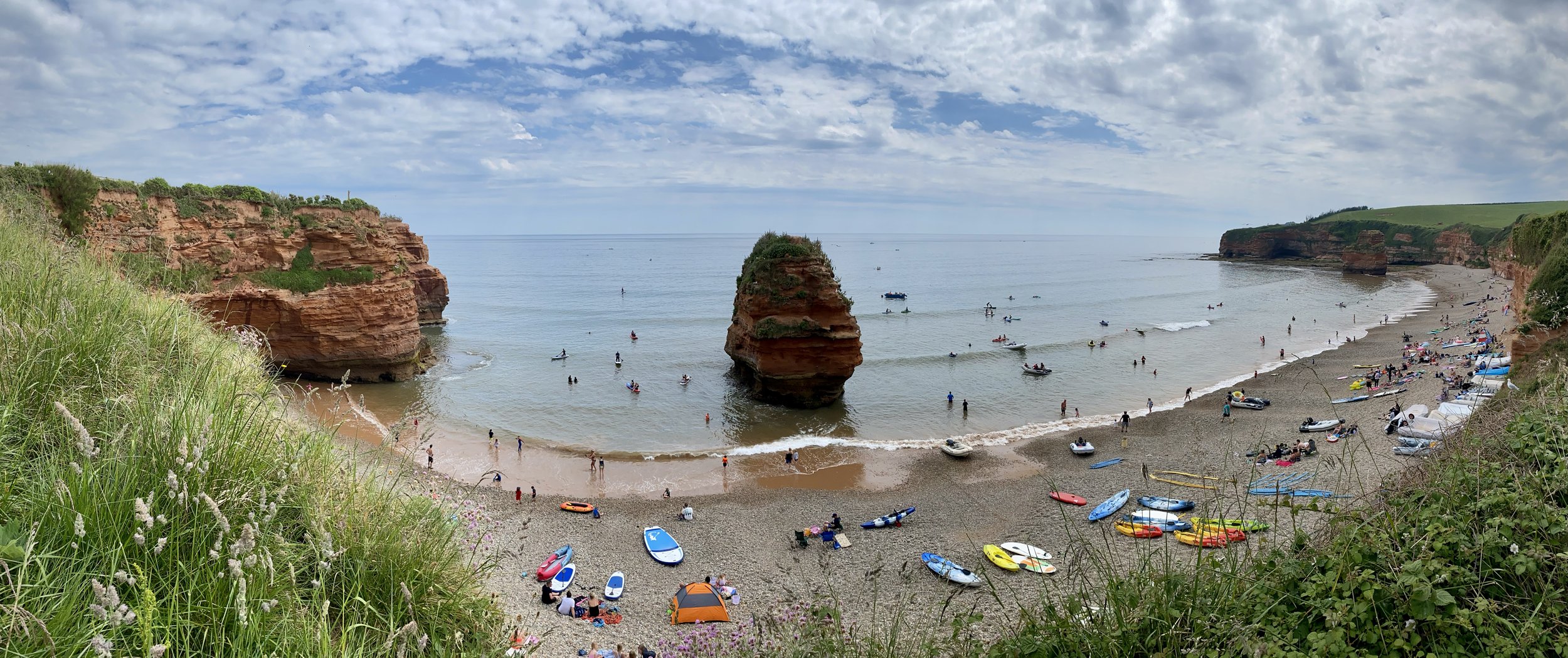
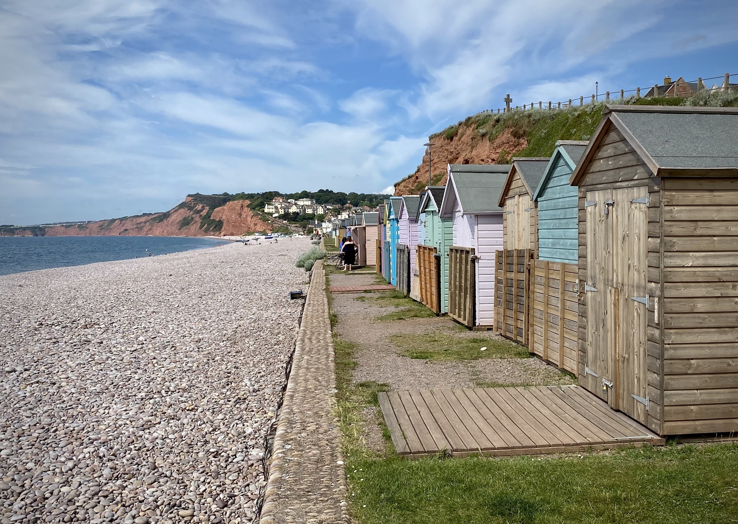
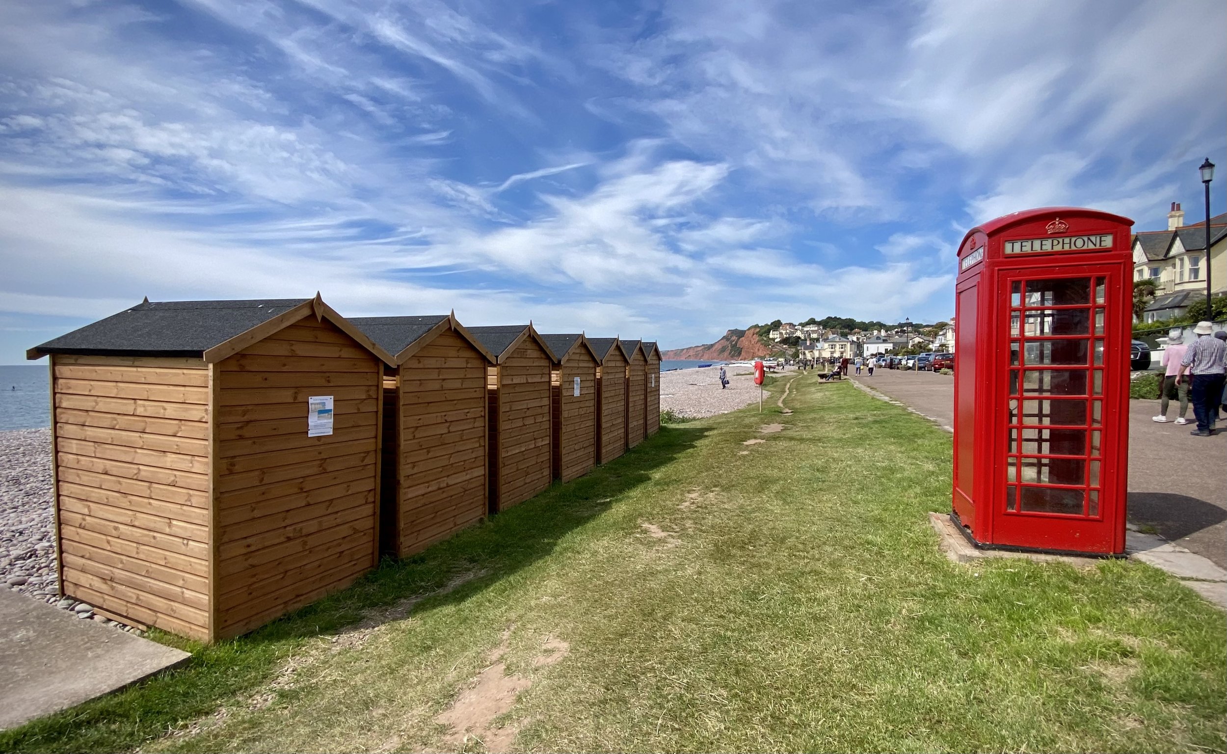
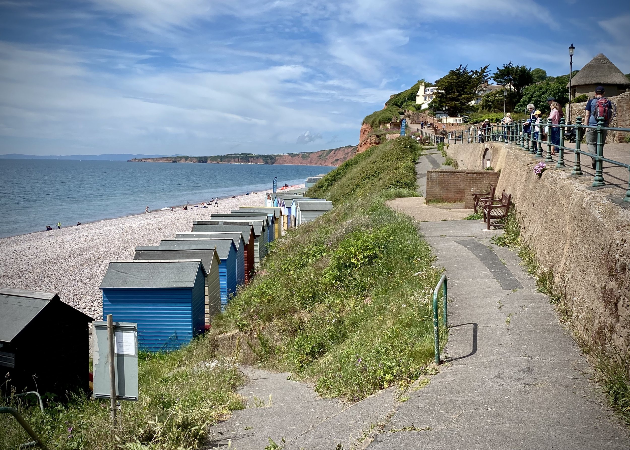
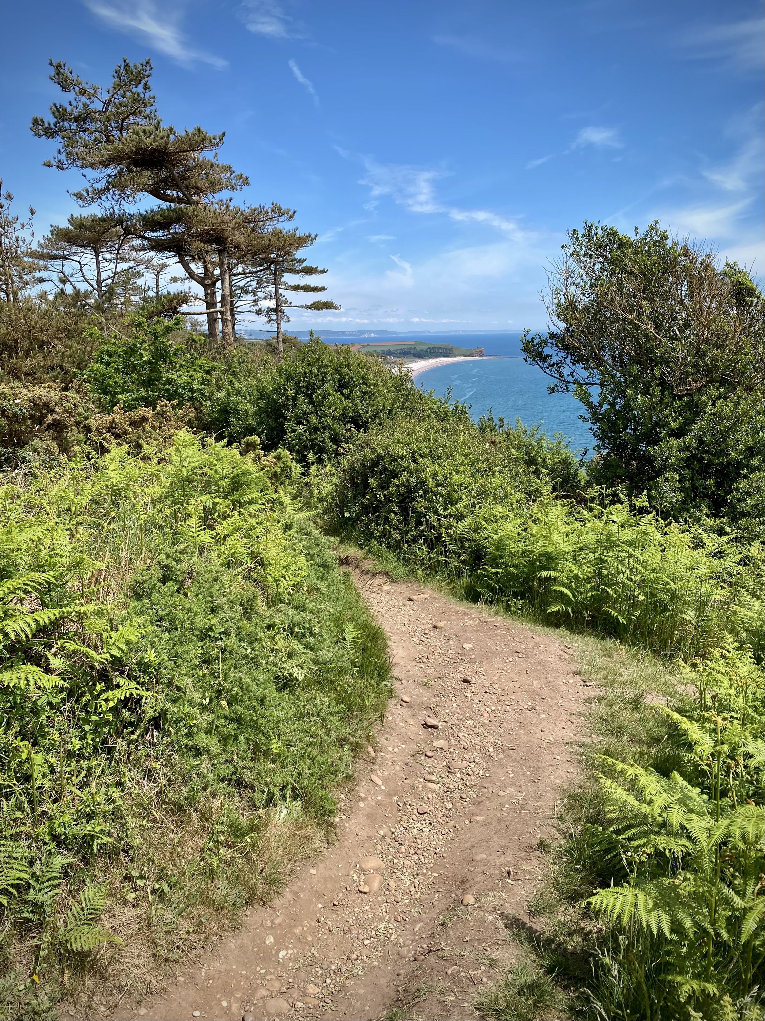
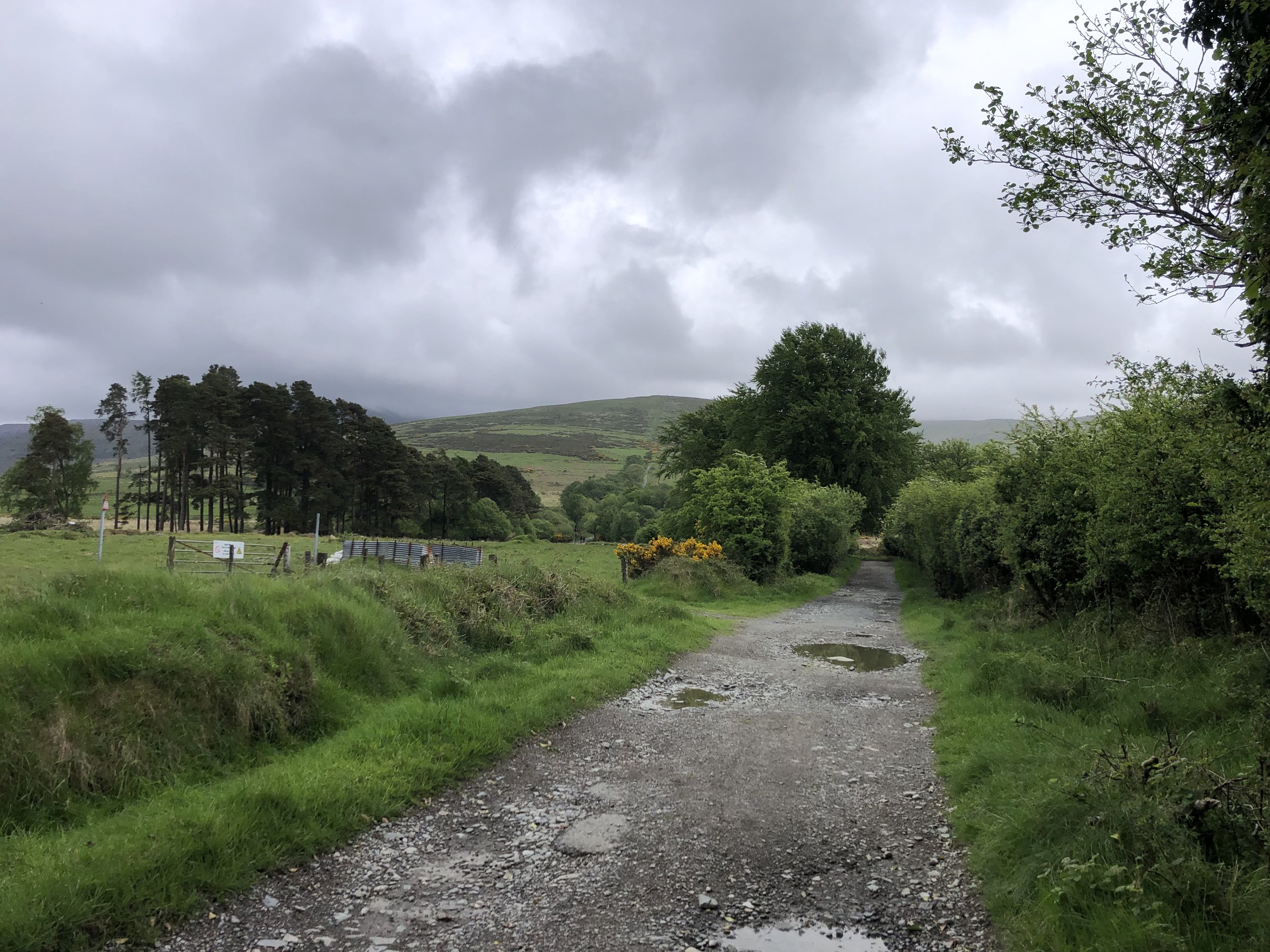
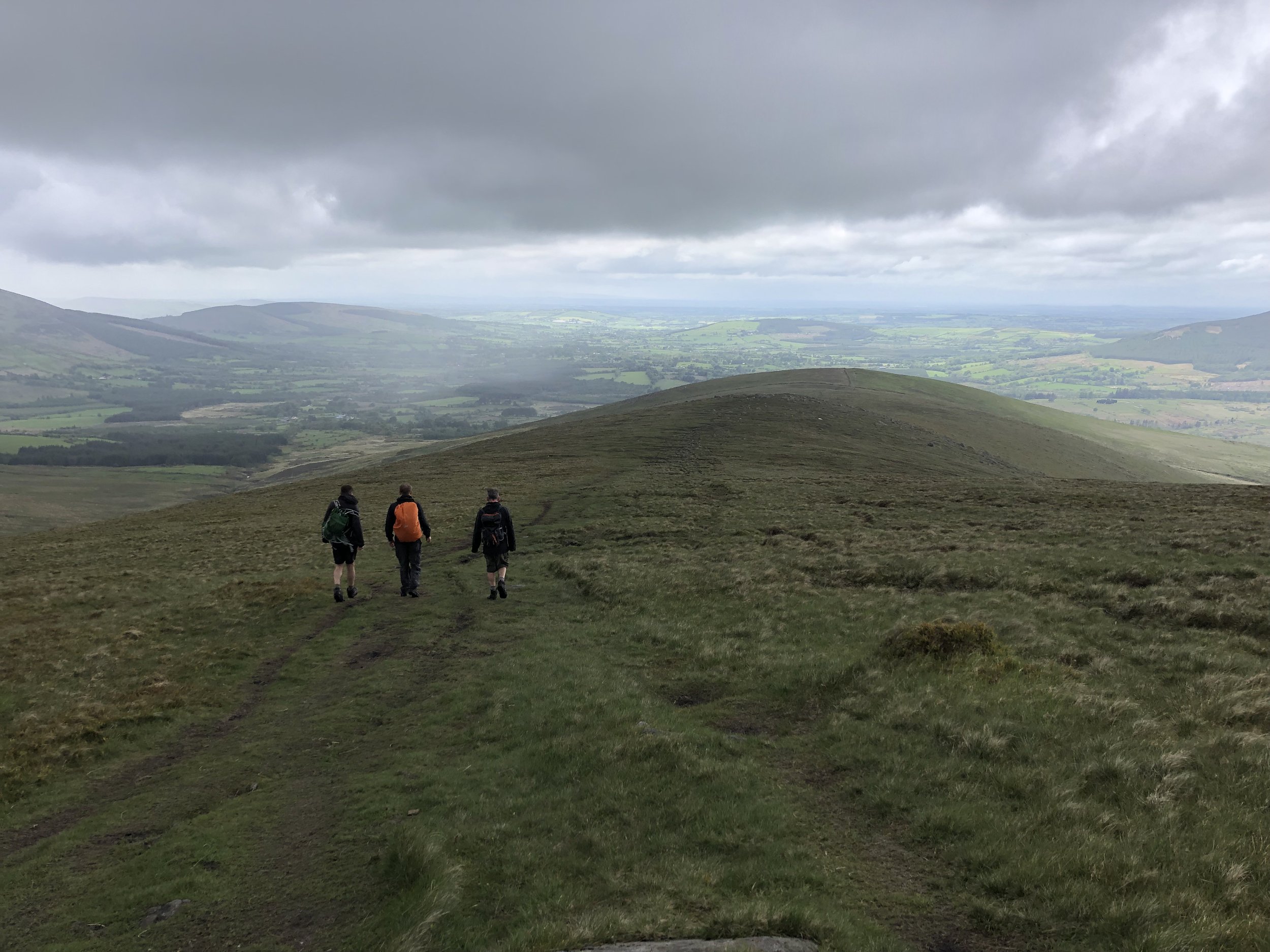
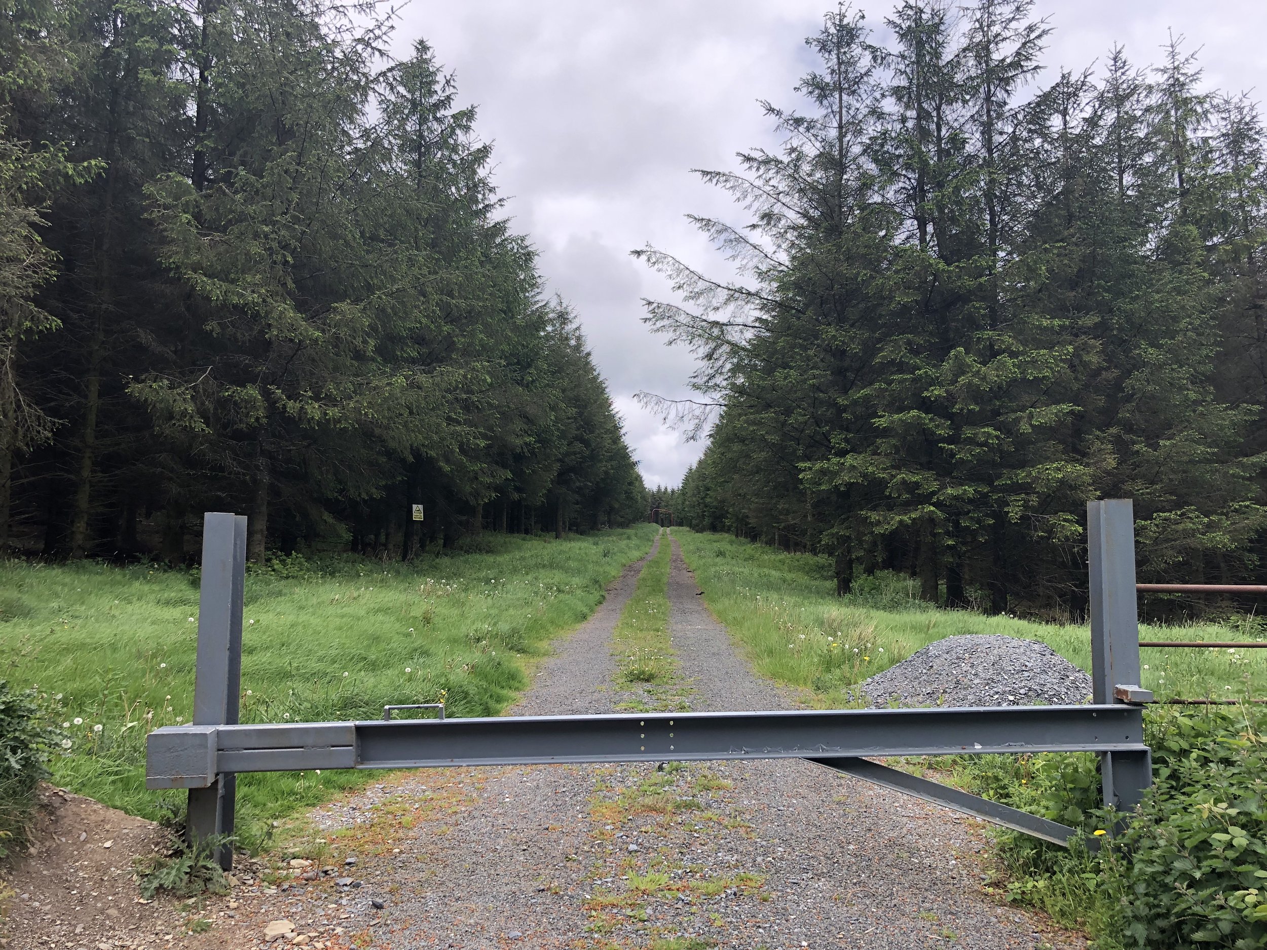
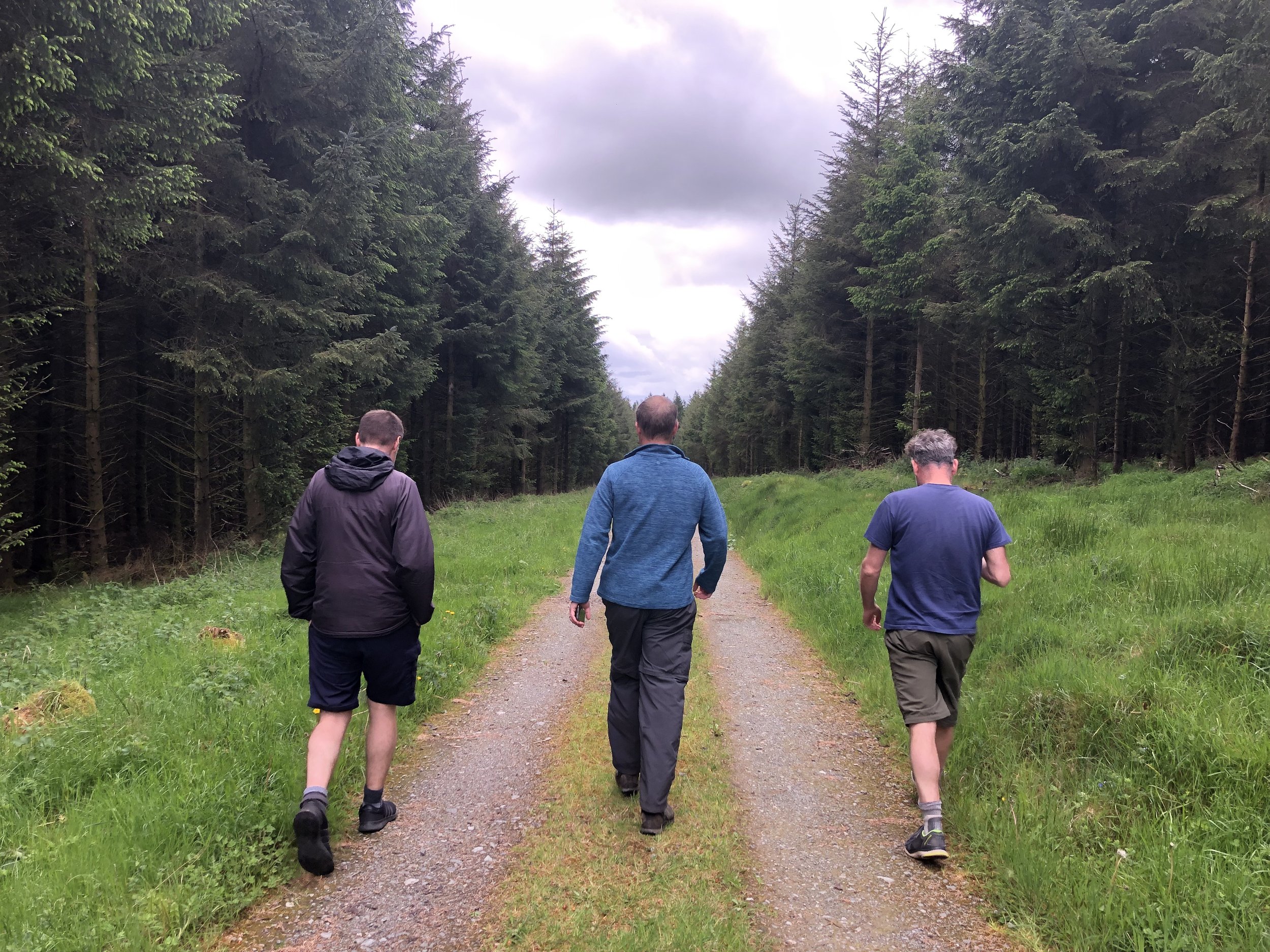
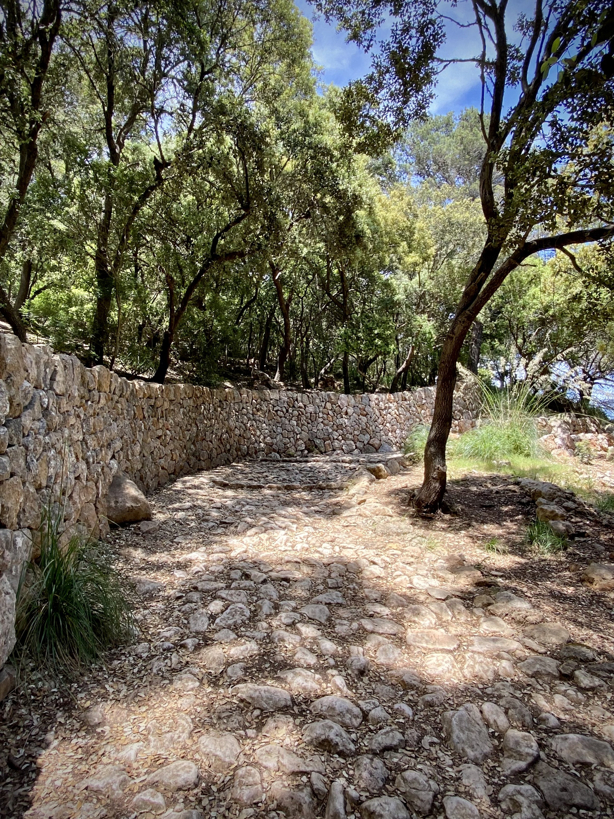
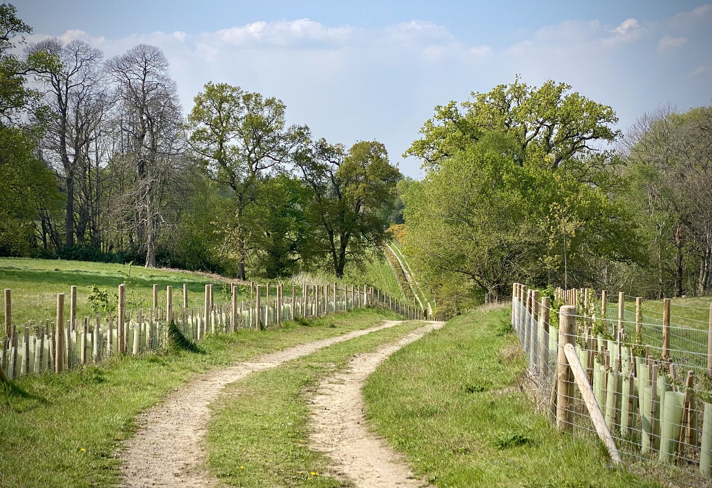
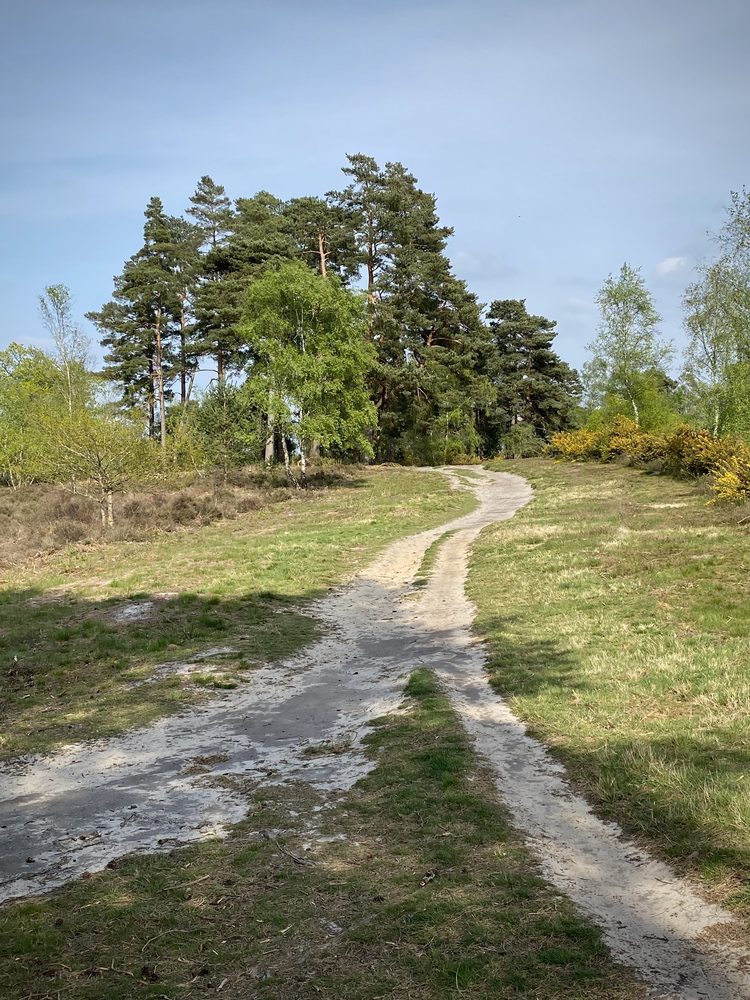
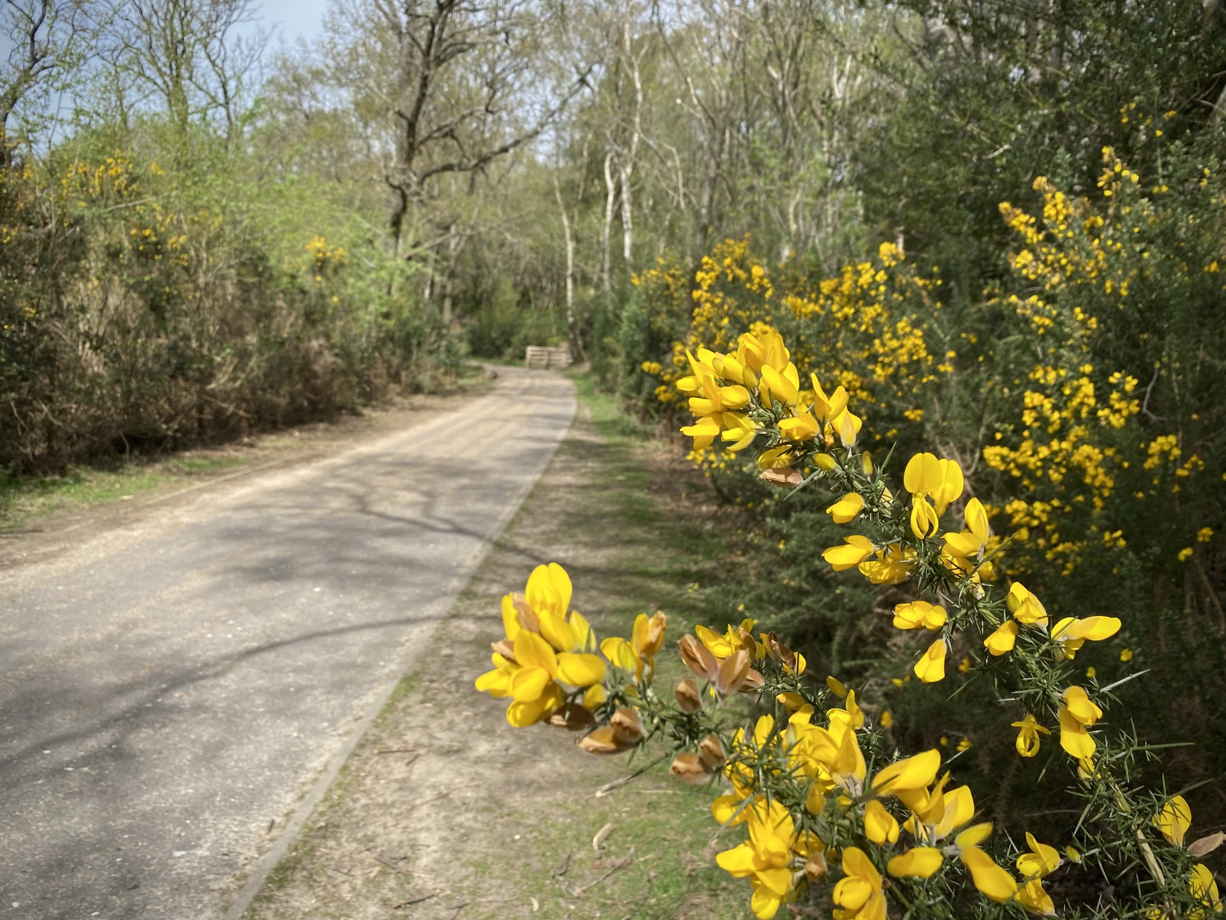
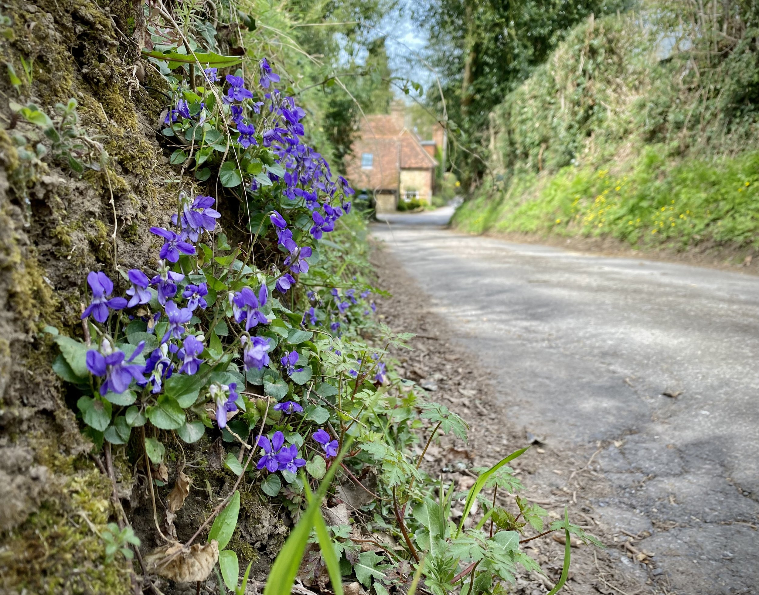
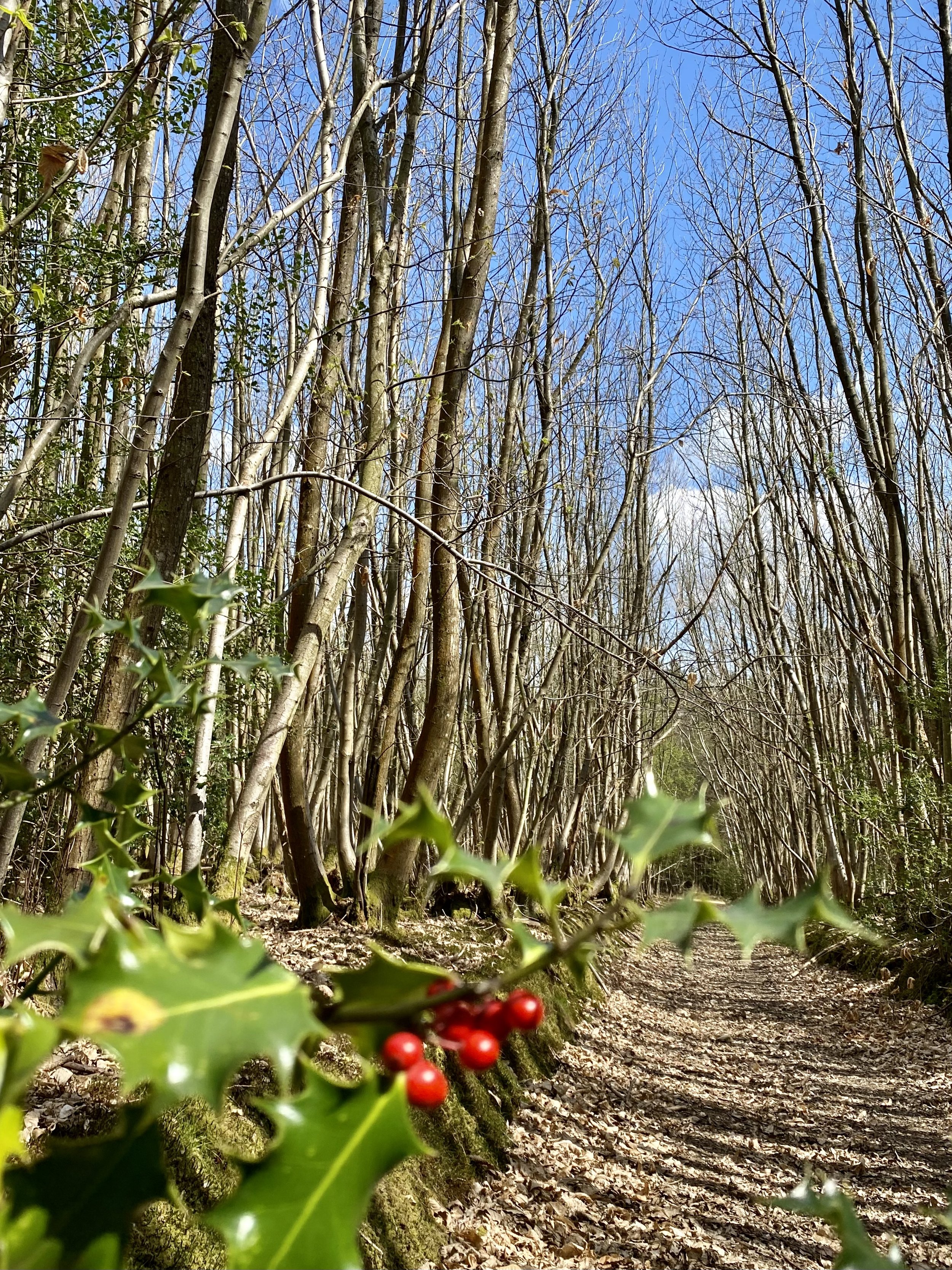
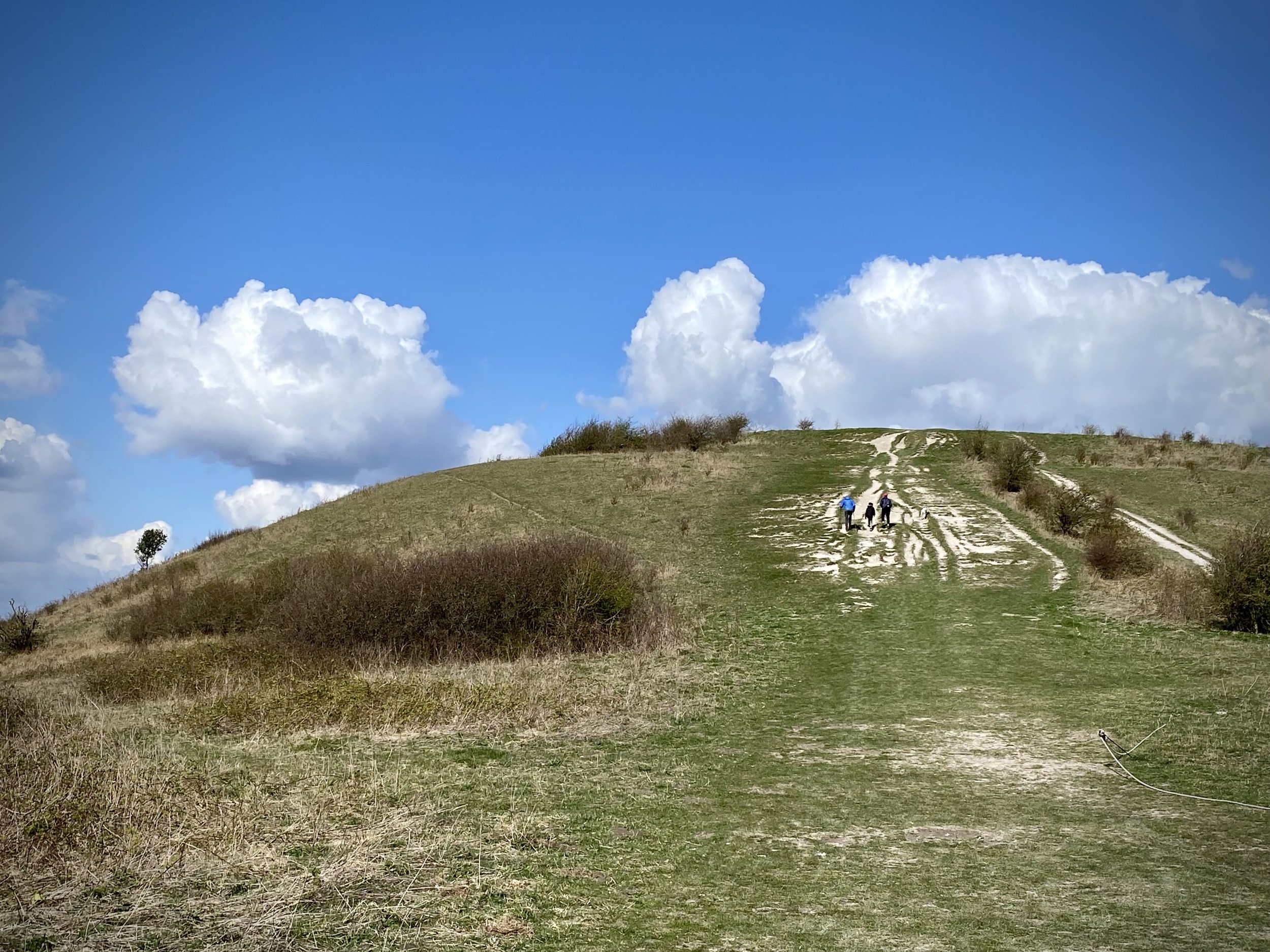
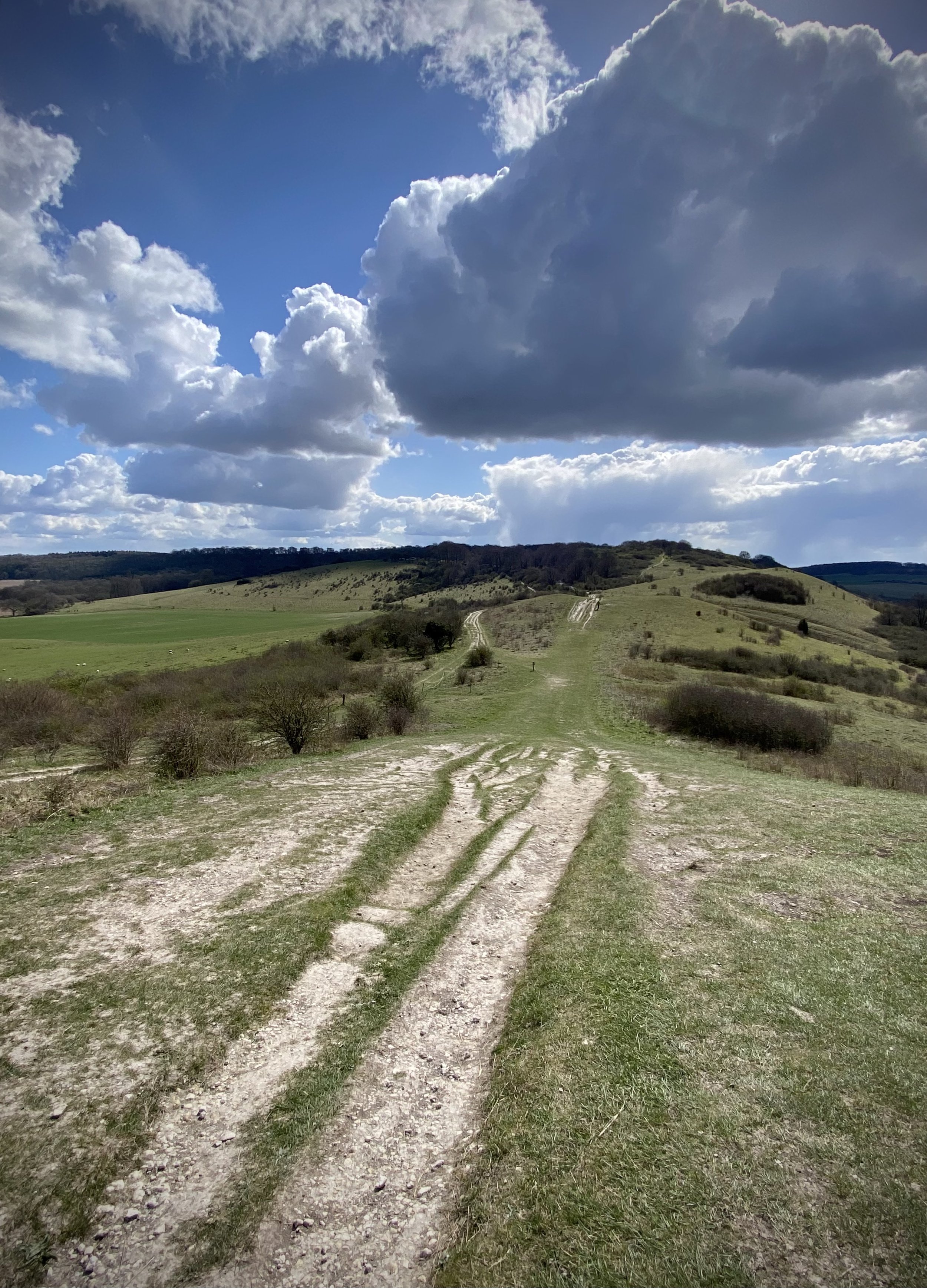
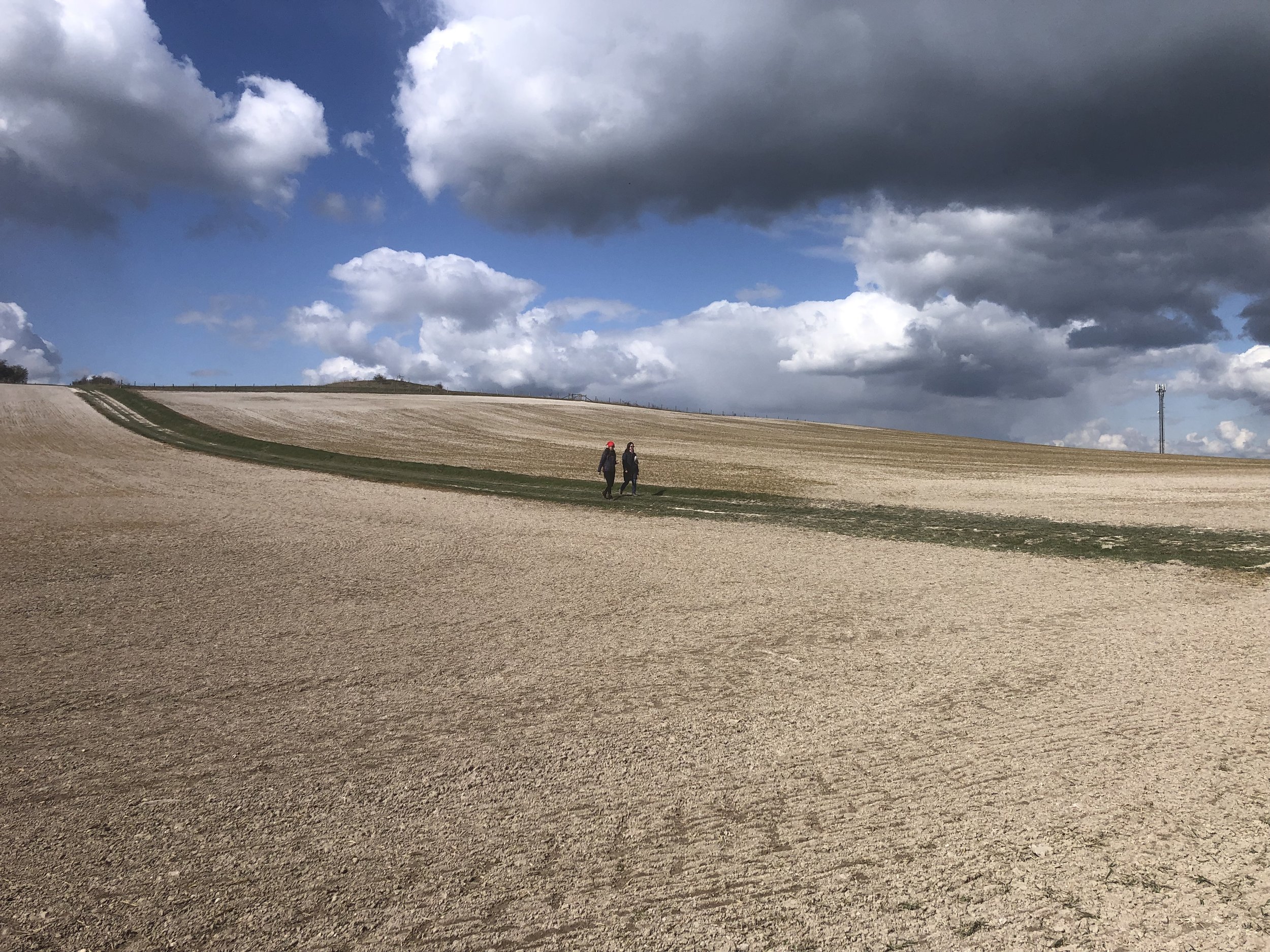
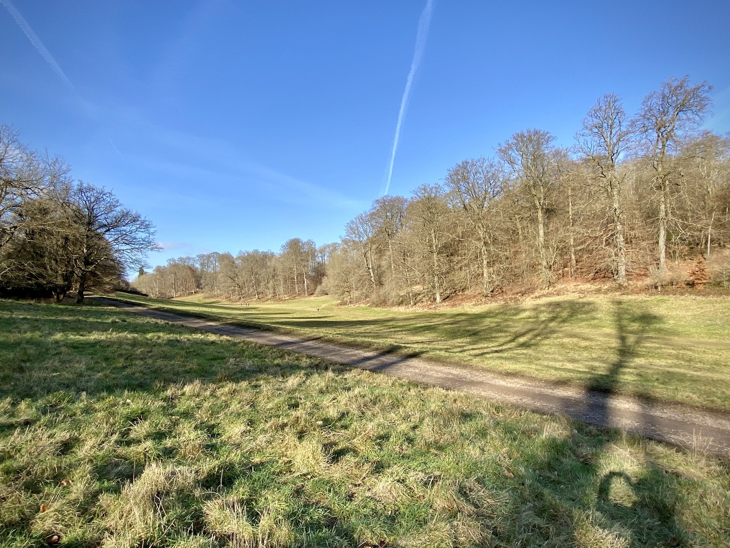
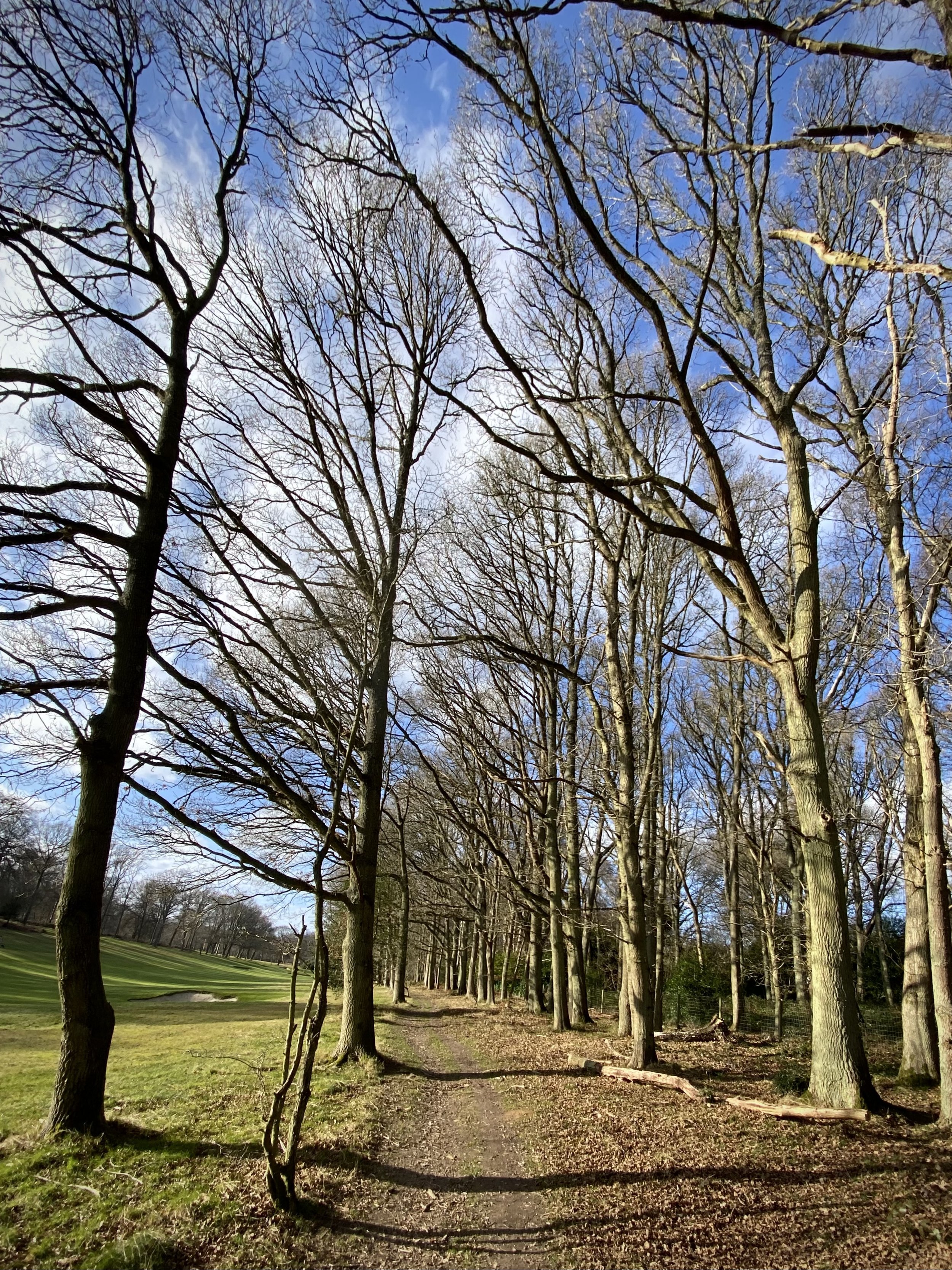
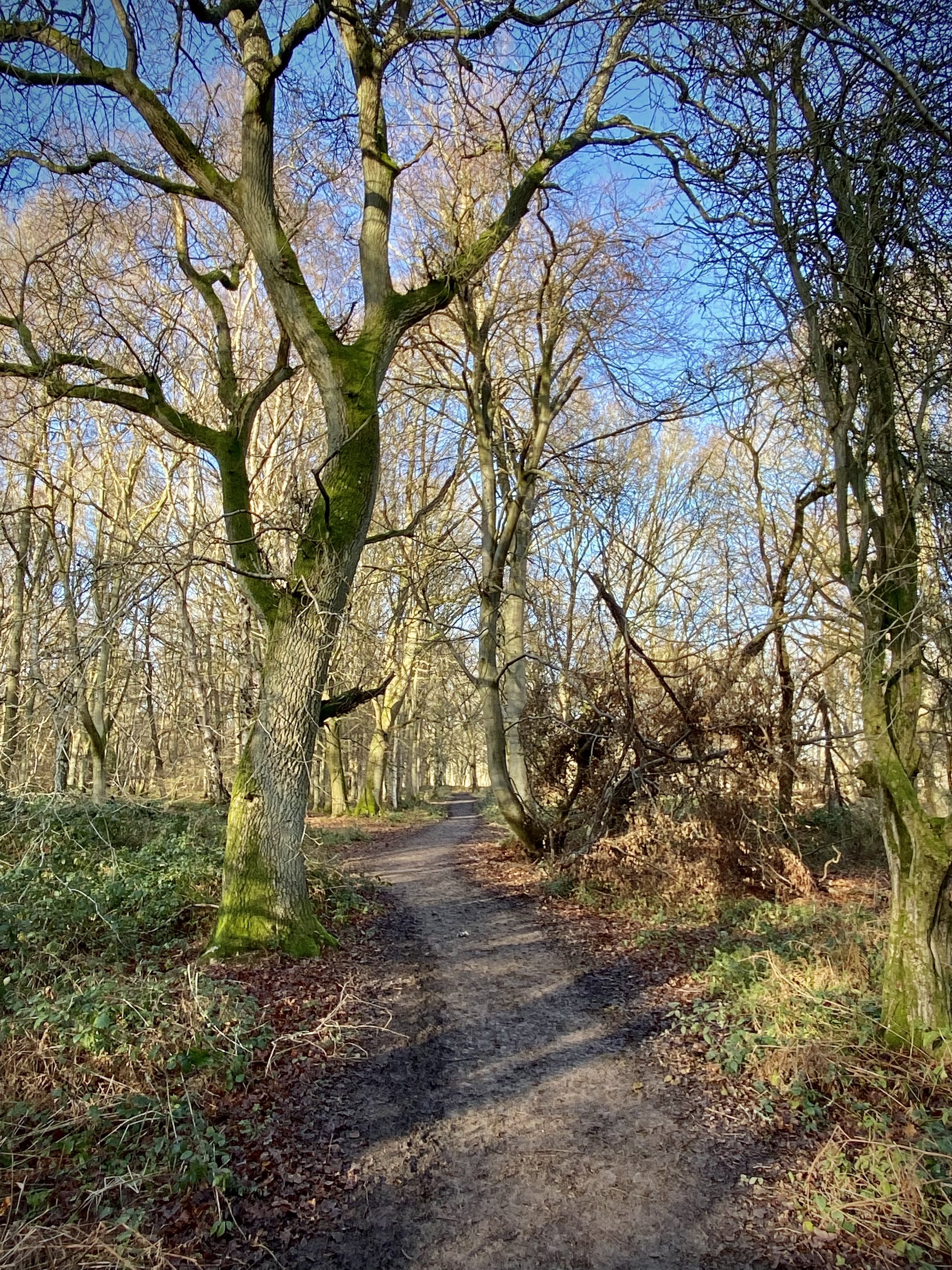
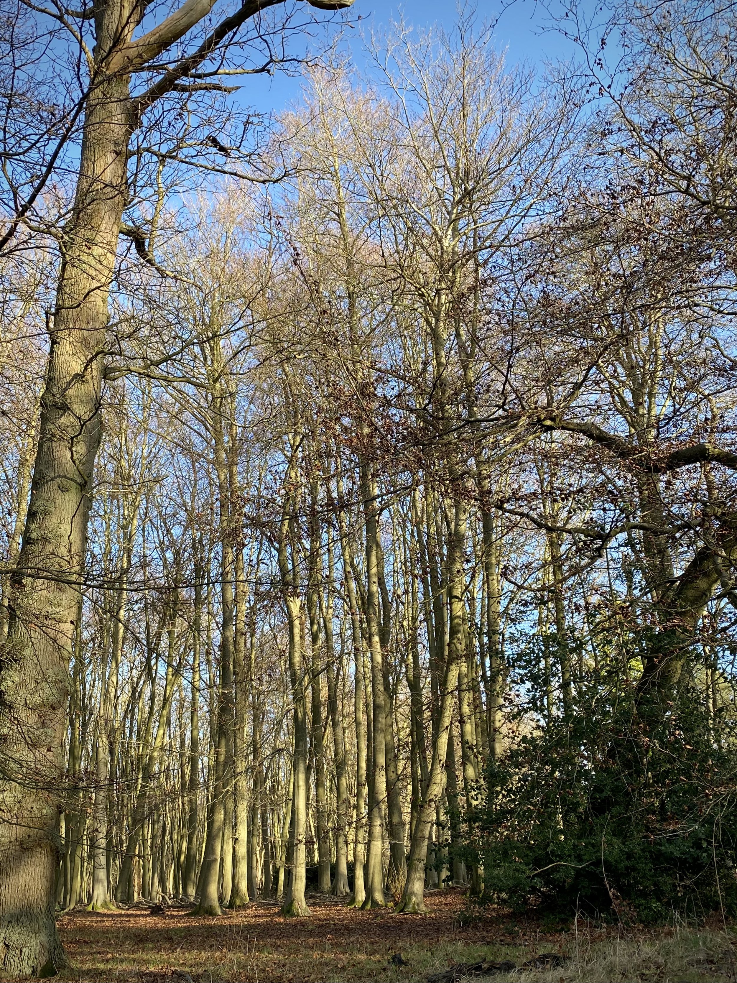
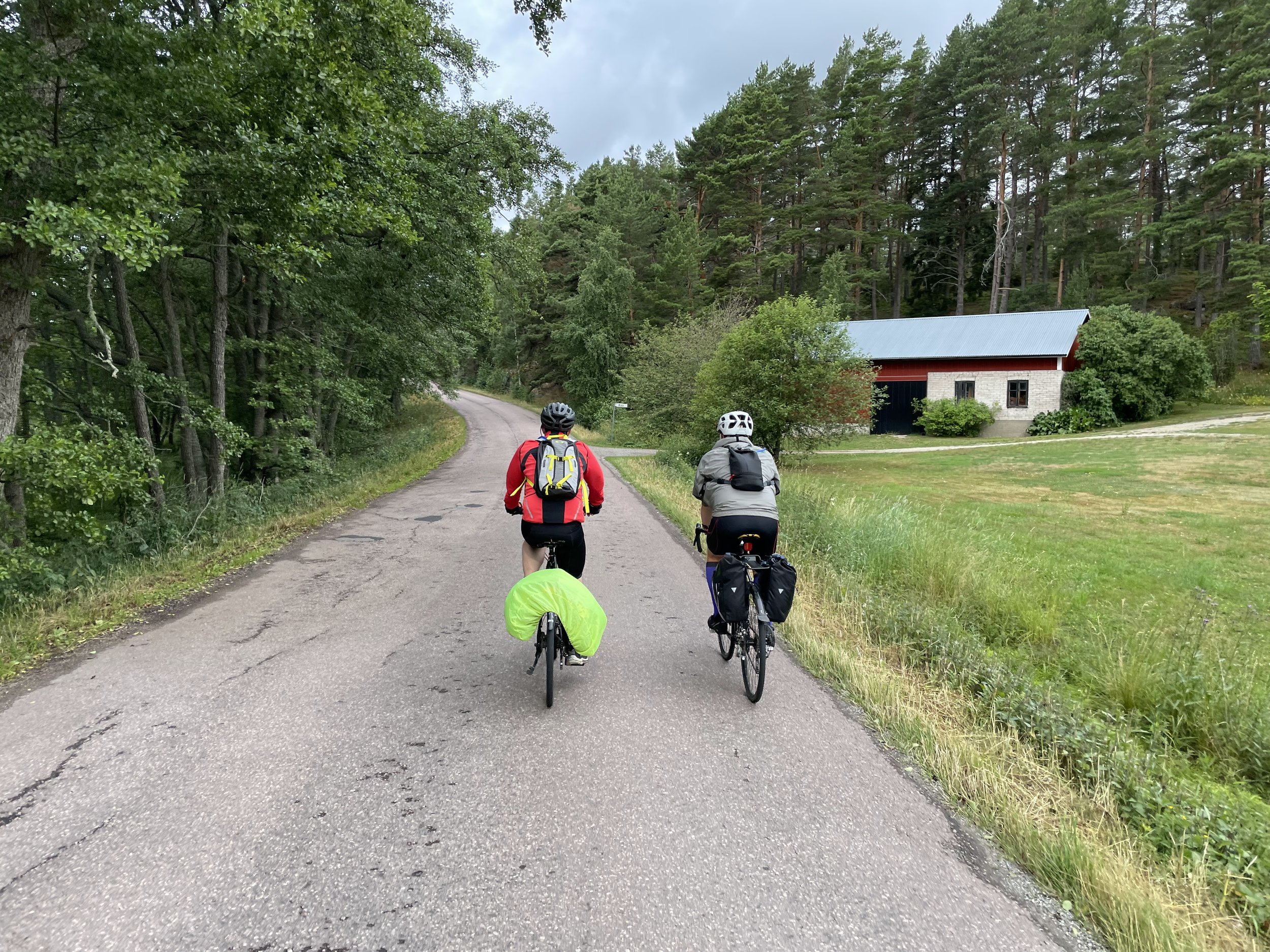
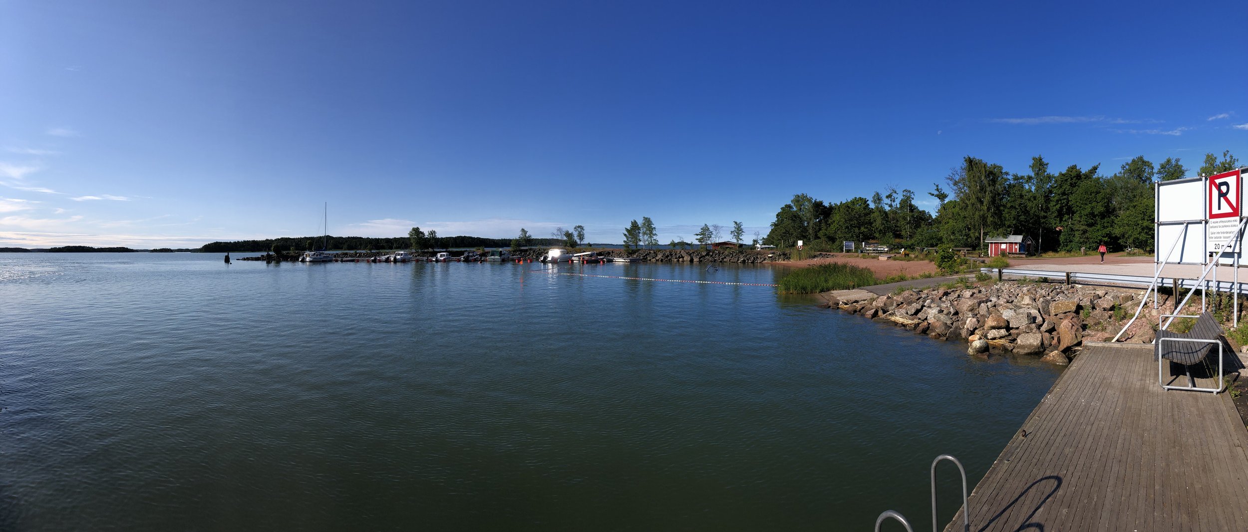
We took a clockwise direction following the EV10 out of Turku to Kaarina, then south on the 180. At 11km we were off the mainland and over the bridge to the first island of the archipelago. Although there’s some busy roads on this first section the cycle path is separate from the road, safe and well maintained. Once on the islands the cycle path undulates more than the roads as they navigate up and around rockier sections.
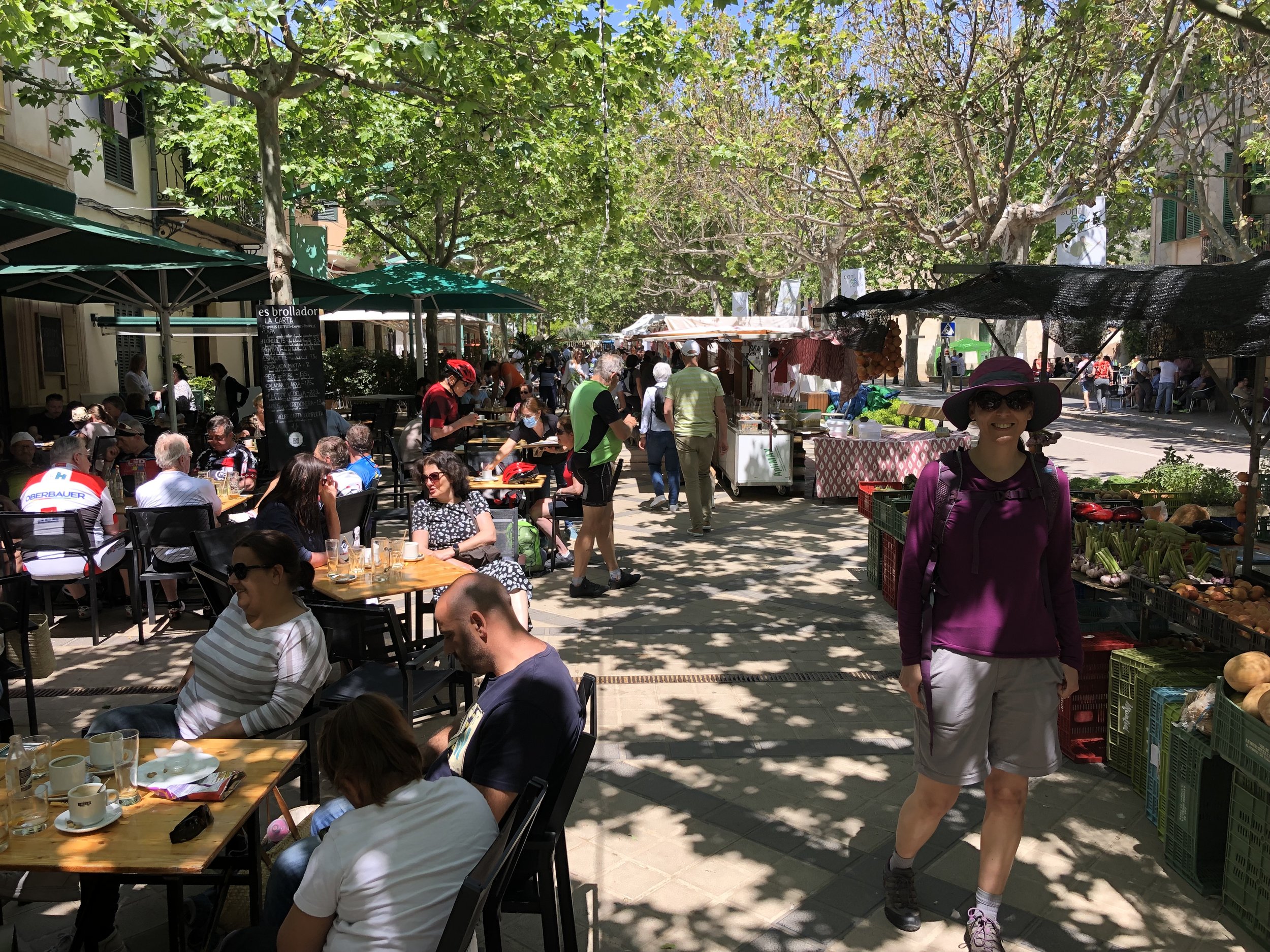
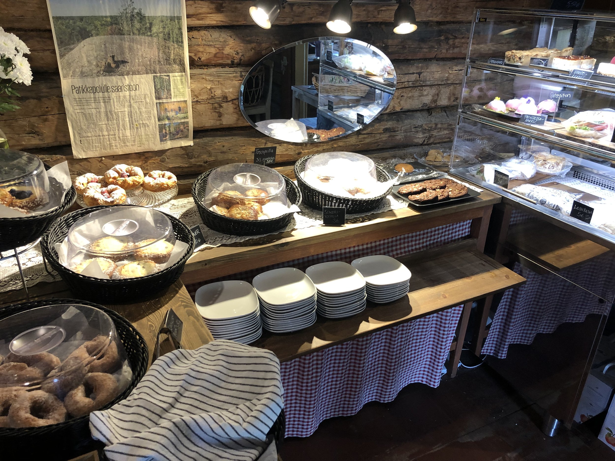
The weather wasn’t kind to us and it rained for most of the first day. We were very happy to stop for lunch at Sattmark Cafe, 33 km into the trip. I can highly recommend the fish and chips which looked small when they arrived at the table but seemed to go on forever. The cake selection looked amazing but the fish had filled me up so dessert would have to come later. For us this was 24 km later in the larger town of Nagu where Köpmans Café & Restaurant is a good and popular choice.
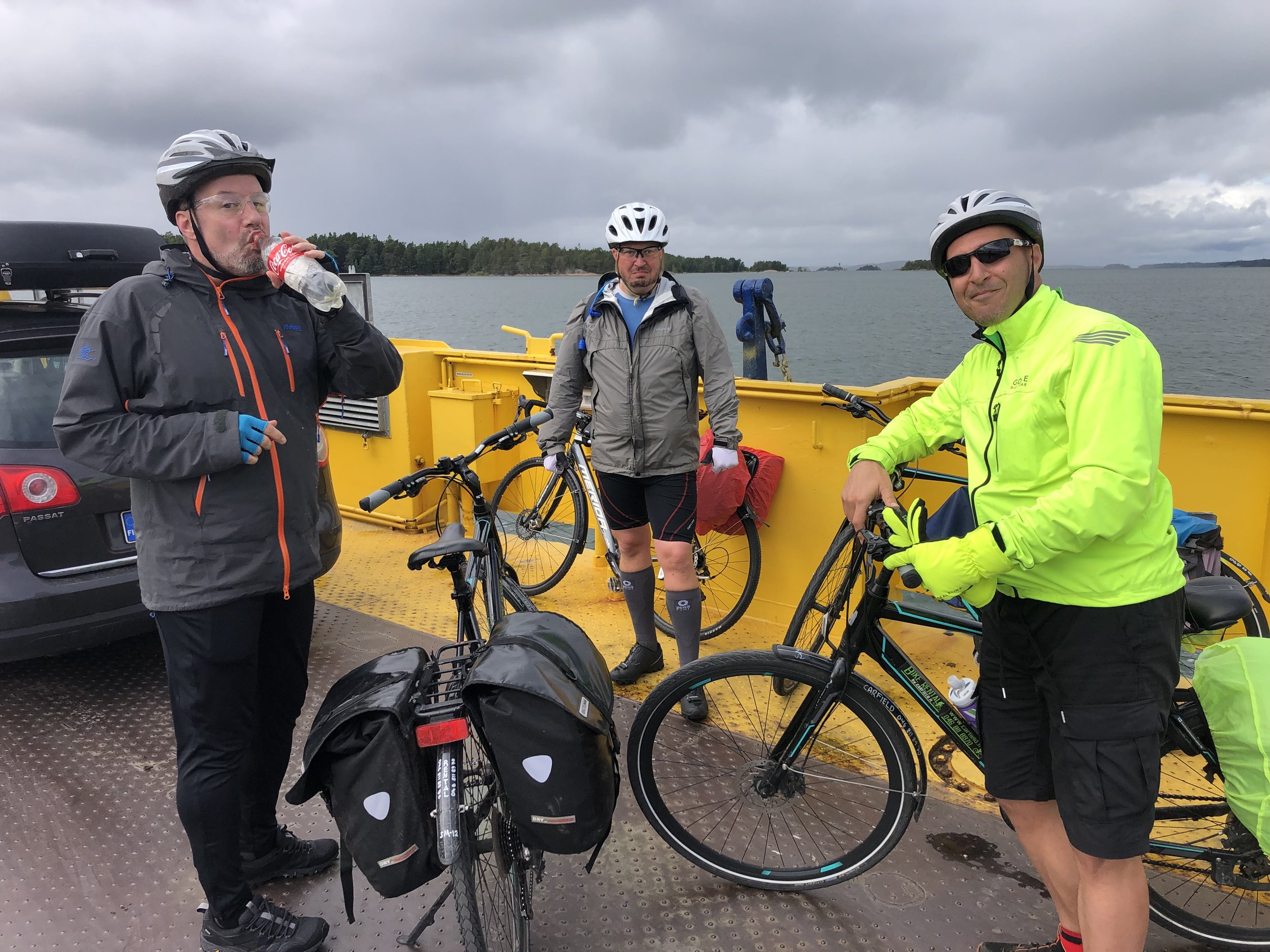
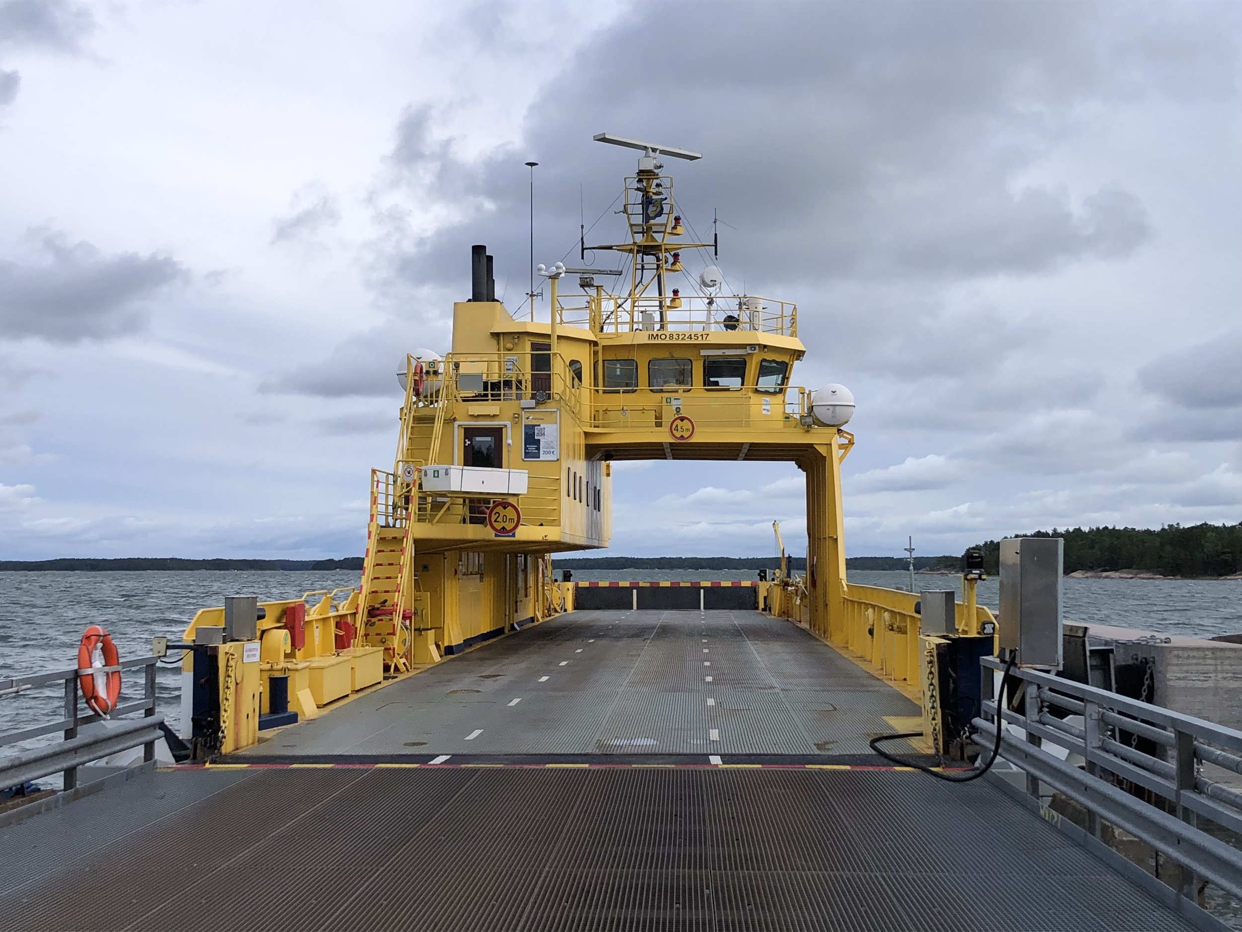
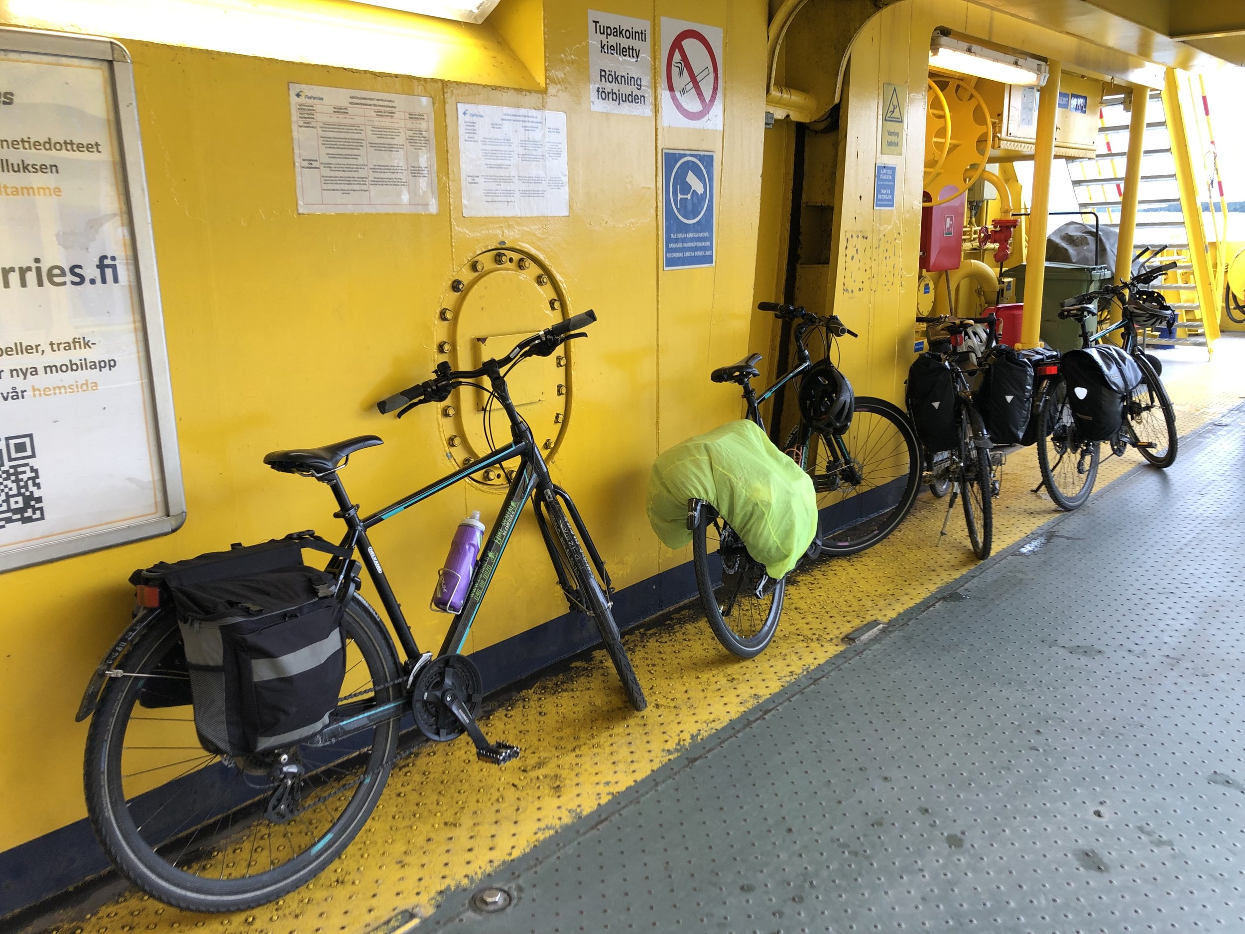
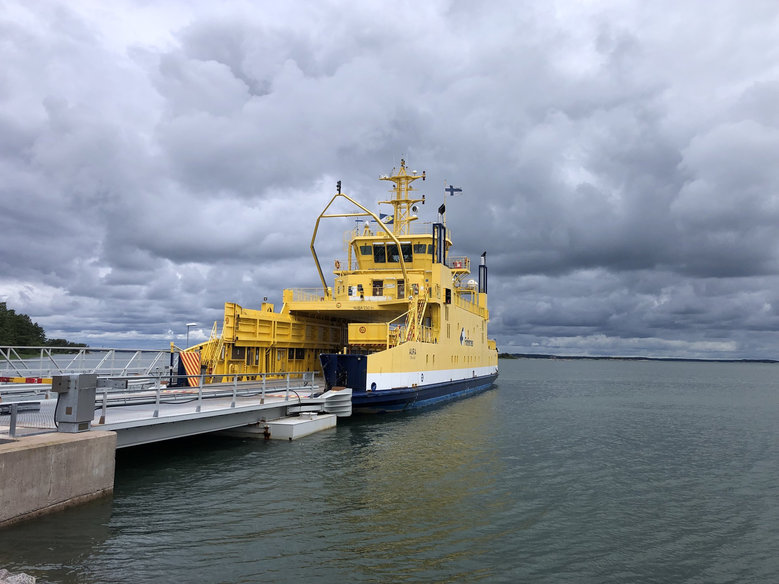
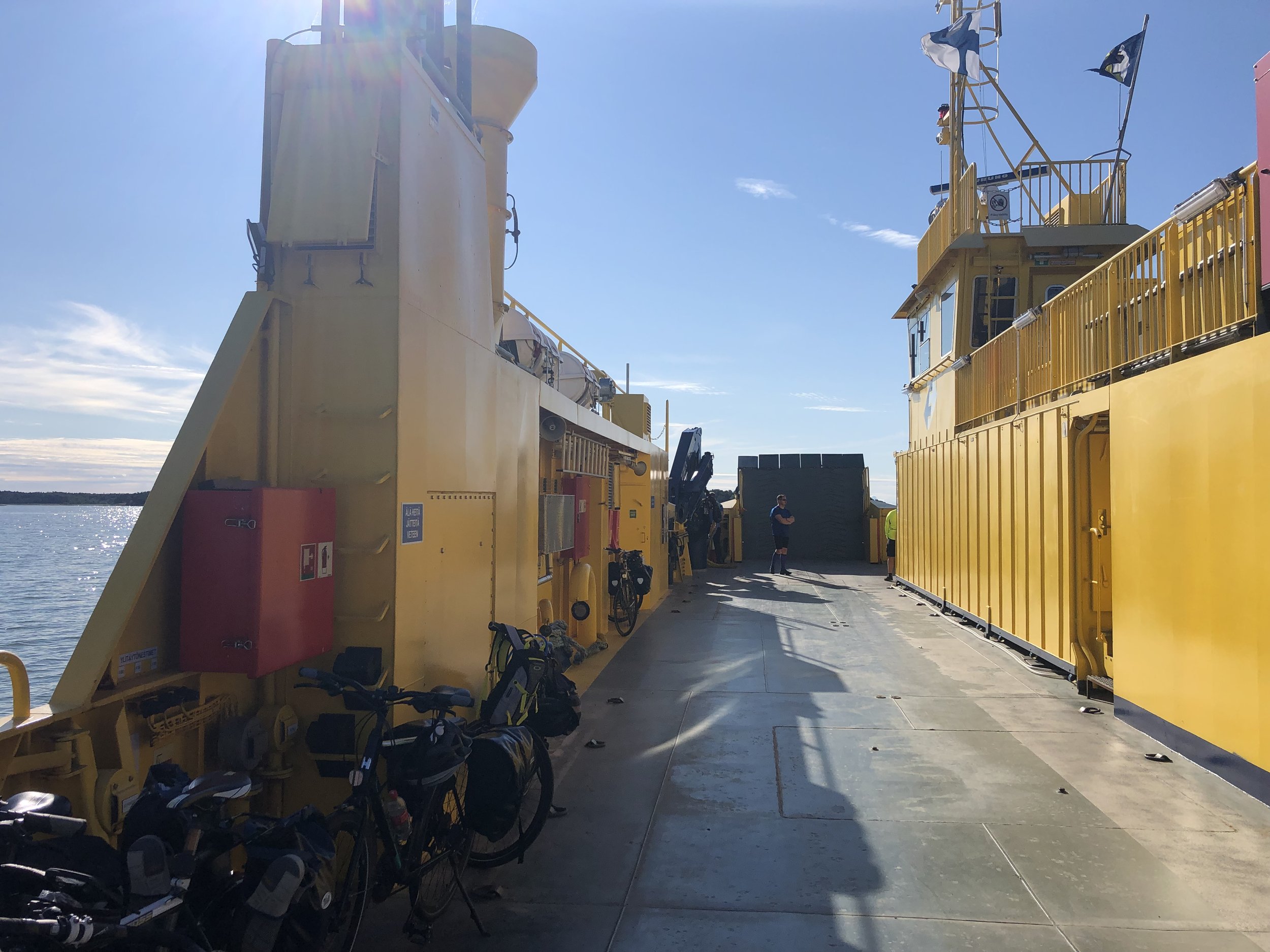
The first car ferry of the trip is shortly before Nagu at the 42 km point. There’s 9 ferries in total for this route, all free of charge except for 1. Shorter crossings have small chain ferries that come and go as needed. Longer crossings have larger ferries with indoor areas for passengers. Check the timetables for the larger ferries as missing one can give you a very long wait. We nearly missed one on day 2 which would have meant a 2 hour wait for the next one.
The separate cycle path ends at the first ferry and you’ll now be joining the cars on the main road. Roads on the islands are quiet though. The larger ferries also have the effect of bunching up the traffic. Bikes always leave the ferries behind the cars, so you’ll have a long stretch of cycling before the cars from the next ferry catch you up.
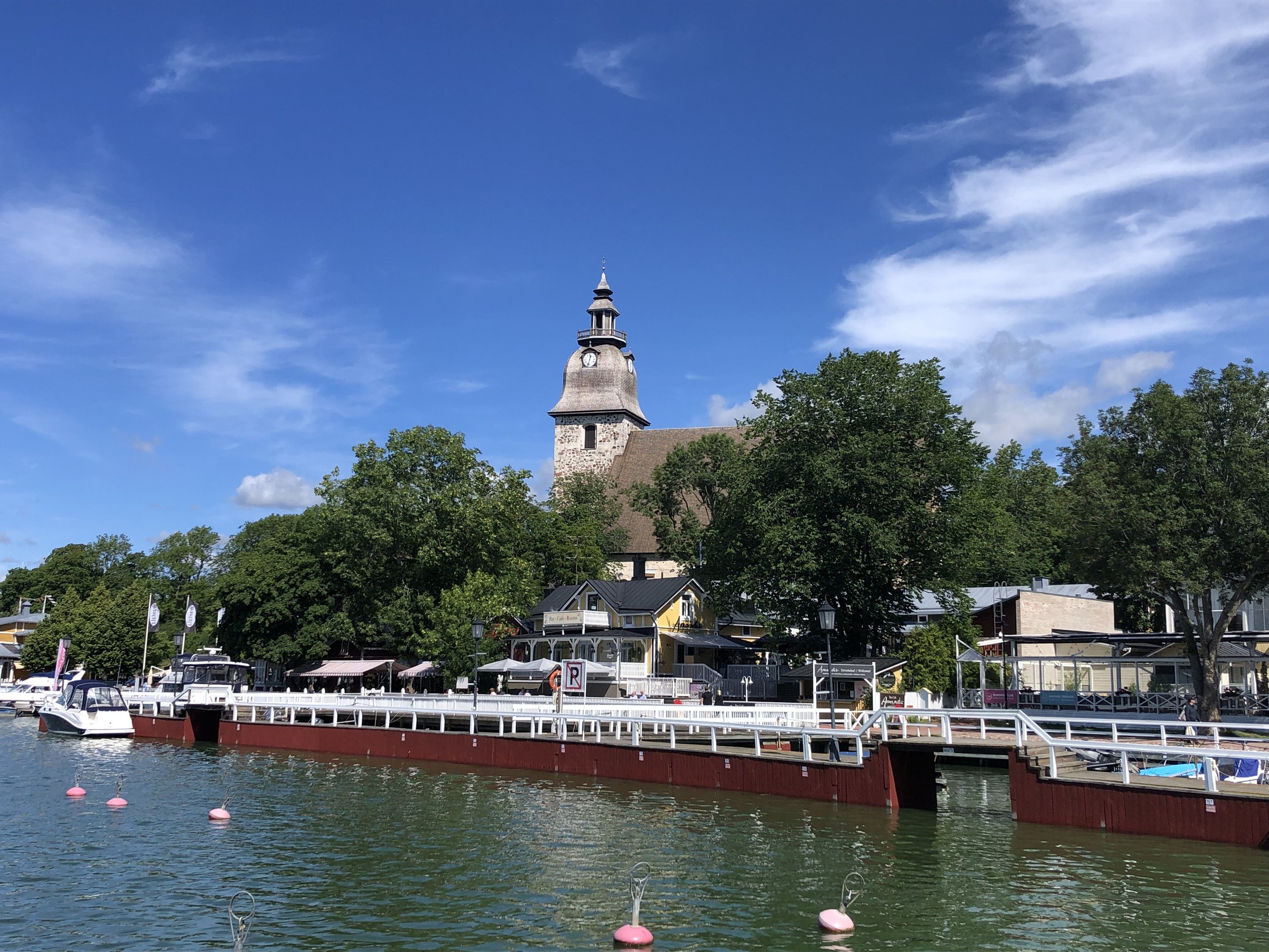
Our accommodation for Day 1 was in Hjalmars´ Restaurant and Pub in Korppoo. We had a large en-suite room with 4 single beds which was perfect for our group. They also had a secure room in the basement to lock the bikes up overnight. Food was great too and you should try their special strawberry dessert. It’s perfect if you don’t like to have too many strawberries in your strawberry dessert.


Day 2 - Korppoo to Kustavi
Start: Hjalmars´ Restaurant and Pub, Kauppamiehentie 1, 21710 Korpo
Finish: Peterzens Boathouse, Parattulan rantatie 16, 23360 Kustavi
Distance: 65.2 km (40.5 miles)
- On roads: 37.3km (23.2 miles)
- via ferry: 27.9 km (17.3 miles)
Elevation change: + 260 / -264m (Net -4m)
GPX File: get via Buy Me a Coffee
Other routes touched (walk): St. Olav’s Way
Other routes touched (cycle): National Cycling Route 32
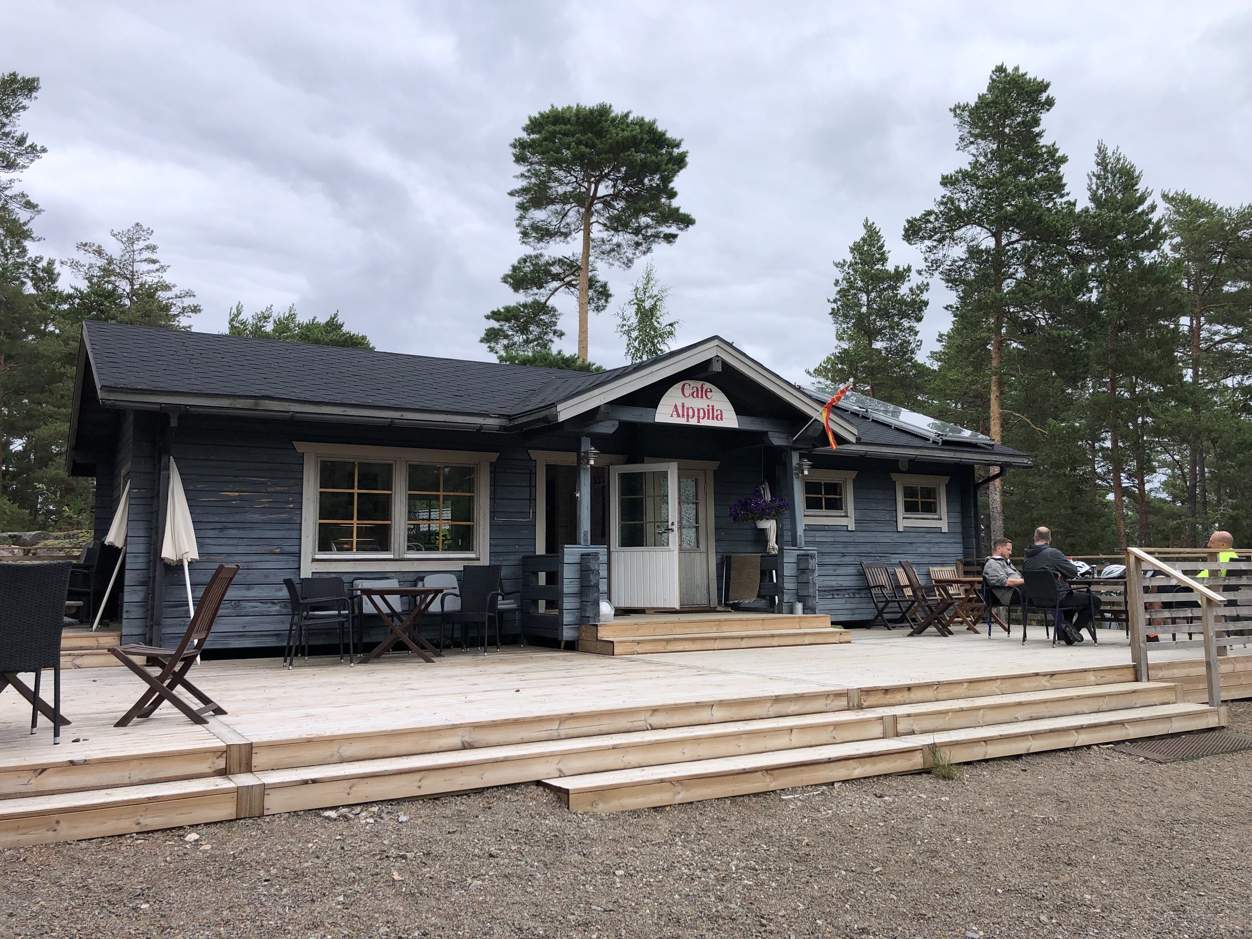
Pubs / Cafes on route: Cafe on the Mossala-Houtskari ferry (35 km in), Cafe Alppila, Iniö (57 km in)
Links: Archipelago Trail, St. Olav’s Way, Korppoo, Kustavi, Fin Ferries
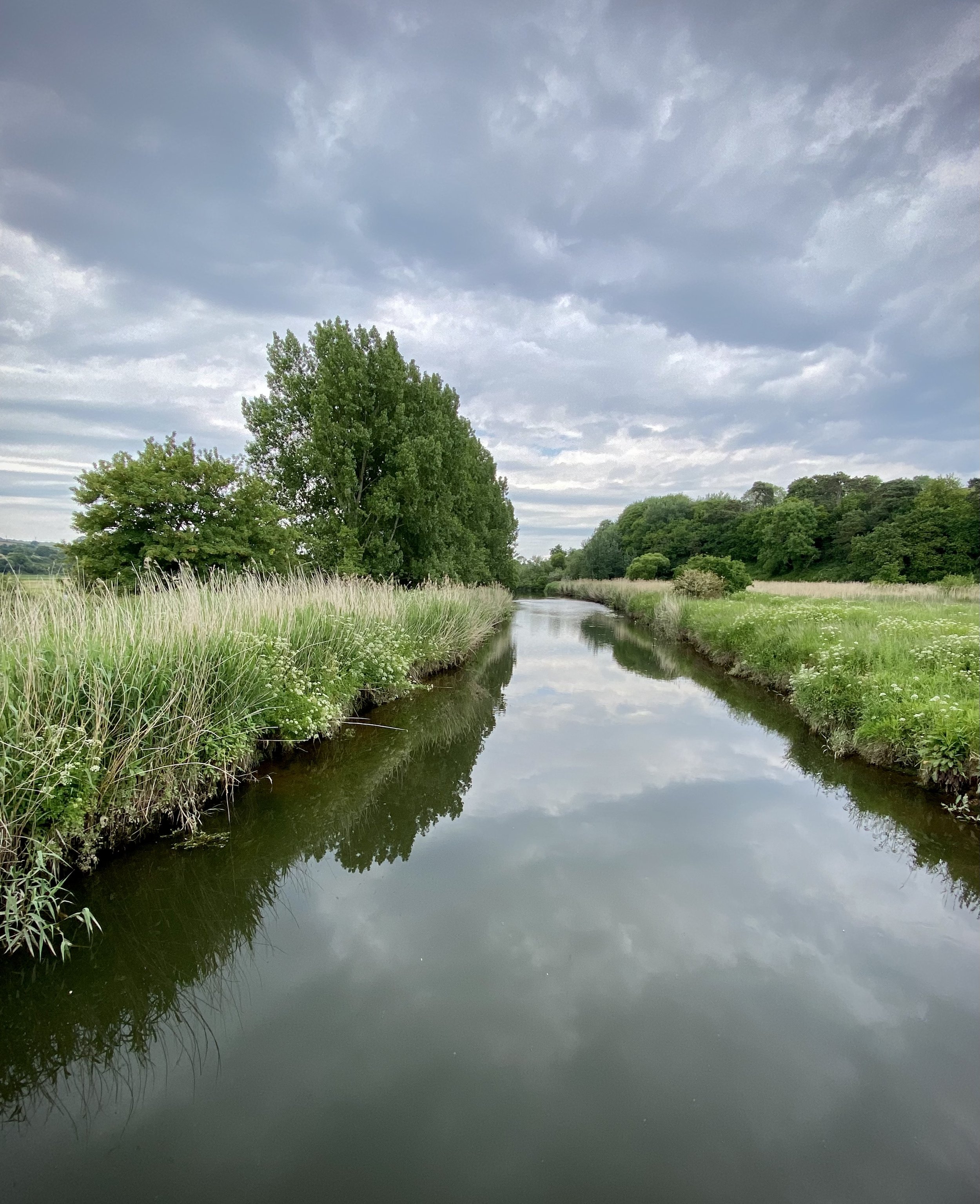
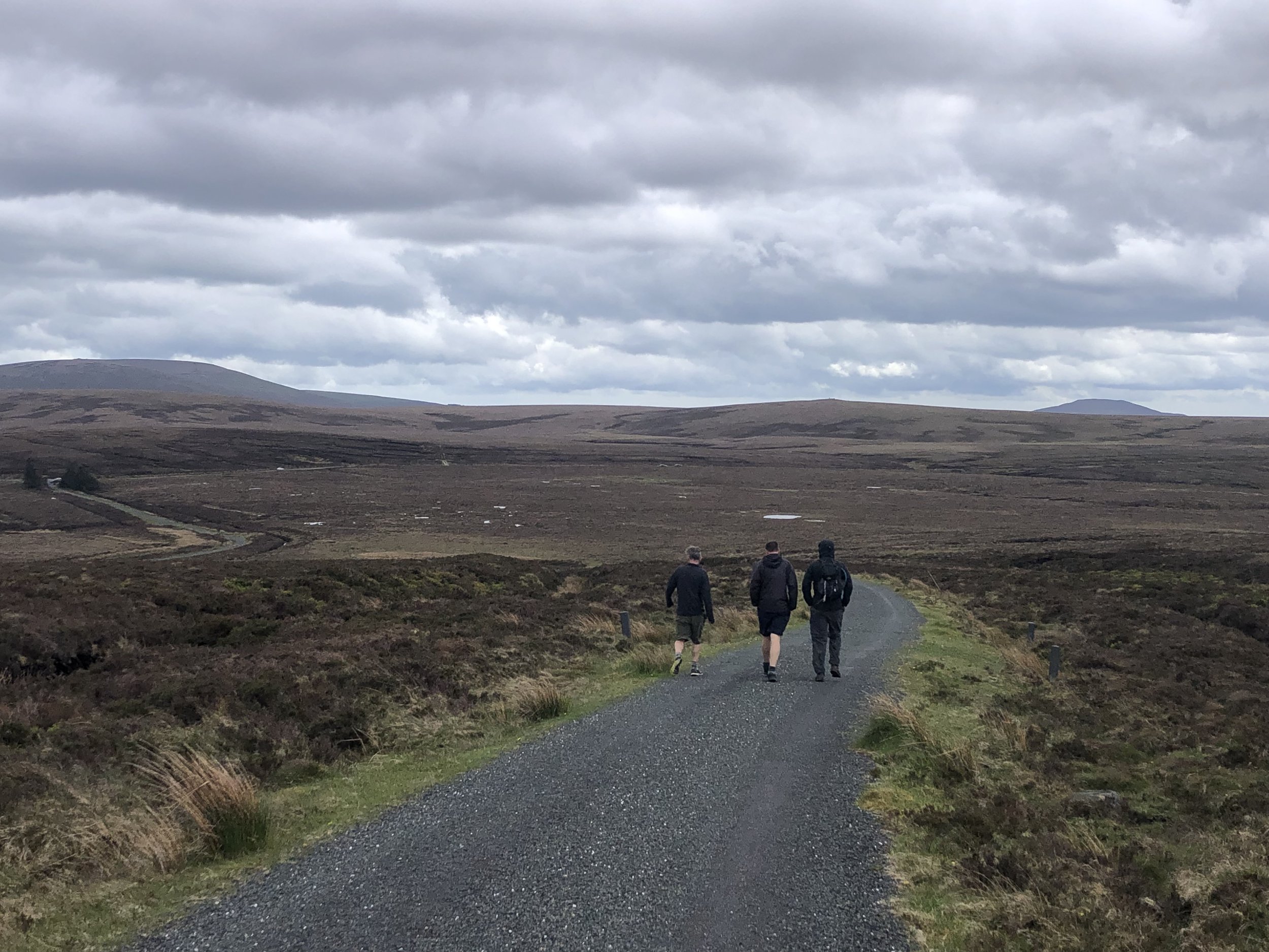
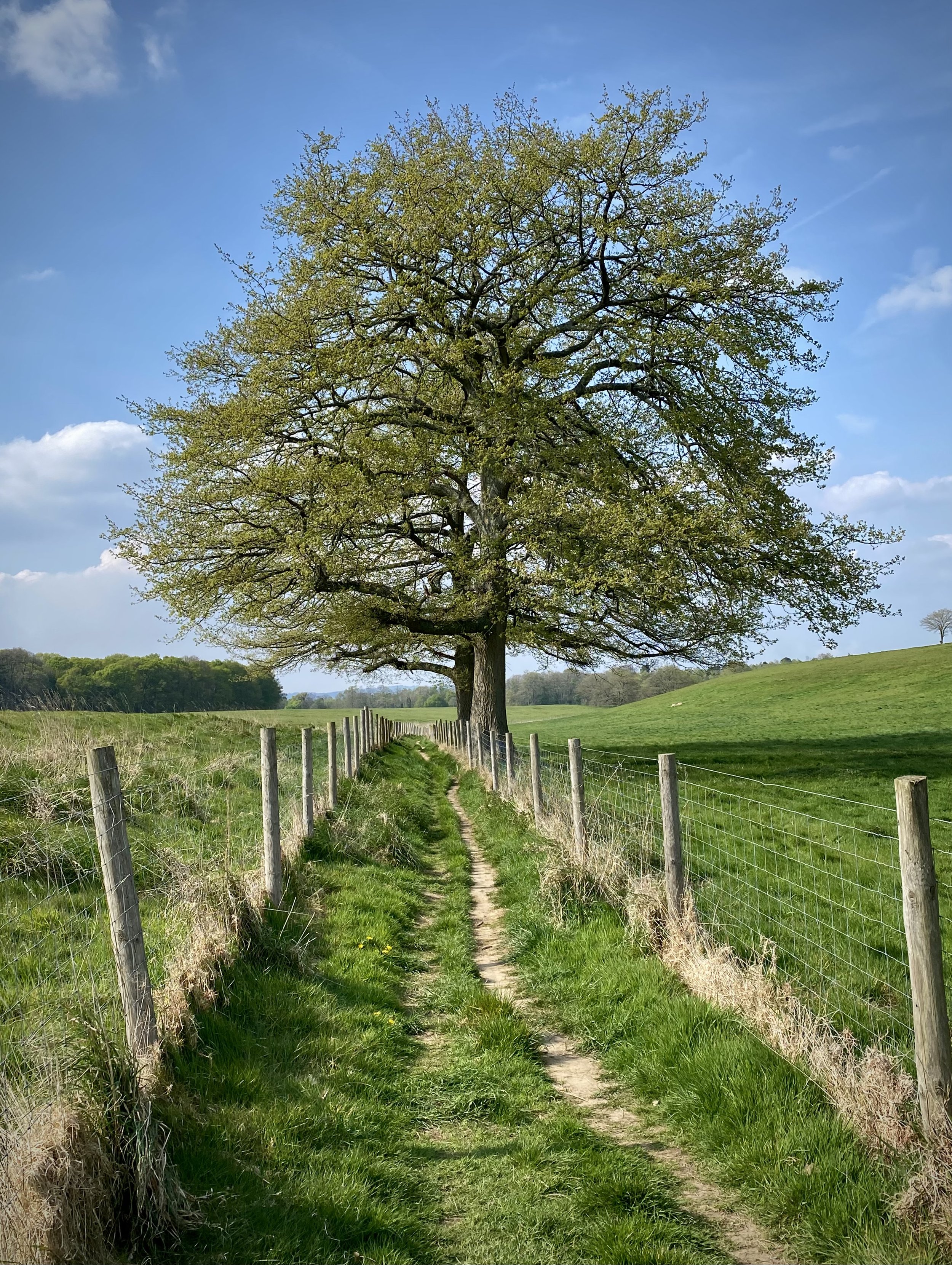
Day 2 was a shorter day, both in total distance and in cycling time. This is the heart of the archipelago with more islands, more ferries and longer distances between them. Around 40% of the total distance for this day is via ferry. We set off from the hotel to retrace the last 3km from the previous day to the Korppoo ferry. Thankfully the rain had stopped but it was still chilly so we made good use of the covered areas of the ferries.
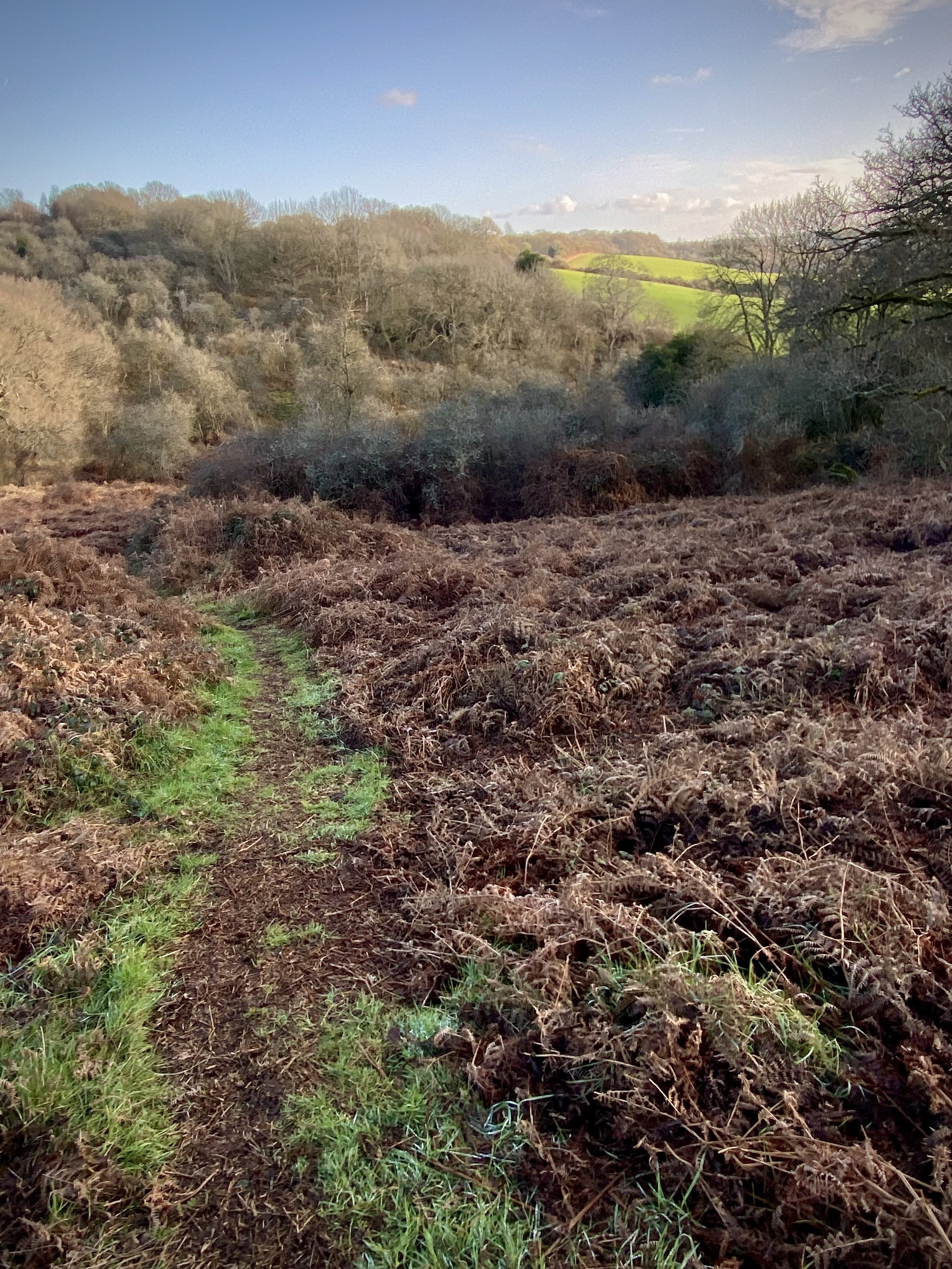
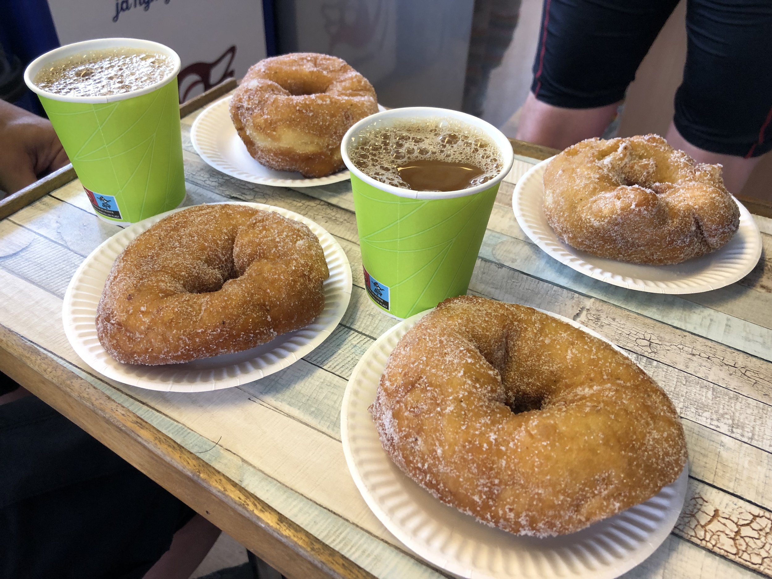
Much of this day was what we imagined the trip to be: remote, rural with quiet roads. Cafes were fewer and farther between so we took the opportunities as they came up. The Munkkis (Finnish donuts) on the Mossala-Houtskari ferry were amazing and almost worth the flight to Finland just to find them.
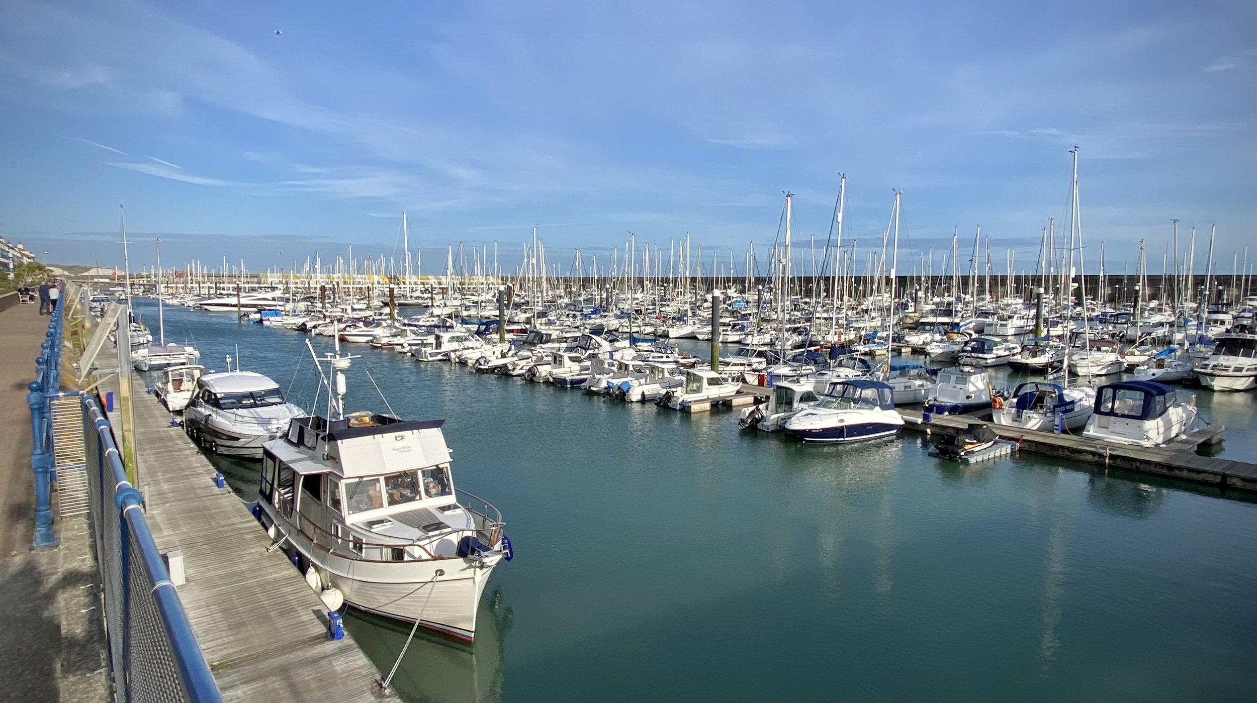
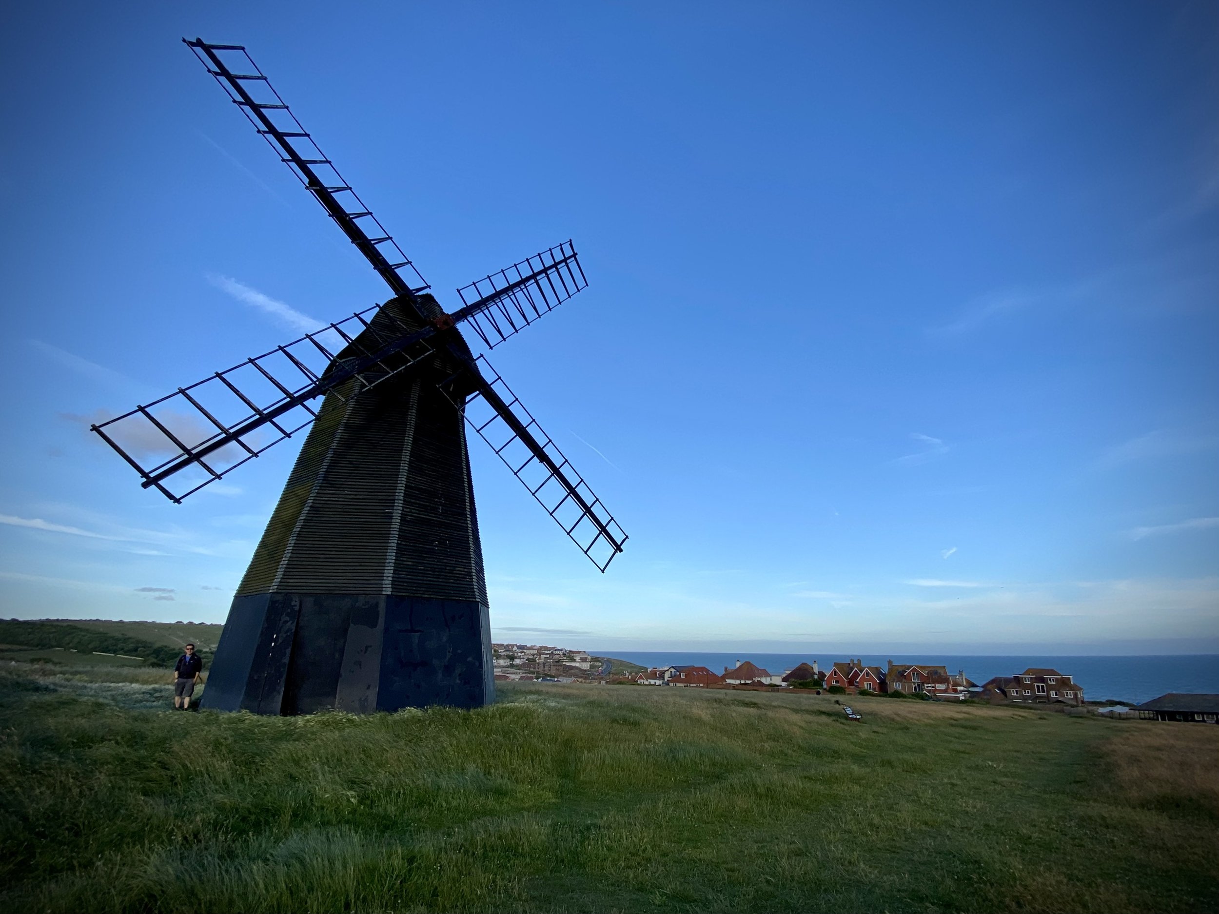
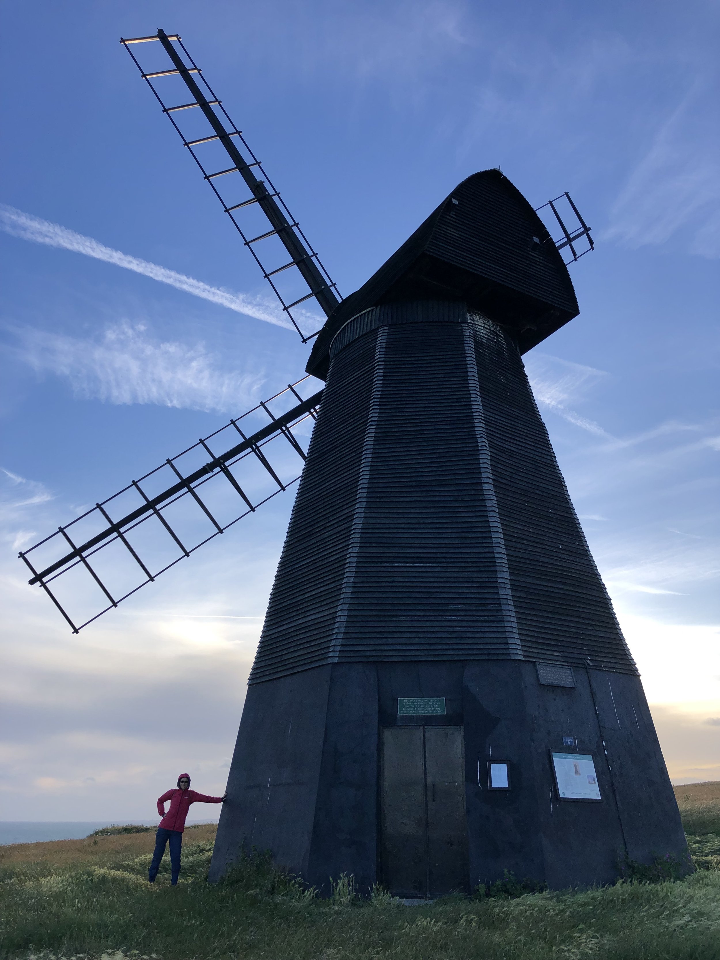
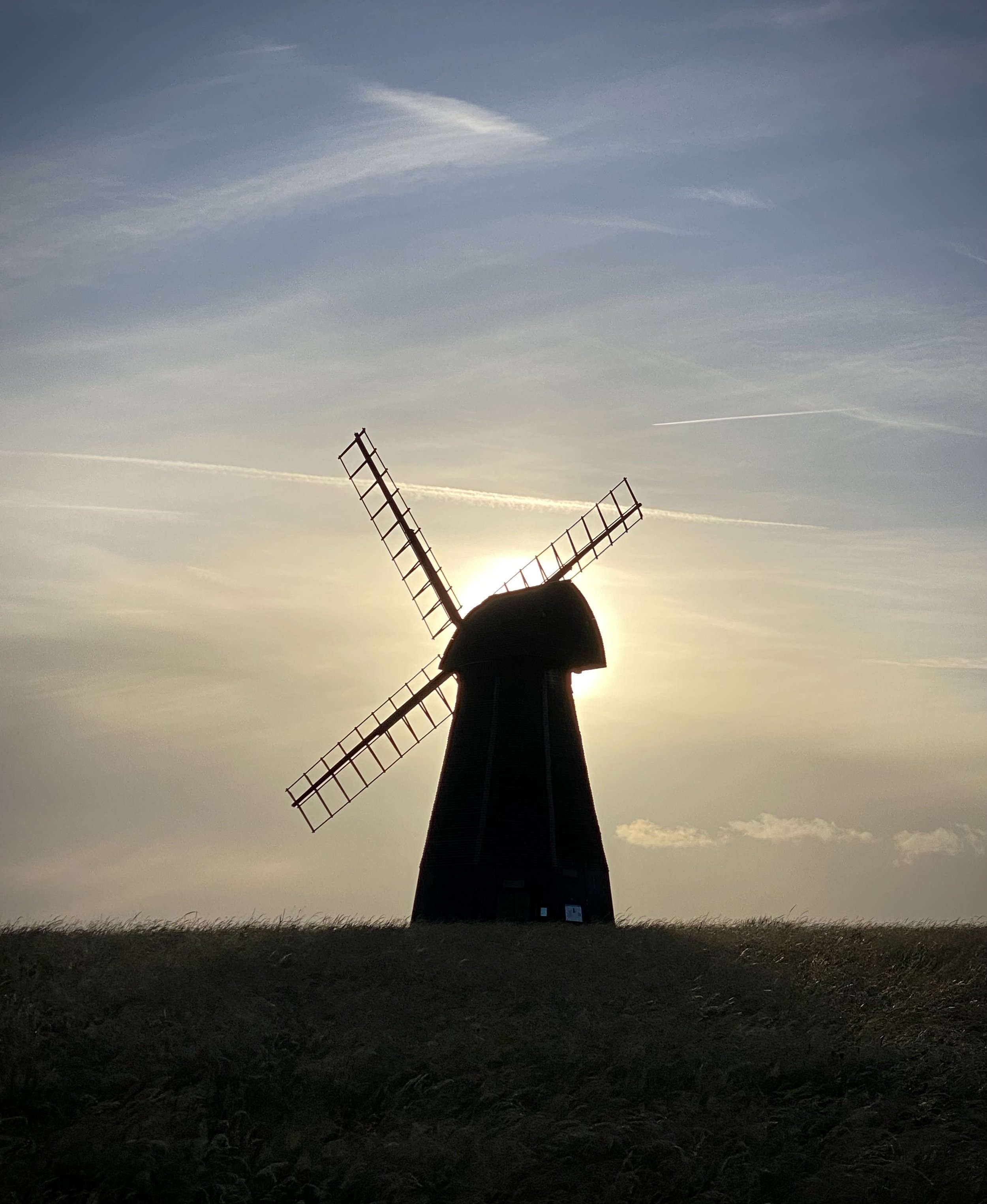
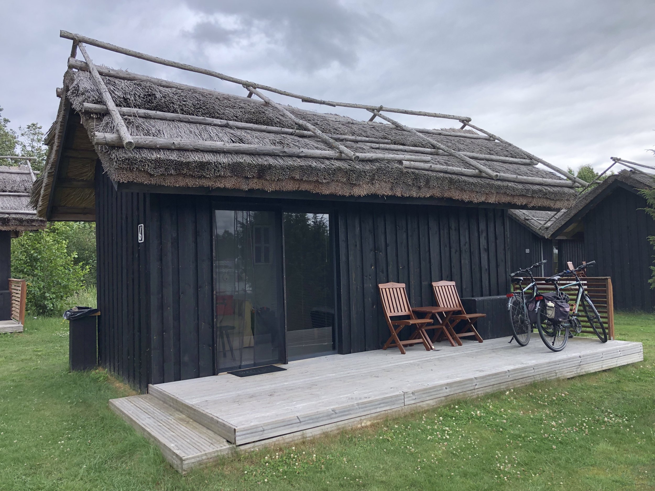
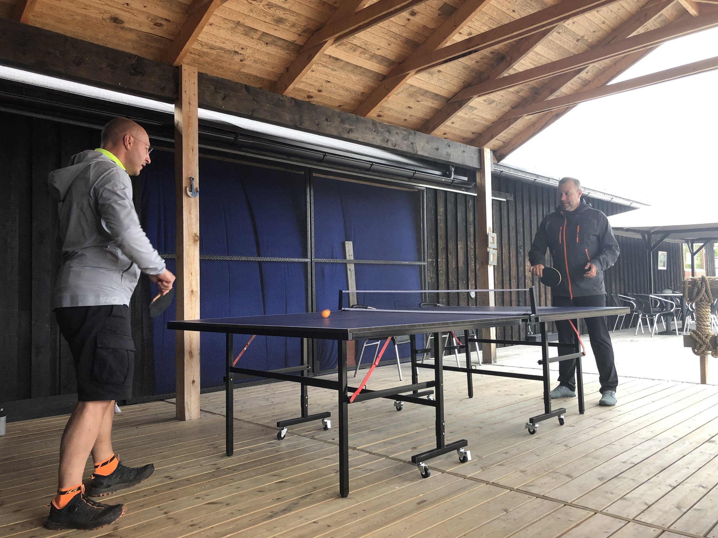
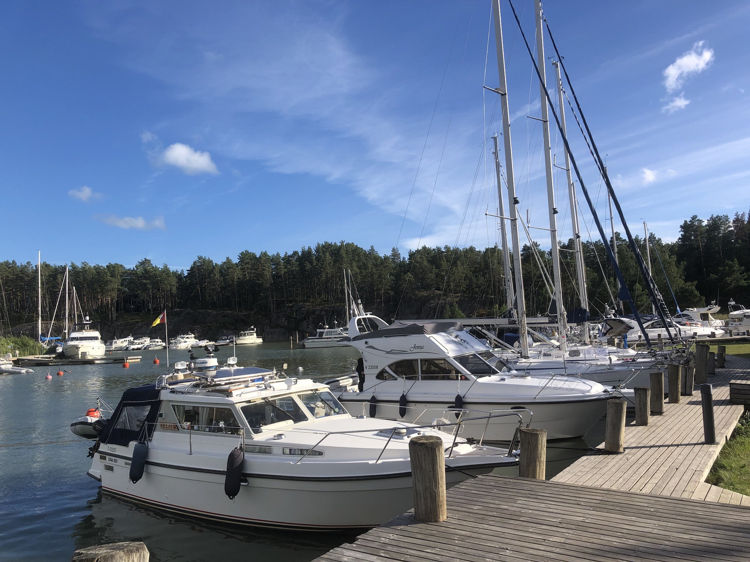
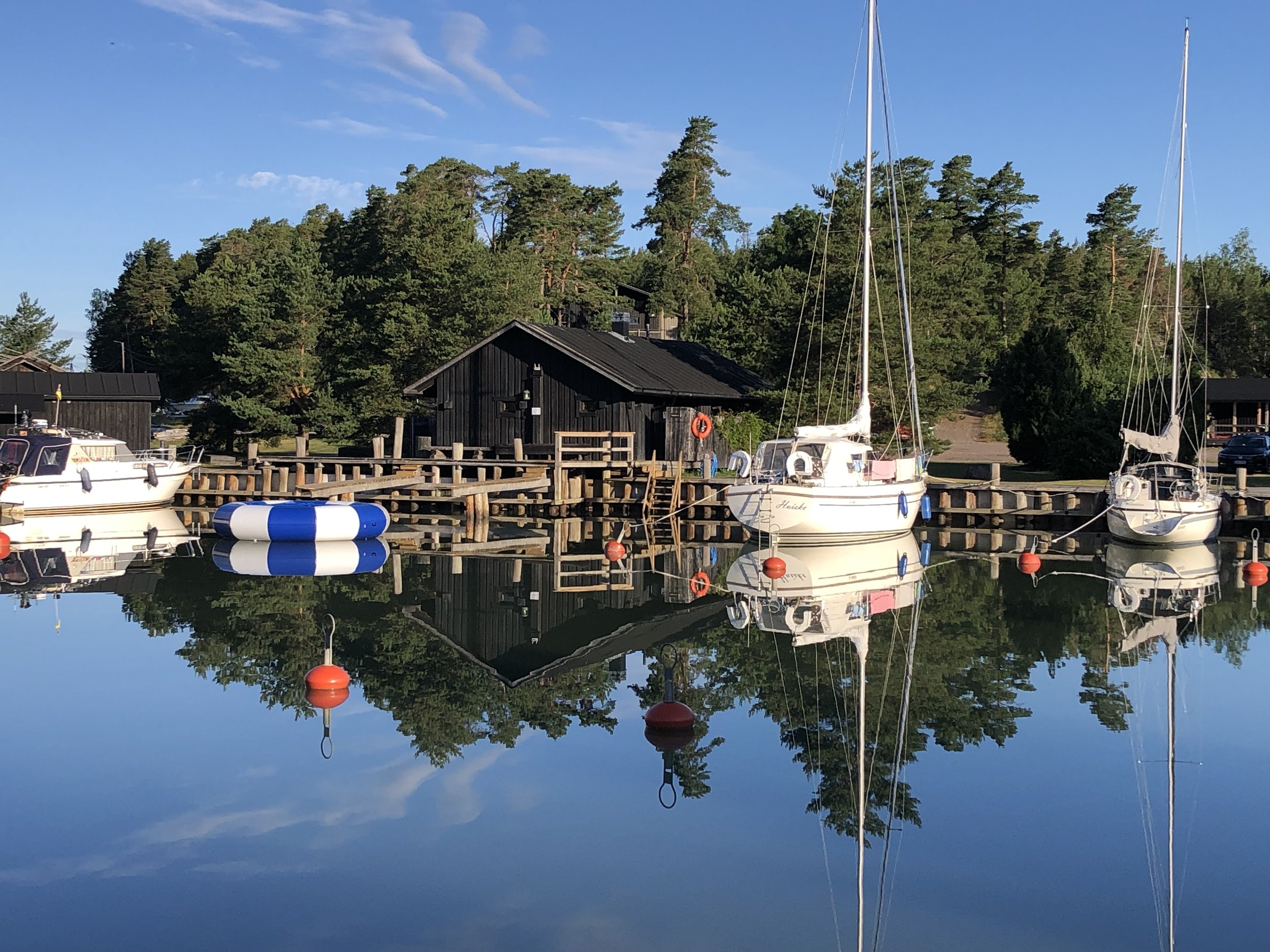
Evening accommodation for this day was at Peterzen’s Boathouse, a marina on the southern end of Kustavi’s main Island. We made the most of arriving early in the afternoon to try the fish buffet, mini-golf and table-tennis. The boathouse has a selection of wooden cabins next to the marina which are perfect for cyclists. They’re on the cozy side so I’m glad we went for 2 cabins for the 4 of us.


Day 3 - Kustavi to Turku
Start: Peterzens Boathouse, Parattulan rantatie 16, 23360 Kustavi
Finish: Carfield Bike Rental - Polkupyörävuokraus, Läntinen Pitkäkatu 20, 20100 Turku
Distance: 75.7 km (47 miles)
- On roads: 69.5km (43 miles)
- via ferry: 6.2 km (3.8 miles)
Elevation change: + 496m / -471m (Net +25m)
GPX File: get via Buy Me a Coffee
Other routes touched (walk): Kuhankuonon Retkeilyreitistö
Other routes touched (cycle): EV10, National Cycling Route 29, 32
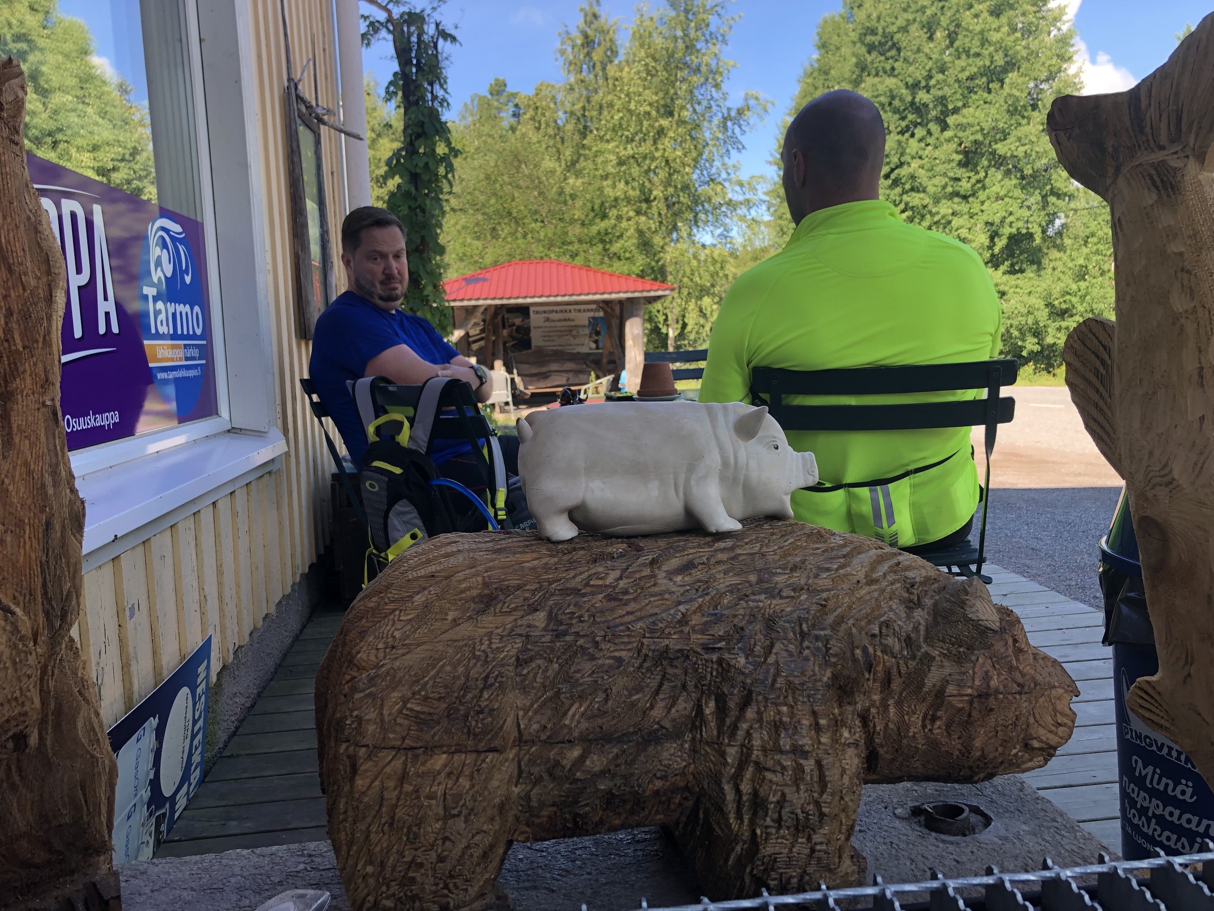
Pubs / Cafes on route: Livonsaaren Osuuskauppa (36km in), Restaurant Snickari, Naantali (58 km in)
Links: Archipelago Trail, St. Olav’s Way, Kustavi, Peterzens Boathouse, Taivassalo, Merimasku, Naantali, Turku, Fin Ferries
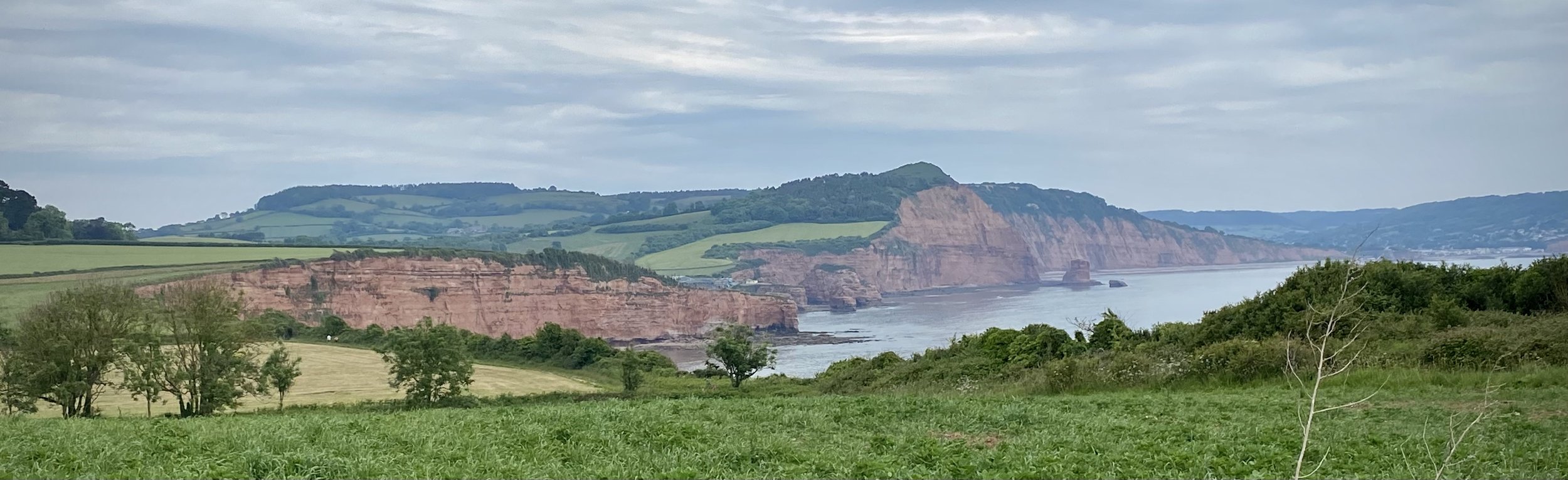
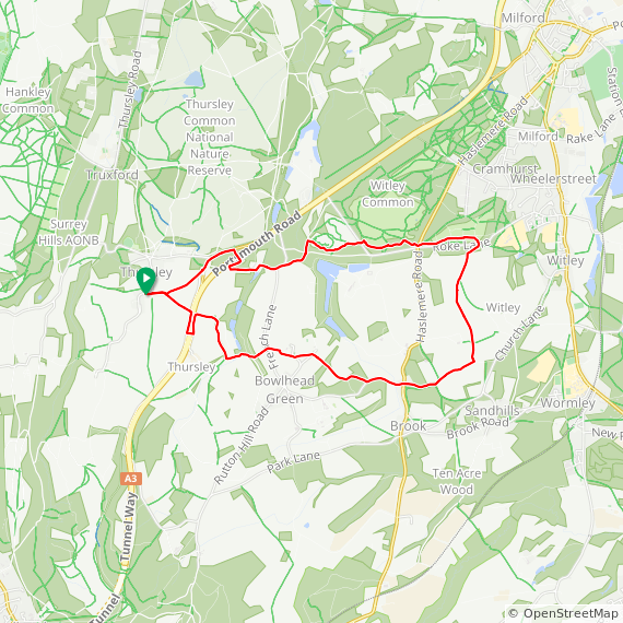
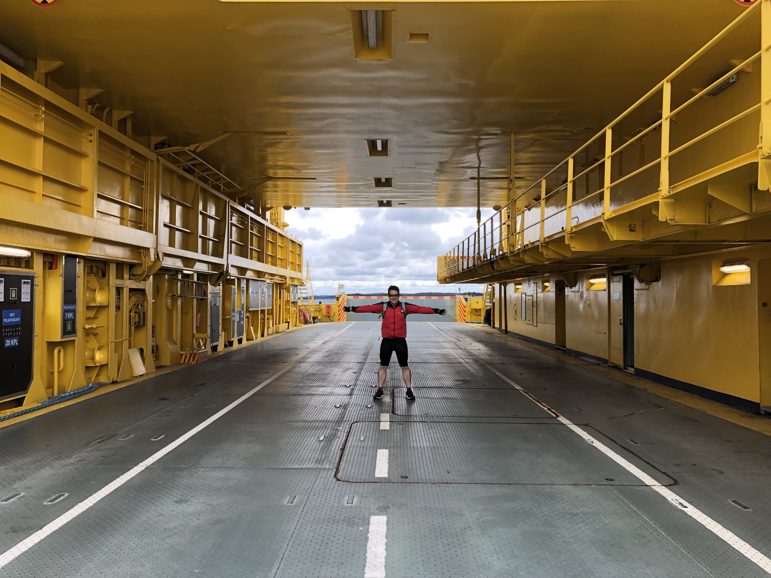
The weather had significantly improved for day 3 with no rain, no wind, a clear sky and a nice cycling temperature. After an early breakfast on the cabin terrace we set off on for the 1 hour / 20km ride to the next ferry. This was an important one to catch as the next one wouldn’t have been until late in the afternoon. Between us and 2 other cyclists we had a large car ferry to ourselves for the 45 minute crossing.
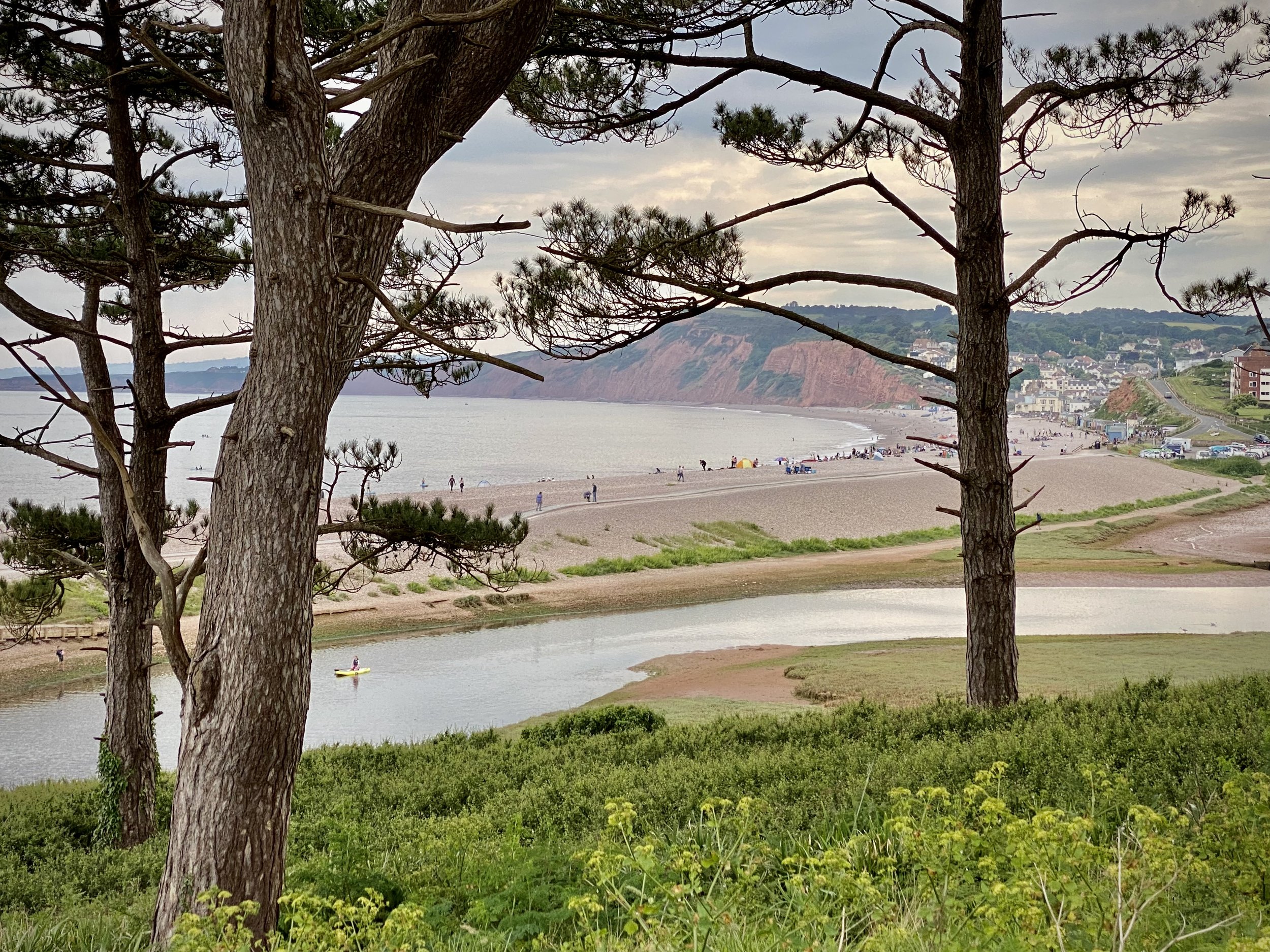
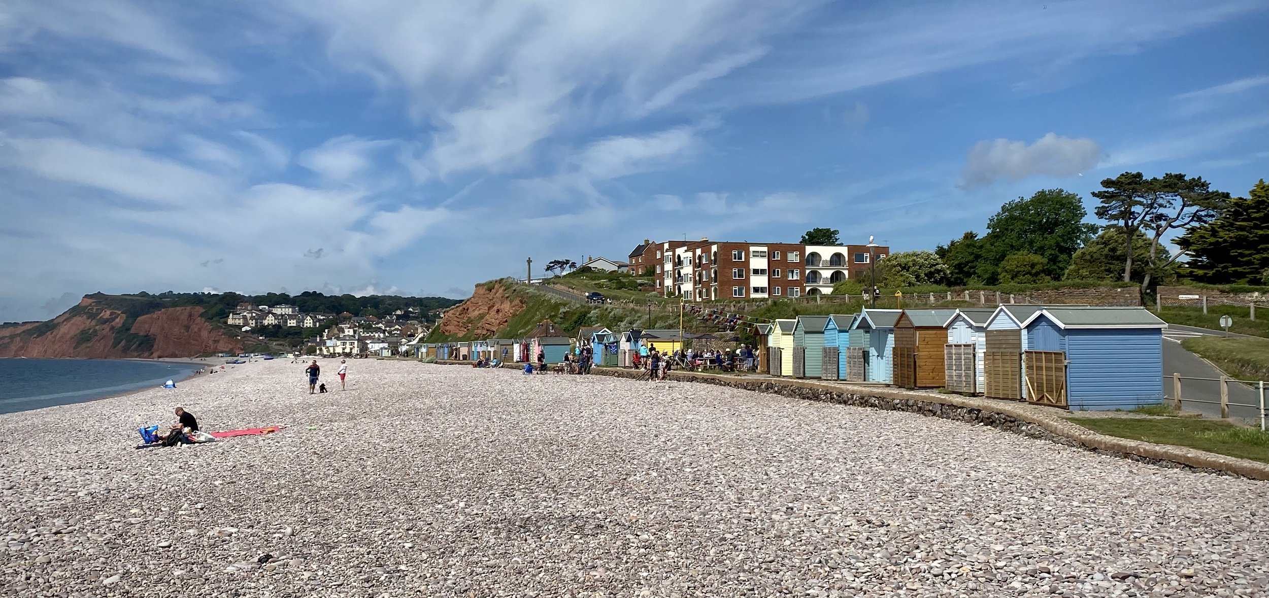
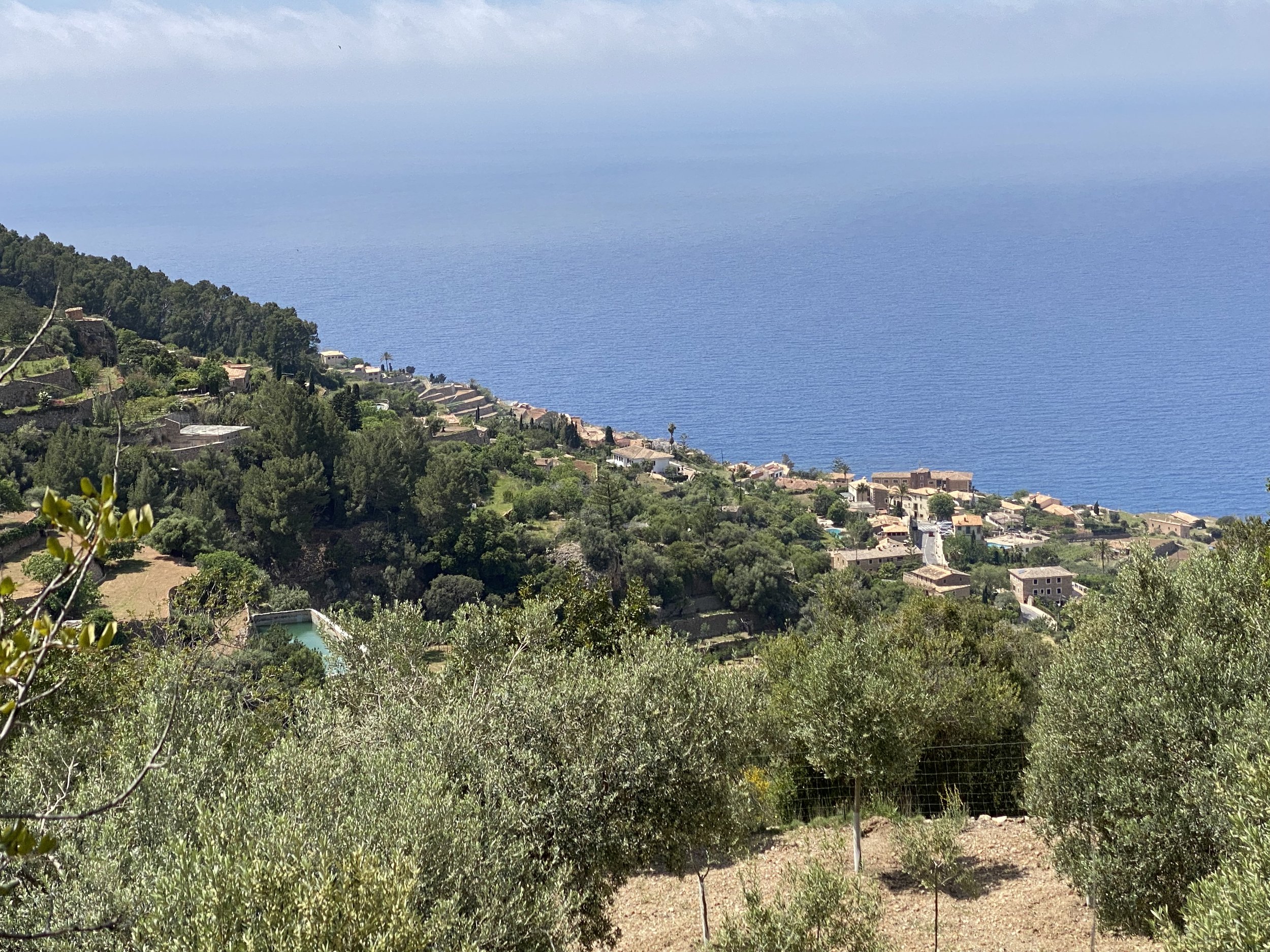
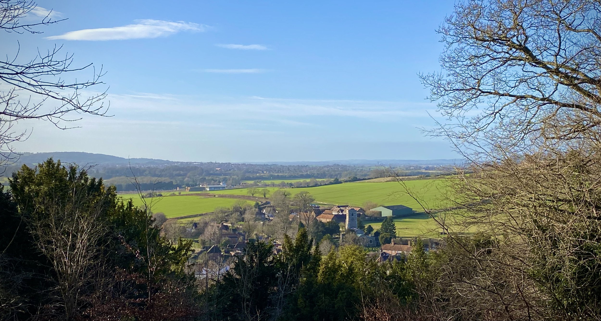
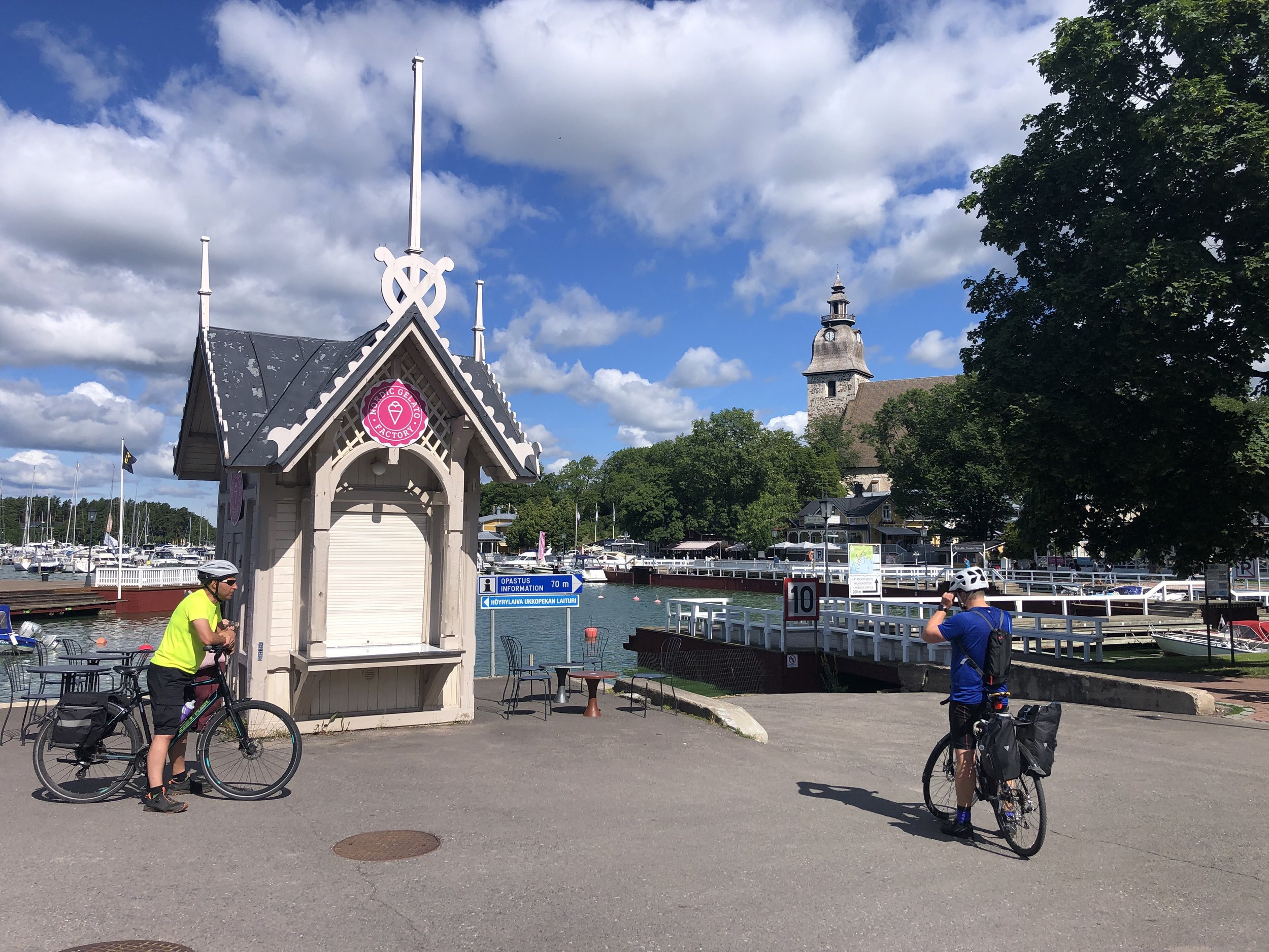
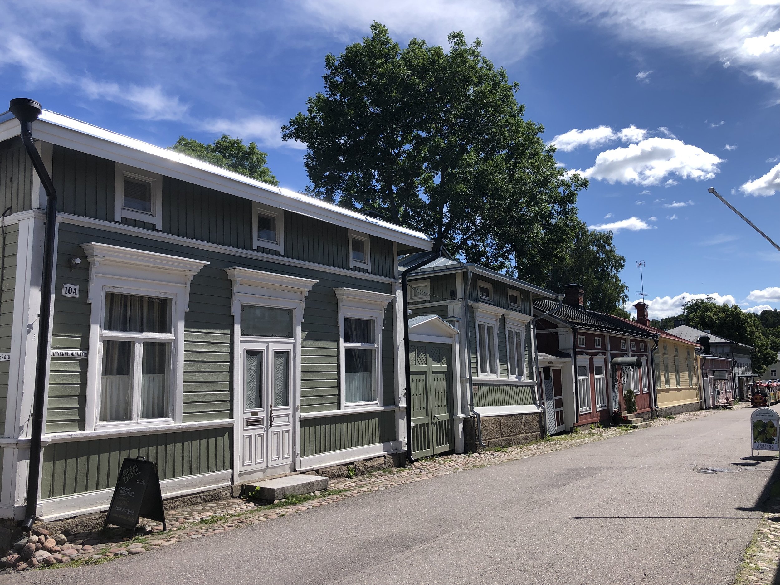
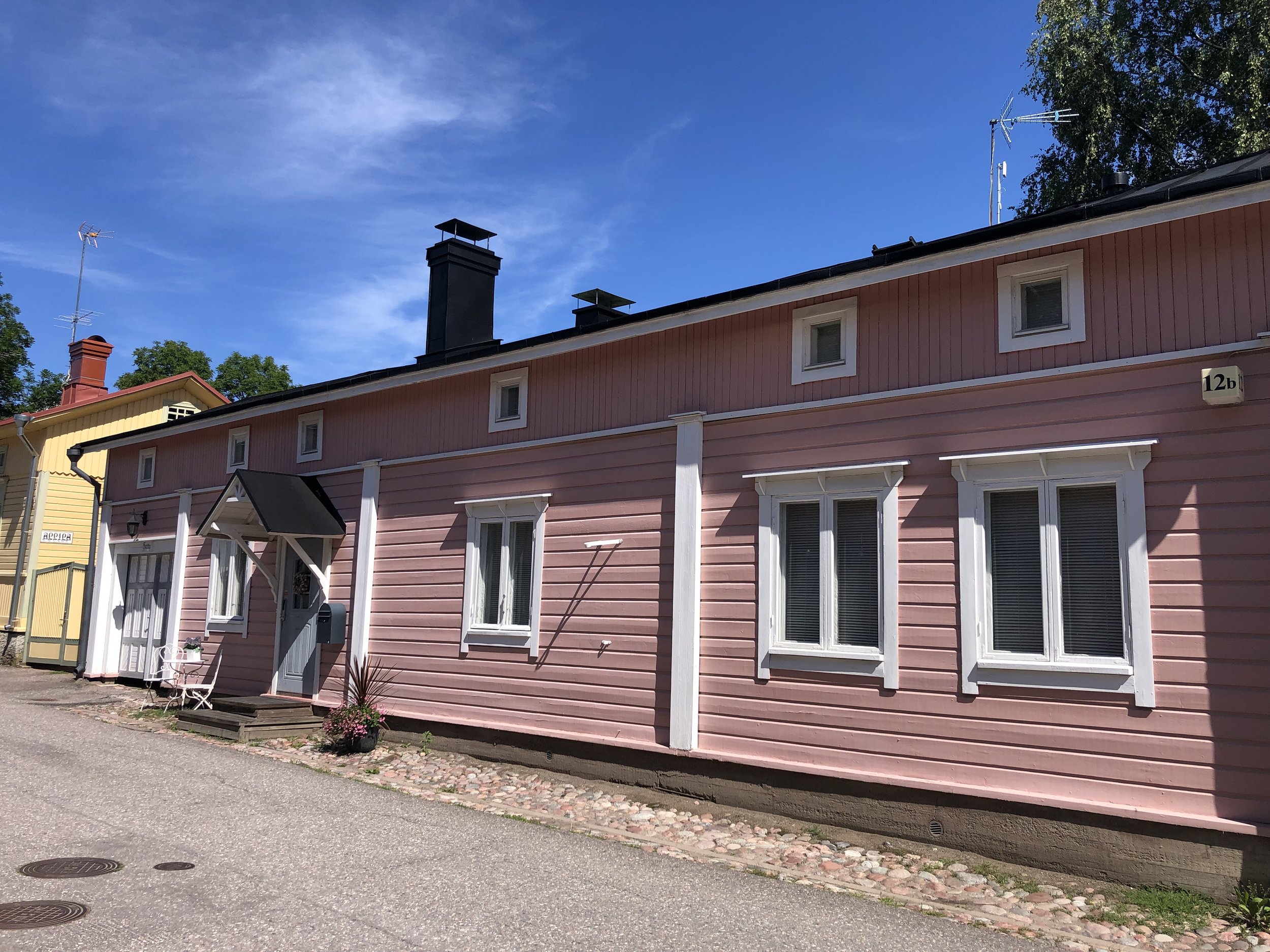
Although there was a restaurant near the ferry port on the next island we arrived too early so we continued for another 6km for a coffee stop. From here it was another 2 hours to cycle to Naantali for our lunch stop. This was the largest town of the trip so far and worth spending a bit more time in. Naantali is one of the oldest towns in Finland and the old wooden buildings on Mannerheiminkatu street are worth exploring. The town is also home to Moonminworld on an island just off the marina. We were concerned that we would get mistaken for the bald round creatures so decided not to go in.
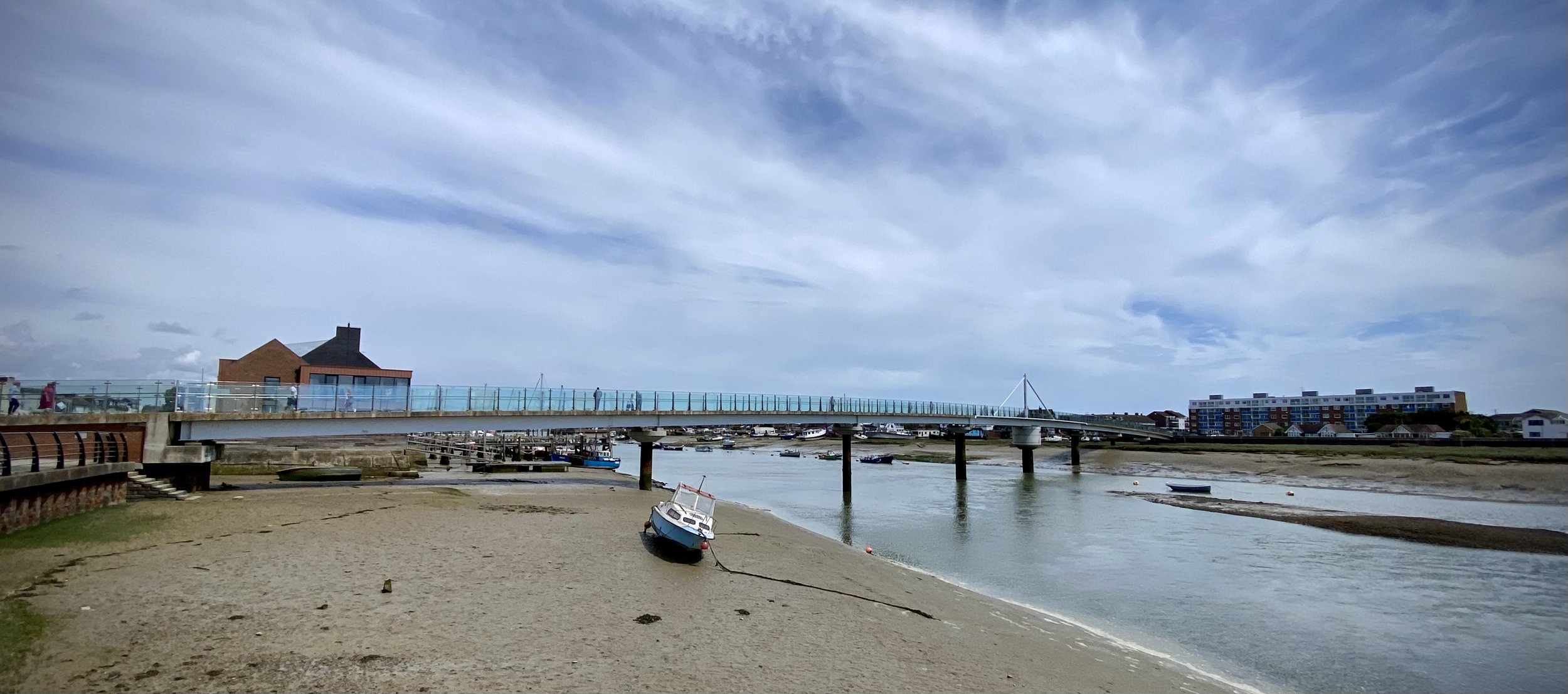
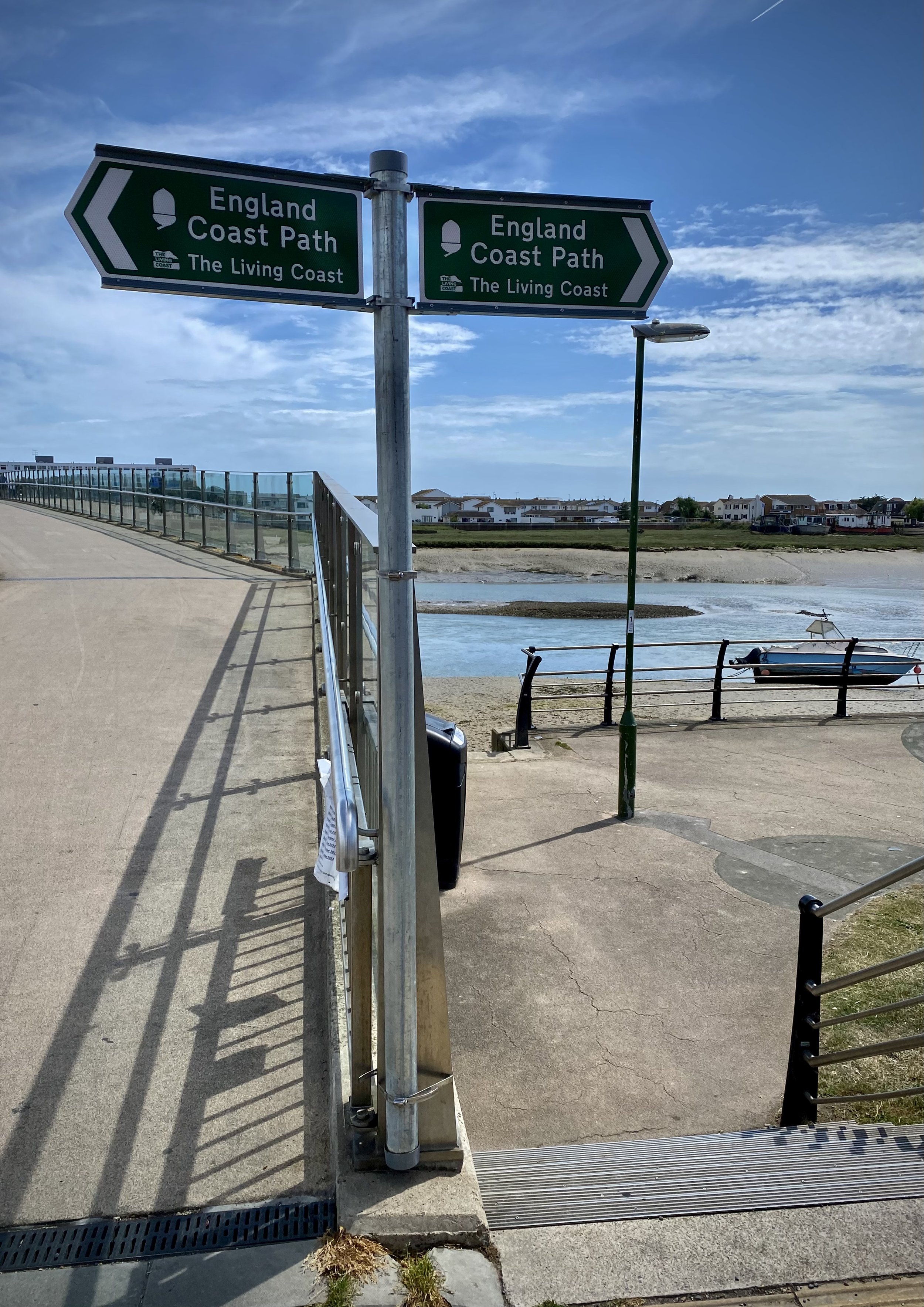
The final stretch from Naantali back to Turku is 1 hour / ~17km. The cycle route returns to a separate protected path away from the increasingly busy roads to Turku.
The route can be completed between 2 to 5 days but I was glad that we went for the 3 day option. 2 days would have been a bit of a mission and too fast to enjoy the slow pace of the Archipelago. Even on the 3 day option we got to our overnight stops by mid-afternoon and I’m not sure what we would have done with the extra time. For fewer or more days it would be better to take either the Small Archipelago Trail (120km connecting Nagu and Naantali) or a longer trip via some of the outer islands to the west.
A huge thanks to Juho for being chief planner and local fixer for the trip. We’d have ended up somewhere in a field in Sweden without him.


Some other notes on the trip:
Good websites for trip planning are:
- https://en.visitturku.fi/
- https://visitparainen.fi/en/Turku train station has large luggage lockers if you have more stuff than you want to carry on your bike. At time of writing it was 3 Euro per day for up to 4 days.
The cafes and accommodation listed below are the ones that we went to. There’s other options but these were all good and well spaced apart. Book in advance for accommodation as there’s not too many choices.