Posts tagged Underground
LonDone parkrun Transport Connections

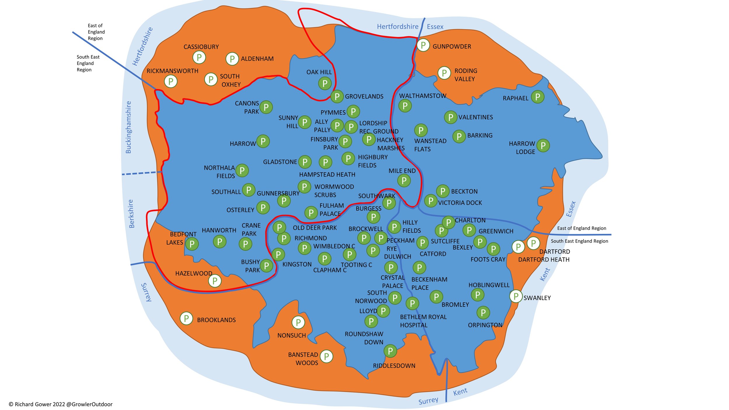
LonDone is the term for completing all parkrun events in Greater London. There are currently 65 parkrun events in Greater London. The first was Bushy Park which started on October 2nd 2004 and there’s typically a couple of new events added to the region each year. London is blessed with great public transportation links with most parkrun events within walking distance of a train, tube, tram or DLR stop. Travelling by bus gives you even more options.

Driving to the events is generally discouraged, but it will be the preferred option for some parkrunners for some events. Key considerations for drivers are parking options and whether the event is in, or the trip is through, the ULEZ or Congestion Charge zone.

Content on this page is sourced from the individual event pages, desktop research and input from the parkrun community. There make be some errors in the early release of this page and things can change. When planning your trip use this as a guide but always check the Course page of the relevant parkrun event and check other travel sites for any issues on your route for the day. Let me know if you spot any errors or have new information and I’ll make a quick update and will donate £1 to parkrun Forever for every update made.

See my main parkrun LonDone page for more geekery on the Greater London parkrun events.


Scroll right on the table below to also see parking, ULEZ and Congestion Charge, toilets and cafes and nearest airports. Click Here to open up the Spreadsheet in a new browser tab for easier navigation. See below the table for notes on each section.

Public Transport: Nearest Stations and Stops

Notes:

  • Nearest station, excluding bus stops, is shown with a white background. Nearest alternative type shown with a light blue background.

  • Nearest and nearest alternative stations are all within walking distance of the start line. “Walking distance” is subjective but for the purposes of this I’ve determined it as “half-a-parkrun” (2.5 km).

  • Stations with an orange background are longer walks of between 2.5 km and 5 km.

  • “N/A” indicates that there’s no station of this type within a 5 km walk for the start line.

  • The Bus column shows the nearest stop to the start line. There’s normally several other stops nearby and on different routes.

Parking, ULEZ and Congestion Charges

Driving to London parkrun events is generally discouraged and it can often be expensive. I learned that the hard way when I running late for Victoria Dock had to pay £20 for a short stay in the nearest car park.

If you are driving the main three things to know are about parking, the ULEZ zone and Congestion Charge.

  • Most events have a car park either in the park or nearby. Some can be small so plan to arrive early to make sure you get a space and have time to pay (if needed) and walk to the start. If there’s a charge many car parks have pay-by-app options. This is great if you already have the app but takes time if you’re a first-time user and need to set it up. Northala Fields is an example of app-only parking with no options to pay by cash or card at a machine. I’ve made note of any specific details on parking, but let me know if you have additional local knowledge.

  • The Ultra Low Emission Zone (ULEZ) is a large area of London where you have to pay a charge if your car doesn’t meet certain emissions standards. You can find out if your car is exempt, see the area covered, and pay the fee on this TFL page. From August 29th 2023 the ULEZ zone was expanded to include most of Greater London, and all London parkruns are now in the zone. 2 events; Bedfont Lakes and Riddlesdown are right on the edge of the zone. It’s possible to reach these by car and park outside of the ULEZ zone, however be careful not to cross into it on the drive there.

  • There are currently no parkrun events inside the Congestion Charge zone. As with the ULEZ Zone, be careful when planning your drive as you may have to pass through the zone even if the parkrun event is outside of it.

Cafés and Toilets

Knowing whether there’s a toilet at the event is often important when planning your trip. Most events have one near the start line but if they don’t it’s worth checking to see what’s on your route, especially for long trips. The original information here is from the Course pages from each event. Let me know if you have additional information (e.g. opening times, disabled access) on each that would help other parkrunners.

The cafés shown here are either ones noted on the Course pages or the closest one if not mentioned. These are not recommendations.


The LonDone parkrun tube and train map

There’s often chat in the Facebook parkrun groups about having a transport map showing the nearest stations to the London parkrun events. I’m certainly not the first to have this idea or to give it a go. Here’s my attempt at putting one together. Things to know are:

  • It shows nearest stations to parkruns and key interchanges, not all stations and lines.

  • Other stations may be more convenient for each parkrun, depending on where you’re coming from. Check the tables above for alternatives.

  • It’s intended to be an “artistic impression”, not for navigation.


Nearest airports to London parkrun events

I’m guessing that parkrun’s encouragement of using public transport doesn’t include flying to events. This section is likely to be pretty niche, but I included it anyway. The map and table below shows the nearest major London airport to each parkrun event. “Nearest” is defined as the quickest route via public transport rather than as the crow flies.

The reality is that anyone flying to London for a parkrun is likely to choose whichever airport has the best cost and route options from wherever they are flying in from. Every parkrun event is accessibly from each of these airports within 90 minutes, so flying into any London airport on a Friday gives you lots of options to get to the event by parkrun o’clock on the Saturday.

A few notes on the exercise:

  • I included major commercial airports and excluded RAF or smaller airfields such as Northolt or Biggin Hill.

  • London Southend (SEN) was in-scope but there is no London parkrun that is closer to it by public transport than to a different airport. Harrow Lodge is the closest event to SEN but it’s quicker to get there by public transport from London City Airport (LCY).

  • Walthamstow is the only parkun event that is closer to London Stansted (STN) than any other London airport. This is mostly due to LCY being very well connected to many public transport routes with fewer options into London from STN.


More parkrun posts

parkruns are free, weekly, community 5k events all around the world. I started in December 2012 and have been obsessive about it ever since. See my parkrun Collection page for details.

Featured and popular parkrun posts:


Alexandra Palace and The Parkland Walk

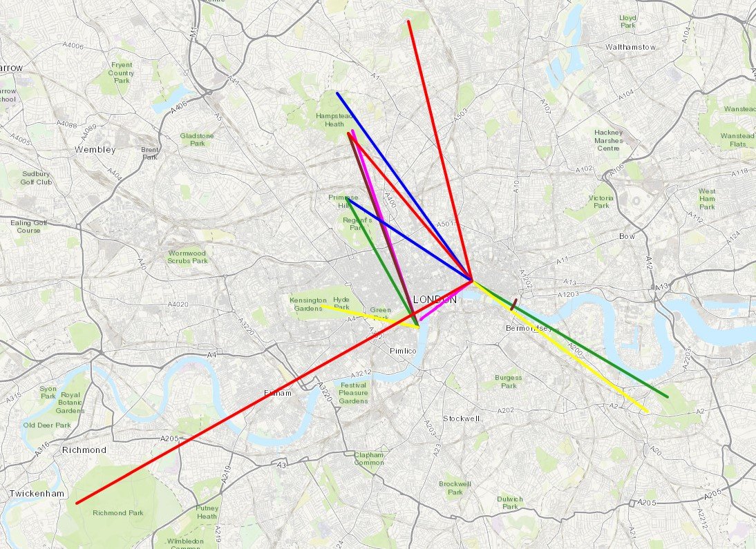
Protected View to St Paul’s Cathedral


Start & Finish: Alexandra Palace, Alexandra Palace Way, London N22 7AY
Distance: 11.1 km (6.9 miles)
Elevation change: +/- 138m
GPX File: get via Buy Me a Coffee
Other routes touched (walk): New River Path, Capital Ring
Other routes touched (cycle): None
Pubs / Cafes on route: Many, including: Finsbury Park Cafe, Goods Office (Parkland Walk South), Queens Wood Cafe (Highgate Wood)
Map: OS Explorer 173 London North
Links: Alexandra Palace, New River, Finsbury Park, Parkland Walk, Highgate Wood, London’s Protected Views
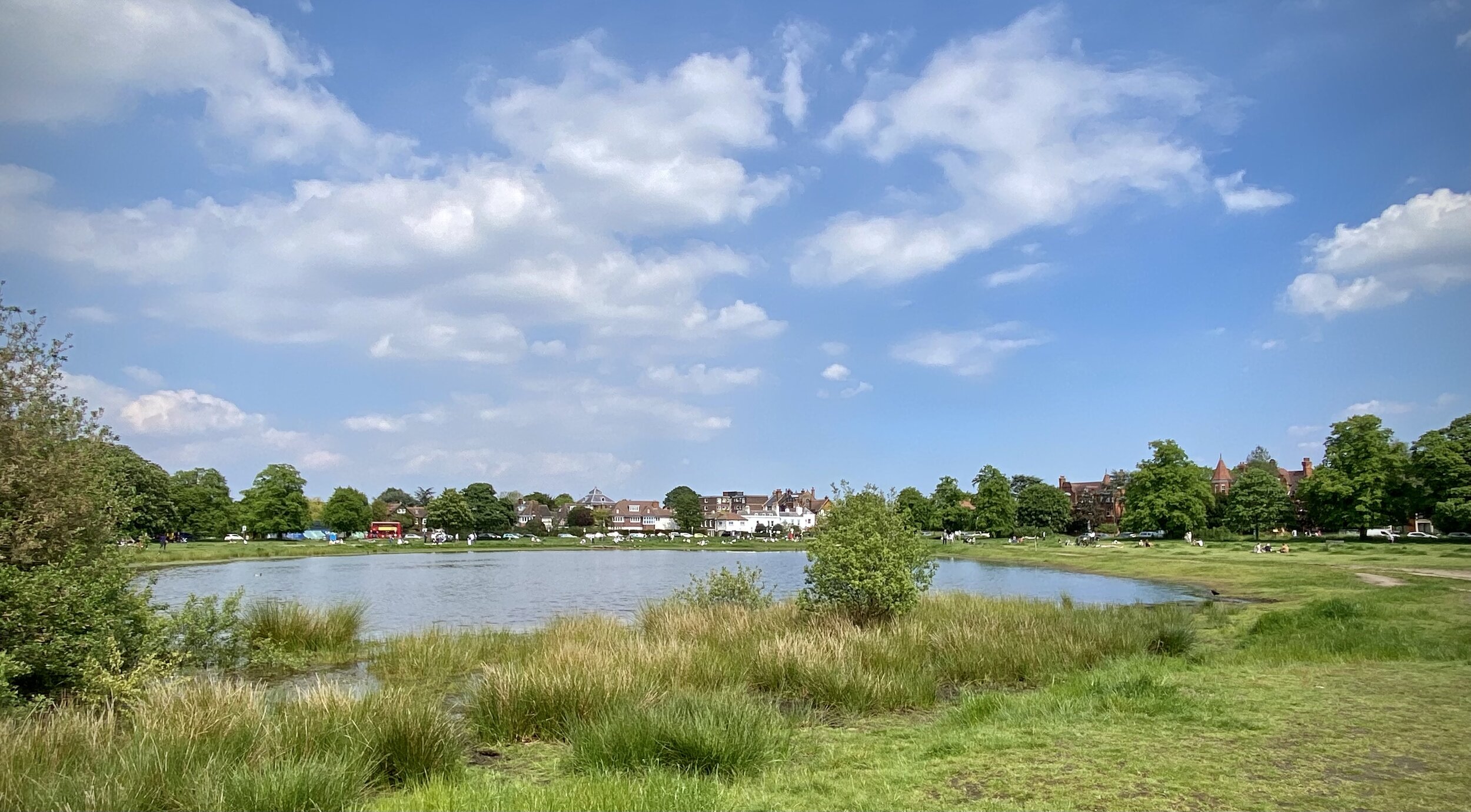

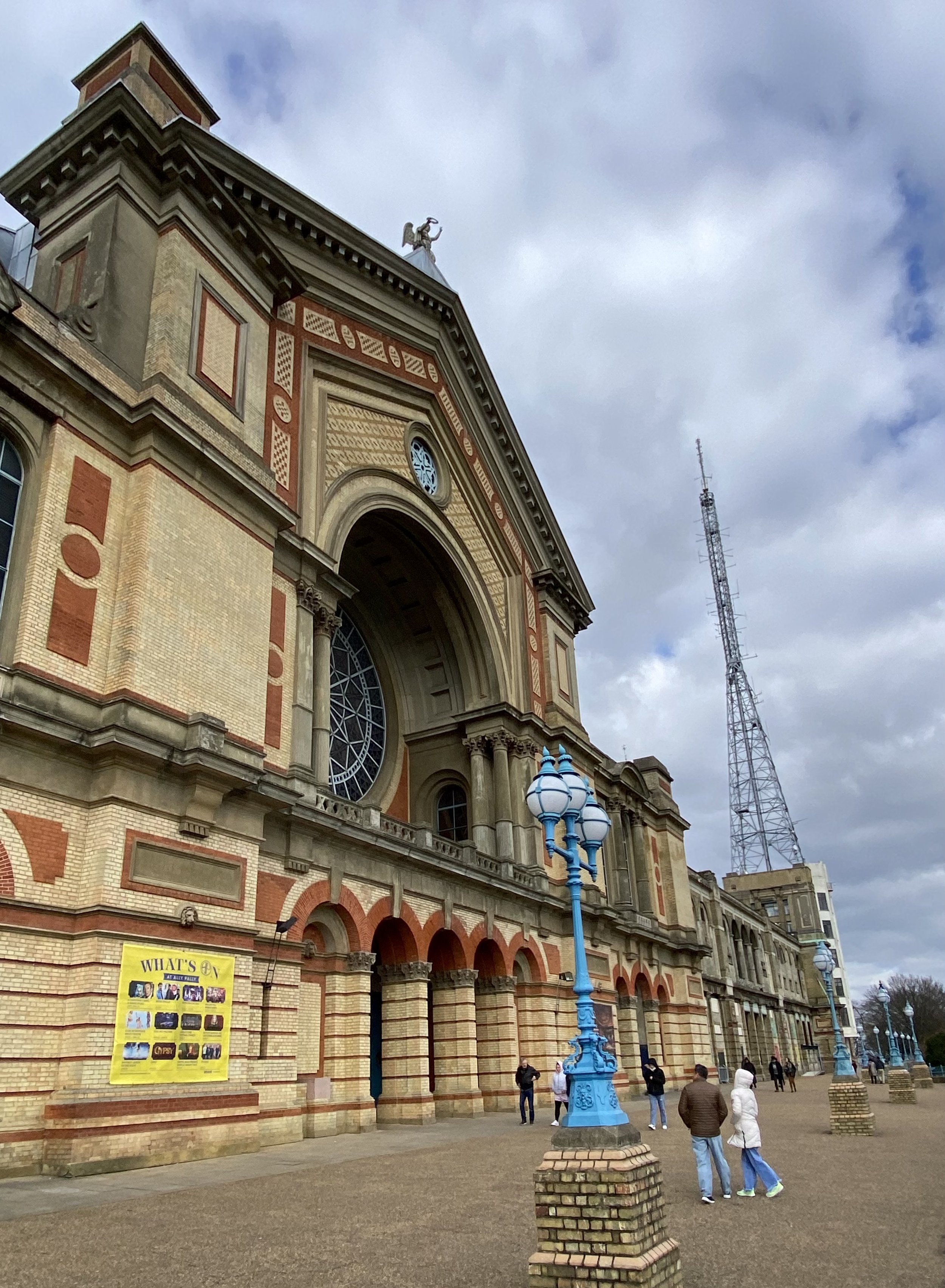
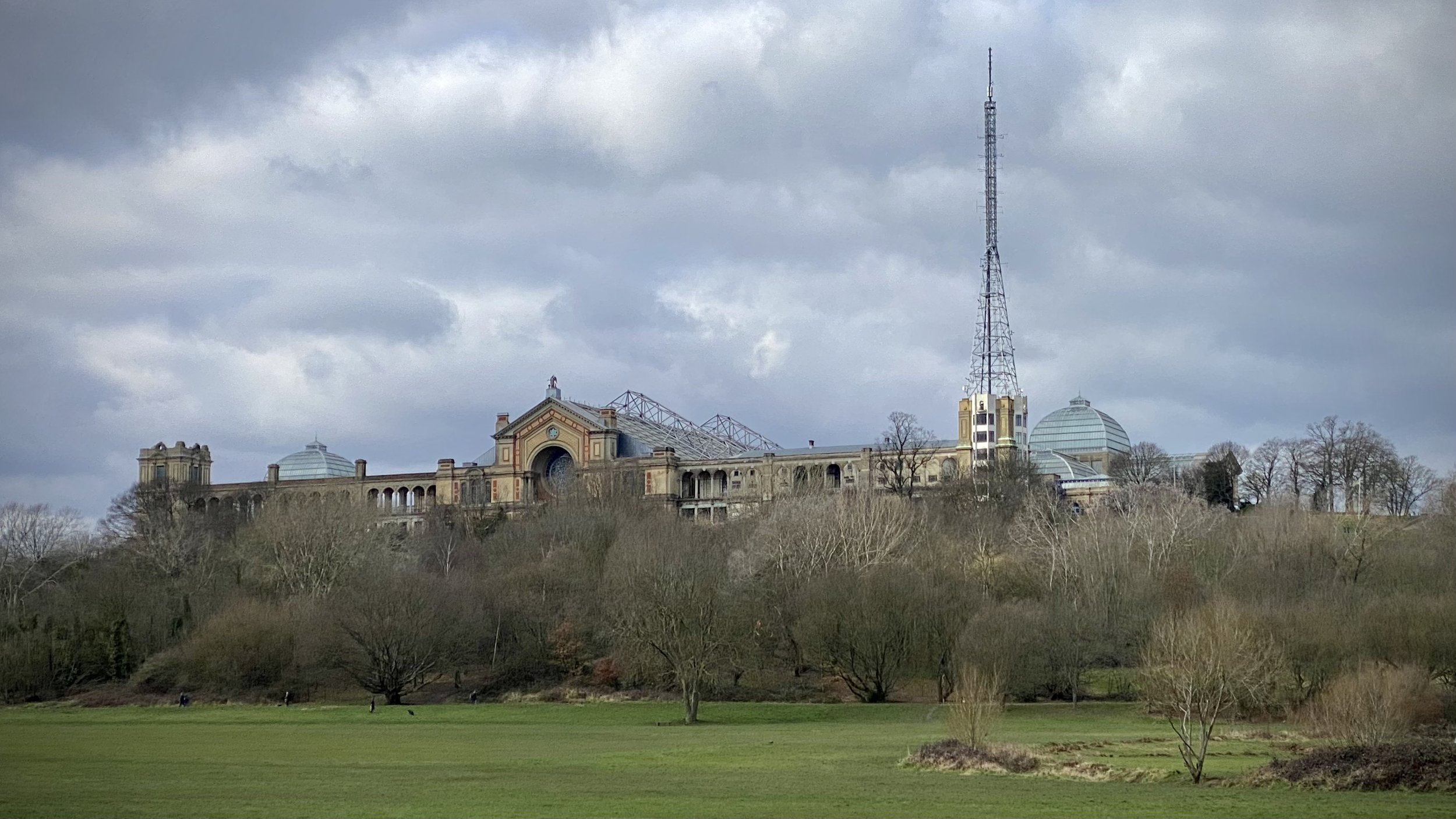
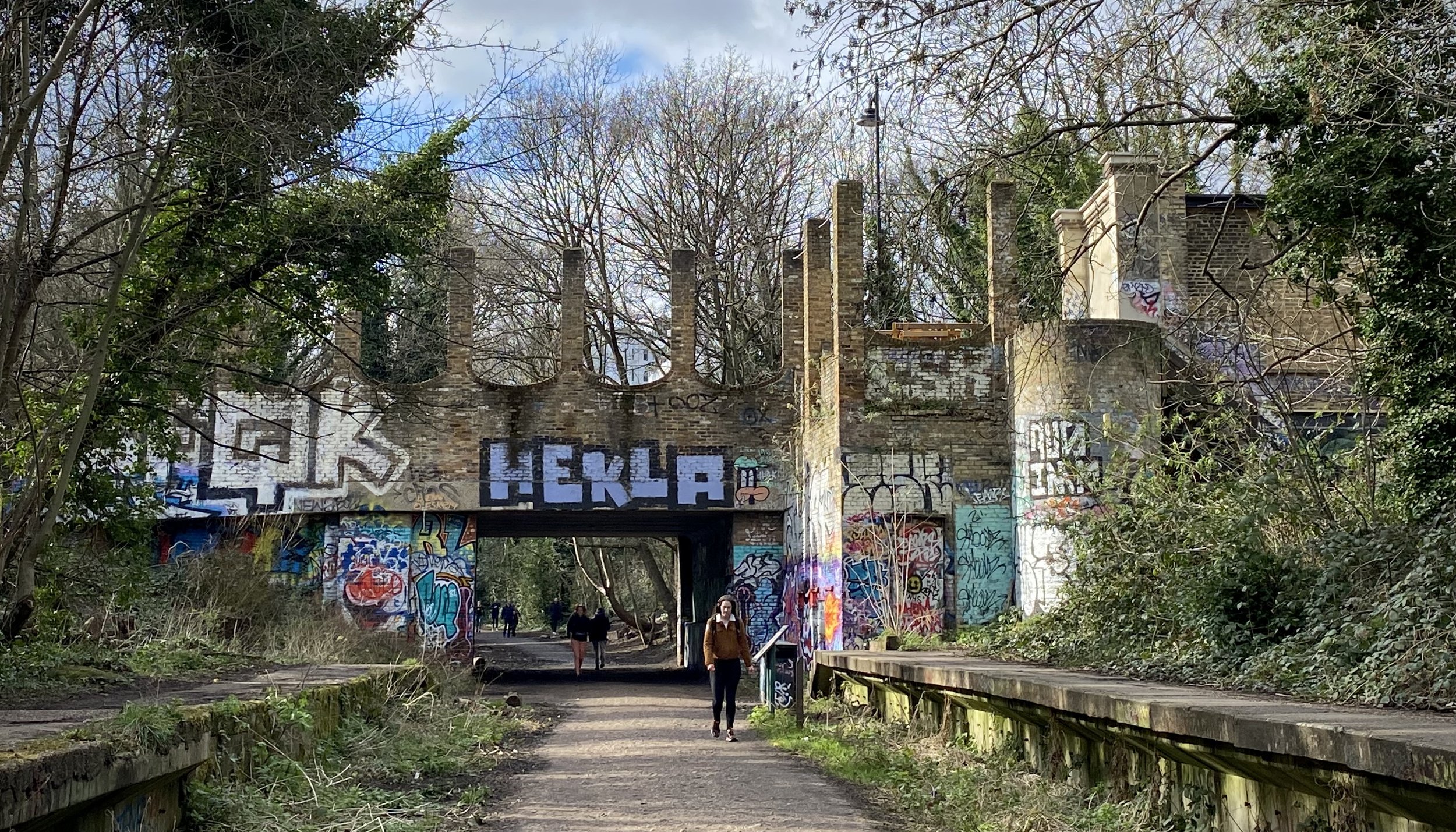
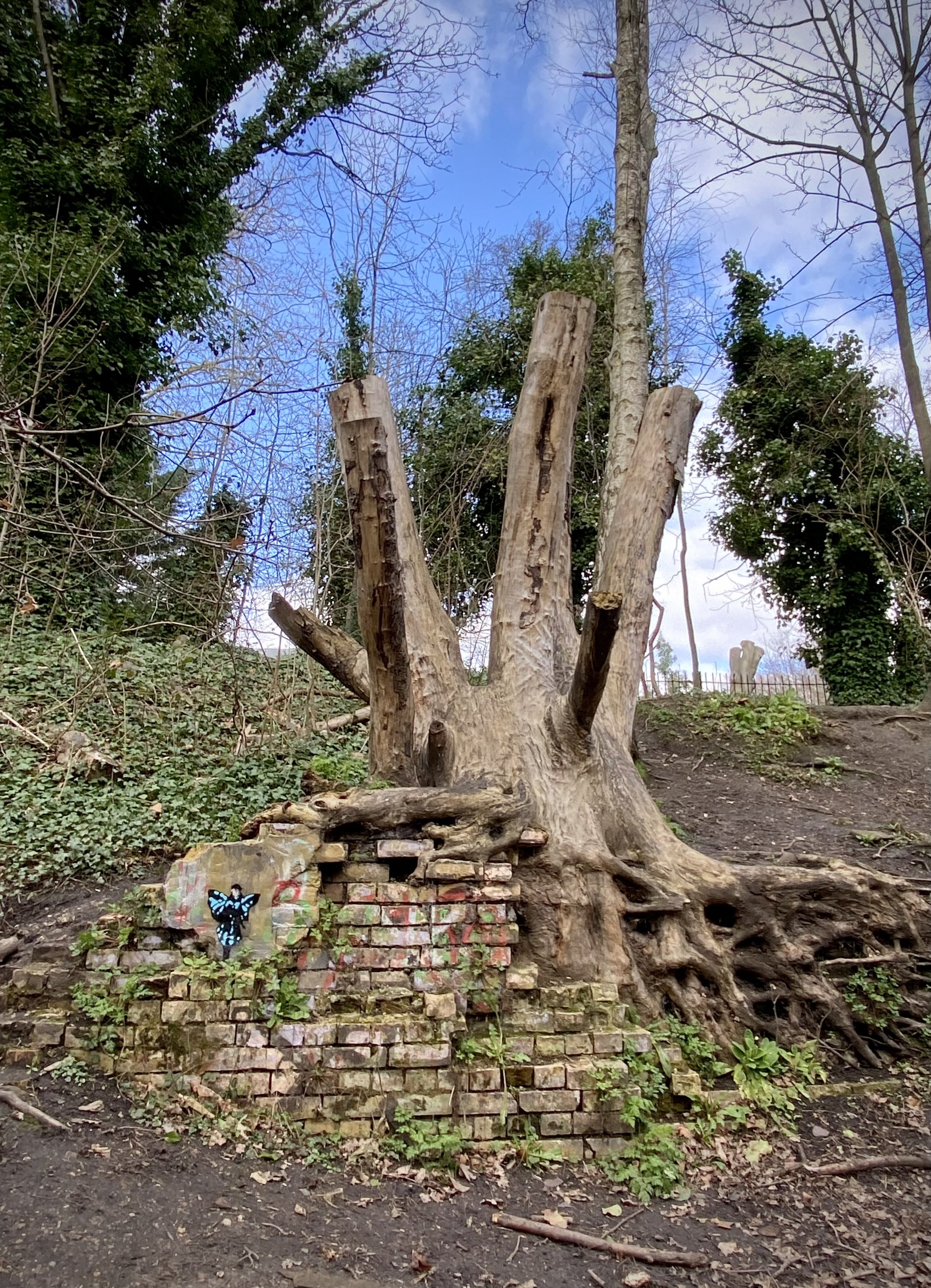
This is a short circular walk in north-west London that takes in Alexandra Palace, The New River Path and The Parkland Walk. The Parkland Walk follows a disused railway line and is now an area of calm in a busy part of the capital.

If you’re driving there’s a large car-park at Alexandra Palace that, at the time of writing, takes donations rather than a fixed charge. To access the route by public transport, the route passes close to Hornsea and Harringay rail stations and Highgate tube on the Northern Line.

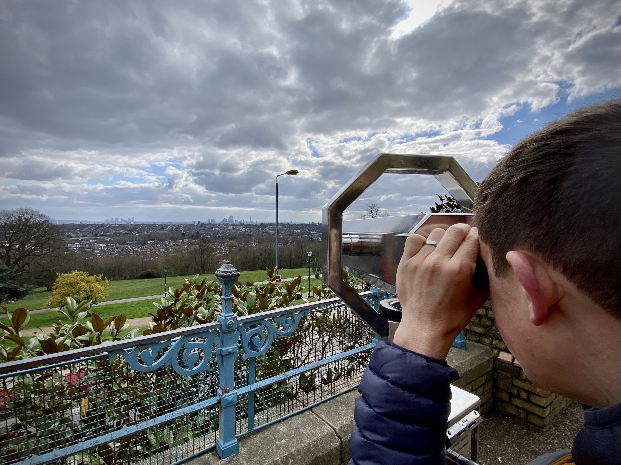
At Alexandra Palace find the view point on the terrace at the centre of the south side of the main building. This is a Protected View to St. Paul’s Cathedral, although we couldn’t see St Paul’s even through the viewfinder. Must have been hiding.

From the view point take the paths through Alexandra Park to the southern exit to North View Road. Here you can either take a left onto the path following the southern edge of the park, or follow North View Road and Newlands Road as they run parallel to the path. We were there after a lot of rain and the path was muddy so we took the roads. The path and Newlands Road join just before Campsbourne Play Centre. Follow Newlands Road, then Greenways in an easterly direction until you reach the New River Path.

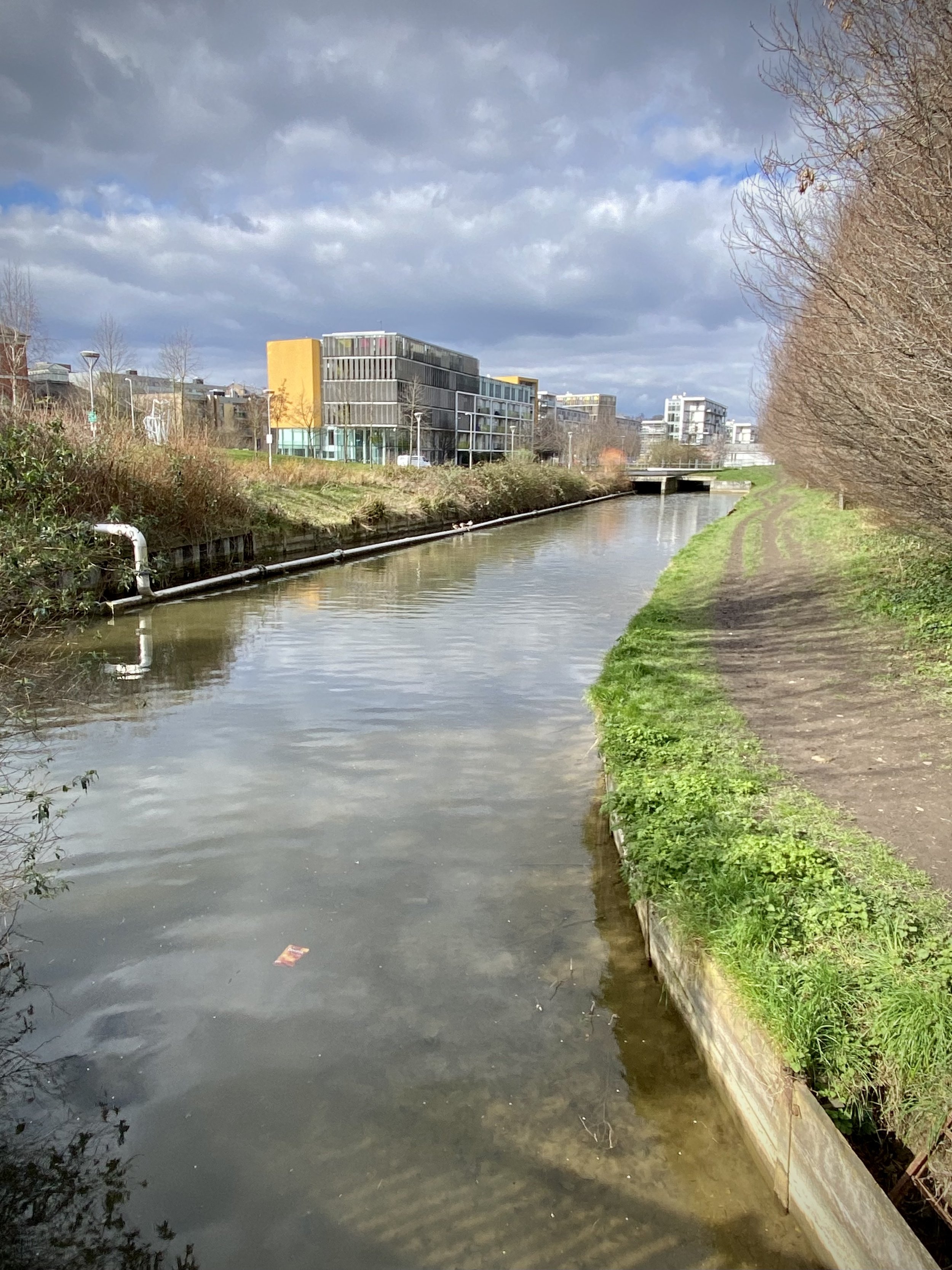
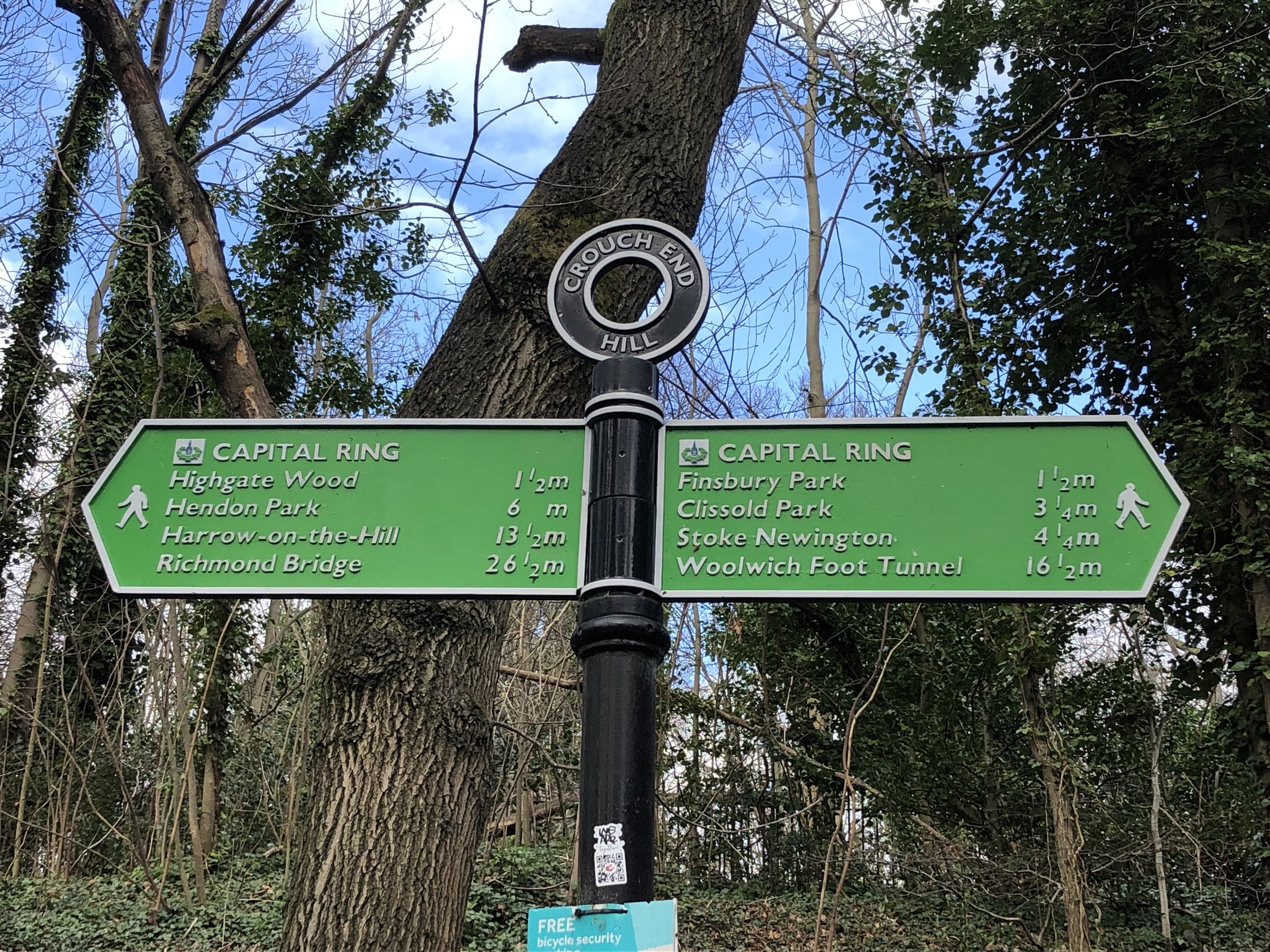
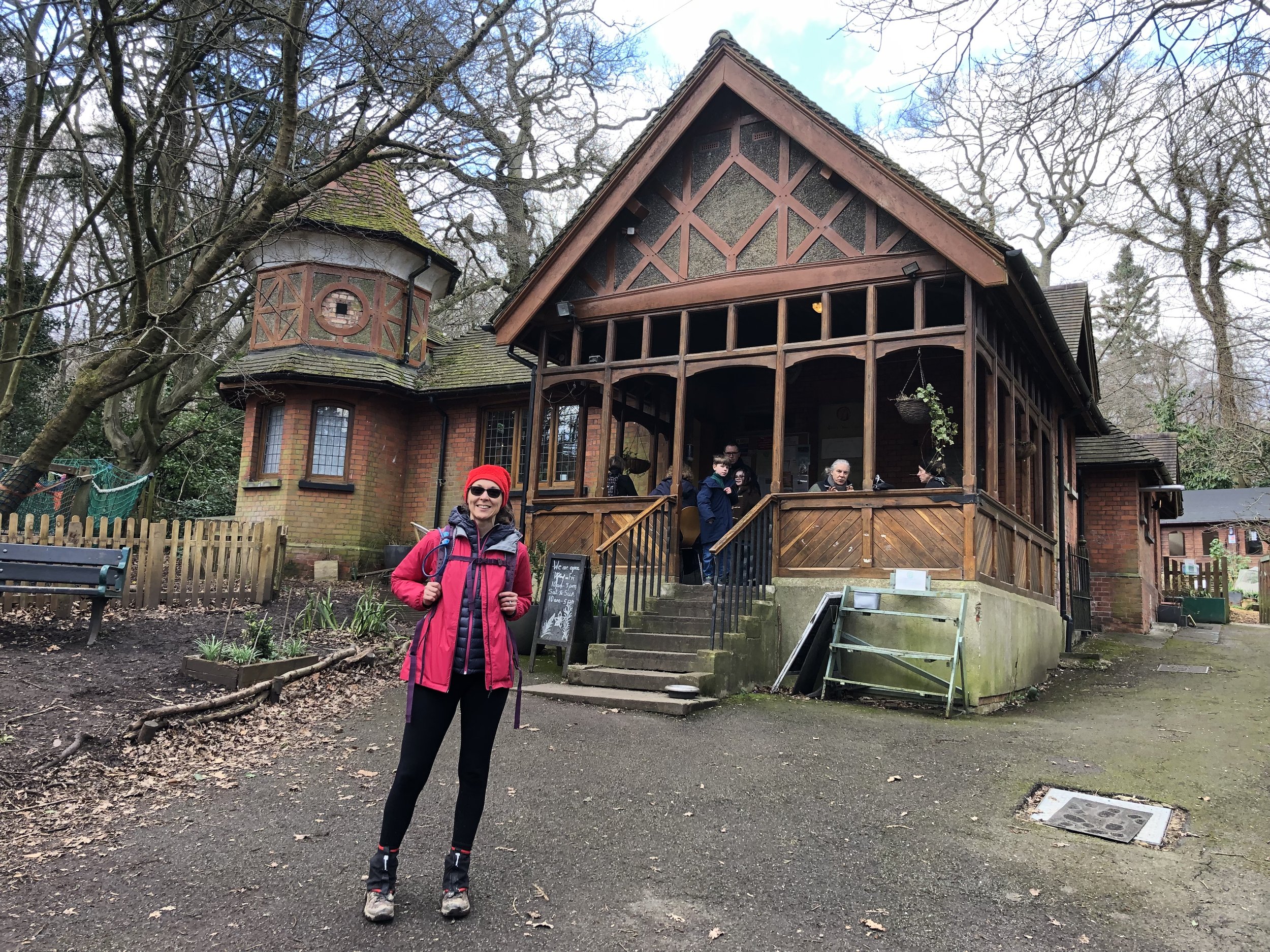
Follow the New River Path in a southerly direction for 2.6km until the junction of Alroy Road and Endymion Road. Take a right onto Endymion Road and follow it south until the entrance to Finsbury Park. Enter the park and follow the path on the western edge down to meet the Capital Ring just south of the Finsbury Park Café. Take a right onto the Capital Ring, cross the footbridge over the rail line and join the Parkland Walk.

Parkland Walk South

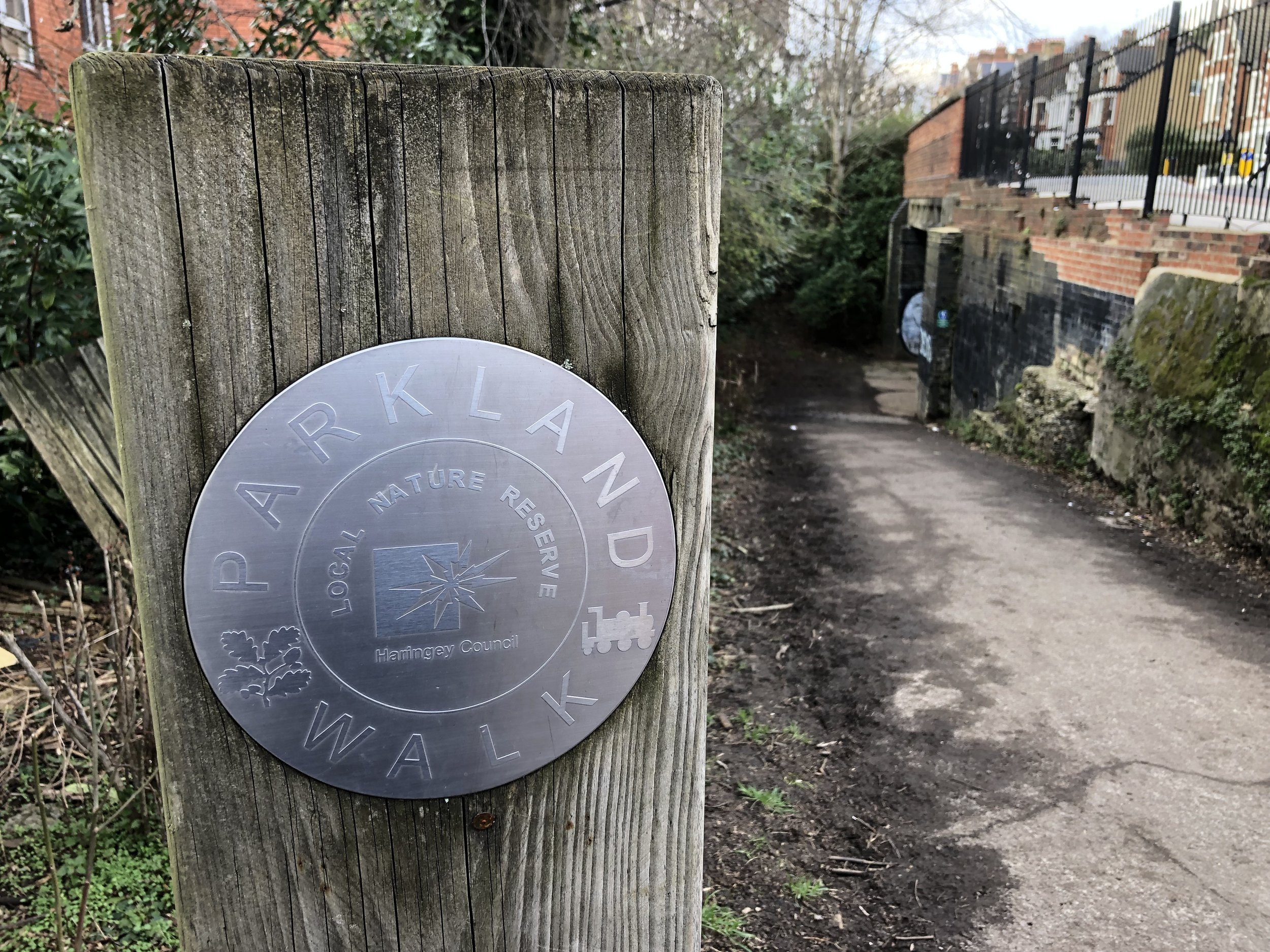
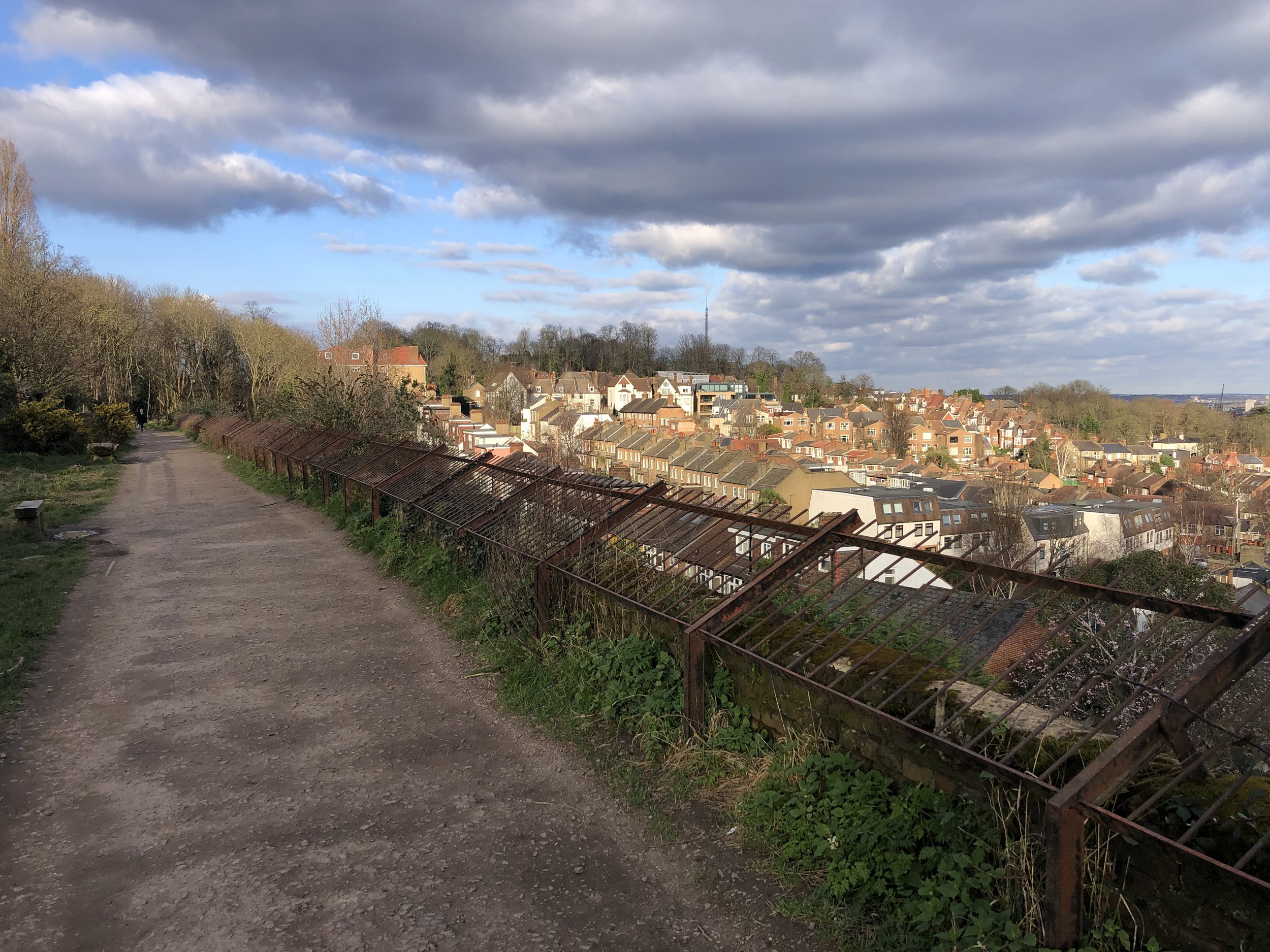
The Parkland Walk follows the route of the old railway line that ran from Finsbury Park station to Alexandra Palace. The route of the southern, and longer, section of the Parkland Walk runs from Finsbury Park (the park not the station) to the Holmesdale Tunnels near Highgate tube station.

Disused Stations Passed:
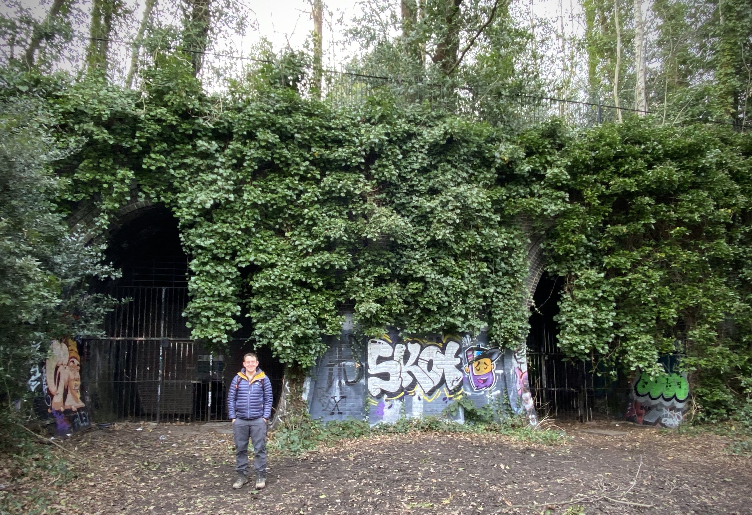
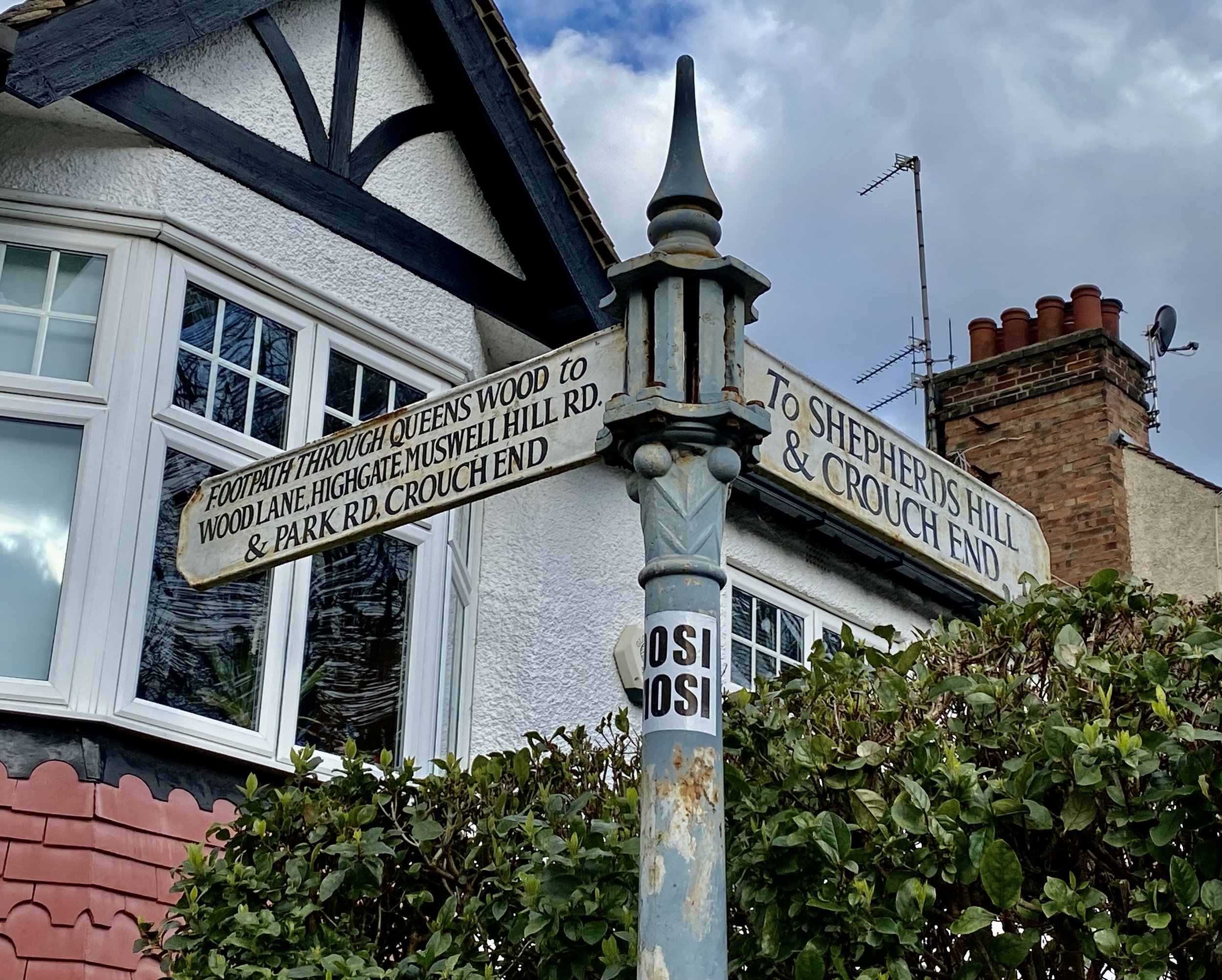
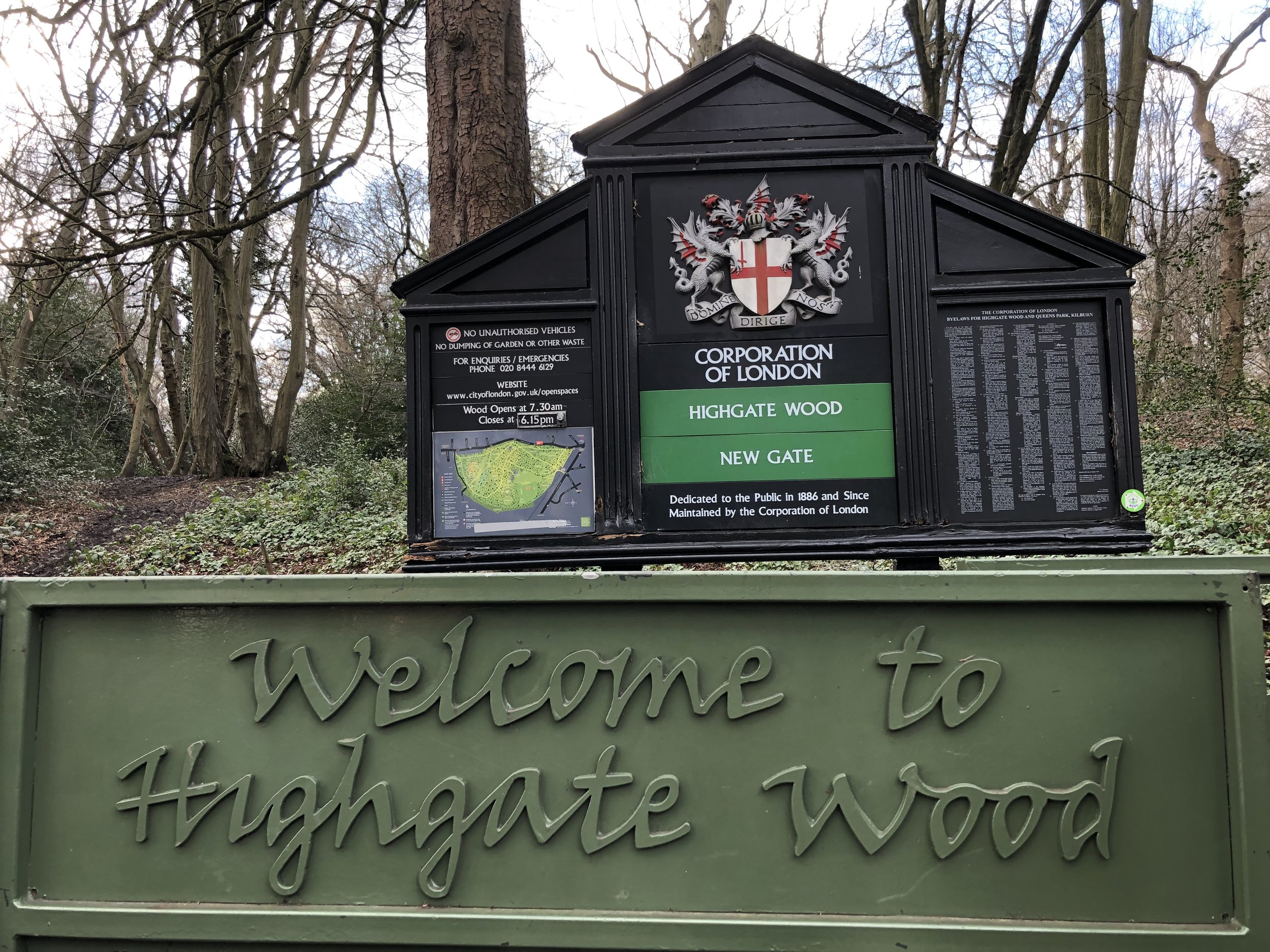
When you reach the western end of Parkland Walk have a look at the entrance to the tunnels before leaving the path. These are now blocked off to protect the bats that now live there. Leave the Parkland Walk at Holmesdale Road and follow signs for the Capital Ring. You’ll pass through Priory Gardens, Queen’s Wood and Highgate Wood. The Queen’s Wood Café is a great place to stop for a rest ahead of the final 2 km. Once you have crossed Muswell Hill Road from Queen’s Wood into Highgate Wood, leave the Capital Ring and follow the path on the eastern edge of Highgate Wood to the north-east corner at Cranley Gardens.

If you want to stay true to the route of the old rail line, you could follow the path on the western side of Highgate Wood instead.

Parkland Walk North

After Highgate Wood, the Parkland Walk can be picked up again on the junction of Muswell Hill Road and Cranley Gardens (road). This section of the Walk exits into Alexandra Park where you’re a very short walk back to the start.

Disused Stations Passed:


More Disused Railway Posts


Walking The Merton, Wandsworth and Richmond London Borough High Points
Big Alp, Wandsworth Borough High Point, Putney Heath

Big Alp, Wandsworth Borough High Point, Putney Heath


Start: Wimbledon Station, The Broadway, London, SW19 7NL
Finish
: The Quadrant, Richmond, TW9 1EZ
Distance: 13.3 km (8.3 miles)
Elevation change: +126m /- 142m. Net -16m
GPX File: get via Buy Me a Coffee
Other routes touched (walk): The Capital Ring
Other routes touched (cycle): NCN 4
Pubs / Cafes on route: Several on Wimbledon and Richmond High Streets plus Pen Ponds Cafe near Spankers Hill in Richmond Park
Map: OS Explorer Map (161) London South, Westminster, Greenwich, Croydon, Esher & Twickenham
Guidebook: Capital Ring (National Trail Guides) by Colin Saunders
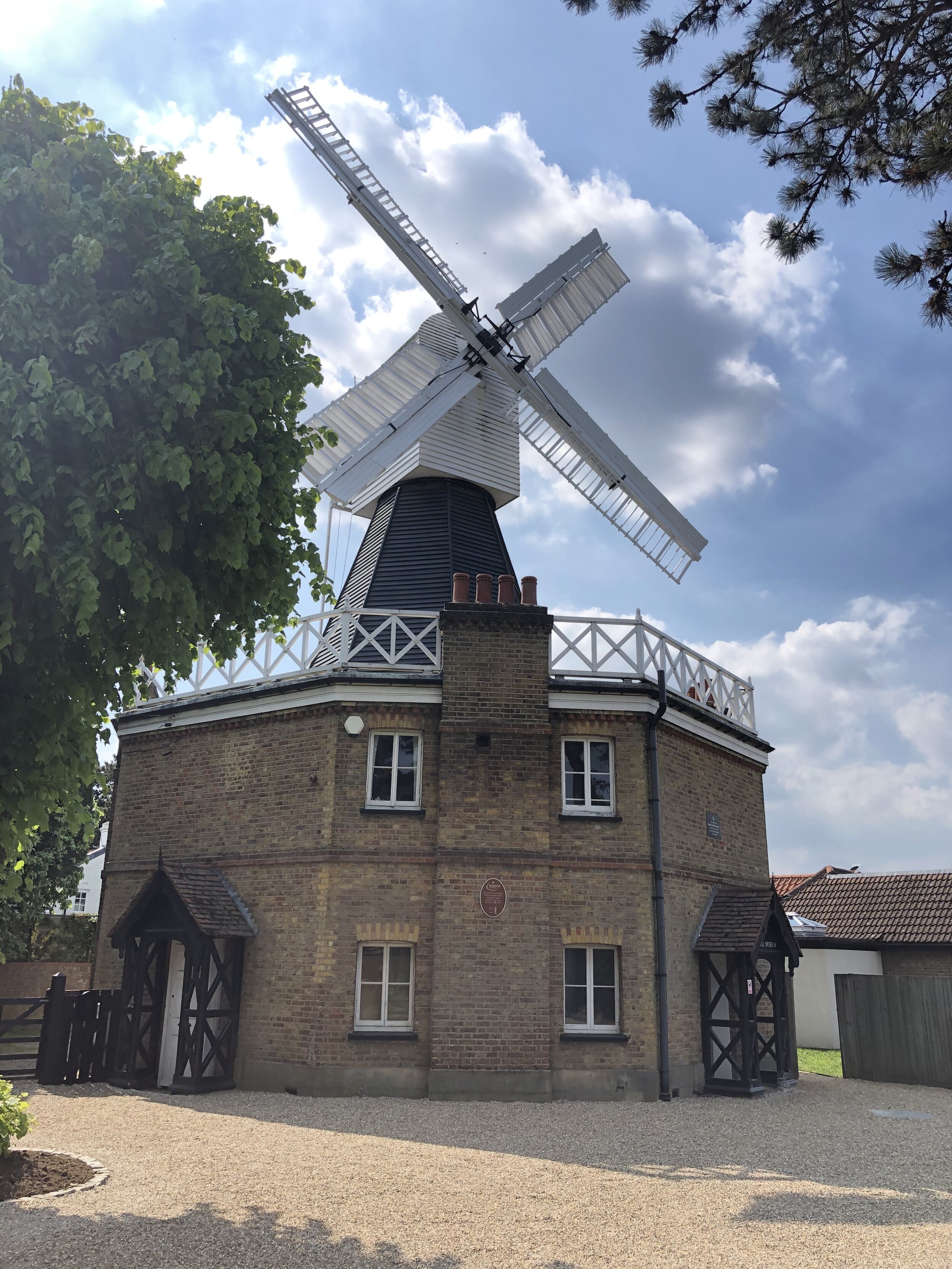
Links: Wimbledon, Wimbledon Station, Wimbledon Common & Putney Heath, Wimbledon Common Windmill, Richmond Park, Richmond, Richmond Station, London’s Protected Views
For our latest Greater London Boroughs High Points walk we ticked off Merton, Wandsworth and Richmond-upon Thames. All three can be reached via a 13km stretch of the Capital Ring with a few minor diversions. As a point-to-point route it’s very accessible as it starts and ends at 2 London Overground stations with a ~25 minute connection between them.


route-34821934-map-full.png
elevation_profile.jpg

IMG_4179.JPG

Lauriston Road

Significance: (alternative) Highest point in London Borough of Merton
Member of: N/A
Parent Peak: Botley Hill. NHN = Big Alp, Putney Heath
Historic County: Surrey (of which Leith Hill is the County Top)
Elevation: 55m
Date “climbed”: 29th May 2021
Coordinates: 51° 25' 22'' N, 0° 13' 24'' W
Nearest Station: Wimbledon (South Western Railway, Thameslink): 1.4 km
On route of: N/A. The Capital Ring is 2 km to the north
Map: OS Explorer Map (161) London South, Westminster, Greenwich, Croydon, Esher & Twickenham
Links: Wikipedia (Merton), Peakbagger, Hillbagging

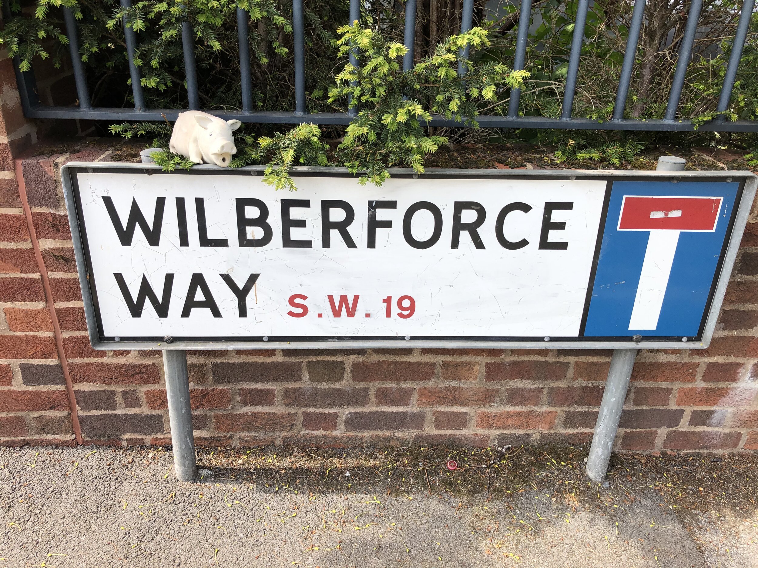
The first of 2 alternative high points for Merton can be found on the way to Wimbledon Common from Wimbledon Station. The unmarked high point is on the north side of Lauriston Road just north of the junction with Wilberforce Way.


IMG_4185.JPG

Wimbledon Common

Significance: Highest point in London Borough of Merton
Member of: N/A
Parent Peak: Botley Hill. NHN = Big Alp, Putney Heath
Historic County: Surrey (of which Leith Hill is the County Top)
Elevation: 55m
Date “climbed”: 29th May 2021
Coordinates: 51° 25' 58'' N, 0° 13' 27'' W
Nearest Station: Wimbledon (South Western Railway, Thameslink): 2 km
On route of: N/A. The Capital Ring is 0.7 km to the north
Map: OS Explorer Map (161) London South, Westminster, Greenwich, Croydon, Esher & Twickenham
Links: Wikipedia (Merton), Peakbagger, Hillbagging

The Wimbledon Common high point of Merton is ~1 km north of Lauriston Road. You can access it either by the pavement alongside Parkside road or via the parallel footpath on the edge of the common. Look out for the Parkside Road sign opposite the entrance to Calonne Road


IMG_8497.JPEG

Big Alp, Putney Heath

Significance: Highest point in London Borough of Wandsworth
Member of: N/A
Parent Peak: Botley Hill. NHN = Westow Hill
Historic County: Surrey (of which Leith Hill is the County Top)
Elevation: 60m
Date “climbed”: 29th May 2021
Coordinates: 51° 26' 27'' N, 0° 14' 1'' W
Nearest Station: Southfields (District Line): 2.3 km
On route of: N/A. The Capital Ring is 0.4 km to the south
Map: OS Explorer Map (161) London South, Westminster, Greenwich, Croydon, Esher & Twickenham
Links: Wikipedia (Wandsworth), Peakbagger, Hillbagging

Big Alp on Putney Heath is just over 1 km north west of the Wimbledon Common high point. After the underwhelming summits of Merton this at least feels like a real hill. From Big Alp descend through the woods in a south-westerly direction to pick up the Capital Ring at the southern end of Queensmere lake. From here follow the Capital Ring in a westerly direction into Richmond Park.

When you enter Richmond Park at Robin Hood Gate you’re only ~300m from the tri-point of the boroughs of Kingston, Richmond and Wandsworth on the Beverley Brook. I hadn’t researched it at the time otherwise I would have taken to the small diversion to see it.

Further into Richmond Park at Pen Ponds cafe you can make a minor diversion to the summit of Spankers Hill. There’s nothing of interest there, just go to ponder how it got that name.


IMG_4193.JPG

Richmond Park

Significance: Highest point in London Borough of Richmond upon Thames
Member of: Protected View of St Paul’s
Parent Peak: Botley Hill. NHN = Big Alp, Putney Heath
Historic County: Surrey (of which Leith Hill is the County Top)
Elevation: 56m
Date “climbed”: 29th May 2021
Coordinates: 51° 26' 42'' N, 0° 17' 38'' W
Nearest Station: Richmond (Overground, South Western Railway, District Line): 2.4 km
On route of: N/A. The Capital Ring is 0.2 km to the west
OS Trig Pillar: TP5674 - Richmond Park
Map: OS Explorer Map (161) London South, Westminster, Greenwich, Croydon, Esher & Twickenham
Links: Wikipedia (Richmond-upon Thames), Peakbagger, Hillbagging, London’s Protected Views

After Pen Ponds leave the Capital Ring and take a short cut west through Sidmouth Wood. After leaving the wood continue across Queen’s Road to find the Richmond high point.

Although not the highest point on this trip, the Richmond-upon-Thames high point is the most interesting. There’s an OS Trig Pillar to mark the summit and it’s one of the Protected Views of St Paul’s Cathedral.

From the Trig Pillar continue following the boundary of the park for ~1km, then exit at Cambrian Gate. Head north-west along Cambrian Road, Marlborough Road and Church Road to reach the end at Richmond Station.


Chiltern Railways Walking Routes

Having walked and cycled a lot of the Chilterns over the past few years I’ve become much more familiar with its landscape. I discovered the valleys in my cycling trips along the Chiltern Rivers and the high points while bagging the Trig Points. With a need to find more short local walks during the Covid Lockdowns my attention turned to finding the rail lines and stations in the AONB. All of the walks listed below the map are around 10k (~6 miles) with a start and finish at a Chiltern rail station. This list covers all stations inside the Chiltern Hills AONB, shaded in green on the map. There’s also a selection of walks covering stations in the “Greater Chiltern Area”, shaded in peach, which covers the area bounded by the north end of the AONB and the Rivers Thames, Lea and Colne.


Rail-based circular walks in the Chiltern Hills AONB

Where all or most of the walk is within the boundary of the AONB


Rail-based circular walks in the Greater Chilterns Area

Where all or most of the walk is outside of the boundary of the AONB


Rail-based point to point walks in the Greater Chilterns Area


Rail-based cycle trips in the Greater Chilterns Area


Walking The London Loop and Capital Ring
London Loop in Blue, Capital Ring in Red. Base map from OpenStreetMap

London Loop in Blue, Capital Ring in Red. Base map from OpenStreetMap


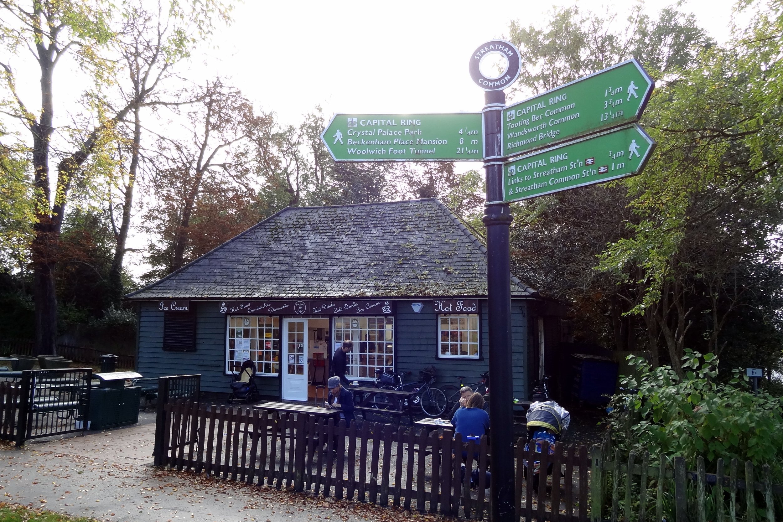
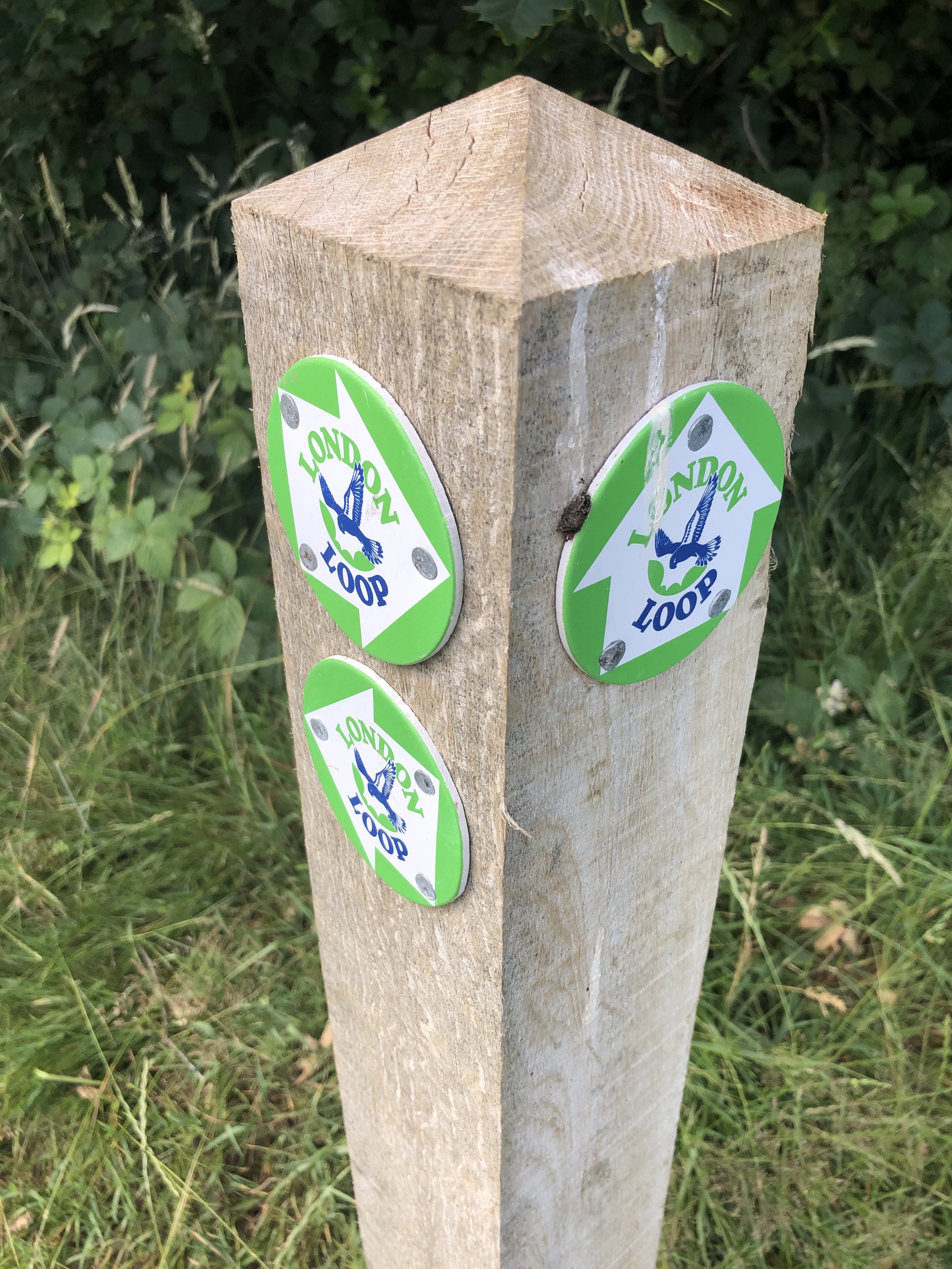
The London Loop and Capital Ring are long distance circular walks around London. Both were conceived in the ‘90s and completed in the early 2000s. They pass through mostly green spaces around the capital and can easily be broken up into a series of shorter walks. Having cycled both a few years ago, I’m now returning to walk it. I’ve mostly covered the western sections and there’s a long way to go.

The list of sections below are those that I’ve planned but not necessarily completed yet. I’ve also included links to blog posts for other walks that follow or cross over parts of either the London Loop or the Capital Ring. If you would like GPX files of any of these sections please Buy Me a Coffee and let me know which section(s) you are interested in. For a limited time I would be happy to share files for all sections of either collection for 1 coffee plus any feedback on the route (corrections, changes etc.)

There’s now several guidebooks to either the Loop or the Ring. Note that the sections below and the order of them don’t necessarily match exactly to those in the guides. I use Colin Saunder’s Guides for each route and can highly recommend them for their description of the route and points of interest


The London Loop In Sections

  • London Loop Section 01: Erith Riverside to Bexley. Distance: 14.0 km. Elevation Change: +72m / -67m. Net +6m

  • London Loop Section 02: Bexley to Petts Wood. Distance: 12.5 km. Elevation Change: +134m / -67m. Net +67m

  • London Loop Section 03: Petts Wood to West Wickham Common. Distance: 15.2 km. Elevation Change: +168m / -183m. Net -15m

  • London Loop Section 04: West Wickham Common to Hamsey Green. Distance: 15.1 km. Elevation Change: +285m / -182m. Net +183m

  • London Loop Section 05: Hamsey Green to Coulsdon South. Distance: 10.2 km. Elevation Change: +119m / -201m. Net -82m

  • London Loop Section 06: Coulsdon South to Banstead Downs. Distance: 8.0 km. Elevation Change: +126m / -87m. Net +39m

  • London Loop Section 07: Banstead Downs to Ewell West. Distance: 6.6 km. Elevation Change: +23m / -114m. Net -91m

  • London Loop Section 08: Ewell West to Kingston Bridge. Distance: 12.8 km. Elevation Change: +47m / -72m. Net -25m

  • London Loop Section 09: Kingston Bridge to Hatton Cross. Distance: 16.1 km. Elevation Change: +70m / -58m. Net +12m

  • London Loop Section 10: Hatton Cross to Hayes and Harlington. Distance: 6.8 km. Elevation Change: +36m / -24m. Net +12m

  • London Loop Section 11: Hayes and Harlington to Uxbridge. Distance: 12.0 km. Elevation Change: +55m / -54m. Net +1m

  • London Loop Section 12: Uxbridge to Harefield. Distance: 7.6 km. Elevation Change: +29m / -23m. Net +6m

  • London Loop Section 13: Harefield to Moor Park. Distance: 8.7 km. Elevation Change: +116m / -91m. Net -25m

  • London Loop Section 14: Moor Park to Hatch End. Distance: 7.7 km. Elevation Change: +93m / -95m. Net -2m

  • London Loop Section 15: Hatch End to Elstree. Distance: 15.2 km. Elevation Change: +182m / -153m. Net -29m

  • London Loop Section 16: Elstree to High Barnet. Distance: 18.1 km. Elevation Change: +243m / -238m. Net +5m

  • London Loop Section 17: High Barnet to Enfield Lock. Distance: 14.8 km. Elevation Change: +95m / -176m. Net -81m

  • London Loop Section 18: Enfield Lock to Chingford. Distance: 8.1 km. Elevation Change: +110m / -71m. Net +39m

  • London Loop Section 19: Chingford to Chigwell. Distance: 7.1 km. Elevation Change: +83m / -95m. Net -12m

  • London Loop Section 20: Chigwell to Havering. Distance: 10.7 km. Elevation Change: +175m / -115m. Net +60m

  • London Loop Section 21: Havering to Harold Wood. Distance: 8.1 km. Elevation Change: +29m / -97m. Net -68m

  • London Loop Section 22: Harold Wood to Upminster Bridge. Distance: 7.3 km. Elevation Change: +46m / -64m. Net -18m

  • London Loop Section 23: Upminster Bridge to Rainham. Distance: 7.7 km. Elevation Change: +32m / -43m. Net -11m

  • London Loop Section 24: Rainham to Purfleet. Distance: 8.3 km. Elevation Change: +38m / -38m. Net 0m


Other Walks on The London Loop


London Loop and Capital Ring.pptx.jpg

The Capital Ring in Sections

  • Capital Ring Section 01: Woolwich to Falconwood. Distance: 10.6 km. Elevation Change: +158m / -95m. Net +63m

  • Capital Ring Section 02: Falconwood to Grove Park. Distance: 6.9 km. Elevation Change: +56m / -80m. Net -24m

  • Capital Ring Section 03: Grove Park to Crystal Palace. Distance: 14.2 km. Elevation Change: +151m / -120m. Net +31m

  • Capital Ring Section 04: Crystal Palace to Streatham. Distance: 6.9 km. Elevation Change: +78m / -122m. Net -44m

  • Capital Ring Section 05: Streatham to Wimbledon Park. Distance: 9.4 km. Elevation Change: +49m / -59m. Net -10m

  • Capital Ring Section 06: Wimbledon Park to Richmond. Distance: 12.0 km. Elevation Change: +132m / -148m. Net -16m

  • Capital Ring Section 07: Richmond to Osterley Lock. Distance: 7.8 km. Elevation Change: +44m / -33m. Net +11m

  • Capital Ring Section 08: Osterley Lock to Greenford. Distance: 9.3 km. Elevation Change: +50m / -45m. Net -5m

  • Capital Ring Section 09: Greenford to South Kenton. Distance: 9.2 km. Elevation Change: +137m / -120m. Net +17m

  • Capital Ring Section 10: South Kenton to Hendon Park. Distance: 10.7 km. Elevation Change: +134m / -108m. Net +26m

  • Capital Ring Section 11: Hendon Park to Highgate. Distance: 9.4 km. Elevation Change: +99m / -70m. Net +29m

  • Capital Ring Section 12: Highgate to Stoke Newington. Distance: 9.1 km. Elevation Change: +42m / -112m. Net -70m

  • Capital Ring Section 13: Stoke Newington to Hackney Wick. Distance: 6.7 km. Elevation Change: +26m / -48m. Net -22m

  • Capital Ring Section 14: Hackney Wick to Royal Albert Dock. Distance: 8.4 km. Elevation Change: +31m / -33m. Net -2m

  • Capital Ring Section 15: Royal Albert Dock to Woolwich. Distance: 6.2 km. Elevation Change: +30m / -25m. Net +5m


Other Walks on The Capital Ring


Other Resources


More London Adventures


Chiltern Walks: Rickmansworth and Chorleywood
Cows grazing on Chorleywood Common

Cows grazing on Chorleywood Common


Start & Finish: Rickmansworth Station, WD3 1QY
Alternative start with car parking at: Chorleywood Common, WD3 5EG
Distance: 9.4 km (5.8 miles)
Elevation change: +/- 100m
GPX File: get via Buy Me a Coffee
Other routes touched (walk): Chess Valley Walk
Other routes touched (cycle): none
Pubs / Cafes on route: The Black Horse Pub, Chorleywood Common
Map: OS Explorer Map (172) Chiltern Hills East
Links: Rickmansworth, Rickmansworth Station, River Chess, Chorleywood


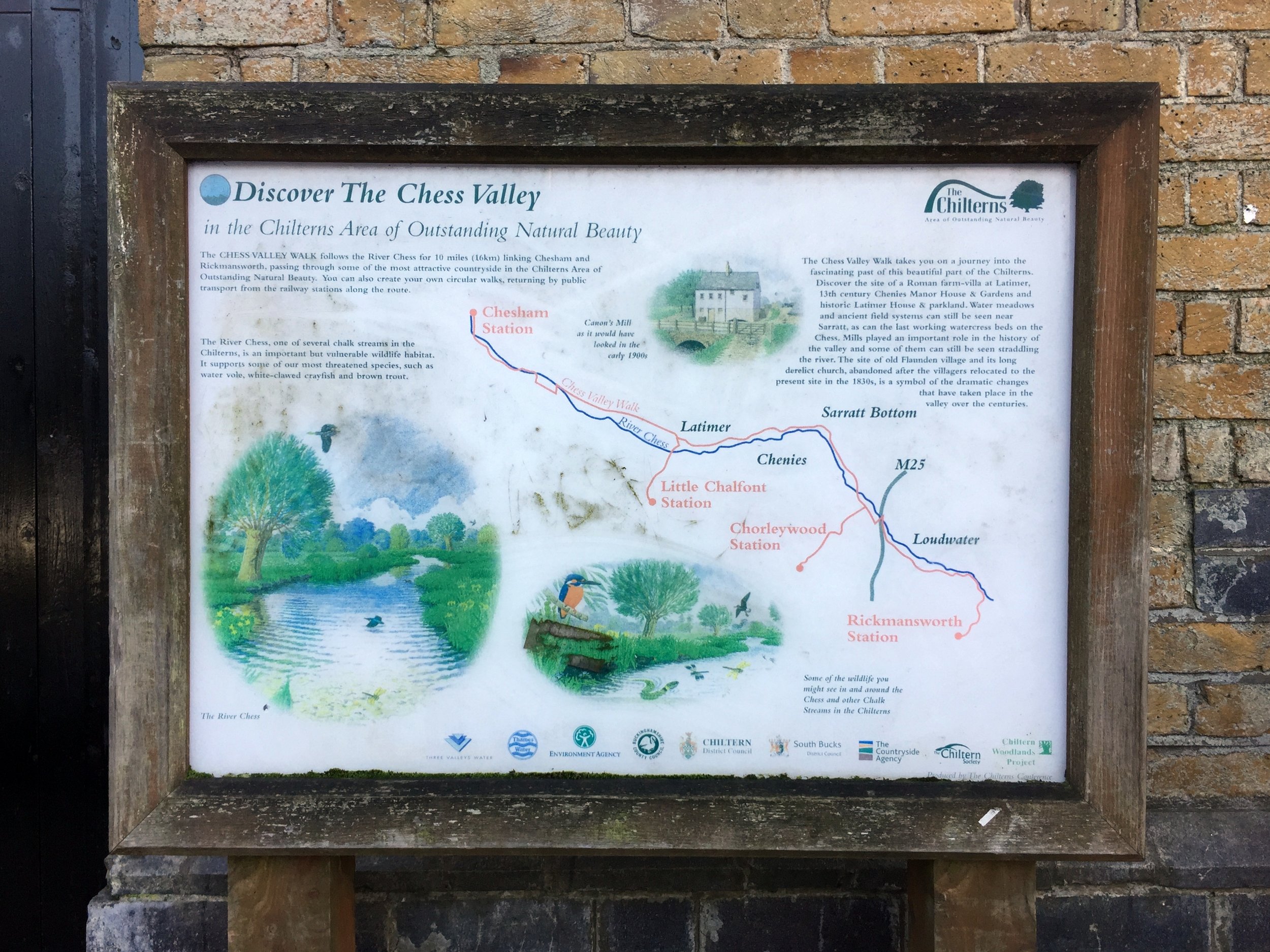
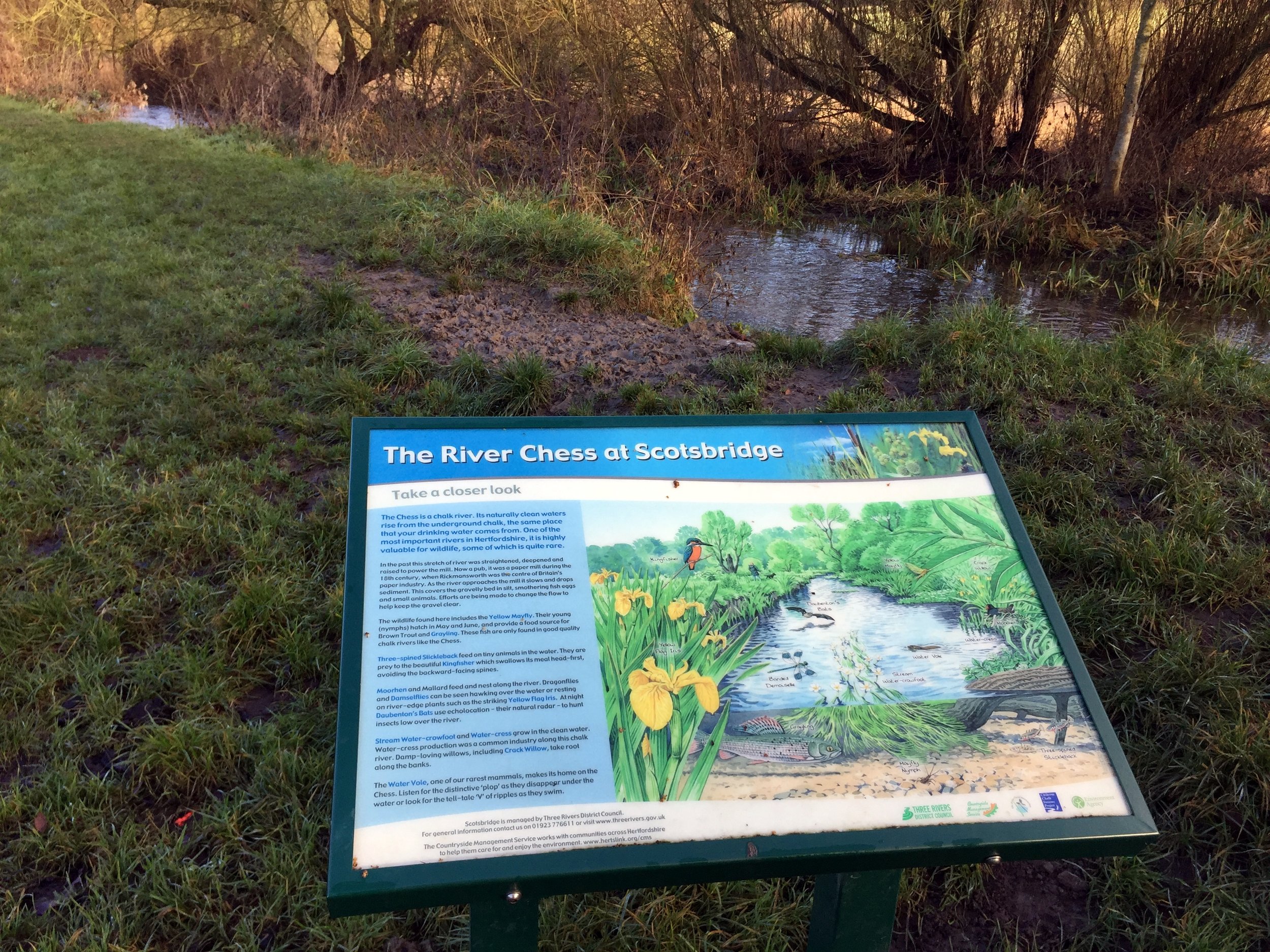
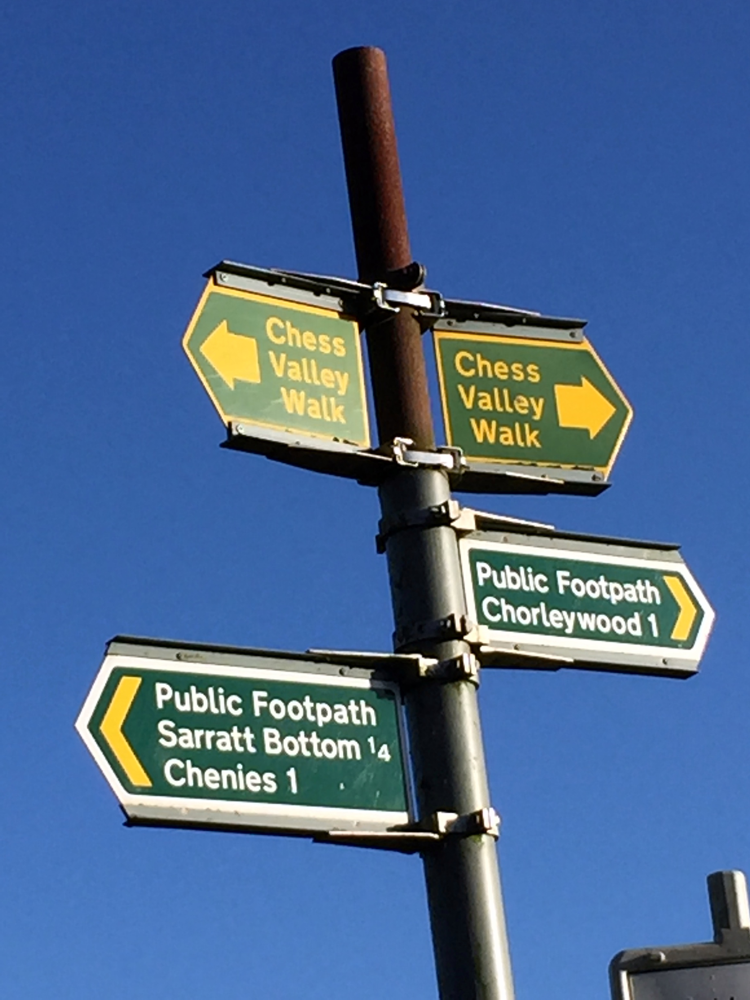
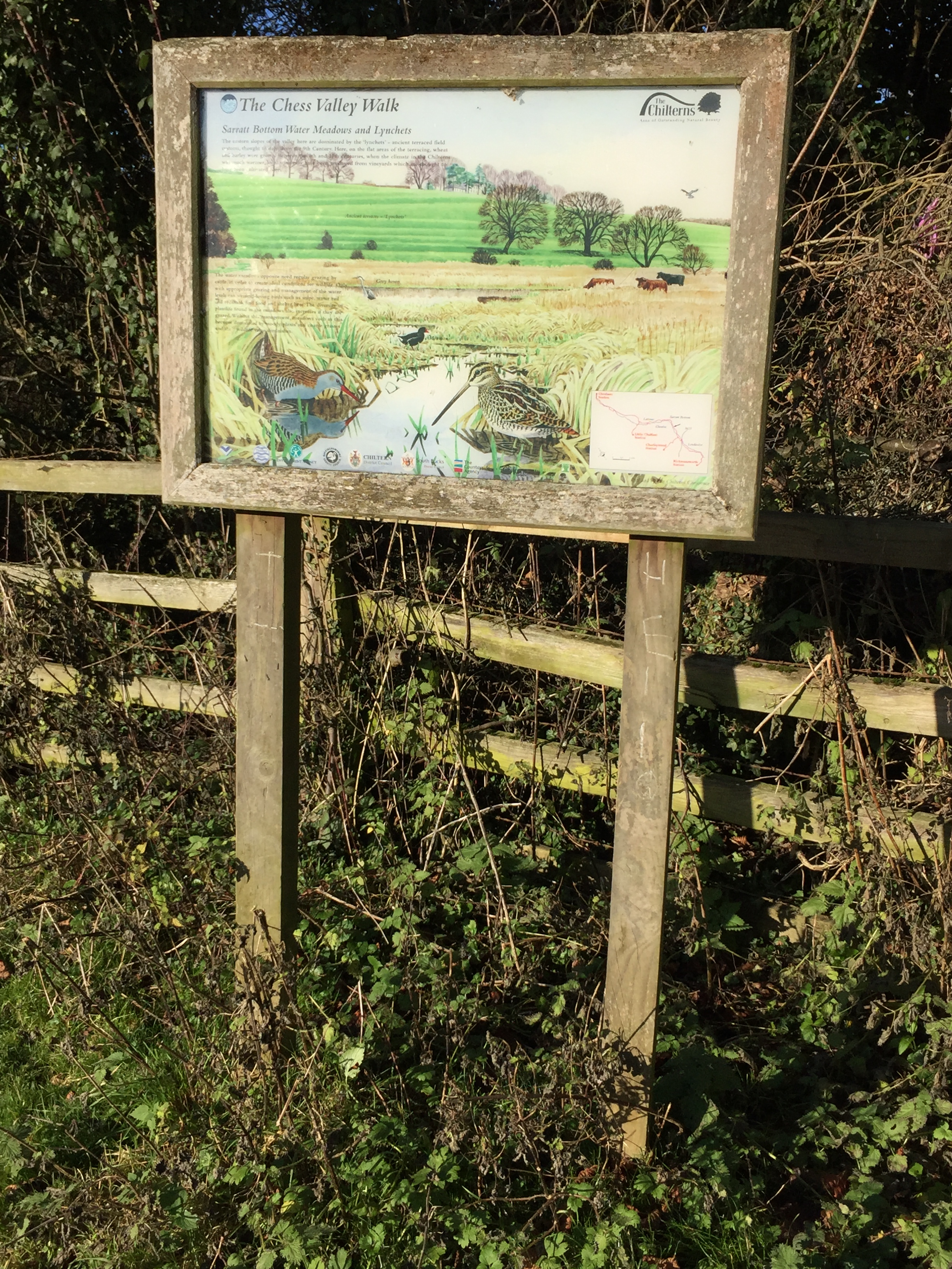
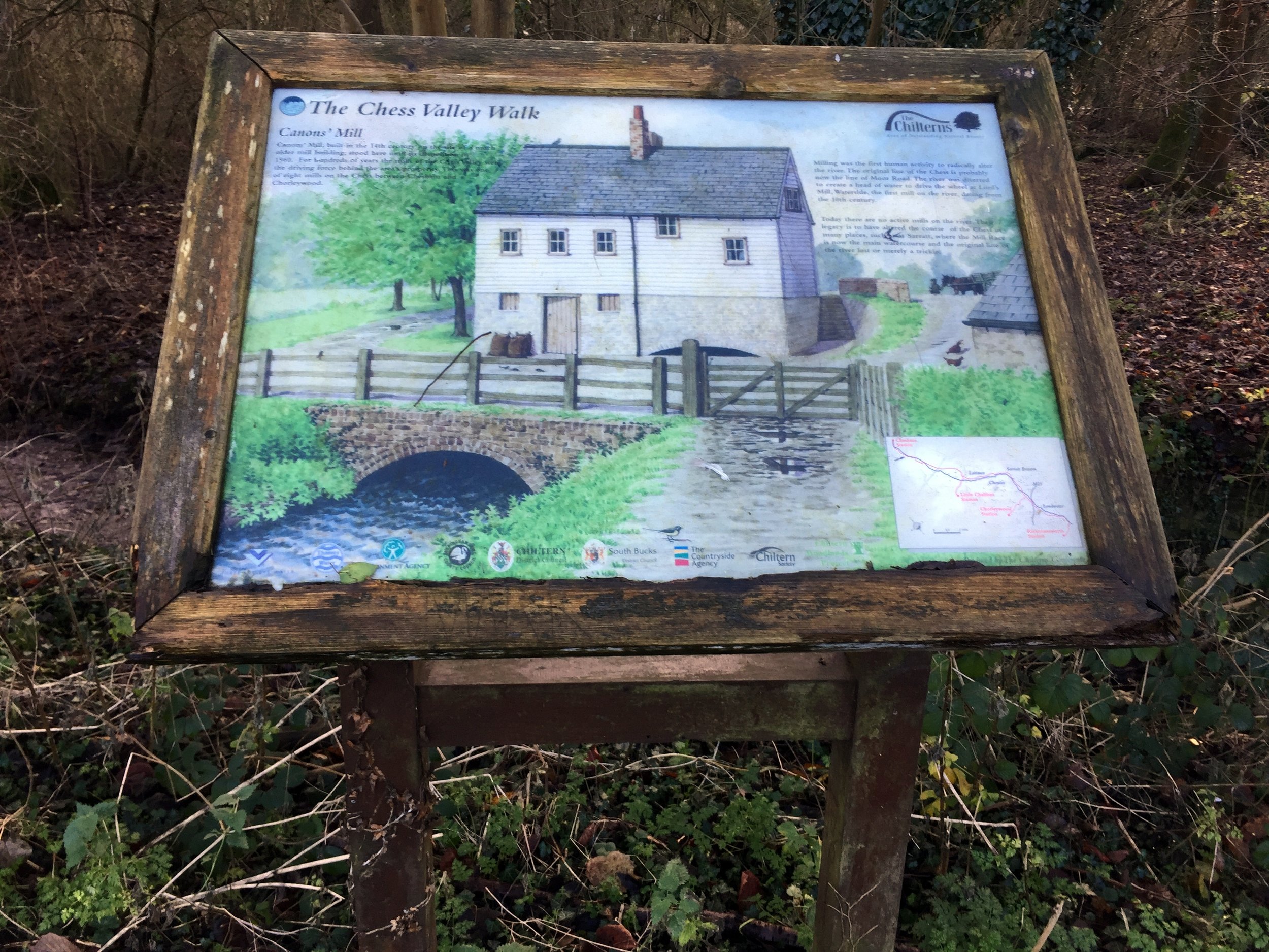
This trip was both part of our River Chess Circulars and our walks based around the rail and underground stations of the Chilterns. The River Chess runs from its source at Pednor, near Chesham, to Rickmansworth where it joins the Colne. The Chess Valley Walk is a point-to-point trail along the course of the river from Chesham to Rickmansworth stations. The guidance below will help you navigate but don’t use it as a fully accurate turn-by-turn guide. Always take a map and/or a GPX route and prepare well for the weather and terrain.

From Rickmansworth station the route follows the first (or last!) 4 kilometres of the Chess Valley Trail. The confluence with the River Colne is to the south of the station and you can pass over it on the Rickmansworth Three Rivers Circular walk. After the M25 crossing you’ll leave the Chess Valley Walk and continue up Solesbridge Lane to Chorleywood Common. Solesbridge Lane is quite narrow with no pavement so a diversion around Chess Way and Wyatt’s Road is recommended. Once over the A404 keep to the paths alongside Dog Kennel Lane until you reach the rail line. Footpaths through the woods to the south side of the rail line will take you back to Rickmansworth.


Chiltern Walks: Amersham Old and New Towns
View from High Spring Woods south to Shardeloes

View from High Spring Woods south to Shardeloes


Start & Finish: Amersham Station, Amersham, HP6 5FG, Buckinghamshire
Distance: 8.3 km (5.2 miles)
Elevation change: +/- 75m
GPX File: get via Buy Me a Coffee
Other routes touched (walk): Chiltern Heritage Trail, South Bucks Way
Other routes touched (cycle): Chilterns Cycleway, Milton Route, Hampden Route
Pubs / Cafes on route: Seasons Cafe, Old Amersham plus others in Old and New Amersham town centres
Map: OS Explorer Map (172) Chiltern Hills East
Links: Amersham, Amersham Station, Martyr’s Memorial, River Misbourne


This trip was both part of our River Misbourne Circulars and our walks based around the rail and underground stations of the Chilterns. The River Misbourne runs from its source at Great Missenden, to Denham where it joins the Colne. The guidance below will help you navigate but don’t use it as a fully accurate turn-by-turn guide. Always take a map and/or a GPX route and prepare well for the weather and terrain.

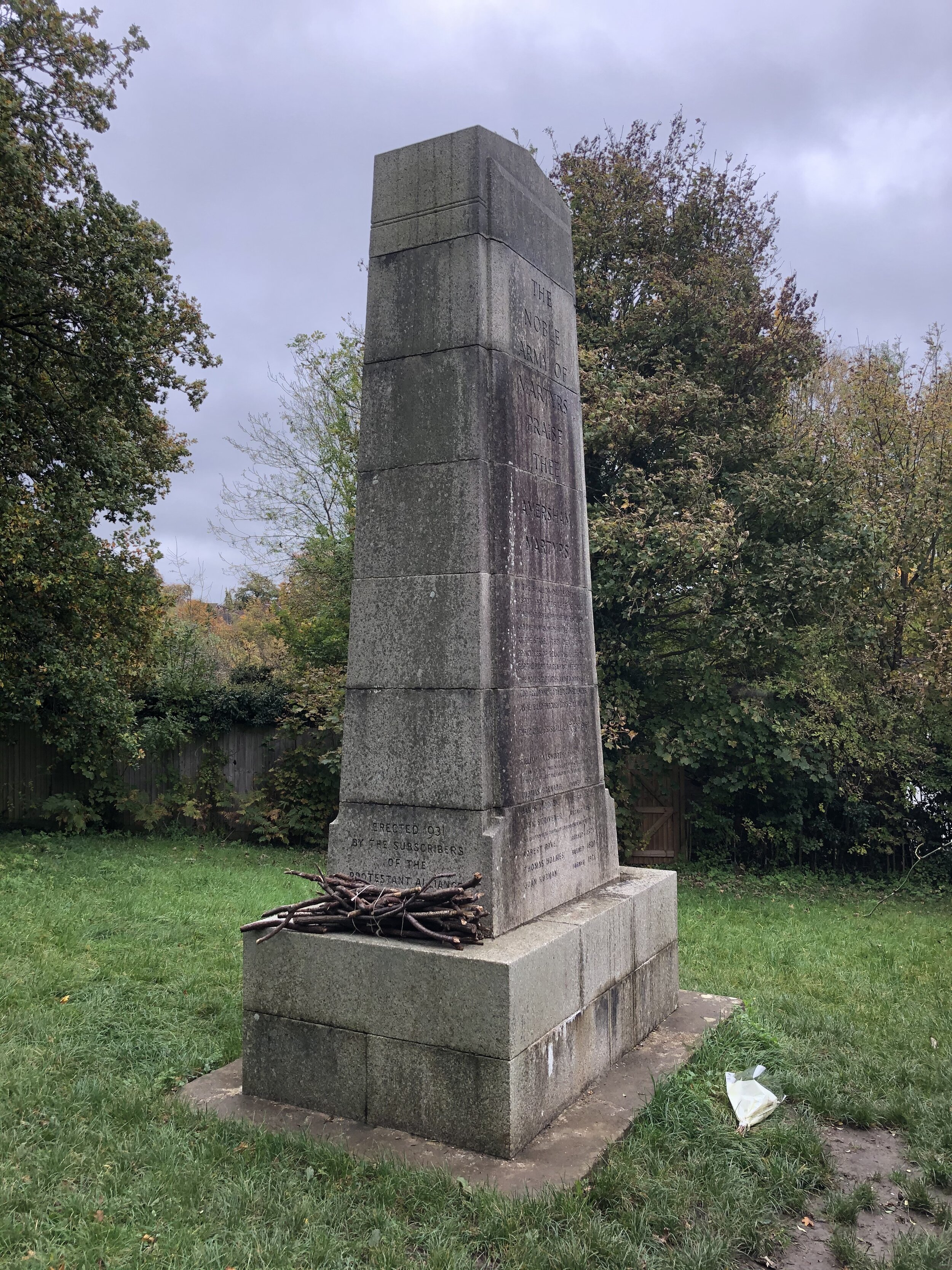
This walk starts at Amersham Station in Amersham New Town and also passes through Old Amersham. The New Town sits at the top of the hill with the Chess Valley to the North and the Misbourne Valley to the South. An unexpected find for us was the Martyr’s Memorial on the edge of a field near Station Road. Per the description on the monument: “In the shallow depression at a spot 100 yards left of this monument seven protestant men and one woman were burnt to death at the stake. They died for the principles of religious liberty, for the right to read and interpret the holy scriptures and to worship God according to their consciences as revealed through God’s holy word. Their names shall live forever.”


elevation_profile (1).jpg

Chiltern Walks: Chesham & Tylers Hill
Descending to Chesham on the Chilterns Heritage Trail

Descending to Chesham on the Chilterns Heritage Trail


Start & Finish: Chesham Station, Chesham. HP5 1DA
Alternative Car Parking at: Star Yard Car Park, Parsonage, Lane, Chesham, HP5 1EP
Distance: 9.3 km (5.8 miles)
Elevation change: +/- 84m
GPX File: get via Buy Me a Coffee
Other routes touched (walk): Chess Valley Walk, Chiltern Heritage Trail
Pubs / Cafes on route: Several in Chesham Town Centre
Map: OS Explorer Map (181) Chiltern Hills North
Links: Chesham, Chesham Station, Tylers Hill, River Chess


This trip was both part of our River Chess Circulars and our walks based around the rail and underground stations of the Chilterns. The River Chess runs from its source at Pednor, near Chesham, to Rickmansworth where it joins the Colne. The Chess Valley Walk is a point-to-point trail along the course of the river from Chesham to Rickmansworth stations. The guidance below will help you navigate but don’t use it as a fully accurate turn-by-turn guide. Always take a map and/or a GPX route and prepare well for the weather and terrain.

This walk takes in the first 3 kilometers of the Chess Valley Walk before a steep uphill section to Pinner Green. The final 2 km joins the Chiltern Heritage Trail as it descends back to Chesham station.


Cassiobury, Whippendell Woods and Croxley Green Circular Walk
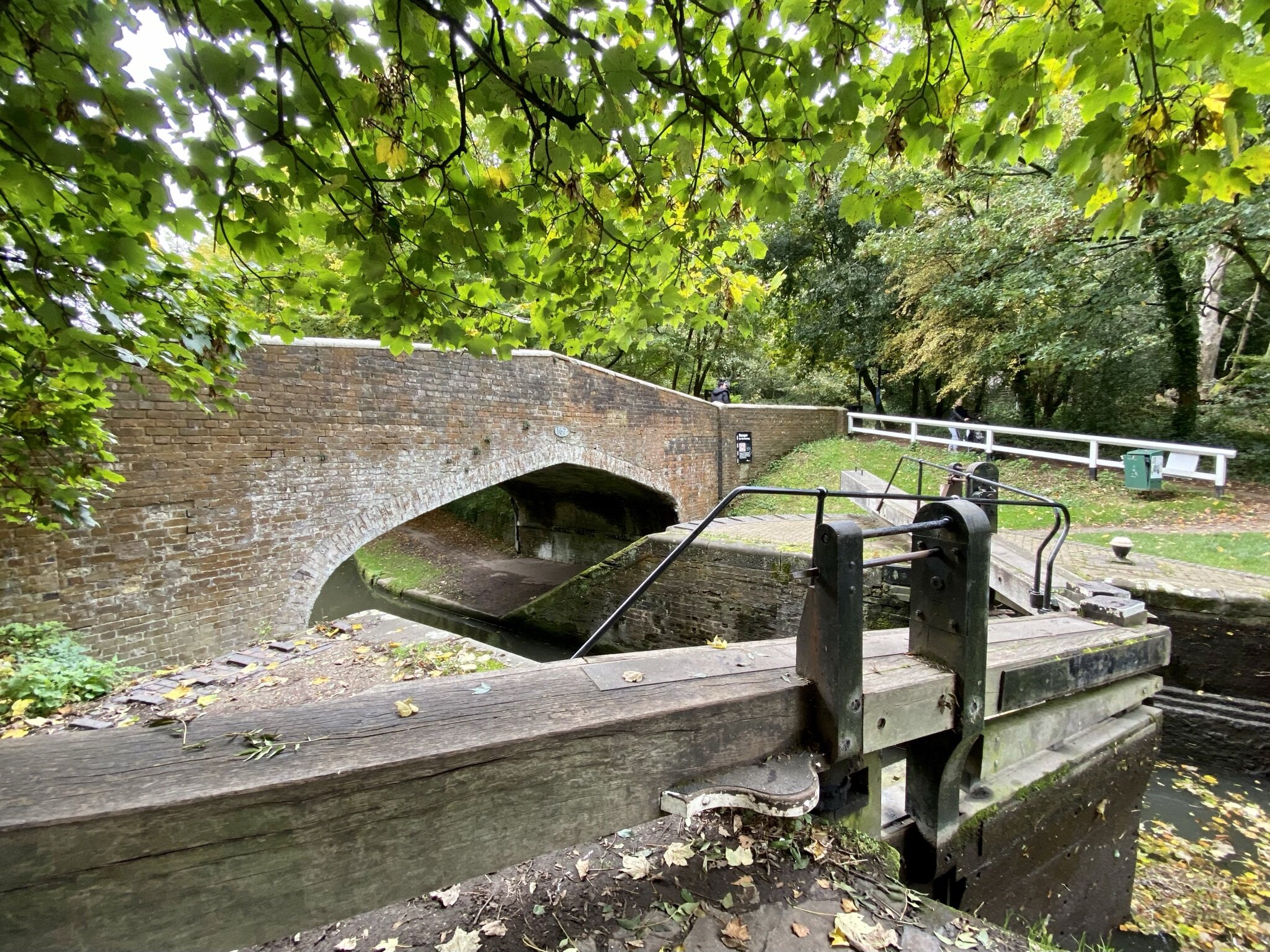
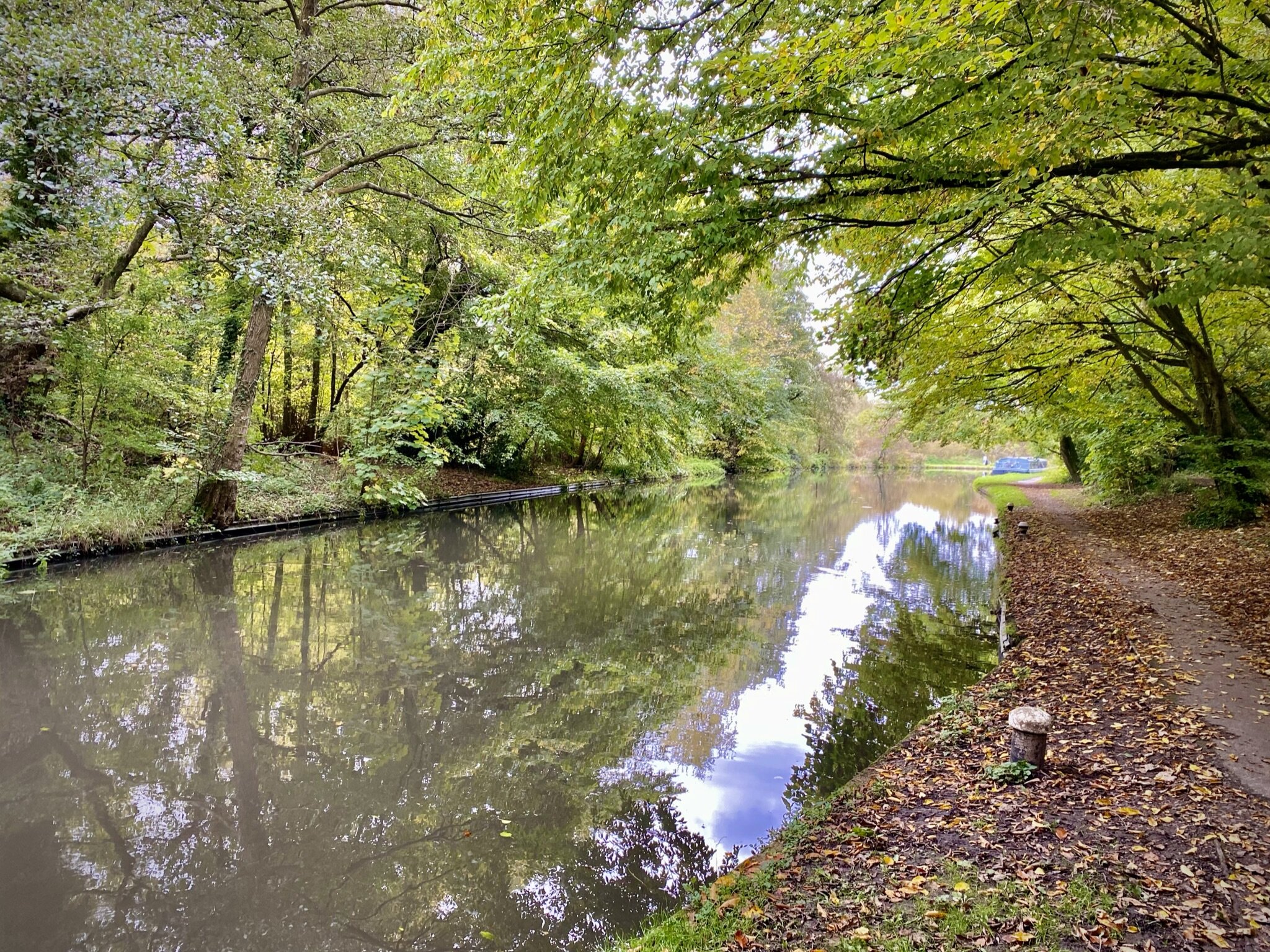
Grand Union Canal near Croxley Green

Grand Union Canal near Croxley Green


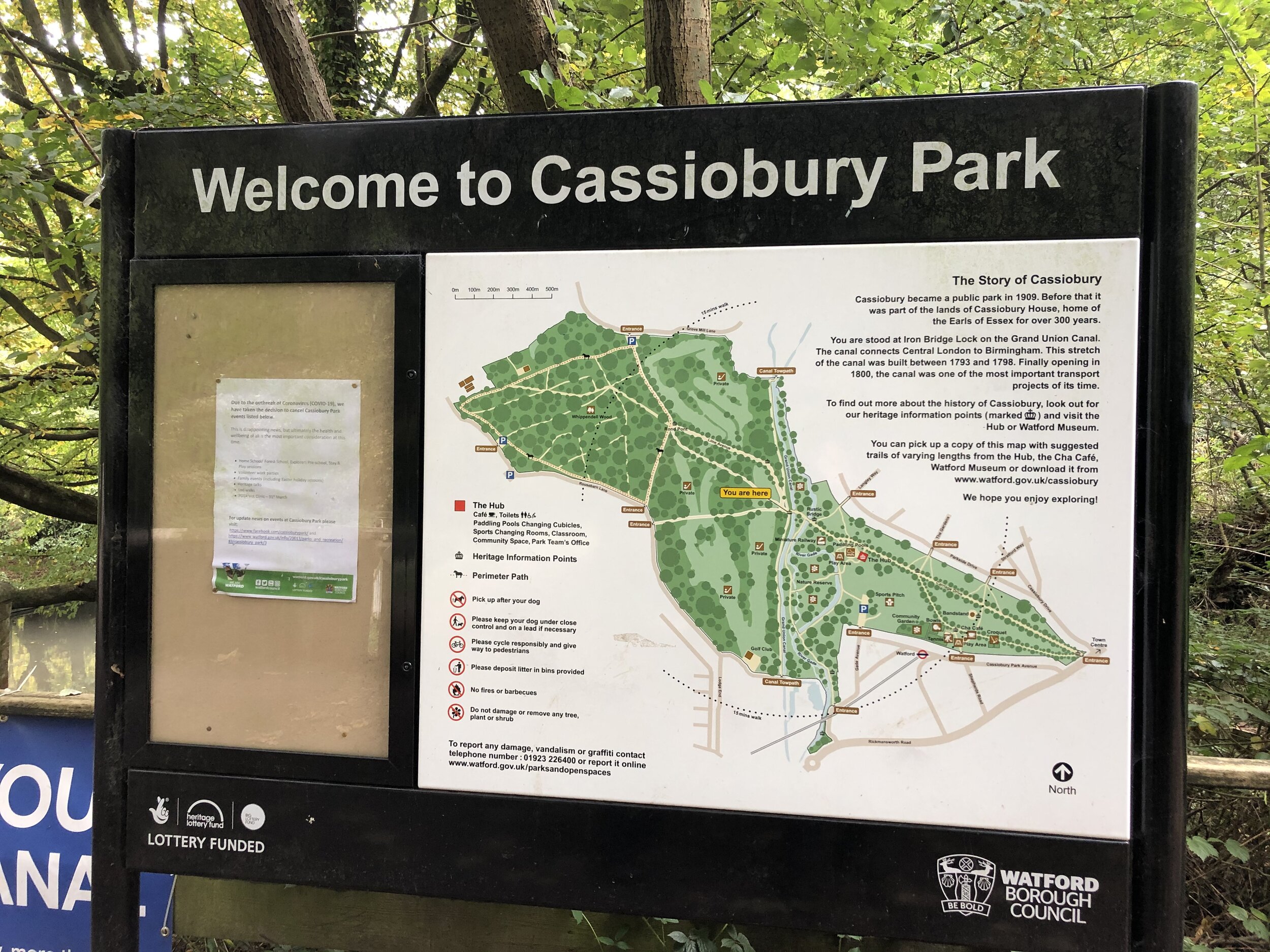
Start & Finish: Cassiobury Park Car Park, Gade Avenue, Watford, WD18 7LG
Distance: 10.1 km (6.3 miles)
Elevation change: +/- 84m
GPX File: get via Buy Me a Coffee
Other routes touched (walk): Grand Union Canal Towpath, Whippendell Circular Walks
Pubs / Cafes on route: Cafe In The Park at Cassiobury
Map: OS Explorer Map (172) Chiltern Hills East
Links: Cassiobury Park, Whippendell Wood, Croxley Green, Croxley Station, Watford Station


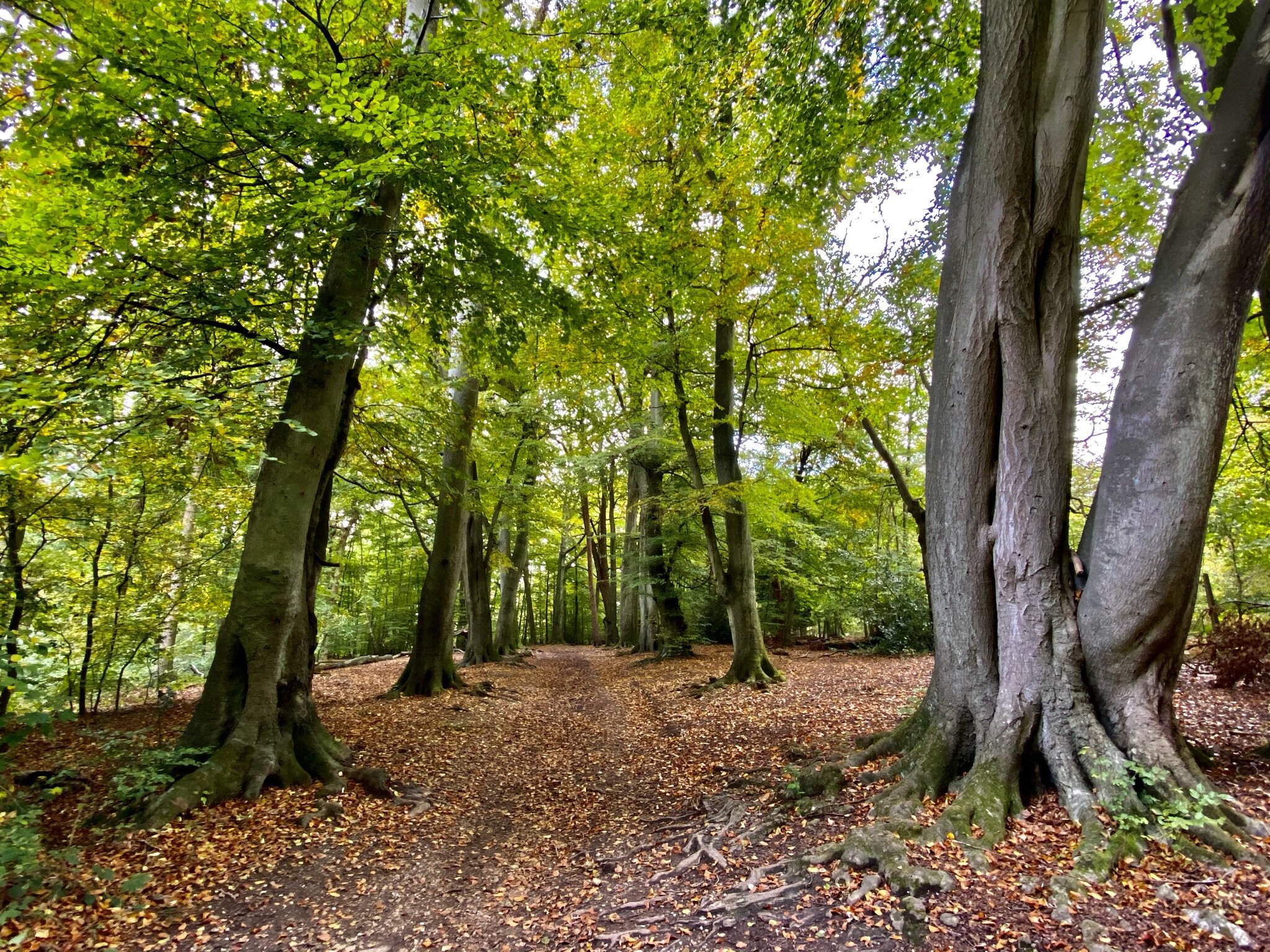
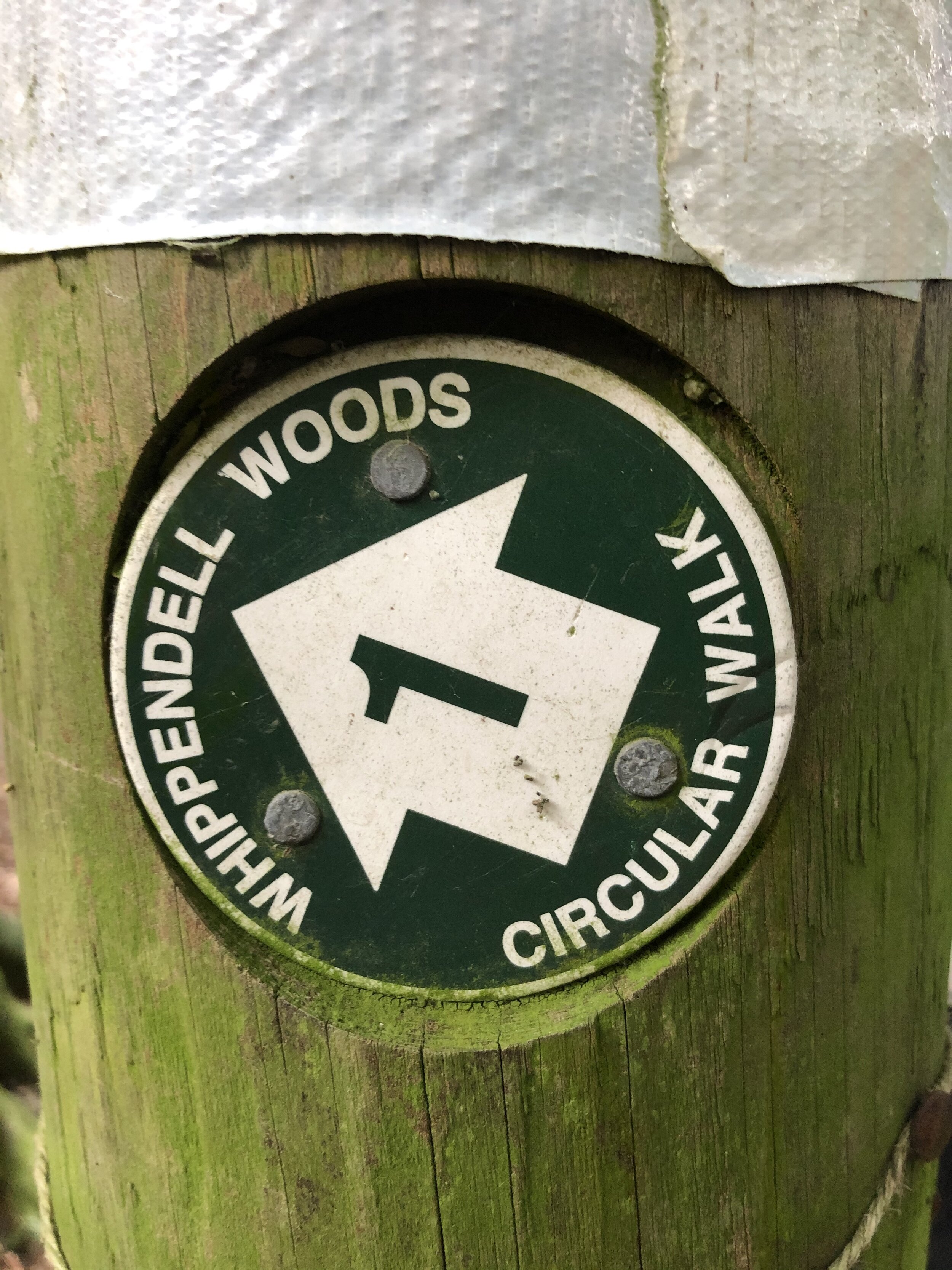
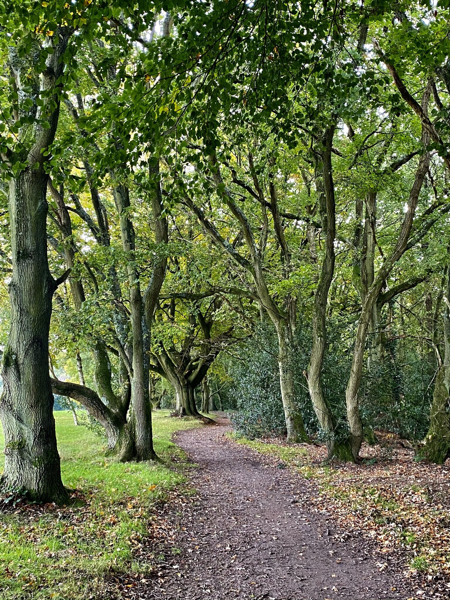
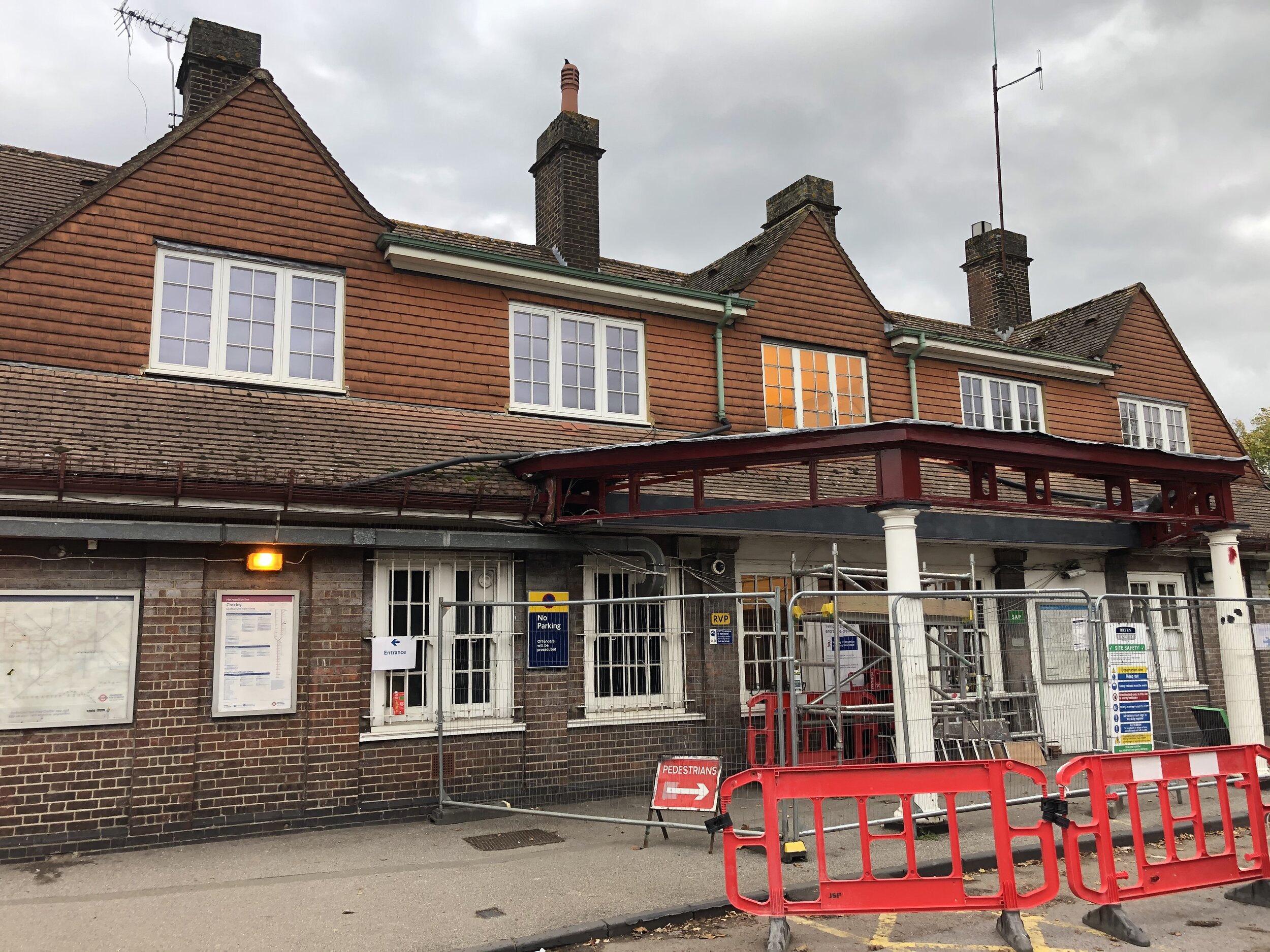
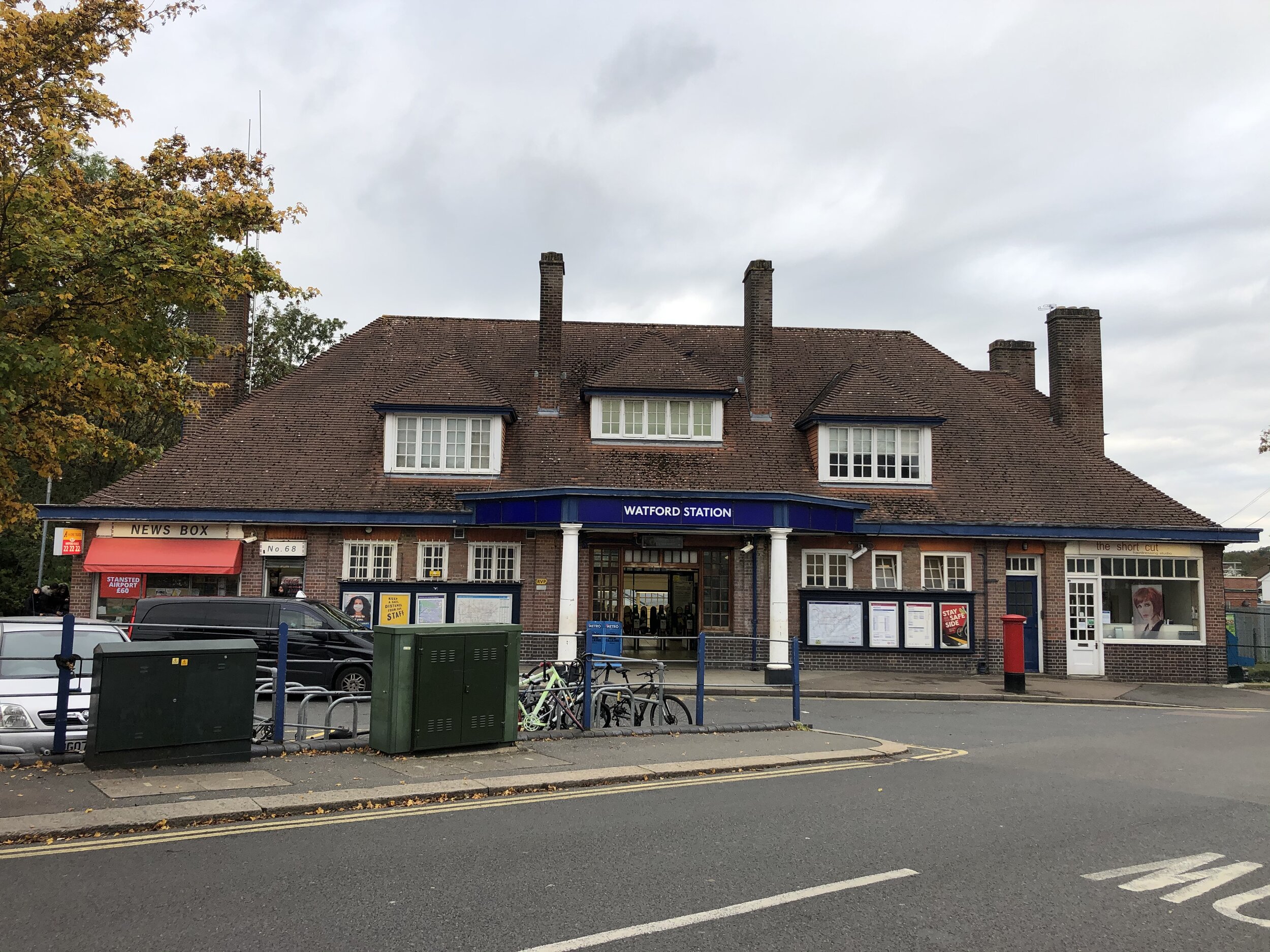
This trip was both part of our walks based around the rail and underground stations of the Chilterns. On this one we explored the canal and green spaces around the Metropolitan Line spur to Watford. Croxley and Watford stations are only 2 km apart and not an exciting walk if you take the roads. The Grand Union Canal is a better option for walking the first kilometre then you can branch off onto the River Gade as you get into Watford Town. The much more interesting part of the trip is the section through Cassiobury Park and over the canal into Whippendell Woods. These both used to be part of the Cassiobury Estate.


Chiltern Walks: Little Chalfont & Latimer
Fields near Flaunden Grove

Fields near Flaunden Grove


Start & Finish: Chalfont and Latimer Station, Station Approach, Little Chalfont, HP6 6RZ
Distance: 8.4 km (5.2 miles)
Elevation change: +/- 140m
GPX File: get via Buy Me a Coffee
Other routes touched (walk): Chiltern Way, Chiltern Heritage Trail, Chess Valley Walk
Other routes touched (cycle): Chiltern Cycleway, Harding Route
Pubs / Cafes on route: Several in Little Chalfont village centre on the A404
Map: OS Explorer Map (172) Chiltern Hills East
Links: Little Chalfont, Chalfont And Latimer Station, River Chess, Chenies, Latimer


This walk was both part of our River Chess Circulars and our walks based around the rail and underground stations of the Chilterns. The River Chess runs from its source at Pednor, near Chesham, to Rickmansworth where it joins the Colne. The Chess Valley Walk is a point-to-point trail along the course of the river from Chesham to Rickmansworth stations. We chose Chalfont and Latimer station as the start and end for this circular walk. The guidance below will help you navigate but don’t use it as a fully accurate turn-by-turn guide. Always take a map and/or a GPX route and prepare well for the weather and terrain.

A shorter version of this walk can be made by cutting off the Flaunden Grove section by continuing along the Chess Valley Walk at around kilometre 5. This removes about 2km from the walk and a chunk of elevation.


route-34392463-map-full.png

Chiltern Walks: The Chess Valley Walk
The Chess near Chenies

The Chess near Chenies


Part of the Chiltern Rivers Series
River start:
Pednor, near Chesham, Buckinghamshire
River end: Confluence with River Colne at Rickmansworth
River length: 17.9 km (11.1 miles)
Walking route start / end: Rickmansworth Underground Station / Chesham Underground Station
Walking route length: 21.7 km (13.5 miles)
Walking route elevation change: +309m / -256m. Net -53
GPX File: get via Buy Me a Coffee
Other routes touched (walk): Chiltern Way
Other routes touched (cycle): Chilterns Cycleway, Hampden Route, Harding Route
Map: OS Explorer Map (181) Chiltern Hills North & OS Explorer Map (172) Chiltern Hills East
Links: River Chess, Rickmansworth, Rickmansworth Station, Sarratt Bottom, Latimer, Chesham, Chesham Station


Having completed the Circle Line Run I was now excited about the London Underground. Today's adventure was going to be running the Bakerloo Line. However, once I'd checked out the route on Streetview I got a little uninspired by most of the Northern section. I needed some countryside and I definitely wouldn't get that on the Bakerloo. 

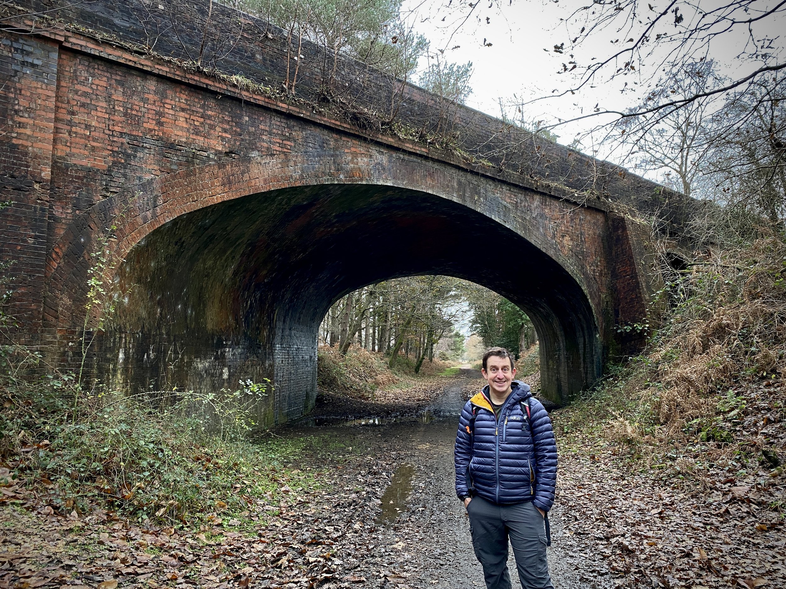
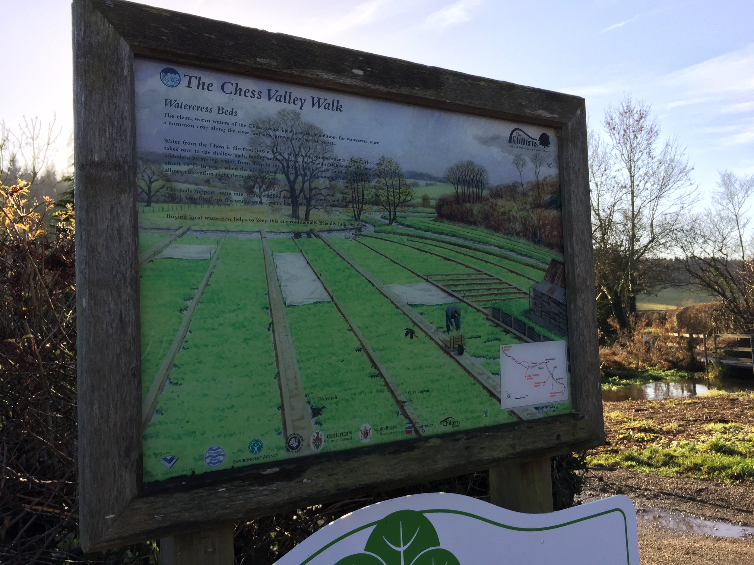
Google came to the rescue with a link to the Chess Valley Walk. It's a 10-mile sign posted walk following the River Chess between Rickmansworth and Chesham. Conveniently, it starts and ends at the Underground stations of each town. Both are on the Western end of the Metropolitan line, allowing for an easy point to point walk.  Both are connected by a 16 minute Tube journey. 

I chose the East to West direction starting at Rickmansworth where the Chess meets the Colne. I decided to do a longer version of the route by going as close to the source and the end as possible. The closest I could get was a small bridge near where the Underground crosses the river. 

The actual route of the walk starts half a mile along after a small detour back towards the station. From here it meanders around the outskirts of the town, heading into the Chiltern countryside.

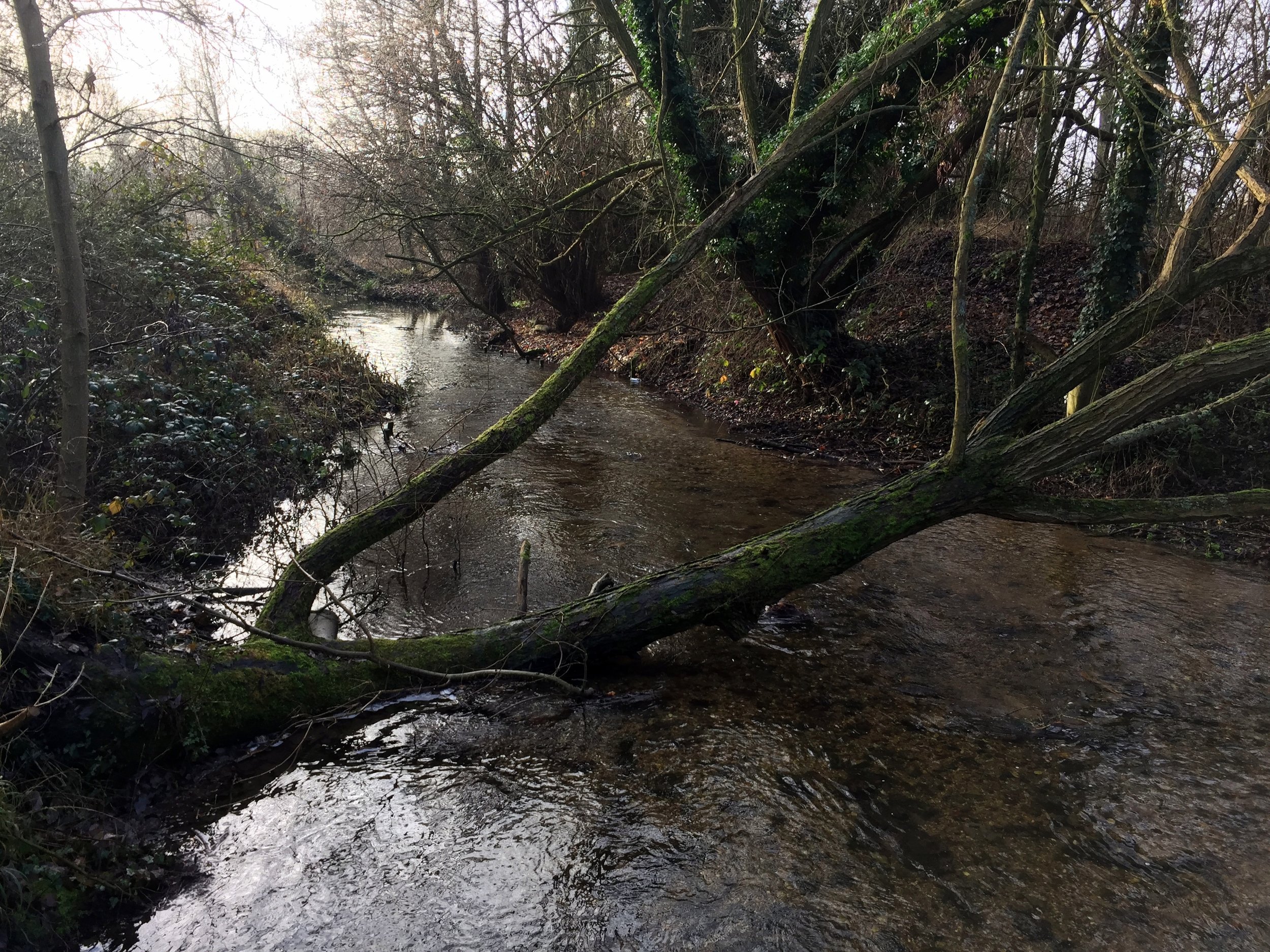
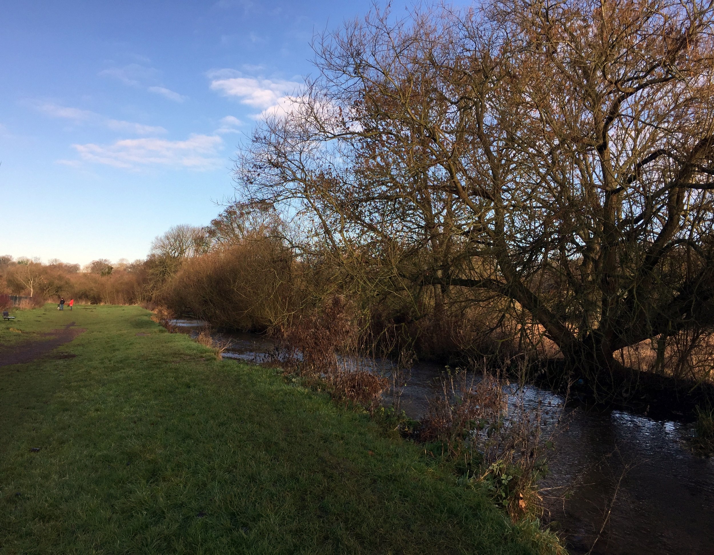
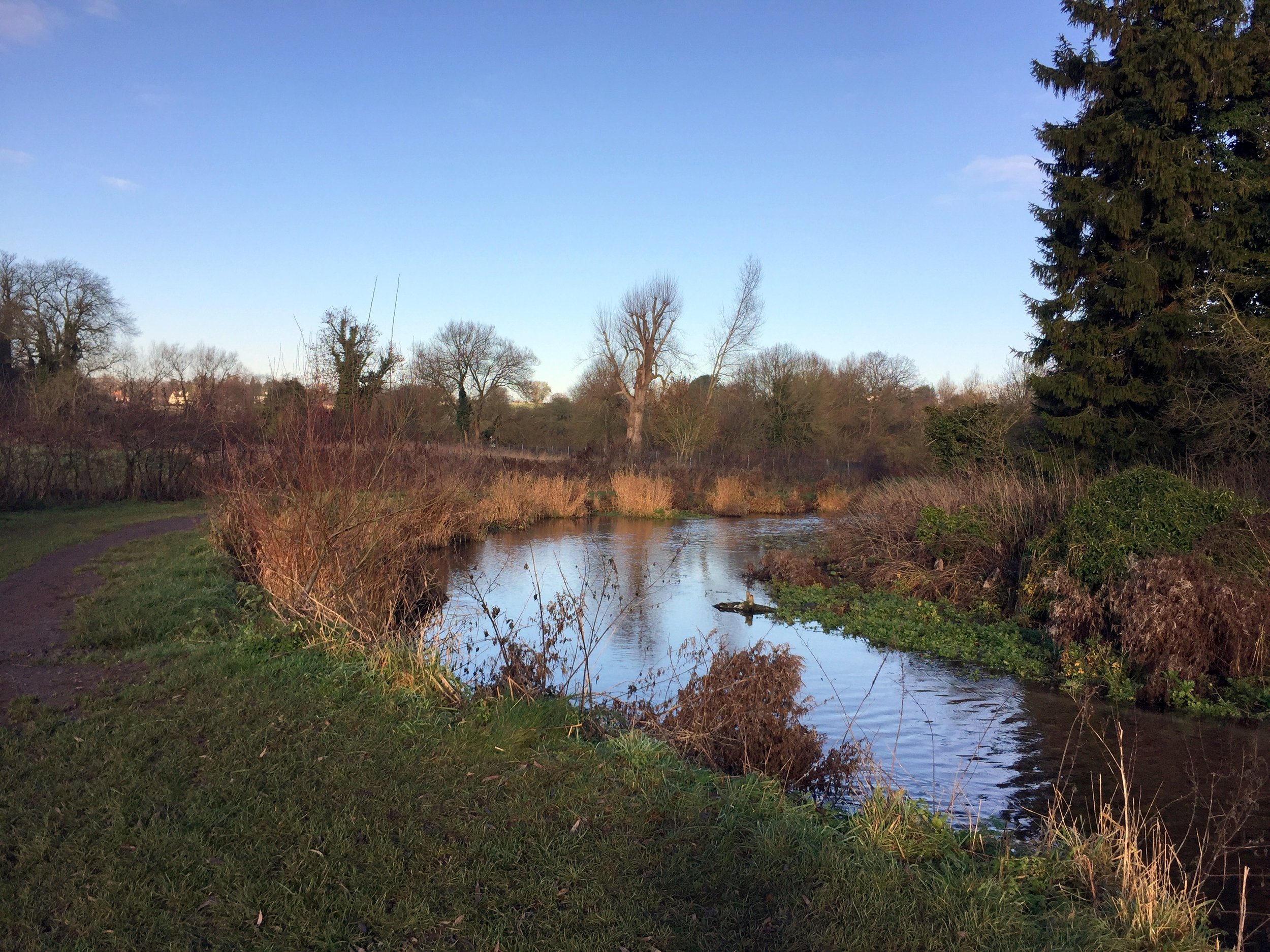
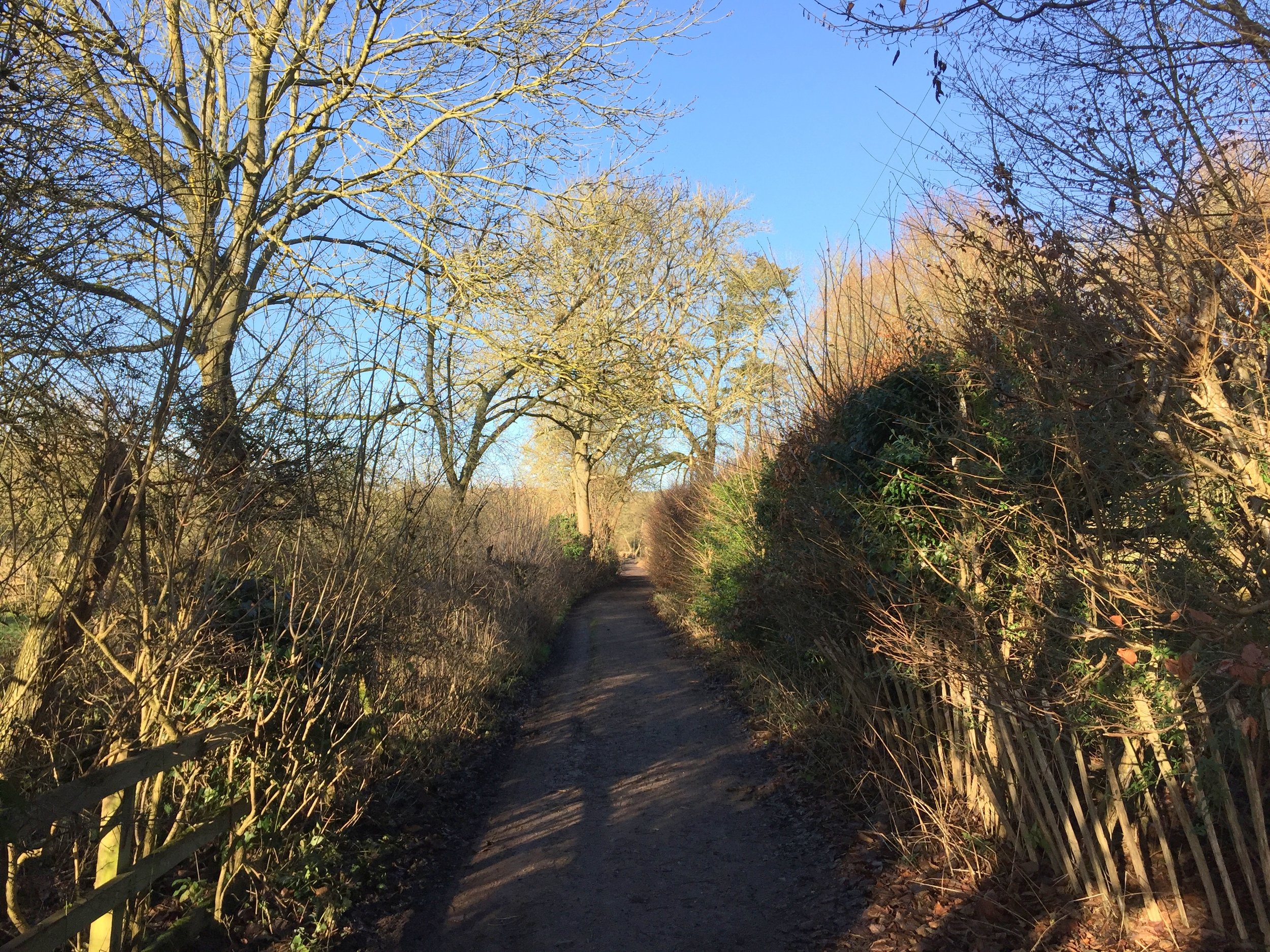
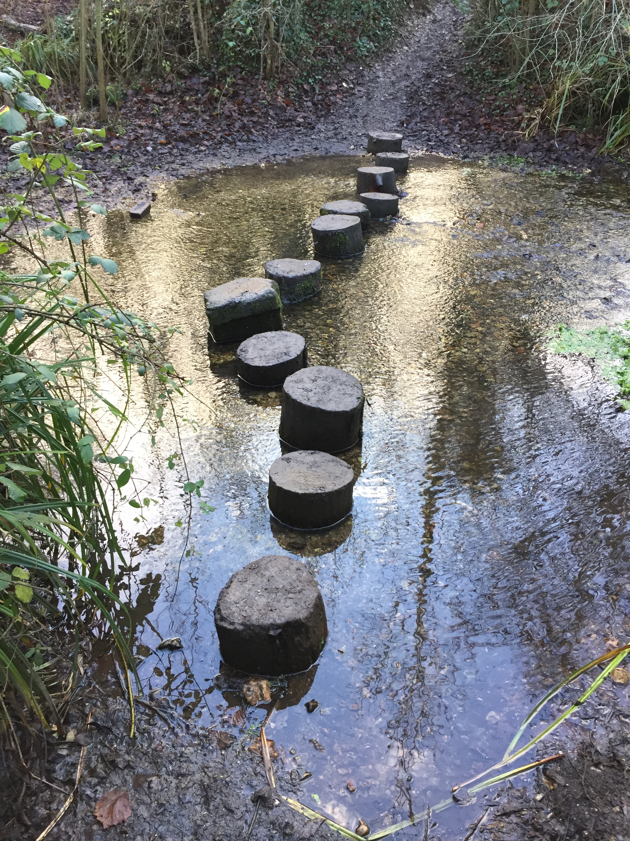
This was a cold, misty December day and I had the route mostly to myself. The path stays close to the river with some parts diverting off where it flows through private land. 

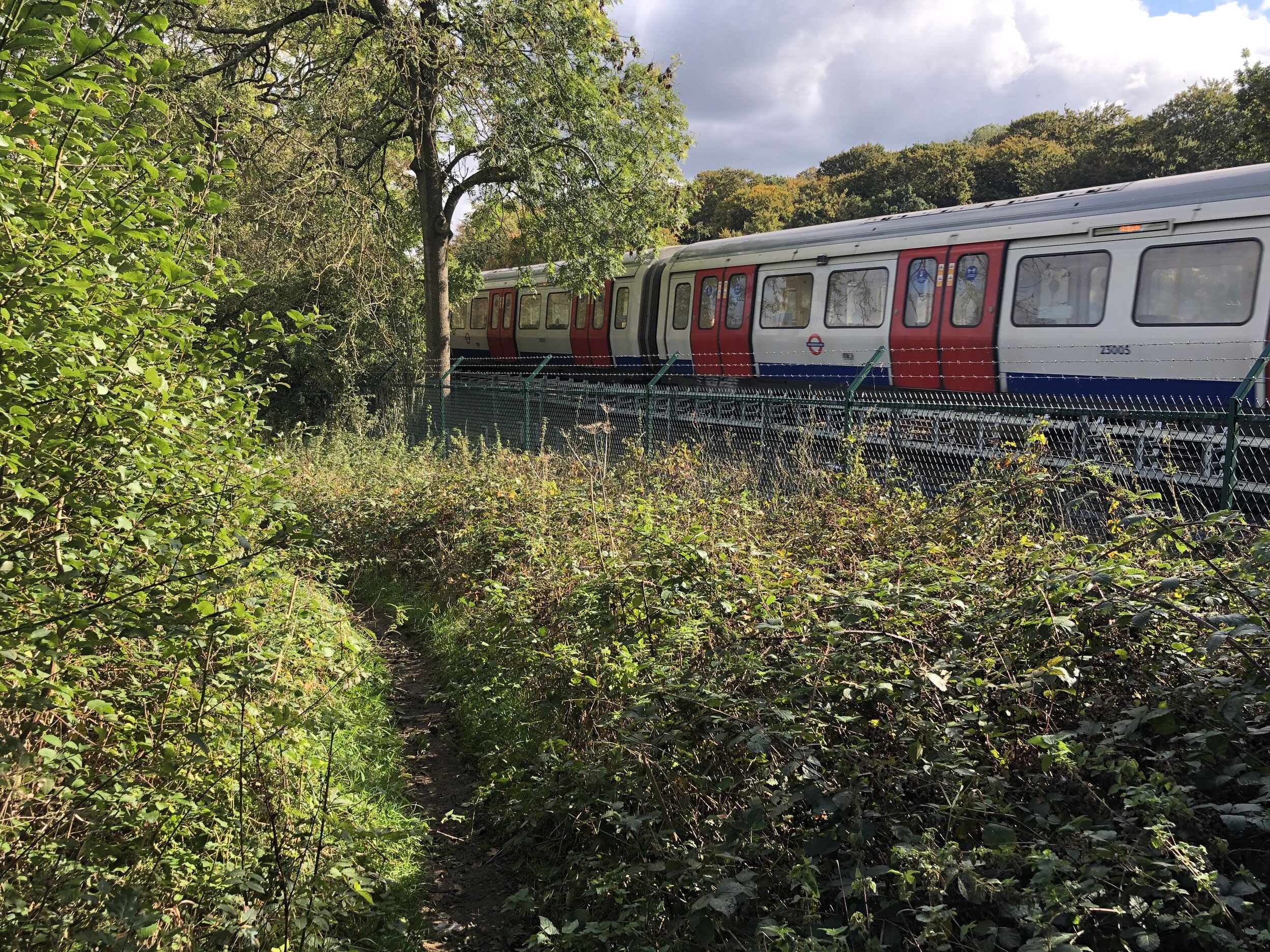
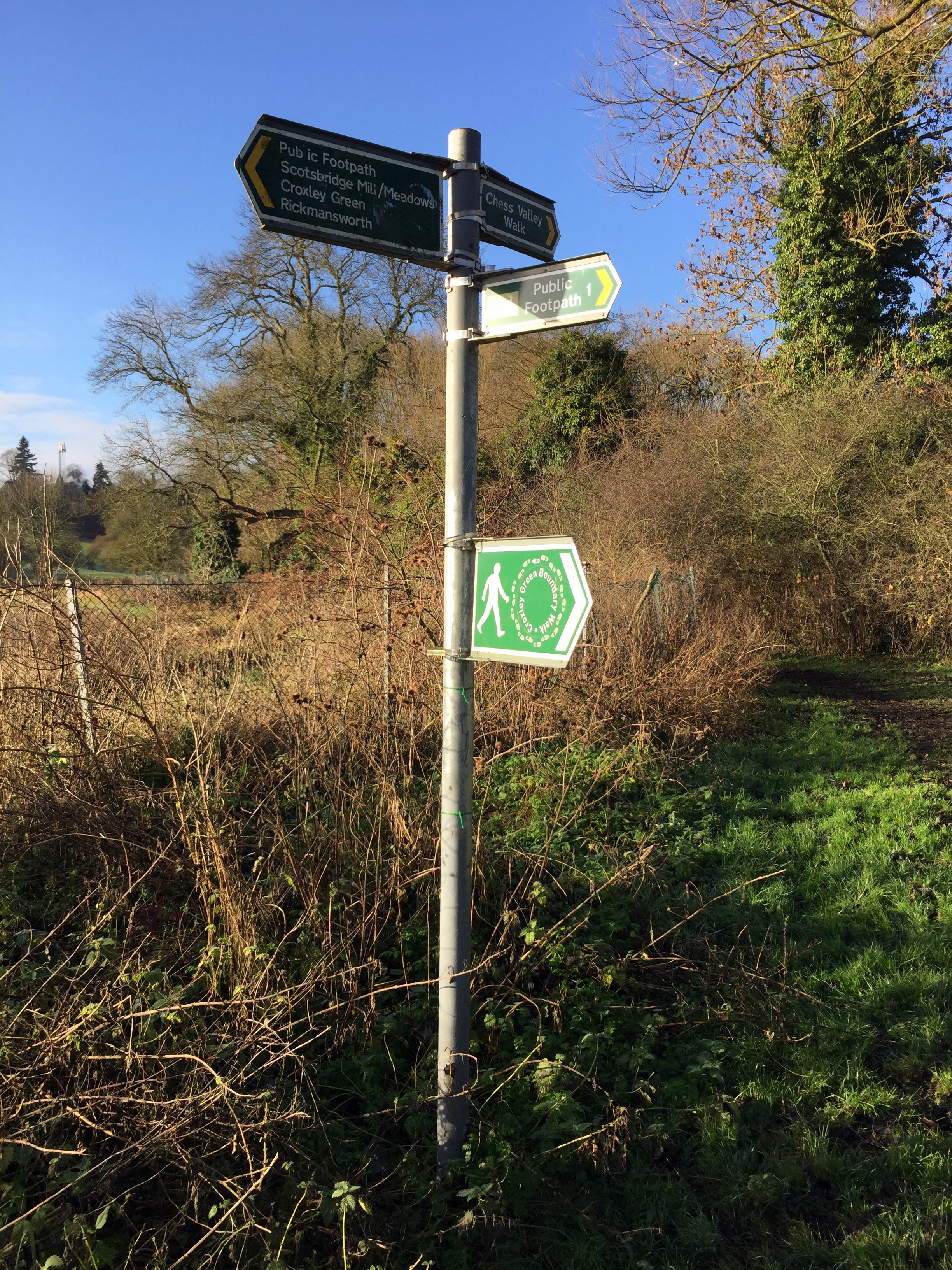
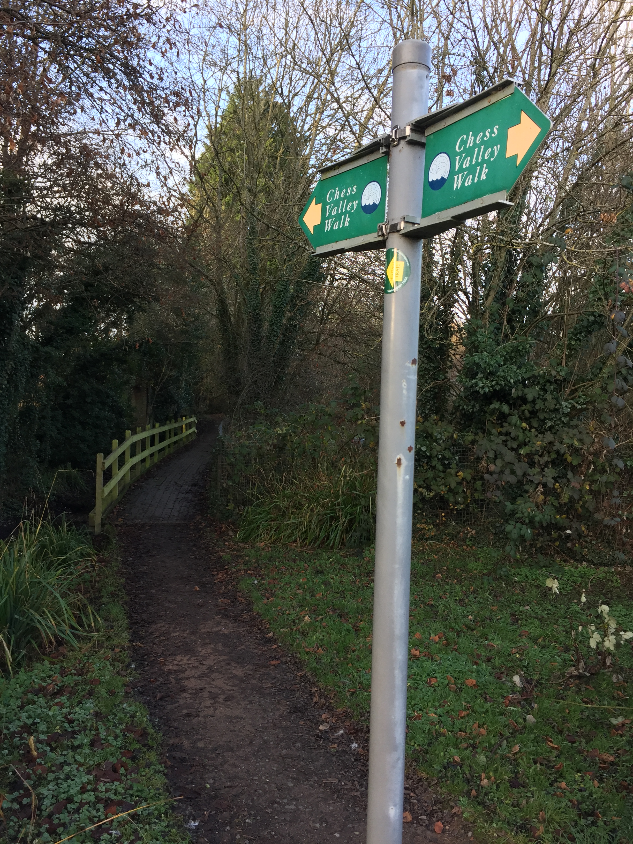
Despite being well signposted, a few places can catch you out. Two spurs of the path divert to the Metropolitan Line stations on the route, Chorleywood and Chalfont and Latimer. This allows for the walk to be split into smaller sections, each linked by the Underground. I discovered that the signs for the spur were more obvious than those for the main path. Blindly following one, I ended up diverting towards Chorleywood for about a half a mile. It would have been easy to have made the same mistake further on in Latimer had I not been prepared for it.

The path between Latimer and Chesham was familiar. I ran it in the opposite direction for the Country to Capital Ultra 2 years ago. Once in Chesham I left the signed path and headed to find the source. The river starts at Bury Pond, about half a mile North West of town. The pond is on private property but you can get a good view of it from Pednor Road that runs next to it.

My route was 13.5 miles, with the extra 2 miles on the official route made up of the extra bits at the start and end plus the Chorleywood diversion. 

I really enjoyed the combination of a proper countryside walk connected by the Underground. It also gave me the inspiration for a few more Chiltern River trips. Next up: the Pinn, the Colne and the Wye.

Above: Red = course of the River Chess, red = walking route. You’d think it would be the other way around but I can’t get the colours to swap on the app I’m using #usererror.

Elevation for cycle route

Elevation for cycle route


Running The Circle Line

Start & Finish: Marylebone Station, Melcombe Place, Marylebone, London, NW1 6JJ
Distance: 23.9 km (14.8 miles)
Elevation change: +/- 190m
GPX File: get via Buy Me a Coffee
Other routes touched (Walk): Thames Path, Jubilee Walkway, River Fleet Walk, River Westbourne Walk, Jubilee Greenway
Other routes touched (Cycle): CS3, CS6
Pubs / Cafes on route: Loads … it’s London.
Map:
-
OS Explorer Map (161) London South, Westminster, Greenwich, Croydon, Esher & Twickenham
- OS Explorer Map (173) London North, The City, West End, Enfield, Ealing, Harrow & Watford


The idea of above-ground trips along the London Underground lines is not new. Mark Mason's 2011 book Walk The Lines is the best example and many other running geeks have also attempted them. Needing to escape an especially tiring year-end at work, I set off to conquer the Circle Line on a cold mid-December morning.

The Circle Line is great starting point for above-ground Tube adventures. All other lines have distant start and end points and need a bit more planning. At just over a half-marathon, the Circle is an easy half-day adventure.

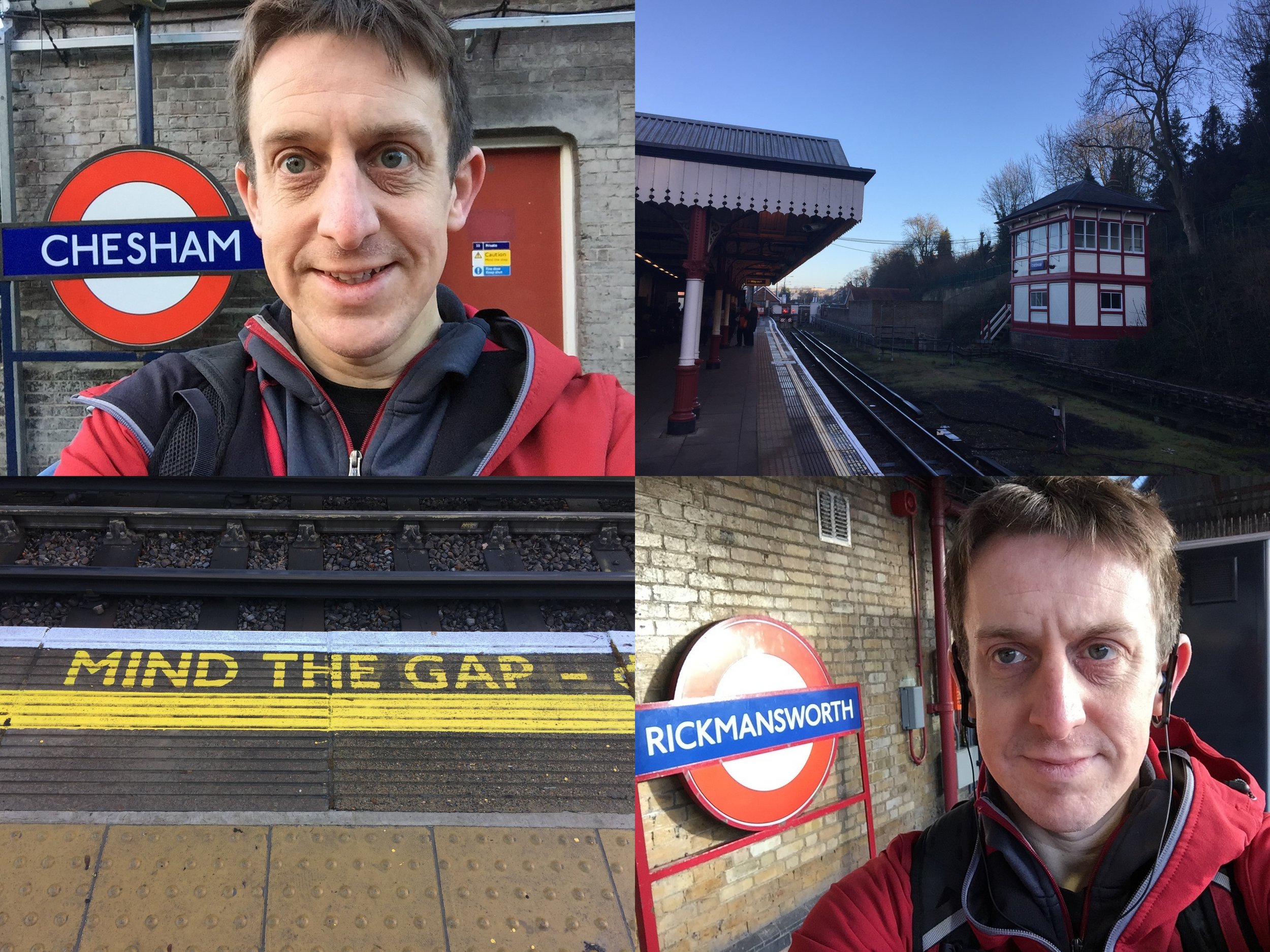
My start point was Marylebone Station. Although not on the Circle line, it's on the route between Edgware Road and Baker Street, my star and end points. I set off clockwise with the aim of marking each station with a Selfie. 

Despite knowing London pretty well, I still needed a bit of navigational help. The north and south sections are pretty straightforward, with the east and west trickier. The walking directions on Google Maps and a Google Keep checklist of all the stations were a big help.

The total distance underground is 14 miles, although that's by avoiding buildings. Negotiating the streets above ground adds at least a mile. Missing Temple station and having to run back to it from Embankment added another mile. Don't do that.

Once back at Marylebone I'd covered just over 16 miles. At around 3 hours it was no Personal Best. Speed is not something to be aimed for on a working day in central London. It was a fun trip though and a nice way to link up some familiar parts of London.