Cycling The Viking Coastal Trail and NCN 1 in Kent

Margate Beach
This was a 2-day weekend cycle adventure on the NCN 1 and 15 in Kent. For Brian and I it was a continuation of the Thames Barrier to Margate trip that we did earlier in the year. This time we returned to Whitstable to pick up the NCN 15 to follow it to the end at Dover. For day 2 we followed the NCN 1 back to Whitstable. At 145 km and mostly flat it’s an easy ride giving more than enough time for coffee and cake stops along the way.
Day 2: The Viking Coastal Trail from Whitstable to Dover
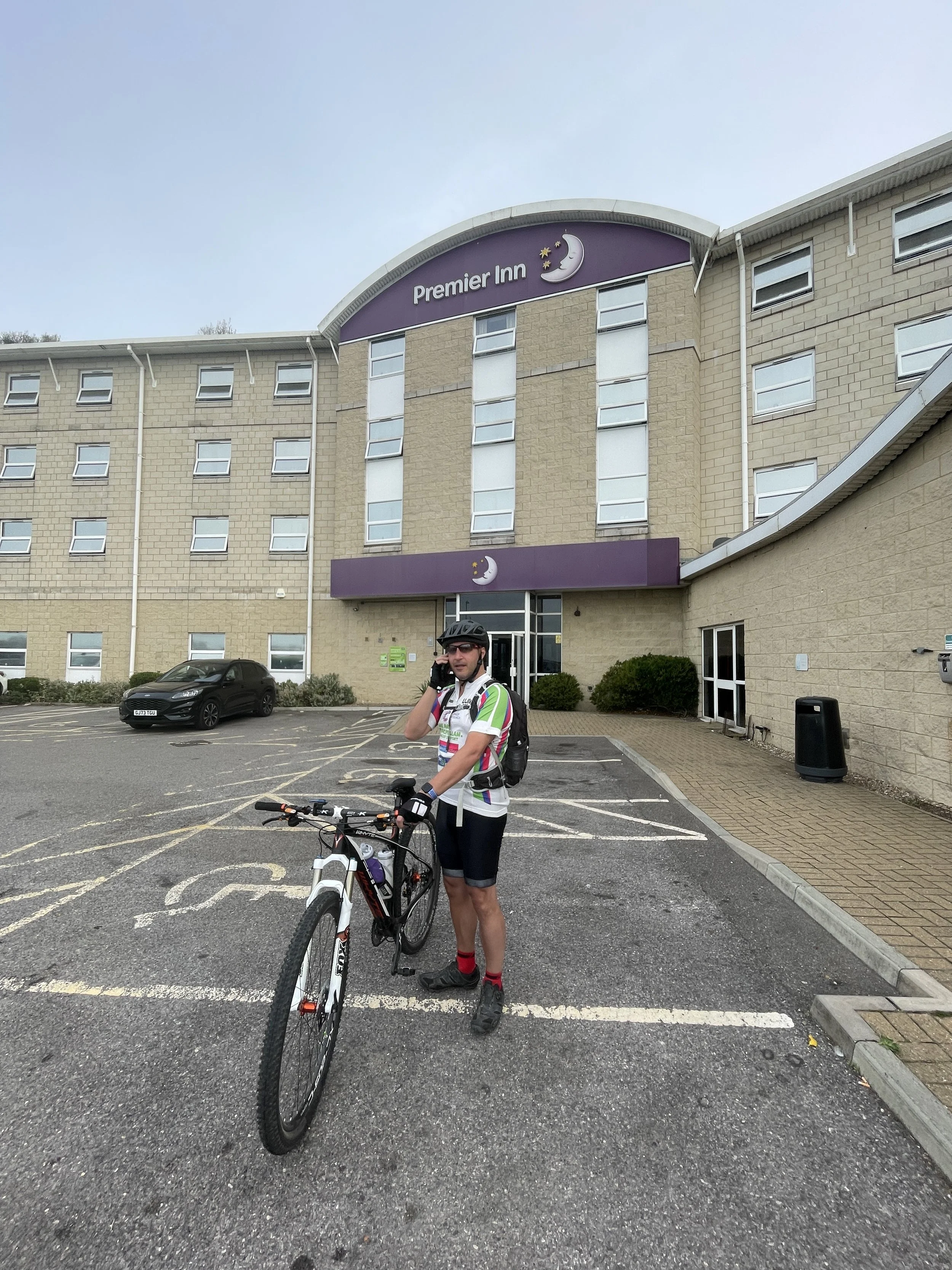
Start: Premier Inn Whitstable hotel, Thanet Way, Whitstable, CT5 3DB
Finish: Premier Inn Dover Central (Eastern Ferry Terminal) hotel, Marine Court, Marine Parade, Dover, CT16 1LW
Distance: 79.5 km (49 miles)
Elevation change: + 554m / -602m (Net -48)
GPX File: get via Buy Me a Coffee
Other routes touched (walk): England Coast Path, Saxon Shore Way, Oyster Bay Trail, Wantsum Walk, Augustine Camino, Stonelees Trail, Miner’s Way Trail, Via Francigena
Other routes touched (cycle): NCN 15: Viking Coastal Trail, NCN 16, EV5,
Pubs / Cafes on route: Lots, but we stopped at Westgate-on-Sea, Whitfield and Sandwich.
Maps:
- Canterbury & Isle of Thanet Map | Herne Bay, Deal & Whitstable | Ordnance Survey | OS Explorer Map 150
- Dover, Folkestone & Hythe Map | England Coast Path | Ordnance Survey | OS Explorer Map 138
Links: Whitstable, Herne Bay, Reculver, Westgate-on-Sea, Margate, Broadstairs, Ramsgate, Sandwich, Whitfield, Dover
Our trip started at the Premier Inn on the southern edge of the town. From there it’s a 2.5 km cycle to the coast where, as it was Saturday, we stopped for Whitstable parkrun. The NCN 15 (not to be confused with the same numbered route in Leicestershire) runs from Whitstable to Dover, with the Reculver to Pegwell Bay section called the Viking Coastal Trail.
As it passes through several sea-side towns there’s lots of options to stop for food and drink along the way. We planned to stop for breakfast in Margate but hunger got the better of us so we stopped early at Westgate-on-Sea. At Pegwell Bay there’s an option to return to Whitstable via the inland section of the Viking Coastal Trail. That would make a great half-day trip, effectively a circuit of the Isle of Thanet, but we carried on south along the route 15.
After Pegwell Bay the route leaves the coast and heads in-land to Sandwich. We planned to have lunch there, mostly for the childish amusement of having a sandwich in Sandwich. We timed it badly though and arrived just as cafes were closing for the afternoon and the pubs were packed. As we were retuning there the next day we grabbed some quick food and moved on.
After Sandwich the route continues south, gradually climbing in elevation to the highest point of the day at Dover Castle. After this there’s a steep descent to Dover town centre where we stayed the night at the Marina.


Day 2: Dover to Whitstable via the NCN 1
Start: Premier Inn Dover Central (Eastern Ferry Terminal) hotel, Marine Court, Marine Parade, Dover, CT16 1LW
Finish: Premier Inn Whitstable hotel, Thanet Way, Whitstable, CT5 3DB
Distance: 64.7 km (40 miles)
Elevation change: - 554m / +602m (Net +48)
GPX File: get via Buy Me a Coffee
Other routes touched (walk): England Coast Path, Saxon Shore Way, Stour Valley Walk, Augustine Camino, Canterbury Middle Ring Walk, Canterbury Outer Ring Walk, Crab & Winkle Way
Other routes touched (cycle): NCN 1, NCN 15: Viking Coastal Trail
OS Trig Pillar: TP5672 - Richborough Hill
Pubs / Cafes on route: Lots, but we stopped at Walmer, Sandwich, Fordwich and Canterbury
Maps:
- Canterbury & Isle of Thanet Map | Herne Bay, Deal & Whitstable | Ordnance Survey | OS Explorer Map 150
- Dover, Folkestone & Hythe Map | England Coast Path | Ordnance Survey | OS Explorer Map 138
Links: Dover, White Cliffs of Dover National Trust, Walmer Sandwich, Fordwich, Canterbury, Canterbury and Whitstable Railway, Whitstable
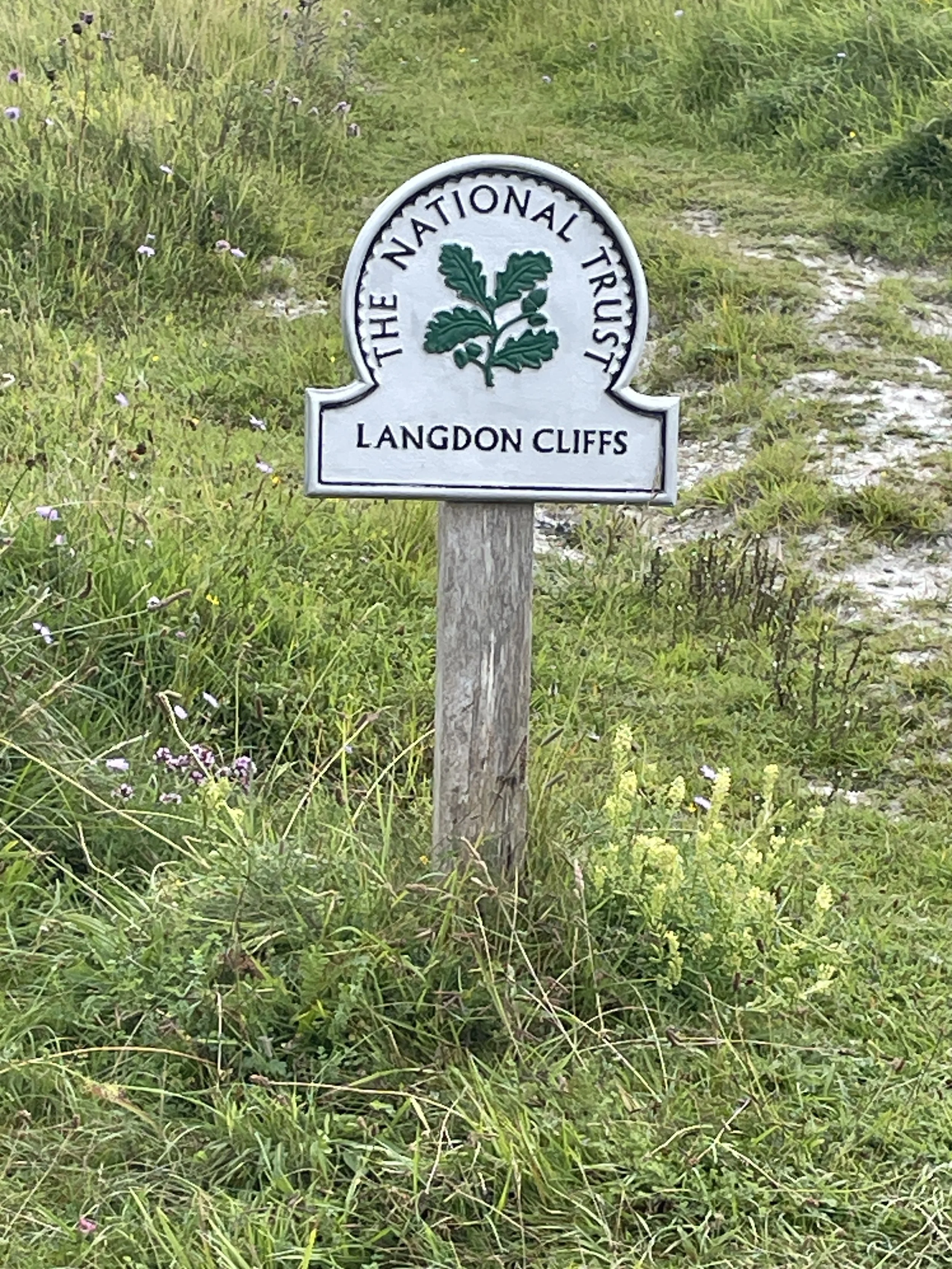
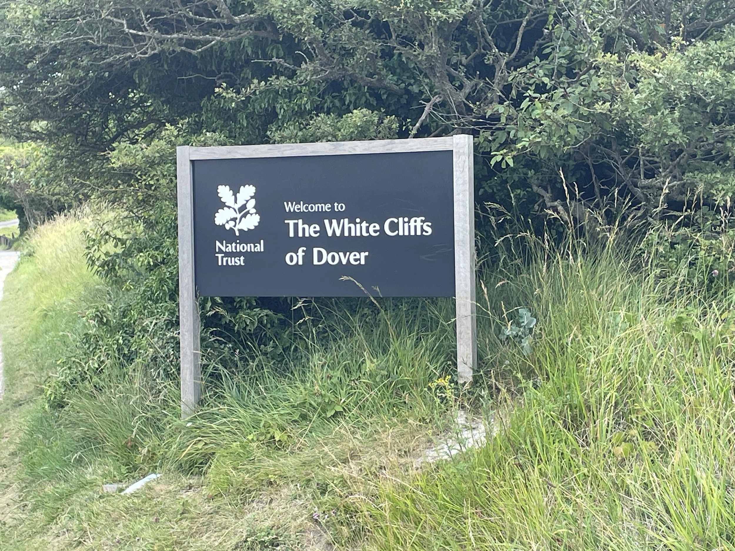
For our return leg to Whitstable we followed the NCN 1, completing the London to Dover section that we started in our trip earlier in the year. The first section is very steep and follows a narrow path up to the top of the White Cliffs of Dover. We were an hour away from fully waking up so made the easy choice to slowly walk the bikes up the cliffs. From the top there were great views over the Channel and back to Dover Castle while we recovered from the climb.
From the top the route has an 8 km steady downhill section to the coast at Kingsdown to make up for the earlier climb. This coastal section was one of my favourite parts of the 2-dy trip with its mix of quiet country lanes and easy riding along the sea-front. We were not in a rush so decided to maximise the coffee and cake stops with the first one at Walmer. Stop #2 was in Sandwich where we had a lot more success than the previous day with cafes actually being open and wanting to sell us food.
The middle section from Sandwich to Canterbury was flat and pleasant but not particularly memorable. We pushed on to Canterbury for a long lunch near the Cathedral. The final section from Canterbury was far more interesting as it mostly follows a disused railway nicknamed the Crab and Winkle line.
This was a very easy weekend, both from a logistics and a cycling perspective. If you don’t have a hole weekend then it can be split into 2 shorter circles with Sandwich as the split.


The Full 2-Day Route

Day 1 in blue, Day 2 in red
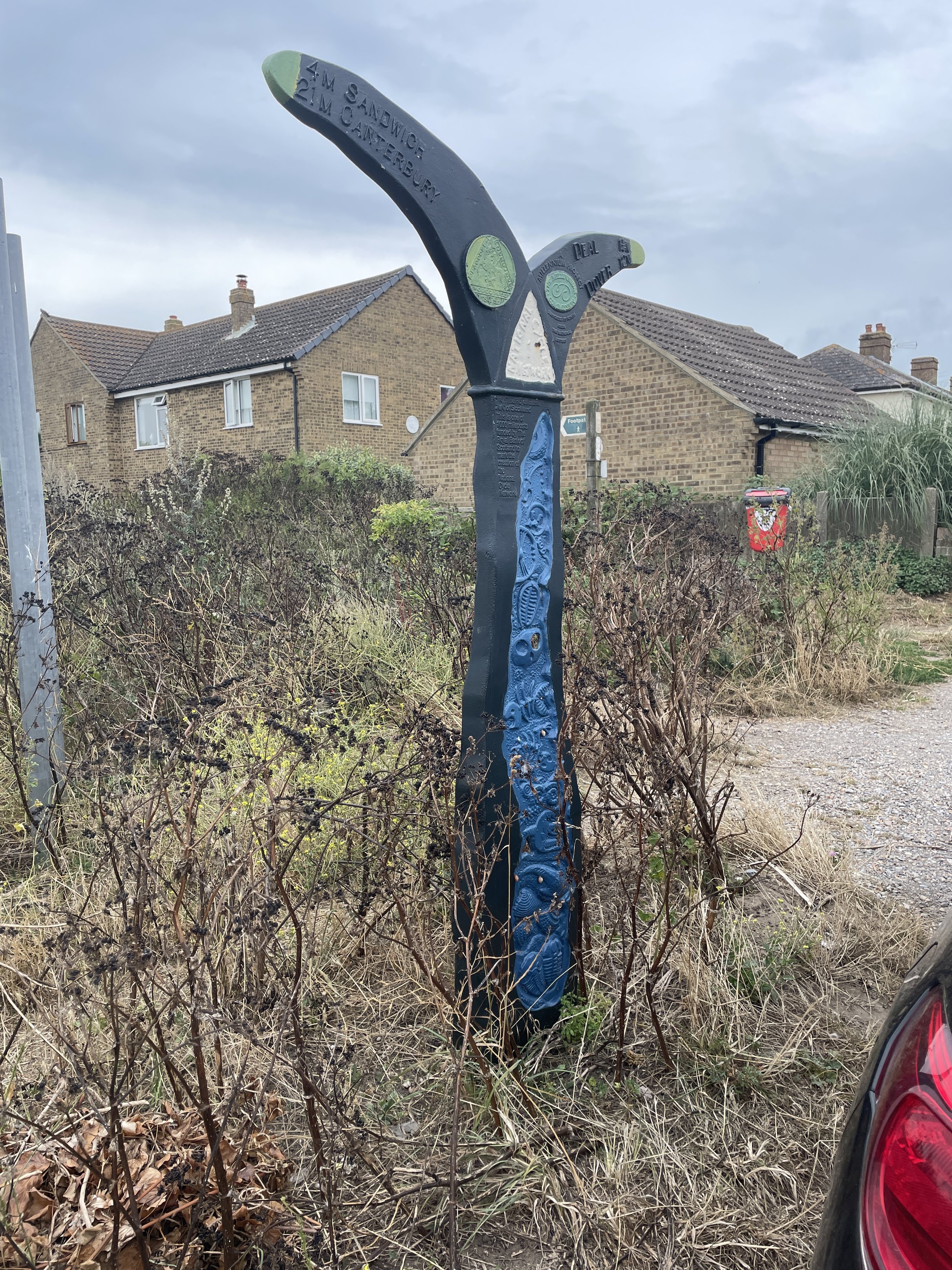
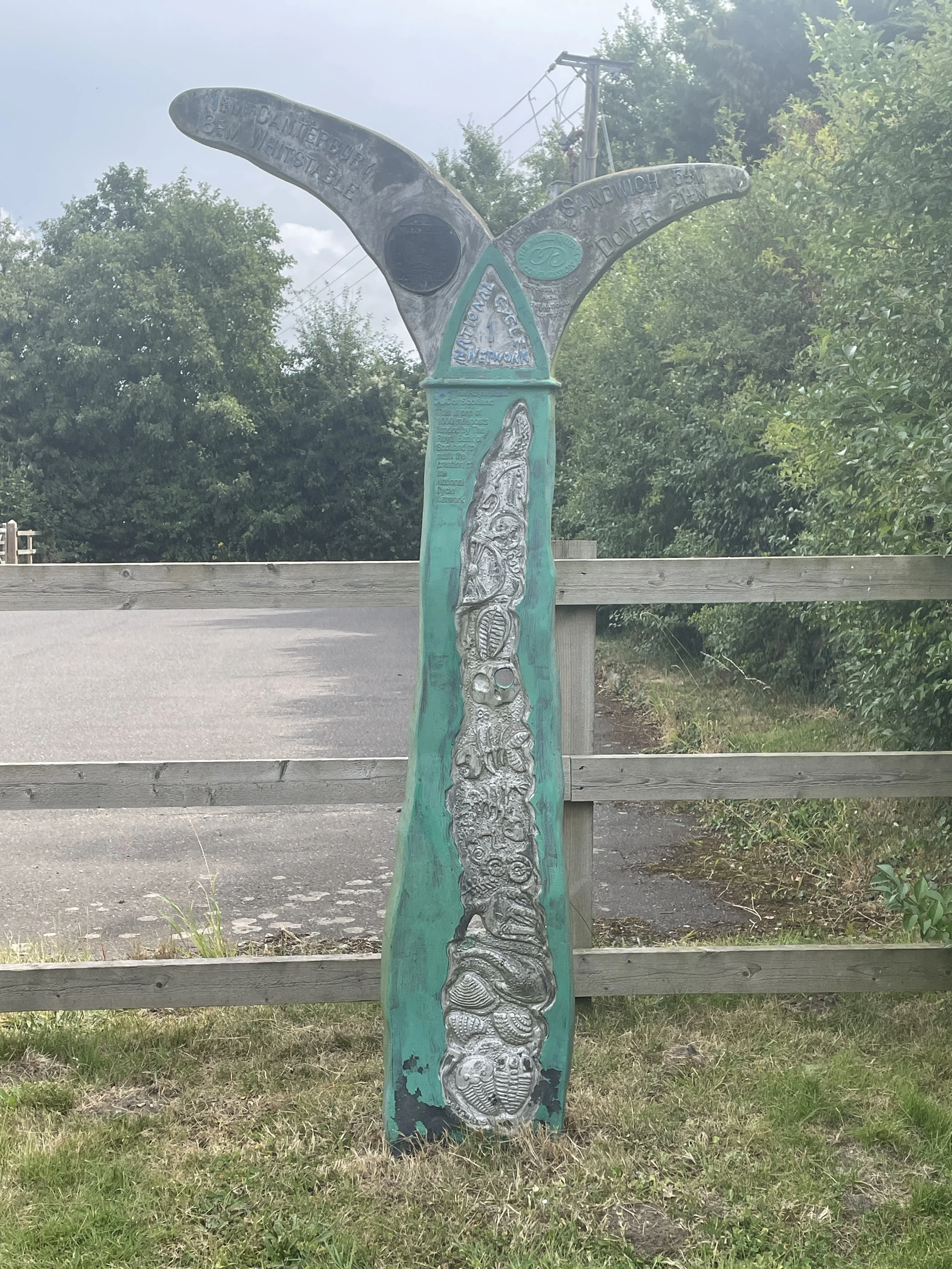
The Millennium Mileposts
Dotting the UK's National Cycle Network are over 1,000 unique markers known as the Millennium Mileposts. Unveiled in 2000, these cast-iron sculptures are more than just waymarkers. Designed by four artists, one from each nation of the UK, they celebrate the diversity of the cycling routes. These artistic mileposts come in various shapes and can be found in both bustling towns and scenic landscapes, adding a touch of artistic charm to a cycling adventure.
Here’s the 21 Mileposts that I spotted on the 2 day cycle trip. The first 2 were on the Viking Coastal Trail on Day 1 and the rest were on the NCN 1 on Day 2.