Cycling The Thames Path
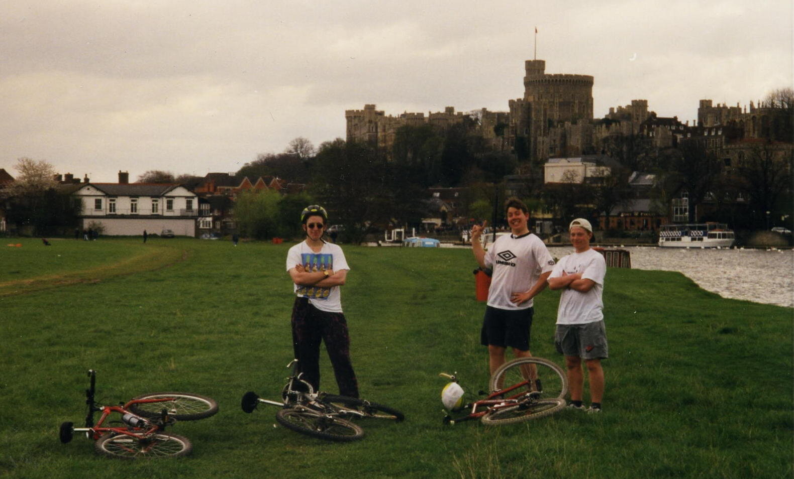
Windsor
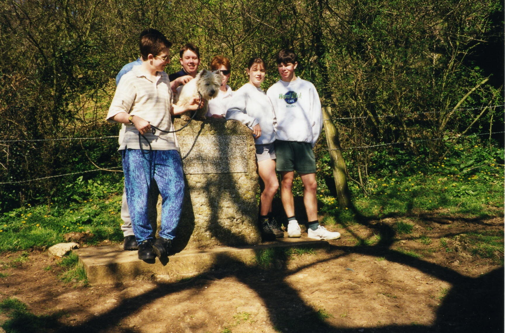
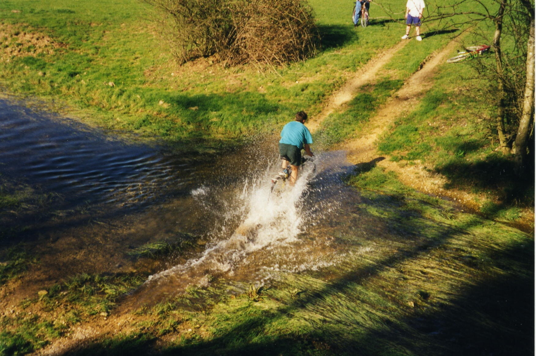
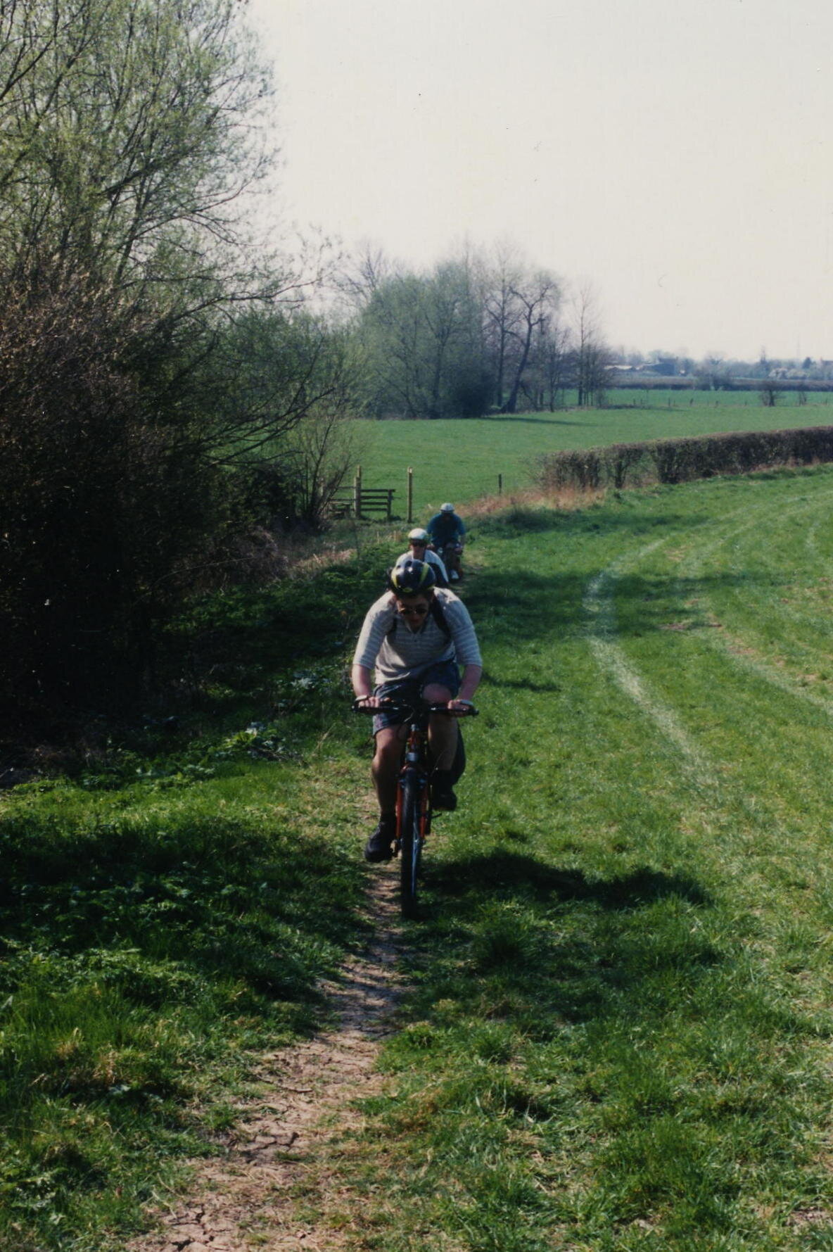
The most important thing to say about cycling the Thames Path is “don’t cycle the Thames Path”. This was one of my first long distance cycle rides and, back in 1997, I didn’t put a lot of thought into it. Nowadays I put a lot of planning into trips to make sure that I use cycle-friendly paths. These were the pre-internet, pre-GPX days. Back then we just got a lift to the source and started cycling. If I was to do the Thames Path now I definitely wouldn’t cycle any of the first section to Oxford and I’d be choosy about parts of the middle section too.
Don’t just take my work for it though: from visitthames.co.uk: “Most of the Thames Path is a public footpath on which cyclists have no legal right to ride unless they have permission from the landowners - cycling without permission is a trespass offence against landowners. If you choose to cycle by the river, please be aware it is a potentially dangerous activity”.
The Thames Path is a magnificent National Trail and I highly recommend giving it a go. The easiest advice is to Walk to Maidenhead then cycle the rest. The reality is probably more nuanced though and I’m sure I’ll return to update the routes one day. In the meantime, here’s the sections as I did them in ‘97. Please use the comment box below if you have any more recent advice on cycling on the Thames path.
Part 1: Source To Oxford
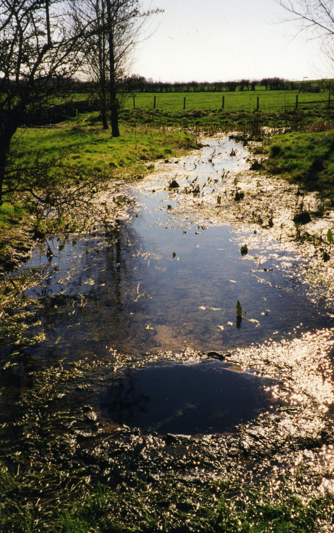
Start: Thames Head Inn, Tetbury Rd, Cirencester GL7 6NZ (alternative = Kemble Railway Station)
Finish: Oxford YHA, 2A Botley Rd, Oxford OX2 0AB
Distance: 86 km (53 miles)
Elevation change: +96m / - 254 m / Net -158m
GPX File: get via Buy Me a Coffee
Other Routes Touched (Walk): Thames Path, Wysis Way, Oxford Green Belt Way, Shakespeare’s Way
Other Routes Touched (Cycle): NCN 45
OS Map(s):
- OS Explorer 168 Stroud, Tetbury & Malmesbury
- OS Explorer 169 Cirencester & Swindon
- OS Explorer 170 Abingdon, Wantage & Vale of White Horse
- OS Explorer 180 Oxford, Witney & Woodstock
Part 2: Oxford To Hurley Lock
Start: Oxford YHA, 2A Botley Rd, Oxford OX2 0AB
Finish: Hurley Lock, Mill Ln, Hurley, Maidenhead SL6 5ND
Distance: 57 miles / 91 km
Elevation change: +312m / - 339 m / Net -27m
GPX File: get via Buy Me a Coffee
Other Routes Touched (Walk): Thames Path, Shakespeare’s Way, Oxford Green Belt Way, European Walk E2: UK South East England, The Ridgeway, The Chiltern Way Berkshire Loop
Other Routes Touched (Cycle): NCN 4, 5, Chilterns Cycleway
OS Map(s):
- OS Explorer 180 Oxford, Witney & Woodstock
- OS Explorer 170 Abingdon, Wantage & Vale of White Horse
- OS Explorer Map 171 Chiltern Hills West, Henley-on-Thames and Wallingford
- OS Explorer Map (172) Chiltern Hills East
Part 3: Hurley Lock to Thames Barrier
Start: Hurley Lock, Mill Ln, Hurley, Maidenhead SL6 5ND
Finish: Thames Barrier, Eastmoor St, Greenwich Peninsula, London SE7 8LX
Distance: 72 miles / 116 km
Elevation change: +435m / - 463 m / Net -28m
GPX File: get via Buy Me a Coffee
Other Routes Touched (Walk): Thames Path, Shakespeare’s Way, The Chiltern Way Berkshire Loop, Maidenhead Boundary Walk, London Loop, Capital Ring, Jubilee Walkway, Jubilee Greenway
Other Routes Touched (Cycle): NCN 1, 4, 61
OS Map(s):
- OS Explorer Map (172) Chiltern Hills East
- OS Explorer Map (160) Windsor, Weybridge & Bracknell
- OS Explorer Map (161) London South, Westminster, Greenwich, Croydon, Esher & Twickenham
- OS Explorer Map (173) London North, The City, West End, Enfield, Ealing, Harrow & Watford
The complete route
Related Blog Posts:
Cycling London’s Capital Ring: Crosses the Thames twice
Cycling The London Loop: Crosses the Thames twice
Cycling The Colne Brook: Thames tributary, joins at Staines-upon-Thames
Cycling The Grand Union Canal: Ends at the Thames at Brentford, London
Cycling The River Ash: Thames tributary, joins at Walton-on-Thames, Surrey
Cycling The River Colne: Thames tributary, joins at Staines-upon-Thames
Cycling The River Crane: Thames tributary, joins at Isleworth, London
Cycling The Hambleden Brook: Thames tributary, joins at Mill End, Buckinghamshire
Cycling The River Lea: Thames tributary, joins at Limehouse Basin, London
Cycling The River Pang: Thames tributary, joins at Pangbourne, Berkshire
Cycling The River Wye, Buckinghamshire: Thames tributary, joins at Bourne End, Buckinghamshire


