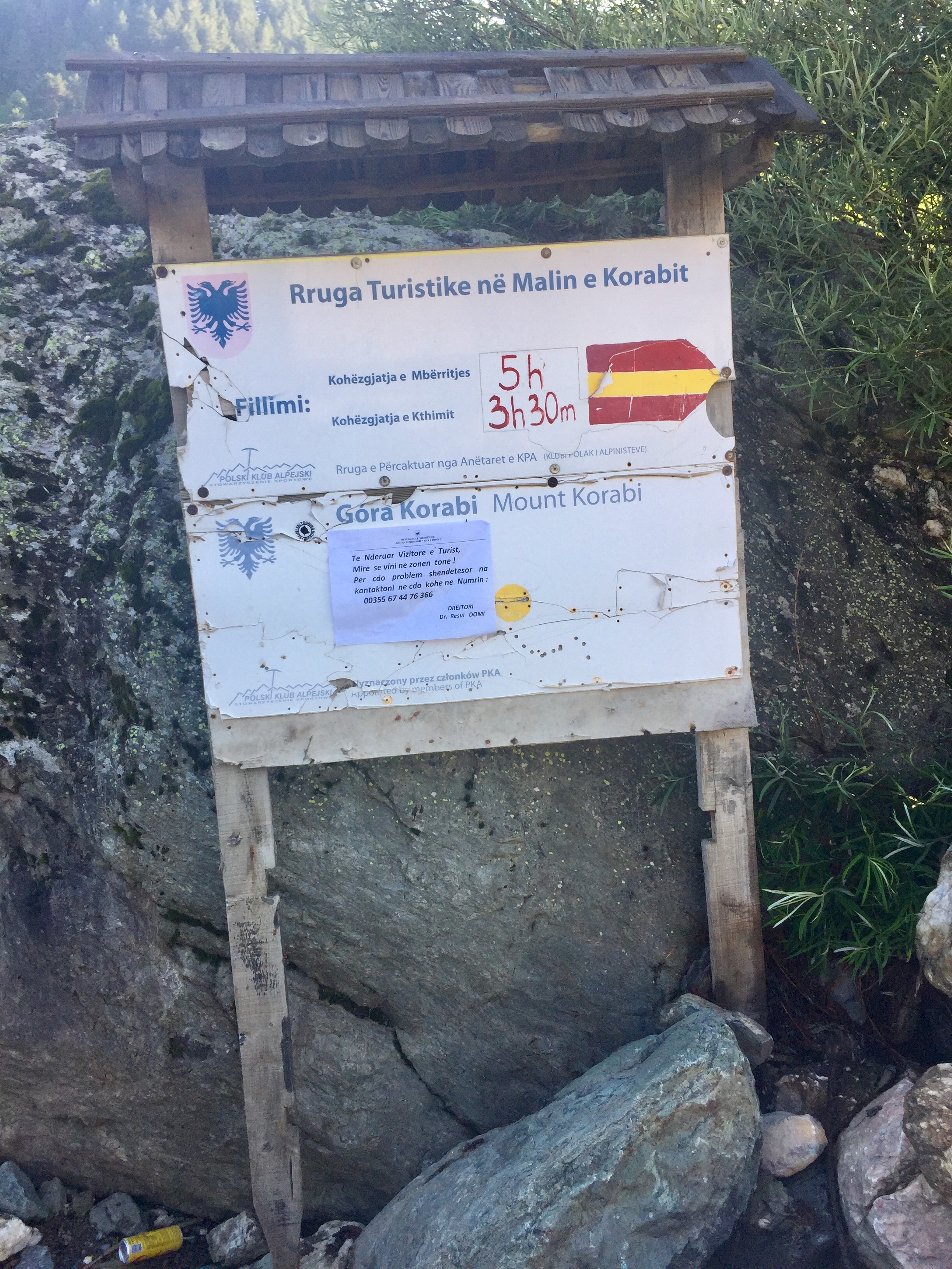
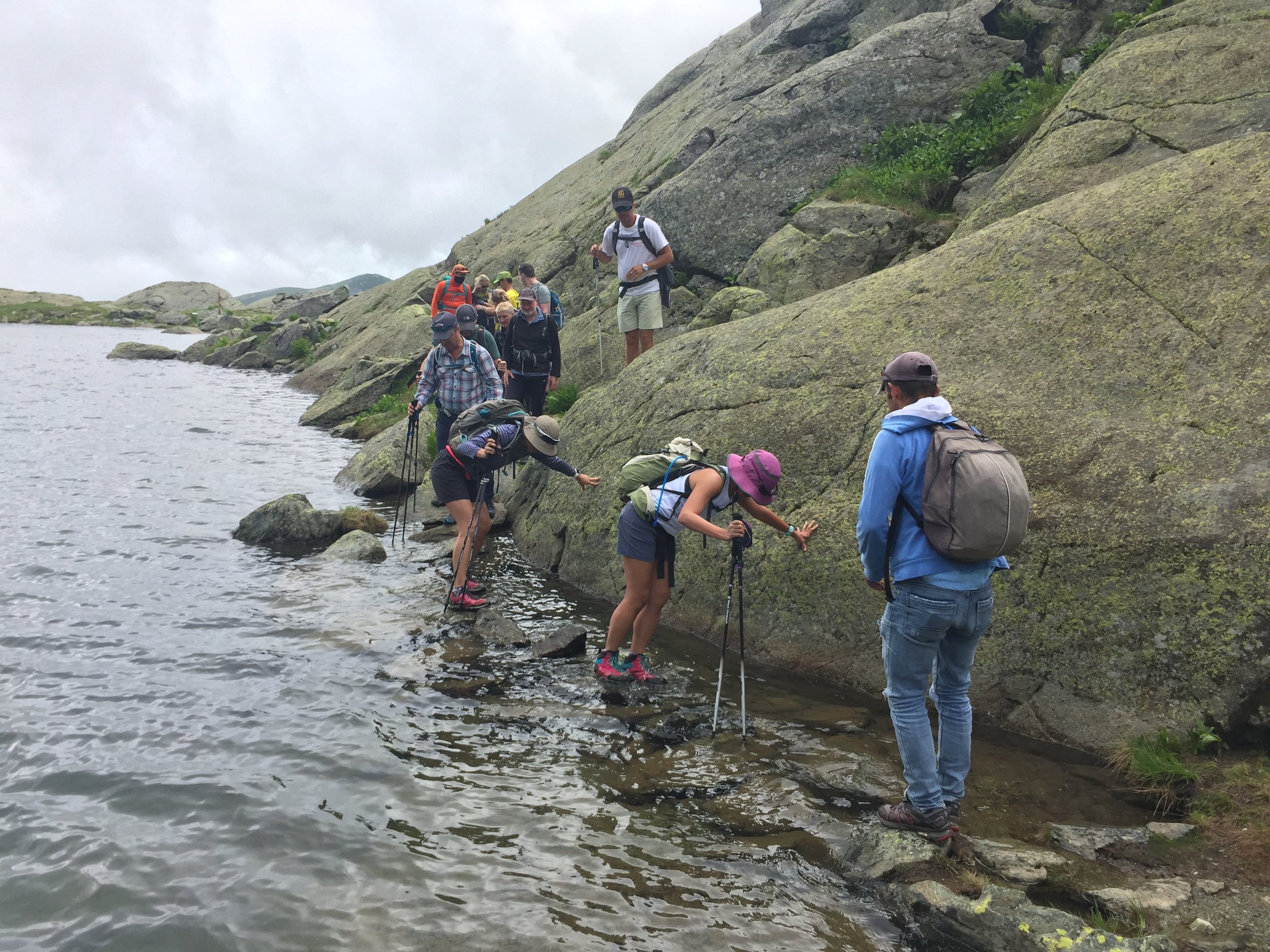
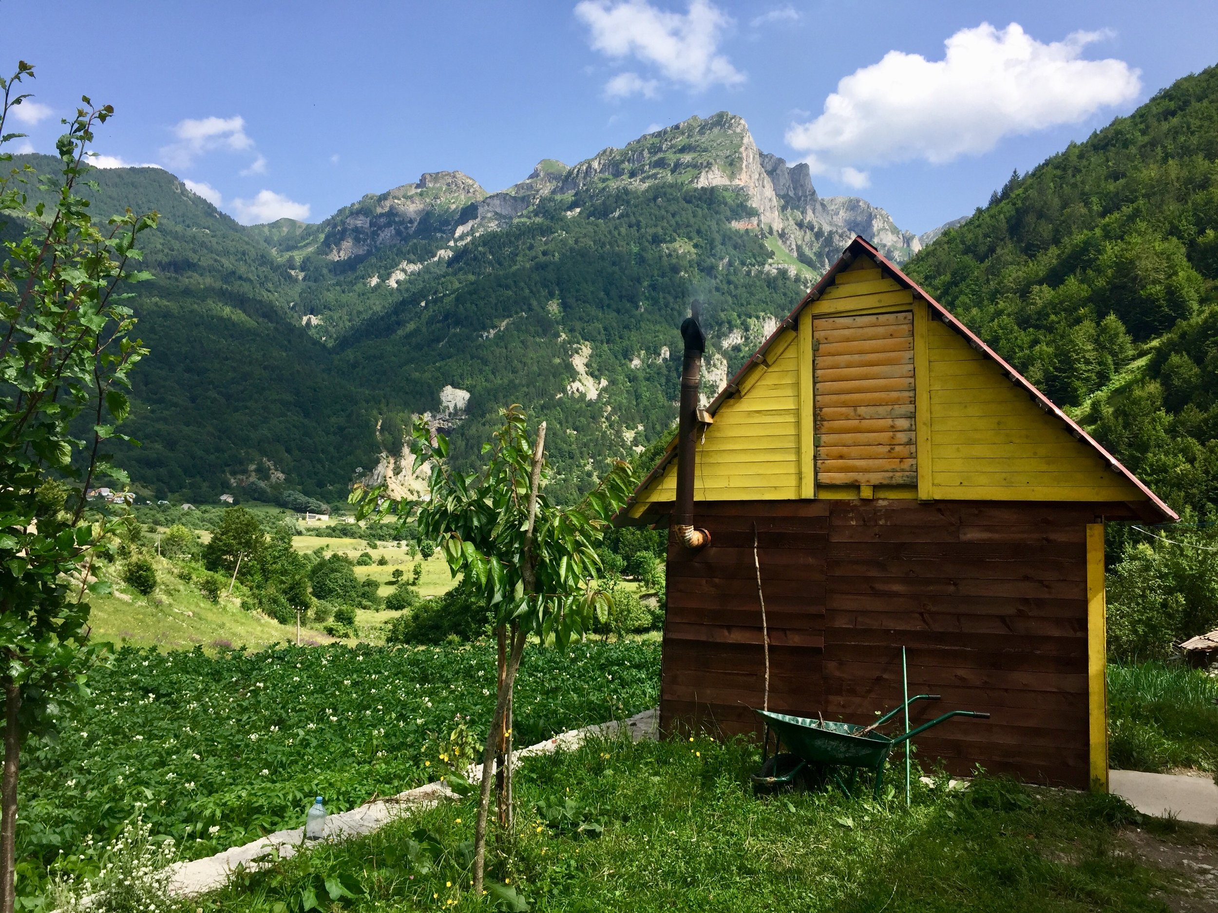
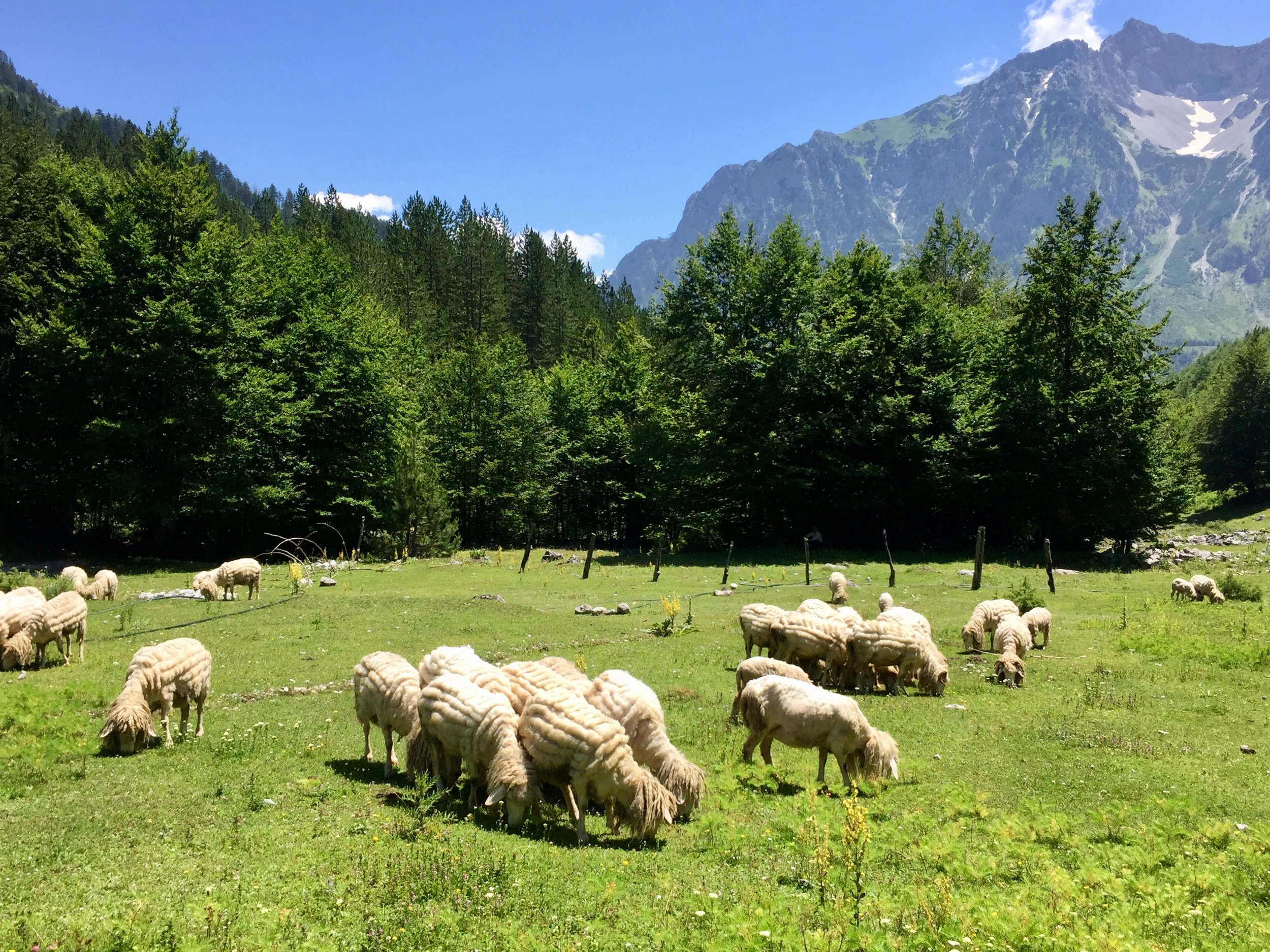
There are currently 13 parkrun events in present-day Surrey. The first was Banstead Woods which started on June 16th 2007 and the newest is Egham Orbit which started on January 25th 2025. The name for having completed all parkrun events in the county is “SurreyALList”
The Historic County of Surrey has a further 17 events, totaling 30. These 17 are now part of Greater London. Hazelwood is the interesting one having been in both Historic Surrey and Middlesex and is within the M25 but outside Greater London. Part of the Riddlesdown course, including the finish is in Surrey, although the start is in Greater London, so it’s classified as a LonDone event. Both Bethlem Royal Hospital and Crystal Palace cross the Surrey/Kent border but are mostly in Historic Kent.
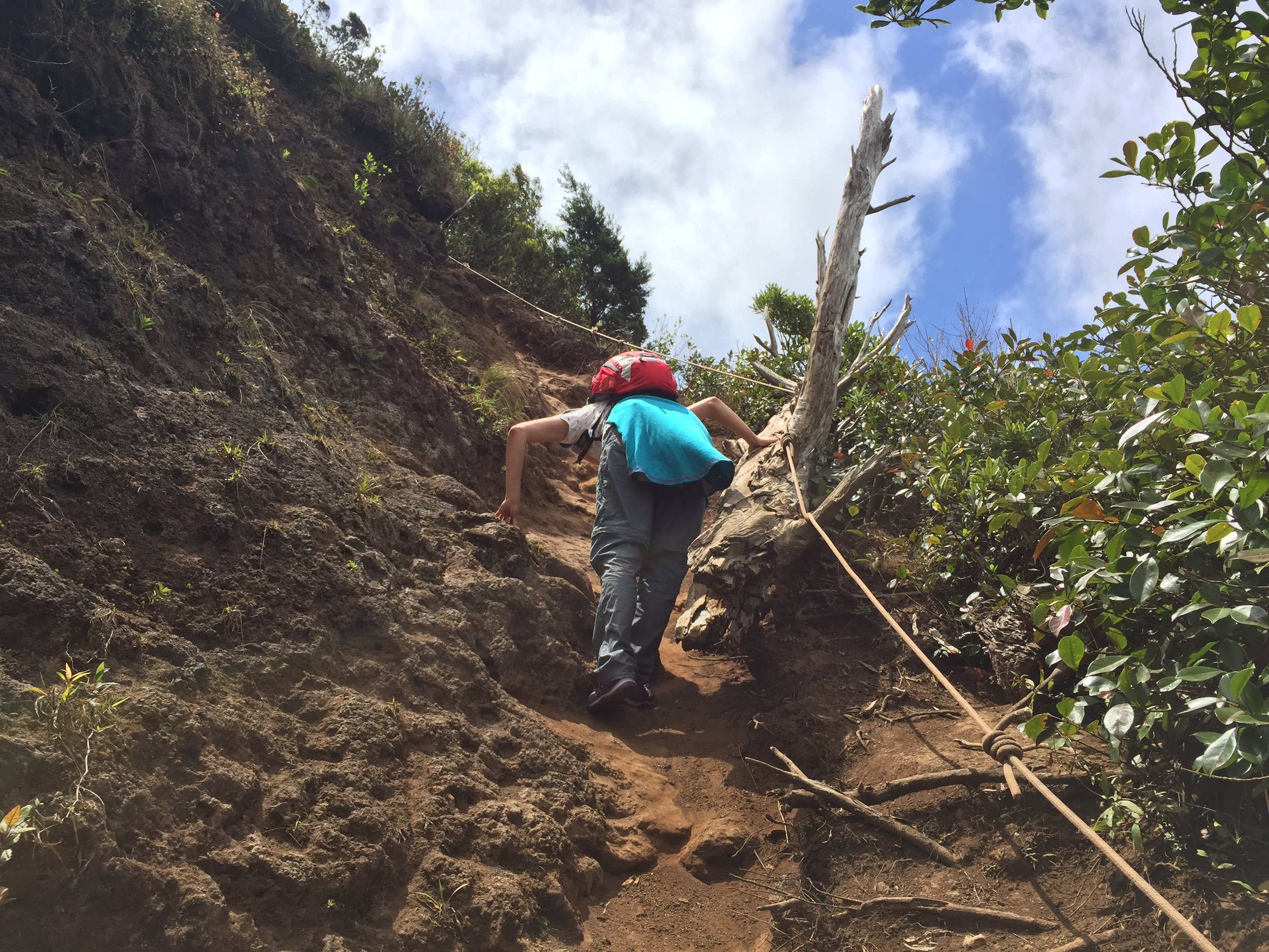
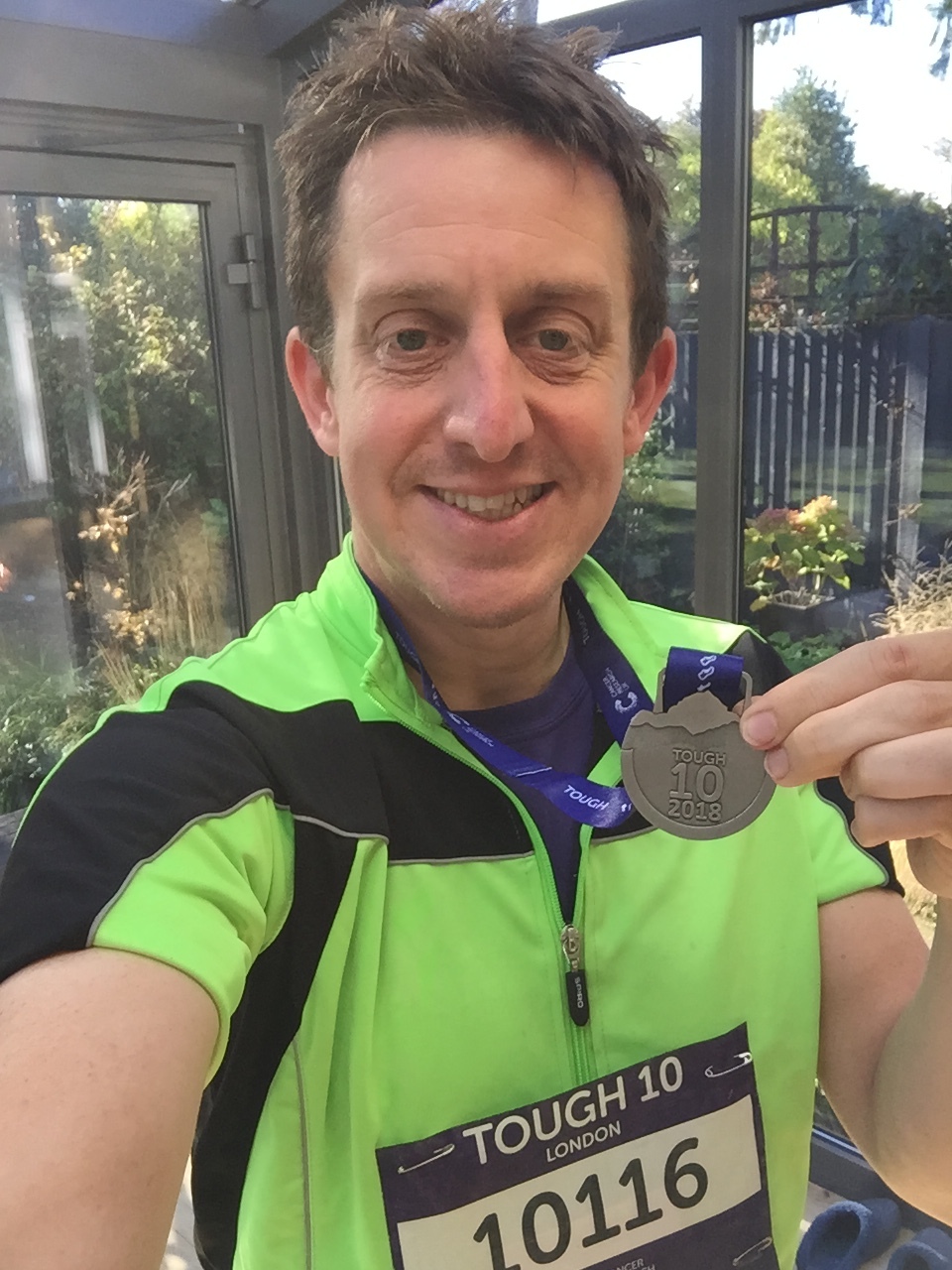
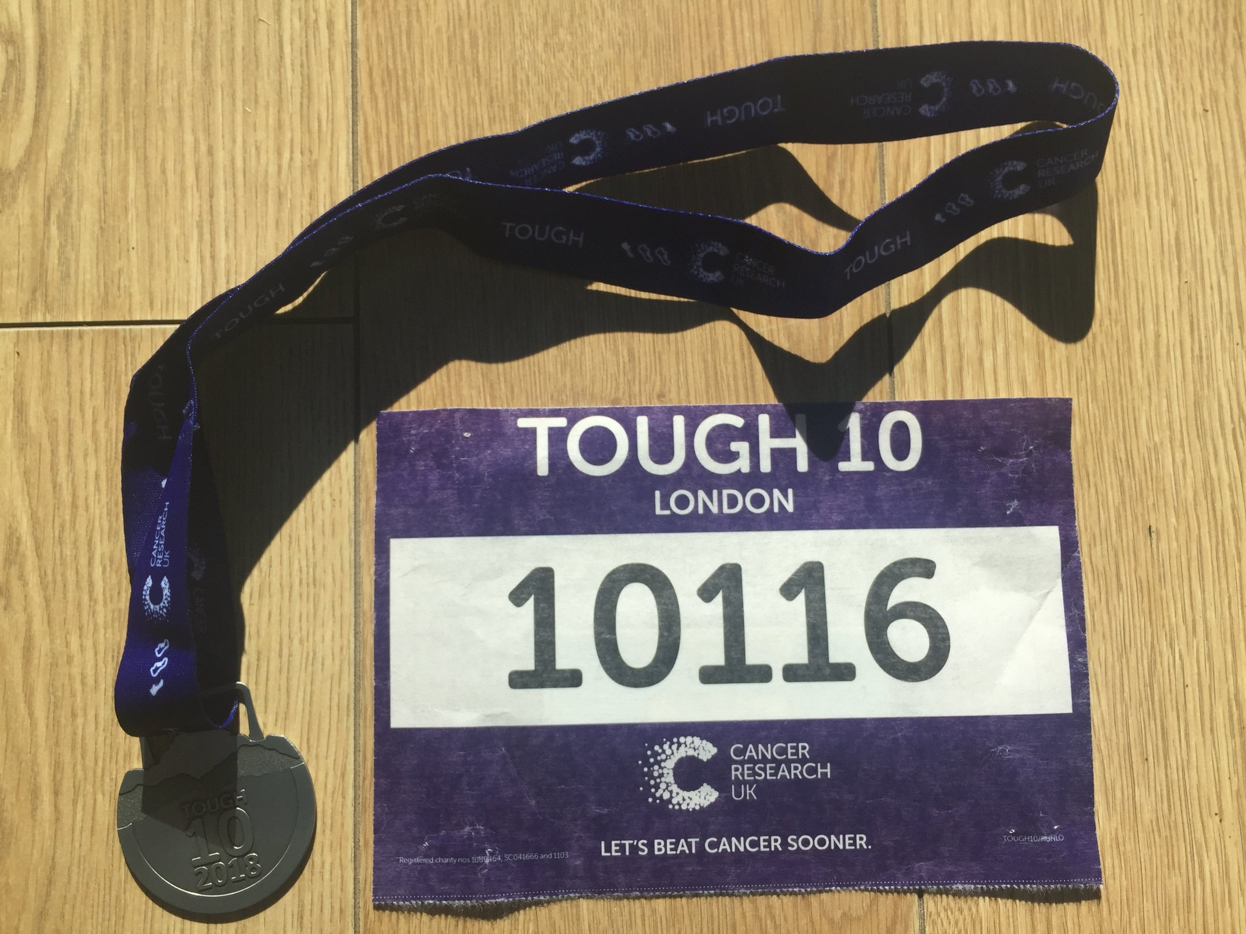
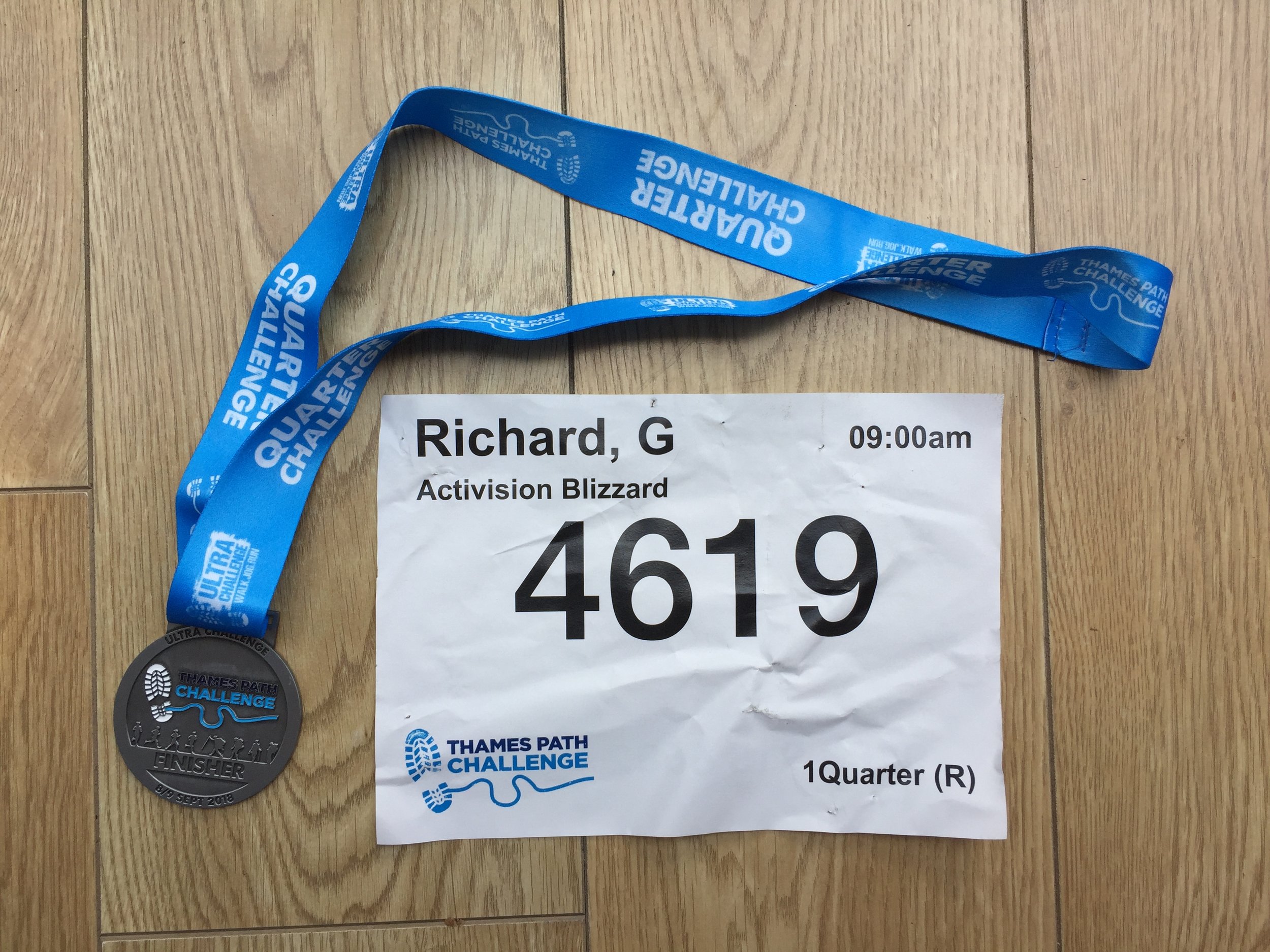
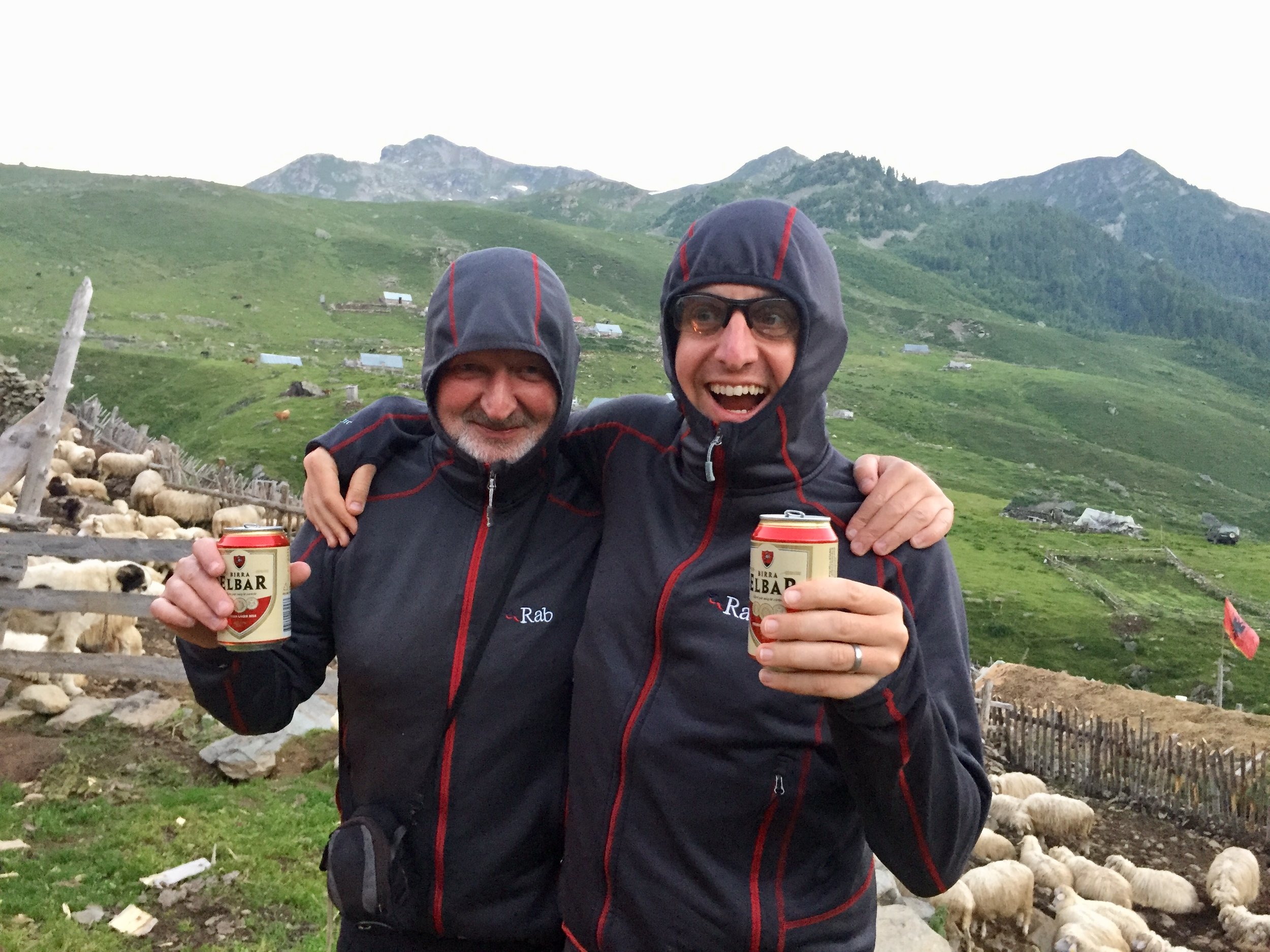
I first completed the county on November 10th 2018 at Cranleigh.

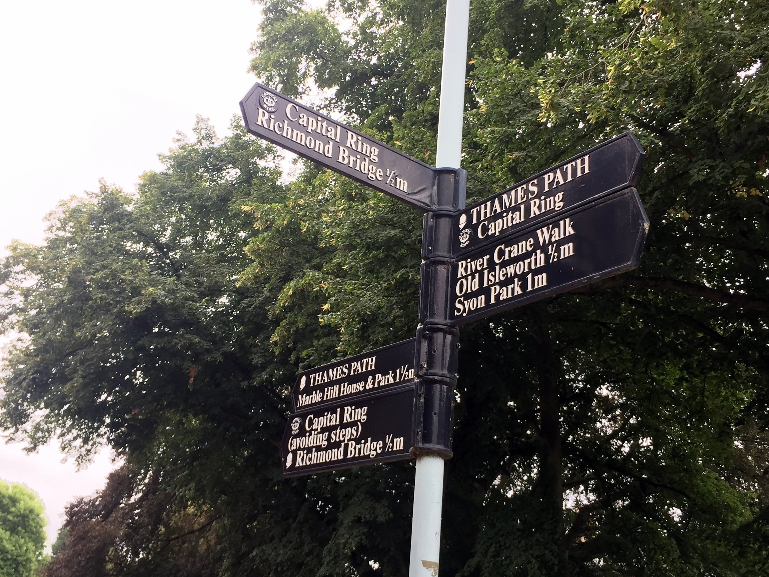
The interactive maps below take you to the approximate location for the course, typically the centre of the park. See the course instructions in the parkrun page for each event for specific directions to the start. Course maps show the route at the time that I ran it and may have changed since then.
parkruns in present-day County of Surrey
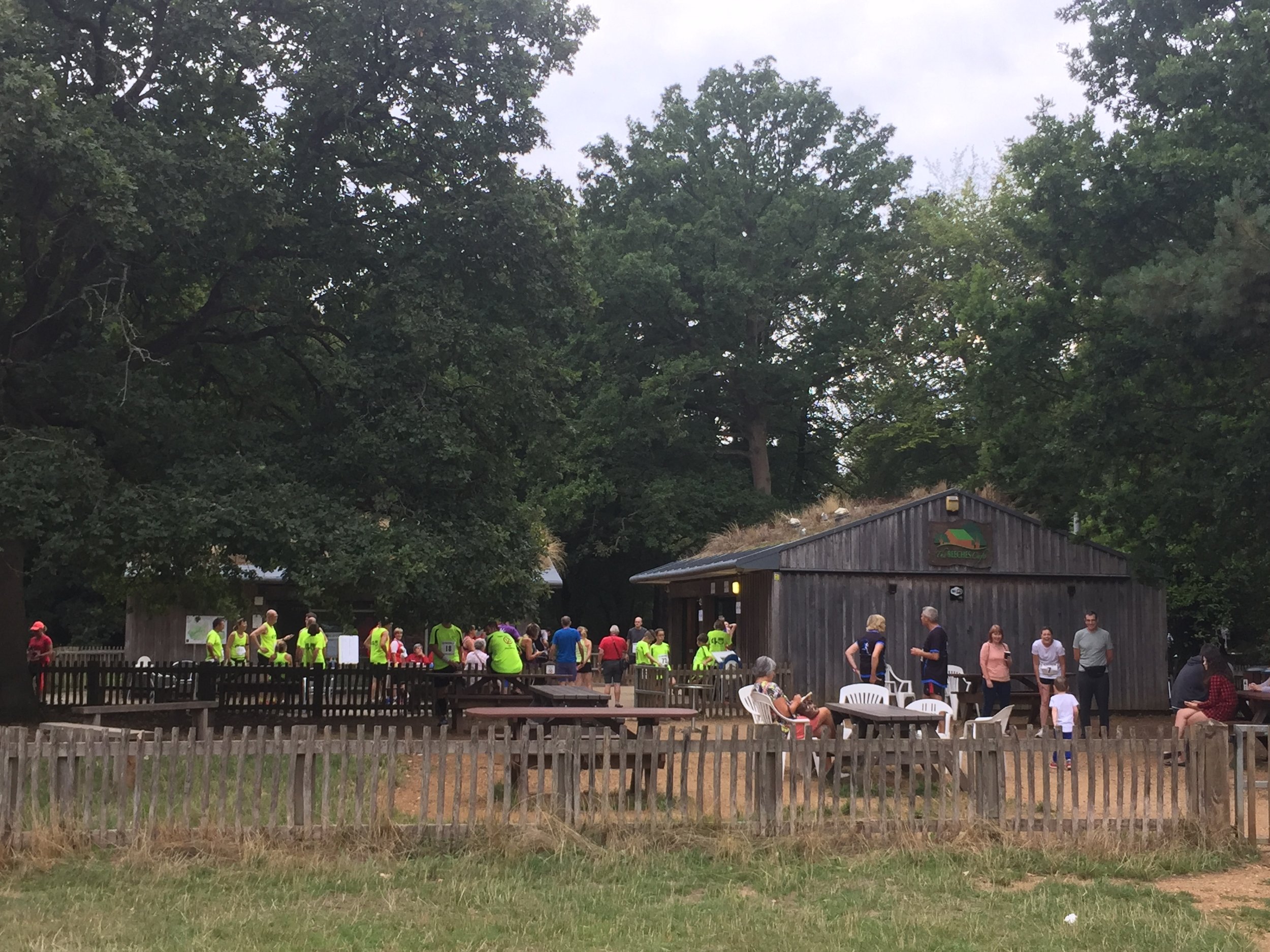
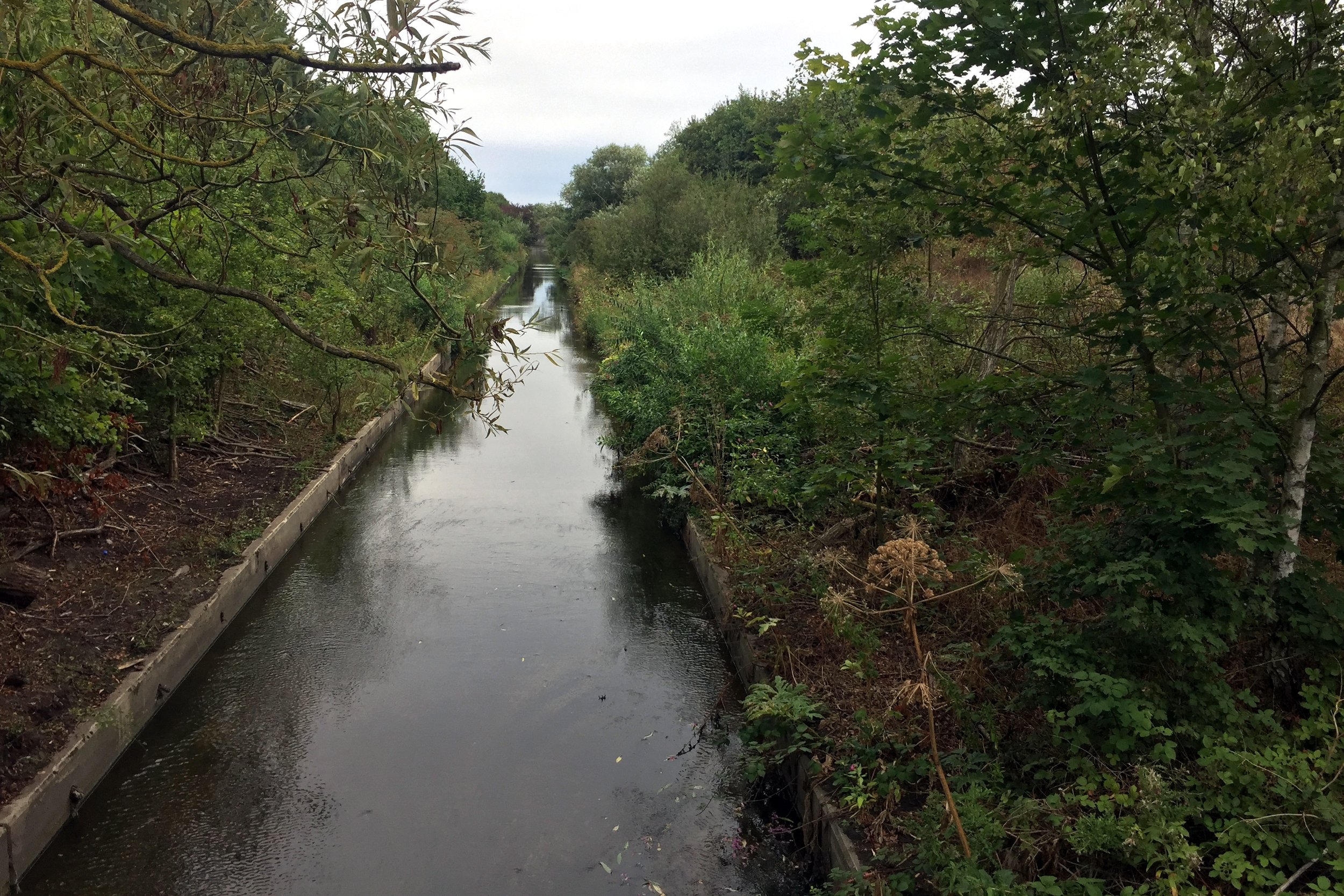
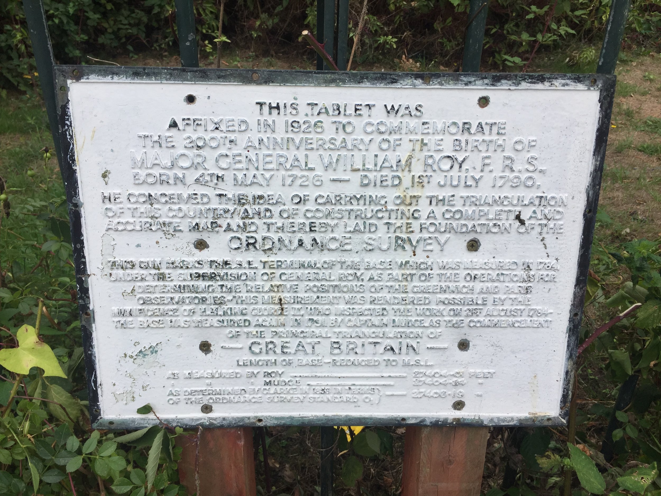
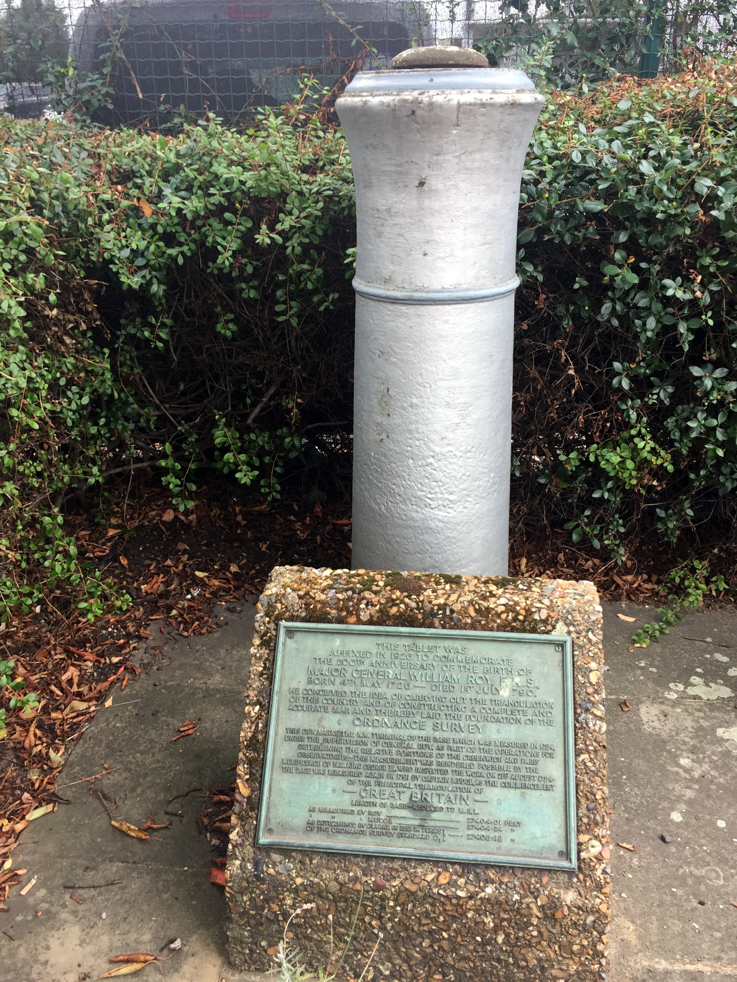
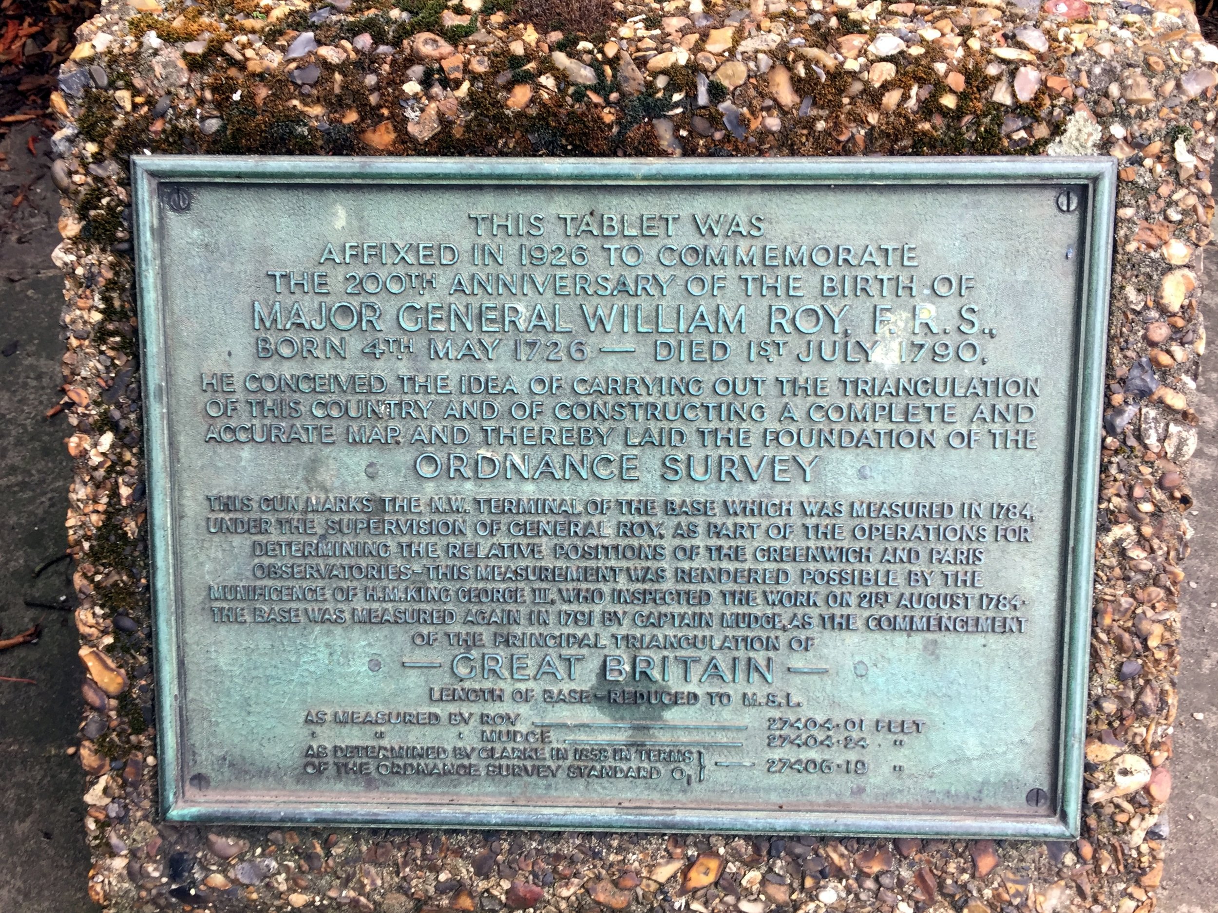
Banstead Woods
I completed this event on: January 9th 2016 with a finish time of: 25:56
Other routes touched (walk): N/A, but the Eastern edge runs close to a parallel to the Banstead Countryside Walk
This event is also part of LonDone +
Inaugural: June 16th 2007
Links: Event Home Page, Course Page, blog7t write-up
Broadwater
I completed this event on: February 5th 2022 with a finish time of: 25:50
Other routes touched: None
Inaugural: September 18th 2021
Links: Event Home Page, Course Page, blog7t write-up

Brooklands
I completed this event on: December 29th 2018 with a finish time of: 27:01
Other routes touched: N/A
This event is also part of LonDone +
Inaugural: November 17th 2018
Links: Event Home Page, Course Page, blog7t write-up


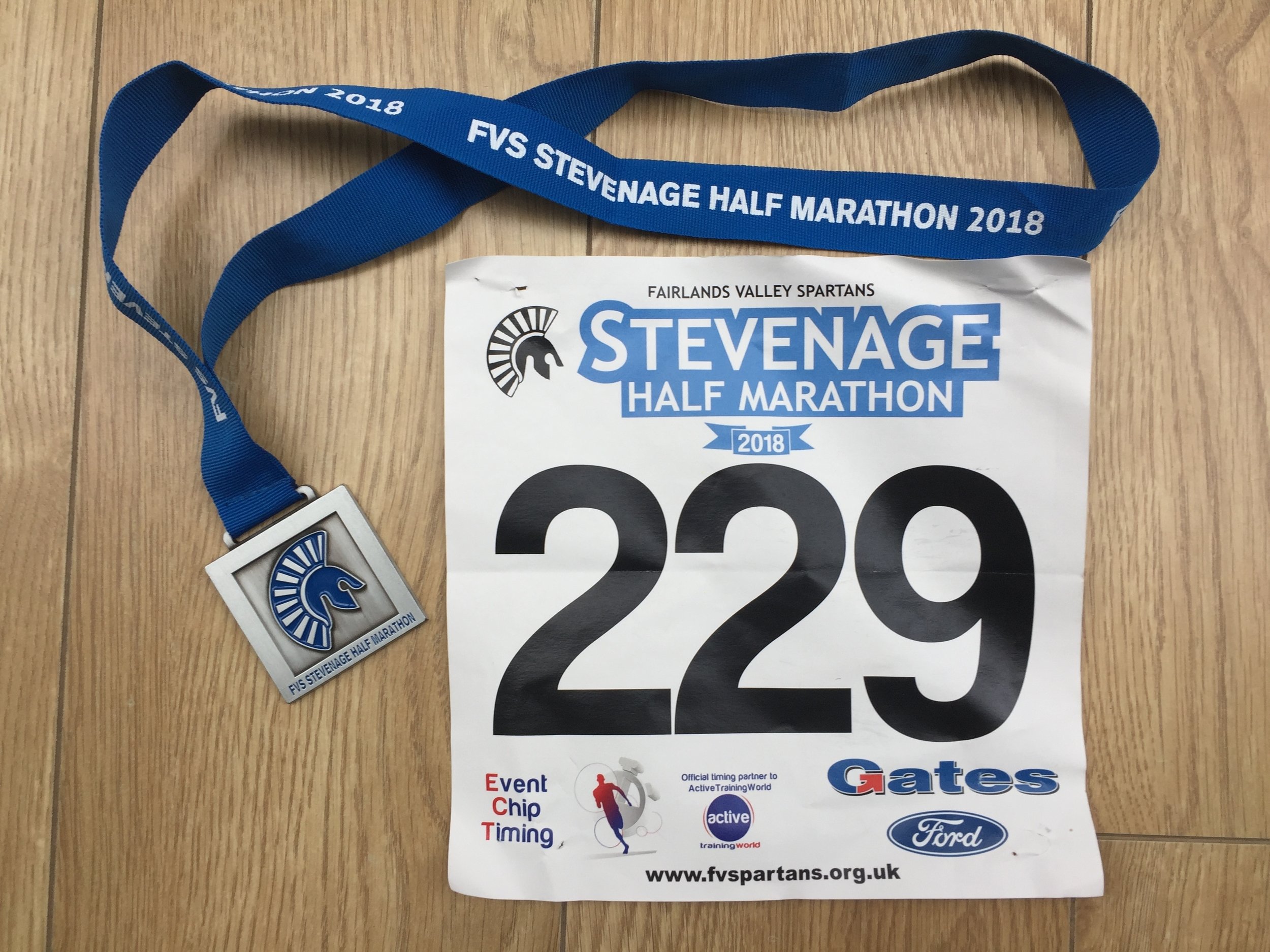
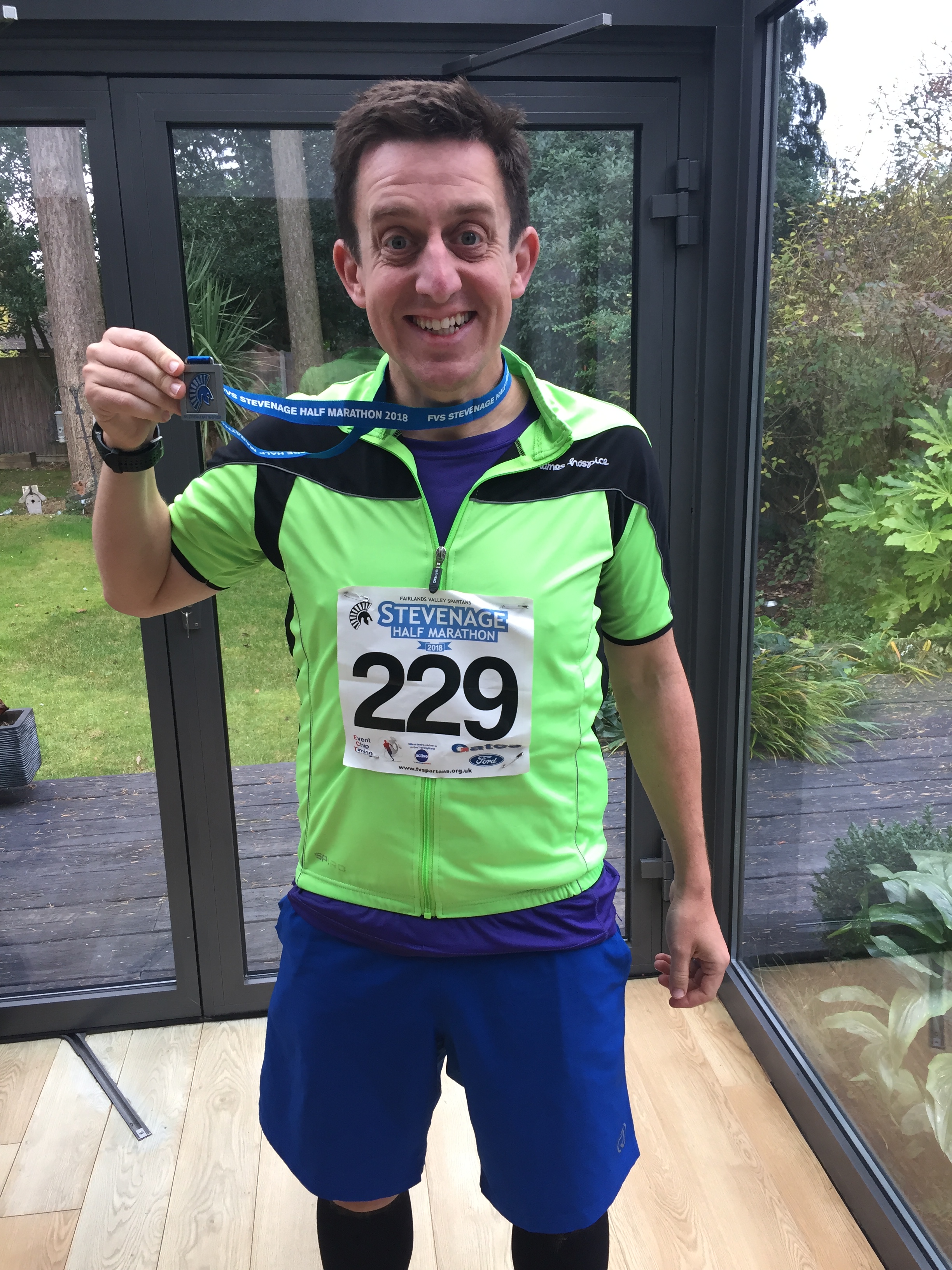
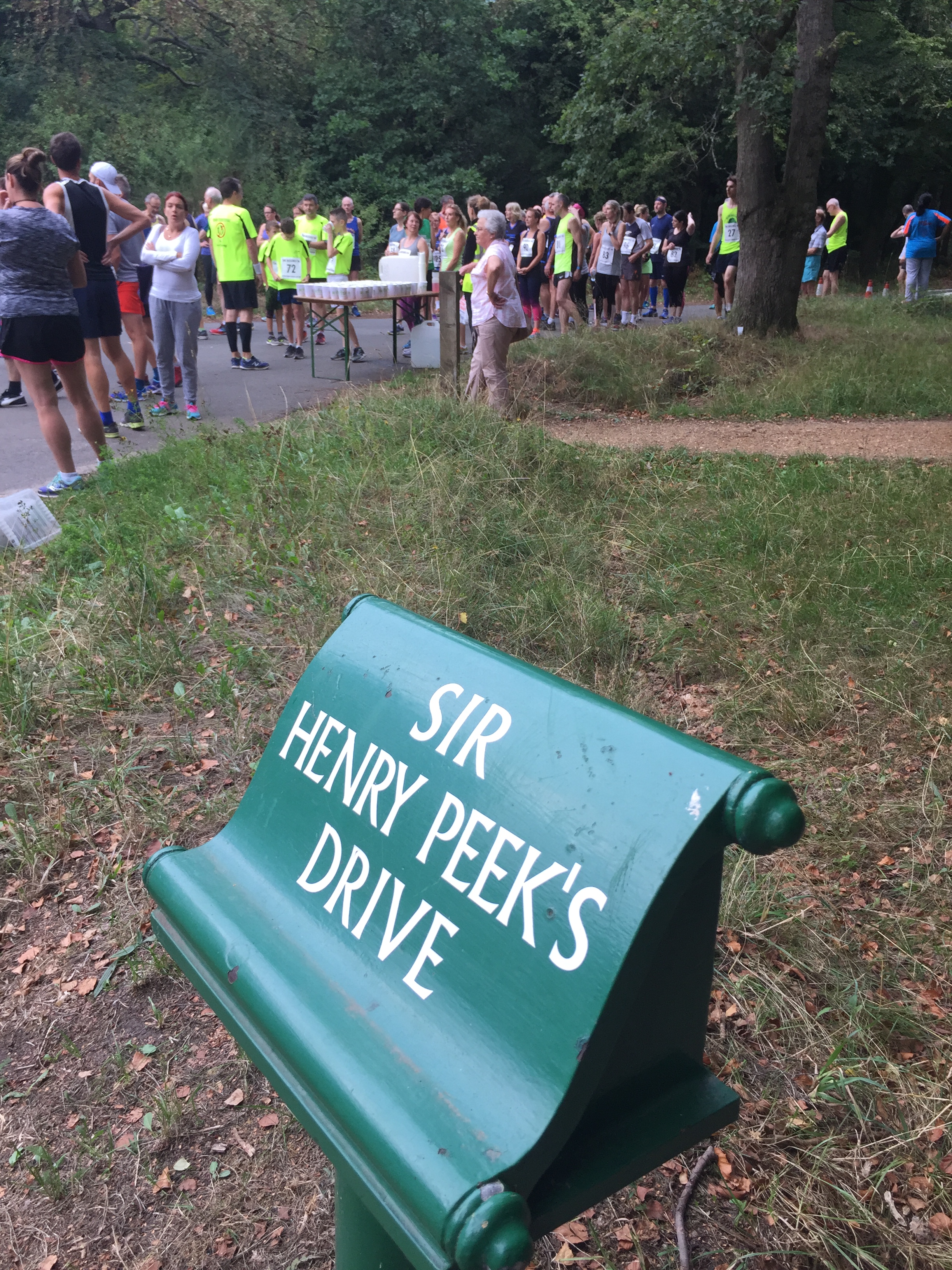
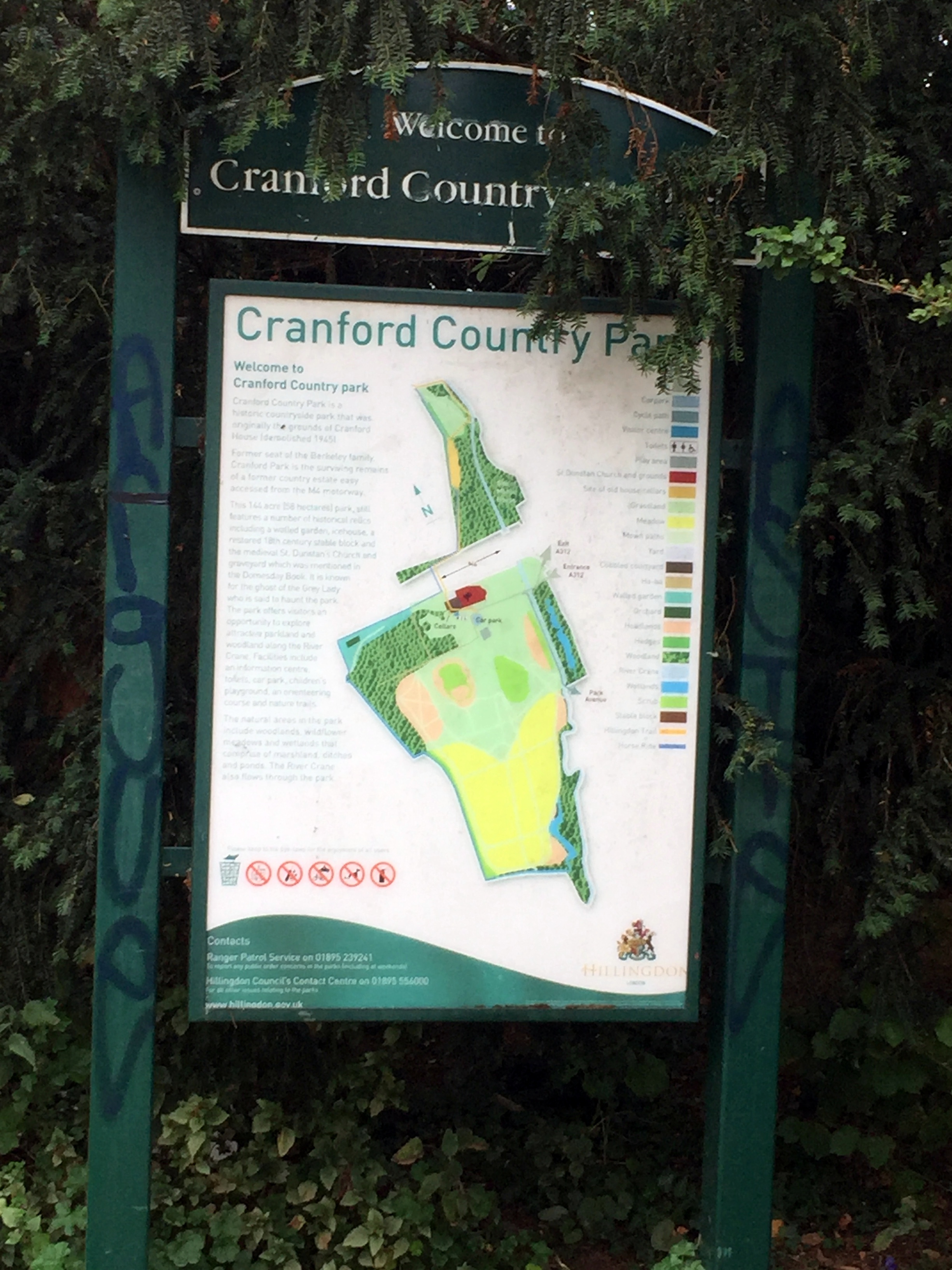
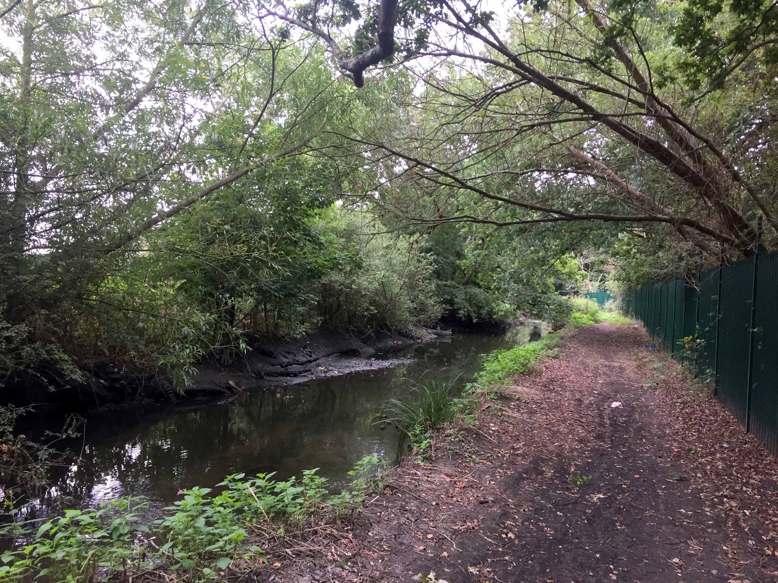
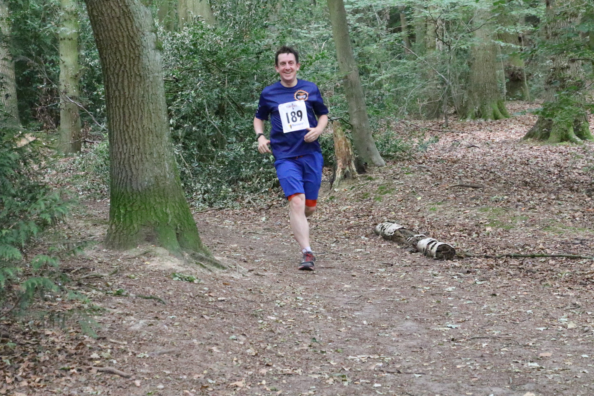
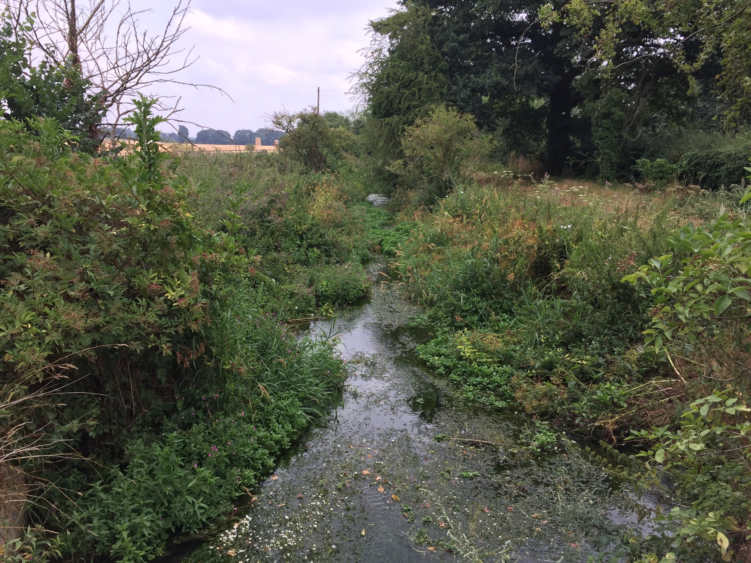
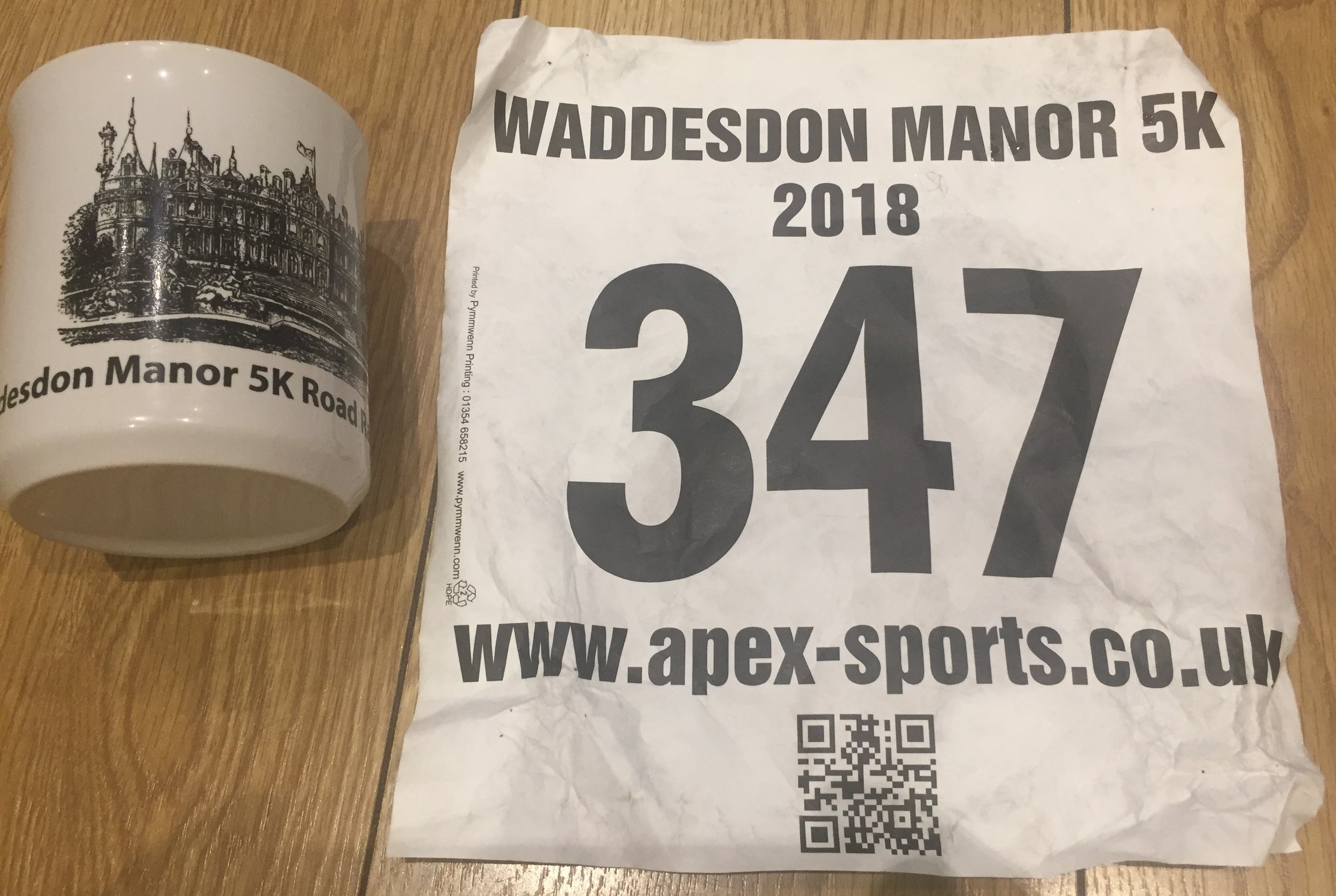
Cranleigh
I completed this event on: November 10th 2018 with a finish time of: 26:45
Other routes touched (cycle): N/A, although NCN 223 passes by the car-park
Inaugural: October 4th 2014
Links: Event Home Page, Course Page, blog7t write-up
Egham Orbit
I have not yet completed this event
This event is also part of LonDone +
Inaugural: January 25th 2025
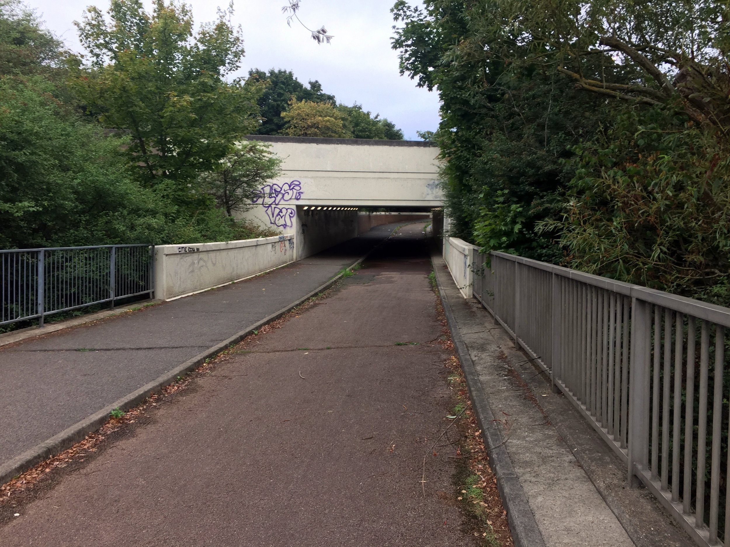
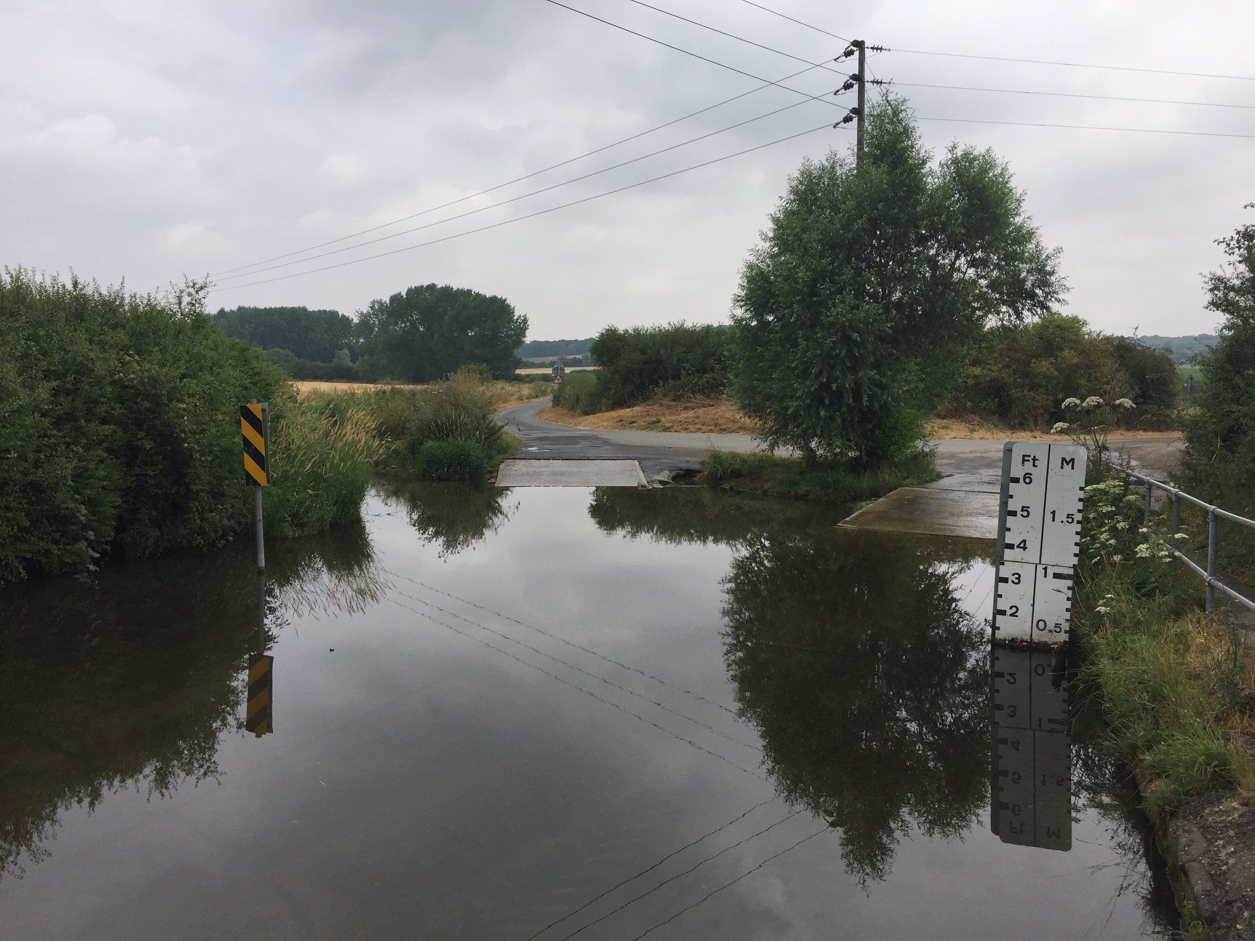
Frimley Lodge
I completed this event on: March 5th 2016 with a finish time of: 25:33
Other routes touched (walk): Basingstoke Canal Towpath
Inaugural: February 13th 2010
Links: Event Home Page, Course Page, blog7t write-up
Note that the course has changed since I completed it.
Guildford
I completed this event on: February 13th 2016 with a finish time of: 25:43
Other routes touched (cycle): NCN 223
Inaugural: March 10th 2012
Links: Event Home Page, Course Page, blog7t write-up
Hazelwood
I completed this event on: April 7th 2018 with a finish time of: 25:40
Other routes touched: N/A
This event is also part of LonDone + and Middlesex parkrun
Inaugural: March 17th 2018
Links: Event Home Page, Course Page, blog7t write-up
Homewood
I completed this event on: May 20th 2017 with a finish time of: 27:25
Other routes touched: N/A
This event is also part of LonDone ++
Inaugural: October 15th 2016
Links: Event Home Page, Course Page, blog7t write-up
Mole Valley
I completed this event on: October 27th 2018 with a finish time of: 28:38
Other routes touched (walk): Mole Gap Trail, Ranmore Circular
This event is also part of LonDone ++
Inaugural: March 17th 2018
Links: Event Home Page, Course Page, blog7t write-up
Nonsuch
I completed this event on: December 19th 2015 with a finish time of: 25:52
Other routes touched (walk): London Loop
This event is also part of LonDone +
Inaugural: September 17th 2011
Links: Event Home Page, Course Page, blog7t write-up
Reigate Priory
I completed this event on: January 16th 2016 with a finish time of: 26:49
Other routes touched (walk): Greensand Way, Reigate and Banstead Millennium Trail
This event is also part of LonDone +
Inaugural: March 2nd 2014
Links: Event Home Page, Course Page, blog7t write-up
(alternative winter course)
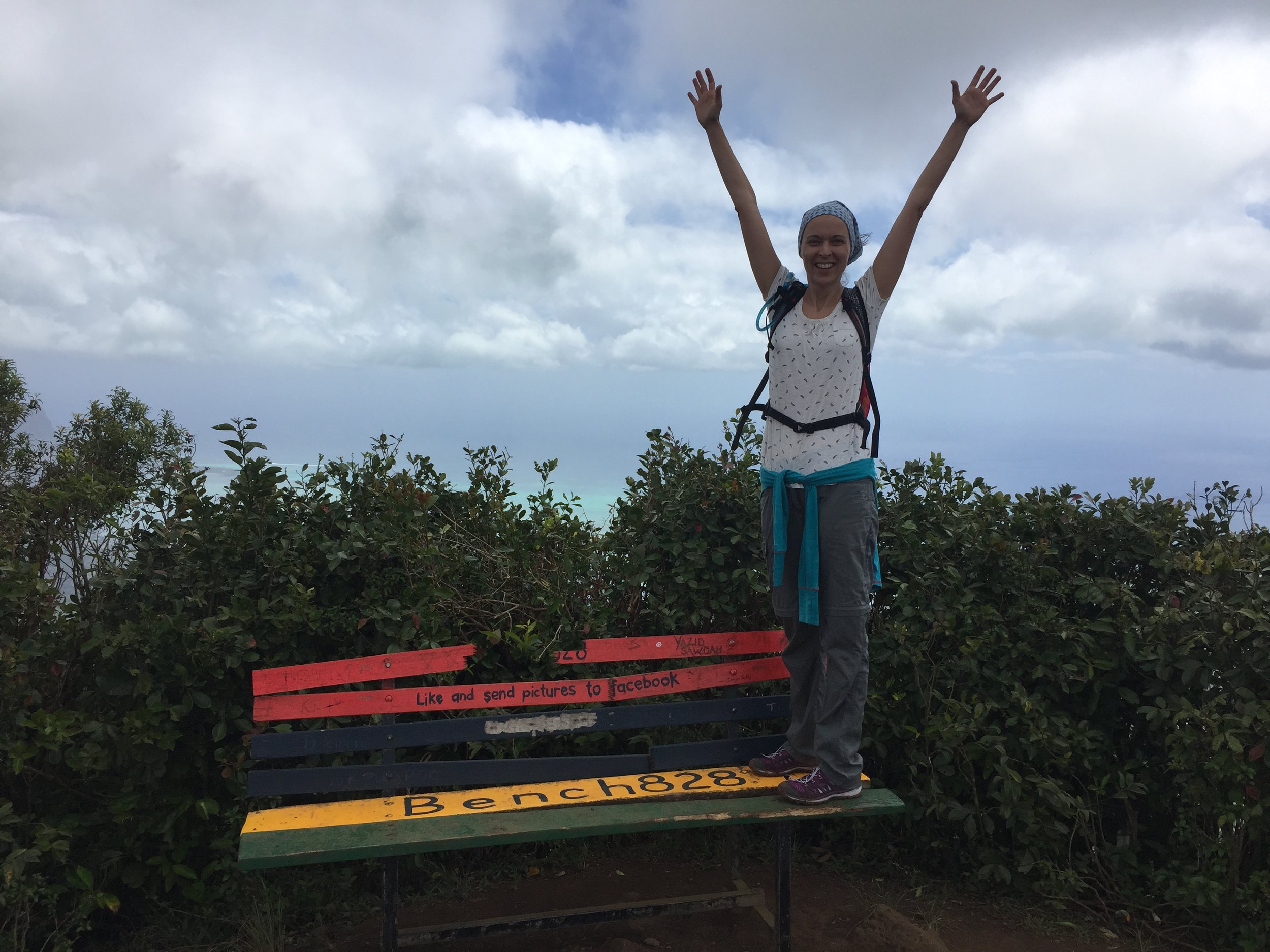
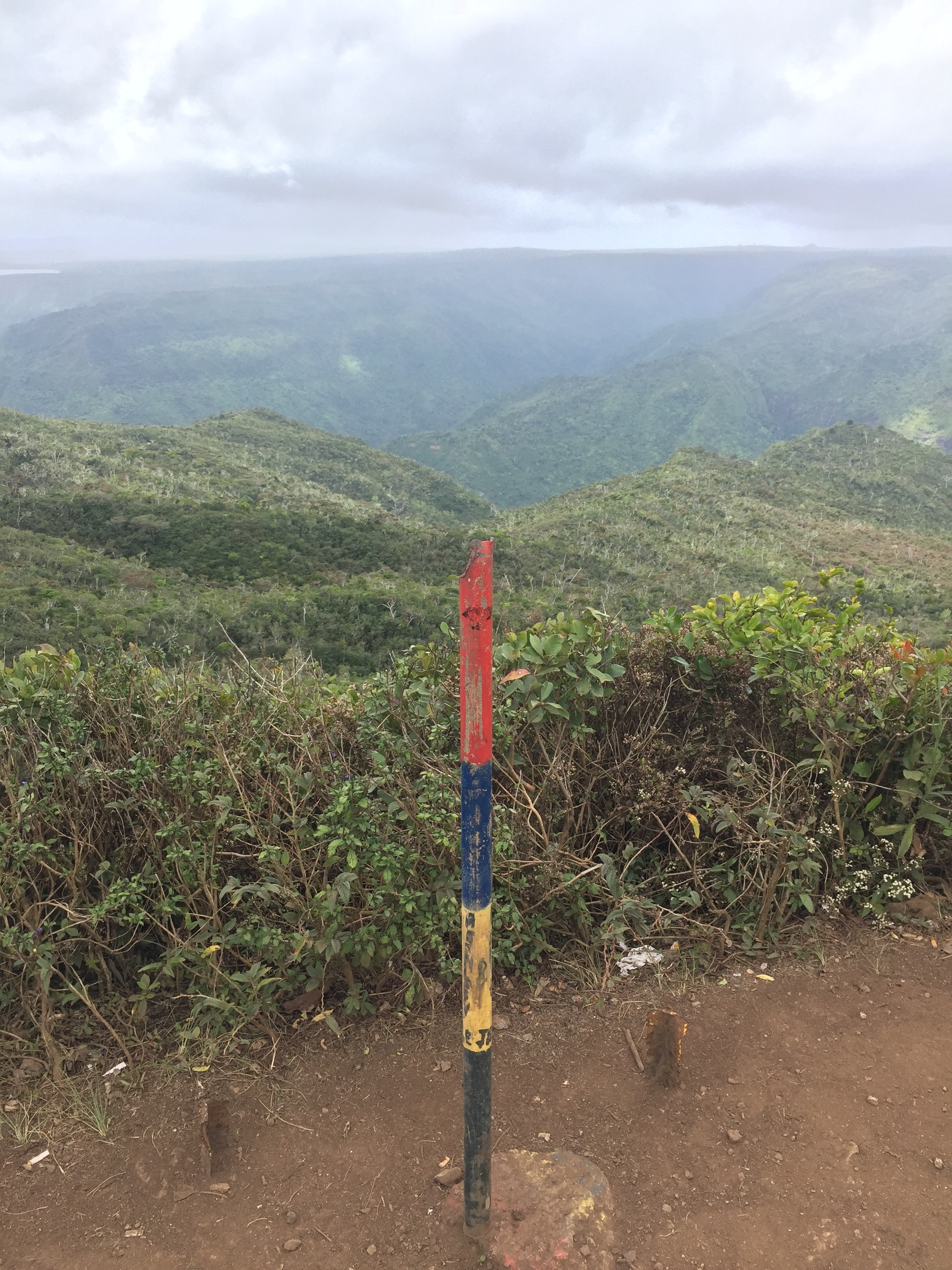
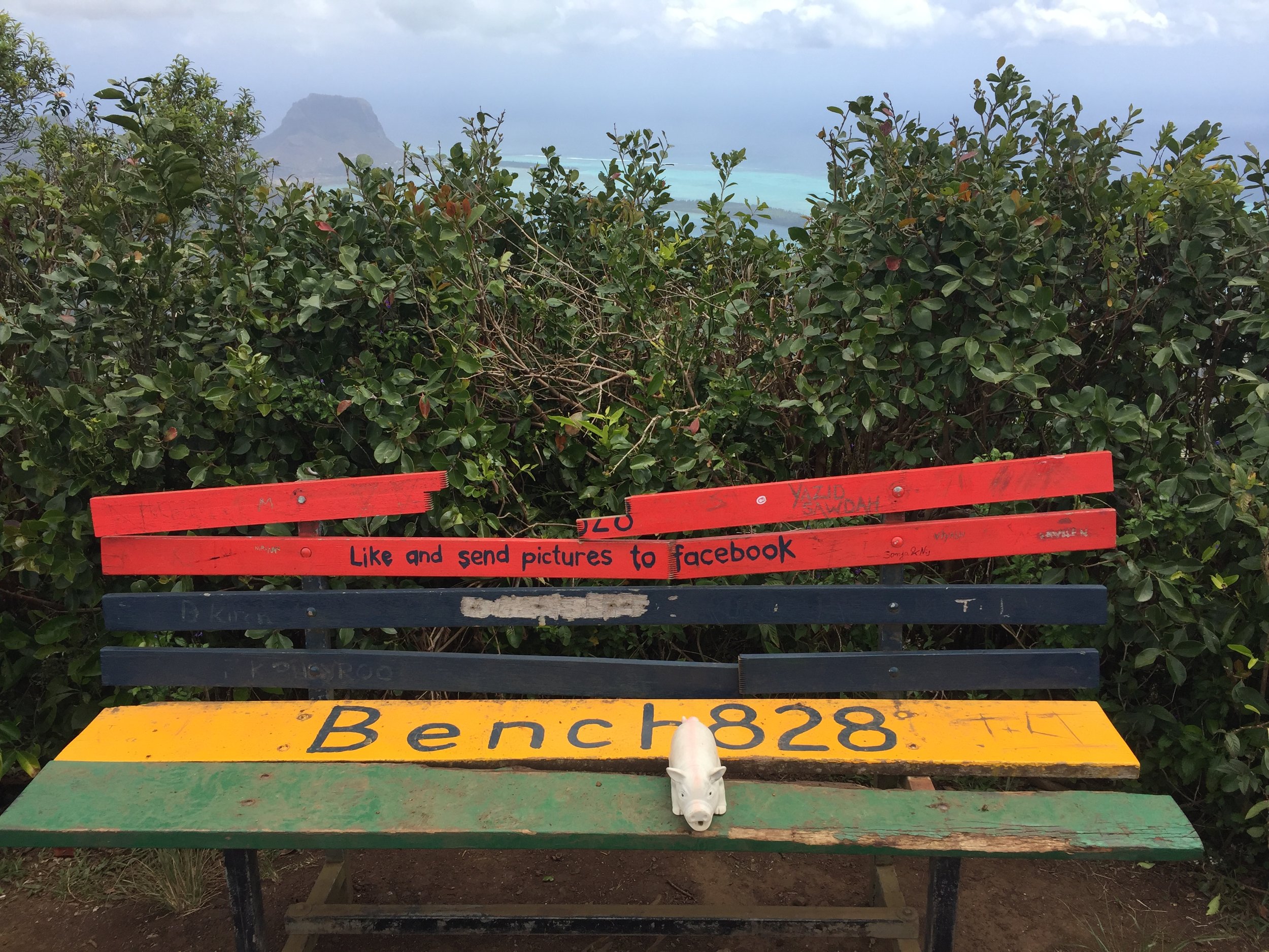
BONUS: Riddlesdown
See the LonDone post for location map, elevation, finish time and link
This one’s in the Greater London parkrun region and the Historic county of Surrey but also touches on the present-day county of Surrey. The start is just on the London side of the border with the finish in Surrey
Woking
I completed this event on: December 12th 2015 with a finish time of: 24:57
Other routes touched (cycle): NCN 223
Inaugural: August 16th 2014
Links: Event Home Page, Course Page, blog7t write-up
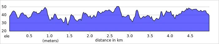
Actual course outlines for the parkrun events in present-day Surrey.
parkruns in Historic County of Surrey but now IN Greater London
See the LonDone blog post for maps and stats for these:
* The Bethlem Royal Hospital Crystal Palace courses are partly in Historic Surrey and mostly in Historic Kent
More parkrun posts

parkruns are free, weekly, community 5k events all around the world. I started in December 2012 and have been obsessive about it ever since. See my parkrun Collection page for details.
Featured and popular parkrun posts: