Sawel Mountain: Londonderry and Tyrone County Tops

View from the ascent


Also known as: Samhail Phite Meabha
Significance: 
Highest peak in County Londonderry and County Tyrone (Historic County Top), Sperrins National Landscape High Point
Member of: Marilyn, Hewitt
Parent Peak: TBC.
Nearest Higher Neighbour: Errigal
Elevation: 678m
Date climbed:  May 3rd 2016
Coordinates: 54.8189° N, 7.0386° W


Route Start / End: Layby just past cattle-grid on highest point of Park-Sperrin road
Route Distance: 6.4 km (3.4 miles)
Route Elevation Change: +/- 593m
Subsidiary tops on route: None
GPX File: get via Buy Me a Coffee
Other routes touched (walk): Sperrins Challenge Walk
Other routes touched (cycle): None
OS Trig Pillar: TP7350 - Sawel
Map: OS Northern Ireland Activity Maps: The Sperrins (for Sawel Mountain)
Guidebook: The UK's County Tops (Jonny Muir)
Links:  Wikipedia (County Londonderry), Wikipedia (County Tyrone), Wikipedia (Sawel Mountain), Peakbagger, Hillbagging


This trek was part of a tour of the Historic County Tops of Northern Ireland that Timea and I did in May 2016.

After a rest day at the Giants Causeway we drove South for an hour and a half to find Sawel Mountain. This is clearly not a popular route as the path is not signposted and you need to be careful to find the right spot on Sperrins road to start. Its fairly straightforward, however, and there's a good parking spot just before the cattle grid on the high point of the road.

Navigation is fairly simple as you just follow the fence from the cattle grid all the way up to (almost) the summit. Following either side of the fence is OK although we had to cross over a few times and found the south side to be generally dryer that day. 

The ascent was a boggy slog taking about an hour and a half. Near the summit the fence veers off to the south for a few hundred metres before taking a right angle to the west. The summit is an obvious Trig Point about 80 metres up from the fence.

It was hailing and blowing a gale when we got to the Trig Point so we didn't hang around for long. We did hop back over the fence for a few minutes to find the closest bit of high ground to claim the County Tyrone high point.


Trostan: Antrim County Top

Emerald woods on the descent from Trostan


Significance: Highest peak in County Antrim (Historic County Top), Antrim Coast and Glens National Landscape High Point
Member of: Marilyn
Parent Peak: TBC.
Nearest Higher Neighbour: Oughtmore
Elevation: 550m
Date climbed: May 1st 2016
Coordinates: 55.0458° N, 6.1553° W


Route Start / End: Layby near Essathohan Bridge on Ballyeamon Road
Route Distance: 9.8 km (6 miles)
Route Elevation Change: +/- 724m
Subsidiary tops on route: None
GPX File: get via Buy Me a Coffee
Other routes touched (walk): Moyle Way
Other routes touched (cycle): None
OS Trig Pillar: TP7349 - Trostan
Map: OS Northern Ireland Activity Maps: Glens of Antrim
Guidebook: The UK's County Tops (Jonny Muir)
Links: Wikipedia (County Antrim), Wikipedia (Trostan), Peakbagger, Hillbagging


This trek was part of a tour of the Historic County Tops of Northern Ireland that Timea and I did in May 2016.

Our first walk was Trostan, about an hour North of Belfast in the centre of County Antrim. The weather was fairly good and the rain held off till the last 20 minutes. Even so, the ground was saturated and most of the route was through a peaty swamp. We followed the Moyle Way, initially along the right hand side of a stream to a waterfall and an old stone bridge. We turned left across the bridge, following a track for about 2 hundred metres, then turned right to follow another track up though the forest. This took us a little off course which we needed to correct once we got above the tree line. On the way back we discovered that the better route up would have been to have continued straight up past the stone bridge, following the course of the stream.

Once we were back on track after the forest, we relied on the GPS for navigation and the trek to the summit was mostly a matter of finding the driest and least bumpy route. The actual summit is enclosed by a fence with one dilapidated style that takes some skill to cross without impaling yourself. Once past the fence, we headed towards the 2 cairns and the summit Trig Point was very close-by and easy to see.

The descent was much more enjoyable as we took a more direct route down through the forest, following the stream. The colours of the moss covered trees were amazing, showing why they call this place the Emerald Isle. The path next to the stream was very boggy, but added to a fun walk down with many stops for photos.

From the lay-by where we parked we continued on towards Cushendun and picked up the Tor Point Scenic Drive. This is a off-shoot of the Causeway Scenic Route and takes in some dramatic cliff top lanes overlooking the North East Coast. The route passes through Ballycastle and a collection of National Trust properties, before reaching the Giants Causeway near Bushmills.


Heyford Airbase Half Marathon

When: March 20th 2016
Where: Upper Heyford, Oxfordshire
Course: Runway and Service Roads around Heyford Airbase.
Other routes touched: None
Finish time: 1:59

Half Marathon #26 of 50 at RAF Heyford near Oxford. A new route around the runways and service roads. Nice run and a bit quirky. Best bit was a brass band play the theme to the Muppet Show in a metal trailer in the middle of the runway as we all ran past.

For more information on Heyford Airbase, see Darmon Richter's blog post

elevation_profile - Heyford Airbase Half Marathon.jpg
 
Thames Trott 50 Ultramarathon

Well, that was tough. The Thames Trott 50 was my 2nd Ultramarathon and my first DNF (Did Not Finish). On paper it was all looking good. Despite being 5 miles longer than last year's Country To Capital 45, the Thames Path route made it flatter and easier to navigate. In reality it was so much harder. The mud, wind and rain all conspired to make it a pretty grim day.

Mile 1 was fine. A nice, gentle downhill from the start line in Oxford down to the river. Then the mud started. Till then I'd been trying to avoid puddles hoping to keep my feet dry. The path reached a fence which created a bottleneck and split the pack across different gates and gaps, all of which opened into large puddles. There was nearly a fight when two runners got into a barney about Kissing Gate etiquette. "I'll punch you in the mouth if you grin at me again" shouted a rough looking older guy to another runner. After a few hundred metres of taunting each other they disappeared separately into the distance.

The next 18 miles to Checkpoint 2 were just a trail of mud. I was wearing my usual trainers rather than trail shoes which didn't help. Everyone was slipping though and it was all I could do to keep upright for most of it. By Checkpoint 1, nearly 10 miles in, I was on track to my planned timing but only just. By Checkpoint 2 I was half an hour behind and I had already decided that I wasn't going to finish. My original plan would have got me to the finish line in 10 hours 30 minutes, half an hour before the cut off time. I had already eaten my contingency and I wasn't going to get faster from here.

10 years ago I would have been determined to have finished no matter what. Since then I've lost any need to prove myself and now do these events for the joy of it. If you ever want a lesson on why stopping or turning back is always the best plan, see the movie Everest. After deciding not to finish and to make my own plan I could relax a bit and enjoy the rest of the run. Checkpoint 3, at 27 miles would be the end of my Trott. This would take me to 1 mile over a Marathon and technically (but only just) within Ultra distance.

The final 8 miles to checkpoint 3 were slow. Without the need for speed, I walked the rest but still found it tough as the wind was picking up and the rain started. The wind was so strong in parts I couldn't hear my iPod on top volume. By the end I was happy to give up my timing chip, get in the car and go home. Despite not finishing and the grimness of the course, it was still an awesome day and I loved it all.

elevation_profile.jpg
Great Rhos: Radnorshire County Top
WP_20160101_005.jpg

Significance: Highest peak in Radnorshire (Historic CT)
Member of: Marilyn, Hewitt, Nuttall
Parent Peak: Plynlimon. NHN = Twmpa
Elevation: 660m
Date climbed: New Years Day 2016
Coordinates: 52.2671°N 3.1998°W
Route Start / End: out and back from parking space near church at New Radnor High Street
Route Distance: 6 km (3.7 miles)
Route Elevation Change: +/- 416m
Subsidiary tops on route: none
GPX File: get via Buy Me a Coffee
Other routes touched: none
OS Trig Pillar: TP5567 - Radnor Forest
Map: OS Explorer 200 Llandrindod Wells & Elan Valley & Rhayader
Guidebook: The UK's County Tops (Jonny Muir)
Links: Wikipedia (Radnorshire), Wikipedia (Great Rhos), Peakbagger, Hillbagging

Pretty much no-one that I know has heard of Great Rhos. As a County Top it a bit of an undiscovered gem, sitting on its own in mid-Wales far enough away from both the Brecon Beacons and the Snowdonia peaks.

The obvious route starts from New Radnor where there's ample on-street parking. From the village centre, take the footpaths to the gates of the munition testing range. Cross the stream then take the path to the west of the valley. At the top of the valley you pass a warning sign and the valley disappears behind the Three Riggles. Follow the path north towards the summit until you reach a boundary fence and another warning sign. By this point you've pretty much done all of the elevation and the actual top, marked by a Trig Pilar is best found using a GPS device. 

A nice New Year's Day walk for us with chilly but clear weather at the bottom and yet another cloud covered summit. 

trip-7471905-map-full - Great Rhos.png
elevation_profile - Great Rhos.jpg


Brown Clee Hill: Shropshire County Top
WP_20151231_008.jpg

Also known as: Abdon Burf
Significance: 
Highest peak in Shropshire (Historic County Top), Shropshire Hills National Landscape High Point
Member of: Marilyn
Parent Peak: Plynlimon
Nearest Higher Neighbour: Beacon Hill, Wales
Elevation: 540m
Date climbed: 31st December 2015
Coordinates: 52°28′30″N 2°36′02″W


Route Start / End: Layby on Park Gate Road
Route Distance: 4.9 km (3 miles)
Route Elevation Change: +/- 214m
Subsidiary tops on route: None
GPX File: get via Buy Me a Coffee
Other routes touched (walk): Shropshire Way Main Route (South)
Other routes touched (cycle): None
Map: OS Explorer 217 The Long Mynd & Wenlock Edge
Guidebook: The UK's County Tops (Jonny Muir), Walking the County High Points of England (David Bathurst)
Links: Wikipedia, Peakbagger, Trigpointing


When planning a trip to Brown Clee Hill, don't be fooled that Google Maps shows you can drive all the way up the service Road to the transmitter. This would make it a 5 min walk, but the road is restricted and there's a locked gate where it meets the main road.

When you get to the forest there's a few routes up. We didn't find the one shown in the book, but it's not a problem as long as you're heading uphill. When you get to the open ground beyond the treeline, you'll easily see the transmitter at the summit. Take any safe path and you'll hit the service road, then he top is just to the south of the transmitter. We were there on New Year’s Eve and it was blowing a gale so we didn't hang around for long. 

The descent was more easily navigable. We went back downtime service road for a few hundred metres and took the footpath right before the ruined building. At the treeline we turned left and took the bridal path for about 100 meters, re-entering the forest at a wooden gate. From there we followed a mountain bike trail back to the footpath at the bottom of the forest.

A short but pleasant walk, nice to blow off the cobwebs in the winter but best attempted on a sunny day.

trip-7471902-map-full - Brown Clee.png
elevation_profile - Brown Clee.jpg


OTHER HIGH POINT IN Shropshire


Bedford Half Marathon

When: December 6th 2015
Where: Wootton, Bedfordshire, UK
Course: Single anti-clockwise loop on country roads
Other routes touched (walk): Clay Way, John Bunyan Trail
Other routes touched (cycle): NCN 51
Finish time: 2:01

Half Marathons in December are pretty few and far between. By mid November The cold weather puts most people off until the season kicks off again in March. I'd chosen the Bedford Half mostly because I wanted an event in December and it was the only one around. As it turned out it was a well organised event and an interesting countryside route, fairly similar to Basingstoke a couple of months earlier. 

I found this one to be really tough. It wasn't so much about the course, more about my general lack of energy. Work was busy and I was very tired though not enough sleep. By the last 3 miles is was clear that I was going to be slower than my usual 1:50 pace. By the end I'd slipped across the 2 hour mark, finishing at 2:01. Annoying. Despite not my best or most memorable half, it was still got me out in December and its 1 race closer to my 50 Halfs target.

trip-7259130-map-full - Bedford.png
WP_20151207_001.jpg
elevation_profile - Bedford.jpg
 
London Bridges Half Marathon - Take 2

A year ago I did a made-up Half Marathon in central London. That time it was a loop, starting in Westminster, heading east and crossing every bridge to Tower Hill, then reversing to Chelsea bridge and looping back to Westminster.

This year I tried an alternative and more straightforward version. Starting at Tower Bridge I headed west, again crossing every bridge once until 13.1 miles just after Fulham Football Stadium. It's a more interesting route as there's twice as much to see without having to go back over the same ground. The only disadvantage is starting and ending at different points. I solved this by walking a mile and a half from the finish to Hammersmith, which, like Tower Hill, is also on the District Line.

Best time to do it is early Sunday morning when the Thames Path is quiet before the hordes of tourists take over. Here's the full route plan...

elevation_profile - London Bridges Half Marathon 2.jpg
  • Start at Tower Hill Underground Station.

  • Cross Tower Bridge (S), now start heading west back towards Westminster

  • Cross London Bridge (N), head west

  • Cross Southwark Bridge (S), head west

  • Cross the Millenium Footbridge (N), head west

  • Cross Blackfriars Bridge (S), head west

  • Cross Waterloo Bridge (N), head west

  • Cross Hungerford Footbridge (S), head west

  • Cross Westminster Bridge (N), head west

  • Cross Lambeth Bridge (S), head west

  • Cross Vauxhall Bridge (N), head west

  • Cross Chelsea Bridge (S), head west

  • Cross Albert Bridge (N), head west

  • Cross Battersea Bridge (S), head west

  • Cross Wandsworth Bridge (N), head west

  • Cross Fulham Railway Bridge Footpath, (S), head west

  • Cross Putney Bridge (N), head west

(N) and (S) represent direction of travel across the bridge (North) / (South)


Oxford Half Marathon (2 Years On)

When: October 11th 2015
Where: Oxford, UK
Course: City Centre roads
Other routes touched (walk): None
Other routes touched (cycle):
NCN 51
Finish Time: 1:46 (PB)

The Oxford Half marathon was the finishing line of my Growlerthon challenge: a year of fund raising events book-ended by 2 big city Halfs. A year ago was the Royal Parks Half in London, which at the time was my personal best (PB). I managed 5 minutes faster than my average mostly due to the combination of a flat course, good running weather and generally feeling awesome. 

Getting a new PB at Oxford hadn't occurred to me until mile 8. Until then I'd been running ahead of the 1 hour 45 minute pacer but then he'd overtaken me. It was getting warm and I was feeling the pressure of keeping up a faster than normal pace. I stayed with the pacer til mile 10 when he shouted out "only a parkrun to go". I looked at my watch and saw that I could get a PB if I ran my normal parkrun average of 25 mins. By mile 12 I was slowing a bit and the pacer was now ahead but still in sight. 400 meters to go and I'd lost the pacer in the crowds as the course wiggled in and out of the old city. One final push and I'd crossed the finish line at 1:46, less than a minute faster than a year ago but still a PB.

Sometimes when I finish a big or important race I get a sudden wave of emotion immediately after crossing the finish line. I got it on all of my full Marathons and occasionally on Halfs where I really push myself. Normal it lasts 3 seconds then I'm back to normal and then I'm concentrating on getting my medal and getting out. Today it lasted significantly longer. I'd not started the Oxford Half with any particular sense of significance, but it all came back to me at once at the finish line.

It was two years on from the day we lost my dad to lung cancer and one year from the start of Growlerthon. In the last year I'd ran 5 half marathons, one Ultra  Marathon, cycled from Land's End to John O'Groats plus a collection of other cycling trips. I'd beaten my £2,500 fundraising goal by a £1,000 and, together with the other LEJOG team mates, jointly raised £15,000 for 5 charities. It was an amazing year full of new memories. Whereas a PB in a half marathon is not normally something I get excited about, today it was the final special thing that put a nice closure on the year.

Reading back over my original blog about my Dad's death (One Year On), it's interesting to reflect on how things are different now. The sharpness of the memories of his last 2 weeks has drifted away and I'm left with the happy memories of when he was here. A lot of who I am come from what I learnt from him and that will stay with me forever. I wrote a year ago about funerals not working for me as a means of closure or a focus for grieving. Growlerthon did that for me. It was my way of doing something very positive in his memory and it really worked.

Thank you to everyone who supported me along the way, from My wife Timea, my Mum, the LEJOG team to all of my sponsors who were very generous throughout. Not only couldn't I have done it without you, but most importantly it's my friends and family that made it such an amazing year.

elevation_profile - Oxford.jpg
 
Basingstoke Half Marathon

When: October 4th 2015
Where: Basingstoke, Hampshire, UK
Course: Country Roads to the South of the town.
Other routes touched (walk): Three Castles Path
Other routes touched (cycle): NCN 23
Finish Time: 1:53

My first Half in 6 months and the start of the Autumn running season. Nice countryside single loop course through cute villages to the South of the town. Very hilly but reasonably pleased with my finish time. 1 week to go til the Oxford Half.

elevation_profile - Basingstoke.jpg
 
Crissy Field parkrun

Crissy Field is one of a handful of parkruns in the US and the most westerly parkrun in the world. This means that whoever comes in at the end is the last of many thousands of parkrunners around the world to finish that week.

I did Crissy at the end of a 2 week holiday in California. It turns out that I wasn't the only one with that plan as, of the 40ish runners that morning, half were Brits on holiday or in San Francisco for work. Most of the rest were Ozzies with a few randoms and only a couple of Americans. Whilst parkrun is massive now in the UK and spreading quickly to other countries, its been slow to catch on in the US. It's odd as there's a big running culture there and certainly that morning Crissy Field was full of runners with their own plans.

The Crissy Field course in any other place would be pretty boring. Its flat and basically up and down 1 track. Its the scenery that makes it stand out. The first half mile ran out towards a jetty with Alcatraz in the distance, then doubling back to the start and continuing along towards the Golden Gate Bridge before a second turn and back to the start. That morning was chilly and foggy with the mist hanging just above the road section of the Golden Gate hiding the top. I would be surprised if there was another parkrun with a more amazing view.


Note: I've noticed that, since I did Crissy in October 2015, the course has changed slightly and the run out to the jetty had the start has been replaced by an additional loop on the Golden Gate end. Not a big surprise as the previous start section involved running through a Yacht Club car park.


More parkrun posts

parkruns are free, weekly, community 5k events all around the world. I started in December 2012 and have been obsessive about it ever since. See my parkrun Collection page for details.

Featured and popular parkrun posts:


Richard gowerRun, parkrun, USAComment
Cycling from Land's End To John O'Groats
DSC00540.jpg

The Land’s End To John O’Groats (LEJOG) cycle trip had been on my back burner for a very long time. It started 21 years ago when I was planning my Queen’s Scout Award. The Award was similar to the Duke Of Edinburgh Award and required a big expedition. I chose to do a cycling trip and needed to find a route greater than the 200 mile minimum requirement. Andrew, my expedition partner, and I briefly considered LEJOG but the distance was way more than required and, at the time, seemed like a bit too much effort. Maidenhead, our hometown, to Lands End at 350 miles was more like it.

1993: Maidenhead to Land's End

That summer was amazing. The years have probably erased all memories of the tough spots and any bad weather, so all I remember now is endless sunny days and pleasant glides through the South-West countryside. We cycled 60 miles a day, stayed in Youth Hostels and survived on Diet Coke and White Chocolate Magnum ice-creams. The 6 day trip to Land’s End was my first big adventure and it definitely wasn't going to be the last. Ever since then the full Land’s End To John O’Groats trip was something I had to do ... just not right now.

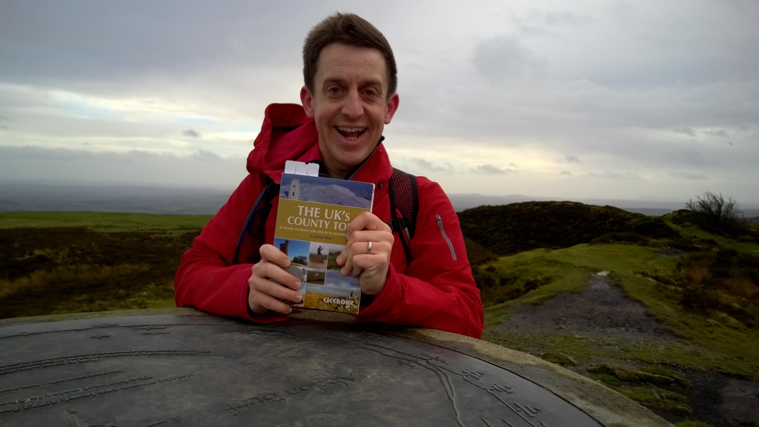
Right after that trip I started working for Mars and the next few years was all about work and socialising. 4 years living abroad was a whole different adventure in itself and the LEJOG idea sunk into the very back of my mind. It was only in my mid-30s that I started to get back into the outdoors in a big way. After the Kilimanjaro trek in 2013 I started planning my next big trip and the LEJOG idea started to bubble up again. Two more things then happened to bring it right to the front. The first was turning 40 and thoughts around finishing off things that I wanted to do. The second was planning the Growlerthon, my fundraising year in memory of my dad who was diagnosed with lung cancer shortly after Kili. Back burner no more .... I had to do LEJOG.

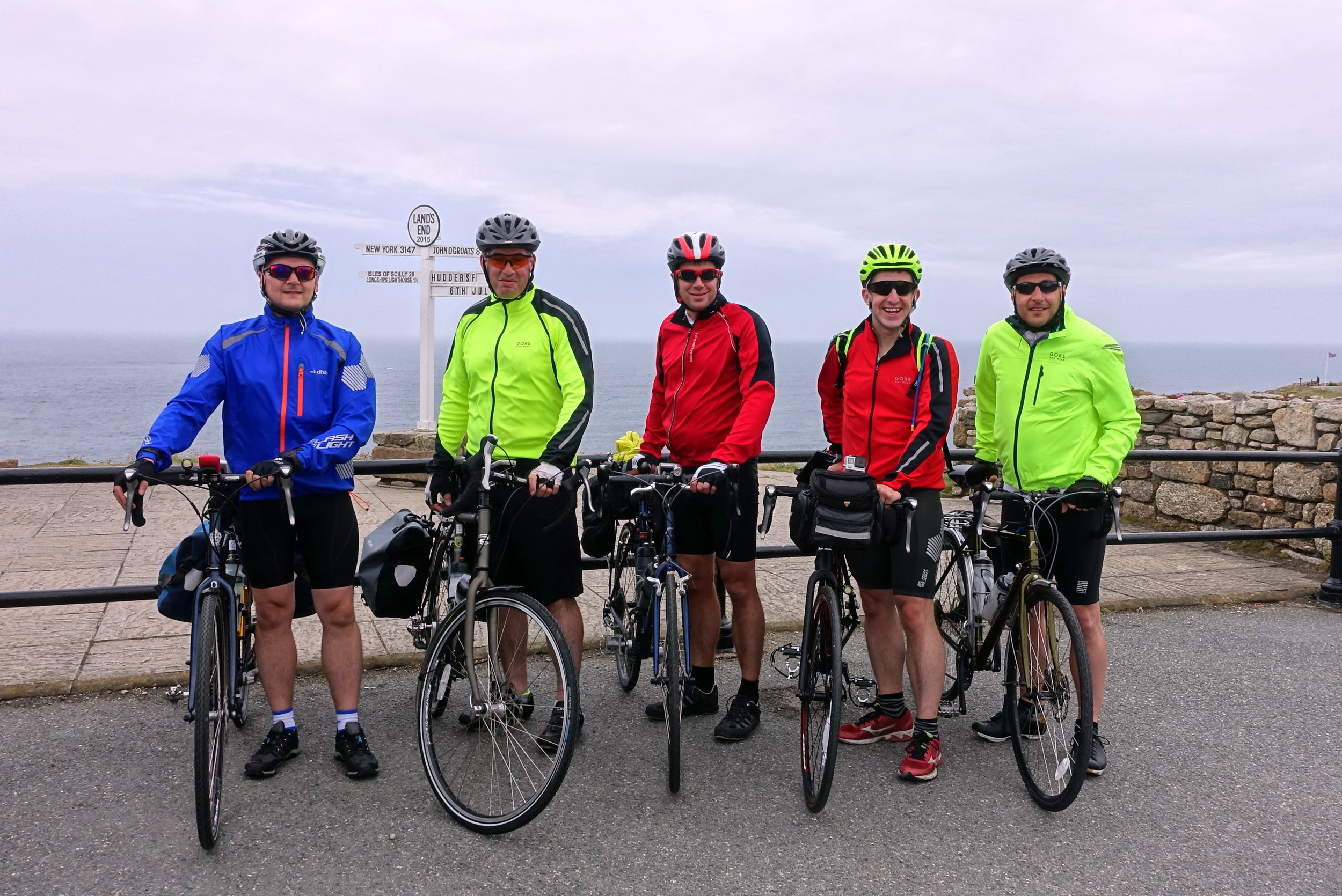
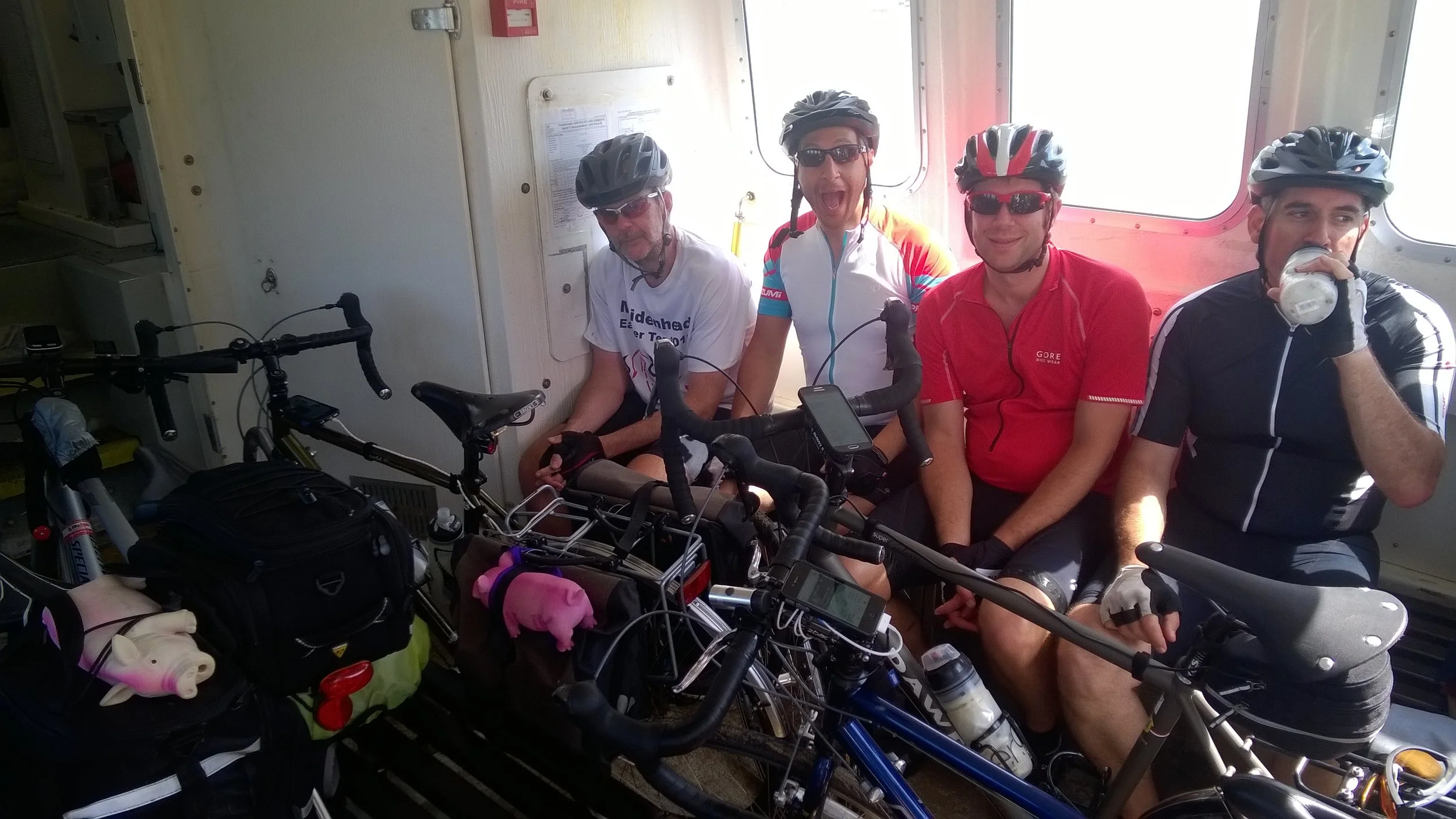
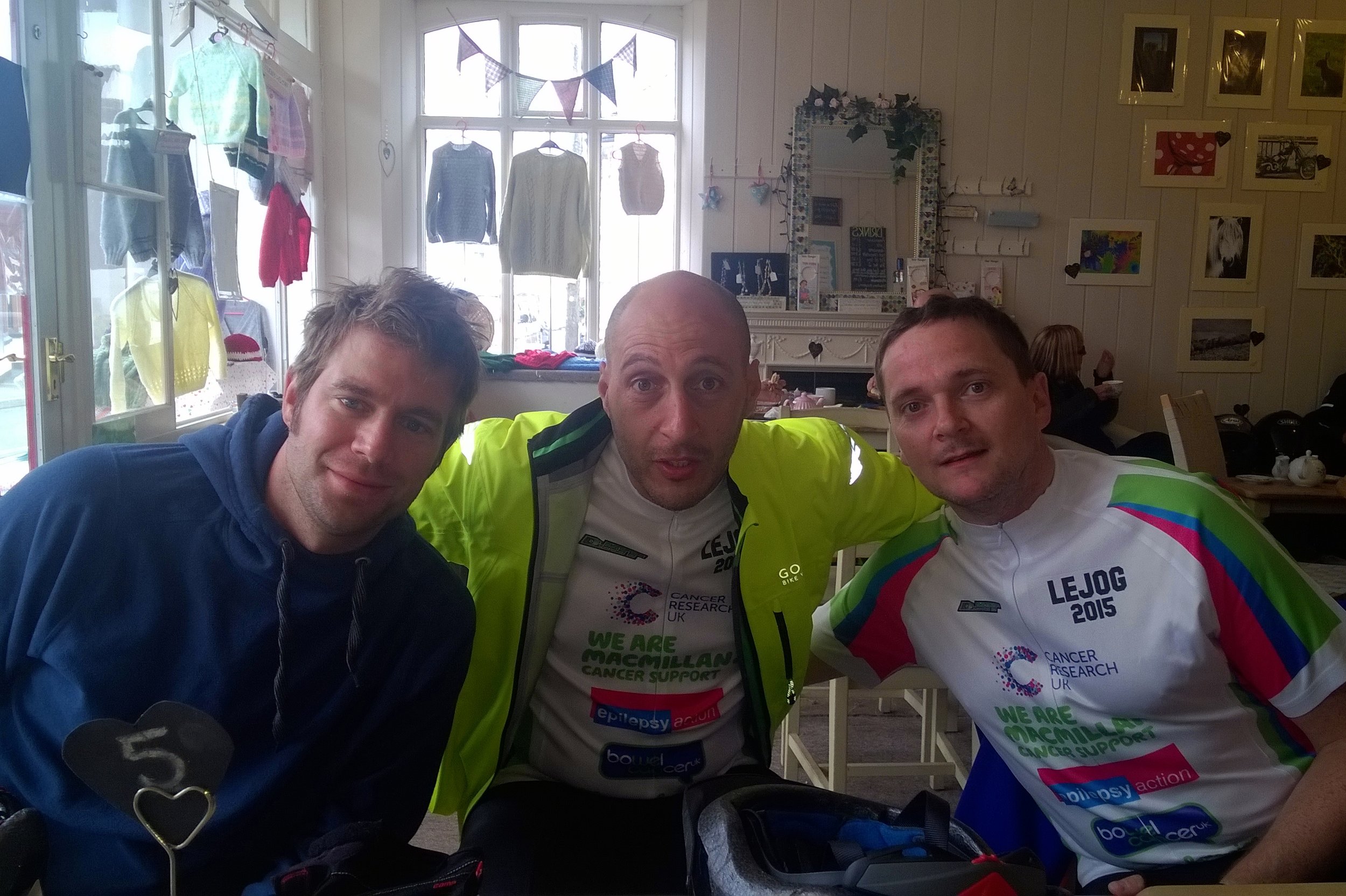
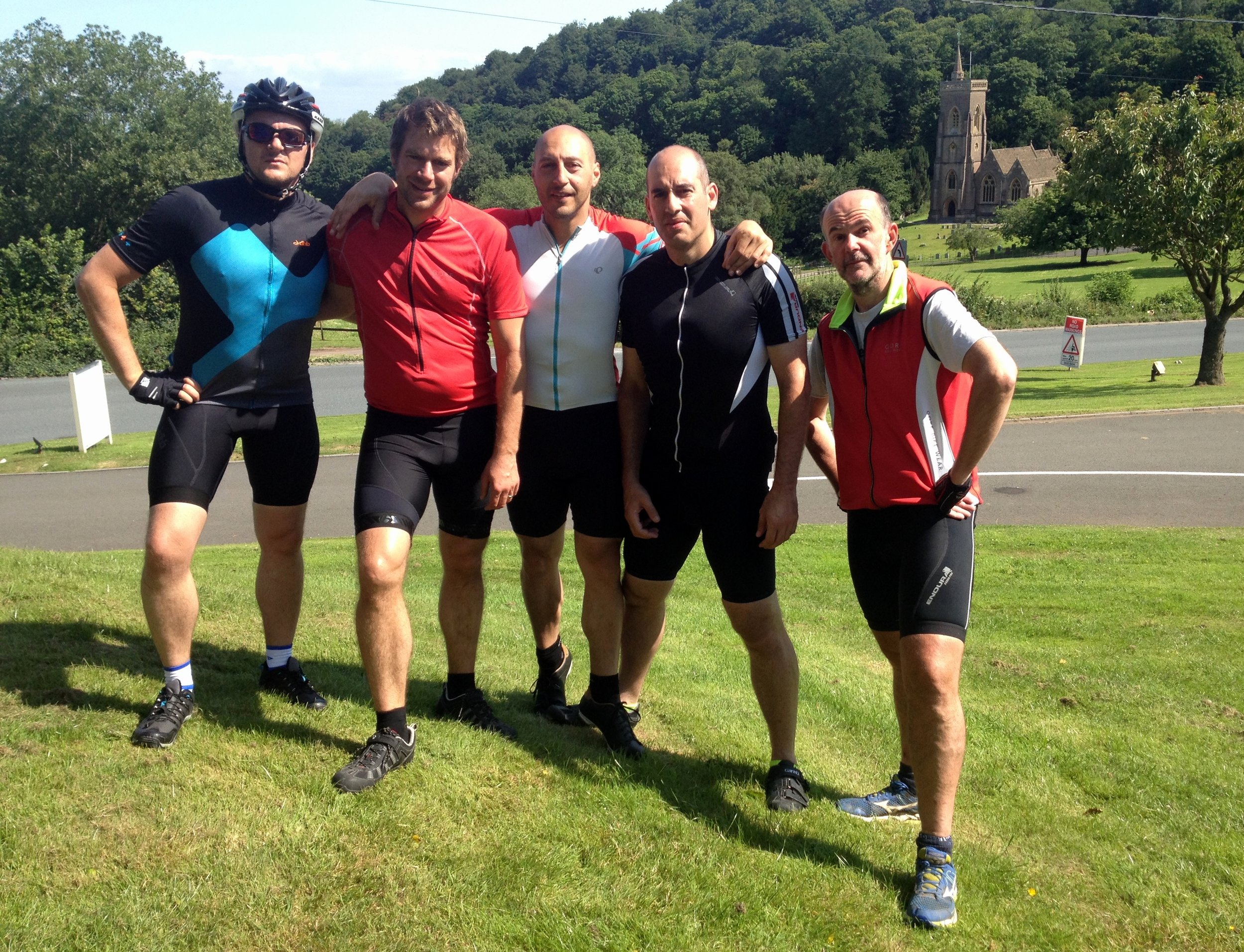
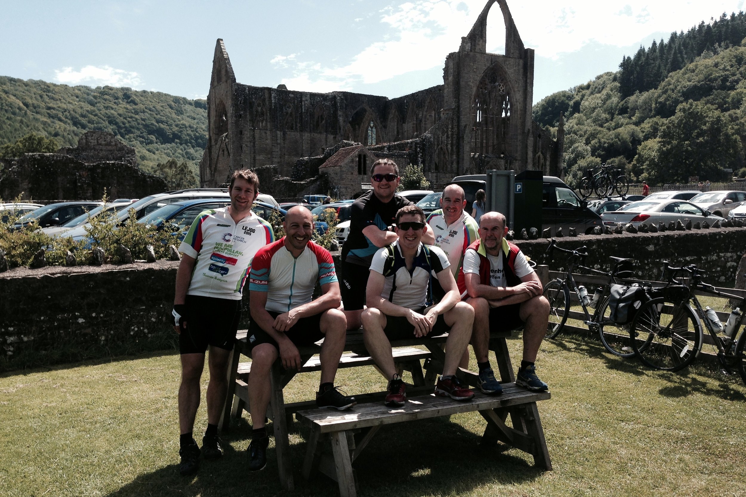
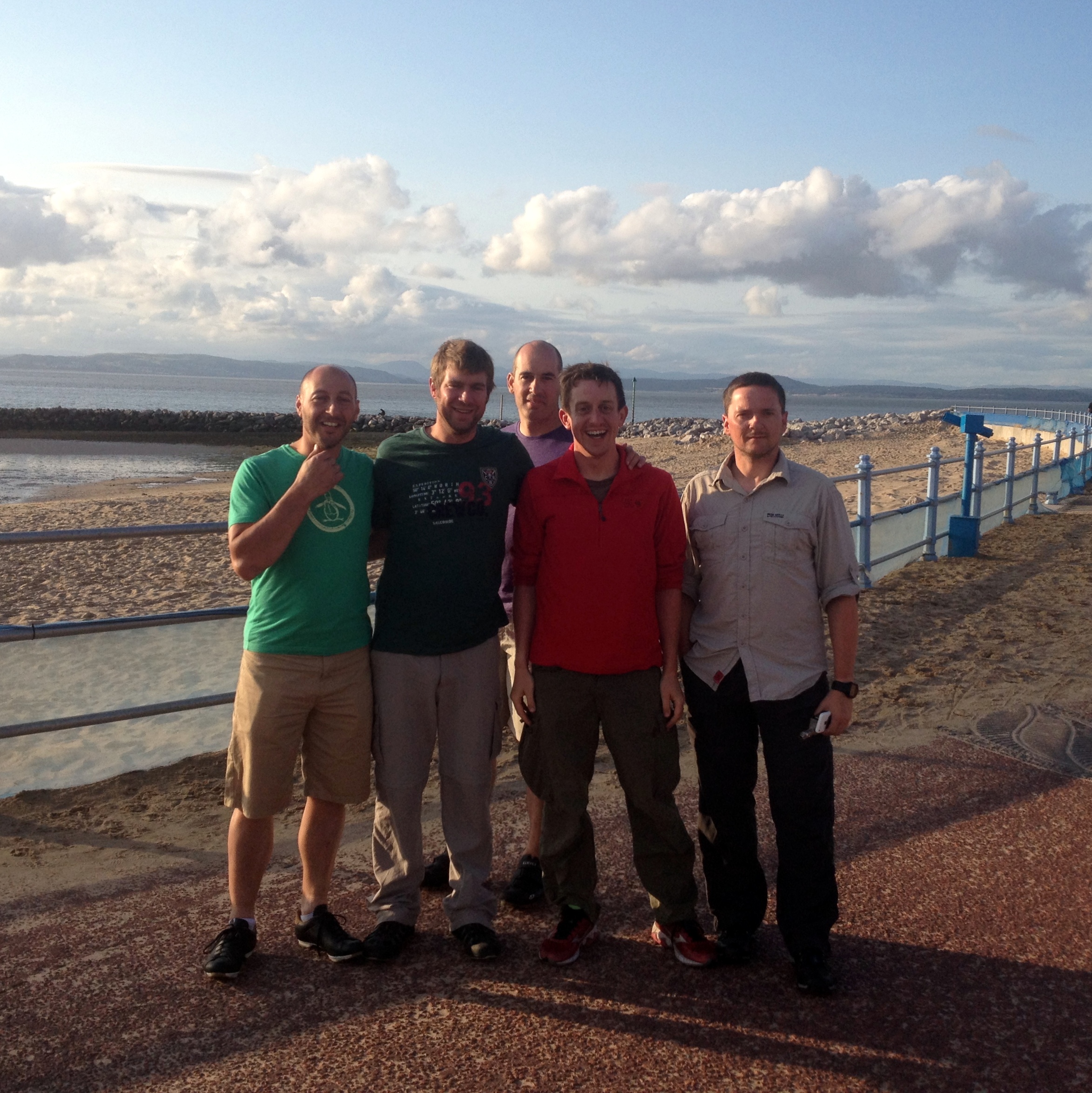
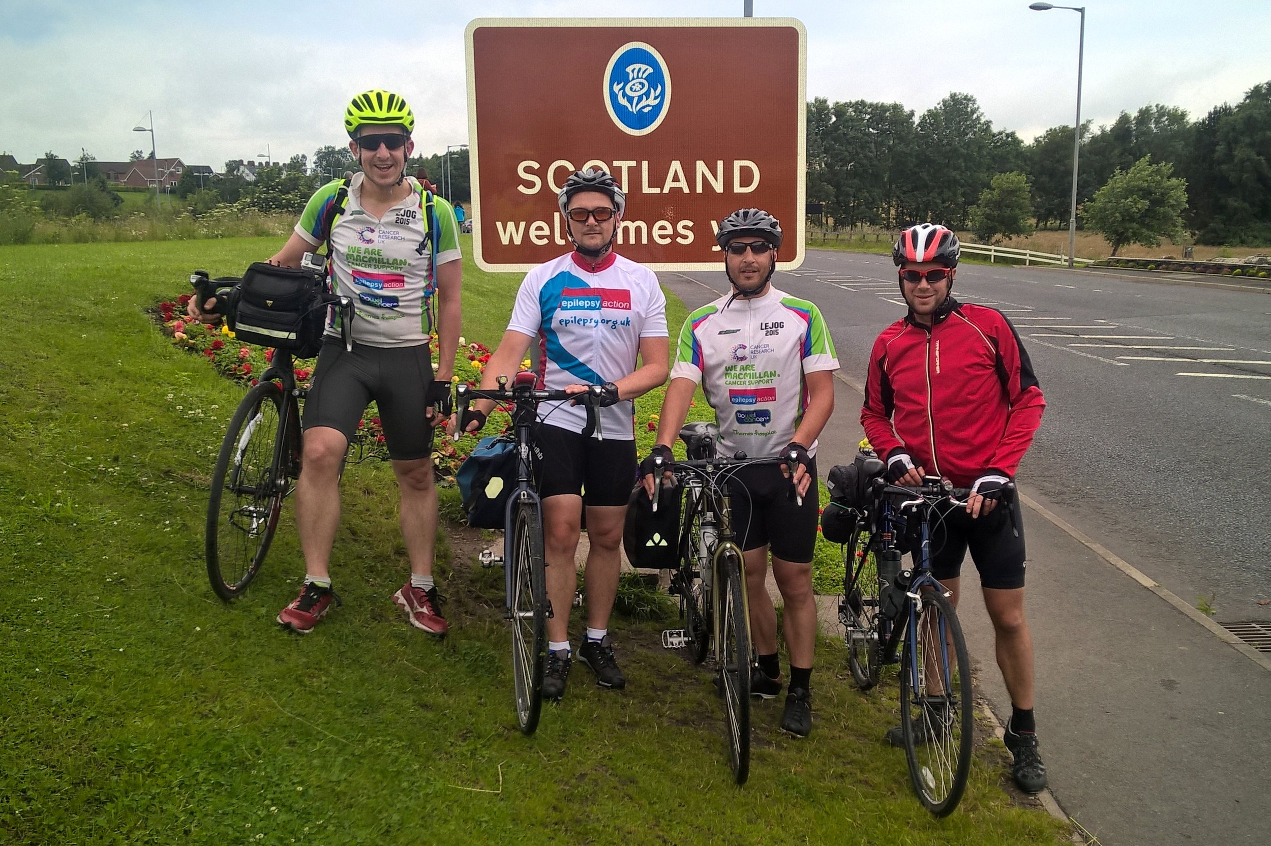
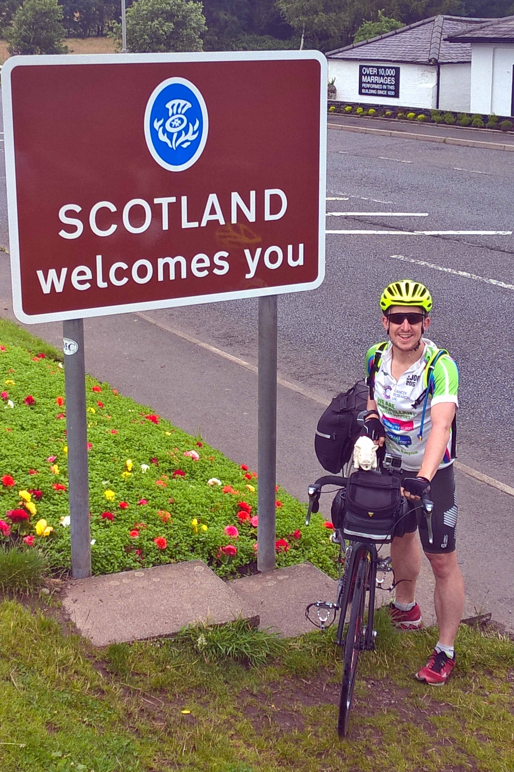
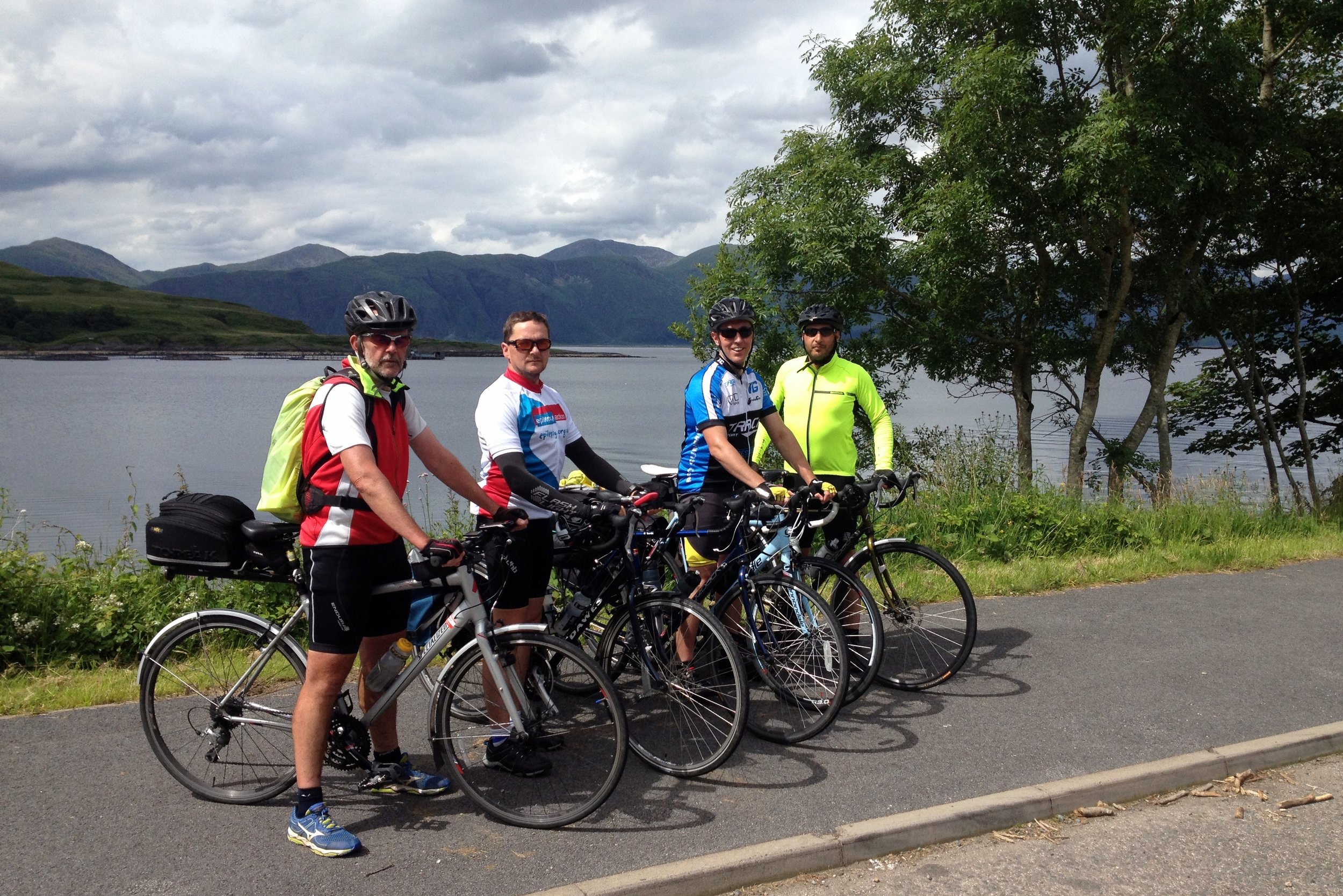
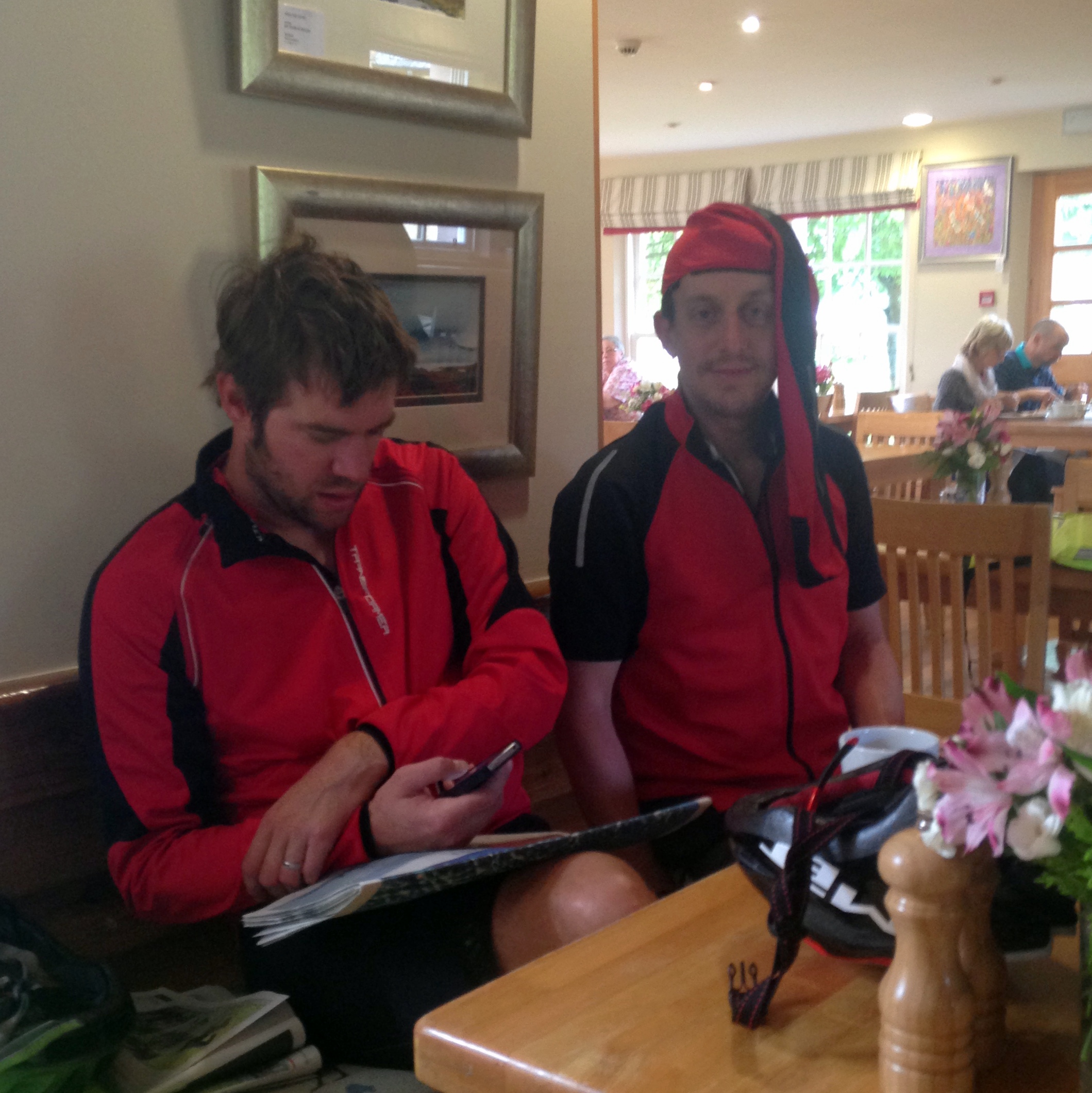
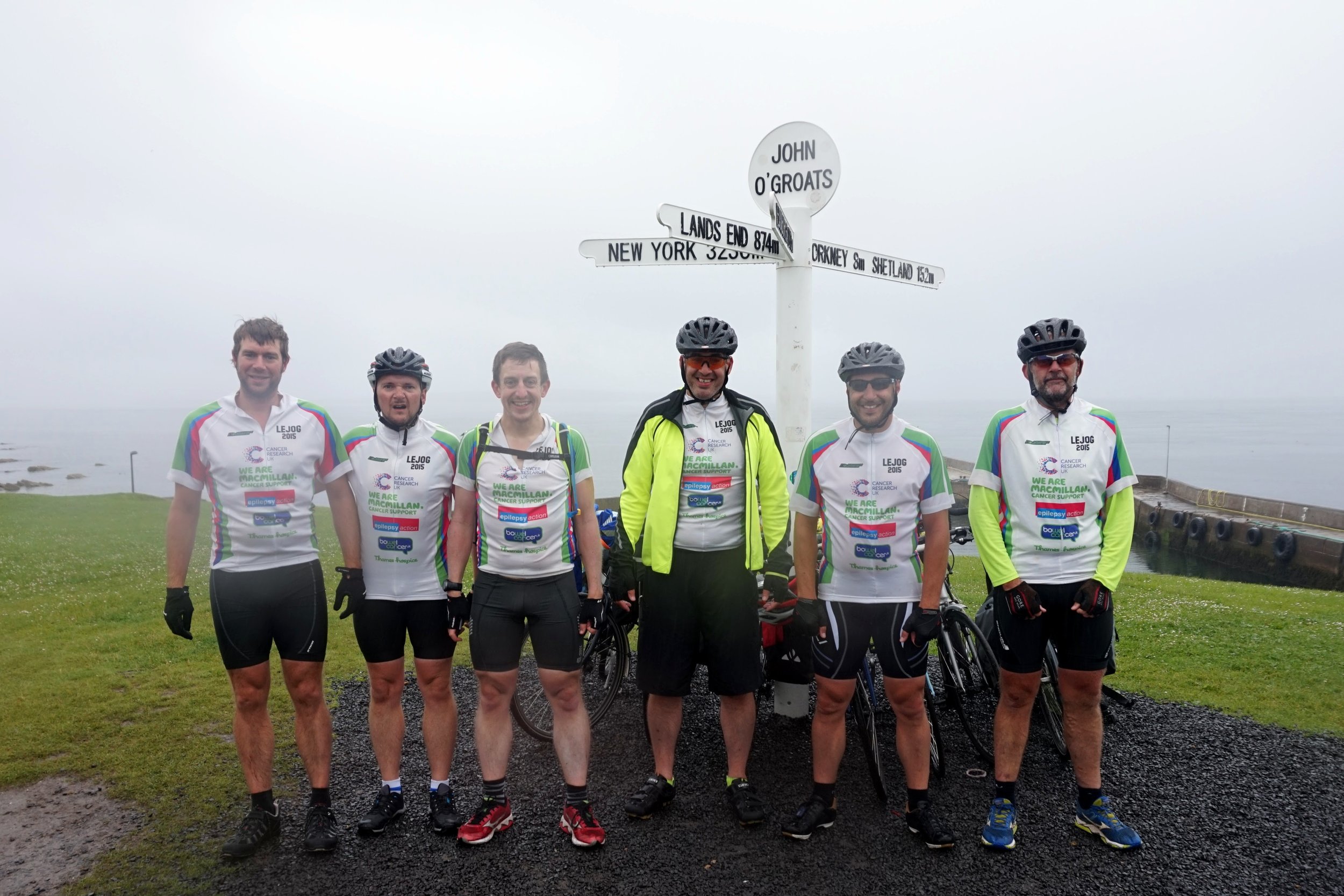
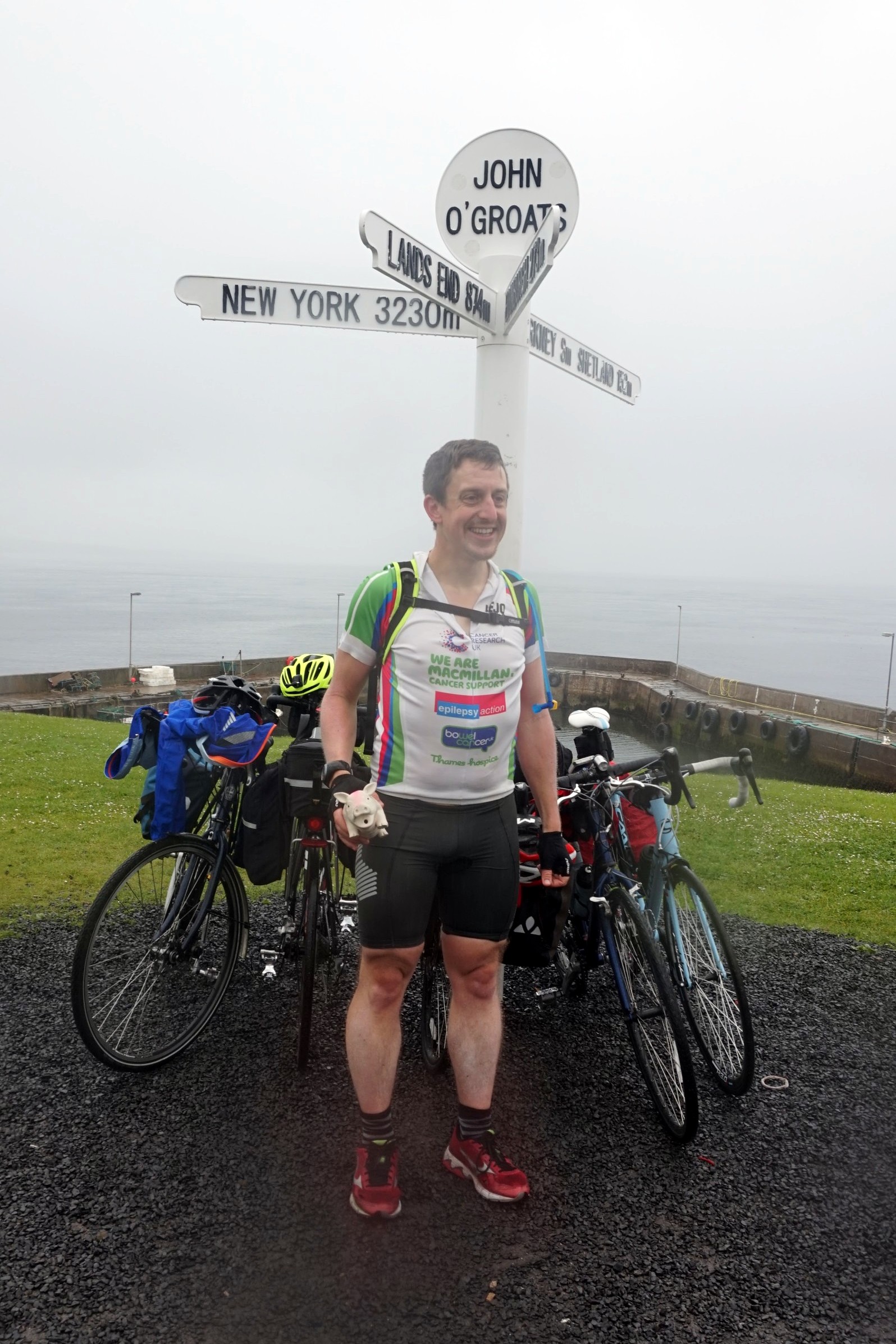
Putting the team together was relatively easy. Slobby did the trip 2 years before and was up for doing it again. Brian, my Kili buddy, was also an easy “yes”. Brian recruited the rest of the team: Martyn and Ray, both from our office and both with different personal charity and fitness goals, and Reggie, Brian's brother. By early January we had the team together and the next few months was all about training and route planning.

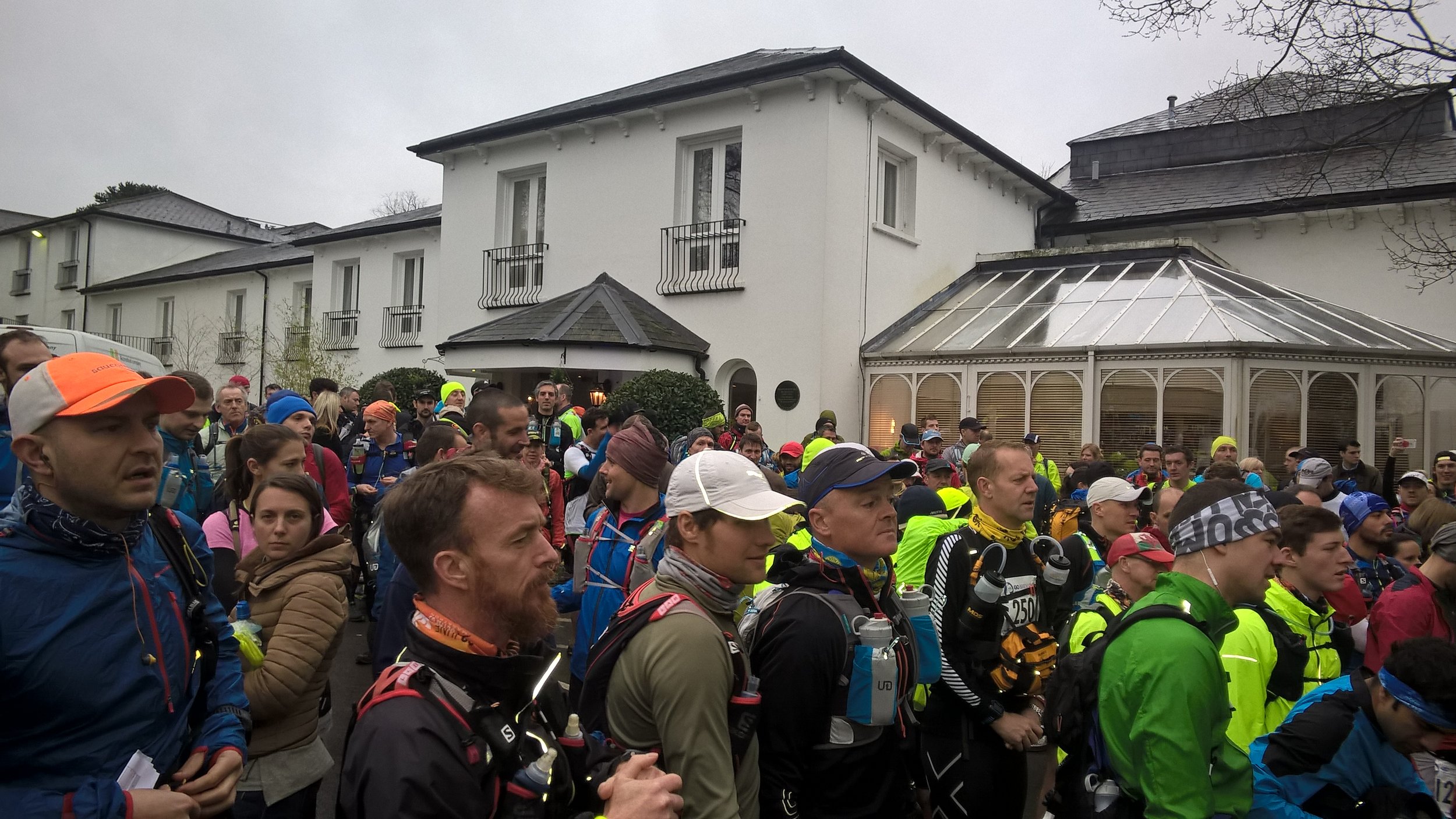
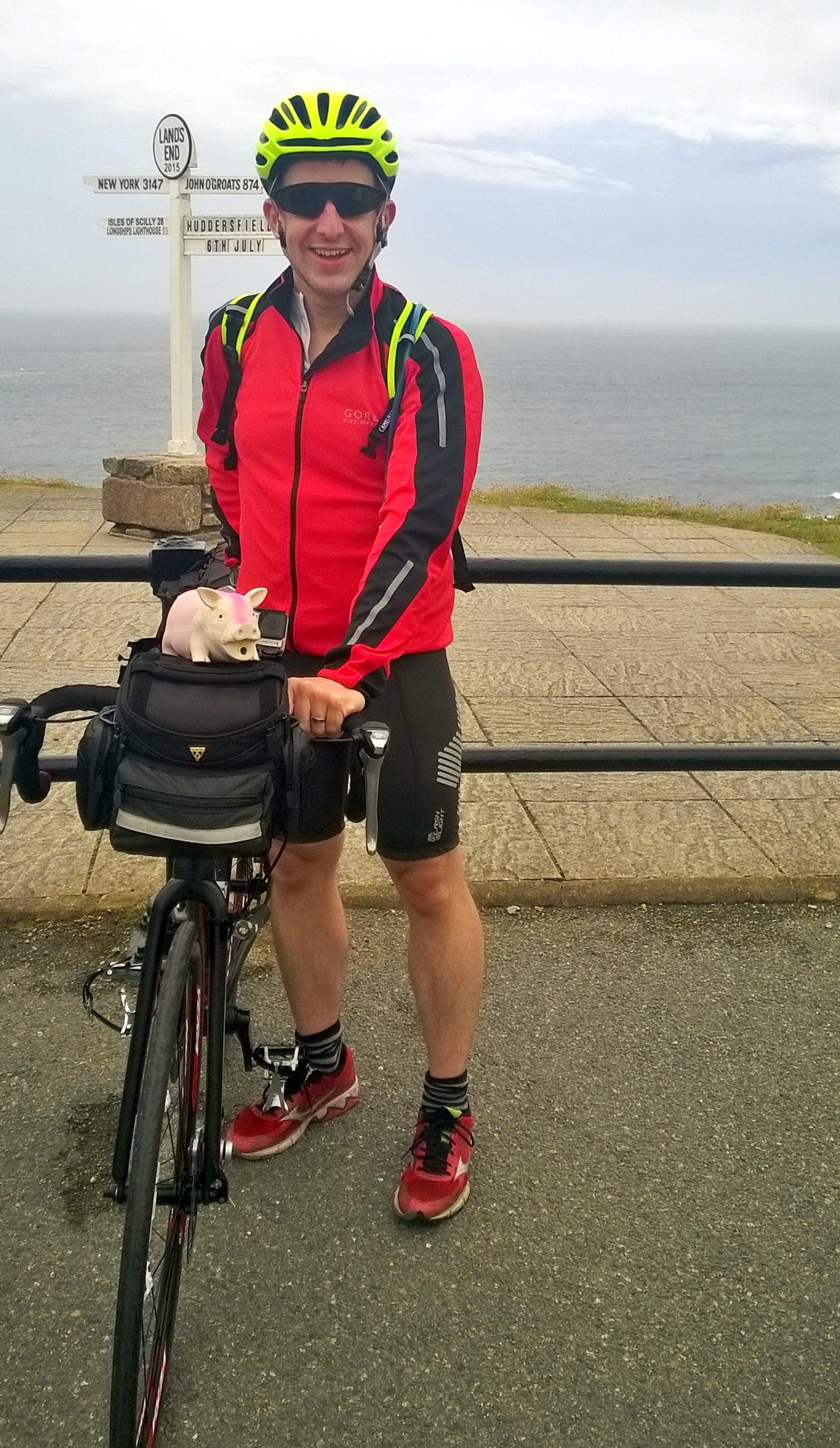
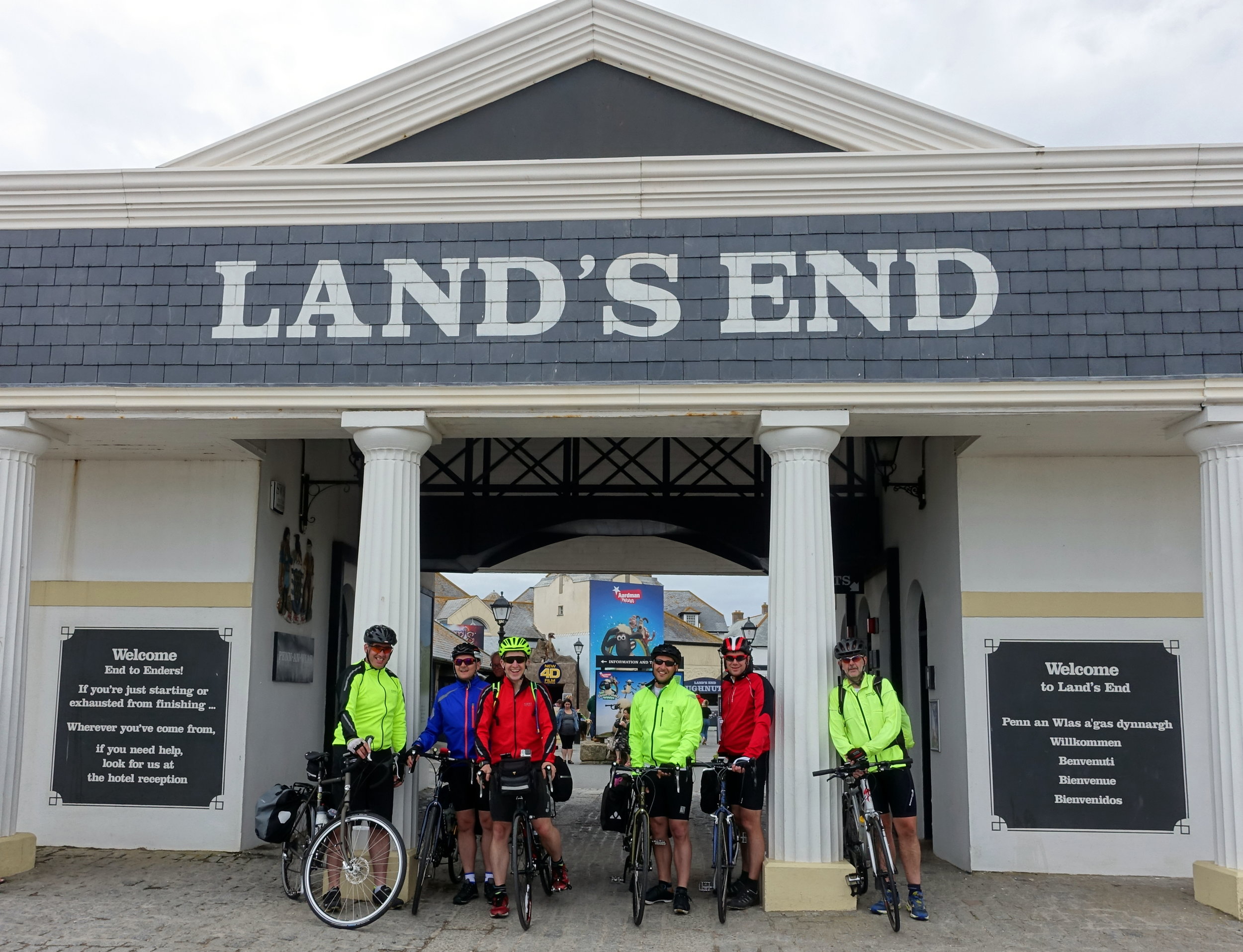
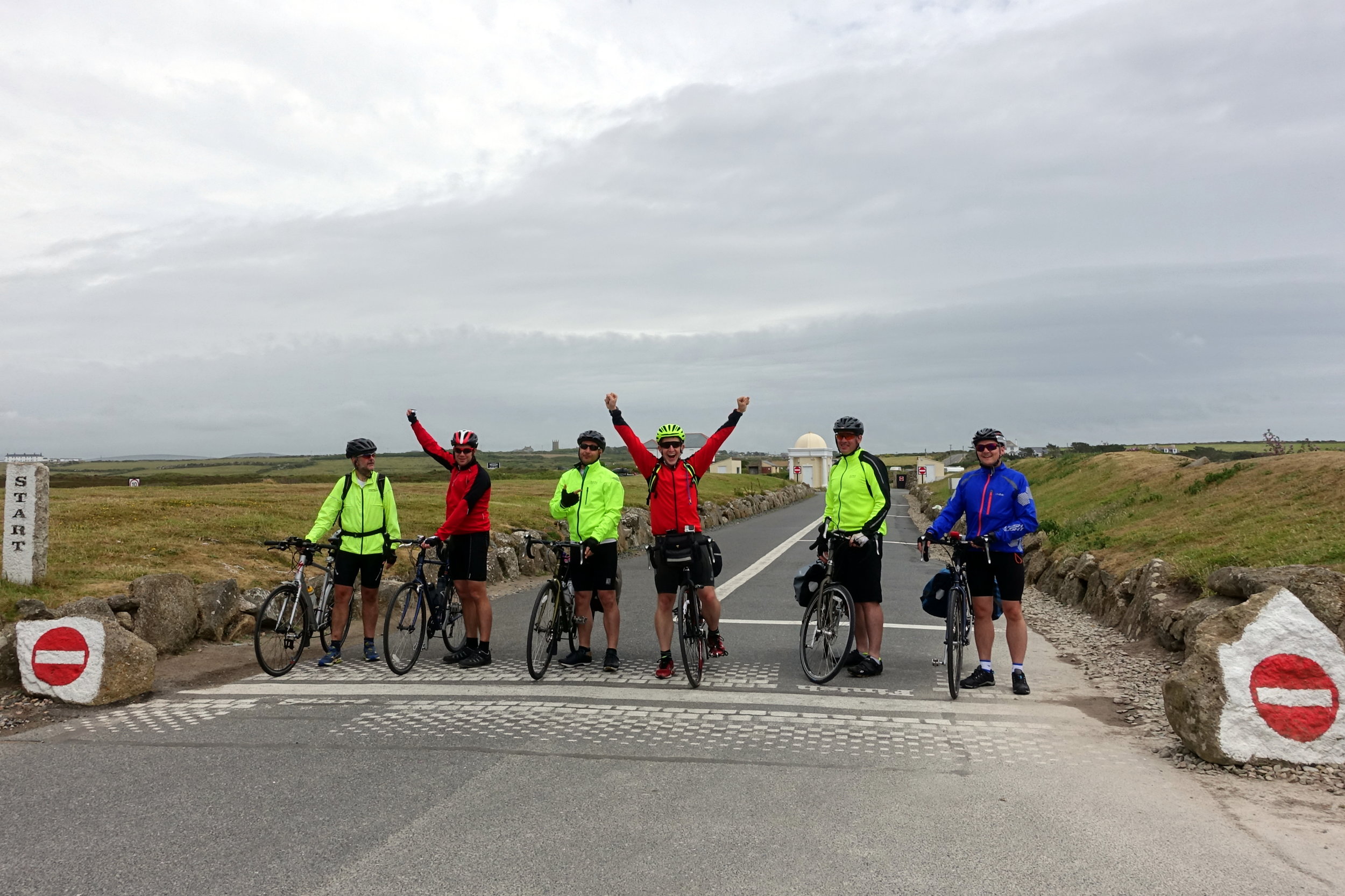
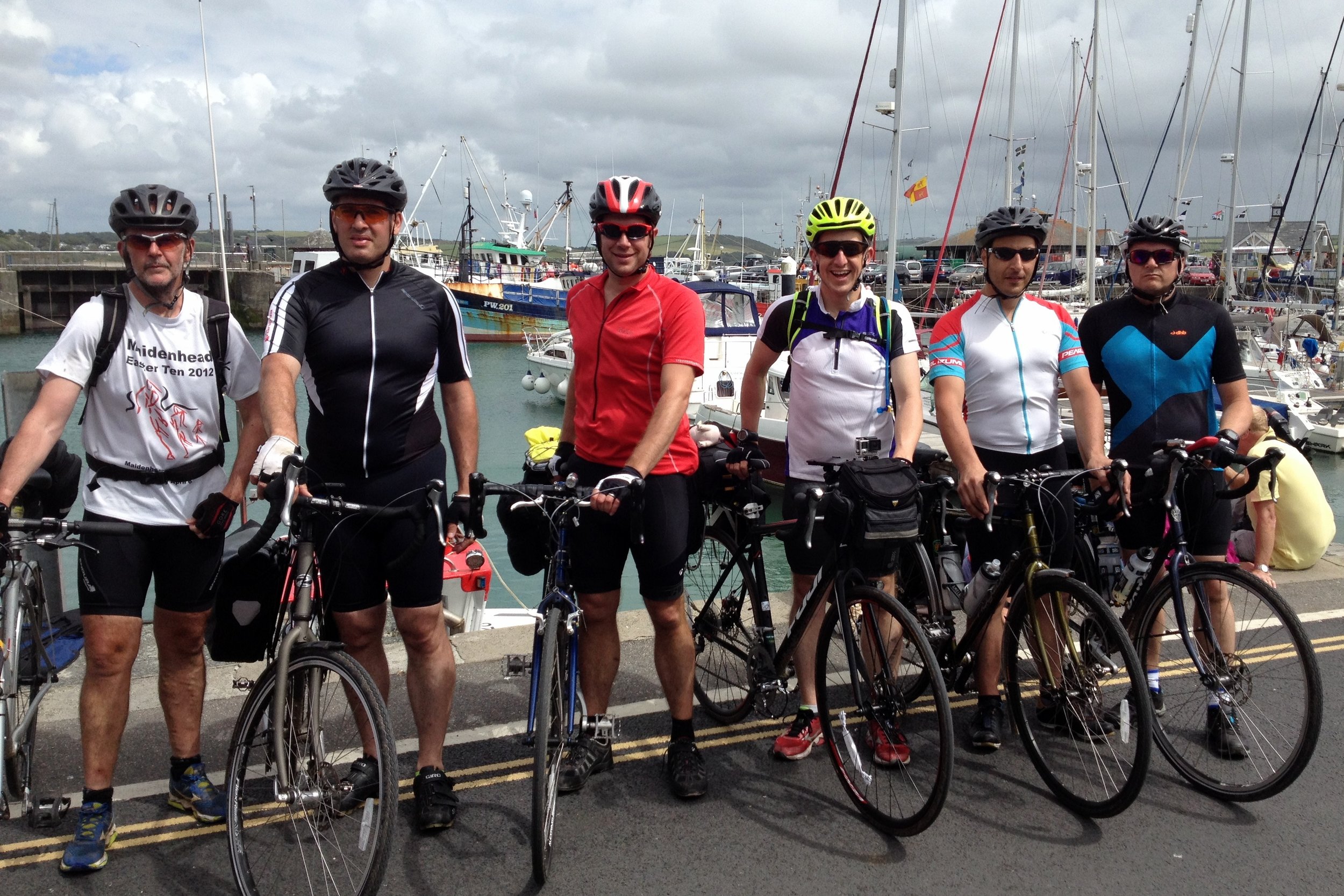
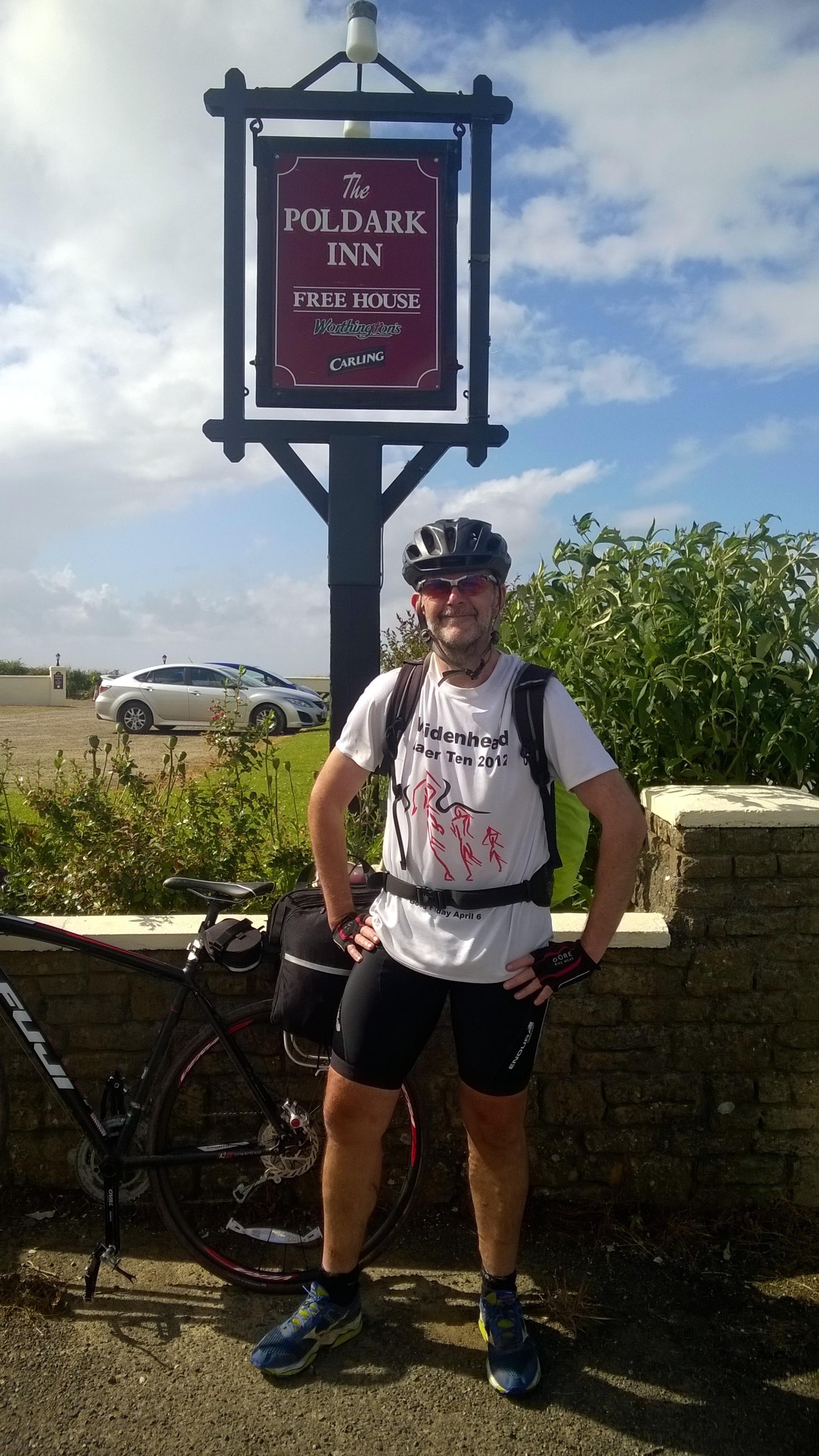
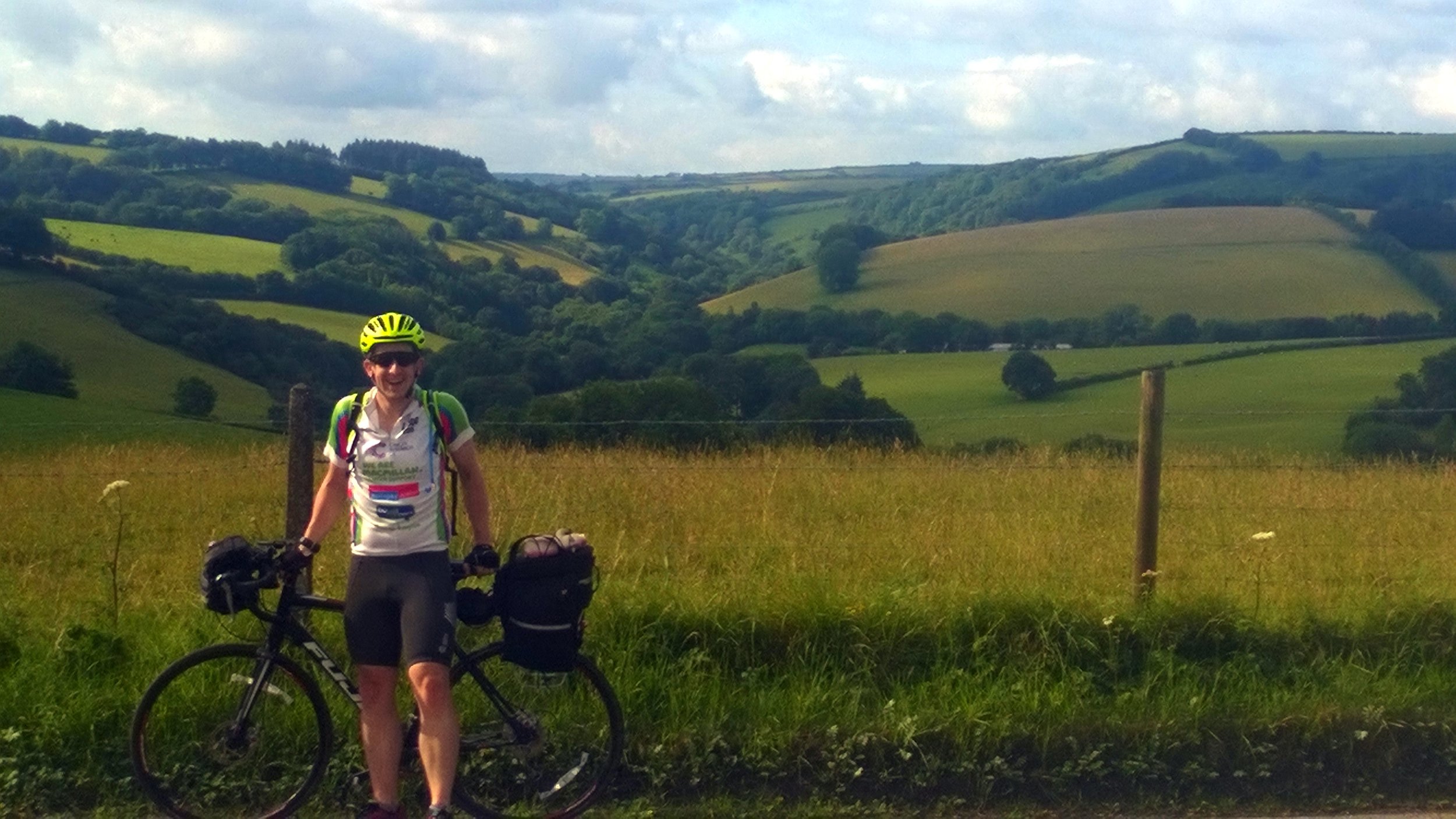
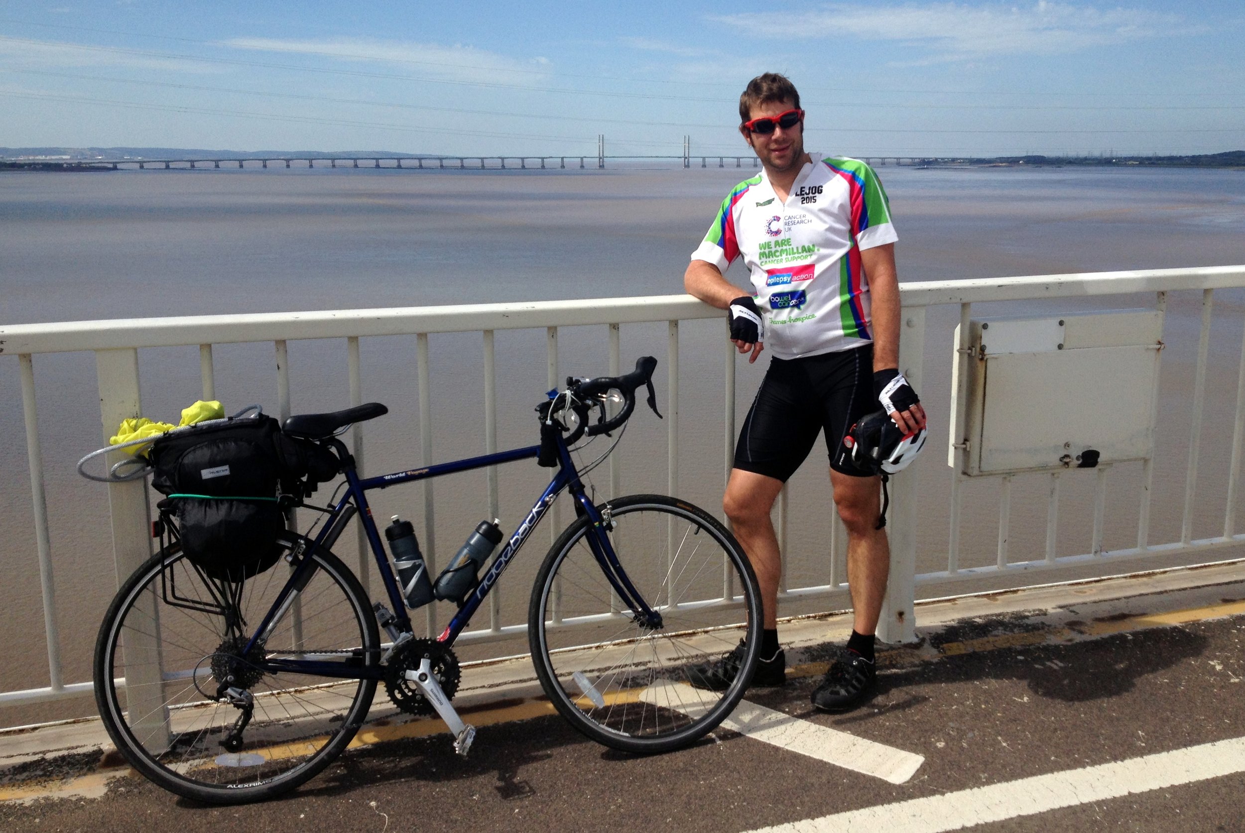
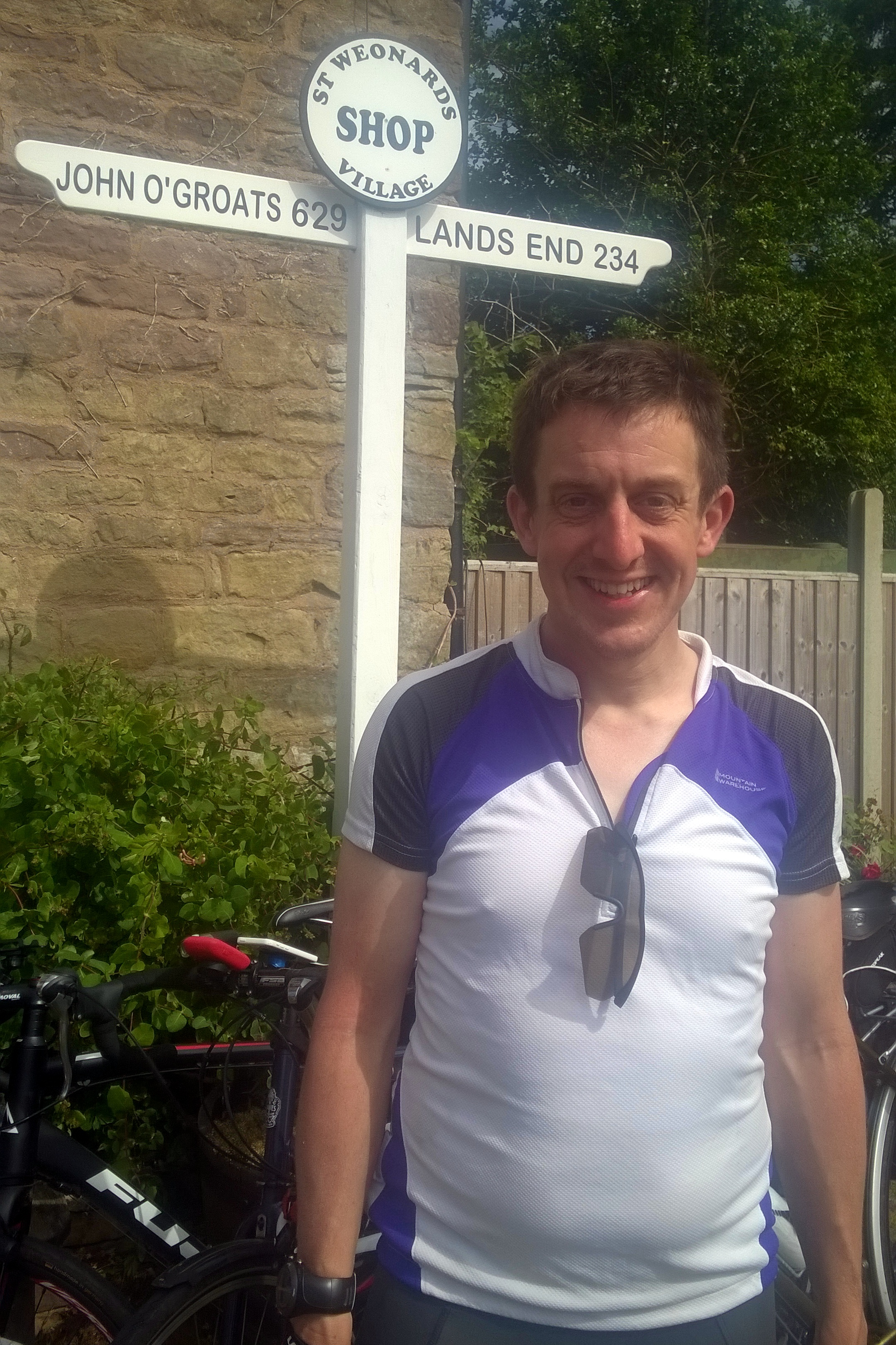
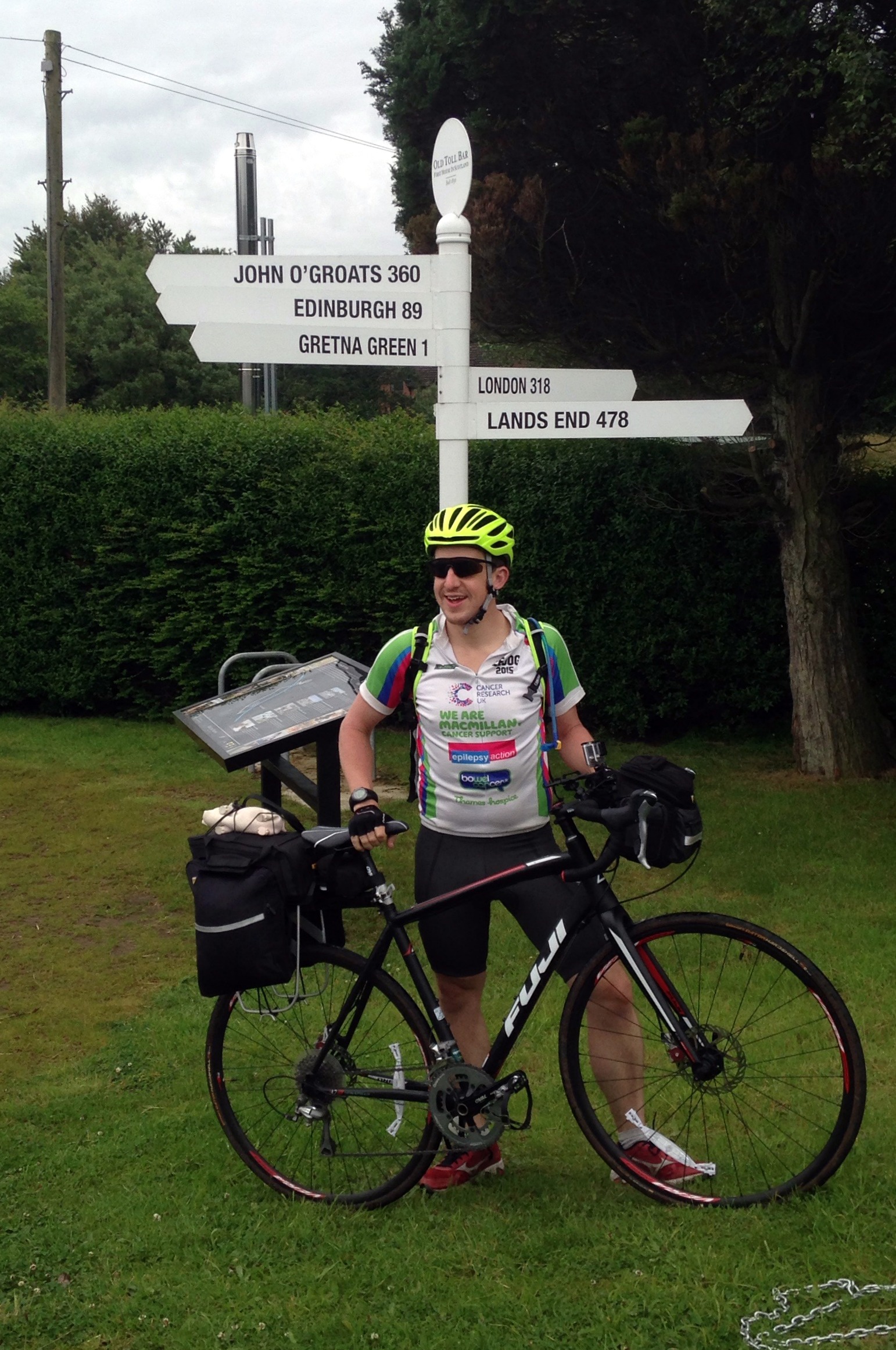
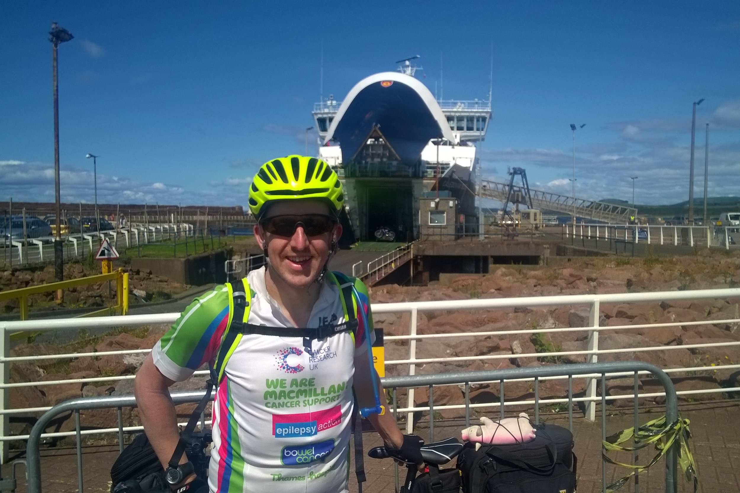
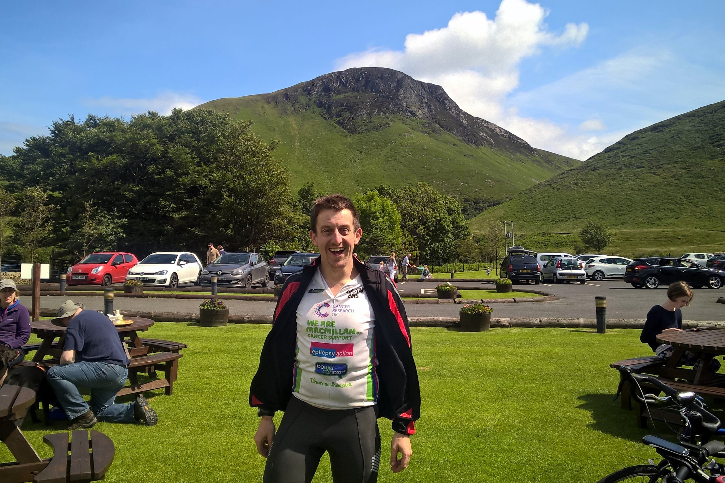
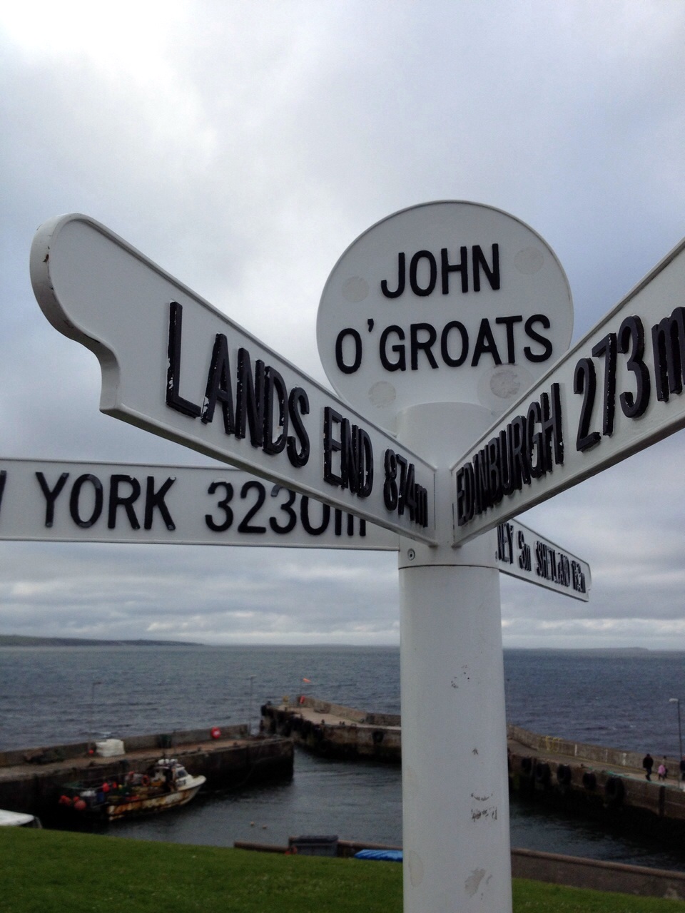
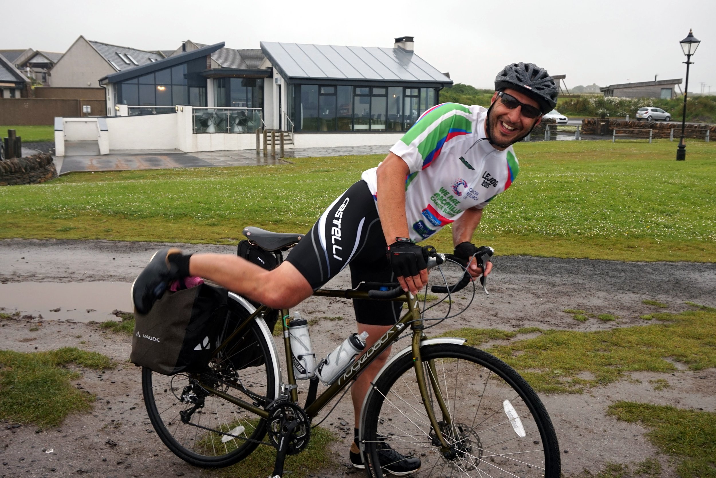
We had all heard of different routes, from the 41 hours record to a very sedate month-long LEJOG pub crawl. 2 weeks seemed the most obvious duration as it was about as much time as we could get off work and the 75 mile average day was very manageable. This plan meant we could stay off the busy A roads as much as possible and get as much scenery in as possible. By the time we all met up in Penzance the evening before the start, we had reached a peak of excitement. We had done all we could to prepare, train and fundraise. Now all we had to do was cycle.

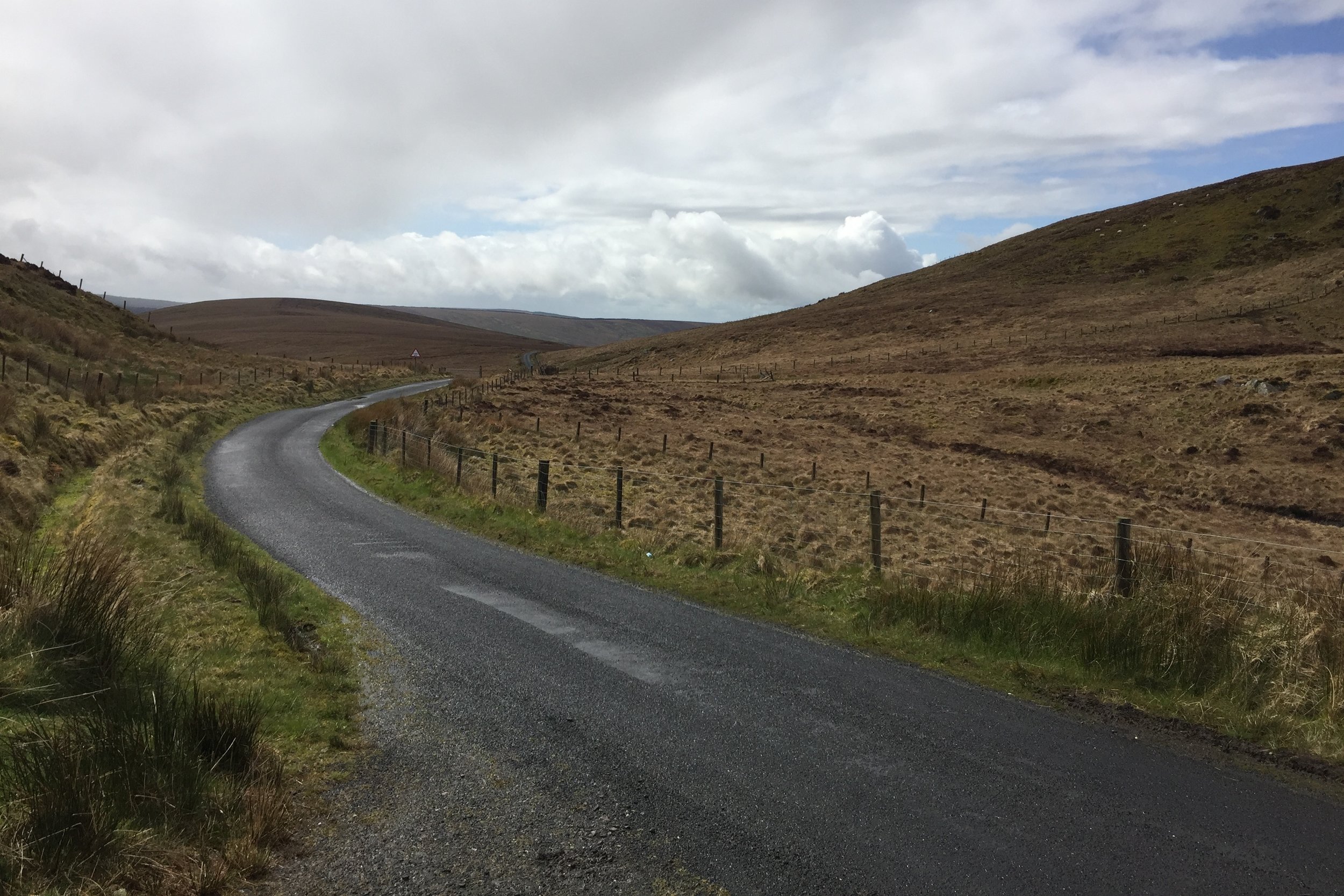
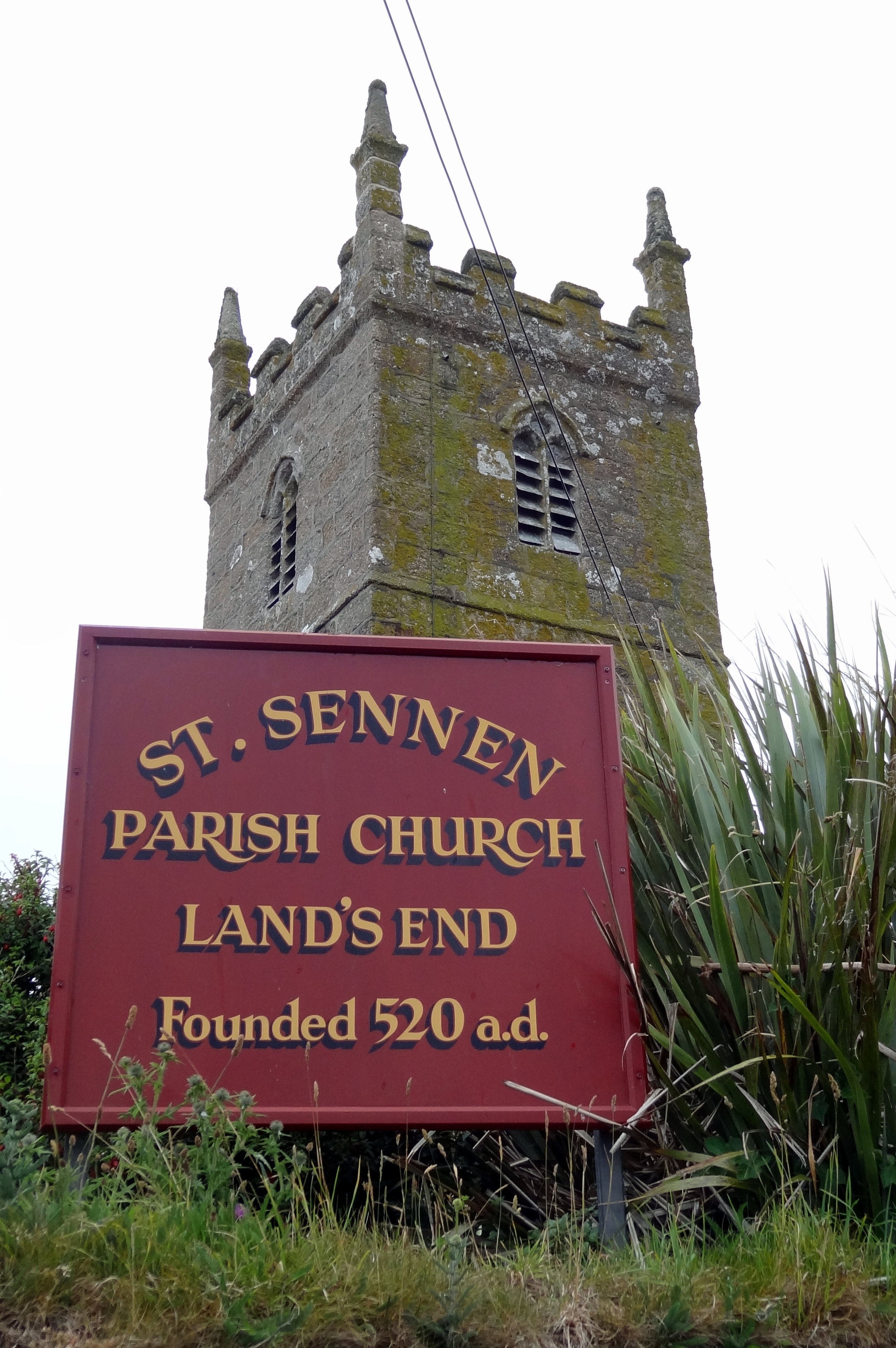
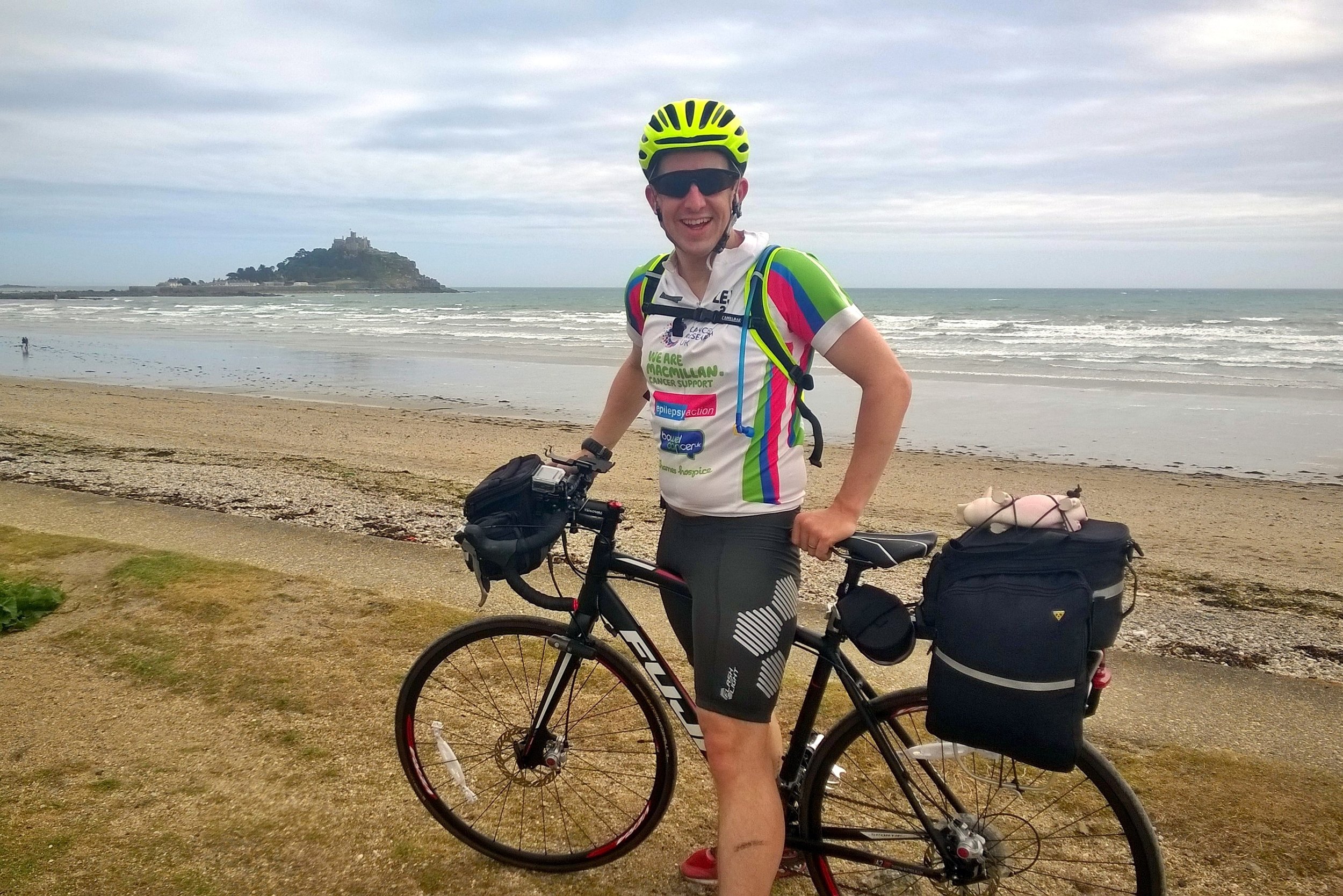
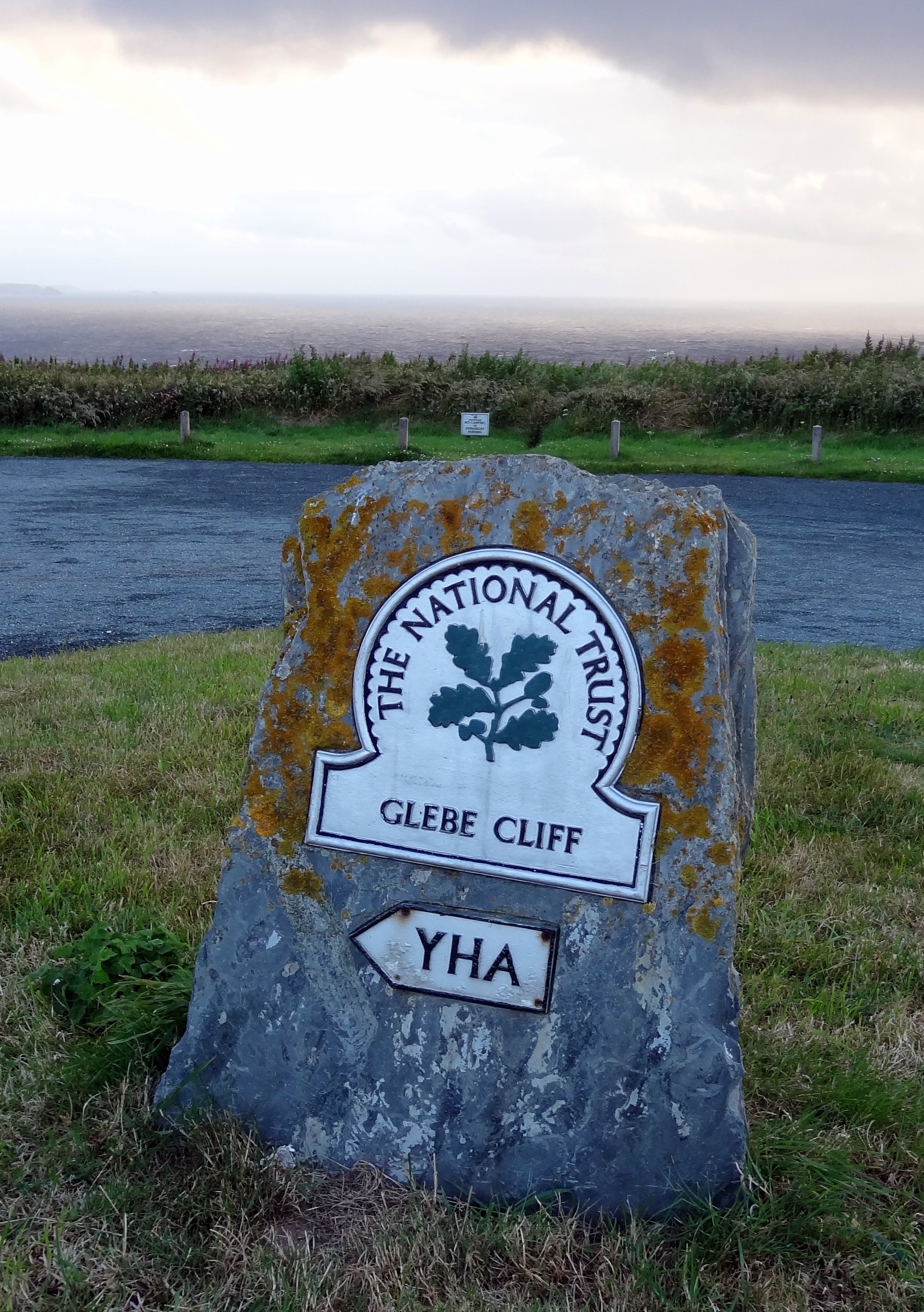
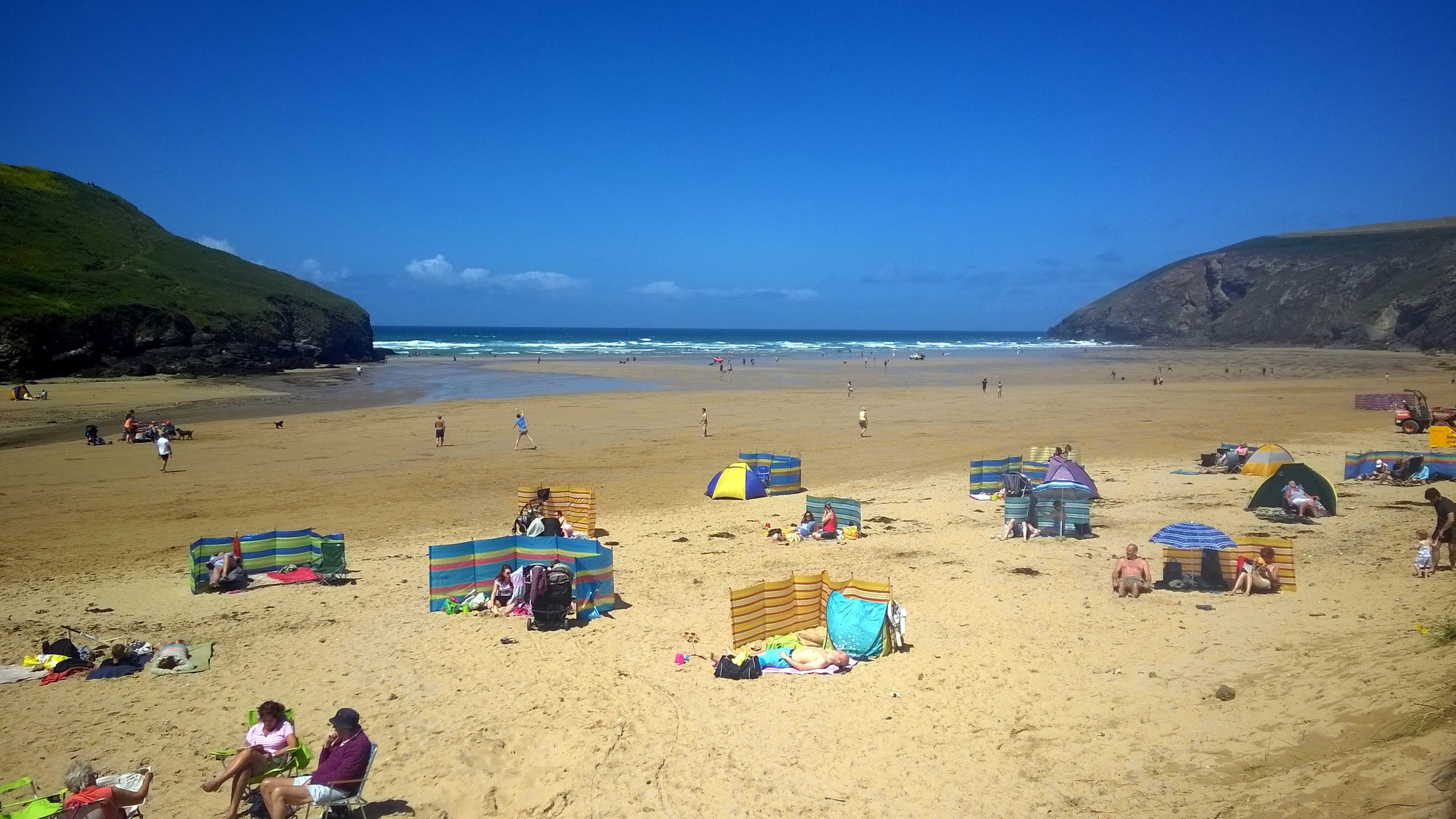
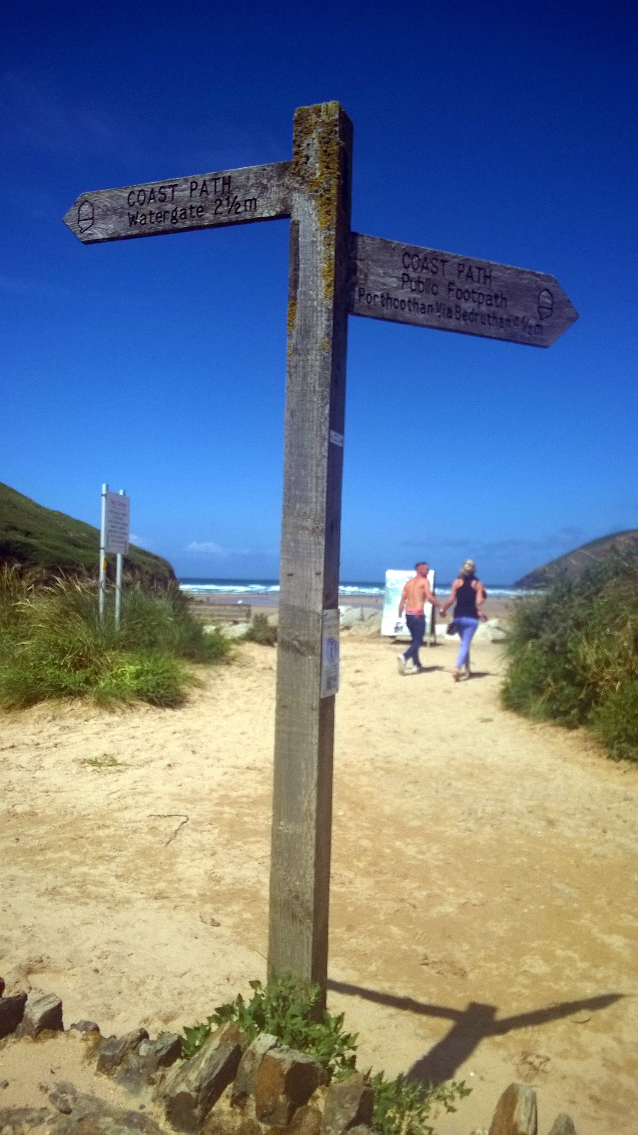
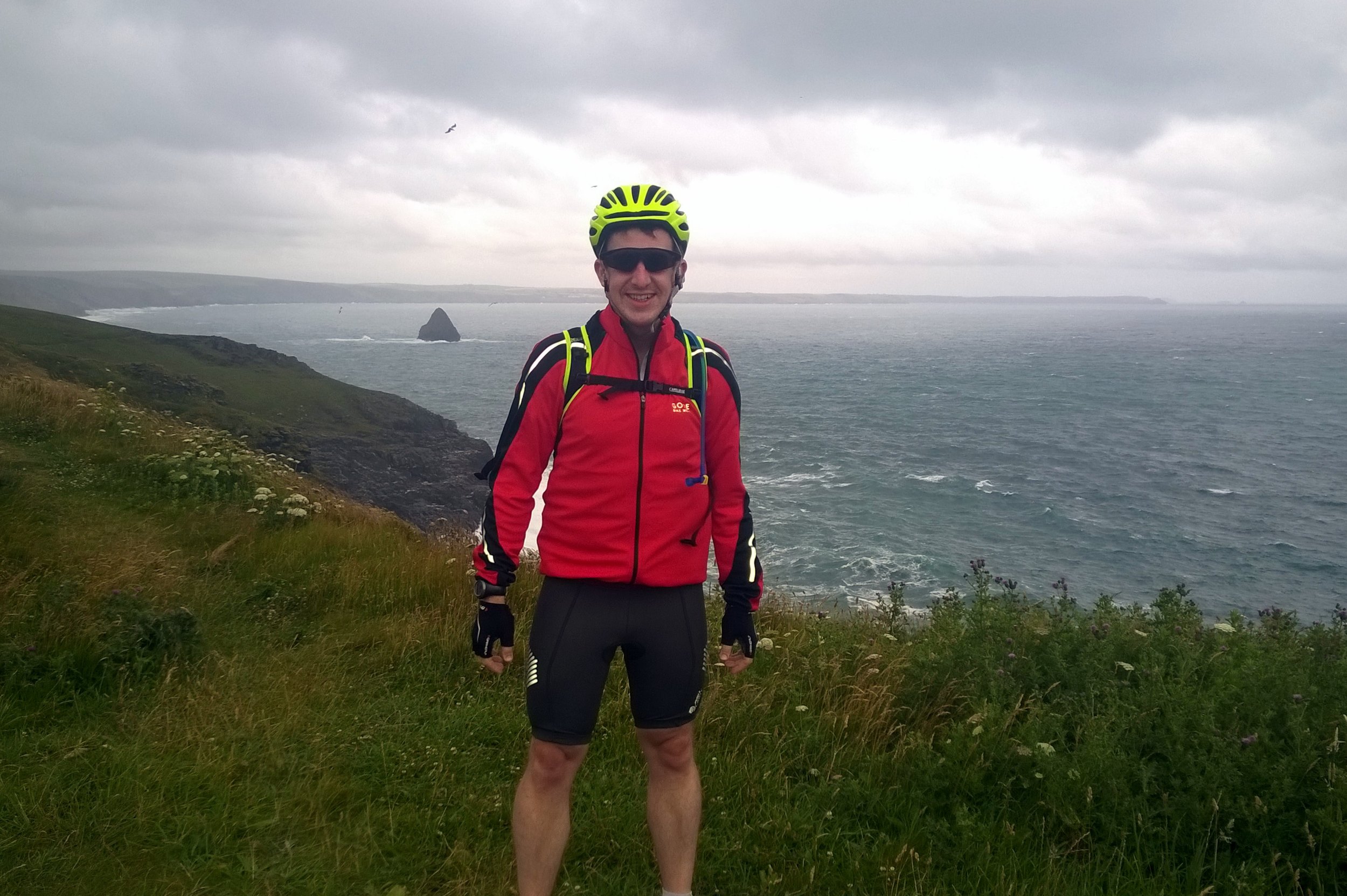
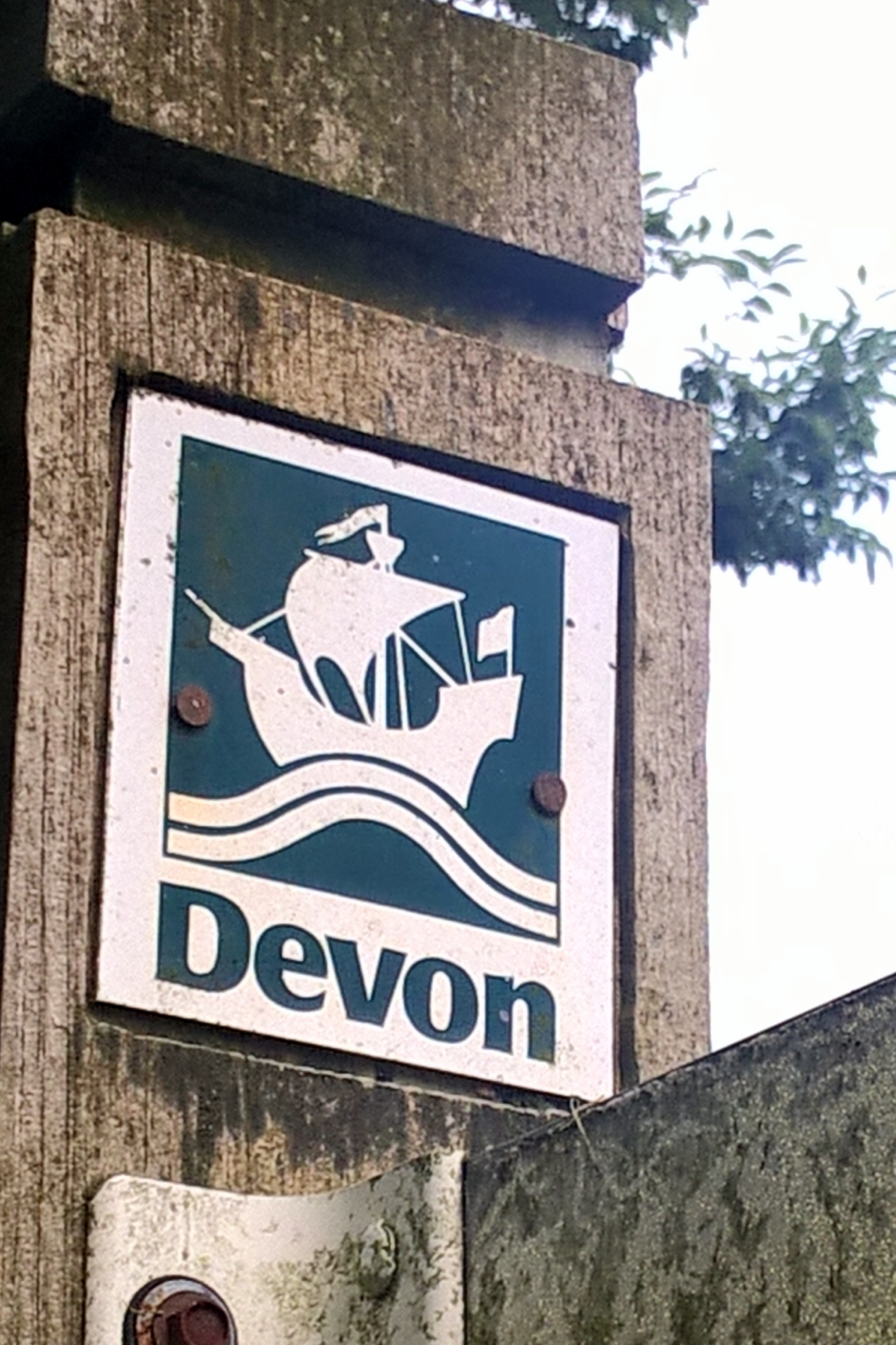
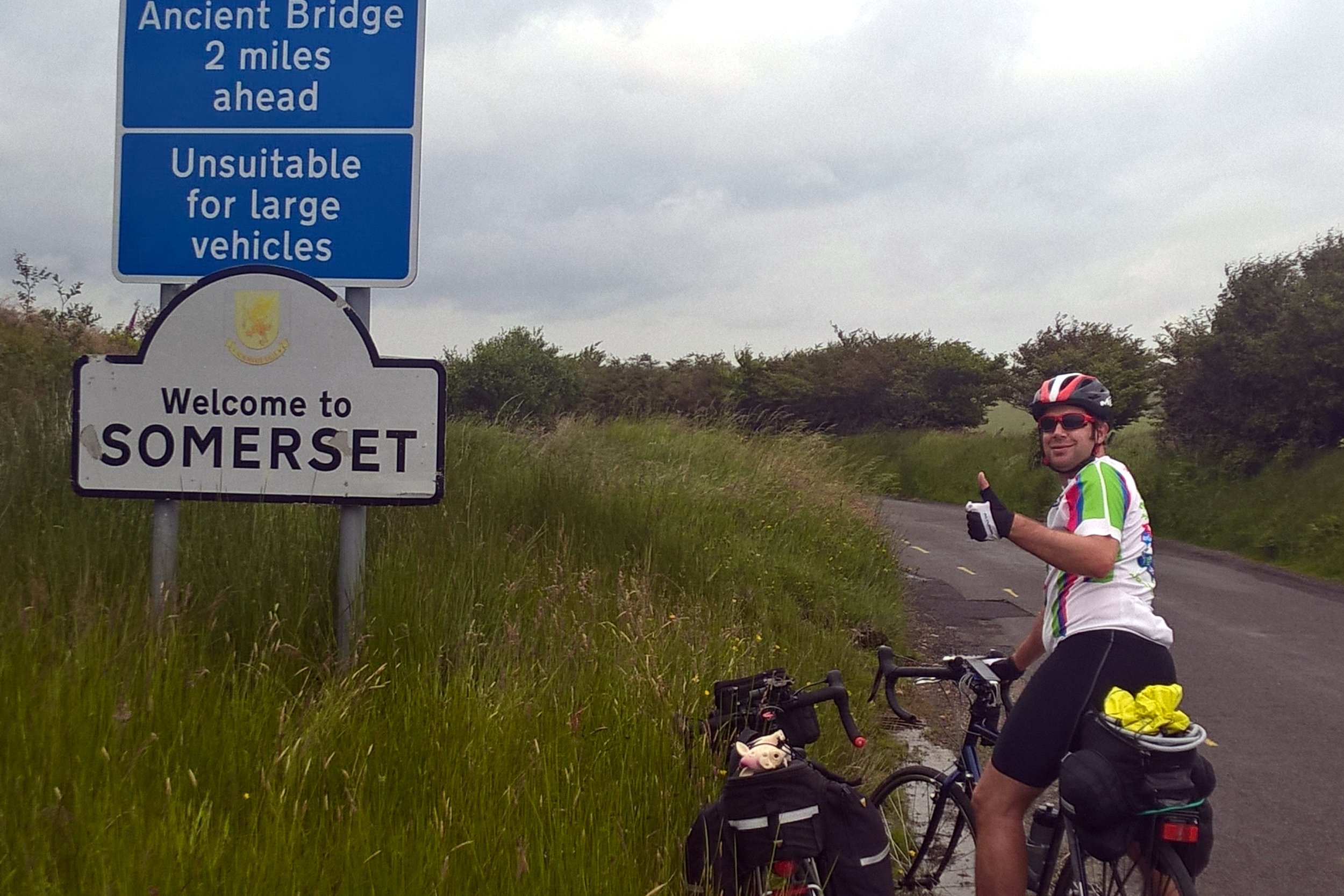
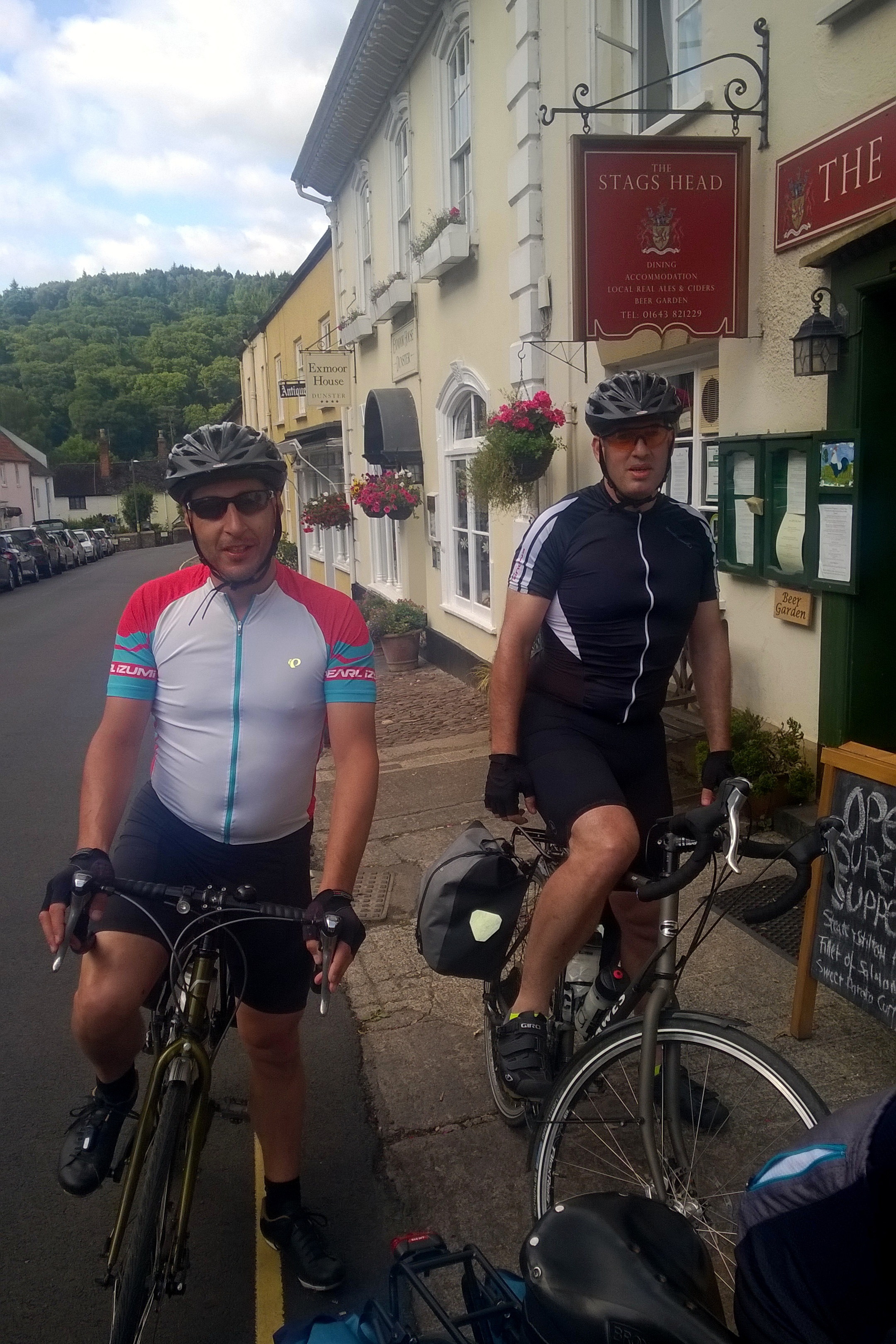
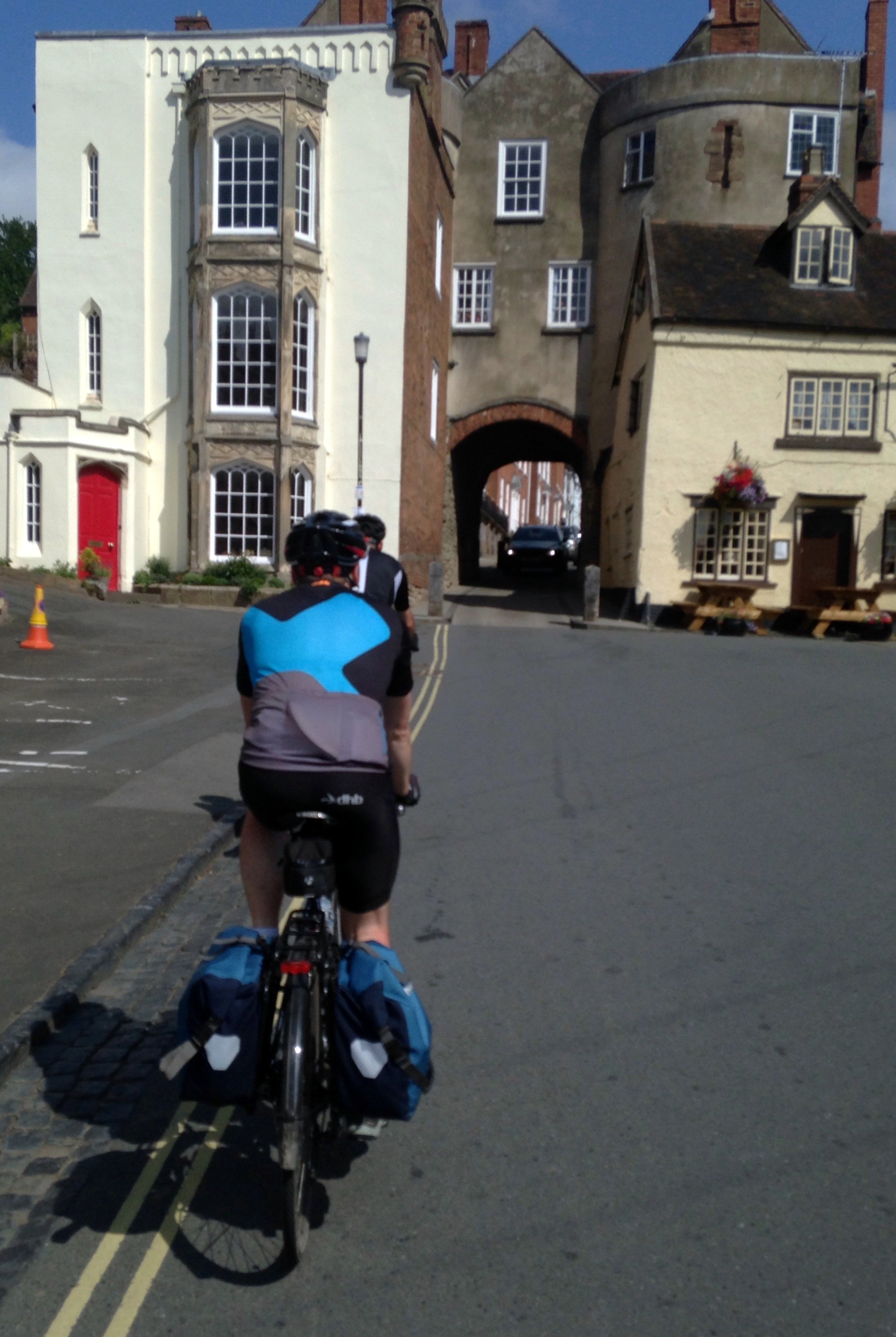
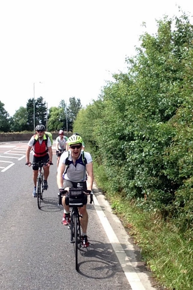
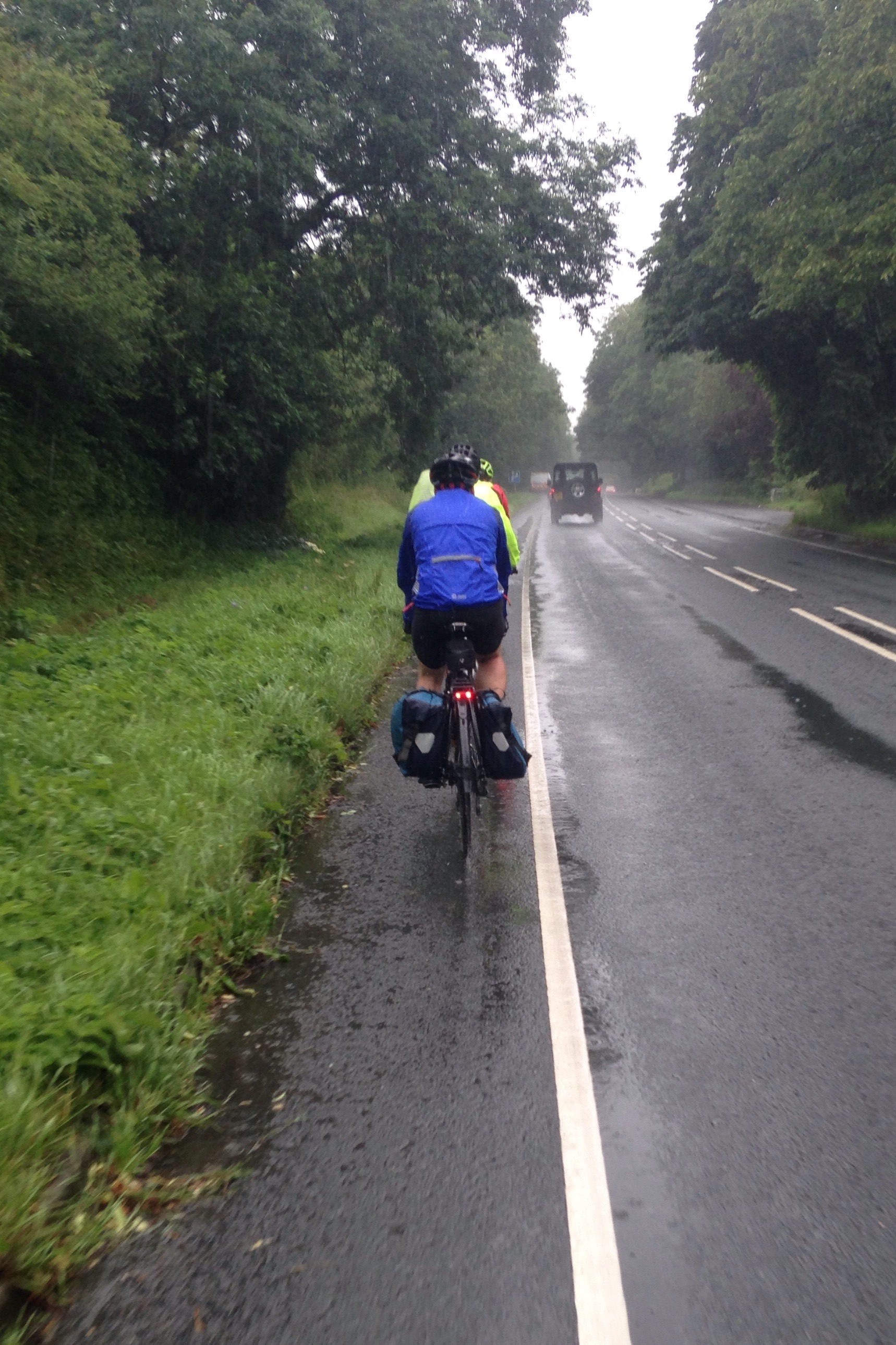
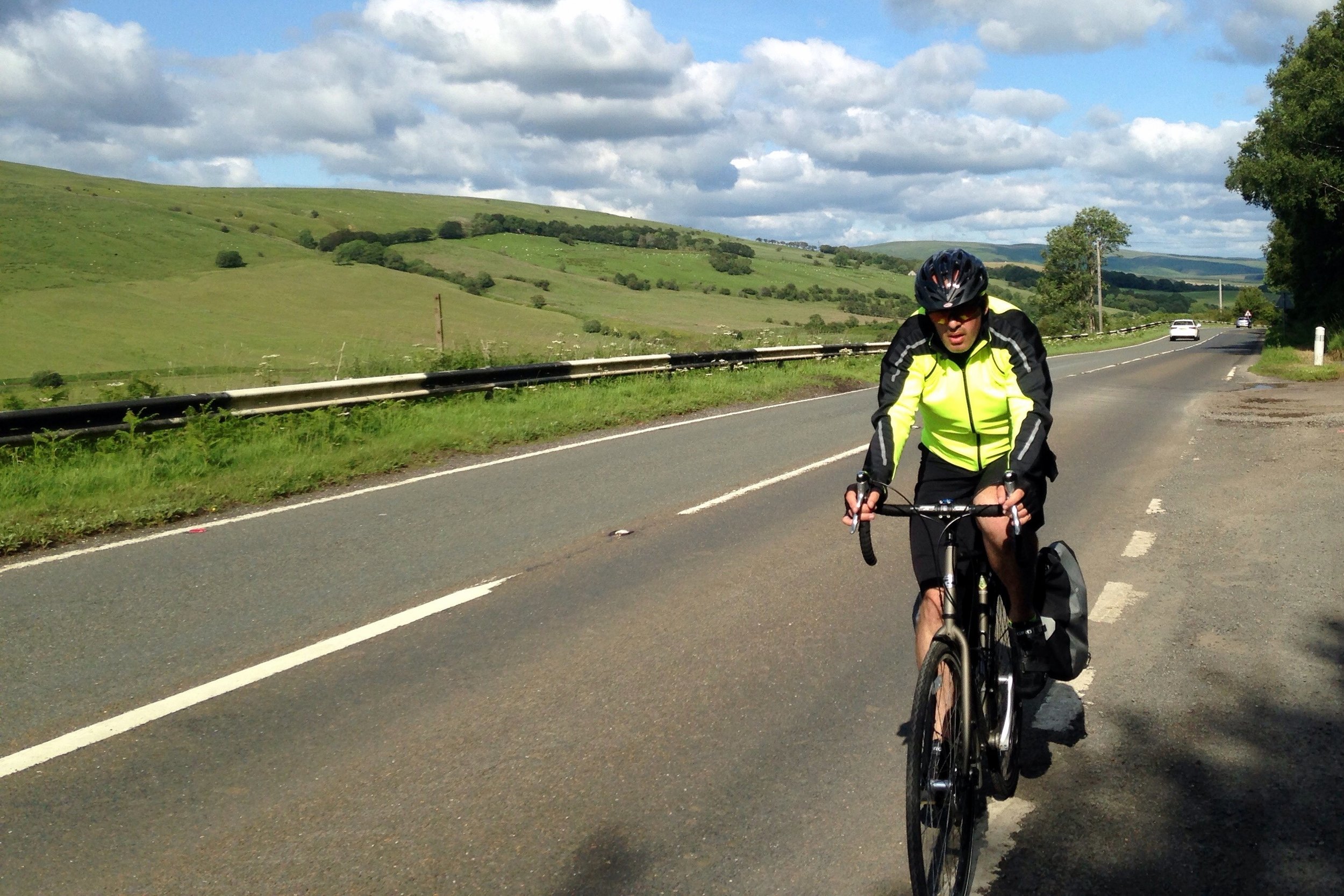
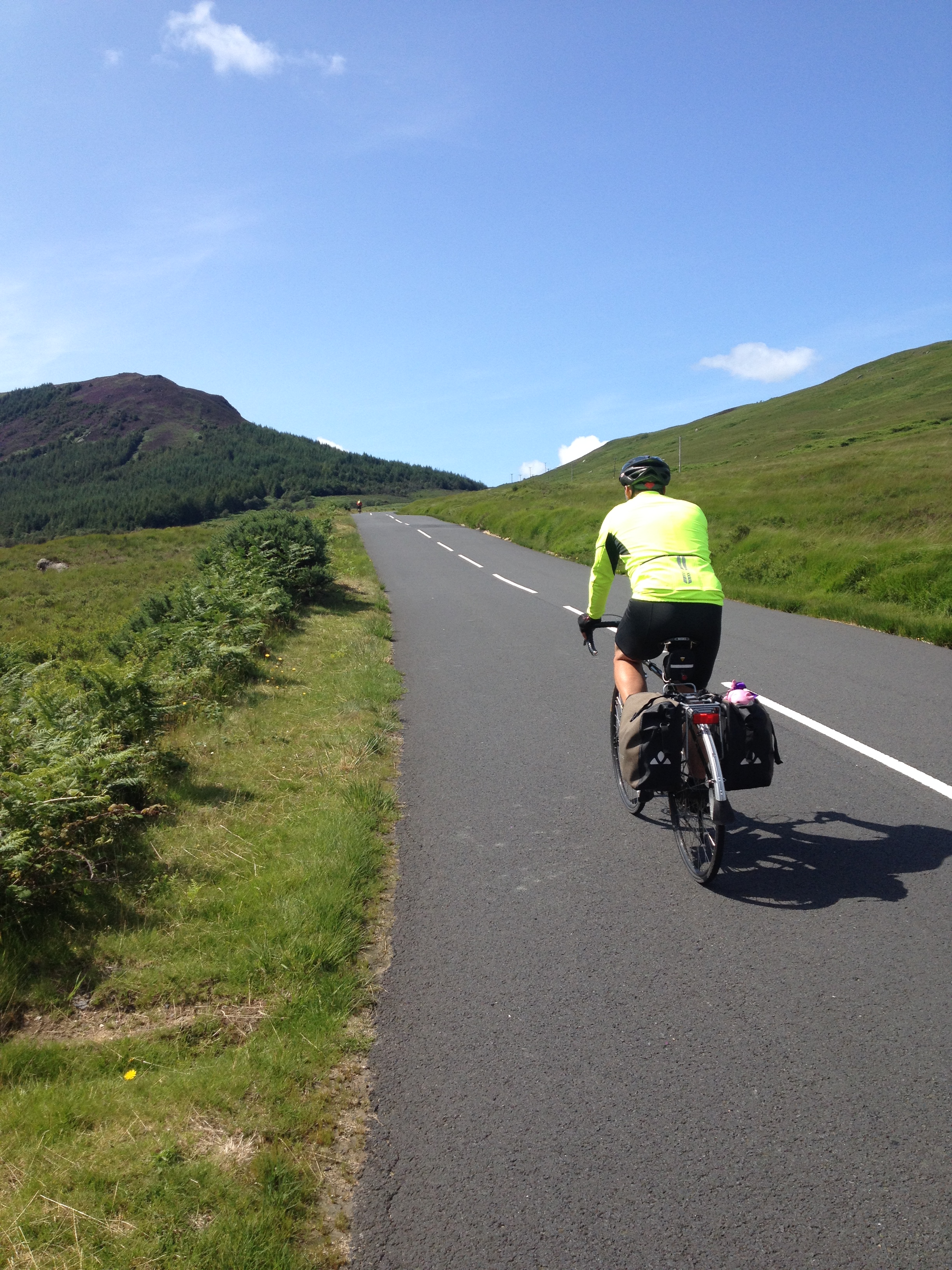
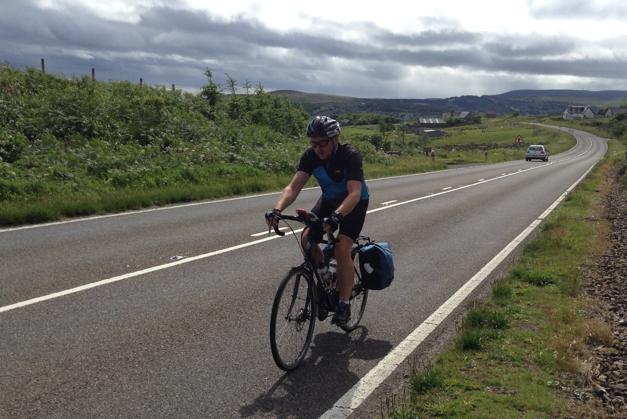
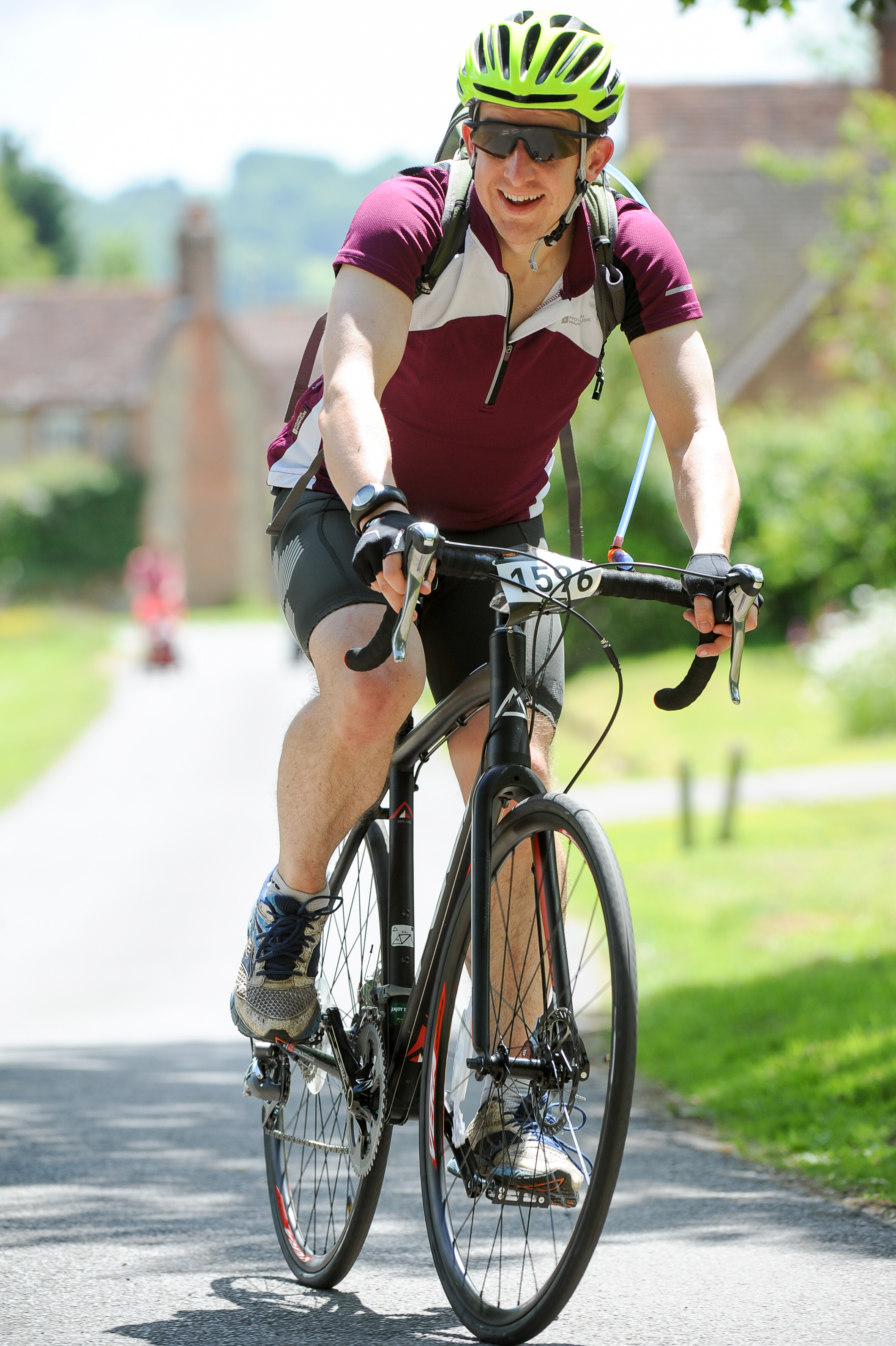
We took Day 1 easy, just 35 miles to Falmouth. A little hilly, but nothing to complain about and a good dose of coastal route scenery. It was the next 2 days, Falmouth to Exford, that were the real test. Most people assume that Scotland is the toughest section for hills, but its actually Devon and Cornwall. This is part of the reason to start at Lands-End so that you can knock off the coastal hills while your legs are fresh. This would have been fine, except that I was still getting used to my new road-bike and I still wasn’t used to the gears. There were several points on the first few days when I thought I’d broken my bike by changing to the wrong gear at the wrong time up a hill.

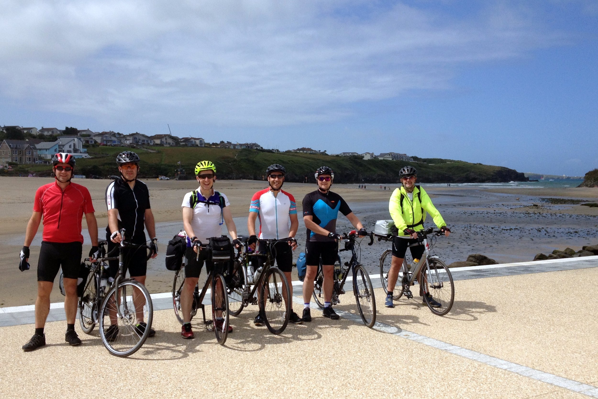
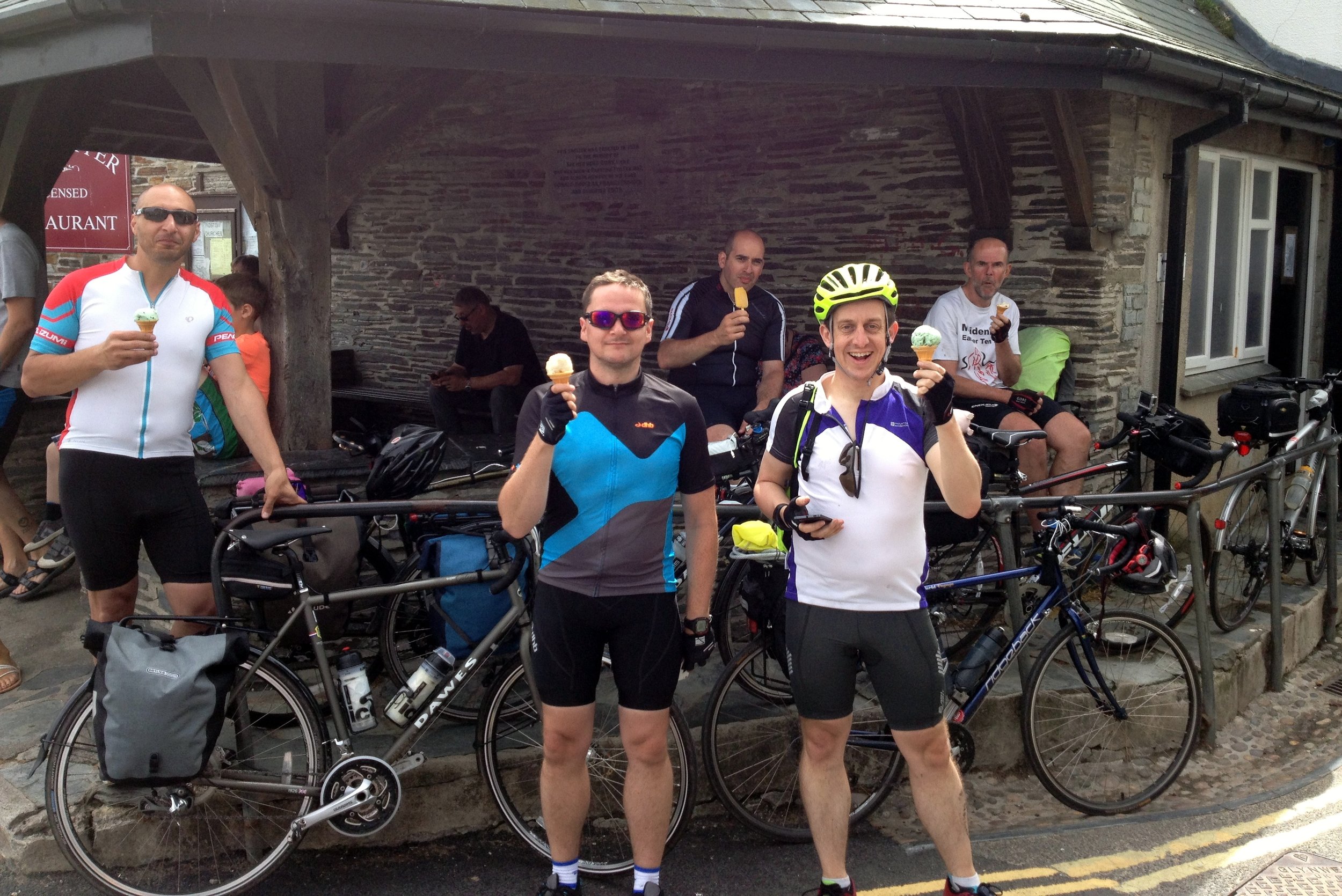
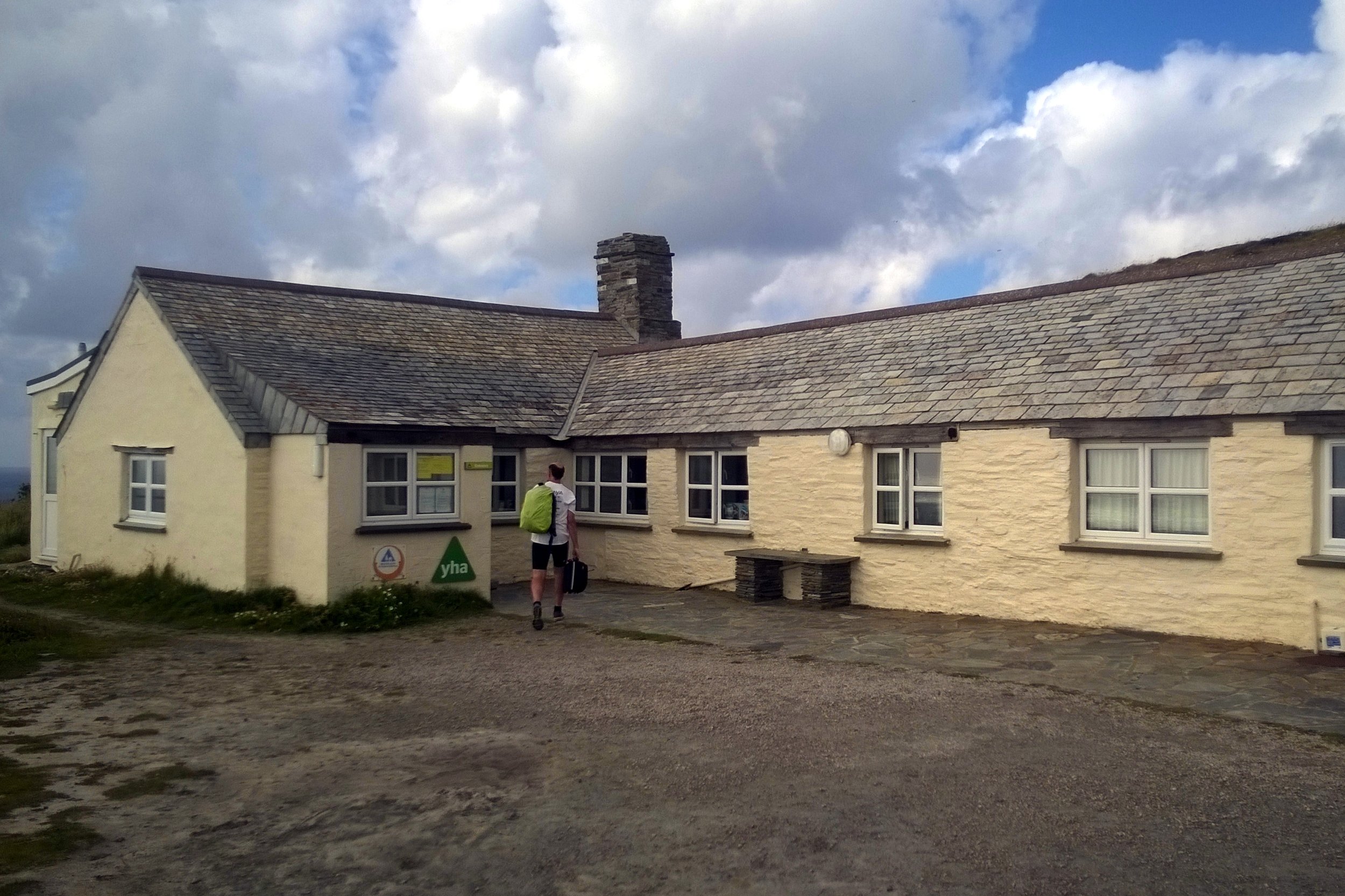
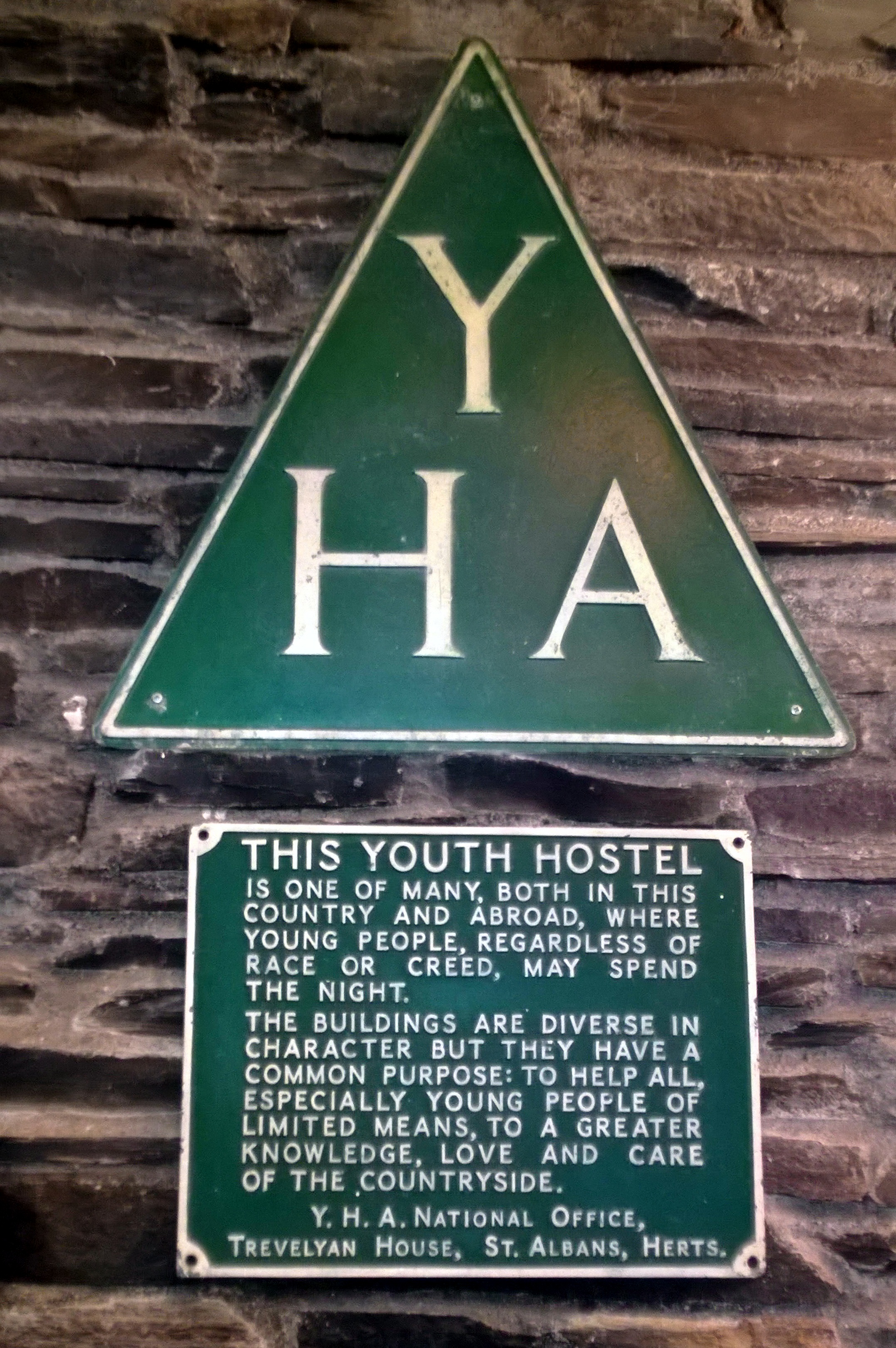
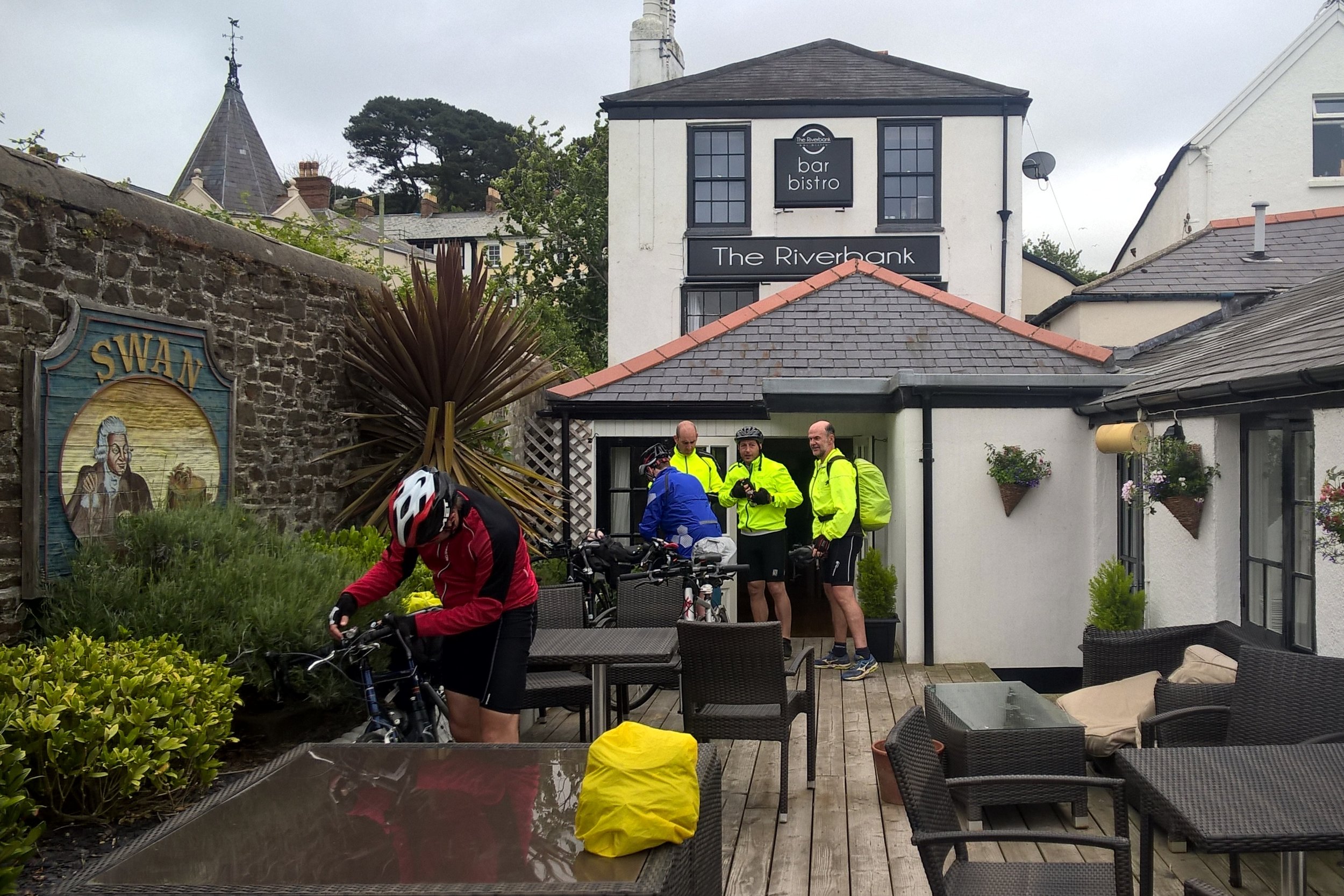
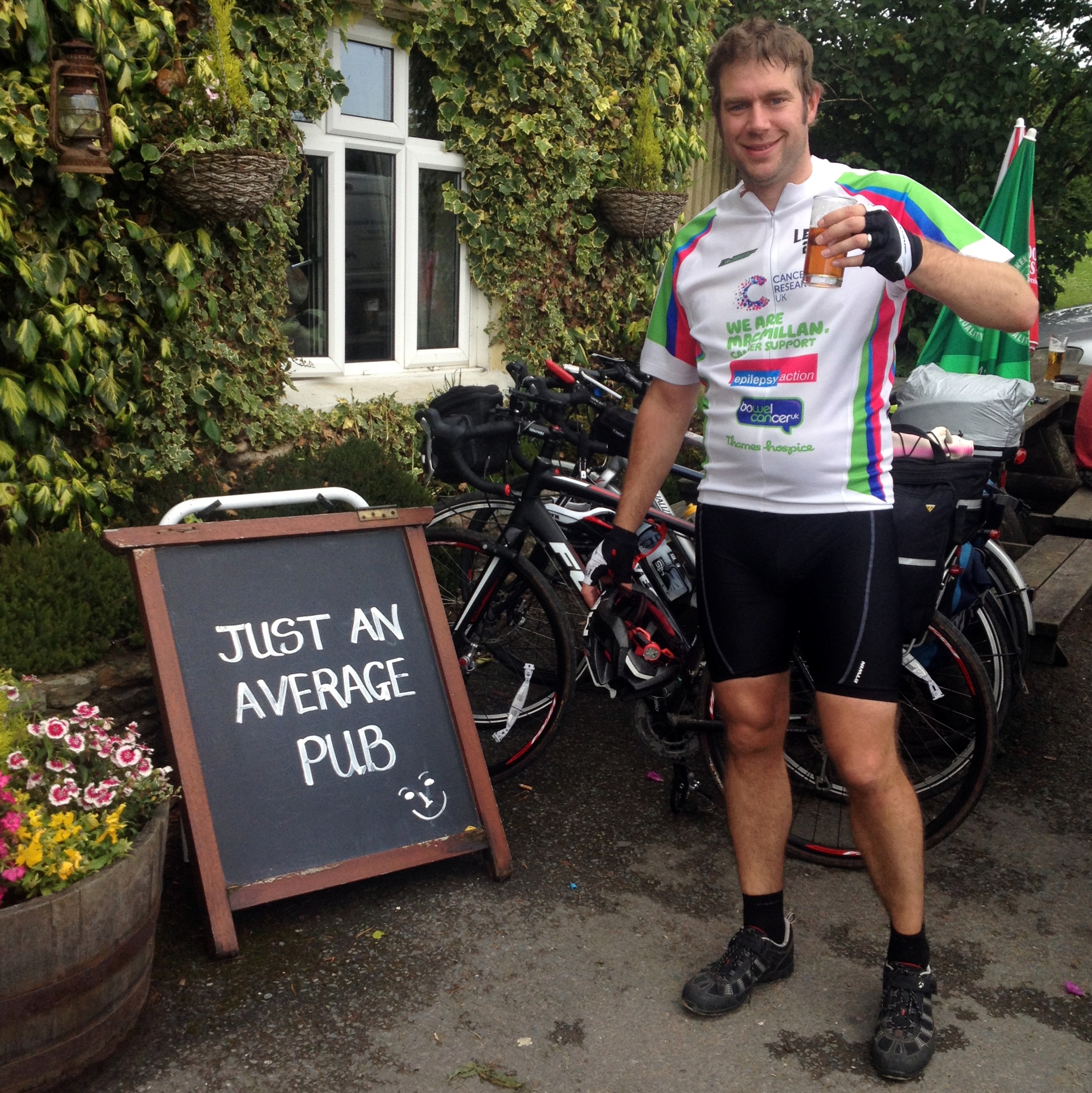
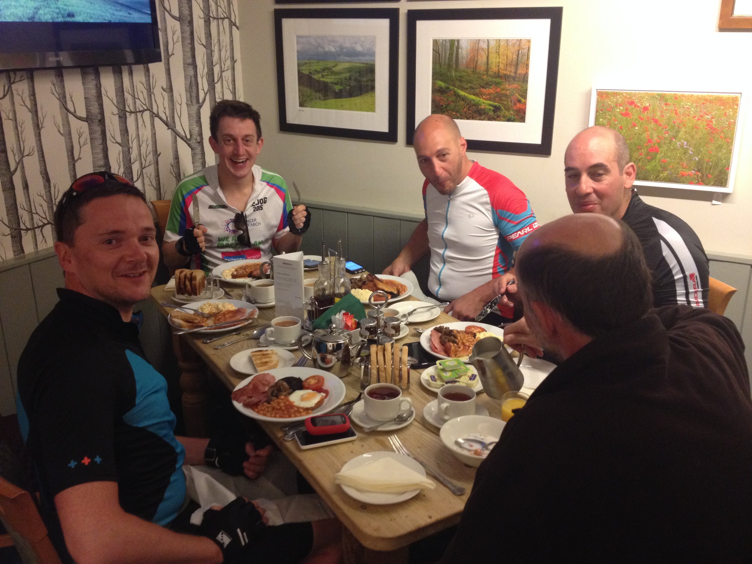
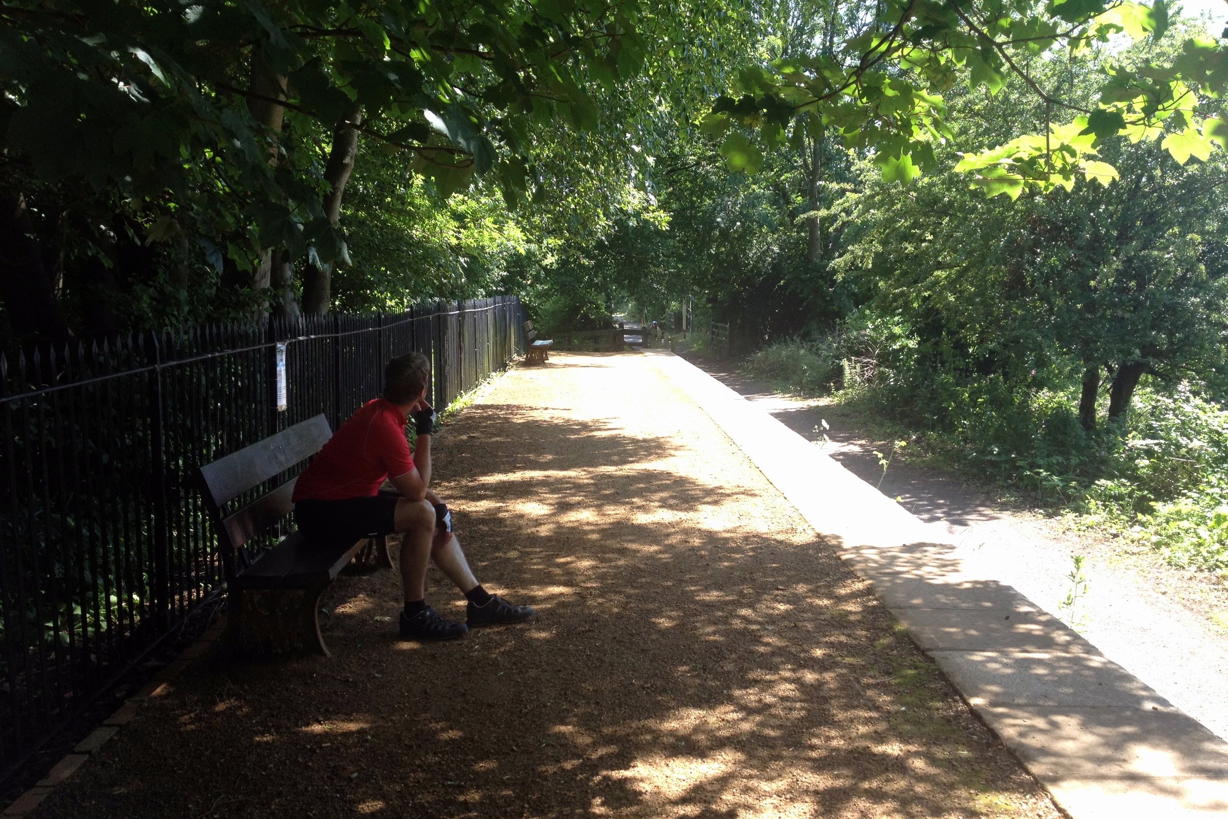
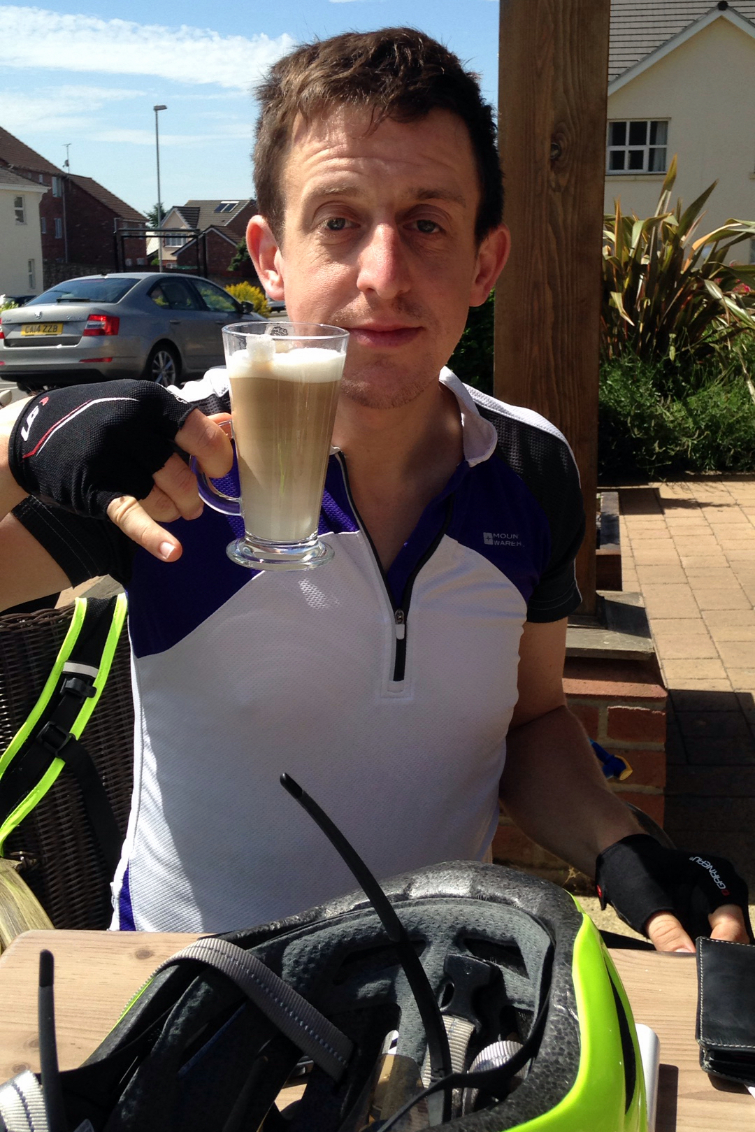
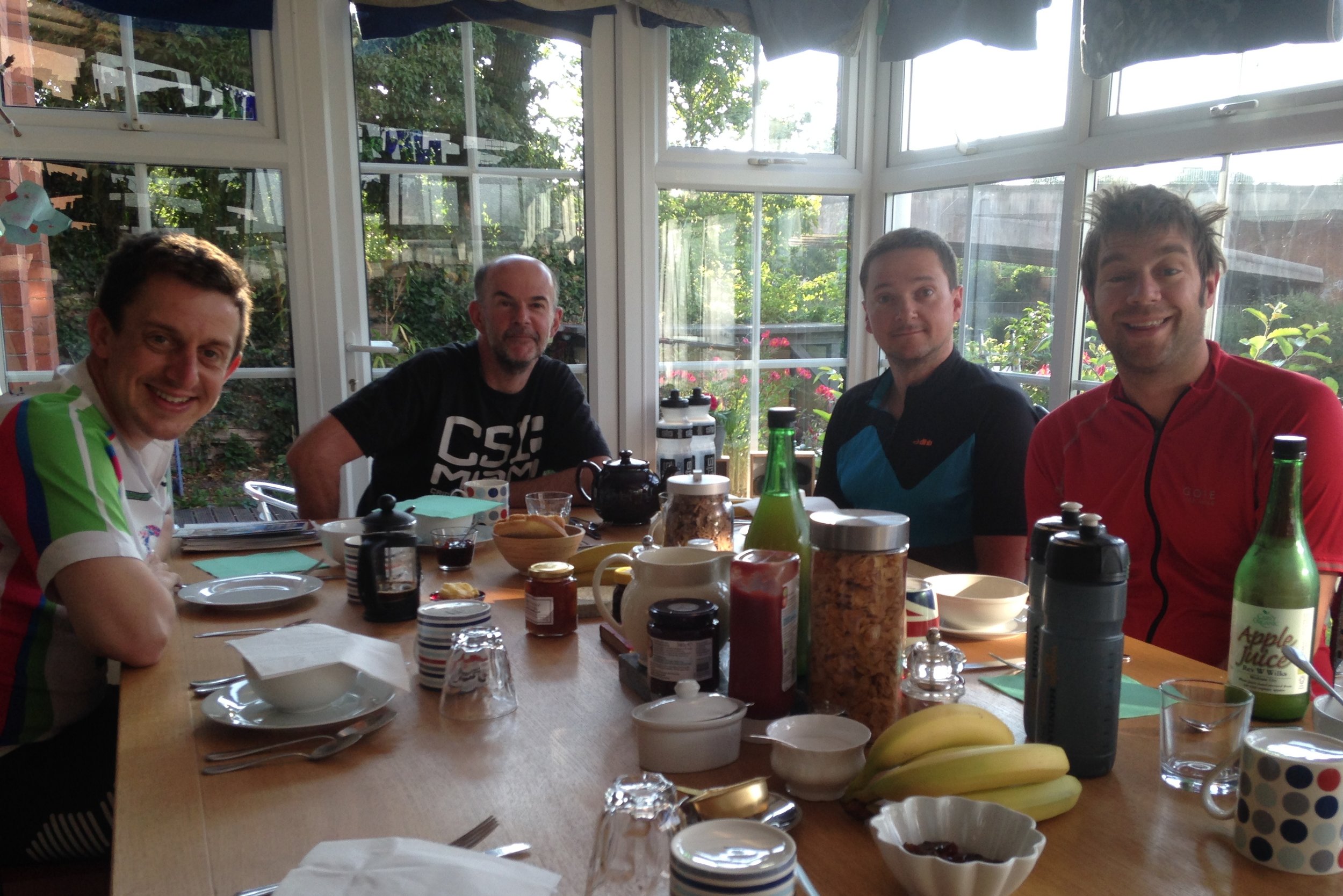
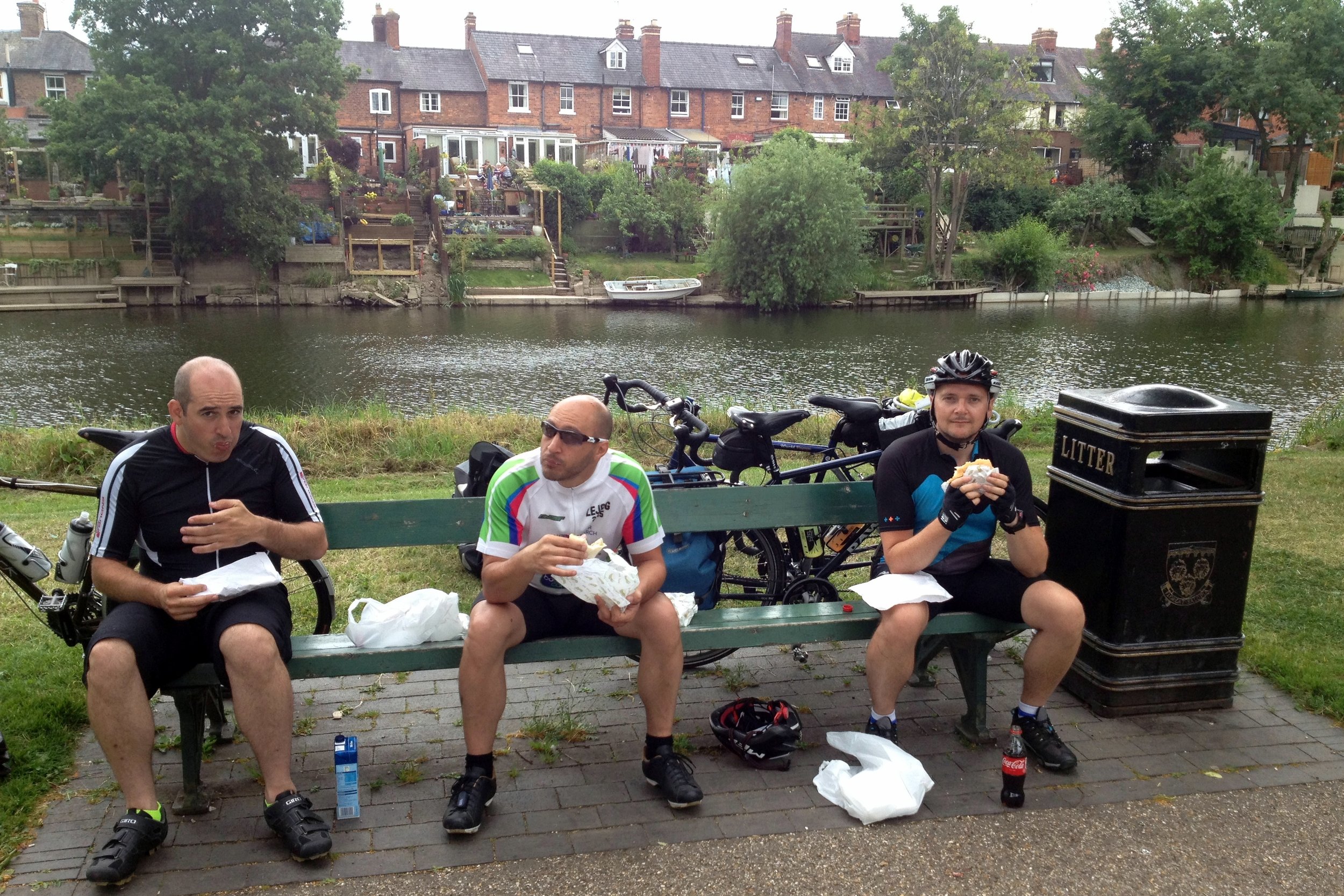
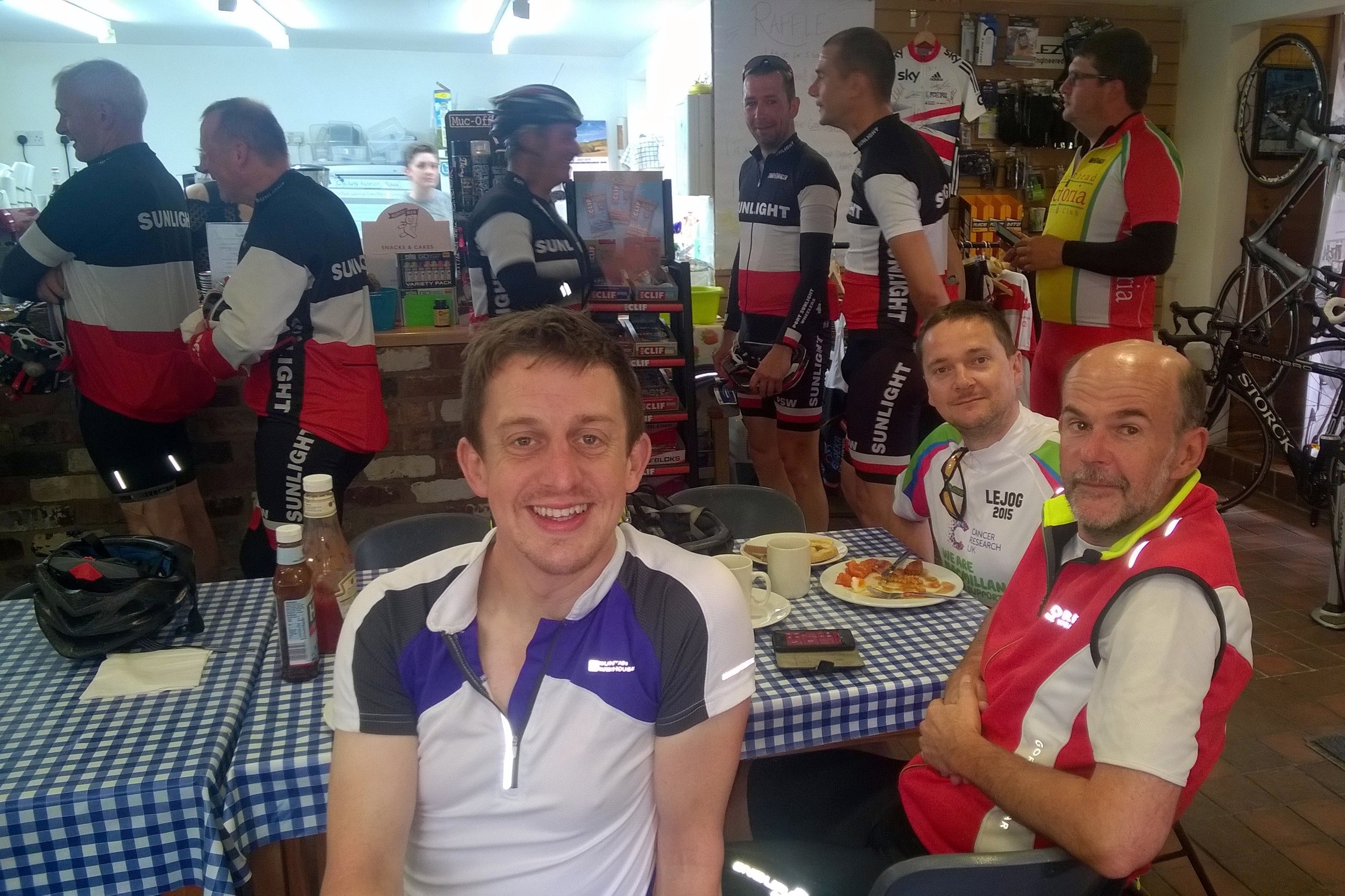
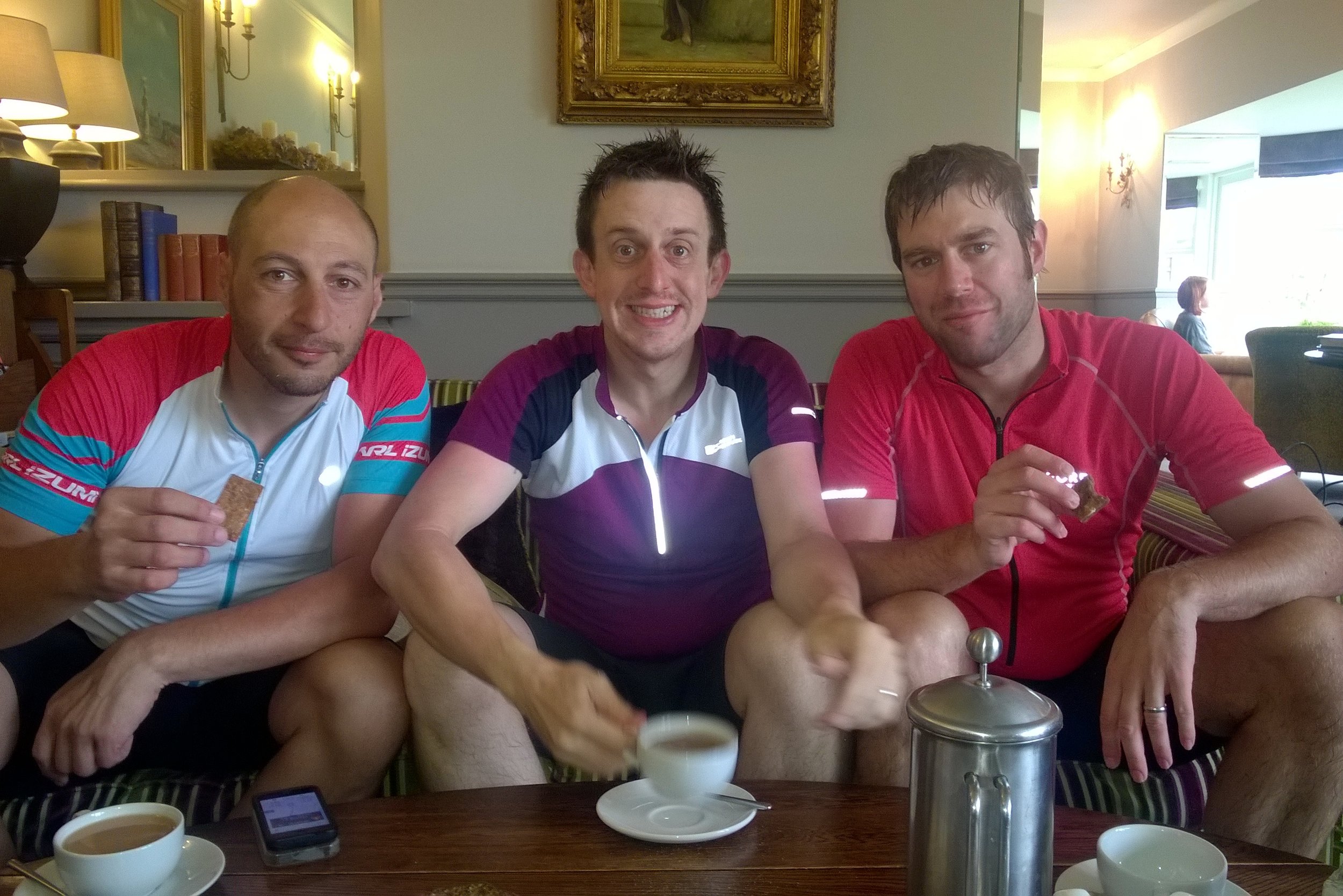
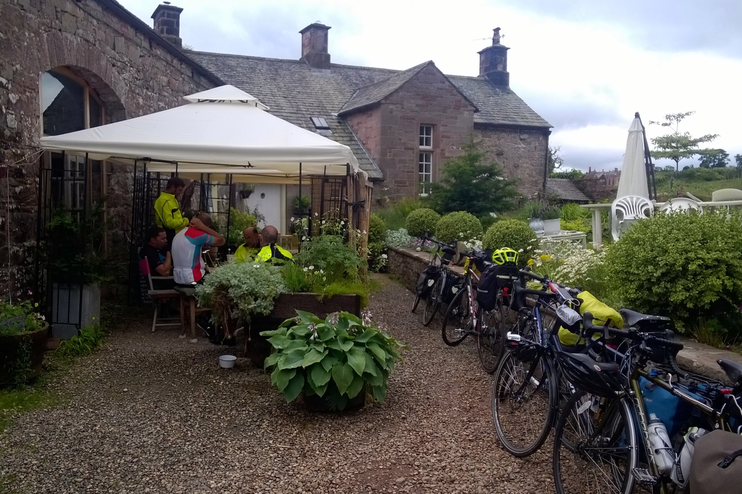
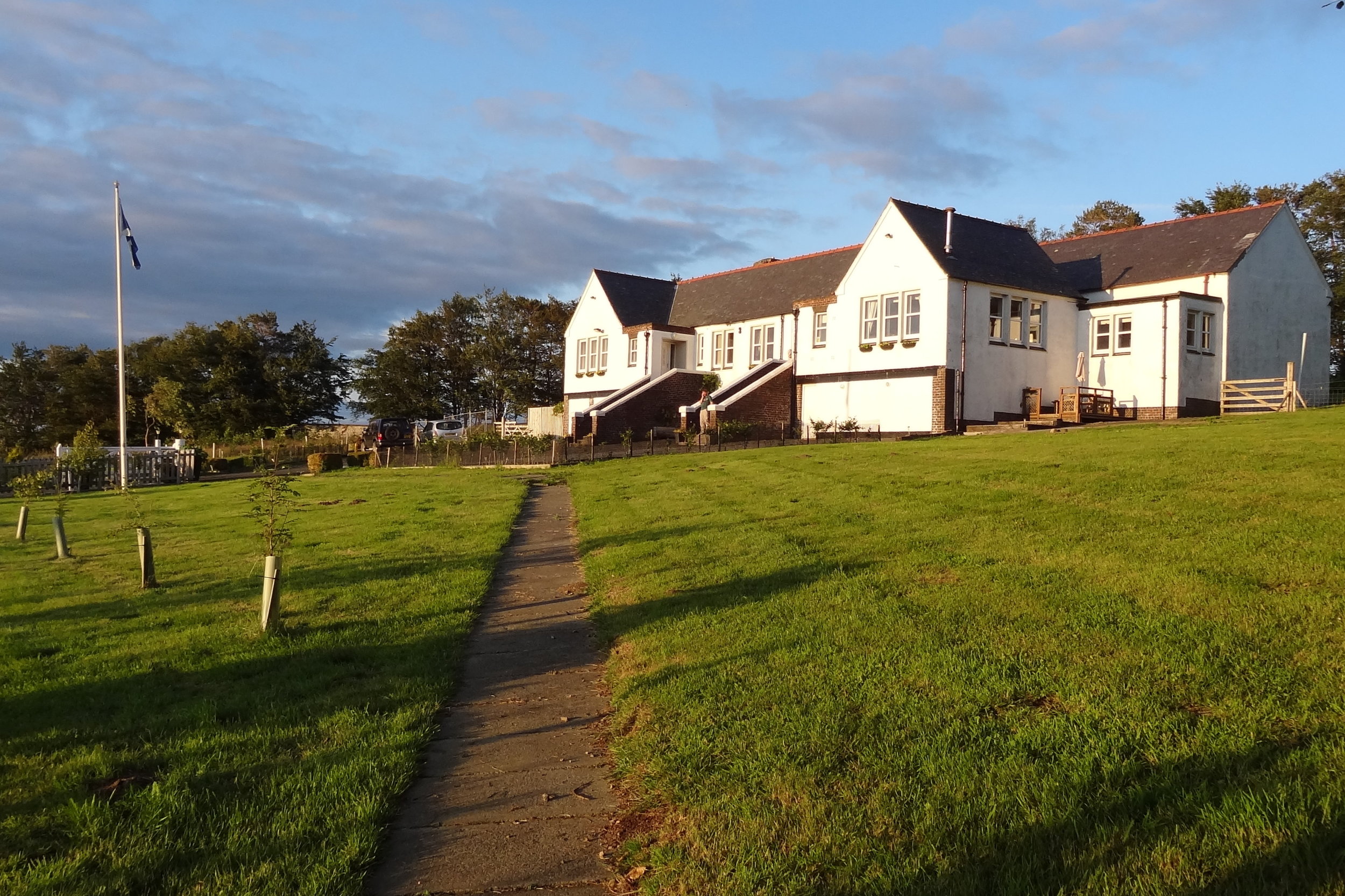
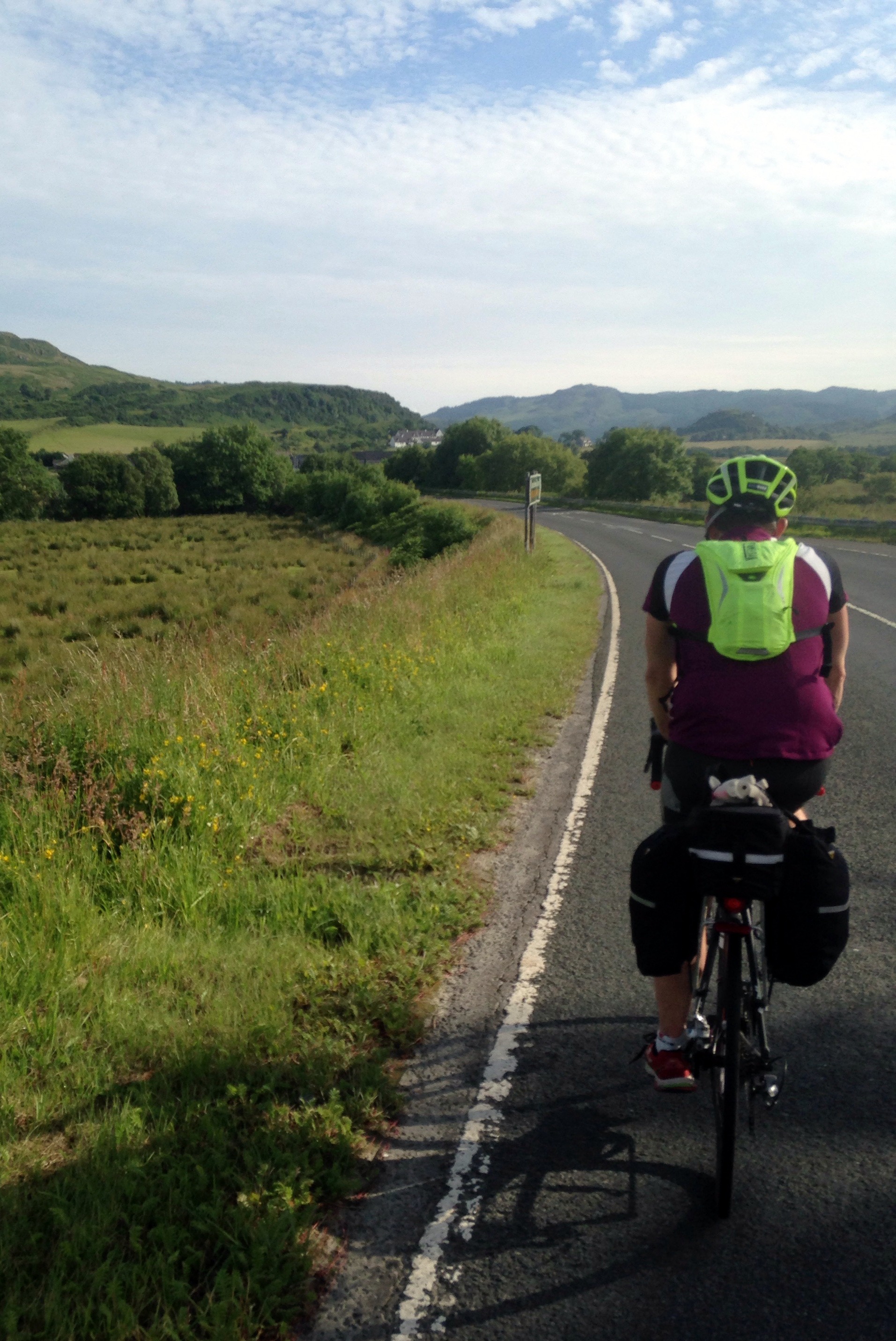
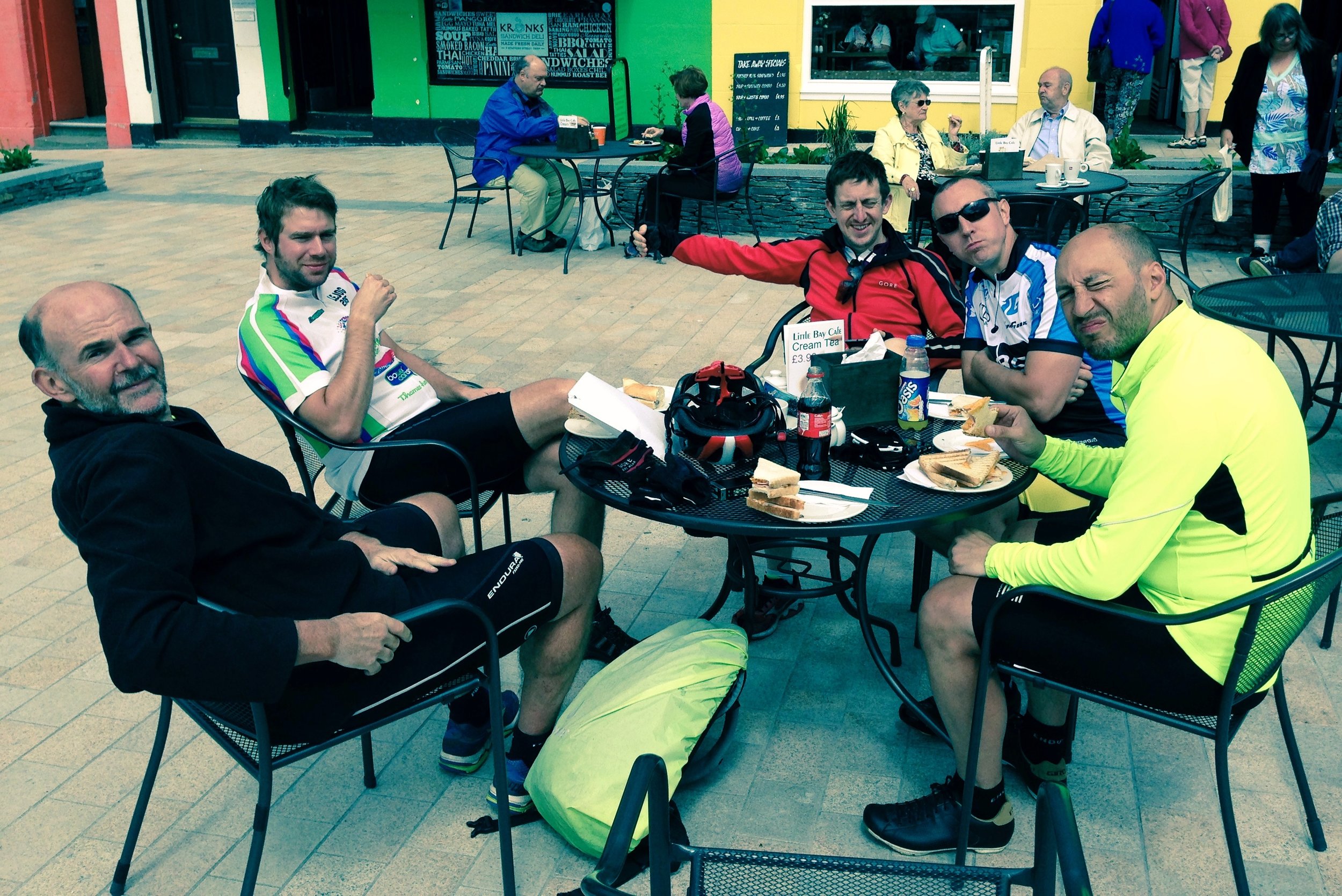
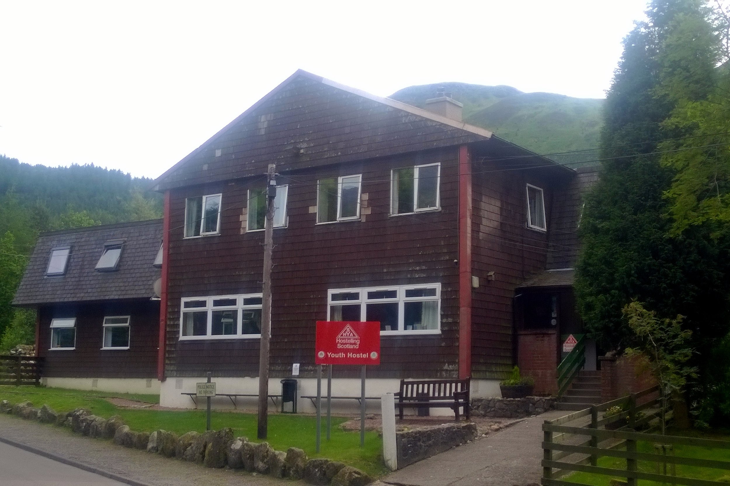
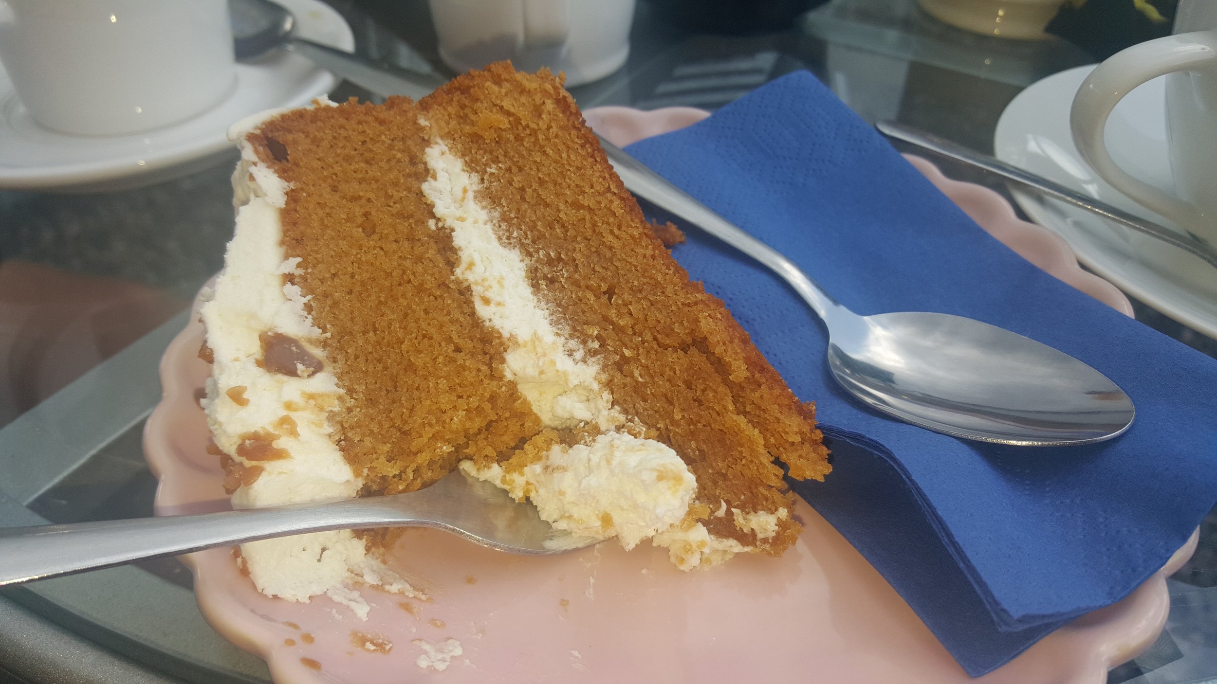
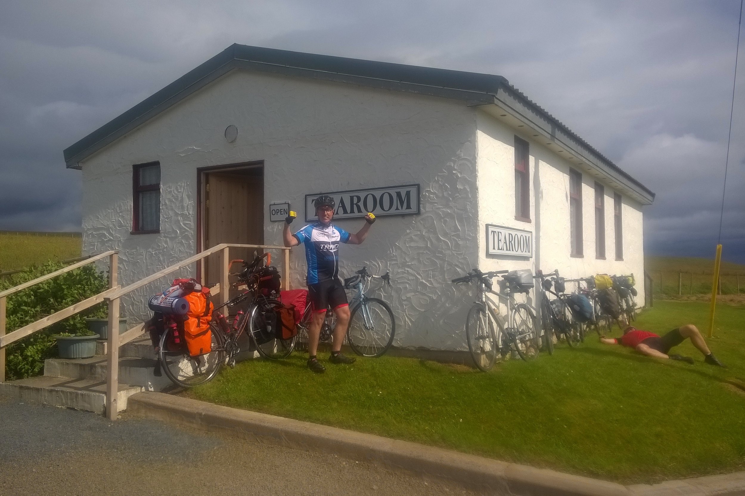
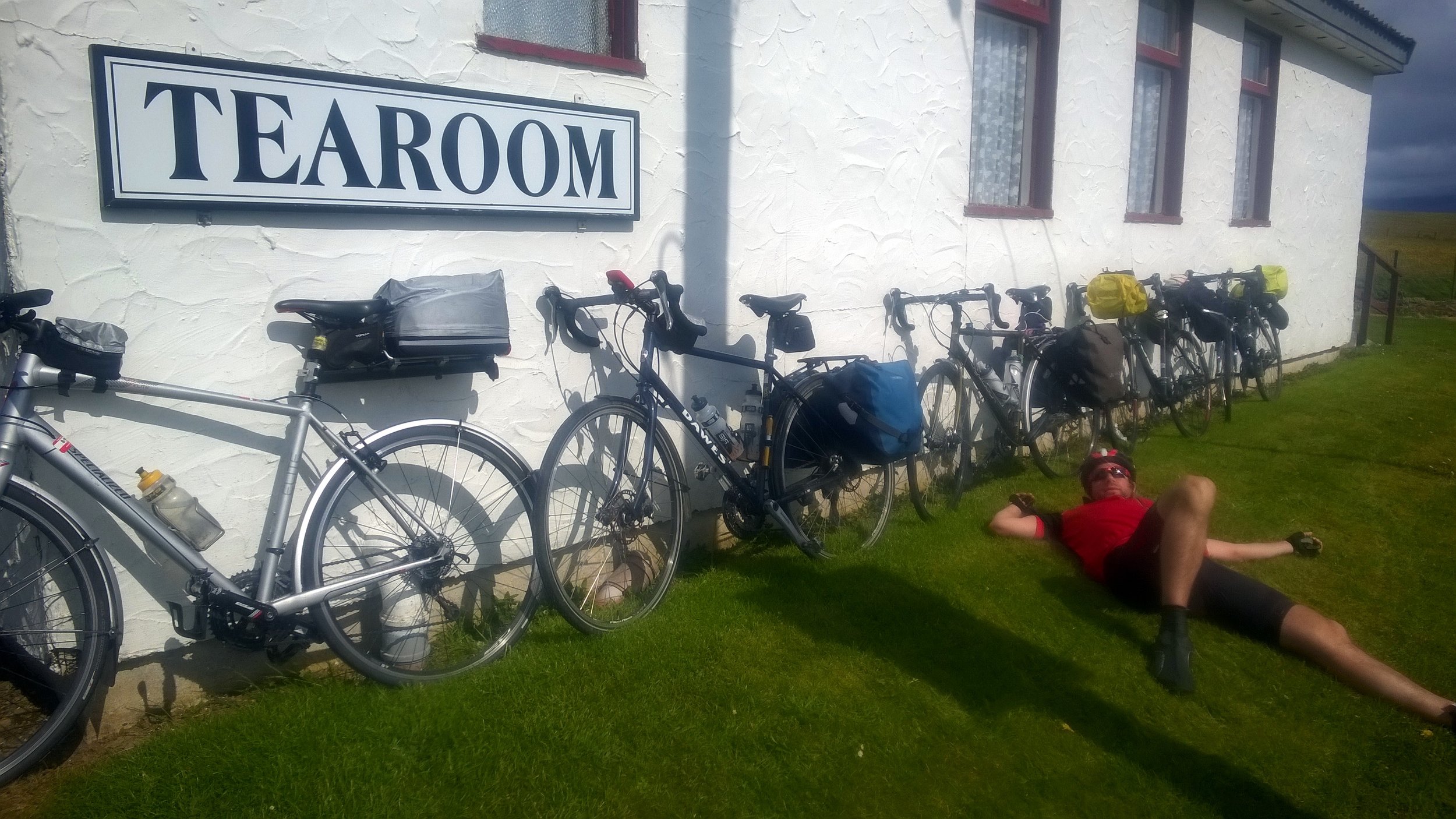
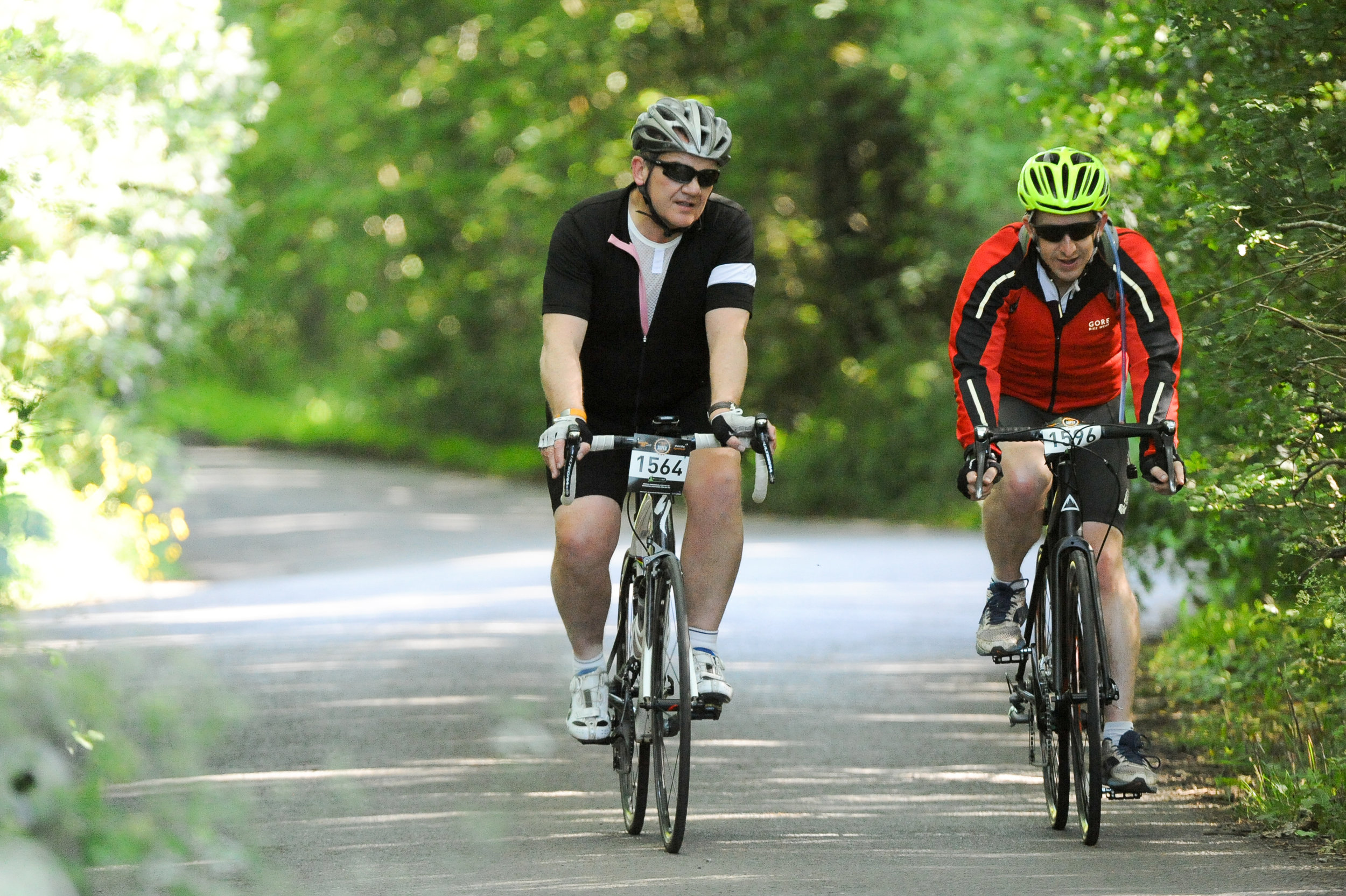
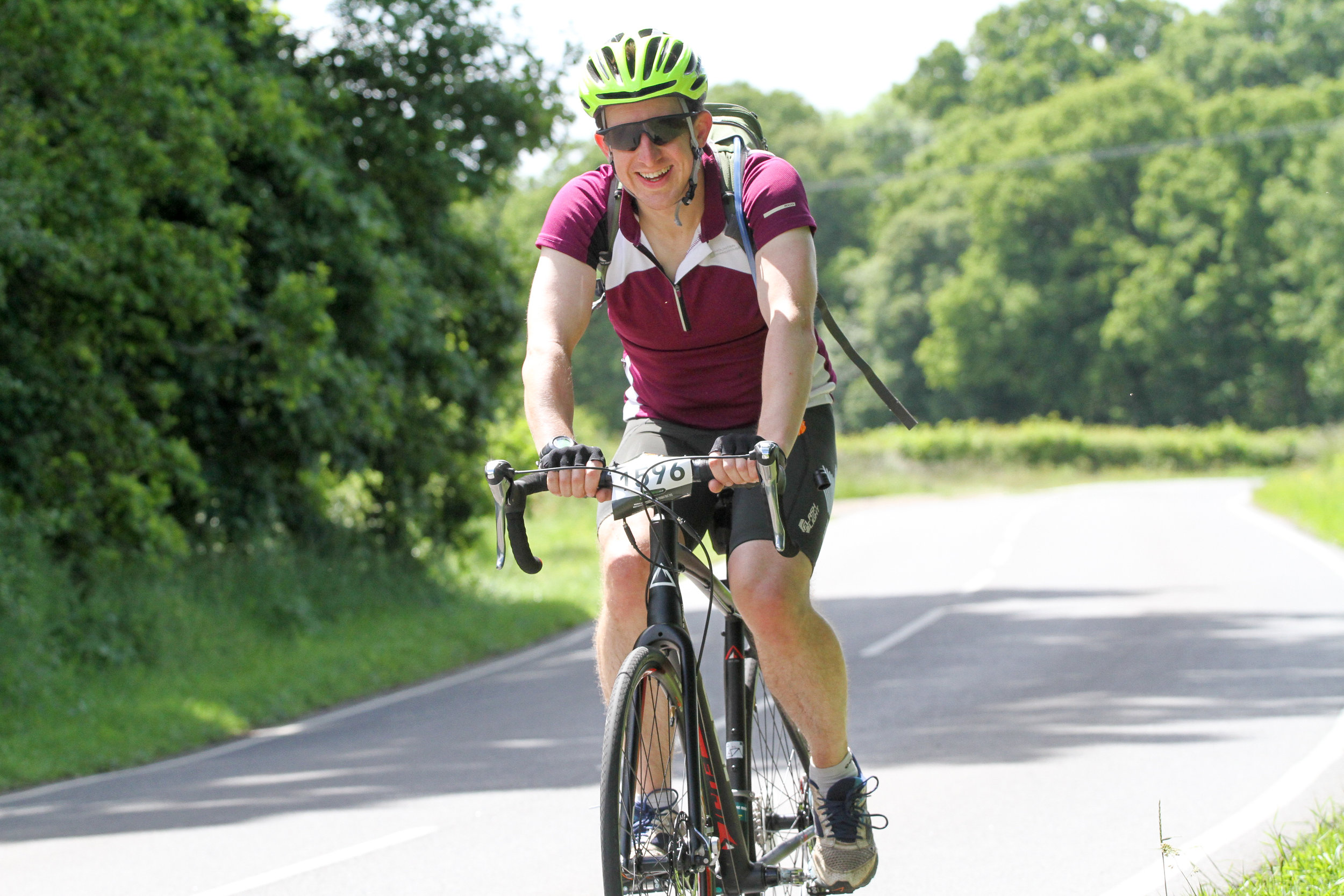
By Day 4 we’d got into a flow, having got used to being together as a team and perfecting the routine of every day on the road. Each day we would get up at around 7:30, have breakfast, kit-up and tackle the first 15 to 20 miles. Then would come morning break, usually coffee and carrot cake, followed by another 20 miles before lunch. The afternoons were similar: 20 miles, then coffee and cake and the final push through to wherever we were staying that evening. We even got the evenings down to a fine art with some of us sorting out payment for the hostel, some sorting out clothes washing whilst the others showered.

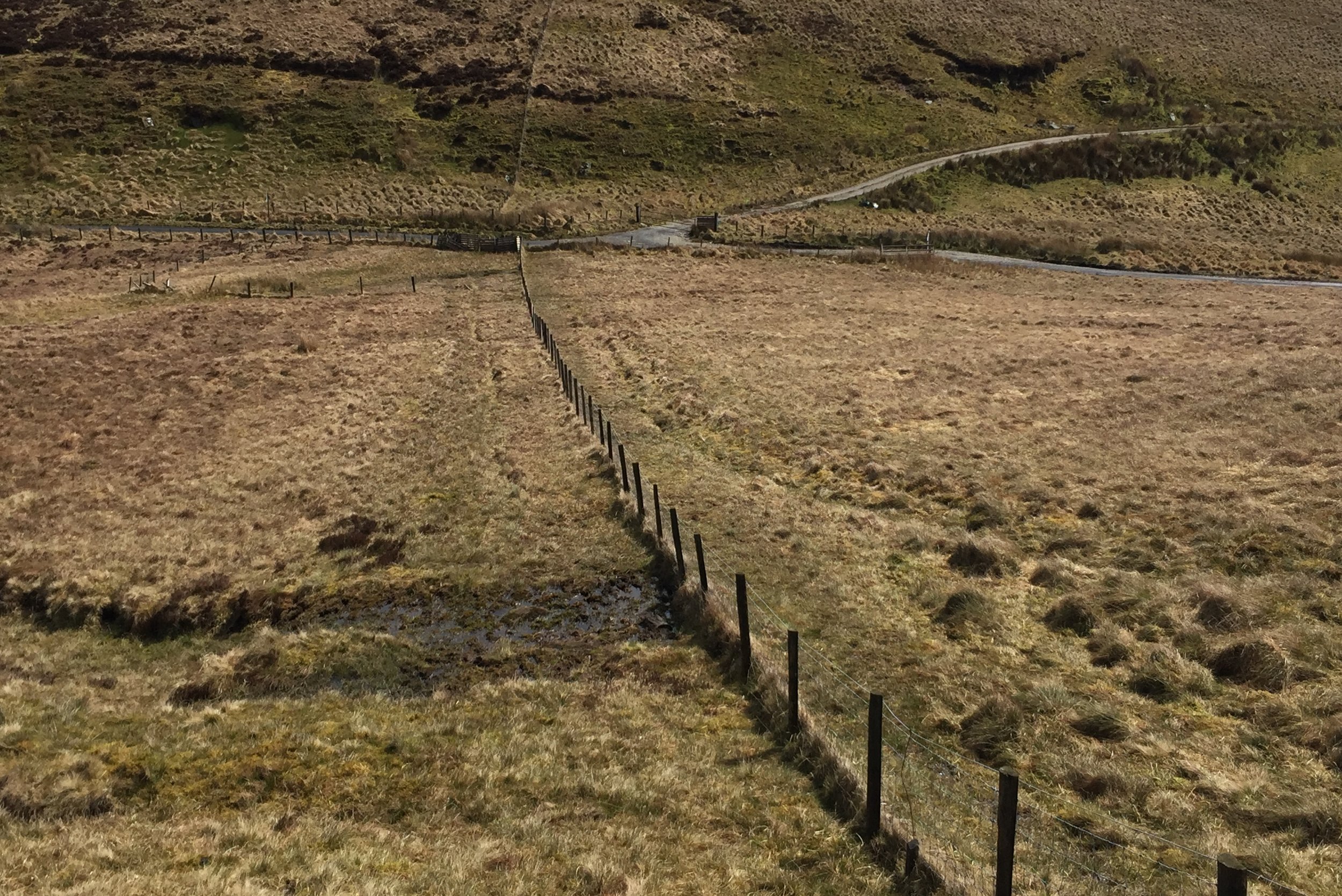
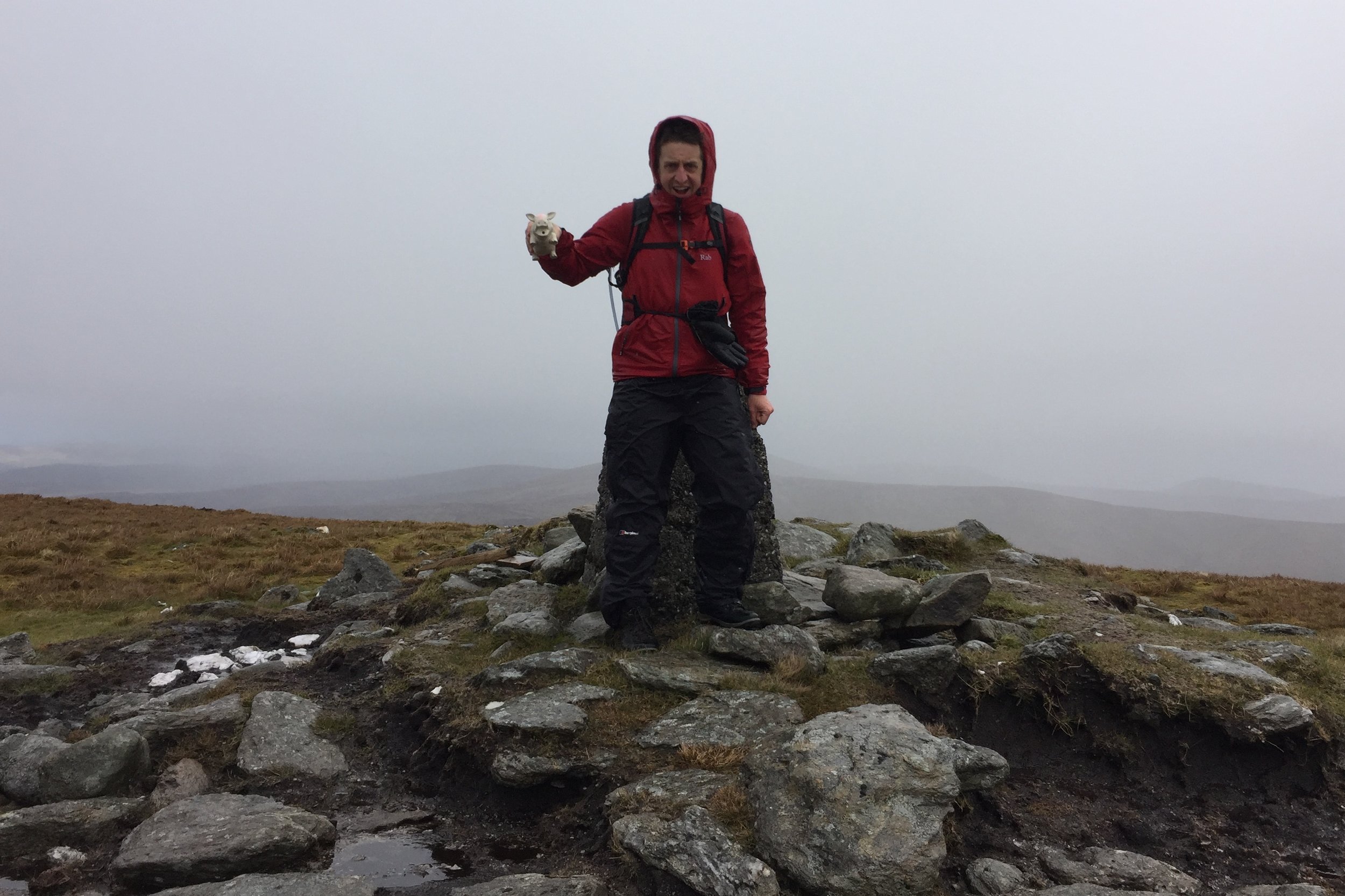
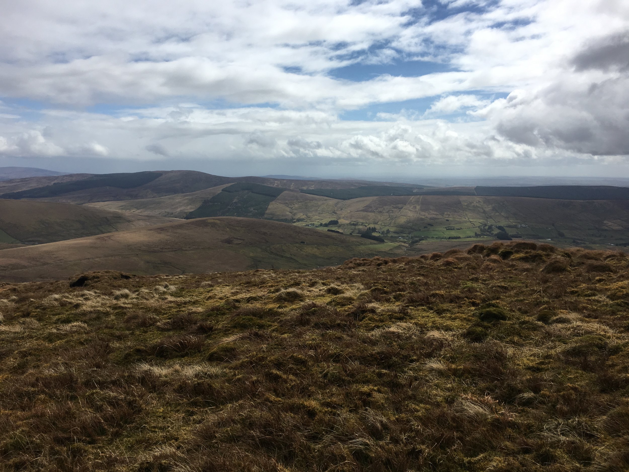
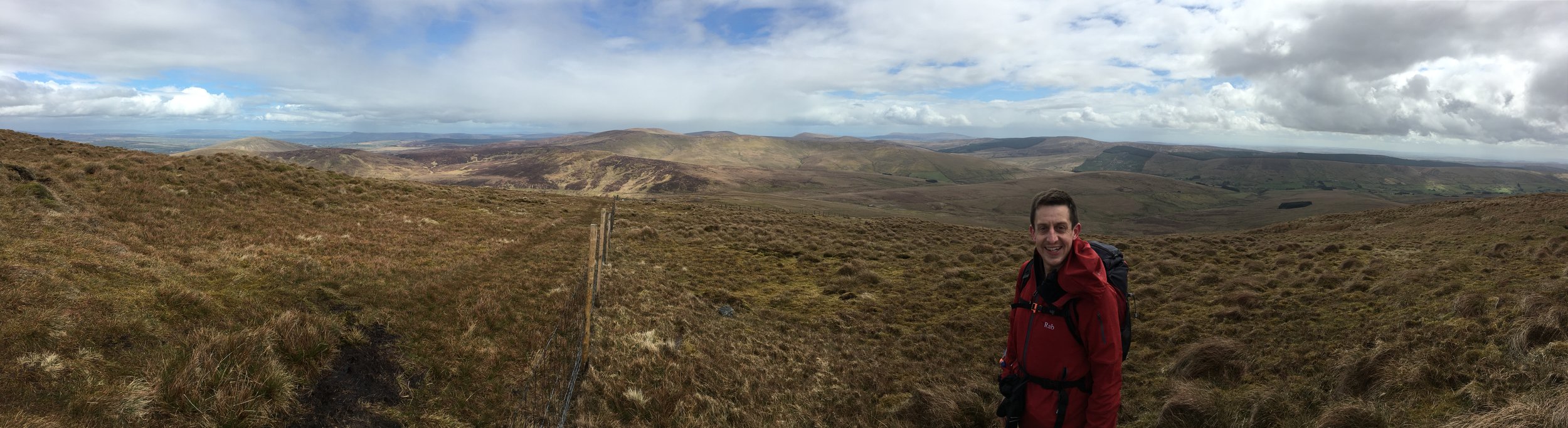
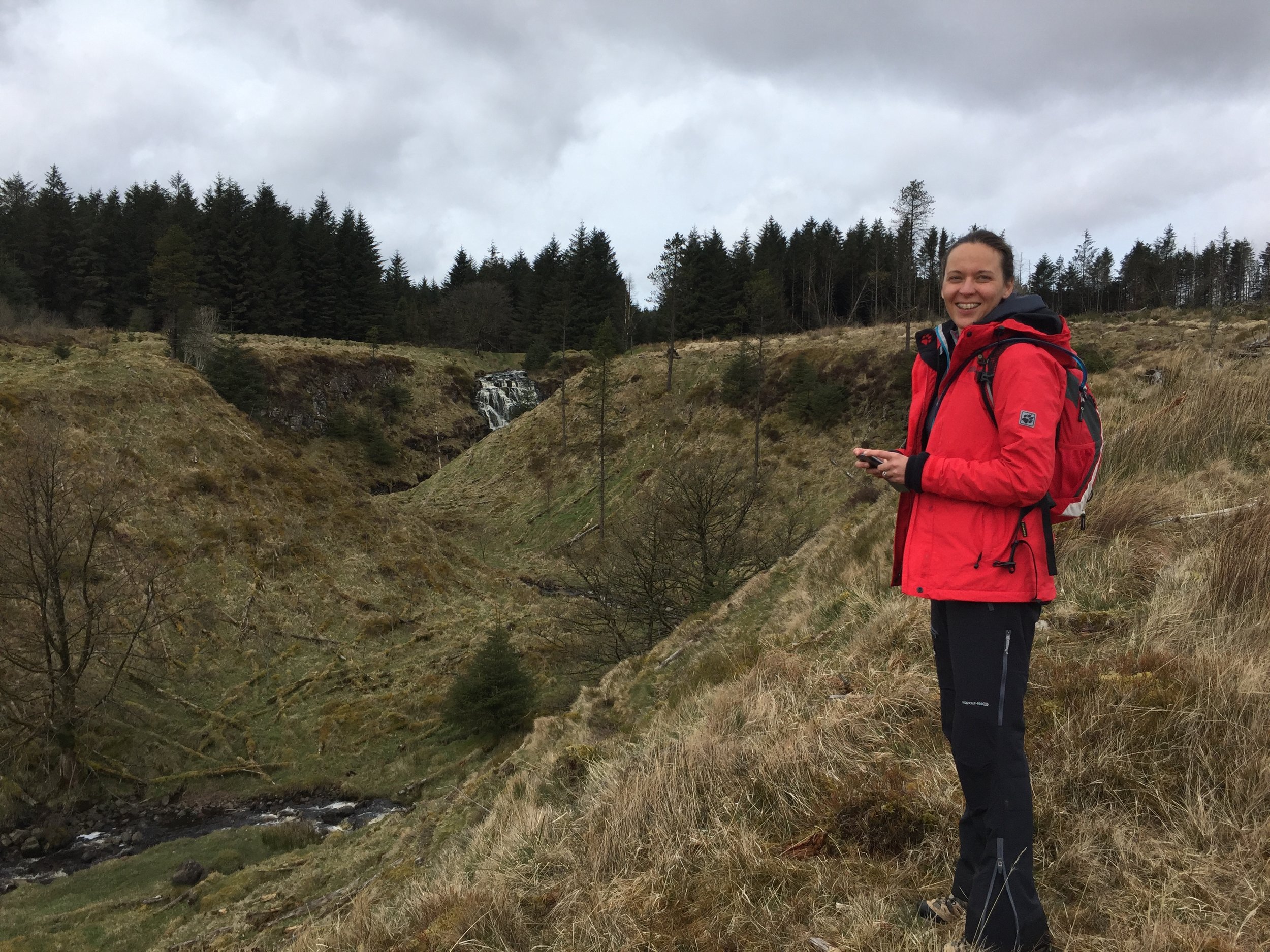
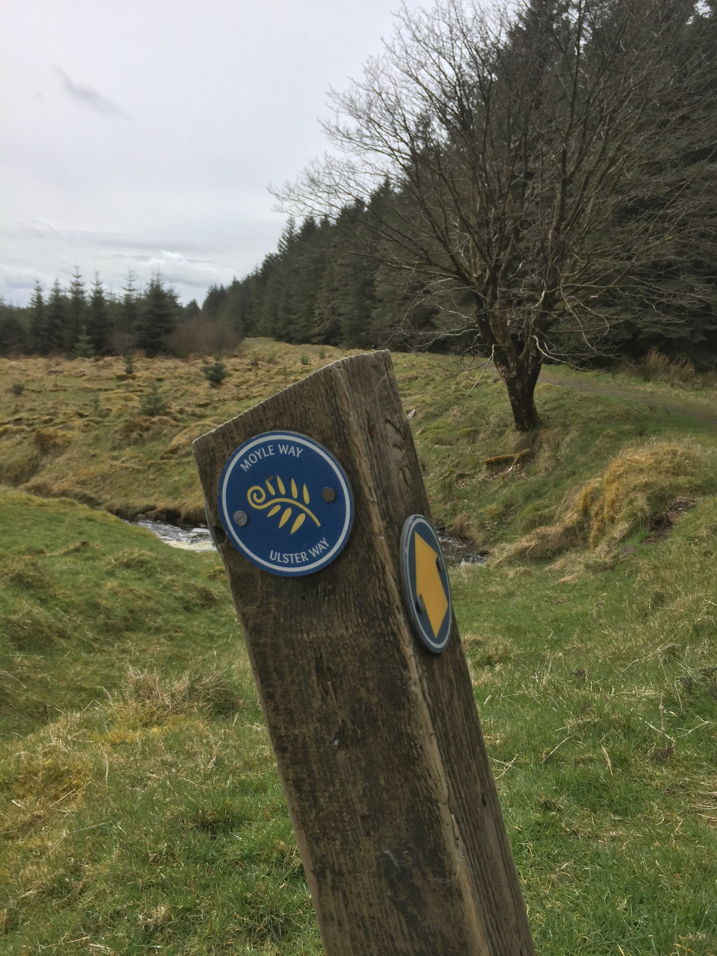
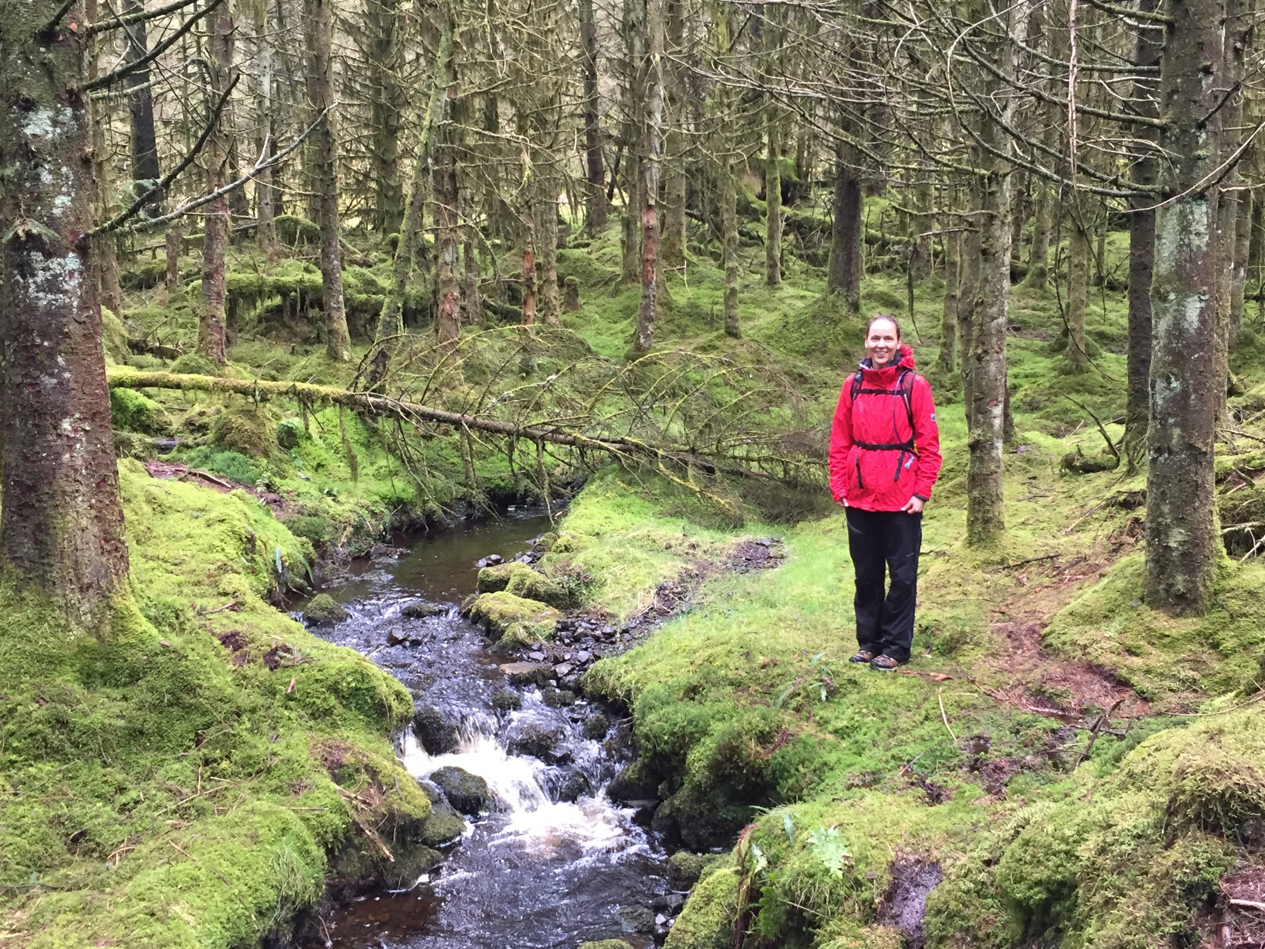
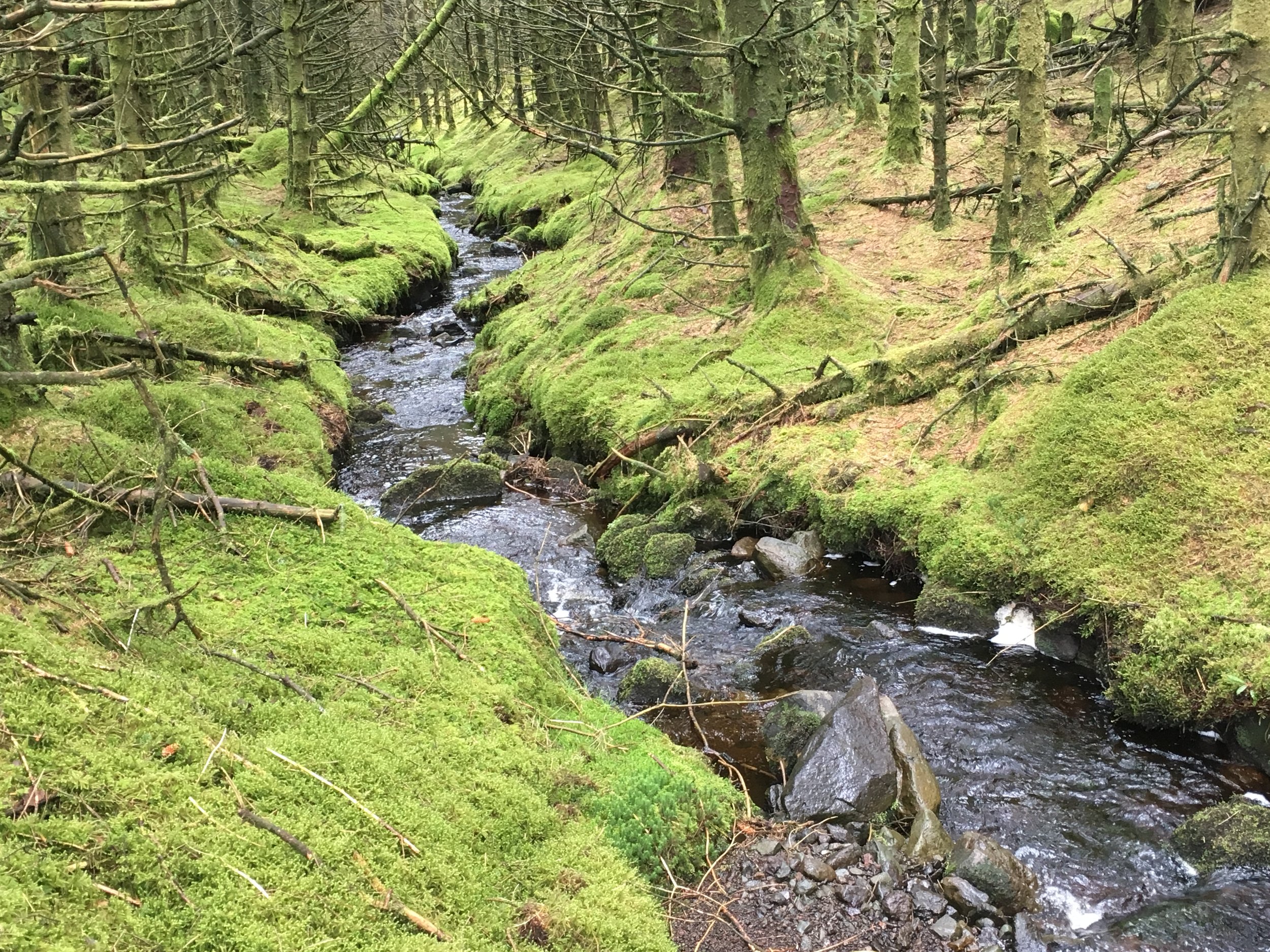
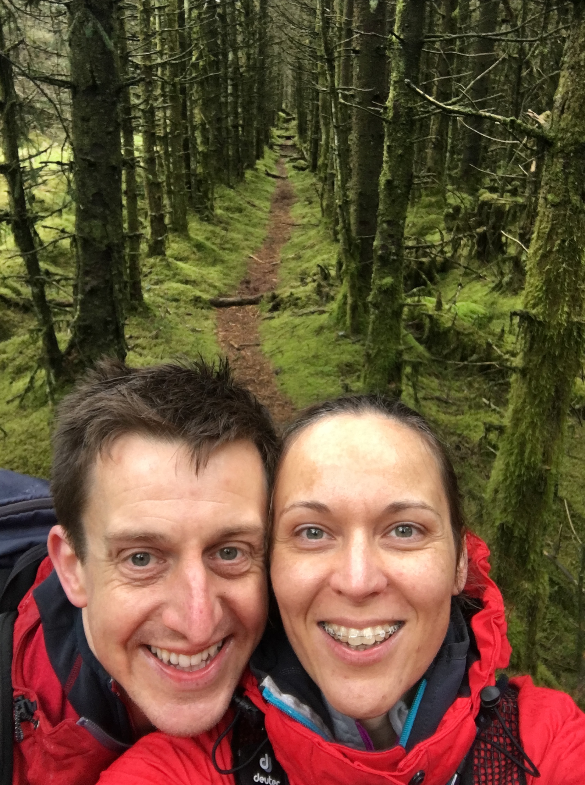
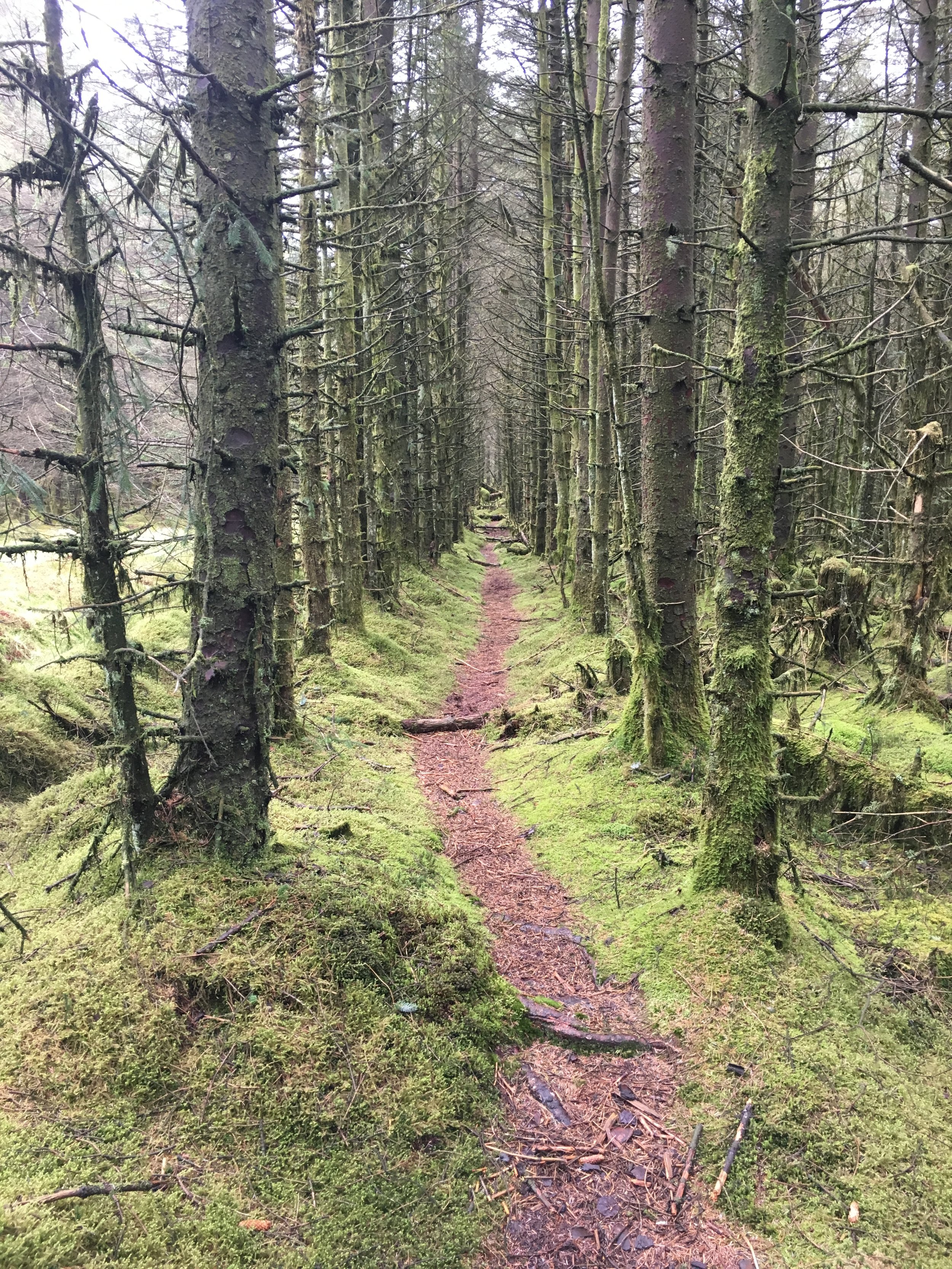
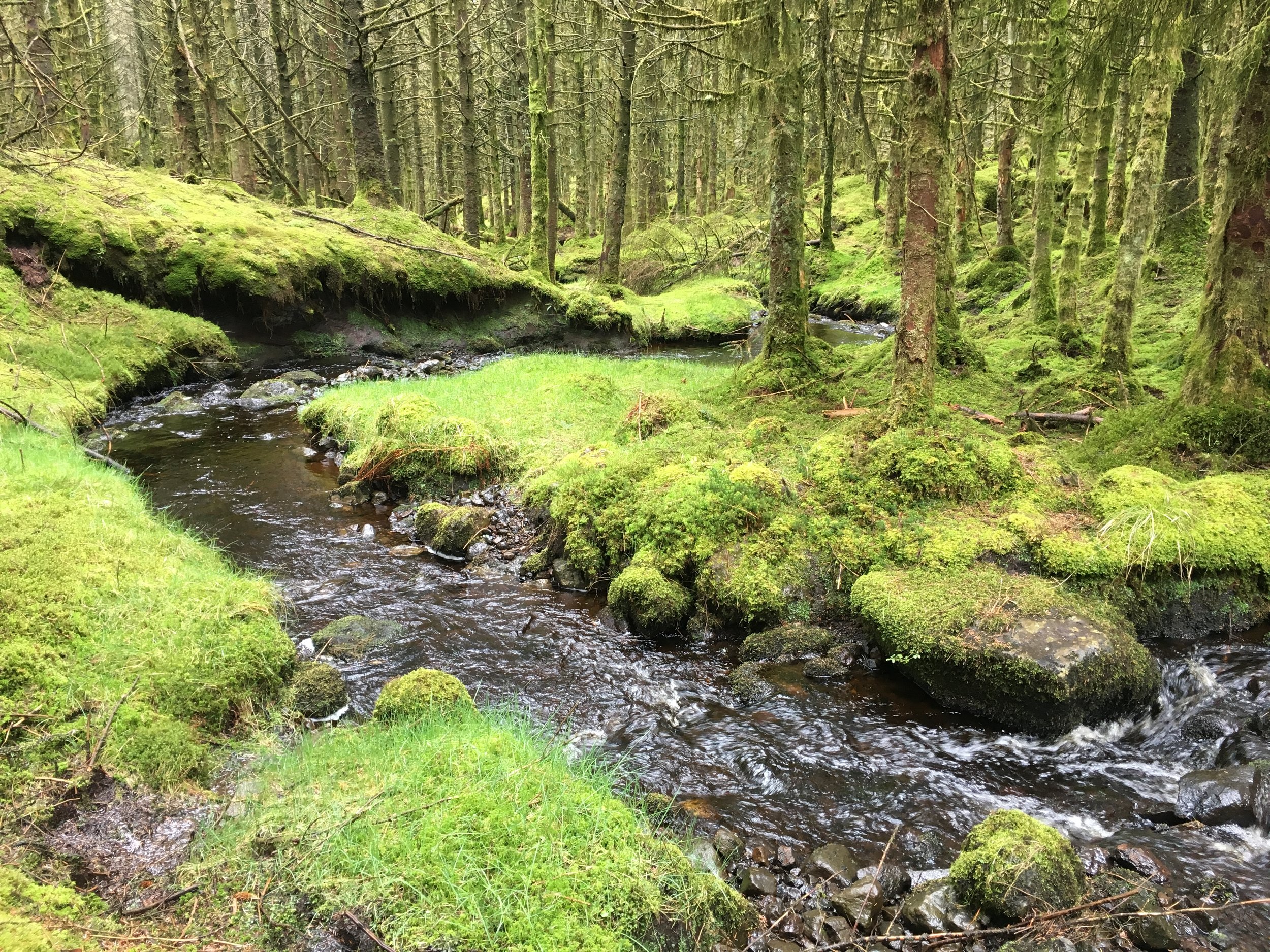
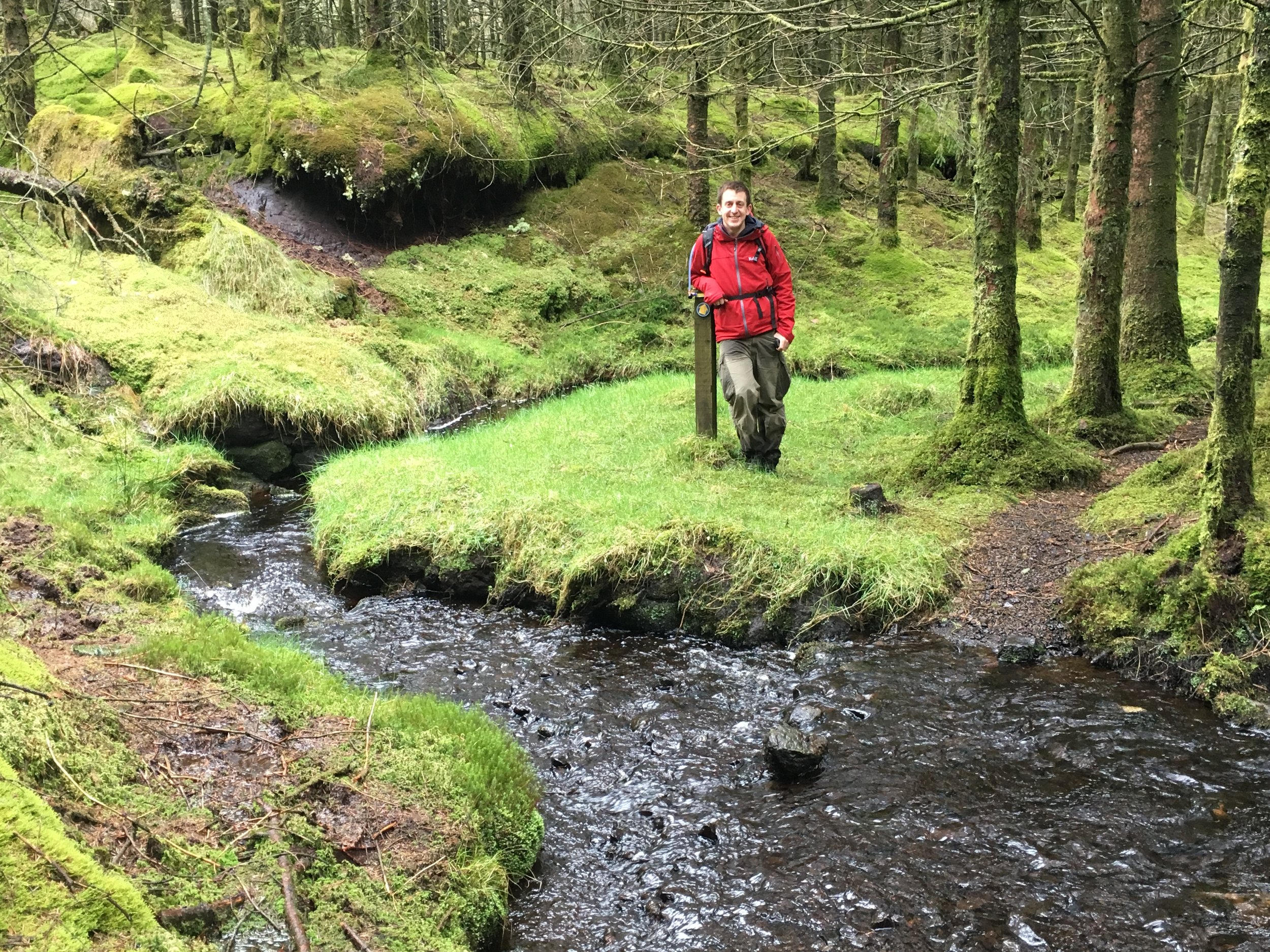
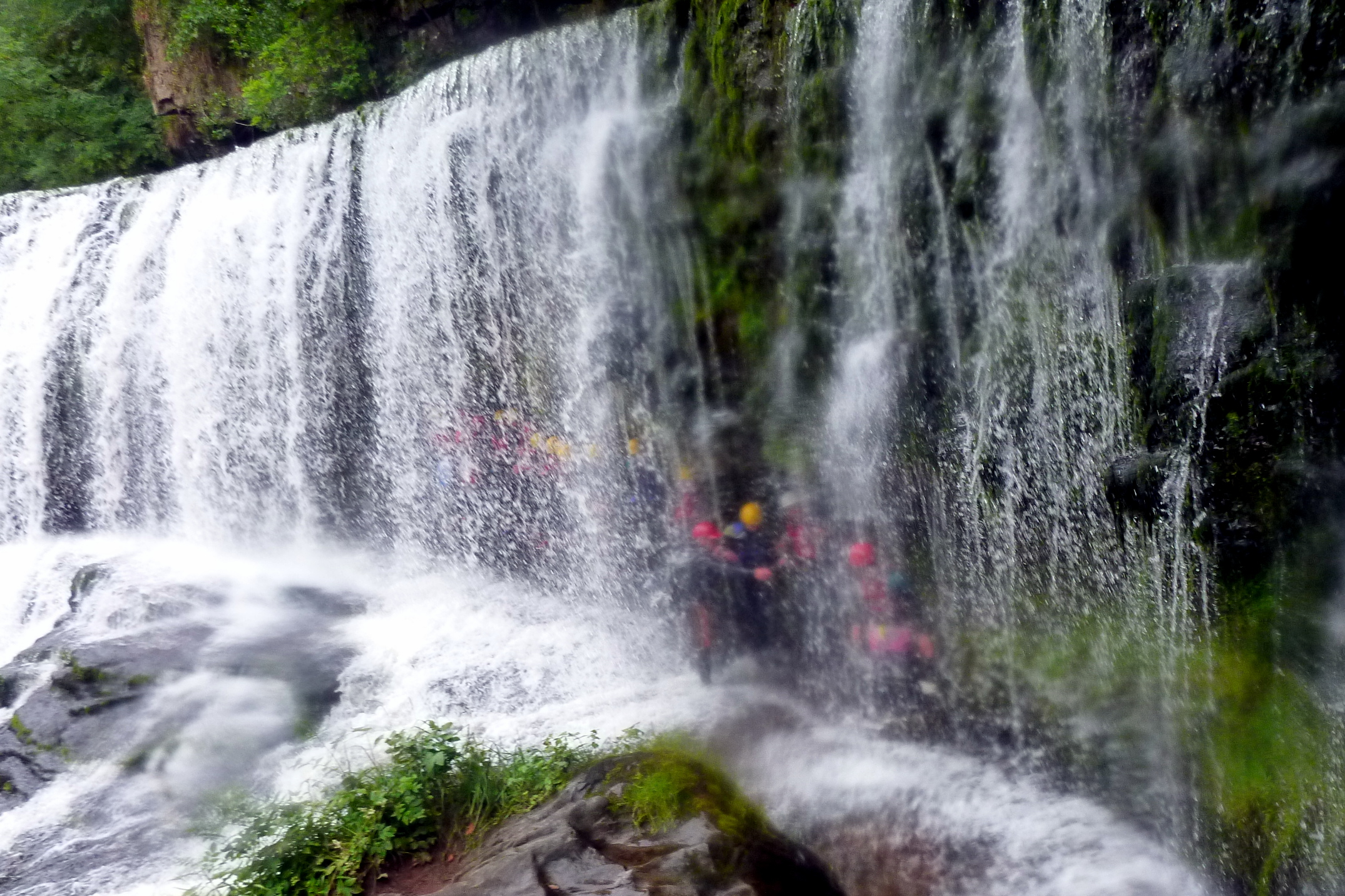
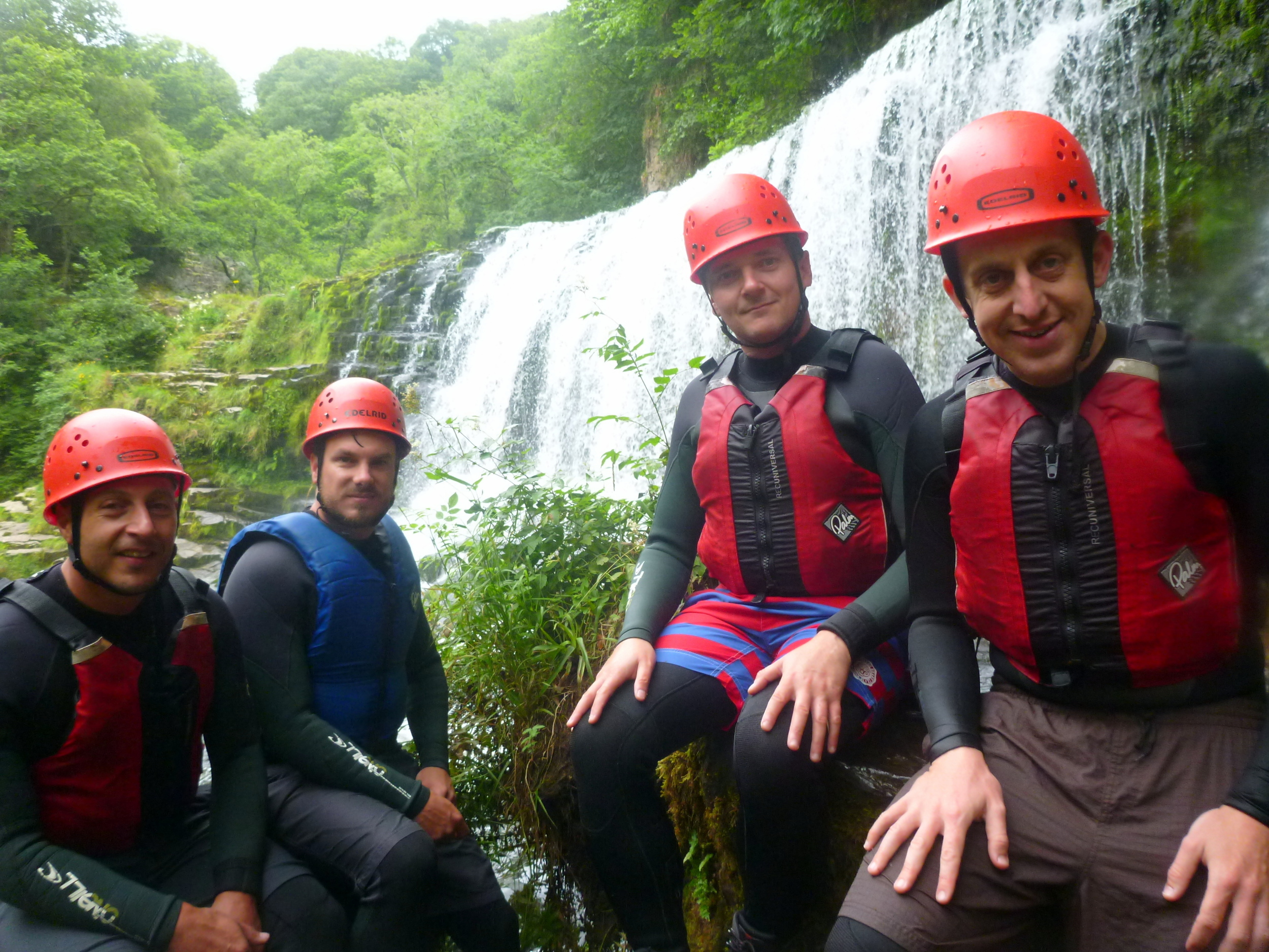
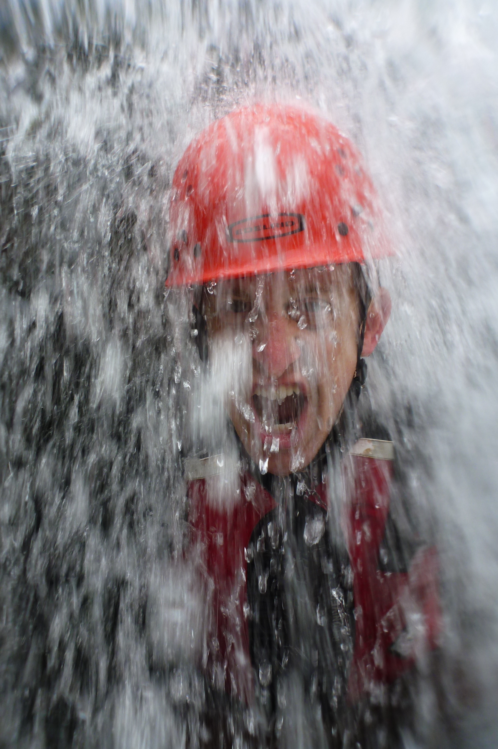
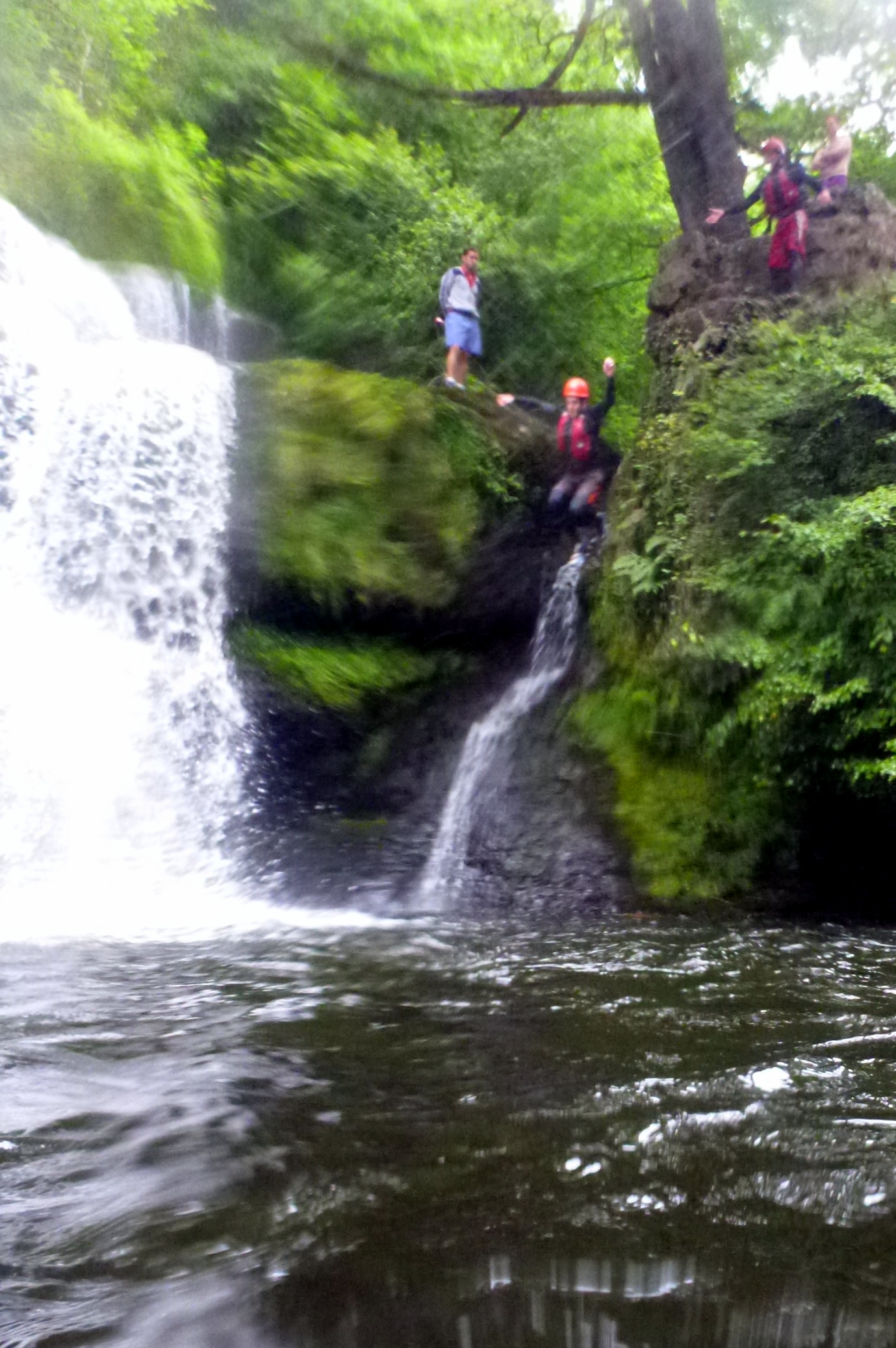
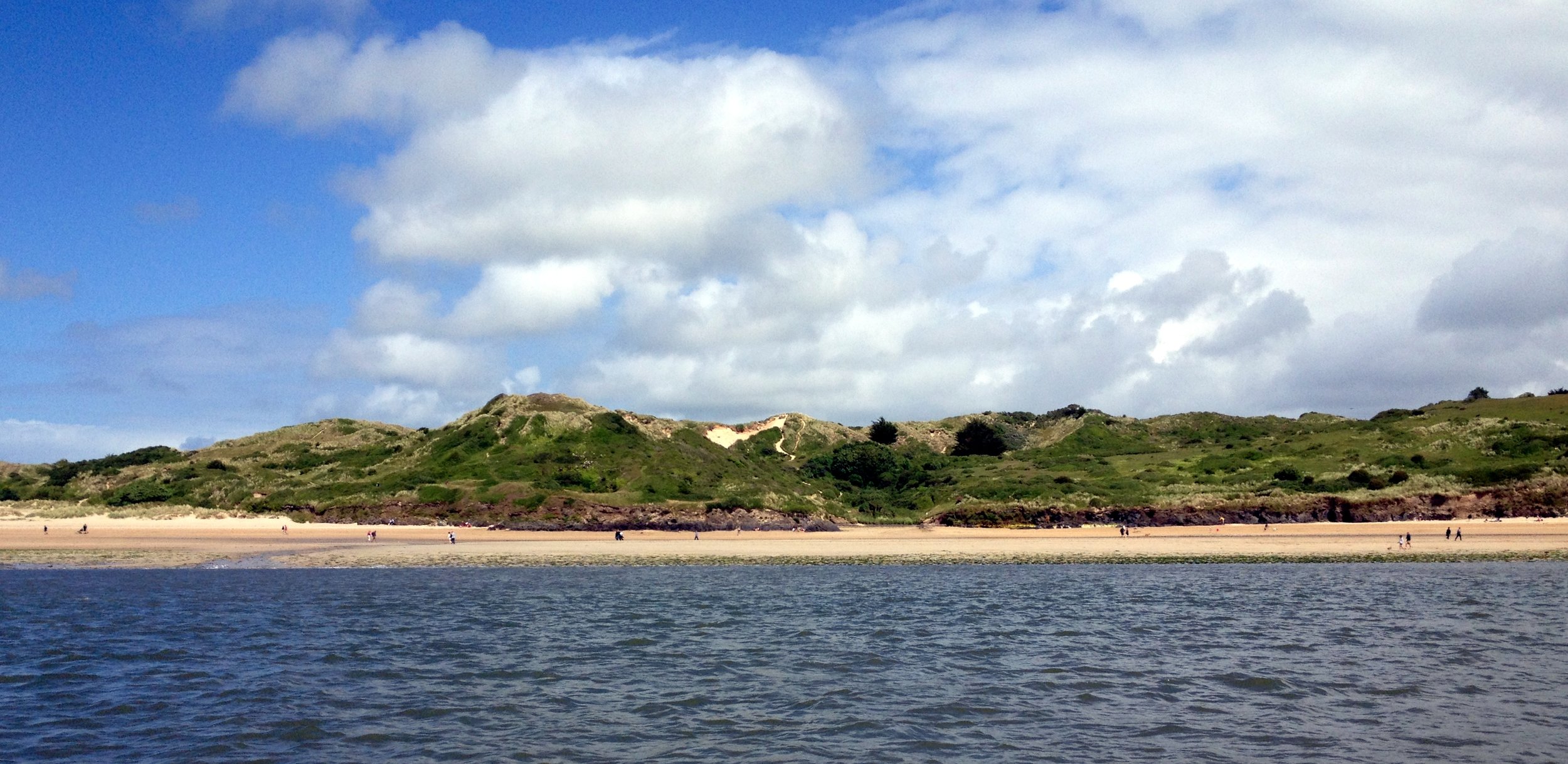
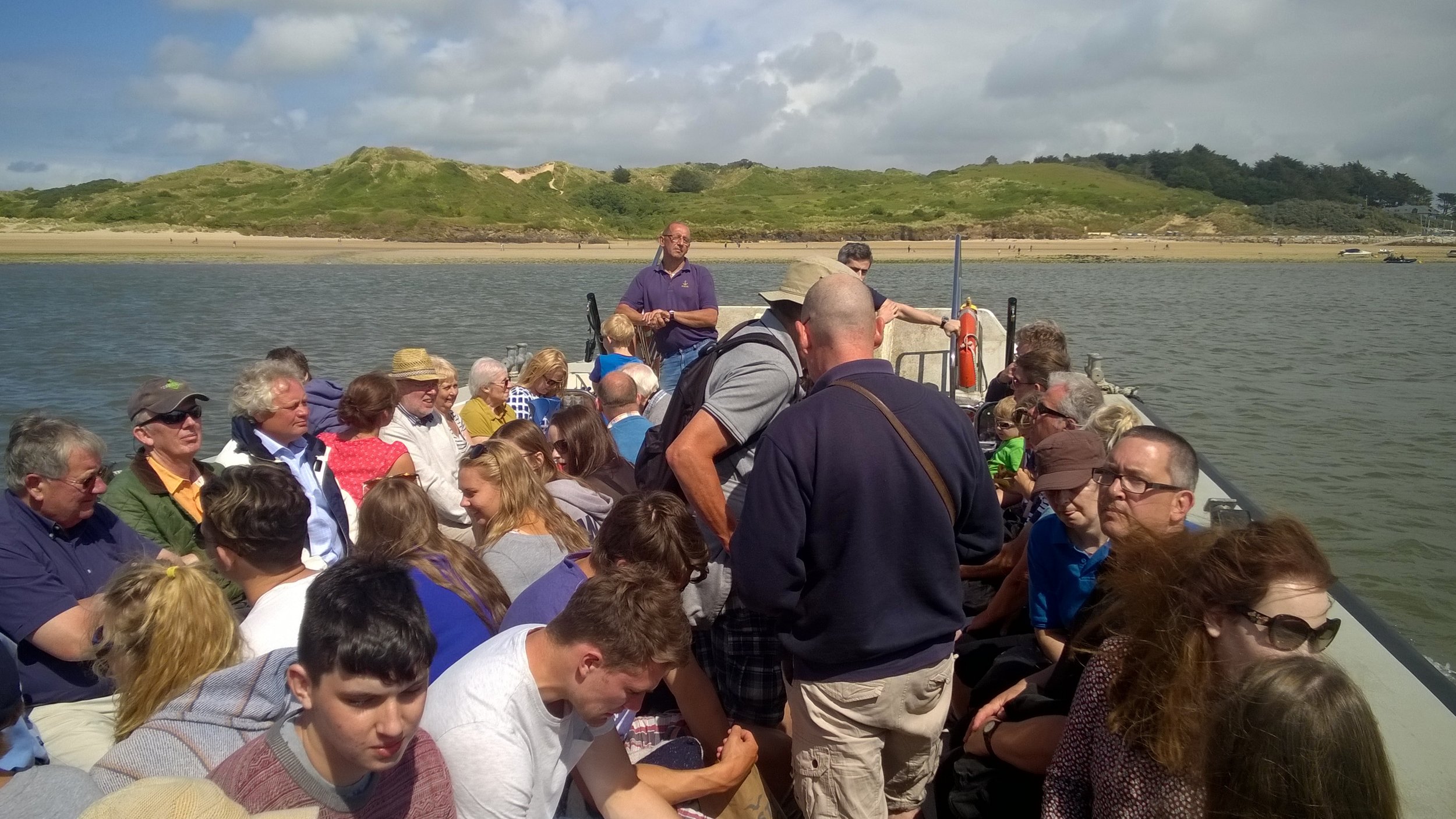
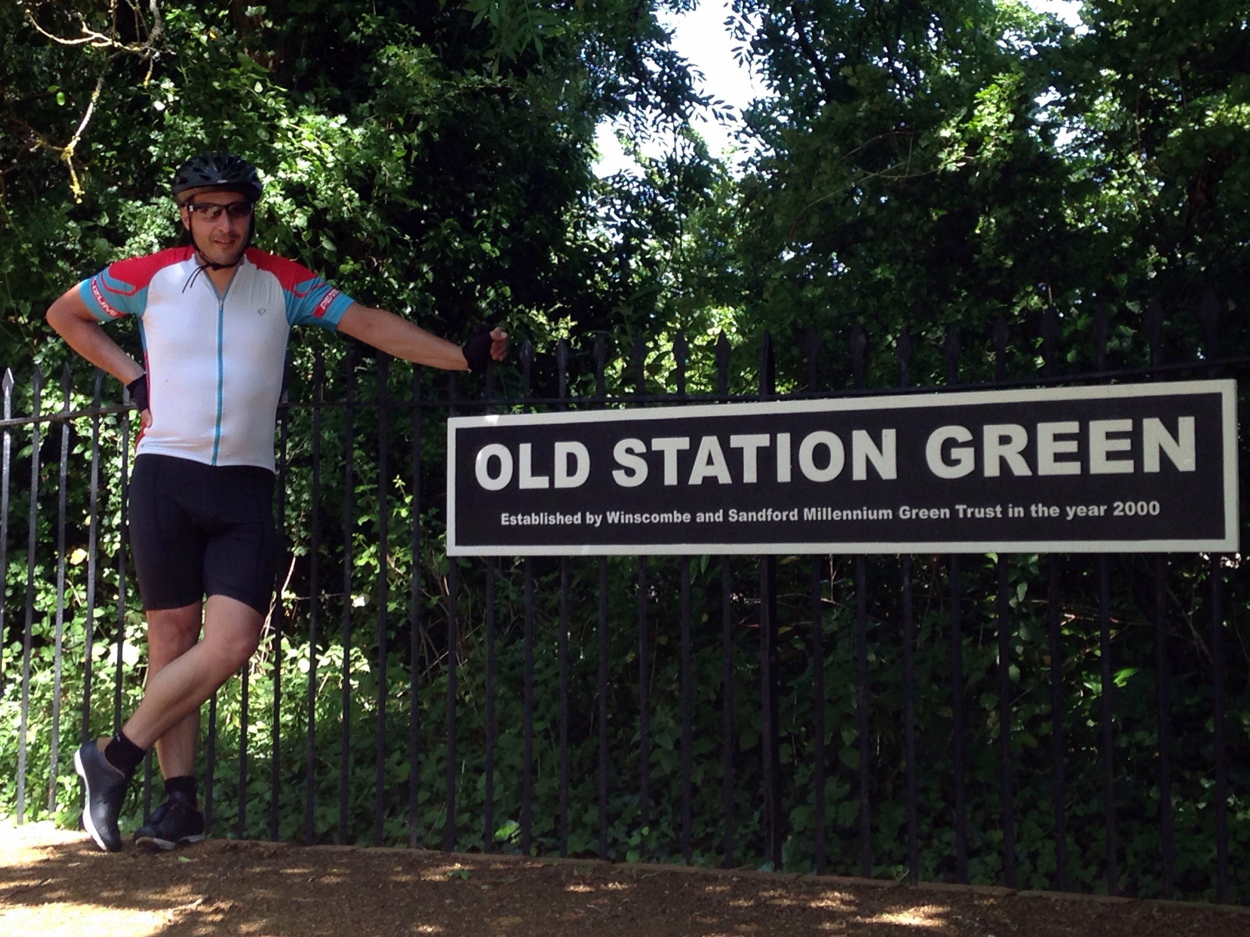
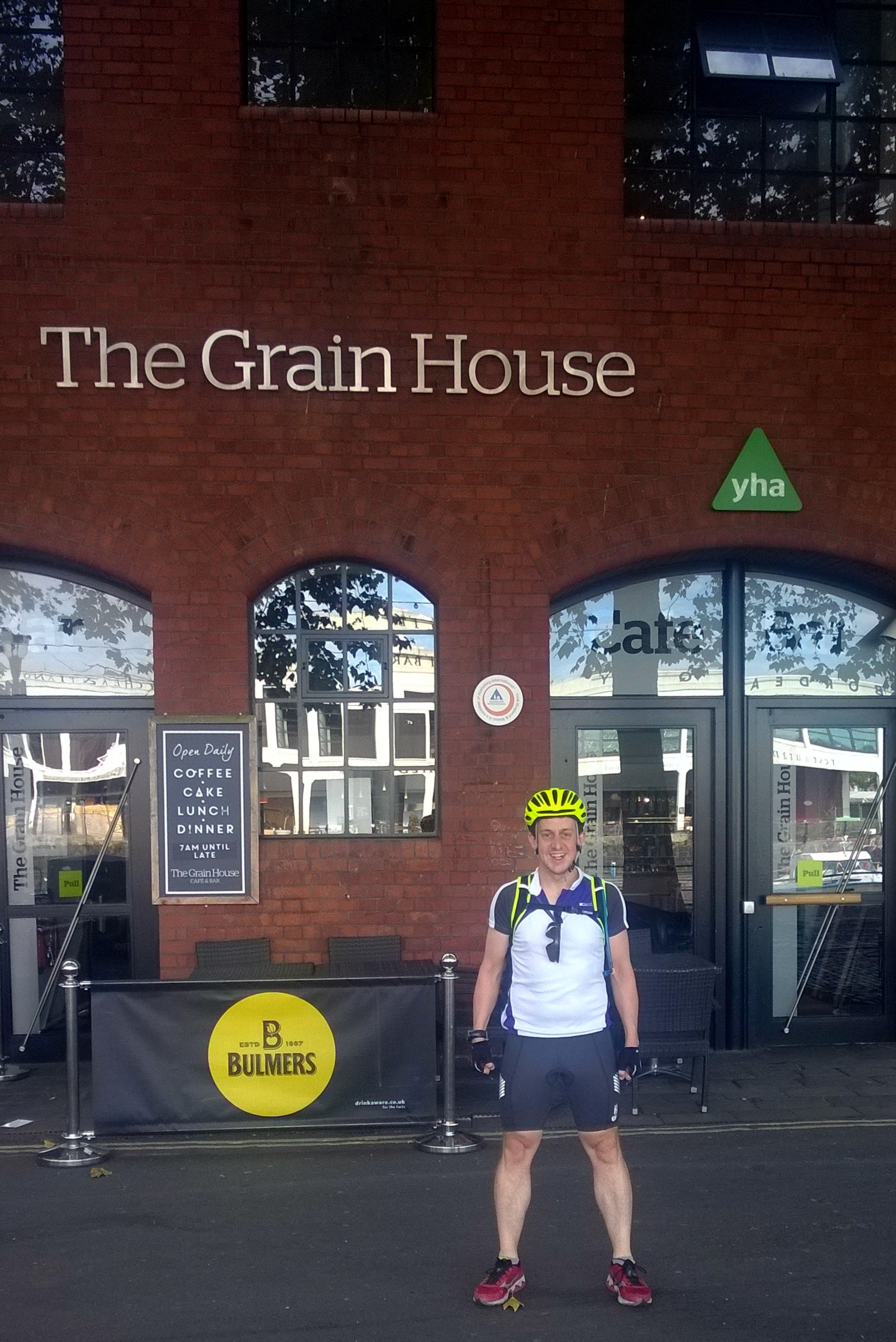
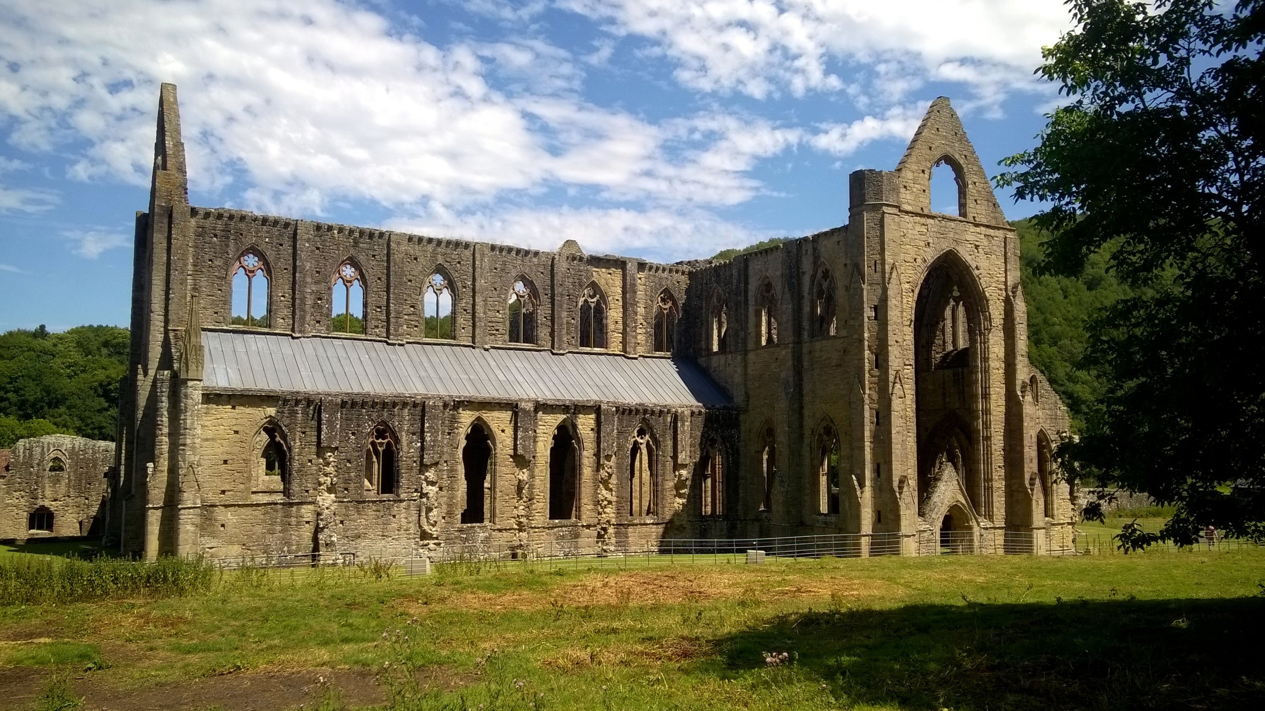
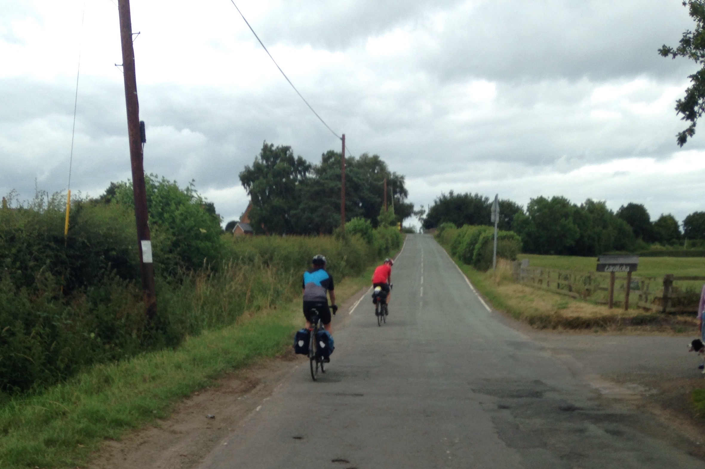
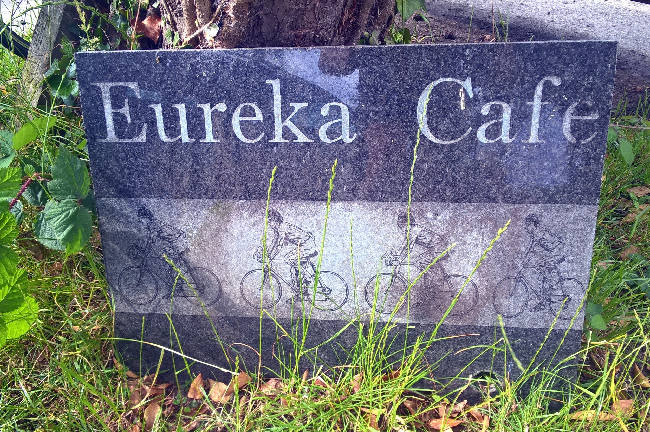
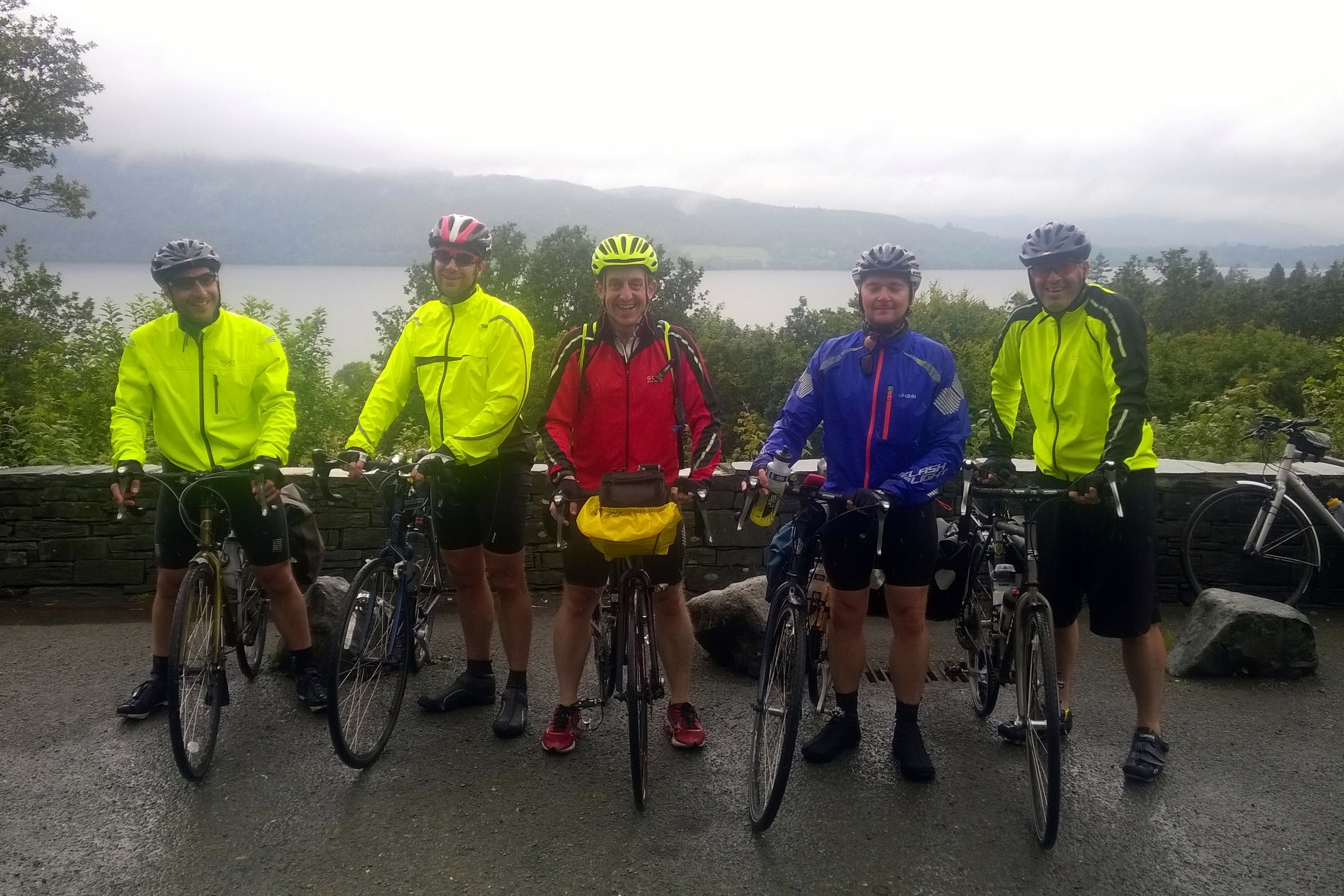
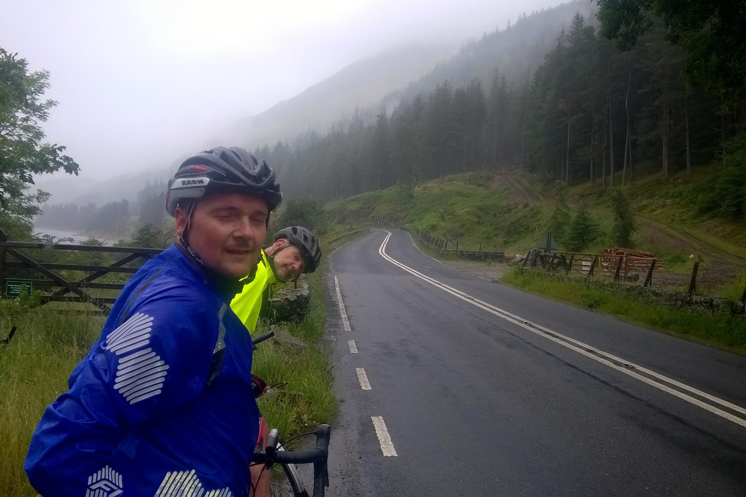
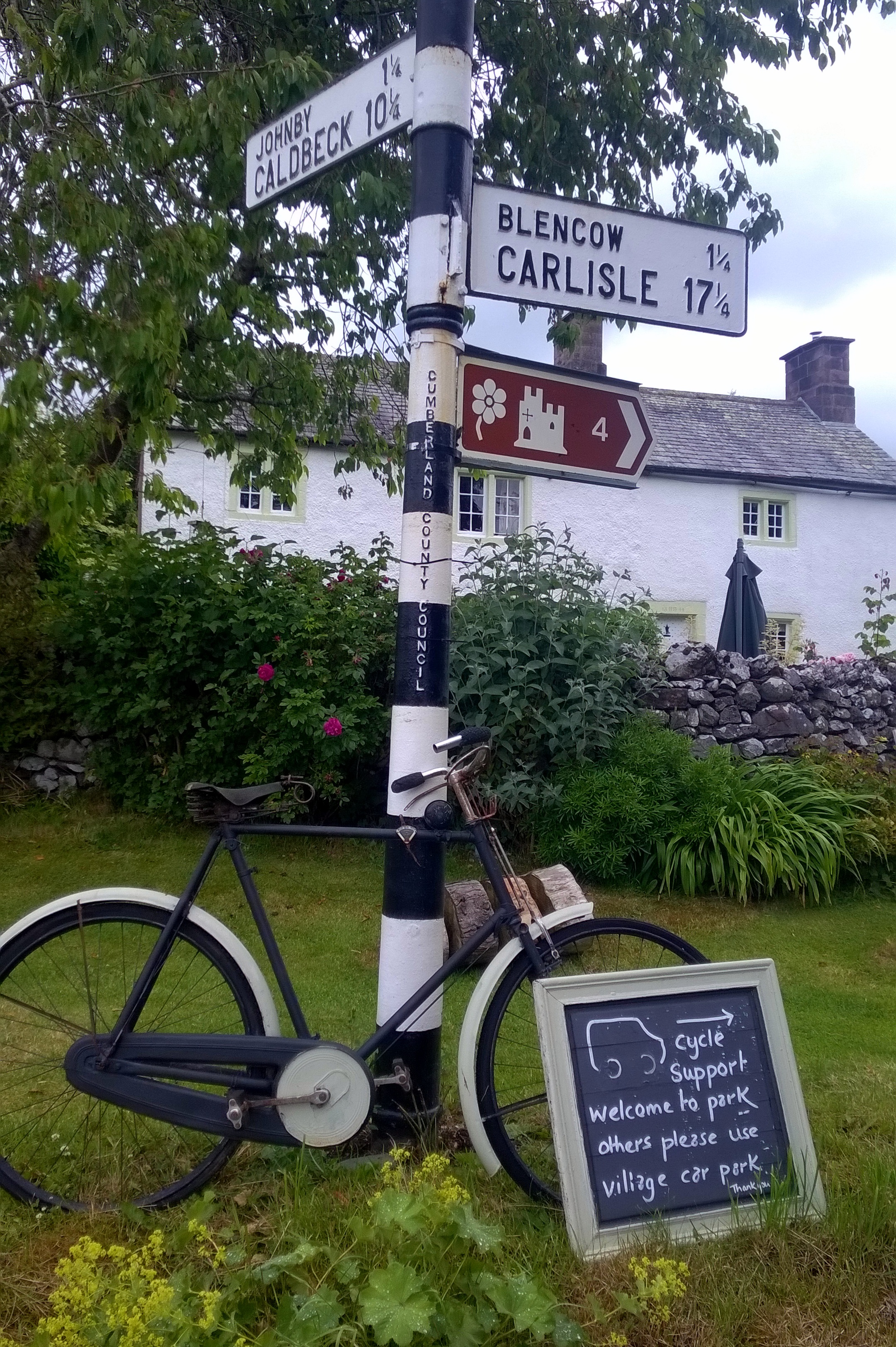
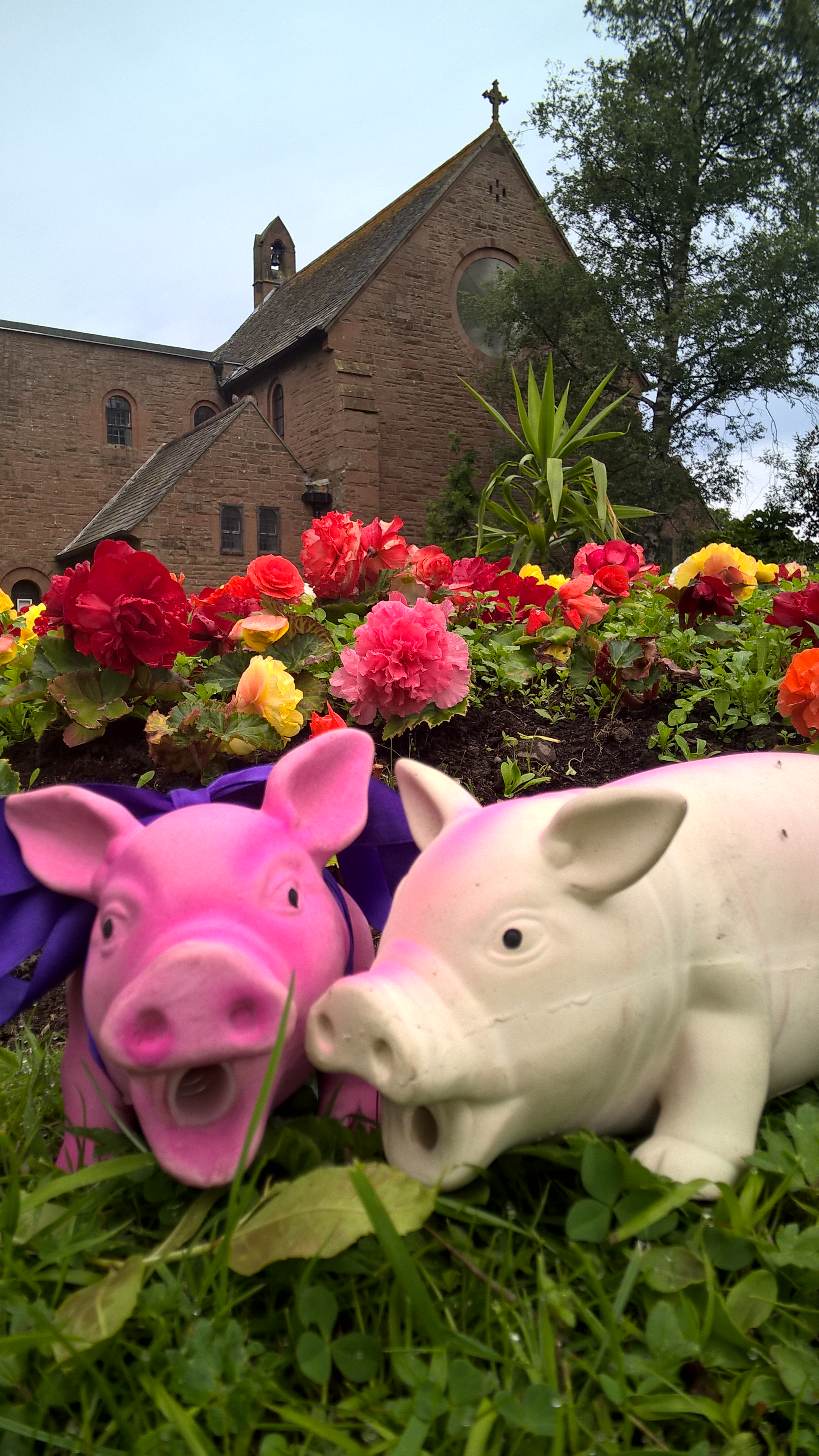
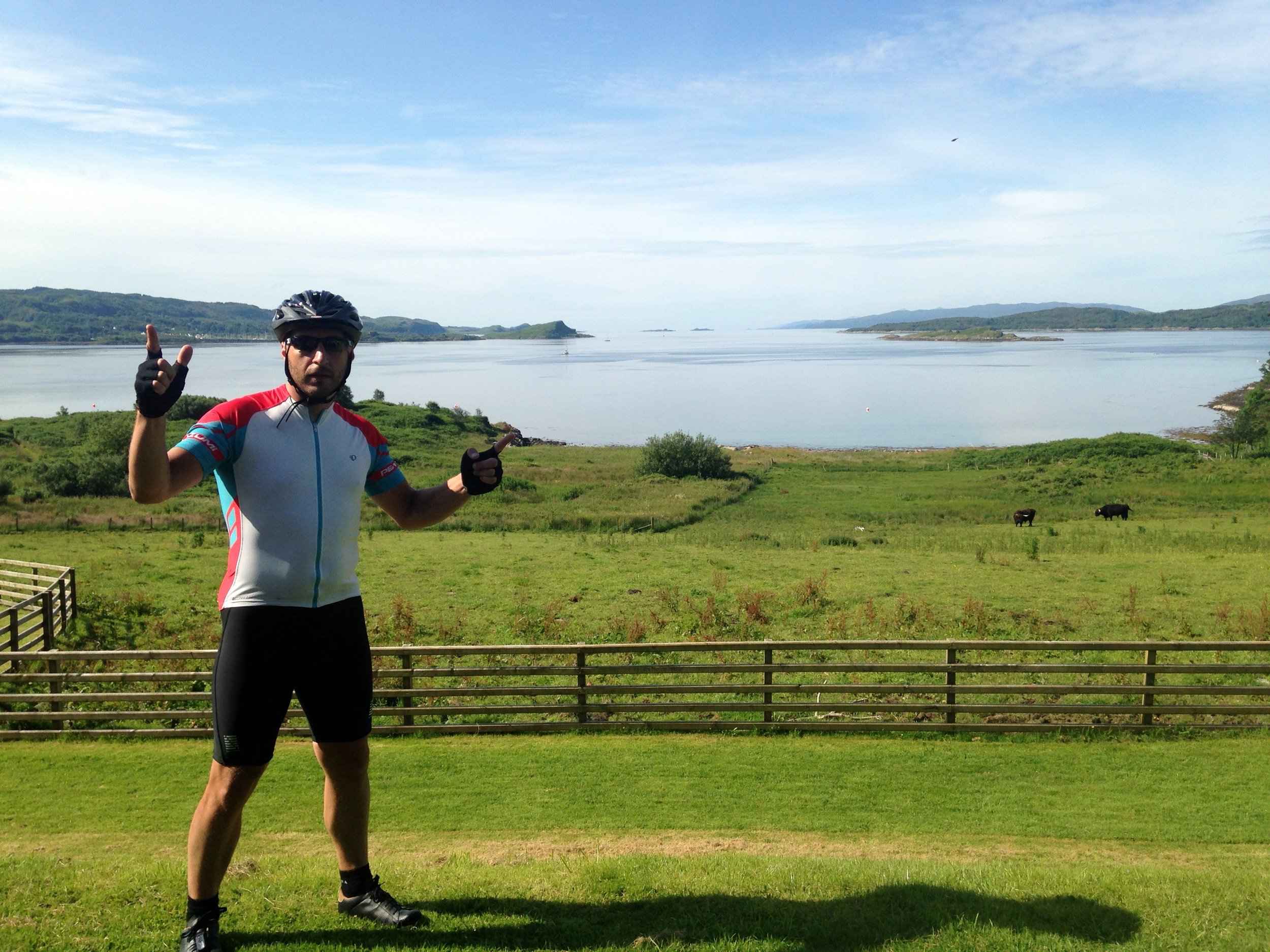
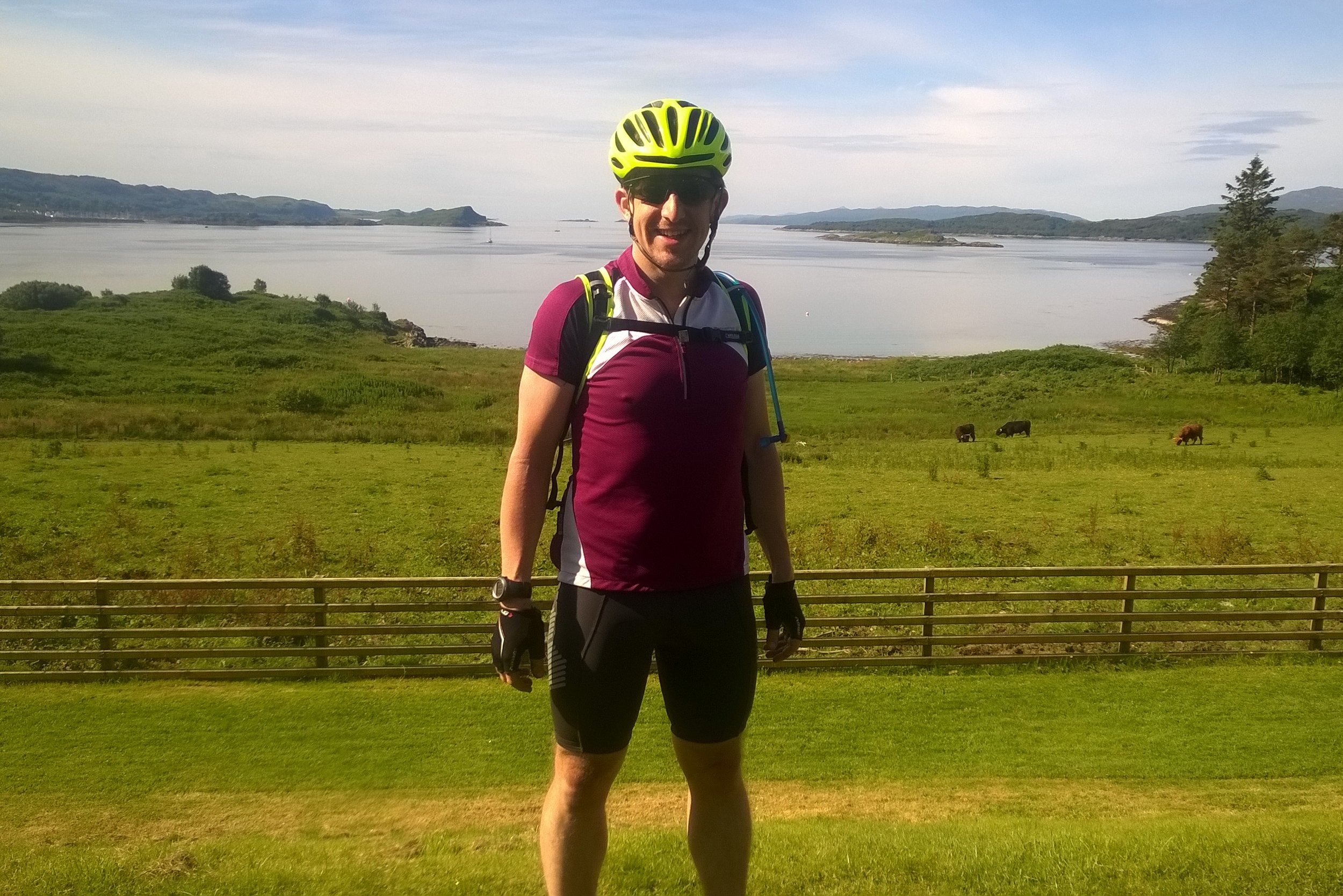
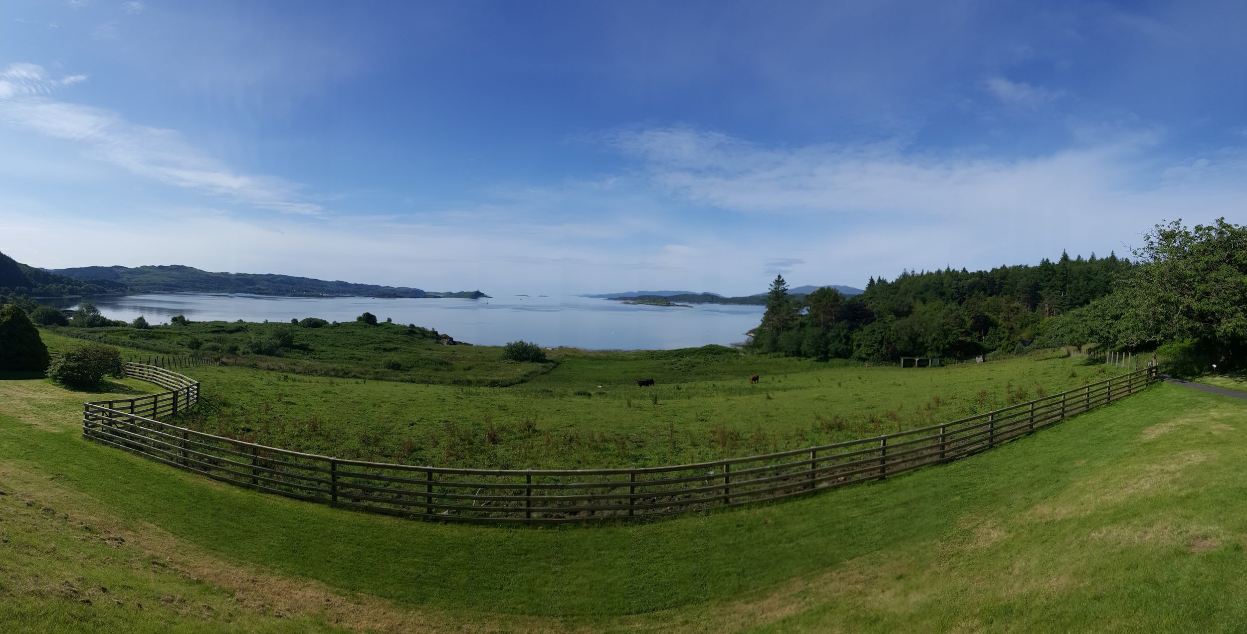
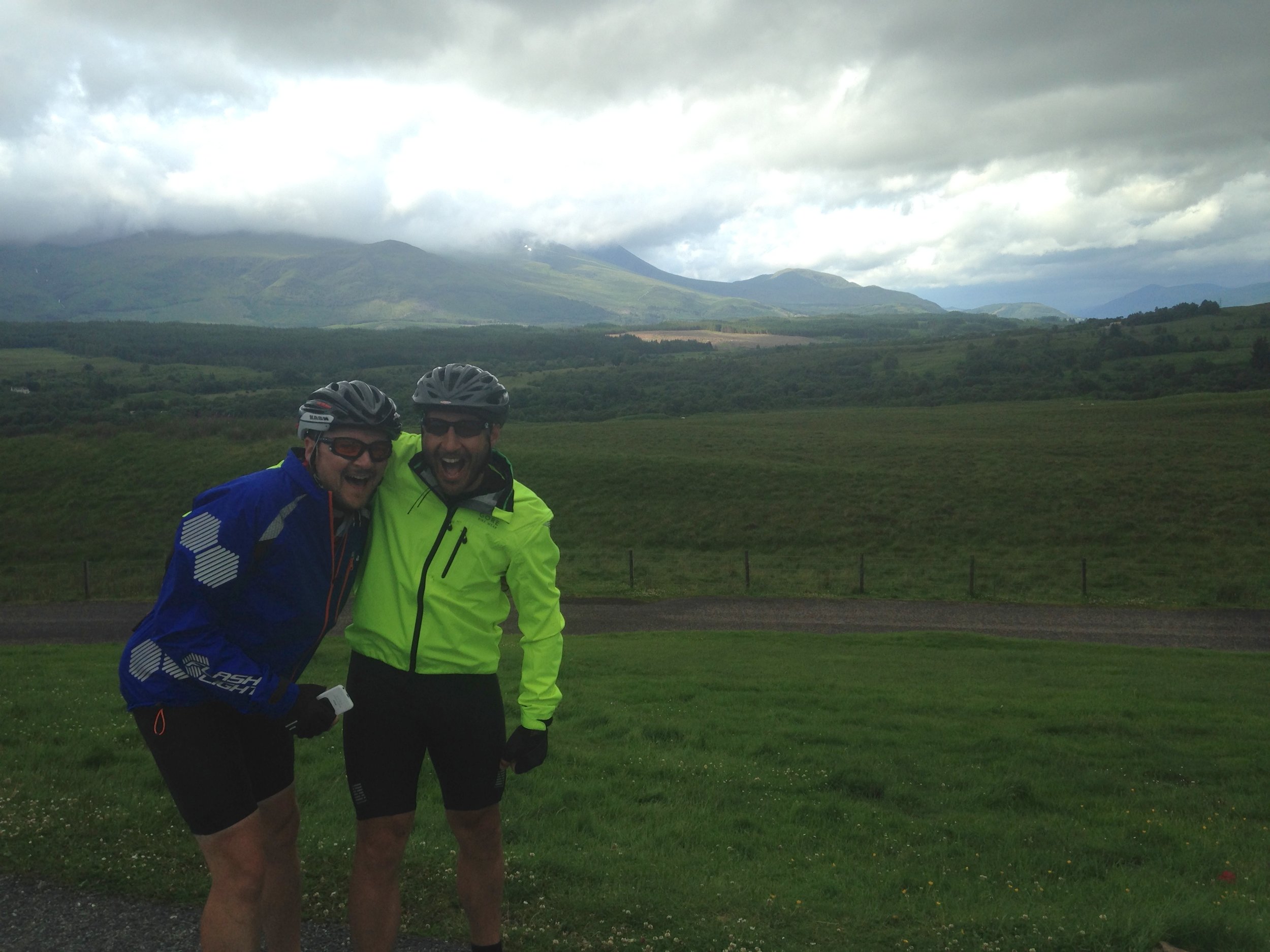
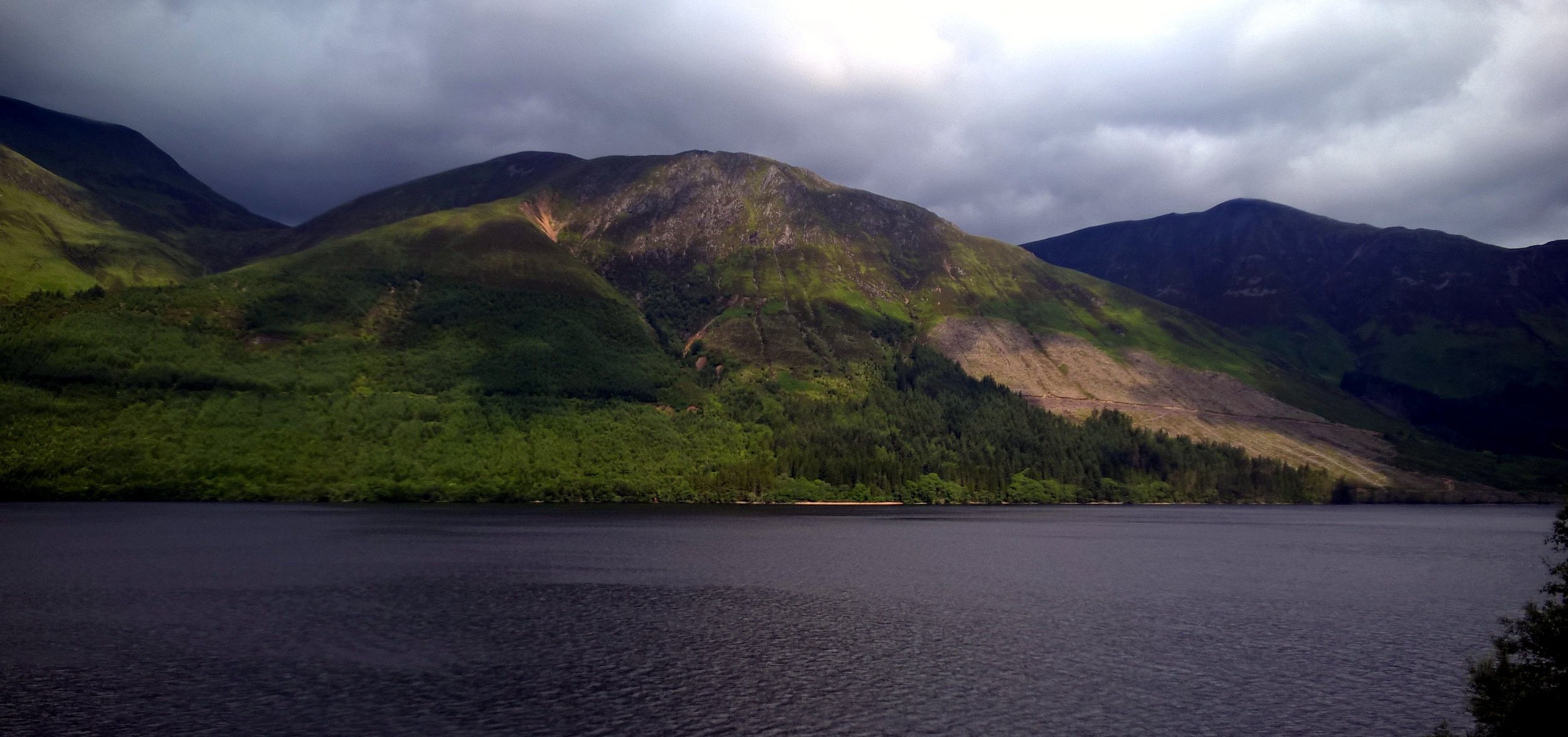
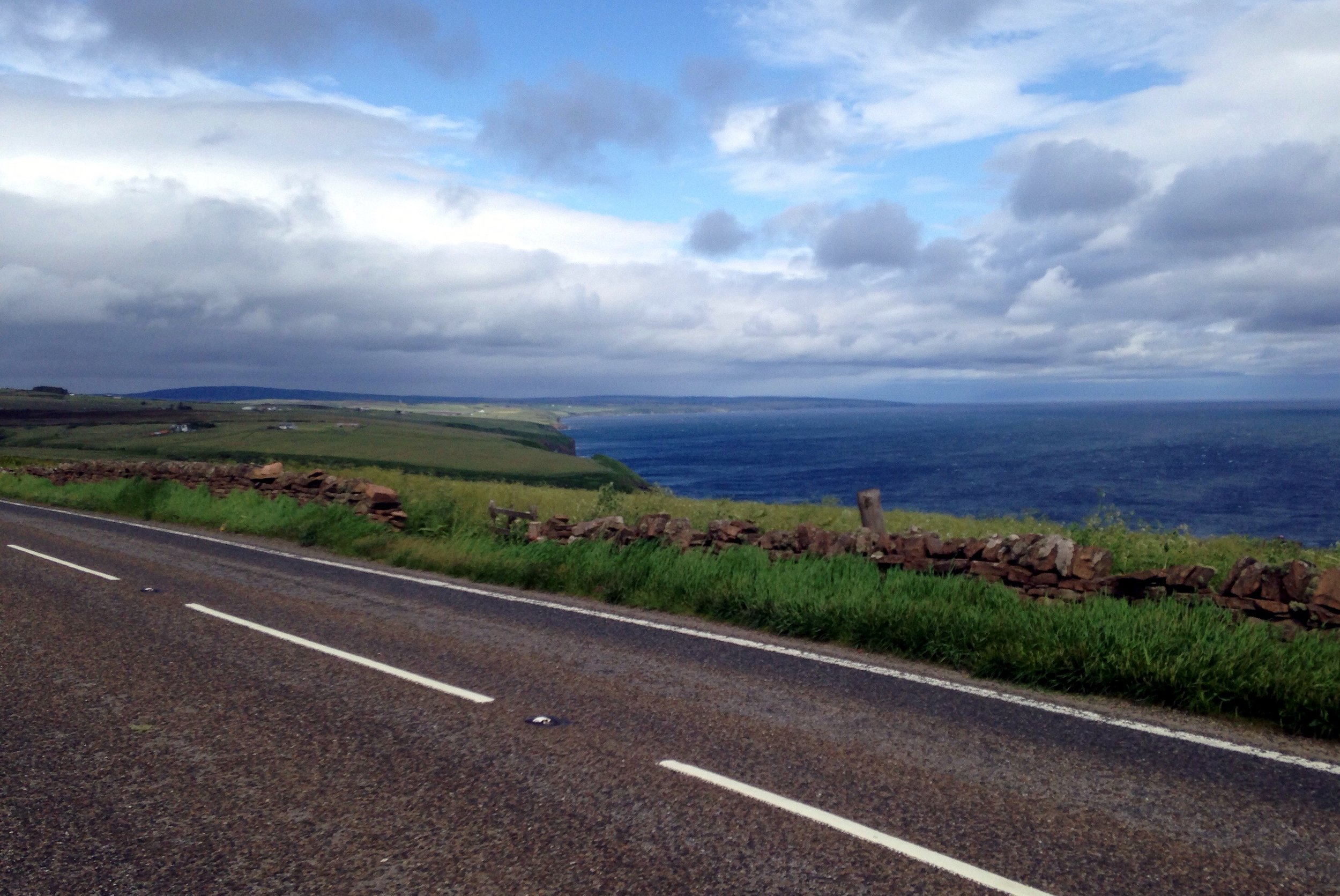
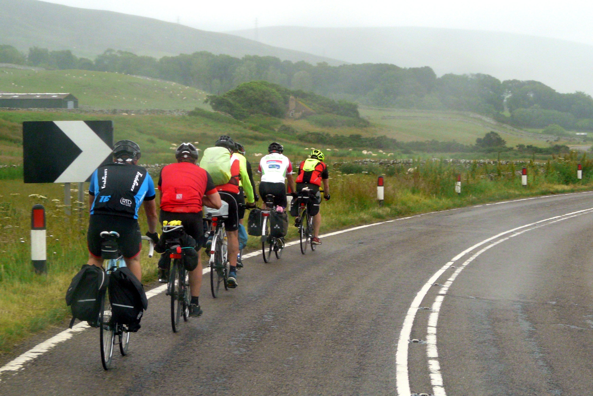
Whilst a lot of the process of doing the trip became routine, the adventure was in the route itself. England, Wales and Scotland unfolded before us, showing us some of the best parts of the countryside. Towards the end of the trip we about our favourite parts but there were too many to bring it down to a short-list. Often we would post on Facebook about that day having been the best of the trip, only for the next day to be just a enjoyable or even better. My video of the highlights is probably the best way to explain how amazing the trip was.

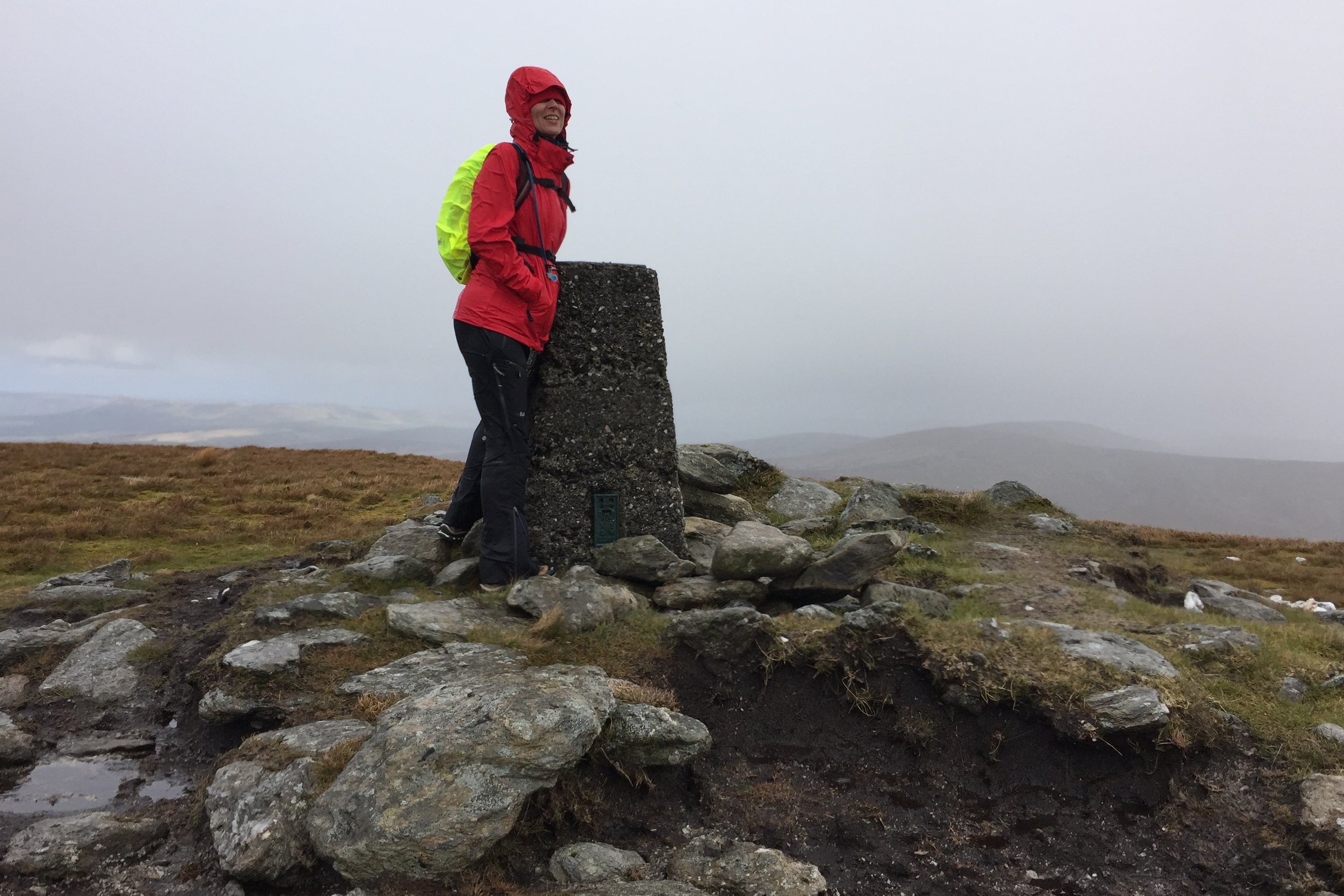
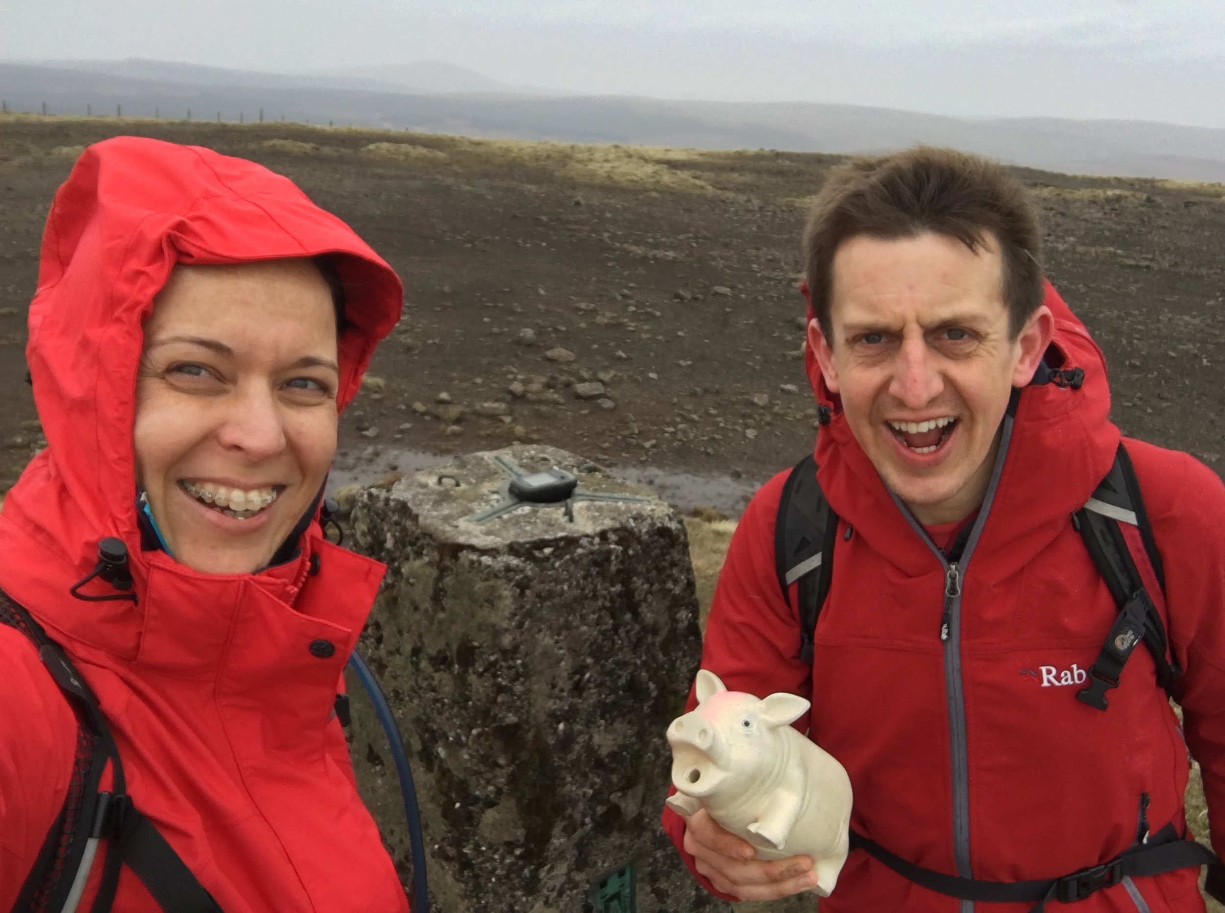
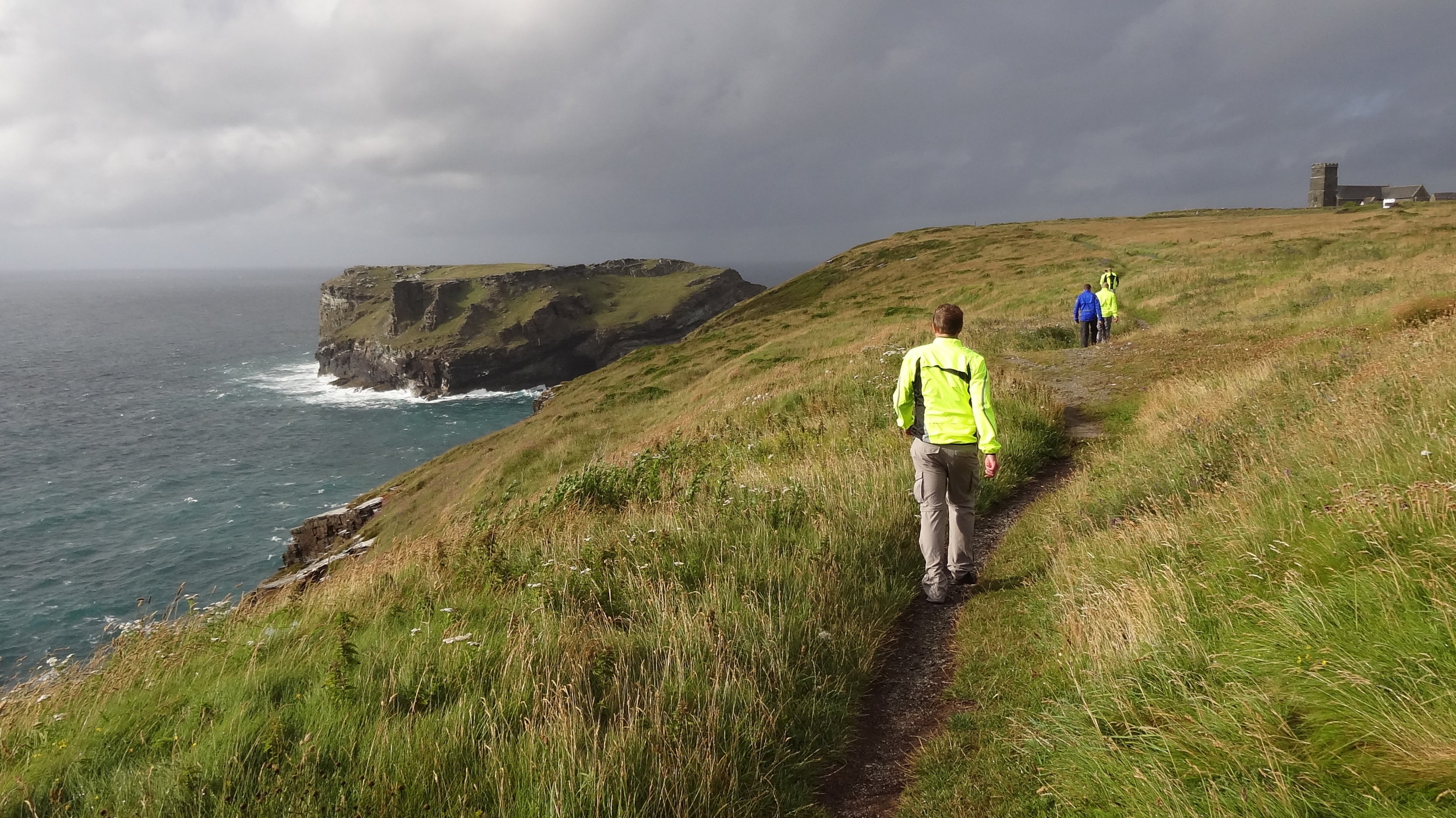
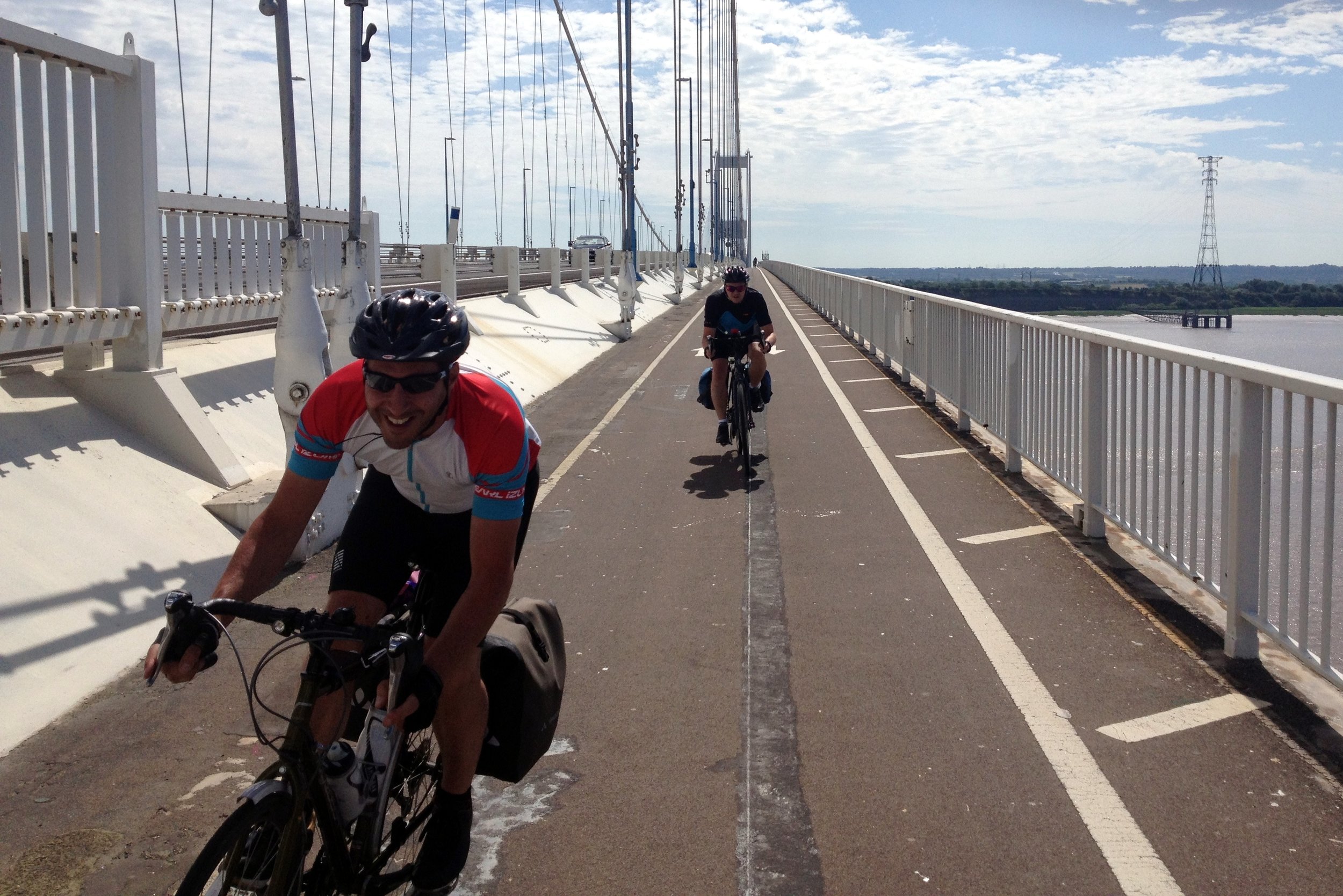
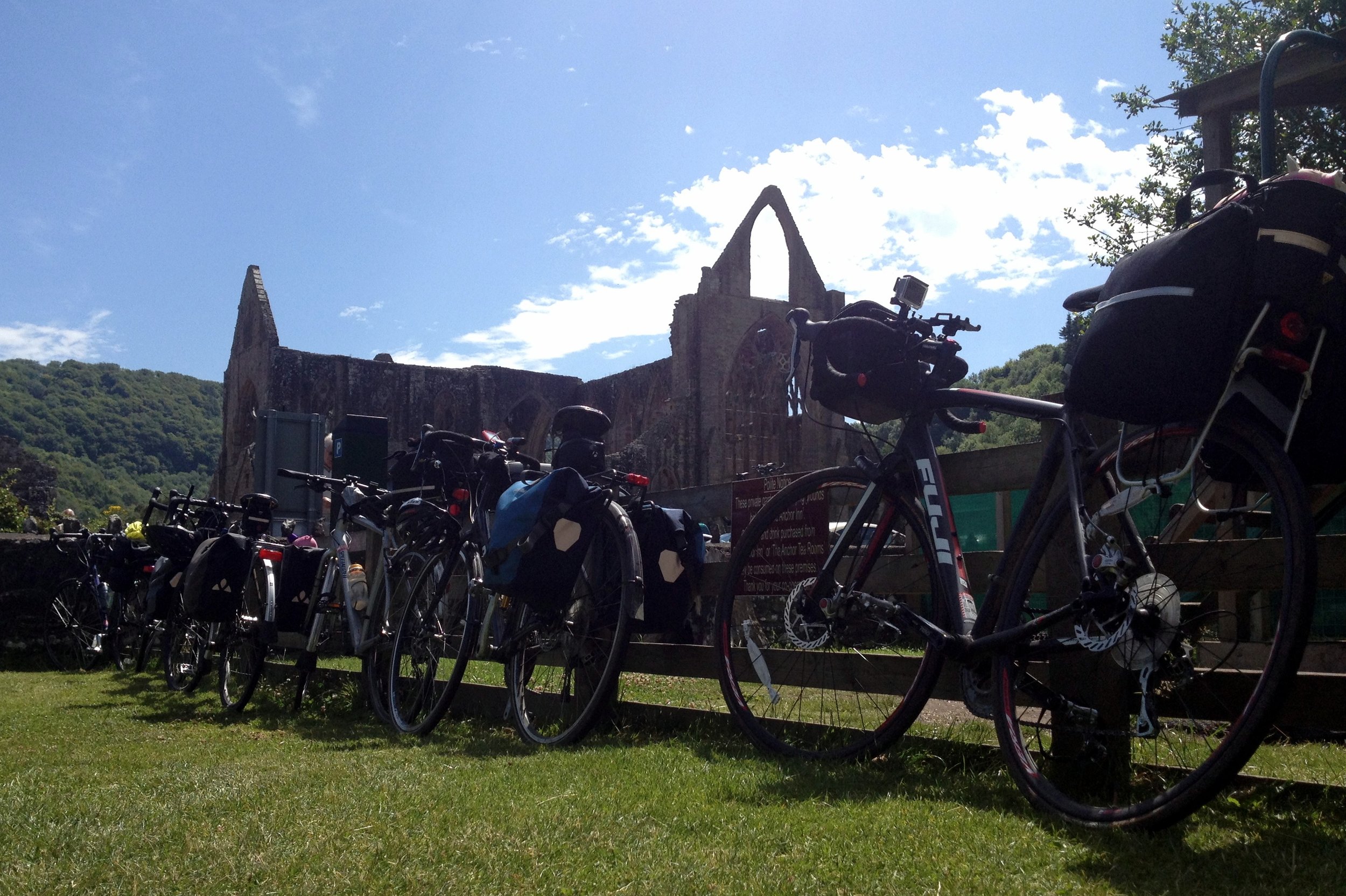
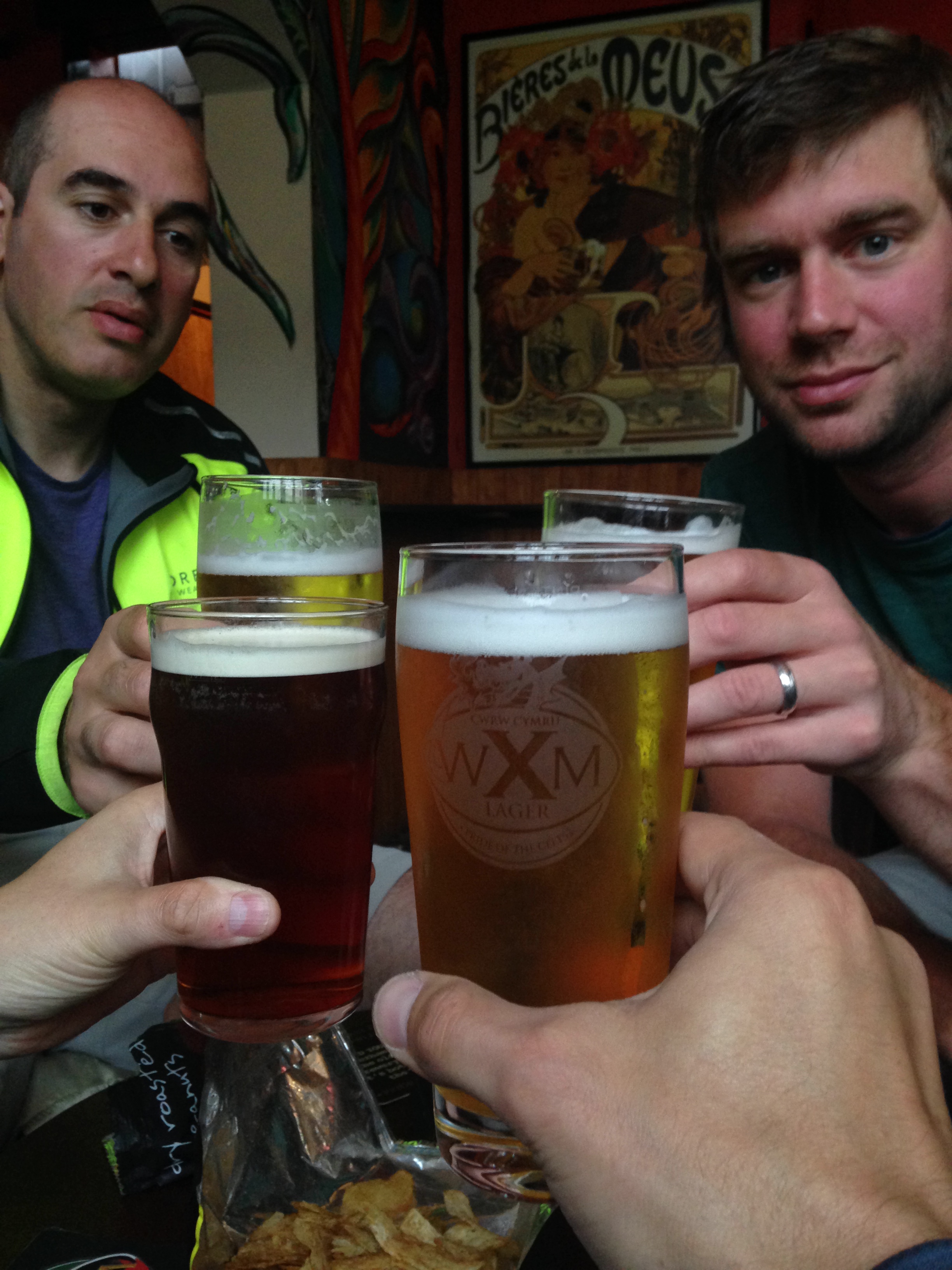
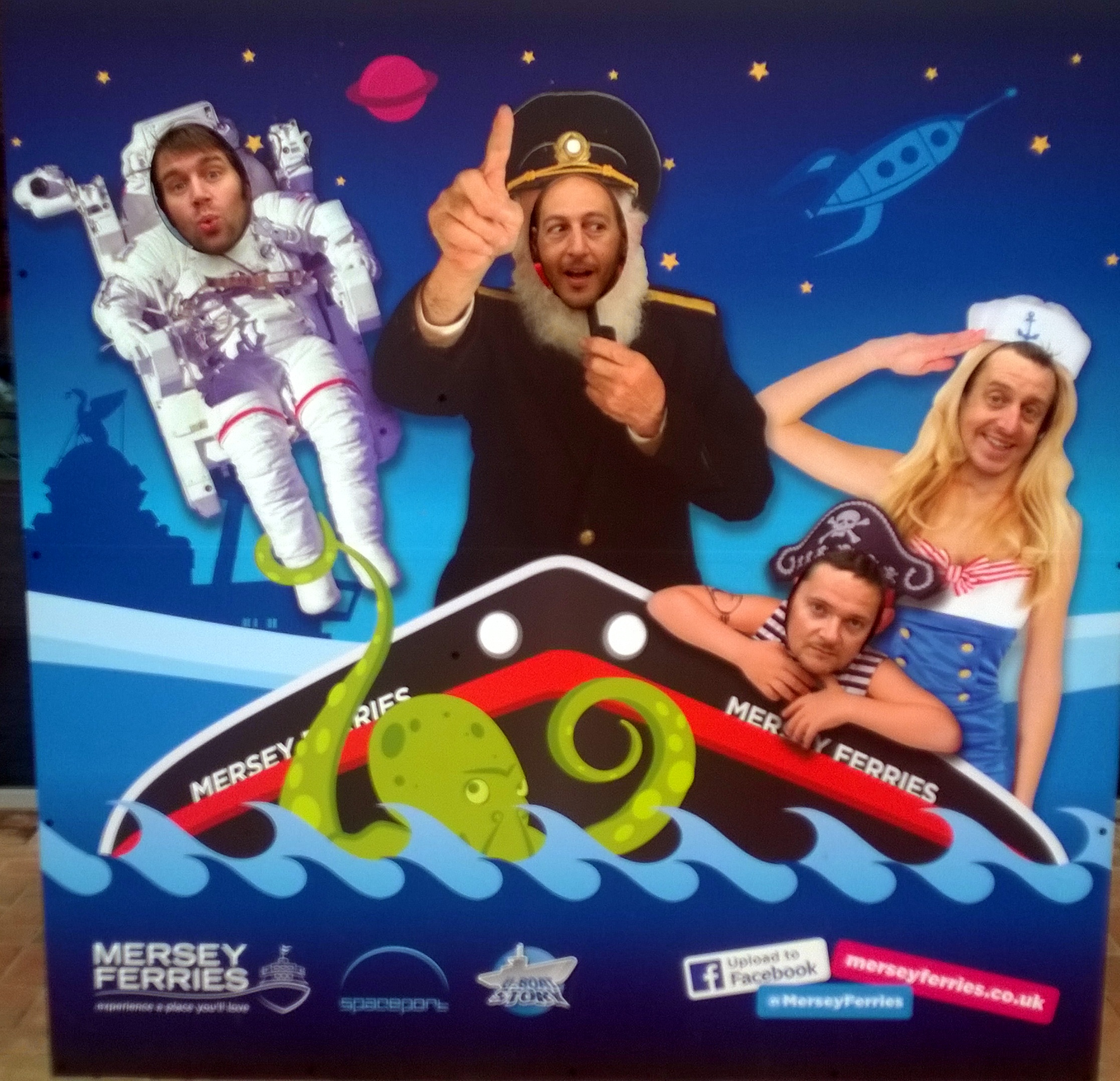
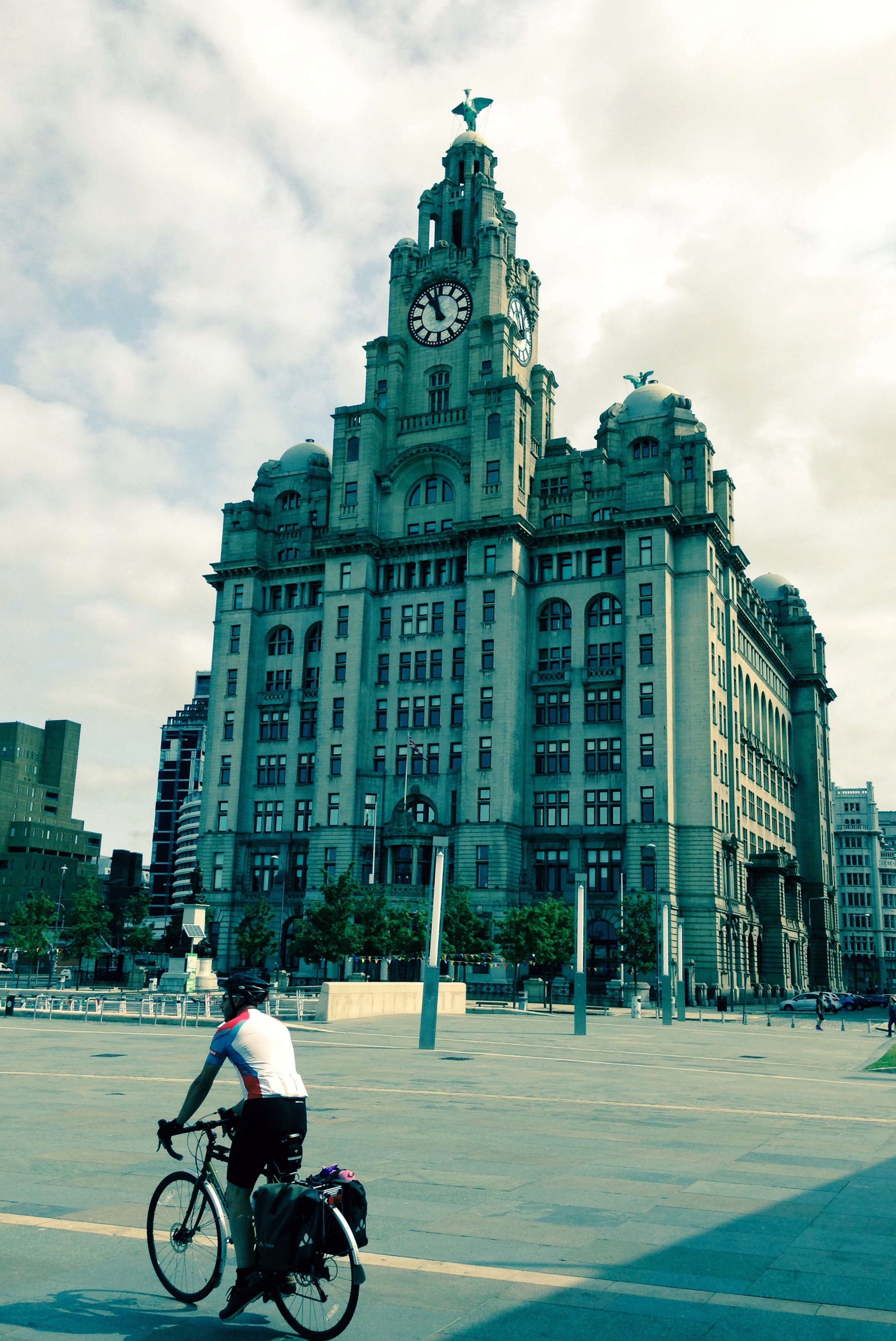
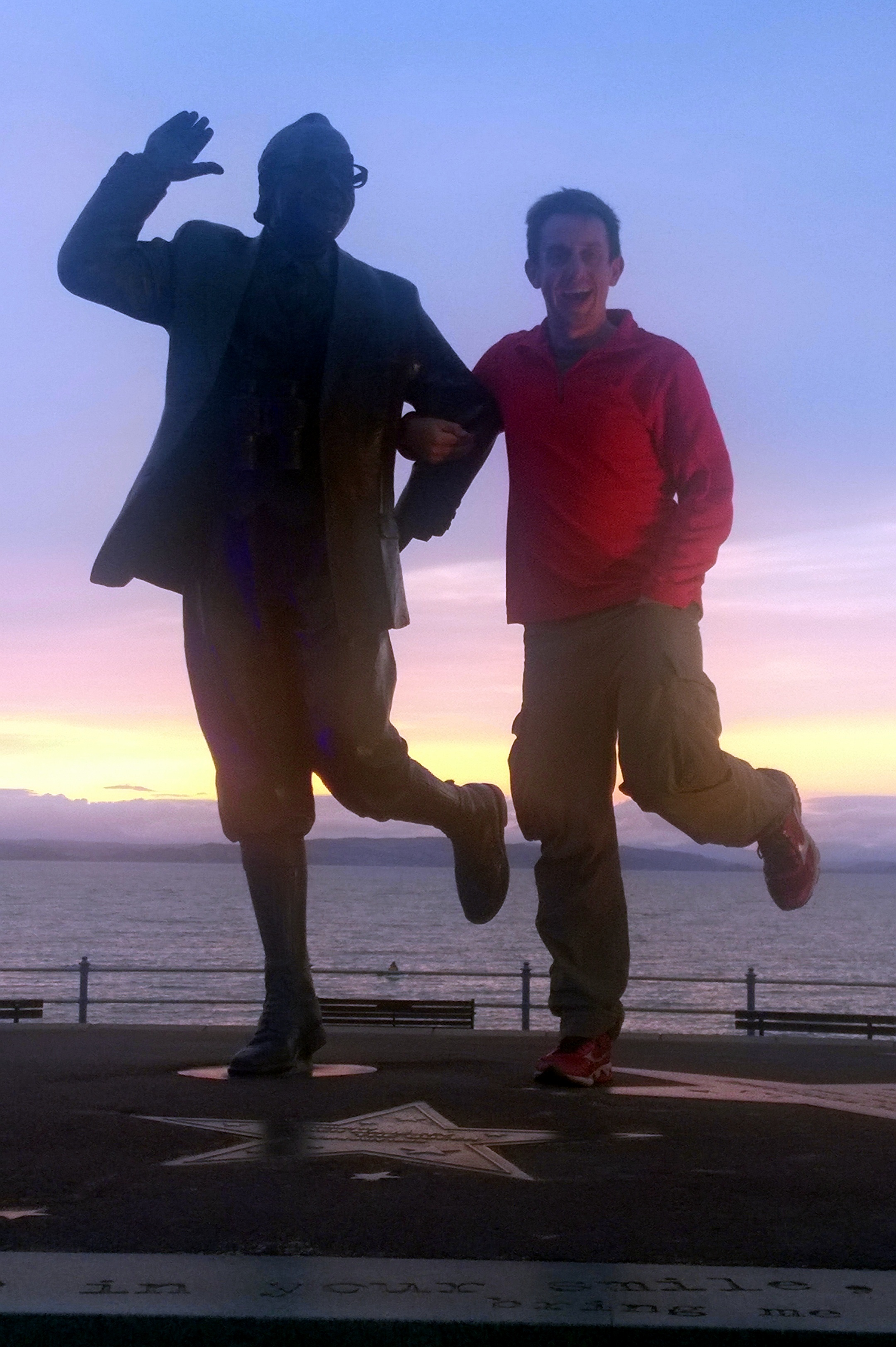
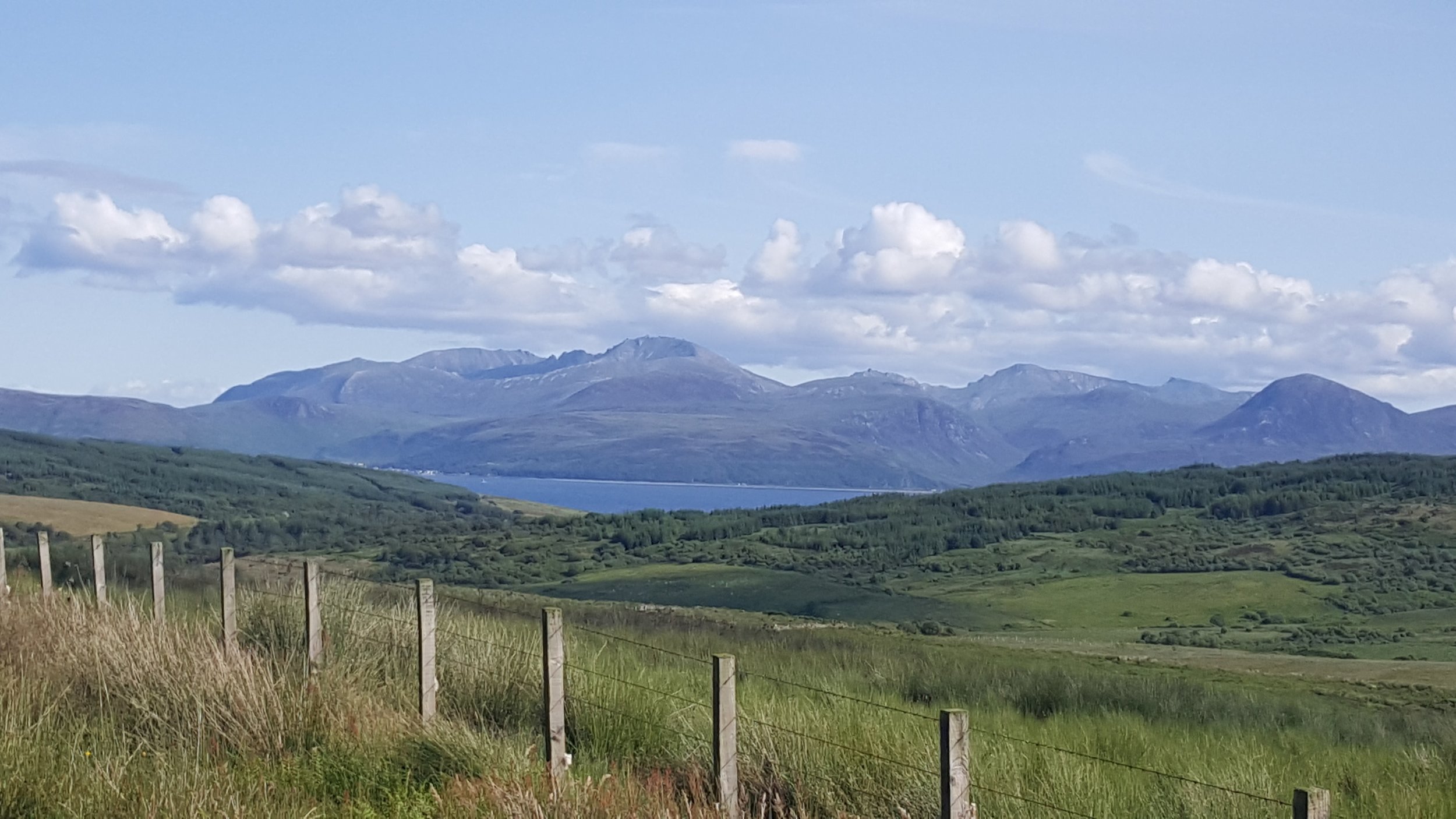
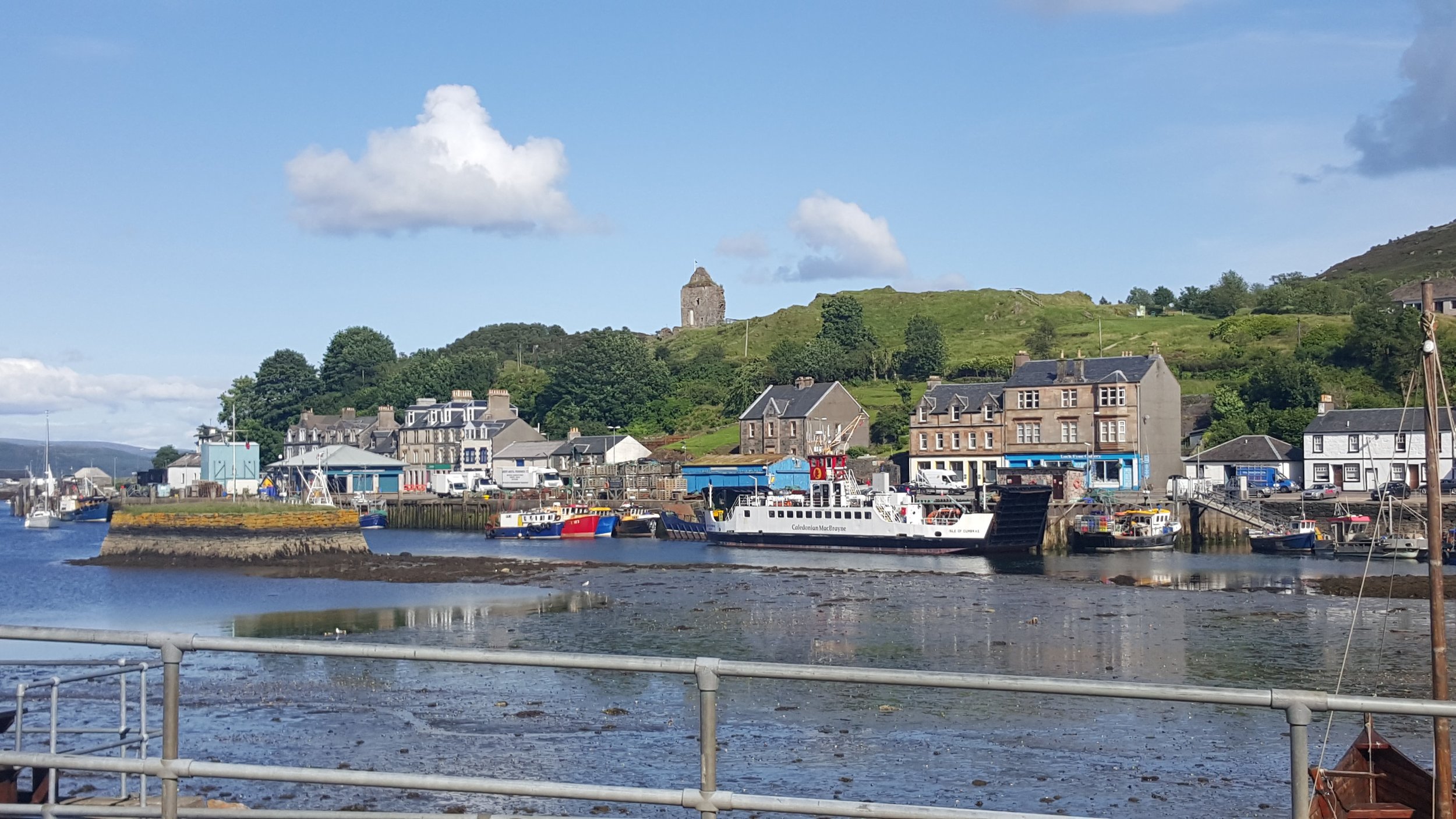
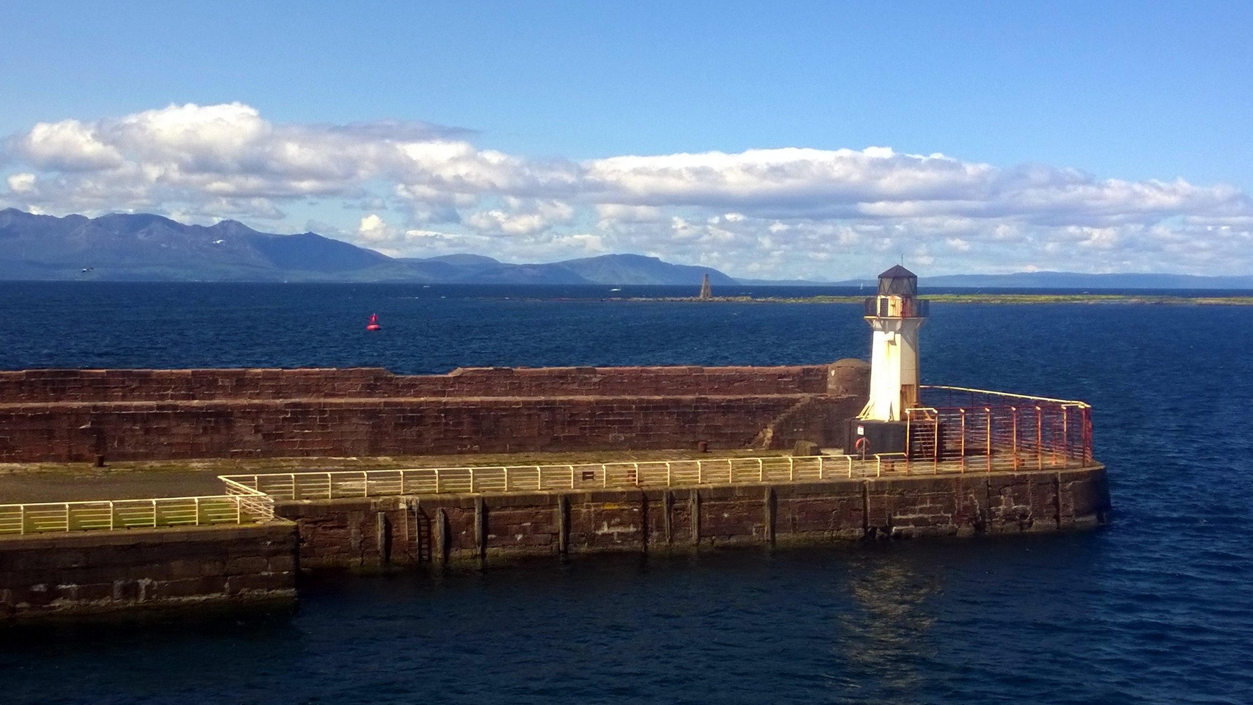
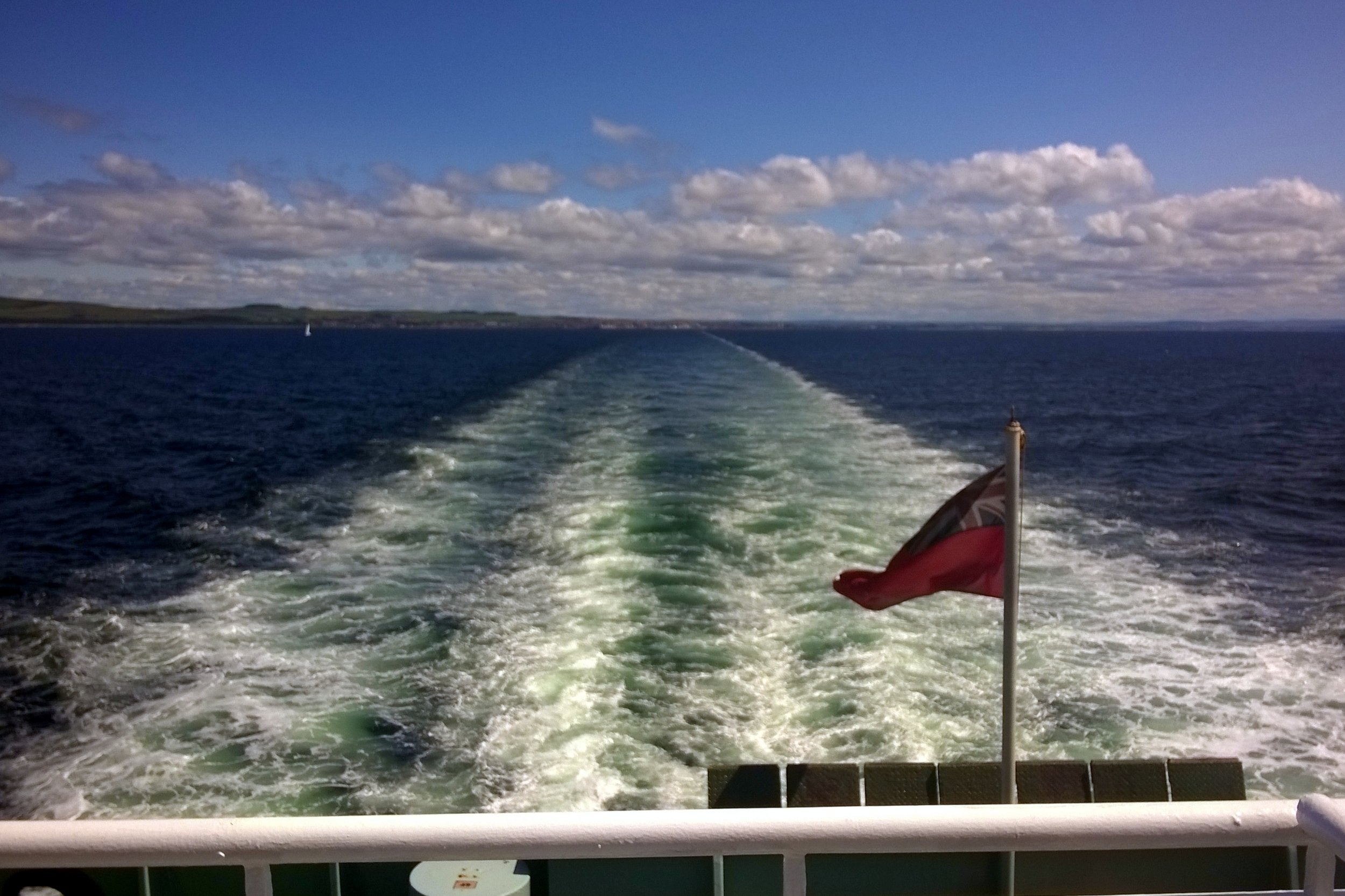
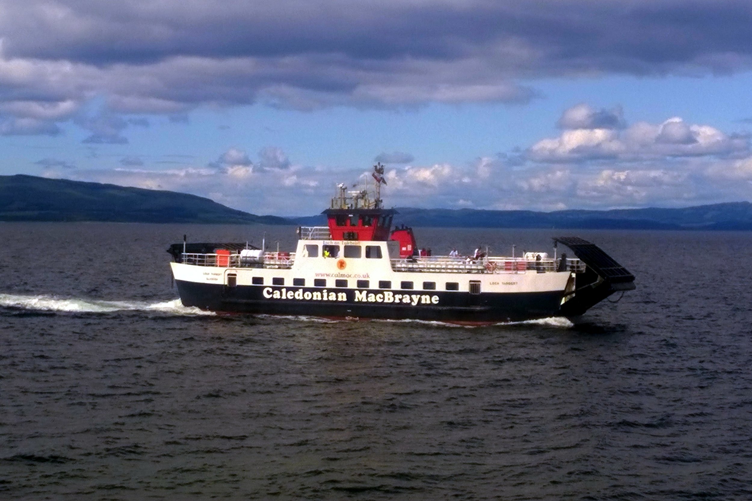
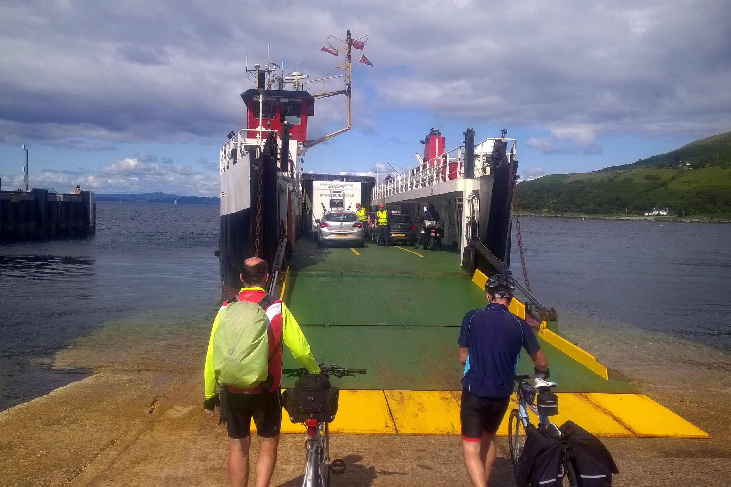
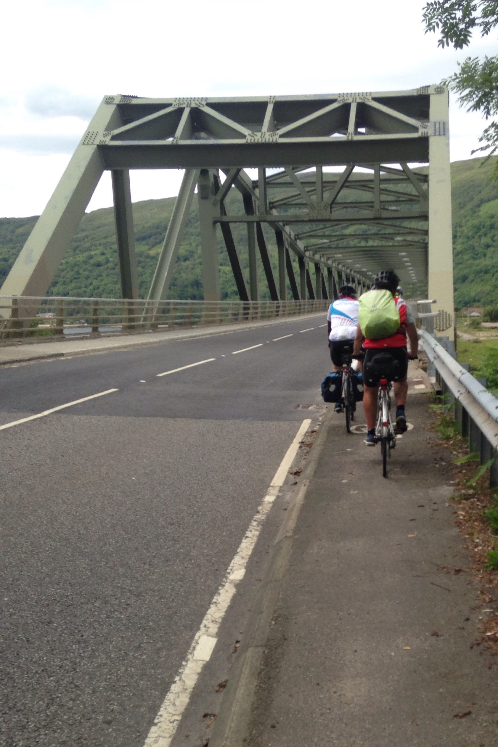
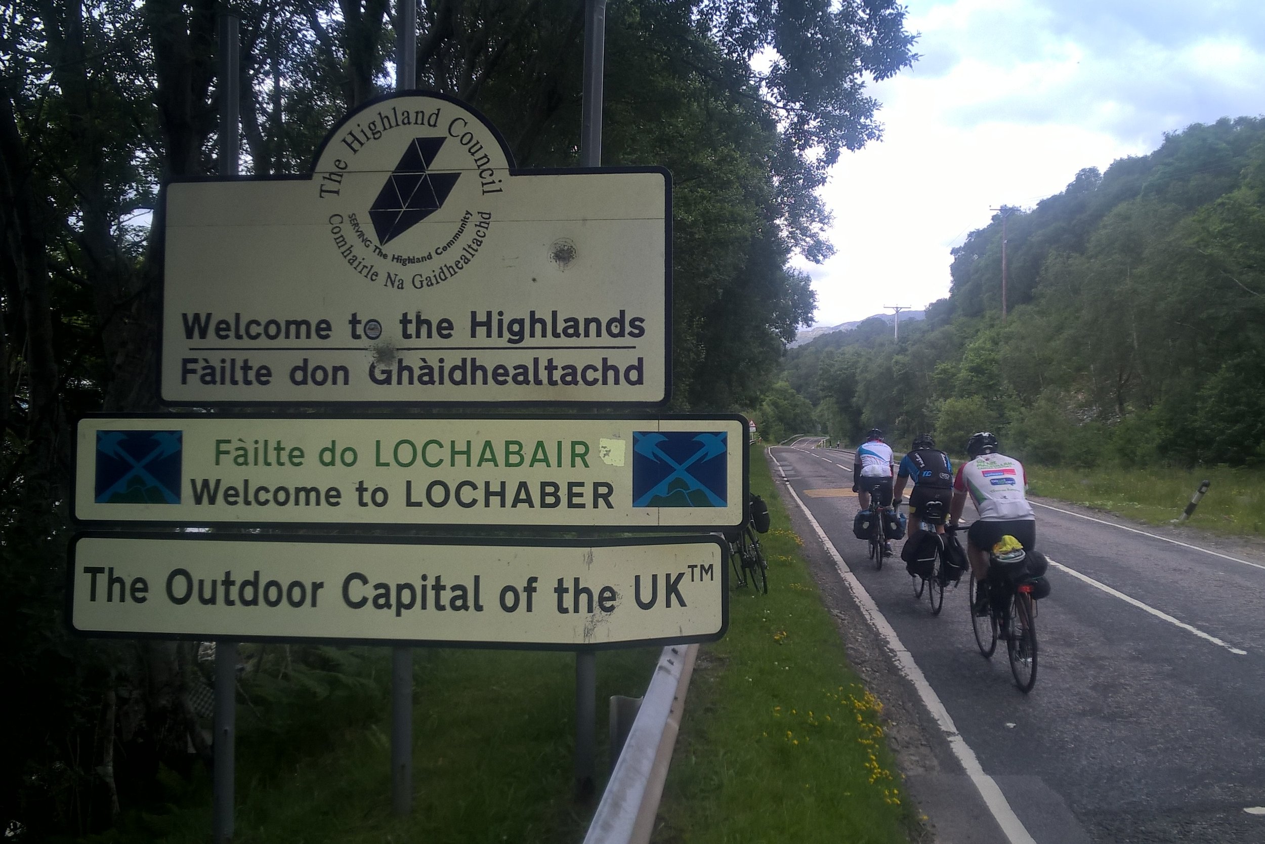
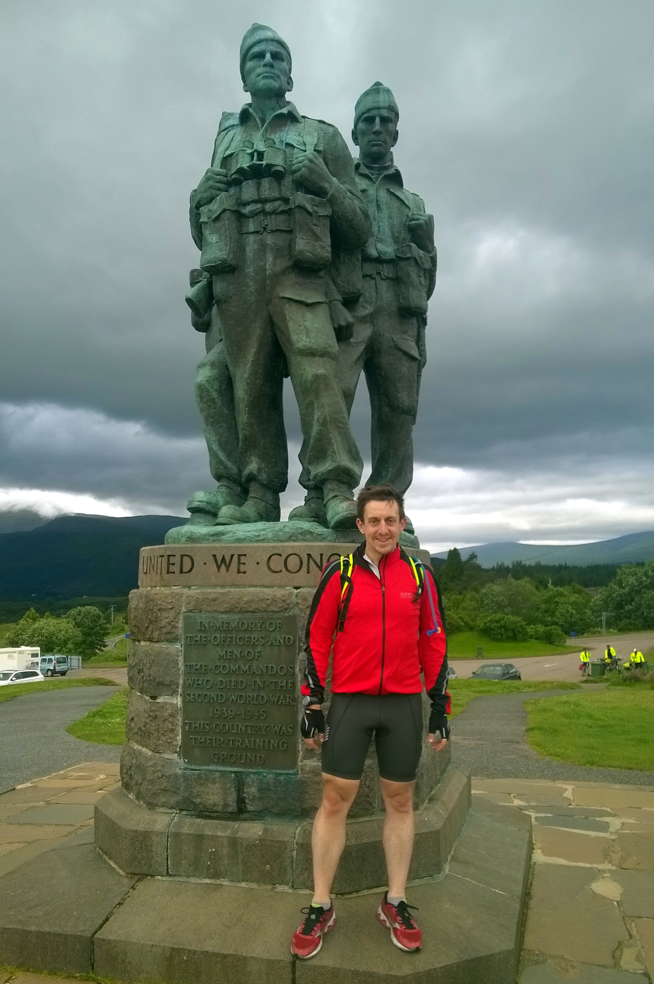
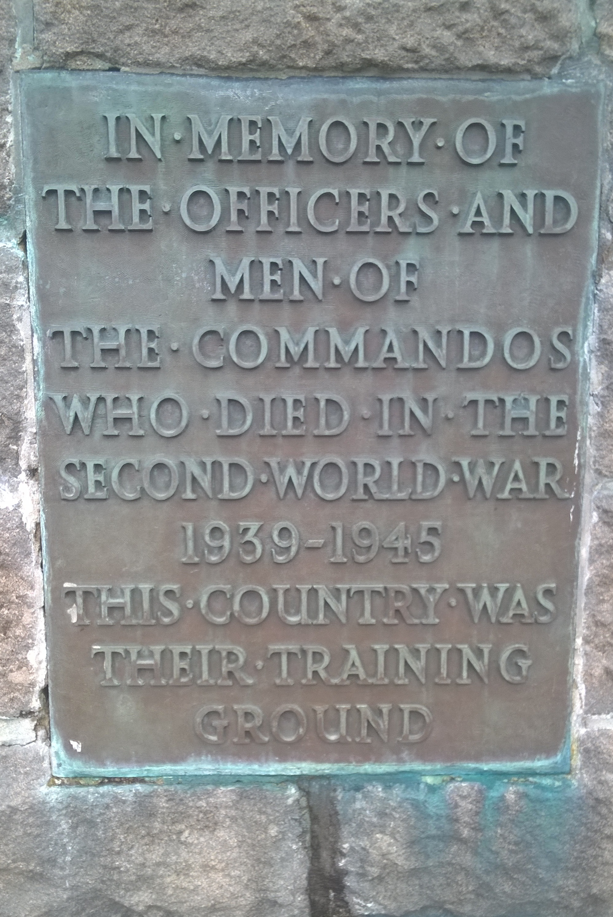
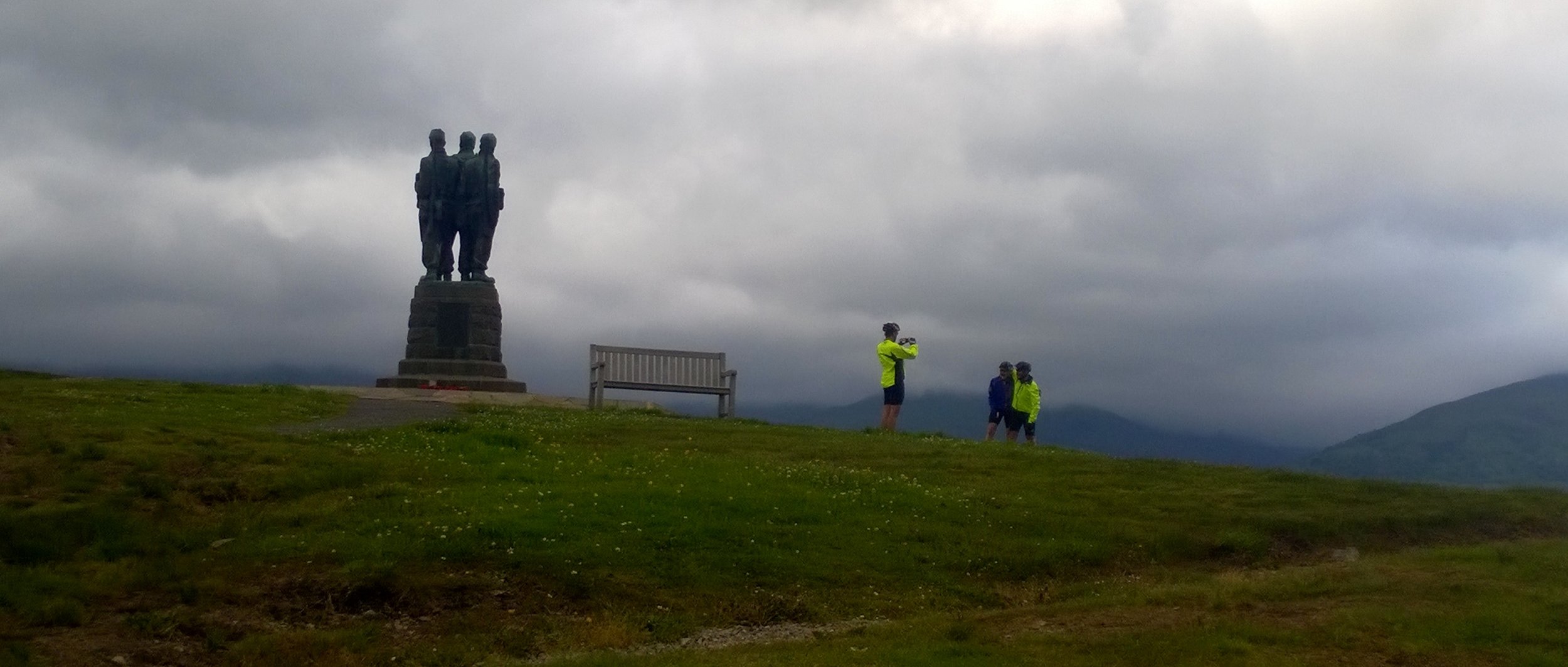
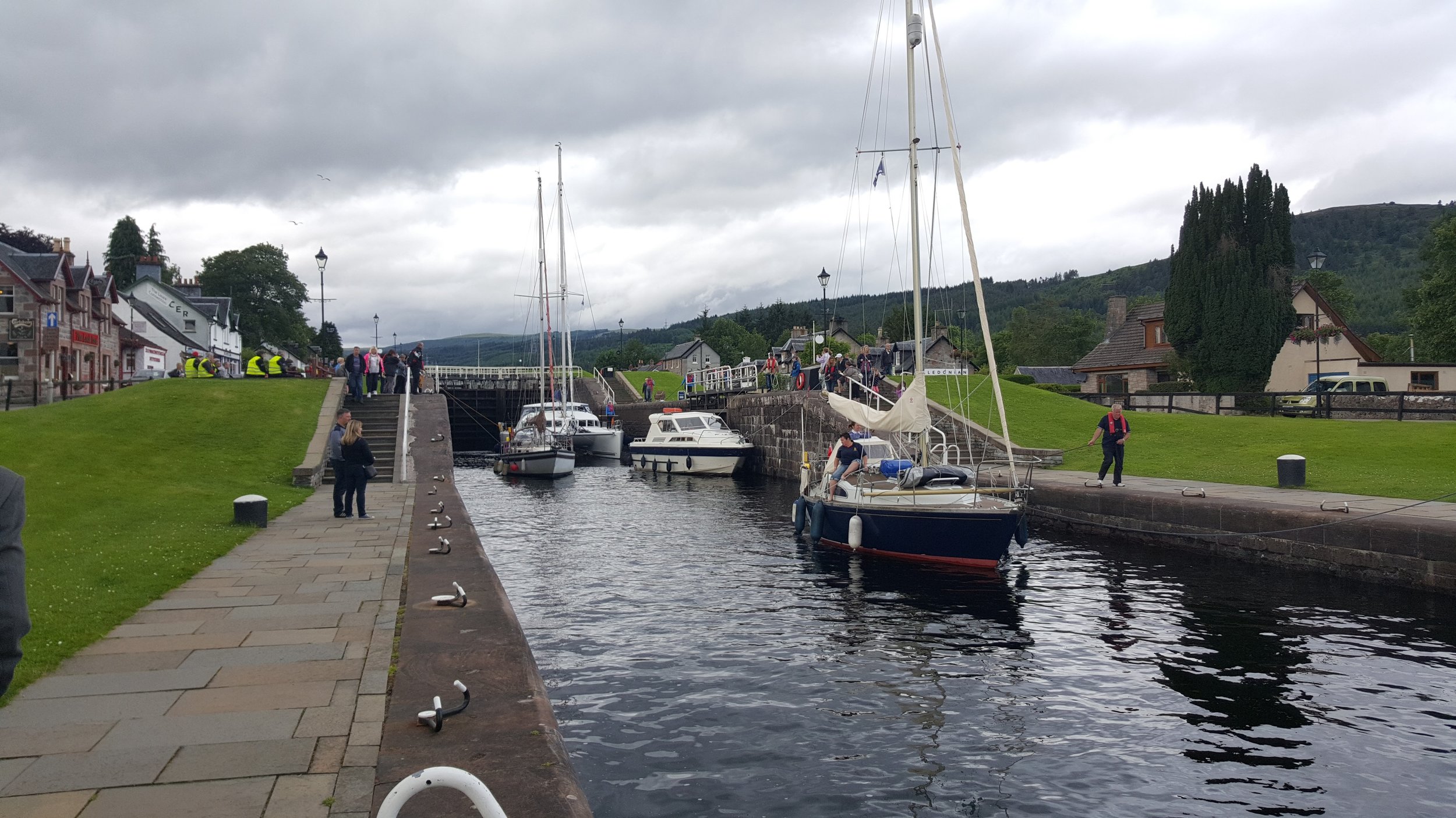
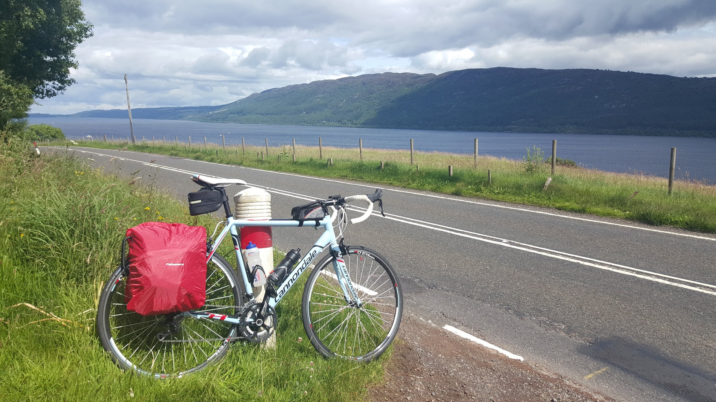
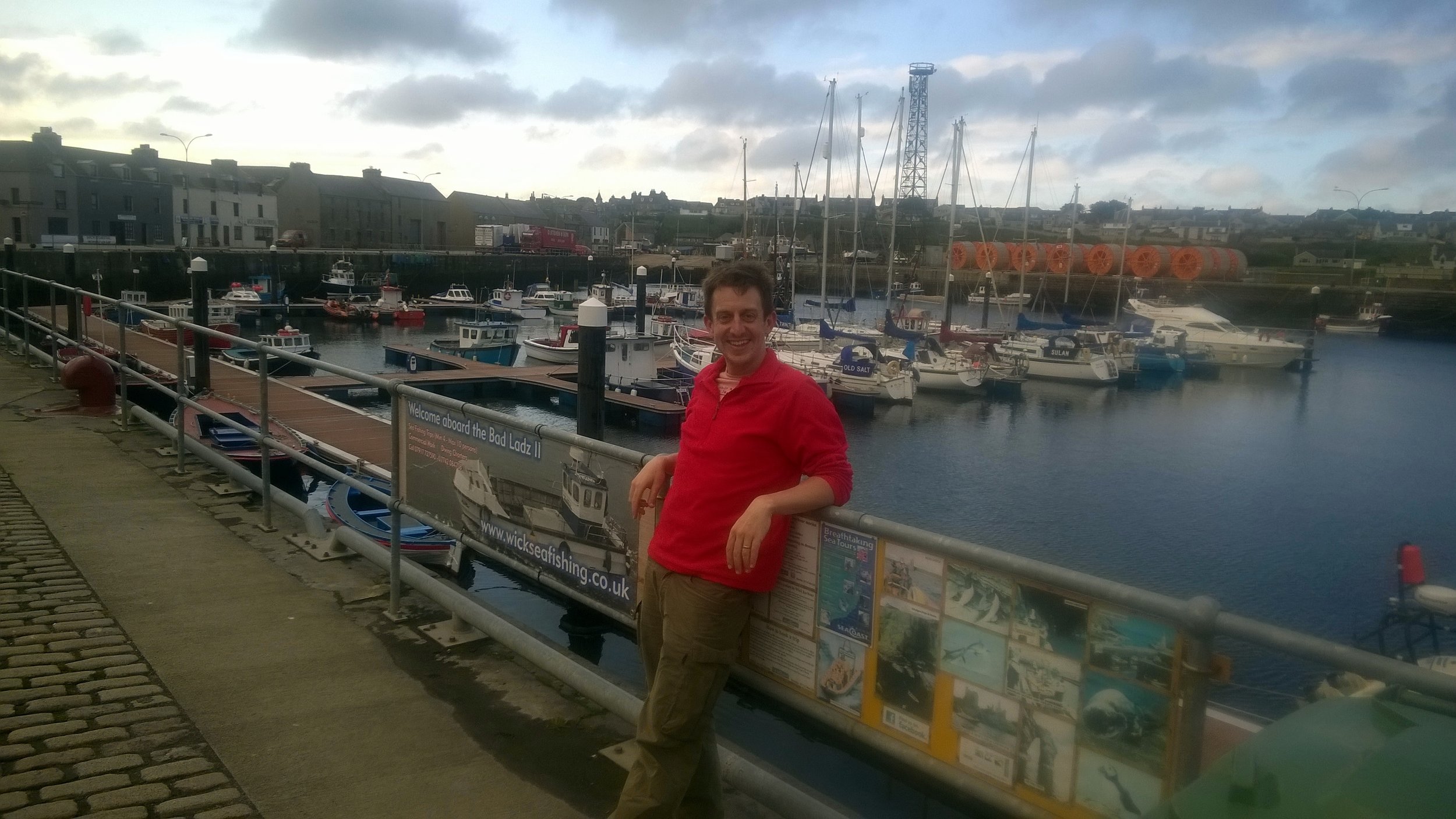
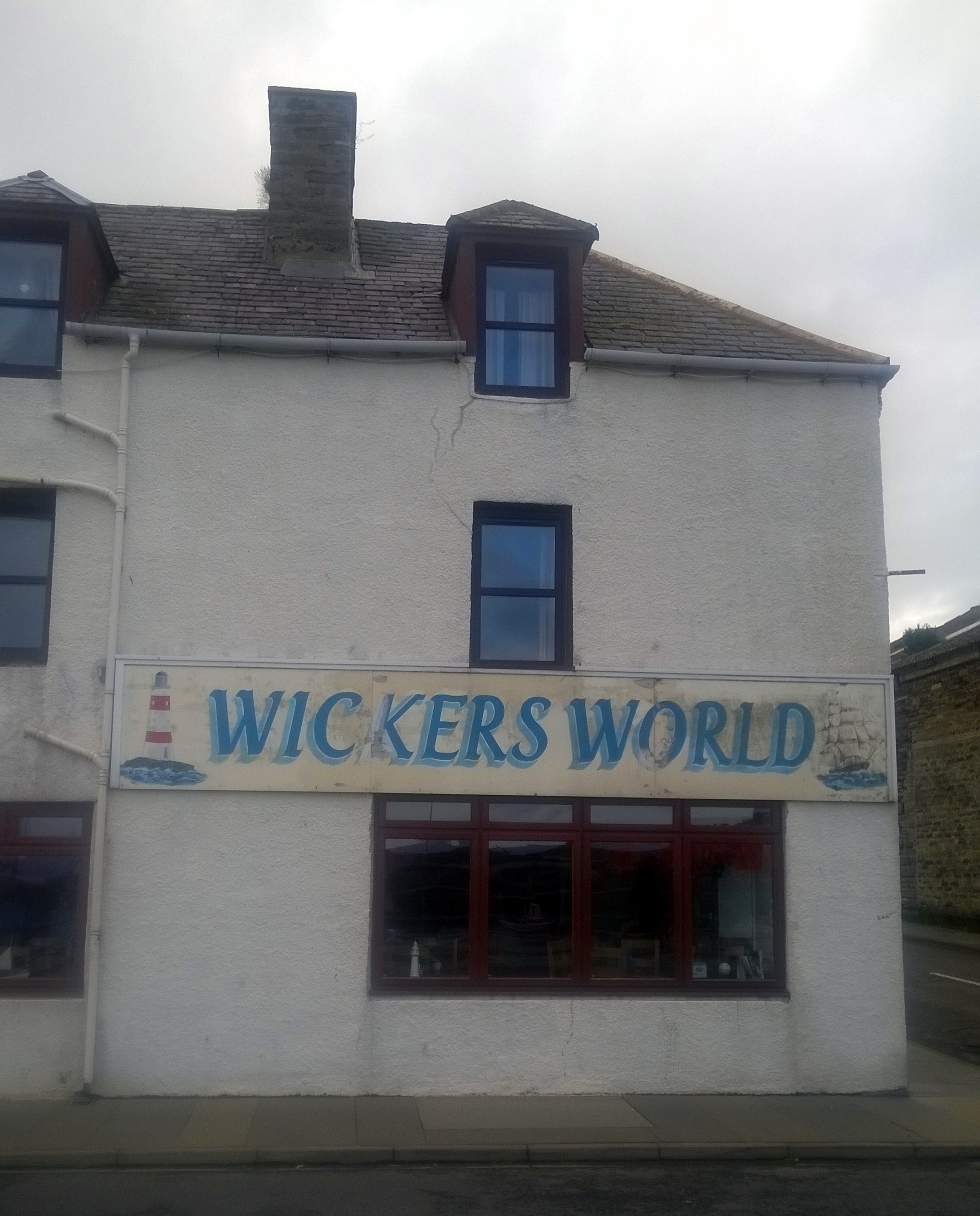
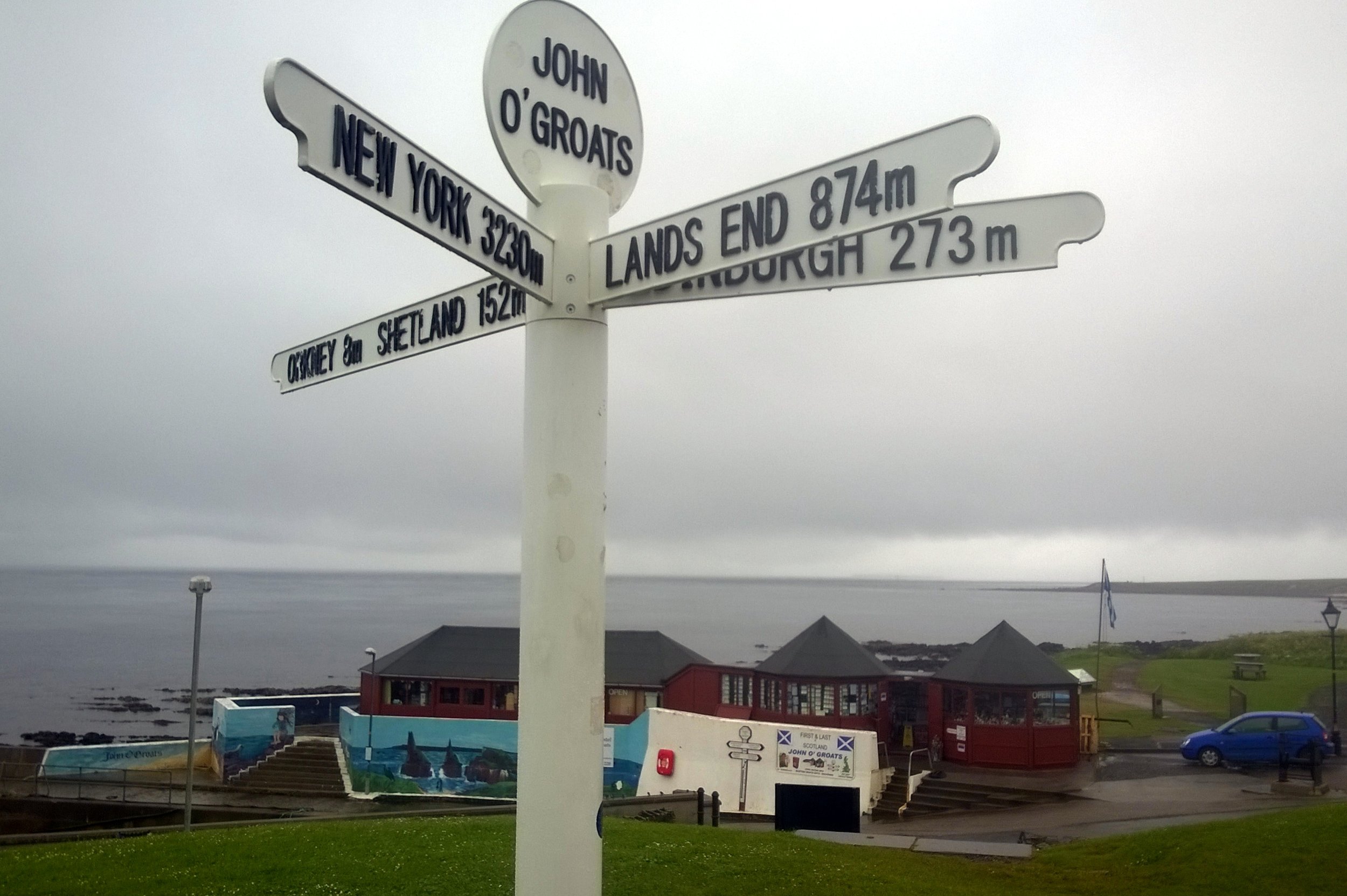
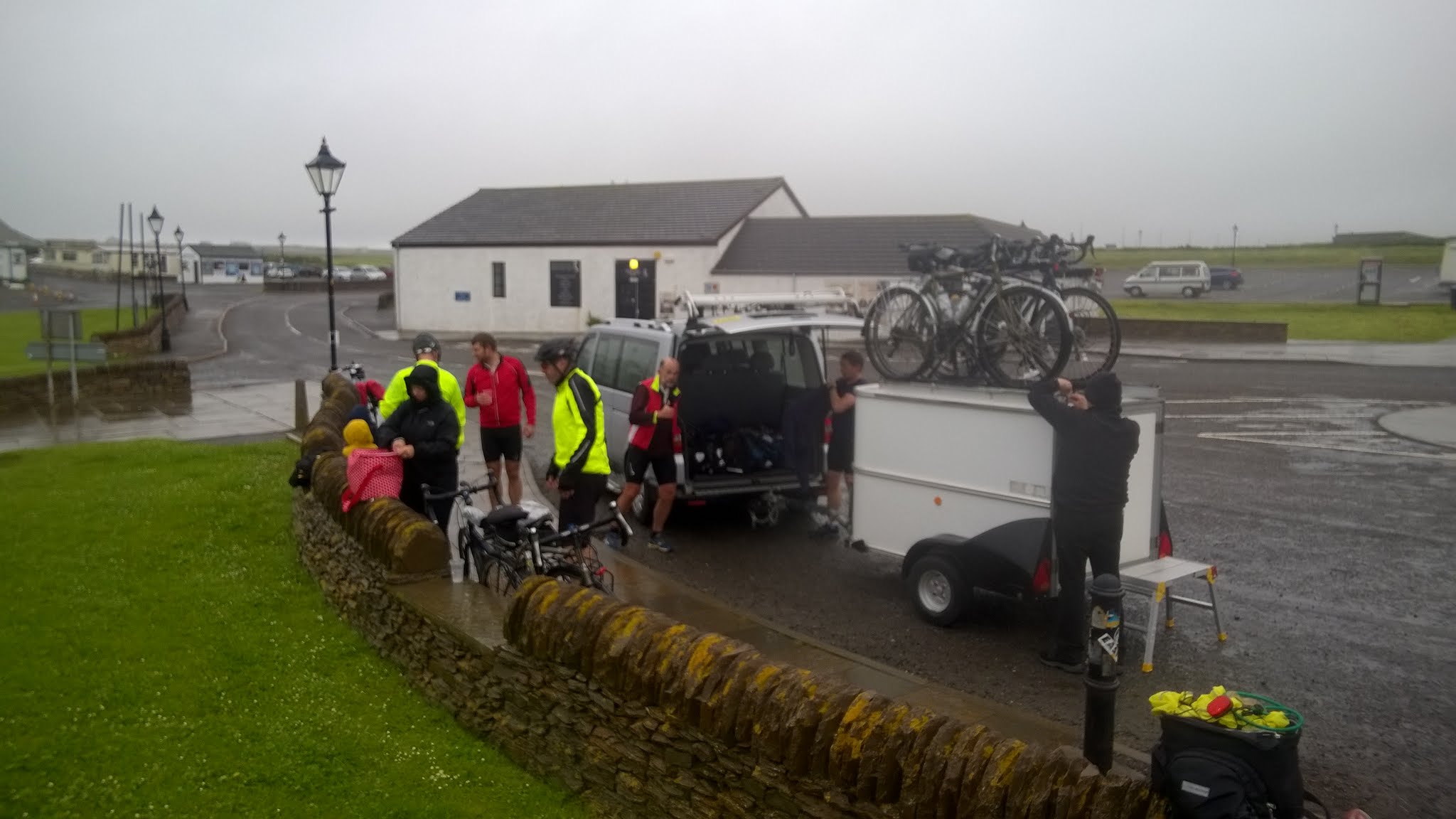
One special moment for me was the evening in Wick, our final overnight stop after our longest day at 105 miles. We were less than 2 cycling hours from John O’Groats so there was already a feeling of celebration. We’d already been spared punctures or major injuries so getting to the end was inevitable, even if we had to walk. Wick really has a sense of being at the end of the country. It was fairly bleak, even in summer, and we wondered what people did there. Over a few pints a a curry we talked about the hilly South-West from 2 weeks ago, the exhilarating downhill rides into Exford, the Strawberry Line to Bristol, crossing the Severn Bridge, The Wye Valley, the ferry across the Mersey, the Lake District, Gretna, Arran, the Great Glenn and the Scottish coast. All very different experiences and even more special to have been able to join them up in one self-powered adventure.

After all of that, the final was a bit of an anti-climax. From Wick, we only had 17 miles to go, normally the distance till our first carrot cake stop. This 17 miles contained the most rain we'd had apart from the Lake District. John O’Groats quickly came and we were greeted by Martyn's family and friends who had followed us since Arran. The next part was ultra efficient, disassembling and boxing up the bikes, driving to Inverness airport and boarding the plane to Gatwick. After 2 weeks of being very present and fully focused on the trip, suddenly it was all over. I’d had a nice sense of completion for the adventure that I'd had in my mind for 21 years, but it didn't feel like an end, more the inspiration for something new. From John O’Groats, there's 2 ways to go, North by boat to Orkney or carry on West to Dunnet Head, the mainland’s most northerly point, then the wild Scottish coast. I'm sure I'll be back for both, but a lot sooner than 21 years.


Day 1: Land’s End to Falmouth

Date: July 6th 2015
Start:
Land’s End Visitors Centre, Sennen, Penzance TR19 7AA
Finish:
Falmouth Lodge Backpackers Hostel, 9 Gyllyngvase Terrace, Falmouth, TR11 4DL
Distance: 60.4 km (37.5 miles)
Elevation change: +757m / - 798 m / Net -41m
GPX File: get via Buy Me a Coffee
Other Routes Touched (Cycle): NCN 3
Other Routes Touched (Walk): South West Coast Path


Day 2: Falmouth to Tintagel

Date: July 7th 2015
Start:
Falmouth Lodge Backpackers Hostel, 9 Gyllyngvase Terrace, Falmouth, TR11 4DL
Finish:
YHA Tintagel, Dunderhole Point, Tintagel PL34 0DW
Distance: 88.8 km (55.2 miles)
Elevation Change: +1,333m / - 1,289 m / Net +44m
GPX File: get via Buy Me a Coffee
Other Routes Touched (Cycle): NCN 3, 32
Other Routes Touched (Walk): South West Coast Path


Day 3: Tintagel to Exford

Date: July 8th 2015
Start:
YHA Tintagel, Dunderhole Point, Tintagel PL34 0DW
Finish:
Exford Hostel, Exemead Stables, Exford, Minehead TA24 7PU
Distance: 118.6 km (73.7 miles)
Elevation change: : +1,641m / - 1,457 m / Net -184m
GPX File: get via Buy Me a Coffee
Other Routes Touched (Cycle): NCN 27, 277, 3, 33
Other Routes Touched (Walk): South West Coast Path, Tarka Trail, Macmillan Way West, Two Moors Way, Exe Valley Way


Day 4: Exford to Bristol

Date: July 9th 2015
Start:
Exford Hostel, Exemead Stables, Exford, Minehead, TA24 7PU
Finish:
YHA Bristol, 14 Narrow Quay, Avon, Bristol BS1 4QA
Distance: 122 km (76 miles)
Elevation change: : +875m / - 1,120 m / Net -245m
GPX File: get via Buy Me a Coffee
Other Routes Touched (Cycle): NCN 26 (The Strawberry Line), 3, 33, 334, 41, 410
Other Routes Touched (Walk): Exe Valley Way, Coleridge Way, Macmillan Way West, River Parrett Trail, The Mendip Trail, West Mendip Way, Round Yatton Walk, River Avon Trail,

route-31000079-map-full.png

Day 5: Bristol to Hereford

Date: July 10th 2015
Start:
YHA Bristol, 14 Narrow Quay, Avon, Bristol BS1 4QA
Finish:
East Friars B&B, 33 Greyfriars Avenue, Hereford, HR4 0BE
Distance: 84 km (52.2 miles)
Elevation change: +1,047m / - 1,007 m / Net +40m
GPX File: get via Buy Me a Coffee
Other Routes Touched (Cycle): NCN 4, 41, 410, 42, 423, 46,
Other Routes Touched (Walk): Bristol Triangular City Walk, Severn Way, Wales Coast Path, Wye Valley Walk, Offa’s Dyke Path, Gloucestershire Way, Herefordshire Trail,


Day 6: Hereford to Chester

Date: July 11th 2015
Start:
East Friars B&B, 33 Greyfriars Avenue, Hereford, HR4 0BE
Finish:
Grotty hotel in Chester City Centre, CH1 3DU
Distance: 149.4 km (92.8 miles)
Elevation change: +1,035m / - 1,066 m / Net -31m
GPX File: get via Buy Me a Coffee
Other Routes Touched (Cycle): NCN 44, 45, 455, 81,
Other Routes Touched (Walk): Herefordshire Trail, Shropshire Way, Jack Mytton Way, Severn Way, Llangolen Canal Towpath, Maelor Way, Marches Way, Baker Way, Two Saints Way, Shropshire Union Canal Towpath,


Day 7: Chester to Morecambe

Date: July 12th 2015
Start:
Grotty hotel in Chester City Centre, CH1 3DU
Finish:
The Morecambe Bay Hotel, 317-318 Marine Rd Central, Morecambe LA4 5AA
Distance: 122.9 km (76.4 miles)
Elevation change: +627m / - 642 m / Net -15m
GPX File: get via Buy Me a Coffee
Other Routes Touched (Cycle): NCN 56, 568, 6, 62, 622, 69, 810,
Other Routes Touched (Walk): Shropshire Union Canal Towpath, Longster Trail, North Cheshire Way, Ribble Way, Lancaster Canal Towpath,


Day 8: Morecambe to Carlisle

Date: July 13th 2015
Start:
The Morecambe Bay Hotel, 317-318 Marine Rd Central, Morecambe LA4 5AA
Finish:
YHA Carlisle (now permanently closed), Bridge Ln, Carlisle CA2 5SR
Distance: 123.2 km (76.5 miles)
Elevation change: +1,172m / - 1,161 m / Net +11m
GPX File: get via Buy Me a Coffee
Other Routes Touched (Cycle): NCN 10, 6, 69, 7, 70, 71, 700
Other Routes Touched (Walk): Lancashire Coastal Way, Cumbria Coastal Way, Coast To Coast Walk, Cumbria Way,


Day 9: Carlisle to New Cumnock

Date: July 14th 2015
Start:
YHA Carlisle (now permanently closed), Bridge Ln, Carlisle CA2 5SR
Finish:
Old School B&B, Dalleagles, New Cumnock, East Ayrshire, KA18 4QW
Distance: 126.5 km (78.6 miles)
Elevation change: +921m / - 707 m / Net -214m
GPX File: get via Buy Me a Coffee
Other Routes Touched (Cycle): NCN 10, 7, 72
Other Routes Touched (Walk): Hadrian’s Wall Path, Annandale Way, Southern Upland Way,


Day 10: New Cumnock to Lochgilphead

Date: July 15th 2015
Start:
Old School B&B, Dalleagles, New Cumnock, East Ayrshire, KA18 4QW
Finish:
Empire Lodge B&B, Union St Lochgilphead, Lochgilphead, PA31 8JS,
Distance: 131.8 km (81.9 miles)
Elevation change: +1,213m / -1,437 m / Net -224m
GPX File: get via Buy Me a Coffee
Other Routes Touched (Cycle): NCN 7, 73, 78
Other Routes Touched (Walk): River Ayr Way, New Town Trail, Arran Coastal Way, Kyntire Way

elevation_profile Day 10C.jpg


Day 11: Lochgilphead to Fort William

Date: July 16th 2015
Start:
Empire Lodge B&B, Union St Lochgilphead, Lochgilphead, PA31 8JS,
Finish:
Glen Nevis Youth Hostel, Glen Nevis, Fort William PH33 6SY
Elevation change: 135.6 km (84.3 miles)
Ascent: +1,554m / -1,535 m / Net -19m
GPX File: get via Buy Me a Coffee
Other Routes Touched (Cycle): NCN 78
Other Routes Touched (Walk): Great Glen Way, West Highland Way


Day 12: Fort William to Inverness

Date: July 17th 2015
Start:
Glen Nevis Youth Hostel, Glen Nevis, Fort William PH33 6SY
Finish:
Inverness Youth Hostel, Victoria Dr, Inverness IV2 3QB
Elevation change: 107.9 km (67 miles)
Ascent: +1,197m / -1,206 m / Net -9m
GPX File: get via Buy Me a Coffee
Other Routes Touched (Cycle): NCN 1, 7, 78
Other Routes Touched (Walk): West Highland Way, East Highland Way, Great Glen Way


Day 13: Inverness to Wick

Date: July 18th 2015
Start:
Inverness Youth Hostel, Victoria Dr, Inverness IV2 3QB
Finish:
Harbour House B&B, 12 Harbour Terrace, Wick KW1 5HB
Distance: 167.1 km (103.8 miles)
Elevation change: +1,471m / - 1,486 m / Net -15m
GPX File: get via Buy Me a Coffee
Other Routes Touched (Cycle): NCN 1
Other Routes Touched (Walk): none


Day 14: Wick to John O’ Groats

Date: July 19th 2015
Start:
Harbour House B&B, 12 Harbour Terrace, Wick KW1 5HB
Finish:
John O’ Groats Visitors Centre, John O' Groats, Wick KW1 4YR
Distance: 27.6 km (17.1 miles)
Elevation change: +203m / - 213 m / Net -10m
GPX File: get via Buy Me a Coffee
Other Routes Touched (Cycle): NCN 1
Other Routes Touched (Walk): none


Wiggle Sussex-Surrey Scramble Cycle Sportive

Start & Finish: Brinsbury College, North Heath, Pulborough, RH20 1DL
Distance: 162 km / 101 miles
Elevation Change: + / - 1,431m
GPX File: get via Buy Me a Coffee
Other Routes Touched (Walk): Wey-South Path, The Serpent Trail, South Downs Way, Monarch’s Way, West Sussex Literary Trail, New Lipchis Way, Sussex Border Path, Downs Link
Other Routes Touched (Cycle): NCN 223
Maps:
- OS Explorer OL10 Arundel & Pulborough
- OS Explorer OL8 Chichester, South Harting & Selsey
- OS Explorer OL33 Haslemere & Petersfield
- OS Explorer OL34 Crawley & Horsham


With 1 month to go before the epic Lands-End To John O'Groats (LEJOG) cycle trip, I needed some practice. I'd bought a new road bike 6 weeks before and had ridden a total of 20 miles on it. As much as I loved the bike, I didn't love riding it. Being more of a mountain bike man, the riding position felt all wrong and I just couldn't work out the gears. Today would be 101 miles of getting used to it.

Martyn, a fellow LEJOGger, had done a couple of Wiggle Sportives already. The sportives are long-distance cycle one-day events organised by the on-line sports shop. Martyn gave me some good advice a week before that its best to get there and set-off early. The organisers started everyone in groups of 25 and if you get there late you can get stuck waiting for the crowd to start.

The event had 3 distance options: "Short" at 50 miles; "Standard" at 76 miles and "Epic" at 101 miles. I chose the Epic mostly because I couldn't understand driving so far for an event and only doing a short version of it. It was on the start line that I realised that everyone else on the Epic was really fit. In most organised events I tend to finish in the middle of the pack, but I had a feeling that I would end up nearer the back.

The event was well organised with excellent signage. This was good as I had decided not to take a sat-nave with me. The only tricky bit came around half way when the route crossed with another cycle event that had almost exactly the same direction arrows, just pointing a different way. The big advantage of being slower than nearly everyone else is that getting regularly overtaken was a good sign that I was still on the right route.

As a practice ride it all worked out well. The new bike did its job and I had over 8 hours to get used to the riding position and how the gears worked. All but 1 of the LEJOG days will be shorter than this and we'll take more breaks during those rides, so I was feeling pretty confident by the end.

My premonition on the start line that I would finish near the end was pretty accurate as the car park was nearly empty by the time I finished. I think that everyone who finished after me either got lost or had a mechanical problem on route.

So, my first Wiggle was a success and I'll remember it mostly for the beautiful route through some amazing South Downs villages. I'm sure I'll be back for more Wiggles.

elevation_profile.jpg
Walking Mount Toubkal, Morocco's Highest Peak
IMG_4019.JPG

The idea for our Mount Toubkal trip came about 6 months earlier when Timi was making plans for my 40th birthday. Rather than having a big party I wanted to do something special together and Timi found an escorted trip run by Audley, the travel agency we’d used for our honeymoon. From the start I knew that it would be a special trip, not just because it would be a great adventure, but because we would be doing it together. Timi had got more into trekking in the last couple of years but this would be a huge step. At 4,167m, 3 times higher than the UK’s tallest peak, this would be a serious mountain.


Day 1: Imlil to Refuge Toubkal Les Mouflons

Date: May 4th 2015
Start:
Kasbah du Toubkal, Imlil, 42152, Morocco
Finish:
Refuge Toubkal Les Mouflons
Distance: 10.4 km (6.5 miles)
Elevation change: +1,317m / -20m. Net +1,297m
GPX File: get via Buy Me a Coffee
Other Routes Touched (Cycle): None
Other Routes Touched (Walk): None

Our trek to the highest point in North Africa started from Kasbah du Toubkal in Imlil, the mountain’s trailhead village. We met our guide Mo at 09:00 on the morning of the trek. Mo introduced us to the team who would be accompanying us up the mountain. This included 5 mules and 4 muleteers who would carry our bags, the food and the overnight camp. Mo plus 1 mule, who we named Terry, and his muleteer walked with us whilst the rest went ahead.

The first day of the trek followed a river up the valley towards Basecamp. We had walked the first hour of it the previous day on an acclimatization hike to Aroumd, the village where the road ends. It was a nice warm day and we walked the 10k in shorts and t-shirts.

We got to know our guide Mo well over the course of the trip. Mo is short for Mohammed which is an Arabic name although he’s actually a Berber. Mo explained that the Berbers are the original inhabitants of much of North Africa and their culture has evolved with the various occupiers over the centuries. Their original name is Amazigh but when the Romans invaded they named them Berbers (“Barbarians”) due to their different language and customs. This naming is linked to the Bavarians in Southern Germany whom the Romans regarded similarly.

When the Arabs invaded in the 7th Century it brought a new language, religion and customs. The French occupation from the 1920s then introduced a third language. Although Mo considers himself to be a Muslim, he prefers to follow the spirit of the faith rather than practice it strictly. In talking to Mo it was clear that he had strong values around people and being honest. These are particularly good virtues to have when you trust your life to someone up a very high mountain.

About every kilometre there was a small Berber-run shop selling food, drink and souvenirs to the passing trekkers. We stopped at one of these for lunch which was a very large meal of meatballs, pasta and salad. We chatted to a young guy from Chicago whom we had seen a few times on the way. He was on his own with just one porter to carry his bags. His plan was to walk up to the summit then parachute down whilst filming it on his Go-Pro. His trip was a complete contrast to ours as he seemed to have just turned up without much of a plan, least of all about how his descent would go.

At one stop on route Mo pointed out that many of the mules supporting other groups were heavily overloaded. The 5 mules that carried our gear may sound a lot, but the camping and cooking equipment and the clothing for the trip soon adds up. 2 people’s gear split between 5 mules is a safe weight per animal. Many groups were going up with mules carrying twice our amount. It wasn’t nice to see, especially when we saw one fall over on a tricky corner due to the weight of his load.

As we approached our camp for the night we were reaching the snowline and the free-flowing rivers and waterfalls were turning to snow and ice. Camp was a flat(ish) area next to the river, just short of Basecamp. When we arrived we rested by the river whilst the muleteers set up camp and prepared the evening meal.

Camp was 5 tents, 1 for us, 1 for Mo, a toilet tent plus a dining tent and a kitchen tent. The 4 muleteers would sleep in the dining & kitchen tents once we’d gone to bed. After another big meal we retired to our own tent for a few hours of restless sleep before the big summit day. The nice surprise of the night was the birthday present that Timi had brought with her and showed me that evening. It was a 15 minute video she had made of birthday wishes from my friends. It was a lovely thought and was really funny.It also made the remoteness of the location feel much closer to home.


Day 2: Refuge Toubkal Les Mouflons to Imlil

Date: May 5th 2015
Start:
Refuge Toubkal Les Mouflons
Finish: Kasbah du Toubkal, Imlil, 42152, Morocco
Distance: 17.9 km (11.1 miles)
Elevation change: +1,020m / -2,331 m. Net -1,331m
GPX File: get via Buy Me a Coffee
Other Routes Touched (Cycle): None
Other Routes Touched (Walk): None

Day 2 started with a 04:00 alarm call and a dark stumble to the dining tent for breakfast. After getting kitted up and with head-torches on we started the ascent at 05:00. In 45 minutes we reached Basecamp, otherwise known as the Neltner Refuge. This is the part where the trail takes a sharp and steep turn to the left away from the river. We stopped for a while to strap crampons to our boots before tackling the snowy slope.

The first section from the Refuge was a hard slog up a kilometre of a steep snowy climb. We were still warming up and waking up and the dark didn’t help either. By the end of this part our energy levels were pretty low. This was the point that was the hardest for Timi and she was questioning whether she could complete the whole climb. A rest on a rock, some water and a bag of Haribo did the trick and we continued again for the next section.

The ascent flattened out a bit and we took another hour to reach the top of the snow and ice. Now we could take our crampons off and walk the rest of the way on rock. This was also the point where the views became stunning as we could now see over the other side of the mountain across the High Atlas and beyond to the Sahara. In the distance we could see the parachute guy who we met the previous day slowly walking down. Obviously the parachute jump didn’t seem like such a good idea from the top.

After another 30 minutes we could finally see the metal pyramid that marked the summit. Toubkal is positioned within a range of other peaks and there’s many twists and turns before you get to the top, so the summit is hidden for most of the trip. Suddenly we could see it, still a long way off but it was a morale booster as we knew we would make it.

The final section was steep and rocky and required careful footwork. There was a particularly scary 10 metre section that was a thin ledge of snow and ice over a sheer drop. Crossing it meant stepping into the compacted footprints in the snow left by the previous walkers. A slip would have been disastrous.

Finally we reached the Summit and entered into quite a party atmosphere of celebrating trekkers. It was really emotional for Timi as the 4 hours of focus and determination gave way to the huge sense of pride and achievement of getting there.

We took some time at the top to take photos, take in the view, rest and have lunch. From the Northern side of the plateau we could see all the way down to the start and end point at Imlil. It was a very long way in the distance and a daunting prospect as we would have to get all the way back down there before the evening.

As we ate lunch and looked across to the other Mountains, Mo told us stories of helicopter crashes in the area. I’m not sure if it was the best time for such stories, but they were interesting nonetheless. One crash happened only a few months ago when a helicopter was called out to rescue a distressed trekker and it hit the side of the mountain. Mo also told us of another story going back to the 1980s of an American Military helicopter crashing into the mountain during the winter. It was carrying weapons and money and was only found the following spring. The story is that the locals “retrieved” the contents and although the government got the weapons, the money was never seen again. There’s a rumour that the money found in the crash was used to fund the renovation of the Neltner Refuge. The descent was significantly easier and started off well. We were nervous about going back over the scary icy section but Mo took us a different way that avoided it. After about 20 minutes Timi was feeling pain in her knee. Mo had a knee support handy which helped a lot but it was still a worry as there was a lot of down still to go.

We reached the snowline again and Mo decided that we didn’t need to put the crampons back on. I wasn’t sure if this was a good idea as the first section was steep and I’m a bit nervous of slippery descents. Mo helped us down the tricky bits until it flattened out. Then came the fun part. Previous trekkers had created toboggan runs in the snow that were easy to follow. All we had to do was sit down in them, put our feet up and let gravity do the rest. We were able to take these runs down all the way to the Refuge. It was fun and exhilarating and was a great way to get down without putting pressure on Timi’s knee. We made the total descent to the Refuge in just over an hour, a quarter of the time it took to walk up.

After a late lunch at our camp it was time to walk back to the Kasbah. Timi swapped walking for mule riding and she and Terry (the Mule) headed down the rocky path with Mo and the muleteer in front and me behind. The mules are amazing in how they can negotiate the uneven, often steep, trails with a fully laden pack. At a fast pace we were back down in 3 hours, arriving back at the Kasbah just before 19:00.

The rest of the evening was short. Despite being hungry and less than 100m from the dining room, we couldn’t find the energy to walk anymore and went straight to bed. All-in-all, a long, challenging, exhausting, exciting, fun and inspirational day.

Reflecting back on the trip a few weeks later, it was exactly the right way to celebrate my 40th birthday. Getting older doesn’t bother me as long as I’ve made the most of the time that I’ve had so before. So far I’ve loved all of it.

route-26643732-map-full.png
elevation_profile (1).jpg